
By the 1990s, Toronto had firmly established itself as Canada’s largest city and its most important centre for finance, business, and culture. In 1991, it was named the cultural capital of Canada — a title that reflected the rapid growth of its film and television industry throughout the decade. The city was changing fast, and the skyline, streets, and neighbourhoods looked noticeably different from what they would become in the years ahead. These photographs capture Toronto at a specific moment in time, before condo towers replaced corner lots, before major intersections were redesigned, and before several beloved landmarks disappeared.
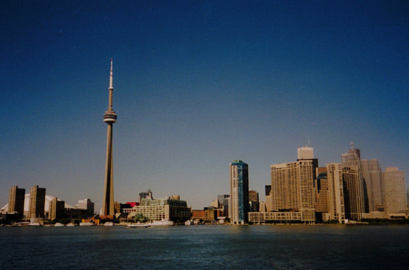
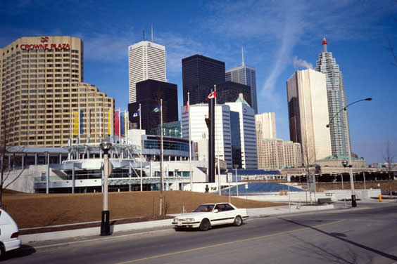
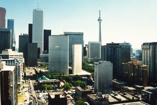
The SkyDome had just opened in 1989, and by the early 1990s it was already reshaping the waterfront area around Front Street. The CN Tower, already Toronto’s most recognized structure, underwent improvements during this period. Looking at the skyline from the early part of the decade, the density of the downtown core was still relatively modest compared to what would follow.
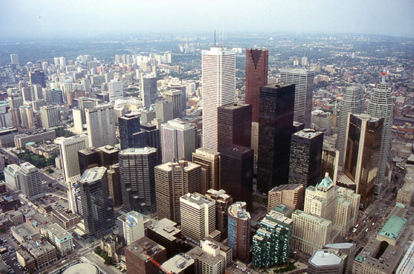
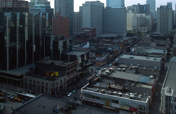
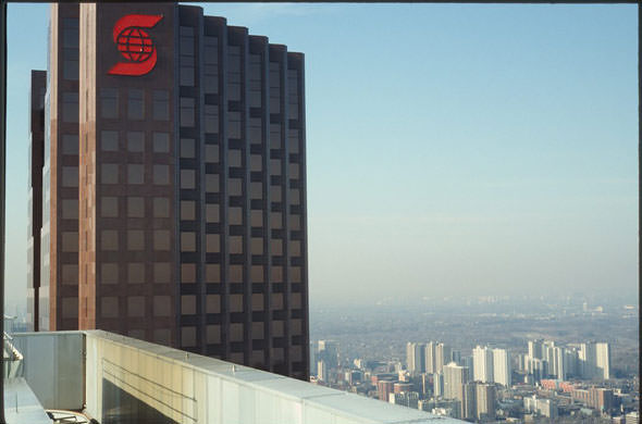
From the top of the CN Tower, the spread of the city stretched outward in every direction. The financial district’s towers clustered tightly, while low-rise streets of brick houses fanned out across the rest of the city. Chinatown sat just below, one of the most densely populated and commercially active neighbourhoods in the downtown core.
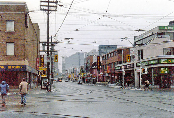
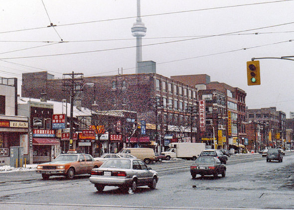
The 1990s brought a significant increase in immigration to Toronto. People arrived from across Asia, the Caribbean, Africa, and South America, making the city one of the most ethnically diverse urban centres in the world. Neighbourhoods like Chinatown reflected this reality clearly — a mix of languages on storefronts, packed sidewalks, and a commercial energy that never really slowed down.
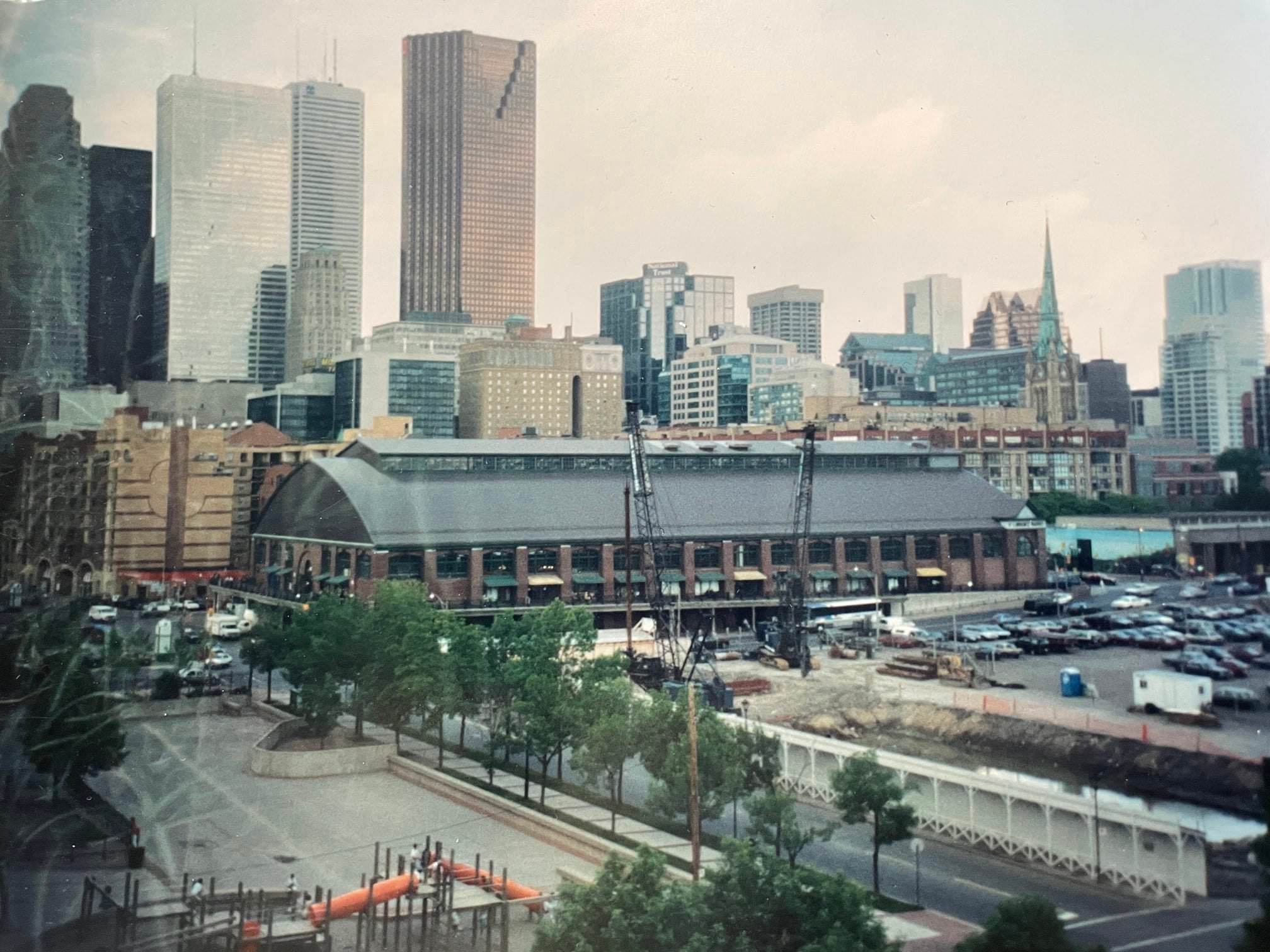
The Esplanade area near Jarvis Street was part of a broader wave of residential development along the waterfront. New housing was going up in spots that had previously been industrial or undeveloped land. The contrast between older brick buildings and newer construction was visible throughout the city’s eastern and southern edges.
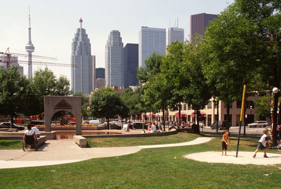
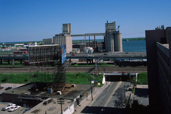
The waterfront still carried heavy industrial traces in the early 1990s. Grain silos, warehouses, and working yards occupied large sections of the lakeshore. The Distillery District — then still an active industrial complex — sat near the water at Mill and Trinity Streets, its Victorian brick buildings not yet converted into the cultural and commercial space they would later become.
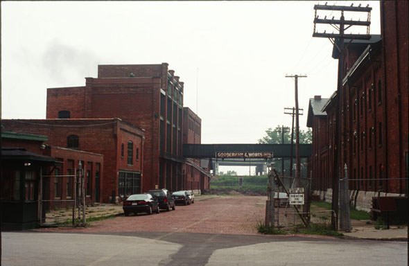
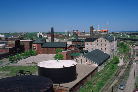
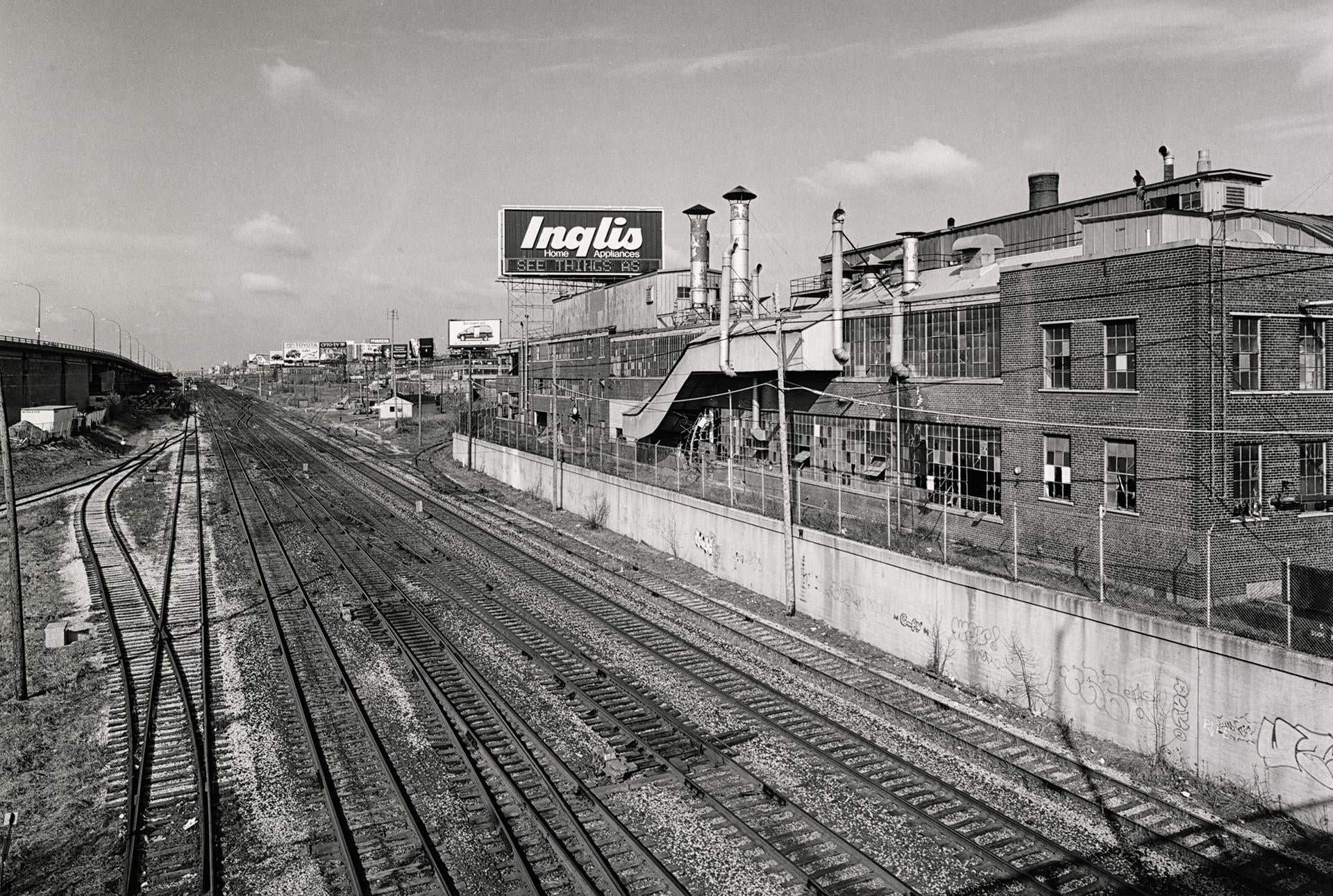
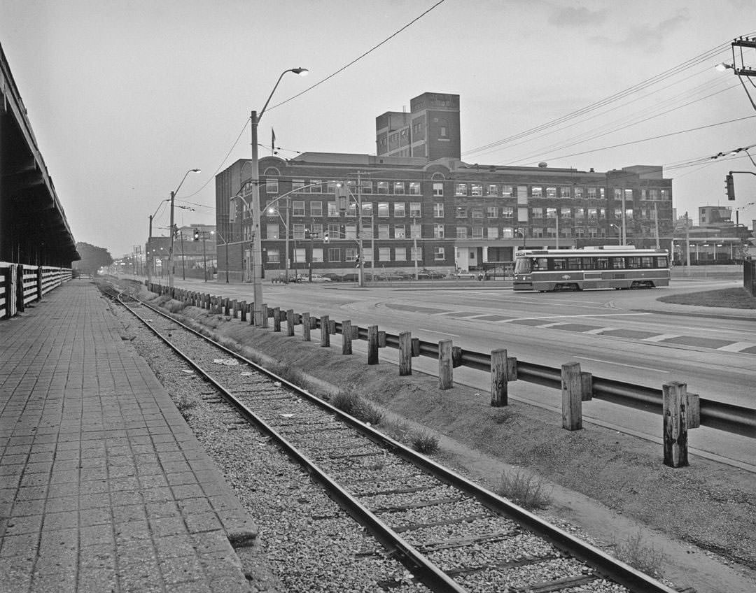
The Inglis appliance plant on Strachan Avenue was another major industrial site still standing in the mid-1990s. Its south facades, visible from the Strachan Avenue overpass, showed a large-scale factory complex that had been operating since the 19th century. The plant closed in 1989, and these photographs document its physical presence during the years before redevelopment.
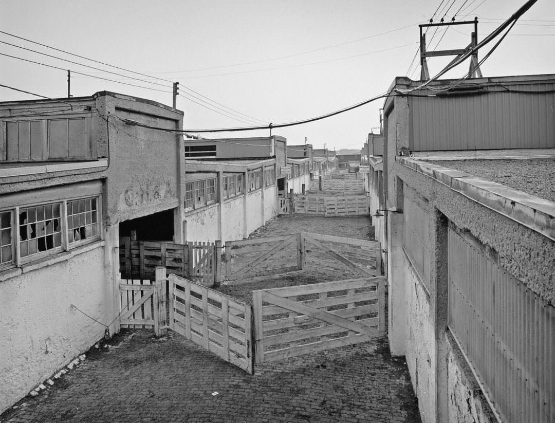
The Ontario Stockyards near Keele and St. Clair were another holdover from Toronto’s industrial past. Operating since 1903, the stockyards were one of the largest livestock trading centres in the British Commonwealth. By the early 1990s, the yards were still in use, and these photographs show the working alleys where cattle and hogs were moved between pens.
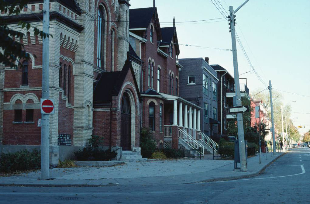
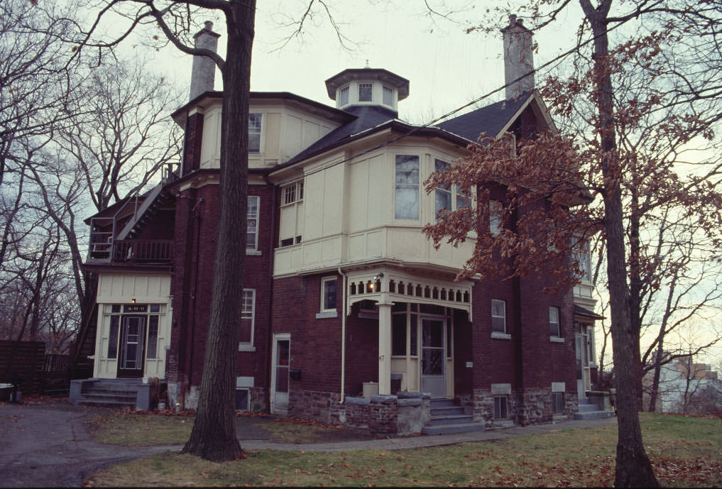
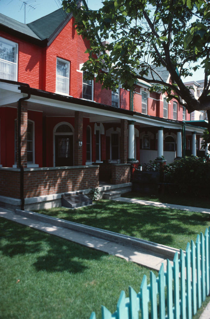
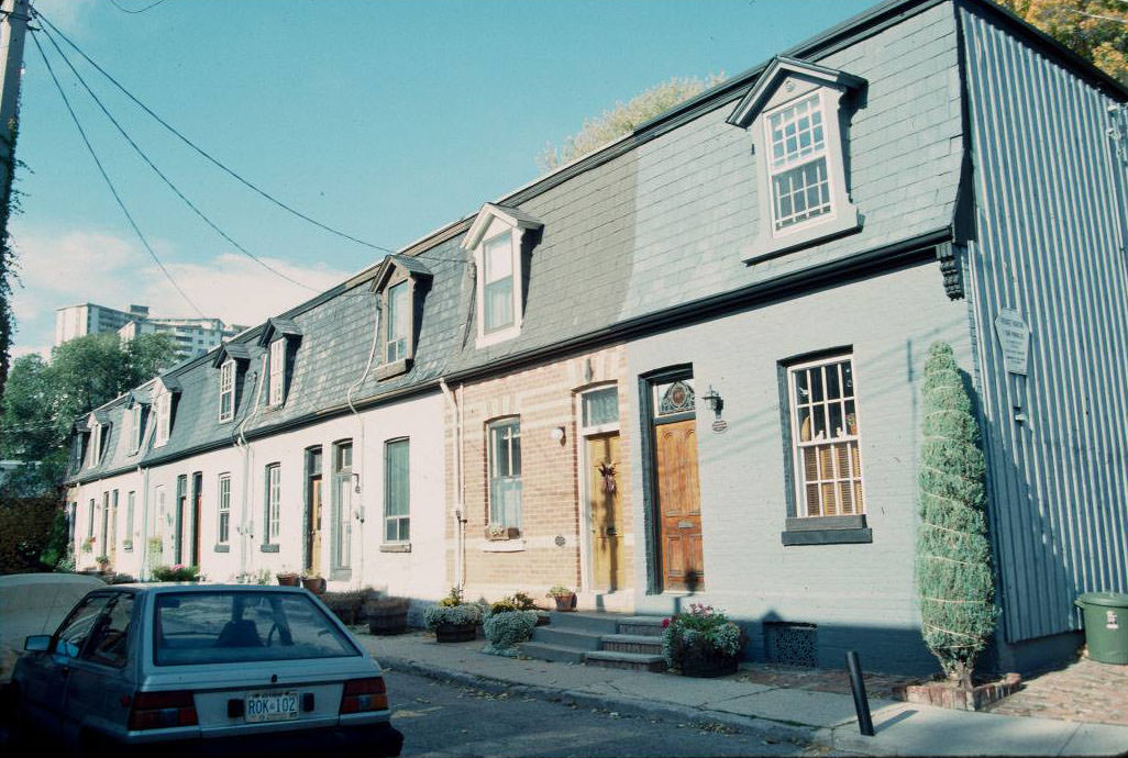
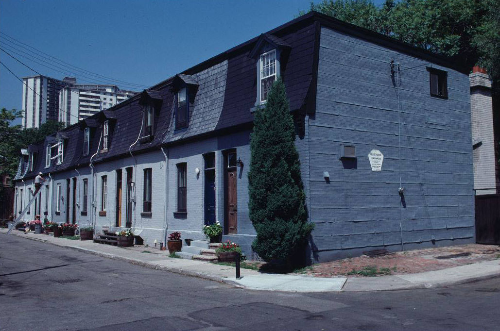
Away from the industrial zones, Toronto’s residential streets had a look that was largely unchanged from earlier decades. Rows of Victorian and Edwardian brick houses lined narrow streets across the west end and the old city core. Some of the most intact examples were found on streets like Beverley, Beaconsfield, and Admiral Road.
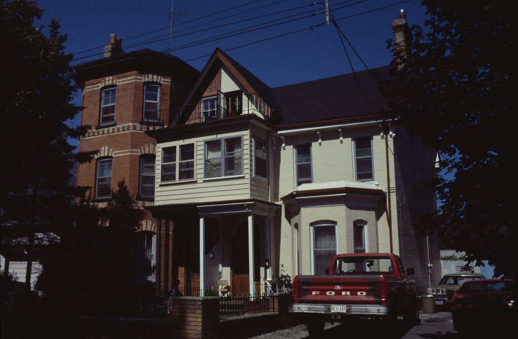
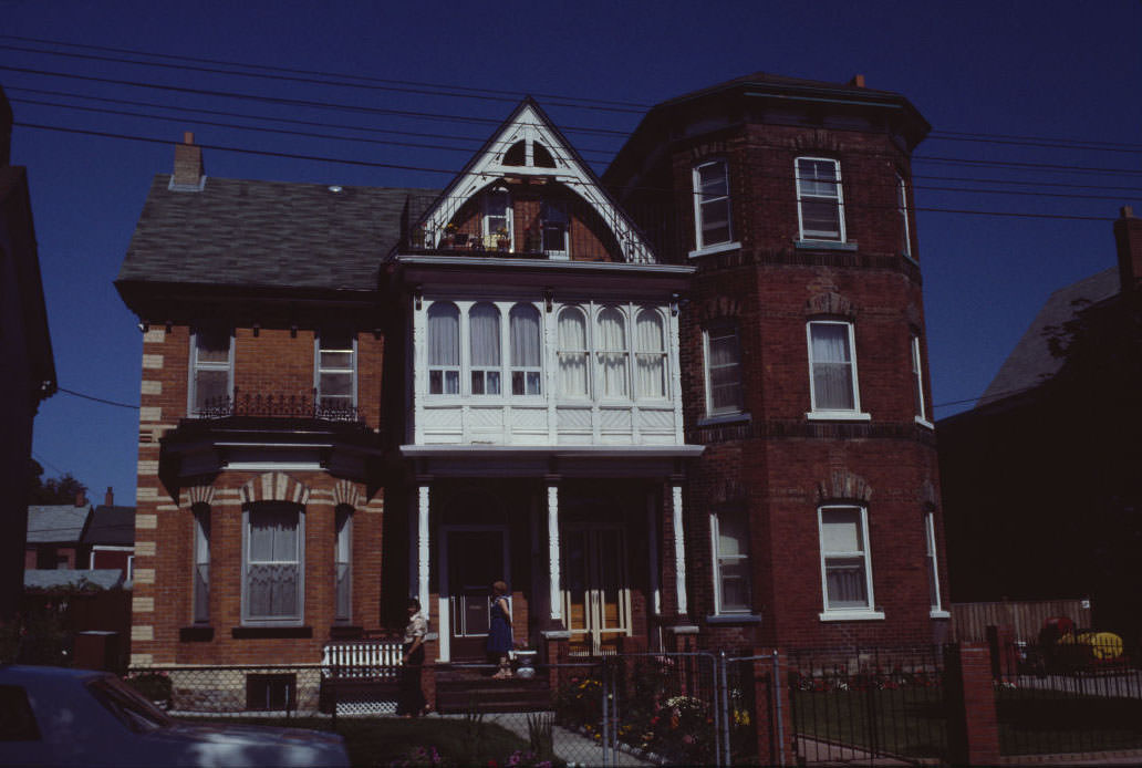
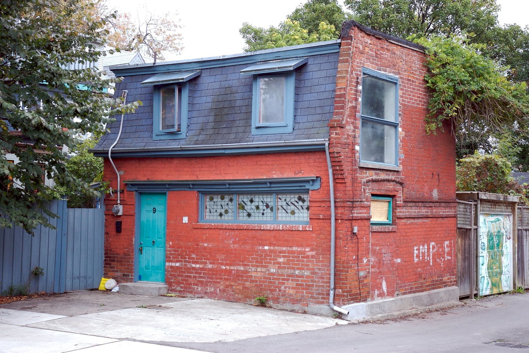
Toronto also had an unusual collection of very small dwellings tucked into back lanes and narrow lots throughout the older parts of the city. These tiny homes, often no wider than a standard parking space, were built in the late 1800s to house workers and tradespeople. Many survived into the 1990s, largely unchanged.
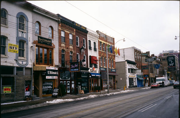
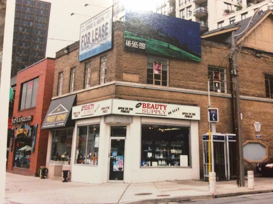
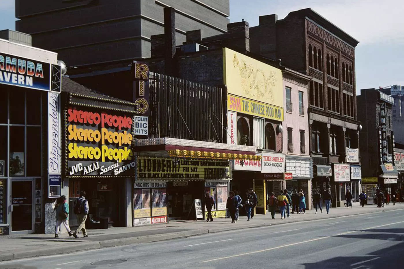
The commercial streetscapes of the 1990s had a specific texture — independent shops, hand-painted signage, and storefronts that varied widely from block to block. Queen Street in the east end, Yonge Street near Gould, and the area around Dundas and Yonge all had a ground-level character that later development would significantly alter.
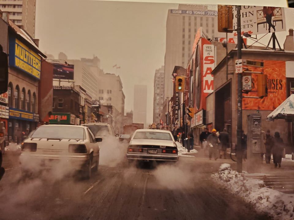
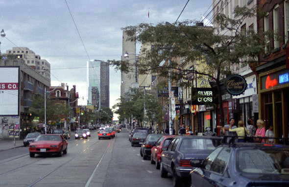
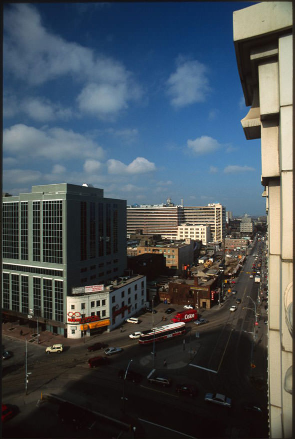
The intersection of Yonge and Dundas looked nothing like Yonge-Dundas Square as it exists today. Public art occupied the corner, storefronts ran right to the street edge, and the open plaza that now dominates the space had not yet been planned. The transformation of this intersection into a major public square was still years away.
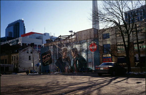
King Street West was developing into one of Toronto’s busiest entertainment and dining corridors. Restaurant Row, the Hyatt Regency hotel, and venues like the Big Bop gave the strip a lively character. Wayne Gretzky’s sports bar, with its large exterior mural, was one of the most recognized spots on the street.
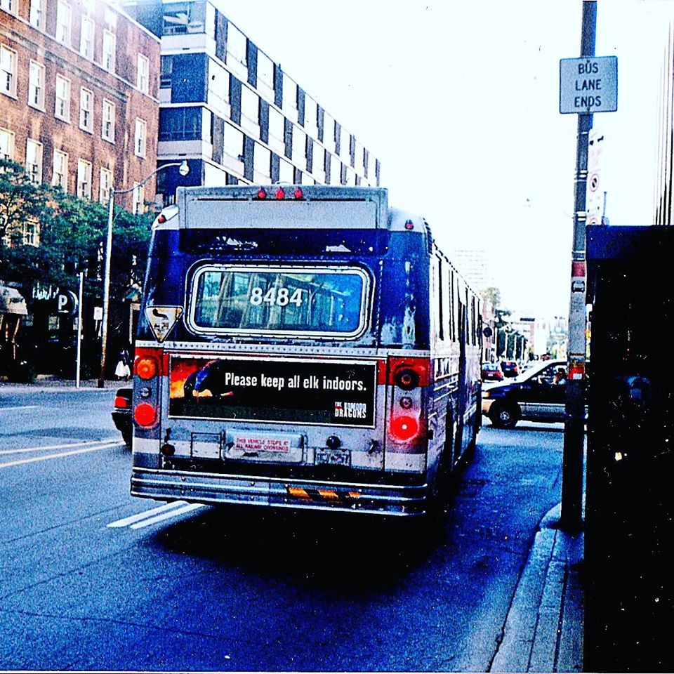
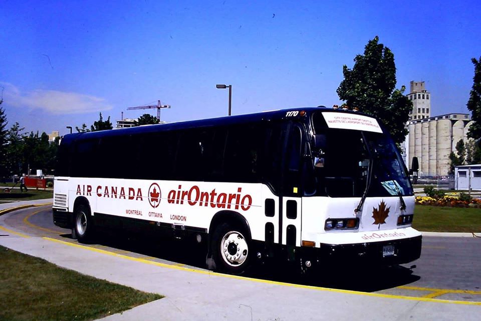
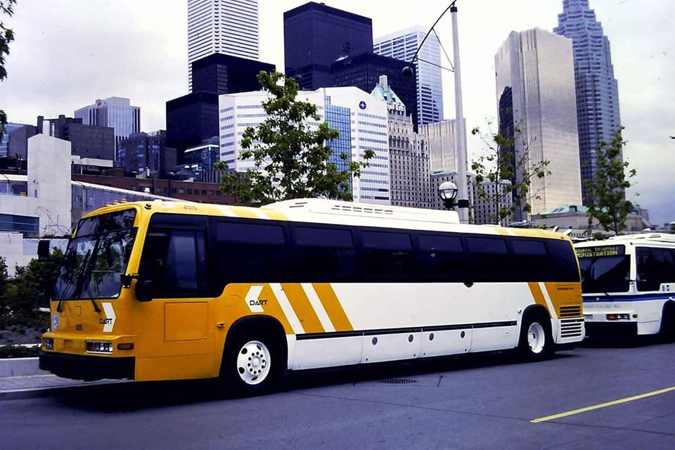
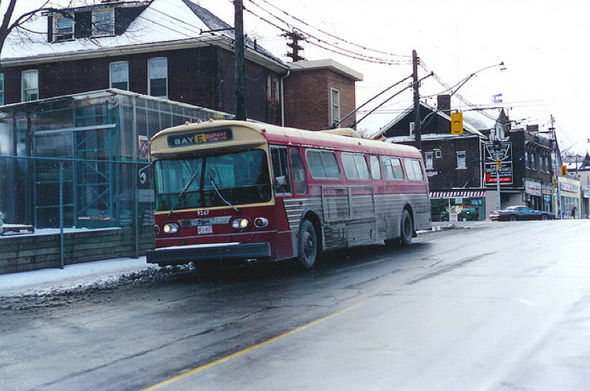
Transit was a major part of daily life in Toronto. The TTC ran an extensive network of buses, streetcars, and subway lines, and special vehicles were deployed for specific purposes. One TTC bus, numbered 8484, was outfitted with air conditioning and premium seating for Gray Line sightseeing tours. Pacific Western Transportation ran airport shuttle routes using former Pioneer Valley Transit Authority buses. In 1998, a Dallas Area Rapid Transit bus was brought to Toronto for an American Public Transit Association convention, appearing alongside other demonstration vehicles.
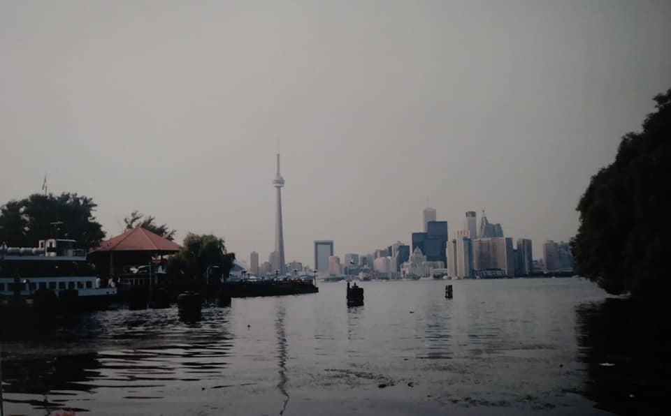
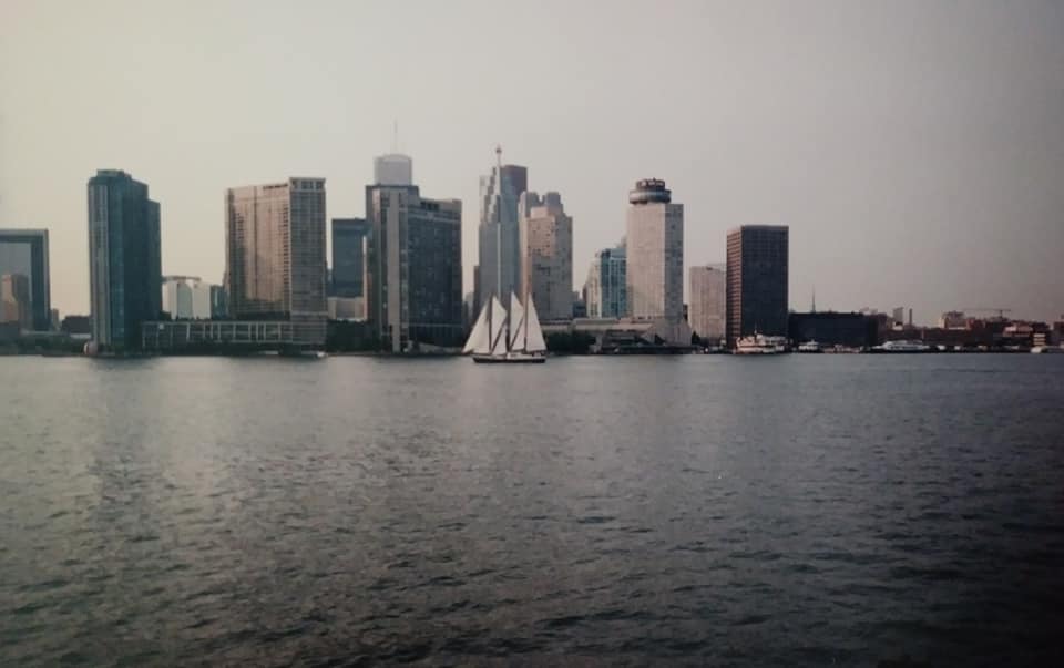
The Toronto Island Ferry connected the mainland to the Toronto Islands, running passengers across the western gap of the harbour. In 1997, the ferry service looked much as it had for decades — utilitarian boats, simple docking areas, and a steady flow of commuters and visitors making the short crossing.
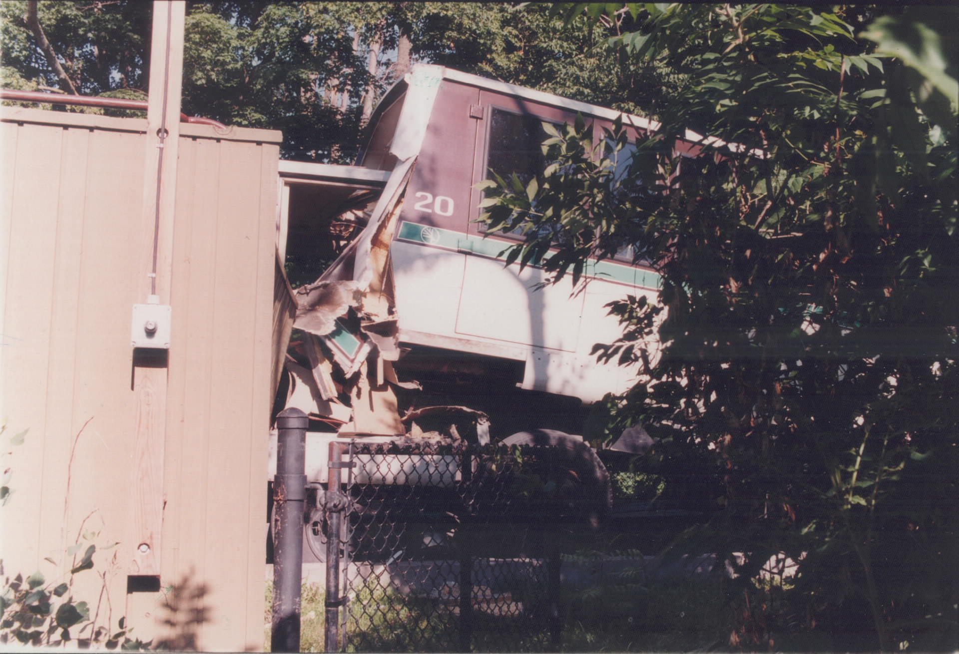
One of the decade’s more dramatic incidents involved the Toronto Zoo’s monorail system. In 1994, a train leaving Weston station lost power while climbing a steep hill and rolled backwards, reaching speeds of 40 km/h before crashing into a second train that was loading at the station. The accident marked a turning point for the monorail, which was eventually shut down.
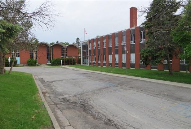
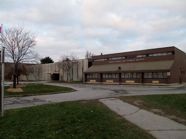
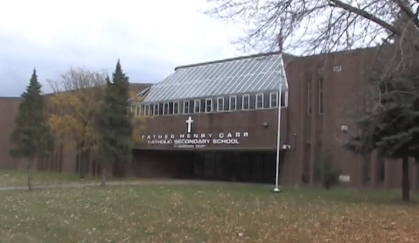
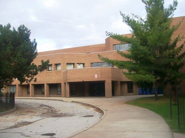
Toronto’s school buildings from this era ranged from mid-century modernist structures to older institutional buildings repurposed for new uses. St. Basil the Great College School occupied a former building on Weston Road originally built by the Basilian Fathers. Bendale Business and Technical Institute, Father Henry Carr Catholic Secondary School, West Park Secondary School, and Regina Pacis Catholic High School were all photographed during this period, documenting the varied architectural styles of the city’s educational infrastructure.
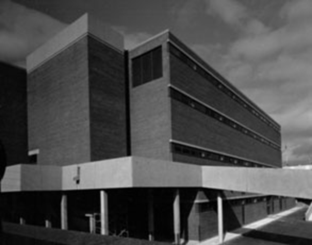
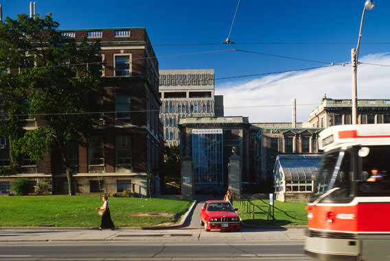
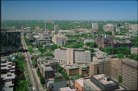
The University of Toronto’s St. George campus along College Street remained one of the most photographed parts of the city. Its Gothic Revival stone buildings contrasted sharply with the modern towers rising nearby. Queen’s Park, just north of the campus, was described by one photographer as having an almost absurdly green quality — dense tree canopy over manicured grounds surrounding the provincial legislature.
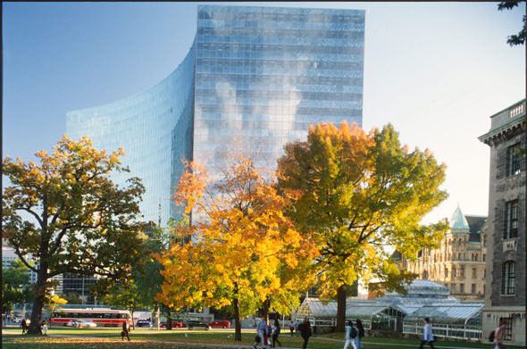
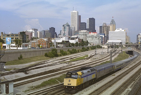
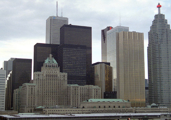
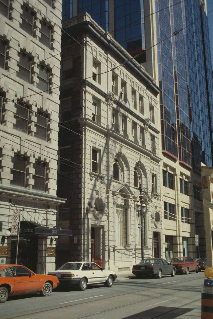
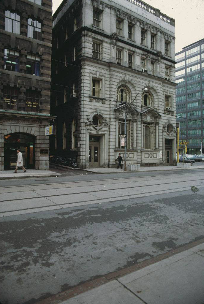
The financial district was anchored by towers like Scotia Plaza and Commerce Court, with the Royal York Hotel standing nearby as one of the oldest and most recognizable buildings in that part of the city. The Metro Toronto Convention Centre was relatively new, having opened in 1984, and photographs from the early 1990s show it still looking freshly built.
The CBC Broadcast Centre on Front Street was another significant addition to the city’s built environment during this era. Opened in 1992, it consolidated the CBC’s Toronto operations into a single purpose-built facility. Looking east toward downtown from Front Street, the building sat against the backdrop of a city still finding the shape it would carry into the next century.
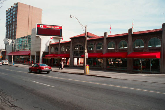
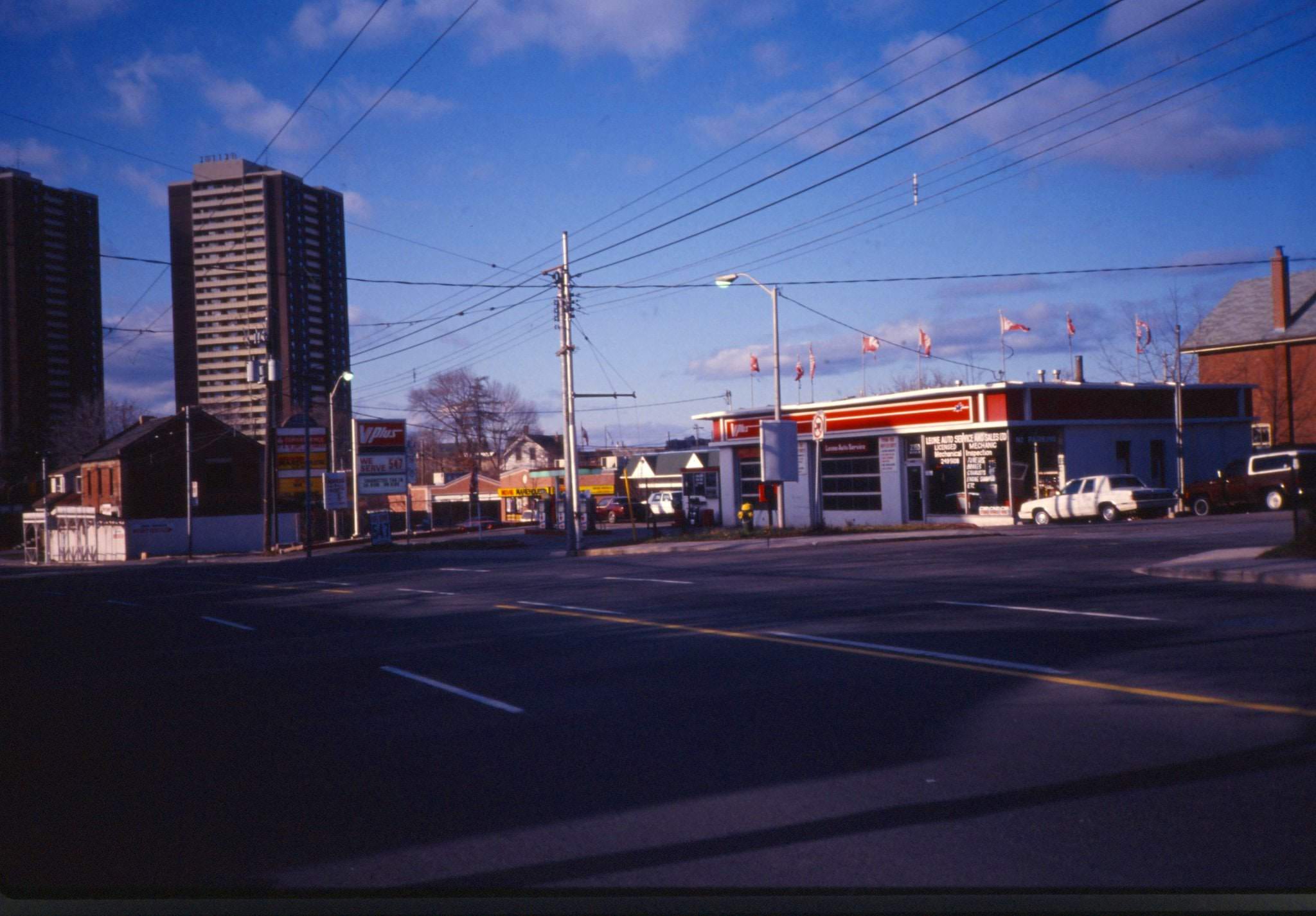
Yonge Street north of the downtown core had a very different character from its southern stretch. At Davenport, a Canadian Tire store occupied a corner lot that would later be replaced by condominiums. Further north, the intersections at Hillsdale and Marlborough preserved a low-rise, mixed-use character that would also eventually give way to higher-density redevelopment.
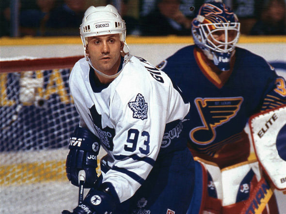
Sports were deeply embedded in the city’s identity during the 1990s. Doug Gilmour led the Toronto Maple Leafs to back-to-back conference final appearances in 1993 and 1994, making him one of the most popular athletes in the city’s history. The Toronto Raptors were founded in 1995, bringing NBA basketball to Toronto for the first time and adding a new dimension to the city’s sports culture.
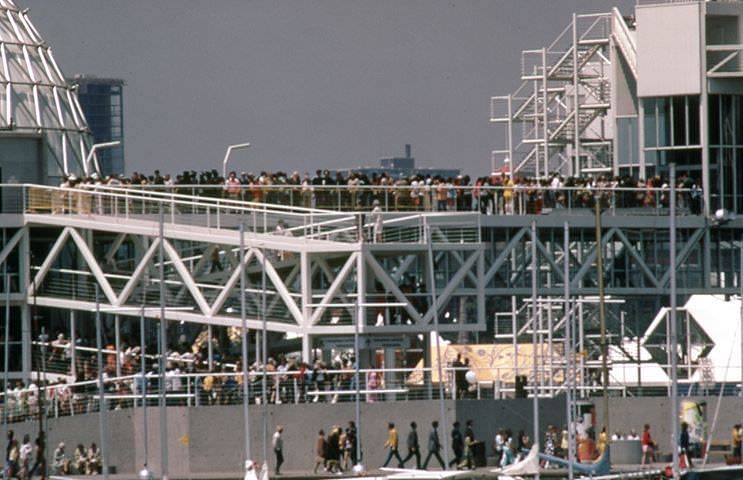
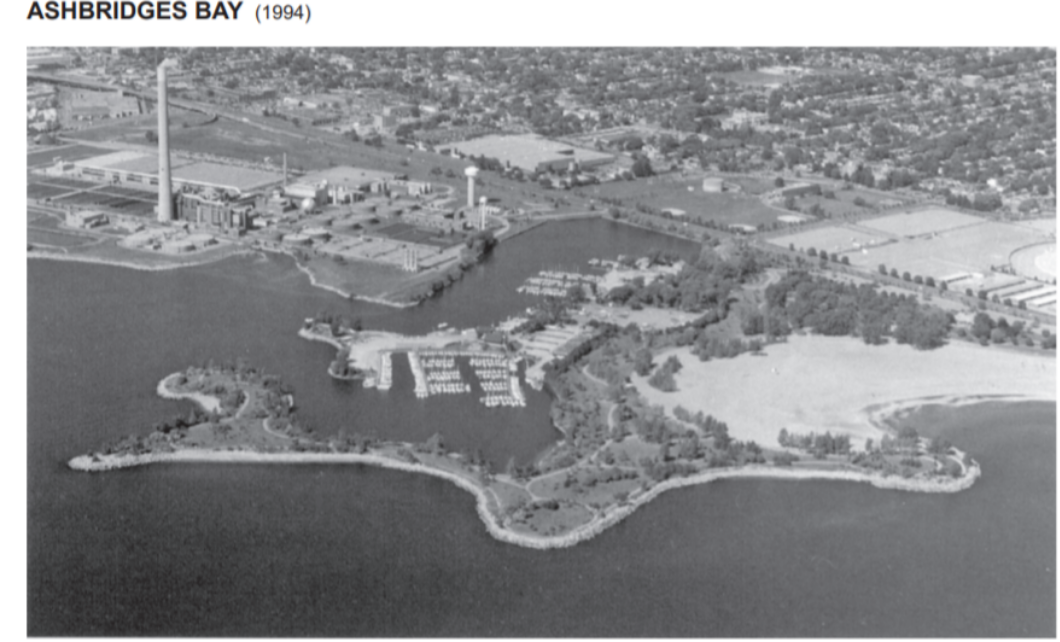
Ontario Place, on the western waterfront, was a popular recreational destination throughout the decade. Its distinctive bridges and structures sat on man-made islands just offshore, visible from the lakeshore and accessible by foot. Ashbridges Bay, on the eastern waterfront, offered a quieter stretch of parkland along the lake — photographed in 1994 when the area remained largely open and undeveloped.
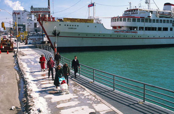
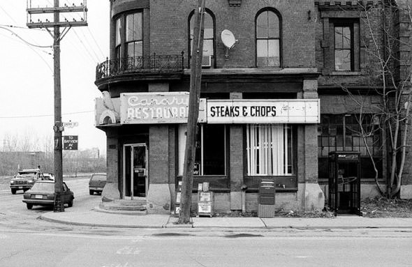
Captain John’s, the floating seafood restaurant moored at the foot of Yonge Street, was a well-known fixture of the waterfront. Its converted ocean liner sat just off the harbour, visible from the lakeshore trail and from the observation decks above. The Canary Restaurant, further east, was another institution — the establishment for which the Canary District would later be named.
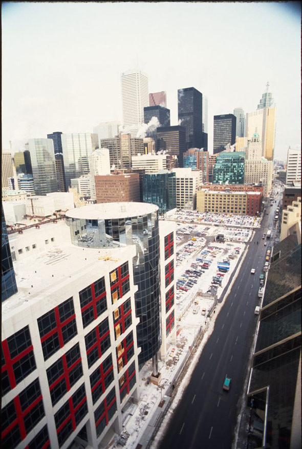
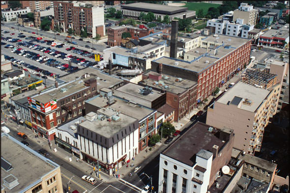
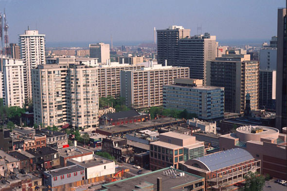
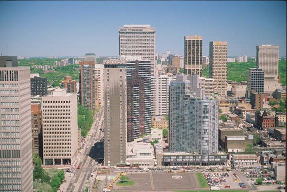
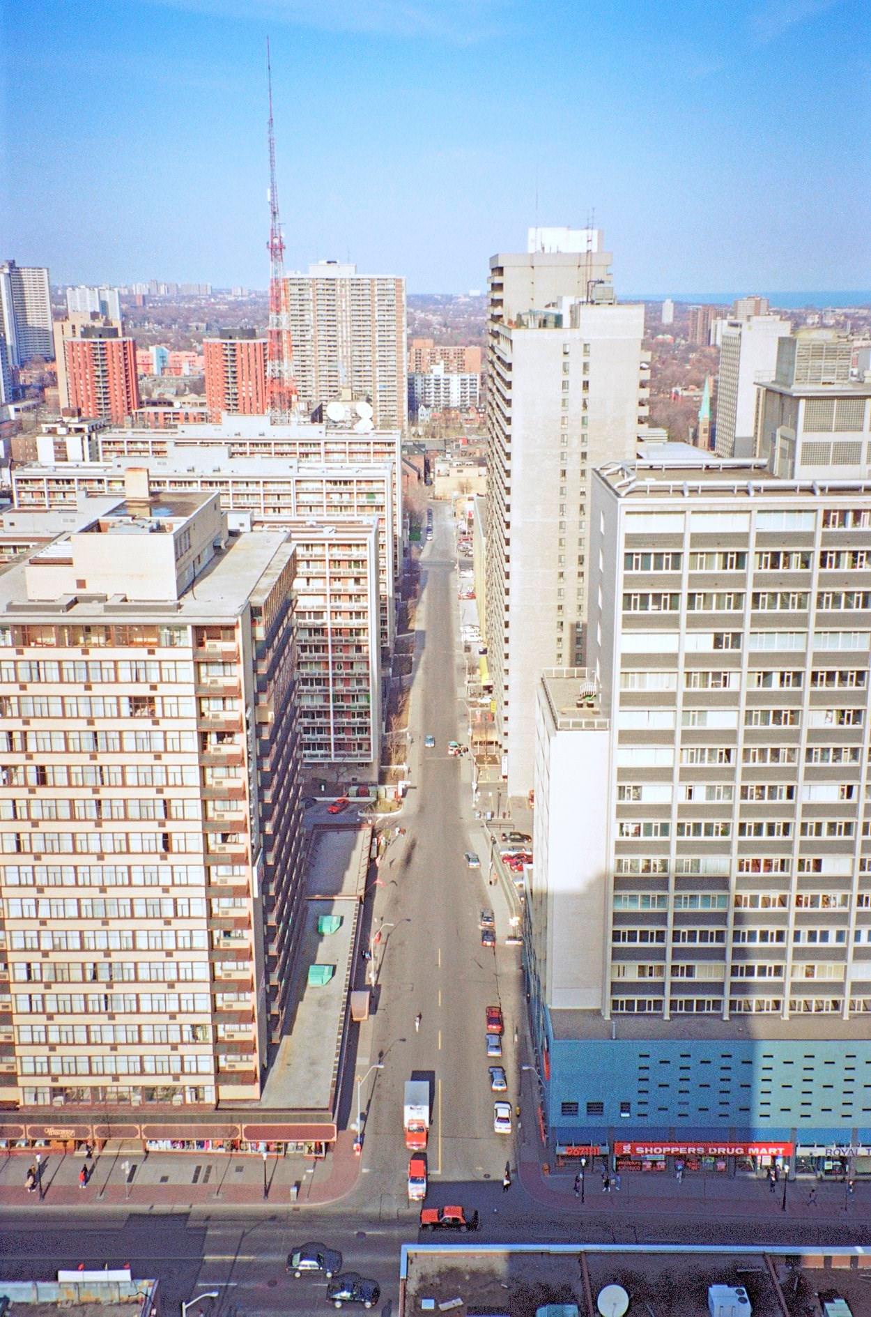
Aerial views from the early 1990s show a city that was urban but not yet overwhelmingly vertical outside its core. The area near Queen and Church, the stretch of Bay Street looking north toward the Sutton Place Hotel and Manulife Centre, and the view southeast toward the Port Lands all reveal how much open space and low-rise fabric still existed within a short distance of downtown.
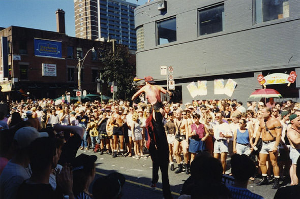
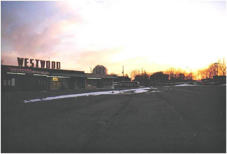
The Pride Parade grew significantly in size and visibility during the 1990s. Toronto’s LGBTQ+ community had been organizing the event since 1981, but by the 1990s it had become one of the largest annual gatherings in the city, drawing participants and spectators from across the country. The Westwood Theatre, Alpha Avenue, and smaller commercial corridors throughout the city each had their own character — documented in photographs that now serve as records of a Toronto that no longer fully exists.




Picture of the CHUM building is from the 2010s
Man that was a trip. As someone who was just hitting double digits in the mid-late 90’s in Toronto, lots of formative years happened in the city that looked like that.
Toronto was awesome in the 90’s.
I remember those days. Sure as heck do not miss the pollution from those buses and the cars. Now, I find Toronto so much cleaner and more modern. But during the 90s, Toronto reminded me a lot like New York, from some movies and such. Interesting pictures, 30 years ago how times just flew by, as I walked on Bloor St and Queen St early 90s.
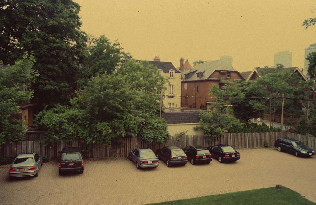
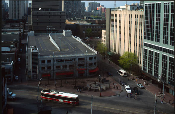
So many parking lots…
And I am amazed how much of the stockyards still existed back then.
This was hard to look at. I will never forget what they stole from us.
If you want to see Toronto in the 90s just watch the Kids in the Hall opening credits
Another nostalgia source are the City TV / CityPulse rewinds, which offer a glimpse into what Torontonians cared about back then.
Or kids in the hall episodes! OR twitch city for what Kensington market looked like in the 90s, if you can find it.
The bassist in the Jazz Monologue was actually one of my music teachers at U of T. as well as some members in the spadina bus video…
iconic!
“Who doesn’t remember that? That’s ridiculous! It was only around 30 years… 30?… 24-34 years ago…Jesus .”
if you’re 45 or older, the year you were born was closer to World War 2 than we are today to 1990. Happy Wednesday.
The fact that made me feel old was when I met a coworker who was born after 9/11.
The 1990s were 24-34 years ago. I have to repeat it a few times just to let that sink in.
Picture 14 gave me a small chuckle. Cher, cockroaches and Hakim Optical will survive the apocalypse.
Why does it say host of the 1996 Summer Olympics?!
We made a bid for it, and made it quite far in the bidding process.
Pretty corrupt selection process that year. Coca Cola bought it for Atlanta
That year? I think you mean “every year”
The Big Bop!!!
The Big Bop!!!
In which universe? “The city also played host to the 1996 Summer Olympics, which brought a great deal of attention and investment to the area.’
I liked Toronto better then.
Between the way the CityTV empire was operated and presented itself , QueenW/Yonge strips, and the club scene, it had a vibe.
It really did! Toronto had a cultural identity then. Queen west and yonge street feels like massive voids now. All corporate chains, concrete and glass.
I think hoods like the junction and queen west west have sort of absorbed the more interesting shops and walkable communities, but it’s not quite the same downtown central energy that we used to have.
Queen W and Bathurst was the weekend place to be!
We had a renowned nightlife, worldwide
I recall travelling overseas in early 2000s and young people were genuinely jealous that I grew up next to such a cool city. Nightlife, fun sports, multicultural, world famous DJs, great food scene, and an optimism for the future.
It is weird to think how far and fast we seem to have fallen.
The club scene was insane
Many a night at Zanzibar, Zoo Bar and Santurary. Nobody would go with me to Savage Garden though
Zanzibar…I haven’t heard that name in eons. Is that place still open?
I think it it’s but it’s strictly a stripper place now. Might be the last strip club left in Toronto???
No there’s def still House of Lancaster and the Paradise Club
What about brass rail
I remember back in the early early 90s much of up north was pretty much farmland. We had a chance to buy a huge plot of land for next to nothing, probably my biggest regret to this day. Oh well!
The pictures bring back a lot of memories. Despite sounding like an old head, Toronto used to be a great place to live and grow up in. I miss it, I still contemplate moving back but it just doesn’t feel the same anymore. Now it somehow feels like we diverged into the darkest timeline for it
It’s far from the darkest timeline. Just maybe the dullest.
Darkest timeline would be if we turned into the way 70s New York was.
Or Detroit.
Also literally, the darkest. There was that trend of painting bricks grey.
Way better place.
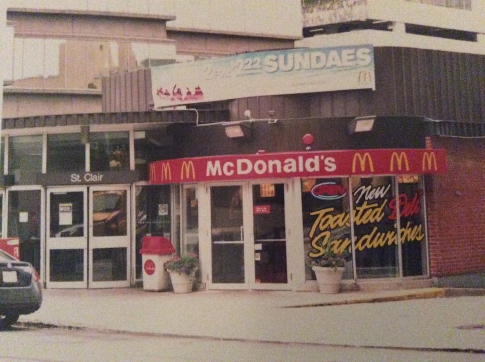
I do not remember McDonald’s having toasted deli sandwiches. Looks like they were even around in the early 2000s.
Those followed the demise of their delicious McPizza in the 90s.
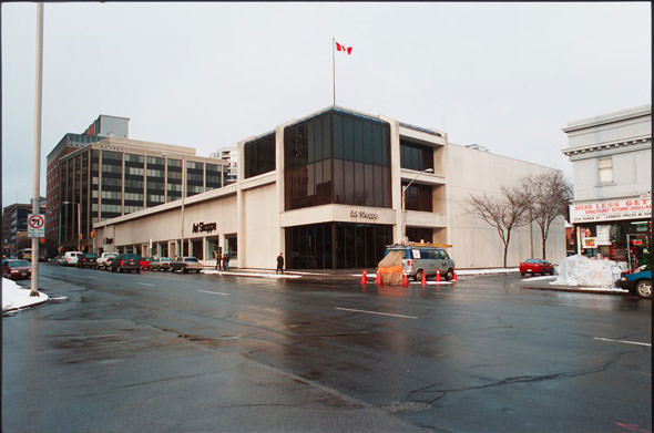
I never understood how the Westwood Theatre survived on that large of a property near the subway as long as it did!
Some of those haven’t changed at all. Park some old cars, crack open a new roll of Kodak Gold, and you’ll get pretty much the same shot.
Ah yes restaurant row on king, my only memory of that place is going for dinner at Kit Kat and my buddy noticing things moving on the wall.
It was dozens of roaches
Photo of the Uptown Theatre is from the late 70s, not the 90s.
Probably 1978. One of several with dubious dating.
This city used to be uglier and grayer that’s for sure. We’ve gone a long way it making it visually pleasant across the board.
Part of that is older consumer grade film and cameras used for those photos. Some of those areas had much more colour in real life.
It really wasn’t.
Much has changed (yonge street for example), however the city only gained say, 50 condos.
Shame they couldn’t retain much of the greenery close to the harbourfront. That picture with the royal York hotel in the background looked really nice.
At the time many people argued that the land should be set aside as parkland. It is generally all disused industrial areas. But that all went south once City Place began going up on the CN lands.
I need a time machine
I love the random photo of Doug Gilmour
Wow, haven’t heard of Westwood theatres in a long time. It’s where I saw my first movie (Little Mermaid). I must have been 4 or 5. I believe it’s been closed and torn down now?
That one in Etobicoke, gone, as part of the unwinding of Dundas/Bloor/Kipling.
This is pretty wild. I only would visit Toronto a few times in the 90s in my teens but it doesn’t feel like it was some bygone place that looked wildly different. And in some places that’s true but in others it looks like old timey photos with newsies running around and stuff. WTF.
Man that advertisement on the back of the buss brought me all the way back to the Toronto zoo.
I was so excited for those when I was young.
yeah i remember following all the lizard foot prints leading to the dragons haha such a great exhibit
OMG thank you for the flashbacks.
This reminds me of my mullet with hair mousse ontop
My family moved to the city in ’91 from Ottawa. It’s so strange seeing people talk about this Era like it was a very long time ago even though it was.
Oh, the Big Bop! What great, but fuzzy, memories.
Thanks !!! It was like time traveling back . Moved here in 1989 from a small town in Alberta. Pop 1200
It truly was so much better back then