
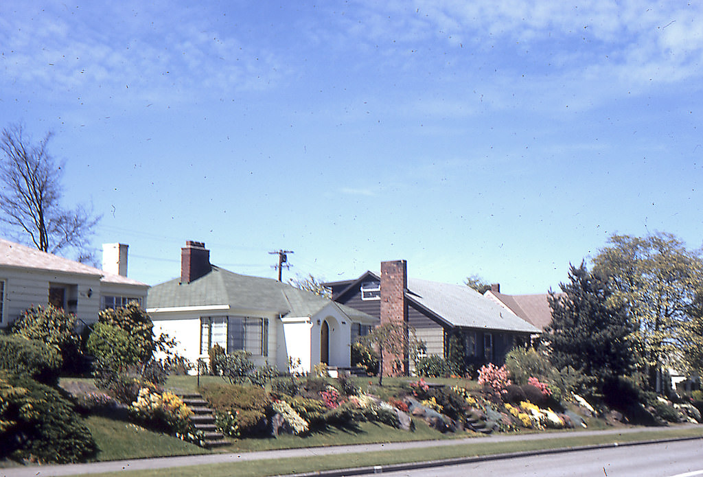
Seattle in the 1960s was a city in full motion. Its population climbed steadily through the decade, driven in large part by a massive housing boom that drew families and workers into the city’s expanding neighborhoods. African Americans became the largest minority group in Seattle during this period, and the city’s government responded to growing civil rights pressure by passing laws against discrimination in the renting and selling of real estate — a meaningful step toward fairer housing access.
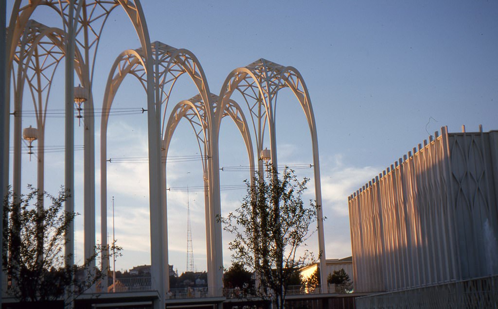
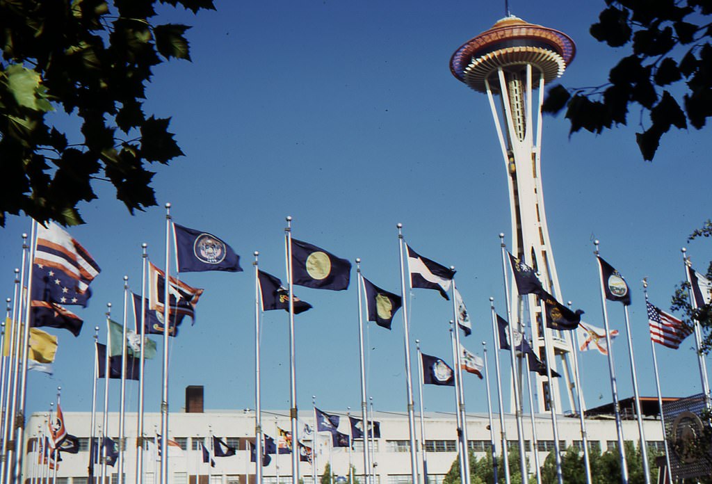
One of the defining moments of the decade came in 1962, when Seattle hosted the World’s Fair, officially called the Century 21 Exposition. The event put Seattle on the world stage and drew more than ten million visitors from countries across the globe. The economic boost was enormous, and the infrastructure built for the fair — including the iconic Space Needle and the Seattle Center grounds — permanently changed the city’s physical identity.
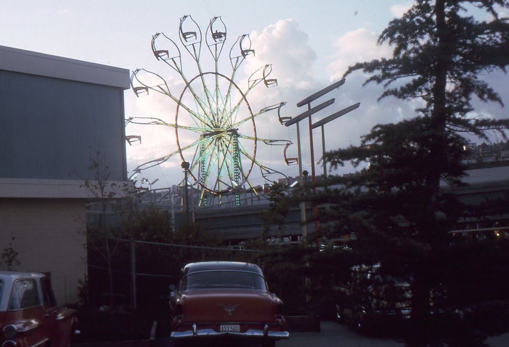
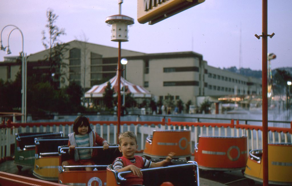
The Seattle Center remained a hub of activity well after the fair closed. Families visited its attractions, children rode its amusements, and the grounds hosted cultural events throughout the decade. The Ferris wheel and various performance spaces made it a gathering point for the broader community.
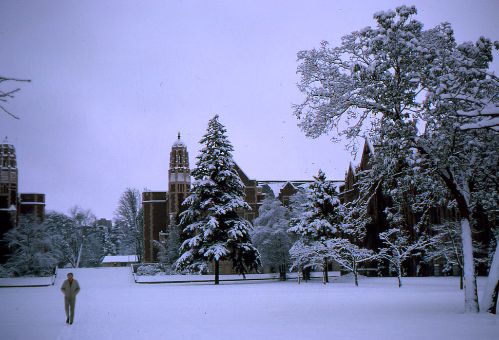
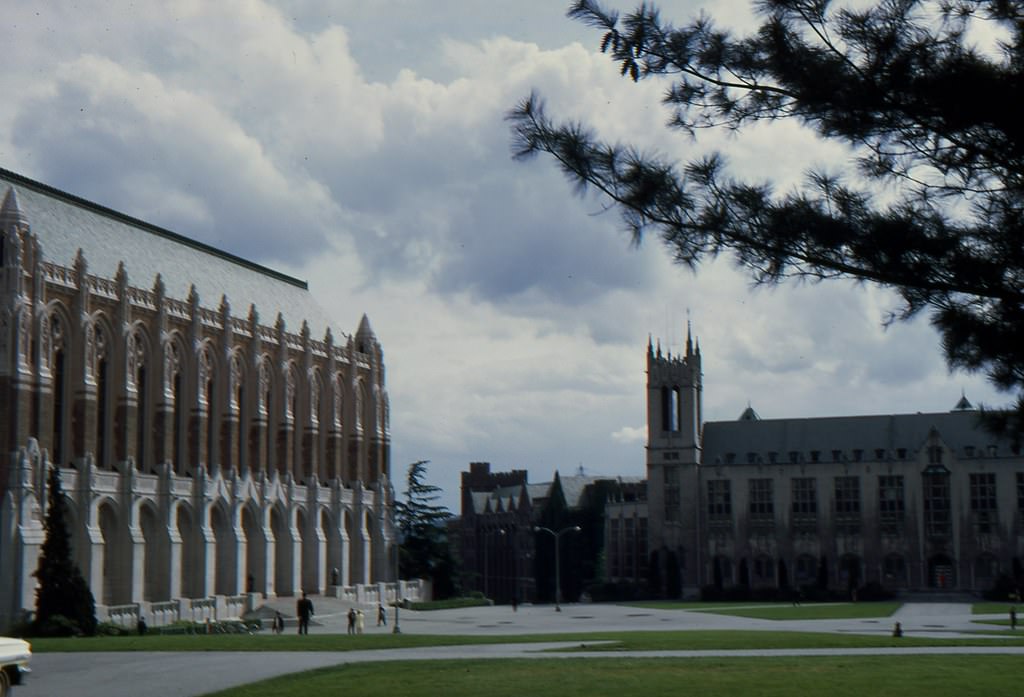
The University of Washington was another anchor of Seattle life in the 1960s. Its campus quadrangle, lined with cherry trees and grand brick buildings, drew students and visitors alike. Enrollment grew through the decade as more young people pursued higher education, and the university’s facilities expanded to keep pace.
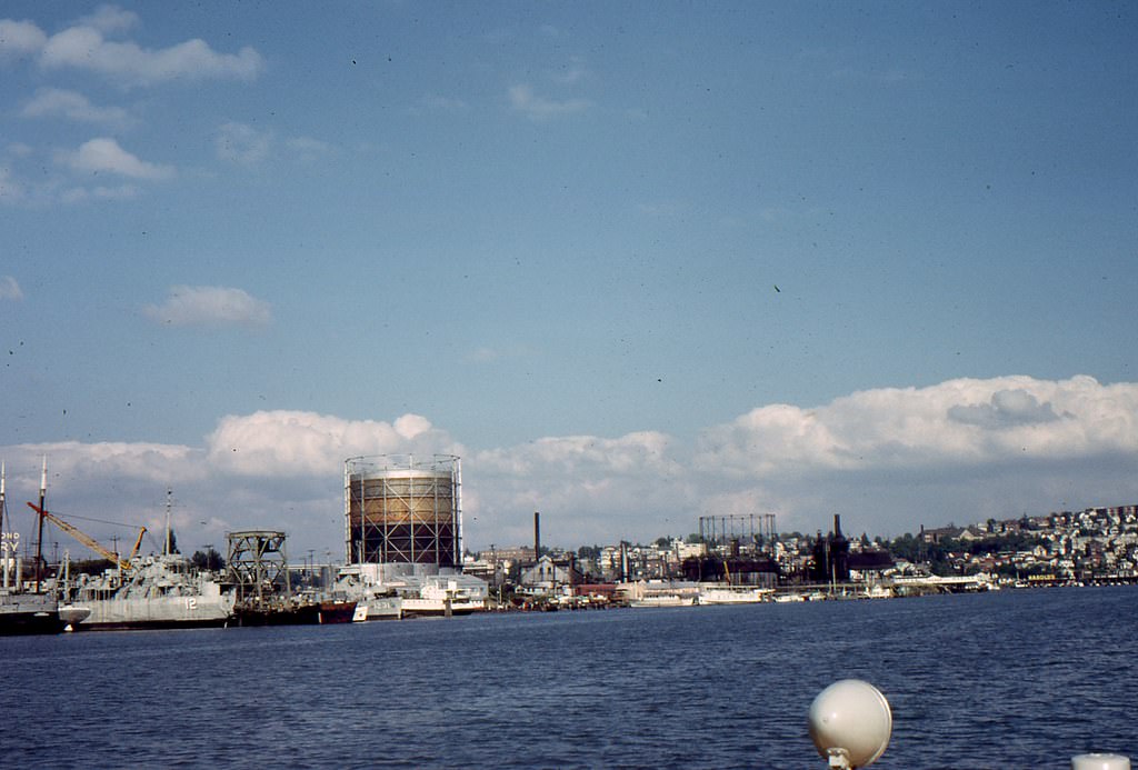
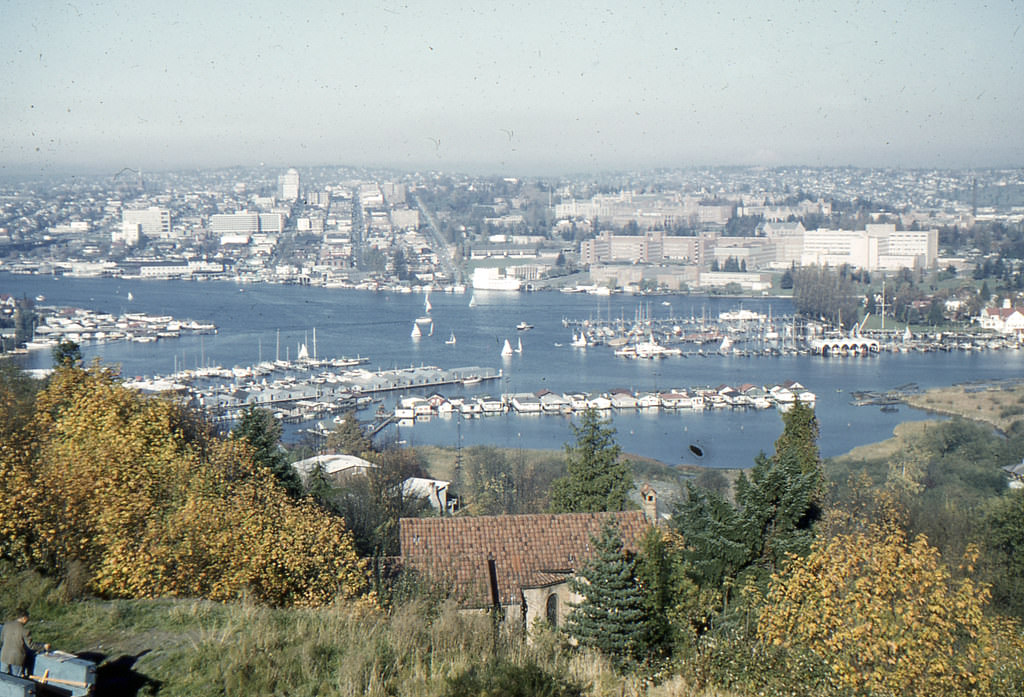
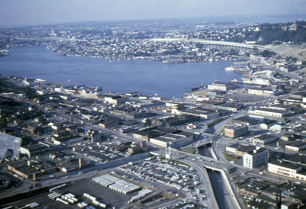
Lake Union sat at the heart of Seattle’s industrial and residential landscape. The old gasworks plant on its northern shore was still a visible presence in the early 1960s, a remnant of the city’s earlier industrial era. The lake itself was ringed with houseboats, small docks, and waterfront businesses that gave the area a distinctive character.
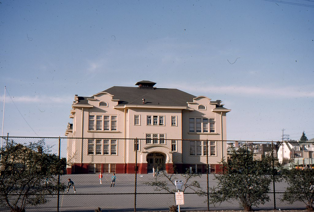
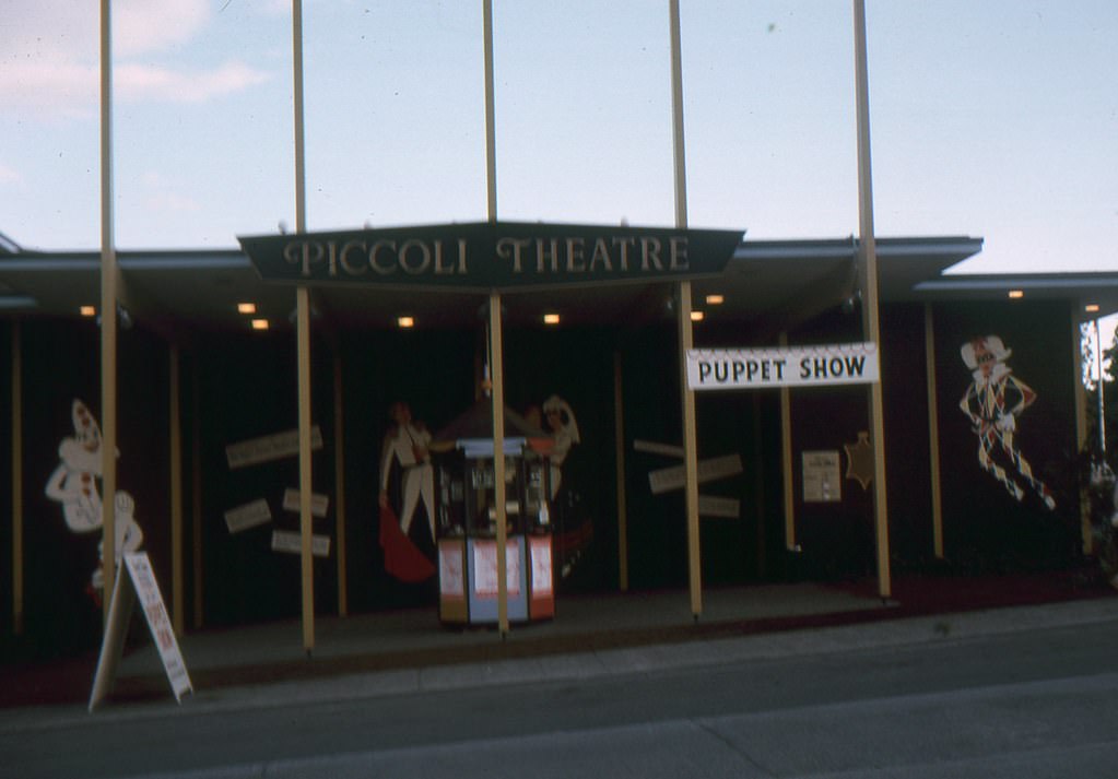
The Seattle Center’s Piccoli Theatre was part of the cultural infrastructure the World’s Fair left behind. Performance spaces like this one gave the city a venue for theater, music, and community programming long after the exposition’s crowds had gone home.
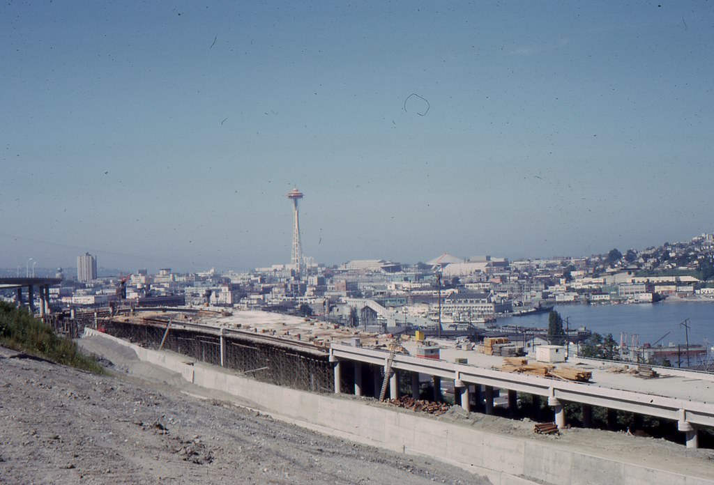
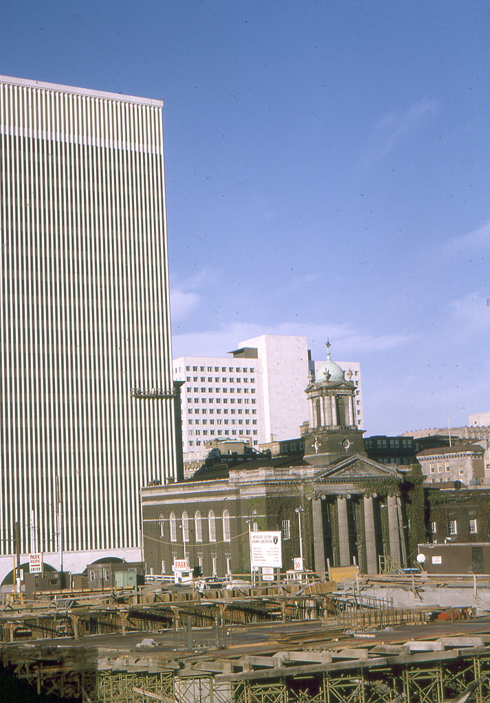
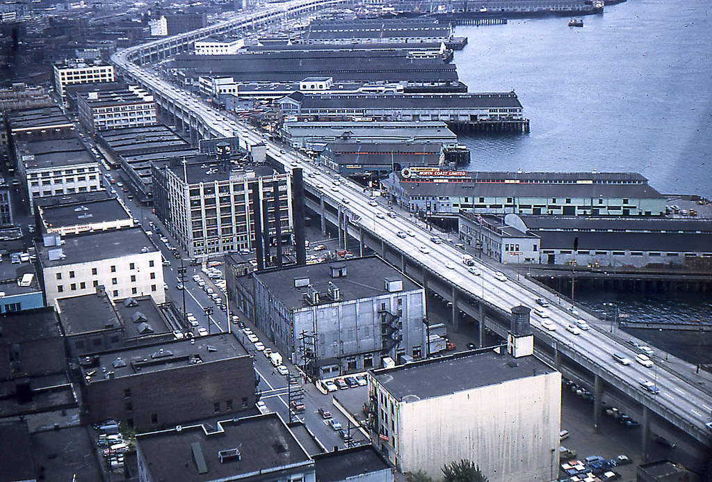
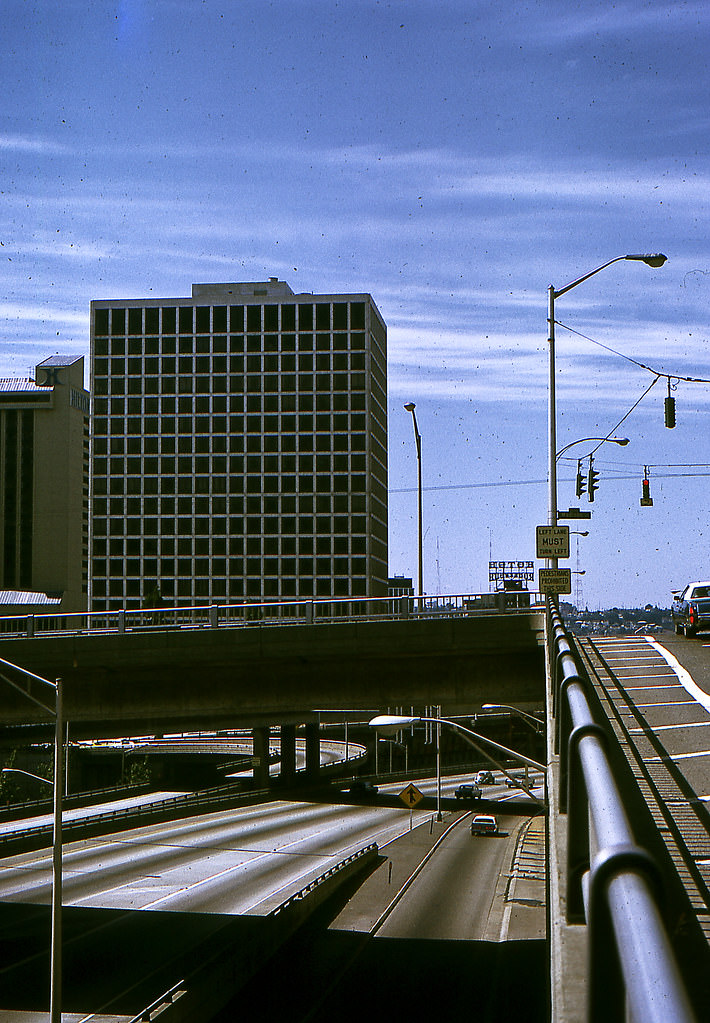
Freeway construction reshaped Seattle’s urban fabric throughout the 1960s. As more residents moved into the city and suburbs expanded, the demand for major roadways grew. The freeway corridors cut through established neighborhoods, and their construction was captured in numerous photographs from the period showing a city literally being rebuilt from the ground up.
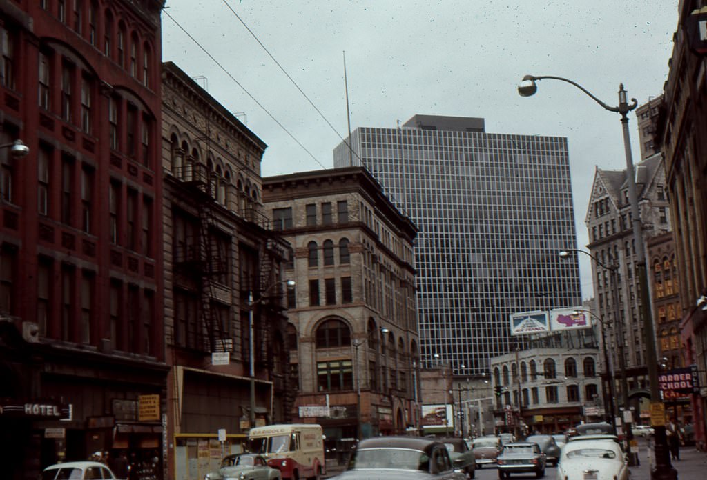
First Avenue in the early 1960s was a busy commercial corridor near Seattle’s waterfront. The stretch near Yesler shows a streetscape crowded with storefronts, signage, and pedestrians — a snapshot of downtown Seattle before the major redevelopment projects of the mid-decade took hold.
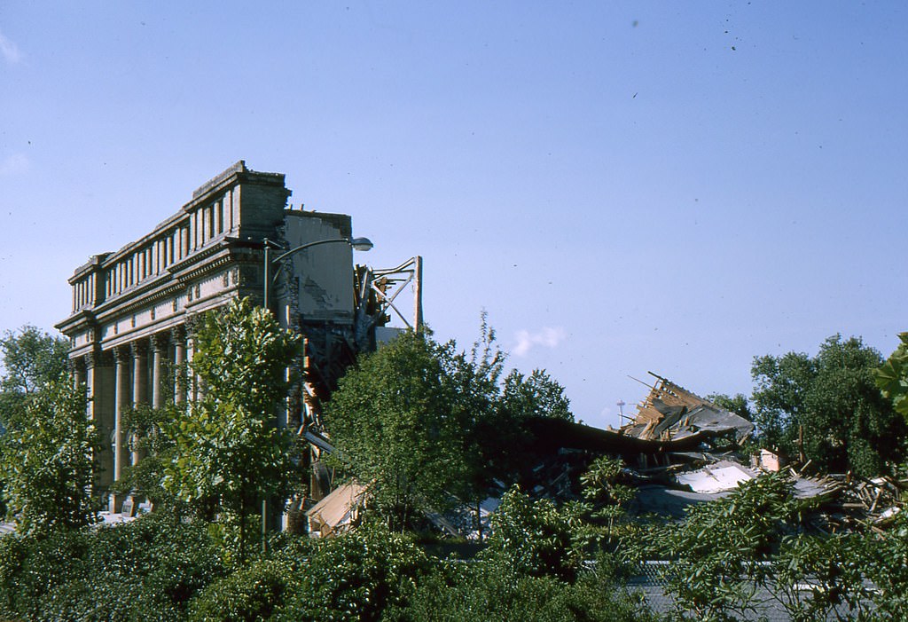
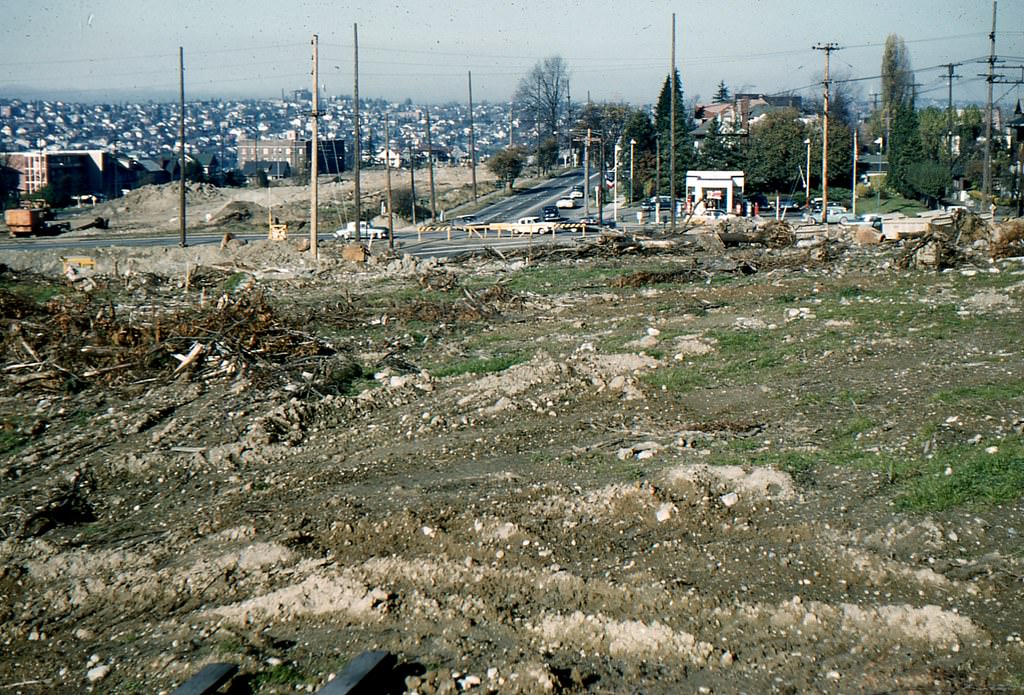
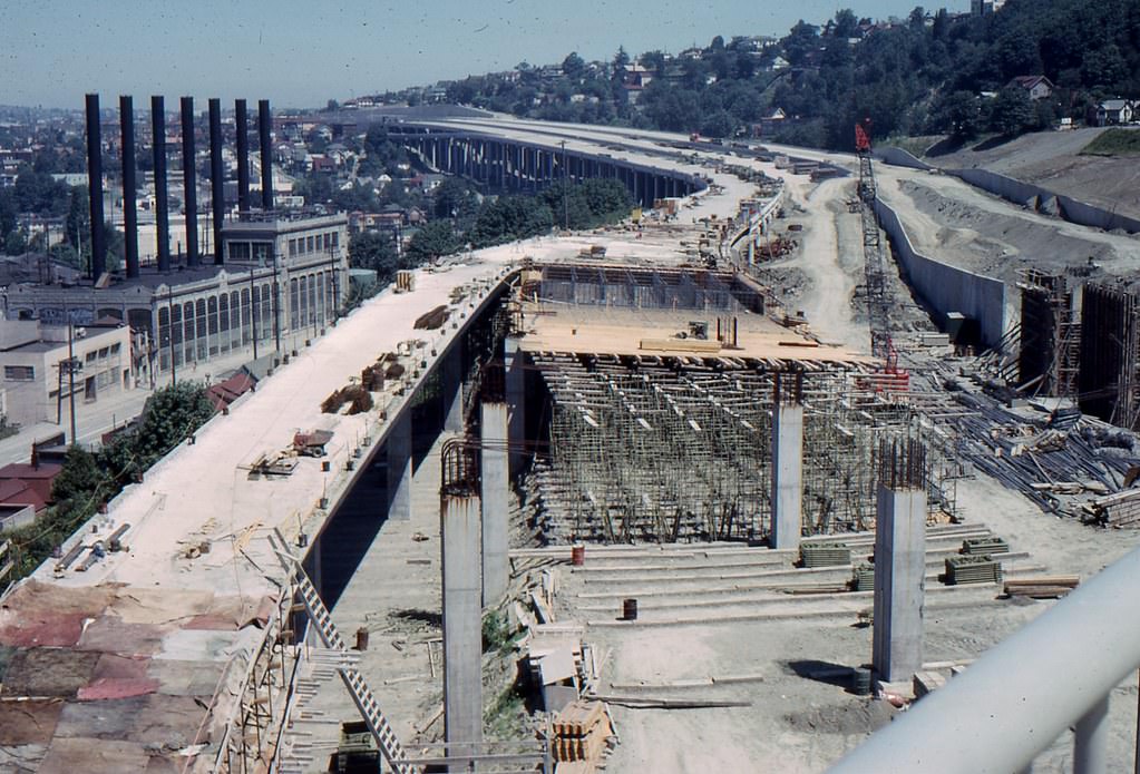
By November 1960, freeway planning and site preparation were already underway at locations like Roanoke and Harvard. These early construction photos document the groundwork laid before the major highway arteries took shape, showing cleared land and the early stages of a project that would define Seattle’s movement corridors for decades.
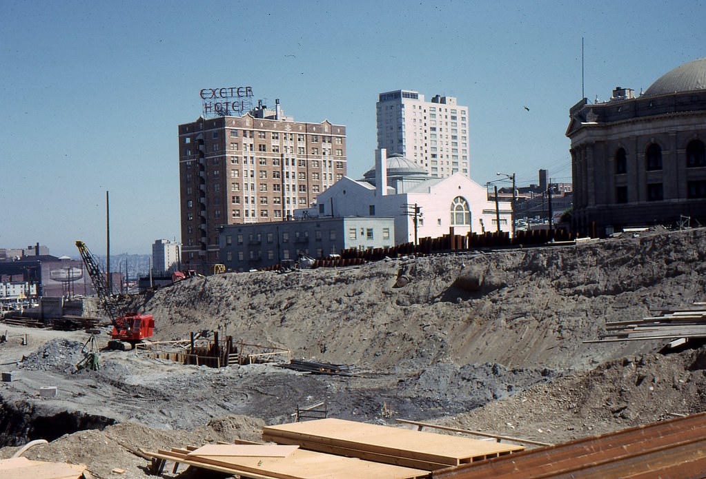
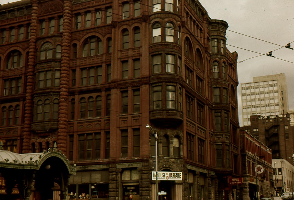
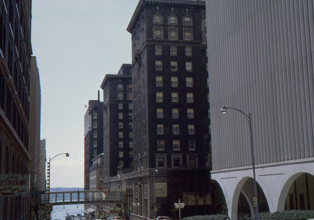
The intersection of 1st and Yesler in April 1961 sat at the edge of Pioneer Square, one of Seattle’s oldest commercial districts. The area showed a mix of older brick architecture and the busy street life of a working waterfront city.
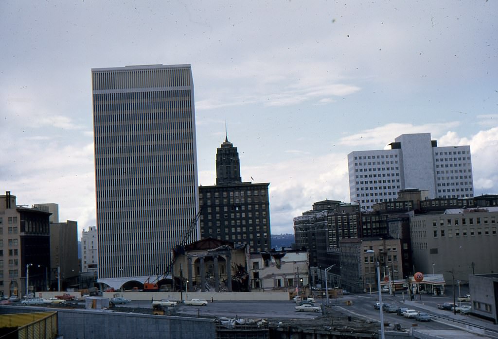
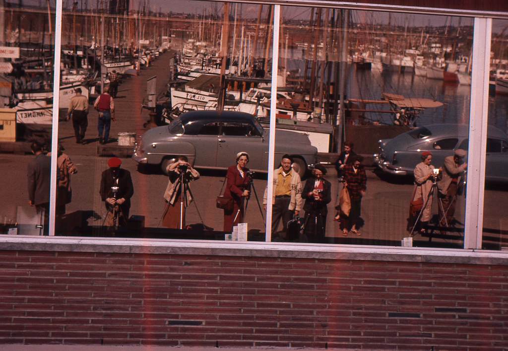
The waterfront was undergoing real transformation in the 1960s. As residents shifted back toward city living from the suburbs, the city redesigned its piers and walkways to accommodate both commerce and foot traffic. Major businesses opened along the water, including the Edgewater Hotel, Trident Imports, and the Polynesian Restaurant. New pedestrian walkways and piers were built to connect these destinations and give residents more direct access to Elliott Bay.
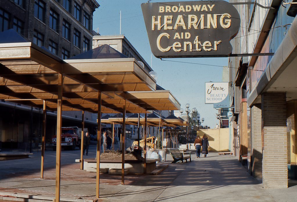
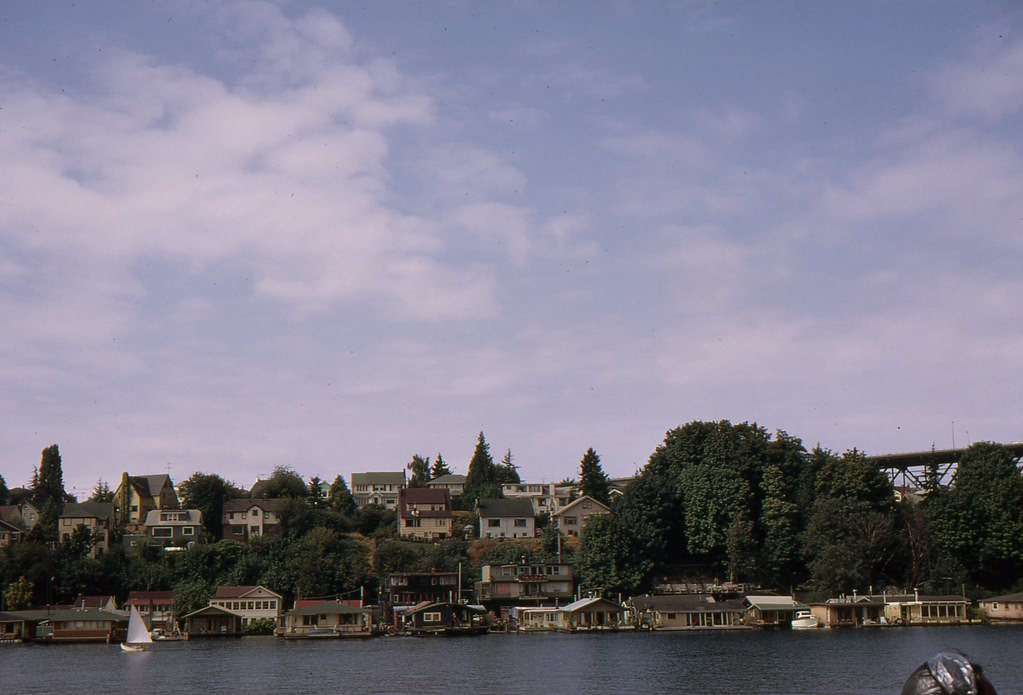
By 1969, Lake Union’s houseboat community was well established. Floating homes lined the shoreline, occupied by artists, working families, and longtime Seattle residents who preferred life on the water to life on land. The community gave Lake Union a personality unlike any other part of the city.
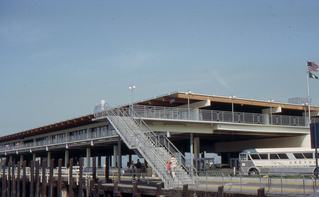
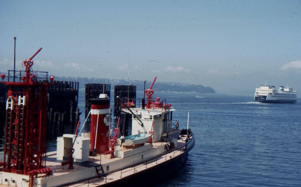
Colman Dock served as a central departure point for the Washington State Ferry system. By 1968, ferry traffic connected Seattle to communities across Puget Sound, and the dock was a daily fixture for commuters and travelers moving between the city and the surrounding region.
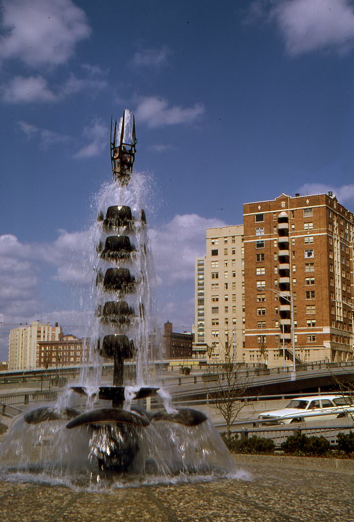
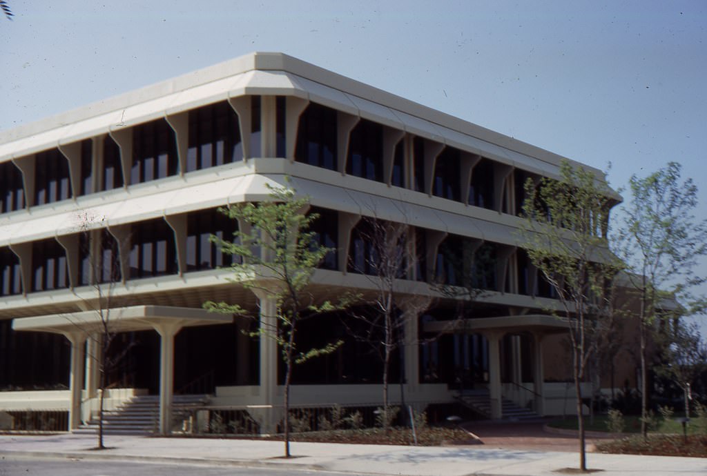
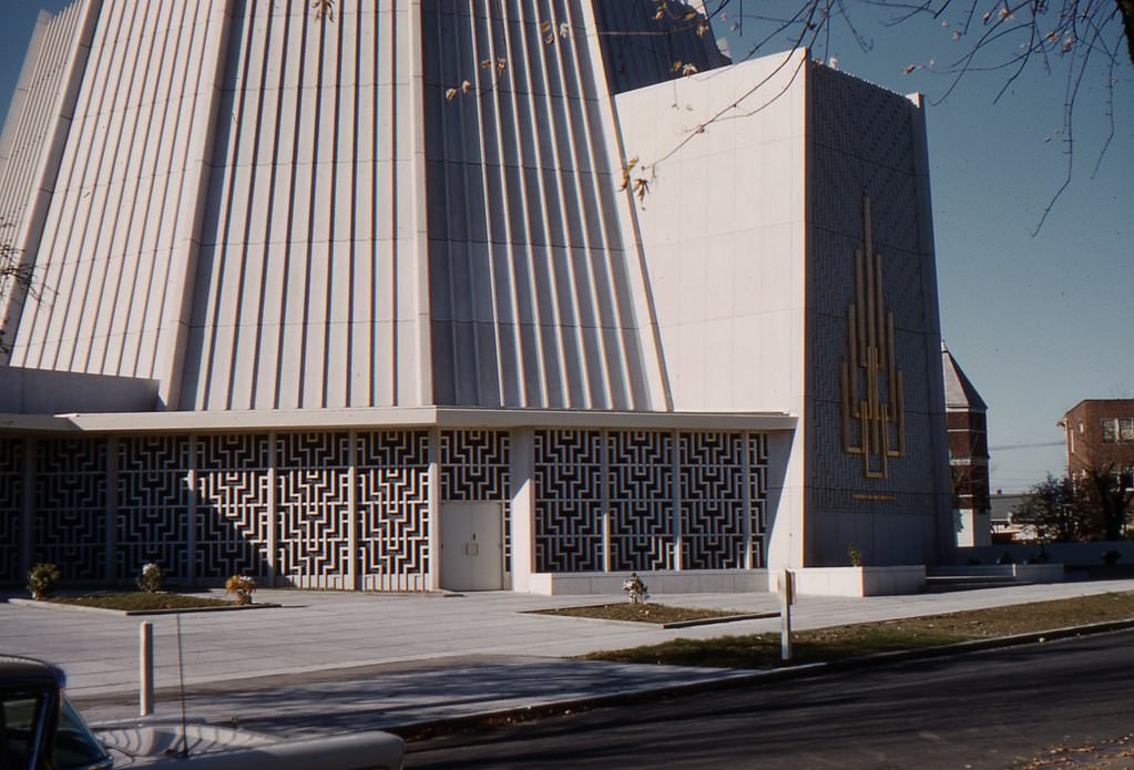
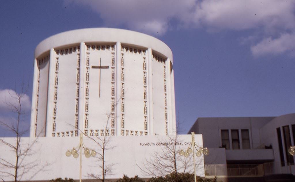
Seattle’s religious and civic architecture from the early 1960s reflects the city’s diverse and growing population. Buildings like this synagogue show the range of communities that had established roots in Seattle well before the decade’s major changes arrived.
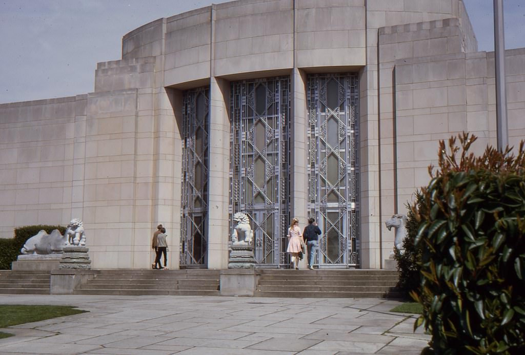
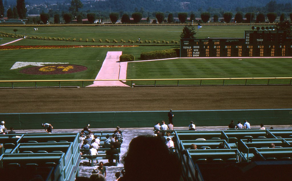
Longacres Race Track in Renton, just south of Seattle, was a popular destination for horse racing fans throughout the 1960s. The track drew large crowds and was a fixture of the regional entertainment scene.
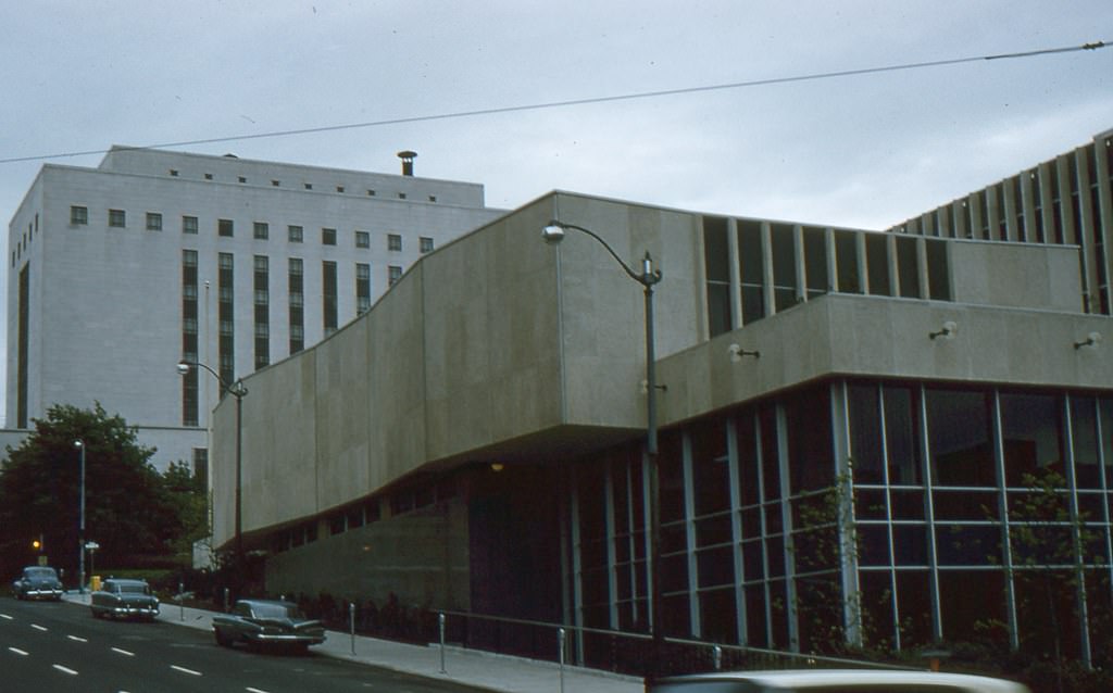
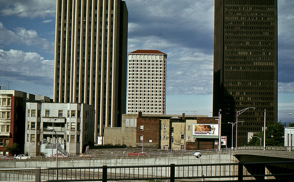
Aerial and wide-angle views of Seattle taken in the mid-1960s reveal just how much the city had grown. The skyline was filling in, the freeway system was taking shape, and the Space Needle — completed for the 1962 World’s Fair — already stood as the city’s most recognizable landmark.
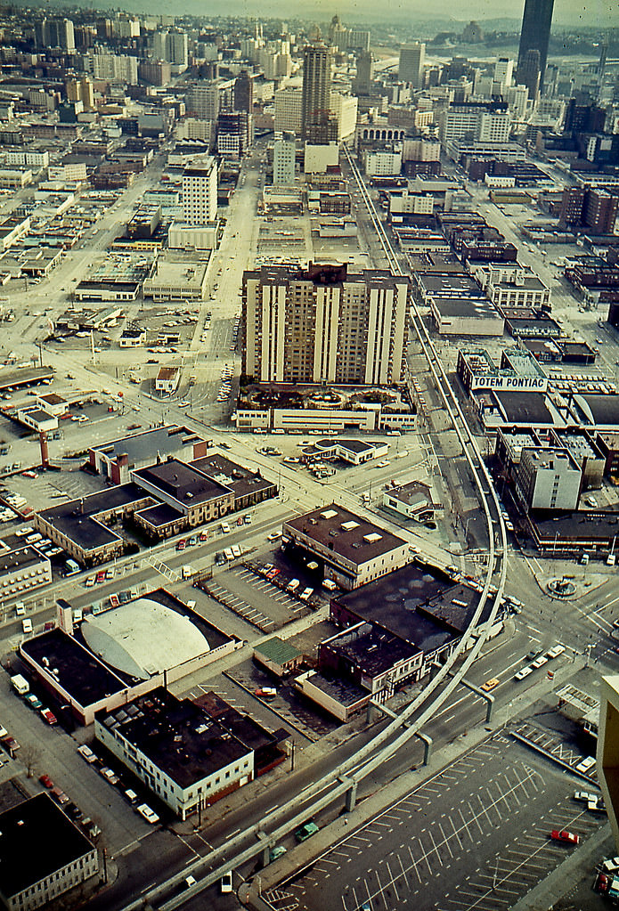
The monorail, built for the 1962 World’s Fair, ran from the Seattle Center through Belltown and into downtown. Viewed from the Space Needle in 1968, the monorail track cuts through the urban landscape — a futuristic piece of infrastructure that had become a routine part of the city’s transportation picture.
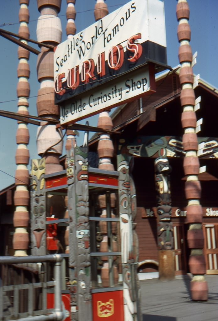
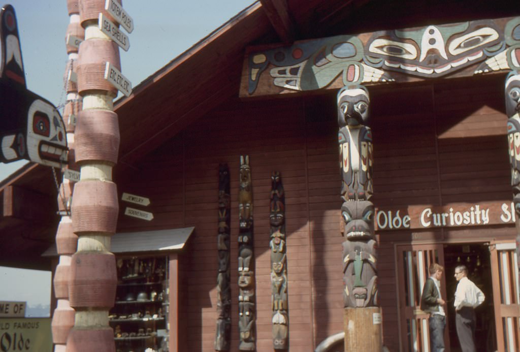
The Olde Curiosity Shop on the Seattle waterfront was already a long-standing attraction by the time this photo was taken in 1968. Known for its oddities, souvenirs, and artifacts, it drew tourists and locals to Pier 54 and was a staple of the waterfront experience.
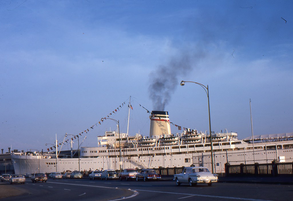
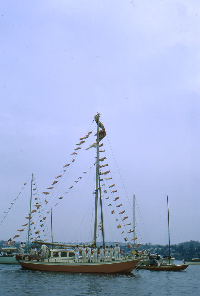
The Century 21 Exposition in the summer of 1962 featured international exhibits, performances, and attractions from around the world. The fair ran from April to October, and its July crowds were among the largest of the entire run.
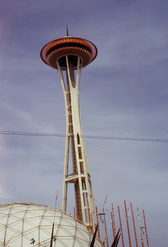
The Space Needle became the symbol of the 1962 World’s Fair almost instantly. Standing 605 feet tall, it was the tallest structure west of the Mississippi at the time of its construction. Its observation deck and rotating restaurant gave visitors a panoramic view of the city, Puget Sound, and the surrounding mountains.
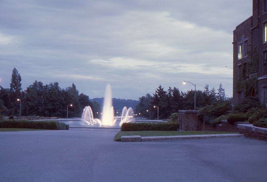
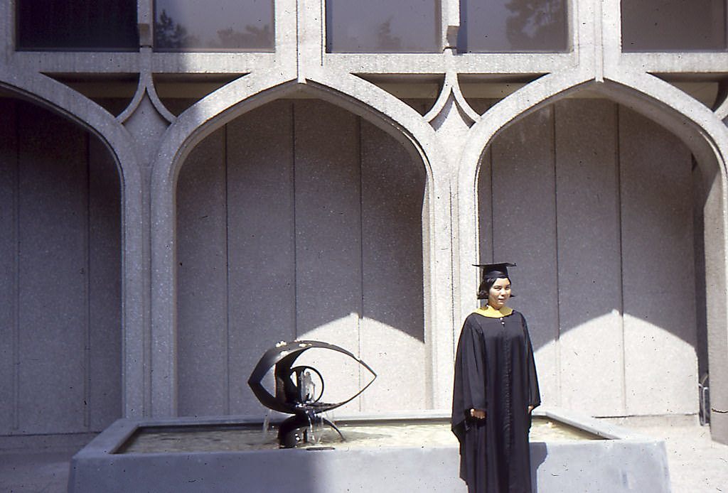
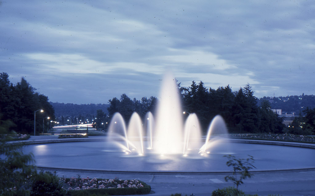
The University of Washington’s Drumheller Fountain, known locally as Frosh Pond, was a central gathering place on campus. Long-exposure photographs taken there in the mid-1960s captured the fountain’s water movement in striking detail, and UW graduates frequently posed there for photos.
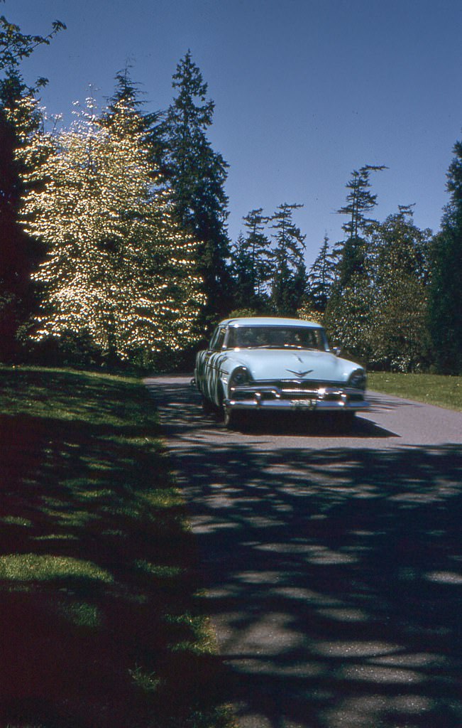
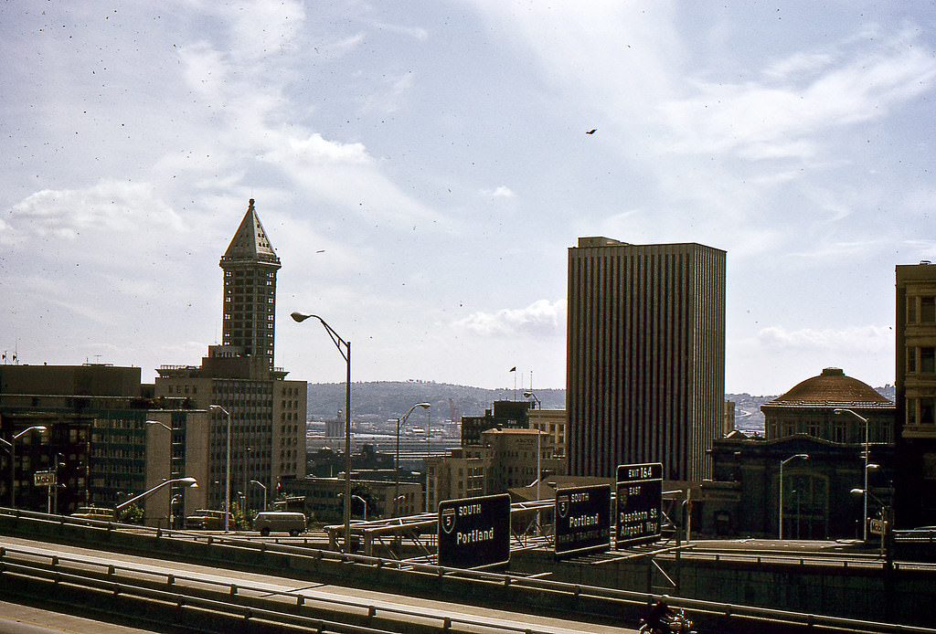
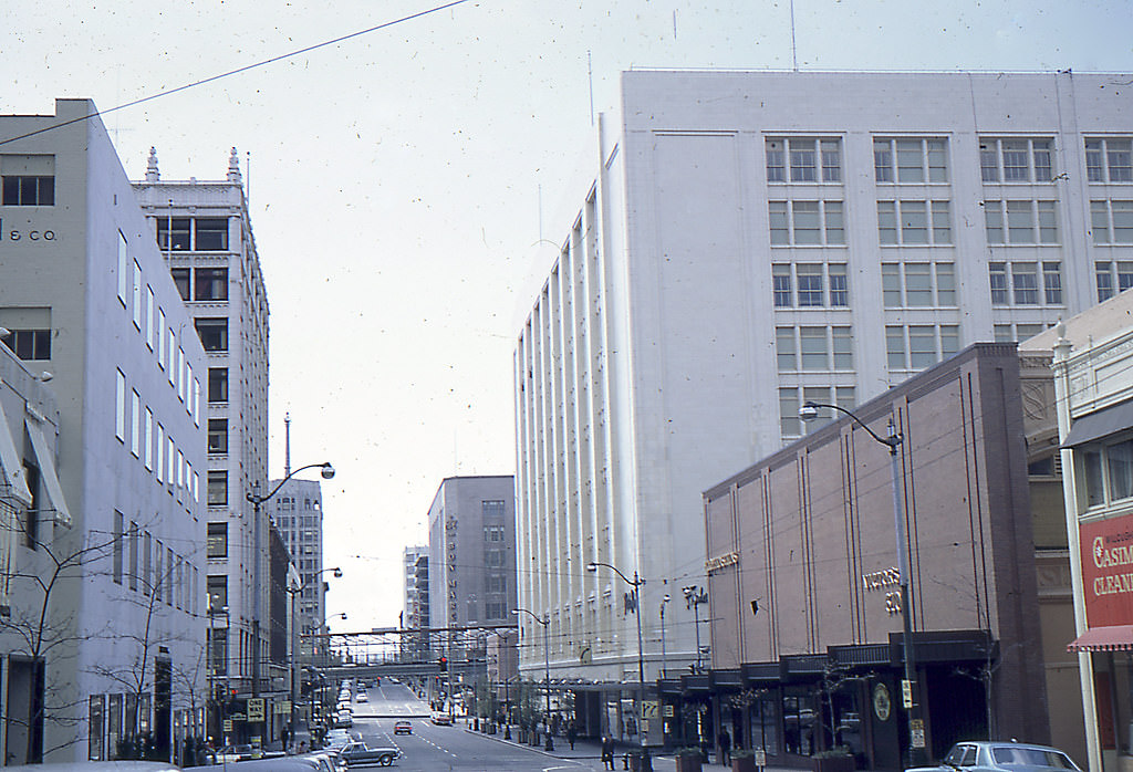
The intersection of 6th Avenue and Madison Street in July 1964 shows downtown Seattle in the thick of its mid-decade growth. Commercial buildings lined the blocks, and street-level activity reflected the energy of a city whose population and economy were both expanding.
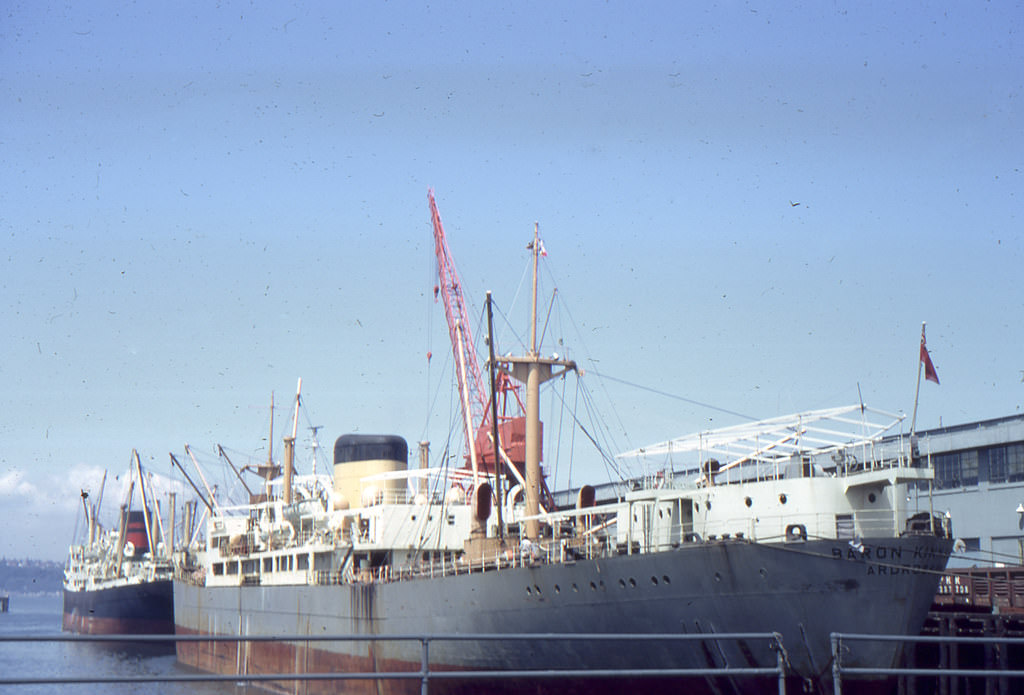
Seattle’s working harbor remained active throughout the 1960s. Cargo ships and commercial vessels used the docks regularly, and the port continued to be a major economic driver for the city. By 1968, the waterfront served both industrial shipping and a growing tourism economy side by side.
Looking north from the Space Needle during the 1962 World’s Fair, the full scale of the exposition grounds comes into view. Pavilions, pathways, and crowds stretched across what is now the Seattle Center, and the fairgrounds hummed with visitors from across the country and the world.
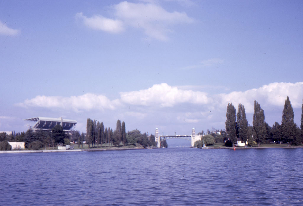
The Montlake Bridge and Husky Stadium framed one of Seattle’s most photographed waterway scenes. Boats passed through the Montlake Cut connecting Lake Washington and Lake Union, and the view from the water captured the layered geography that makes Seattle’s layout so distinctive.
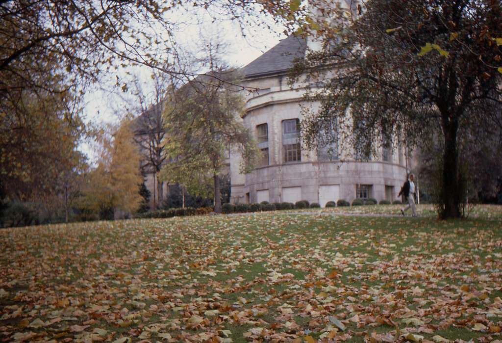
Meany Hall on the University of Washington campus served as a major performing arts venue. In the autumn of 1966, its brick exterior and surrounding trees made it one of the more photographed buildings on campus. The hall hosted concerts, lectures, and theatrical performances for the university community.
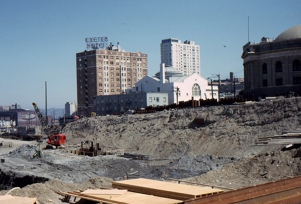
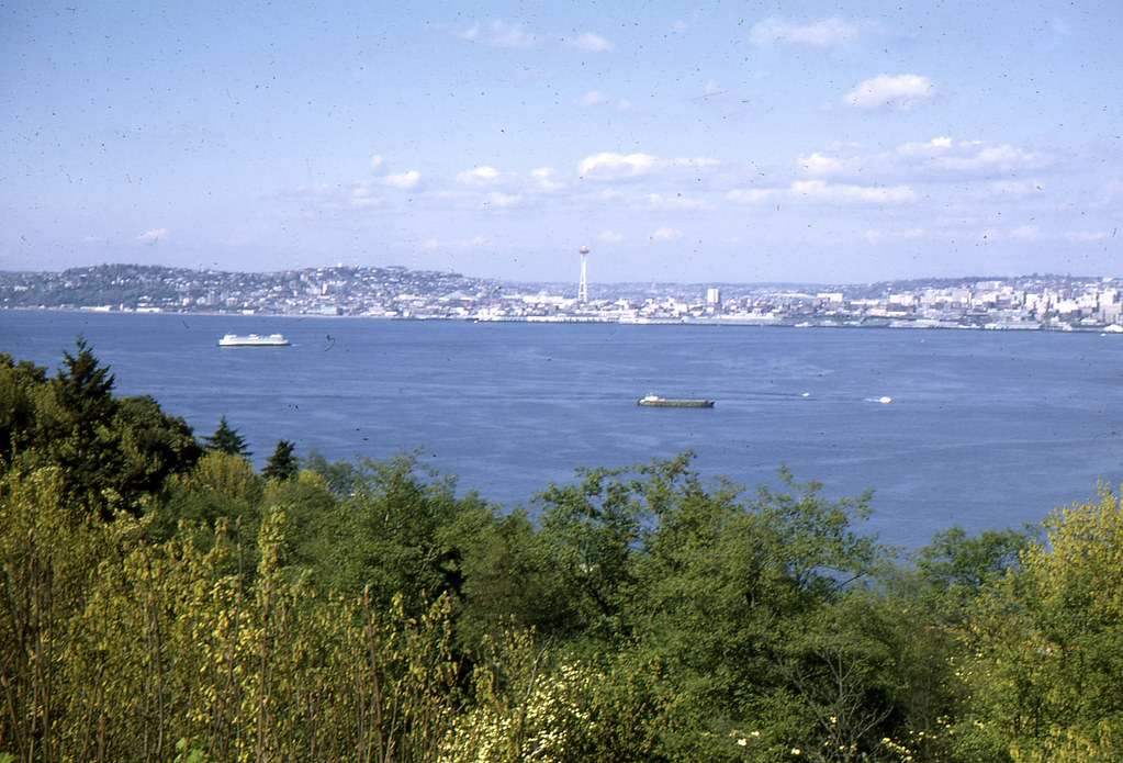
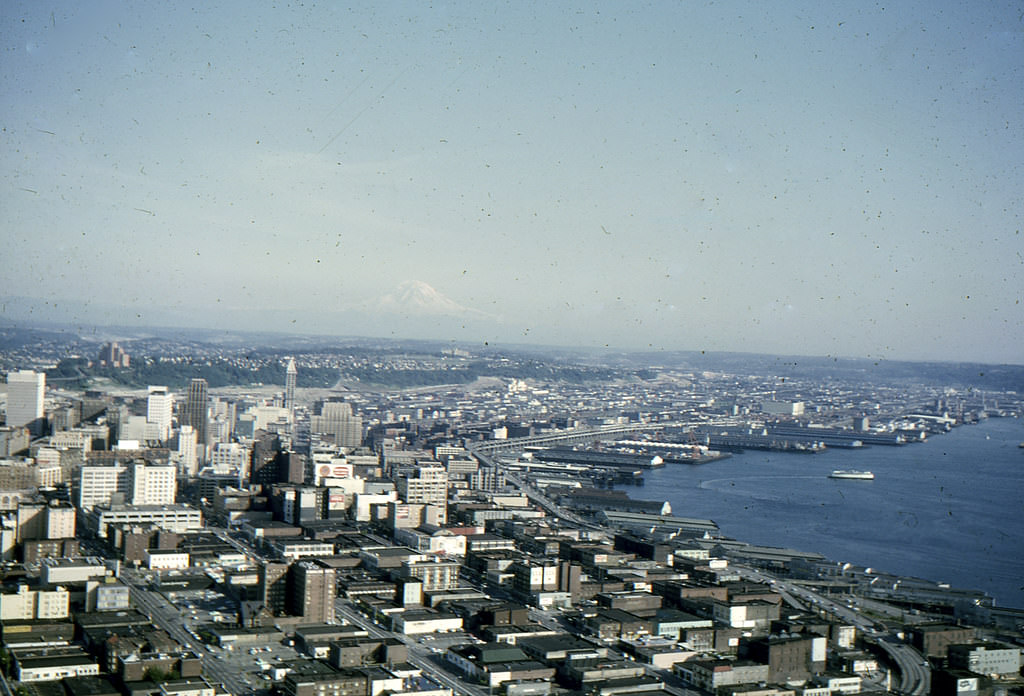
Four years after the World’s Fair, the Space Needle view in August 1966 shows a Seattle that had settled into its post-fair identity. The city’s skyline was denser, the roads busier, and the Seattle Center had transitioned from a fairground into a permanent civic space used by residents year-round.
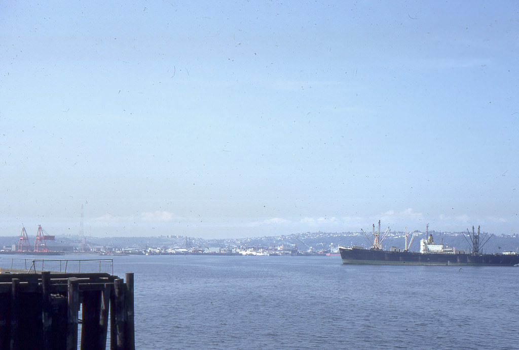
West Seattle’s waterfront saw regular freighter traffic in 1968. The industrial shipping lanes of Elliott Bay kept the port economy moving, and large vessels like the one pictured were a common sight from the shoreline.
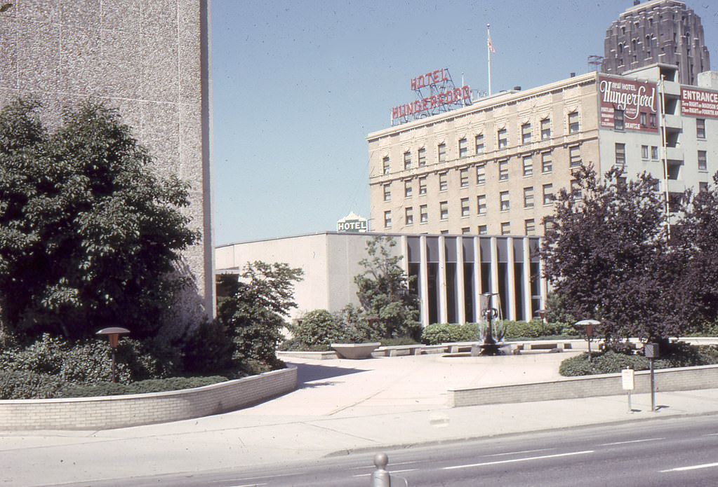
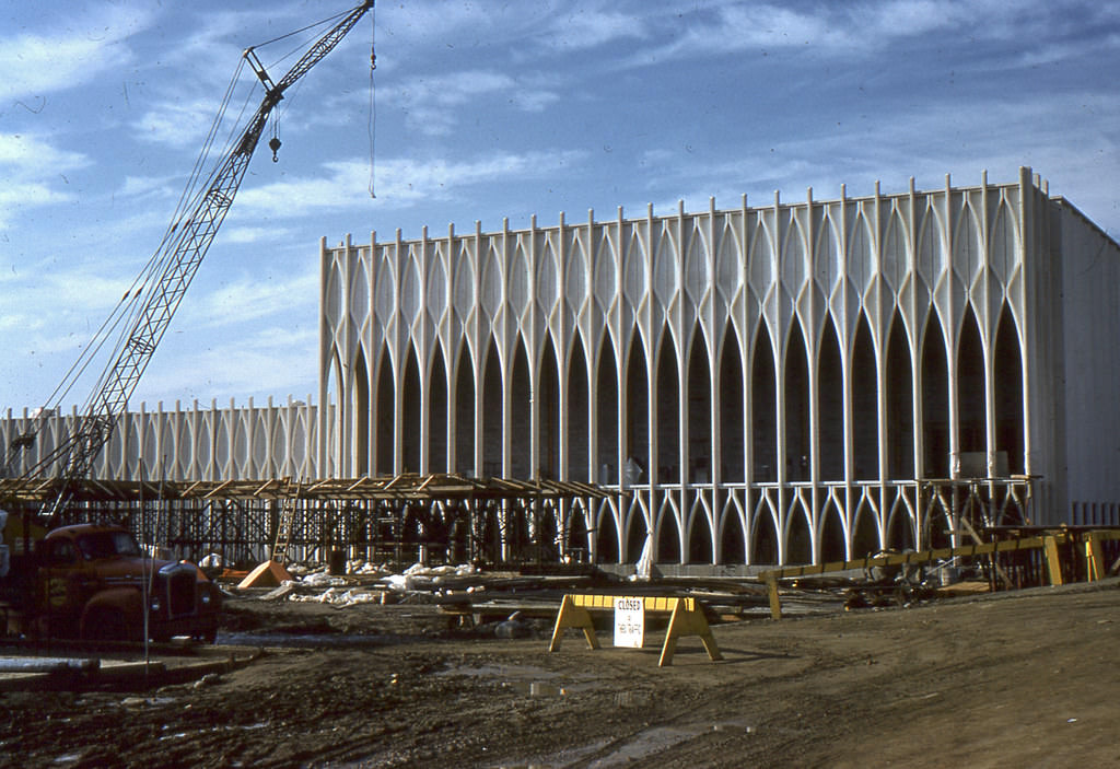
Construction and preparation for the 1962 World’s Fair was already well advanced by October 1961. Workers and planners were putting the finishing touches on exhibits and pavilions, and the grounds were taking on the appearance that would welcome millions of visitors just months later.
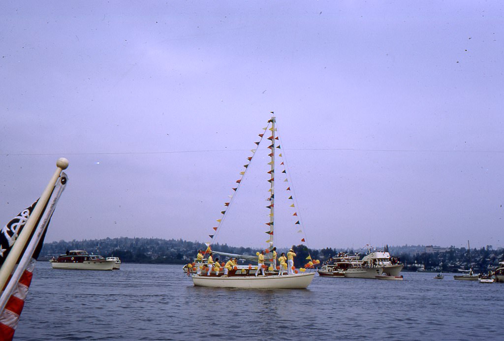
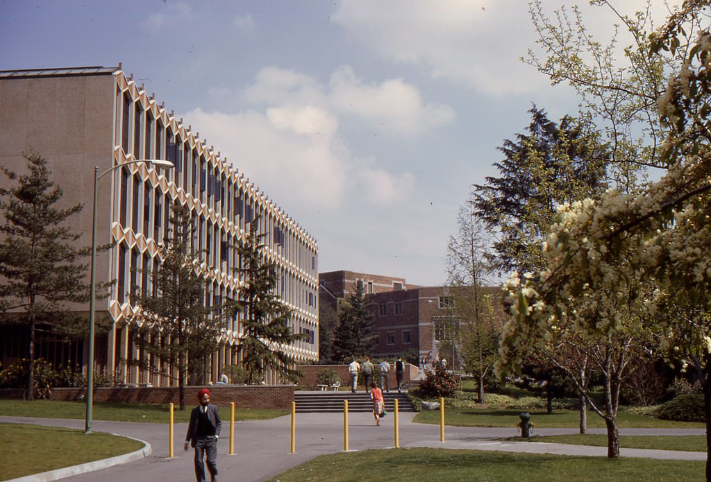
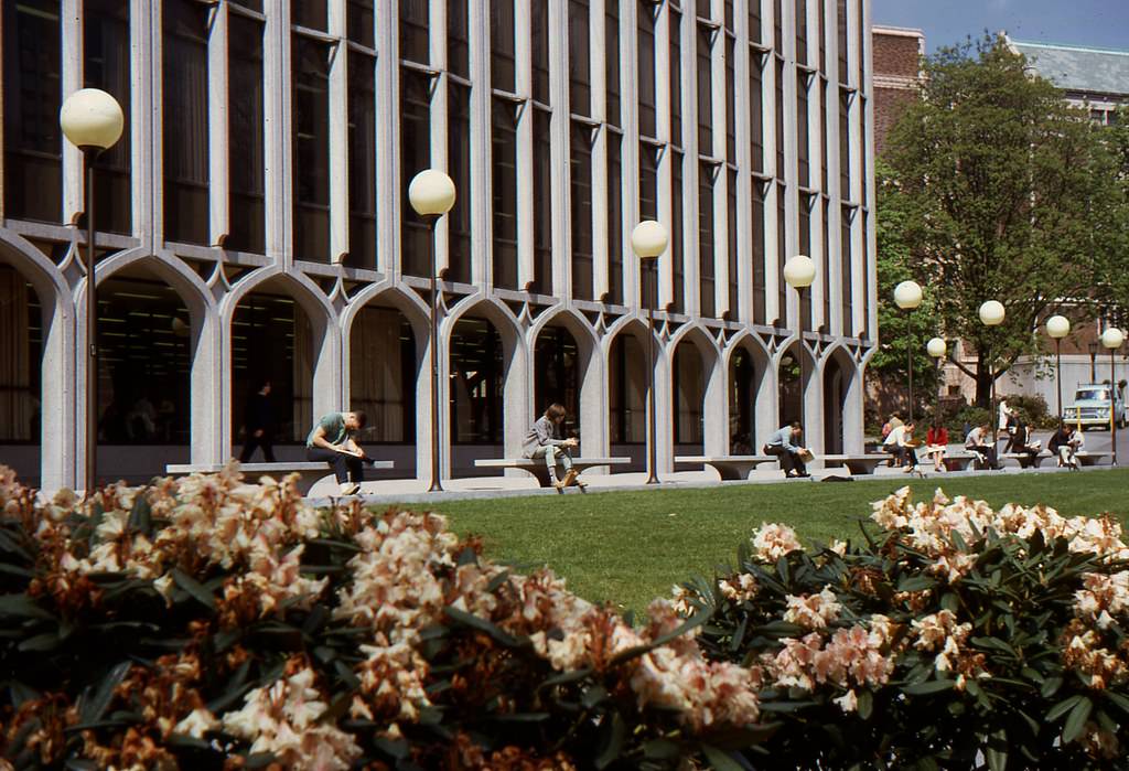
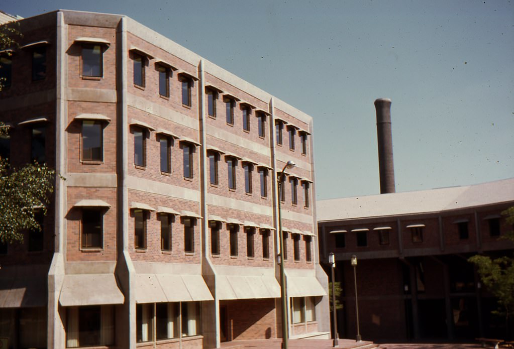
The University of Washington’s engineering buildings and surrounding grounds in spring 1967 show a campus in bloom. Rhododendrons — Washington’s state flower — lined walkways near the General Engineering building, giving the campus a lush appearance each May.





I love those old photos of the city.
A bunch of these are captioned incorrectly.
#59 is 6th and Pine, looking west.
great pics of the way it used to be………..thanks!!
Thank you for the trip down memory lane Aung.
Not a single tree in that first aerial photo. Brutal.
I had to leave a vintage Seattle photo group because the old folks wanted to cut down all the trees so they could see the buildings better. Not something I thought I would ever hear someone say.
Some of these are labeled incorrectly, but it’s an interesting compilation.
So melancholy. Thanks for posting
The article is incorrect – population of Seattle decreased between 1960 and 1970