
San Jose in the 1970s was a city in the middle of a serious identity shift. For decades, developers and pro-growth politicians had pushed the city outward at a rapid pace, swallowing up farmland and annexing neighboring communities. By the early 1970s, that era was running out of steam. A feminist-environmentalist coalition had built a new liberal, anti-growth majority on the San Jose City Council, and in 1974, Janet Gray Hayes was elected mayor — the final blow to the old growth machine. Hayes became one of the first women to lead a major American city, and her election sent a clear message about where San Jose was headed.
Under this new leadership, San Jose adopted a general plan that created an urban service area — essentially a boundary meant to concentrate development inside the city rather than sprawling into the countryside. Growth in the eastern foothills was restricted, and plans for Coyote Valley were put on hold. The city also introduced a “pay-as-you-grow” system, which required new developments to fund the infrastructure they needed rather than pushing those costs onto existing residents. These weren’t small tweaks — they were a full rethinking of how the city grew.
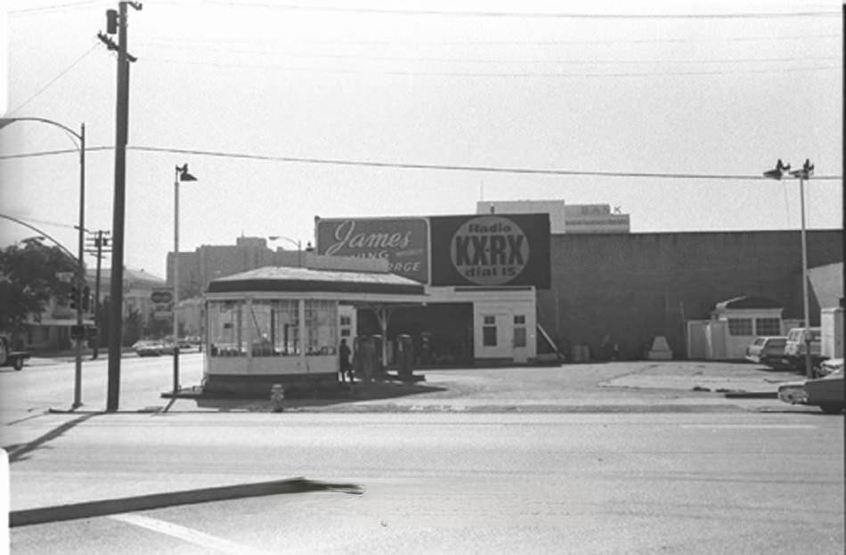
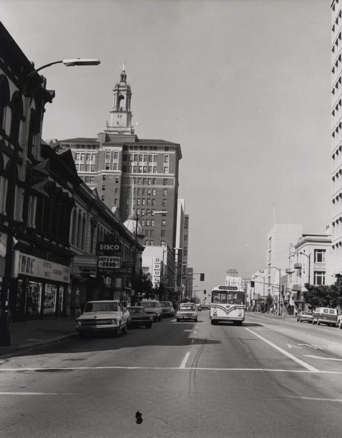
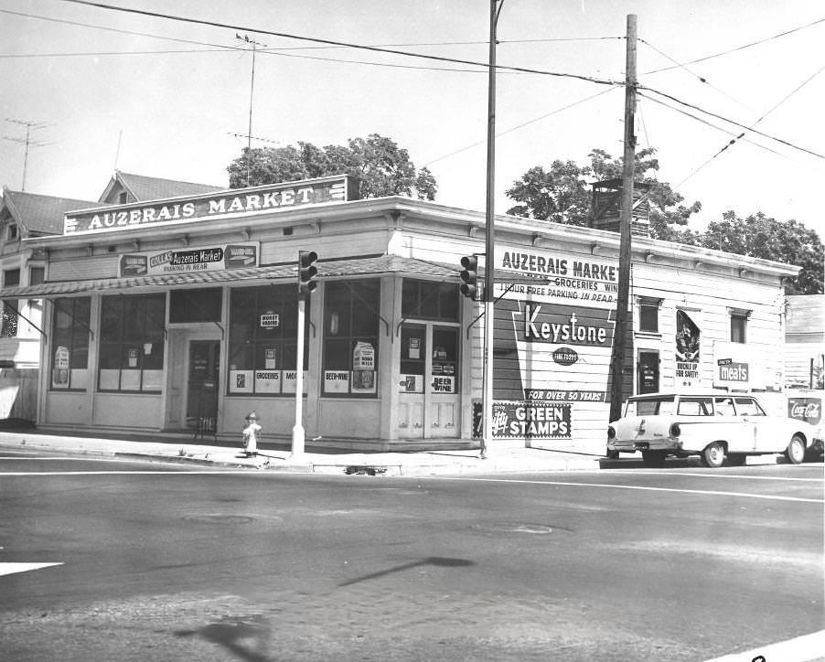
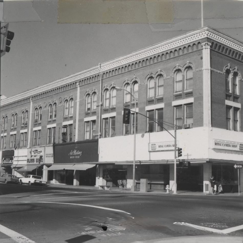
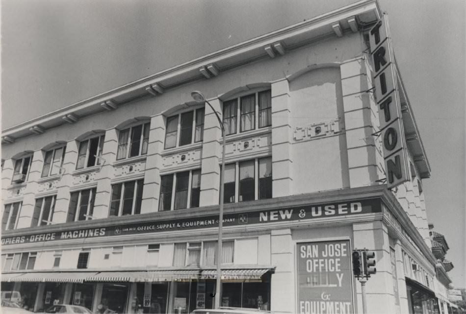
Downtown San Jose during this period still had the feel of a mid-century American city — gas stations on key corners, bank buildings anchoring the main streets, and a mix of theaters, hotels, and local businesses filling the blocks. The streets were busy with traffic, and the skyline was modest compared to what it would become. The photos below offer a rare ground-level look at the city as it actually was — not a polished version, but the real, working, everyday San Jose of the 1970s.
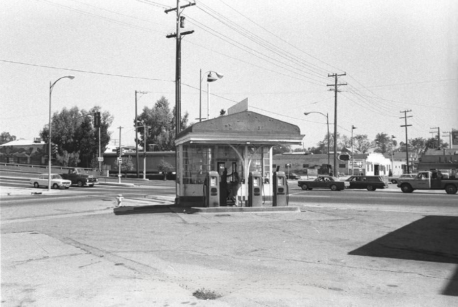
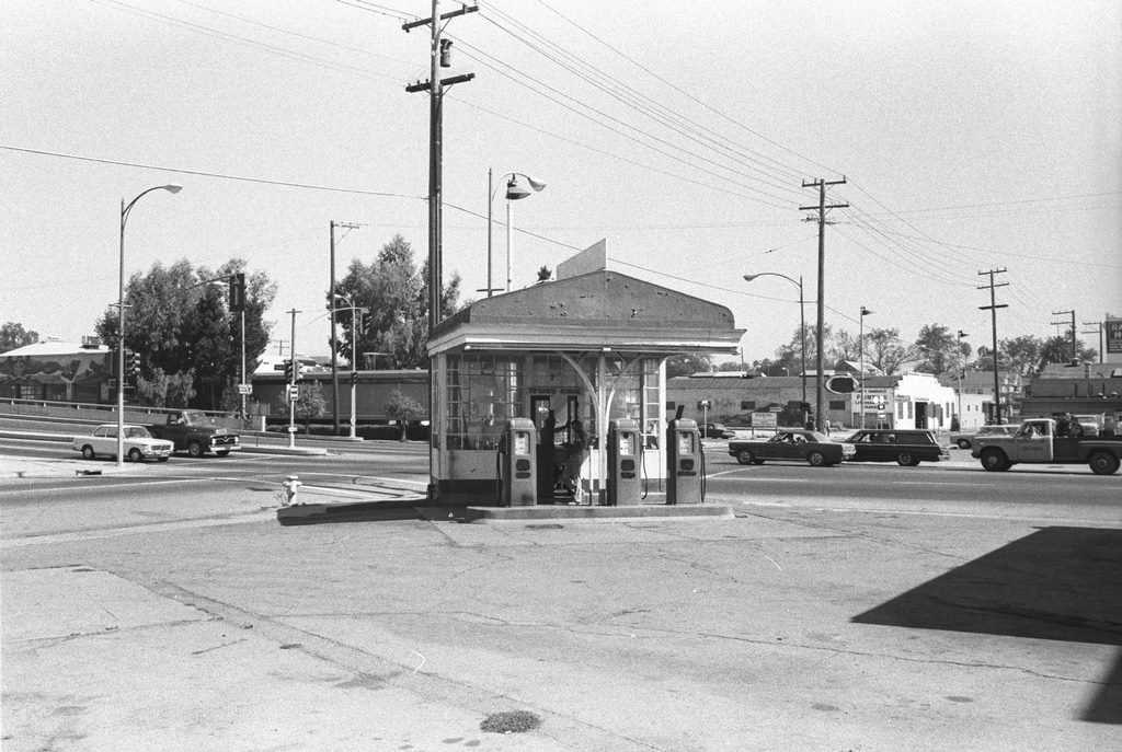
The Associated Oil gas station at Market and Julian Streets was a fixture of downtown San Jose. It sat on one of the busiest corners in the city, and its presence next to the Coleman ramp gave the intersection a distinctly mid-century urban feel. The station was later relocated to History Park in 1978, where it was preserved as an artifact of the era.
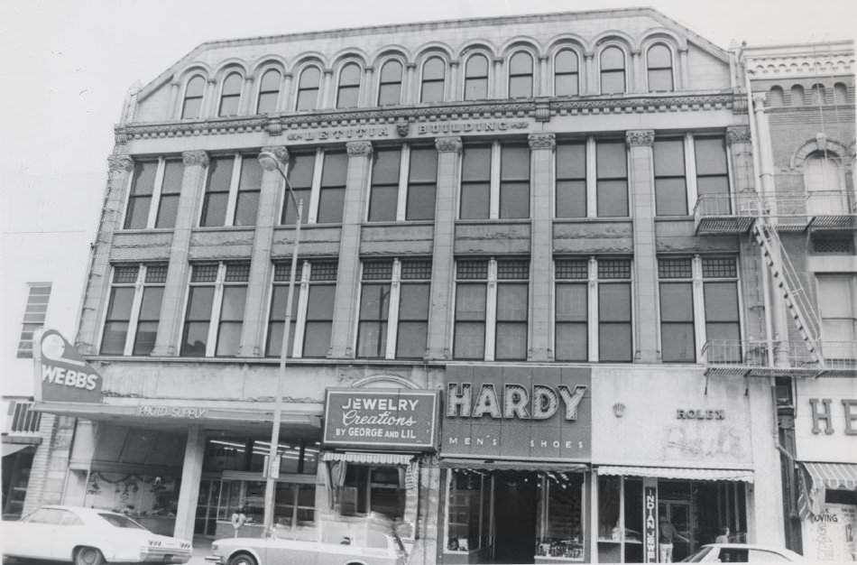
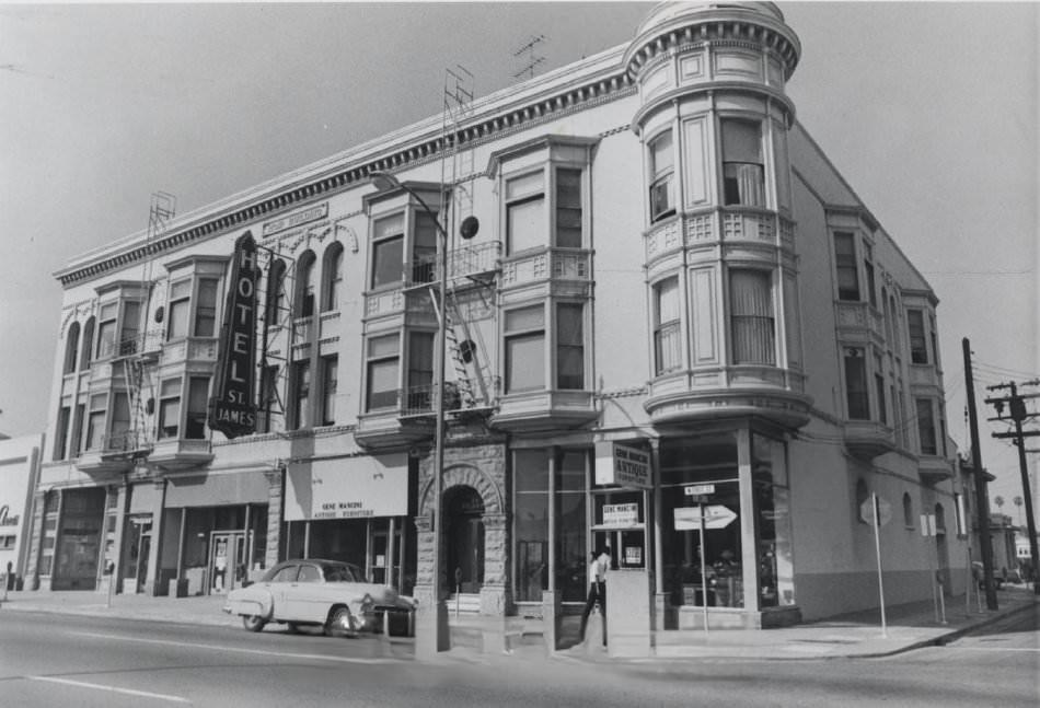
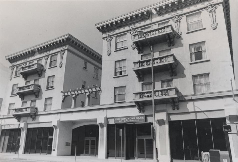
San Jose’s main streets in the early 1970s were lined with the kind of commercial mix that defined American cities before suburban malls took over. Hotels, banks, restaurants, and specialty stores competed for space along the central corridors. The Hotel De Anza, Bank of America, and various other businesses were woven into the fabric of the downtown streetscape.
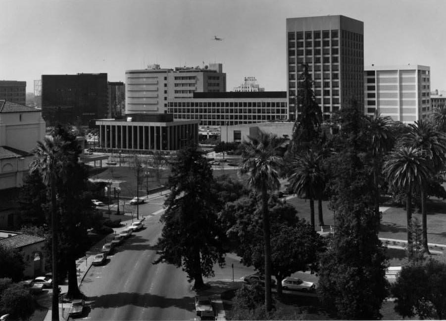
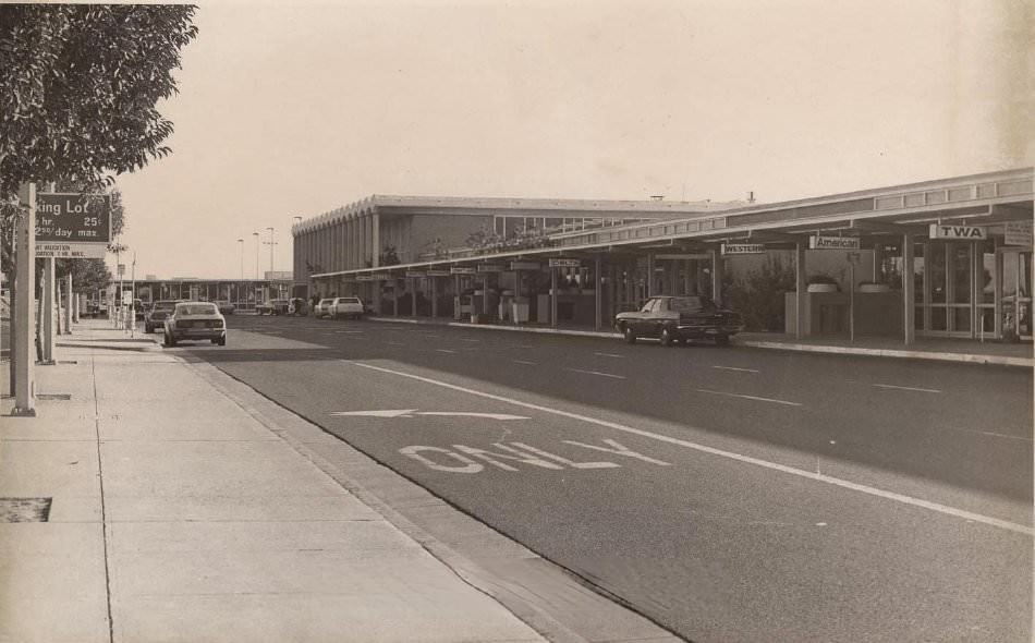
San Jose’s airport was also expanding during this period. The passenger terminal photographed in 1973 reflects the optimism of the era — a modern, functional space built for a growing city that expected more travelers to pass through. It was a city on the move, even as its leaders debated how to manage that movement responsibly.
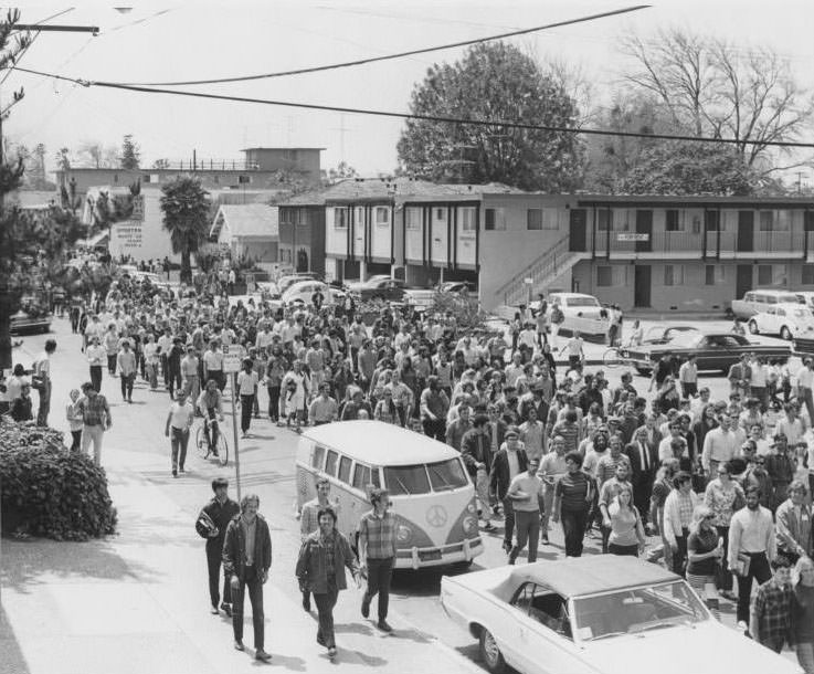
San Jose State University was a major part of the city’s life throughout the decade. The campus had been a center of protest activity in the late 1960s and early 1970s, and students remained politically active. In 1970, students were photographed marching on William Street near Tenth Street — a visible reminder that the university and the city around it were deeply connected.
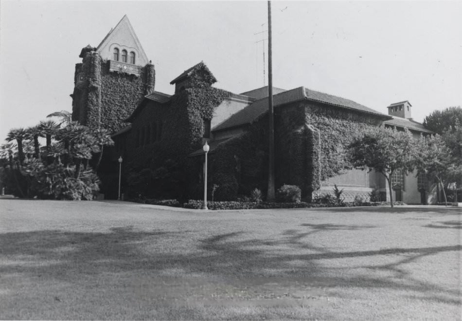
The tower at San Jose State is one of the campus’s most recognizable features. It dates to 1911, but the university itself goes back much further — to 1857, when it began as Minns’ Evening Normal School, a private institution located in San Francisco. It is one of the oldest institutions of higher learning in California.
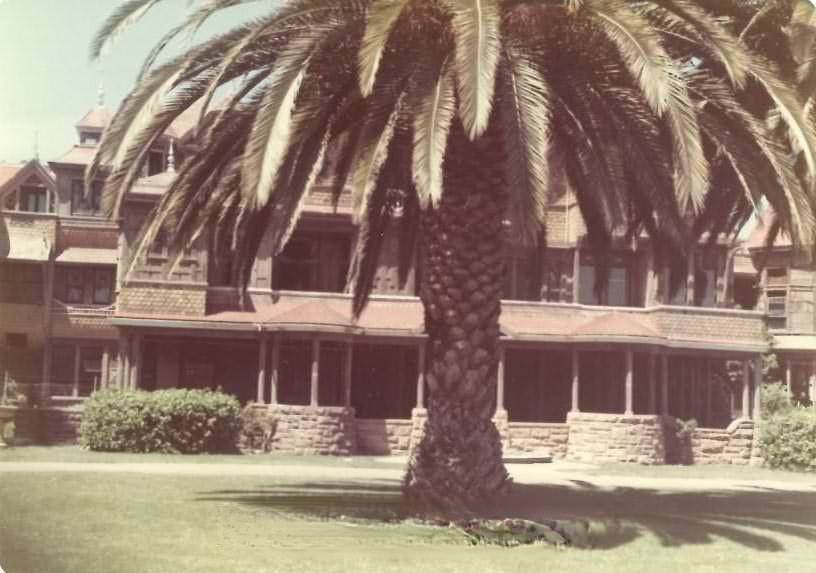
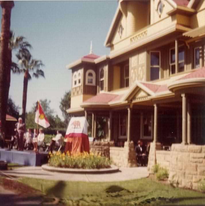
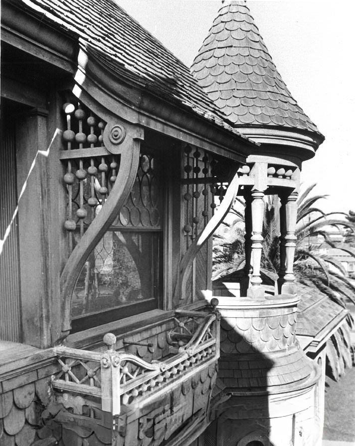
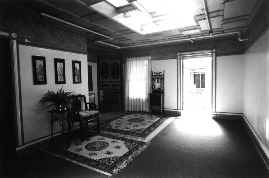
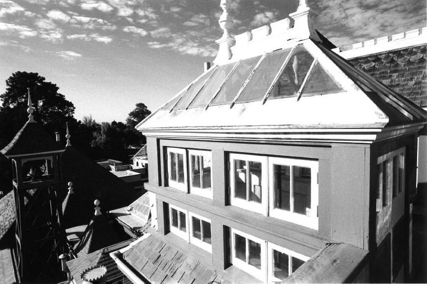
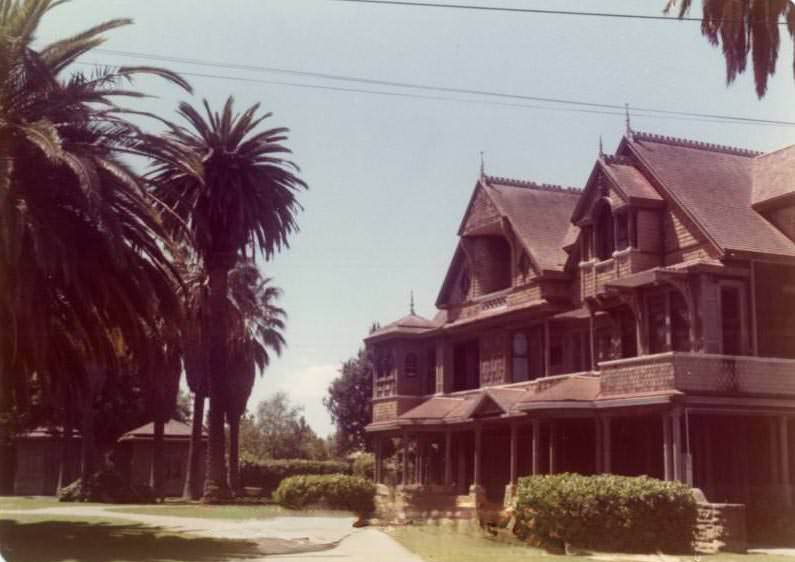
The Winchester Mystery House drew visitors throughout the 1970s and remained one of the most unusual landmarks in all of California. The sprawling Victorian mansion, built by Sarah Winchester — widow of rifle manufacturer William Winchester — was famously constructed without a master plan, resulting in staircases that lead to ceilings, doors that open onto walls, and corridors that twist back on themselves. In 1974, the site received a formal historic designation.
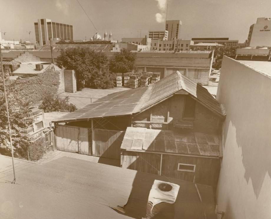
San Jose’s history ran deep, and the city took that seriously during the 1970s. One of the most significant preservation efforts of the decade focused on the Peralta Adobe — the oldest surviving structure in San Jose. Built in the early 1800s, the adobe had been surrounded by cars and overshadowed by newer buildings for years. By 1976, active restoration work was underway, and a formal dedication ceremony marked a new chapter for the site.
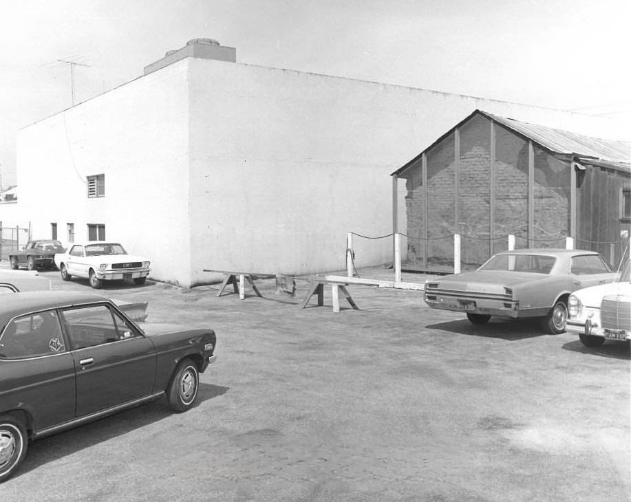
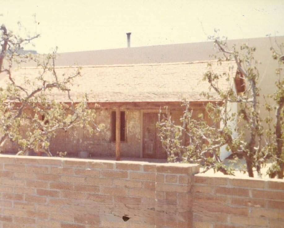
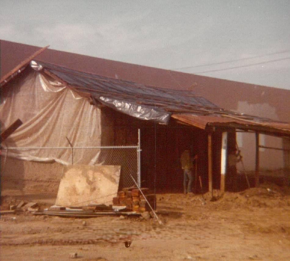
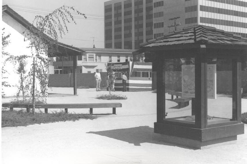
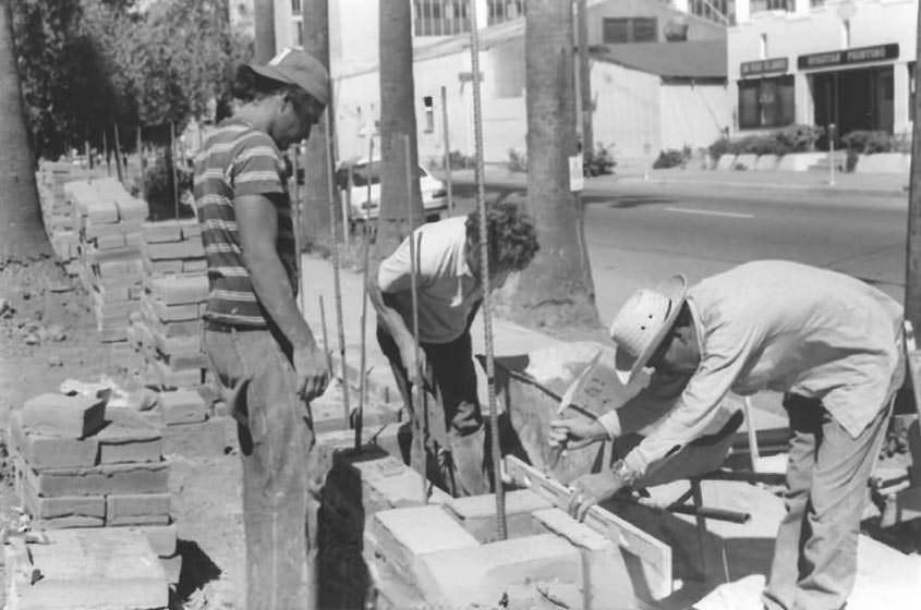
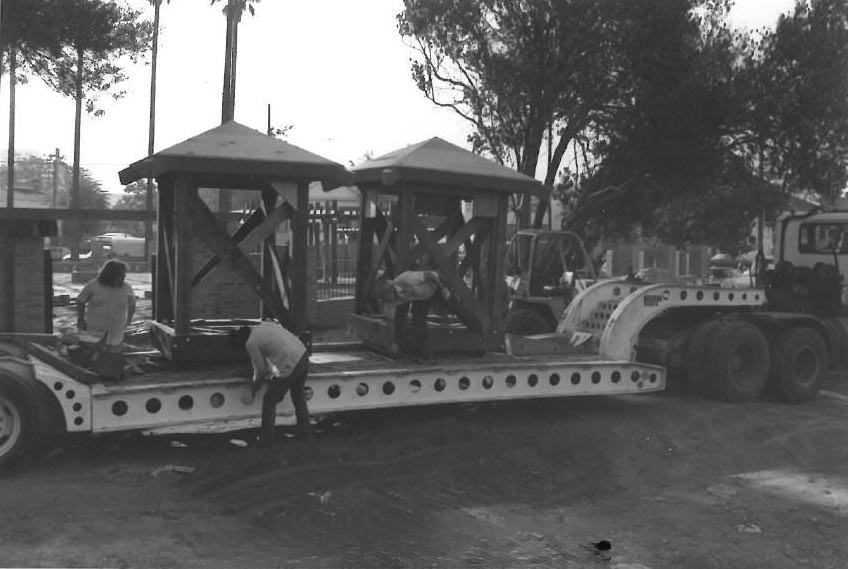
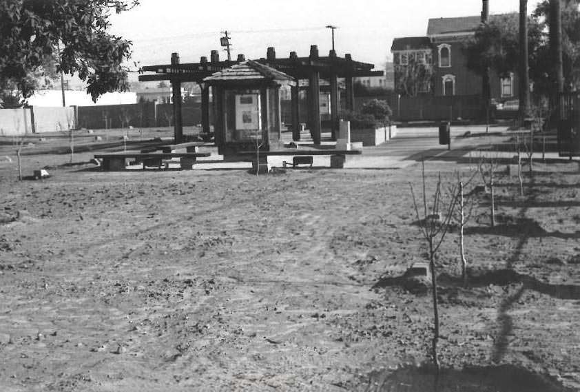
Another significant preservation project was Pellier Park, which was nearing completion in 1977. The park was named after Pierre Pellier, a French horticulturist who brought the French prune to California in the 1850s — a development that helped launch Santa Clara Valley’s fruit-growing industry. The arrival of decorative kiosks on flatbed trucks in 1976, and the erection of the surrounding wall, marked steady progress on a public space that honored that agricultural heritage.

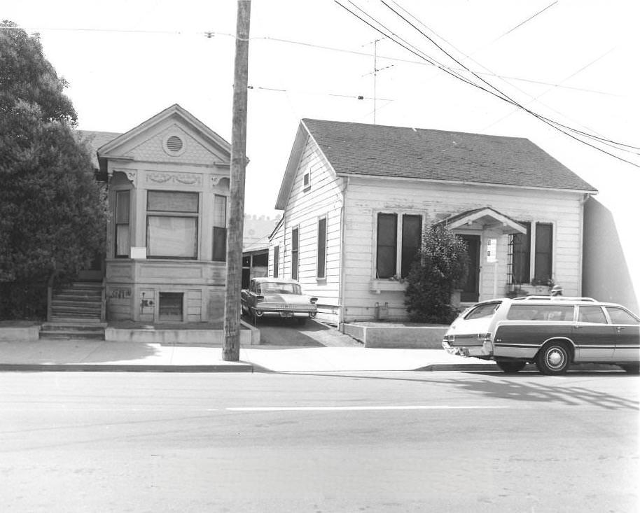
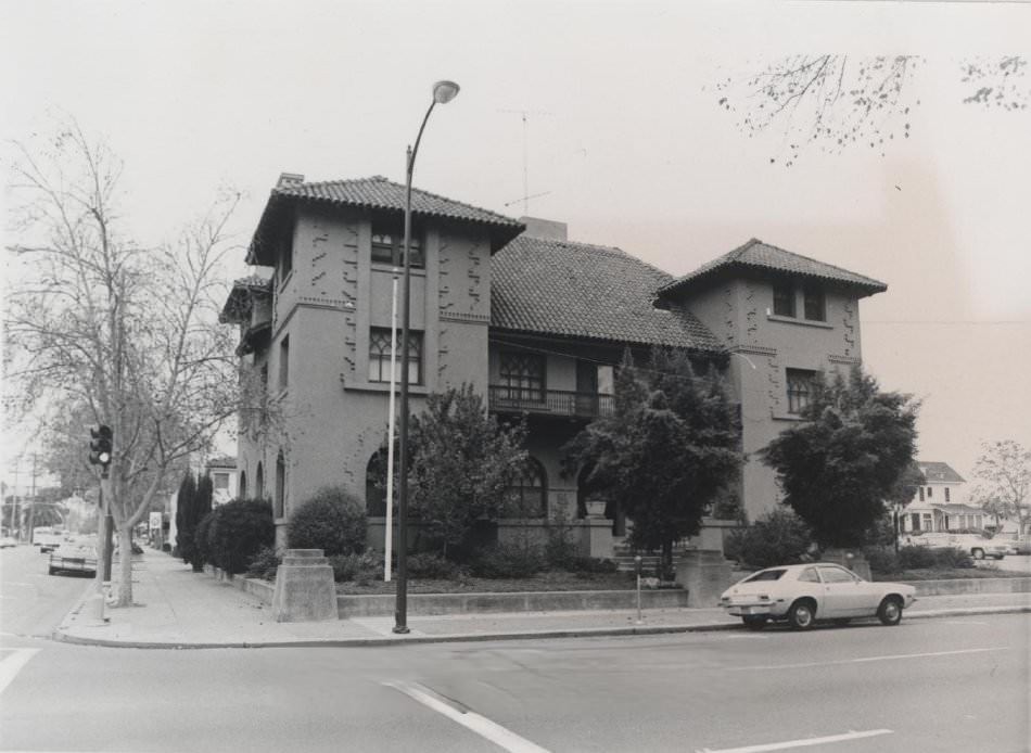
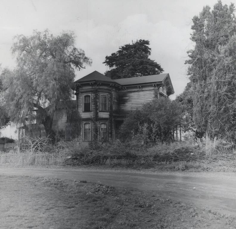
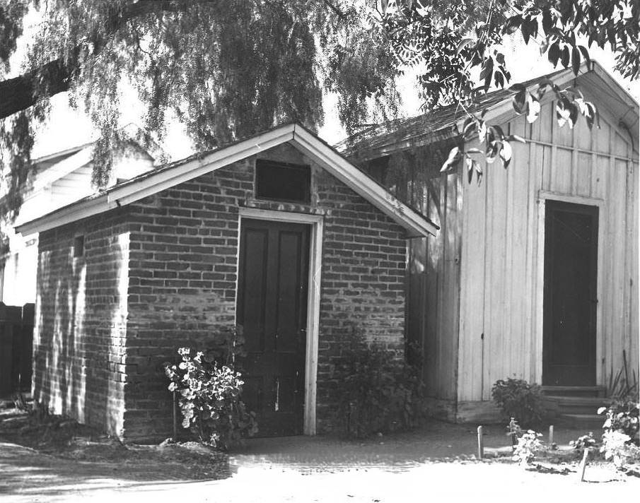
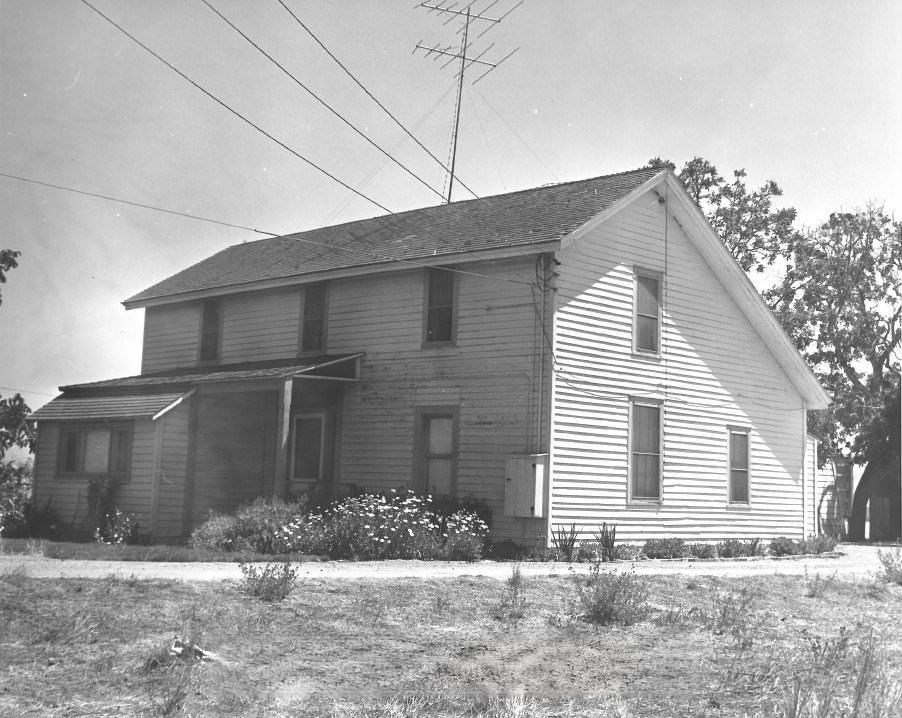
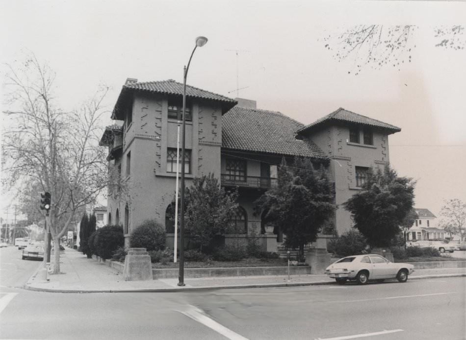
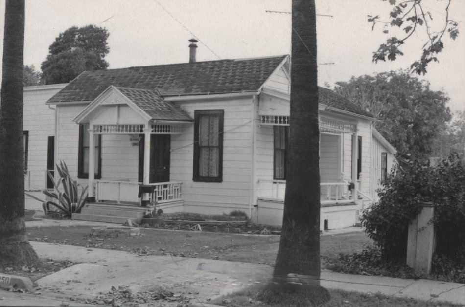
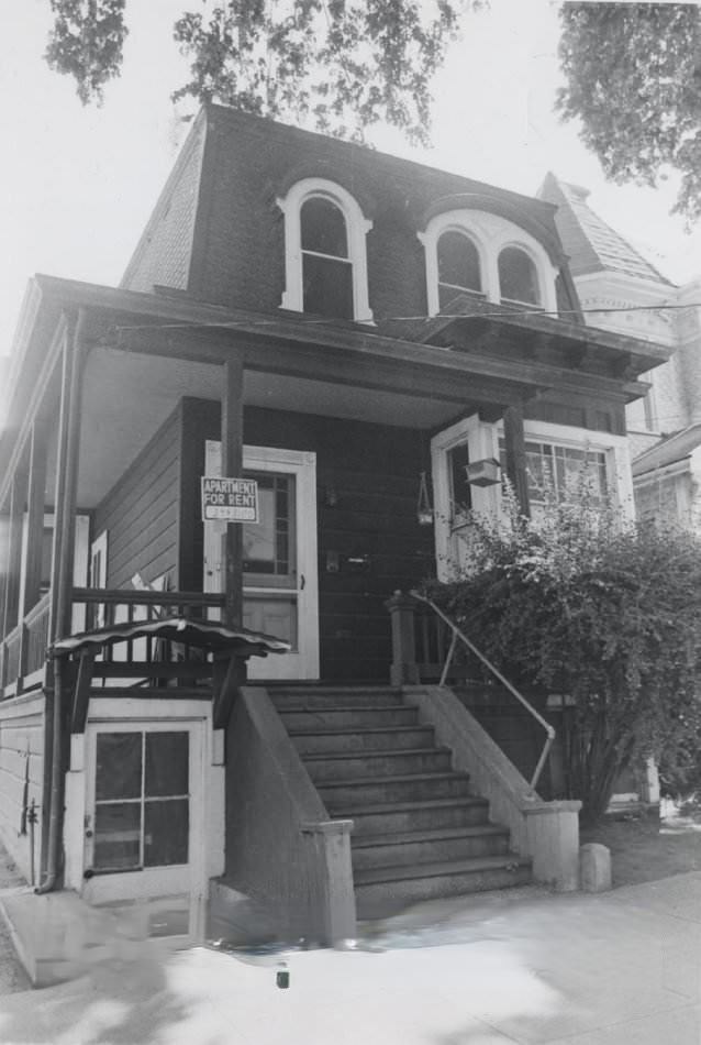
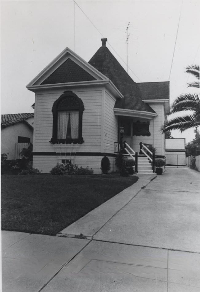
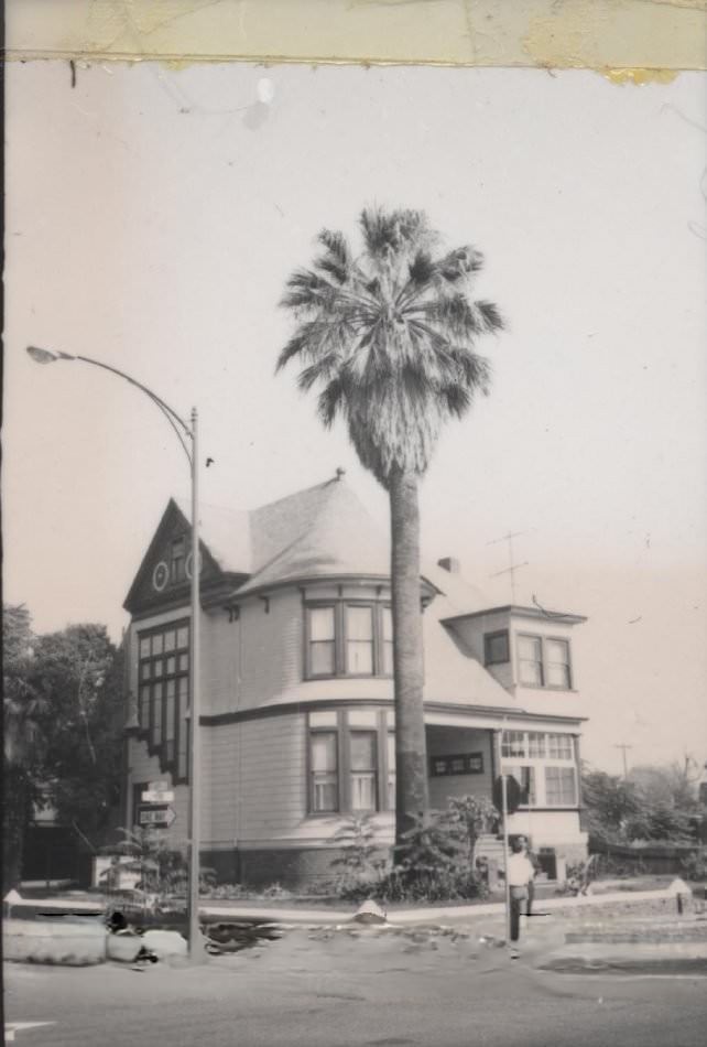
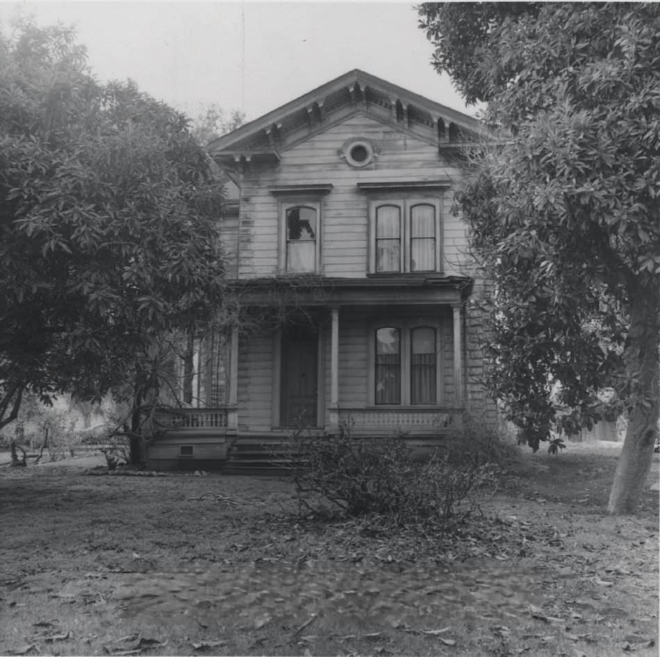
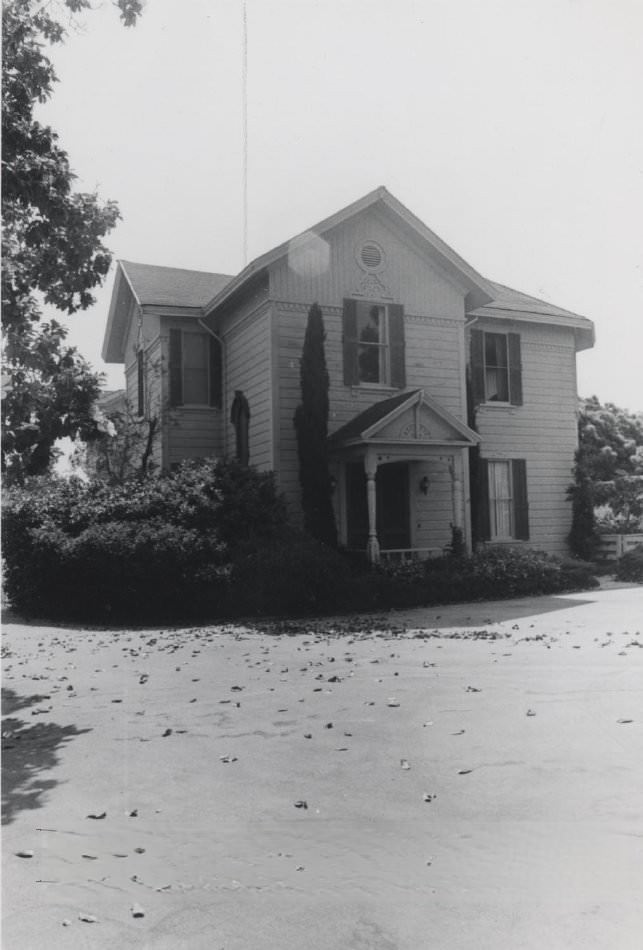
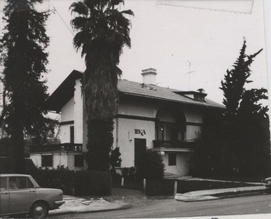
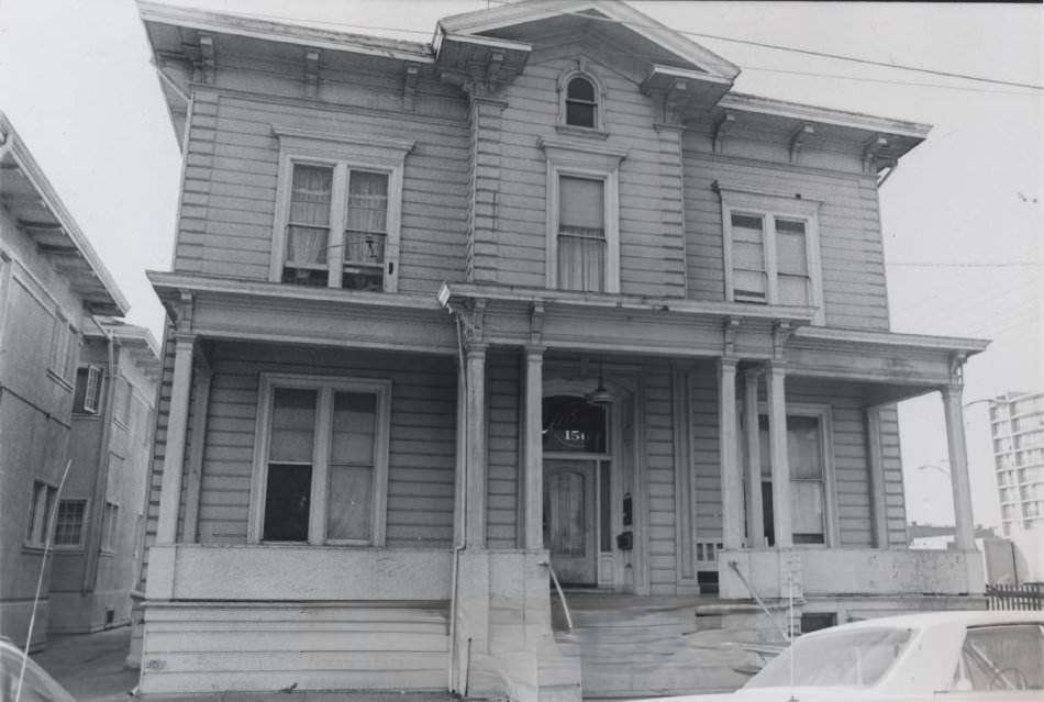
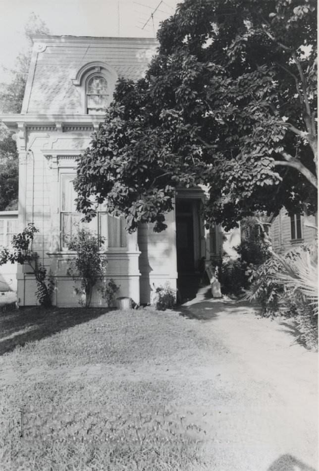
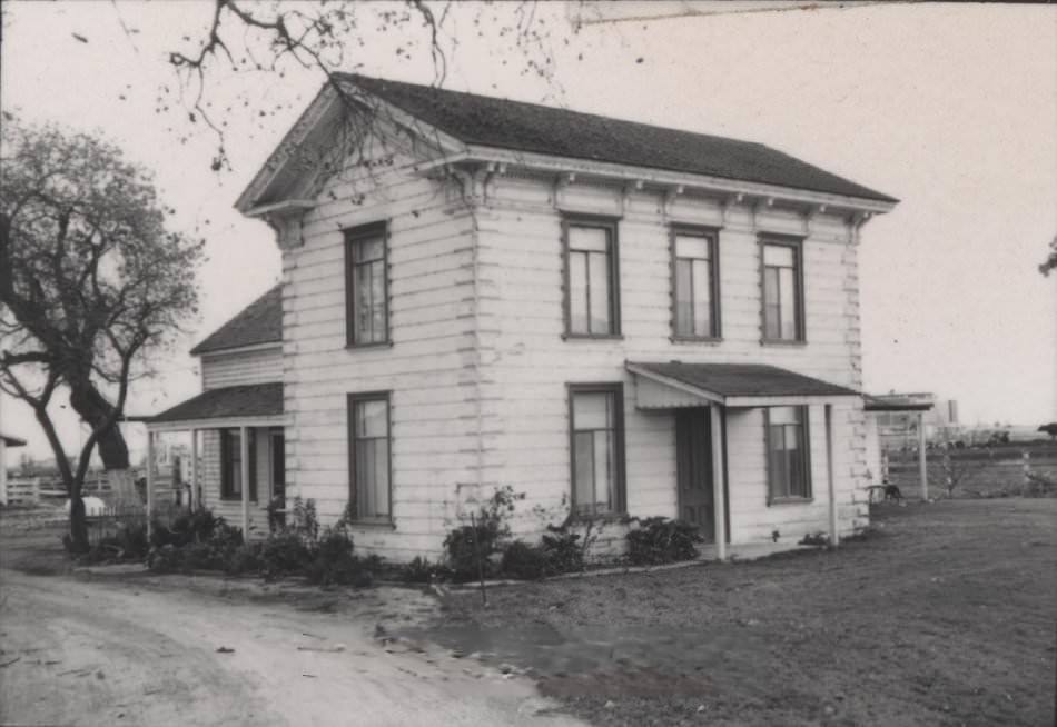
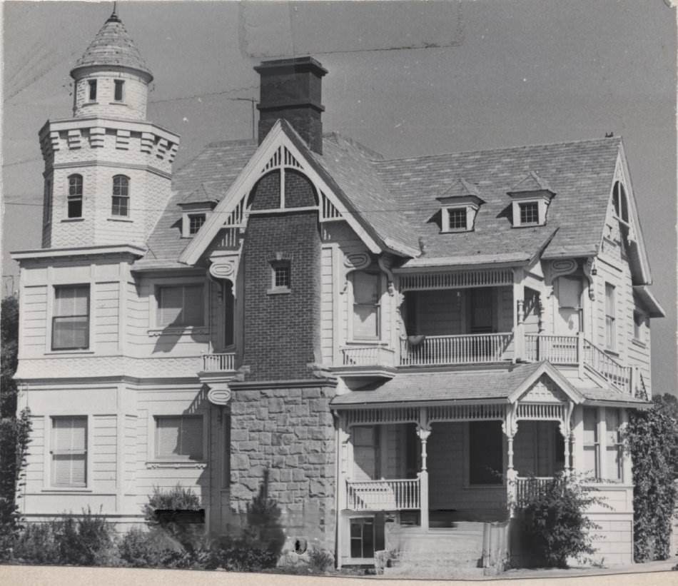
San Jose’s historic homes were documented extensively during the 1970s, largely through efforts like the 1977 Historic Resources Inventory. Victorian-era houses, adobe structures, and early 20th-century residences were catalogued across the city. Some were in excellent condition; others were heavily altered or facing demolition. Together, they told the story of who had built the city and lived in it.
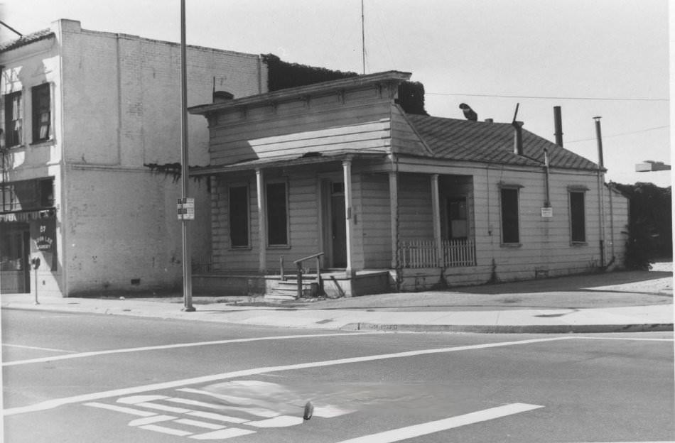
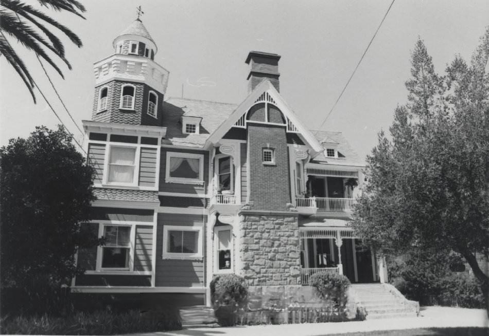
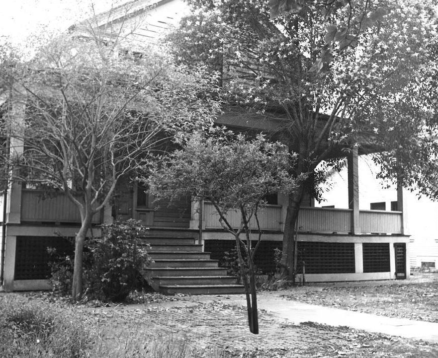
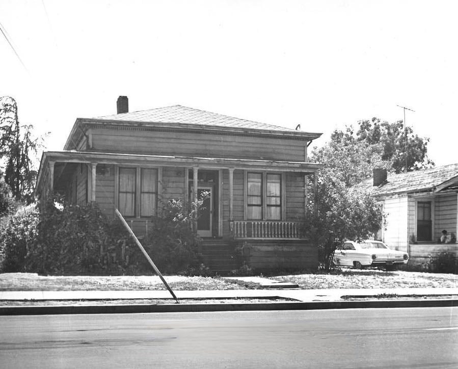
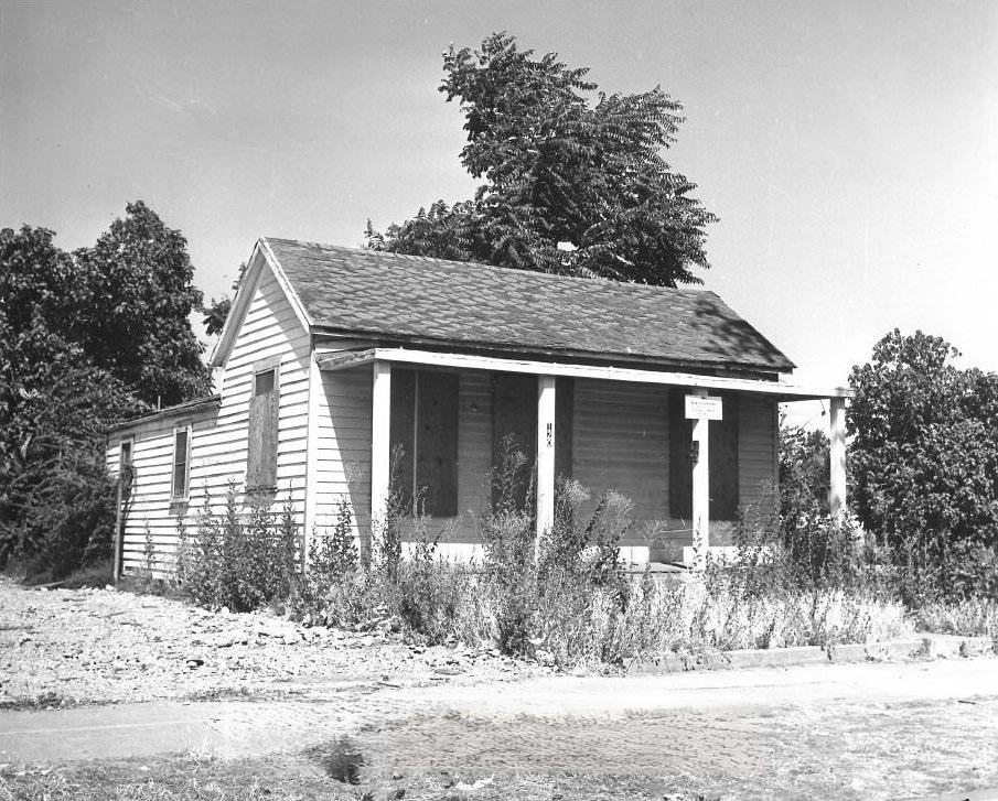
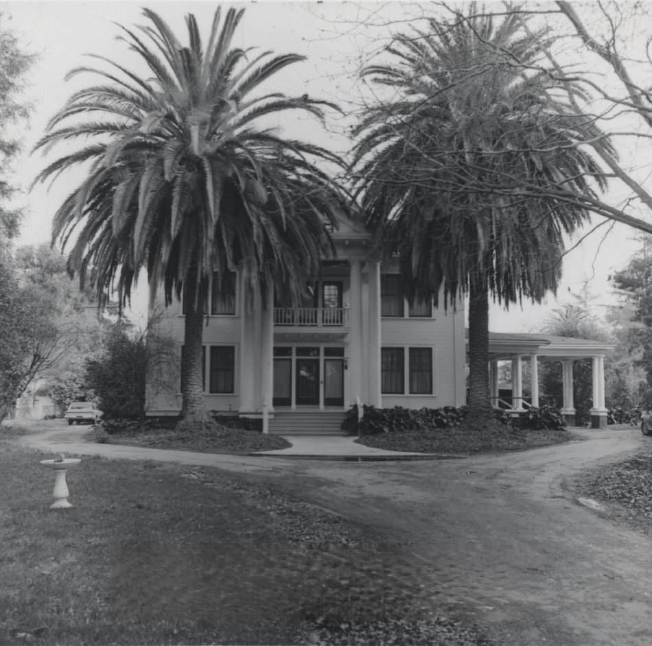
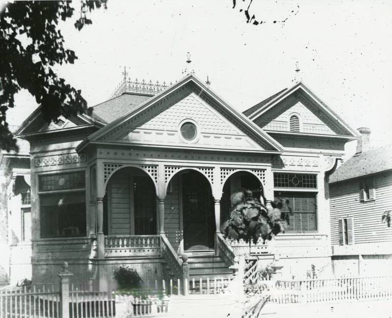
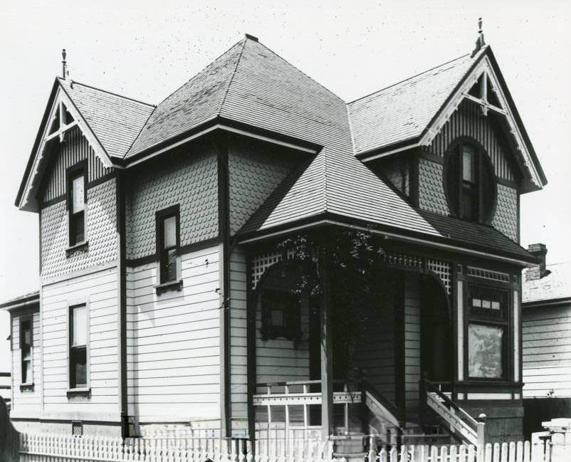
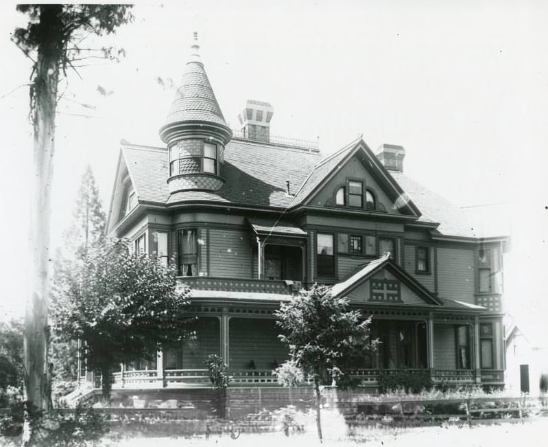
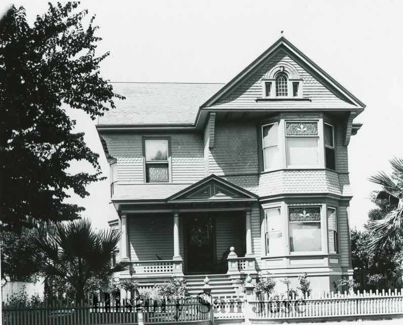
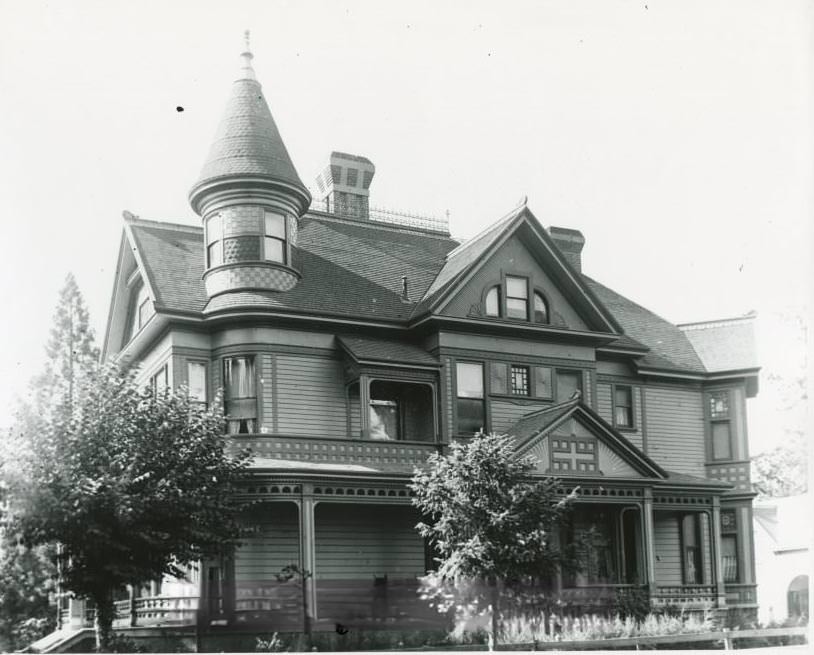
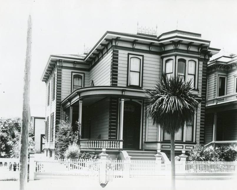
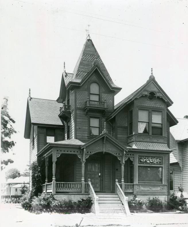
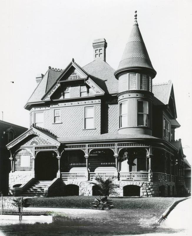
Among the most historically layered homes in San Jose was the Thomas Fallon house at 175 West Saint John Street. Fallon had raised the American flag over San Jose in July 1846, a gesture that marked the city’s transition to American control. He built this house in 1859 and later served as mayor of San Jose. By the 1970s, the building had long been repurposed as a restaurant known to generations of San Joseans.
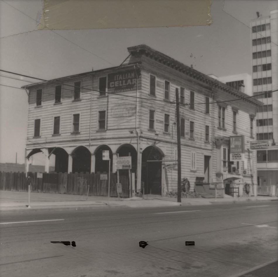
The Roberto Adobe on Lincoln Avenue is one of the oldest structures in the South Bay. Built in 1839, the single-story adobe represents a period when San Jose was still part of Mexican California. By the 1970s, it was being documented and recognized as a rare surviving example of pre-American-era construction in the region.
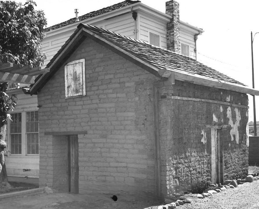
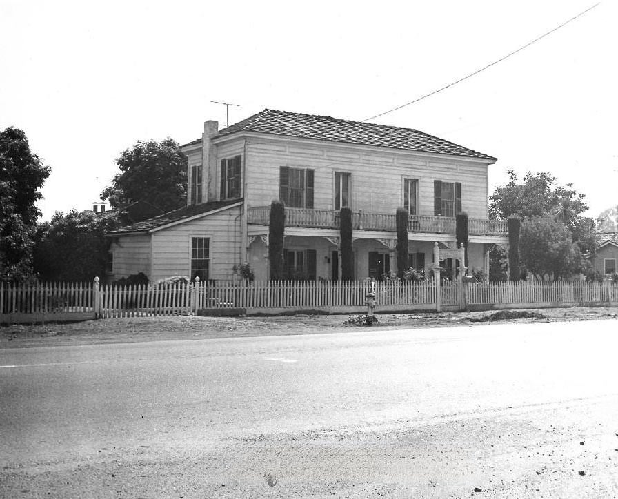
The home of Edwin Markham at 432 South 8th Street was another site with deep historical roots. Markham lived here from 1869 to 1889 and wrote his celebrated poem “The Man with the Hoe” in one of the rooms. By 1975, the home was owned by San Jose State University and had been designated a California State Historical Landmark. The Edwin Markham Poetry Society used the same room where the poem was written for its annual meetings.
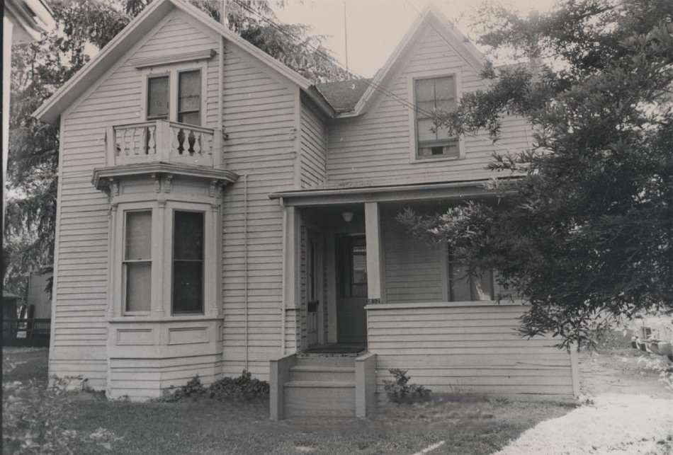
At 136 South 13th Street stood a bungalow built in 1906 — the same year as the great San Francisco earthquake. The home belonged to Frazier O. Reed, grandson of James Frazier Reed, one of the leaders of the ill-fated Donner Party. James Frazier Reed later laid out the Reed Addition of downtown San Jose after surviving the ordeal in the Sierra Nevada.
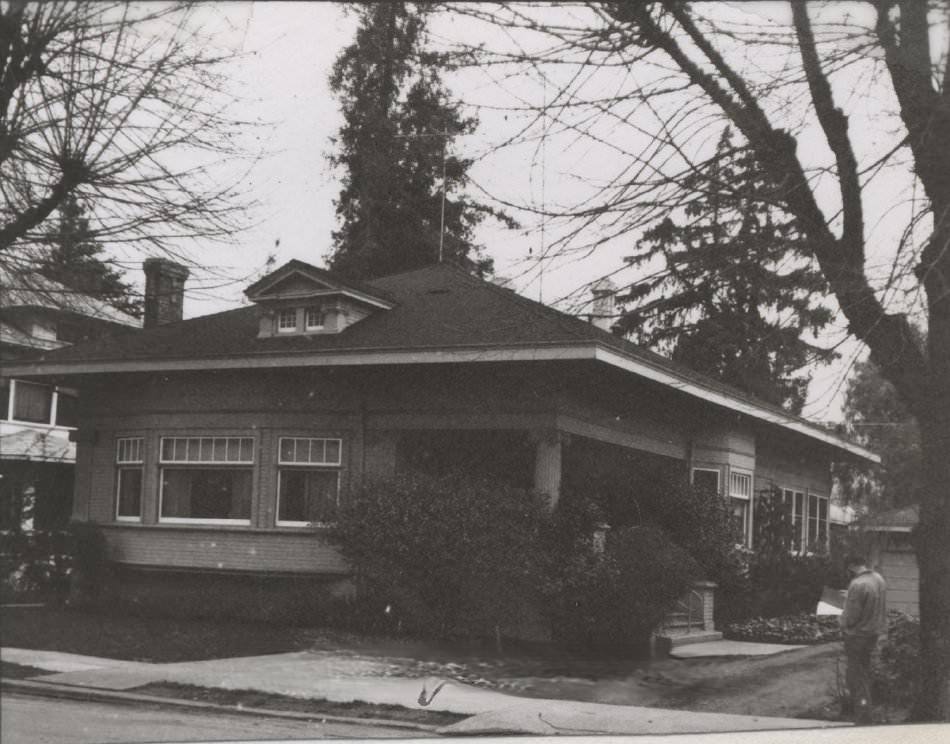
The Naglee Mansion at 99 South 14th Street once sat at the center of a 140-acre park-like estate. It was the home of General Henry Morris Naglee, who arrived in California in 1847 as a captain and later served as a brigadier general during the Civil War. Naglee was also instrumental in getting legislation passed in 1871–72 to set aside Alum Rock Canyon as a park — one of the earliest public parks in California.
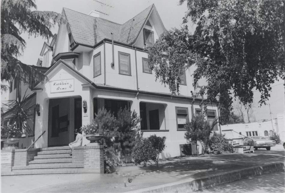
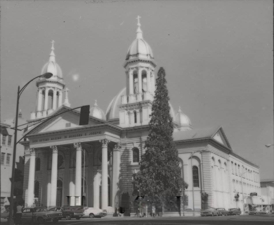
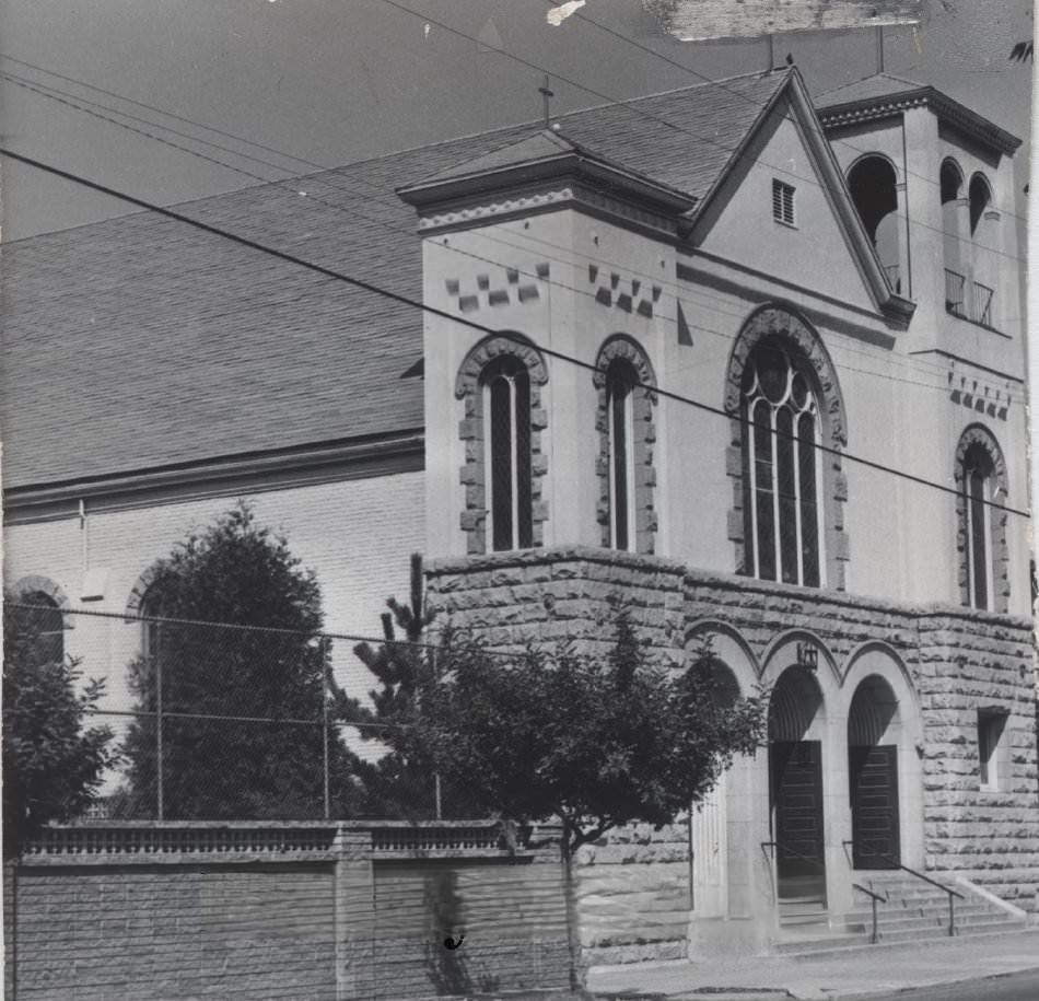
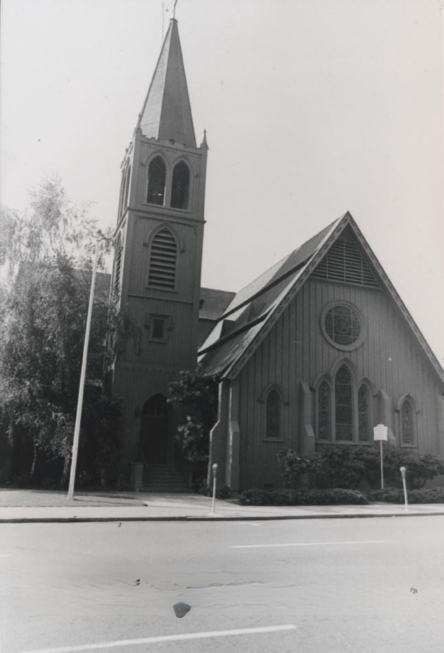
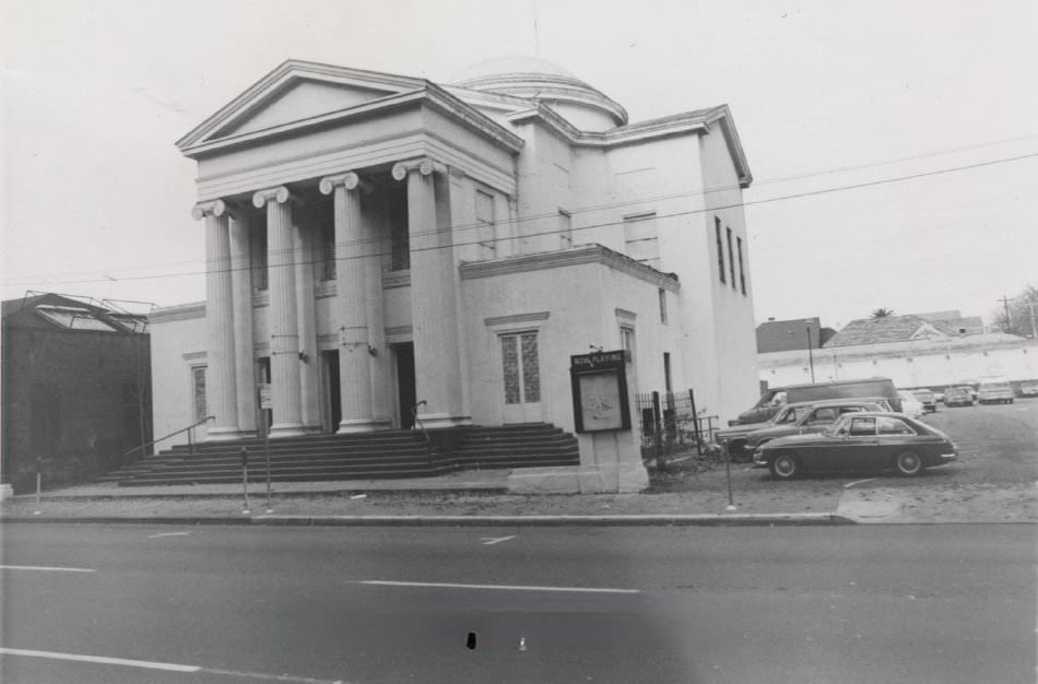
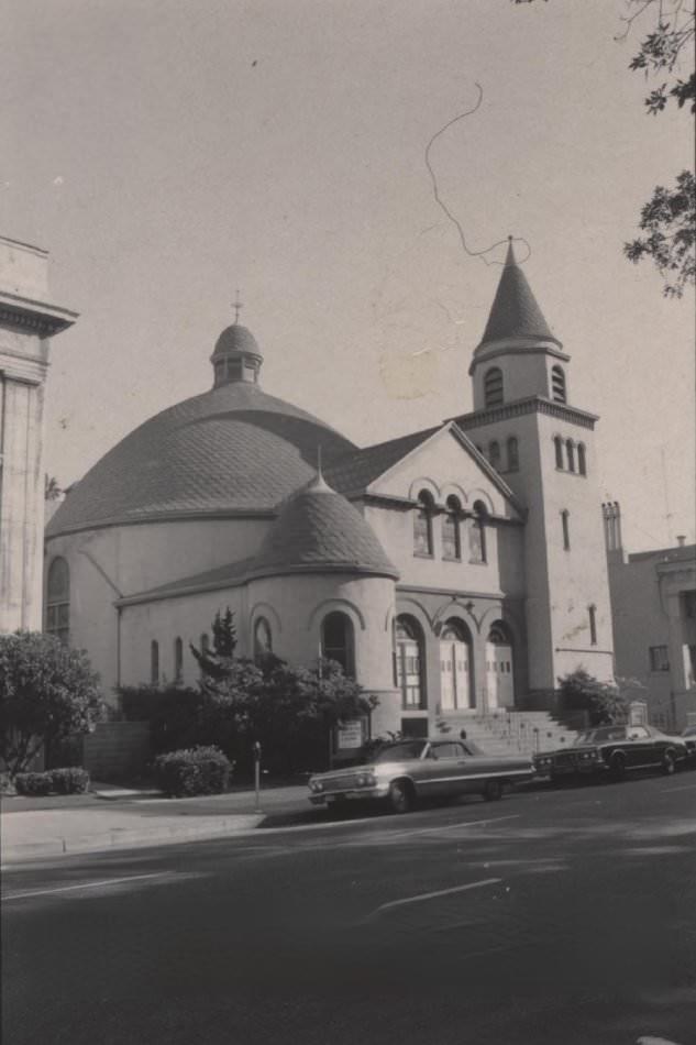
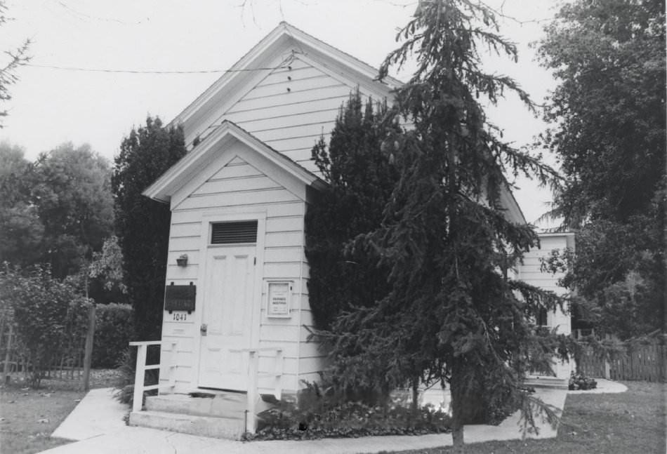
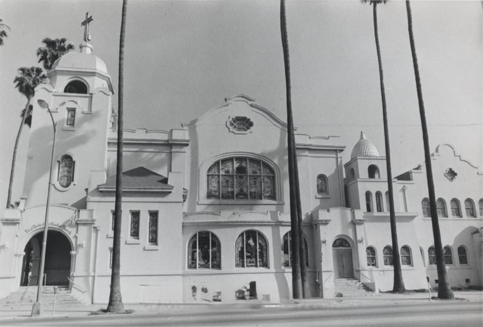
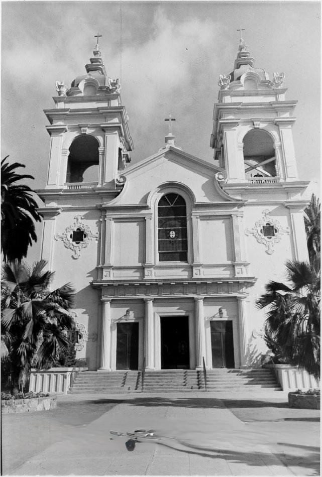
San Jose’s religious buildings were equally varied and historically significant. Saint Joseph’s Catholic Church at Market and San Fernando Streets replaced an earlier wooden church that had burned down. Its architect, Brian J. Clinch, designed more than 30 churches across California. Saint Mary’s Catholic Church on South Third Street was built in 1891 using brick and sandstone quarried from the New Almaden Road by members of the Pfeiffer family. The First Universalist Unitarian Church on North Third Street dated to 1891, though Unitarian services had been held in San Jose as far back as November 1865.
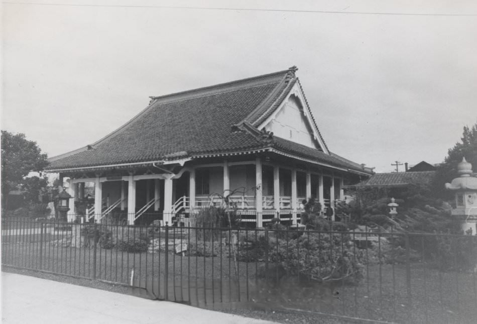
San Jose’s Japanese Buddhist Temple on North 5th Street was built in 1937, but its presence reflected a much longer history of Japanese settlement in the South Bay. The temple’s architecture and its role as a community anchor made it an important part of the city’s cultural landscape — particularly in a decade when San Jose was actively reassessing its own identity.
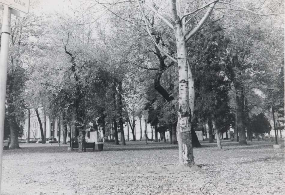
The Sainte Claire Club, built in 1894 at St. James and 2nd Streets, was originally an exclusive men’s club funded by Senator James D. Phelan — a wealthy banker, businessman, and former mayor of San Francisco. The building was repaired after earthquake damage in 1907 and remained a prominent downtown fixture into the 1970s. Nearby, Saint James Park — surveyed nearly two years before California became a state — had once been offered as the site for the state capitol building.
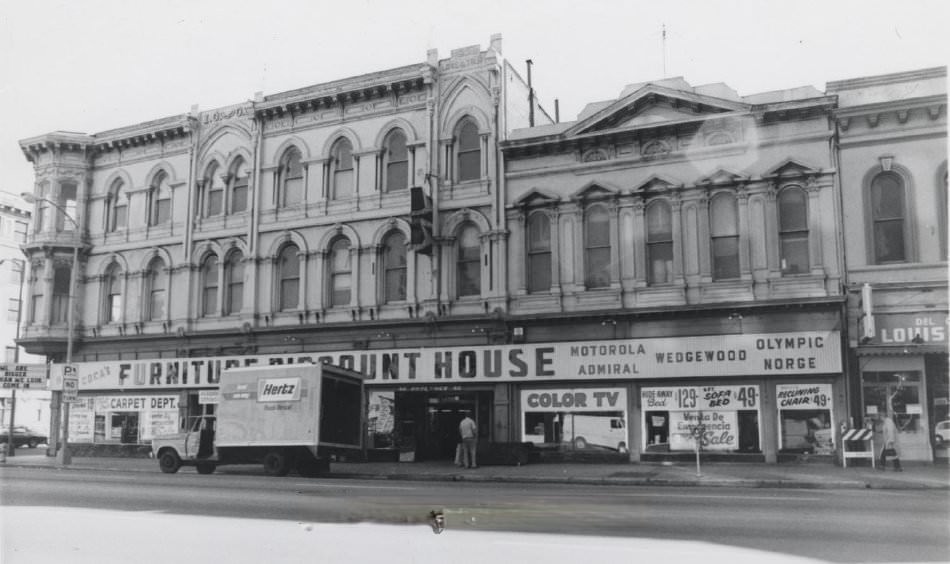
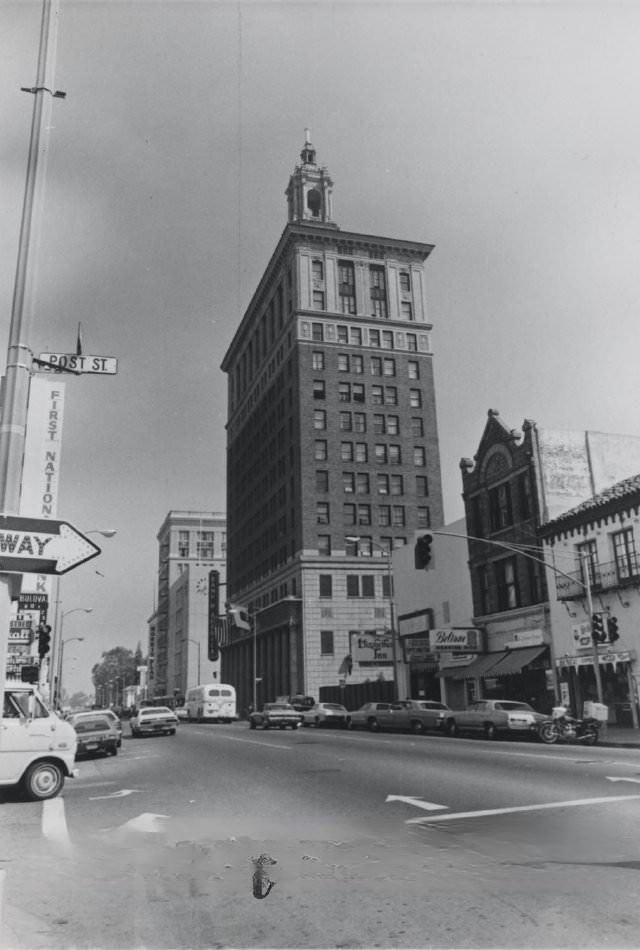
The I.O.O.F. (Odd Fellows) building on the southwest corner of Third and Santa Clara Streets was one of the best-preserved brick commercial buildings from before 1900. Built in 1885 by the Odd Fellows Hall Association, its three stories included a residential floor for members. The Old Bank of America building at Santa Clara and 1st Streets, constructed in 1927 during a skyscraper boom, still towered over more modern buildings nearby. Until 1969, it had served as Bank of America’s San Jose headquarters.
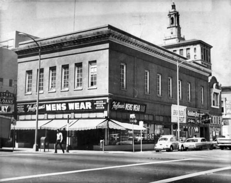
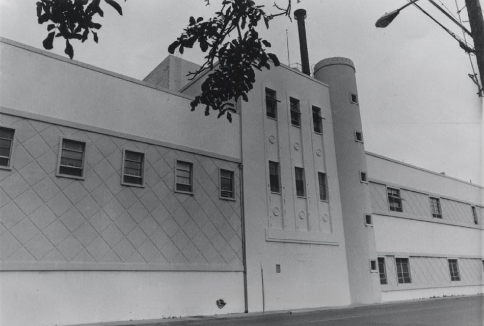
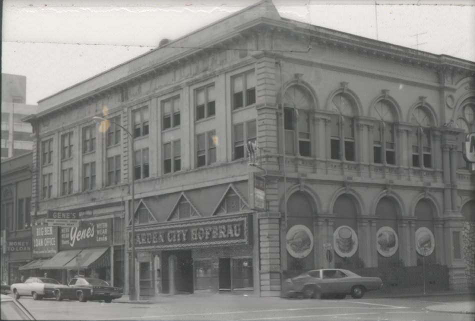
Not every historic building survived the decade. The Murphy Building at the corner of Market and Post Streets was photographed shortly before its demolition in January 1976. It had housed Hoffman’s Mens Wear and other businesses. The Fredericksburg Brewery on the Alameda — a landmark for over a century, originally built in 1869 and designed by Theodore Lenzen — was demolished in the winter of 1974. The Home Union building on the same corner, standing since 1873, was also slated for removal.
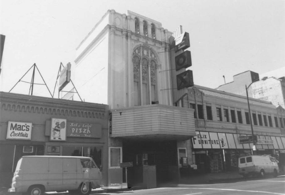
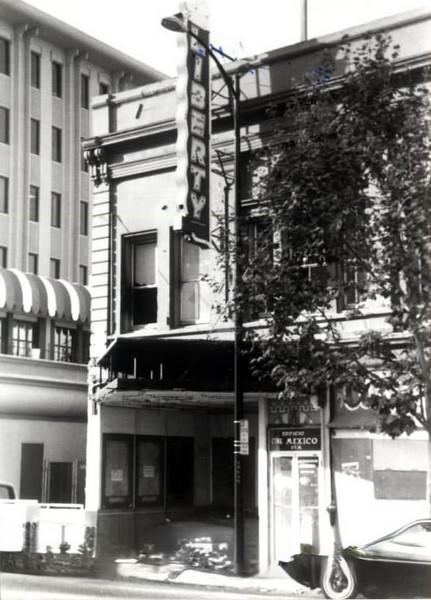
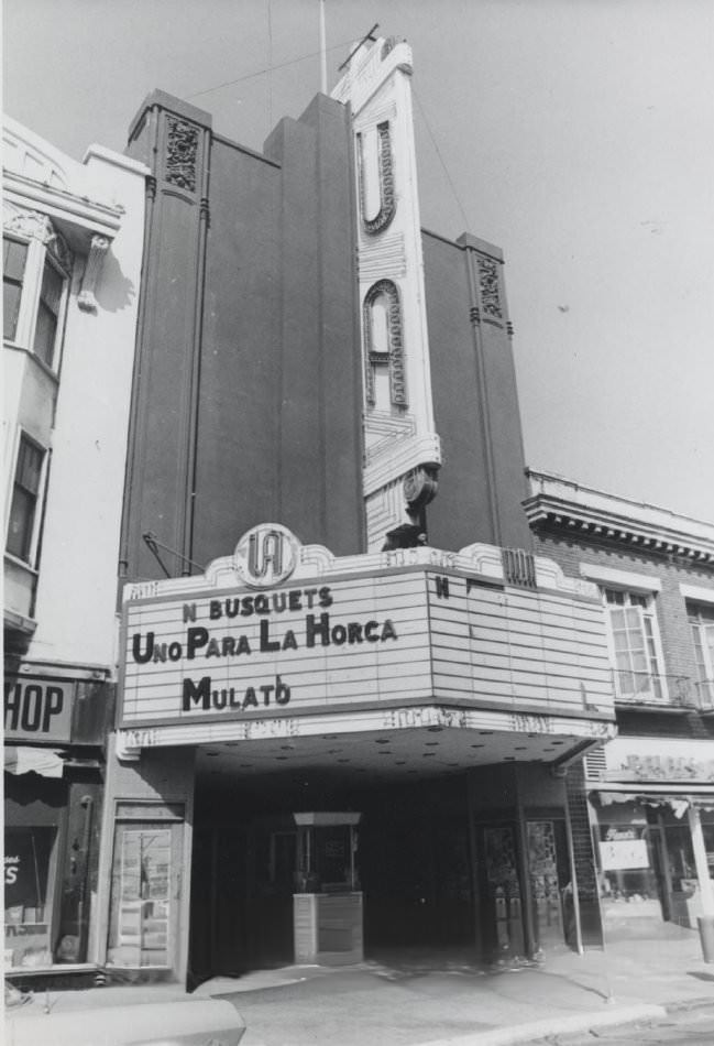
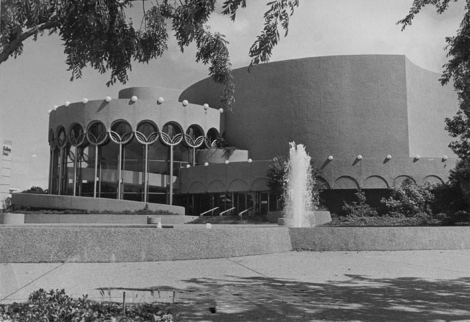
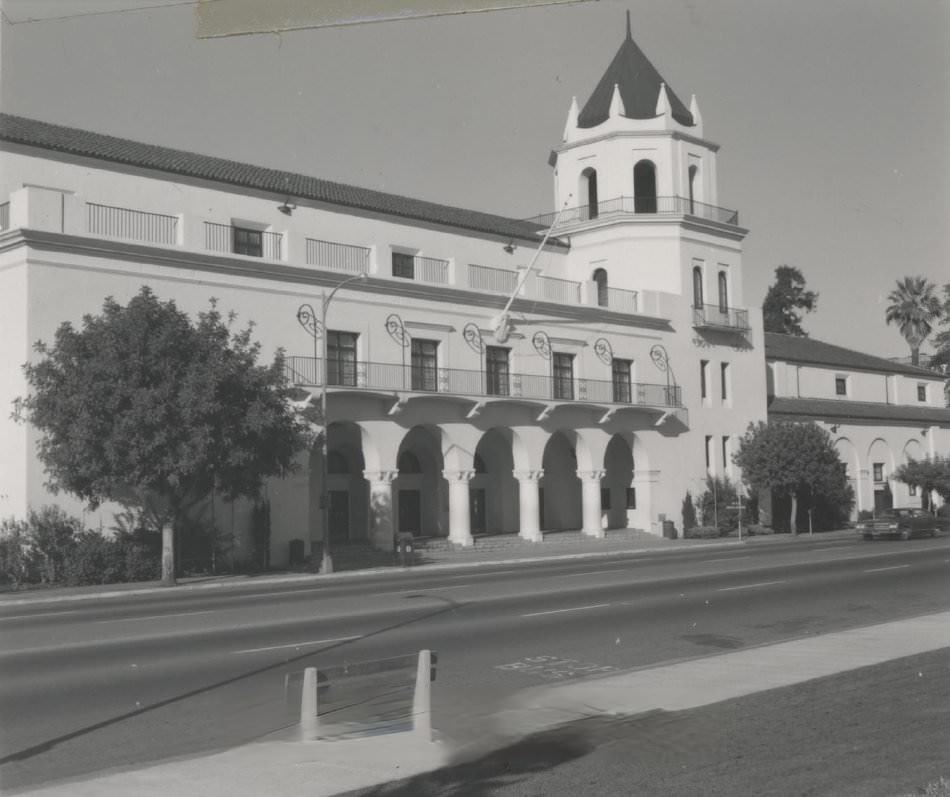
Entertainment and culture had their own landmarks across the city. The Fox Theater and the Liberty Theatre on South First Street were familiar destinations. The United Artist Theatre, originally built in 1918 as the Hippodrome — a vaudeville venue — had gone through several name changes over the decades. The San Jose Center for the Performing Arts and the San Jose Civic Auditorium anchored the city’s cultural life on a grander scale.
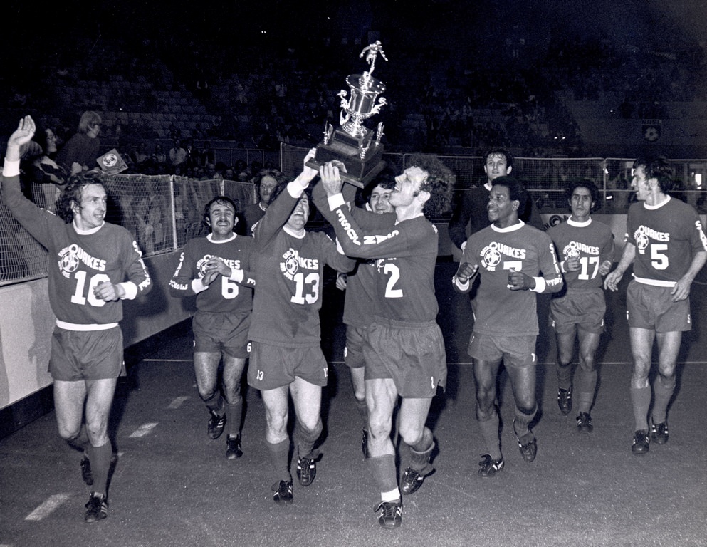
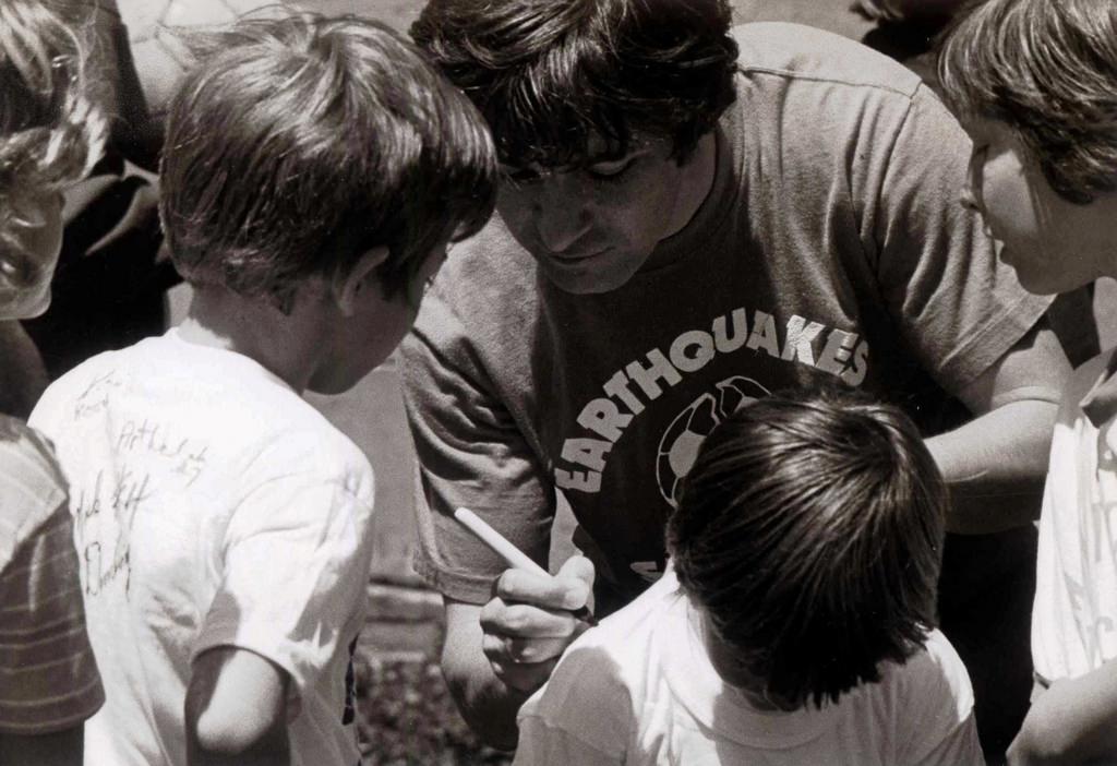
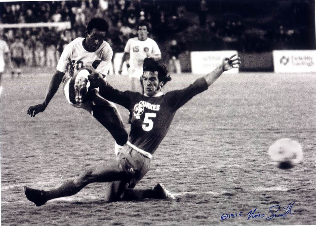
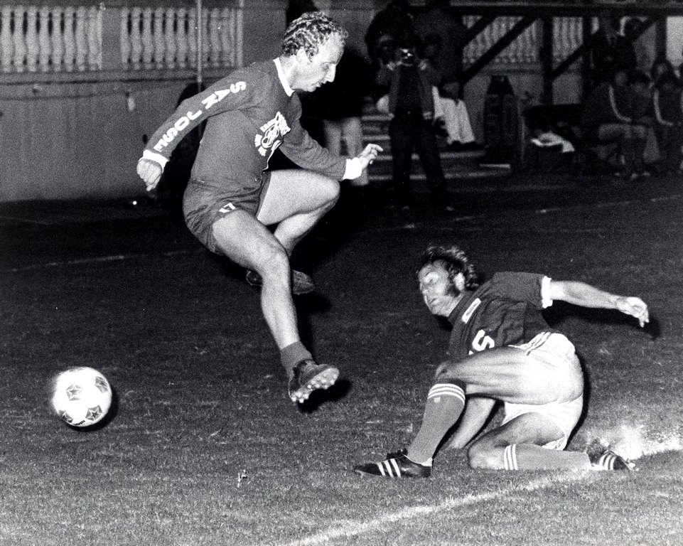
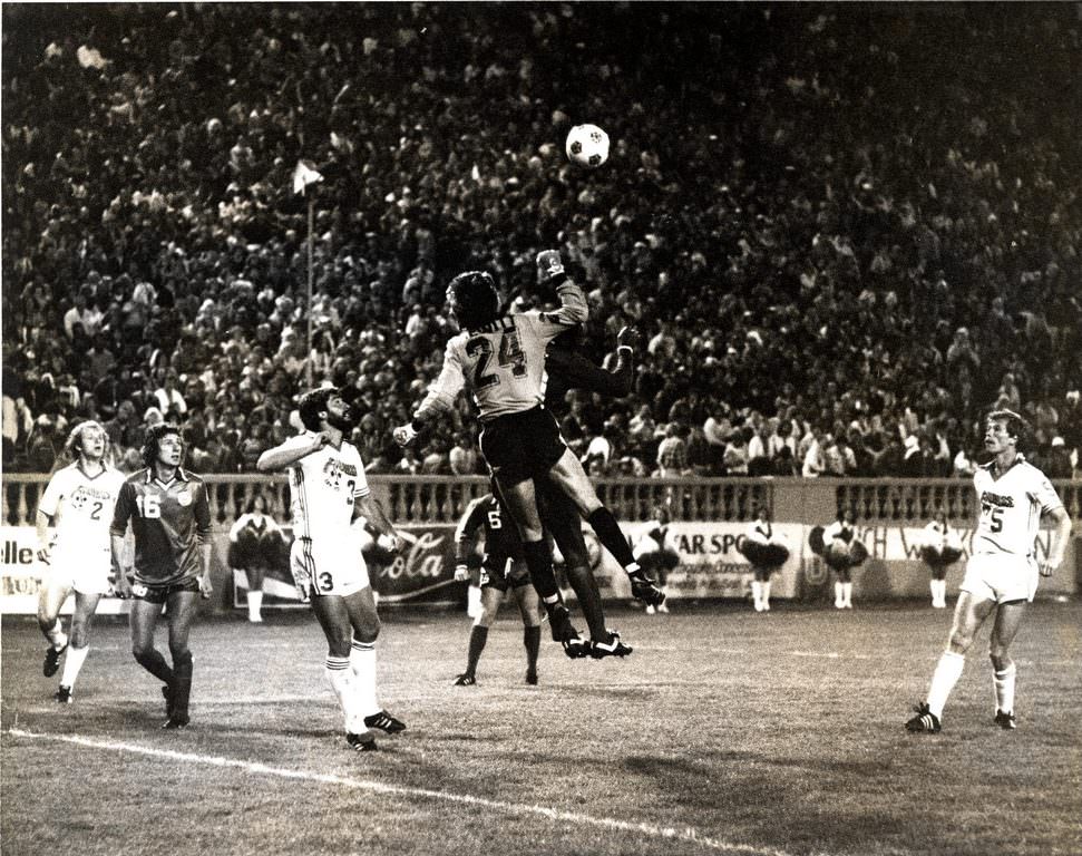
Professional soccer arrived in San Jose in 1974 with the San Jose Earthquakes, part of the North American Soccer League. The team quickly built a following, and the 1975 season was particularly successful — the Earthquakes won the indoor championship trophy that year. Players like Johnny Moore, Paul Child, Davy Kemp, and Mani Hernandez celebrated with the trophy, while forwards like Jimmy Johnstone brought international star power to Spartan Stadium. The presence of global soccer legends, including Pelé, drew significant attention to NASL matches in San Jose.
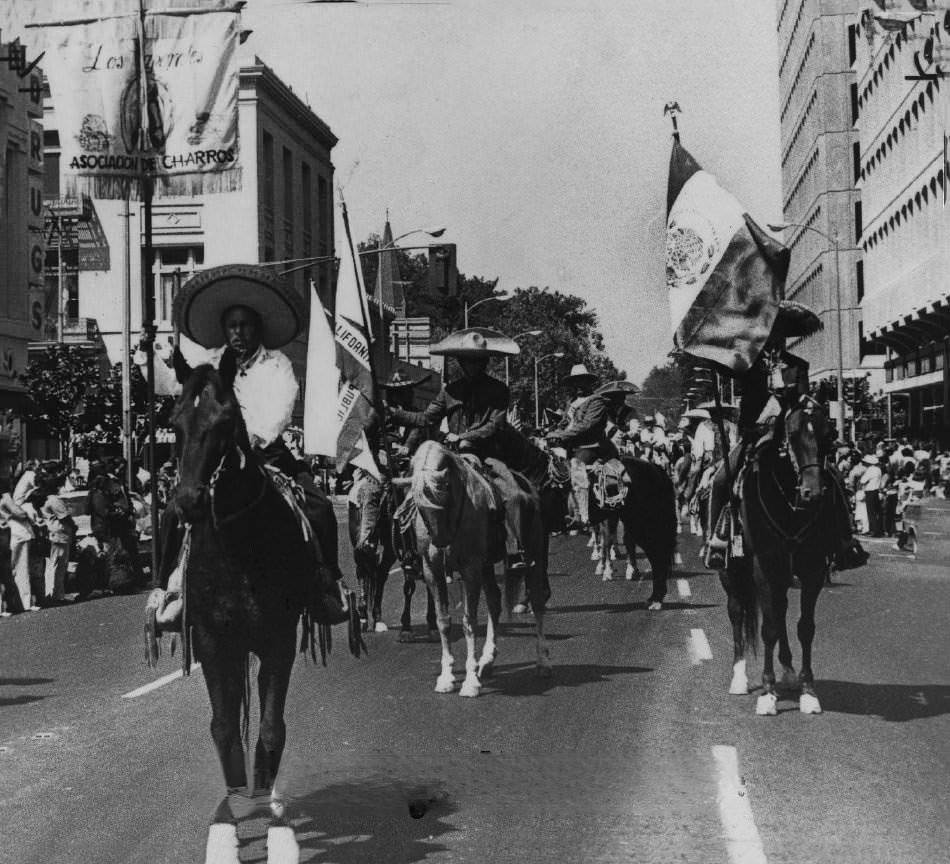
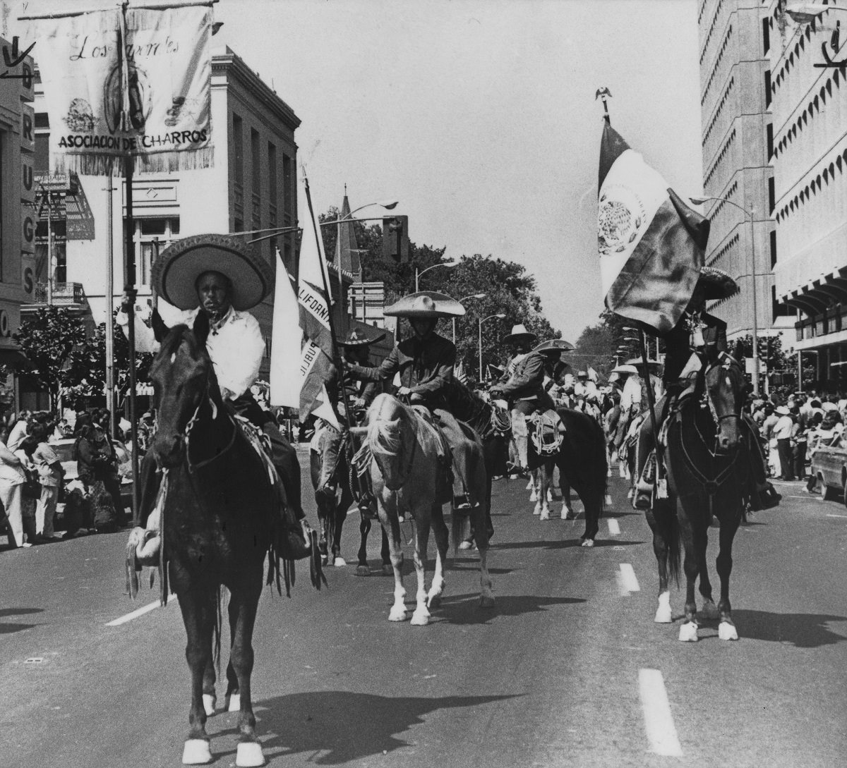
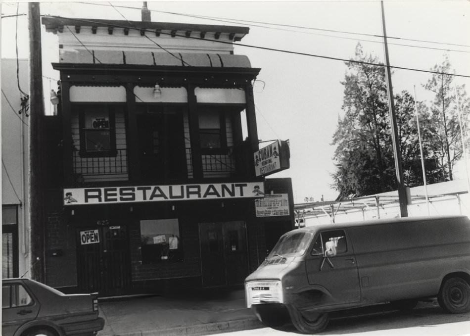
The cultural diversity of 1970s San Jose showed up in its streets and public events. The Mexican Independence Day Parade in 1974 drew large crowds and reflected the deep roots of the city’s Latino community — roots that stretched back to San Jose’s founding as a Spanish pueblo in 1777. Restaurants like the Cuban restaurant on North Sixth Street added to a culinary landscape that was far more varied than many outsiders assumed.
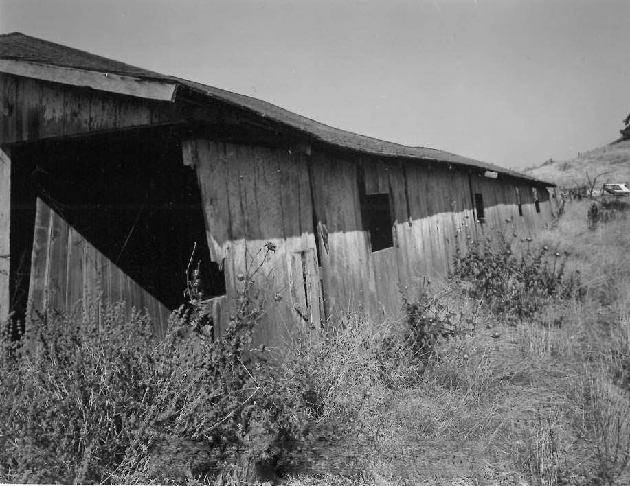
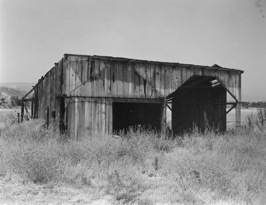
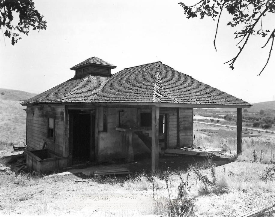
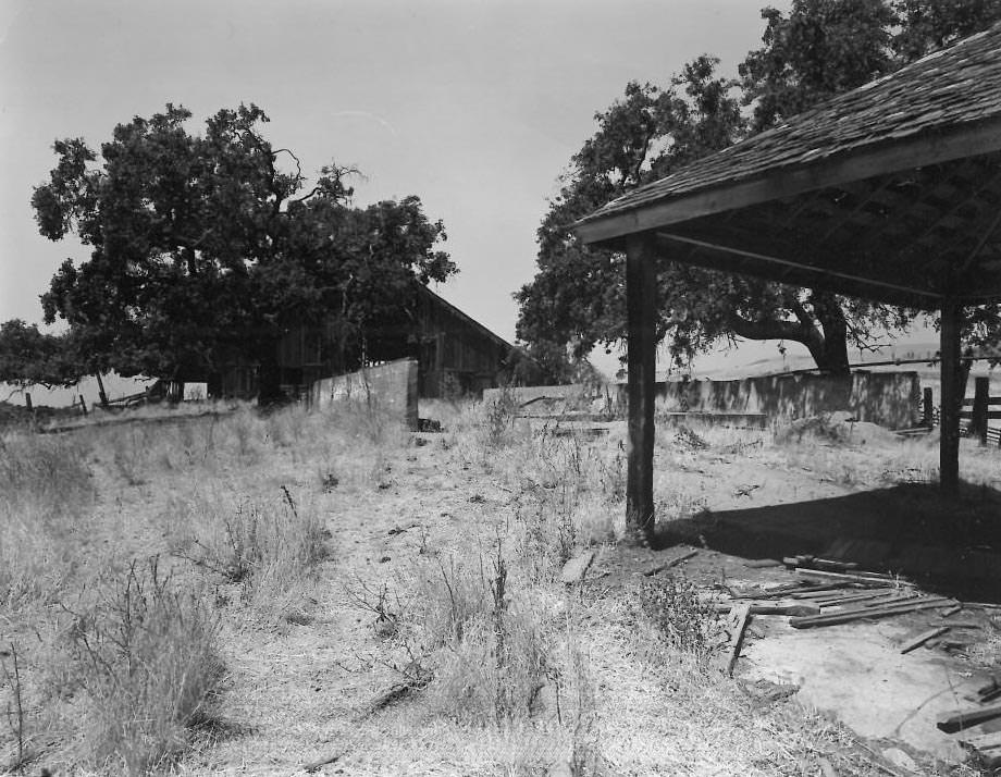
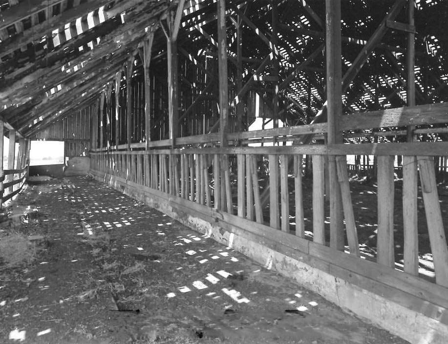
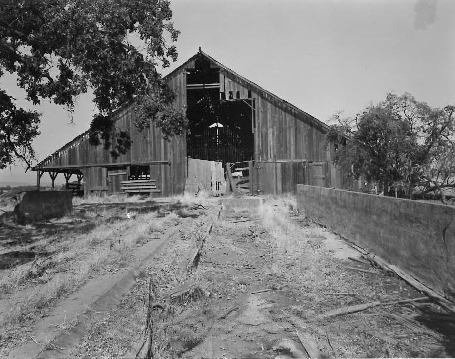
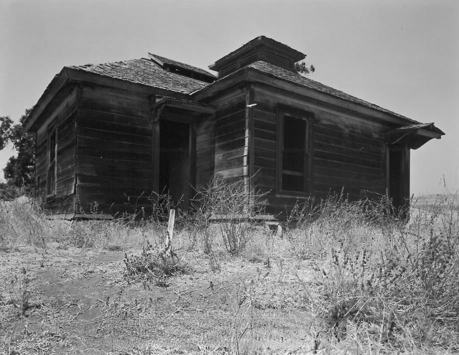
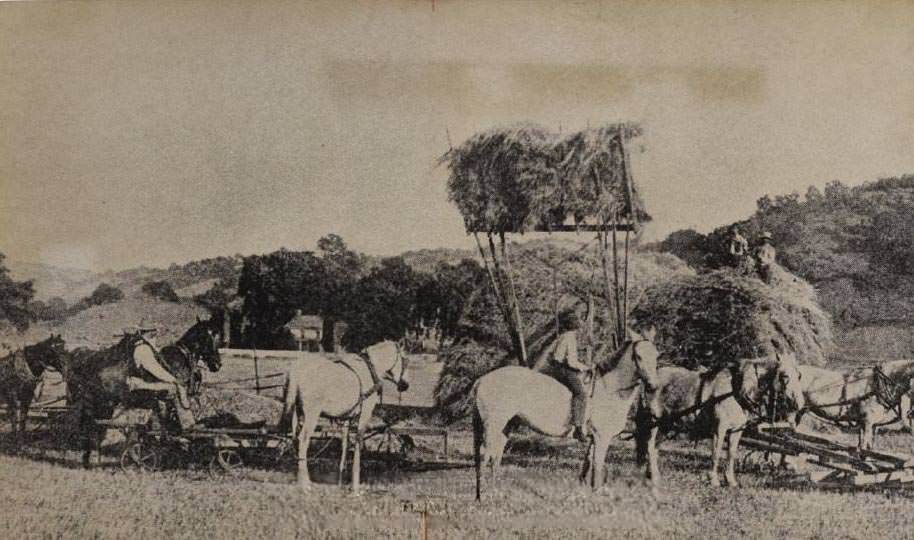
Outside the city center, San Jose’s rural edges were still very much alive in the 1970s. The Dairy north of Metcalf Road was a working agricultural operation, and its various structures — the horse livery, wagon barn, milk house, and feed barn — were documented in detail in 1978. Men and horses still worked fields with hay-loading equipment, a scene that felt far removed from the urban debates happening just miles away at City Hall.
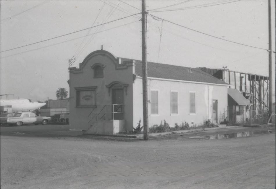
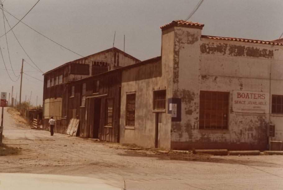
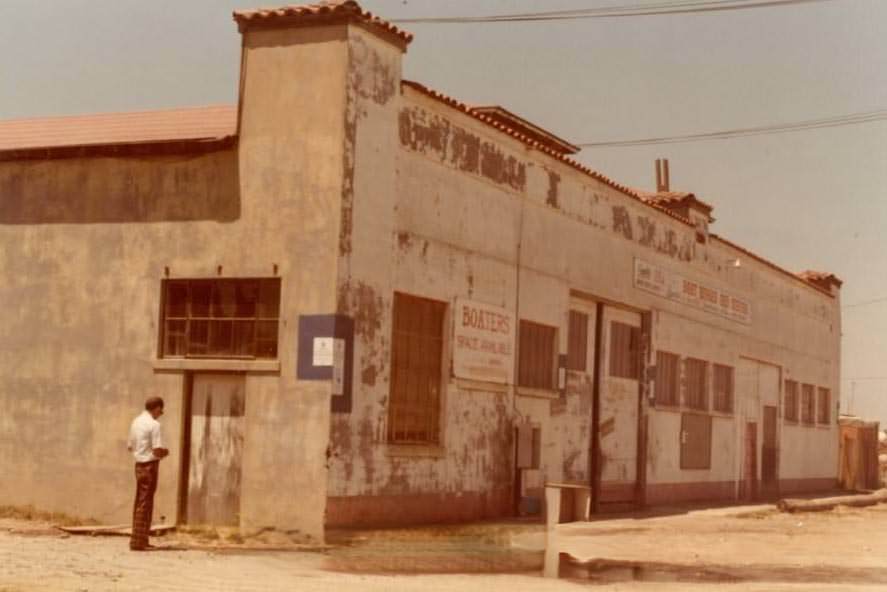
Alviso, a small community on San Jose’s northern edge near the Bay, had its own distinct history. The old Bayside Canning Company building had once been the second-largest cannery in the United States. It was owned by Chinese investors and managed by Thomas Foon Chew, whose main product was asparagus from the delta. When Chew died, his funeral in San Francisco drew thousands of marchers. By the 1970s, the building had been converted to boat storage, and its industrial past was fading from view.
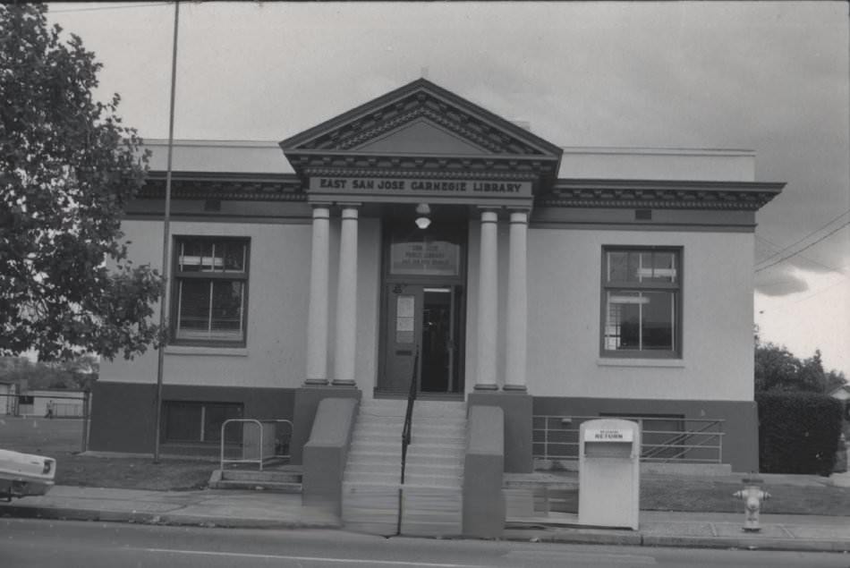
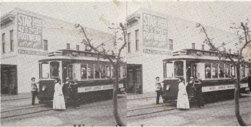
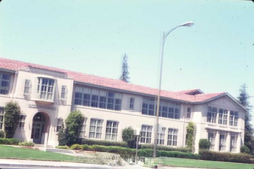
San Jose’s public institutions — libraries, schools, fire stations, hospitals, and museums — were all part of a city that was actively investing in itself. The San Jose Museum of Art, the San Jose Historical Museum with its restored streetcar, and the San Jose Public Library on East Santa Clara Street all served a growing population. Cambrian School, Willow Glen School, and other neighborhood schools were quiet markers of residential expansion happening across the city.
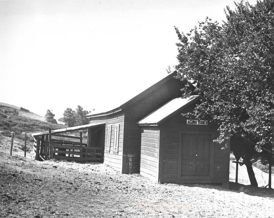
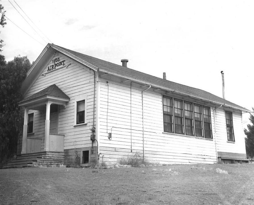
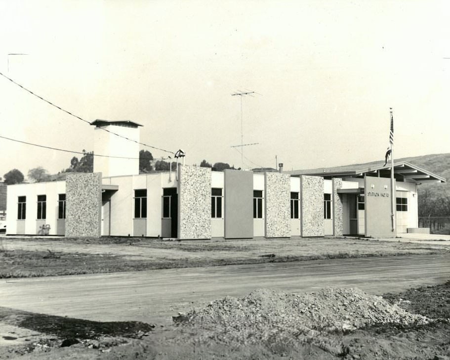
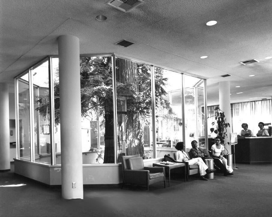
Alum Rock Canyon, part of San Jose’s pueblo lands dating to 1777, had been a park since 1872. In June 1972, the Santa Clara County Board of Supervisors formally named it a Point of Historical Interest. The canyon’s trails and mineral springs had drawn visitors for generations, and the designation reflected a broader push in 1970s San Jose to formally recognize and protect places that carried the city’s history.
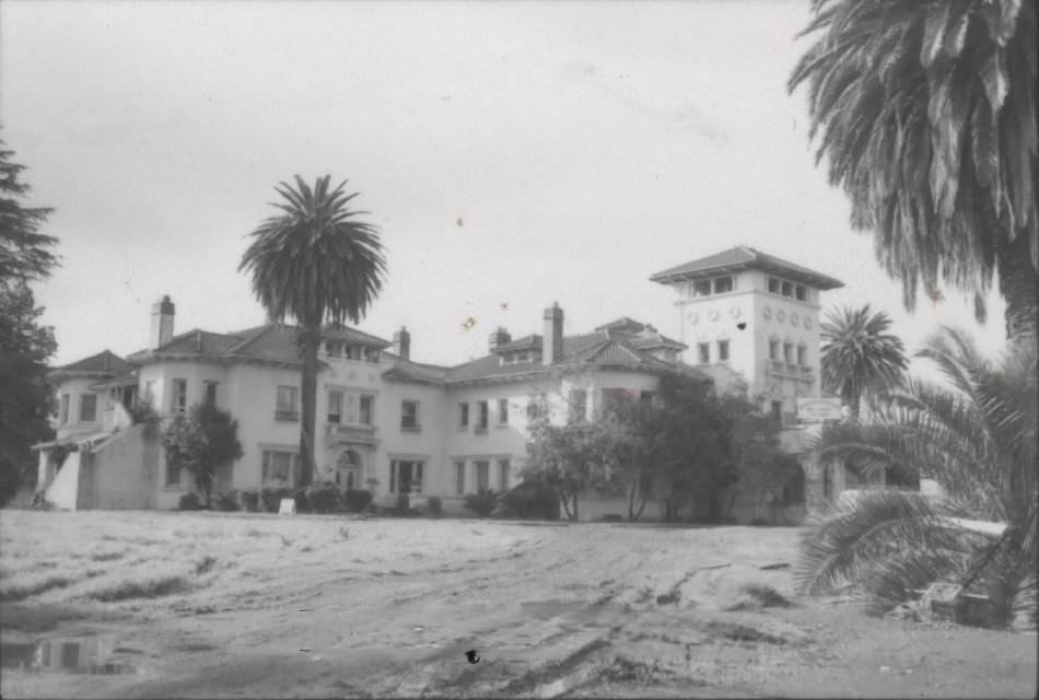
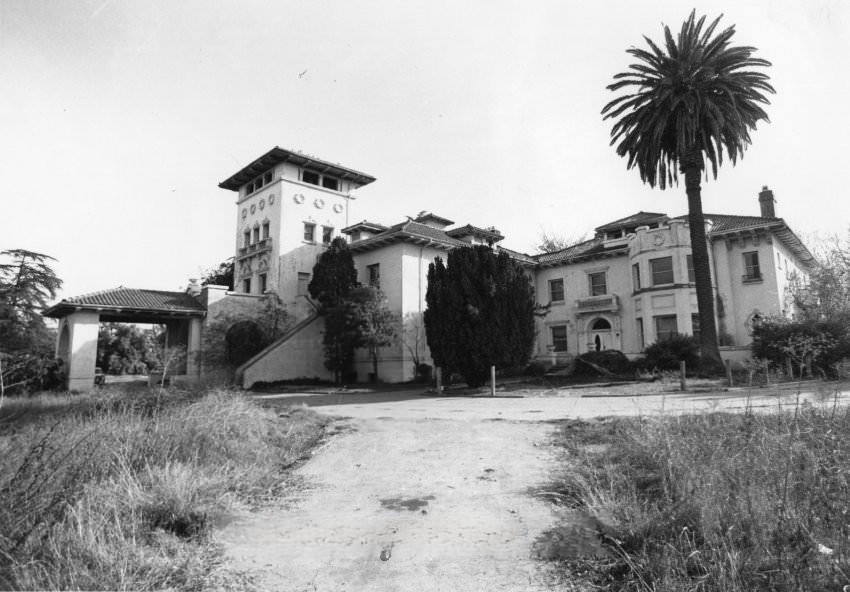
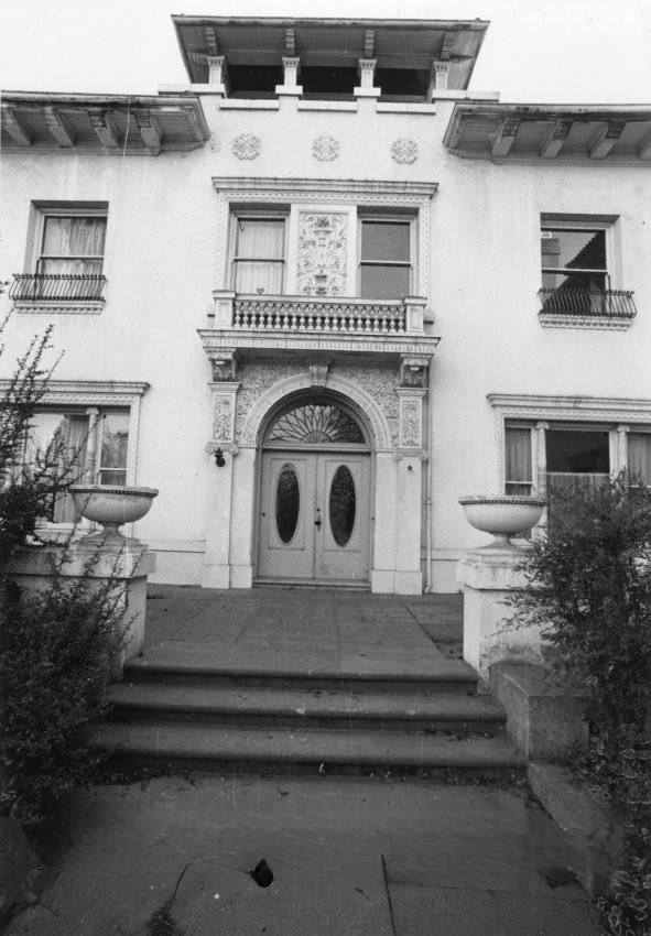
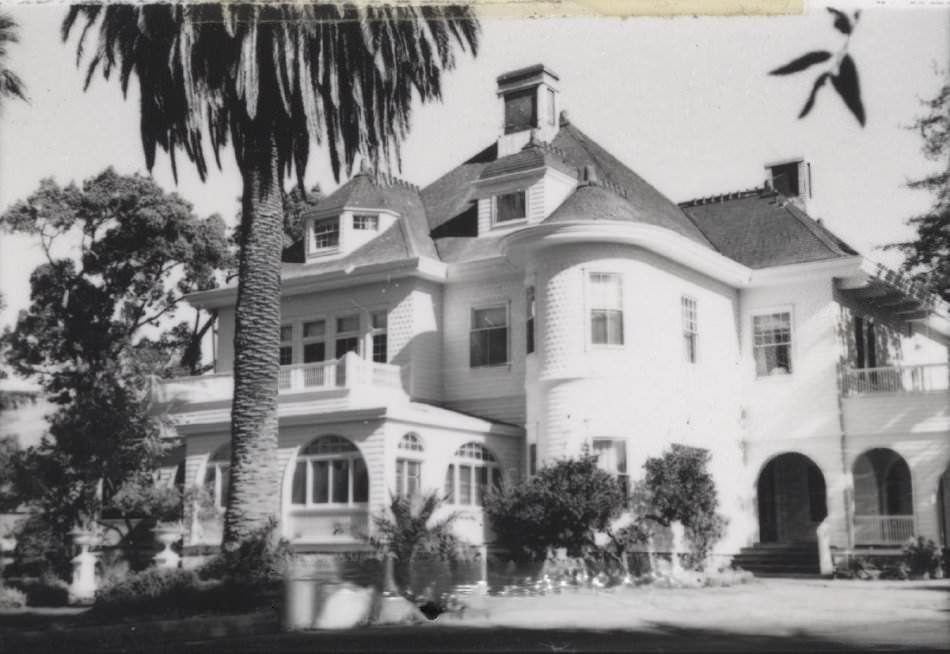
The Hayes estate at 200 Edenvale Avenue was built in the early 20th century by European craftsmen and featured marble fireplaces and paneling of walnut and mahogany. The Hayes family had owned the San Jose Mercury and played a prominent role in the city’s political history. By 1975, the mansion was operating as a rehabilitation center. Not far away, the Hayes-Chynoweth Mansion stood as another testament to the families who had shaped San Jose’s development.
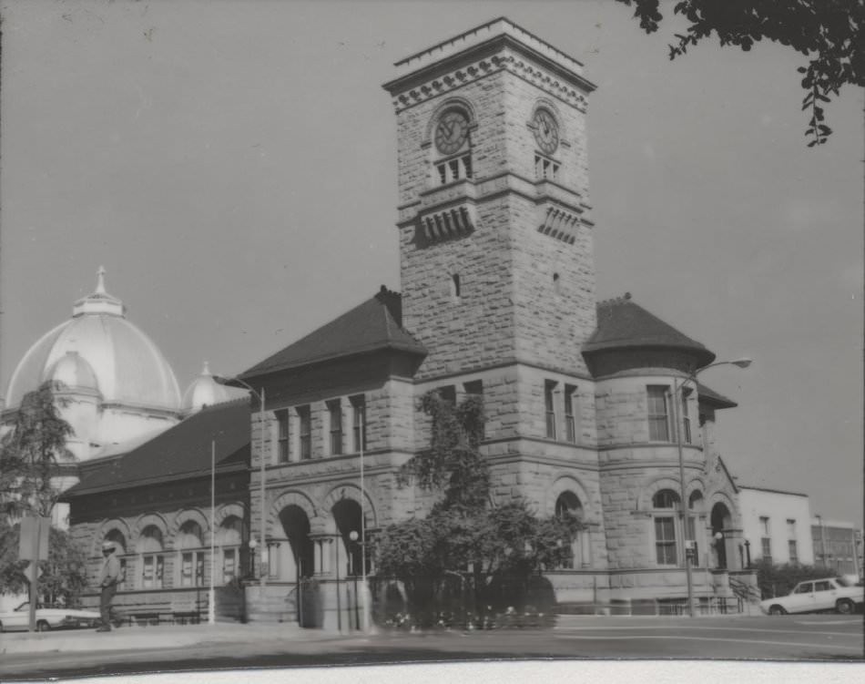
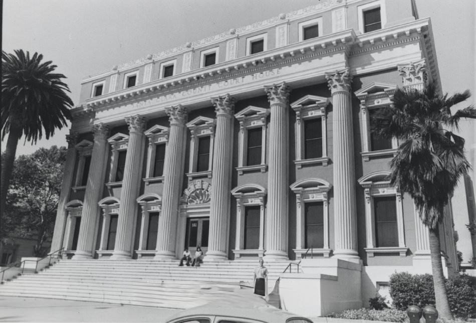
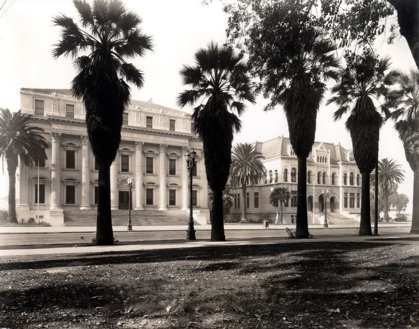
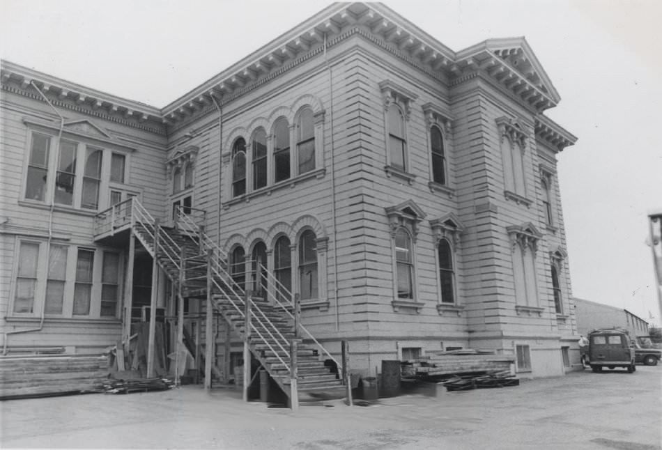
The county courthouse at 191 North First Street, built in 1868, was one of the architectural achievements of Levi Goodrich, a city pioneer. Sandstone for the building came from Goodrich’s own quarry off the New Almaden Road. Originally three stories, the structure had been reduced to two after earthquake and fire damage. The Santa Clara County Courthouse and Hall of Records on North First Street between St. John and St. James Streets served as the government heart of the region throughout the decade.
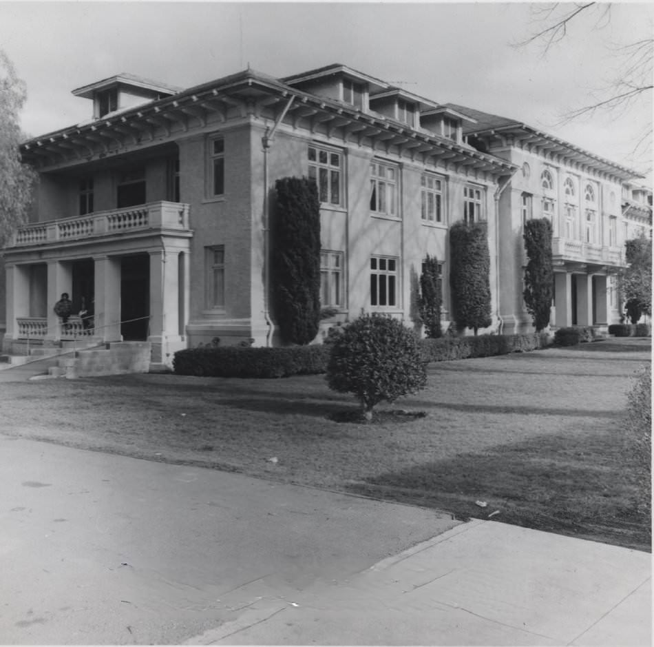
Helen Guth Hall on Elm Street was one of three original buildings from when the College of the Pacific was located in San Jose. Built in 1909 as a women’s dormitory, the building was in use by Bellarmine College Preparatory as an office building by the 1970s. The other two surviving structures from the original campus — the gymnasium and the dining hall — were also still standing. Notre Dame College’s pergola on Prevost Street offered another glimpse of San Jose’s long history of higher education.
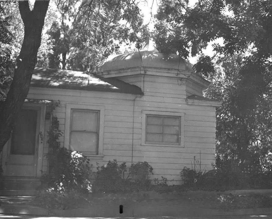
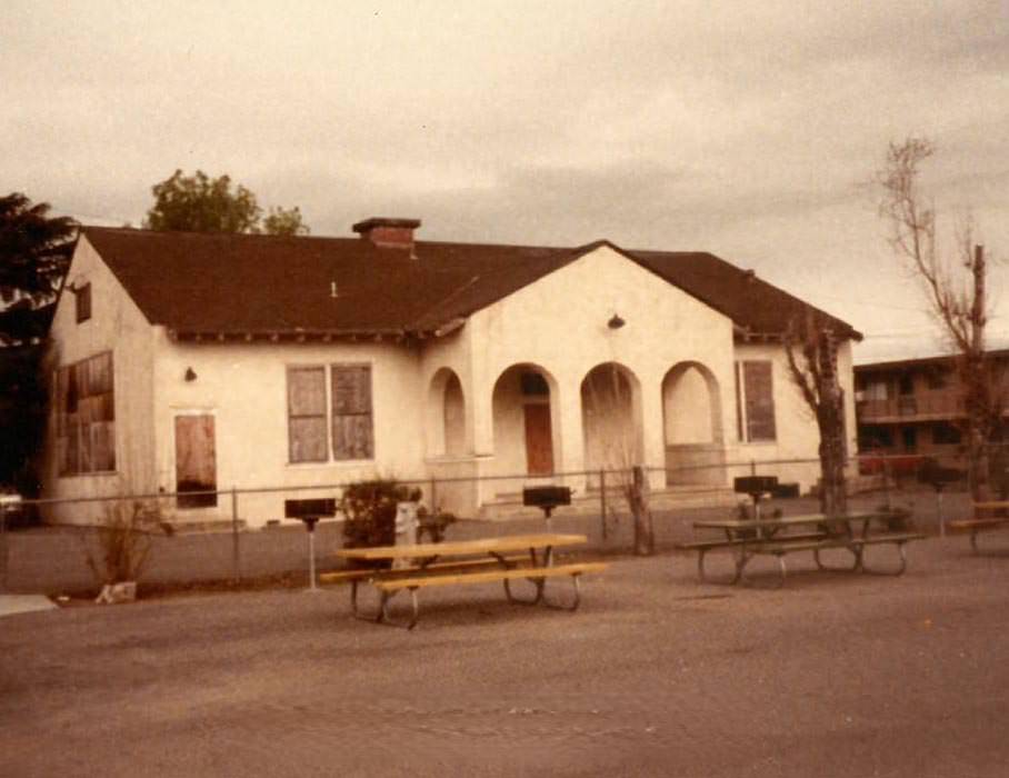
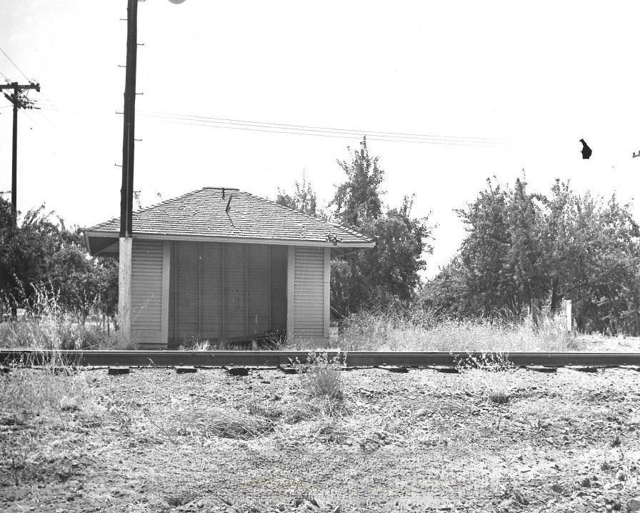
The Fourth Ward School at 408 Almaden Avenue, later called the Lincoln School, was built in 1874 at a cost of $17,000. It survived the 1906 earthquake and was an example of Renaissance Revival architecture. By the 1970s, it had long been condemned for use other than storage. The Coyote railroad station, photographed in 1975, was the only surviving station of its kind between San Jose and Watsonville — a small board-and-batten structure that marked the edge of the city’s reach southward.
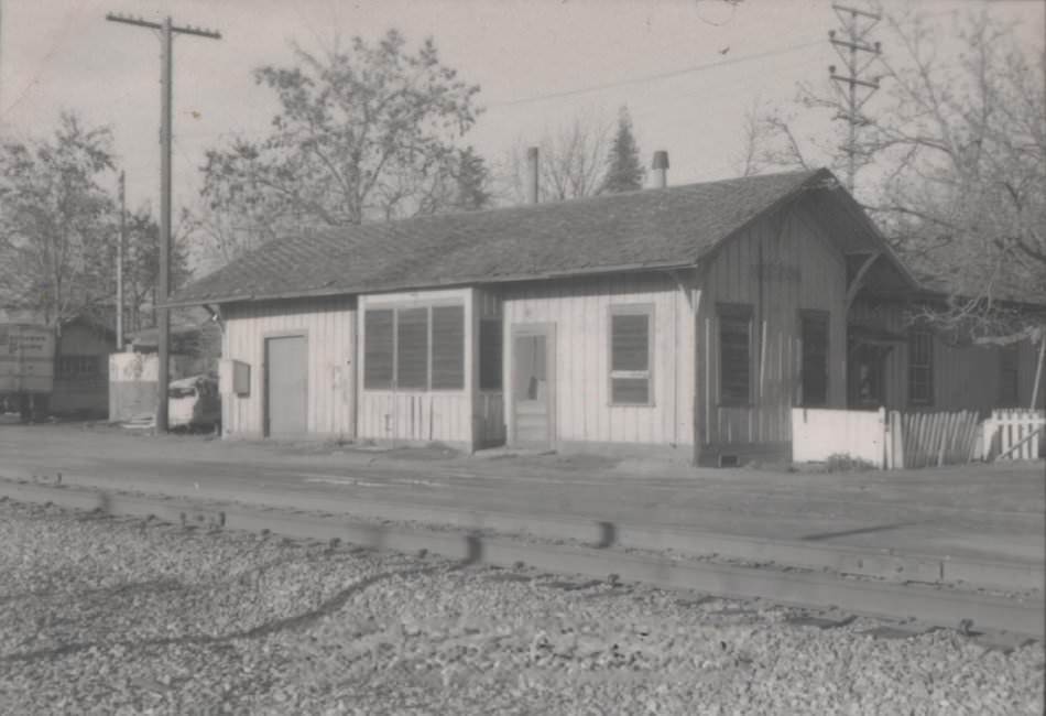
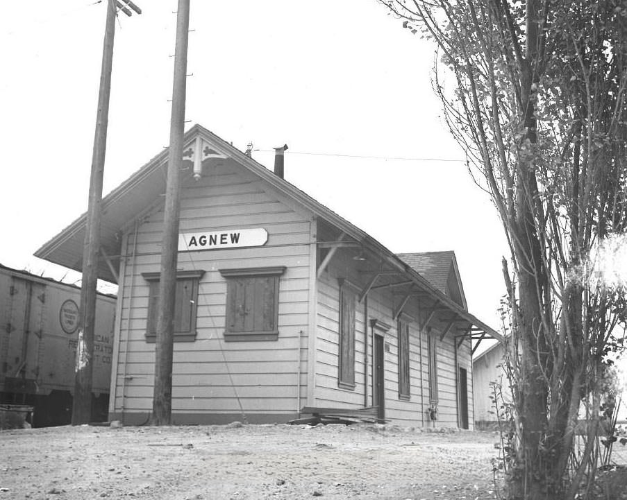
Several of San Jose’s historic structures were relocated to History Park during the 1970s to protect them from demolition. The Print Shop on North San Pedro Street — a residence built in 1874 — was moved to the park in 1972. The Associated Oil Gas Station from the corner of Julian and Market Streets followed in 1978. The Chiechi House was another property that made the transition. These moves reflected a city that was actively working to hold onto physical pieces of its past even as growth continued reshaping the landscape.
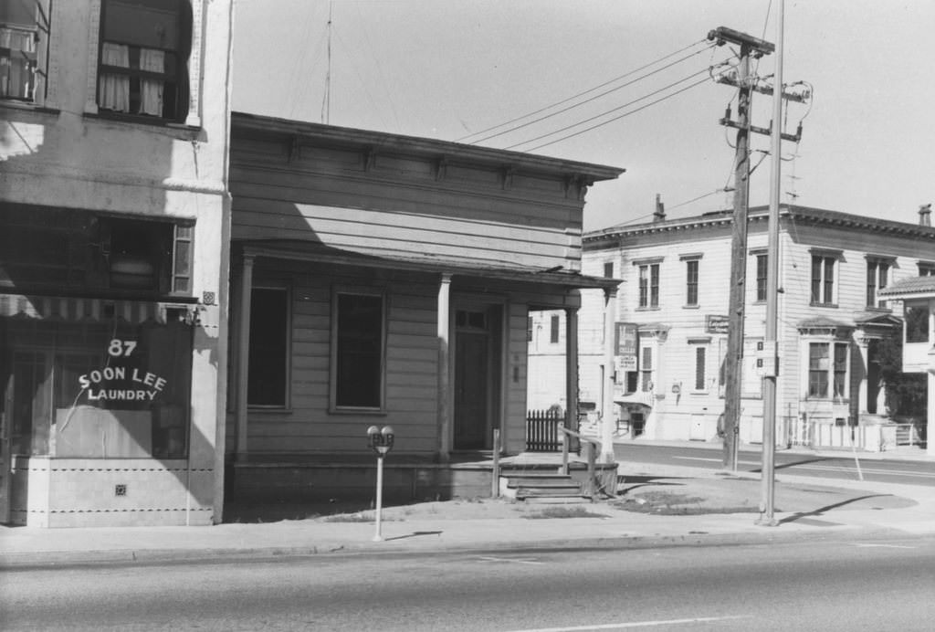
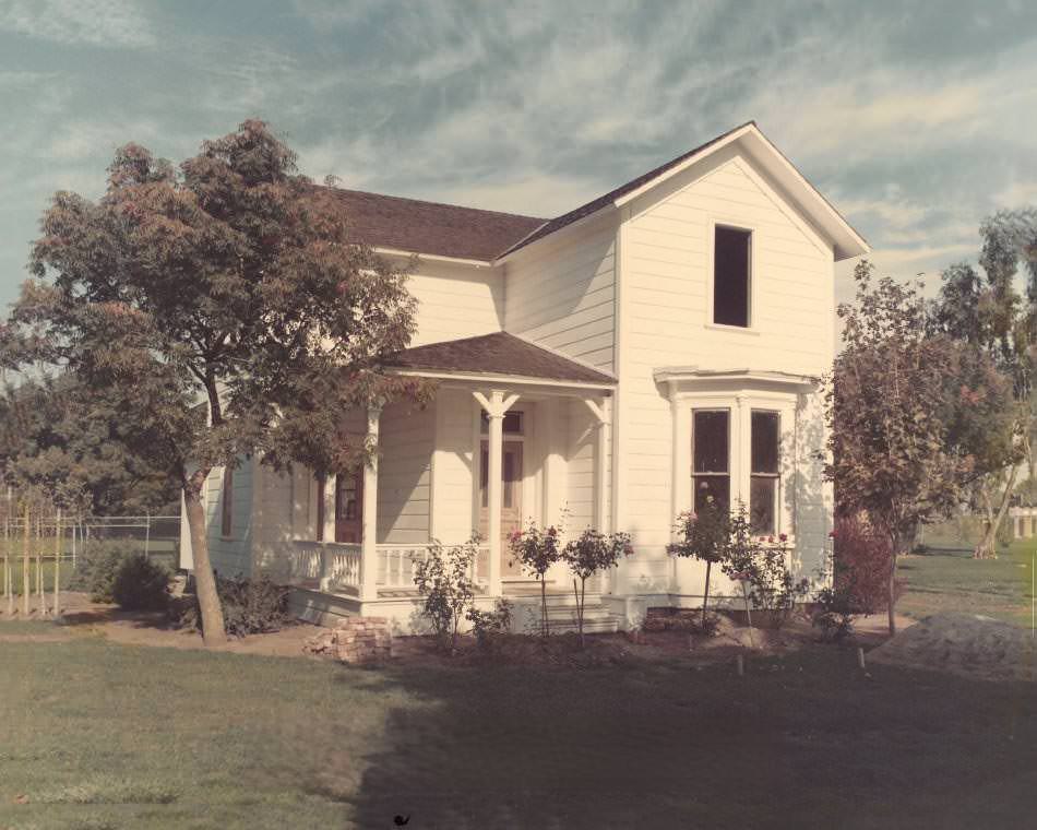
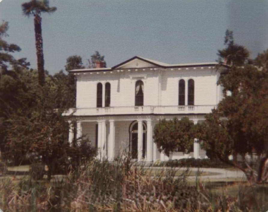
The Lick Mansion, documented in 1975, connected San Jose to James Lick — one of California’s most eccentric and wealthy early figures, who made a fortune in real estate and left behind a legacy that included the Lick Observatory on Mount Hamilton. Meanwhile, the David Greenawalt house on the road to New Almaden told the story of a gold rush-era pioneer who came to California in 1850 and built his home in 1877. It was eventually moved to History Park in 1991, but in the 1970s it still stood on its original ground.
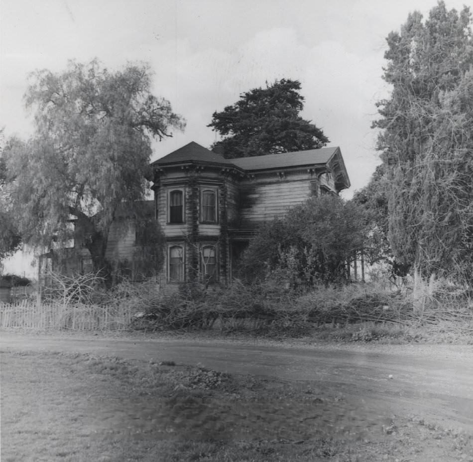
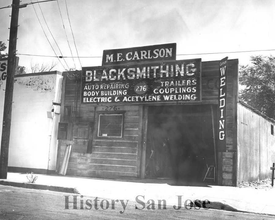
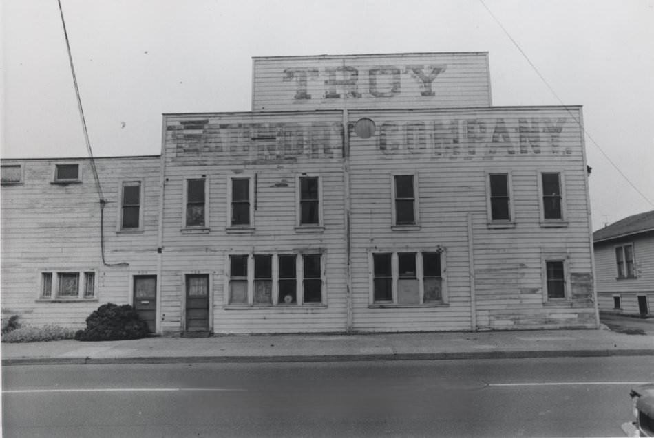
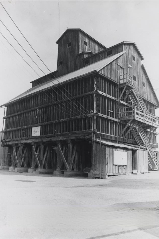
Ericson’s Blacksmith Shop, photographed in 1970, was among the last of its kind still standing in the city. Structures like the Troy Steam Laundry on Almaden Avenue and the sand and gravel bunker at 790 Stockton Avenue — built of massive Douglas fir beams by the Central Supply Gravel Rock Company decades earlier — were industrial relics that the city’s preservationists worked to document before they disappeared. The Telephone Building and the Orchard Supply Hardware warehouse rounded out a picture of San Jose’s commercial and industrial past.
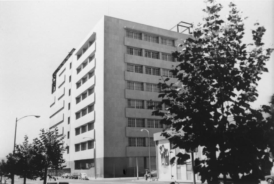
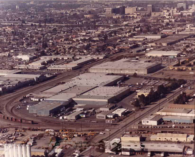
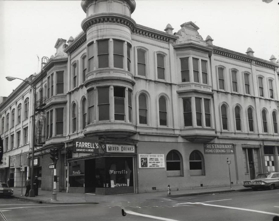
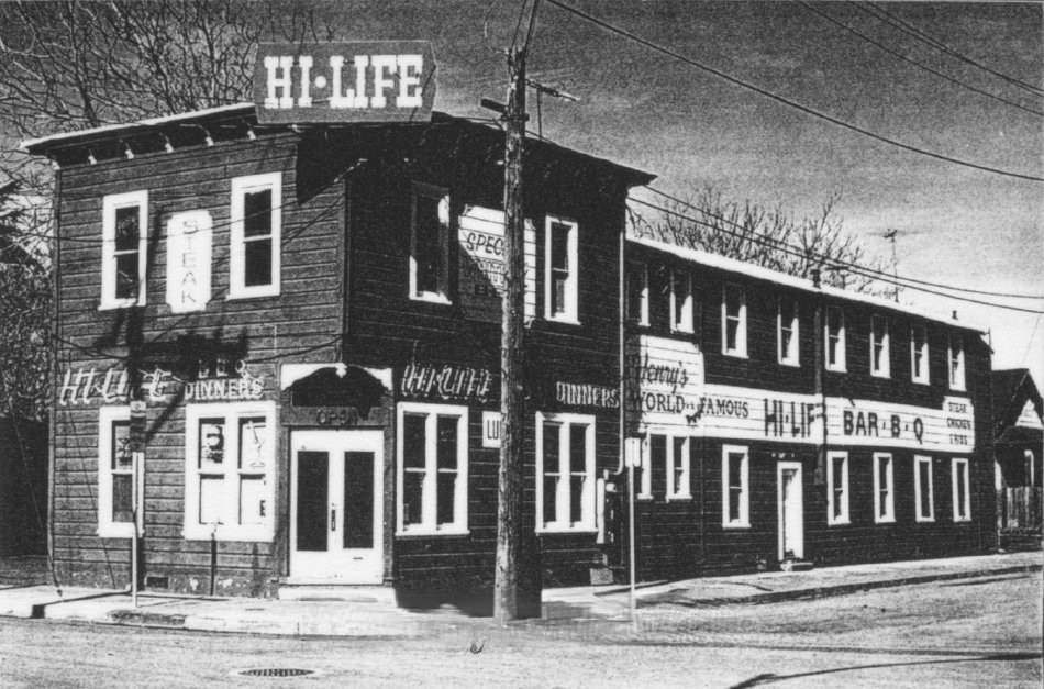
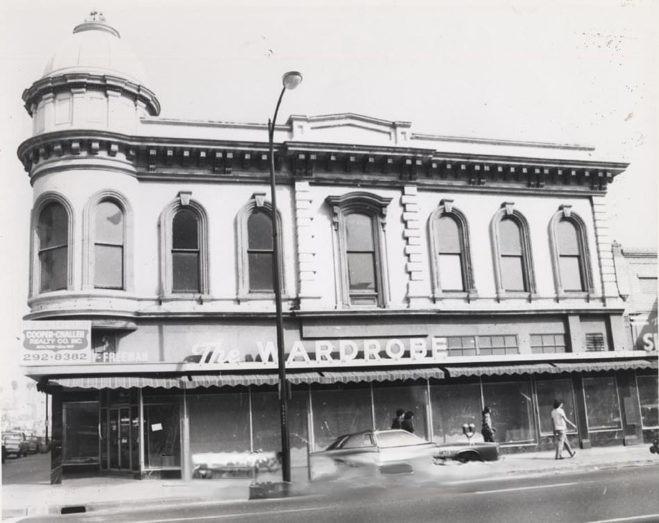
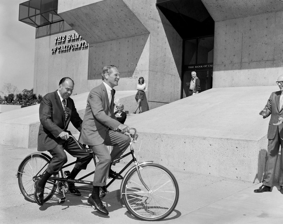
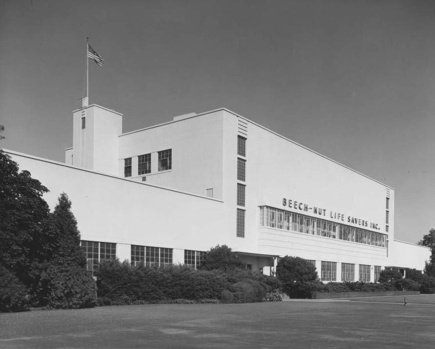
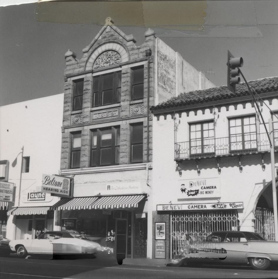
San Jose’s saloons, diners, and neighborhood businesses gave the decade its texture. Dergan’s Saloon, Farrell’s Saloon on the corner of First and St. John’s Streets, the Hi-Life Restaurant in the old Torino Hotel, and the Wardrobe Men’s Store in the DeSaisset Building were all part of the city’s commercial life. The Bank of California ribbon-cutting ceremony on Park Avenue in 1973 — with bank managers riding bikes — captured the relaxed, optimistic spirit of the era. The Beech-Nut Life Savers plant in San Jose was a reminder that the city was still deeply connected to manufacturing, even as it moved toward the technology economy that would define it in the decades ahead.
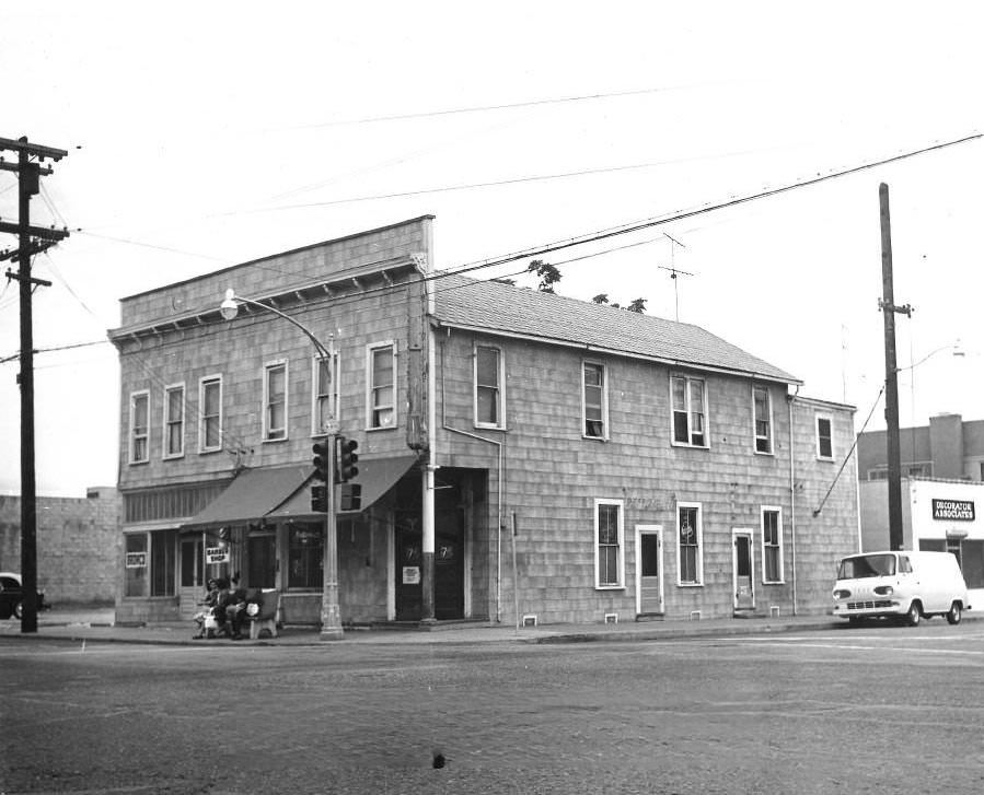
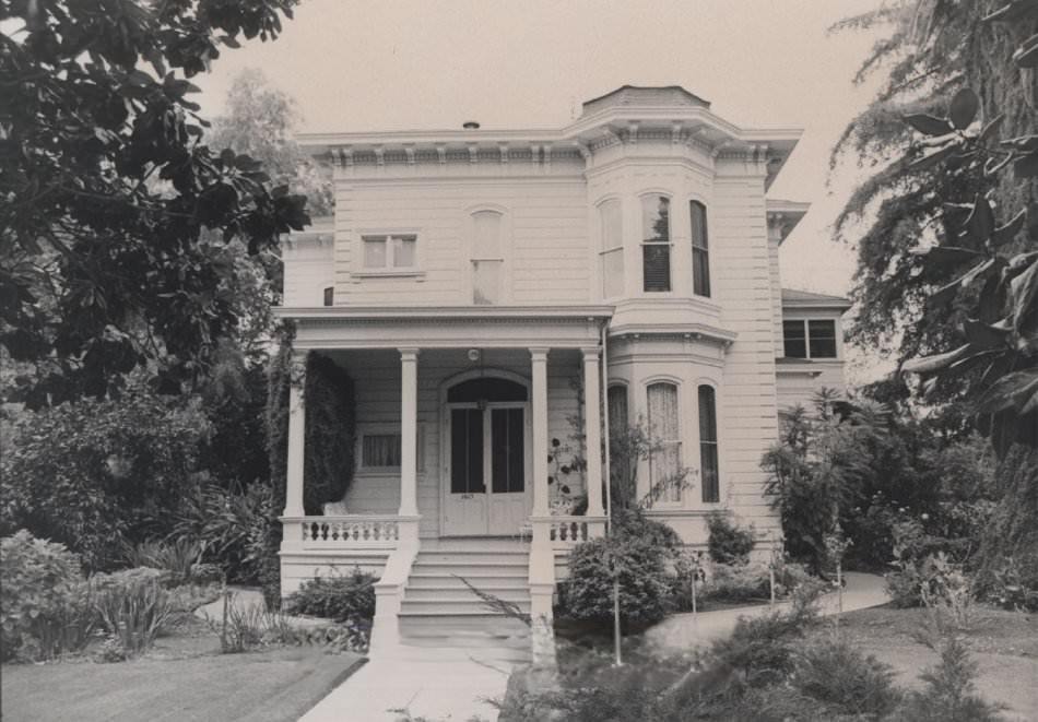
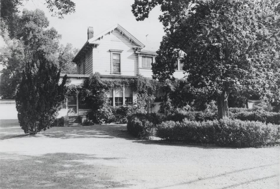
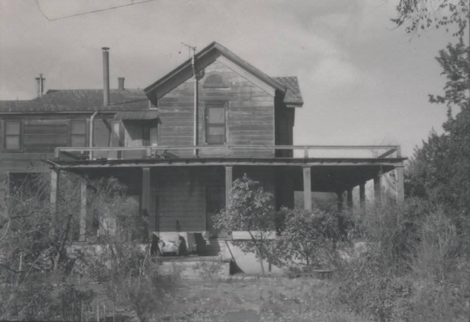
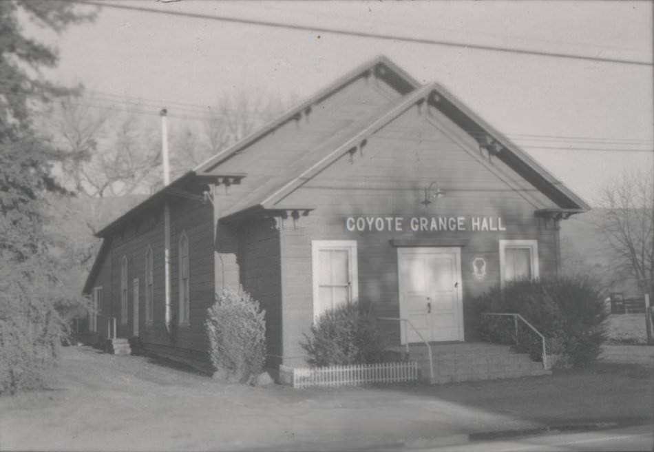
Scattered across the city were dozens of other structures that told pieces of San Jose’s story — the Italianate mansion Theophilus Kirk built for his wife in 1878 on Dry Creek Road, still in family hands in the 1970s; the Ashworth-Remillard home on Story Road, a grand mansion hidden in the trees that had become the summer retreat of Countess Lillian Remillard Dandini; the Townsend home on Schallenberger Road; and the Coyote Grange Hall, a gathering place for the rural community south of the city. Each building, photographed and catalogued, was a piece of evidence that San Jose’s past was more layered than its booming suburban present suggested.





As someone who resided in San Jose during this time period, I must point out that some of these dates are wildly inaccurate
Which ones?
The light tower collapsed in 1915.
The picture of the light tower appears to be a postcard that was likely sold in the 1970s. While there are a few other pictures that resemble postcards, I find the rest of them to be quite accurate.
Some of the dates and locations on those photographs are incorrect.
That’s what happens when you are not native to the city.
It’s disappointing that the author frequently get facts wrong. For example, in 1970, there were no horses, buggies, or Electric Tower, hard as it may be to believe.
It would be fun to revive the light tower by placing a giant laser on top that could shoot a teal beam into the sky whenever the Sharks win, similar to what the Kings are doing in Sacramento. However, as someone pointed out, the pictures allegedly from the 1970s are questionable since the tower fell down in 1915 according to a quick Google search.
Most likely a postcard that was probably sold in the 1970s.
Actually, it seems that those postcards were sold in the 1930s and earlier. I know this because I have a collection of San Jose postcards from the same time period
Be cool to see the ones that you have.
You know, they had color film in the 70s.
Are there any pictures available of the Seven Trees/Capitol Expressway area before it became crap.
Should we just raze everything and turn it into a plum orchard, just to hear you bitch about no jobs anywhere?
jobs? Where was Jobs mentioned? Did the condo sell yet?
Awesome Photos.
In the year 2073, people are going to post black & white photos taken in the 2020s to make them look old.
by 2073, our eyes wouldn’t be equipped with the right cybernetics to see in 4D. The future is now, Old Man.
I was here for that.
Better then.
The article says ” San Jose annexed communities like Campbell and Cupertino in the west”
Annexed? In what way?
Unincorporated parts near those cities that were part of Santa Clara County, a lot was annexed into San José in the 1950s to 1970s to fuel its growth and shift from a farming community to large suburban town.
It makes for some strange city boundaries, one such is the Home Depot at De Anza and Bollinger, it’s in San José but everything behind it and to the right a bit (going north on De Anza ) is Cupertino.
Or the intersection of Hamilton and Bascom, part of its San José and the other half is Campbell. The Ainsley house that used to be on that corner (where the credit union and old Boston Market are) was moved to Campbells Civic Center as the Ainsley’s were more closely tied to Campbell than San José.
The last piece of unincorporated parts between San Jose and Cupertino was Rancho Rinconada. It used to be a hippie drug den back in the 70s and 80s. Fairly run-down in the 90s.
But because its cheap and unincorporated, there’s not much “rules” for building gigantic houses.
It joined Cupertino in early 2000s. Now its fully gentrified with $3M+ houses.
Yeah neat photos, but the dates are very suspect…