Hey There! Before You Go. 😧
Get the best vintage content straight into your inbox!

Don't worry, we don't spam

Fascinating Historical Photos of Raleigh, NC from the 1970s

Raleigh, North Carolina looked very different in the 1970s. The city was growing fast, and that growth was visible in nearly every direction — from construction sites along Rock Quarry Road to the busy storefronts of Fayetteville Street downtown. These photographs capture Raleigh at a turning point, when residents, elected officials, and city planners were all wrestling with how the capital city should grow and who should have power over that process.

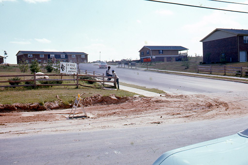
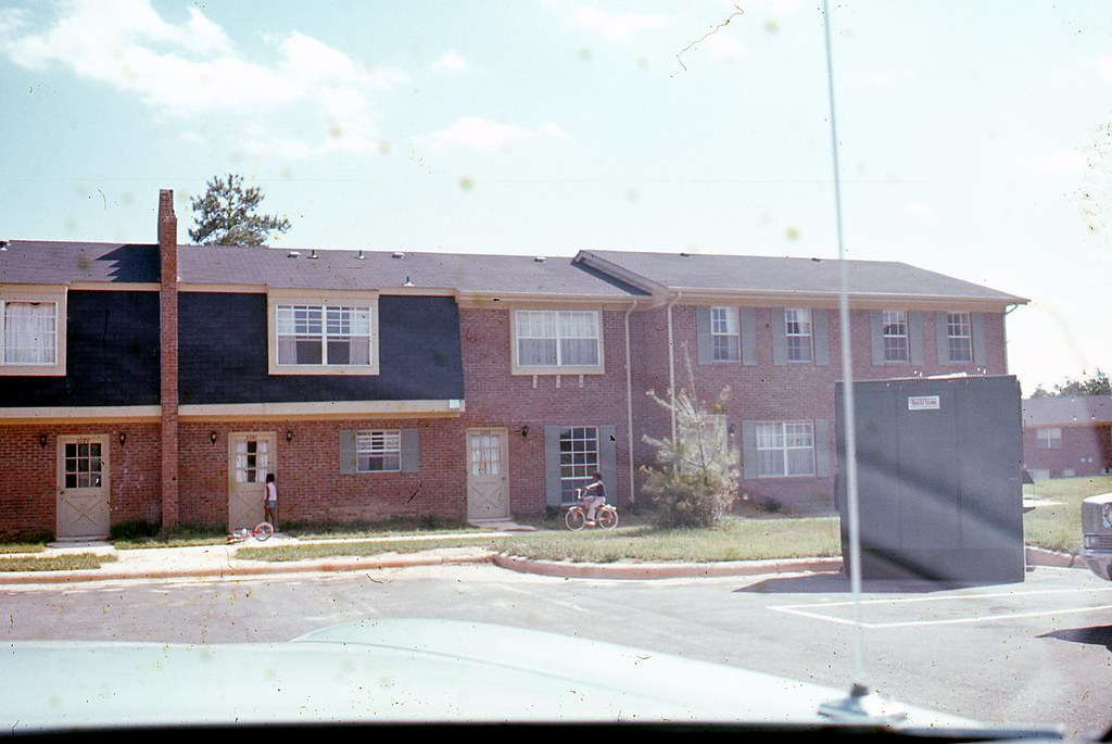
Neighborhoods on the eastern side of the city, particularly along Rock Quarry Road, were seeing new apartment complexes and small businesses take shape. The Fox Ridge Manor Apartments and a nearby Kwik Pik convenience store represented the kind of development spreading across Raleigh’s outer edges during this period.
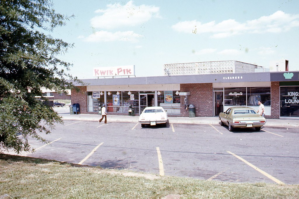
Kwik Pik convenience store on Rock Quarry Road, Raleigh, 1970s
Fox Ridge Manor Apartments on Rock Quarry Road, Raleigh, 1970s

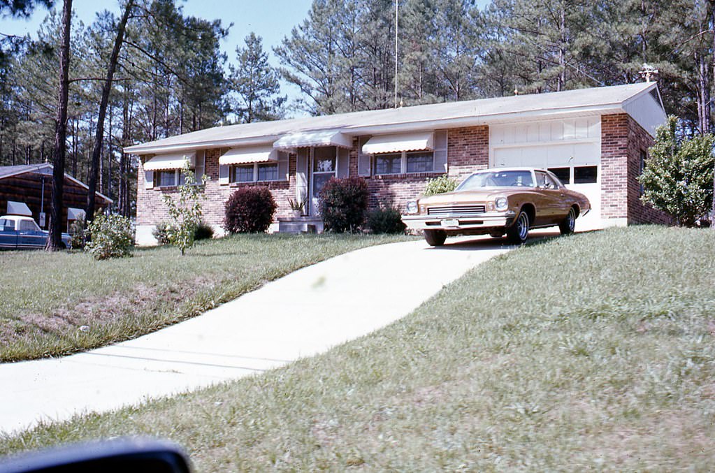
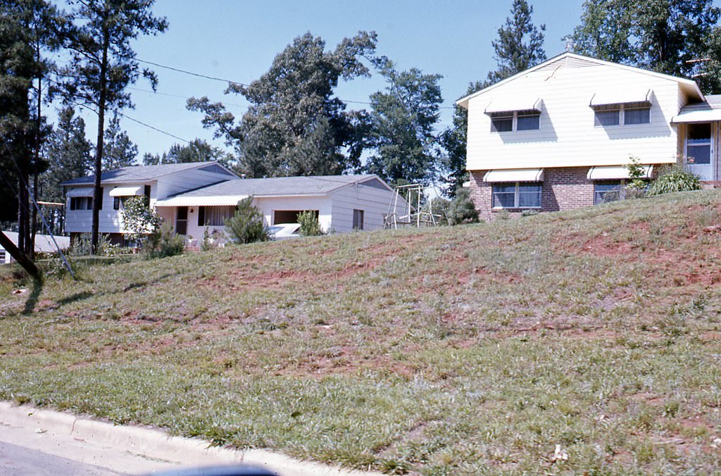
Along the 2400 block of Rock Quarry Road, construction crews were actively building out new residential structures. These sites were part of a broader pattern of urban expansion that community groups found troubling. Many residents felt that business interests had too much control over city hall, and that the rapid development was not being managed in the public’s best interest.
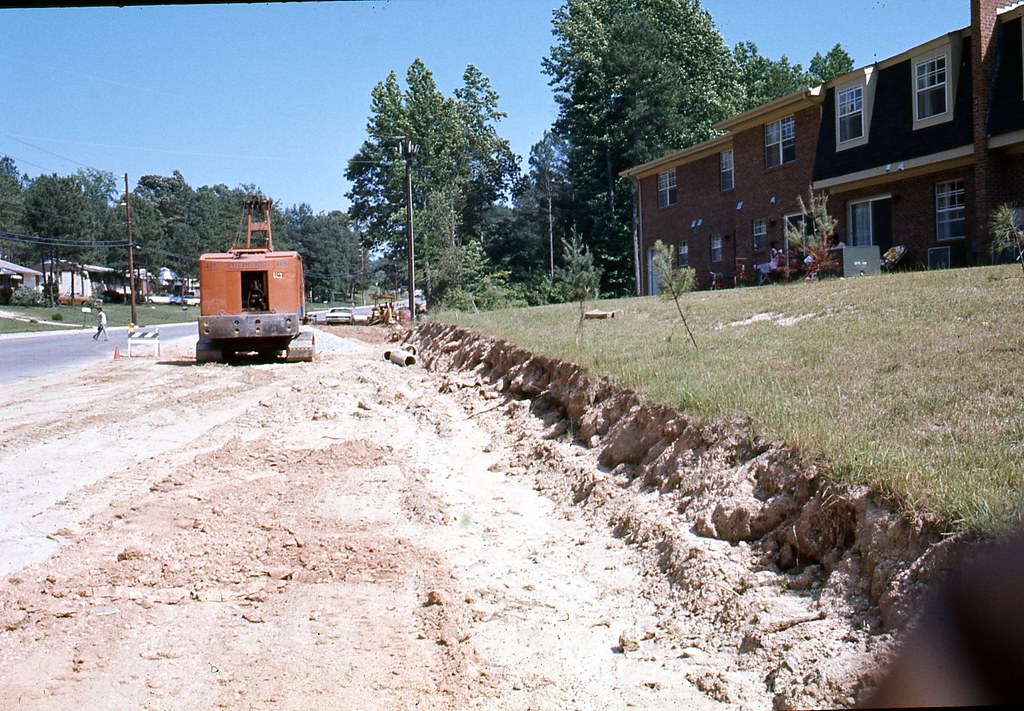
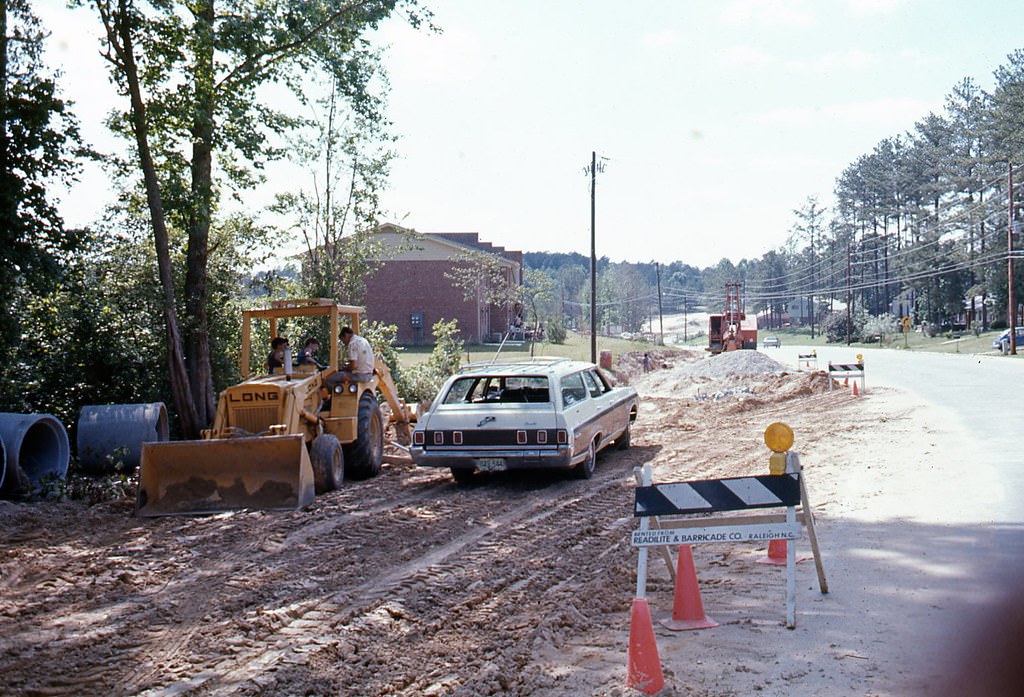
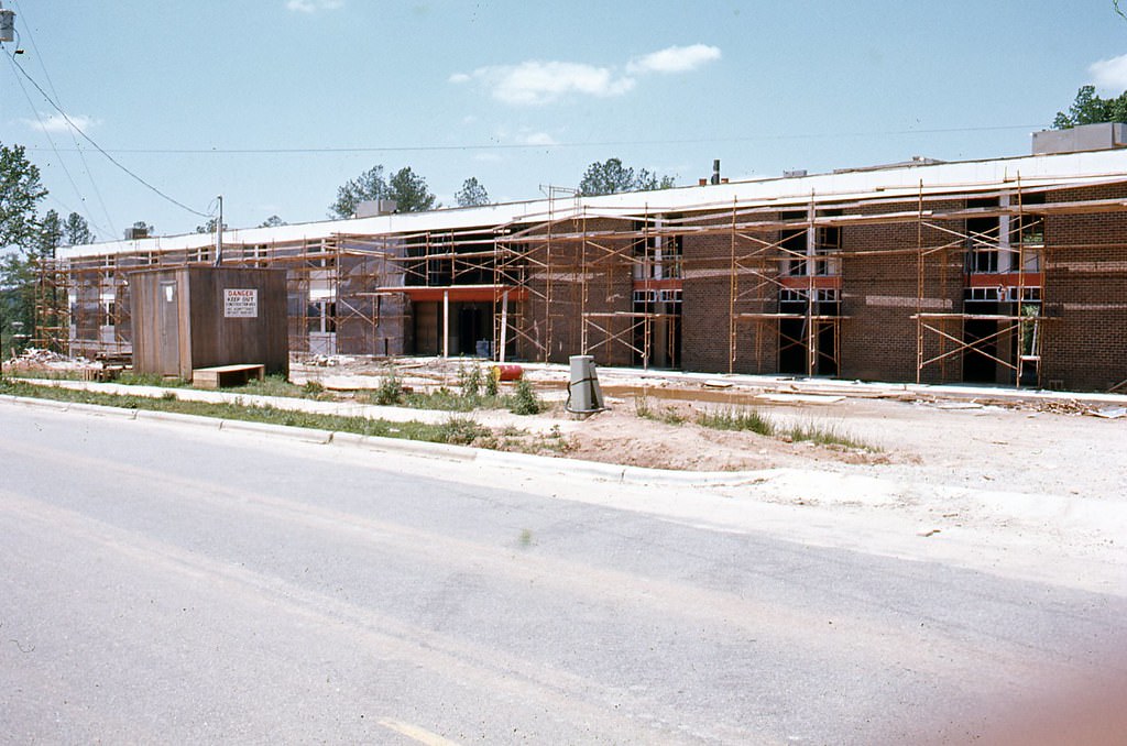
Construction on 2400 block of Rock Quarry Road in Raleigh, 1970s
Residence at 2405 Rock Quarry Road in Raleigh, 1970s
Residences at 2425 and 2501 Rock Quarry Road in Raleigh, 1970s

The political landscape shifted significantly in 1973. Responding to community pressure, the city council changed how Raleigh’s mayor was elected — moving to a direct election rather than selection from within the council. Most city council seats were also reassigned from at-large representation to district-based seats, giving neighborhoods more direct representation. These were the first major structural reforms to city government in years, and they took effect for the first time in the 1973 elections. That same year, Clarence Lightner, a sitting Raleigh City Council member, defeated G. Wesley Williams — the executive director of the Raleigh Merchant Bureau — to become Raleigh’s first Black mayor. He was also the first Black mayor of a major Southern city with a majority-white population.
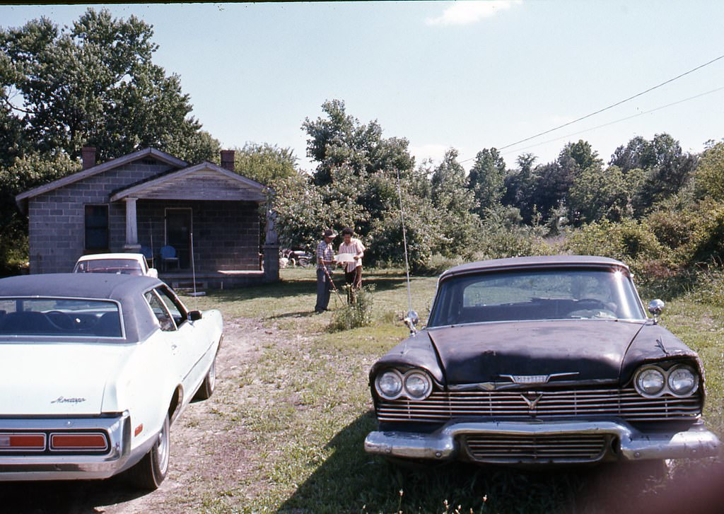
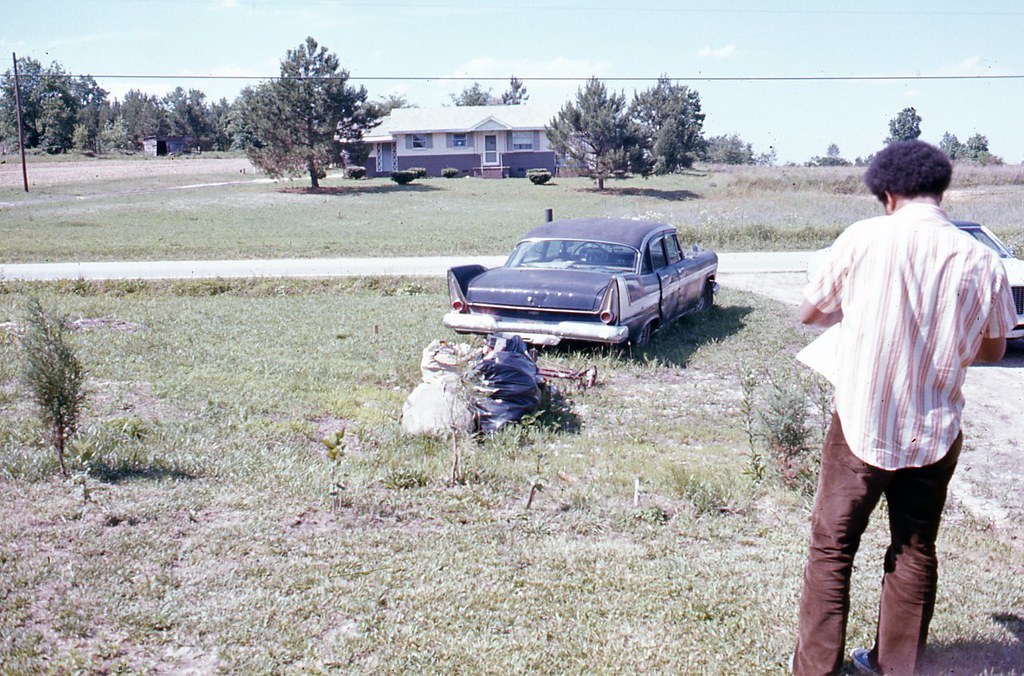
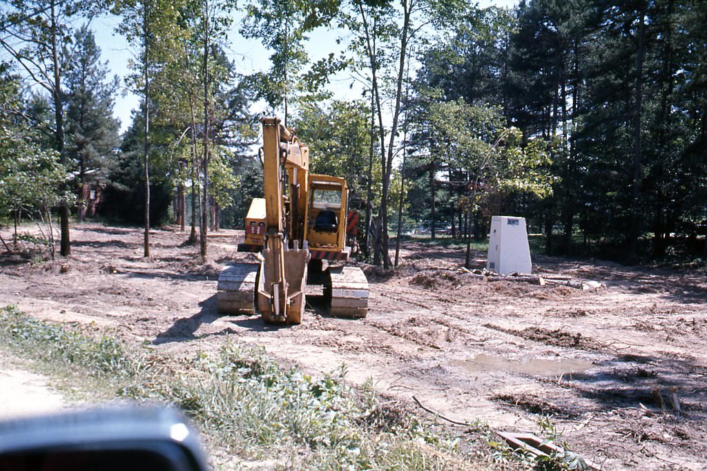
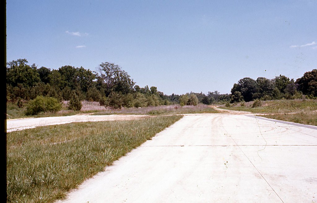
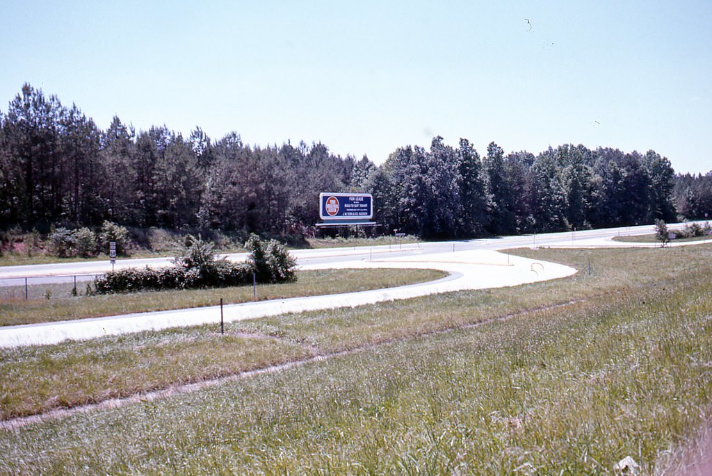
Unidentified semi-rural area, 1970s.
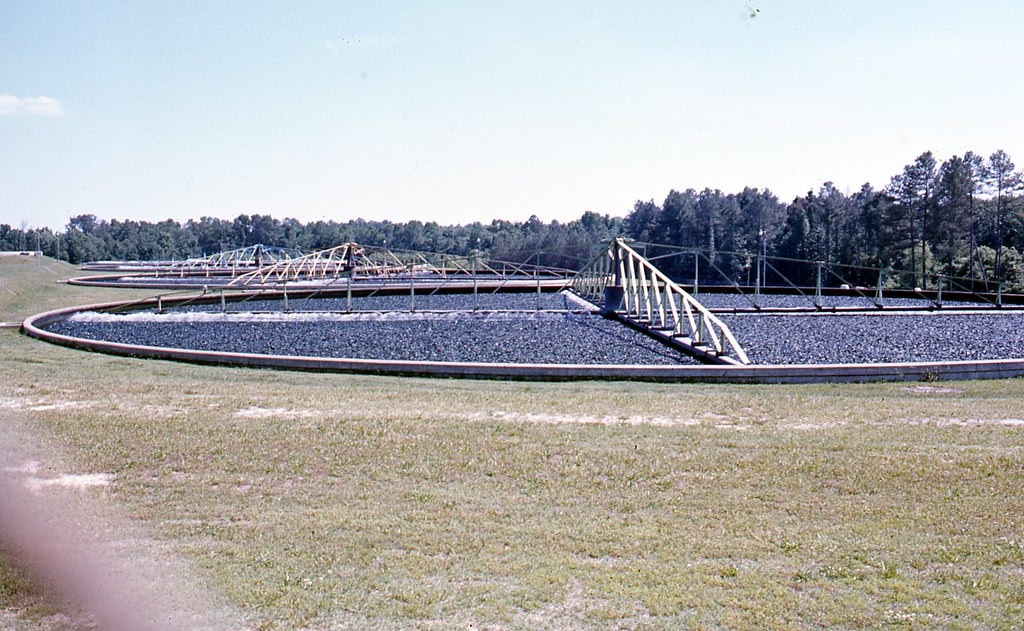
Unidentified sewage treatment plant, 1970s

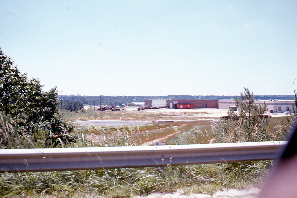
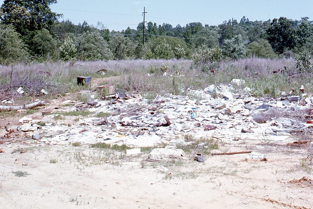
Outside the city core, pockets of semi-rural land still existed in the early 1970s. Infrastructure like sewage treatment facilities was being built to support the growing population. These behind-the-scenes systems were essential to sustaining the rapid pace of development happening all around Raleigh.
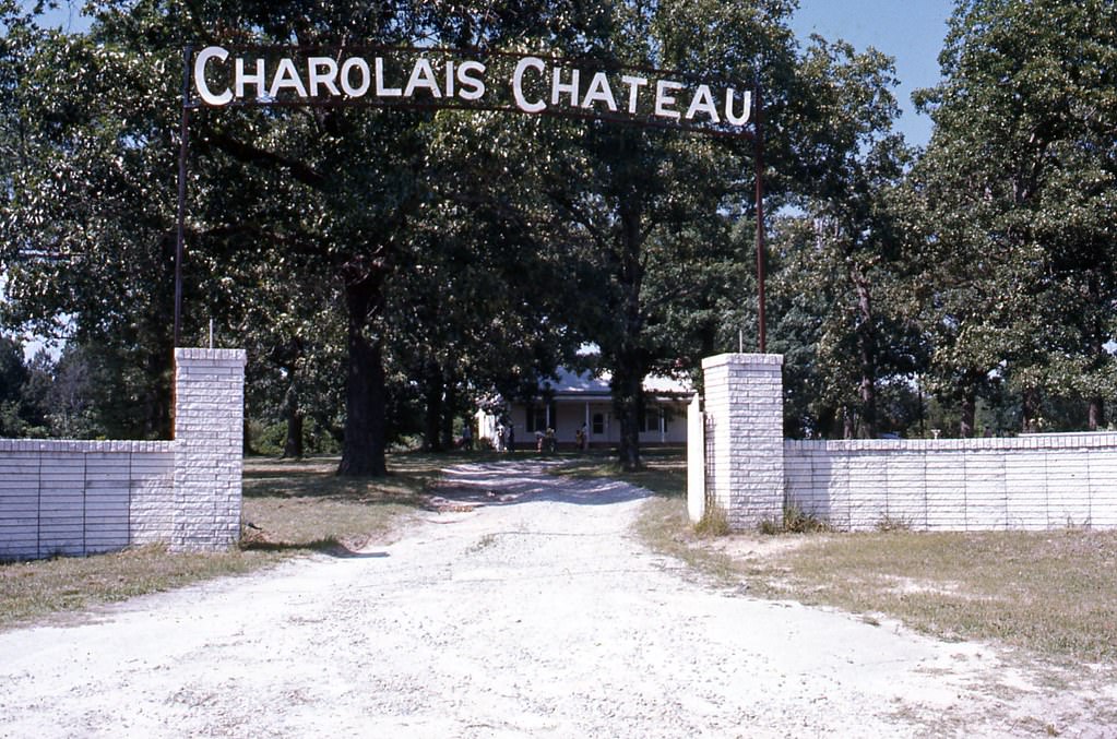
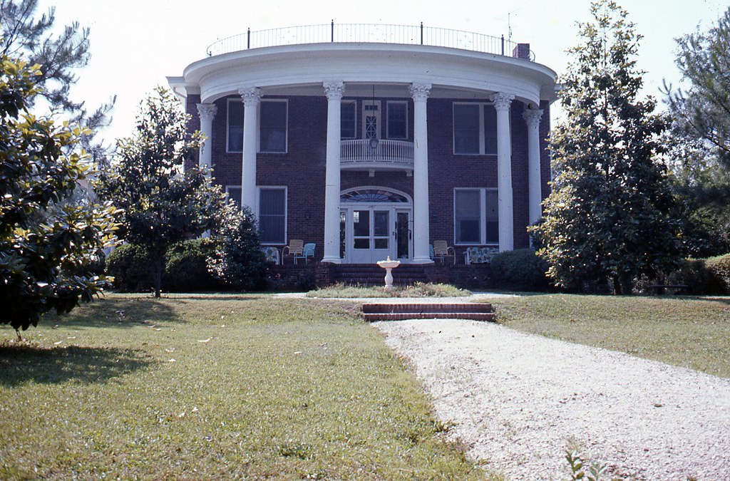
Entrance to Charolais Chateau, 1970s

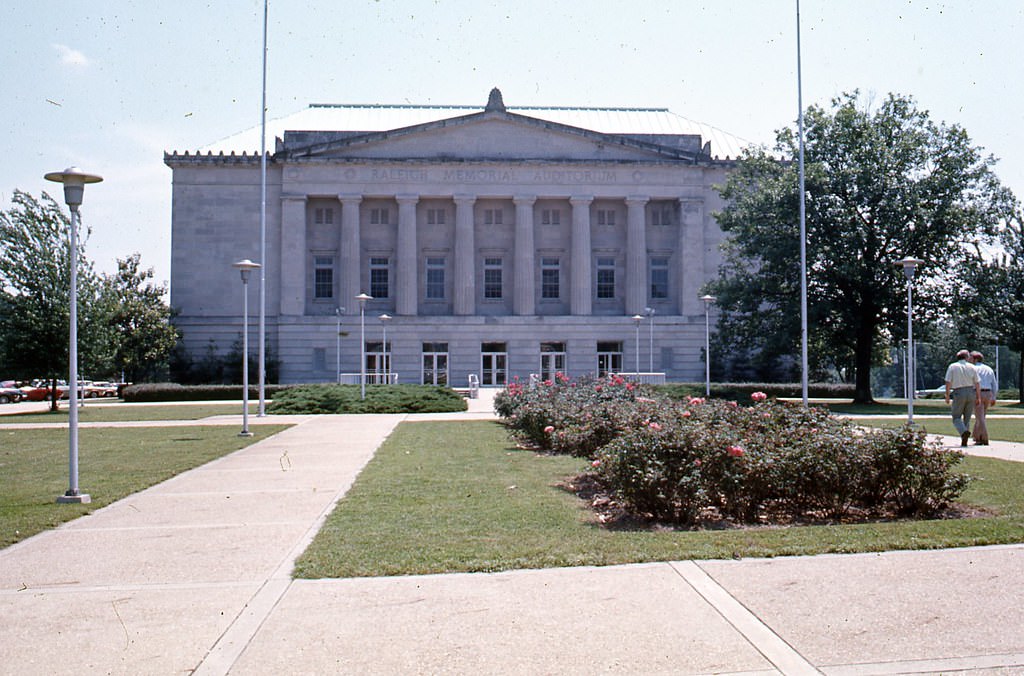
Raleigh Memorial Auditorium was one of the city’s most recognizable civic landmarks throughout the decade. Its eastern face, visible from Wilmington Street, remained a fixture of the downtown streetscape.
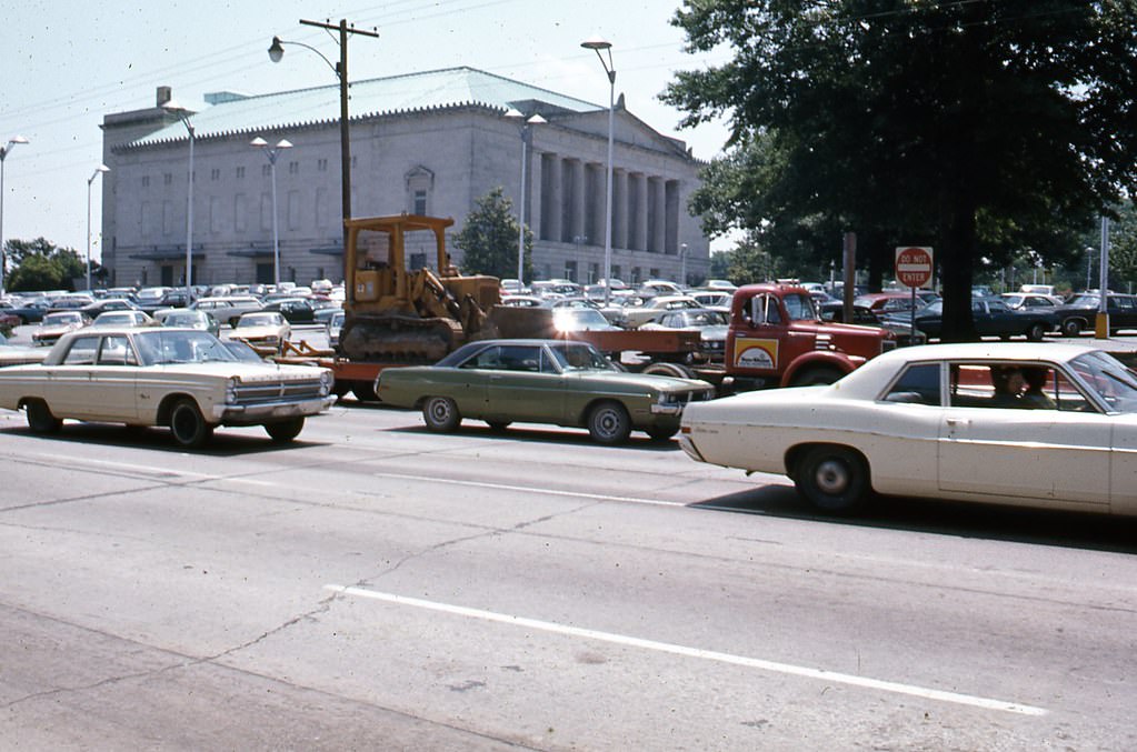
Eastern side of Raleigh Memorial Auditorium from Wilmington Street, 1970s
Raleigh Memorial Auditorium, 1970s

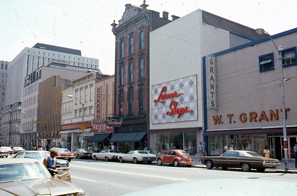
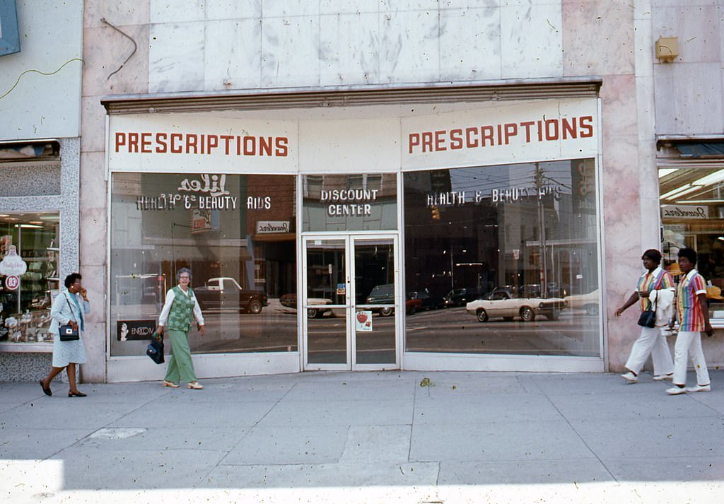
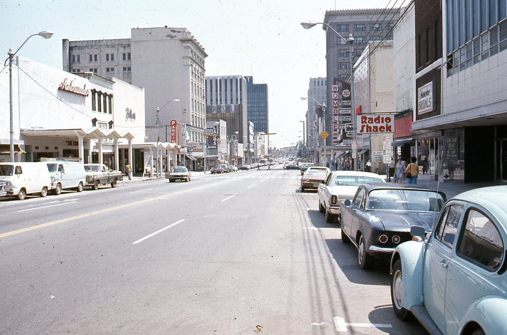
Fayetteville Street was Raleigh’s main downtown corridor, lined with banks, retailers, and local businesses. In 1977, city planners converted it into a pedestrian-only mall as part of a strategy to revitalize the downtown area. The plan ultimately failed. Rather than attracting more foot traffic and business, the closure of the street to vehicles led to years of commercial decline. The street was not reopened to cars until 2007. These photographs show Fayetteville Street as it looked in the 1970s, before and during the pedestrian mall era.
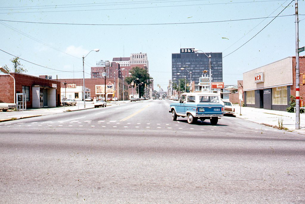
500 block of Fayetteville Street, Raleigh, 1970s
100 block of Fayetteville Street, Raleigh, looking south, 1970s

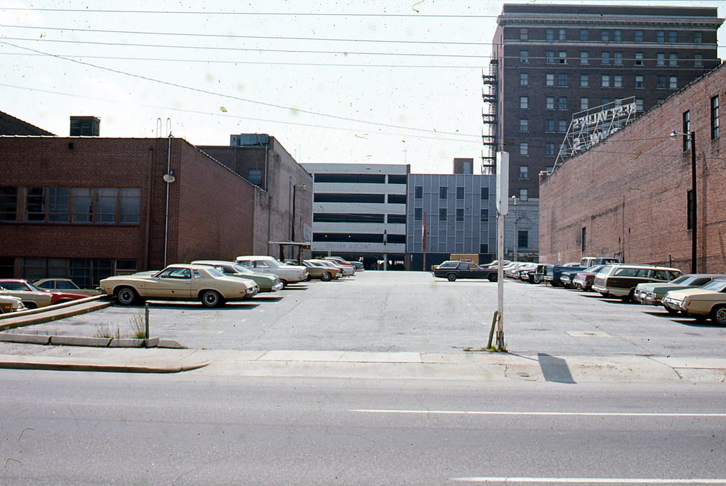
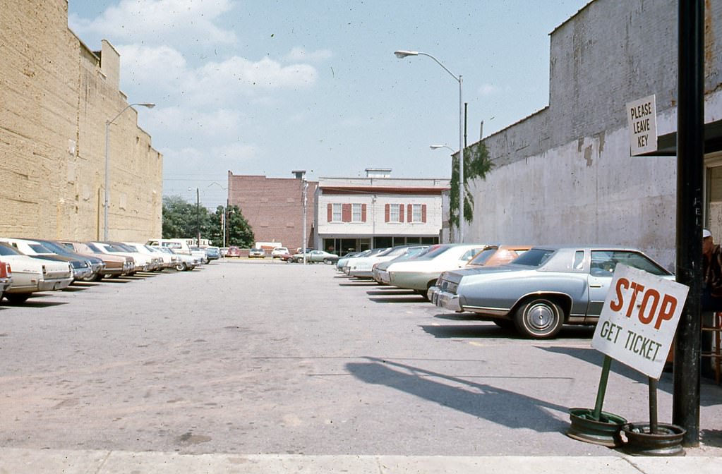
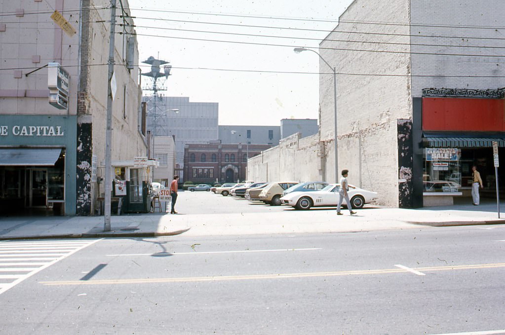
The blocks around Wilmington Street, running parallel to Fayetteville, showed a mix of parking lots, office buildings, and older storefronts. Capitol Square anchored this part of downtown, surrounded by government buildings that shaped the political life of the state.
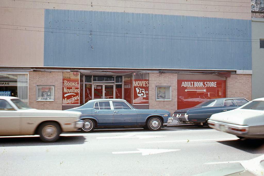
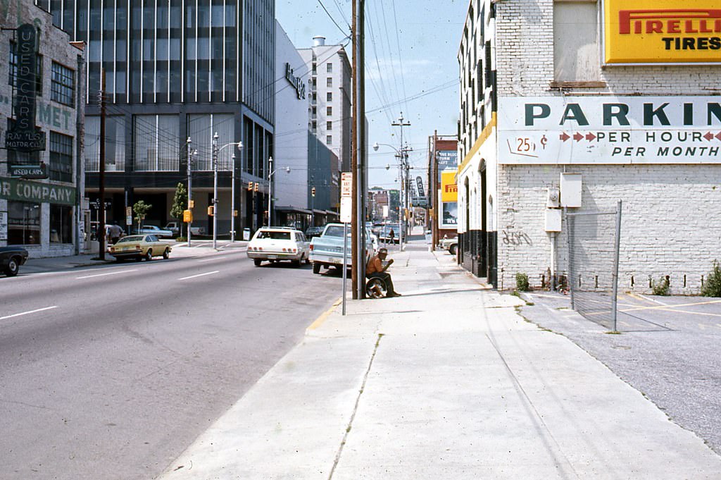
208 South Wilmington Street, Raleigh, 1970s
400 block of Wilmington Street looking north, Raleigh, 1970s
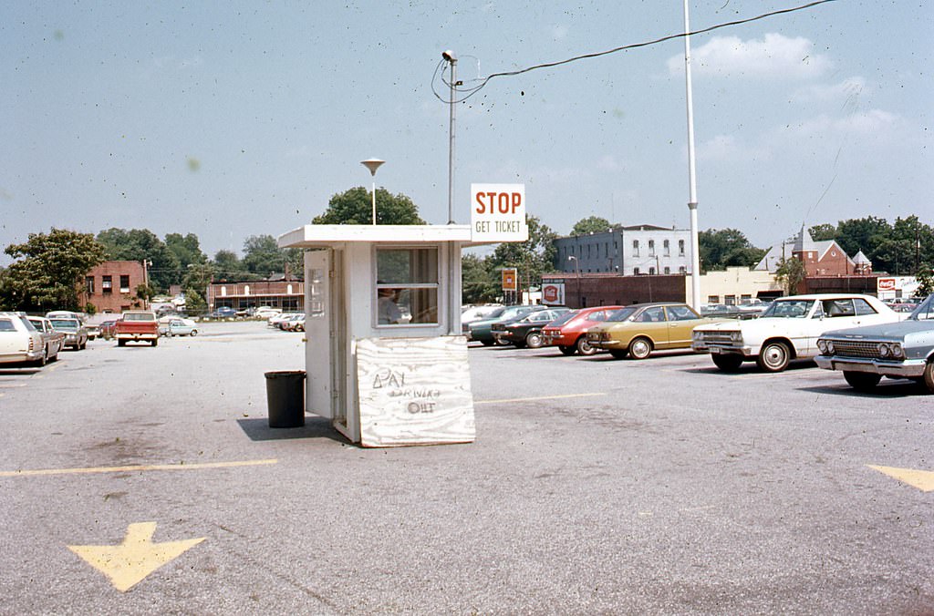
Parking lot on the 400 block of South Wilmington Street, 1970s
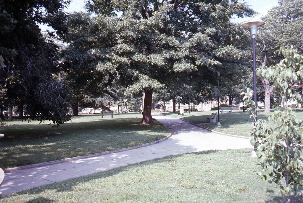
Capitol Square, Raleigh, 1970s
Dawson Street looking south near its intersection with Hargett Street, Raleigh, 1970s
Parking lot on the 400 block of South Wilmington Street, Raleigh, 1970s

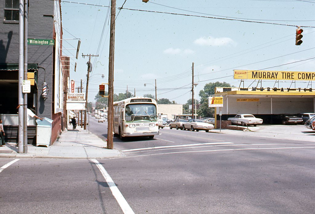
The Davie Street corridor near Wilmington Street featured local businesses like Murray Tire Company and a mix of commercial storefronts typical of mid-century Southern downtowns. These blocks sat just south of Capitol Square and were a working part of the city’s commercial fabric.
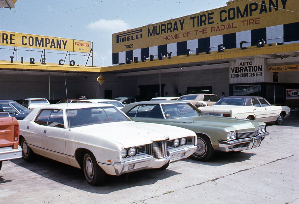
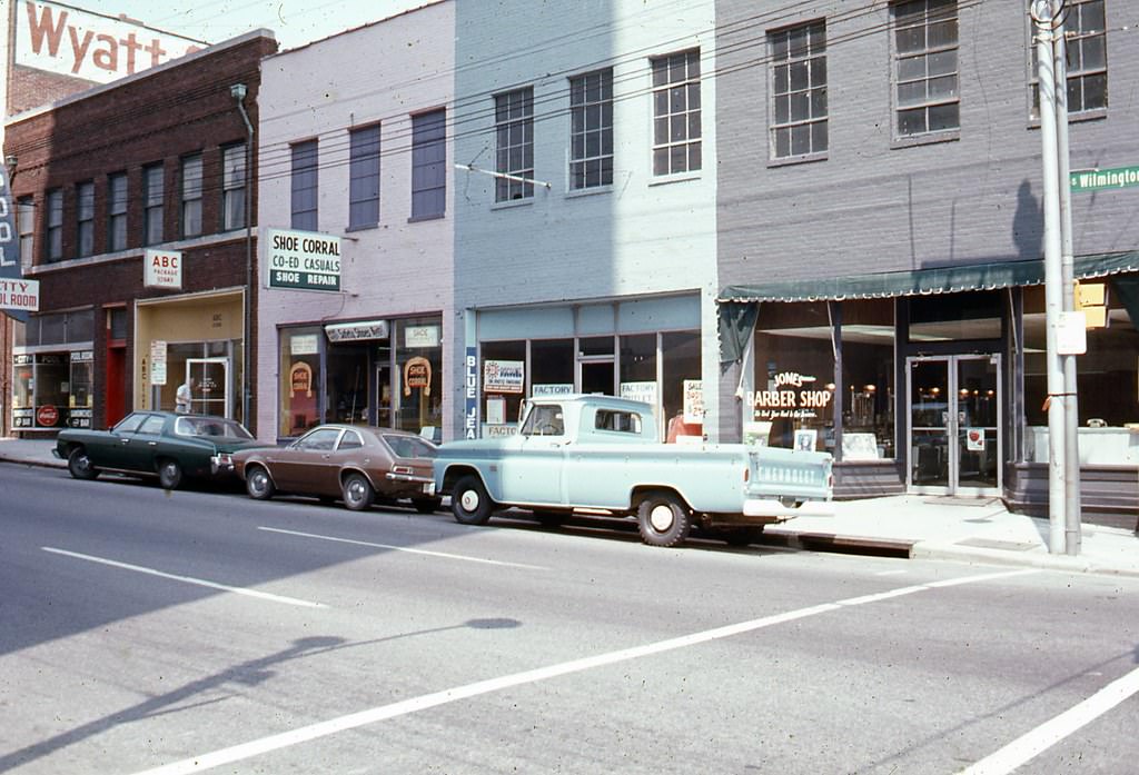
Murray Tire Company on the southeastern corner of Wilmington and Davie Streets, Raleigh, 1970s
East side of the 400 block of Davie Street, Raleigh, 1970s
Davie Street looking east at its intersection with Wilmington Street, Raleigh, 1970s
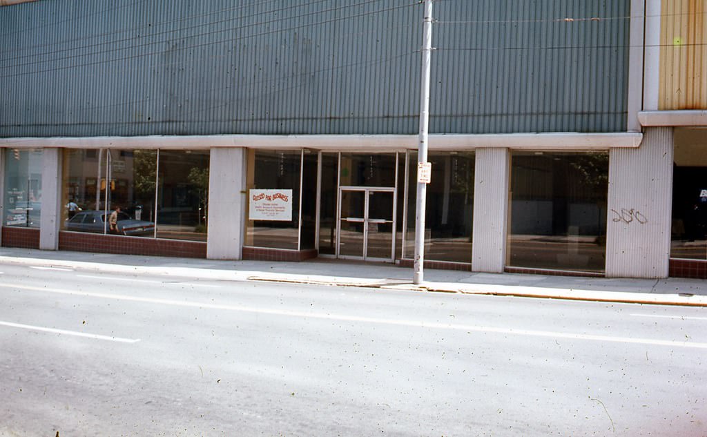
Unidentified location in Downtown Raleigh, 1970s

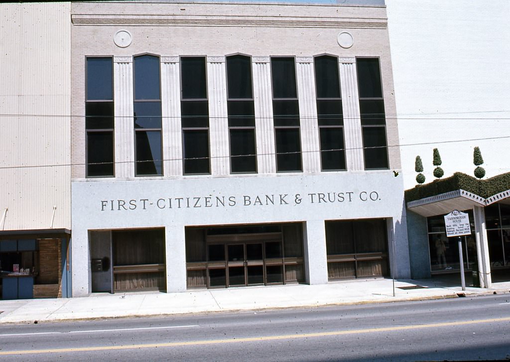
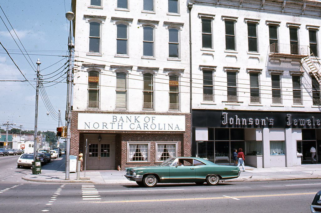
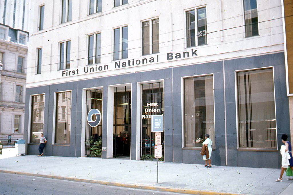
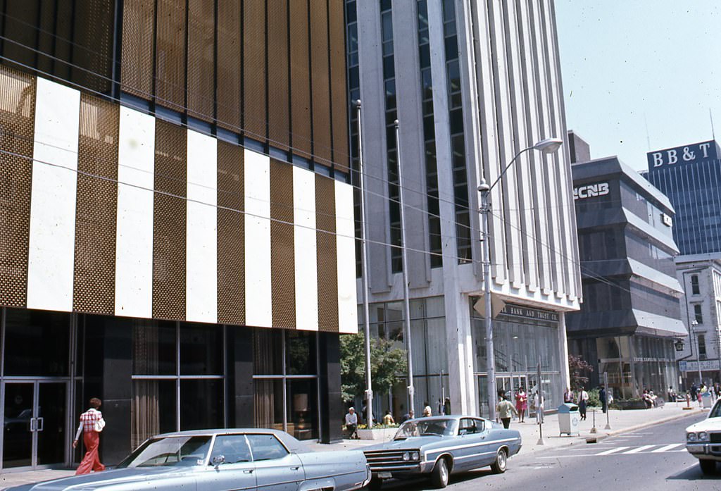
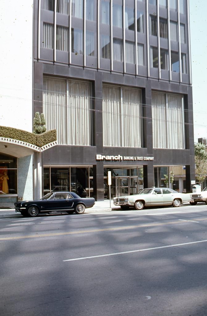
Banking institutions were prominent on Fayetteville Street. Planters National Bank, BB&T, First Citizens Bank and Trust, Bank of North Carolina, and First Union National Bank all had a visible presence along the corridor. Their multi-story buildings gave the street a dense, urban feel that contrasted with the suburban growth happening elsewhere in the city.
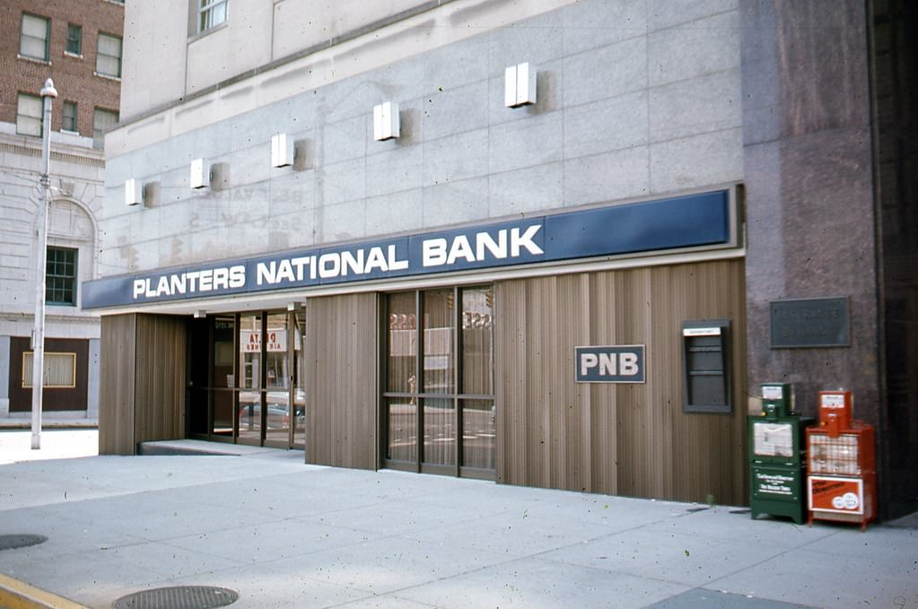
Planters National Bank at Davie and Fayetteville, Raleigh, 1970s
333 Fayetteville Street, BB&T Building, Raleigh, 1970s
First Citizen's Bank and Trust, 300 block of Fayetteville Street, Raleigh, 1970s
First Citizen’s Bank and Trust, 300 block of Fayetteville Street, Raleigh, 1970s
Bank of North Carolina and Johnson's Jewelers at the corner of Fayetteville and Martin Streets, Raleigh, 1970s
Bank of North Carolina and Johnson’s Jewelers at the corner of Fayetteville and Martin Streets, Raleigh, 1970s
First Union National Bank, corner of Martin and Fayetteville Streets, 1970s

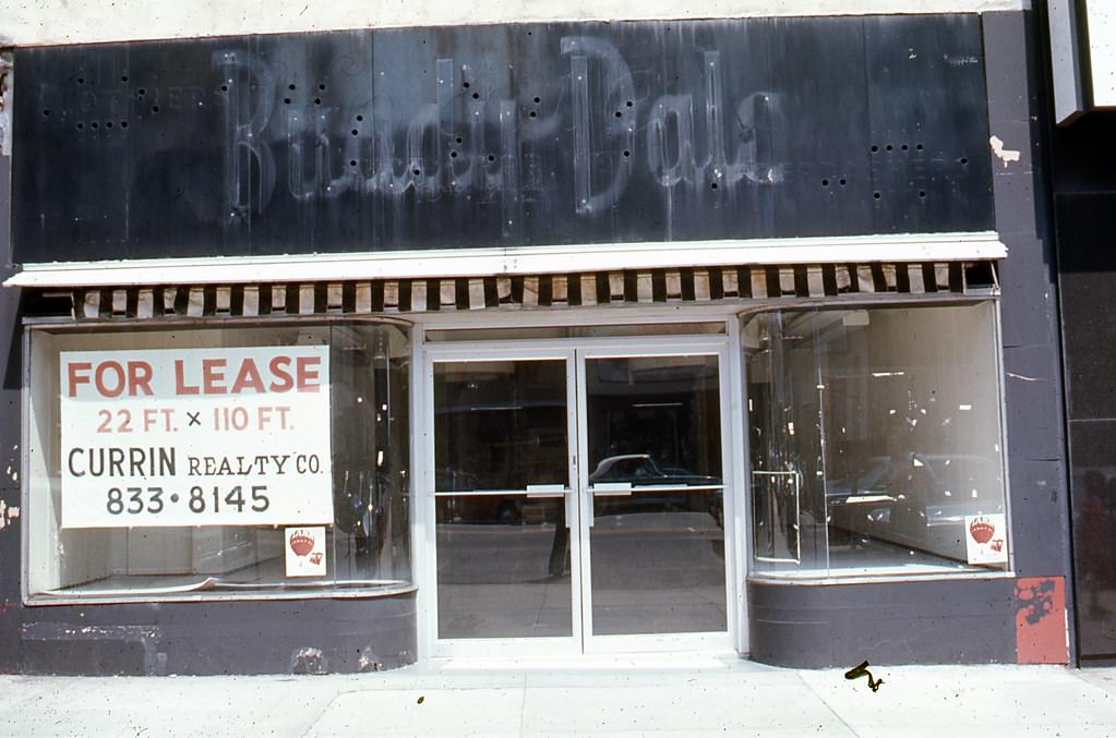
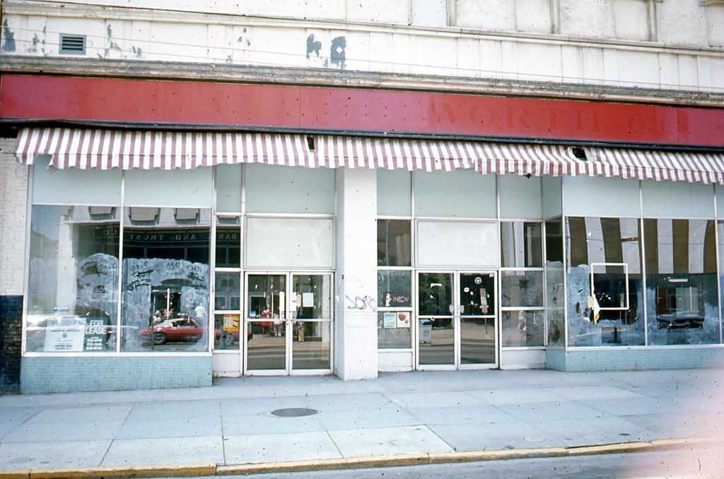
The 200 block of Fayetteville Street had a different character, with retail shops and specialty stores that served everyday shoppers. The former Woolworth’s storefront at 200 Fayetteville, the Buddy Dale Hat Shop at 213, and the Briggs Hardware Building on the west side of the block were all part of a busy commercial stretch that served downtown Raleigh residents and workers.
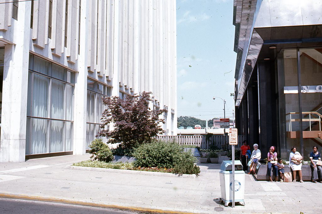
Market Plaza looking east, Raleigh, 1970s
Former Woolworth's storefront, 200 Fayetteville Street, Raleigh, 1970s
Former Woolworth’s storefront, 200 Fayetteville Street, Raleigh, 1970s
East side of the 200 block of Fayetteville Street in Raleigh, 1970s
Former Buddy Dale Hat Shop, 213 Fayetteville Street, Raleigh, 1970s
West side of the 200 block of Fayetteville Street in Raleigh. Briggs Hardware Building is seen among others, 1970s
134 Fayetteville Street, Raleigh, 1970s
Unidentified location in Downtown Raleigh, 1970s
100 Fayetteville Street looking west through the block to Salisbury Street, 1970s
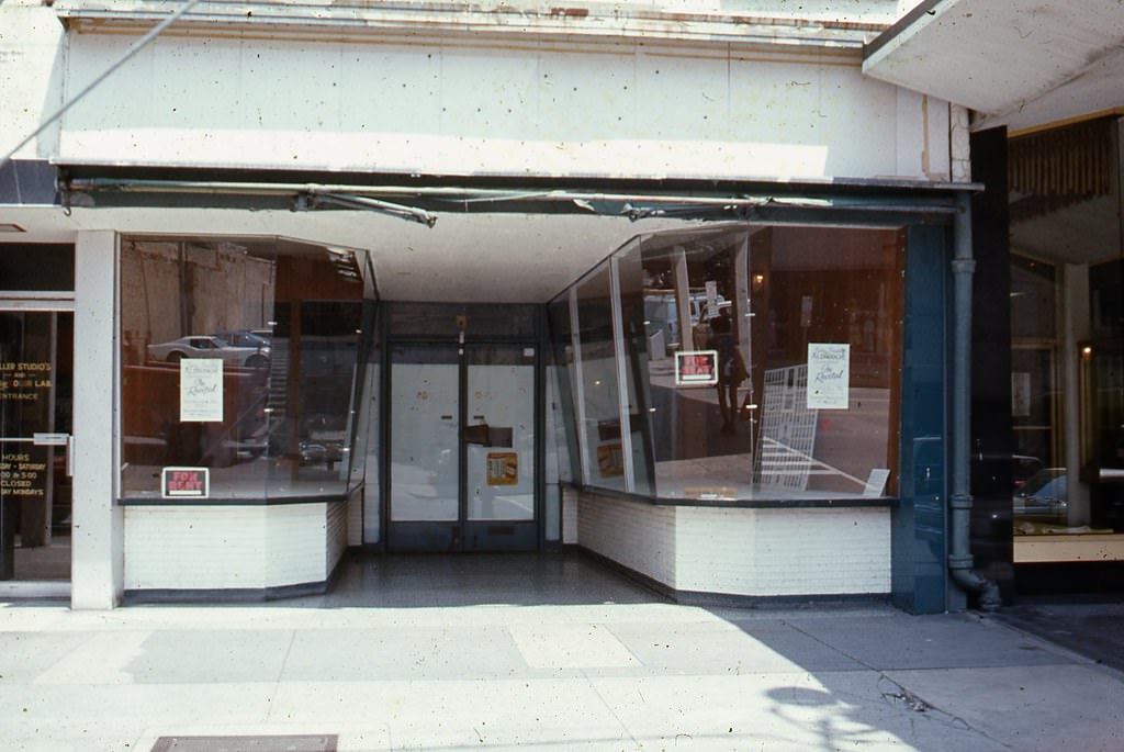
119 Fayetteville Street storefront, Raleigh, 1970s

North Blount Street was home to some of Raleigh’s historic residential architecture. The Lewis-Smith House at 515 North Blount and the Hawkins-Hartness House at 310 North Blount were standing examples of the city’s 19th-century building heritage, preserved into the 1970s amid the broader pressures of urban change.
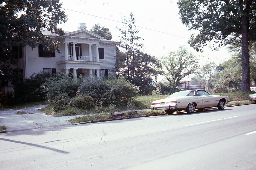
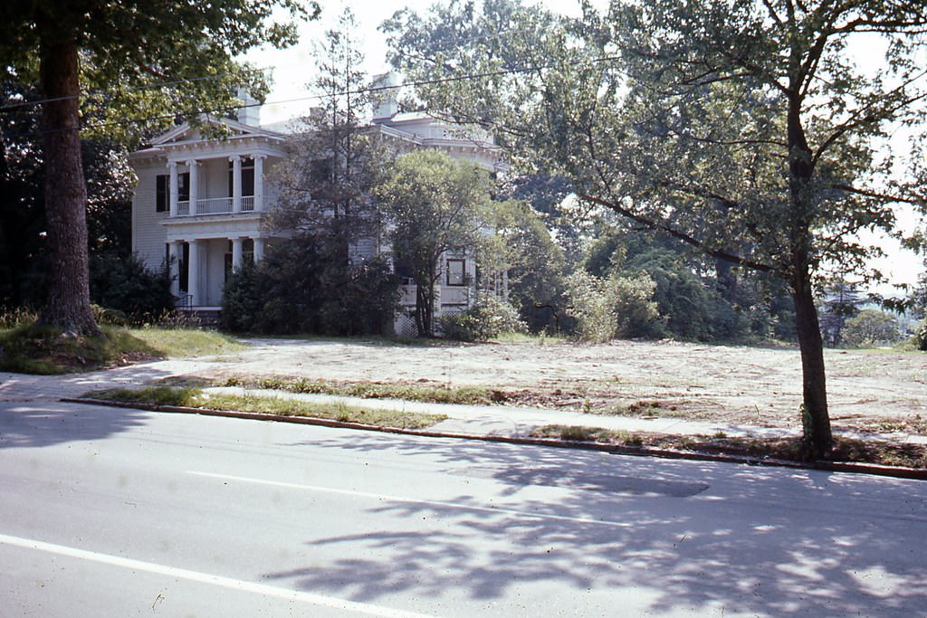
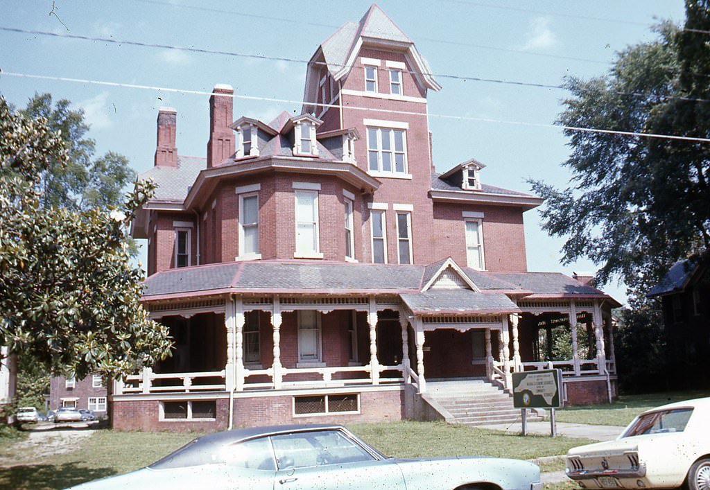
515 North Blount Street, Lewis-Smith House, Raleigh, 1970s
310 North Blount Street, Hawkins-Hartness House, Raleigh, 1970s
1101 Wake Forest Road, Raleigh, 1970s

Mordecai Historic Park offered a window into Raleigh’s earlier history. The park’s entrance, photographed in the 1970s, showed a site already recognized as an important preservation landmark within the city.
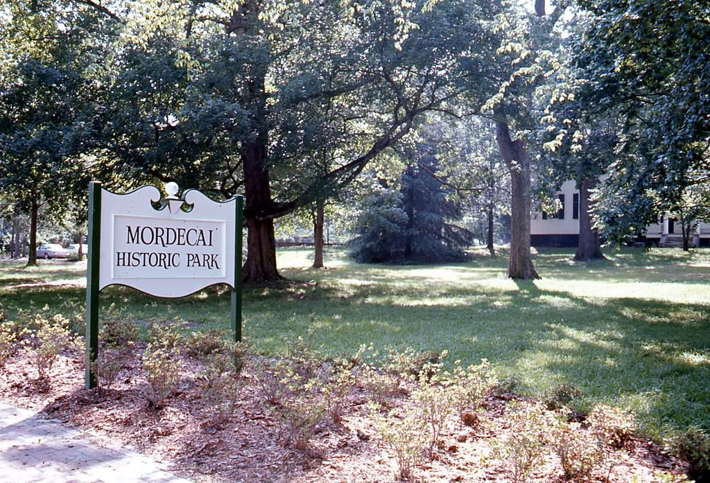
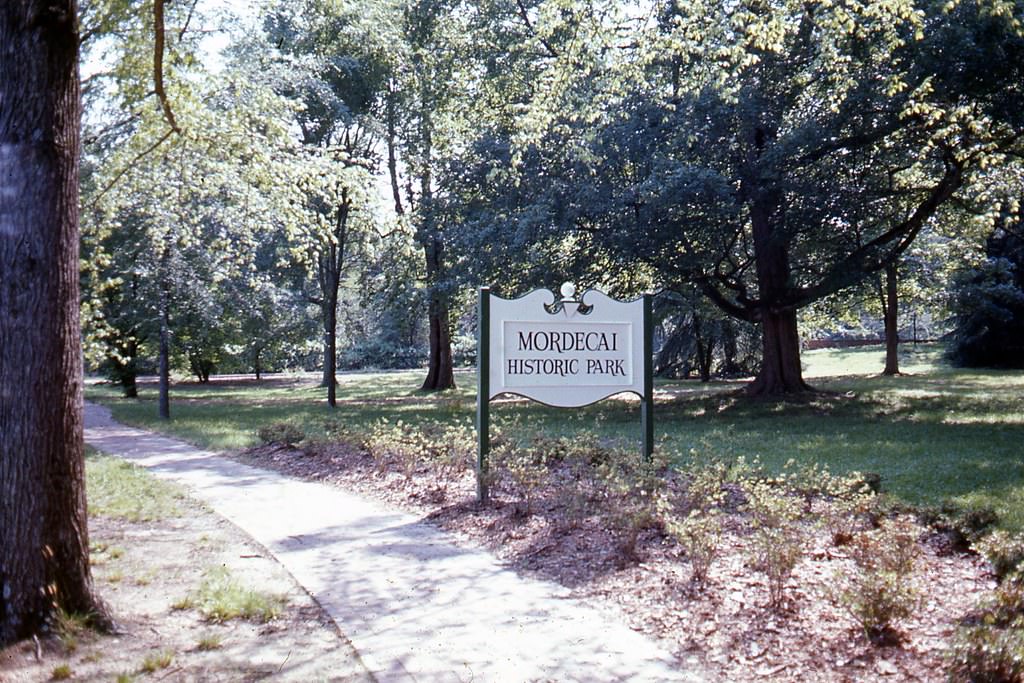
Entrance to Mordecai Historic Park, Raleigh, 1970s

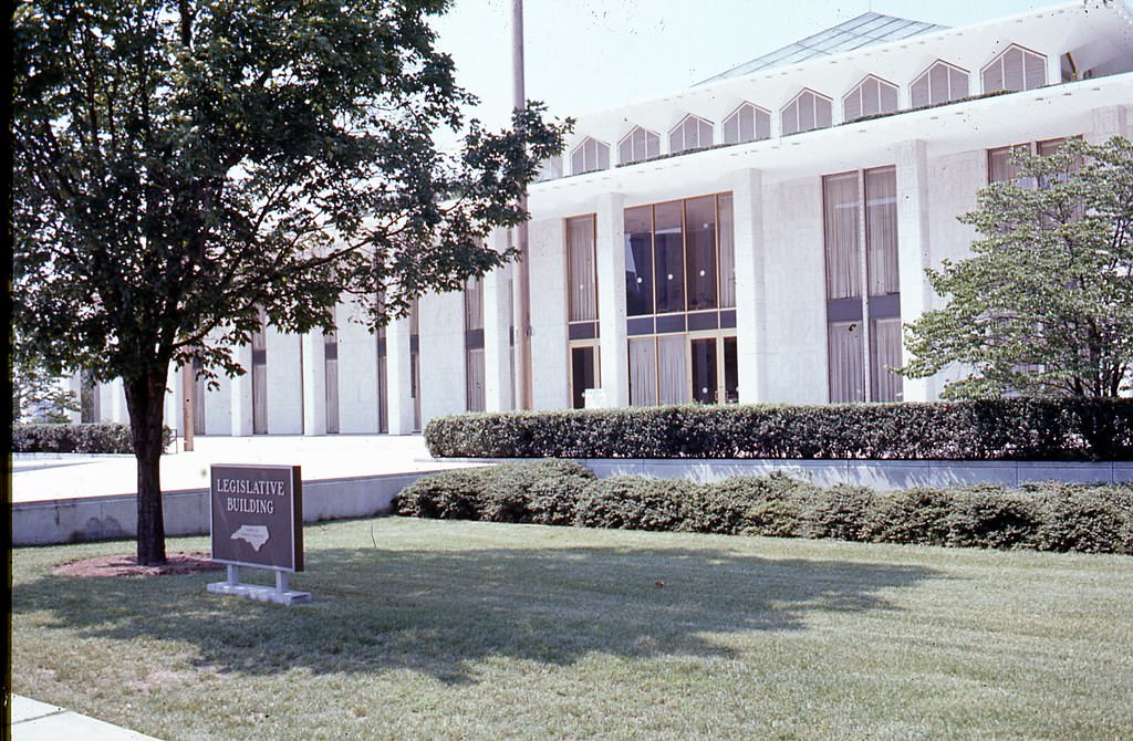
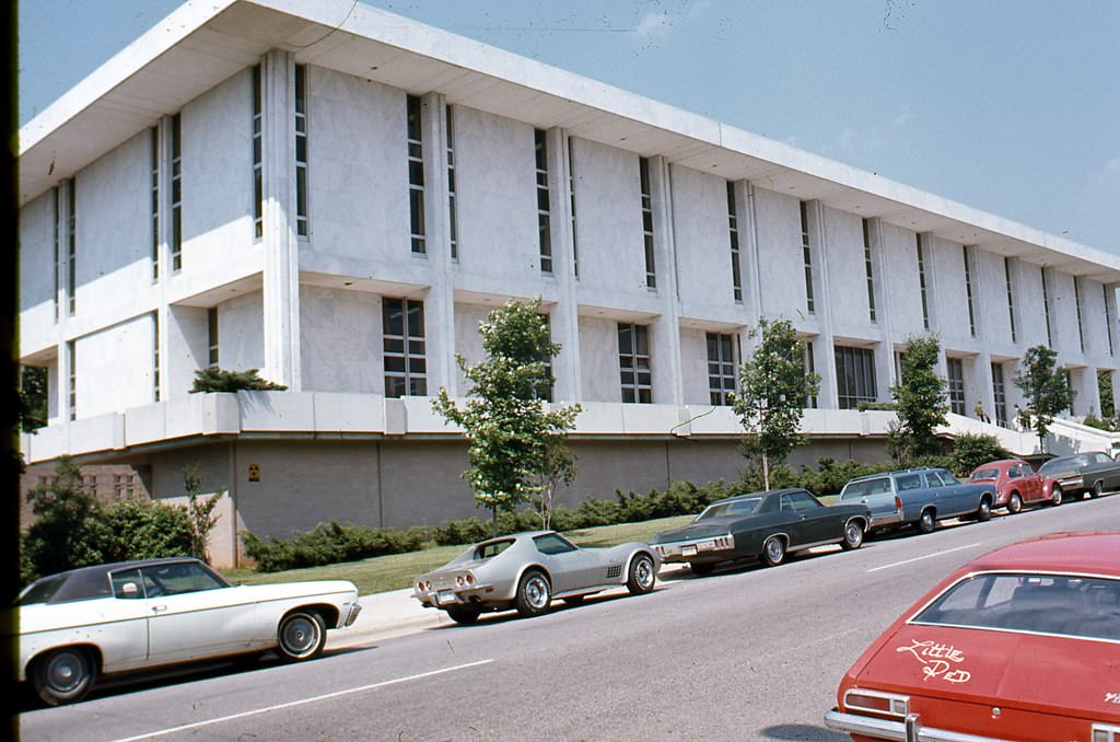
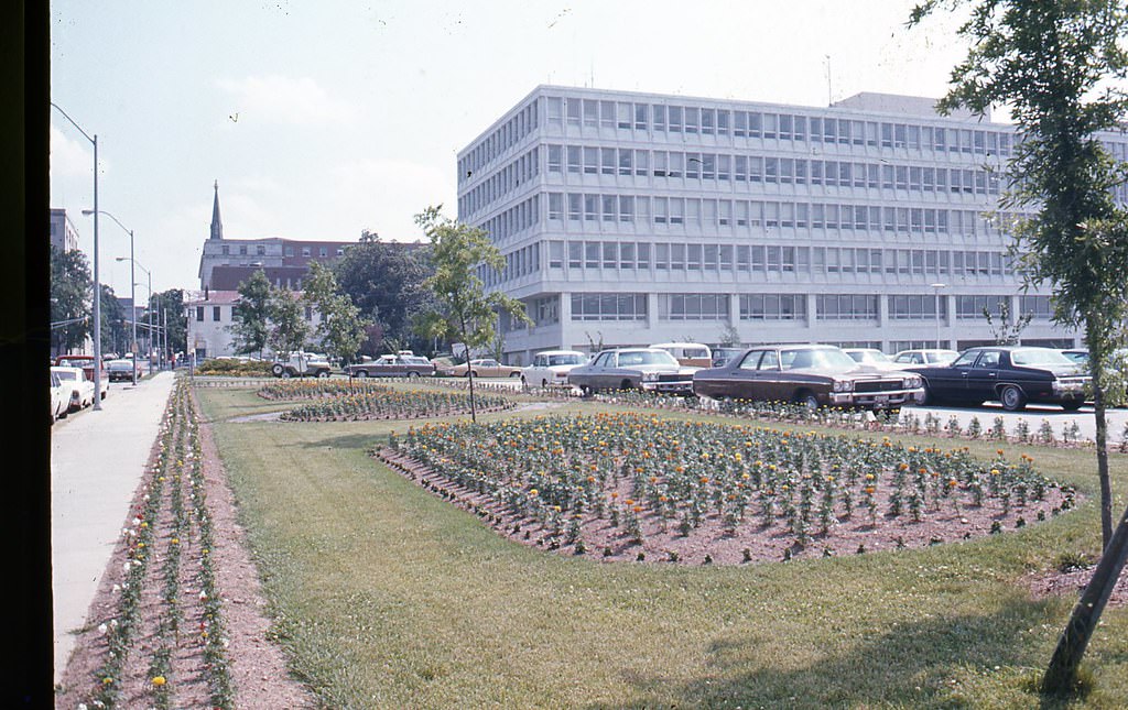
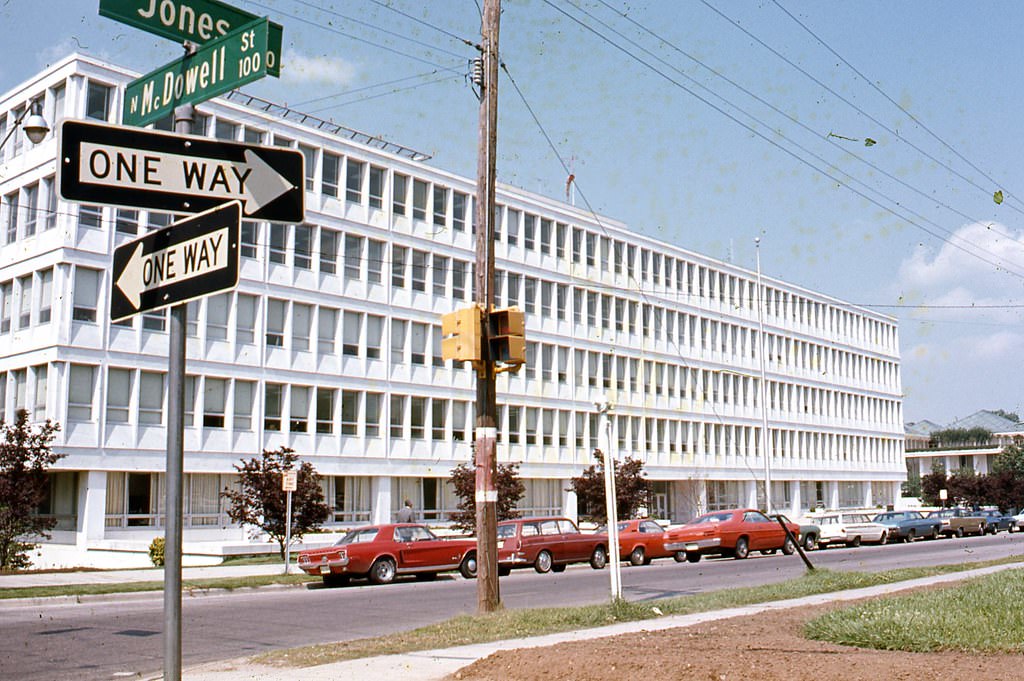
The government district along Jones and Salisbury Streets concentrated many of the state’s administrative buildings in one area. The State Personnel Office on West Jones Street, the NC Archives and History Building, the NC Legislative Building, the Education Building, and the Agriculture Building all appear in photographs from this period. The North Carolina Executive Mansion, the governor’s official residence, was also captured during the decade.
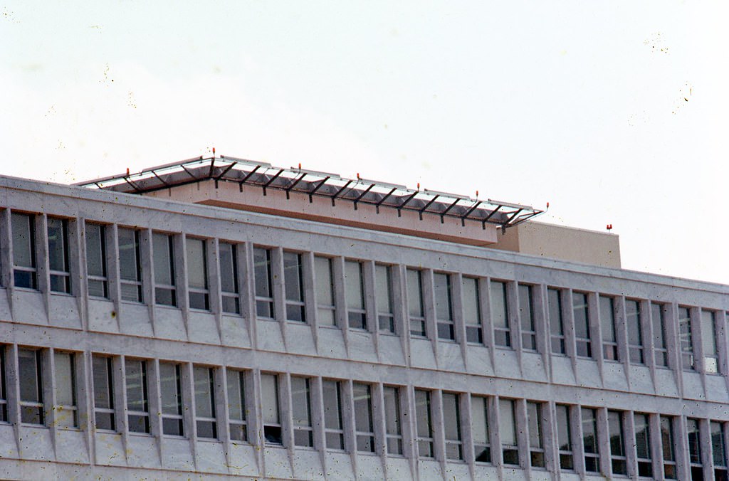
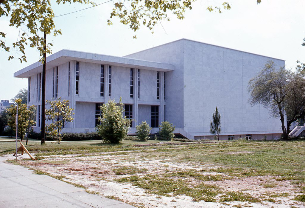
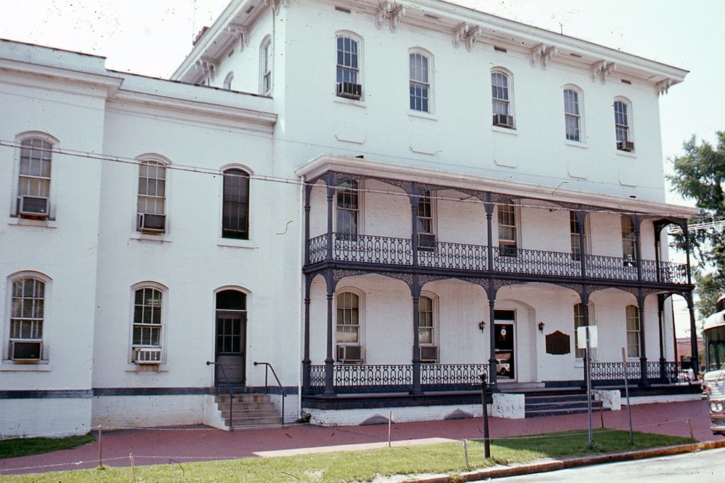
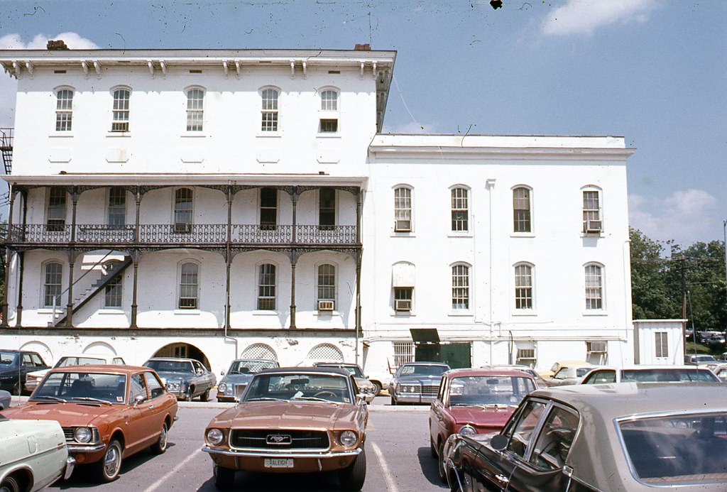
State Personnel Office, 116 West Jones Street, Raleigh, 1970s
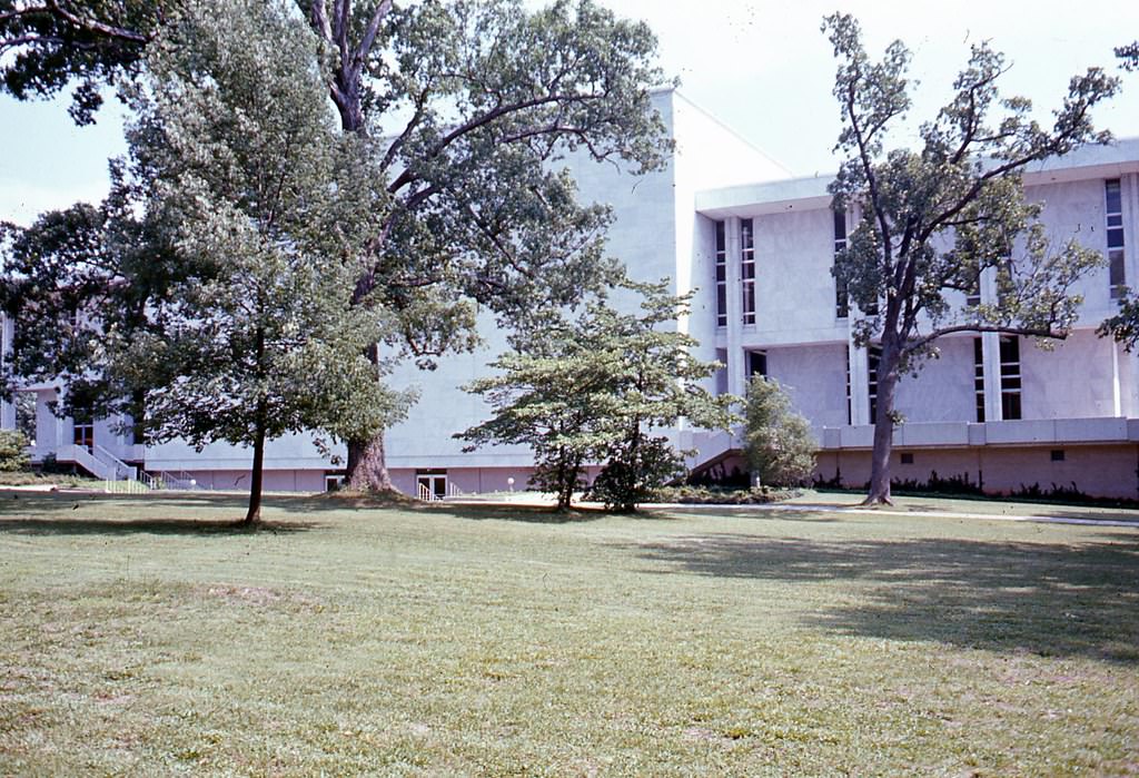
Rear of NC Archives and History Building, 1970s
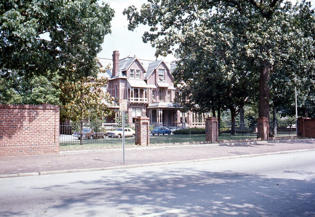
North Carolina Executive Mansion, Raleigh, 1970s
Rear of NC Archives and History Building, 1970s
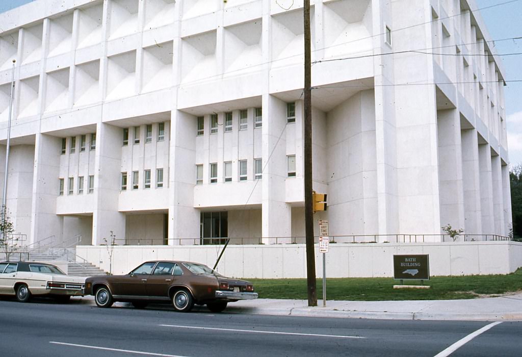
Bath Building, Raleigh, 1970s
Street facing side of Raleigh and Gaston/Seaboard Coastline Building, Raleigh, 1970s
North side of Raleigh and Gaston/Seaboard Coastline Building, Raleigh, 1970s
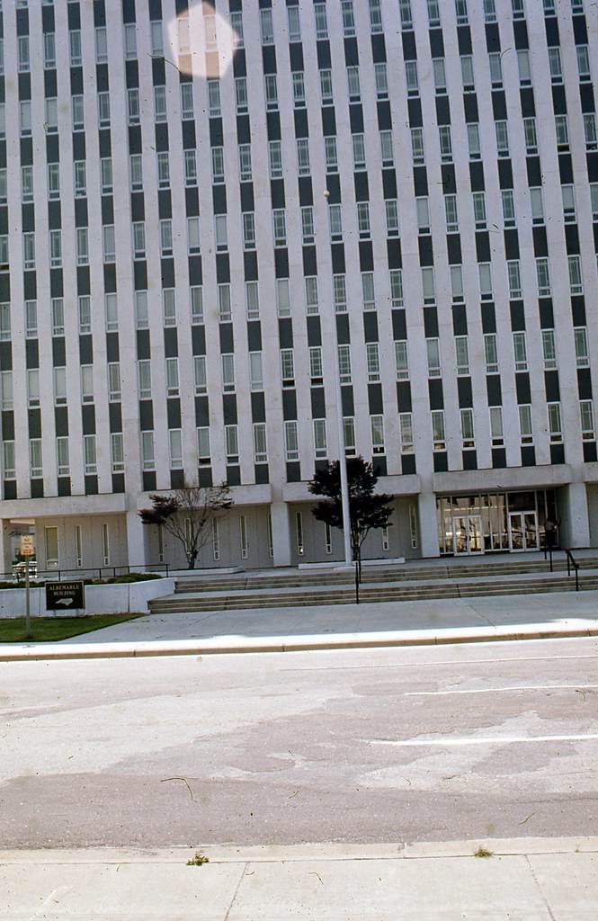
Entrance to Albemarle Building, Raleigh, 1970s
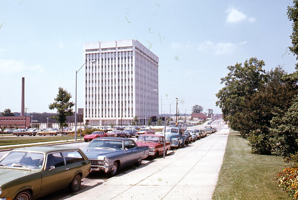
Salisbury Street looking north, Raleigh, 1970s
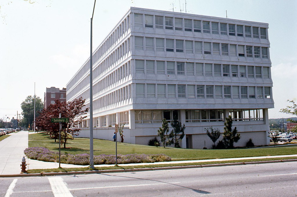
Salisbury and Jones Streets, State Personnel Building, 1970s
Jones Street, Raleigh near intersection with Salisbury Street. Education building is seen center of frame, 1970s
Jones Street, Raleigh, looking south toward Agriculture Building, Education Building is also seen on far righ, 1970s
NC Legislative Building, Raleigh, 1970s
North Carolina Archives and History Building, Raleigh, 1970s
200 North Salisbury Street, Raleigh, looking south, 1970s
State Personnel Office, 116 West Jones Street, Raleigh, 1970s

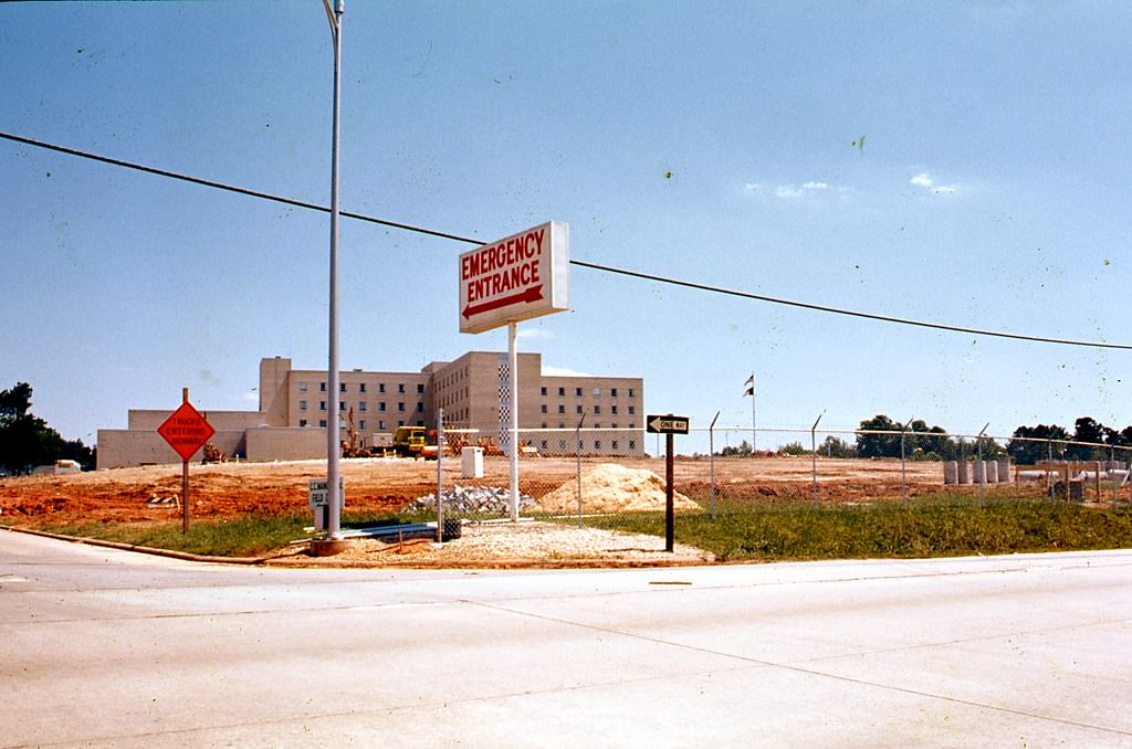
In 1976, Raleigh City Schools and Wake County Schools merged to form Wake County Public Schools. At the time it was a major administrative consolidation. The system has since grown into the largest in North Carolina and the 19th largest in the entire country. WakeMed Hospital, photographed multiple times during the decade, was another major institutional presence serving the growing population.
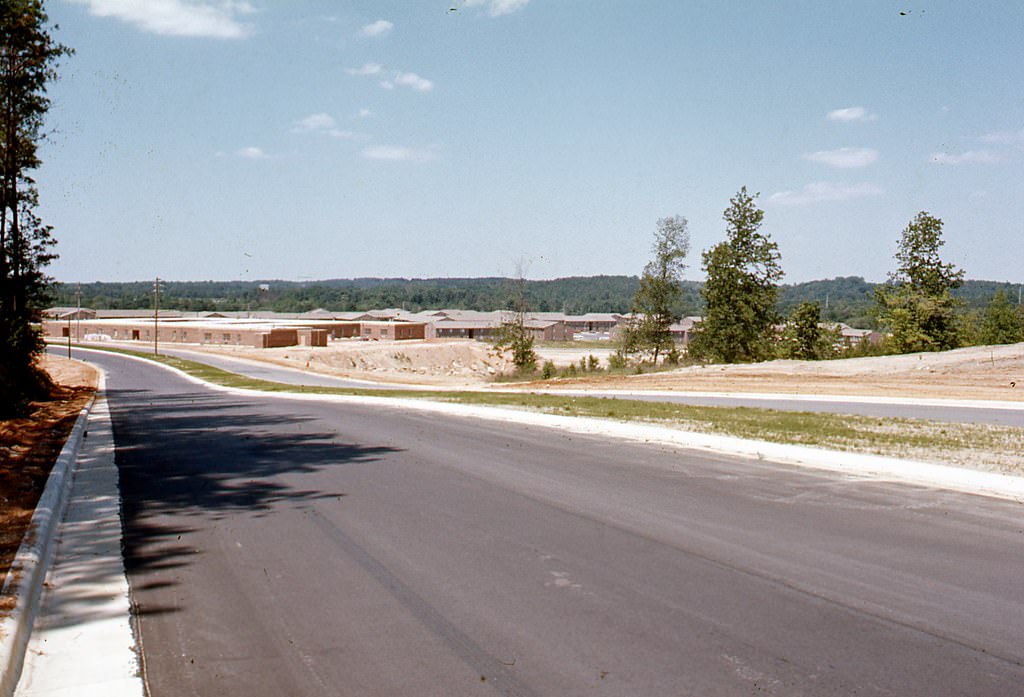
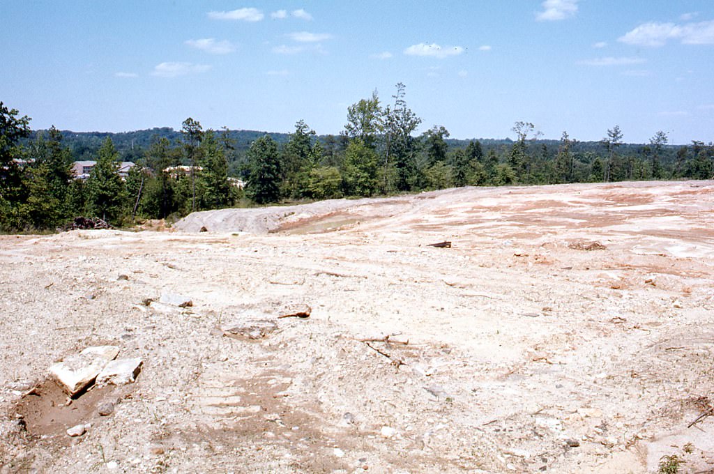
100 Sunnybrook Road, Raleigh, looking north, 1970s
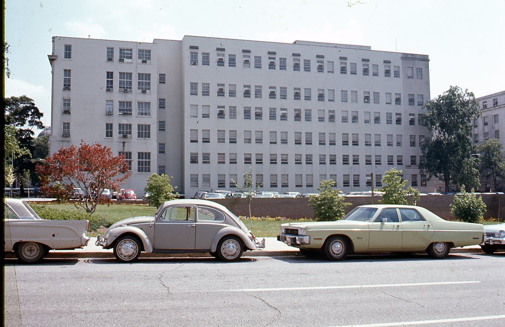
Wake Med Hospital, 1970s

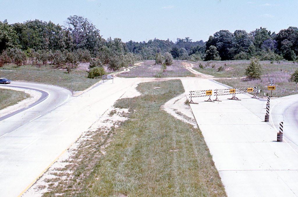
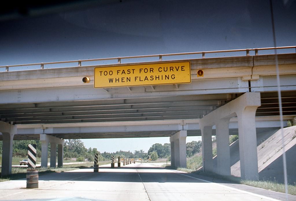
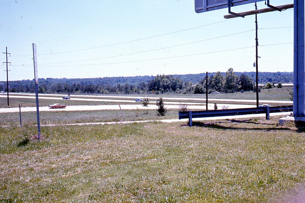
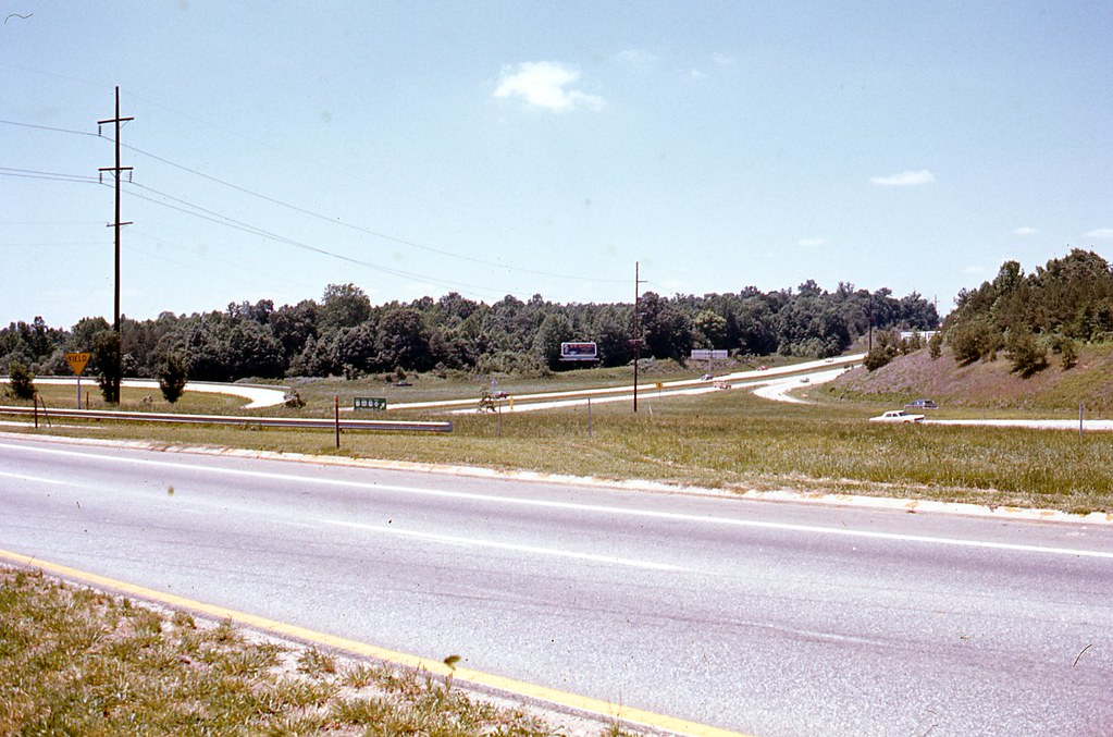
One of the most significant infrastructure projects of the decade was the construction of the I-440 Beltline. The highway was built throughout the 1970s and 1980s to ease traffic congestion and connect most of Raleigh’s major roads. Photographs of the Beltline terminus at the New Bern Avenue exit show the interchange at various stages, capturing the scale of what was being built.
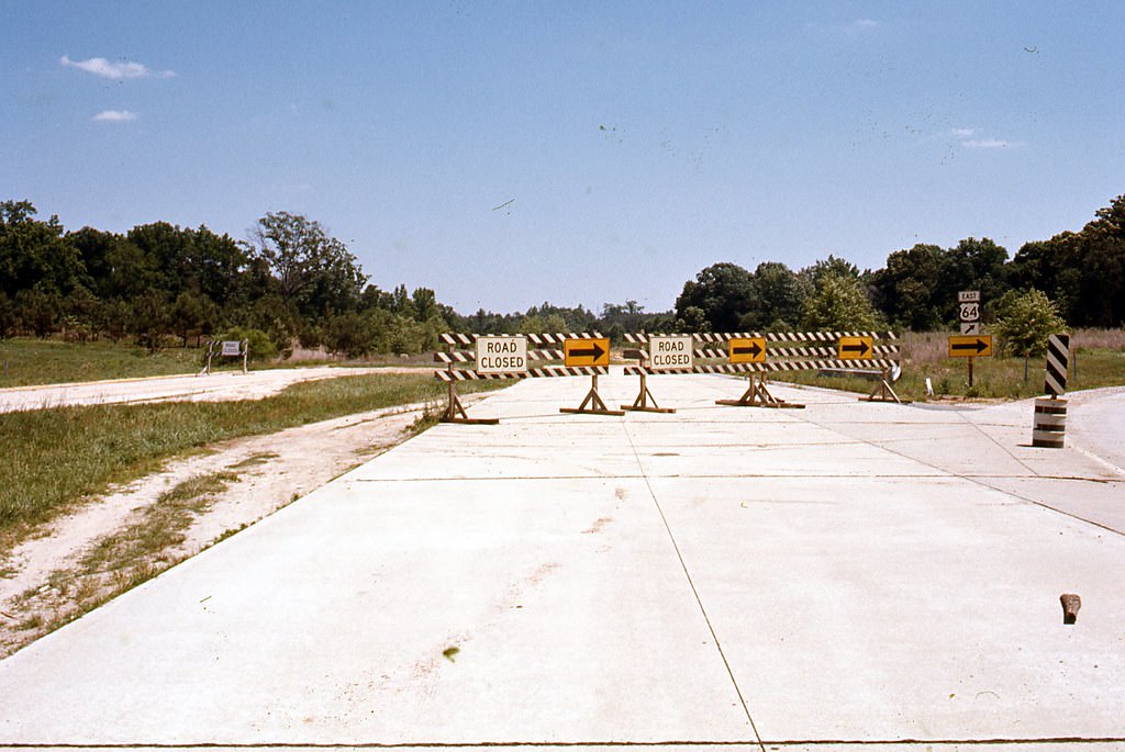
Raleigh Beltine terminus at New Bern Avenue exit, 1970s

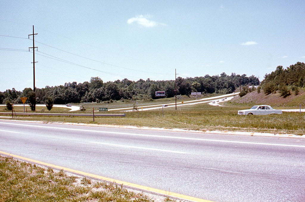
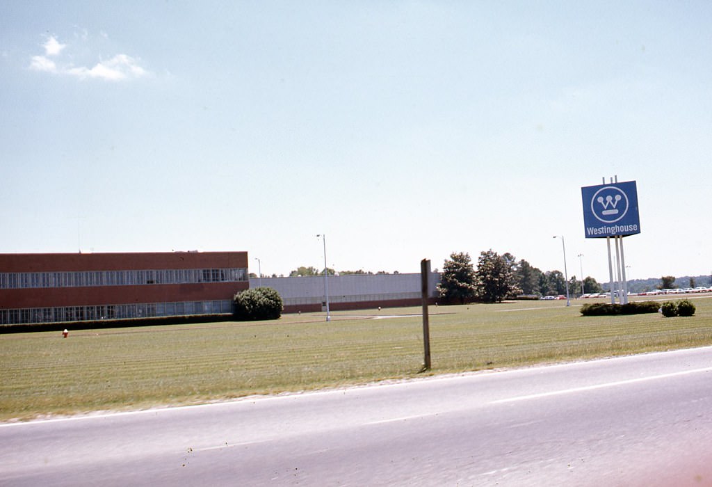
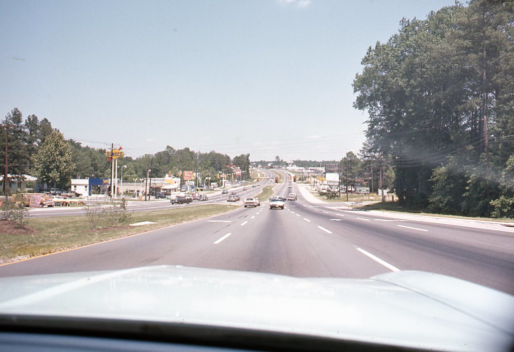
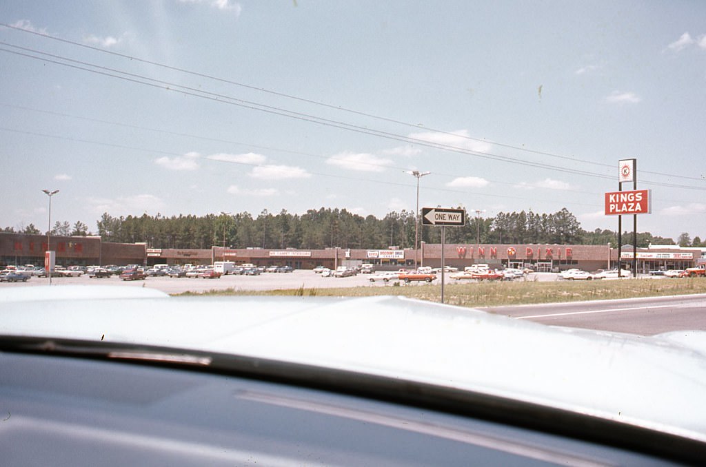
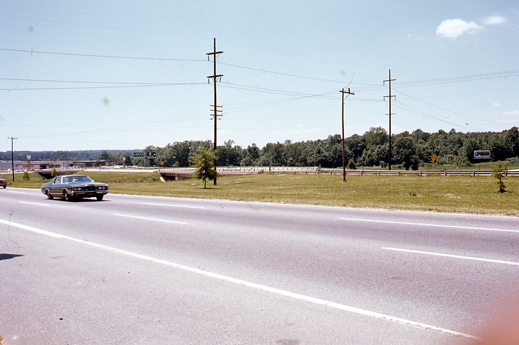
Capital Boulevard — also called North Boulevard — was a major commercial artery running north out of the city. Along this stretch, businesses like Westinghouse and King’s Plaza Shopping Center served residents in the growing northern neighborhoods. The Beltline overpass at Capital Boulevard was a key piece of the new highway system being stitched together across the city.
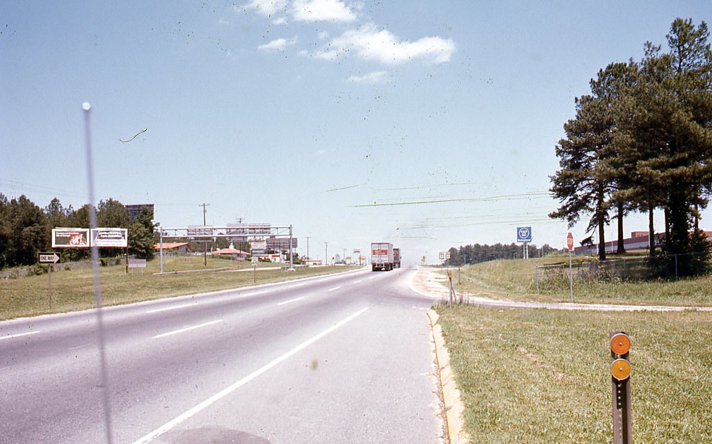
2600 Capital Boulevard (North Boulevard) looking north, Raleigh, 1970s
Capital Boulevard (North Boulevard) and Raleigh Beltline, 1970s
Westinghouse, 2700 Capital Boulevard (North Boulevard), Raleigh, 1970s
2800 Capital Boulevard (North Boulevard) looking north, Raleigh, 1970s
King's Plaza Shopping Center, 3151 Capital Boulevard (North Boulevard) , Raleigh, 1970s
King’s Plaza Shopping Center, 3151 Capital Boulevard (North Boulevard) , Raleigh, 1970s
3151 Capital Boulevard (North Boulevard) looking north, Raleigh, 1970s

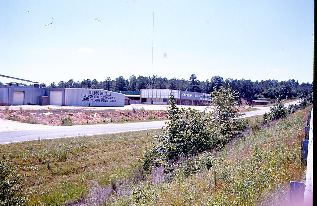
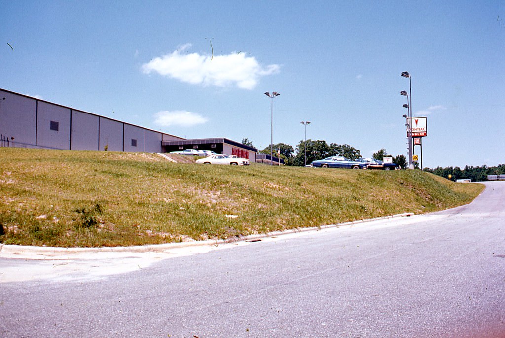
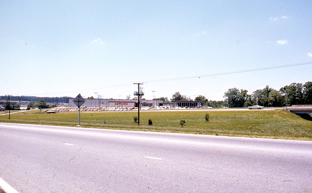
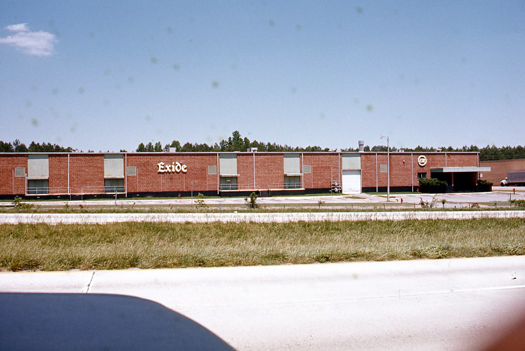
Yonkers Road was another area showing active commercial development. Building supply companies, including Carolina Builder’s Supply at 3000 Yonkers Road and a building supply business at 2610 Yonkers Road, operated alongside Exide Electronics and other industrial businesses. Amburn Pontiac on Ratchford Drive served car buyers from across the area.
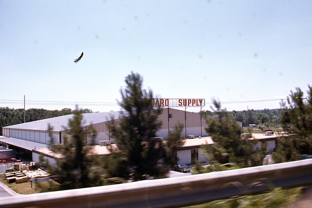
Building Supply, 2610 Yonkers Road, Raleigh, 1970s
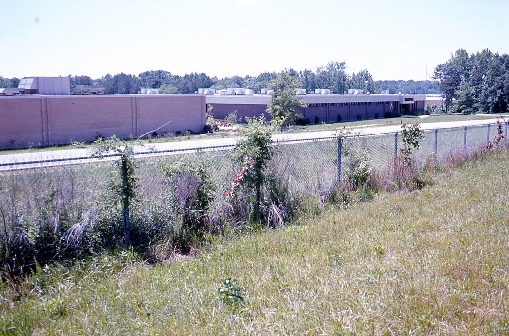
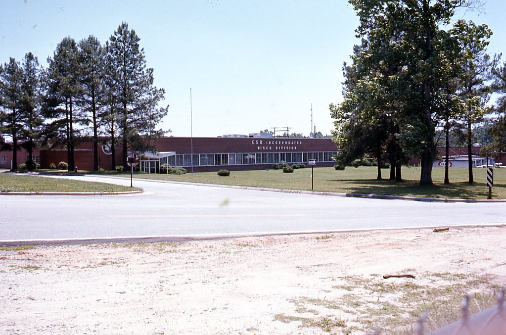
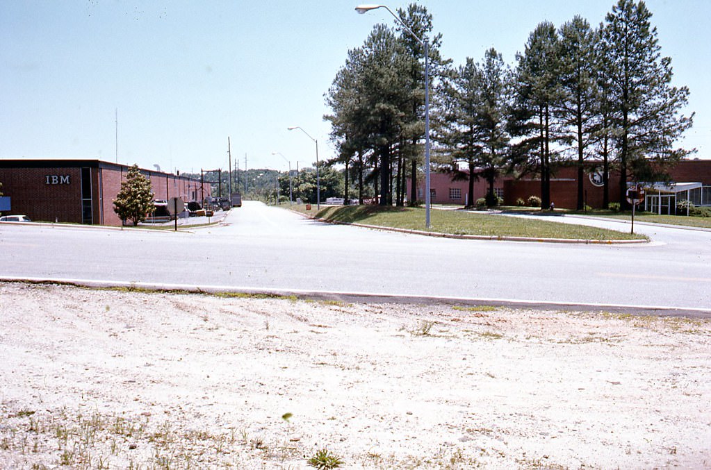
Exide Electronics, Raleigh, unidentified location, 1970s
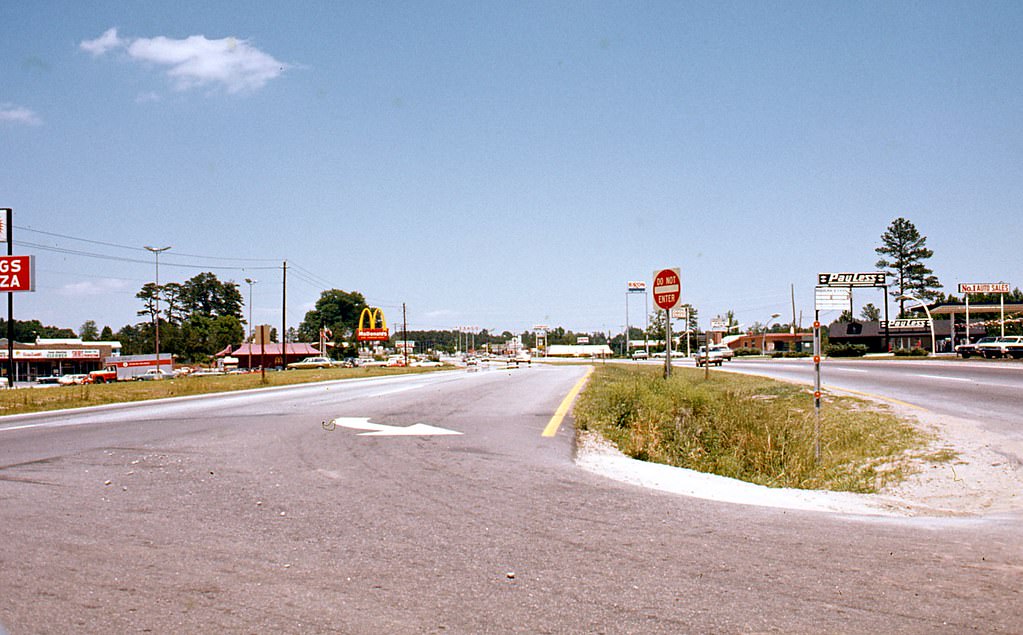
Unidentified, possibly Yonkers Road, Raleigh, 1970s
Carolina Builder's Supply, 3000 Yonkers Road, Raleigh, 1970s
Carolina Builder’s Supply, 3000 Yonkers Road, Raleigh, 1970s
Unidentified, possibly on Yonkers Road, Raleigh, 1970s
2010 Yonkers Road, Raleigh, 1970s
2020 and 2010 Yonkers Road, Raleigh, 1970s
2501 Ratchford Drive, Amburn Pontiac, Raleigh, 1970s

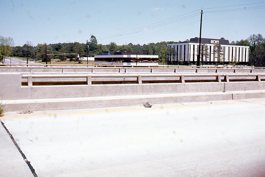
The Beltline overpass at Capital Boulevard provided a vantage point over the surrounding roadways. Looking south from the overpass down Wake Forest Road, Holly Park Shopping Center at 3088 Wake Forest Road was clearly visible. The shopping center, along with Wachovia Bank at 3101 Wake Forest Road, formed a commercial node that anchored the northeastern side of the city.
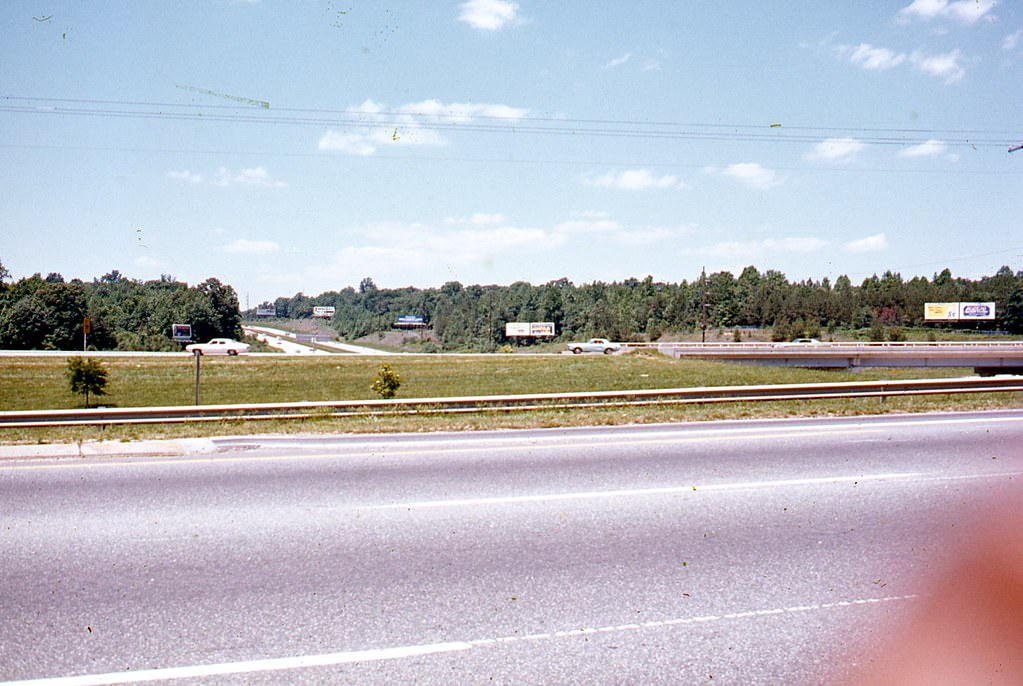
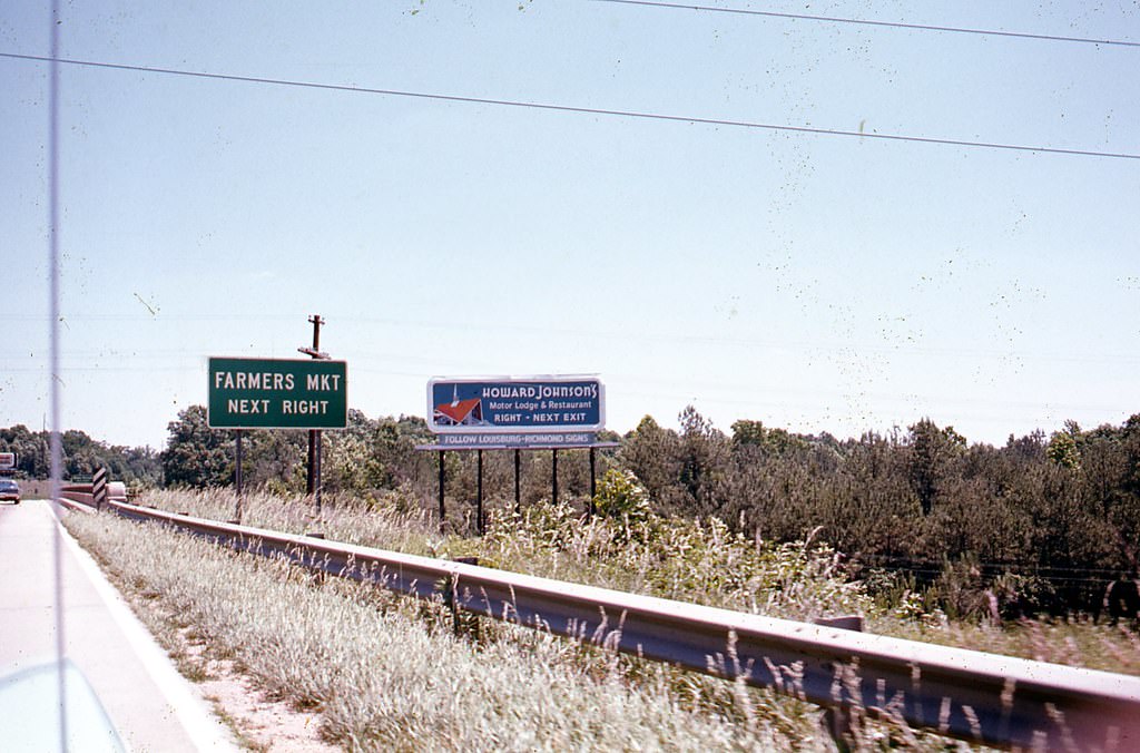
Capital Boulevard (North Boulevard) Beltline overpass, Raleigh, 1970s
View from Raleigh Beltline overpass looking south down Wake Forest Road toward Holly Park Shopping Center, 1970s
Rear of 3200 Wake Forest Road, Raleigh, 1970s

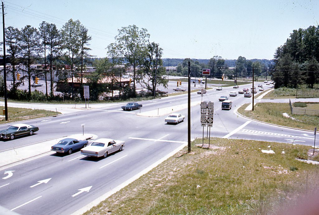
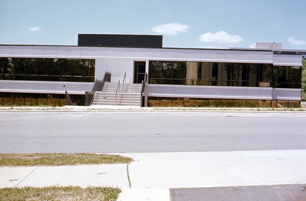
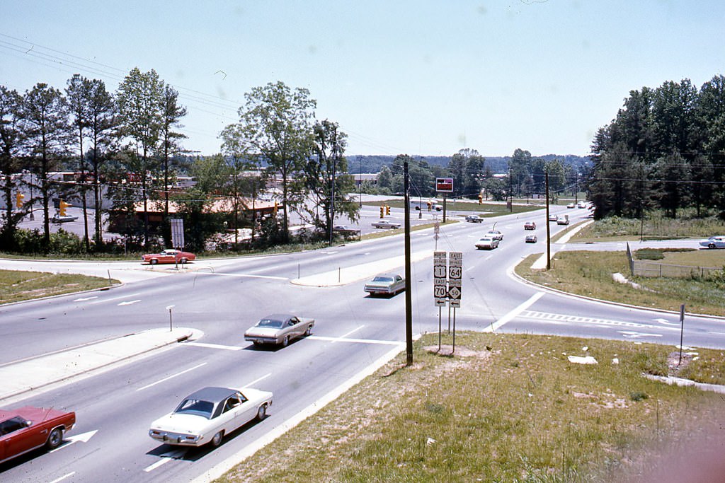
The Navaho Drive area saw notable construction activity during the decade. The building at 1100 Navaho Drive was photographed at multiple stages of construction, while 1305 Navaho Drive appeared repeatedly as a fully developed commercial site. The intersection of Navaho Drive and Executive Drive showed the kind of suburban business layout that was becoming common in Raleigh’s expanding outer neighborhoods.
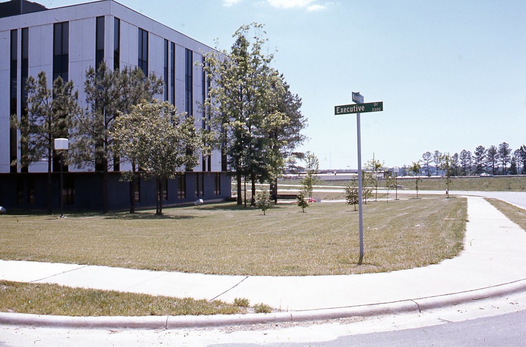
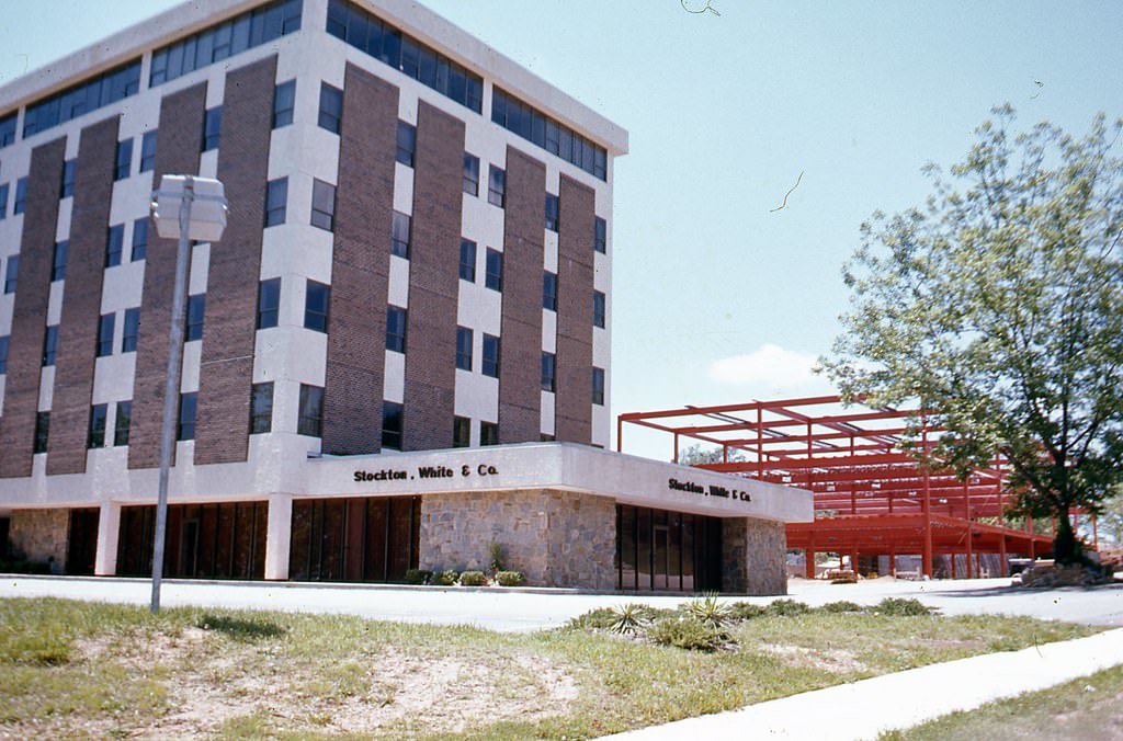
Intersection of Navaho and Executive Drive, Raleigh, 1970s
1305 Navaho Drive, Raleigh, 1970s
Unidentified, possibly view from Capital Boulevard, Raleigh, 1970s
View from Raleigh Beltline overpass looking south down Wake Forest Road toward Holly Park Shopping Center, 1970s
Raleigh Beltline overpass looking north over Wake Forest Road, 1970s
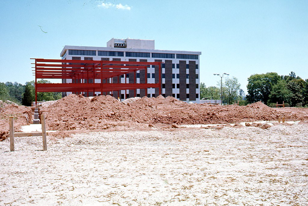
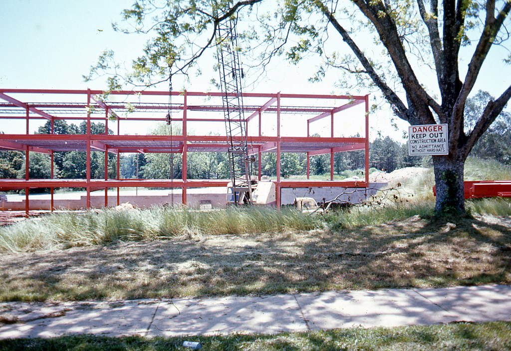
1100 Navaho Drive under construction, Raleigh, 1970s
1305 Navaho Drive, Raleigh, 1970s

Wake Forest Road served as a connector between the downtown core and the city’s northeastern development. The stretch near Holly Park Shopping Center brought together retail, banking, and residential areas that defined Raleigh’s suburban growth pattern in the 1970s.
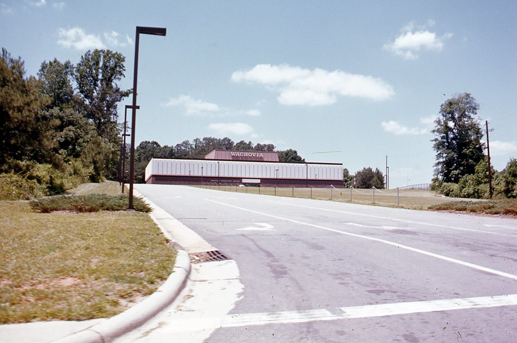
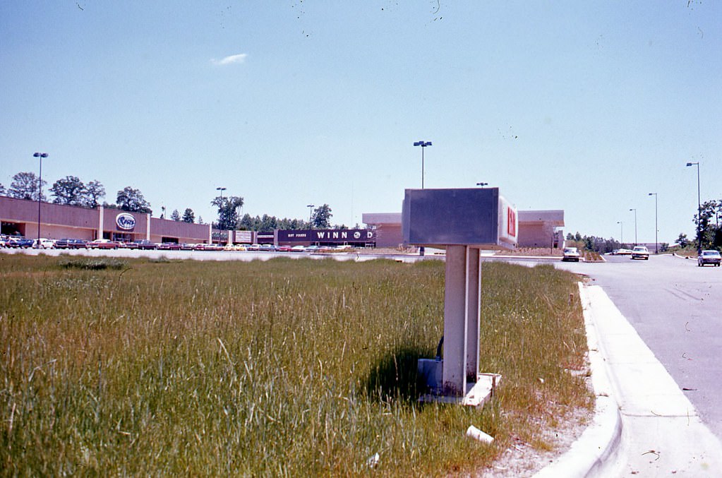
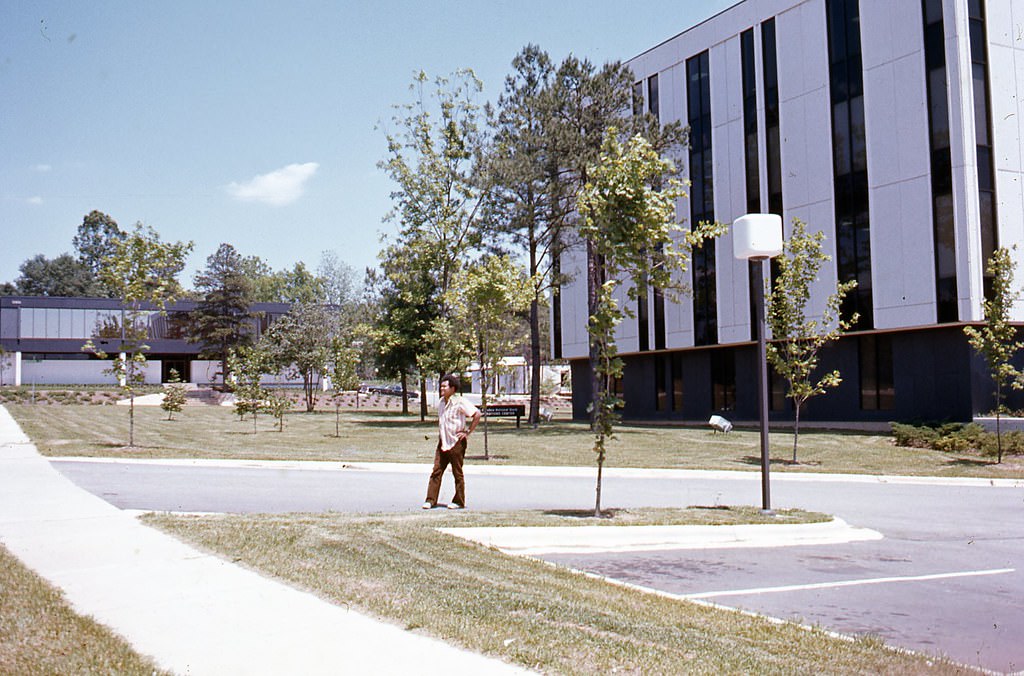
3101 Wake Forest Road, Wachovia Bank, 1970s
Holly Park Shopping Center, 3088 Wake Forest Road, Raleigh, 1970s
1110 Navaho Drive, Raleigh, 1970s
3200 Wake Forest Road, Raleigh. 1305 Navaho Drive in background, 1970s
Enjoyed this post? Get new ones in your inbox.

18 thoughts on “Fascinating Historical Photos of Raleigh, NC from the 1970s”

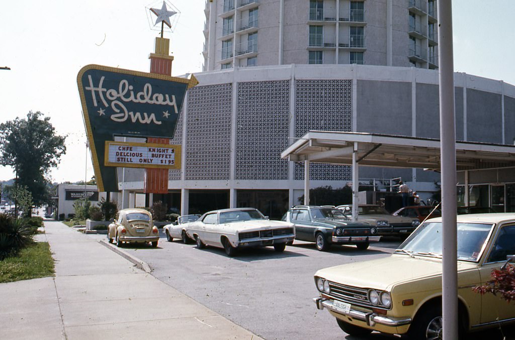
  1. These pictures are absolutely captivating! I’m disappointed that the iconic Holiday Inn was demolished to make way for yet another generic “luxury” hotel and apartment building that looks like everything else. Given enough time, these modern buildings will become the 1960s and 1970s brutalist structures that haven’t aged well and are now seen as passé. Comparing these images to modern-day Raleigh is a mixed bag because the city’s aesthetic has become more middle to upper-income. In the 1970s, Raleigh’s appearance was closer to that of areas like Bragg Boulevard in Fayetteville. The downside of having such a picturesque appearance is that in recent decades, Raleigh hasn’t been a place where people with significant wealth have chosen to reside.

    1. Actually, the Holiday Inn is still standing, at least for the time being. However, it’s slated to be demolished soon to make way for a new hotel, rumored to be a Kimpton, rather than apartments.

Leave a Comment

Your email address will not be published. Required fields are marked *

Share this Post 🥺

Please take a moment to share this content. Your support is greatly appreciated! 🙌🙏

Share this Post 🥺

Please take a moment to share this content. Your support is greatly appreciated! 🙌🙏
Scroll to Top
 
Hey Friend, Before You Go.. Please like & follow for more interesting content