Norway in 1954 was a country still finding its footing after five years of German occupation during World War II. Recovery was slow and uneven. Essential goods remained rationed, and most households had none of the modern appliances — washing machines, refrigerators — that were becoming common in wealthier Western nations. In Oslo, a serious housing shortage forced many couples to delay marriage and pushed others into shared living arrangements. In the countryside, outdoor toilets were the norm, and running water or modern bathrooms were rare luxuries. Yet despite these hardships, Norway’s dramatic landscapes — its fjords, glaciers, mountain passes, and river valleys — remained as striking as ever.
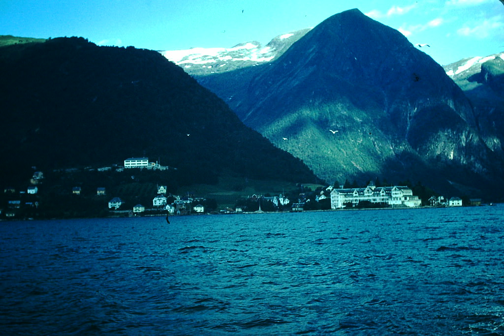
Balestrand, a small village on the shores of the Sognefjord, offered a striking contrast between natural beauty and modest postwar life. The village had long attracted travelers drawn to its calm waters and surrounding mountains. In 1954, that pull remained strong.
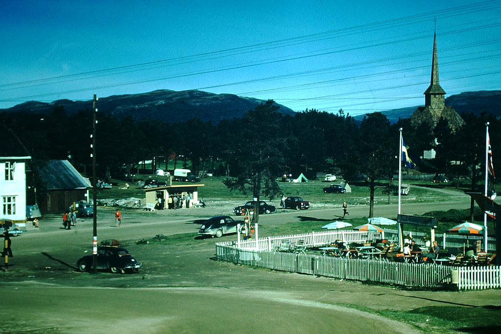
Further inland, resort areas like Dombås served travelers making their way through central Norway. The mountain town sat at a key crossroads between Oslo and the northern fjord regions, making it a natural stopping point for those crossing the country by road or rail.
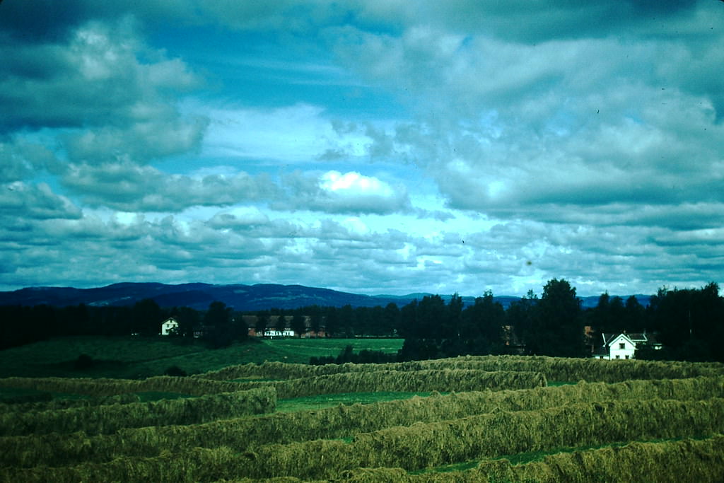
Rural life north of Oslo looked much as it had for decades. Farms operated with limited mechanization, and the communities surrounding them were tight-knit and self-reliant. The land was productive but the work was hard.
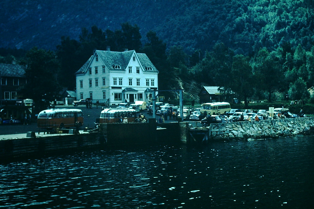
Ferries were the lifeline connecting Norway’s coastal and fjord communities. Roads through the mountains were often narrow, steep, and unreliable, especially in winter, so water routes carried both people and cargo across the country’s many waterways. The ferry landing at Kvandal on the Hardangerfjord was one such essential hub.
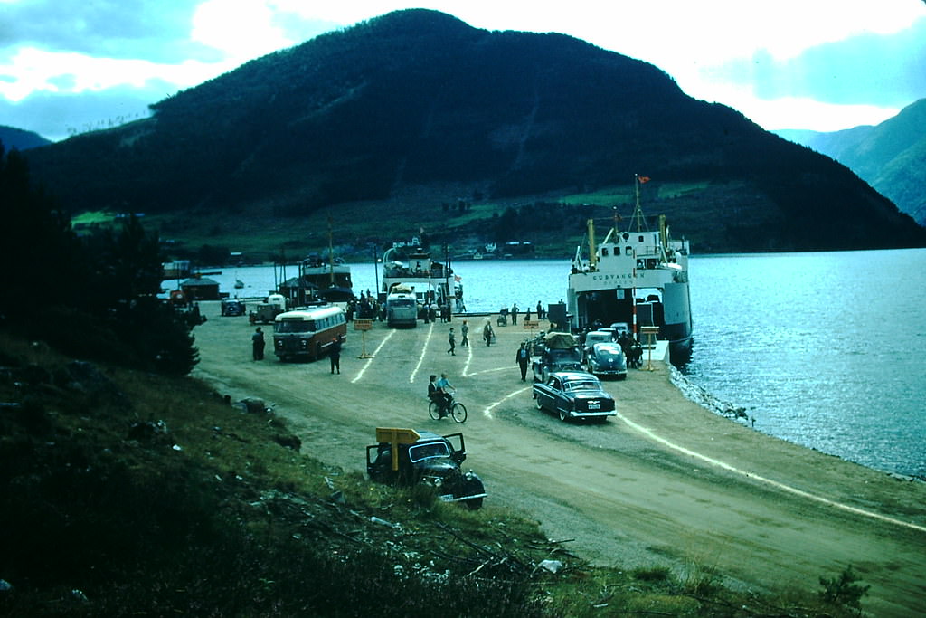
At Kaupanger on the Sognefjord — Norway’s longest and deepest fjord — ferries loaded vehicles and passengers headed to villages that had no practical road access. The loading process was methodical and unhurried, a routine that defined daily movement in this part of the country.
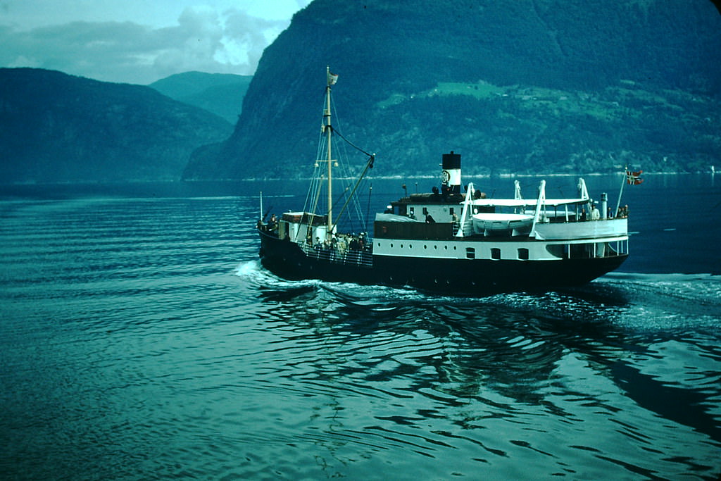
Larger fjord steamers also worked the Hardangerfjord route, carrying passengers past sheer cliff faces and waterfalls that dropped hundreds of meters into the water below. Near Utne, the landscape was especially dramatic — snow-capped ridges rising directly from the fjord’s edge.
Voss was one of Norway’s better-known inland towns, positioned between Bergen and the fjord country. The Fleischer Hotel, a grand wooden structure built in the 19th century, stood as a symbol of the tourism that had defined the region long before the war interrupted it.
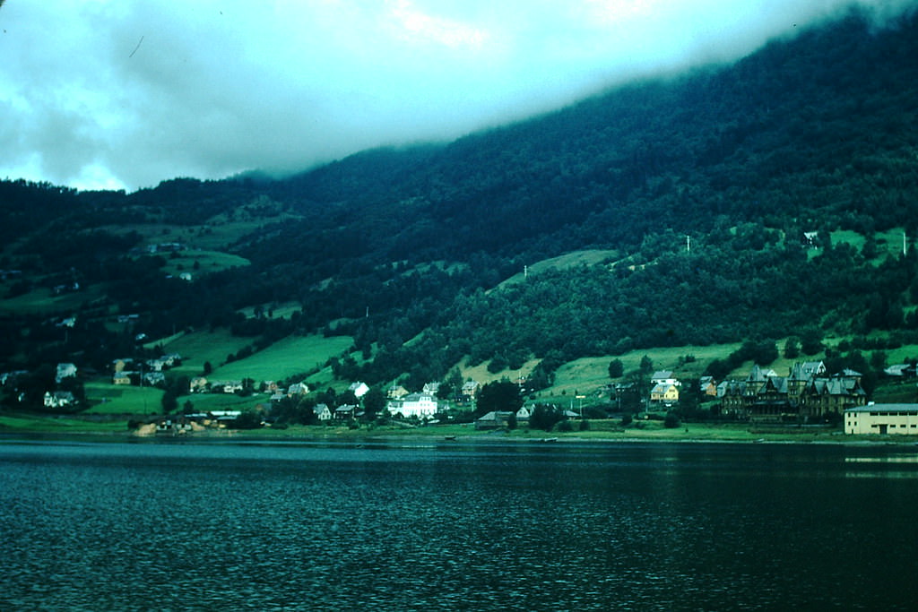
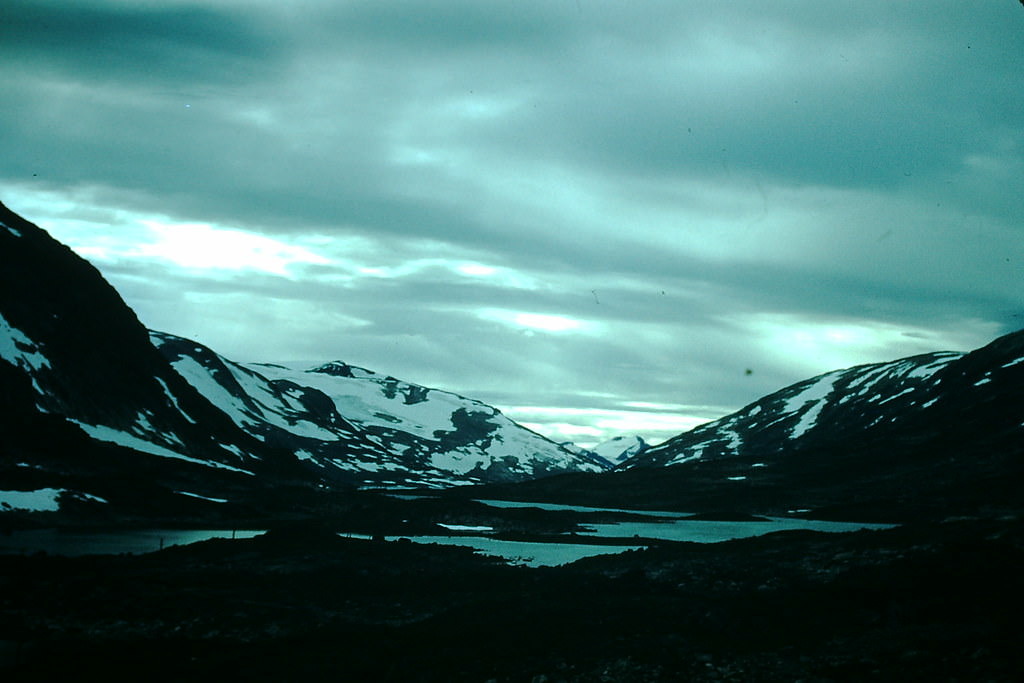
High on the Hardangervidda plateau, glaciers sat above the treeline in permanent cold. Near Dyranut, the ice stretched across wide, open terrain where the sky and the snow seemed to merge. This remote highland was both barren and breathtaking.
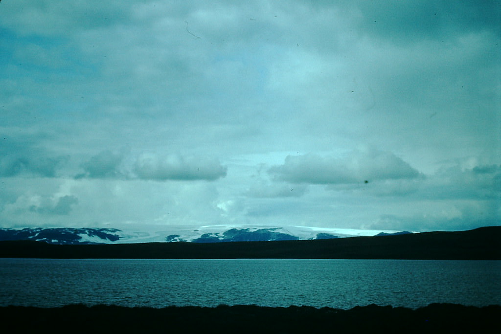
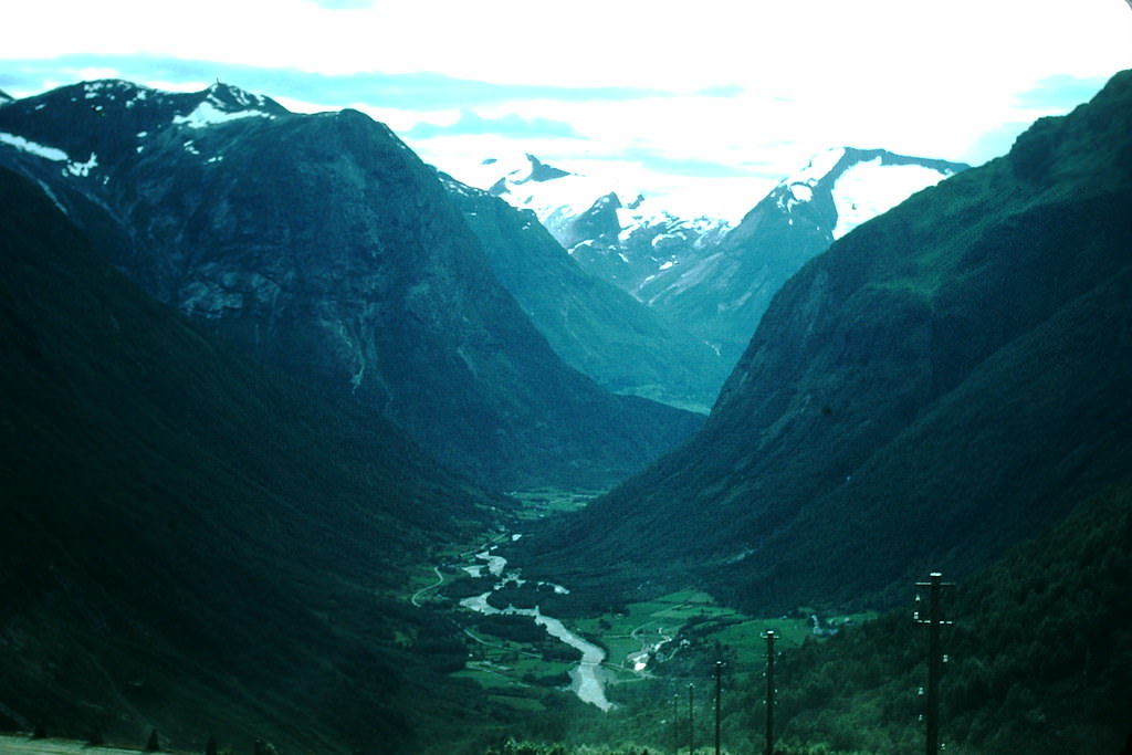
Closer to Balholm on the Sognefjord, another glacier carved its way down from the heights above. These ice formations were a familiar part of the Norwegian interior, fed by heavy snowfall each winter and slow to retreat even through the summer months.
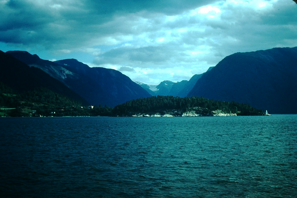
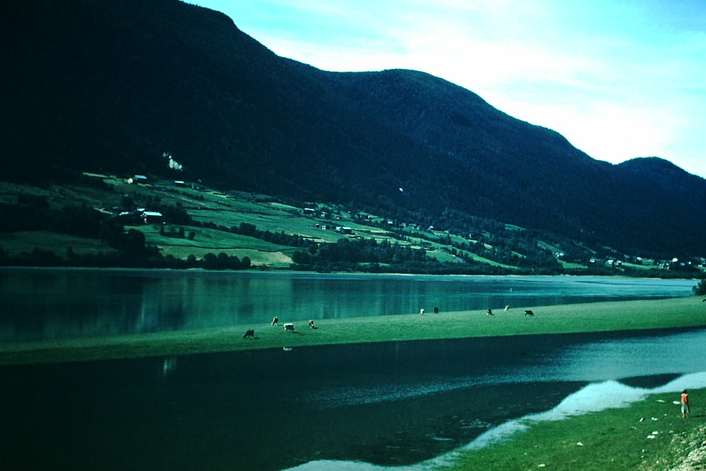
The Hallingdal Valley, running northeast from Nesbyen toward the mountains, was one of Norway’s main inland corridors. Its river, farmland, and forested slopes supported a string of small communities that had changed little in character over the previous century.
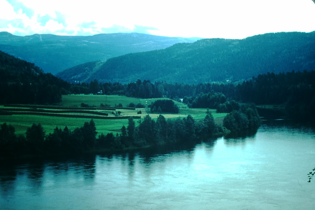
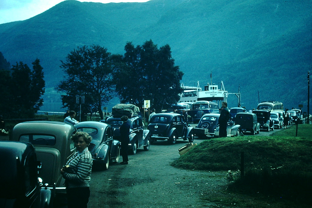
At Kinsarvik on the Hardangerfjord, vehicles and passengers gathered on the shore waiting to board the next ferry. The scene was orderly and patient — waiting was simply part of traveling in Norway in 1954.
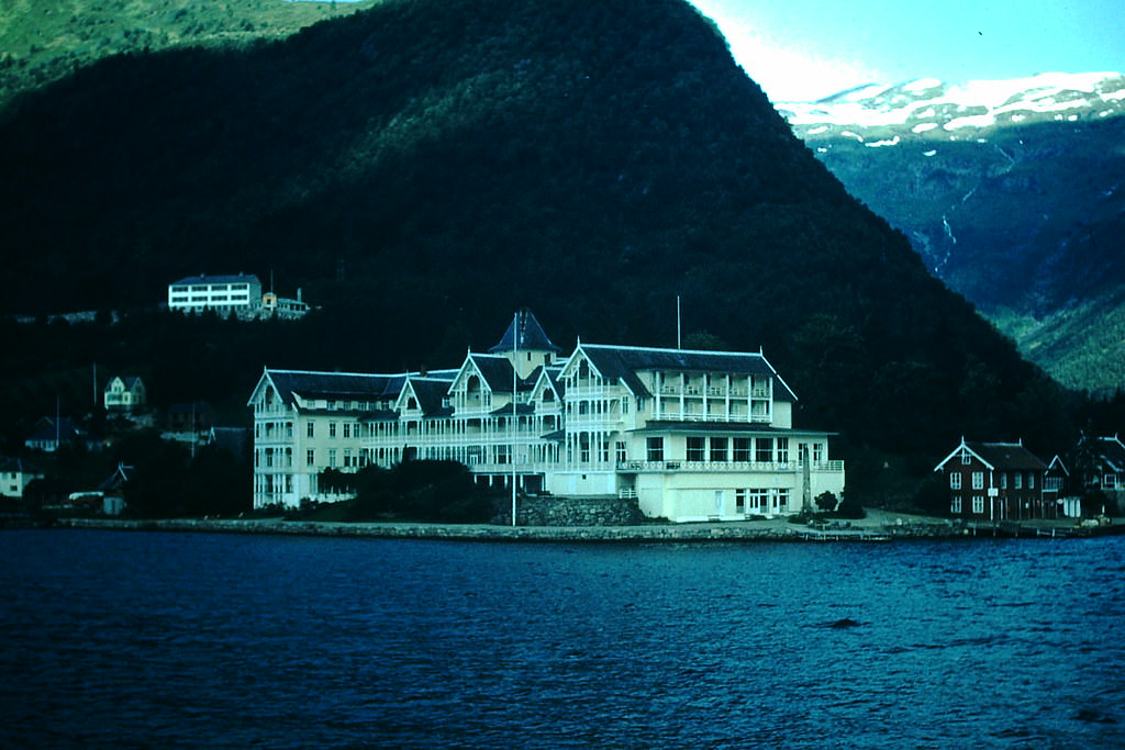
Back in Balestrand, the Kvikne Hotel sat prominently on the fjord shore. Originally built in 1877 and expanded several times since, it was one of the grand old hotels of the fjord country — a destination for European travelers well before motorized tourism existed.
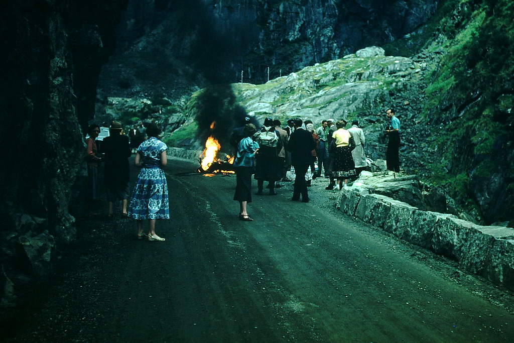
Mountain roads in 1954 Norway were an adventure in themselves. The route up toward Vøringsfossen Falls on the Hardangervidda was steep and winding, and mechanical trouble was a real risk. A burning motorcycle on the mountain road captured one of those moments where the landscape’s beauty and its danger occupied the same frame.
The road from the Otta River valley toward Stryn crossed some of the most scenic terrain in the country. The river itself was fast and cold, fed by snowmelt from the surrounding fells, cutting through wide open valley floors before climbing into the mountains.
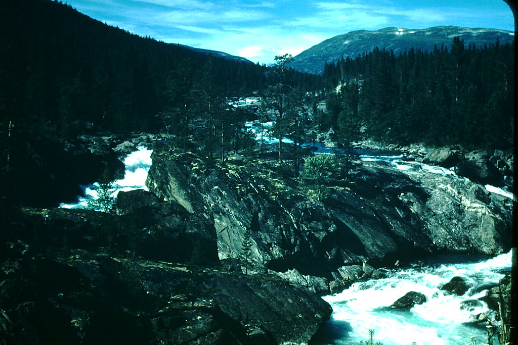
Near Stryn, the Pollfoss River also carved through the landscape, its white water rushing over rocks worn smooth over centuries. These rivers powered small mills and provided fish — practical resources as much as scenic ones.
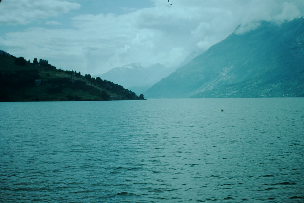
Along the Hardangerfjord near Utne, snow and ice clung to the upper elevations even in the warmer months. The contrast between the deep blue fjord water below and the white glacial fields above was one of the defining visual signatures of this part of Norway.
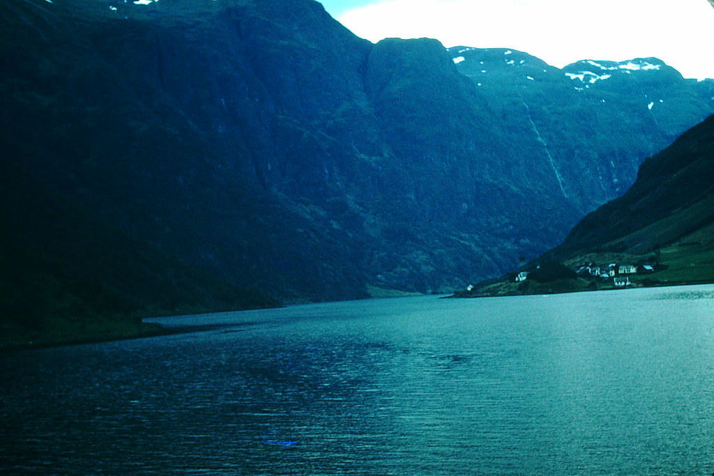
The Sognefjord route toward Gudvangen took travelers deep into one of Norway’s most enclosed and dramatic fjord arms. The walls of the Nærøyfjord rose nearly vertically from the water, leaving only a narrow strip of sky visible above.
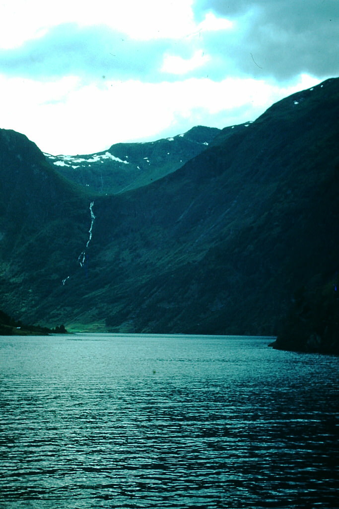
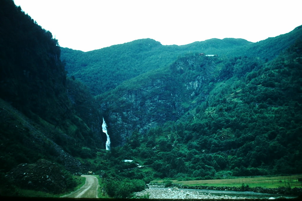
The mountain pass leading toward Geilo marked a transition between the fjord country to the west and the broader plateau landscape to the east. At the top of the pass, the terrain opened up into wide, windswept vistas covered in snow for much of the year.
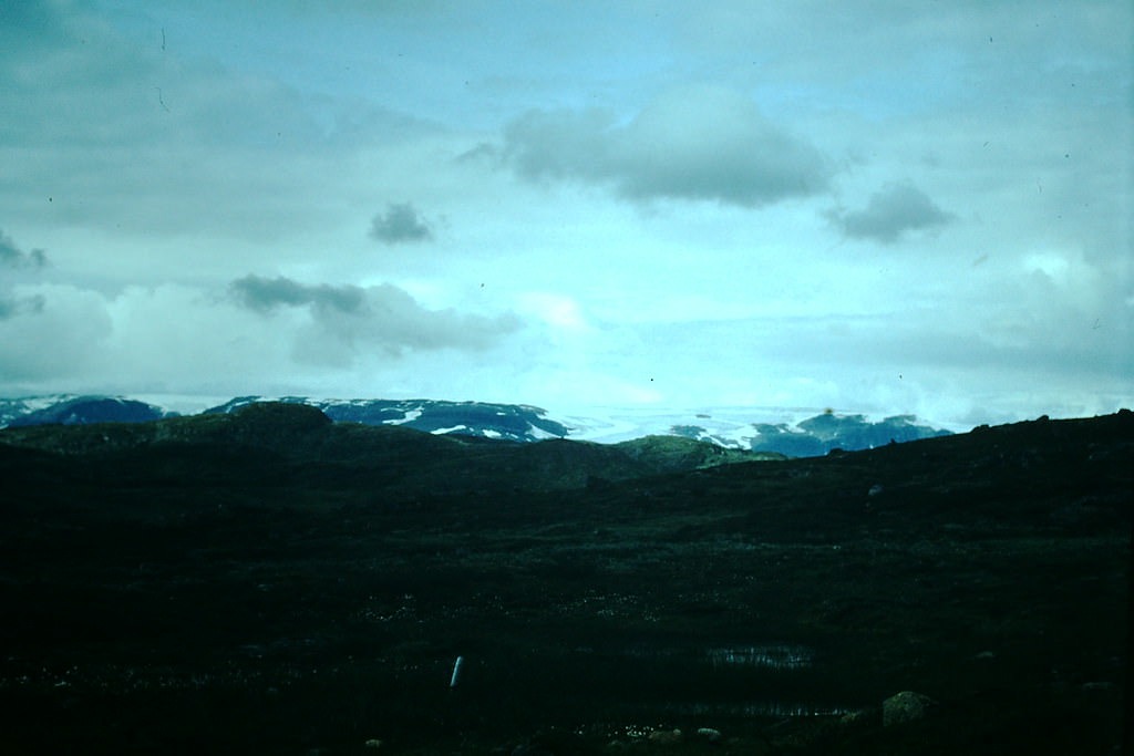
Ustaset, sitting at around 1,000 meters above sea level on the Hardangervidda, was already established as a skiing destination by 1954. The high plateau received heavy snowfall and offered reliable conditions through the winter — a draw for both Norwegian families and visiting tourists.
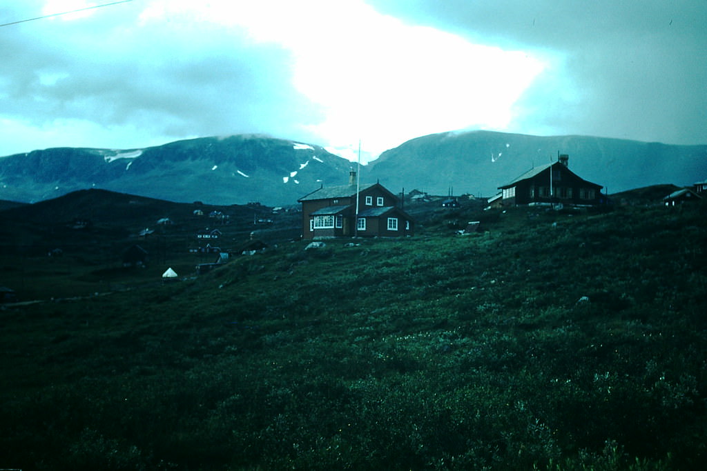
At Videsæter in the Jostedal area, the landscape was defined by glacial valleys and high mountain ridges. Small farms and mountain lodges dotted the terrain, built to survive long winters and short growing seasons.
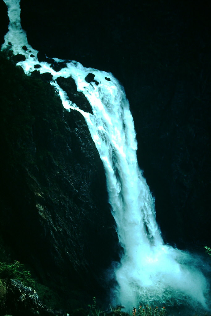
Vøringsfossen, one of Norway’s most famous waterfalls, dropped around 182 meters into the Måbødalen gorge below. In 1954, the viewing area was simple — no elaborate platforms or guardrails — just the raw edge of the plateau and the sound of the water falling into the canyon.