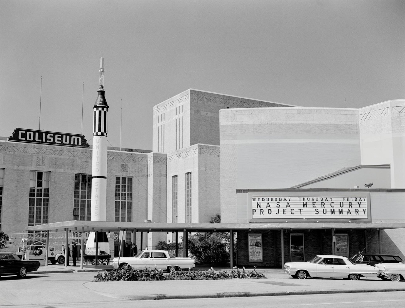
Houston in the 1960s was a city in full sprint. The population was booming, construction cranes dotted the skyline, and the federal government had just handed the city one of the most prestigious assignments in human history: managing America’s manned space program. In just ten years, Houston went from a mid-sized Southern city to a place the entire world was watching. These 70 vintage photographs capture that transformation — street by street, building by building, and launch by launch.
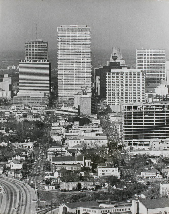
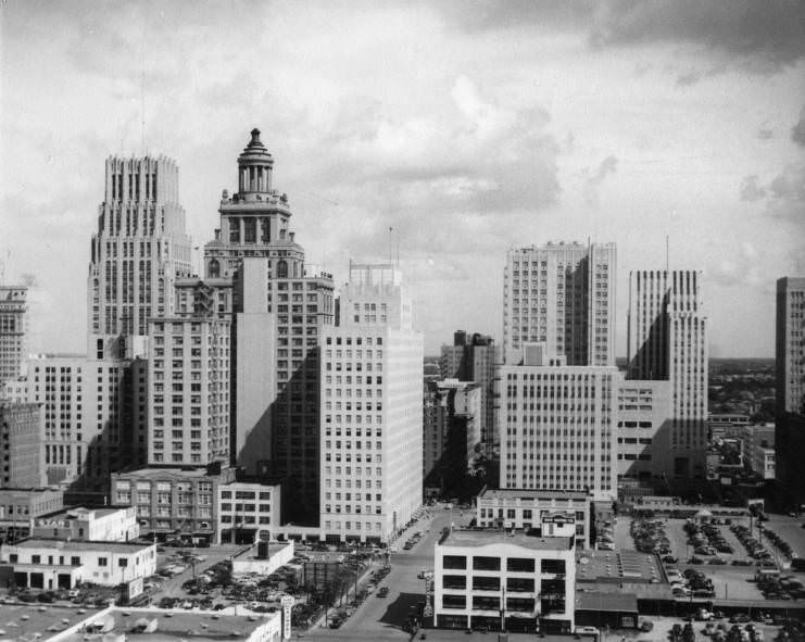
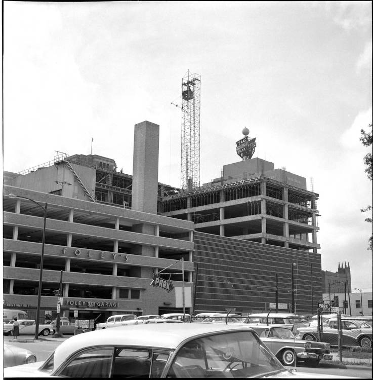
Downtown Houston anchored daily life throughout the decade. Main Street was lined with department stores like Foley’s and Sakowitz, and on any given afternoon the sidewalks were packed with shoppers, workers, and teenagers killing time between school and supper. The storefronts, marquees, and neon signs gave downtown a particular energy that newer parts of the city hadn’t yet developed. The buildings along those corridors told the story of Houston’s commercial ambitions better than any brochure could.
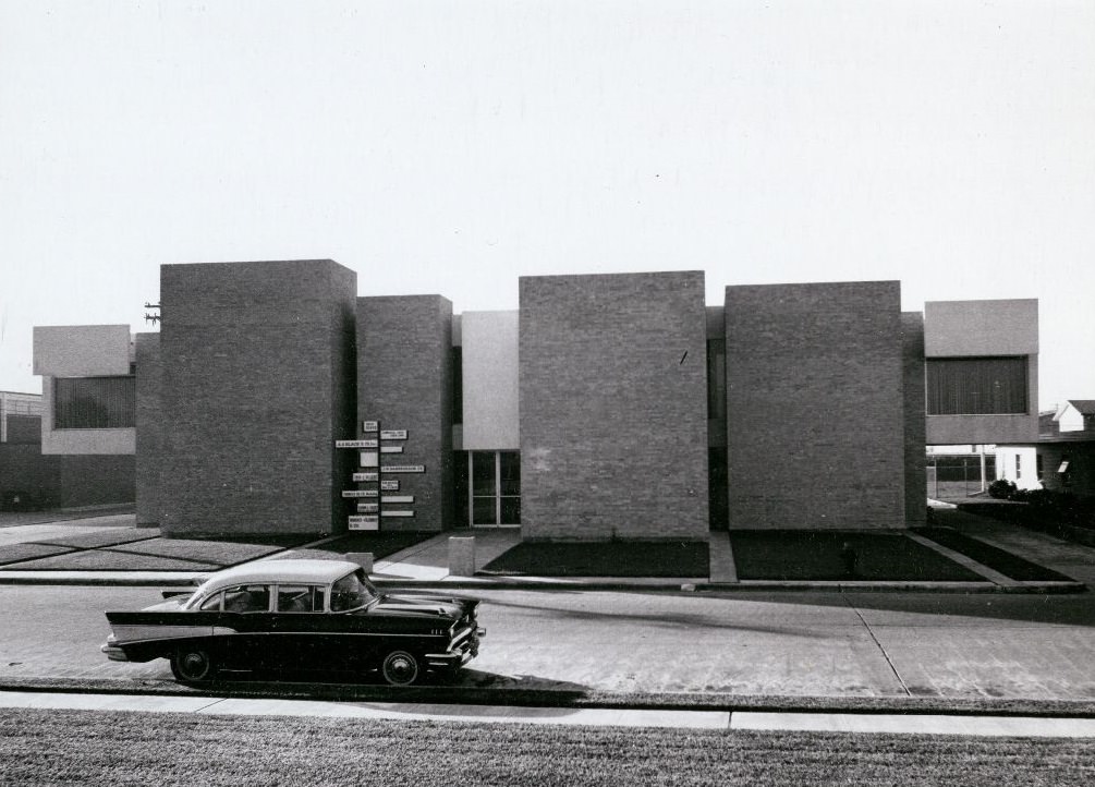
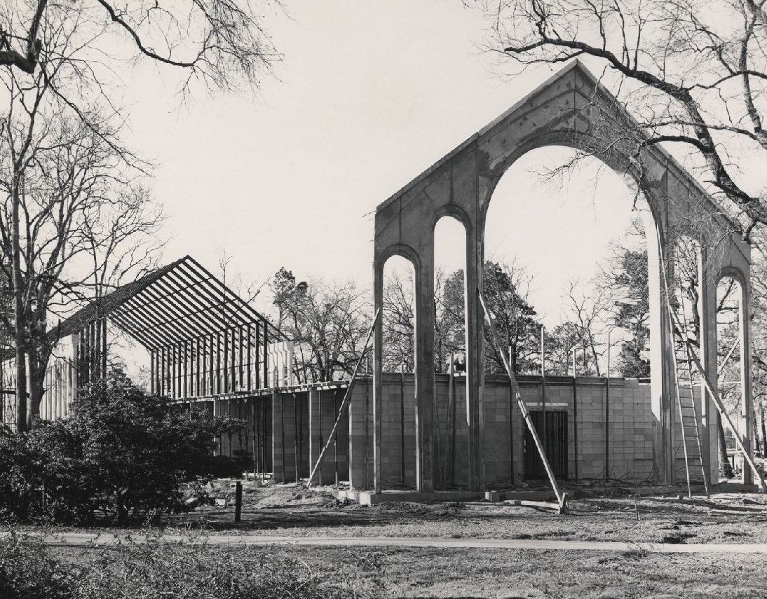
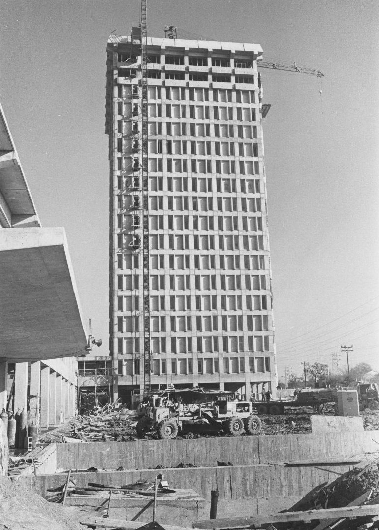
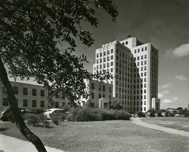
Retail and office buildings weren’t the only structures going up. Across the University of Houston campus and throughout the medical center district, construction was constant. New libraries, gymnasiums, dormitories, and research facilities were rising on tight deadlines to meet the demands of a rapidly expanding city population. The A.D. Bruce Religion Center broke ground in 1964, part of a broader push to develop the University of Houston into a serious academic institution.
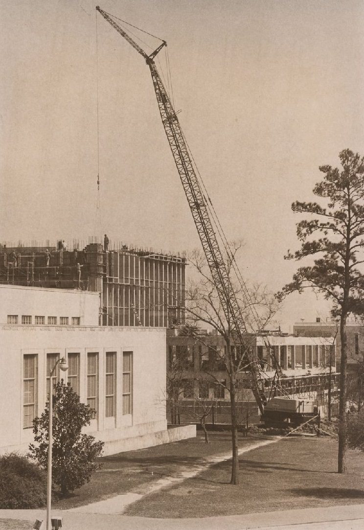
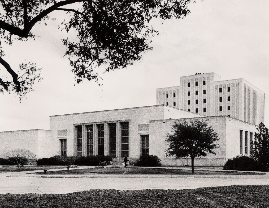
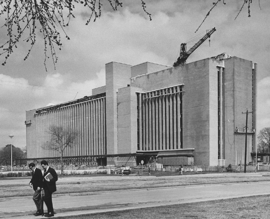
The M.D. Anderson Library at the University of Houston received a significant expansion in 1968 with the addition of its Blue Wing. Planners documented the project in both photographs and detailed architectural photomontages, giving a clear picture of how the campus was being deliberately designed for growth. These weren’t just buildings going up — they were infrastructure meant to serve tens of thousands of students for decades.
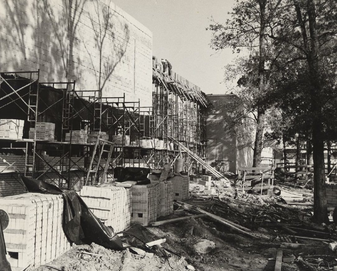
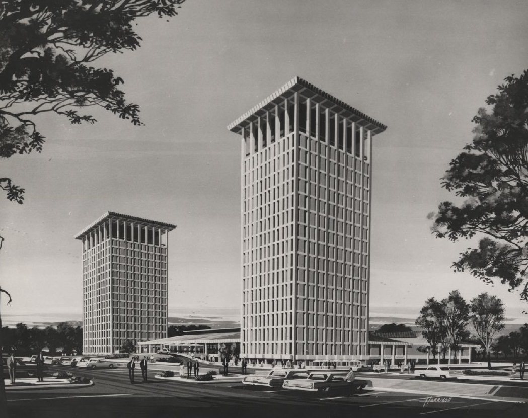
By 1969, the construction pace on campus had not slowed at all. Garrison Gym, the Science and Research Building, and the Moody Towers residential complex were all going up simultaneously. The Moody Towers, a pair of high-rise dormitories, were among the most ambitious student housing projects in the state at the time. Architectural drawings from that year show the towers’ clean, modernist lines — a design philosophy that reflected Houston’s broader appetite for bold, forward-looking construction.
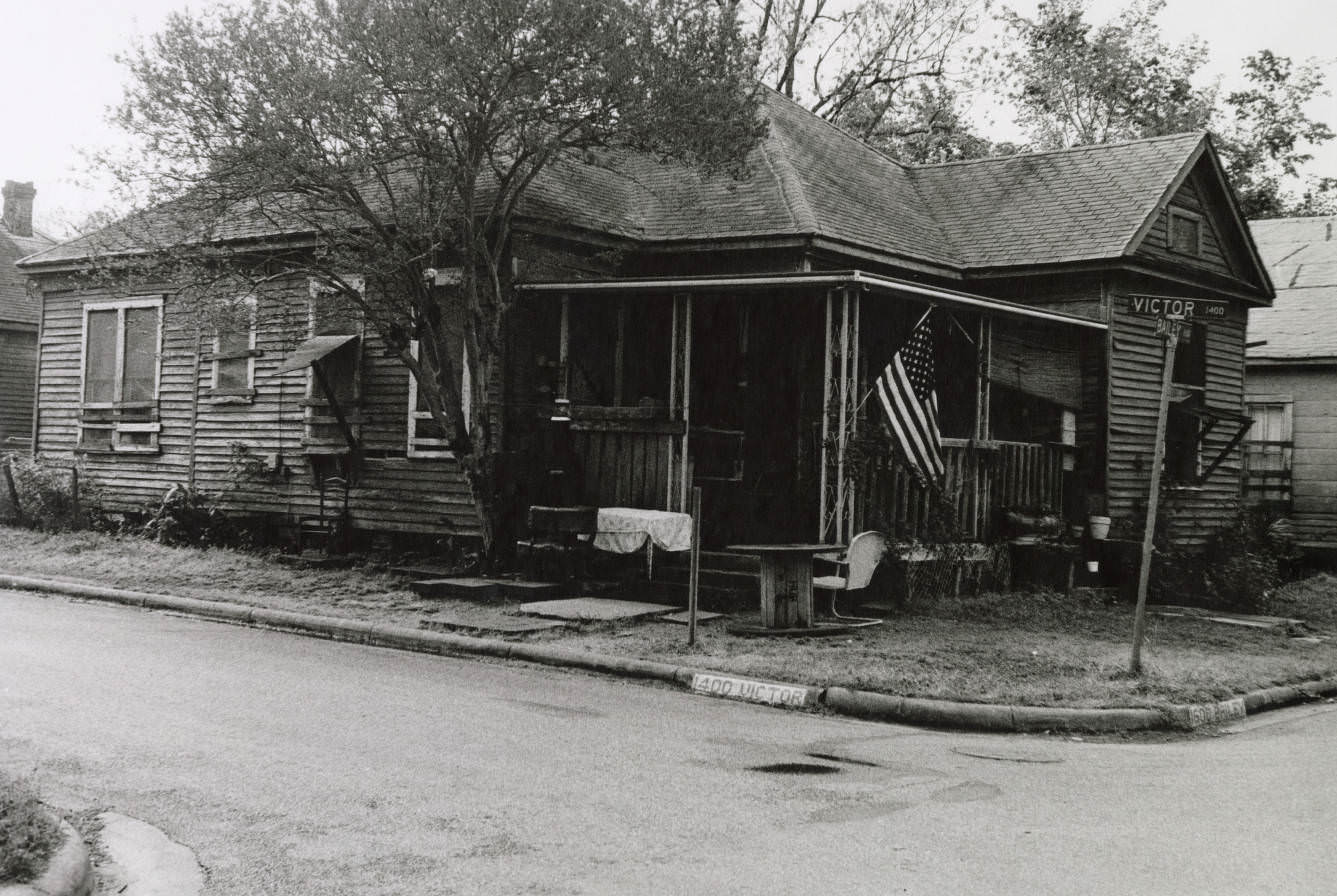
Not every part of Houston shared in the decade’s prosperity equally. The Fourth Ward, one of the city’s oldest Black neighborhoods, still contained wood-frame houses that stood in sharp contrast to the glass and steel rising elsewhere. These homes were a physical record of how unevenly development moved through the city, and photographs from streets like Victor Street preserve what many of those blocks looked like before urban renewal and highway expansion began to erase them.
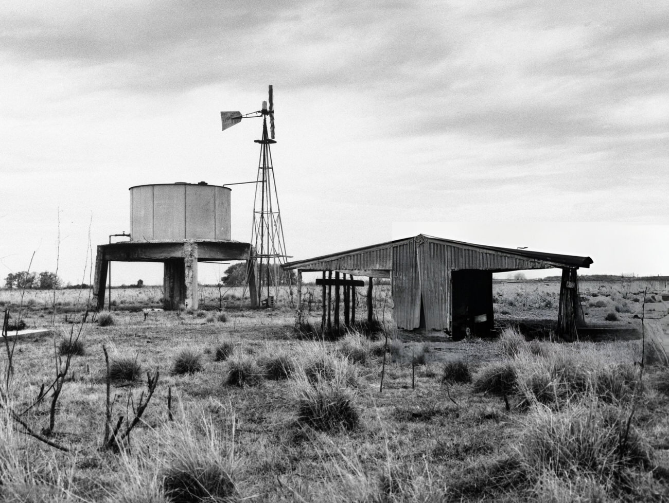
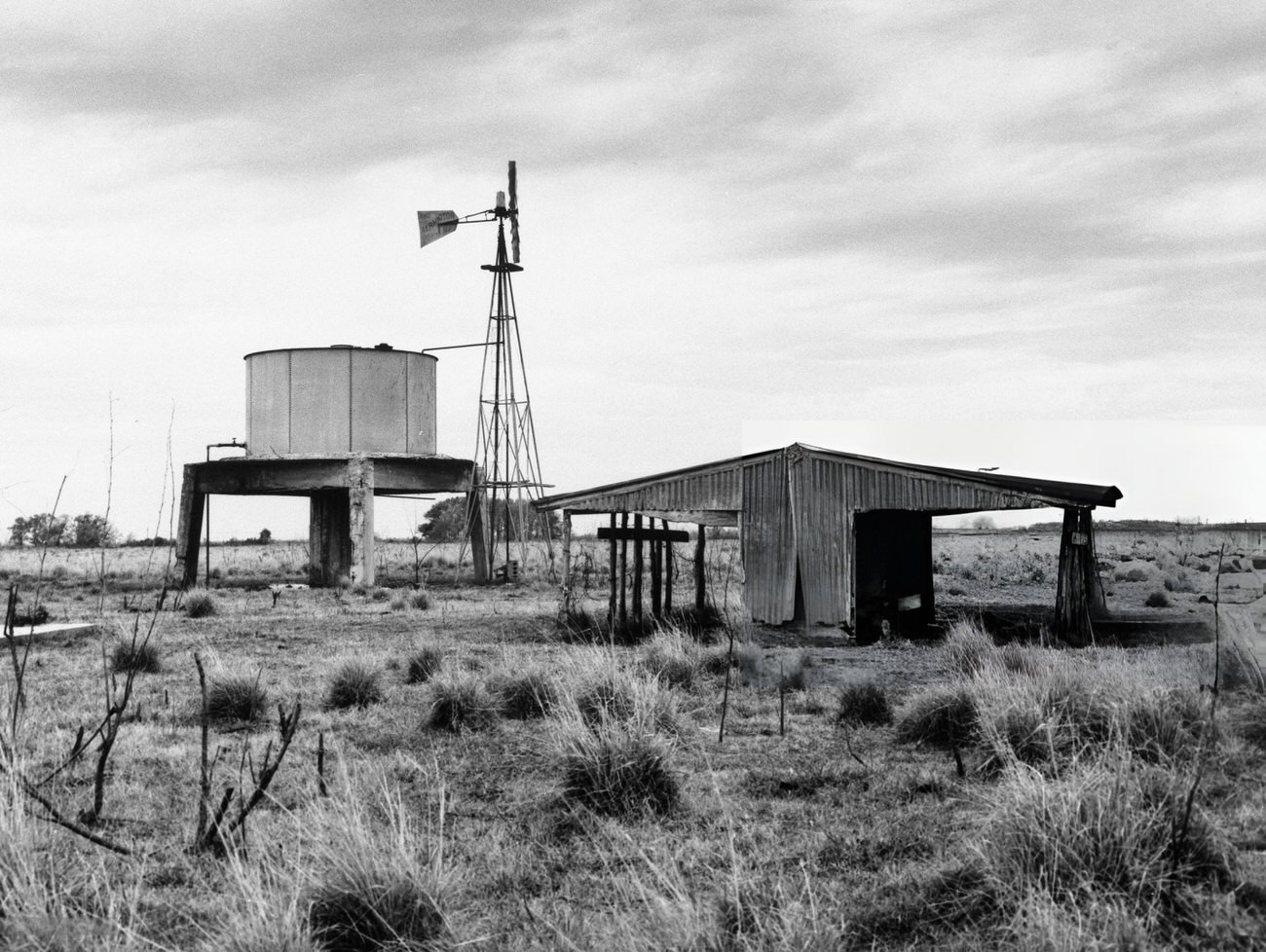
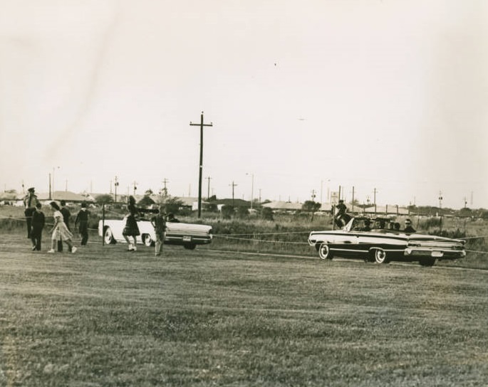
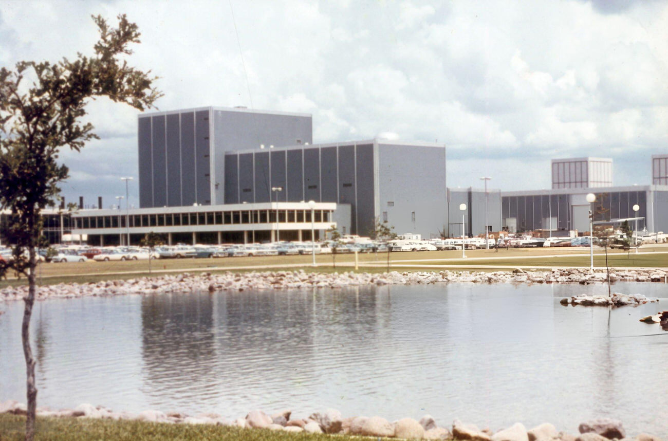
While neighborhoods like the Fourth Ward held on, a patch of flat Texas pastureland southeast of the city was about to become the most famous address in American science. In 1960, the future site of the Johnson Space Center was nothing but open fields and grazing cattle. NASA’s Manned Spacecraft Center officially opened there in 1963, and almost overnight, the surrounding area transformed into a hub of aerospace engineering, mission control operations, and astronaut training.
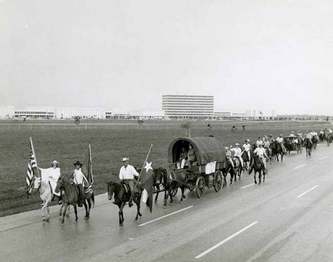
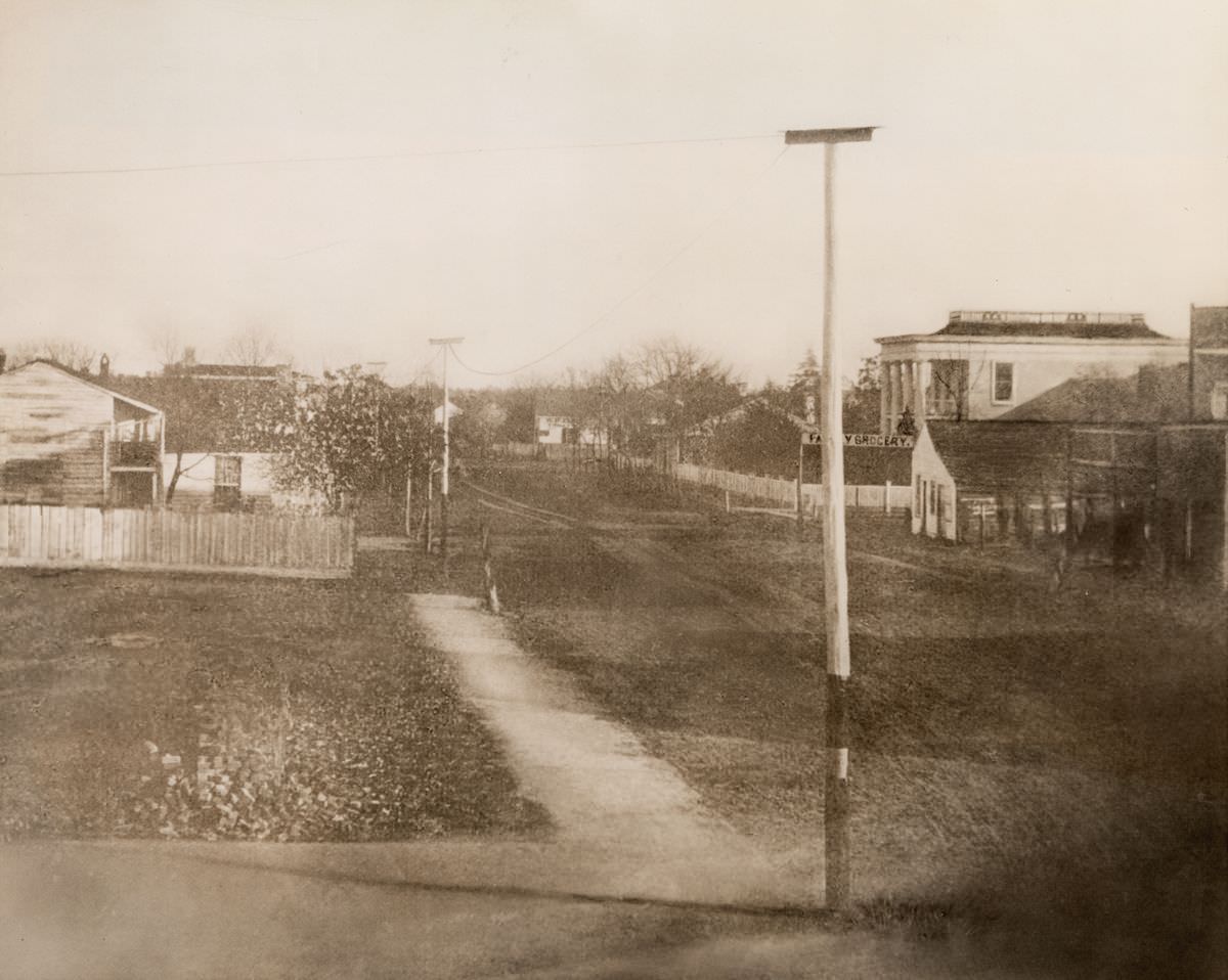
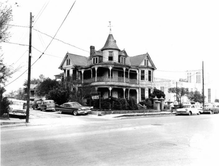
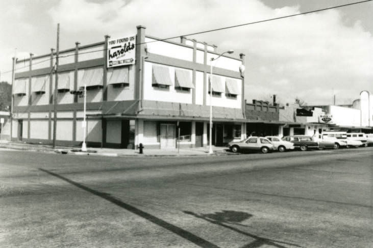
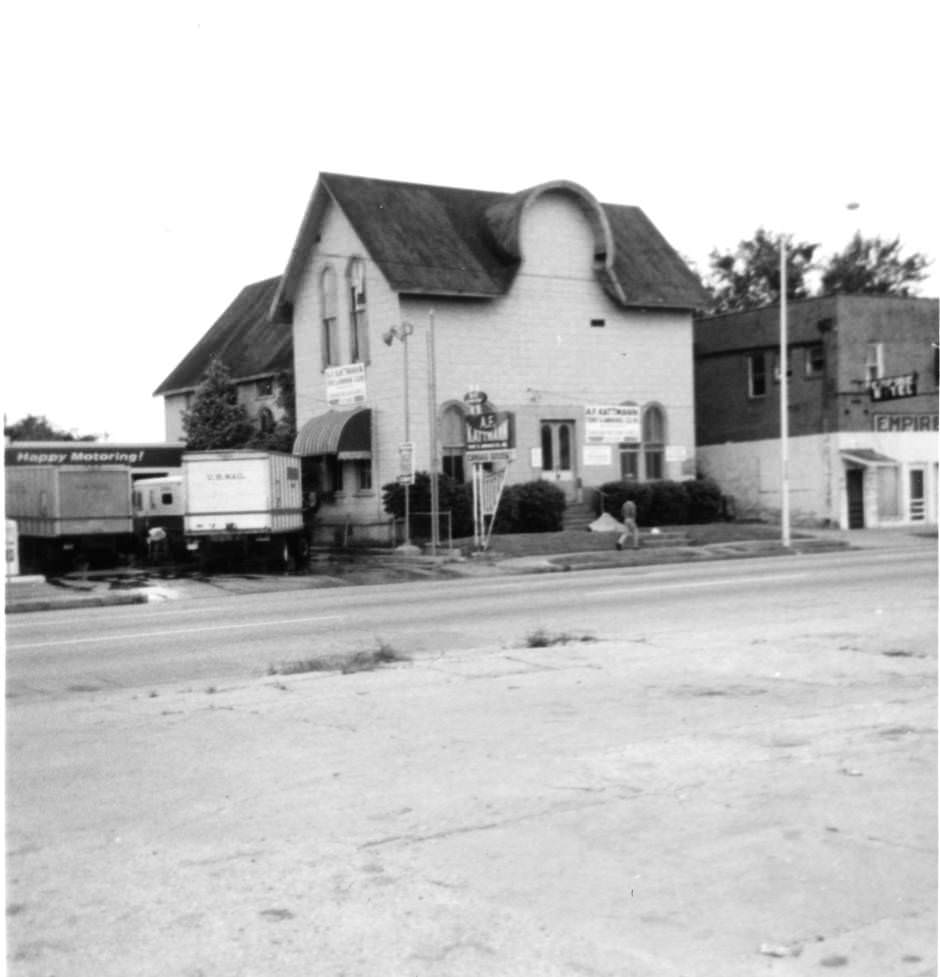
The older parts of the city carried their own distinct character. Wooden commercial buildings and narrow storefronts still occupied corners that newer developments hadn’t yet reached, giving Houston a layered look — part frontier town, part modern city. Street-level photographs from the early 1960s capture that duality clearly.
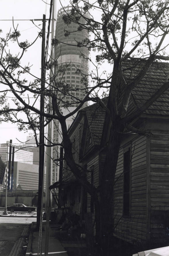
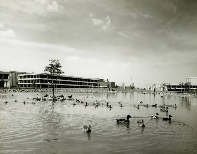
Tours of the NASA Space Center became a popular attraction for Houstonians and visitors alike. By September 1968, with the Apollo missions in full swing, the center drew large crowds eager to see the facilities where history was being made. The campus itself — with its low-slung mission buildings, reflecting ponds, and carefully manicured grounds — had the feel of a university crossed with a military base.
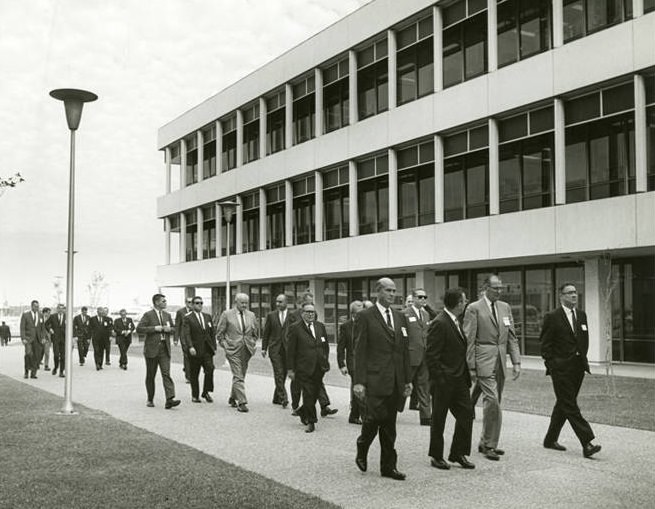
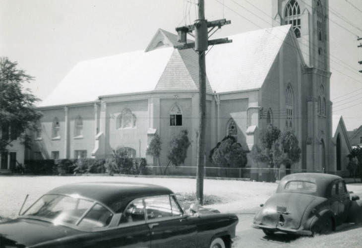
Religious institutions were fixtures of Houston’s neighborhood fabric. The Antioch Missionary Baptist Church, one of the oldest Black congregations in the city, stood as a community anchor in the early 1960s. Its presence in photographs from this era is a reminder that Houston’s civil rights story was also being written during this decade, even as the city promoted itself as a city of the future.
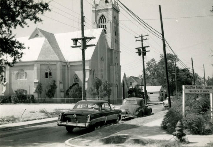
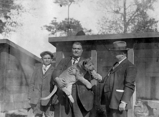
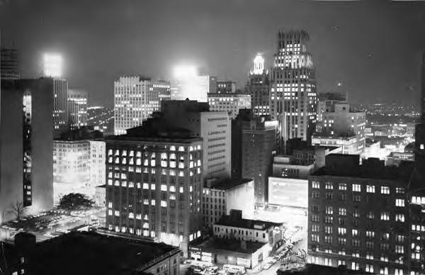
Leisure and entertainment were woven into everyday Houston life. The Houston Zoo offered families a popular weekend destination, and photographs from the 1960s show zoo staff and visitors interacting with animals — including, on at least one occasion, a lion cub — with a casualness that reflected different standards of the era. Meanwhile, at night, downtown Houston came alive with neon and foot traffic, its streets humming with a energy that daylight photographs alone couldn’t fully convey.
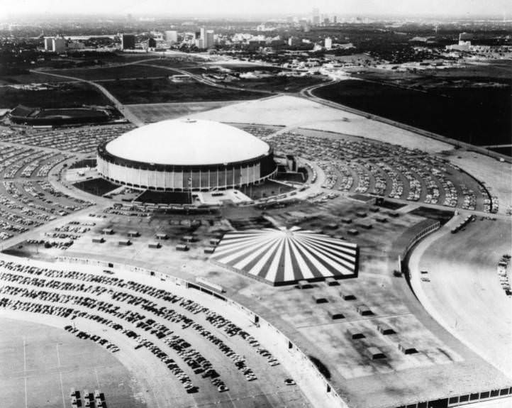
No single structure symbolized Houston’s ambition in the 1960s more than the Astrodome. Opened in 1965, it was the world’s first domed, air-conditioned sports stadium. The sheer scale of it — visible from miles away — made it an instant landmark. Aerial photographs from the period show the Astrodome and adjacent Astrohall sitting on the southwest side of the city like something dropped in from the future. Houstonians called it the Eighth Wonder of the World, and most of them meant it sincerely.
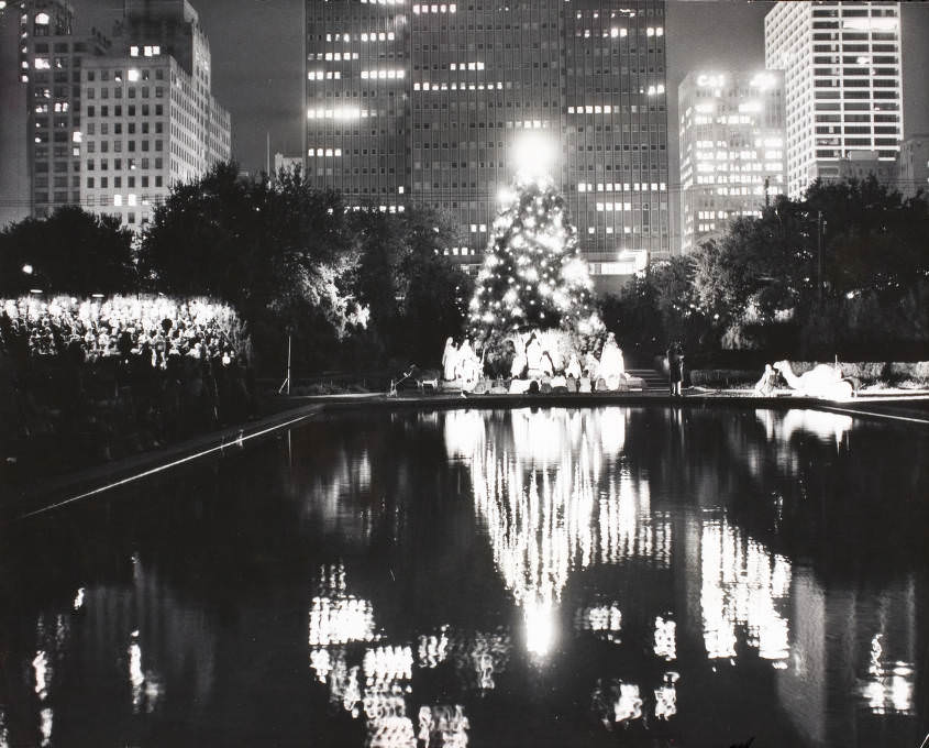
The city marked its seasons publicly and proudly. A Christmas tree at City Hall in 1960 drew crowds downtown, framed by the same Main Street storefronts that served as the city’s commercial backbone. These civic traditions grounded Houston in a sense of community even as rapid growth constantly reshaped what the city looked like from one year to the next.
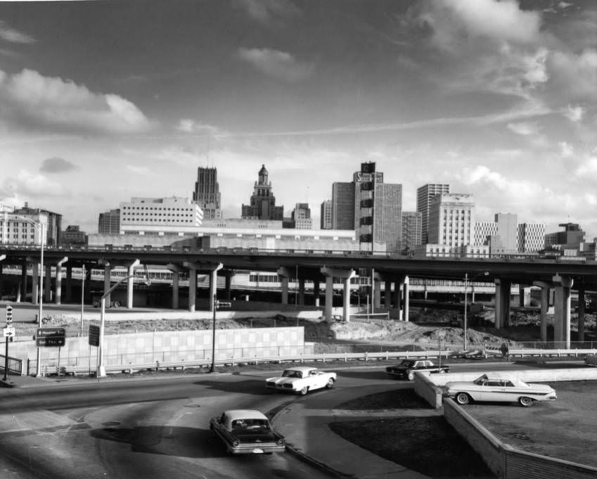
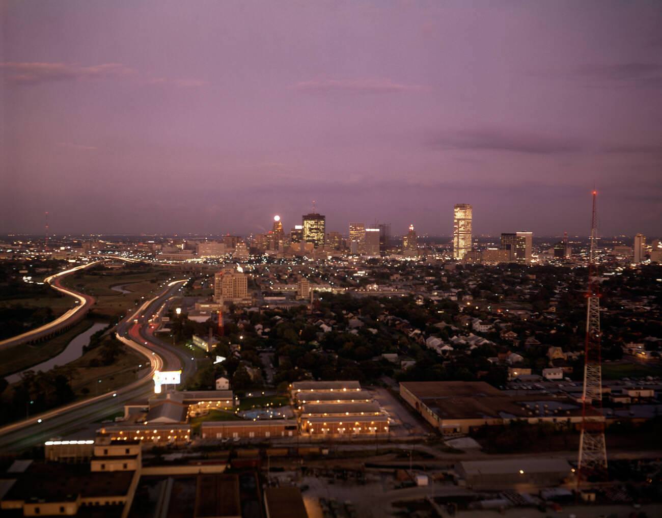
Houston’s freeway system was aggressively expanded throughout the 1960s to keep pace with the sprawl. The Southwest Freeway interchange, photographed in 1961, shows a road network already reaching toward the suburbs that were springing up in every direction. New communities like Sharpstown and Meyerland gave young families affordable housing and good schools, and the freeways made it possible for those families to commute downtown or out to the space center.
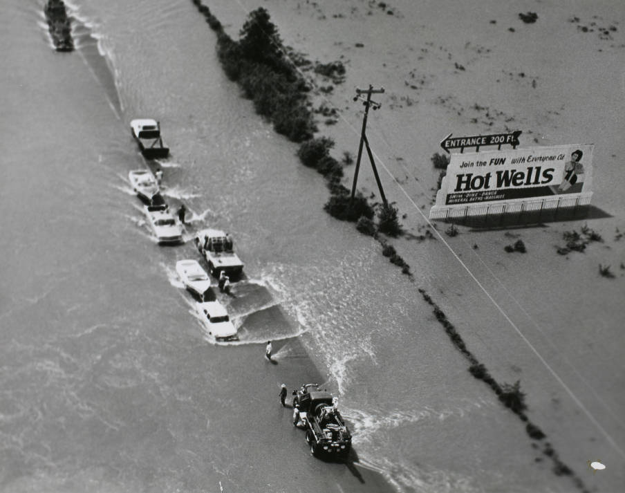
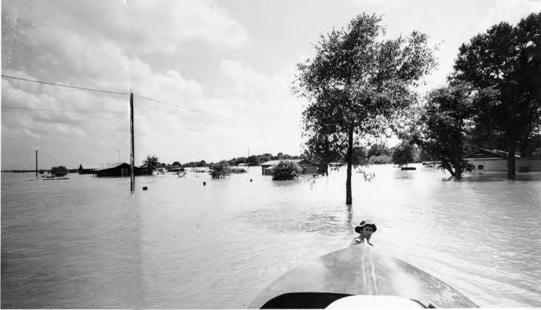
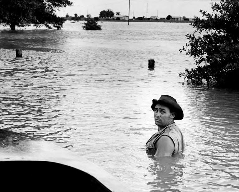
Houston’s geography made flooding a recurring problem. In 1960, serious floods swept through parts of the city, stranding vehicles and forcing residents onto boats to navigate submerged streets. Photographs from that year show cars partially underwater and emergency vessels moving through what were normally busy roads. Houston’s flat terrain and proximity to the Gulf of Mexico made severe flooding a predictable fact of life, not an exceptional event.
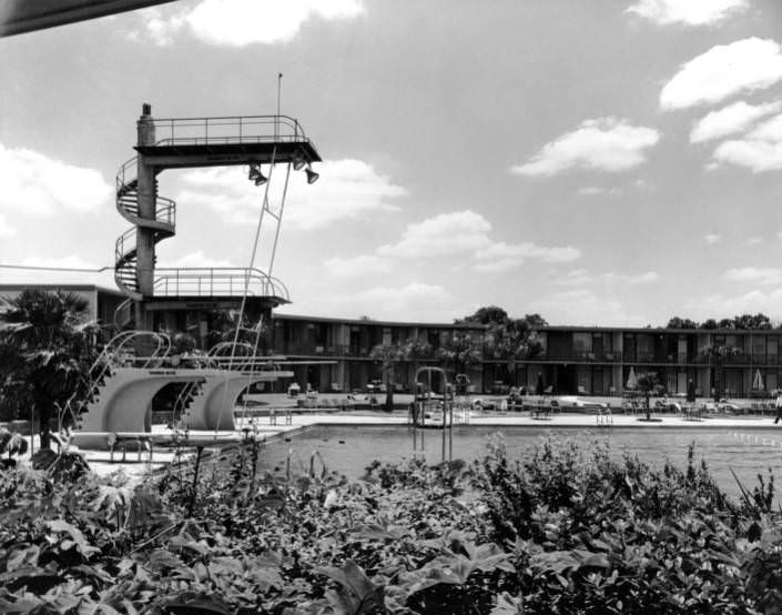
The Shamrock Hilton Hotel was one of Houston’s most glamorous addresses throughout the decade. Its massive pool was a destination in its own right — wide, blue, and surrounded by the kind of mid-century modern architecture that made Houston feel like it belonged alongside Miami or Los Angeles. The hotel hosted celebrities, oil executives, and visiting dignitaries, and its pool deck appeared in more than a few magazine spreads during the 1960s.
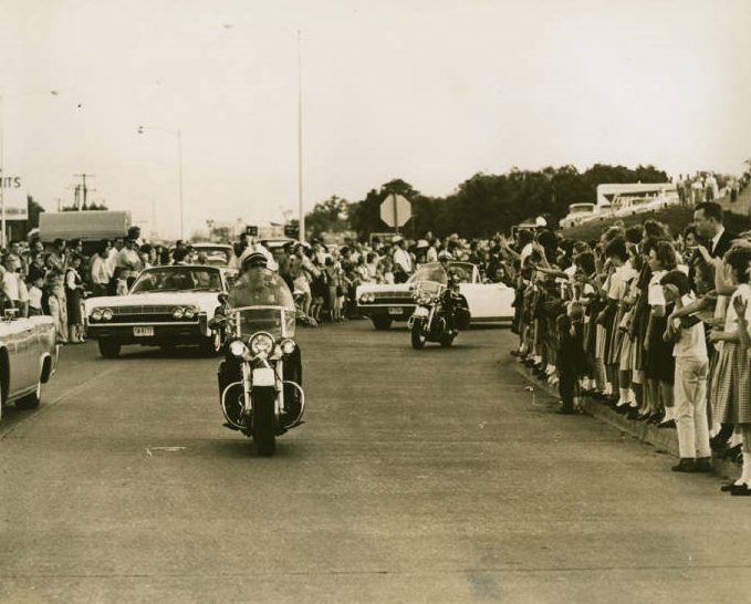
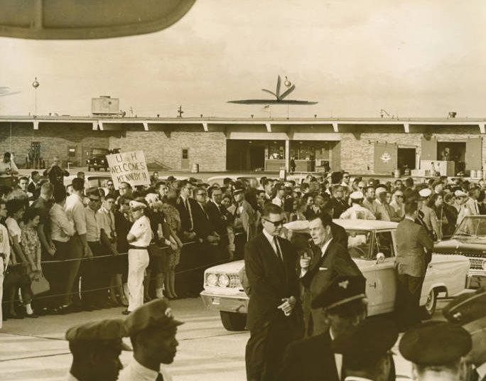
President John F. Kennedy visited Houston on multiple occasions during his presidency, and the city turned out in force each time. In 1962, crowds lined the streets and packed Hobby Airport to catch a glimpse of the motorcade. Children climbed barriers and pressed against fences to see the president’s car pass. Kennedy’s connection to Houston was especially charged given the city’s central role in the space program he had championed so publicly.
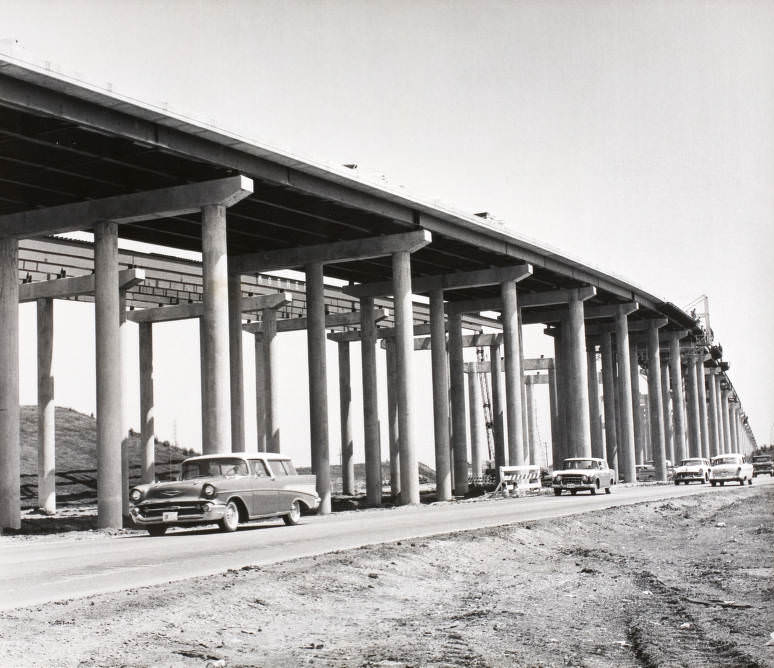
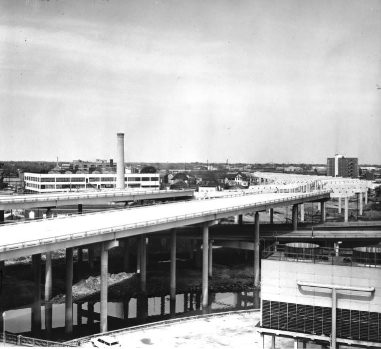
The city’s freeway construction didn’t stop at interchanges. Elevated sections of highway were threaded through and above existing neighborhoods throughout the decade, requiring enormous engineering efforts and displacing communities in their path. Photographs of those elevated freeway structures under construction in the early to mid-1960s show how radically the city’s physical landscape was being reorganized around the automobile.
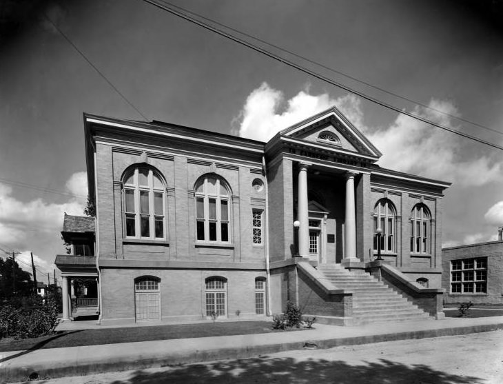
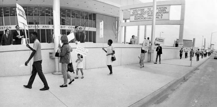
The Colored Carnegie Library was one of the few public library branches available to Black Houstonians during the era of segregation. Photographs of the building from the 1960s document its place in the city’s cultural landscape at a time when access to public resources was still divided by race. Protests were also part of Houston’s 1960s story — in March 1968, demonstrators gathered outside a National Education Association event, making their grievances visible in a city that often preferred to project an image of smooth, unstoppable progress.
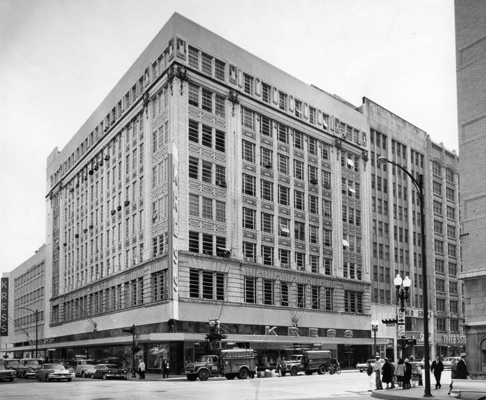
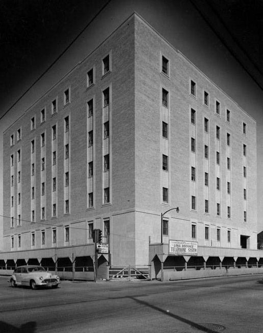
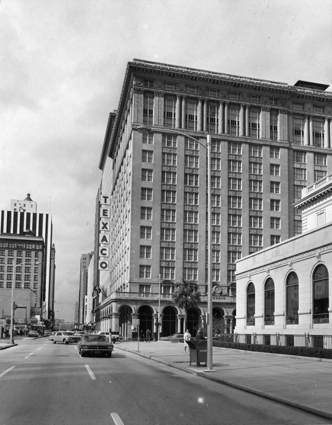
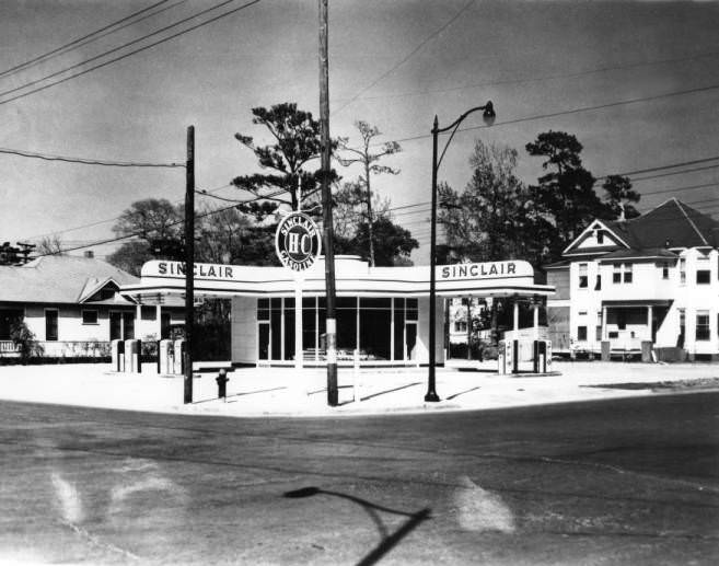
Houston’s commercial corridors in the 1960s held a variety of storefronts that served every corner of city life. The Kress Building, the Texaco Building, the Southwestern Bell Telephone Building, and the Sinclair gas station each represent a different thread of the city’s economic fabric — retail, energy, telecommunications, and transportation all rooted in a skyline that was still very much finding its final form.
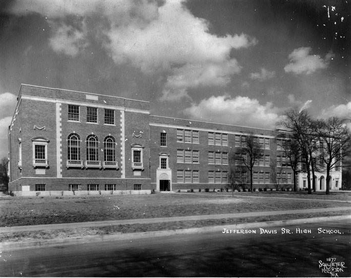
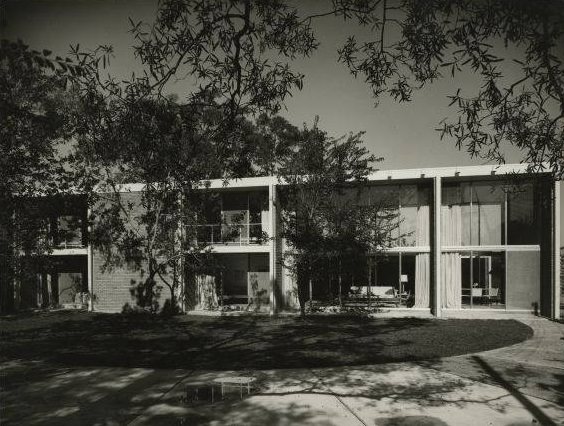
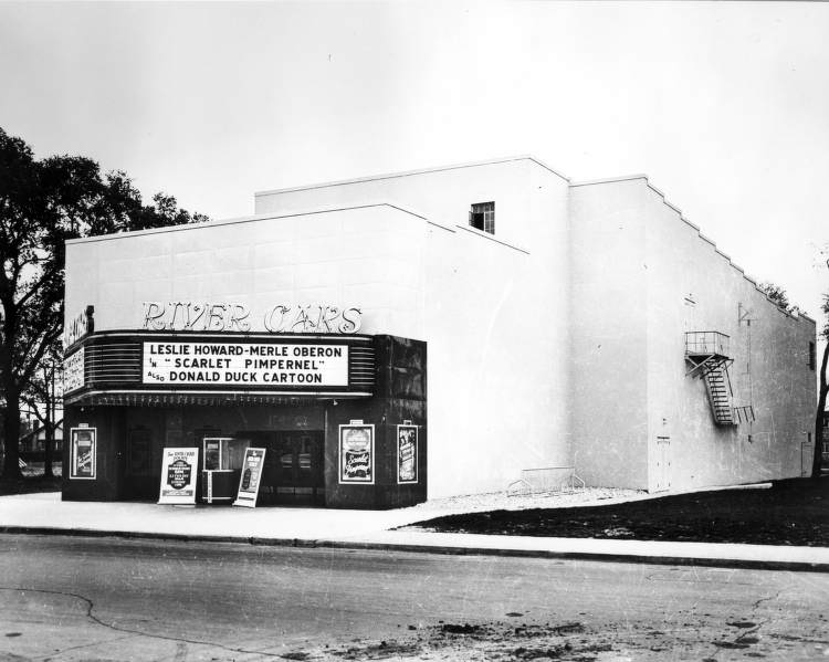
Neighborhood movie theaters were still a primary form of entertainment in the early 1960s before television fully took over. The River Oaks theater served the upscale River Oaks neighborhood and was among the most well-maintained cinema houses in the city. Gas stations like the Sinclair station, with its iconic green dinosaur logo, anchored corners throughout Houston’s residential neighborhoods, their designs as recognizable as any church steeple.
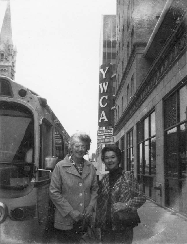
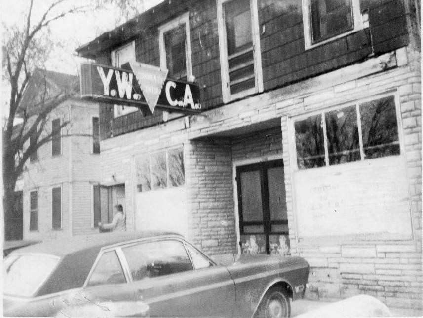
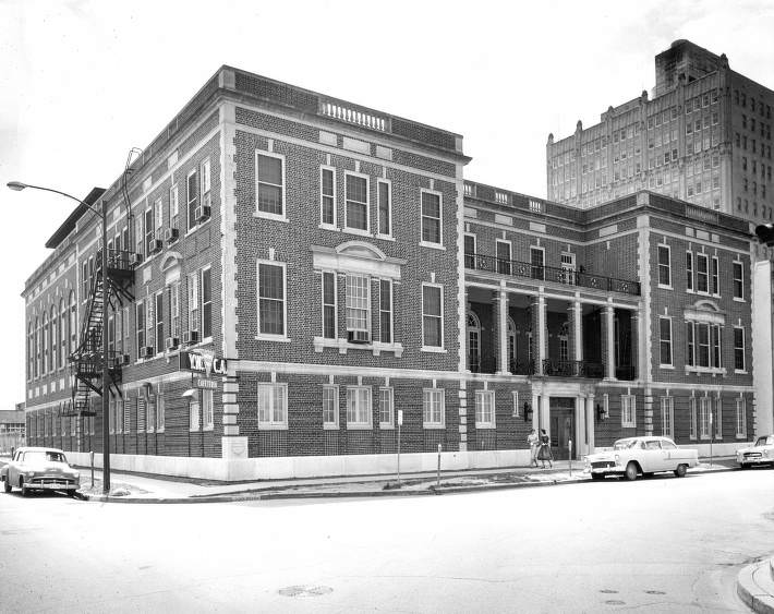
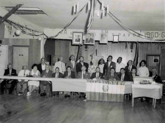
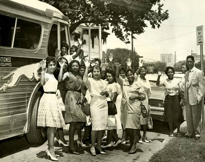
The YWCA was an important institution for women across Houston during the 1960s, offering housing, programming, and community resources at a time when women’s independent access to public life was still limited in many respects. Photographs of the YWCA building from both inside and out show a well-maintained facility that was clearly well-used. Community organizations like the Sociedad Mutualista Obrera Mexicana also remained active during this era, serving Houston’s Mexican-American population with mutual aid and cultural programming.
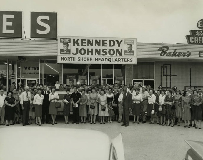
The 1960 presidential election had deep roots in Houston. Kennedy-Johnson campaign workers organized throughout the city, knowing that Texas was a must-win state. Photographs of campaign volunteers from that year show the grassroots energy behind a race that ultimately turned on a razor-thin margin. Lyndon Johnson’s presence on the ticket made Texas a priority, and Houston’s Democratic base was expected to deliver — and did.
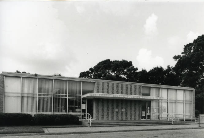
Houston’s library system expanded in step with its growing suburbs. The Oak Forest Neighborhood Library opened on October 6, 1961, serving one of the city’s newer residential communities. These branch libraries were practical expressions of civic investment — small buildings that gave neighborhoods a shared cultural anchor at a time when strip malls and freeways could otherwise make a community feel like it lacked a center.
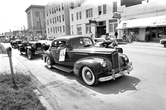
Public spectacle was part of Houston’s cultural calendar. A street parade in 1965 for the musical “The Boy Friend” brought performers and floats through city streets, drawing crowds that lined the sidewalks for a look. Moments like these — casual, cheerful, distinctly local — existed alongside the historic and the monumental, giving the decade a texture that pure space-race history often leaves out.
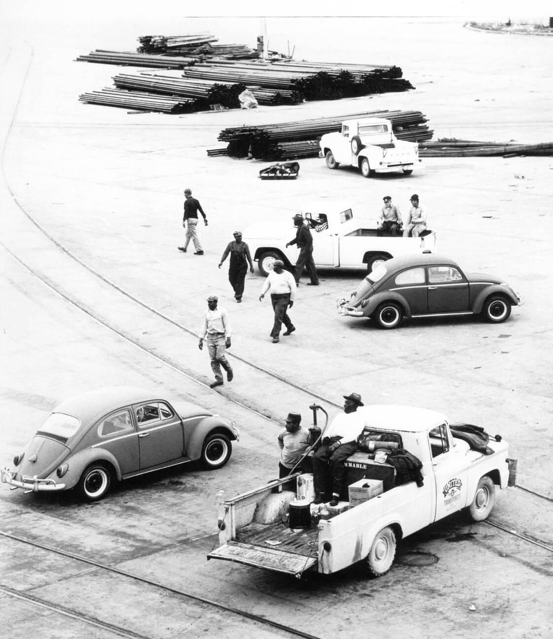
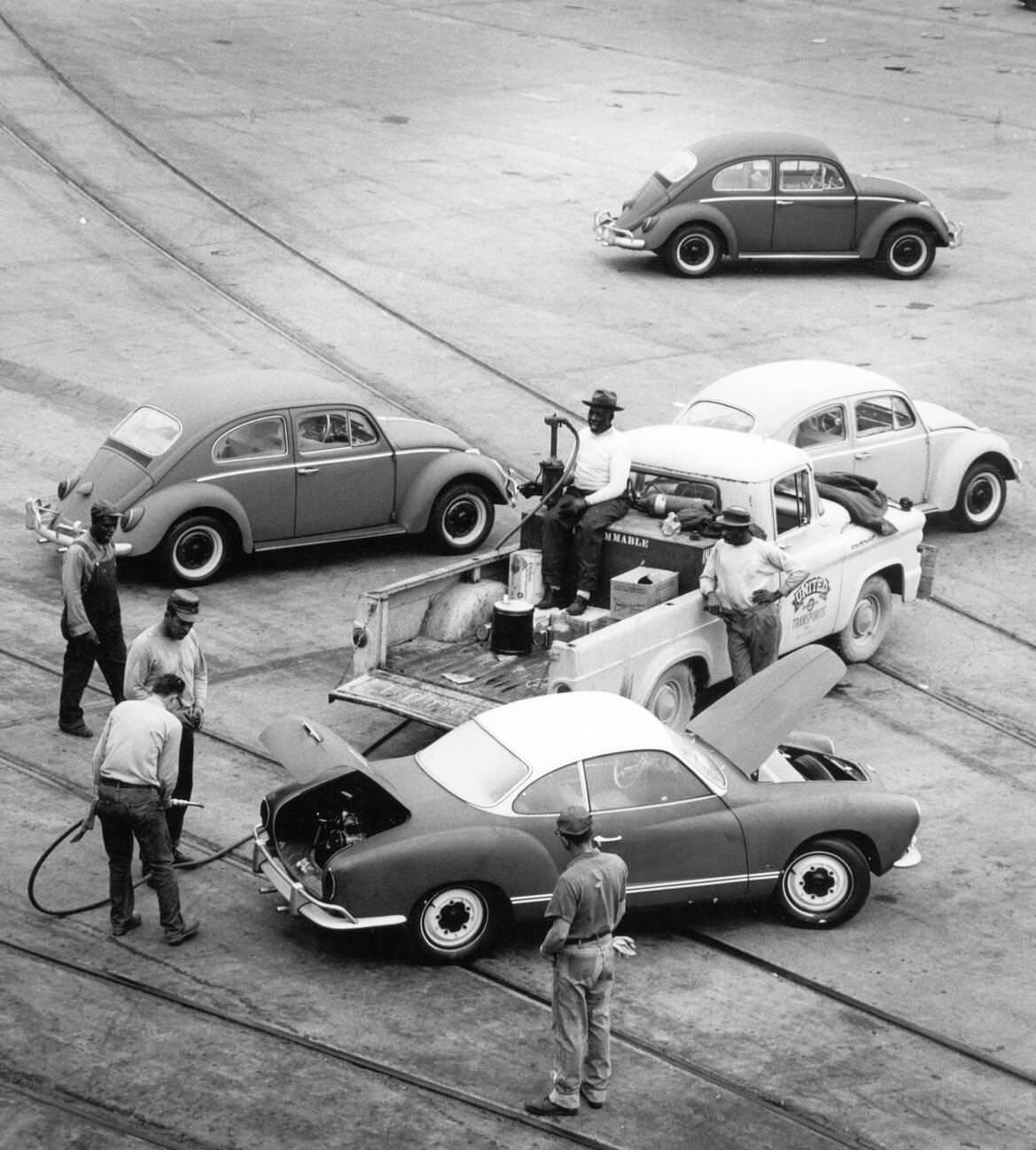
Houston’s port was among the busiest in the country, and photographs from the 1960s capture some of the goods flowing through it. Hundreds of Volkswagen Beetles arrived at the Houston harbor by ship after being imported from West Germany, lined up on the docks before being refueled and distributed to dealerships across the region. The Beetle’s popularity in America was accelerating throughout the decade, and Houston’s port served as one of the entry points for that wave.
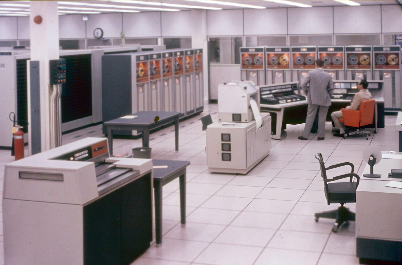
The Johnson Space Center campus grew rapidly after its 1963 opening, and by the mid-1960s it was a fully operational complex with mission control rooms, testing facilities, and rows of computer terminals that represented the cutting edge of computing technology at the time. The interior of the computer room at the Manned Space Center shows banks of equipment that today look impossibly bulky but were then processing the calculations that would guide men to the Moon.
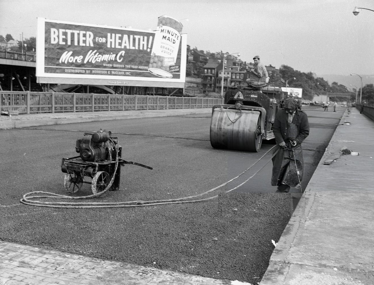
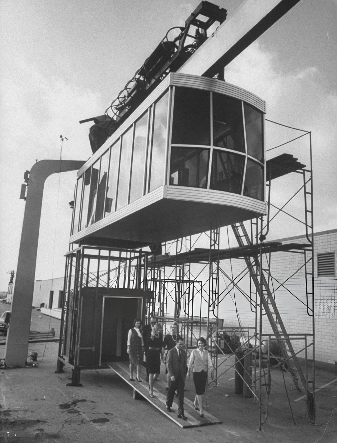
Houston also experimented with novel transportation ideas in the 1960s. A “Sky Taxi” service — an early attempt at aerial urban transport — was documented in a year-end publication from the decade, reflecting the city’s eagerness to embrace futuristic concepts. Whether the idea ever got beyond the planning stages or brief operation, the fact that it was seriously documented speaks to the mood of the era. Road crews, meanwhile, kept pace with growth the old-fashioned way — steam rollers and asphalt, with a Minute Maid billboard watching over the work.
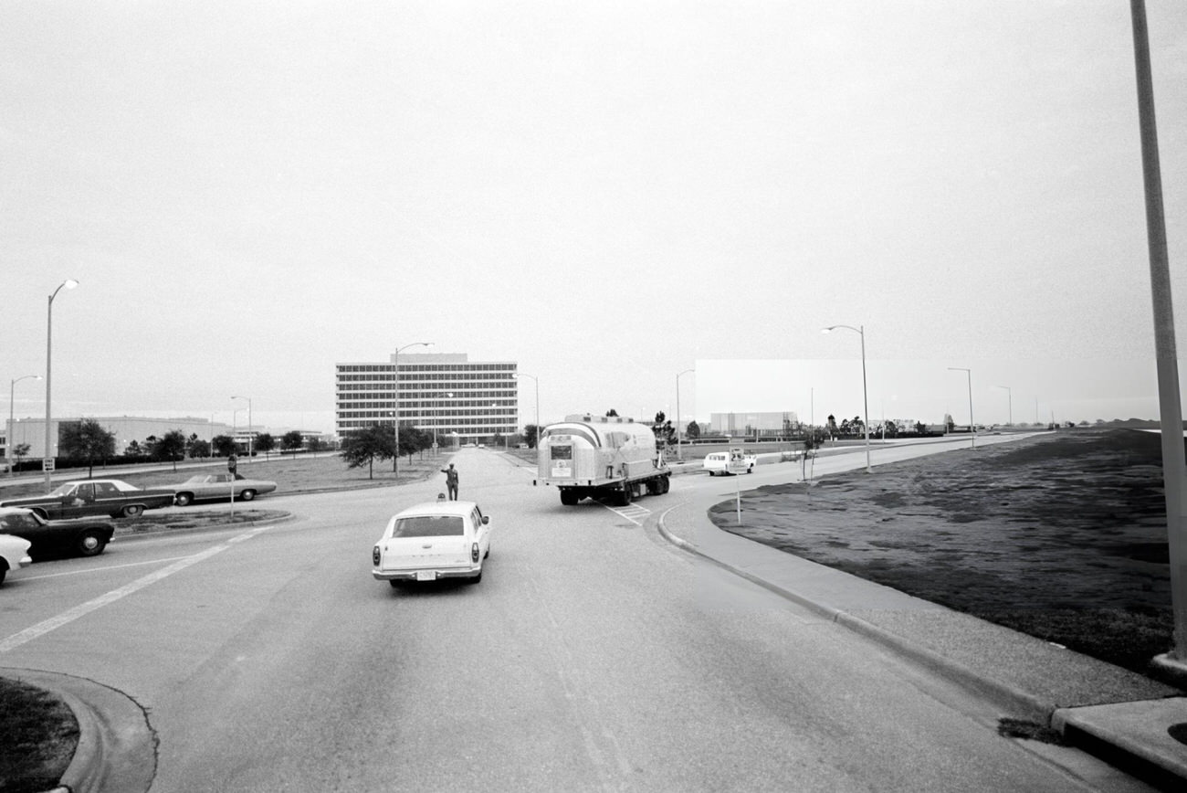
The Apollo 12 mission in 1969 brought the decade’s space story full circle for Houston. After splashing down in the Pacific Ocean, the crew was placed in the Mobile Quarantine Facility — a sealed trailer designed to contain any potential lunar contaminants — and transported back to the Manned Spacecraft Center. Photographs of their arrival show the trailer being moved into position, a strange, clinical endpoint to one of the most daring journeys in human history.
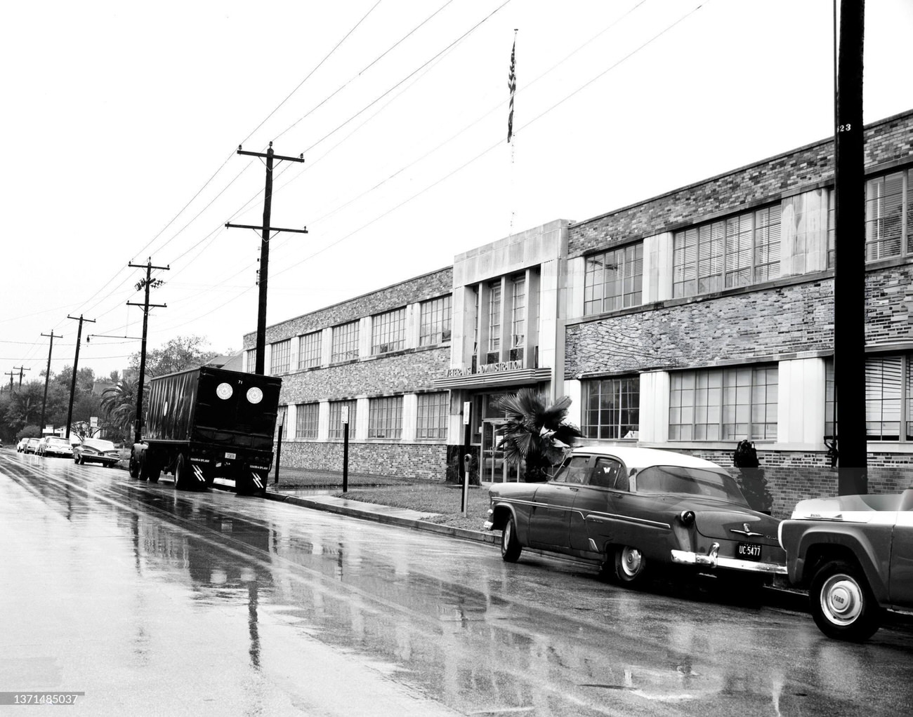
Perhaps the most striking images in this entire collection are the ones showing the future site of the Johnson Space Center in 1960 — an open cow pasture with no sign of what was coming. Within three years, that field would be one of the most sophisticated scientific campuses on Earth. Before NASA broke ground, the Veterans Administration used a leased office in Houston to manage early space project work, including the Gemini Spacecraft Project. The Houston Coliseum hosted the Project Mercury Summary Conference in 1963, pulling the decade’s space story directly into the city’s civic spaces.