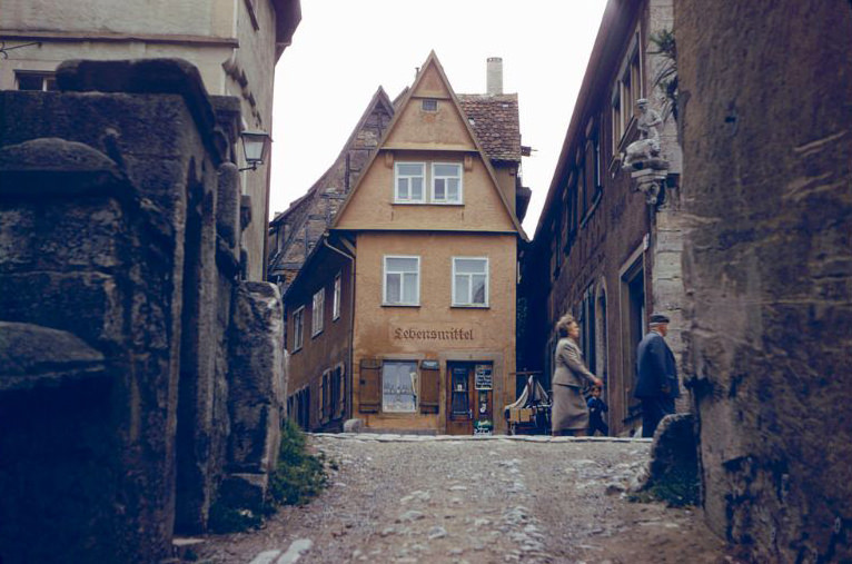
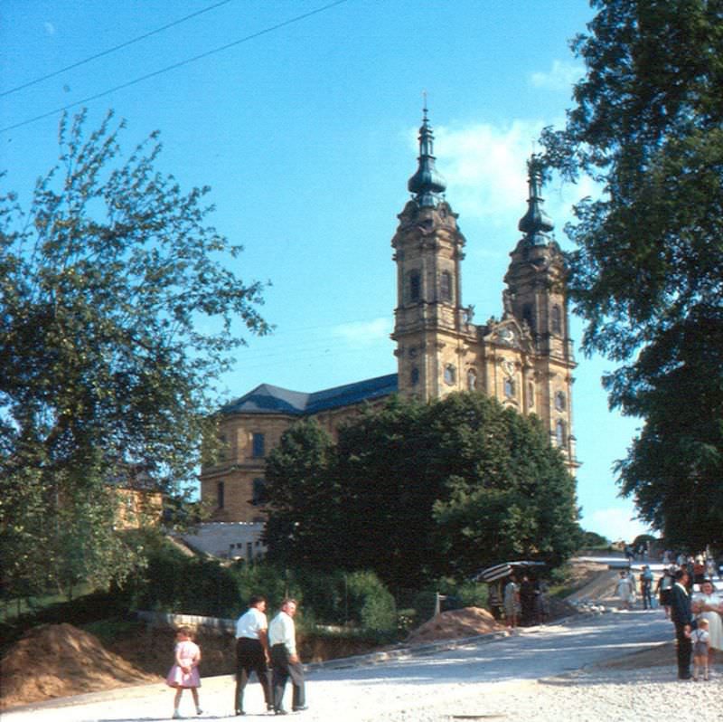
In 1945, Germany lay in ruins. Fifteen years later, the country had split into two entirely different nations — the Federal Republic of Germany in the West and the German Democratic Republic in the East. By the 1960s, these two states were not just politically separate. They lived under opposing economic systems, different governments, and completely different ways of life. The contrast between them grew sharper with every passing year of the decade.
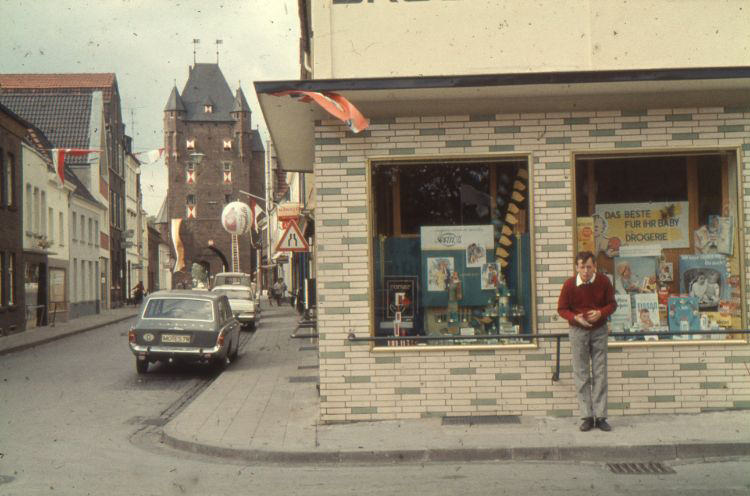
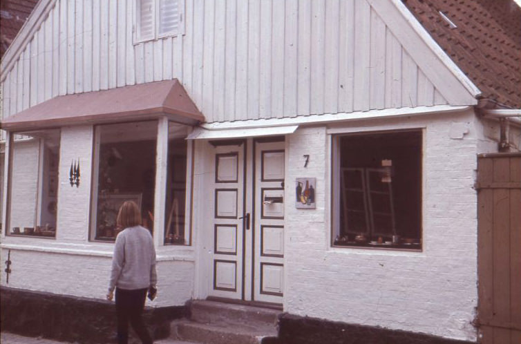
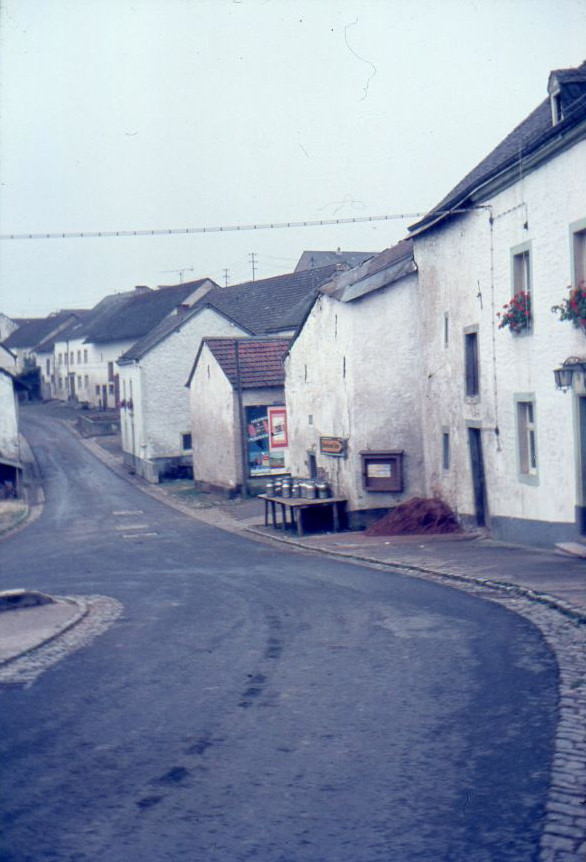
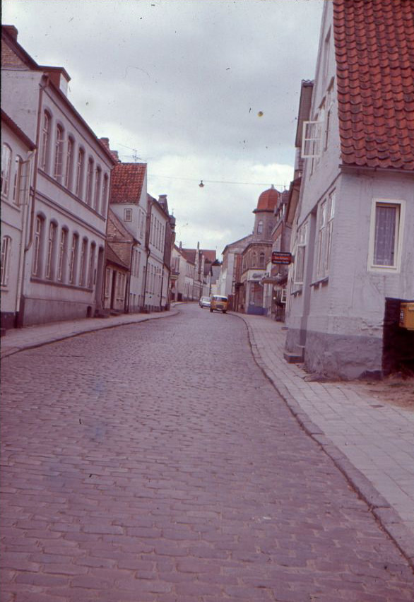
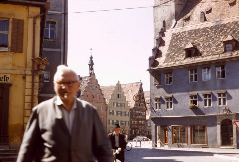
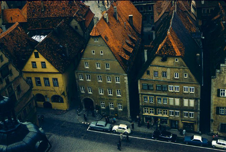
Drugstore at Klever street corner Rheinstraße, Xanten, 1960s
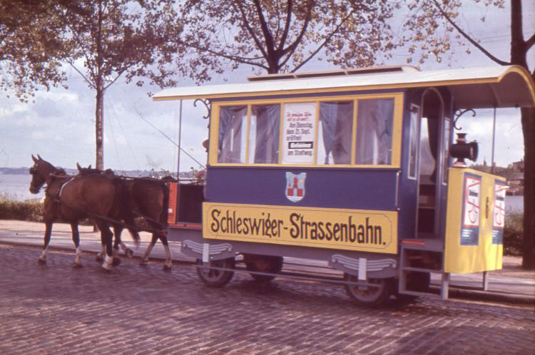
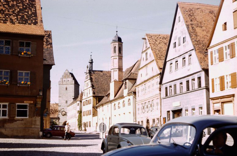
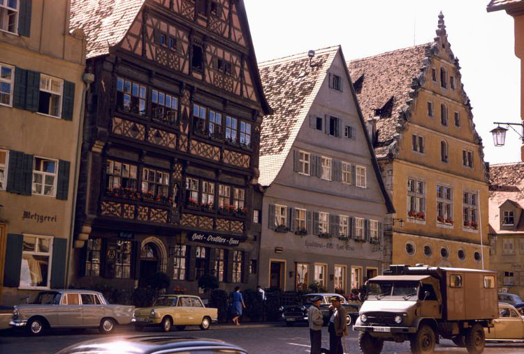
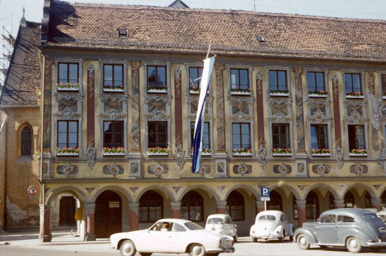
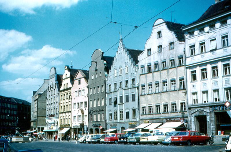
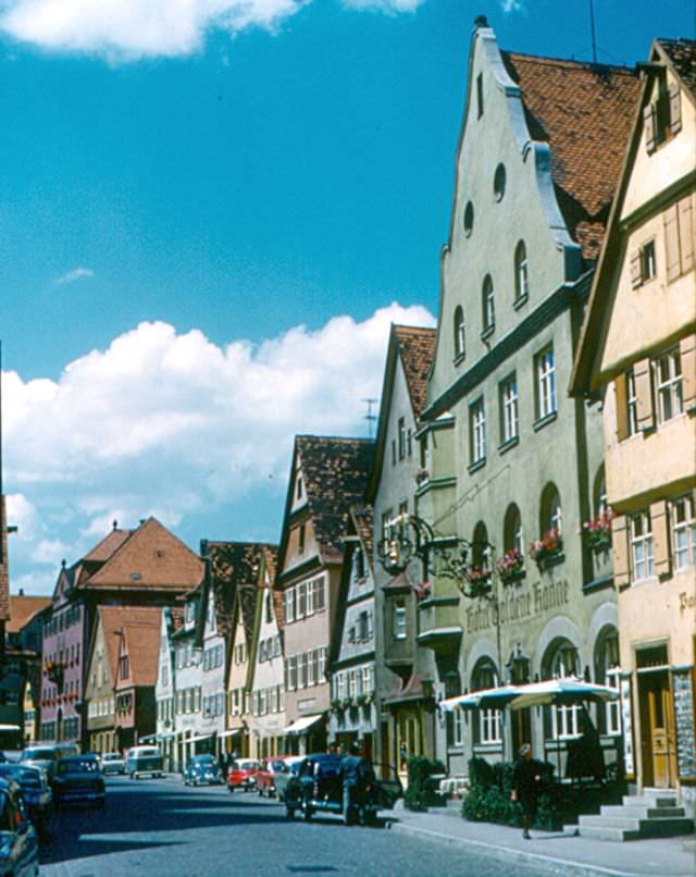
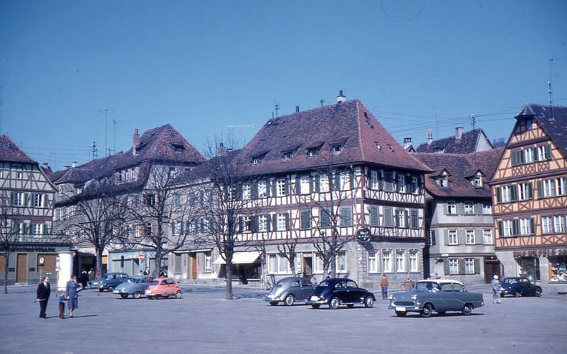
In West Germany, the 1960s were defined by the Wirtschaftswunder — the “economic miracle.” Supported by American aid through the Marshall Plan, West Germany rebuilt its industry at a pace that surprised the world. Factories hummed, unemployment dropped, and consumer goods flooded the market. Volkswagen Beetles and Mercedes-Benz cars rolled off assembly lines and onto roads across Europe and beyond, becoming global symbols of German craftsmanship. Ordinary West Germans were shopping in well-stocked stores, riding modern trams, and filling parking lots with new cars — scenes that would have seemed impossible just two decades earlier.
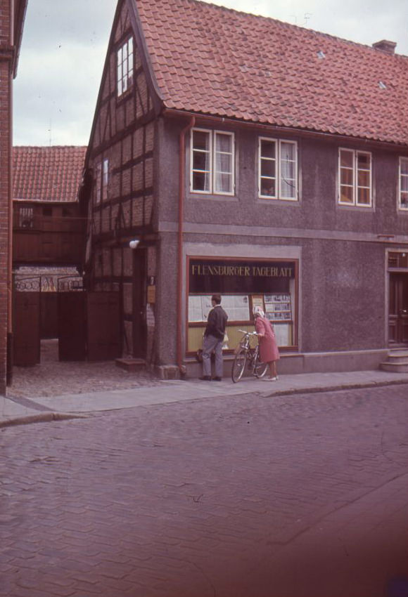
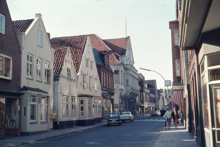
“Flensburger Tageblatt” on the Schmiedstraße in Kappeln (Schlei), 1960s“Schleswiger Straßenbahn” tram in Kappeln (Schlei), 1960s
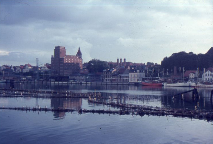
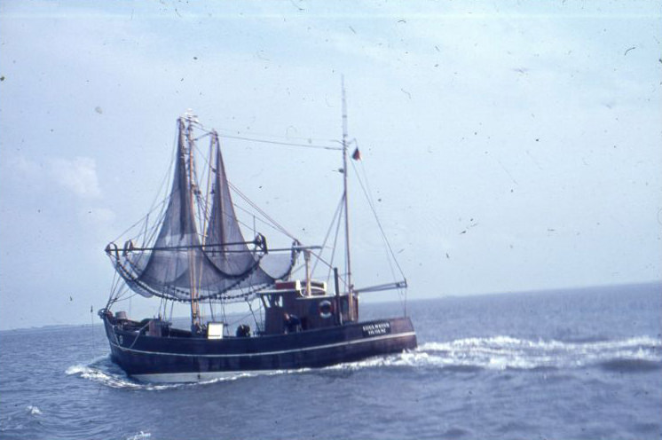
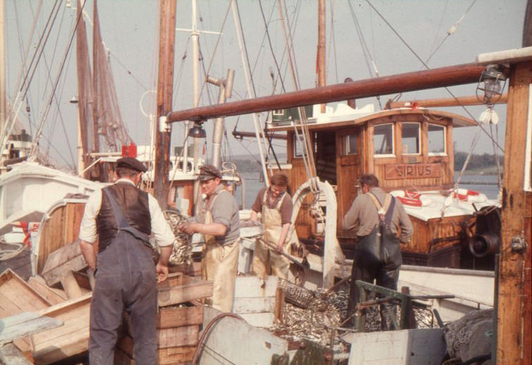
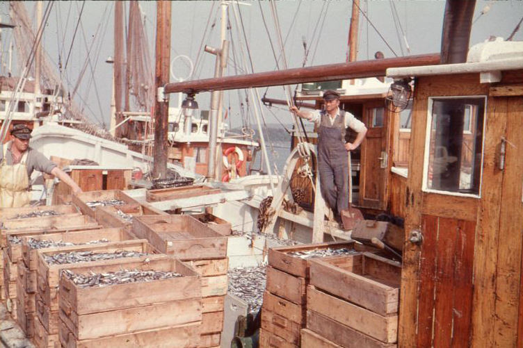
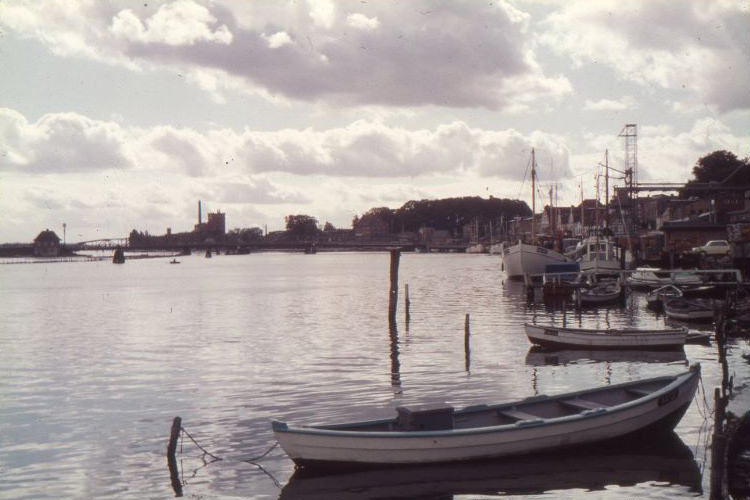
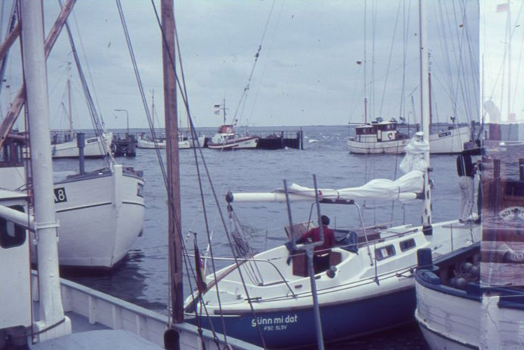
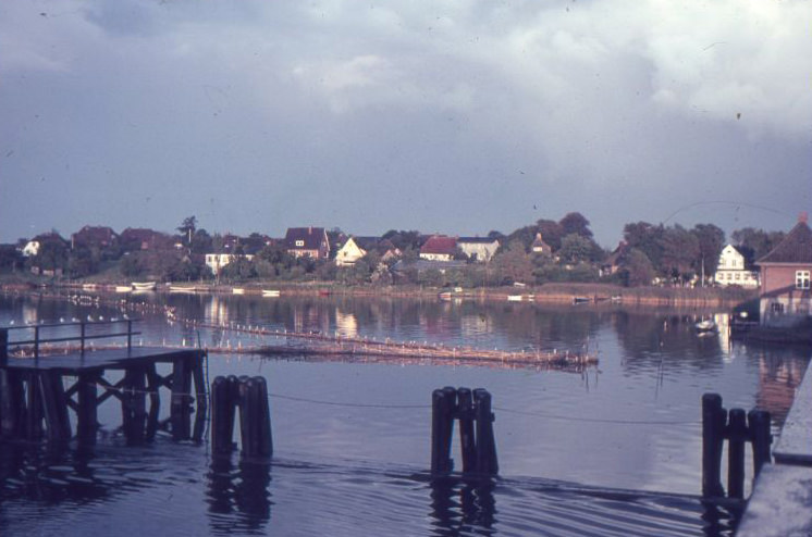
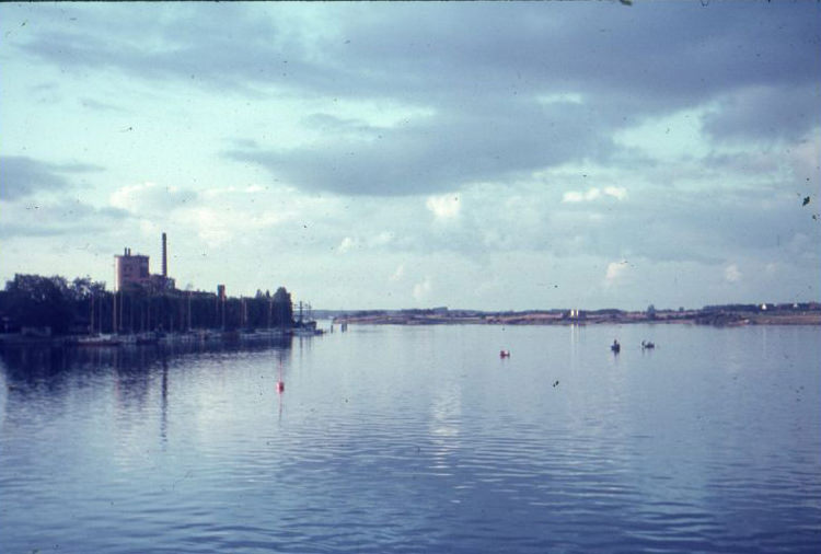
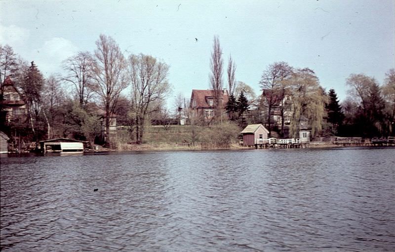
Small coastal towns like Kappeln on the Schlei inlet captured a quieter side of West German life. Fishing boats docked at working harbors, local shops served their neighborhoods, and the Nestlé plant in the background of the fishing port showed how international industry had quietly settled into even small communities. Life moved at a measured pace along the northern coast, far from the political tension brewing in Berlin.
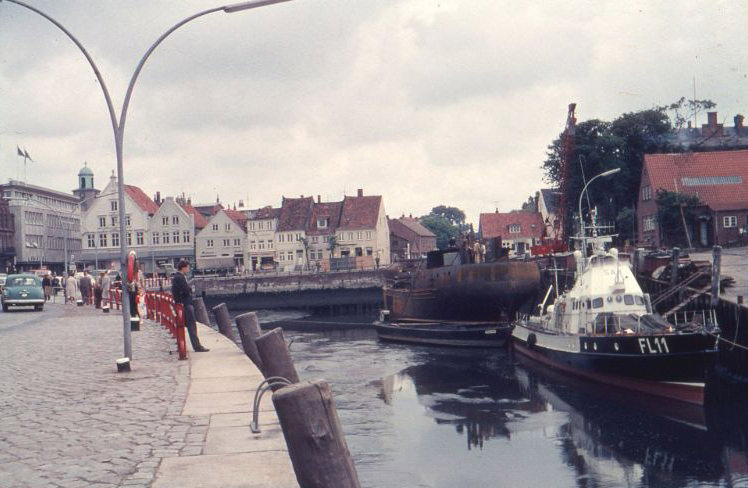
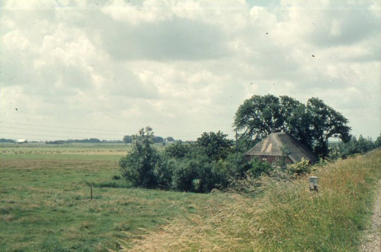
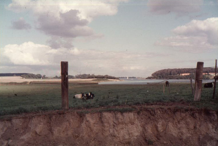
Air traffic control craft FL11 in the shipyard at the port of Husum, 1960sAround Kappeln (Schlei), 1960sAround Kappeln (Schlei), 1960sAround Kappeln (Schlei), 1960sAround Kappeln (Schlei), 1960sAround Kappeln (Schlei), 1960s
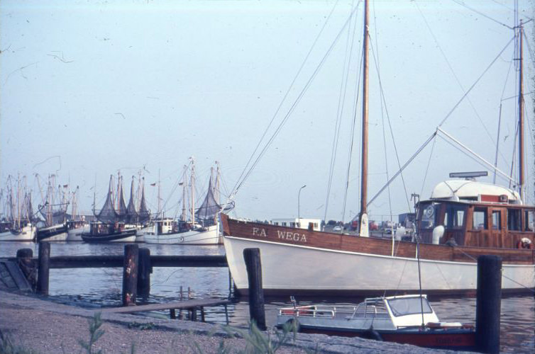
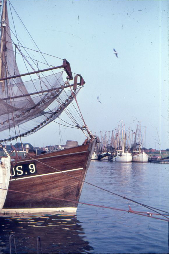
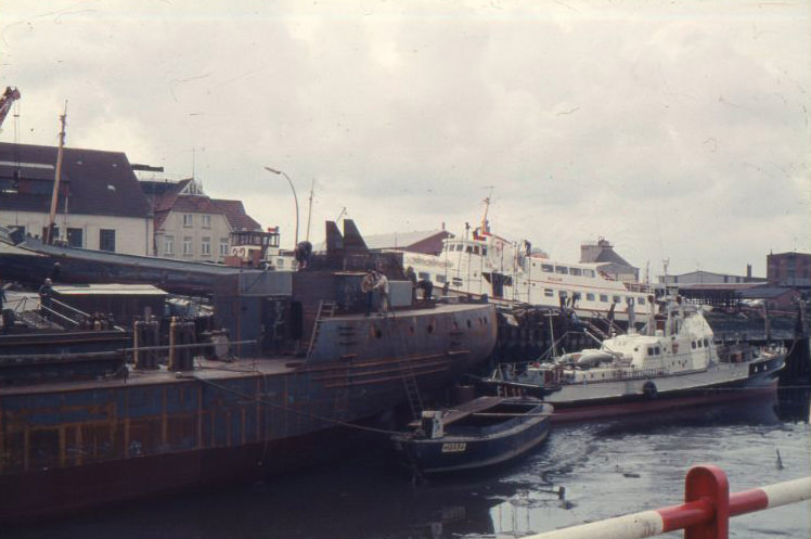
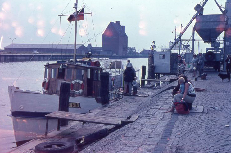
The ports of northern Germany were busy and functional. Husum, a harbor town on the North Sea coast, handled ships, ferries, and working vessels throughout the decade. The ferry Hilligenlei made regular runs to the remote island of Langeness, connecting isolated communities to the mainland. Shipyards kept crews employed, and the waterfront was a constant hub of activity.
At the Husum port, 1960s
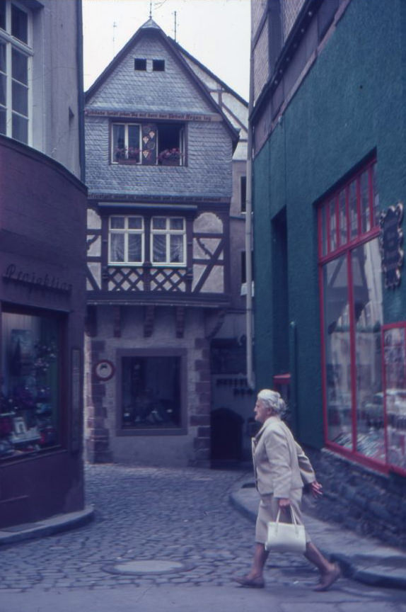
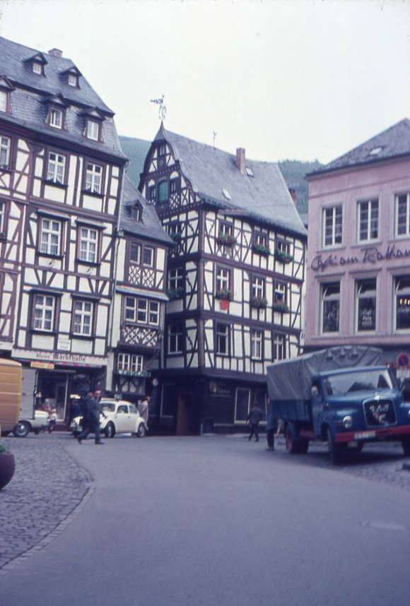
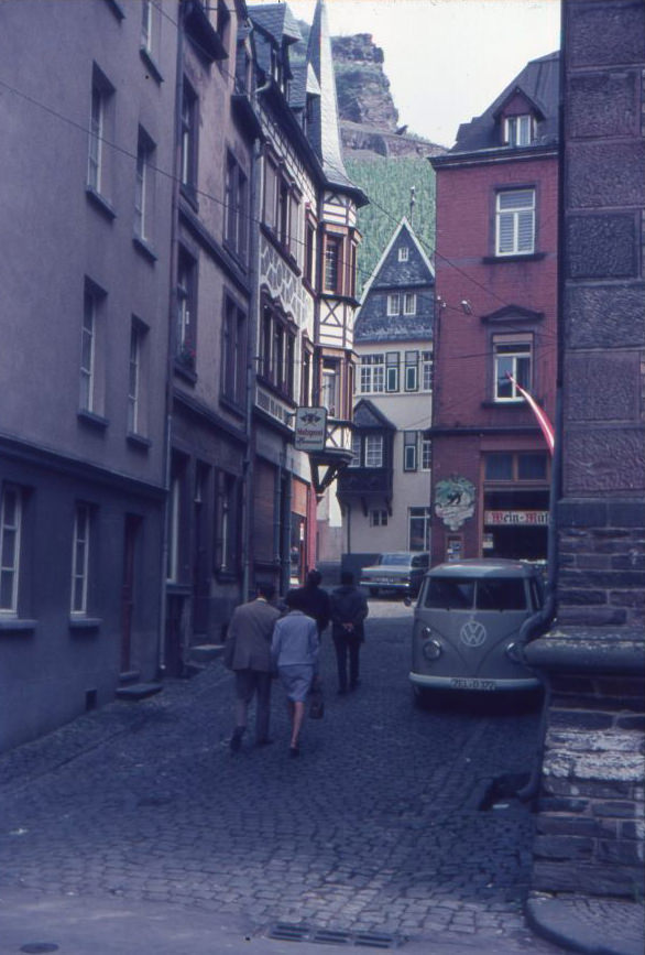
Bernkastel-Kues street scenes, 1960s
Bernkastel-Kues street scenes, 1960s
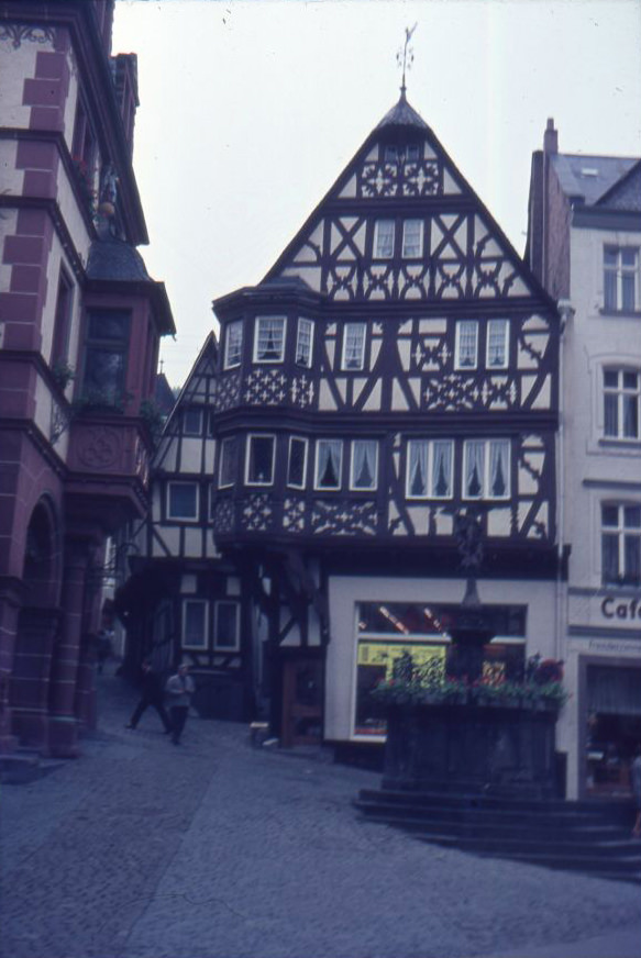
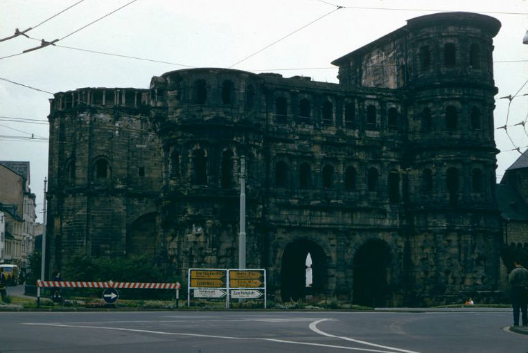
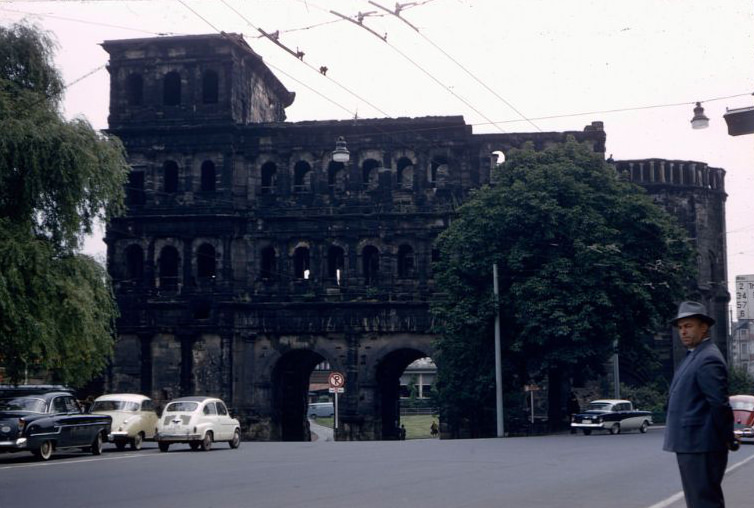
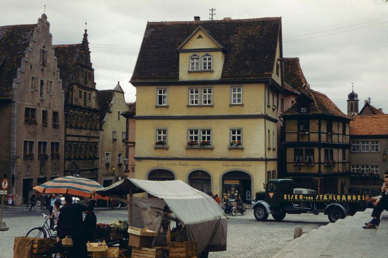
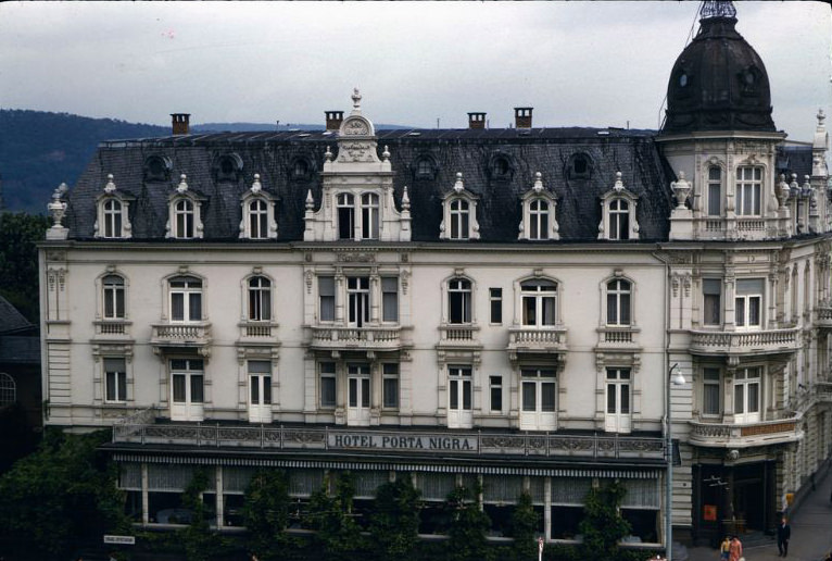
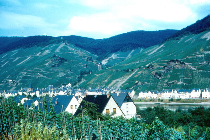
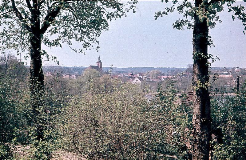
Along the Moselle River, towns like Bernkastel-Kues retained their medieval character. Timber-framed buildings lined narrow streets, and outdoor markets drew locals and visitors alike. The café on the market square in Bernkastel-Kues sat beside the market hall, a scene that had barely changed in centuries. Further south, Trier — Germany’s oldest city — showed its Roman heritage at every turn. The Porta Nigra, a massive Roman gate built in the 2nd century, stood at the heart of the city and remained one of the most visited landmarks in the country.
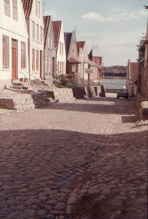
Dorfstraße in Simonsberg, 1960sFA. Vega in the port of Husum, 1960sFischer, probably in or around Kappeln (Schlei), 1960sFischer, probably in or around Kappeln (Schlei), 1960sFishing port in Kappeln. In the background is the Nestle plant, today Cremilk, 1960sGrauhöft in Kappeln, 1960s
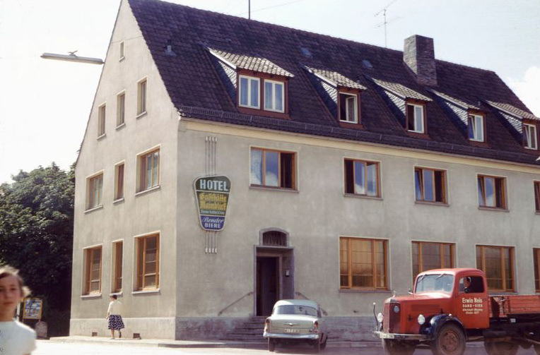
Hotel Kieler Hof in Kappeln, 1960s
Husum port, 1960s
Husum shipyard, 1960s
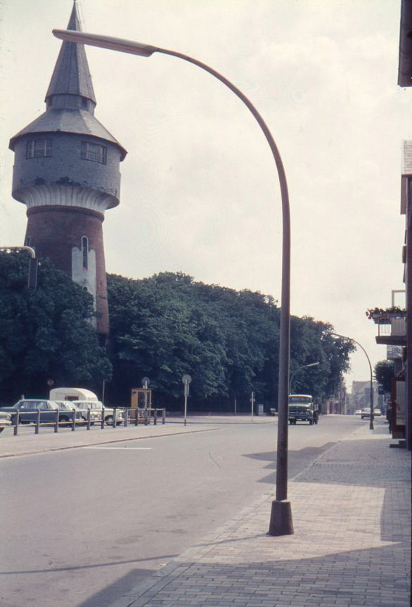
Husum Water Tower at Schlossgarten on the Marktstraße, corner of Parkstraße, 1960s
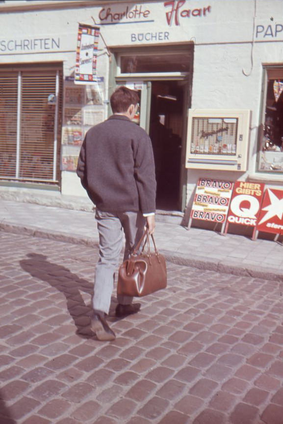
In front of the newsagent Charlotte Haar, Kappeln (Schlei), 1960s
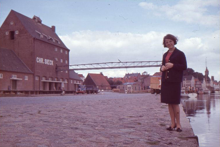
Kappeln (Schlei) Sieck store, 1960s
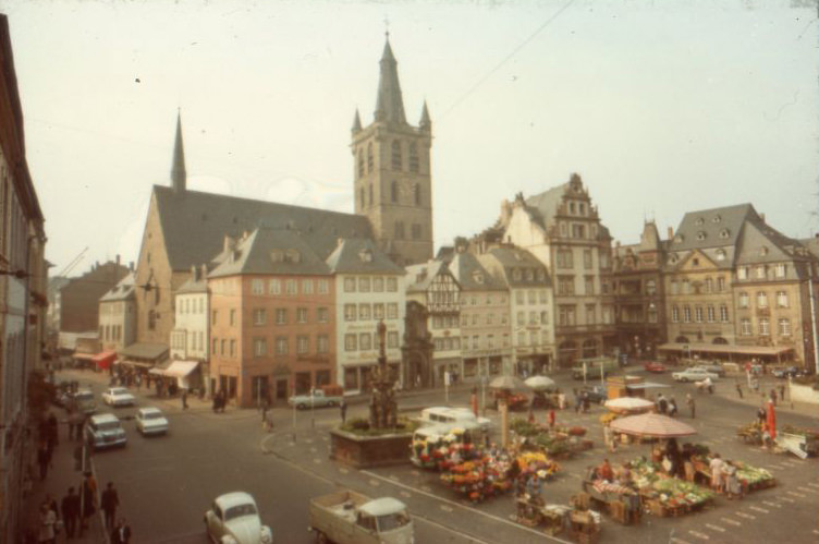
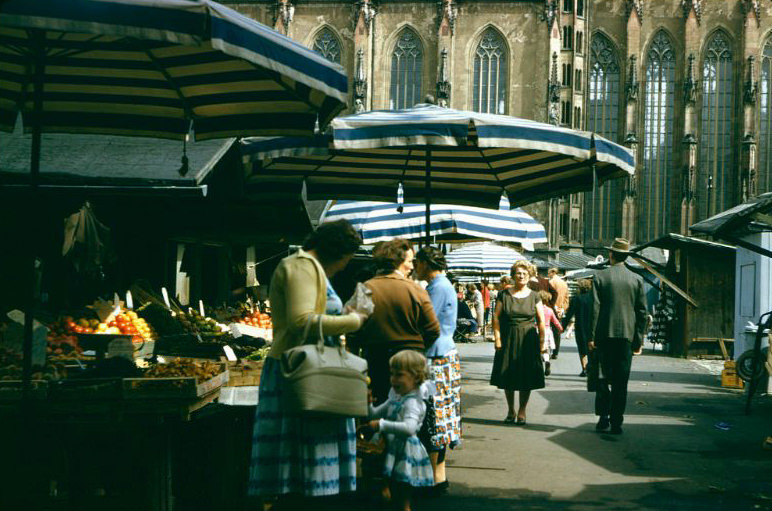
West Germany’s historic towns gave the country a visible identity rooted in centuries of culture. Trier’s Hauptmarkt buzzed with vendors selling goods beneath the shadow of St. Gangolf church and the Marktkreuz, a market cross that had stood since the 10th century. These open-air markets were a weekly anchor of community life across the country.
Market at the Hauptmarkt (with St. Gangolf and Marktkreuz) in Trier, 1960sMarket hall and “Cafe am Rathaus” on the market square in Bernkastel-Kues, 1960sMühlenstraße 7 in Kappeln, 1960sNeustadt, südlich der der Ecke Schloßstraße, Husum, 1960sNordstraße in Kappeln (Schlei), 1960s
Probably in the Eifel or near the Moselle, 1960s
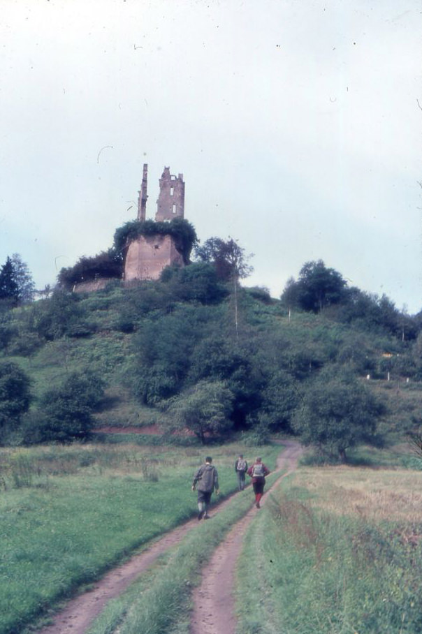
Ramstein Castle near Kordel in the Kyll valley, 1960s
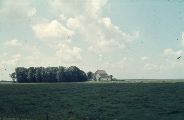
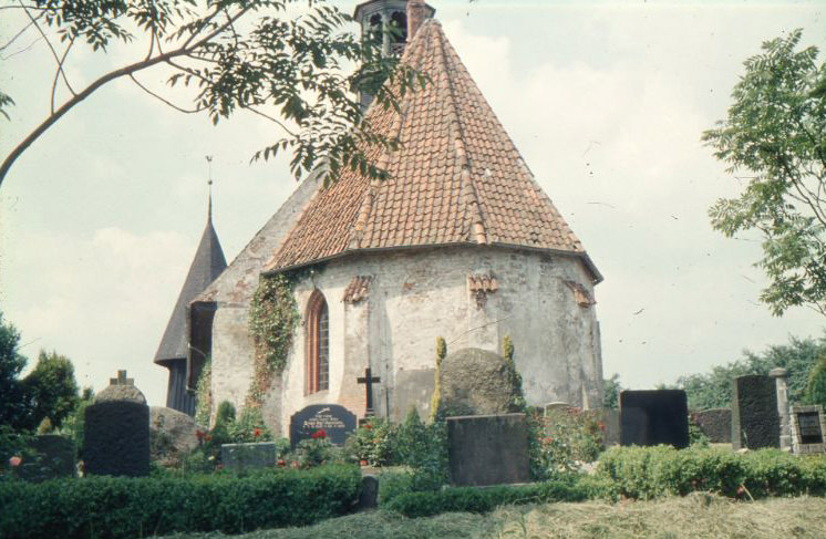
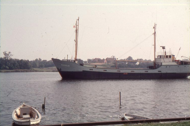
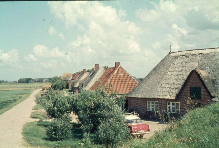
Roter Haubarg at Eiderstedt, 1960sSailboat with the boat name- “Günn mi dat – FSC SLSV”, Port of Maasholm, 1960sSankt-Leonhard-Kirche in Koldenbüttel, 1960sShip named “Suderelbe” in Kappeln (Schlei), 1960sSomewhere in Kappeln (Schlei), 1960sSomewhere in Kappeln (Schlei), 1960sSomewhere in Kappeln (Schlei), 1960sSomewhere near Husum, probably south, 1960sThe “Hilligenlei”, ferry to Langeness, in the port of Husum, 1960sThe Parkplatz (parking lot) on the Querstraße in Kappeln, 1960s
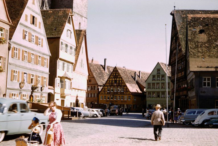
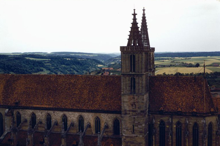
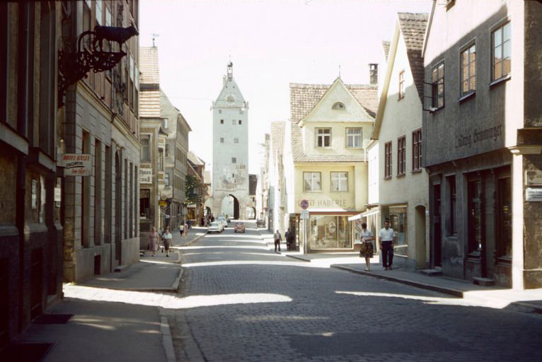
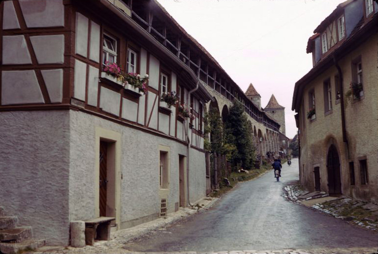
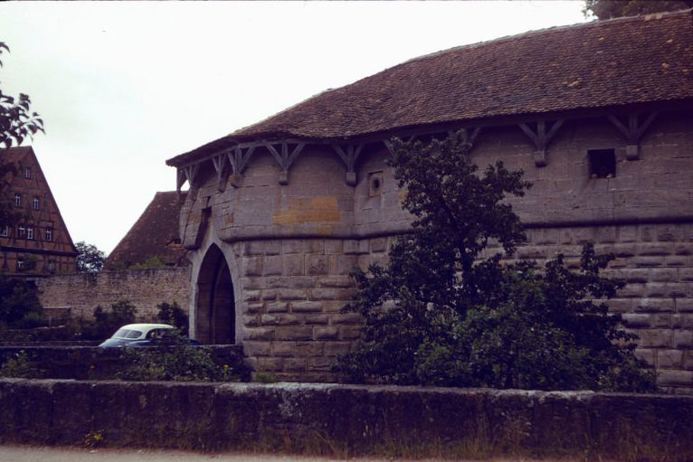
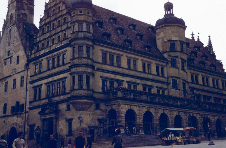
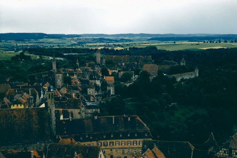
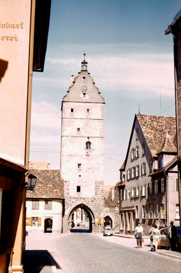
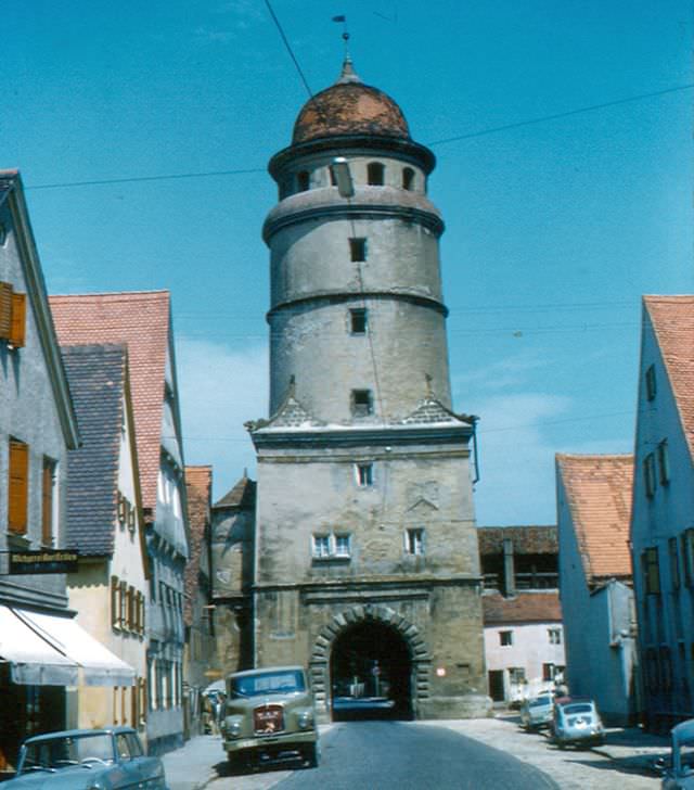
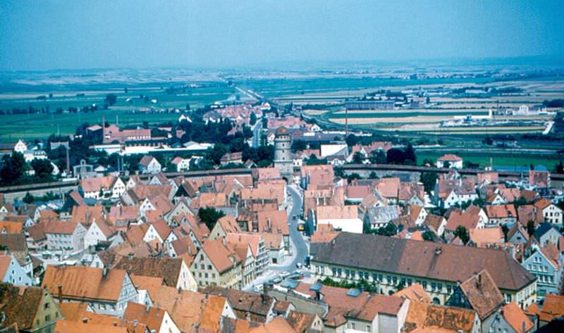
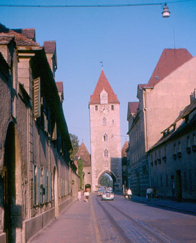
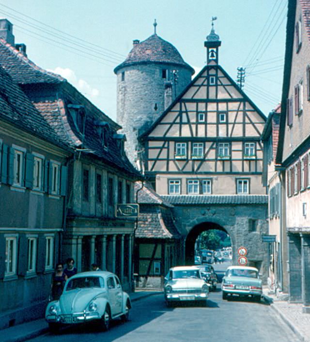
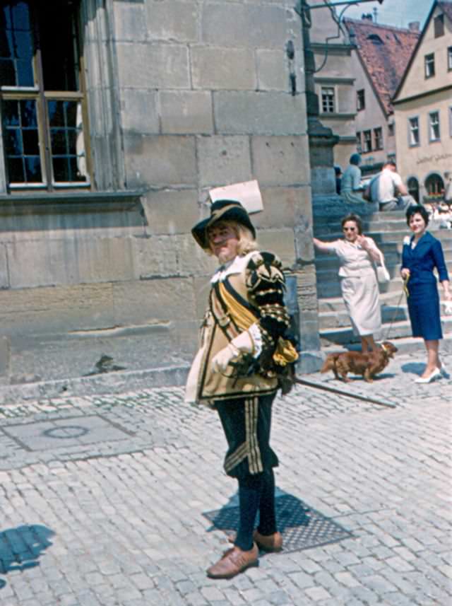
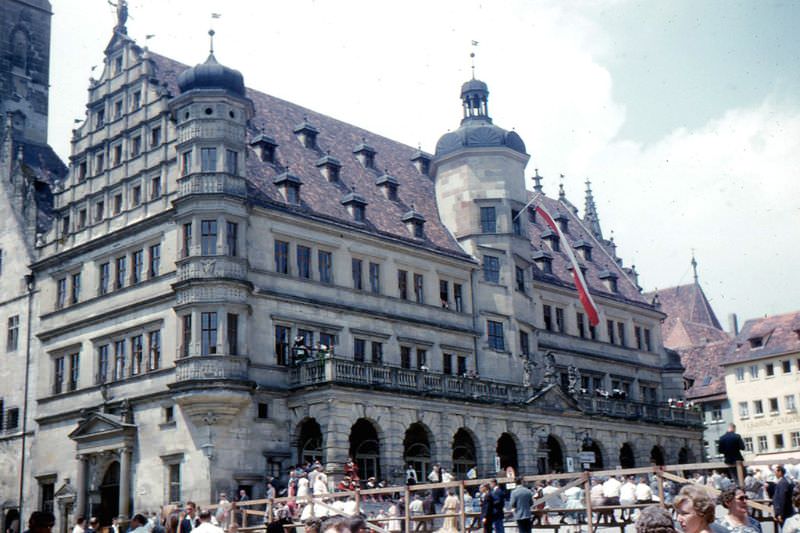
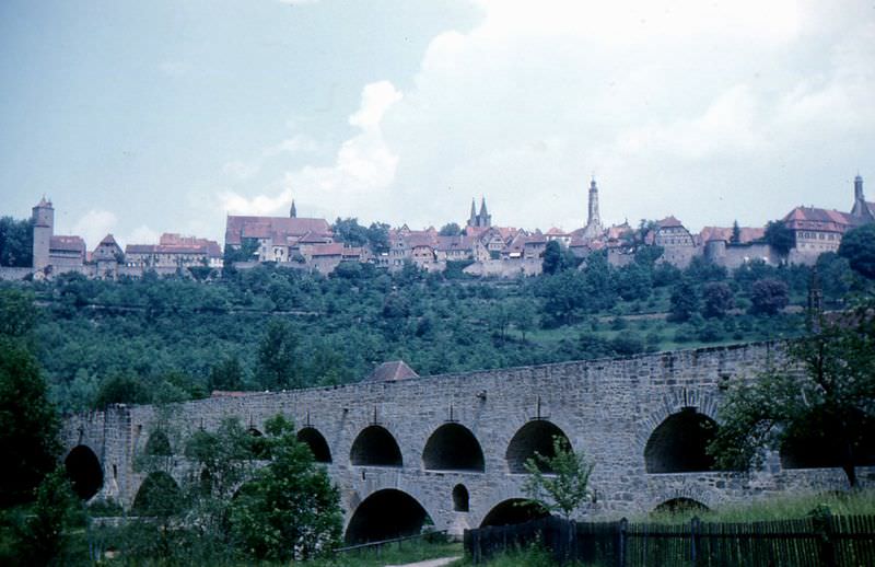
The Romantic Road, a tourist route stretching from Würzburg to Füssen in Bavaria, drew visitors through some of Germany’s most photographed medieval towns. Dinkelsbühl, with its perfectly preserved walls and gate towers like the Wörnitz Gate, looked much the same in the 1960s as it had in the 15th century. Rothenburg ob der Tauber was another showpiece of the route — its skyline of red rooftops, the Rathaus built in the 1570s, and the famous double bridge over the Tauber River valley drew steady streams of tourists.
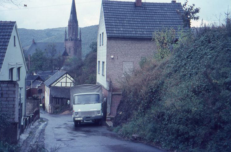
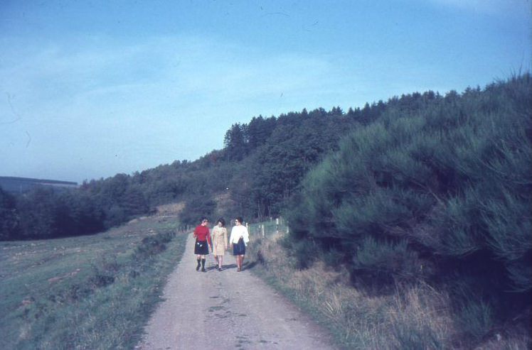
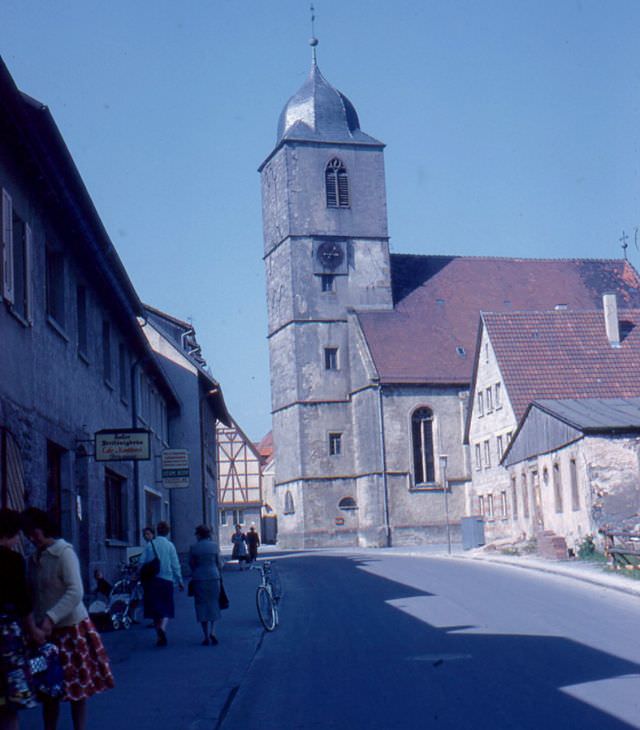
The Steinweg in Gemünd with a Hanomag. In the background- St. Nicholas Church in Gemünd (Schleiden), 1960sThree Women on the countryside road, somewhere in Germany, 1960s
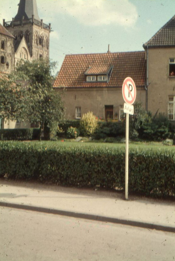
Xanten, Germany, , 1960s
Zell looking up Zehntgasse, Germany, , 1960s
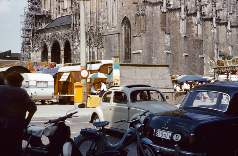
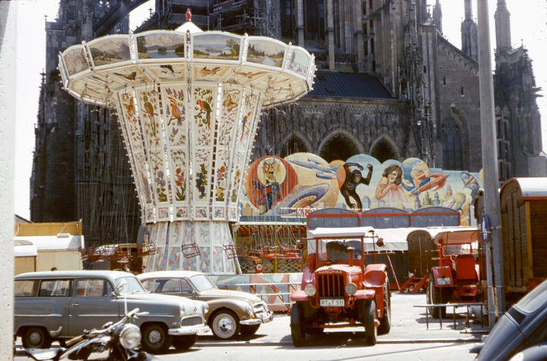
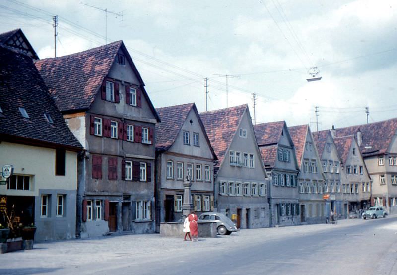
A carnival set up in front of the Minster in Ulm, Germany, , 1960sA carnival set up in front of the Minster in Ulm, Germany, , 1960sDinkelsbühl, Germany, , 1960sDinkelsbühl, Germany, , 1960sDinkelsbühl, Germany, , 1960sDinkelsbühl, Germany, , 1960sDinkelsbühl, Germany, , 1960s
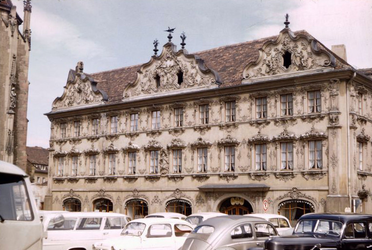
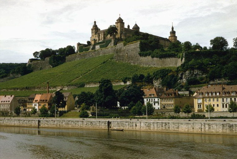
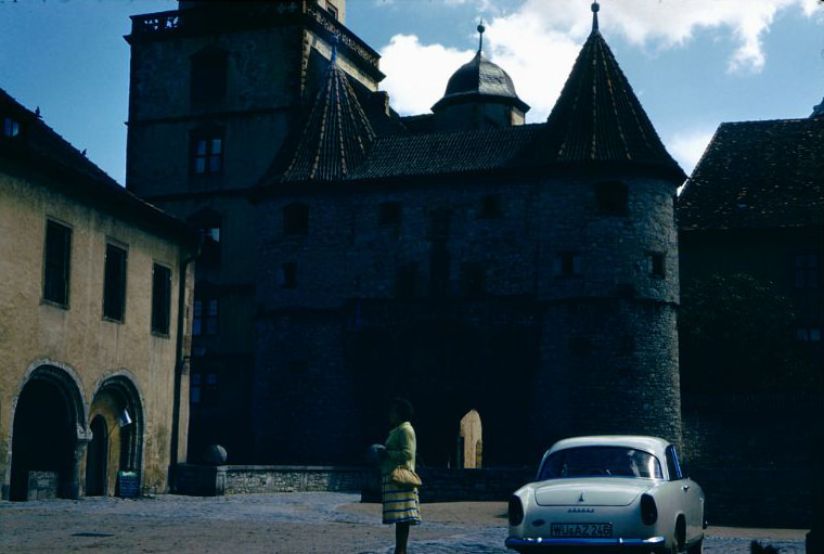
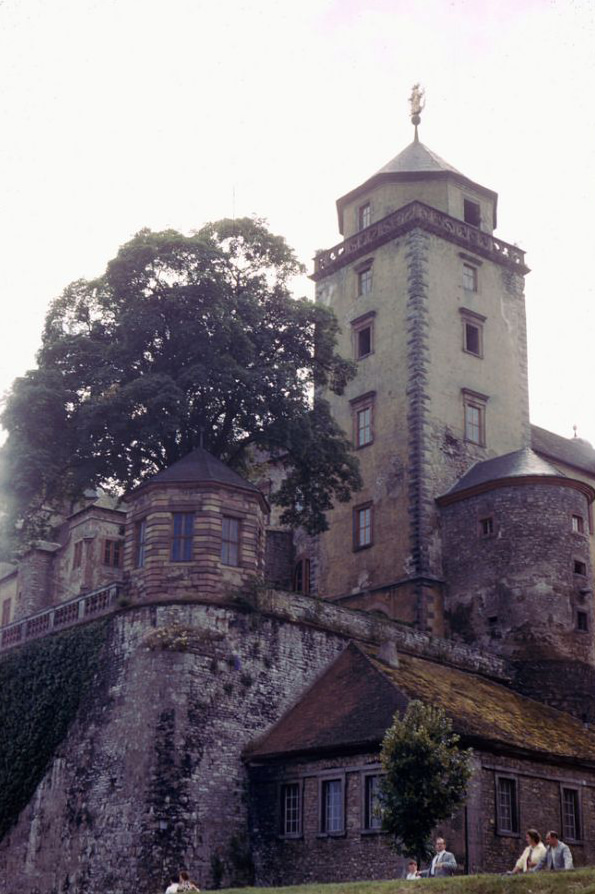
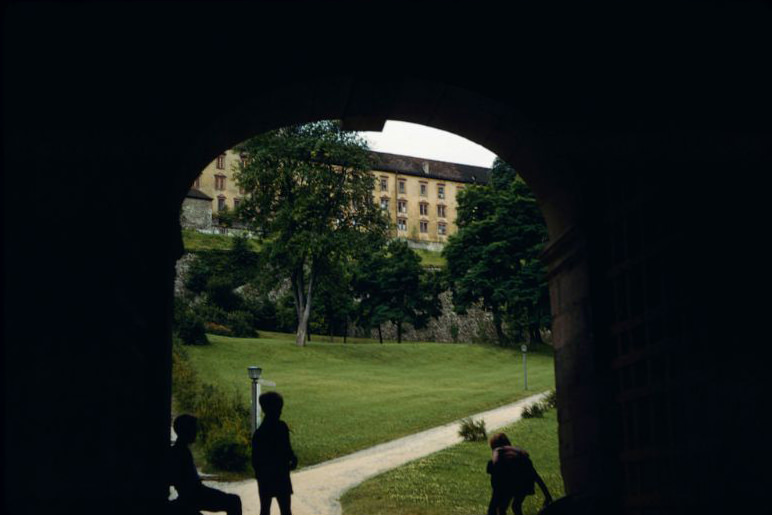
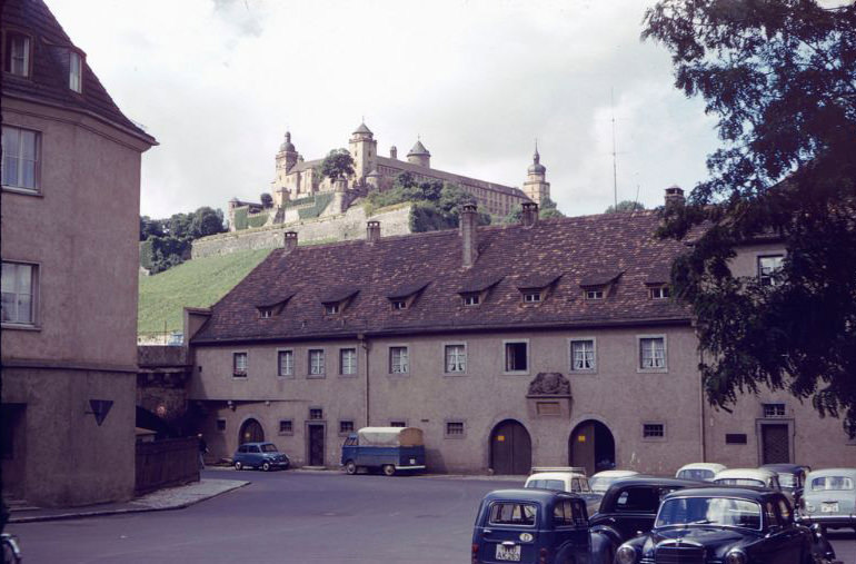
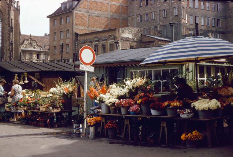
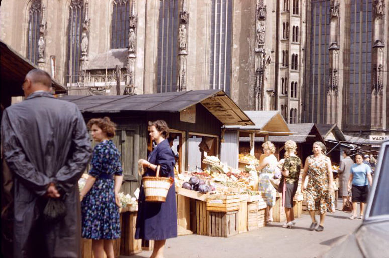
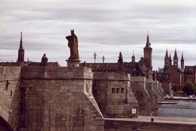
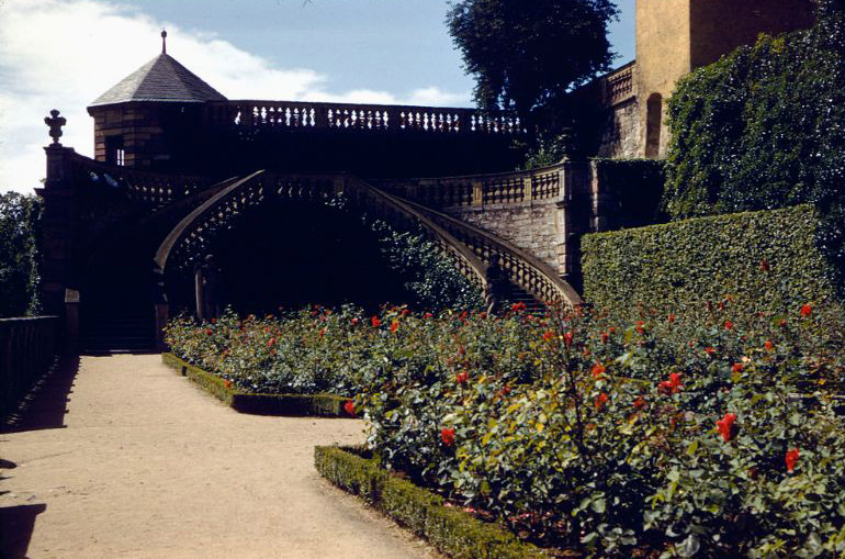
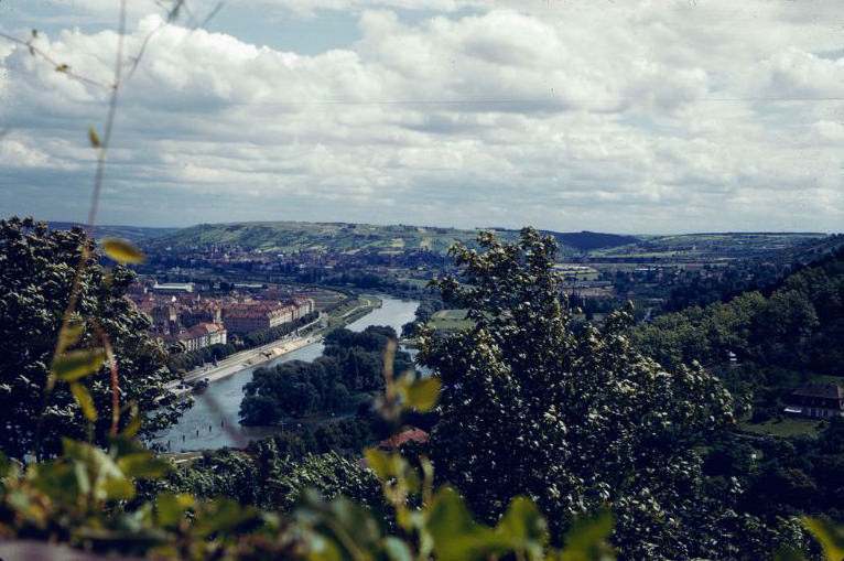
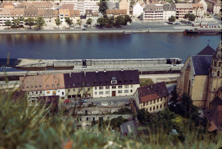
Würzburg was one of West Germany’s most culturally rich cities. The Marienberg Fortress, perched on a hill above the Main River and dating back to the 13th century, dominated the skyline. Its Prince’s Garden offered sweeping views across the city’s red rooftops and the Old Main Bridge below. The Falkenhaus on the market square, with its elaborate Rococo facade, stood as one of the most ornate buildings in all of Franconia. Weekly markets near the Marienkapelle brought life to the cobblestones, with vendors setting up stalls under the spires of one of the city’s oldest Gothic churches.
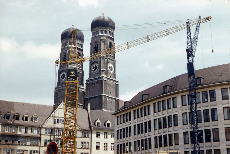
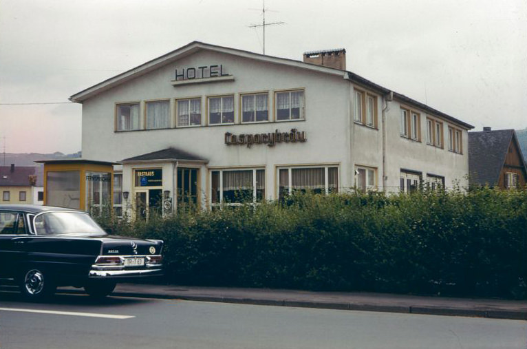
Falkenhaus, Würzburg, Germany, , 1960sFortress Marienberg, Würzburg, Germany, 1960sFrauenkirche, Munich, Germany, , 1960sHotel-Gaststätte Mainblick, Randersacker, Germany, 1960sHotel-Rasthaus somewhere between Bad Camberg and Trier, Germany, 1960sInside the Marienberg Fortress, Würzburg, Germany, 1960s
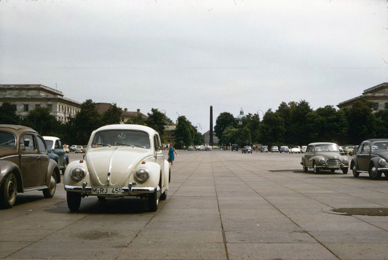
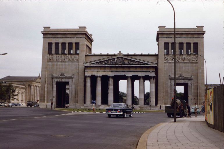
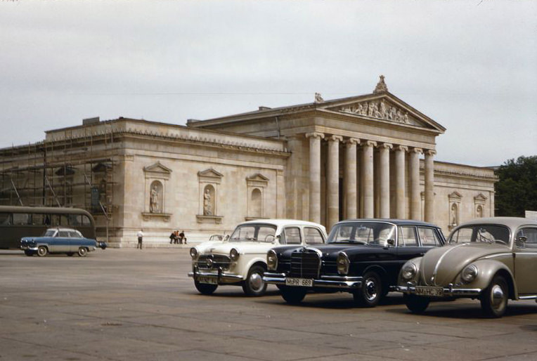
Munich stood as the cultural and economic heart of Bavaria. The twin-towered Frauenkirche, Munich’s cathedral, dominated the city’s skyline, while the Königsplatz — a grand neoclassical square — and the Glyptothek sculpture museum gave the city a monumental feel. The Propyläen, the massive gate flanking the square, added to the city’s impressive architectural presence. Locals enjoyed the parks and wide boulevards that made Munich one of the most livable cities in West Germany during this era.
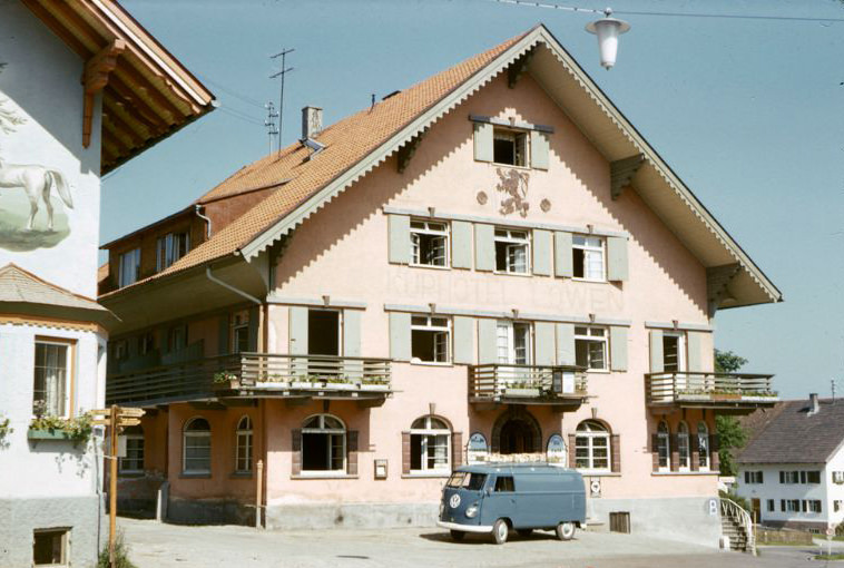
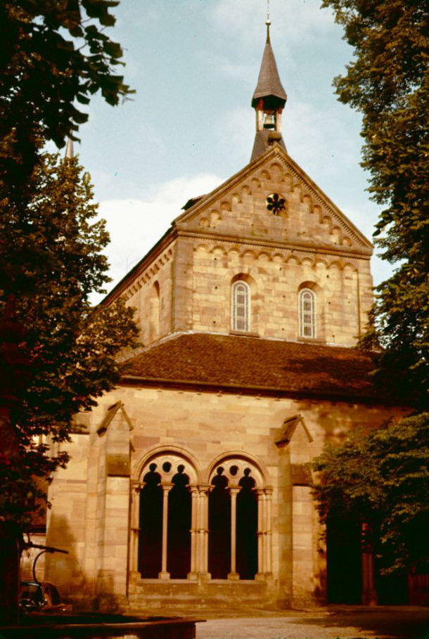
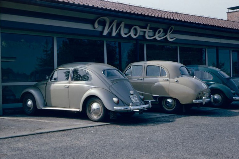
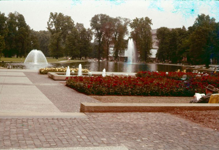
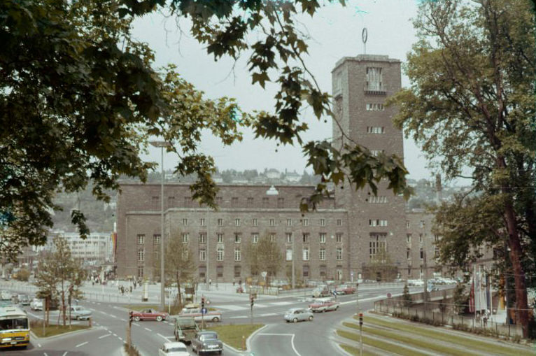
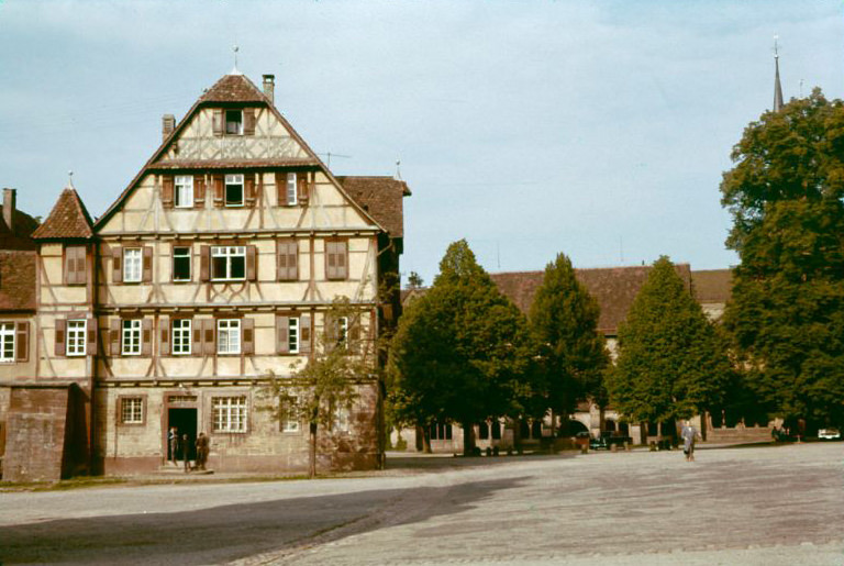
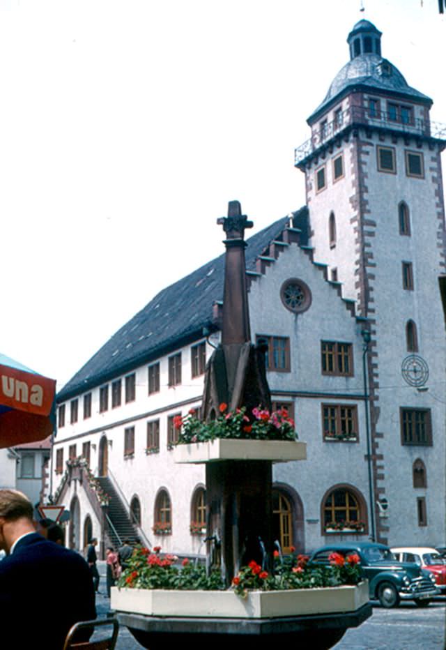
Königsplatz, Munich, Germany, 1960sKurhotel Löwen, Oy, Bavaria, Germany, 1960sMain entrance to the Frauenkirche, Munich, Germany, 1960sMarienberg Fortress, Würzburg, Germany, 1960sMarienberg Fortress, Würzburg, Germany, 1960sMarienberg Fortress, Würzburg, Germany, 1960sMarket by the Marienkapelle, Würzburg, Germany, 1960sMarket by the Marienkapelle, Würzburg, Germany, 1960sMarket by the Marienkapelle, Würzburg, Germany, 1960sMaulbronn Abbey, Maulbronn, Germany, 1960sMotel in Irschenberg, Germany, 1960sOld Main Bridge, Würzburg, Germany, 1960sPark in Stuttgart, Germany, 1960sPorta Nigra, Trier, Germany, 1960sPorta Nigra, Trier, Germany, 1960sPropyläen, Munich, Germany, 1960sSomewhere in Bavaria, Germany, 1960sSt.-Jakobs-Kirche, seen from the tower of the town hall, Rothenburg ob der Tauber, Germany, 1960sSteuerhaus, Memmingen, Germany, 1960sStreet scene in Memmingen, Germany, 1960sStreet scene in Rothenburg ob der Tauber, Germany, 1960sStreet scene in Rothenburg ob der Tauber, Germany, 1960sStreet scene in Rothenburg ob der Tauber, Germany, 1960sStuttgart Central Station, Germany, 1960sThe Glyptothek, Munich, Germany, 1960s
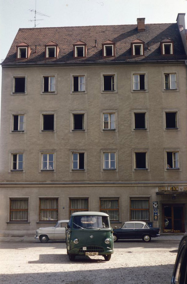
The Holland-Hotel, Munich, Germany, 1960s
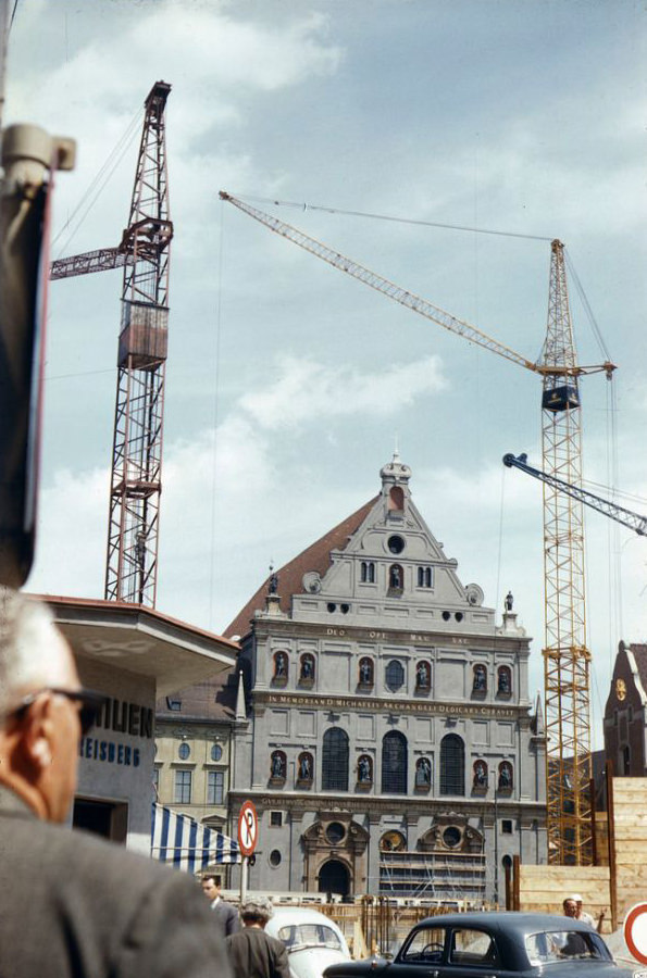
The Jesuit Church of St. Michael, Munich, Germany, 1960s
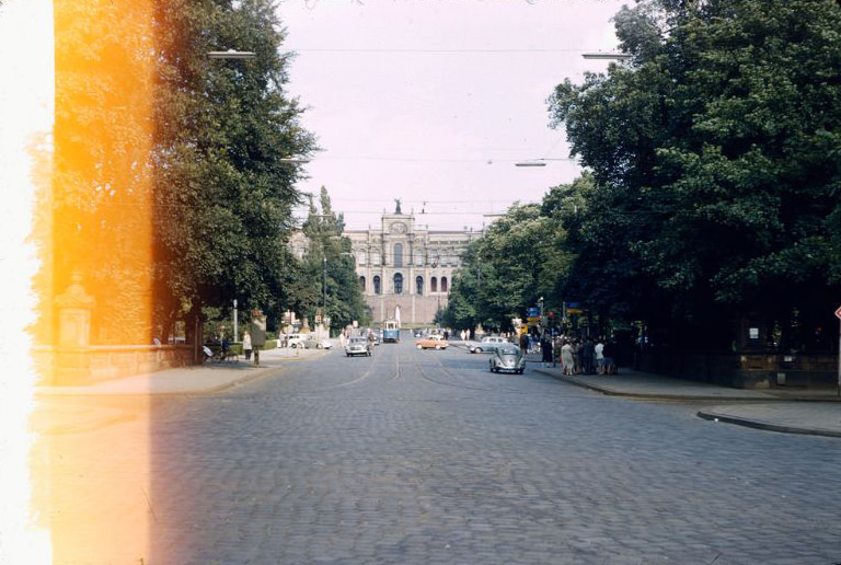
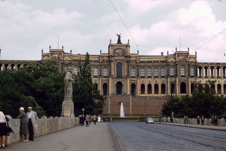
The Maximilianeum, Munich, Germany, 1960sThe Maximilianeum, Munich, Germany, 1960s
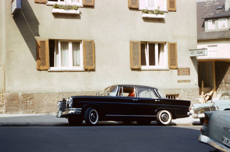
Stuttgart, the industrial capital of Baden-Württemberg and home to the Mercedes-Benz factory, showed off its modern side. A Mercedes 220 parked outside the Haus Berg hotel was not an unusual sight — these were the cars that West Germany was proudly exporting to the world. The central train station processed thousands of passengers daily, connecting cities as West Germany’s rail network expanded alongside its growing economy. The social upheaval of the late 1960s would erupt in Stuttgart as well, as young West Germans joined the 68er-Bewegung — a wave of protests demanding democracy, an end to authoritarian institutions, and answers about the Nazi past that many older Germans refused to discuss.
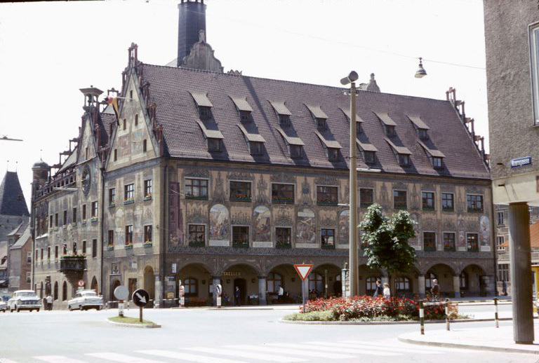
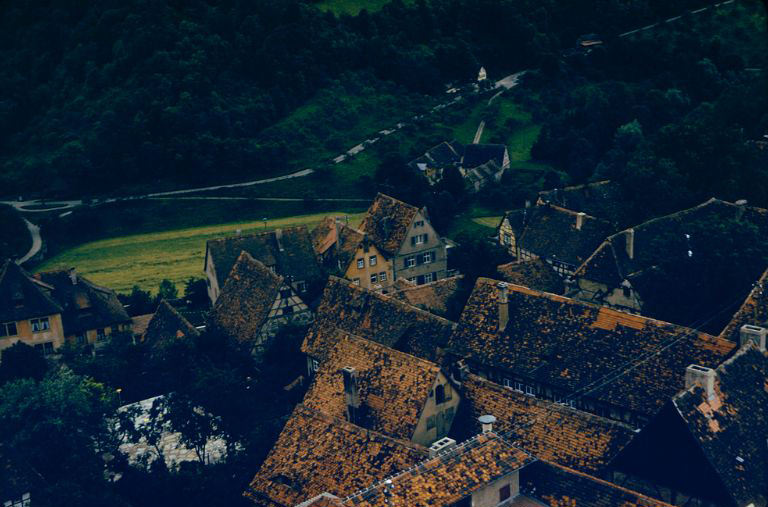
The Mercedes 220 parked in front of Haus Berg, a hotel in Stuttgart, Germany, 1960sThe Prince’s Garden, Marienberg Fortress, Würzburg, Germany, 1960sThe Spital Bastion, Rothenburg ob der Tauber, Germany, 1960sThe town hall in Ulm, Germany, 1960sTown hall, Rothenburg ob der Tauber, Germany, 1960sTown square in Maulbronn, Germany, 1960sView from the Marienberg Fortress, Würzburg, Germany, 1960sView from the Marienberg Fortress, Würzburg, Germany, 1960sView from the Porta Nigra of the Hotel Porta Nigra, Trier, Germany, 1960sView from the tower of the town hall, Rothenburg ob der Tauber, Germany, 1960sView from the tower of the town hall, Rothenburg ob der Tauber, Germany, 1960sView from the tower of the town hall, Rothenburg ob der Tauber, Germany, 1960sWörnitz Gate, Dinkelsbühl, Germany, 1960s
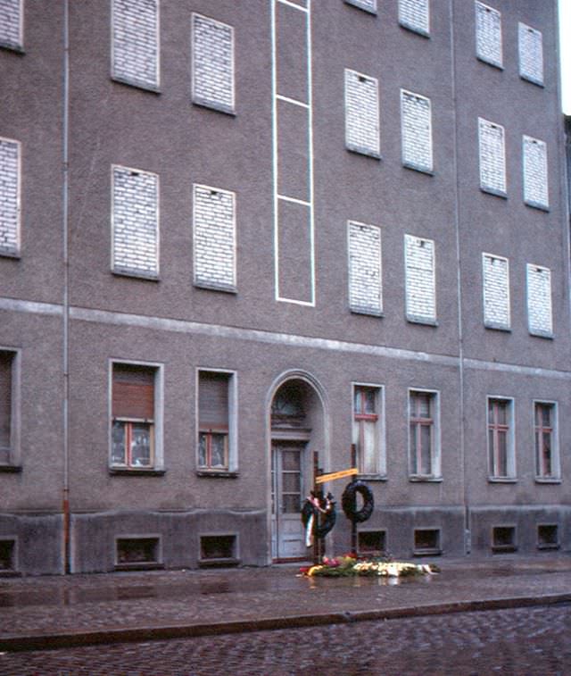
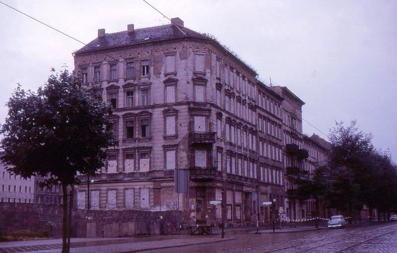
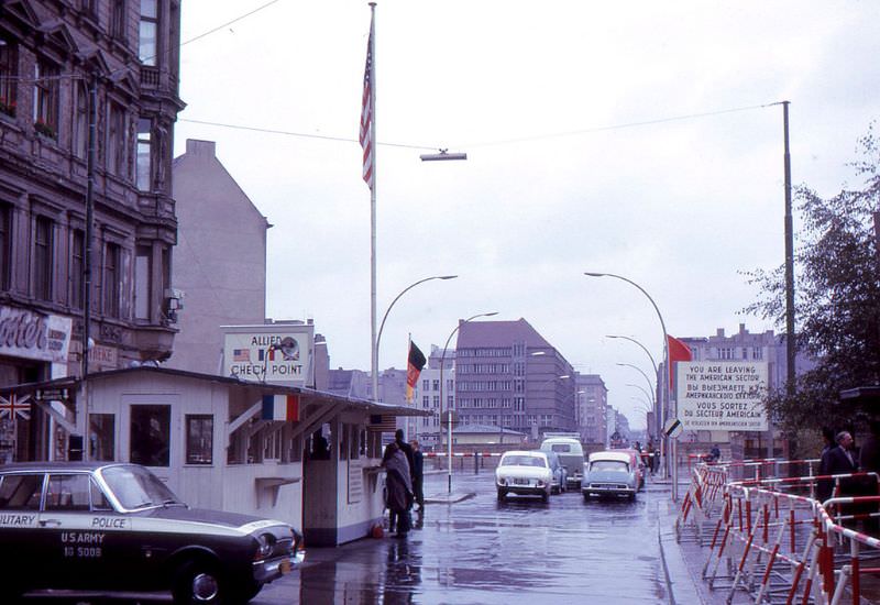
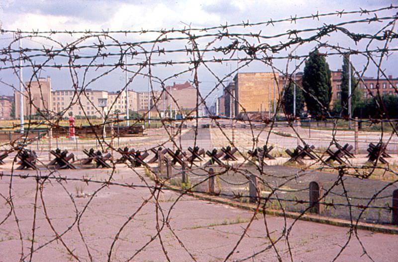
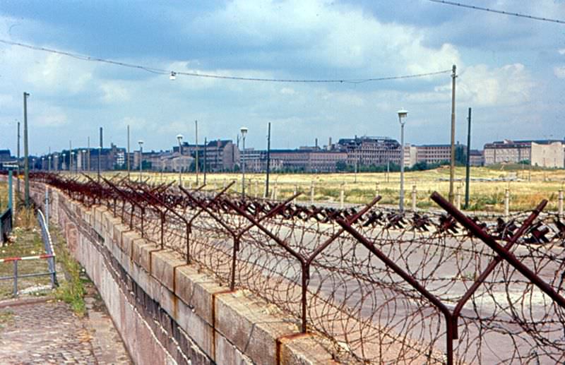
Berlin was the most visible symbol of Germany’s division. The Berlin Wall, built in August 1961, cut through the city with concrete and barbed wire. Bernauer Strasse became the most notorious stretch of the Wall. In the early days after its construction, East Germans on the upper floors of apartment buildings along the street threw their belongings out of windows and then jumped themselves, trying to land in West Berlin below. Some survived. Others did not. A small monument on Bernauer Strasse marked the deaths of those who made the attempt. Checkpoint Charlie, the crossing point between East and West Berlin in the American sector, became one of the most photographed and politically charged locations in the world.
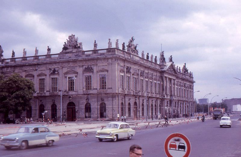
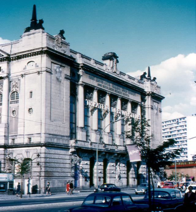
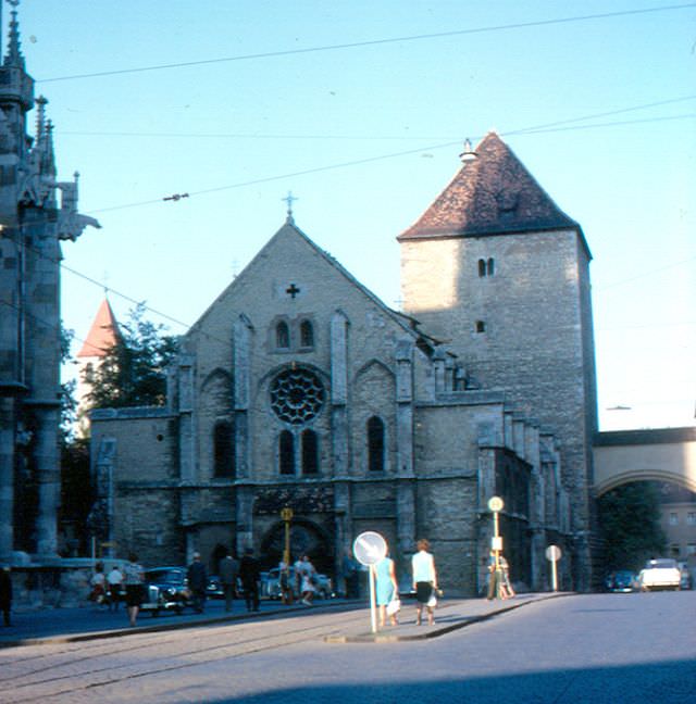
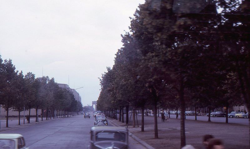
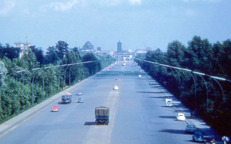
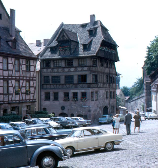
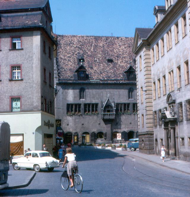
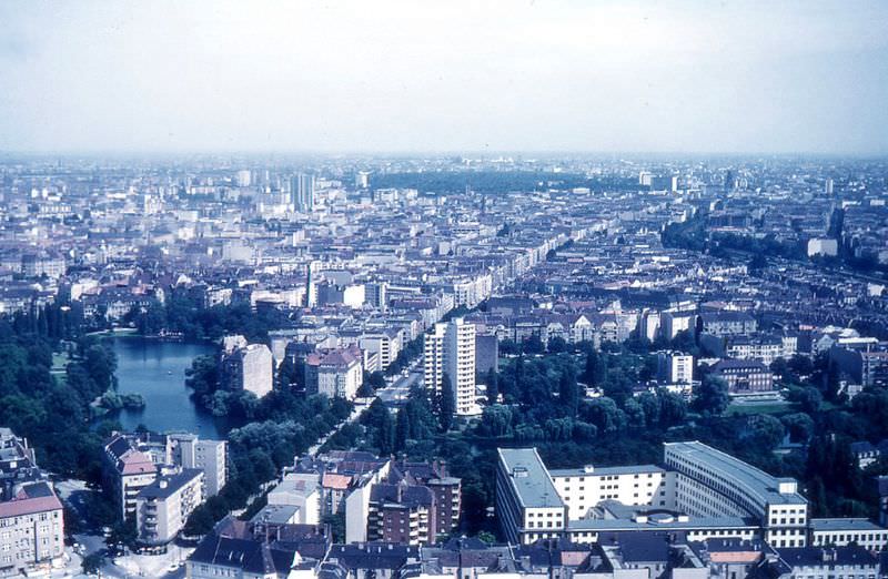
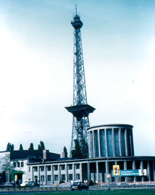
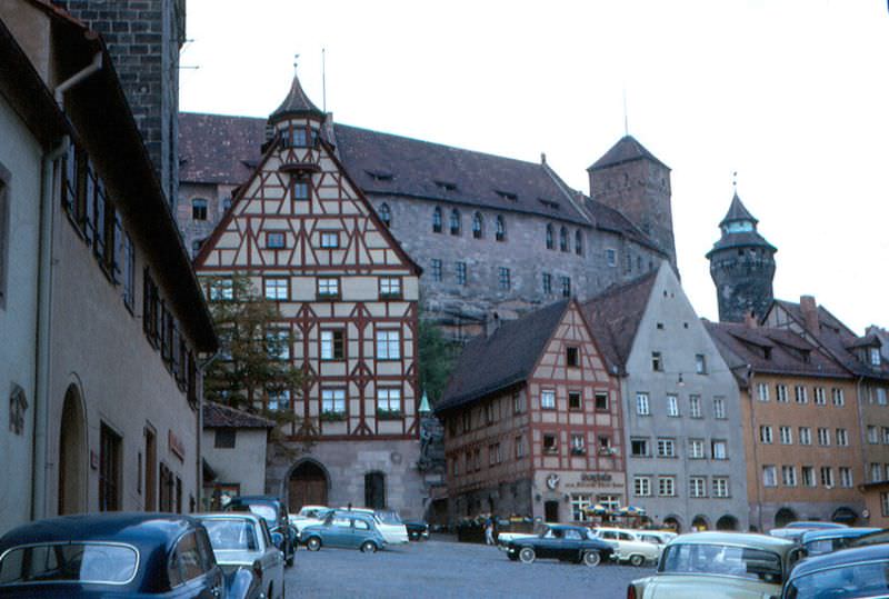
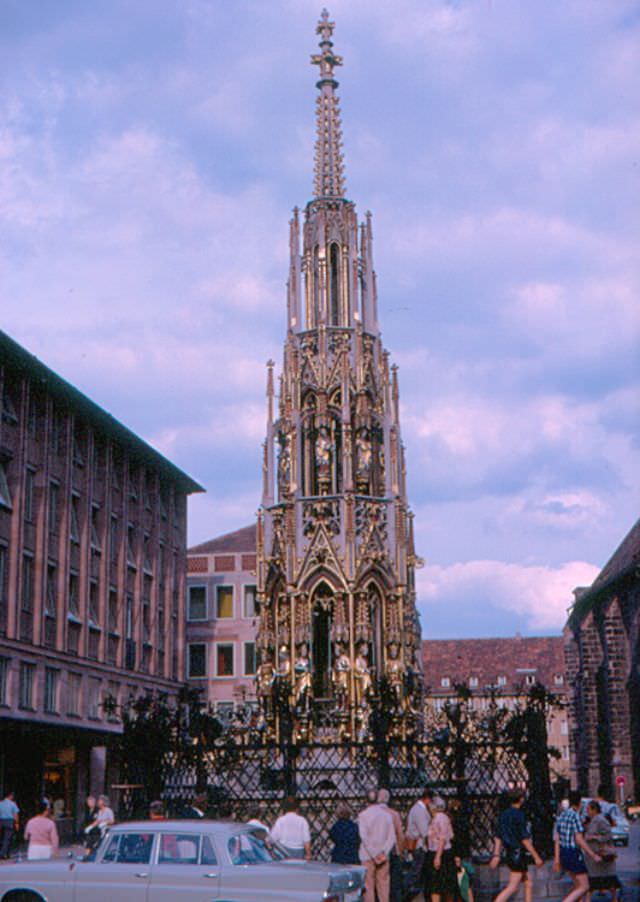
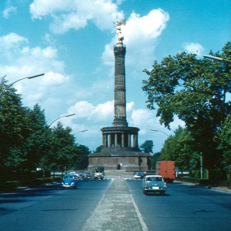
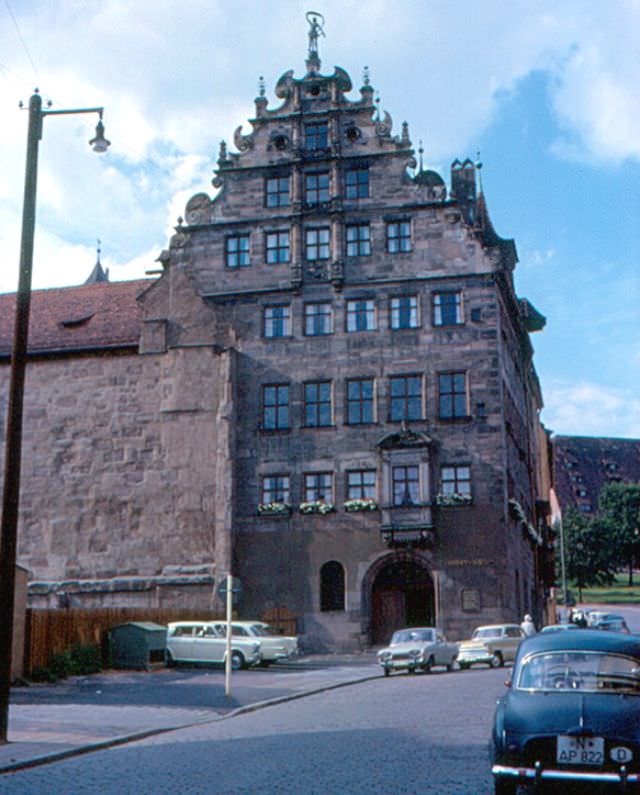
The historic arsenal, on the east end of Unter den Linden, East Berlin, Germany, 1960sTheater des Westens, Berlin, Germany, 1960sUlrichskirche, Regensburg, Germany, 1960sUnter den Linden, East Berlin, Germany, 1960sVierzehnheiligen, Germany, 1960sView from the Siegessäule (victory column) in Berlin, Germany, 1960sZell, on the Mosel river, Germany, 1960sA small monument to East Germans who died, attempting to get to West Berlin by jumping out of higher windows on Bernauer Strasse, Germany, 1960sAlbrecht-Dürer-Haus, Nürnberg, Germany, 1960sAltes Rathaus, Regensburg, Germany, 1960sBerlin, looking east from the Funkturm, Germany, 1960s
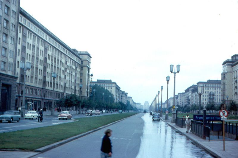
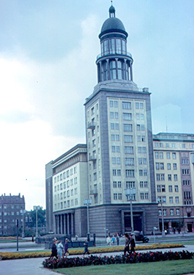
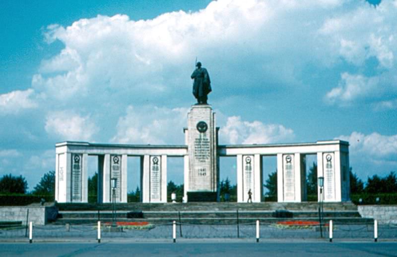
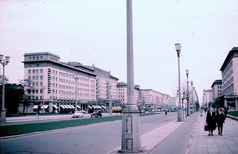
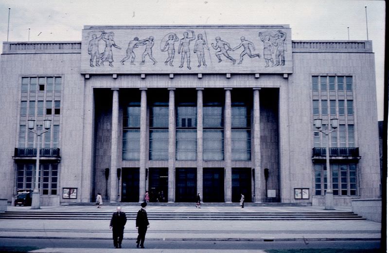
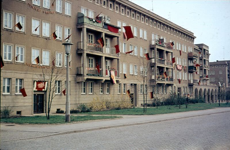
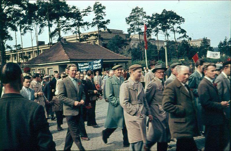
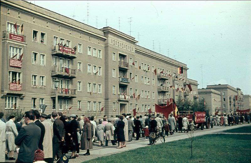
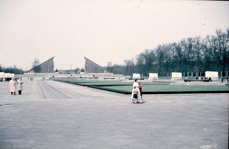
East Berlin told a very different story. Unter den Linden, the famous boulevard that had once been the grandest street in all of Germany, ran through the eastern sector past Soviet-era monuments and state institutions. Karl Marx Allee — a wide, monumental boulevard lined with massive Stalinist-style apartment blocks — was one of East Germany’s proudest construction projects. The slogan painted on a building near the Wall read “Der Sozialismus Siegt” — Socialism is Victorious. These were the visual tools of a state that controlled nearly every aspect of public life.
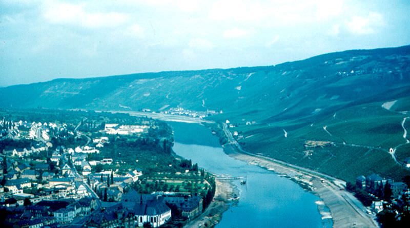
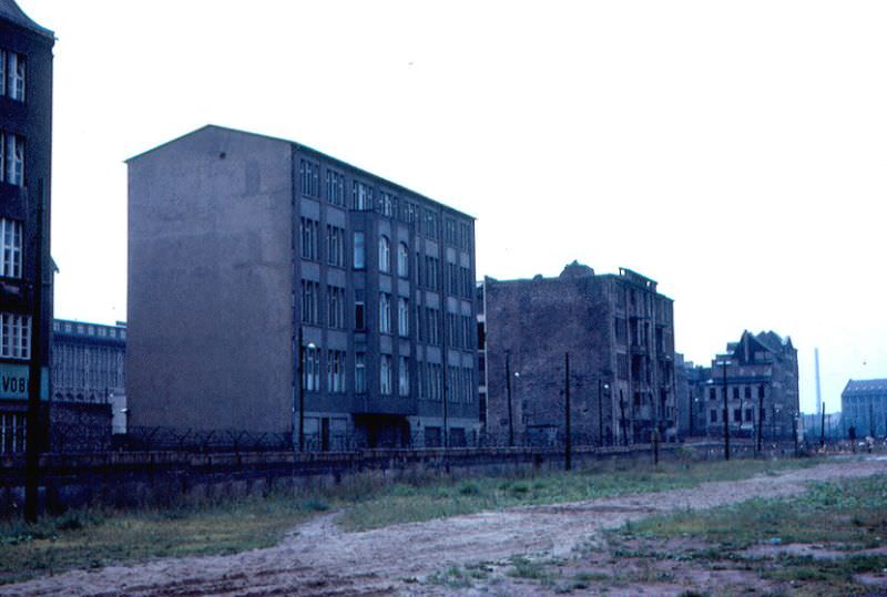
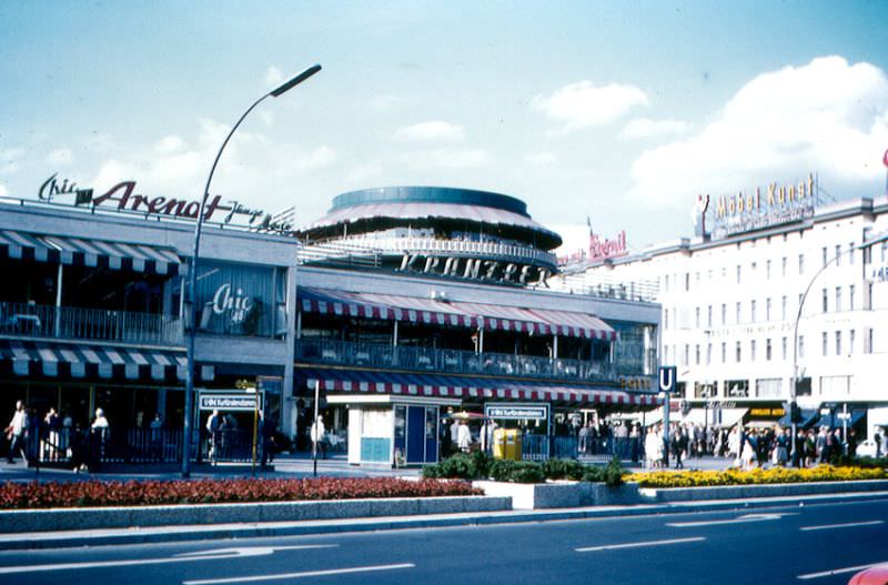
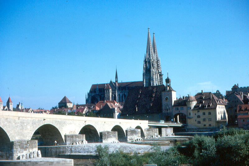
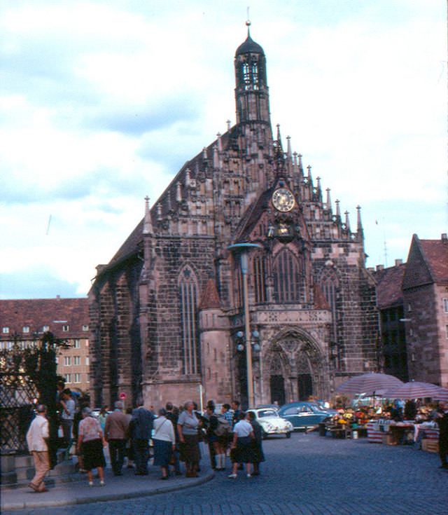
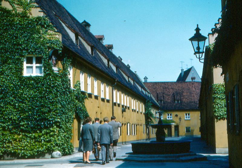
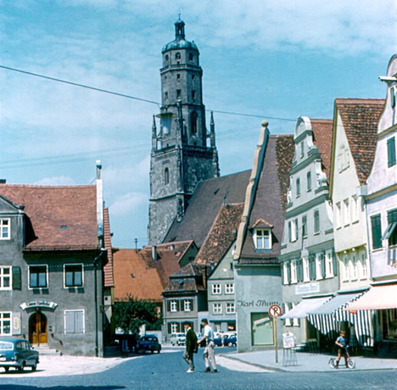
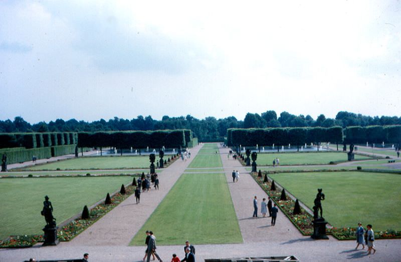
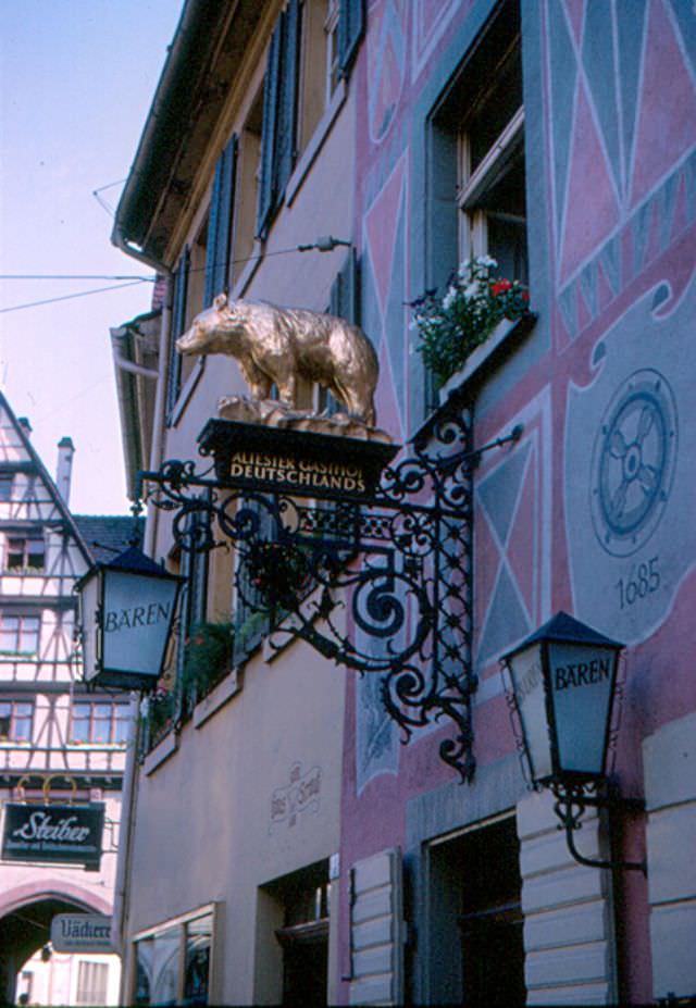
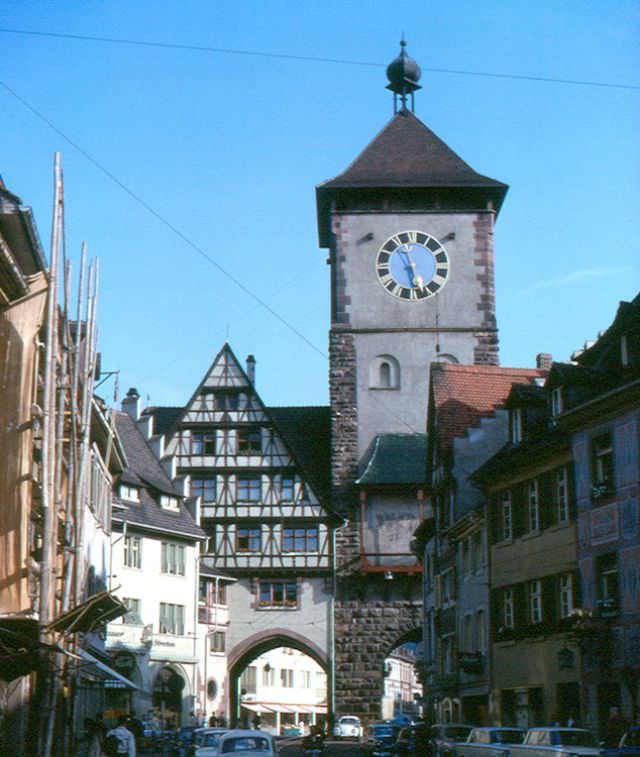
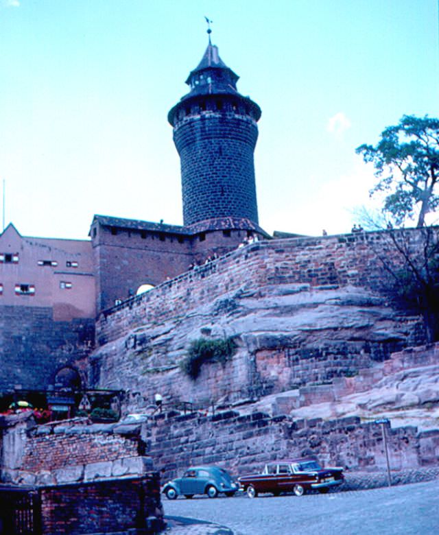
Bernauer Strasse was the most notorious part of the Berlin Wall, Germany, 1960sBernkastel from Burg Landshut, Germany, 1960sBuildings in East Berlin, near the Wall and Checkpoint Charlie, Germany, 1960sCafe Kranzler, Berlin, Germany, 1960sCathedral and Stone Bridge, Regensburg, Germany, 1960sCheckpoint Charlie, Berlin, Germany, 1960s‘Der Sozialismus Siegt’ (Socialism is Victorious) is one of the slogans that the East German regime used, Berlin, Germany, 1960sEast Berlin from the Berlin Wall, Germany, 1960sFrauenkirche, Nürnberg, Germany, 1960sFuggerei, Augsburg, Germany, 1960sFunkturm, Berlin, Germany, 1960sGeorgskirche, Nördlingen, Germany, 1960sHerrenhausen Garden, Hannover, Germany, 1960sHotel Bären, Freiburg, Germany, 1960sKaiserburg, Nürnberg, Germany, 1960s
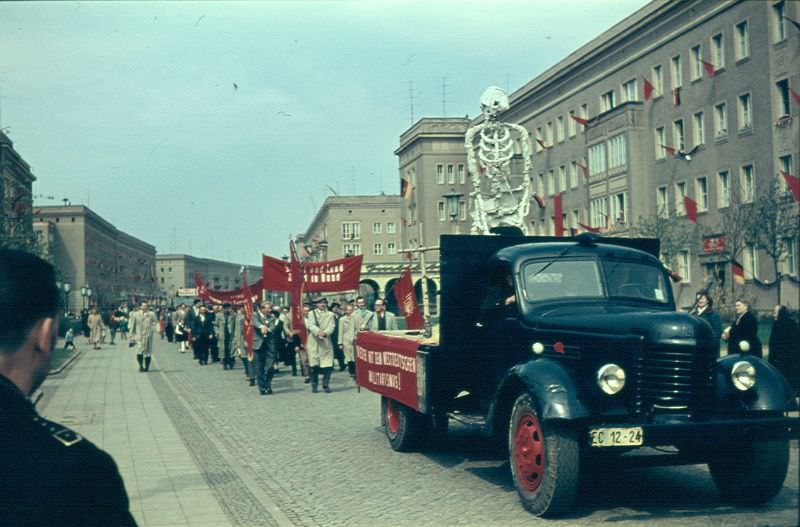
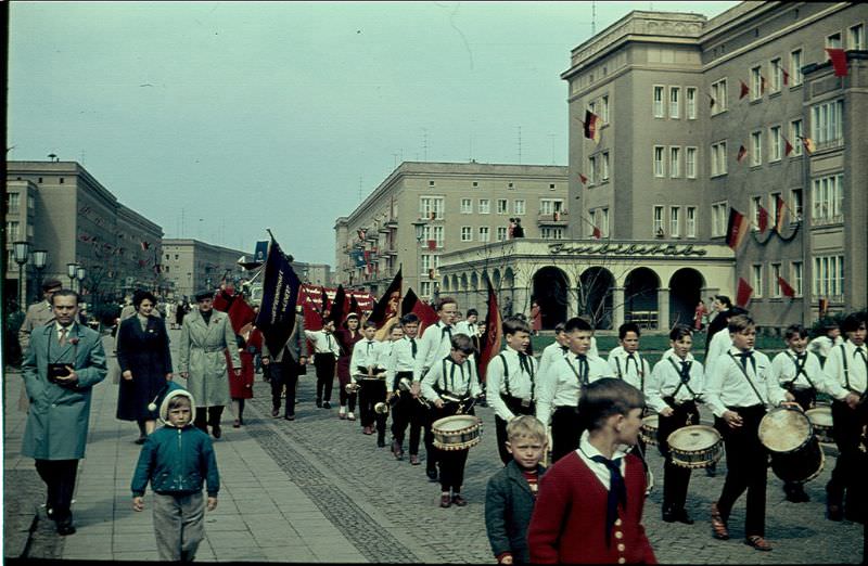
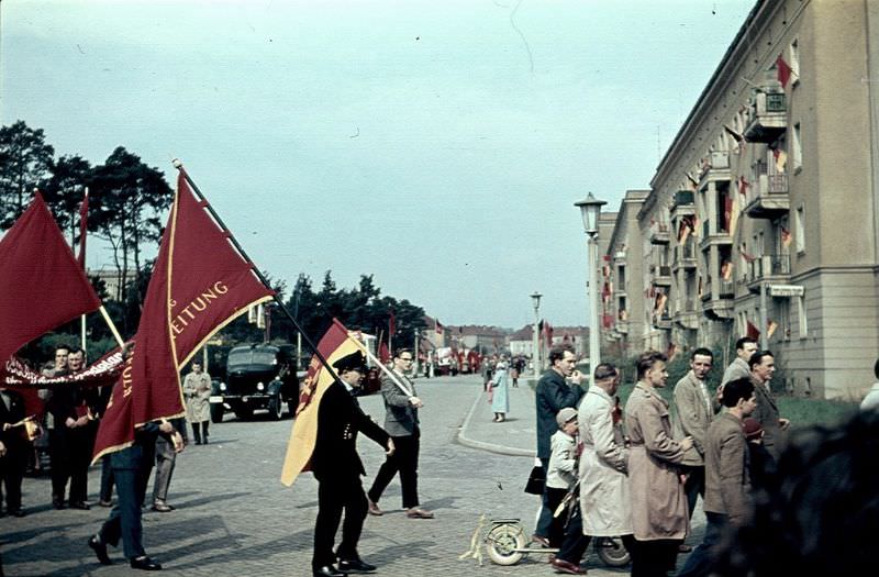
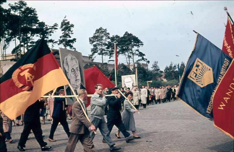
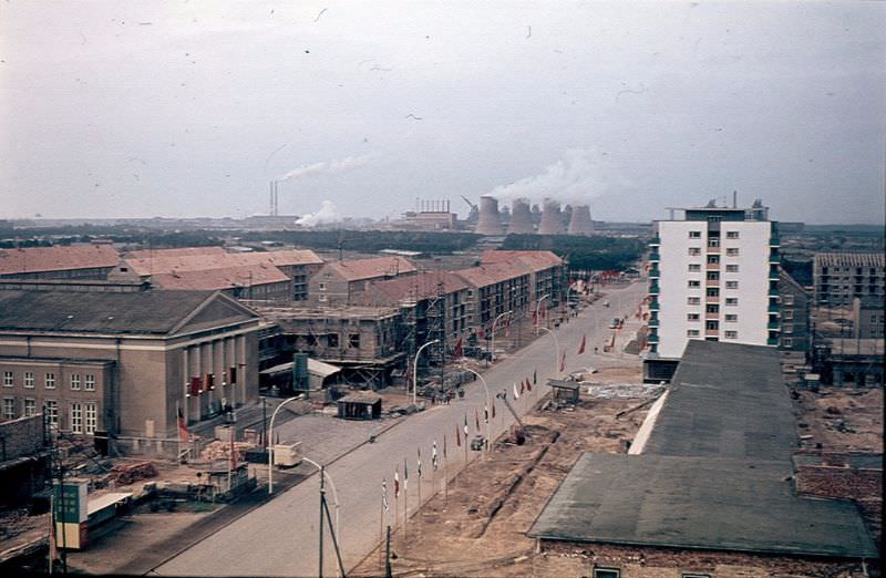
The Stasi — the East German Ministry for State Security — operated one of the most thorough surveillance systems in history during this period. Citizens were watched, reported on by neighbors and colleagues, and arrested for activities considered hostile to the state. The fear this created shaped daily life in East Germany throughout the decade. Meanwhile, the regime projected confidence through architecture and public art. Stalinstadt, a brand-new industrial city built from scratch in the early 1950s, was showcased as a model socialist settlement. By 1961, it was renamed Eisenhüttenstadt, but it remained a point of pride for the East German government well into the 1960s.
Karl Marx Allee, East Berlin, Germany, 1960s
Karl Marx Allee, East Berlin, Germany, 1960s
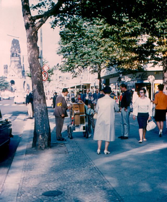
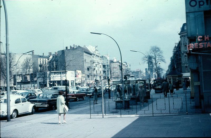
Kurfürstendamm and Leierkasten Player, Berlin, Germany, 1960s
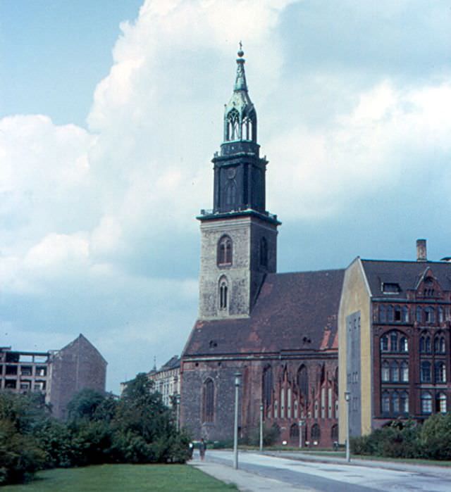
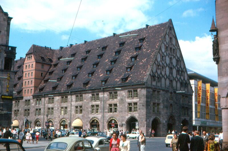
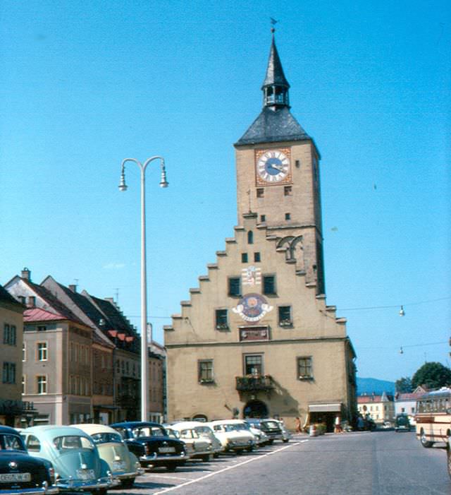
Löpsinger Tor, Nördlingen, Germany, 1960sMarienkirche, East Berlin, Germany, 1960sMauthalle, Nürnberg, Germany, 1960sMaximilianstrasse, Augsburg, Germany, 1960sNorth from Georgskirche, Nördlingen, Germany, 1960sNürnberg from Castle, Germany, 1960sOld City Hall, Munich, Germany, 1960s
Old houses in Segringerstrasse, in the center of Dinkelsbühl, on the ‘Romantic Road’ in Germany, Germany, 1960s
Ostengasse, Regensburg, Germany, 1960s
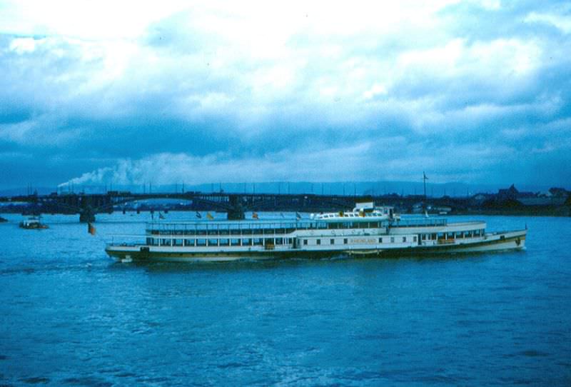
Part of the old city wall in Kronach, Germany, 1960sPerlachturm, Augsburg, Germany, 1960sRathaus, Deggendorf, Germany, 1960sRhine River Boat, Mainz, Germany, 1960s
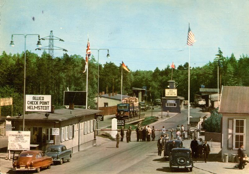
Movement between East and West Germany was tightly controlled. At the Allied checkpoint in Helmstedt on the Autobahn to Berlin, travelers were stopped and checked before being allowed to continue into the western sectors of the divided city. This crossing point was a daily reminder that Germany’s division was enforced at gunpoint. West Berlin itself, surrounded by East German territory, was accessible by only a handful of designated routes.
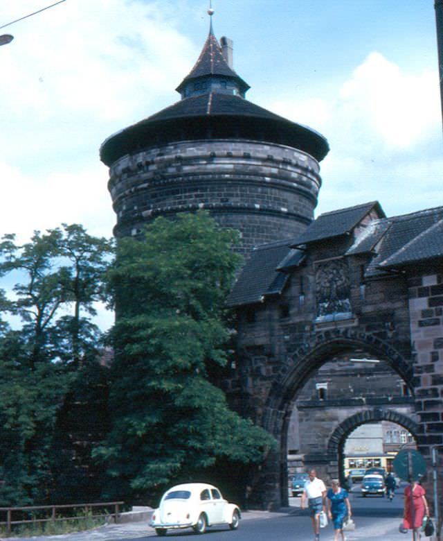
The Allied Checkpoint in Helmstedt on the Autobahn to Berlin, Germany, 1960sThe Fembohaus, Nürnberg, Germany, 1960s
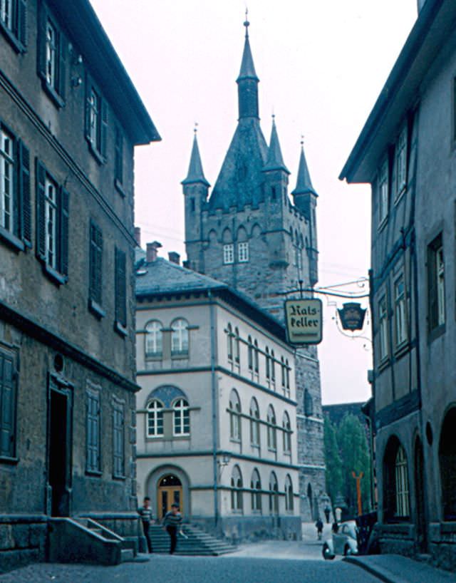
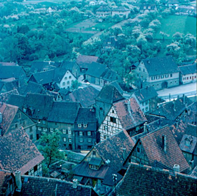
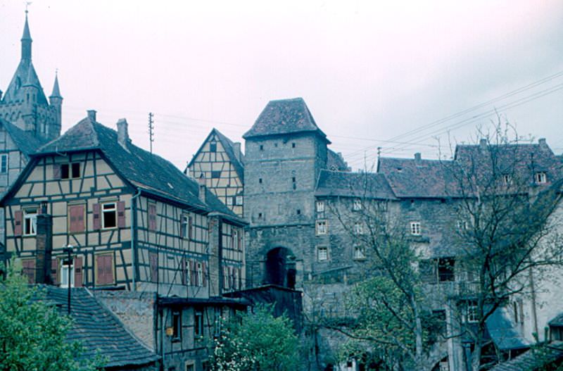
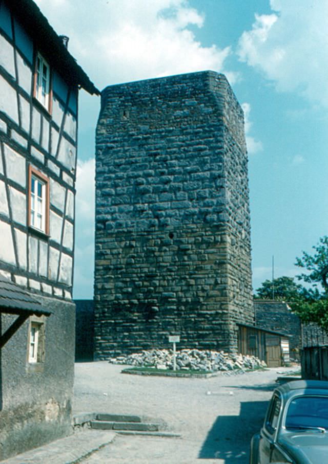
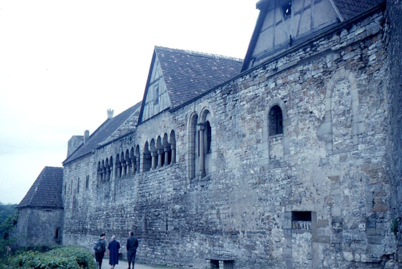
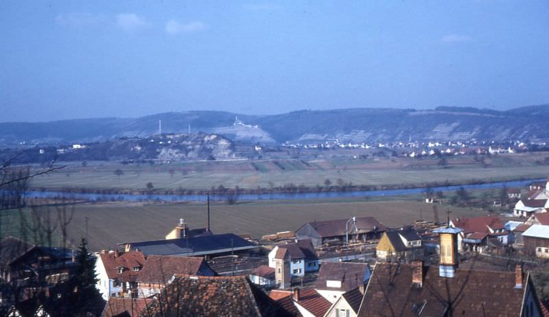
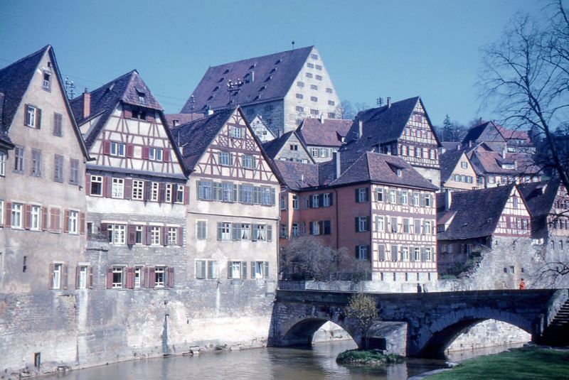
Baden-Württemberg, the southwestern state, offered some of Germany’s most striking medieval landscapes. Bad Wimpfen sat above the Neckar River, its skyline anchored by the Blauer Turm (Blue Tower) and the Roter Turm (Red Tower), both built around 1200 as part of the Kaiserpfalz — the imperial palace of the Hohenstaufen emperors. Half-timbered houses clustered around the old city gate, and the palace ruins stood as one of the most intact examples of Hohenstaufen-era architecture anywhere in Germany.
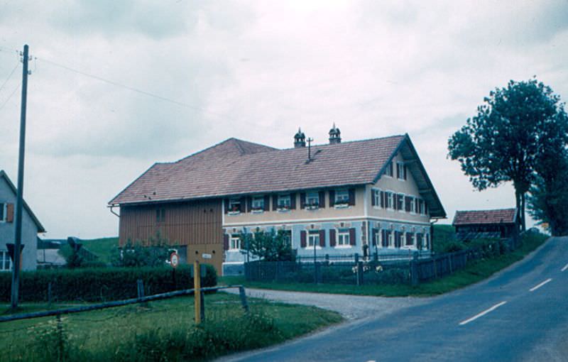
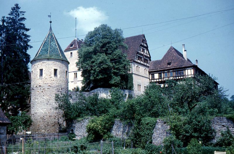
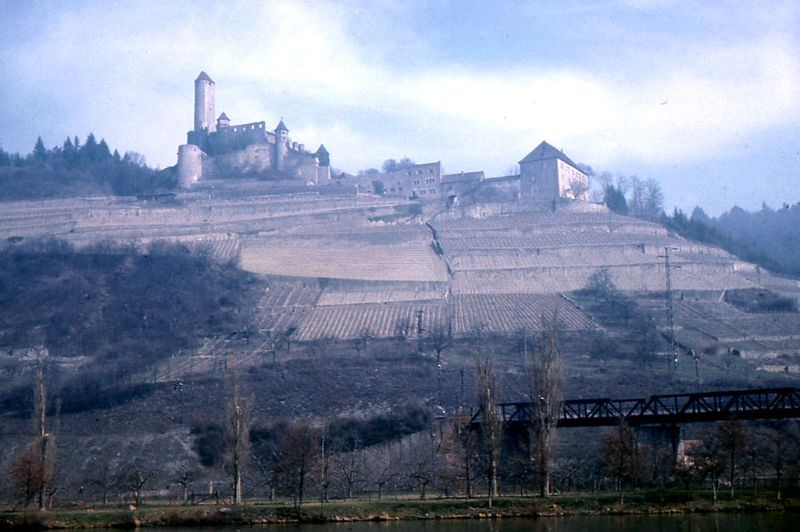
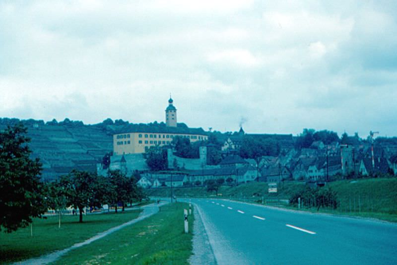
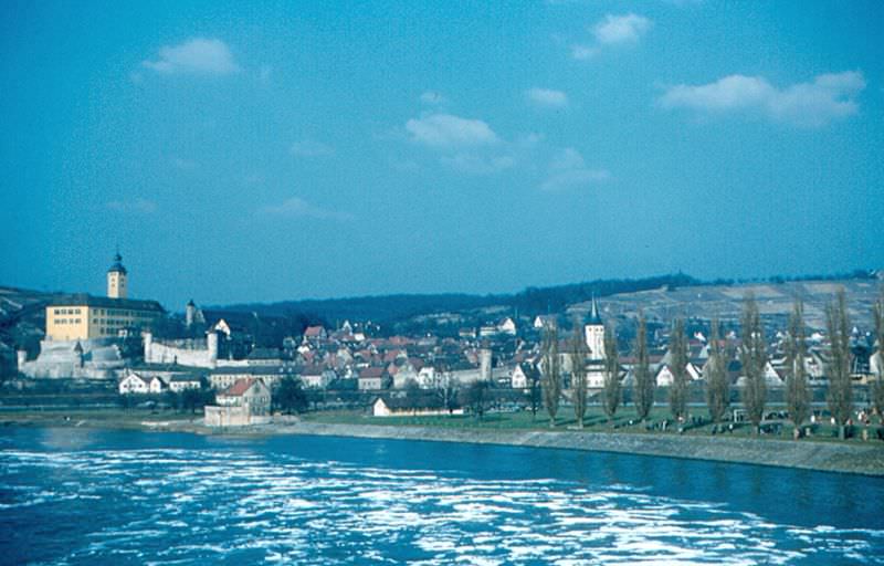
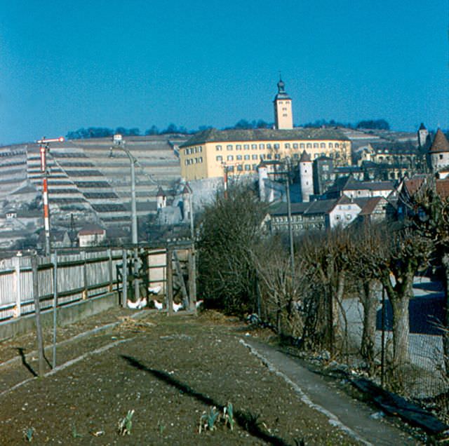
Bad Wimpfen from Blauer Turm, Germany, 1960sBlauer Turm, the Blue Tower, part of the Kaiserpfalz (Emperor’s palace), was built around 1200, Bad Wimpfen, 1960sHalf-timbered houses, a city gate, and the Blue Tower at left, Bad Wimpfen, 1960sRoter Turm, the Red Tower was also part of the Kaiserpfalz (Emperor’s palace) in Bad Wimpfen. It was built sometime around 1200, Bad Wimpfen, 1960sThe Kaiserpfalz was built by the Hohenstaufen Emperors in the 12th century, Bad Wimpfen, 1960sBavarian farmhouse, Germany, 1960sBebenhausen Schloss, Germany, 1960sBeilstein Rathaus, Germany, 1960sBurg Hornberg, Germany, 1960sComburg Abbey, outside Schwäbisch Hall, Germany, 1960sGundelsheim from Bundesstrasse 37, near the station, showing Schloss Horneck, Germany, 1960sGundelsheim from Neckar River Lock, Germany, 1960sGundelsheim, a small city on the Neckar River, 20 km (12 miles) north of Heilbronn, Germany, 1960s
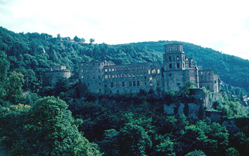
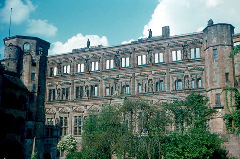
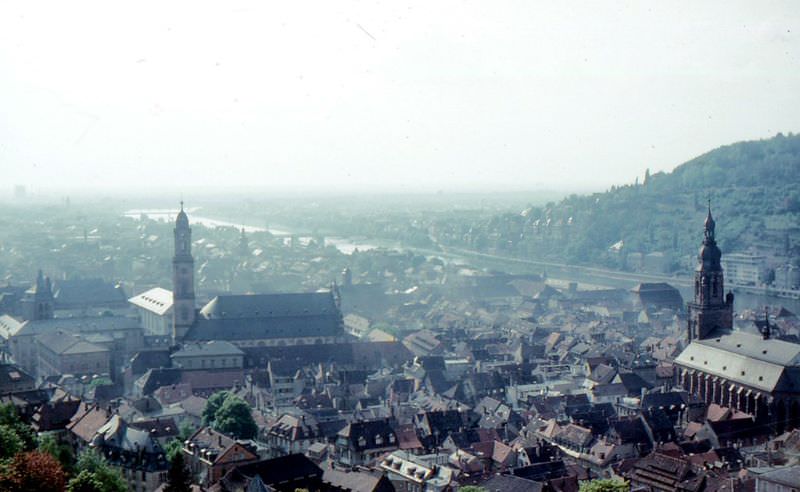
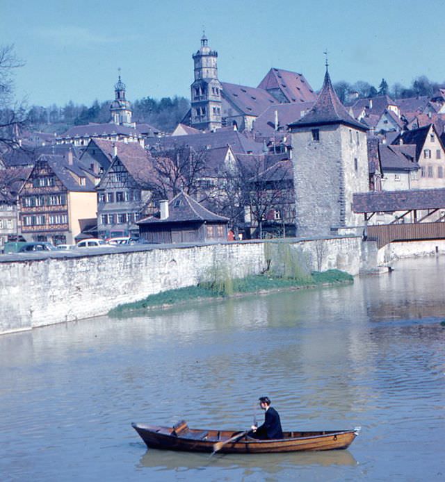
Heidelberg Castle, one of the most visited ruins in Germany, loomed above the Neckar River on a forested hillside. The Ottheinrichsbau wing of the courtyard, built by Prince-Elector Otto Heinrich in the 1550s, was considered one of the finest examples of Renaissance architecture north of the Alps. From the castle terrace, the view stretched across the city’s rooftops to the river beyond. Schwäbisch Hall, a salt-trading town on the Kocher River, preserved its half-timbered waterfront and steep river banks as it had for centuries.
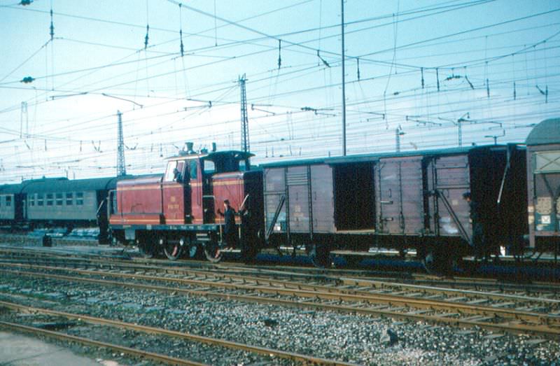
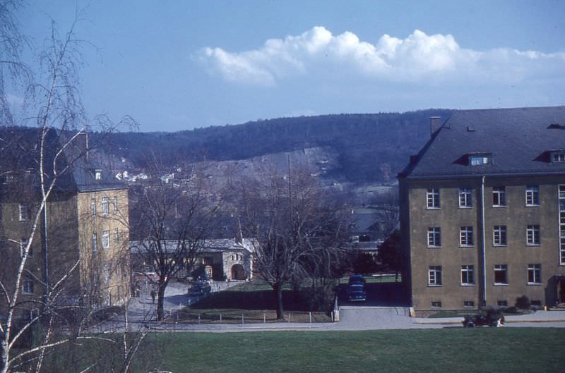
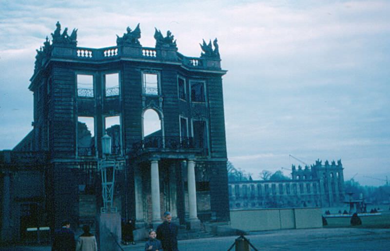
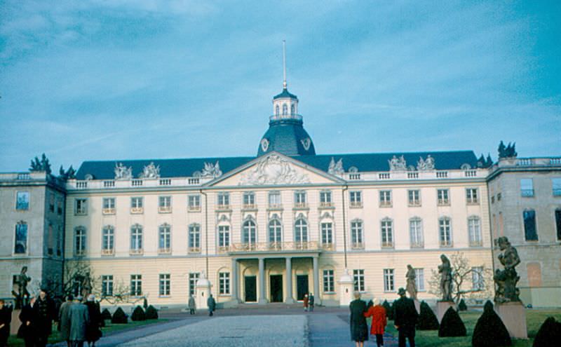
Heidelberg Castle from the terrace, Germany, 1960sHeidelberg Castle. Ottheinrichsbau, one of the main buildings in the courtyard, built by Prince-Elector Otto Heinrich in the 1550s, Germany, 1960sHeidelberg from castle. The Neckar River is in the background, Germany, 1960sA V 60 diesel locomotive is moving an old two-axle freight car in the Heilbronn station yard, Heilbronn, Germany, 1960sBadenerhof Kaserne, Heilbronn, Germany, 1960sThe Harmonie, HeilbronnHornberg from Burg GuttenbergSchloss (Not yet rebuilt). The two wings of the palace in Karlsruhe had not yet been rebuilt after damage in World War II, KarlsruheThe former palace of the Grand Dukes of Baden, now a city building, KarlsruheA city gate in Langenburg, east of Heilbronn, topped by a half-timbered house, Langenburg, 1960sLimes near Öhringen
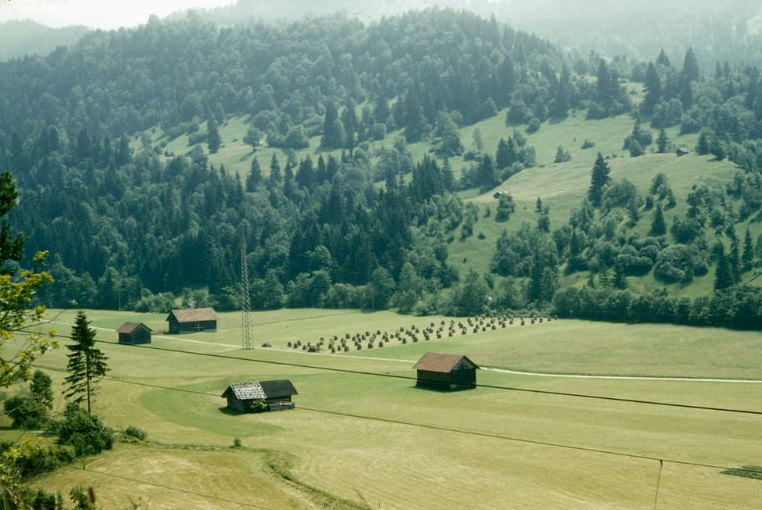
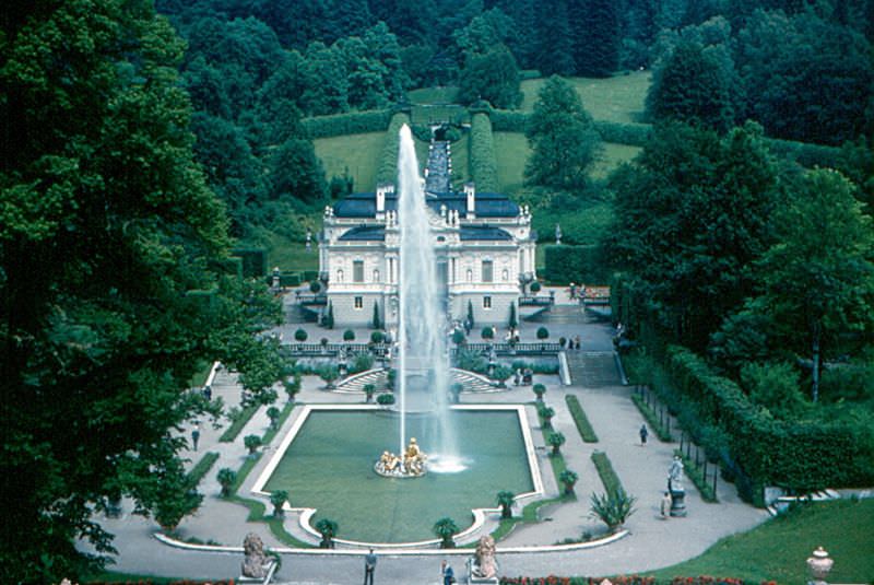
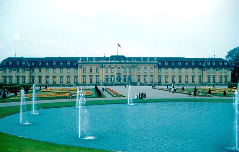
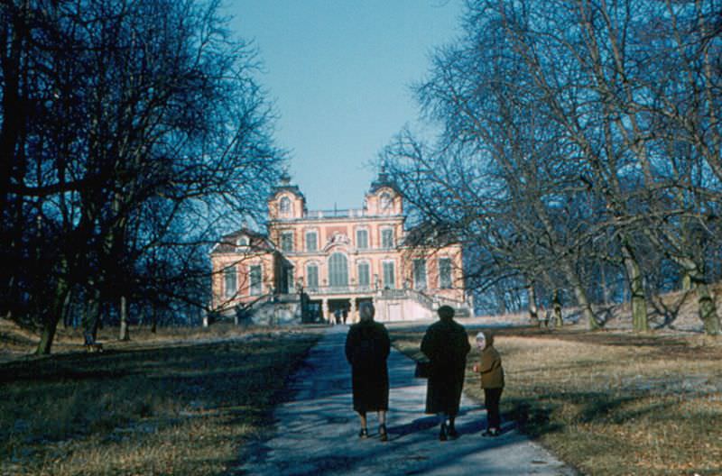
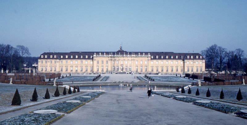
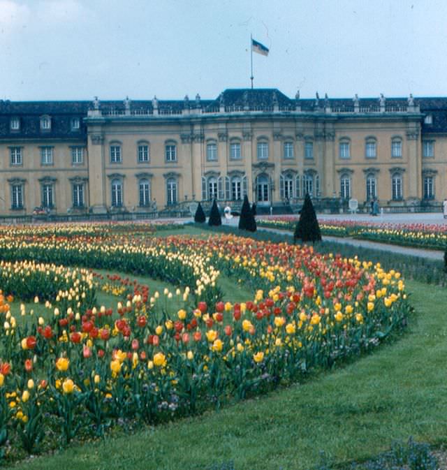
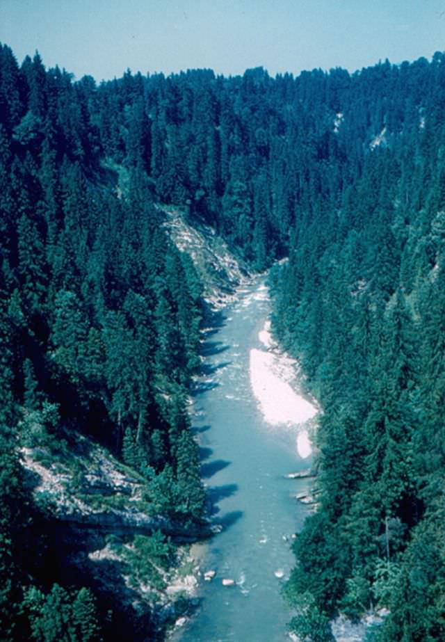
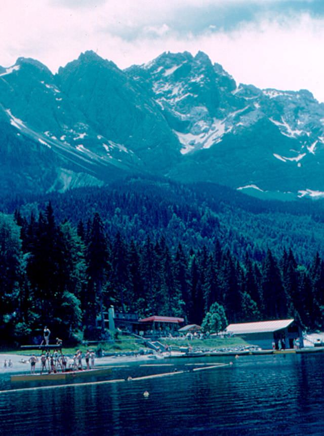
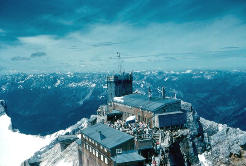
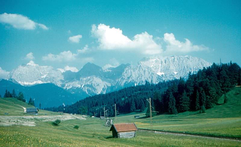
Bavaria offered some of the most dramatic scenery in all of Germany. The Zugspitze, Germany’s highest mountain at 2,962 meters (9,715 feet), rose above the Eibsee lake near Garmisch-Partenkirchen. The Zugspitzbahn rack railway carried passengers up the steep lower slopes toward the summit. Nearby, Linderhof Palace — a smaller retreat built by King Ludwig II — sat in an alpine valley surrounded by formal gardens. The Alps stretched across the southern horizon, their peaks visible on clear days from towns far to the north. Ludwigsburg Palace, north of Stuttgart, hosted its famous Blühendes Barock (Blooming Baroque) garden festival, when some 500,000 tulips bloomed across the grounds.
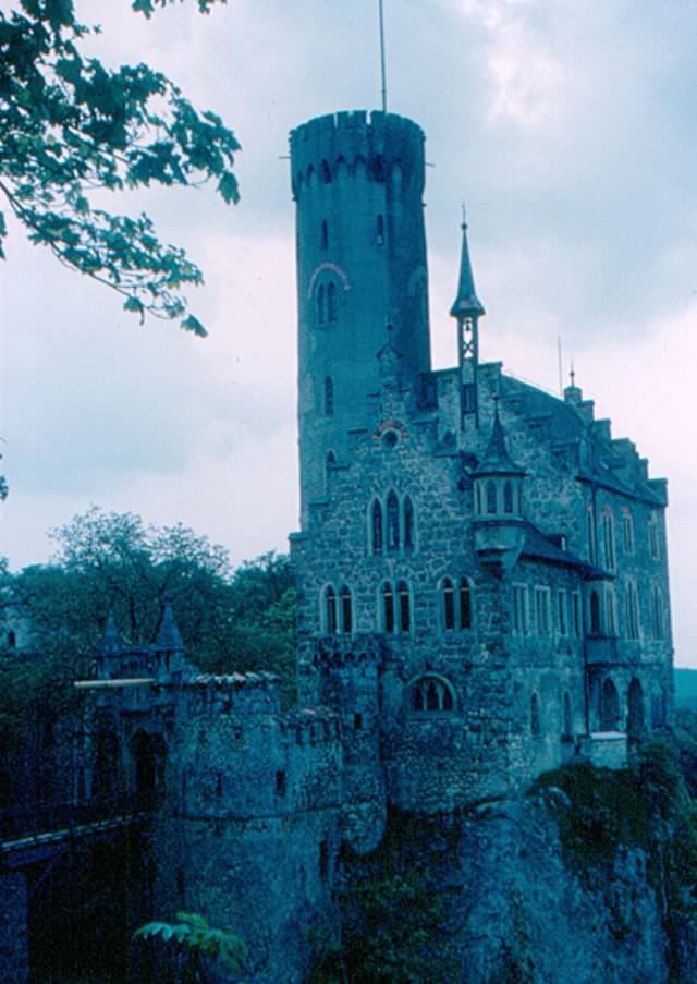
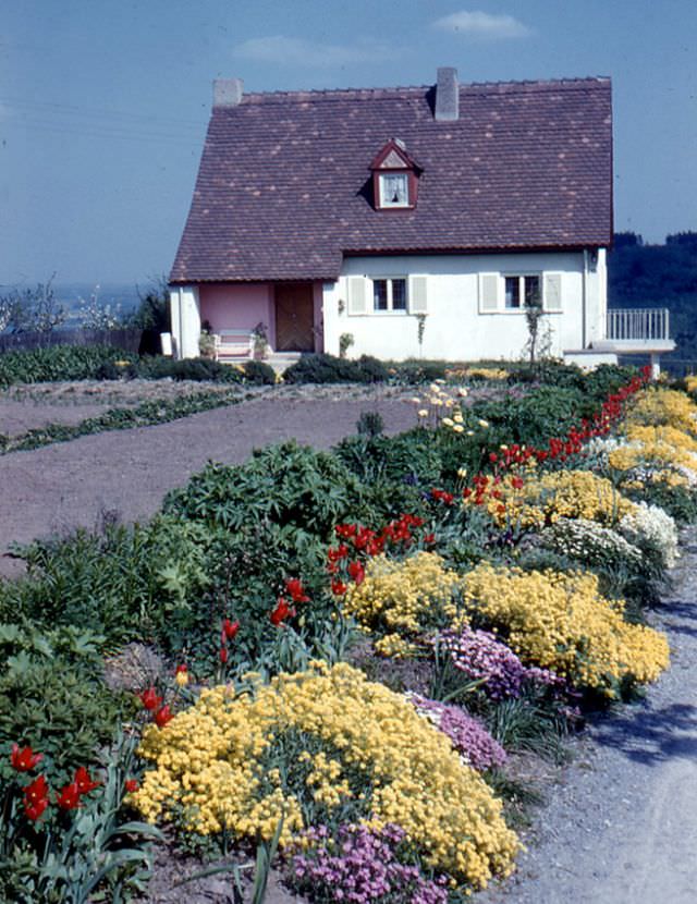
LinderhofLudwigsburg Palace at the height of the “Blühendes Barock” (blooming baroque) seasonSchloss Favorite, a house built by Eberhard Ludwig, Duke of Württemberg, for his mistress, LudwigsburgSchloss, LudwigsburgLudwigsburg, South Garden. Some of the 500,000 tulips at Ludwigsburg PalaceMarktplatz, MosbachRathaus and fountainm MosbachÖhringen. Altstadt (Old City)Rothenburg. “Meistertrunk”Rothenburg. Rathaus, the main building of Rothenburg’s city hall was built in the 1570sRothenburg’s skyline from the Tauber River valley. The famous “double bridge” is in the foreground. It was built around 1330Schloss LichtensteinSchloss ZwingenbergSchwäbisch Hall and the Kocher River from near the railroad stationSchwäbisch Hall. Half-timbered HousesSchwäbisch Hall. Houses on Kocher RiverSchwäbisch Hall. Kocher RiverThe Ammer River, seen from a highway bridge on the way to Garmisch-PartenkirchenThe Zugspitzbahn, at the Eibsee station near the base of the ZugspitzeThe Zugspitze, Germany’s highest mountain (2,962 m, 9,715 ft) from the EibseeThe Zugspitze. Münchnerhaus and AlpsUntergruppenbach. Burg StettenfelsView of the Alps (at least, the beginning of the Alps), near Garmisch-PartenkirchenA small house with spring flowers, WaldenburgThe Evangelical (Lutheran) church, WaldenburgRuined Weibertreu, Waldenburg
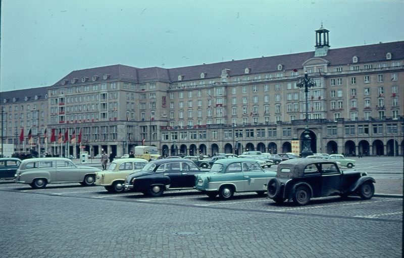
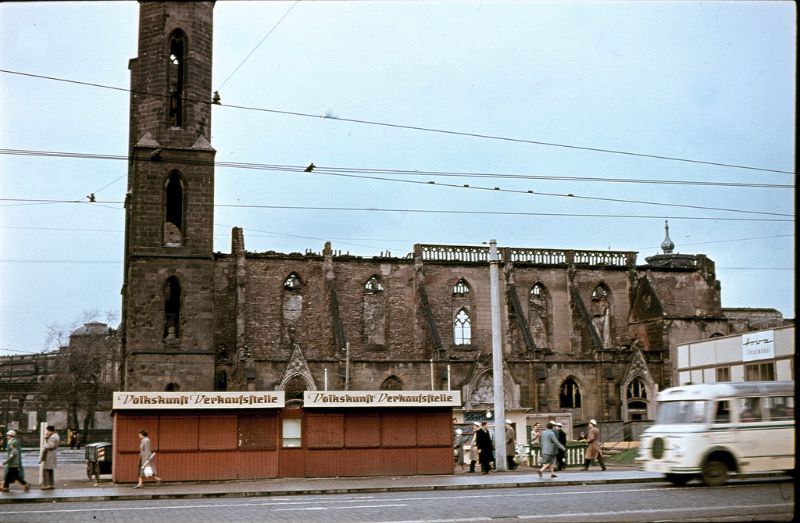
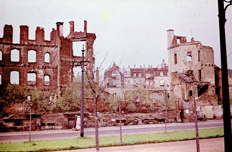
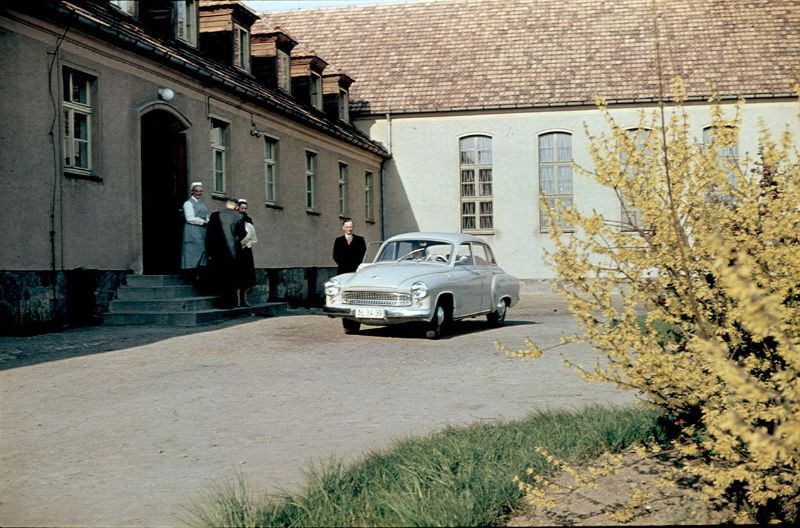
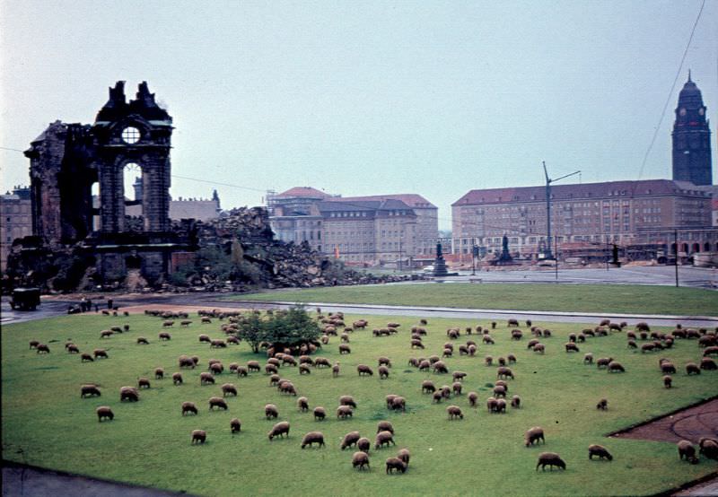
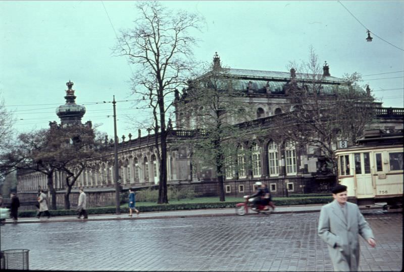
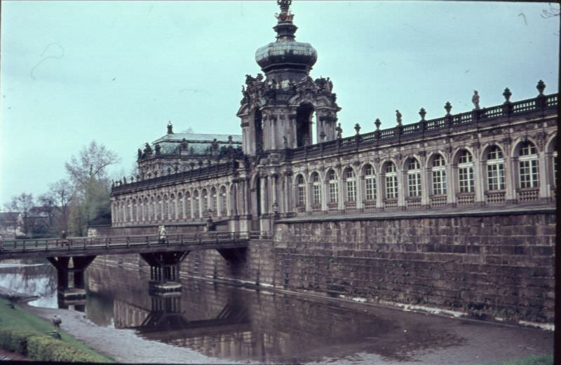
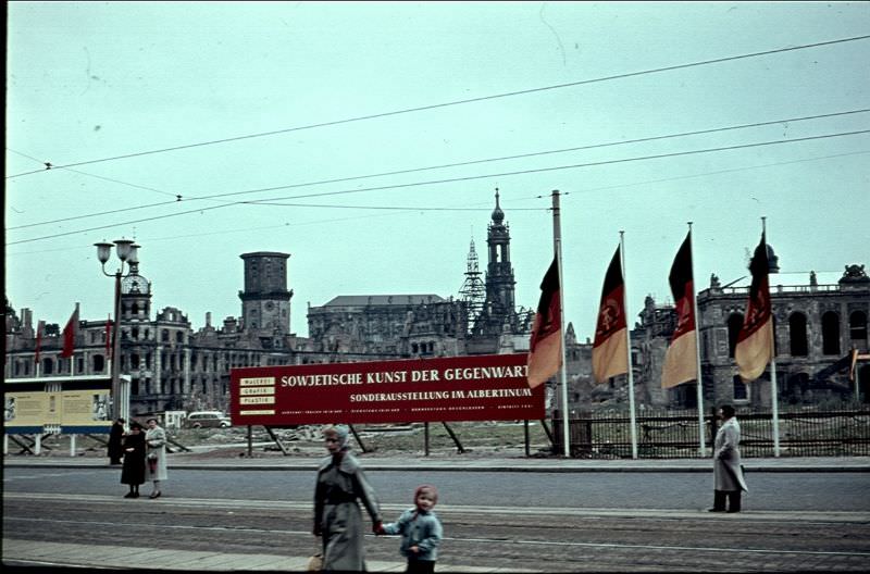
In East Germany, Dresden was still living with the visible scars of the February 1945 Allied bombing campaign that destroyed much of the city center. By the 1960s, parts of the city had been rebuilt, but ruins remained. The bombed-out Frauenkirche was left as a standing ruin by the East German government — a deliberate war memorial rather than a reconstruction project. The Zwinger Palace, a masterpiece of Baroque architecture, underwent restoration work during this period. Sheep grazed on open ground within the city, serving as living lawnmowers in areas not yet rebuilt. A banner advertising a Contemporary Soviet Art exhibition hung on a site where war damage was still clearly visible — politics and rubble side by side.
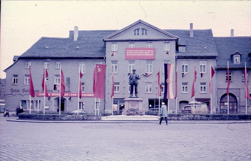
Dresden rebuiltChurch in ruins, DresdenEast Berlin Stalin AlléEisleben AndreaskircheEisleben, Lenin statue
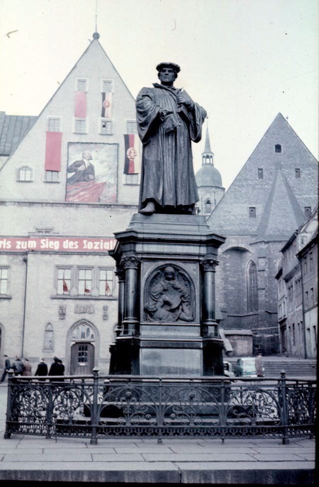
Eisleben, Luther statue
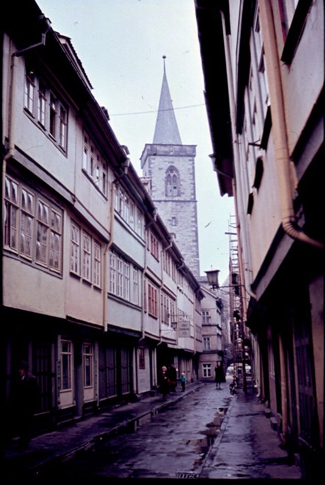
Erfurt street scene
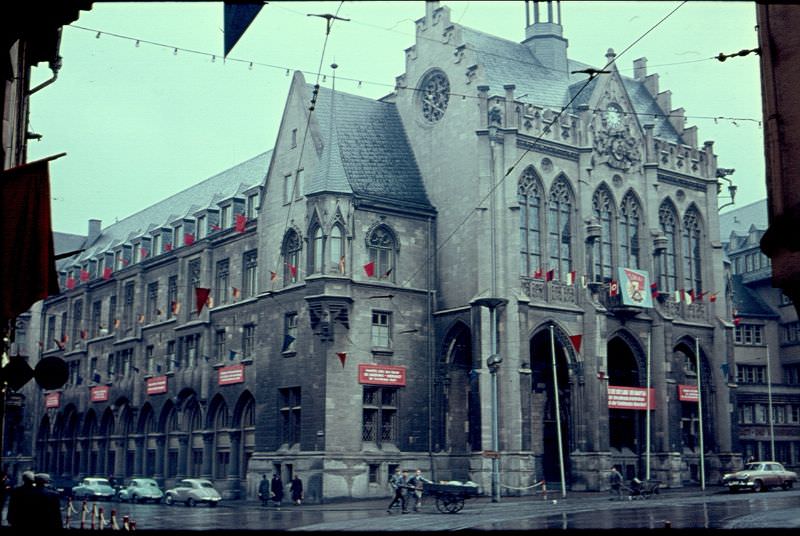
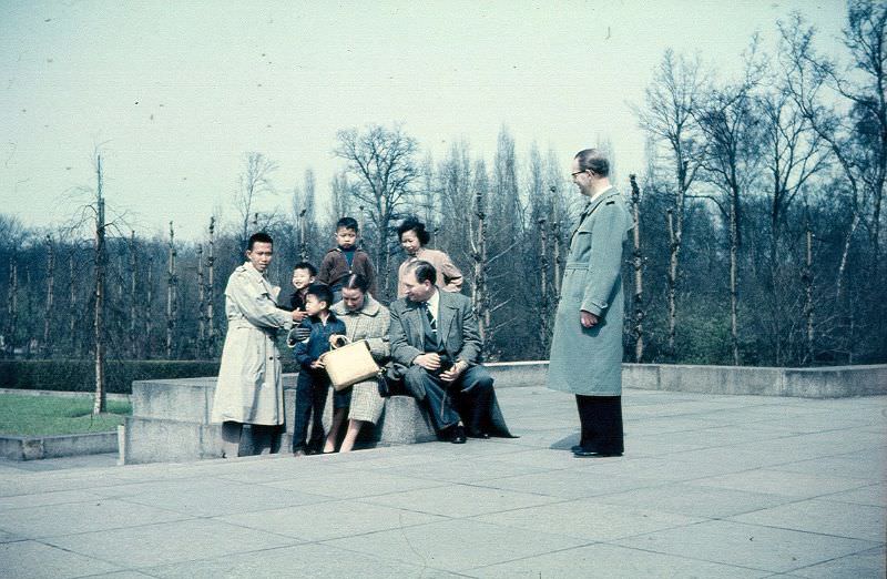
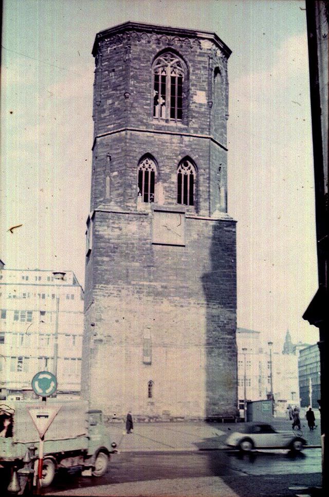
Erfurt Town HallErfurt, by the Augustiner MonasteryFamily outing in Treptow Park, BerlinGemäldegalerie Alte Meister (Old Masters Picture Gallery) in DresdenHalle-Saale, Rotes Turm
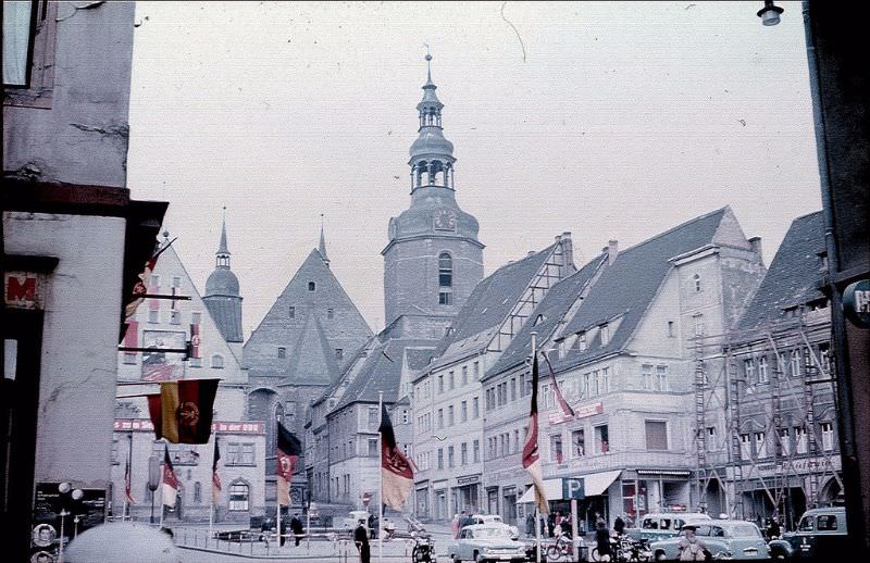
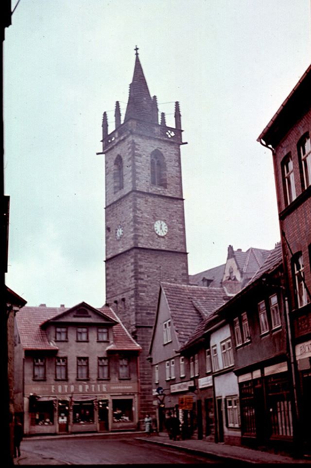
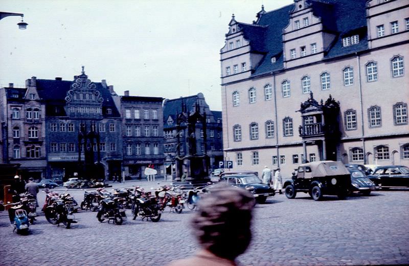
Eisleben, the birthplace of Martin Luther, gave East Germany a curious dual identity in these photographs. A statue of Lenin stood near a statue of Luther in the same town — the communist state coexisting with one of Christianity’s most defining figures. Erfurt, one of Thuringia’s main cities, showed its medieval core intact, with the Augustiner Monastery — where Luther himself had lived as a monk — still standing among the old streets. Wittenberg, where Luther had posted his 95 Theses in 1517, preserved the Lutherhaus and statues of both Luther and his colleague Philipp Melanchthon in the Marktplatz.
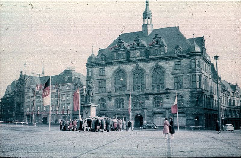
Handel Monument on Halle-Saale main square
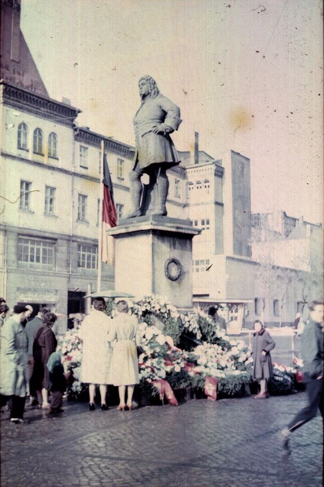
Handel statue in Halle-Saale Square
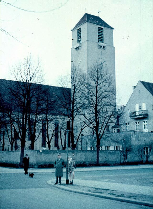
Lindenkirche, Berlin
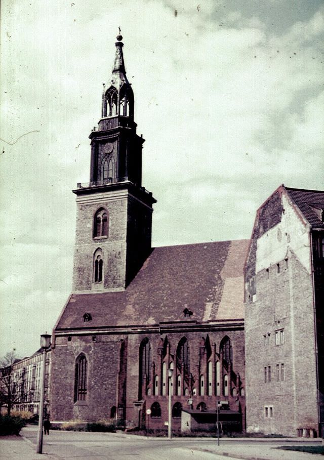
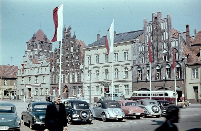
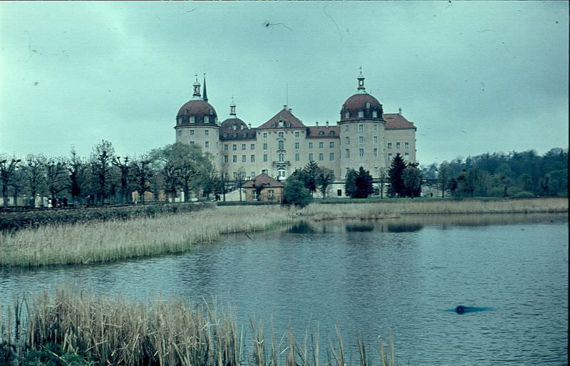
Marienkirche, BerlinMärkische BuckowMärkische BuckowMarktplatz GreifswaldMoritzburg Schloss near DresdenRuins of a Dresden CastleSportshall, Stalin Allé, East BerlinStalinstadt Bürgermeister, Mayor of StalinstadtStalinstadt in 1960Stalinstadt in 1960Stalinstadt in 1960Stalinstadt in 1960Stalinstadt in 1960Stalinstadt in 1960Stalinstadt in 1960Stalinstadt in 1960Steglitz town hall in BerlinSüsow Krk SchuleThe road to Wartburg
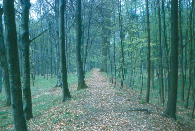
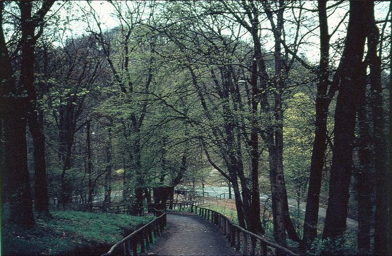
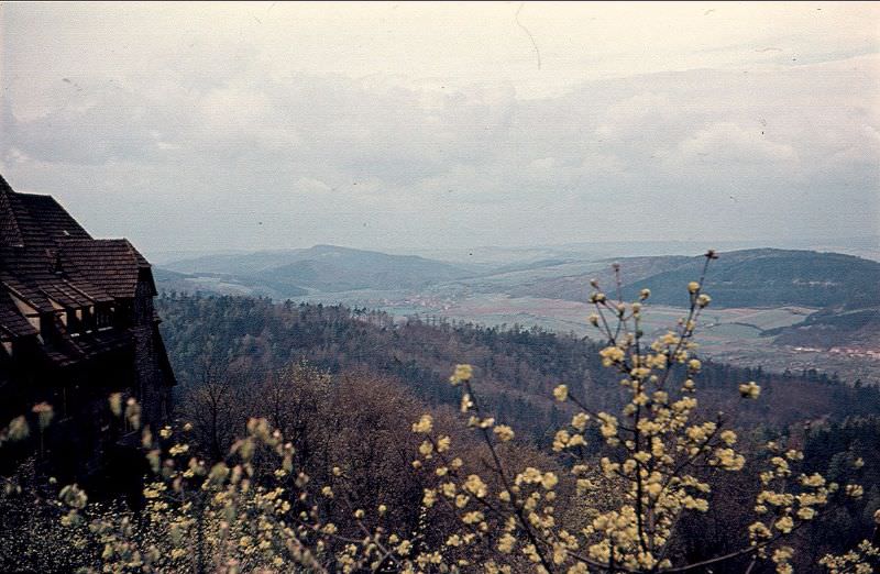
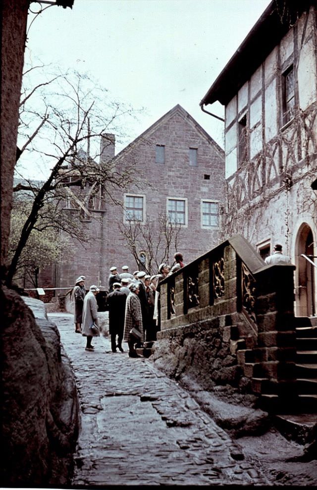
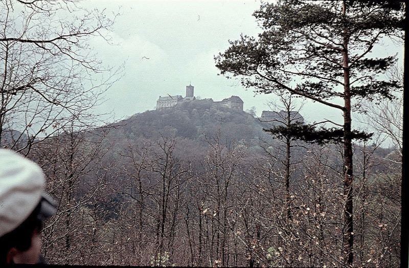
Wartburg Castle, overlooking Eisenach in Thuringia, was one of the most historically significant sites in all of Germany. Martin Luther had translated the New Testament into German while sheltering there in 1521. By the 1960s, it remained one of East Germany’s most visited landmarks, drawing tourists from across the Soviet bloc. The surrounding forested hills of the Thuringian landscape made the approach road — winding up through the trees — one of the more scenic routes in the country.
Tower by the Augustine Monastery in ErfurtTreptow Park in East BerlinUsing sheep as municipal lawnmowers, DresdenView from Wartburg near EisenachView of Eisenach from HainsteinWartburg Castle, EisenachWartburg in 1960Wittenberg Marktplatz, statues of Luther & MelanchtonWittenberg, Lutherhaus (to the left)Wittenberg, Luther’s WellZwinger Palace, DresdenZwinger Palace, DresdenBanner on a site clearly still damaged by the war, advertising a ‘Contemporary Soviet Art’ exhibition, Dresden
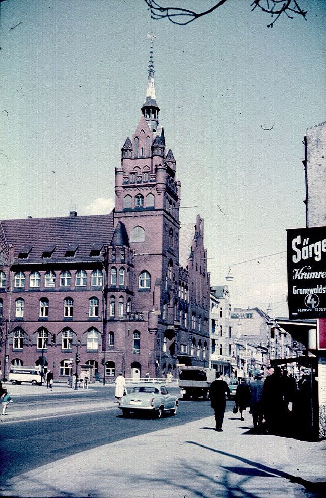
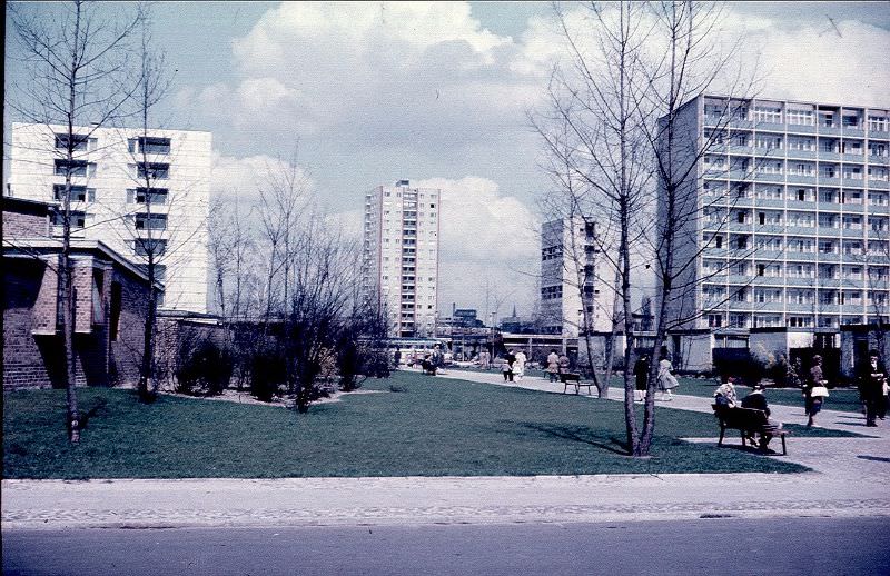
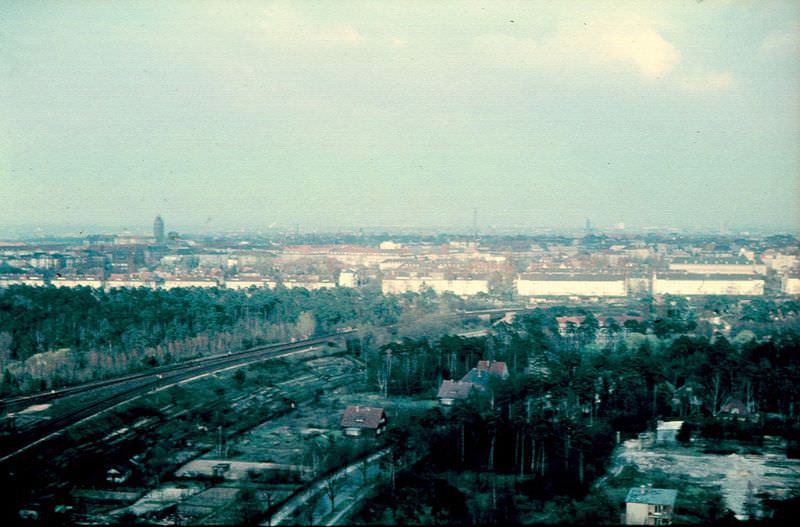
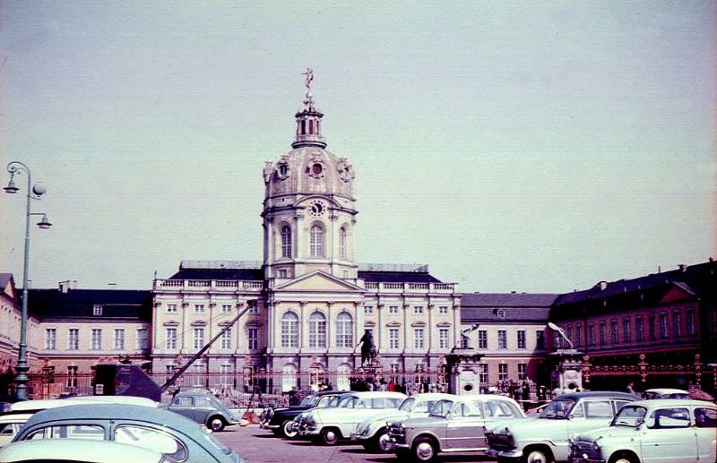
Back in West Berlin, the Kurfürstendamm was the city’s main commercial boulevard — a deliberate showcase of Western prosperity just miles from the Wall. Café Kranzler, a famous coffeehouse on the Ku’damm, drew crowds of West Berliners and tourists. The Hansaviertel district, rebuilt in the late 1950s with contributions from leading architects of the era, stood as a statement about modern West German design. The Funkturm, Berlin’s steel radio tower, offered a view eastward across the divided city — two Germanys visible from a single vantage point.
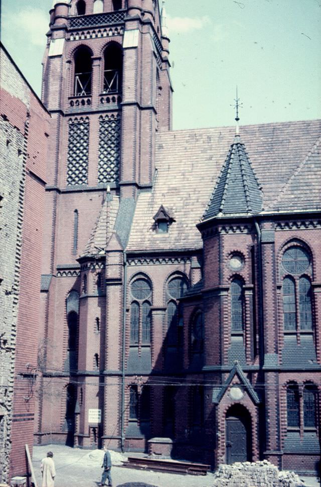
Berlin HansaviertelBerlin Kirche zur Frohen BotschaftBerlin KurfürstendammBerlin seen from Corbusier HausBuckow N-D KonventBurckhardthaus Kirche, BerlinCharlottenburg Palace, BerlinChurch of Peter and Paul (Taufkirche), Eisleben
Kevin Clark is a historian and writer who is passionate about sharing the stories and significance behind historical photos. He loves to explore hidden histories and cultural contexts behind the images, providing a unique insight into the past.