
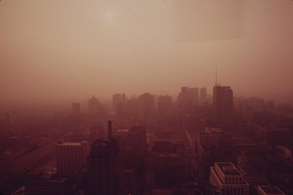
By the early 1970s, American cities were in serious trouble. Decades of industrial growth, poor urban planning, and unchecked pollution had left many neighborhoods crumbling. Air was thick with factory smoke. Rivers ran brown with industrial waste. Streets in poor neighborhoods were lined with trash, abandoned cars, and boarded-up buildings. Philadelphia was no exception. In fact, it was one of the clearest examples of what urban America looked like when no one was keeping watch.
In November 1971, the newly formed Environmental Protection Agency (EPA) launched a major photodocumentary project called DOCUMERICA. The goal was straightforward: send photographers across the country to document the state of the American environment. By the time the project wrapped up in 1978, it had produced more than 20,000 photographic prints. It was the first serious, large-scale visual record of how badly the environment had deteriorated across the United States.
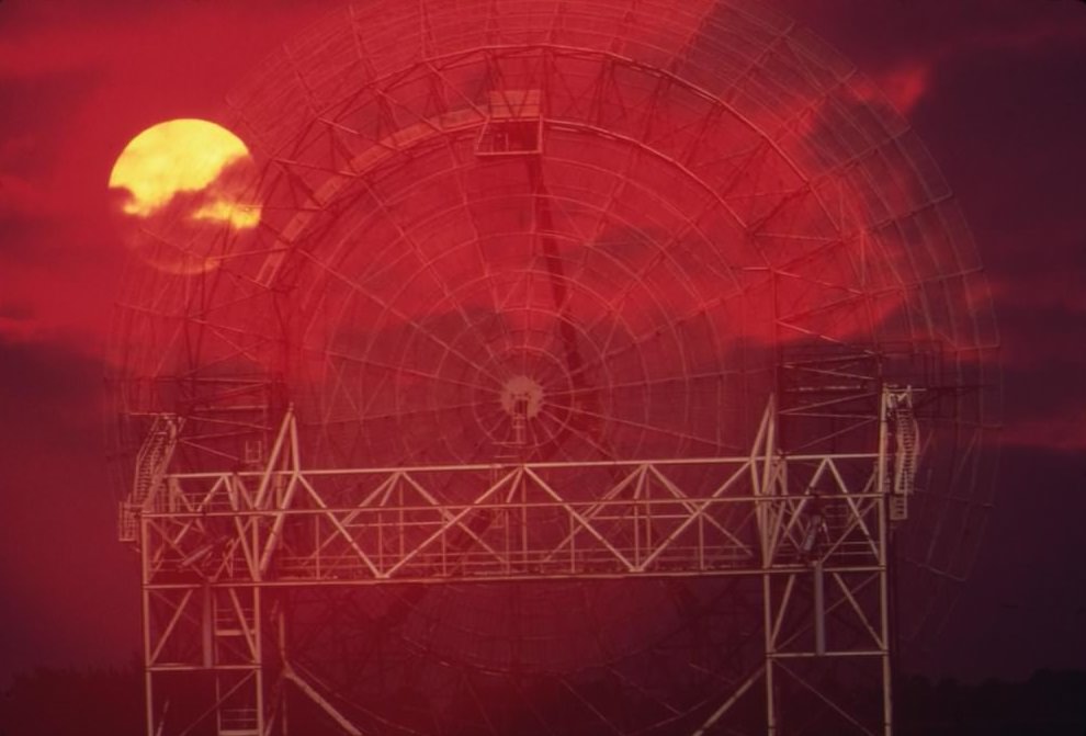
DOCUMERICA photographers were often assigned to regions where they already lived and worked as professional photojournalists. EPA purchase orders outlined the geographic areas each photographer was responsible for and sometimes pointed them toward specific environmental concerns. This approach created a broad but detailed map of environmental trouble spots across the nation. Philadelphia and its surrounding region were among the most heavily documented areas in the entire project.
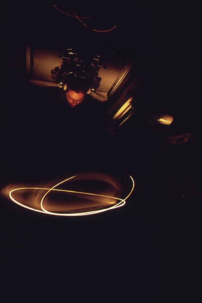
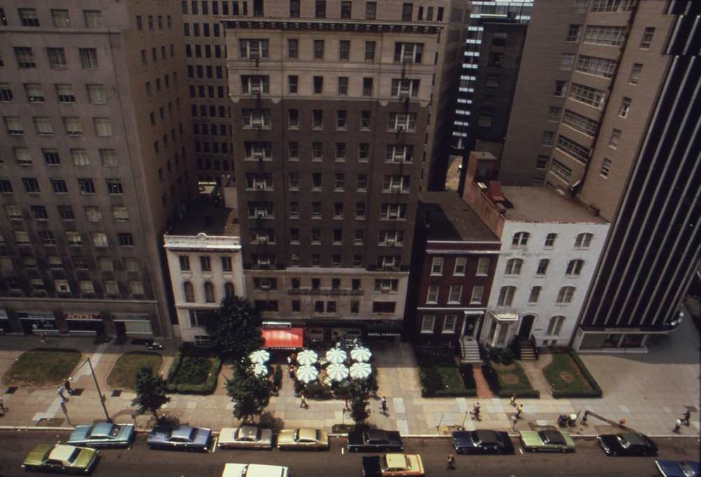
The Philadelphia photographs were taken in August 1973 by photographer Swanson. What the camera captured was a city split in two. Downtown Philadelphia had its grand civic buildings, busy streets, and public parks. But just miles away, North Philadelphia told a completely different story — one of poverty, neglect, and environmental abandonment.
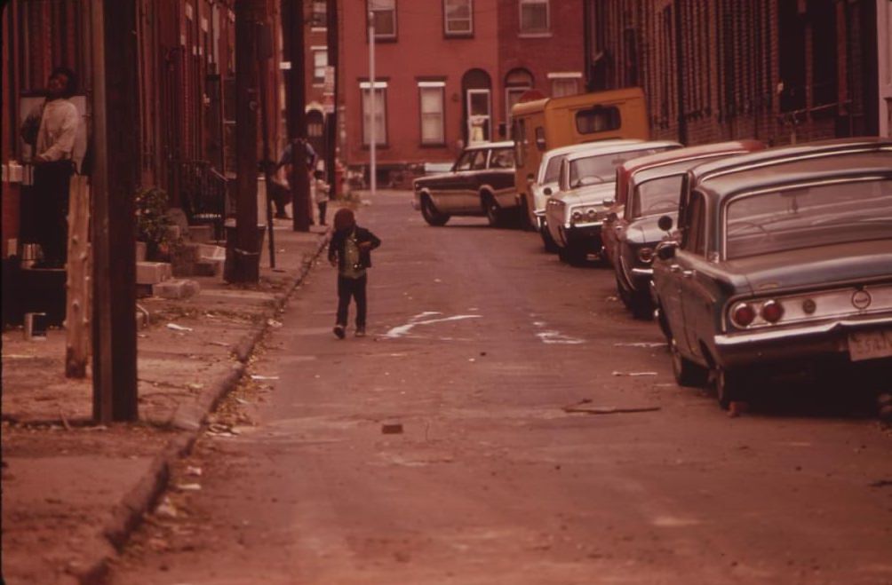
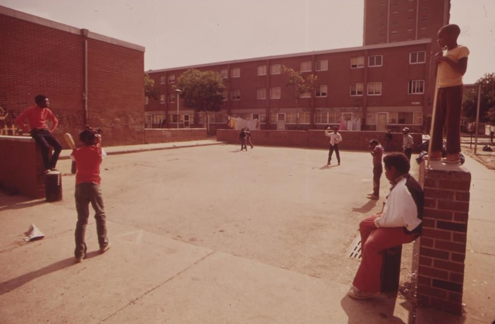
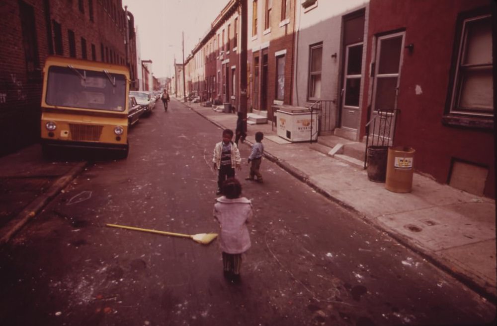
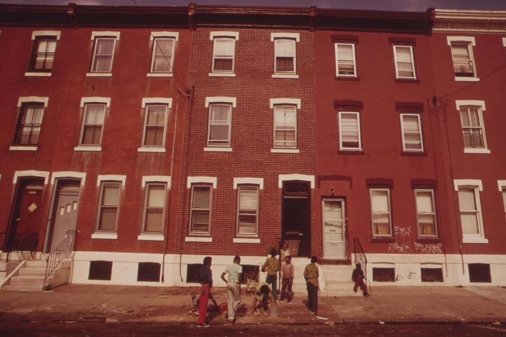
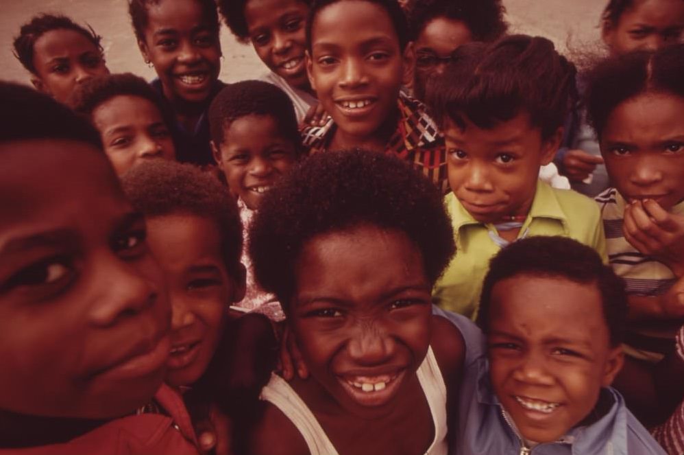
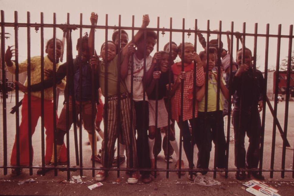
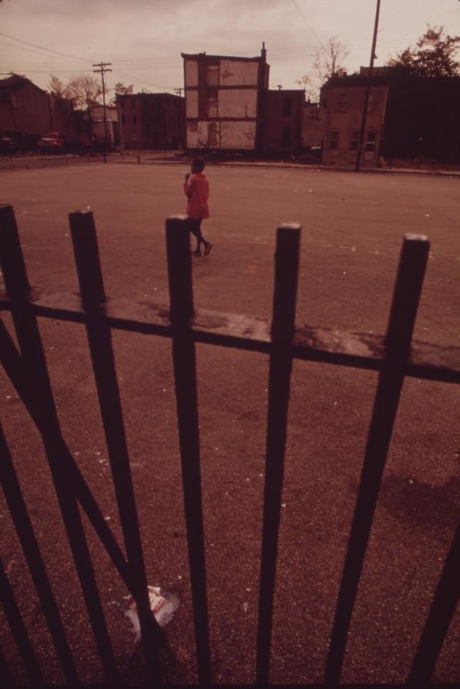
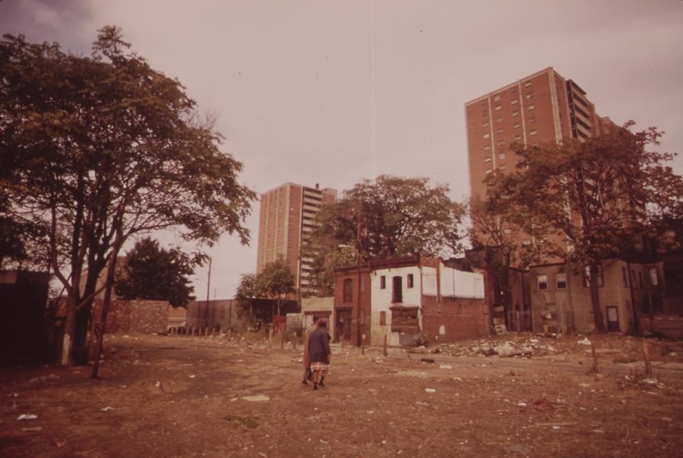
North Philadelphia in 1973 was a neighborhood under enormous strain. Housing projects dotted the area, and the play areas around them were sparse and worn down. Children grew up in tight quarters with little green space and few resources. The streets themselves were often littered, and many of the surrounding buildings had been left empty and falling apart.
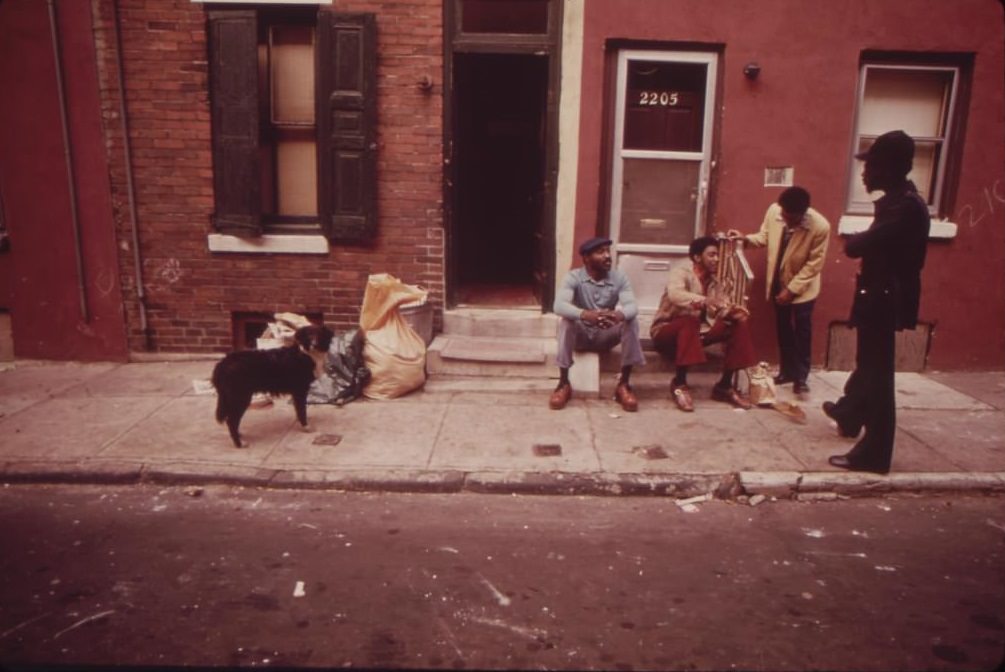
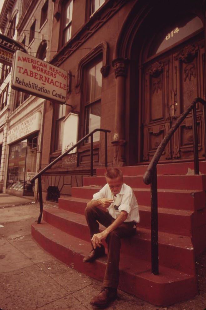
Unemployment was a constant reality in North Philadelphia. Groups of men gathered on corners and stoops with nowhere to go. Among them was Gerald ‘Heat Wave’ Jones, photographed in August 1973, a man who worked for a local organization known as ‘the Network.’ Street gangs had also become a fixture of the neighborhood, with members visibly present throughout the community.
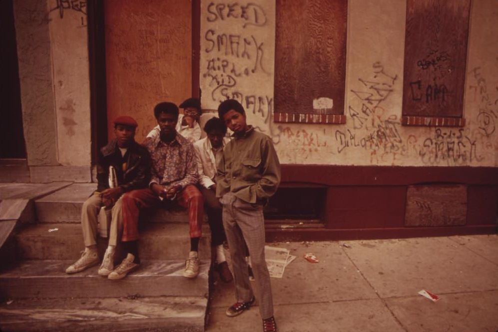
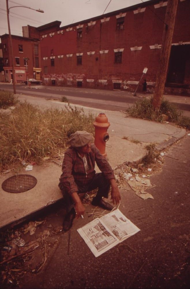
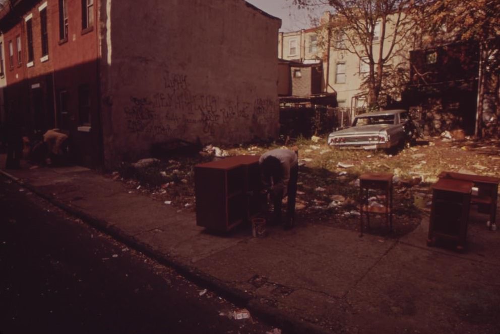
The physical environment in North Philadelphia reflected the social conditions there. Vacant lots filled with trash were common. Abandoned cars rusted in place, stripped of usable parts and left to decay. These lots were not the result of a single event — they were the product of years of disinvestment, as businesses and wealthier residents moved out and city services failed to keep up.
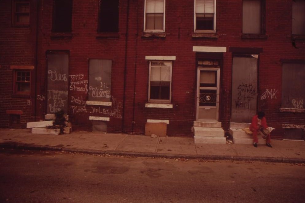
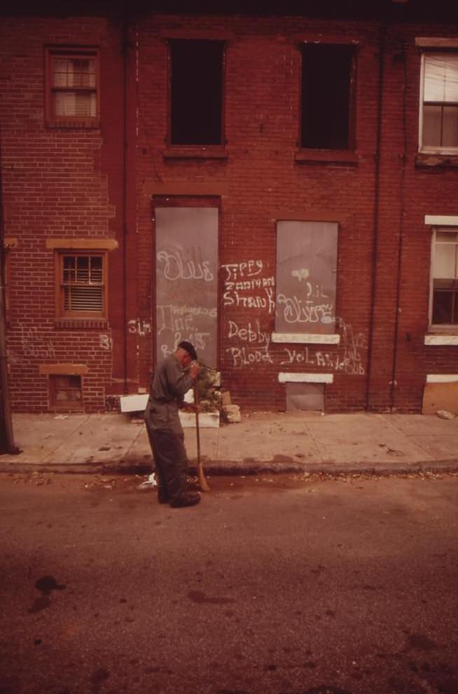
The back alleys of North Philadelphia were a world away from the tourist areas of Center City. Children navigated these narrow passages between row houses daily. The contrast between the daily reality of North Philadelphia residents and the cleaner, more photographed parts of the city was stark and deliberate in Swanson’s work.
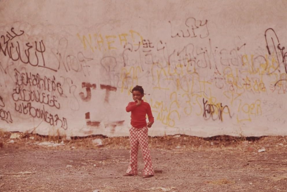
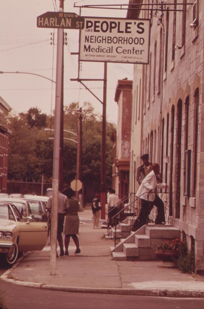
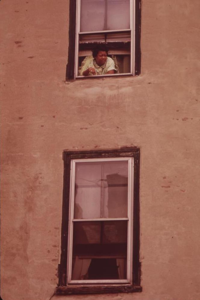
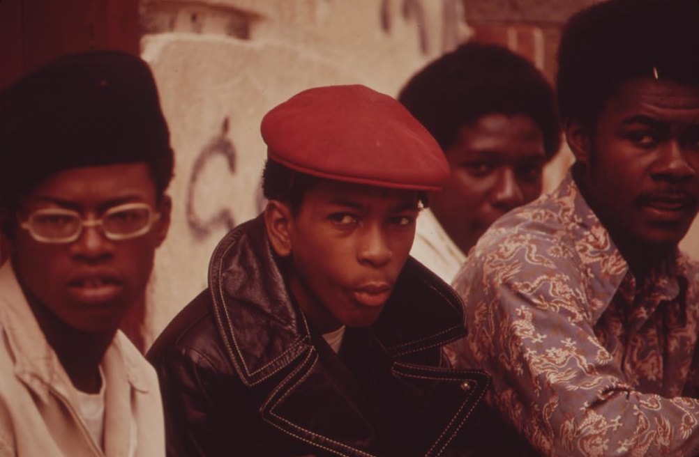
Street gangs in North Philadelphia were not a background detail — they were an organized part of neighborhood life. Swanson photographed individual gang members directly, putting faces to a social reality that many outsiders only read about in newspaper reports. These images were not meant to sensationalize but to document, which is exactly what DOCUMERICA required.
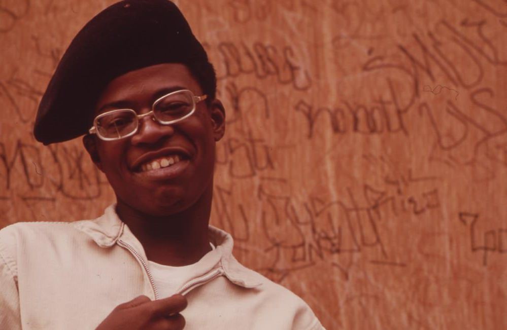
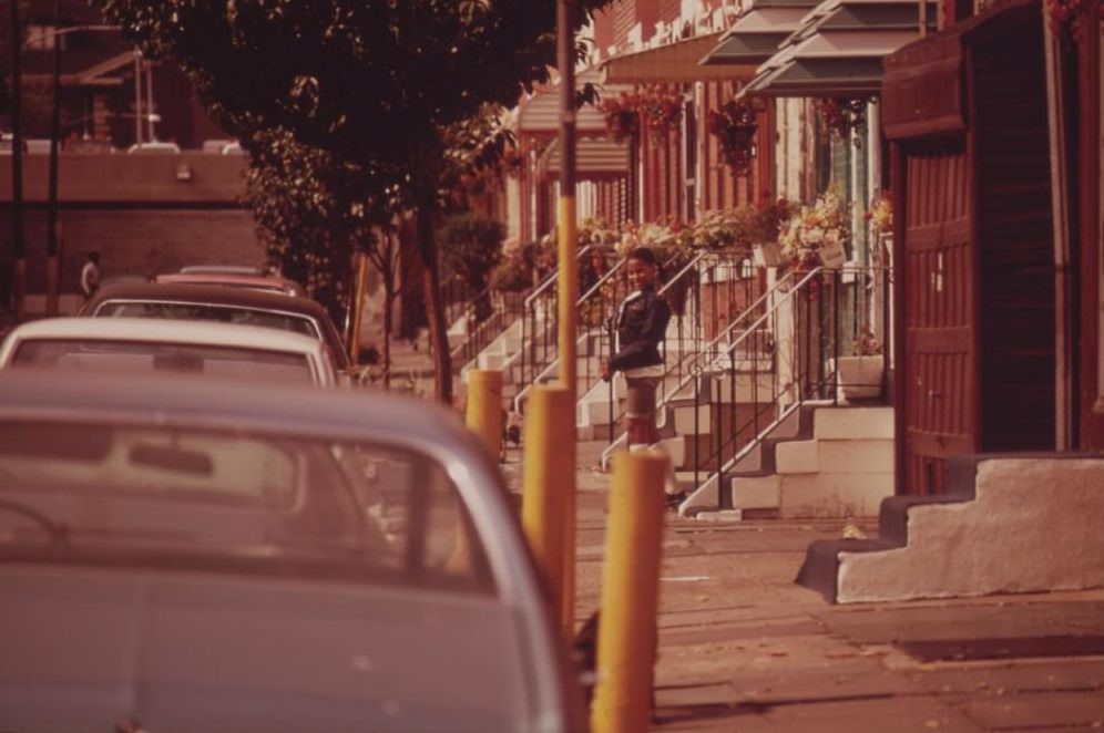
Not every block in North Philadelphia was in ruins. Some streets had middle-class row houses kept in good condition by their owners, a clear sign that poverty was not uniform across the neighborhood. Still, these well-maintained homes stood against a backdrop of widespread neglect, junkyards, and deteriorating infrastructure. Nature pushed through in places — flowers blooming in junkyards, trees growing up through cracked asphalt.
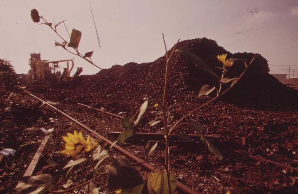
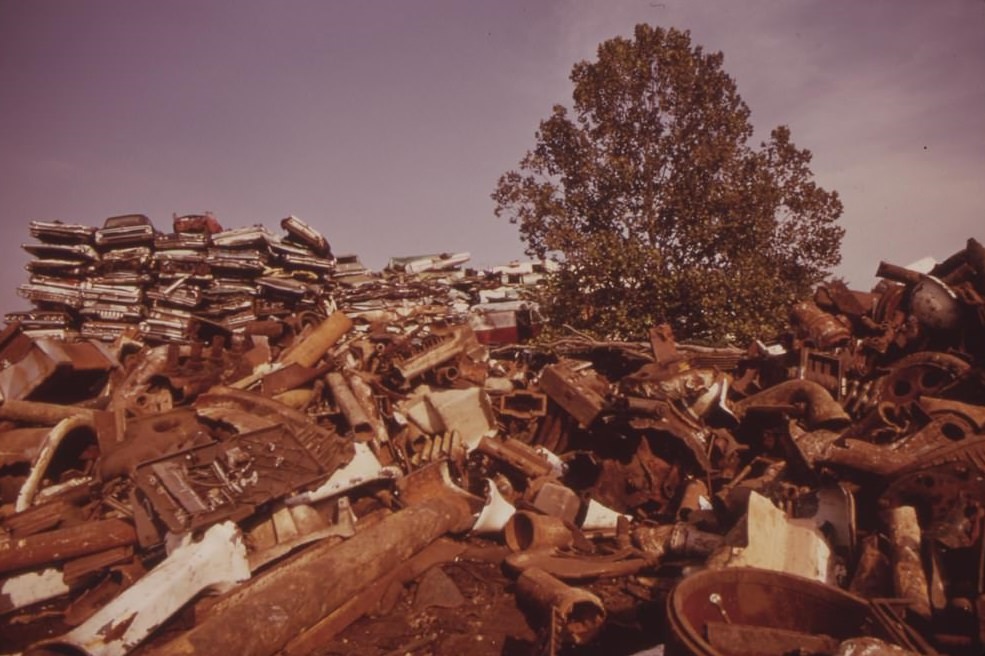
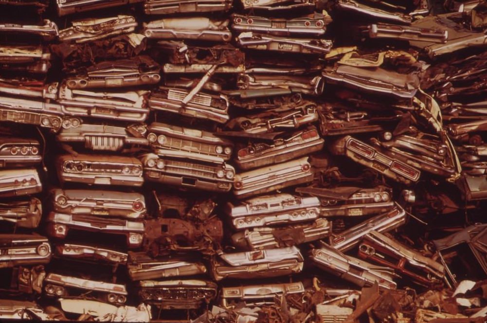
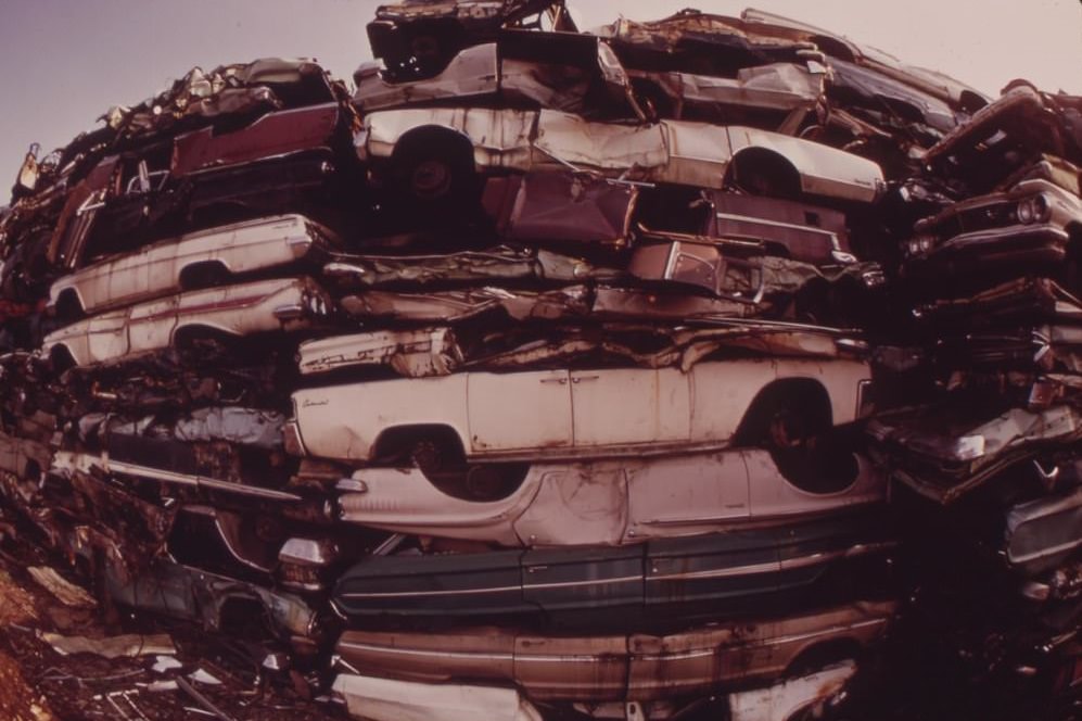
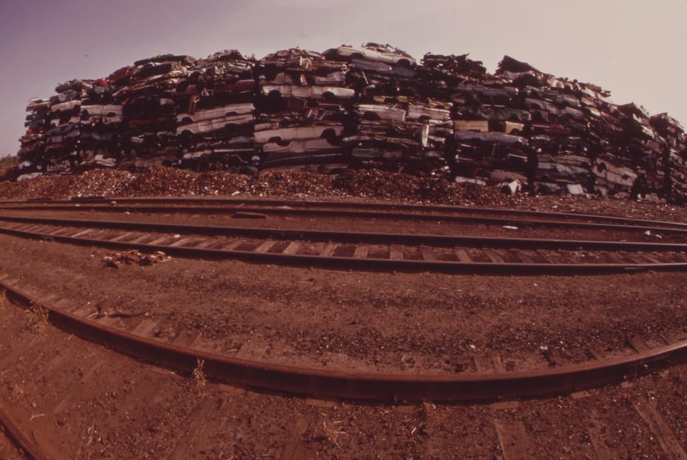
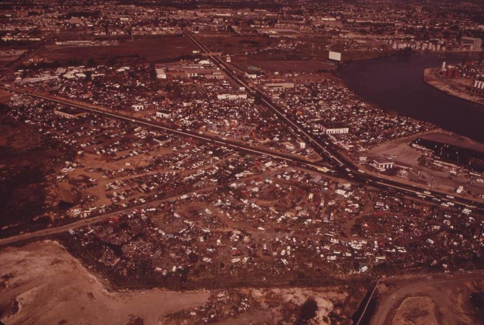
Philadelphia’s junkyards were a significant part of its environmental footprint in 1973. Stacked cars destined for scrap metal towered in lots across North Philadelphia and Southwest Philadelphia. These sites operated as recycling hubs of a sort, but they also dominated entire city blocks, filling the air with the smell of rust, oil, and decay. The auto junkyard industry was deeply embedded in the city’s industrial geography.
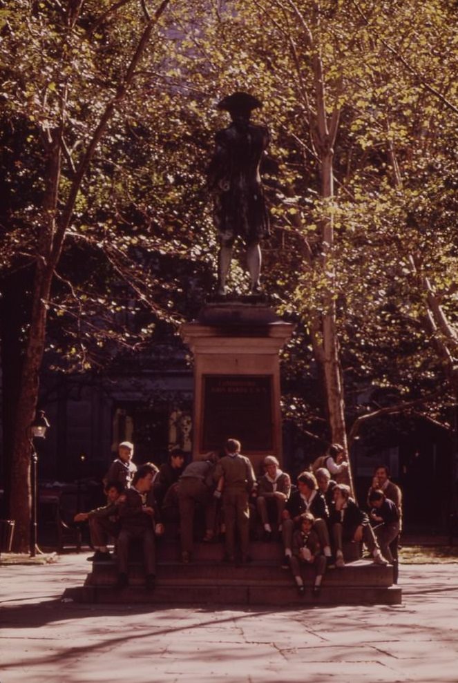
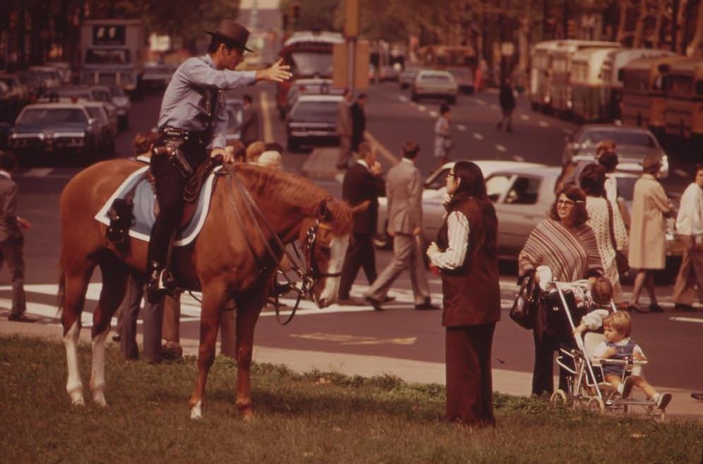
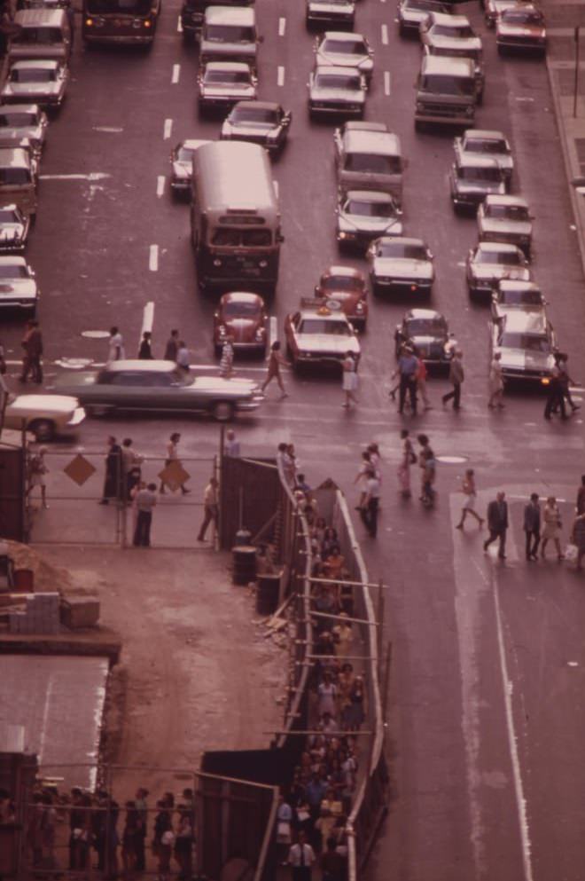
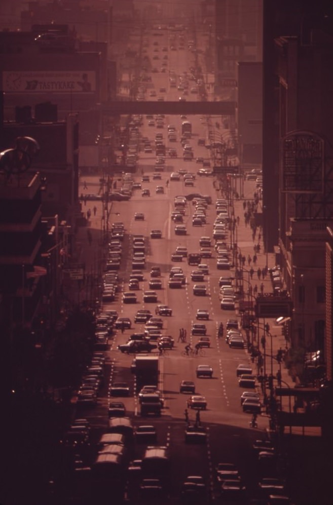
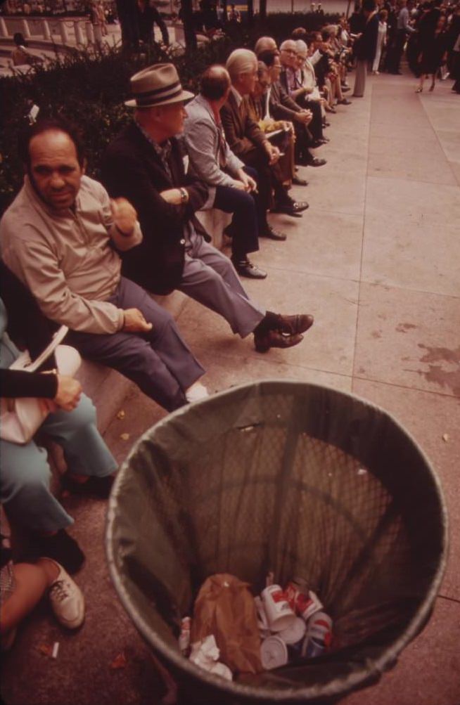
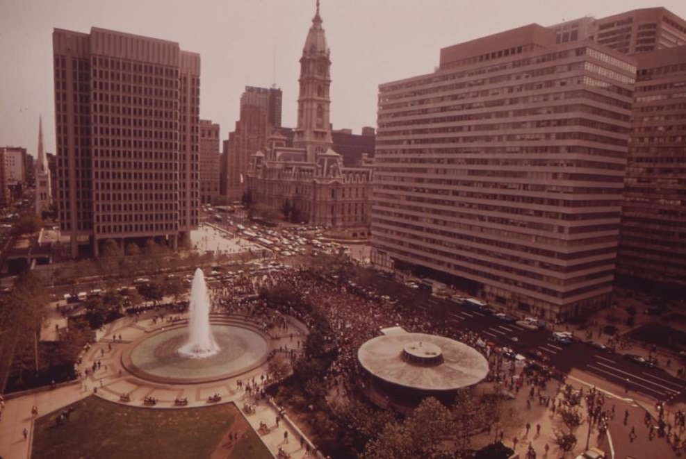
Center City Philadelphia had a different face entirely. Independence Square drew Boy Scouts to the statue of Commodore John Barry. Noontime rallies filled public plazas. Mounted police patrolled busy downtown thoroughfares. Market Street, the city’s main east-west artery, was thick with vehicle traffic. These images show a functioning, busy urban core — but even here, the pressure of density and pollution was visible.
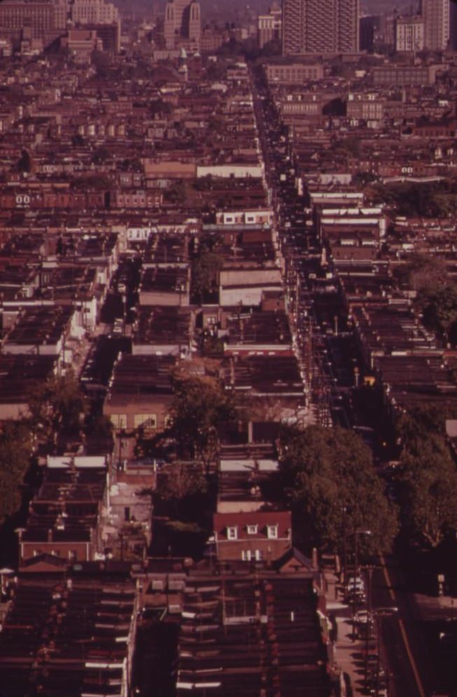
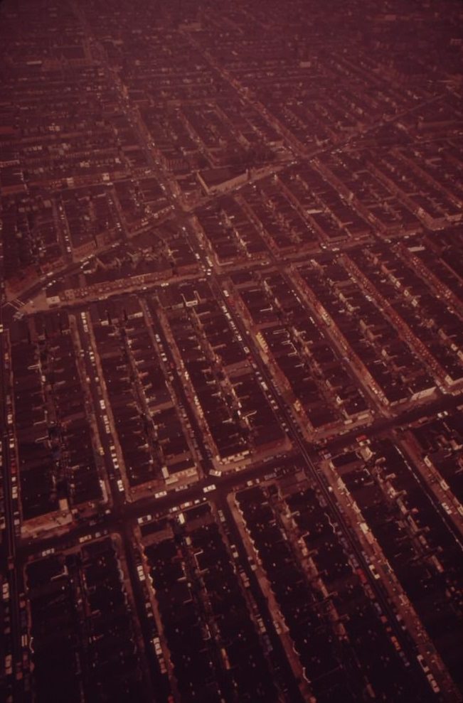
From above, Philadelphia’s residential neighborhoods were a sea of red-brick row houses extending in every direction from Center City. Row houses were the dominant housing form in Philadelphia, built tight and close together across nearly every neighborhood. In North Philadelphia, many of these blocks had begun to hollow out, with abandoned properties scattered among occupied ones.
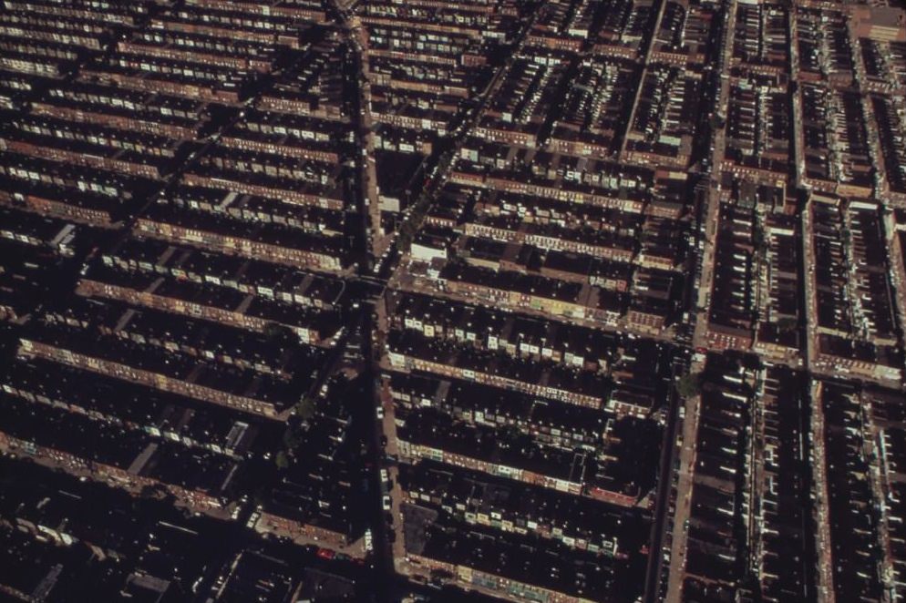
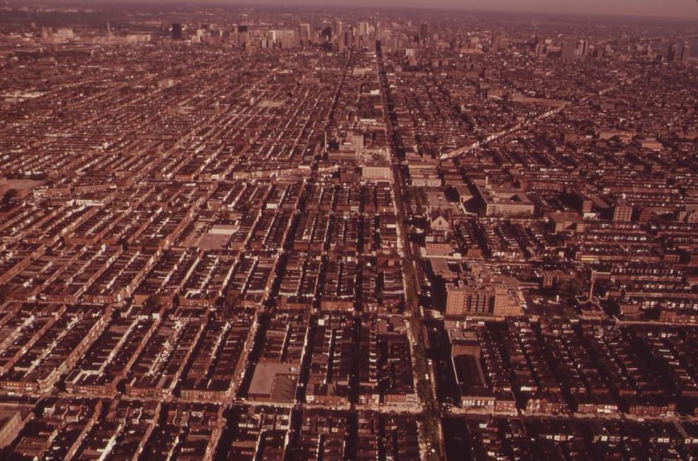
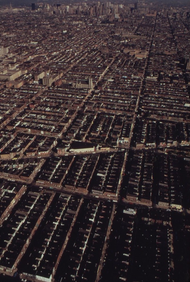
The junkyards of North Philadelphia packed thousands of crushed and stacked vehicles into city blocks, creating dense metal landscapes that stretched across entire neighborhoods. These weren’t hidden on the outskirts of the city — they sat inside residential areas, directly adjacent to row houses where families lived. Children played in streets bordered by walls of compressed scrap metal.
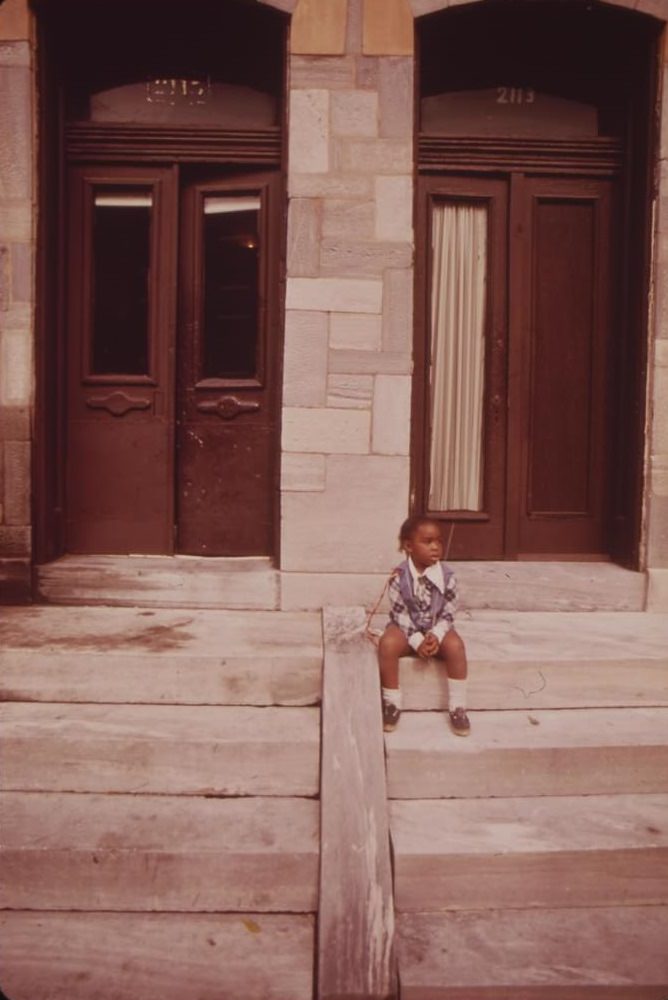
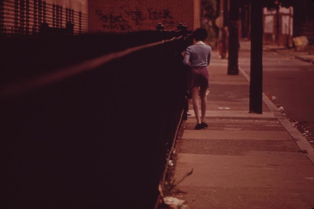
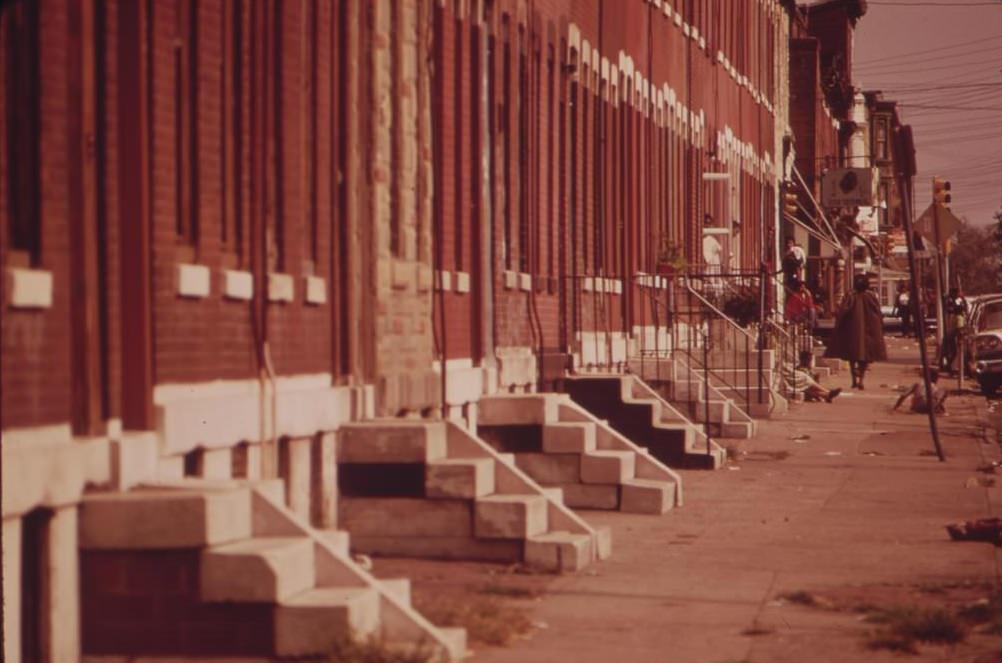
Community effort was visible even in the most rundown blocks. In one set of images, neighborhood youths are shown repaving a sidewalk in front of apartment buildings in North Philadelphia — residents taking matters into their own hands when city services fell short. Children were everywhere in these photographs, on stoops, in alleys, in playgrounds, part of the everyday fabric of a neighborhood that the wider city often ignored.
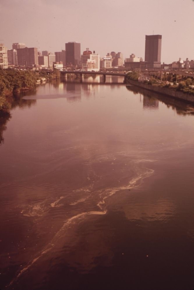
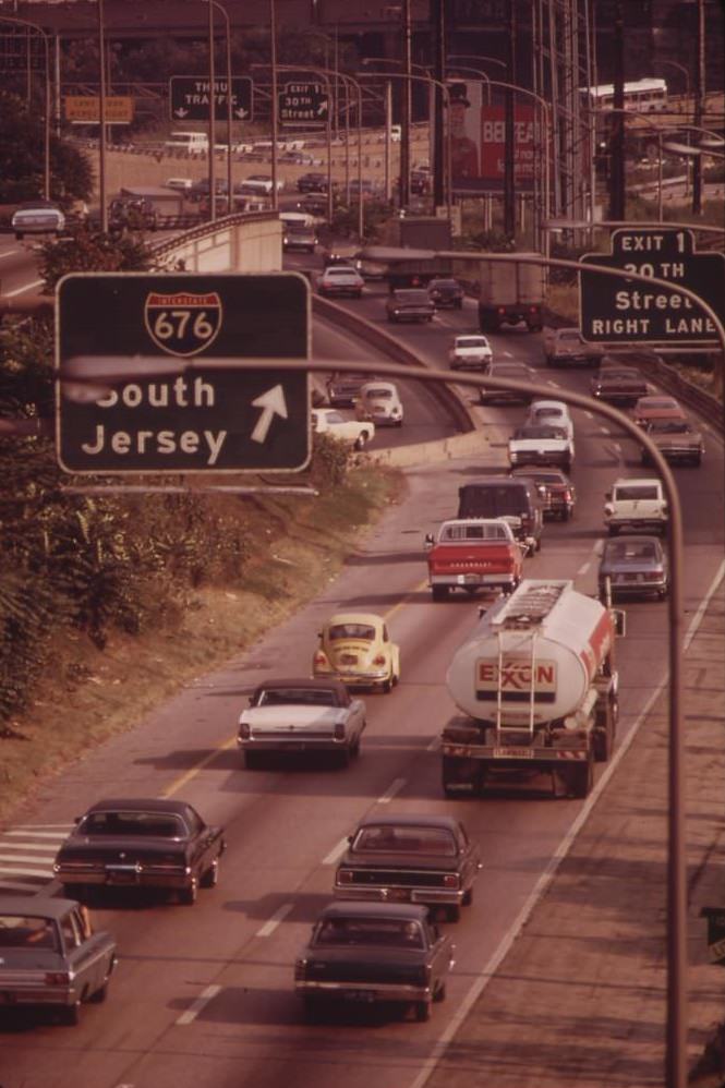
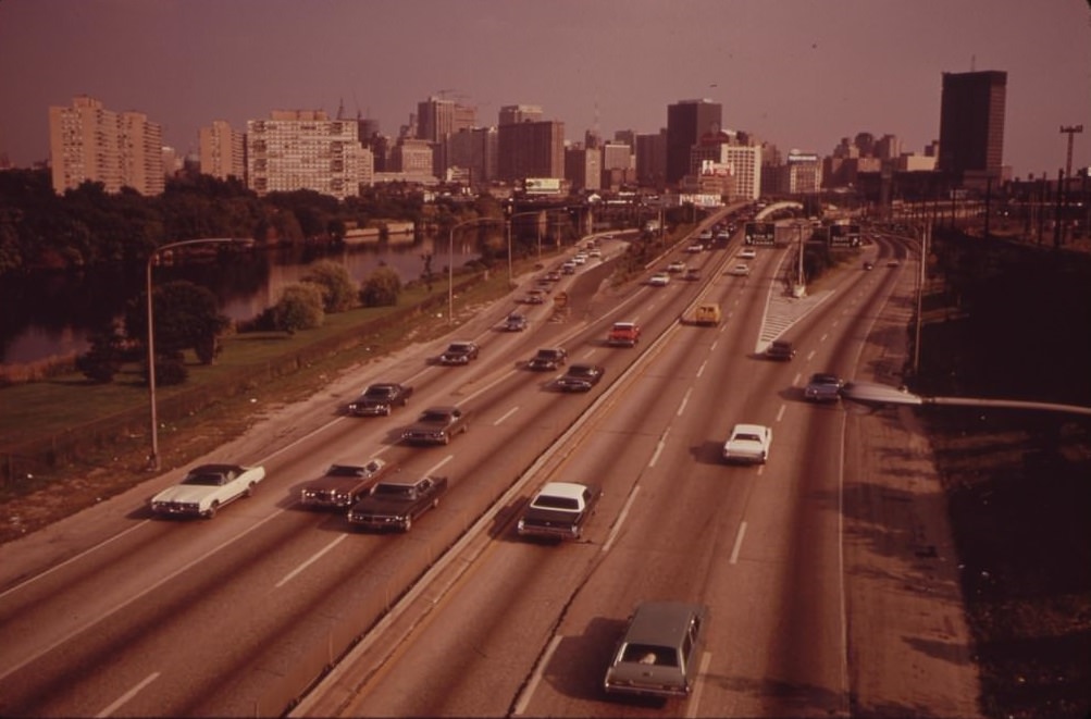
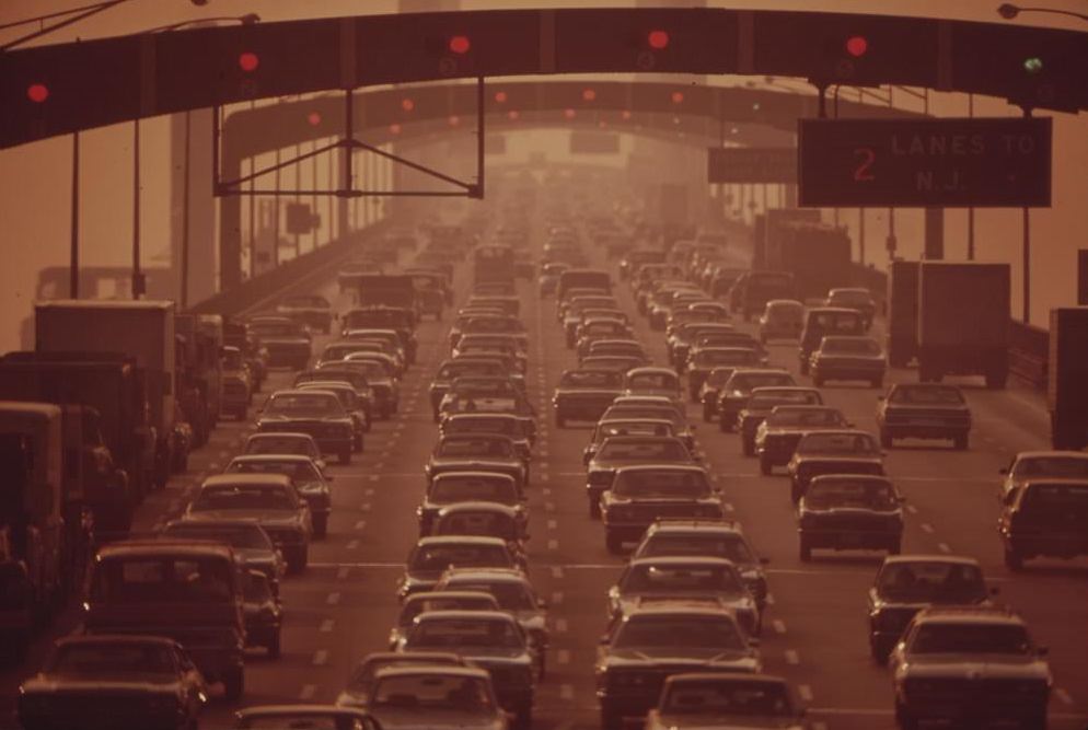
The Schuylkill River running through Philadelphia was heavily polluted by 1973. Industrial discharge, urban runoff, and decades of neglect had turned it into one of the most contaminated waterways in the region. The river runs directly alongside Center City, meaning the skyline of downtown Philadelphia rose up behind a ribbon of foul water. The Schuylkill Expressway, also known as I-676, carried dense traffic along its banks, connecting Center City to the northern and western suburbs.
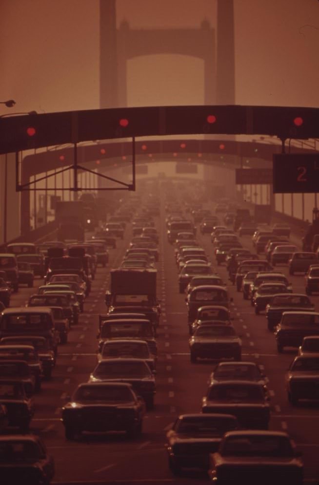
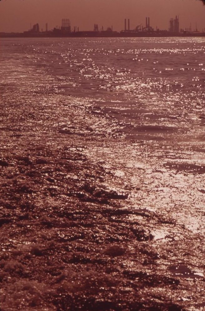
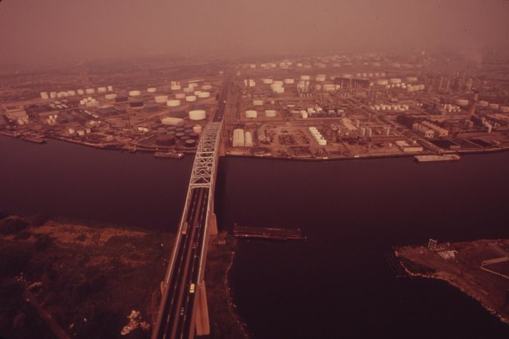
The Walt Whitman Bridge over the Delaware River at South Philadelphia was one of the city’s main connections to the New Jersey suburbs. Across the river, the Mobil Oil facility at Paulsboro, New Jersey was clearly visible from the Philadelphia side — an industrial plant sitting on the banks of the same river that the city drew resources from. The Delaware River corridor was lined with heavy industry on both sides.
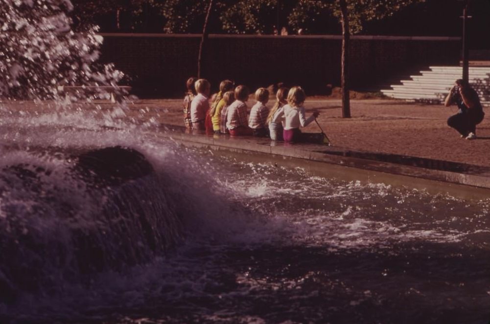
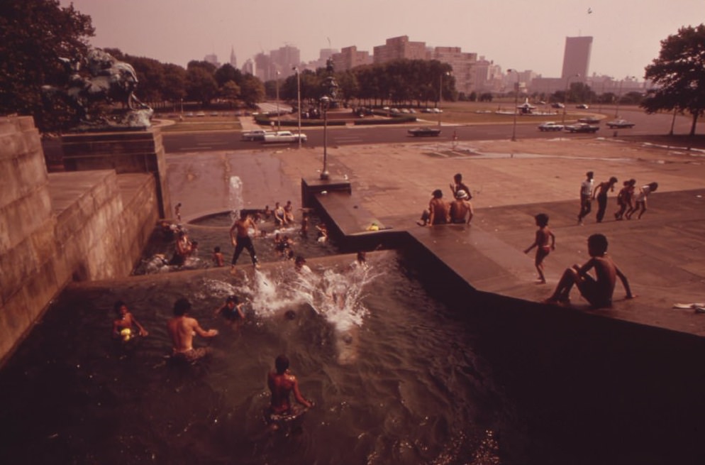
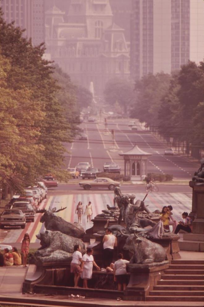
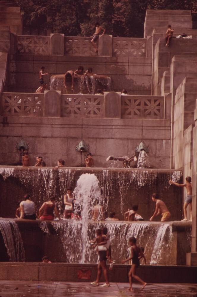
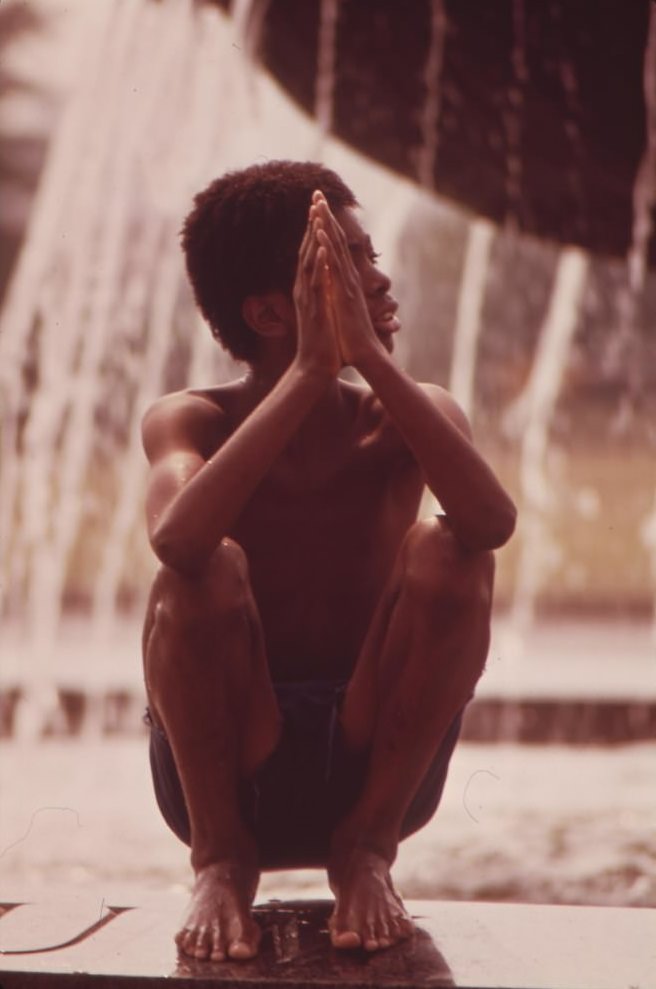
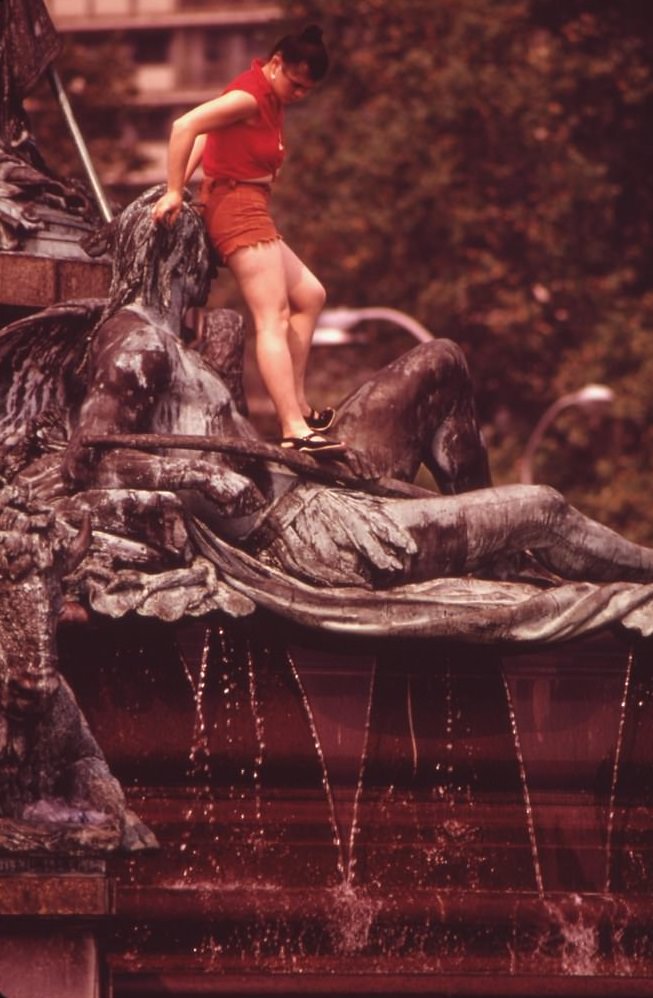
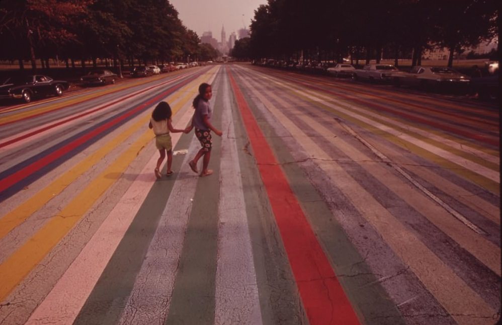
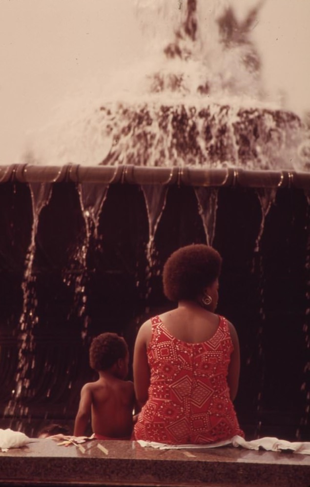
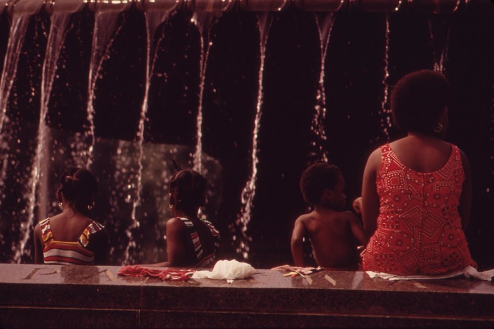
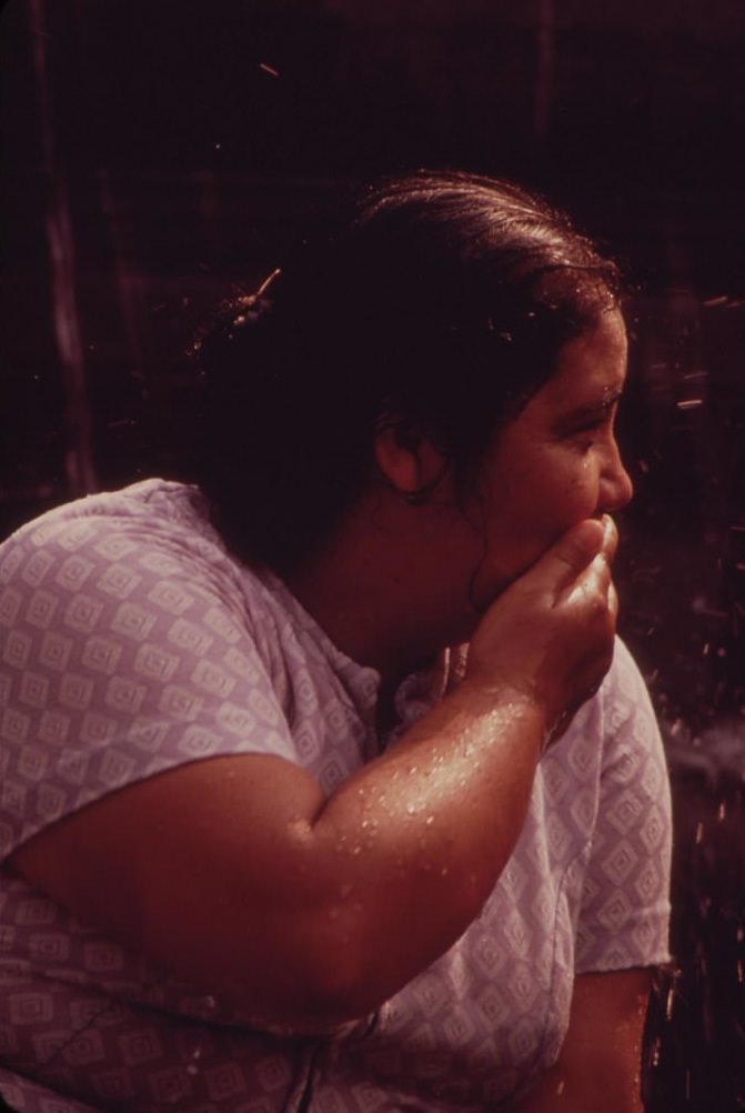
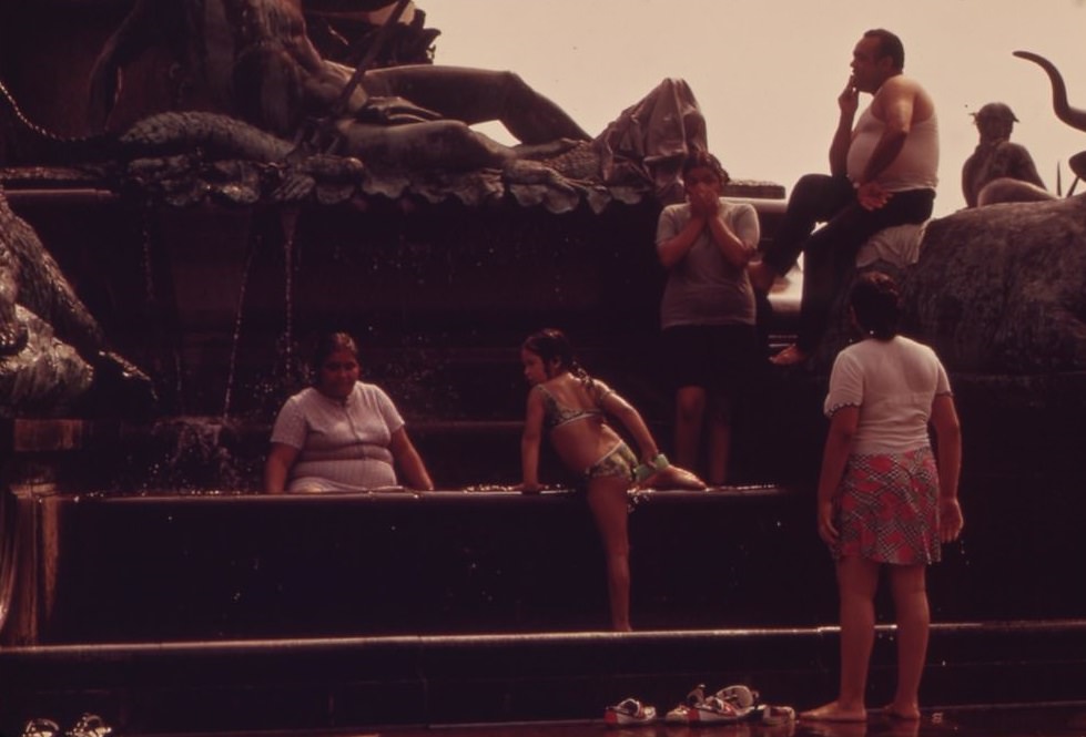
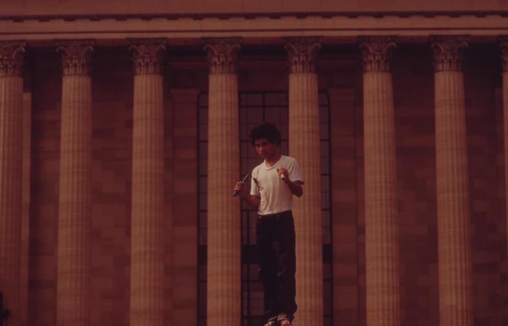
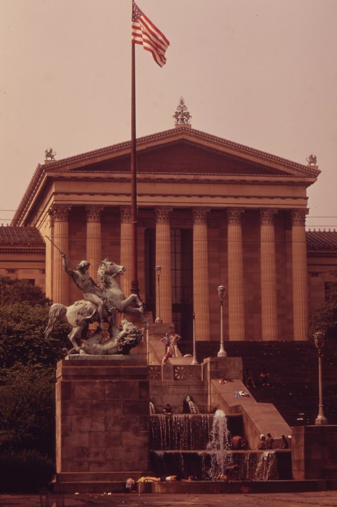
On hot August days in 1973, Philadelphians found relief in the fountains surrounding the Philadelphia Museum of Art. The museum’s grand steps and the wide Benjamin Franklin Parkway leading back toward City Hall offered one of the city’s most dramatic civic views. People of all ages waded and played in the fountains, one of the few free cooling options available to city residents during summer heat waves.
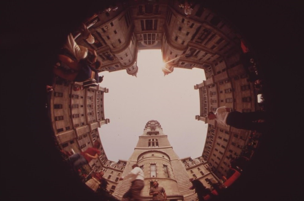
John F. Kennedy Plaza in Center City was another gathering point photographed by Swanson. Known today as LOVE Park, the plaza sat at the edge of the downtown business district and served as a public space for workers, tourists, and residents. Meanwhile, a few miles south along the Schuylkill, a network of auto junkyards crowded the roads of Southwest Philadelphia, visible evidence of the city’s industrial character.
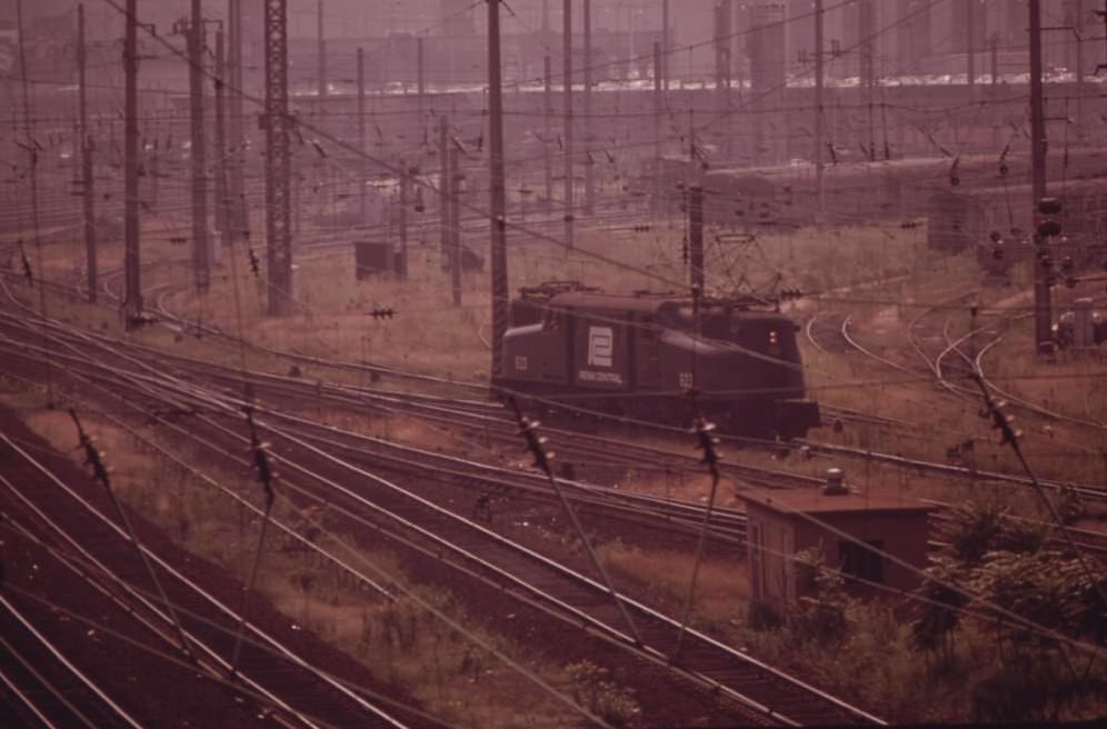
Homelessness was a visible part of Philadelphia’s landscape in 1973. A man was photographed sleeping in the doorway of Penn Central’s 30th Street Station, one of the city’s main rail terminals. The station itself was a grand structure, but outside its doors, the same urban hardship that defined North Philadelphia appeared in plain sight at one of the city’s busiest transit hubs.

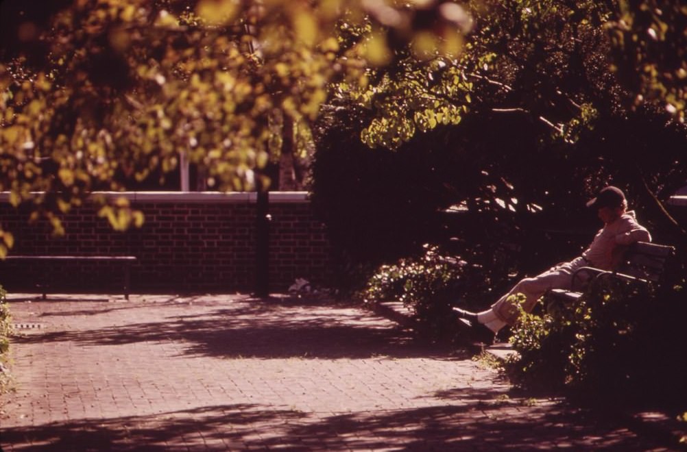
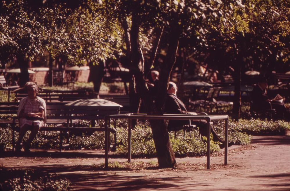
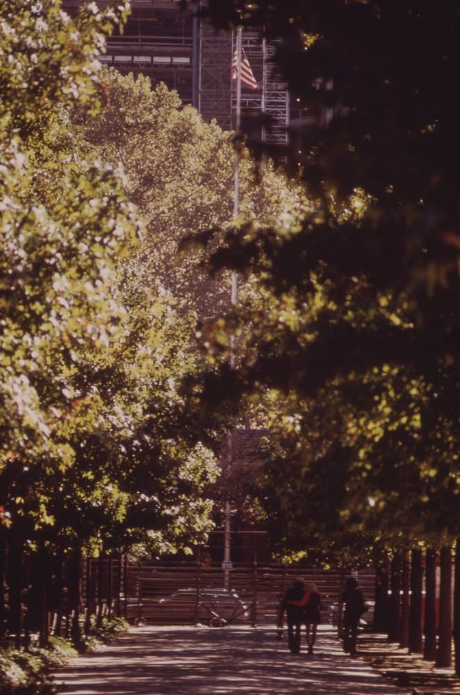
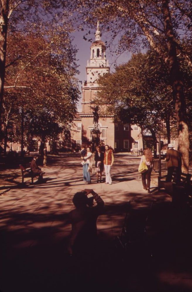
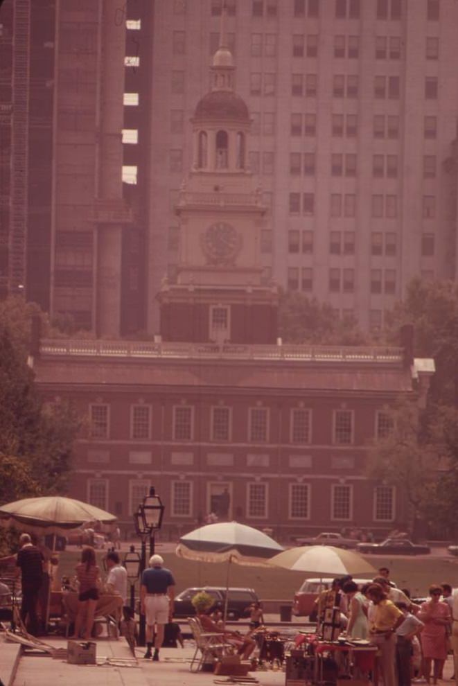
Independence Square remained one of Philadelphia’s most active public spaces. On Sunday mornings, a flea market filled the square. Speakers took to the space for free expression, exercising rights that the square had symbolized for nearly two centuries. Independence Hall stood nearby, its brick facade photographed by Swanson as part of the broader portrait of the city — a reminder of the ideals the nation was built on, set against the environmental and social pressures of the modern era.
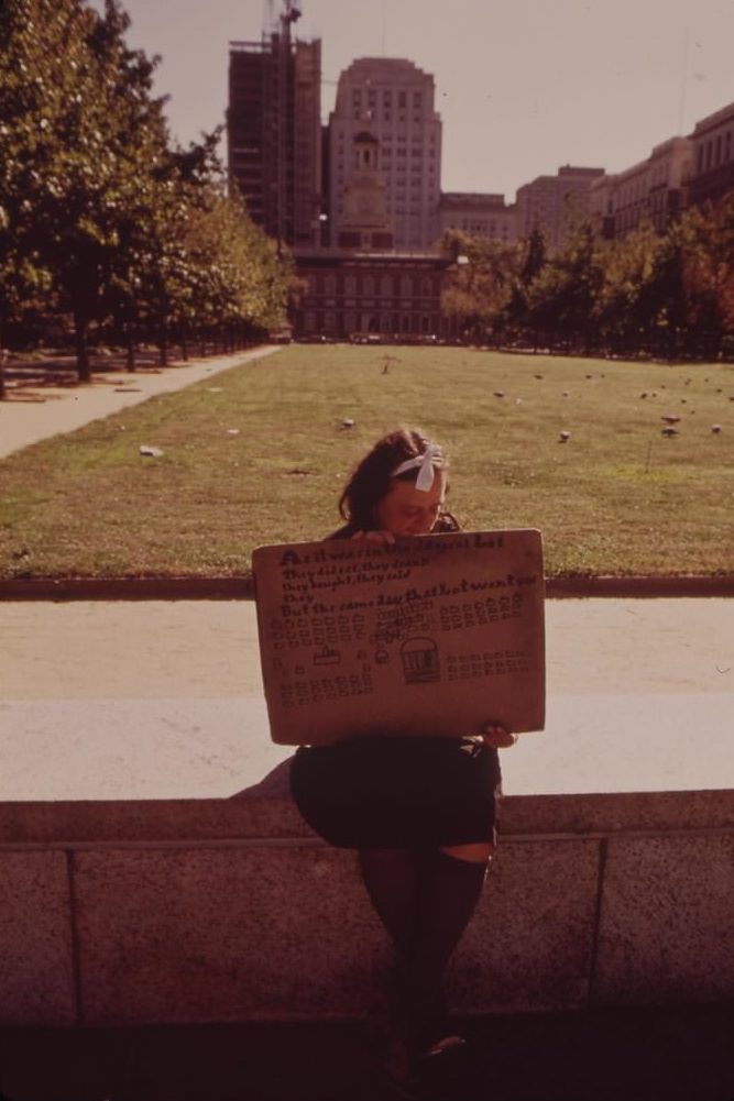
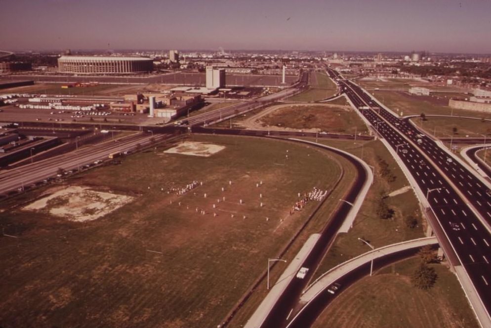
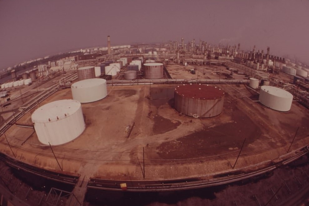
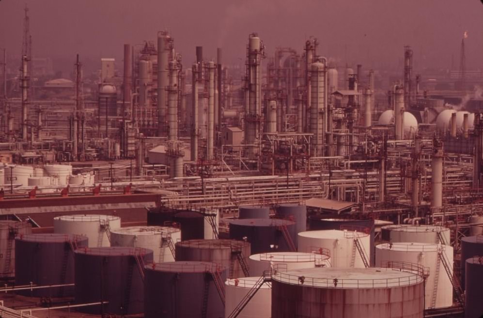
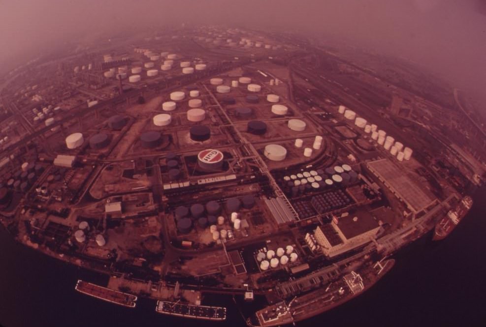
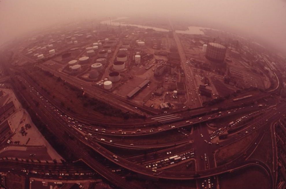
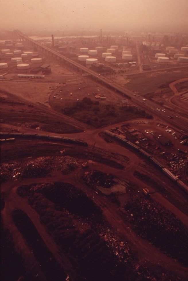
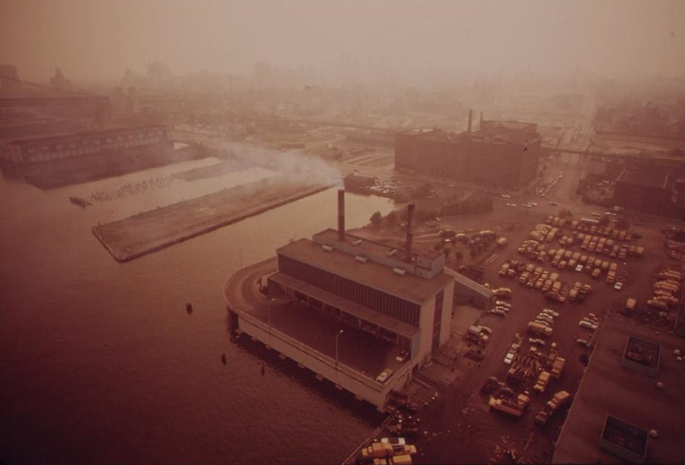
Along the Delaware River and the Schuylkill, heavy industry dominated the waterfront. The Gulf and ARCO refineries operated near the Penrose Bridge, their tanks and towers rising above the river’s edge. The Mobil Oil facility at Paulsboro was visible across the Delaware from the Philadelphia side. Smoke, flares, and the smell of petroleum were simply part of daily life for residents living near these plants. The city incinerator also sat on the Delaware River, adding to the pollution load that the waterway already carried.
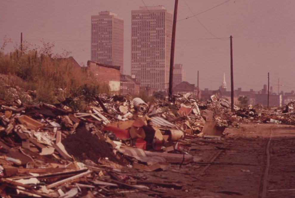
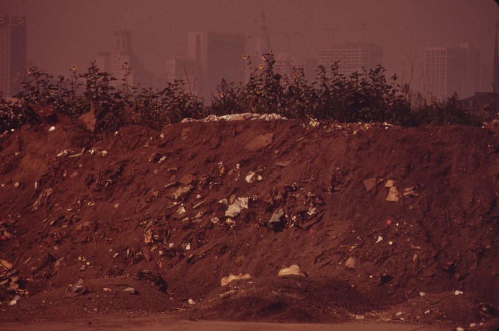
Litter was not contained to neighborhoods or junkyards. Along the Vine Street exit of Interstate 95, the embankment was strewn with trash, with Center City office buildings rising in the background. The contrast was sharp — one of the city’s main highway corridors, used daily by thousands of commuters, flanked by a garbage-covered slope just steps from the downtown skyline.
The Gulf and ARCO installations near the Schuylkill Expressway and Penrose Avenue were among the largest industrial operations in South Philadelphia. Their footprint along the Schuylkill River and the Penrose Bridge was massive. These facilities processed and stored petroleum products, and their proximity to residential neighborhoods and a heavily used expressway made them a significant source of air and water pollution in the region.
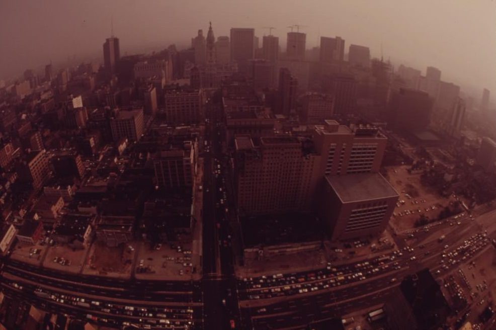
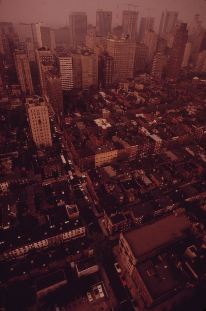
Public life in Center City continued alongside all of this. Sunday morning flea markets filled Independence Square. The skyline mixed row houses with skyscrapers. At sunset, Center City photographed beautifully — a city that still had genuine vitality even as its industrial and residential edges deteriorated. The city incinerator on the Delaware River burned the waste that the streets and neighborhoods generated, completing a loop of pollution that touched air, land, and water.
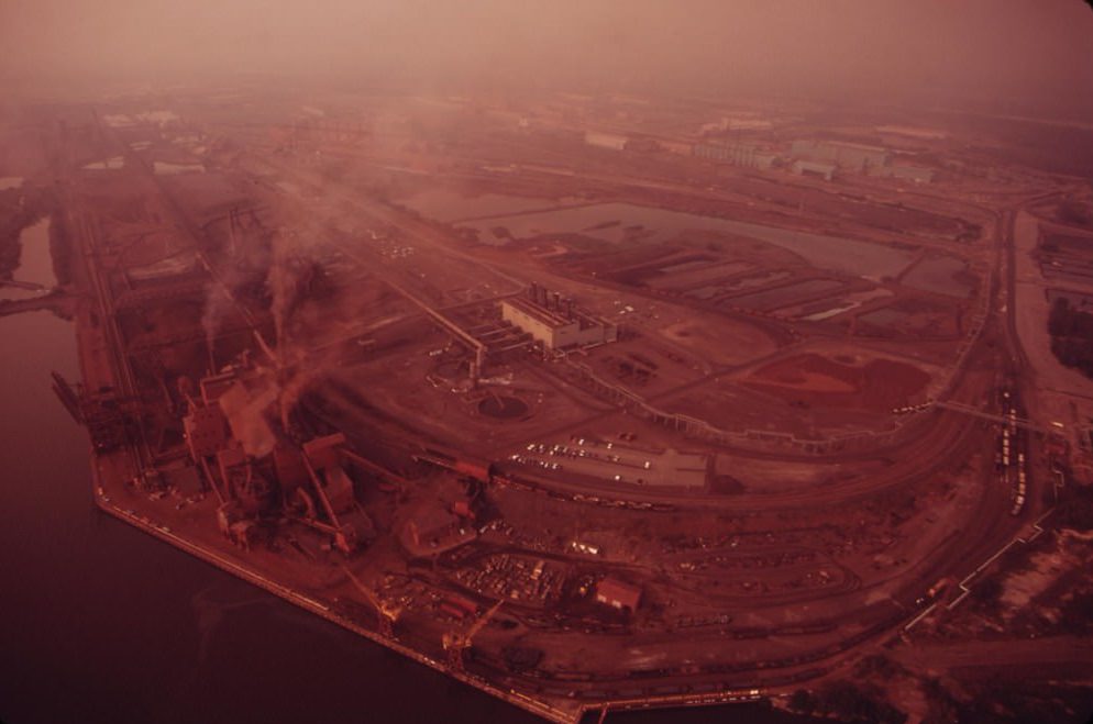
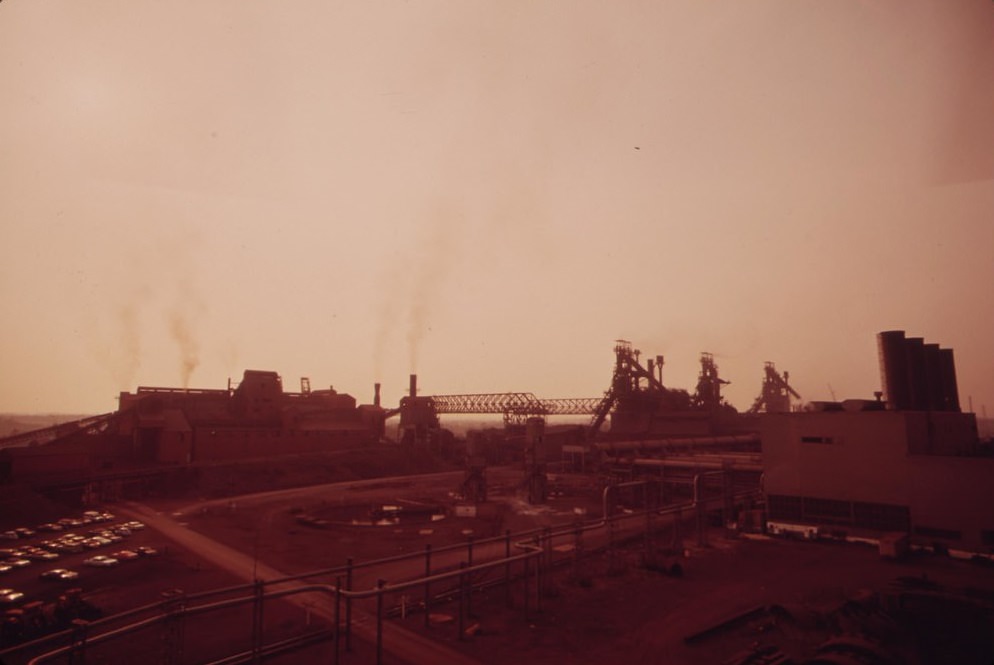
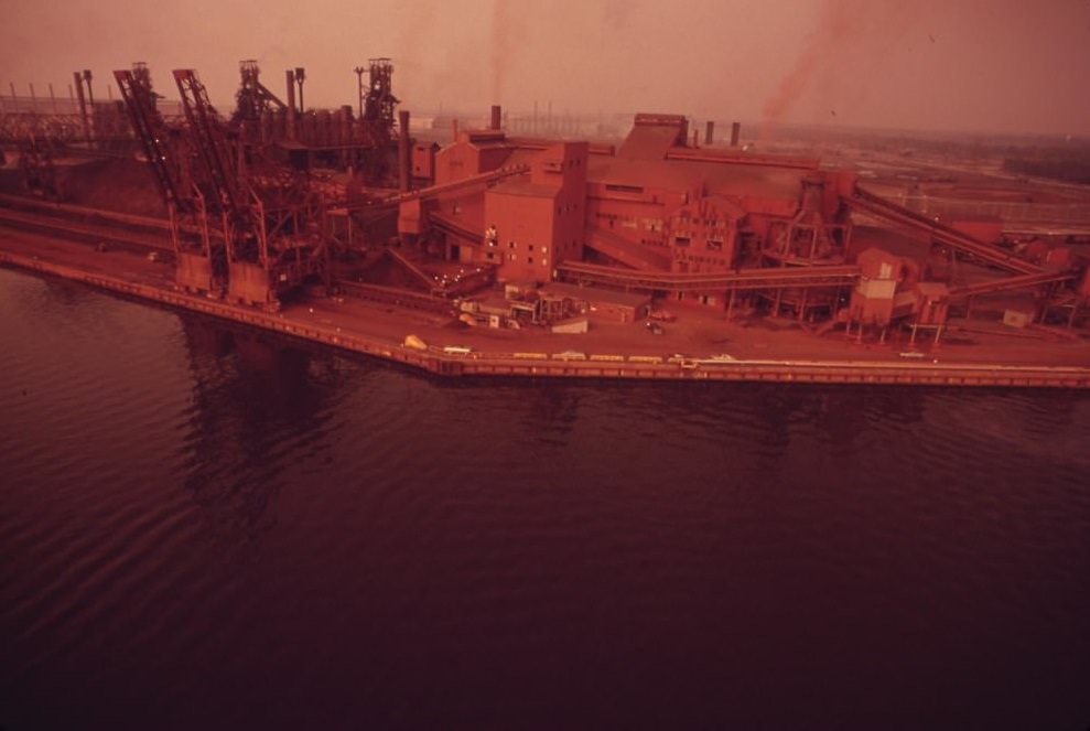
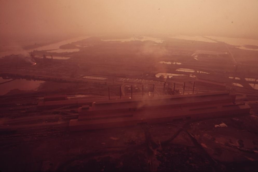
Farther up the Delaware River, the U.S. Steel Fairless Works was one of the largest steel-producing facilities on the East Coast. Its towers, smokestacks, and sprawling infrastructure lined the riverbank, releasing emissions into both the air and the water. The Fairless Works represented the industrial scale that made the Delaware River corridor one of the most environmentally stressed waterways in the northeastern United States in the early 1970s.
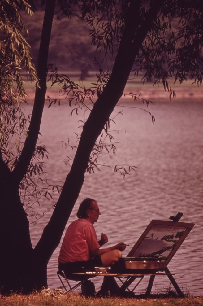
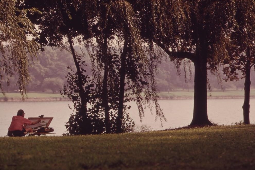
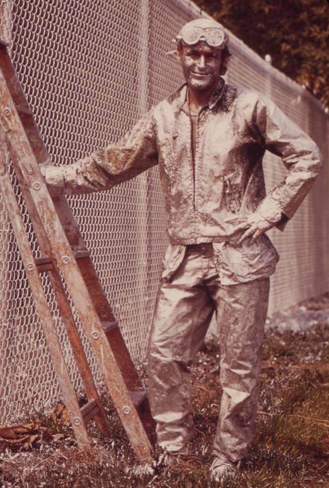
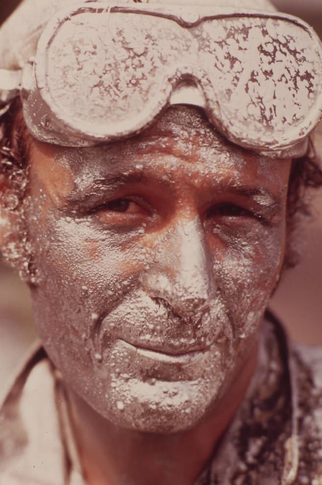
Not every image from DOCUMERICA’s Philadelphia collection focused on decay and industry. Artists found their way to the banks of the Schuylkill River to paint, choosing a waterway that was badly polluted but still held a kind of rugged visual appeal. A painter worked on a chain-link fence — an act of creative expression in a heavily industrial setting. These images sit alongside the photographs of junkyards, gang members, and refinery stacks as part of the same complete record of city life in 1973.
What DOCUMERICA captured in Philadelphia in August 1973 was a city in a state of deep environmental and social stress. The Schuylkill and Delaware rivers were polluted. The air near the refineries and steel works was dirty. North Philadelphia’s streets were scarred by abandonment, poverty, and neglect. Yet the city was also alive — people gathered in plazas, children played in fountains, artists painted by rivers, and communities repaired their own sidewalks. The photographs hold all of it without flinching, which is exactly what the EPA intended when it launched the project two years earlier.




