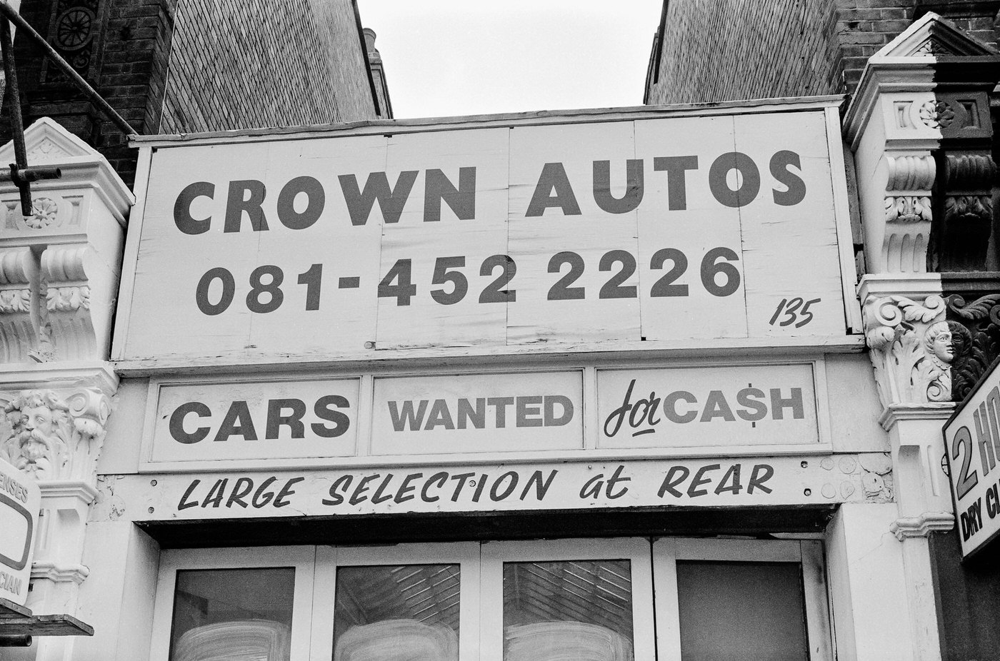
Croydon in the 1990s was a borough caught between two eras. Older high streets and industrial back lanes sat side by side with new developments pushing skyward. Photographer Peter Marshall walked these streets and captured the everyday fabric of south London life — the shopfronts, the side roads, the quiet corners that never made the tourist maps.
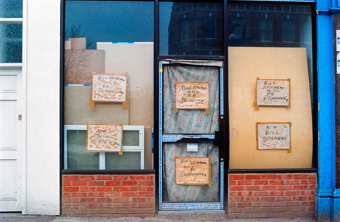
The Centrale and Whitgift shopping centres drew crowds to the town centre, where teenagers browsed Tammy Girl and MK One for the latest fashions. Our Price and Virgin Megastore stacked CDs and cassette tapes floor to ceiling. But much of Croydon’s real commercial life played out far from those bright mall corridors.
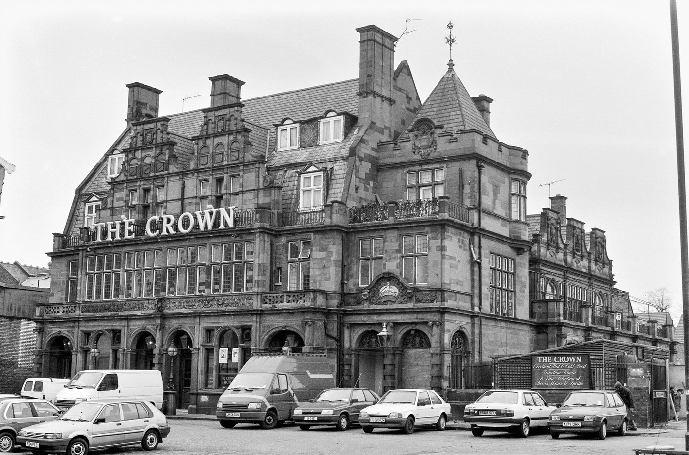
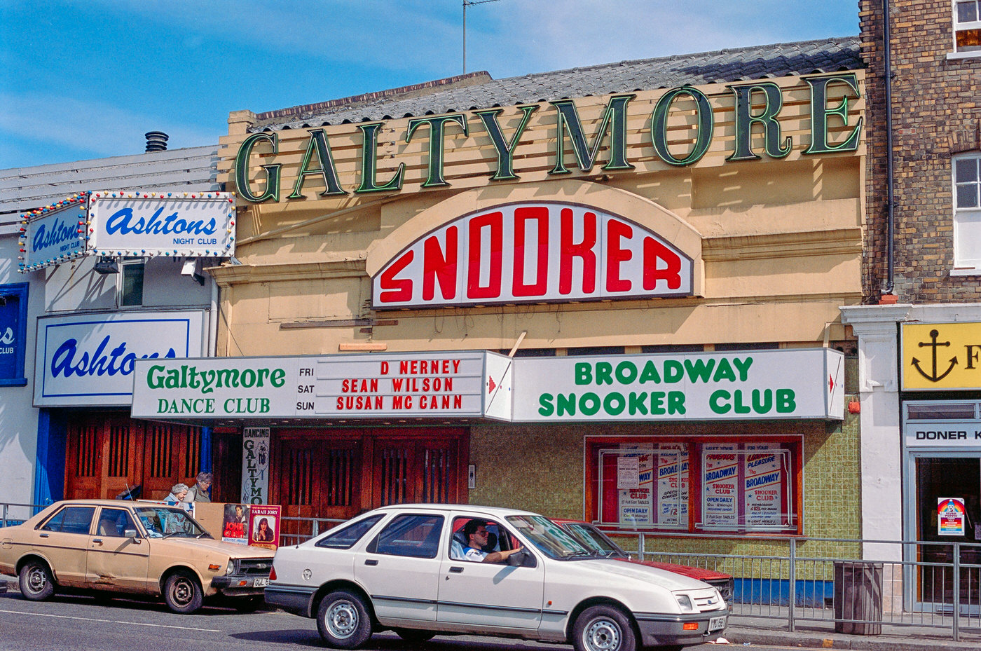
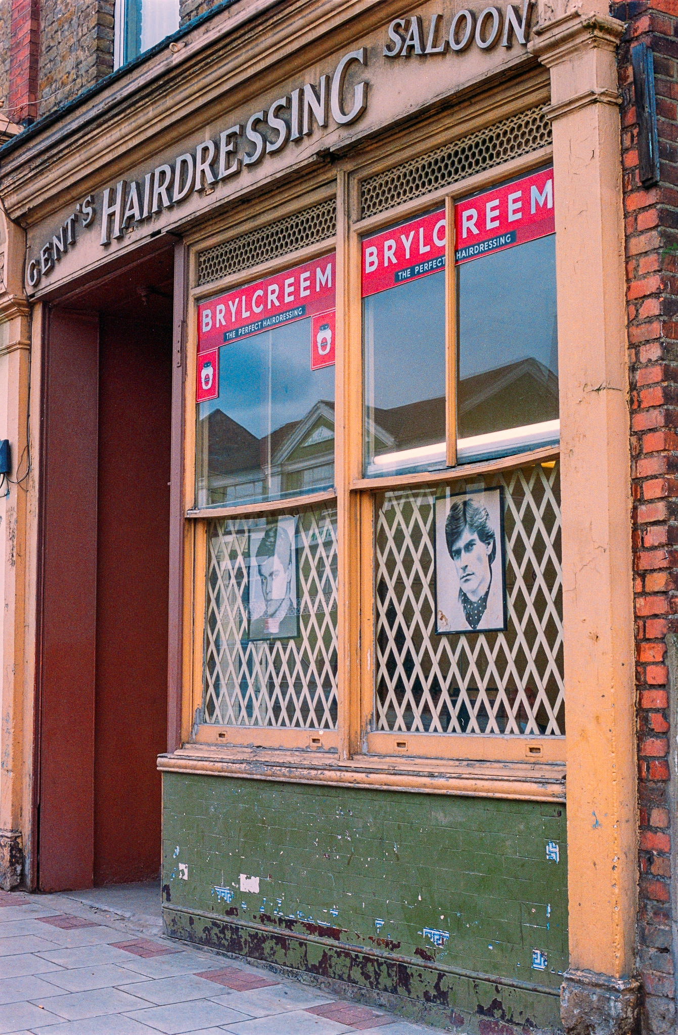
Along Beddington Lane, small independent businesses occupied modest units. A barber’s sharing a frontage with a storage facility tells the story of practical, working-class commerce — the kind of mixed-use street life that defined Croydon’s outer neighbourhoods.
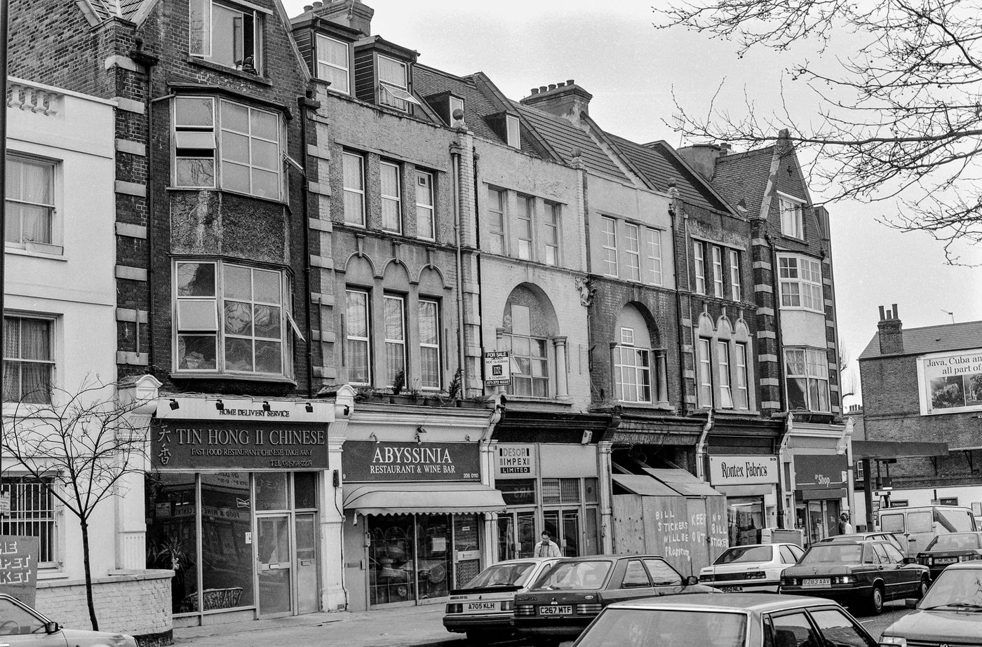
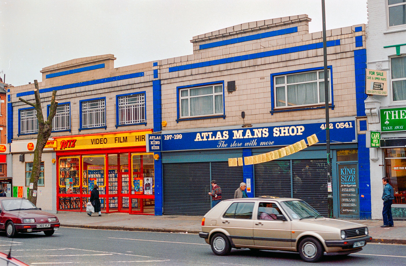
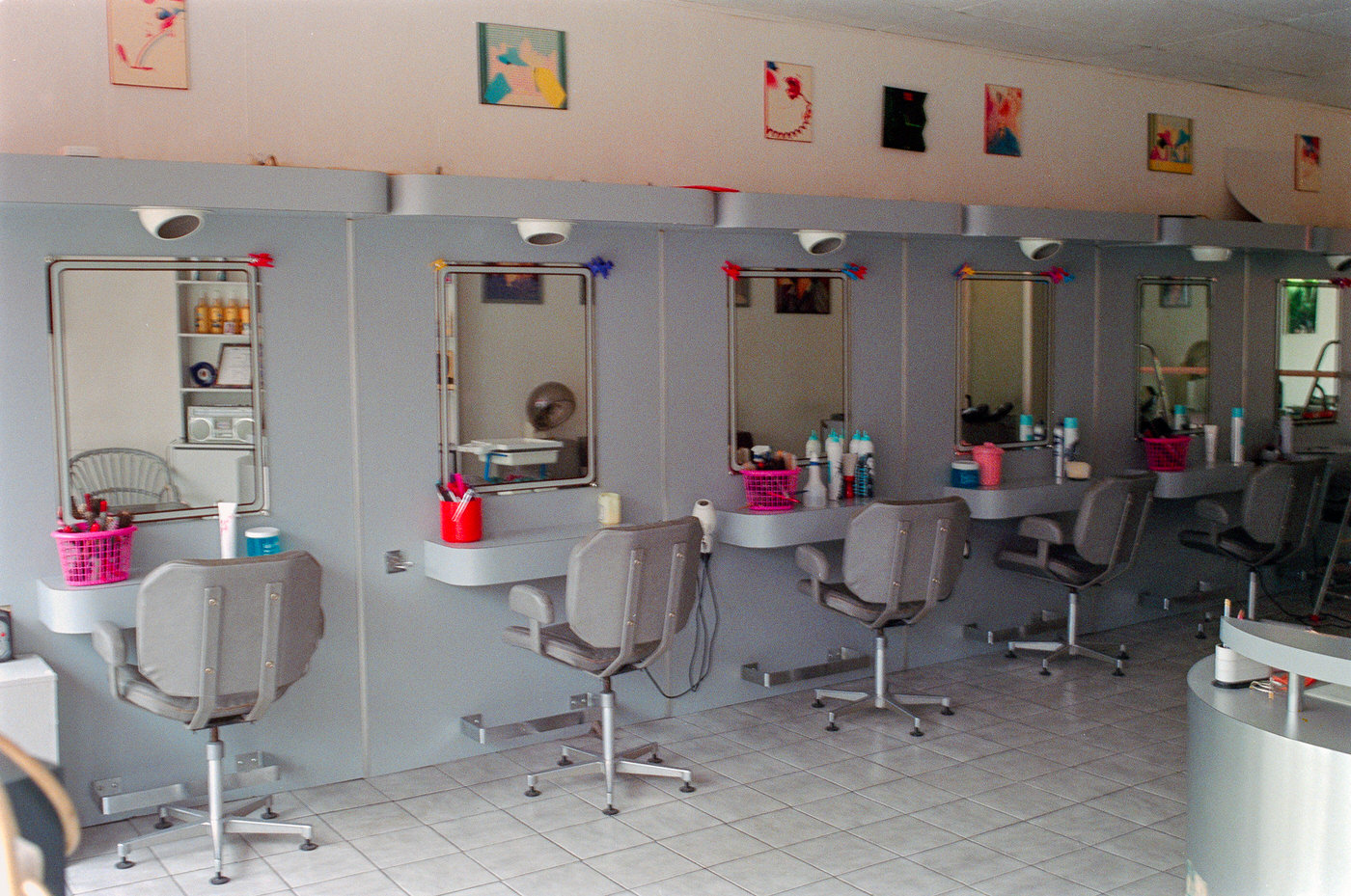
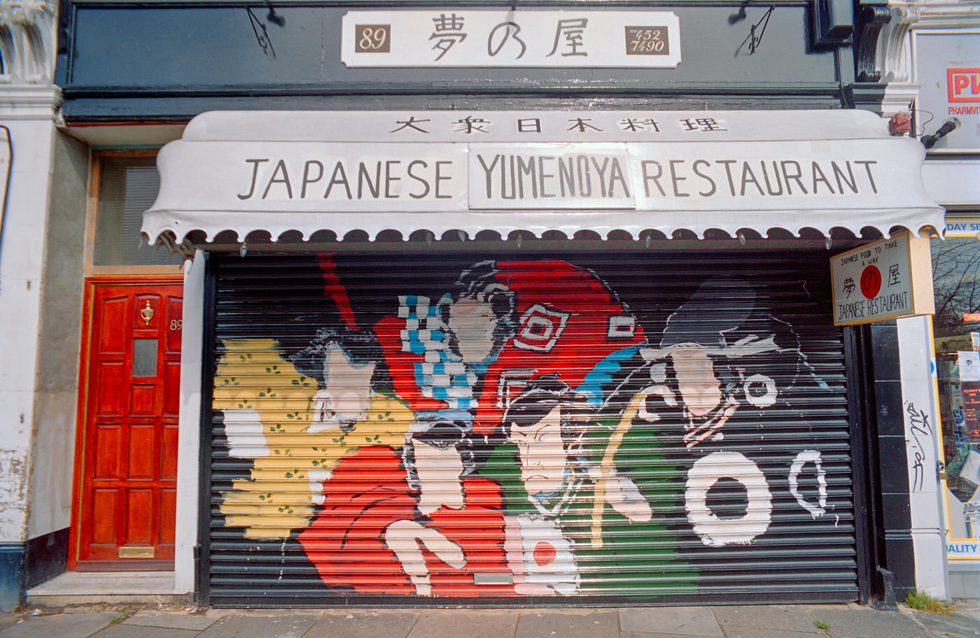
Croydon’s restaurant scene in the 1990s reflected the borough’s diverse population. Chinese restaurants, local cafés, and independent diners competed for trade on busy roads throughout the borough.
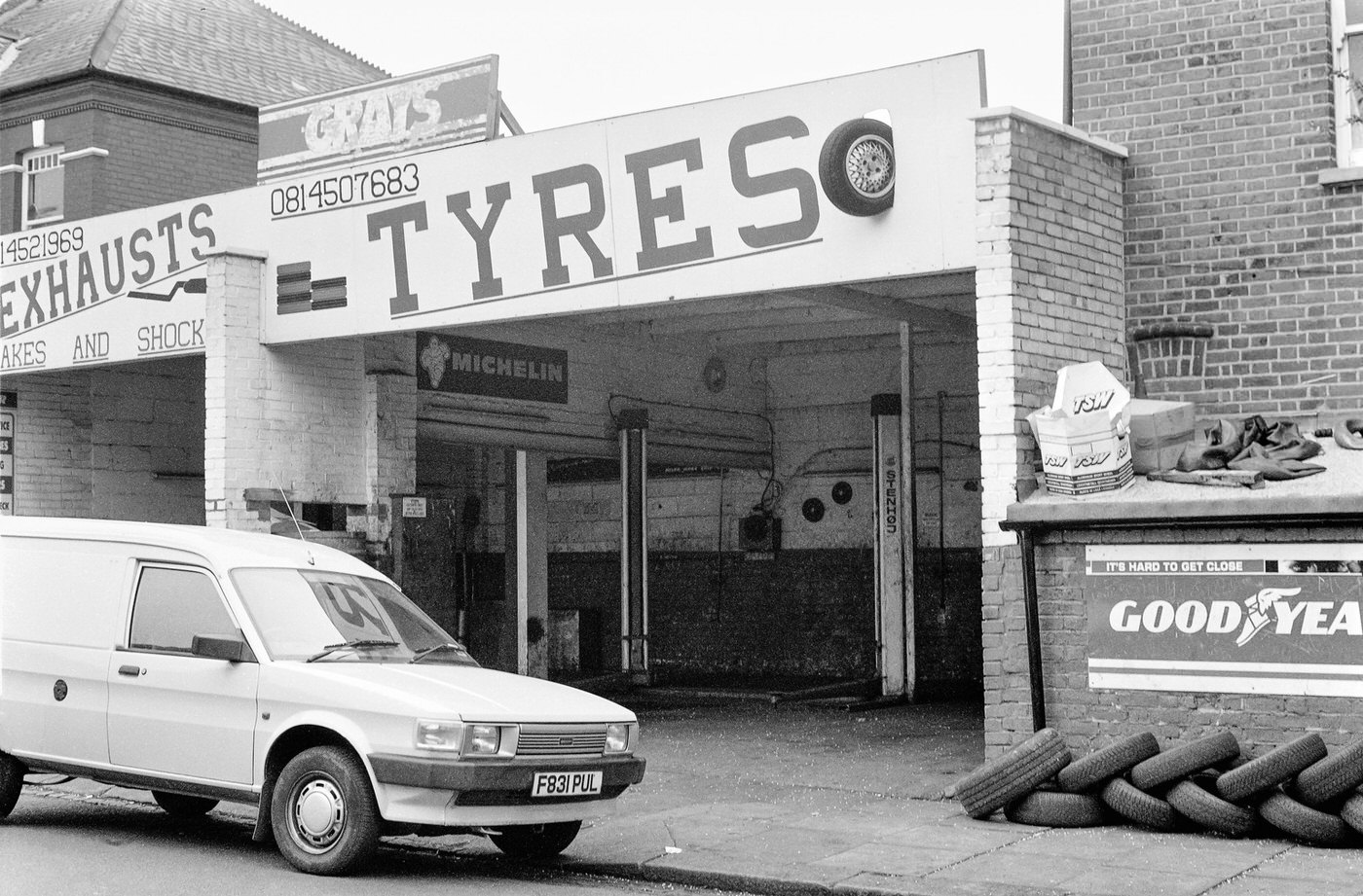
Industrial zones like Imperial Way represented a different side of Croydon altogether — functional, unglamorous, and essential. Warehouses, trade units, and light manufacturing operations filled these streets, employing thousands of local residents throughout the decade.
Leon House on Mason’s Avenue stood as one of many office blocks that gave central Croydon its dense, urban skyline. The borough had more high-rise office space than any other location outside central London, earning it nicknames like “Mini Manhattan.”
Thornton Heath’s High Street combined everyday retail with local services. Shops like The Handyman and Tasty Bite catered directly to the neighbourhood’s residents, offering hardware and hot food within steps of each other.
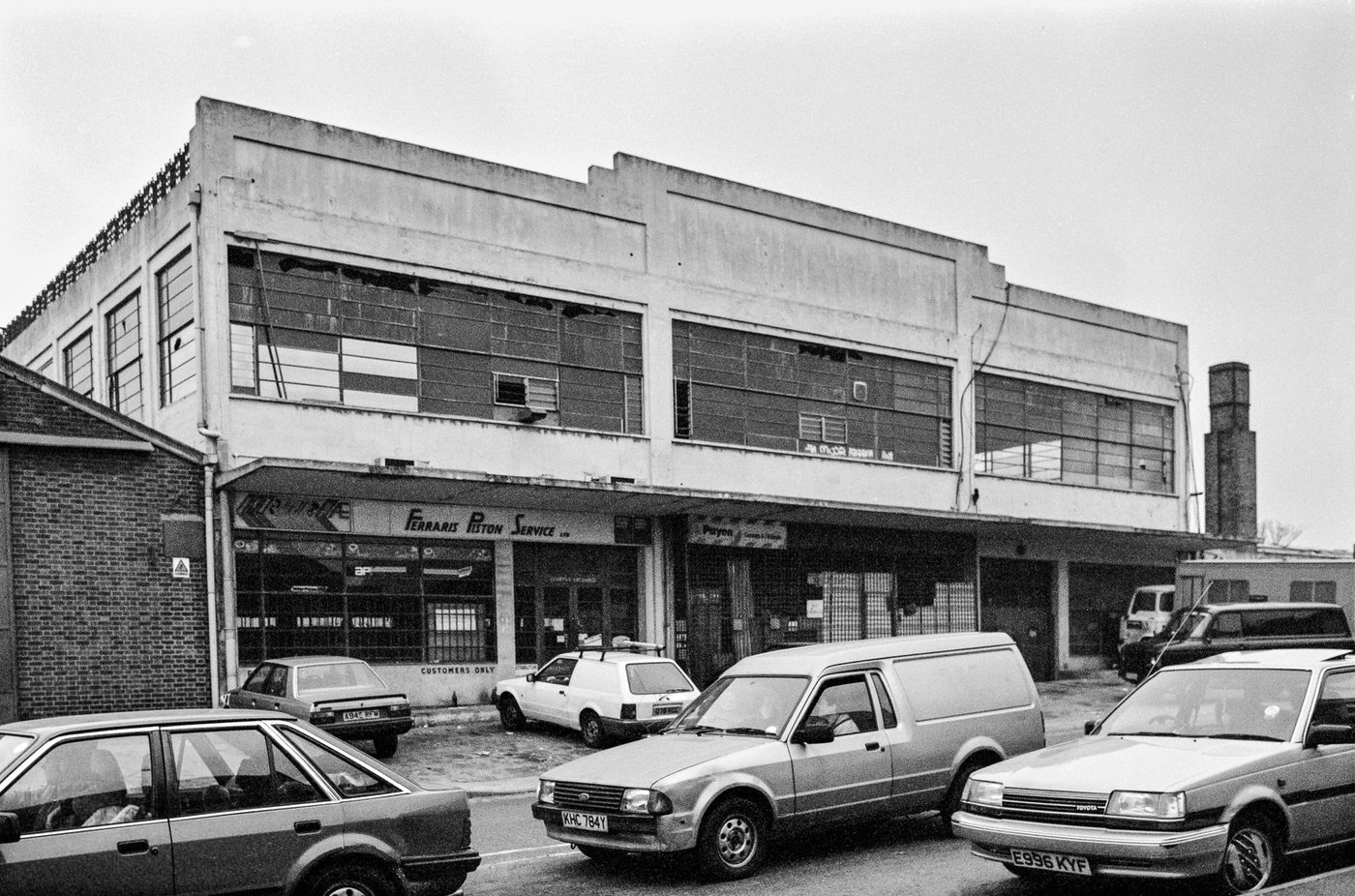
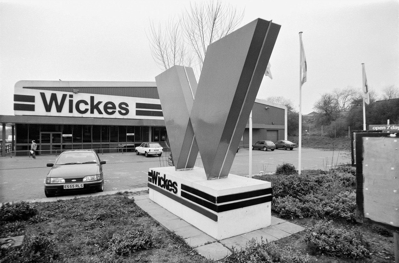
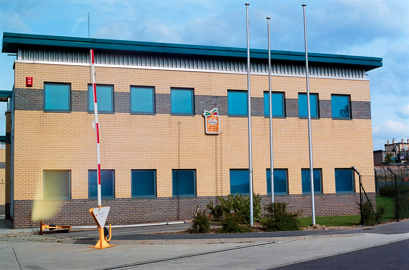
Purley Way was one of Croydon’s main commercial arteries, lined with retail parks, car showrooms, and trade businesses stretching far south of the town centre.
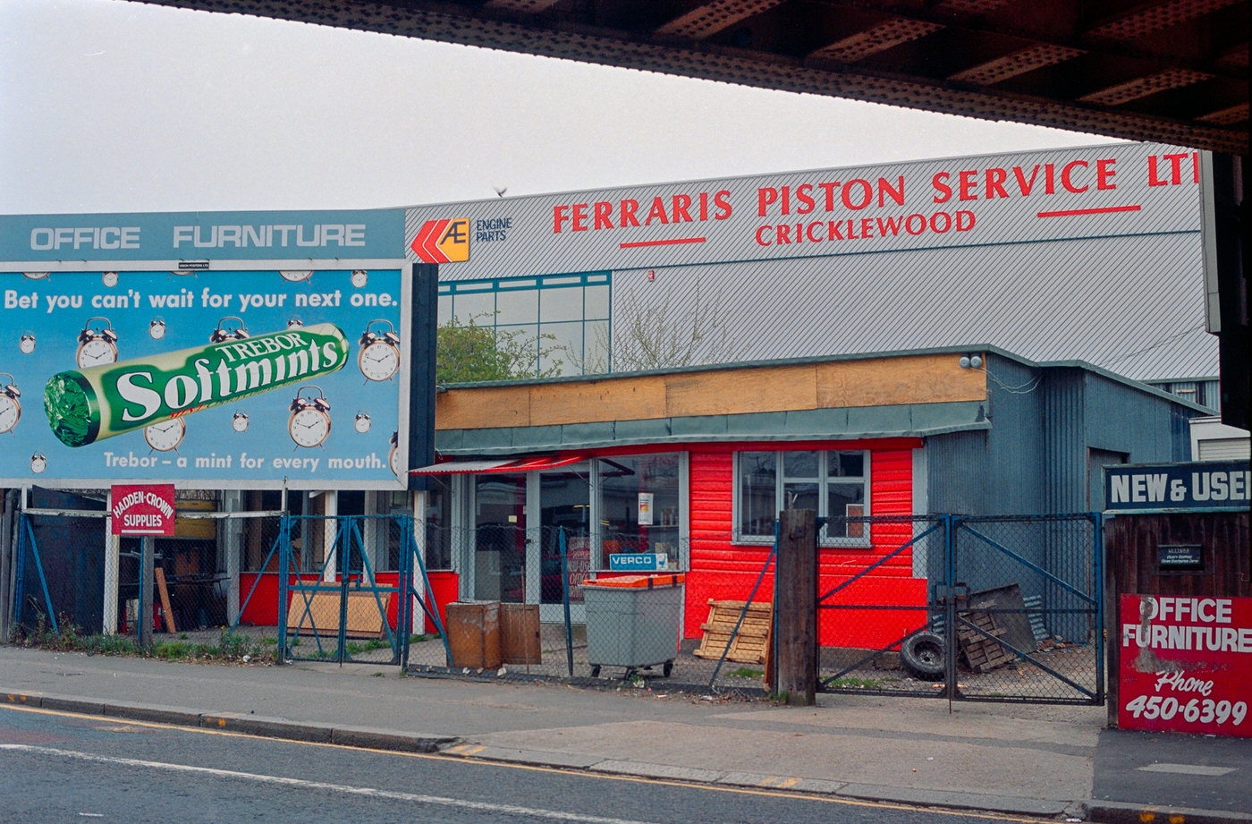
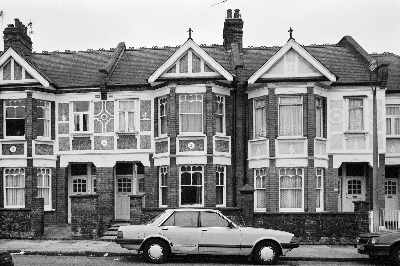
Saturn 3s on Imperial Way was the kind of enterprise that thrived in Croydon’s industrial estates — businesses operating away from the high street, serving trade customers and local industry rather than passing shoppers.
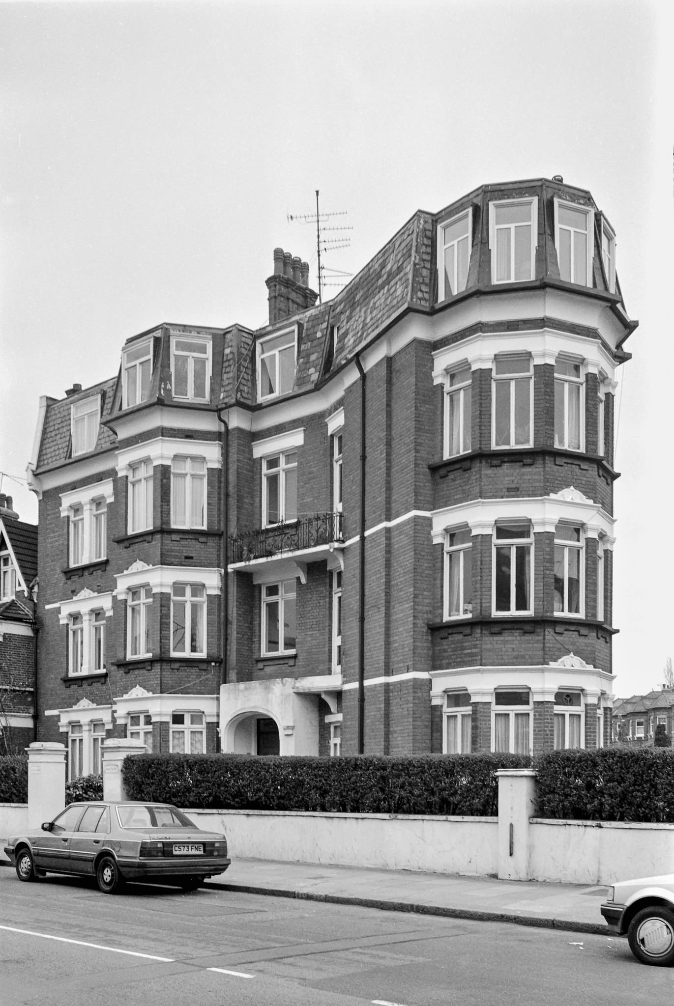
Local restaurants like Louis gave residents a sit-down dining option beyond the town centre chains. These independently run establishments were a fixture of Croydon’s neighbourhood streets throughout the decade.
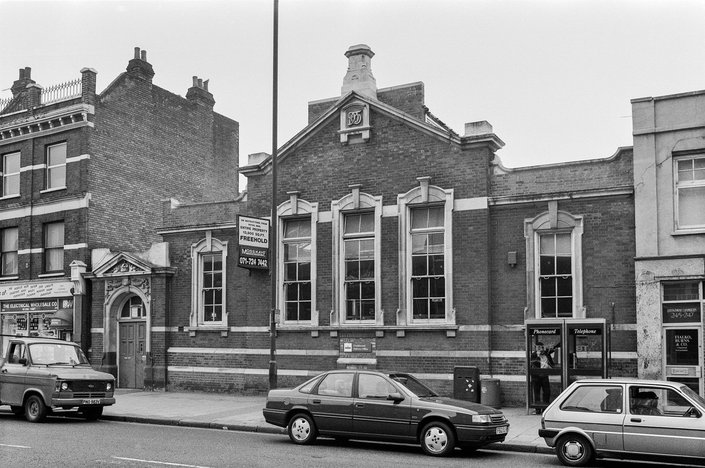
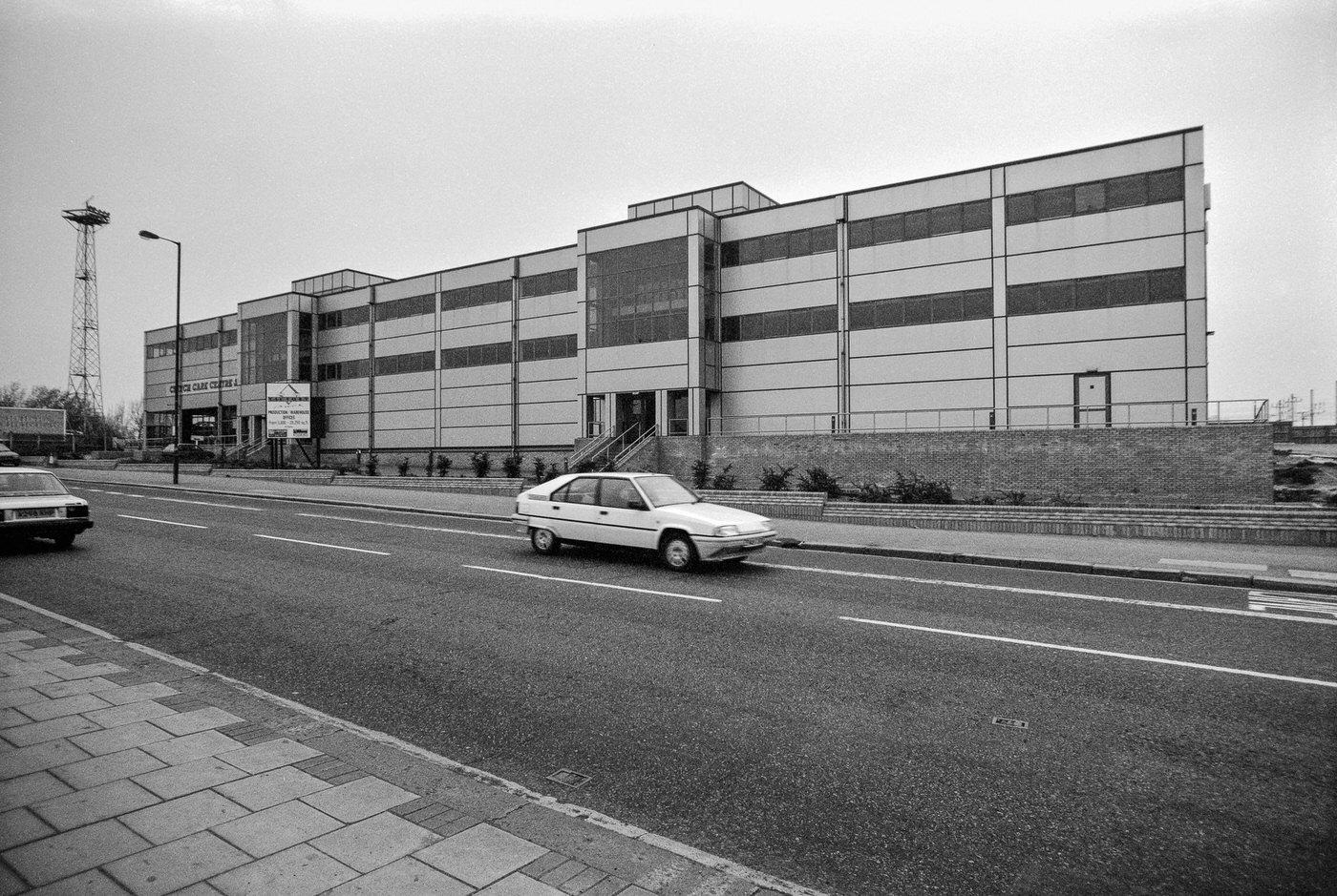
Community institutions anchored Croydon’s residential streets. The Croydon Evangelical Church on Cranmer Road served a congregation drawn from the surrounding neighbourhood, one of many faith communities active across the borough.
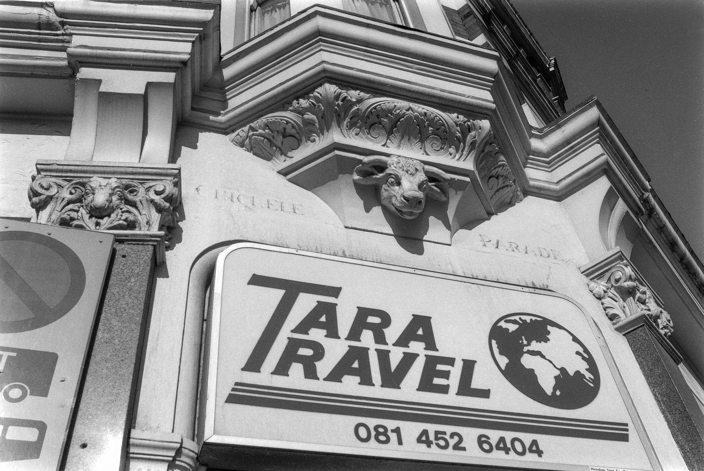
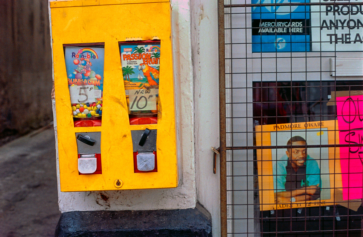
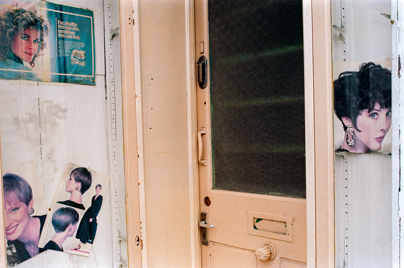
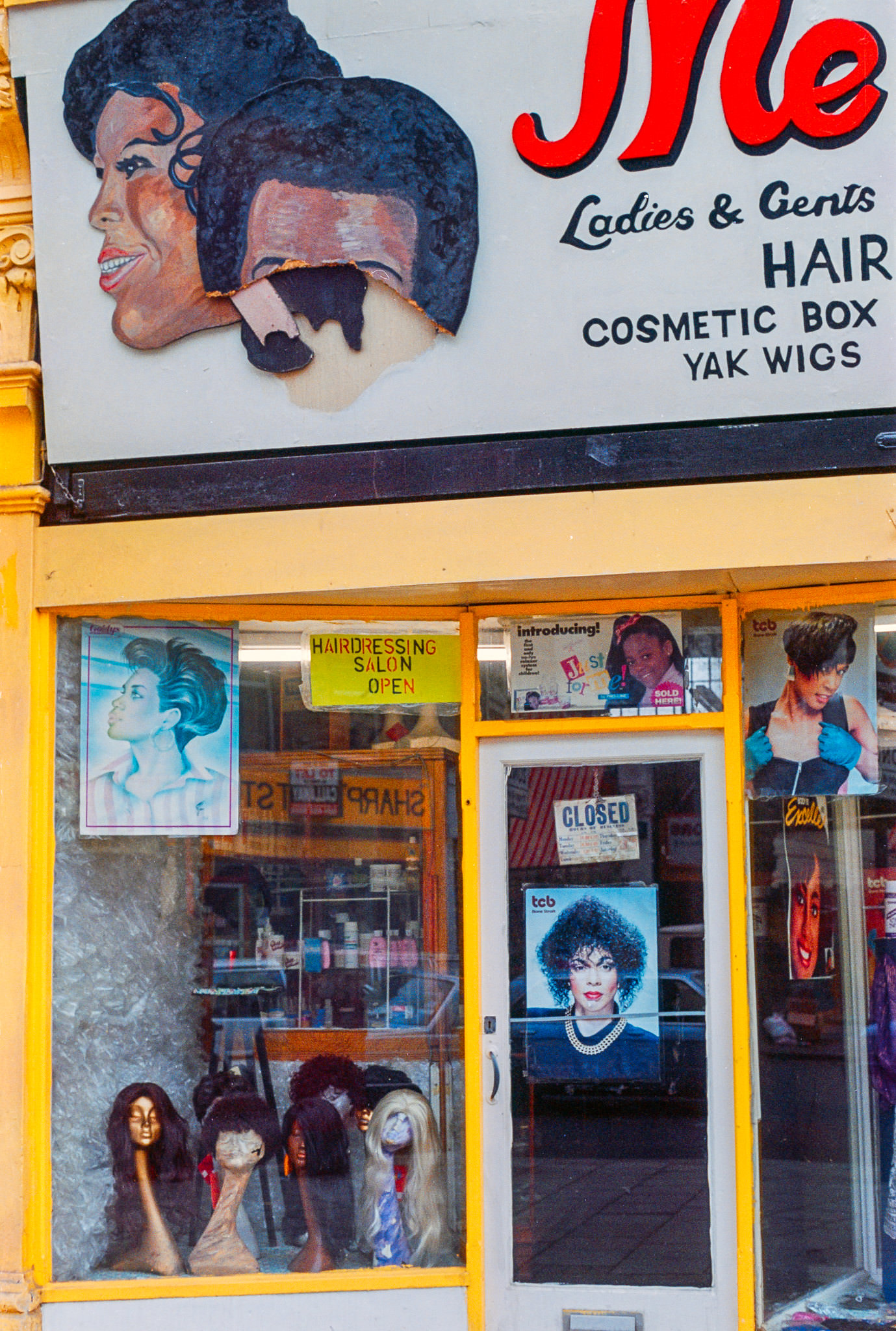
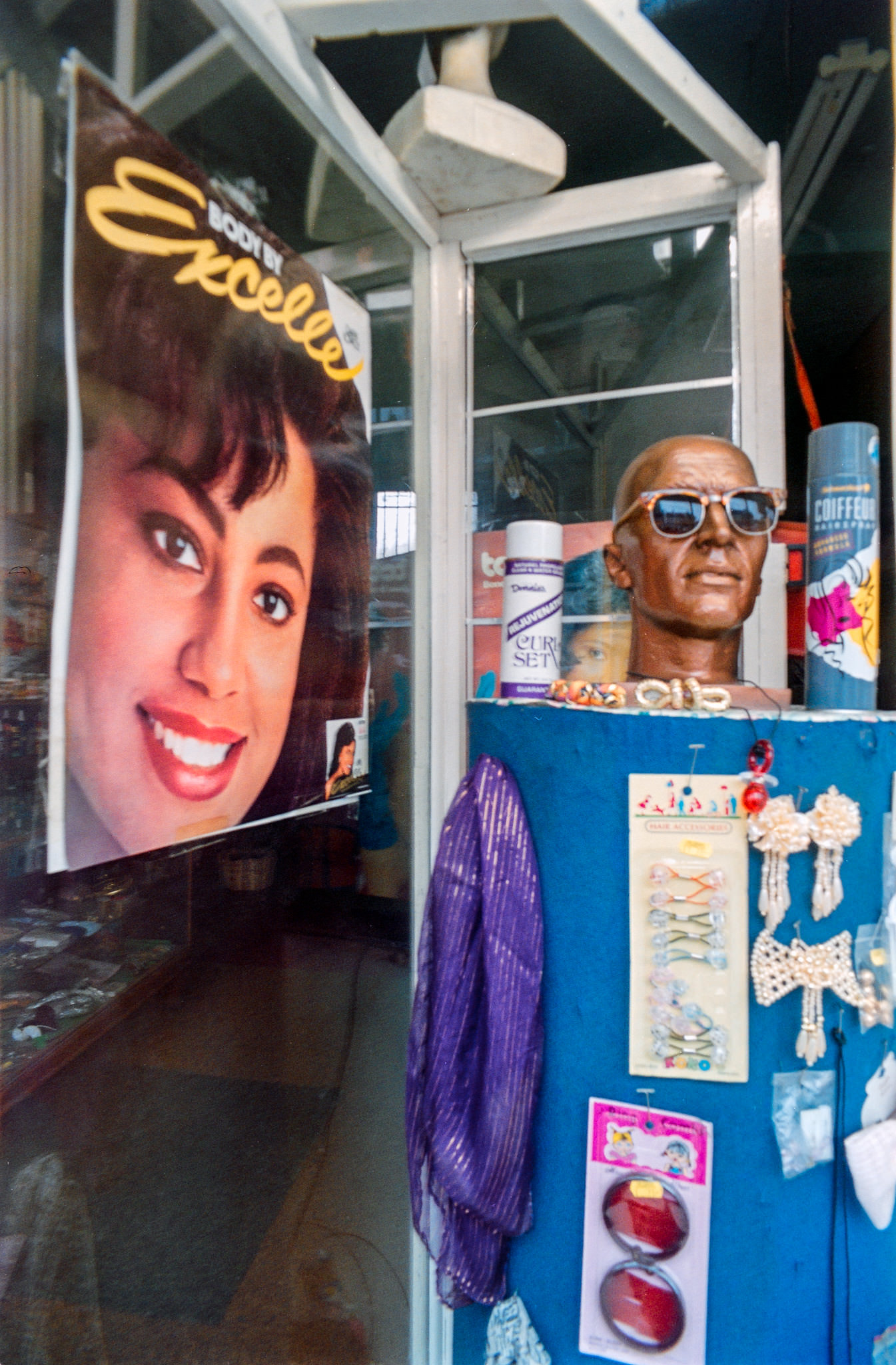
Thornton Heath’s shops served a dense residential population. Narrow frontages, hand-painted signs, and tightly packed shelves were common across the borough’s secondary shopping streets.
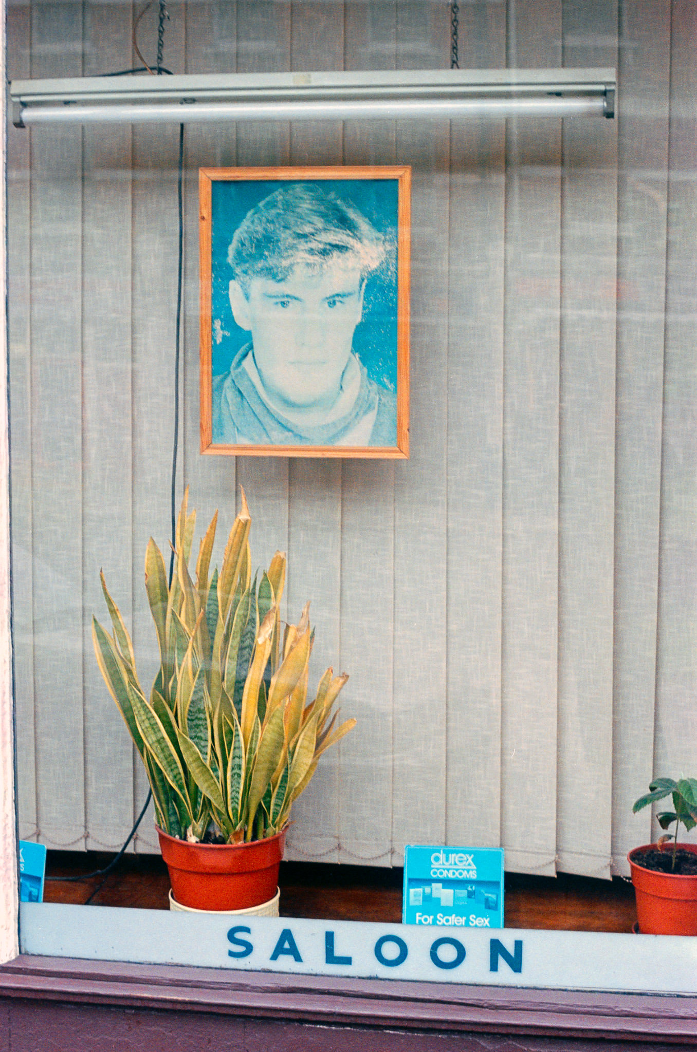
Jeanette Wallace House on Edridge Road was one of the residential blocks that housed Croydon’s growing urban population. The borough’s housing ranged from Victorian terraces in Purley and Sanderstead to modern flats closer to the town centre.
The Orange Café captured the informal, no-frills dining that defined much of Croydon’s food scene away from the main shopping centres. Surrey Street Market nearby offered fresh produce and street food, drawing locals who preferred the market’s atmosphere to supermarket aisles.