
Charlotte’s population grew by 18,224 people from 1930 to 1940, eventually topping 100,000 — a 22 percent increase. After the United States entered World War II (1941–45), construction and development slowed significantly across the city. By 1948, a whole new ring of suburbs had sprung up around Charlotte, ranging from middle-class areas like Maryland and Sterling streets at the edge of Myers Park to blue-collar neighborhoods like Smallwood Homes out West Trade Street. The following historical photos show what Charlotte looked like during the 1940s.
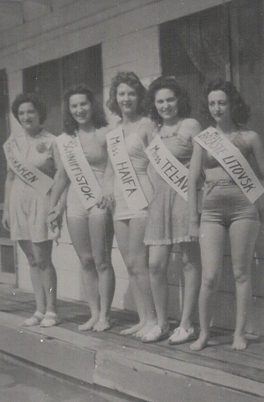
Jewish contestants compete in a 1941 beauty contest held at a swimming pool on Wilkinson Boulevard. The sashes display names of cities in Israel and Eastern Europe.
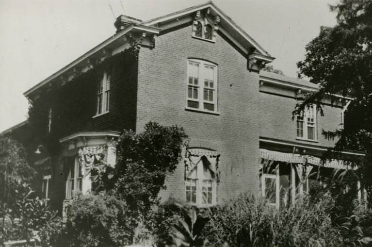
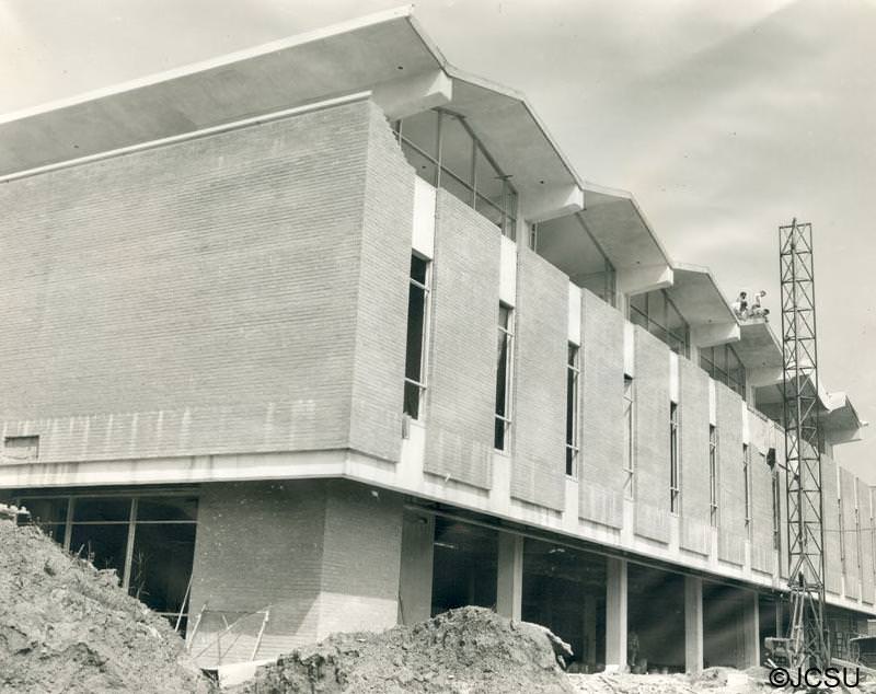
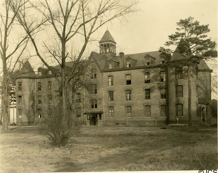
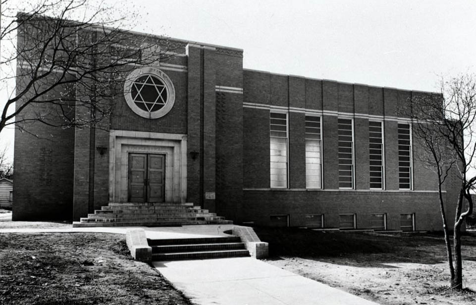
Temple Israel at 1014 Dilworth Road replaced the Seventh Street Temple in 1949. Around 350 families moved to this new building. The Star of David is now part of Temple Israel in Shalom Park.
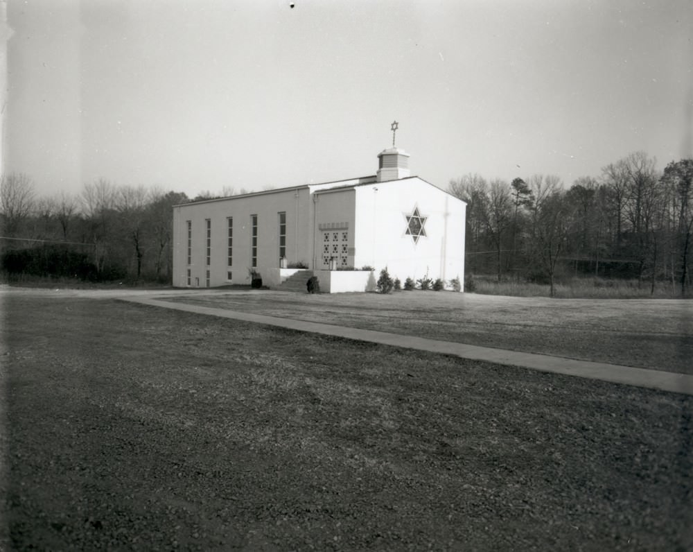
The newly completed Temple Beth El, at 1727 Providence Road, had 100 families in its congregation in 1949. The original building sits perpendicular to Providence Road.
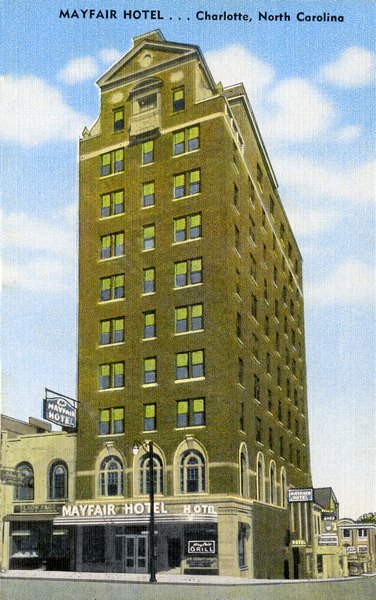
The Mayfair Hotel was located at the corner of North Tryon and 6th Streets. Built by two local physicians, Dr. James Pleasant Mattheson and Dr. C.N. Peeler, the hotel opened its doors as the Mayfair Manor on November 15, 1929. Listed on the National Register of Historic Places, the hotel was designed by Louis Asbury. The Dunhill Hotel Associates restored the hotel to its former grandeur in the late 1980s and changed its name.
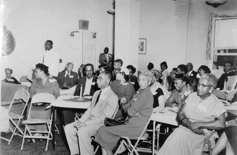
Staff party at Johnson C. Smith University. Martha McKinney, Mabel Rhode, Elsie Woodward, Fannie Hargraves.
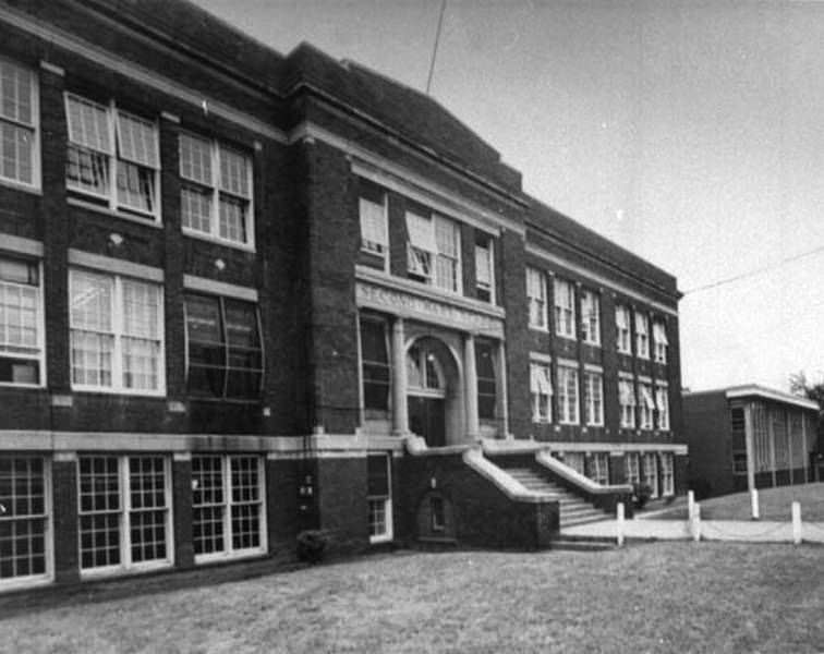
Second Ward High School was one of Charlotte’s first Black high schools. Their alumni association has members from all over the country.
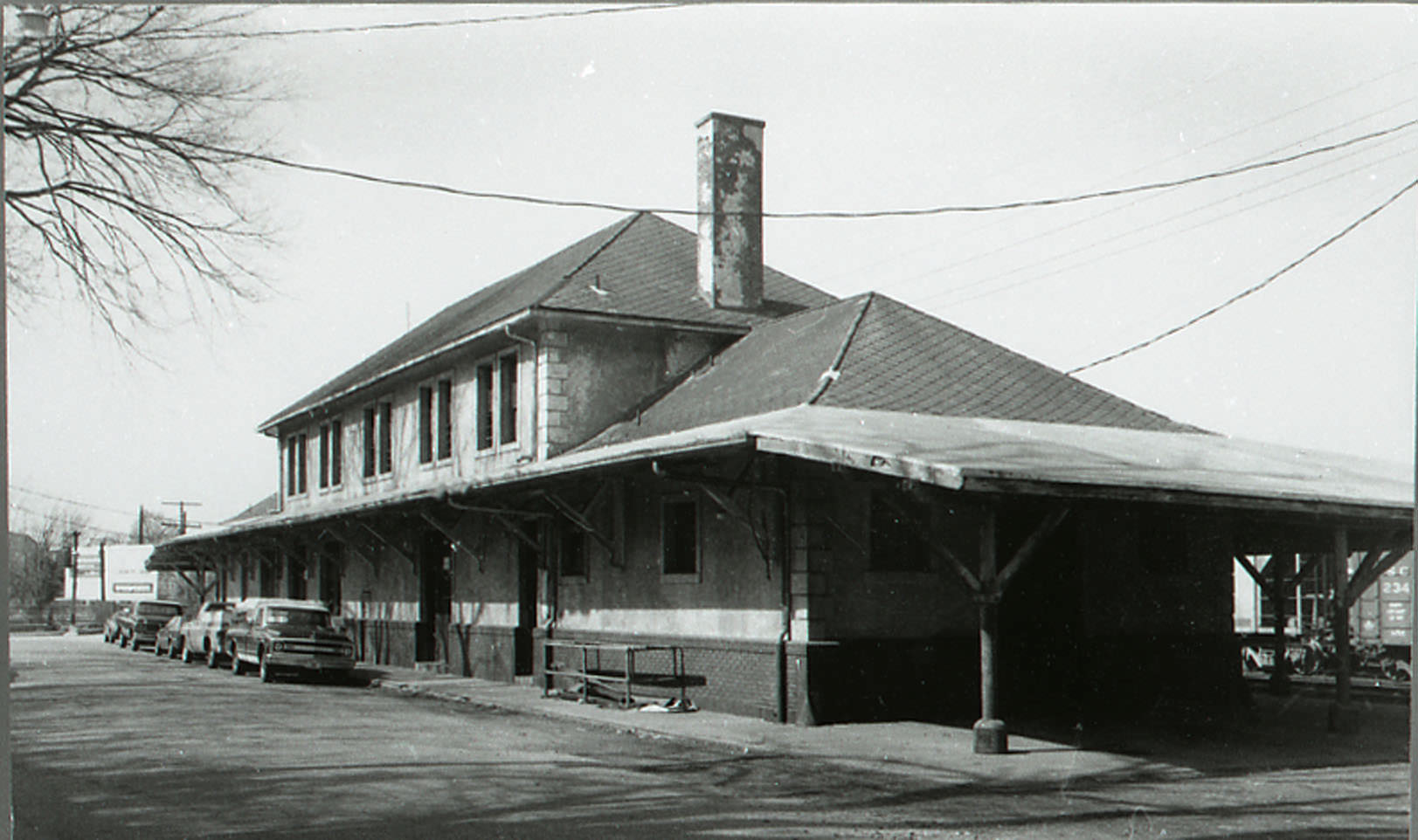
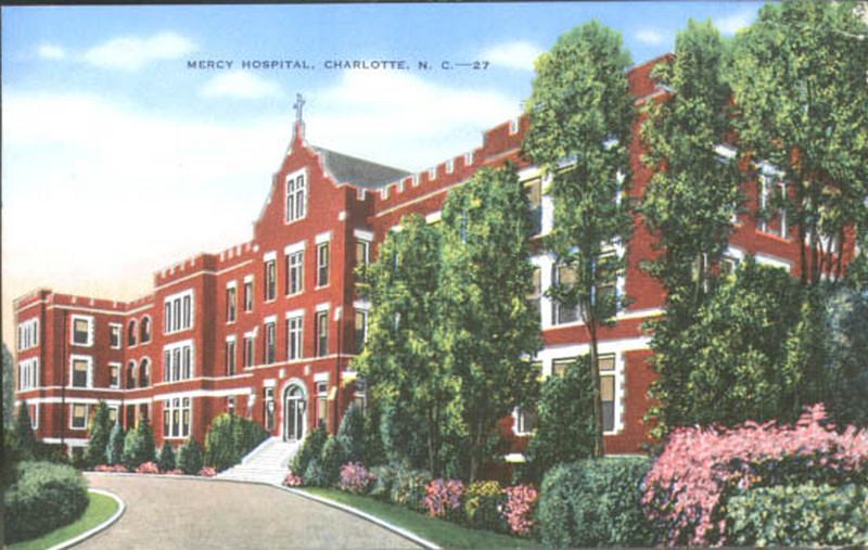
Mercy Hospital was founded by the Sisters of Mercy of Belmont, North Carolina in February 1906. Originally it was a 25-bed facility in a wooden building on East First Street behind St. Peter’s Roman Catholic Church. The second facility, pictured here, opened in 1916 on East Fifth Street. Additions increased its capacity, and by 1960, the hospital had 300 beds.
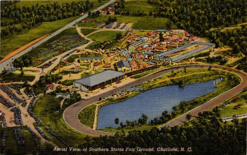
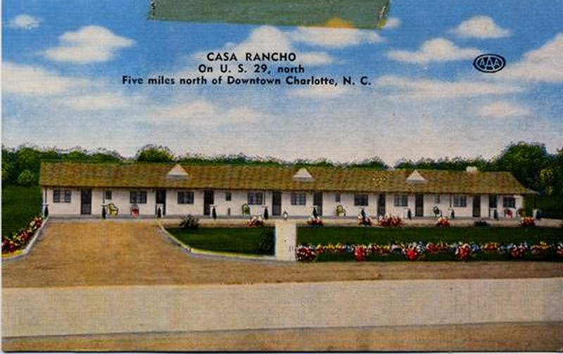
Casa Rancho was a motel on US 29 North, five miles north of uptown Charlotte. It was owned by C.A. Breeze.
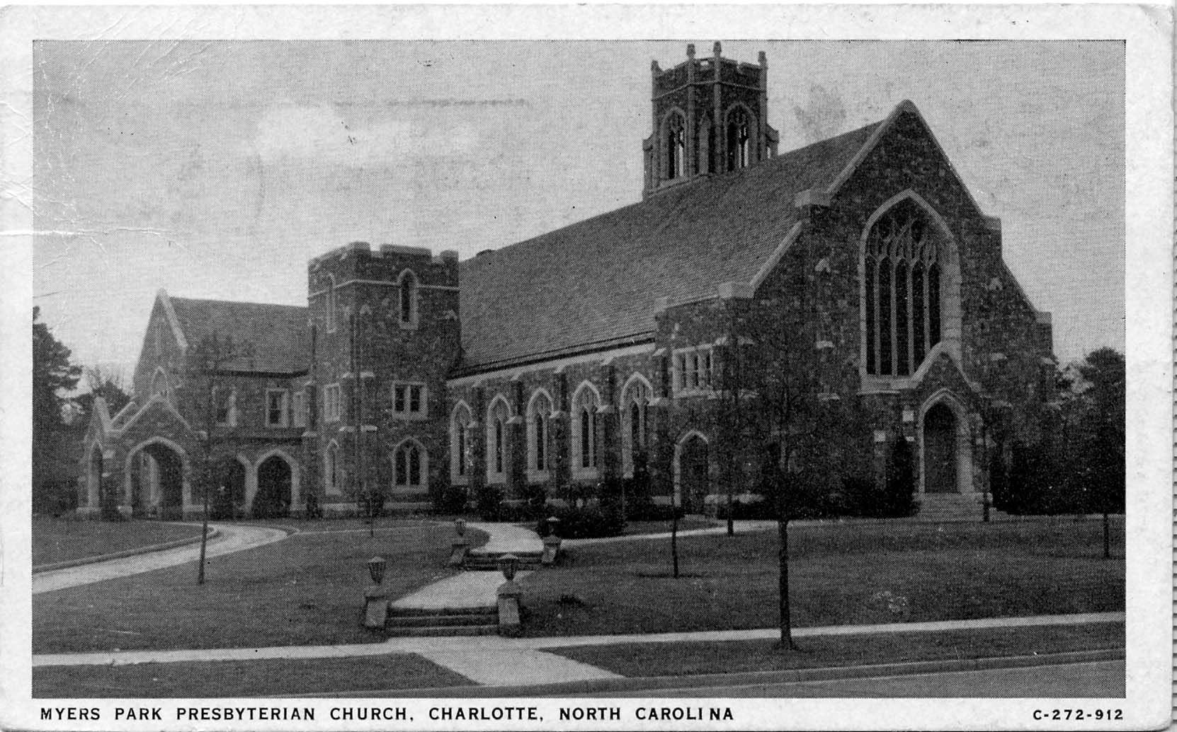
Myers Park Presbyterian Church is located on Queens Road in the Myers Park neighborhood.
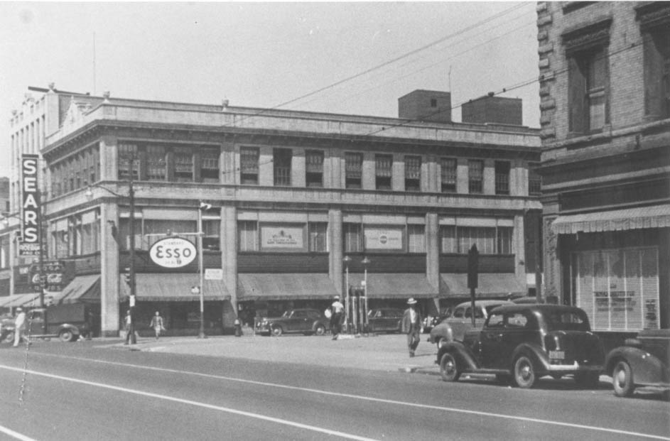
A photo of the southwest corner of Tryon and Third Streets highlights an Esso gas station in the center.

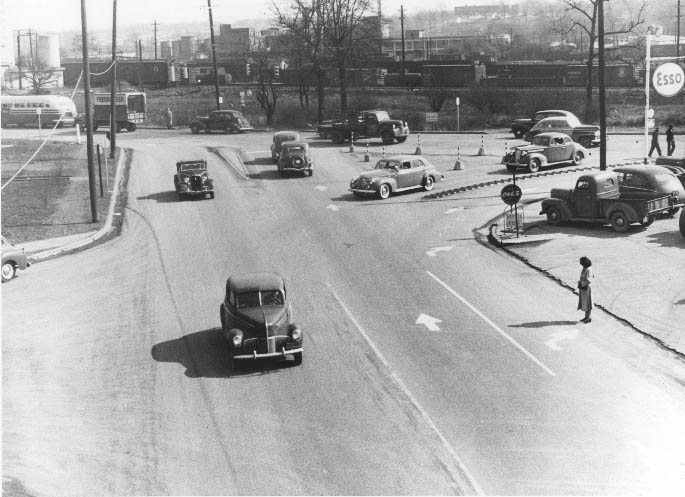
West Trade Street at the Tuckaseegee Road intersection. Physical Description: 8×10 glossy. Publisher: Unknown.
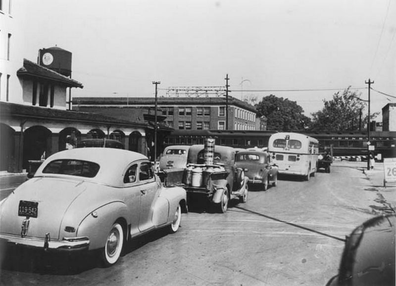
A passenger train holds up traffic on West Trade Street. The train was traveling on the Southern Railway Mainline.
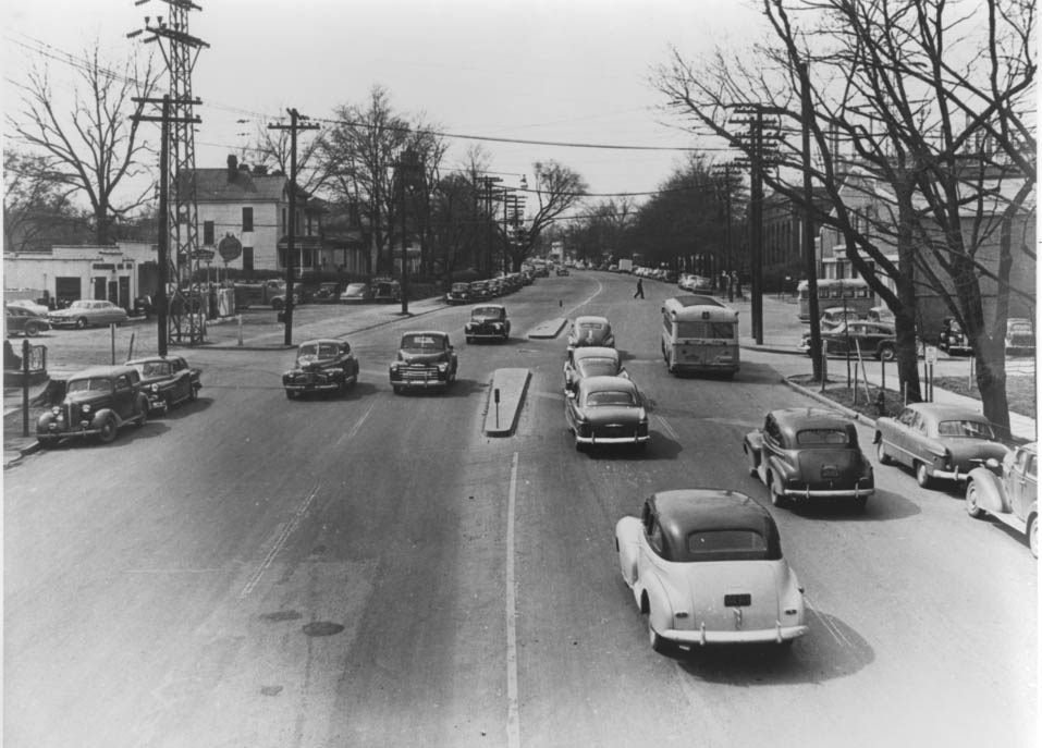
Looking south on South Boulevard, past the 1400 block of East Bland Street. The Duke Power bus garage is on the right.
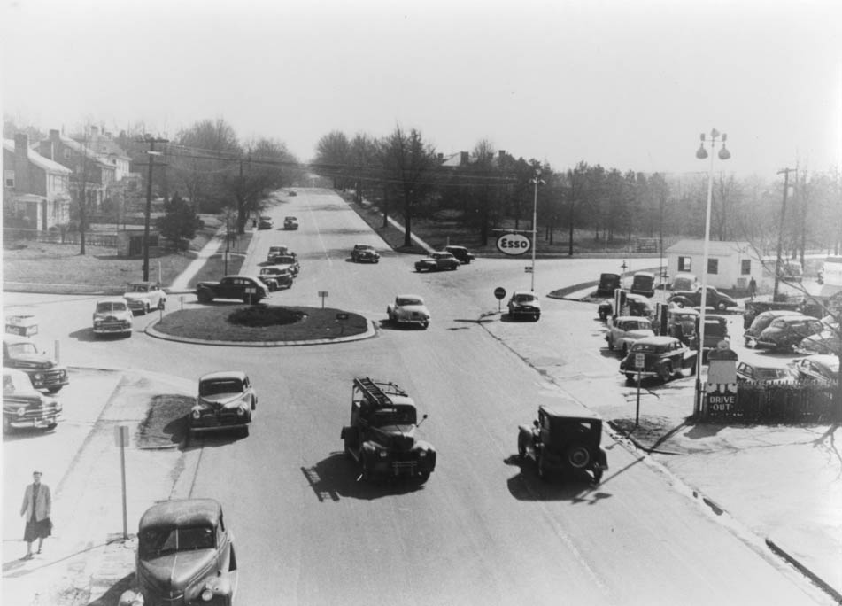
A photograph of the intersection of East Morehead Street, Kings Drive, and Baldwin Avenue around 1947. The entrance to the Boar’s Head Restaurant is located in the lower right of the photograph.
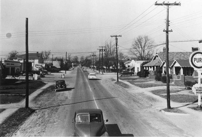
The 2600 block of Tuckaseegee Road looking west toward the State Street intersection.
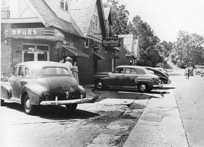
Myers Park Pharmacy was located at 1400 East Morehead Street at the time this photograph was taken in September of 1949.
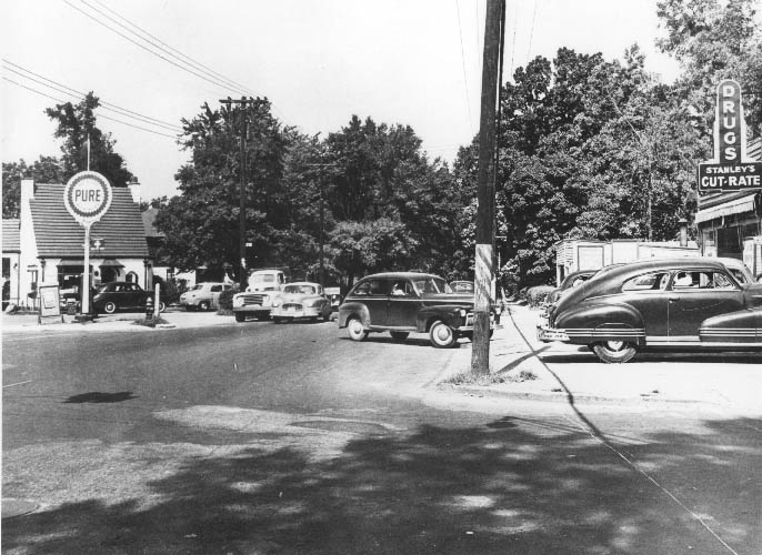
Looking west down East Seventh Street past the intersection of Pecan Avenue. Stanley’s Drug Store maintained a store on or near this location until 1998.
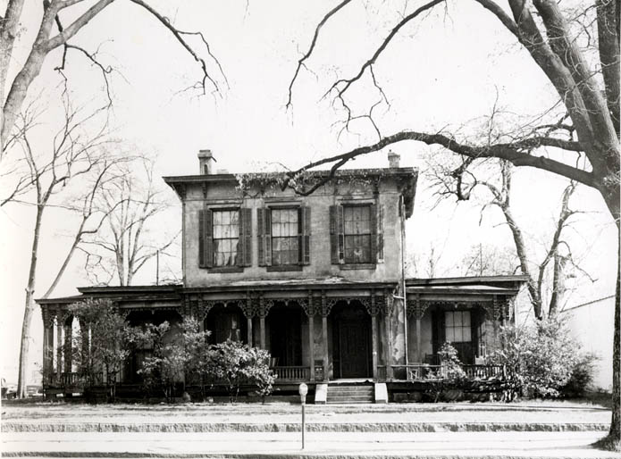
The John B. Ross House is a strong example of Italian Revival architecture. Built between 1894 and 1896, it stood at 502 North College Street and was the home of the John B. Ross family. He was the president of the John B. Ross Company and vice-president of the First National Bank.
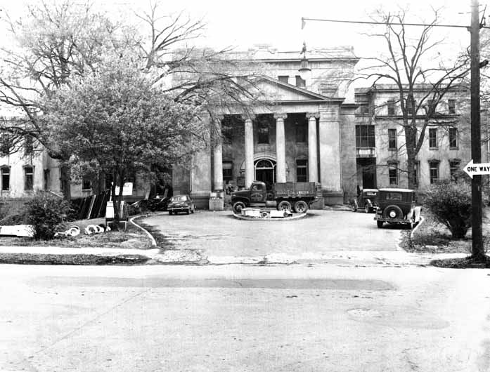
The conversion of Presbyterian College into apartments. Long known as College Apartments, the college was transformed again some 38 years after the school moved to Myers Park. Presbyterian College was the precursor to Queens College. This building was located on the corner of College and Ninth Streets. When the school changed its name to Queens, it moved to the Myers Park area.
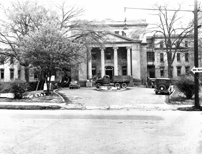
After Presbyterian College changed its name to Queens College and moved to a new facility in Myers Park, the building on North Street was converted into the College Apartments.




