Bridgetown, the capital of Barbados, sits on the southwestern coast of the island in the southeastern Caribbean Sea. English settlers founded the city in 1628, and they named it after a crude bridge that already spanned the Careenage — a tidal inlet also known as the Constitution River. That bridge is believed to have been built by the Arawaks, the island’s original inhabitants. It was destroyed and rebuilt in 1654, and the settlement around it grew into one of the most important port cities in the entire Atlantic world.
The city’s early decades were brutal. A cholera outbreak killed an estimated 20,000 people in the area, and the location — built on swampy, mosquito-infested ground — made it a difficult place to establish a capital. Despite this, Bridgetown’s geographic position made it ideal for maritime trade. By the 17th century, it had become a major world port, sitting at the heart of British Atlantic commerce fueled by sugar and the trade in enslaved people.
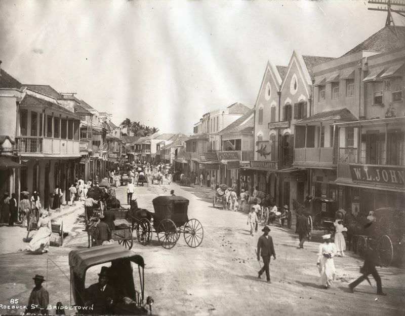
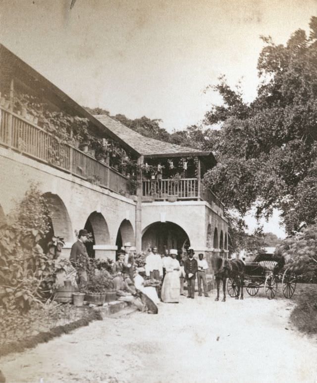
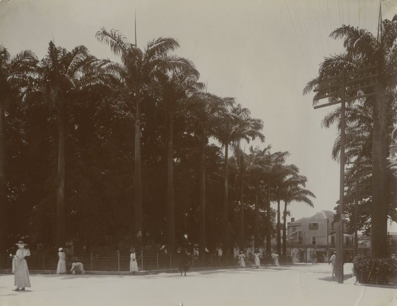
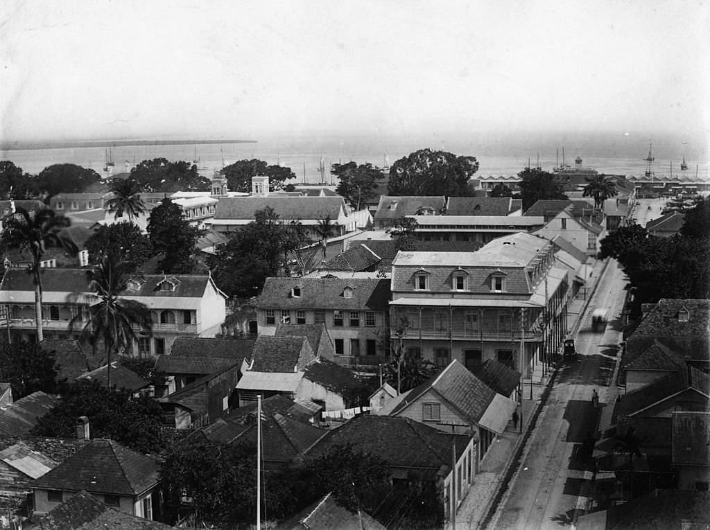
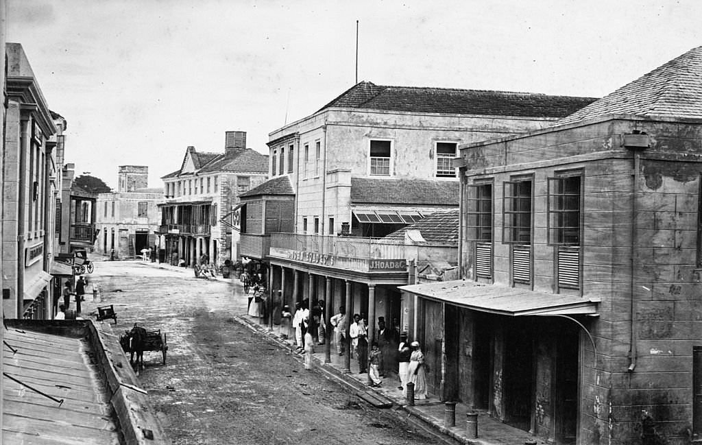
Fire was a constant threat throughout Bridgetown’s history. The first recorded major fire dates to 1659, when more than 200 houses burned to the ground. Over the following two and a half centuries, the city suffered more than 14 major fires. The last significant one came in 1910. Yet despite this destruction, a remarkable number of the city’s historic structures survived. Colonial-era buildings, churches, and public institutions still line the streets today, many of them visible in these photographs taken from the 1870s onward.
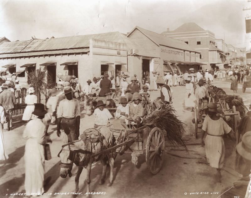
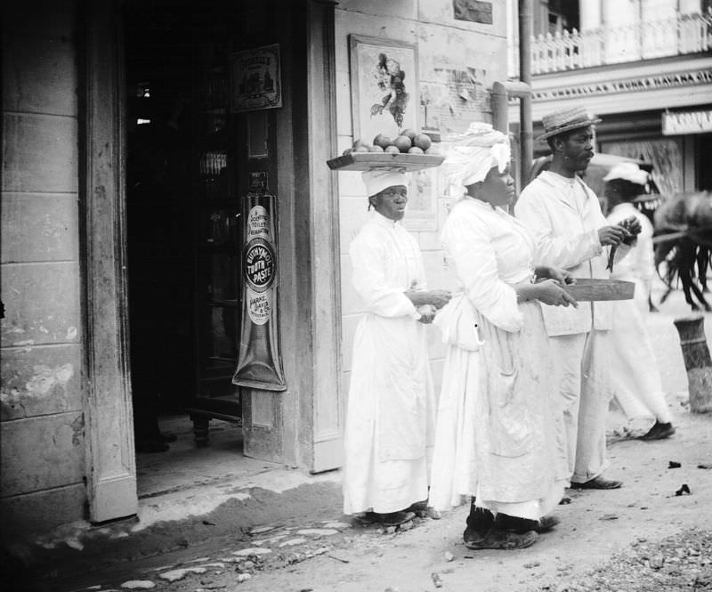
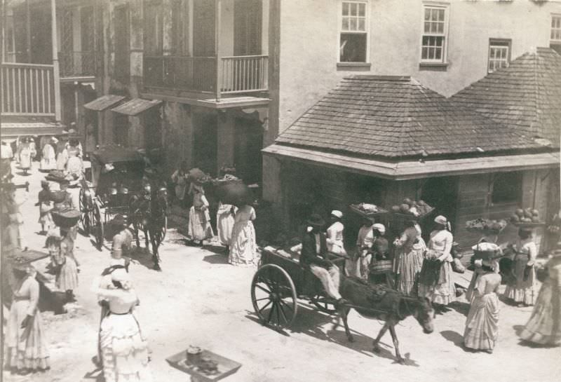
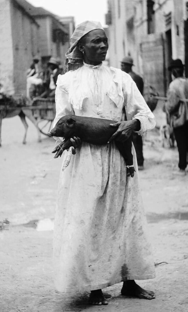
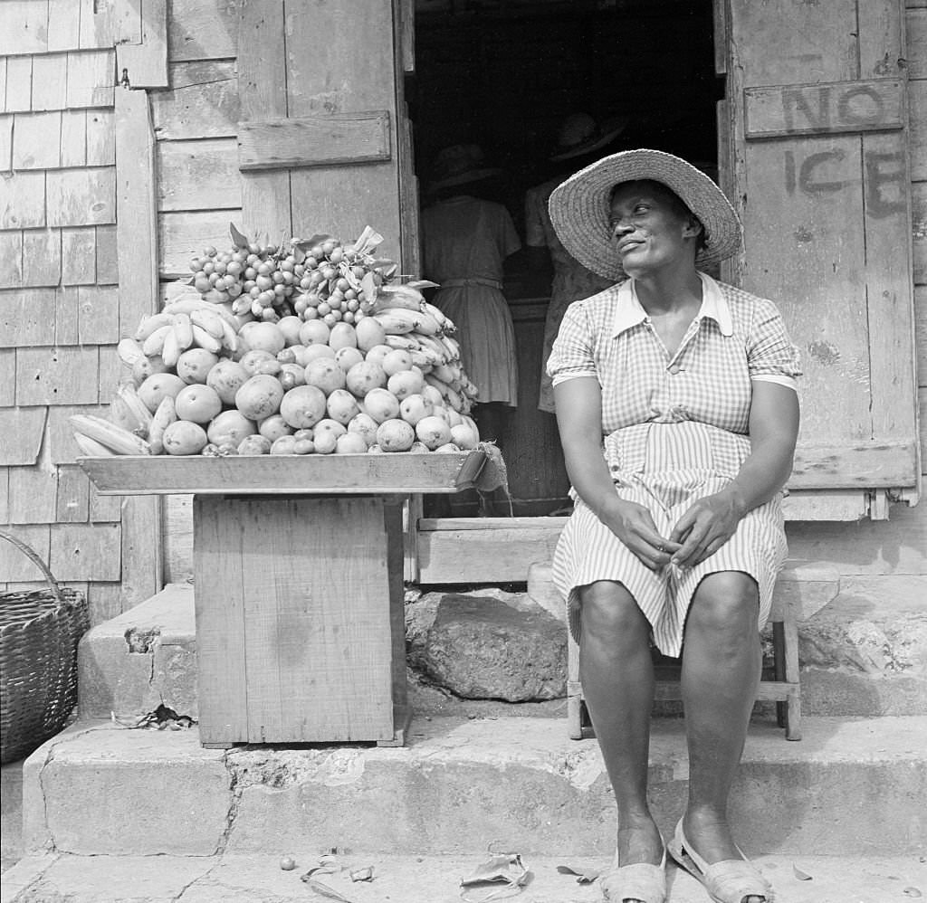
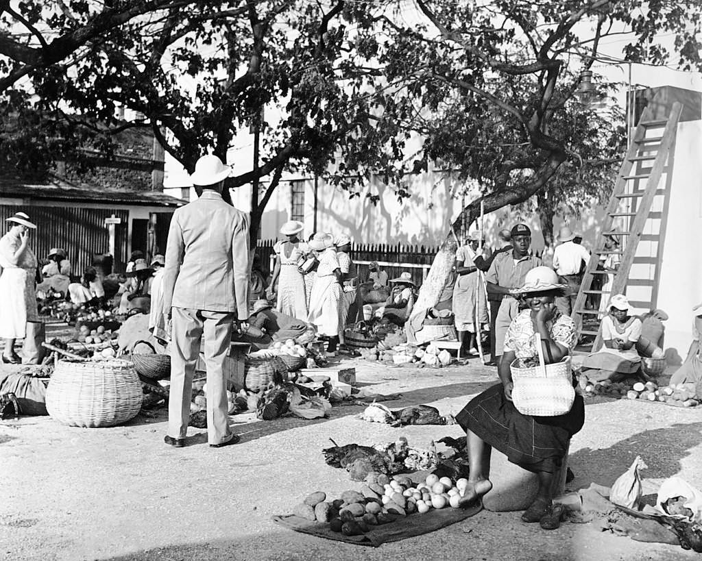
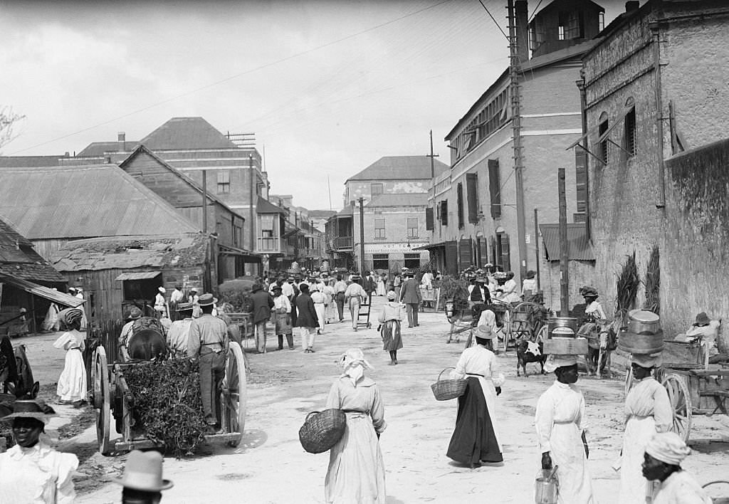
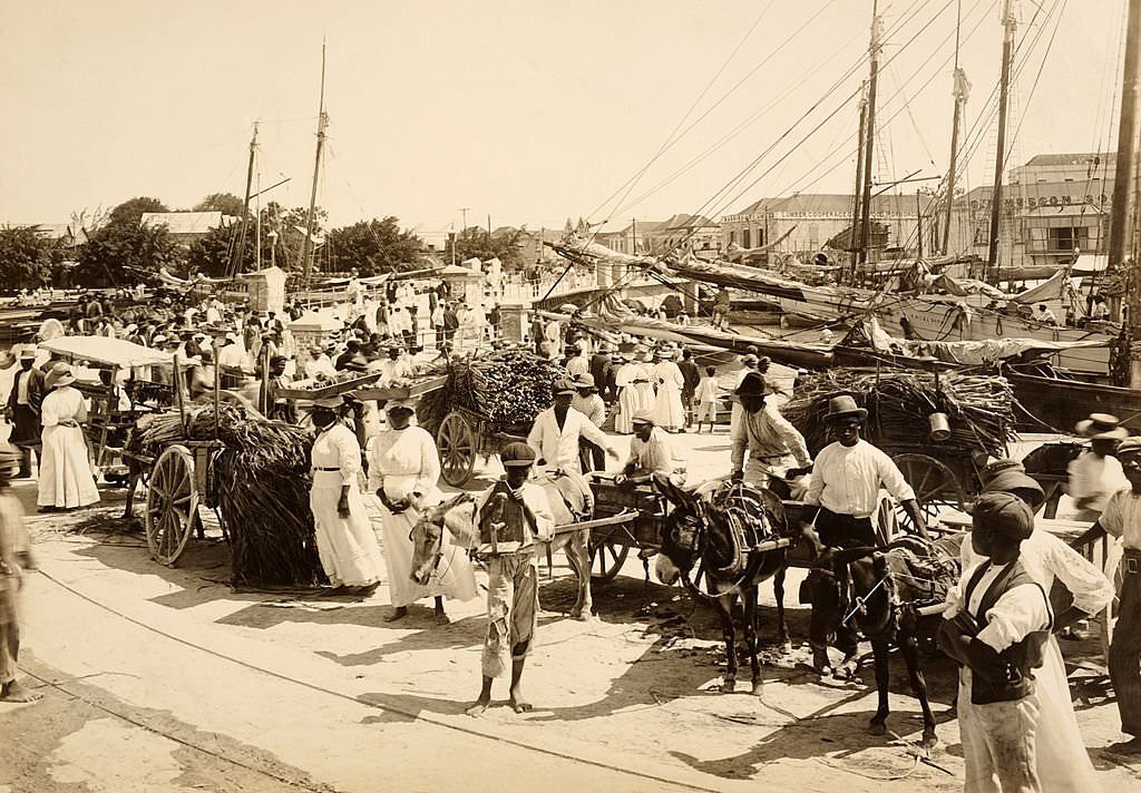
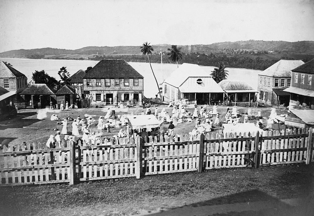
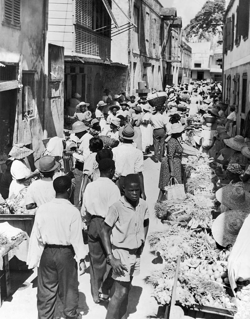
Street life in 19th-century Bridgetown was busy and varied. Markets drew vendors and buyers from across the island, with goods ranging from local produce to imported supplies arriving through the harbor. The city’s streets were narrow and active, with workers, traders, and residents moving through them daily. These early photographs from the 1870s and 1880s capture that world in remarkable detail.
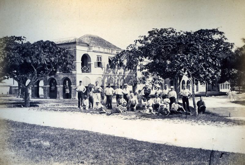
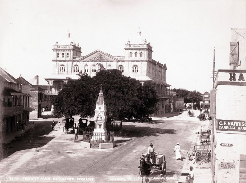
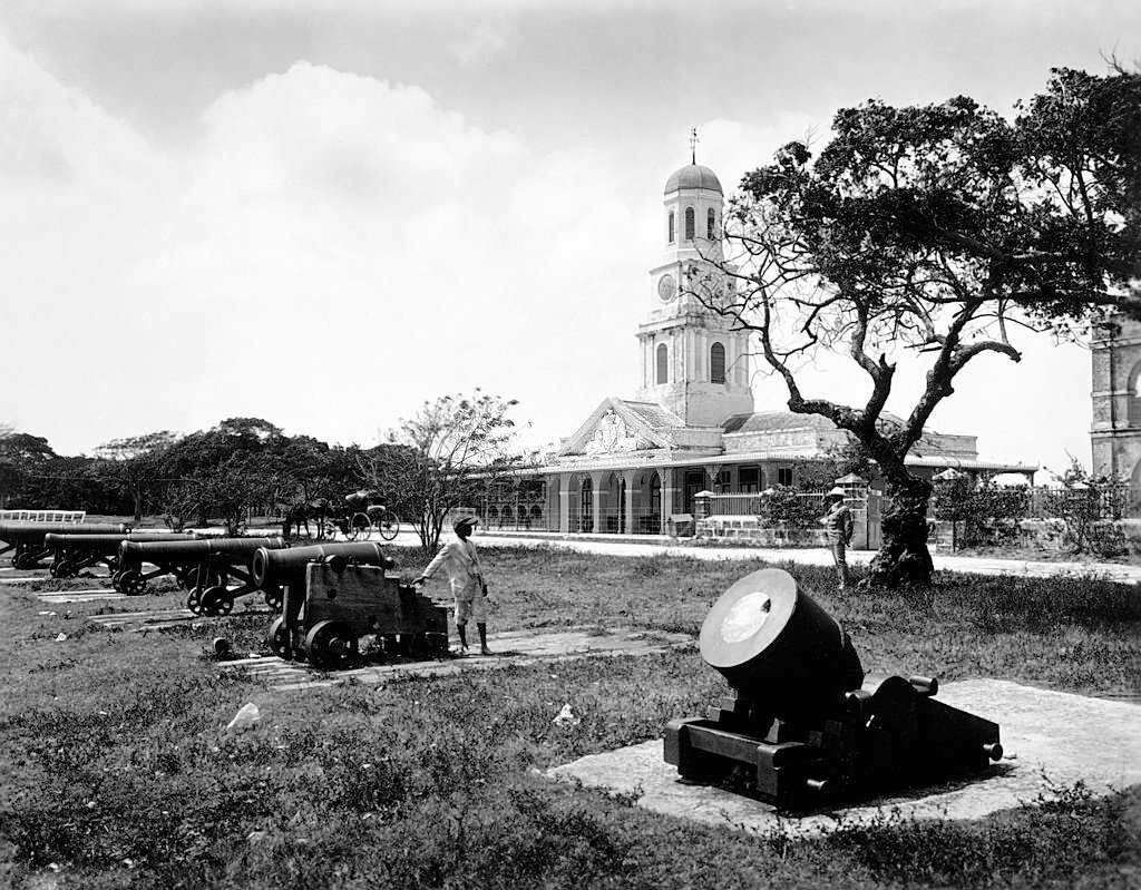
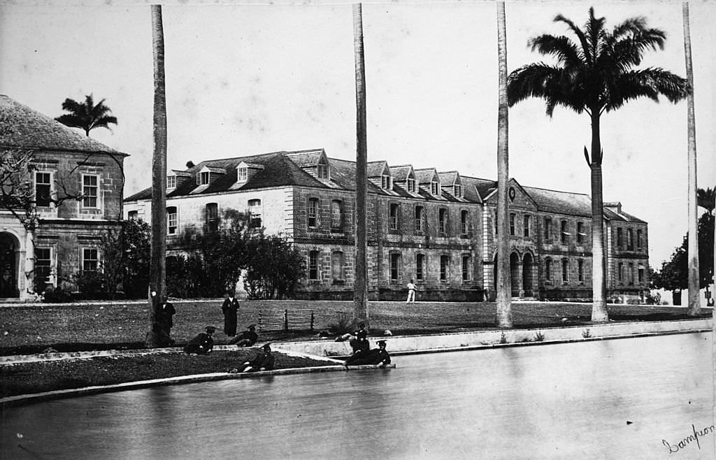
The British military maintained a significant presence in Bridgetown throughout the 19th century. Barracks housed soldiers stationed on the island, and military infrastructure was woven into the city’s layout. Beckwith Place was one of the more prominent public areas in the colonial city, and it served as a gathering point for residents and visitors alike.
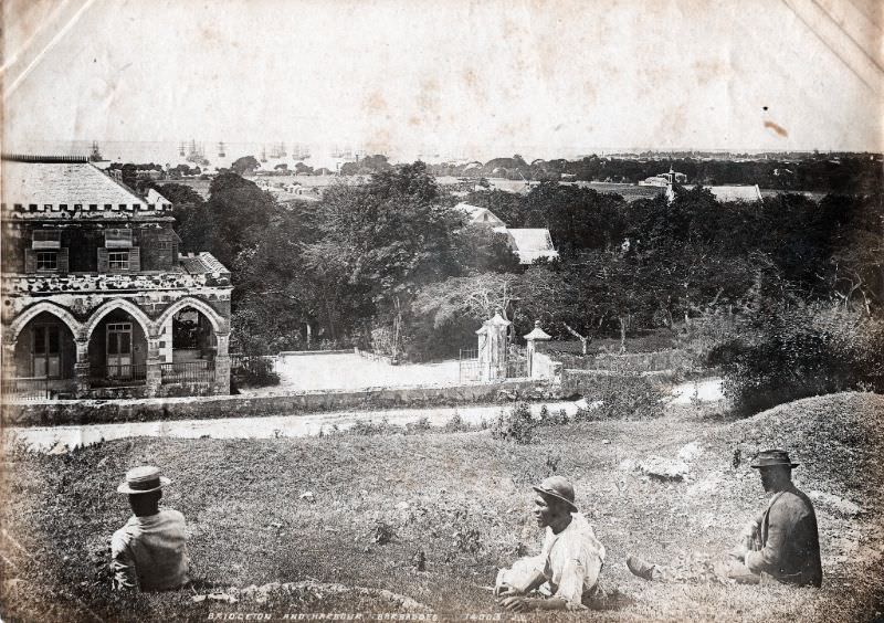
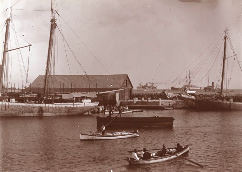
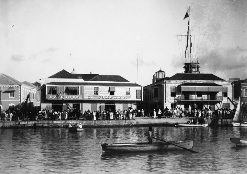
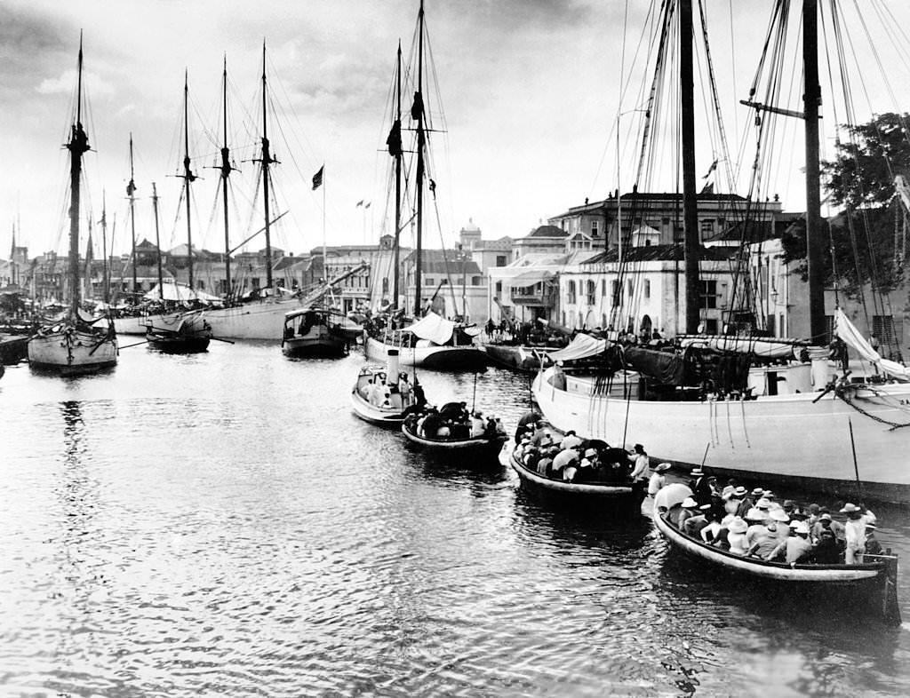
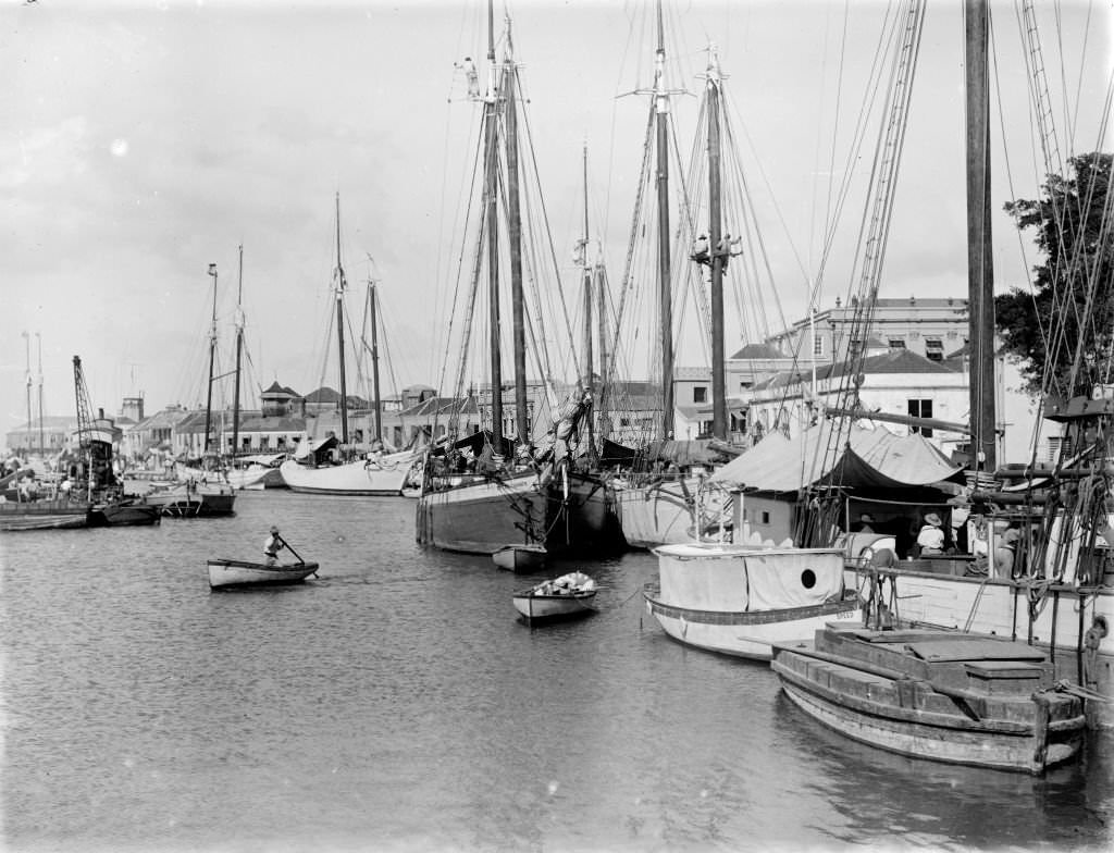
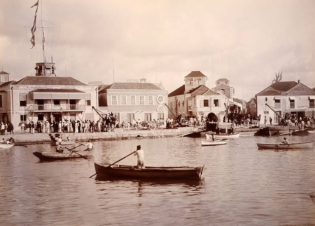
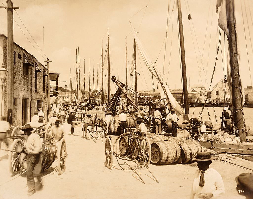
The harbor was the lifeblood of Bridgetown. Ships loaded with sugar, coal, and other goods moved in and out constantly. The Careenage served as the inner harbor where smaller vessels docked, while larger ships anchored further out. By the 1890s, the port was a well-organized, heavily trafficked hub connecting Barbados to Britain, North America, and other Caribbean islands.
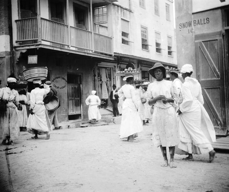
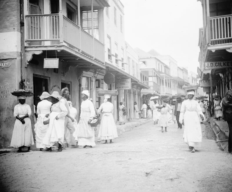
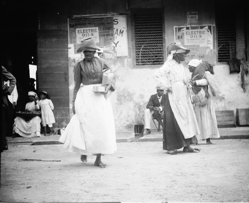
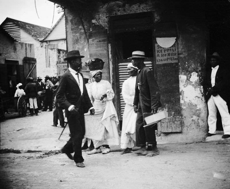
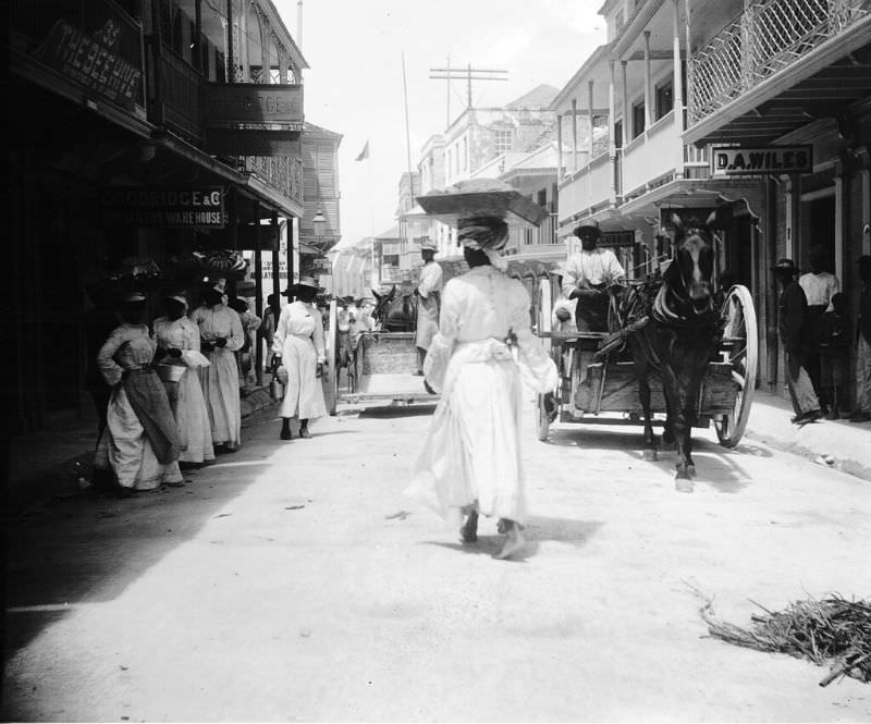
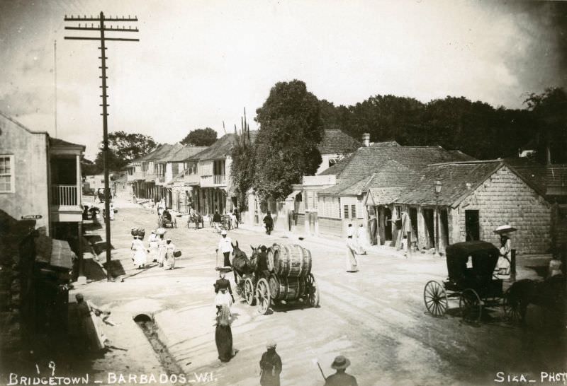
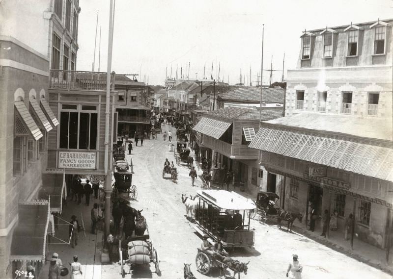
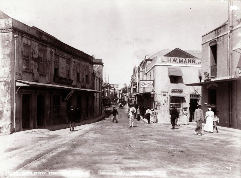
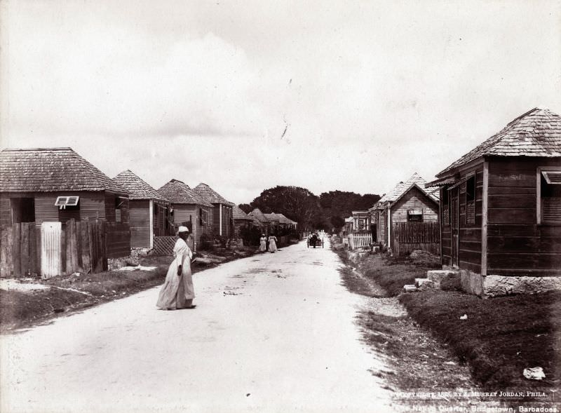
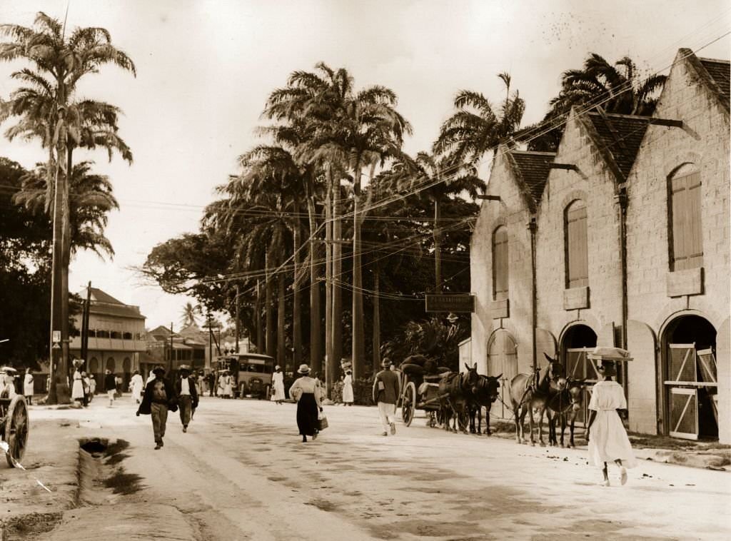
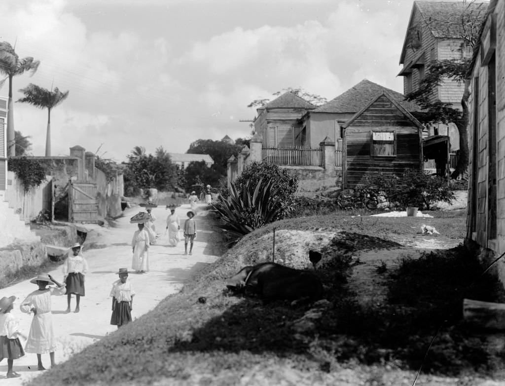
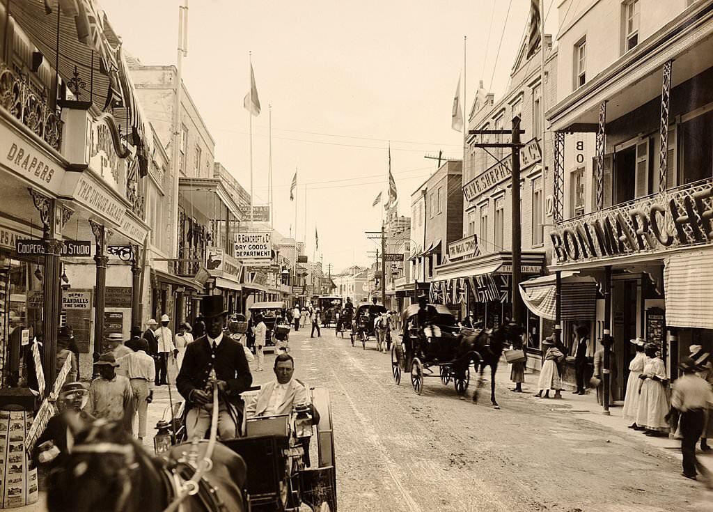
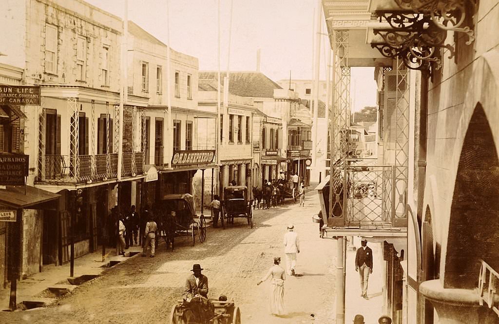
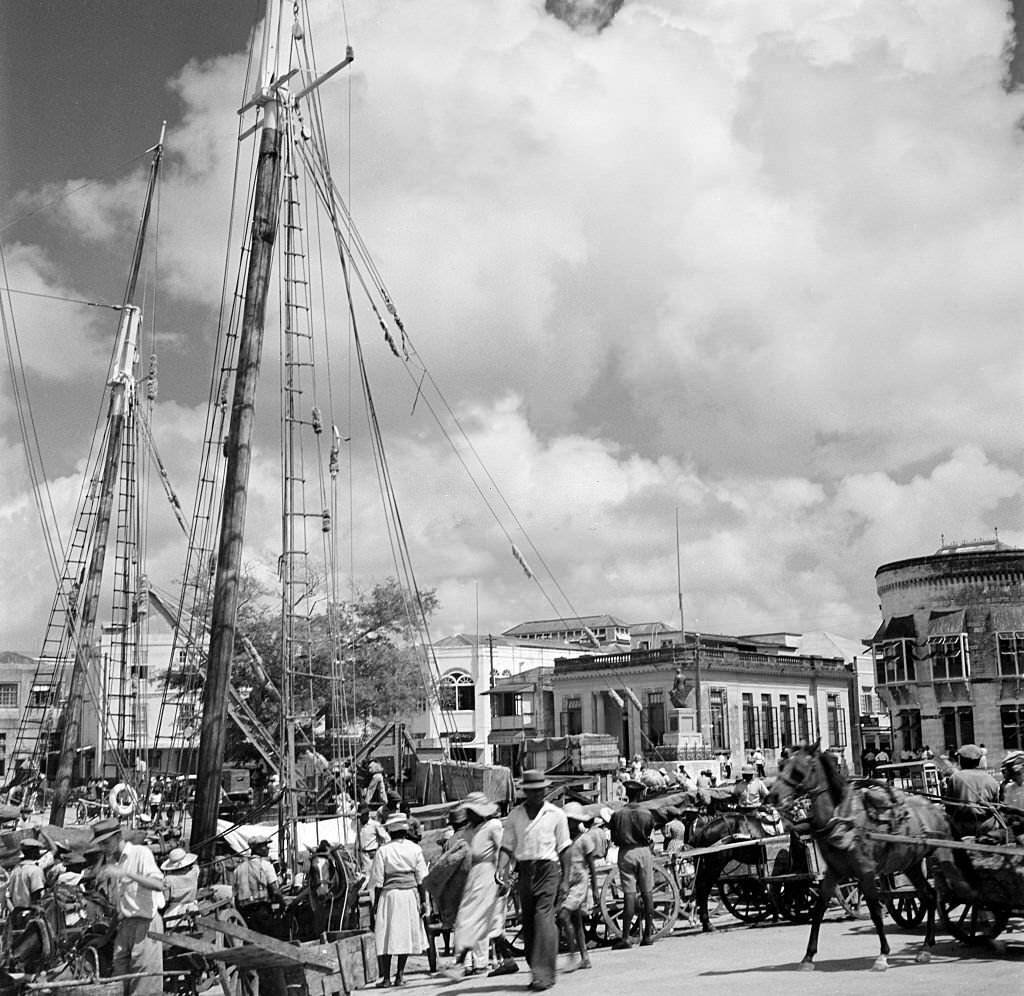
The 1890s produced a rich collection of street-level photographs from Bridgetown. They show a city that was densely built and commercially active. Wooden buildings and stone structures stood side by side. Vendors occupied sidewalks, and horse-drawn vehicles moved along the main roads. These images offer a ground-level view of what daily life looked like for ordinary residents of the city at the end of the 19th century.
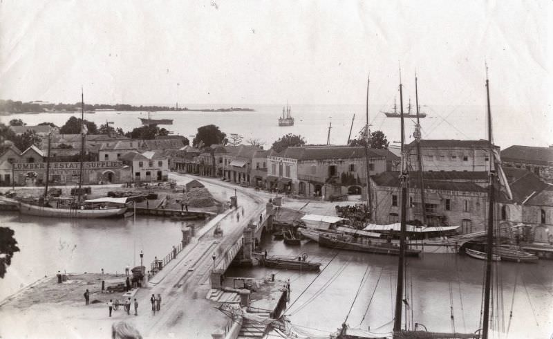
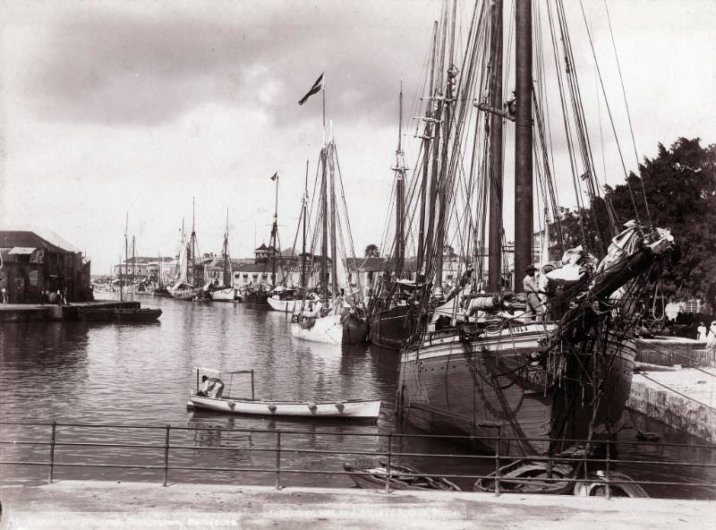
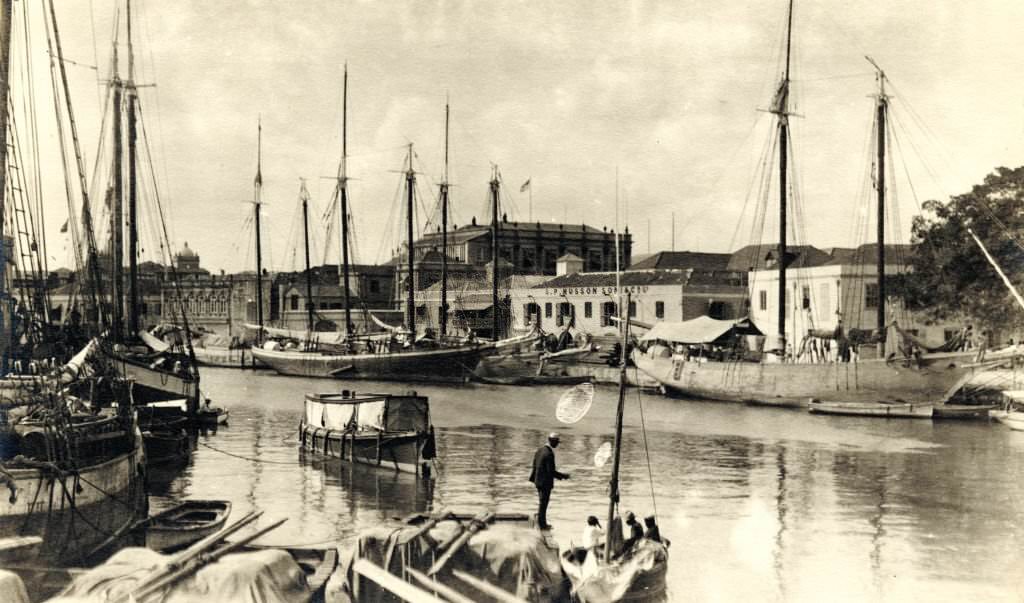
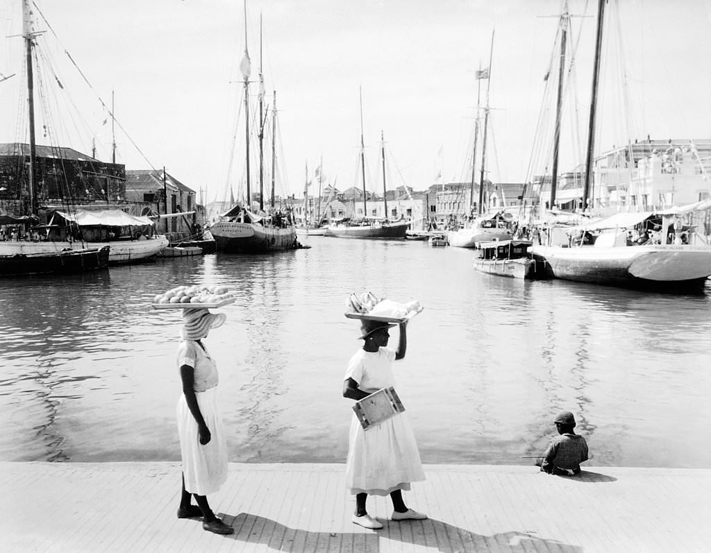
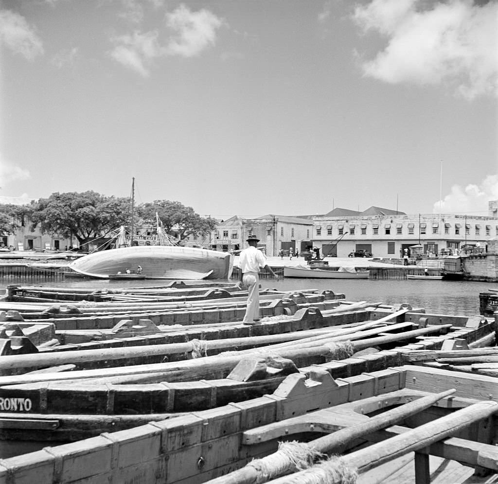
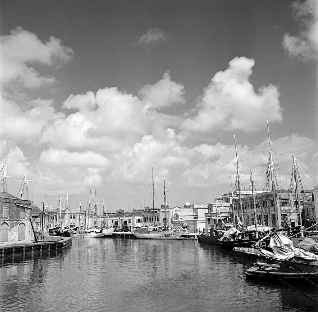
The Careenage and inner canal were essential to the city’s function as a trading port. Smaller boats used the waterway to ferry goods between ships and the shore. The canal connected directly to the harbor, making it a central feature of the city’s commercial geography. Landing steps and wharves along its banks were constantly in use.
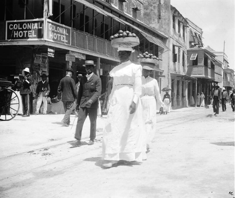
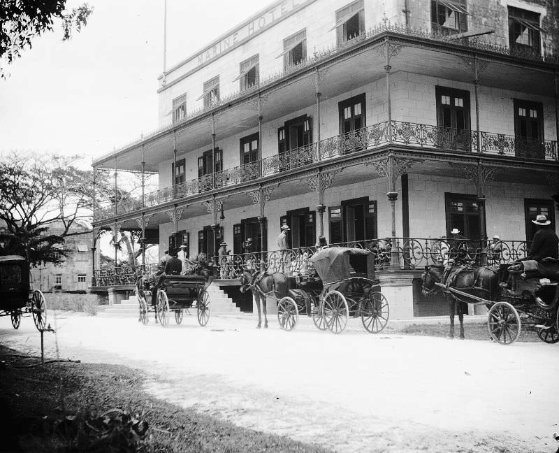
By the late 19th century, Bridgetown had hotels catering to visitors and business travelers passing through the island. The Colonial Hotel was among the establishments that served this growing class of travelers. The city’s commercial and social infrastructure expanded alongside its port trade, with hotels, clubs, and public spaces becoming more prominent features of urban life.
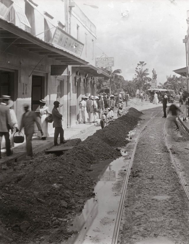
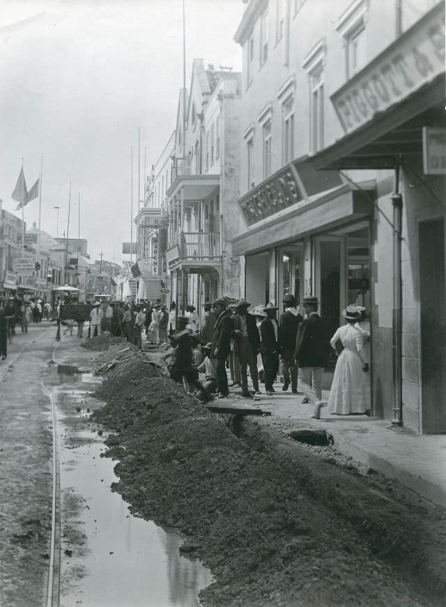
One of the most striking moments captured in the 1880s photographs is the laying of electrical cables along Broad Street. This was a major undertaking for the city — a sign that Bridgetown was modernizing its infrastructure. Workers dug up the road and laid cables in a project that would have disrupted the busiest commercial street in the city for weeks.
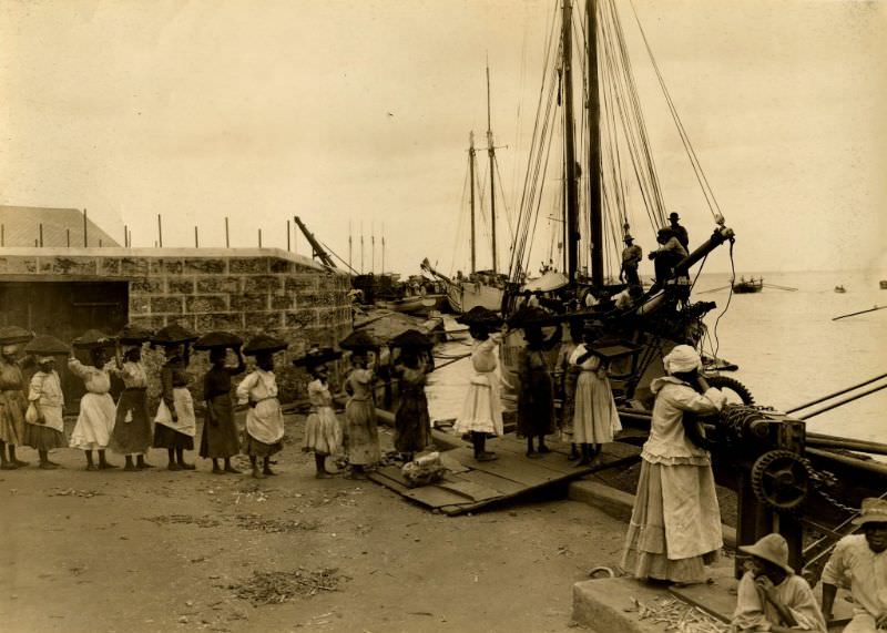
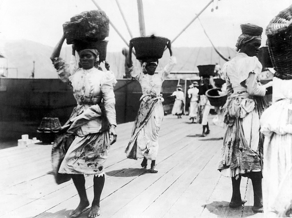
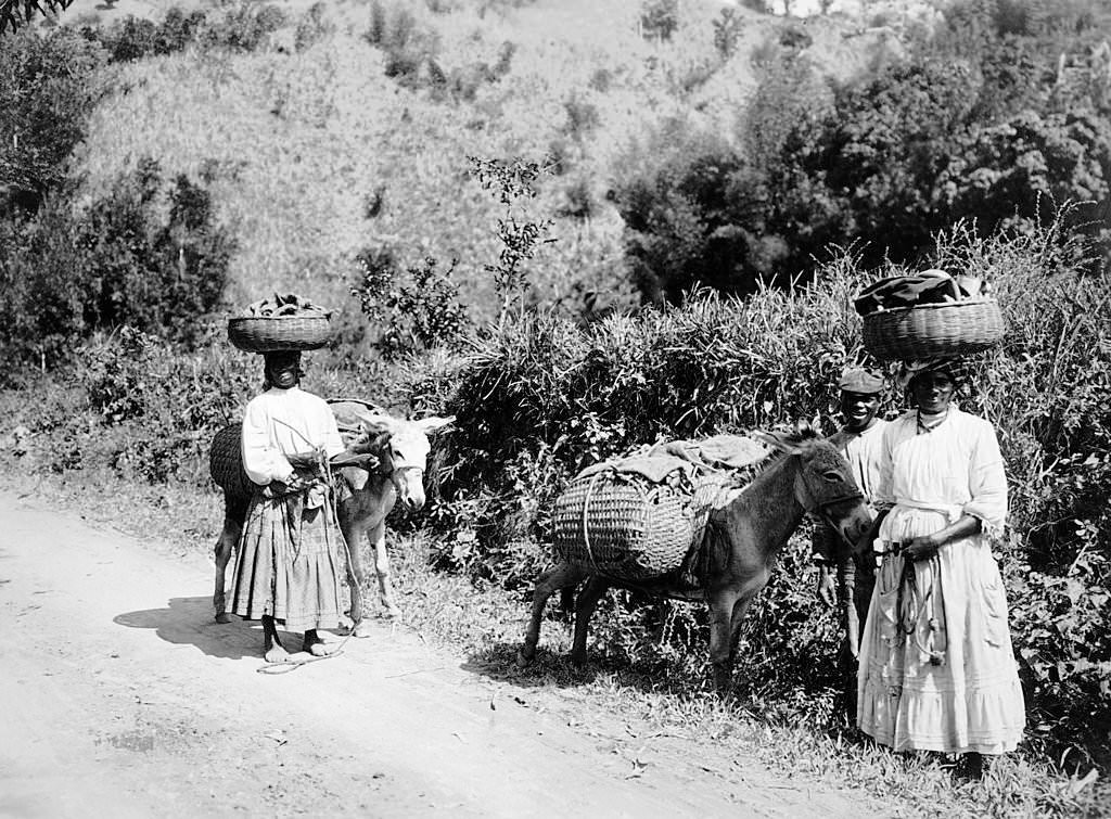
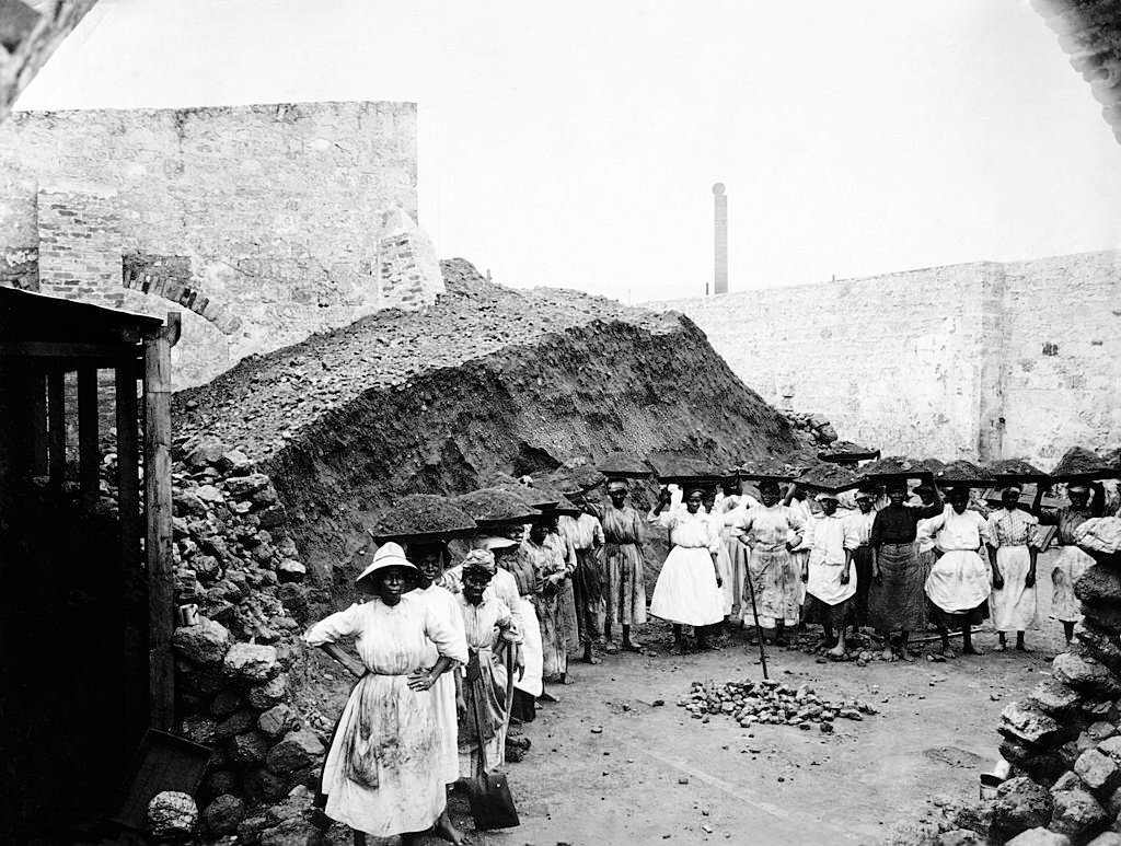
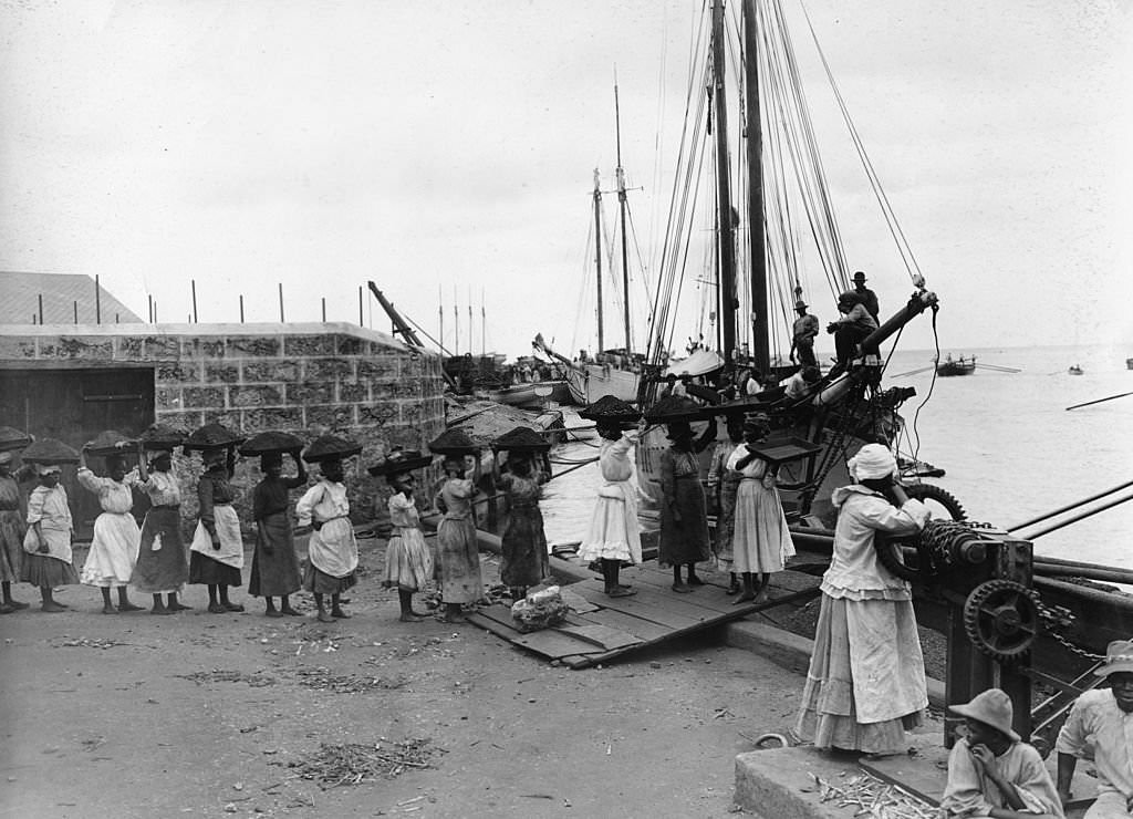
Coal loading was a major industry at the Bridgetown docks. Women carried large baskets of coal on their heads from storage areas to the ships waiting in the harbor. This type of work — known as coal carrying — was performed almost entirely by Black women, who were paid per load. It was physically demanding work that required balance and endurance, and it remained a fixture of the Bridgetown waterfront for decades.
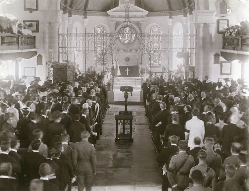
Public ceremonies were a regular part of life in colonial Bridgetown. When King Edward VII died in 1910, a memorial service was held in the city. Such events drew large crowds and were organized with formal military and civic participation. The photograph of the memorial service shows how closely tied Barbados was to the British Crown throughout this period.
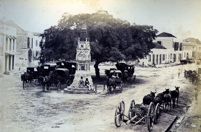
The Montefiore Drinking Fountain at Beckwith Place was one of the more distinctive landmarks in 19th-century Bridgetown. It was donated to the city as a public amenity and became a recognizable feature of the urban landscape. Public fountains like this one were important in a city where clean water was not always easily accessible to all residents.
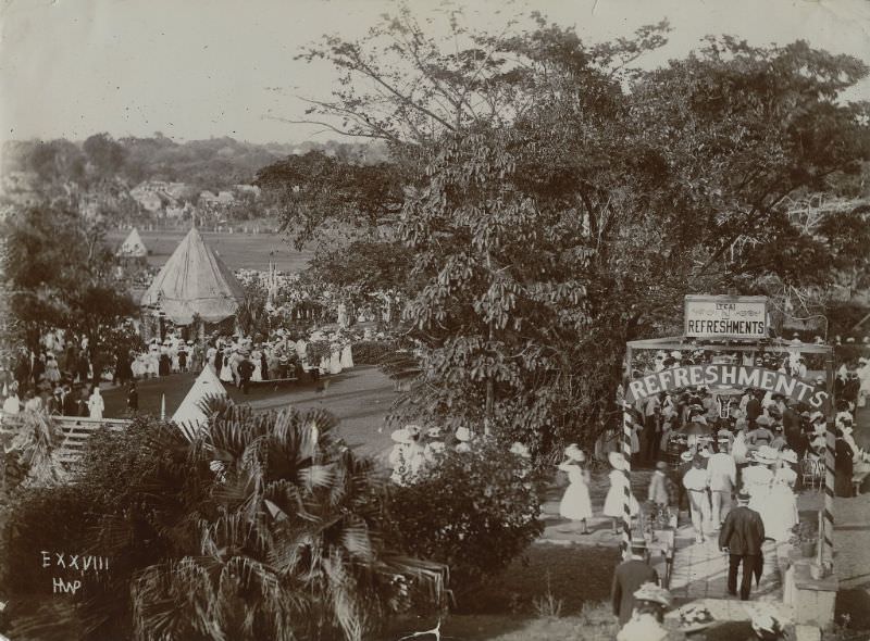
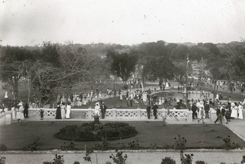
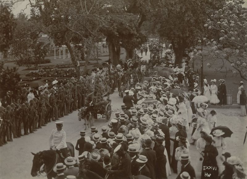
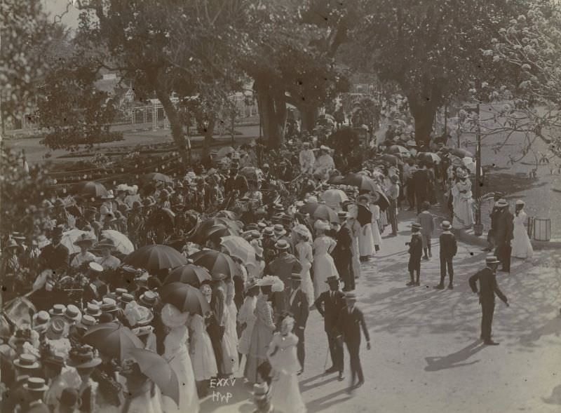
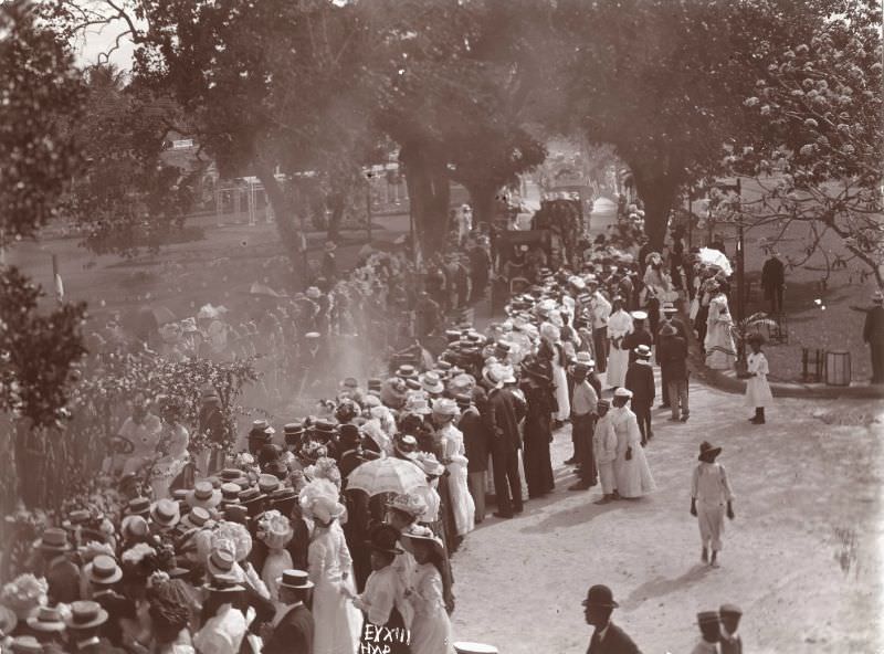
The opening of Queen’s Park in the 1890s was a celebrated civic event. The park occupied the former grounds of the British military commander’s residence and was opened to the public as a recreational space. The opening ceremony drew large crowds and included a formal procession, reflecting the importance the city placed on the occasion.
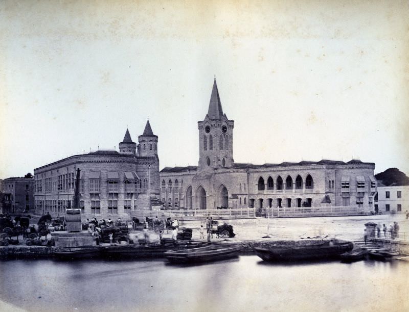
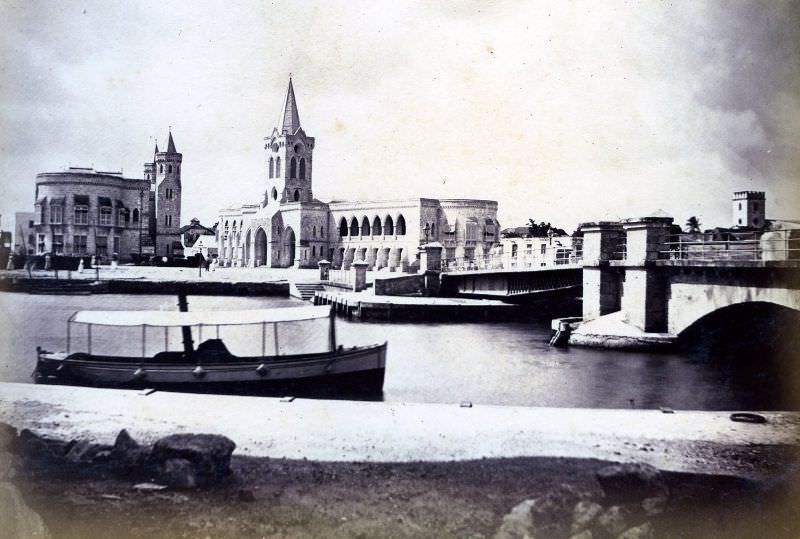
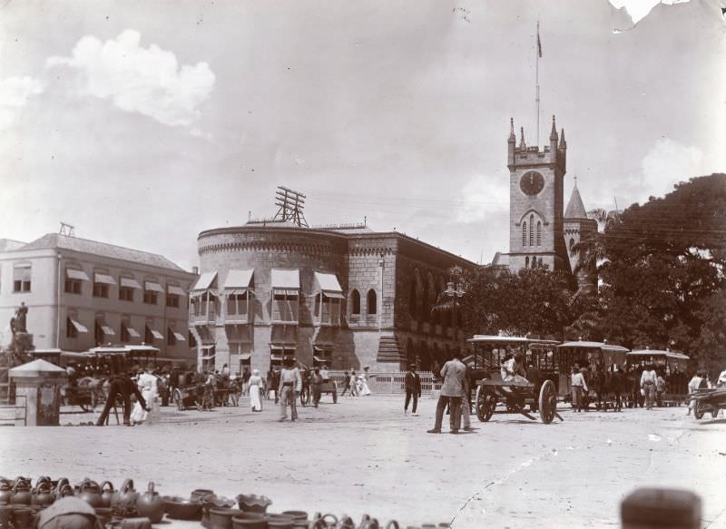
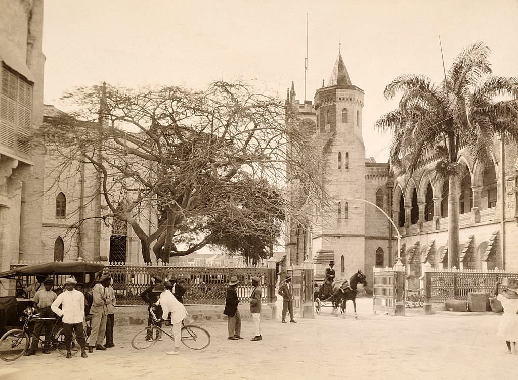
The Parliament Buildings are among the most iconic structures in Bridgetown. Built in the neo-Gothic style, they house the Senate and the House of Assembly and have stood as the seat of Barbadian government since the 19th century. The Barbados Parliament is one of the oldest in the Western Hemisphere, having been established in 1639.
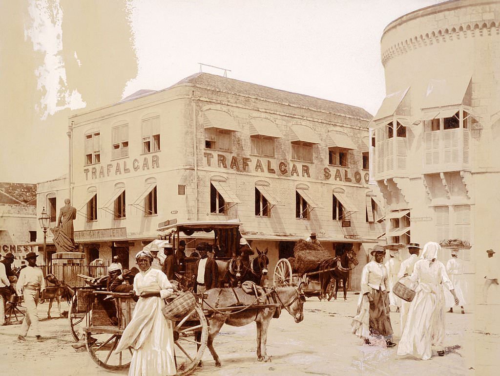
The proclamation of King George V in Bridgetown marked another formal public event that tied the colony to the British monarchy. Such proclamations were read publicly in the city’s main squares, with military and civic officials gathered for the occasion. Trafalgar Square — named after the 1805 naval battle — served as the central public space where many of these events took place.
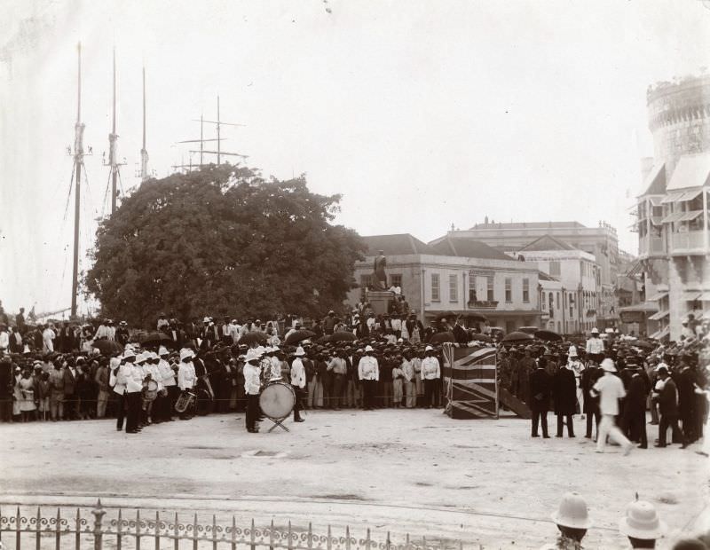
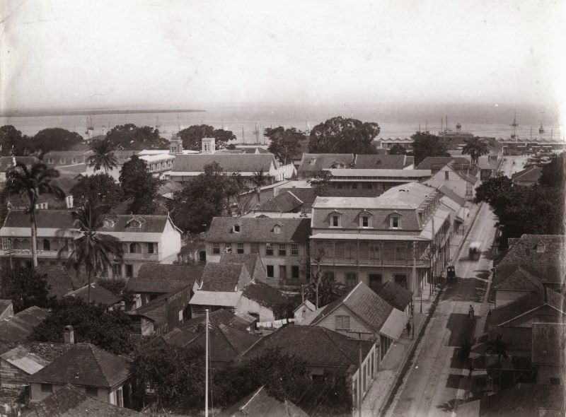
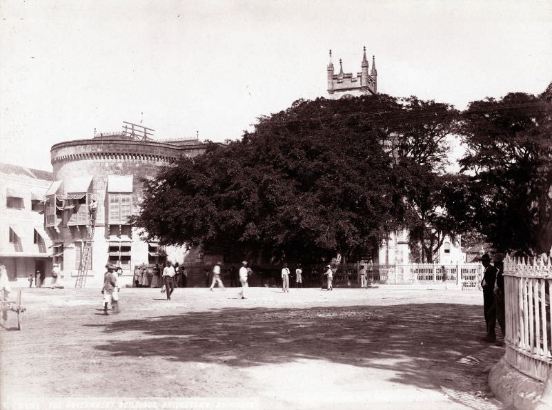
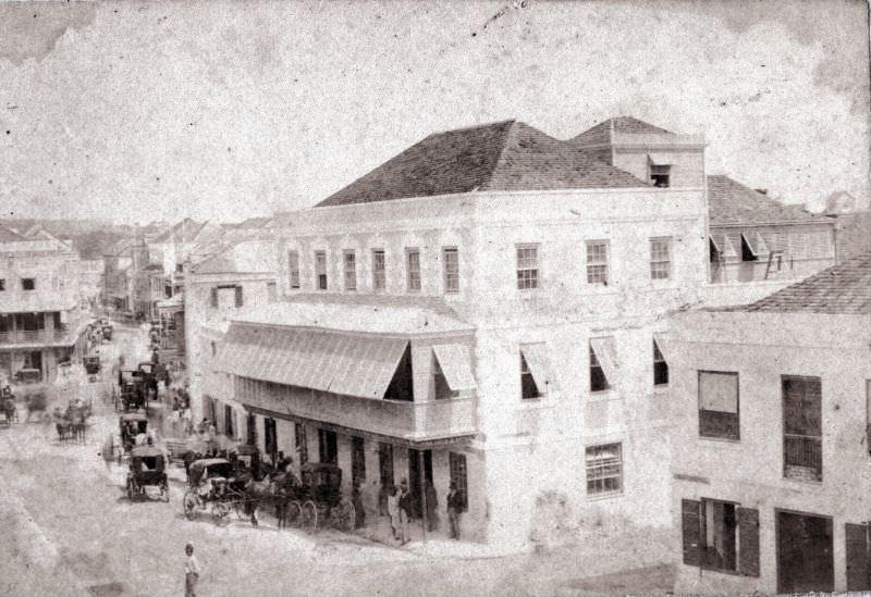
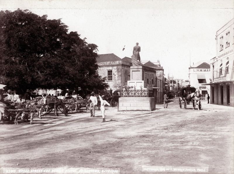
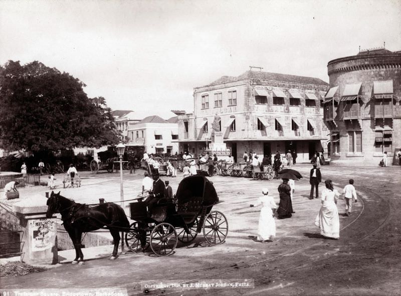
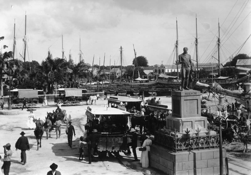
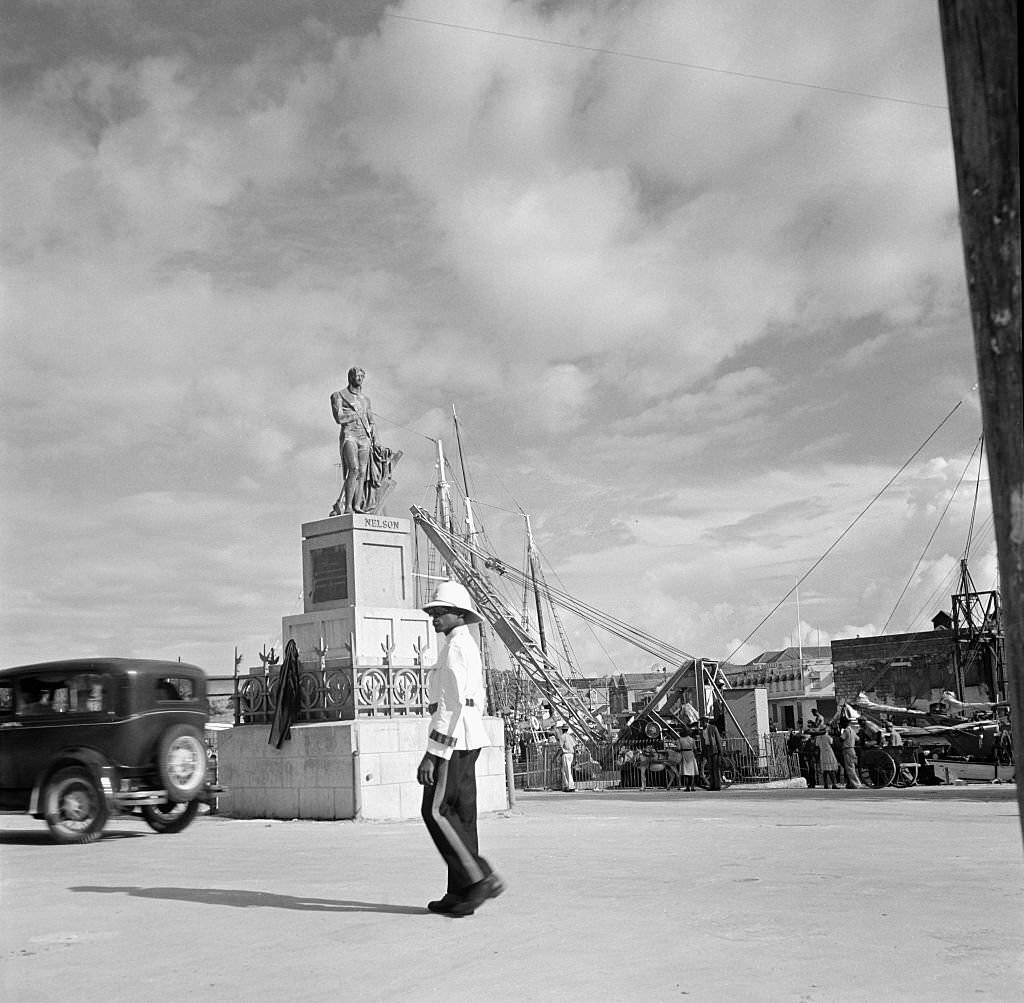
Trafalgar Square was the heart of public life in colonial Bridgetown. The statue of Lord Nelson — erected in 1813, predating the more famous one in London — stood at its center. The square was surrounded by key government buildings, including the Post Office and the Council and Assembly Chambers. It served as the backdrop for military parades, royal proclamations, and everyday civic life.
The Chamberlain Bridge was a key piece of infrastructure in Bridgetown. Built in 1872 as a manually operated swing bridge, it replaced the much older structure that had given the city its name. It was named after Joseph Chamberlain, who served as Secretary of State for the Colonies and played a significant role in developing Barbados’s economy. The bridge was upgraded over the years and eventually replaced in 2006 by a modern lift bridge.
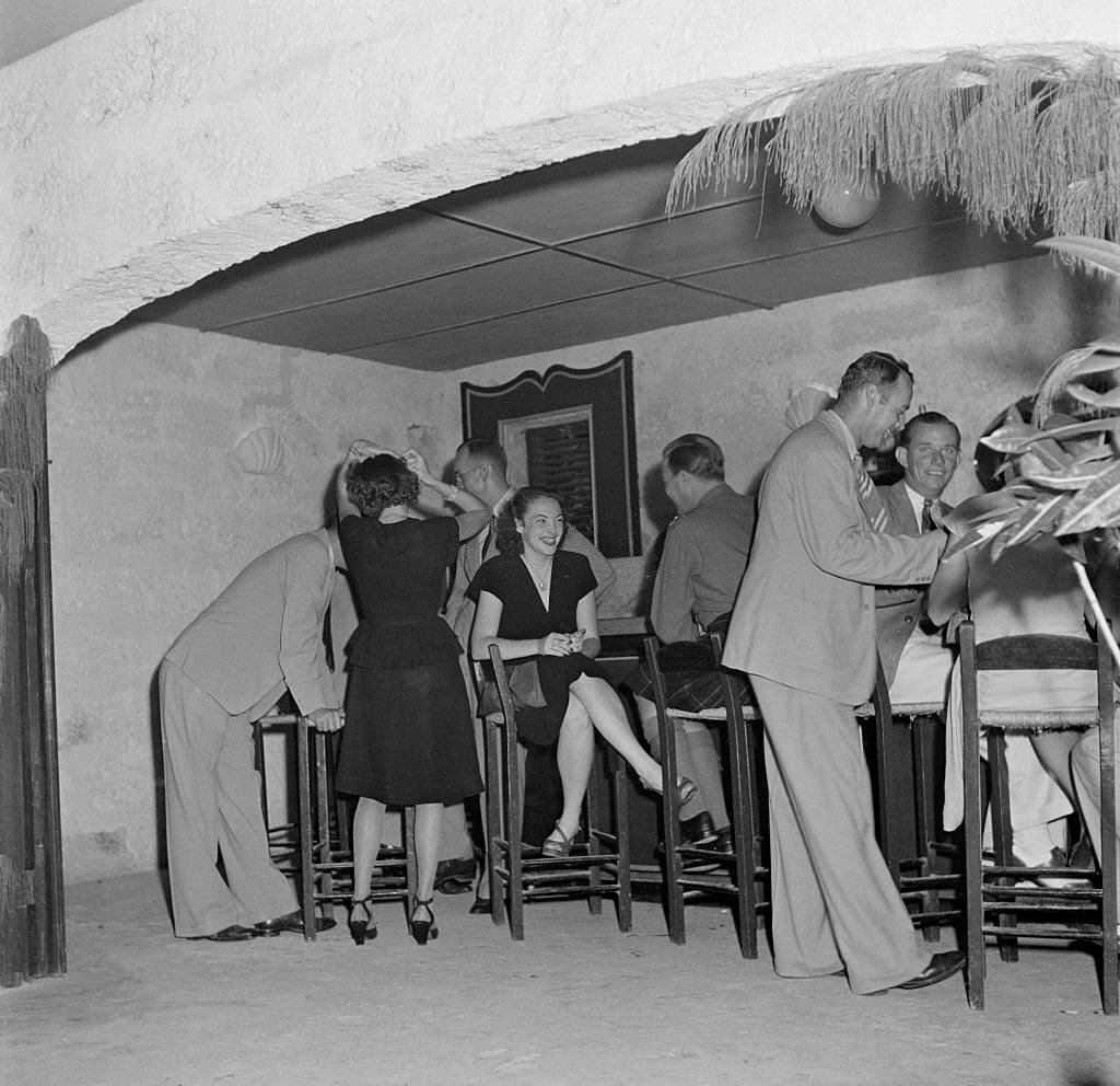
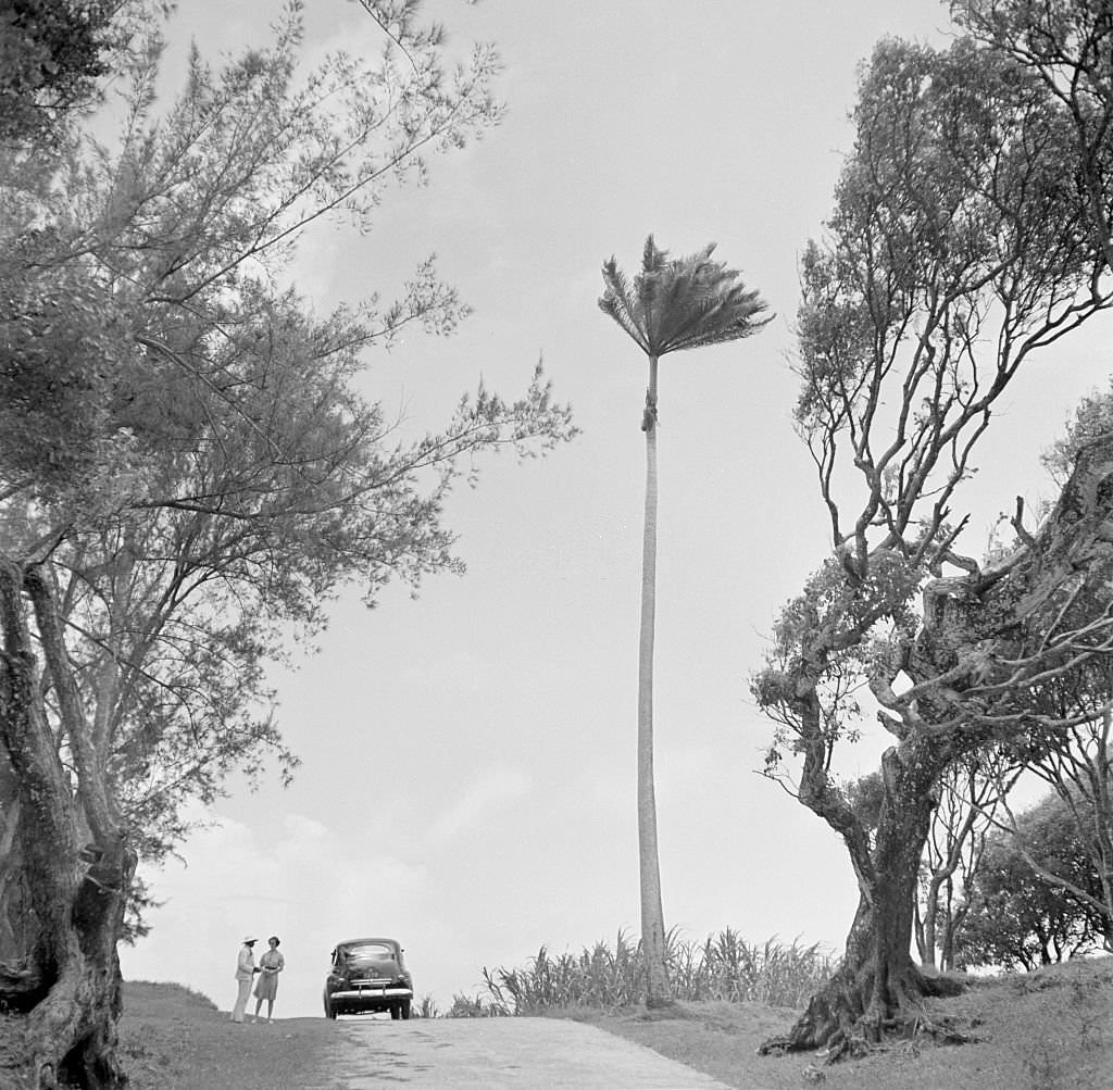
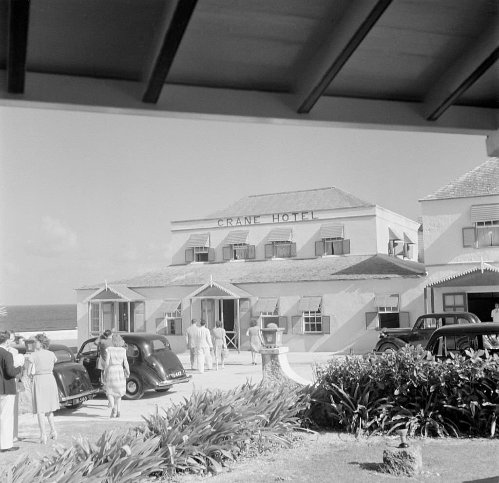
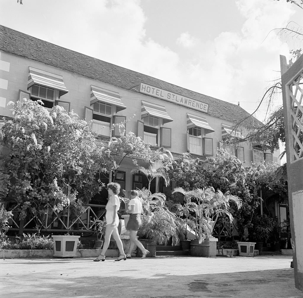
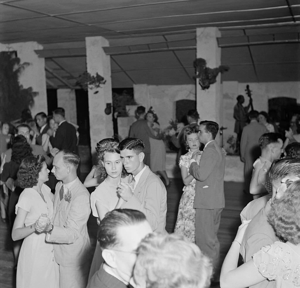
By the 1940s, Bridgetown had developed a lively social scene. Local bars, nightclubs, and gathering spots were part of daily life for residents. The city also attracted visitors from overseas, who came for the climate, the horse races, and the growing tourist amenities. Hotels like the St. Lawrence and the Crane catered to this clientele.
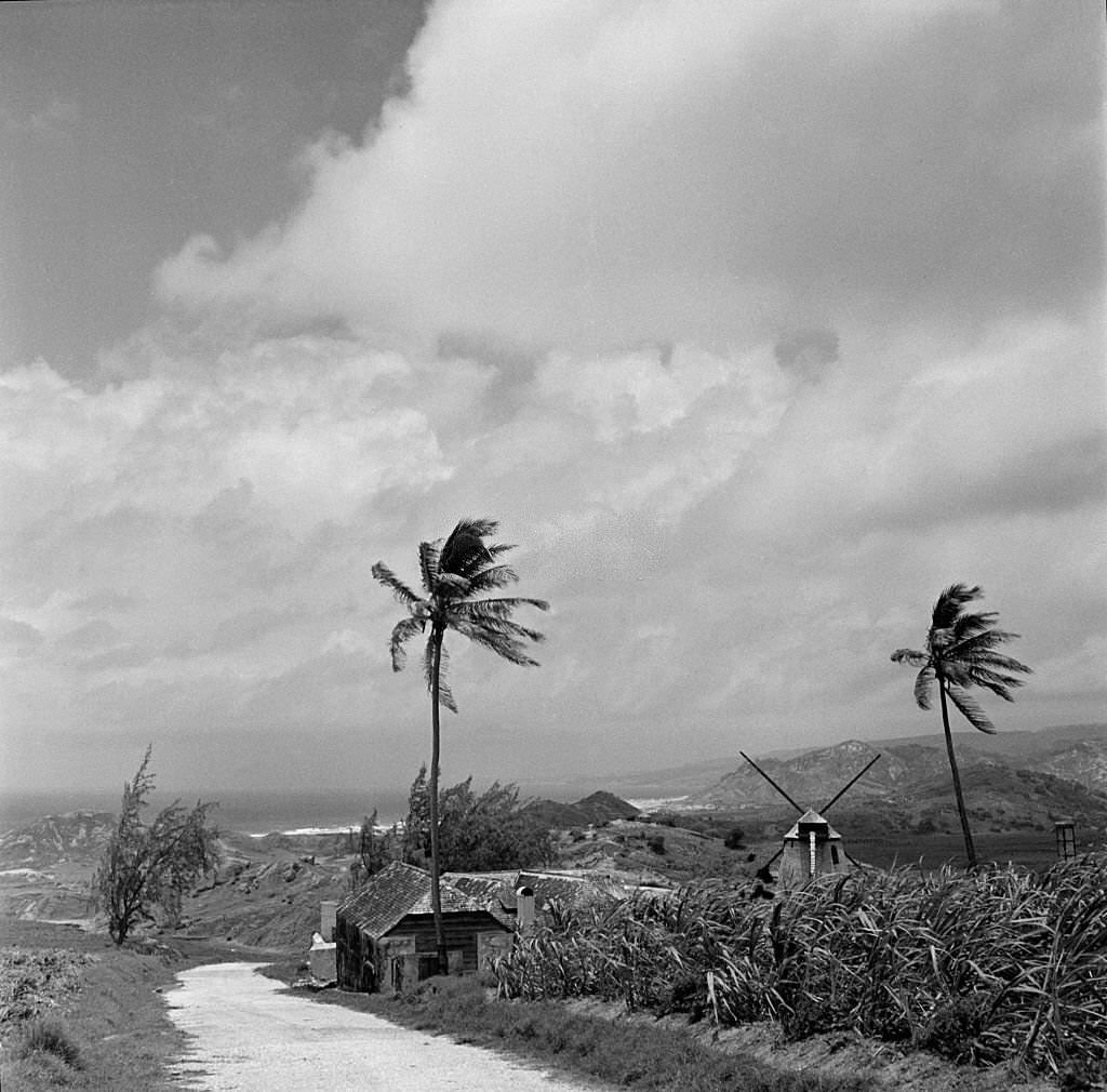
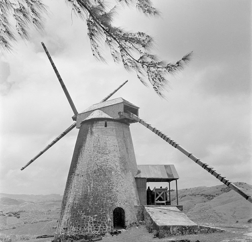
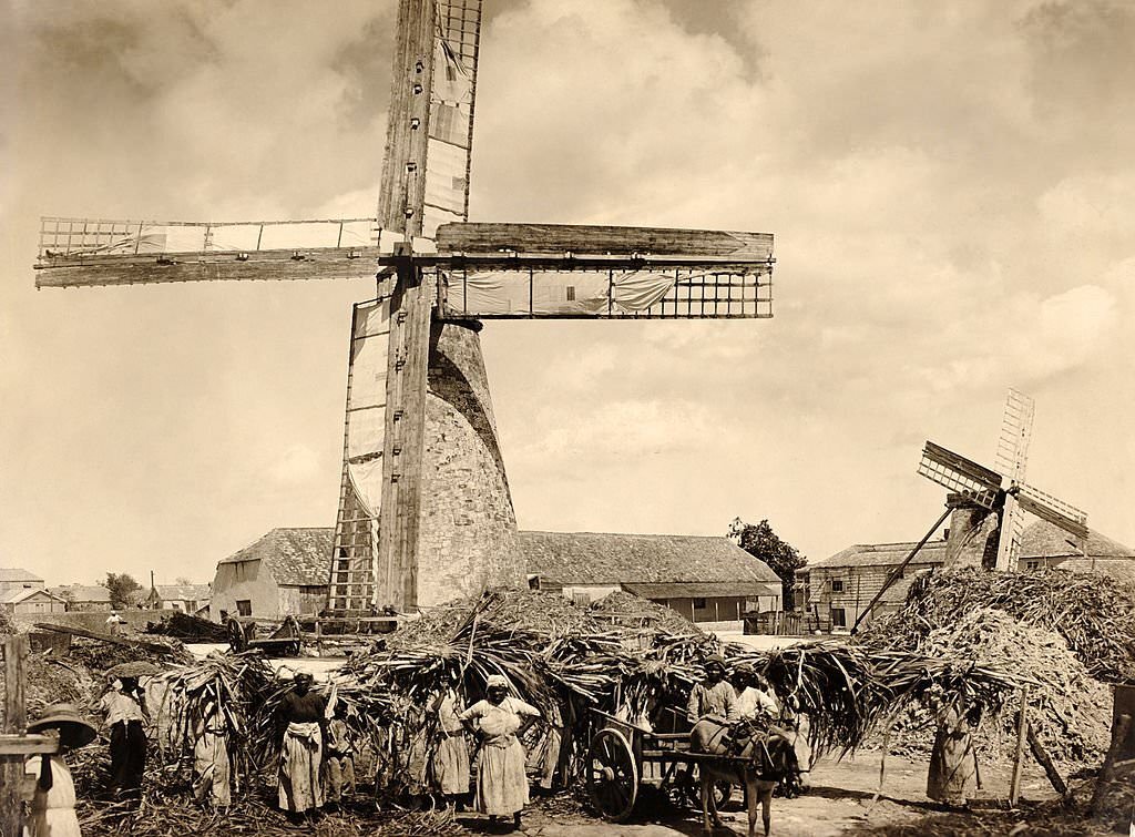
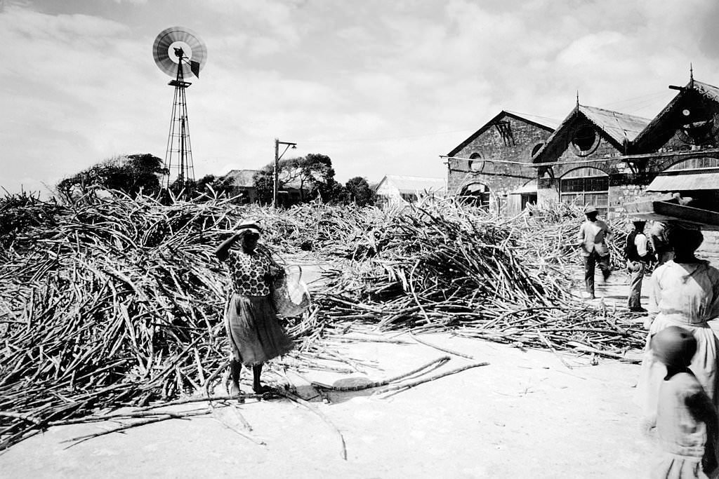
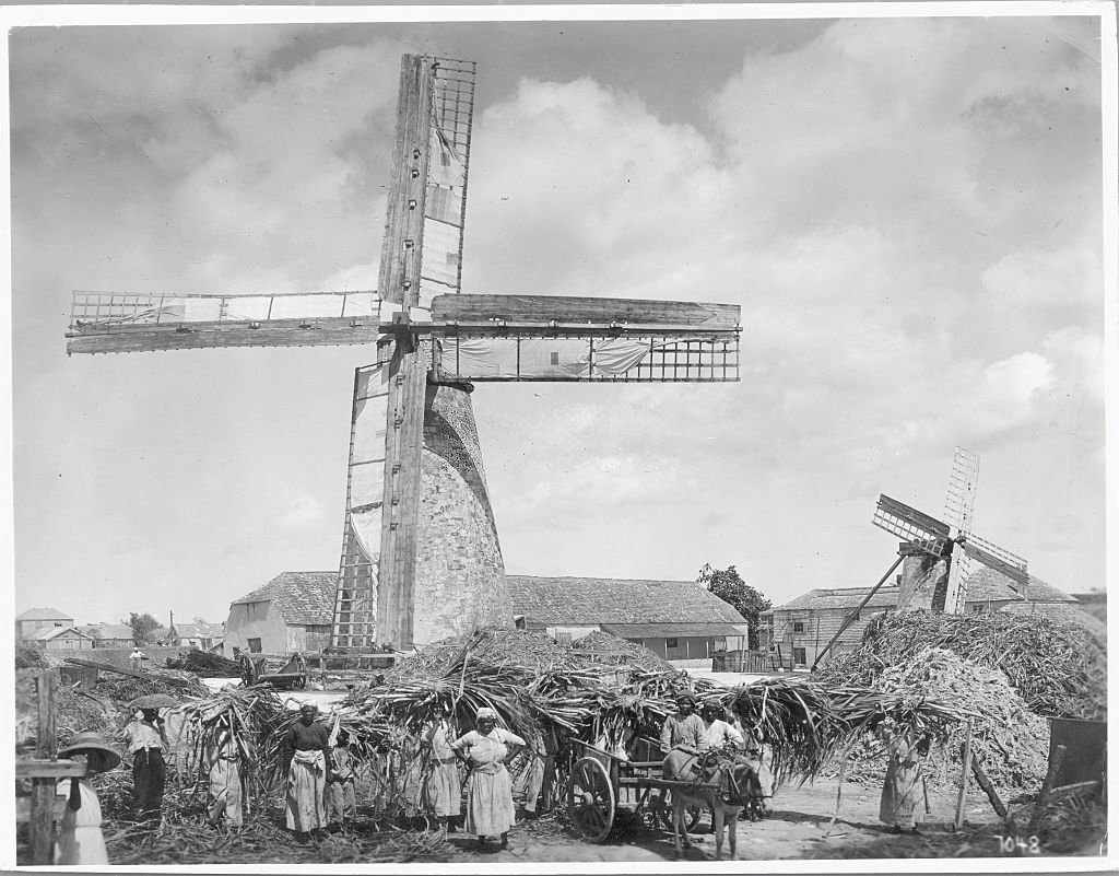
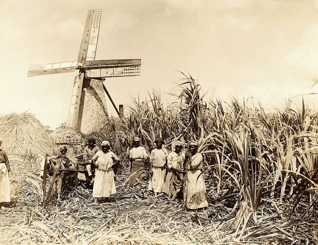
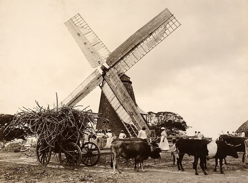
Sugar was central to Barbados’s economy well into the 20th century. Windmills powered the grinding of sugarcane across the island, and plantations remained active long after emancipation. The Morgan Lewis Windmill is among the best-preserved examples of this infrastructure. Field workers at these plantations posed for photographs alongside the mills that defined the island’s agricultural identity.
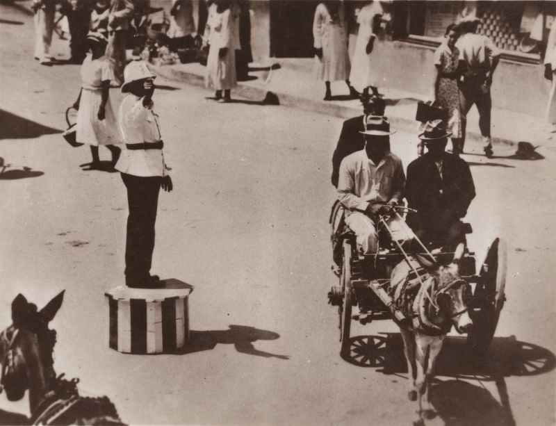
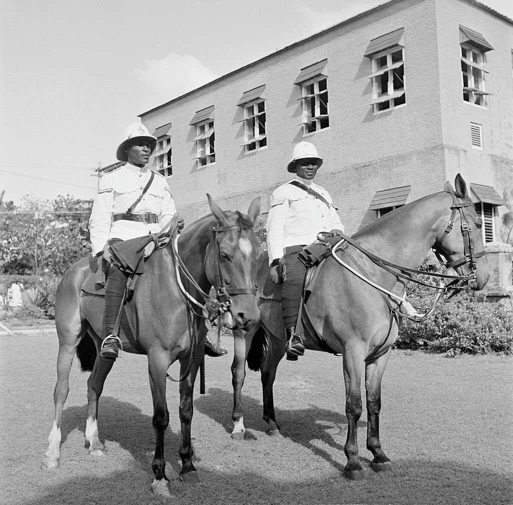
The police force in Bridgetown maintained a visible presence throughout the city. Mounted officers patrolled streets and public spaces, and the force participated in formal civic events. The Lord Nelson statue in Trafalgar Square served as a familiar landmark in many photographs of police officers on duty in the mid-20th century.
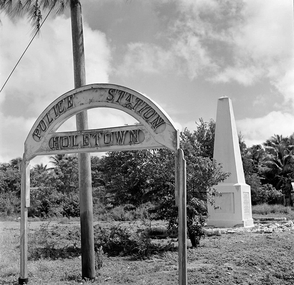
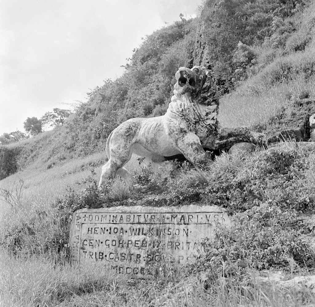
British imperial symbols were scattered across the landscape of Barbados. At Gun Hill, Captain Henry Wilkinson carved a lion from coral limestone in 1868 — a direct representation of British imperial power. These monuments were physical reminders of the colonial relationship between Barbados and Britain, visible in public spaces across the island.
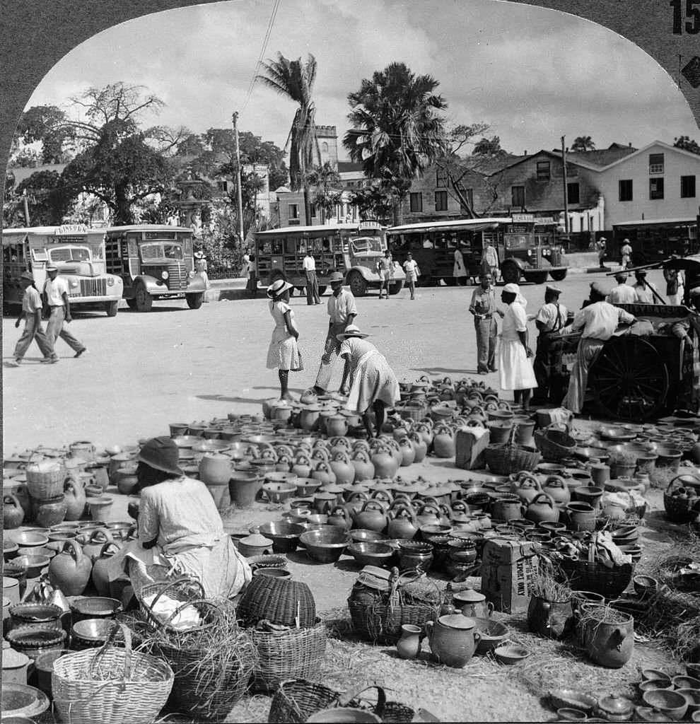
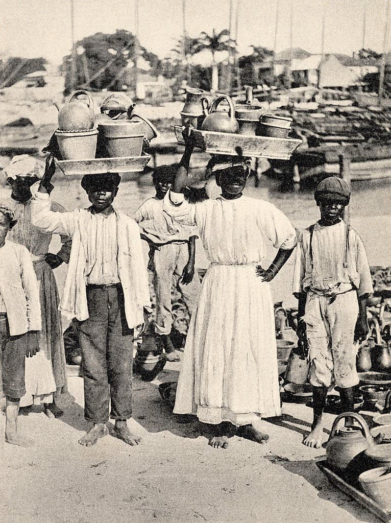
Coal carrying remained a significant form of labor in Bridgetown well into the 1930s. Women balanced heavy baskets of coal on their heads as they walked from shore to ship, performing the work in long human chains that stretched across the docks. The pottery market was another fixture of the city’s commercial life, with vendors displaying handmade goods for both local buyers and visitors.
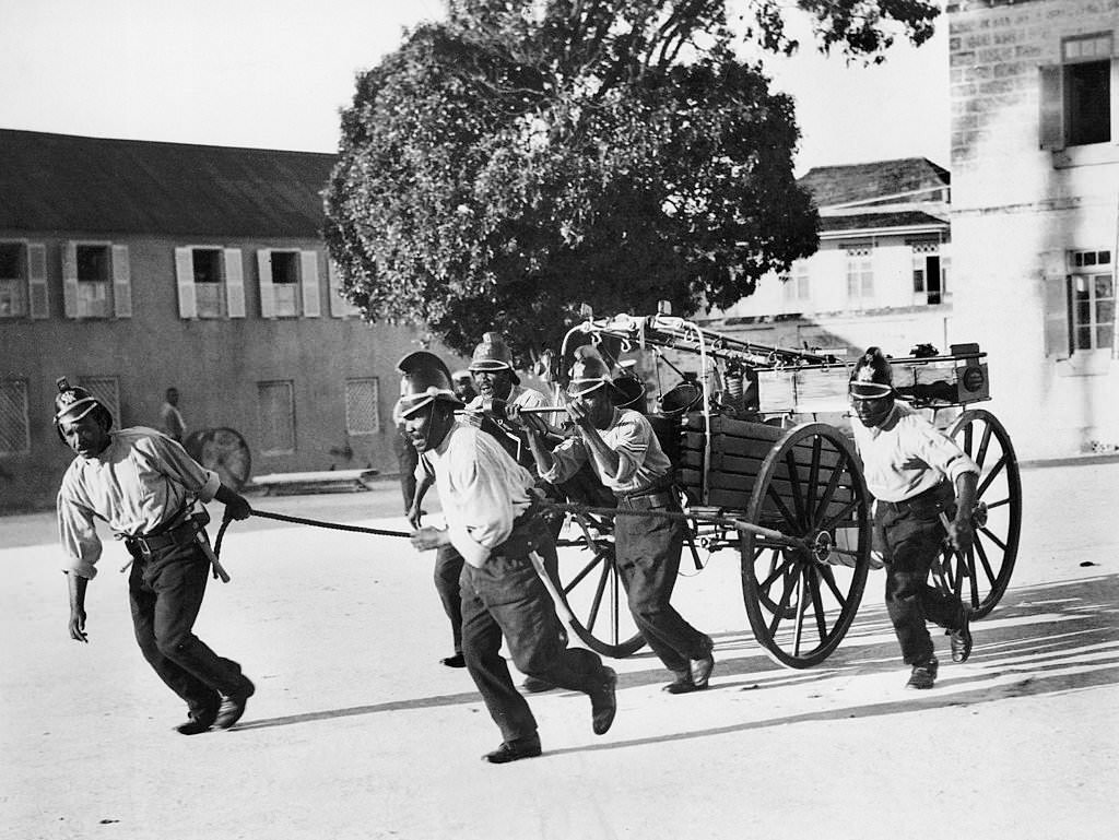
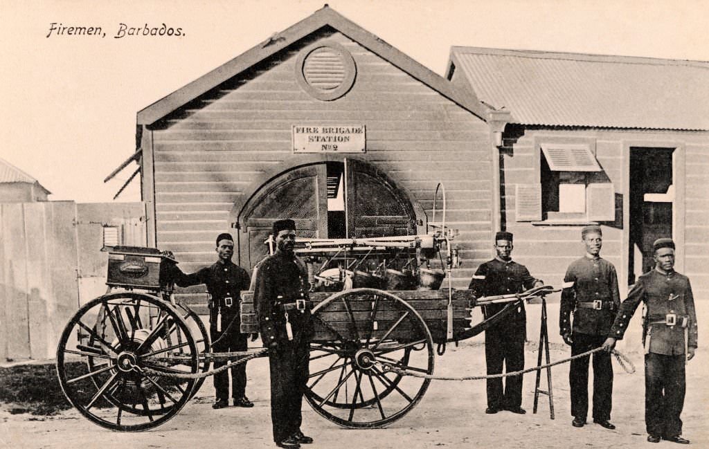
Given Bridgetown’s long and destructive history with fire, the fire brigade held an important role in the city. Training exercises for firemen were photographed in 1930, showing the equipment and methods in use at the time. By then, the city had already suffered its last major fire in 1910, but the brigade remained an active and essential part of Bridgetown’s public safety infrastructure.
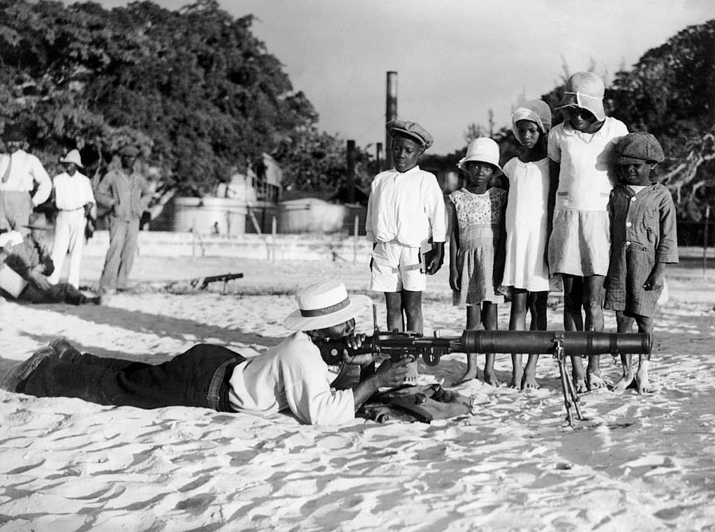
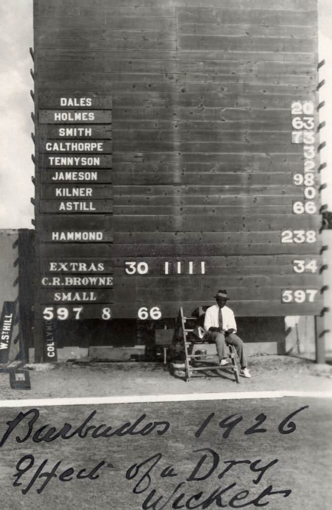
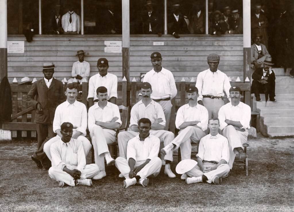
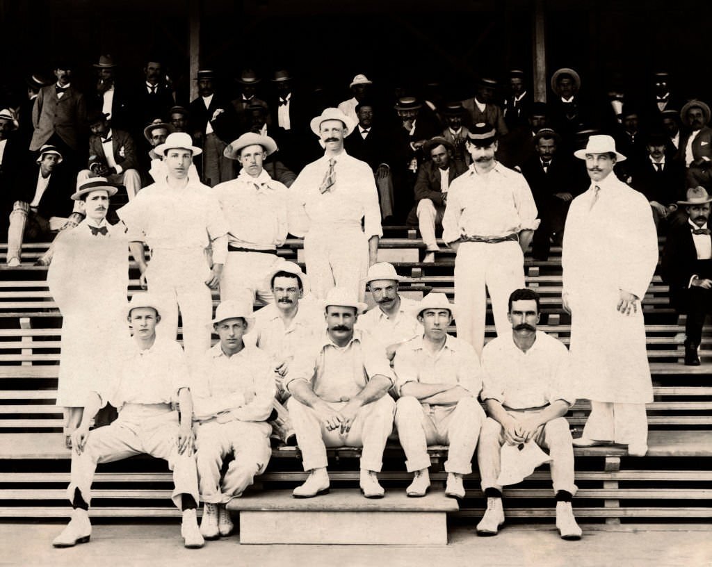
Cricket was a deeply embedded part of Barbadian culture. The island hosted international matches from the earliest decades of the 20th century. West Indies faced England in Bridgetown in 1926, and Lord Hawke’s all-amateur cricket team toured the West Indies in 1897. The West Indies Cricket Team was photographed in Bridgetown as early as 1902. Trafalgar Square in 1927 shows the War Memorial and Post Office, both symbols of how the city commemorated its colonial history while continuing to grow.
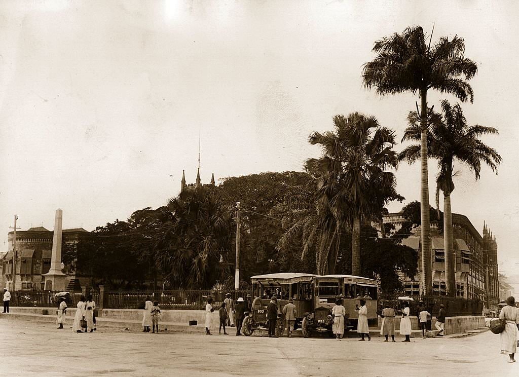
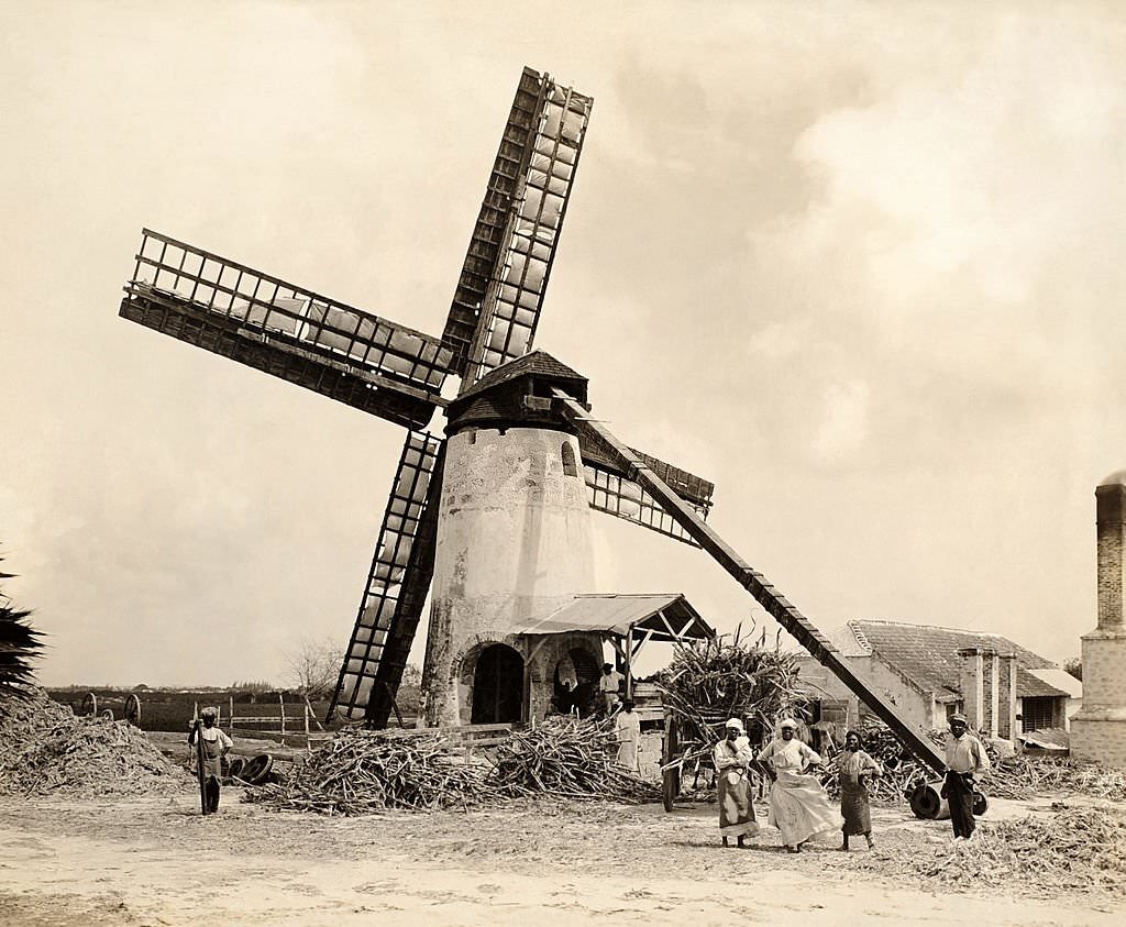
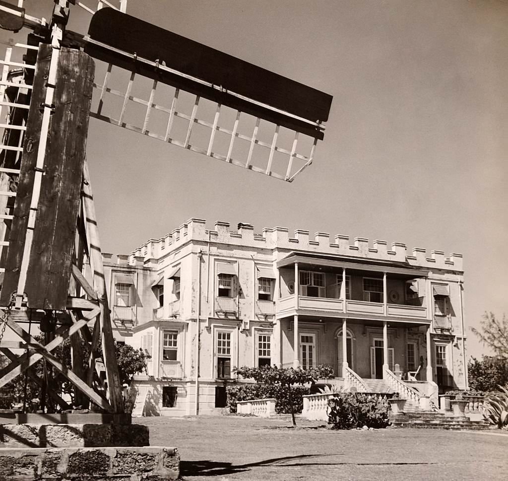
The sugar plantations near Bridgetown were photographed extensively in the first decade of the 20th century. Windmills, field workers, and cane brought in for crushing all appear in images from 1910. Sam Lord’s Castle in the parish of St. Philip stood near a working plantation windmill, illustrating how closely the sugar industry and the island’s built environment were intertwined.
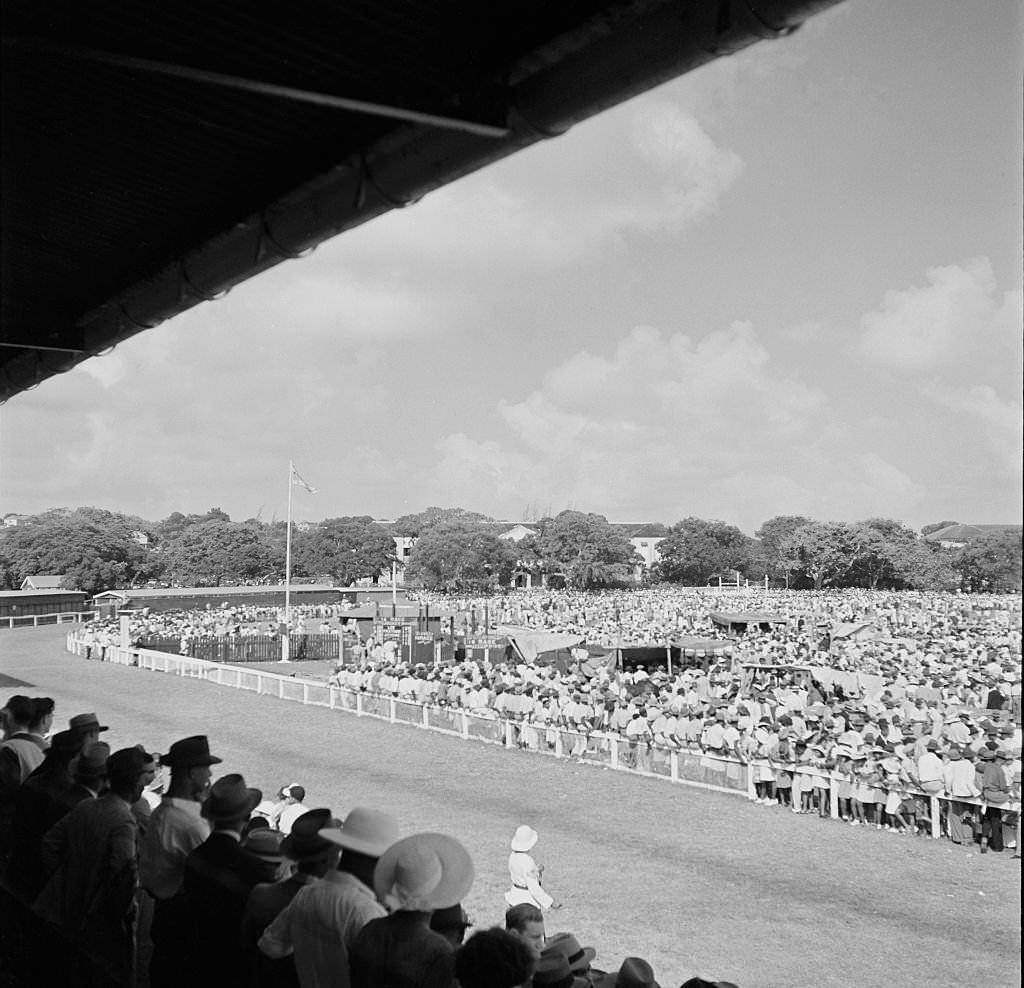
The Savannah Club on the Race Course was a social hub for the island’s upper class in the early 20th century. Horse racing drew crowds from across Barbados, and the clubhouse provided a formal setting for spectators. Meanwhile, the inner harbor was busy with tourists being ferried out to cruise ships anchored in deeper water — an early sign of the tourist trade that would grow significantly in later decades.
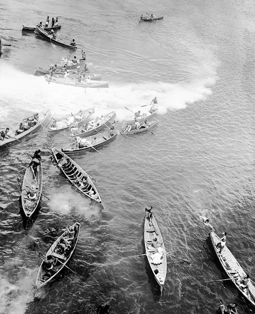
Boys diving from canoes to meet arriving tourist steamers was a common scene at the Bridgetown waterfront in the early 1900s. They would dive for coins thrown by passengers, turning it into both entertainment and a source of income. The port itself was photographed from multiple angles in 1908, showing its scale and the volume of ships that passed through.
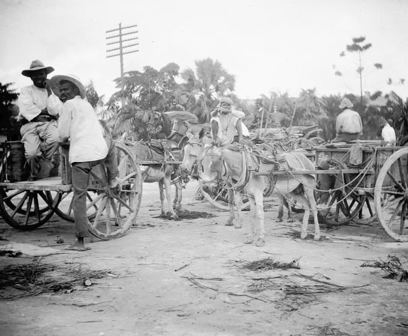
Sugarcane workers were photographed regularly posing beside the windmills that dominated the plantation landscape. These mills crushed the harvested cane as part of the production process that made Barbados one of the world’s leading sugar producers. The workers in these photographs represent generations of labor that built the island’s economy.
The Government Buildings in Bridgetown — including the Post Office on one side and the Council and Assembly Chambers on the other — were photographed around 1900, showing a city whose civic architecture had reached a mature and organized form. George Washington visited Bridgetown in 1751, making it the only city outside of continental North America he ever visited. The city also hosted Winston Churchill and Queen Elizabeth II at various points during the 19th and 20th centuries.
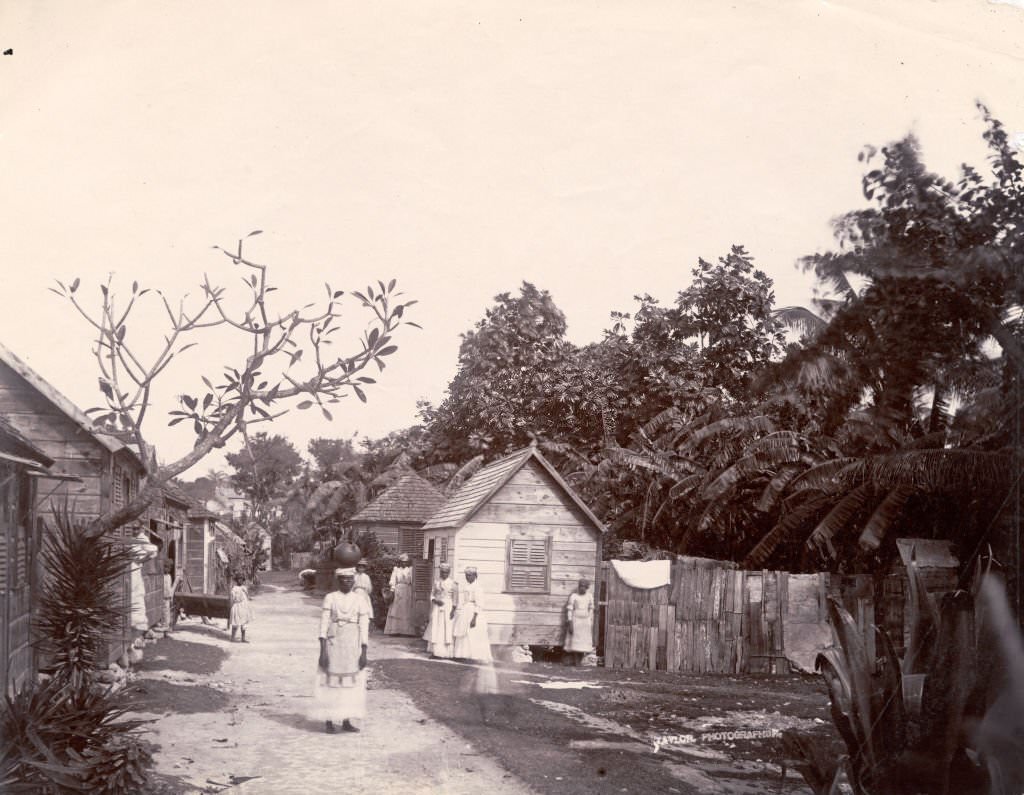
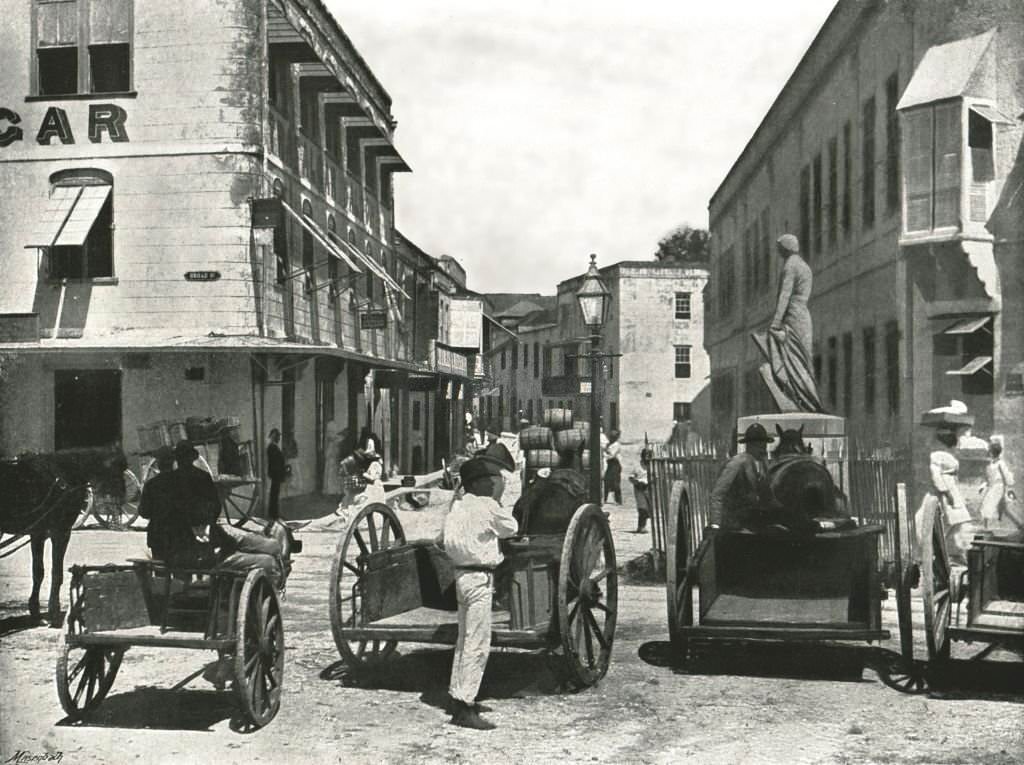
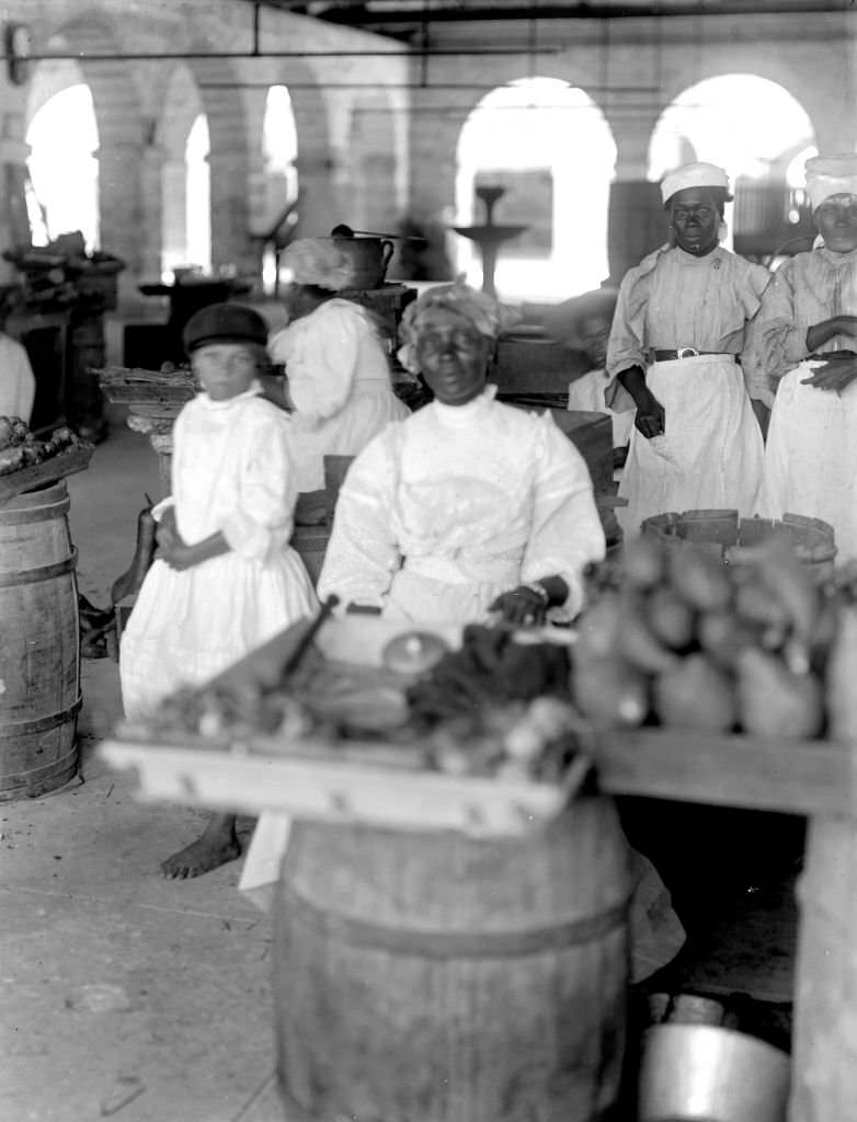
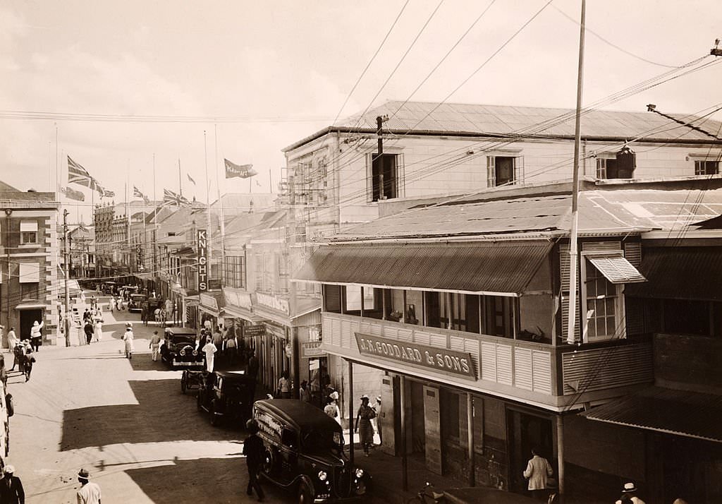
The 1890 photographs of Broad Street and the main commercial district show a city that was functioning as a serious urban center. The principal commercial street was lined with stone buildings, shops, and businesses. The market on the docks brought together vendors and buyers in a scene that had repeated itself every day for generations. Barrels of sugar cane syrup stacked at the docks illustrated just how dominant the sugar trade remained at the end of the 19th century.
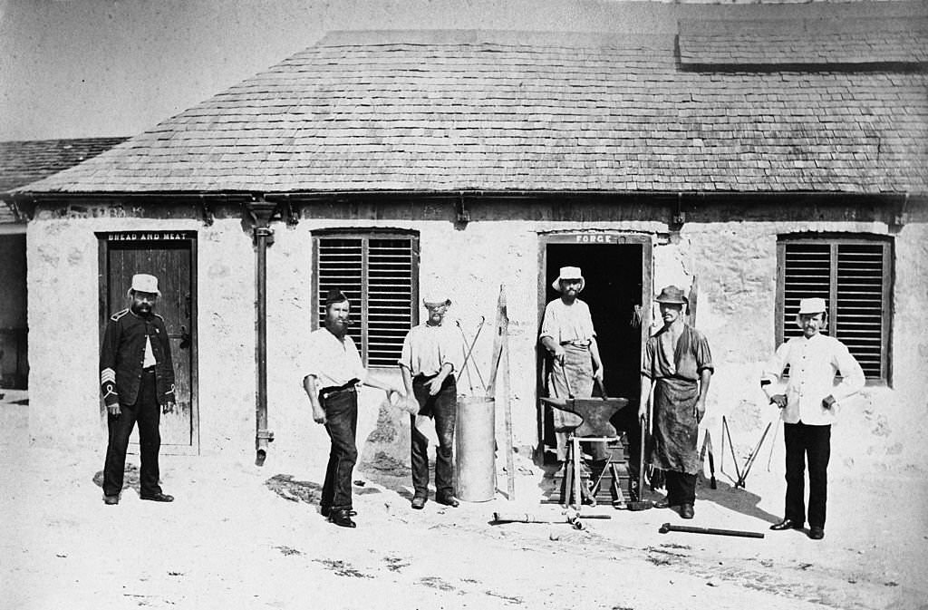
The British military barracks in Bridgetown from the 1870s were a significant installation. The supply depot housed materials and equipment for soldiers stationed on the island. These facilities were part of a broader British military network across the Caribbean, and their presence shaped both the physical layout of Bridgetown and its political relationship with London. Codrington College in the parish of St. John stands as another lasting institutional landmark — it is the oldest theological college in the Western Hemisphere.
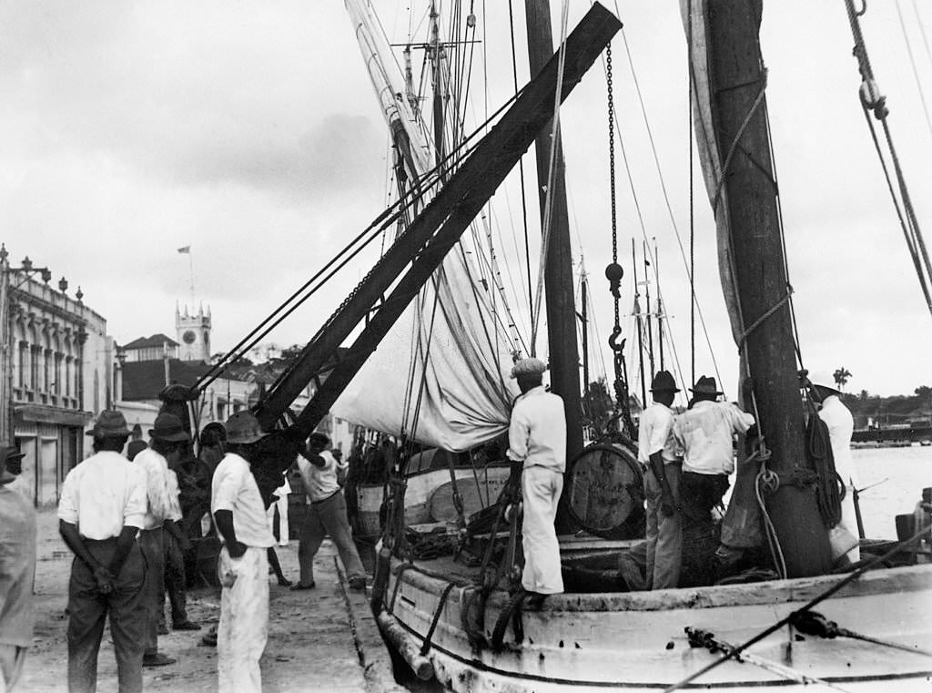
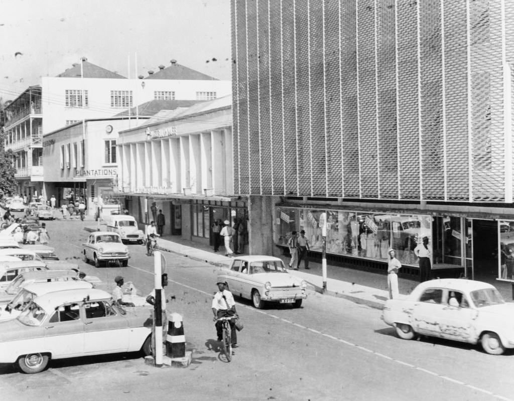
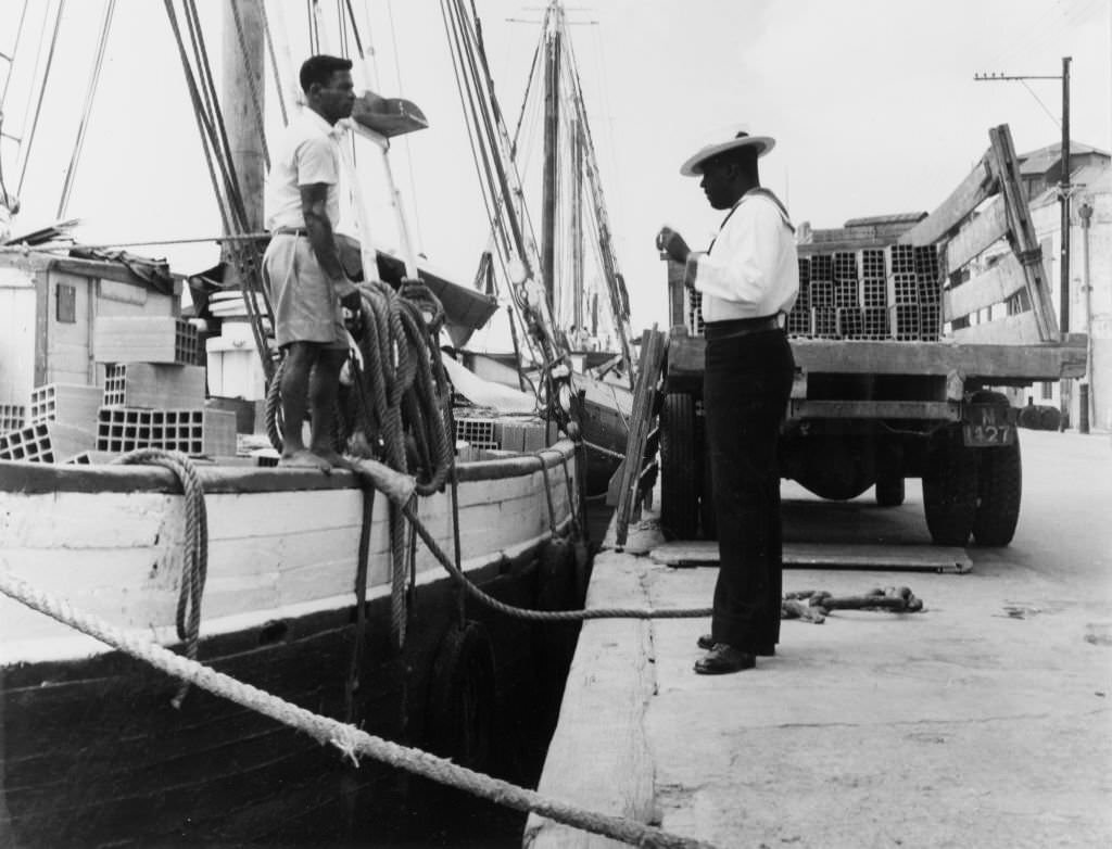
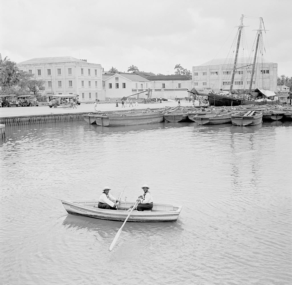
By the 1960s, Bridgetown had taken on the look of a modern small city. The main street was busier than ever, with foot traffic, vehicles, and commercial activity filling the frame. The Careenage remained active, with sail boats still docking alongside the wharves. A harbour police officer is photographed in 1965 speaking with a man unloading bricks from a sail boat — a scene that could have come from a century earlier, but set against a city that had changed substantially.
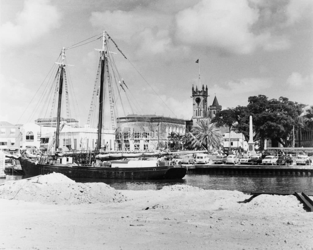
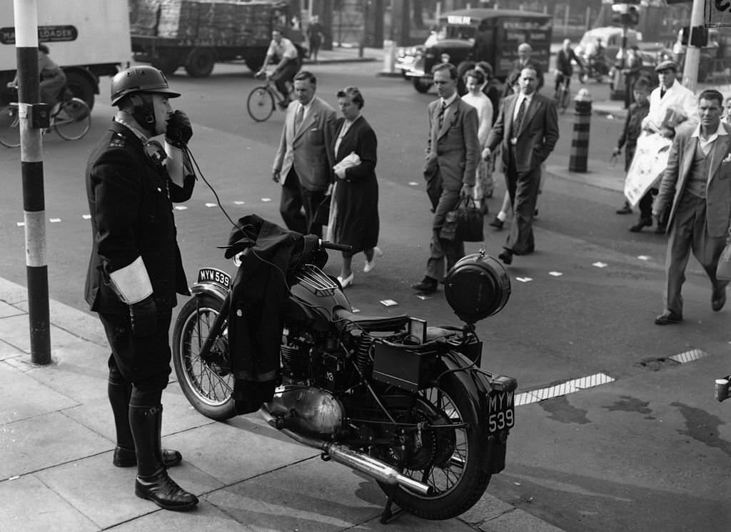
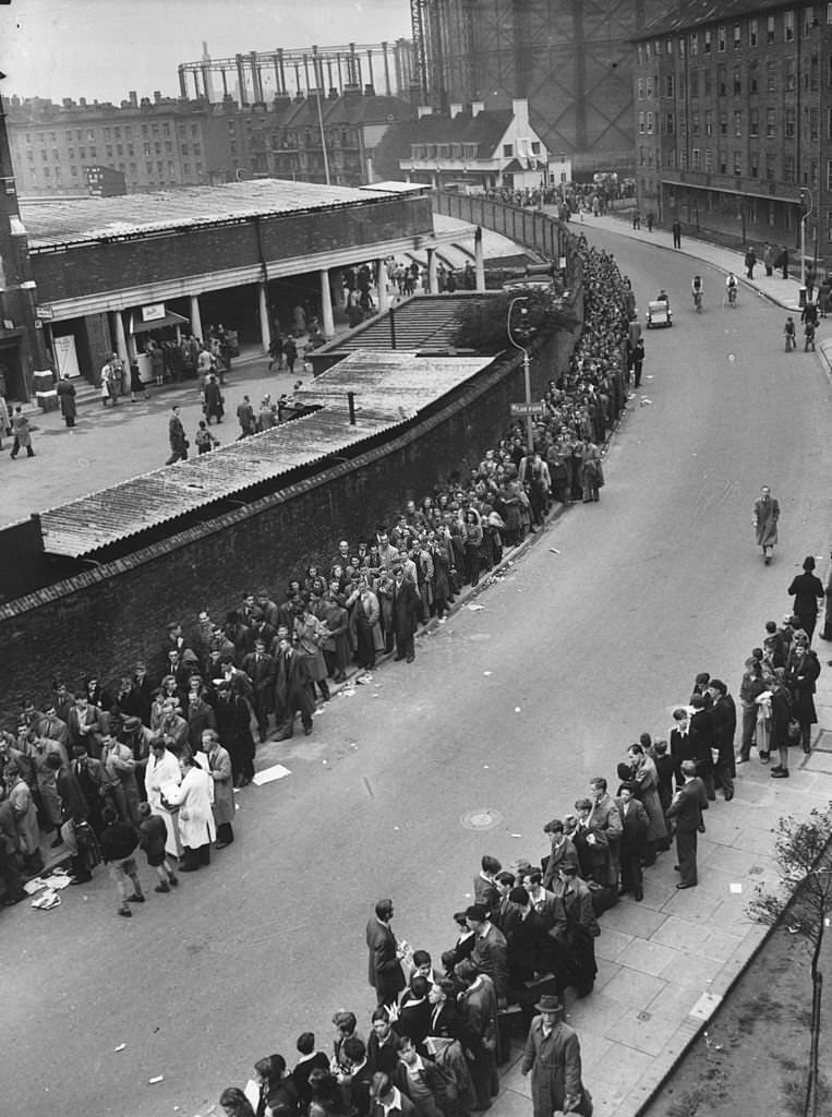
The 1950s brought international cricket attention back to Bridgetown. Crowds queued outside Kennington Oval for matches, and a police motorcyclist is photographed in 1955 giving safety instructions to pedestrians outside the ground. Schooner crews still worked the waters around the island in the same decade, carrying goods between the islands as they had for generations.
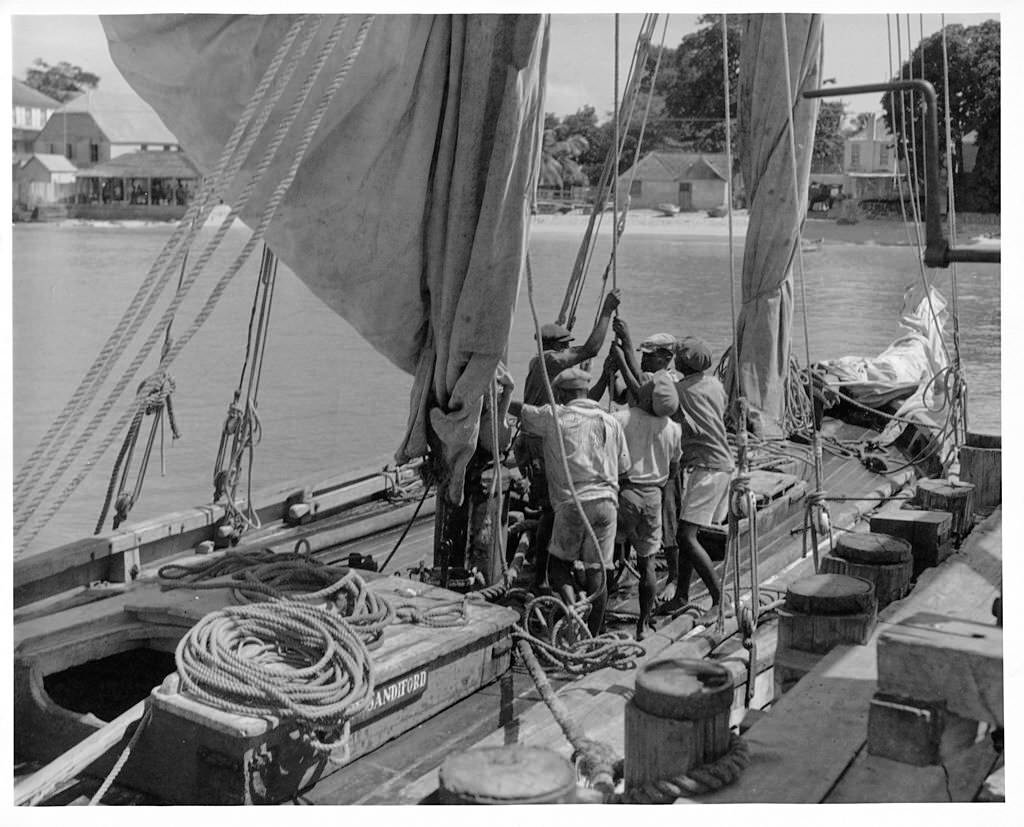
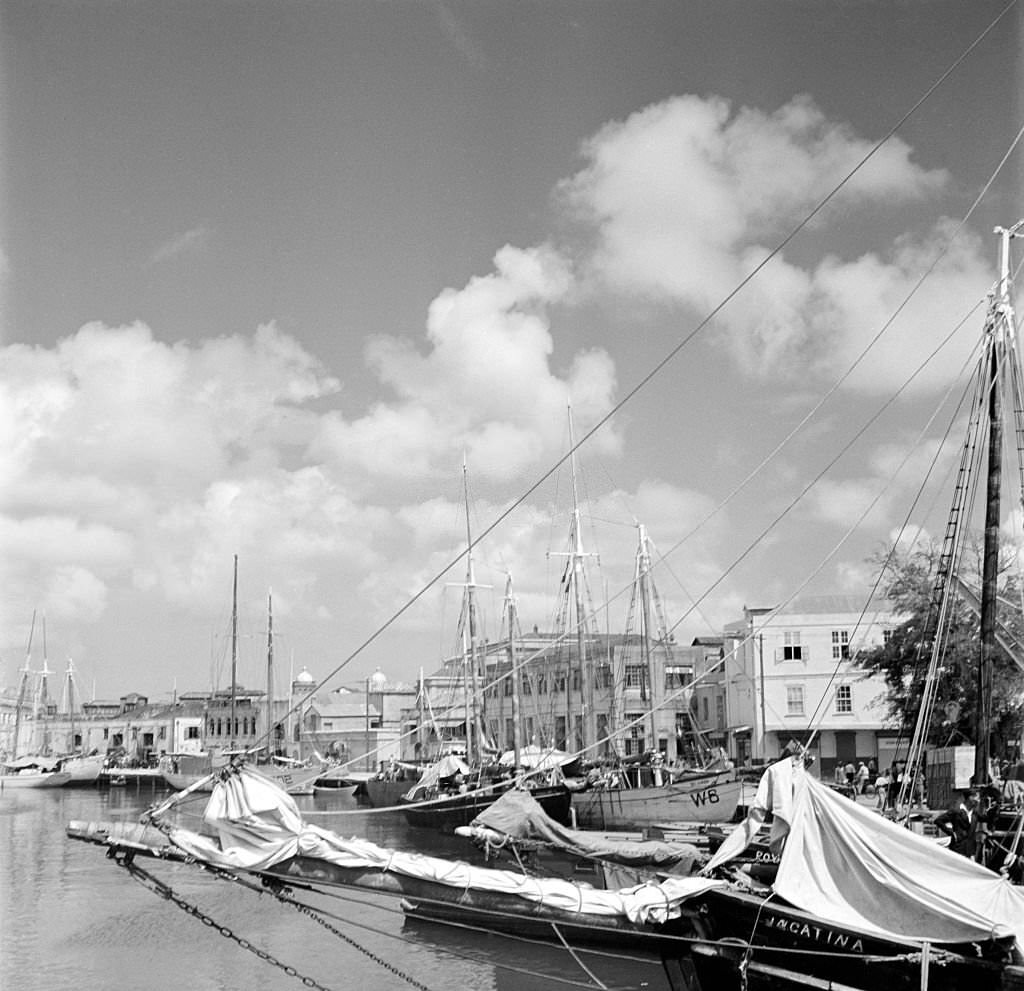
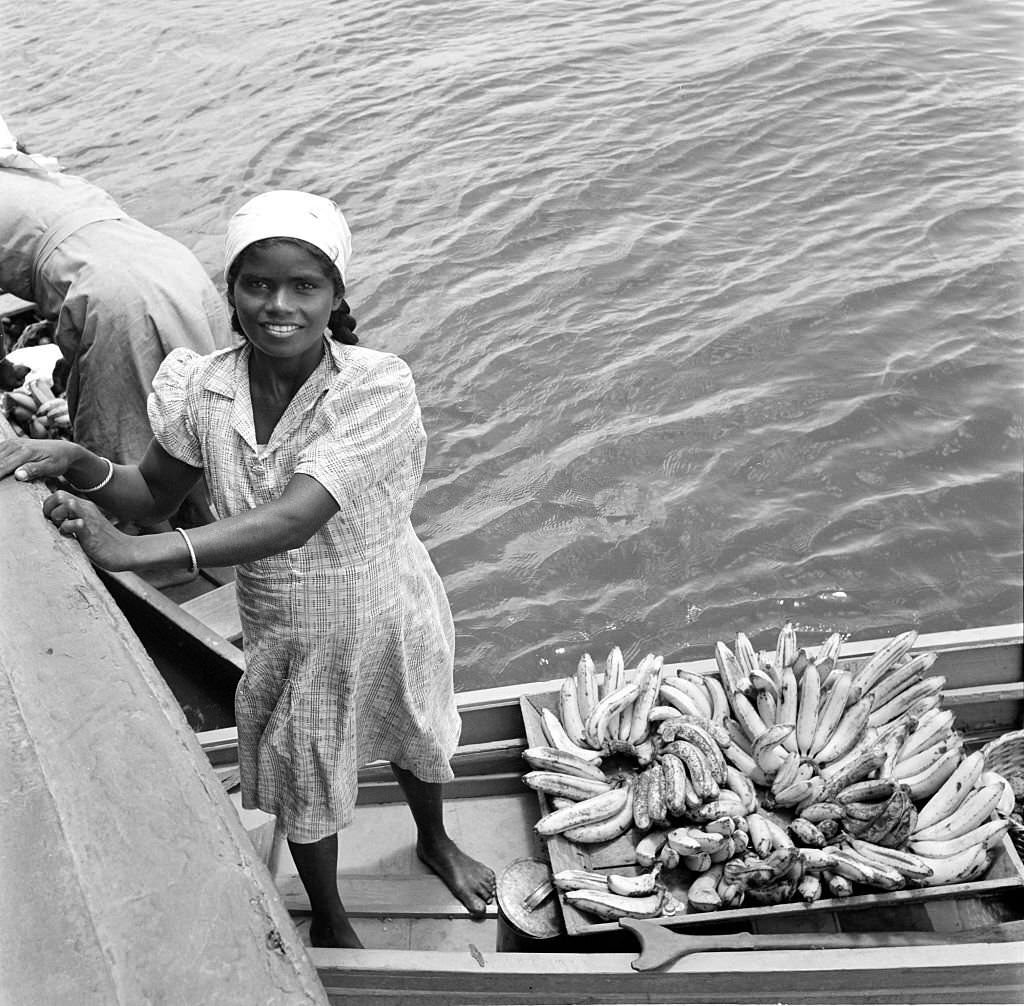
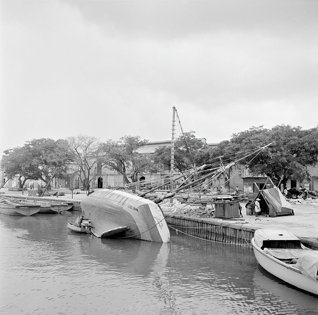
The harbor in the 1940s remained one of the most photographed parts of Bridgetown. Wooden sailing ships, small rowboats, and larger vessels all shared the water. Women loaded bananas onto boats bound for other ports. Men rowed across the harbor on daily errands. The harbor connected Bridgetown to the rest of the Caribbean and the wider world, and these photographs show just how central it was to the rhythm of the city.
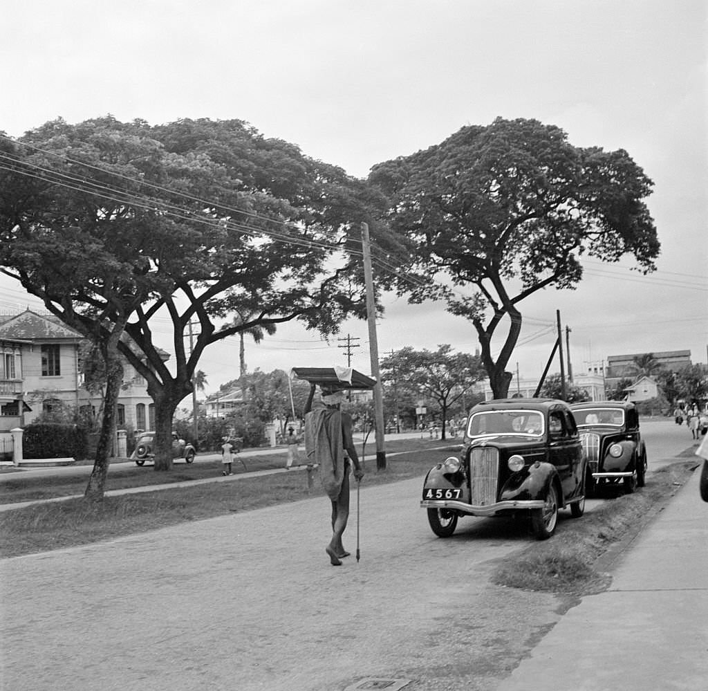
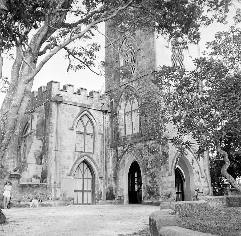
UNESCO has recognized Bridgetown as a World Heritage Site, acknowledging the historic district and the Garrison as places of outstanding universal value. Walking through the city today, visitors still encounter British colonial architecture, the Parliament Buildings, St. Michael’s Cathedral, the Chamberlain Bridge, and a Jewish synagogue that dates to the 17th century. The photographs collected here — spanning nearly a century from the 1870s to the 1960s — document a city that was shaped by trade, empire, fire, and the labor of generations of its people.