
Bratislava sits in the southwestern corner of Slovakia, where the Danube River meets the foothills of the Little Carpathians. Today it is the country’s capital and largest city, but its roots run far deeper than Slovak statehood. From 1526 to 1784, Bratislava — then known as Pressburg — served as the capital of the Kingdom of Hungary, a role that shaped its architecture, its street plan, and its identity for centuries to come. At the heart of it all stands Bratislava Castle, perched on a plateau 85 meters above the surrounding land, watching over the city and the river below.
In the 1970s, Bratislava was firmly inside the Eastern Bloc as part of Czechoslovakia. The city was a functioning Communist-era capital — home to universities, theatres, museums, and galleries, as well as the headquarters of Slovakia’s major businesses and state financial institutions. But daily life carried the unmistakable stamp of Soviet influence: concrete housing blocks, state-run department stores, and a border with Austria that was one of the most tightly controlled frontiers in the world. The photographs below document that era in striking detail.
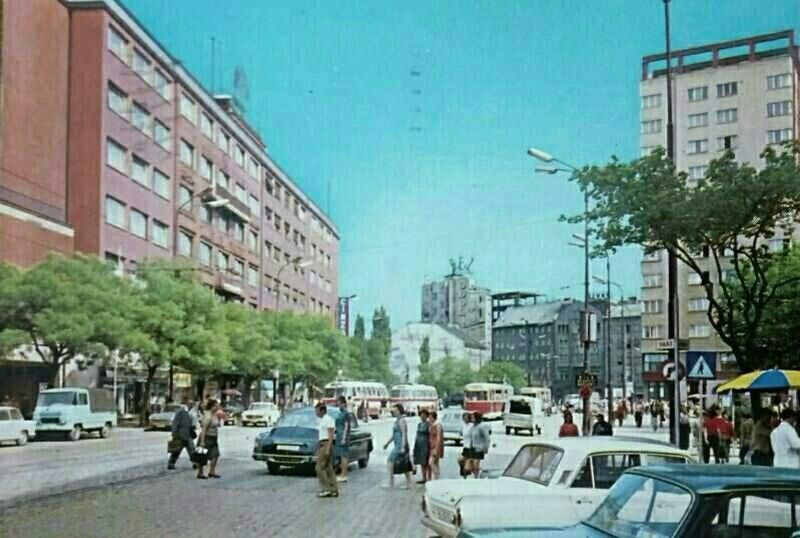
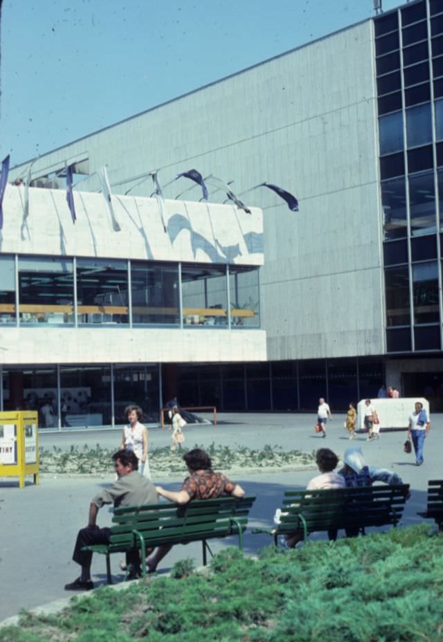
The decade opened with the city’s public spaces already deeply embedded in Communist civic life. Slovak National Uprising Square — named to honor the 1944 armed uprising against Nazi occupation — was one of Bratislava’s main gathering points.
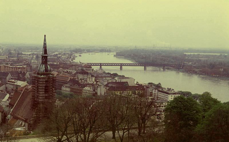
From the heights of Bratislava Castle, the Danube stretched out below — but by 1970, the view also revealed the industrial weight the city was carrying. Factories and heavy industry had expanded aggressively under Communist economic planning, and the air showed it.
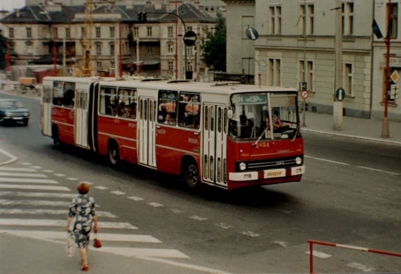
At street level in 1970, Bratislava had a layered look — older Austro-Hungarian buildings standing alongside newer Socialist-era construction. Trams moved through the city center, and pedestrians went about their routines in a urban environment that mixed the historic with the functional.
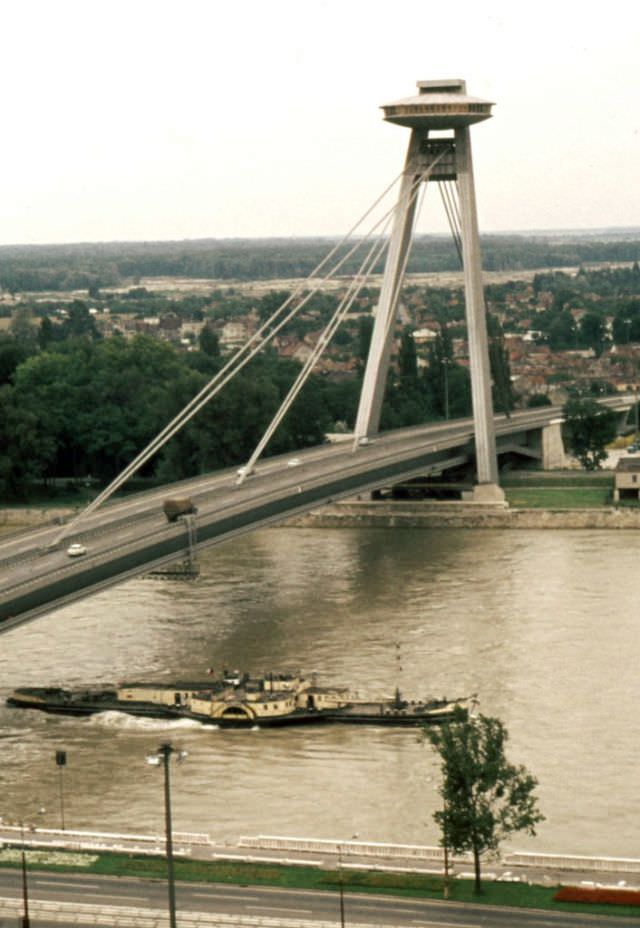
One of the most ambitious infrastructure projects of the early 1970s was the construction of a new bridge across the Danube. The work required significant reconstruction of the surrounding area, reshaping entire city blocks in the process.
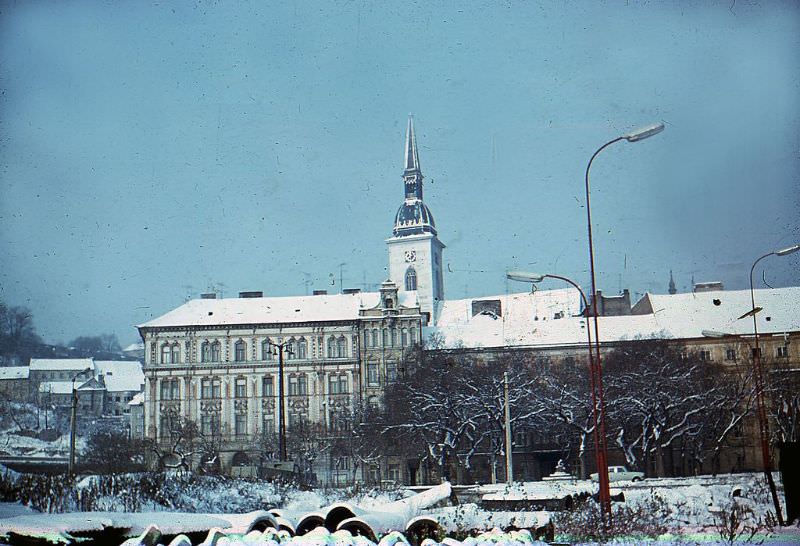
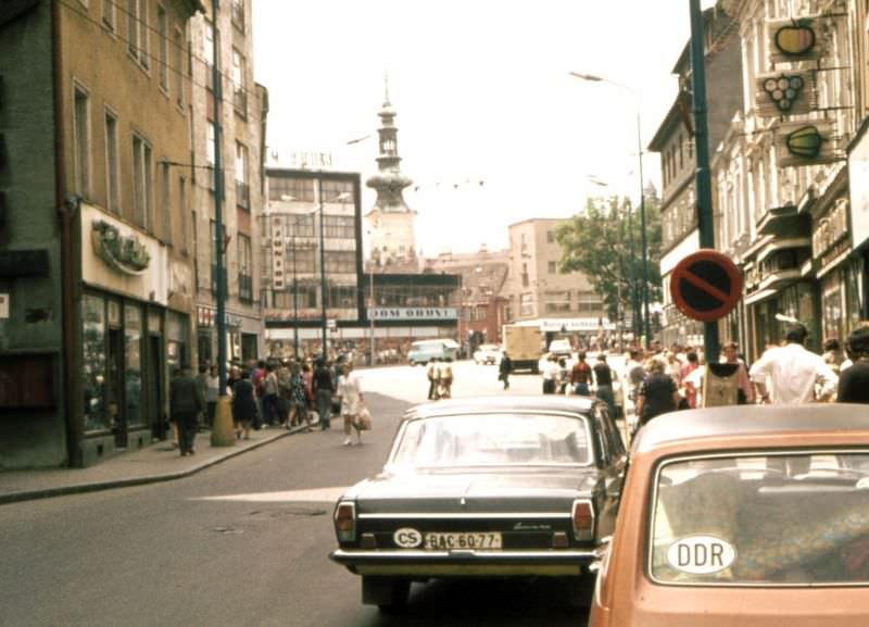
By 1972, the streets of Bratislava reflected a city that was growing but still constrained. Consumer goods were limited, private cars were a luxury, and the architecture of the Socialist state was becoming more visible with each passing year.
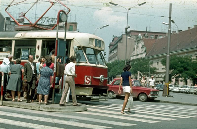
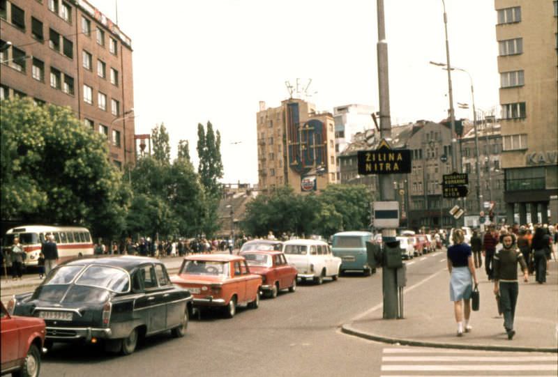
The mid-1970s brought a clearer picture of downtown Bratislava. State-managed shops, public transit, and wide pedestrian areas defined the city center, which the government maintained as a showcase of orderly Socialist urban life.
The bridge that had been under construction earlier in the decade was completed and became one of the most recognizable structures in the city. Nový Most — meaning “New Bridge” — was a cable-stayed bridge that opened in 1972. Its most distinctive feature was a flying saucer-shaped observation deck and restaurant perched on one of its pylons, sitting 85 meters above the Danube.
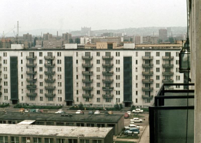
Housing was a constant challenge in Communist-era Bratislava. The state responded with large prefabricated apartment blocks, built quickly and cheaply to accommodate a growing urban population. The units were small, the elevators were narrow, and tens of thousands of residents lived in nearly identical surroundings across the city’s outer districts.
Czechoslovakia had its own domestic automobile industry, and Tatra was one of its most recognized names. Tatra vehicles, known for their rear-mounted air-cooled engines and distinctive streamlined designs, were a regular sight on Bratislava’s roads in the mid-1970s.
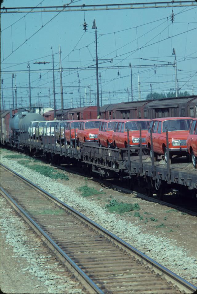
Rail was central to transport across Czechoslovakia, and the late 1970s saw some unusual logistics near Bratislava. Automobiles were loaded onto rail cars for transport — a practical solution in a country where road infrastructure and fuel availability were both limited compared to Western Europe.
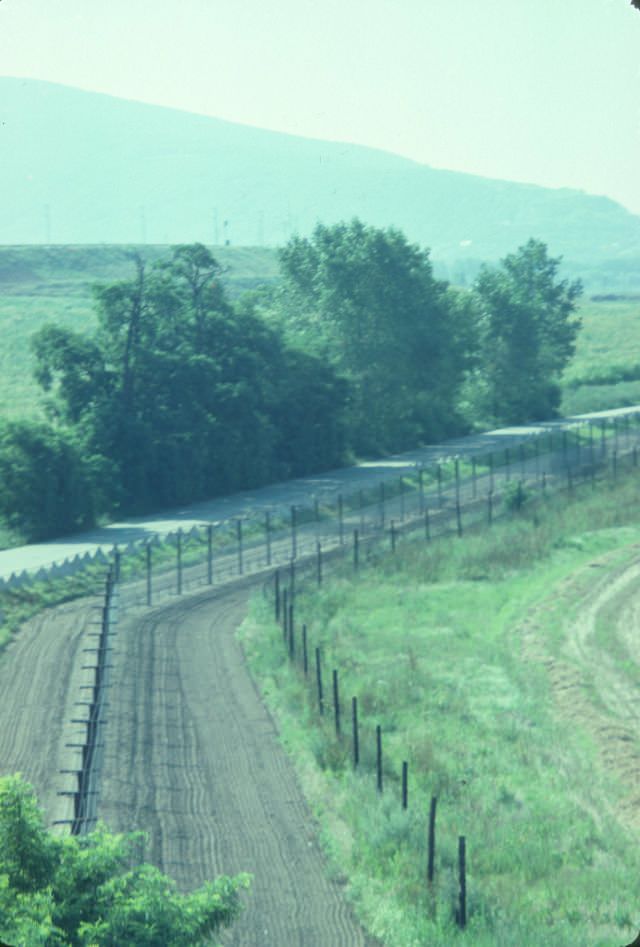
Bratislava held a unique geographic position: it sat just kilometers from the Austrian border, which in the 1970s was part of the Iron Curtain. The crossing between Austria and Czechoslovakia near Bratislava was one of the most heavily monitored border zones in Europe, separating two radically different worlds — one Western and one Soviet-aligned.
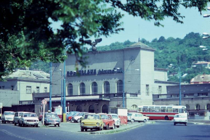
Rail connections tied Bratislava to the rest of the Eastern Bloc and, through controlled crossings, to Western Europe. The city’s main railway station served as a major transit hub, processing both passengers and freight across the region.
State-run retail was the norm across Czechoslovakia. Bratislava’s main department store was one of the few places where a wide variety of goods could be found under one roof, though stock depended entirely on what the state chose to supply.
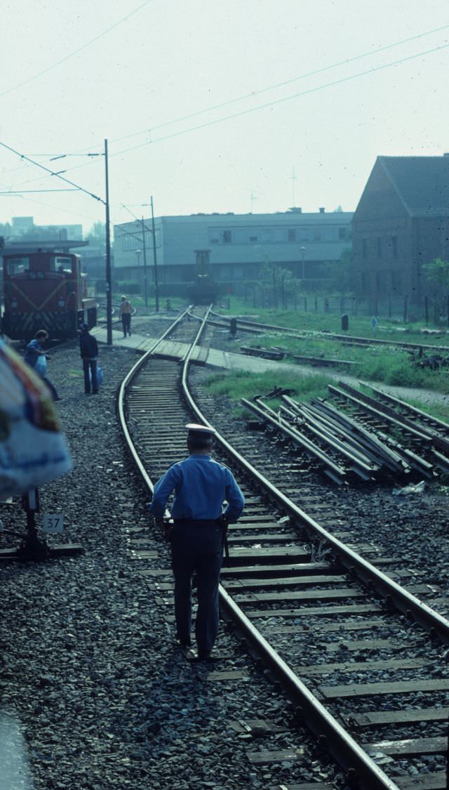
Border security on the Czechoslovak side was thorough and unsparing. Guards checked not just travel documents but the physical structures of trains themselves — inspecting the undersides of carriages to detect anyone attempting to cross the border without authorization.
The Danube remained central to Bratislava’s identity throughout the decade. The river served as both a natural boundary and a working waterway, with bridge crossings linking different parts of the city and connecting Czechoslovakia to its neighbors.
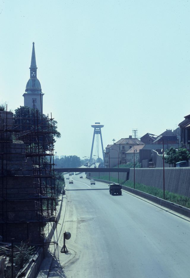
Looking toward the Danube bridge from the city, the urban landscape that had developed over the decade comes into full view — a mix of old rooftops, Communist-era construction, and the river cutting through it all.
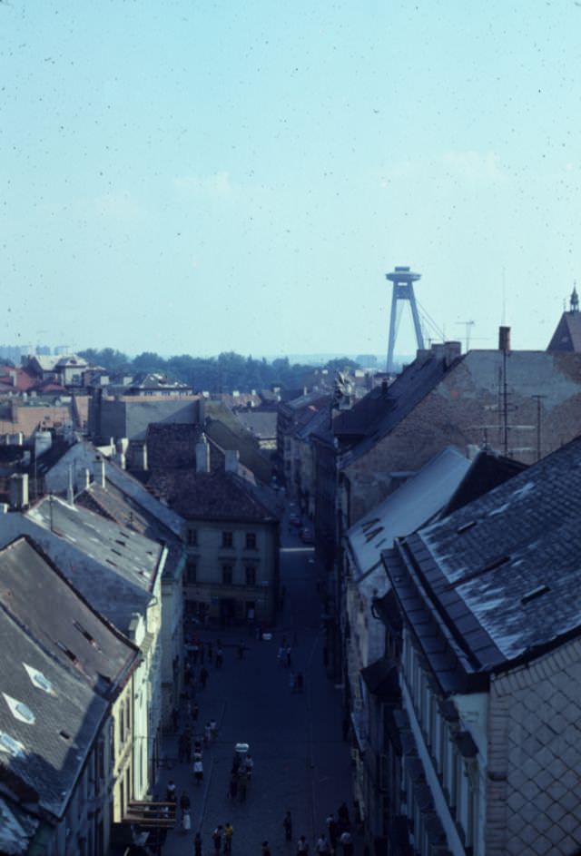
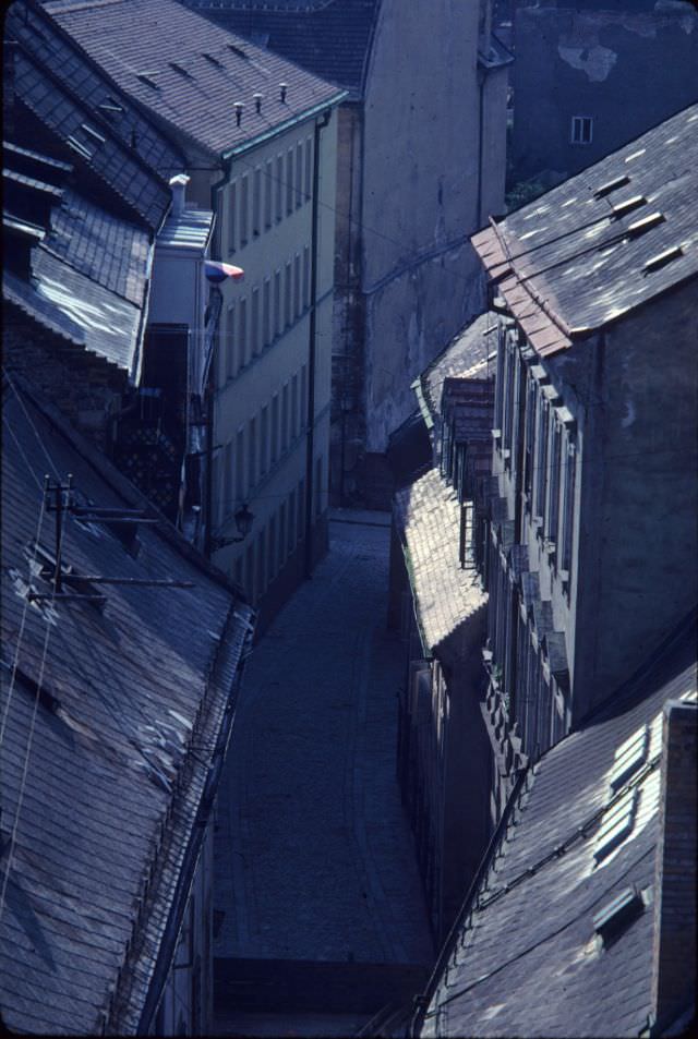
Bratislava’s rooftops told the story of its layered history — older tiled roofs from the Habsburg period sitting alongside the flat tops of newer Socialist buildings that had been inserted into the urban fabric without much concern for what was already there.
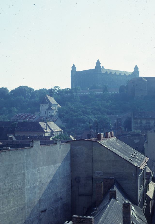
The decade closed with Bratislava Castle still standing as it always had — high above the city on its rocky plateau, overlooking the Danube and the borders beyond. By 1979, the castle had been substantially restored after a fire gutted it in 1811, and it stood as one of the most enduring symbols of the city’s long and complicated history.





Steamboats on the Danube and a nice main station. This is an old photo 🙂
How good that cars are driven out of the center. They are only harmful.
Exactly. In old photos, I see historical centers, squares, and cars and buses driving happily..
Common reality in UK. The majority of the population will lose their brains and run out of ideas if pedestrianization is proposed.
what kind of building is that on the 4th?
Hviezdoslavovo námestie 168/11
Just it’s behind trees now
Those trams from 72′ are somewhat familiar to me. Hmm wait a sec…
You know it’s old when Ikarus is in the photo.
Totalne autopeklo a to so zlomkom automobilov na cestach.
Predstavte si dnes smerovu cedulu ZILINA a NITRA (foto 9) v centre rovno pred Starou trznicou, kde je teraz zakaz prejazdu pre auta.