
When World War II ended in 1945, Berlin was a wreck. Entire neighborhoods had been reduced to rubble. Thousands of buildings were gutted shells. The city’s population was exhausted, displaced, and mourning. But the 1950s brought something unexpected — a slow, stubborn will to rebuild. Streets were cleared, construction crews got to work, and Berlin began to take a new shape, even as the political forces surrounding it grew more dangerous by the year.
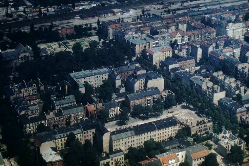
The Potsdam Agreement of 1945 had divided Germany — and Berlin — into four occupied zones controlled by the British, Americans, French, and Soviets. By 1949, those divisions had hardened into two separate countries: the Federal Republic of Germany in the west and the German Democratic Republic in the east. Berlin sat right on that fault line, a city split down the middle, governed by competing ideologies.
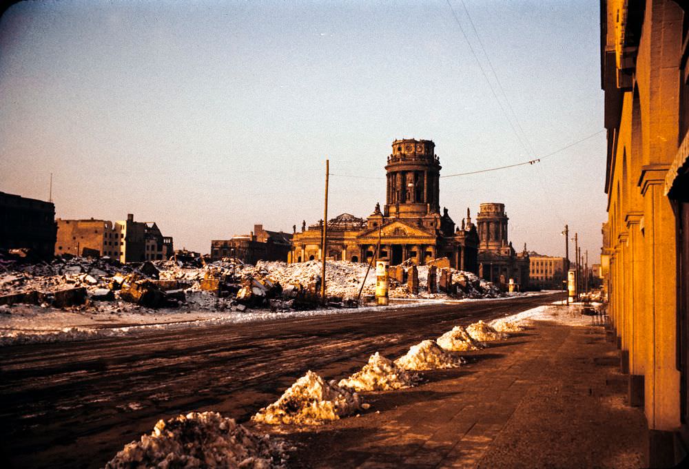
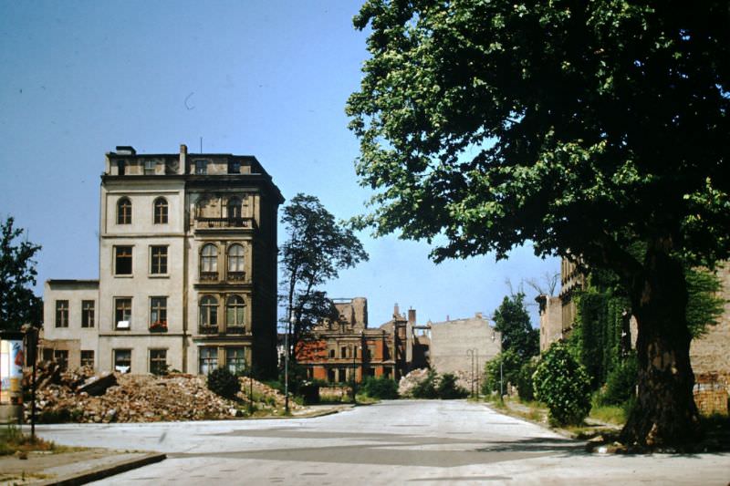
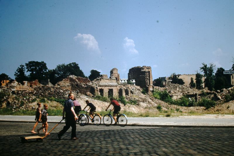
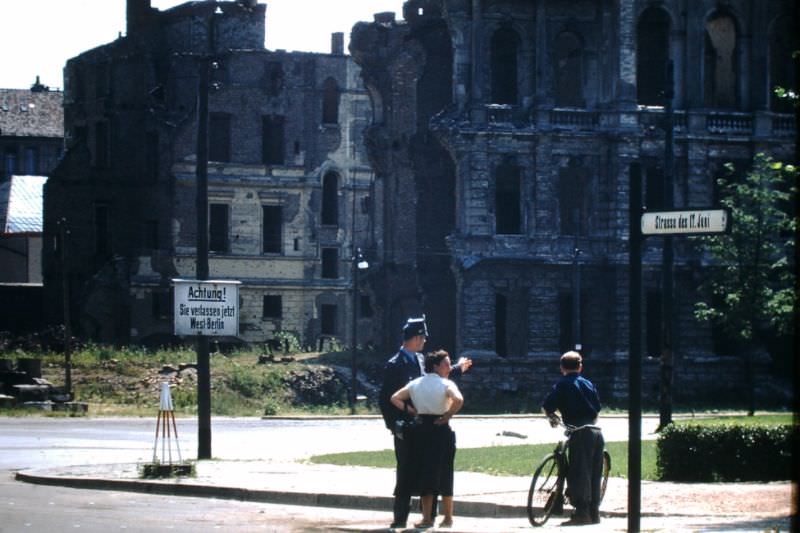
By the mid-1950s, a decade after the war’s end, enormous stretches of Berlin still looked like a bomb site. Collapsed facades, empty lots, and half-standing structures were common sights across both sectors. The pace of rebuilding varied sharply between East and West, shaped by the very different systems funding them.
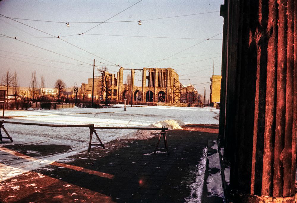
West Berlin received significant support from the Marshall Plan and became a showcase for Western-style democracy and consumer capitalism. East Berlin, under Soviet influence, was rebuilt according to socialist planning principles. The two halves of the city were developing distinctly different looks, sounds, and rhythms — and their residents knew it.
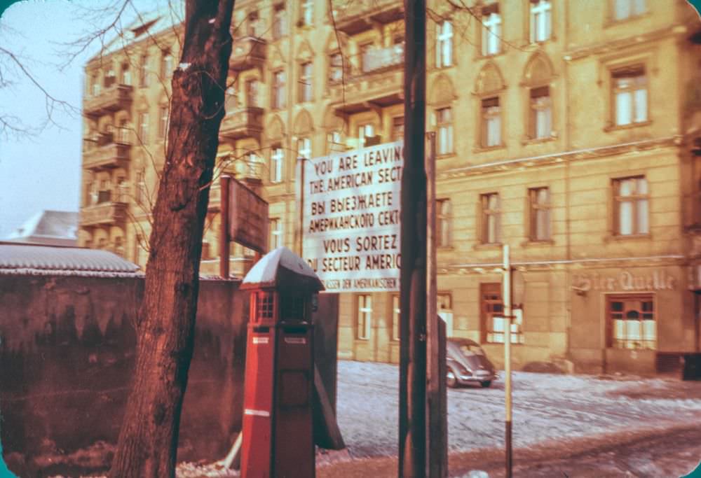
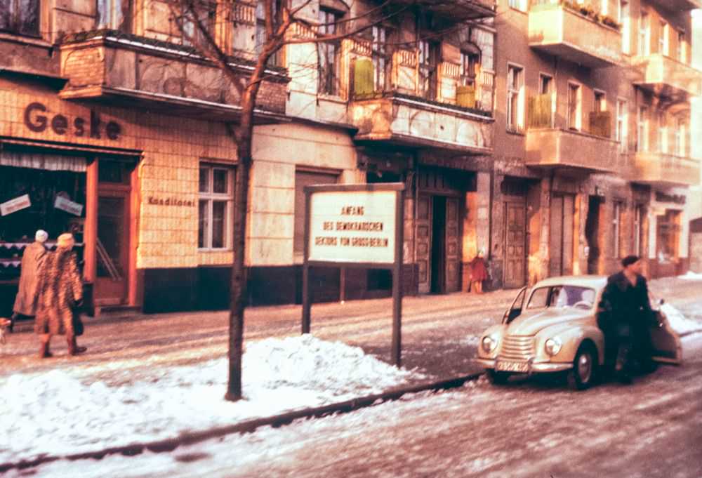
The border between East and West Berlin was not yet a physical wall in the 1950s — that came in August 1961 — but the division was already real and deeply felt. Signs marked the boundary between sectors. Movement between zones was possible but watched closely. The ideological gap between the two sides of the city was widening every year.
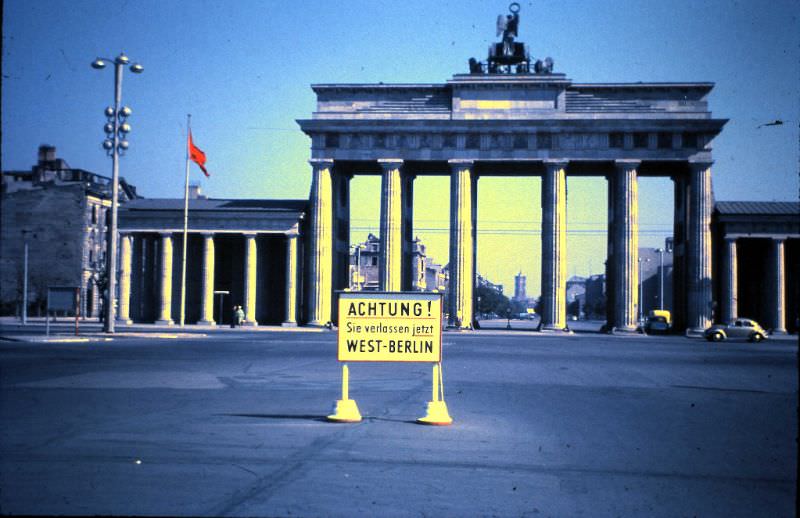
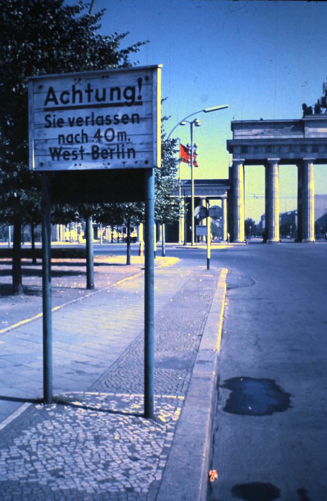
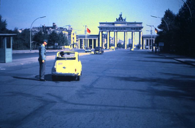
The Brandenburg Gate stood at the heart of this division. Many people assumed East Berlin began at the gate itself, but the actual boundary started just behind it. The gate became one of the most loaded symbols of the Cold War — a monument that neither side fully controlled and both sides used for propaganda.
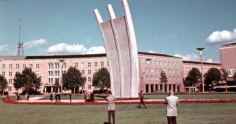
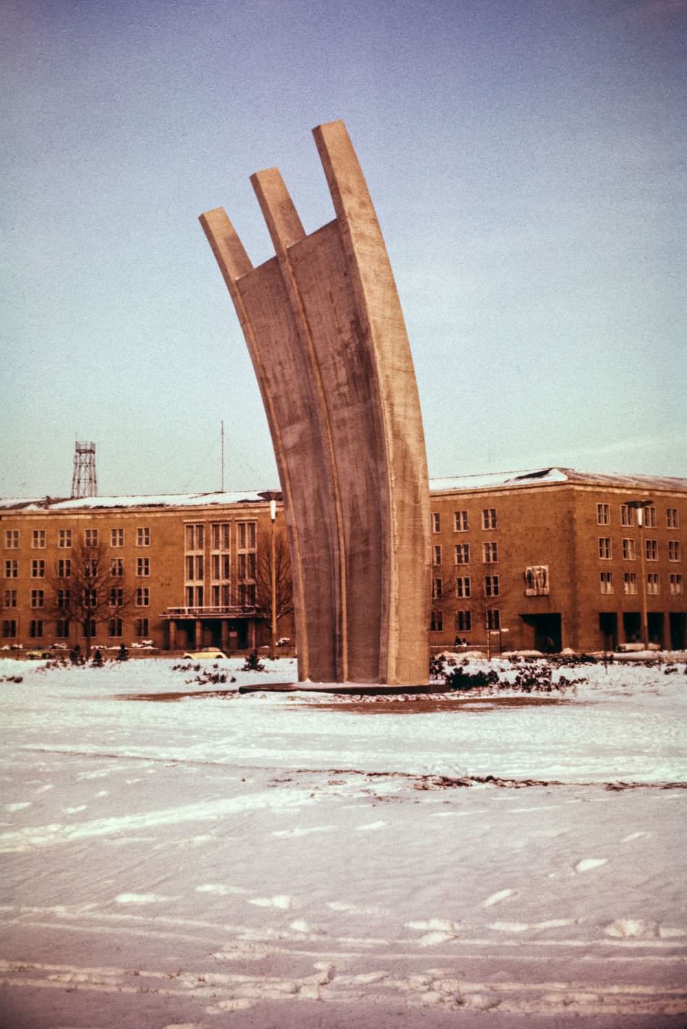
One of the most important moments defining West Berlin’s identity came before the 1950s even began — the Berlin Airlift of 1948 and 1949. The Soviet Union had blockaded all land routes into West Berlin, cutting off food and fuel. For nearly a year, Allied aircraft flew in supplies around the clock to keep the city alive. A memorial at Tempelhof Airport was built to honor those flights.
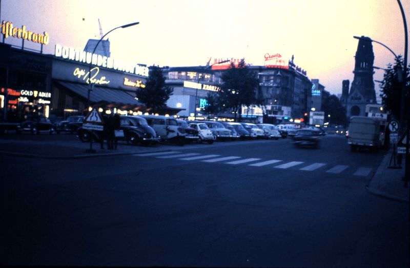
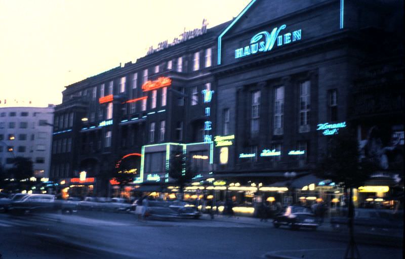
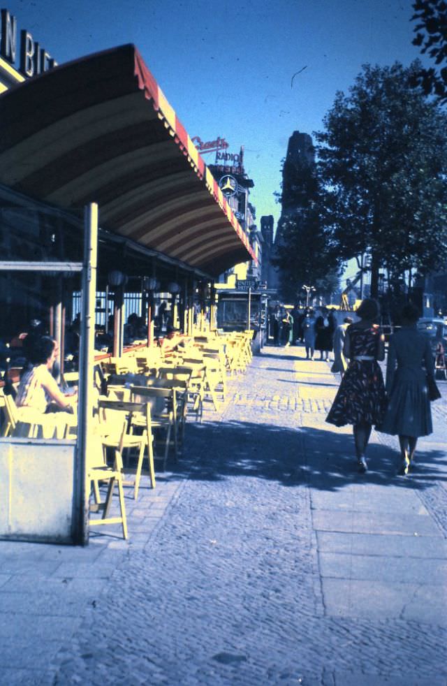
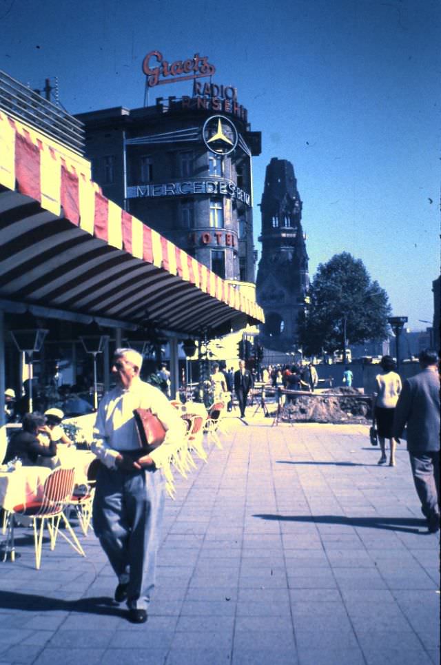
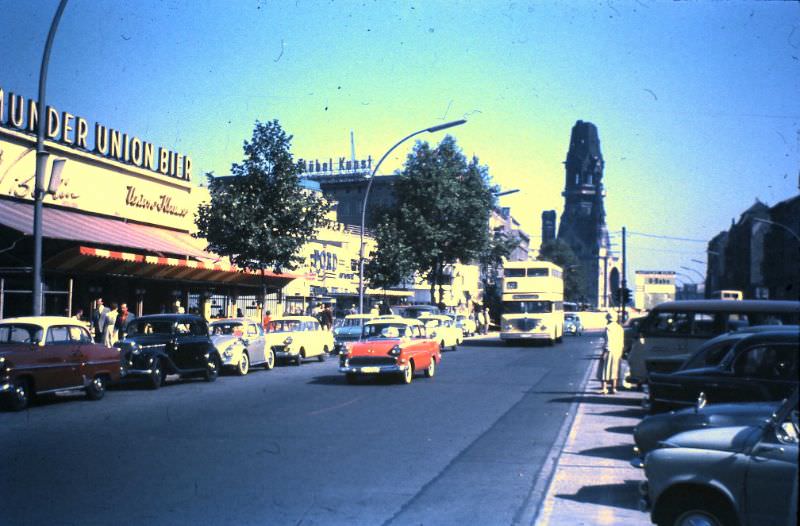
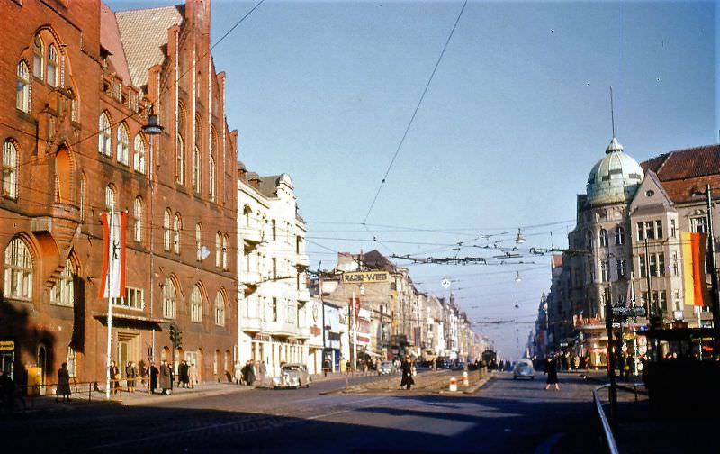
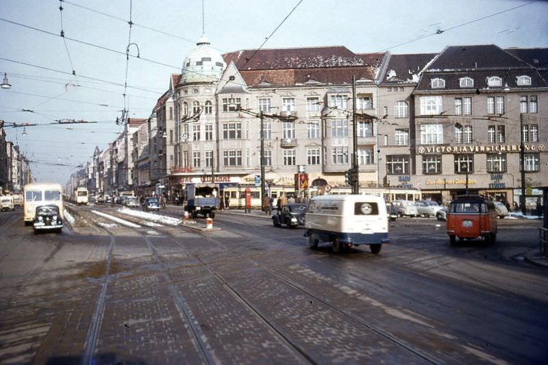
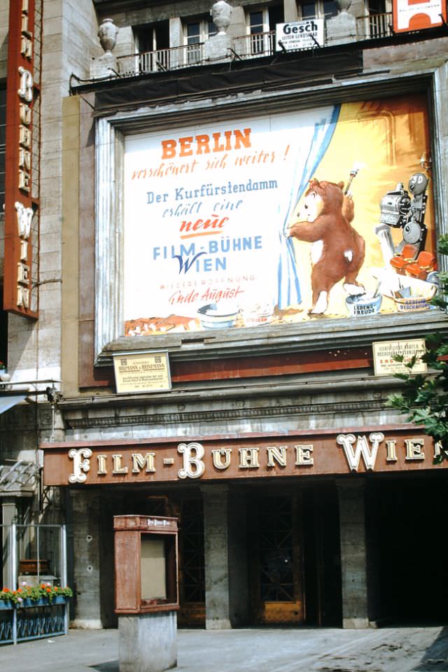
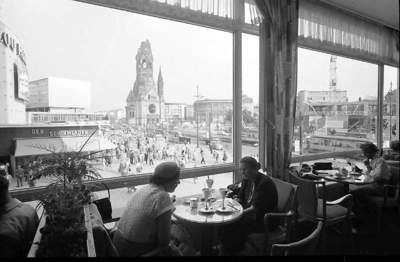
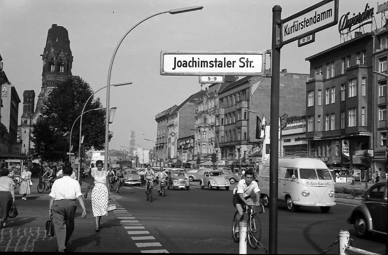
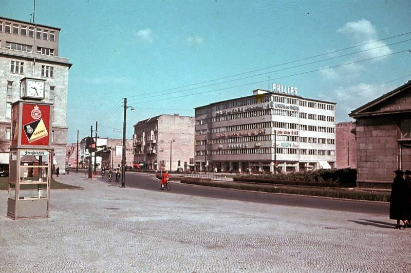
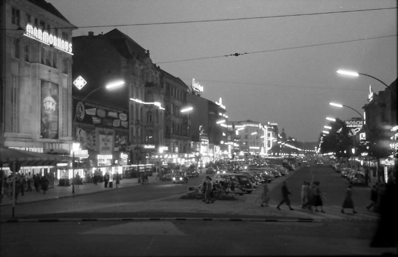
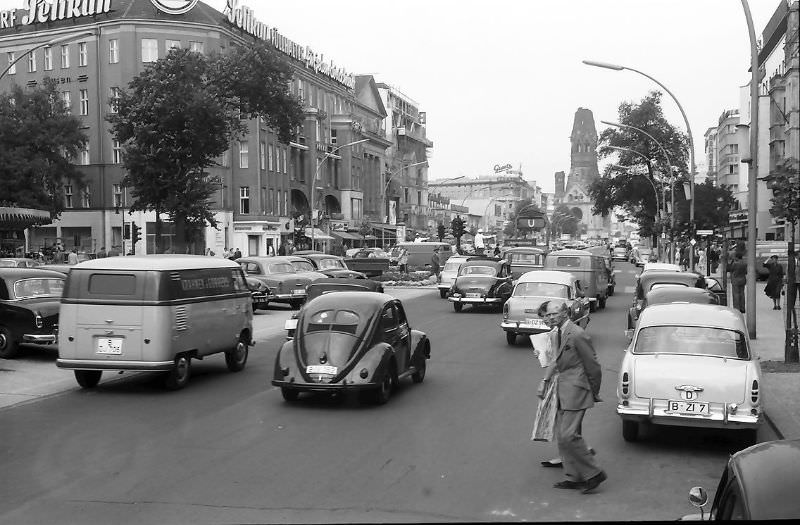
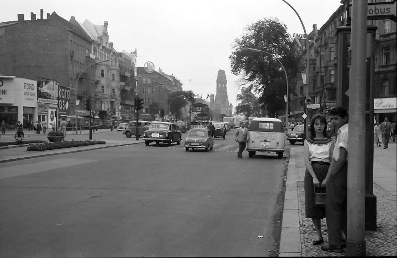
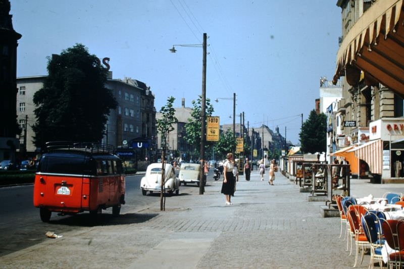
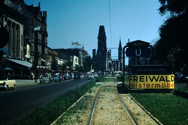
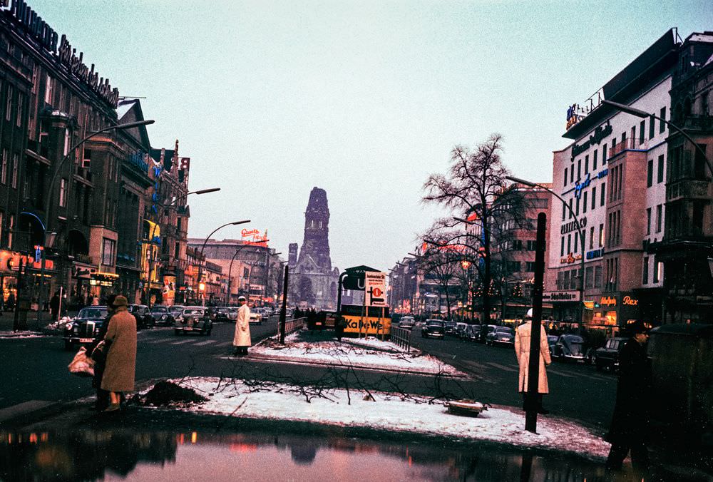
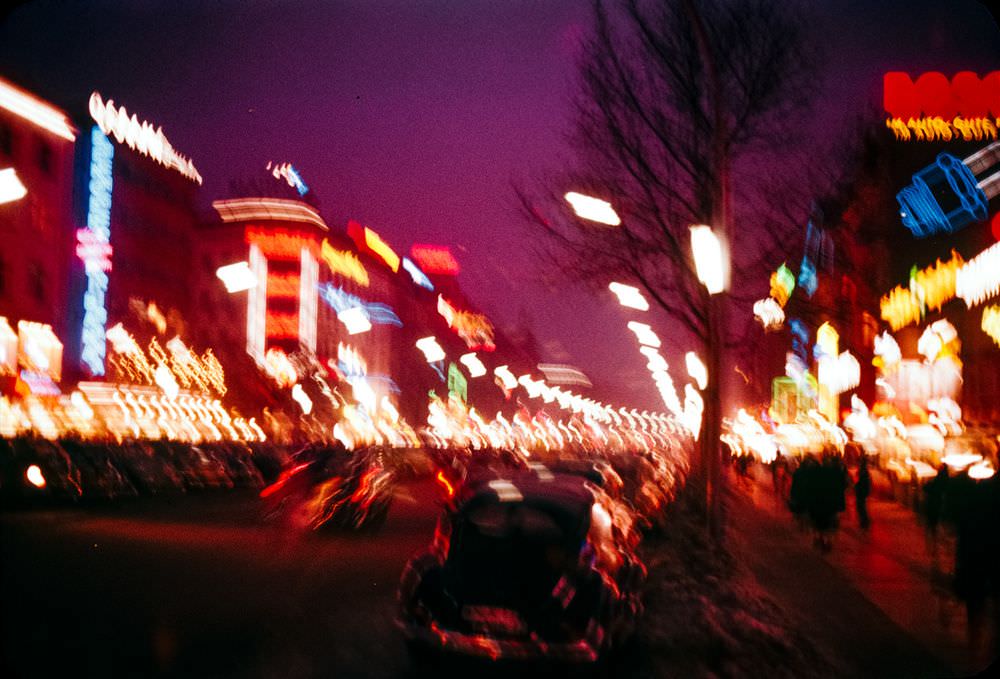
West Berlin’s streets told the story of a city pushing forward. The Kurfürstendamm — known simply as the Ku’damm — was the main commercial artery of the western half. Lined with shops, cafés, cinemas, and restaurants, it projected an image of prosperity and freedom. Neon signs, well-stocked storefronts, and steady foot traffic made it a deliberate contrast to the Soviet sector.
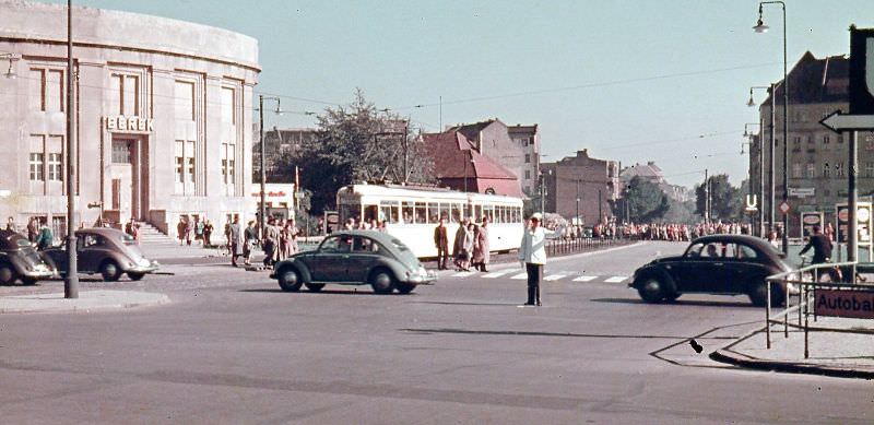
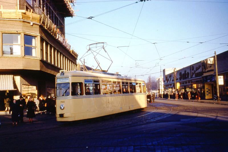
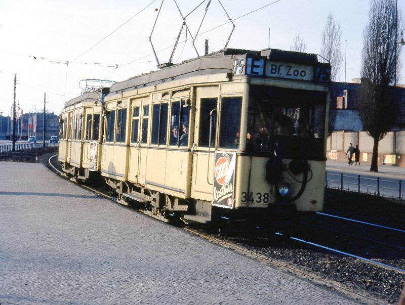
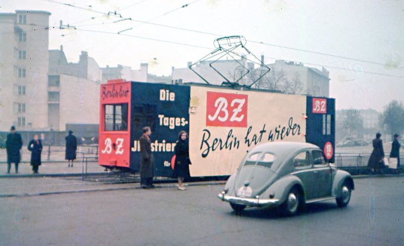
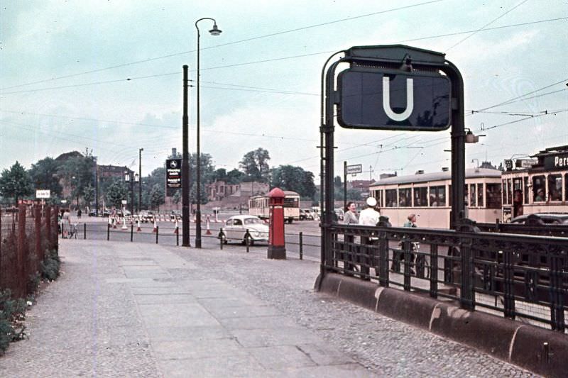
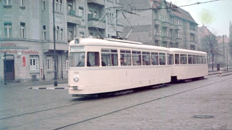
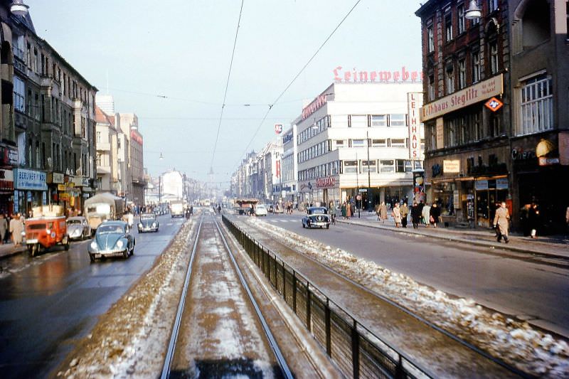
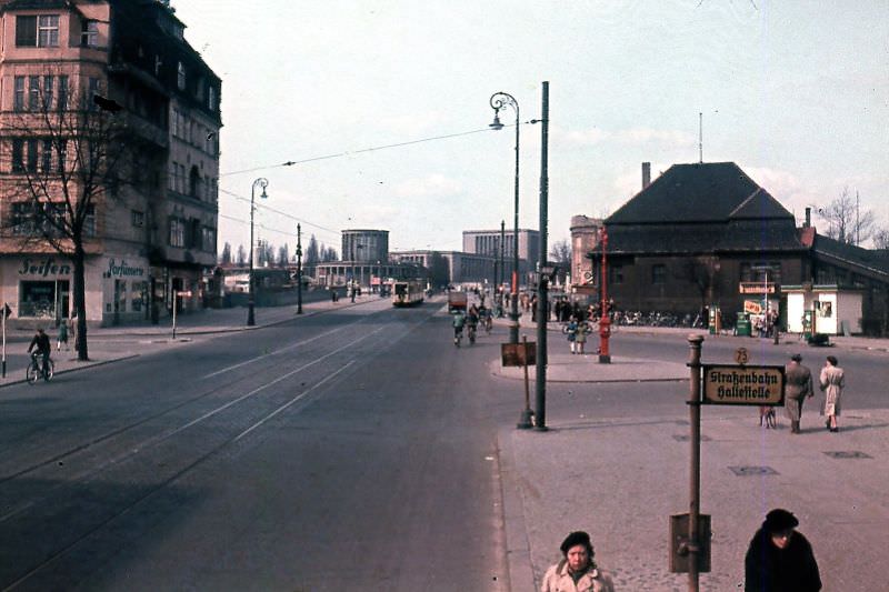
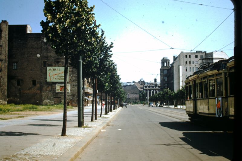
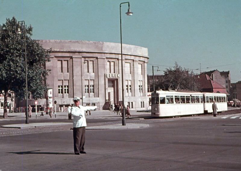
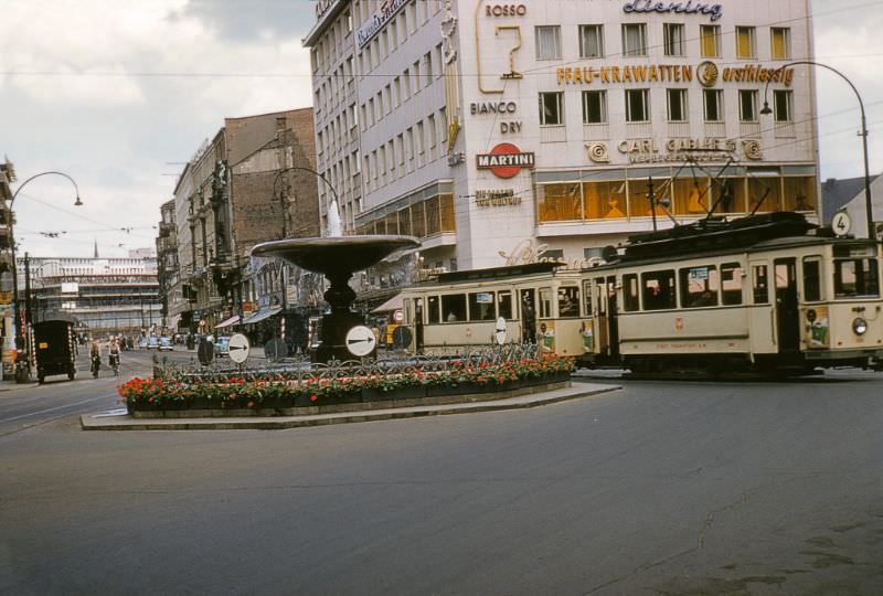
West Berlin’s tram network was a busy part of daily life throughout the 1950s. New prototype motor-trailer sets rolled alongside older cars that had survived the war. In areas like Steglitz and along Line 75, trams were the main connection for tens of thousands of commuters. The U-Bahn subway did not reach Spandau, so heavy tram lines absorbed the load until the last West Berlin tram line closed in 1967.
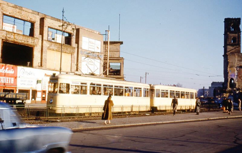
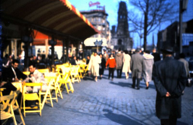
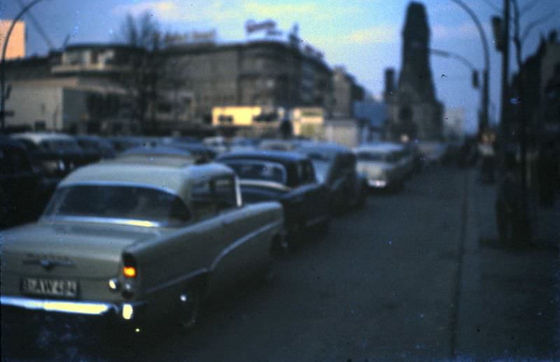
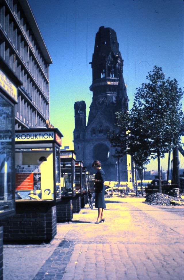
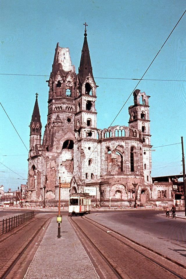
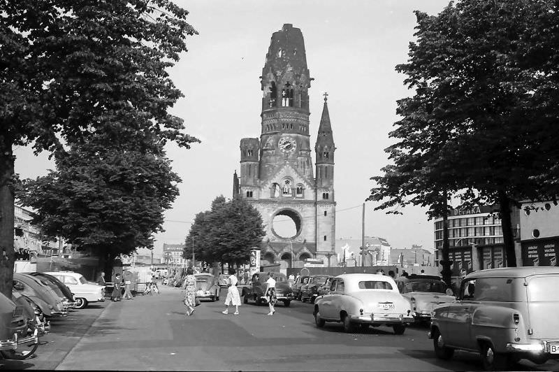
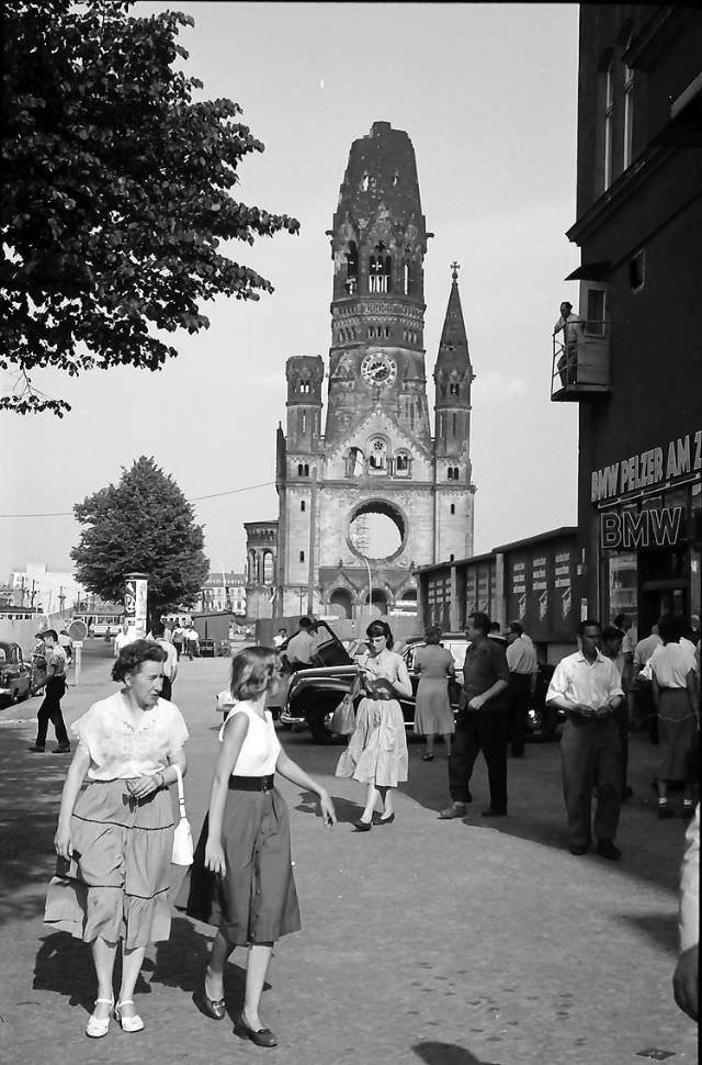
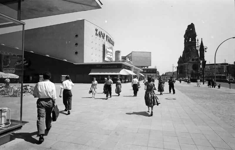
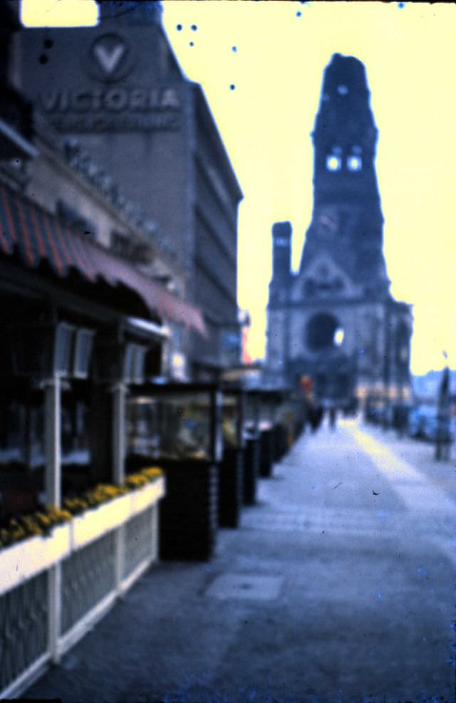
The Kaiser Wilhelm Memorial Church on Breitscheidplatz was one of the most recognizable symbols of post-war West Berlin. Its bombed-out tower was left standing as a deliberate reminder of the destruction of the war, rather than demolished and rebuilt. Around it, the Ku’damm commercial district hummed with activity — shoe shops, department stores, and cinemas drew steady crowds.
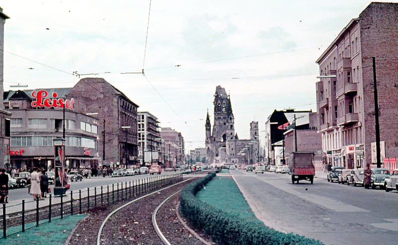
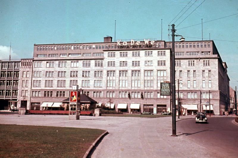
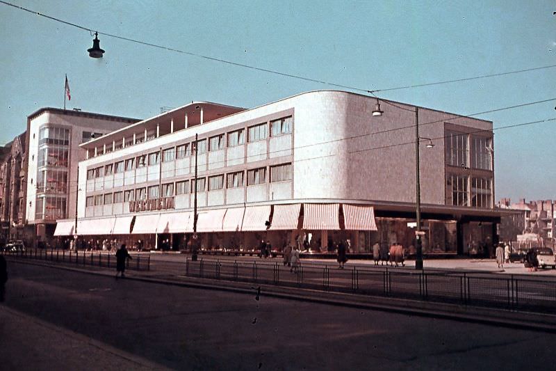
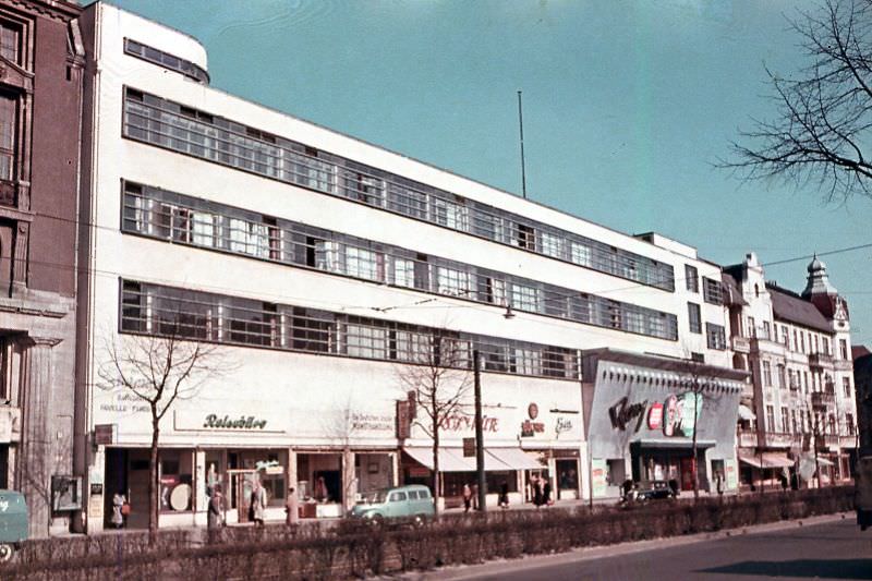
Department stores and retail streets were a big part of West Berlin’s commercial recovery. The Ka De We — Kaufhaus des Westens — was the largest department store in continental Europe and a symbol of Western consumer life. Branches of Wertheim and Leineweber also served shoppers in the Steglitz district, which had developed into a lively shopping hub.
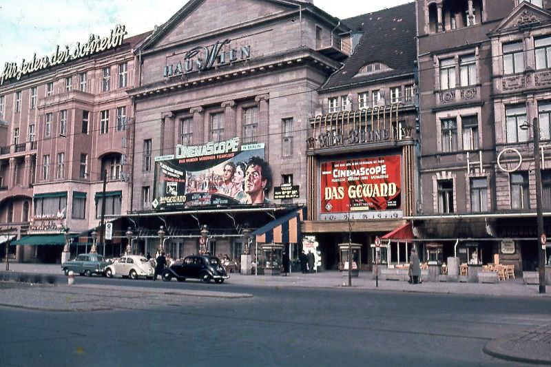
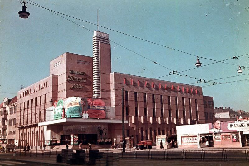
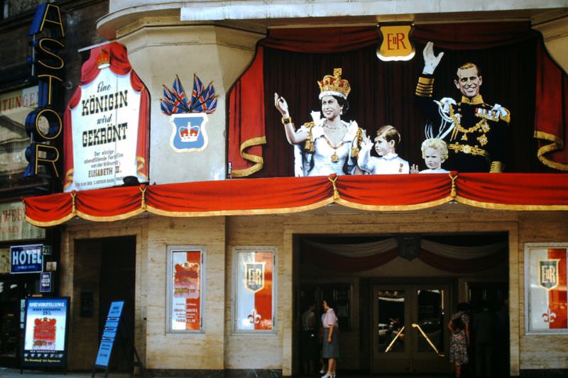
Entertainment also came back to West Berlin in the 1950s. Cinemas reopened or were rebuilt. The Haus Wien and Titania Palace were among the venues bringing films to audiences rebuilding normal lives. Jazz and rock and roll drifted in from the West, filling bars and dance halls with new sounds that had been banned under the Nazis.
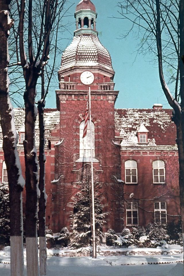
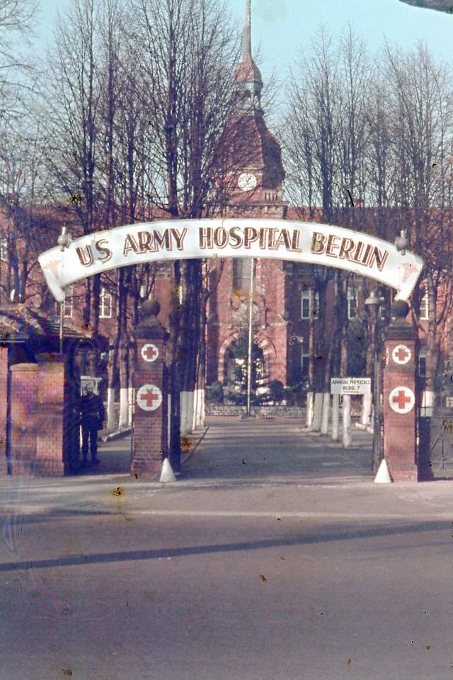
The Allied military presence was visible across West Berlin throughout the decade. British, American, and French military personnel lived, worked, and patrolled alongside Berliners. The Allied Control Authority Building near Kleist Park served as an administrative hub, and the 279th Station Hospital provided medical care for both Allied troops and civilians.
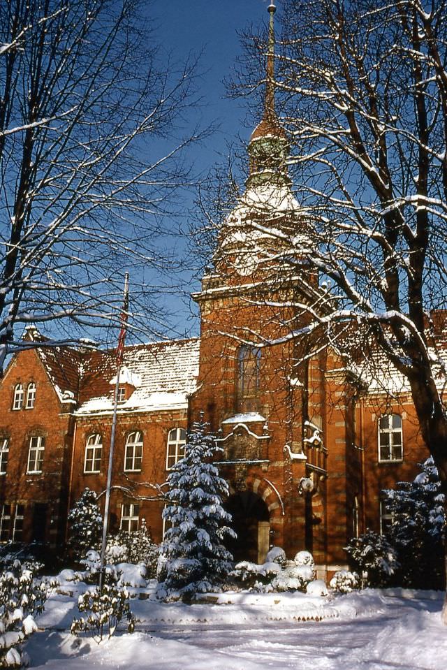
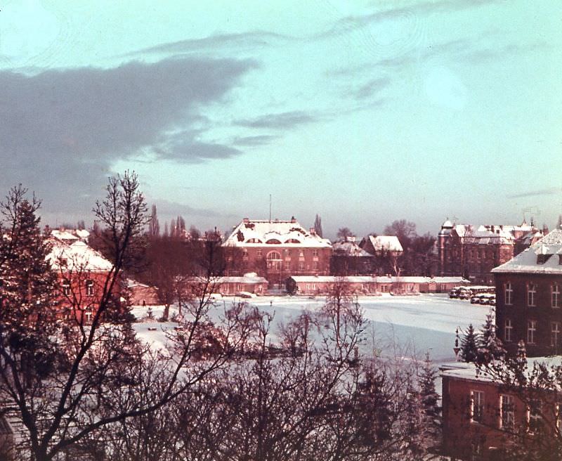
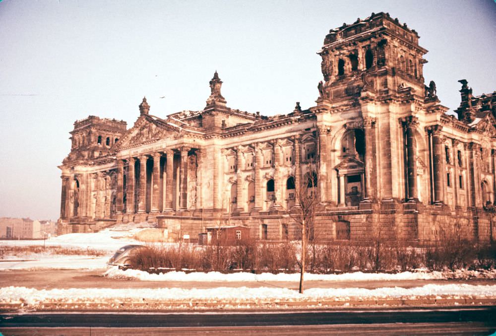
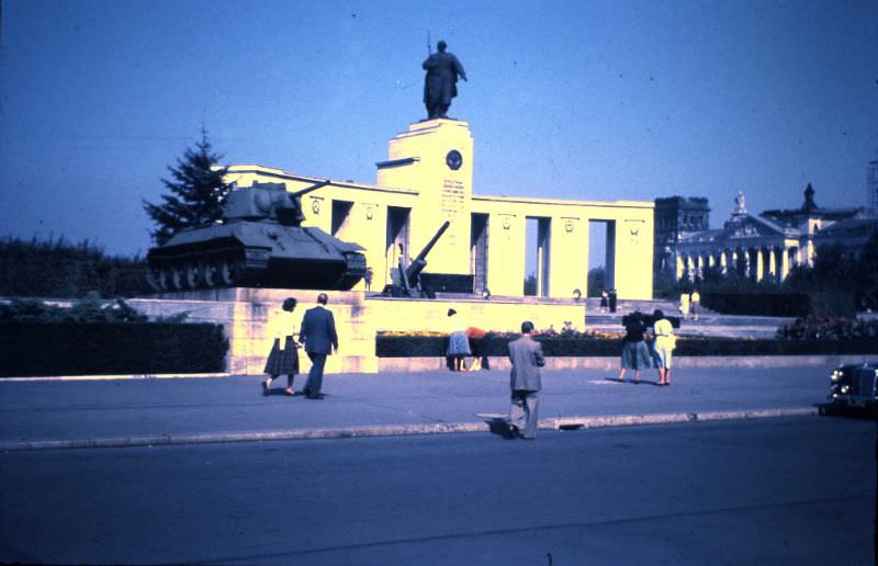
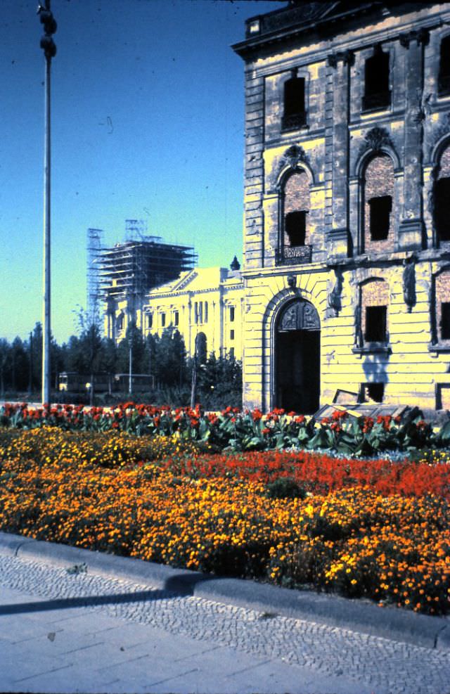
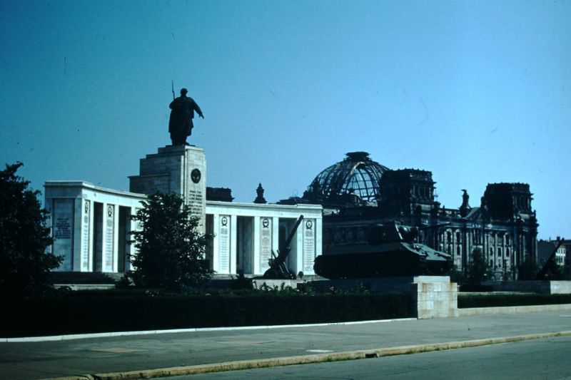
The Soviet War Memorial and the Reichstag building were two of the most historically significant structures in West Berlin — both sitting entirely within West Berlin territory, despite their associations with the Soviet and German imperial past. The Reichstag had been heavily damaged during the war and remained an empty shell for most of the decade, a visual reminder of how recently everything had collapsed.
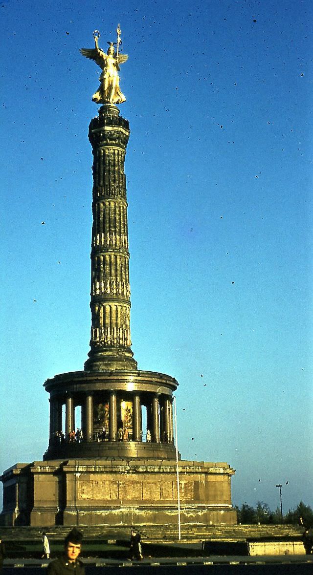
The Victory Column — the Siegessäule — stood at the center of the Tiergarten, surrounded by the still-healing landscape of the former park. Much of the Tiergarten had been stripped bare for firewood during the harsh post-war winters, and replanting was underway throughout the 1950s. The column had been moved to its current location by the Nazis in 1939 and remained one of Berlin’s most recognizable landmarks.
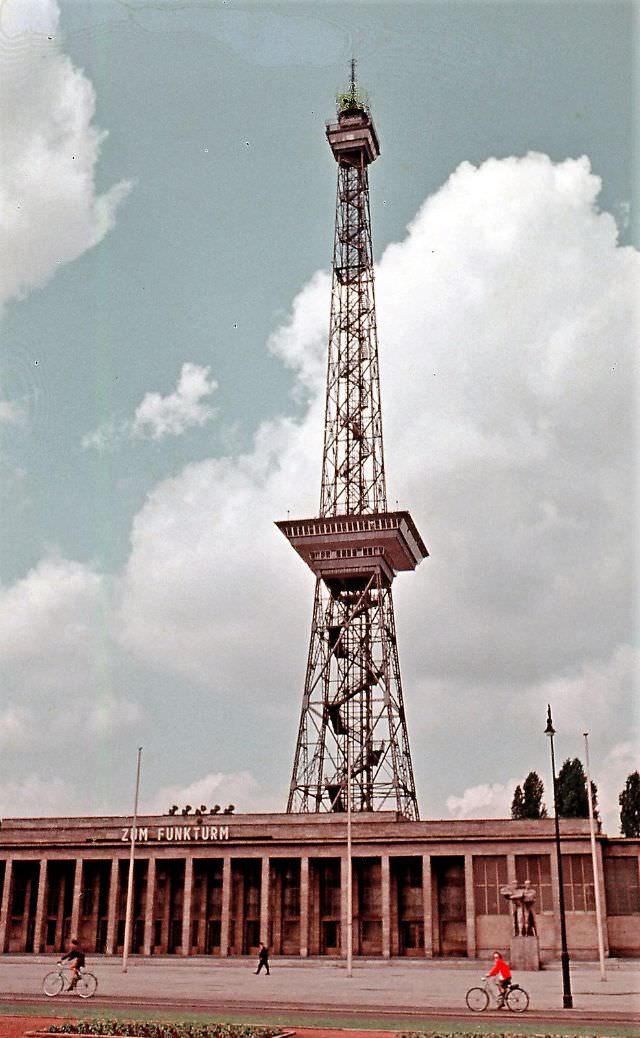
The Funkturm — Berlin’s radio tower — had survived the war largely intact and continued to serve as both a broadcast tower and a tourist attraction throughout the 1950s. Nearby, the Westend and Messe Halle trade fair grounds were being reactivated as West Berlin reclaimed its role as a commercial city.
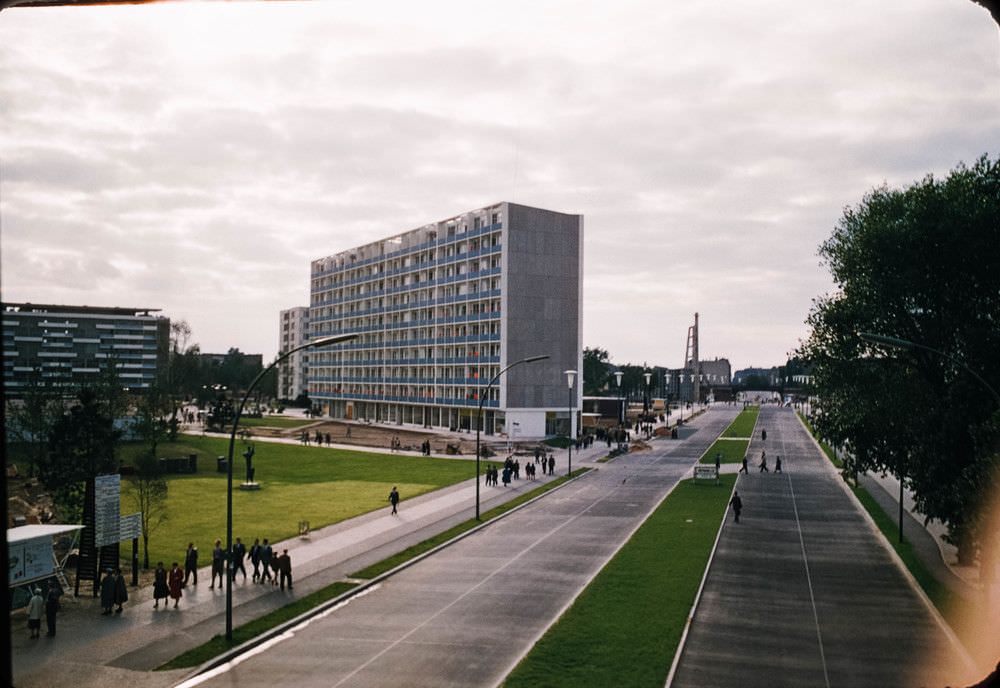
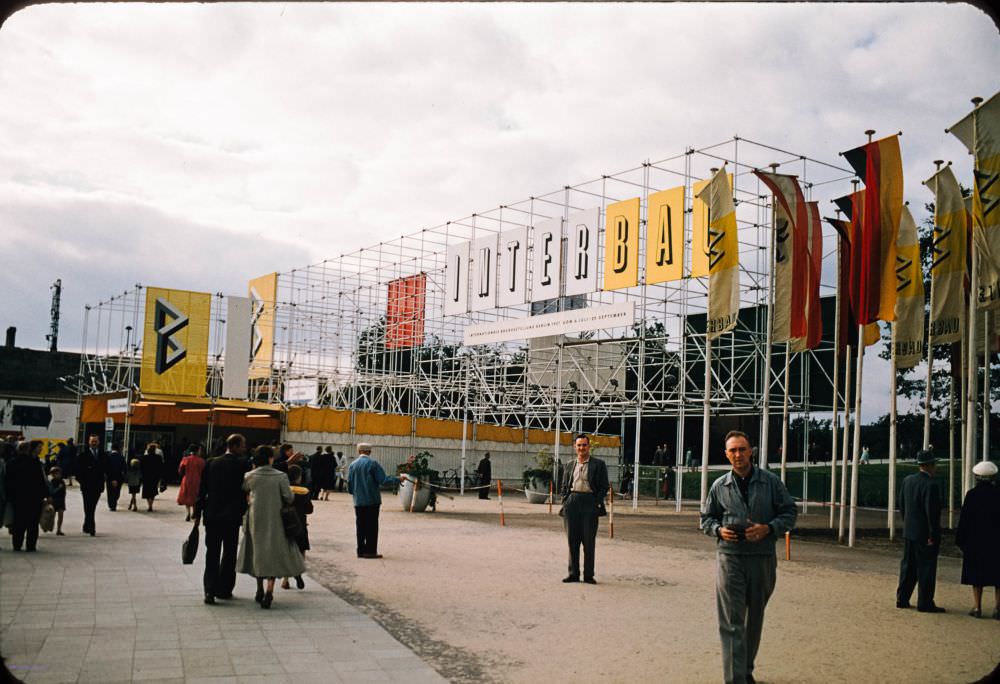
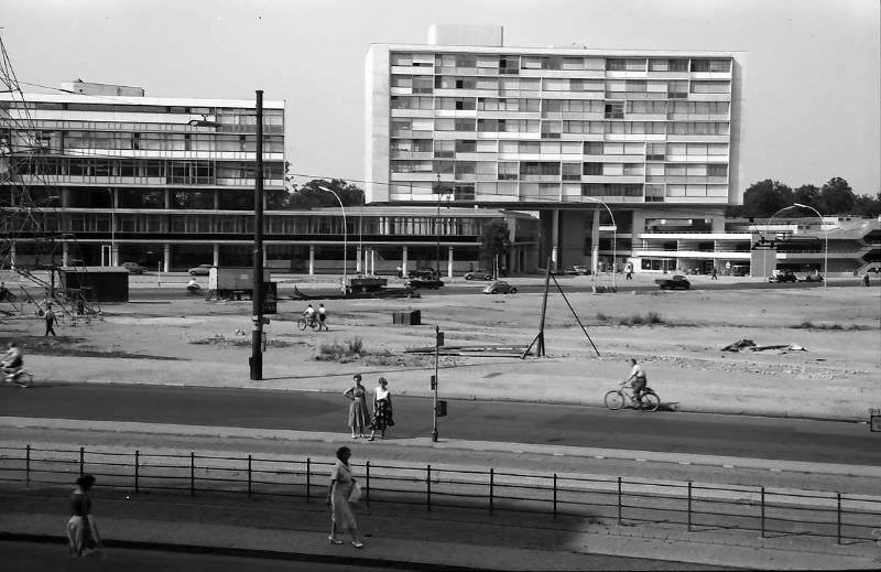
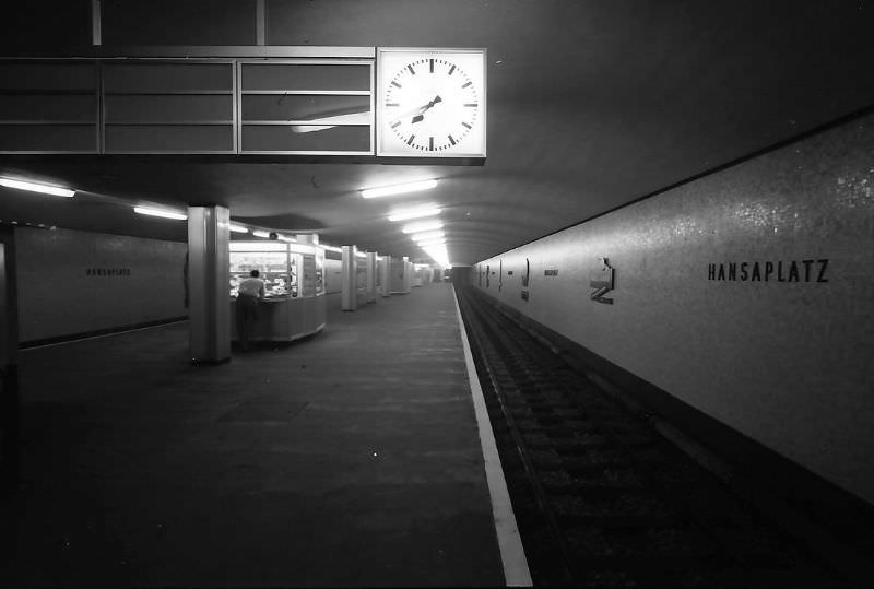
In 1957, West Berlin hosted the International Building Exhibition, known as Interbau. It was a direct statement of intent — a showcase of modernist architecture designed to demonstrate what a free, democratic city could build. Prominent architects including Alvar Aalto, Walter Gropius, and Oscar Niemeyer contributed designs for the Hansaviertel housing complex. The exhibition drew architects and visitors from across the Western world.
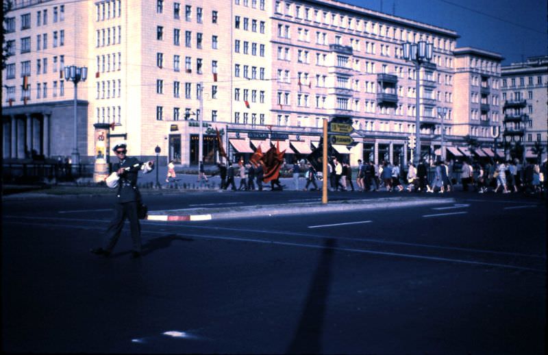
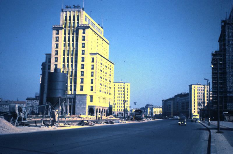
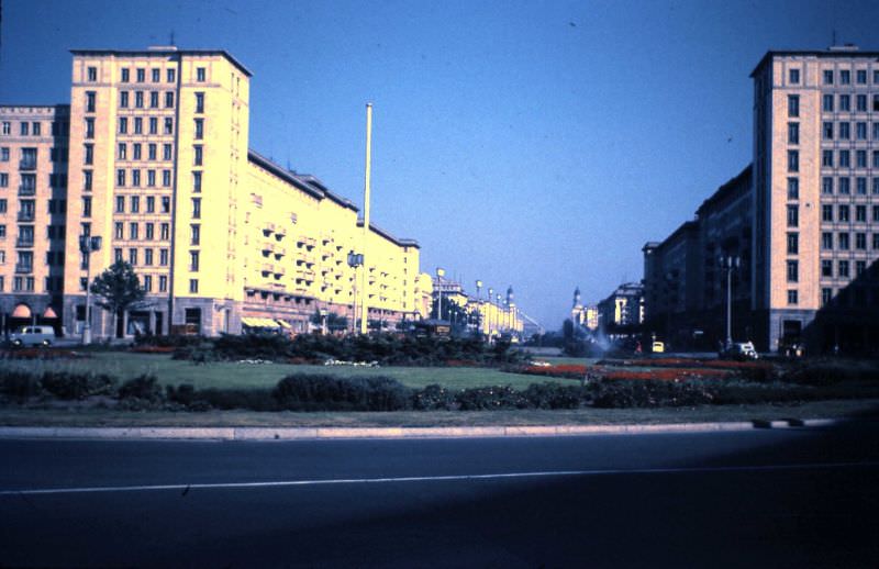
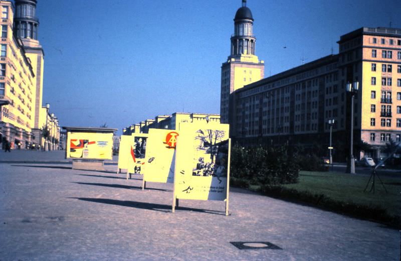
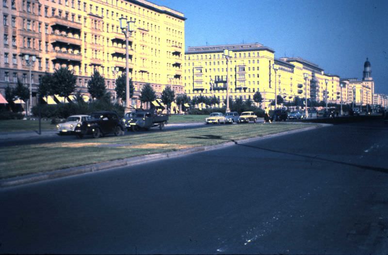
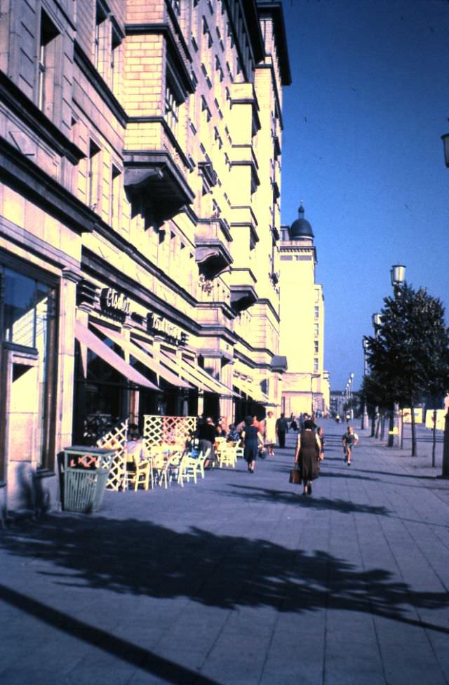
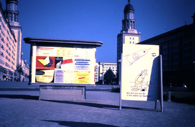
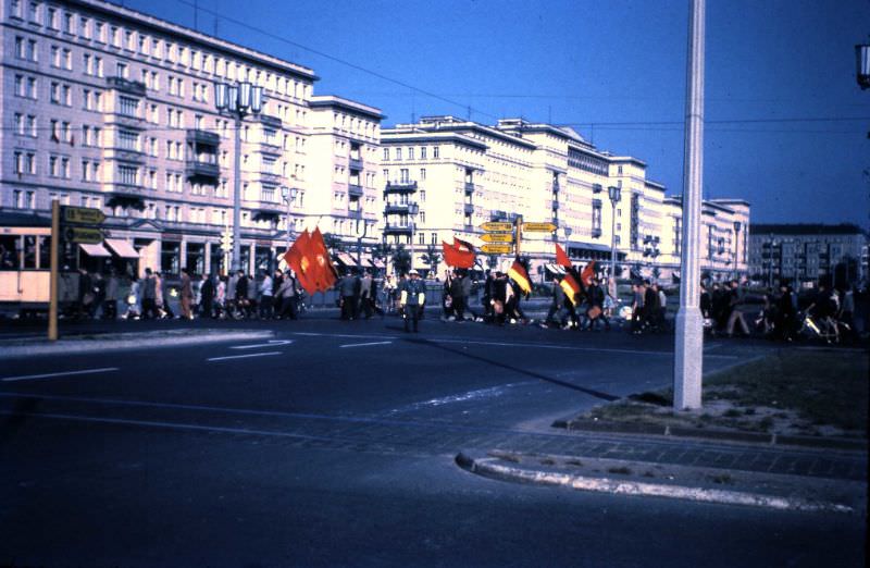
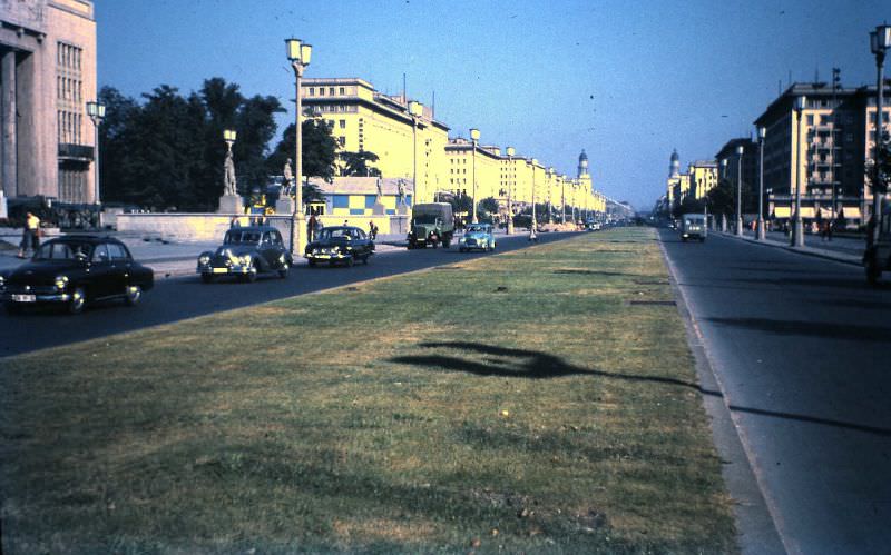
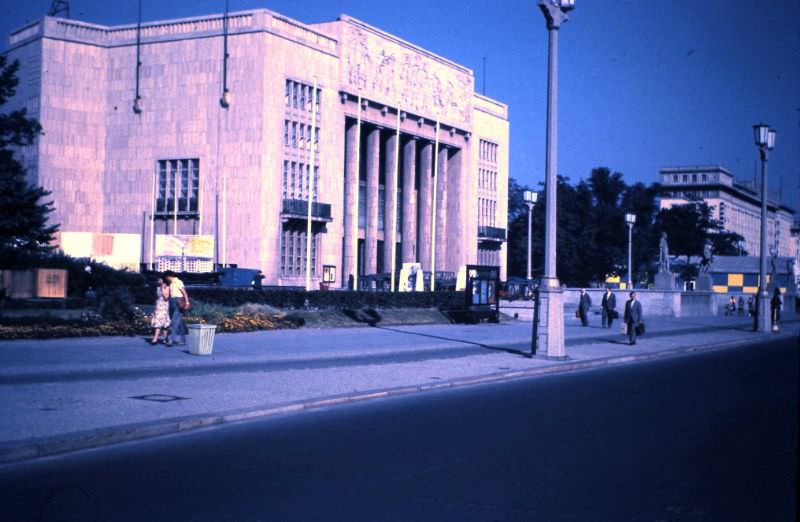
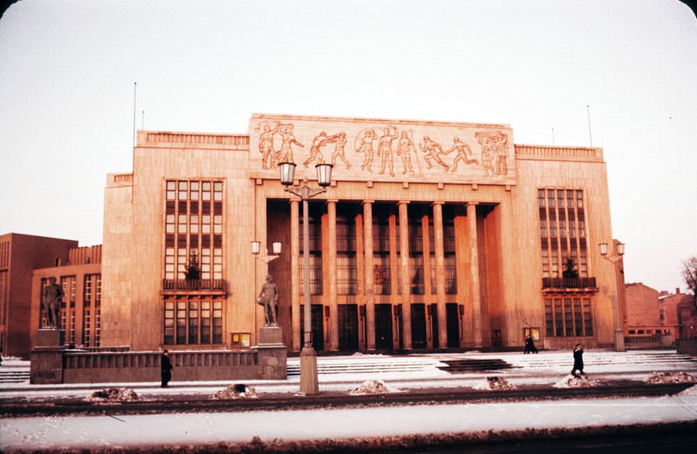
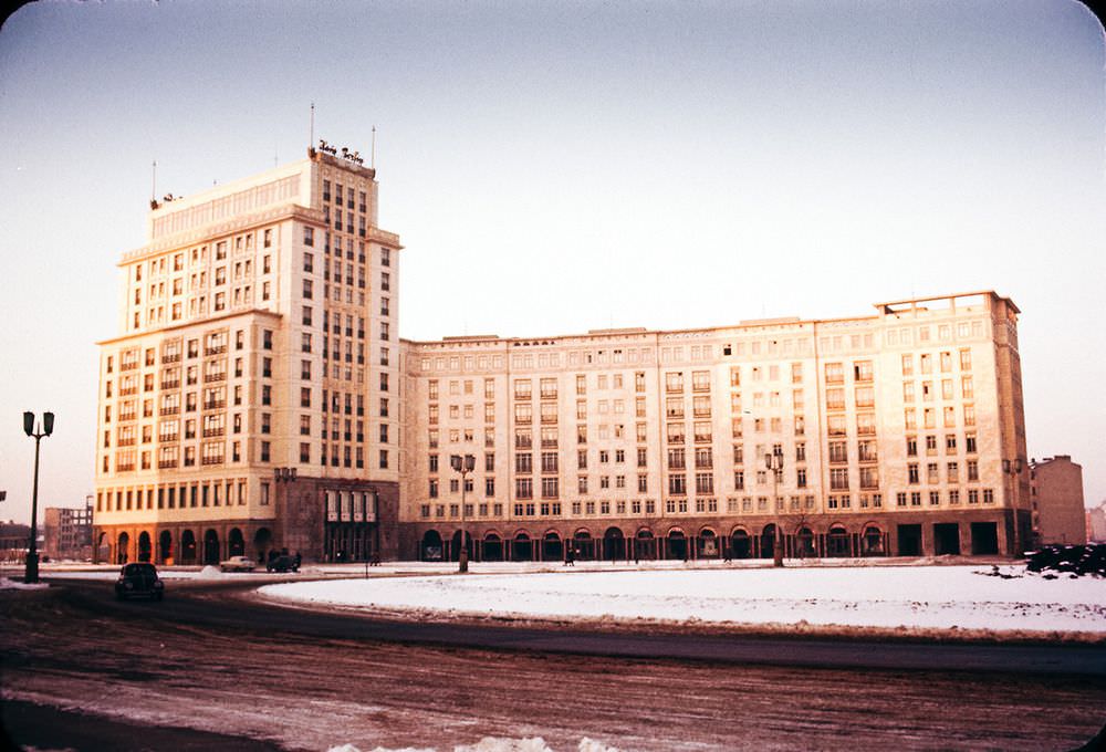
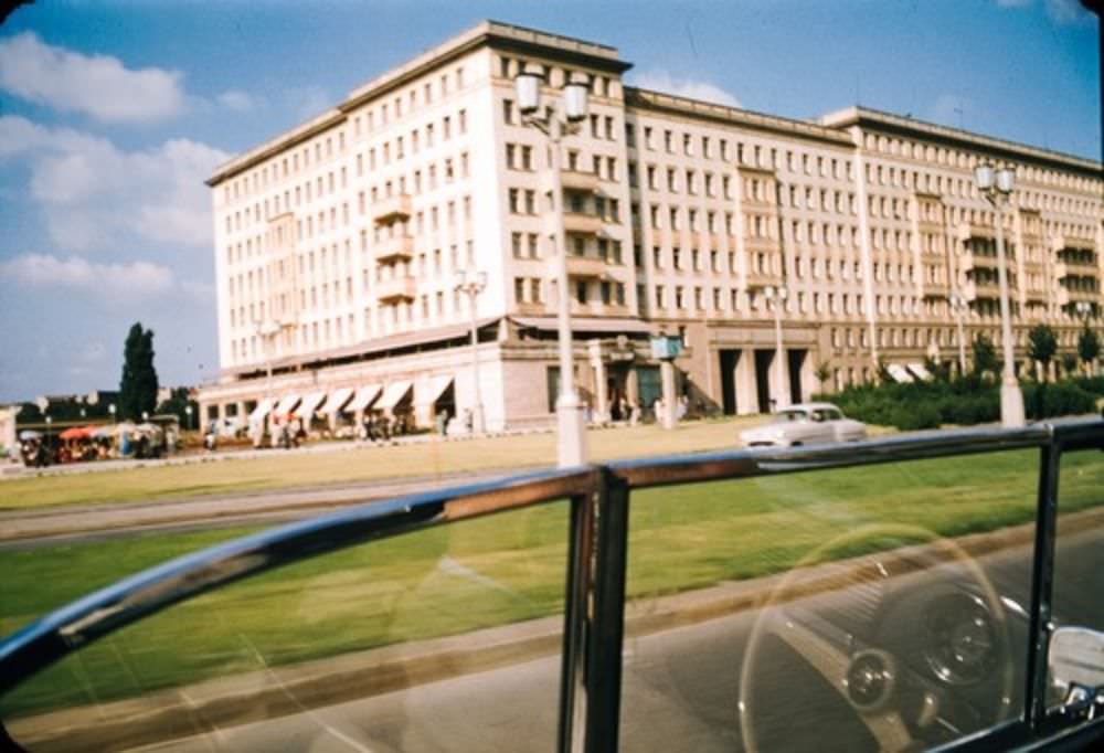
Across the sector boundary, East Berlin had its own large-scale building project: Stalinallee. This sweeping boulevard — later renamed Karl-Marx-Allee — was lined with massive neoclassical-style apartment blocks built in the Soviet style, known as Zuckerbäckerstil or ‘wedding cake’ architecture. The street was designed to project socialist power and permanence. The Deutsche Sporthalle, built for the 1951 World Festival of Youth and Students, stood along the boulevard before being demolished around 1971.
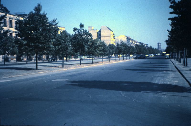
Unter den Linden, the grand boulevard that had been the spine of imperial Berlin, ran through the Soviet sector. By 1959, it remained one of East Berlin’s most important streets, connecting the Brandenburg Gate to Alexanderplatz. The Berliner Dom and the Rotes Rathaus were visible in the distance from its junctions, though both had suffered significant war damage.
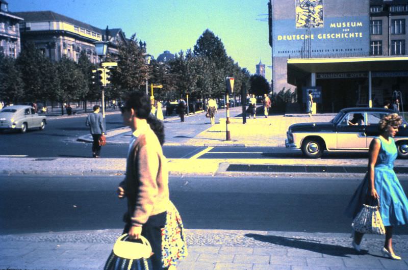
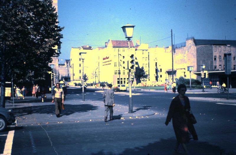
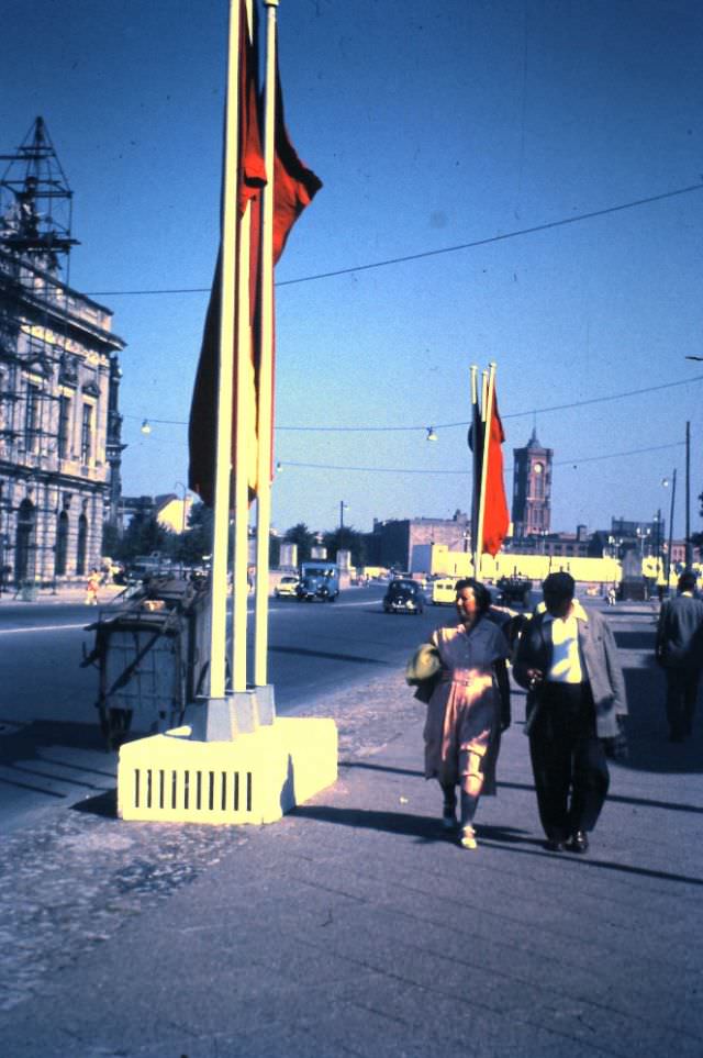
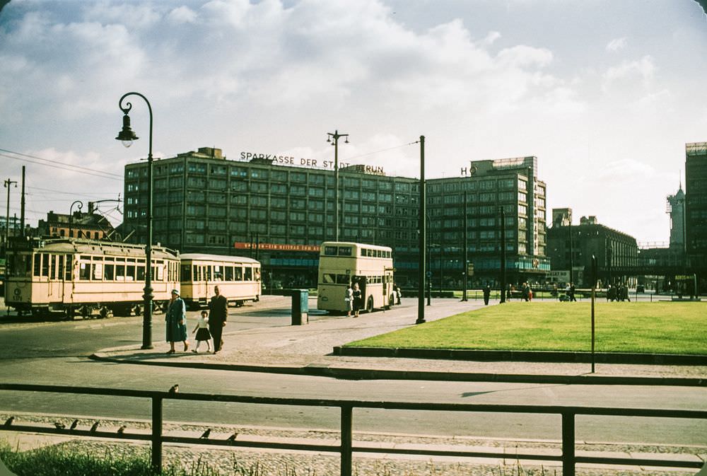
Alexanderplatz was the main public square in East Berlin. It had been heavily bombed during the war and reconstruction was still incomplete in 1959. The square’s vast open space felt different from West Berlin’s commercial bustle — broader, more austere, shaped by the state’s priorities rather than market forces.
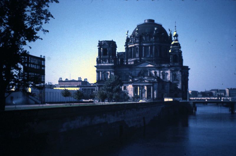
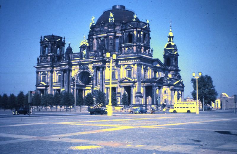
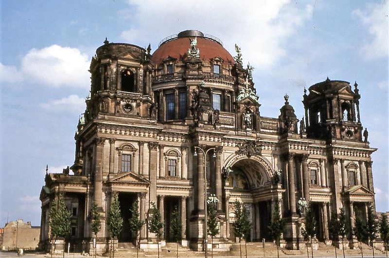
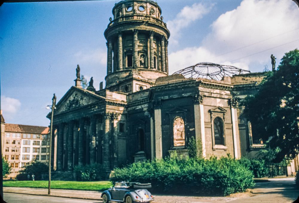
The Berliner Dom — Berlin Cathedral — stood on Museum Island in the Soviet sector. It had taken heavy bomb damage during the war, and its green copper dome was partially collapsed through the 1950s. Restoration work was slow under the GDR government, which was not inclined to prioritize a Protestant cathedral.
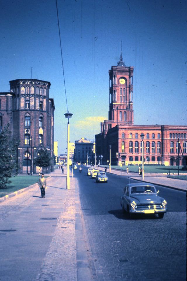
The Rathausstrasse connected Alexanderplatz to the Rotes Rathaus — the Red Town Hall — named for its red brick construction, not its political affiliation, though by the 1950s it served as the seat of East Berlin’s government. The street still showed signs of war damage and active reconstruction.
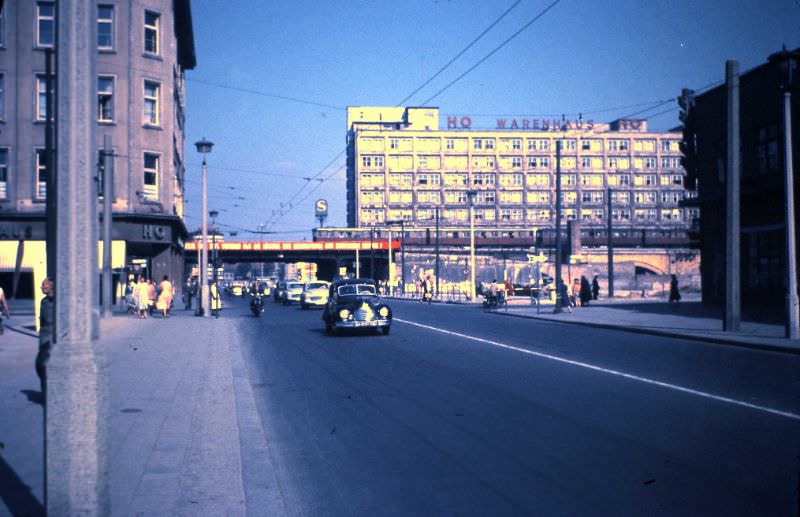
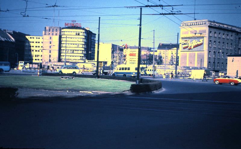
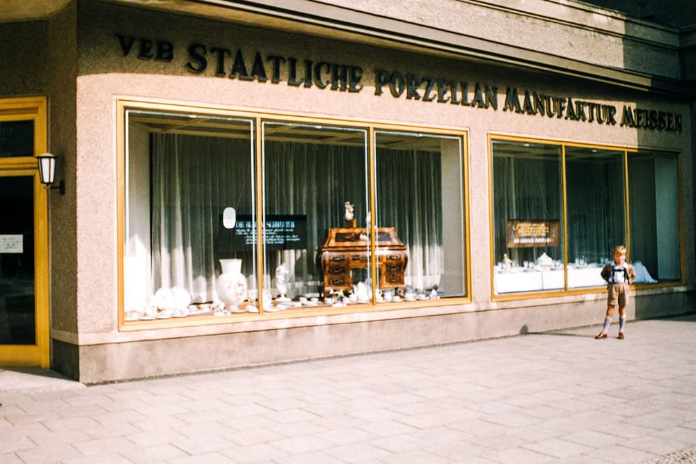
East Berlin’s state-run economy produced its own distinct commercial environment. Shops operated as VEB — Volkseigener Betrieb, or People’s Enterprise — rather than private businesses. Shelves were stocked differently, advertising was sparse, and the visual language of the street was controlled by the state rather than by competing brands.
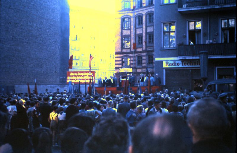
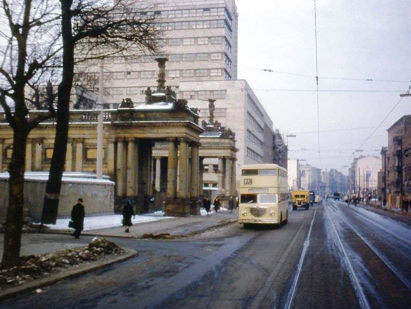
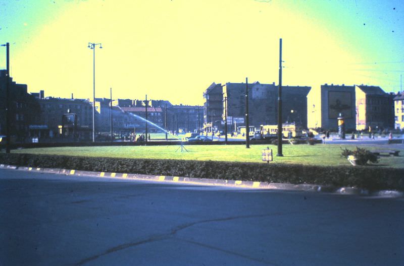
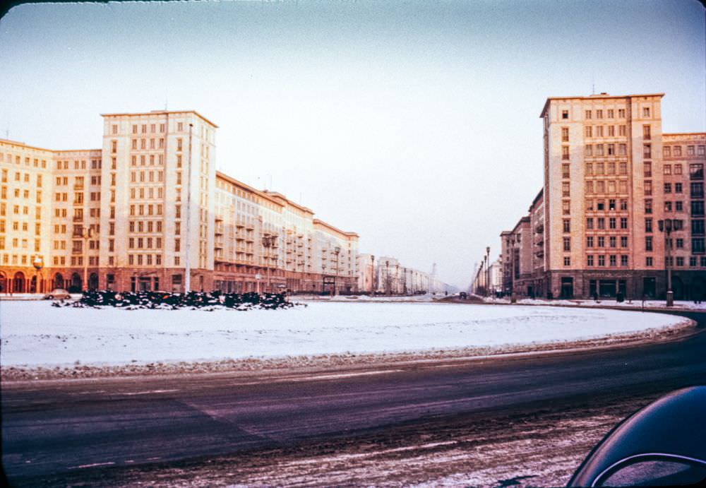
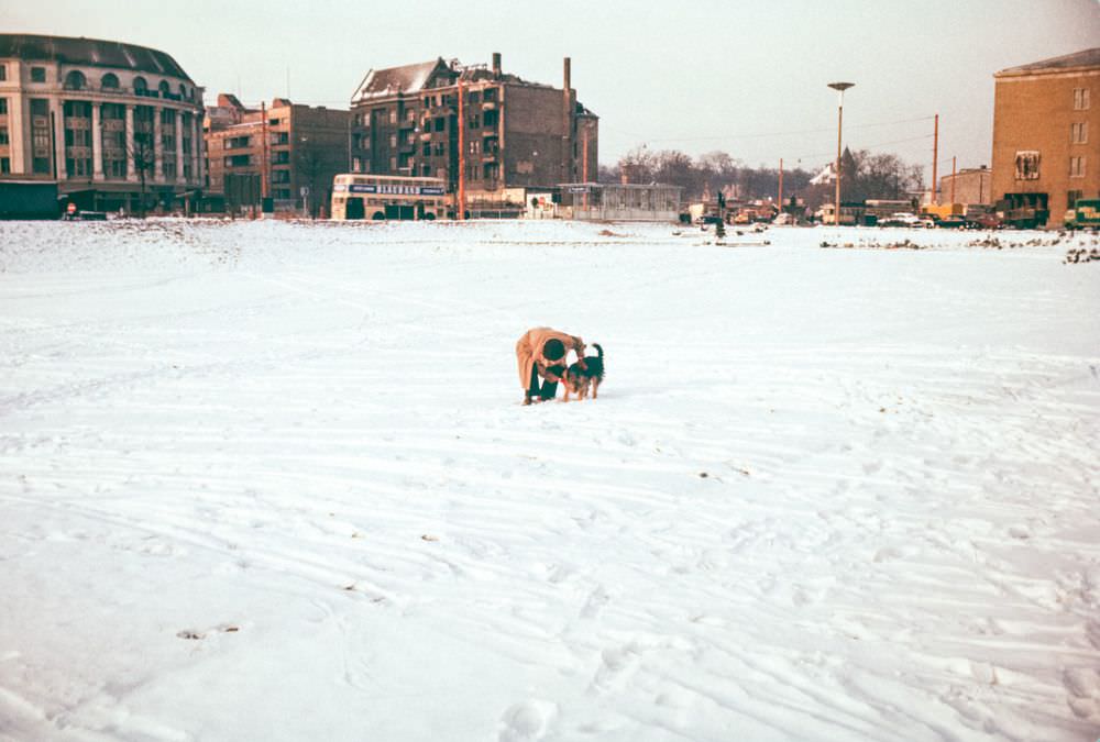
In the winter of 1956, Strausberger Platz in East Berlin showed both the scale of Soviet-style post-war construction and the near-empty streets that characterized the eastern sector. The brutalist buildings along these routes were massive and deliberate — built to project the permanence of the socialist state.
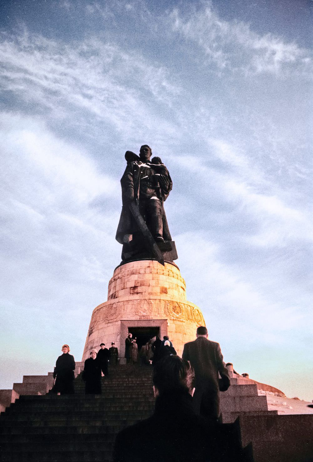
Treptower Park in East Berlin contained the Soviet War Memorial — a vast cemetery and monument complex built to honor the Soviet soldiers killed during the Battle of Berlin. Opened in 1949, it held the graves of roughly 7,000 Soviet troops. By the mid-1950s it was a well-maintained site central to state-organized commemorations.
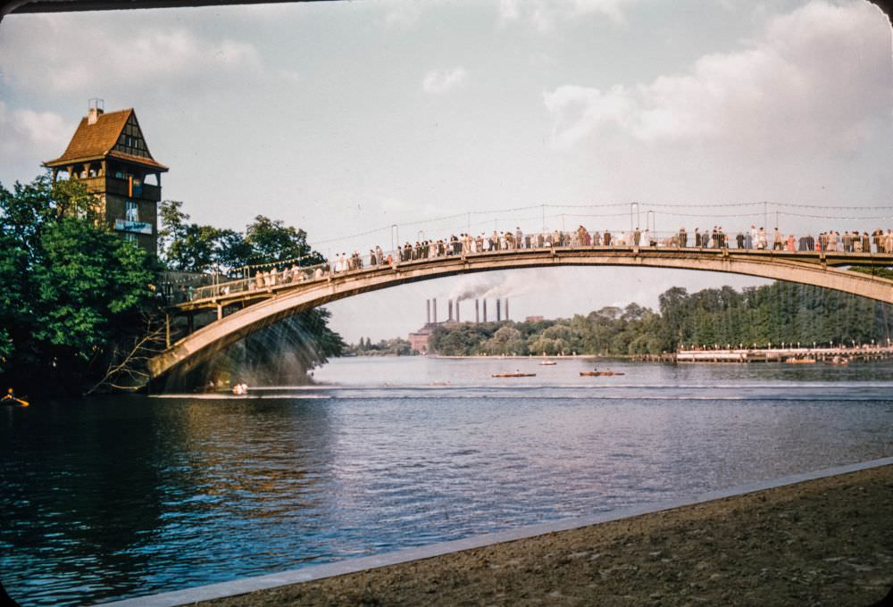
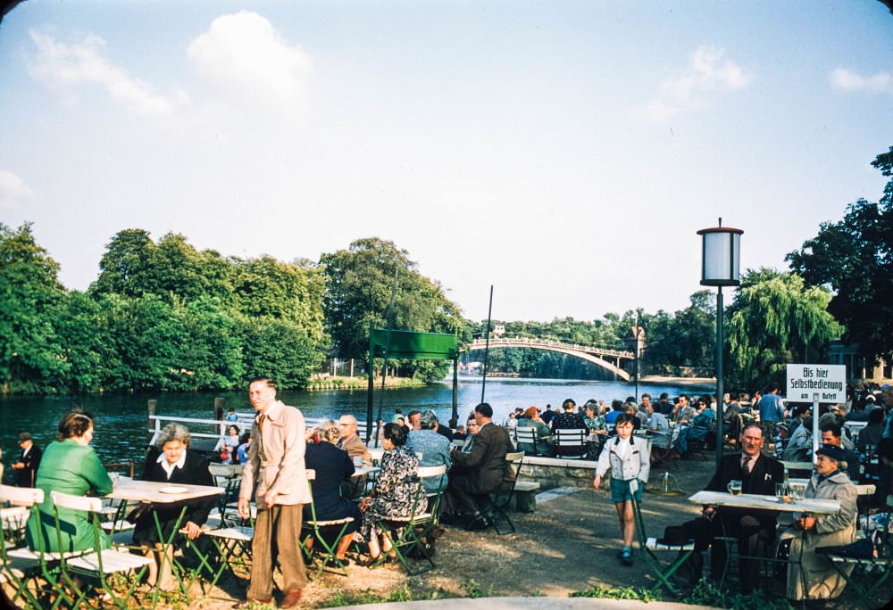
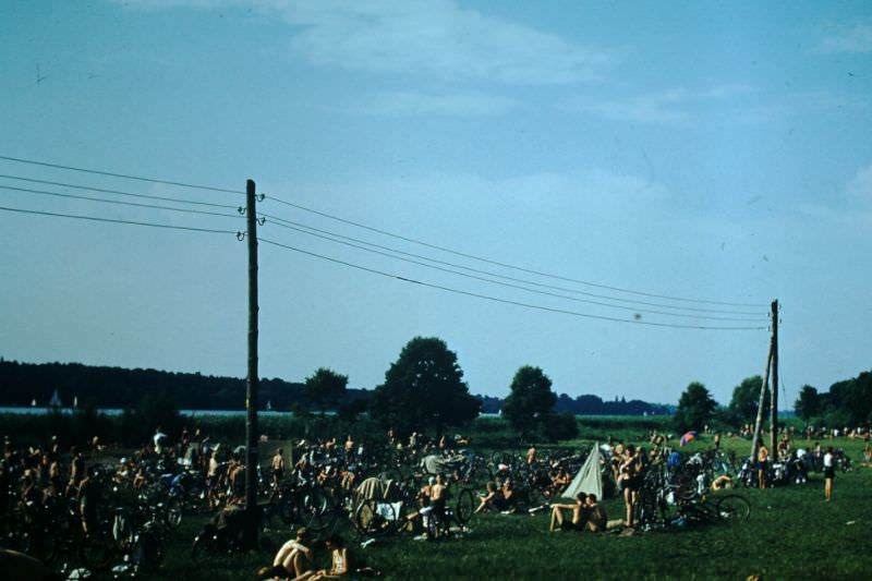
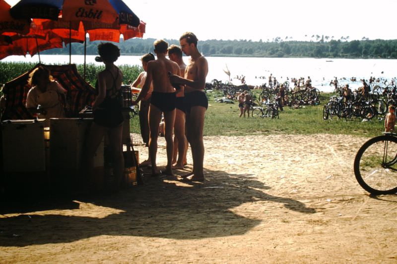
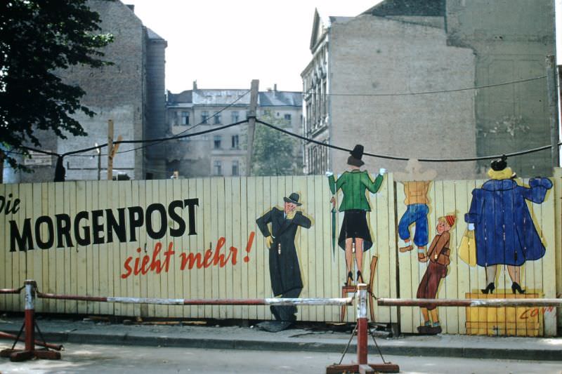
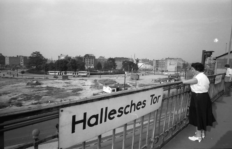
Despite the political weight pressing down on the city, Berliners made room for everyday life. Crowds filled the beaches at Wannsee in summer. People walked dogs across the vast stretches of urban wasteland that still dotted the cityscape. Construction sites sat next to functioning shops and restaurants, a constant backdrop of work in progress.
Areas near Potsdamerplatz showed the harshest evidence of what the war had done. Once one of the busiest intersections in Europe, Potsdamerplatz in the 1950s was a no-man’s-land of demolished apartment buildings and empty lots. The sector boundary cut right through it, leaving both sides with rubble and open ground.
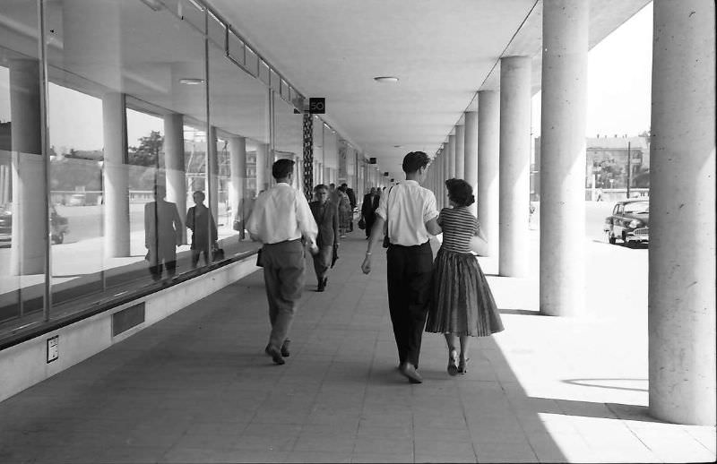
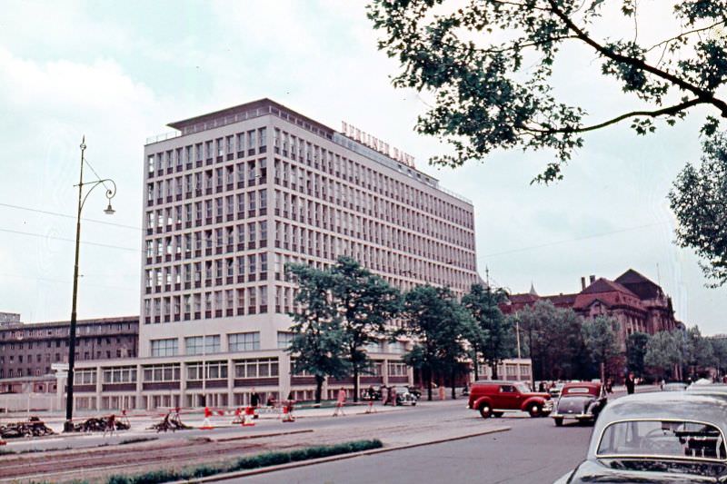
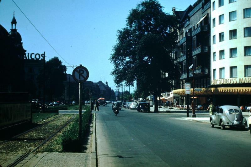
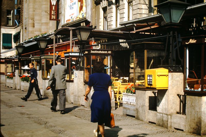
Back in West Berlin, the Kurfürstendamm district continued to fill in through the late 1950s. New office buildings like the DOB-Hochhaus on Joachimsthalerstrasse brought a modern commercial profile to streets that had been bombed flat. The Bikini-Haus, with its distinctive open colonnade, was one of the new architectural landmarks reshaping the western city center.
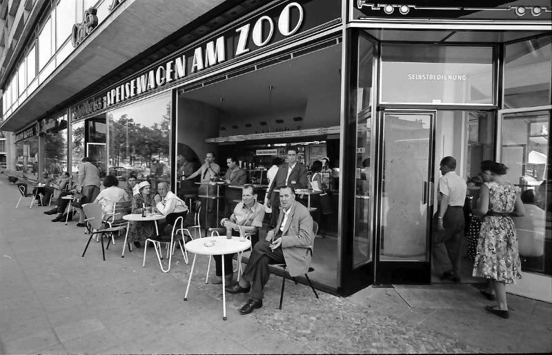
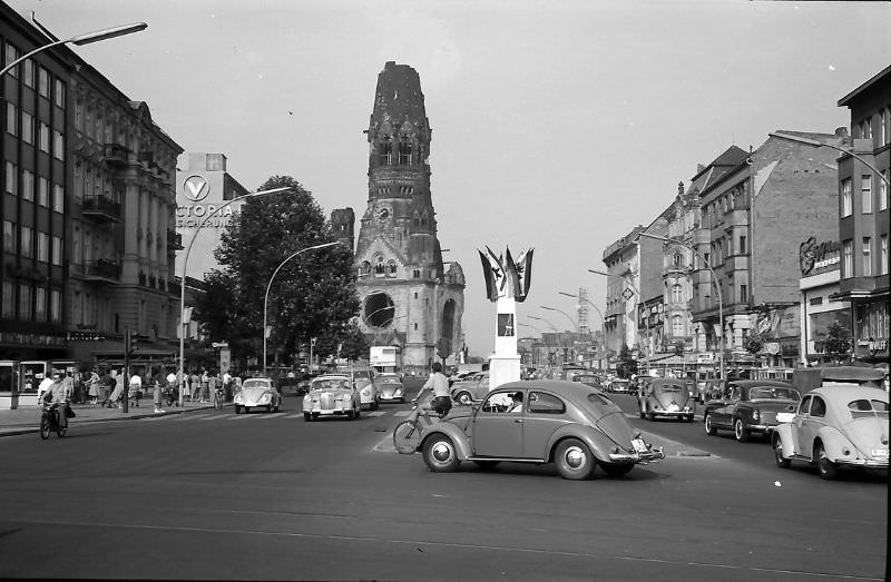
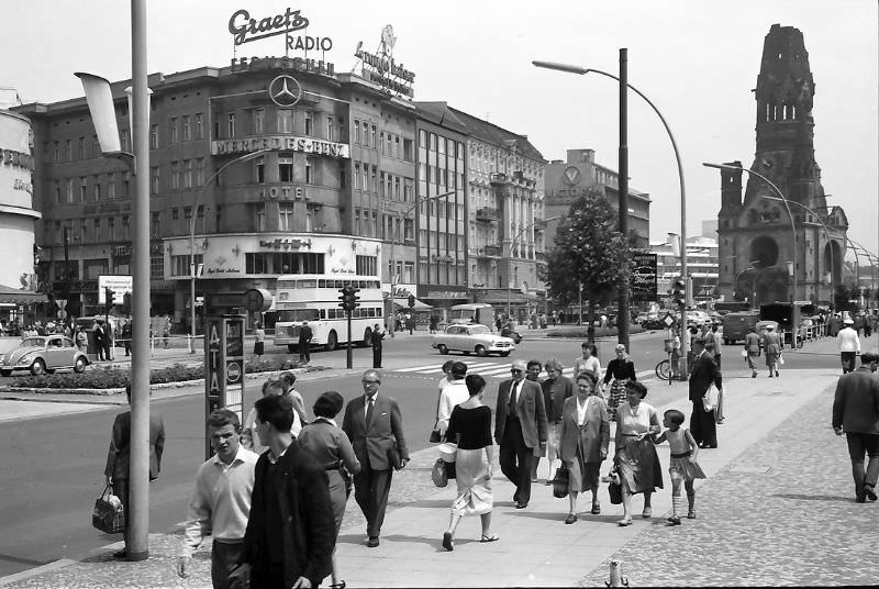
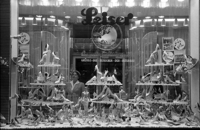
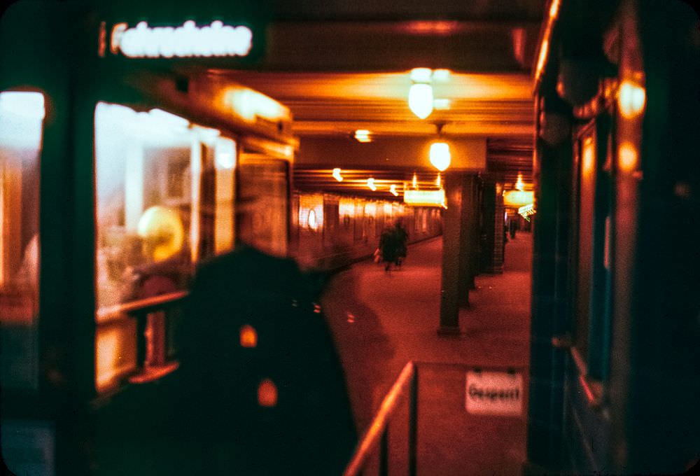
Tauentzienstrasse, running from Breitscheidplatz toward Wittenbergplatz, was another busy commercial corridor. Department stores, shoe shops, and fashion retailers occupied both new and rebuilt premises. The street fed directly into the Wittenbergplatz U-Bahnhof, one of West Berlin’s busiest underground stations.
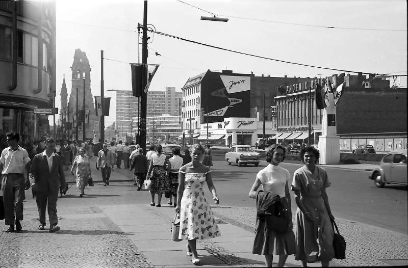
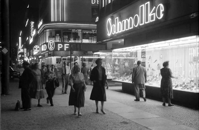
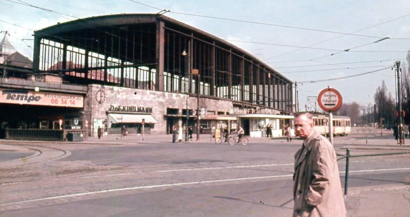
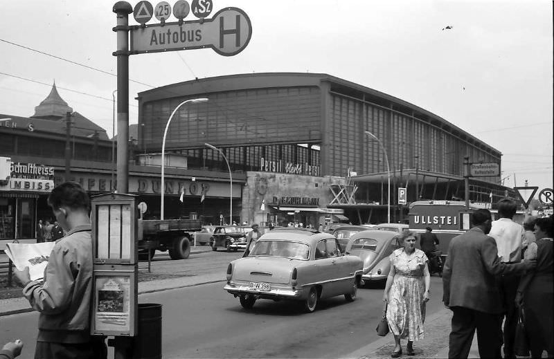
The Zoo Bahnhof — Berlin Zoologischer Garten station — was a key rail hub in West Berlin. Its windows had been bricked up or boarded after wartime damage, giving it the stripped-down look that defined so much of 1950s Berlin. The station sat at the center of the Ku’damm district and handled a large volume of daily passengers.
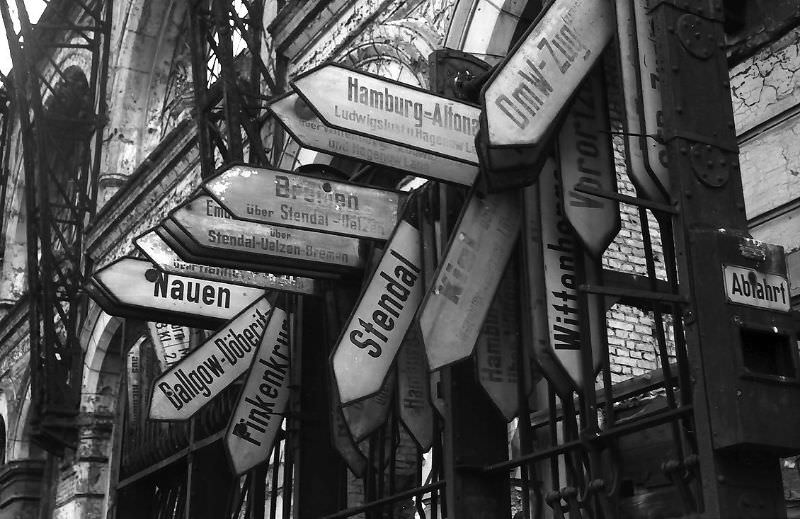
The Lehrter Bahnhof was one of Berlin’s historic rail terminals. By the 1950s it was operating in a diminished state, and it was eventually demolished to make way for modern redevelopment. Its wartime-damaged structure made it one of many major Berlin buildings whose fate remained uncertain through the decade.
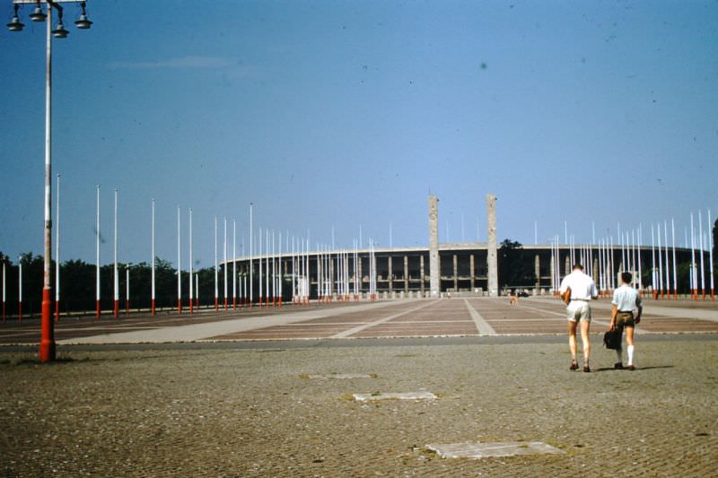
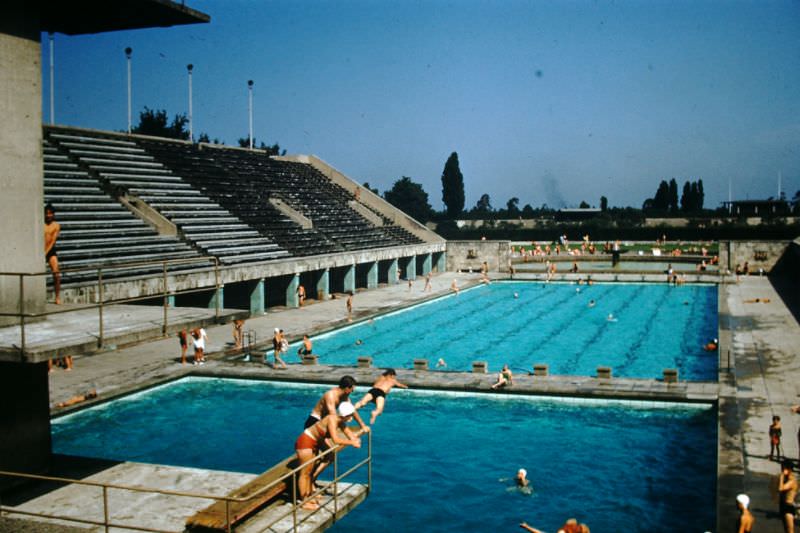
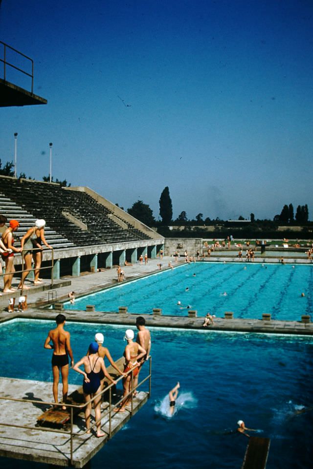
The Olympic Stadium — built for the 1936 Summer Olympics under the Nazi regime — remained standing and operational in the 1950s, under British occupation authority. Its swimming pool facilities were still in use, and the stadium itself hosted events throughout the decade.
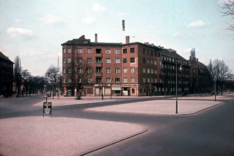
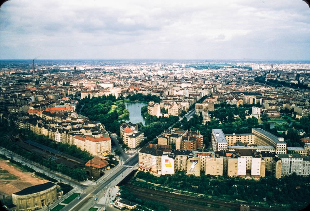
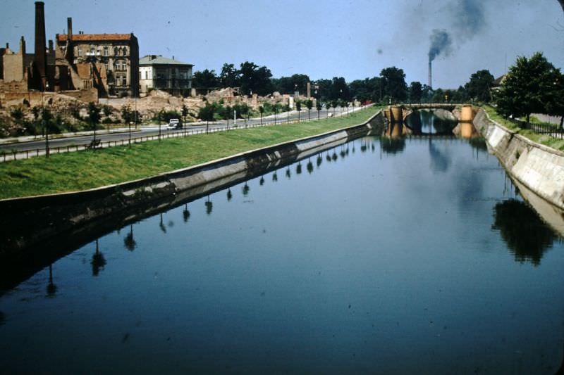
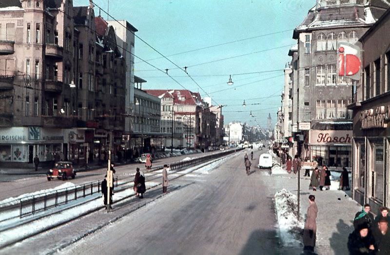
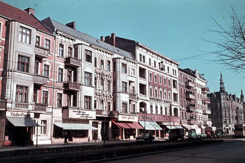
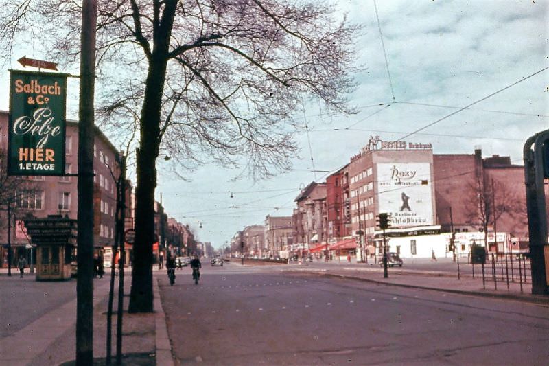
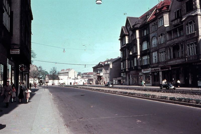
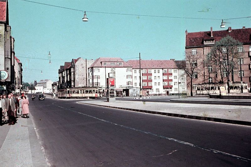
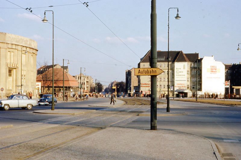
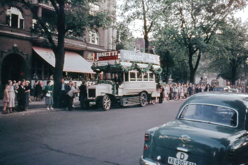
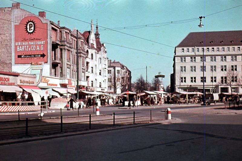
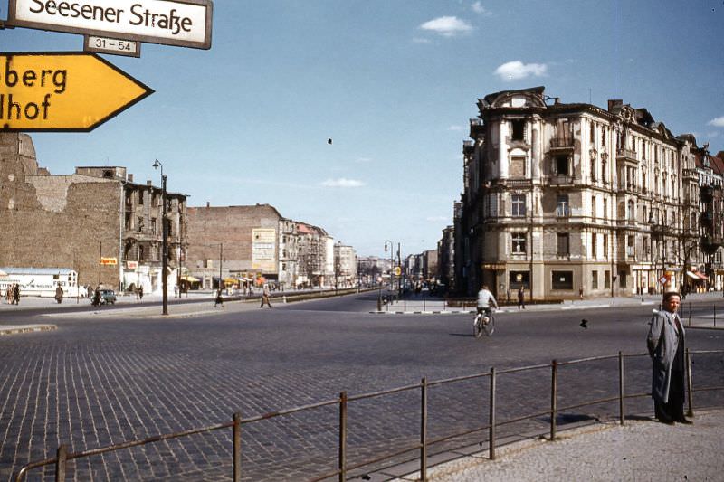
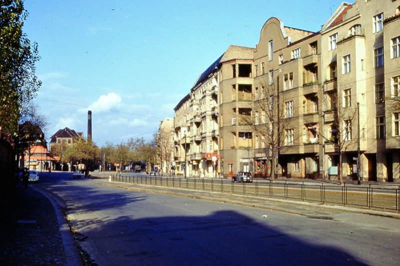
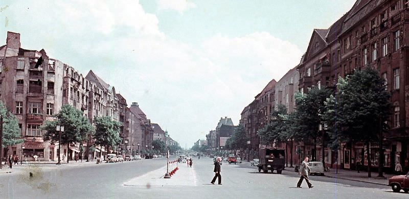
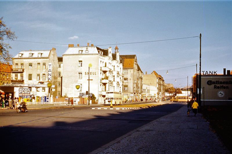
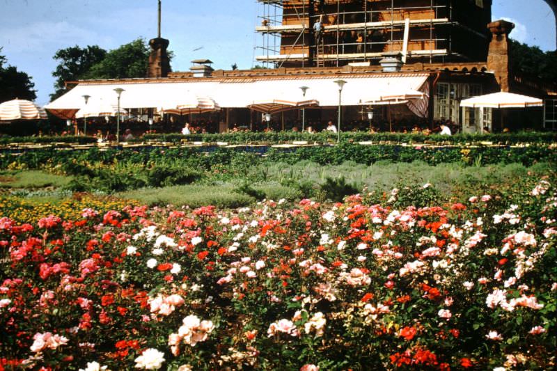
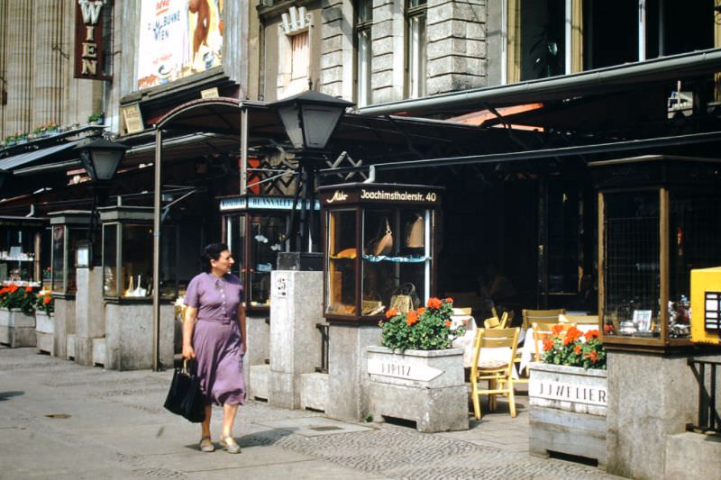
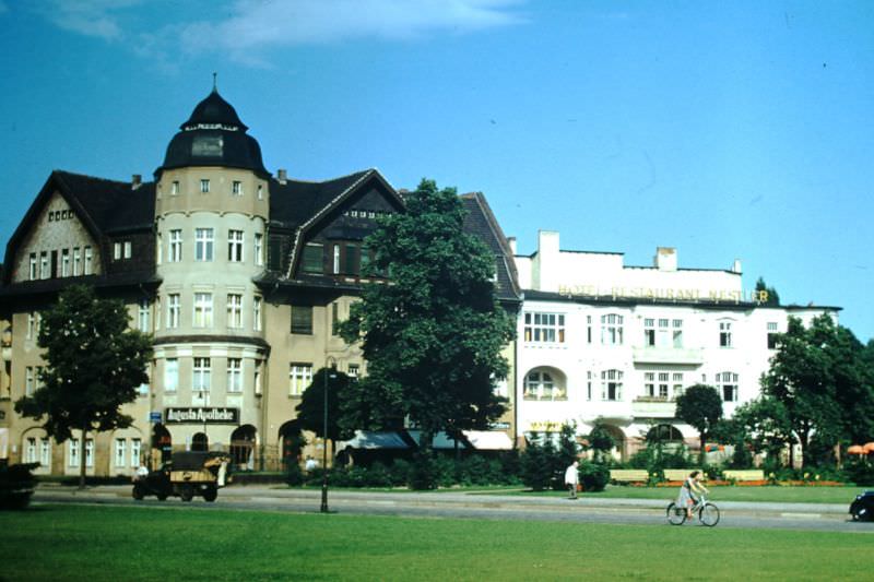
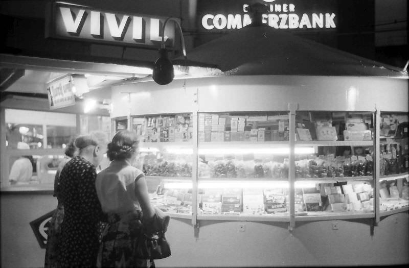
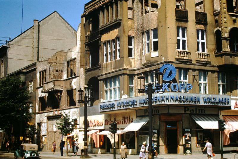
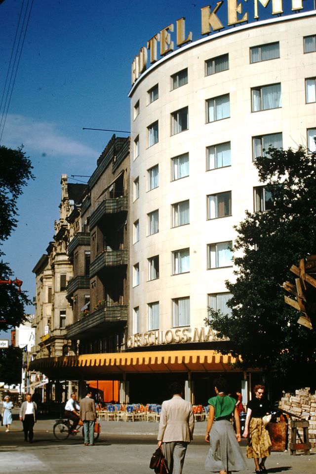
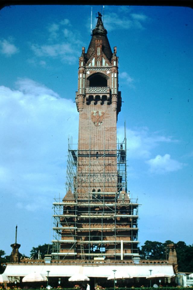
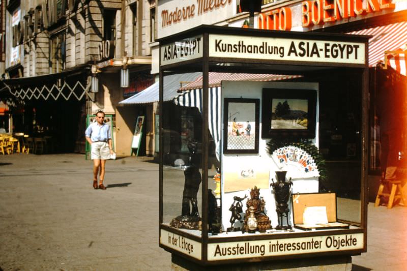
Away from the main landmarks, Berlin’s everyday street scenes told the fuller story of the decade. Restaurants, hotels, shops, and kiosks filled the spaces between the ruins and the new construction. Street corners showed a mix of pre-war architecture, bomb damage, and fresh rebuilding — all occupying the same block.





thanks ! these are great.
Such a massive collection of old Berliner pictures, thanks for sharing
It always amazes me when I think about how recent the end of WW2 was when these pictures were taken and yet how different life in Berlin was in the 50s compared to the 40s.
Very cool. But regarding #7, the Arbeiterpaläste on Stalinallee / Karl-Marx-Allee are very much not brutalist.
Very nice
It’s kind of surprising how empty it looks and how few cars there are
Very provincial in many Corners.
You have to understand the historical context. It’s not just that Berlin had a smaller population then. The city was filled with people who were mentally and physically demoralized after war, destruction, displacement, starvation, and mass death. Entire neighborhoods had been reduced to rubble, families were missing fathers, sons, daughters, and homes, and many people were simply trying to survive day to day.
What looks “cool” or peaceful in old photographs was often the visual aftermath of trauma and collapse. Empty streets weren’t some aesthetic urban ideal, they were partly the result of a devastated society, destroyed infrastructure, poverty, and a population carrying enormous psychological weight after WWII.
Interesting. Just 10 years after the war.
Wonderful! Danke
omg the architecture is so different, i love seeing these old pics tbh