
Bellevue, Washington entered the 1960s as a fast-growing suburb and ended the decade as something far more significant. The city’s population more than quadrupled over the course of those ten years, pushing Bellevue into the rank of the fourth largest city in Washington State. What drove that growth was a combination of smart planning, major infrastructure investment, and a steady wave of residents and businesses moving east across Lake Washington. The postcards and street-level photos from this era capture a city in full motion — not yet a metropolis, but clearly on its way.
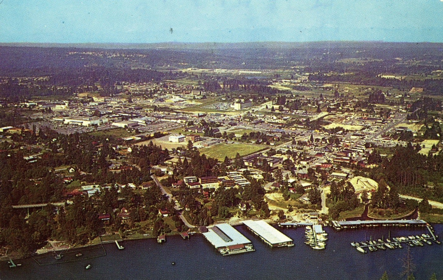
One of the single biggest changes to the region came in 1963, when a second floating bridge connected Evergreen Point to Seattle. The original Lacey V. Murrow Bridge, which opened in 1940, had already made Bellevue accessible, but the new Evergreen Point Floating Bridge dramatically shortened commute times and opened the floodgates for residential and commercial development on the east side. Soon after, Interstate 405 cut through Bellevue on a north-south axis, allowing drivers to move through the region without passing through Seattle at all. These two infrastructure projects together redefined what Bellevue could be.
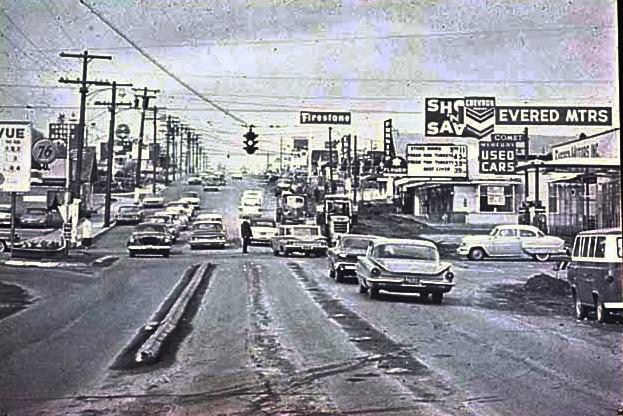
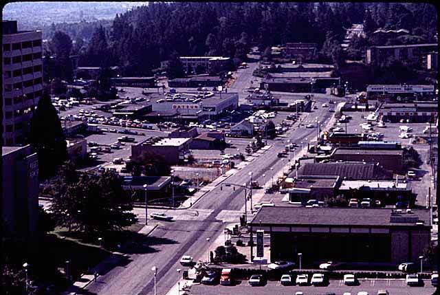
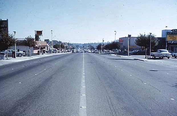
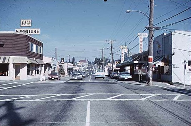
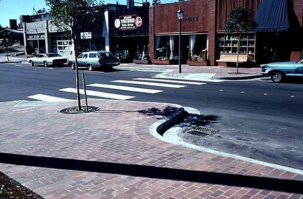
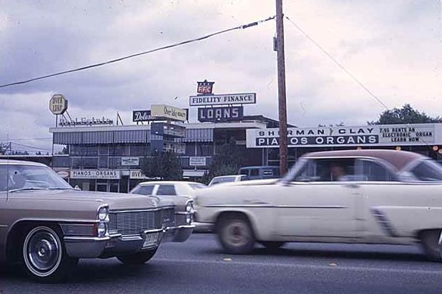
The street grid of downtown Bellevue began filling in quickly during the mid-1960s. Main Street and Bellevue Way formed the commercial backbone of the city, lined with storefronts, service businesses, and the kind of everyday retail that a growing population demanded. From the air, the scale of the transformation was even more apparent. Roads that had passed through open land just years earlier were now flanked by buildings, parking lots, and the unmistakable pattern of planned urban development.
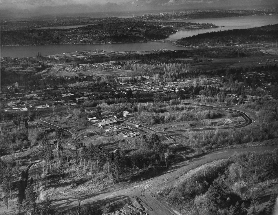
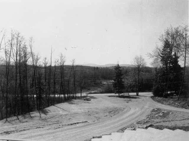
New residential communities were being carved out of the hillsides and woodlands surrounding downtown. Somerset Hill was still under active development in 1967, with graded lots and rough roads marking where neighborhoods would soon take shape. The Crossroads community and Lake Hills were both annexed into Bellevue during this period, expanding the city’s boundaries and adding thousands of new residents. Developers laid out subdivisions with careful planning, placing schools, parks, and shopping centers within walking distance of homes.
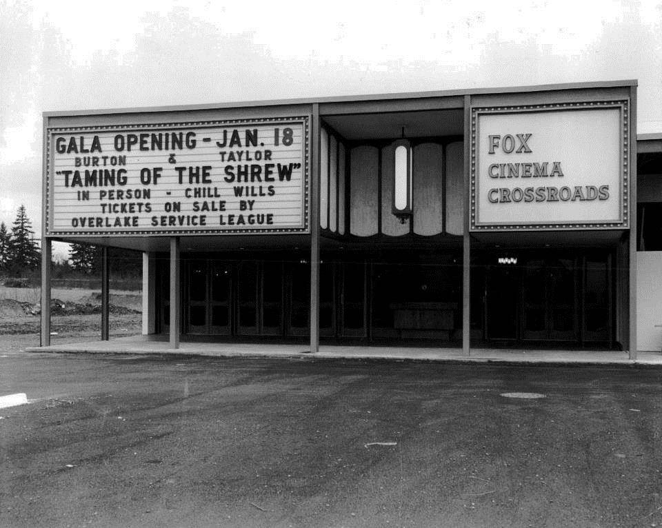
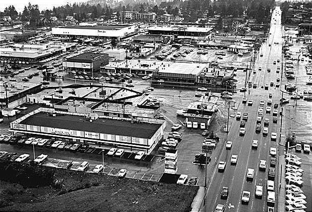
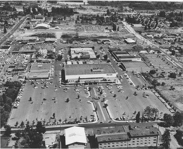
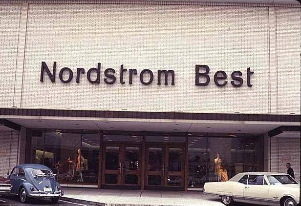
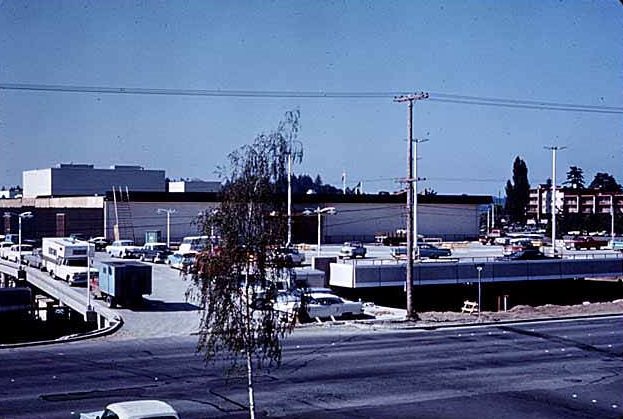
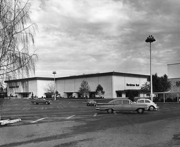
Retail was central to Bellevue’s identity throughout the decade. Bellevue Square, the open-air shopping center that had anchored downtown since the late 1940s, continued to grow and evolve. By 1960, aerial views showed a sprawling complex facing east, surrounded by surface parking. Nordstrom — then operating under the name Nordstrom Best — opened a location at Bellevue Square, giving the center a major retail anchor that drew shoppers from across the region. By 1969, the shopping center was undergoing further construction to keep pace with the city’s expanding consumer base.
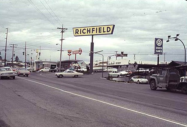
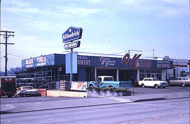
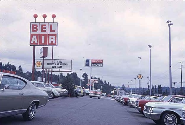
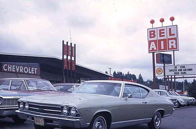
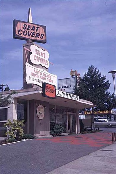
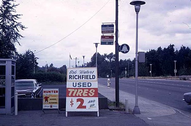
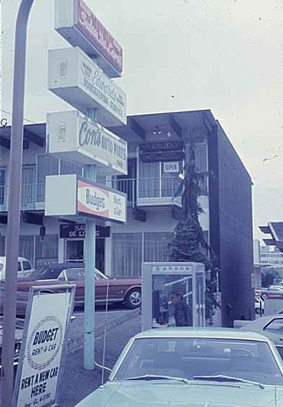
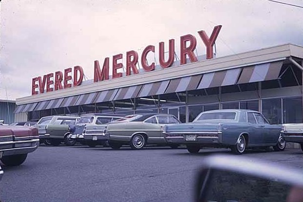
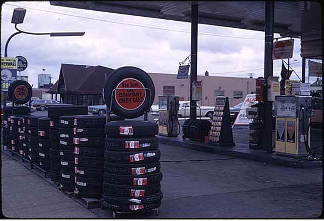
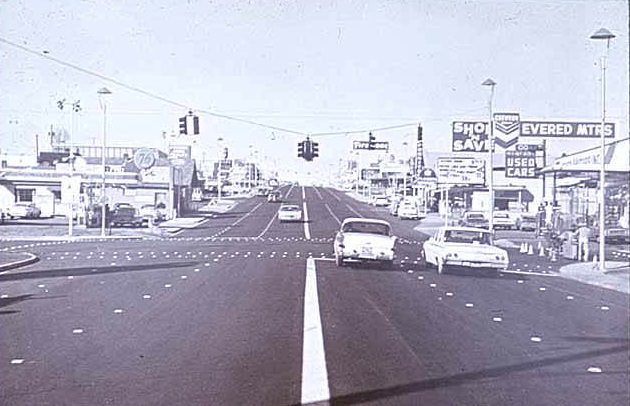
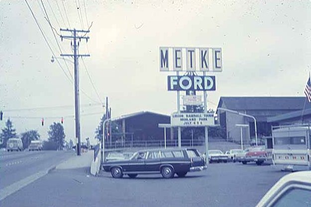
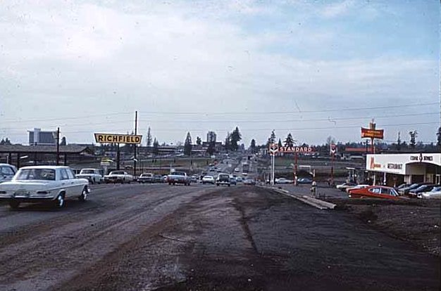
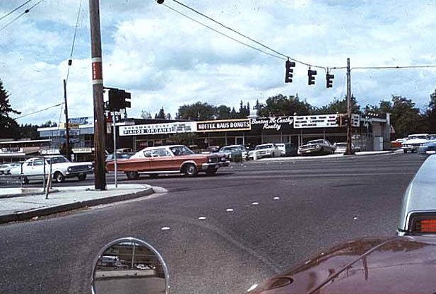
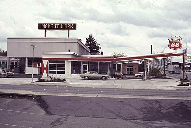
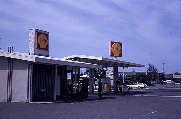
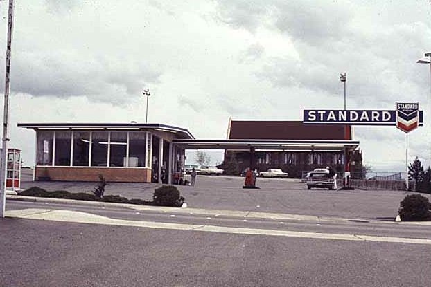
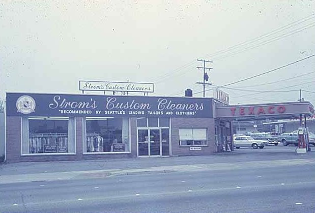
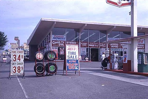
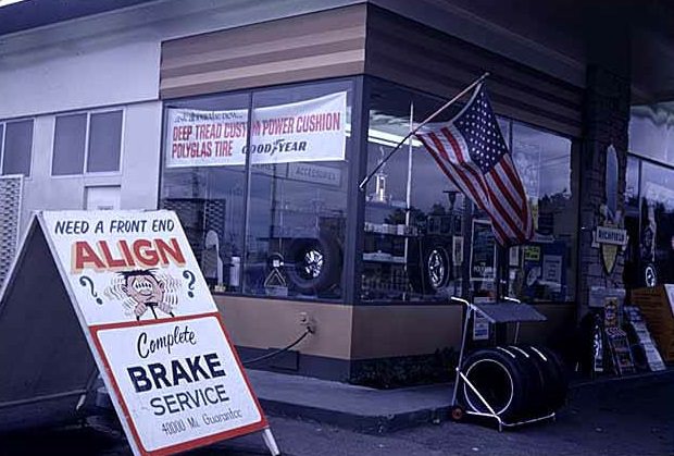
Beyond Bellevue Square, the city’s street corners filled with the kind of businesses that defined mid-century American commercial life. Gas stations representing every major brand — Phillips 66, Shell, Texaco, Standard, and Richfield — competed for drivers along the main arterials. Auto dealerships like Bel Air Chevrolet, Evered Mercury, Hansen Buick, and Metke Ford lined Bellevue’s commercial strips. The Evered family ran their Mercury dealership from 1957 all the way until 2001, a rare constant in a city that changed almost constantly around it.
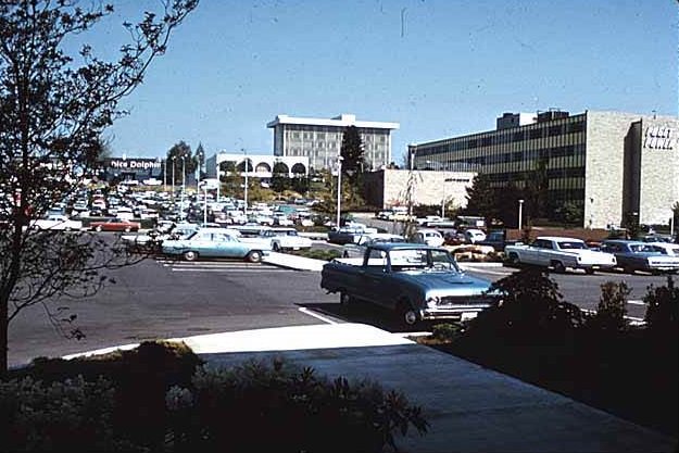
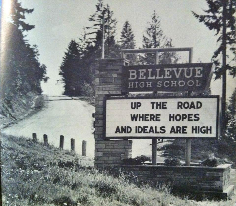
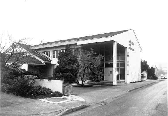
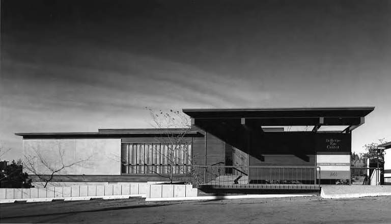
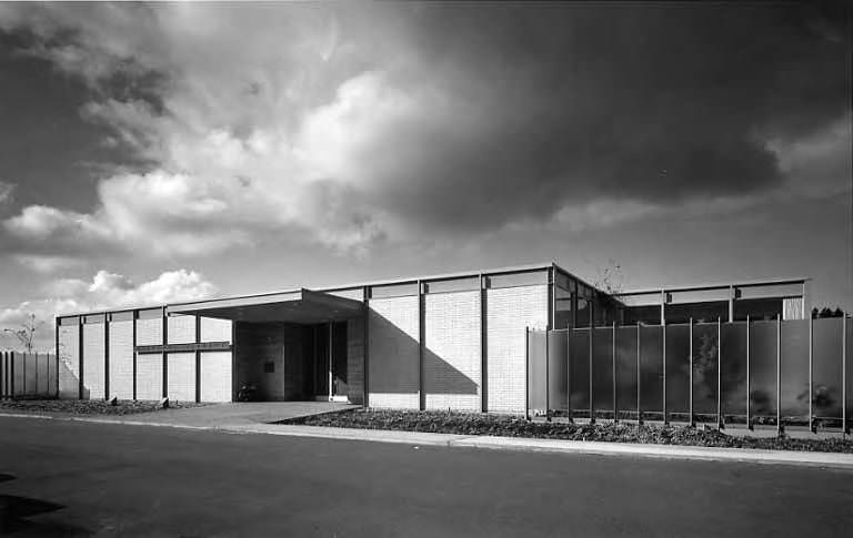
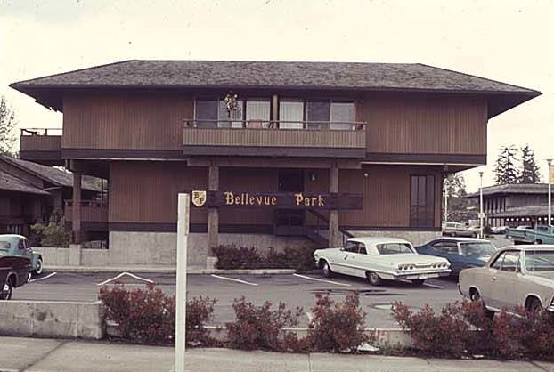
Civic and institutional buildings also went up throughout the decade. The Bellevue Library opened at 11501 Main Street in 1967. The Bellevue Medical-Dental Center at 1100 112th Avenue NE was photographed in 1964, representing the kind of professional services infrastructure that a city of Bellevue’s growing size required. The Bellevue Eye Center at 1051 116th Avenue NE, photographed in 1968, later became part of Overlake Medical Center. The Puget Power building, which had opened in 1956, remained a prominent fixture in the downtown core and appeared in multiple street-level views taken in 1969.
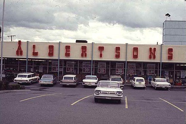
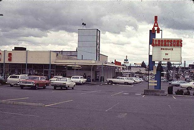
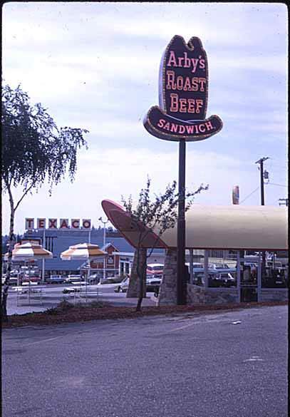
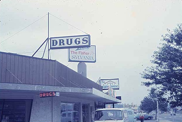
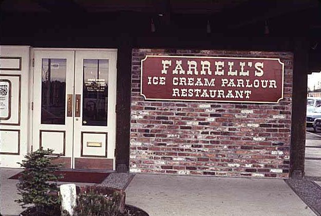
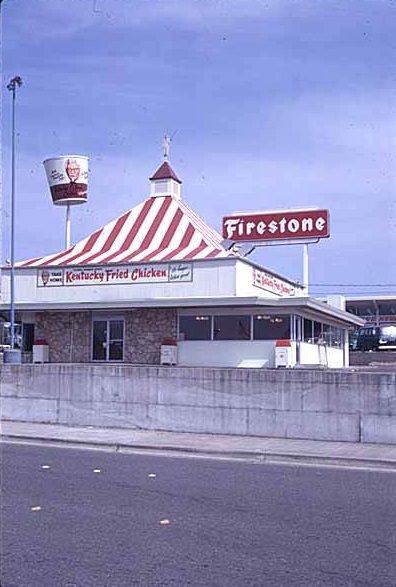
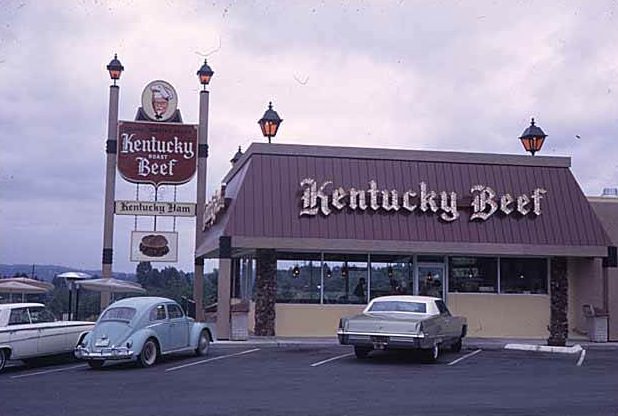
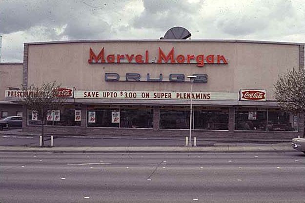
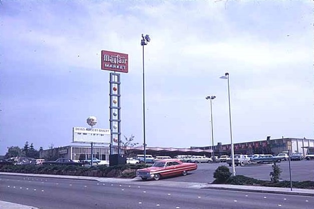
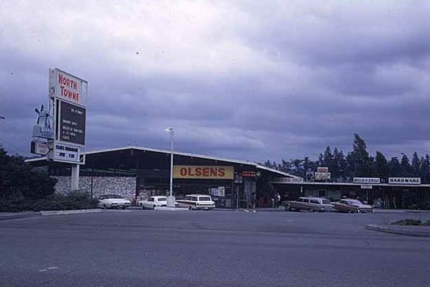
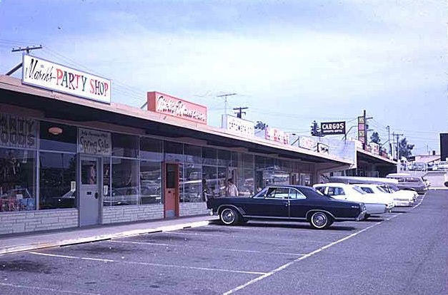
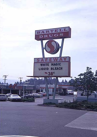
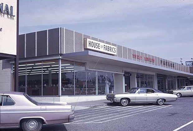
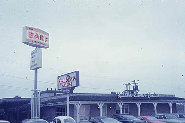
Grocery stores, restaurants, and service shops multiplied alongside the residential population. Albertson’s operated on NE 8th Street. Mayfair Market, Safeway, and Bartell Drugs all had visible presences in the city. Marvel Morgan Drugs, a Rexall franchise located at 857 Bellevue Way NE inside the Homemakers Center, was a popular shopping destination throughout the 1960s, known for its prominent signage and loyal customer base. Fast food was also becoming a fixture — Kentucky Fried Chicken and Arby’s both had locations on Bellevue Way, and Farrell’s Ice Cream Parlour Restaurant gave families a destination dining option.
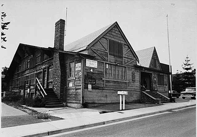
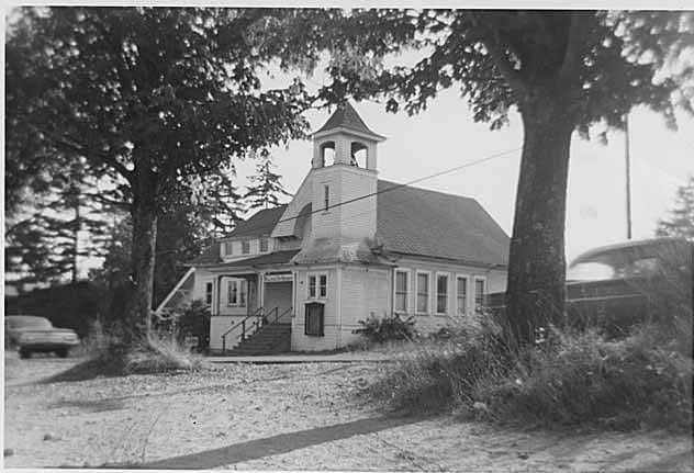
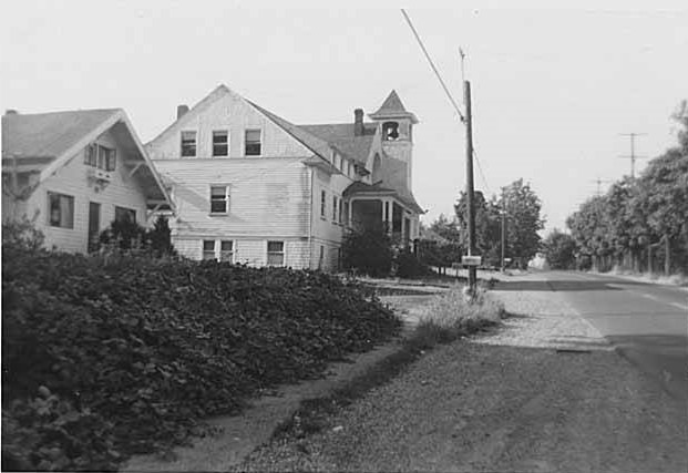
Not all of Bellevue’s buildings survived the decade unchanged. The former Green’s Funeral Home was photographed in 1964 under the title of Bellevue Art Museum, reflecting how the city was repurposing older structures as cultural needs grew. The First Baptist Church on 100th Avenue NE, which had served as a place of worship since 1900, stopped functioning as a church in 1960 and was later converted into a teen center. The Old Highland School was documented in 1960, and the Hansen Buick Building — originally built in 1948 — was torn down in May 1966 to make way for the construction of NE 10th Street between 104th and 106th Avenue NE.
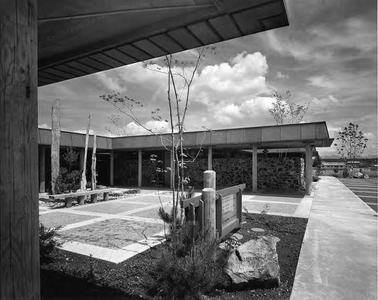
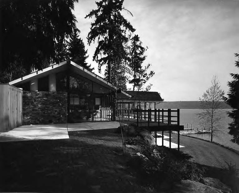
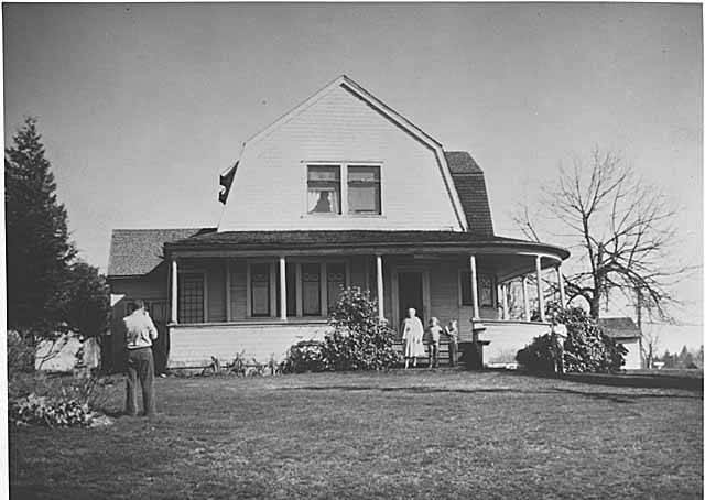
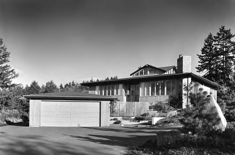
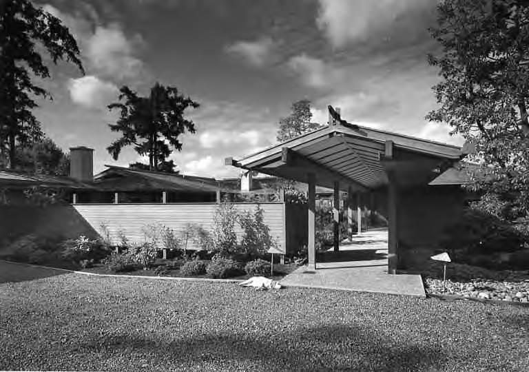
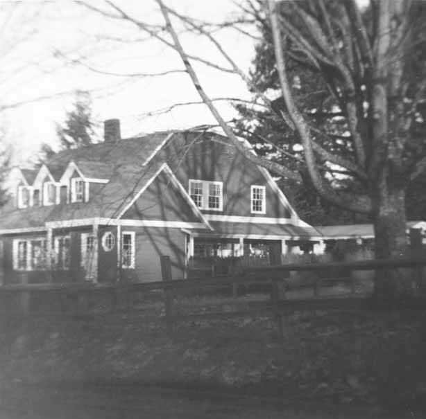
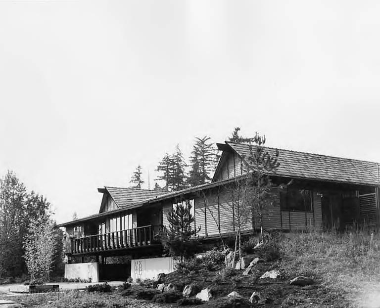
Residential life in 1960s Bellevue ranged from modest homes to architect-designed properties along the lakefront. The Clawson residence at 148 W Lake Sammamish Boulevard and the Billington home at 2620 90th Avenue NE were both photographed in 1960. The M.L. Davies residence on Hunts Point Road represented the more affluent end of Bellevue’s housing stock, set against the water in one of the city’s most desirable locations. Meanwhile, multi-family housing was also taking shape. The Polynesia apartment complex at 1186 102nd Avenue NE received an honorable mention from the American Institute of Architects in June 1966 for its first completed unit, designed by John Anderson and Associates.
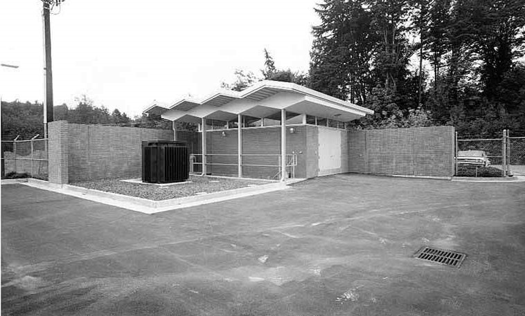
Infrastructure supporting the city’s growth extended underground as well. The Bellevue Pumping Station, photographed in July 1965 as part of the Metro Sewage Disposal Project, represented the unglamorous but essential systems being built to handle a population that had ballooned far beyond original projections. Water District 97 maintained its headquarters at 16049 NE 8th Street. The H.D. Fowler Company at 13440 SE 30th Street — the oldest and largest independent, family-owned distributor of waterworks, irrigation, pumps, and wastewater treatment equipment in the Pacific Northwest — was documented in 1965, showing how specialized industrial suppliers were also establishing roots in Bellevue.
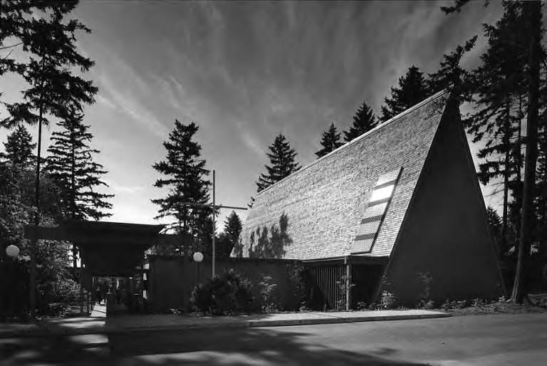
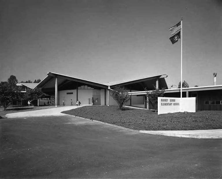
Churches and community institutions planted themselves across the city’s expanding footprint. Grace Lutheran Church at 4625 NE 8th Street was photographed in 1964. Westminster Chapel’s building site was documented in 1966. The Community Clubhouse appeared in 1969 images showing the growing social infrastructure of Bellevue’s neighborhoods. Schools like Surrey Down Elementary at 609 112th Avenue SE and the Old Highland School were photographed at the start of the decade, capturing the educational facilities that anchored each new residential area as it developed.
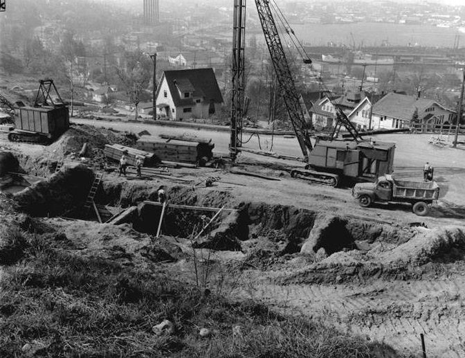
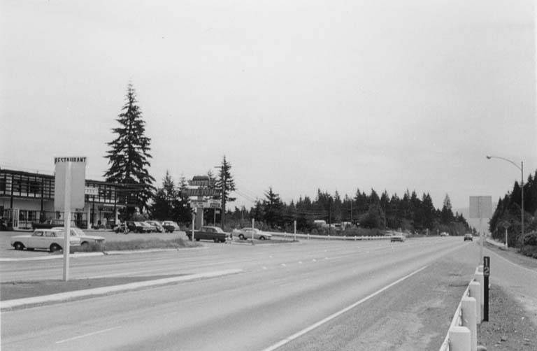
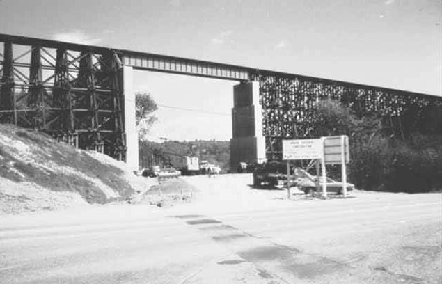
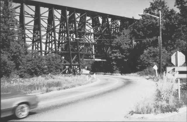
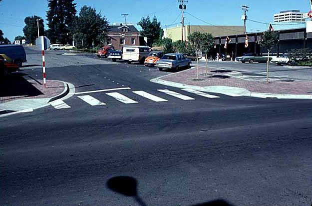
Transportation and road construction photos from the decade show the physical effort required to stitch the growing city together. Early construction for Interstate 5 in Seattle was captured in 1960, providing regional context for the infrastructure boom underway across the greater metro area. U.S. Highway 10 near SE 36th Street shows pavement markings and new signage being installed during the 1960s, reflecting the era’s push to modernize surface roads as traffic volumes climbed. The Wilburton Trestle, photographed twice in 1969, stood as one of the older structural landmarks still in active use as the city grew around it.
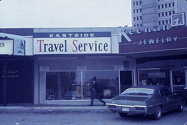
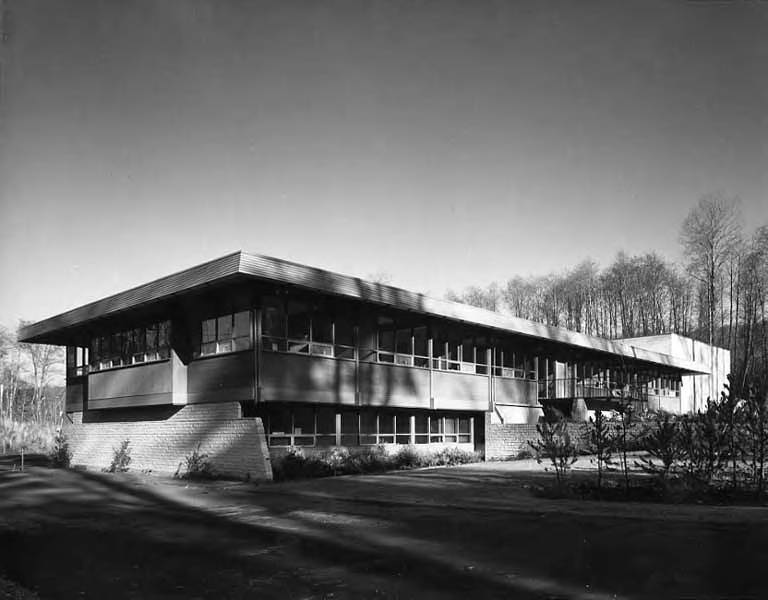
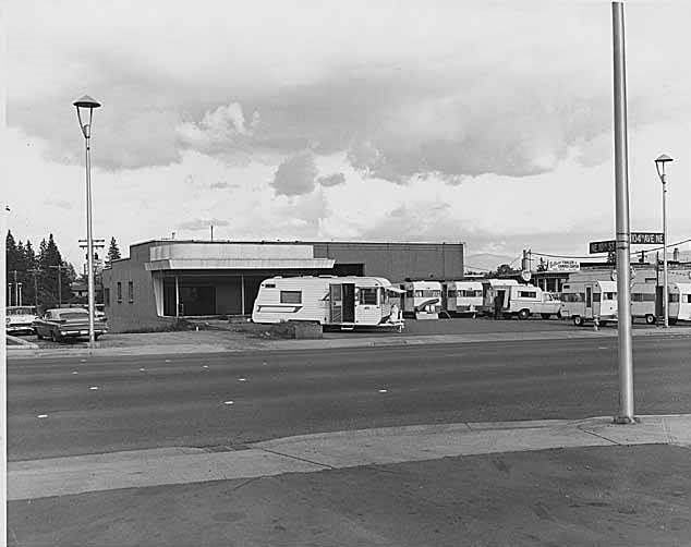
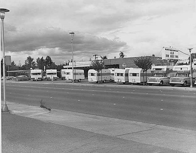
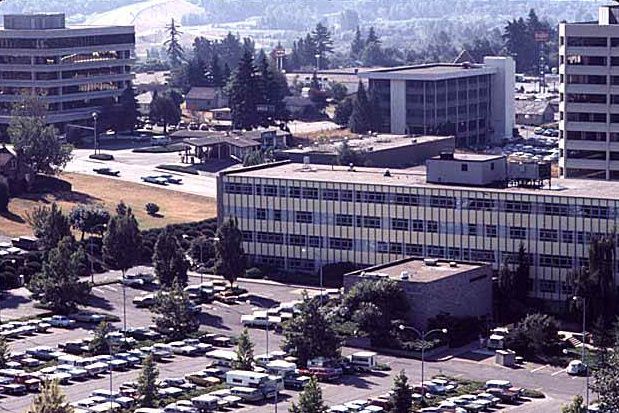
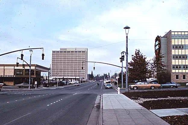
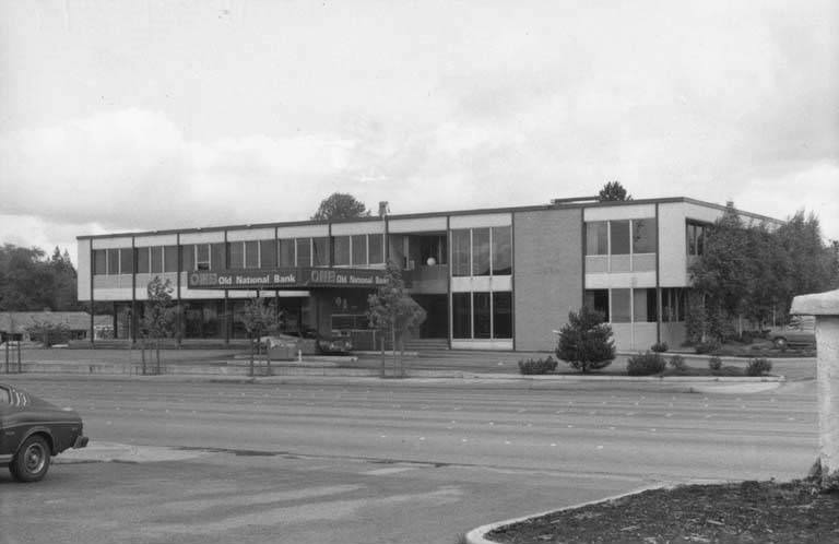
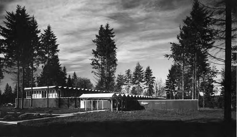
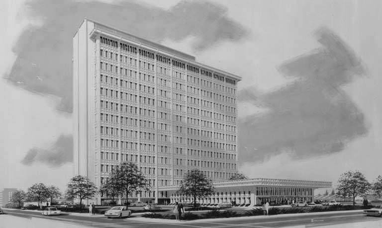
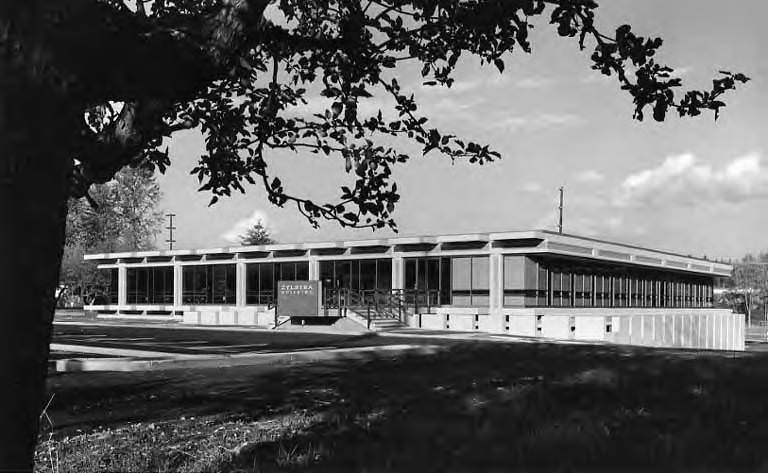
By the end of the 1960s, Bellevue’s downtown core had taken on a distinctly urban character. The intersection of 106th Avenue NE and NE 4th Street, photographed in 1969 looking north, showed two significant buildings side by side: the Puget Power building on the right, which had opened in 1956, and the newly opened Business Center Building on the left, completed in 1969 and later home to PACCAR. Office complexes and business parks were multiplying throughout the city, drawing corporate tenants away from Seattle and establishing Bellevue as a legitimate commercial hub in its own right. The Simpson Research Center at 3330 Overlake Parkway had been there since 1961, an early example of the kind of professional and scientific facilities that would define Bellevue’s economy for decades.





This brought back so many memories
Cool. I always find these so interesting. Now do Redmond! 😃
some really interesting pics. thanks.
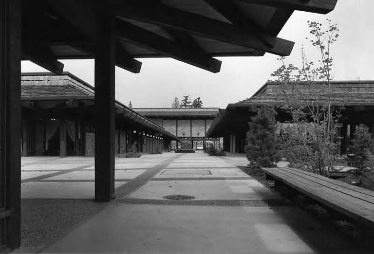
Pic #69 – old highland middle school
I remember that old middle school building when I went to Highland. It was super small. Highland is even bigger now than it was when I went there in the 90s… looks like a huge community college campus nowadays lmao
I remember almost all of that. Thanks very much for posting it.
Cool pix. But why is the layout so screwed up?
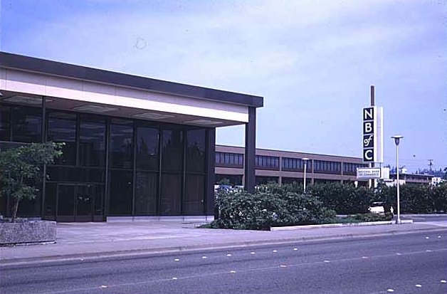
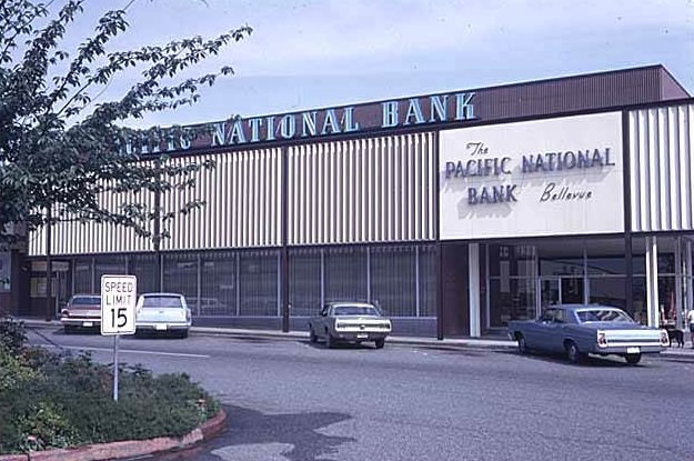
We lived on Mercer Island, but my Dad bought a new ’69 Buick LeSabre at Hansen Buick. Since your comments say they original Hansen Buick building from the 40’s was torn down before that, I presume that Hansen built a new facility? My parents also banked at National Bank of Commerce, so it was cool to see that photo. I later live on S.E. 29th in Woodridge (just north of Factoria) for 15 years.