
Austin, Texas in the 1970s was a city caught between two worlds. It was still recognizable as the laid-back college town it had long been, but the forces reshaping it were already in motion. The population doubled between 1970 and 1980, as people poured in from across the country drawn by low costs of living and a relaxed pace of life. New businesses followed. New roads were paved. New schools were built. And through all of it, the old Austin — local diners, neighborhood hangouts, quiet streets — held on just long enough to be captured on film.
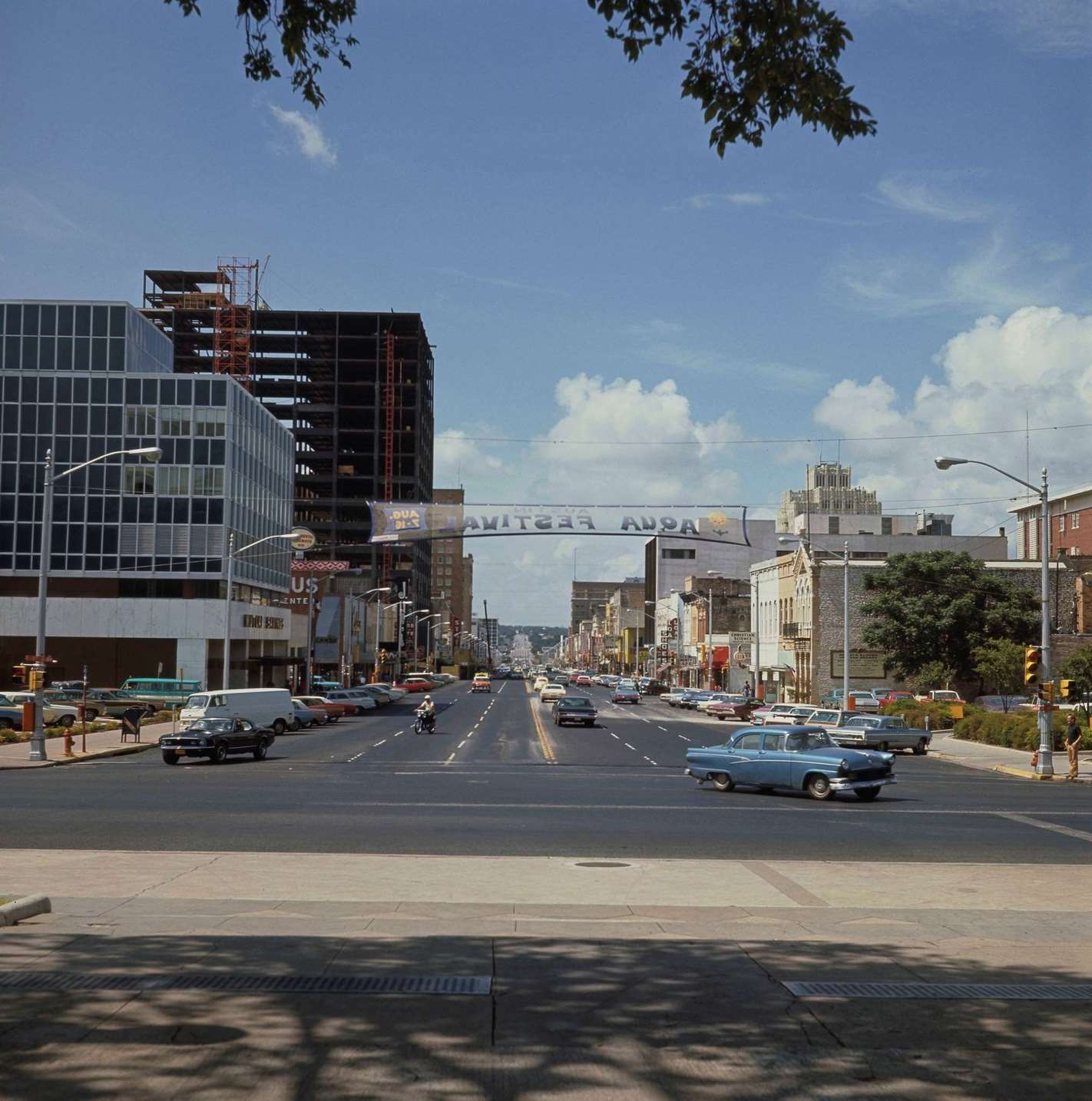
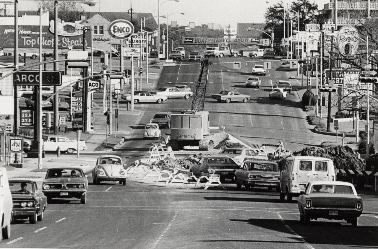
Congress Avenue was the spine of downtown Austin. Cars moved steadily through its intersections in 1970, past storefronts and government buildings that had anchored the city for decades. The Capitol sat at the north end of the boulevard, and from that axis the rest of Austin radiated outward. As the decade wore on, that outward spread became dramatic.
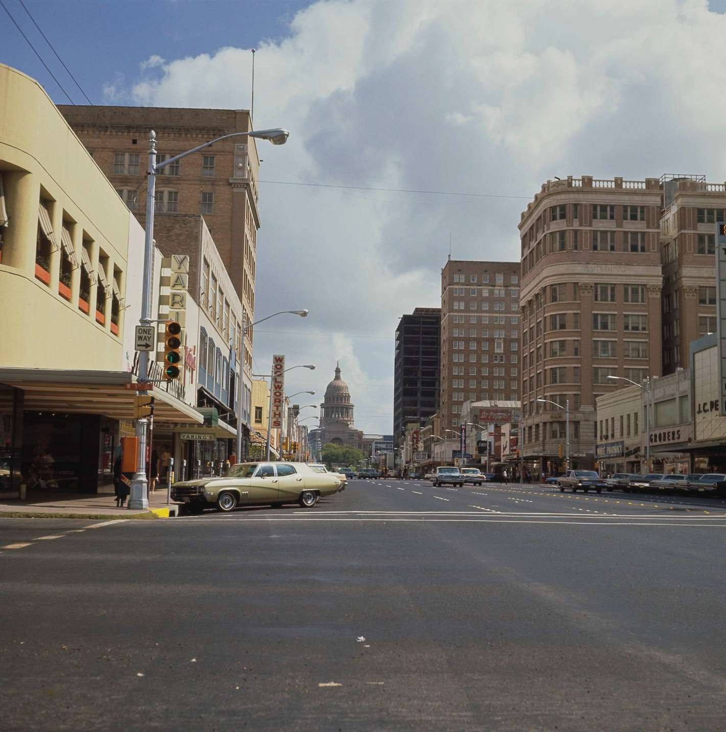
The city’s skyline was modest by the standards of Texas’s bigger cities. Buildings were low, lots were open, and the horizon was easy to see. But that would not last long. Development was already pushing into neighborhoods on every side of downtown, and the sounds of construction became a familiar backdrop to daily life.
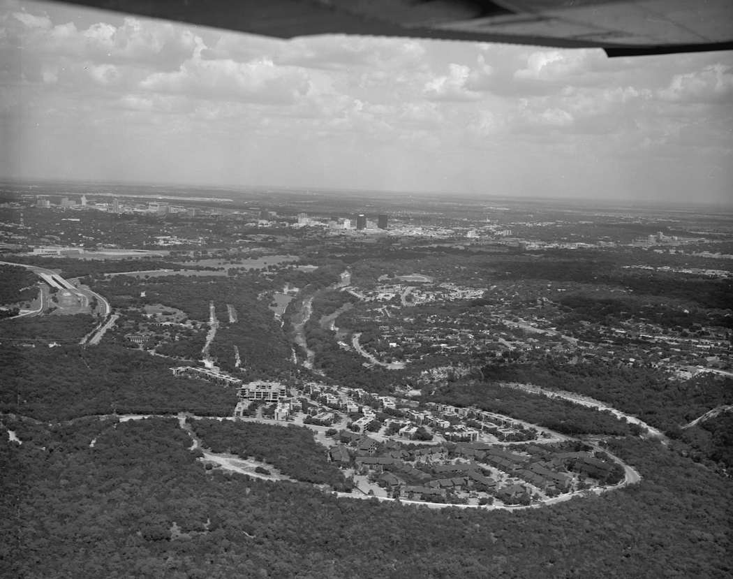
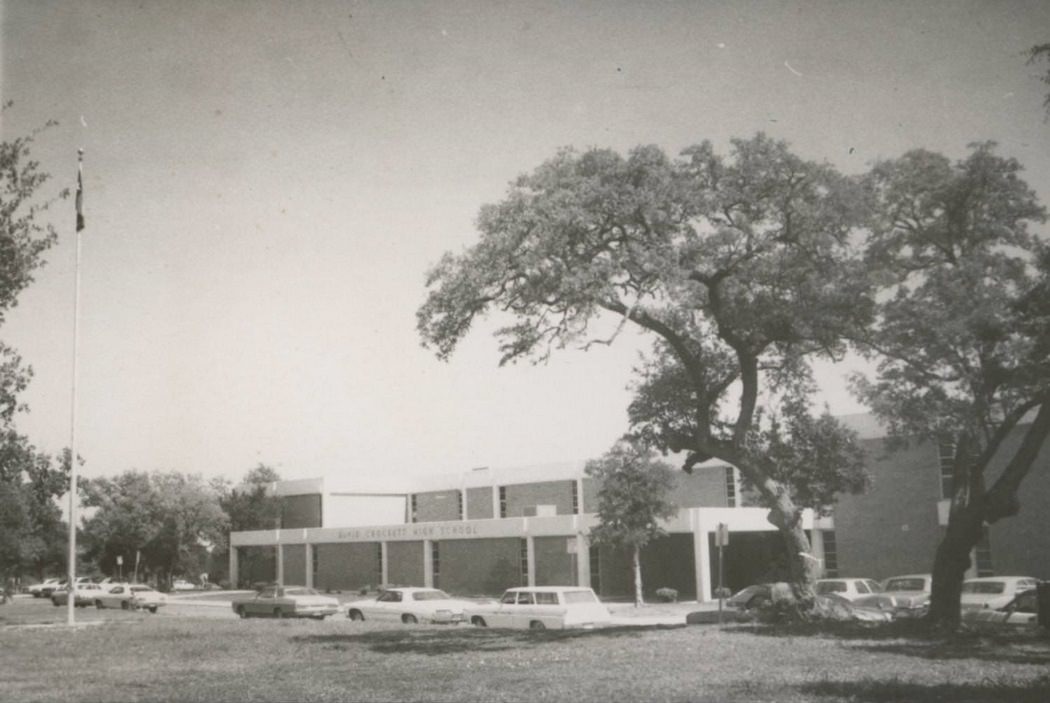
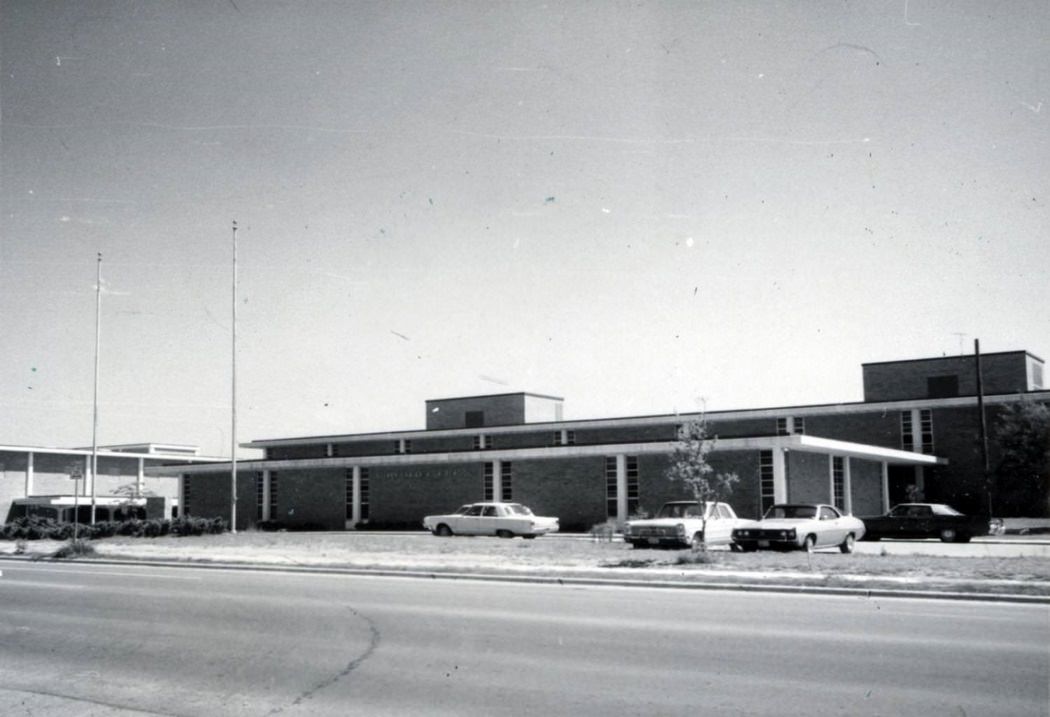
By 1978, looking out over the rooftops of Austin meant looking at a city still stitched together by small neighborhoods and open lots. New school buildings marked where the residential growth was heading. Suburbs pushed outward from the city center, filling in land that had been brush and farmland just years before.
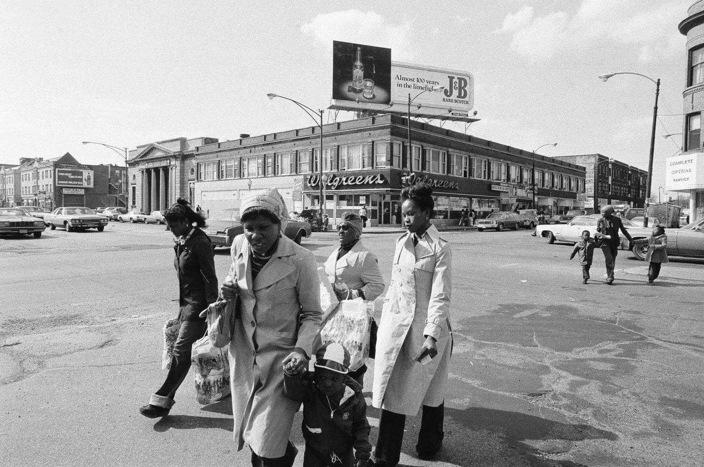
Austin’s neighborhoods in 1978 had a distinct character — tree-lined streets, modest houses, and the kind of human-scale environment that made the city feel approachable. These weren’t glamorous blocks, but they were lived-in and well-worn in the best sense. Residents knew their neighbors. They also organized them.
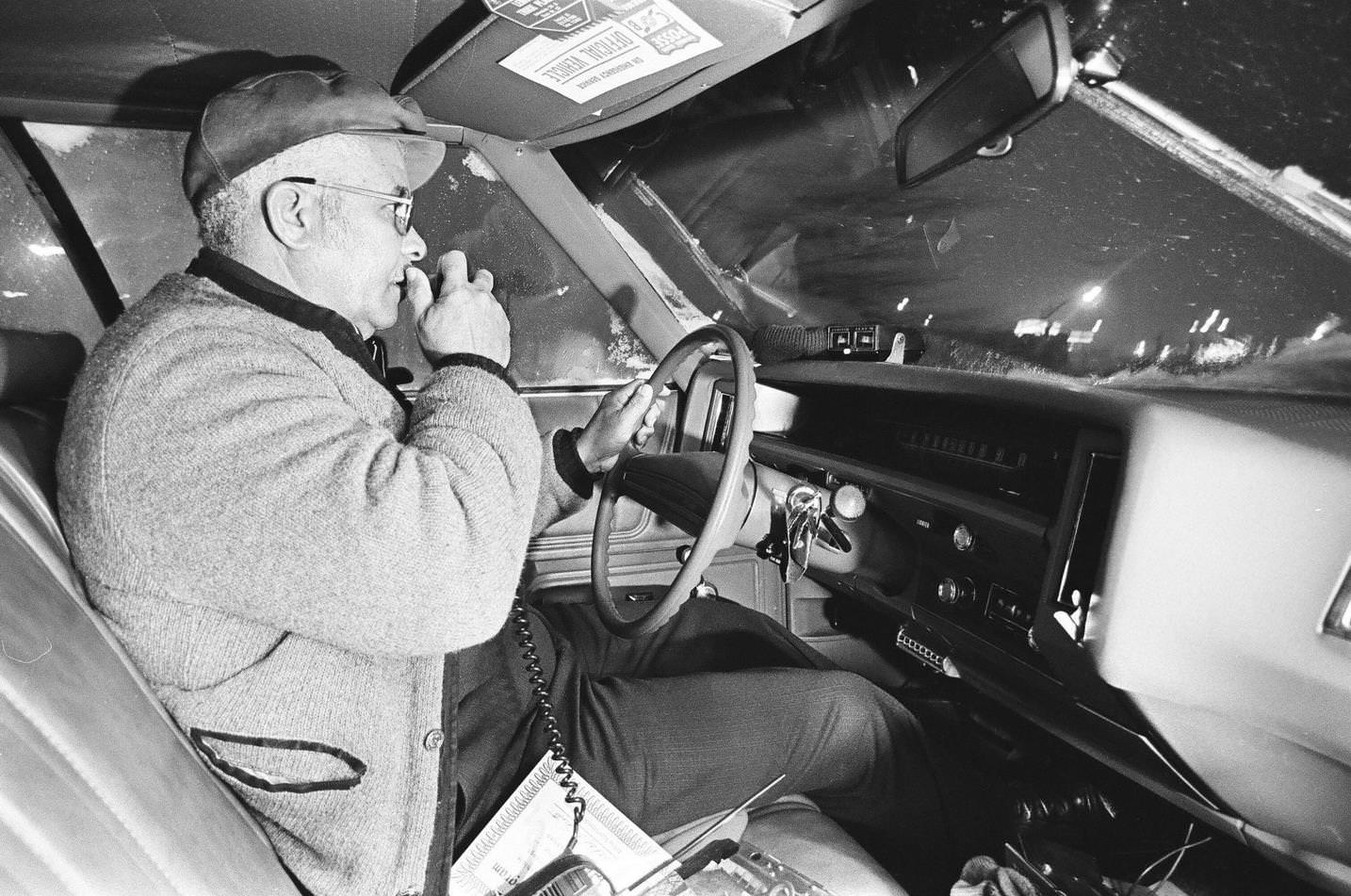
Community involvement wasn’t limited to politics and protests. Residents in some Austin neighborhoods formed citizens’ patrols in the late 1970s, taking an active role in looking after their own streets. It reflected a broader civic energy that ran through the city during the decade — people taking local matters into their own hands.
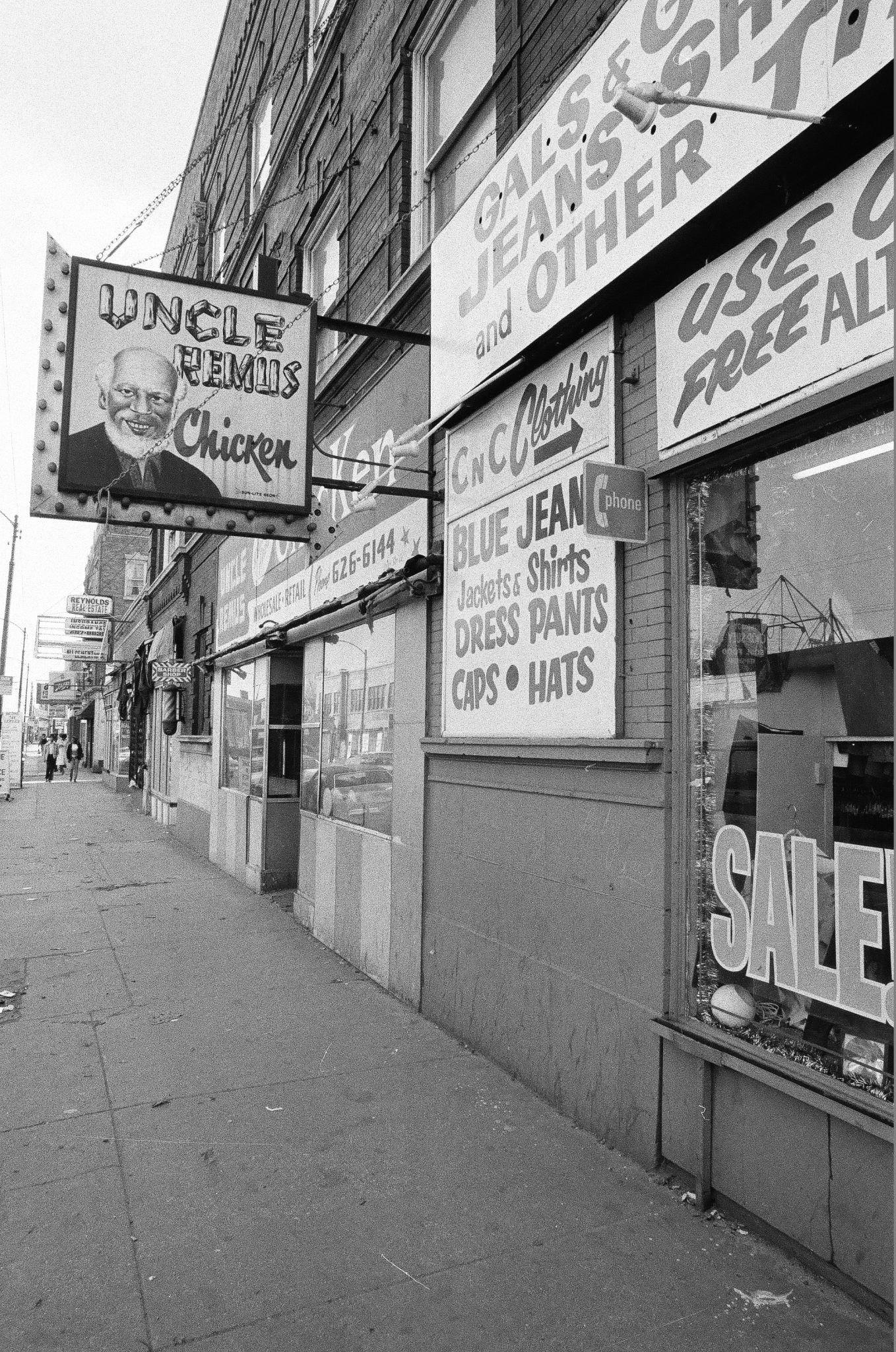
South Austin had its own identity, distinct from the university district to the north or the commercial corridors along major roads. Houses here were simple and unpretentious. The area became a stronghold of the city’s working-class and artistic communities throughout the 1970s.
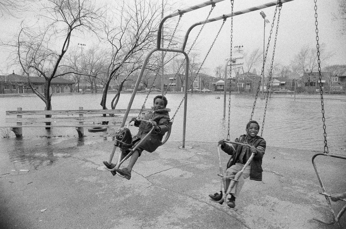
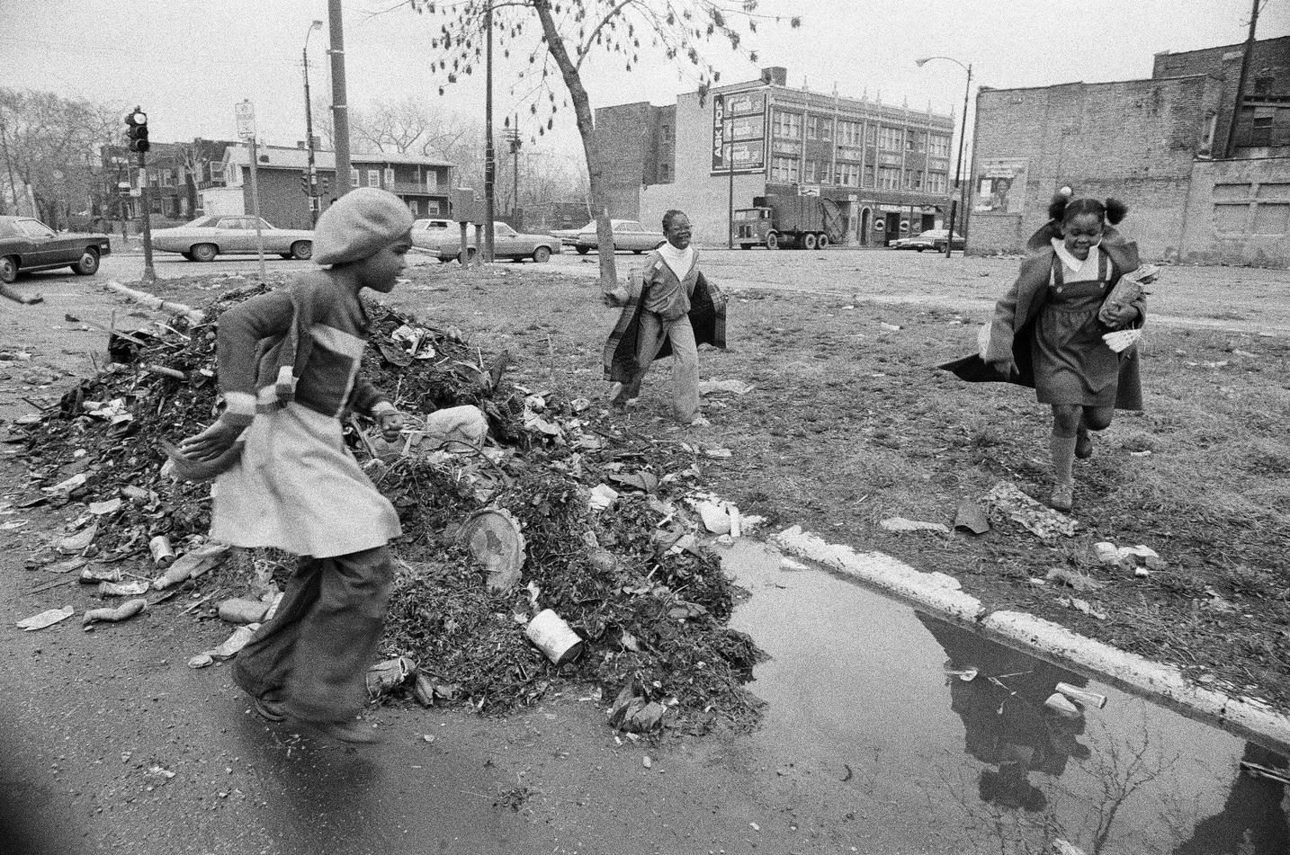
The east side of Austin told a harder story. Austin was a deeply segregated city throughout the 1970s. African American residents were concentrated on the east side, where they faced limited economic opportunities and ongoing discrimination. Mexican American communities faced similar conditions — low-wage work, poverty, and systemic barriers that political organizing alone couldn’t quickly dismantle. These realities existed alongside the city’s reputation for progressive politics, and the contradiction wasn’t lost on those who lived it.
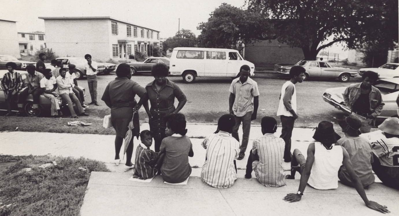
In 1971, a federal judge ordered the closure of L.C. Anderson High School as part of a broader desegregation effort. The school had been the premier African American high school in Austin, originally named E.H. Anderson before being renamed after one of its longest-serving principals. Students and parents responded by sitting on sidewalks and cars outside the school in protest. Their opposition wasn’t to integration — it was to the loss of an institution that had been a cornerstone of the Black community for generations. In 1973, a new, integrated L.C. Anderson High School reopened at 8403 Mesa Drive.
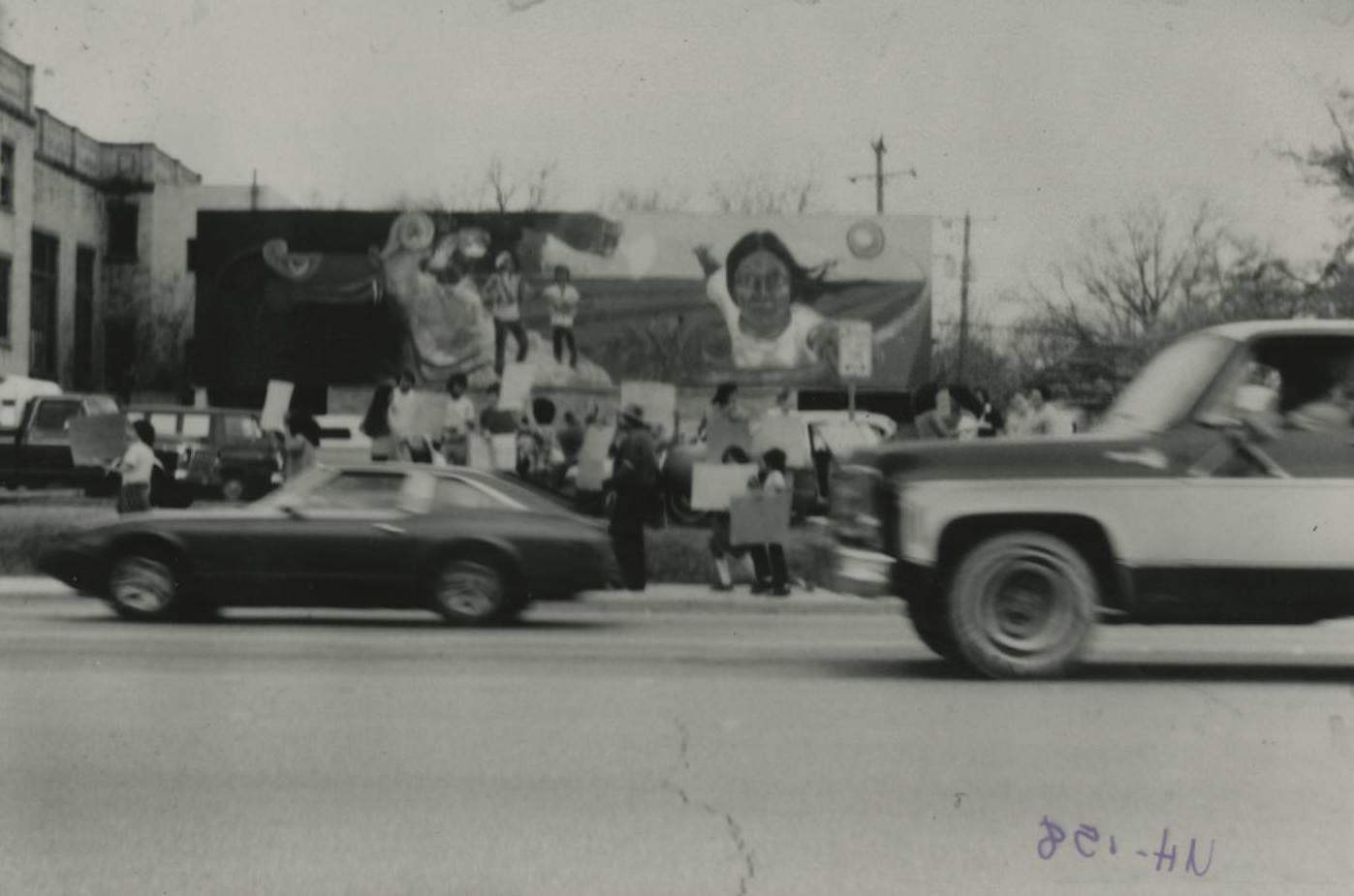
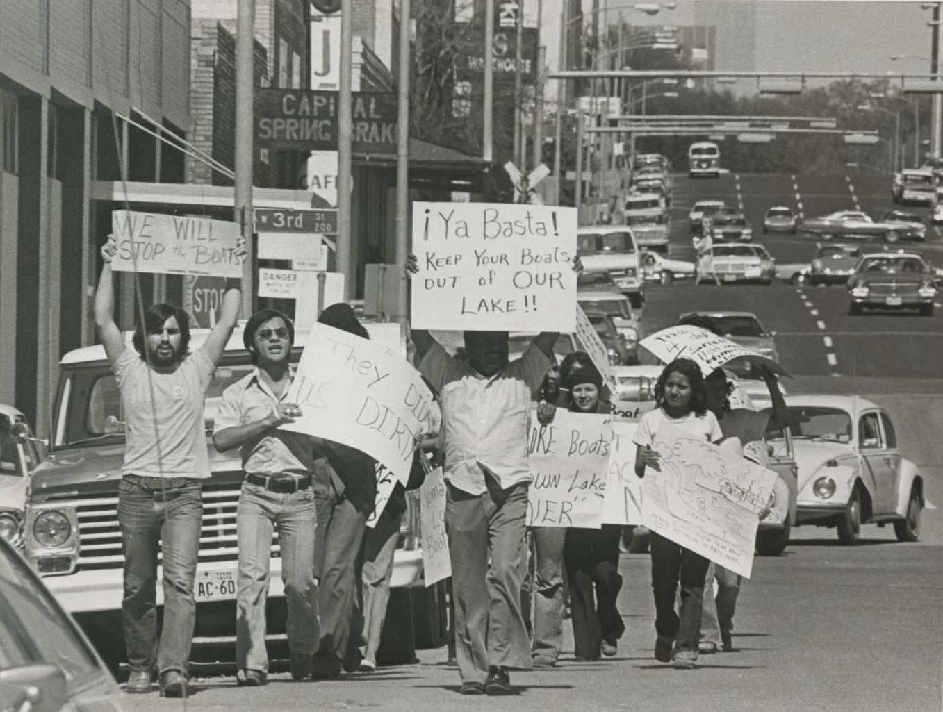
Protests weren’t limited to school closures. In 1979, demonstrators gathered at East 1st Street and I-35 to oppose the threatened closure of Juarez-Lincoln University, a small institution that served the Chicano community. The protest included a mural painted by artist Raul Valdez on the building’s exterior wall, making the demonstration as much a statement of cultural identity as political resistance.
Austin’s music scene drew national attention over the course of the decade. The Armadillo World Headquarters became the defining venue of the era, hosting Willie Nelson, Waylon Jennings, Jerry Jeff Walker, and dozens of others. It was a place where the counterculture crowd and working-class Texans occupied the same room, united by live music. In 1976, Austin City Limits debuted on PBS, giving the city’s music scene a national platform it would hold for decades.
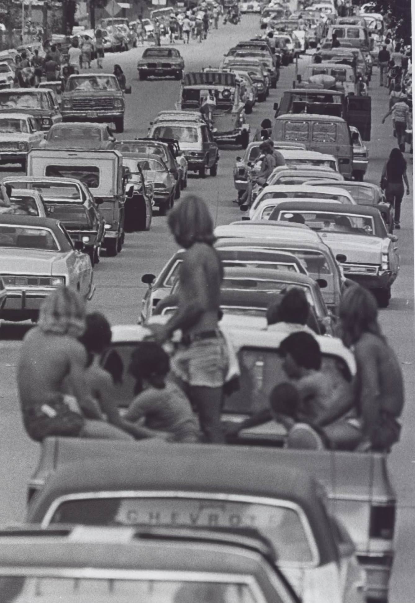
Outdoor events drew enormous crowds throughout the decade. Lines of cars backed up on roads leading to festivals, with attendees abandoning their vehicles to walk the rest of the way in. The appetite for live events — music, fairs, cultural gatherings — was a constant thread running through Austin life in the 1970s.
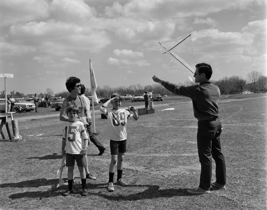
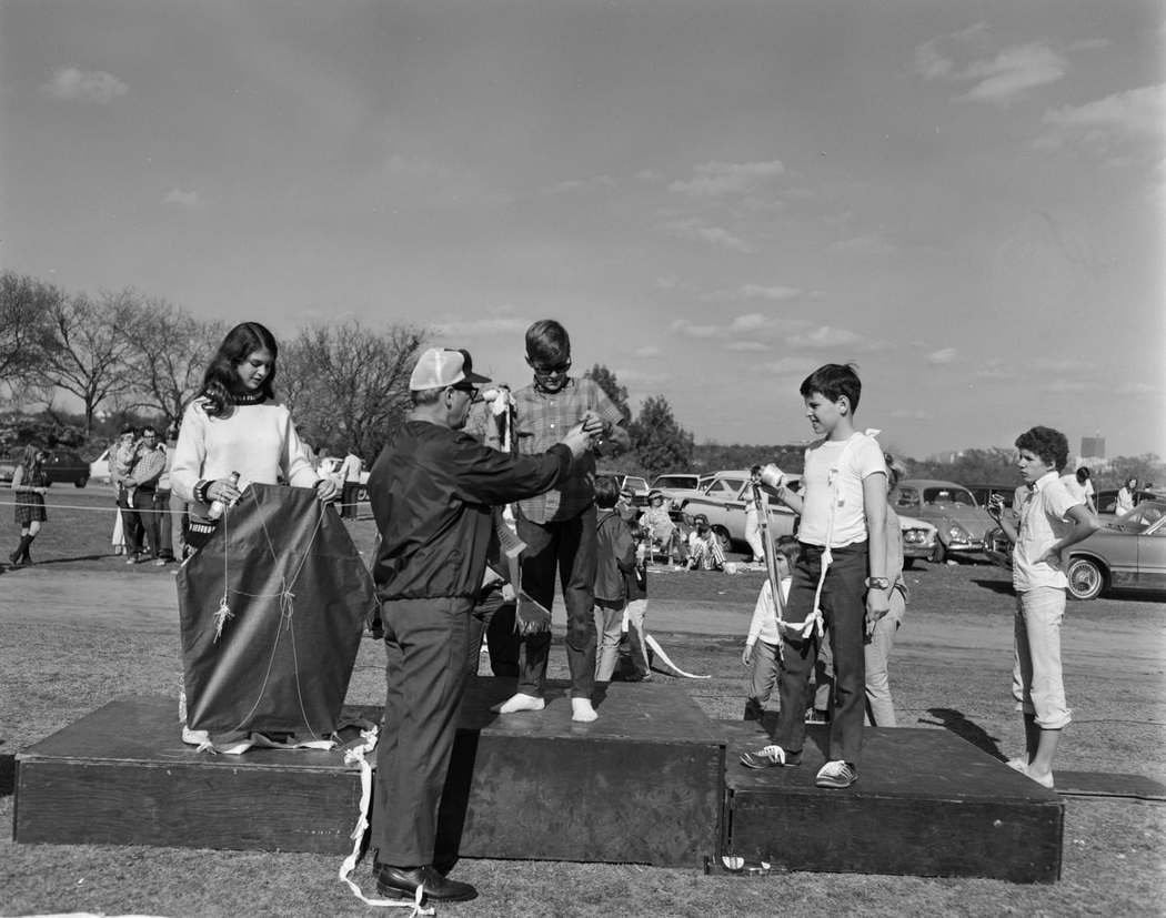
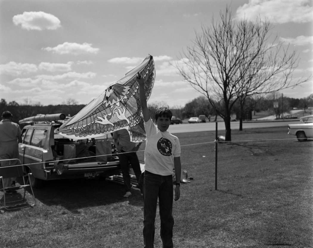
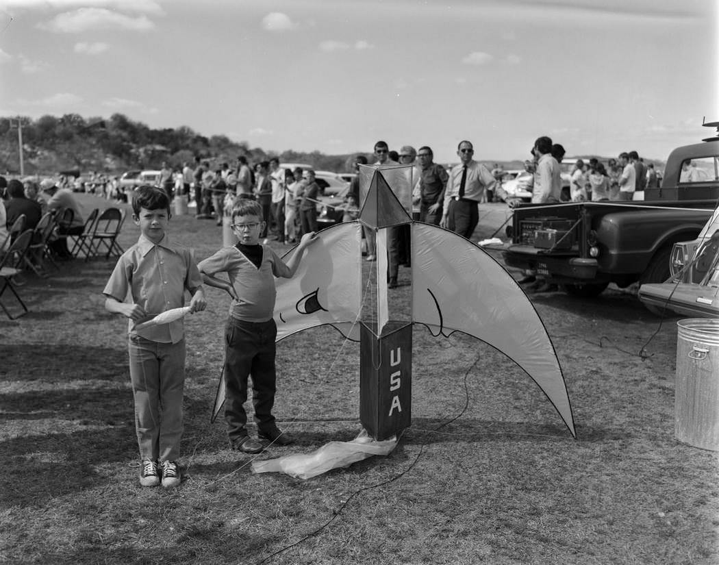
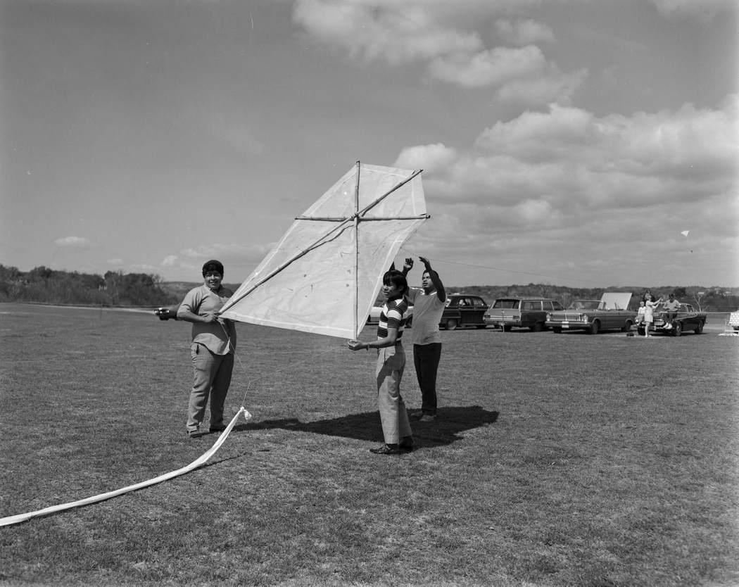
Zilker Park was one of Austin’s most beloved gathering places, and the annual Kite Tournament drew families from across the city each spring. In March 1970, the park filled with children and adults launching kites into the Texas sky — a tradition that made the tournament one of the most anticipated events of the year.
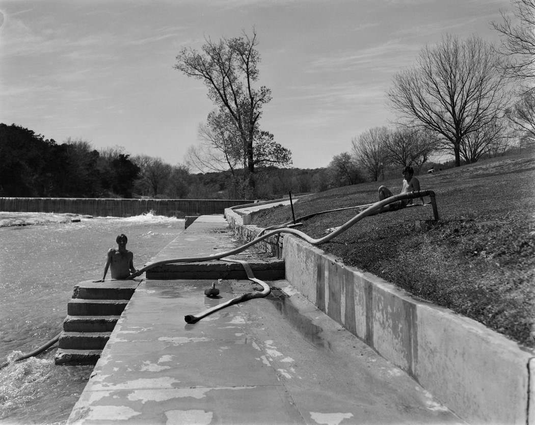
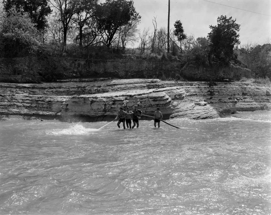
Barton Pool, fed by the famous Barton Springs, was another fixture of Austin outdoor life. In March 1970, a community cleanup effort brought volunteers together to maintain the pool — a sign of the environmental consciousness that had taken hold in the city. Austin residents organized around conservation issues throughout the decade, pushing back against the environmental costs of rapid development.
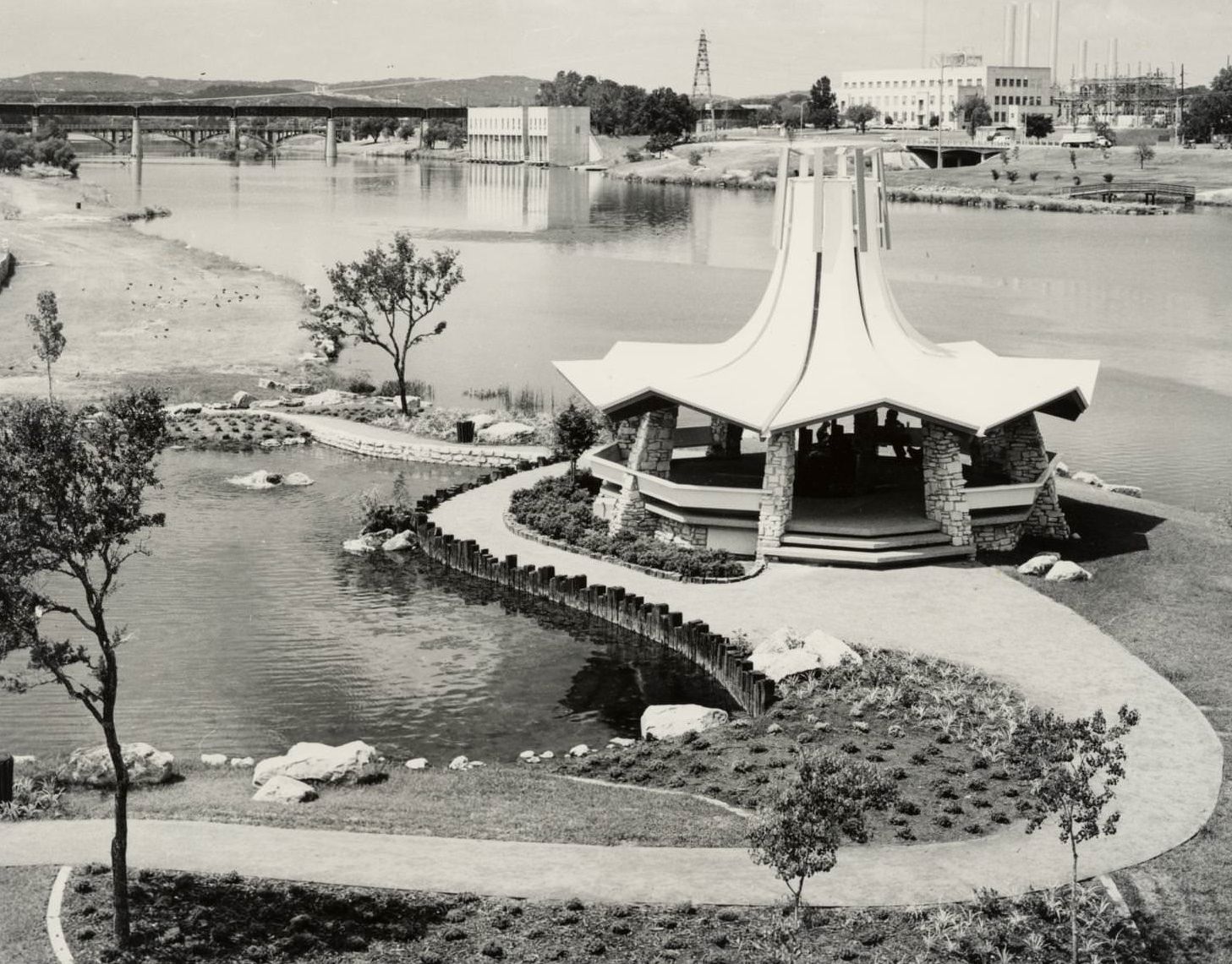
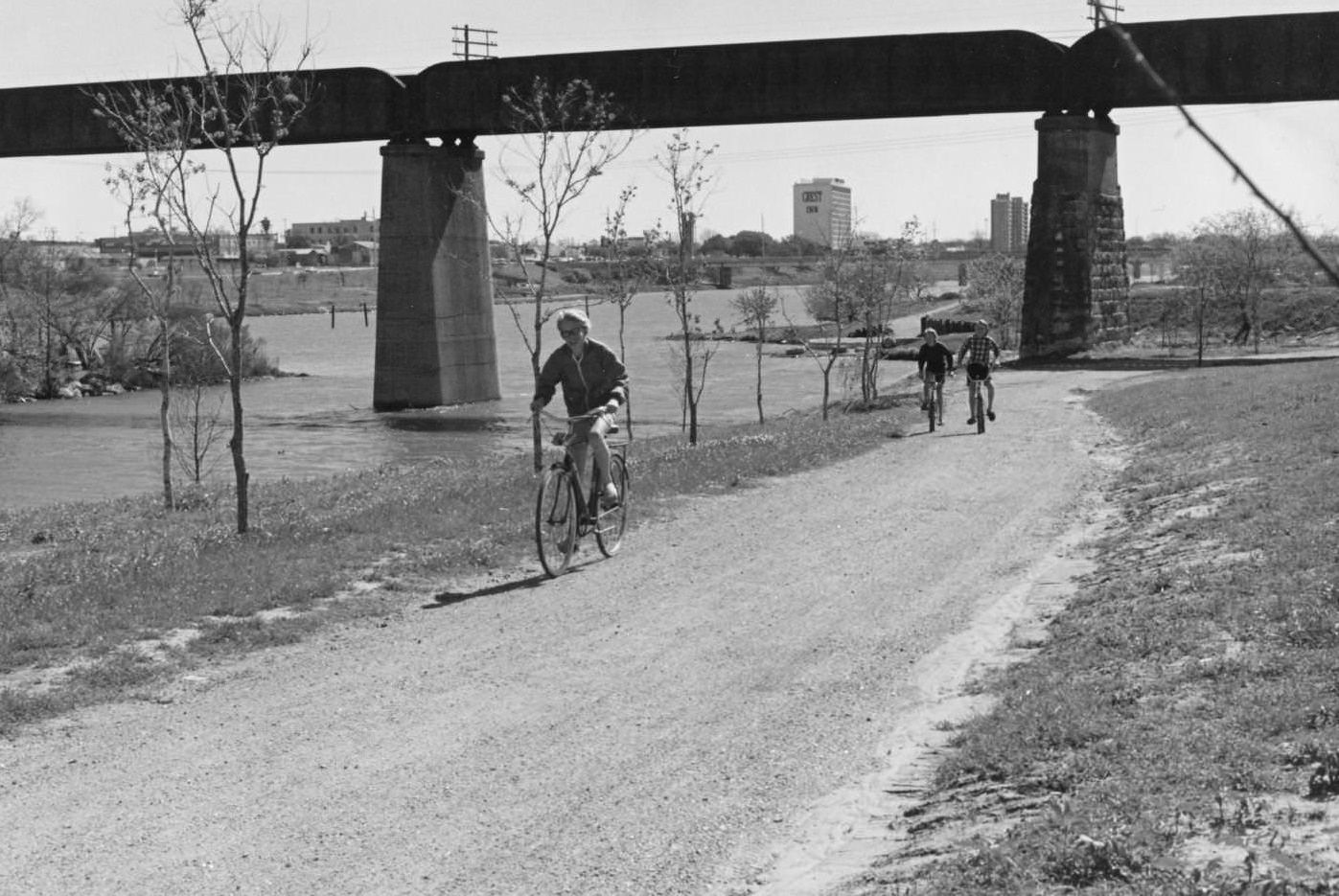
Town Lake — now renamed Lady Bird Lake — ran through the heart of the city and gave Austin much of its visual identity. The gazebo on the south shore was dedicated on July 4, 1970, by the Austin Chapter of the National Association of Women in Construction. It was built on the promontory where Barton Creek meets Town Lake, offering a direct view of downtown from the south bank.
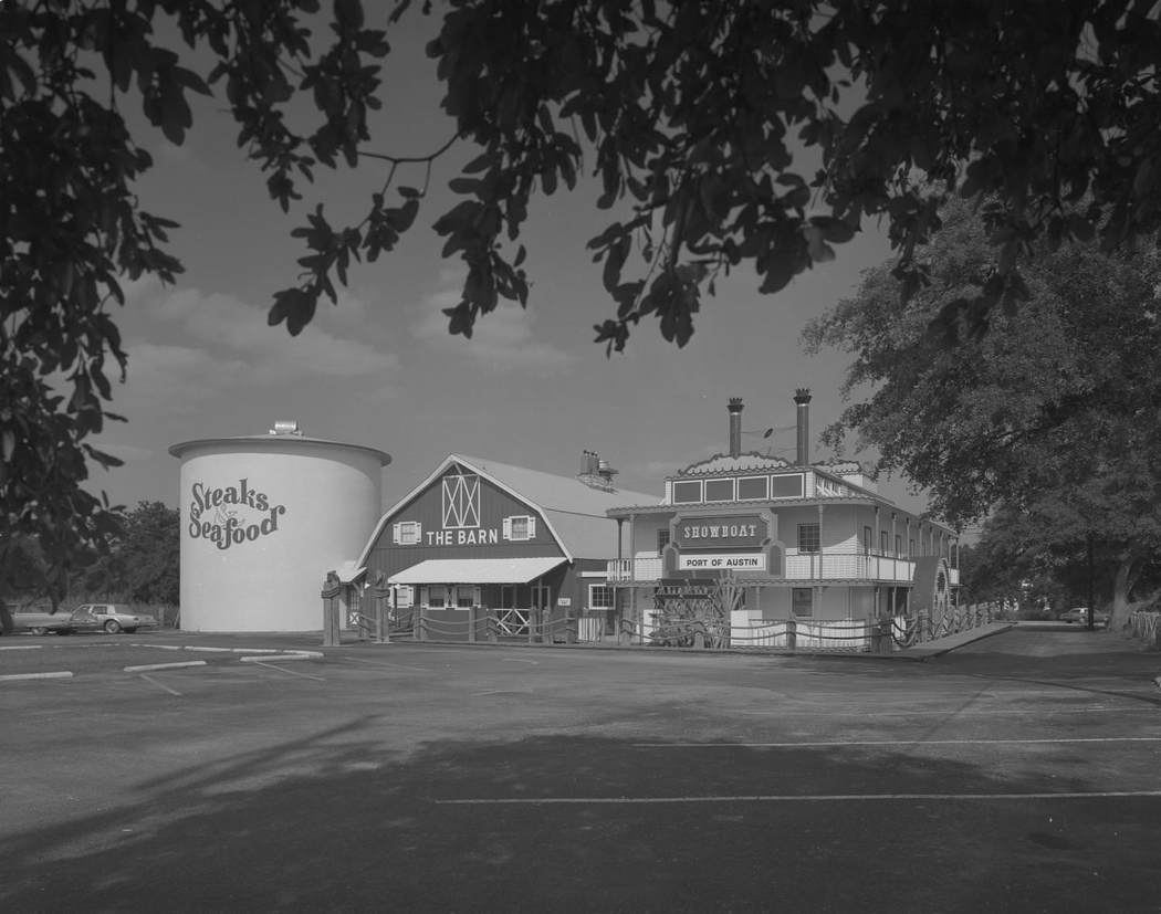
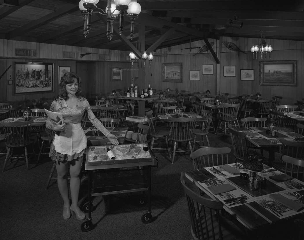
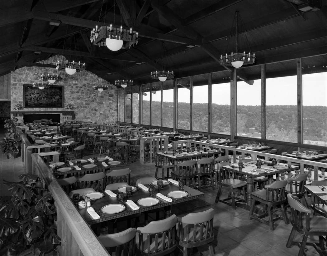
Austin’s dining scene in the 1970s ranged from straightforward local spots to elaborate themed restaurants. The Barn, located at 8611 Balcones Drive, combined three distinct structures — a cylindrical steakhouse, a barn-shaped main building, and a steamboat-themed wing called the Showboat. It was the kind of place that only existed in a particular moment of American restaurant culture.
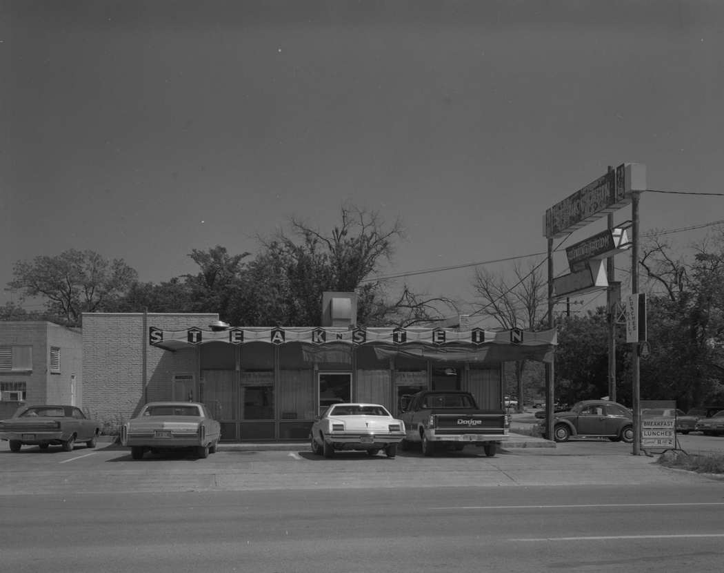
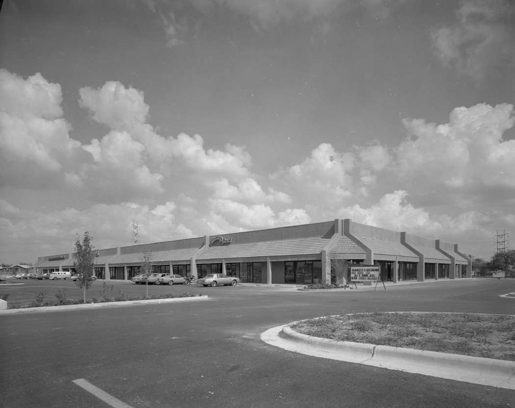
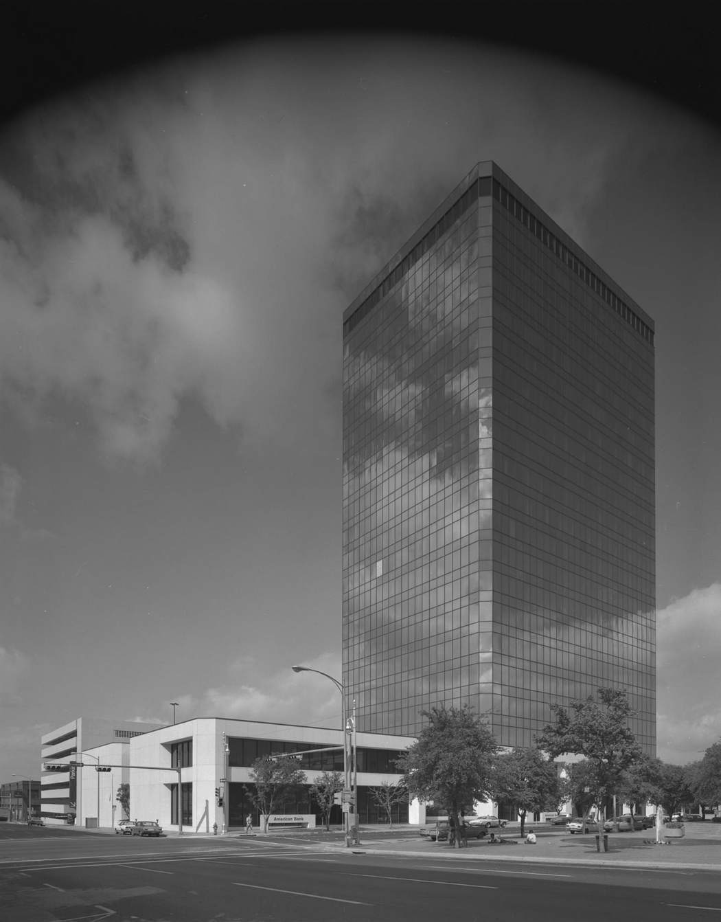
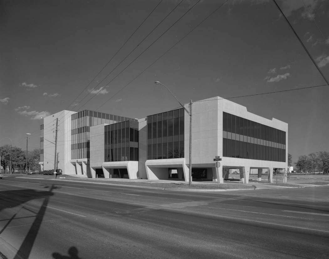
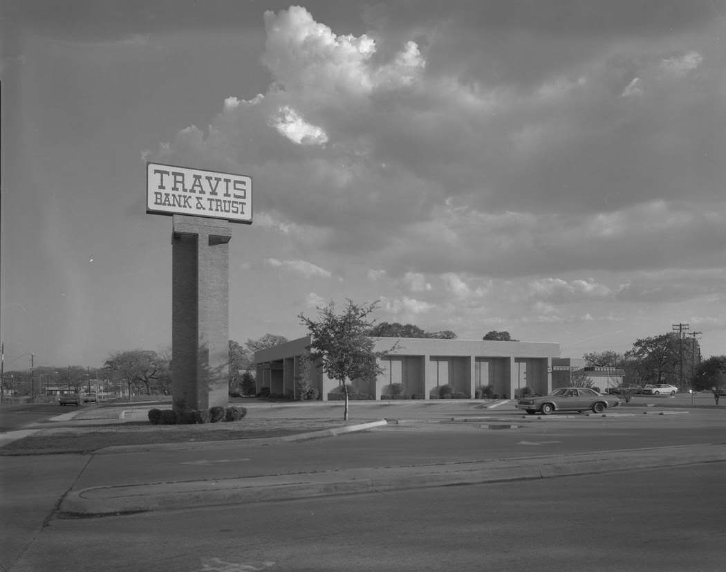
Strip malls and commercial corridors expanded steadily through the late 1970s as Austin’s population swelled. The South Ridge Plaza, photographed in 1979, had the Spanish tile roof lines and sprawling parking lots that defined suburban retail across the Sunbelt. Banks expanded alongside retail — Travis Bank and Trust on North Lamar Boulevard was one of the institutions that grew with the city.
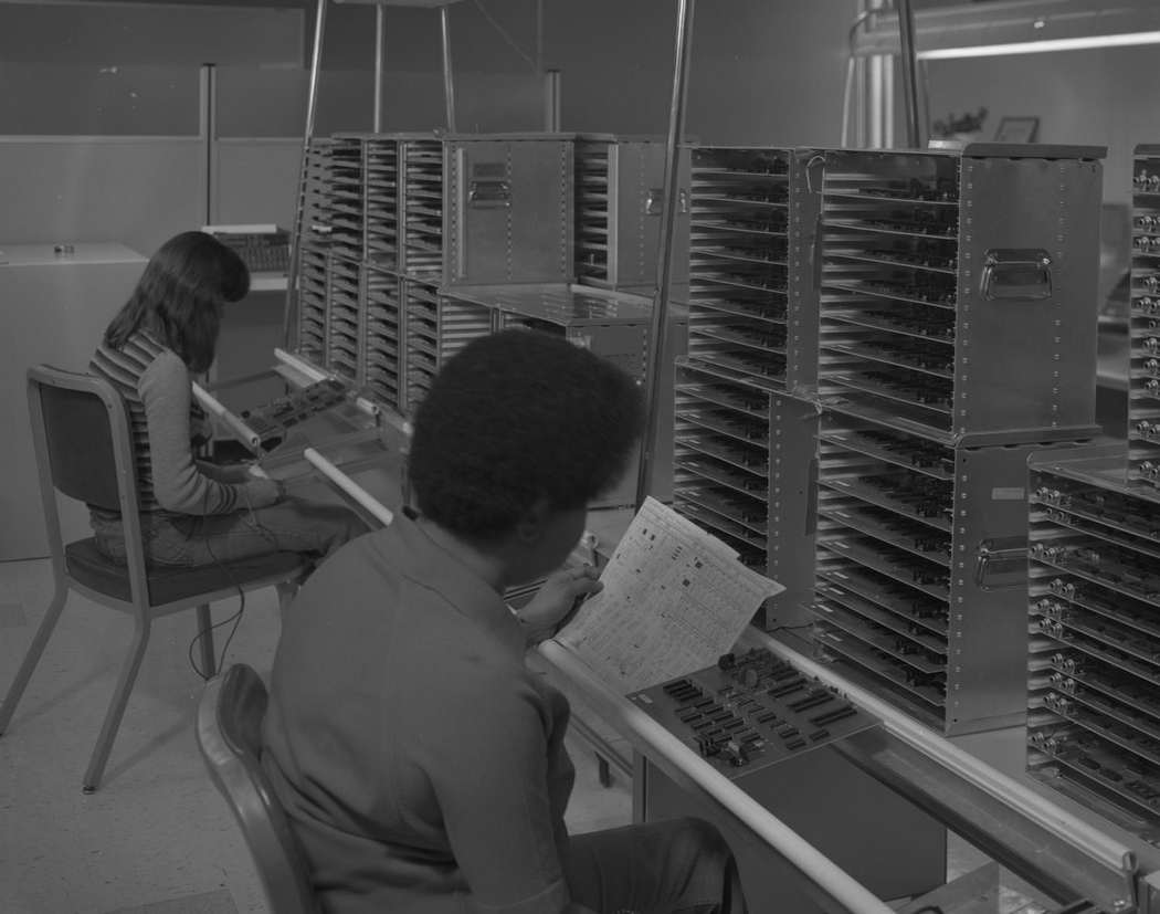
The technology sector was quietly taking root in Austin during the late 1970s. Motorola had a presence in the city by 1979, with employees working through circuit board schematics and parts alongside shelves stacked with components. The high-tech industry that would eventually earn Austin the nickname “Silicon Hills” was still in its early stages, but the groundwork was being laid.
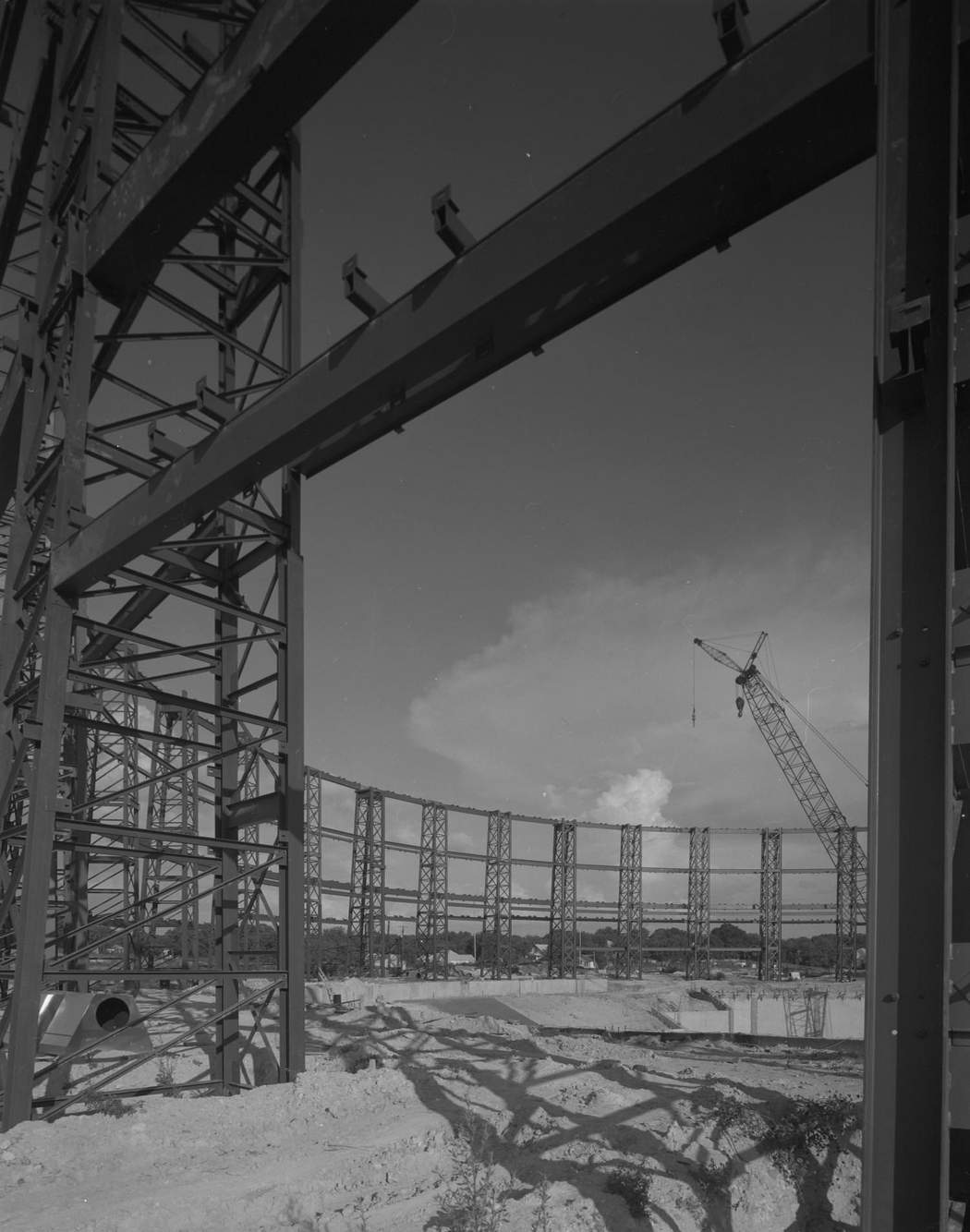
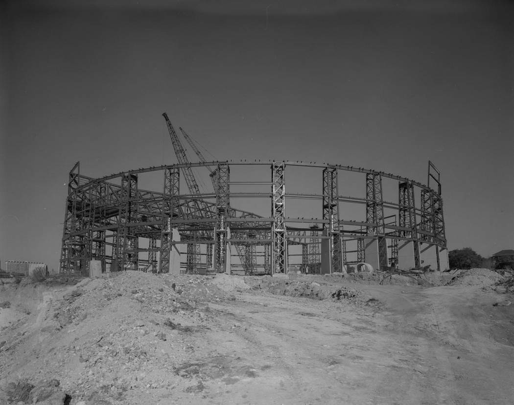
Construction projects defined the mid-decade years. The Frank Erwin Center — the large multipurpose arena on the University of Texas campus — was one of the decade’s most significant building projects. Steel framing went up through late 1975, with cranes working inside the curved structure while the surrounding ground remained unpaved dirt. The arena would become a major venue for concerts and sporting events for decades.
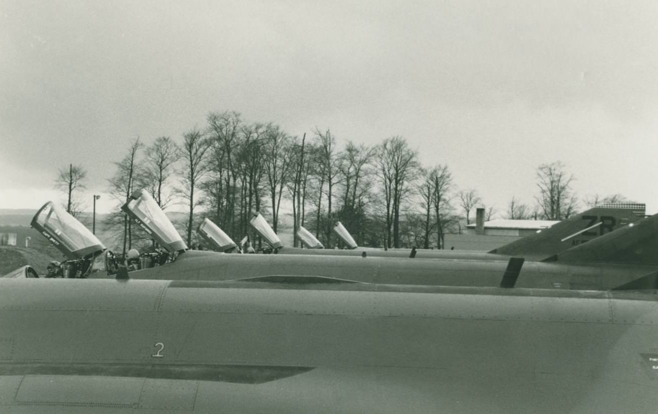
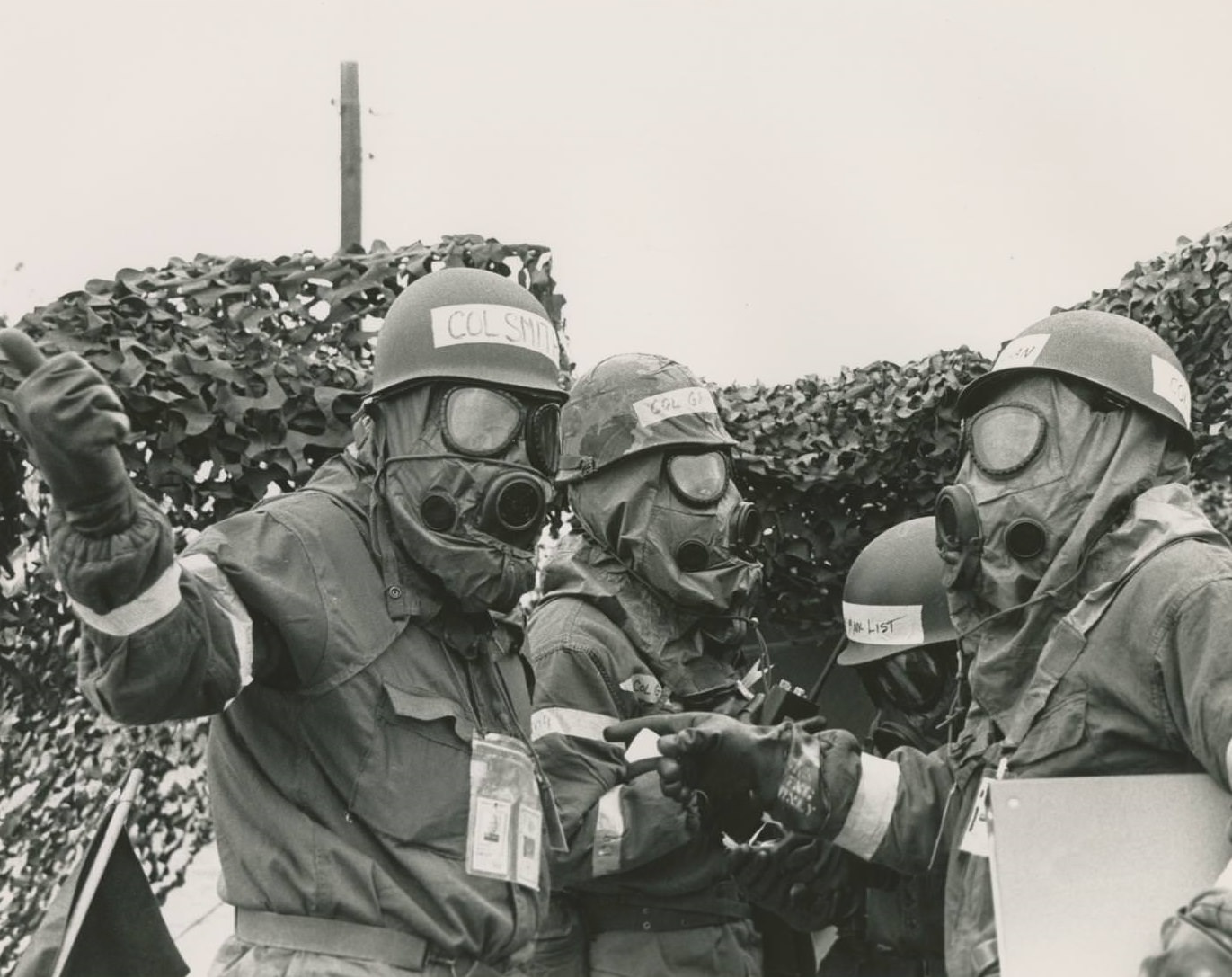
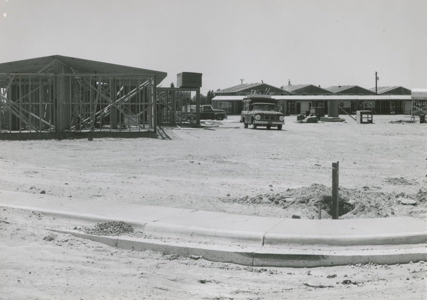
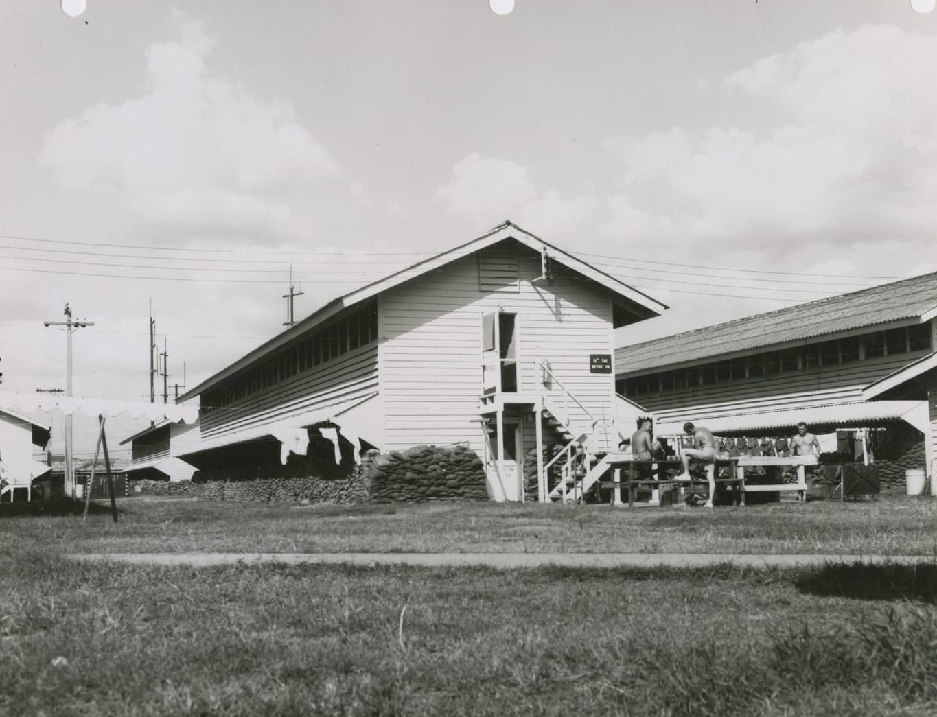
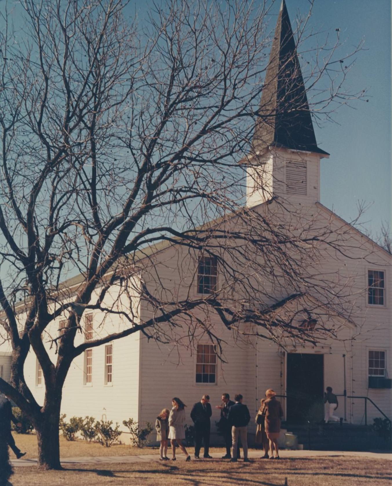
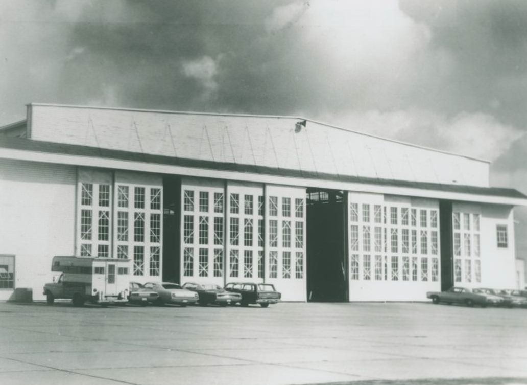
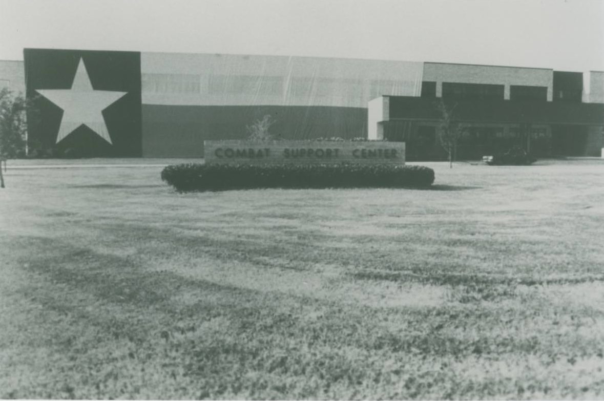
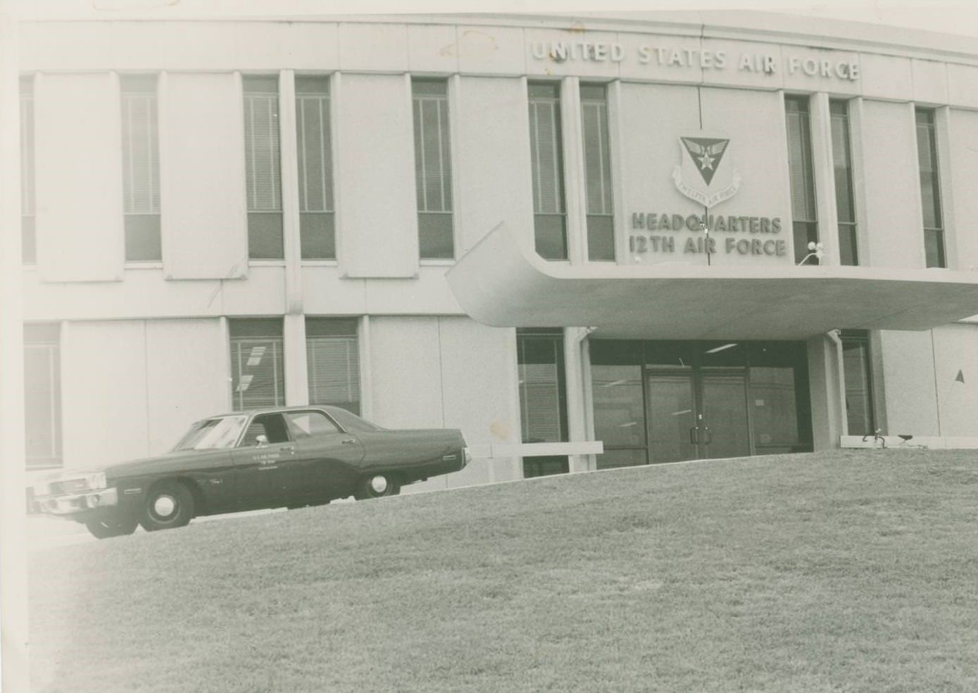
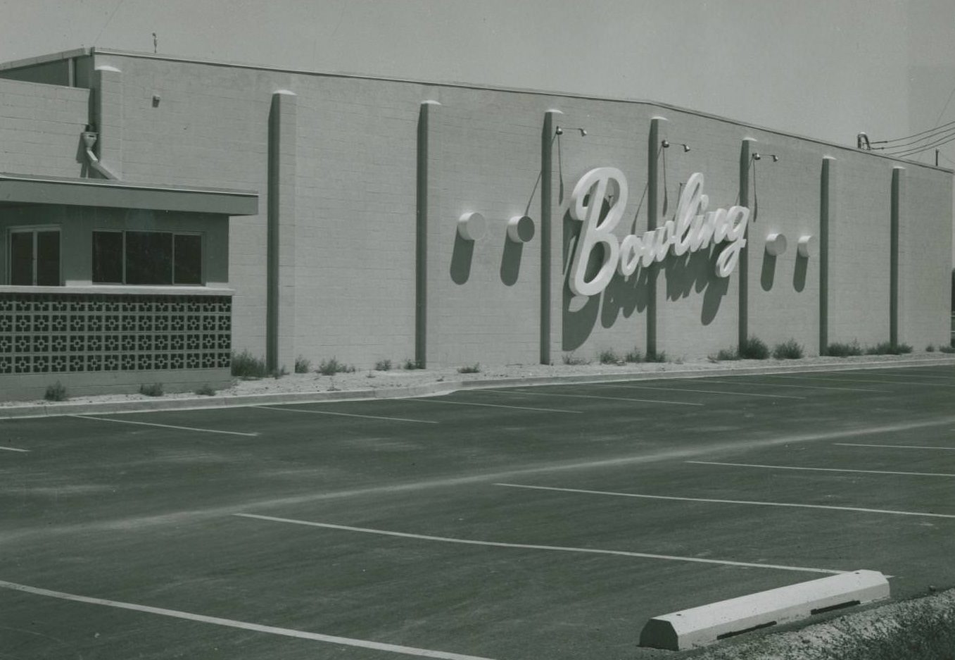
Bergstrom Air Force Base was a significant part of Austin’s identity throughout the 1970s. The base operated as a fully functioning military installation — with barracks, a chapel later converted to an education office, family housing units, and training facilities including a 10-lane bowling alley. F-4 Phantom jets flew out of Bergstrom, and the base conducted chemical warfare exercises that included officers in full gas masks. It remained active until its closure in 1993, after which it was converted into Austin-Bergstrom International Airport.
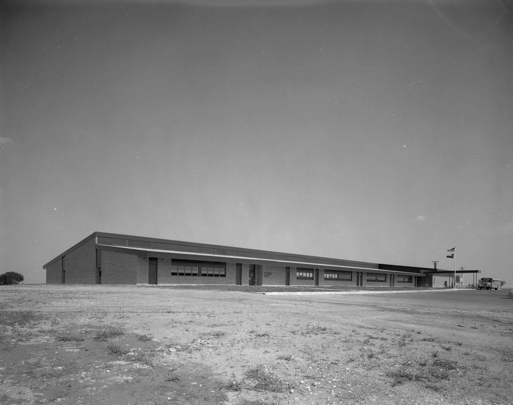
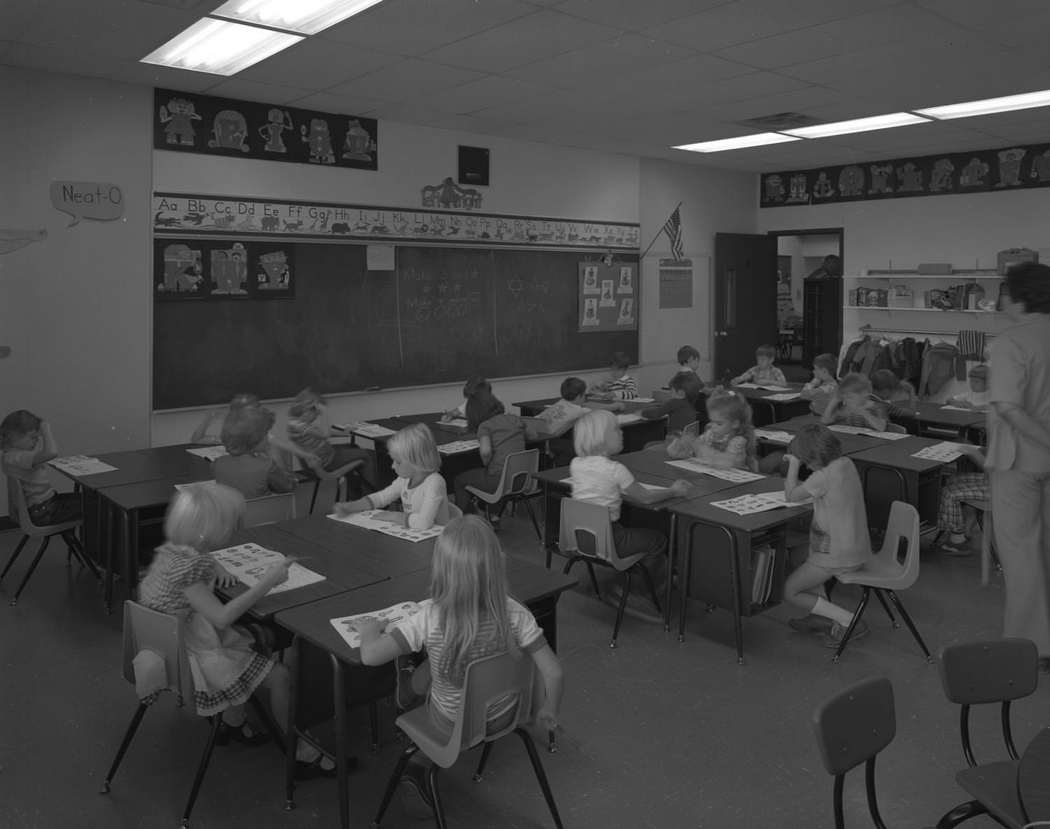
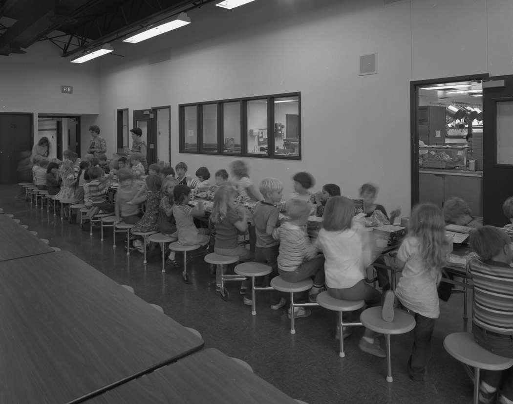
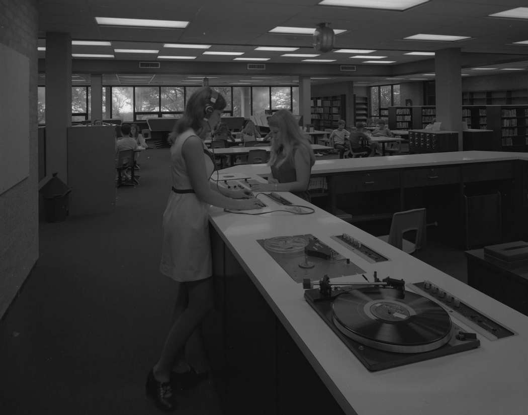
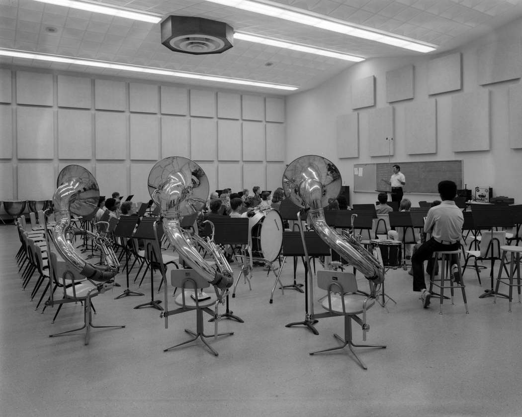
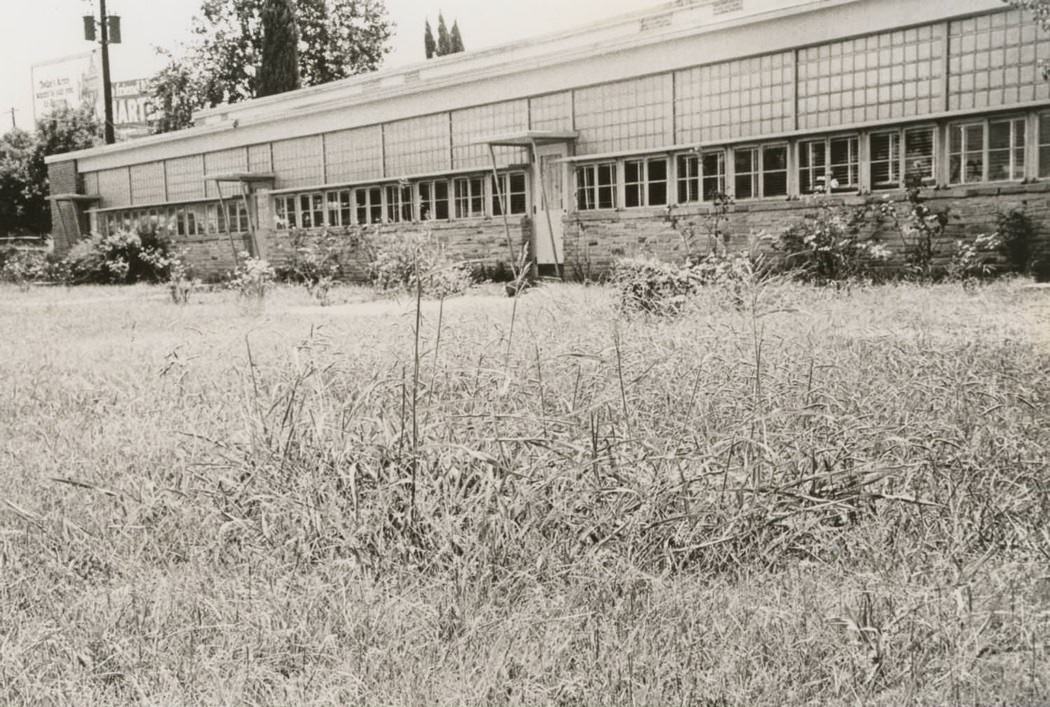
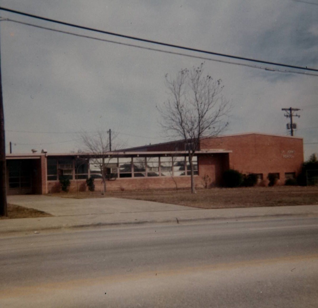
Austin’s public schools were expanding to keep pace with the growing population. Pflugerville Elementary School, photographed in 1978, captured the texture of everyday school life — long cafeteria tables with attached stools, children working in workbooks at small desks, and teachers standing at chalkboards with the alphabet written across the top. Across town, high school students used new library facilities with recorded media listening stations, a technology that was still a novelty in many schools.
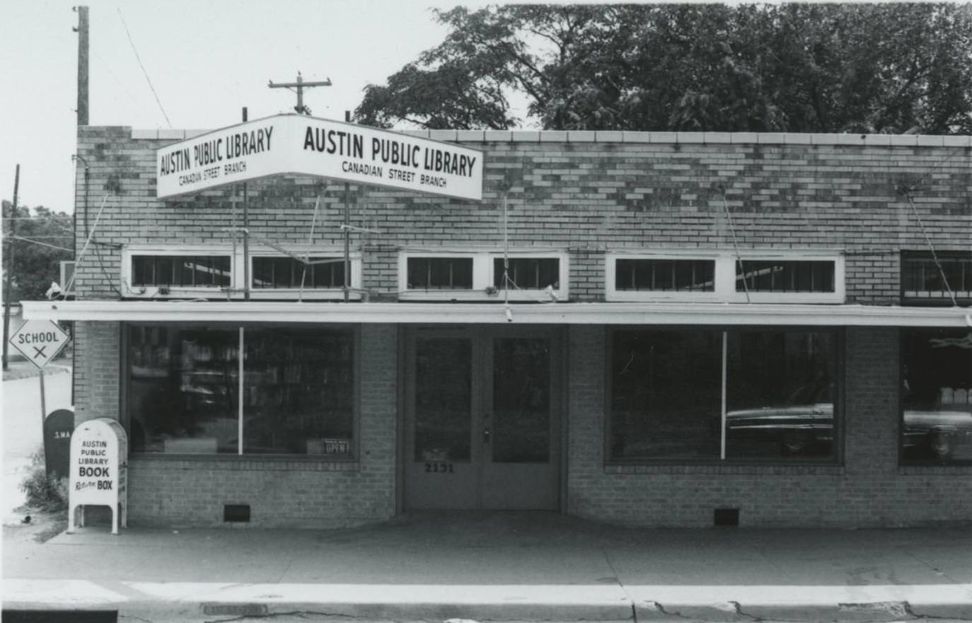
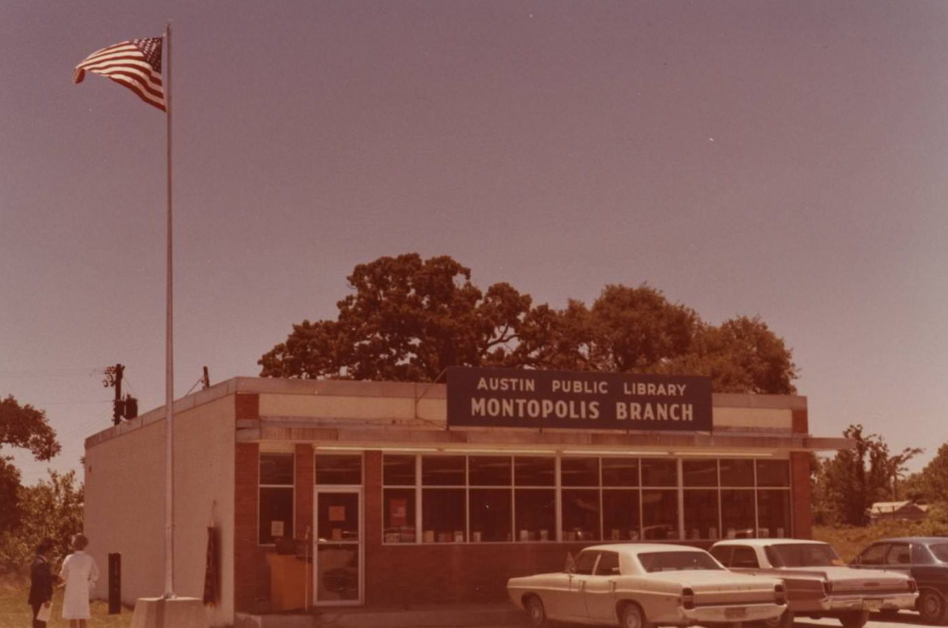
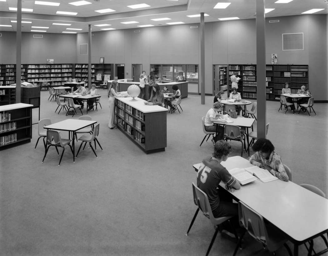
Austin’s library system served a city that was growing faster than its infrastructure could easily absorb. The Canadian Street Branch Library on East Caesar Chavez had been a neighborhood anchor since 1970. The Montopolis Branch held a flagpole inauguration on July 4, 1971 — a small civic ceremony that reflected the pride residents took in their local institutions. A library study room photographed in 1975 showed patrons reading at tables, shelves of periodicals lining the walls, and a librarian behind a central desk — the quiet, functional heart of a mid-decade public library.
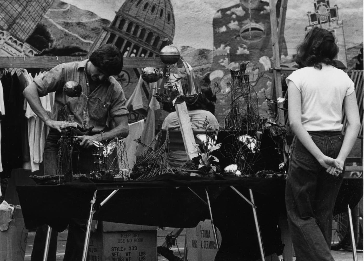
The Renaissance Market on West 21st Street became one of Austin’s most distinctive gathering places in the 1970s, hosting craftspeople and artists selling handmade goods directly to the public. A metalsmith sculptor selling wares there in 1977 represented the kind of alternative economy that thrived alongside the city’s growing mainstream commercial sector. The market was an early expression of the handmade and locally sourced ethos that Austin would later become known for.
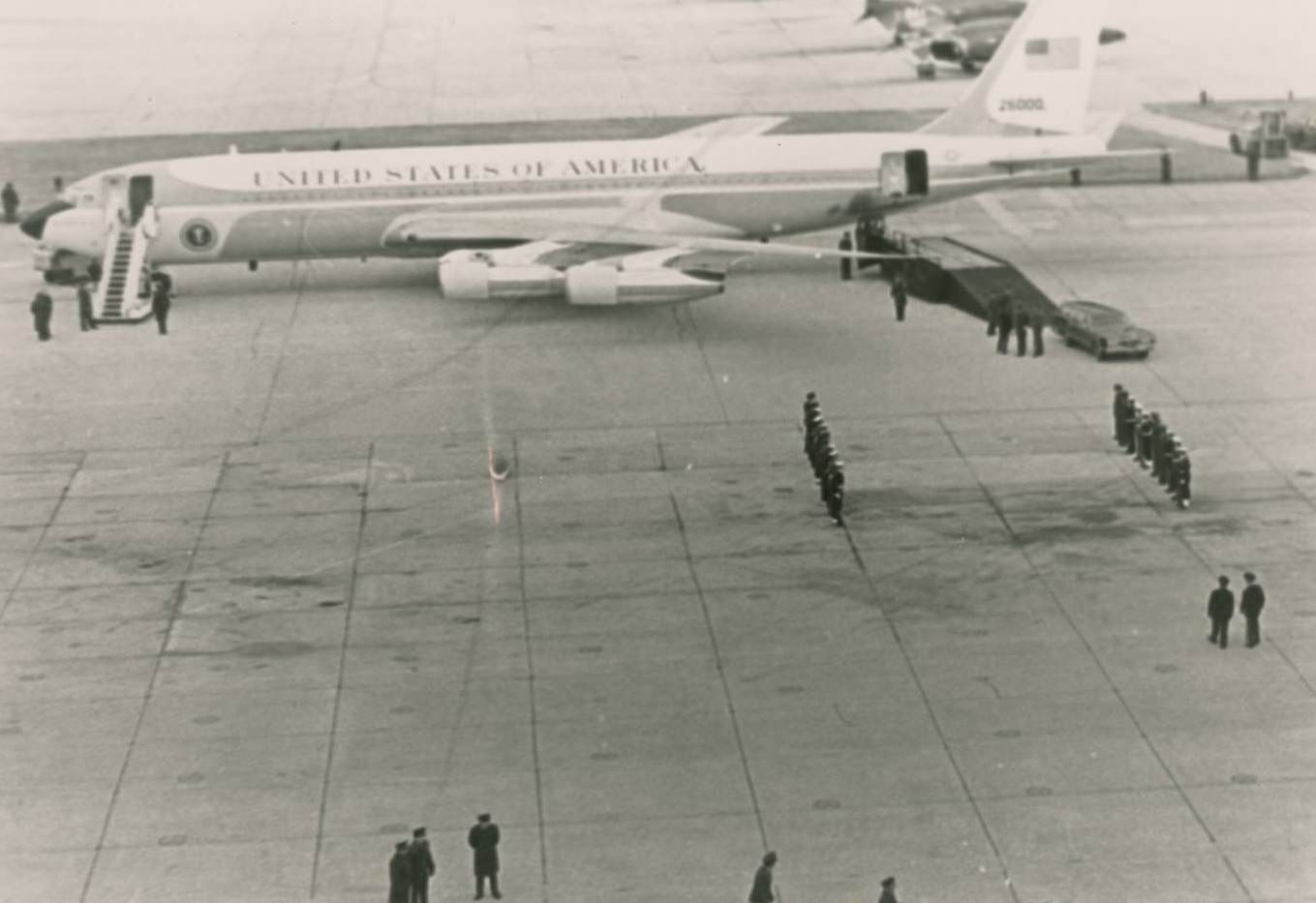
In January 1973, Austin paused to mark the death of one of its most prominent former residents. President Lyndon B. Johnson, who had grown up in the Texas Hill Country and built his political career in Austin, died on January 22. Air Force One carried his casket back to Texas, where he was buried at his LBJ Ranch near Stonewall. People stood at attention on the tarmac as the plane arrived, marking the end of a political era that had been deeply tied to the state.
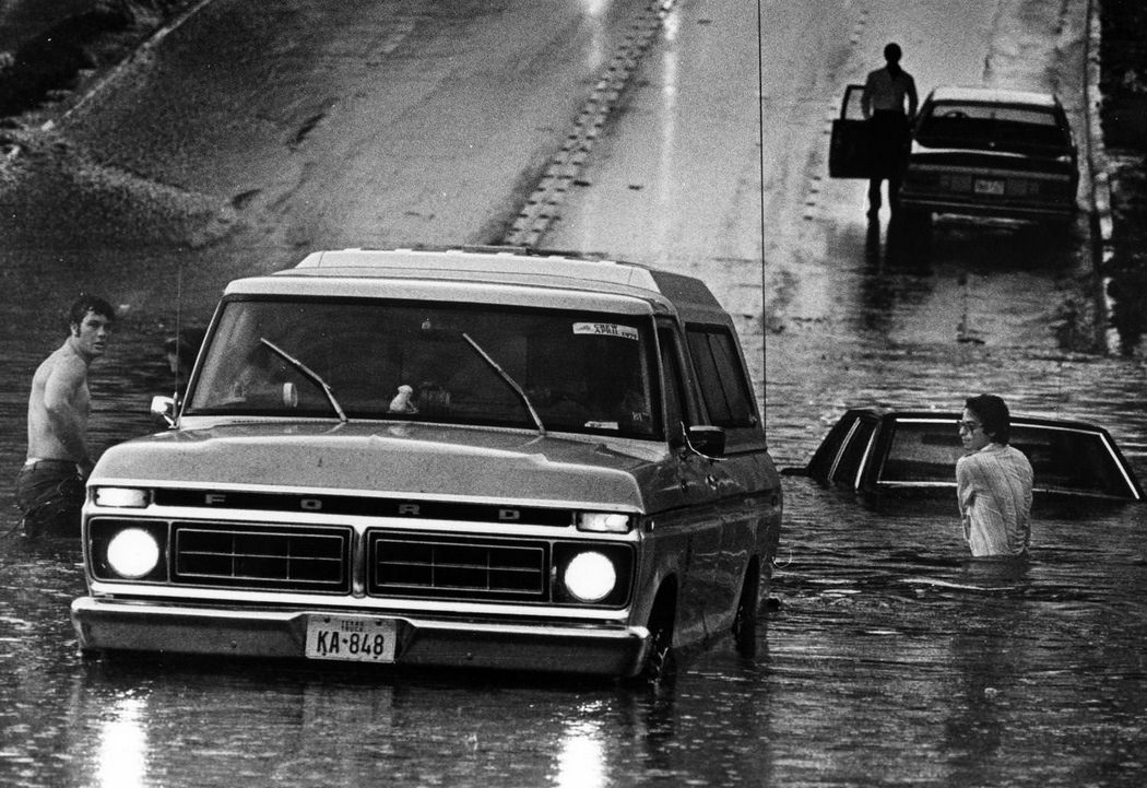
Natural disasters also left their mark on the city. On May 21, 1979, severe flooding stranded motorists across Austin, with vehicles swamped by floodwaters that rose faster than drivers could react. Flash flooding was a recurring danger in central Texas, and the 1979 event was one of several significant floods that struck the region during the decade. Road paving and infrastructure projects like the work on 38th Street in 1975 were part of the city’s ongoing effort to manage growth — though they couldn’t do much against a Texas thunderstorm.

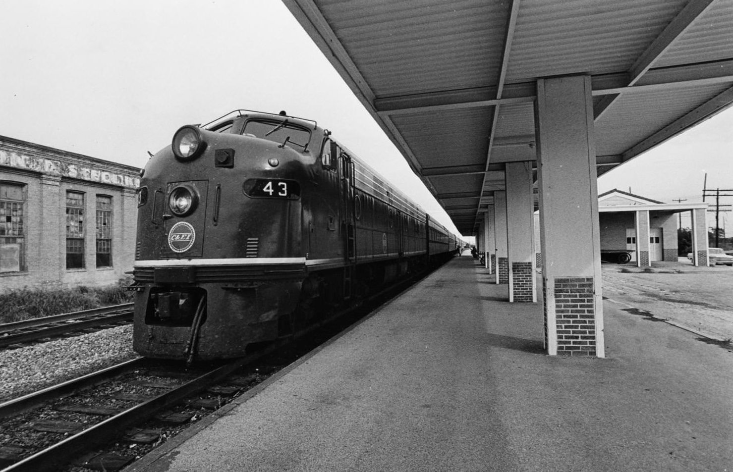
The last Eagle passenger train passed through Austin in 1970, stopping at the International and Great Northern Railroad depot. The platform was empty of waiting passengers — a sign of how thoroughly the car had replaced rail travel in Texas by that point. The I&GN depot, originally completed at 3rd and Congress Avenues in 1876, had already been demolished in 1950. The train’s final run through the city was a quiet end to an era of rail travel that had once been central to Austin’s connection with the rest of the state.
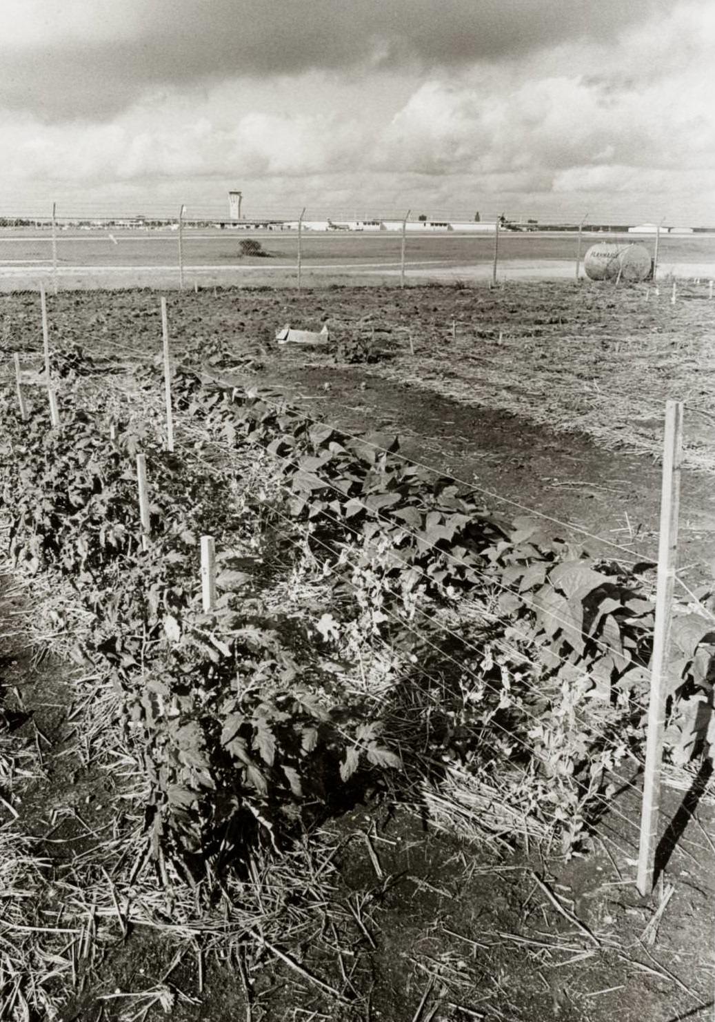
Austin’s community garden near the airport, photographed in 1975, offered a striking visual — neat rows of vegetables growing within sight of the airport control tower and airplane gates. The garden sat just outside the chain-link fence separating it from the tarmac, a small patch of food production pressed up against the infrastructure of modern air travel. It was an unlikely pairing that somehow felt entirely at home in Austin.
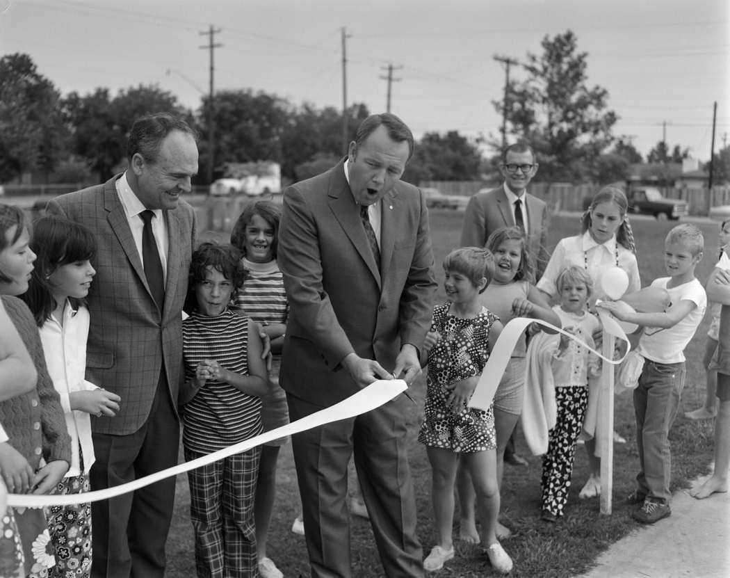
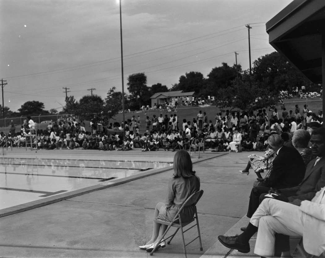
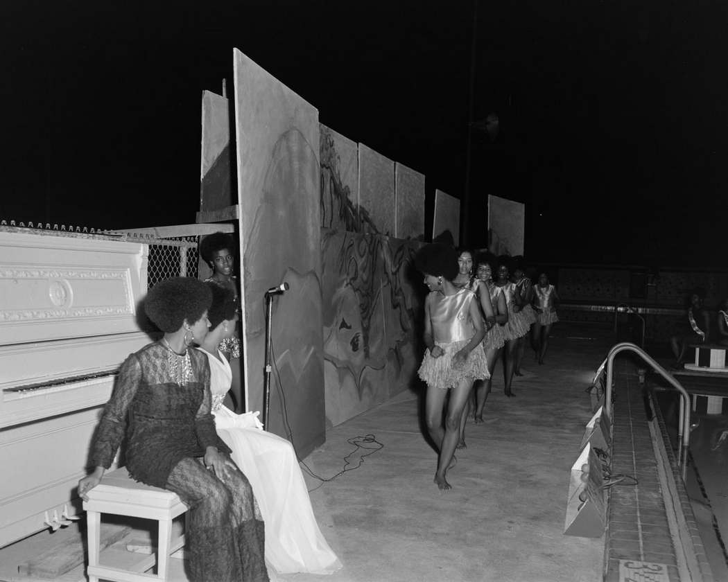
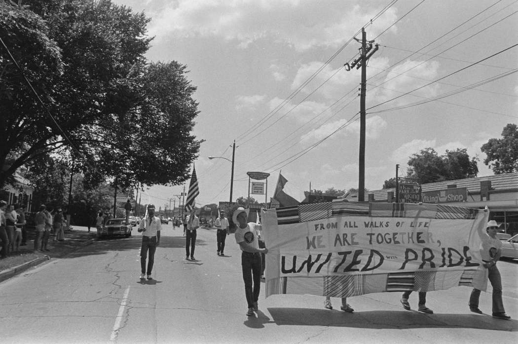
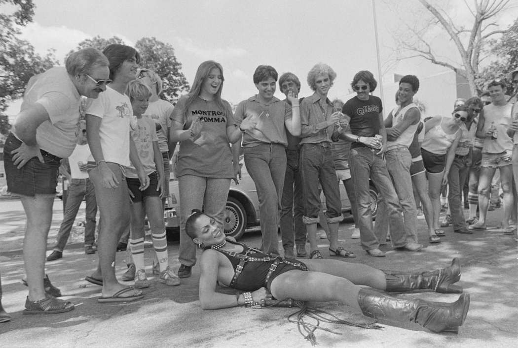
Public events and civic celebrations were woven through Austin life from one end of the decade to the other. The opening of Bartholomew Playground in June 1970, beauty pageants at Givens Park, parades, and the Houston Pride event of 1979 all drew people into the streets. The city’s public life was rich and varied, shaped by residents who showed up and participated.
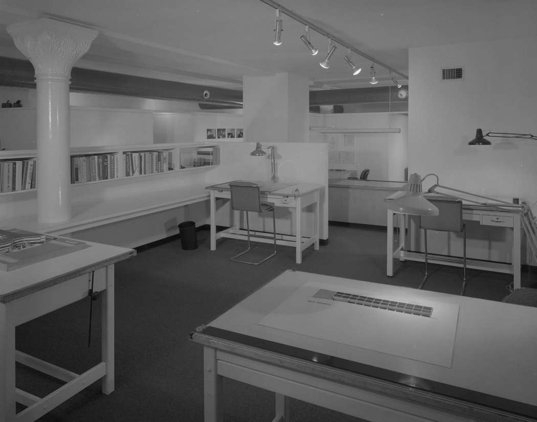
Architecture and office design in Austin reflected the broader shifts happening in American professional culture during the late 1970s. The Spencer and Associates architect office, photographed in 1979, featured track lighting, exposed air ducts, and a mix of modern and classical elements — a look that signaled a new generation of professional spaces moving away from the carpeted, walled-off offices of the previous era.
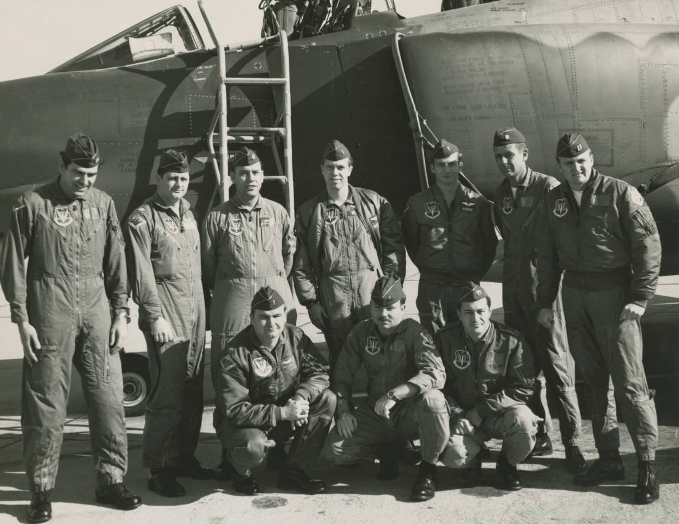
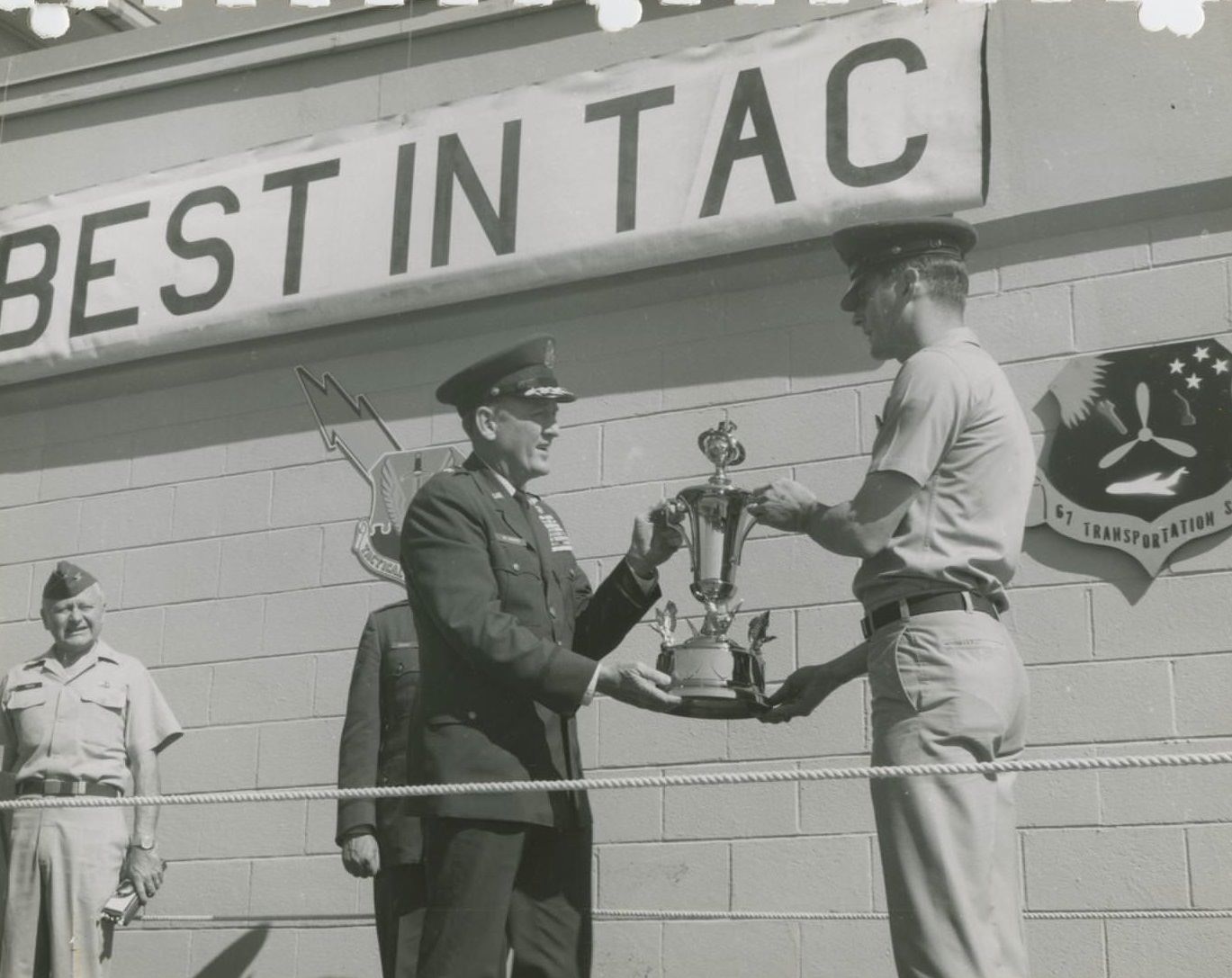
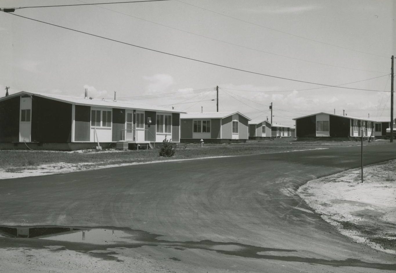
Bergstrom Air Force Base’s military training programs continued throughout the decade. Aircrew Class 70-8B gathered for a formal photograph in front of their aircraft in 1970, and award ceremonies like the Best in TAC recognition marked the achievements of base personnel. The base’s Relocatable Family Housing units stood as a reminder that thousands of military families lived and worked in Austin’s orbit throughout these years.





The person who actually wrote this has never been to Austin
I expect most of Austin to recognize this.
I appreciate this. It evokes memories for me.
I arrived here in search of images of the Adams Extract building, but was let down.
These pictures are fantastic, particularly the one with the gazebo. It’s amazing to see what’s absent from the background.
Can anyone recall what the new names of Reagan and Lanier were changed to a few years ago? My memory of it is already fading.
The absence of overweight folks in that picture suggests that something has gone awry in modern diets.
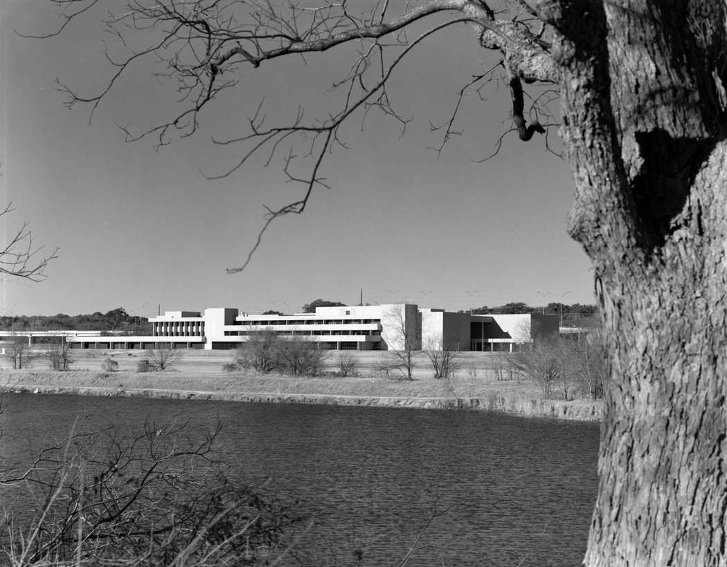
The writing is poorly done, and I was thrown off by the mention of a “flag poll” and a “modern building by a lake or river” (likely referring to Austin High School near Town Lake). Nonetheless, I found the Bergstrom pictures to be enjoyable. Although the base was situated adjacent to Austin, I’m uncertain whether I’d classify the barracks as early 70s Austin since I was just a child at the time and may be mistaken.
Some of those shots could have been from anywhere, too, like the “music festival traffic jam” and the flood photo.
I mean, the pics were alright. I wouldn’t say they were fascinating.
There’s a downvote button on posts too, just for these circumstances
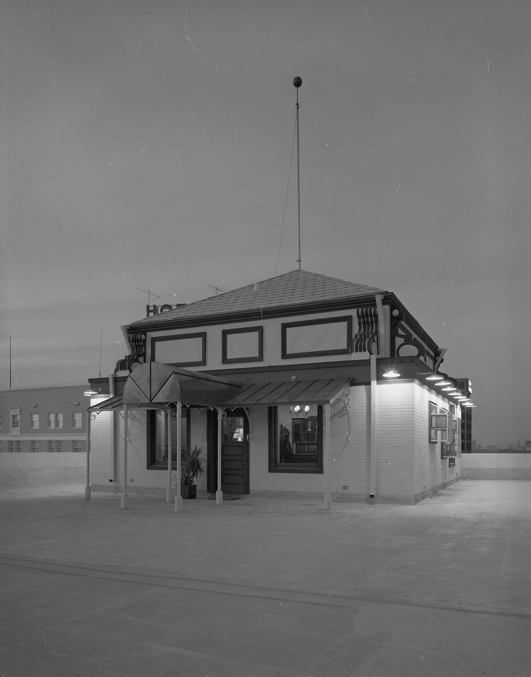
I love the Driskill Hotel, and that’s probably the best photo I’ve ever seen of the little-known penthouse.
Would’ve been better with more neighborhoods than ones shown.. what about in the West side, Brykerwood elementary, Shoal creek by Lamar and 29th?