
In 1958, Amsterdam was a city of bicycles, bridges, and busy waterways. Photographer Jaap van der Horst brought his camera along on a family trip to the Dutch capital and documented what he saw with a candid, unhurried eye. The result is a remarkable set of photographs that show Amsterdam before the modern world reshaped it — its canals still thick with working boats, its streets alive with everyday activity, and its landmarks standing as they had for centuries.
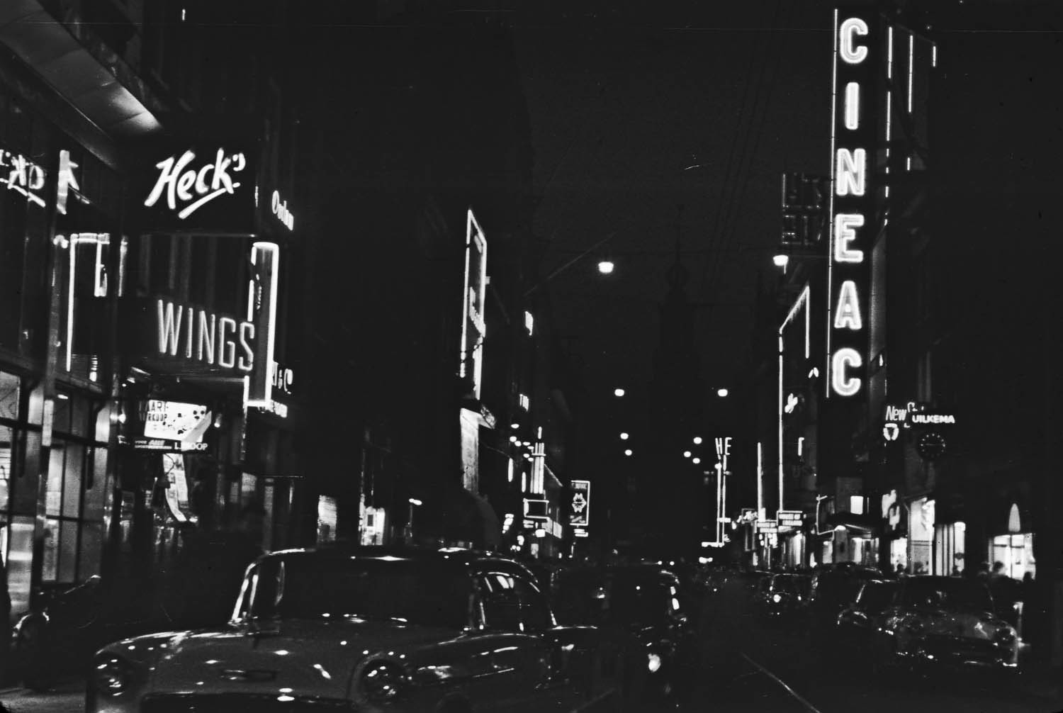
The Cineac cinema chain was a fixture of Dutch urban life in the mid-20th century, known for broadcasting news reels and short films on a rolling schedule. Its Amsterdam location was a busy cultural stop for city residents. Van der Horst’s shot of it places the viewer squarely on a 1958 Amsterdam street, surrounded by period signage and postwar foot traffic.
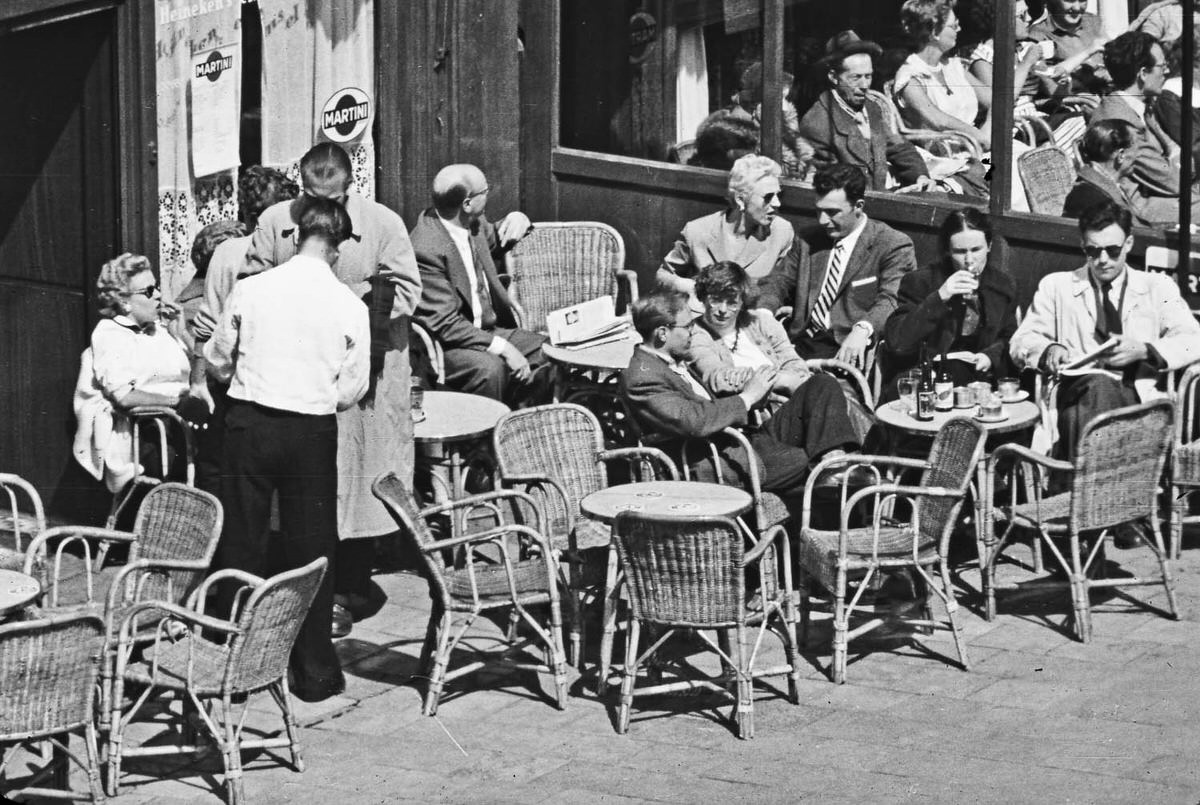
Amsterdammers made the most of good weather whenever it came. The Dutch climate is famously grey and damp, so a sunny afternoon drew people outdoors in force. Van der Horst caught residents simply sitting and soaking up the light — a small but telling detail about daily life in the city.
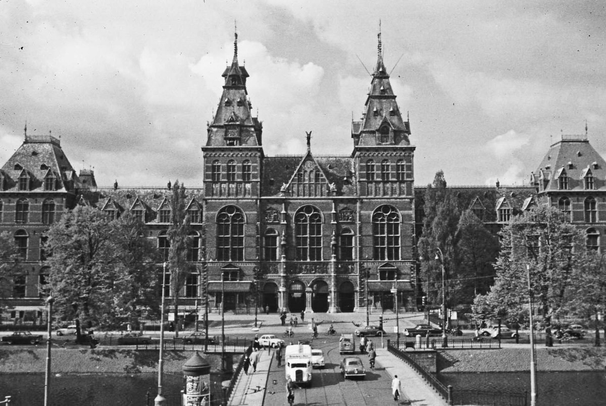
Amsterdam Centraal was — and still is — the beating heart of the city’s transit network. Built in the late 19th century, its grand neo-Gothic facade dominated the northern edge of the old city. In 1958, ferries and trams converged around it, and the plaza in front buzzed with commuters, tourists, and cyclists moving in every direction.
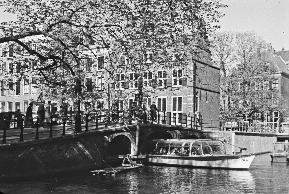
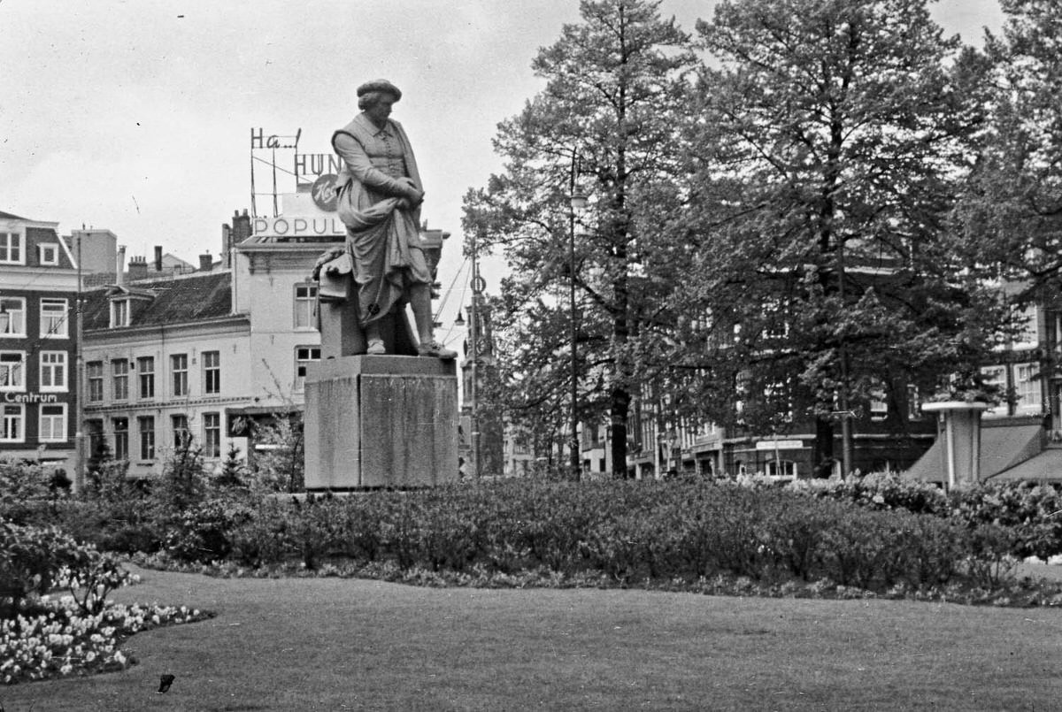
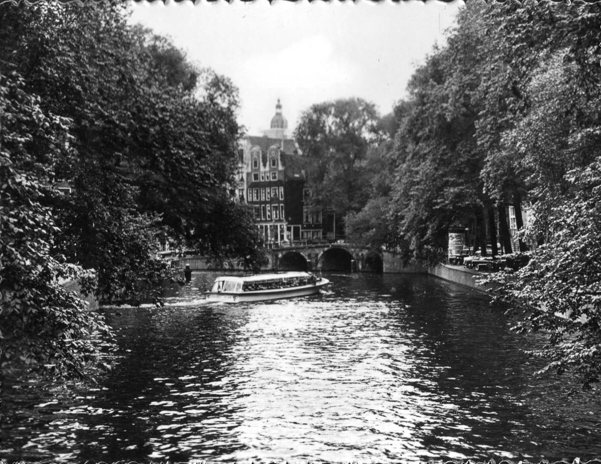
Amsterdam’s canal ring — dug in the 17th century during the Dutch Golden Age — remained the defining feature of the city in 1958. The waterways were still actively used for transport and trade, not yet the tourist-only zone they would partly become in later decades. Narrow houseboats sat moored alongside stone quays, and the reflection of gabled brick houses shimmered in the dark water below.
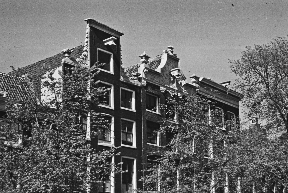
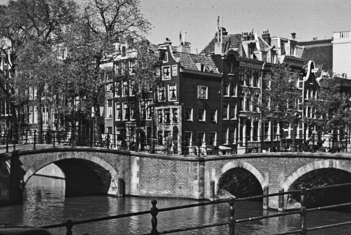
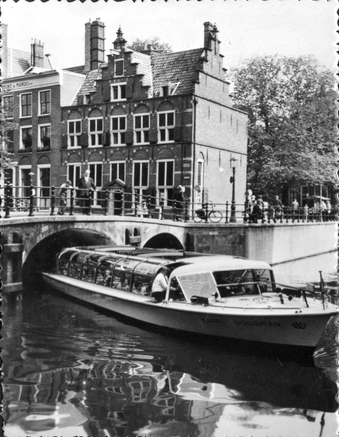
The canals drew people as much as they divided the city. Bridges of all sizes — from ornate iron spans to simple wooden planks — crossed the water at nearly every block. Drawbridges were a common sight, allowing taller vessels to pass through without interruption to the flow of the city above.
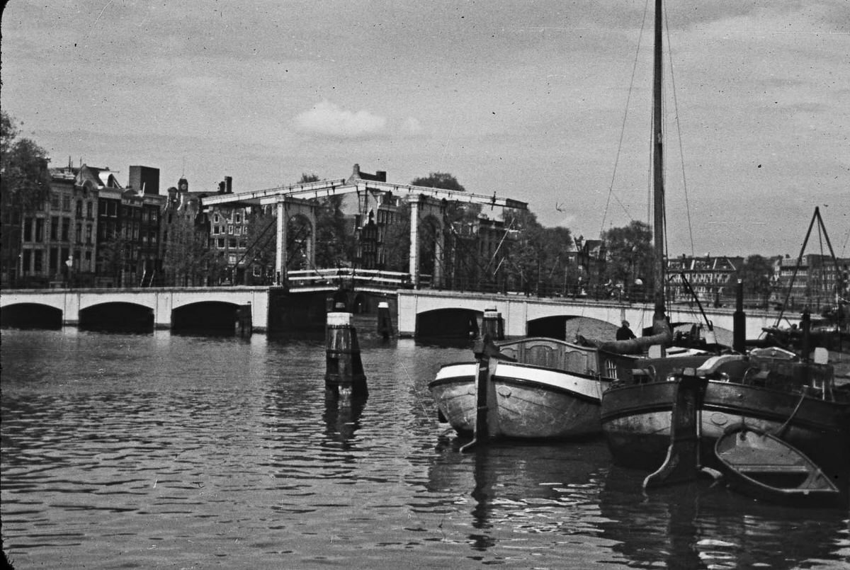
Canal-side dining was already part of Amsterdam’s character in 1958. Restaurants and cafes positioned along the water gave diners a front-row view of boat traffic drifting by at a relaxed pace. The midday hour brought locals and visitors alike to these spots for a meal beside the water.
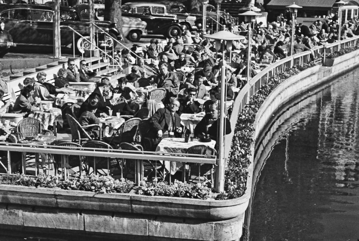
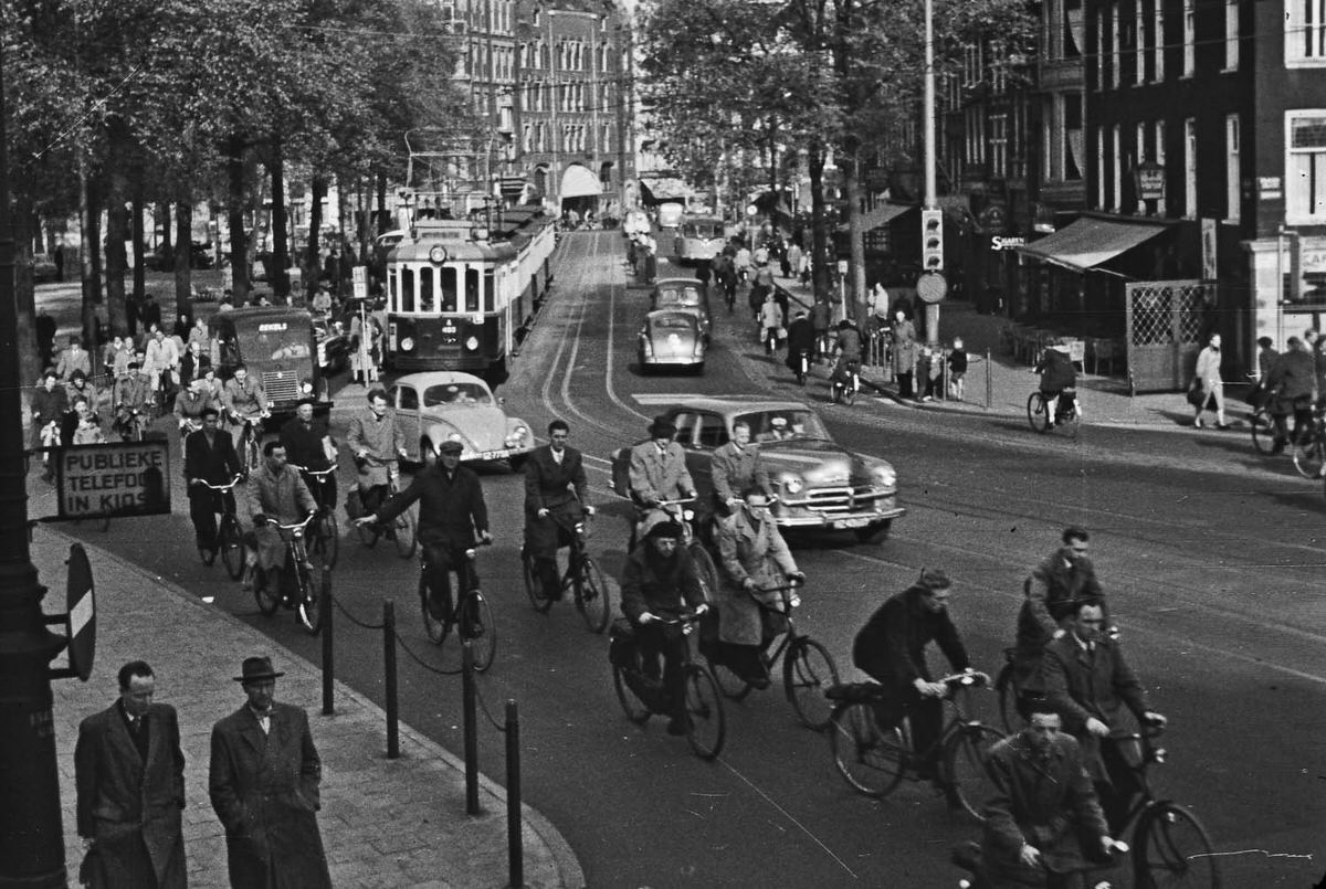
Away from the waterways, Amsterdam’s streets had their own energy. Shopkeepers, pedestrians, and cyclists shared narrow lanes lined with centuries-old buildings. The city had absorbed postwar rebuilding across the Netherlands, but Amsterdam’s historic core had been largely spared wartime destruction, leaving its older character intact.
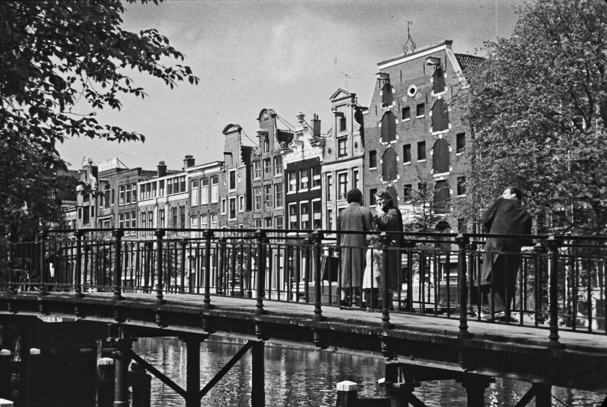
The canal houses of Amsterdam were built tall and narrow, a product of 17th-century land costs. Each facade was slightly different from its neighbor — some with stepped gables, others with bell or neck gable tops. Many of these buildings had hooks at their peaks for hoisting furniture and goods, a practical feature still visible in 1958.
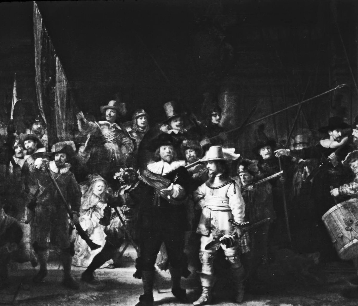
The Amsterdam Museum — known at the time as the Amsterdams Historisch Museum — held collections tracing the city’s long history. A visit gave Van der Horst the chance to photograph one of its paintings, connecting the Amsterdam of 1958 to the city’s documented past displayed on its walls.
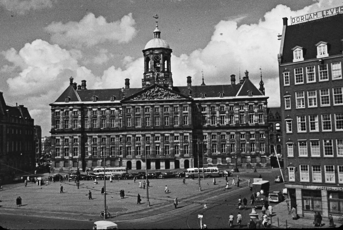
The Royal Palace on Dam Square was originally built as Amsterdam’s city hall in the 17th century and converted to a royal residence under Napoleon’s rule in the early 1800s. By 1958, it served as an official palace for the Dutch royal family. Its massive sandstone facade commanded the city’s central square, flanked by trams and pedestrians going about their day.
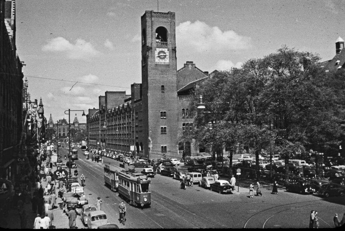
The Beurs van Berlage, Amsterdam’s former stock exchange building, was designed by architect H.P. Berlage and completed in 1903. Its restrained red-brick style broke sharply from the decorative architecture popular at the time and became a landmark of Dutch modern design. By 1958, the building was no longer used as a stock exchange and had taken on a new role as a public venue.
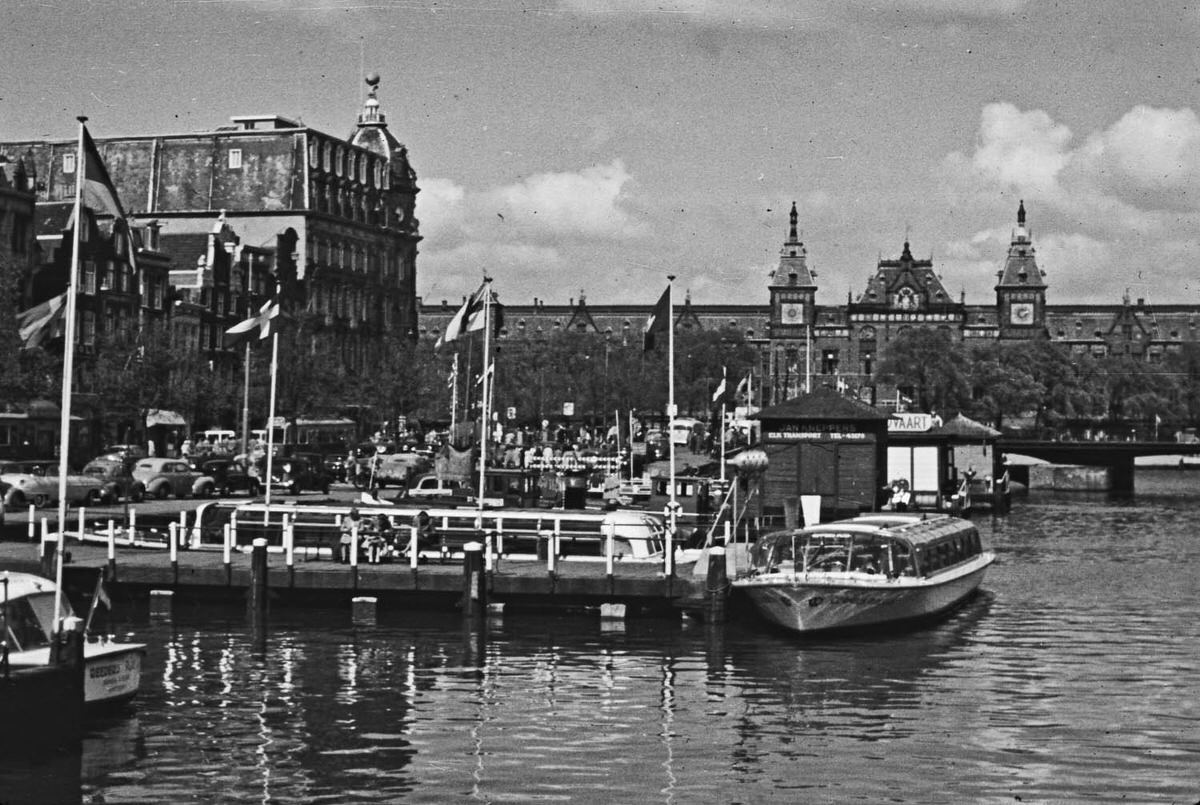
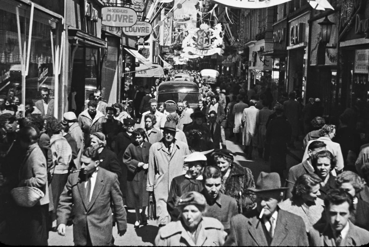
Street scenes from 1958 Amsterdam tell a clear story about transportation in the era. Cars existed but were far outnumbered by bicycles, trams, and pedestrians. The city’s infrastructure — cobblestones, narrow lanes, and canal-side pathways — naturally slowed traffic and kept street life at a human scale.
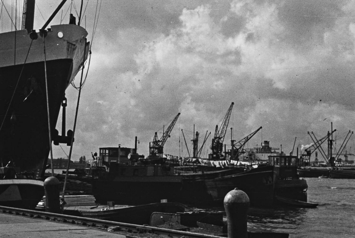
Amsterdam’s harbor on the IJ waterway was a working industrial port in 1958, handling cargo ships and commercial traffic that connected the city to global trade routes. The port’s presence gave Amsterdam an economic identity far beyond tourism. Cranes, freight vessels, and dockworkers defined this part of the city.
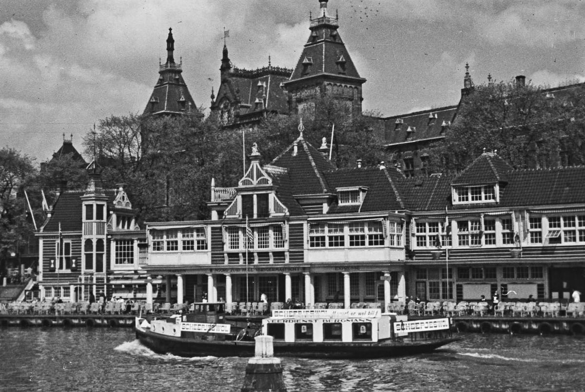
Free ferries crossing the IJ behind Centraal Station were a fixture of Amsterdam life and remained the most direct way to reach Amsterdam-Noord from the city center. In 1958, no tunnel or metro line connected the two banks — the ferry was the link. Commuters, cyclists, and pedestrians loaded on together for the short crossing.
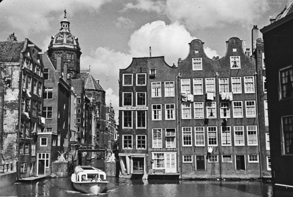
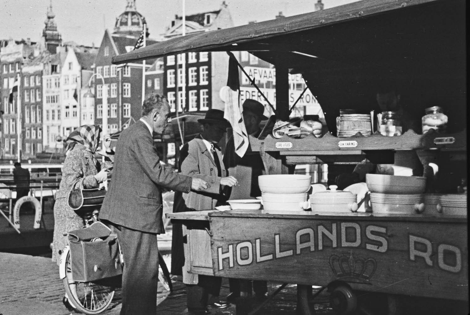
Canal boat tours were already a well-established attraction in Amsterdam by 1958. Flat-bottomed glass-topped boats carried visitors through the canal ring, offering views of the gabled facades and arched bridges from the waterline. The tours gave passengers a perspective of the city that couldn’t be found on foot.
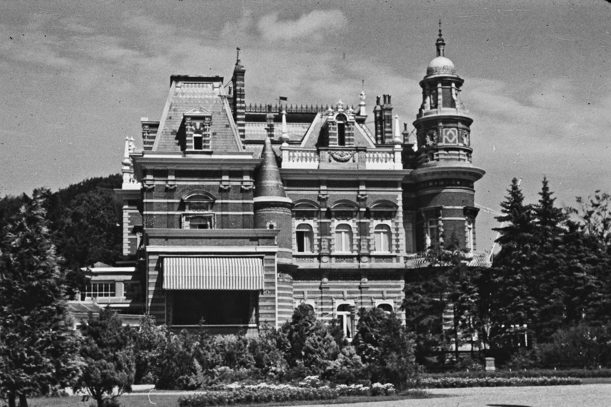
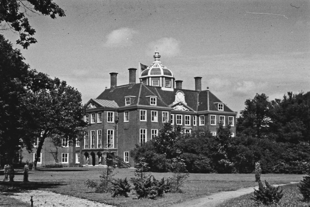
Van der Horst’s wider street and cityscape shots show a postwar Amsterdam still carrying a sense of quiet recovery. The city had survived World War II largely structurally intact, but its Jewish population had been devastated by Nazi occupation. Life in 1958 moved forward, visually ordinary, but carrying that recent history just beneath the surface.
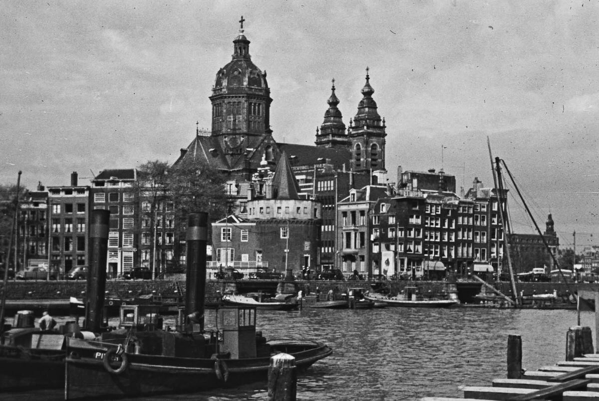
Looking back toward the city from the harbor in 1958, Amsterdam’s skyline was defined by church spires, warehouse rooftops, and the towers of Centraal Station. No modern high-rises interrupted the view. The city still read, from a distance, much as it had in historical paintings from centuries earlier.
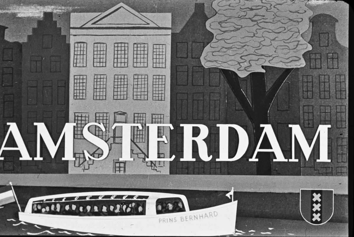
Advertising in 1958 Amsterdam was painted, posted, and plastered across walls and storefronts. Brand names like Fairy — a Procter & Gamble dish soap product that was gaining traction in European markets — appeared alongside Dutch commercial signage. These advertisements are now a small window into the consumer culture of the era.
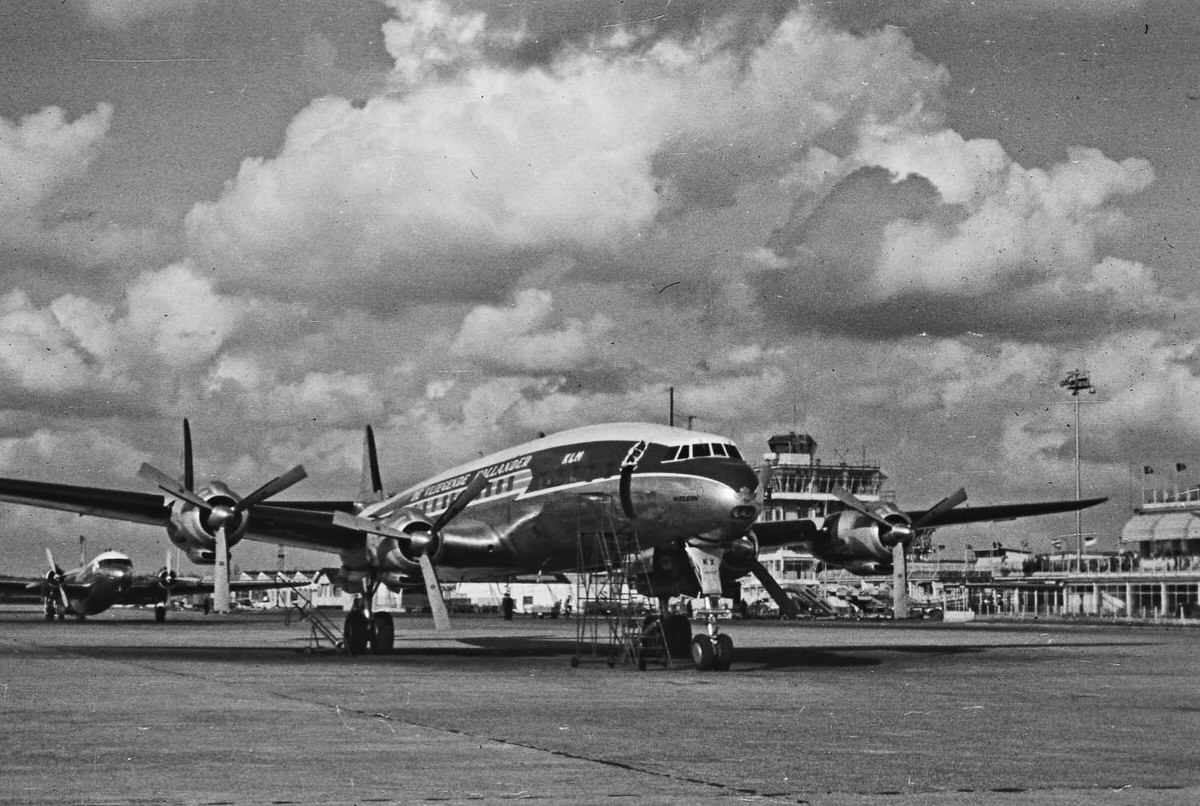
Air travel was expanding rapidly across Europe in 1958. KLM Royal Dutch Airlines, headquartered near Amsterdam, was one of the continent’s major carriers. The sight of a plane over the city reflected the optimism of the postwar years, when aviation was quickly shifting from a luxury to a common means of travel.
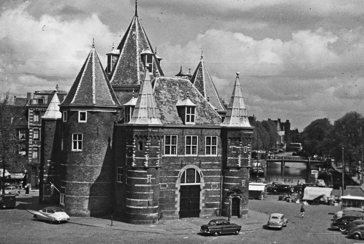
Amsterdam’s De Waag — the old weighing house — stood in the Nieuwmarkt square and dated back to the late 15th century. Originally a city gate, it was later used for weighing goods, then as a guildhall, and eventually as a fire station. By 1958, it was one of the city’s most recognizable medieval structures, surrounded by the open market square.
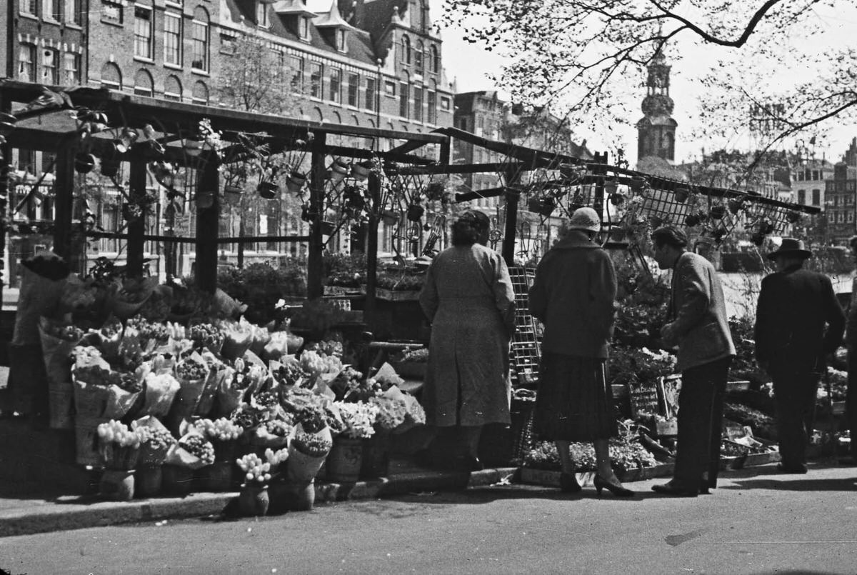
The Bloemenmarkt — Amsterdam’s famous floating flower market on the Singel canal — was a fixture of the city in 1958. Stalls loaded with tulips, daffodils, and bulbs sat on barges moored along the canal edge. The Netherlands’ dominance in flower cultivation made Amsterdam a natural hub for the flower trade.
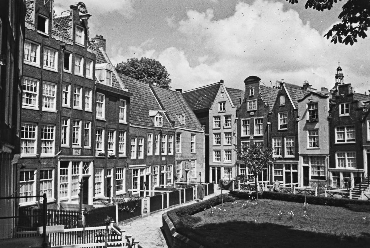
Amsterdam’s hofjes were small, enclosed courtyards built around gardens and surrounded by modest housing. They were originally founded by wealthy merchants and religious groups from the 14th century onward, providing shelter for the elderly and poor. In 1958, many hofjes were still functioning as residential spaces, tucked quietly behind the main streets and hidden from casual view.
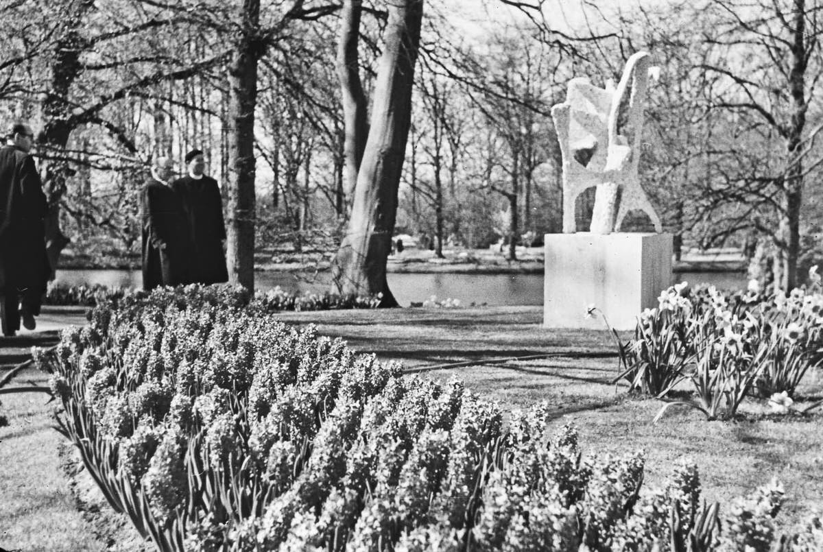
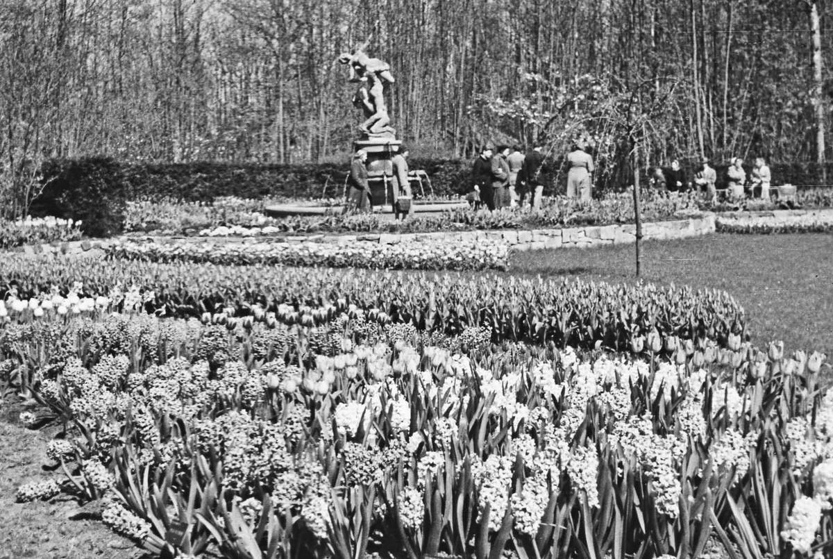
Amsterdam’s parks — including the large Vondelpark, opened in 1865 — offered green space in the middle of a dense urban environment. In 1958, parks were meeting places for families, couples, and neighbors. Children played, people read on benches, and the pace of city life slowed noticeably within the park gates.
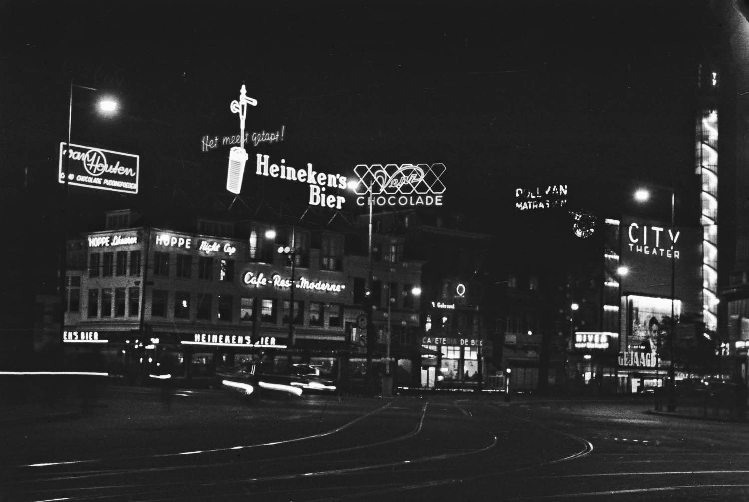
After dark, Amsterdam took on a different character. Street lamps reflected off the canal water and the illuminated facades of bridges created warm pools of light across the city. Van der Horst captured the city at night, showing that Amsterdam’s beauty didn’t disappear when the sun went down.
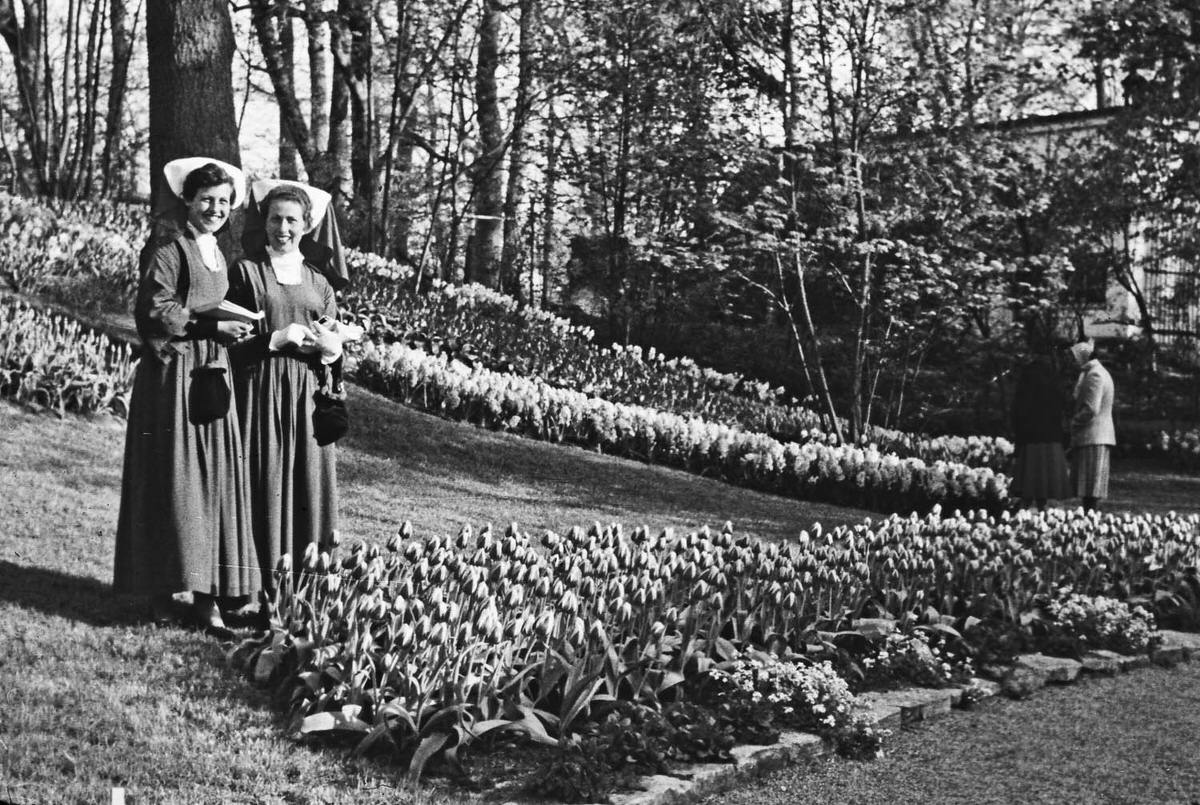
Religion played a visible role in Dutch public life in 1958. The Netherlands was deeply divided along religious and political lines in a system known as pillarization, or verzuiling — where Catholics, Protestants, and secular groups each maintained their own institutions and social networks. Two nuns resting in a park were an unremarkable sight in this environment.
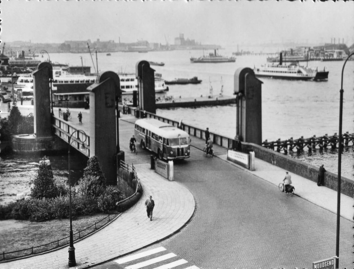
Amsterdam’s many lift and swing bridges were engineered to accommodate boat traffic while keeping road connections across the canals. The city had over 1,200 bridges in 1958, each with its own mechanics and character. Lift bridges, with their counterweighted arms rising into the sky, were among the most dramatic in the canal network.
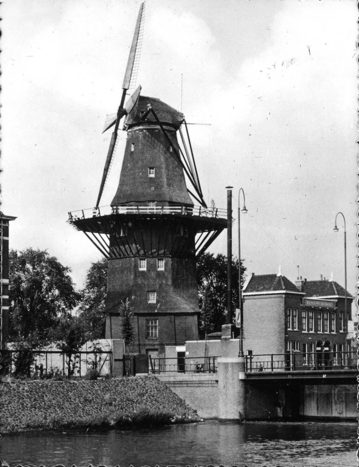
Windmills were once essential to Amsterdam and the surrounding region — used for pumping water, milling grain, and processing materials. By 1958, most were no longer in active industrial use, but several survived on the outskirts of the city as preserved landmarks. They stood as direct links to the engineering that had kept much of the Netherlands above water for centuries.

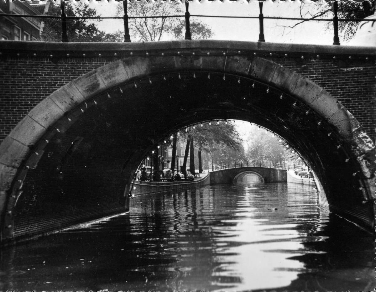
Illuminated bridges over the canals at night gave Amsterdam a festive, almost theatrical quality. The lights outlined the arches and iron railings, turning functional structures into visual landmarks after dark. Van der Horst’s nighttime shots of the city are among the most striking in his collection.
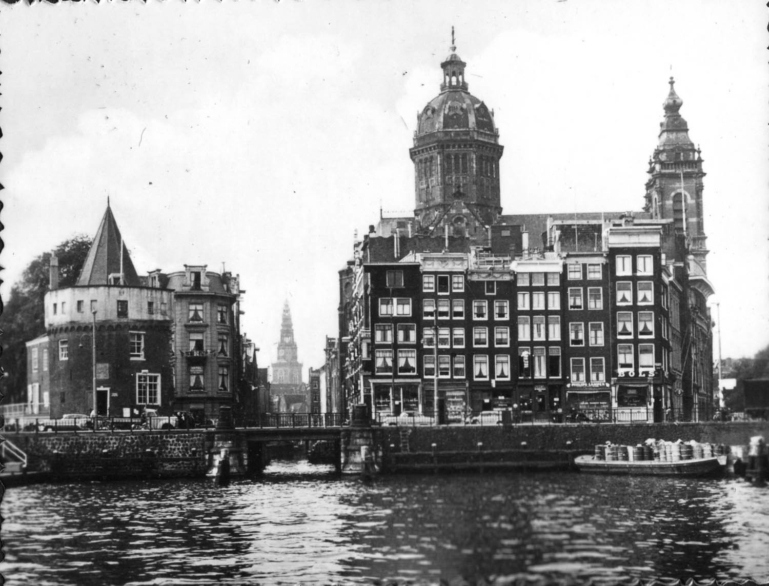
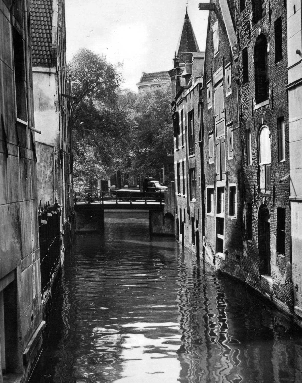
Taken together, Jaap van der Horst’s photographs from 1958 present Amsterdam as a city that was deeply rooted in its past while quietly moving into a new era. The canals, bridges, markets, and streets he photographed during that family trip preserve a version of Amsterdam that has since changed in many ways — making these images a clear and valuable record of the city at a specific moment in time.




