Amsterdam in the 1930s was a city in motion. Its population grew by 17% compared to the 1920s, pushing the city to expand in nearly every direction. New neighborhoods rose to the west, south, and east, while entirely new suburbs took shape north of the River IJ. The decade brought sweeping changes to Amsterdam’s physical landscape, its infrastructure, and its social fabric — not all of them peaceful.
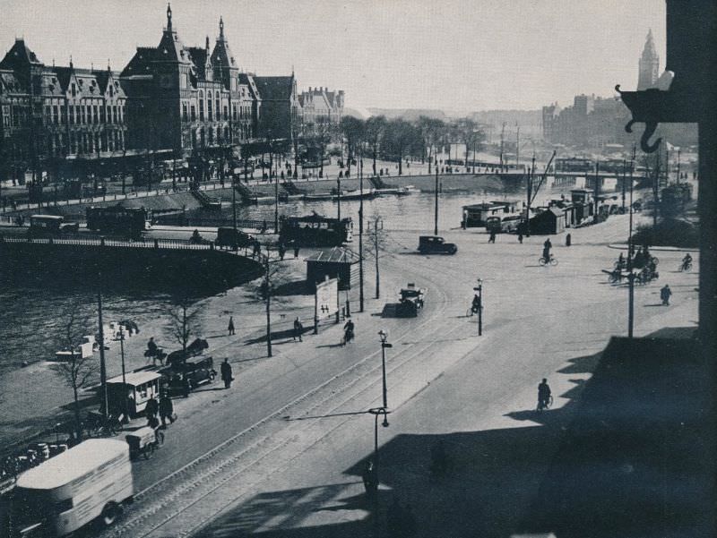
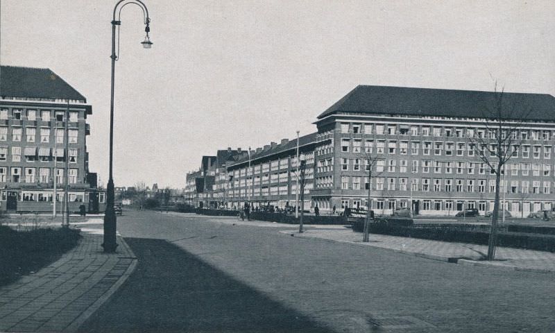
Much of the city’s westward growth centered on the Frederik Hendrikbuurt neighborhood and the areas surrounding the Jordaan district. City planners also pushed development further south under a plan designed by architect H.P. Berlage, known as Plan Zuid. The plan called for wide boulevards, spacious public squares, and carefully arranged housing blocks. Berlage’s layout remains one of the most admired urban planning projects in Dutch history, and the neighborhood it shaped still draws visitors today.
The new suburbs built during this era followed the Amsterdam School of architecture, a style that rejected plain, repetitive design. Buildings featured asymmetrical forms, decorative brickwork, and imaginative ornamental details. This approach was a direct response to the dull uniformity that had defined earlier public housing. Architects used curved facades, sculpted entrances, and expressive rooflines to give working-class neighborhoods a distinctive character.
One of the decade’s most significant engineering achievements was completed in 1932: the Afsluitdijk. This massive dike sealed off the Zuider Zee, a shallow inland sea that had defined the region’s geography for centuries, from the North Sea. Once the dike was finished, the water behind it gradually transformed into a freshwater lake called the IJsselmeer. For the first time in its history, Amsterdam no longer had open access to the sea. The city that had built its fortune on maritime trade was now geographically cut off from the open water.
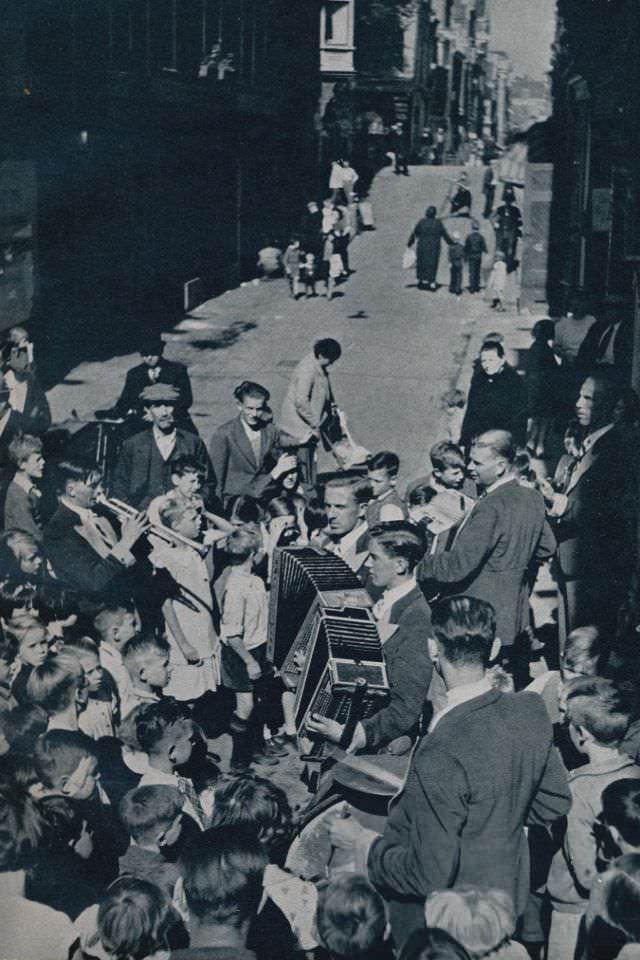
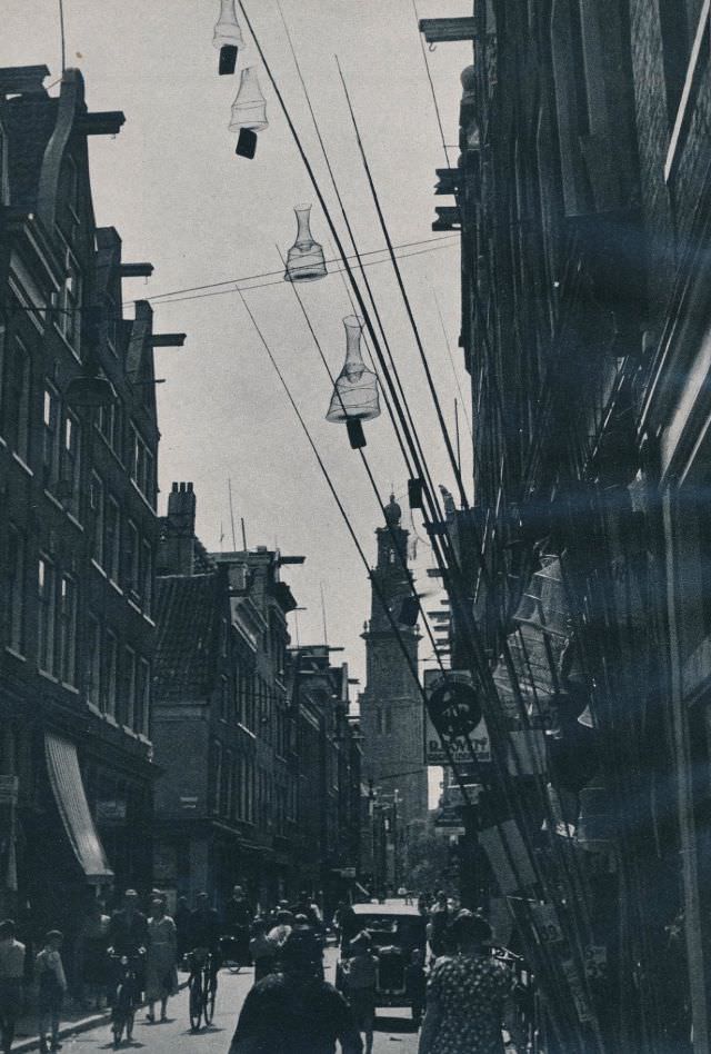
The Jordaan district, one of Amsterdam’s oldest and most densely populated neighborhoods, had long been home to working-class families. Street life there was vivid and communal — vendors, musicians, and neighbors filled the narrow lanes. But the Great Depression had hit households hard across the Netherlands, and by 1934, frustration over government austerity had reached a breaking point.
In early July 1934, the Dutch government cut unemployment benefits. The reductions triggered protests across the country, but nowhere were they more intense than in the Jordaan. Between July 4 and July 9, full-scale riots broke out in the streets. Residents tore up cobblestones and hurled them at police. Six people were killed and hundreds were injured before order was restored. The uprising became known as the Jordaanoproer — the Jordaan Revolt. In the aftermath, city authorities paved over the streets in the area so that paving stones could no longer be pulled up and used as weapons.
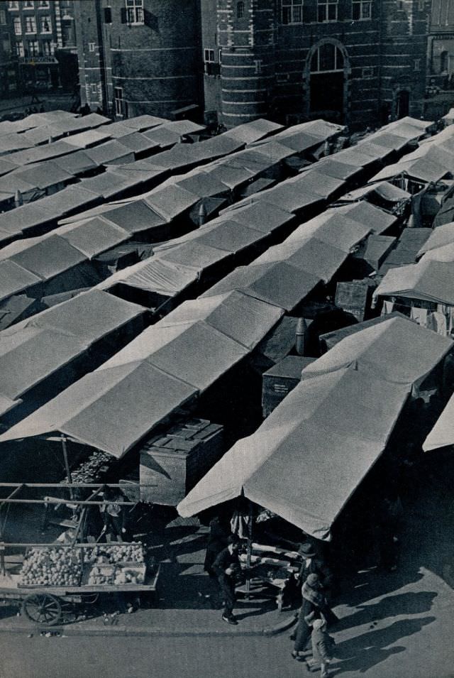
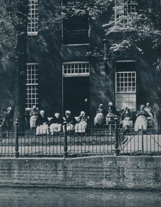
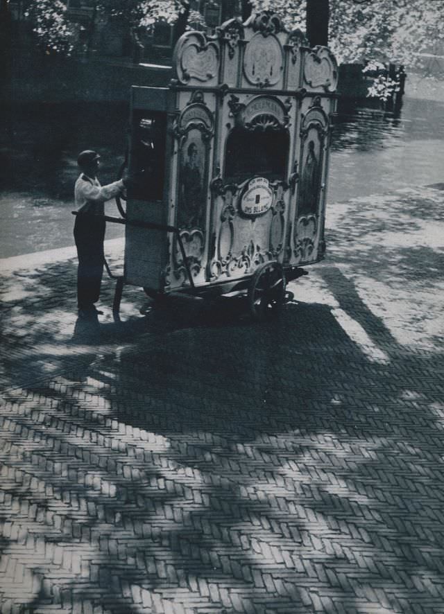
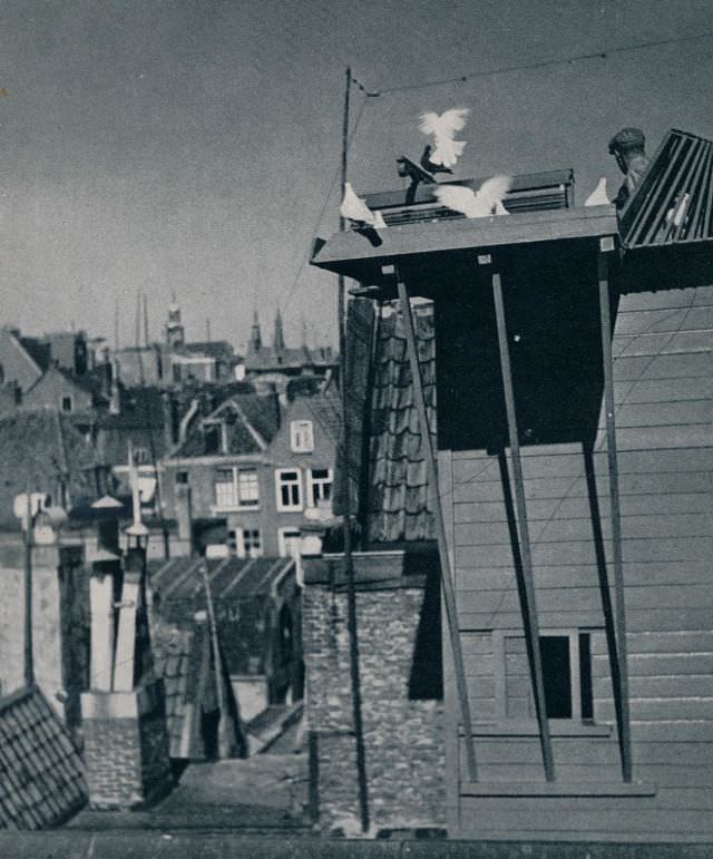
Beyond politics and engineering, daily life in 1930s Amsterdam had a texture all its own. Street vendors pushed carts through the canal-side lanes. Organ grinders — known locally as pieremannen — parked their barrel organs on busy corners and collected coins from passersby. Pigeon keepers tended their birds on rooftops. Pony taxis carried children through the parks. These were the small, ordinary scenes that made up the city’s daily rhythm.
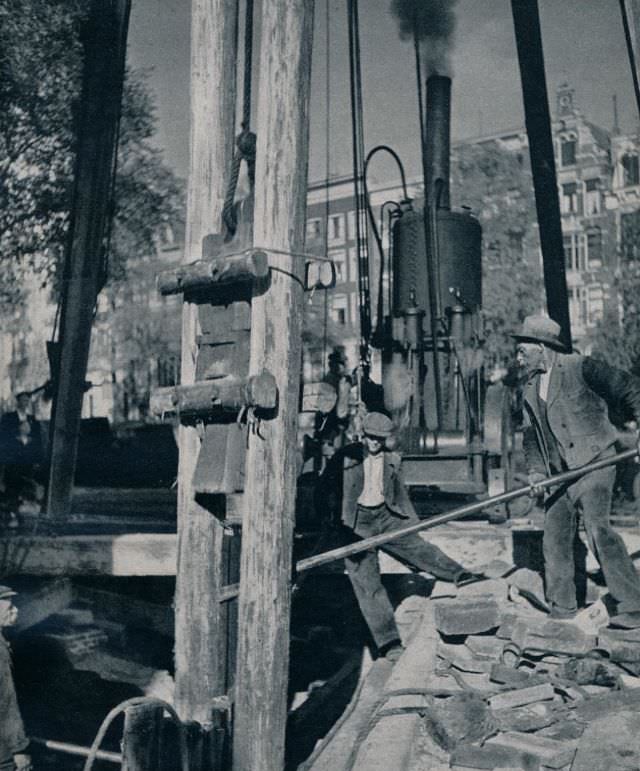
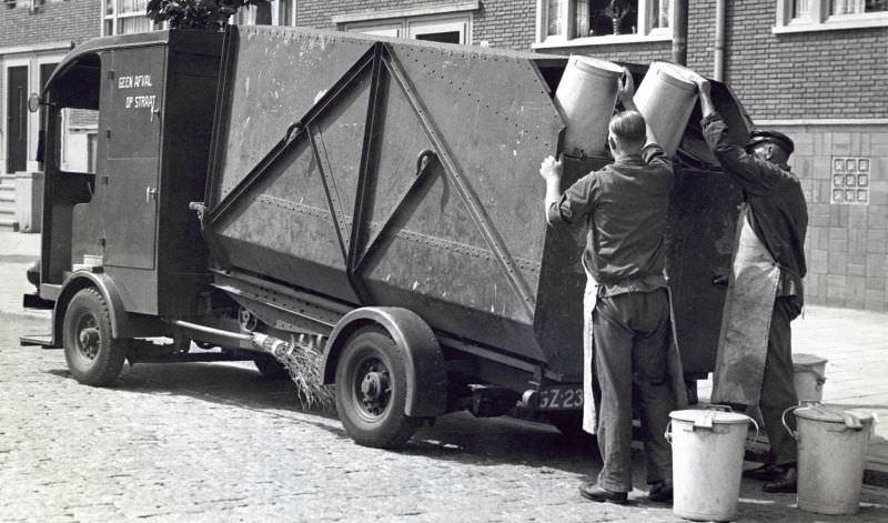
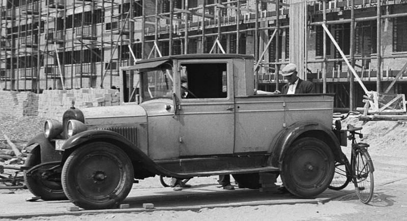
Construction was a constant presence across the city. Pile driving — the process of hammering wooden or concrete piles deep into Amsterdam’s soft, waterlogged ground to support building foundations — was a familiar sound in growing neighborhoods. Amsterdam sits on marshy land, and every structure requires this kind of deep foundation work. The city’s expansion in the 1930s meant that the thud of pile drivers was never far away.
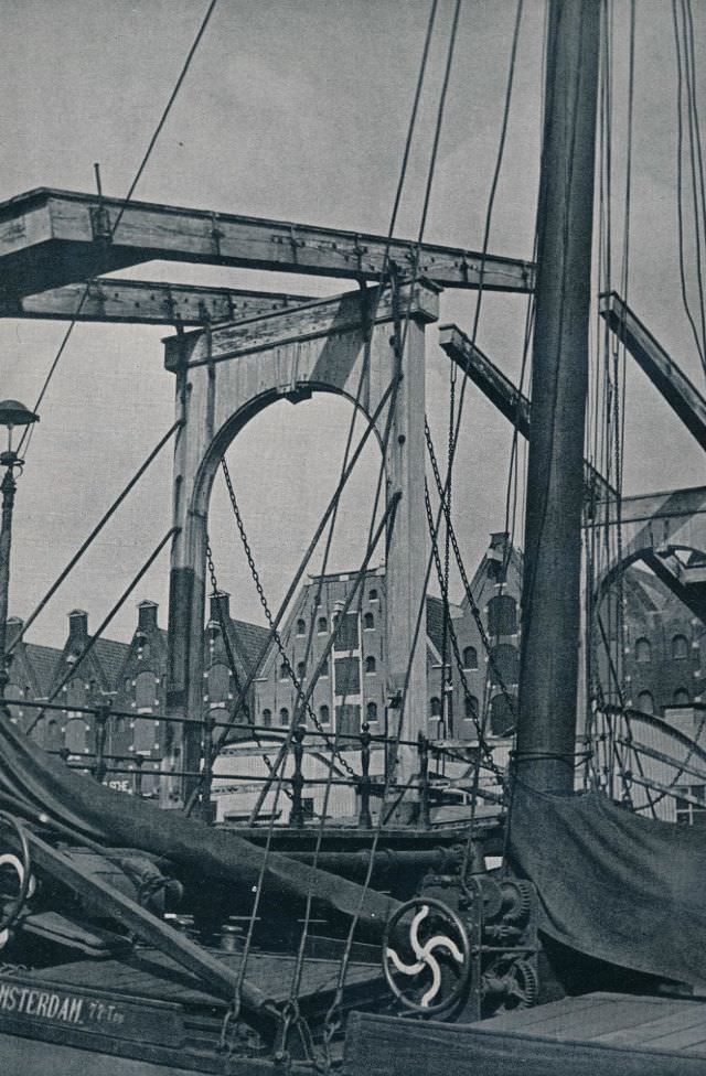
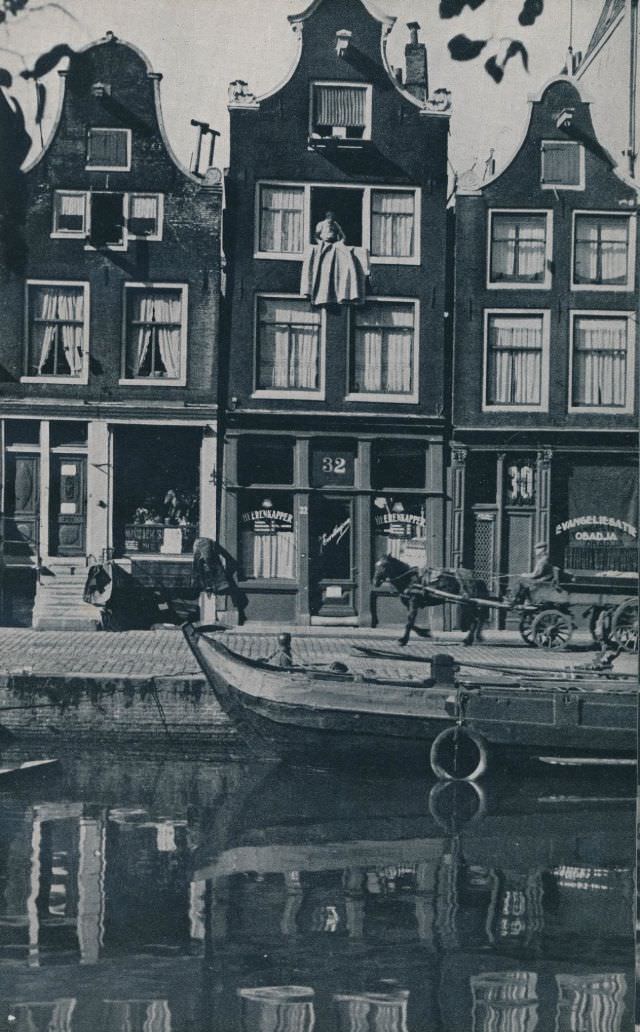
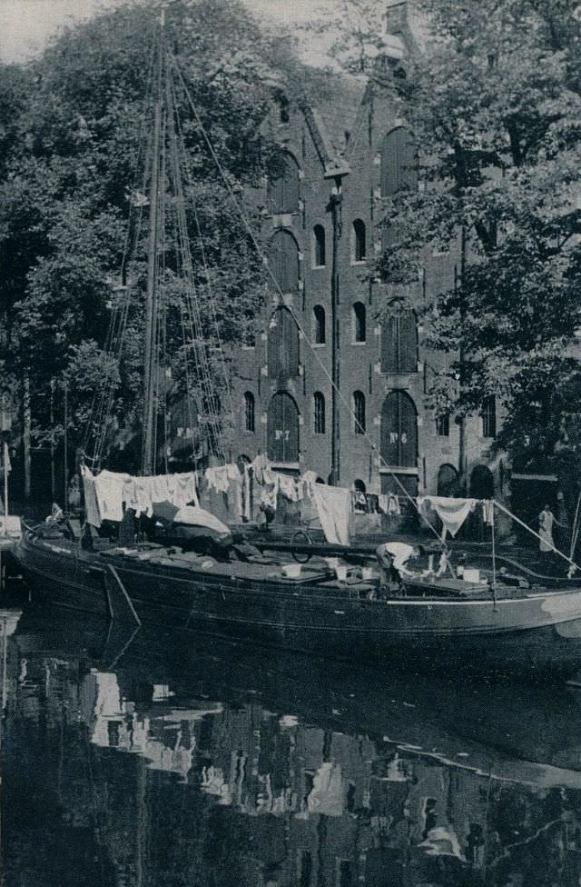
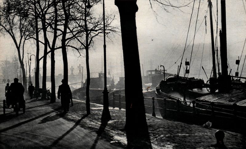
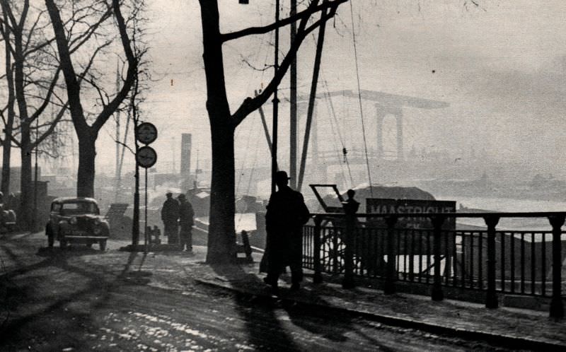
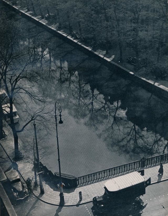
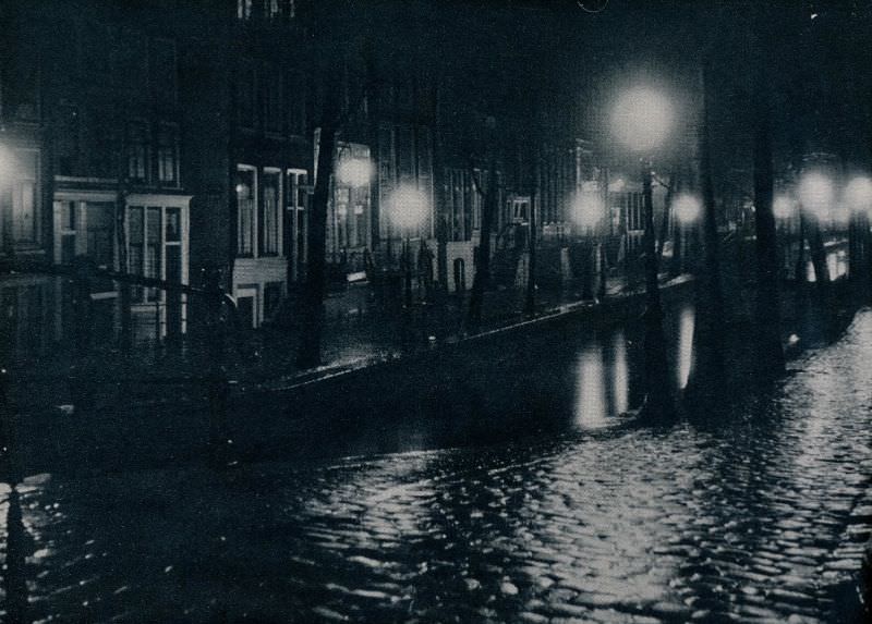
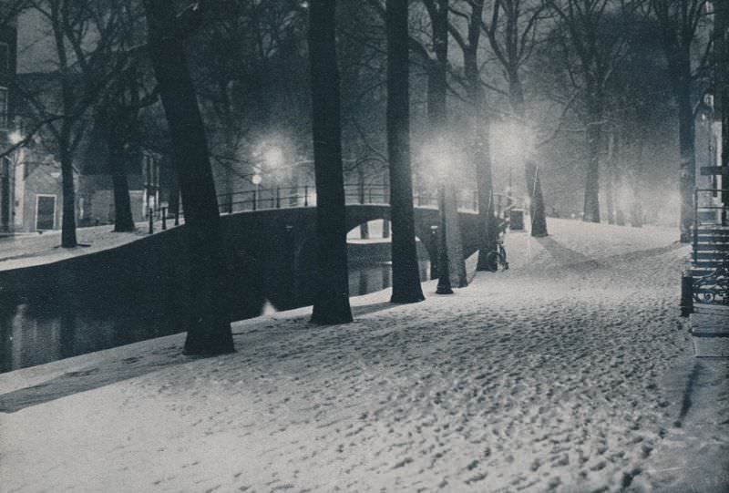
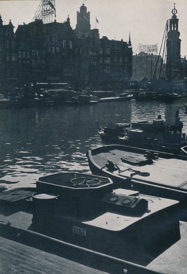
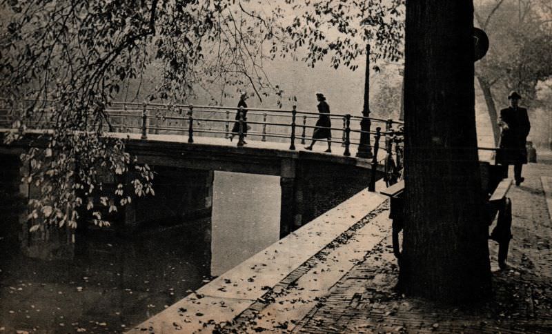
The canals remained the city’s most defining feature. The Prinsengracht, Reguliersgracht, and the Amstel each had their own personality. The Prinsengracht was lined with tall, narrow merchant houses whose stepped gable facades had changed little in centuries. At night, bridges and waterways reflected lamplight onto the still water. In winter, the canals sometimes froze over, turning them into skating routes and gathering spots.
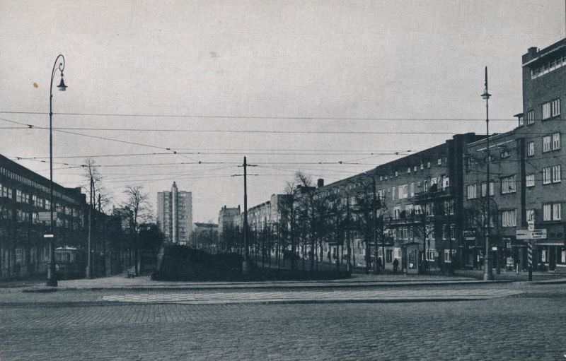
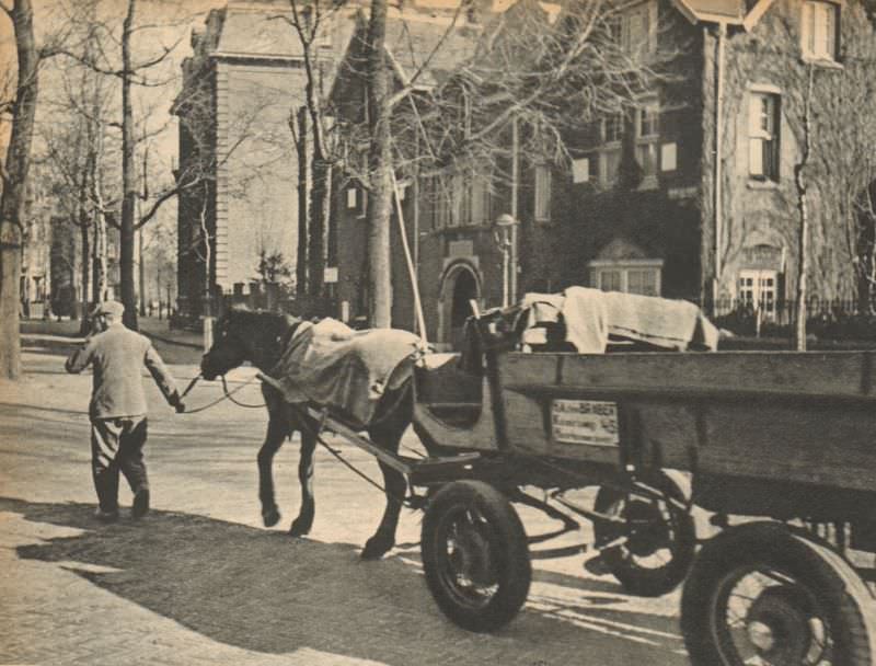
The southern expansion of the city brought something unusual to Amsterdam’s skyline: taller, more modern buildings that stood in sharp contrast to the historic canal houses of the old center. These structures signaled Amsterdam’s ambition to modernize while holding on to its historic core. The tension between old and new was visible everywhere — ancient gabled facades next to sleek commercial storefronts, horse-drawn carts sharing roads with automobiles.
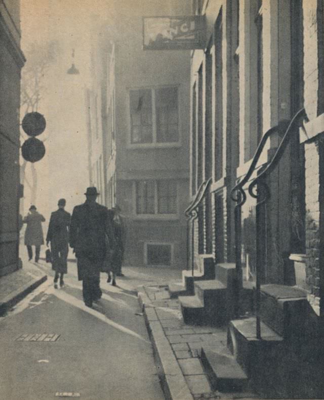
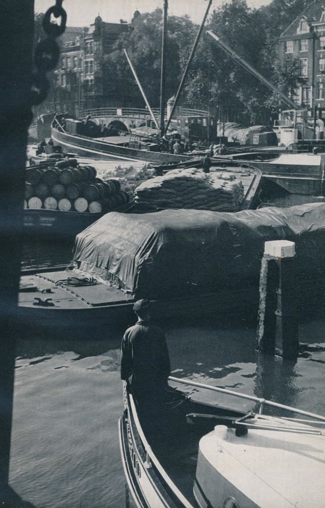
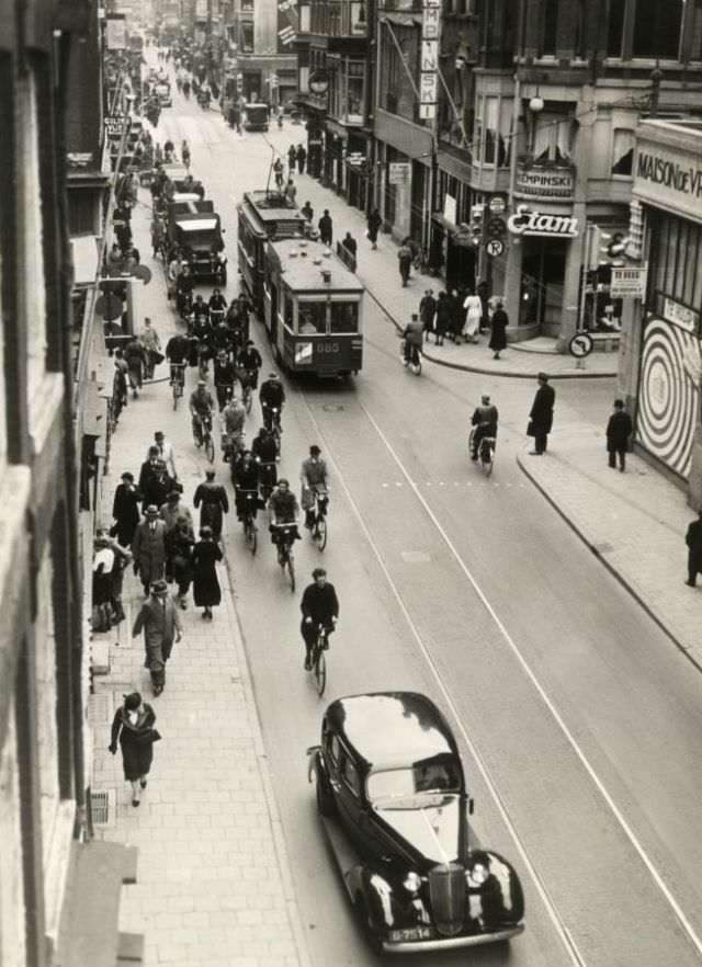
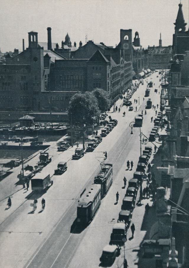
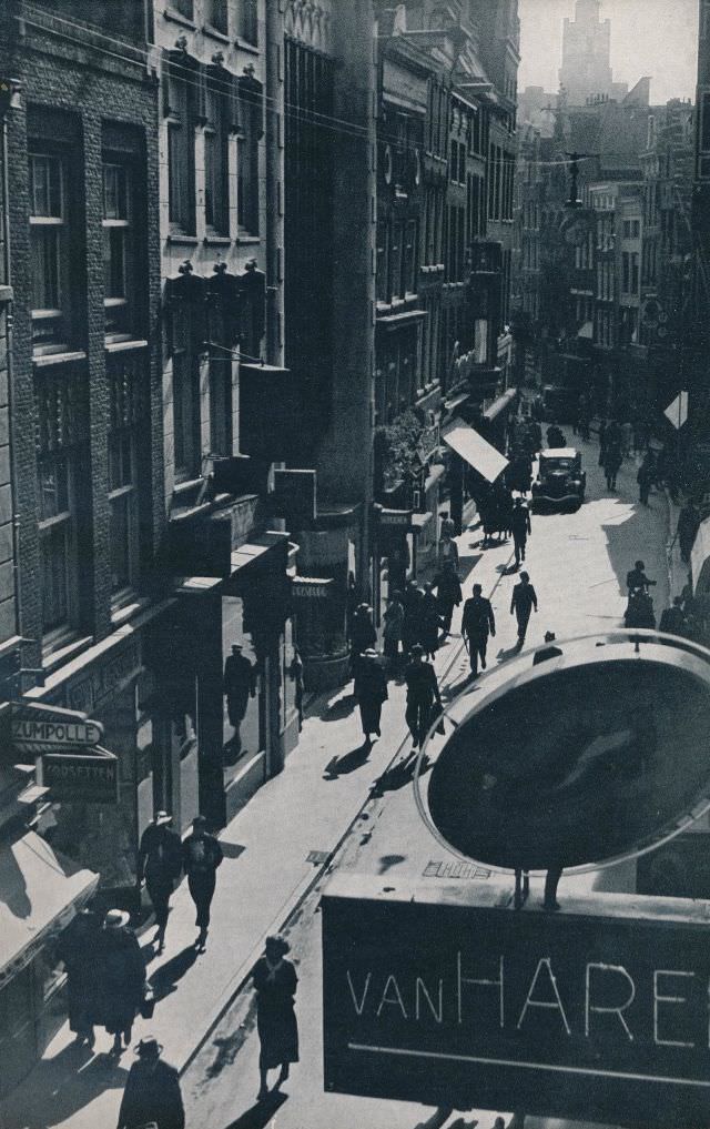
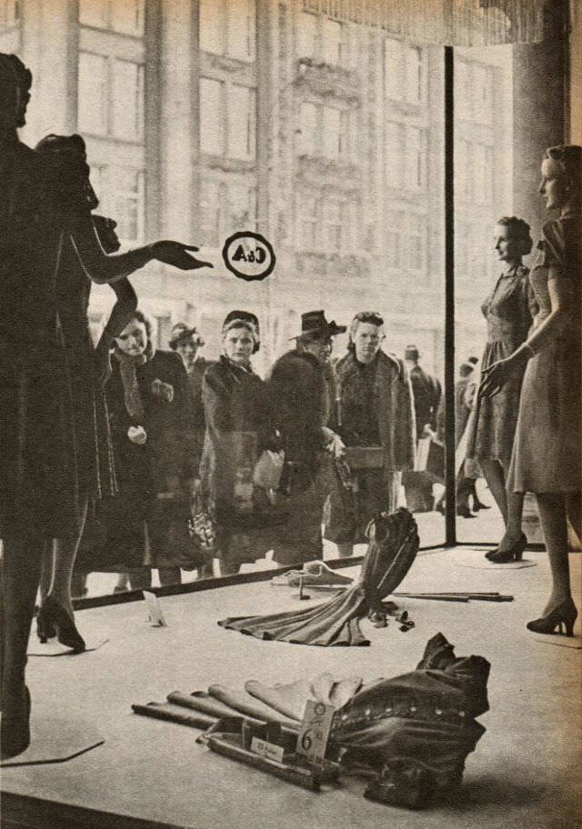
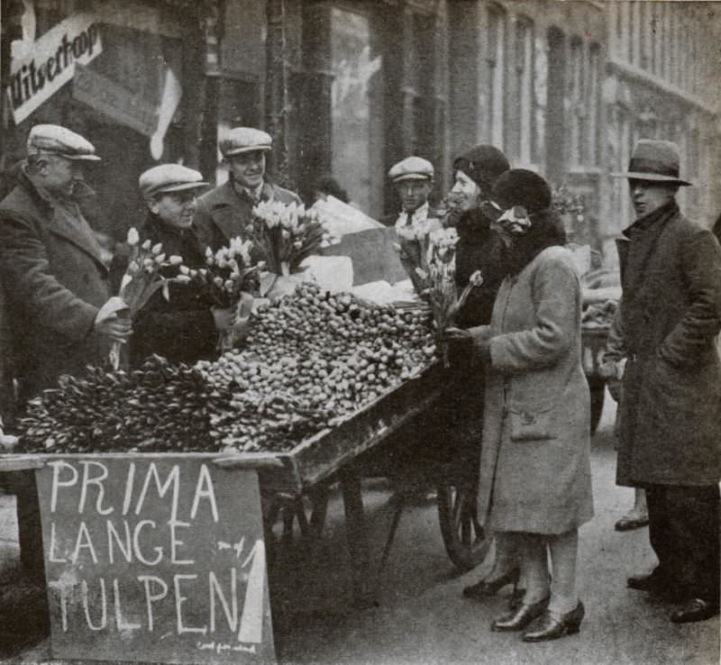
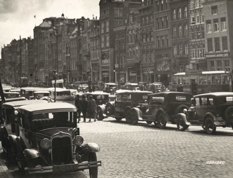
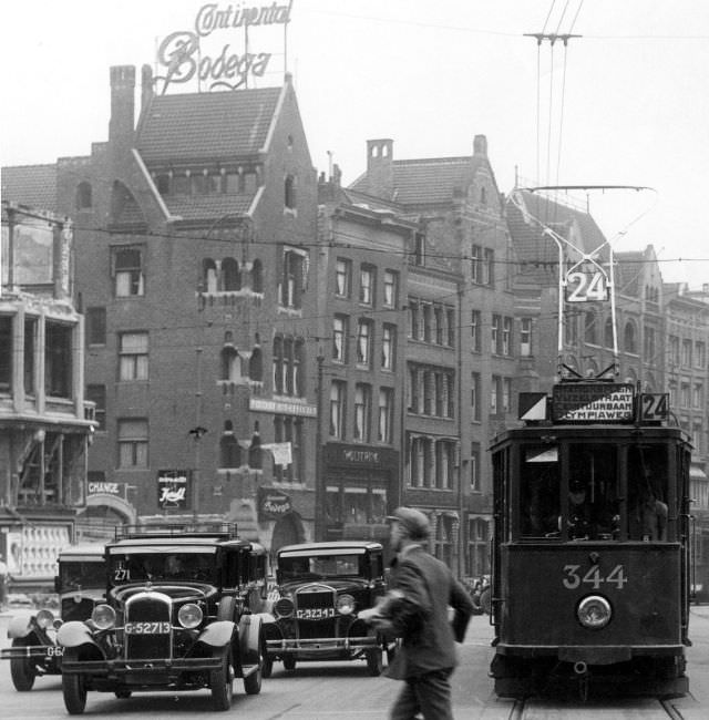
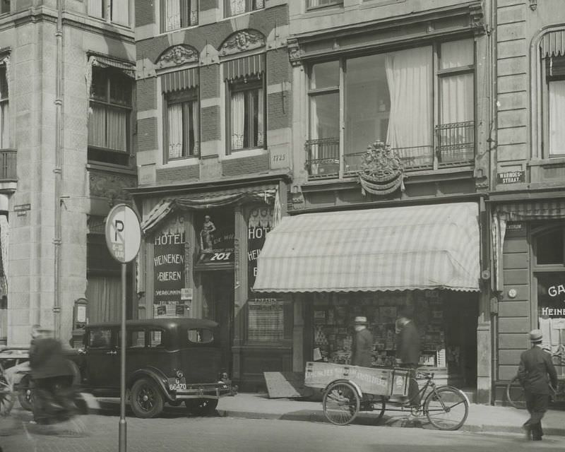
Commerce thrived along the city’s main shopping streets. Stores like C&A had already established themselves as fixtures of everyday retail life. The Nieuwendijk and Damrak buzzed with foot traffic and trams. Spring brought tulip sellers to the squares, their bright blooms stacked in buckets along the pavements. These were the economic veins of a city that, despite the Depression’s pressures, kept moving.
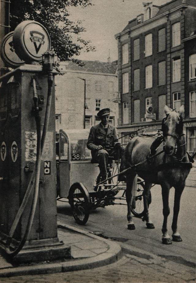
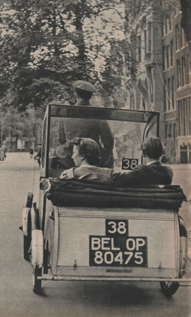
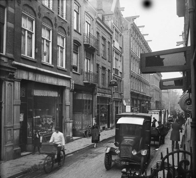
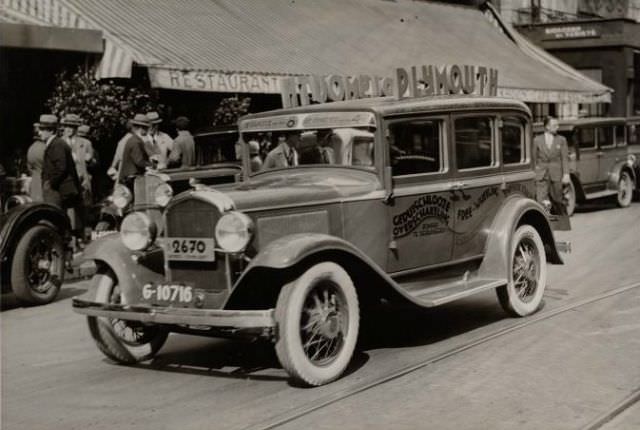
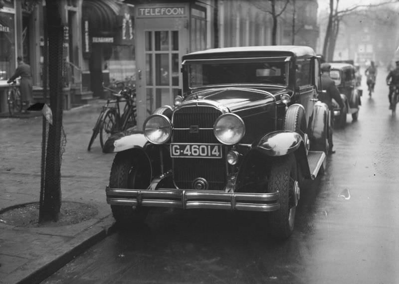
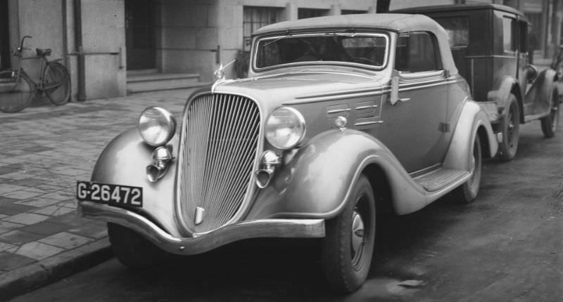
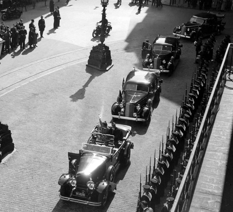
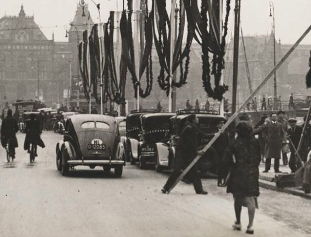
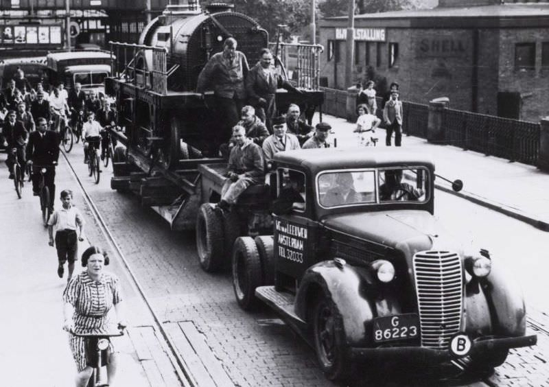
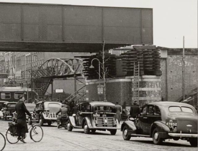
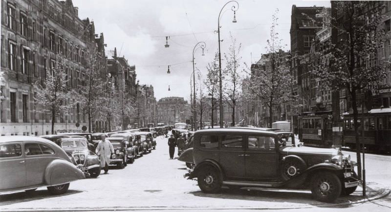
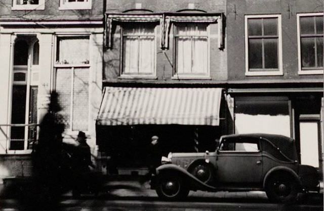
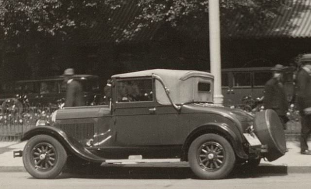
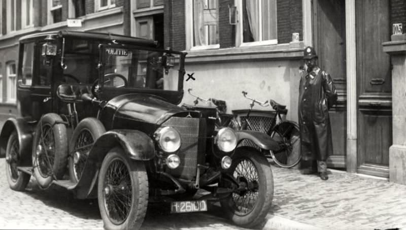
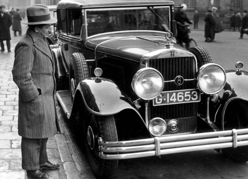
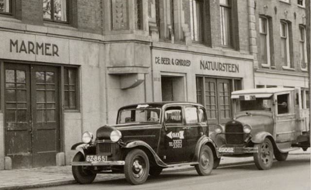
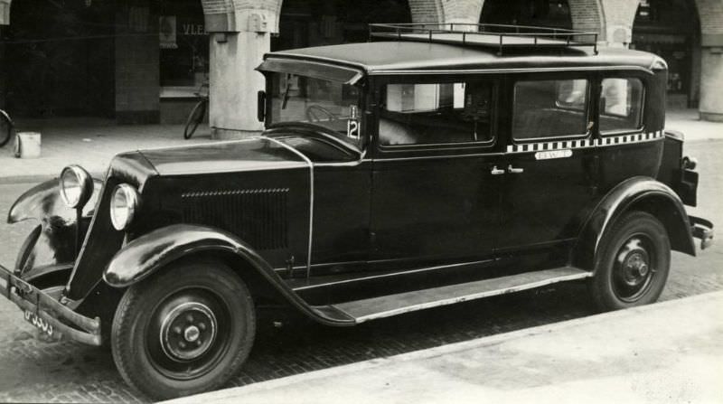
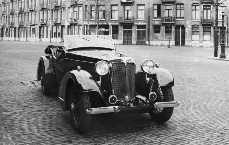
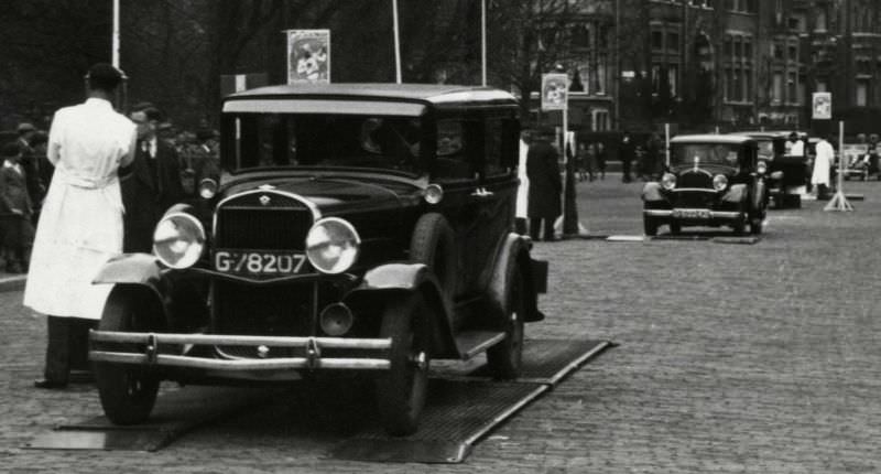
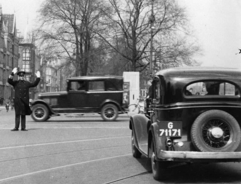
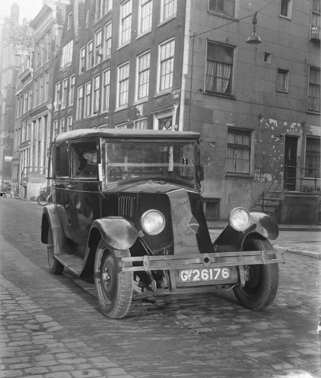
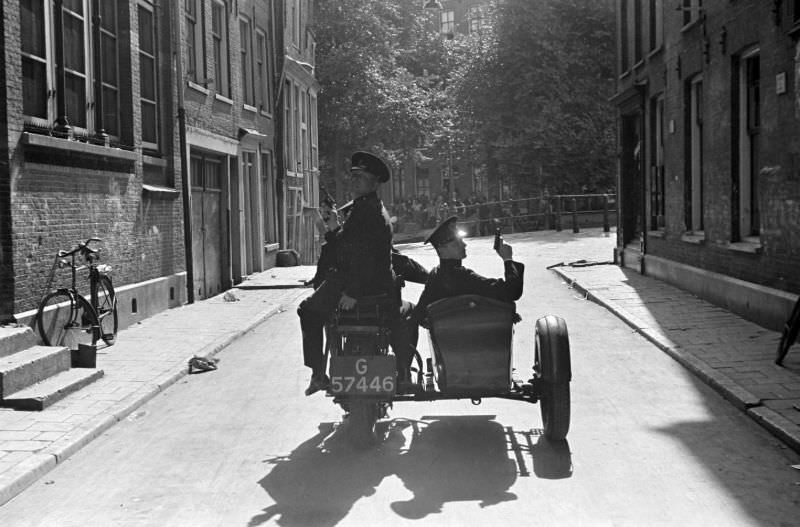
By the early 1930s, motor vehicles were becoming a more common sight on Amsterdam’s streets. Taxis — including Renaults and the occasional Mercedes — navigated the same narrow roads that had been built for horses and foot traffic centuries earlier. Police also began adopting motorized vehicles, with a 1924 Mercedes serving the Amsterdam force by 1932. The Rokin and other central streets saw growing volumes of both pedestrian and vehicle traffic.
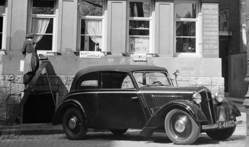
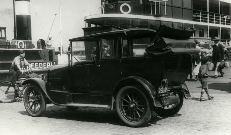
The year 1934 stands out as one of the most turbulent in the decade. The photos taken in Amsterdam that year capture a city under stress — riot damage in the Jordaan, police presence in the streets, and the visible strain of economic hardship on ordinary residents. The Jordaanoproer left a mark on the city’s collective memory that extended well beyond the paved-over cobblestones.
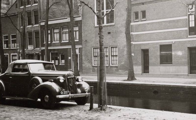
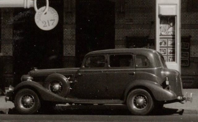
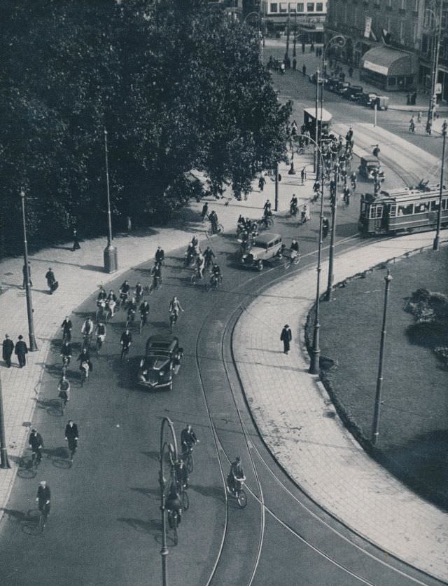
In the second half of the decade, the pace of daily life seemed to settle — at least on the surface. Buick coupes and other American automobiles appeared on the streets alongside local vehicles. The Leidsestraat and Leidseplein remained lively social hubs. Theaters like the Rembrandt drew crowds. Trams ran their routes, cyclists filled the lanes, and the canals reflected the familiar skyline of a city that had been continuously inhabited for over seven hundred years.