
Utica, New York has a rich and layered history that stretches back centuries. It sits in the Mohawk Valley, and its real transformation began in 1825 when the Erie Canal arrived. The canal connected Utica to a vast trading network, and the city’s population surged almost overnight. By 1832, Utica had grown large enough to be officially chartered as a city.
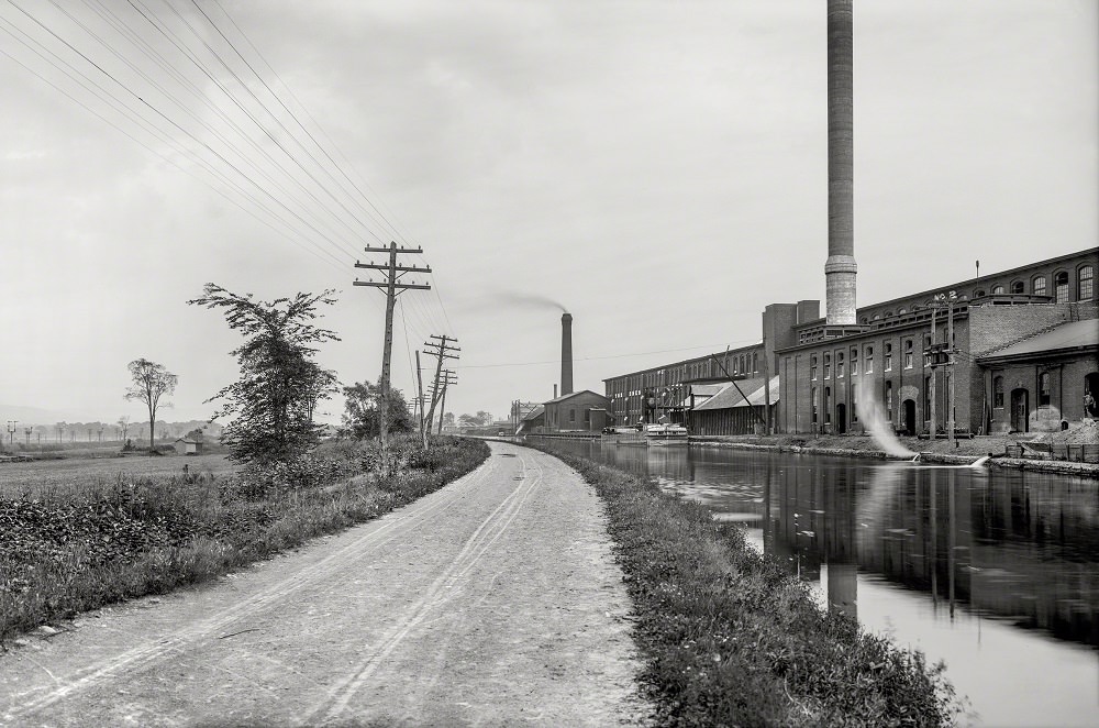
The Erie Canal was more than a waterway — it was the engine behind Utica’s early growth. Goods, raw materials, and people flowed through the region, fueling commerce along every major street in the city. By 1905, the canal remained a defining feature of the Utica landscape, as this photograph of the Mohawk Valley stretch makes clear.
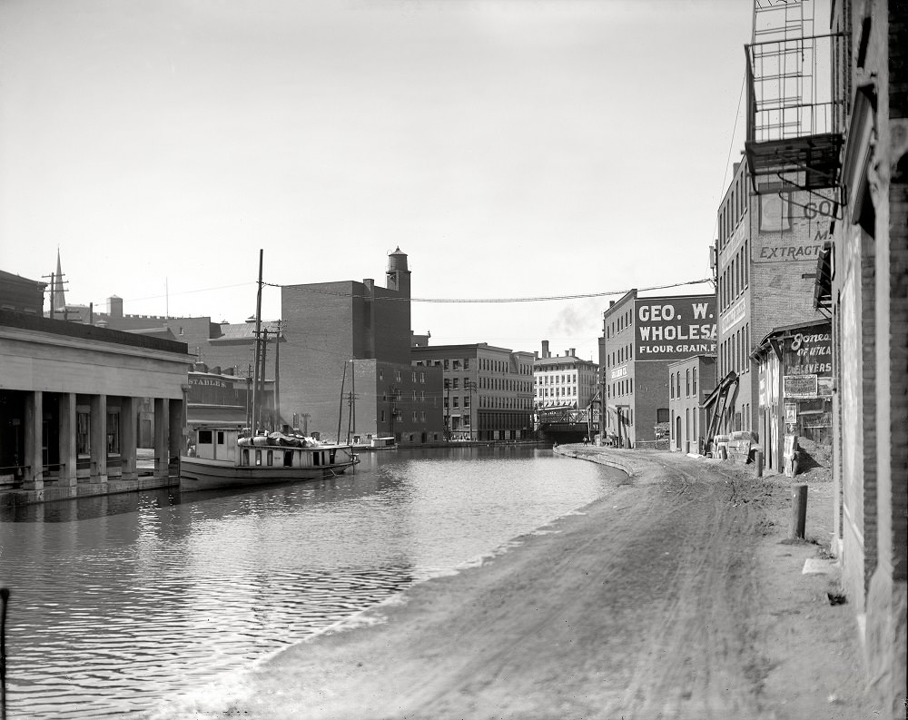
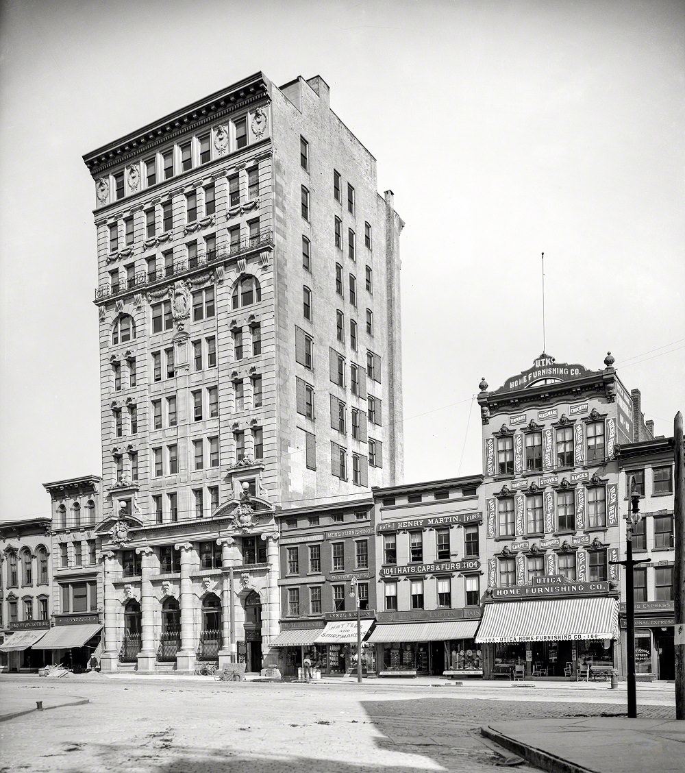
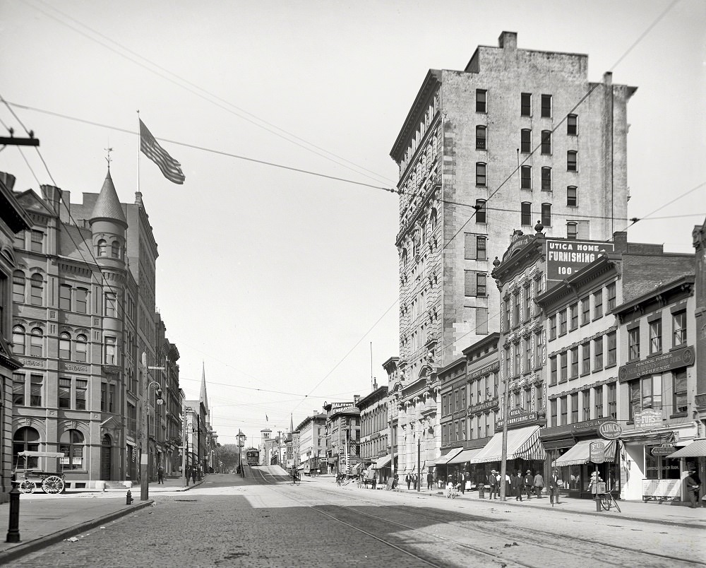
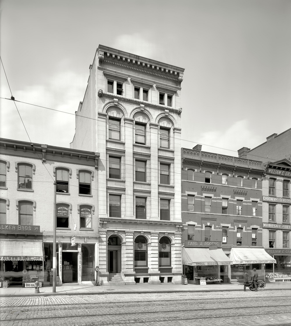
Genesee Street was the beating heart of downtown Utica. Banks, businesses, and civic institutions lined its blocks. The Utica City National Bank stood as one of the most prominent financial institutions on the street, reflecting the economic confidence of the city during the early 1900s. Further down, the lower stretch of Genesee Street buzzed with street traffic, storefronts, and pedestrians going about their daily routines.
By the late 19th and early 20th centuries, Utica had developed into a serious industrial hub. Textile mills led the way, but the city also supported cotton processing, furniture manufacturing, heavy machinery production, and lumber operations. Waves of immigrants — Italian, Irish, Polish, and Lebanese — settled in Utica and filled the factory floors. These communities shaped the city’s neighborhoods, culture, and character for generations.
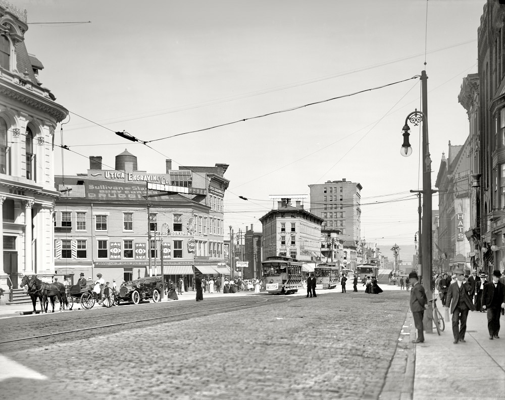
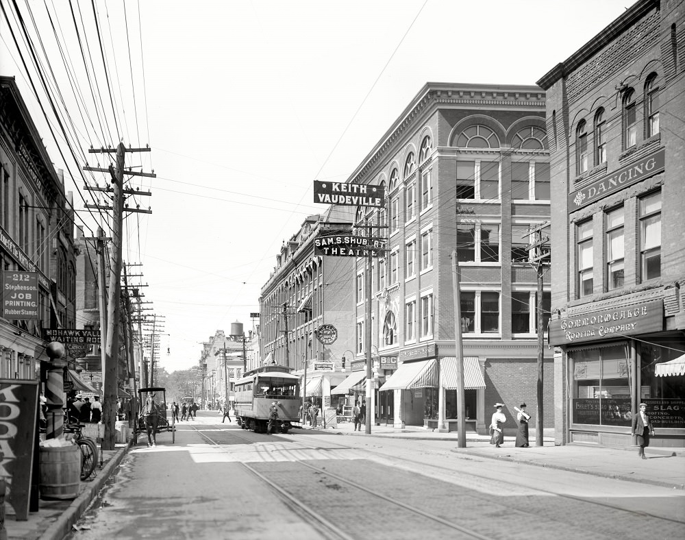
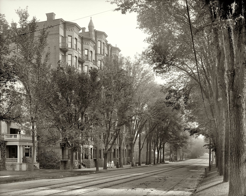
Bleecker Street and its surrounding blocks were among the city’s most active corridors. The intersection of Genesee and Bleecker streets captured the mix of commerce and foot traffic that defined urban Utica around 1910. Nearby, the Kanatenah Apartments on Upper Genesee Street offered a glimpse of residential life in the city’s more prosperous sections.
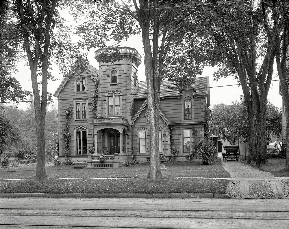
Utica’s civic and political life was also on full display during this era. The home of Ex-Governor Horatio Seymour — who served as New York’s governor and ran as the Democratic presidential nominee in 1868 — still stood in the city around 1910, a reminder of Utica’s deep ties to state and national politics.
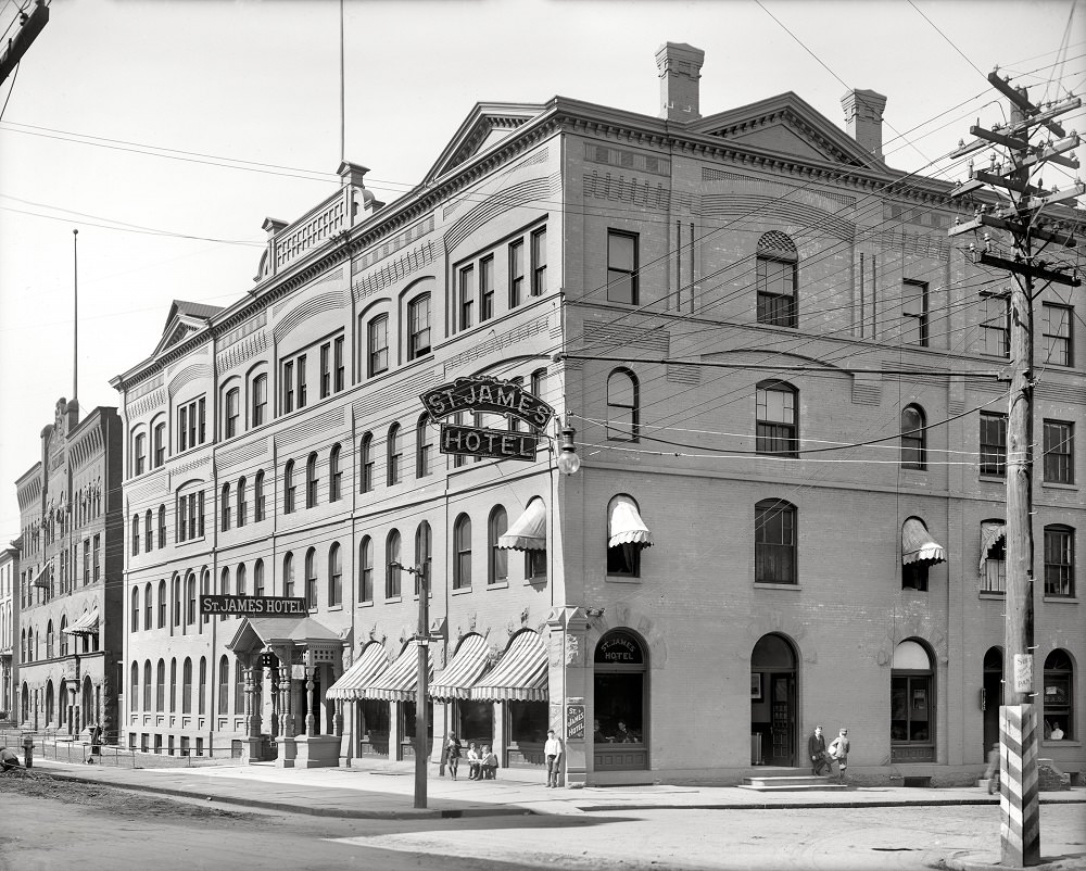
Hospitality and social life had their own landmarks. The St. James Hotel was one of Utica’s well-known establishments, serving travelers and locals alike. Organizations like the United Commercial Travelers of America also had a physical presence in the city, with their own dedicated building marking Utica’s role as a regional commercial center.
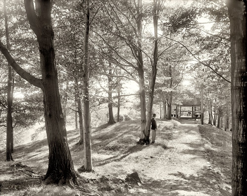
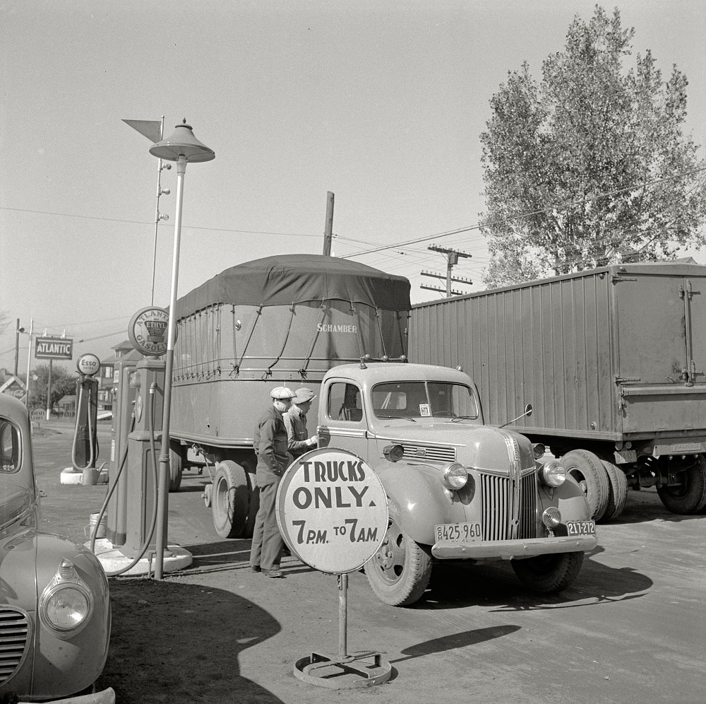
Just outside the city, the region offered green spaces and recreational destinations. Summit Park at Oriskany, located near Utica, provided residents with a place to escape the pace of city life. The park reflects the broader effort in many American cities during the early 1900s to maintain public green spaces alongside rapid industrial growth. By 1941, the roads leading into Utica carried a new kind of traffic — trucks hauling goods along highways that replaced the canals as the city’s commercial lifelines.





Neat! I didn’t know about Summit Park!
Can we atleast bring those streetcars back?
The clarity in these photos is amazing.