
Salt Lake City sits at the crossroads of mountain and desert, cradled between the Wasatch Mountains to the east and north and the Oquirrh Mountains to the west. As Utah’s capital and most populous city, it has long served as a regional hub for trade, transportation, and commerce. Its position in a mountain valley — with the Great Salt Lake to the northwest and the snow-capped Wasatch Range rising sharply behind it — gives the city one of the most dramatic natural backdrops of any American capital.
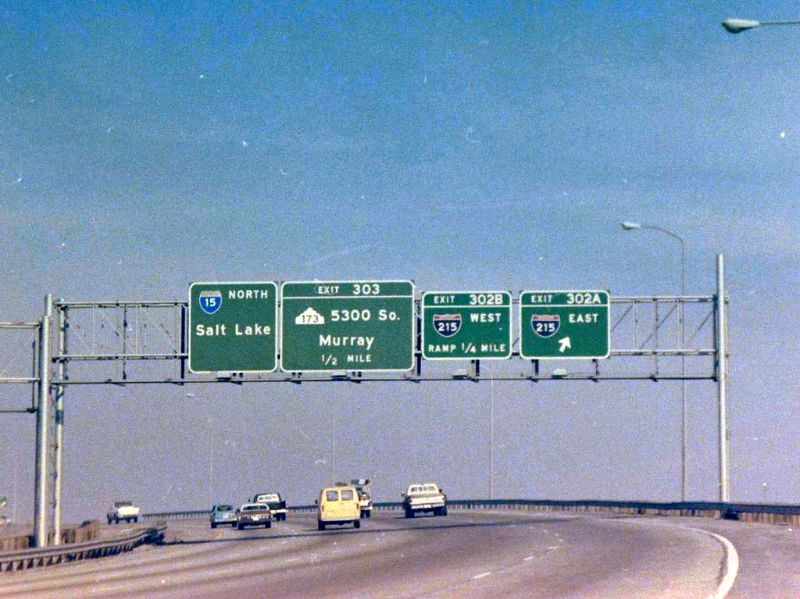
During the 1970s, Salt Lake City’s road network was growing fast. Interstate construction was reshaping the urban landscape, and photographers Cal Briggs and Gerald E. were commissioned by the Utah Department of Transportation to document it all. Their work gives us a rare, ground-level look at the city’s arteries — highways, surface streets, and interchanges — frozen in time. The images below span nearly the full decade, from 1970 to 1979.
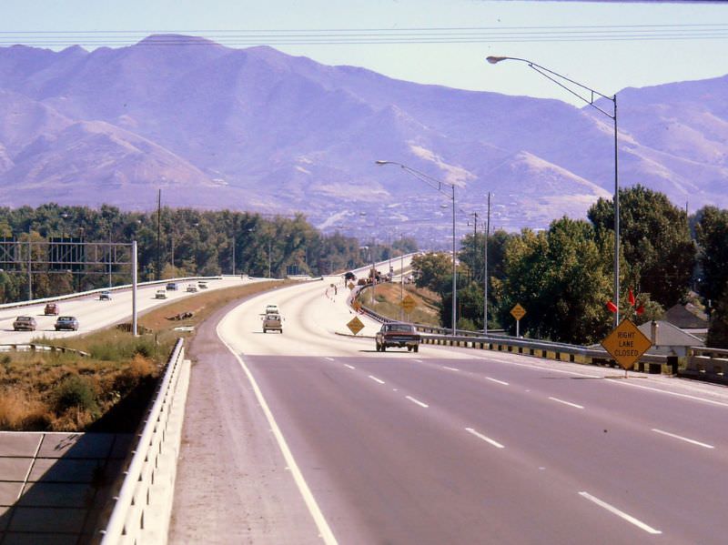
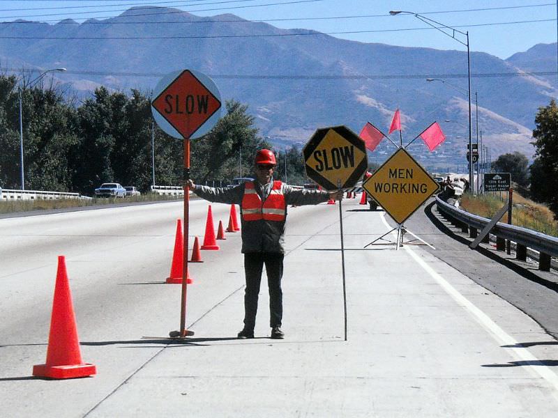
Interstate 80 was one of the busiest corridors in the city. In September 1970, photographers captured the eastbound lanes at 700 East, where traffic moved through a corridor that was still relatively open compared to what it would become in later decades.
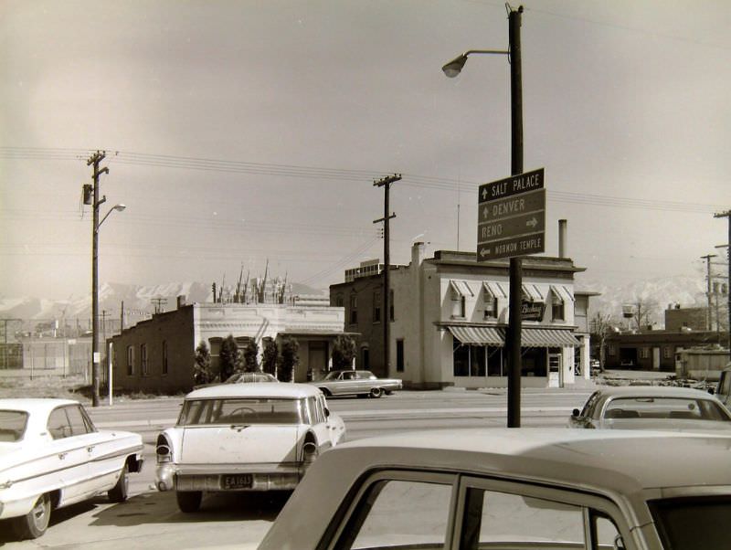
Downtown streets were equally active. The intersection of 300 West — also known as 2nd West — and North Temple was a key surface street crossing just outside the city’s core, connecting neighborhoods to the broader grid that Salt Lake City was built on.
Later that same September, the westbound view from the 700 East stretch of I-80 offered a clear line of sight toward the city center. The Wasatch Mountains loomed in the rearview mirror, while the flat valley floor ahead carried traffic deep into the urban core.
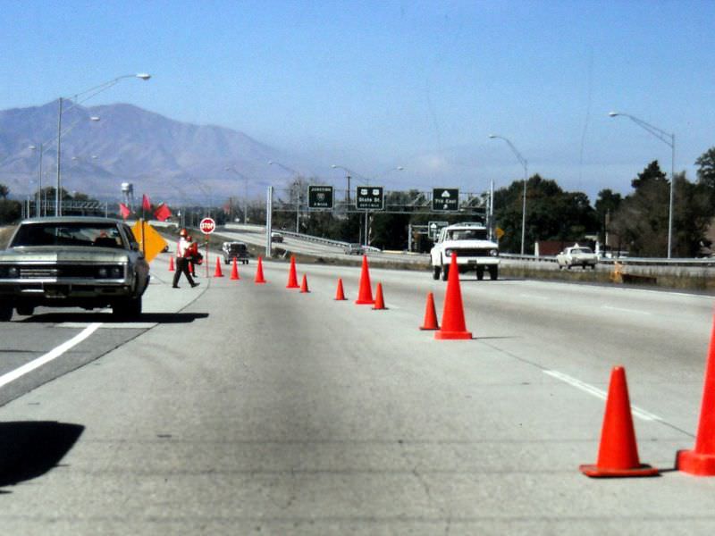
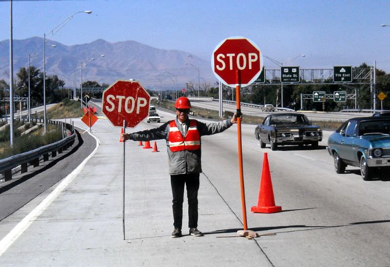
Interstate 15, the north-south spine of the Wasatch Front, was photographed at multiple points throughout the decade. The northbound lanes at the US-89 and US-91 junction, captured in July 1970, show the highway in its working form — a utilitarian strip of concrete threading through the valley.
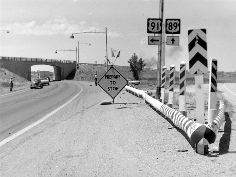
Further south, the southbound lanes of I-15 passing through Draper showed how the highway extended well beyond the city limits, linking Salt Lake City to the communities growing along the valley floor.
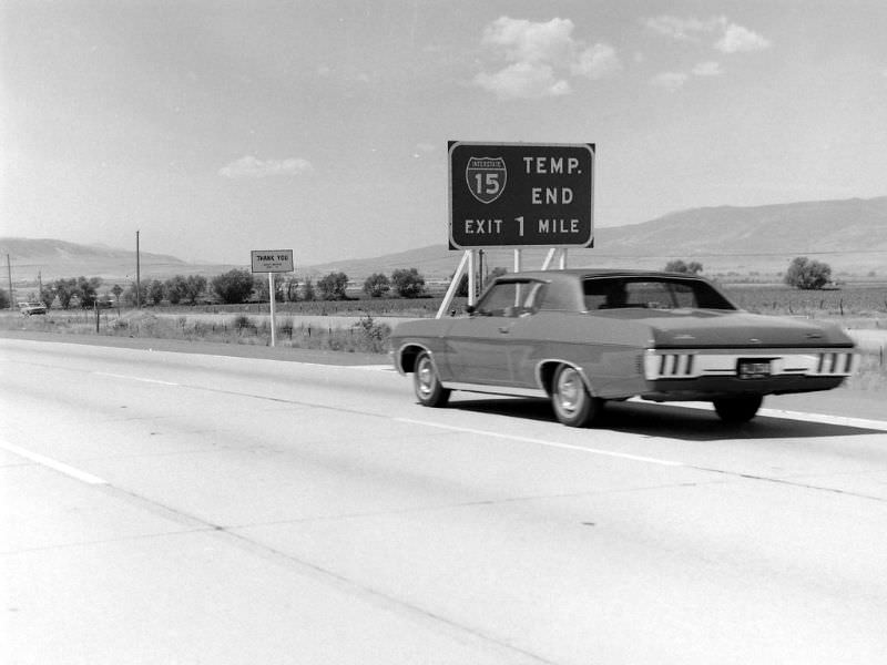
By 1971, the photographers were covering surface streets as well. The intersection of 400 South and State Street captured a busy corner in the city’s central grid — one of the most trafficked crossings in downtown Salt Lake City.
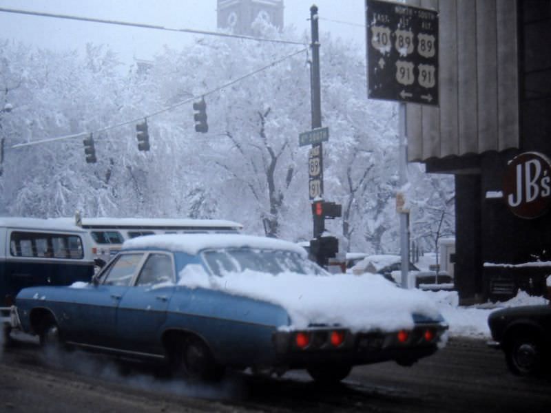
The Interstate 215 beltway was still taking shape in the early 1970s. Shots taken from the east side of the southbound lanes approaching 3300 South show the highway in its developing stages, with construction activity visible in the surrounding landscape.
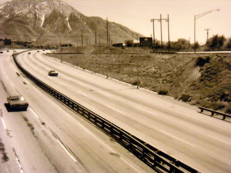
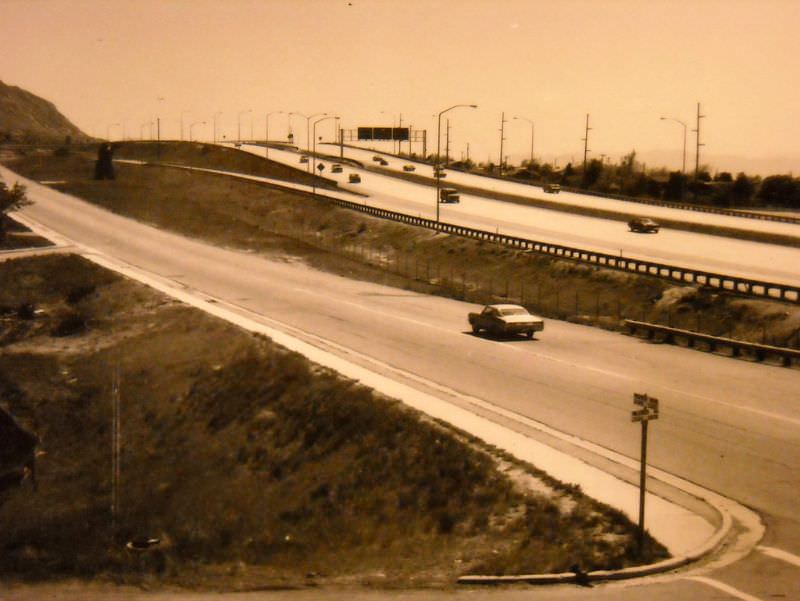
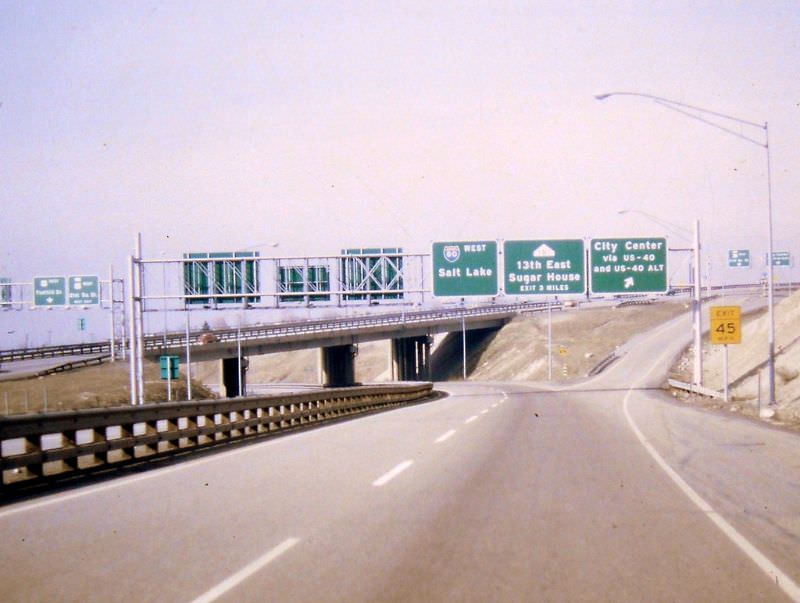
The junction of I-215 with I-80, US-40, and US-40A was a complex interchange that tied together several of the region’s most important routes. Photographed in July 1971 from the northbound I-215 approach, the interchange shows the scale of infrastructure the Utah Department of Transportation was managing.
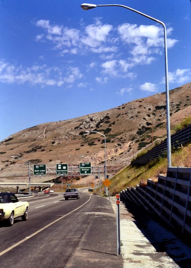
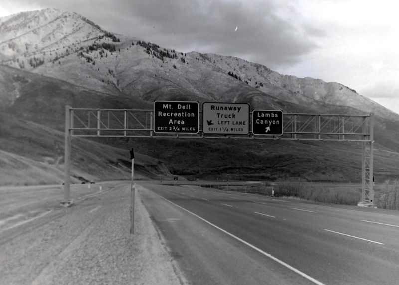
One of the more unusual features documented in October 1971 was the runaway truck lane on Interstate 80. These lanes are built into steep downhill grades to stop trucks whose brakes have failed, and this one on I-80 was a critical safety feature for heavy vehicles descending from the mountains east of the city.
Winter conditions in Salt Lake City were no obstacle for the documentation project. In January 1971, the southbound I-15 lanes approaching 3300 South were photographed with snow on the ground, showing how the highway system functioned year-round in a city accustomed to cold winters.
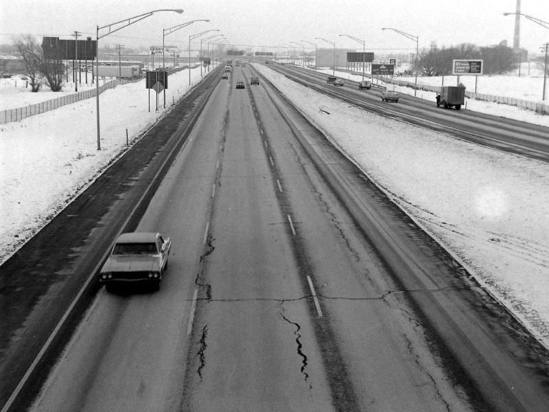
February 1971 produced some of the most comprehensive documentation of I-80’s westbound lanes. Photographers covered the route from Foothill Drive all the way to the I-15 junction, capturing conditions at 1300 East, State Street, and 700 East along the way.
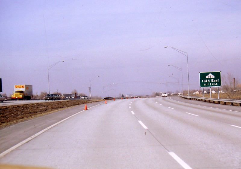
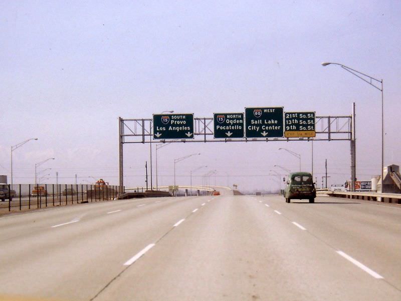
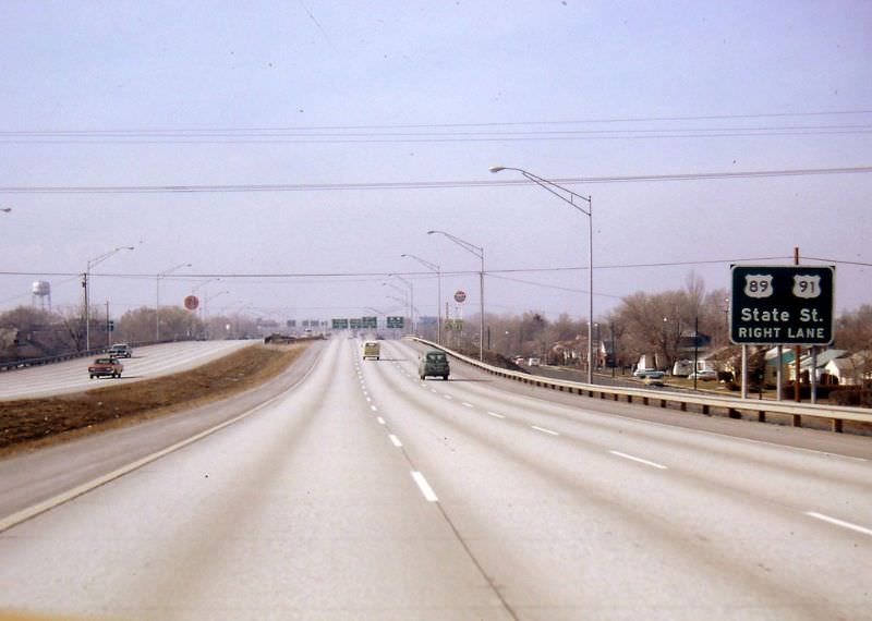
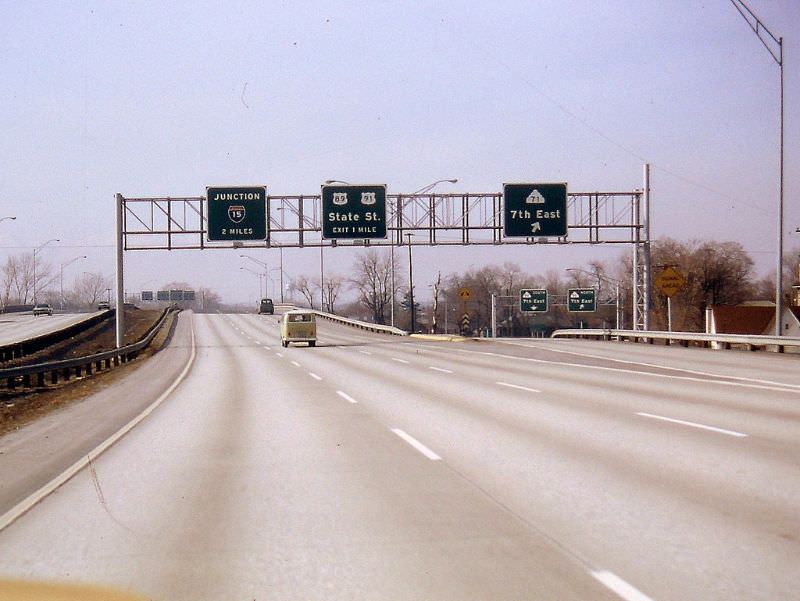
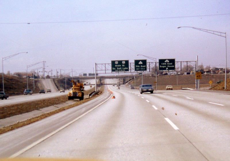
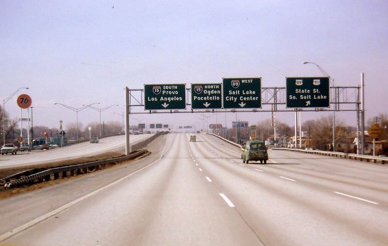
By 1972, the focus shifted to some of the city’s key entry corridors. Foothill Drive, which also carried the US-40 designation, was one of the primary routes into Salt Lake City from the east. Its tree-lined character made it one of the more distinct approaches into the urban area.
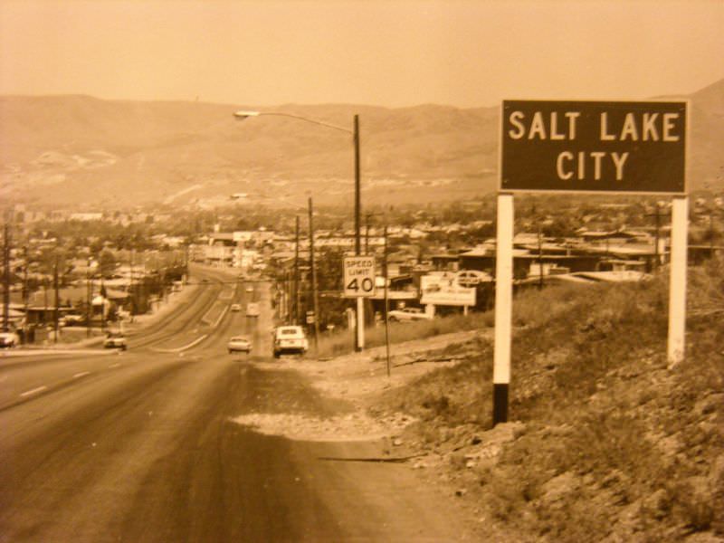
I-15 through North Salt Lake, just north of the city, was also documented around this time. The highway here runs close to the shore of the Great Salt Lake, making for a visually striking stretch of road with the broad, flat landscape stretching out to the west.
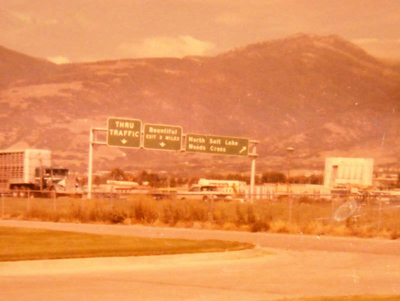
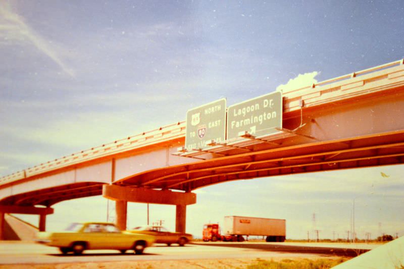
The I-215, I-80, and SR-186 interchange was one of the most structurally complex pieces of road infrastructure in the region. The 1972 photograph of this interchange shows the layered ramps and overpasses that allowed drivers to transition between the beltway and the main east-west interstate.
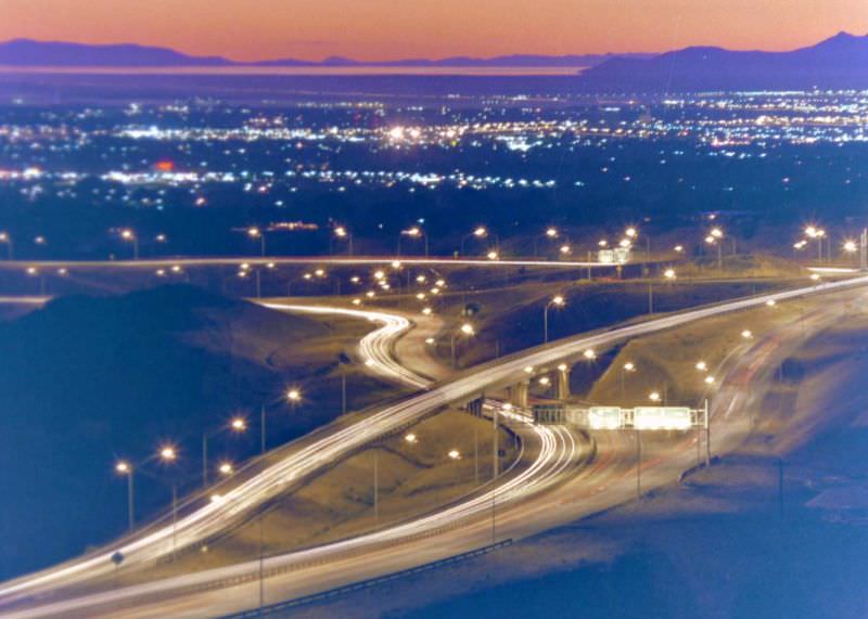
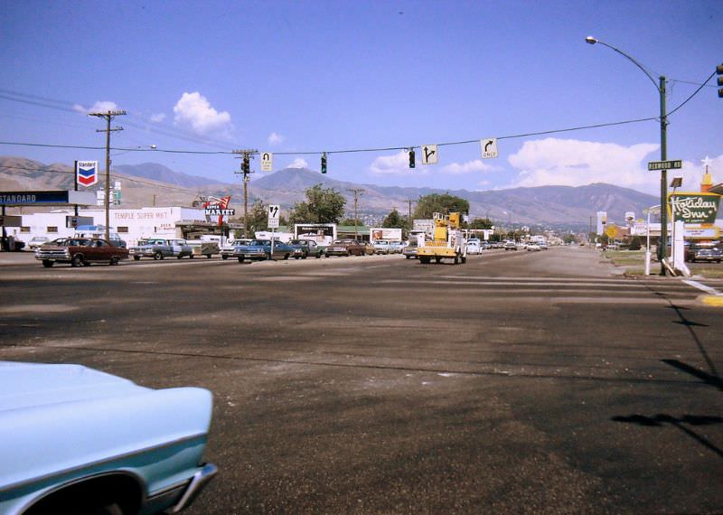
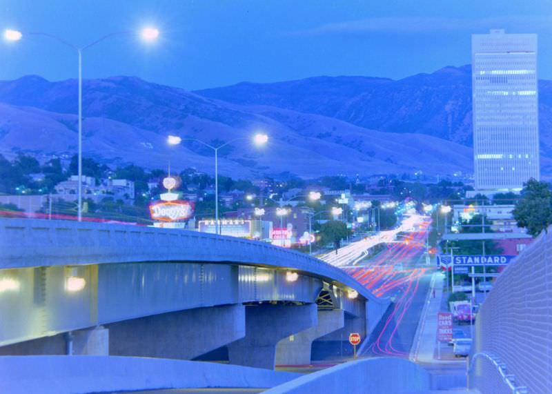
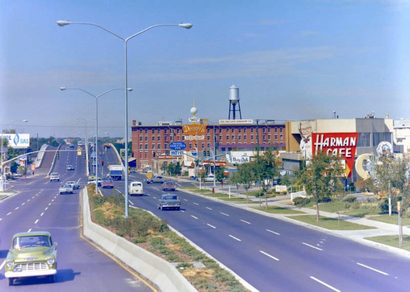
North Temple was one of the most significant surface streets in the city. Running east-west just north of Temple Square, it connected the city’s religious and civic center to outlying neighborhoods and eventually to the airport. In 1972, photographers captured it at Redwood Road, looking west, and by night — showing the street in three very different lights.
Back on I-15, the northbound lanes at 200 West were photographed in September 1972. This stretch ran through the heart of the city, with downtown buildings visible in the surrounding frame.
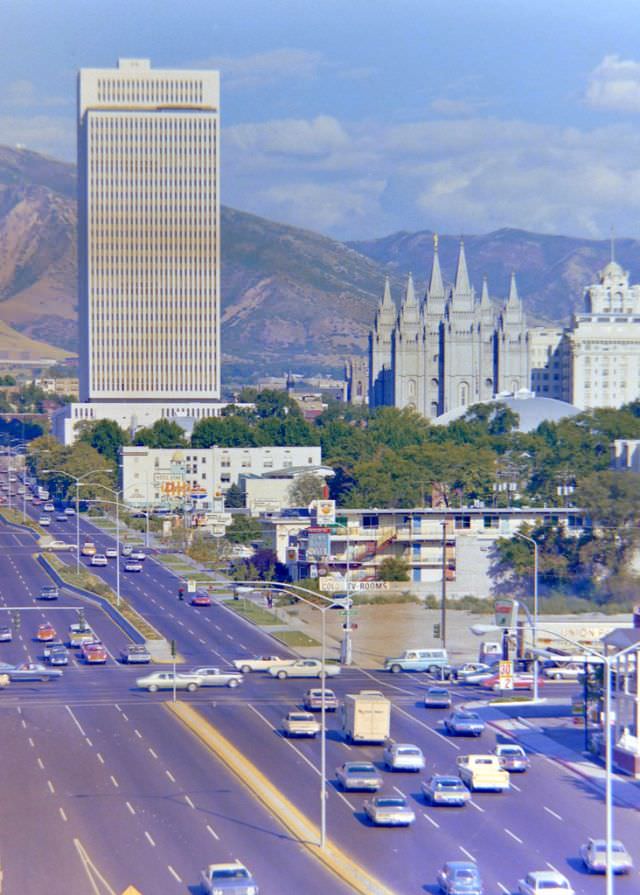
One of the most recognizable views in the entire collection pairs Temple Square with North Temple Street. The spires of the Salt Lake Temple are visible in the background, framing a street scene that captures both the city’s religious identity and its everyday urban traffic.
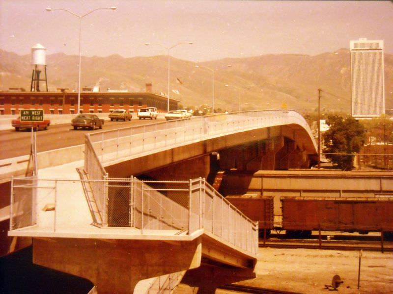
The North Temple Viaduct, which carried US-40 traffic over the railroad yards just west of downtown, was photographed around 1973. This elevated structure was essential for connecting the east side of the city to the airport and beyond without routing traffic through the busy rail corridor below.
In April 1973, two shots were taken of the northbound I-15 lanes at 1300 South, showing the highway as it moved through a transitional zone between the densest part of downtown and the residential neighborhoods spreading southward.
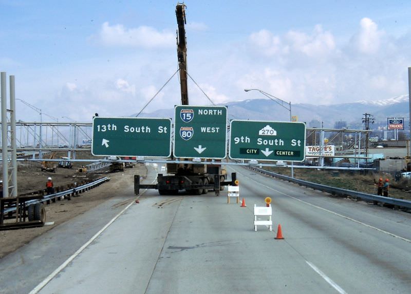
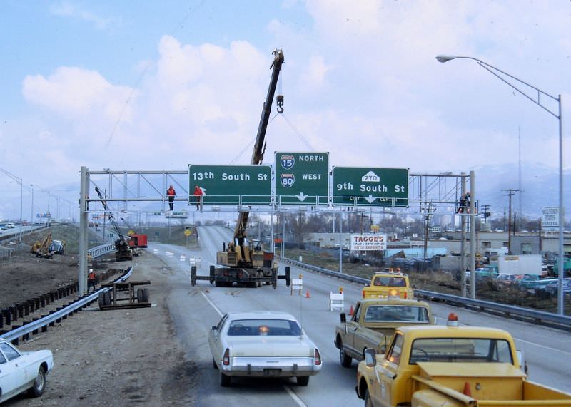
The mid-1970s brought wider coverage of the eastern reaches of I-80. Around 1975, the eastbound lanes approaching 2300 East were captured, showing the highway as it climbed toward the mouth of Parley’s Canyon and the Wasatch Mountains beyond.
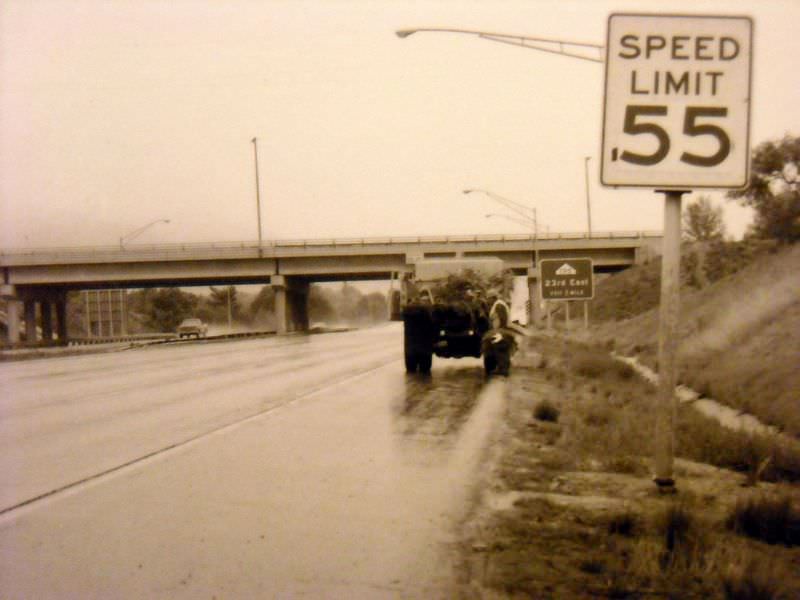
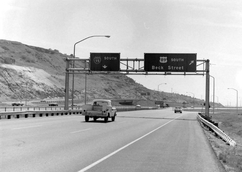
Also in 1975, the northbound I-15 lanes at 600 South were photographed, along with the southbound lanes at the US-89 and Beck Street interchange — a junction that linked the interstate to one of the older north-south routes through the valley.
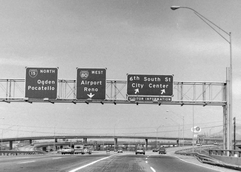
As the decade wound down, documentation continued in North Salt Lake. A 1978 photograph of Redwood Road at the I-215 interchange shows how the beltway’s reach extended north of the city proper, connecting suburban communities to the broader highway network.
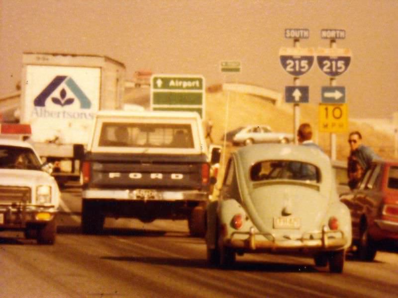
By 1979, the final year covered in this collection, two more key views were added. A northward-looking photograph at the I-15 and I-215 junction captures the scale of the interchange that tied the city’s beltway to its main north-south interstate. The decade closes out at street level, with a view of State Street at Winchester Street — a quieter, neighborhood-scale image that contrasts sharply with the sweeping highway views that dominate the rest of the collection.





They still haven’t finished the construction on i-80 east 50 years later
Heroes get remembered; Road Construction never dies.
Compared to today’s traffic, the roads look so lovely and empty.
I notice all the trees
And 50 years later, I-15 is still under construction.
Even though I wouldn’t say I like constant construction, I’m glad we’re improving and expanding I-15 as our population grows.
It’s interesting how the I 15 south signs say Provo / Los Angeles. When did it change to saying Vegas?
They probably redid the interchange, so the southbound exit is now right instead of the left. Probably before 2000 for the Olympics in 2002.
Yes, but even in Utah county, the southbound says Las Vegas
I’m amazed how little things have changed, except for the ageing cars and absence of five-story apartment buildings!
Amazing photos of the last time I-80 was maintained
Dropped in to say the same thing!
My first thought was, “Oh, that’s when Bundy was here.”
I miss Albertson’s. I like their logo.
I-215 and l-80 look the same….
I-215 is essentially the same, for sure. I-80 has seen some renovation, especially west of 1300 east
The roads looked like this before the Olympic construction in the mid-1990s
Among the first things I noticed were how many more large trees were around Sugar House and how Draper is just empty fields, lmao
I thought this was a joke for a second about the constant construction. But no, it is just reality.
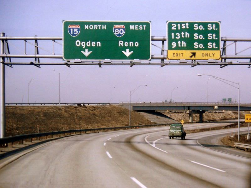
Interesting how the exit signs used to say 21st So St instead of 2100 So.
I didn’t realize 215 was that old.
interestingly, they used to label the signs as “13th So. St.” instead of “1300 South.”
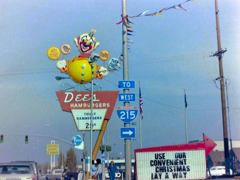
$0.29 for a hamburger in 1979!? Lol, Times sure have changed.
McDonald’s 29 cent Wednesdays must have slipped your mind. You could get a burger for .29 cents. No limit. That was in the late 90s. Sunday was 39 cent cheeseburgers
These are awesome! I love seeing how much my city has progressed!
It’s pretty weird to see old pictures of places you recognize. I remember draper being mostly empty then. It reminds me of what the area south of Provo looks like now. It’s pretty cool.
I always find the Harmon’s & KFC connection fascinating.
wow, we are in desperate need of new infrastructure
I want to live where there are these few cars on the freeway
As a child, I loved the big clown on the Dees sign. Without whining and begging, we couldn’t drive past, resulting in a smack upside the head. Does anyone remember the children’s coin-operated “Ferris wheel” near the gum machines at the grocery store down the hill from the historic Granite district in Sandy?