By 1910, Pittsburgh had fully earned its title as the Steel City. The skyline was broken up by smokestacks rather than church spires, and the air carried the smell of coal and hot iron around the clock. Steel wasn’t just an industry here — it was the city’s identity, its economy, and its daily rhythm. Workers flooded into Pittsburgh from across the country and from Europe, drawn by the promise of steady wages in the mills and furnaces that lined the riverbanks.
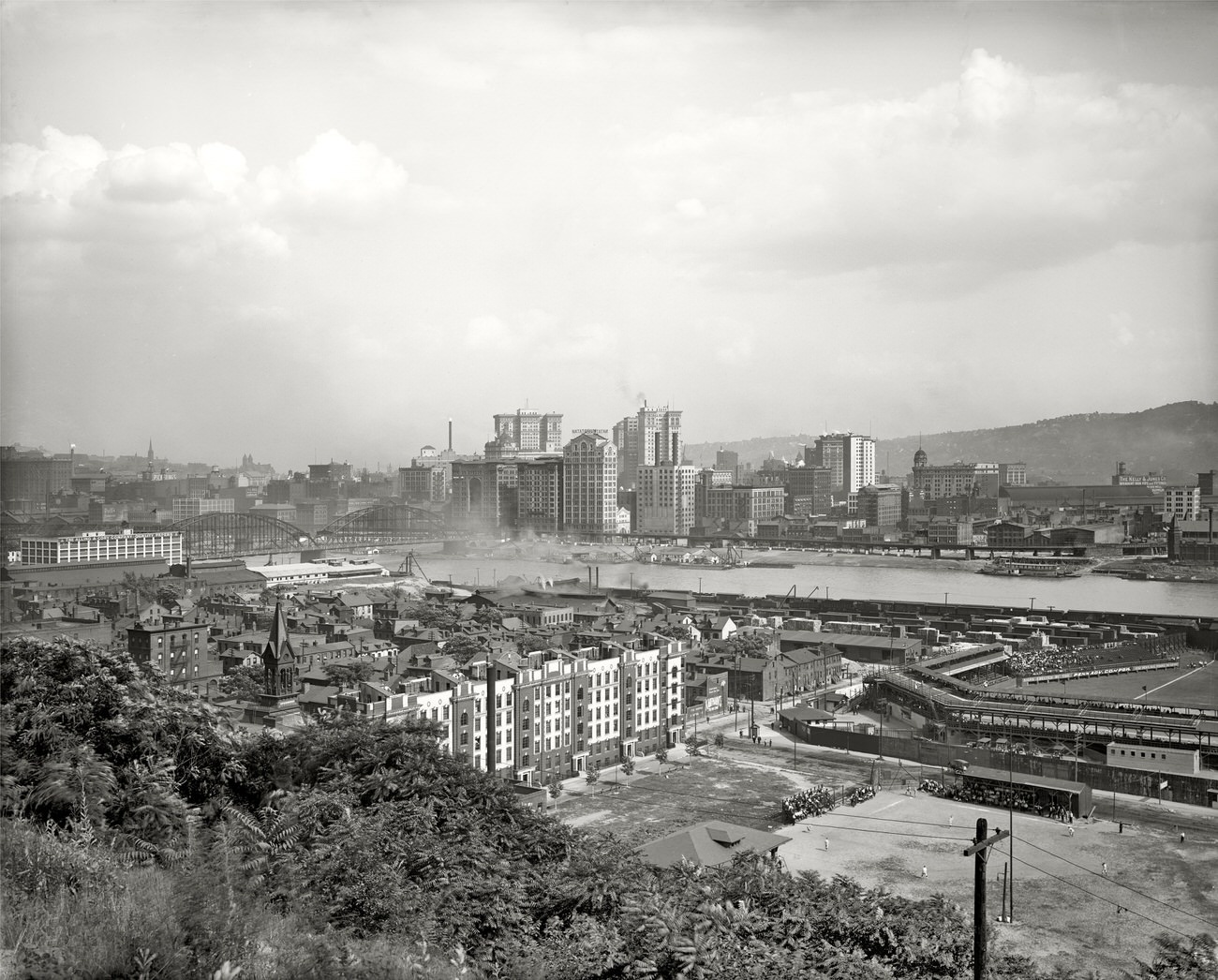
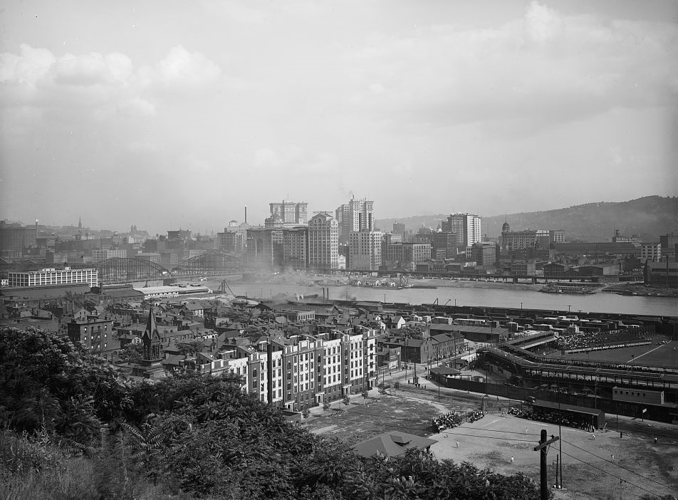
Pittsburgh Cityscape, Pennsylvania, 1910
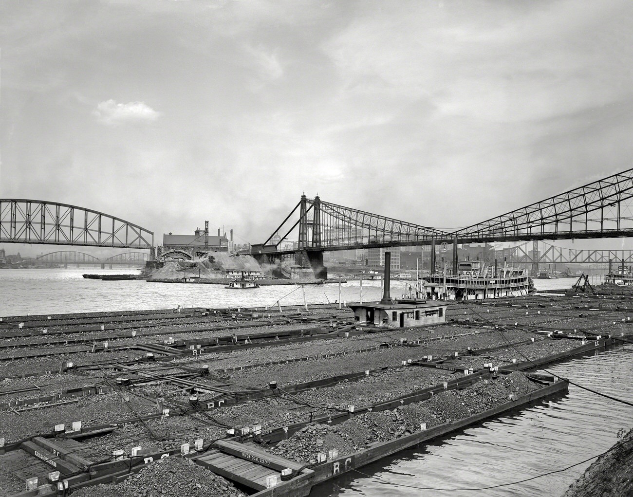
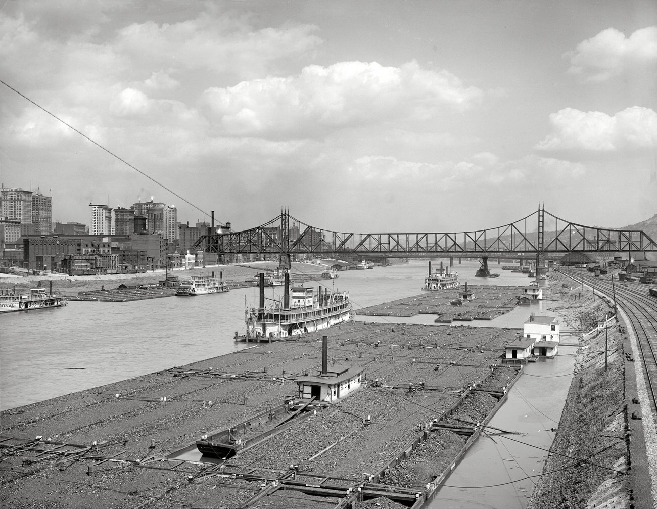
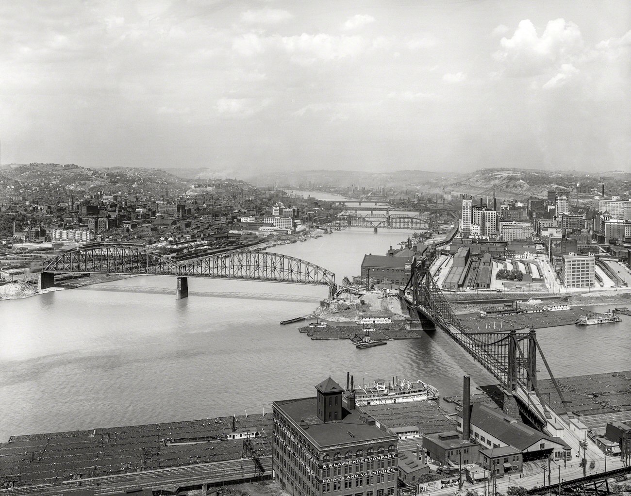
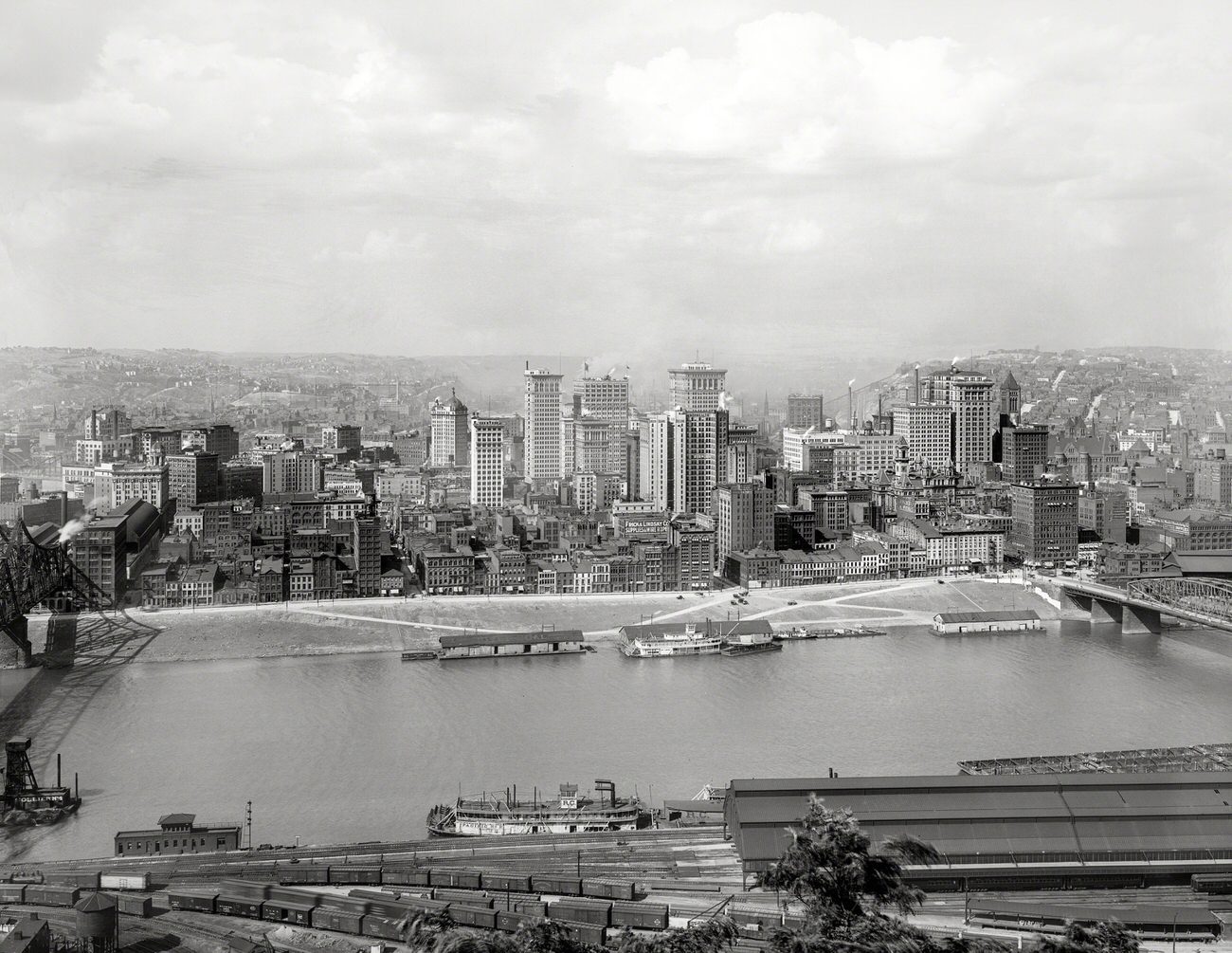
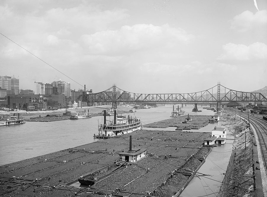
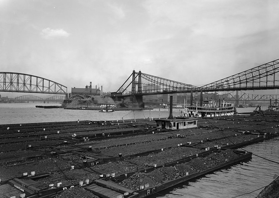
The rivers were just as important as the mills. The Allegheny and the Monongahela met at the Point to form the Ohio River, and that geography made Pittsburgh one of the most important industrial hubs in the country. Coal barges moved constantly along the water, feeding the furnaces that never went cold. From the bridges above, the rivers looked like highways of commerce — slow-moving, loaded down, and always busy.
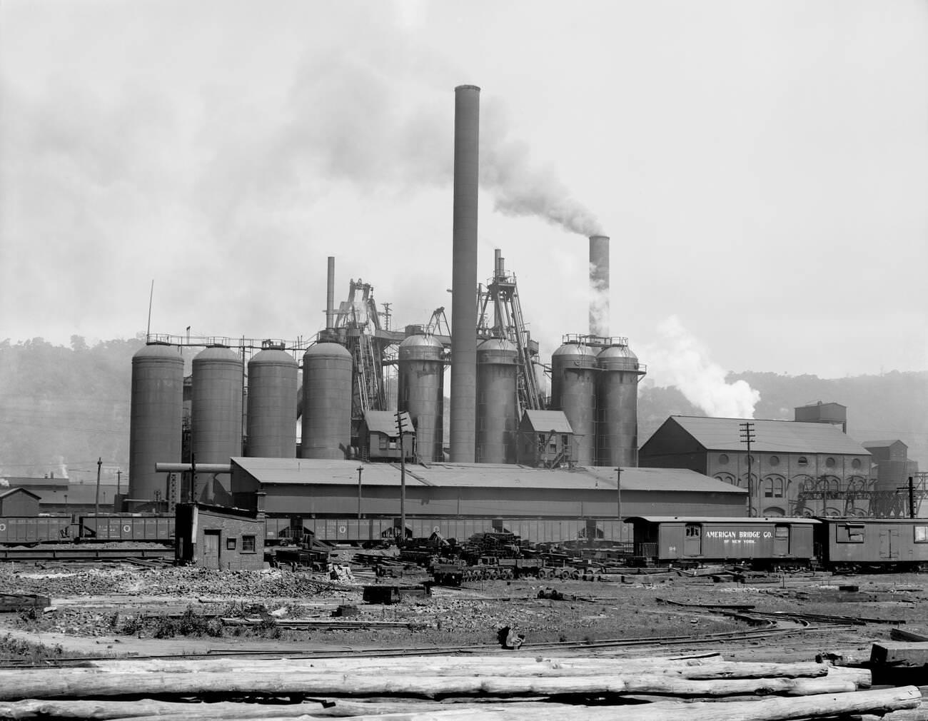
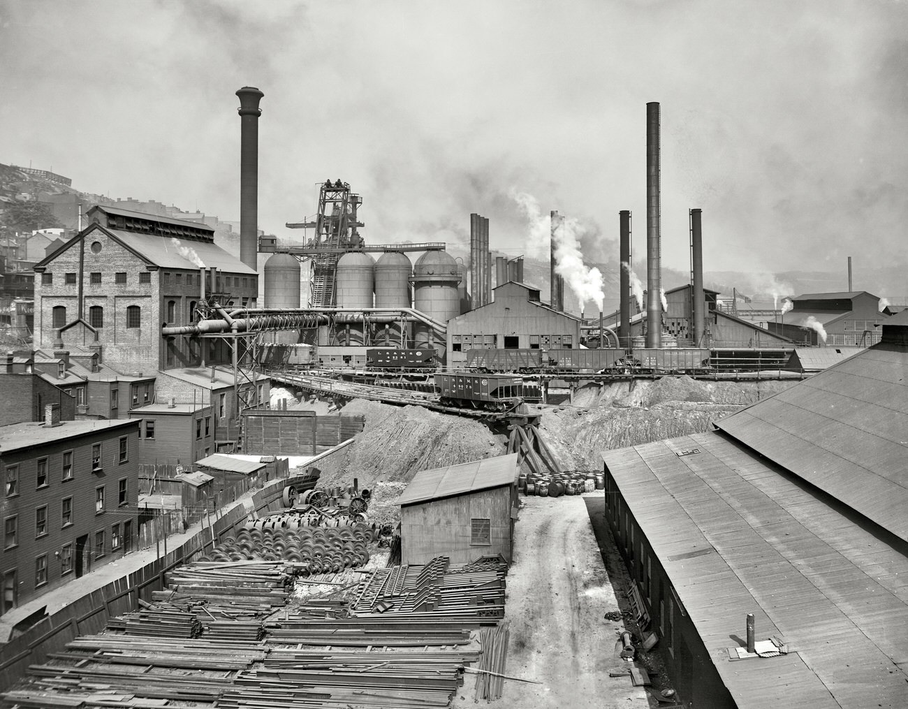
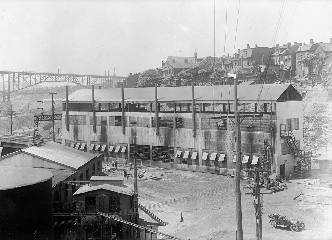
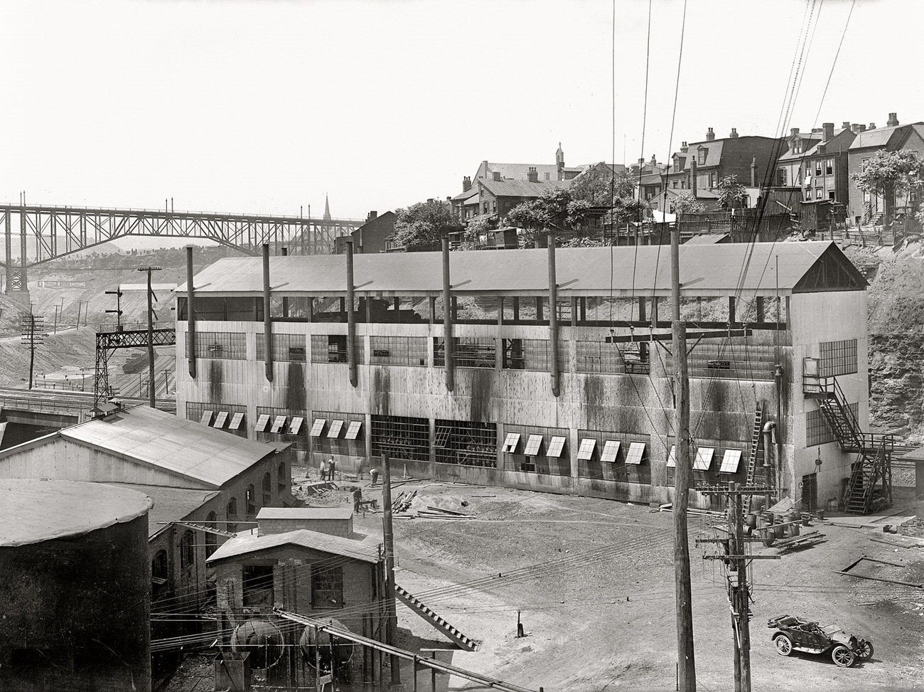
The Lucy Furnace, operated by Carnegie Steel, was one of the most recognized landmarks of Pittsburgh’s industrial waterfront. Blast furnaces like these ran day and night, producing iron that would eventually become steel rails, beams, and structural supports for buildings and bridges going up across the country. The heat and the noise were constant. Workers labored in brutal conditions, often for twelve-hour shifts with little rest.
Furnaces at National Tube Works, Pittsburgh, Pennsylvania, 1910Coal Barges at River Confluence, Pittsburgh, Pennsylvania, 1910
Coal was the fuel behind everything. Fleets of barges loaded with coal from western Pennsylvania mines arrived at Pittsburgh’s waterfront daily. The Point, where the two rivers met, was one of the busiest transfer points in the nation. From there, raw materials moved outward and finished goods came in, making Pittsburgh’s geography as much a reason for its success as the labor of its workers.
A Coal Fleet in Pittsburgh, Pennsylvania, 1910Coal Barges at The Point, Pittsburgh, Pennsylvania, 1912
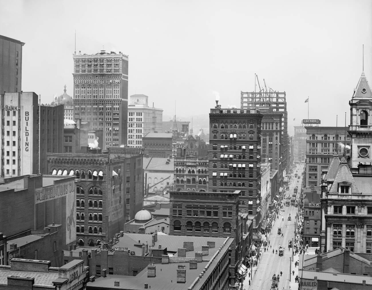
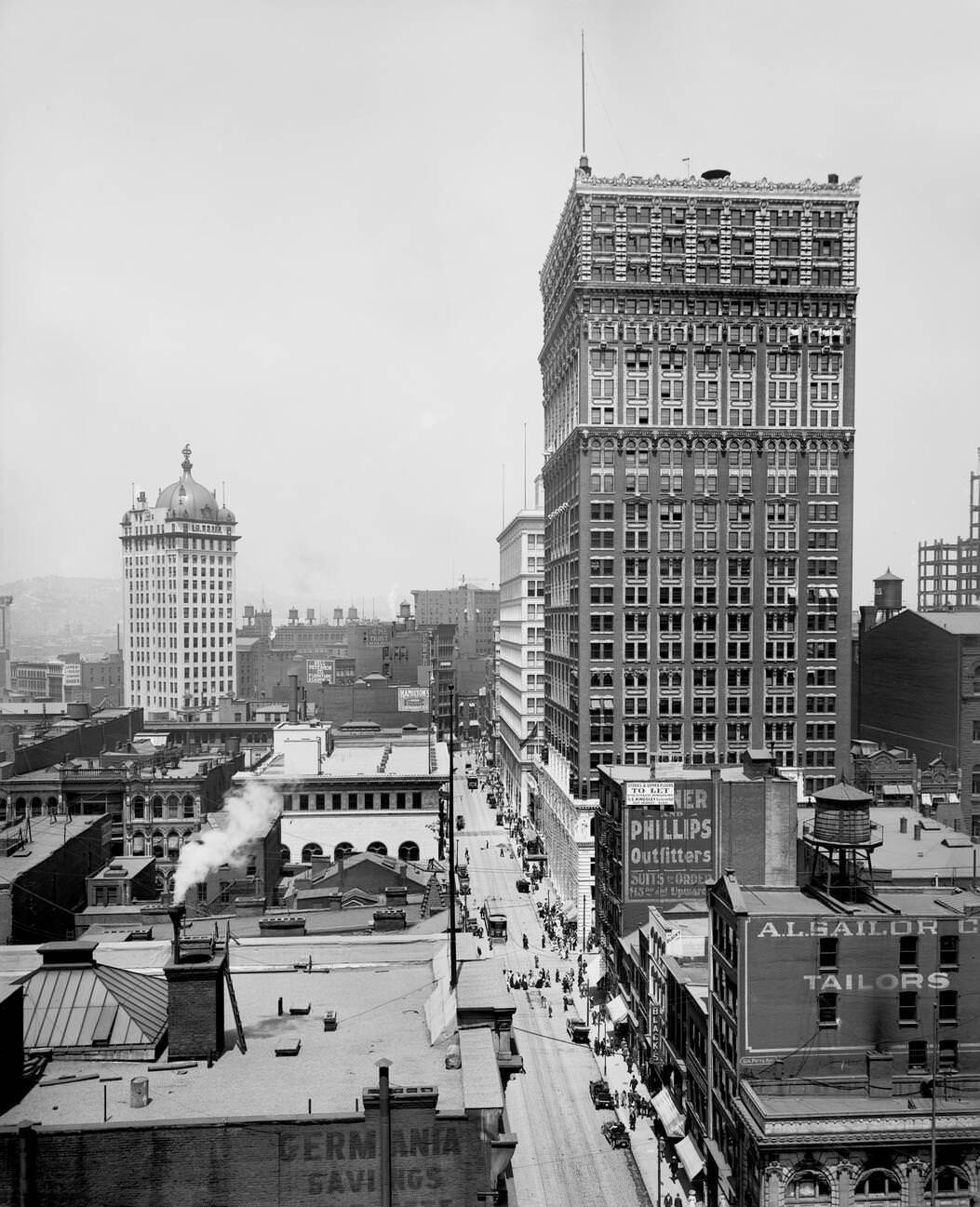
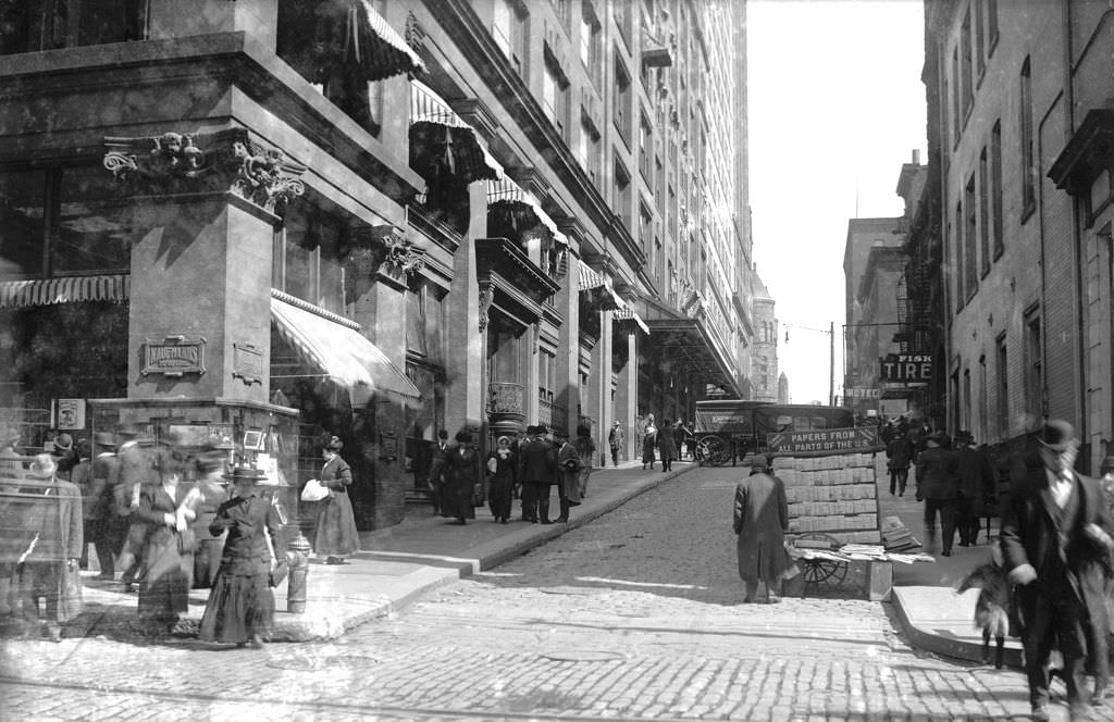
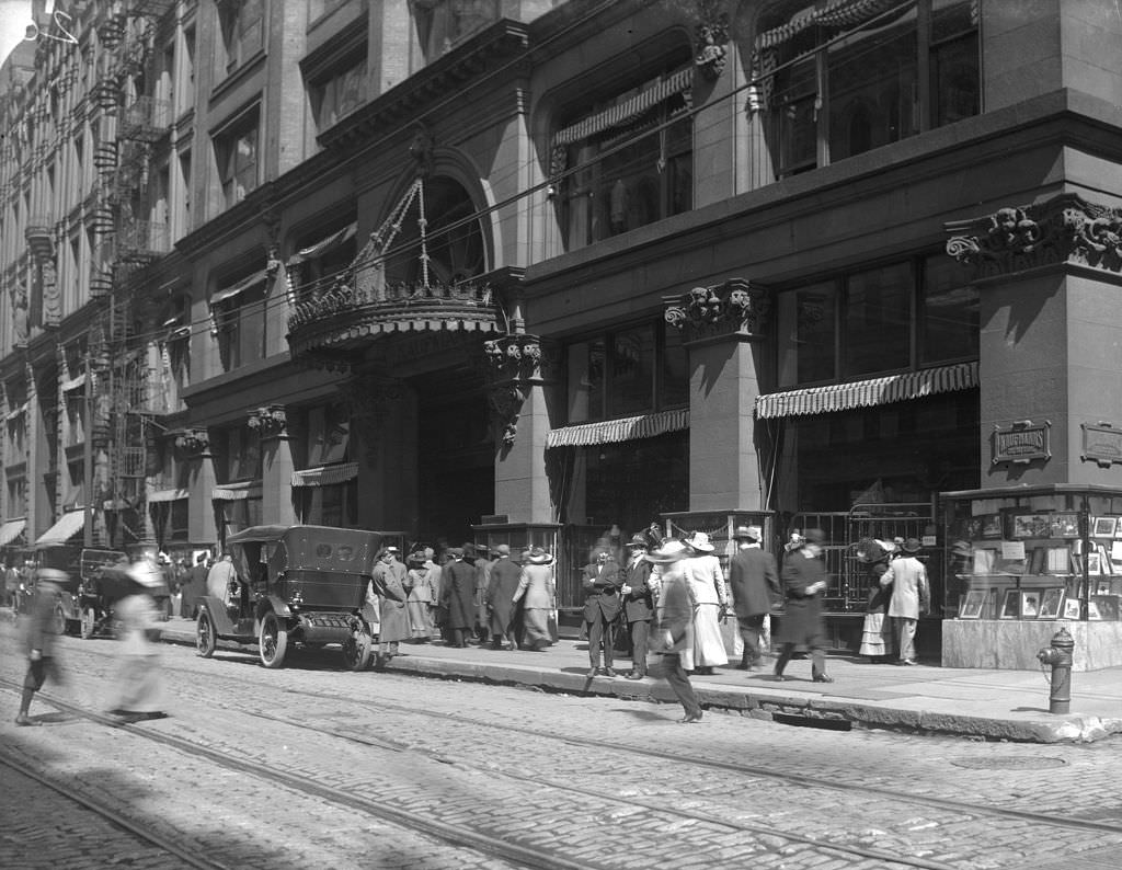
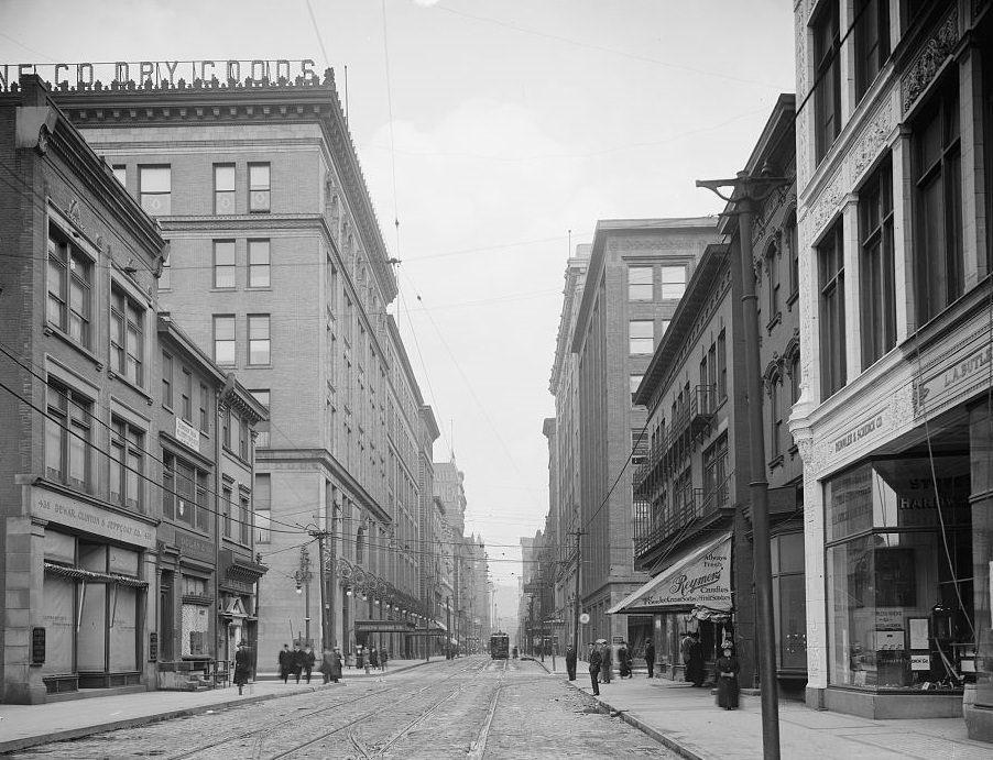
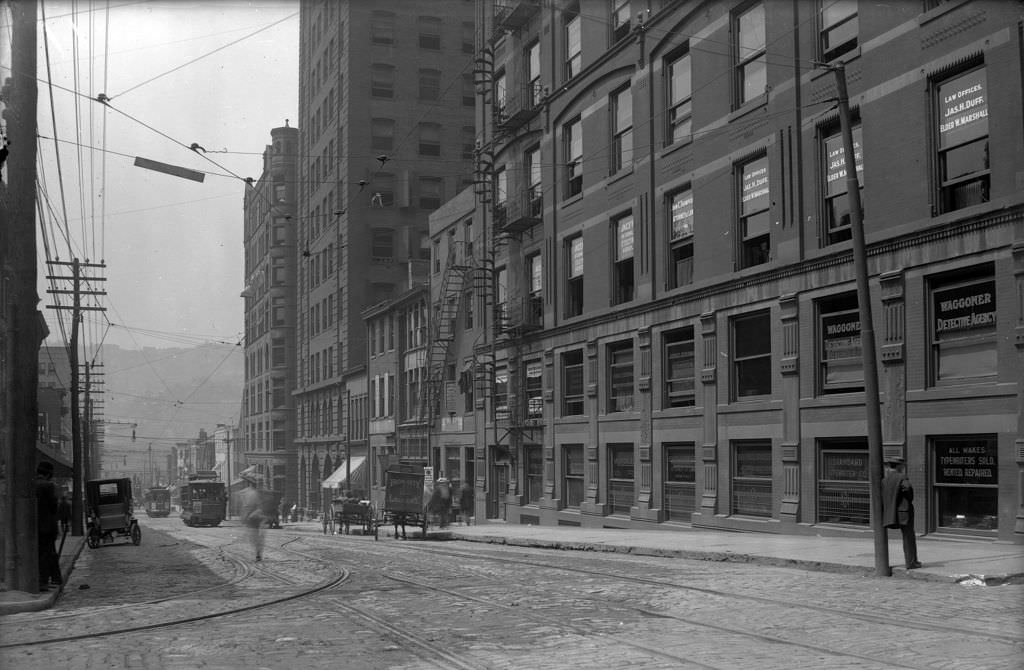
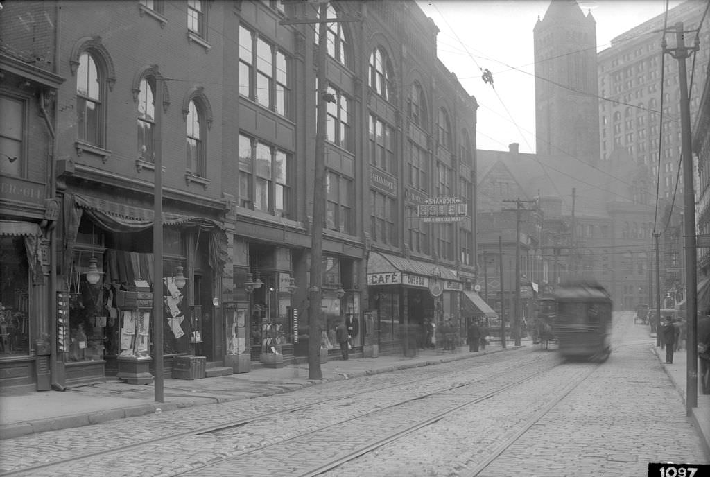
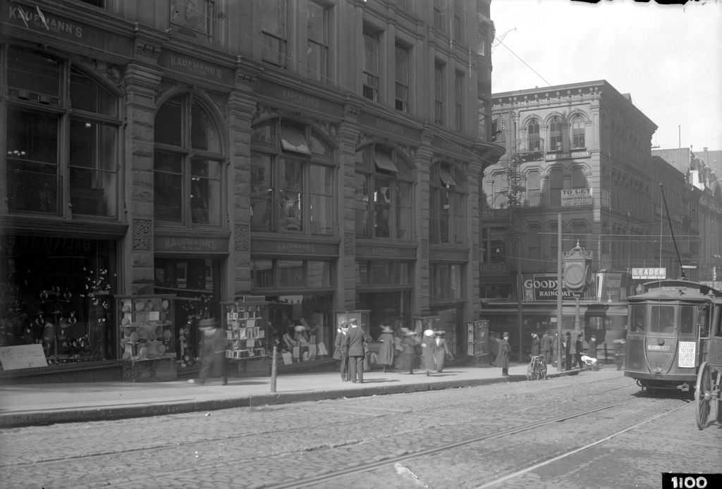
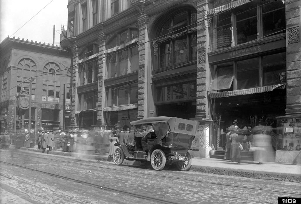
While industry defined Pittsburgh’s economy, its streets told a different story — one of a growing, modern American city. Downtown was crowded with commerce. Department stores, banks, hotels, and newspaper offices lined the major avenues. Streetcars moved passengers from the neighborhoods into the center of town. Kaufmann’s Department Store on Smithfield Street drew crowds that spilled onto the sidewalks, and the windows of shops along Fifth and Liberty Avenues reflected the growing purchasing power of a working-class city on the rise.
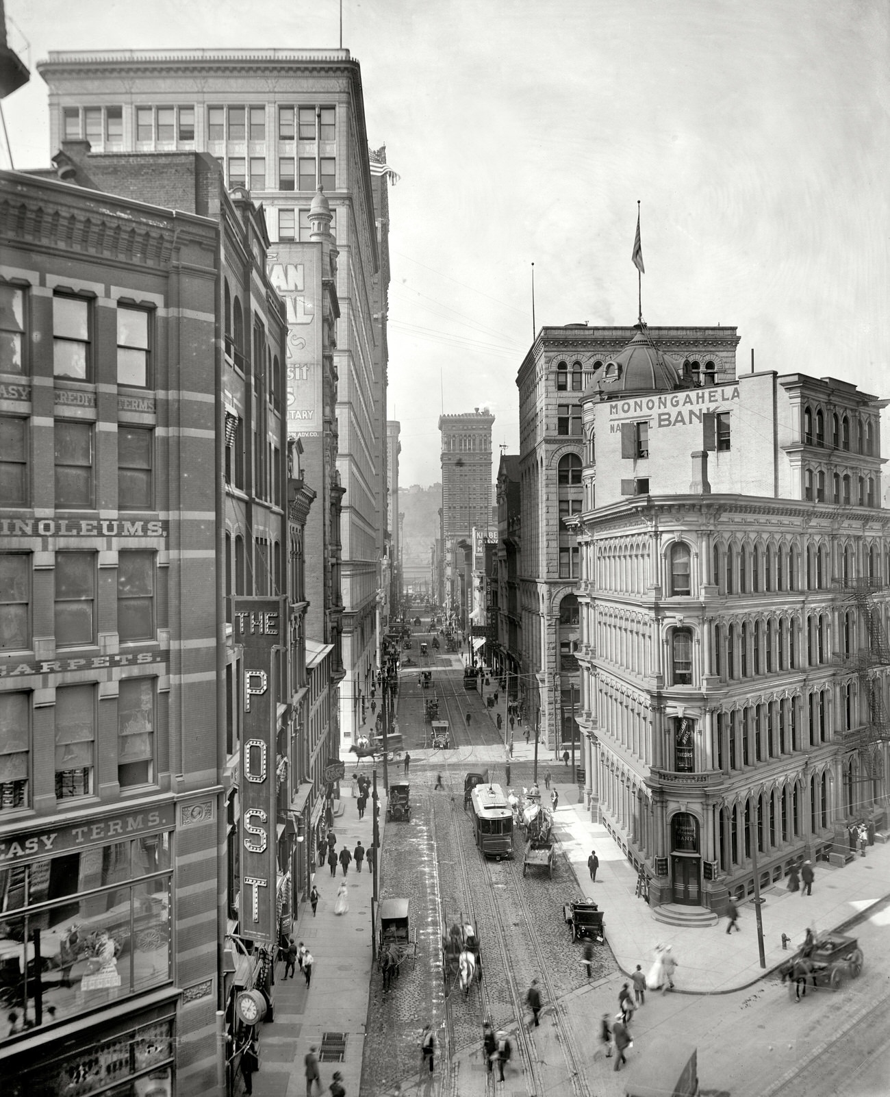
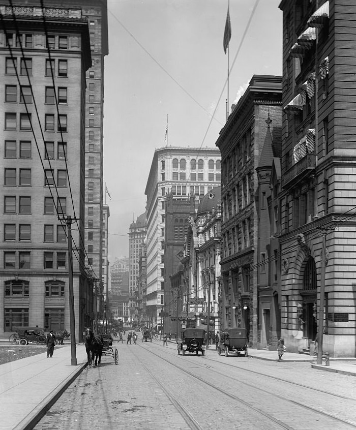
Wood Street and Farmer’s Bank, Pittsburgh, Pennsylvania, 1910Kaufmann’s Department Store, busy scene on Diamond Street, 1912Kaufmann’s Department Store, crowd on Smithfield Street, 1912
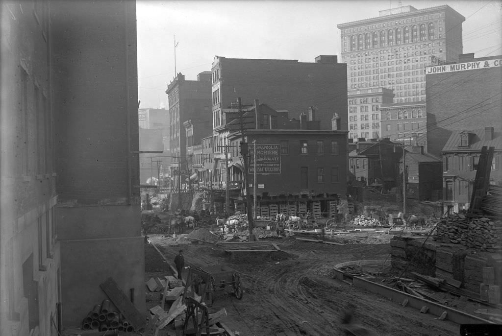
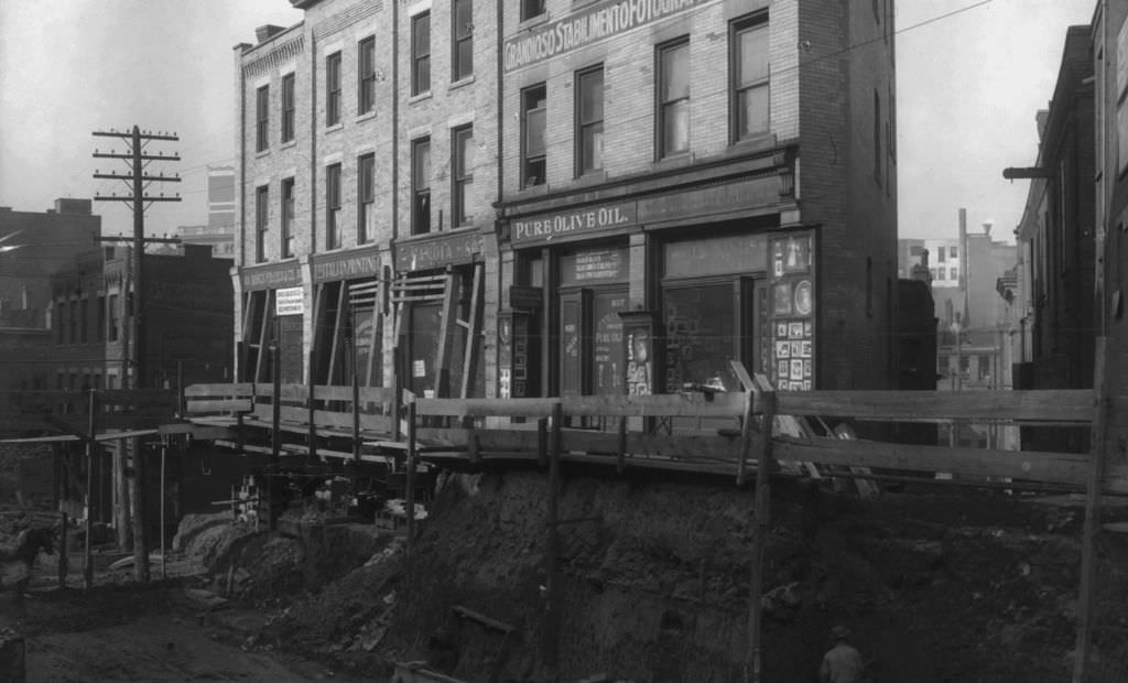
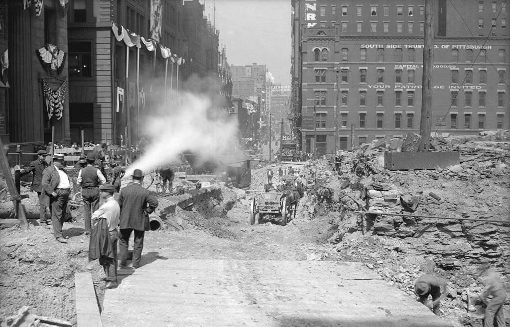
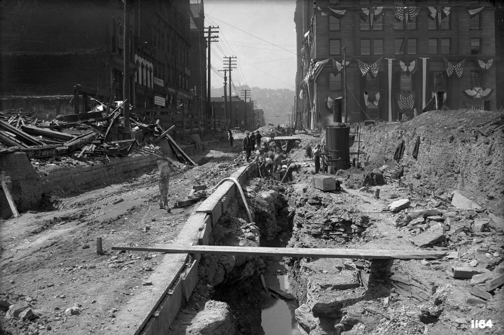
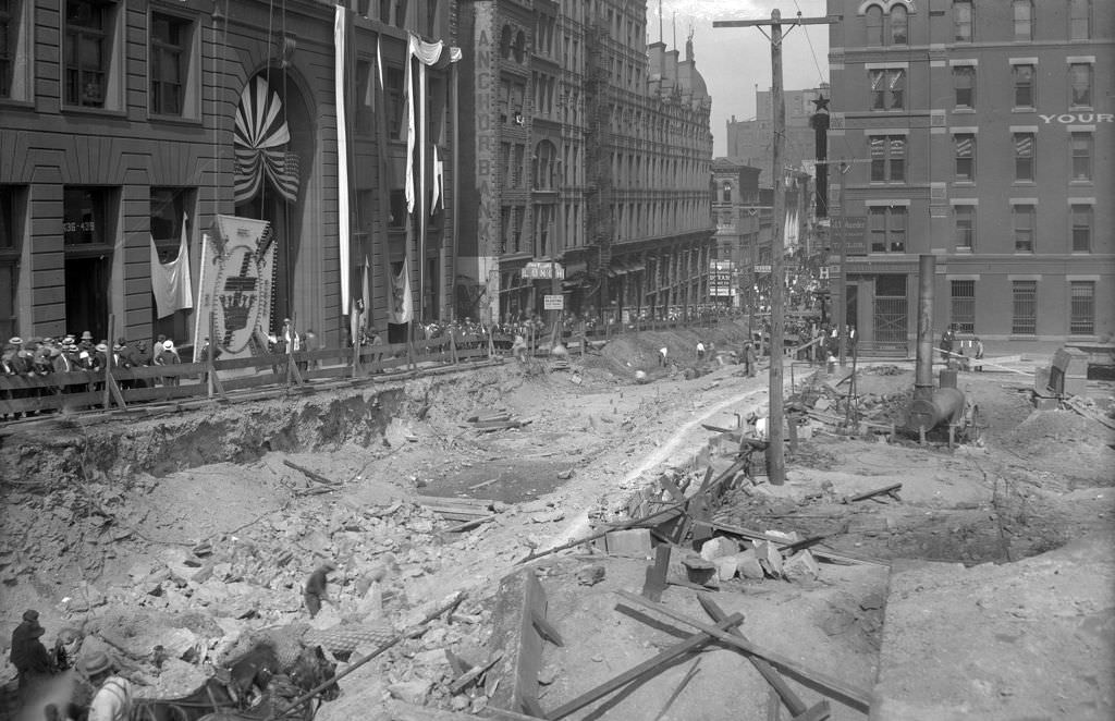
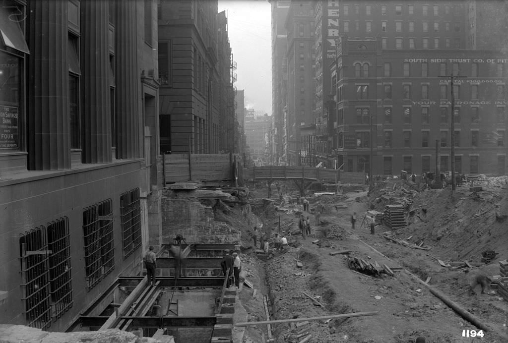
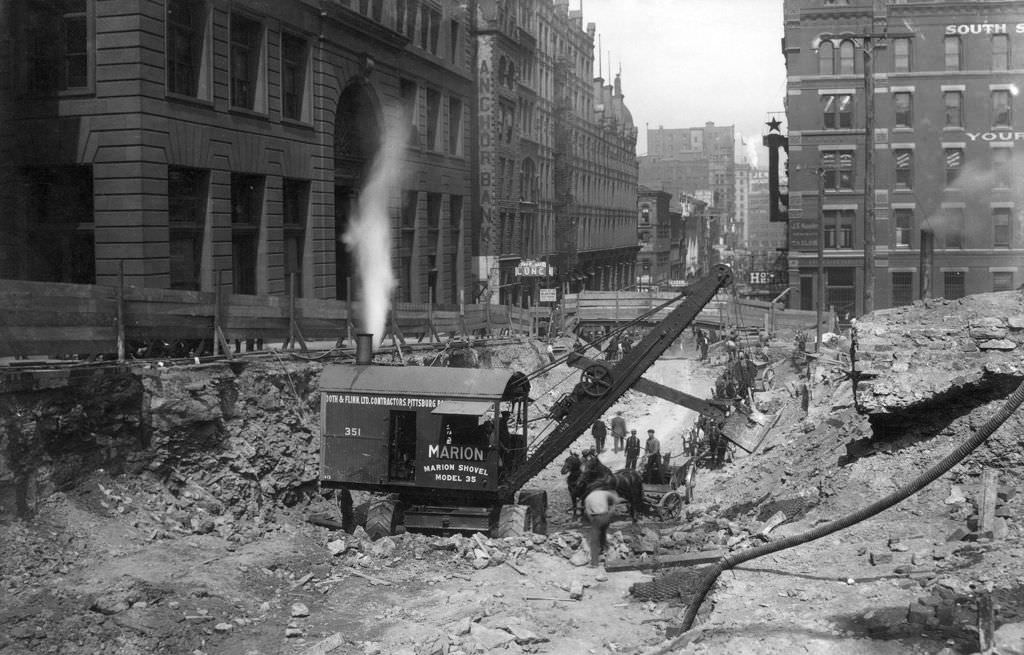
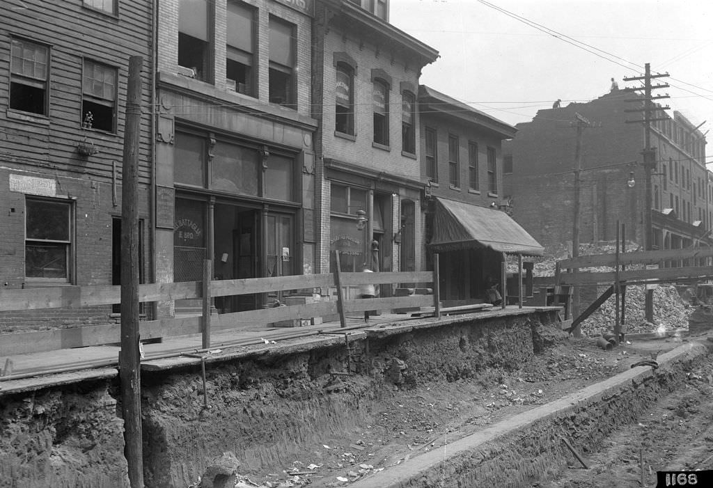
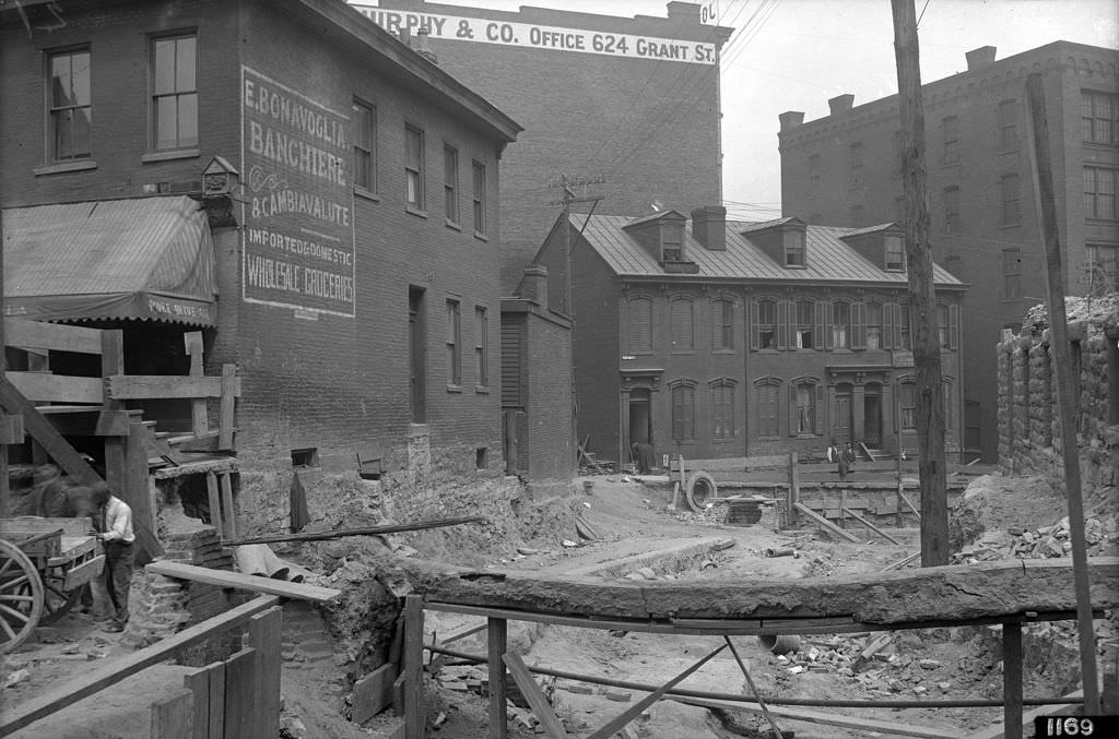
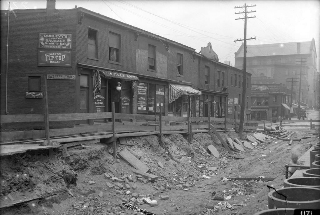
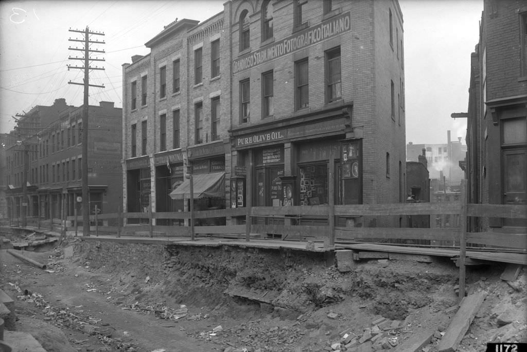
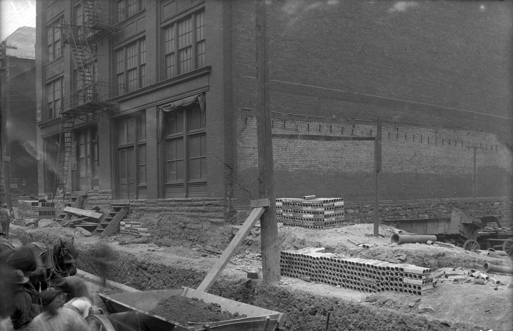
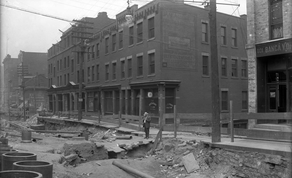
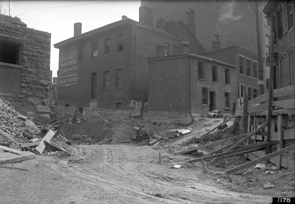
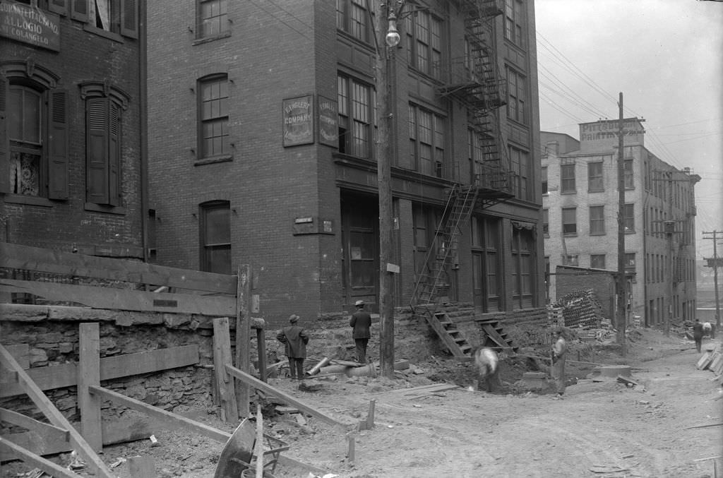
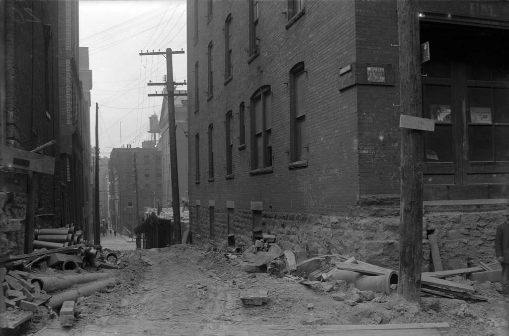
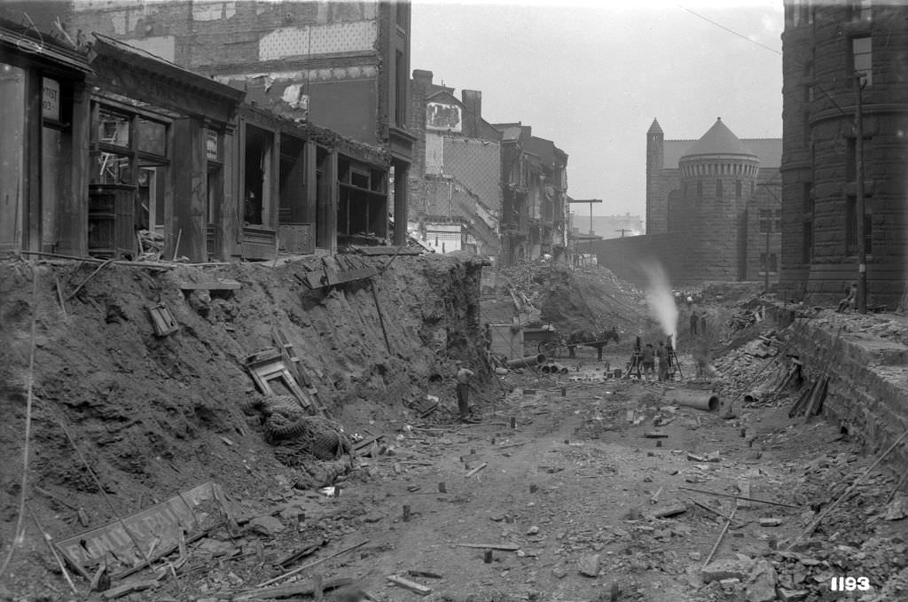
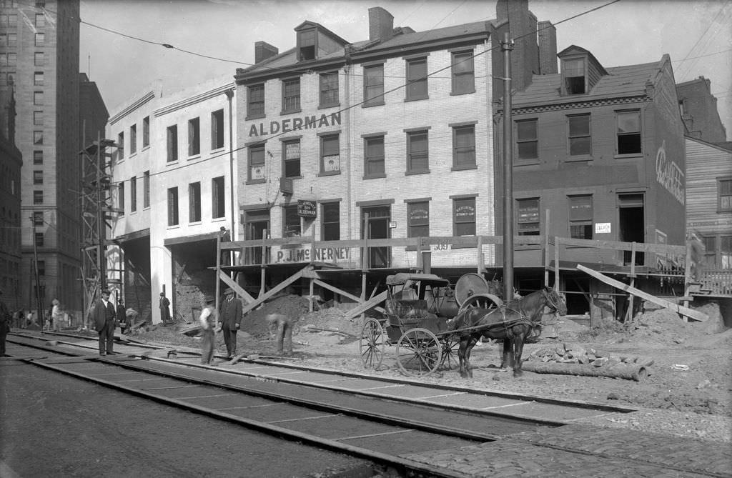
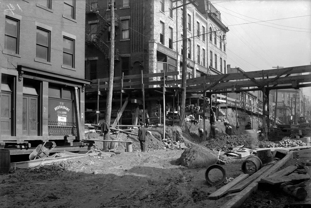
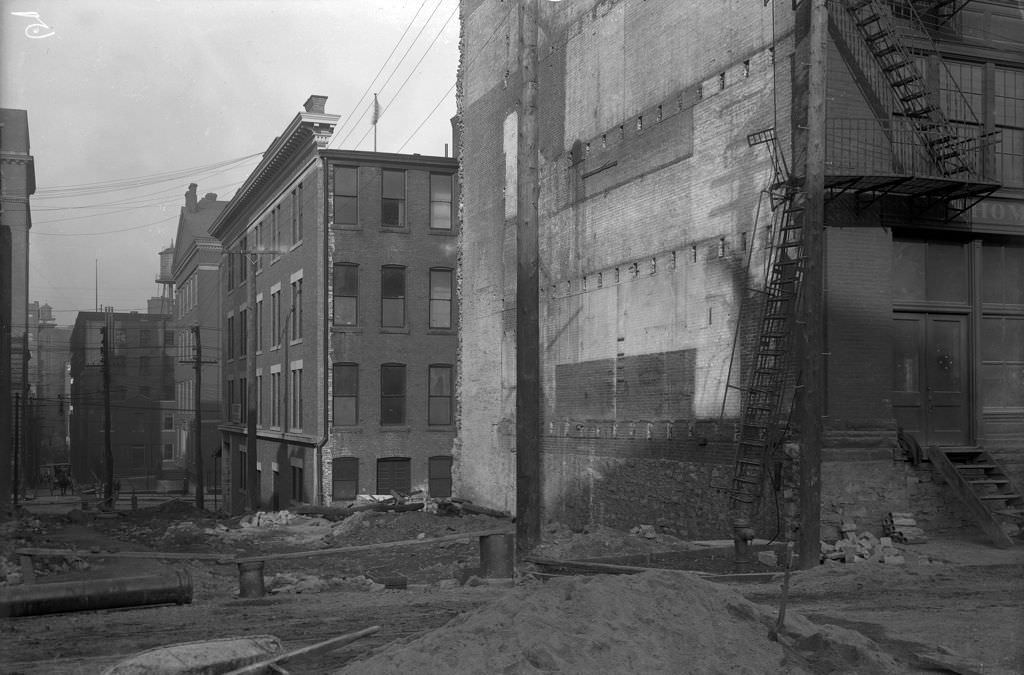
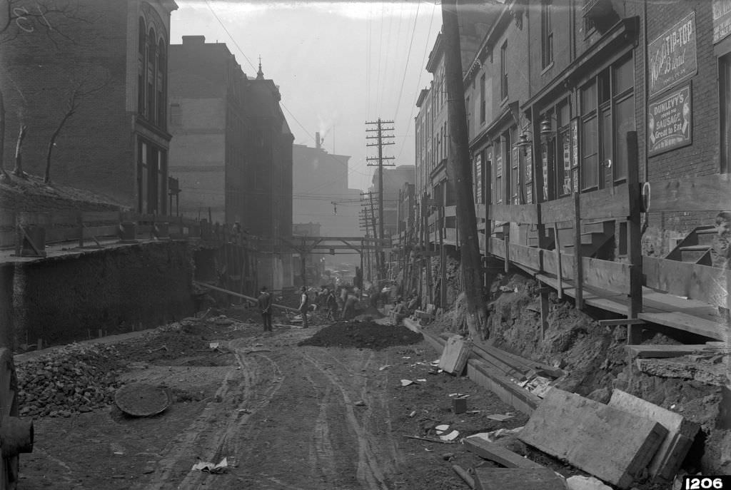
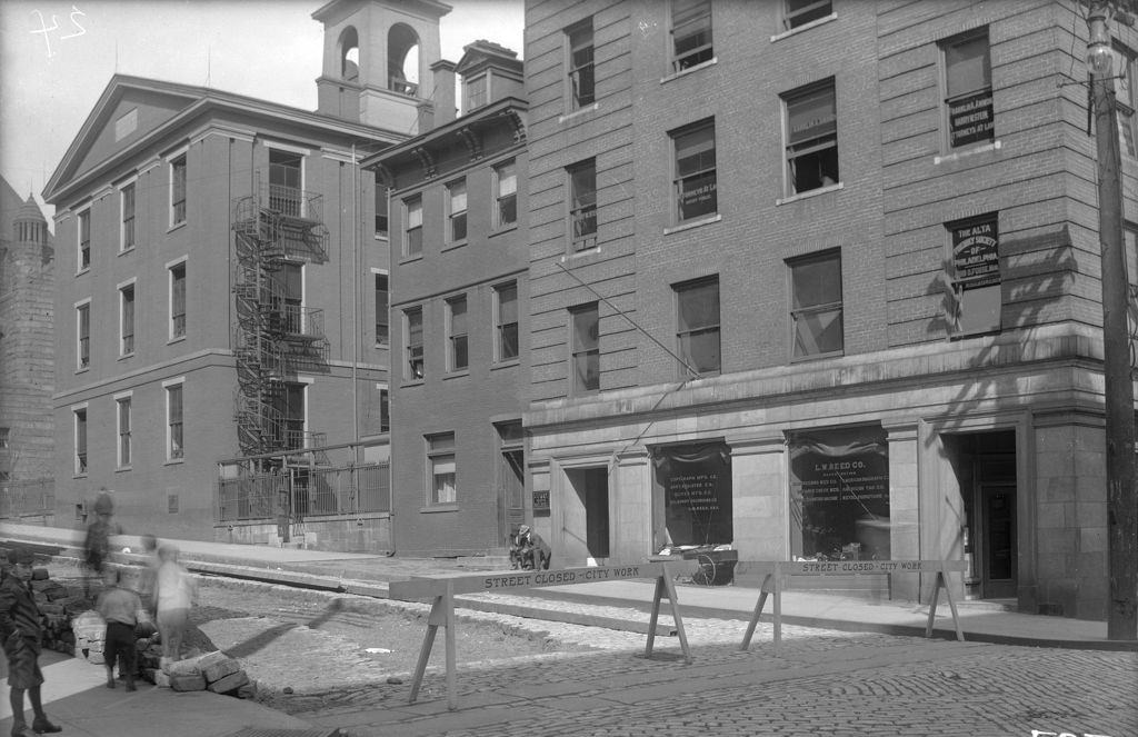
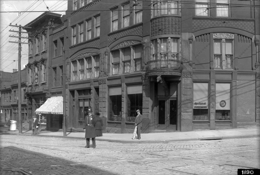
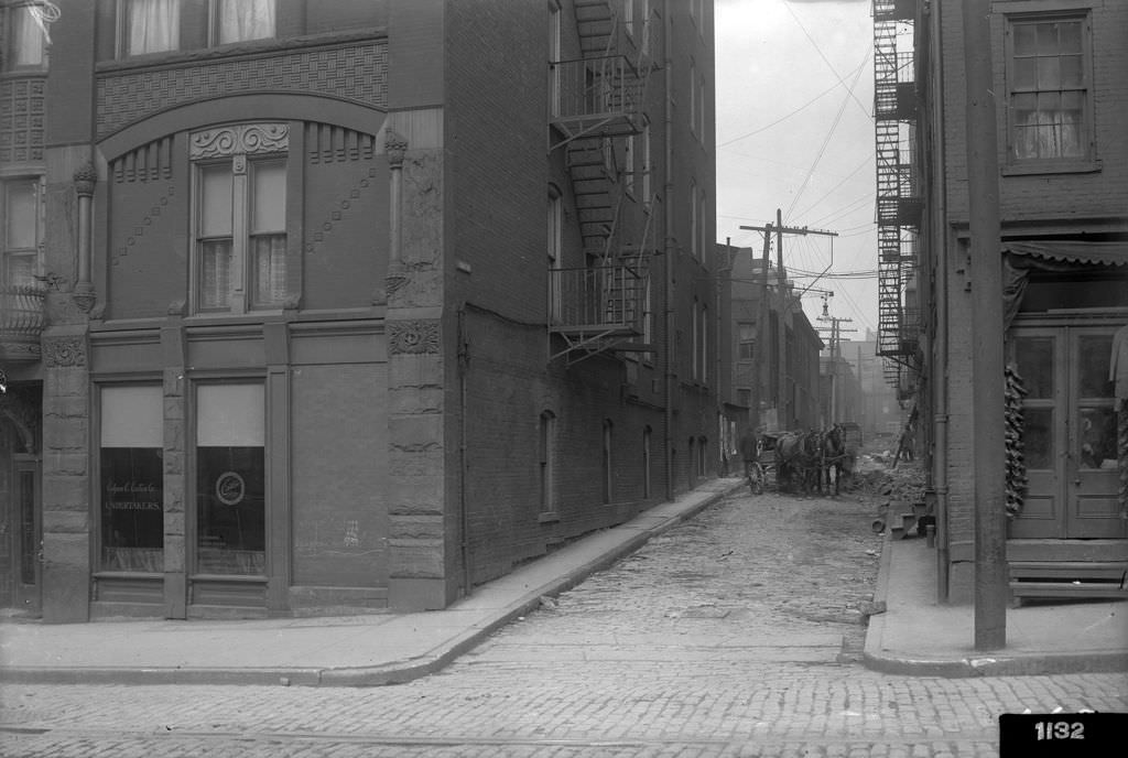
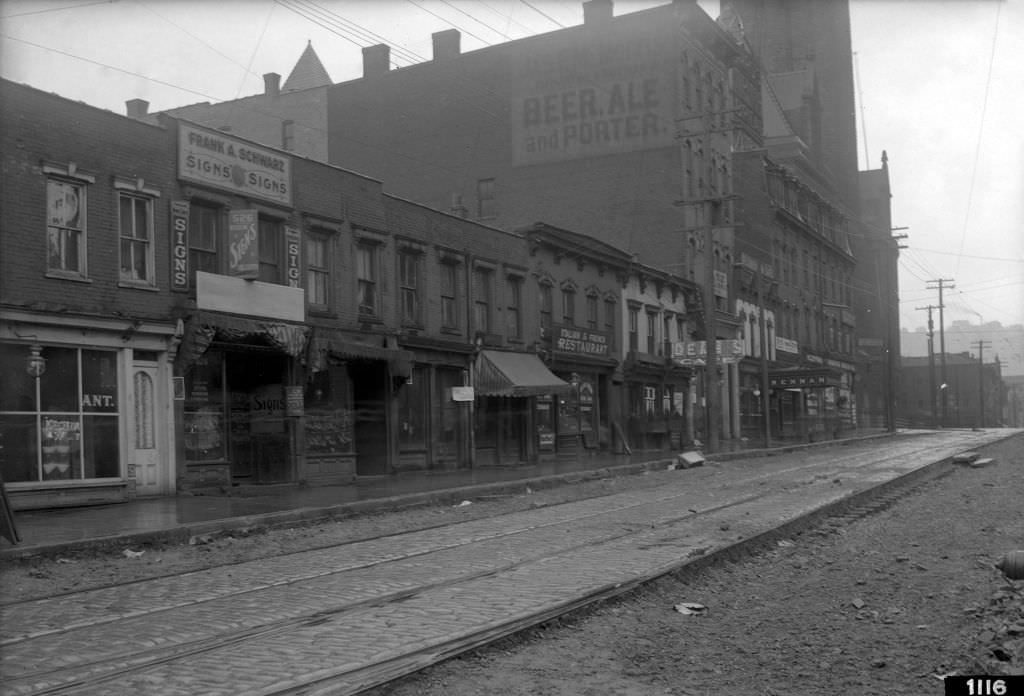
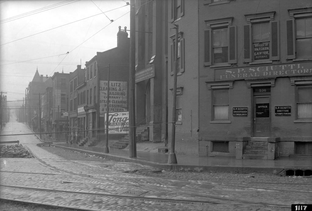
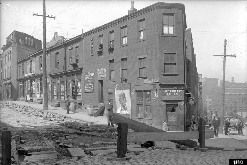
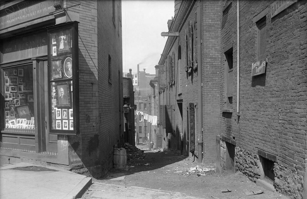
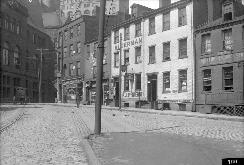
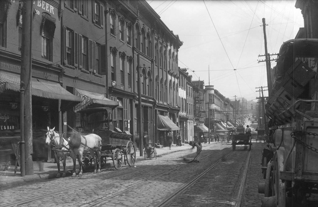
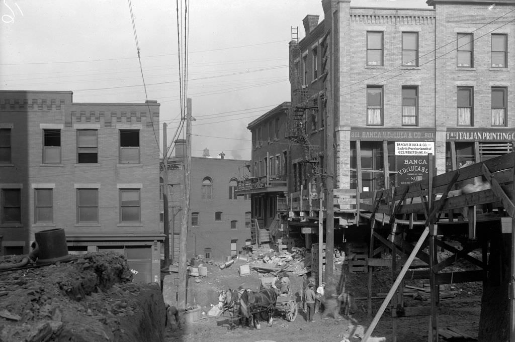
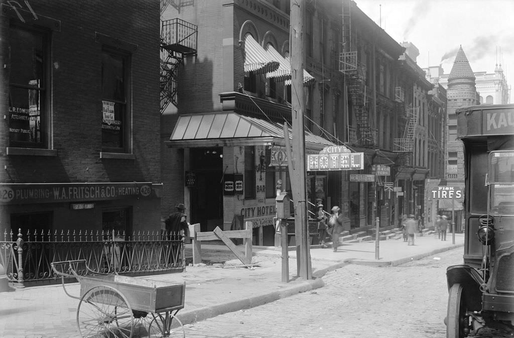
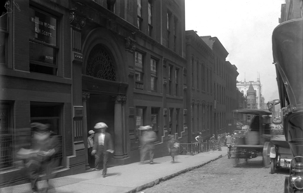
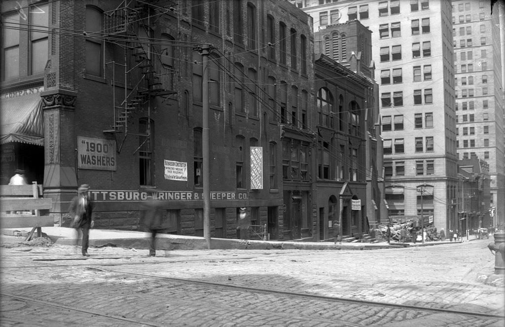
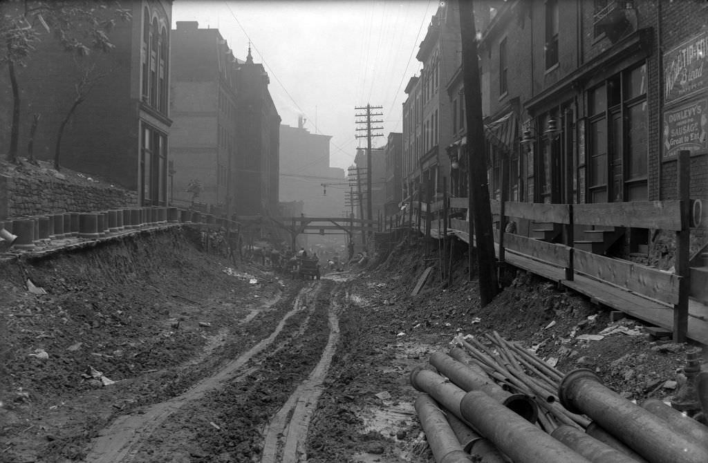
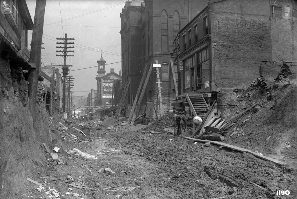
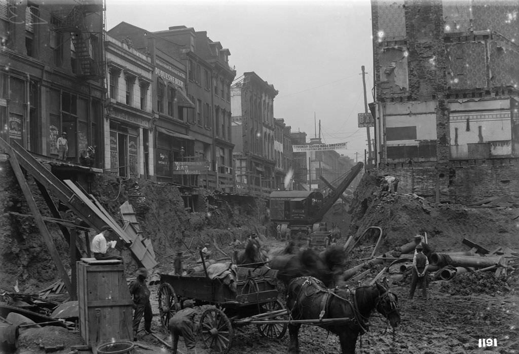
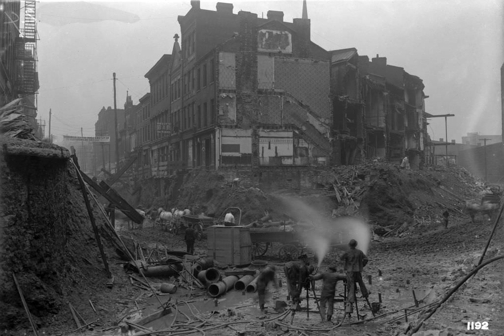
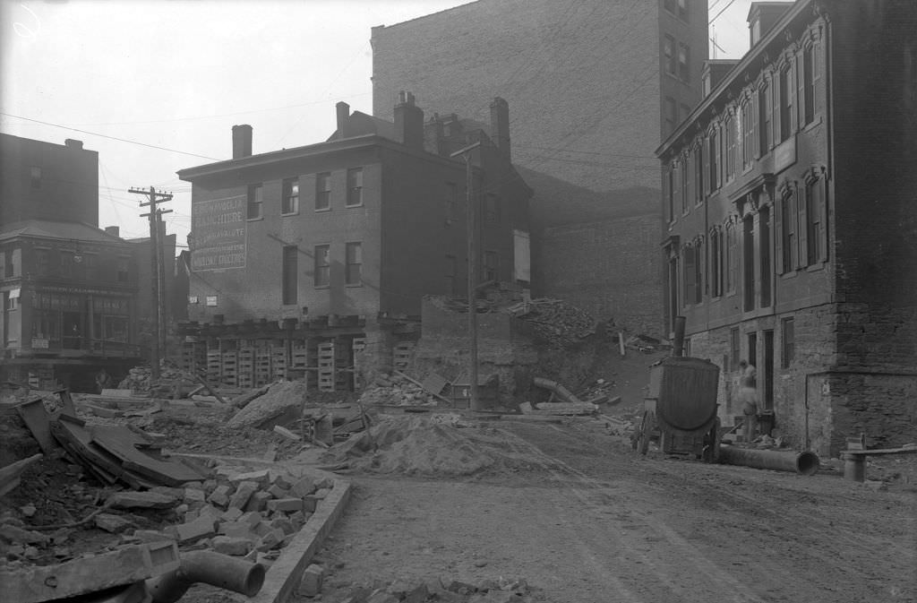
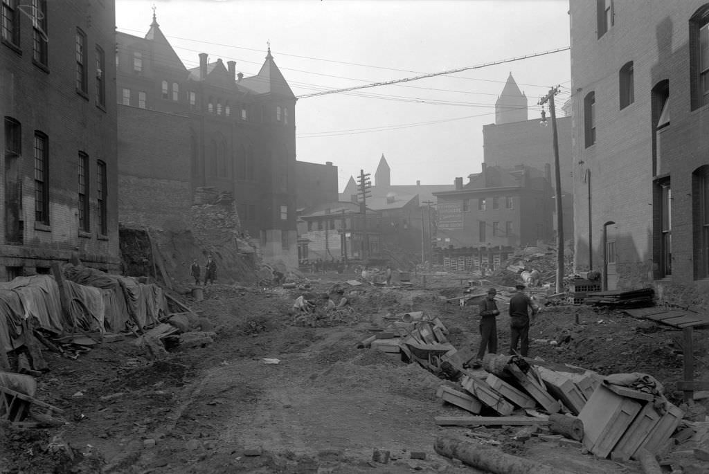
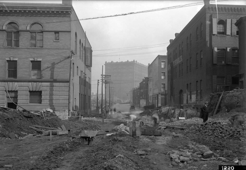
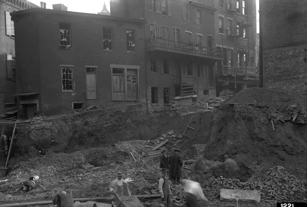
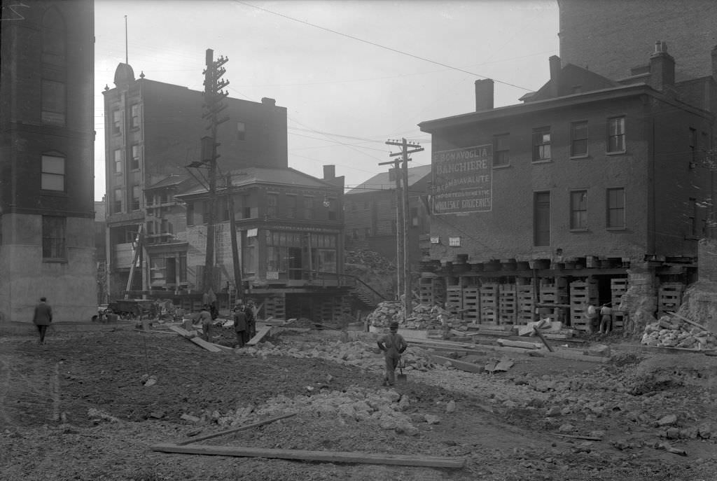
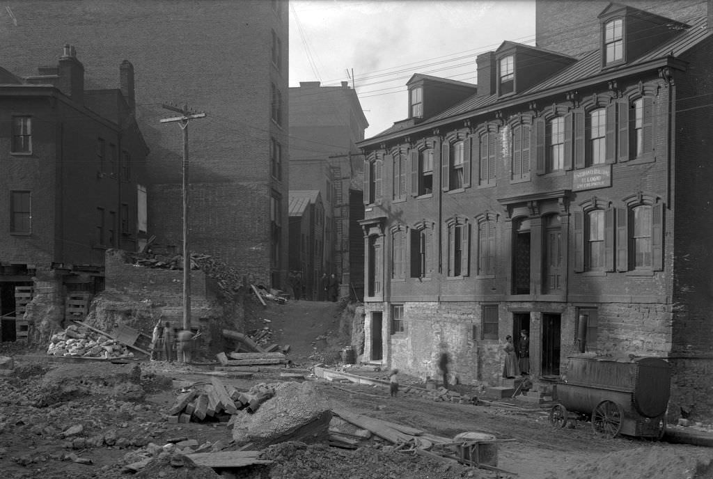
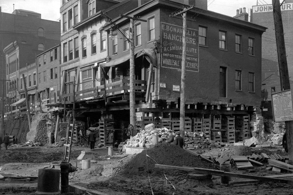
One of the most significant construction projects of the early decade was the “hump” cut — a massive effort to grade down the steep hill that ran through the heart of downtown Pittsburgh. The project, concentrated around Webster Avenue, Fifth Avenue, Grant Street, and the surrounding alleys, required demolishing buildings, rerouting streets, and reshaping entire city blocks. Dozens of photographs from 1911 and 1912 document the project in remarkable detail, capturing construction crews, demolished storefronts, and the raw earth exposed by the cuts.
Webster Avenue Construction, 1912Webster Avenue Construction Zone, 1911Hump Cut Overview, 1912Hump Cut on Grant Street, 1912Hump Cut Down Fifth Avenue, 1912Fifth Avenue Construction, looking west from Grant Street, 1912
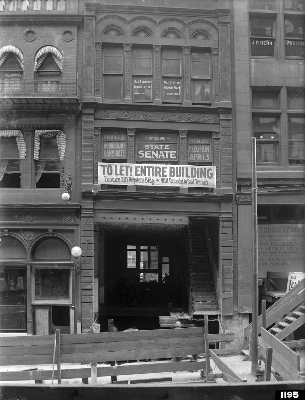
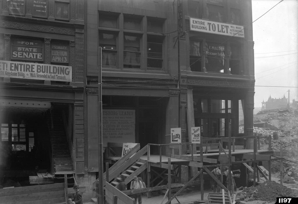
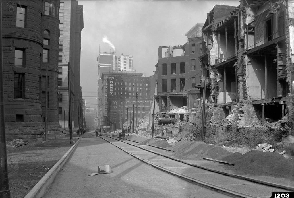
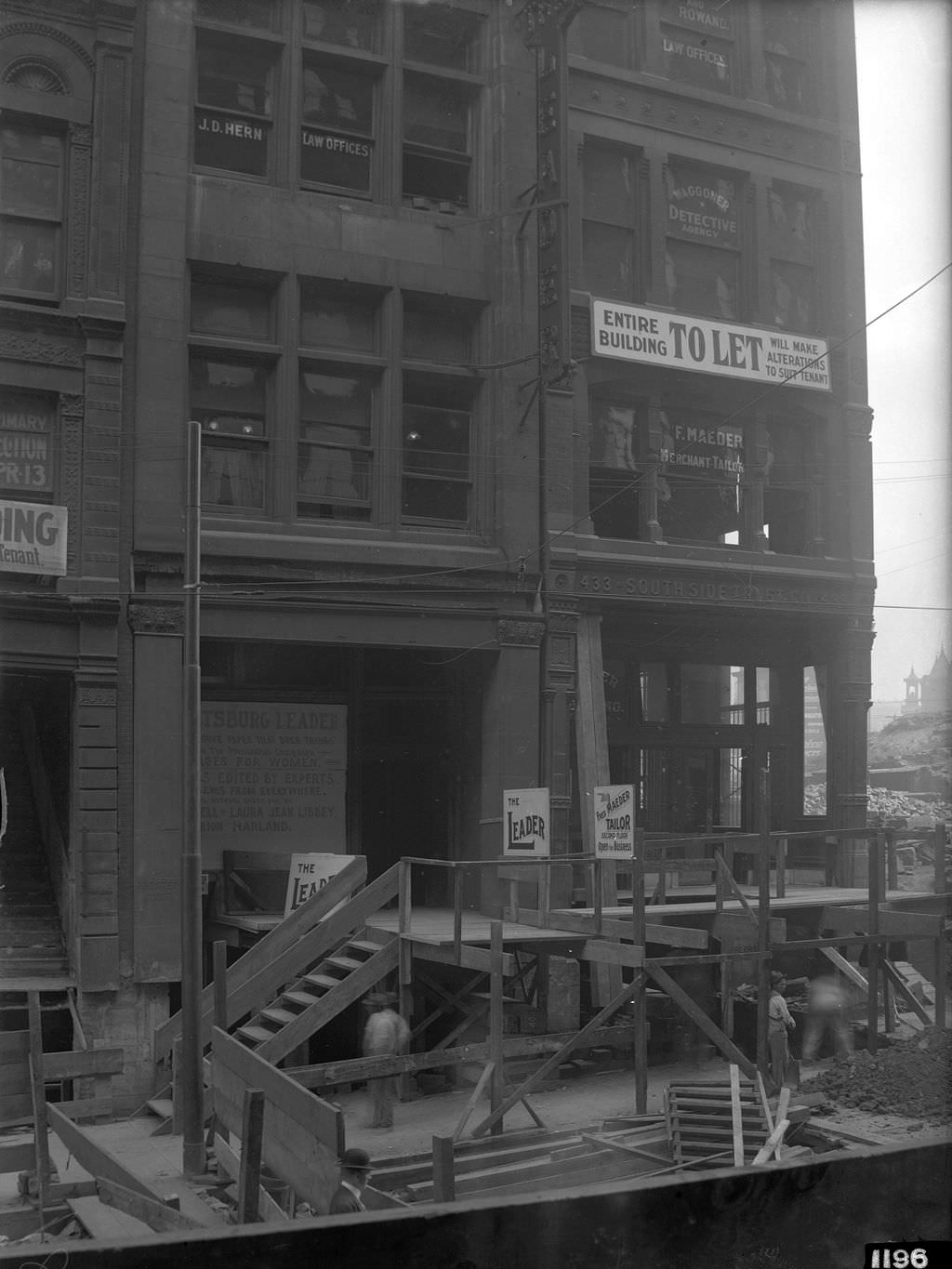
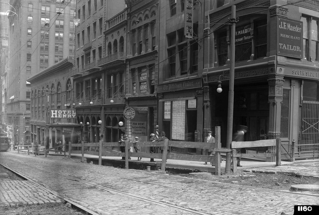
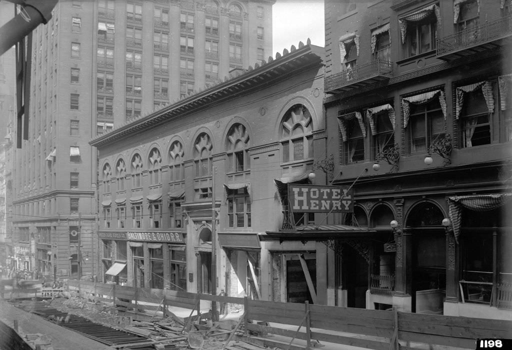
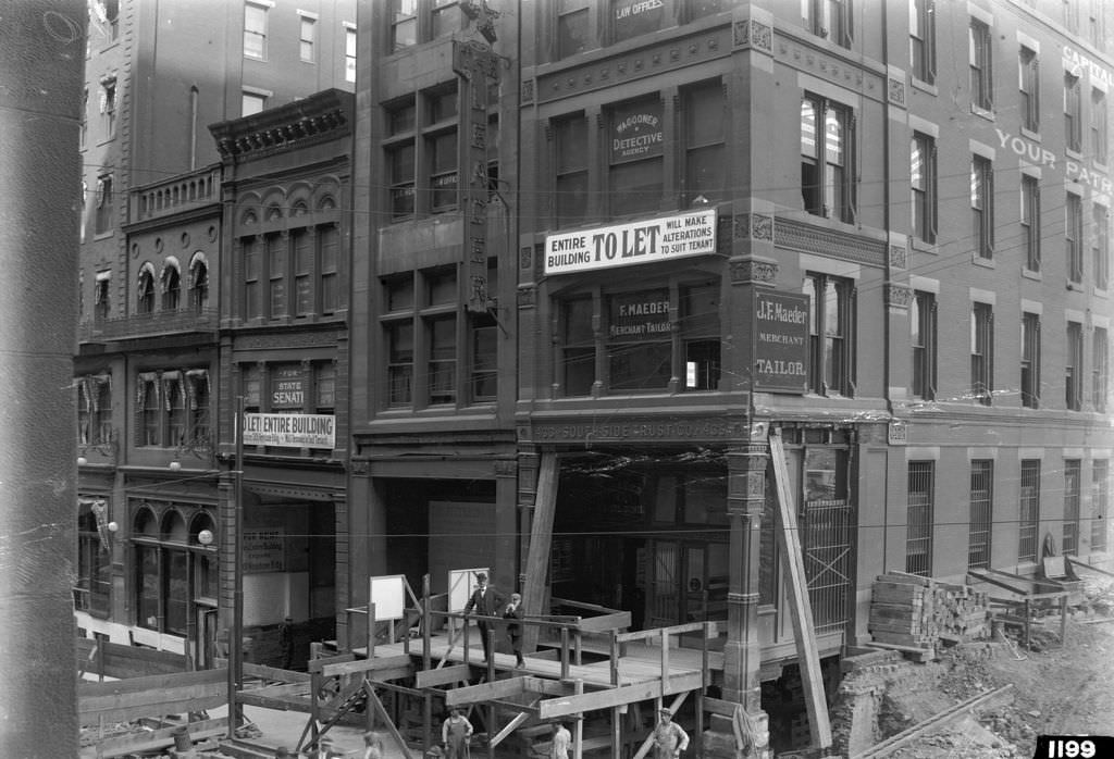
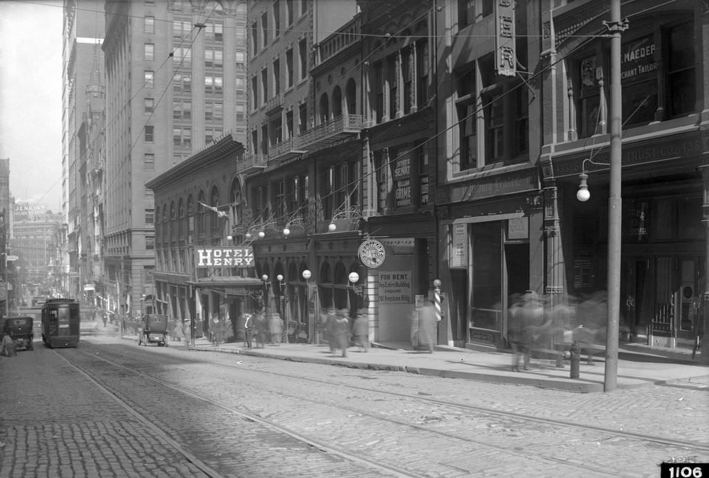
The hump project displaced dozens of businesses. Signs reading “To Let” appeared in windows across the affected blocks as buildings were vacated ahead of demolition. The Witherow Building, the Maeder Building, and the offices of The Pittsburgh Leader newspaper all sat in the zone of disruption. Even Hotel Henry on Cherry Way stood in the shadow of ongoing demolition work. The photographs from this period show the real cost of urban progress — storefronts emptied, streets torn open, and familiar landmarks reduced to rubble.
Witherow Building, visible “To Let” signs due to construction, 1912Maeder, Leader, Witherow Buildings, “To Let” signs due to construction, 1912Building Demolition, Hotel Henry in the distance, 1912The Pittsburgh Leader, offices and women’s suffrage columns, 1912
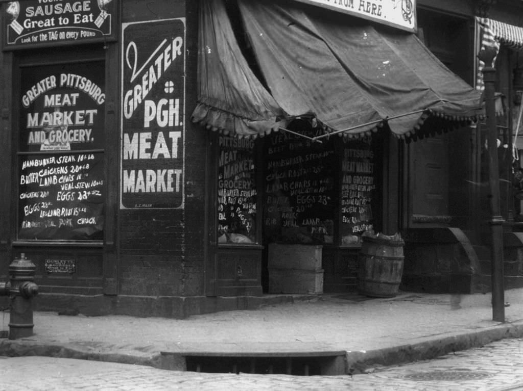
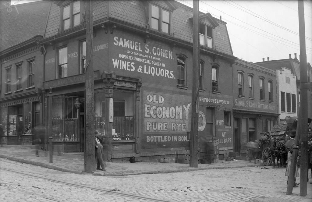
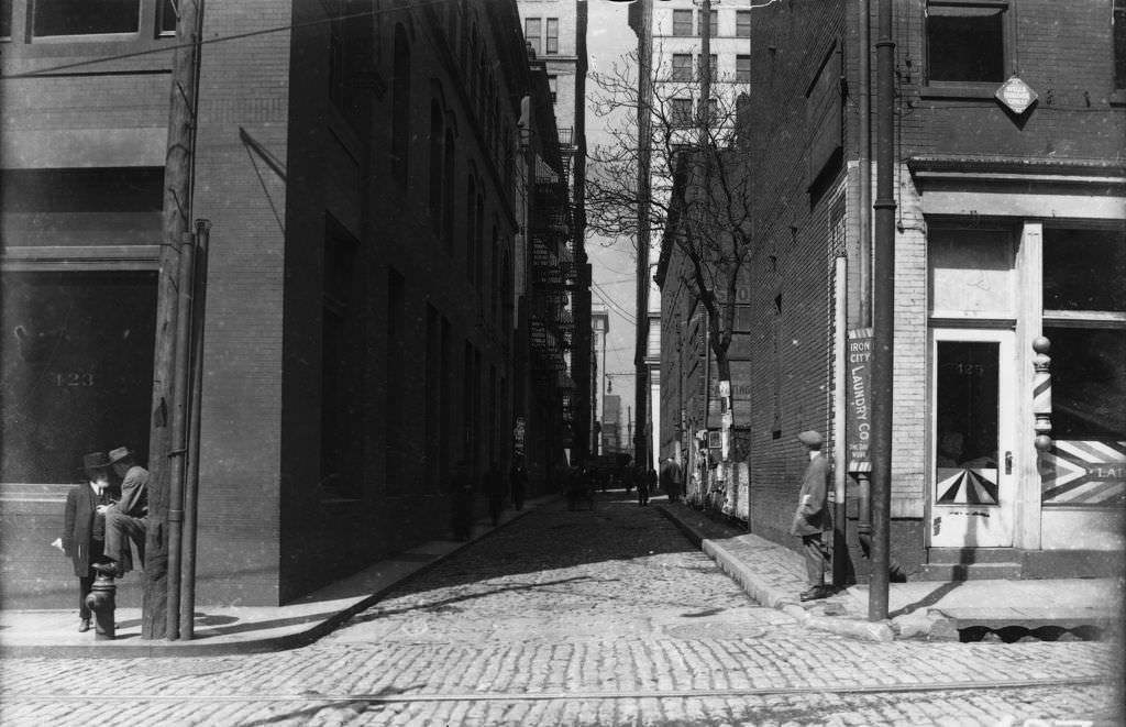
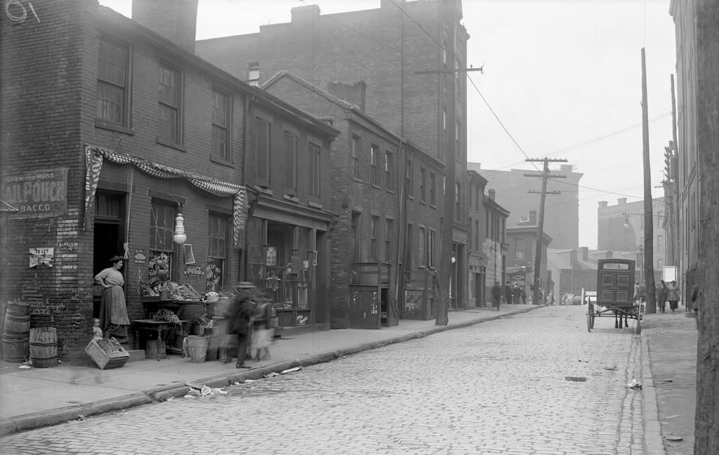
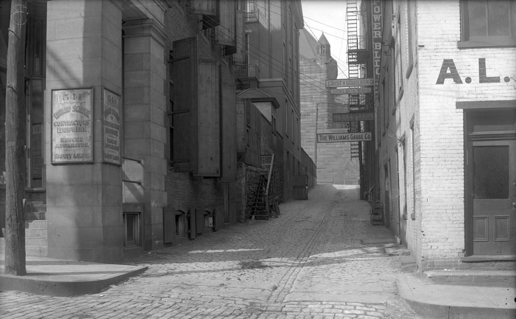
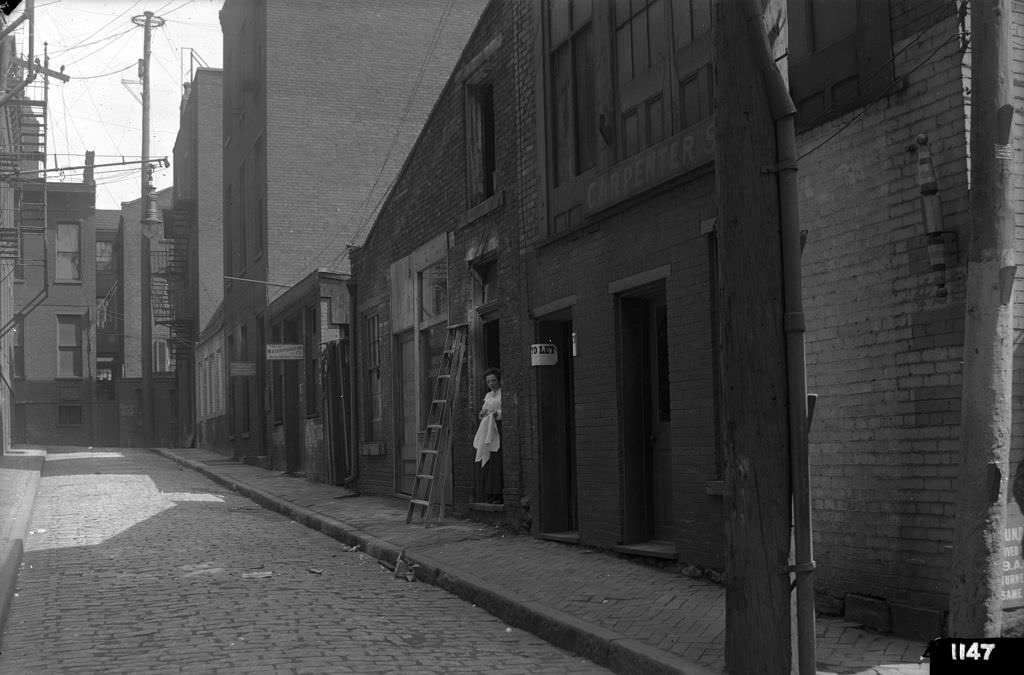
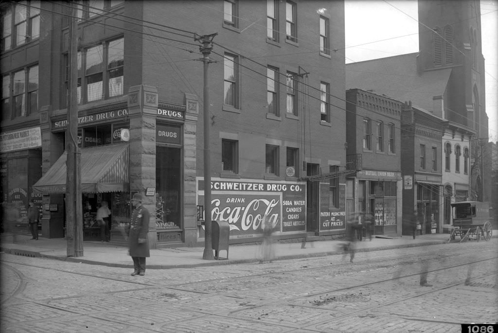
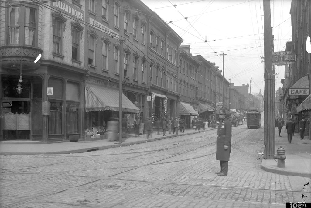
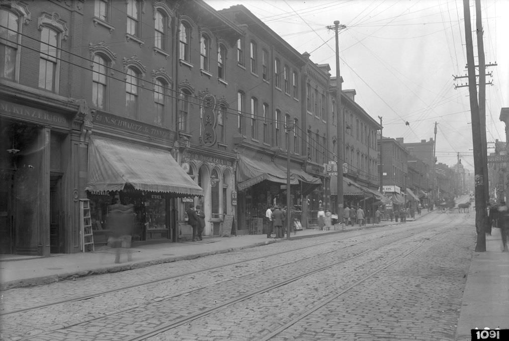
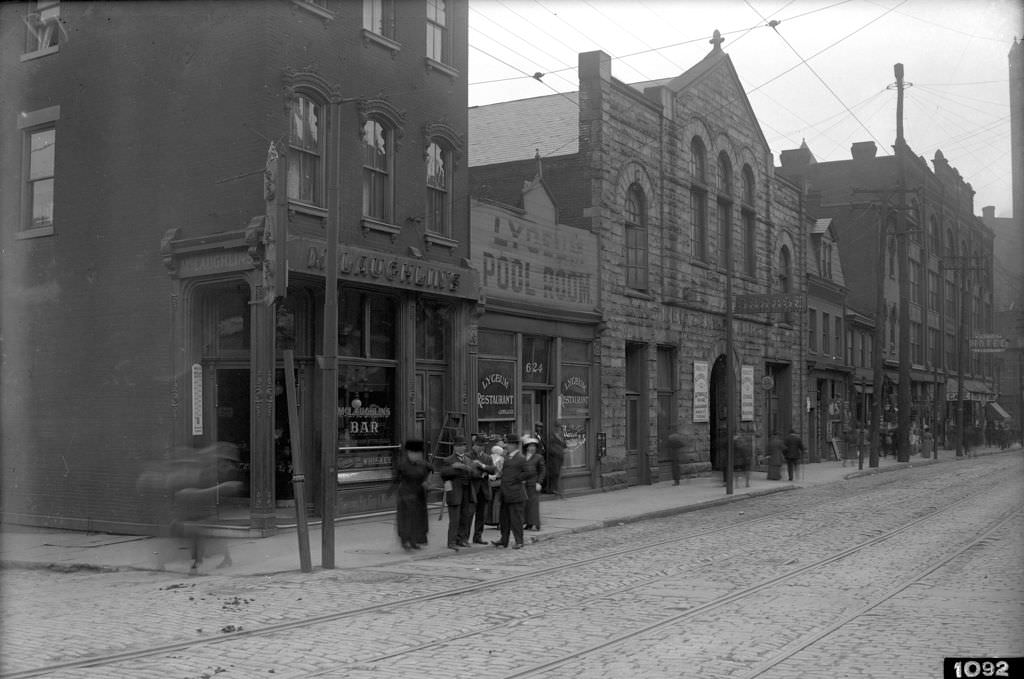
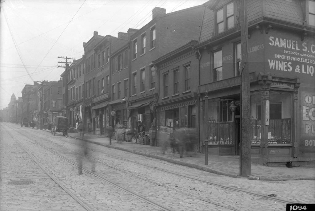
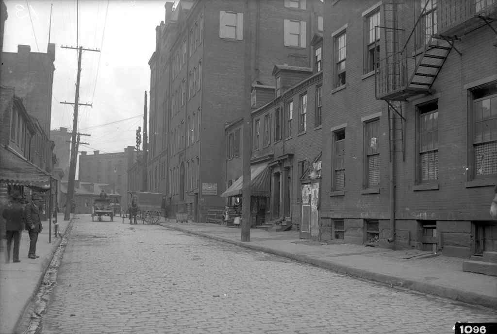
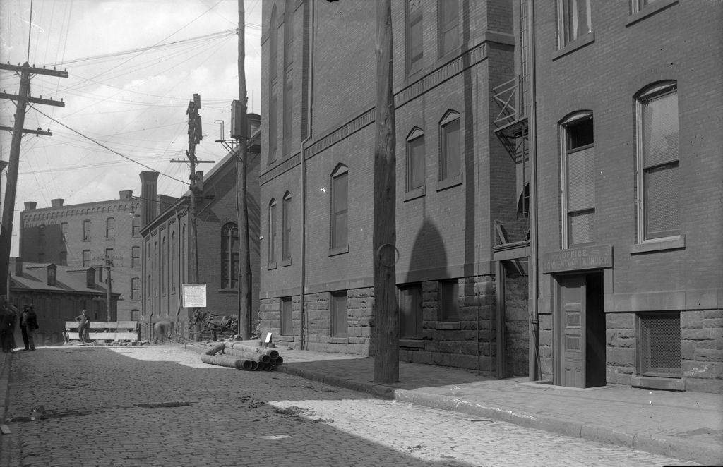
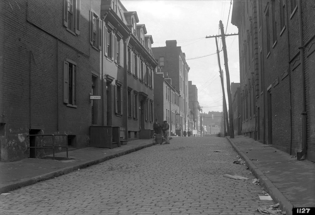
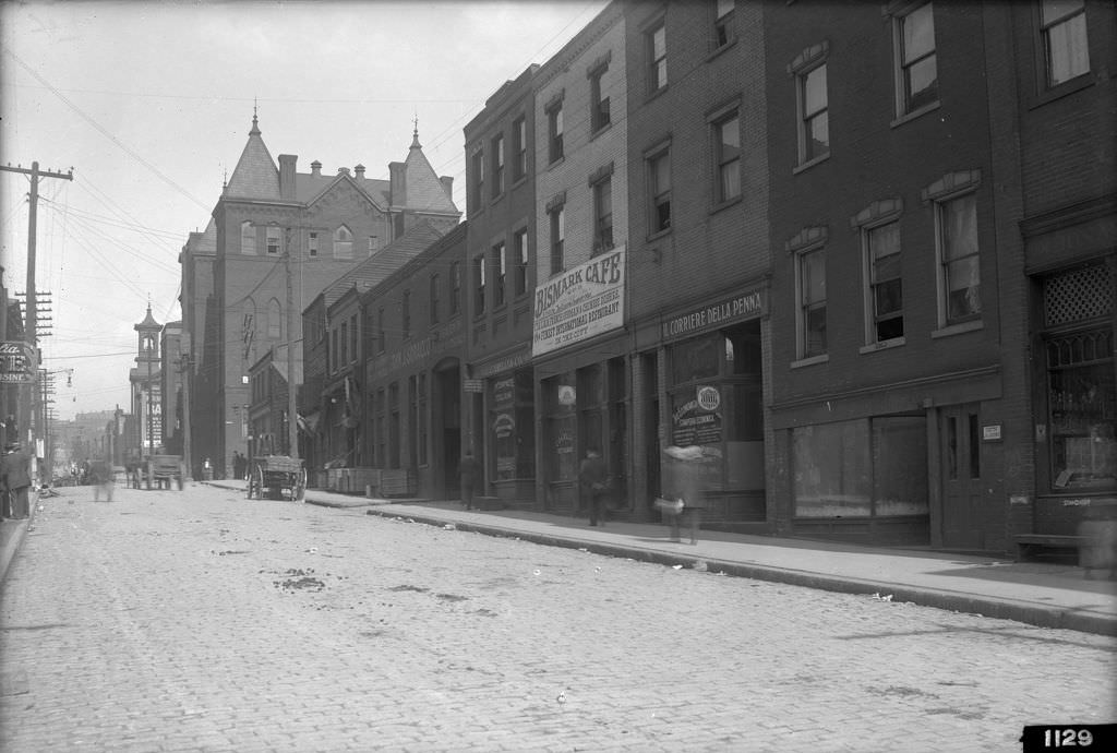
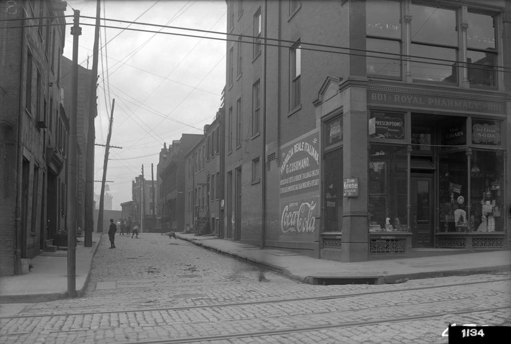
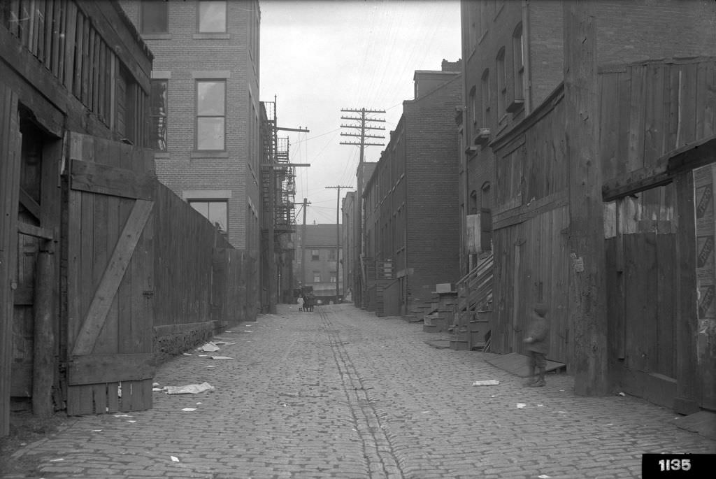
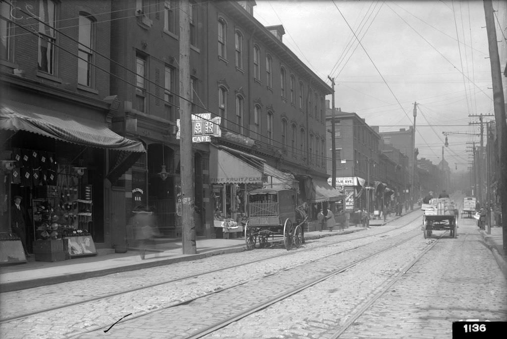
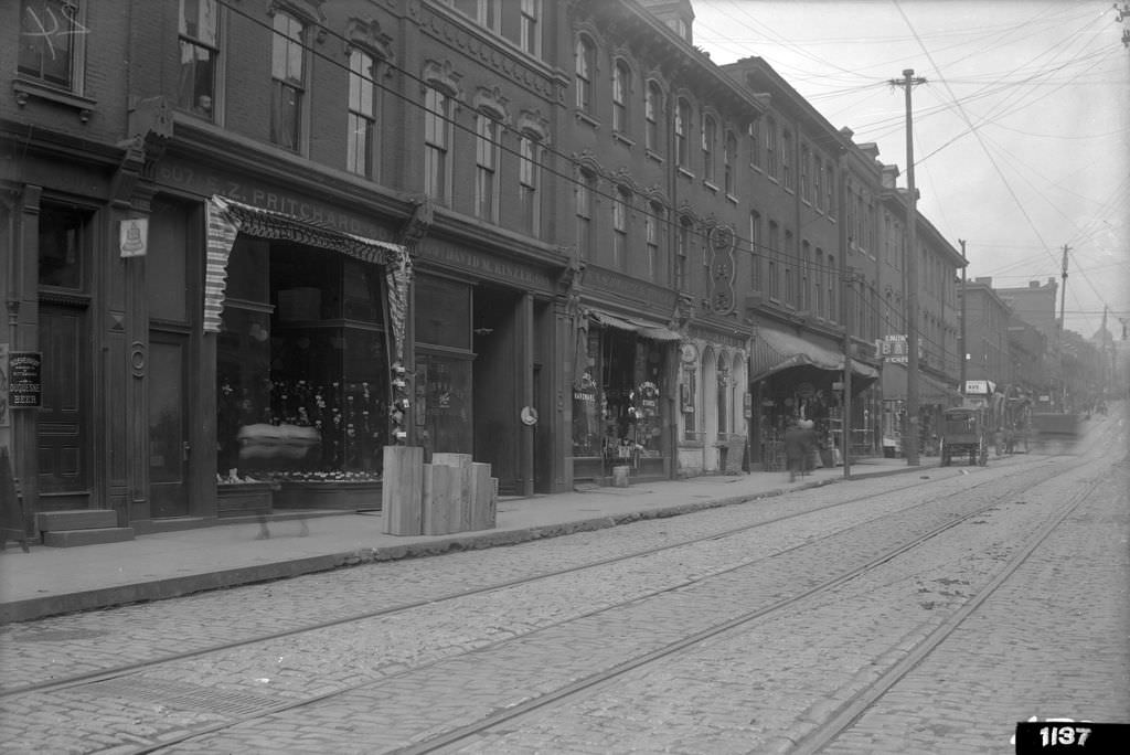
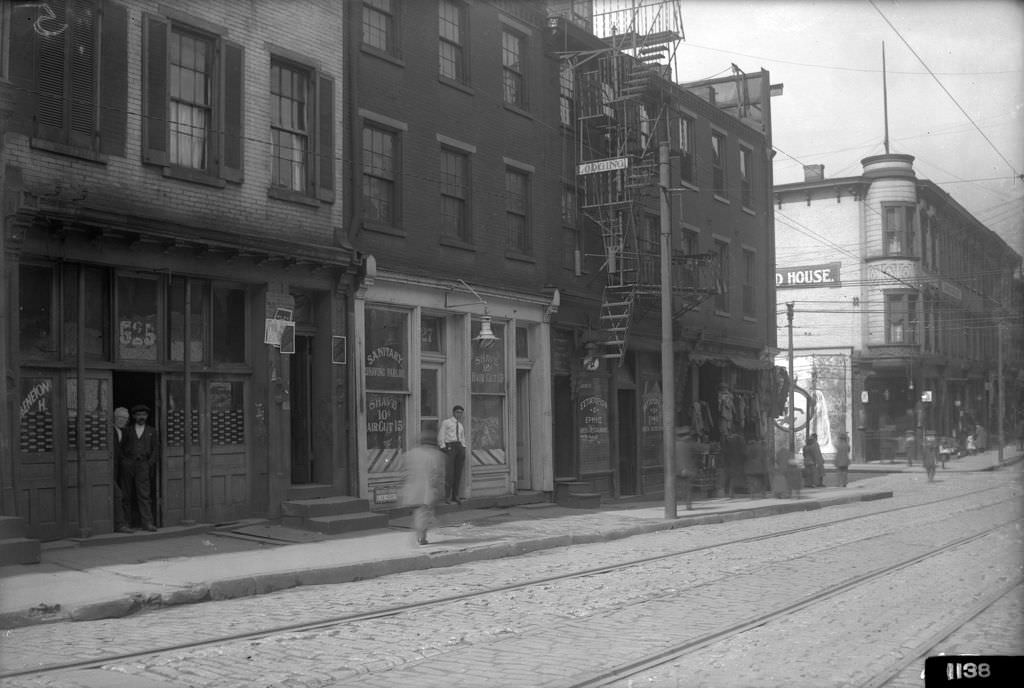
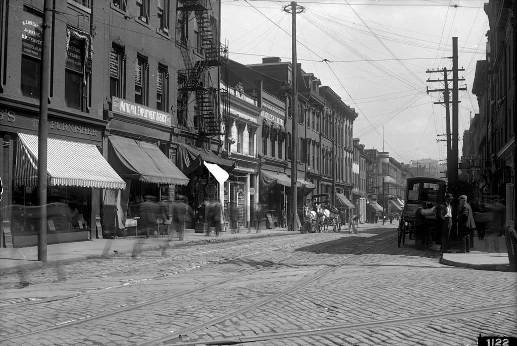
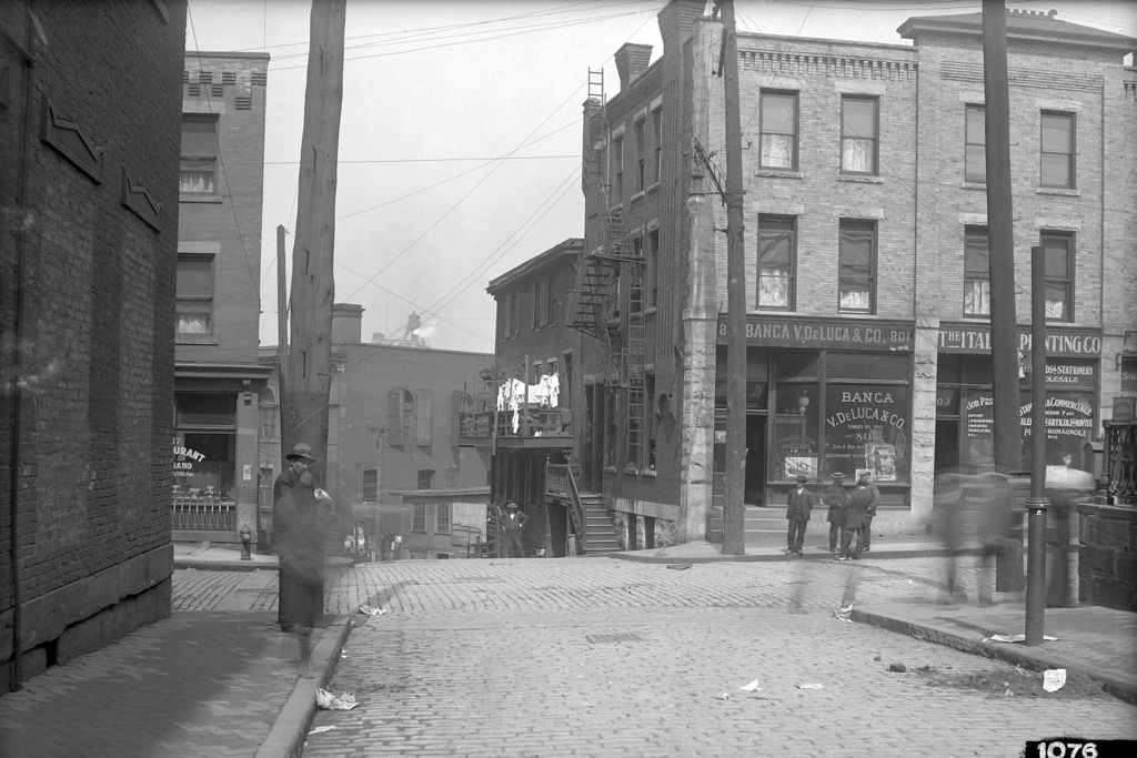
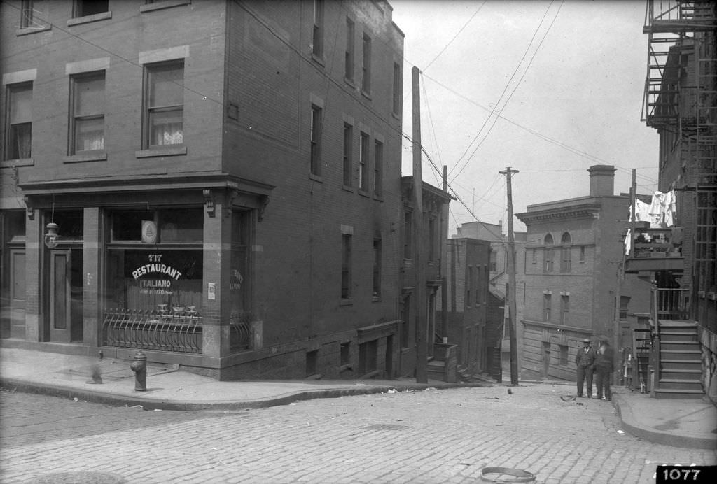
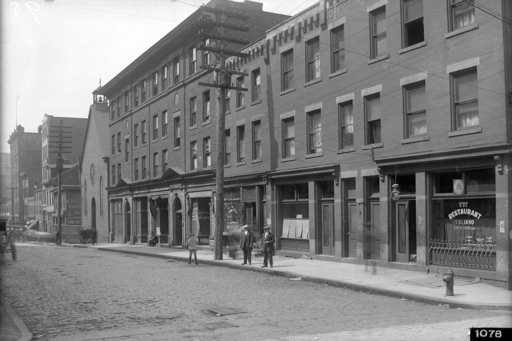
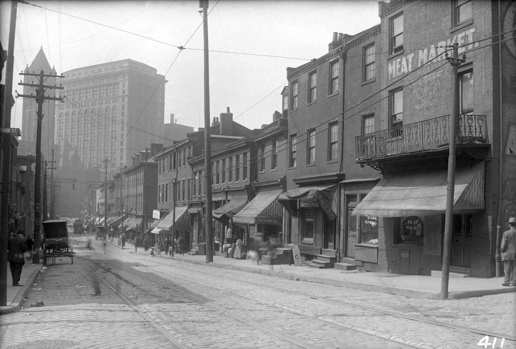
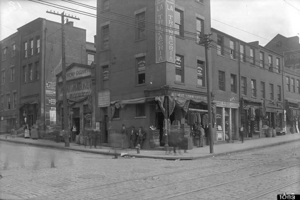
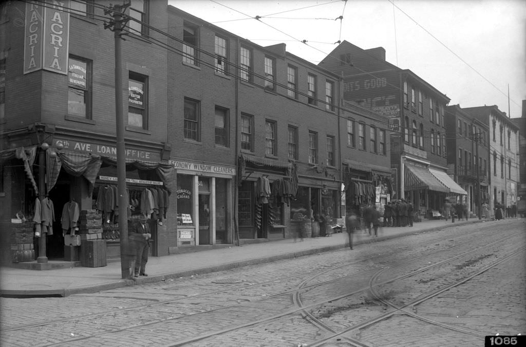
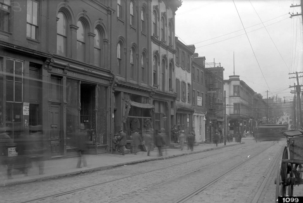
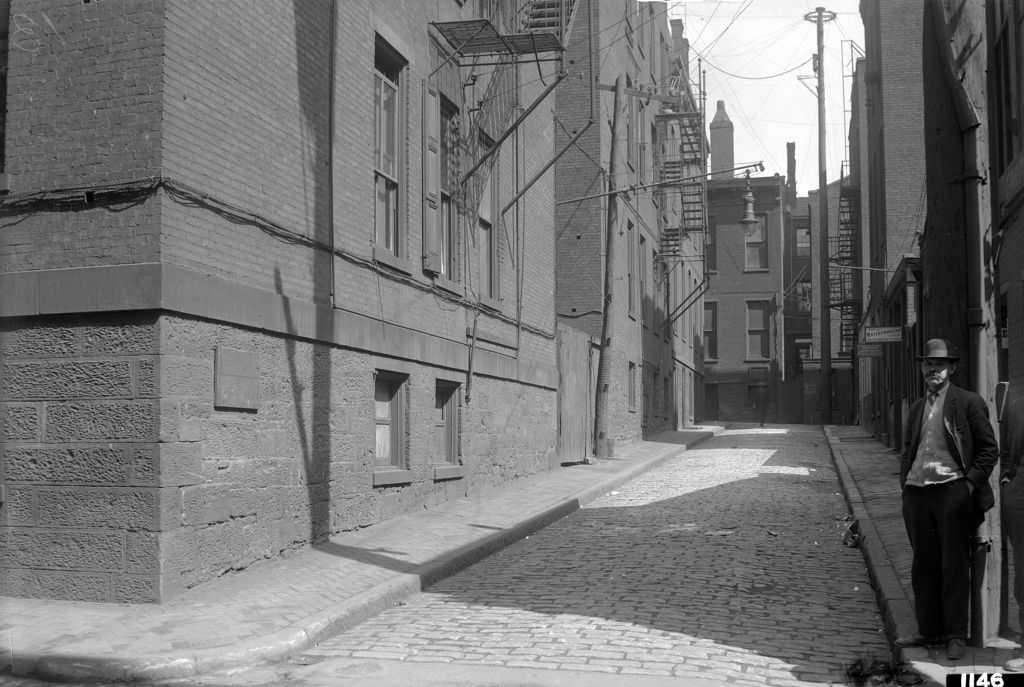
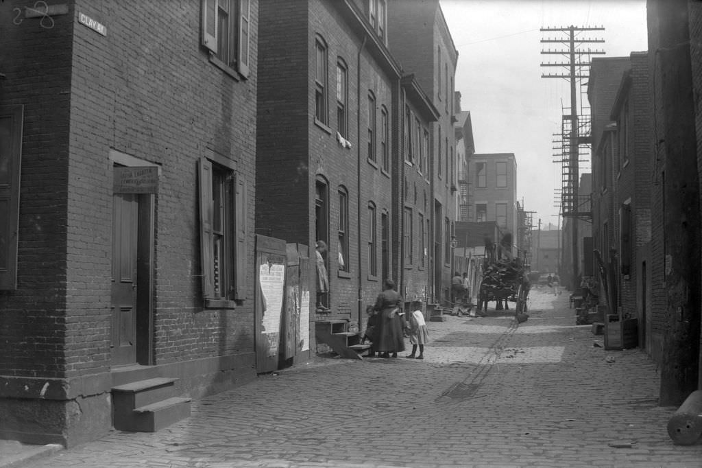
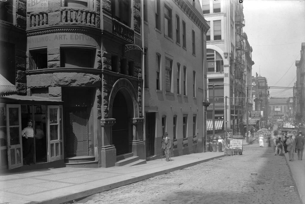
Away from the construction zones, the neighborhoods along Wylie Avenue, Tunnel Street, and the surrounding alleys were densely packed with small businesses. Grocers, laundries, liquor stores, and meat markets operated out of narrow storefronts. The Iron City Laundry Company, the Greater Pittsburgh Meat Market, and Samuel S. Cohen’s wine and liquor bottling house were all photographed in 1912, preserving a record of the working-class commercial life that filled the spaces between Pittsburgh’s major thoroughfares.
Greater Pittsburgh Meat Market, northeast corner view, 1912Samuel S. Cohen Wine and Liquors, view showing bottling house, 1912Iron City Laundry Company, view looking north, 1912Tunnel Street Grocery, proprietress and child in doorway, 1912
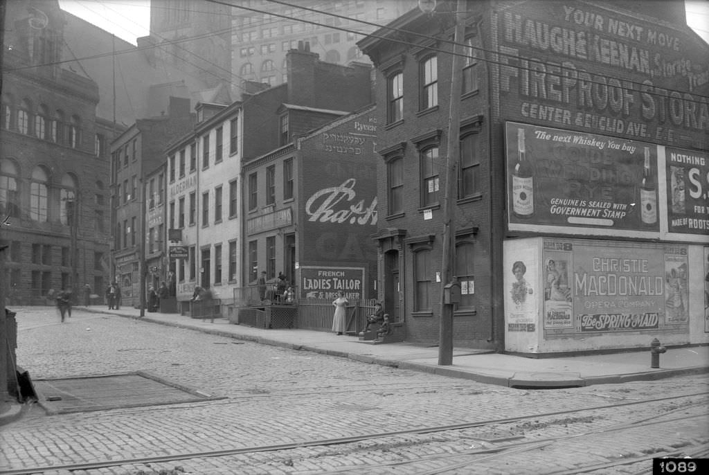
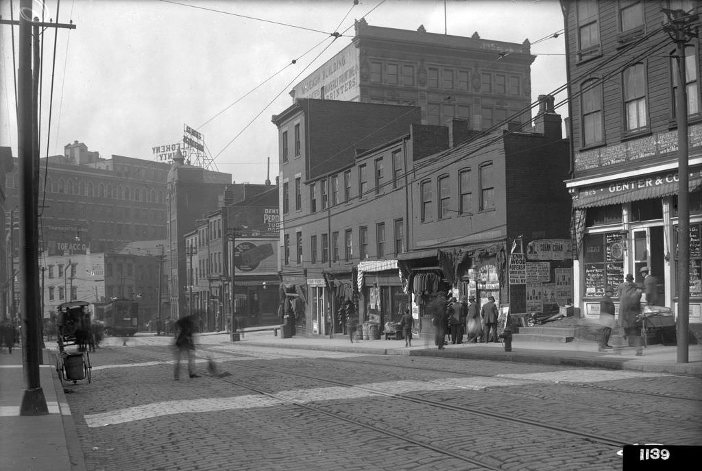
Pittsburgh’s street grid was alive with advertising. Signs for Golden Wedding Rye Whiskey stretched across brick walls on Ross Street. Kennywood Park ads appeared on the north side of Sixth Avenue, promoting the amusement park that had opened in 1898 and continued drawing city residents throughout the decade. Street signs, painted windows, and hand-lettered boards competed for attention on every block, documenting the consumer culture taking shape in a city built on physical labor.
Ross Street, view west with ads for Golden Wedding Rye Whiskey, 1912North Side of Sixth Avenue, signs including Kennywood park ad, 1912
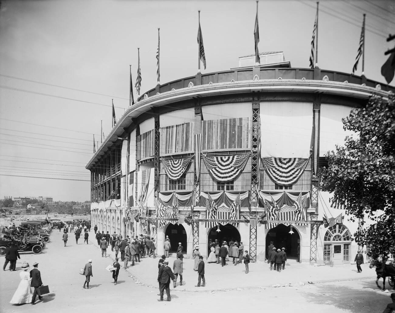
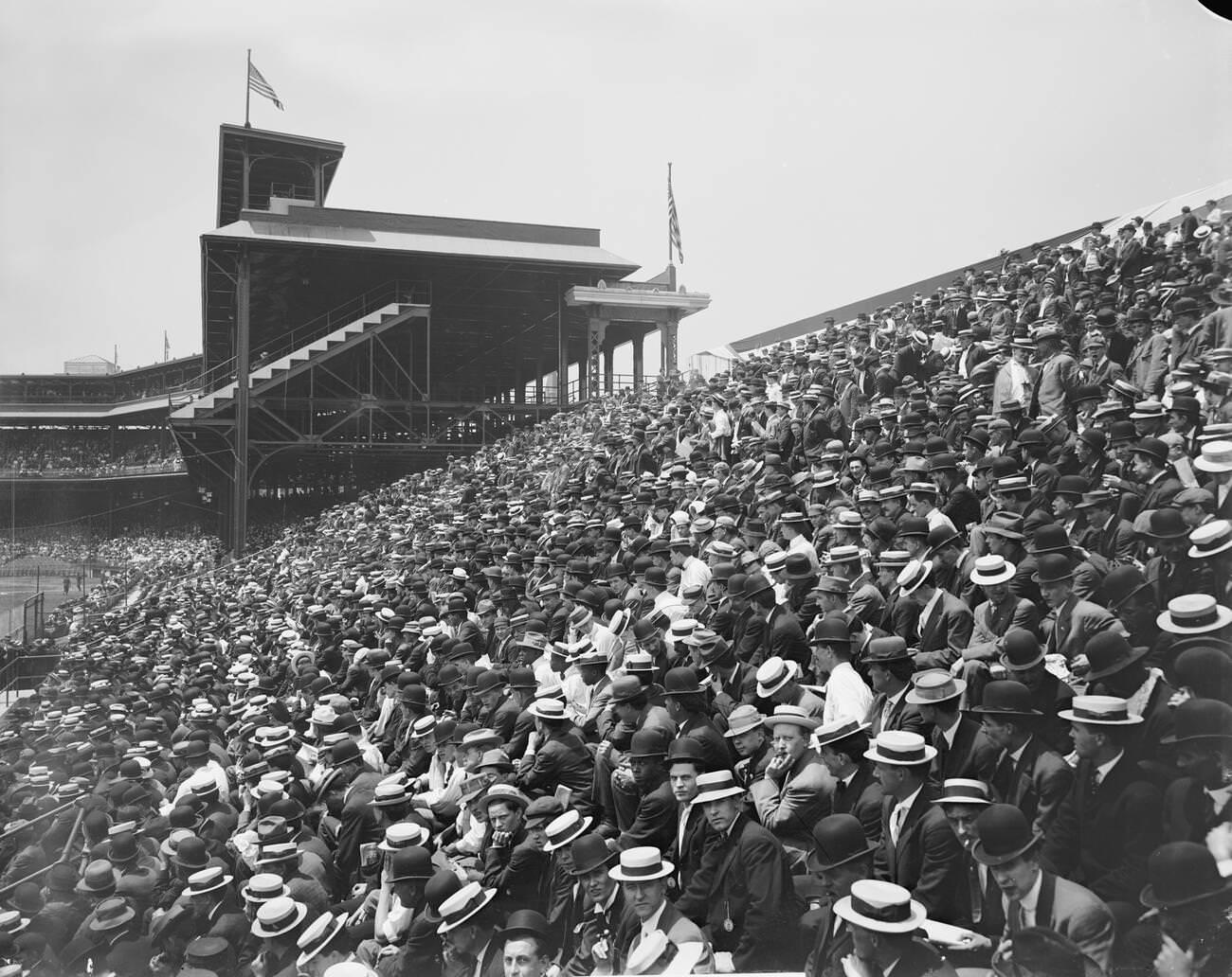
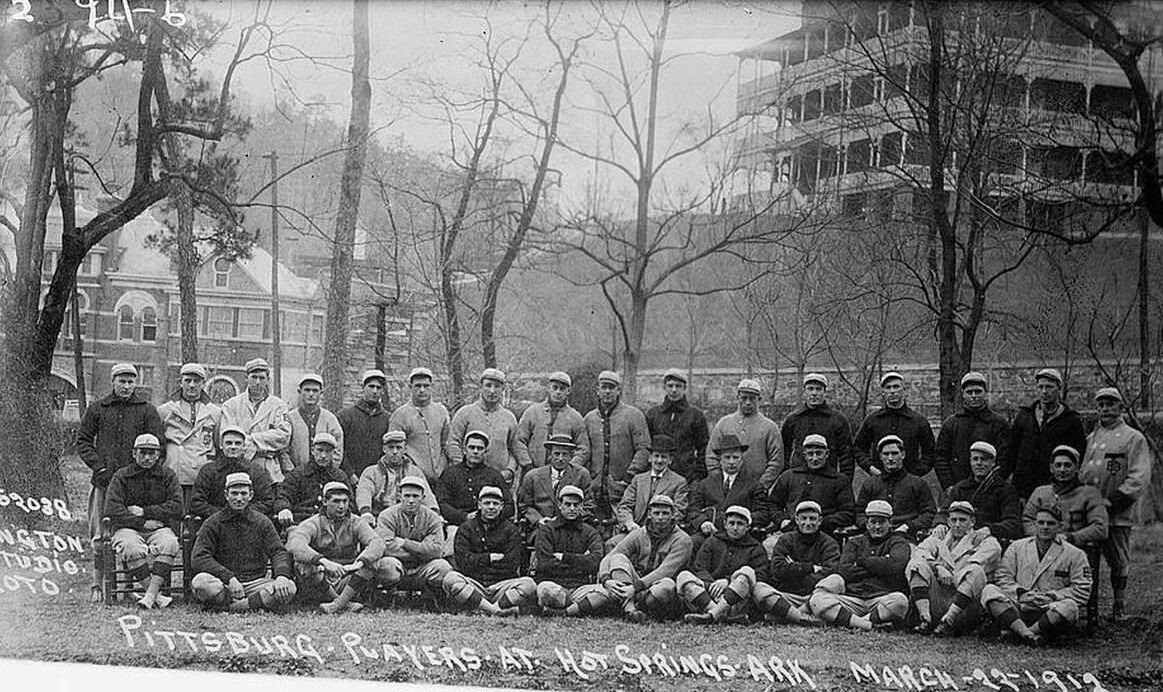
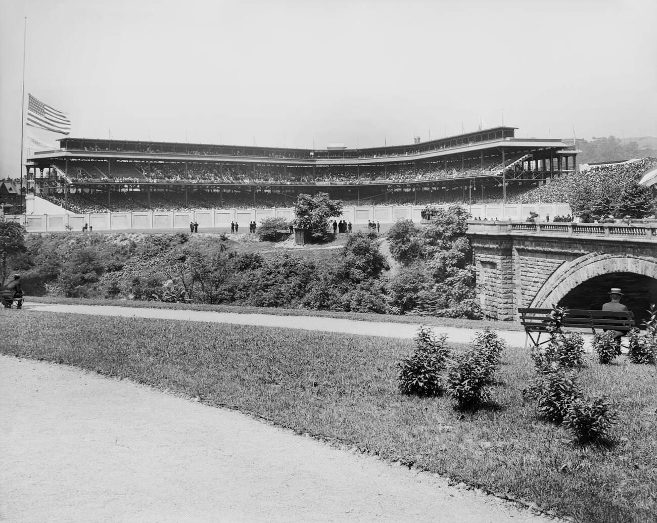
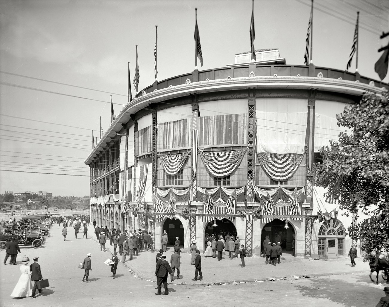
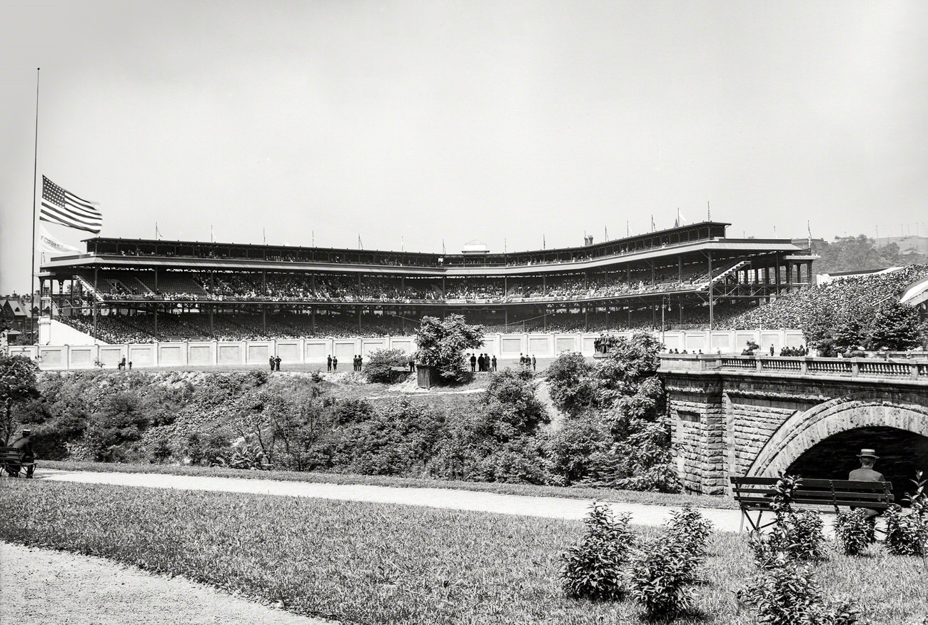
Forbes Field opened in 1909, just in time for the Pittsburgh Pirates to win the World Series that year. The ballpark, located in the Oakland neighborhood, became a gathering place for the city throughout the 1910s. Photographs from 1910 and 1912 show the entrance gates, the packed interior, and the crowds that turned out for games. The Pirates remained competitive throughout the decade, and Forbes Field gave Pittsburghers a reason to celebrate beyond the factory whistle.
Forbes Field Entrance, Pittsburgh, Pennsylvania, 1910Forbes Field, Pittsburgh, Pennsylvania, 1910Baseball Game Crowd at Forbes Field, Pittsburgh, Pennsylvania, 1910Pittsburgh Baseball Players at Hot Springs, Arkansas, 1912Forbes Field, Pittsburgh, Pennsylvania, 1910Forbes Field Entrance, Pittsburgh, Pennsylvania, 1912Forbes Field Continuation Image, Pittsburgh, Pennsylvania, 1910
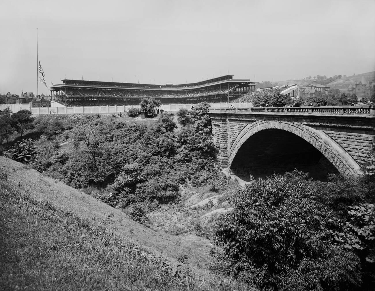
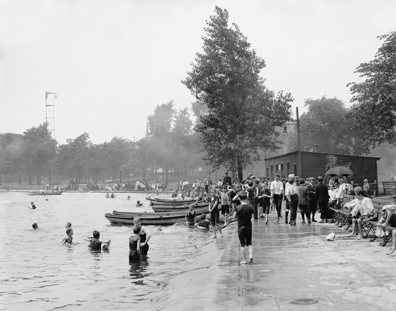
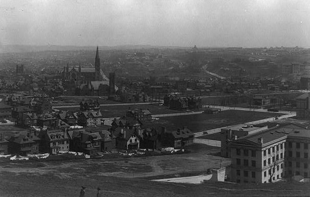
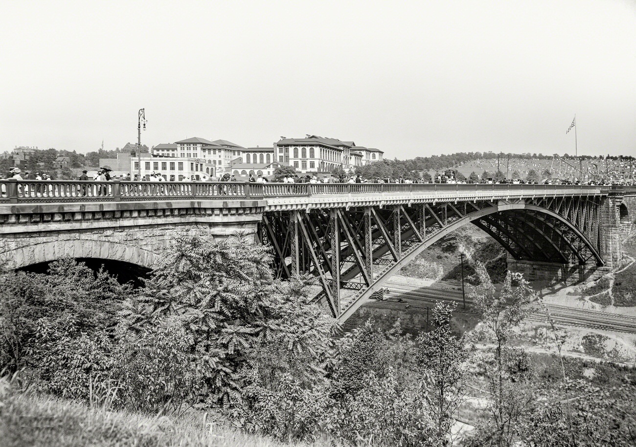
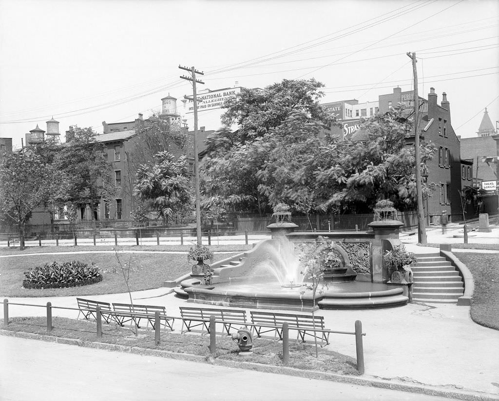
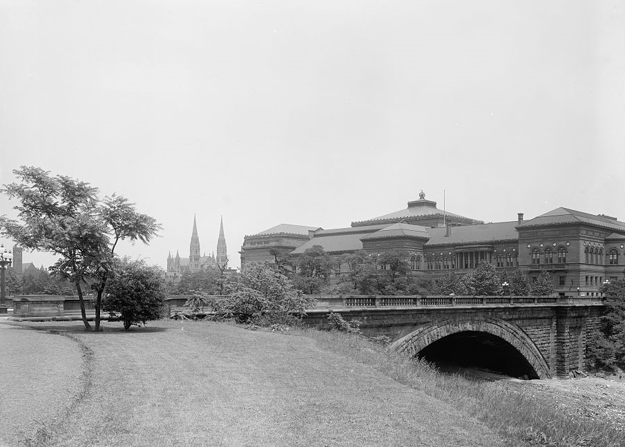
Beyond the ballpark, Pittsburgh invested in its public spaces. Schenley Park, with its bridge and open grounds, offered residents a place to escape the congestion of the city. Children swam at Lake Elizabeth in the summer heat. West Park had its fountain. These were not luxury amenities — they were practical outlets for a population that lived in dense, smoky neighborhoods and needed somewhere to breathe.
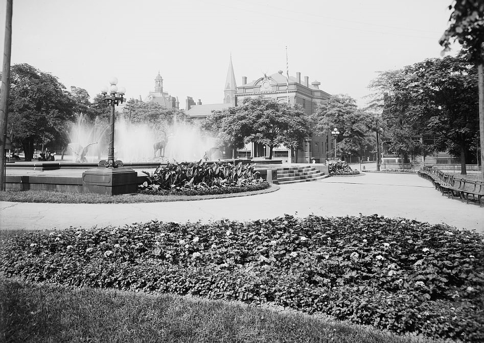
Children Swimming, Lake Elizabeth, Pittsburgh, Pennsylvania, 1910Schenley Park and Vicinity, Pittsburgh, 1911Schenley Park Bridge, Pittsburgh, Pennsylvania, 1910Fountain at West Park, 1911
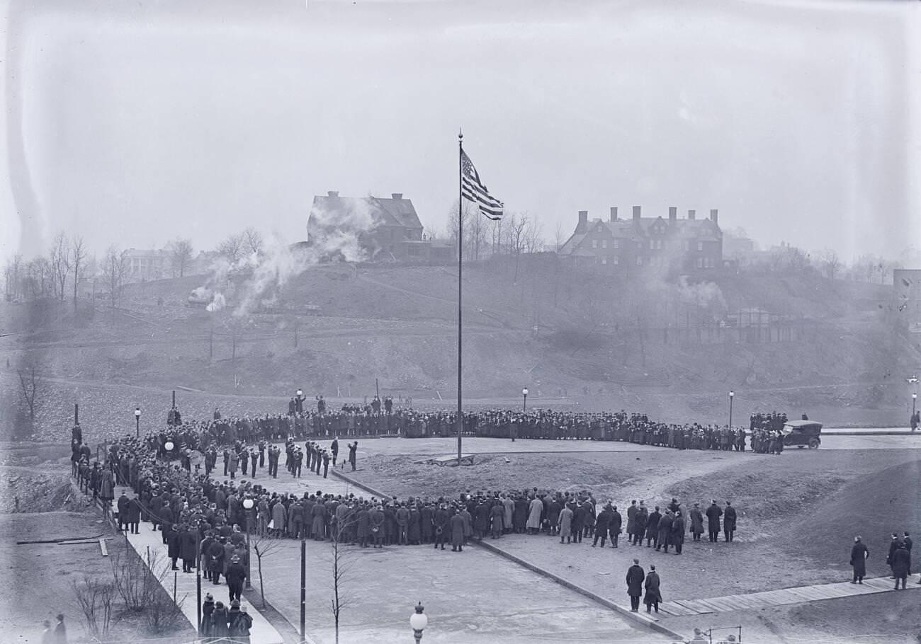
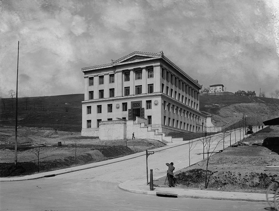
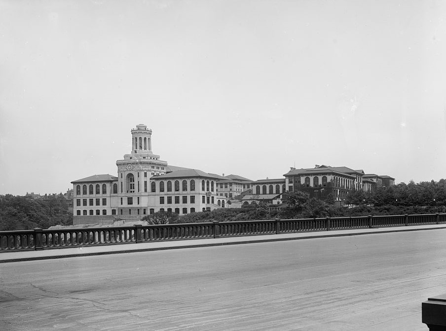
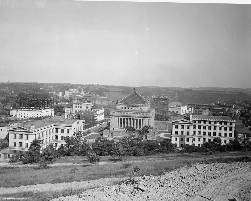
Cultural institutions grew alongside the parks. Carnegie Music Hall, part of the Carnegie Institute complex in Oakland, served as the home of the Pittsburgh Symphony Orchestra, which had been founded in 1896 and was building its reputation during this decade. The Carnegie Institute of Technology — later Carnegie Mellon University — broke ground in 1915, adding an institution of higher learning to a city better known for its blast furnaces. The State Hall for Mines and Mineralogy reflected how closely education and industry remained tied together in Pittsburgh’s identity.
Groundbreaking at Carnegie Institute of Technology, Pittsburgh, Pennsylvania, 1915Carnegie Institute and Library, Pittsburgh, 1919State Hall for Mines and Mineralogy, Pittsburgh, 1919Carnegie Technical Institute, Pittsburgh, 1919
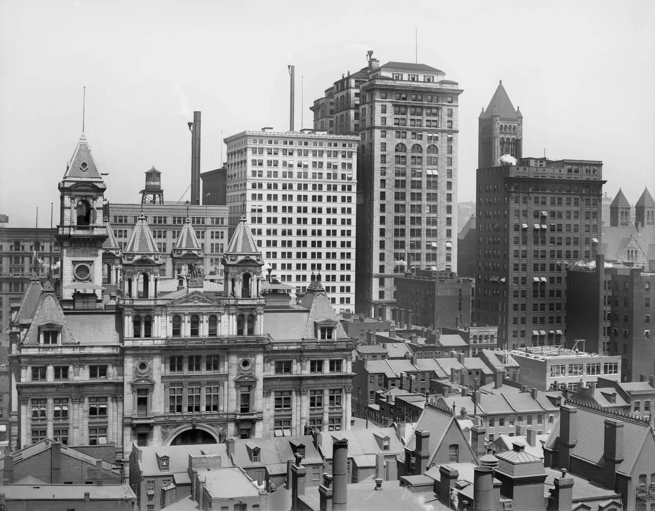
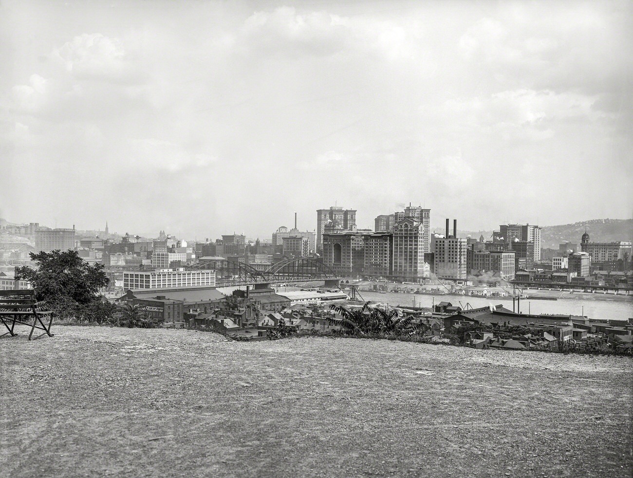
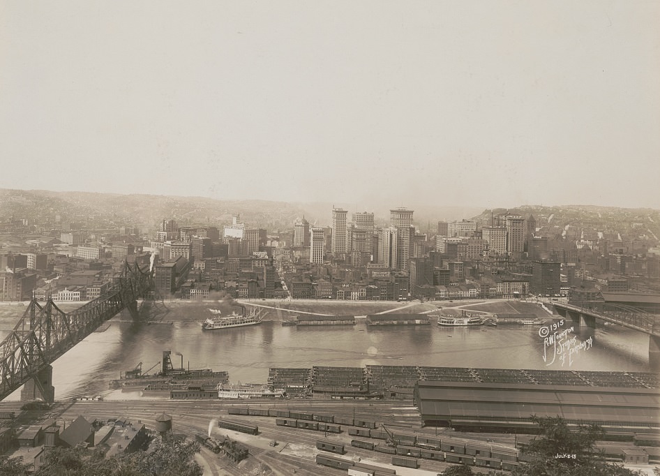
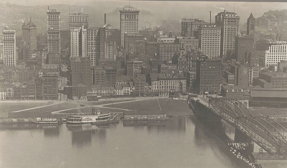
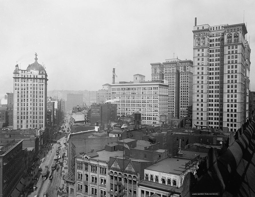
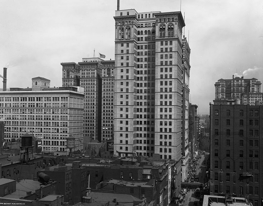
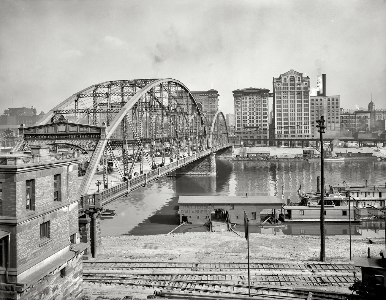
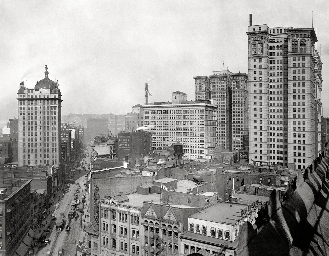
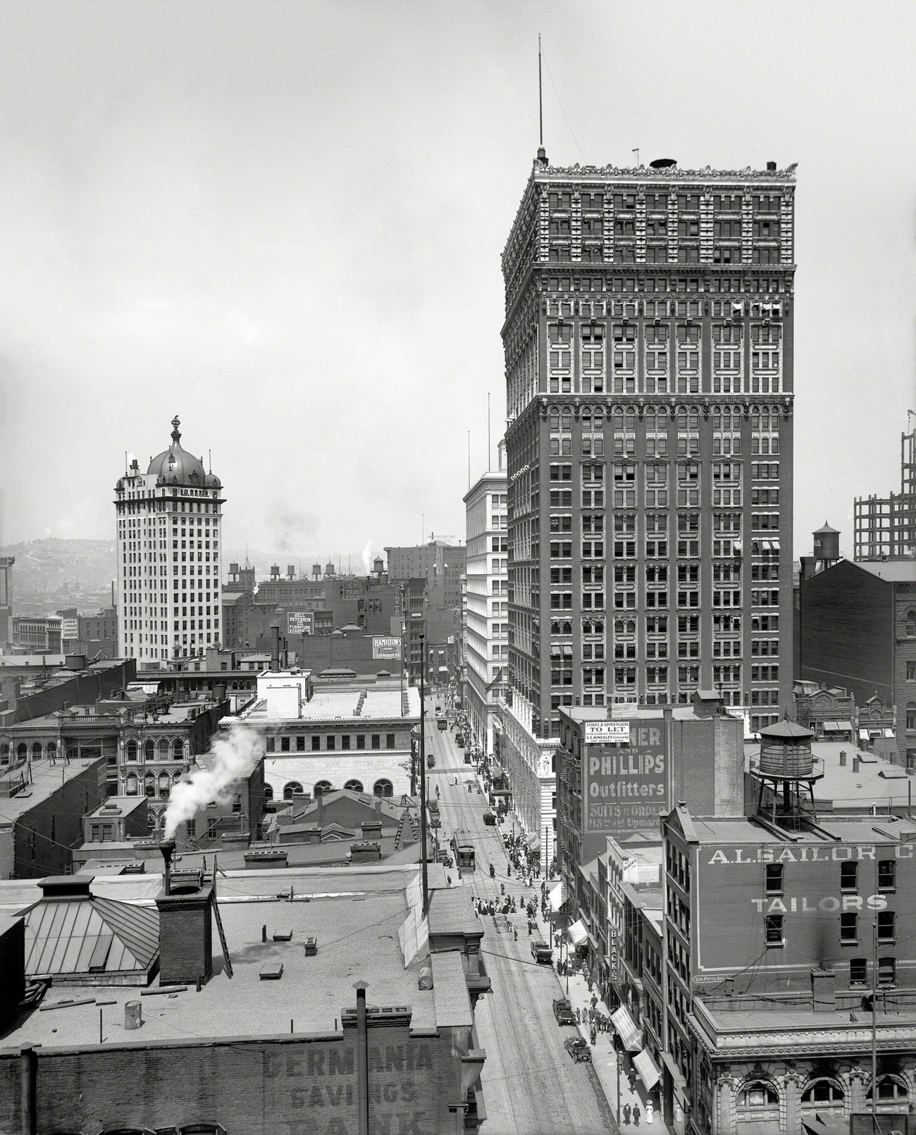
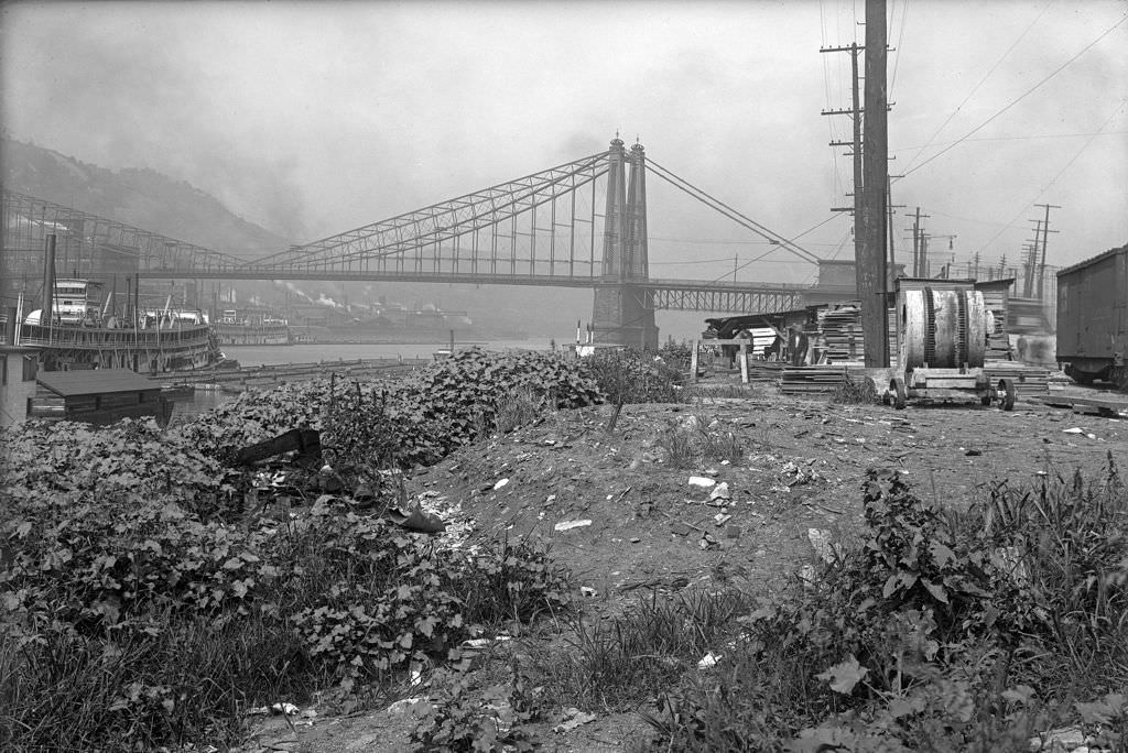
Pittsburgh’s skyline grew steadily through the middle of the decade. The Sixth Street Bridge framed a view of skyscrapers rising above the Allegheny River. Along the Monongahela and Liberty Avenue, new office buildings pushed higher than what the city had seen in the previous decade. By 1915 and 1916, photographs of the skyline show a city in the middle of a vertical transformation — one that was still anchored by its rivers and bridges, but reaching upward in ways that signaled broader ambitions.
Sixth Street Bridge and Skyscrapers, Pittsburgh, Pennsylvania, 1910Skyscrapers Along the Monongahela, Pittsburgh, Pennsylvania, 1912Skyline of Pittsburgh, Pennsylvania, 1915Pittsburgh Skyline, 1916
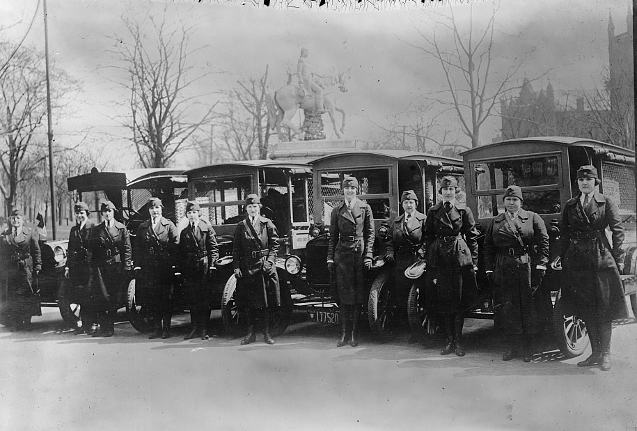
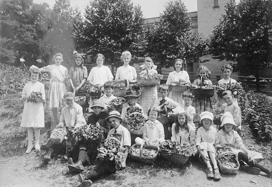
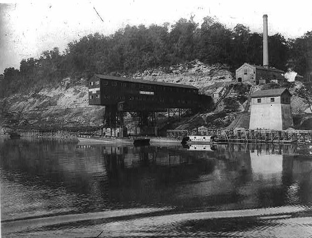
When the United States entered World War I in 1917, Pittsburgh’s mills shifted production to support the war effort. Motor Corps units formed in the city. School gardens were organized in 1918 to grow food as part of the broader national conservation effort. Pittsburgh Steel Company plants along the Monongahela ran at full capacity. The city’s industrial infrastructure, already one of the most productive in the country, became central to the Allied war supply chain.
Motor Corps in Pittsburgh, 1918School Gardens, Penn Division, Pittsburgh, 1918Pittsburgh Steel Co., Monongahela River, 1919
In 1918, the Spanish Flu reached Pittsburgh. The city was hit hard. Hospitals, churches, and community centers were converted into treatment spaces to handle the overflow of sick residents. Daily life was disrupted as the virus spread through the densely packed neighborhoods and mill towns surrounding the city. Pittsburgh, like cities across the country, had no effective treatment and relied on isolation and improvised care to manage the outbreak.
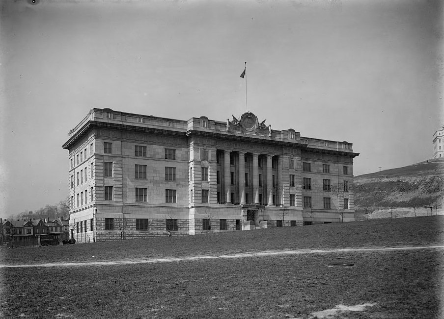
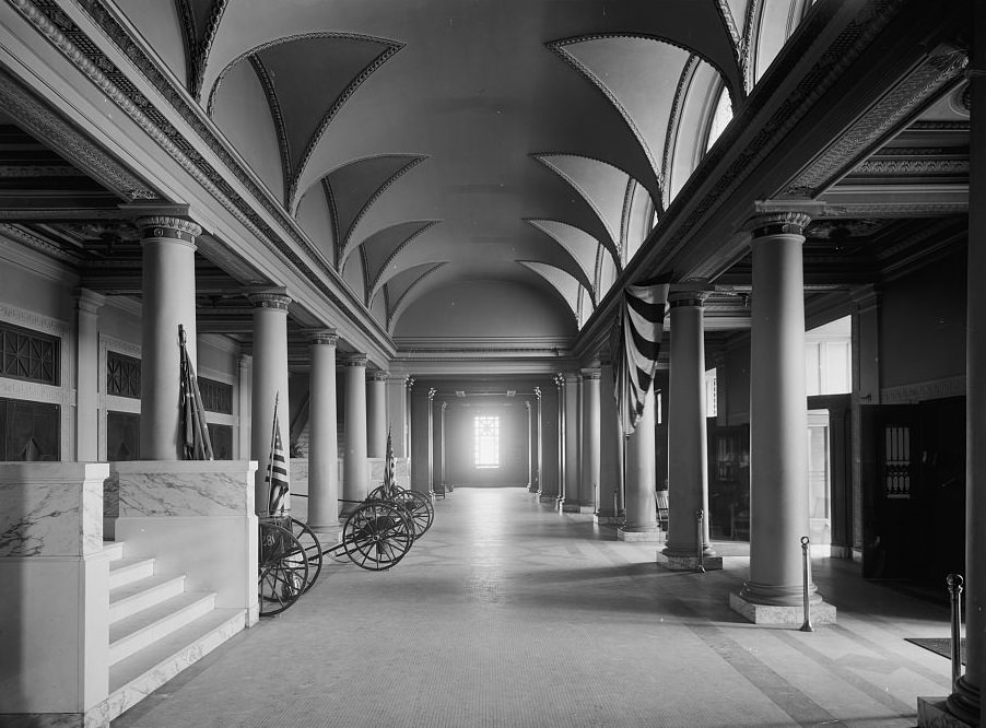
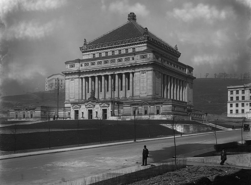
Eighteenth Regiment, National Guard of Pennsylvania Armory, Pittsburgh, 1919The Foyer, Allegheny County Soldiers’ Memorial, Pittsburgh, 1919
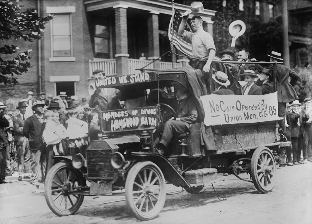
As 1919 arrived, the end of the war brought steelworkers back to the familiar grievances that had been building for years. Long hours, low wages, and dangerous conditions pushed workers across the industry to demand change. In the summer of 1919, one of the largest strikes in American history began, with steelworkers across the country walking off the job. Pittsburgh’s conductors and motormen also took to the streets. The strike was eventually broken, but the images of workers marching through Pittsburgh’s streets marked a turning point in American labor history.
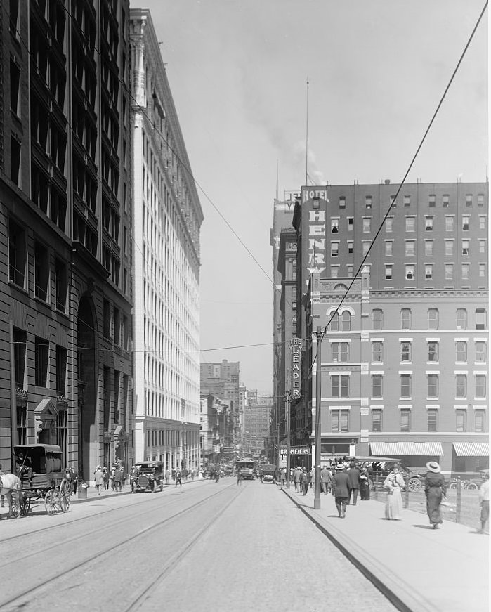
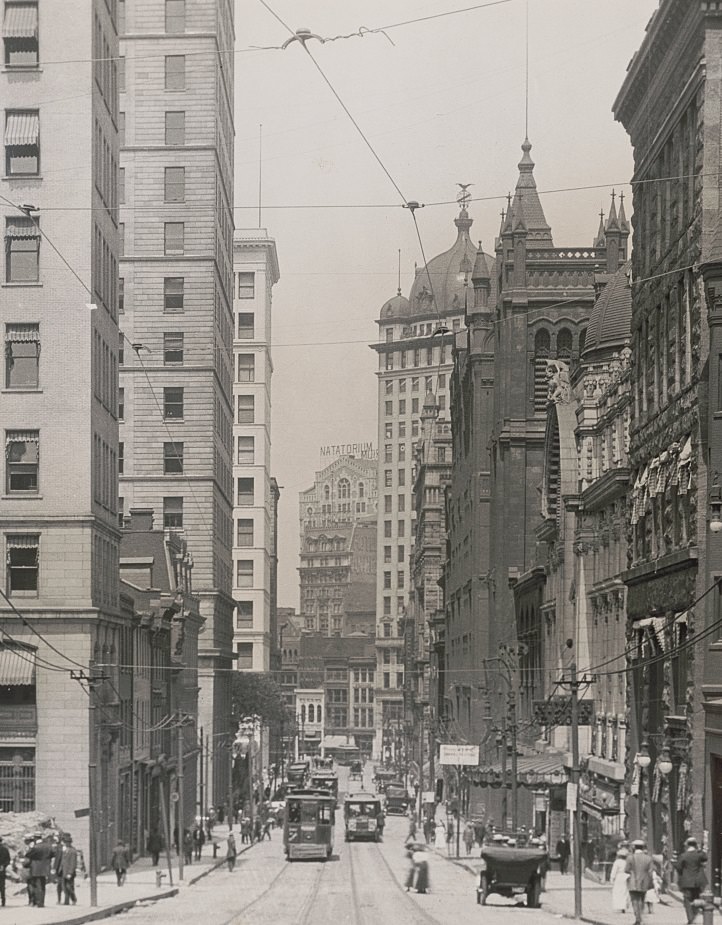
Pittsburgh Streetcar Strike, Conductors and Motormen Parade, 1919Fifth Avenue from Grant Street, Pittsburgh, Pennsylvania, 1919Liberty Avenue and Skyscrapers, Pittsburgh, Pennsylvania, 1919Skyscrapers and Fifth Avenue, Pittsburgh, 1919
By the close of 1919, Pittsburgh had lived through a decade that included industrial boom, a world war, a pandemic, and a massive labor uprising. Its streets had been physically reshaped by engineering projects. Its skyline had grown. New institutions had been founded. And its workers had pushed back against the conditions that had defined mill life for a generation. The photographs from this decade don’t just document buildings and bridges — they record the texture of daily life in one of America’s most consequential industrial cities at a moment when everything was in motion.
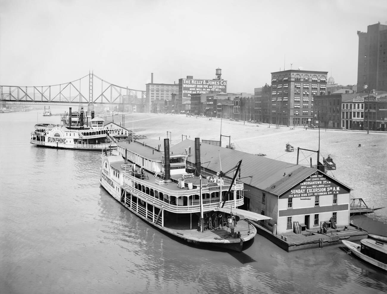
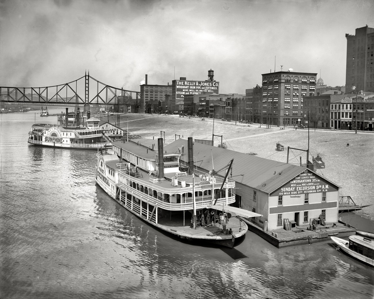
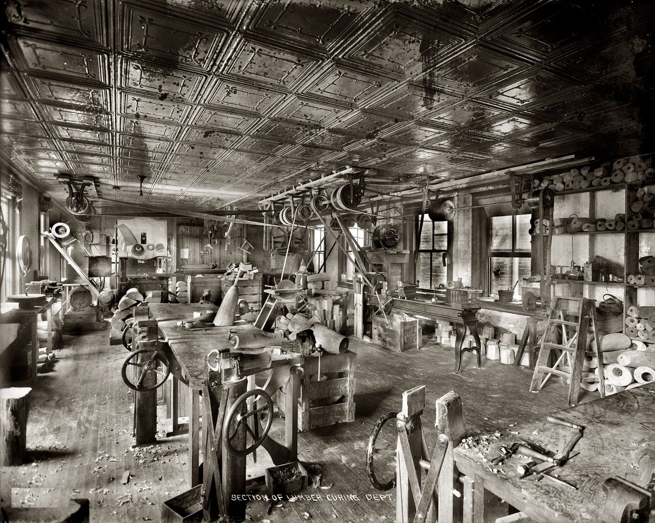
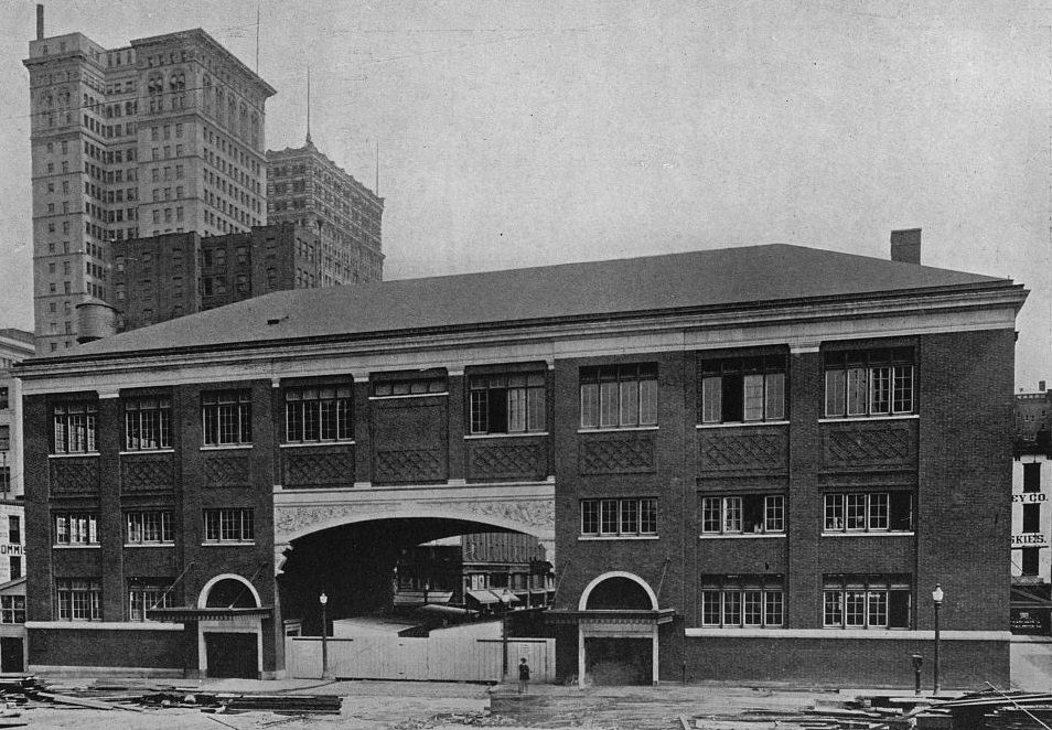
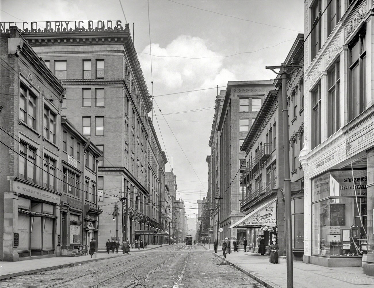
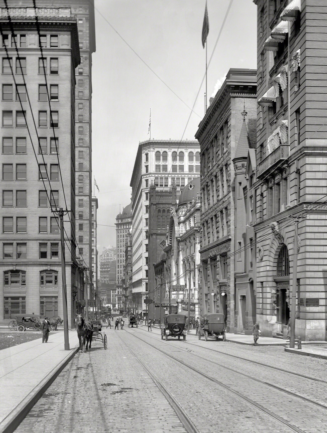
Riverboats from Smithfield Street Bridge, Pittsburgh, Pennsylvania, 1910Sixth Street Bridge Over Allegheny, Pittsburgh, Pennsylvania, 1910Monongahela River Levee, Pittsburgh, Pennsylvania, 1910Pittsburgh Waterfront, Allegheny River, Pennsylvania, 1910Riverboats from Smithfield Street Bridge, Pittsburgh, Pennsylvania, 1910Dr. Walter F. Rittman’s Gasoline Plant, Pittsburgh, Pennsylvania, 1915Dr. Walter F. Rittman Gasoline Plant, Pittsburgh, Pennsylvania, 1915Lumber Curing Department, Pittsburgh, Pennsylvania, 1916Diamond Square Market Houses, Pittsburgh, 1916Pennsylvania Avenue and Joseph Horne’s Store, Pittsburgh, Pennsylvania, 1912Sixth Avenue above Nixon Theatre, Pittsburgh, Pennsylvania, 1914Liberty Avenue and Skyscrapers, Pittsburgh, Pennsylvania, 1914
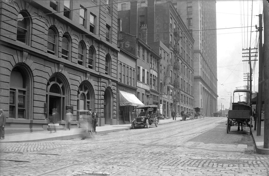
Wood Street from Liberty Avenue, Pittsburgh, Pennsylvania, 1910
Wood Street and Farmers Bank, Pittsburgh, Pennsylvania, 1910
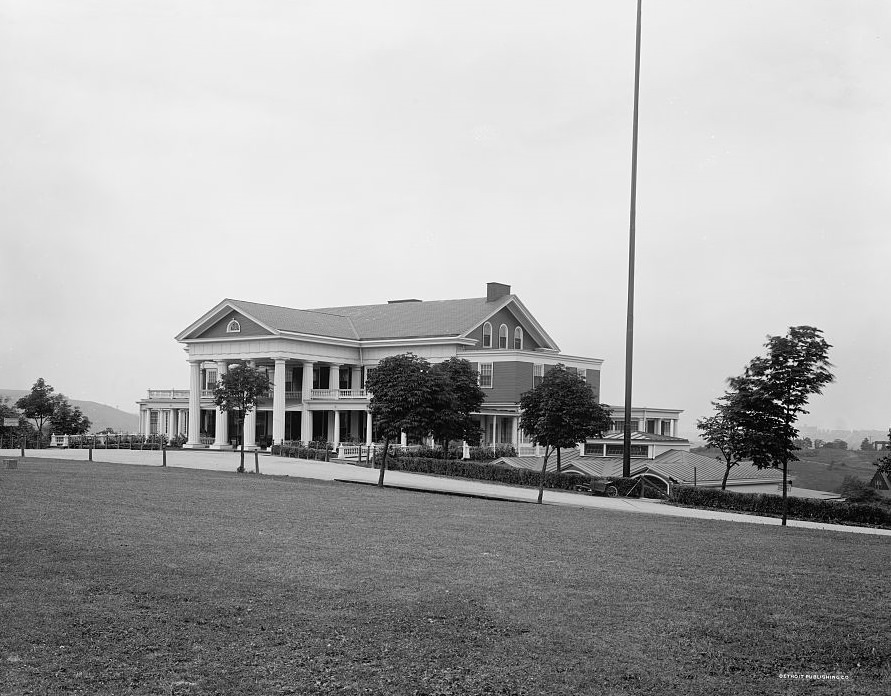
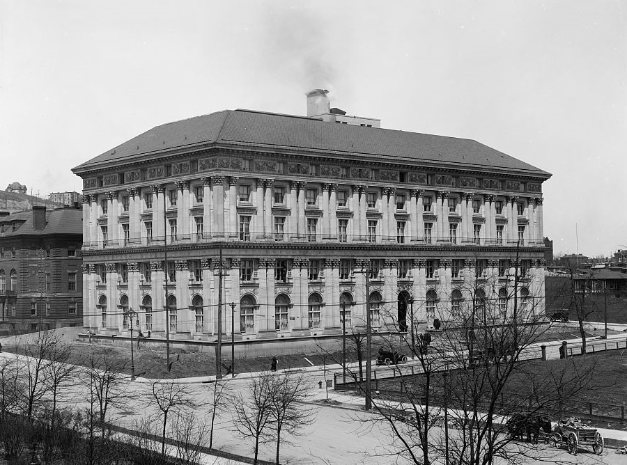
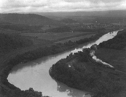
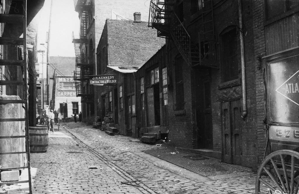
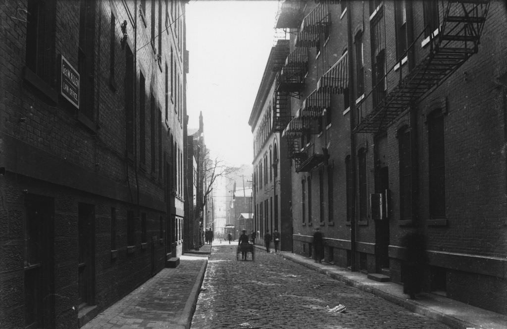
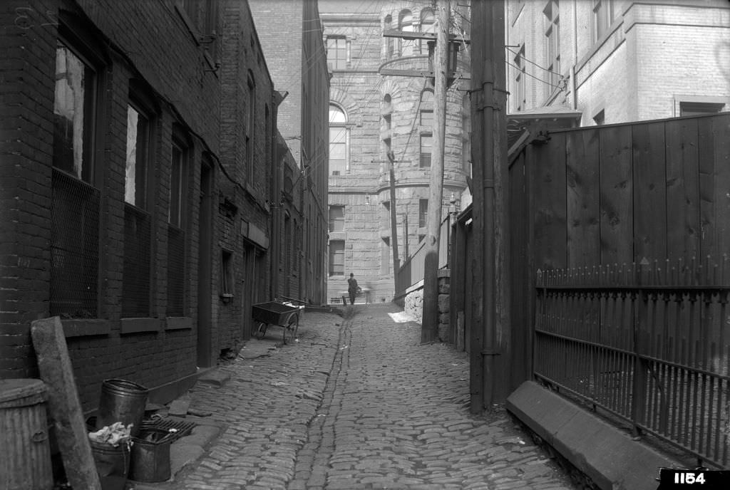
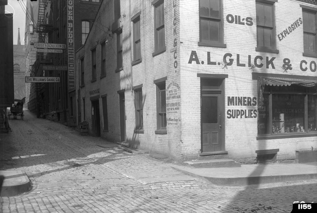
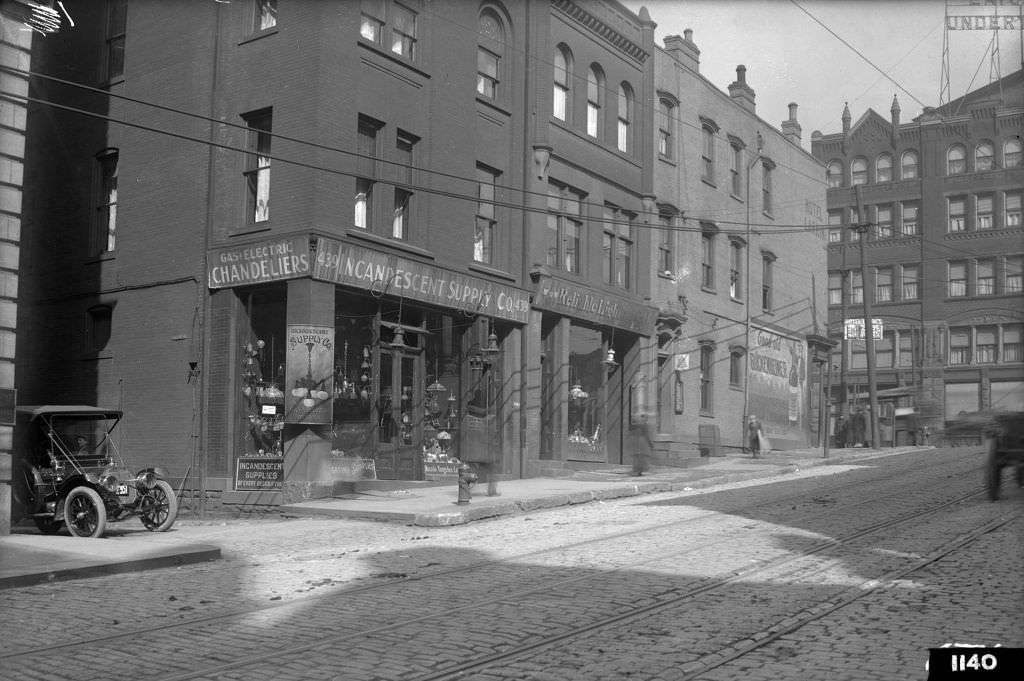
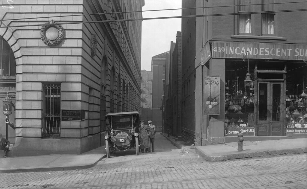
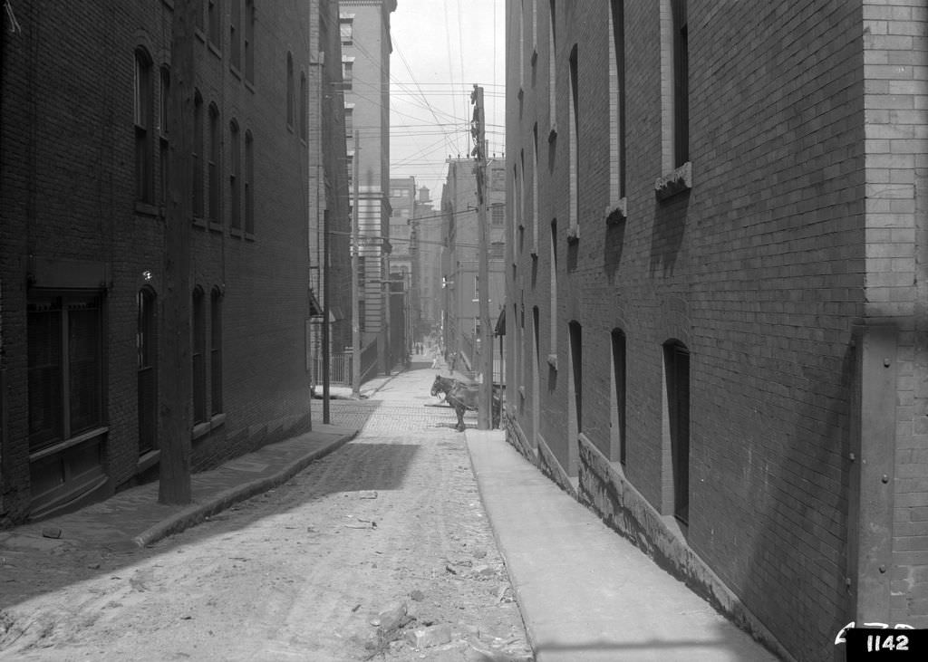
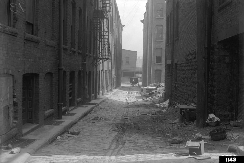
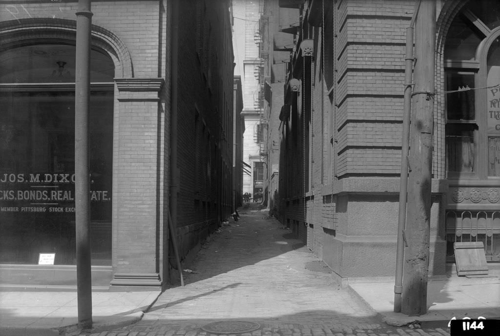
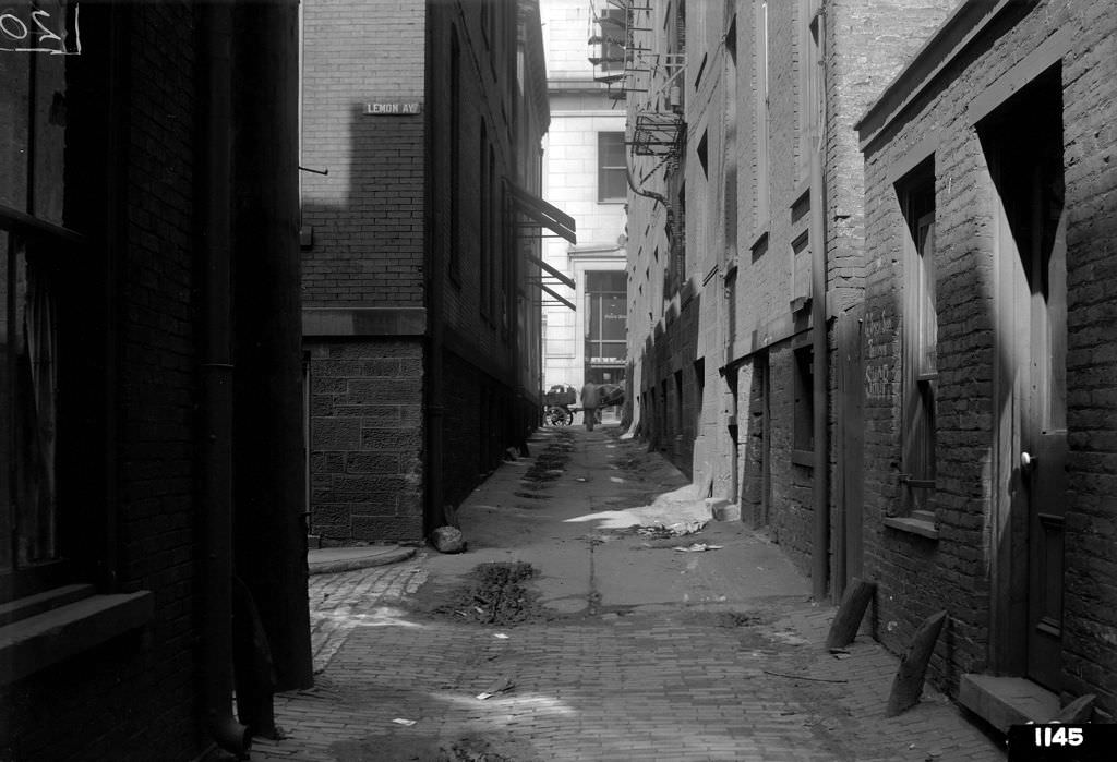
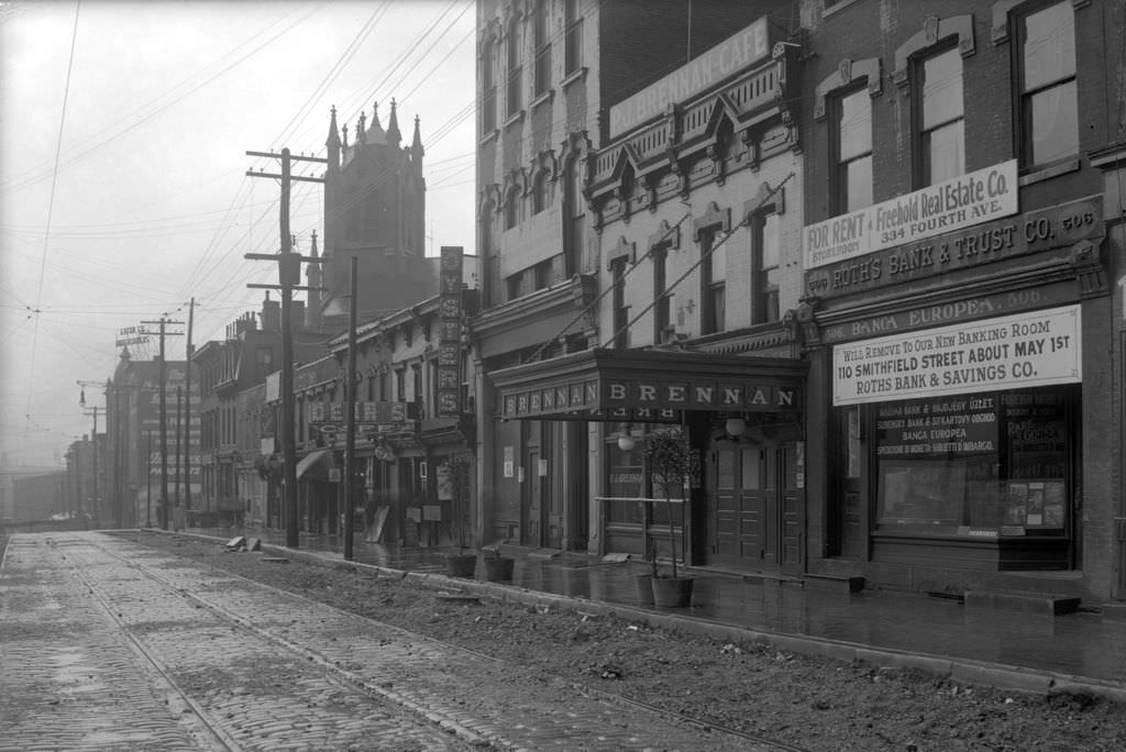
Pittsburgh Golf Club, Pittsburgh, 1919Waterfront in Pittsburgh, 1919Pennsylvania Avenue and Joseph Horne’s Store, Pittsburgh, 1919Pittsburgh Athletic Association Building, Pittsburgh, 1919Allegheny County Soldiers’ Memorial, Pittsburgh, 1919Fountain and Elks Temple, Pittsburgh, 1919River View at Pittsburgh, Pennsylvania, 1950Coal Fleet in Pittsburgh, 1919Allegheny and Monongahela Rivers Confluence, Pittsburgh, 1919Schenley Park, Pittsburgh, 1919Gala Alley View, 1912Fifth Avenue, North Side, 1912Hump Cut Near Carnegie Building, 1912Webster Avenue in Hump District, 1912Tunnel Street Construction, 1912Webster Avenue East View, 1912Webster Avenue Property, 1912Strawberry Way and Pentland, 1912Webster Avenue at Chatham Street, western corner view, 1912Dante and Webster, corner in Hump District during “hump” cut project, 1912Pentland Street North, view of Strawberry Way corner in Hump District, 1912Strawberry Way, view west from Pentland Street, 1912Grant Street, west side looking south from Diamond Street, 1912Fifth Avenue, looking east from Grant Street, 1912Hotel Henry, view from corner of Cherry Way, 1912Maeder, Leader, Witherow Buildings, view from corner of Cherry Way, 1912P. J. McInerney, Alderman, view from corner of Sixth Avenue, 1912Hump Lowering, Webster Avenue view showing Chatham Street, 1912Hump Lowering, Strawberry Way looking west, 1912Lemon Alley, south side looking east from Cherry Way, 1912Lemon Alley, cobblestone street and J.H. Kennedy offices, 1912Cherry Alley, looking south from Diamond Street, 1912Maloney Alley, looking north near Fourth Avenue, 1912Gala and Fourth, northeast corner looking north, 1912Hump Lowering, Webster Avenue view from Seventh Street, 1912Ross Street, east side from Fourth Avenue corner, 1912Sixth and Wylie, southeast corner looking out, 1912Wylie Avenue, north side looking east from Sixth Avenue, 1912Sixth Avenue, east side from Wylie to Fifth Avenue, 1912Wylie Avenue, north side near Sixth Avenue, 1912Wylie and Tunnel, view looking southeast, 1912Tunnel Street, looking north from Wylie Avenue, 1912Tunnel Street, north view showing Webster Avenue, 1912Chatham Street, south view with street cleaners, 1912Webster Avenue, view east near Sixth Avenue, 1912Grant Street at Sixth Avenue, southeast corner, 1912Dante Alley, east from Sixth Avenue, 1912Chatham and Wylie, northwest corner looking north, 1912Clay Alley, east from near school property, 1912Wylie Avenue, north side looking east near Sixth Avenue, 1912North Side of Wylie Avenue, looking east from Sixth Avenue, 1912Wylie and Sixth, northwest corner looking east, 1912Incandescent Supply Company, north side of Sixth Avenue, 1912Incandescent Supply Company, 439 Sixth Avenue, 1912Strawberry Way, west from O’Neil Alley, 1912O’Neil Alley, north from Strawberry Way, 1912Scrip Alley, north from Fourth Avenue, 1912Scrip Alley, north from Lemon Alley, 1912Grant Street, view north from Fifth Avenue, 1910sGrant Street, view south from Oliver Avenue, 1910sWebster Avenue, view east from Grant Street, 1910sWebster and Seventh, northwest corner looking west, 1910sDe Santis Photography Studio at 807 Webster Avenue, 1910sFifth Avenue, westward view from Sixth and Ross, 1910sWylie Avenue, view east from Fifth Avenue, 1910sChatham and Webster, looking north to intersection, 1910sChatham Street, view north from Webster Avenue, 1910sWebster Avenue from Tunnel Street, 1910sWylie Avenue, view east from Chatham Street, 1910sSixth and Webster, southeast corner, 1910sSixth Avenue, view south from Webster to Wylie, 1910sWylie Avenue, south side looking west from Tunnel, 1910sWylie Avenue, north side looking east from Fifth, 1910sRiverside Scene with bridge and riverboats, 1910sKaufmann’s, Fifth Avenue view from Hotel Henry, 1910sPittsburgh Leader and Hotel Henry on Fifth Avenue, 1910sSmithfield and Fifth, corner view, 1910sLemon Alley, man looking east from Cherry Way, 1910sClay Alley, view east from Chatham Street, 1910sWylie Avenue, crowded street scene near Fifth, 1910sChatham Street, construction at Webster corner, 1910sDiamond Street, west view from no. 426, 1910sDiamond Street, west view from Grant Street, 1910sSixth Avenue, south side looking west from Grant, 1910sWebster Avenue, west view from Seventh Avenue, 1910sWebster Avenue, east view from west of Tunnel, 1910sWylie Avenue Hump Removal, severe cut impact, 1910sWylie Avenue, east view from Fifth Avenue corner, 1910sPentland Street, building demolition from west, 1910sBigelow Boulevard, south view from Seventh Avenue, 1910sBigelow Boulevard, north view from Strawberry Way, 1910sChatham Street, building demolition at Bigelow, 1910sBigelow Boulevard, west view to Strawberry Way, 1910sTunnel Street, property at corner view, 1910sWebster and Tunnel, northwest corner construction, 1910sGrant Street, north view from Fourth Avenue corner, 1910sDiamond Street, west view near Cherry Way, 1910s
Kevin Clark is a historian and writer who is passionate about sharing the stories and significance behind historical photos. He loves to explore hidden histories and cultural contexts behind the images, providing a unique insight into the past.







Never knew lake Elizabeth was a public pool
Needs a highway through it. And more parking!!