
Charleston, South Carolina, is one of the oldest cities in the United States. English colonists founded it in the 1670s, originally naming it Charles Town in honor of King Charles II. For nearly two centuries, the city thrived as a center of trade, drawing merchants, landowners, and goods from across the Atlantic world. Its deep natural harbor made it one of the busiest ports in colonial America, and that commercial strength carried well into the 1800s.
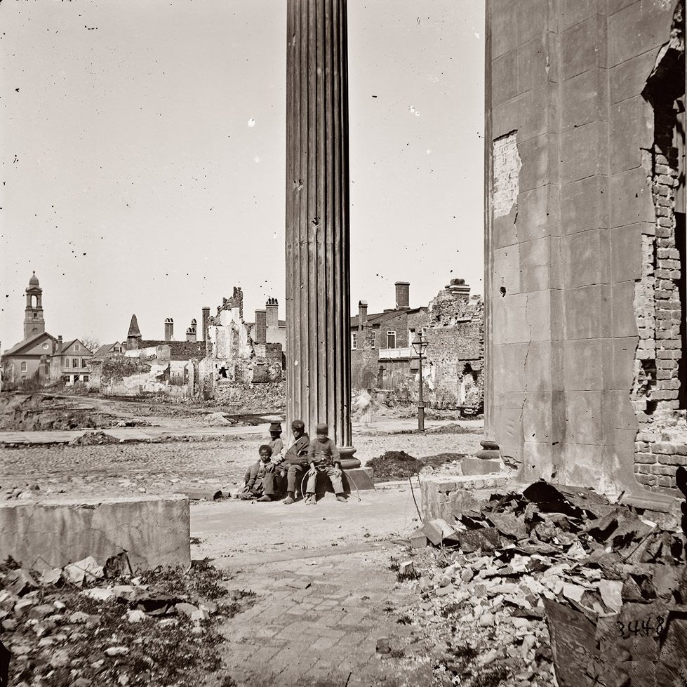
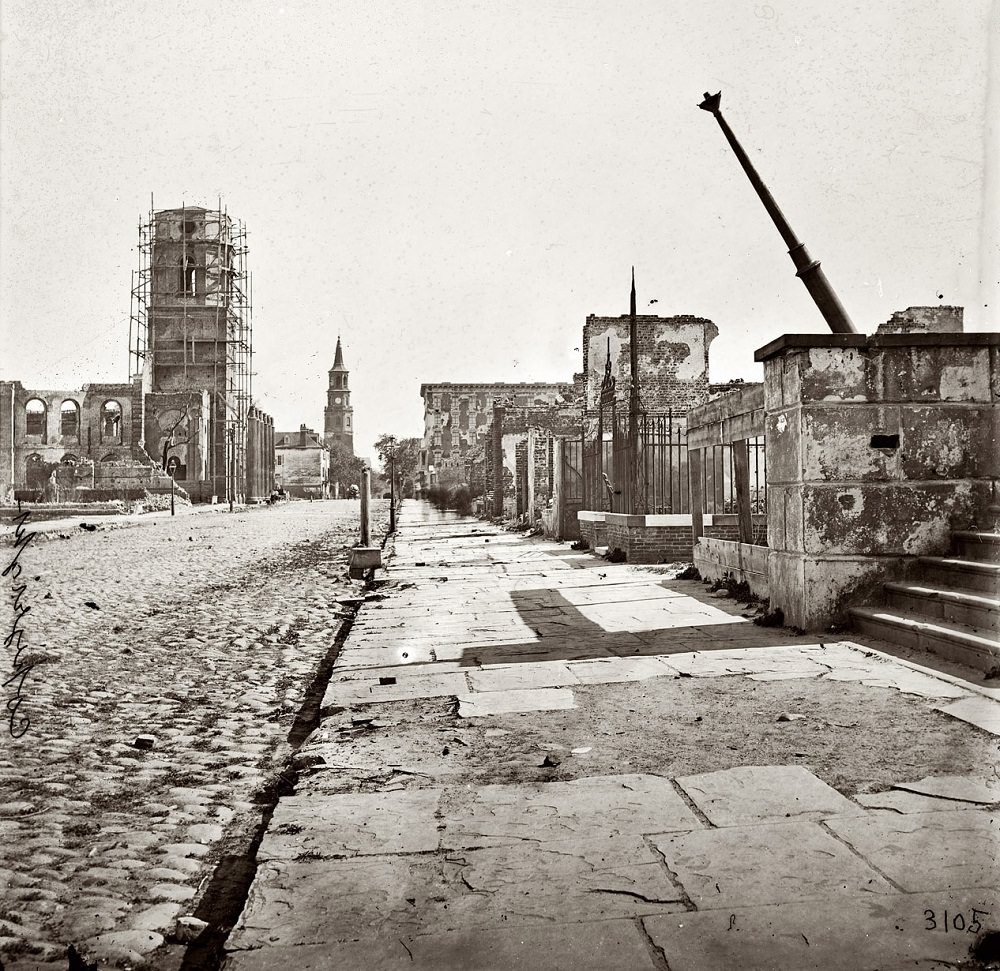
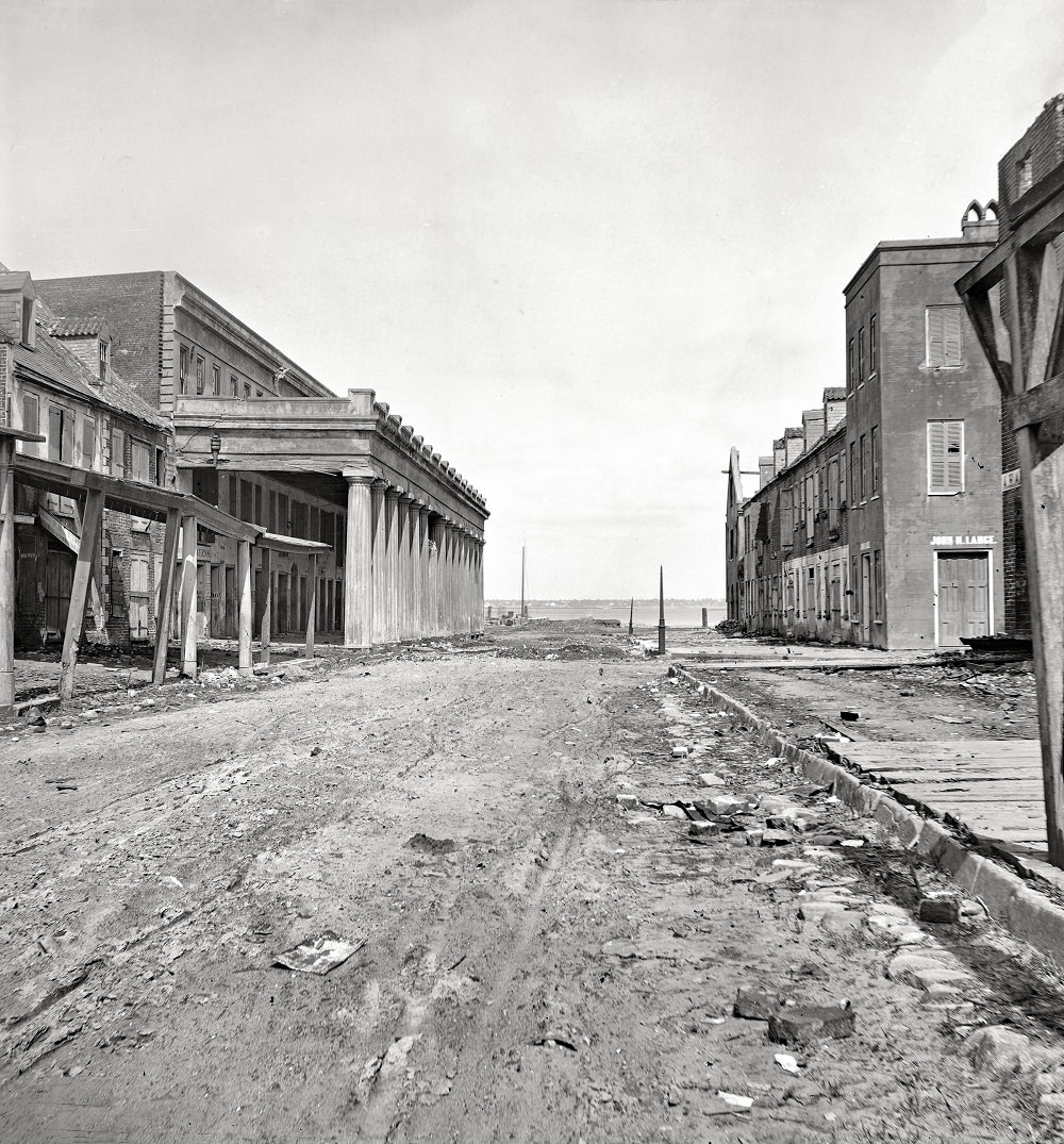
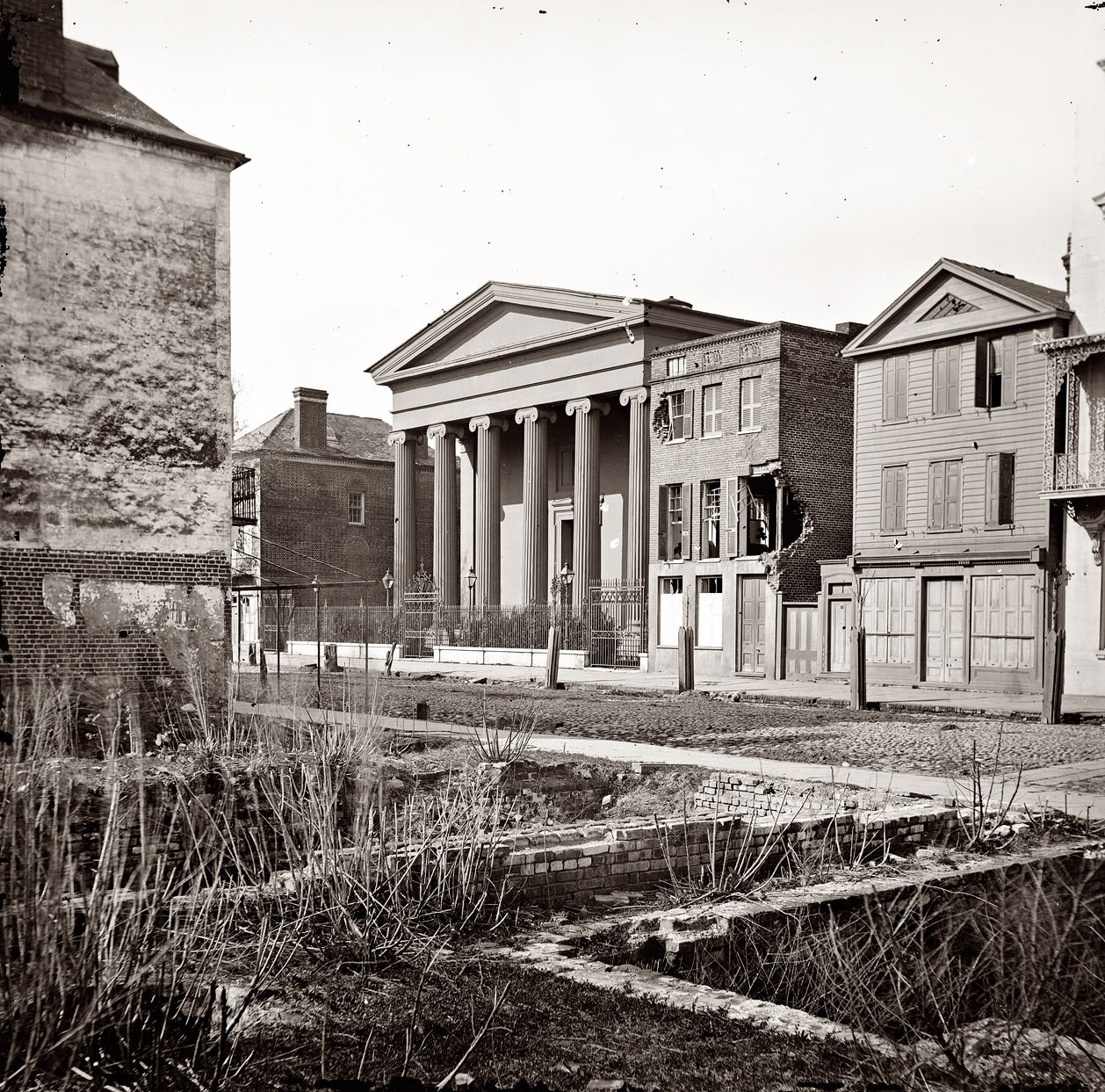
The Civil War changed everything. By the time Union forces moved through in 1865, much of Charleston lay in ruins. Artillery bombardments had reduced entire city blocks to rubble. Churches, commercial buildings, and homes were gutted or destroyed. The photographs taken in April 1865 show a city in shock — empty streets, collapsed walls, and structures that had stood for generations reduced to shells.
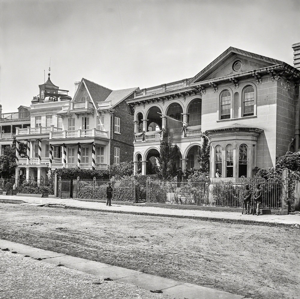
When Union General John P. Hatch set up his headquarters on South Battery in April 1865, the war was effectively over for Charleston. The city had been evacuated by Confederate forces on February 17, 1865, after a siege that had lasted nearly two years. Federal troops moved in and began the work of occupation and, eventually, rebuilding.
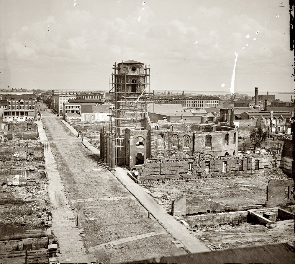
The Federal Navy’s sustained bombardment left wide sections of the city damaged beyond quick repair. Photographers who arrived in April 1865 documented the destruction block by block. Their images are some of the most important records of Civil War-era Charleston.
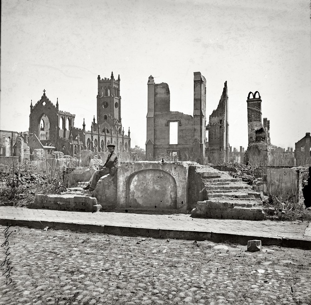
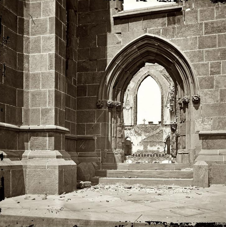
The Cathedral of St. John and St. Finbar was one of the most striking casualties of the war. Built in the Gothic Revival style, it had been one of the most impressive Catholic churches in the South. The ruins that remained after the bombardment became one of the most photographed sites in post-war Charleston.
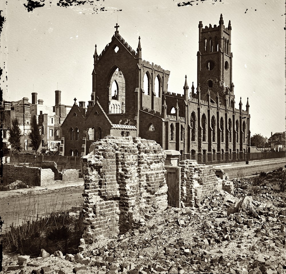
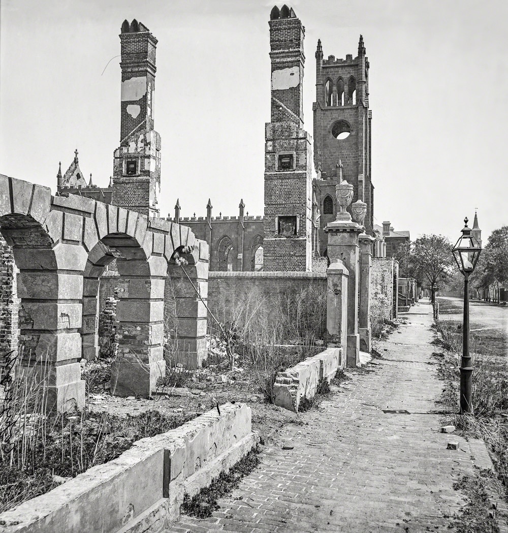
Looking east down Broad Street in 1865, the sheer scale of the destruction is clear. The cathedral’s broken towers and collapsed nave dominated the streetscape. Other buildings along the block show varying degrees of damage — some structurally intact, others burned out entirely.
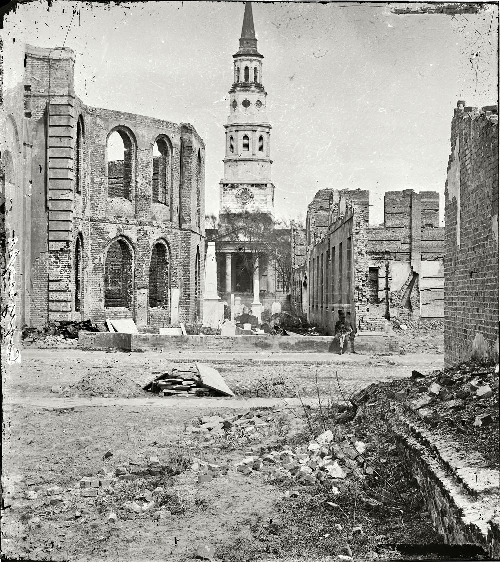
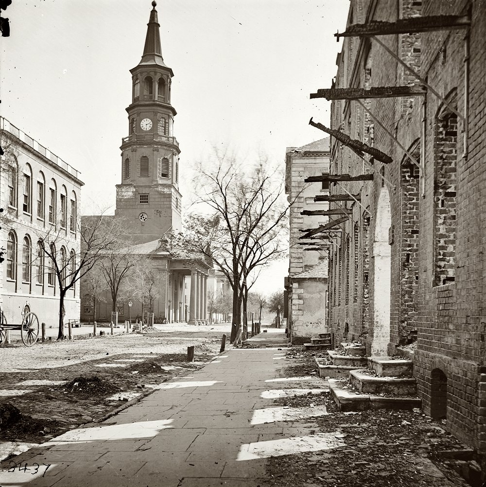
St. Philip’s Church survived the war, but the Circular Church and Secession Hall nearby did not. The Circular Church, one of Charleston’s oldest congregations, lost its building to fire in 1861. Secession Hall, where South Carolina formally voted to leave the Union in December 1860, was also destroyed. The contrast between standing and ruined structures in these 1865 photographs tells the story of the war’s selective destruction.
Fort Sumter, the site where the first shots of the Civil War were fired in April 1861, spent years under Confederate control before Union forces reclaimed it. By 1865, the fort had been pounded by artillery into something barely recognizable. Soldiers reinforced its crumbling walls with gabions — cylindrical baskets packed with earth and rocks — to keep the structure from collapsing entirely.
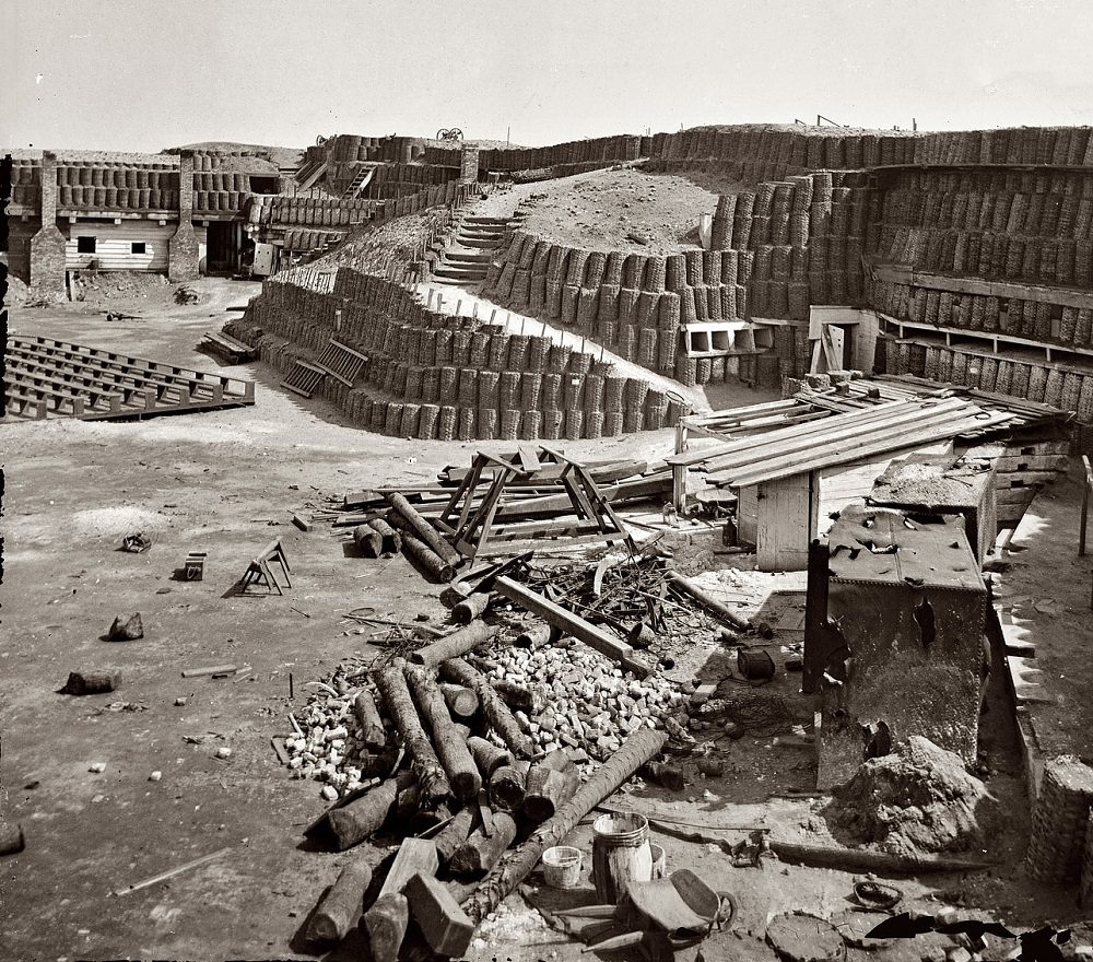
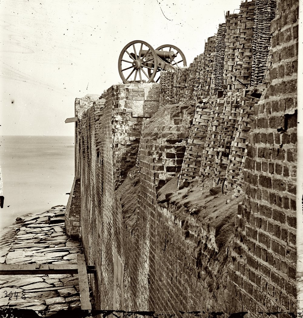
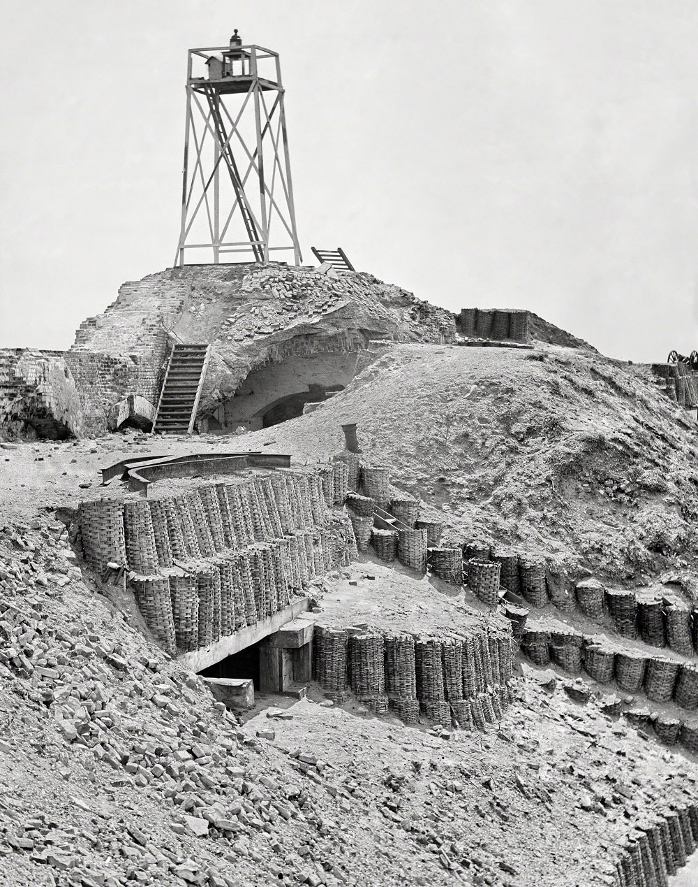
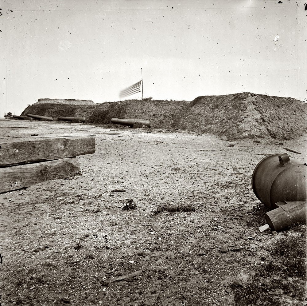
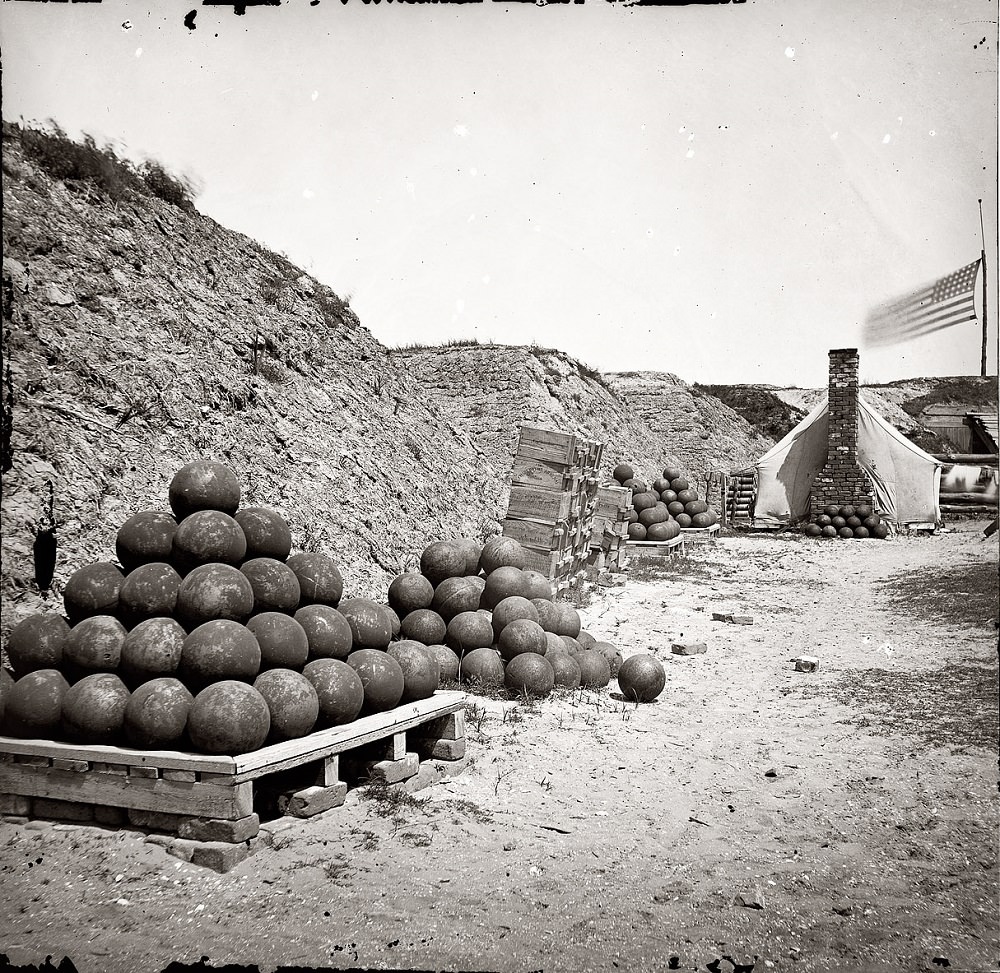
Fort Johnson on Morris Island served as a key Confederate defensive position during the siege of Charleston. The 1865 photographs of its interior show earthwork fortifications, artillery emplacements, and the general state of a position held under extreme pressure for years.
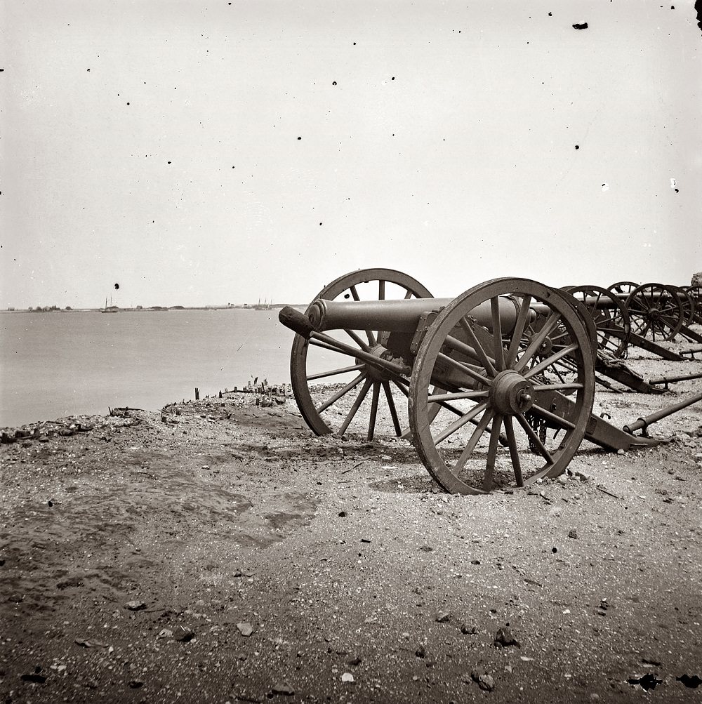
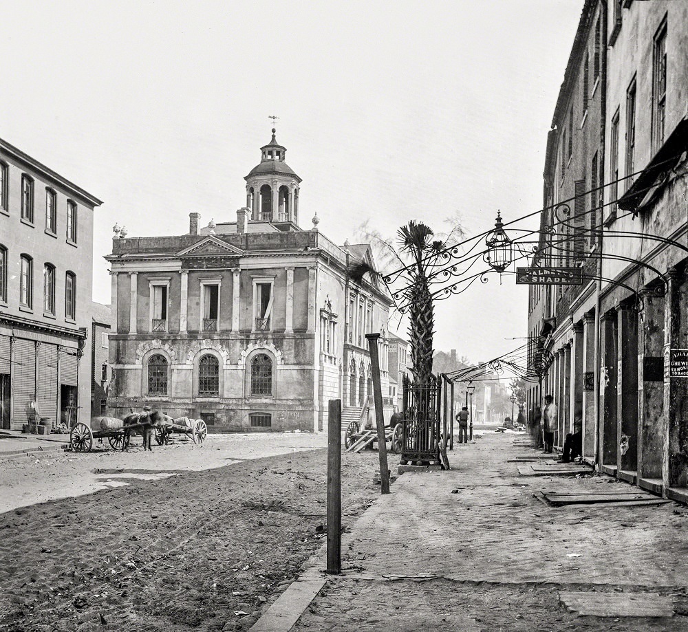
The old Exchange and Custom House on East Bay Street was one of the most historically significant buildings in the city. Built in the 18th century, it had served as a hub of colonial commerce and later as a prison during the American Revolution. By April 1865, it stood as one of the more intact structures on the waterfront, repurposed as a post office during the occupation.
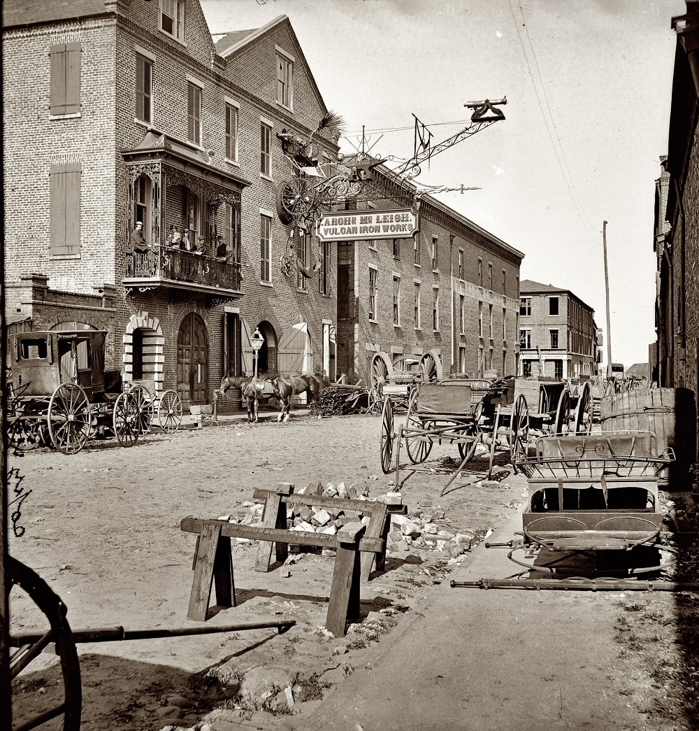
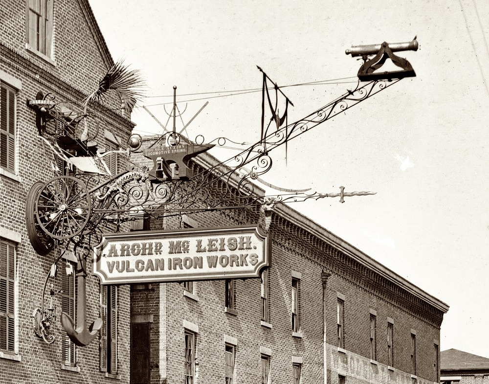
Archibald McLeish’s Vulcan Iron Works on Cumberland Street was a notable industrial operation in the city. The close-up photograph of its sign is one of the rare 1865 images that focuses on commerce rather than destruction — a reminder that even in a devastated city, business infrastructure remained a priority.

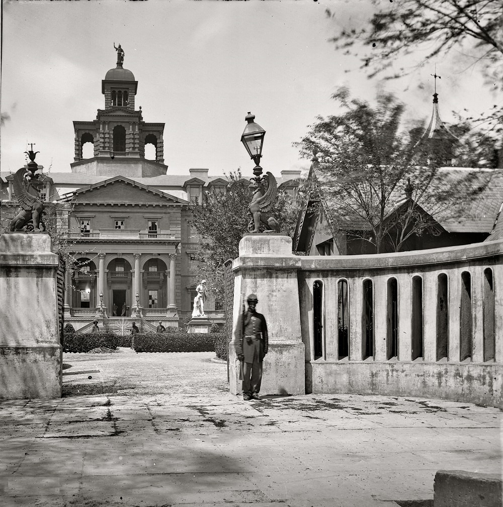
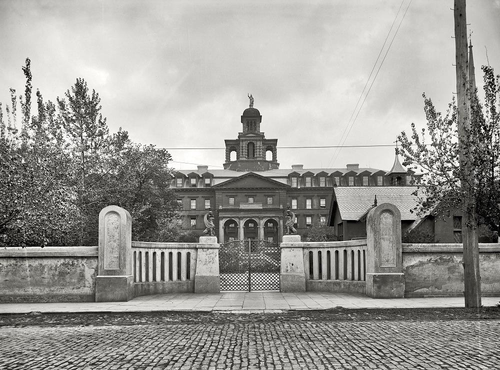
The Charleston Orphan Asylum at 160 Calhoun Street was one of the city’s most important social institutions. Founded in 1790, it was among the earliest publicly funded orphanages in the United States. The photograph from 1865 shows the building still standing, and the rooftop view from that same year gives a rare elevated perspective of the surrounding city blocks.
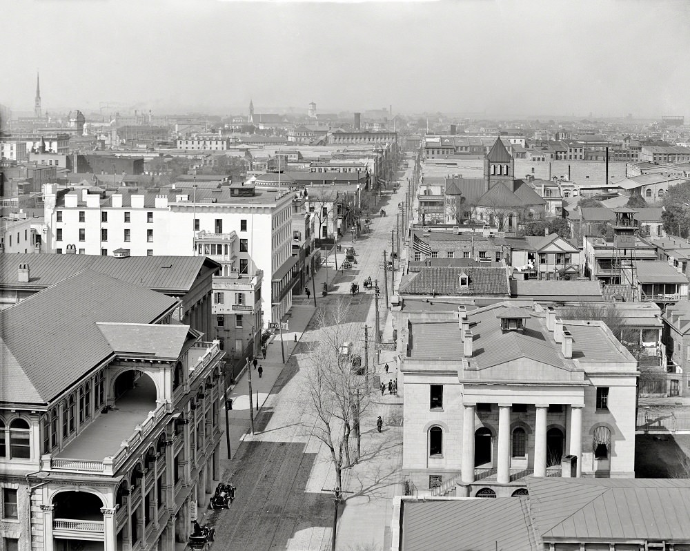
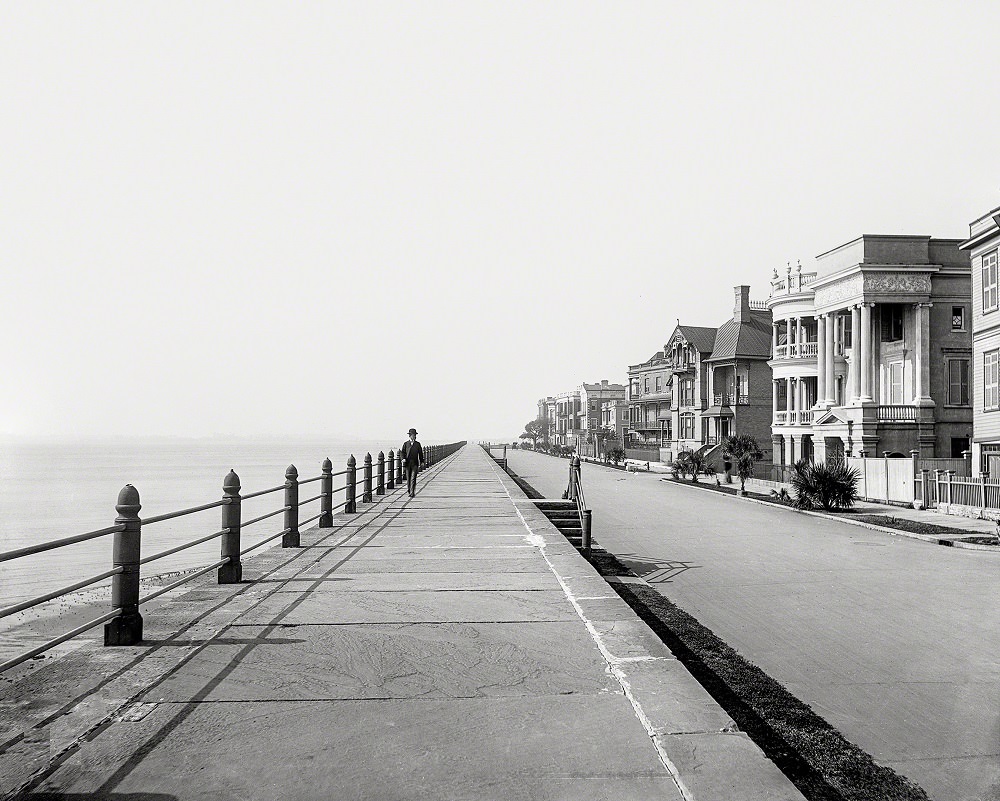
By the turn of the 20th century, Charleston was rebuilding. The 1886 earthquake had added another layer of damage to a city already struggling to recover from the war, killing dozens and damaging thousands of buildings. Still, the population pushed past 55,000 by 1900, and the streets were once again active with commerce, religion, and civic life.
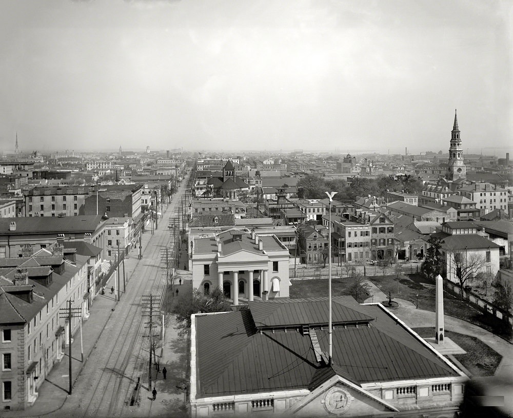
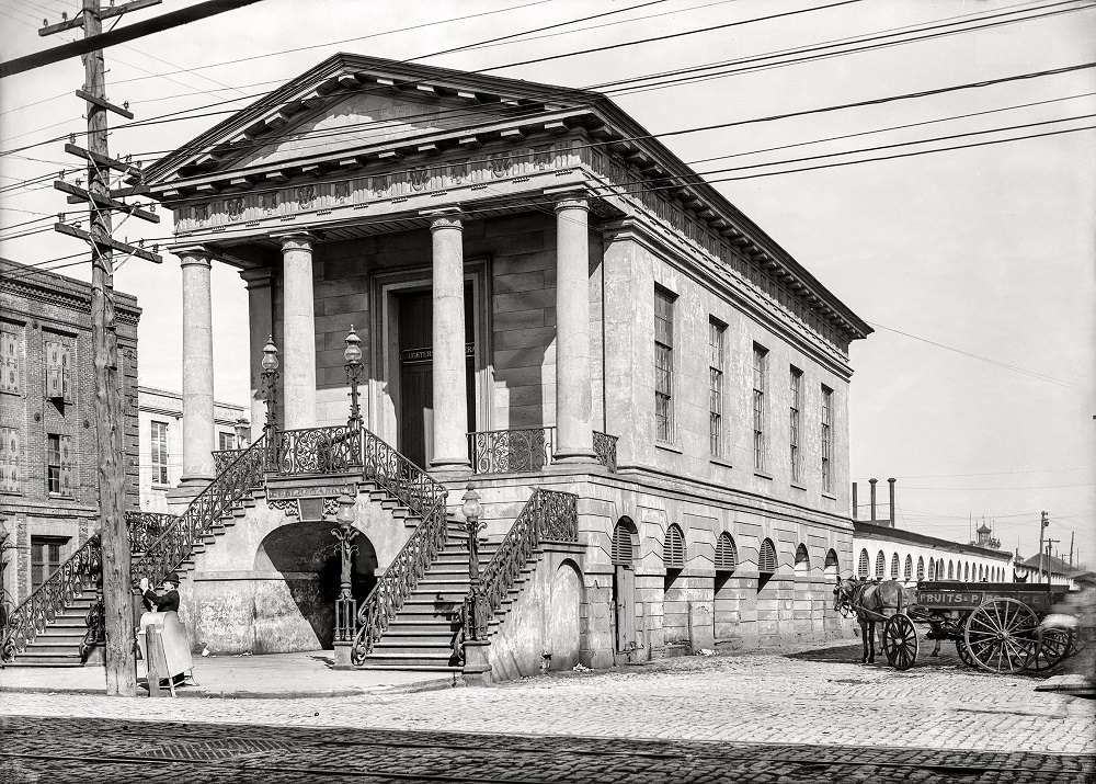
The Old Market House, also known as the Public Market, was a central fixture of daily life in Charleston. Running along Meeting Street, it had operated as a marketplace since the late 18th century. By 1906, it remained one of the most recognizable landmarks in the city, busy with vendors and foot traffic.
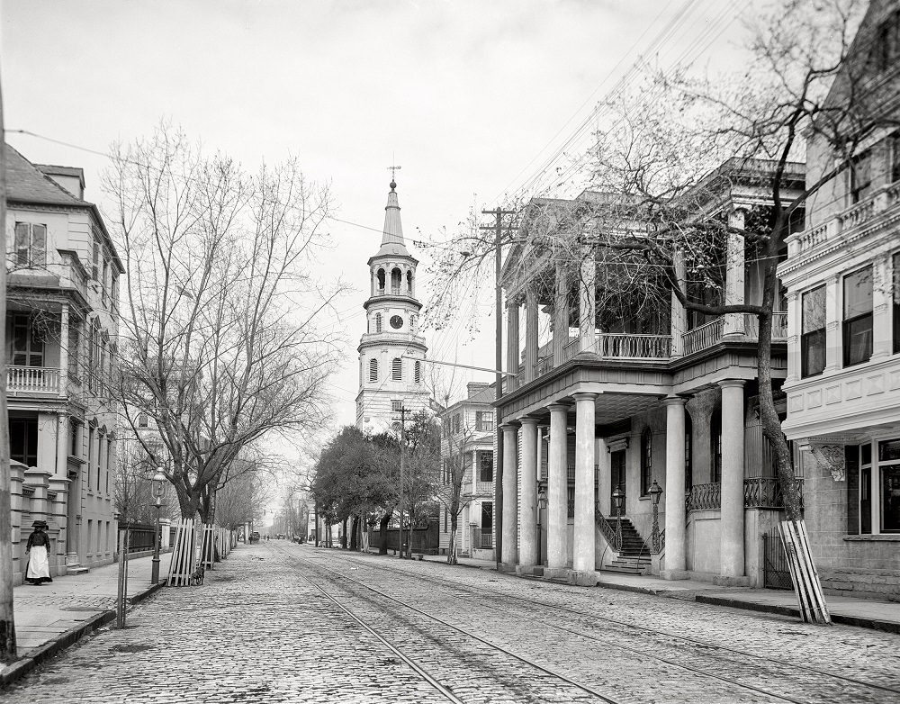
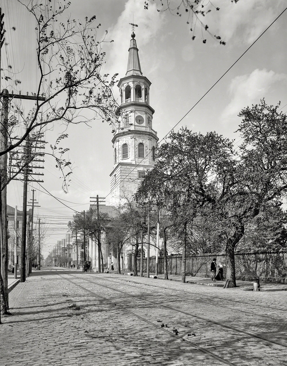
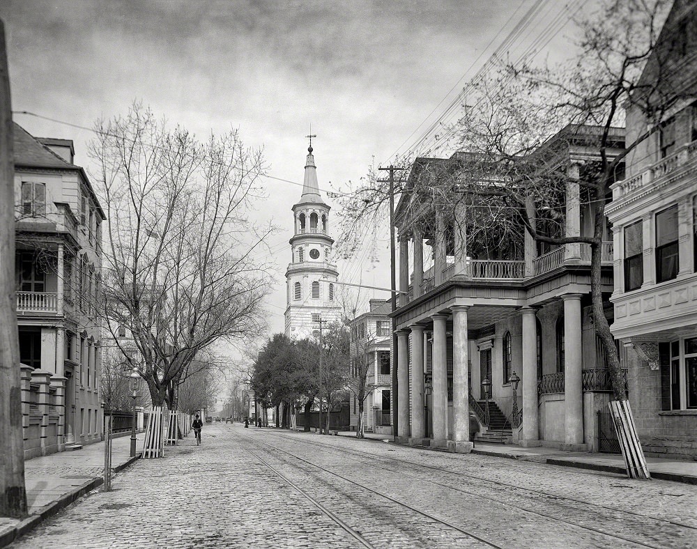
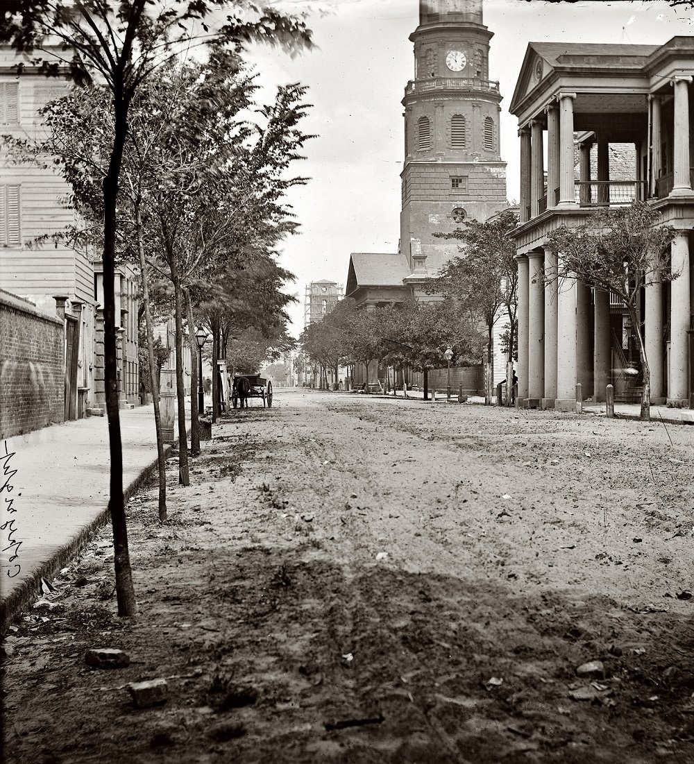
St. Michael’s Episcopal Church anchored the corner of Meeting and Broad streets and appeared in more photographs of early 20th-century Charleston than almost any other structure. Built in 1761, it was one of the oldest churches in South Carolina and had survived both the Revolutionary War and the Civil War largely intact. Its steeple served as a navigational landmark for ships entering the harbor.
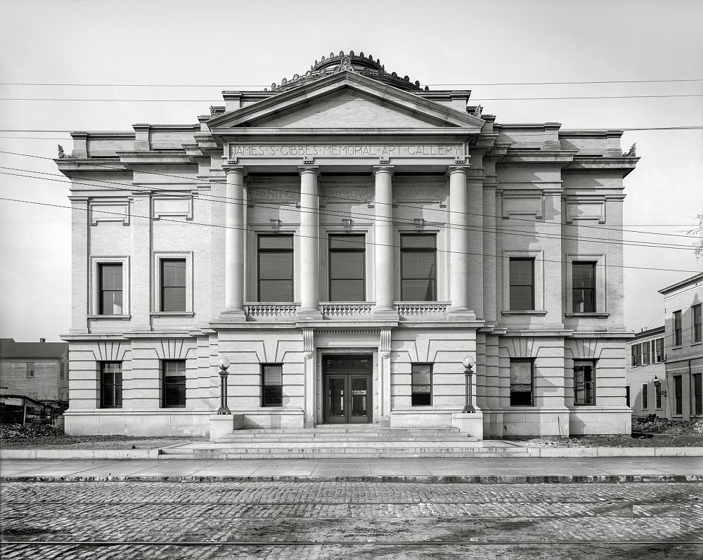
The Gibbes Memorial Art Gallery opened on Meeting Street in 1905, funded by a bequest from merchant James Shoolbred Gibbes. It was one of the first dedicated art museums in the American South. Its neoclassical façade became a prominent feature of Meeting Street’s cultural corridor.
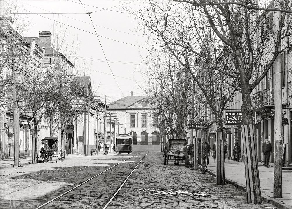
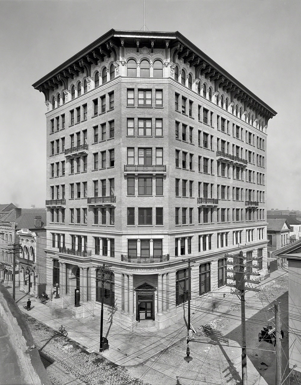
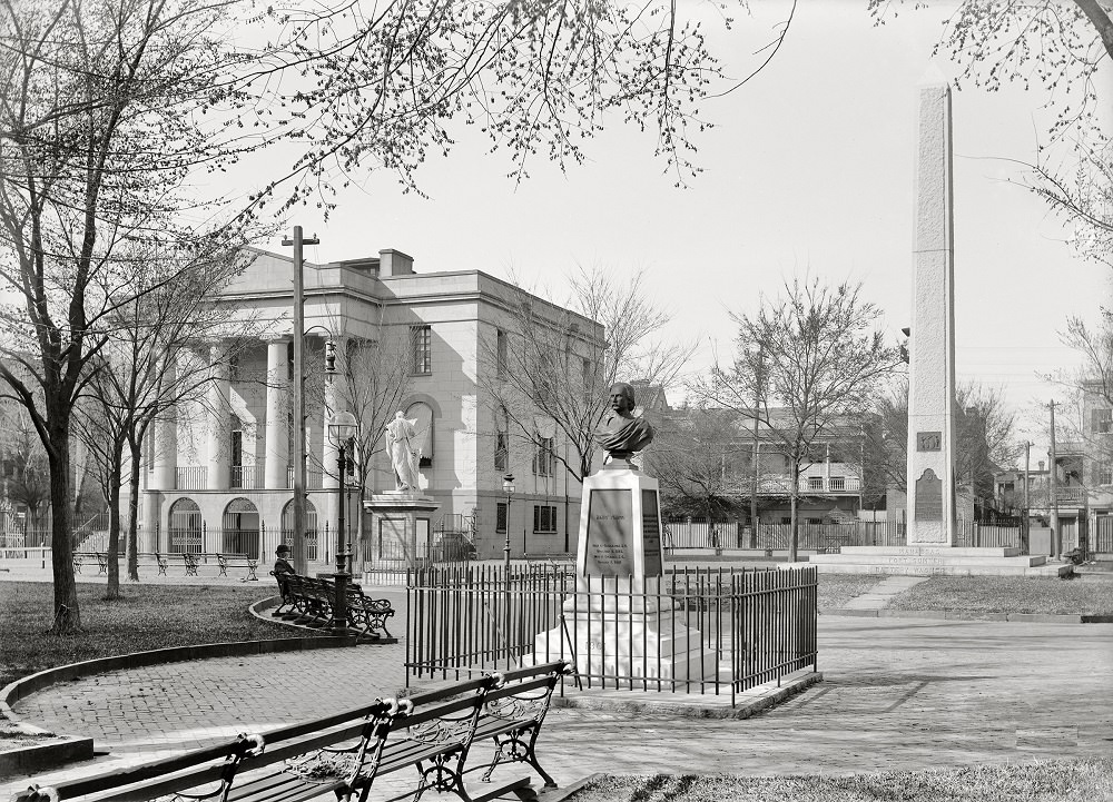
Washington Park sat in the heart of the downtown area, just across from City Hall. By 1906, it was a well-maintained public green surrounded by some of the city’s most important civic buildings. The park served as a gathering space and a visual break in an otherwise dense urban streetscape.
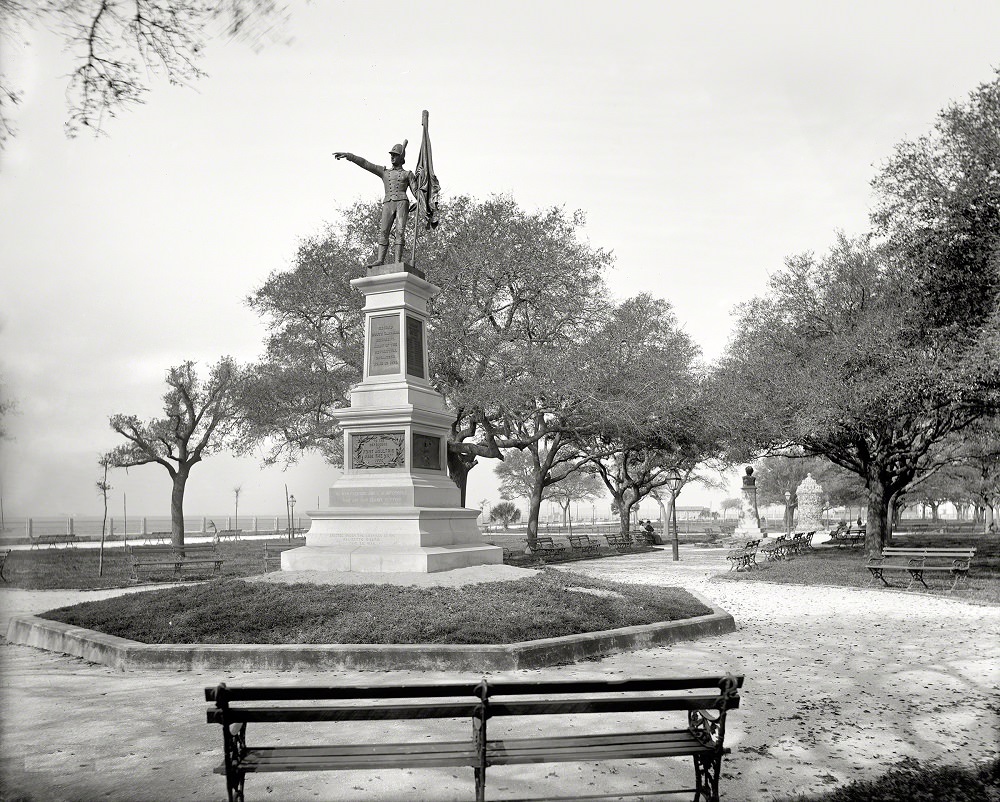
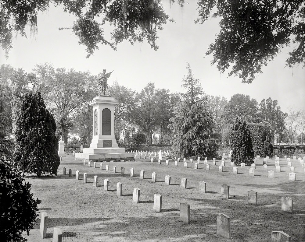
Magnolia Cemetery, established in 1850, became the burial site for thousands of Confederate soldiers killed during the Civil War. The Confederate Monument there was one of the earliest memorials erected in the South after the war. By 1900, the cemetery was well maintained and frequently visited.
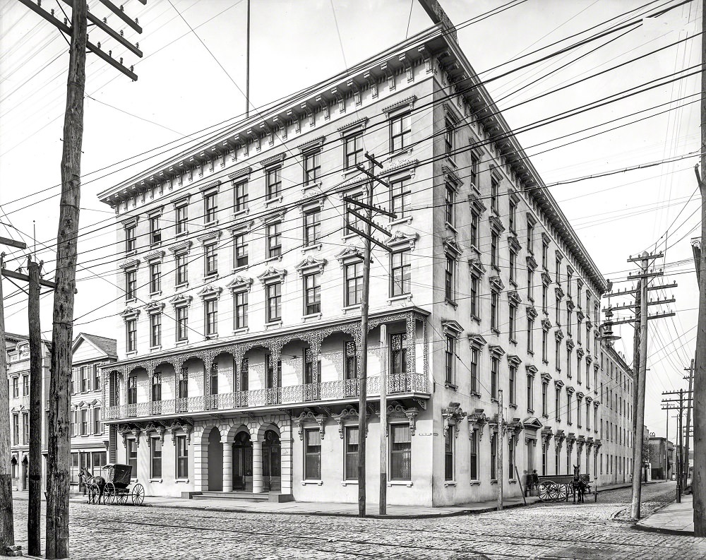
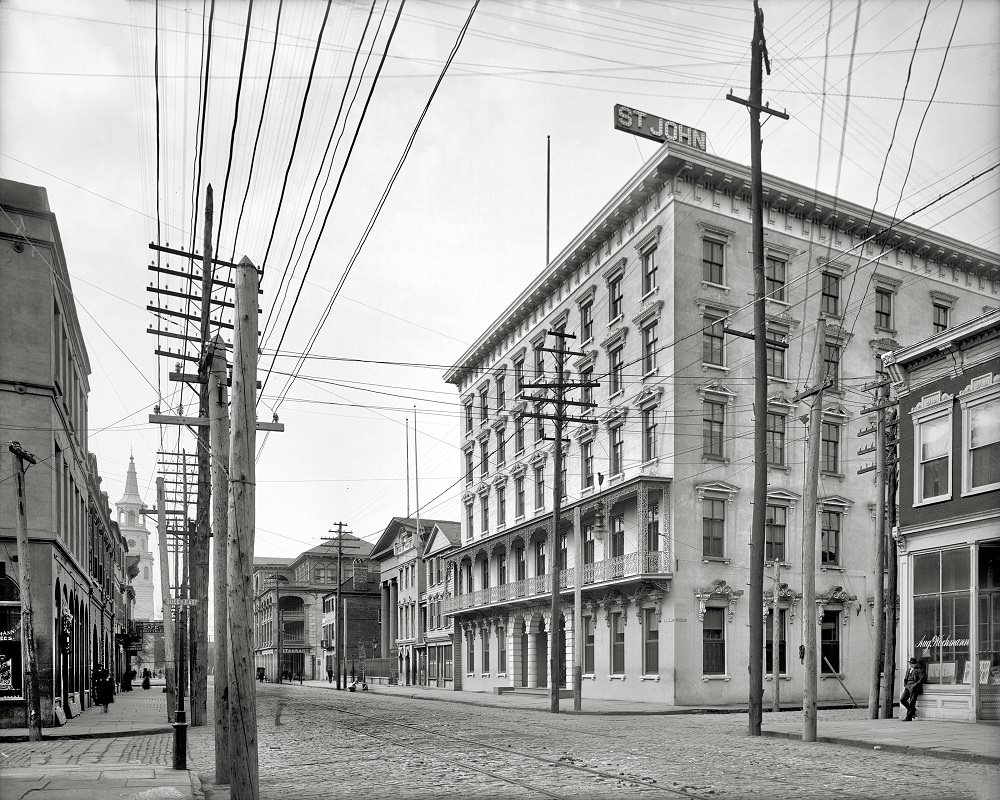
The Mills House on Meeting Street was one of Charleston’s premier hotels in the 19th and early 20th centuries. Originally built in 1853, it hosted notable guests including General Robert E. Lee before the Civil War. The building continued to operate in the early 1900s before eventually being demolished in 1968.
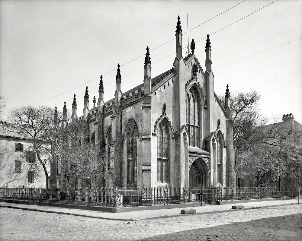
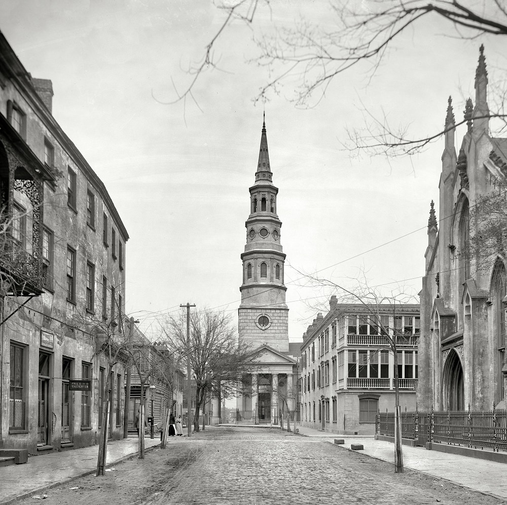
The French Huguenot Church on Church Street was the home congregation of French Protestant refugees who arrived in Charleston in the late 17th century. Its Gothic Revival building, constructed in 1845, remained one of the most distinctive churches in the city. St. Philip’s Church nearby, dating back to the early 18th century, was the first Anglican church built in South Carolina.
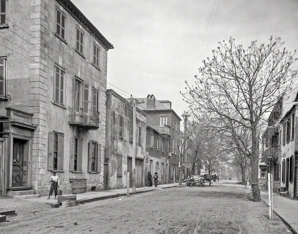
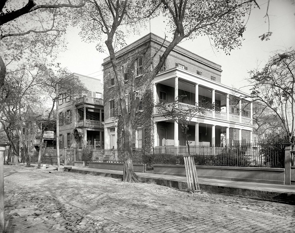
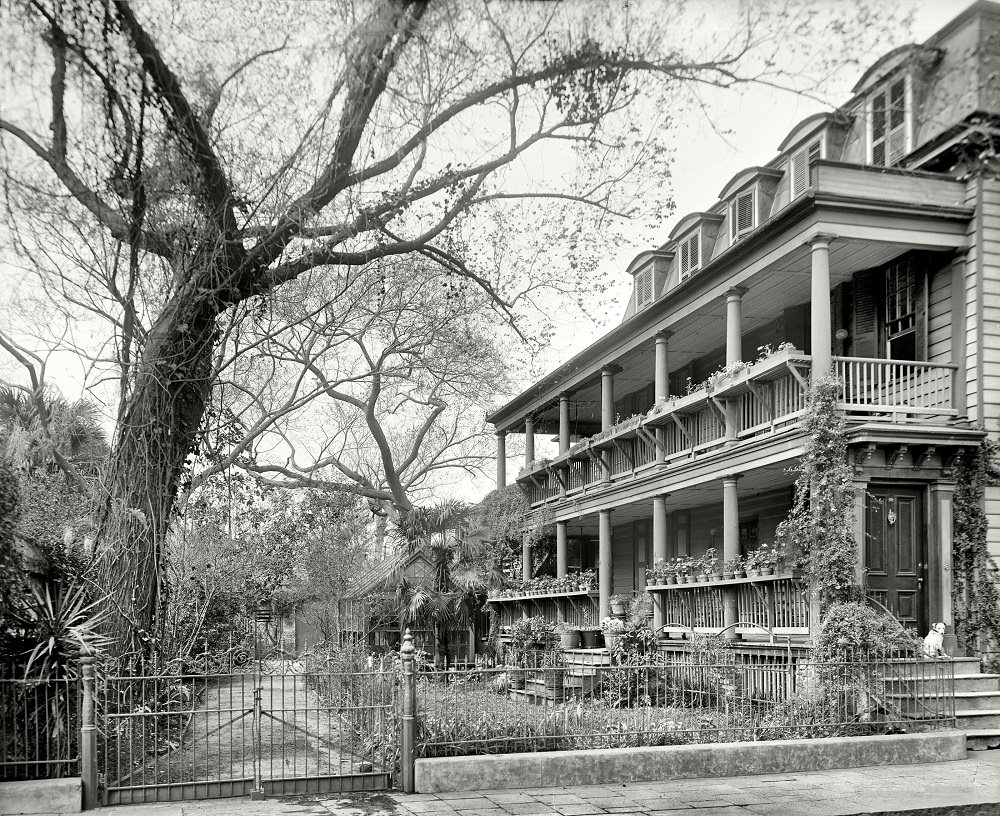
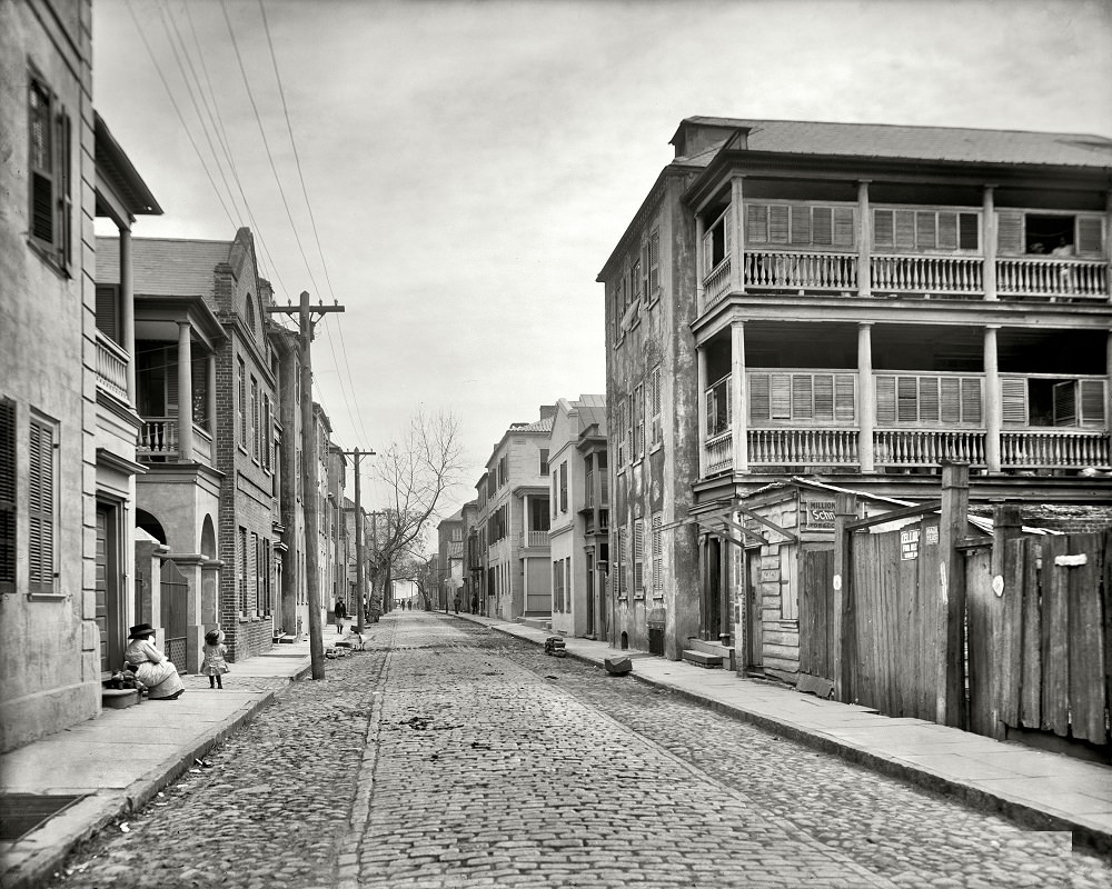
The residential streets of Charleston in the early 1900s retained much of the architectural character from the 18th and 19th centuries. Streets like Tradd, Legare, and Hasell were lined with single houses — a building style unique to Charleston, where homes were built with their narrow end facing the street to maximize ventilation through side porches called piazzas.
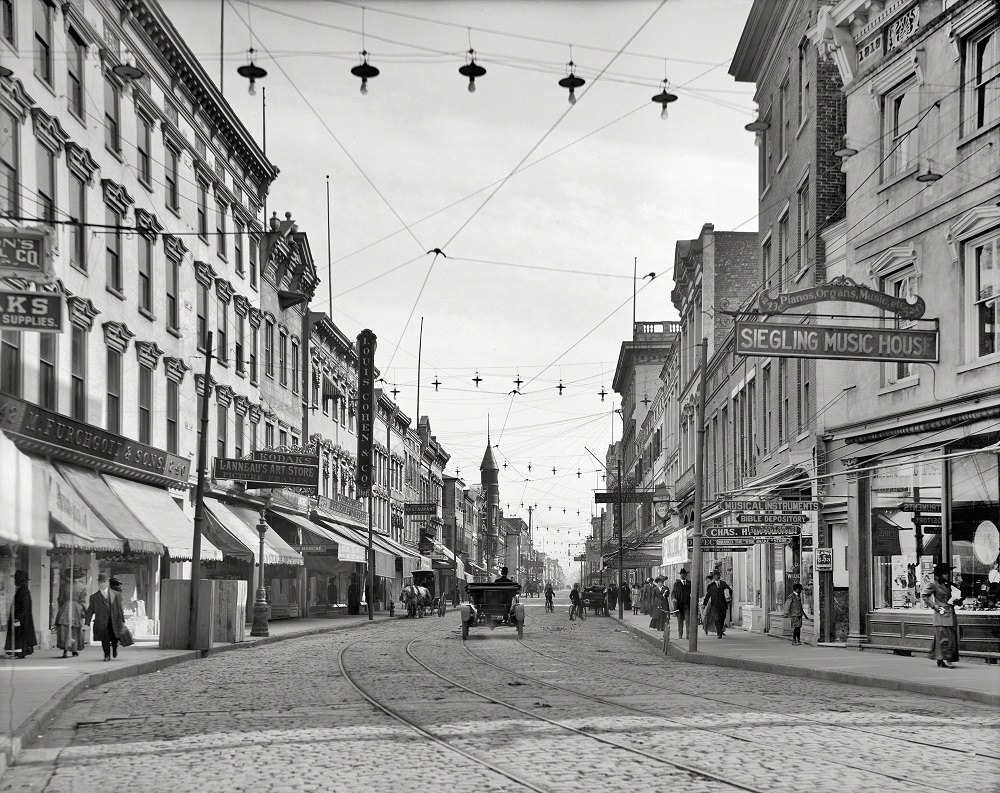
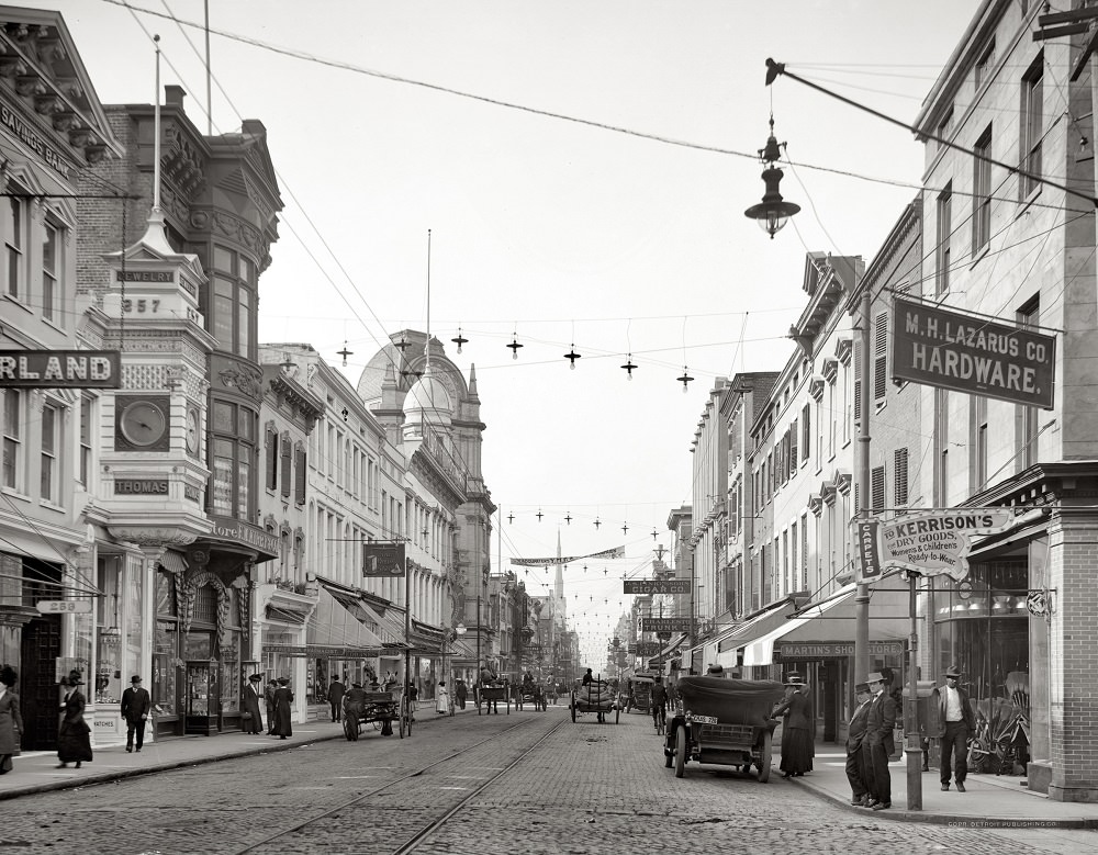
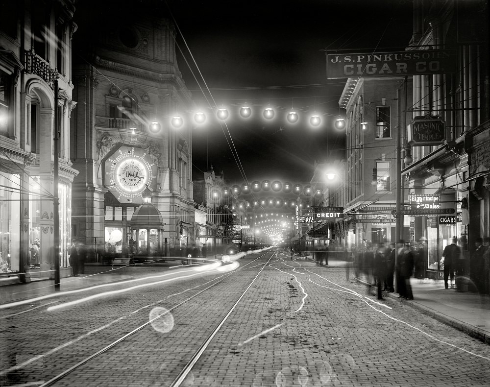
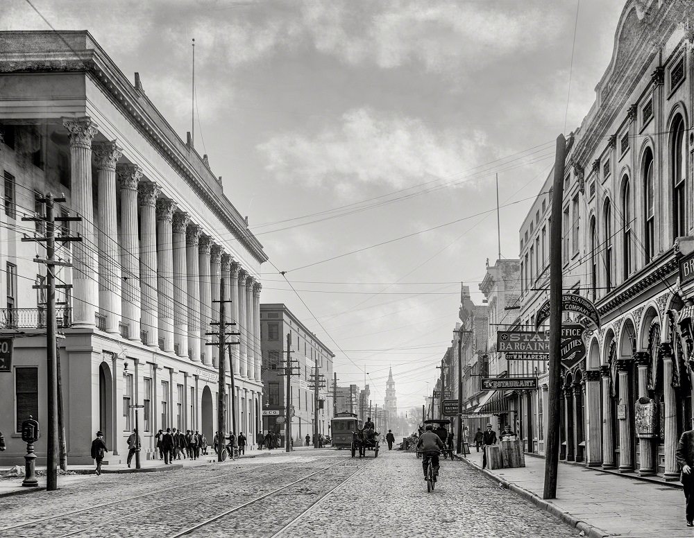
King Street was Charleston’s main commercial corridor in the early 20th century. By 1910, electric streetlights illuminated the road at night, marking a significant shift from gas lighting. Shops, banks, and hotels lined both sides of the street, and the nighttime photographs of King Street show a city that had modernized considerably since the destruction of 1865.
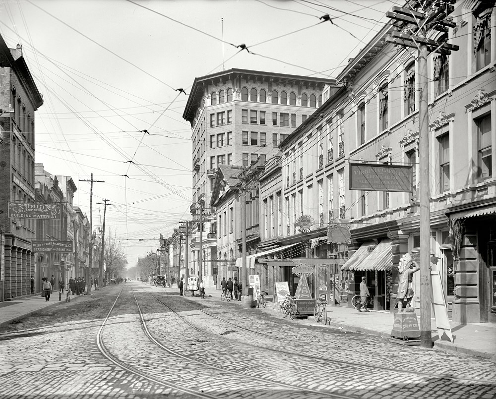
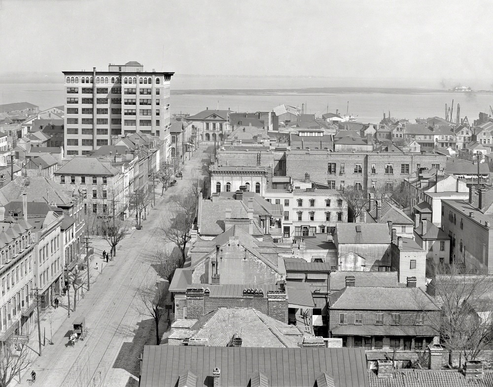
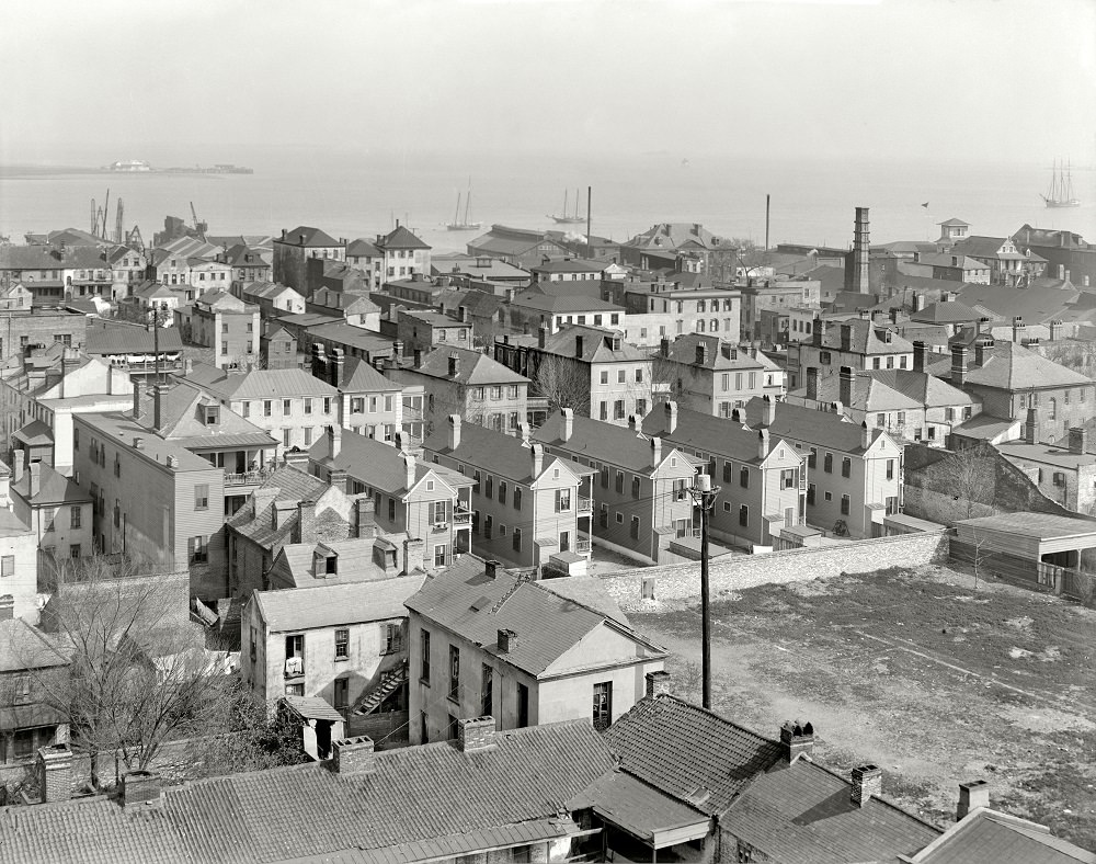
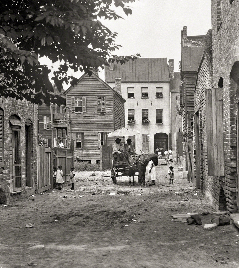
As late as 1920, horse-drawn wagons still shared Charleston’s streets with early automobiles. The transition was gradual, and street scenes from that decade capture both modes of transport side by side. The U.S. Naval Station, established in Charleston in 1901, had also begun to reshape the city’s economic and physical landscape by this point.
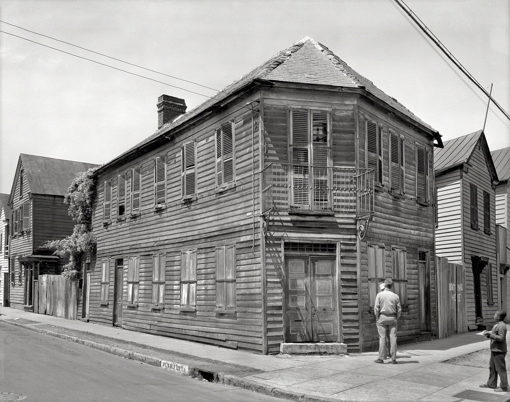
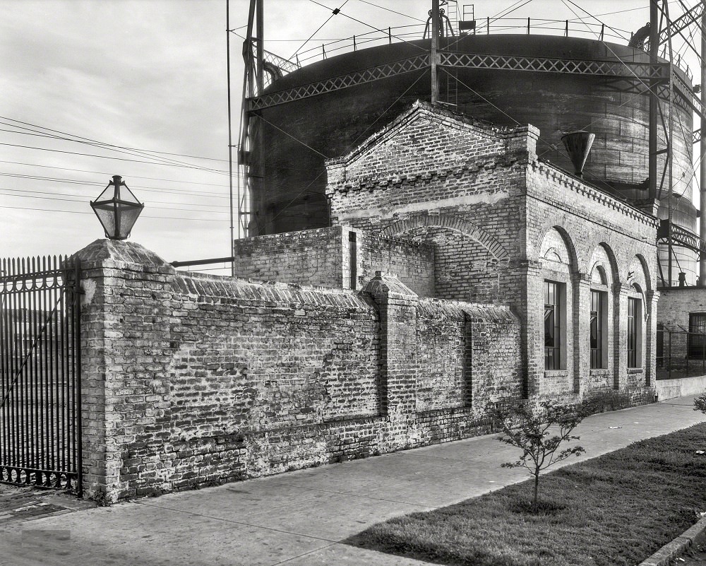
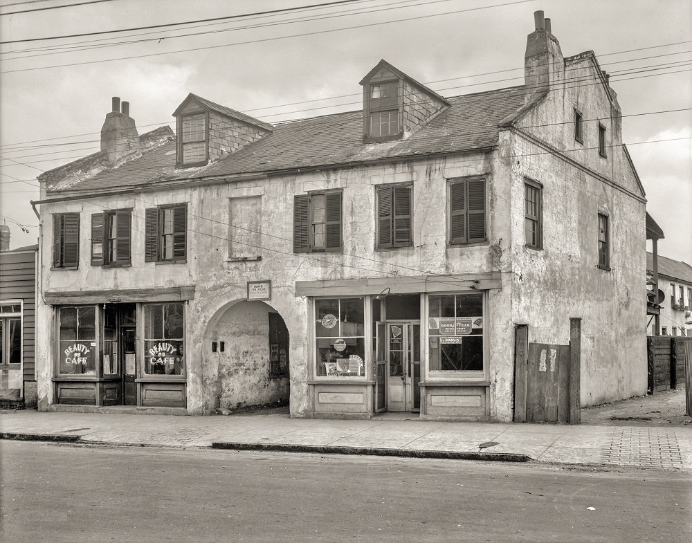
By the 1930s, Charleston’s historic preservation movement was well underway. The city council had passed the nation’s first landmark district zoning laws in 1931, protecting a designated area of the old city from demolition and unsympathetic development. The survey photographs from 1937 were part of a broader effort to document the city’s surviving historic structures before any more were lost.
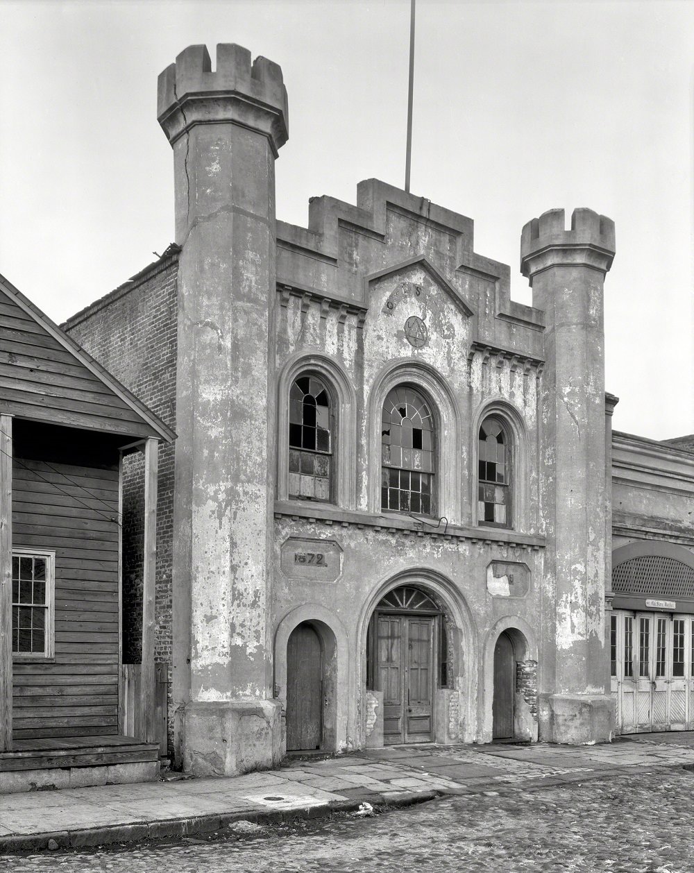
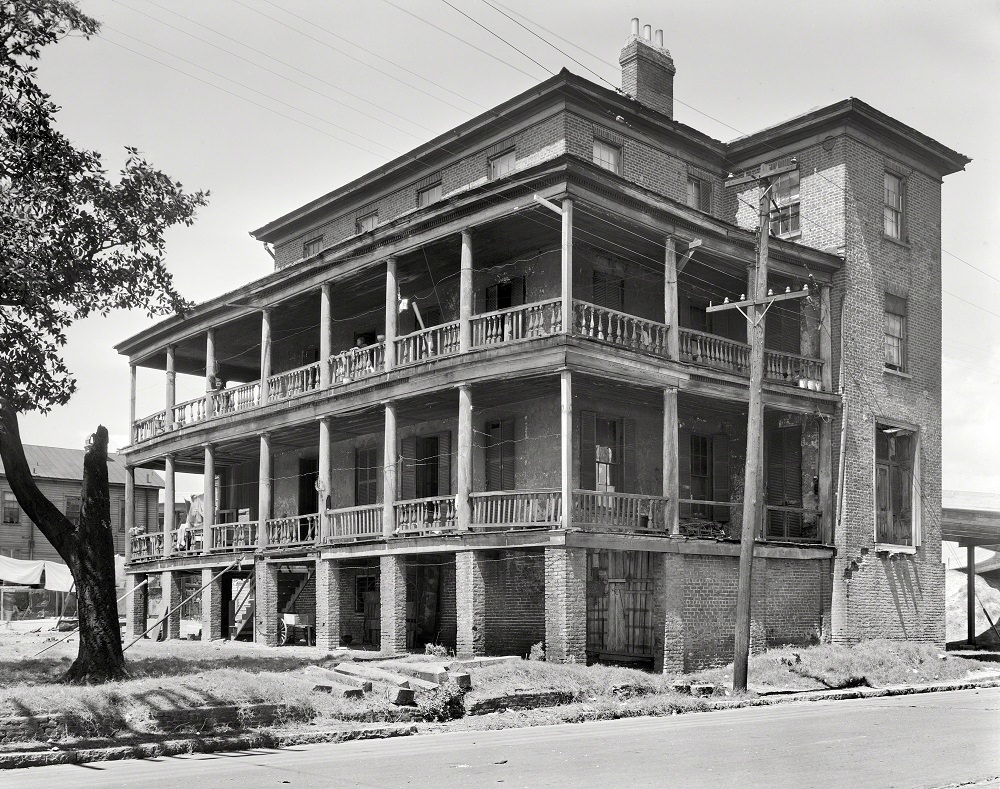
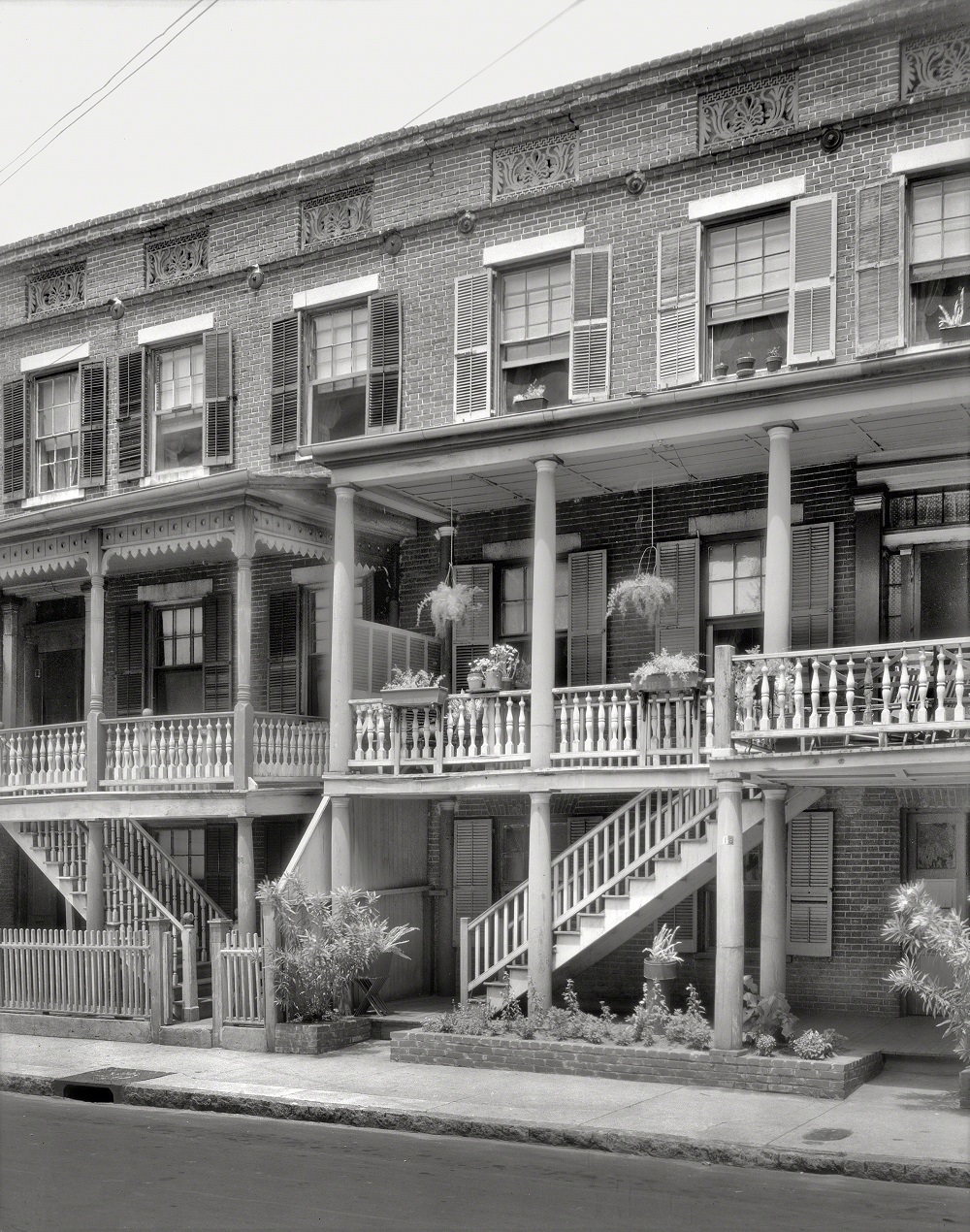
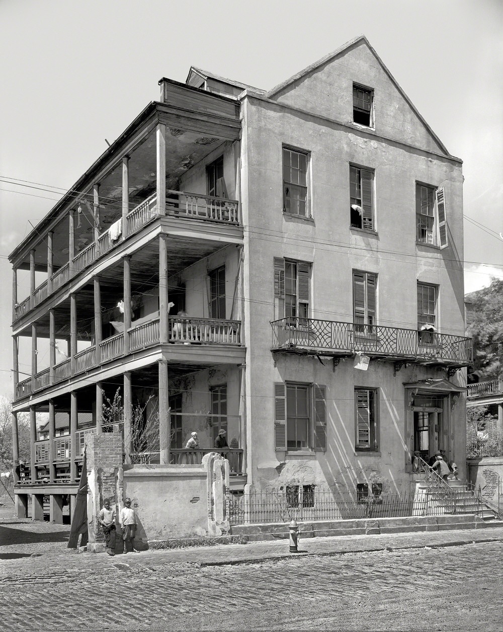
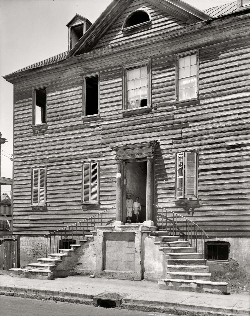
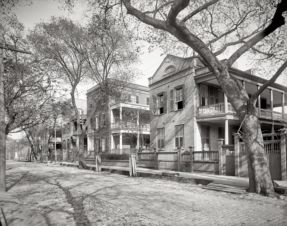
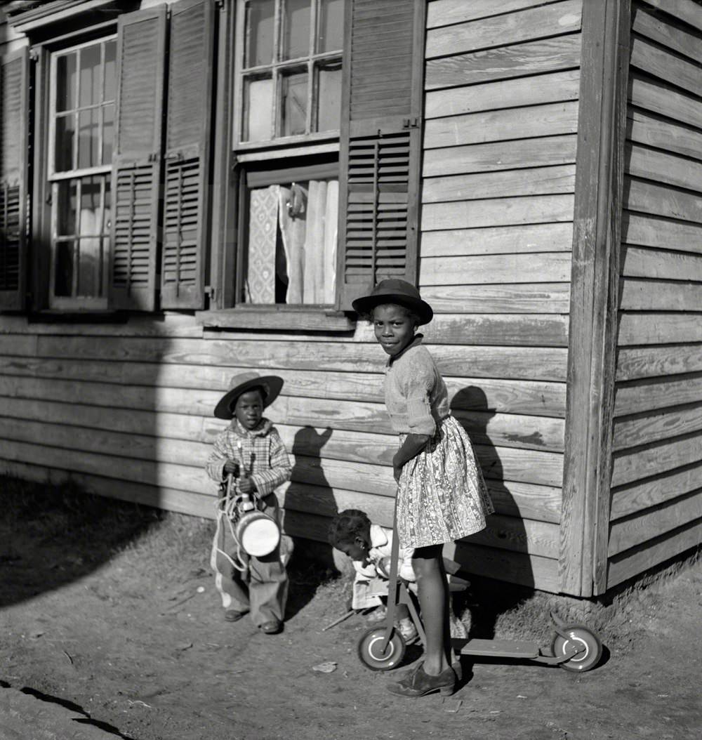
The 1937 and 1938 survey photographs captured not only grand landmarks but also ordinary buildings — homes, taverns, gas works, and side streets that rarely made it into the more celebrated views of the city. These images documented the full range of Charleston’s built environment at a time when many of these structures were already aging and vulnerable to demolition.





It looks about the same as it does today. Just add a few condos in the background of each photo, and you’d fool me.
Very excellent, thank you!
Where’s dudleys ?
These pictures are amazing.
Now it looks better. It was too sparse before.
These vintage photos are fascinating. Thank you for sharing them with us.
These images provide a clear picture of the impact of the area’s industry on the environment, with the polluted air resulting in grey skies instead of blue.
The same reason why Monet’s paintings of London appear hazy with cloudy skies – cities were concentrated areas of people and businesses burning dirty fuels.
Wow this is so cool!!!!
Great selection, thank you for sharing!
Are there many photos of prewar Charleston? The destruction seemed really heavy.