
Oakland, California in the 1930s was a city caught between two eras. The economic energy of the 1920s had carried over, and new industries were taking root. The discovery of oil in Los Angeles and surrounding areas fueled commercial growth across the region, and Oakland stood at the center of it all as the main transit hub of the East Bay. For most of the decade’s early years, residents got around on foot or by streetcar. That was about to change dramatically.
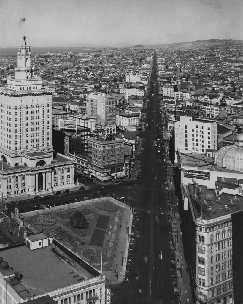
Car ownership climbed steadily through the 1930s, and city planners responded by drawing up proposals to expand street networks and control growing traffic. Downtown Oakland buzzed with activity, and the aerial view of Broadway and 14th Street captured in 1932 shows just how developed the urban core had already become.
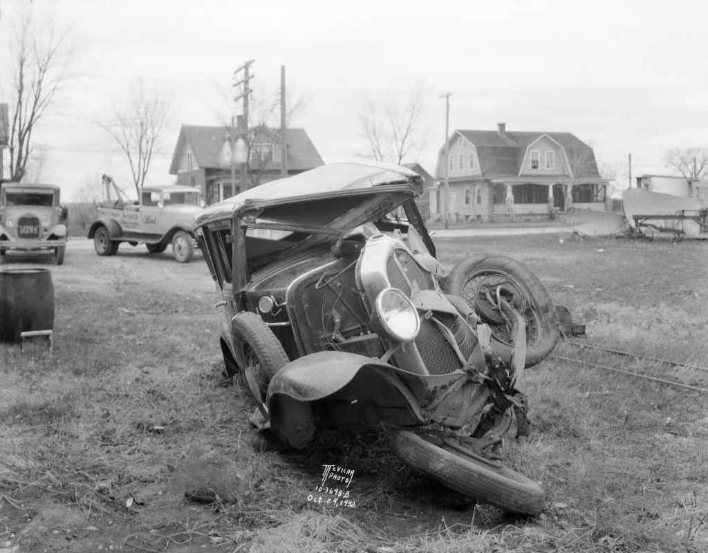
Even as the city grew upward and outward, life on the streets had its share of hazards. More cars meant more accidents, and this 1932 photograph taken from the front of a wrecked Oakland sedan is a stark reminder of the risks that came with the automobile age.
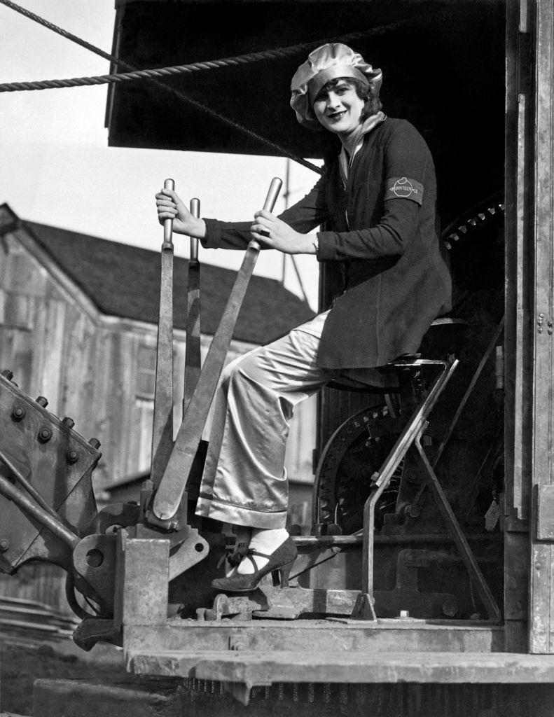
Not everyone in 1930s Oakland fit the expected mold. This photograph from 1930 shows a woman confidently operating a steam shovel — heavy construction equipment that was almost exclusively operated by men at the time. Her smile says everything.
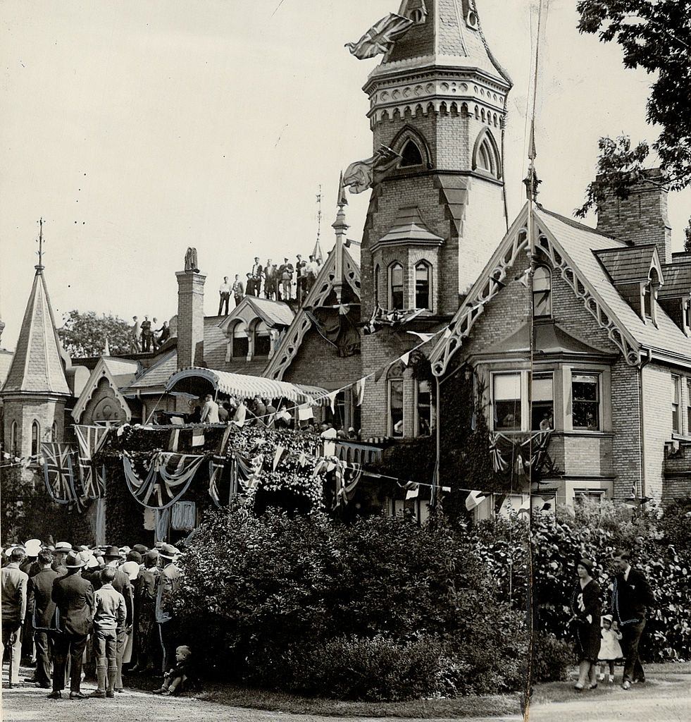
Religion and education were also shaping the city. In 1931, an archbishop formally dedicated a new school in Oakland, marking another step in the city’s institutional growth during a decade when public and private investment in community infrastructure remained strong despite the nationwide hardships of the Great Depression.
The single biggest event of the decade for Oakland came on November 12, 1936, when the San Francisco–Oakland Bay Bridge opened to traffic. It was an engineering milestone and a turning point for the entire region. On opening day, cars lined up at the toll plaza as far as the eye could see, with drivers eager to be among the first to cross.
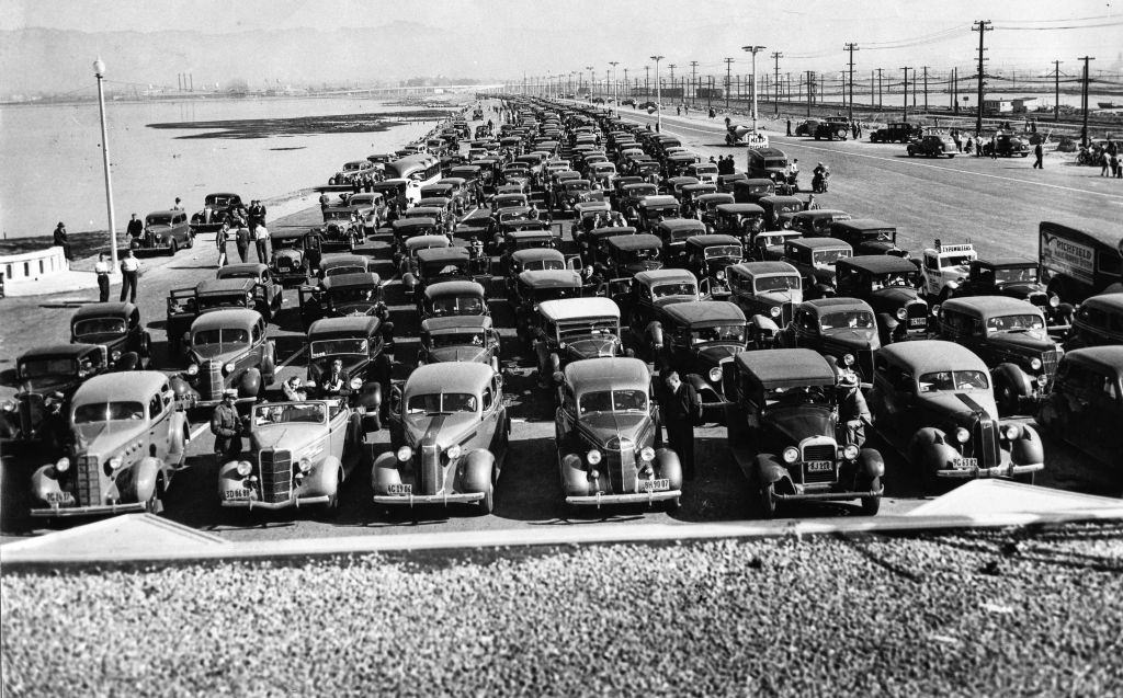
The Bay Bridge did more than move cars. It also carried interurban trains from the Key System, connecting diverse communities across the bay in ways that had not been possible before. City planner Harland Bartholomew’s vision for Oakland’s road network gained new momentum with the bridge’s opening, laying out a framework for continued growth in Oakland and the broader East Bay.
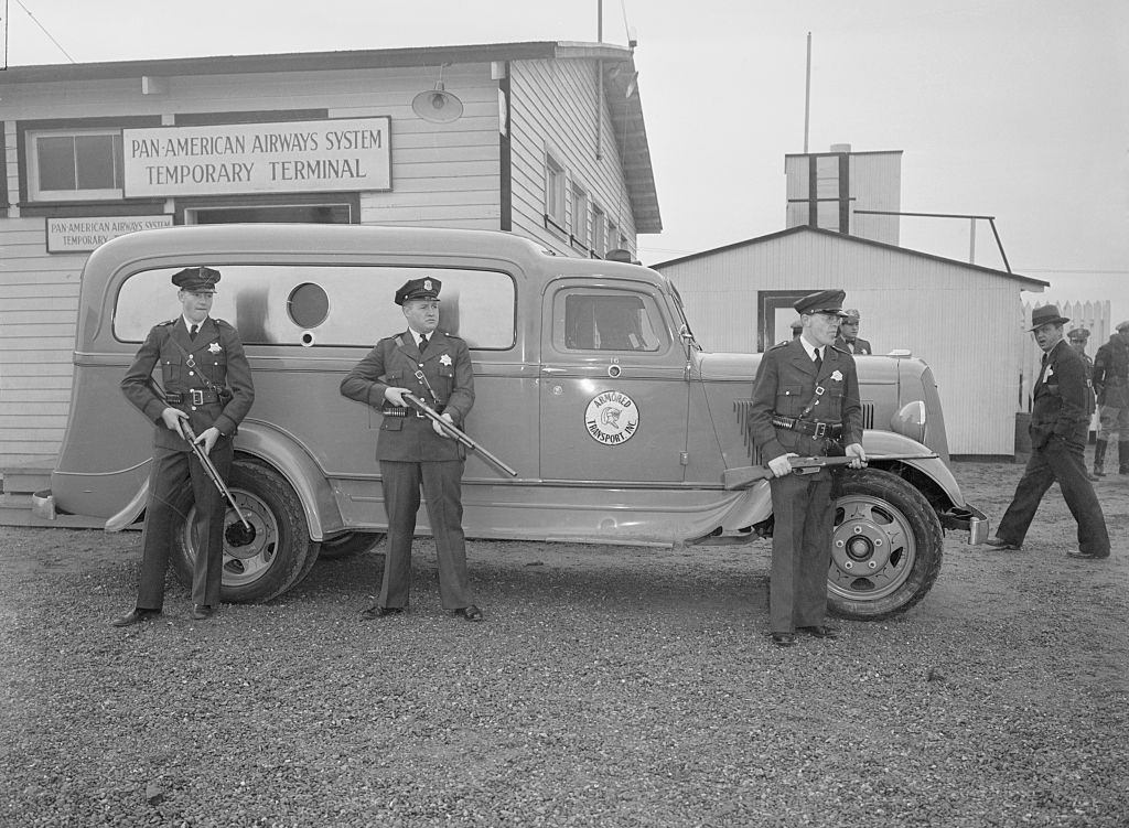
One year after the bridge opened, Oakland found itself at the center of an international incident. In December 1937, Japanese forces sank the USS Panay, an American gunboat, on the Yangtze River in China. Film footage of the attack was rushed back to the United States, and Oakland police were stationed to guard the trucks carrying those reels — a sign of just how tense the global situation had become.
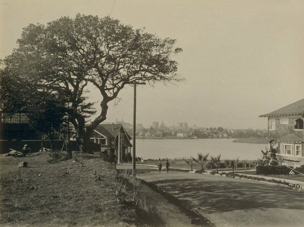
While big events made the headlines, everyday Oakland life played out in its parks, waterways, and neighborhoods. Lake Merritt, the tidal lagoon near downtown, was a gathering place for residents throughout the decade.
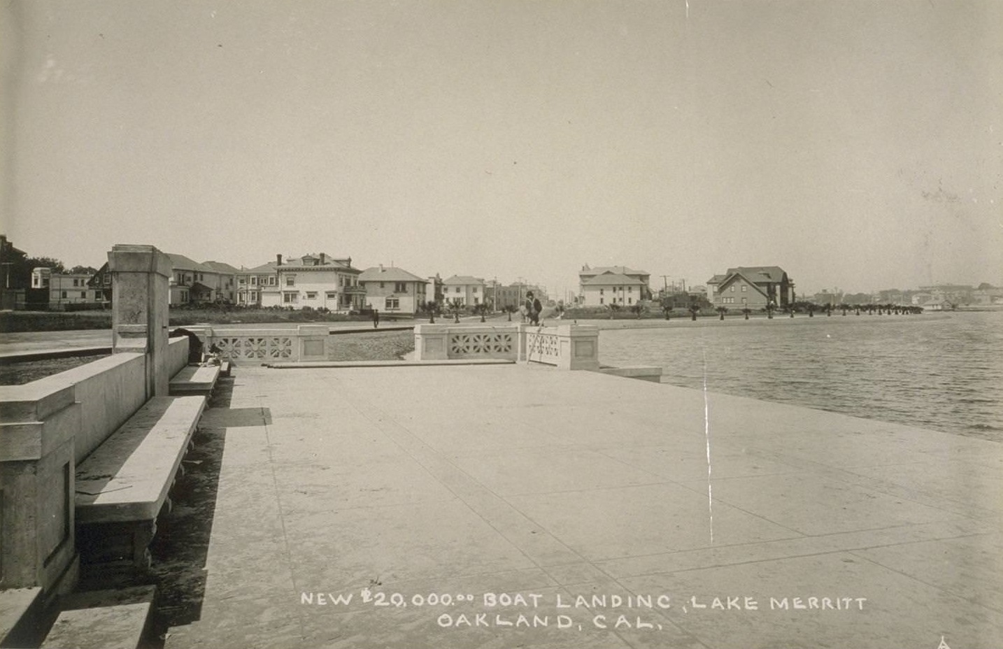
A new $20,000 boat landing at Lake Merritt was a source of civic pride. The investment reflected the city’s commitment to public recreation even during economically difficult years.
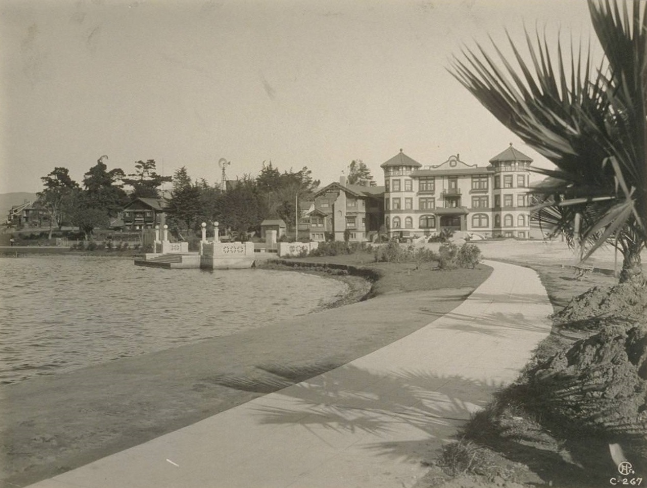
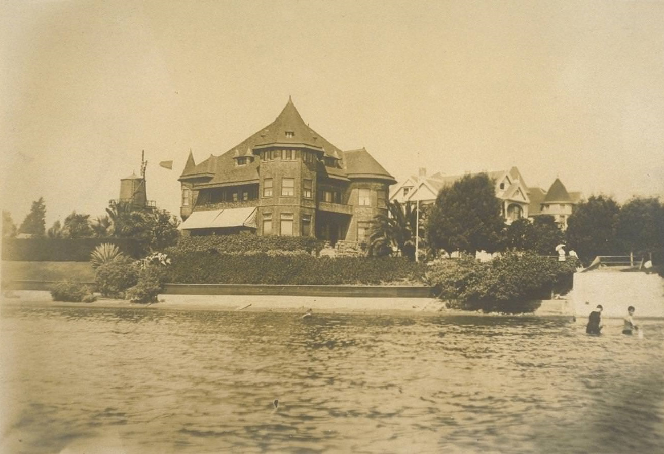
Residences along the lake’s edge ranged from modest to grand, and the area attracted some of Oakland’s most prominent families.
The waterfront was also a site of serious industrial work. Dredging operations extended deep into the harbor, with crews working to create a 30-foot channel to accommodate larger commercial vessels. A massive 6,500-foot bulkhead wall project was also underway, reshaping the shoreline for industrial use.
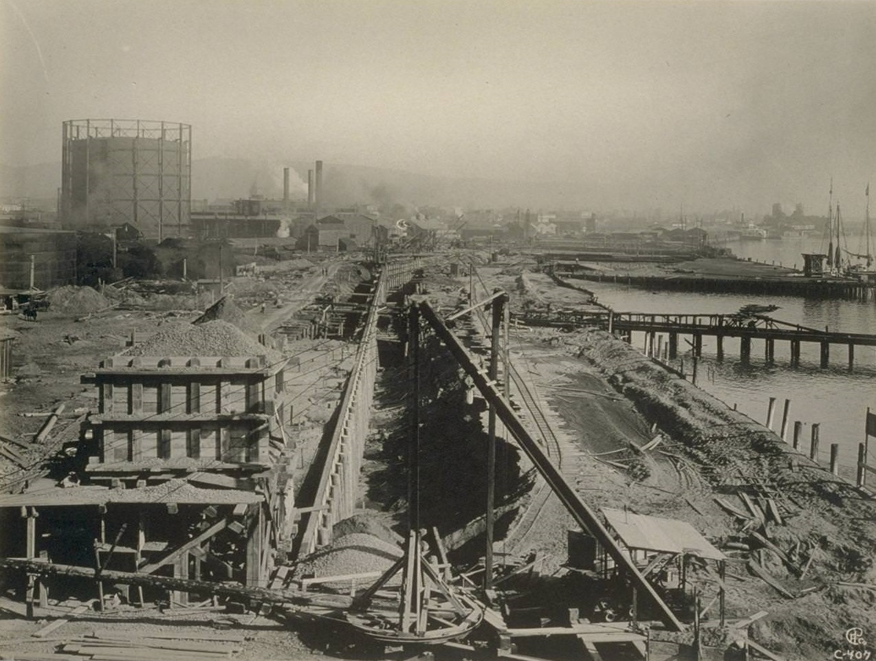
![Dredging [and] dumping rock on bullshead wall, 6500 ft. long in ...](https://www.bygonely.com/wp-content/uploads/2021/09/Oakland_1930s_10.jpg)
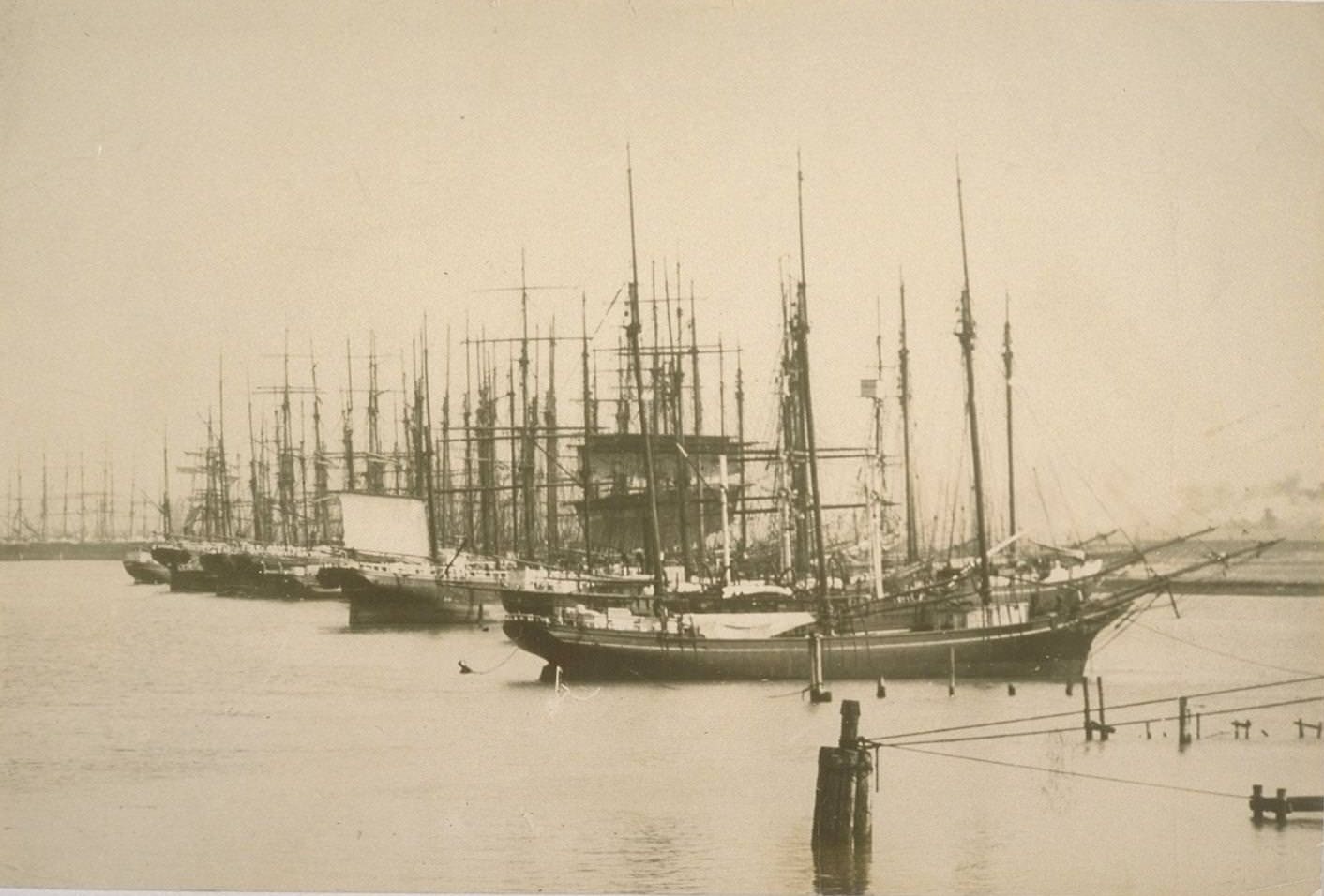
Oakland’s inner harbor was a hub of maritime commerce, handling goods that moved in and out of the Bay Area.
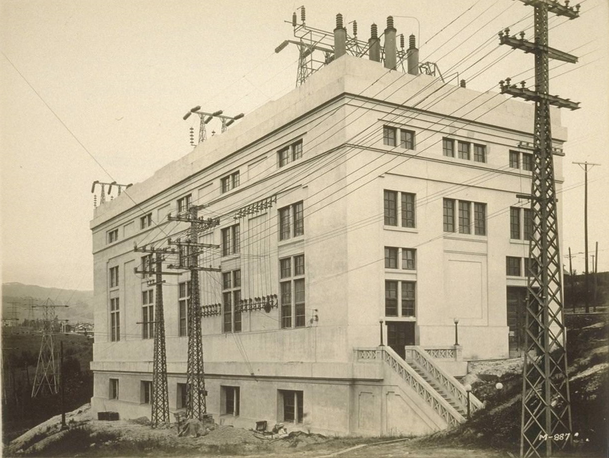
Power for this growing city came from facilities like the Great Western Power Station, which supplied electricity to homes and businesses across the region.
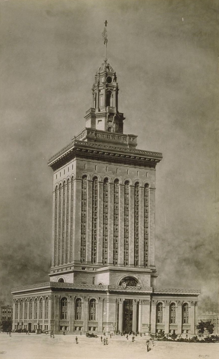
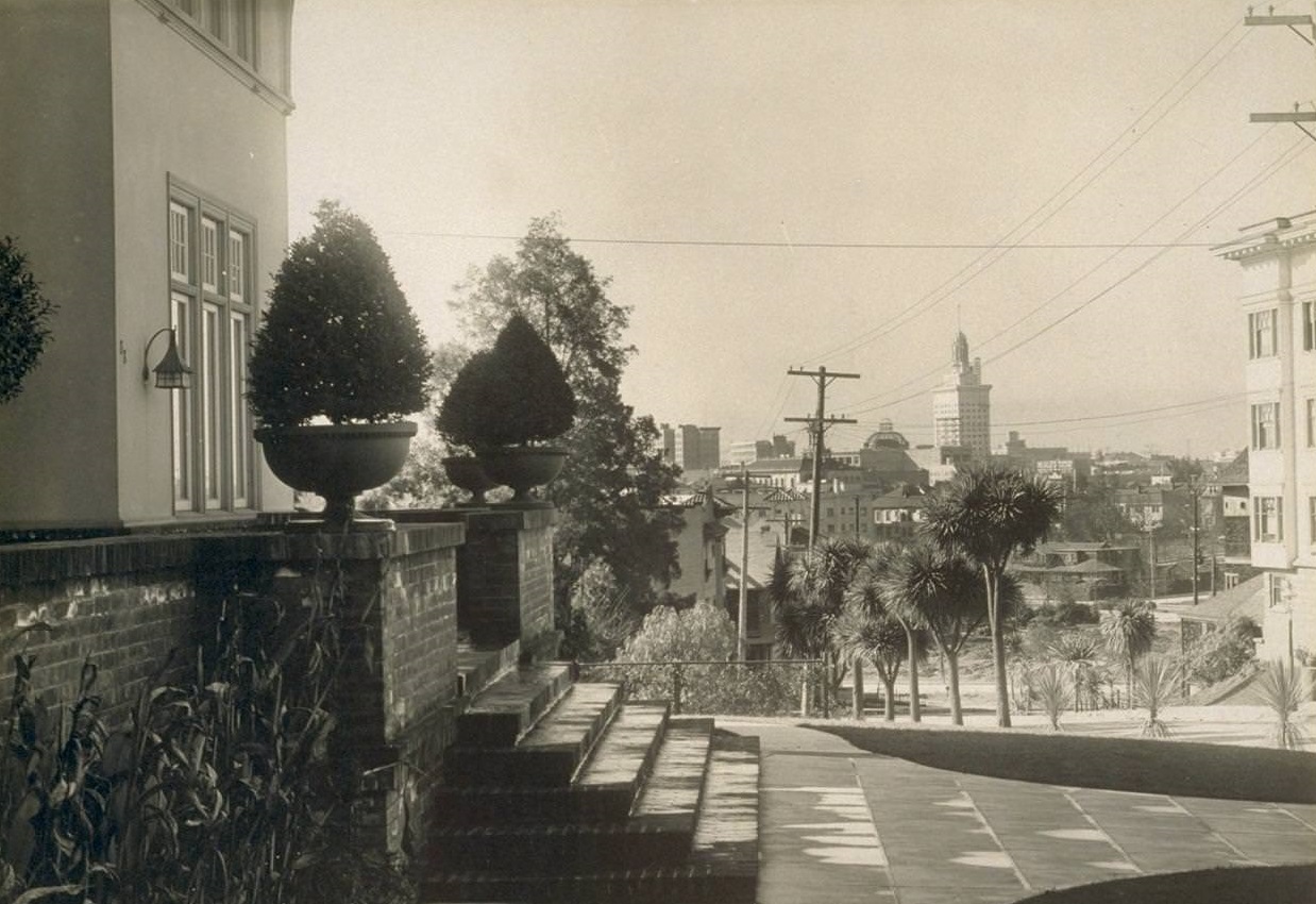
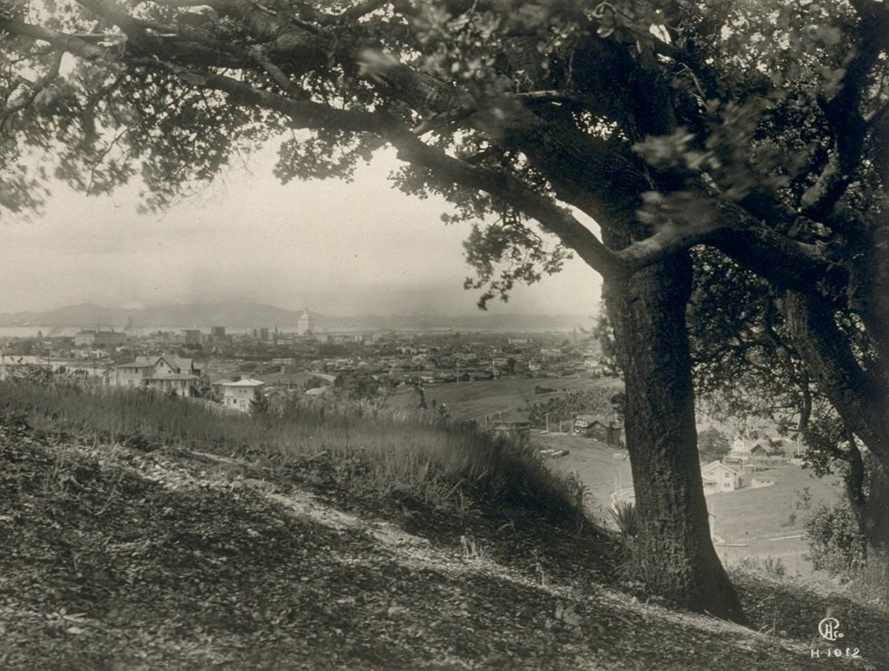
Oakland’s civic pride was on full display in its new City Hall, a striking building that rose prominently above the surrounding streets. Views looking up the hill from City Hall showed how the urban landscape climbed away from the downtown core toward residential neighborhoods.
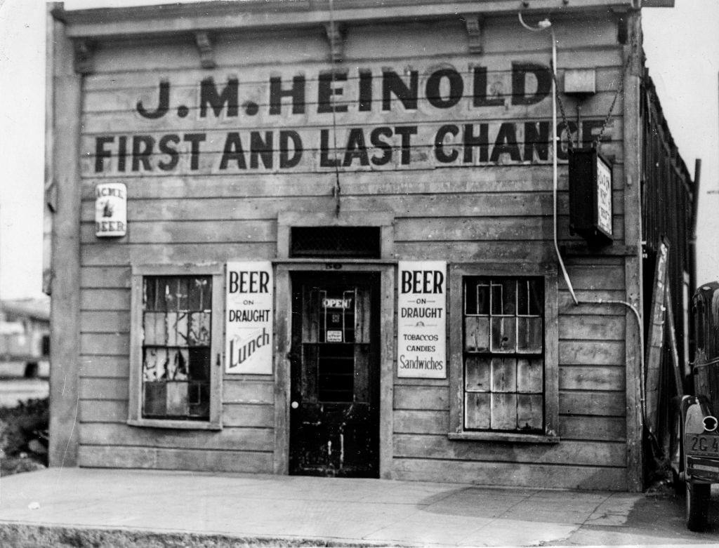
Heinold’s First and Last Chance Saloon, one of Oakland’s most storied establishments, was still standing in 1936. The small waterfront bar had been a fixture since the 1880s and had famously served as a hangout for author Jack London in his youth.
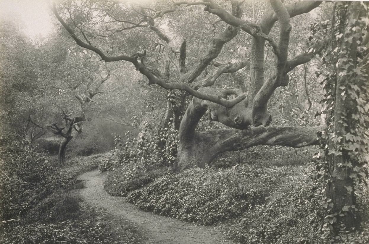
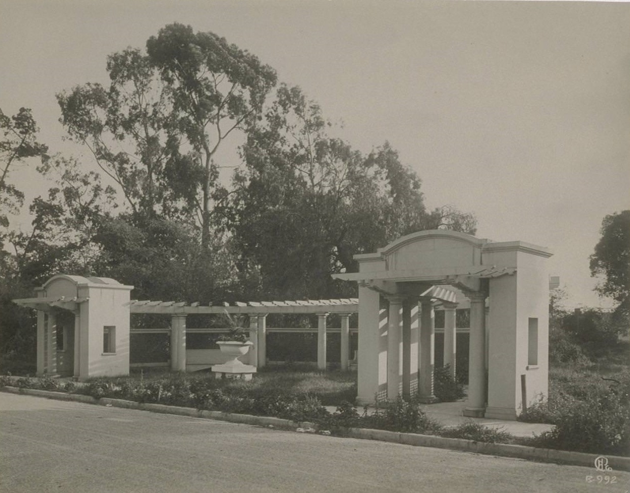
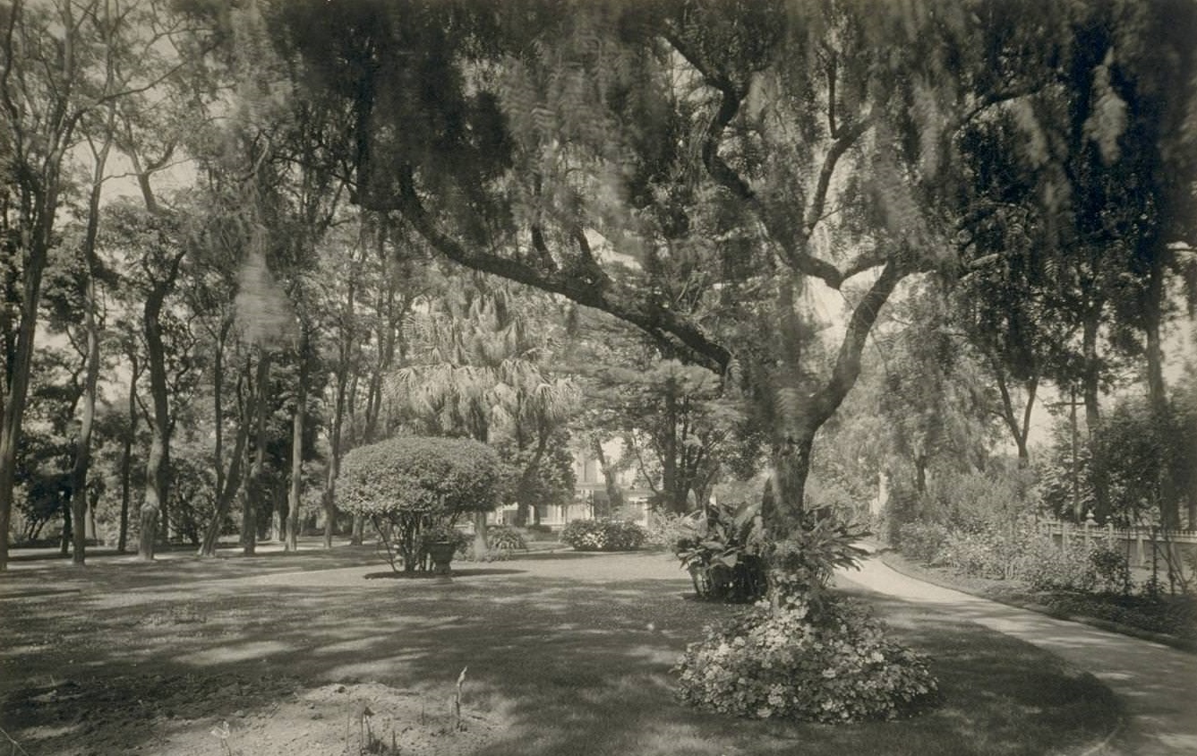
Oakland’s parks gave residents a break from the pace of city life. Mosswood Park offered shaded walkways under mature oak trees, as well as a pergola that served as a gathering point for the community.
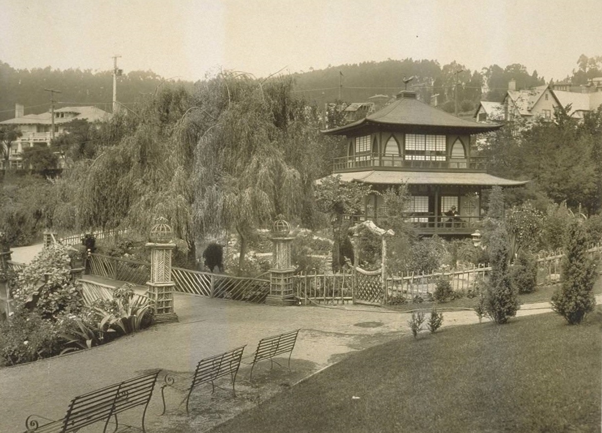
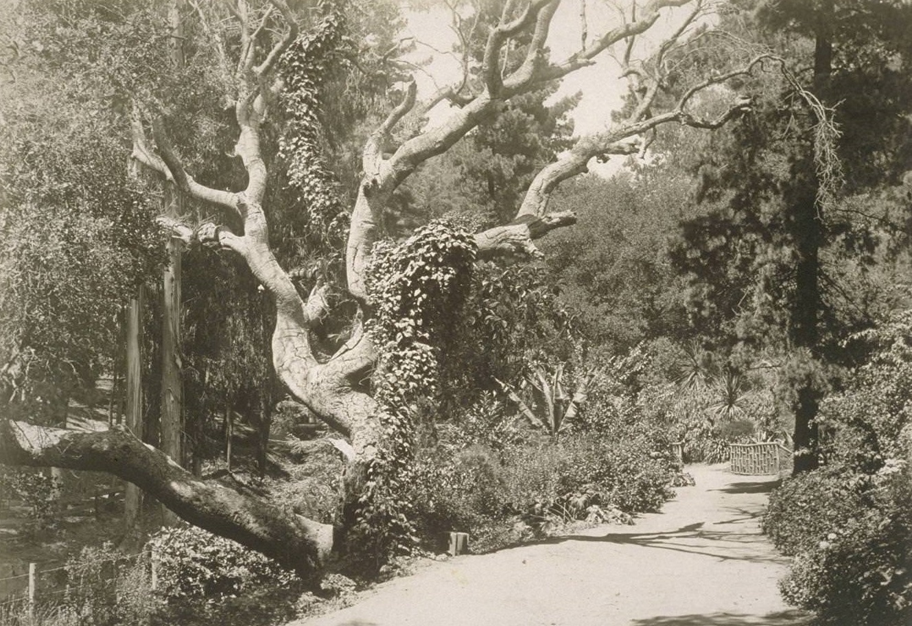
Piedmont Park was another popular destination, featuring open green spaces and even an art gallery that brought culture to the East Bay community.
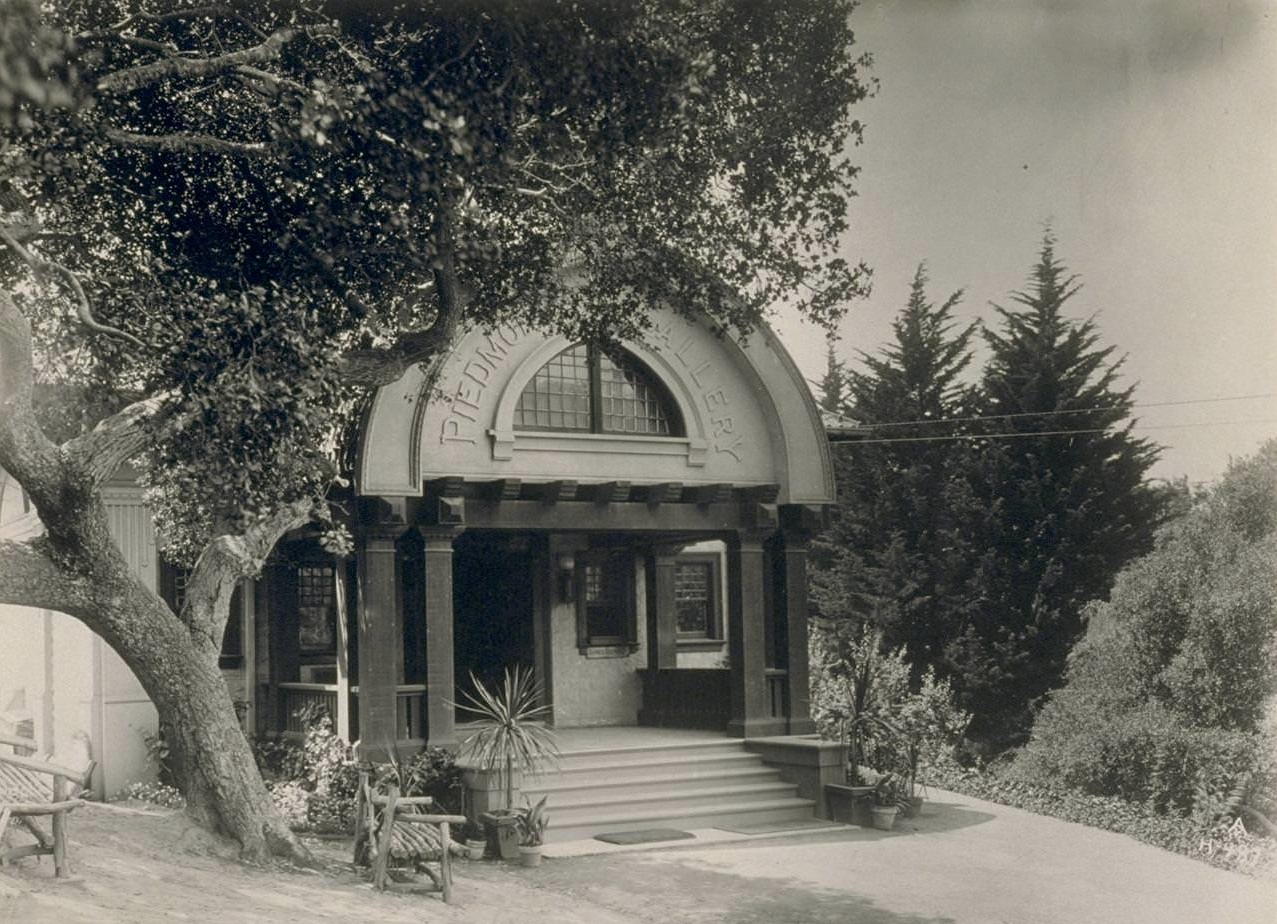
Poet and writer Joaquin Miller made his home in the Oakland hills, at a property known as The Hights. Miller had landscaped the grounds himself, planting thousands of trees on the hillside before his death in 1913. By the 1930s, the estate had become a public park.
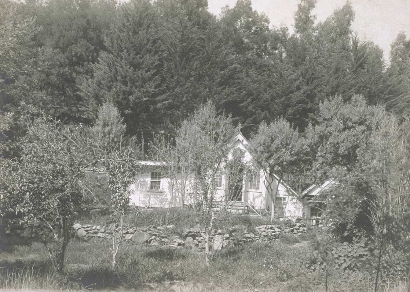
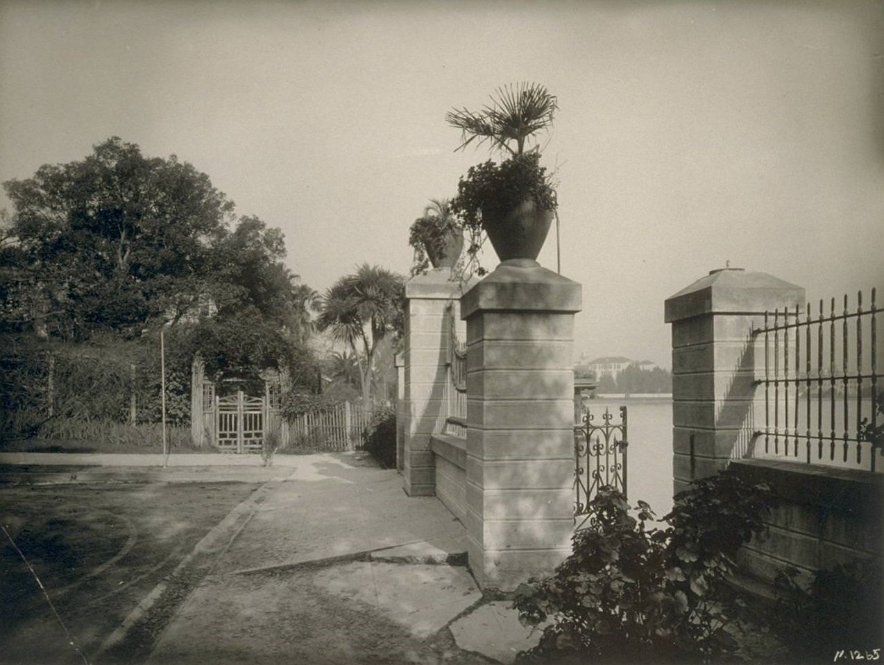
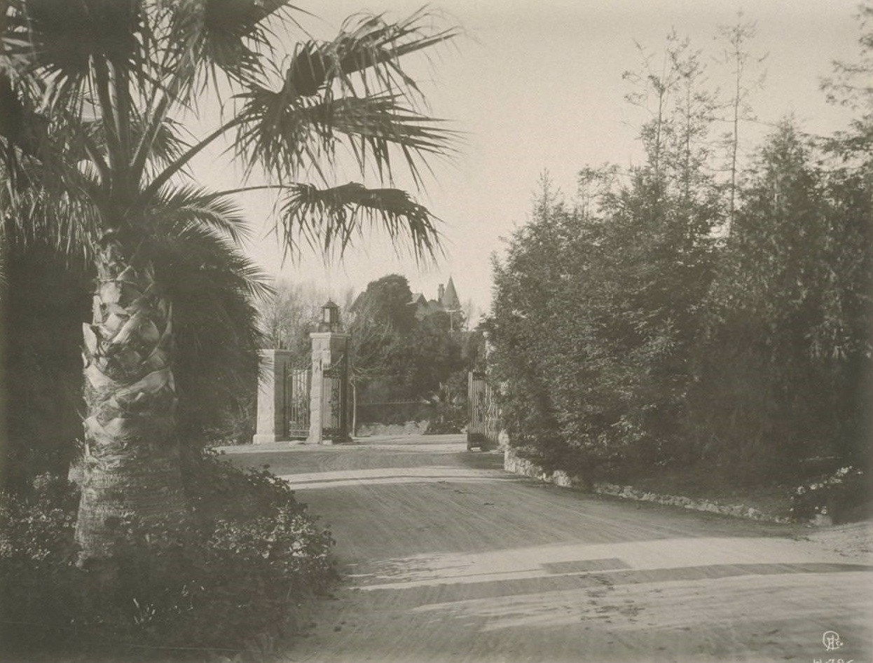
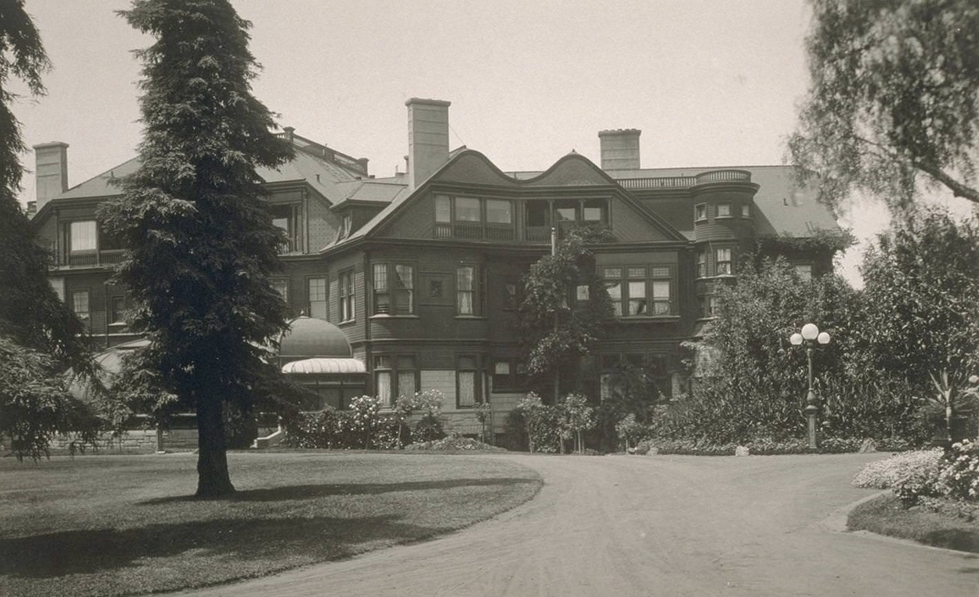
F. M. Smith, the borax magnate who had once been one of Oakland’s wealthiest residents, left behind an elaborate estate. Both the entrance and the side view of his home were photographed during the 1930s, offering a glimpse of the grandeur that defined upper-class Oakland life in an earlier era.
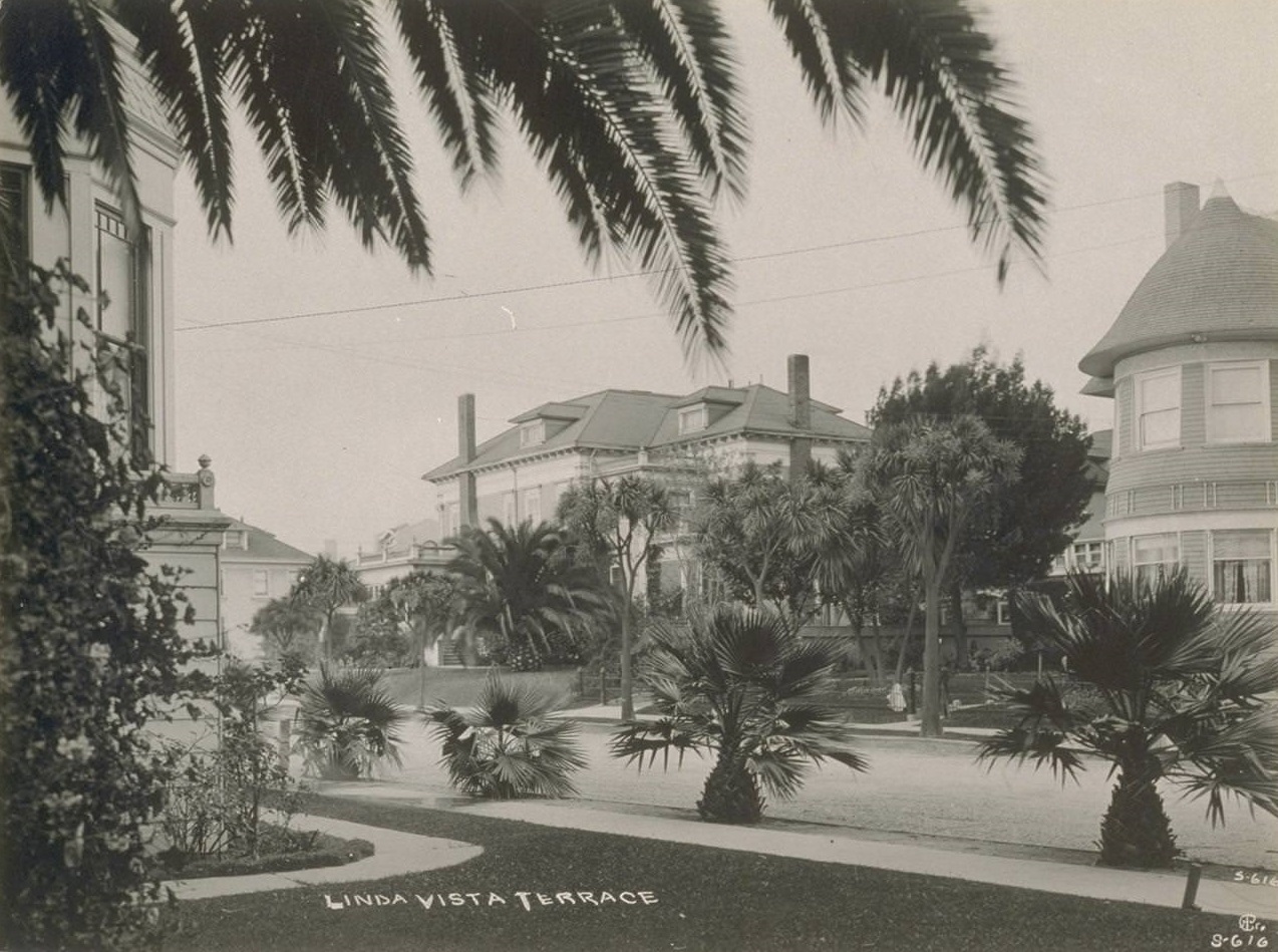
Residential neighborhoods spread out across the city and into the surrounding communities. Linda Vista Terrace was one such development, with well-kept homes and tree-lined streets typical of 1930s suburban Oakland.
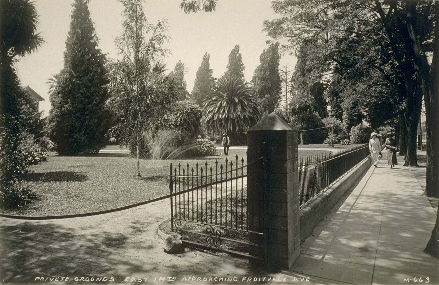
East 14th Street approaching Fruitvale Avenue showed the mix of private grounds and commercial activity that defined Oakland’s eastern neighborhoods during this period.
Nearby Alameda Beach drew swimmers and sunbathers, while the community of Hayward, just southeast of Oakland, was home to its own distinct population.
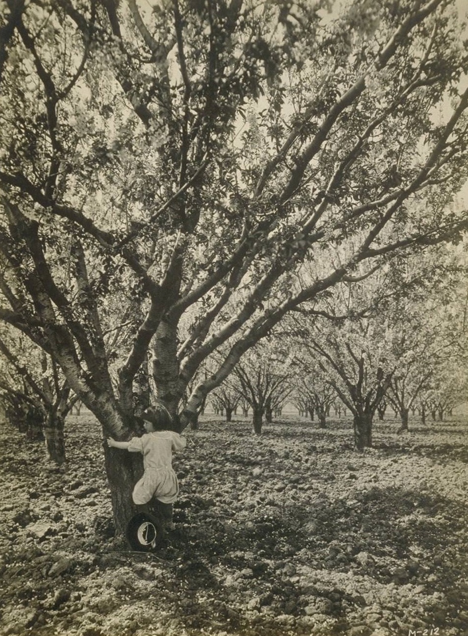
Oakland’s gardens, street scenes, and quiet corners rounded out the picture of a city that was simultaneously industrial, civic, and deeply residential.





This is depressing. There is no reason to think it is the same city.
What makes it so depressing?
For instance, look at the mosswood park photo. It looks like a beautiful park with a beautiful pergola. Currently, Mosswood is just a homeless camp surrounded by trash. Although people are occasionally shuffled around, and some areas are cleaned up,
I also felt sad while looking at these photos. People today have it better in many ways than they did back then. Oakland is no longer the same as it used to be, and it looks kind of decrepit in some places where it used to be beautiful.
I guess things change, but Oakland still has some great parks.
The city looked well-kept, and the public spaces were well-kept as well. Comparatively to what it has become, it looked like such a beautiful place.
Where was Piedmont Park? In Oakland or Piedmont. According to my memory, the Smith property was where Oakland High now stands.
I’m sitting with a friend that’s 95 years old. She said that when you went to the ladies room and sat down, there was a man’s voice recording that would say, “Hey! Be careful! I’m working down here!”
This was at the first and last chance saloon. We’re having a fun time going through the pictures. She said that when you would come out of the ladies room that everyone would laugh at you.
Thank you for posting these pictures. She lived in Oakland during the 1930s and 40s.