The idea of flying over Mount Everest sounds bold even today. In 1918, it was almost unthinkable. That year, Scottish chemist, mountaineer, and physiologist Alexander Kellas put the idea in writing. In his journal, “The Possibility of Aerial Reconnaissance in the Himalayas,” he argued that with the right equipment and careful planning, aircraft could not only survive at extreme altitudes above 29,000 feet, but also capture useful reconnaissance photographs. Kellas was already well known for his groundbreaking research into how the human body responds to thin air at high altitude. His case was serious and scientifically grounded, but the technology of 1918 simply wasn’t ready. It would take another 15 years before anyone could act on it.
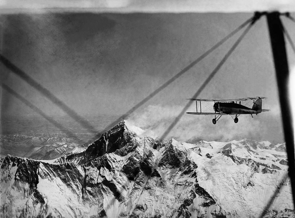
By the early 1930s, aviation had advanced enough to make Kellas’s vision worth pursuing. The driving force behind funding the expedition was Lady Houston, a wealthy British philanthropist whose financial backing made the entire operation possible. In November 1932, the planning team selected two modified Westland aircraft for the mission: a Westland PV-3 and a PV-6 prototype. Both were two-seat biplanes with open cockpits, each powered by a Bristol Pegasus S3 engine. The modifications made to both aircraft were extensive and focused on survival at extreme altitude, including specialized heating systems and oxygen equipment to keep the crews alive above 30,000 feet.
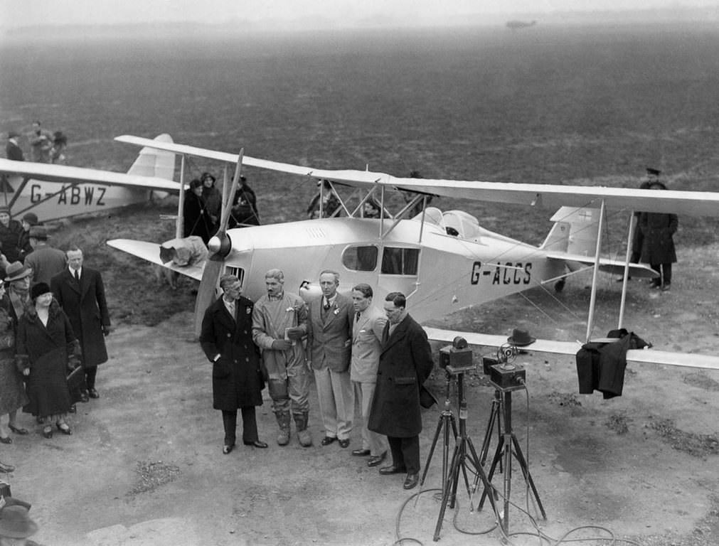
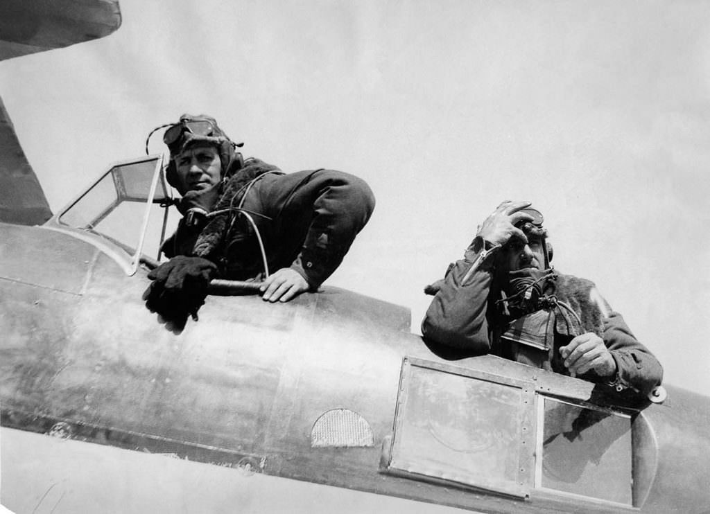
The crew assembled for the mission was experienced and carefully chosen. Lord Clydesdale piloted the PV-3 with Colonel Blacker beside him. Lieutenant MacIntyre flew the PV-6, accompanied by photographer Bonnett. Before a single engine turned over, the planners had to solve serious technical problems. Keeping the airmen warm above 30,000 feet required double-layered, electrically heated flying suits, along with heated gloves and goggles. Oxygen was another challenge. The supply cylinders had to be light enough not to overload the aircraft, so Vickers Armstrong produced lightweight canisters made from a new alloy steel. Each airman’s oxygen was regulated by a small valve, and that valve was vulnerable — a tiny particle of ice or even a small insect could block it entirely at altitude, with fatal results.
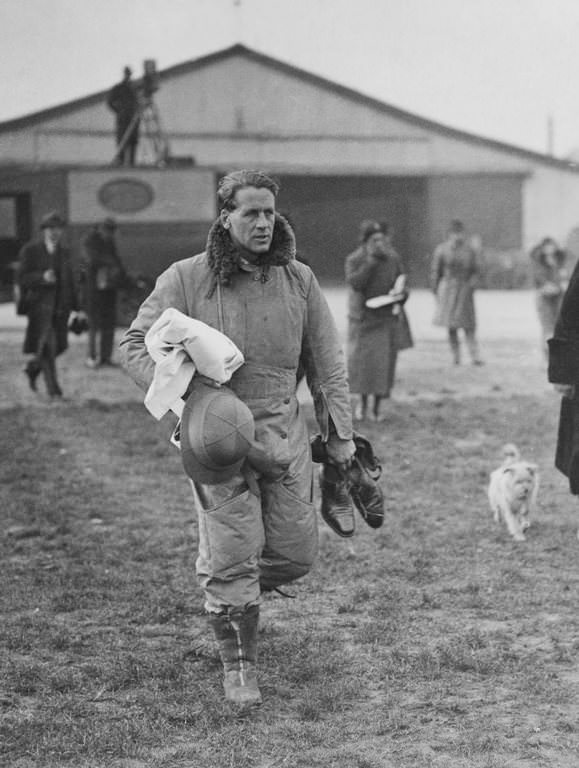
Camera equipment added further weight to an already loaded cargo hold. The movie and still cameras brought along to document the flight were heavy, with each film spool alone weighing five pounds. Every pound mattered on an aircraft operating at the edge of its performance ceiling. The expedition departed England and staged through India, launching their Everest attempt from the airport at Purnea. The logistical chain stretched from London to the foothills of the Himalayas, and a great deal of ceremony accompanied the final preparations. Even a bag of “Everest mail” — letters to be carried over the summit — was handed to the crew before departure.
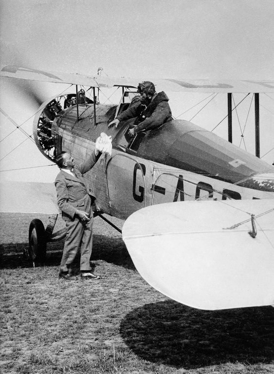
The first flight attempt ran into immediate trouble. Shortly after takeoff from Purnea, both aircraft encountered a heavy dust haze that climbed to a remarkable height, obscuring the ground and the lower mountain ranges entirely. Pushing through, the crews climbed to 30,000 feet, battling fierce headwinds as Everest came into view for the first time from the air. They made it over the summit — a genuine historic milestone — but the dust that had plagued them from the start ruined the photographs. The images were too hazy to be of scientific or reconnaissance value. The mission had succeeded in the air, but the photographic record it was meant to produce was a failure.
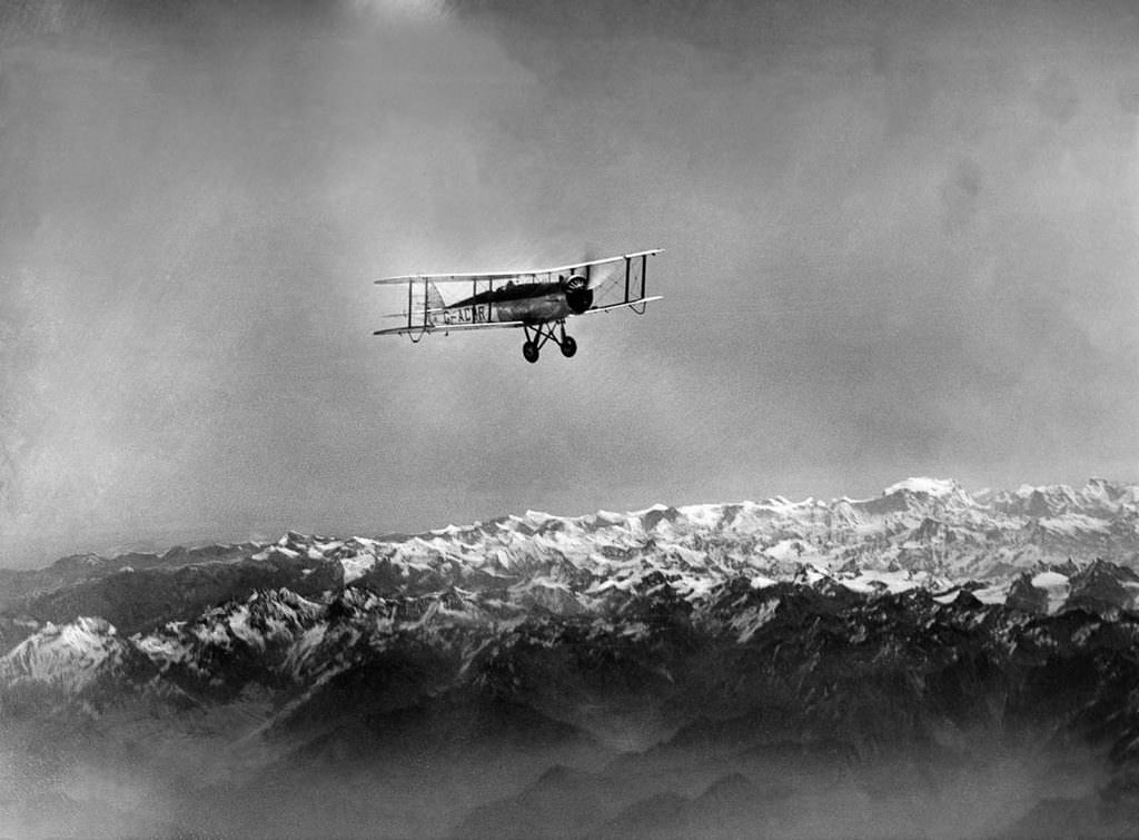
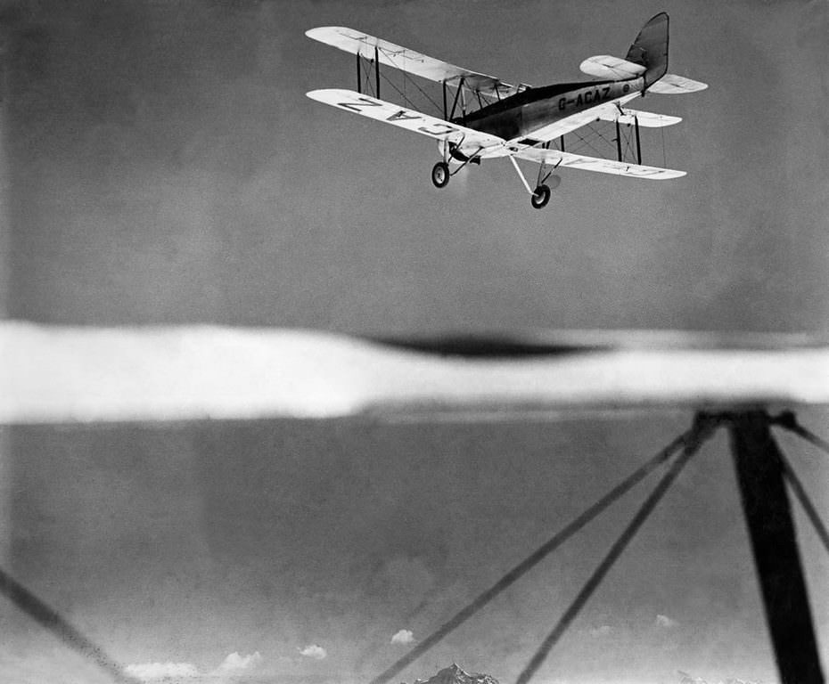
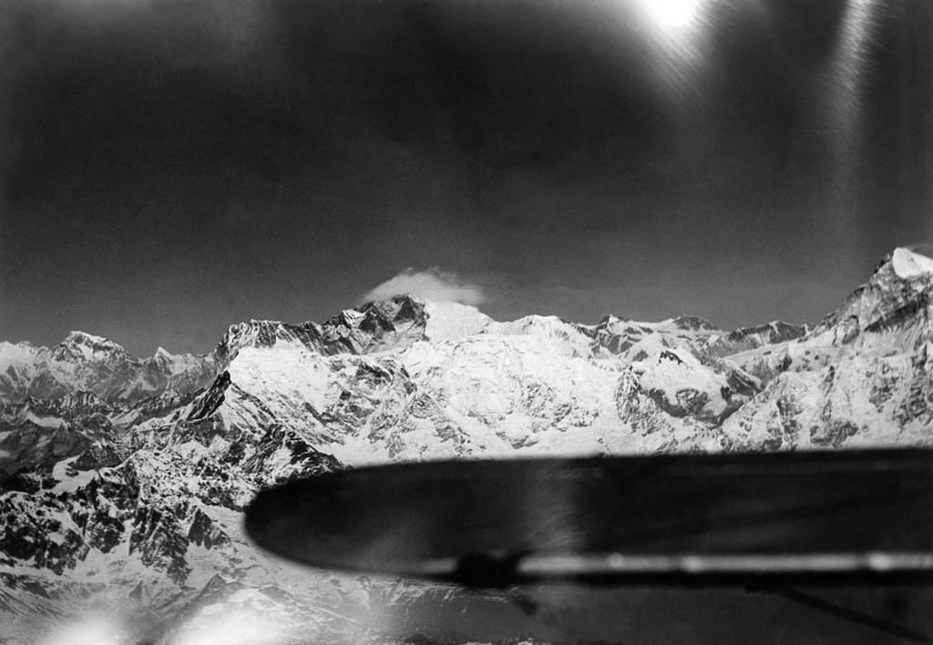
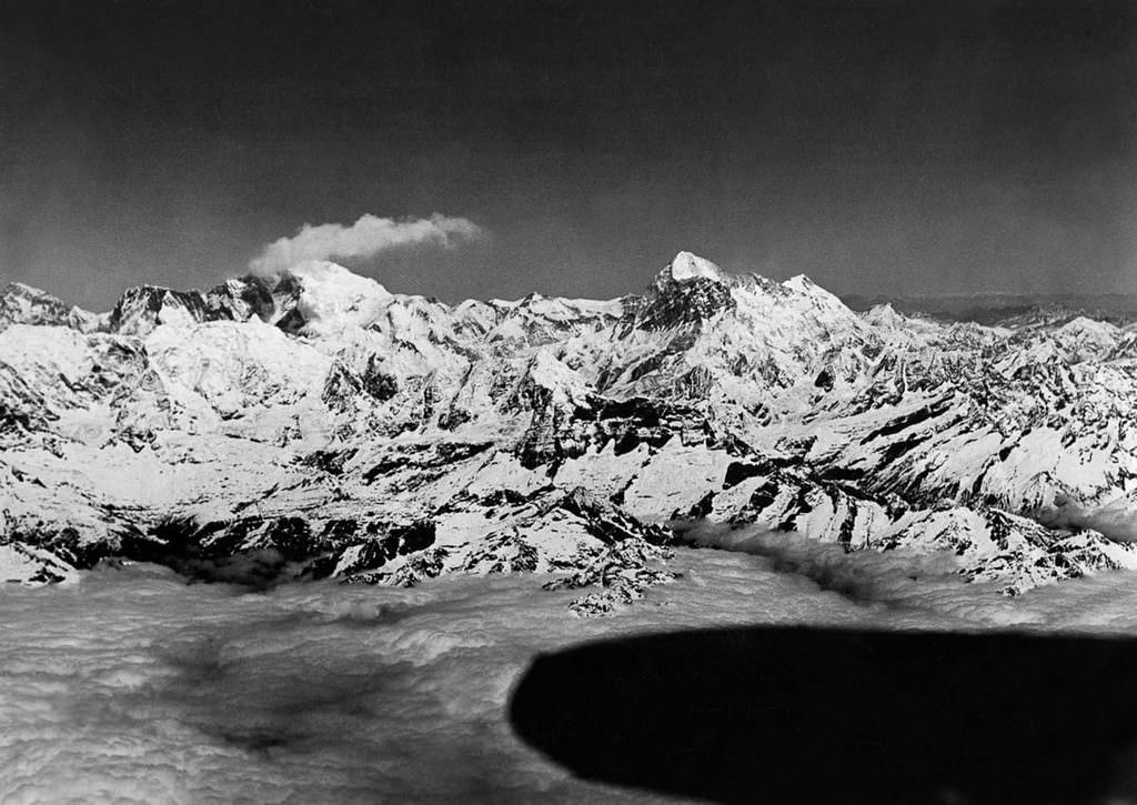
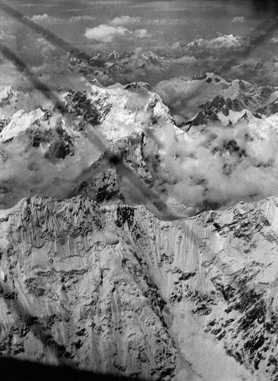
A second attempt was made on April 19, 1933. This time, conditions cooperated. The cameras captured sharp, detailed photographs of Everest’s summit, ridgelines, and surrounding peaks — images that had never existed before. These photographs were not merely historic keepsakes. They were working documents. When Edmund Hillary and Tenzing Norgay prepared to climb Everest in 1953, they studied the 1933 aerial photographs closely. The images helped them understand the mountain’s structure from above, including features that ground-level surveys could not reveal. The photographs were made public in 1951, two years before Hillary and Norgay’s successful ascent.
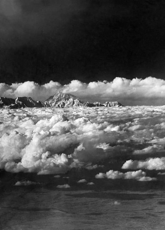
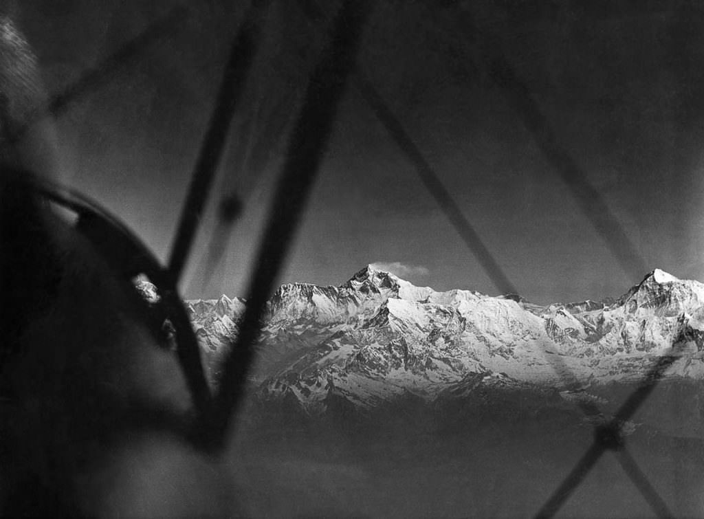
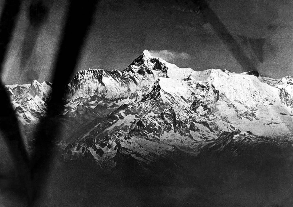
The photographs taken during both flights showed Everest in a way no human had ever seen it. From 32,000 feet, the summit looked different — smaller in some ways, more exposed in others. The great plume of snow blowing off the top of the peak, the glaciers cutting through the massif below, and the sharp ridges leading to neighboring giants like Makalu and Kangchenjunga all appeared in stunning clarity. These weren’t just beautiful images. They were the first accurate aerial record of the highest terrain on Earth.
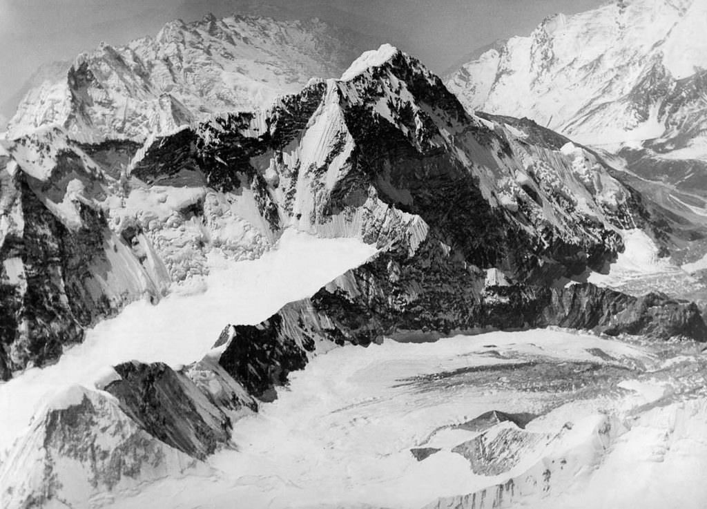
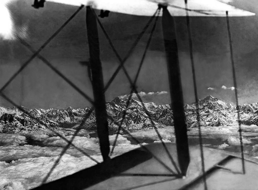
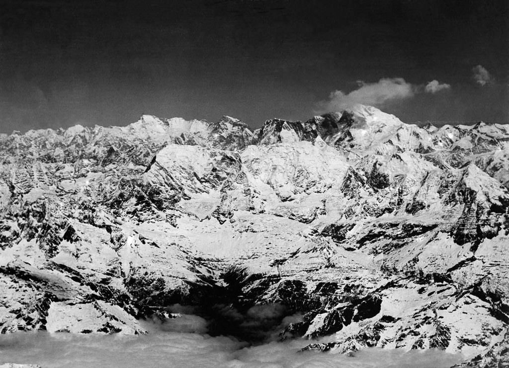
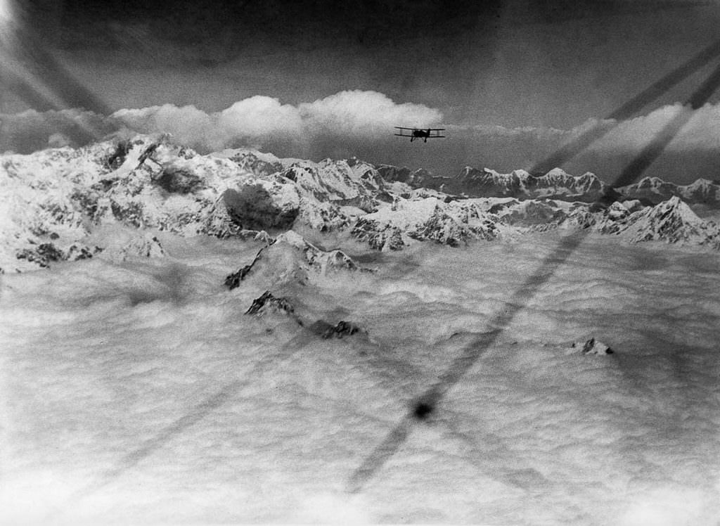
The terrain the expedition photographed was vast. Beyond Everest itself, the crews documented glaciers, the surrounding massif, and the approaches to other massive peaks in the Himalayan range. Kangchenjunga, the third-highest mountain in the world, was also captured from the air during the flight. These were regions that had rarely, if ever, been seen by human eyes at this angle, and the sheer scale of what the cameras recorded was staggering.
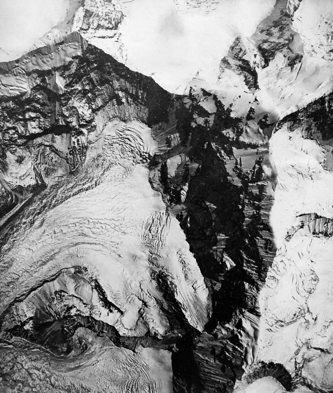
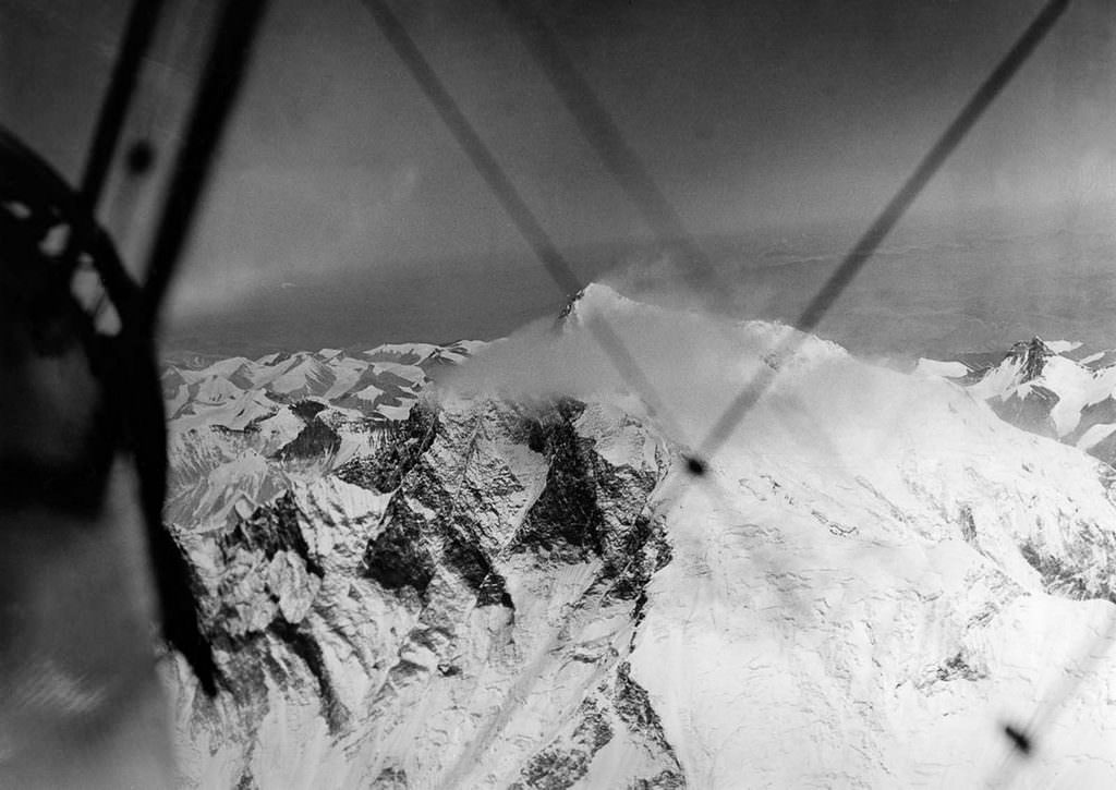
When the expedition returned, the men were treated as heroes. Lord Clydesdale received the Air Force Cross for his role as lead pilot. Photographer Bonnett’s film footage was edited into a documentary titled “Wings Over Everest,” which won the Academy Award for Best Short Subject (Documentary) in 1934. The footage gave audiences around the world their first look at Earth’s highest point from above — a view that had been locked away behind altitude, distance, and the limits of technology for all of human history until that April morning in 1933.