Hey There! Before You Go. 😧
Get the best vintage content straight into your inbox!

Don't worry, we don't spam

Smoggy Los Angeles: Historical Photos What L.A. looked like before the U.S. regulated Pollution

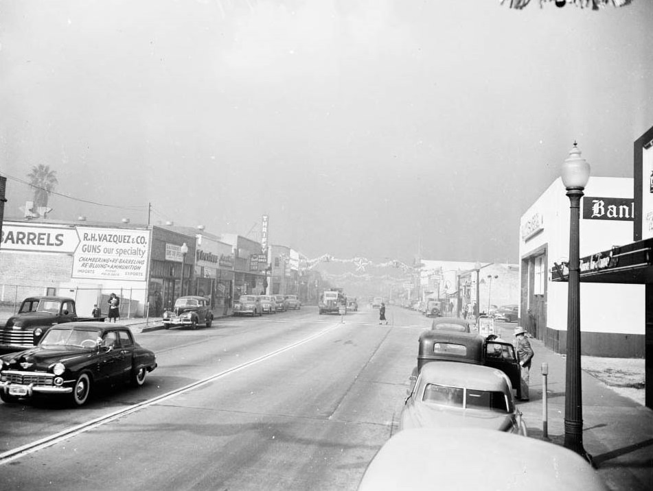
On a July morning in 1943, Los Angeles residents stepped outside to find the air thick with a biting, yellowish haze. Eyes burned. Noses ran. Visibility dropped to just three city blocks. Many people assumed the worst — that Japanese forces had launched a chemical attack on the city. They had not. The culprit was smog, and it was entirely homegrown.
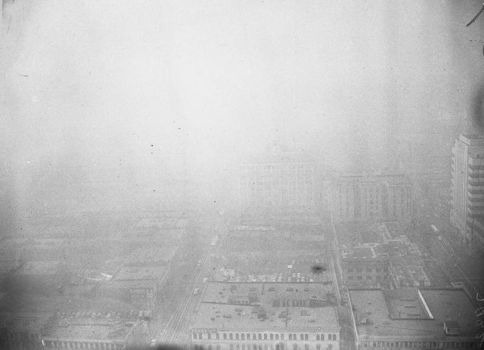
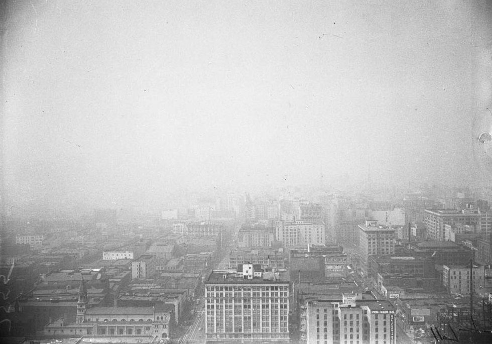
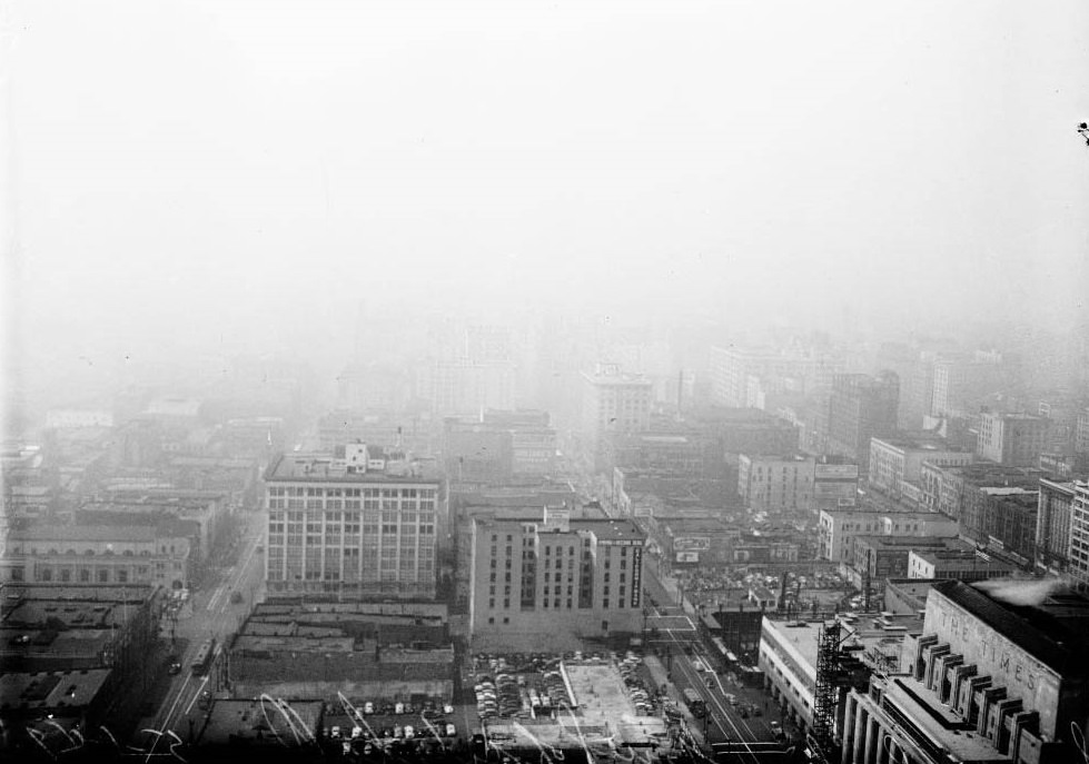
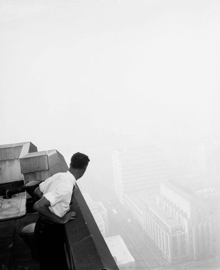
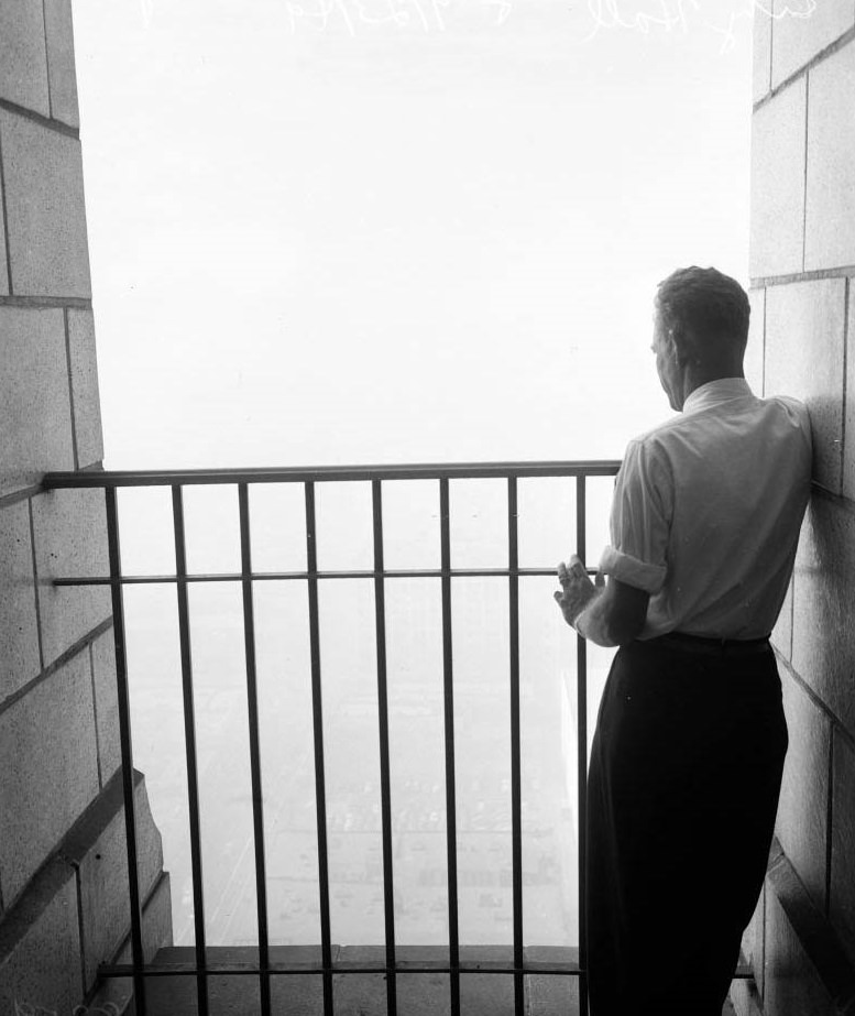
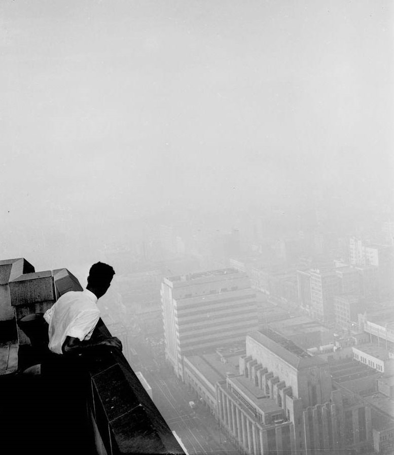
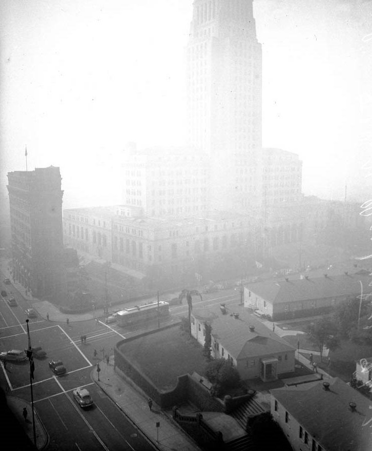
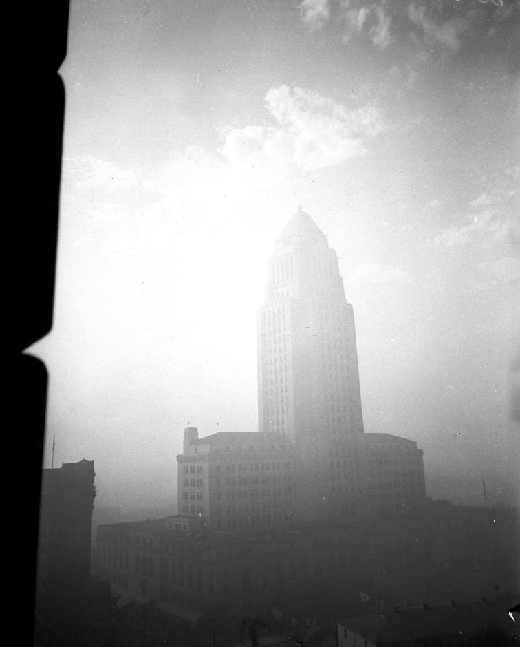
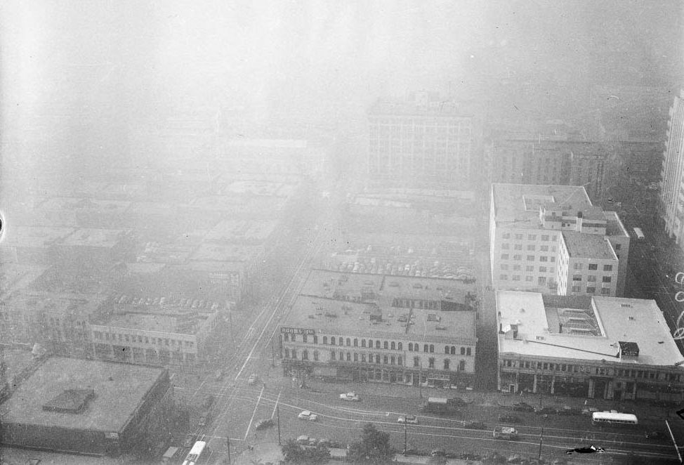
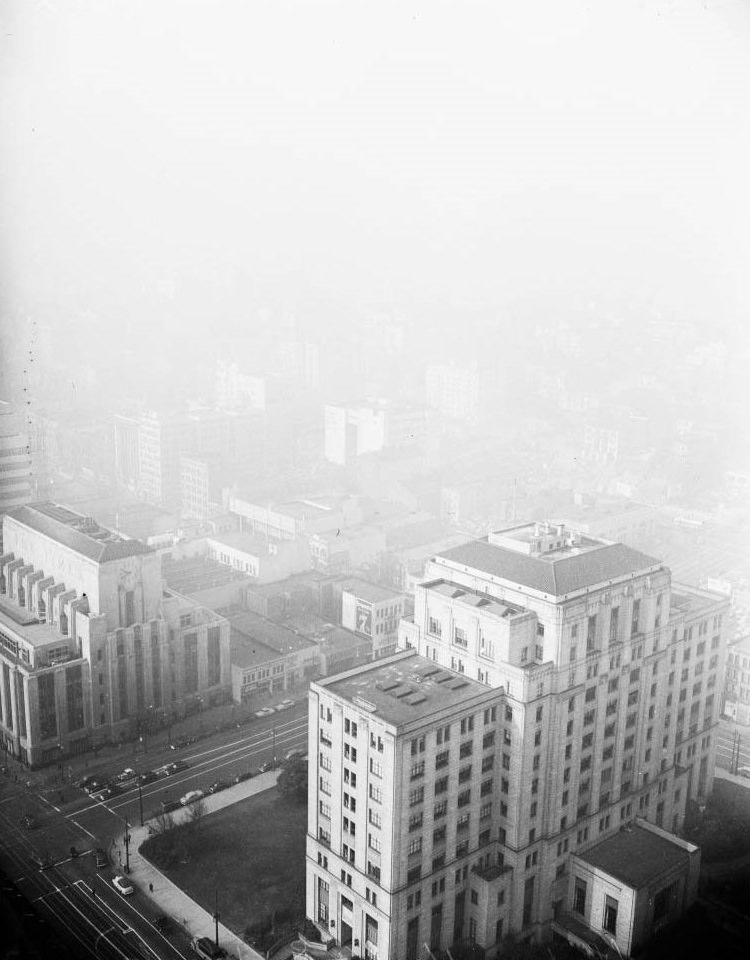
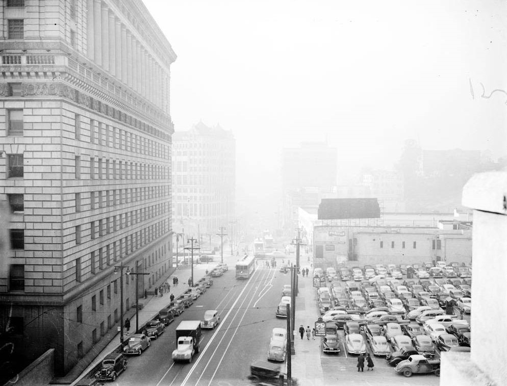
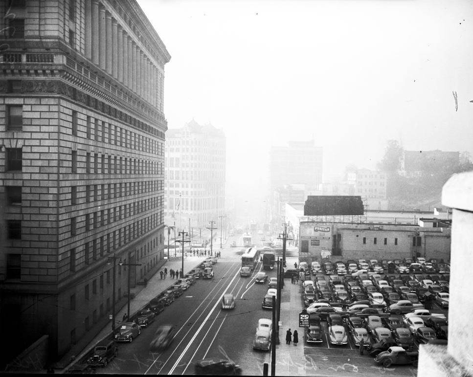
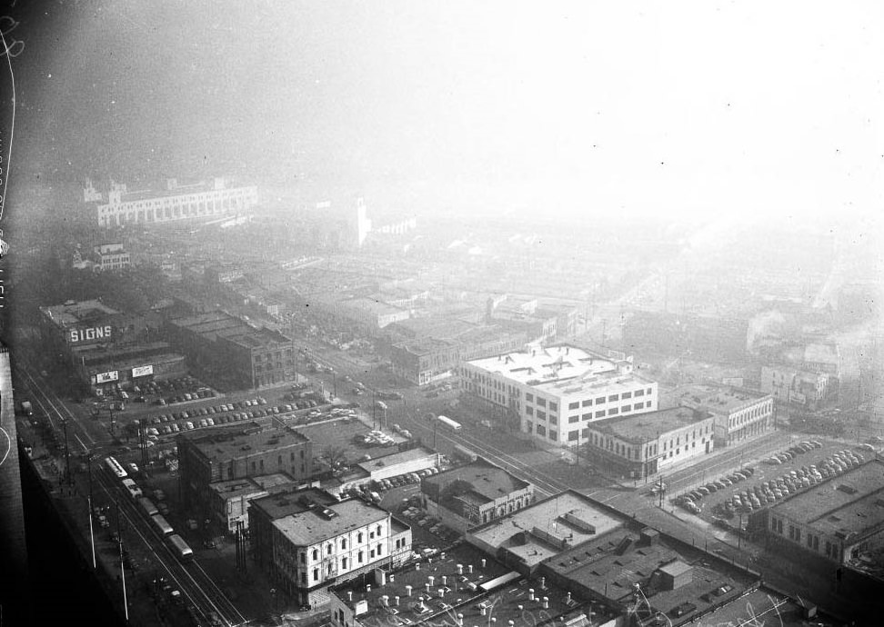
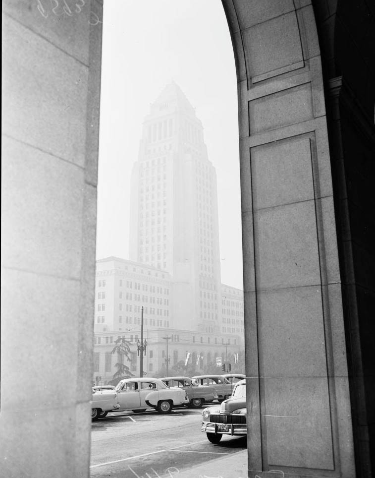
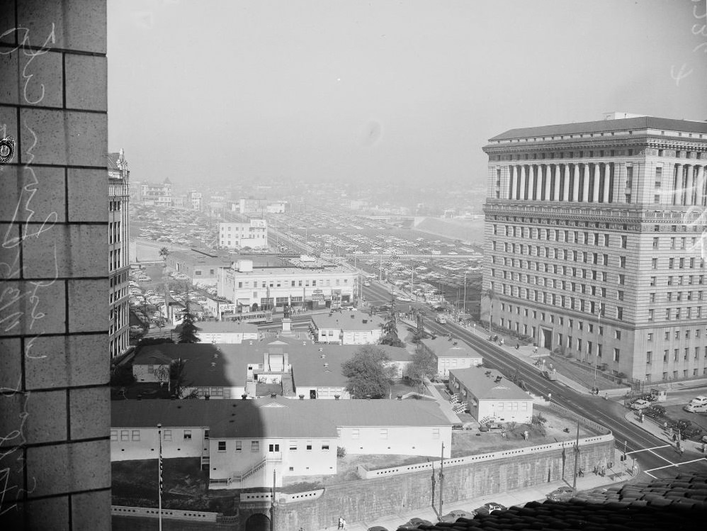
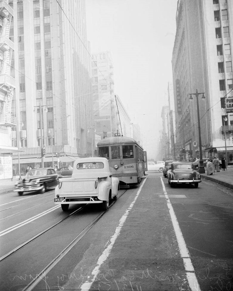
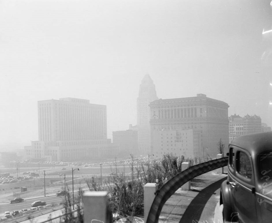
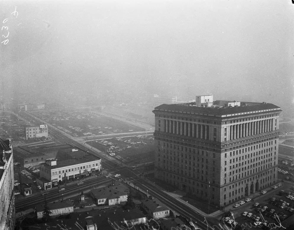
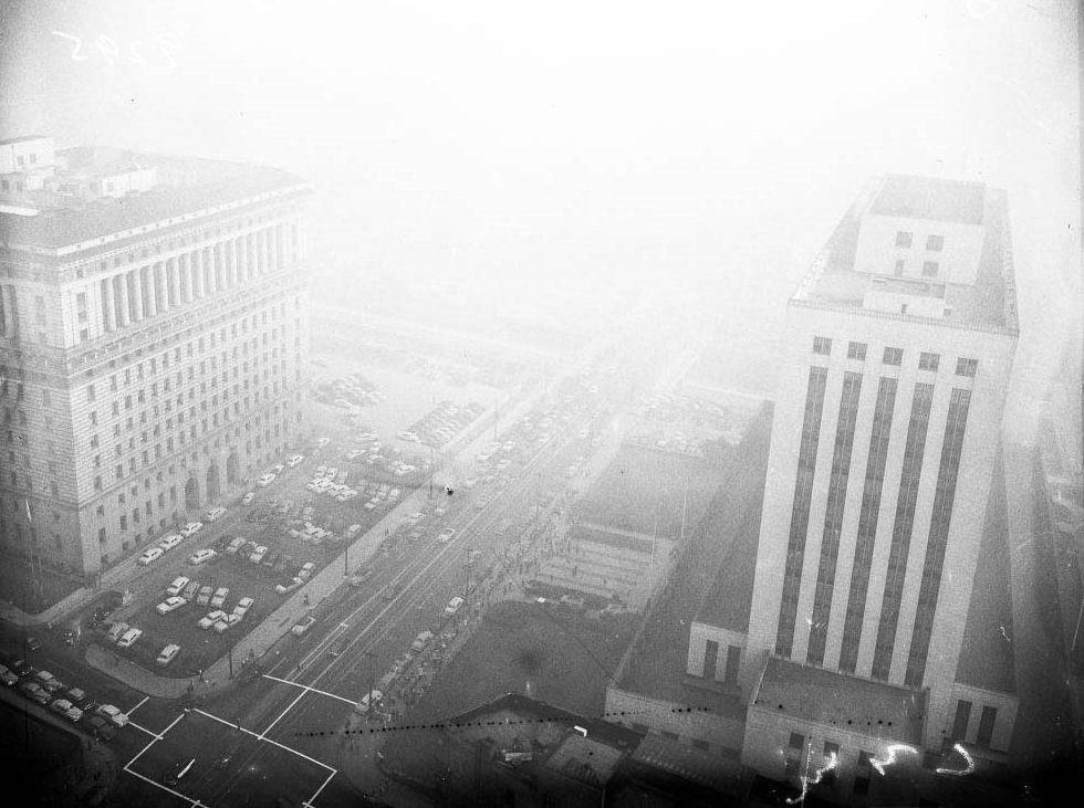
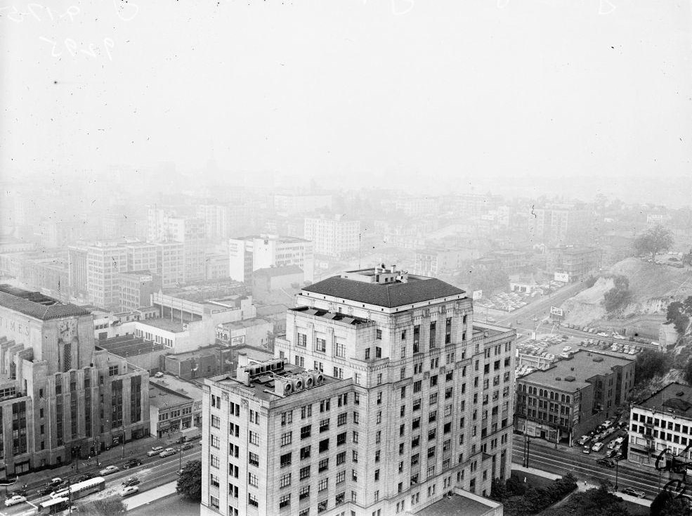
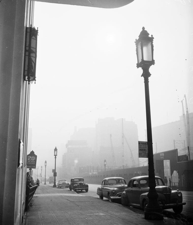
Broadway looking south, City Hall in smog, Hall of Records looking west from City Hall and Views from City Hall tower, 3 September 1948

Los Angeles was unlike any other American city in how completely it had been built around the automobile. Wartime manufacturing brought a flood of new workers and their families into the region throughout the early 1940s. The population surged, and so did car ownership. Between 1940 and 1950, the number of vehicles on L.A. roads doubled from one million to two million. More cars meant more exhaust, and the city’s geography made things far worse.
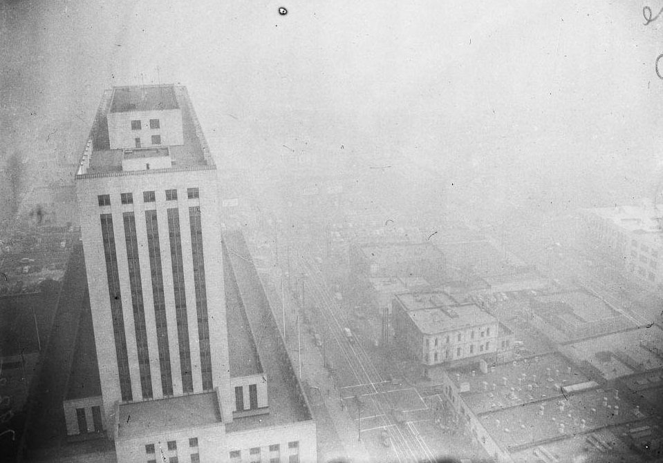
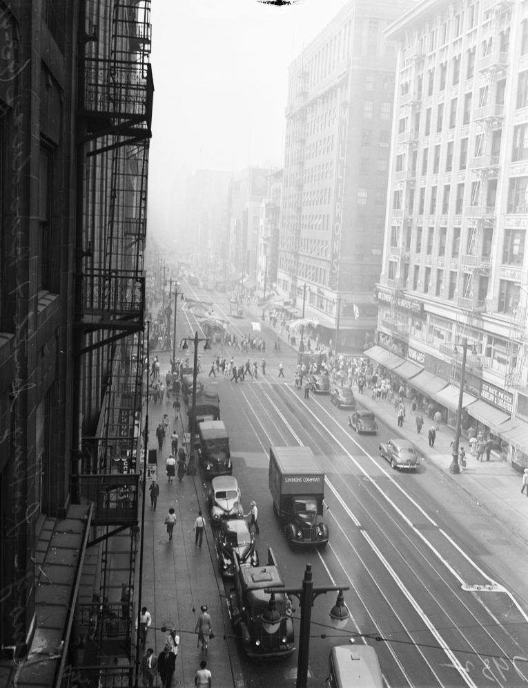
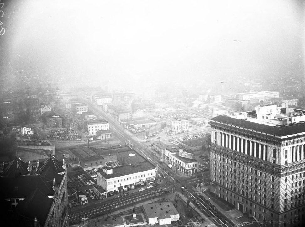
Broadway looking south and Views from City Hall tower, 1948.
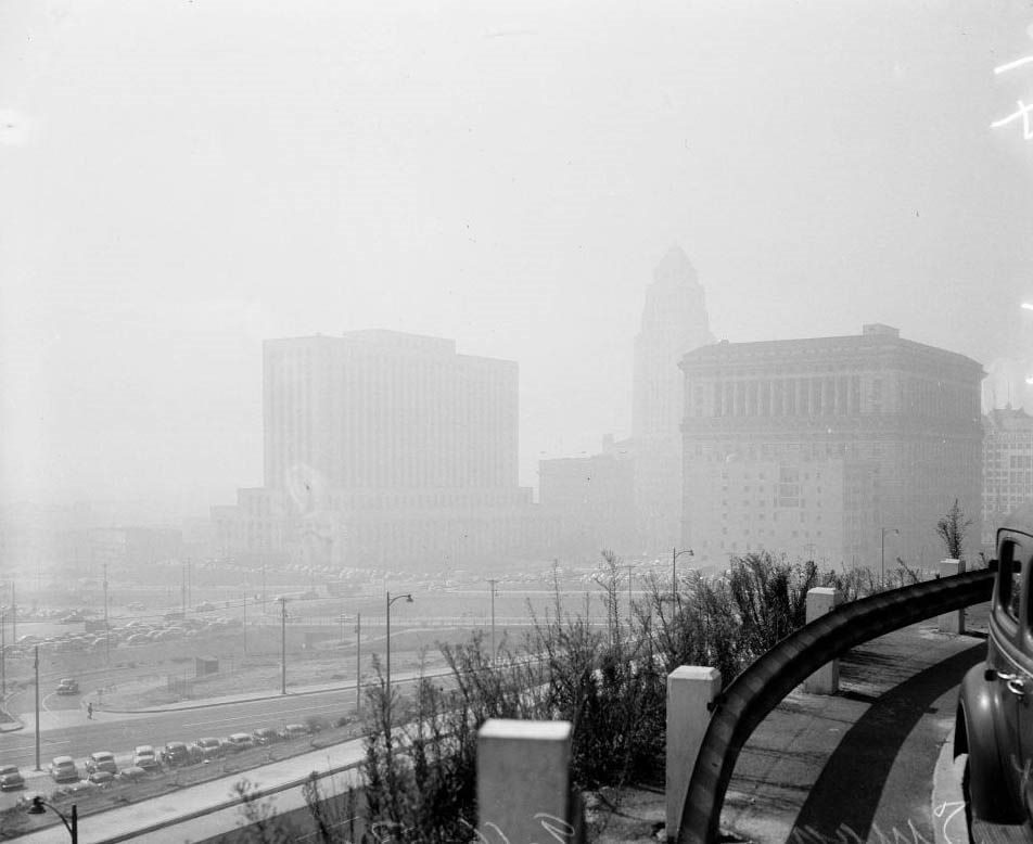
Looking west from City, 1948.

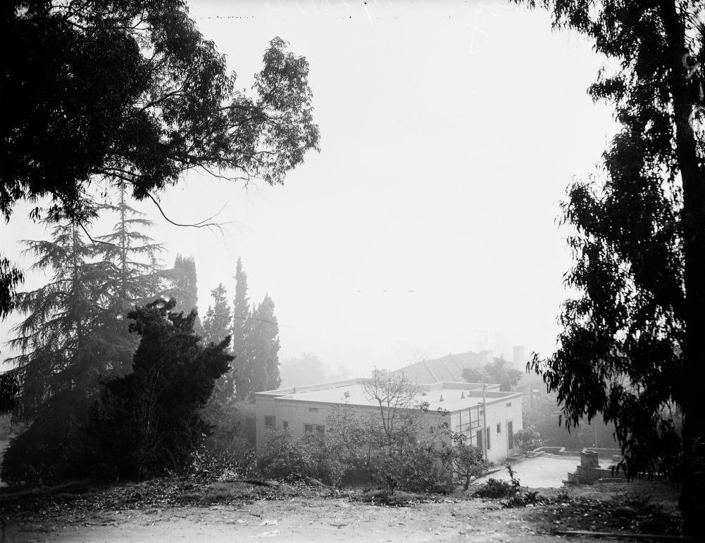
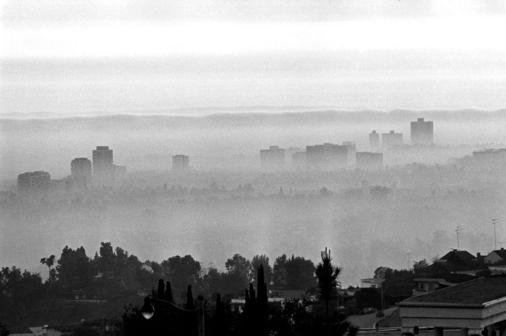
The Los Angeles basin sits in a natural bowl, ringed by mountains on three sides and open to the Pacific on the west. Under normal conditions, warm air rises and carries pollutants upward and away. But L.A. regularly experiences what meteorologists call temperature inversions — a layer of warm air traps cooler, dirtier air close to the ground. Combined with intense California sunlight, those trapped exhaust fumes undergo chemical reactions that produce photochemical smog. The city was, in effect, a natural smog factory.
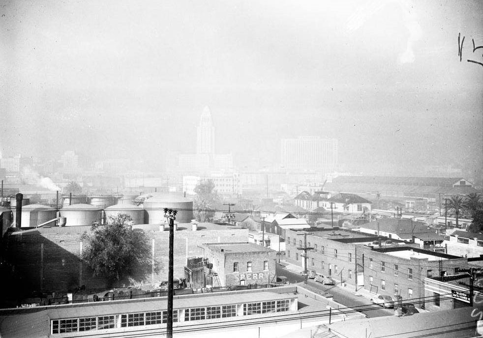
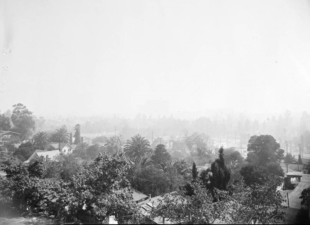
Los Angeles in vicinity of General Hospital, 1948
Smog blanket laying over city, 1948
Los Angeles smog, 1948

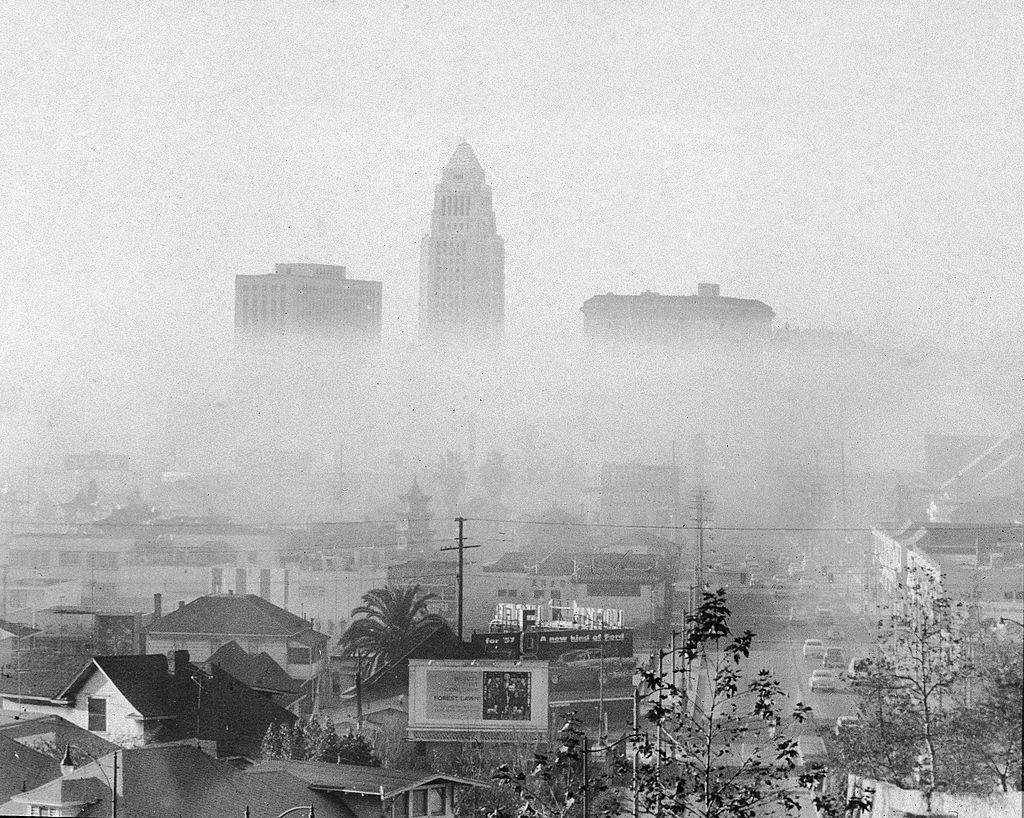
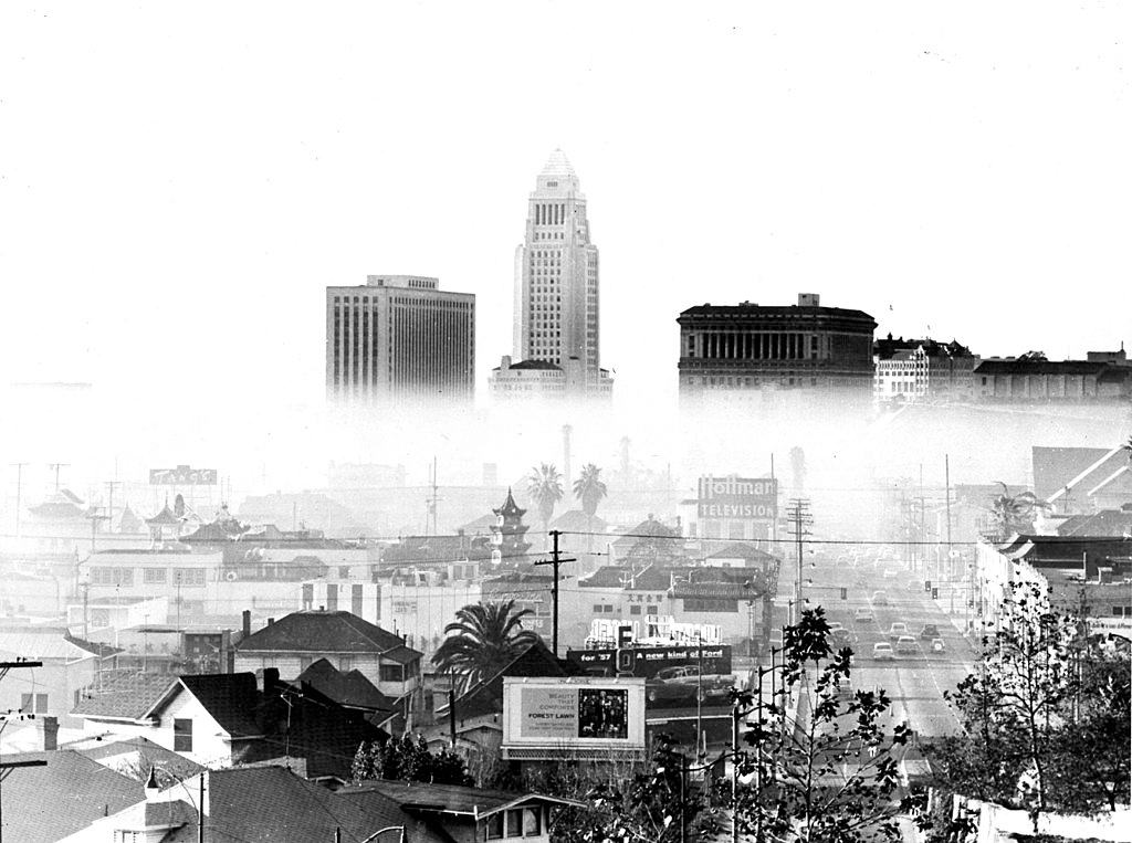
The city’s most iconic neighborhoods offered no escape. By 1948, the haze had settled over Hollywood and downtown alike, turning famous skylines into gray silhouettes. Photographers who climbed to high vantage points — the top of City Hall, the Cecil Hotel roof, the Hollywood Hills — found the same thing in every direction: a brown, suffocating layer swallowing the city whole.
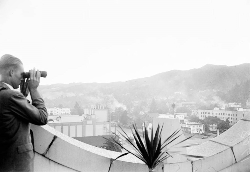
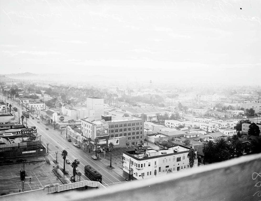
Views looking east from Hollywood Boulevard and Vine Street, 1948
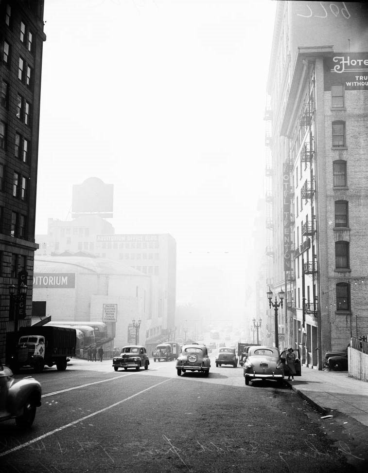
Looking south from Fourth Street and Olive Street, 1948

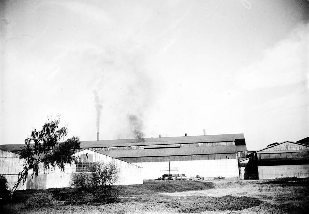
In the early years, no one fully understood what was causing the haze. Officials first pointed fingers at backyard trash fires and chemical plants. Factories and mills across the city were pumping smoke into the air with no restrictions. Lumber yards, steel plants, and manufacturing operations all contributed to the daily accumulation of particulates and gases hanging over the basin.
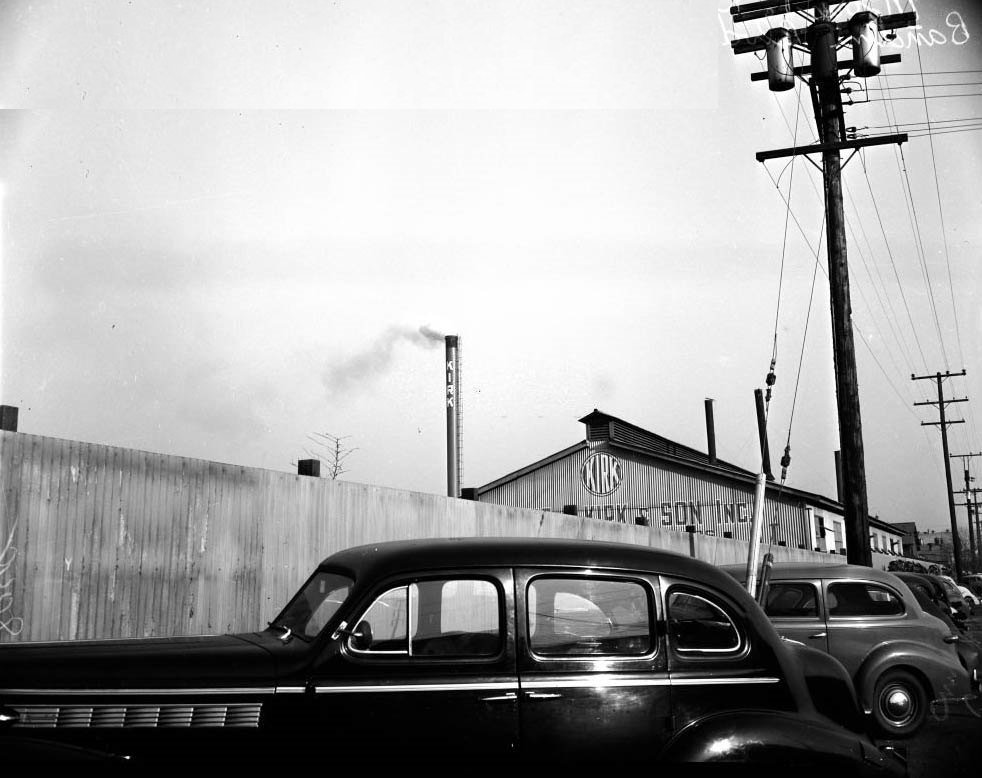
Mission Hosiery Mills, 3764 South Broadway Place, 1952
Hammond Lumber Company stacks at Washington Boulevard and Alameda Street at 3:25 p.m.; Morris P Kirk and Son Inc, 1948
Columbia Steel Company at Torrance, showing smoke coming out of smoke stacks, 1948

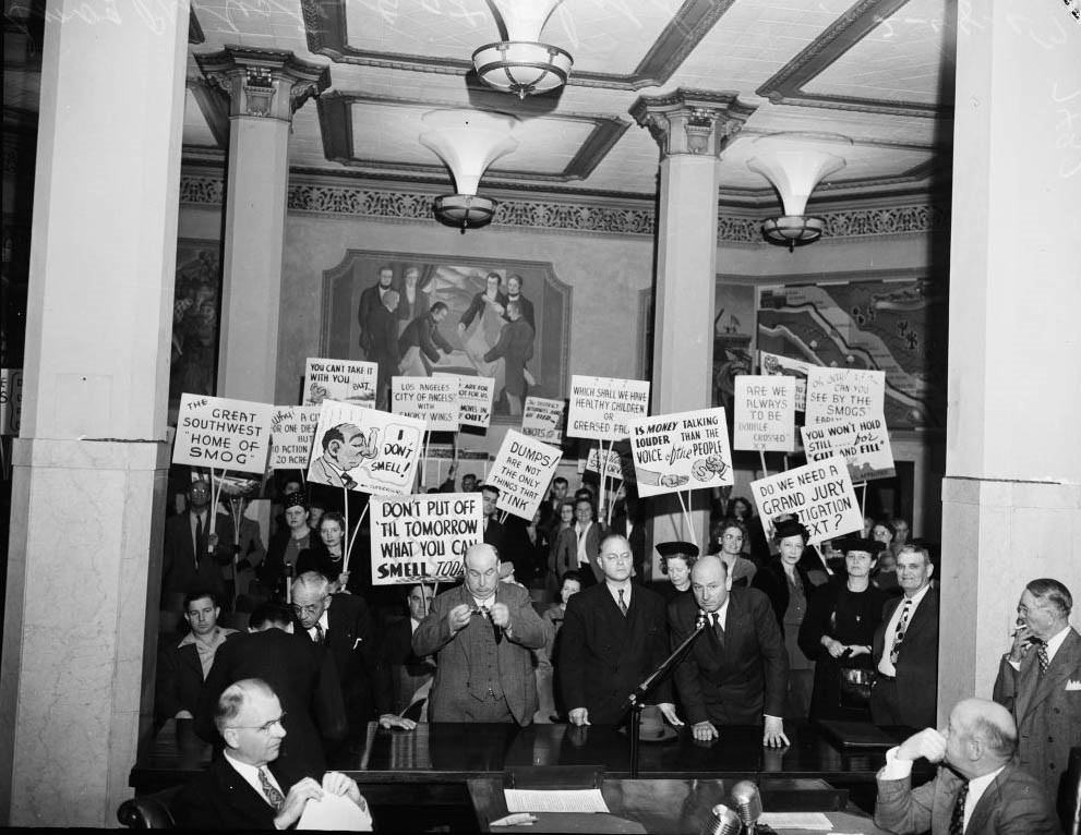
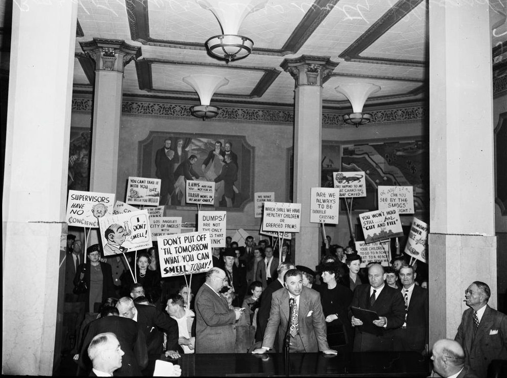
Public anger grew fast. Residents organized, held hearings, and took to the streets demanding answers. Grand jury investigations were launched. Citizens showed up to Board of Supervisors meetings carrying hand-painted signs. The smog had moved from being a nuisance to being a political crisis, and elected officials were under pressure to act.
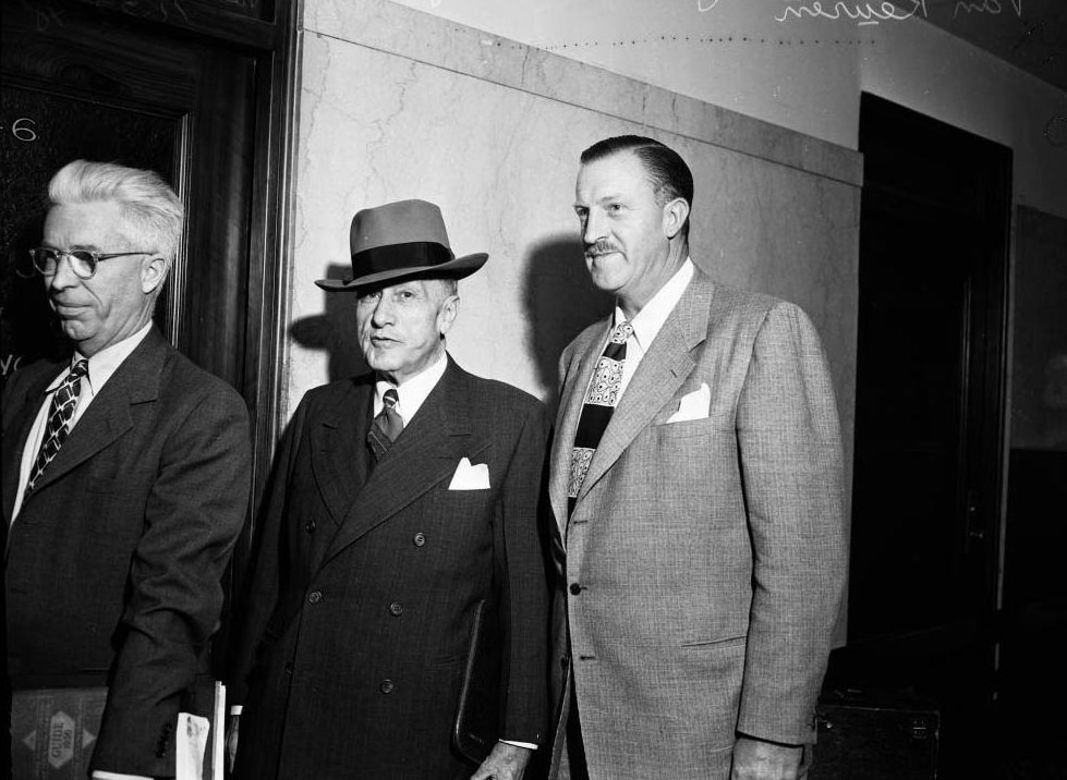
Smog hearing by grand jury, 1948
Protestants at Board of Supervisors with plackards, 1948
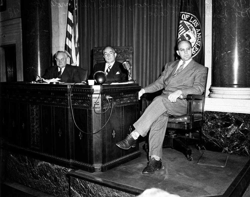
Smoggy Day at City Council, 1948
Protestants at Board of Supervisors with plackards, 1947

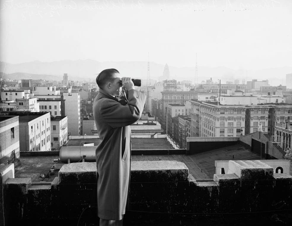
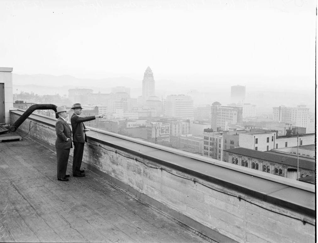
The city created a “smog car” unit and deployed air pollution control inspectors across rooftops to identify violators. Officers like George Ichien and Thomas A. Dobbie Jr. stood atop buildings scanning the skyline, watching for illegal emissions from stacks and chimneys. It was a blunt, early attempt at enforcement in a problem that required a far more systematic solution.
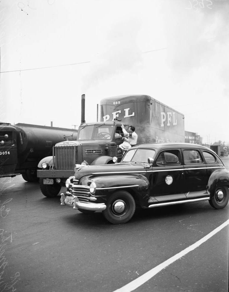
New smog car, 1947
New smog car, 1947
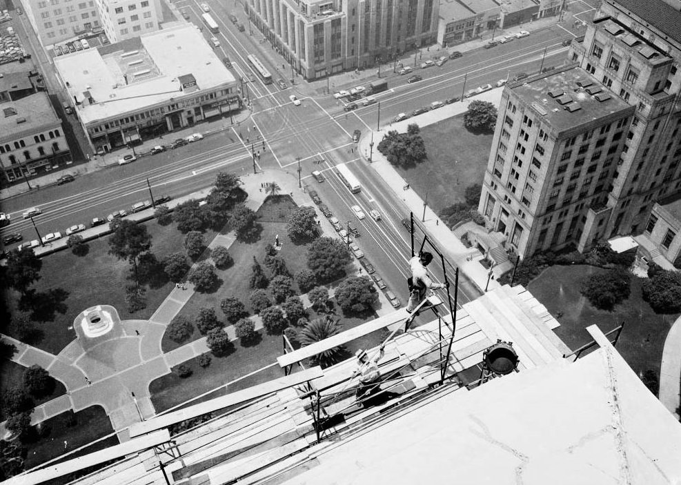
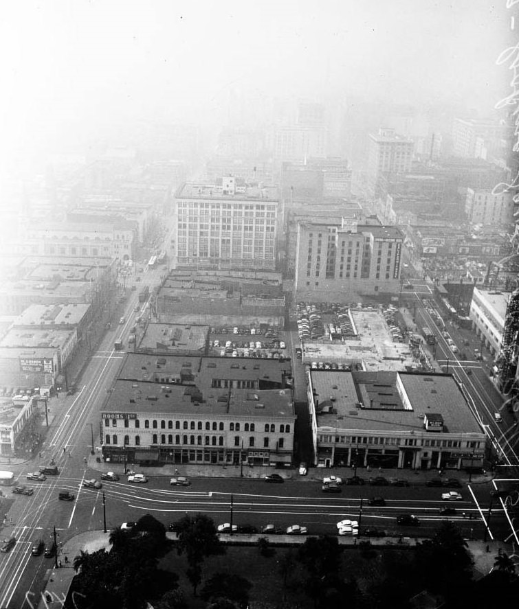
Looking south from City Hall tower, 1947
View from City Hall, 18 July 1947
Looking south from City Hall tower, 1947

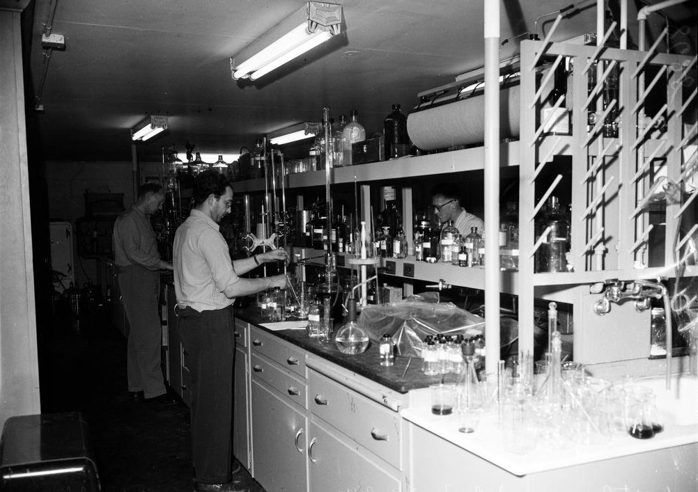
The science lagged behind the suffering. In 1948, Arie Haagen-Smit, a biochemist at the California Institute of Technology, made the crucial connection: car exhaust reacting with sunlight was the primary driver of Los Angeles smog. It was a landmark discovery, but it came with fierce resistance. Researchers backed by the oil industry mounted sustained campaigns to discredit his findings. Haagen-Smit had to defend his work publicly for years before the scientific consensus caught up with reality.
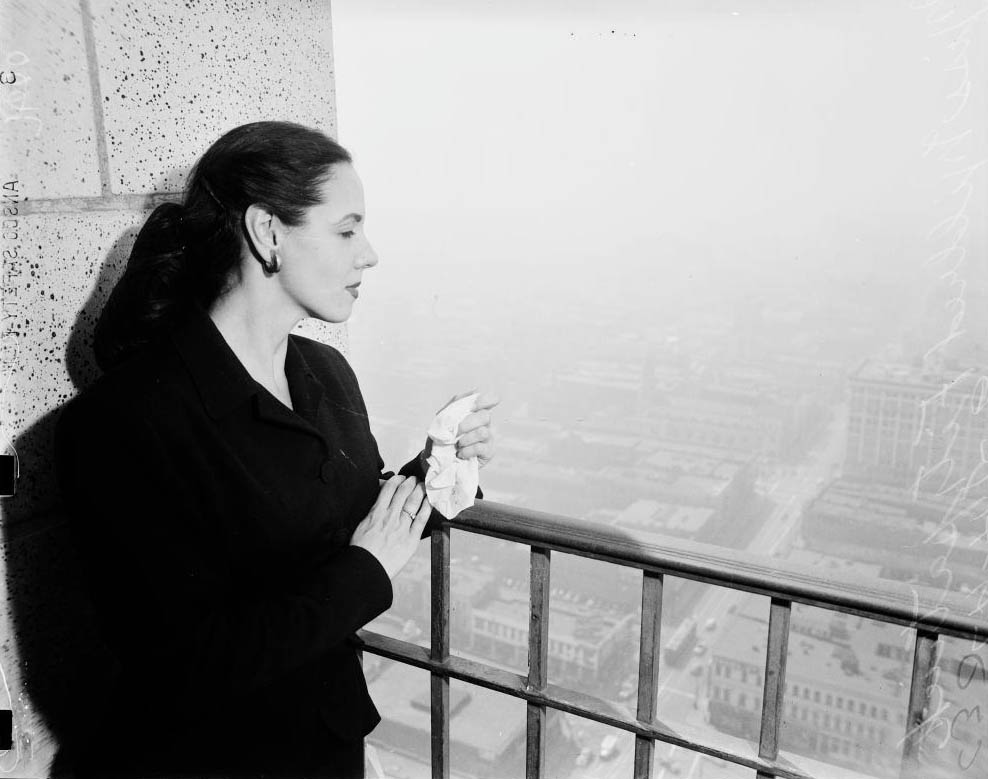
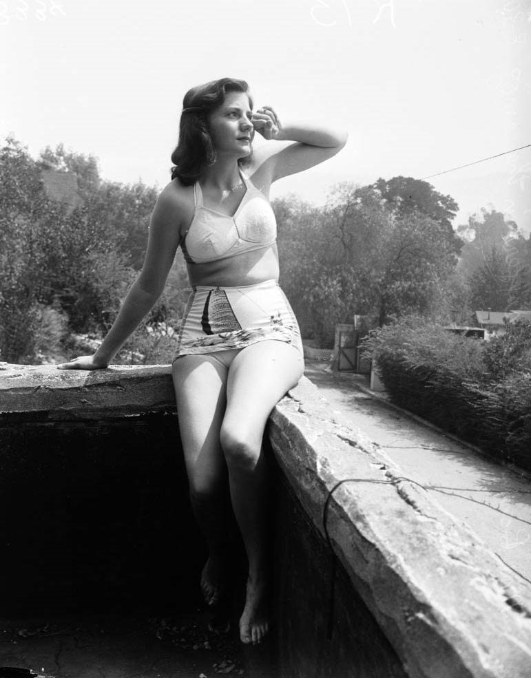
Miss Mildred Fitzpatrick, 1947
Second of a series of three pictures showing stages of smog formation in Los Angeles, California, 1940s.
Stages of smog formation in Los Angeles, California, 1940s.

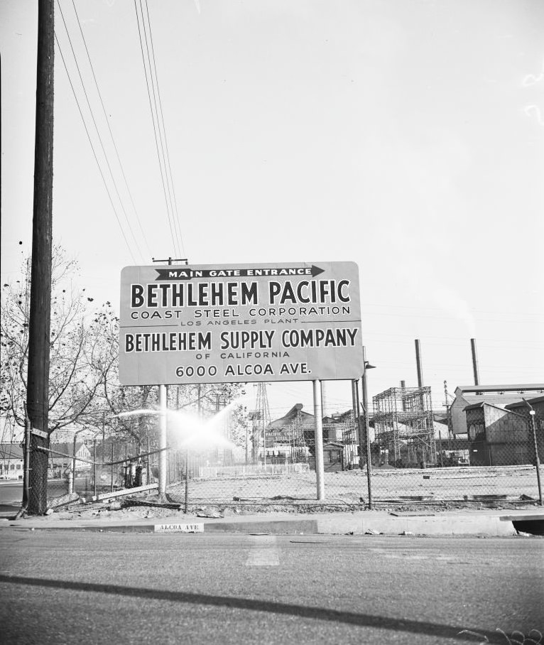
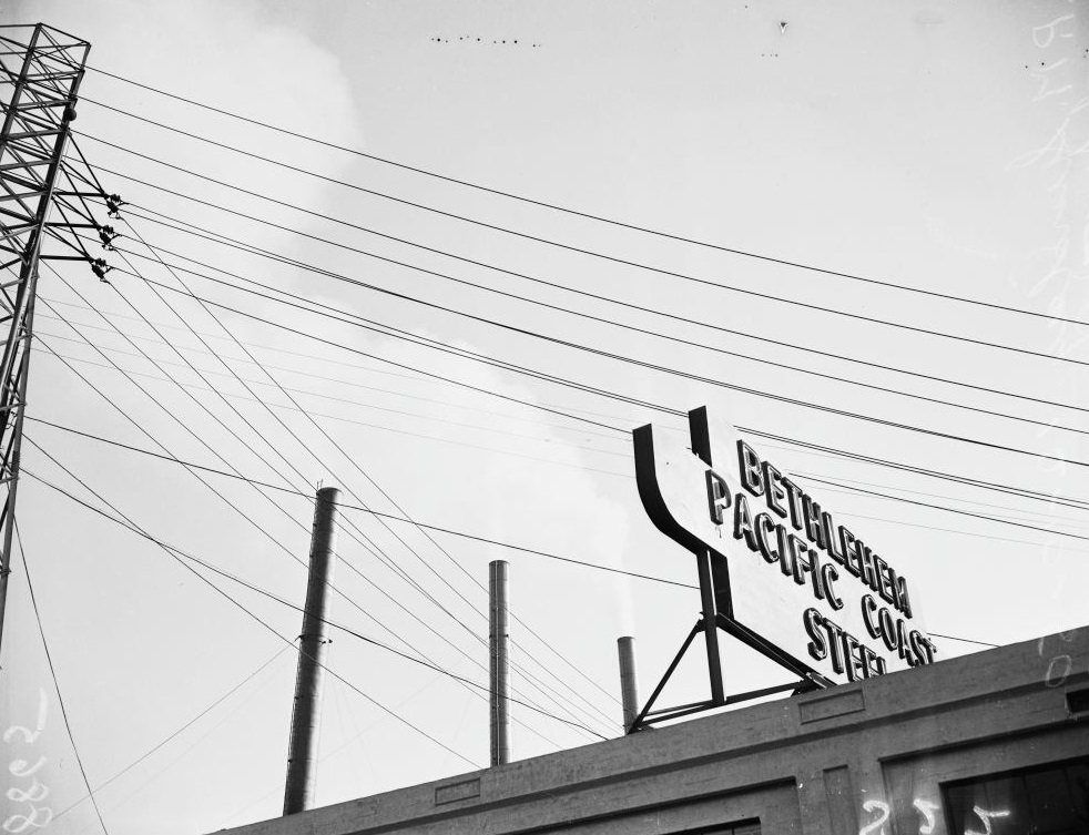
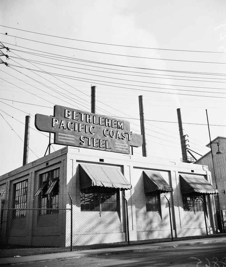
While the science was debated, factories kept producing. Steel plants like Bethlehem Steel on East Slauson Avenue belched heavy smoke well into the afternoon hours, and photographs from inspection visits documented the emissions in precise detail — time-stamped, location-stamped, and filed as evidence. Industrial smog combined with automotive exhaust created a nearly permanent brown ceiling over the region through the late 1940s and into the 1950s.
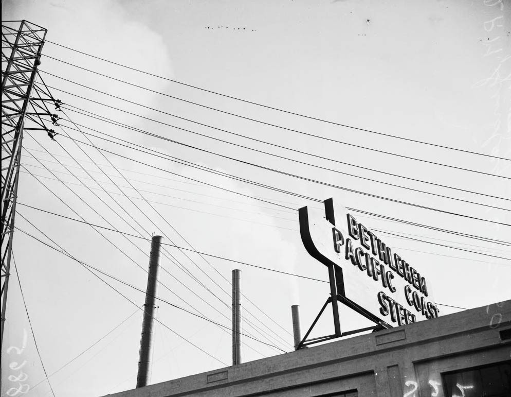
Bethlehem Steel Corporation at 3396 East Slauson Avenue gives out with smog from two smoke stacks at 2:00 p.m., 1950
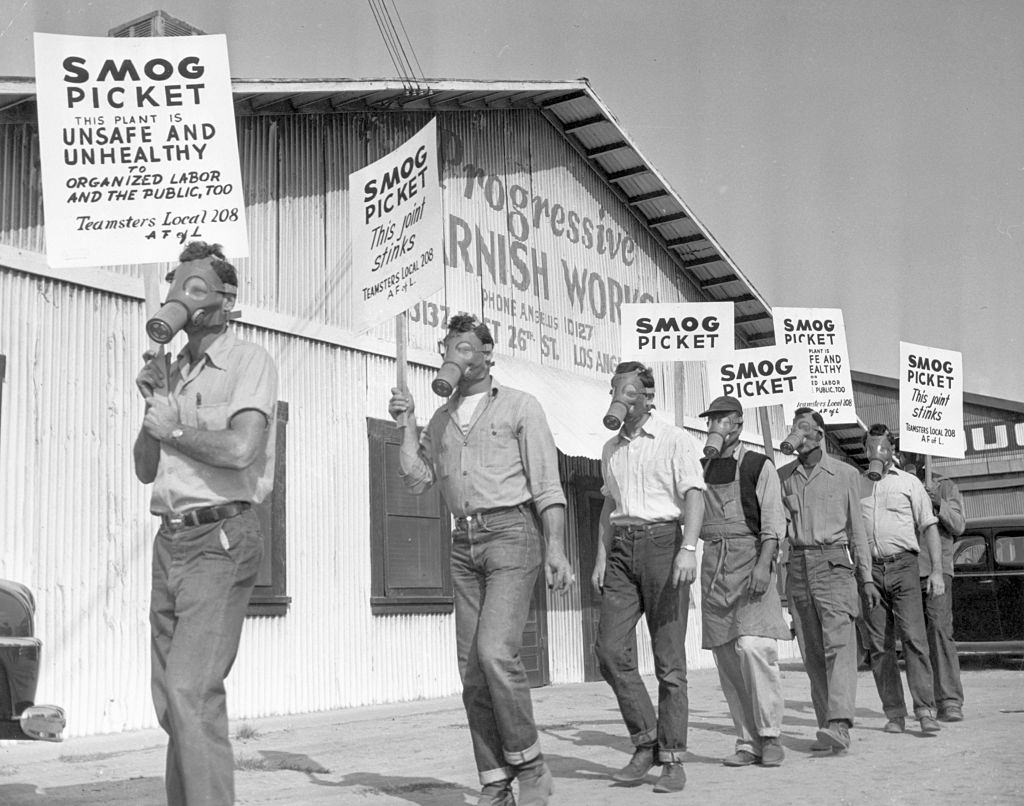
Varnish Workers Picket Factory, 1950
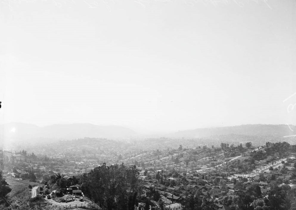
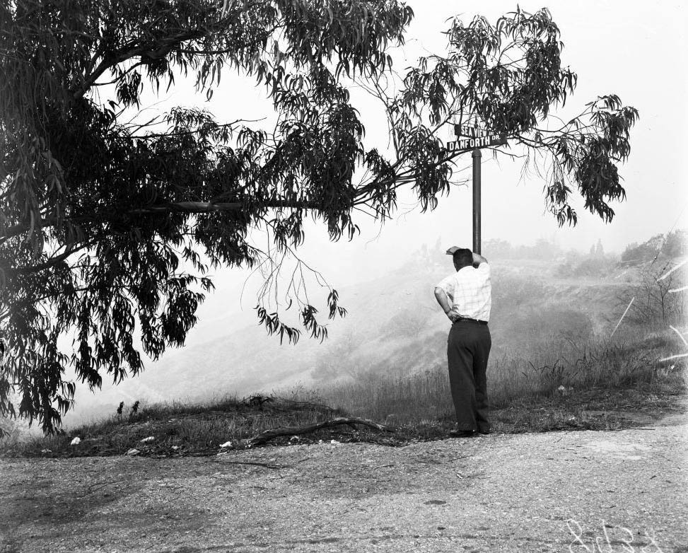
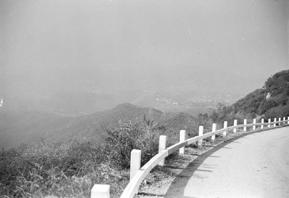
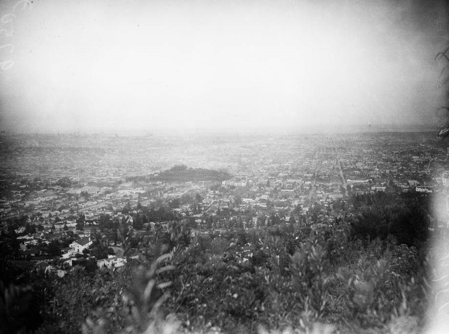
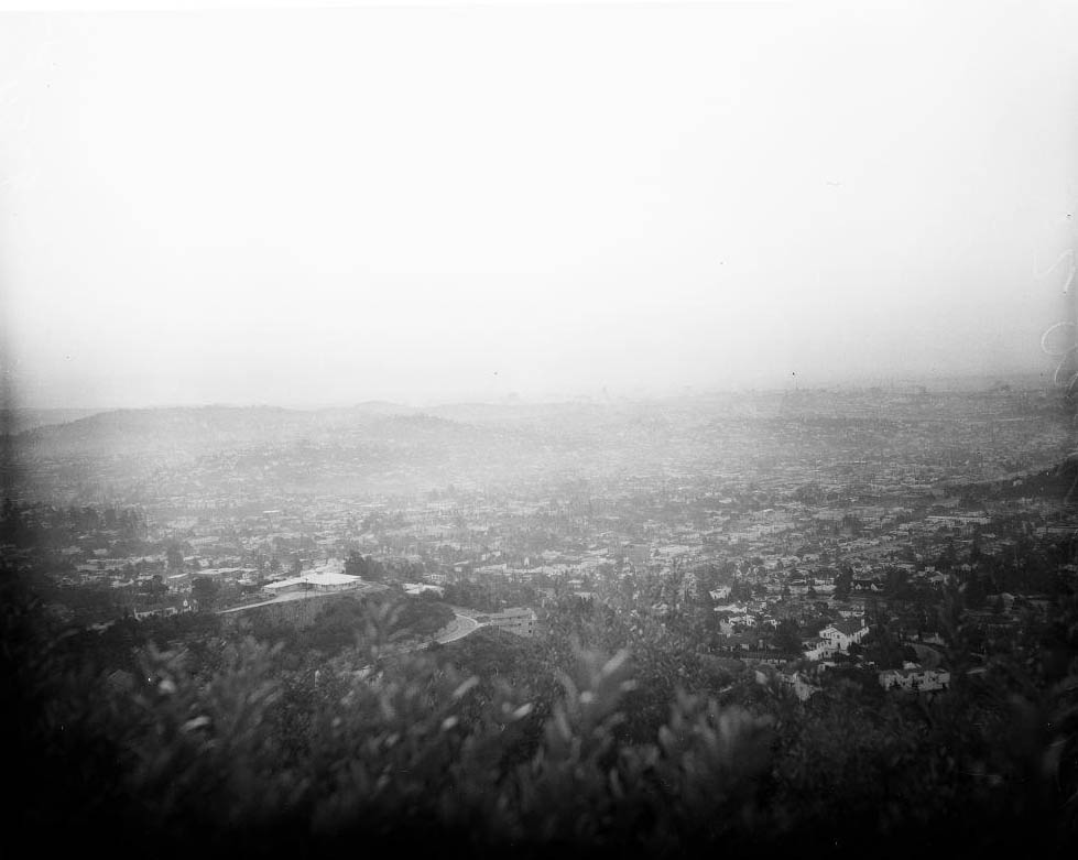
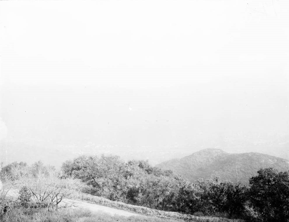
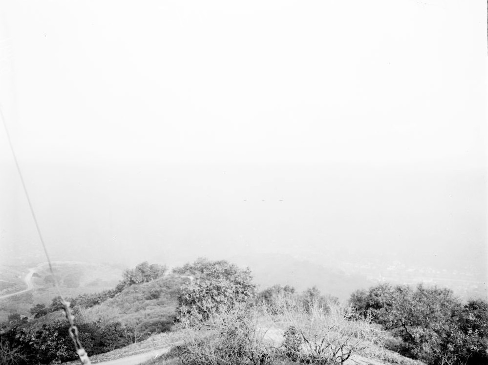
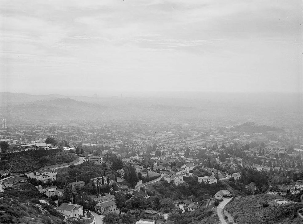
Smog from San Rafael Drive overlooking Highland Park. Smog -- pix looking north from San Rafael Hills showing Mount Wilson, 1949
Smog from San Rafael Drive overlooking Highland Park. Smog — pix looking north from San Rafael Hills showing Mount Wilson, 1949
Smog from San Rafael Drive overlooking Highland Park. Smog, 1947

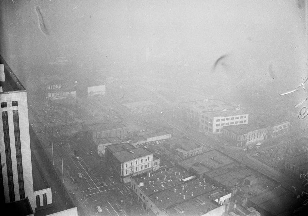
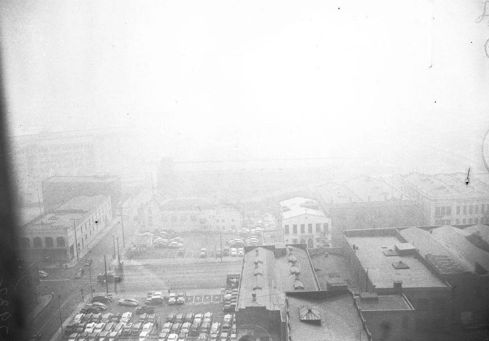
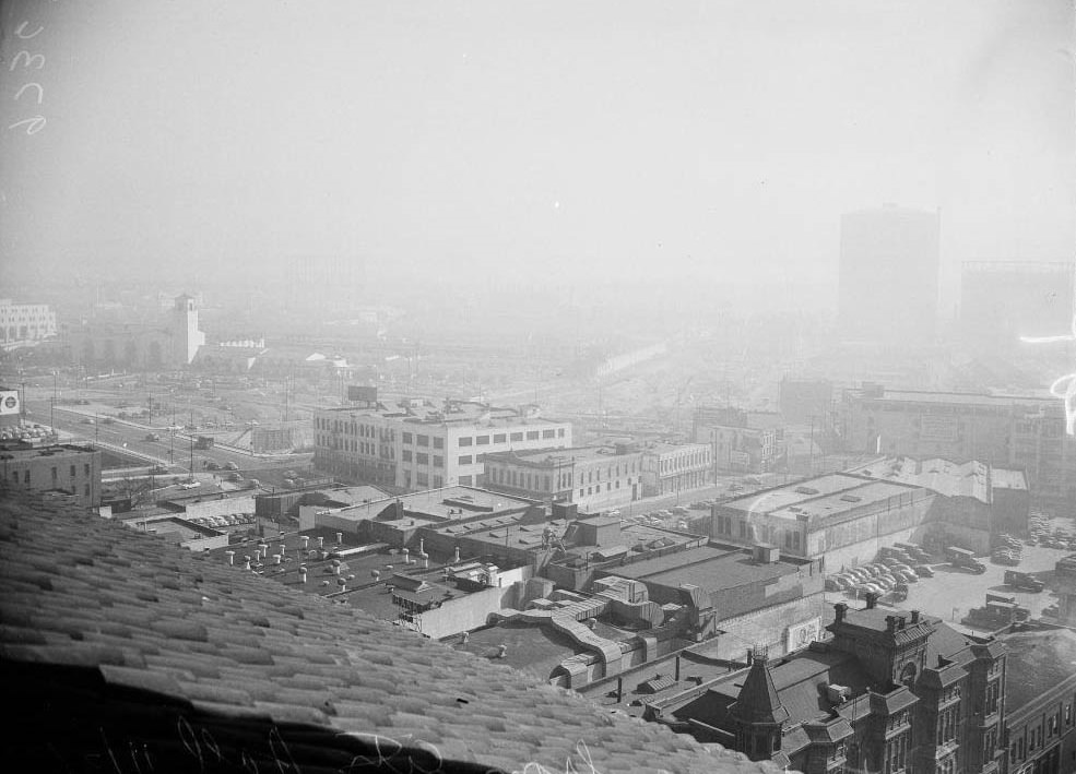
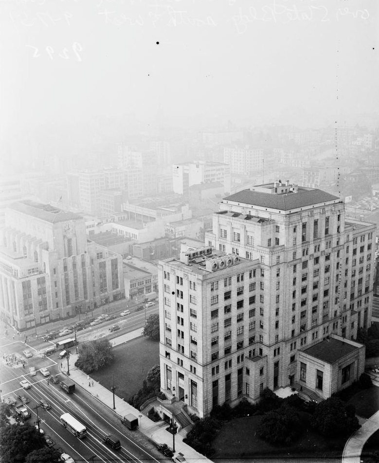
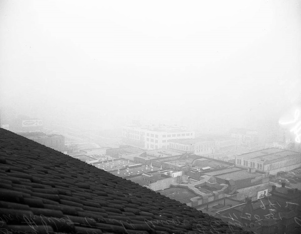
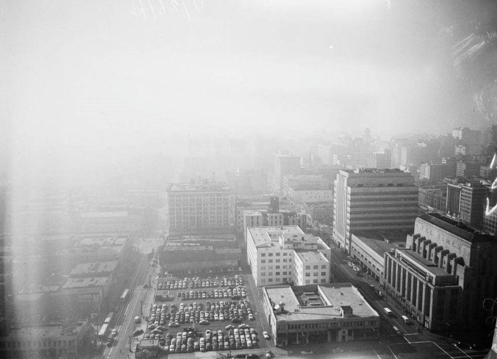
By 1949, the smog had become the dominant feature of the Los Angeles skyline. Photographs taken from City Hall — from the 8th floor, the 25th floor, and the roof — show the same dense blanket pressing down on the streets below. What should have been a clear view of a sprawling, sunlit metropolis was instead a wall of dirty brown air that erased buildings just blocks away.
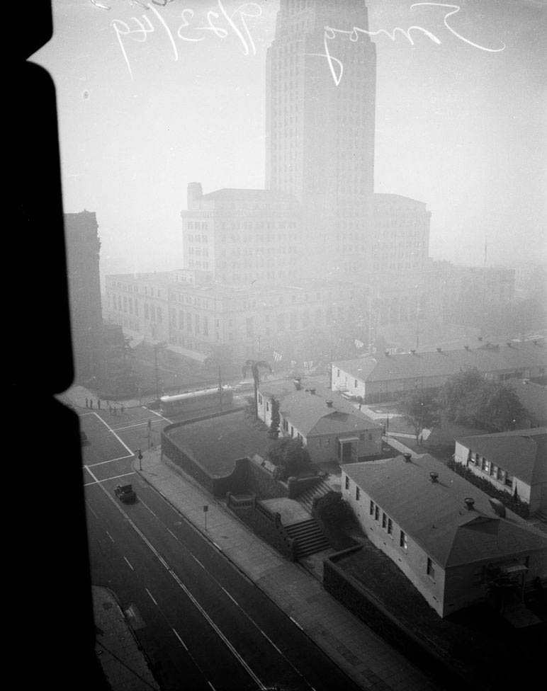
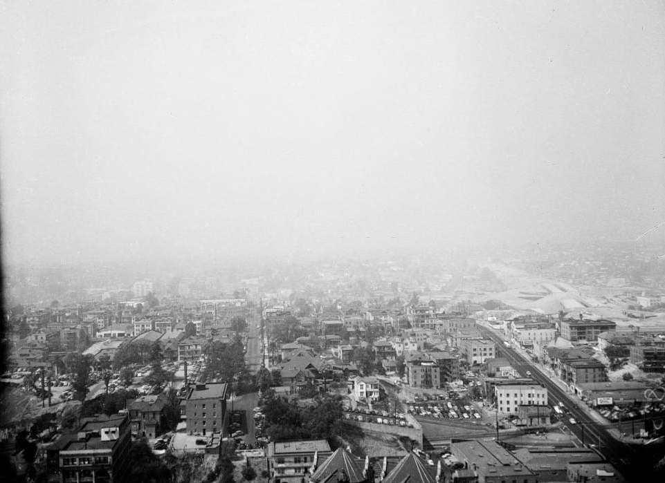
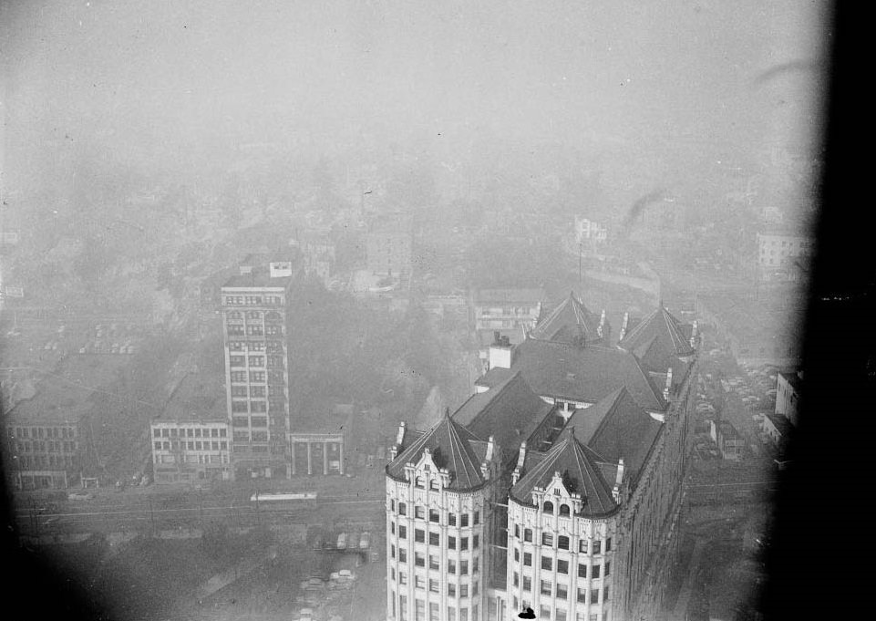
Smog east of City Hall from 25th floor, City Hall, From 8th floor, City Hall, 1949
Smog east of City Hall from 25th floor, City Hall from 8th floor, 1949
Smog east of City Hall, 1949
9th floor Hall of Justice, 1949
South east of City Hall from 9th floor Hall of Justice, 1949
Smog east of City Hall, 1949
South east of City Hall, 1949
Smog, 1949
Smog, 1949
Smog from 9th floor Hall of Justice, 1949

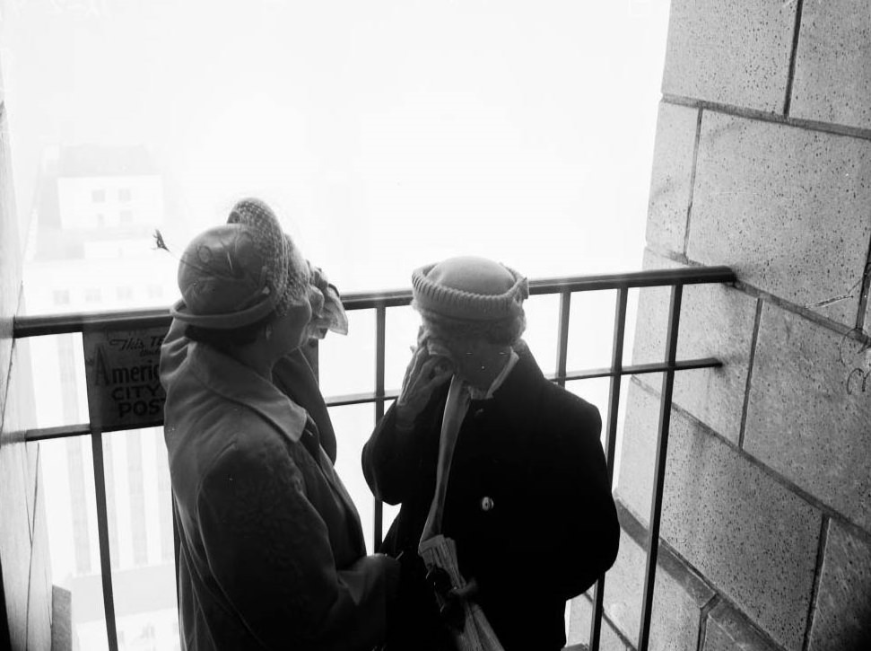
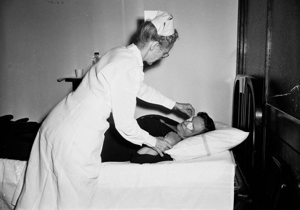
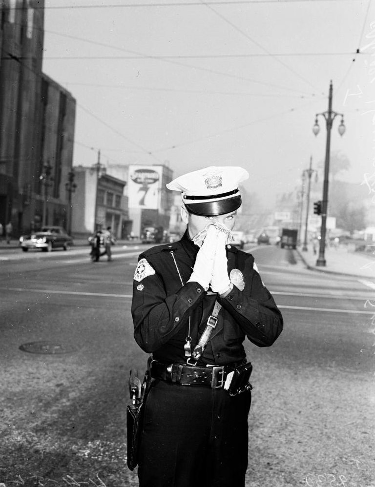
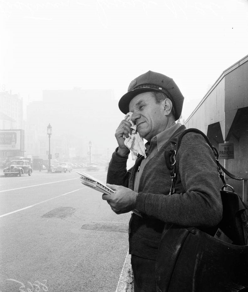
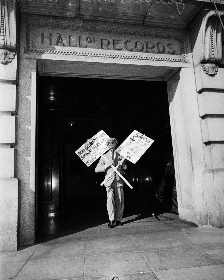
The health effects were immediate and unavoidable. Residents walked the streets with stinging, watering eyes. Some wore gas masks. Others sought medical treatment for respiratory symptoms. The smog was not just unpleasant — it was physically damaging people in real time, and the city’s hospitals saw the results.
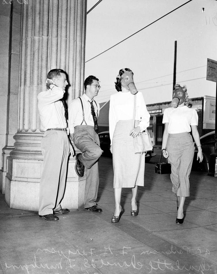
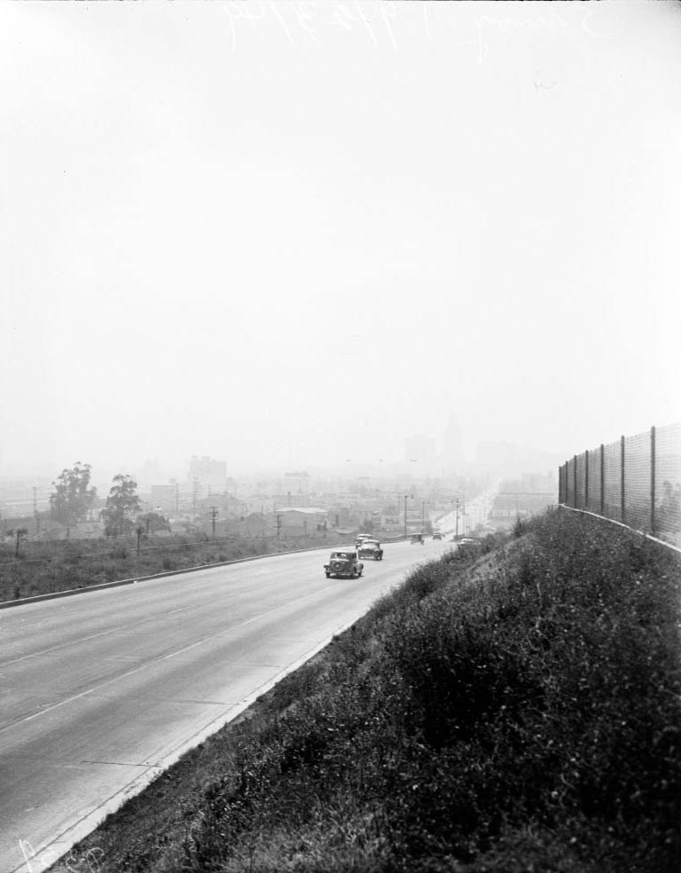
Two women wearing mask for protection from smog, 1949
A Smoggy day in Los Angeles, 1949
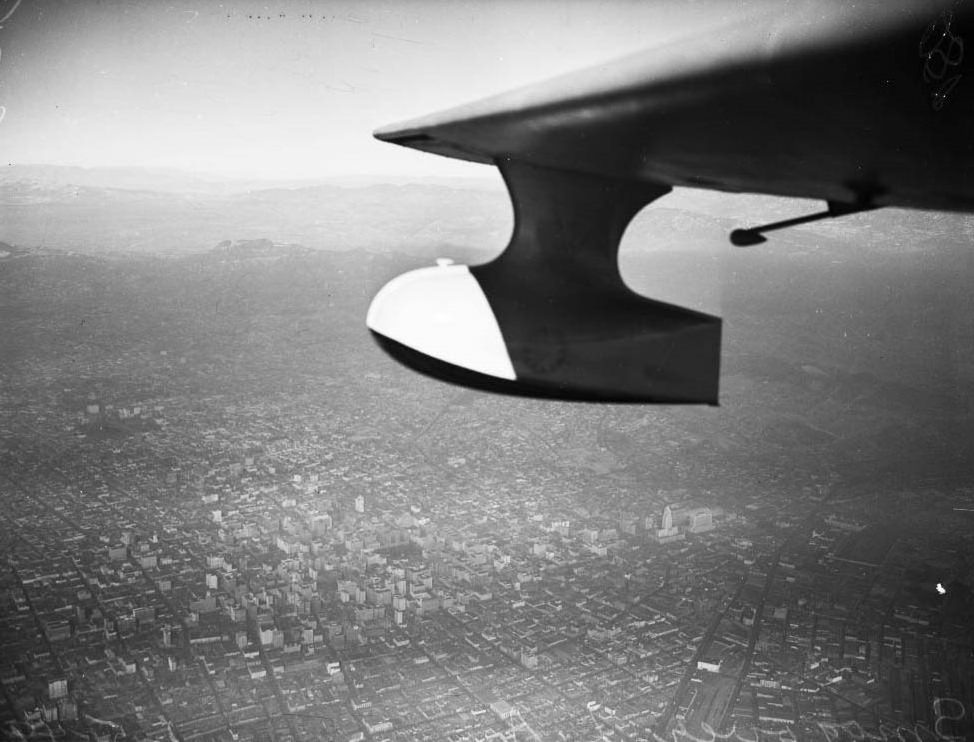
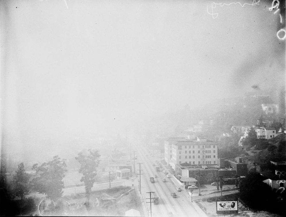
Aerial views of smog over Los Angeles, 1949
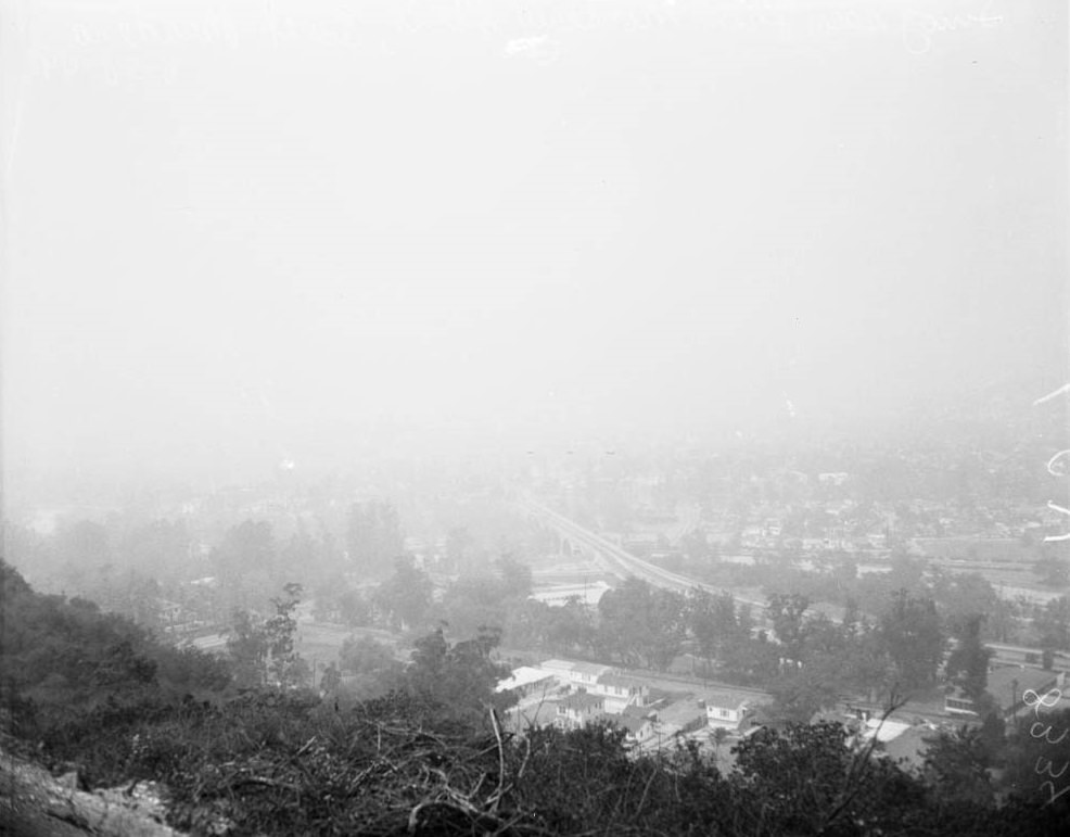
Smog from Monterey Hills, South Pasadena, 1949
Smog from Mount Washington Drive looking southwest toward Los Angeles River and Elysian Park, 1949.
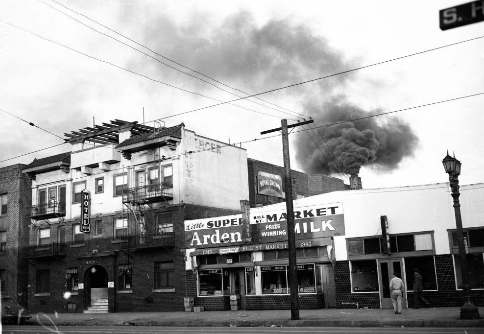
Smoking stack from Mercer Hotel, 1347 South Hill Street, throwing heavy clouds of smoke upward, 10 March 1949
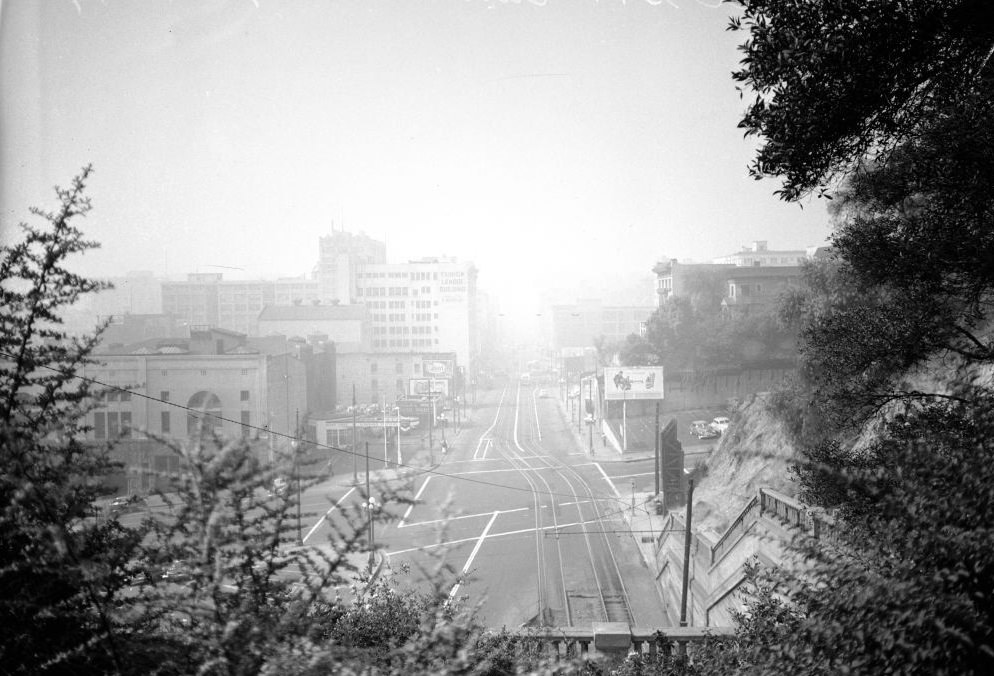
View from Fort Moore Hill (South toward Broadway), 4 January 1949
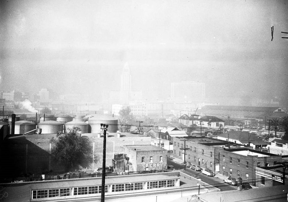
View from 212 North Vignes Street (West toward Civic Center), 1949
View from Fort Moore Hill (South toward Broadway), 1949
View from Fort Moore Hill, 1949

Scientists and officials worked to measure and document just how bad conditions had become. Research teams photographed the density of the atmosphere at set locations and times. Air pollution control coordinators, like Walter J. Hamming, deployed continuous particulate samplers — devices with revolving filters that collected airborne matter hour by hour. The data they gathered made it impossible to deny the scale of what was happening.
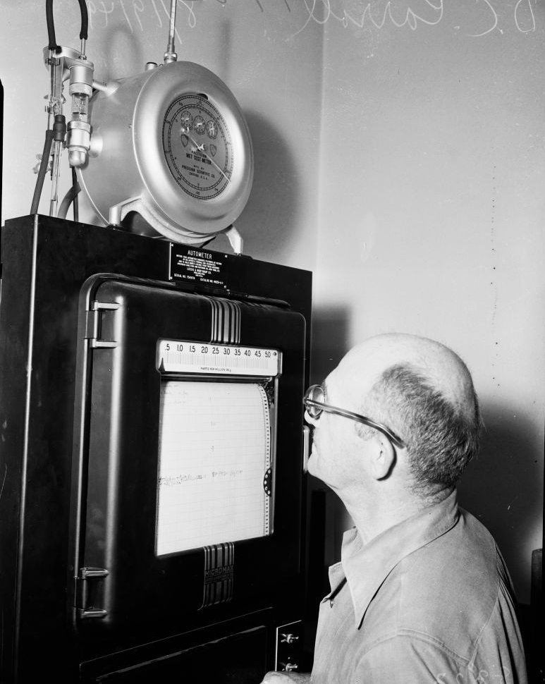
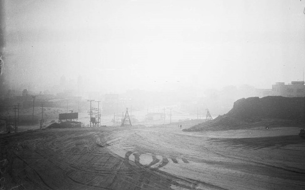
Photographing density of atmosphere, 1949
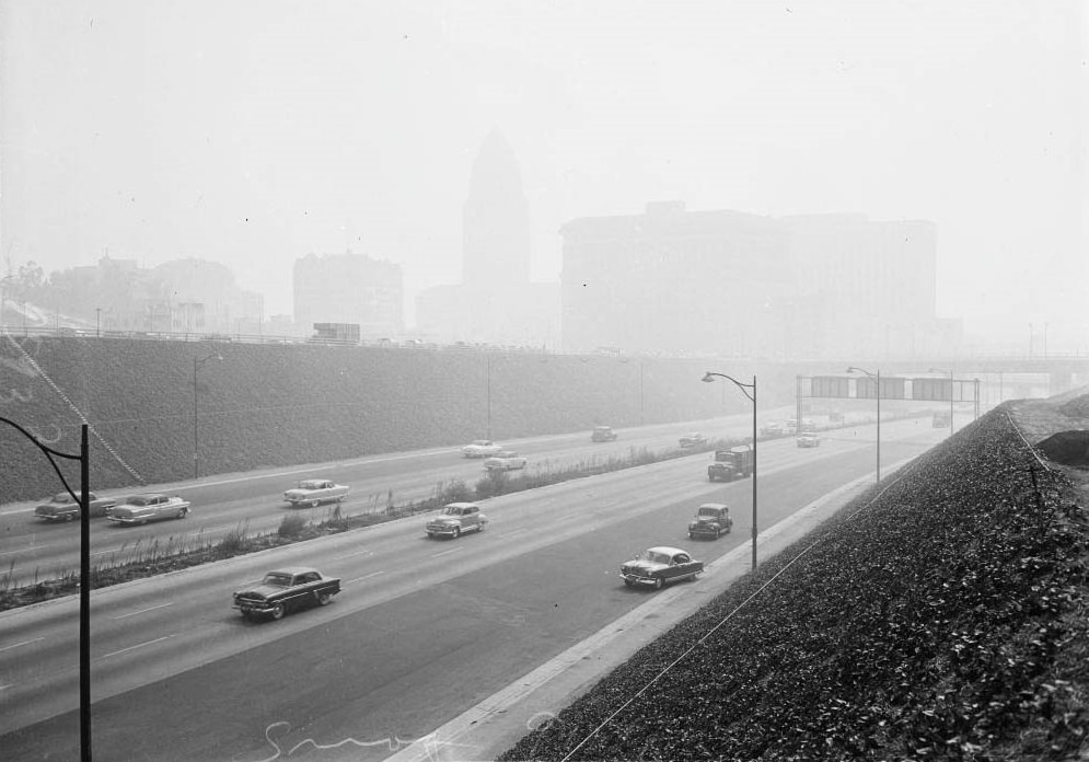
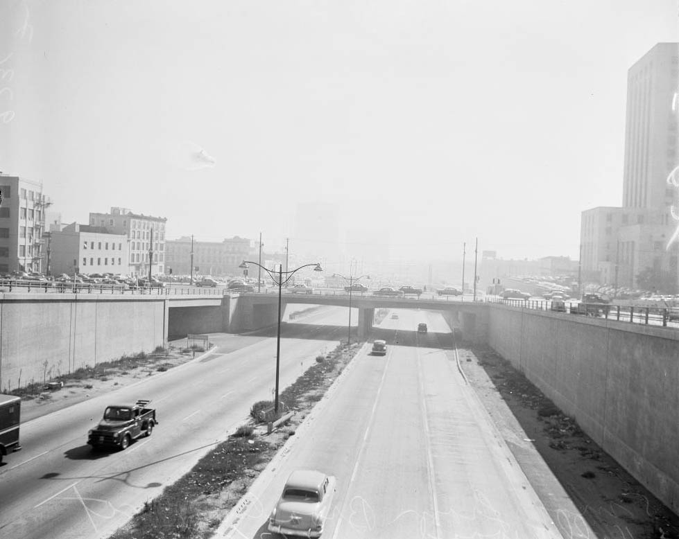
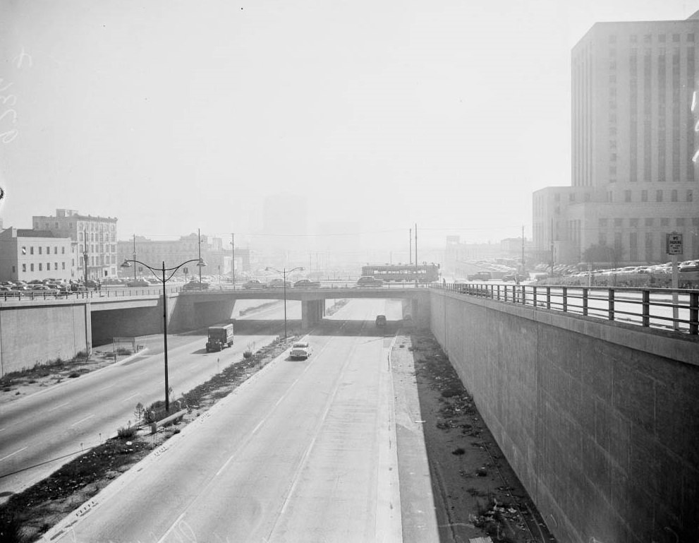
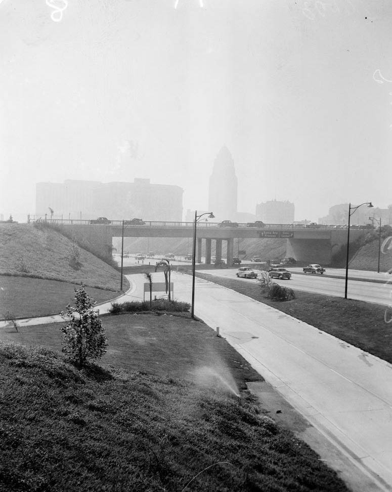
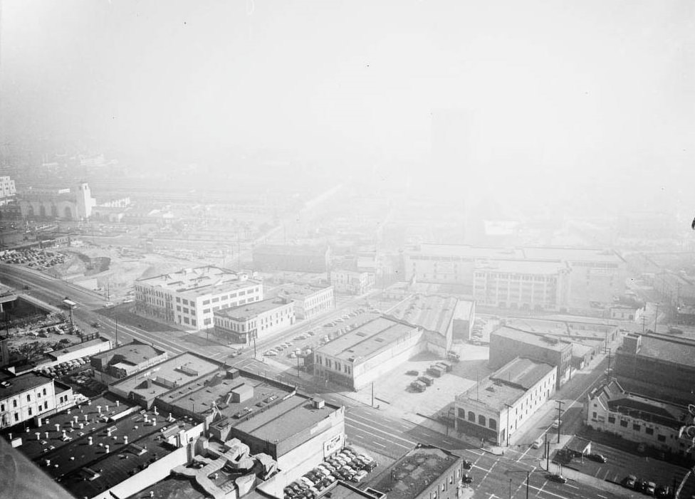
Union Depot, Freeway at Figueroa Street junction looking South, 1949
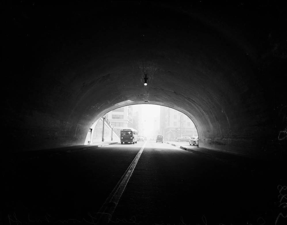
Arroyo Freeway at Figueroa Street junction looking South Hill Street from Hill Street tunnel looking south, 1949
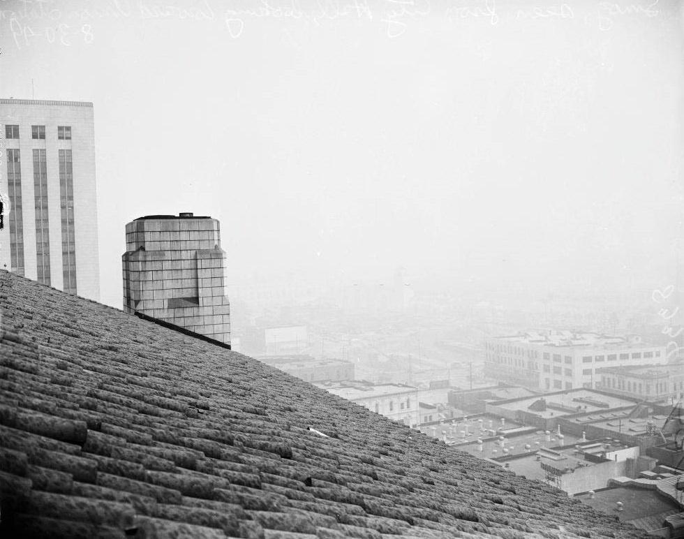
Taken from City Hall, August 1949
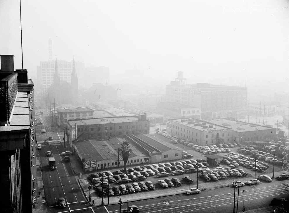
Smog from roof of Occidental Building, looking southeast, 1949
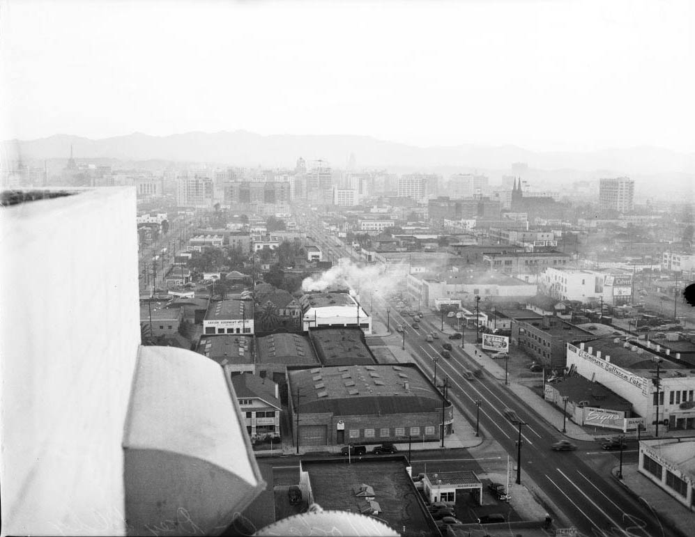
Looking west from City Hall, 1949
Smog from roof of Occidental Building, looking southeast, 1949
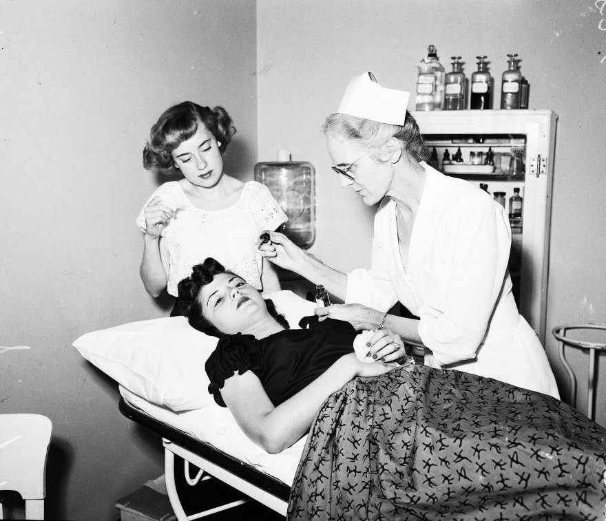
Nurse Ruth Bergman taking care of Mrs. John Wickham, 1949
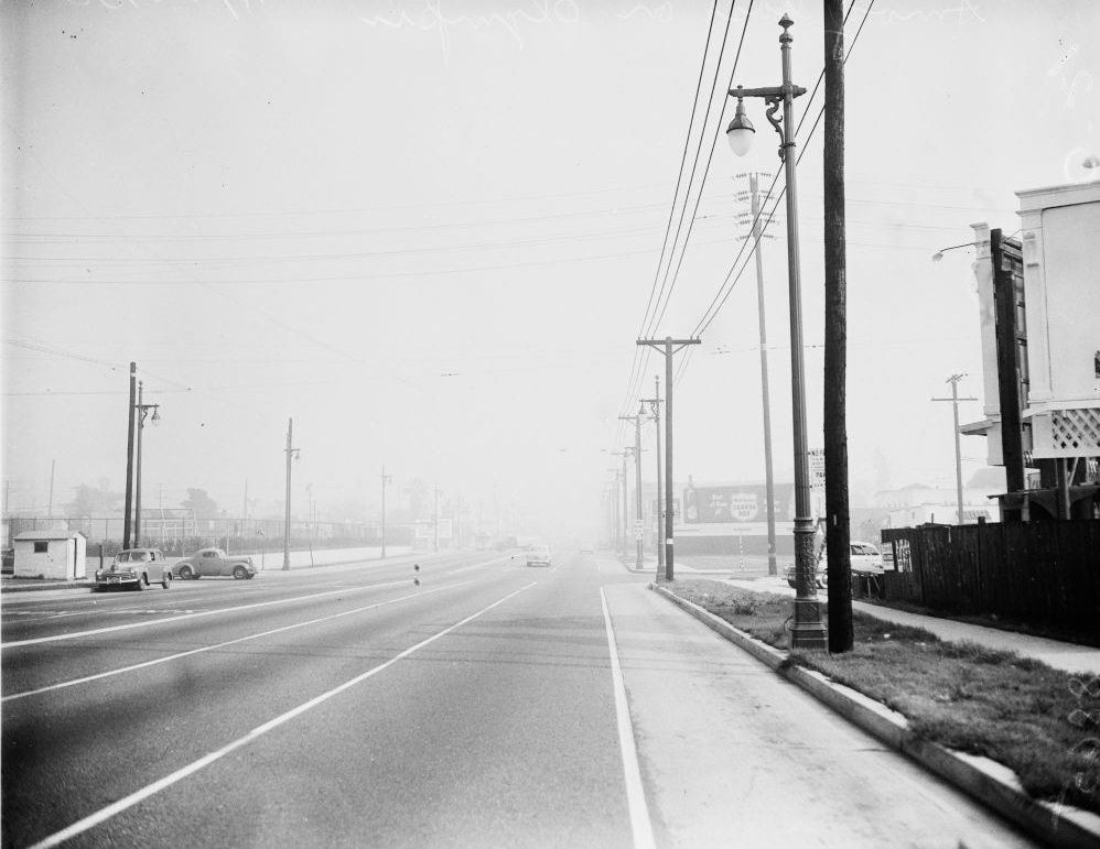
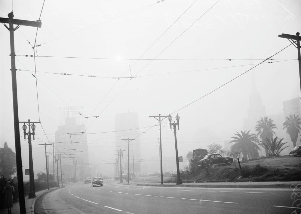
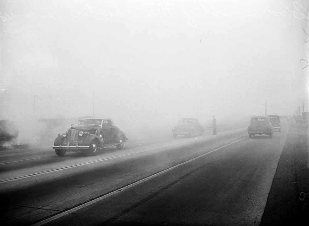
Smoggy Road in L.A., 1949

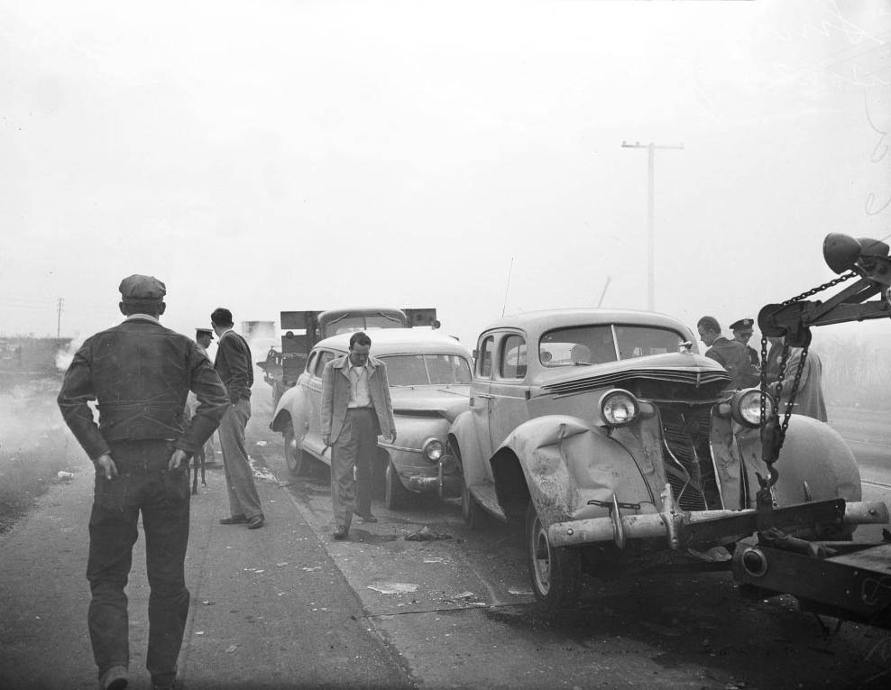
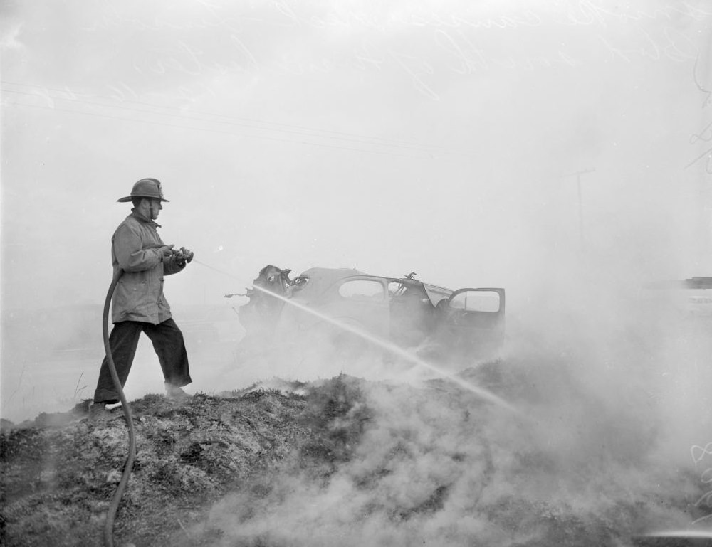
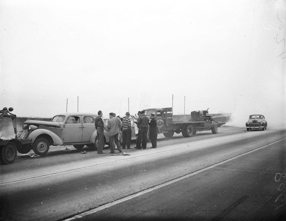
The smog didn’t just make people sick — it caused accidents. On Lincoln Boulevard, south of Manchester Avenue, thick smog reduced visibility so severely that a multi-vehicle pileup involving cars and trucks left wreckage across the road. The crashes were documented and filed alongside the growing body of evidence that the air quality crisis had moved well beyond a public health issue and into a public safety emergency.
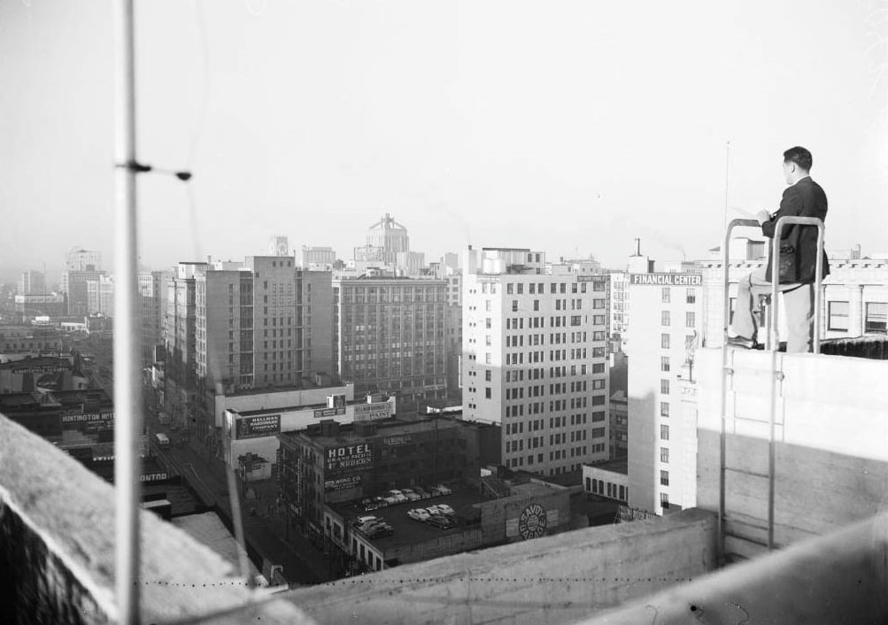
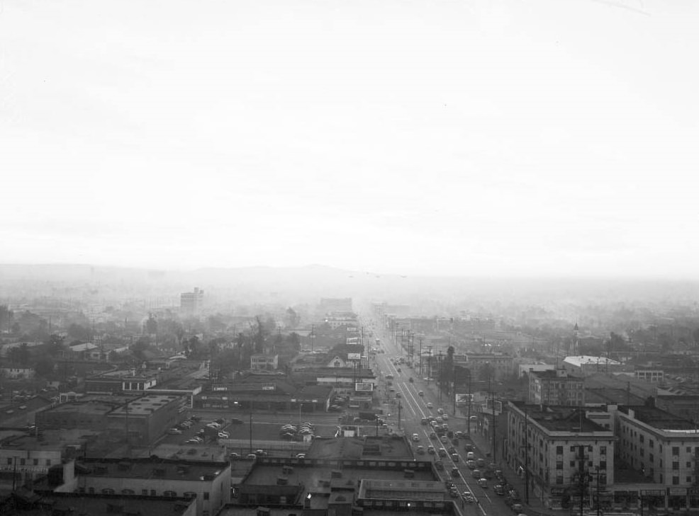
George Ichien (Air Pollution Control Inspector, atop Cecil Hotel looking for violators, 1948
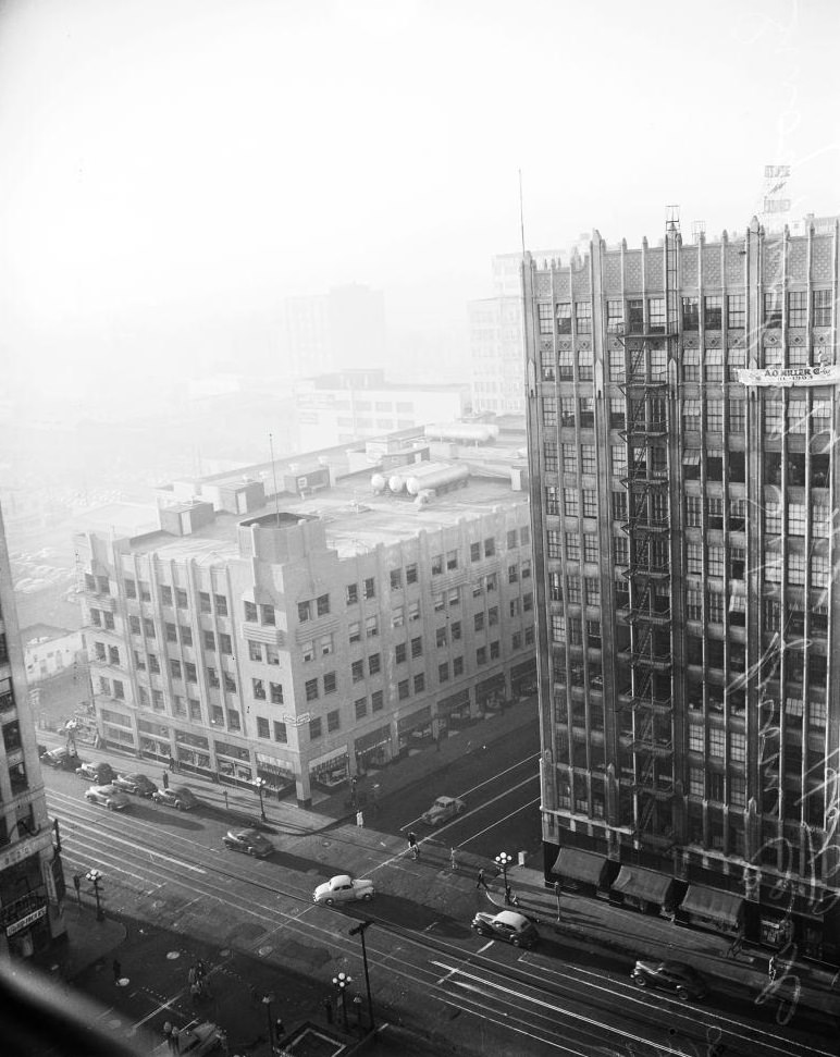
View looking east from Mode-O-Day building at 8 a.m., 1948
Views from various directions from Cecil Hotel, 1948
Views from various directions from Cecil Hotel, December 1948
Thomas A Dobbie, Junior (Air Pollution Control inspector looks over horizon for violators). Smog control in downtown Los Angeles, 7 December 1948.
Thomas A Dobbie, Junior (Air Pollution Control inspector looks over horizon for violators) and W.C Tiffany (Maintenance Foreman, Pacific Telephone & Telegraph Company), 1948
Smog blanket over Los Angeles in vicinity of General Hospital, 1948
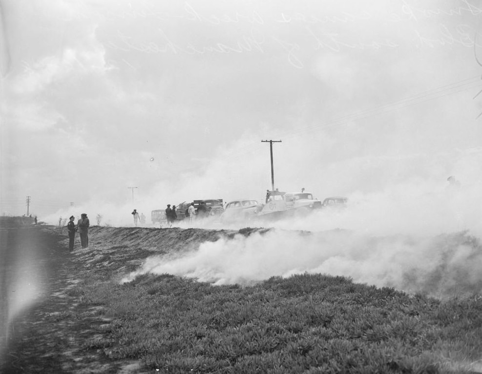
Wrecks caused by smog obscuring road, 1948.
Wrecks caused by smog obscuring road, 1948
General views of autos and trucks piled up in freak accident on east side of Lincoln Boulevard, south of Manchester Avenue, 1948
Wrecks caused by smog obscuring road, 1948.
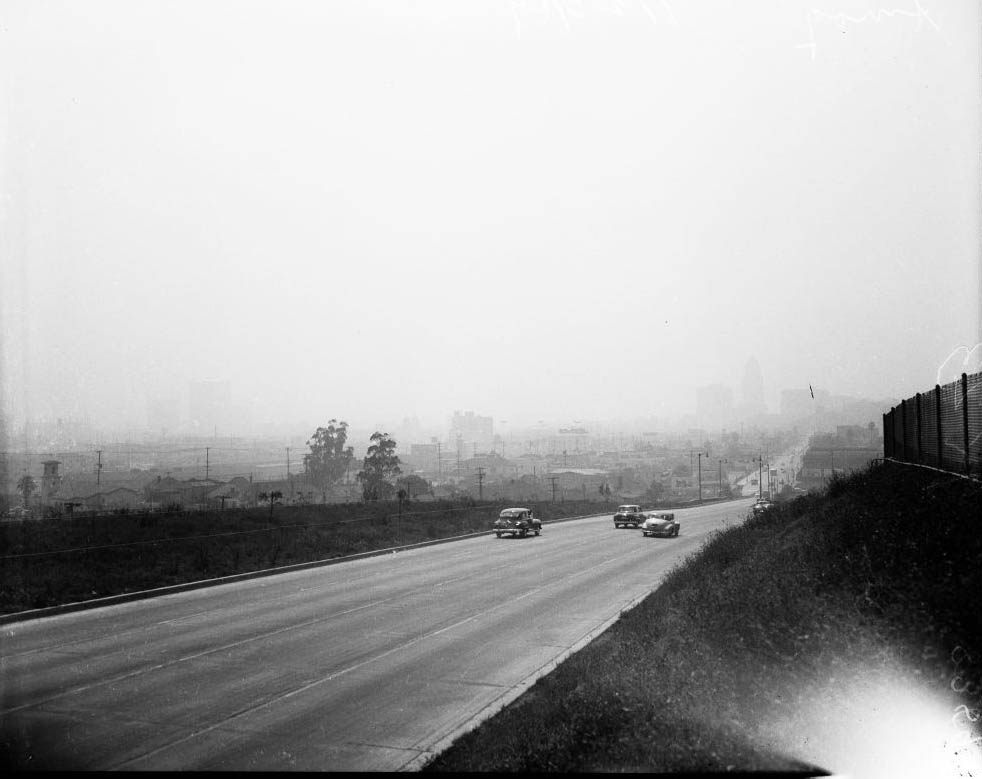
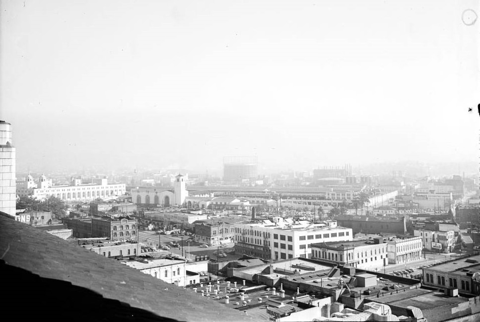
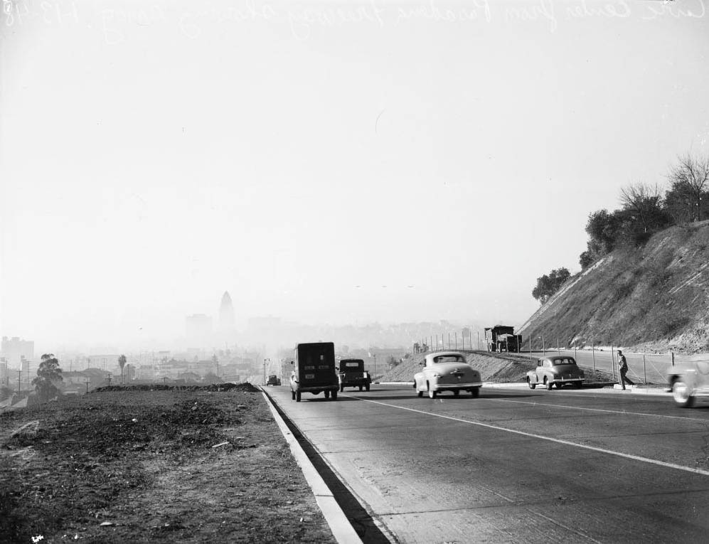
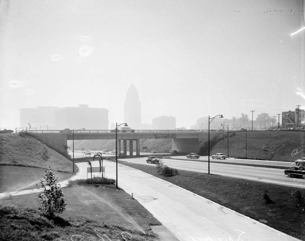
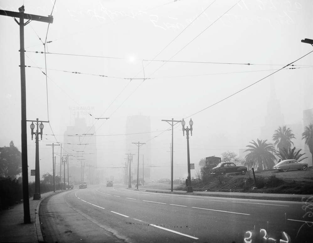
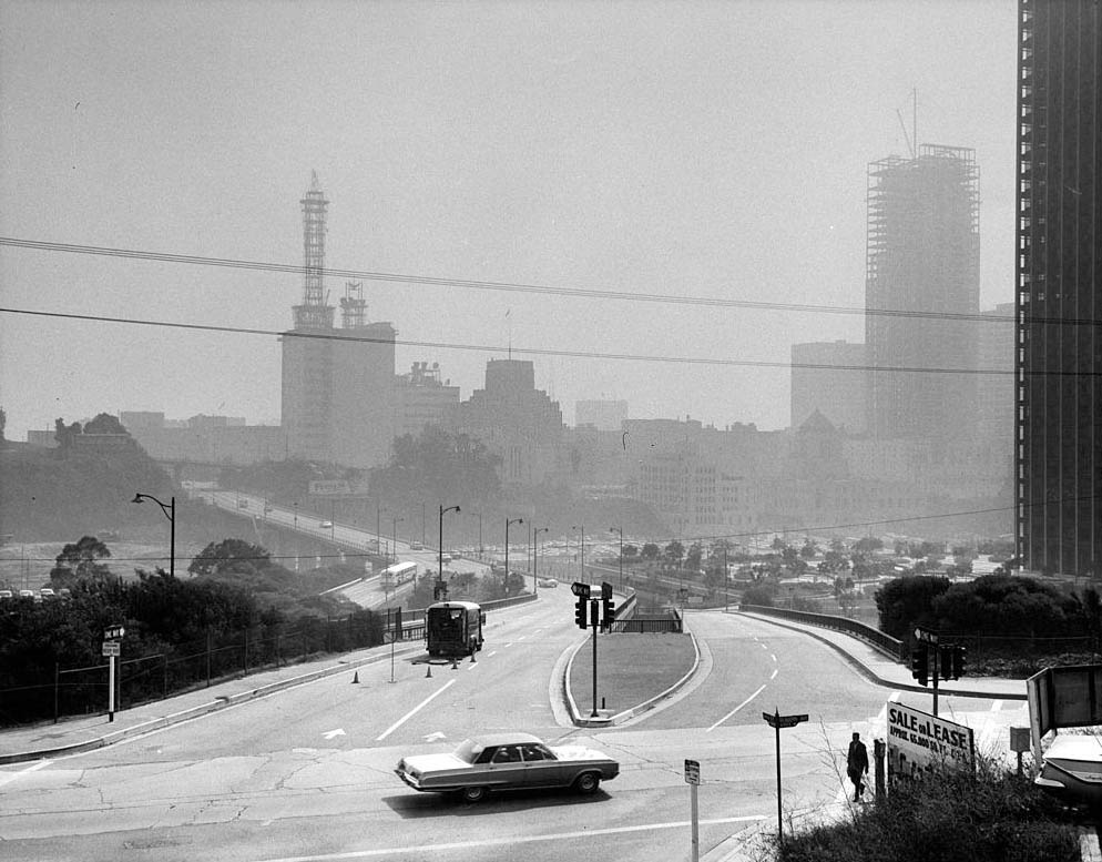
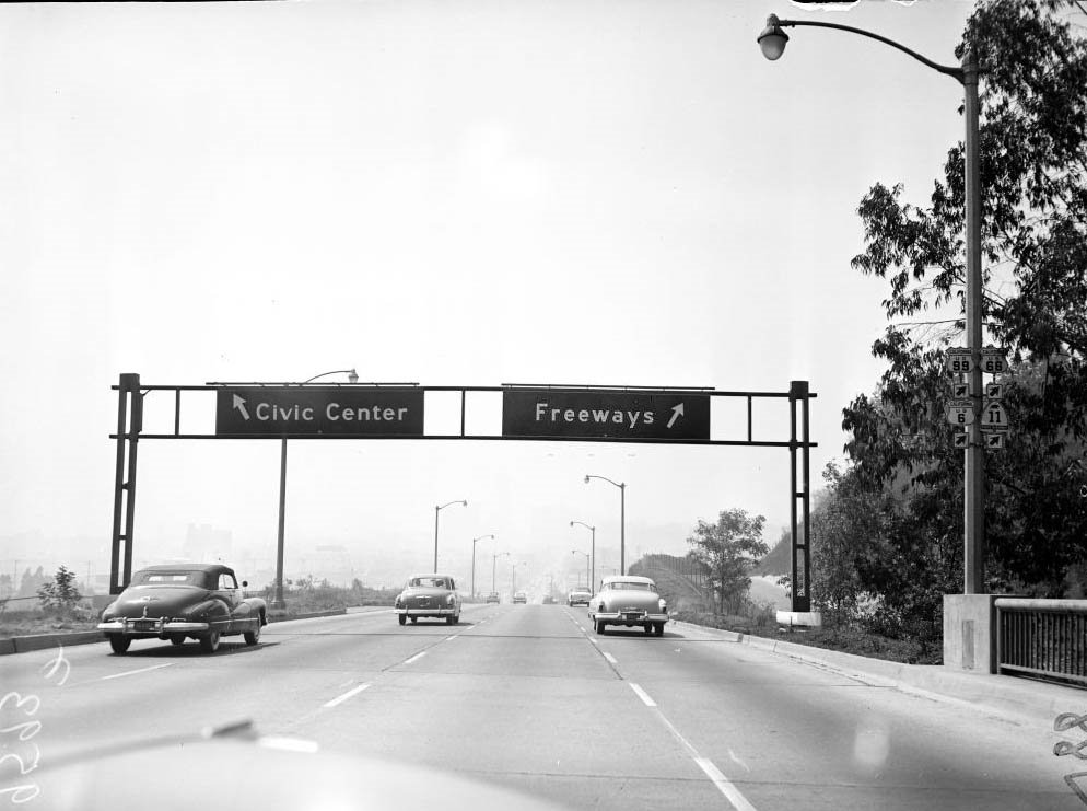
Civic Center seen from the Pasadena Freeway, showing smog, 1948
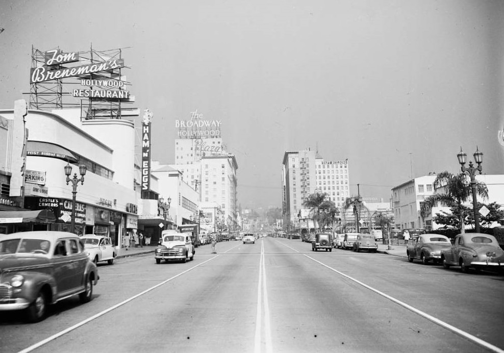
Don Lee Television Station in Hollywood Hills; Picture shot from Vine Street and Sunset Boulevard, north toward Hollywood Hills, 1948
Vine Street and Sunset Boulevard, north toward Hollywood Hills, showing dust, smudge and smog hanging over Hollywood, 1948
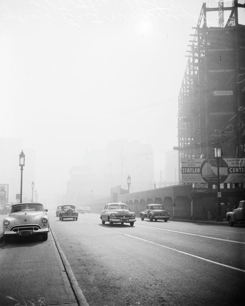
Broadway looking south, 1948

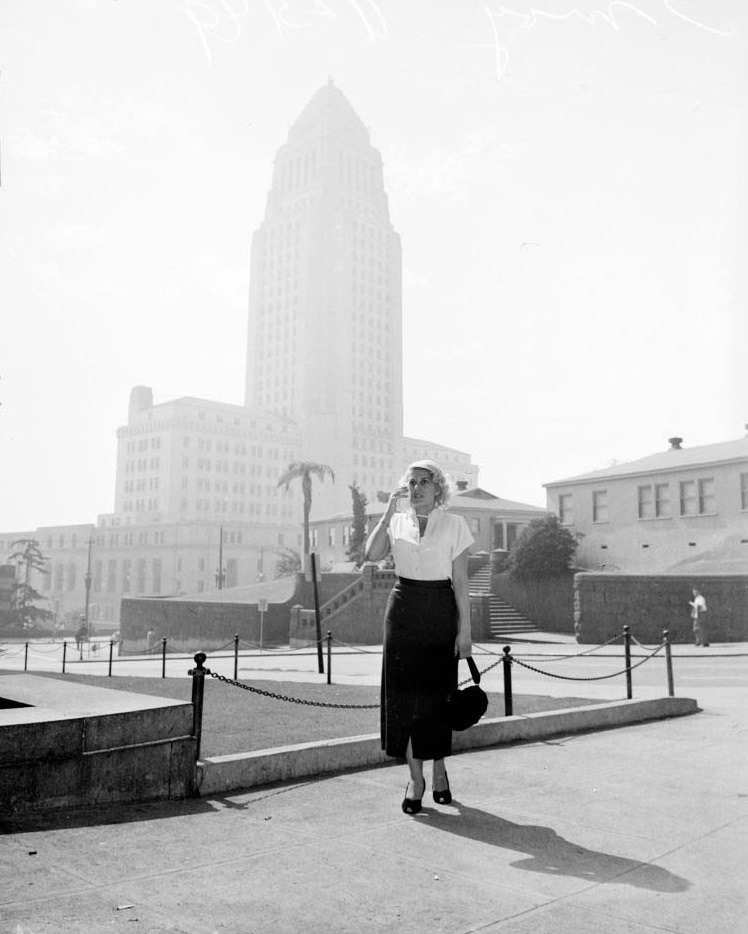
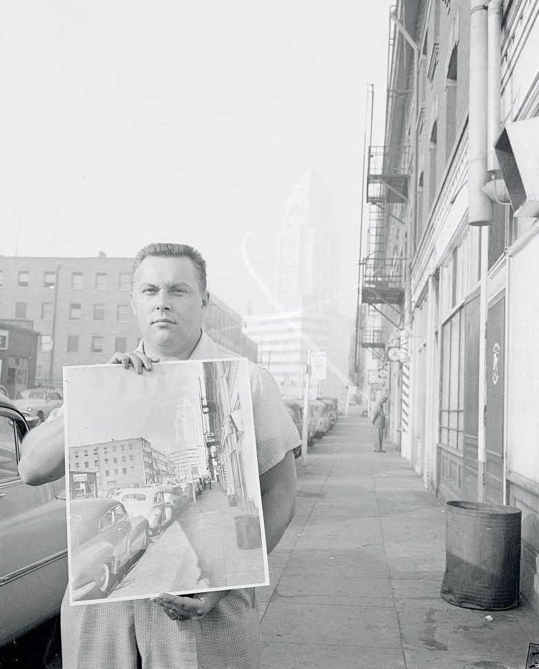
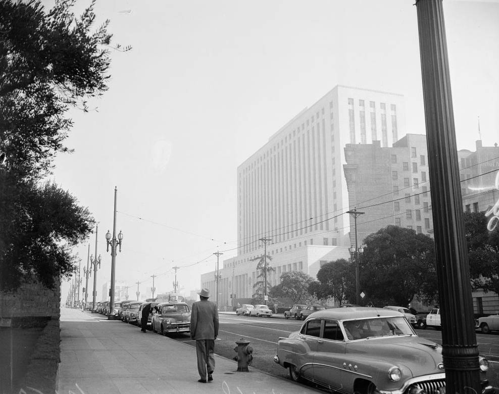
In 1950, a resident named Ernest Schworck stood on a Los Angeles sidewalk holding a photograph taken at the same spot on a clear day. In the photo, City Hall’s white tower was sharp against the sky. Standing there in November smog, the tower had vanished entirely. The image of a man holding a ghost of what the city used to look like captured the frustration that had built up over years of deteriorating air. Across town, a chorus girl named Joan Sanders jokingly promoted a “smog cocktail” — a regular drink with dry ice — to be consumed through a straw while wearing a gas mask. The humor was dark, because the situation was.
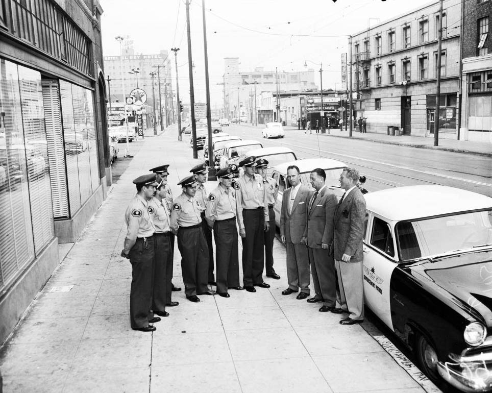
Fuller's men in connection with smog, 1955
Fuller’s men in connection with smog, 1955
Smog in Los Angeles
Smog in Los Angeles
Joan Sanders Holding a Cocktail in Los Angeles, 1950
Smog Upsetting Resident, 1950

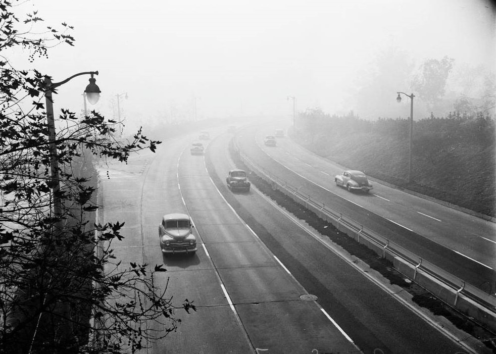
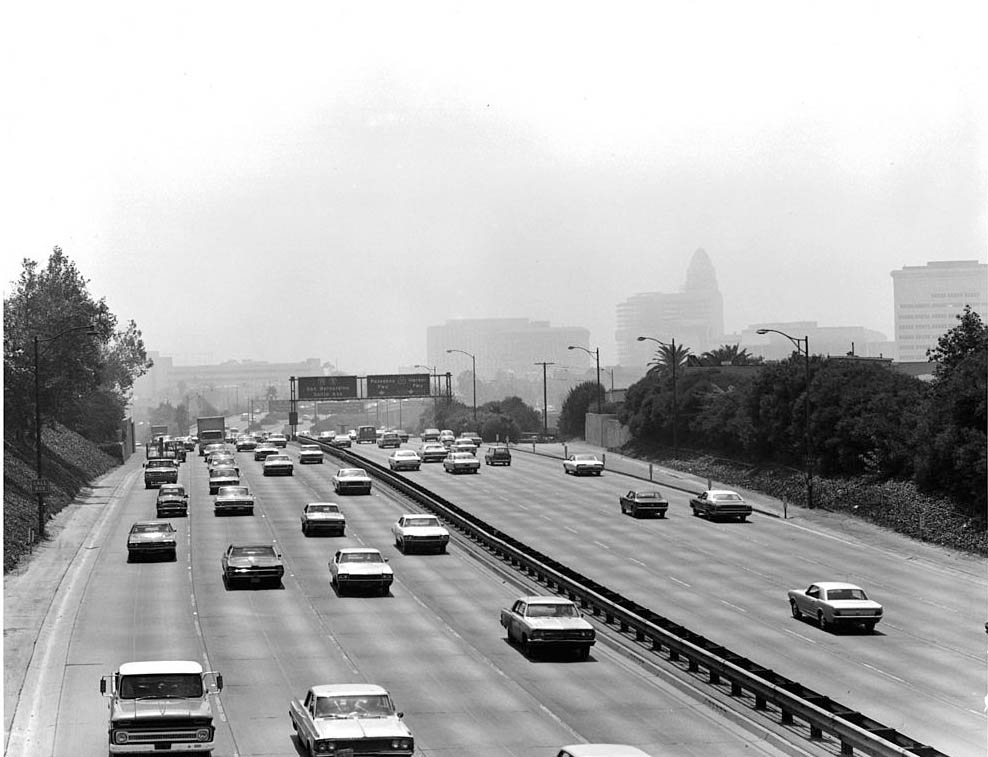
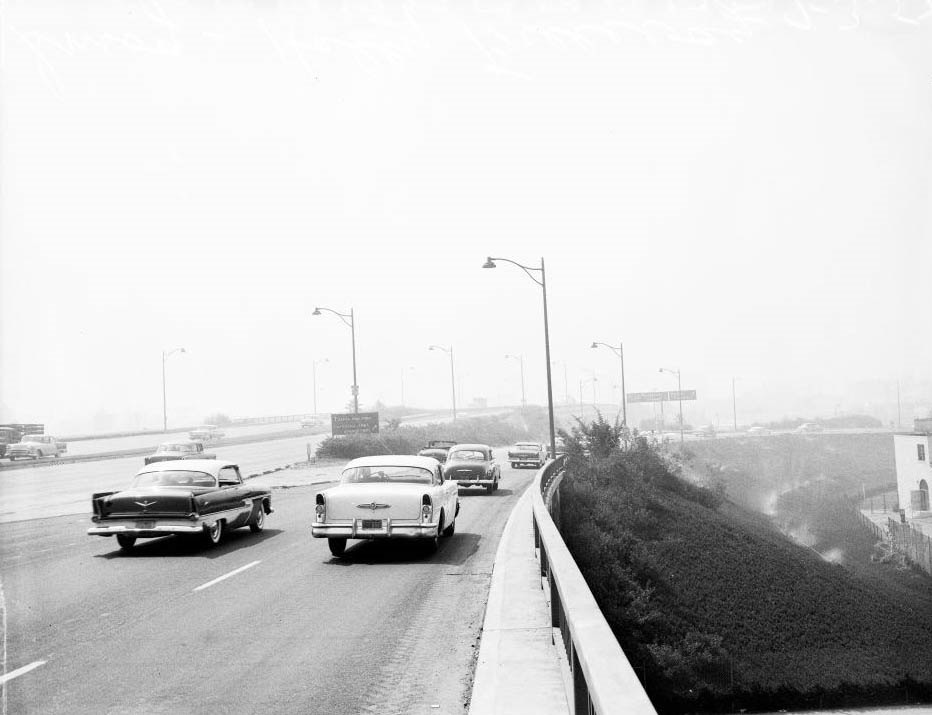
The freeways that defined Los Angeles were themselves part of the problem. By the early 1950s, the Arroyo Seco Freeway was regularly choked with homebound traffic at rush hour, its lights switched on in the afternoon because the smog had turned day into a premature twilight. The San Fernando Valley, Hollywood, Pasadena, and South Pasadena all sat under the same shroud. There was no part of the basin that escaped it.
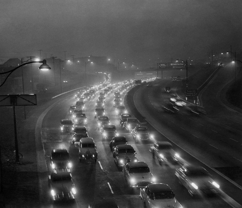
Afternoon Traffic in Thick Smog & Fog, 1950s
City Hall and Hall of Records (on right) from North Broadway and Savoy Street, 1953
North Broadway and Savoy Street, 1953
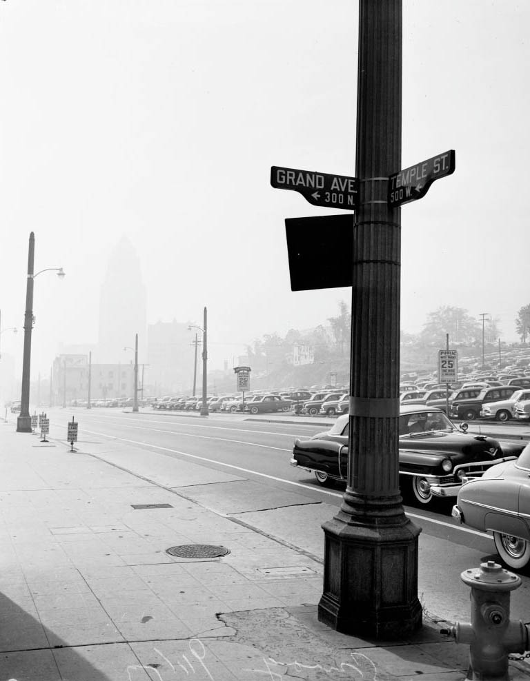
Smog from Temple Street and Grand Avenue, 1953
Smog scenes over L.A. from Mount Hollywood (Griffith Park), 1952
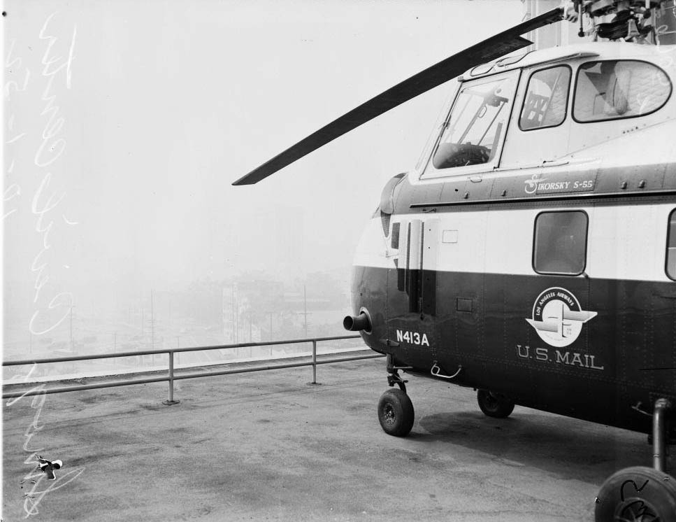
From Broadway at Hollywood Freeway, Federal Building on right, Looking north on Spring from front of City Hall, 1952
Looking North on Spring from in front of City Hall, 1952
Federal Building on right, 1952
Looking N on Broadway from Olympic at the beautiful smoggy Calif, 1952
Federal Building on right, Looking north on Spring from front of City Hall, Smog, 1952
Smoggy Los Angeles, 1952
Civic Center taken from Hill Street overlooking North Broadway, Smog, 1952
Civic Center from Hollywood Freeway, west of Grand Avenue, Smog, 1952
Civic Center taken from Hill Street overlooking North Broadway, Smog, 1952

By 1952, visibility on Hill Street was measured at only a few blocks at 10:30 in the morning. Researchers at the University of California’s Riverside campus placed plants inside smog chambers to study the damage artificial smog caused to living tissue. The results were stark — and they mirrored what was happening to human lungs across the basin every day. By 1987, an estimated 27 percent of Angelenos had severely damaged lungs. Until the 1980s, nearly 10,000 people in California died each year from illnesses tied to air pollution.
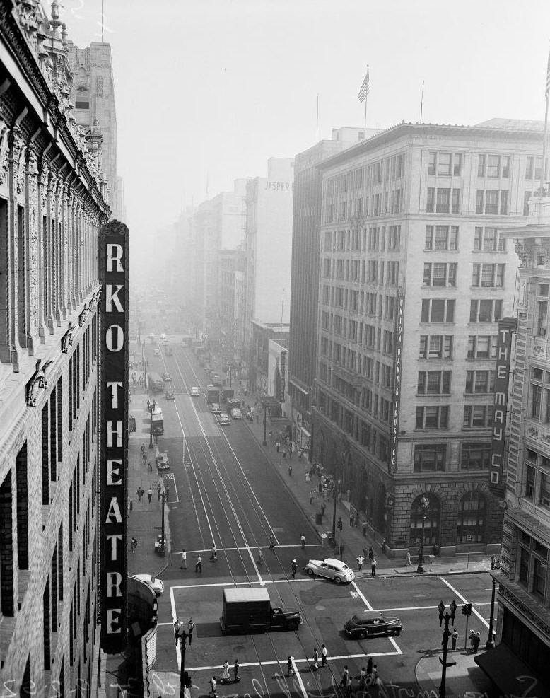
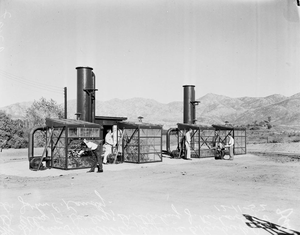
Weather (smog downtown), 1952
Smog tests, 1952
Smog tests, 1952
Smog -- Civic Center, 1 October 1952.
Smog — Civic Center, 1 October 1952.
Smog -- Civic Center, 1 October 1952.
Smog — Civic Center, 1 October 1952.
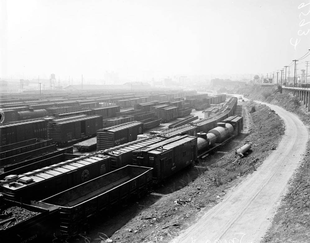
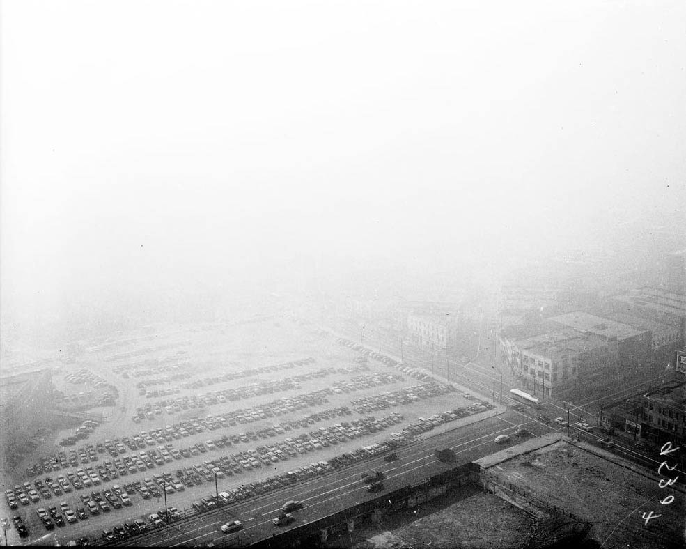
Looking at Union Depot, Smog 1952
Smog, from top of City Hall, 1952)
Smog, from top of City Hall and "Cops that cried", 1952
Smog, from top of City Hall and “Cops that cried”, 1952
Smog and our fair city (a smelly story), 1951
Weather of Los Angeles, Smog, 1951
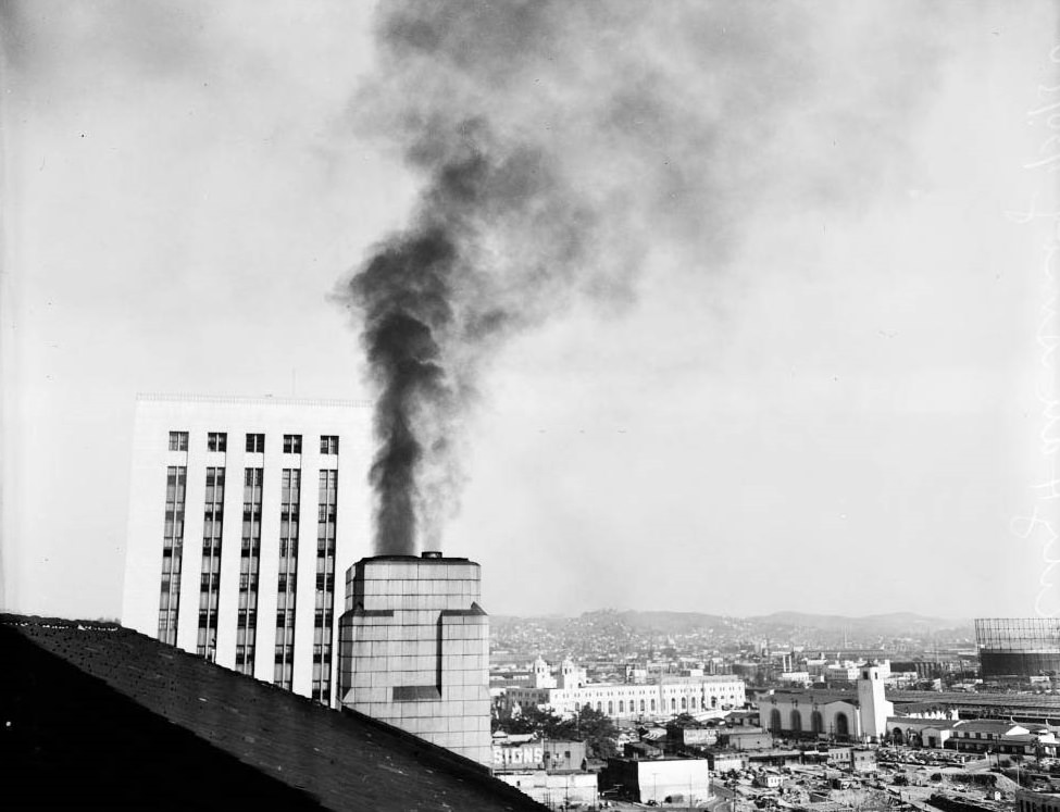
Smoke coming out of stack on 9th floor roof of City Hall, 1950
Olive Drive from Sunset Boulevard, 1950
East from Sunset Towers, Smog, 1950
Smoggy L.A, 1950
Smoggy L.A, 1950
Olive Drive from Sunset Boulevard, 1950
Looking East from Sunset Towers, 1950
Smoggy L.A, 1950
Smoggy L.A, 1950
Smoggy L.A, 1950
Smoggy L.A, 1950
Smoggy L.A, 1950
Smoggy L.A, 1950
Looking east from Fifth Street and Beaudry Avenue at 8 p.m., 1950
Joseph Nold looking south from Poppy Peak in Pasadena, 1950
Looking east from Fifth Street and Beaudry Avenue at 8 p.m., 1950
Julius Tannen (picket) at Griffin Wheel company, 1950
Smudge and smog in San Fernando Valley, 1950
Smudge and smog in San Fernando Valley. 4 January 1950
Smudge and smog in San Fernando Valley, 1950
Stanford Research Institute -- Pasadena, 1950
Stanford Research Institute — Pasadena, 1950
Nancy Matthews at hospital for treatment. Her eyes were affected from smog, 1950
Smoggy L.A, 1950
Smoggy L.A, 1950
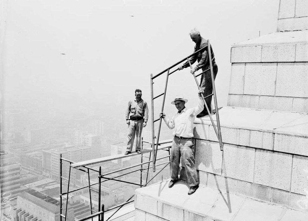
Three men on top of the building to observe the Smog, 1950.

Transit vehicles added significantly to the problem. Pacific Electric buses, which ran throughout the region, were photographed side by side — with and without smog eliminators — to show the visible difference in emissions. The comparison was damning. Union workers at plants producing varnish and other chemical products picketed their own factories, demanding the smog control board take action against the stench and fumes their workplaces generated. Workers and residents were aligned in their demand for change.
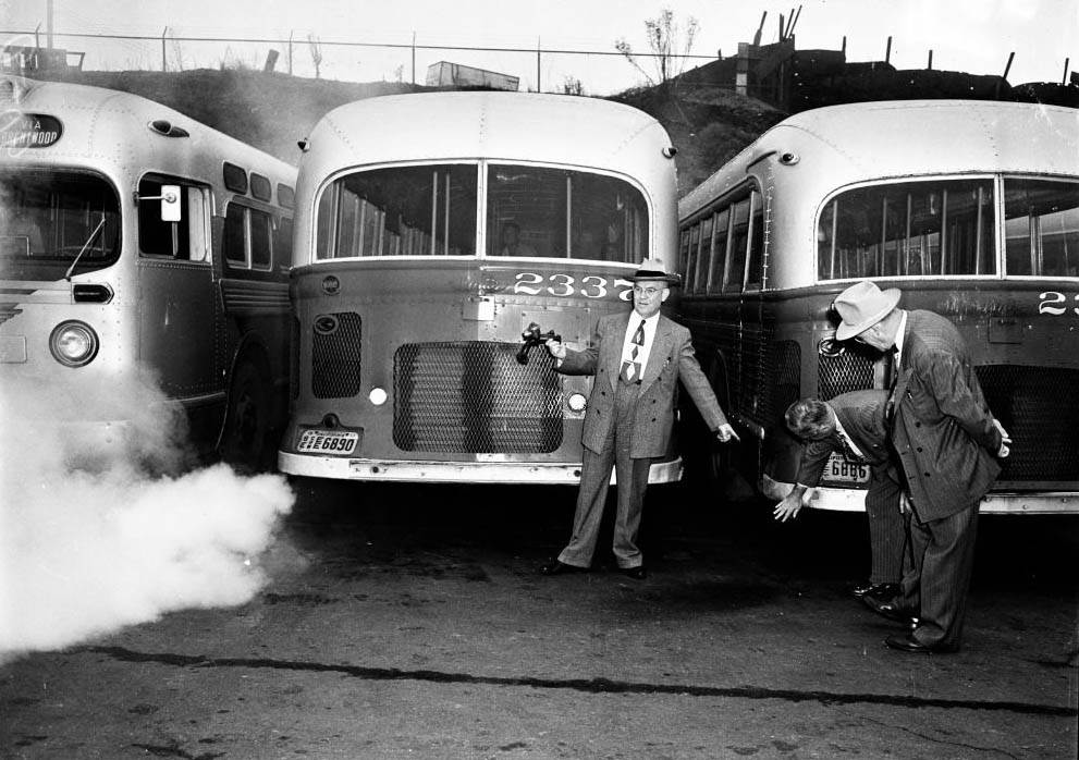
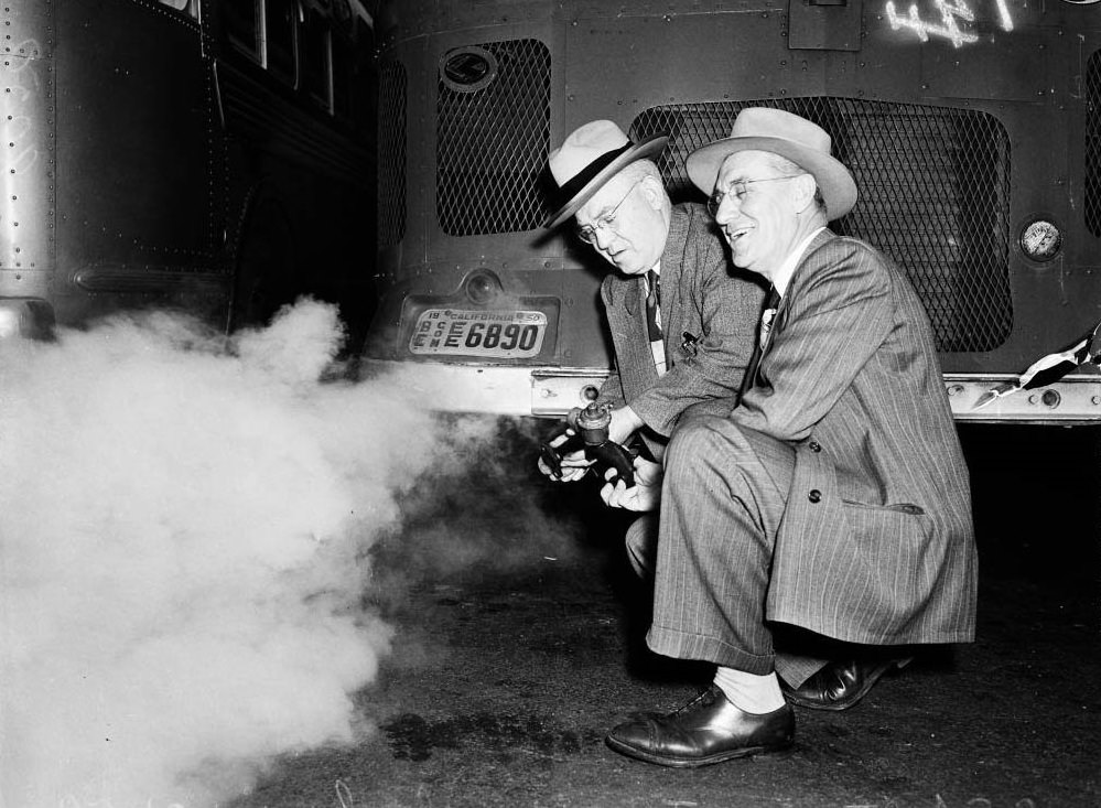
Smog, Pacific Electric bus smoke, 1950
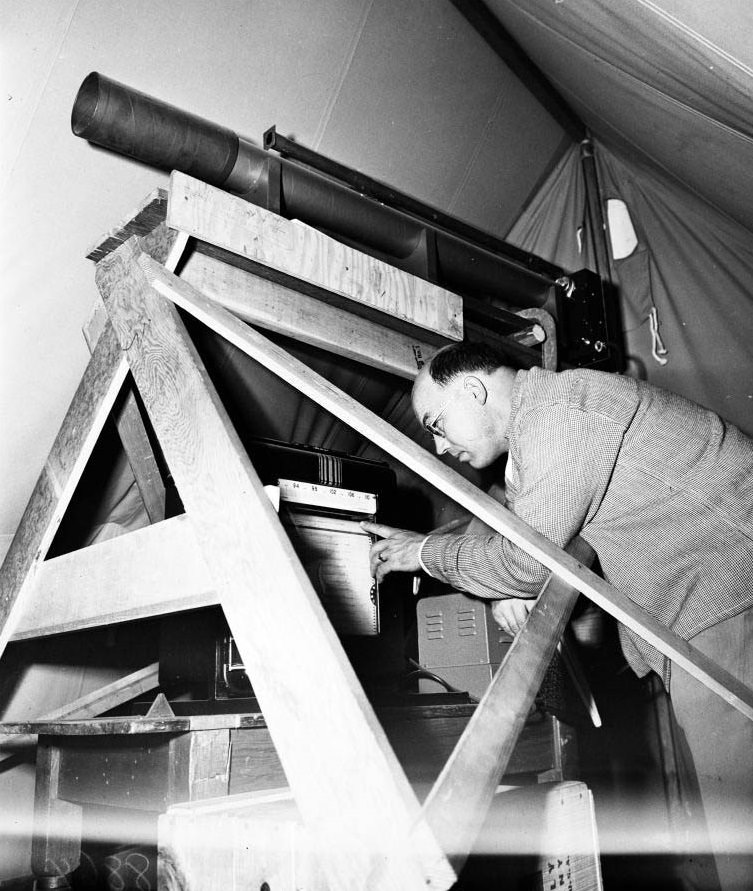
Smog measuring device, 1950
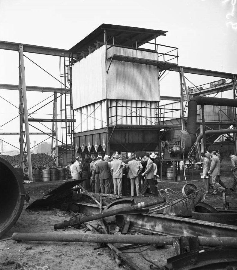
Smog tour, 1950
Smog tour, 1950
Bethlehem Steel Corporation at 3396 East Slauson Avenue gives out with smog from two smoke stacks at 2:00 p.m. Sunday, December 10th 1950
Bethlehem Steel Corporation at 3396 East Slauson Avenue, 1950
Bethlehem Steel Corporation at 3396 East Slauson Avenue, 1905
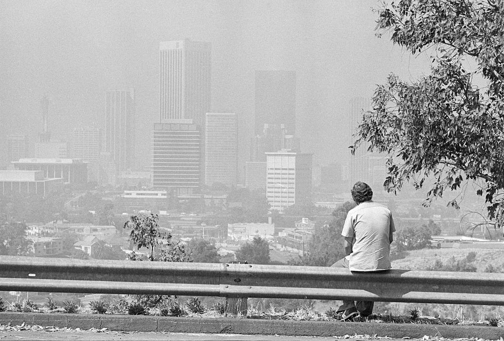
Man Seated, Looking at Smoggy Los Angeles

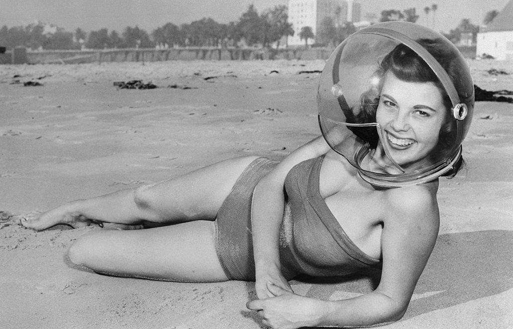
By the mid-1950s, the smog problem had become a defining feature of Los Angeles life — and it was visible from every angle. Views from Griffith Observatory in February 1957 showed a city buried under a thick atmospheric lid. Asphalt plants in North Hollywood contributed their own emissions. Road work involving the burning of blacktop at intersections like 52nd Street and Vermont Avenue sent oily black smoke into air that was already barely breathable. A girl on the beach in Santa Monica posed in a plastic smog helmet — part novelty item, part genuine product for a city that had earned its nickname “Smell-A.”
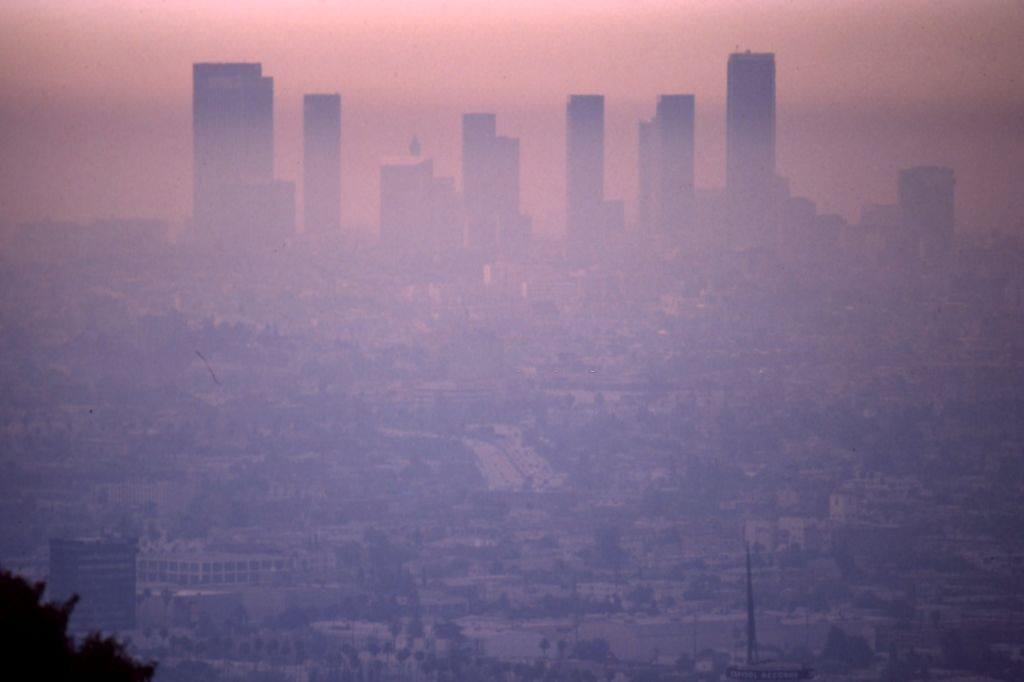
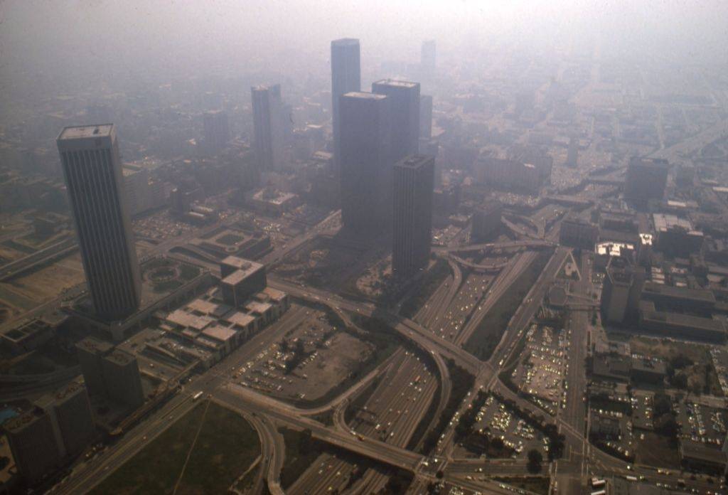
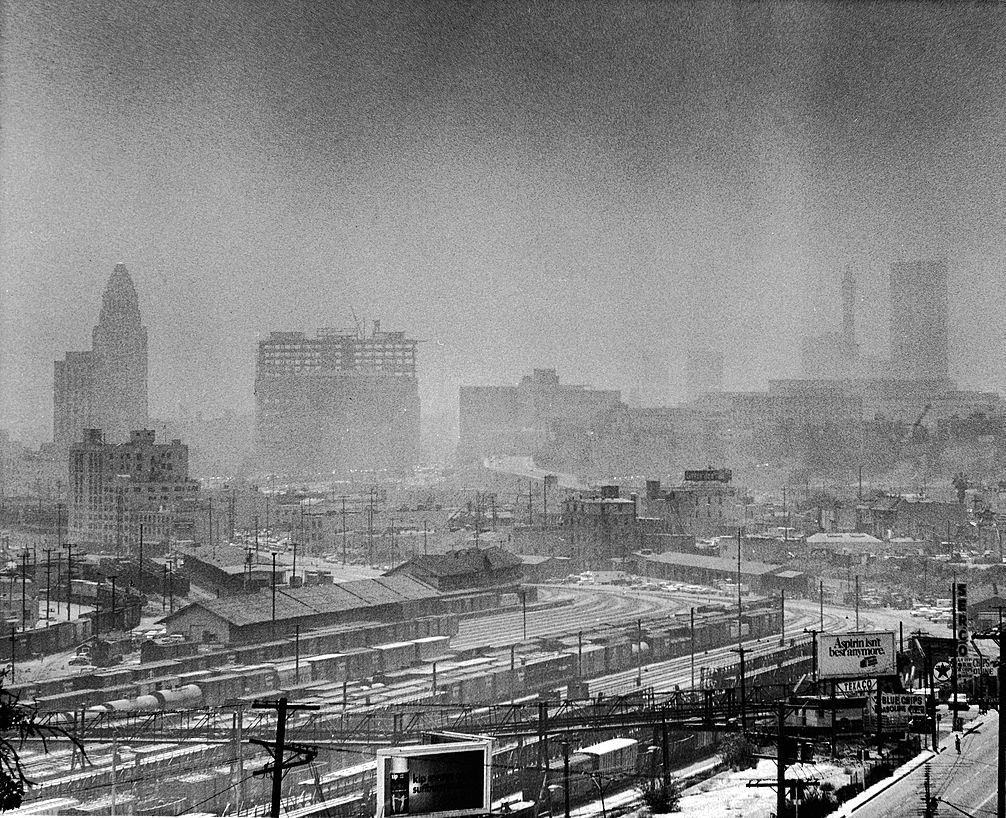
A smoggy aerial view of the cityscape and downtown skyline in January 1975 in Los Angeles, California.
Smoggy Aerial of Downtown
Smog in Los Angeles
Smog in Los Angeles
Smog in Los Angeles, 1956
Los Angeles Smog, 1956
Smoggy Day Over Hollywood Freeway in Los Angeles, 1965
Smoggy Day Near Downtown Los Angeles, 1965
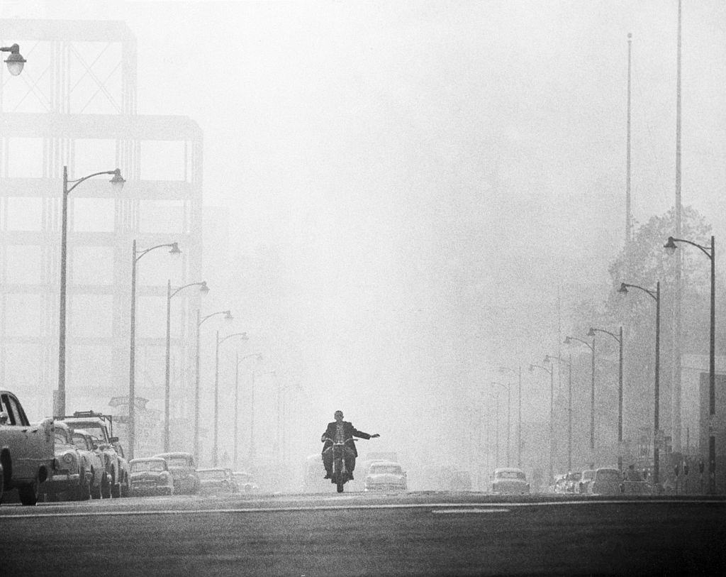
A motorcyclist in Los Angeles prepares to turn while driving along a street which is engulfed in a thick haze combined by fog and smog.
Los Angeles seen from Griffith Observatory in Griffith Park on a smoggy day 6th February 1957.
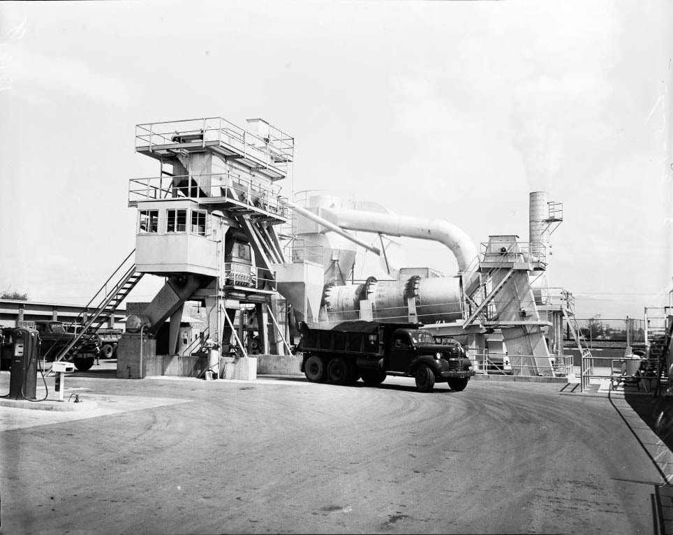
Asphalt plant (City Asphalt Plant at 12251 Sherman Way, North Hollywood), 1957
Asphalt plant (City Asphalt Plant at 12251 Sherman Way, 1957
Smog on Hollywood Freeway, 1956
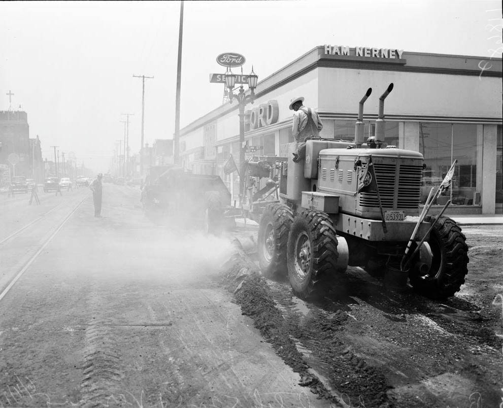
Burning off black top at 52nd Street and Vermont Avenue, 1956
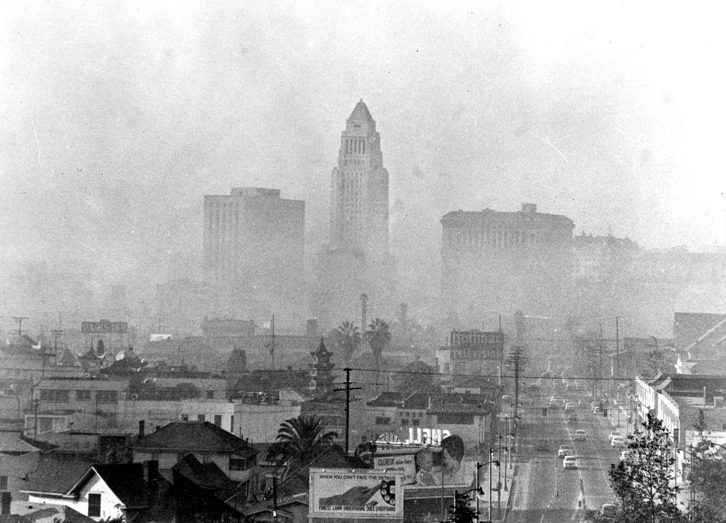
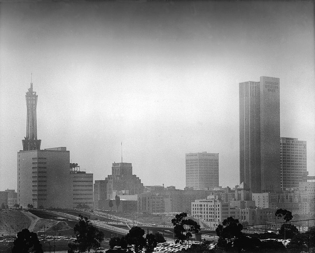
Skyline of downtown Los Angeles including the city hall (center) and the United States Courthouse (left), and Hall of Justice (right) shrouded and obscured by smog.
Girl wearing Smog Helmet, 1956

The federal government moved slowly. Congress passed the Clean Air Act in 1963, nearly two decades after the first major smog episode. National rules requiring catalytic converters on new cars followed a few years later. California went further than federal law demanded, setting strict emission standards for cars, trucks, lawnmowers, school buses, and heavy-duty commercial vehicles. Oil refineries and manufacturing plants were forced into cleanup programs. Old diesel buses and freight trucks were replaced with incentive programs funded by the state and city. The regulatory campaign was broad and sustained — and it worked, eventually. Ozone levels in Los Angeles dropped 40 percent between 1970 and the years following, despite the number of cars on the road doubling again over the same period. But those gains came too late for generations of Angelenos who had inhaled the worst of it.
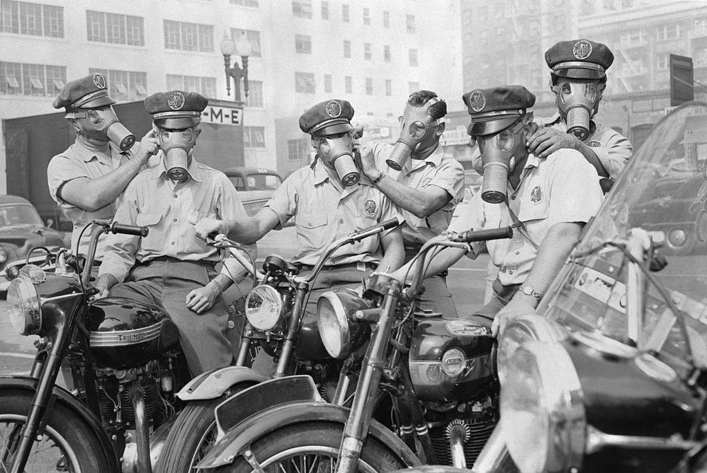
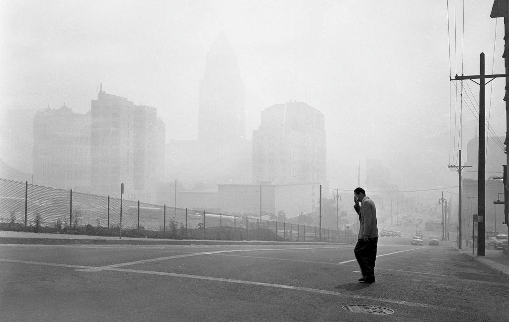
Men Wearing Gas Masks
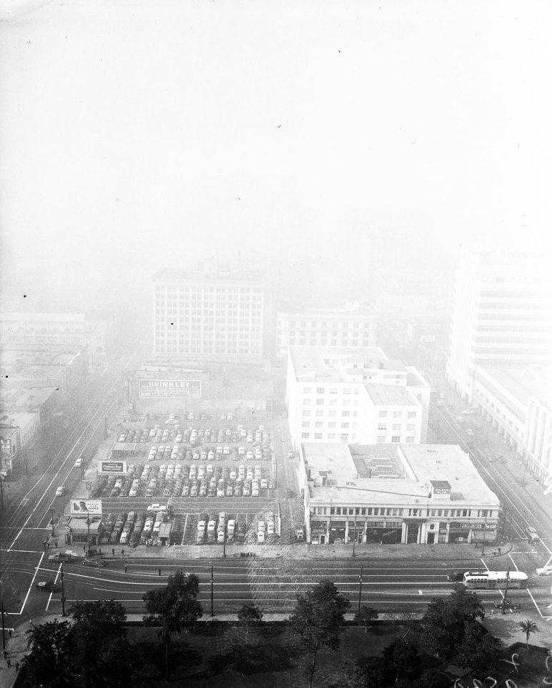
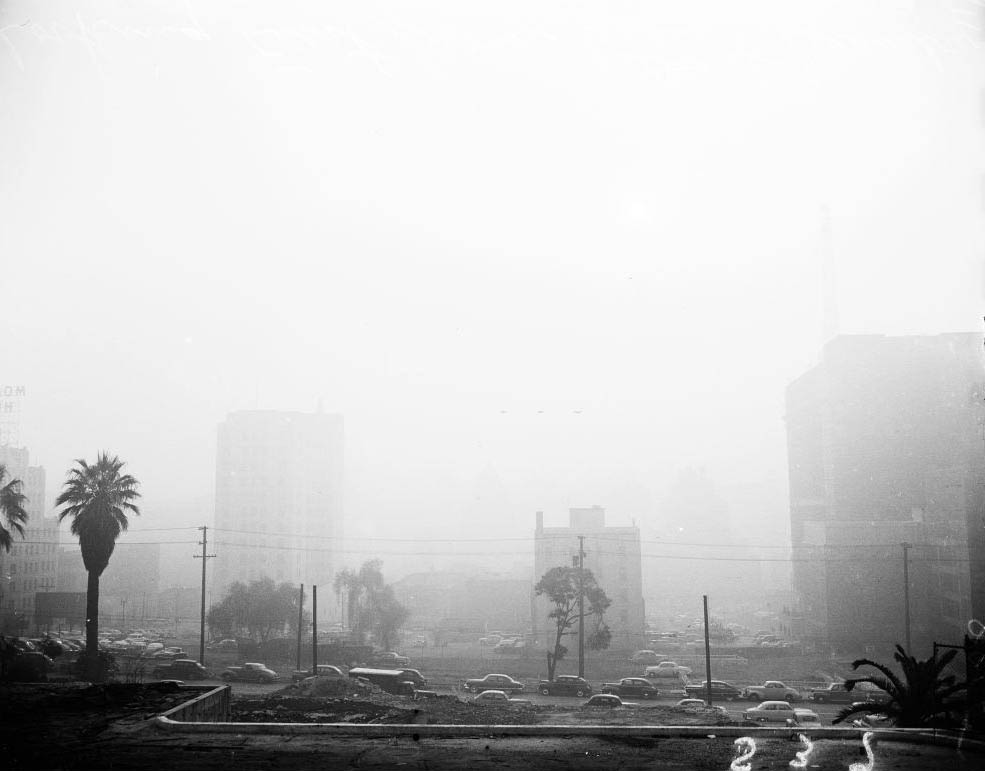
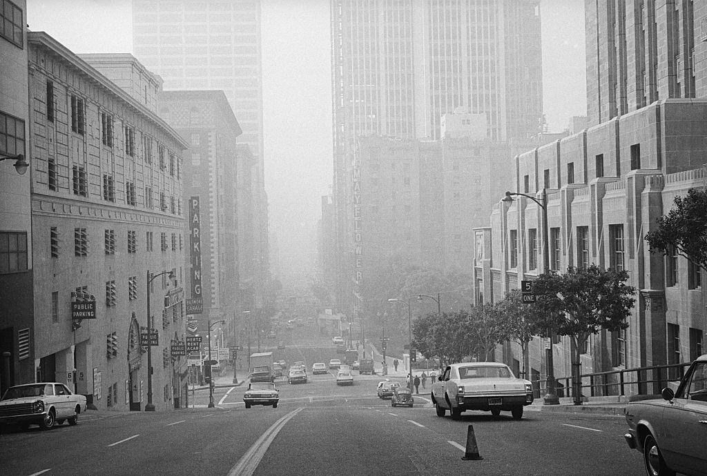
Buildings in Los Angeles Civic Center are barely visible in picture looking east at 1st and Olive Sts. at 11 a.m.
Enjoyed this post? Get new ones in your inbox.

Leave a Comment

Your email address will not be published. Required fields are marked *

Share this Post 🥺

Please take a moment to share this content. Your support is greatly appreciated! 🙌🙏

Share this Post 🥺

Please take a moment to share this content. Your support is greatly appreciated! 🙌🙏
Scroll to Top
 
Hey Friend, Before You Go.. Please like & follow for more interesting content