Dennistoun sits on the north side of the River Clyde, one of Glasgow’s most recognisable inner-city districts. It was named after Alexander Dennistoun, a Scottish merchant who founded the area. By the Victorian era, the neighbourhood had filled with solid stone tenements, terraced rows, and handsome villas — the kind of built environment that Glasgow became famous for. Many of those structures still stand today, but 1974 was a very different story. The city was deep in a period of slum clearance and urban renewal, and Dennistoun was caught right in the middle of it.
The photographs on this page were taken in and around Dennistoun in 1974. They capture the neighbourhood at a turning point — some streets still busy with daily life, others already half-demolished, their tenements reduced to rubble to make way for motorway construction. Together, they form a vivid street-level record of what this part of Glasgow looked like before large sections of it were erased.
Roebank Street was one of those ordinary but well-used local streets. Its row of shops served the surrounding tenement population, including a newsagent right at the centre of the strip.
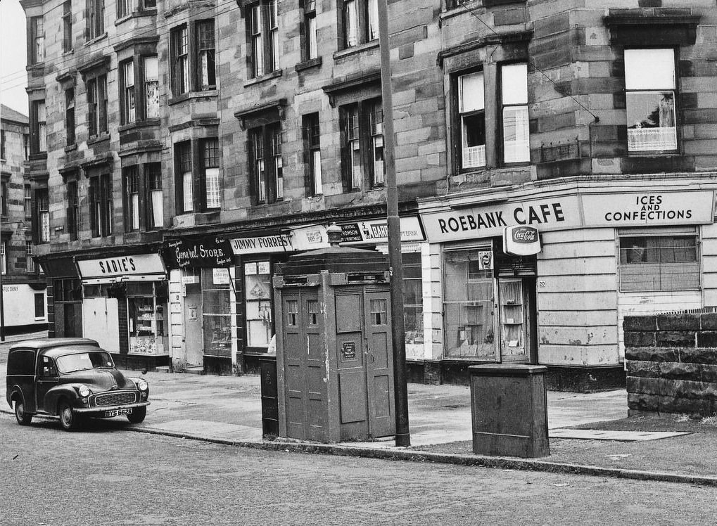
That newsagent was owned by Mrs. Fulton — mother of Ricky Fulton, the celebrated Scottish actor and comedian who became one of the best-known comic performers in Scotland. The shop, like the rest of the Roebank Street frontage, is gone today.
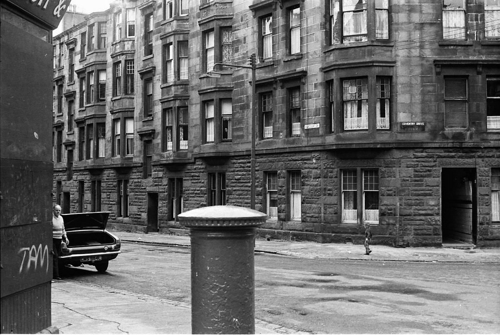
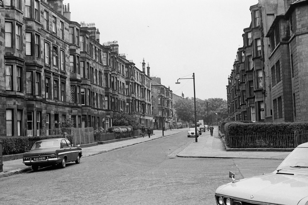
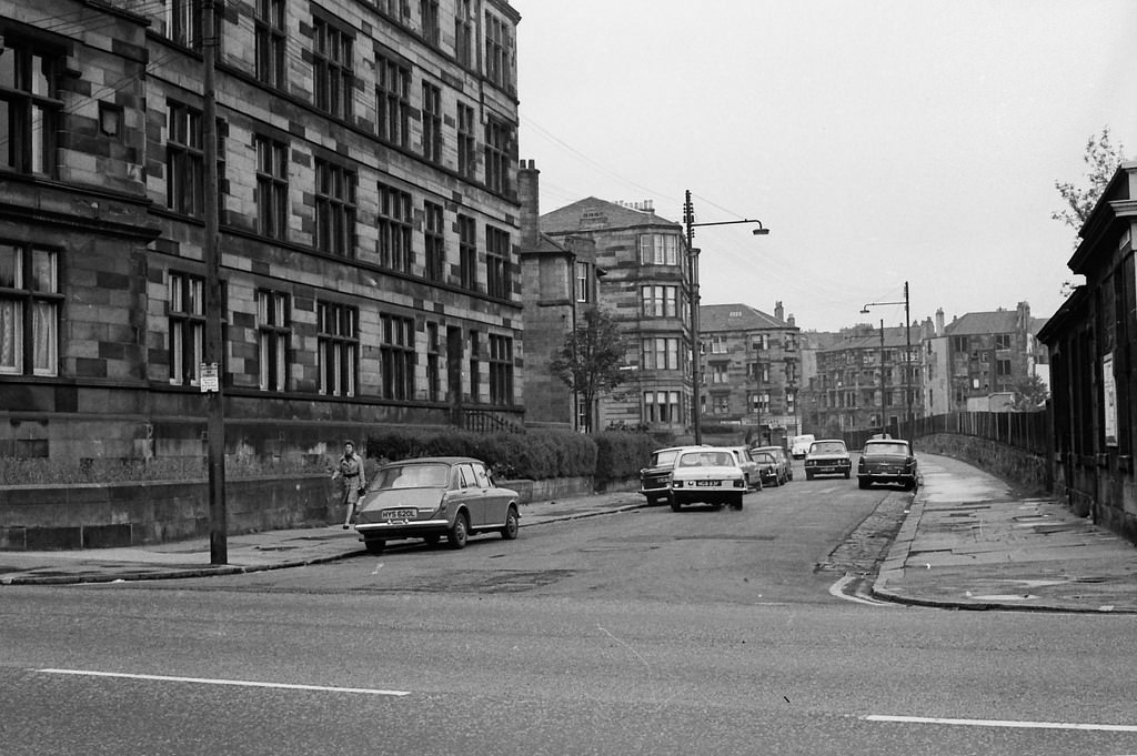
The residential streets around this part of Dennistoun had a tight, grid-like layout. Coventry Drive, Culloden Street, Harcourt Drive, and Meadowpark Street all connected within a few blocks of each other. Walking these streets in 1974 meant passing a mixture of occupied tenements and buildings already abandoned or partially knocked down.
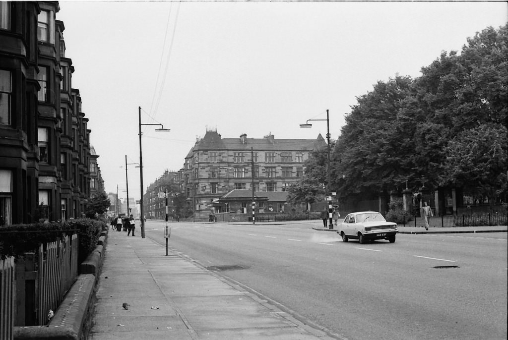
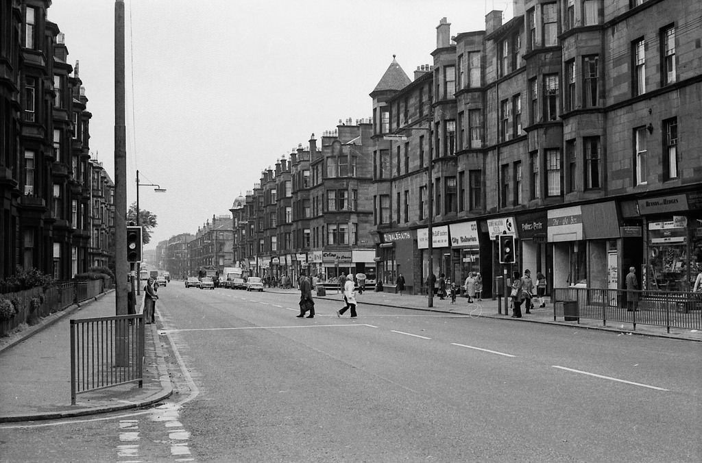
Alexandra Park forms the eastern boundary of this part of Dennistoun. Alexandra Parade runs along its southern edge, connecting the park to the wider street network. In 1974, the parade still had its original Victorian character — wide, lined with tenements, and busy with foot traffic.
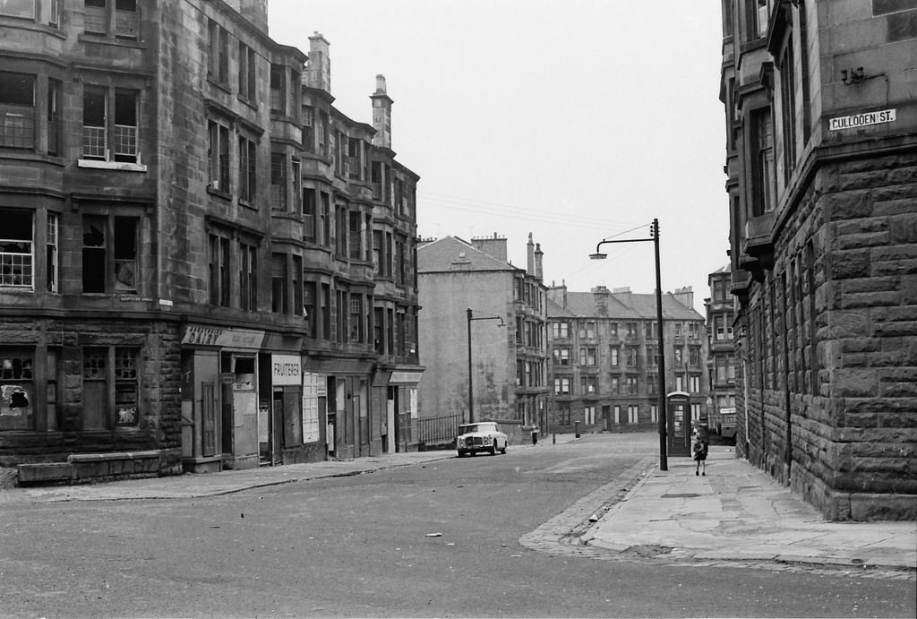
The side streets feeding off Coventry Drive give a clear picture of how densely built this neighbourhood was. Harcourt Drive is a short connecting street, but in 1974 it was surrounded by occupied tenement blocks on all sides.
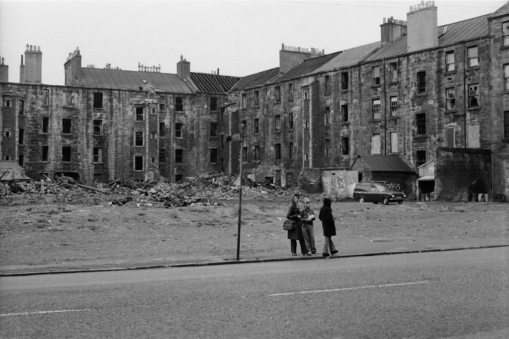
By the mid-1970s, Glasgow Corporation had marked significant portions of Dennistoun for clearance. Whole blocks of Victorian tenements were condemned, not always because they were beyond repair, but because city planners had designated the land for road-building. The M8 motorway expansion consumed large areas of inner Glasgow during this period, and Dennistoun paid a heavy price.
Meadowpark Street ran north to south through the heart of this grid. Looking north from Meadowpark Street at the junction with Ballindalloch Drive, you could see straight through to Roebank Street at the far end — a long, unbroken tenement canyon that defined the scale of the neighbourhood.
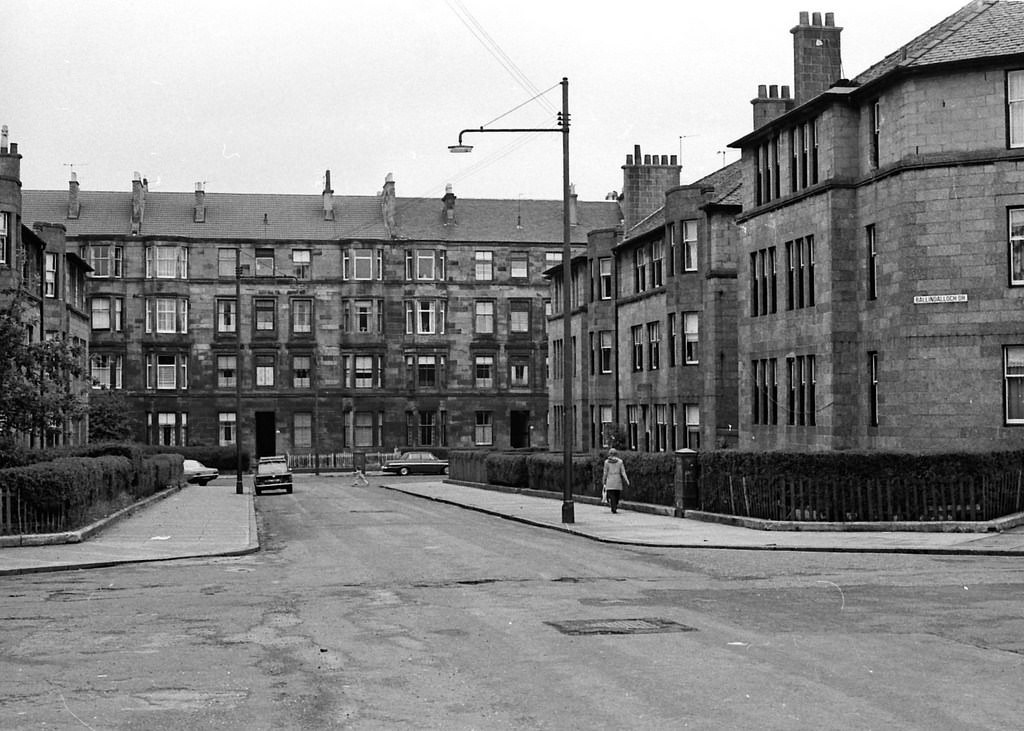
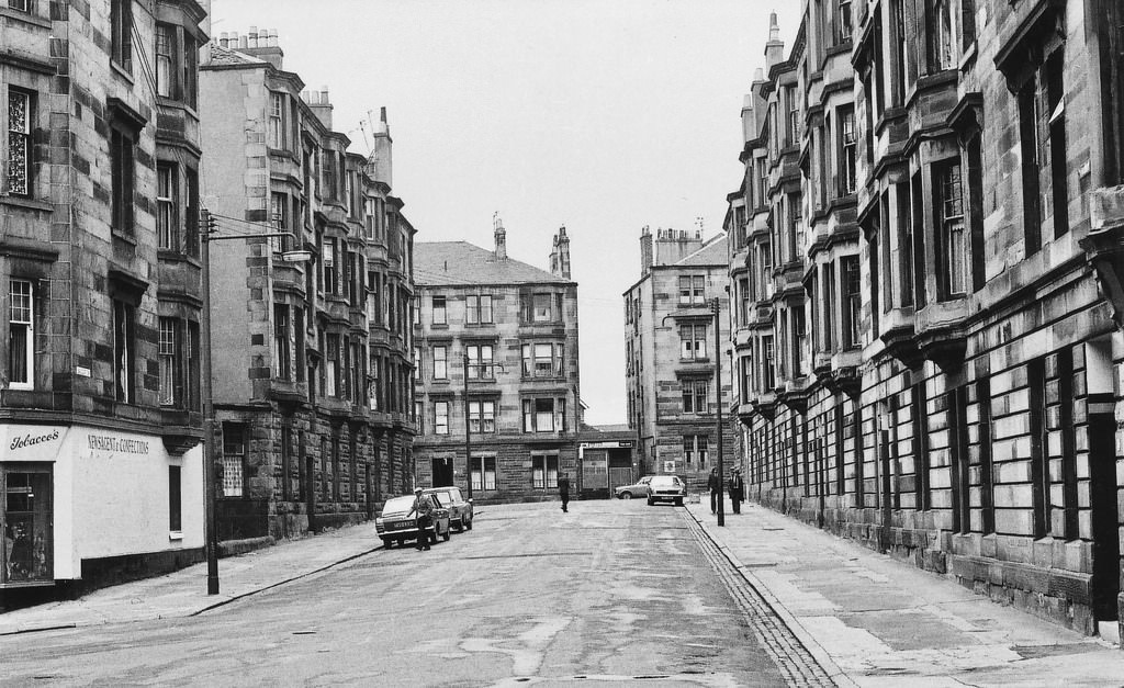
Alexandra Park itself provided a rare open green space for residents hemmed in by stone on all sides. The view east along Roebank Street from Meadowpark Street, with the park visible in the distance, was one of the more open sightlines available in an otherwise tightly packed urban grid.
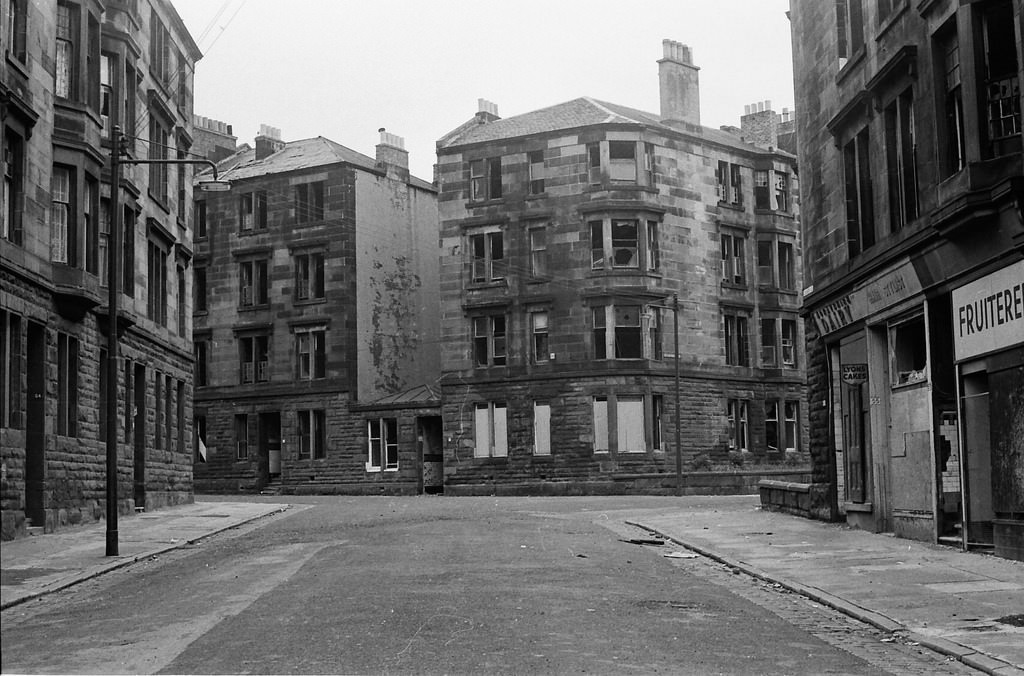
Some of the most striking images from 1974 show the demolition already underway. On Culloden Street, a tenement block on Coventry Drive had been partially knocked down, and through the gap left by the missing walls, photographers captured a rare open view of Staffa Street — a street that would soon disappear entirely from the Glasgow map.
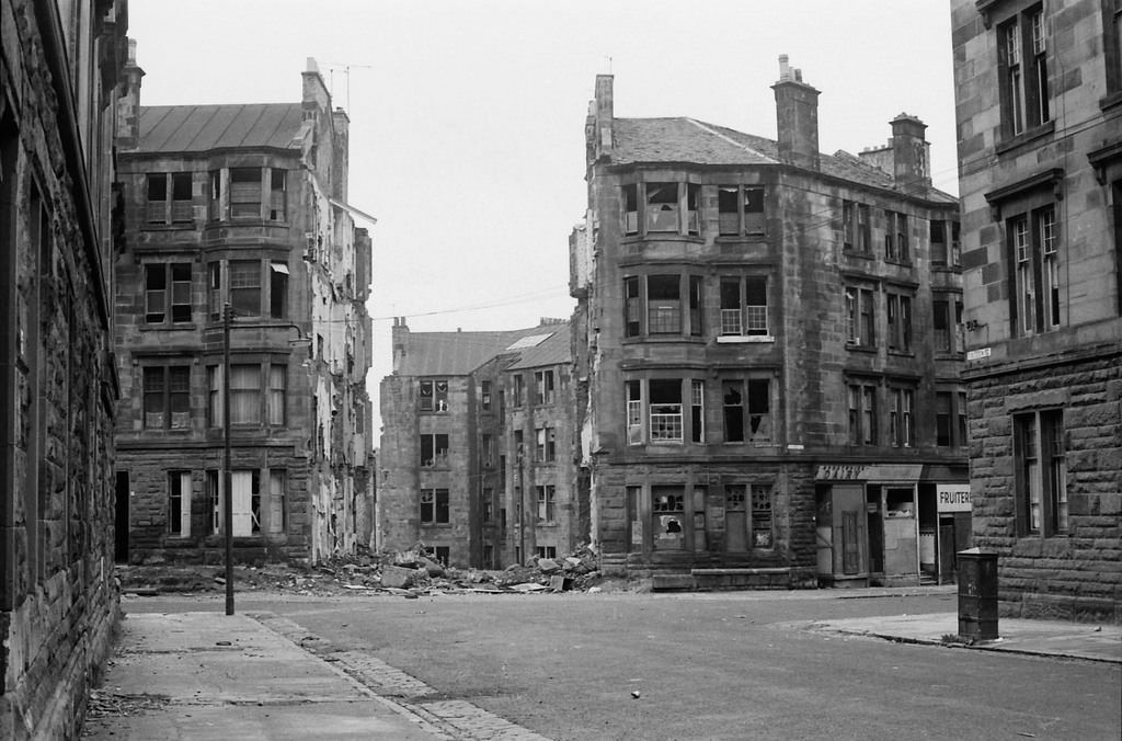
This view of Staffa Street, framed by broken masonry and exposed rubble, is now one of the only photographic records of that street in its final days. It has since been described as a rare view now consigned to the dustbin of Glasgow history.
Alexandra Parade, running east from Meadowpark Street, offered a long straight view toward Marne Street and Cumbernauld Road beyond. In 1974 this corridor still had its full tenement frontage intact on both sides, though that would not remain the case for long.
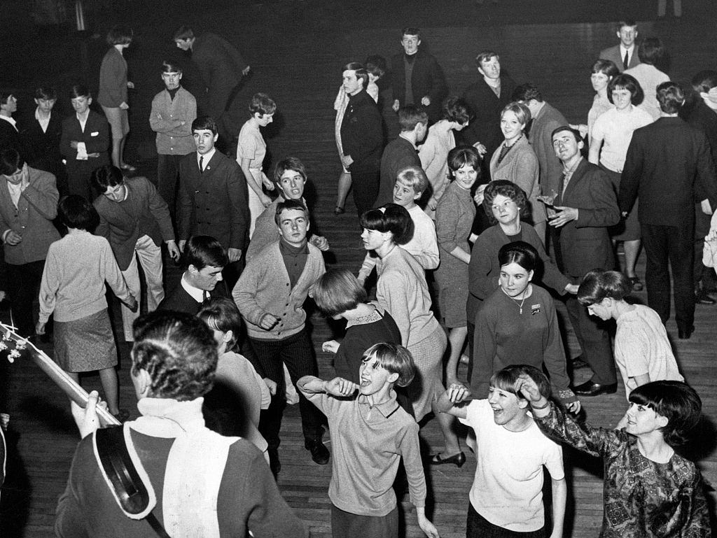
Not every image from 1974 Dennistoun is one of decay. The Dennistoun Palais was a well-known local dance hall, and it was still very much in use. On the floor, teenagers were twisting — the dance craze that had swept through Britain in the early 1960s and clearly hadn’t worn out its welcome in Dennistoun more than a decade later.