Charlotte, North Carolina in the 1950s was a city in the middle of a long, steady transformation. By that decade, it had already earned its place as the largest city in the Carolinas, built on the back of the textile industry and its role as a regional distribution hub. The railroad had first connected Charlotte to broader markets back in the 1850s, and that link to the national economy never let go. Through boom decades and depression years, the city’s growth mirrored the country’s economic rhythm. The 1950s, however, brought something different — a quieter, more deliberate kind of growth, one that showed up in new roads, new buildings, new libraries, and neighborhoods filling out block by block.
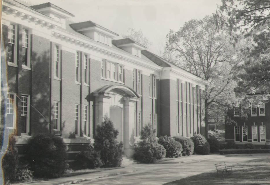
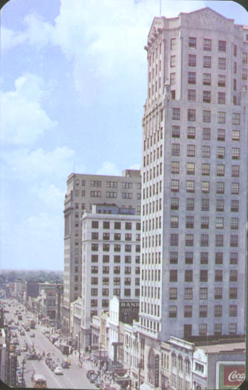
The postwar energy of the late 1940s carried into the new decade, and Charlotte’s uptown core was alive with office buildings, storefronts, and daily foot traffic. Tryon Street was the city’s main artery, lined with jewelers, banks, and businesses that gave Charlotte its commercial identity. Many of the buildings visible in photographs from this era had been standing since the New South boom of the early 1900s, and they still defined the skyline. Campus life was also expanding in the 1950s, with institutional buildings going up and older structures being renovated to meet growing demand.
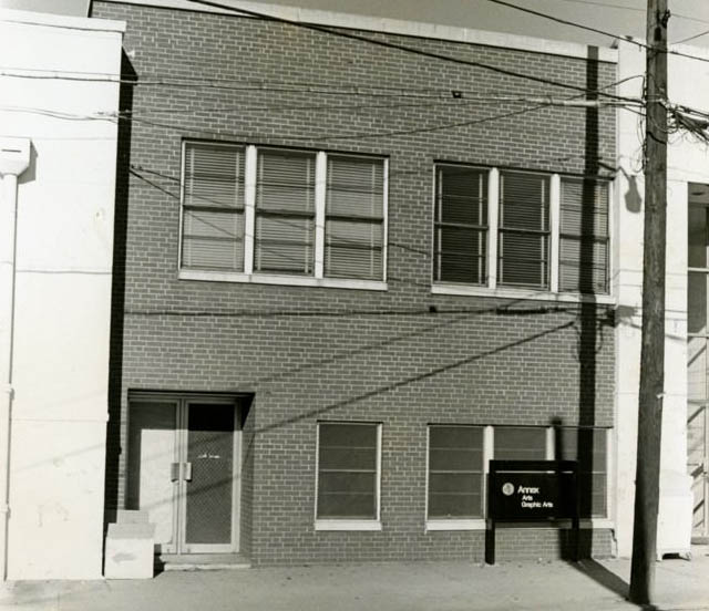
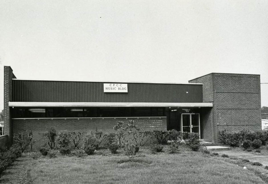
The performing arts were not left behind. Charlotte’s cultural institutions were finding their footing in this decade, with dedicated spaces being built to serve a growing and increasingly civic-minded population.
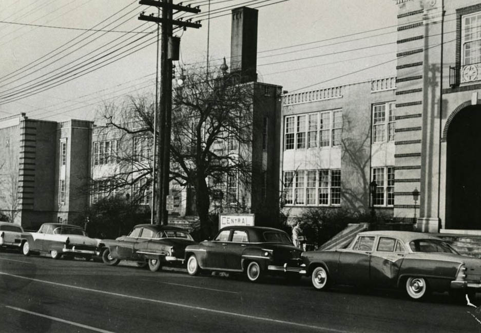
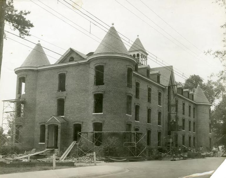
Education was a cornerstone of Charlotte’s identity in the 1950s. Schools like Garinger High School — originally known as Central High — stood as anchors in their communities. Meanwhile, older buildings on campuses across the city were being renovated. Carter Hall, photographed mid-decade with empty windows and scaffolding, was one example of how the city was updating its institutions rather than abandoning them.
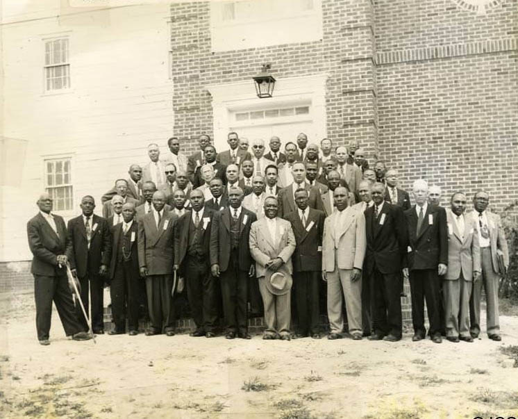
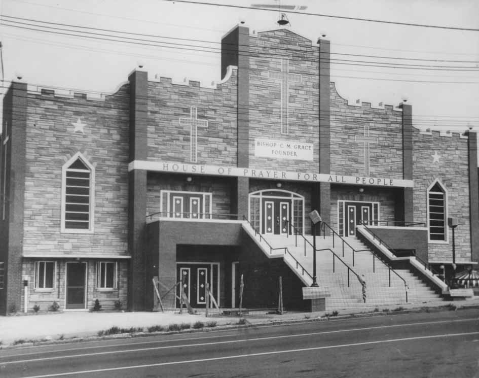
Religious life was deeply woven into Charlotte’s social fabric. In the spring of 1954, the Yadkin Presbytery held a meeting at the Covenant U.P. Church in Durham, where Reverend Calvin A. Hood was ordained. On South McDowell Street in Charlotte, the United House of Prayer for All People — a denomination founded by Bishop “Sweet Daddy Grace” in 1924 — stood as a visible sign of the city’s diverse spiritual communities.
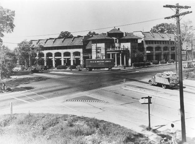
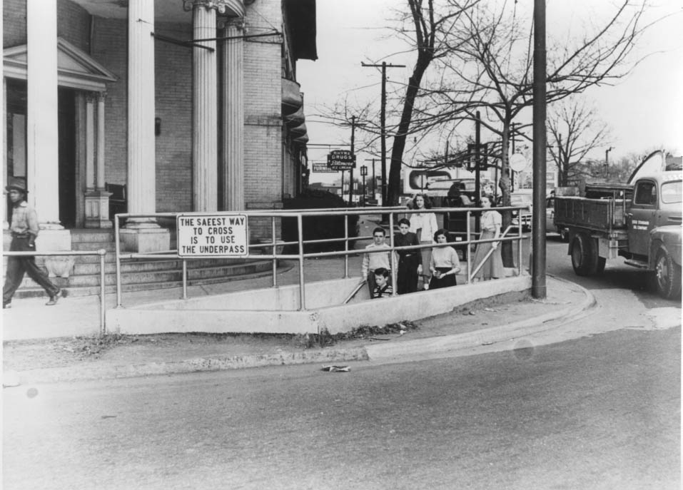
The streets of Charlotte in 1950 tell their own story. At the corner of South Boulevard and East Morehead Street stood the Dowd Flats, a residential building that shared its block with a practical piece of infrastructure — an underpass connecting South Boulevard and East Morehead Street. That tunnel allowed students from Alexander Graham Jr. High School to cross safely without navigating traffic. It was a small but telling detail about how the city thought about its residents.
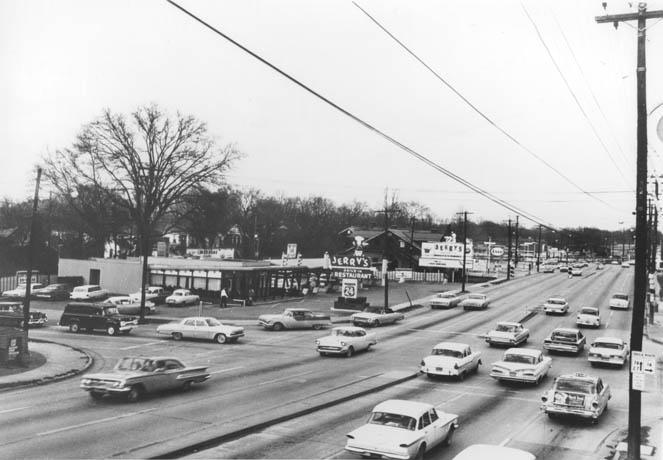
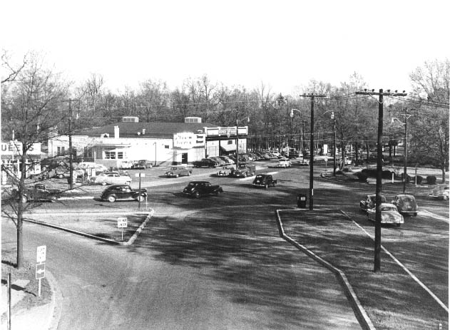
By 1955, Jerry’s Drive-In Restaurant on Independence Boulevard at the intersection of East Fourth Street near Elizabeth Avenue was the kind of place that defined mid-century American dining culture. Drive-in restaurants were everywhere in 1950s Charlotte, catering to a population that was buying cars and spending more time on roads that were themselves being widened and extended.
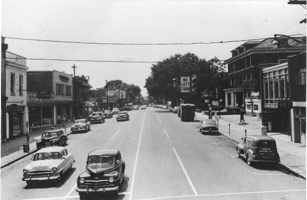
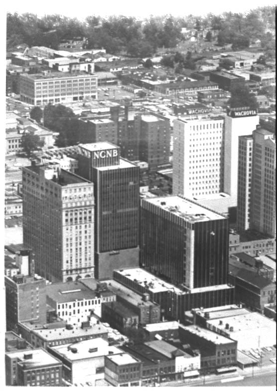
East Trade Street, photographed in 1955 looking east from Brevard Street toward Caldwell Avenue, showed a city street in full use — cars, storefronts, and the visual density of a functioning urban corridor. An aerial view taken the same year captured uptown Charlotte from above, giving a sense of just how tightly packed the city’s core had become.
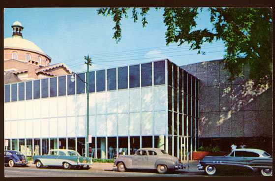
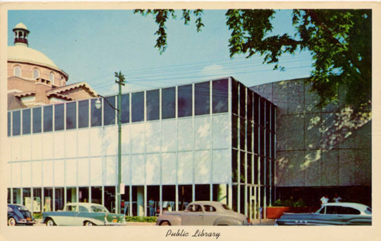
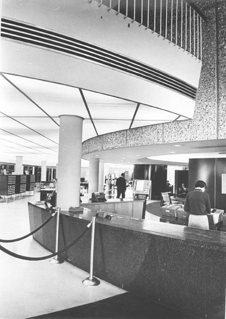
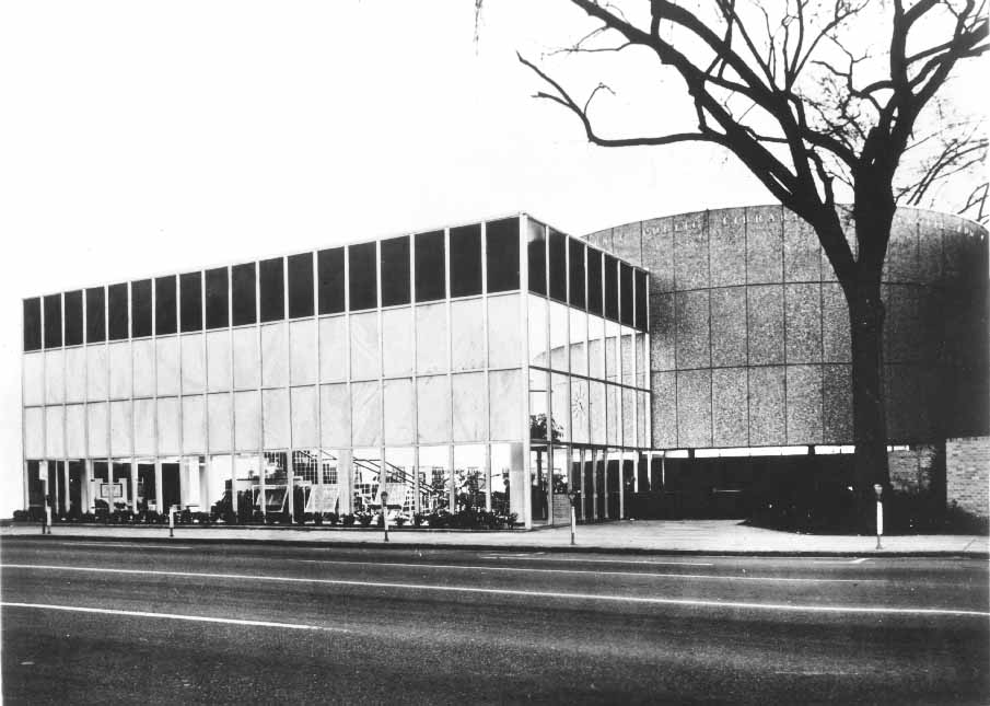
One of the decade’s most significant civic projects was the construction of a new main branch for the Public Library of Charlotte and Mecklenburg County. The library at 310 North Tryon Street opened in 1956, replacing an older facility. Two years later, in 1958, it was photographed again — and by 1959, a new main branch on the site of the original 1903 Carnegie Library was already in place. The interior of the 1956 building, captured in a later photograph, showed a well-lit, open reading space that reflected the optimism of postwar public investment.
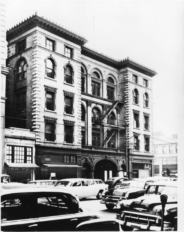
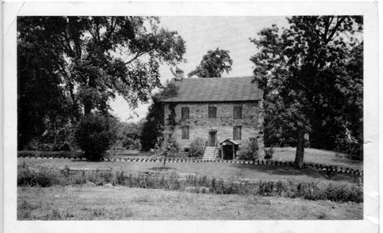
Some of Charlotte’s oldest landmarks were still standing in the 1950s, though not all would survive the decade. The Piedmont Building at 222 South Tryon Street, designed by architect Frank P. Milburn and built around 1898, was once considered the finest office building in North Carolina. By 1950, it had stood for over 50 years. It was demolished in 1957. The Hezekiah Alexander House, built in 1774, took a different path — in 1950, the Charlotte Chapter of the Daughters of the American Revolution restored the historic home.
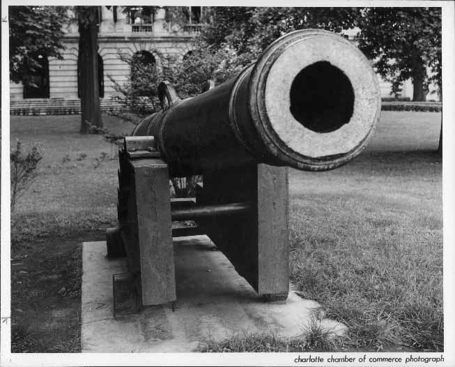
One of the more unusual historical artifacts visible in Charlotte’s 1950s streetscape was a cannon positioned in front of the Post Office on West Trade Street. The cannon had been captured by U.S. forces in the West Indies during the Spanish-American War in 1898. It was manufactured on May 24, 1769, and President William McKinley donated it to Charlotte in 1900. A photograph taken on May 16, 1958, documented the cannon still in place. It has since been moved to the Charlotte Museum of History on Shamrock Drive.
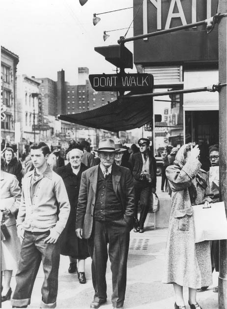
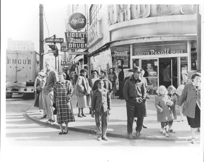
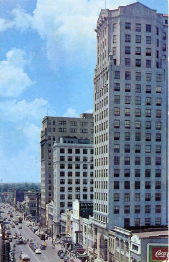
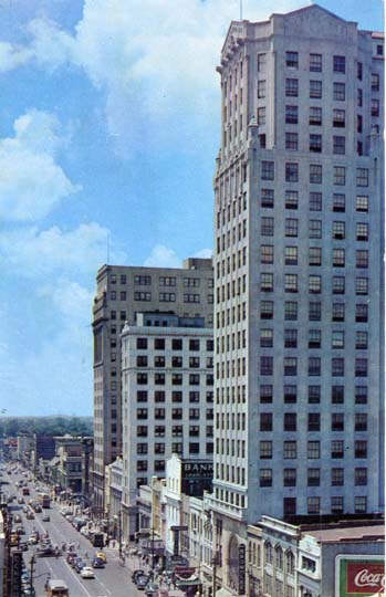
Tryon Street remained the visual and commercial heart of uptown Charlotte throughout the 1950s. Looking south from Dalton Avenue or east toward the Independence Building, the street conveyed a sense of permanence and activity. Brownlee Jewelers sat on the left side of South Tryon Street, right next to the Liberty Life Building. On the corner of Trade and Tryon — known as the Square — Charlotteans gathered, waited for the light to change, and went about their daily routines.
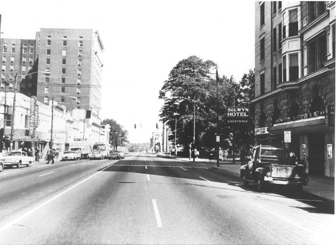
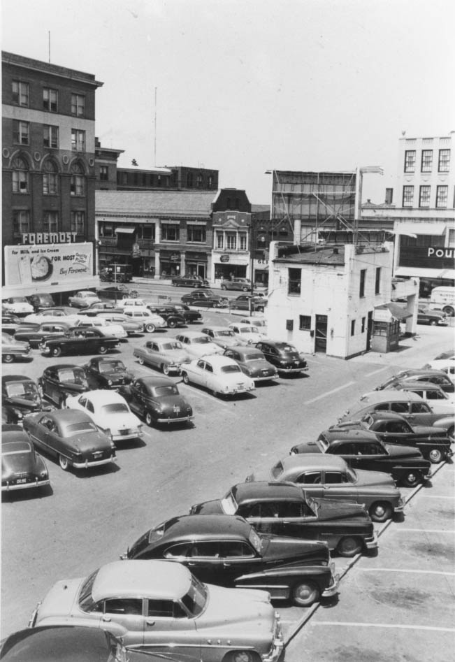
West Trade Street, photographed in 1950, looked past the Church Street intersection toward the Selwyn Hotel, visible on the right. Parking lots were also beginning to claim real estate in the city’s core. One lot sat at the southeast corner of Third and Tryon Streets — the same site where the First Union National Bank would eventually be built. Another sat in the 200 block of South Church Street, looking east toward the back of the Johnston Building and the Piedmont Building.
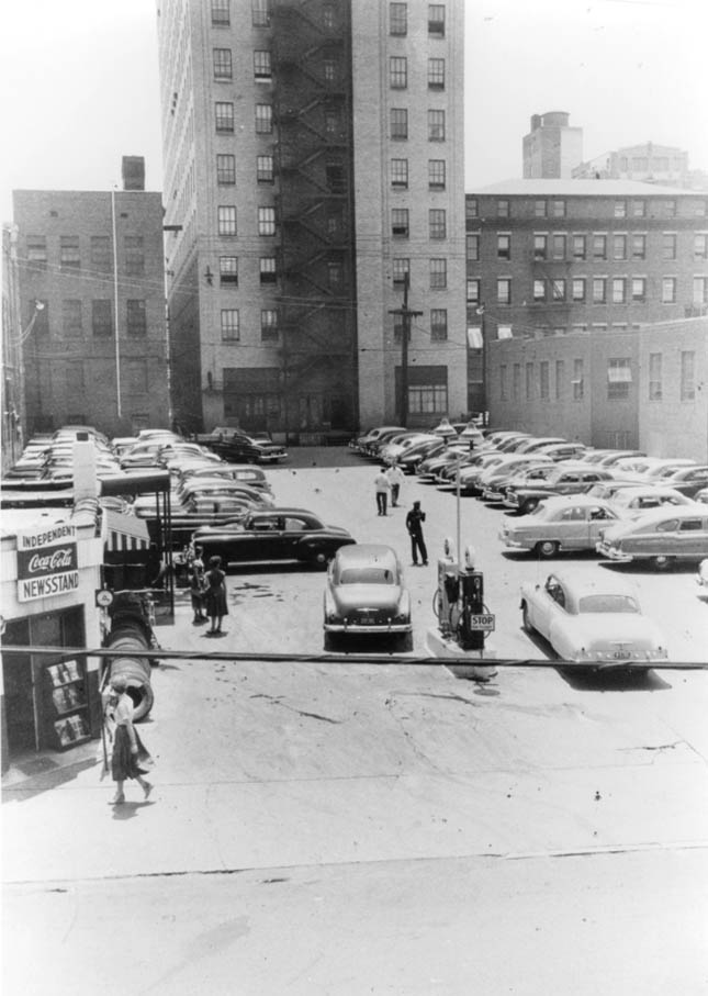
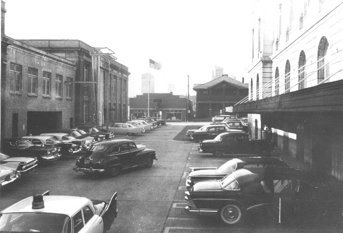
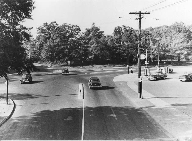
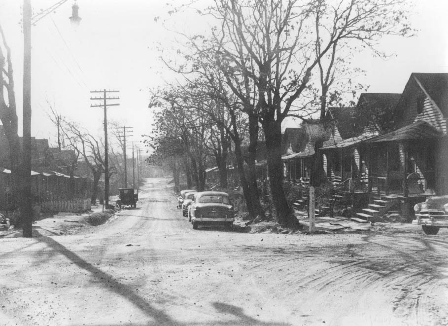
Charlotte’s neighborhoods spread out from the city center in every direction. Morehead Street was photographed multiple times in 1950, capturing its intersection with McDowell Street, its crossing at Independence Boulevard, and the corner where Stuart W. Cramer’s former home had been converted into a restaurant. Kenilworth Avenue in Dilworth, looking south past Romany Road at its intersection with Scott Avenue, showed a quieter, tree-lined residential Charlotte far removed from the bustle of Tryon Street.
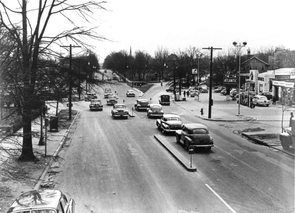
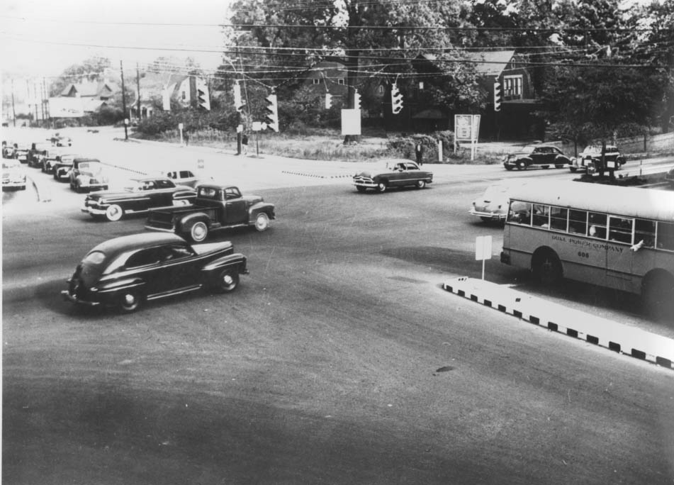
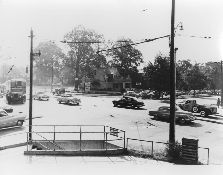
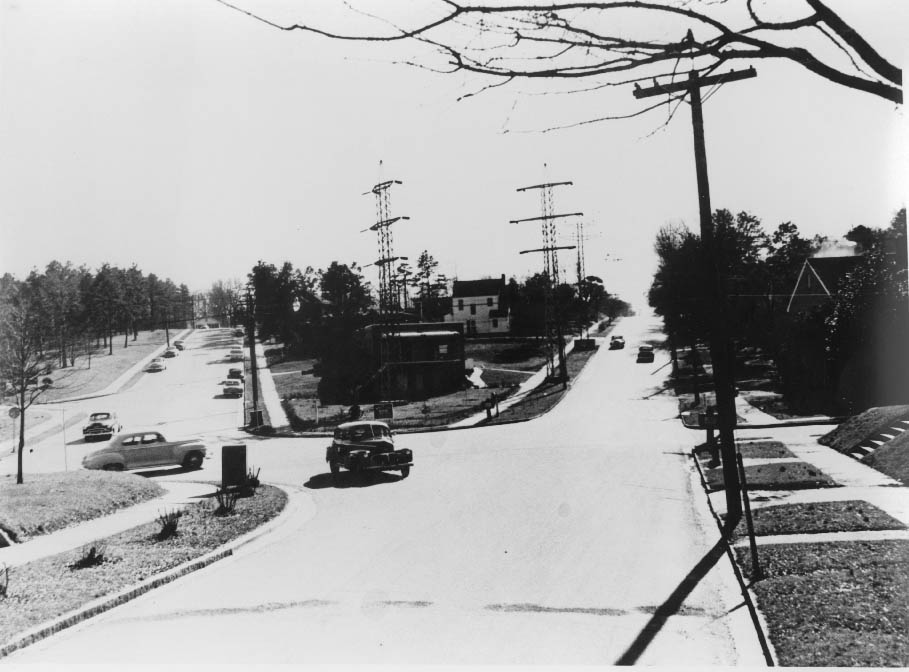
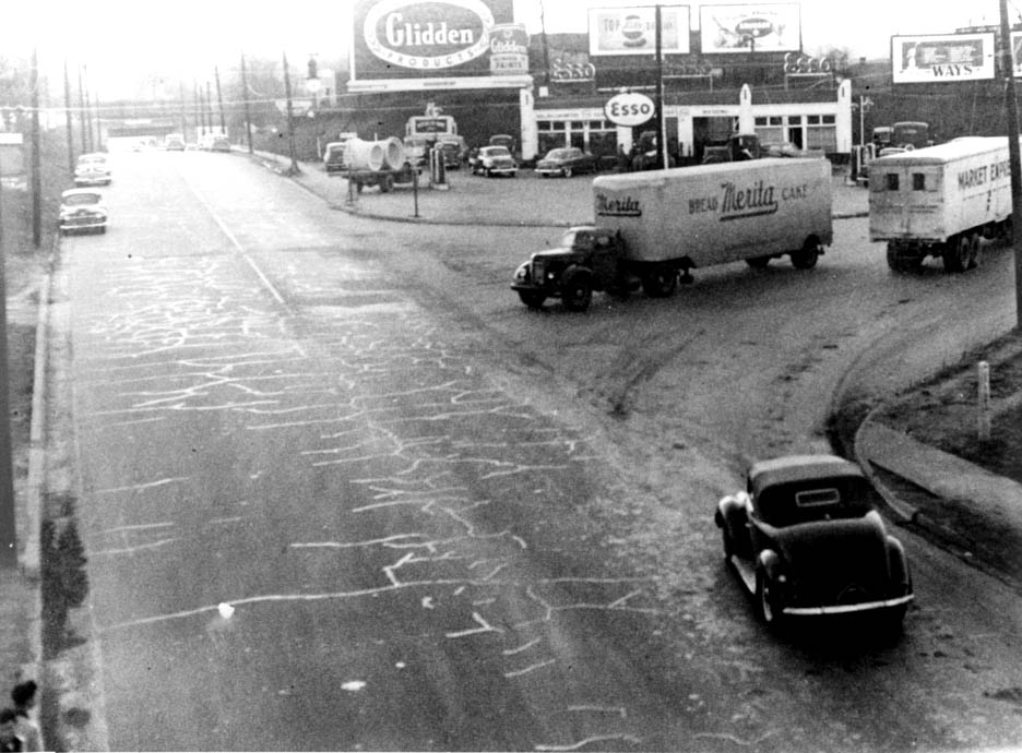
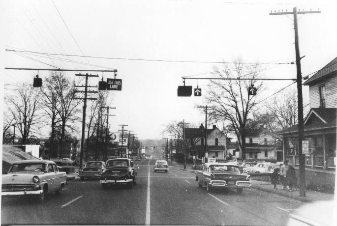
Independence Boulevard was being actively built out during the 1950s. A 1955 photograph taken looking north from Morehead Street showed the Caldwell Street connector on the right — Stonewall Avenue had not yet been extended to cross through at that point. Another image from 1955 showed the boulevard as it crossed the Thompson Orphanage Farm, a stretch that would soon be absorbed into the city’s expanding road network.
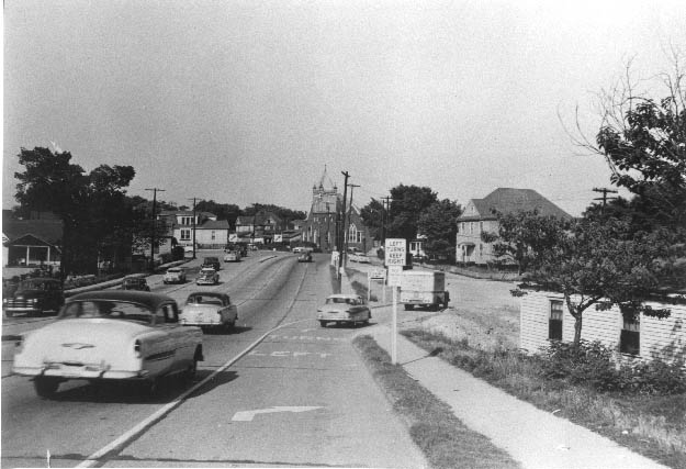
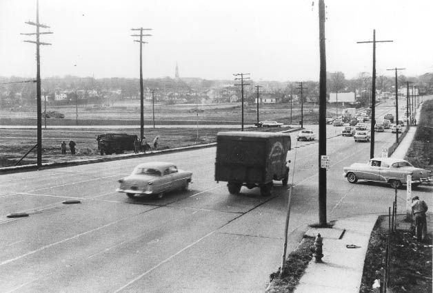
North Cecil Street — renamed Kings Drive — was photographed in 1955 heading toward the intersection of East 7th Street, just beyond the Park Center. That same facility, the Park Center, had been photographed the year before while still under construction on the ruins of the Old Armory Auditorium. By 1957, an aerial view of the Kings Drive and Brunswick Avenue area showed how quickly this part of the city was changing.
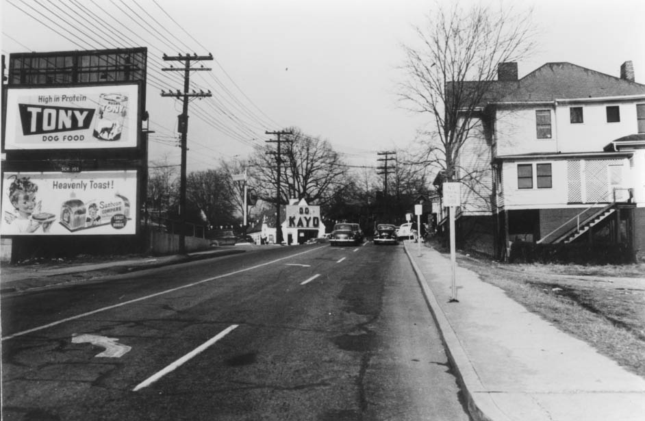
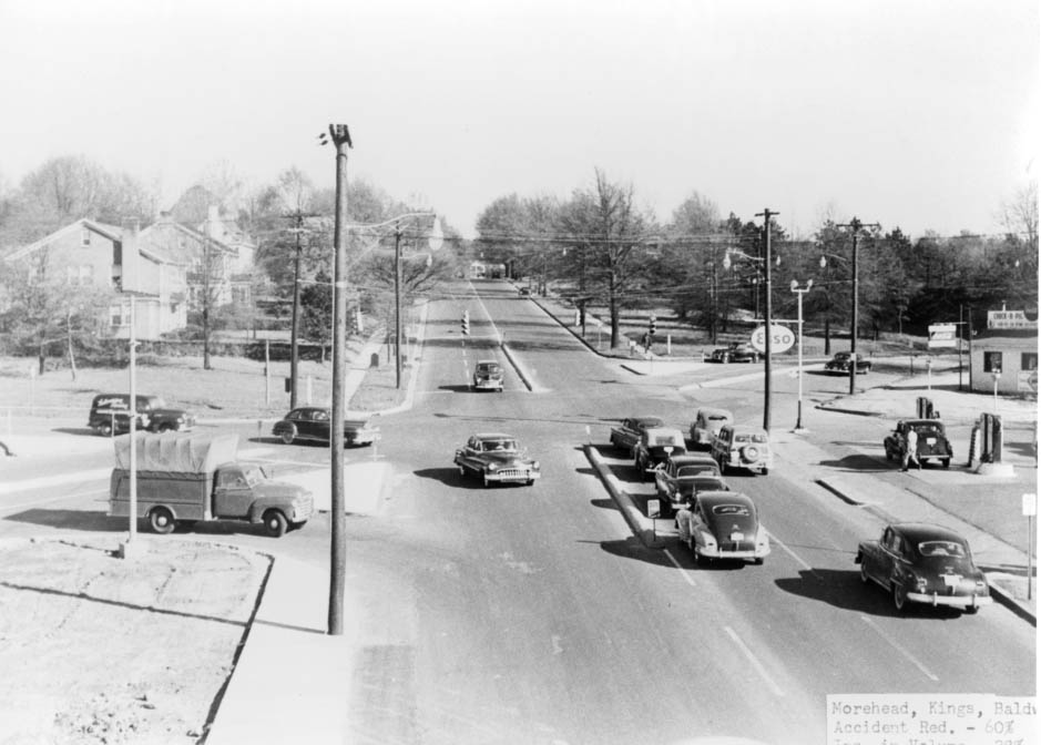
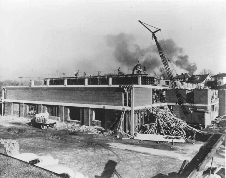
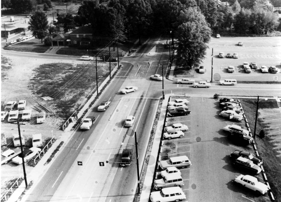
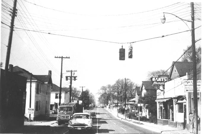
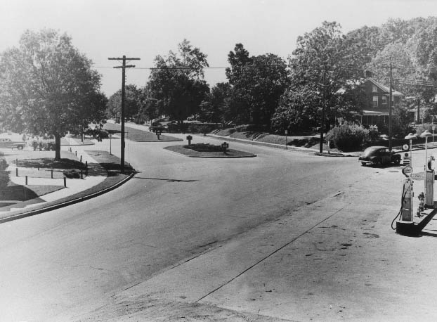
Other streets captured in 1950 offer a ground-level record of the city’s layout. Graham Street, Queens Road, Providence Road, East Sixth Street, East Fourth Street, and The Plaza at the Parkwood intersection all appear in the photographic record, each showing a distinct piece of Charlotte’s geography. Fourth Street was photographed twice — once looking east toward the Myers Street intersection, and again in 1958 looking east from the County Courthouse toward Alexander Street.
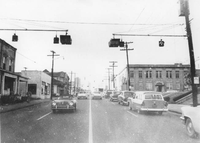

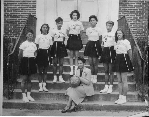
Sports were part of community life too. In 1950, Minnie Alma Blake coached the West Charlotte High School girls’ basketball team. She was photographed with her All-Star squad: Ruth Gartrell, Mattie Eaves, Mary Alice Alexander, and Jessie Mae Young, along with three unidentified players. The photograph stands as a record of athletic life at a Black high school in Charlotte during the era of segregation. On the northeast corner of Trade and Tryon Streets — Independence Square — Charlotteans went about their lives, shopping, standing at crosswalks, and moving through a city that was steadily, quietly becoming something larger than it had ever been.