Zaragoza is the capital city of the Zaragoza province, which lies in the northeastern part of Spain, in the region of Aragón. It is also known in English as Saragossa. Over more than 2,000 years, the city has been ruled by the Romans, the Moors, and Christian kings, each leaving their mark on its grand monuments, palaces, and churches. Here are some fascinating vintage photos of Zaragoza in the 1970s.
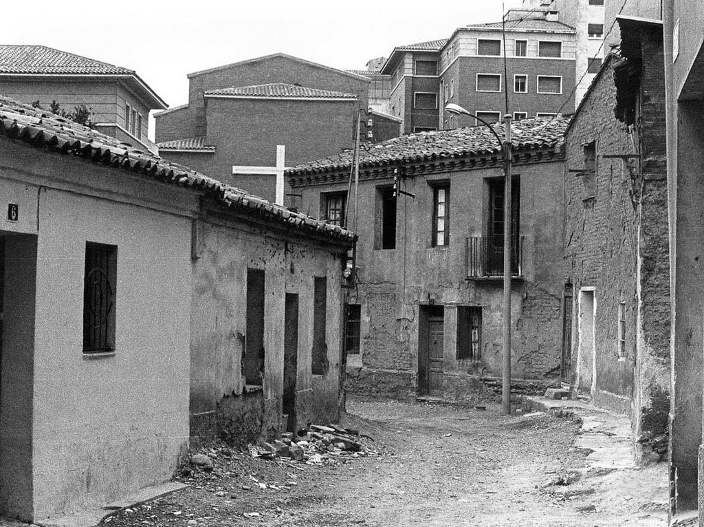
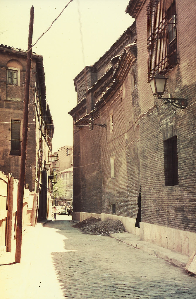
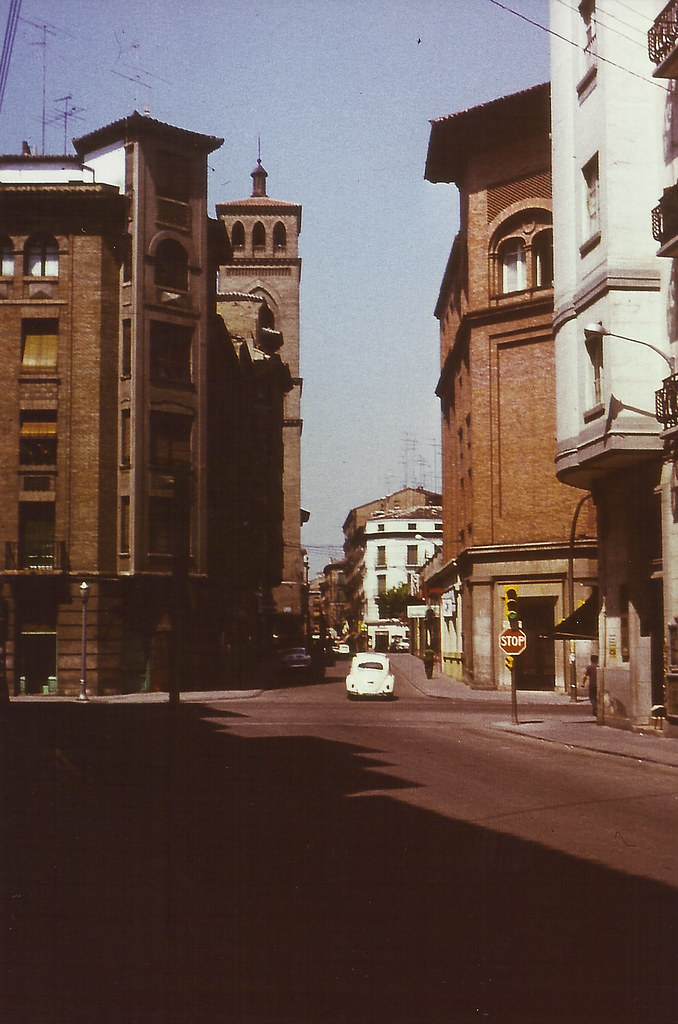
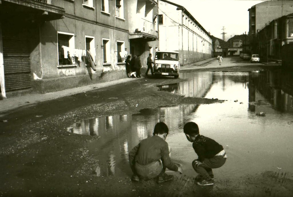
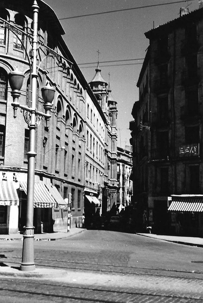
View of Calle del Saliente, in the Las Delicias neighborhood. This street, whose origin was in a branch of the Romareda irrigation channel, had its entrance on the Mosquetera road and its exit on the Montevideo road, next to Oriente Street, from which the inspiration for its name was taken — a name referring to the cardinal point of the east, or projection. The later urbanization of the area turned the street into an alley with access and exit through Montevideo Street. In the background is the rear of the church of the Hijas de San José (Josefinas) school, with the main entrance through Calle de la Duquesa de Villahermosa.
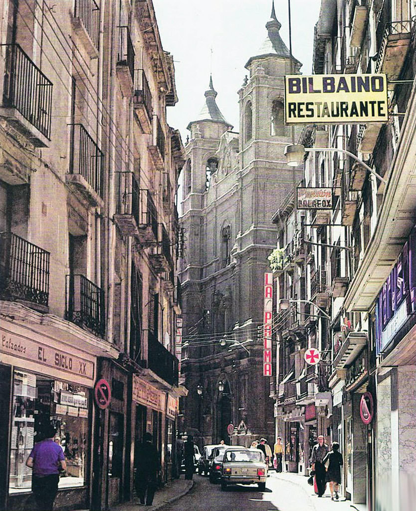
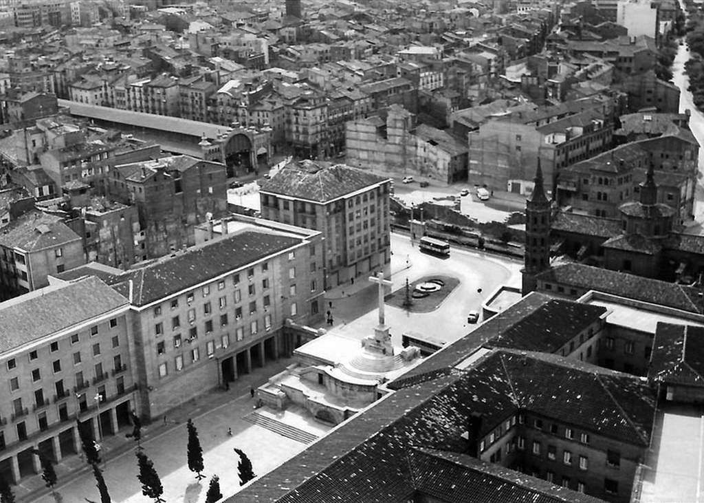
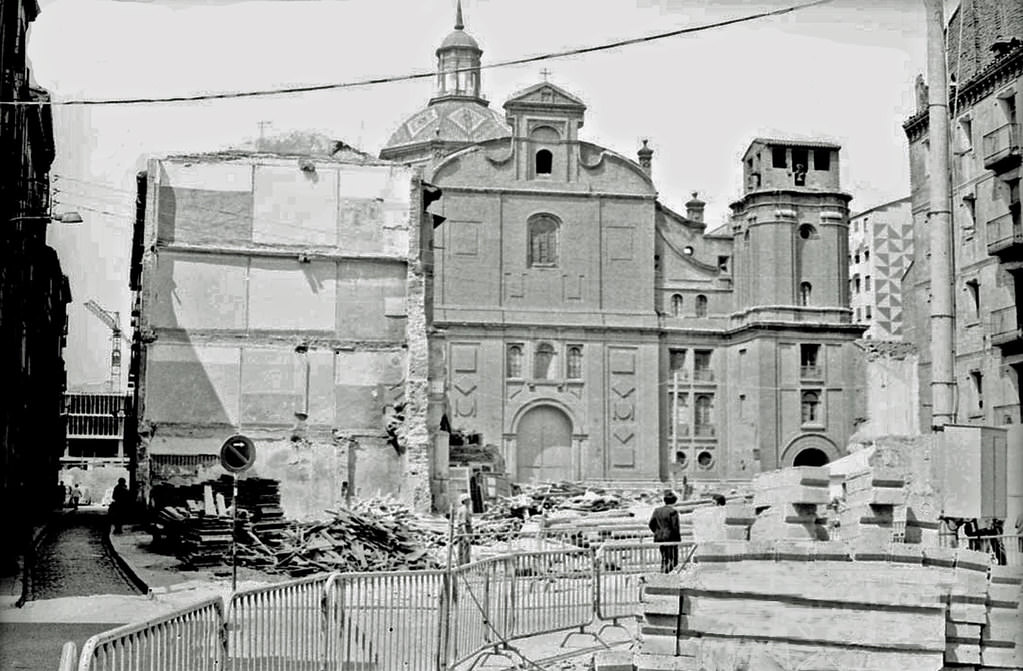
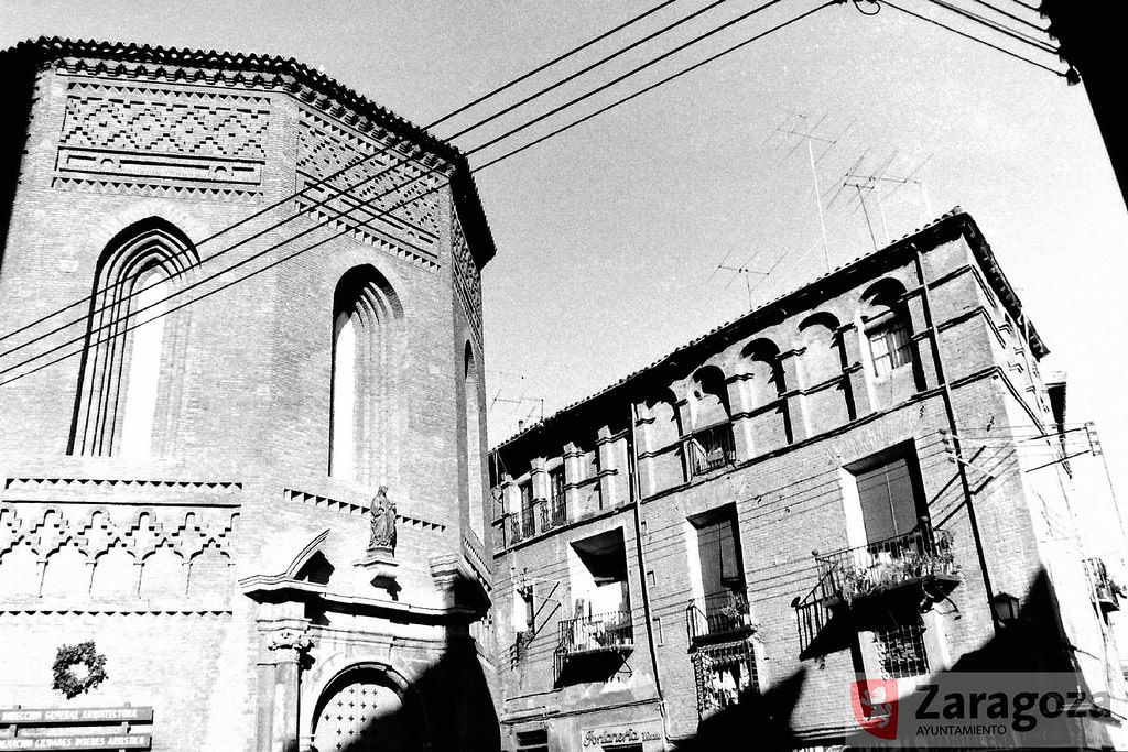
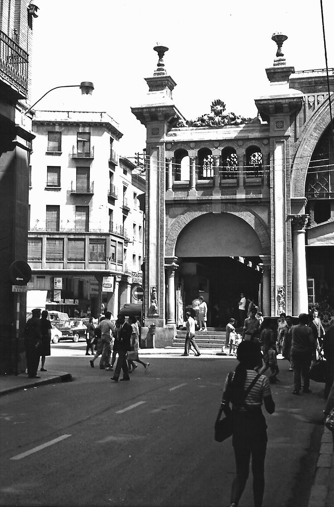
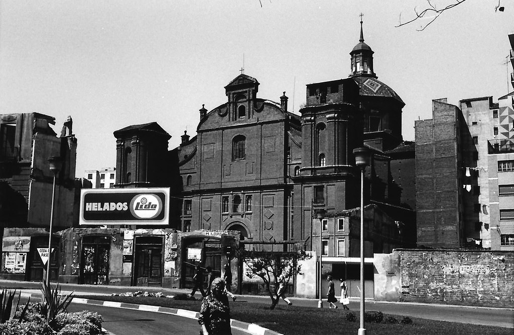
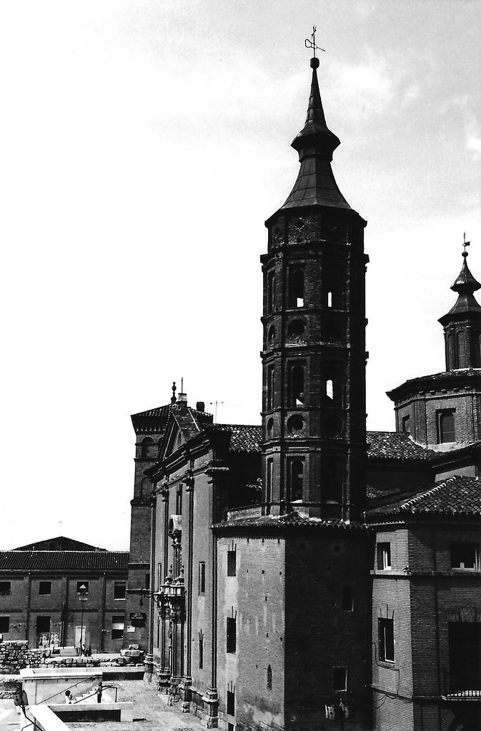
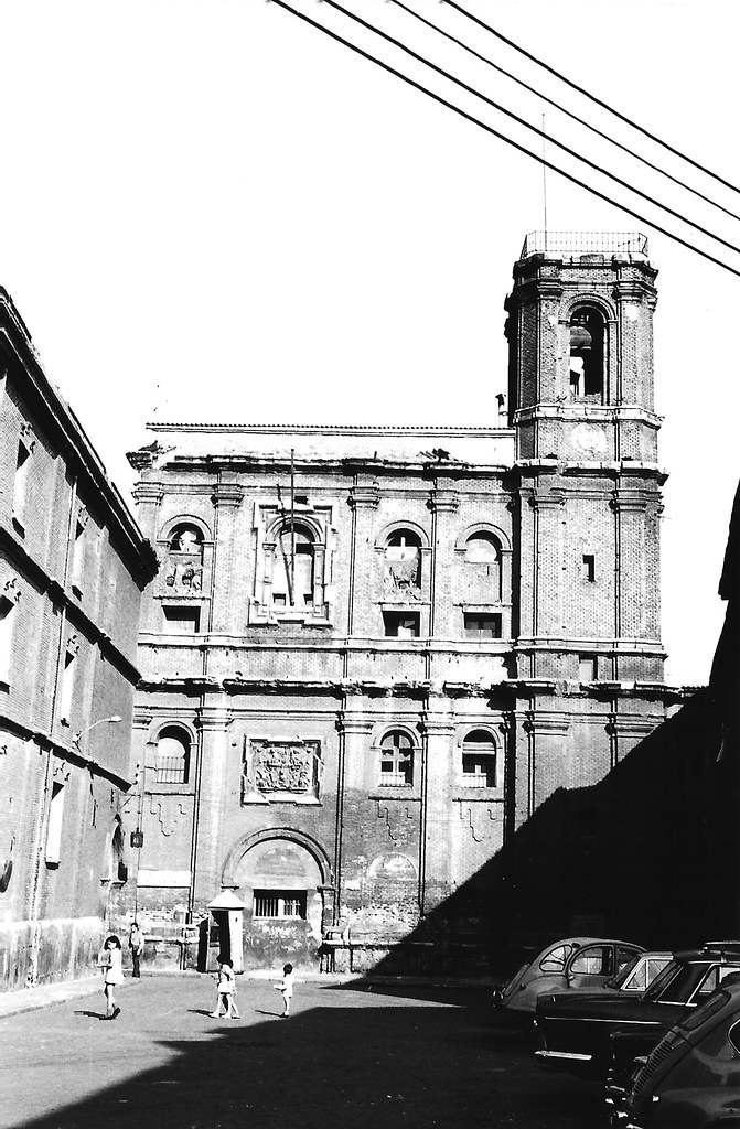
In 1977, the block formed by Cerdán and Escuelas Pías streets was demolished, in the section of the current César Augusto Avenue that runs from the Coso to the Central Market. In the background is the church of the Pious Schools.
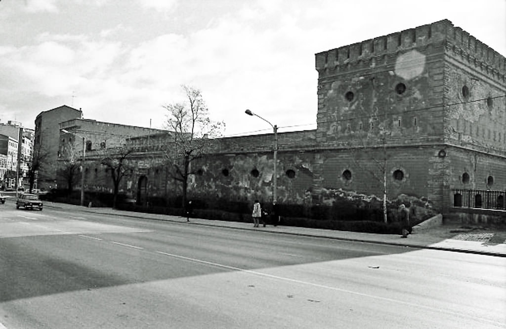
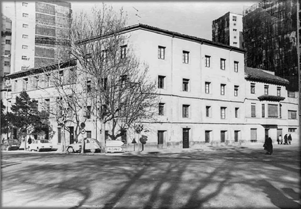
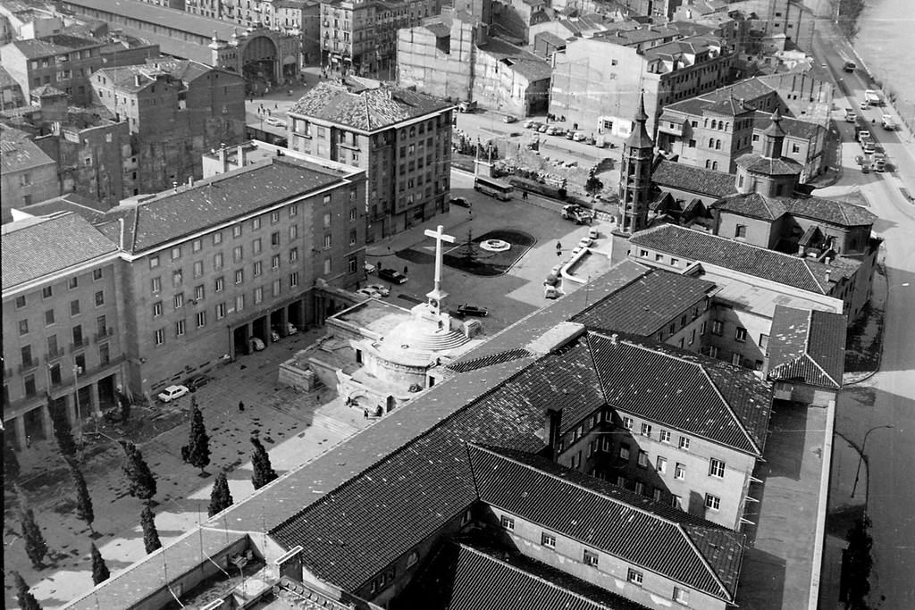
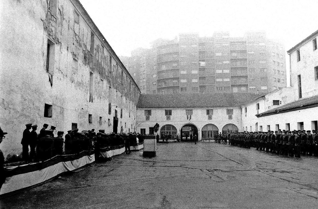
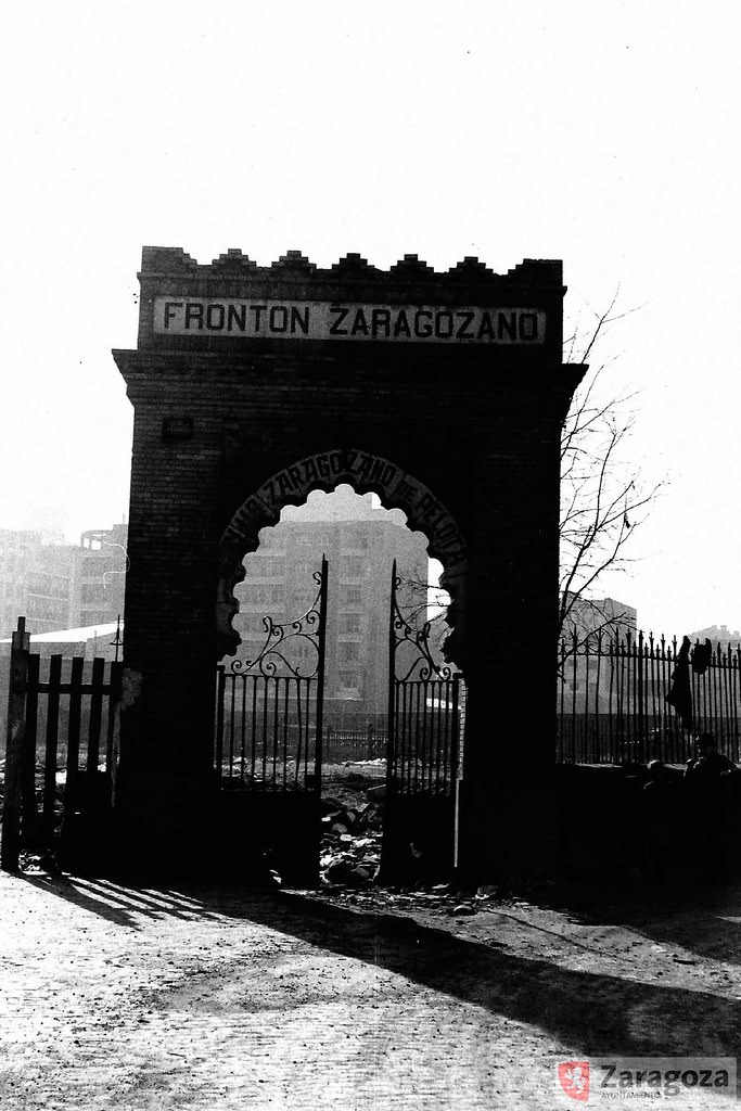
San Lázaro Barracks, no longer used for military purposes, in an image captured from the beginning of Avenida de Cataluña. After the Confiscation of Mendizábal (1836–1837), the remains of the Mercedarian convent of San Lázaro and its site on the left bank, next to the Ebro River, were used for various purposes, such as a candle factory, a straw store, and a pelota court. It then served, in succession, as a municipal warehouse, a correctional prison, an infantry barracks, and again a municipal warehouse. From 1874 it fell back under the control of the War Department, which in 1888 completed the construction of the building shown in the image. The building stood until the 1980s, when it was demolished by the City Council as part of Operation Barracks, and the site was dedicated mostly to car and bus parking, with a green area near the Stone Bridge, to the right and out of shot.
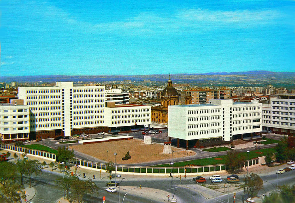
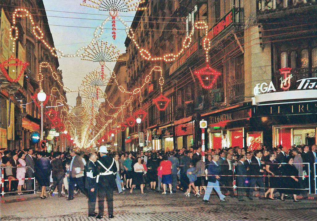
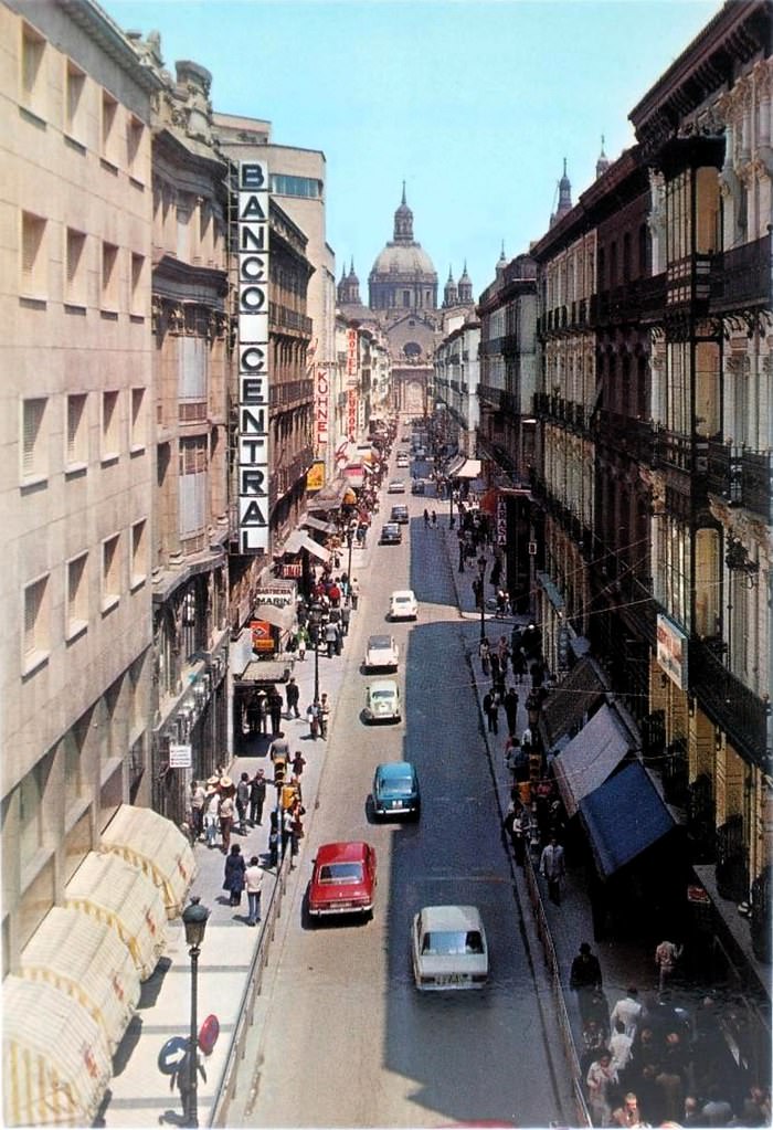
The entrance to Calle de Alfonso I from the Coso Alto, a recurring photographic subject in the city, is shown full of people during the Pilar festivities. Luminous garlands guide the view in perspective toward the main dome of the Pillar in the background. In the foreground, a city guard keeps the street closed to traffic for the occasion. The exposure of the image creates impossible overlaps between billboards and pedestrians.
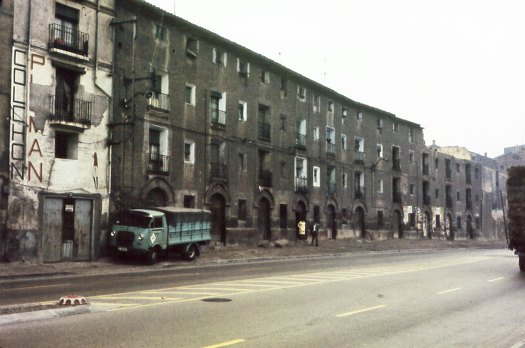
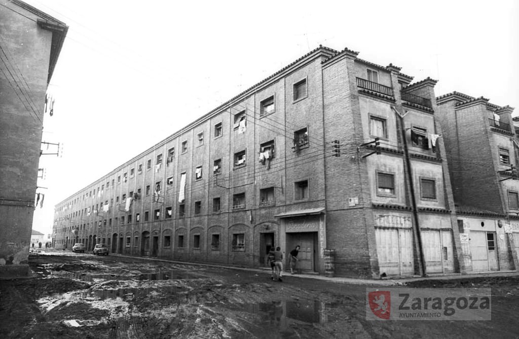
At the time this image was taken, these rental homes corresponded to numbers 58–76 on Paseo de Echegaray y Caballero, although those at numbers 58–64 (on the right) had already been declared in ruin. Years later, whether in ruin or not, they were all demolished, and a modern building was later built on their site.
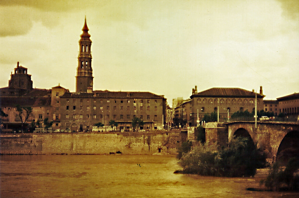
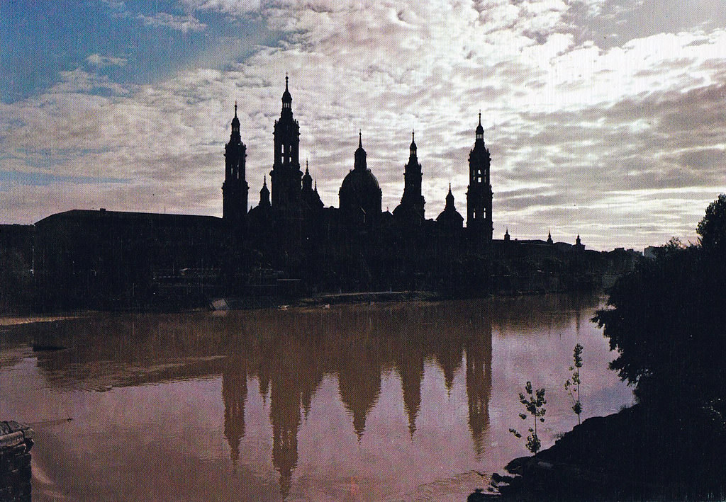
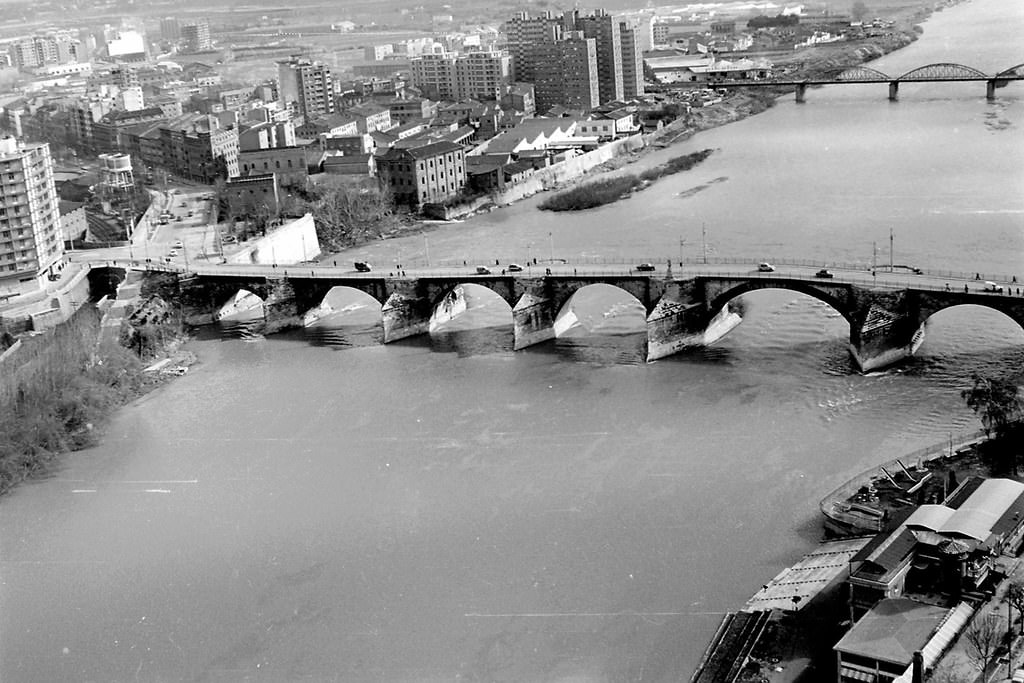
Pictorial view of the Ebro River from the left bank, looking toward the city’s facade along the Paseo de Echegaray y Caballero. The lantern tower and bell tower of La Seo stand out, behind the Archbishop’s Palace and the Casa de la Iglesia. Below the lantern tower is the canopy of the Nuestra Señora del Pilar service station. Beyond the Stone Bridge, still with its metal parapet, and to the right of Calle de Don Jaime I, the Lonja and the City Hall.
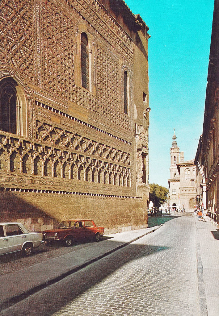
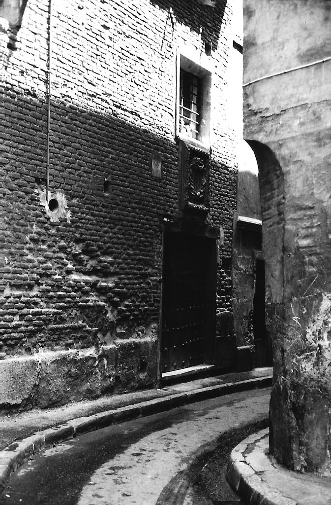
Mudéjar stonework on the wall of the Parroquieta de la Seo, in the first section of Calle del Sepulcro, between Plaza de La Seo (in the background, with a view of the Lonja and El Pilar) and Plaza de San Bruno (behind the photographer). At mid-height, the trace left by the demolition of the Archbishop’s Arch stands out, and in the shadow of the 14th-century Sevillian filigree stonework, some vehicles are parked, adding an aesthetic contrast to the scene.
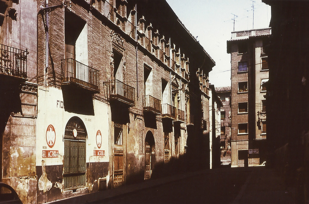
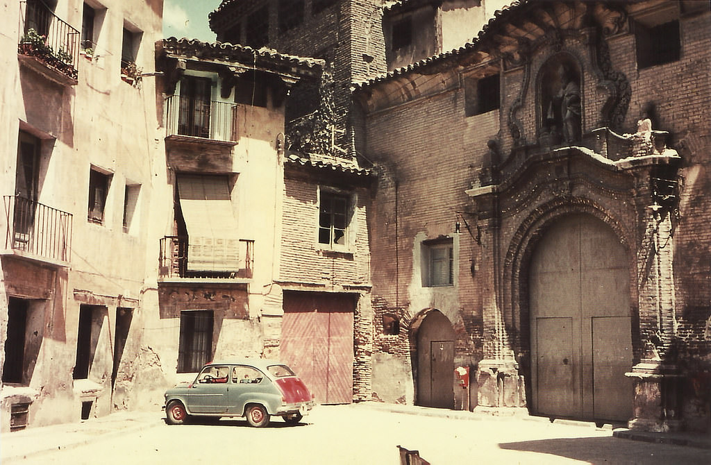
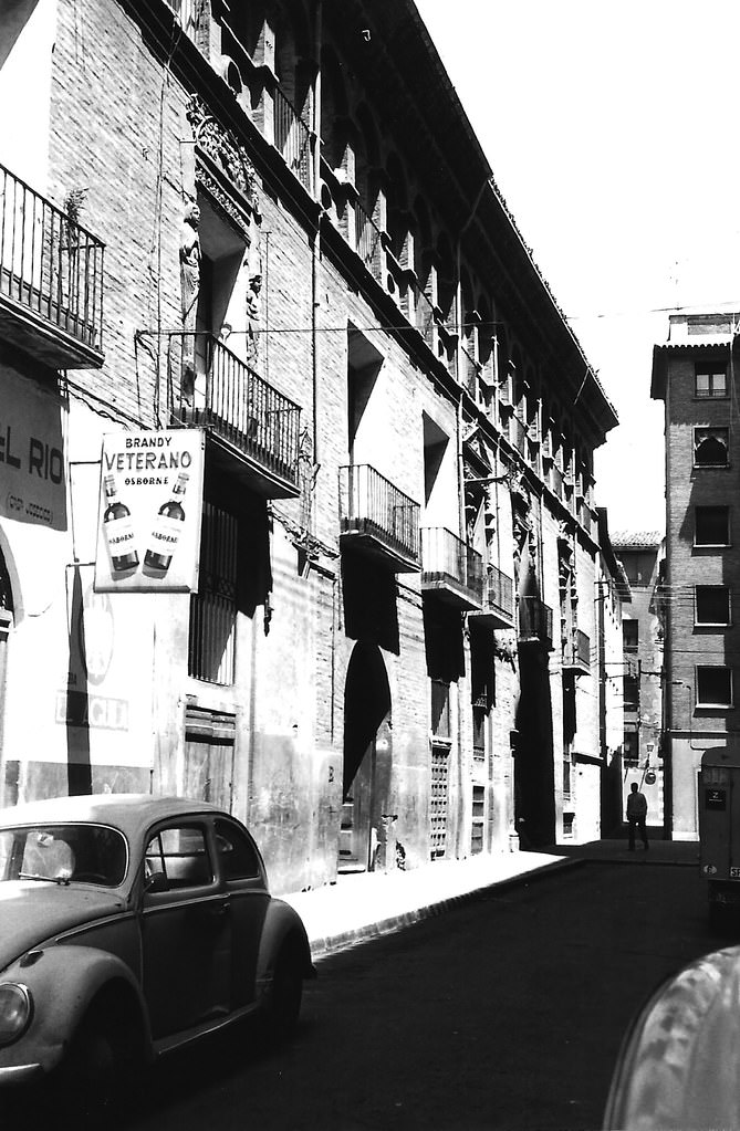
The Casa de los Morlanes, from the mid-16th century, was so named because its façade was possibly carved by the sculptor Gil Morlanes El Joven, and also because this family may have lived there. In the last third of the 19th century it was the headquarters of the Piano Factory of Arilla, Menchaca y Compañía. More recently the building became municipal property, was rehabilitated, and was later dedicated to various social and cultural services, including the Zaragoza Film Library, and since 1997 a new exhibition space in the basement. The square in the foreground, formerly the Synagogue Square, was later known as Seminary Square and is now San Carlos Square, due to the nearby presence of the Royal Seminary of San Carlos Borromeo, on the right and in shadow.
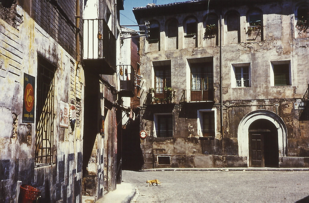
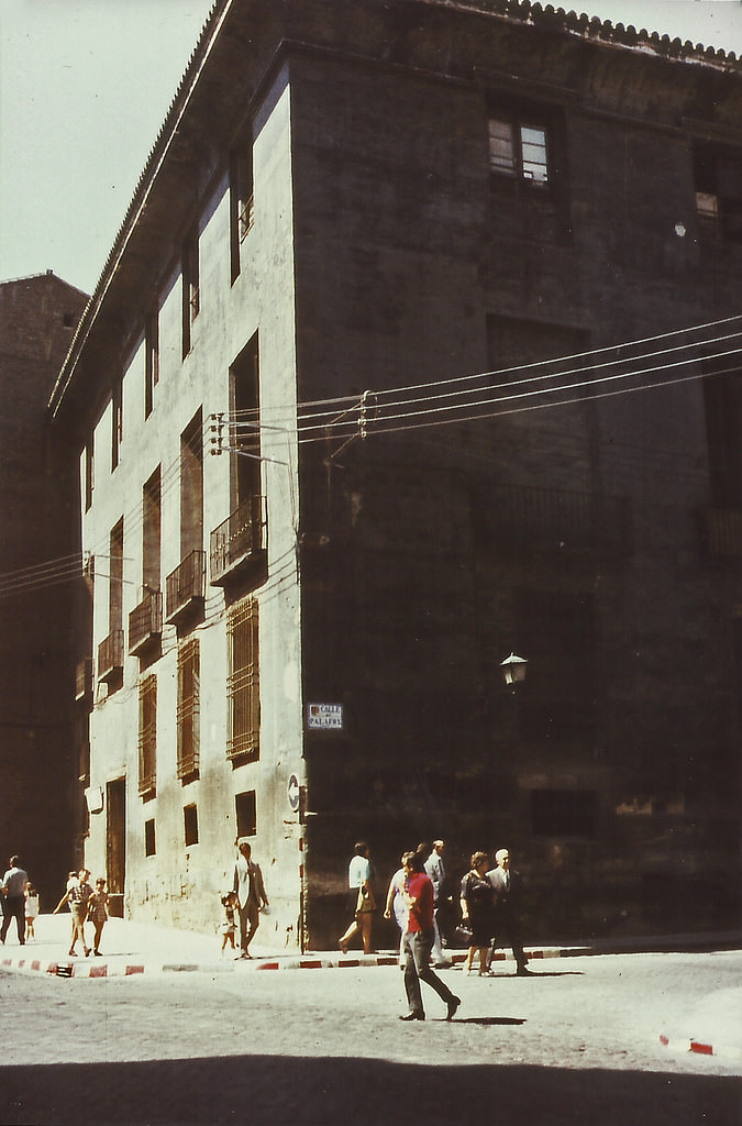
Asso Square, with a view of the façade of the 16th-century house that belonged to the Campi family, and then to the La Balsa family, the La Balsa-Campi family (marquisate of the Palace), and finally the Asso family. That is why this square, called Ciria in the 15th century, was already known as La Balsa in the 18th century, and from the mid-19th century as Asso. A good number of houses belonging to noble or infanzón families once stood in the surrounding area. After the house was abandoned in the early 1990s, the City Council undertook the restoration of the façade, which is listed as an Asset of Architectural Interest. The owners, after completely demolishing the interior, built exclusive apartments and premises with underground garages. To the left are façades of other old buildings, later demolished, and in the background, a stretch from Calle de Gavín to Calle Palafox.
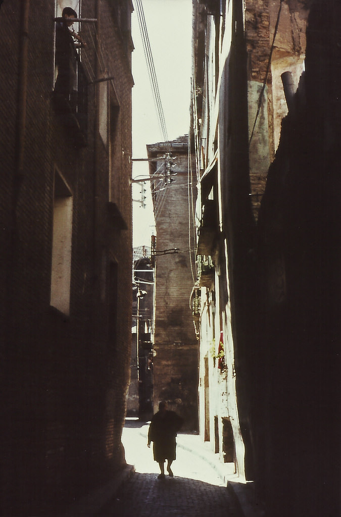
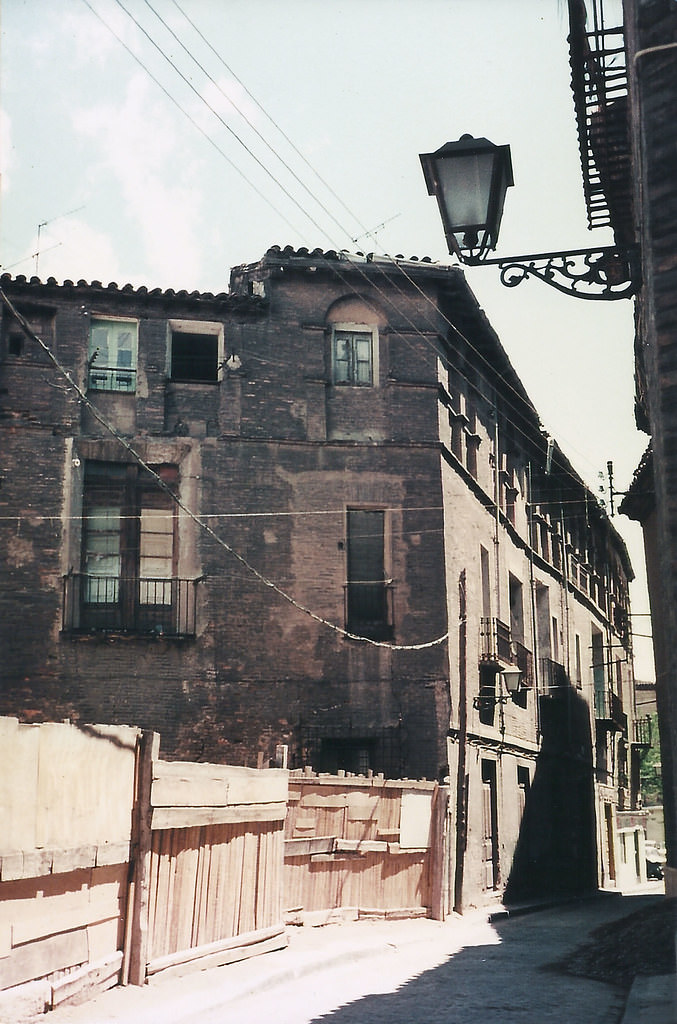
Martín Carrillo Street in an image centered on the side with odd numbers, where the vacant plot left after the demolition of the No. 3 building stands out, along with the narrow access patio to No. 5 and the volume of No. 7, known as the Casa de Tejada, before its demolition. To the right is the church of Santa María Magdalena, and in the background, the square of the same name. In the early 1990s, a substantial linear block of new houses was built here.
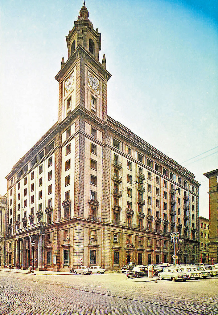
The Banco de Aragón building, inaugurated in 1951, at Coso 36–40 in Zaragoza, on the corner of Lieutenant Coronel Valenzuela, built according to a project by Julián Laguna.
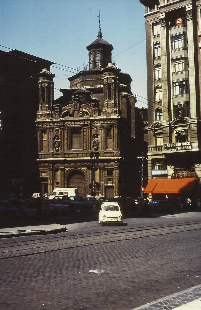
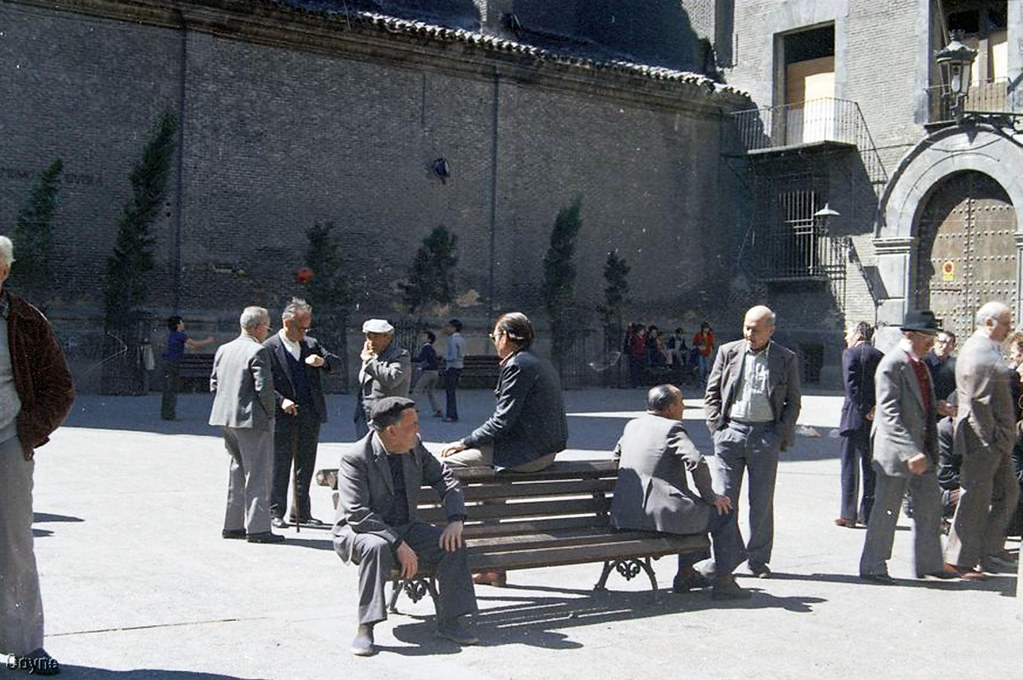
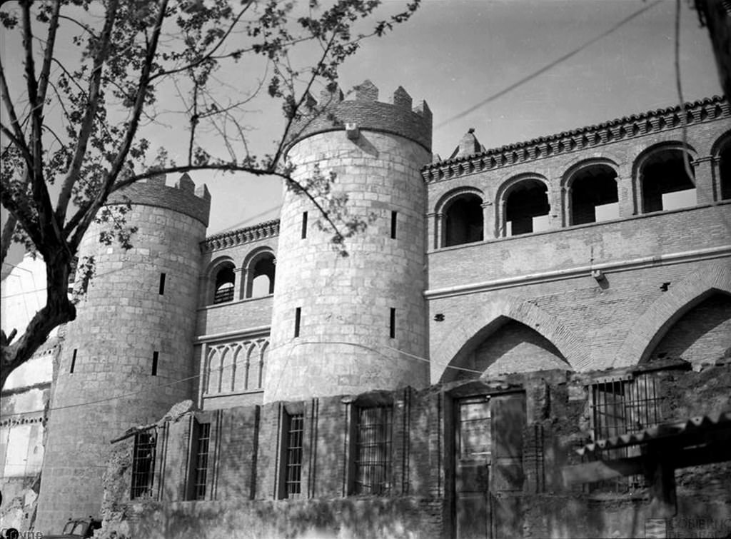
Since 1860, the Argillo Palace had housed the Colegio de San Felipe as a rental property. In 1943, the palace was declared a National Monument and, since 1946, it changed ownership and use. The National Organization of the Spanish Blind (ONCE) shared space with the Colegio de San Felipe (which was transferred in 1958). In 1970, ONCE also changed its address. In 1977 the Zaragoza City Council acquired the building. Being a National Monument, the Ministry of Culture funded some consolidation work to stop its progressive deterioration. In 1979 an agreement was signed between the Ministry and the City Council, aimed at restoring the building and using it as a venue for artistic workshops. The image shows the Plaza de San Felipe near the Palacio de Argillo, on the right, and the Church of San Felipe, in the background.
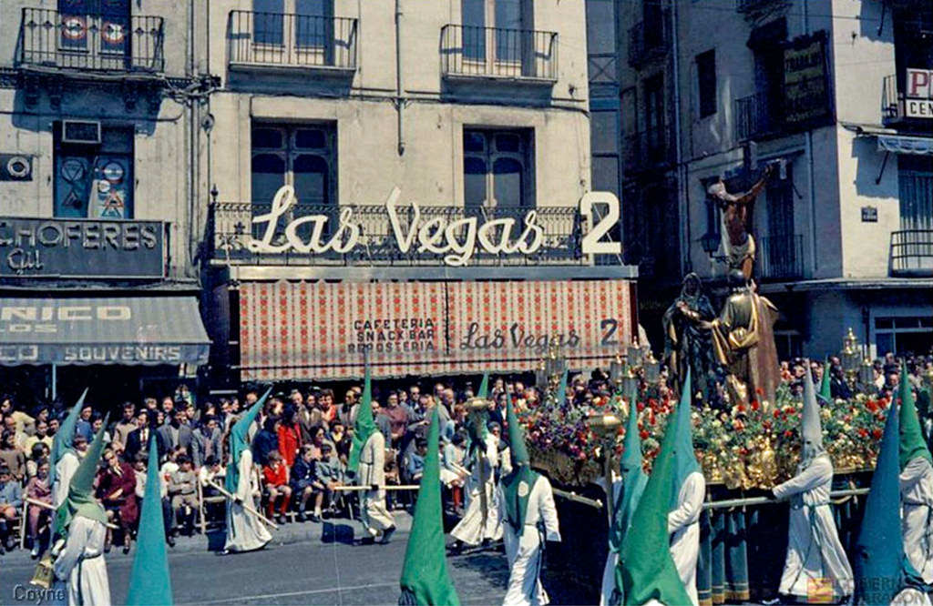
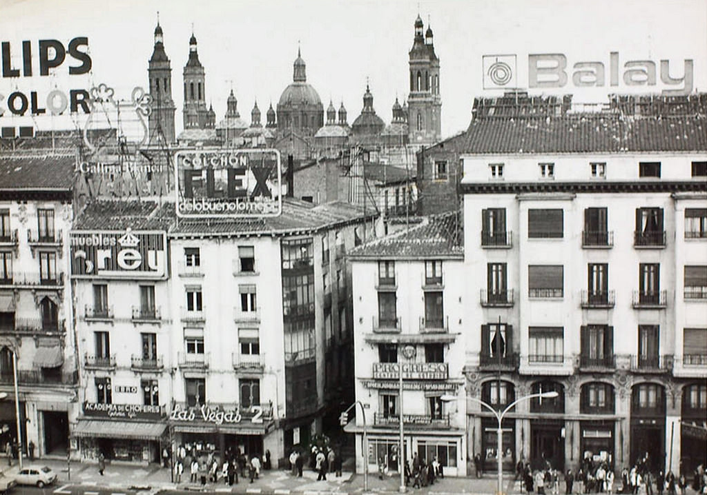
A Holy Week procession in the Coso section of Plaza de España, with Calle de los Mártires in the background on the right. On the corner (Coso 39), the Las Vegas 2 coffee shop, where Oriental coffee remained for six decades.
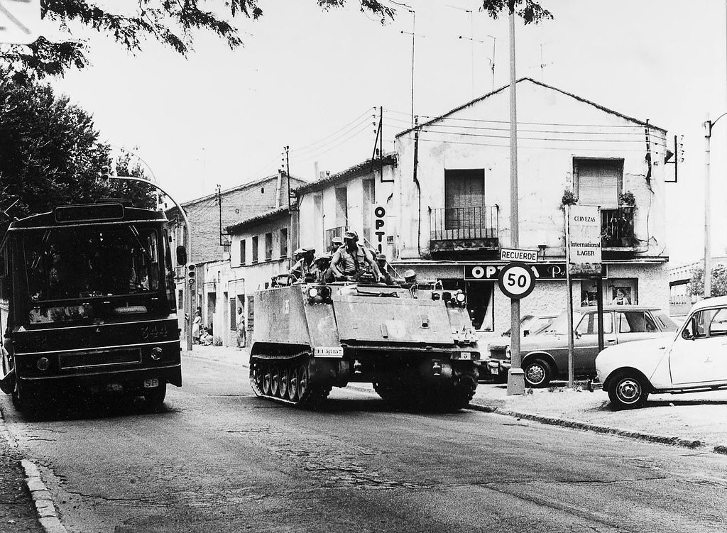
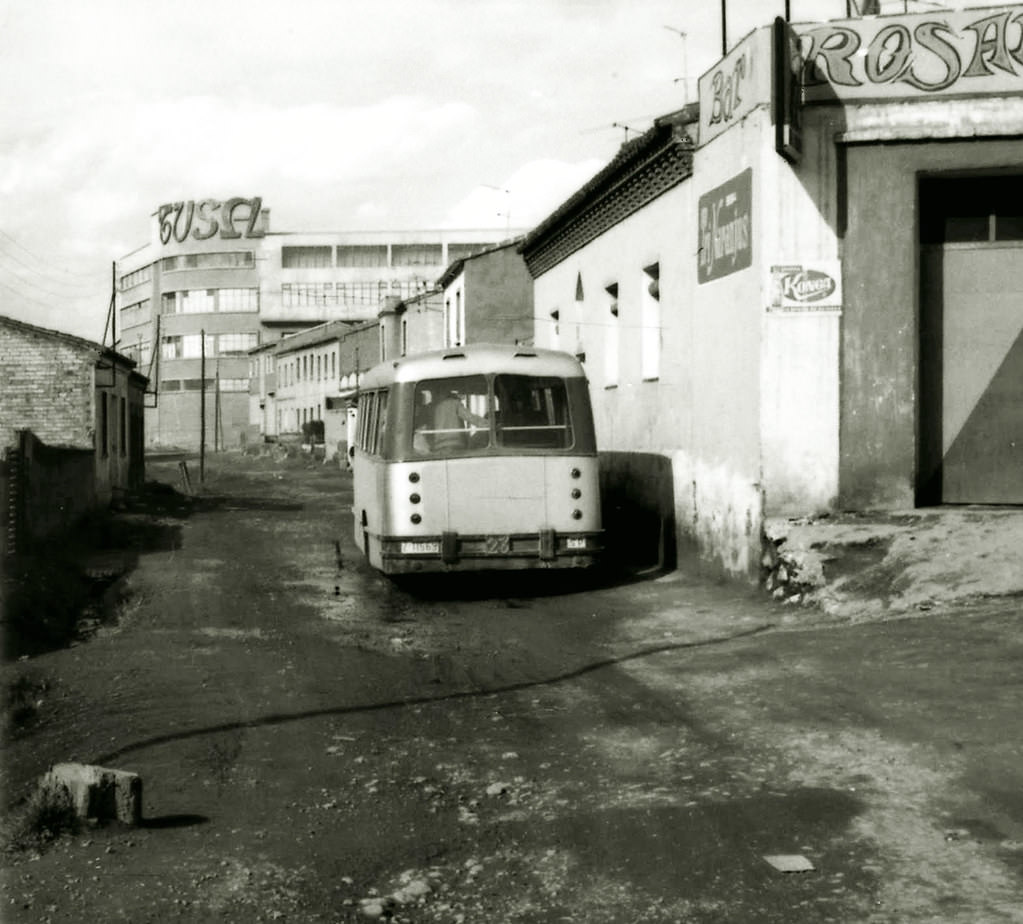
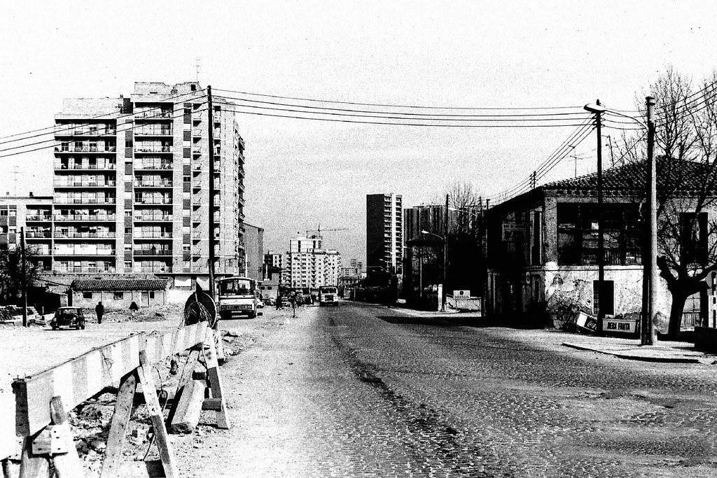
An Armored Personnel Carrier M-113 passes a city bus on San Juan de la Peña Avenue, in the Picarral neighborhood, on its way from the military installations on the Huesca highway. For decades, residents of the area had to endure the passage of all kinds of military vehicles on their routes from the Arrabal Station to the maneuvering field and back. The Picarral Neighborhood Association expressed its rejection of this activity to civil and military authorities, noting that it made urbanization of the area impossible: every time maneuvers were carried out in the San Gregorio field, all the equipment was unloaded at the Arrabal station. Community mobilizations and the passage of time eventually eliminated these vehicles from the area. In the image, to the right, the Los Molinos path begins.
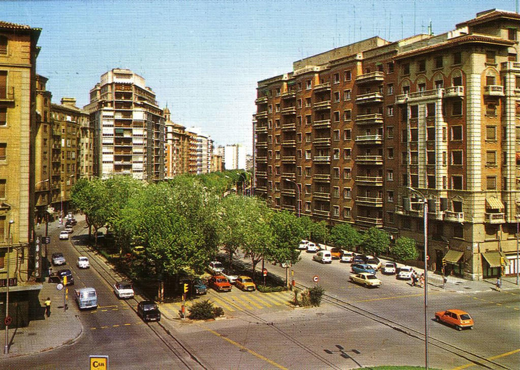
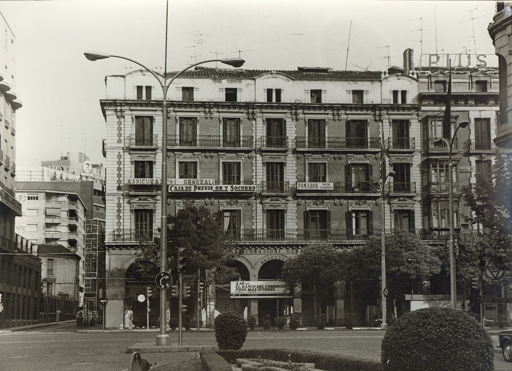
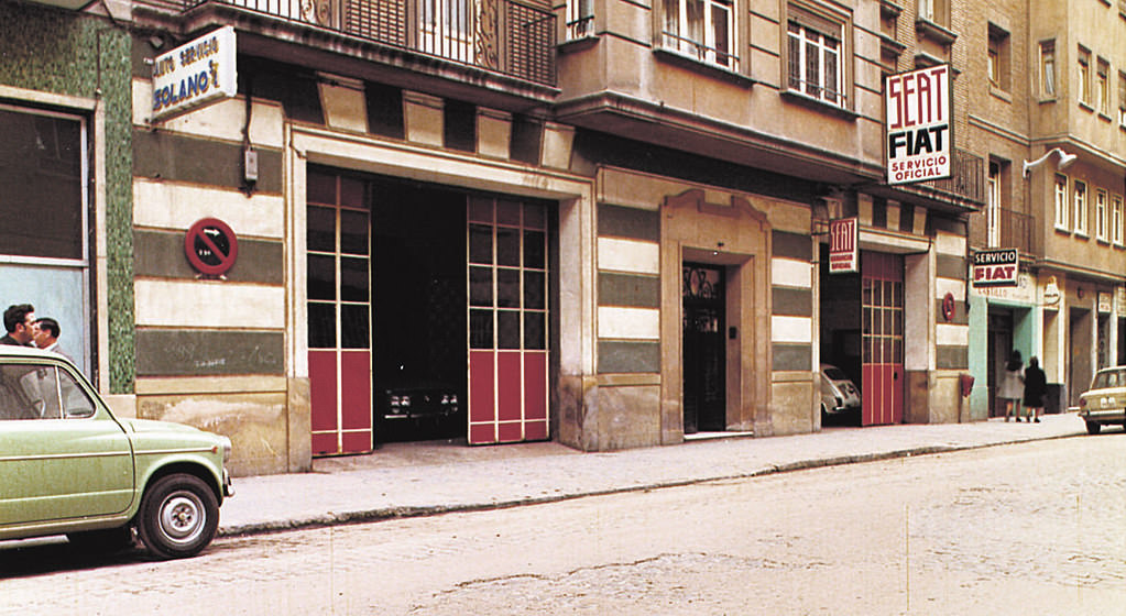
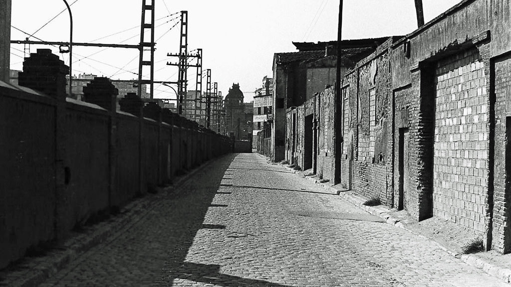
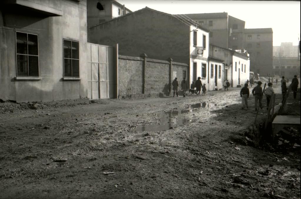
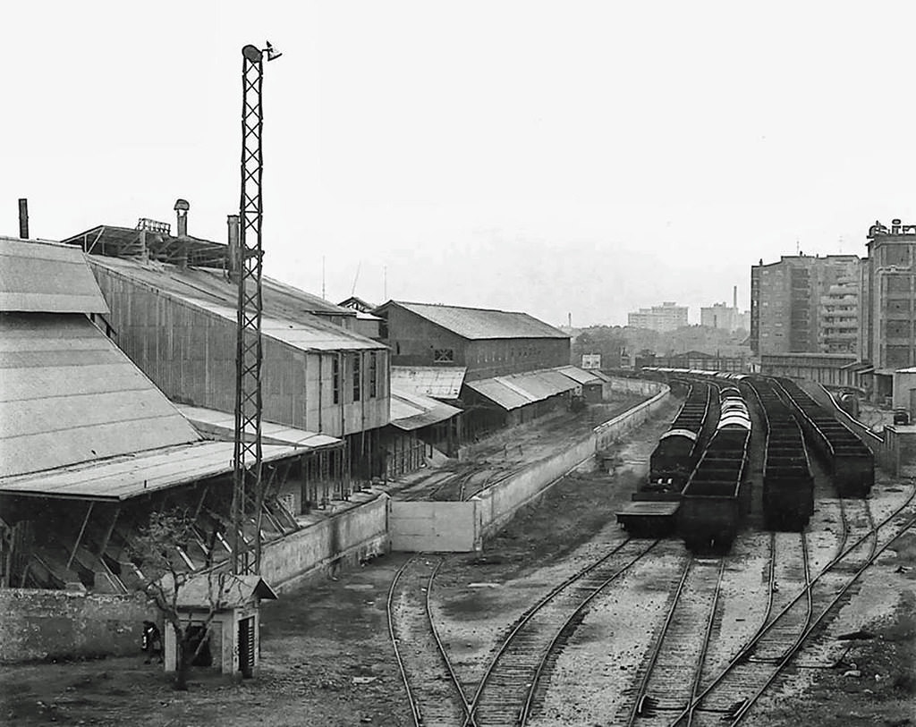
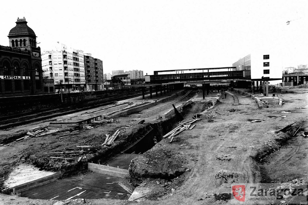
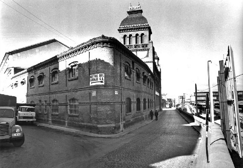
Behind the wall on the left are railway tracks. On the right are the remains of buildings attached to the Mobile Material factory and Carde y Escoriaza Constructions. In the background is the Orús chocolate factory.
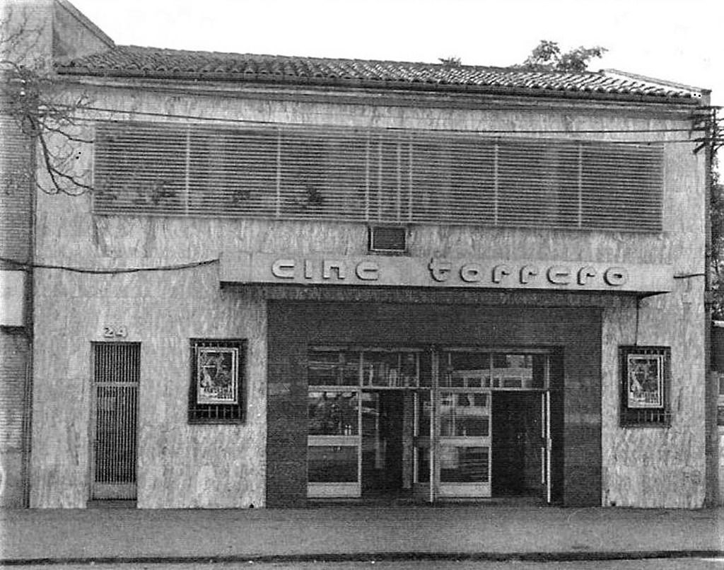
The Torrero cinema was inaugurated on January 27, 1953 and renovated in 1971. It closed in 1983 and its premises were later reused for various purposes, including as the headquarters of local television stations. It is located on Paseo de Cuéllar, very close to the Imperial Canal.
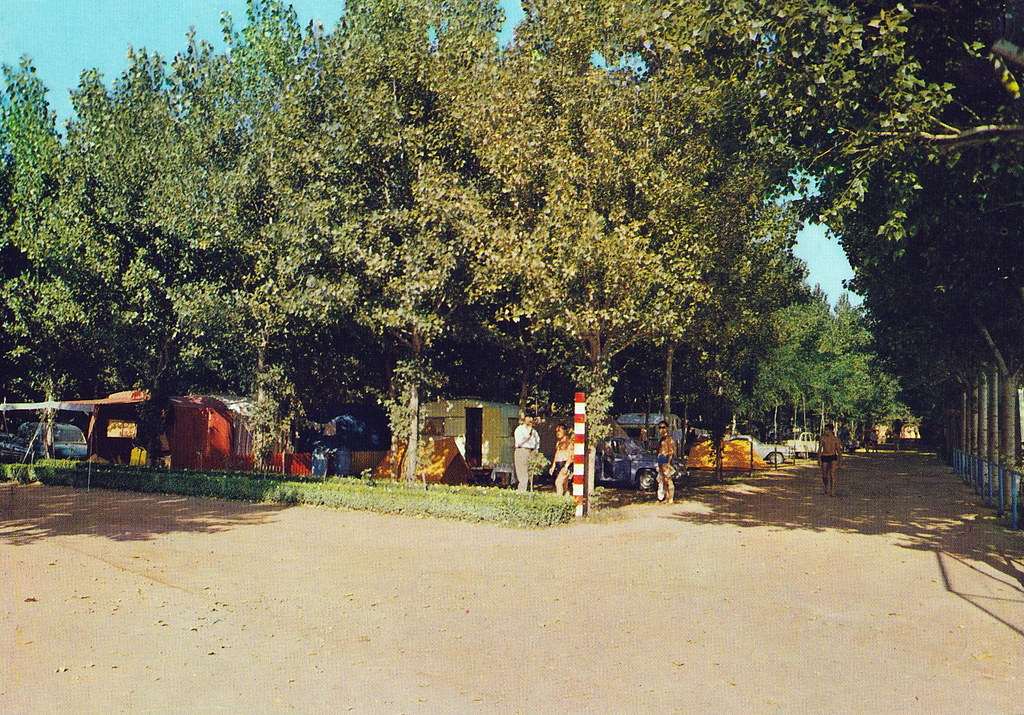
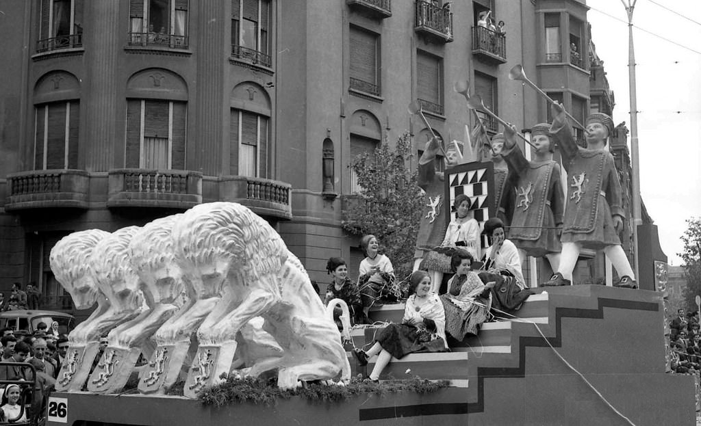
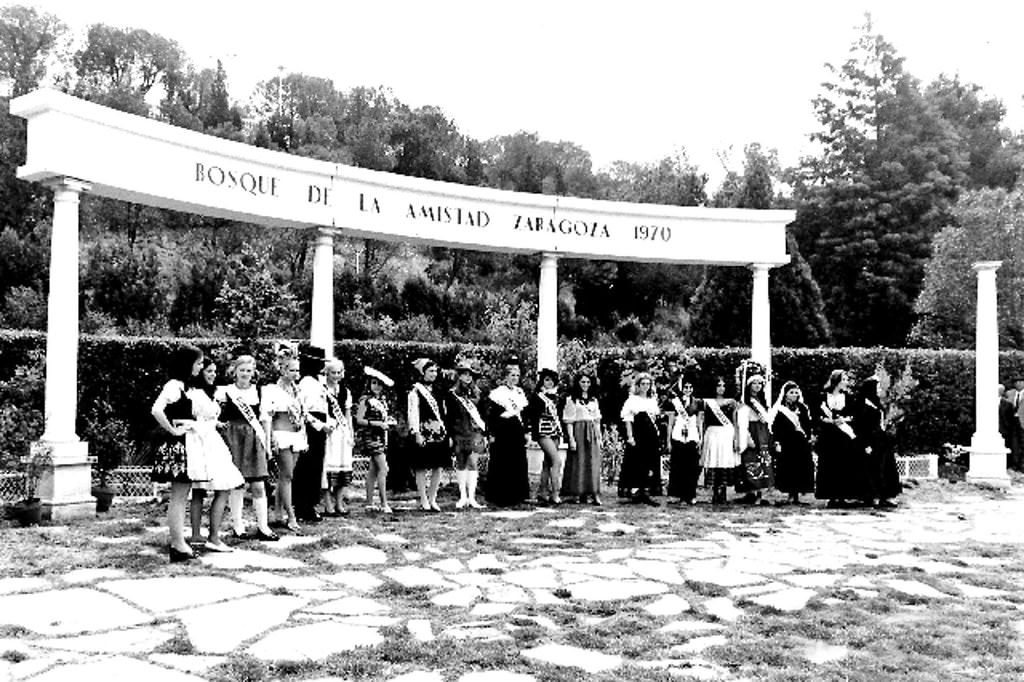
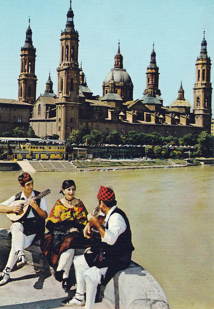
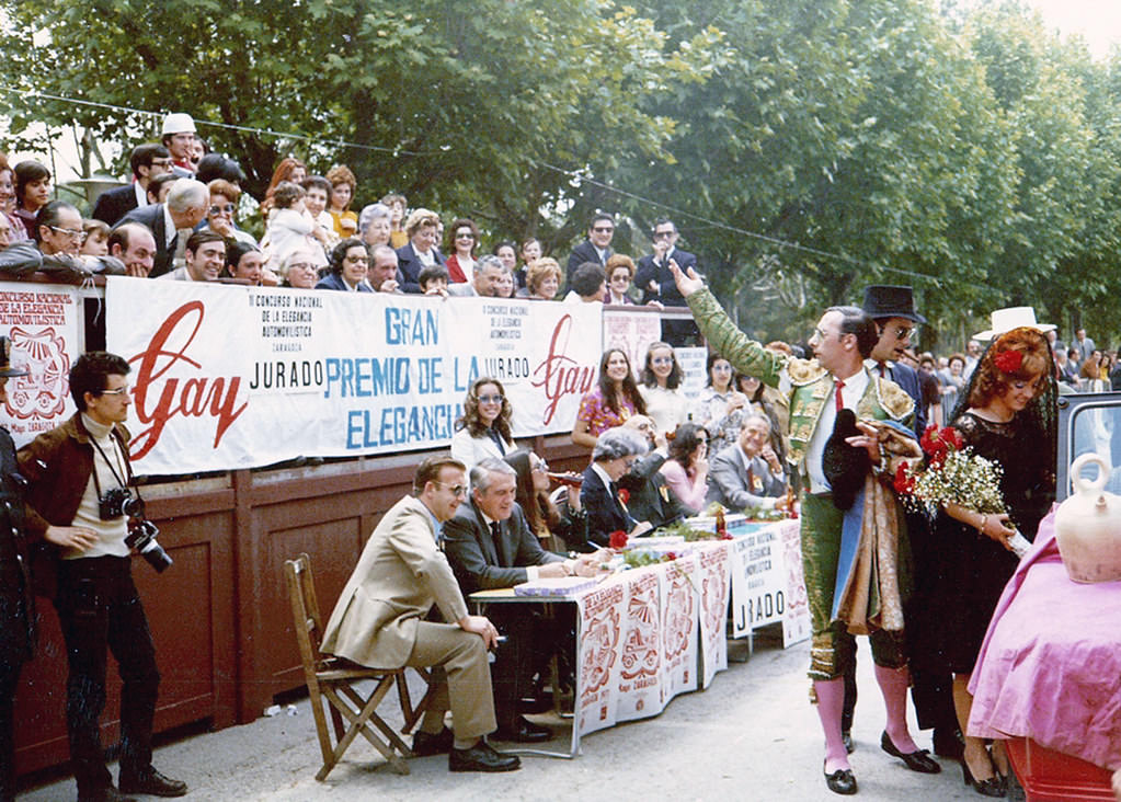
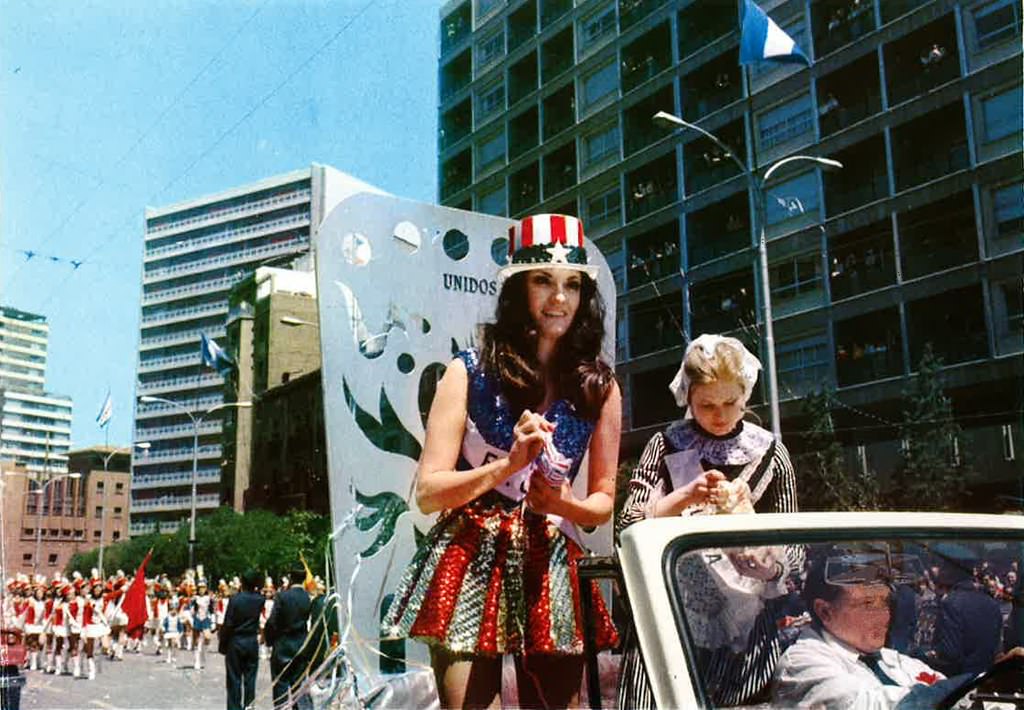
The Forest of Friendship was at the foot of the Cabezo de Buenavista, in the Primo de Rivera park, and was used as the setting for the Maja International beauty contest organized by the International Goya Association. The contest was held, as was traditional since 1966, in the Palacio de la Lonja, as part of the Spring Festival. In the image, the candidates for the fifth edition of this contest pose dressed in traditional attire.
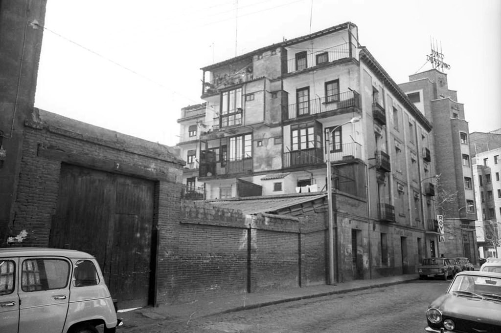
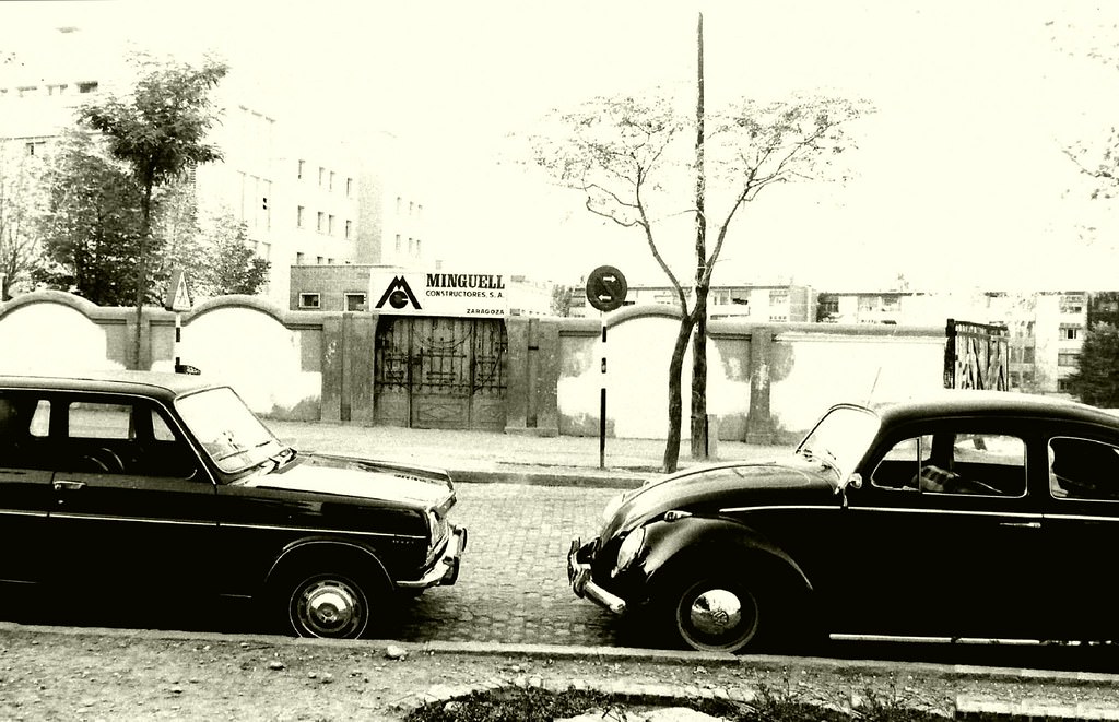
Calle de Castellví with the old residential building, warehouse, and gate of its final section leading to Calle de Hernán Cortés, later replaced by two modern buildings. The photograph was taken from the entrance to the bus station in Teruel, which since 2011 has been reused by the municipal cleaning contractor. In the background stands the building that forms a chamfered corner with the Paseo de Teruel, which was then occupied as a branch of Banco Zaragozano.
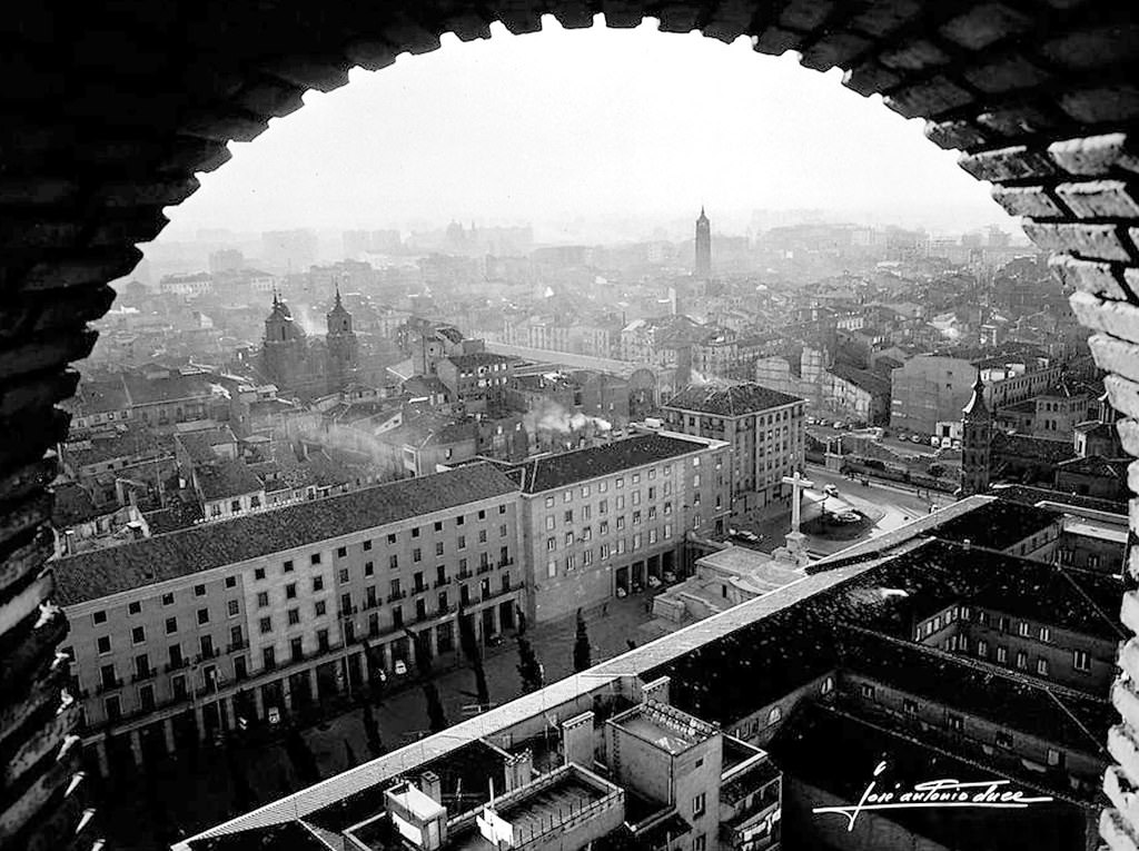
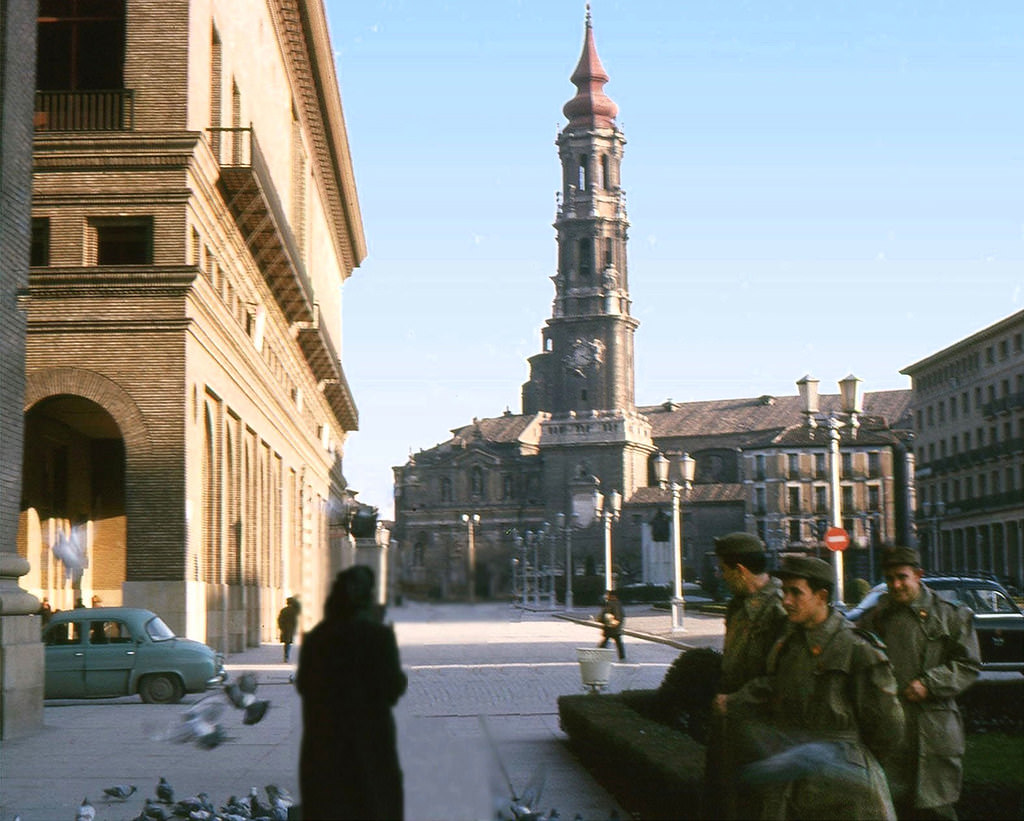
Eastern area of the Plaza del Pilar, in a view captured next to the lower door of the basilica and with the backdrop of the Plaza de la Seo. The decorative elements, along with a landscaped space at the foot of the Goya monument, make up one of the changing settings that have characterized this urban space. To the right and in the foreground, replacement soldiers from the old Compulsory Military Service head toward the Pilar.
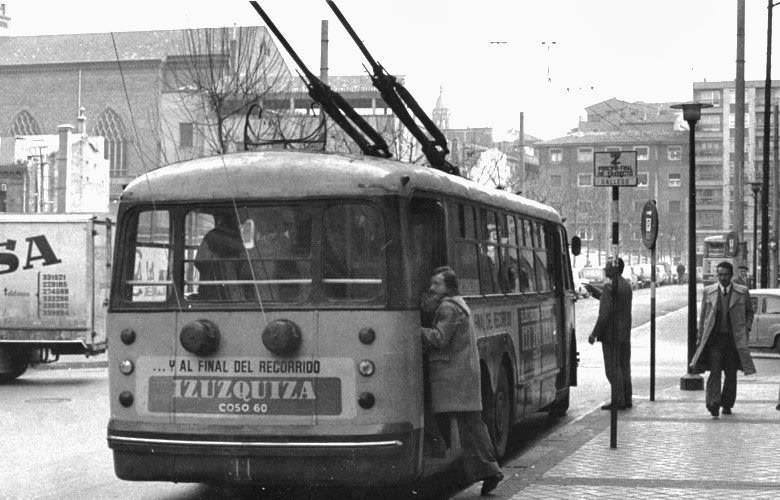
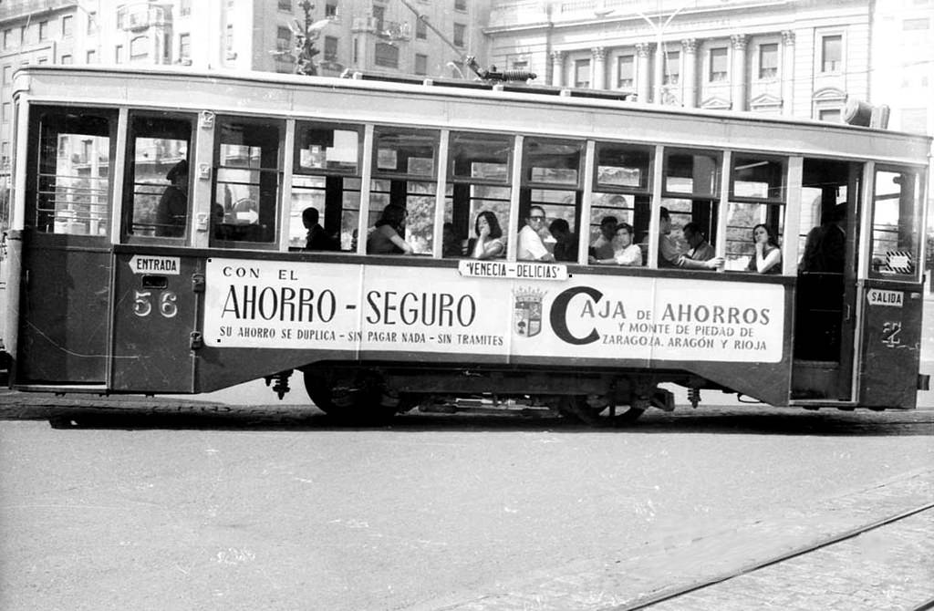
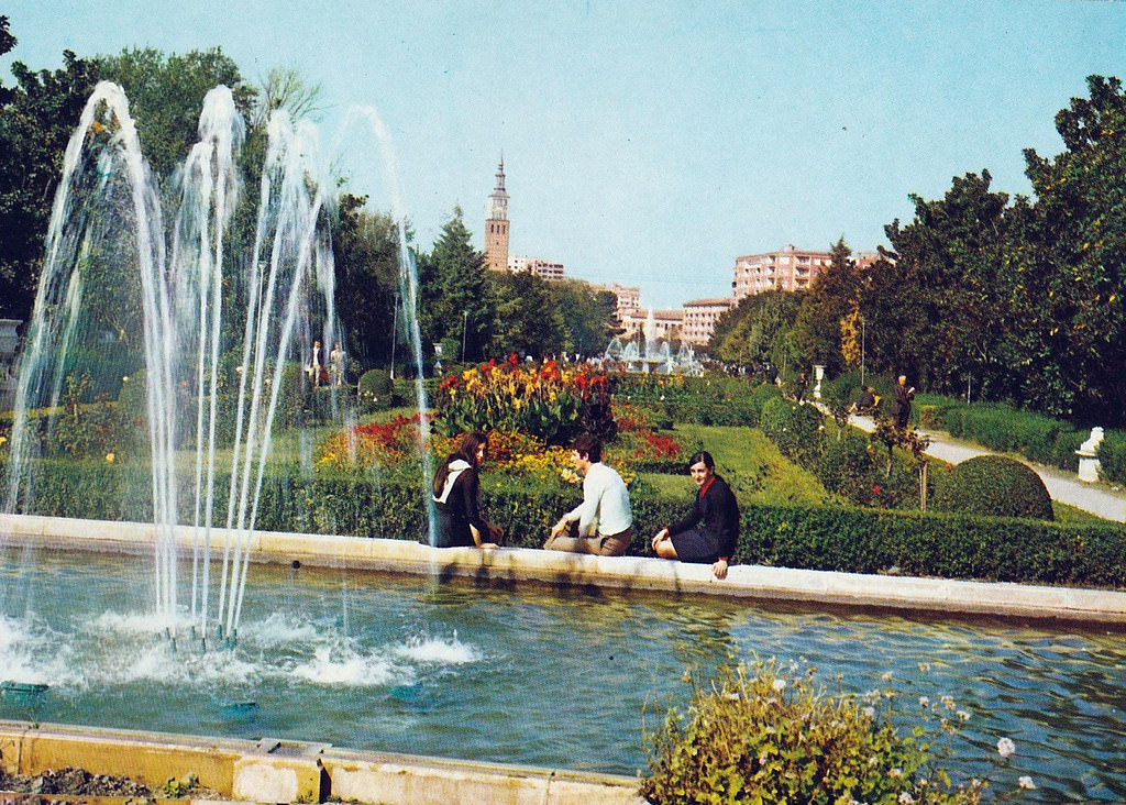
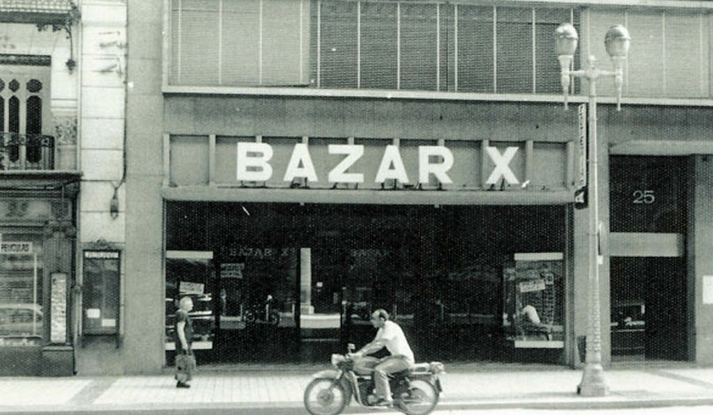
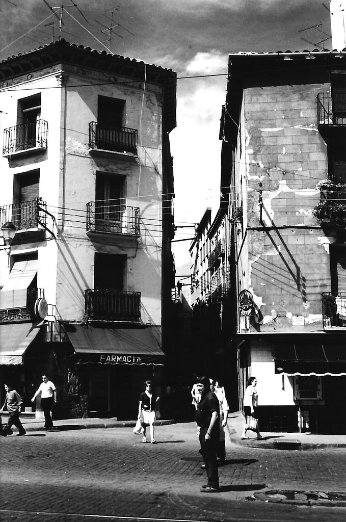
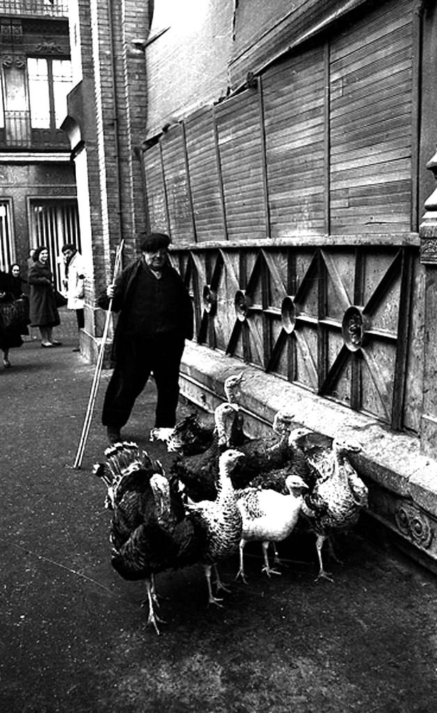
A small flock of turkeys is paraded to advertise their sale by a turkey seller, on the side of the arcades of the Plaza de Lanuza. On the right and in the background is the south corner of the Central Market with Calle de la Torre Nueva. Behind the flock, a group of people watches this traditional winter scene, associated with the Aztec-origin celebration of the winter solstice, which would soon go from a common sight to a disappeared custom in the area.
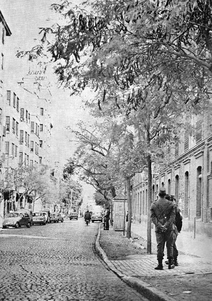
Some soldiers on Hernán Cortés Street, at the door of the barracks of the same name. In the background on the left is the corner of Banco Zaragozano with Paseo de Teruel.
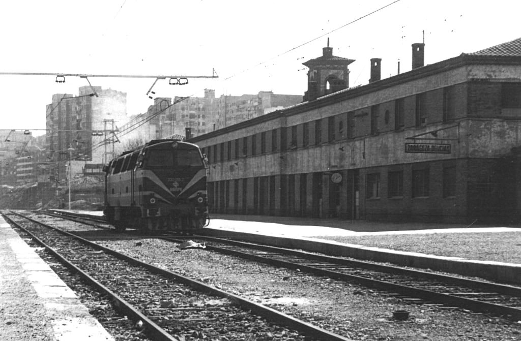
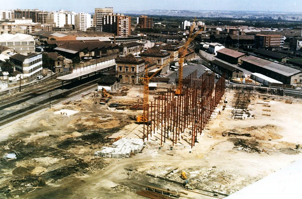
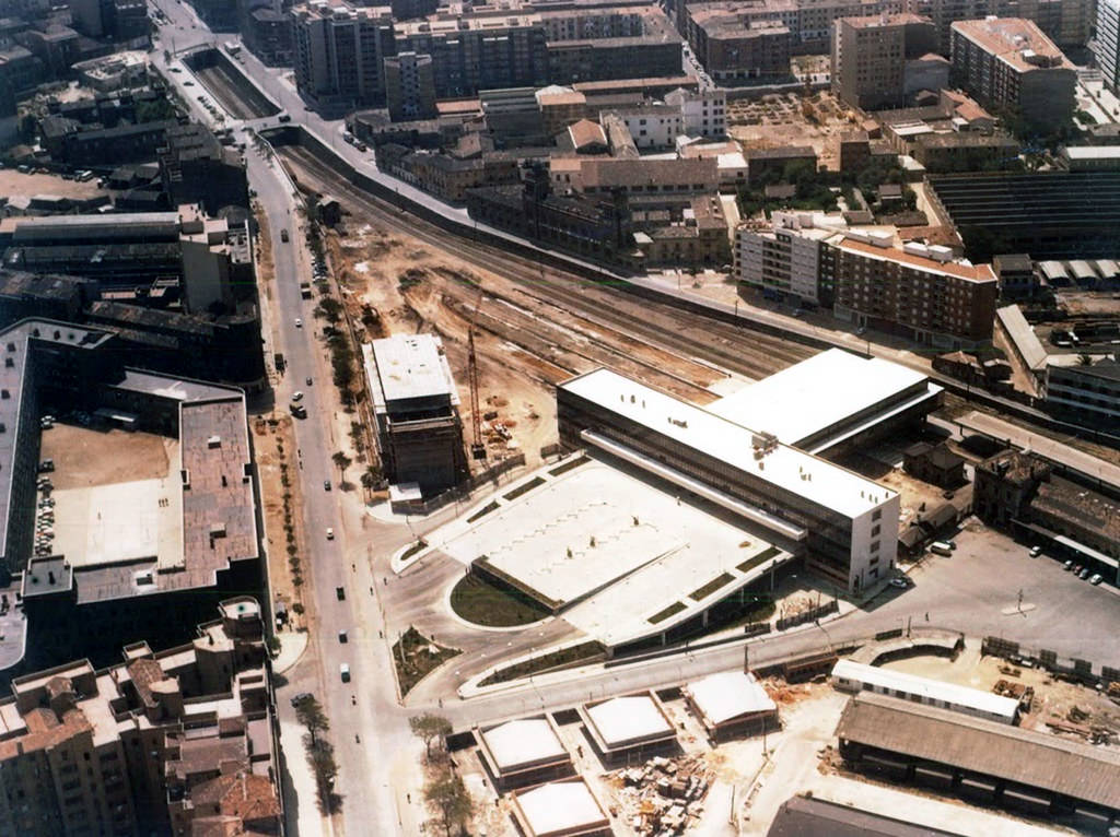
The Zaragoza railway station, later called “Delicias” after the neighborhood, was designed by the architect Luis Gutiérrez Soto and inaugurated in 1932. The building was integrated into the group of buildings of the new Zaragoza Intermodal Station, a project by the architects Carlos Ferrater and José Mª Valero. It was rehabilitated, and it was planned that it be refurbished as a railway exhibition space (works began in 2001), but something went wrong, and it is currently the inaccessible command post of the Madrid–Zaragoza–Barcelona high-speed line of the new Delicias station, next to which it looks like a model or toy. It is a Listed Asset of the Aragonese Cultural Heritage.
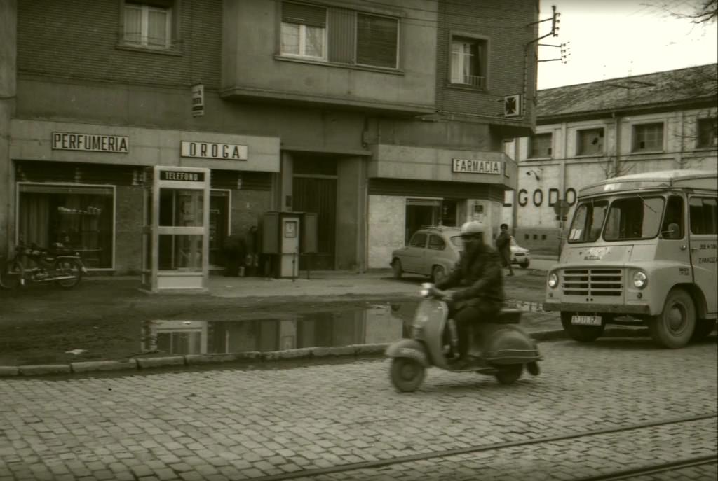
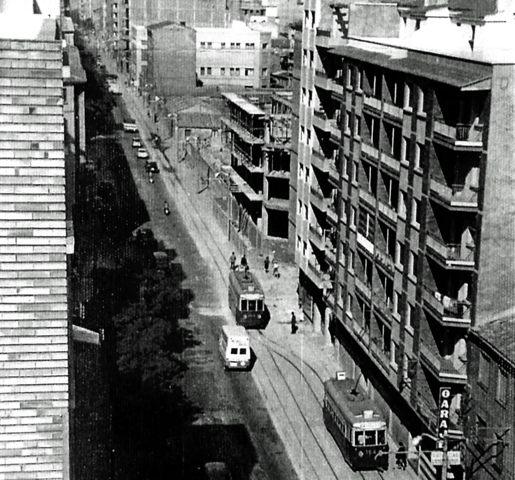
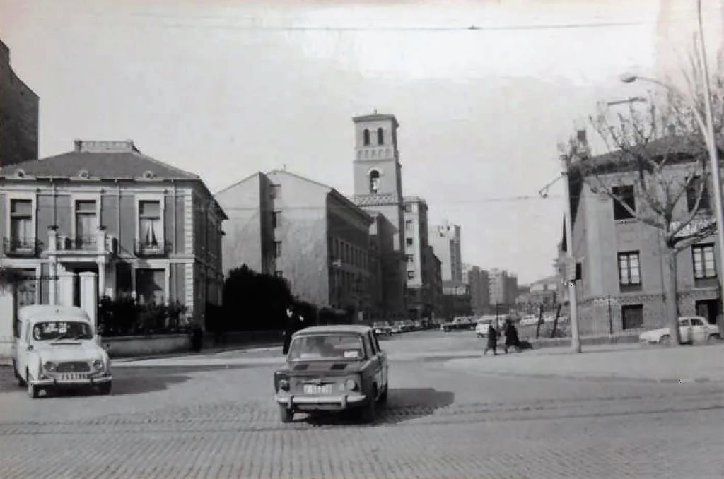
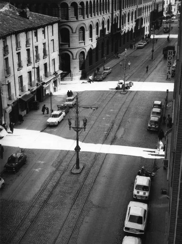
Image of 125 Madrid Avenue with the old building leading to Unceta Street on the right, a sample of the type of buildings that characterized both sides of the old Madrid highway as it passed through the Delicias neighborhood. The photograph shows a suspicious brick wall being raised on the ground floor, a clear sign that this building’s time had come and that a new building would soon replace it, reaching in height up to the level of number 7 next door. Between the cobblestones, the tram tracks of the Delicias line are visible; that line had only one year of service left, as it was abolished in 1971 and replaced by urban bus line 33.
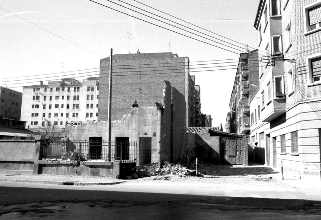
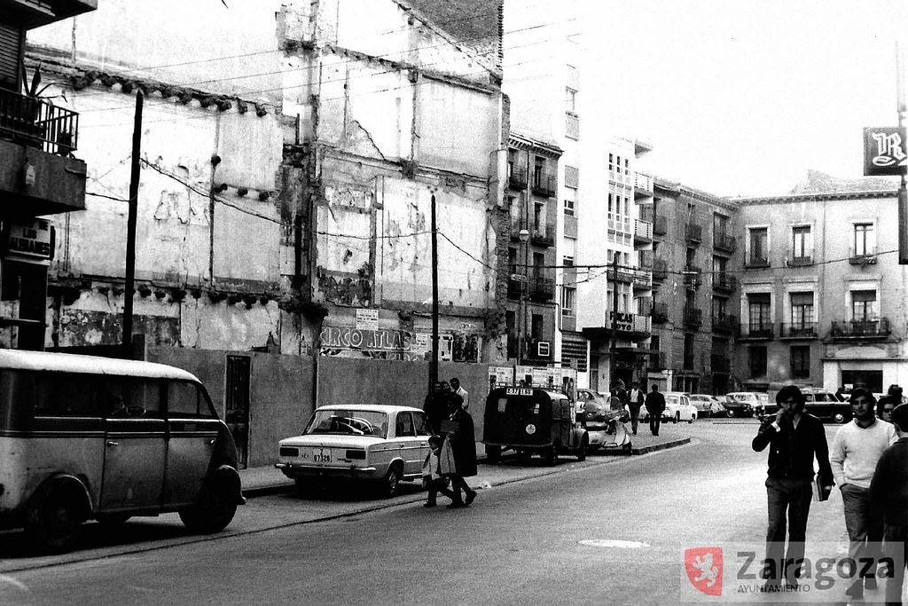
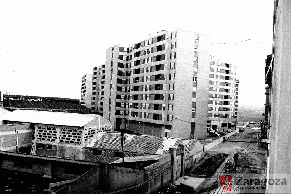
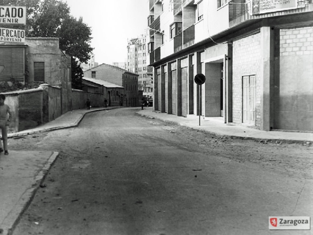
The 1970s were a period of many demolitions in Zaragoza, whether by hand or machine, or both combined. This is one more example in an area far from the city center. It shows the section of Martín Cortés Street between Escosura, from where the photograph was taken, and José García Sánchez, in the background. On the left, the old plot of number 33 of the old Roche Street (now Escosura) is being demolished by hand; this was the last home on what was then a long dirt-floored street that reached here from the Zaragoza–Valencia highway. The street continued beyond in the form of a path that, after crossing the bank and the Rasa irrigation channel, led to the left toward the Mosquetera path and to the right toward the nearby Mobile Material and Construction Workshops and even to the Cariñena railway station. On Escosura Street at number 40, the provisional facilities of the new parish of Nuestra Señora de la Almudena had been established since 1964, one of those set up during the large post-conciliar wave of 1961–1971. After the construction in 1973 of a new block on the site shown in the image — which received the address of number 20 Martín Cortés Street — the Almudena parish was installed on its ground floor in more permanent facilities, at least until 2007, when the Archbishopric sold the premises and moved the parish to 71 Escoriaza y Fabro Street, in the northernmost area of the Parque Roma development.
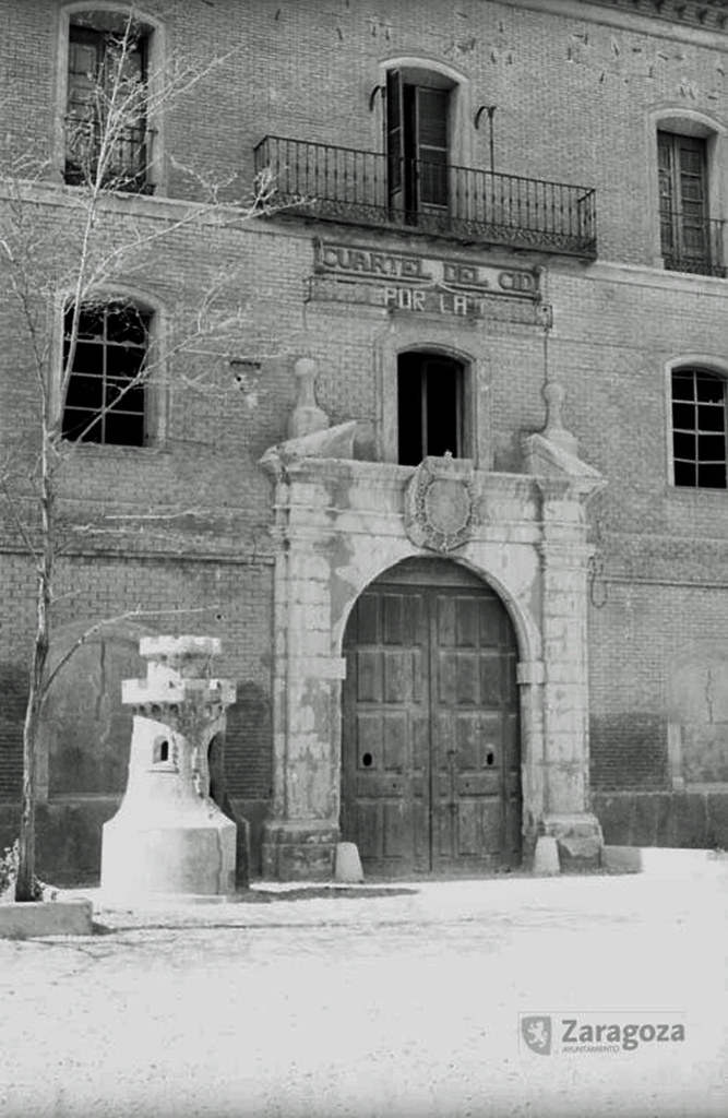
View of the main access door to the abandoned El Cid Cavalry Barracks. The block of flats at No. 6 Benjamín Jarnés Street now stands on this site. The barracks were created by Ramón Pignatelli next to the Coso de la Maestranza and the Real Casa de la Misericordia.
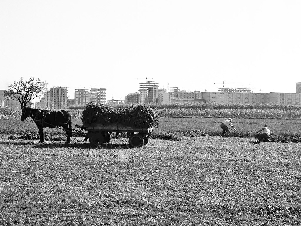
Mowing of herbaceous plants in a field to the west of the Polígono Gran Vía, with the streets of the Counts of Aragón and of Asín y Palacios visible in the background, emerging from blocks of flats. On the right are the Sacred Heart school and the rose window of the Conciliar Metropolitan Seminary. In the foreground, the traditional agricultural practice of harvesting alfalfa, cut with a scythe, collected by hand, and loaded into a dump truck pulled by draft animals.
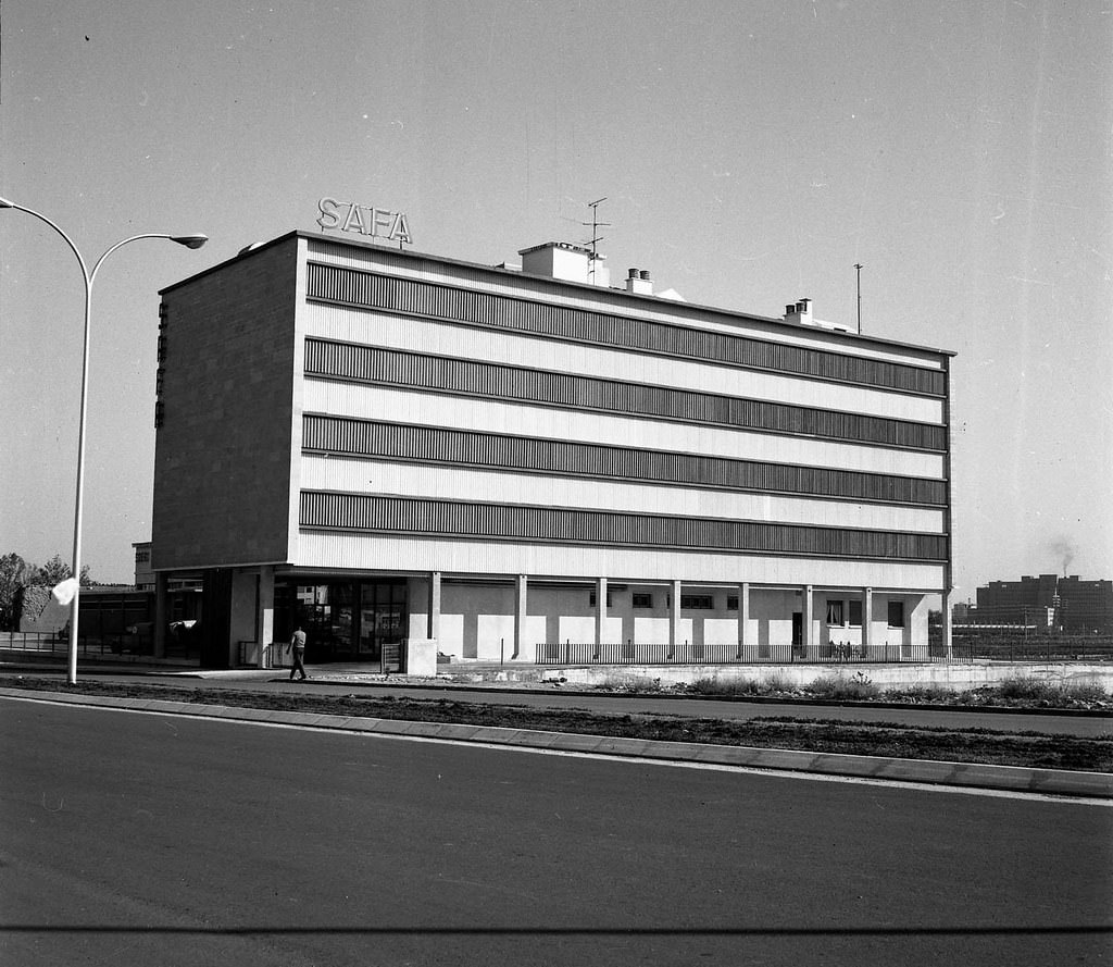
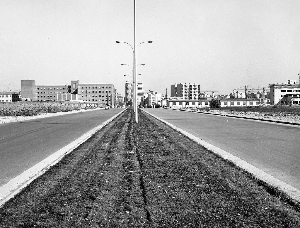
To the left and behind the grain fields, the Santa María Reina school stands next to the old convent of the Sisters of Charity. Behind are blocks of flats on Calle de La Milagrosa, the Salesianos school, and plots of the Ciudad Jardín Terminillo.
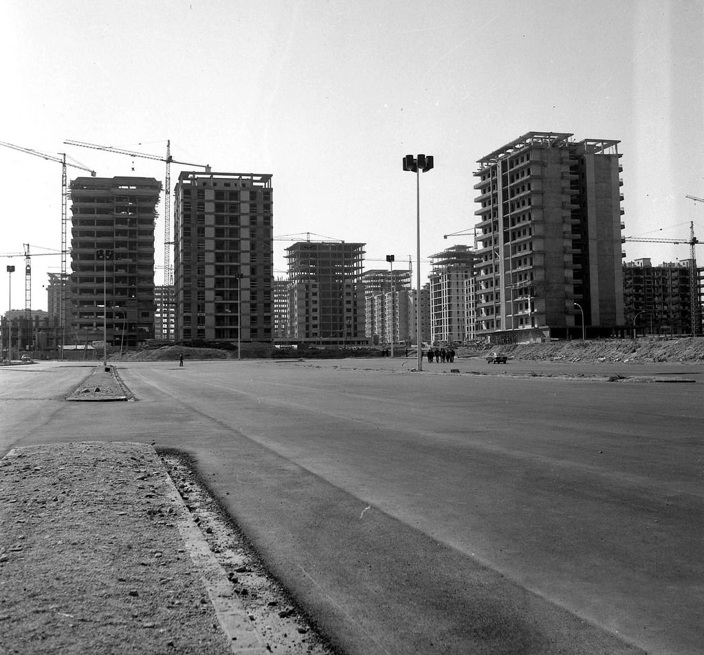
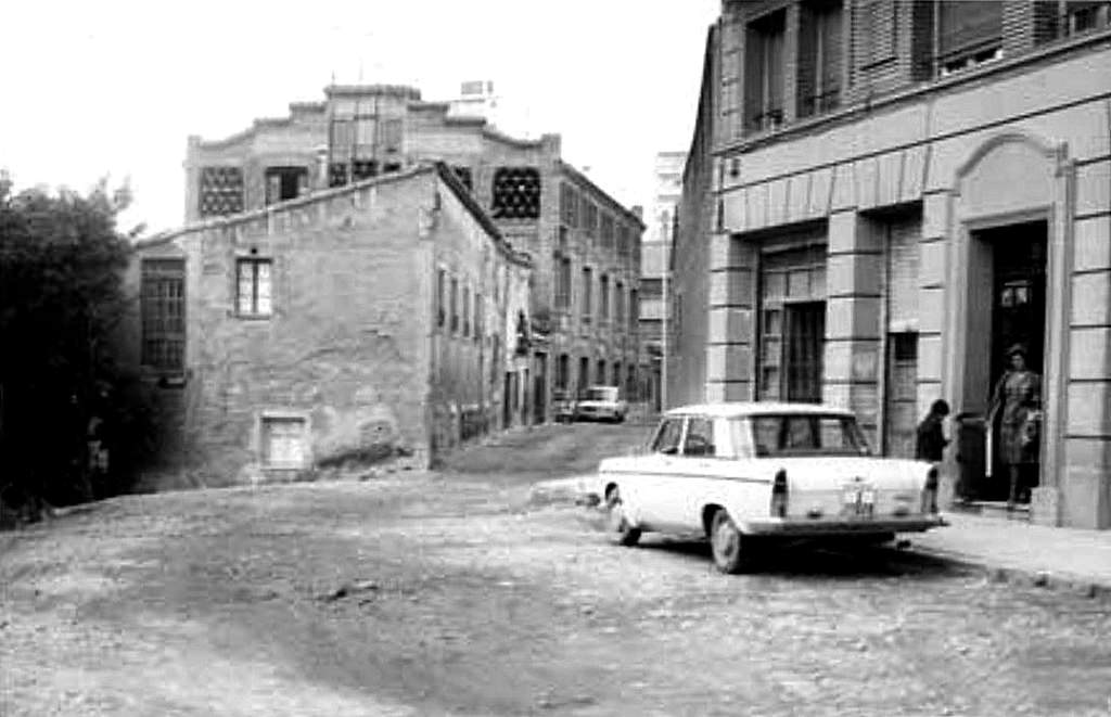
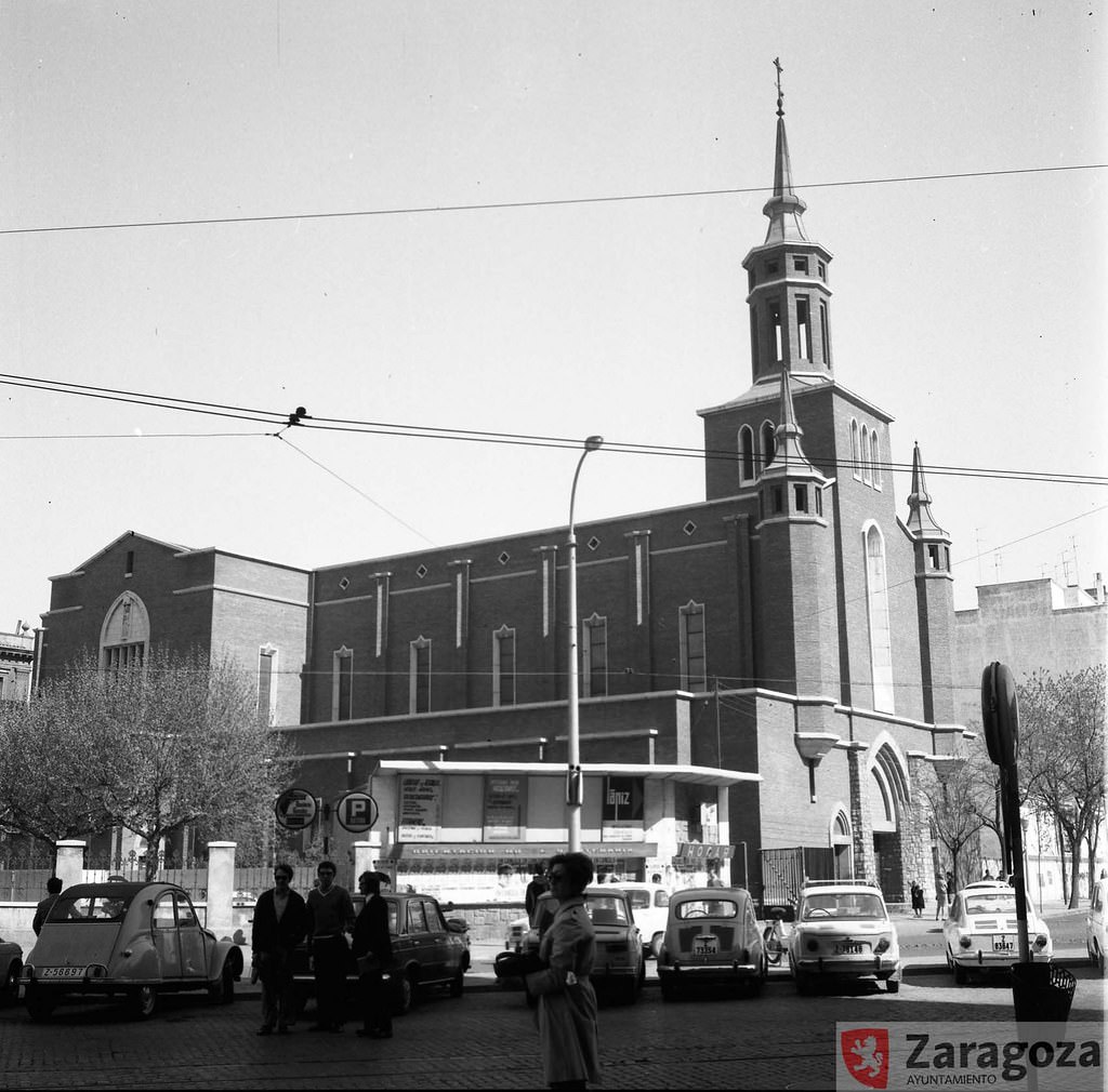
It was not until 1958 that a new project began to be built, which two years later was completed as the Church of the Mother of the Savior. It was built next to a textile (cotton) factory, from whose large chimney various fumes and odors came.
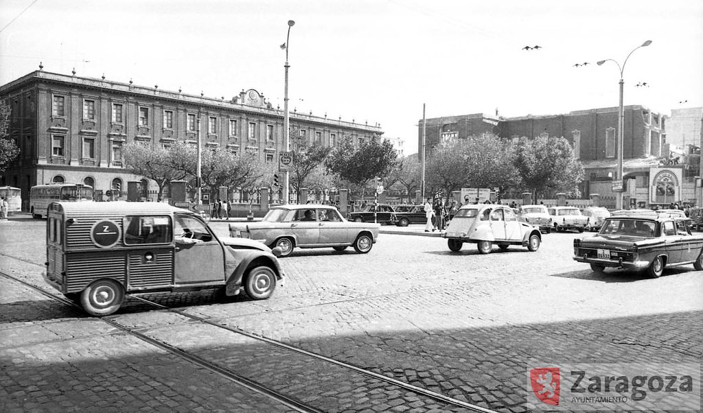
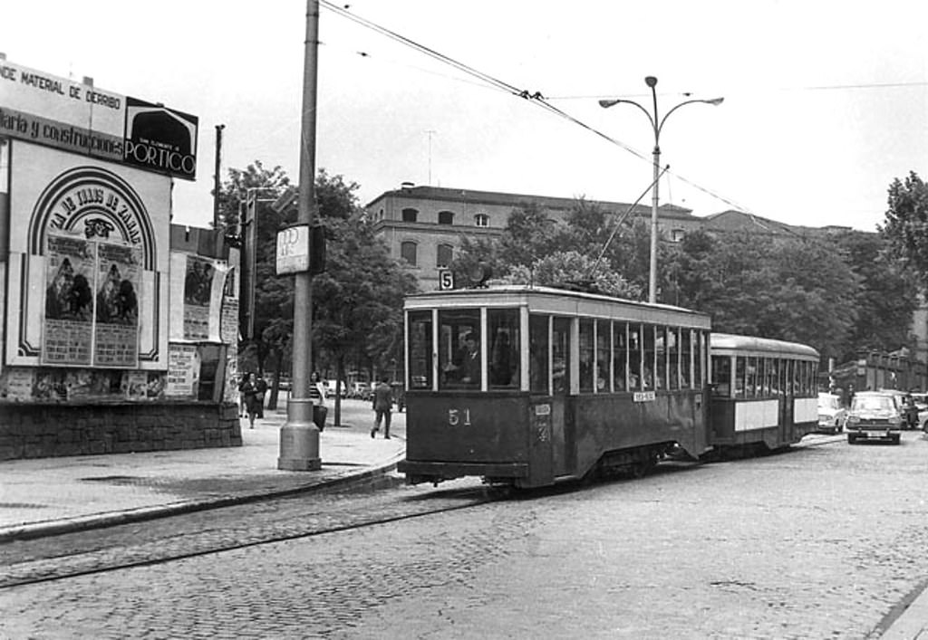
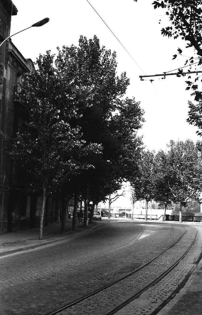
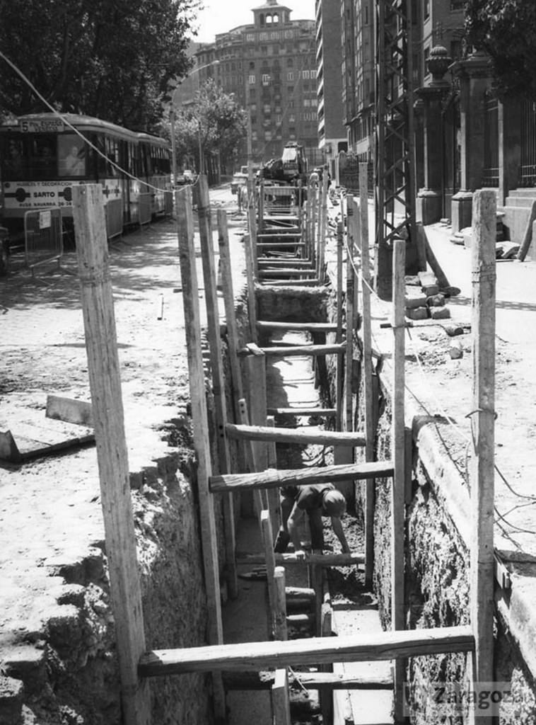
To the left, and immediately, are the walls behind which the Jesuit church of the Mother of El Salvador stood before it was demolished, at that point serving mainly as an advertising surface for entertainment shows. Immediately beyond begins the Paseo de las Damas toward the Camino de las Torres, and in the background stands the distinctive mass of the Sacred Heart collegiate church, behind the tree-lined roundabout of Sasera. On the right, a tram composition pulled by Unit 51 descends from Torrero. That unit, in service since 1925, was retired a couple of years later and scrapped in 1973. The line was closed one year later, after 88 years of service.
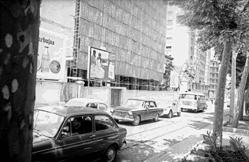
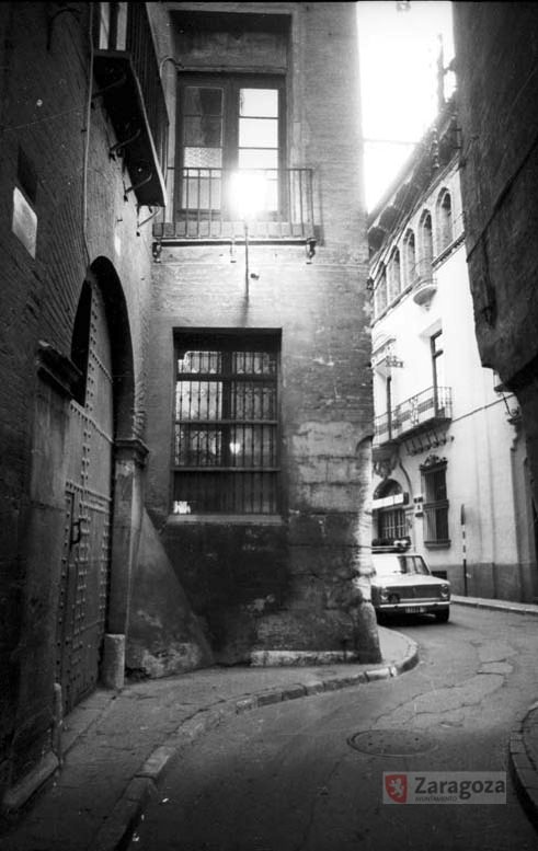
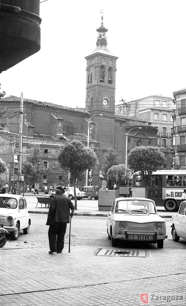
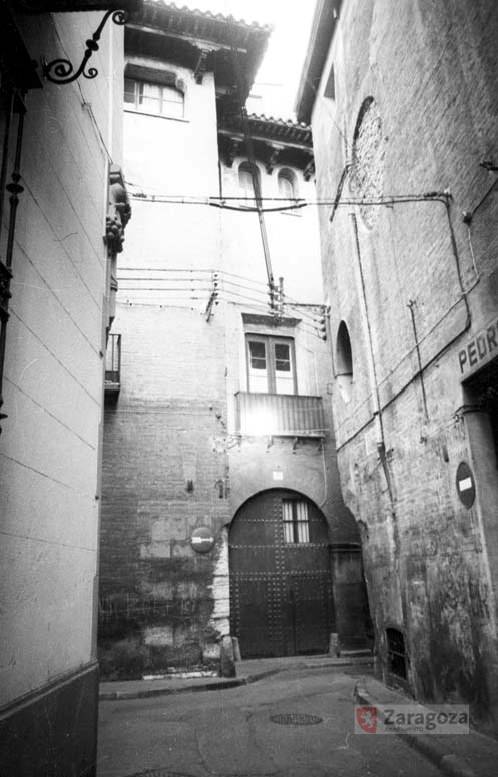
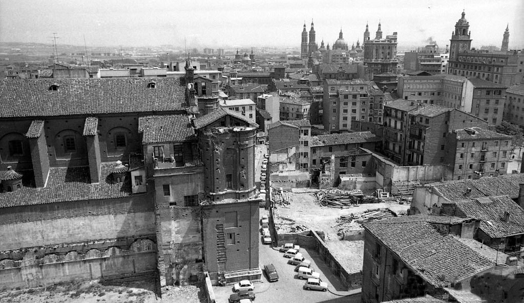
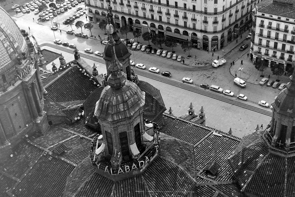
A high-angle view from the Corona de Aragón Hotel of the surroundings of the baroque church of Santiago el Mayor, taken before the extension of Imperial Avenue. In the foreground and to the left is the site left after the demolition of the old Military Hospital, with the imprint on the church wall of the arches of the great cloister of the convent of San Ildefonso. Vehicles are parked in a row where the former Nueva de San Ildefonso square used to be, where Doctor Gómez Ulla Street (the former Library Street) converges from the right, and from the top, San Ildefonso Street, along with a straight line of parked cars leading to Telesforo Peromarta Street. The vacant site in the center of the image shows the progress of demolitions in the large block of houses that extended to Calle del Azoque and Plaza de Miguel Salamero, on the right.
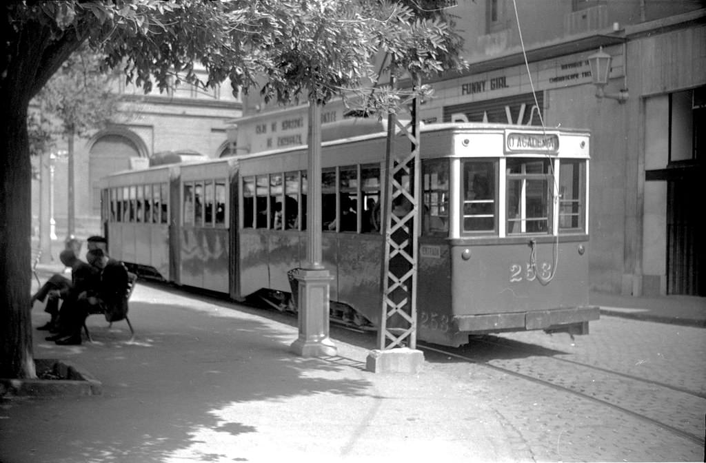
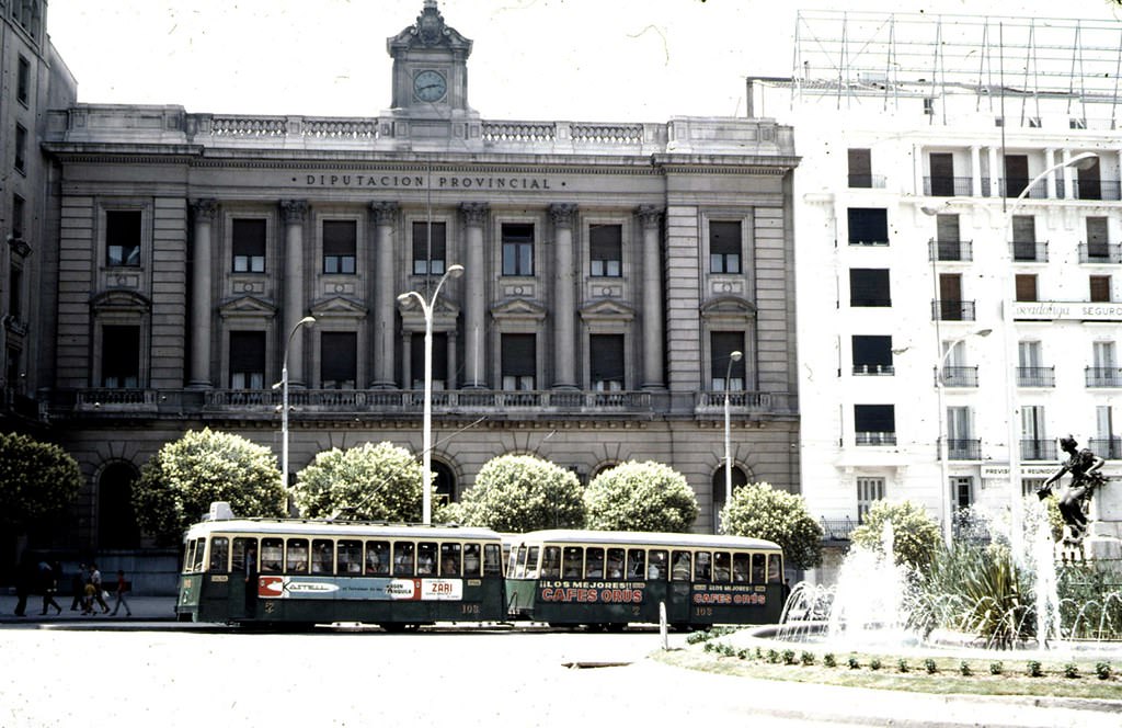
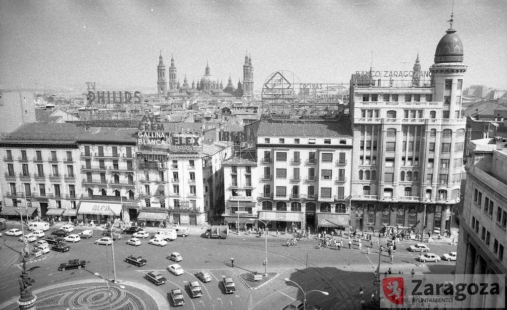
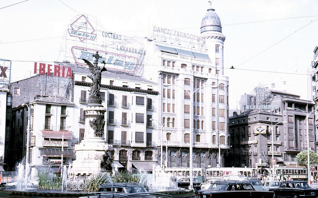
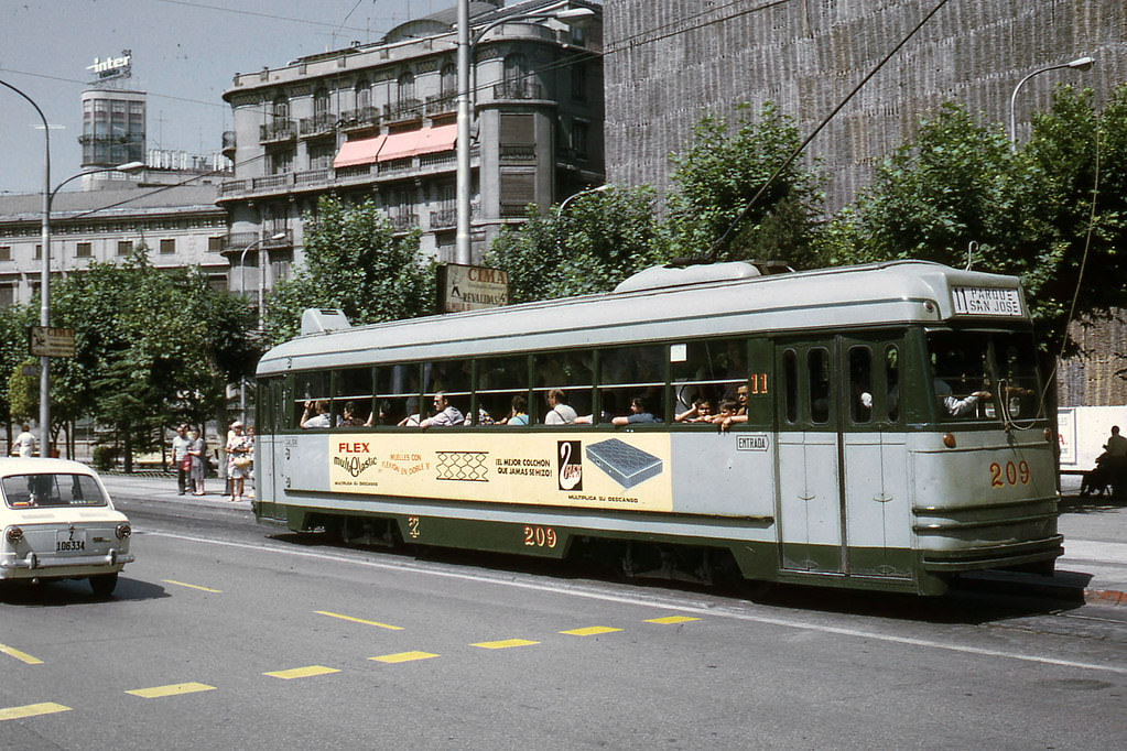
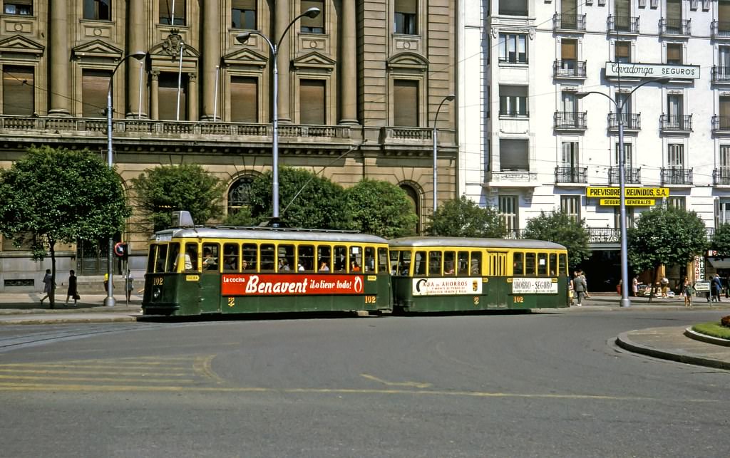
The dense road traffic still includes trams. This photograph was taken by the Australian Lindsay Bridge on a bright day in June 1970, while he was passing through the city.
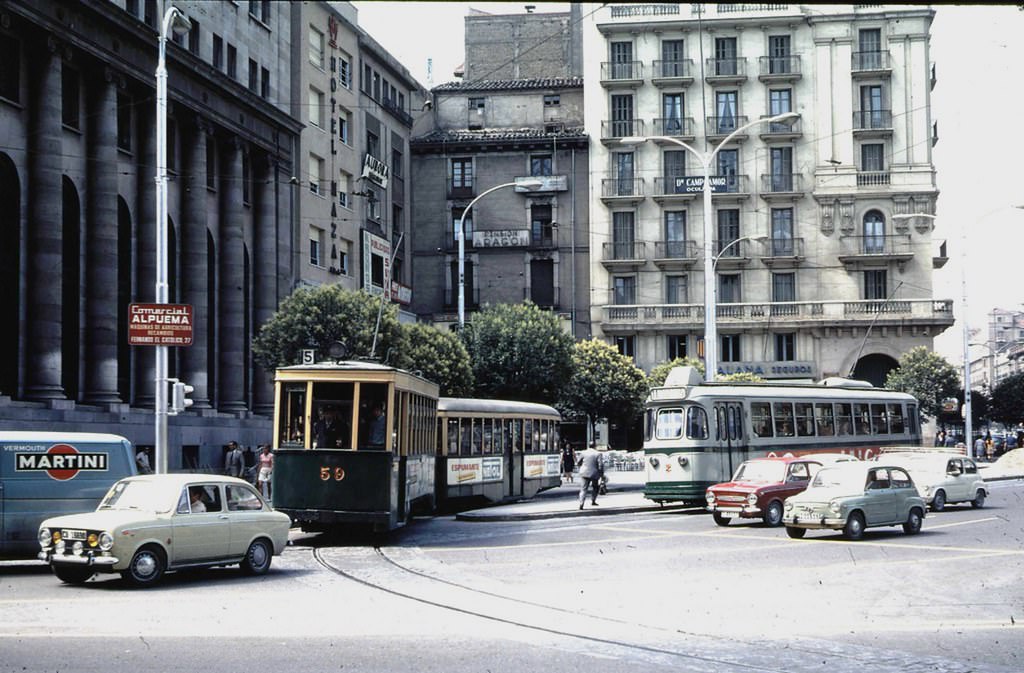
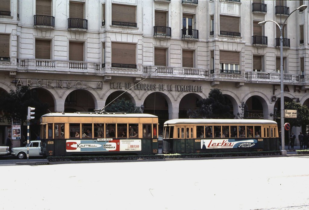
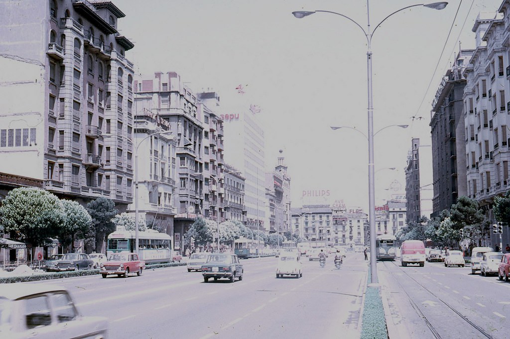
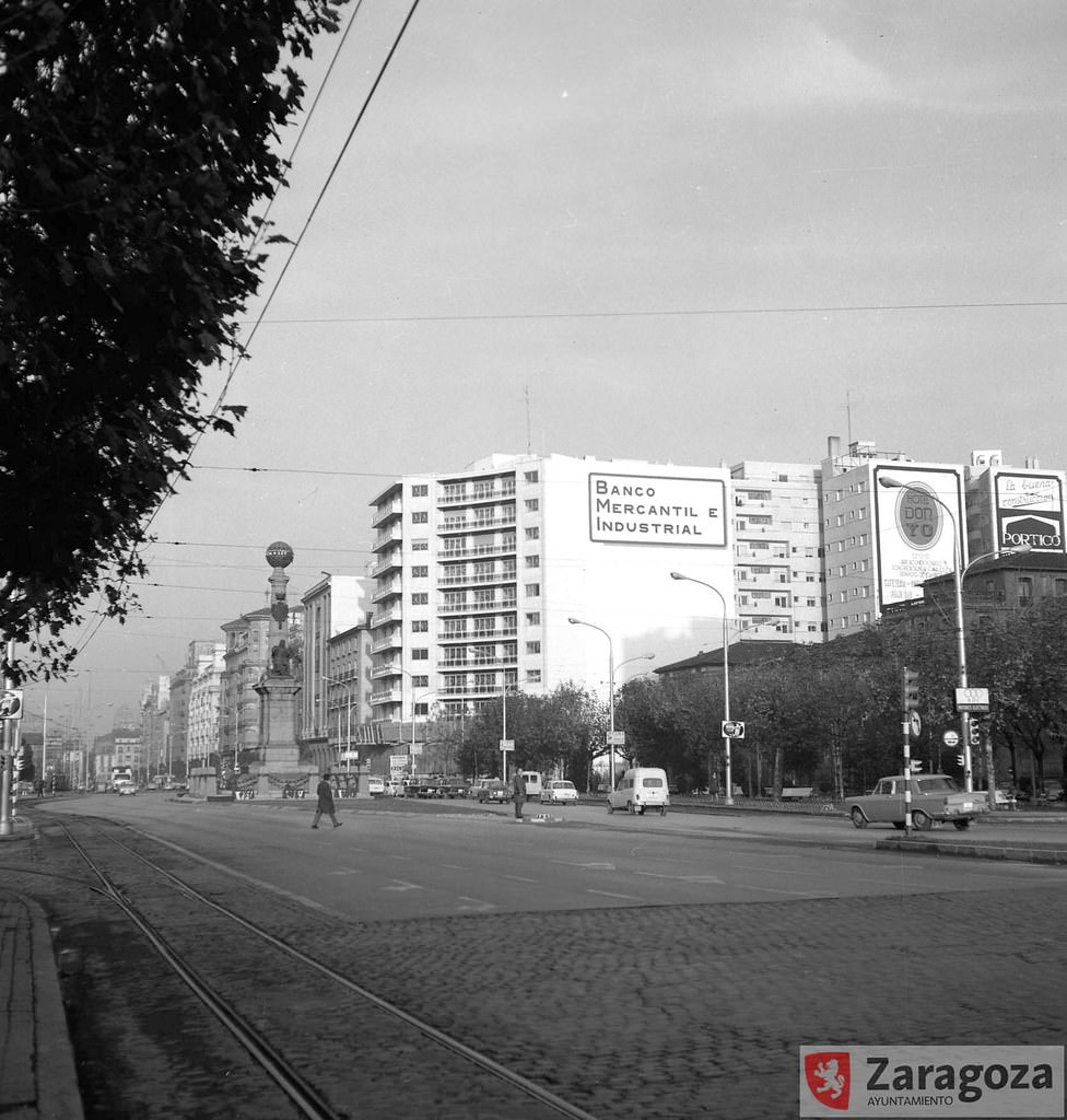
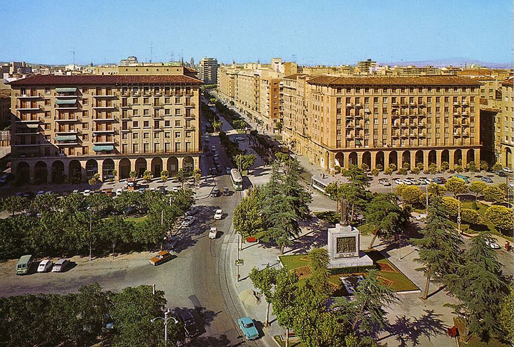
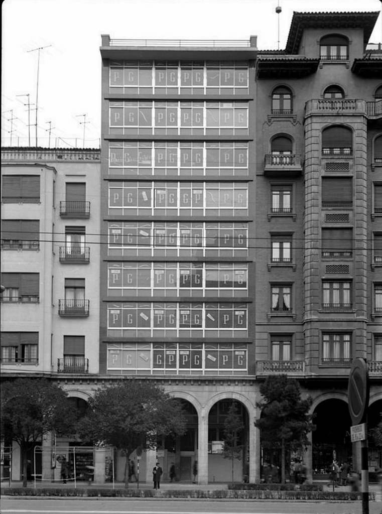
The transformation of the Paseo de la Independencia into a major road prompted the replacement of many buildings that flanked it, from the Plaza de España to the Plaza de Paraíso. As a result, the Plaza de Aragón began its own building transition, which in this image is dramatically shown in the contrast between bright, modern, attractive blocks and the darker, older buildings that surrounded them. This change was largely completed in the following decade.
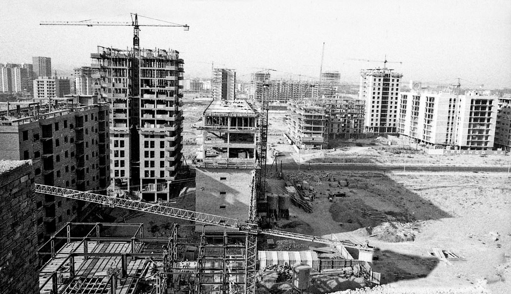
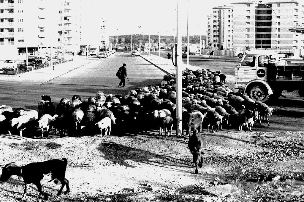
Next to the Casablanca service station, to the right of the image, a herd of sheep and goats crosses the Vía de la Hispanidad, a recent name at the time for the old Los Enlaces highway. On the left is the new Gran Vía industrial estate, renamed La Romareda. The image captures a moment of transition between the rural world that had characterized this part of the city’s outskirts and the modern world of tall apartment blocks and high-speed roads. A truck coming from the gas station waits. The old Cariñena railway line used to cross this area until 1933. To the right, Calle de La Vía recalls the passage of this narrow-gauge train. In the background is a roundabout — the current Toulouse roundabout — at the confluence of the Paseo de Isabel la Católica, the Vía Ibérica, and the Vía de la Hispanidad itself.
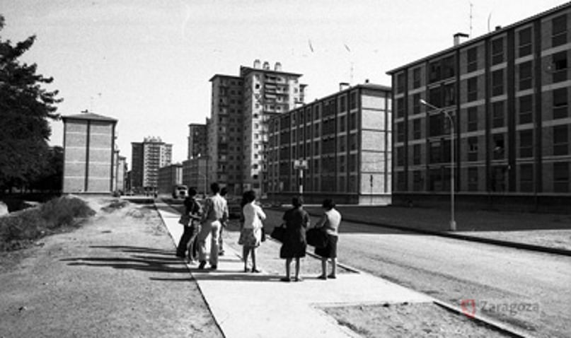
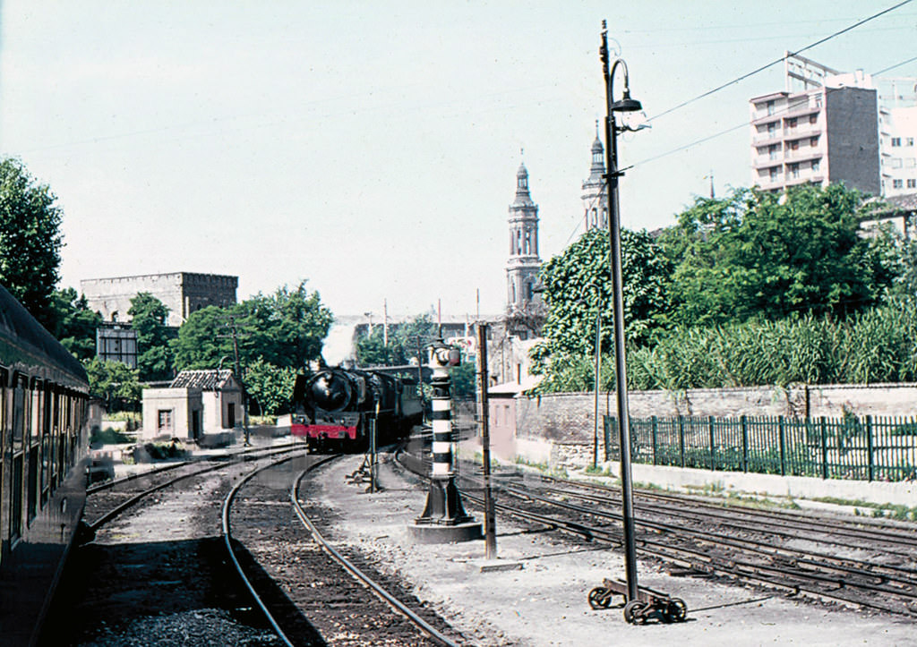
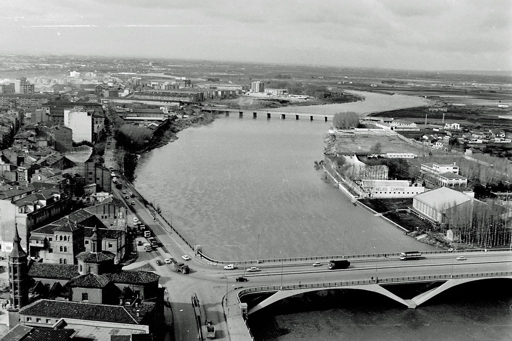
The expanse of tracks that ran from the North Station (Arrabal) along the riverbank, passing through the San Lázaro tunnel, toward Ranillas, the old railway bridge, and on to the Delicias station on the other side of the Ebro River. To the left, the San Lázaro barracks appears at the start of Avenida de Cataluña. On the right is part of the rear of the Franciscan convent of Santa Isabel. Above it stands a 10-storey development located between the streets of Sixto Celorrio and Sobrarbe. In the background are the easternmost pair of towers of the Metropolitan Church of El Pilar.
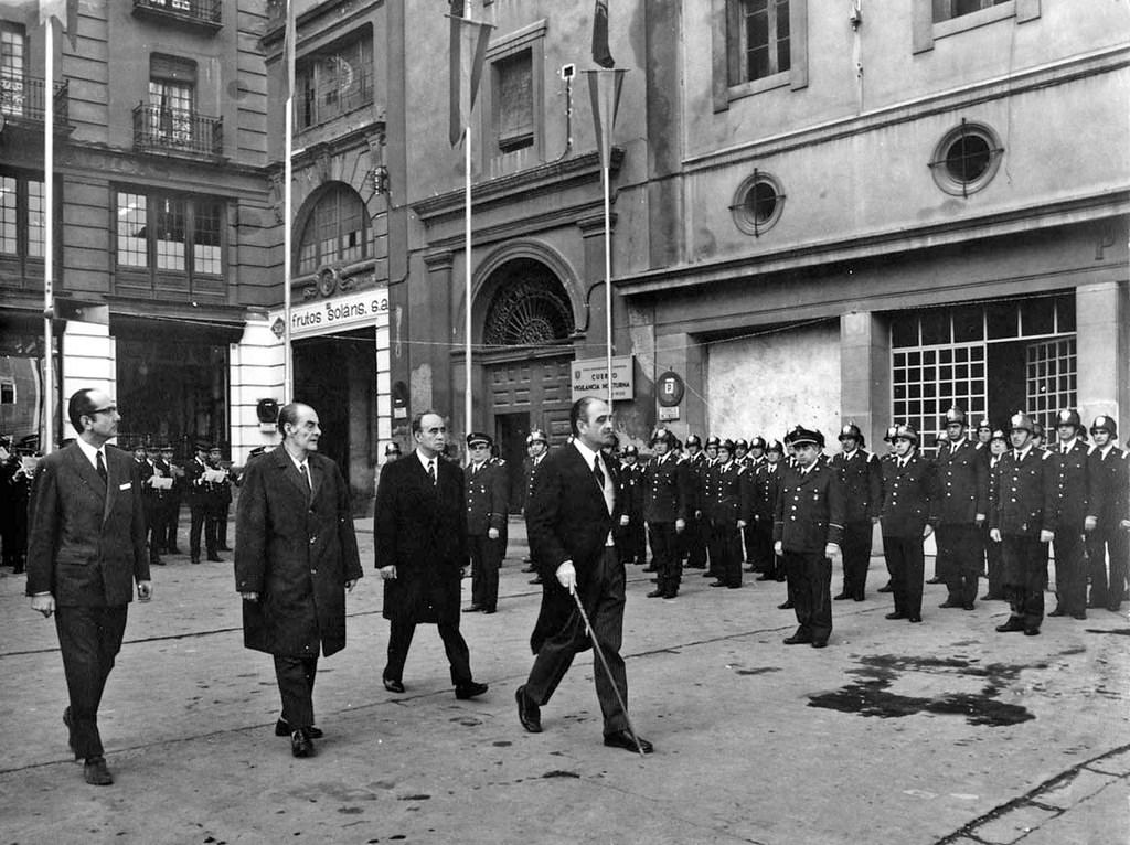
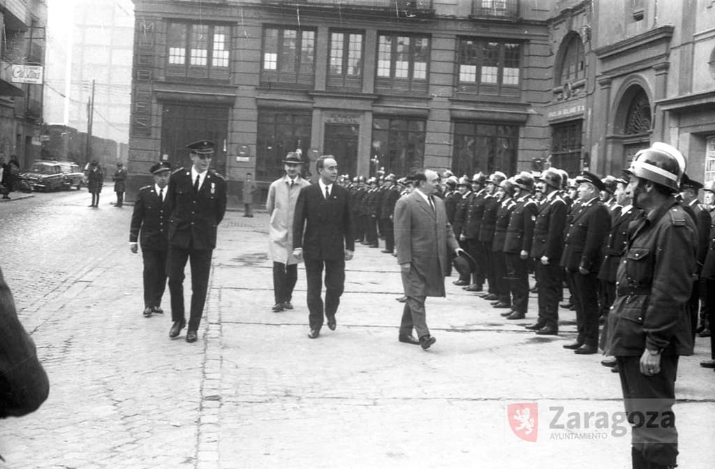
Plaza de la Victoria in a scene captured during the traditional celebration of San Juan de Dios, patron saint of the Fire Department since 1953. In this square, to the right, was the municipal Fire Station, which had been housed since 1907 in the old convent of Our Lady of the Victory of the Minimite Fathers of San Francisco de Paula. The convent was disentailed in 1835, reformed at the end of the century to make room for a Fire Station and Municipal Depot, as well as some elementary schools for boys and girls, which led to the demolition of the convent church.
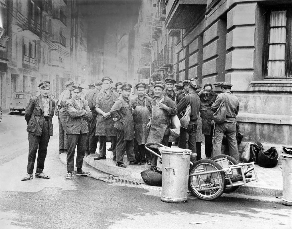
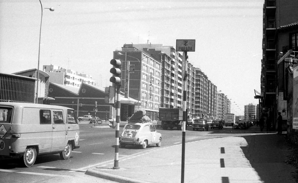
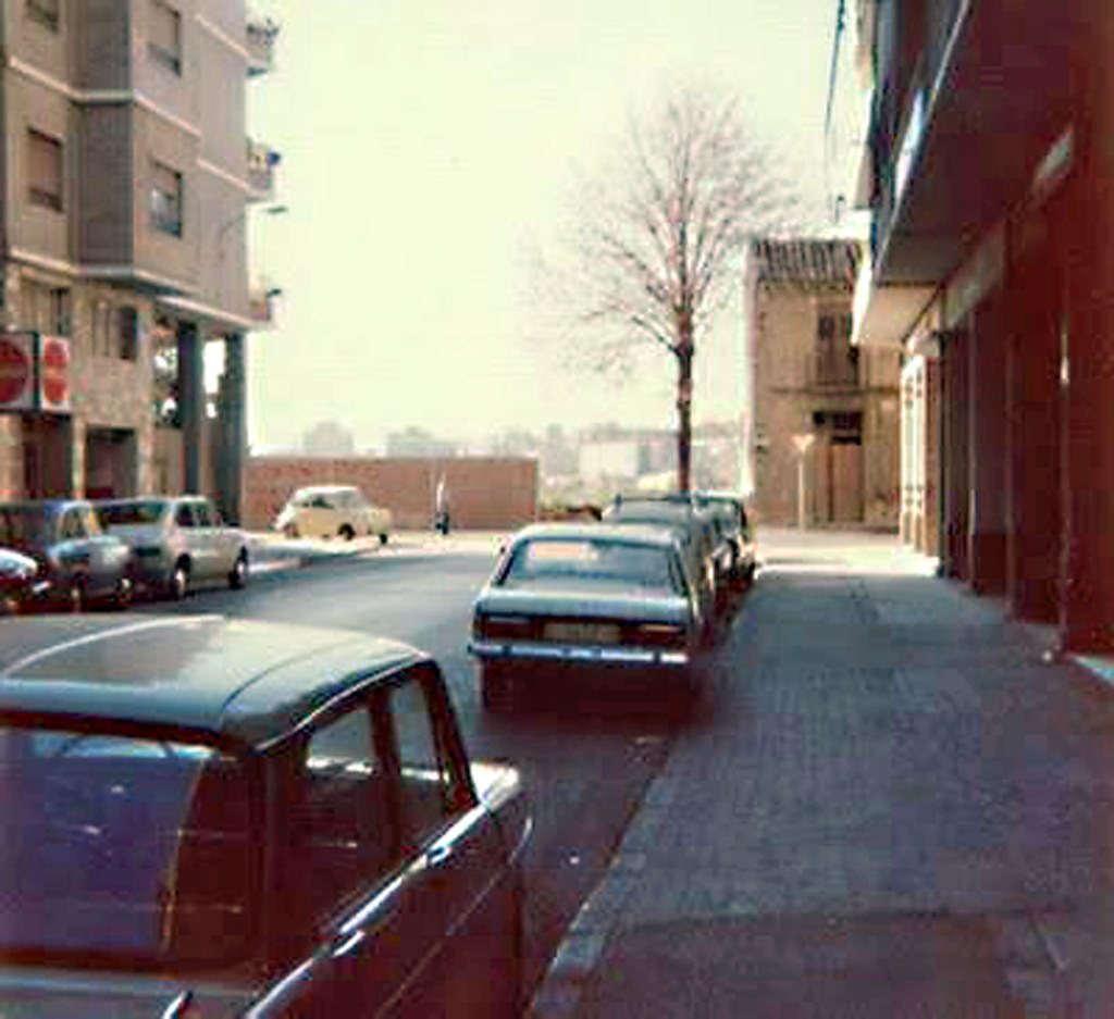
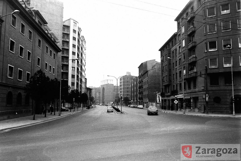
Avenida de Navarra in the section where, on the right, Calle de Leonardo Torres Quevedo ends, still showing plot number 36, which was later demolished and replaced by an angular block, along with the perimeter of the old and extensive corner garden at the junction with the old Logroño road, also later replaced by building blocks.
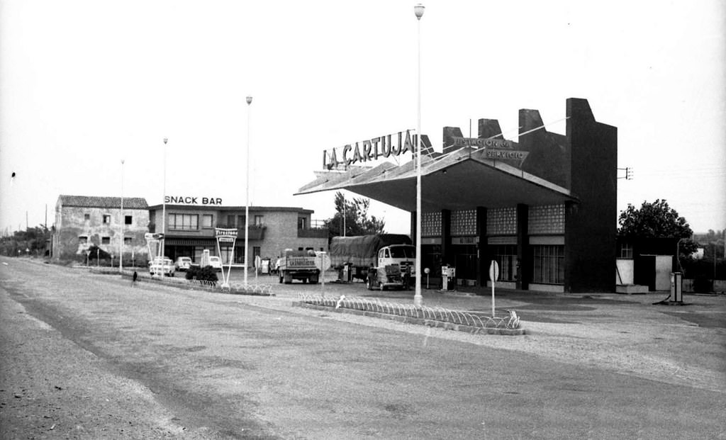
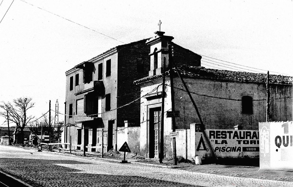
La Cartuja service station centers an image captured with its back to the Miguel Servet Industrial Estate, at km 3,700 of the Castellón highway, almost halfway between Zaragoza and the rural neighborhood of La Cartuja Baja. This modern installation, which included a snack-bar service, was located next to an older, more traditional building beside the highway, to the left of the image, which was later demolished.
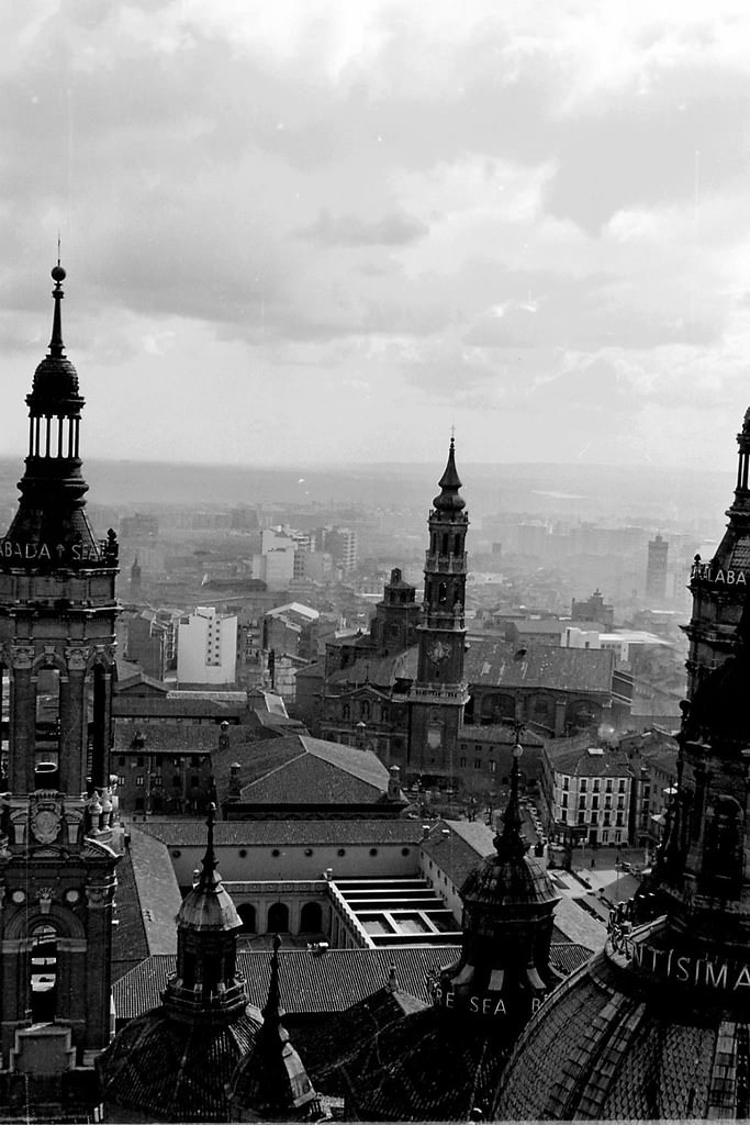
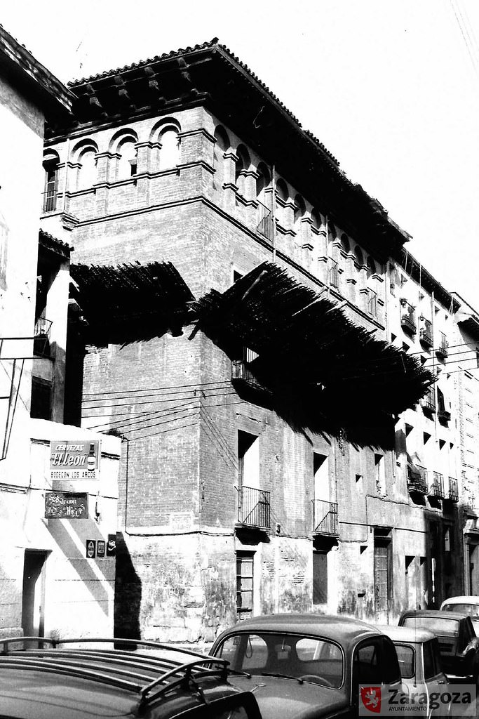
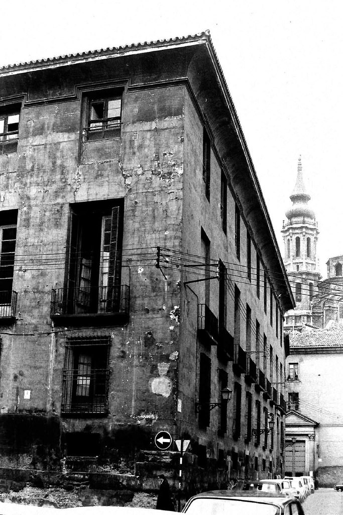
Known in recent times as “Casa Armijo” after the name of the last family that owned it, the building is built on a plot of several houses sold in 1147 to the Seo by the couple Ponce de Fredalez and Estefanía, intended to house capitular dignitaries. This particular house was the home of the Archpriest of La Seo. In 1878, Francisco de Armijo reformed the building. In 1971, the General Directorate of Fine Arts halted the demolition of the house, which had already begun, preserving the façade facing Don Juan de Aragón Street, part of the façade facing Lucero, and the corresponding bays surrounding the courtyard.
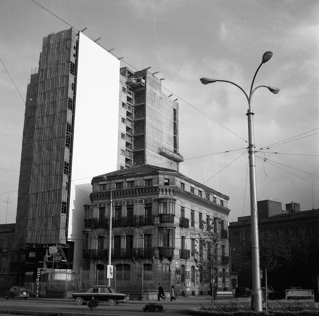
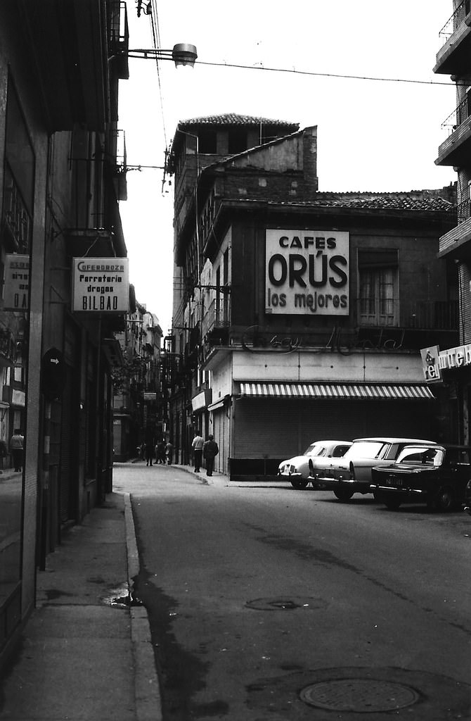
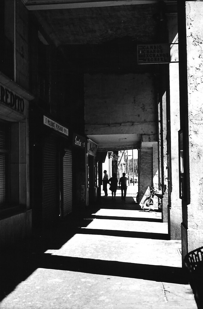
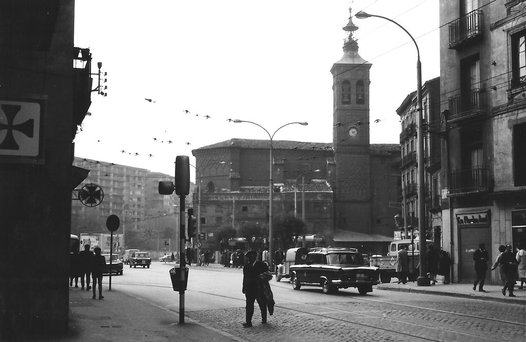
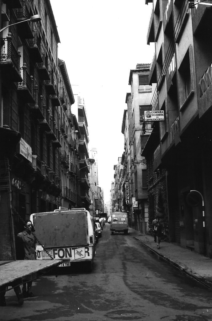
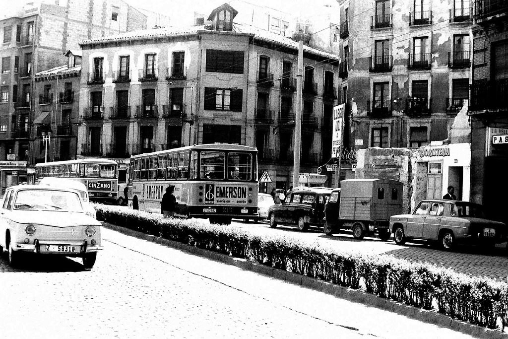
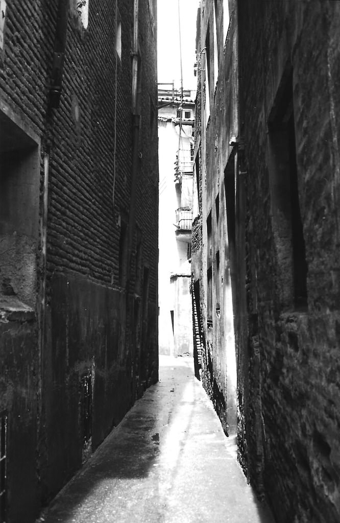
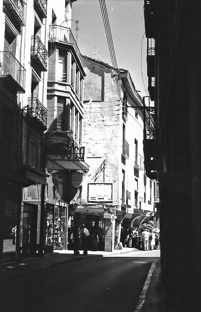
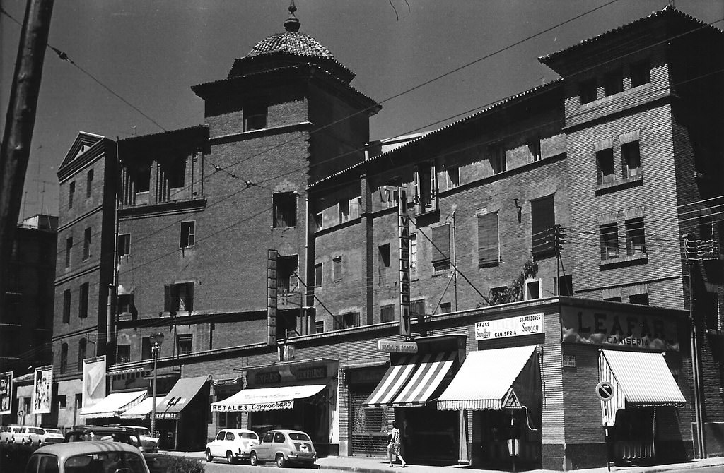
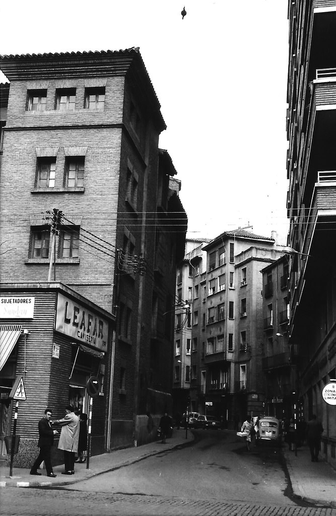
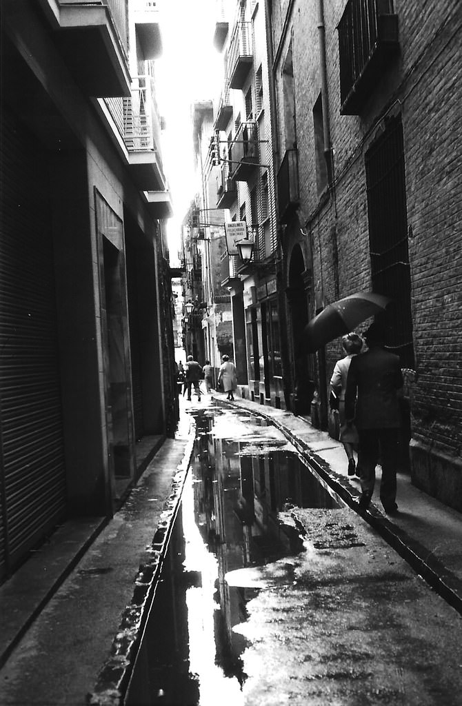
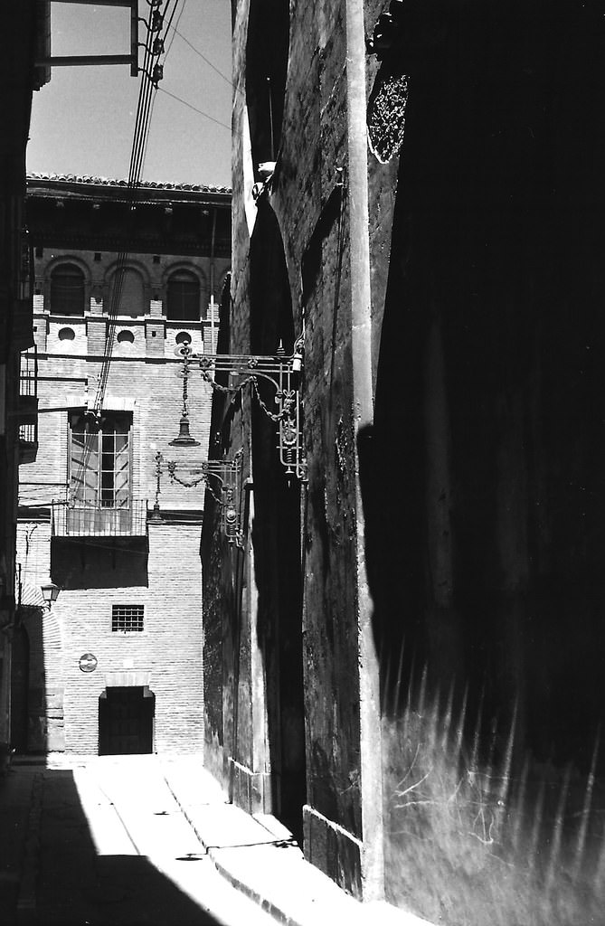
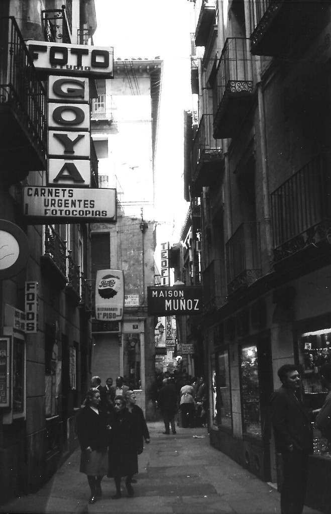
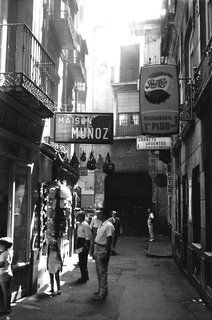
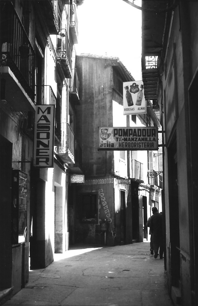
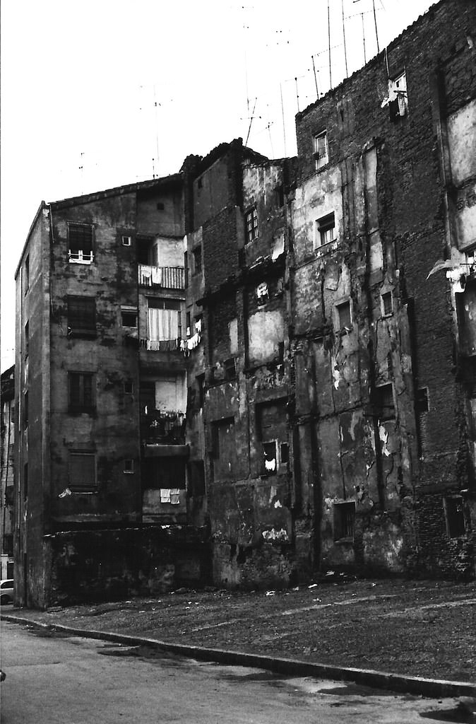
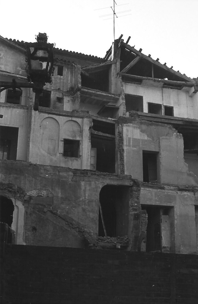
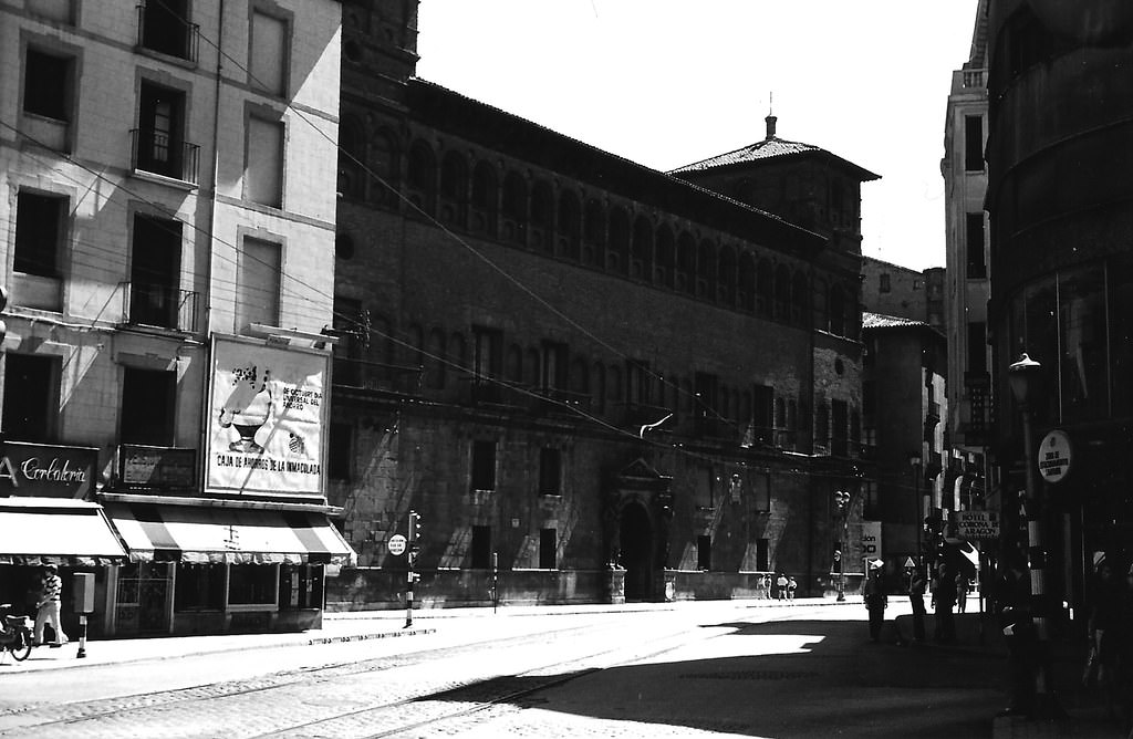
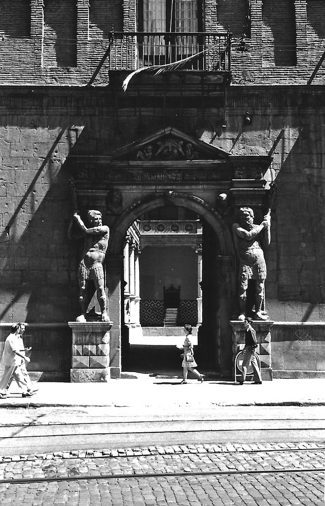
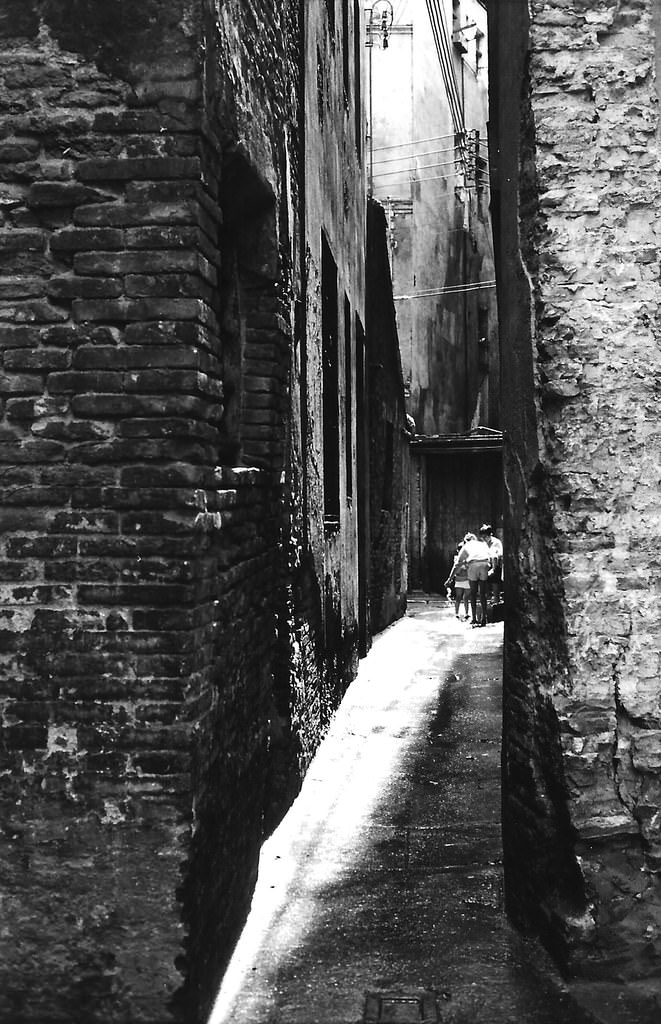
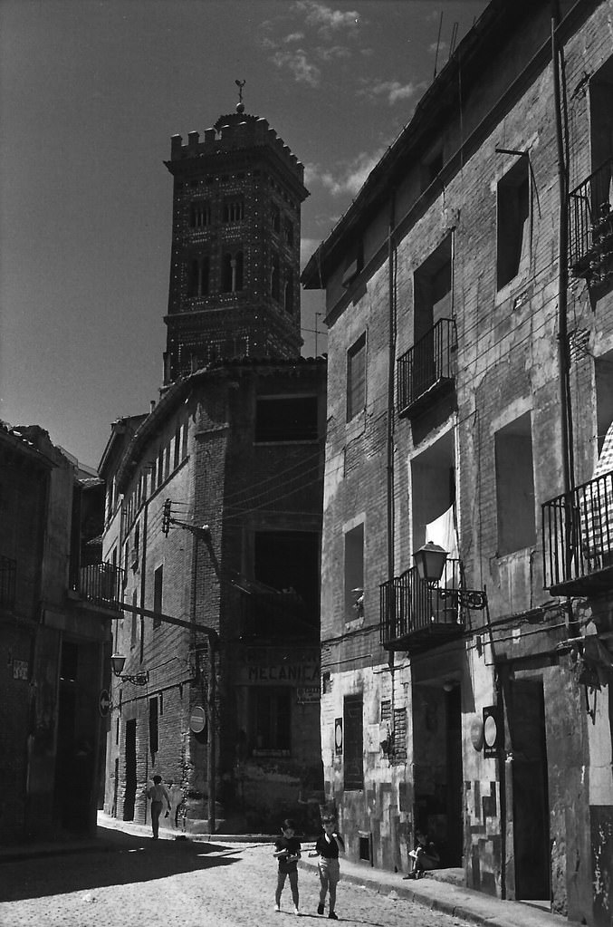
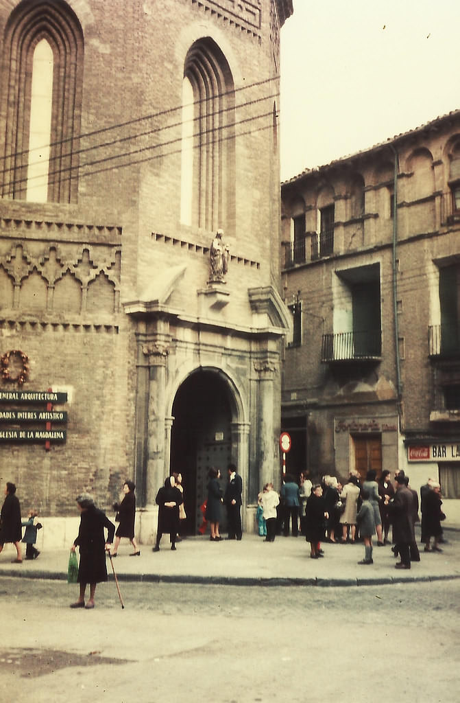
Environs of La Magdalena, in Asso Square. On the right is Don Juan de Aragón Street. In front is Martín Carrillo Street. Above stands the tower of the parish church of La Magdalena.
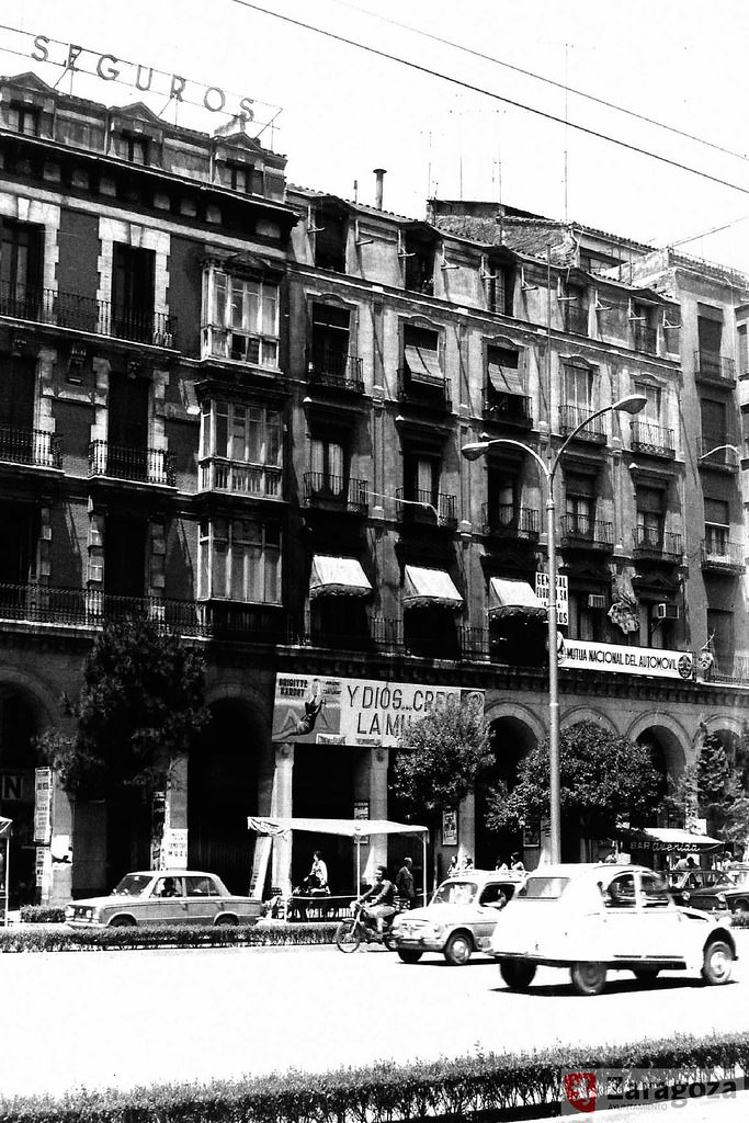
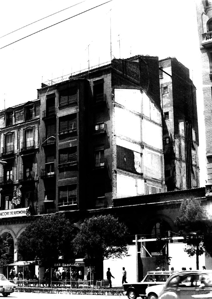
Located at Paseo de la Independencia No. 26, where the old Alhambra Cinema used to be, Cine Avenida was inaugurated in May 1968 with 930 seats. It closed in January 1979.
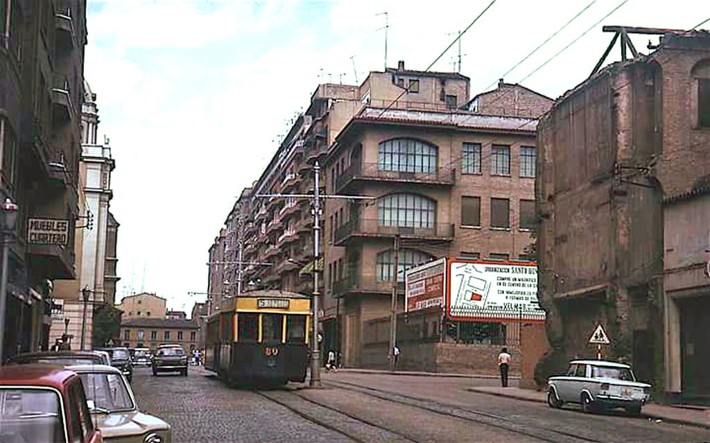
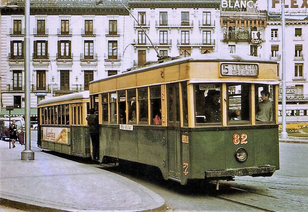
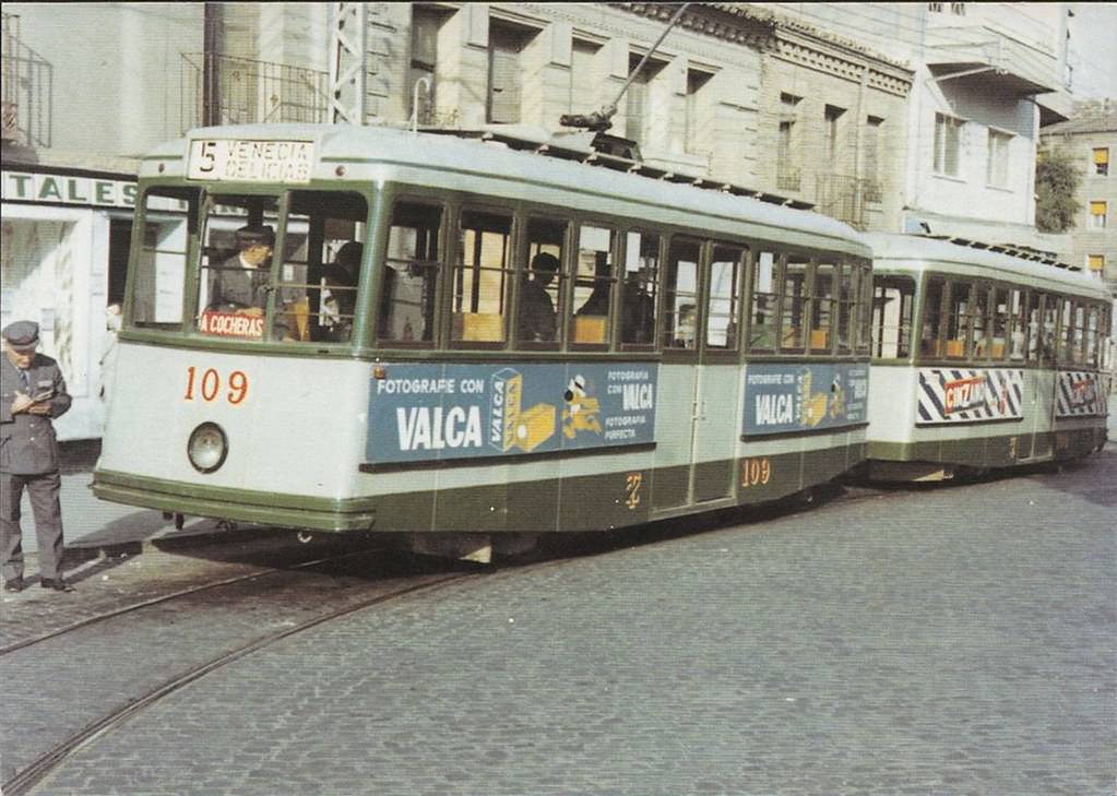
On the right are the remains of the old Casa de la Galera, which had later served as a school. Behind the fence with commercial signs is the Colegio del Carmen y San José de las Hijas de la Caridad de San Vicente de Paúl, in operation at that location since 1947, occupying part of the land of the convent of Santa Inés. In the center, tram unit number 80 of line 5, “Venecia-Delicias”, arrives from the Las Delicias neighborhood. In the background are buildings that have since disappeared from the corner of Avenida de Madrid and Paseo de María Agustín. On the left is a partial view of the urban branch number 1 of the Caja de Ahorros de Zaragoza and the right tower of the Portillo church.
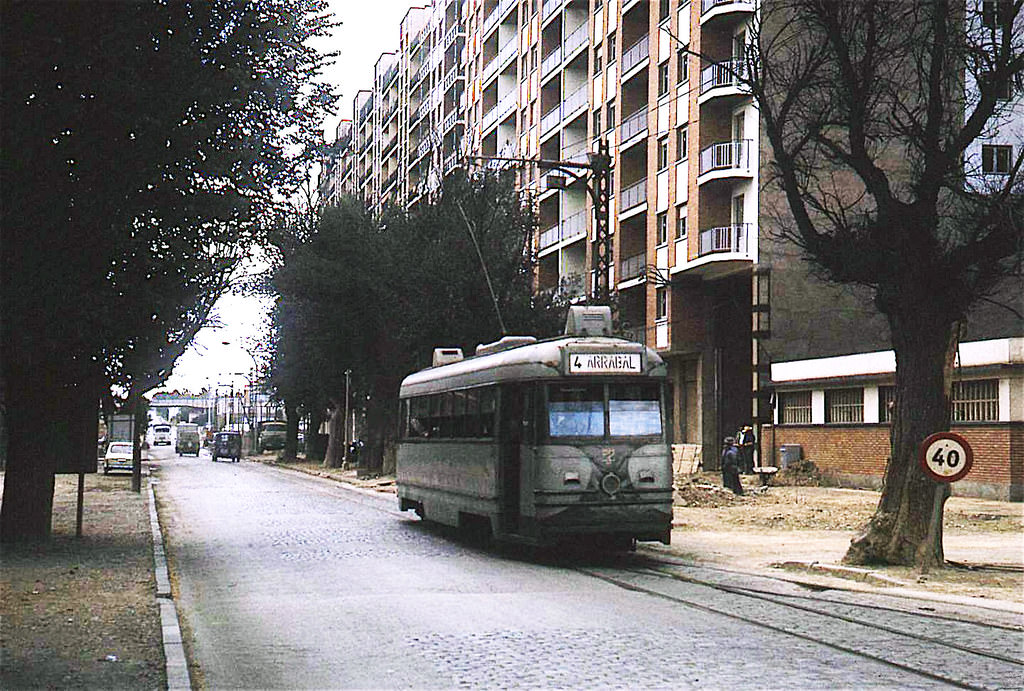
Tram unit 223 of line 4 “Arrabal” at its northern terminus, next to the San Juan de la Peña industrial buildings and the block of flats at No. 182 of that avenue, ready to begin its journey south. At the end of that year, the line was closed.
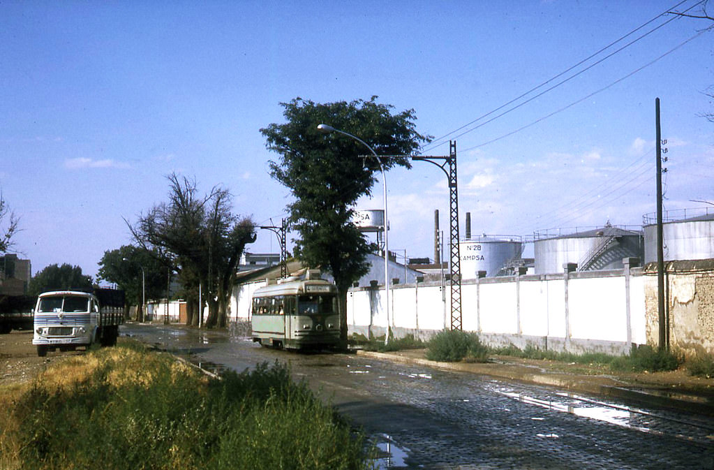
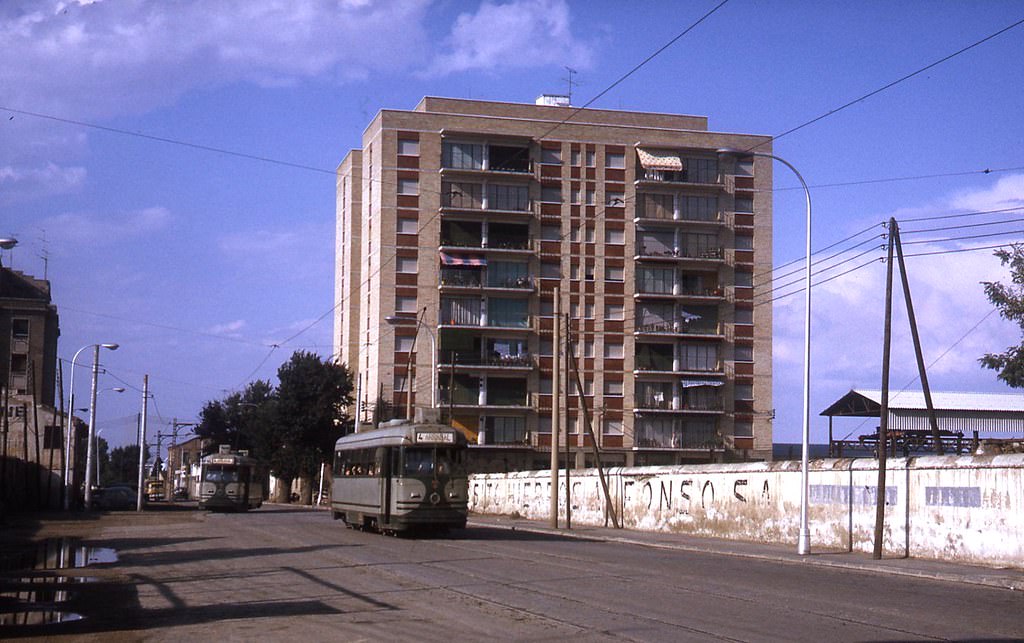
Two units of the 200 series (228, heading back to the “center”, and 223, heading to the terminus of the line) provided service on the “Arrabal” tramway, or Line 4. On the right are the walls of the old “Hierros Alfonso S.A.” depot, whose backs were adjacent to the railway tracks that reached the Arrabal station. In the center is the modern block at No. 10 of San Juan de la Peña. To the left, out of frame, is Valle de Zuriza Street, leading to the nearby park of Tío Jorge, formerly the park of Jorge Ibort. The “Arrabal” line was closed barely two months after this image was taken.
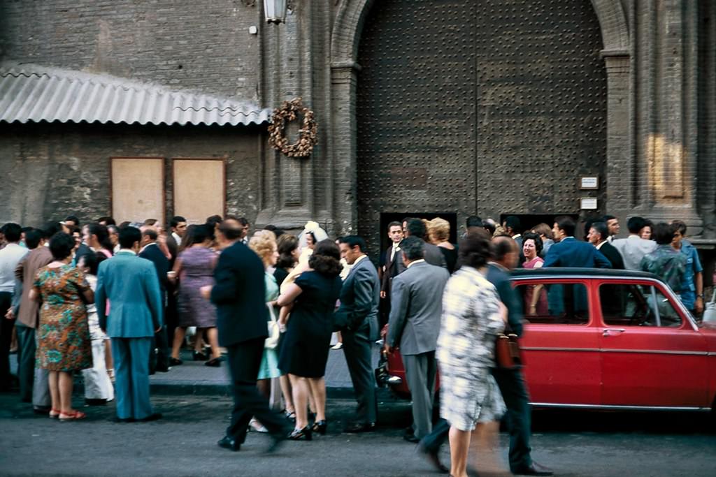
Image captured next to the entrance door of the parish church of San Miguel de los Navarros, during the departure of a Catholic wedding ceremony. The vehicle’s burst of red color disrupts the dominant color scheme of the scene, which is mostly in shades of blue, and nearly draws attention away from the white bride.
The church of Santiago el Mayor in a view of its main façade captured from the Plaza de Miguel Salamero. In the foreground are the remains of the block between Calle del Azoque and Calle San Ildefonso, which was demolished to give continuity to Avenida Imperial and to widen Calle del Doctor Gómez Ulla (later removed). Years later, a large block of commercial offices was also built on these lots.
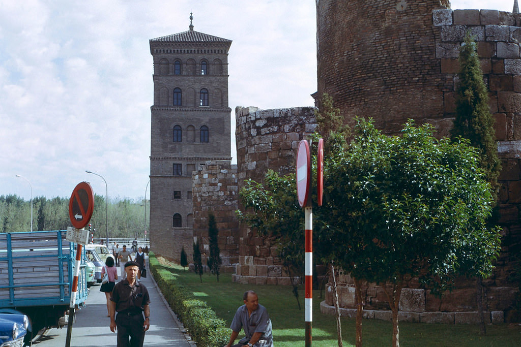
Imperial Street — formerly Antonio Pérez Street and now a section of César Augusto Avenue — with the restored Torreón de la Zuda and the rebuilt section of the old stone wall, behind which is the church of San Juan de los Panetes, whose tower is visible on the right. In the background is the Echegaray y Caballero promenade and the Macanaz grove, on the other side of the Ebro River, accessible via the recently built Santiago Bridge.
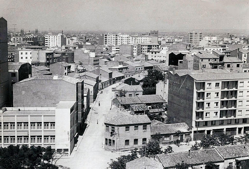
Calle de Cuarte in the Venecia neighborhood, seen from No. 2 Calle de Loarre. On the left and in the foreground is the El Ángel de la Guarda school, inaugurated in 1968 on land that had offered private classes to young children since 1955, and which opened as a school in 1958 on the corner with Calle del Pinar, which borders the Pinares de Venecia. On the right is a corner building at 52 Calle del Parque, later demolished and replaced by a new one. In the background on the left are the towers of the Pilar. In the center is the Sacrario Militare Italiano.
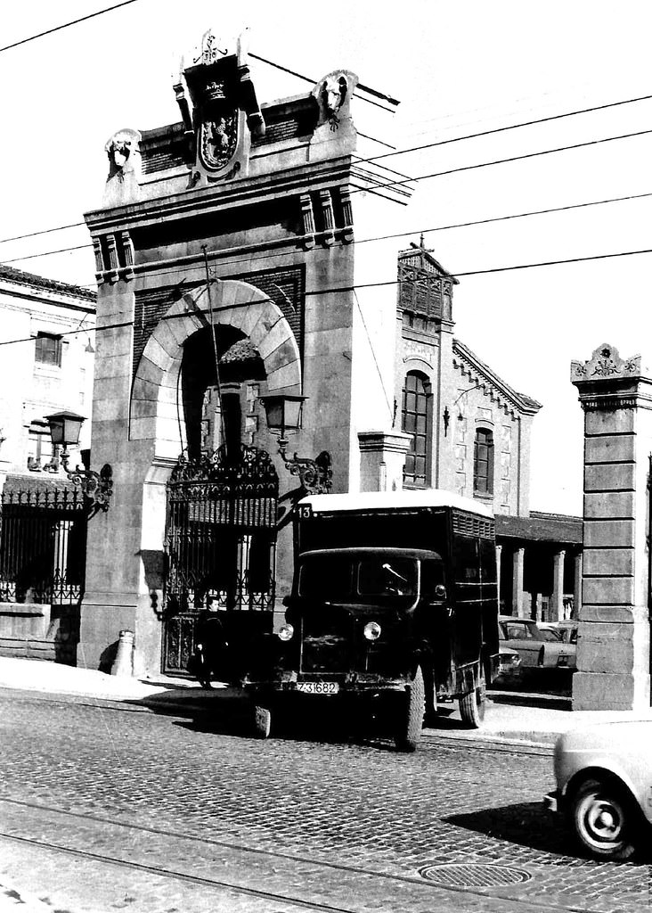
The entrance gate of the municipal slaughterhouse at 55 Miguel Servet Street, at the moment when one of the veteran delivery trucks is leaving. This slaughterhouse, designed by the architect Ricardo Magdalena, came into operation in 1887 and was closed as such in 1981, later housing other public City Council services. On the pavement, tram track rails are laid, and overhead, the wiring that led to the tram depots on the right.
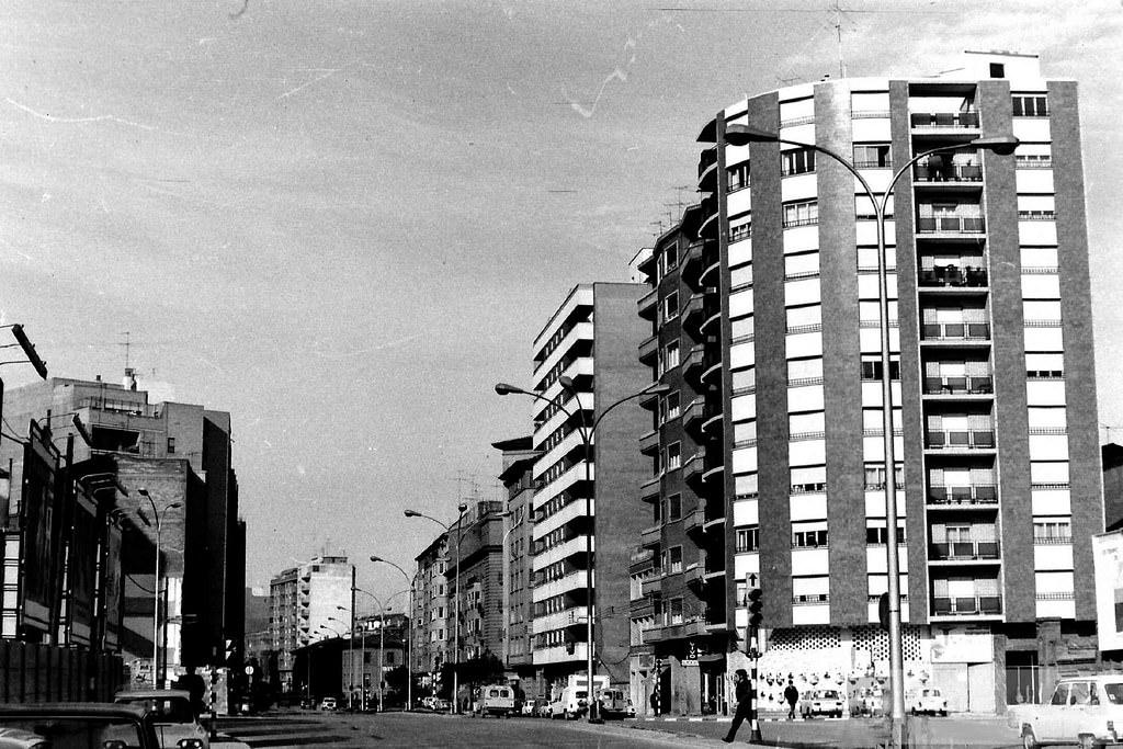
Tenor Fleta Avenue in its first section between the Paseo del General Mola (in the background) and the intersection with the Camino de las Torres (where the chamfered building at number 98 of that road stands immediately to the right). In the background, the corner building of Paseo del General Mola and Avenida de Goya is still operating as La Figuera academy, though it had little future left. The older building at number 17, almost in the center of the image, stands out for its run-down appearance among the modern buildings that flank it.
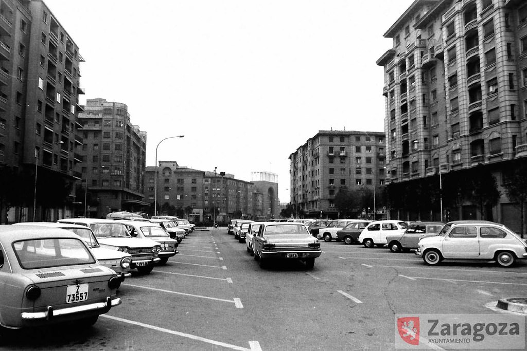
The covering of the direct railway trench in this central location led to the establishment of free, open-air parking on public land. This space was given over entirely to motor vehicle traffic. It remained this way until the “Zaragoza-Goya” railway station was installed here in April 2012, integrated into the C-1 line of Cercanías Zaragoza and with connections to some medium-distance trains.
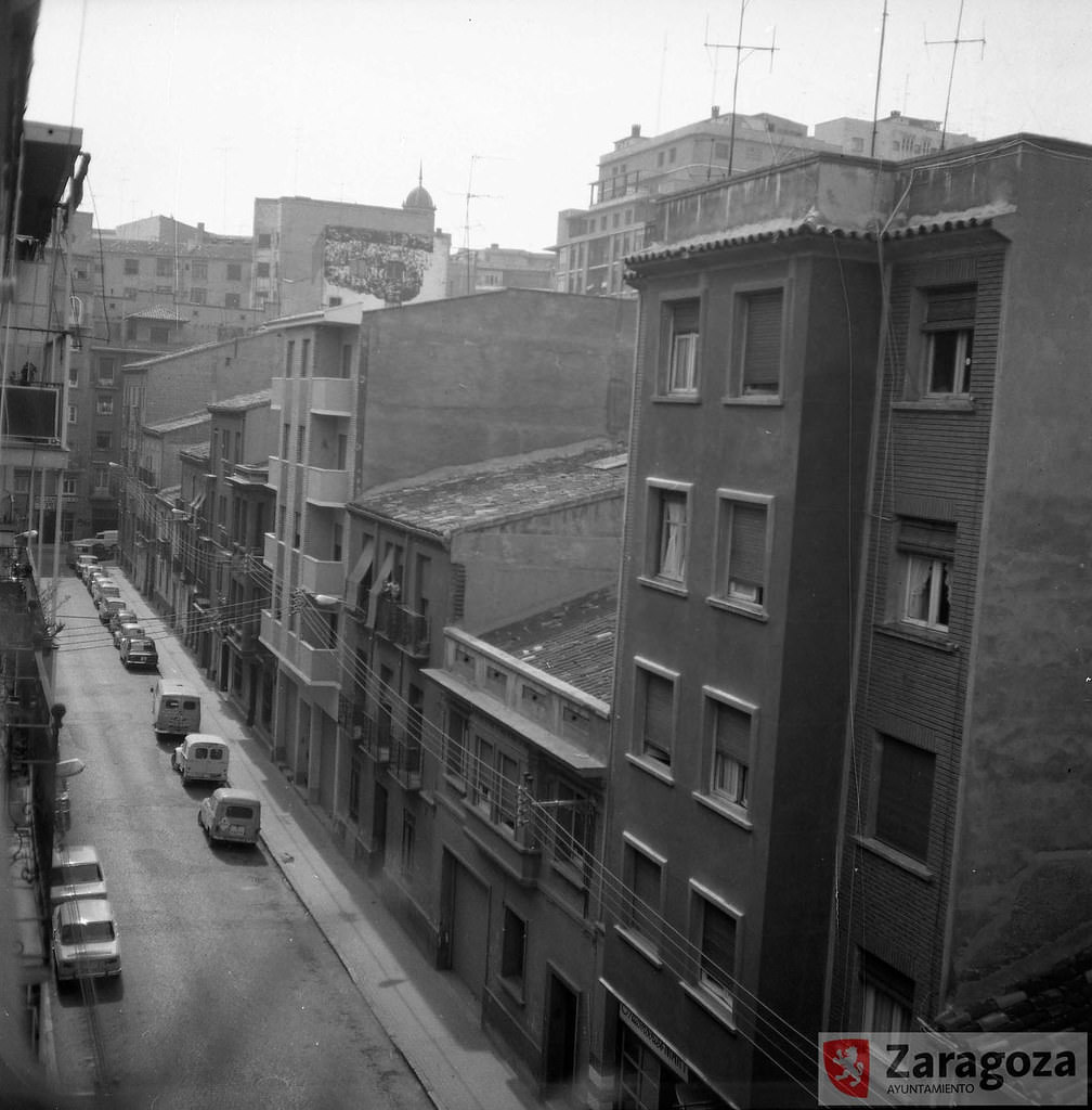
Bernardo Fita Street, seen from the heights of number 22, showing the residential buildings on the odd-numbered side that then made up this quiet street. To date, just over 50% of them have been replaced by larger buildings, though the large-scale demolitions carried out in many other parts of the city have had little impact here.
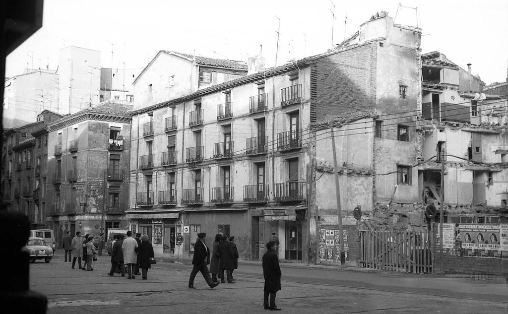
On the first floor there was a well-known restaurant that was fully operational at the time. The nearby presence of the Fire Station was not useful, as the collapse was instantaneous. It was only possible to search through the rubble to remove the dead (4) and rescue the wounded (15).
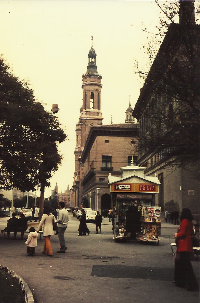
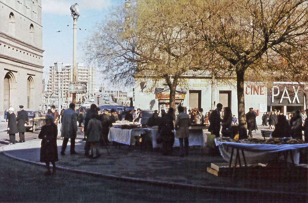
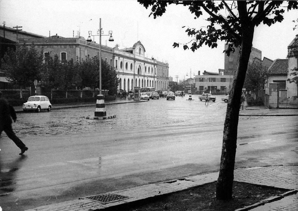
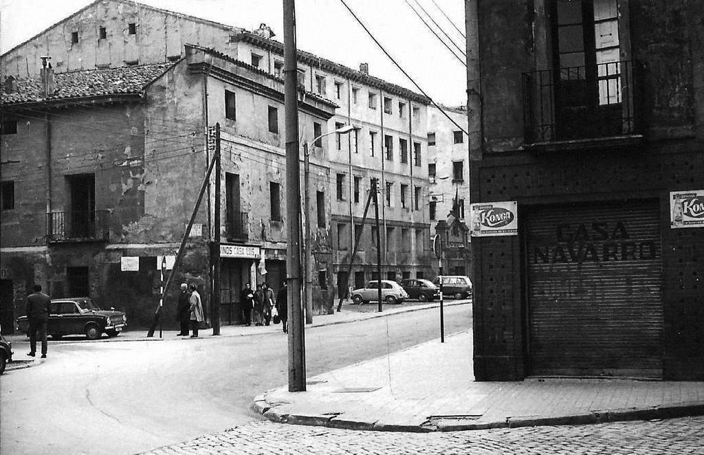
Image captured next to the chamfered corner at the end of Calle de la Estación (in the foreground), with a partial view of the first section of Calle de Jesús, where the large Civil Guard barracks at modern number 8 (old number 16) stands out, with its forecourt area used as parking for the small cars of the time. On the left is the entrance corner to Calle de Funes. Immediately beyond, there is a striking contrast in road surfaces: paved cobblestones from Calle de la Estación giving way to a paved surface on Calle de Jesús.
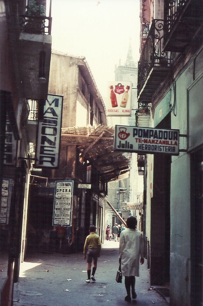
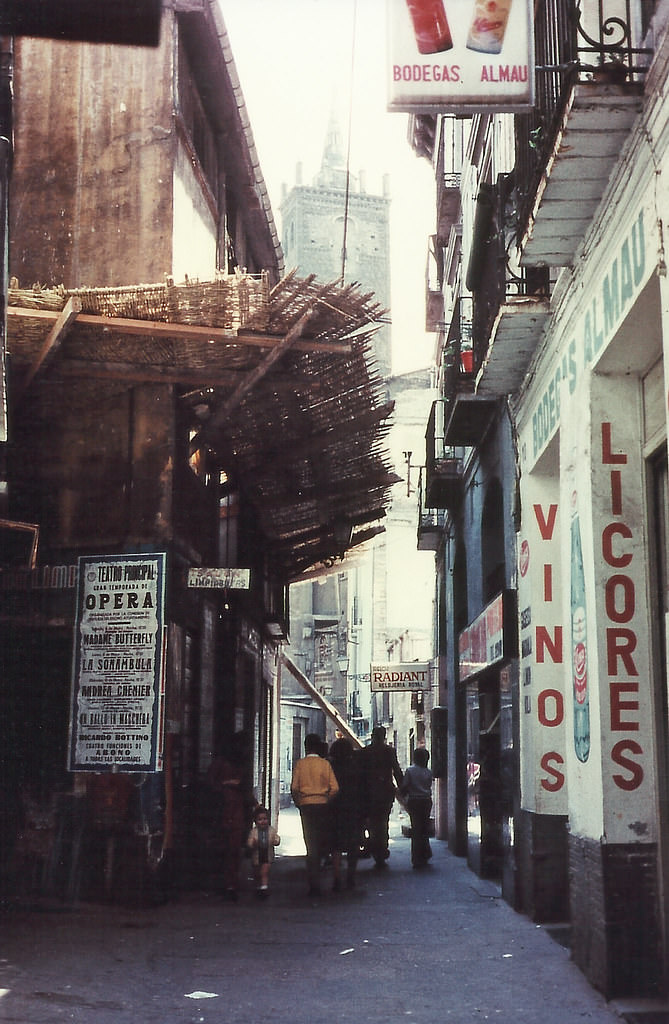
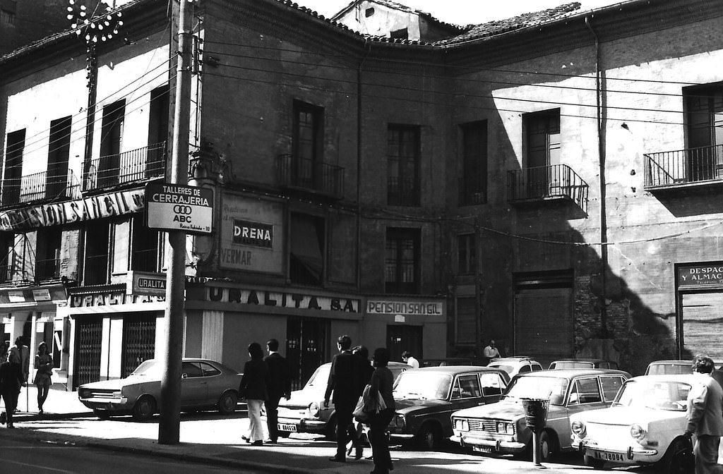
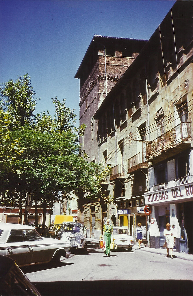
Calle de los Estebanes in a scene captured in the stretch between Liberty and Ossau streets. On the left, the corner property at No. 11–13 is in the process of being demolished. On the right and immediately next to it is number 10, the long-established location of Bodegas Almau. Toward the background, the large vacant lot left by the old No. 16 gives this shaded street an exceptional brightness and opens up a view of the tower of the church of San Gil.
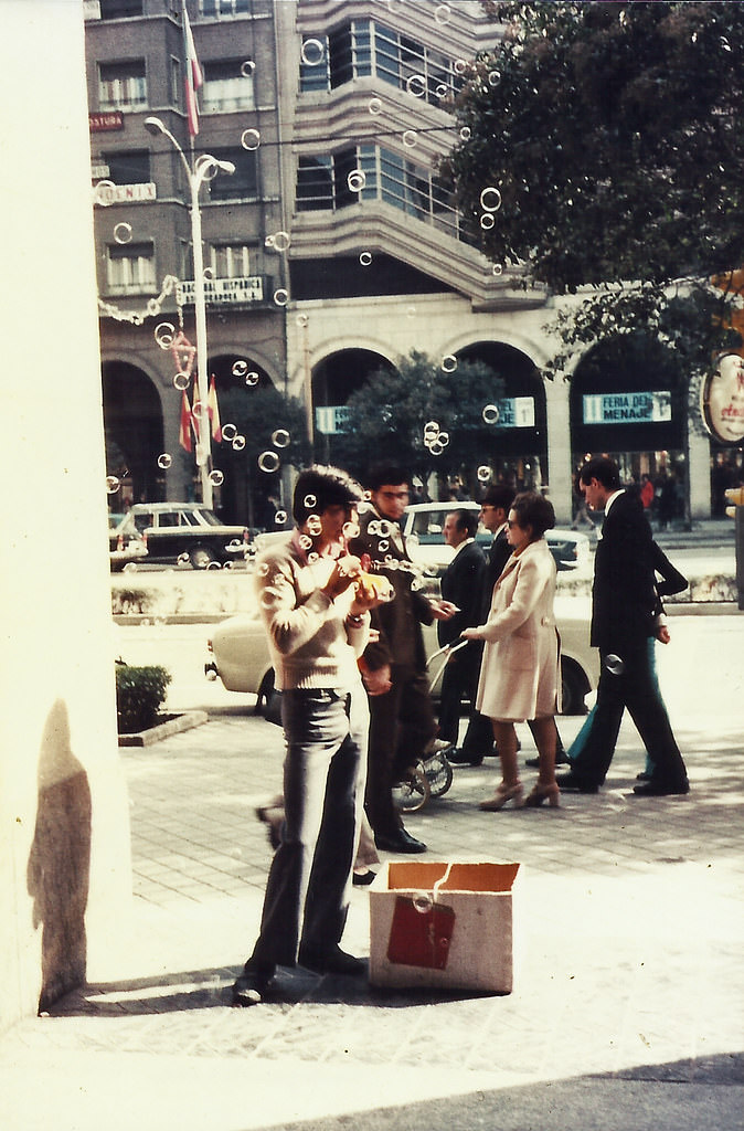
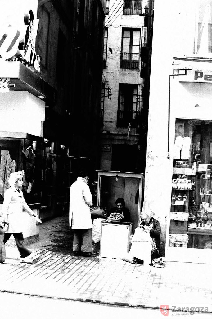
An improvised street stall selling soap bubble blowers adds a light touch to the scene, with the recently opened Galerías Preciados department store visible in the background at No. 11 Paseo de la Independencia. Behind the young vendor and passersby are posters advertising the II Household Fair of that store. The streetlights are decorated with the Spanish flag during the local October festivities.
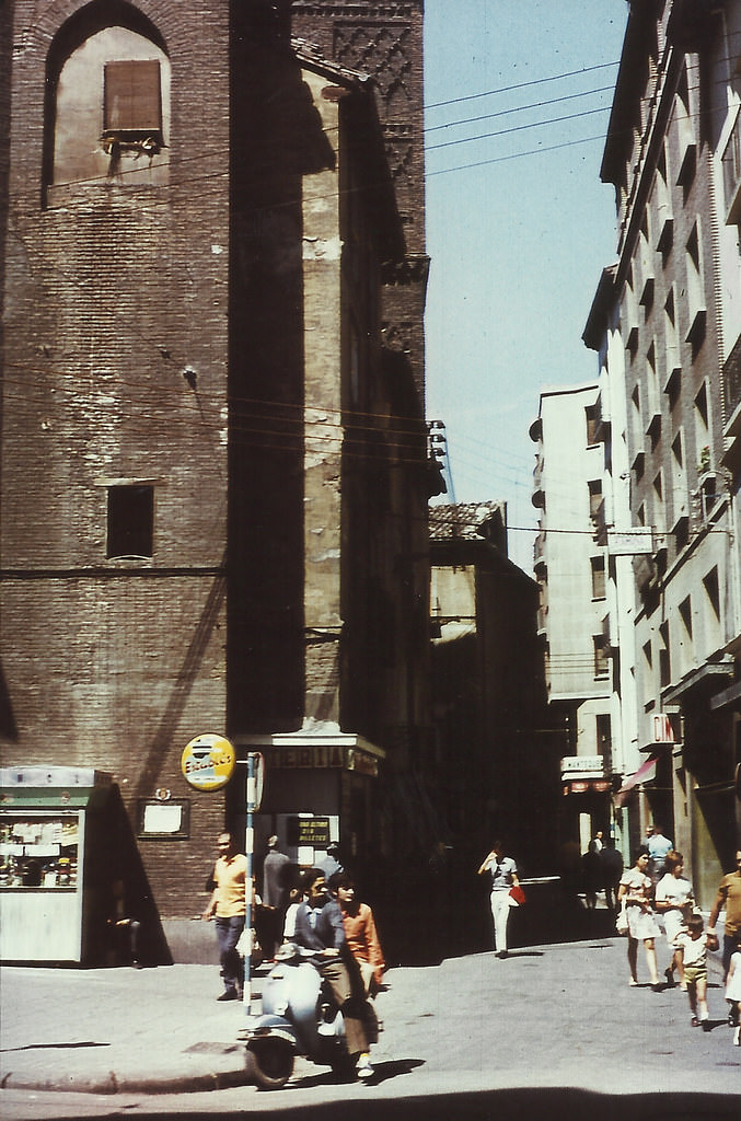
Calle de Estebanes at its outlet on Calle Don Jaime I. On the left is the parish church of San Gil Abad.
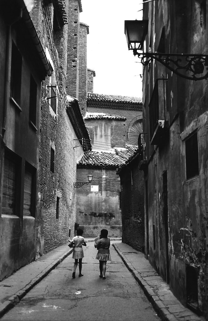
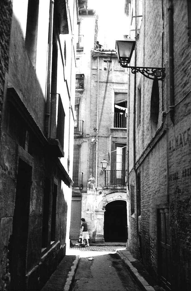
Two girls carrying books walk along Cisne Street — known as Zaporta’s Street until 1863 — toward the end of Diego Dormer Street, visible in the background. To the left are annexed offices of the Seo, and to the right are the buildings at numbers 2 and 4 of the street and the wall of the courtyard of the palace of the Real Maestranza de Caballería. The quiet neighborhood of La Seo, a small, ancient, and neglected urban maze, maintained its calm and character despite years of neglect.
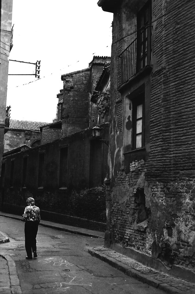
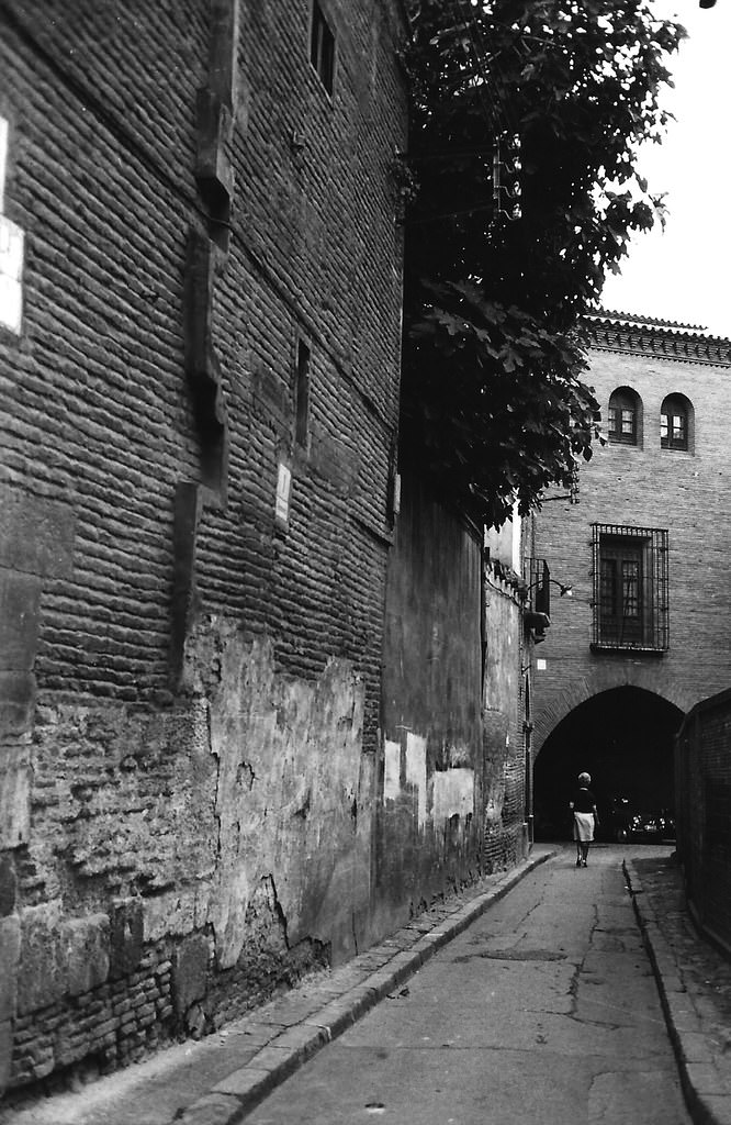
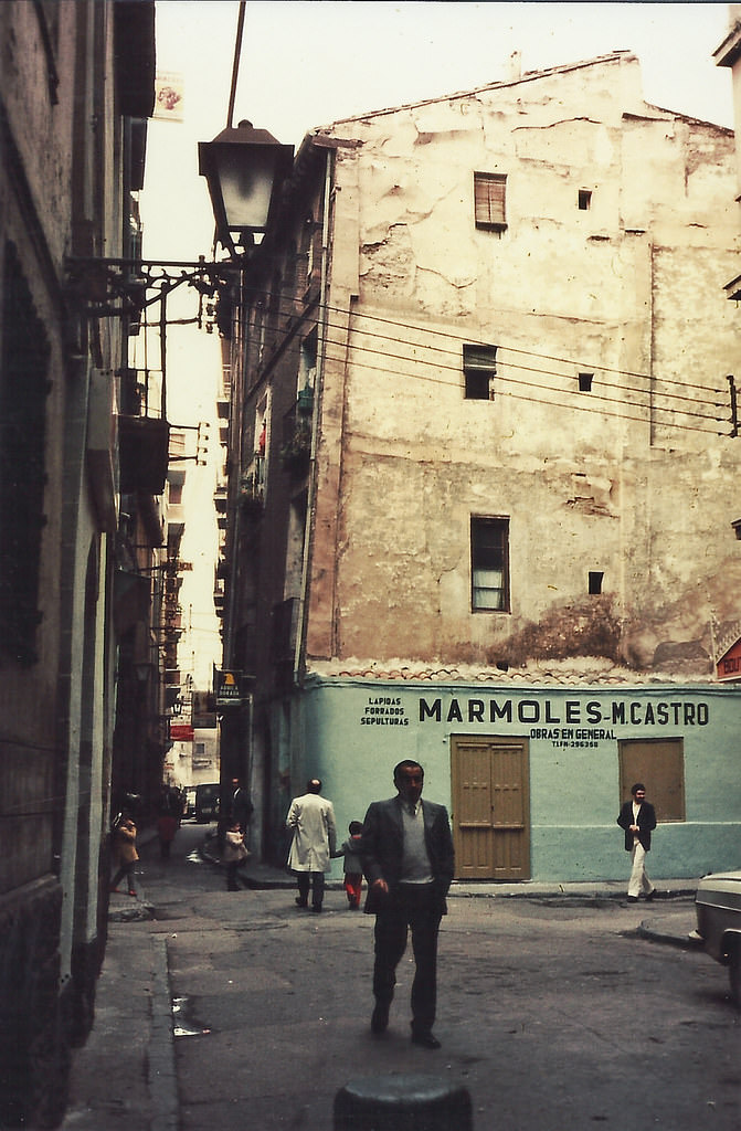
Calle de San Lorenzo at the intersection with Calle de los Estudios (coming from the left) and Calle de las Cortesías (starting to the right).
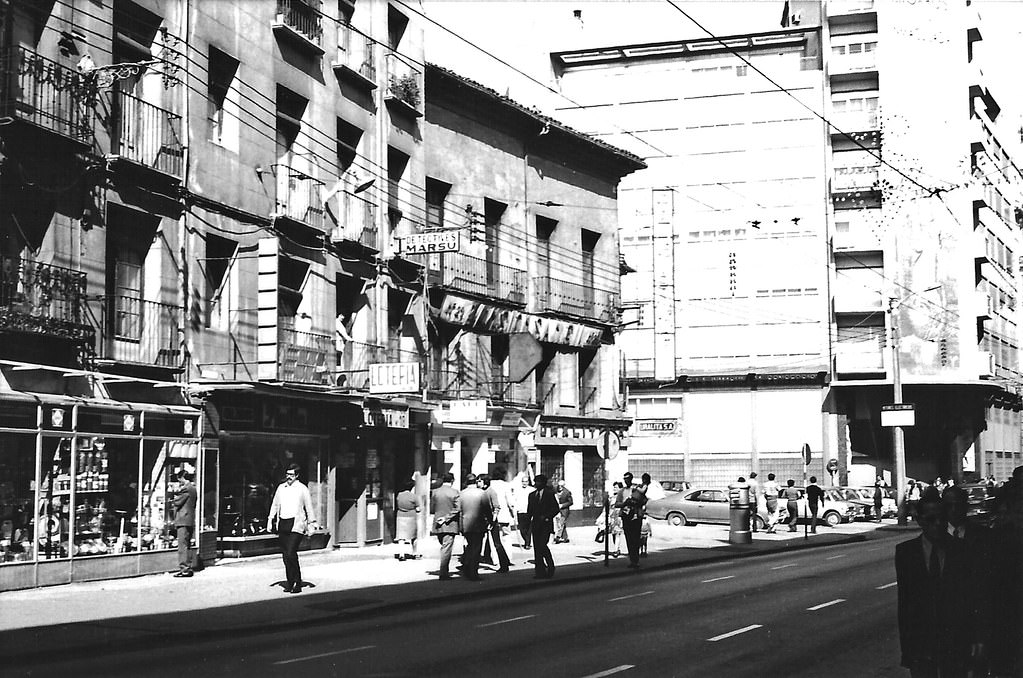
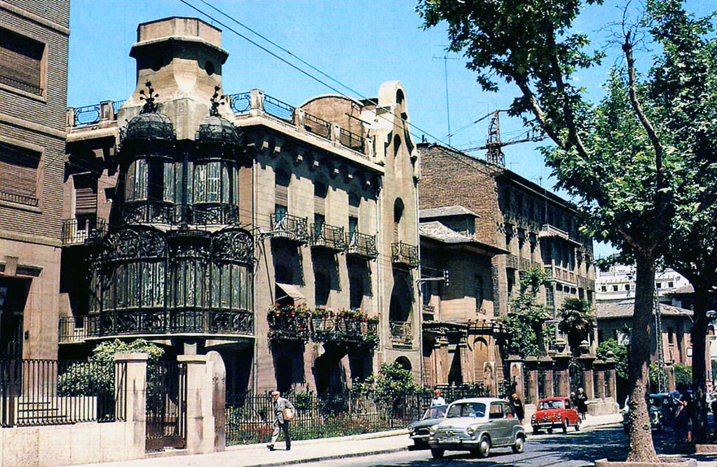
On Paseo del General Mola stood the impressive small hotel of Emerenciano García, a notable Modernist building at number 54, built following the project signed in 1909 by Manuel Martínez de Ubago, who also designed the Music Kiosk built for the Hispanic-French Exhibition of 1908.
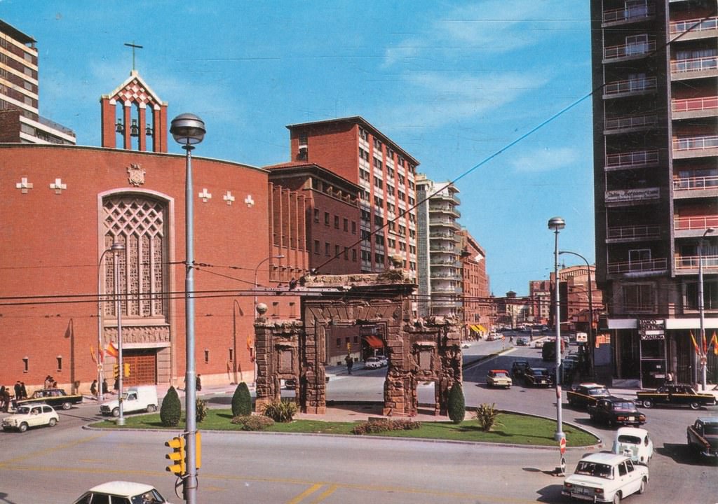
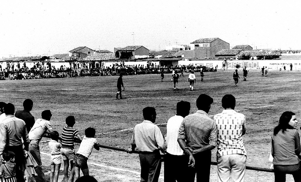
A sporting event in the old field of “La Camisera”, in Oliver, in the area that began as the “neighborhood of the Camisera”, apparently named after a nearby tower. This was the home ground of C.D. Oliver. In the background are some of the early plots of the street dedicated to the baroque poet Jerónimo de Cancer y Velasco.
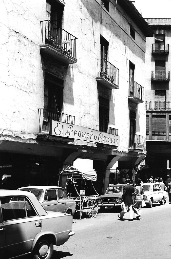
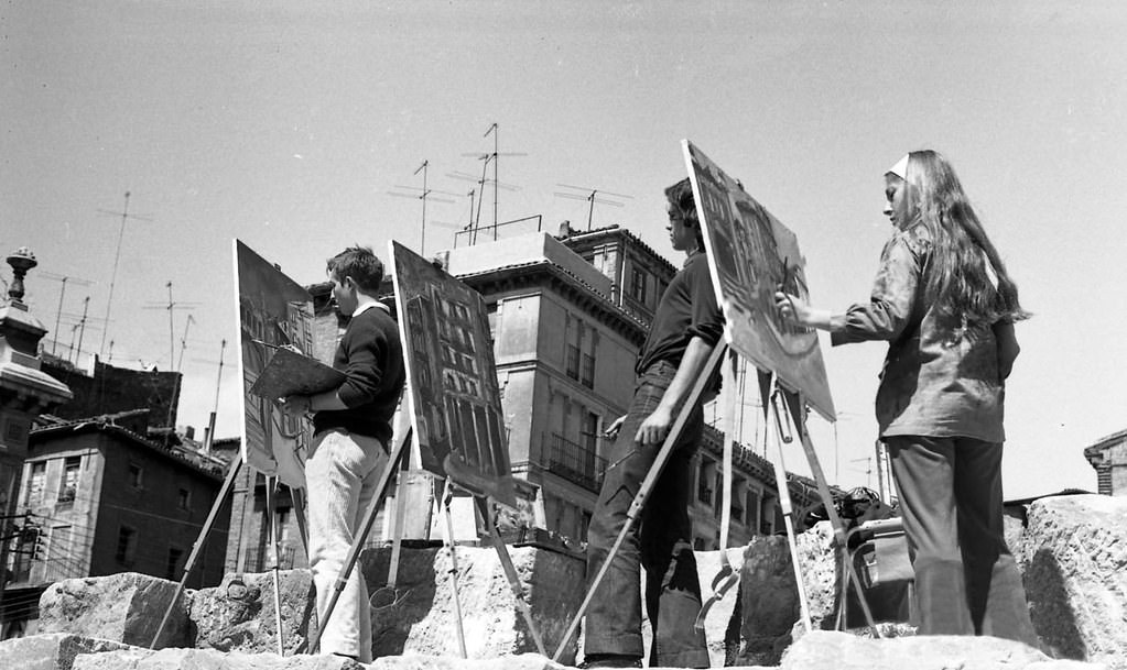
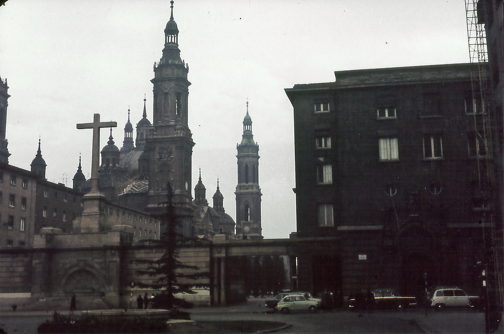
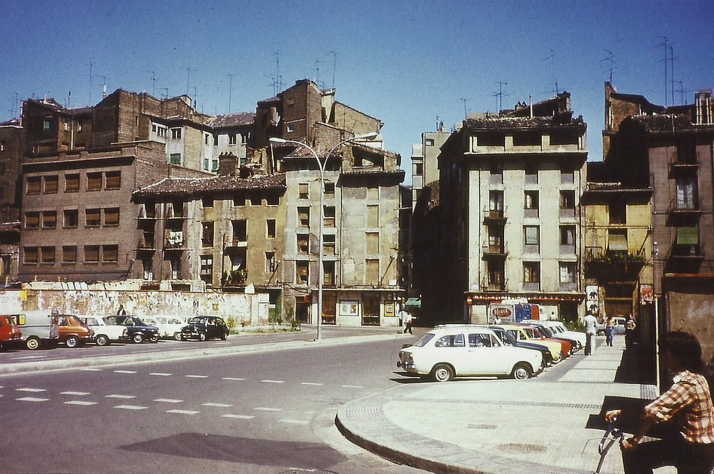
A section of Calle del Azoque between the beginning of Calle Pignatelli and Callejón del Serón, to the left and out of shot. On the right are the remains of Luis Santangel Square, between the streets of Agustín Palomeque and La Morería, from where a cyclist appears in the foreground. After demolitions and road widenings, the section of Calle del Azoque that starts from the Coso in the background has become a gloomy alley, the result of changes to the scale and urban proportions of the street.
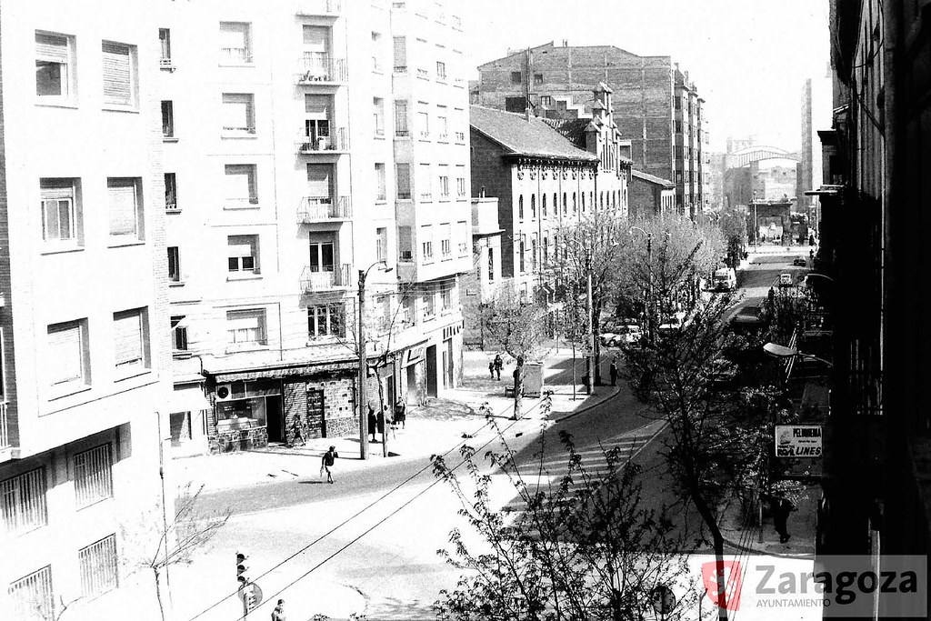
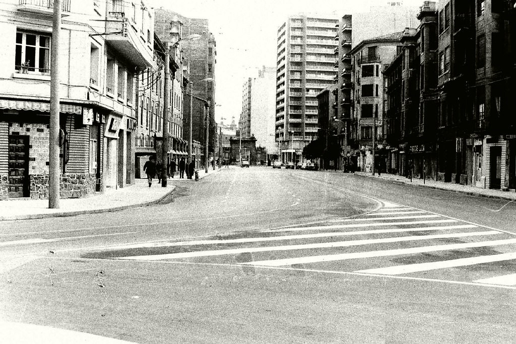
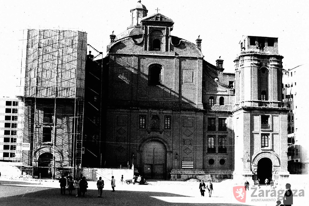
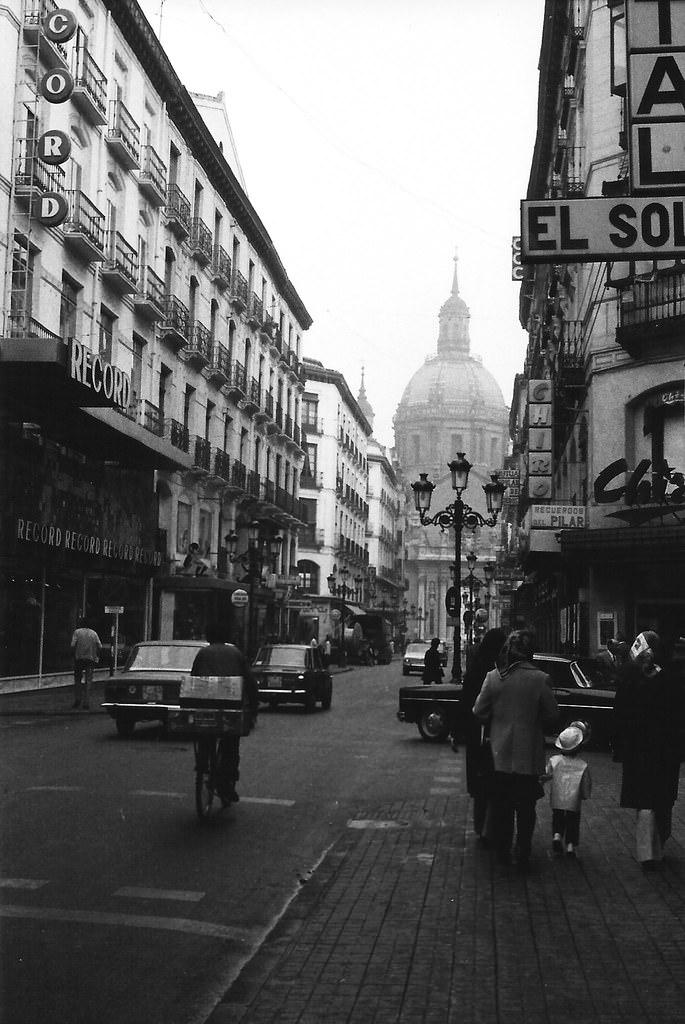
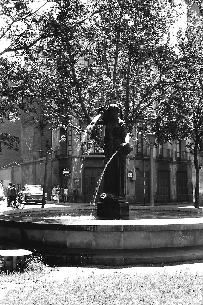
Plaza del Justicia, with the La Samaritana fountain. In the background is the chamfered corner where Santa Isabel Street meets the Temple Street.
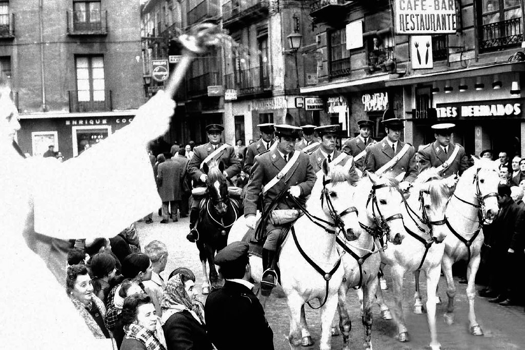
The blessing of animals on Calle de San Pablo, next to the main entrance of the parish church of the same name, during the feast of San Antón (Antonio Abad), hermit and patron saint of animals, who is traditionally represented accompanied by a pig. The ceremony involves the Christian rite of sprinkling blessed water on animals.
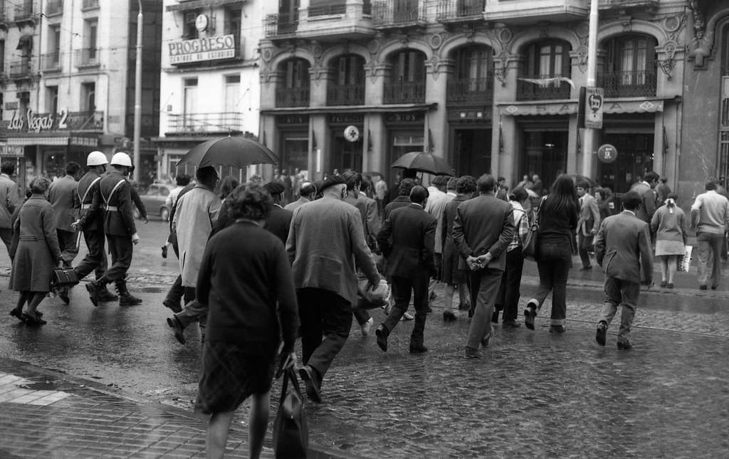
An image centered on the pedestrian crossing at the start of the middle section of the Coso, between the corner of the Plaza de España next to the España bank (on the left and out of shot) and the building at numbers 43–45 of the Coso in the background, on the ground floor of which the Ríos Pharmacy stands out.
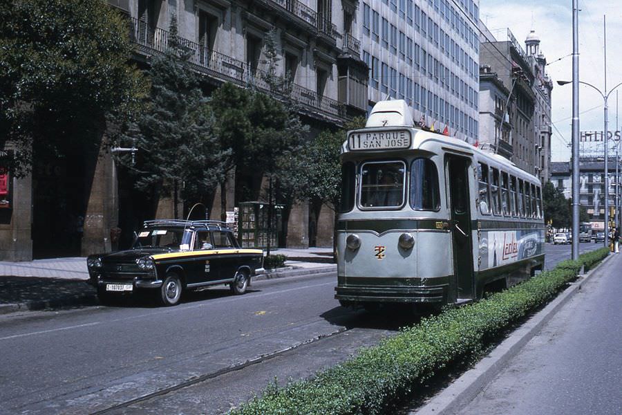
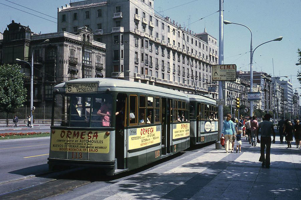
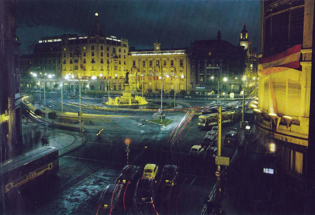
A convoy of tram line 5, Plaza España–Venecia, crosses the Plaza de Aragón. In the background is the Paseo de la Independencia. The image shows the old small hotel on the corner of Albareda Street, before it was torn down during the transition to democracy.
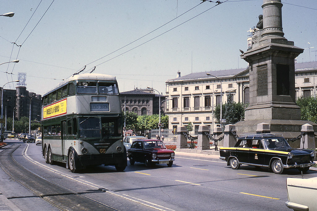
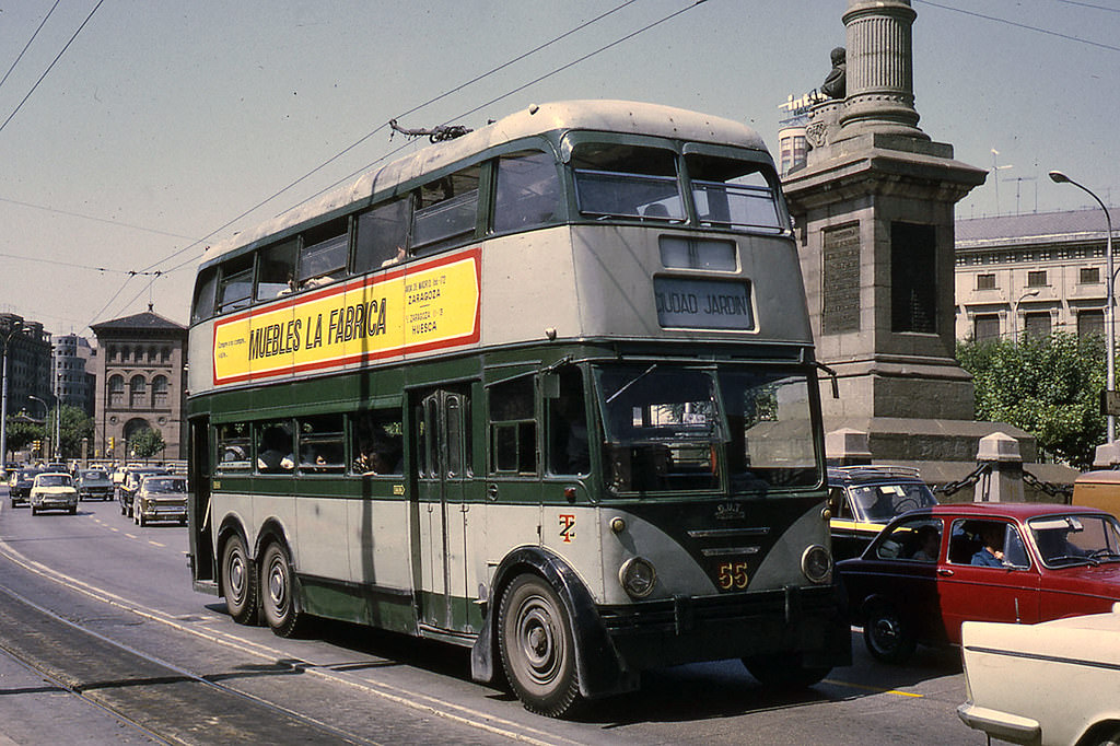
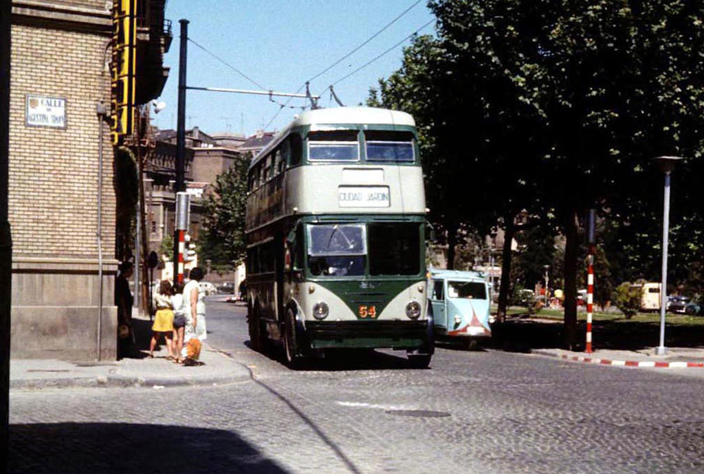
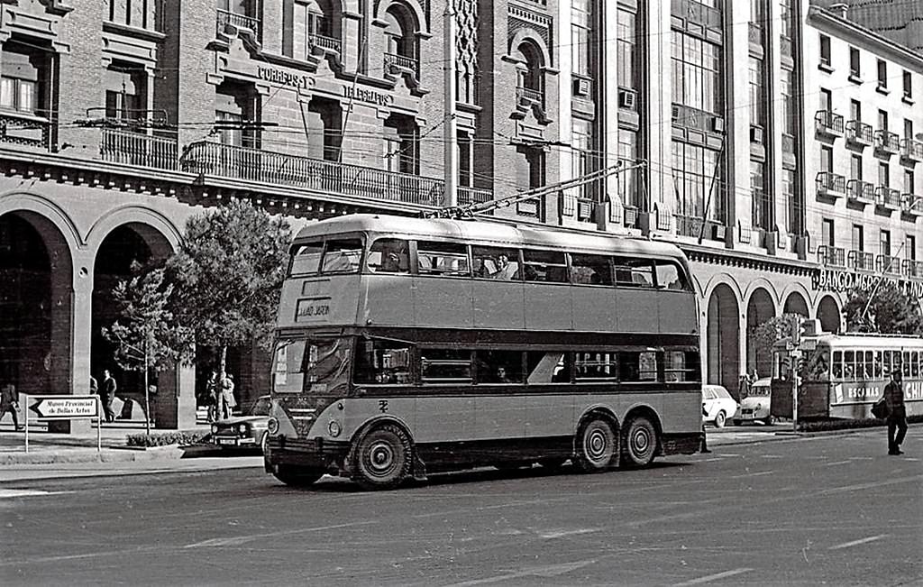
Several means of transport converge in the Plaza de Aragón, with the Captaincy building in the background on the right. On the left, unit 55 of the “Ciudad Jardín” trolleybus line heads to its stop in Plaza de Santa Engracia. On the right is a local fleet taxi.