
Tottenham, in the London Borough of Haringey, has a long history as a working-class district. Its character was shaped in the late 19th century when the arrival of the railway brought rapid housing development, drawing in lower-middle and working-class families from across the city. By the late 20th century, Tottenham had become one of the most ethnically diverse areas in all of Britain, a place where cultures, trades, and communities sat side by side along busy high streets and quieter residential roads.
Photographer Peter Marshall captured this world in vivid detail. Working through the late 1980s and into the early 1990s, Marshall documented the street life of Tottenham — its shops, cafés, pubs, waterways, and the people who filled them. His work also covered other London areas including Camden, Deptford, Shoreditch, and the Royal Borough of Kensington and Chelsea. In Tottenham, his camera found a neighbourhood alive with small businesses and street-level commerce, much of it centred along the High Road and Seven Sisters Road.
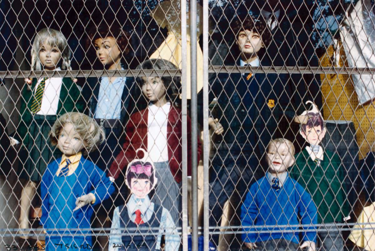
Seven Sisters Road was one of the main arteries running through South Tottenham. Along its stretch, independent traders ran tailors, food shops, and small enterprises that served the local community directly. These weren’t chain stores — they were businesses owned and operated by local people, many of them from the Caribbean, West African, and South Asian communities that had settled in the area from the 1950s onward.
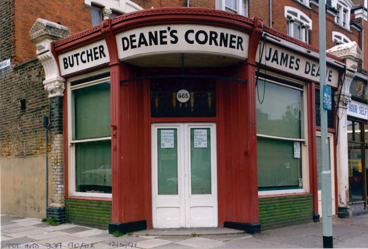
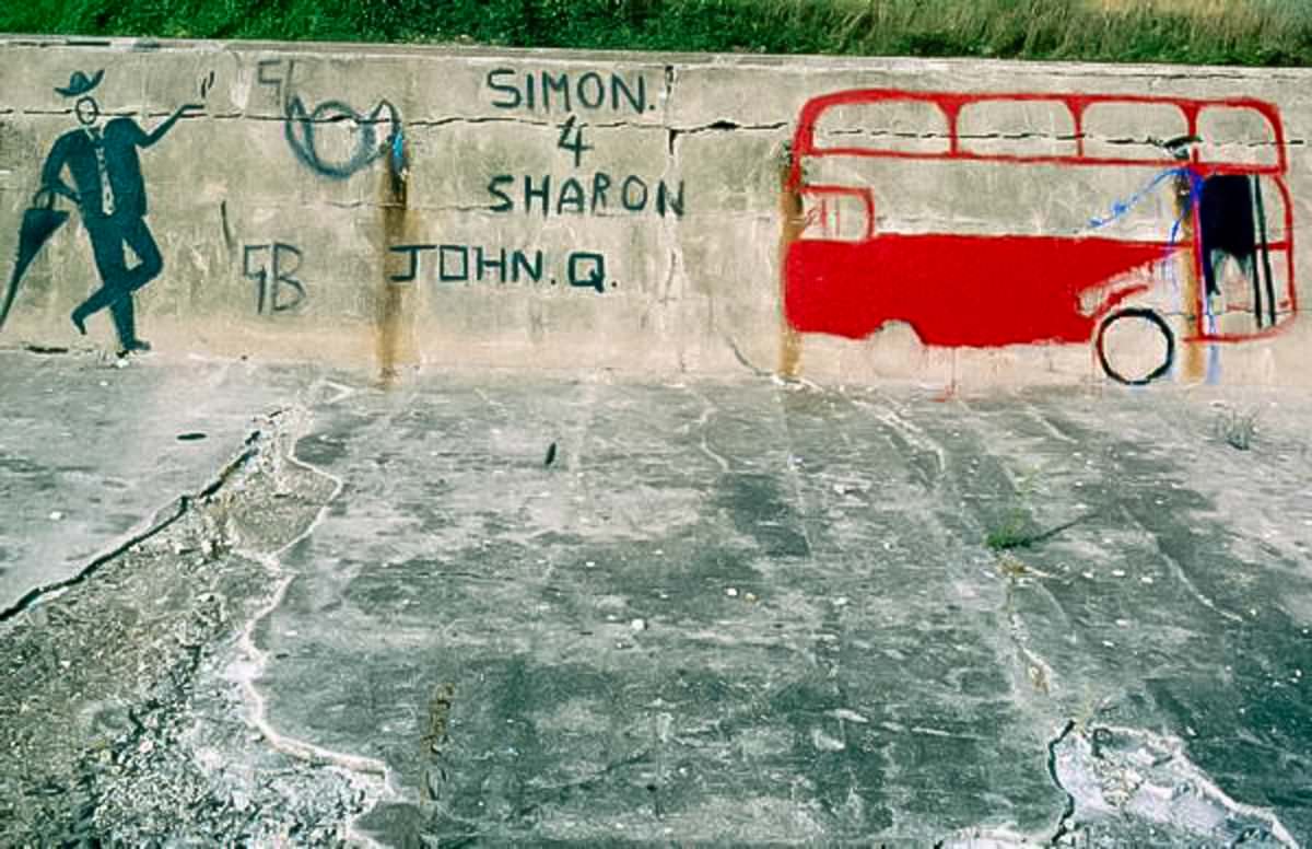
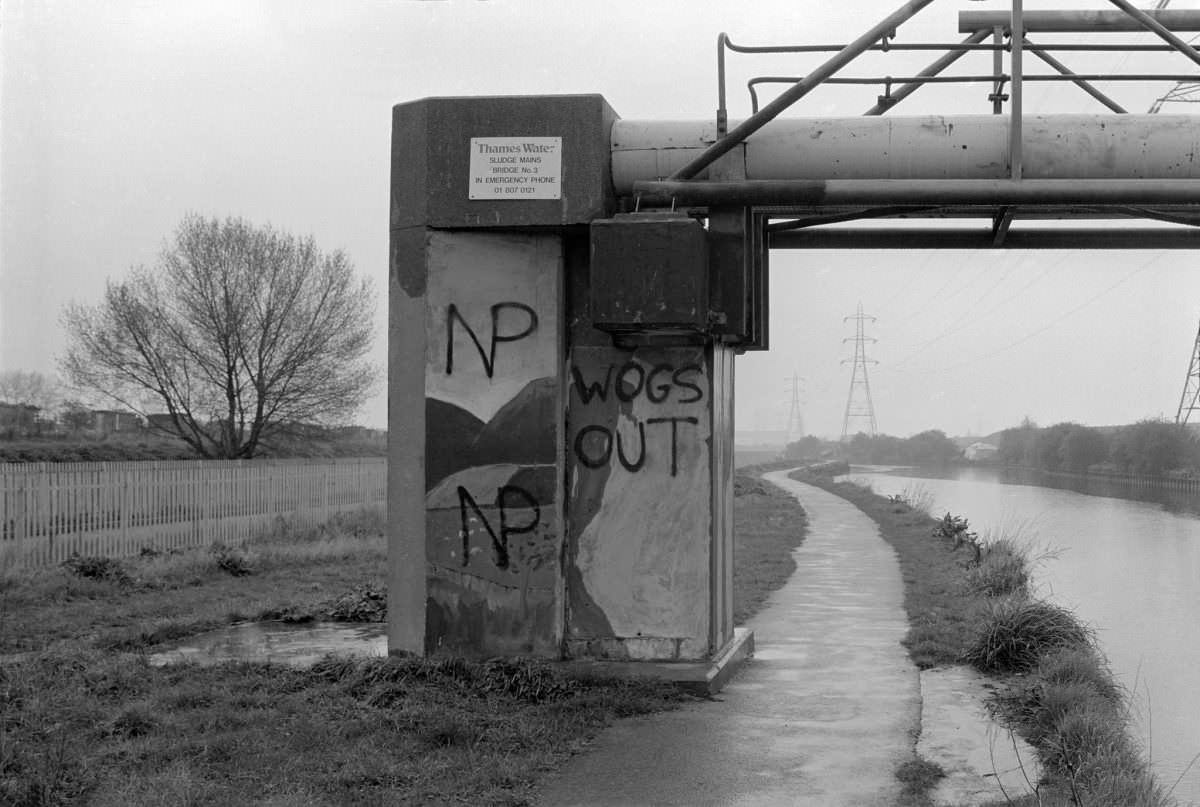
Away from the commercial strips, Tottenham had quieter green spaces. Markfield Recreation Ground sits near the Lea Navigation canal in South Tottenham, offering a stretch of open land along the water’s edge. The canal itself — formally known as the Lee Navigation — runs along the eastern boundary of the borough and was an important industrial waterway in earlier centuries. By the 1980s it had become a more leisurely feature of the local landscape.
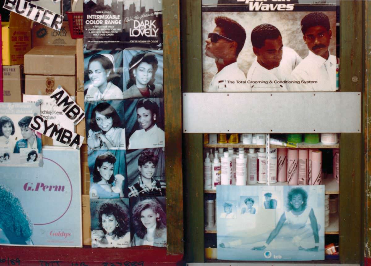
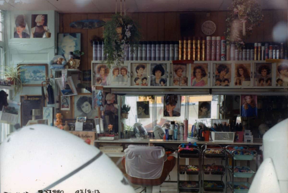
Hairdressers were among the most prominent businesses in Tottenham during this period. They appeared repeatedly along the High Road, West Green Road, and Bruce Grove — a reflection of the neighbourhood’s large Black community and its demand for specialist hair care. These salons were social spaces as much as commercial ones, places where people gathered, talked, and spent time.
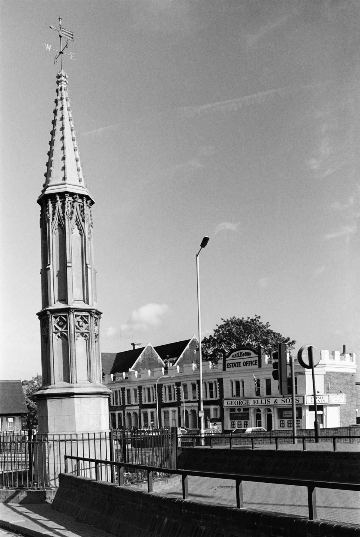
The Tottenham High Cross is one of the area’s oldest landmarks, standing at the northern end of the High Road. The current structure is a 19th-century replacement of a medieval cross, but the site has marked the historic centre of Tottenham for centuries. Marshall photographed it in 1989, set against the backdrop of the modern street — a piece of old history embedded in an everyday urban scene.
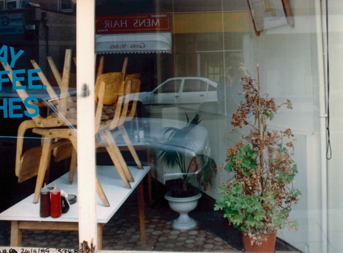
West Green Road in Seven Sisters was another busy local hub. Its cafés served the working population of the surrounding streets — short-order food, hot drinks, and fast meals for people moving through the day. The area around Seven Sisters had a dense concentration of small shops and services, giving it a street life that was constant and varied throughout the week.
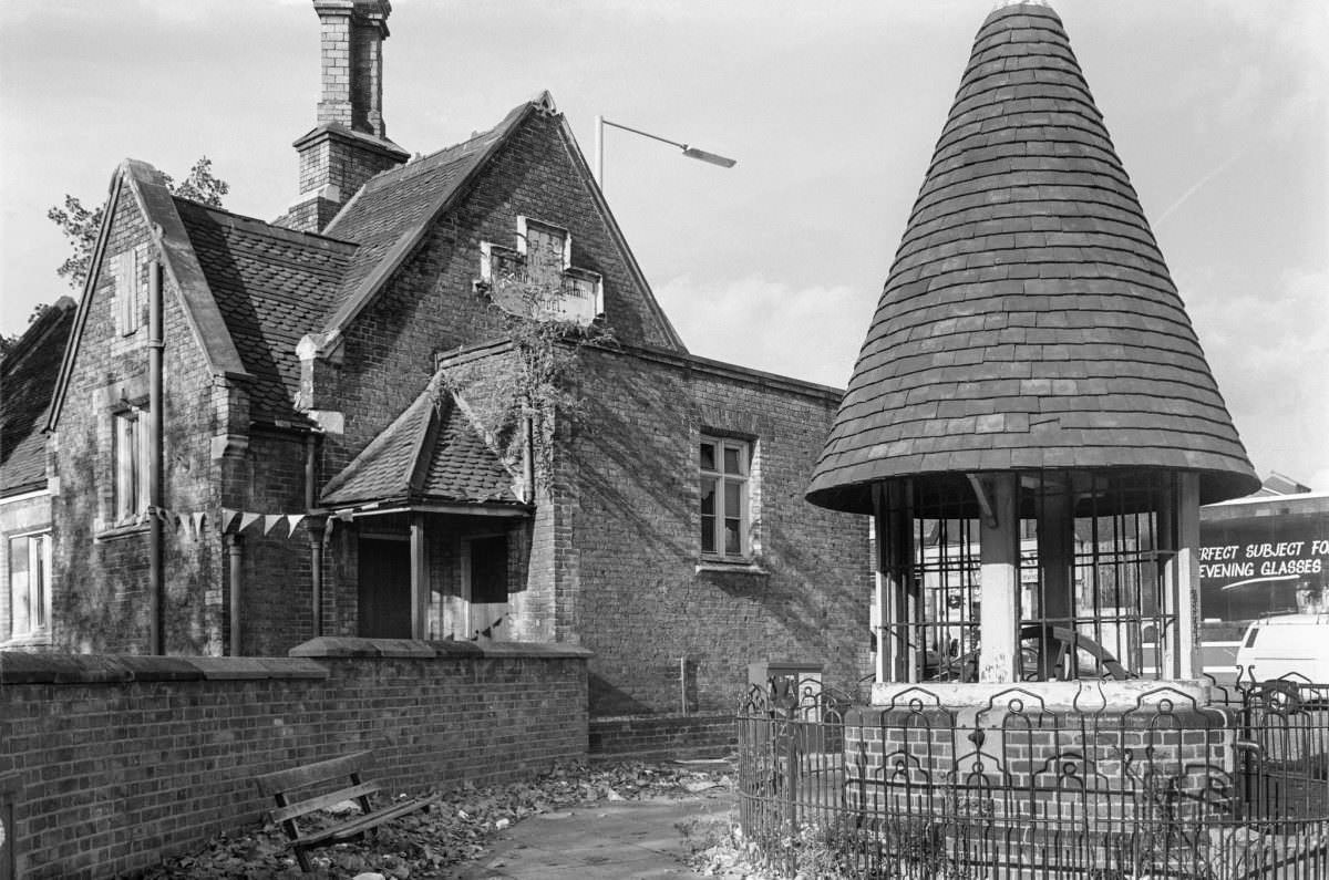
The Old Well on Philip Lane was another of Tottenham’s historic features. Wells like this one once served as the primary water source for local residents, and even as the borough modernised, such structures remained as physical reminders of earlier daily life. Marshall’s photograph places it in the context of the late 1980s streetscape, where old infrastructure and new commerce existed in close quarters.
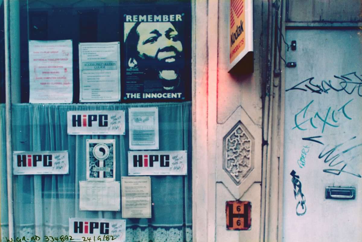
The presence of the Haringey Independent Police Committee on West Green Road reflects the tense relationship between the local community and the Metropolitan Police during the 1980s. Tottenham was the site of the Broadwater Farm riot in October 1985, one of the most serious civil disturbances in British history, triggered by the death of Cynthia Jarrett during a police search of her home. Community oversight bodies like HiPC formed in the aftermath of such events, pushing for accountability in policing.
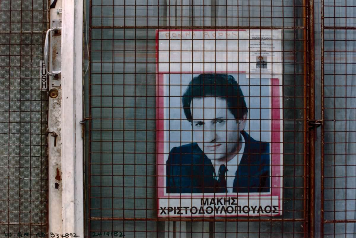
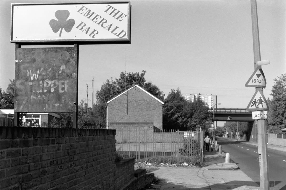
Pubs and bars on the side streets of South Tottenham served as neighbourhood gathering points. The Emerald Bar on St Ann’s Road was one such place — a local drinking spot with a name that nodded to the Irish community that had historically been part of Tottenham’s working-class population. By the late 1980s, the area’s demographic mix had shifted considerably, but many of these older establishments remained.
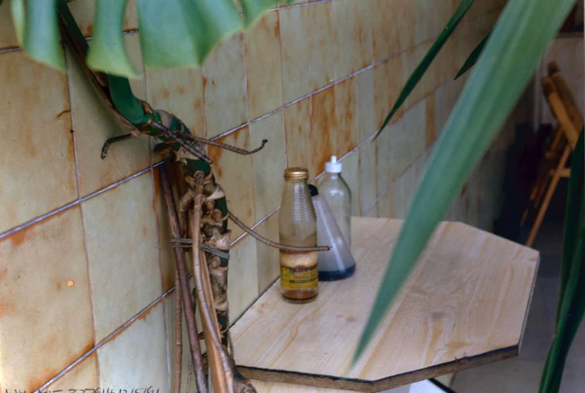
White Hart Lane is best known as the former home of Tottenham Hotspur Football Club, but the road itself was an ordinary local street lined with shops and cafés. Marshall’s 1991 photograph of a café there shows the kind of everyday commerce that existed just steps from one of England’s most famous football grounds.
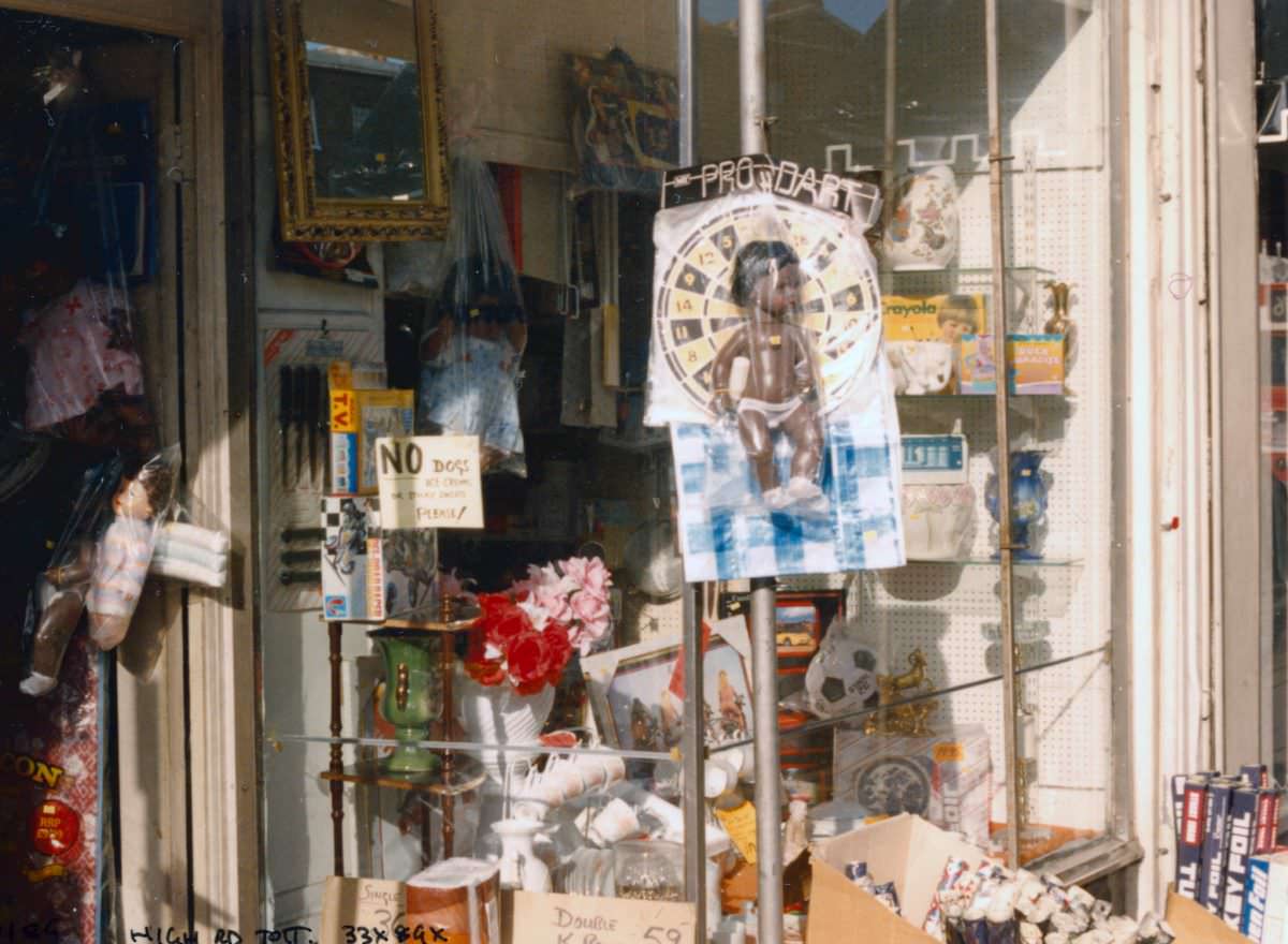
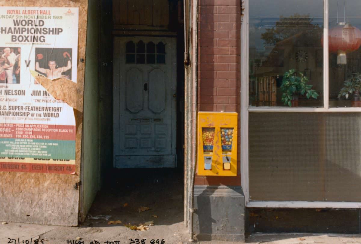
Tottenham Hale sits at the southern end of the district, closer to the industrial zones near the Lea Valley. The High Road through Tottenham Hale had a slightly different character from the busier retail sections further north — more mixed in use, with a blend of residential, commercial, and light industrial premises visible along its length.
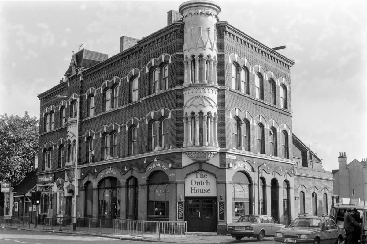
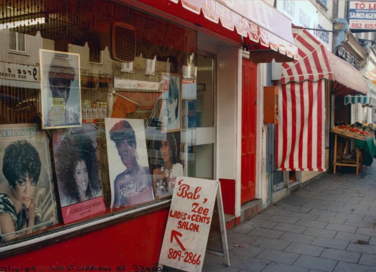
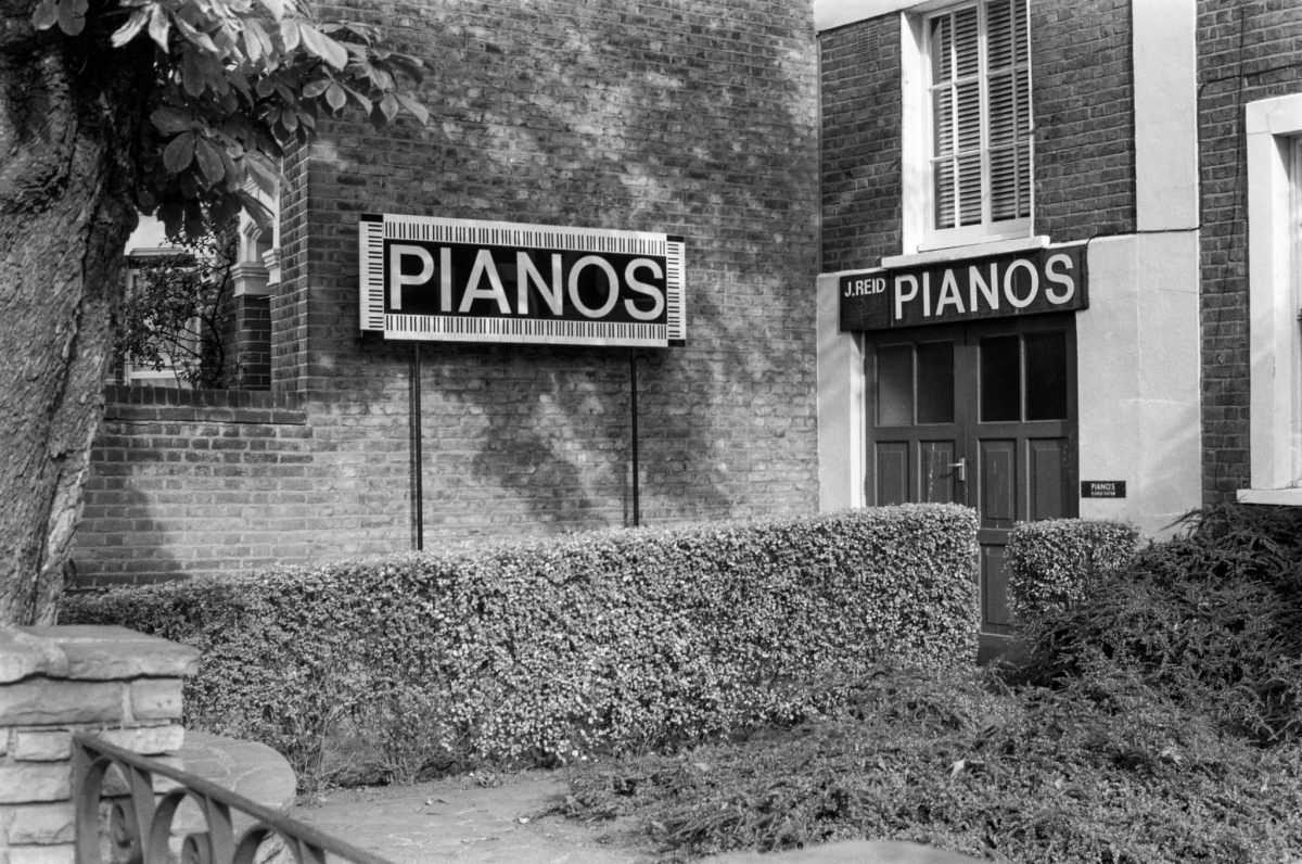
Reid Pianos on St Ann’s Road was an unusual business for a working-class high street, selling and repairing upright and grand pianos from a shopfront in South Tottenham. It was the kind of specialist trade that thrived in areas with strong community ties — a neighbourhood business that had found and kept its customer base over decades.
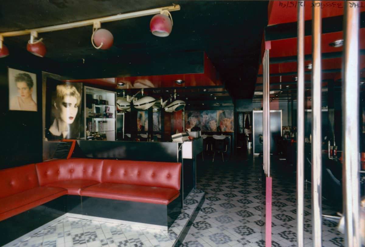
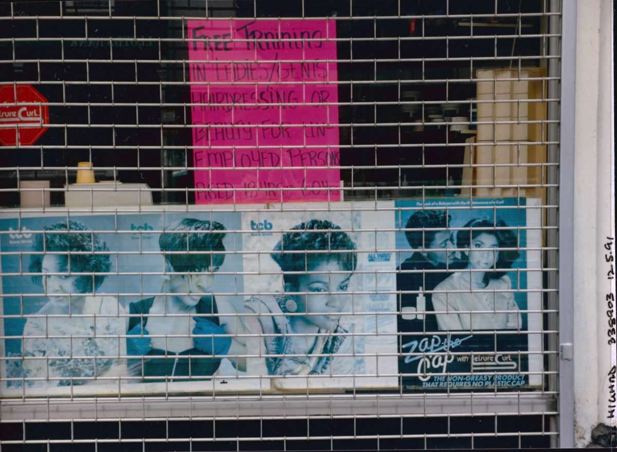
Bruce Grove, sitting mid-way along the High Road, had its own cluster of local businesses. Marshall photographed at least two separate hairdressers there in 1991, their storefronts carrying names and signage that spoke to the community they served. The density of such businesses along a single road tells its own story about the economic and cultural life of the neighbourhood.
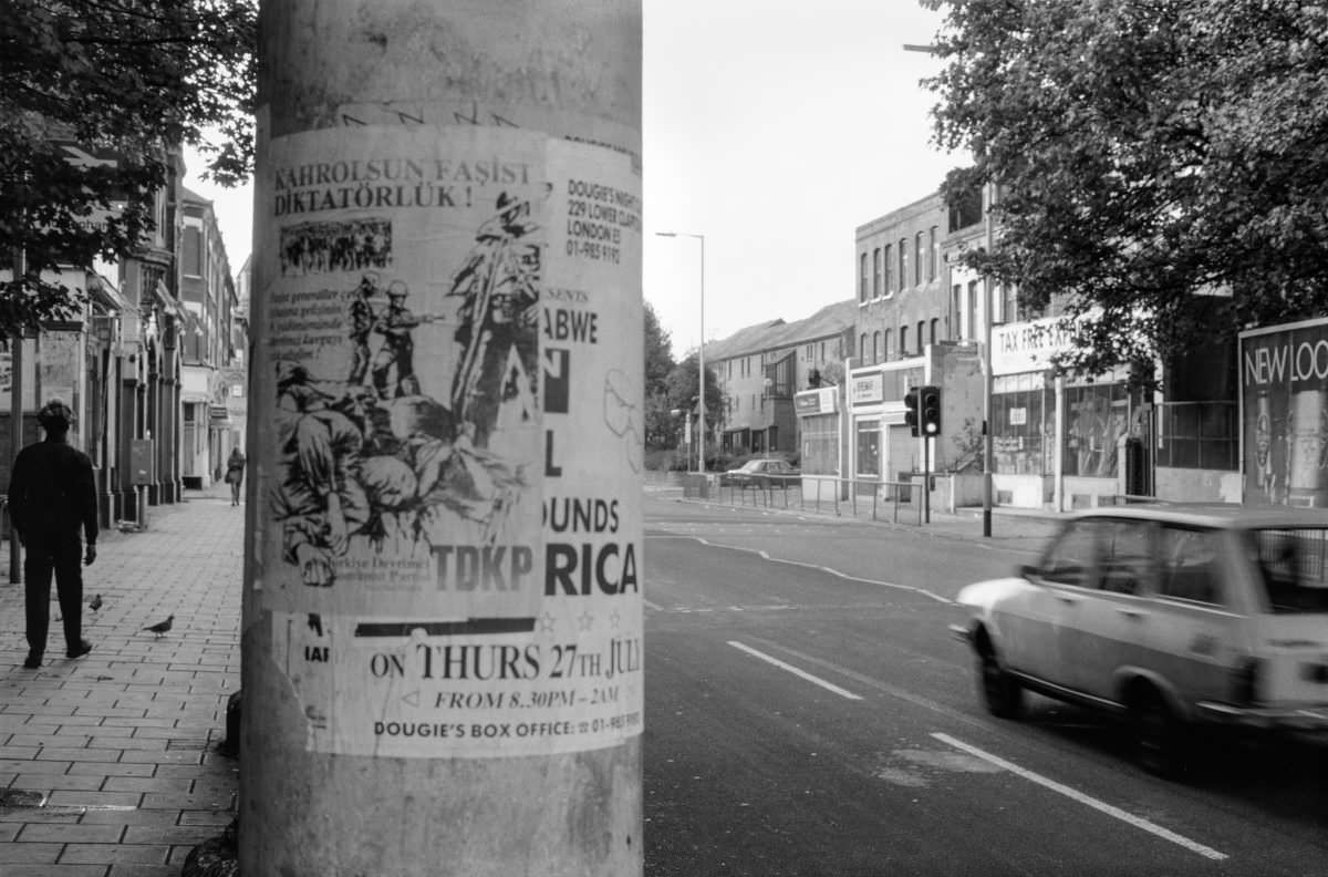
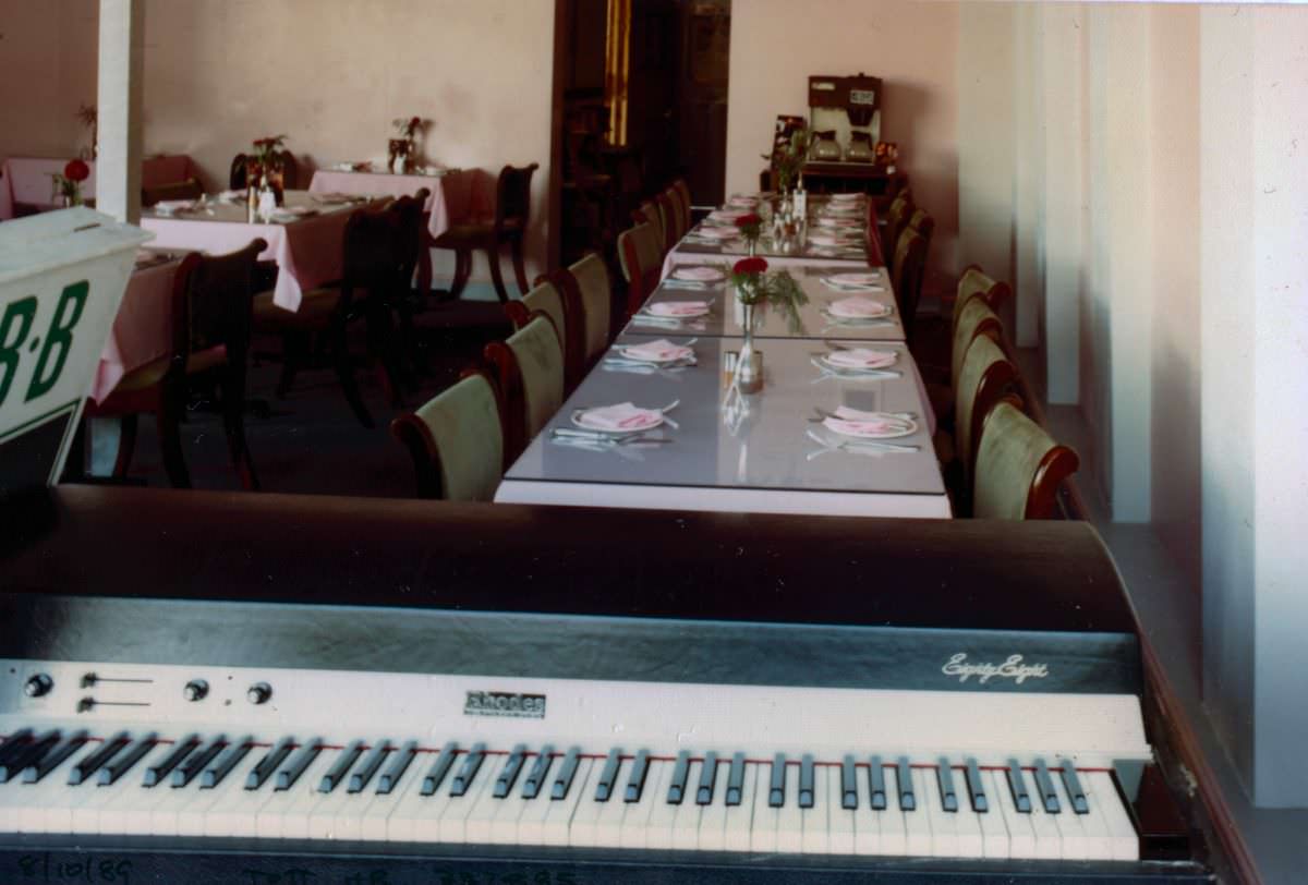
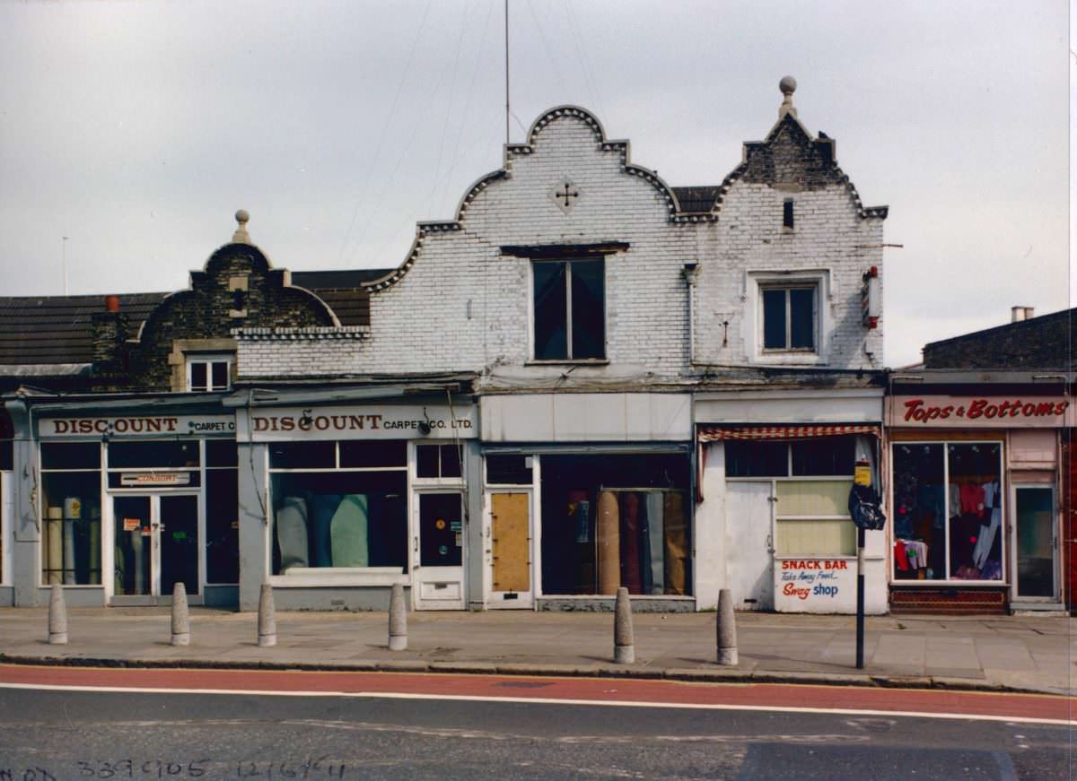
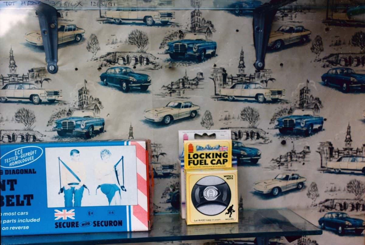
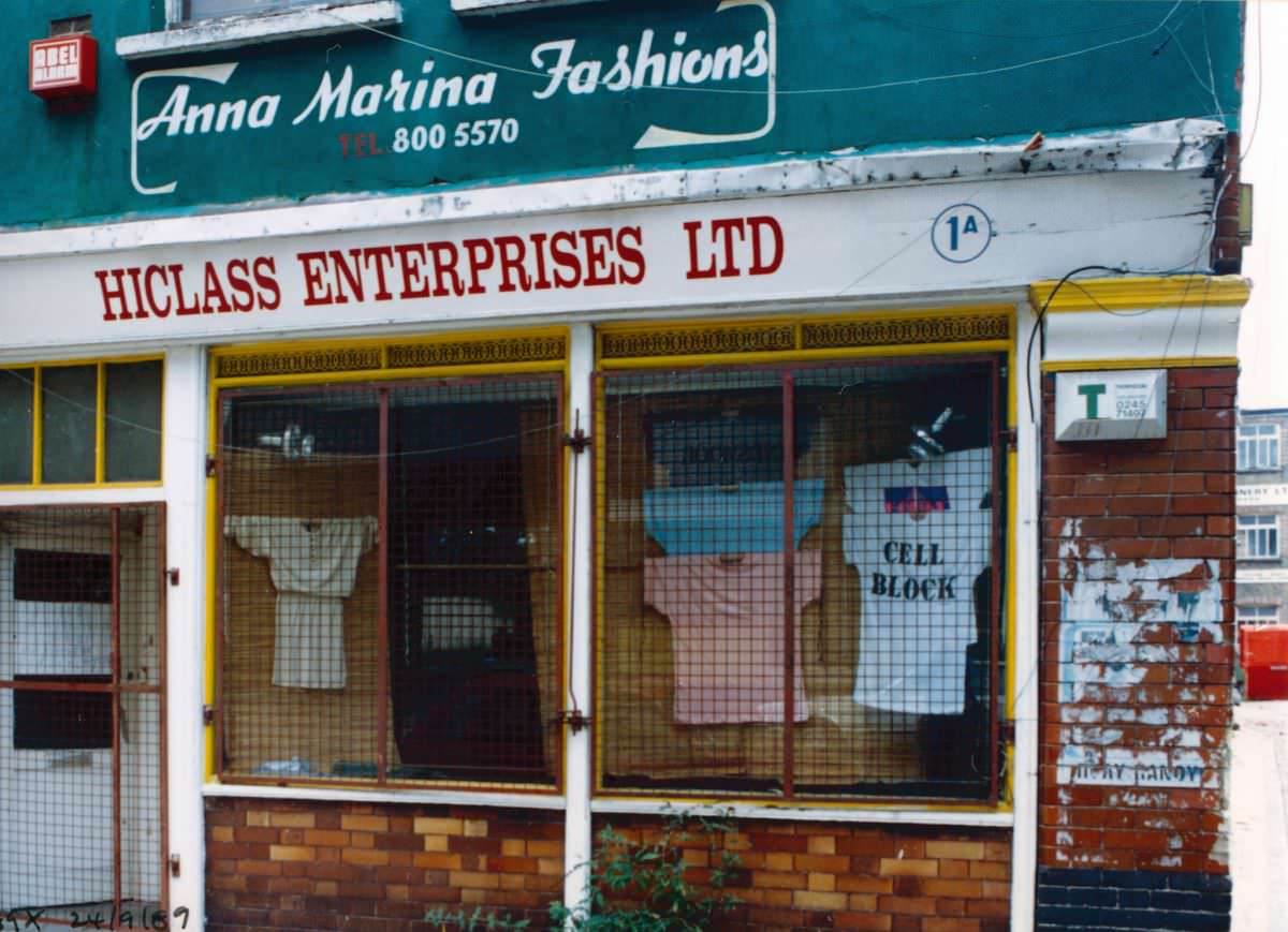
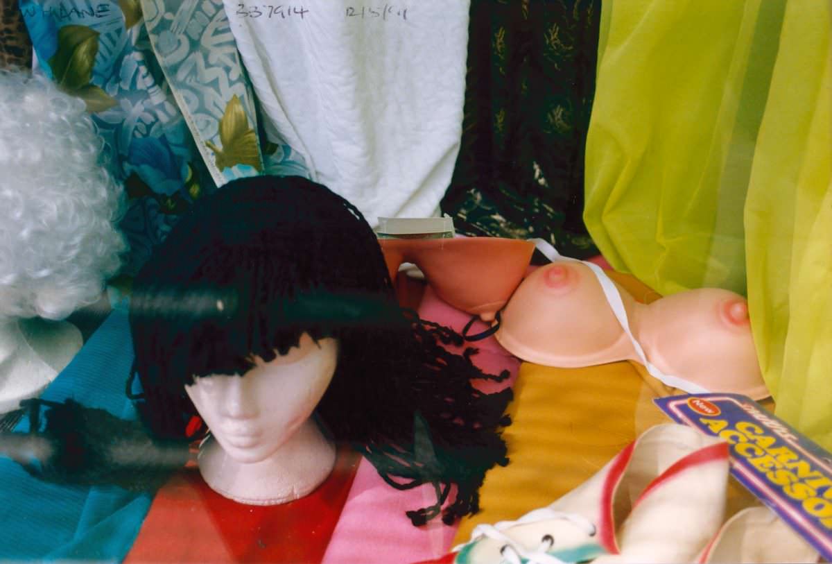
Marshall’s photographs of shop windows and street-level signage along the High Road document the visual culture of the area in close detail. Handwritten signs, painted lettering, and window displays made from whatever was available were the norm for small traders who lacked the budgets of larger retailers. These details, easily overlooked at the time, now serve as precise records of how commerce looked and felt in late-20th-century Tottenham.
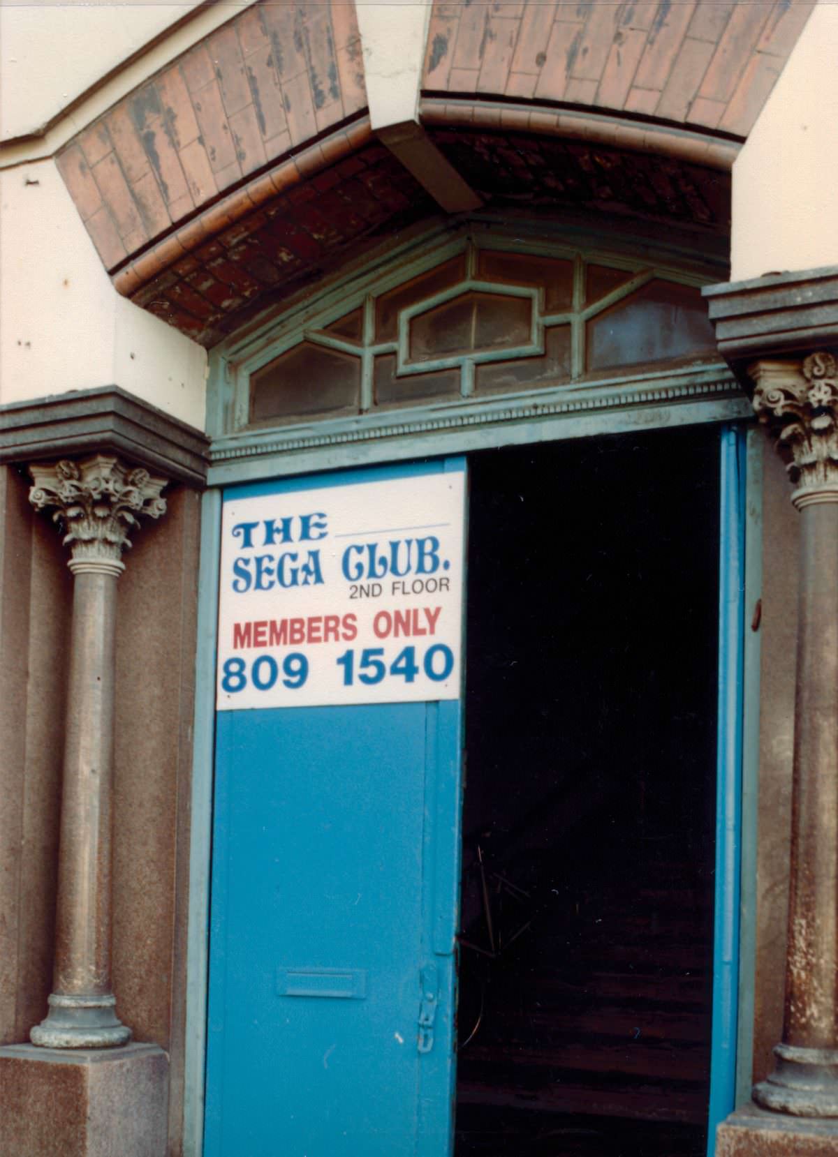
By 1989, gaming arcades had become fixtures on British high streets. A Sega-branded club on the High Road in South Tottenham placed the neighbourhood squarely in step with a national trend — one that drew young people off the streets and into brightly lit rooms filled with arcade machines. These venues were popular but often short-lived, disappearing as home gaming consoles took over in the 1990s.
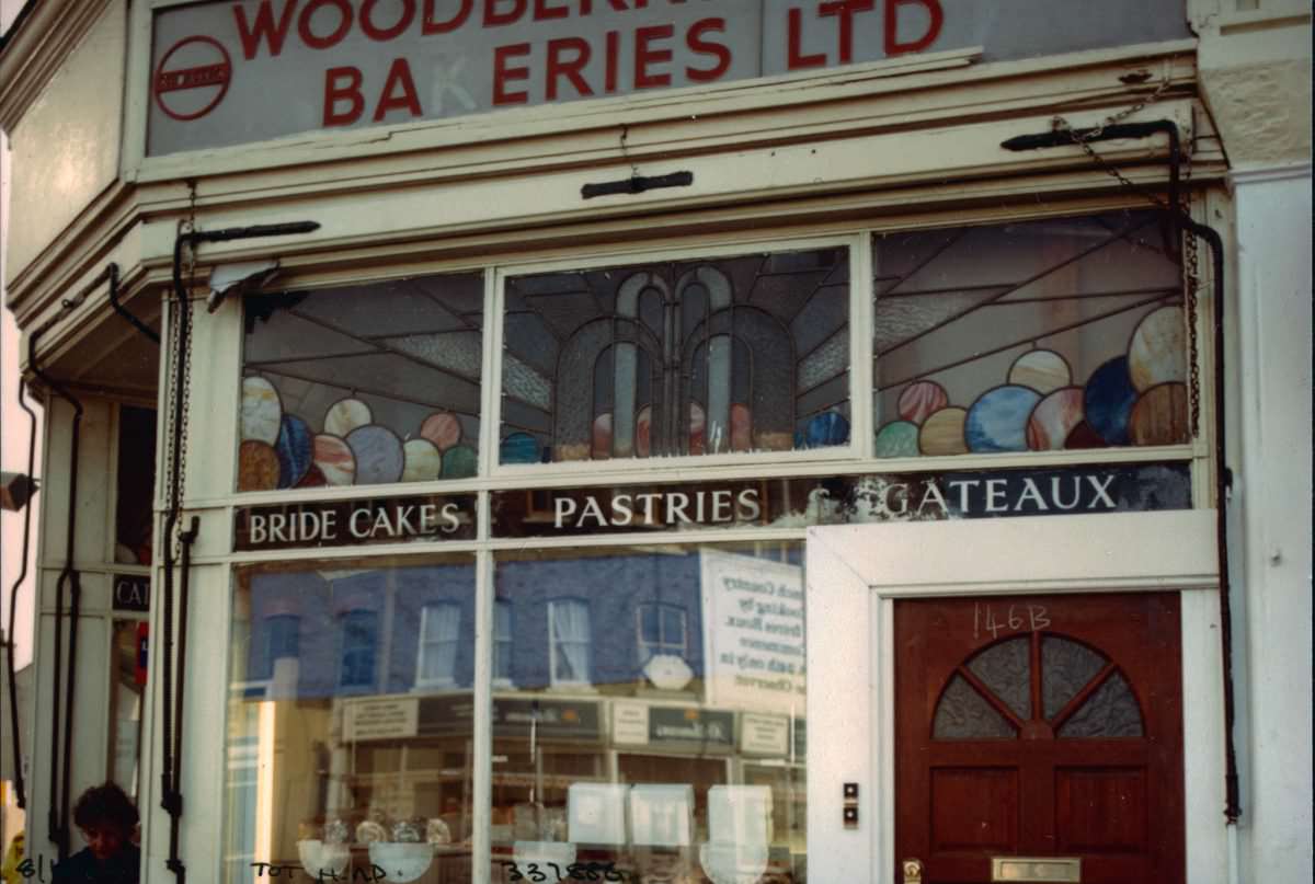
A baker’s shop at the corner of Crowland Road and the High Road rounds out Marshall’s portrait of South Tottenham’s commercial strip. Taken together, his photographs from across the district — the tailors, the hairdressers, the cafés, the pubs, the canal paths, and the corner shops — form a detailed visual record of a neighbourhood going about its daily business in an era that has since been significantly transformed by redevelopment and demographic change.





These are fantastic. Thanks for sharing.
And this is what I wanted for the day.