In 1930, St. Louis was a city of sharp contrasts. Busy commercial corridors ran alongside struggling residential blocks. Grand public buildings stood near crumbling storefronts. The Mississippi River anchored everything — drawing trade, industry, and workers to its banks. What the photographs from this era capture is not a polished postcard version of the city, but the real texture of urban life: the corner stores, the cobblestone alleys, the packed intersections, and the people navigating it all.
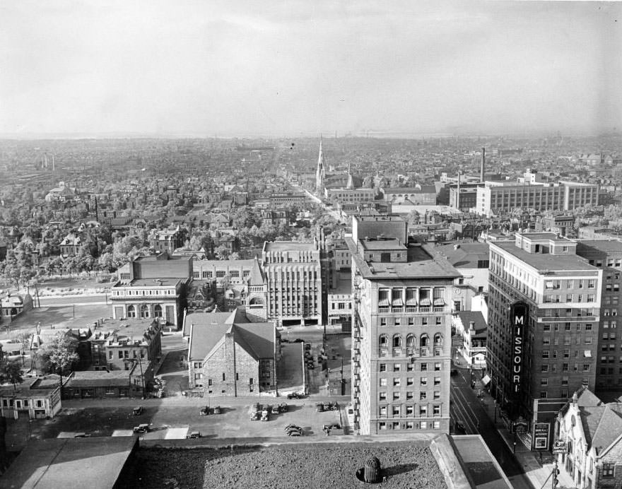
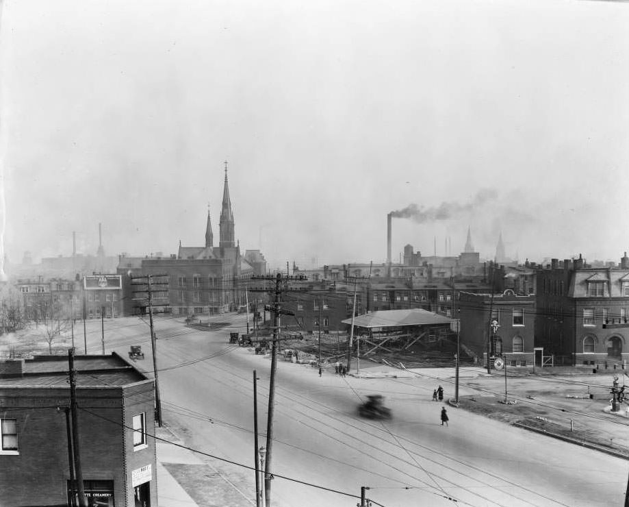
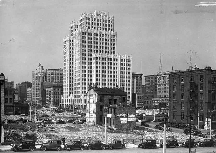
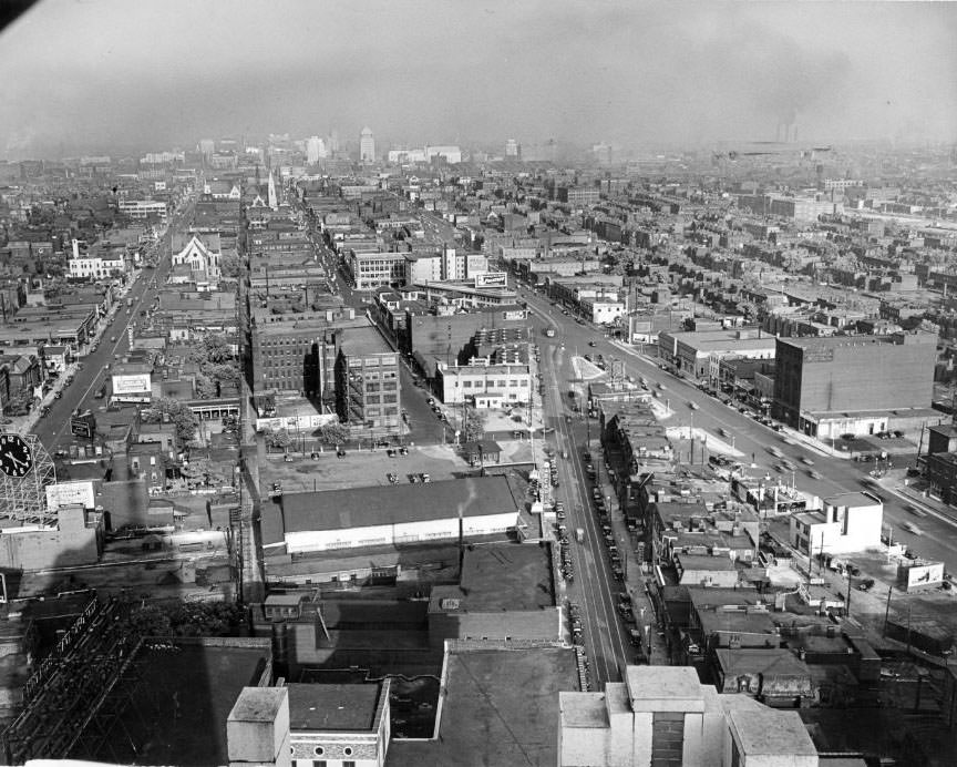
Air and skyline view of St. Louis in 1930, taken from the penthouse apartment of Continental Life Building. The photo shows North St. Louis
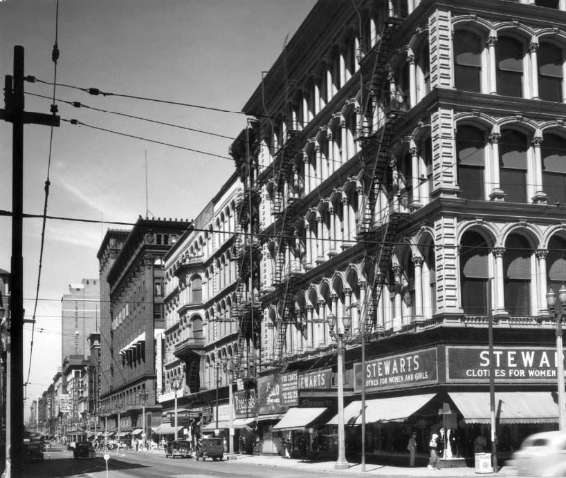
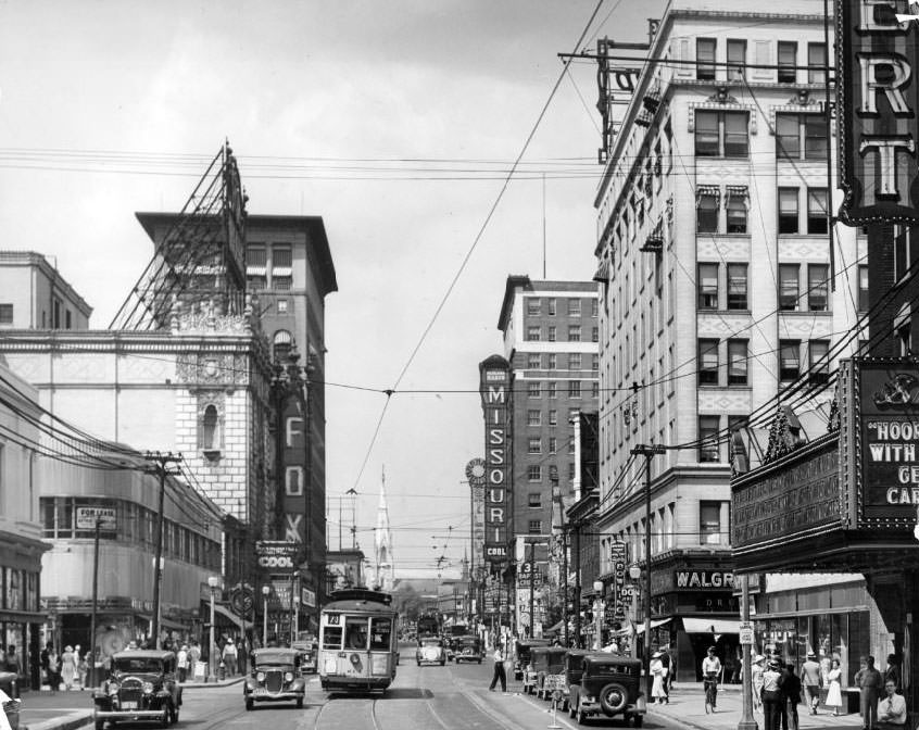
Downtown St. Louis was the commercial engine of the city. Washington Avenue and Market Street were lined with department stores, offices, and shops that drew crowds six days a week. Streetcars — electric trolleys running on tracks down the center of major roads — were the backbone of the city’s transit system. They connected every corner of the city at a price nearly anyone could afford. Cars were becoming more common, but the streets still mixed automobiles with horse-drawn carts and bicycles, especially in working-class neighborhoods where older habits died hard.
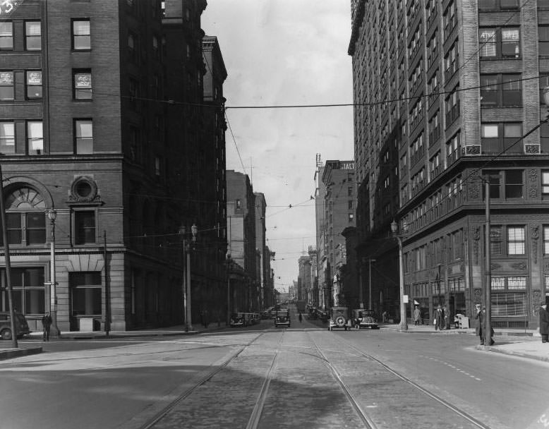
Washington Avenue, one of the city’s main travel routes, viewed looking west from Broadway, 1930
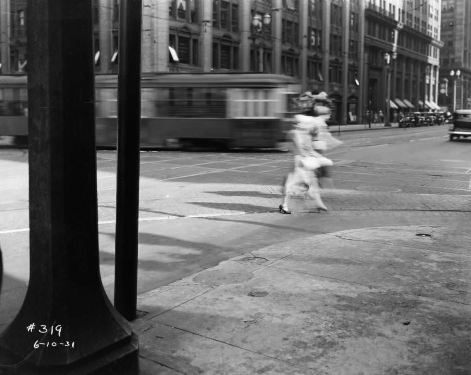
The streetcar was a daily fixture for tens of thousands of St. Louisans. Riders boarded at busy corners like Broadway and Locust, where pedestrians and transit traffic wove around each other in a steady rhythm. The scene below — two women crossing Broadway as a trolley passes behind them — was an entirely ordinary moment in 1931, repeated hundreds of times each day across the city’s transit lines.
Two women crossing Broadway at Locust as a streetcar passes behind them, 1931
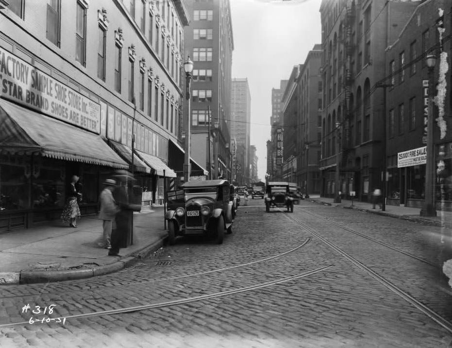
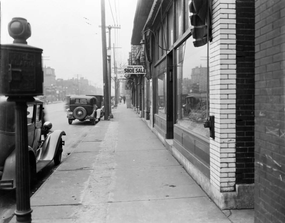
North Seventh Street was one of the city’s busiest retail corridors. Furniture stores, clothing shops, and candy companies packed the blocks, drawing foot traffic from surrounding neighborhoods. A short distance away, the 600 block of North 9th Street held businesses like Gralnick’s shoe store, typical of the small, owner-operated shops that filled the commercial gaps between the larger department stores on the main avenues.
Looking south down North Seventh Street from intersection with Morgan Street, view of The Hub furniture store, Richman Brothers, and Busy Bee Candy Co, 1931View of 600 block of N. 9th Street, with Gralnick’s shoe store visible, 1931
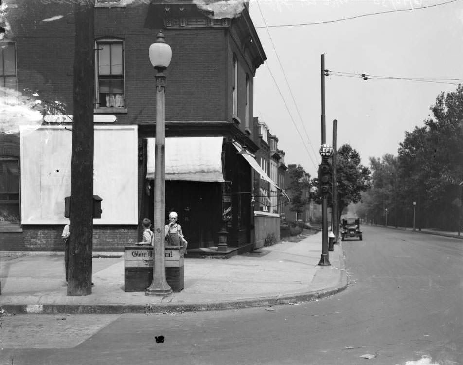
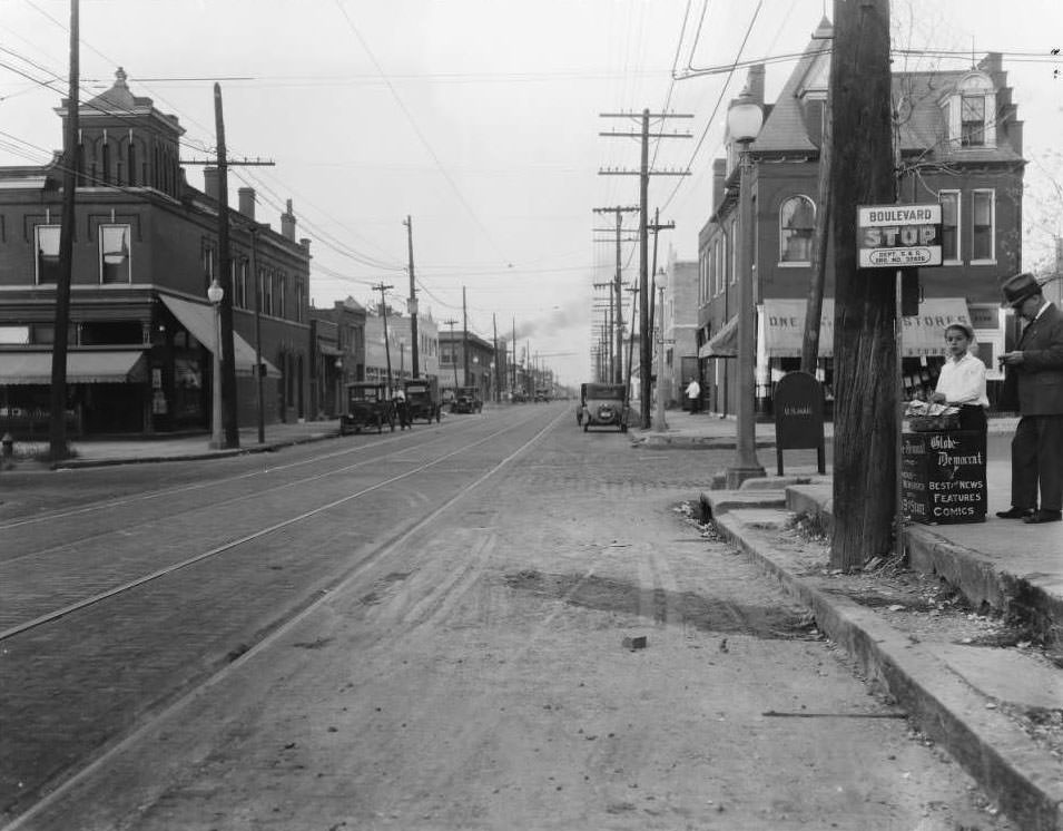
The Great Depression hit St. Louis hard. Unemployment climbed, and the economic strain showed in visible ways on every block. Breadlines formed near soup kitchens. Families doubled up in apartment buildings. The city’s newspapers — sold by boys on street corners like the intersection of Jefferson and Arsenal — were one of the few remaining cheap commodities that nearly everyone still bought.
Boys sell newspapers at Jefferson and Arsenal in 1930.
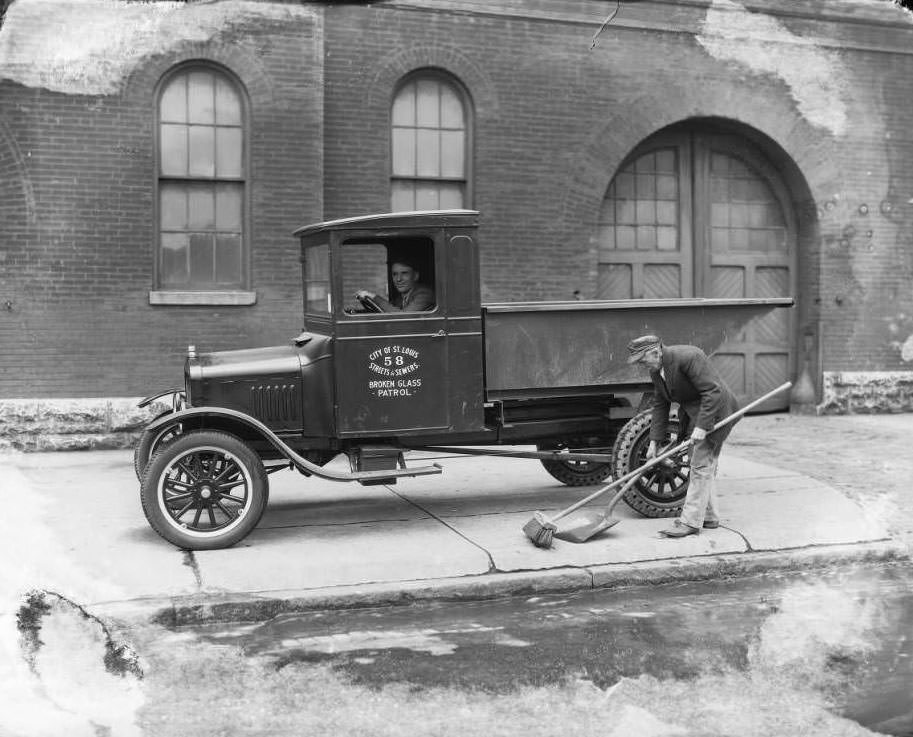
The Works Progress Administration pumped federal money into the city’s infrastructure during the Depression years. Streets were repaved, public buildings maintained, and civic projects kept thousands employed. The Streets and Sewers Department ran operations like the Broken Glass Patrol, a vehicle dedicated to clearing road hazards — a small but telling sign of how seriously the city managed its public spaces even under financial strain.
Streets and Sewers Department vehicle, the Broken Glass Patrol, 1931
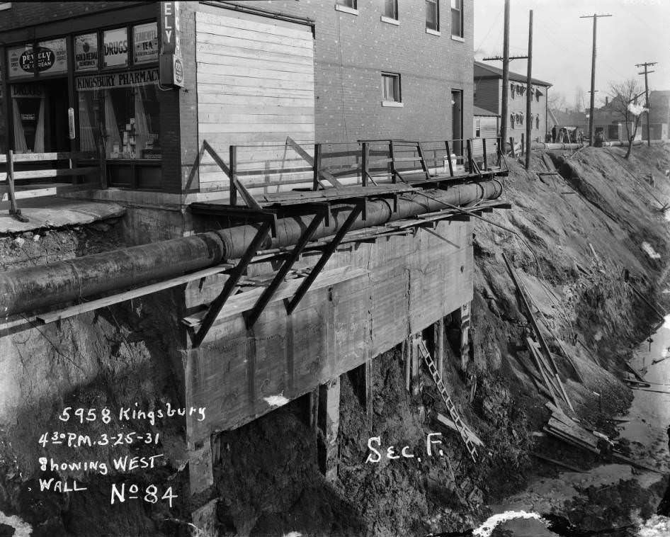
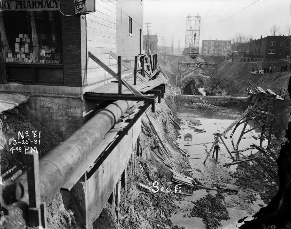
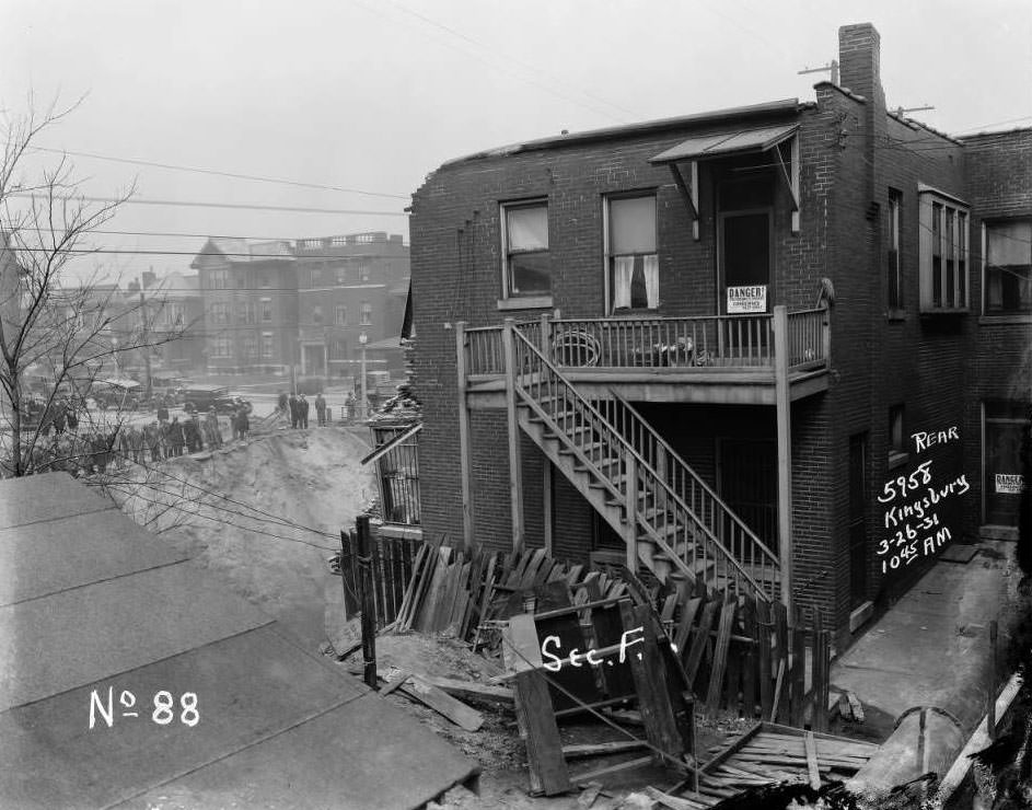
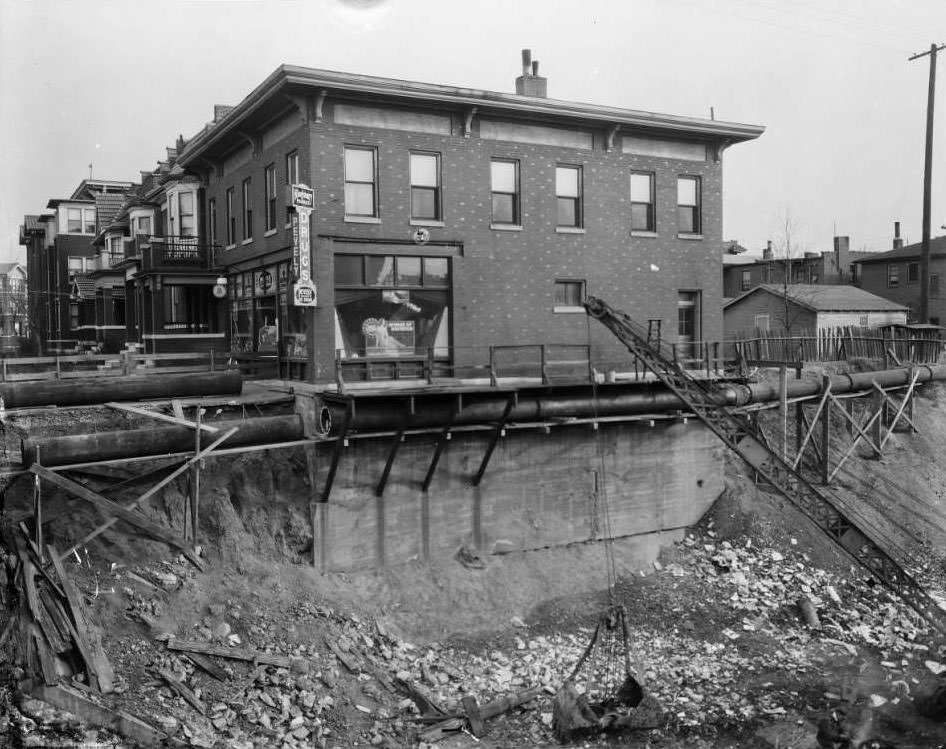
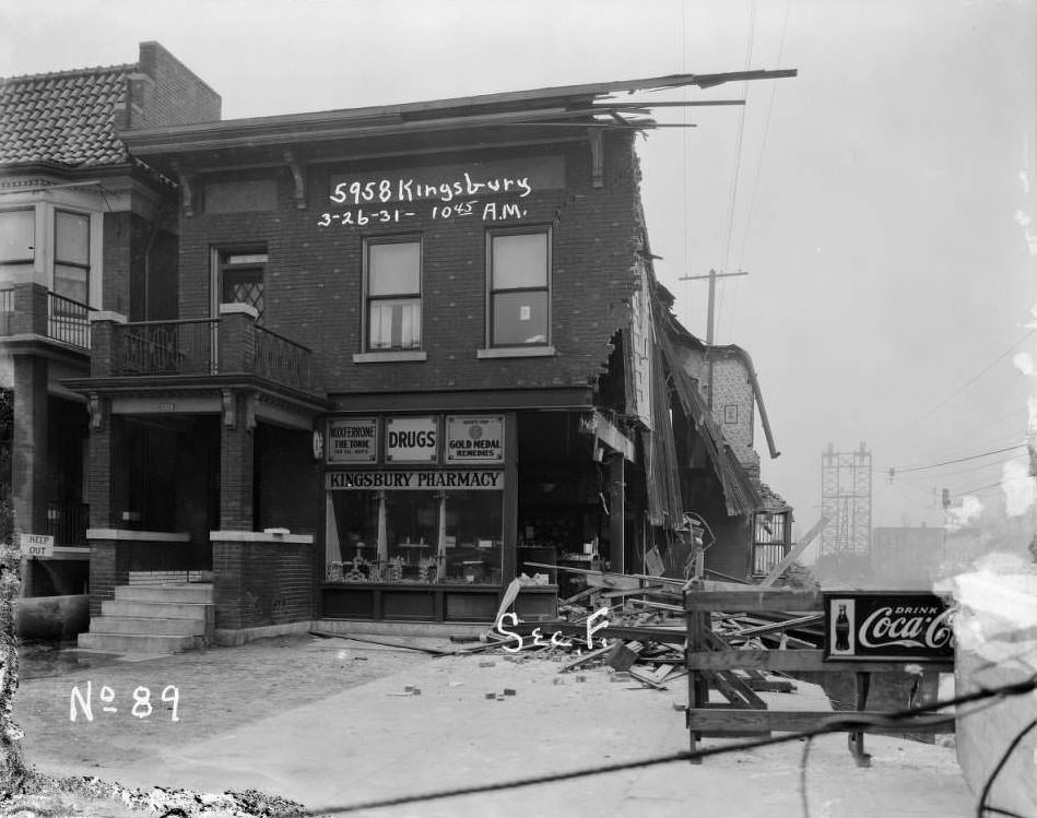
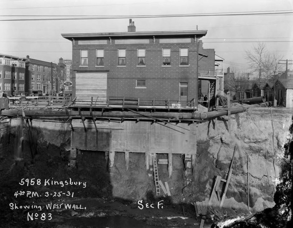
Not all infrastructure projects went smoothly. In 1931, sewer work adjacent to the Kingsbury Pharmacy at 5958 Kingsbury in University City destabilized the ground beneath the building. The photos below document the sequence: sewer excavation underway, the building moments before it gave way, and finally the collapsed structure with a crowd of onlookers gathered on the street below.
Sewer work adjacent to Kingsbury Pharmacy at 5958 Kingsbury in University City just before collapse, 1931Kingsbury Pharmacy at 5958 Kingsbury in University City just before collapse, 1931Kingsbury Pharmacy at 5958 Kingsbury in University City after collapse, with a row of onlookers watching from below, 1931
St. Louis was a city of distinct neighborhoods, each with its own character. The Hill was home to Italian-American families and their restaurants and cafes. Soulard drew French and German immigrants. Old North St. Louis, along corridors like North Florissant Avenue, was a dense mix of residential and commercial buildings — grocers, pharmacies, and repair shops operating from the ground floors of two- and three-story brick buildings while families lived above.
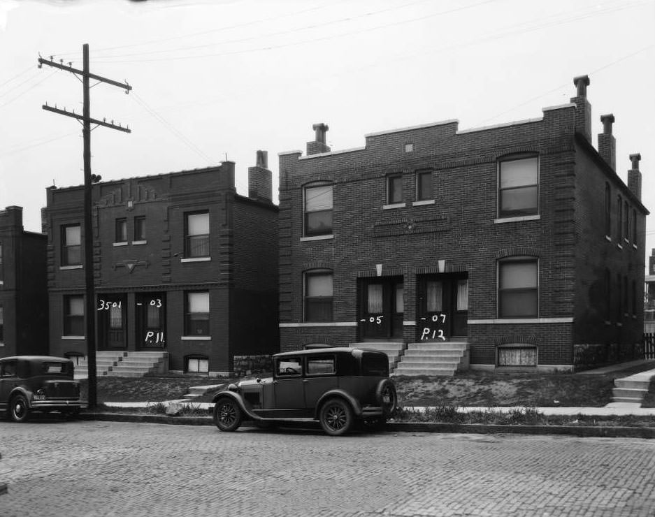
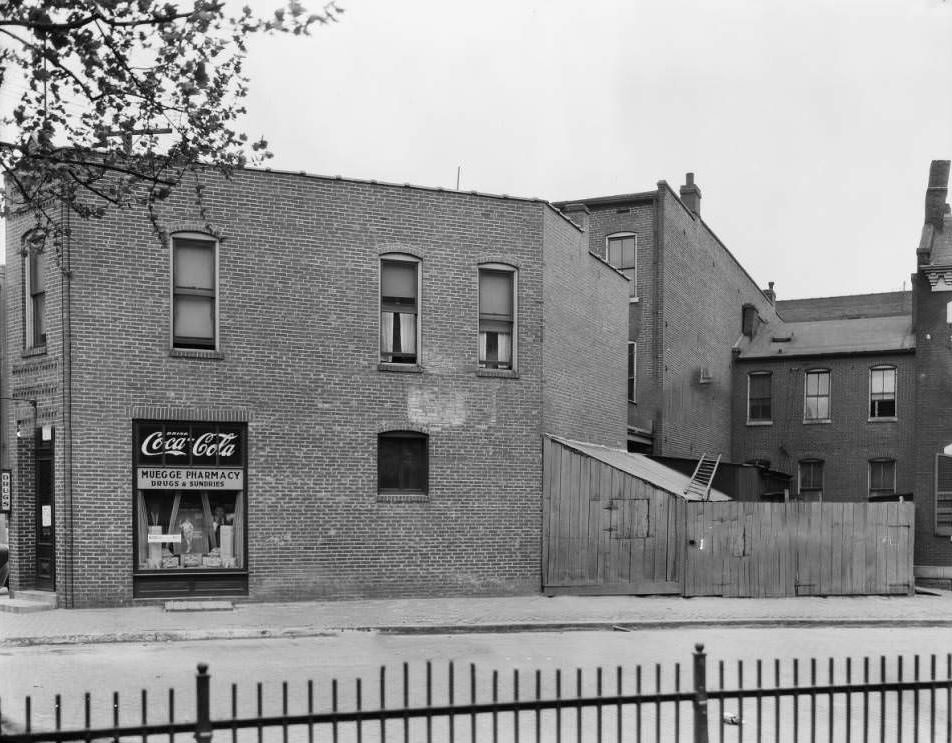
Buildings on the 3500 block of North Florissant at 3501-3503-3505-3507, 1930View of the building that housed Muegge Pharmacy in Old North St. Louis, with two men looking out the window, 1930
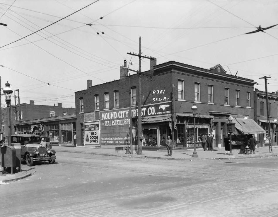
Corner stores were everywhere. The northwest corner of St. Louis Avenue and Union held Silverstein’s Shoe Store and Connor Radio Co. On Blair and Clinton, a Kroger grocery anchored the intersection. At Kossuth and North Grand, a single commercial building housed a shoeshine parlor, a confectionery, and C.J. Gast’s Barbershop — three separate businesses sharing one storefront near Fairgrounds Park.
View of the Northwest corner of St. Louis Ave. and Union, showing Silverstein’s Shoe Store and Connor Radio Co., 1930View of commercial building at Kossuth and North Grand near Fairgrounds Park, with shoeshine parlor, confectionery, and C.J. Gast Barbershop, 1931
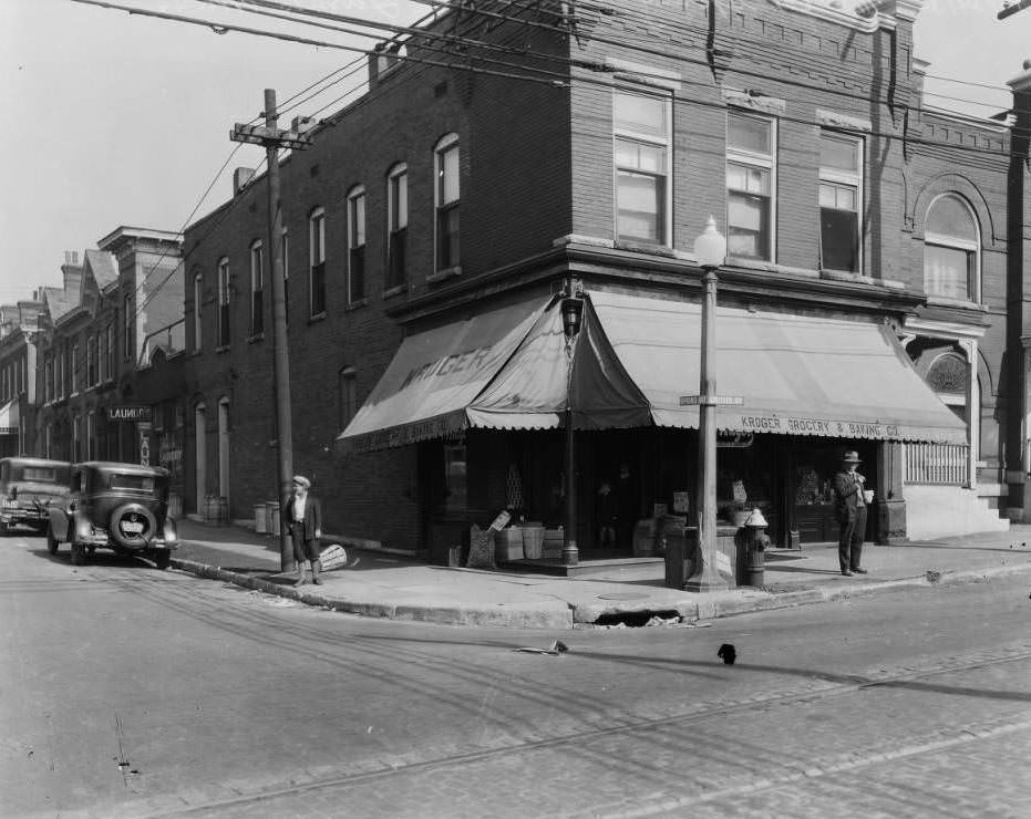
The Kroger Grocery and Baking Company maintained a visible presence across the city. One of its larger locations sat at Laclede and Spring, on land that would later become part of the Saint Louis University campus. Chain grocery stores like Kroger were expanding rapidly in the early 1930s, often undercutting the small independent grocers that had dominated neighborhood commerce for decades.
View of Kroger Grocery & Baking Co. at Laclede and Spring, now part of SLU campus, 1930
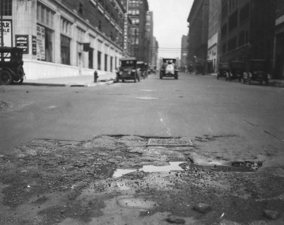
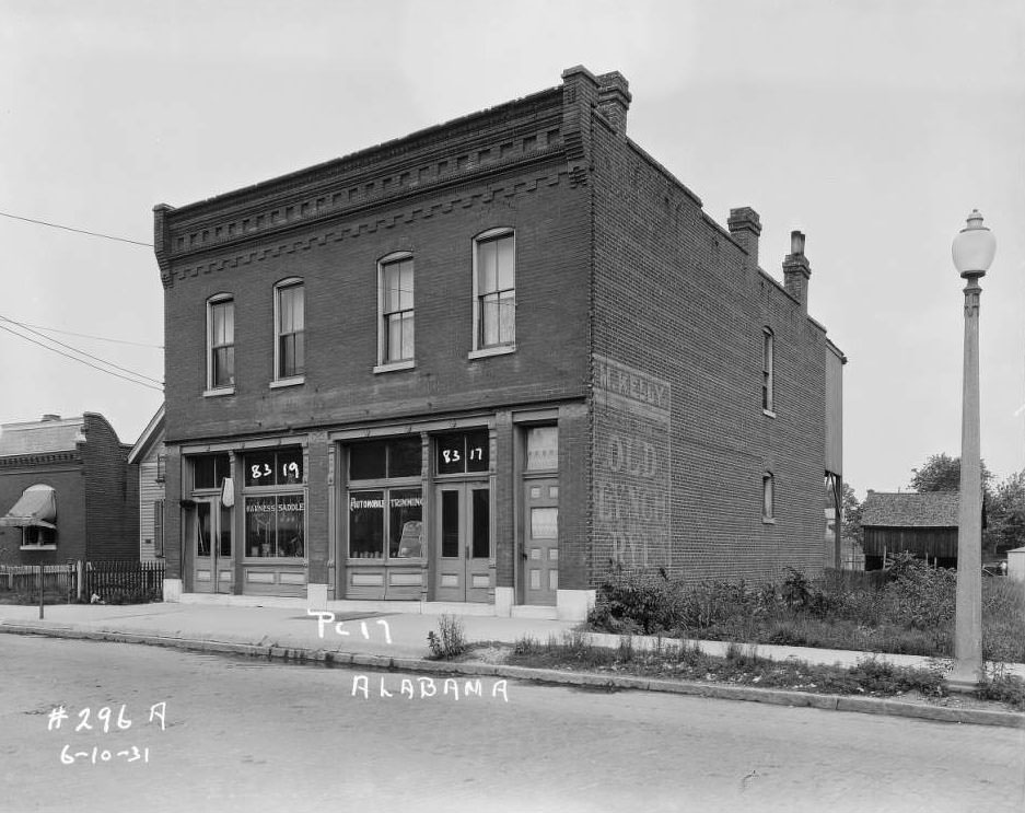
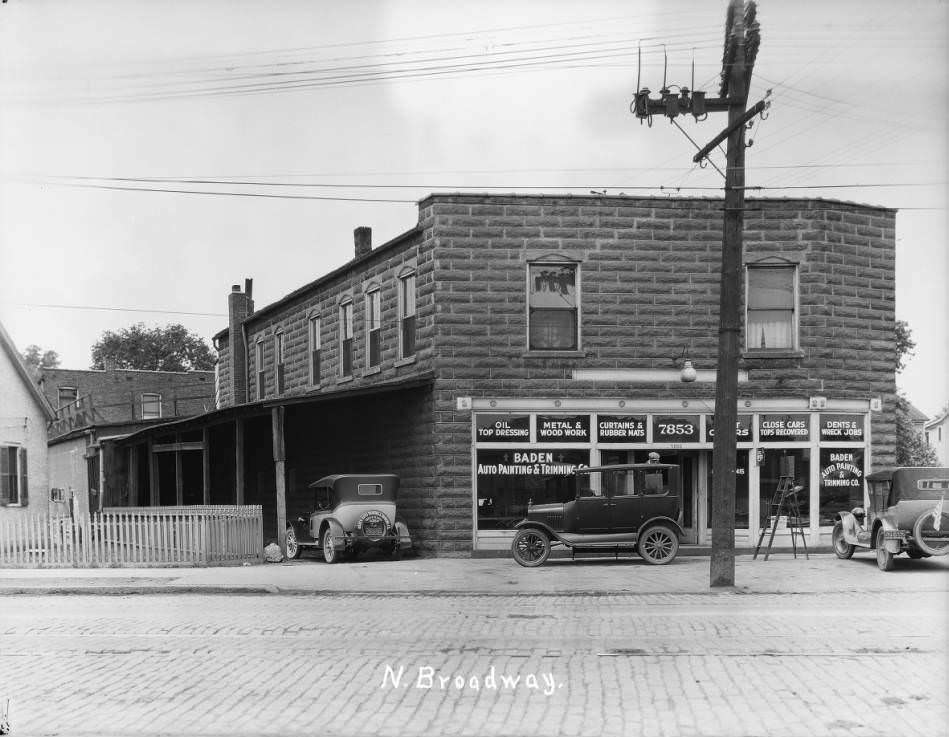
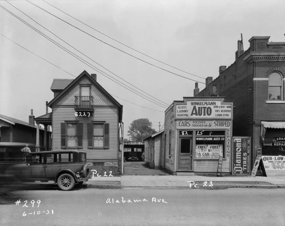
The automobile industry was growing its footprint in the city. The Weber Auto Company occupied the northeast corner of Locust and 19th Street by 1931. On Alabama Street, John Bosch ran an automotive trimming business. At 7853 North Broadway, Baden Auto Painting and Trimming operated out of a dedicated shop. The rise of these businesses mirrored a national shift — cars were replacing horses, and the city’s commercial landscape was adapting block by block.
View of Weber Auto Company at the northeast corner of Locust and 19th Street, 1931Bosch Auto on Alabama Street, street view of John Bosch’s automotive trimming business, 1931
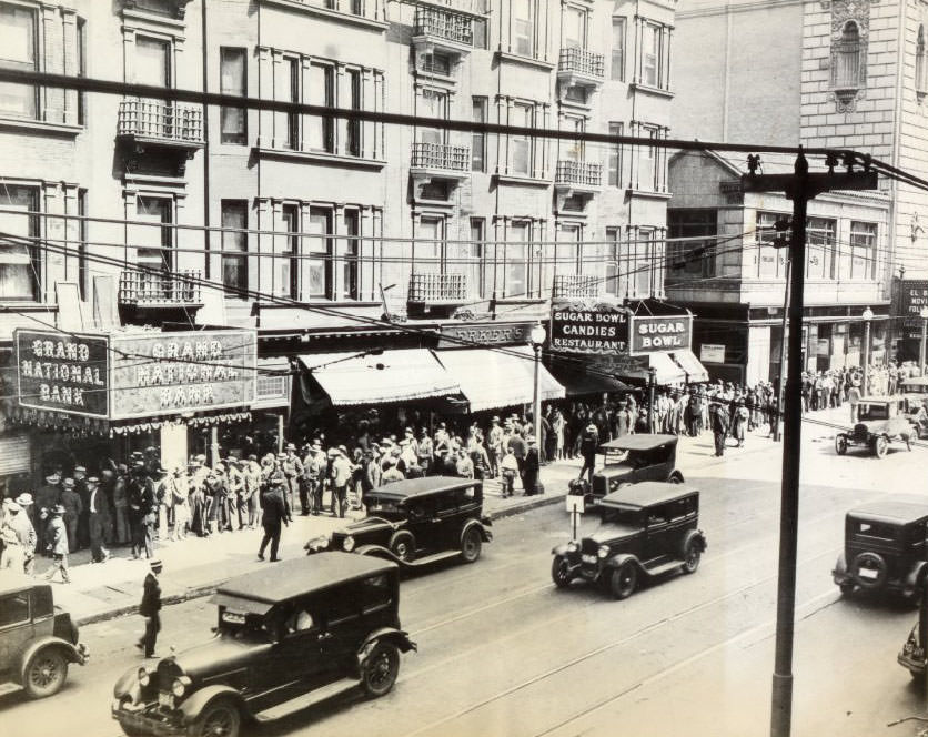
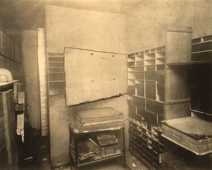
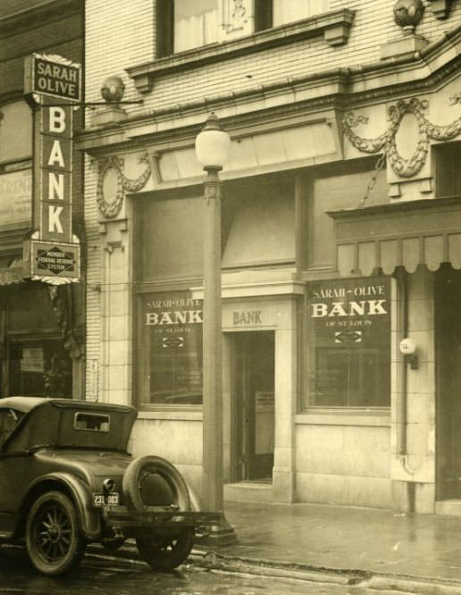
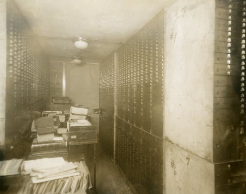
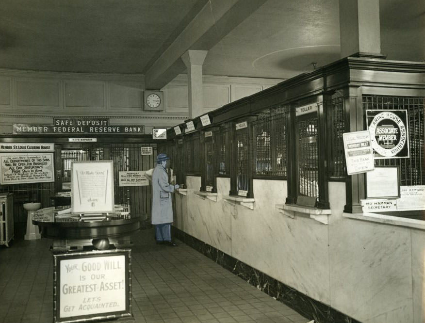
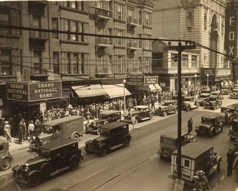
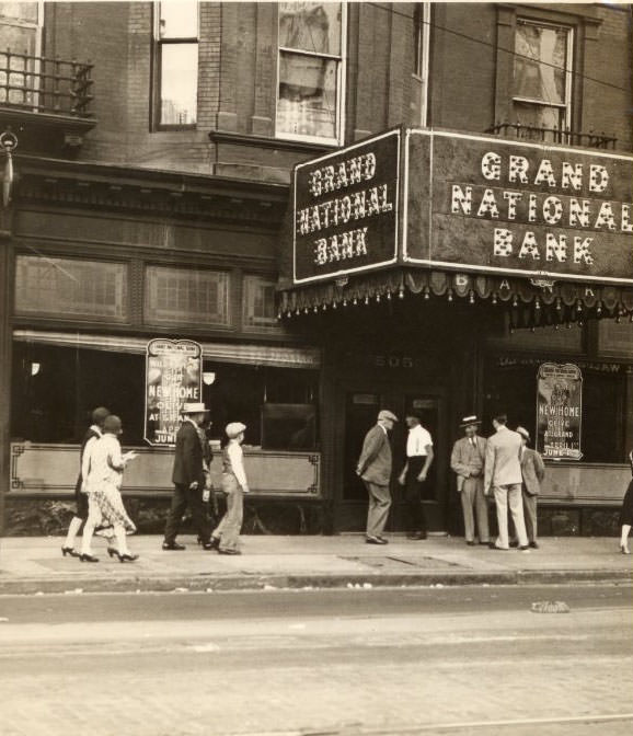
The city’s banking sector was active and, at times, targeted. The Grand National Bank was robbed in 1930, and photographs from the scene document both the exterior of the building after the break-in and the ransacked safety deposit boxes inside. Just down the street, the Sarah-Olive Bank at 4055 Olive was held up that same year — three robbers walked out with $6,000. These events were not isolated; bank robberies spiked nationally during the Depression as desperation drove crime rates upward.
Exterior of Grand National Bank after robbery, 1930Grand National Bank deposit boxes after robbery, 1930The Sarah-Olive Bank at 4055 Olive street in St. Louis, MO, where three robbers obtained $6,000 in a holdup in 1930.
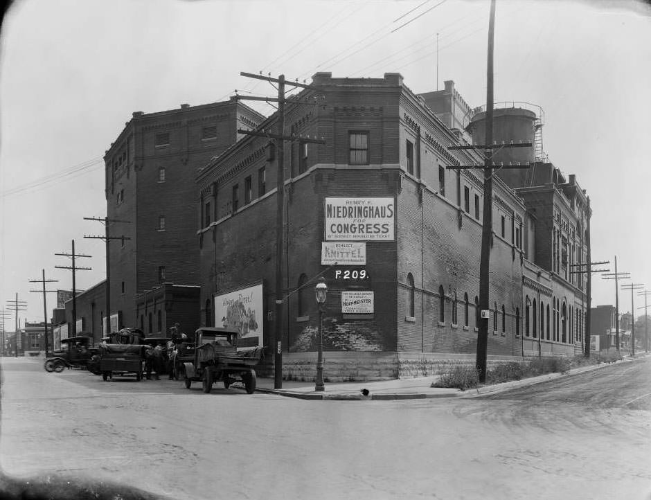
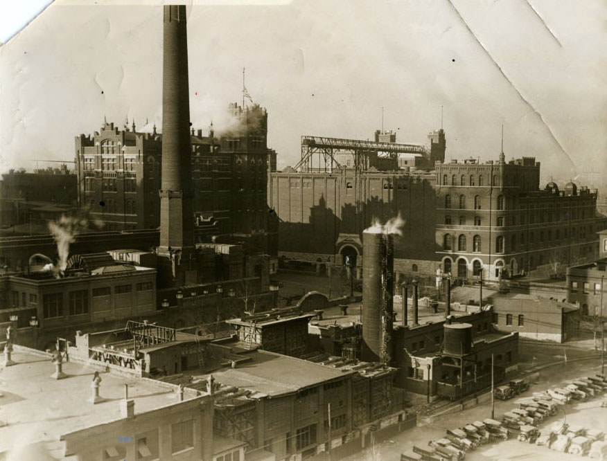
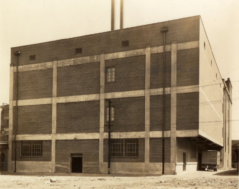
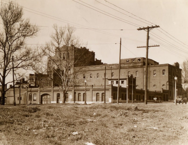
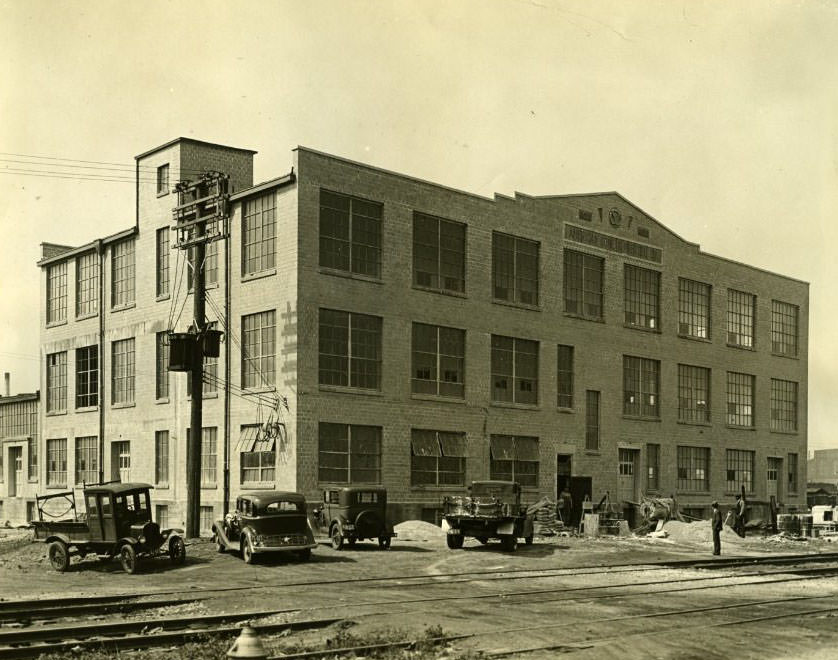
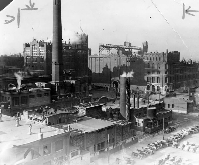
Prohibition had ended in 1933, but St. Louis’s brewing industry had never fully stopped. The Otto Stifel Union Brewery on Gravois, later acquired and rebranded as Falstaff Plant No. 2, was among the city’s most recognizable industrial landmarks. Anheuser-Busch, which had survived Prohibition by pivoting to non-alcoholic products, returned to full beer production in 1933 and quickly expanded. The Griesedieck Brothers Brewery was also fully operational by the mid-1930s, its storage cellars stocked and its delivery routes running again.
View of Otto Stifel Union Brewery that later became Falstaff Plant No. 2, 1931Anheuser-Busch brewery pictured on Feb 13, 1934Storage cellar at Griesedieck Brothers Brewery, 1937.
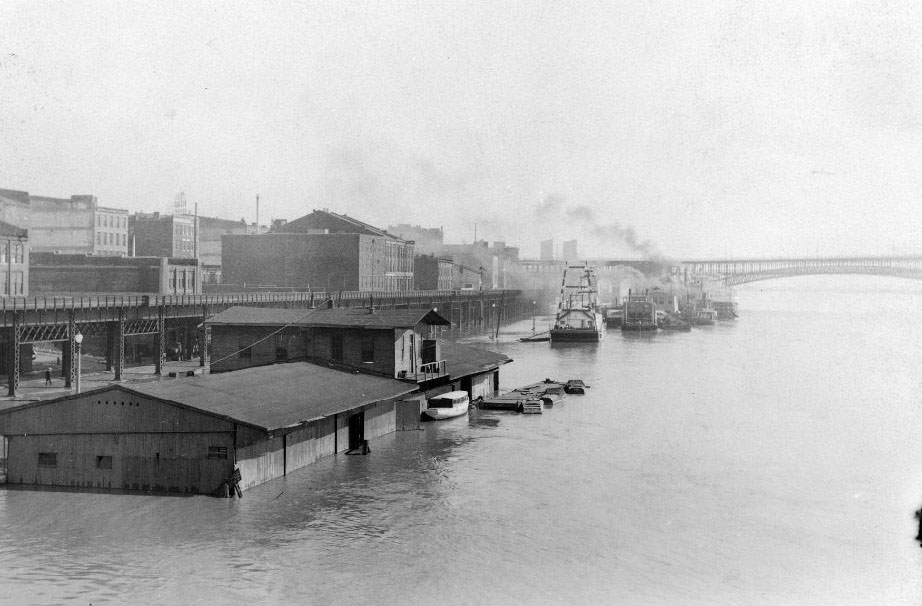
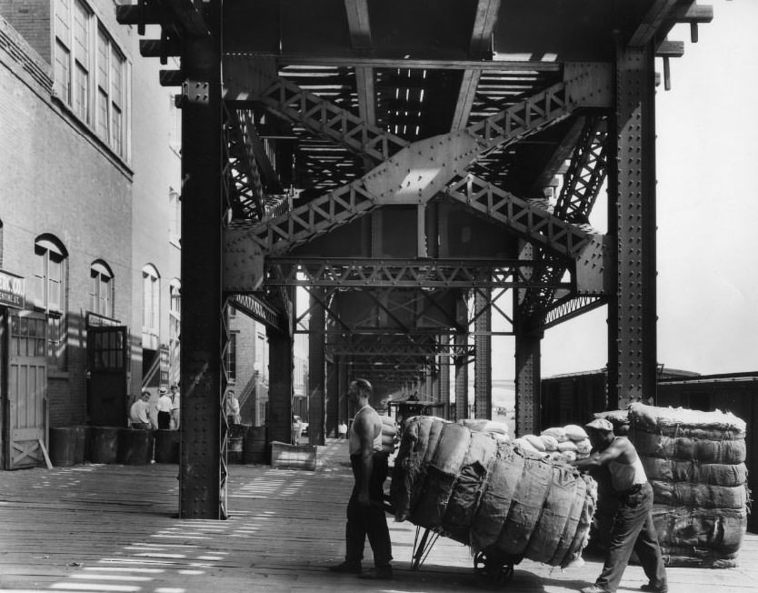
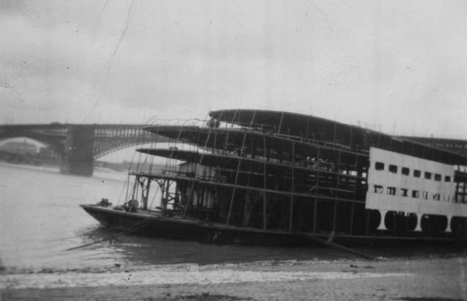
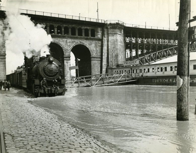
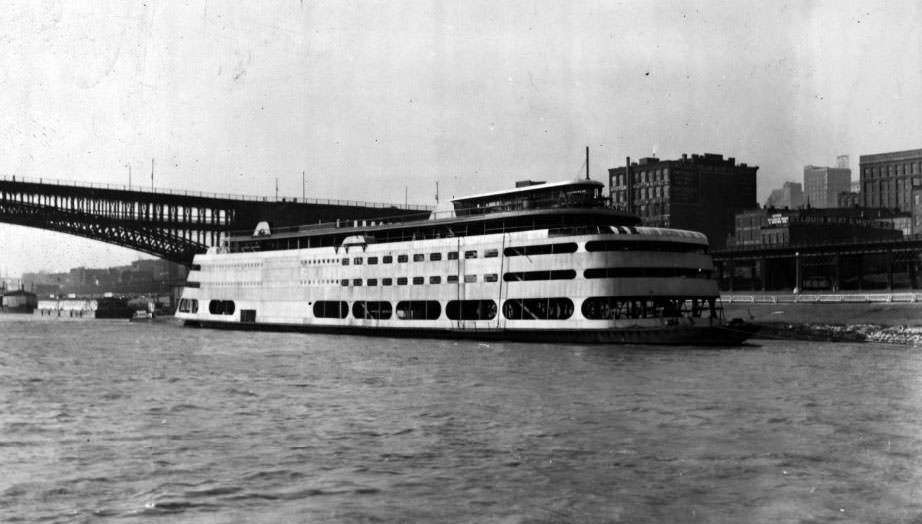
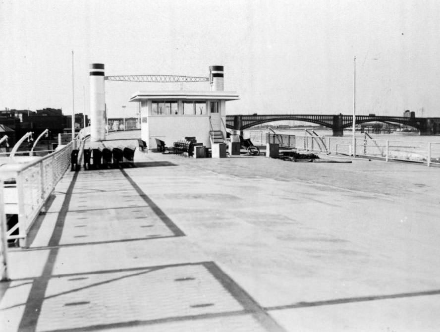
The Mississippi River was never far from the city’s consciousness. Cotton bales were loaded and unloaded on Wharf Street near Poplar. The Eads Bridge carried rail and foot traffic across the river. On the water itself, Streckfus Steamers ran excursion boats — including the President and the Admiral, the latter still under construction in 1937 — that offered St. Louisans a few hours away from the pressures of city life.
St Louis Riverfront during flood stage, with Eads Bridge in the background, 1930Loading and unloading of cotton bales on Wharf Street near Poplar, a common activity on the riverfront, 1930The Admiral, Streckfus steamer, under construction in May 1937
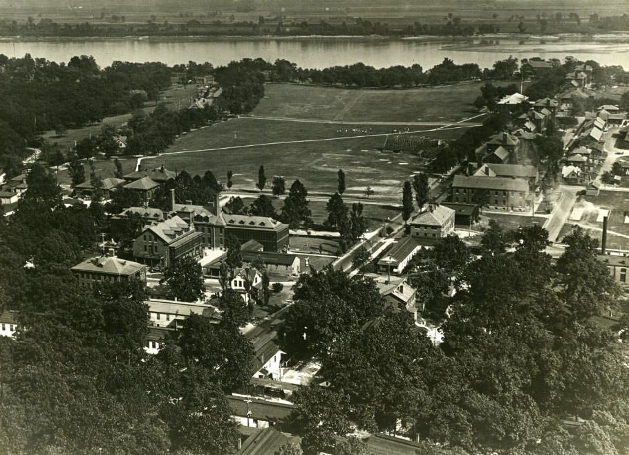
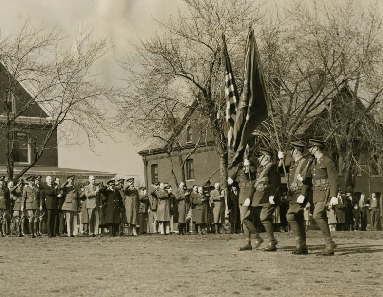
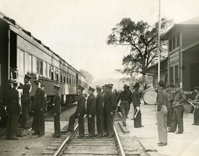
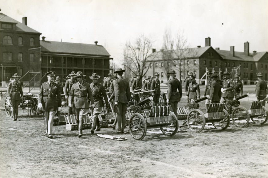
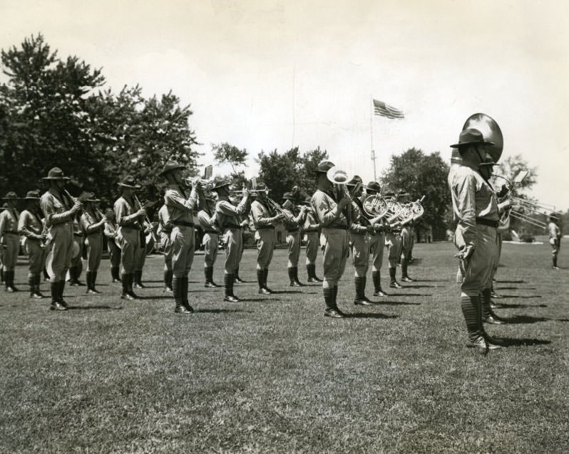
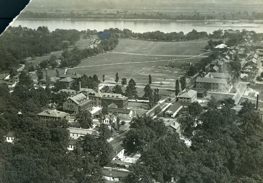
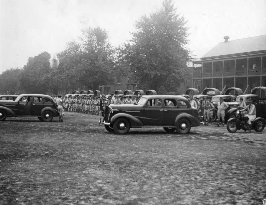
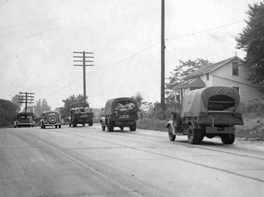
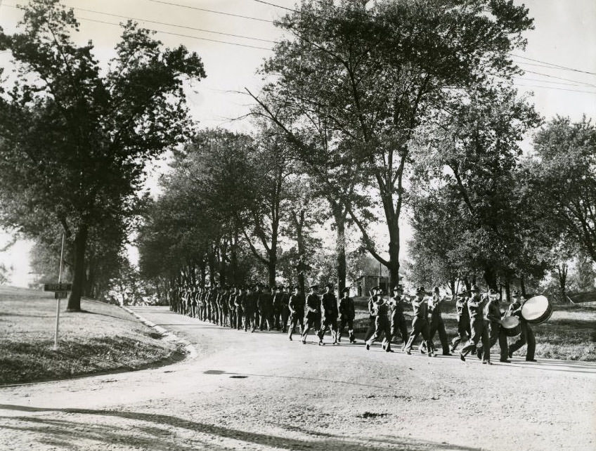
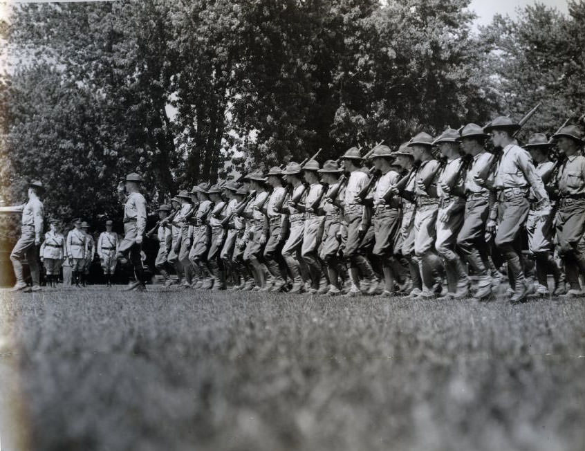
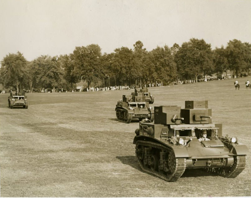
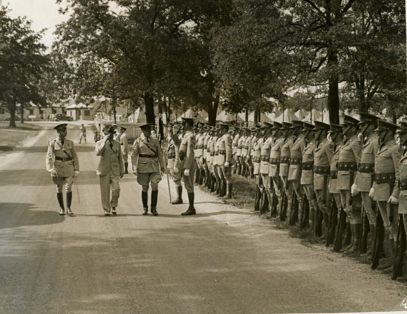
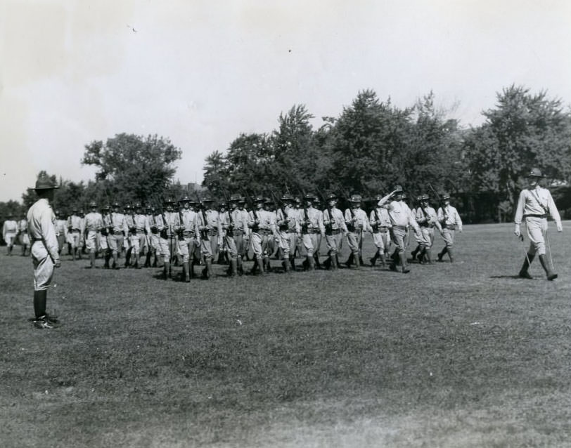
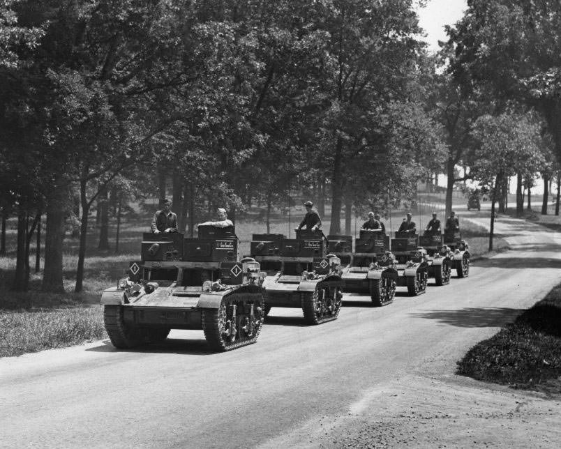
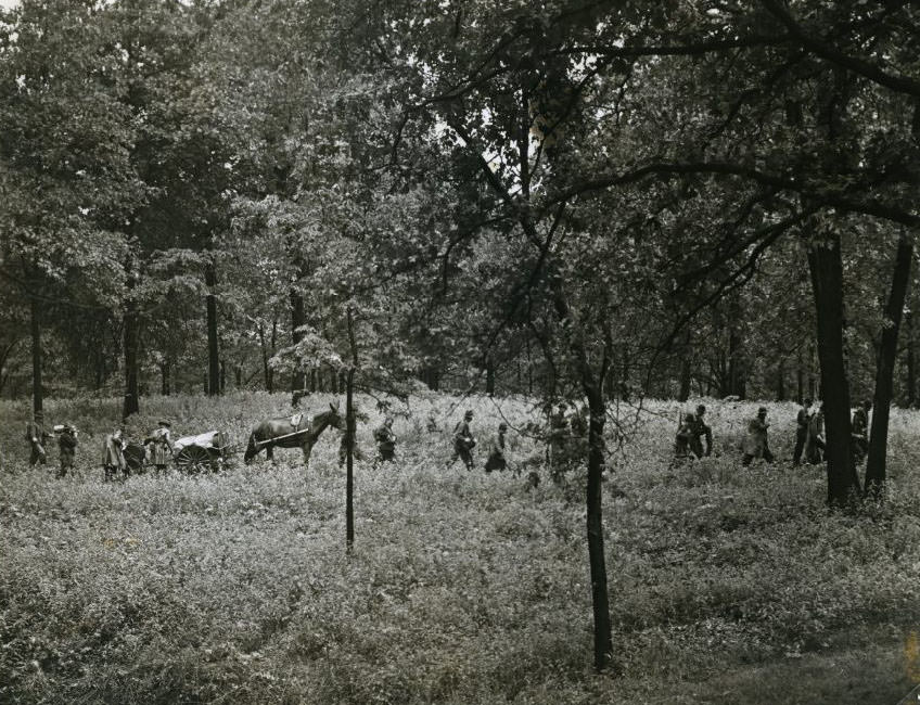
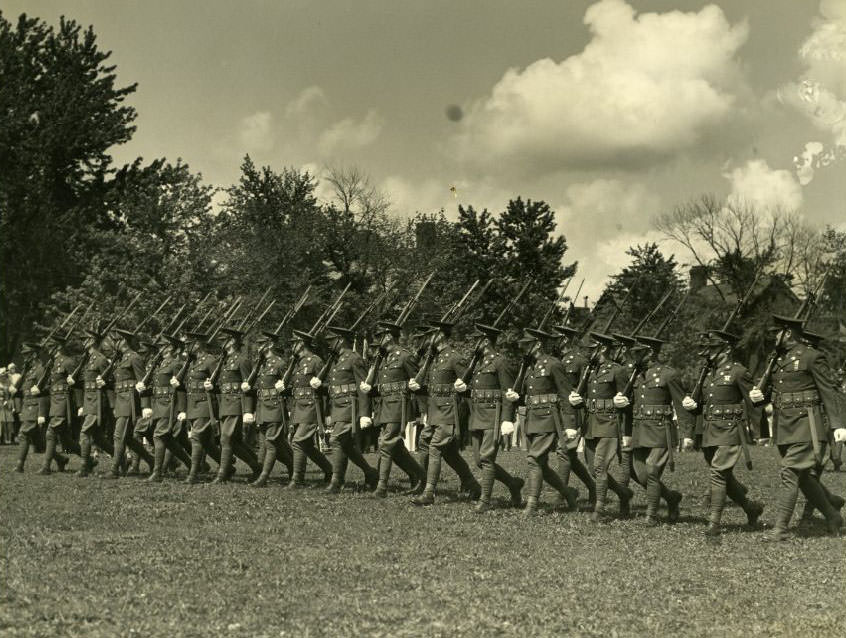
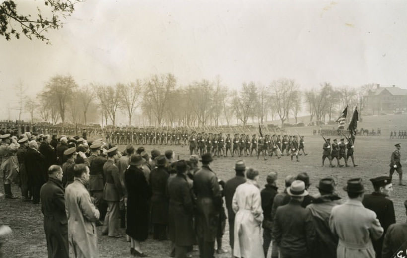
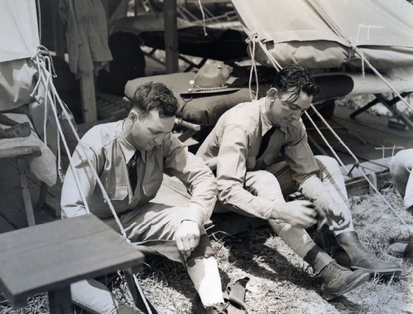
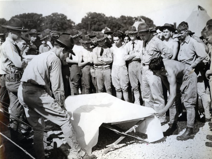
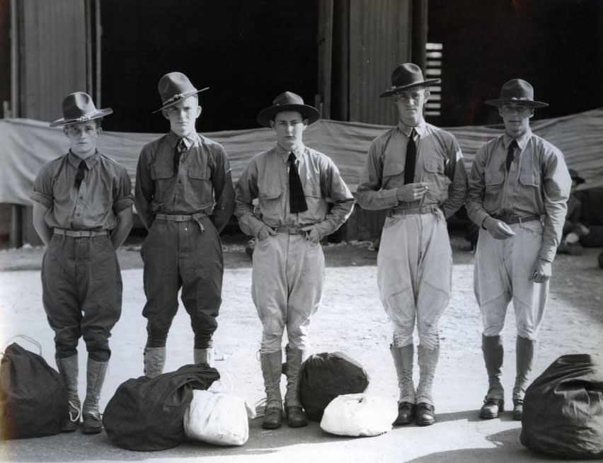
Jefferson Barracks, located on the southern edge of the city along the river, was one of the most active military installations in the country during the 1930s. The Sixth Infantry Regiment was stationed there and conducted regular training, parades, and reviews throughout the decade. By 1939, the installation had shifted into a pre-war posture — recruits were being processed and shipped to assignments on the West Coast as the U.S. military began quietly expanding.
Aerial view of Jefferson Barracks in 1935.Army Day parade in 1937 at Jefferson Barracks, sponsored by the Military Order of the World War.Pre-war recruits leave Jefferson Barracks for the West Coast, 1939
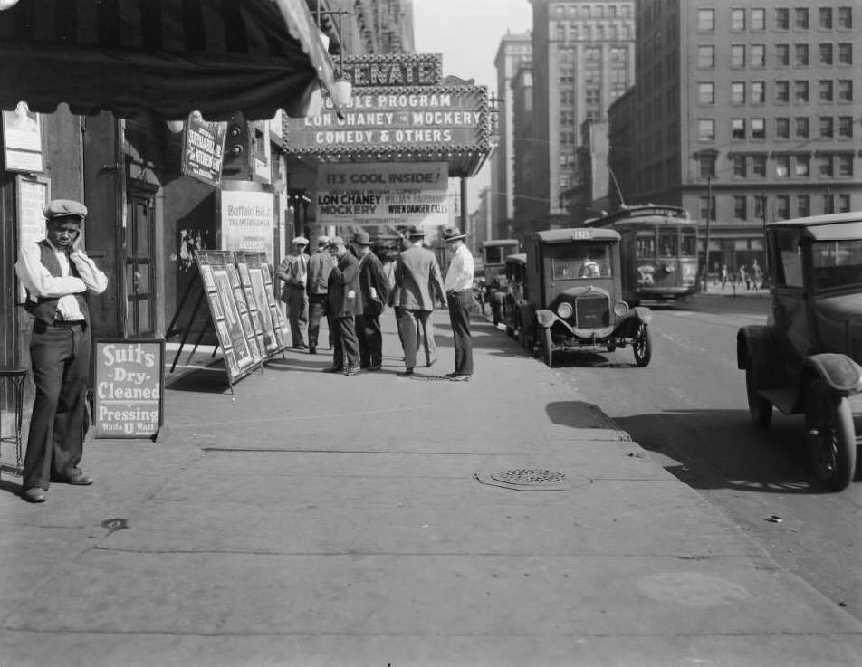
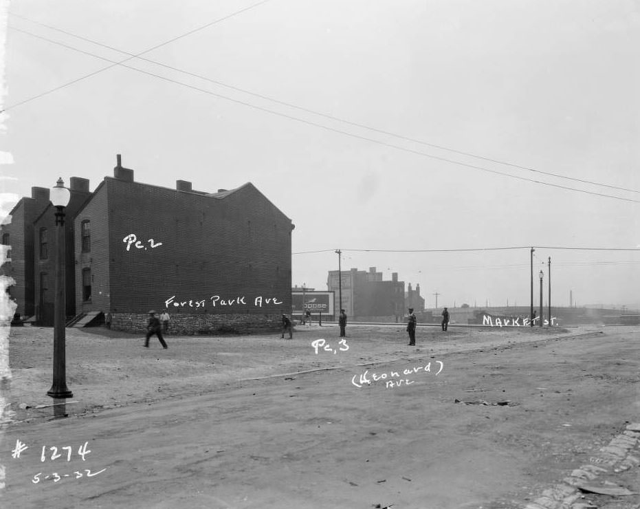
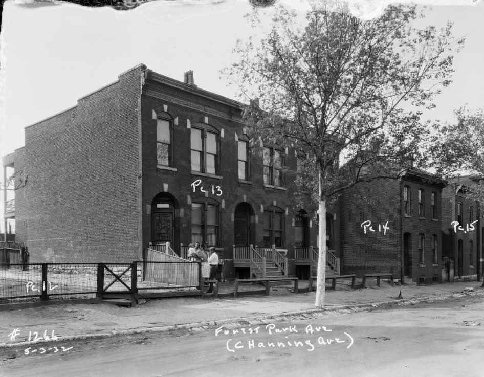
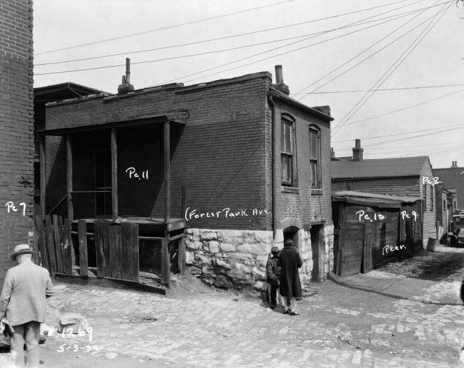
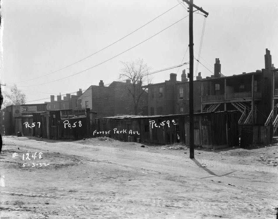
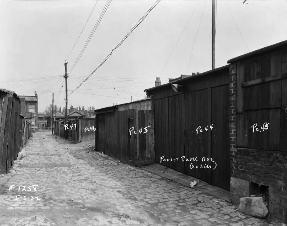
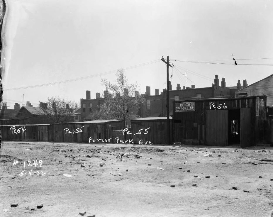
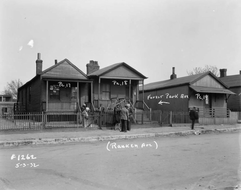
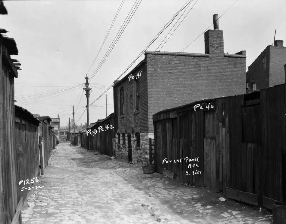
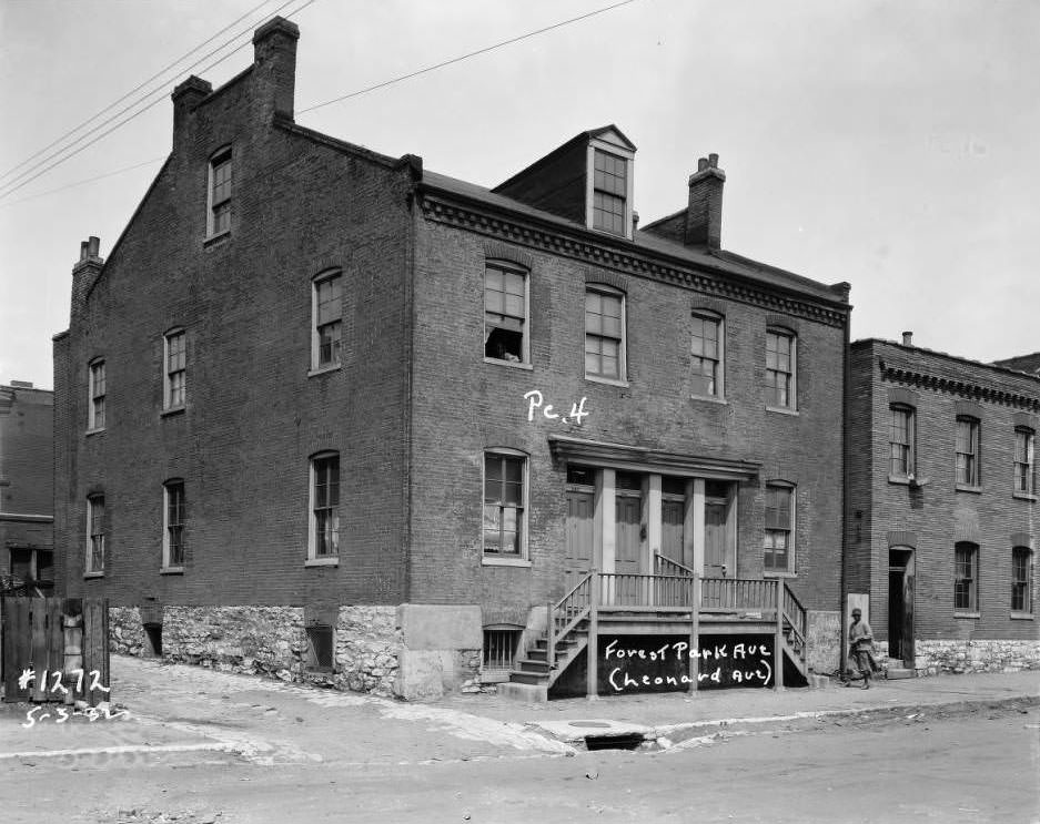
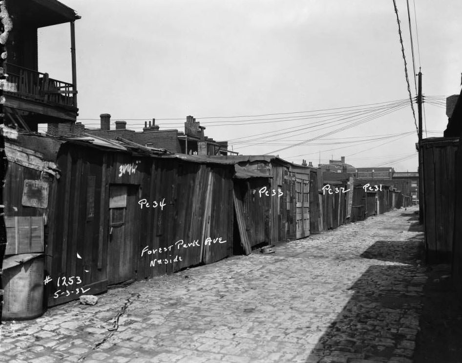
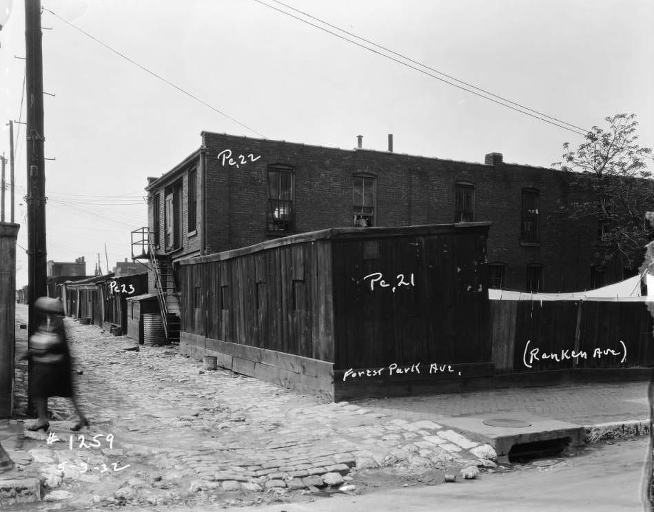
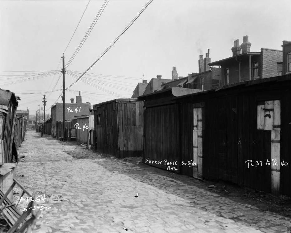
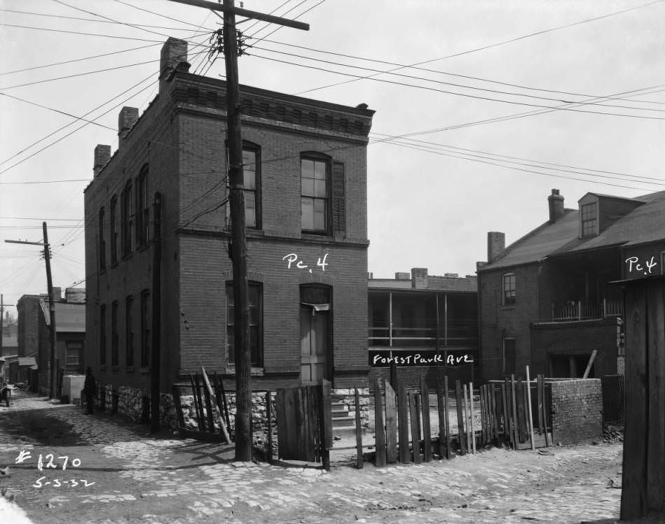
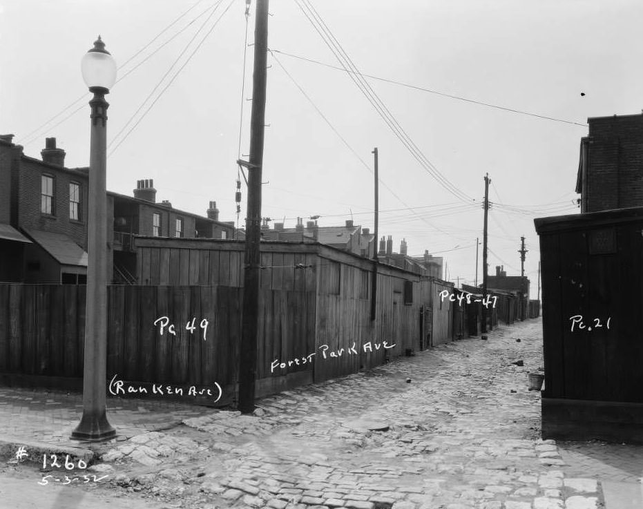
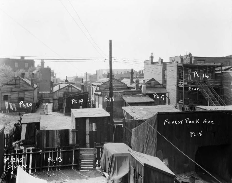
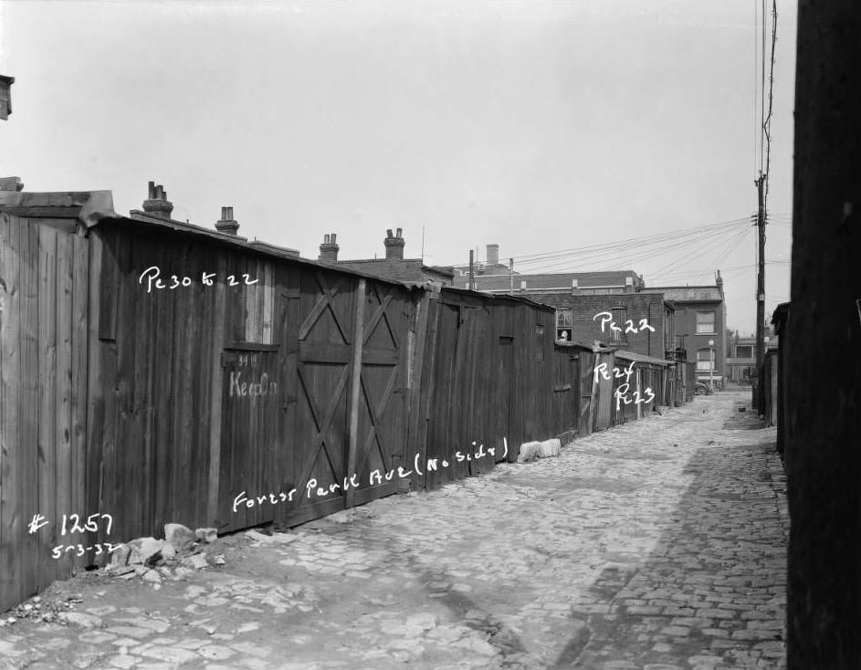
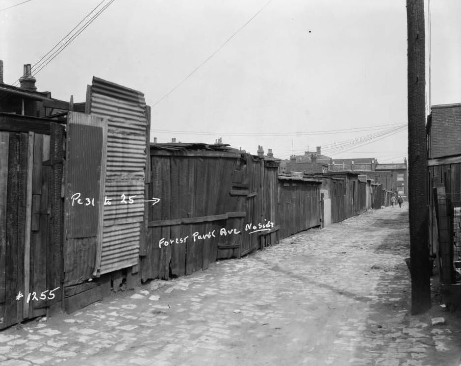
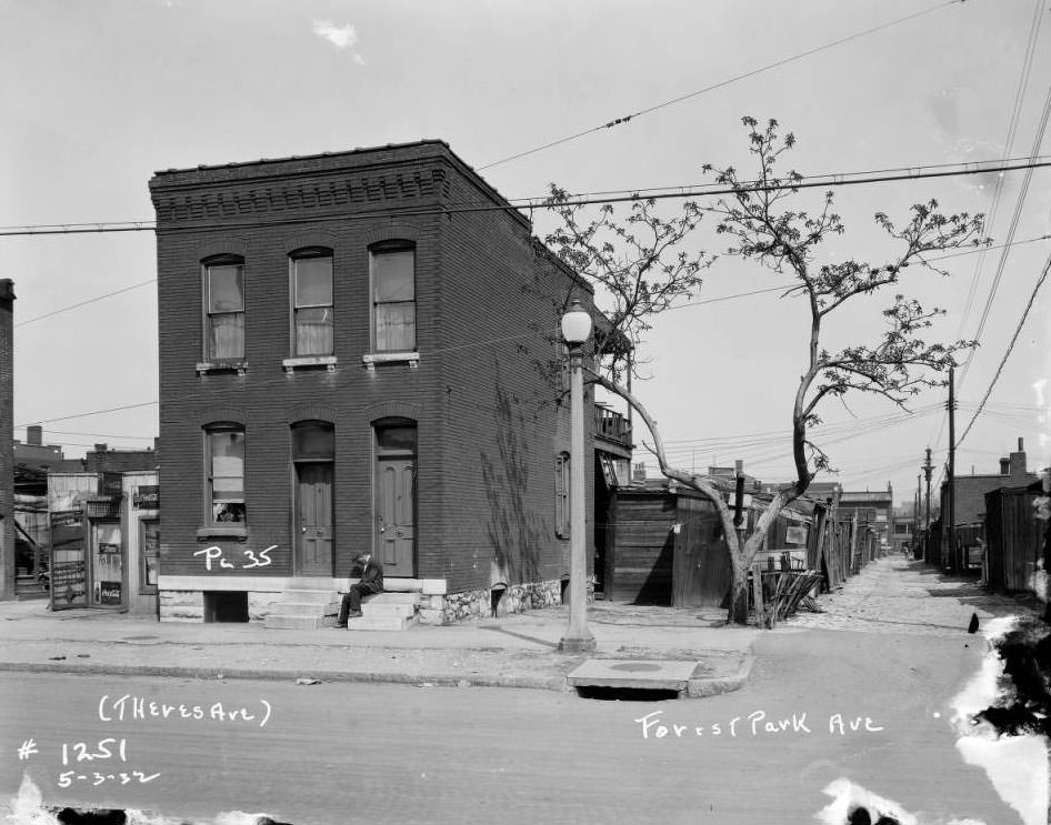
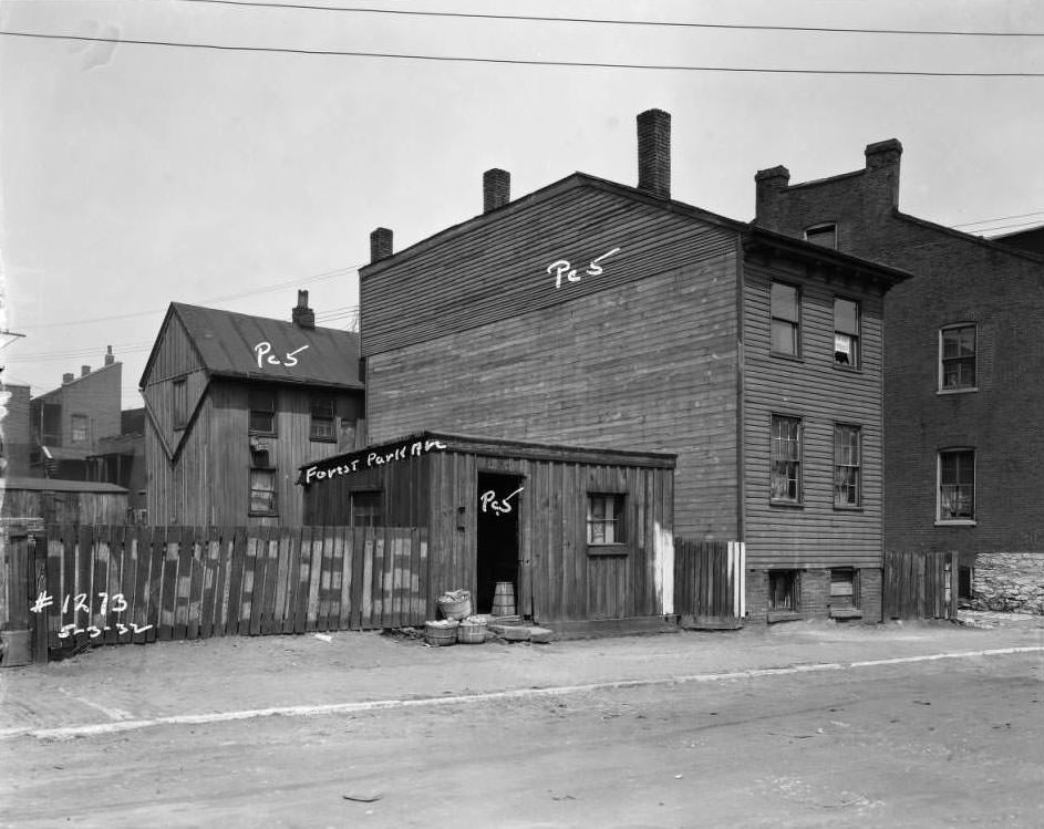
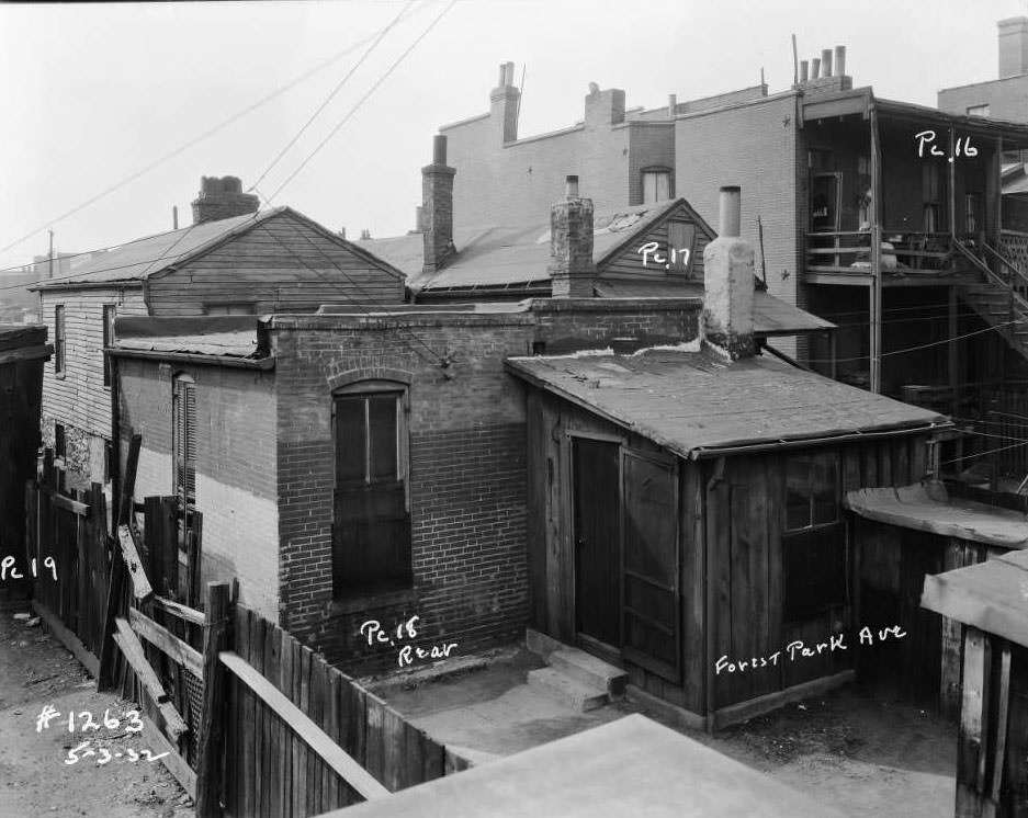
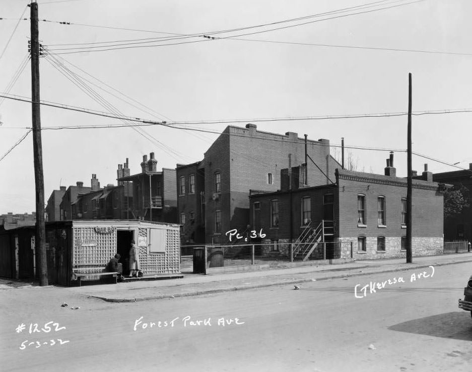
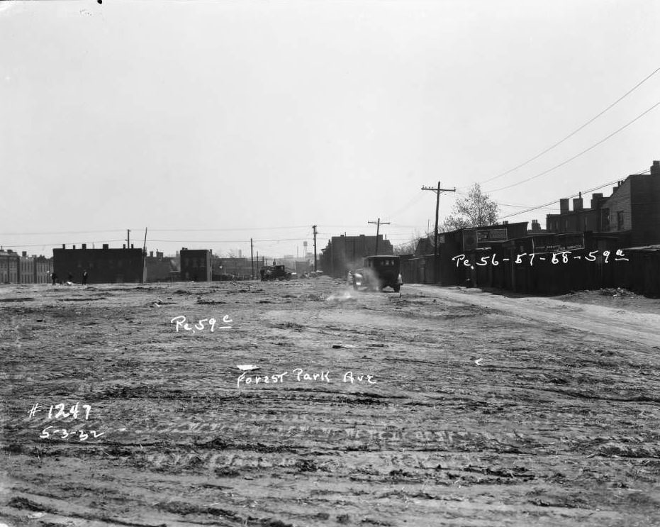
Cultural life continued despite the Depression. The Senate Theatre on the 700 block of North Broadway drew audiences from across the city. Neighborhoods like Shaw and JeffVanderLou had their own community rhythms — children playing in vacant lots, neighbors gathering on stoops, and local events pulling people together. On Forest Park Avenue, a series of photographs taken in 1932 documented the dense, working-class streetscape in close detail: the brick multi-family dwellings, the backyard sheds, the alleyways, and the people who moved through them every day.
View of the 700 block of North Broadway, including the Senate Theatre, 1931View of young men playing sport in vacant lot, and nearby flounder-style houses, Leonard Ave., Market St., Forest Park Ave., 1932.View of an African-American family standing in front of a multi-family brick dwelling on Forest Park Ave, 1932
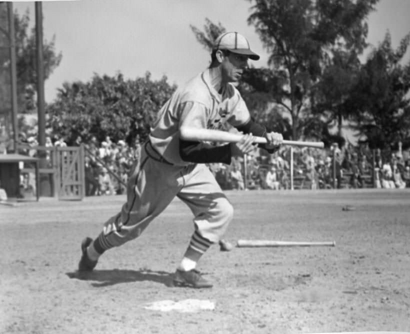
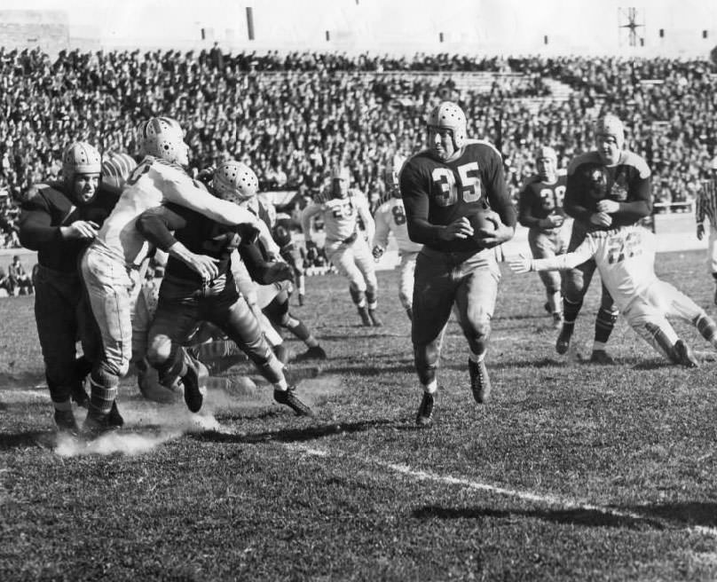
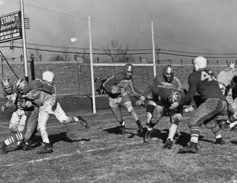
Sports provided a genuine release from the pressures of daily life. The St. Louis Cardinals packed Sportsman’s Park throughout the decade. By 1939, players like infielder Lyn Lary were part of the city’s sports identity, their games covered in the same newspapers that boys sold on street corners. The Gunners, St. Louis’s professional football team, played at Walsh Stadium — though their battles against teams like the Green Bay Packers often ended in defeat. Baseball remained the dominant sport, but the city followed multiple teams across multiple codes.
Infielder Lyn Lary bunting at the plate in 1939.Green Bay Packers’ attack blocks Gunners, with Full Back George Balazs clearing a path as Packers Mates Ray Goldenberg and Larry Craig shove Guard Tiger Flowers, 1930
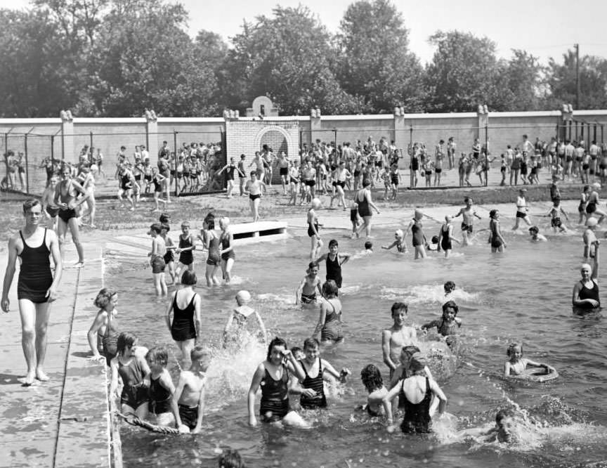
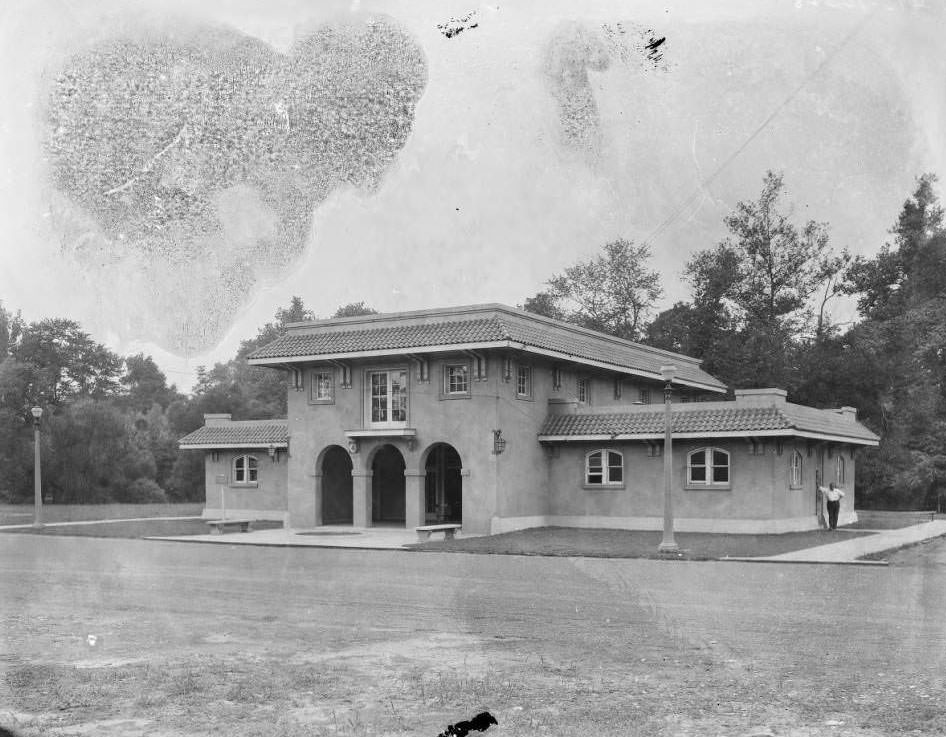
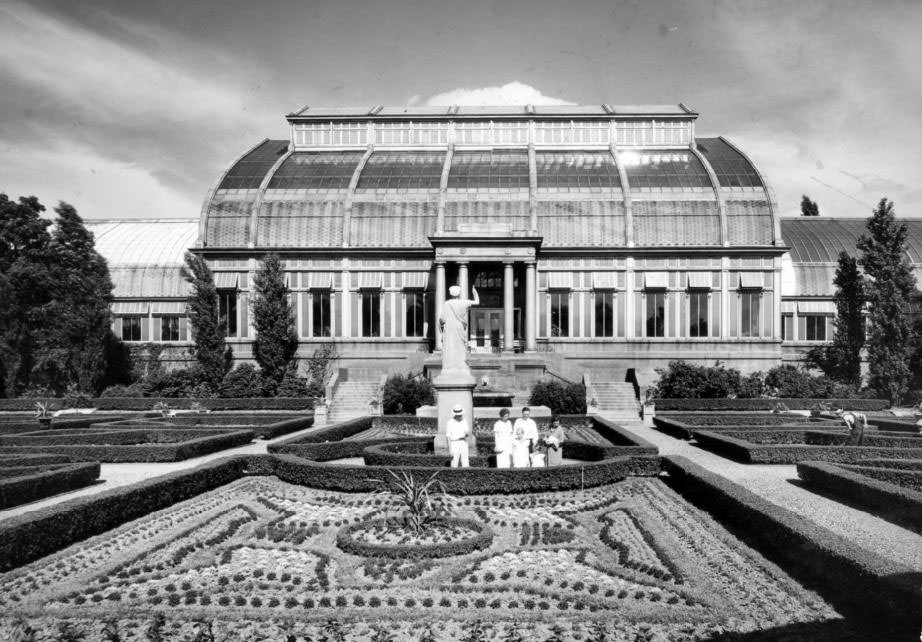
Public spaces served as gathering points throughout the decade. The Fairgrounds Swimming Pool opened each summer to enormous crowds — children lined up for hours in the heat to get through the gate. The Missouri Botanical Garden, gifted to the city by Henry Shaw in 1859, remained a place of refuge. Forest Park, with its own guard headquarters, was patrolled and maintained even as city budgets tightened.
Fairgrounds Swimming Pool gate opens to a swarm of children who had been waiting in the sun for hours, 1930Exterior view of Park Guards’ Headquarters at Forest Park, 1931
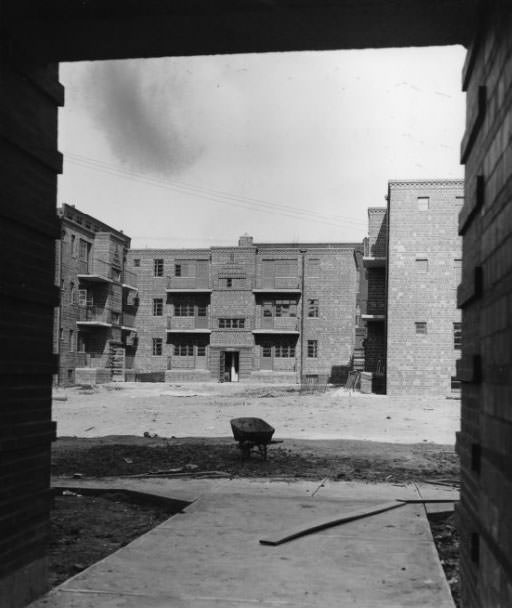
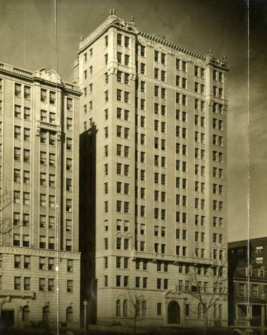
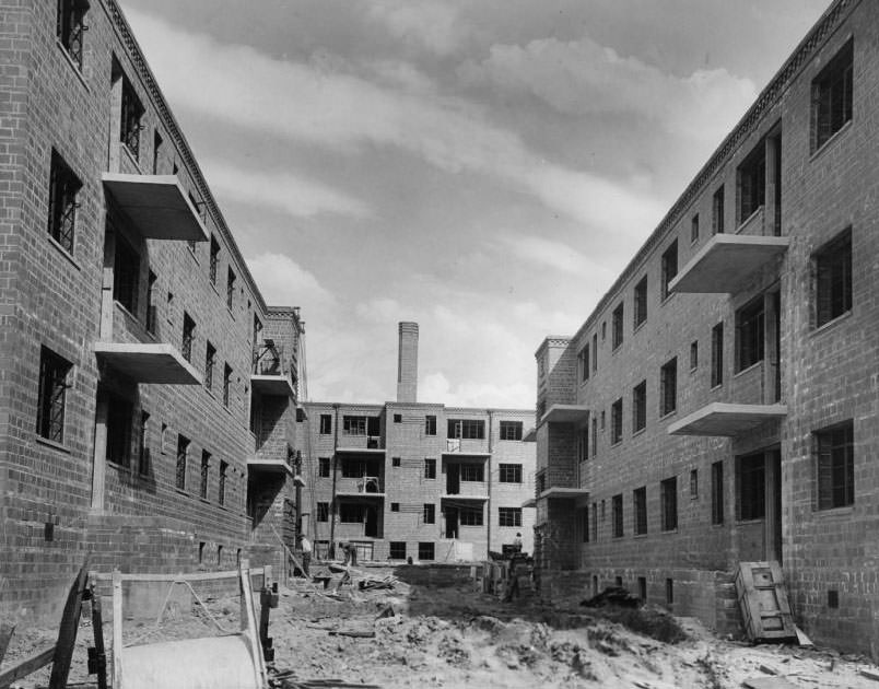
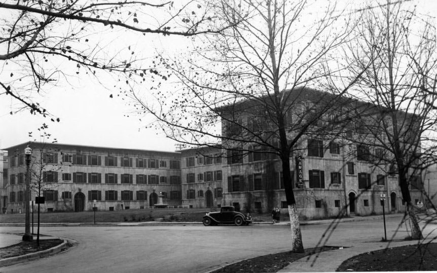
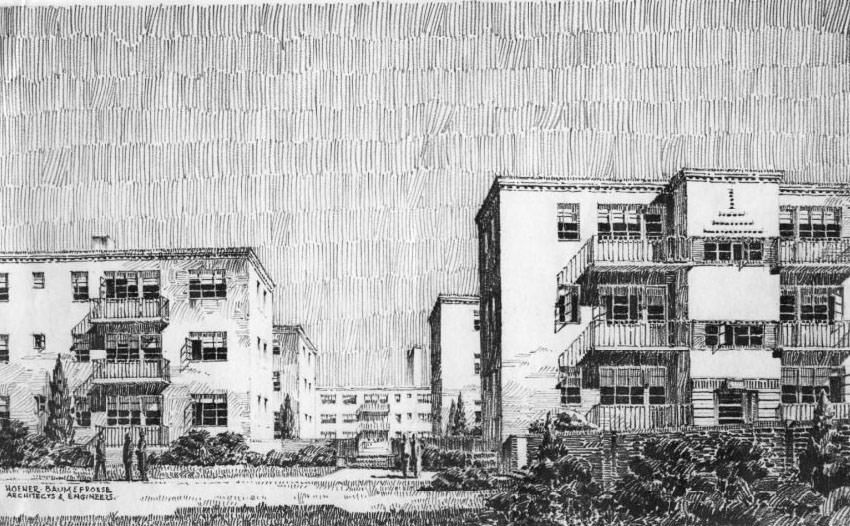
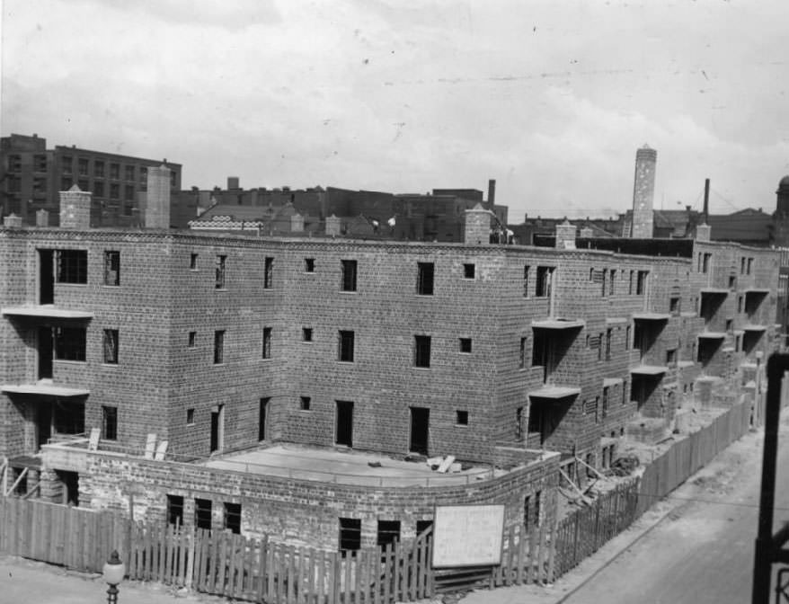
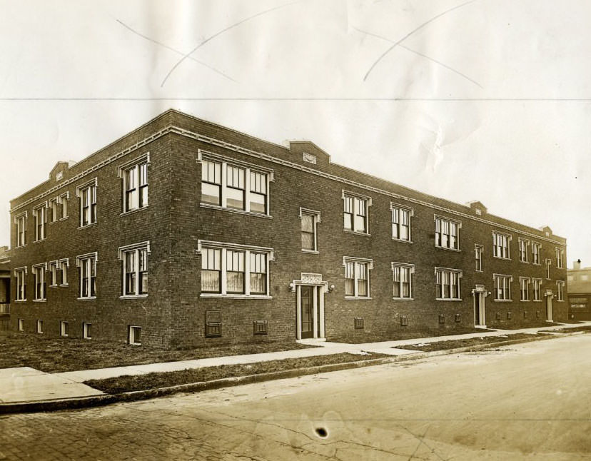
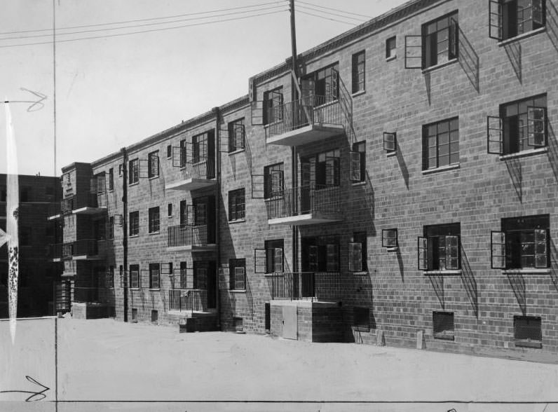
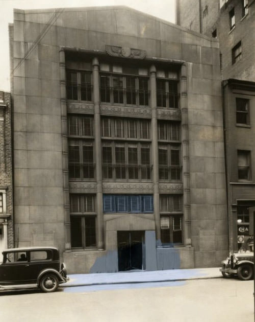
New housing developments were also reshaping parts of the city. The Neighborhood Gardens Apartments, nearing completion in 1930, were designed to house over 1,000 residents at low rents — a direct response to the city’s housing pressures. The Park Royal Apartments at 4605 Lindell Boulevard offered a very different proposition: fifteen stories, fifty-six large suites, completed the same year. St. Louis in the 1930s was building in two directions at once — upward toward luxury, and outward toward affordability.
Neighborhood Gardens Apartments nearing completion, will house over 1000 people, 1930.
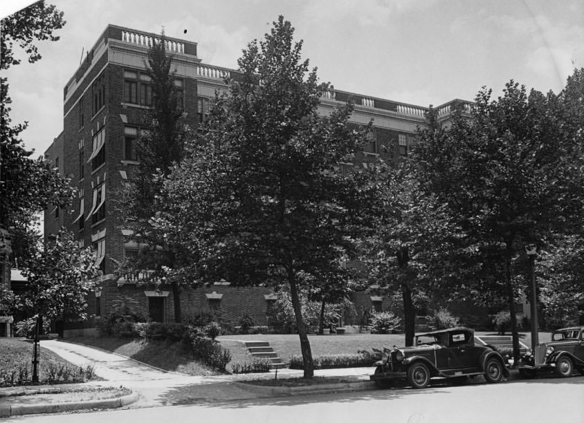
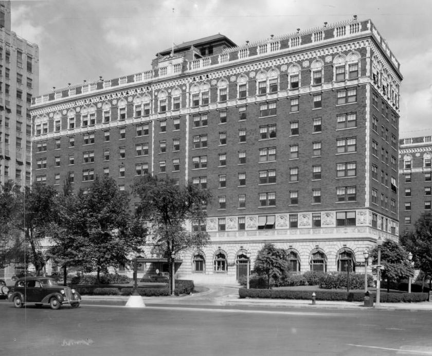
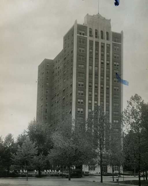
The Park Royal Apartments (also known as the President Apartments, fifteen stories high with fifty-six large suites, is completed at 4605 Lindell Boulevard, 1930
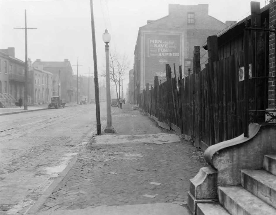
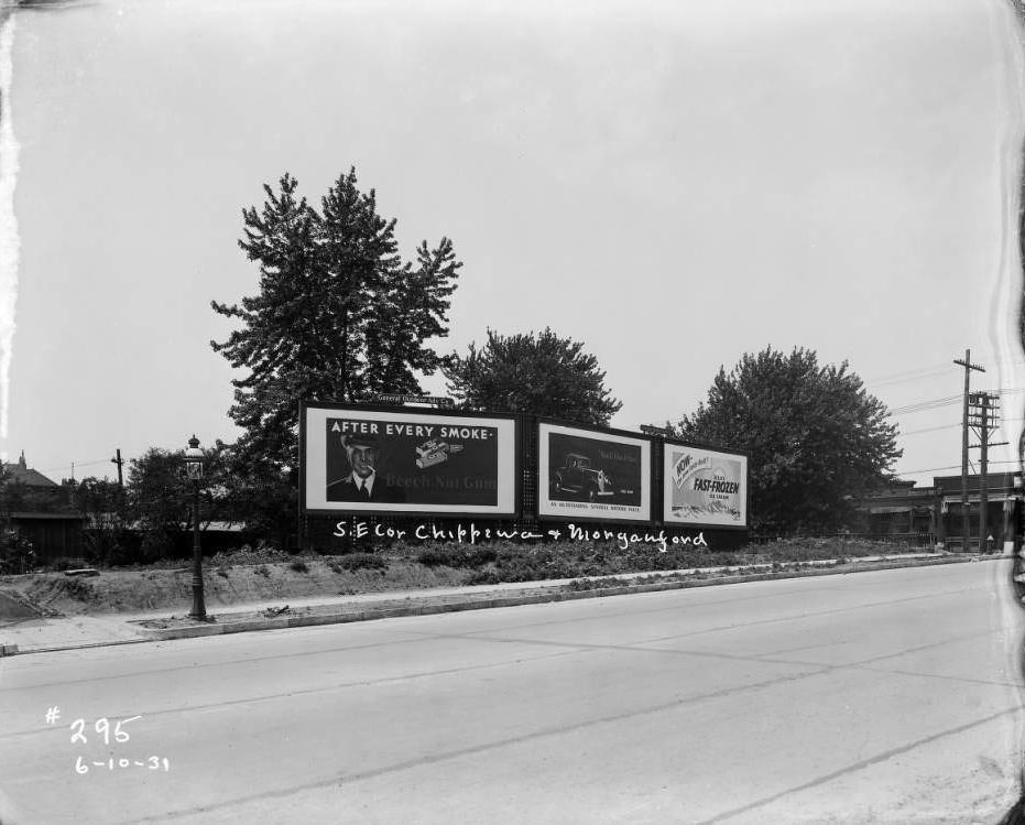
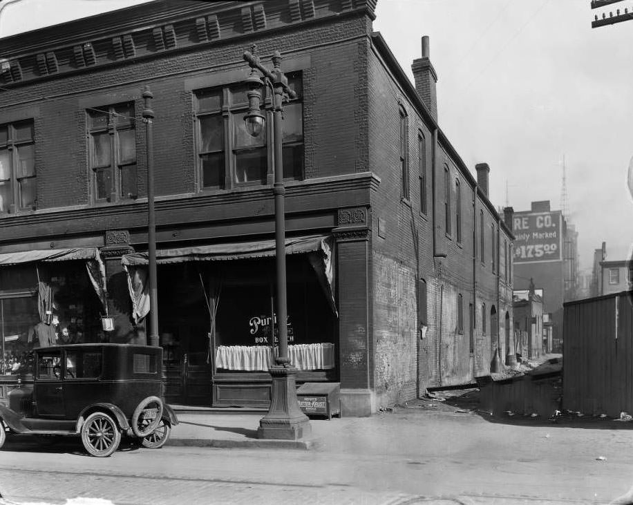
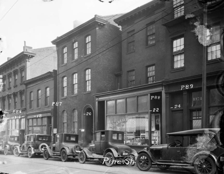
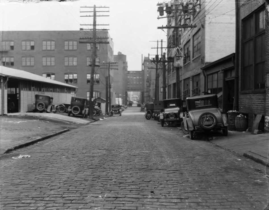
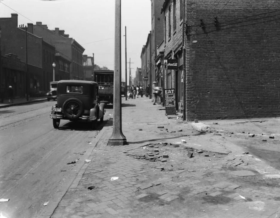
The photographs that survive from this decade offer something no written account can fully replicate: the precise, unedited look of specific streets, storefronts, and people at a specific moment in time. The painted warning on a North Tenth Street building near O’Fallon — “Men who fail to save surely must forfeit future happiness” — reads like a Depression-era sermon directed at passersby. The vacant lots, the muddy side streets, and the painted billboards advertising automobiles and chewing gum are all here, recorded in careful detail by city surveyors and photographers who were simply trying to document what they saw.
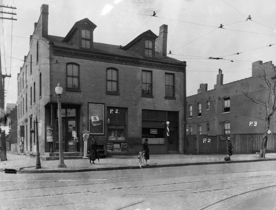
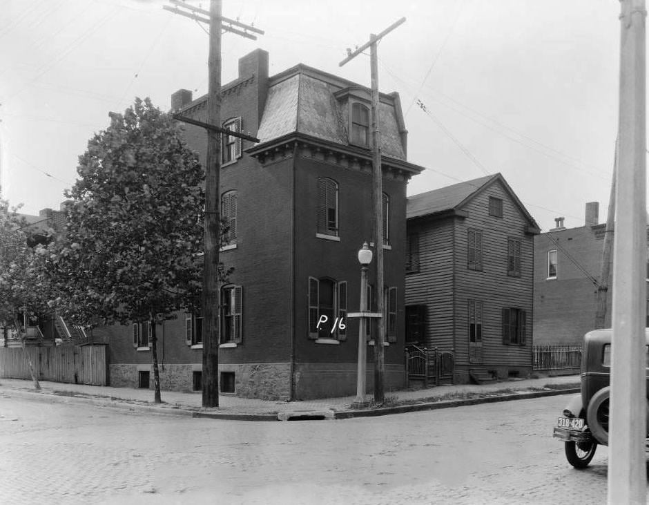
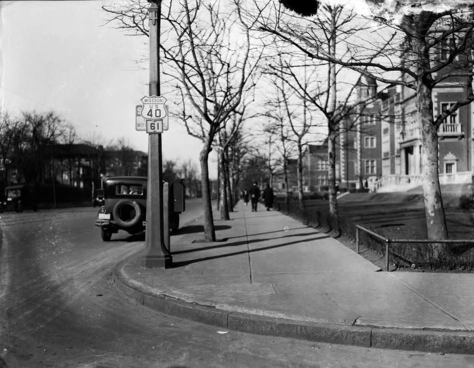
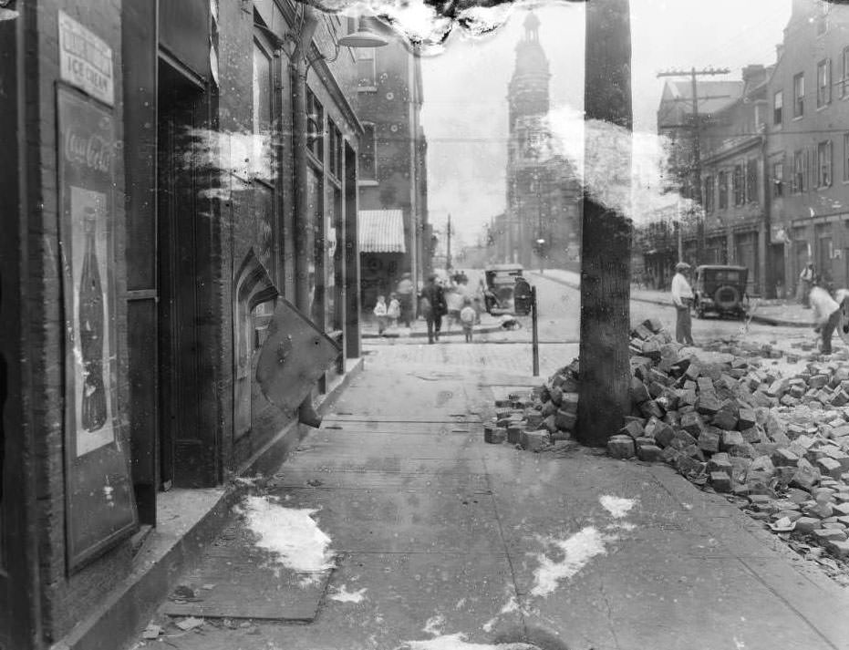
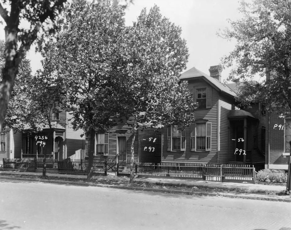
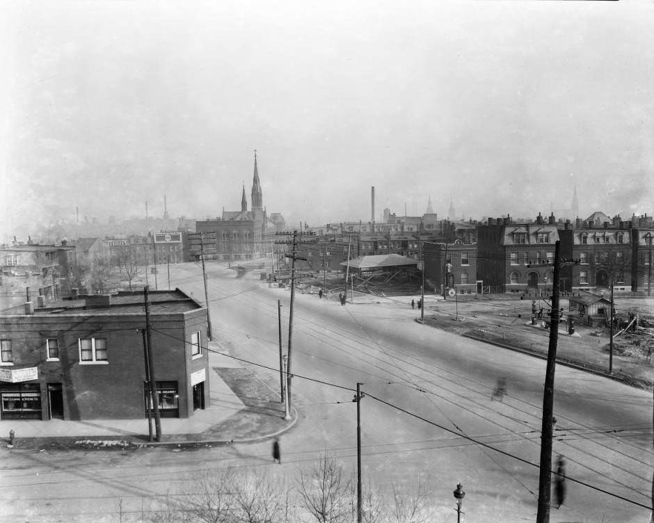
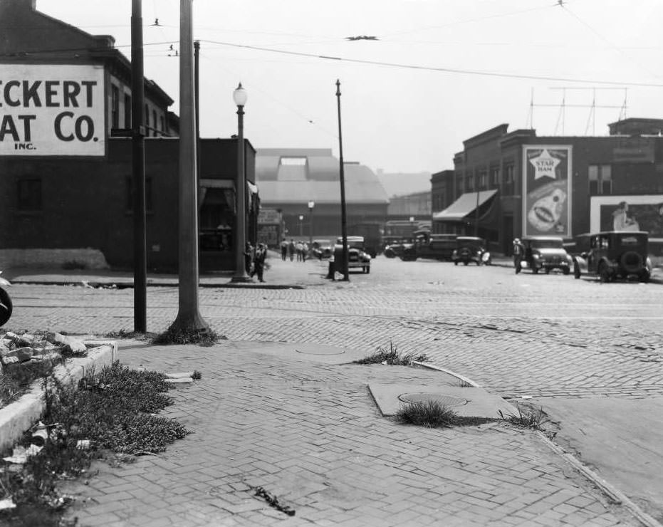
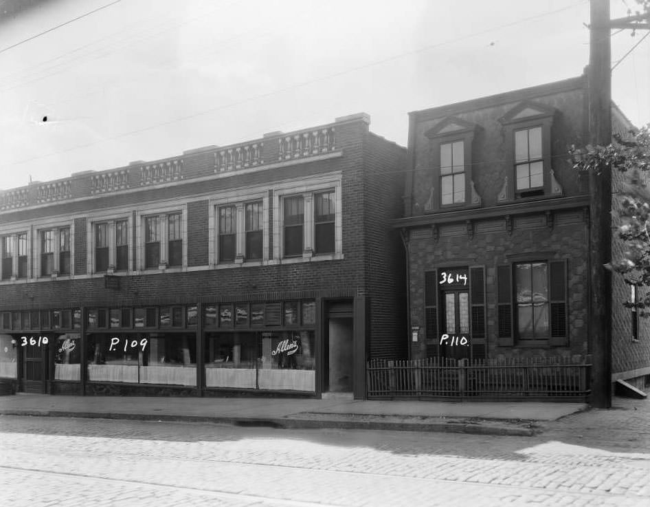
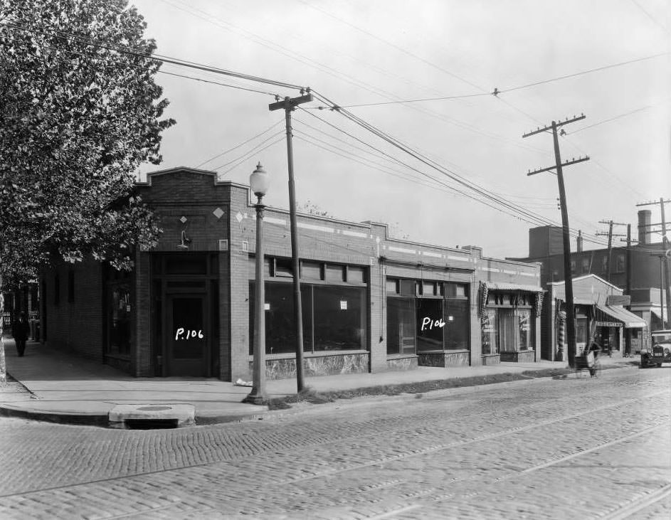
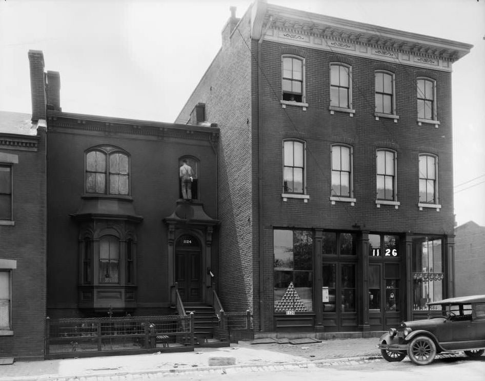
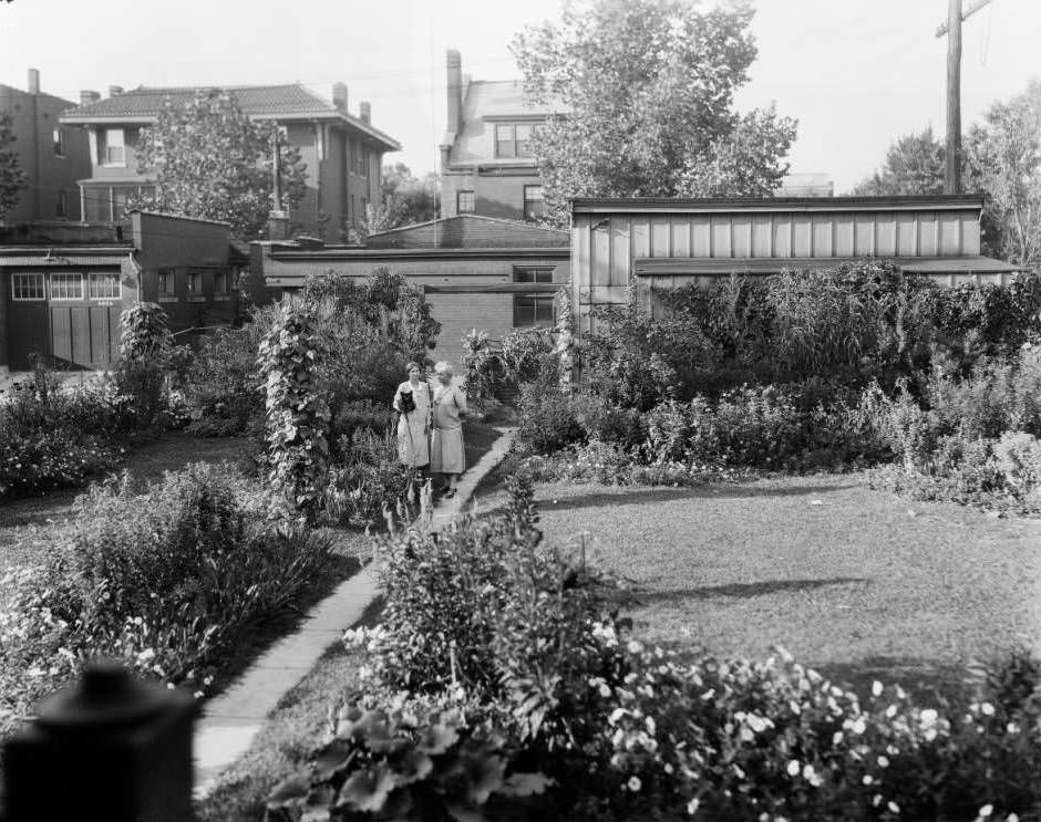
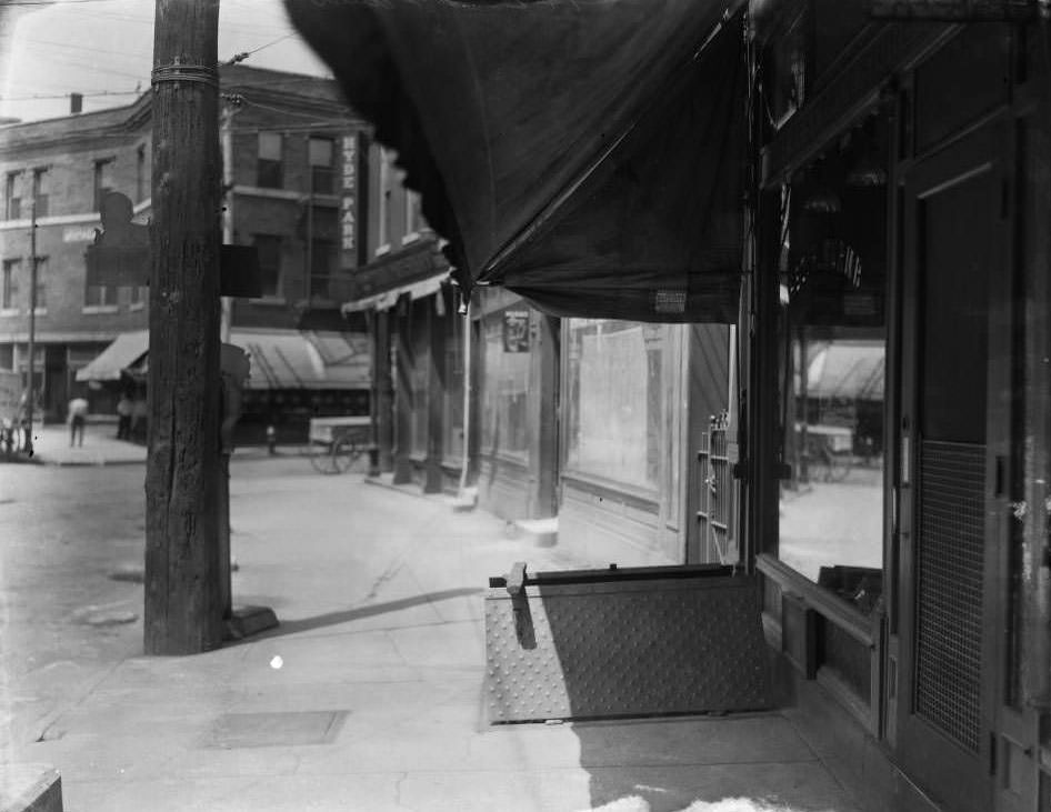
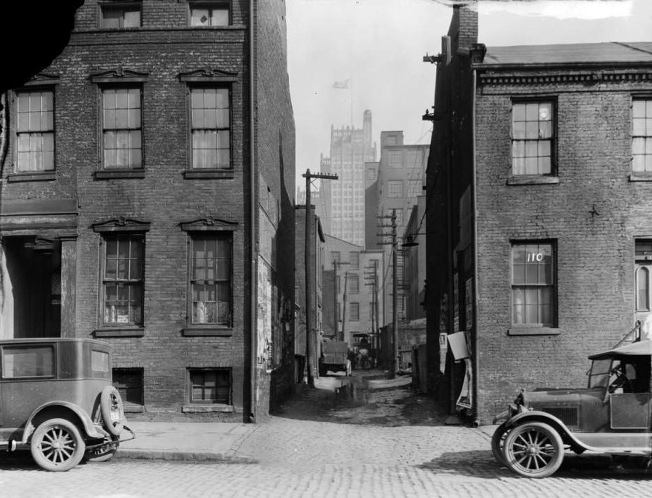
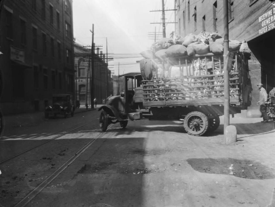
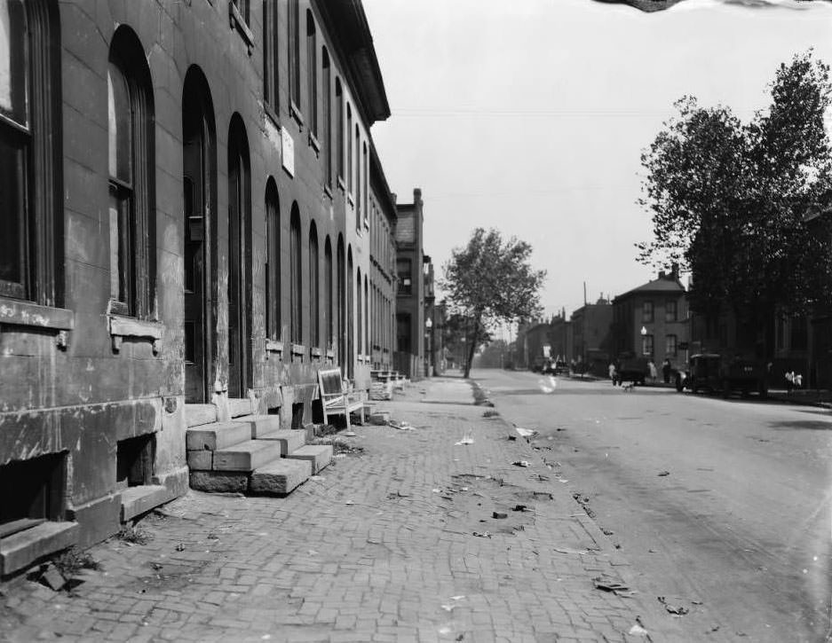
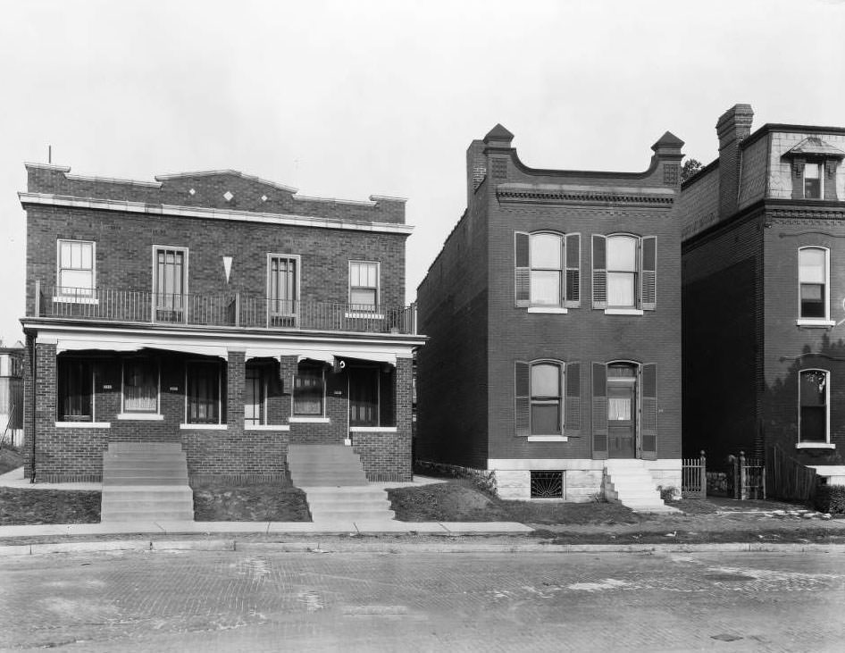
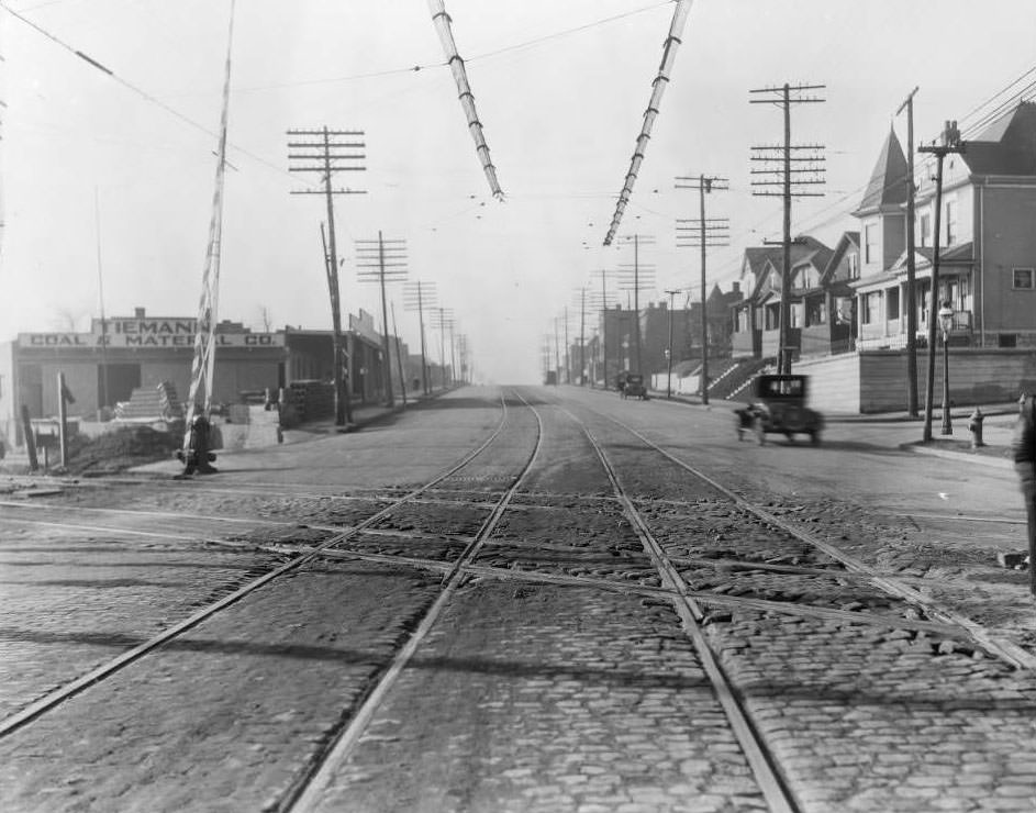
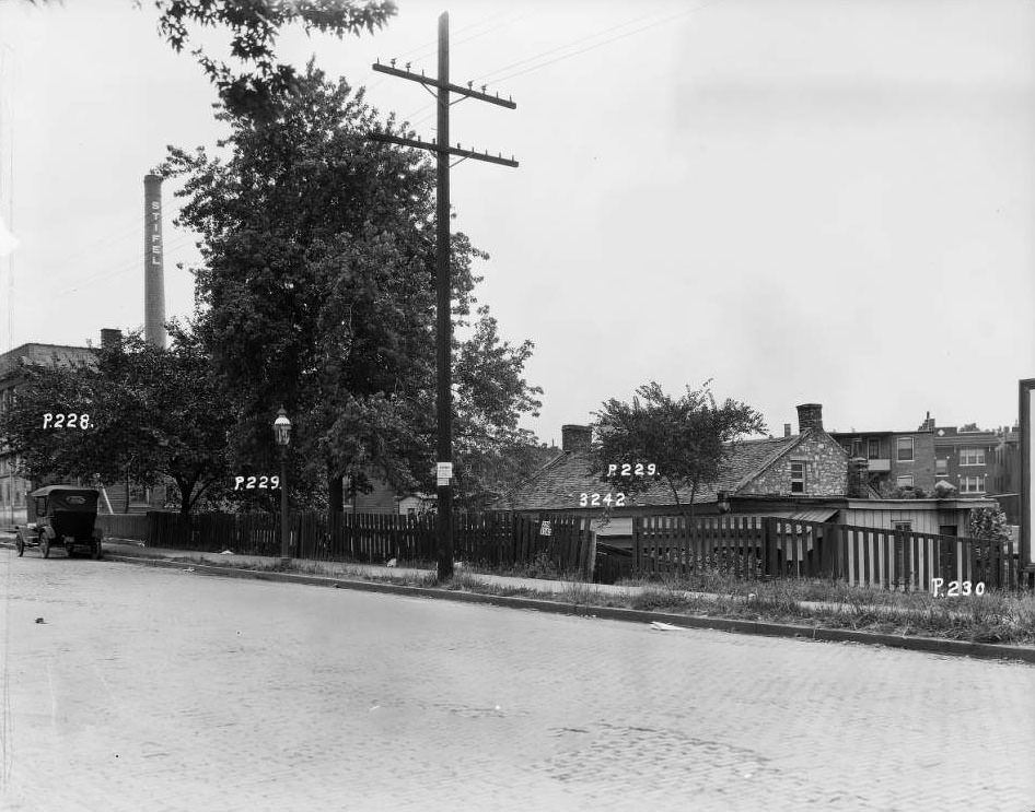
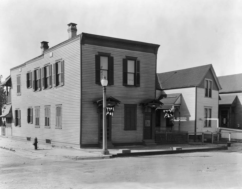
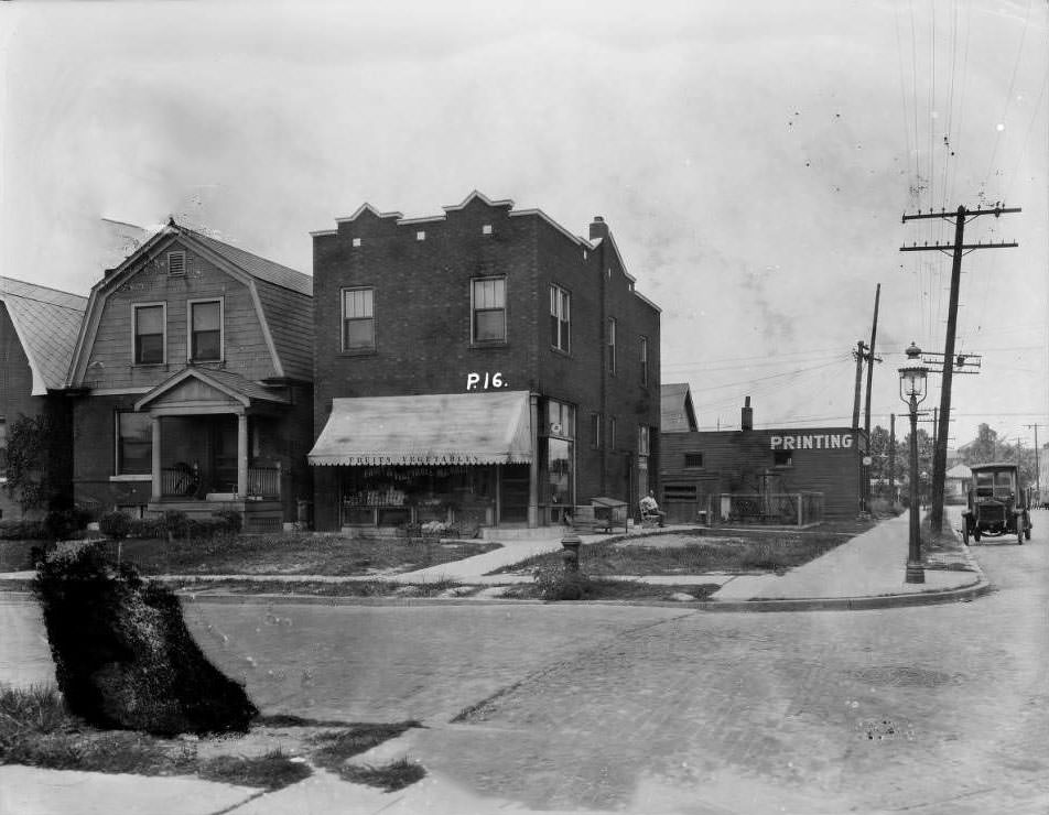
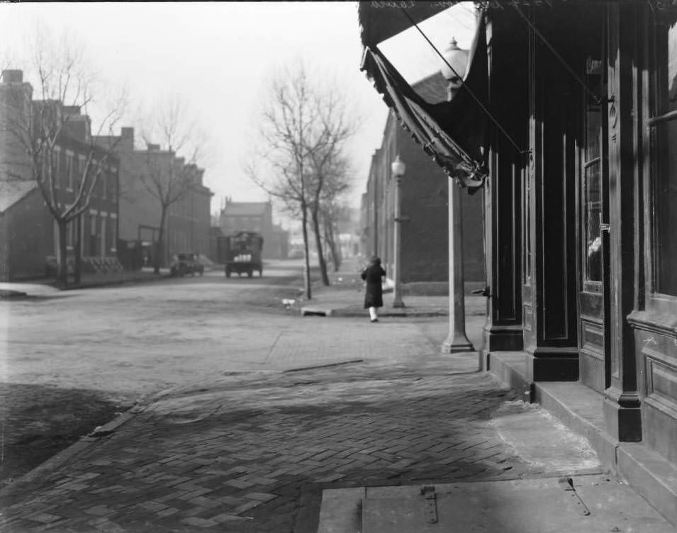
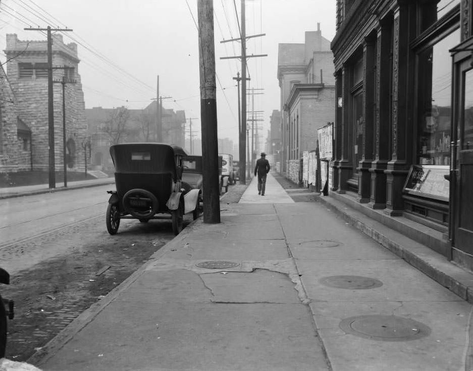
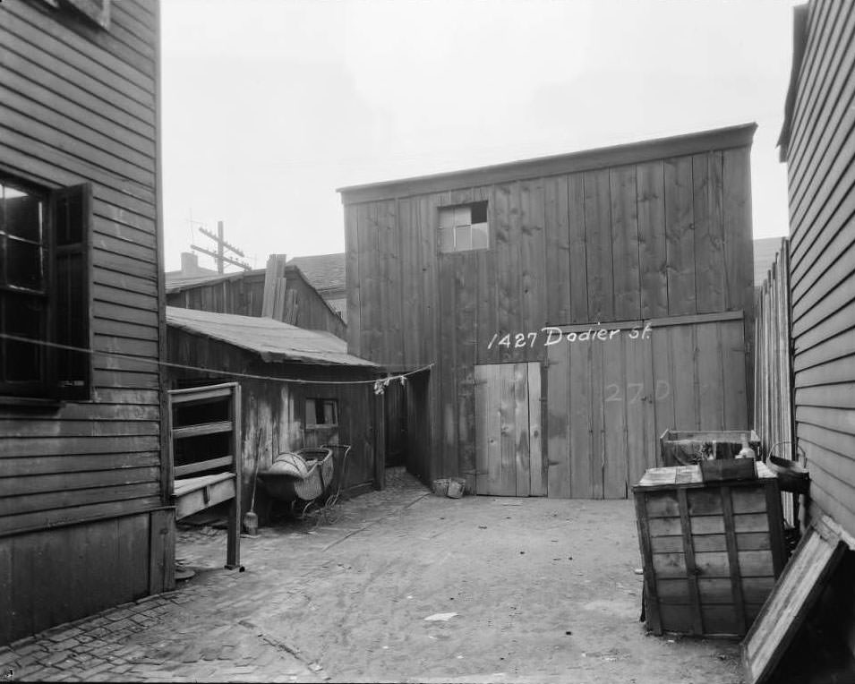
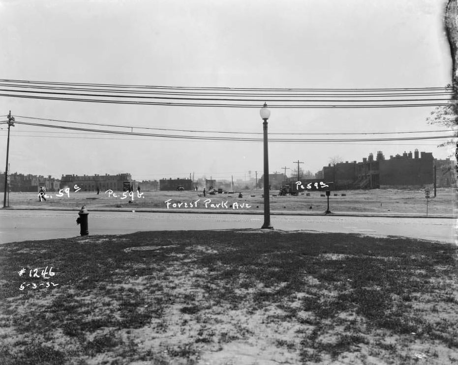
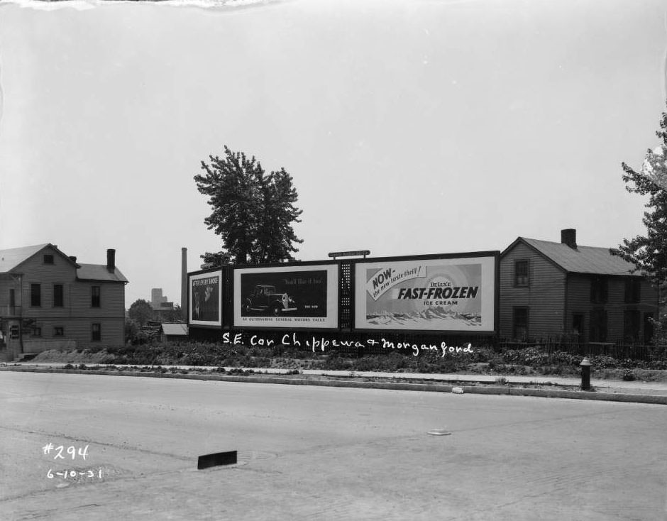
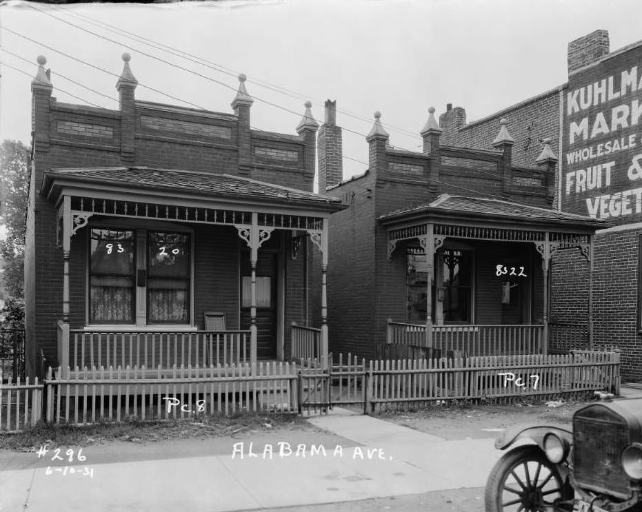
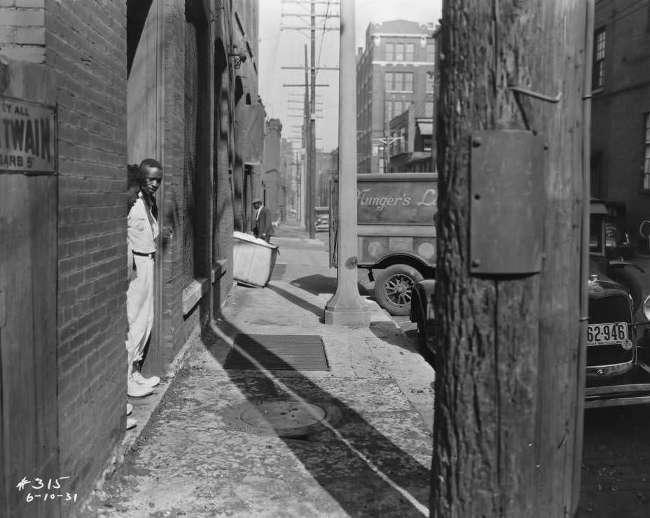
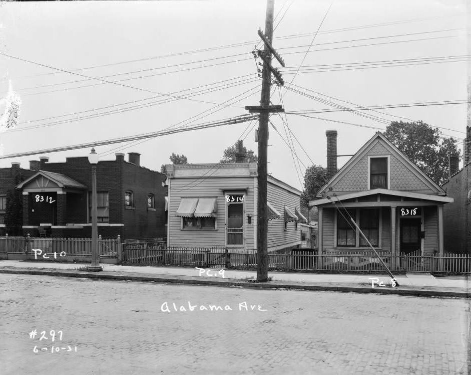
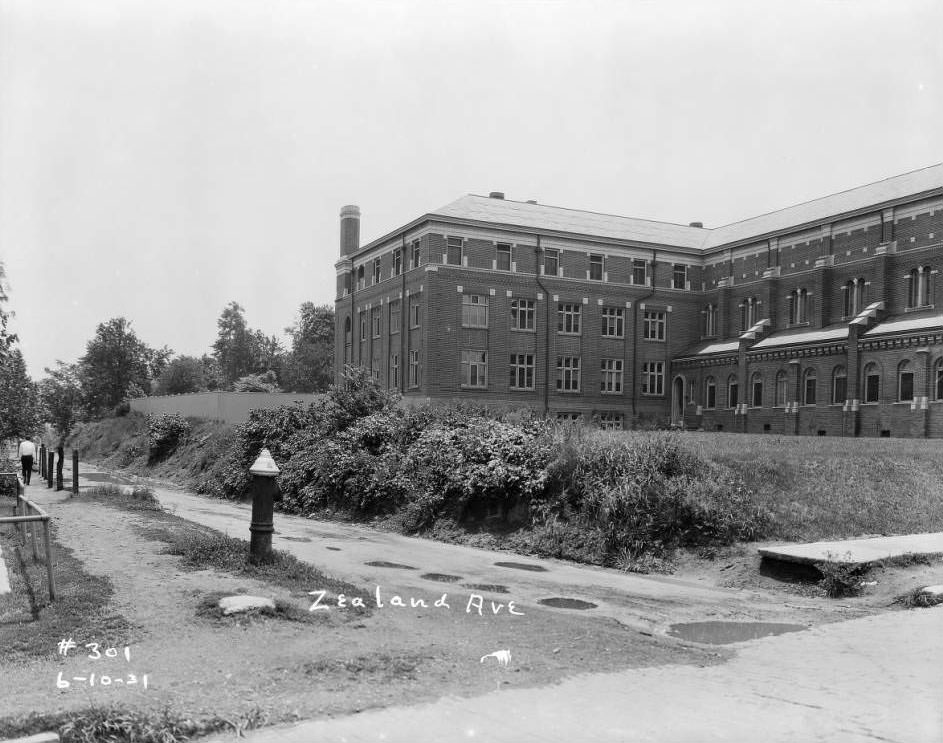
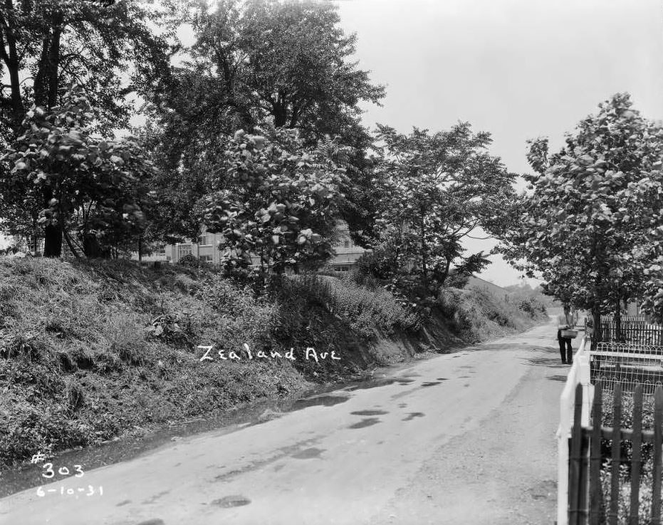
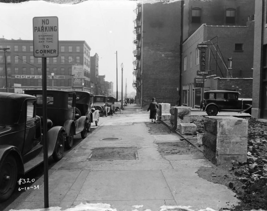
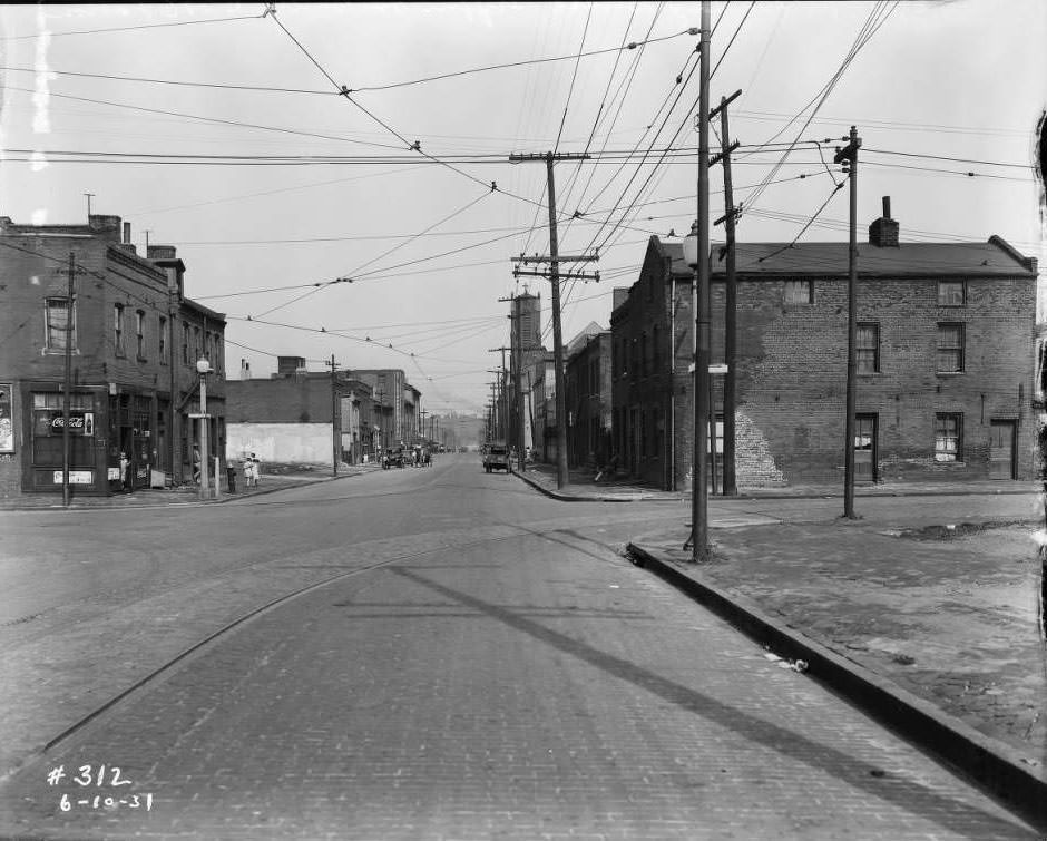
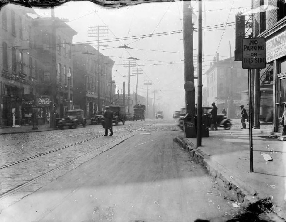
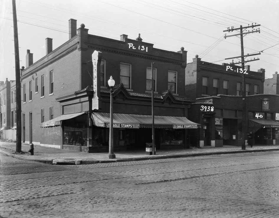
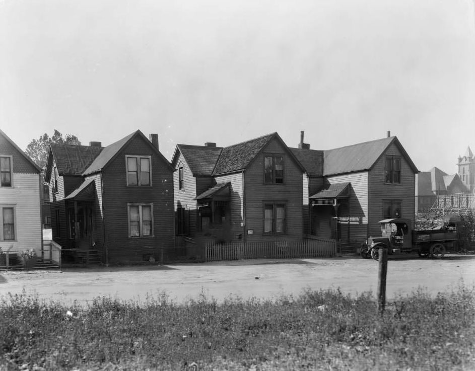
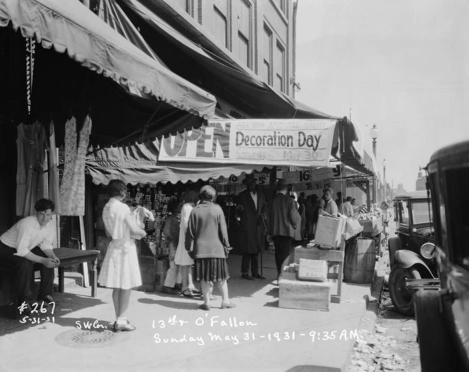
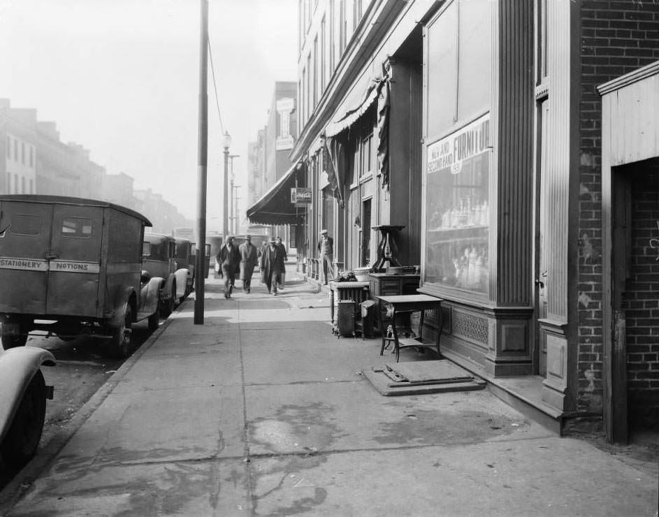
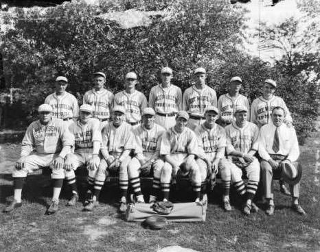
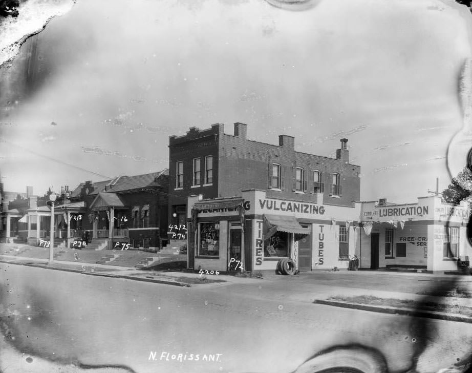
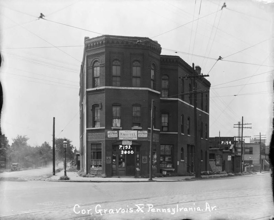
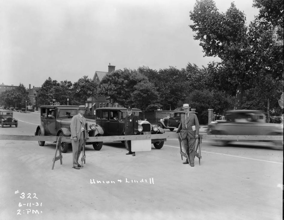
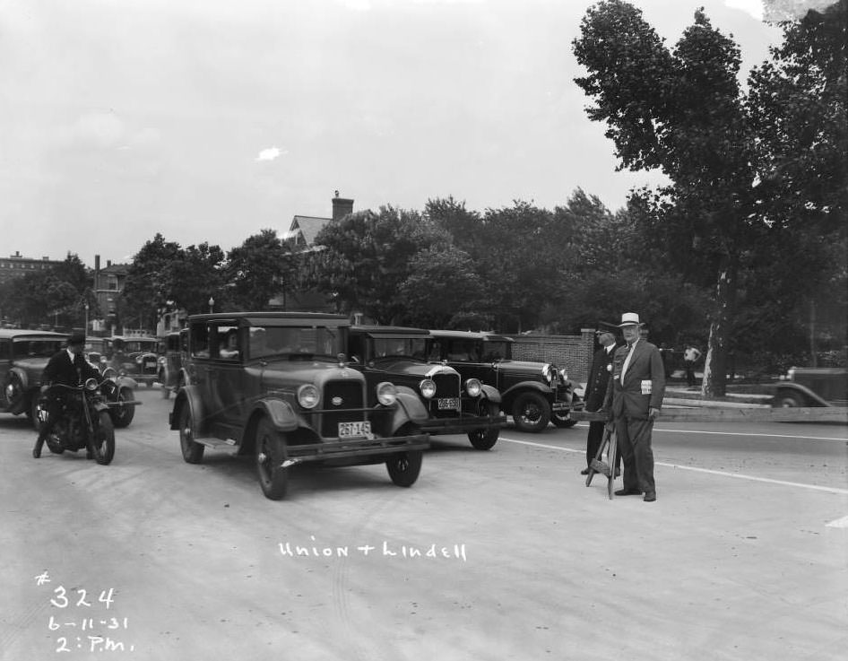
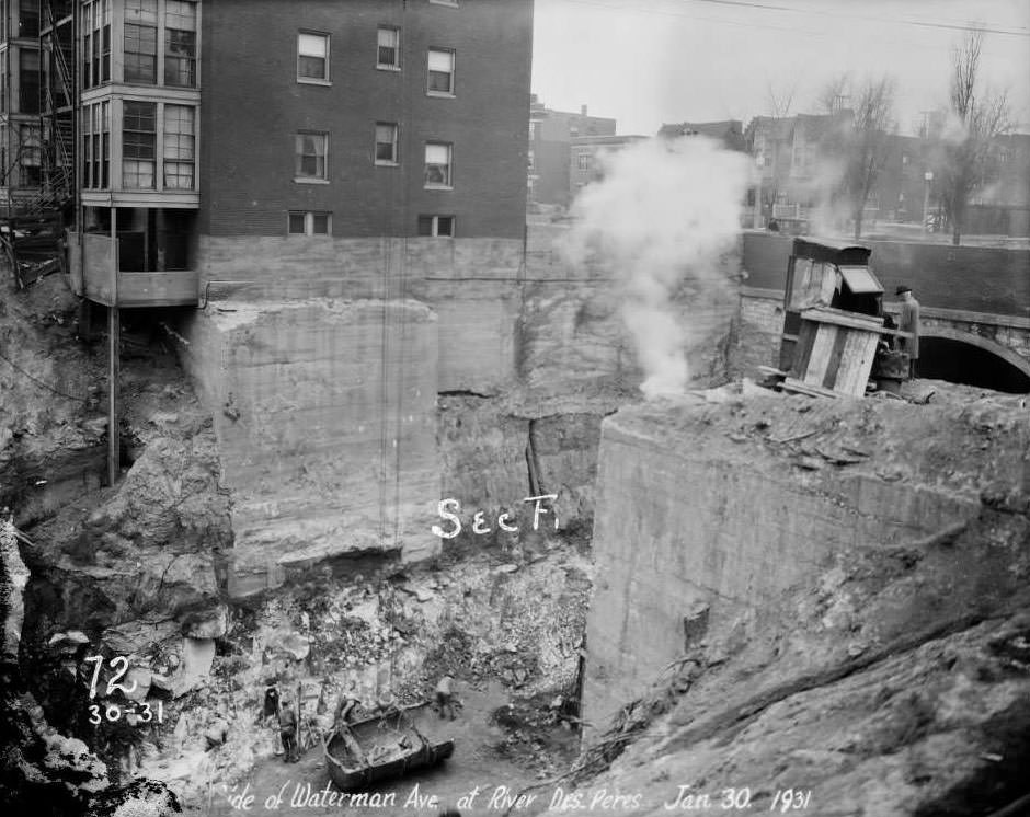
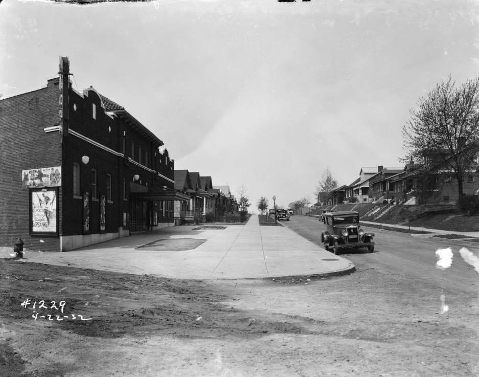
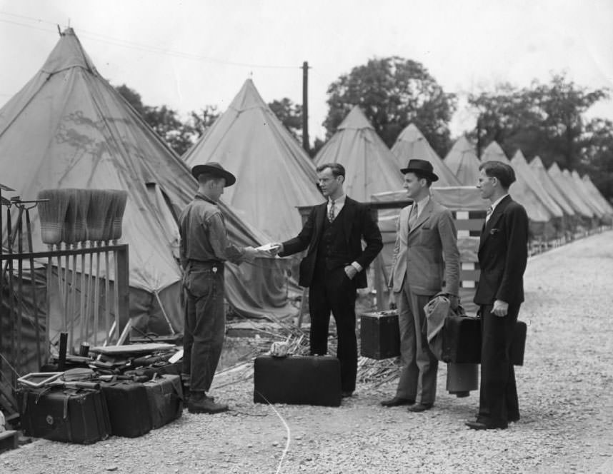
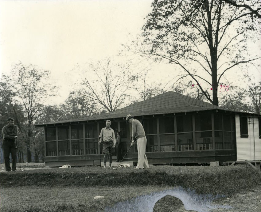
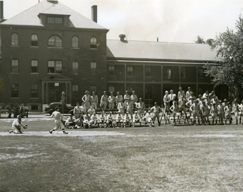
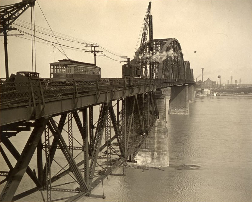
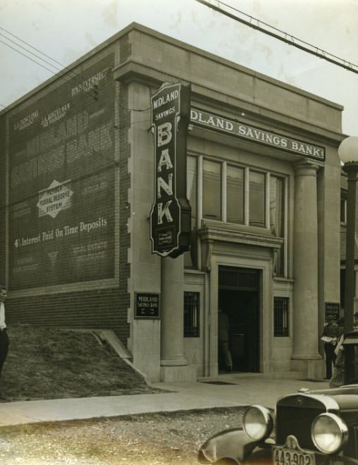
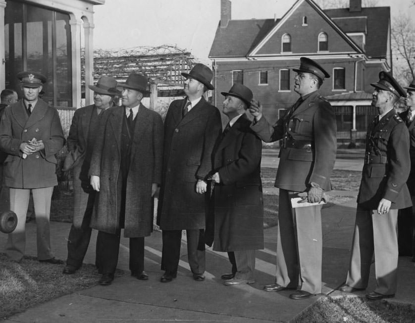
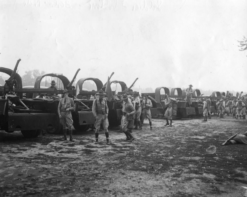
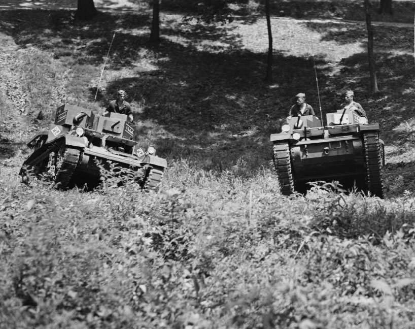
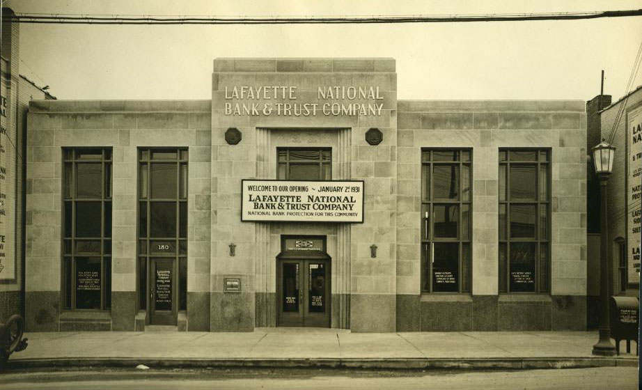
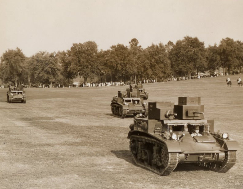
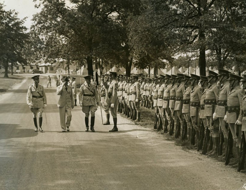
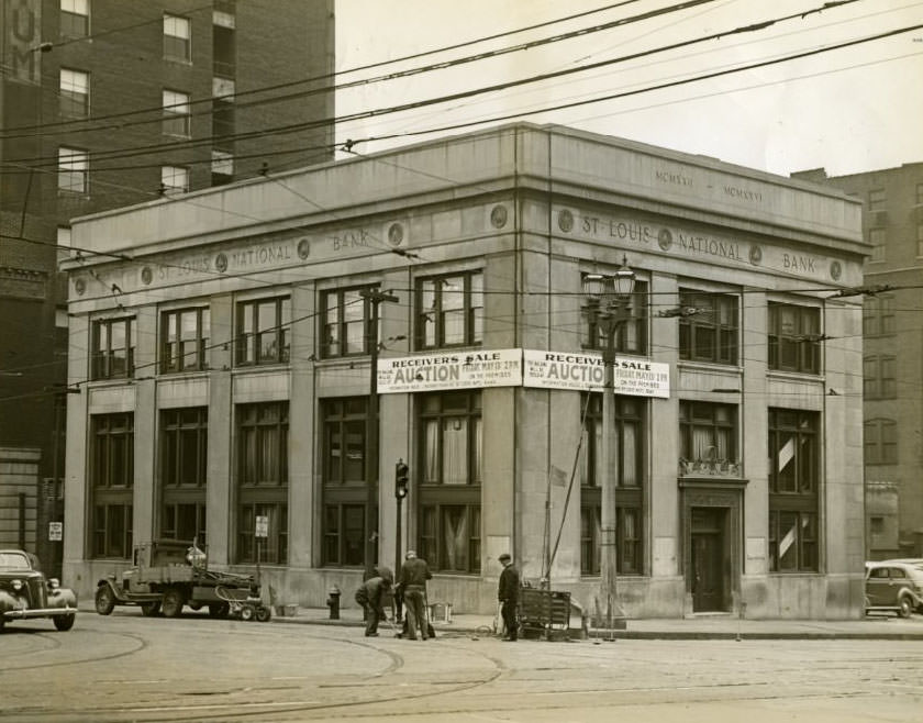
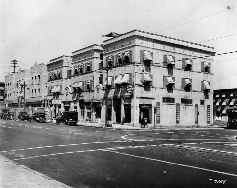
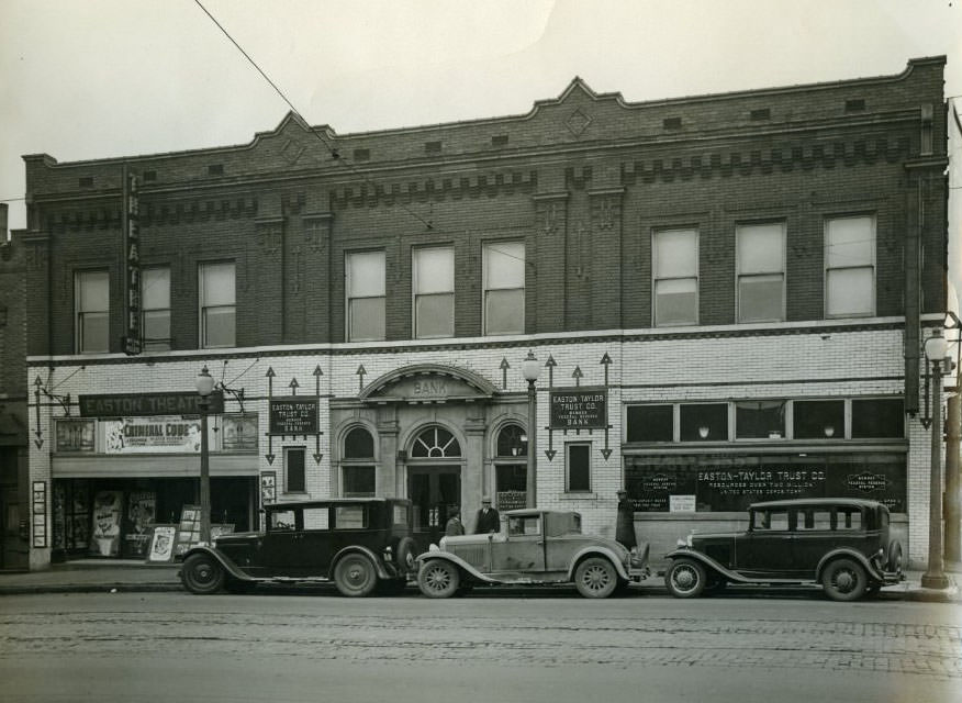
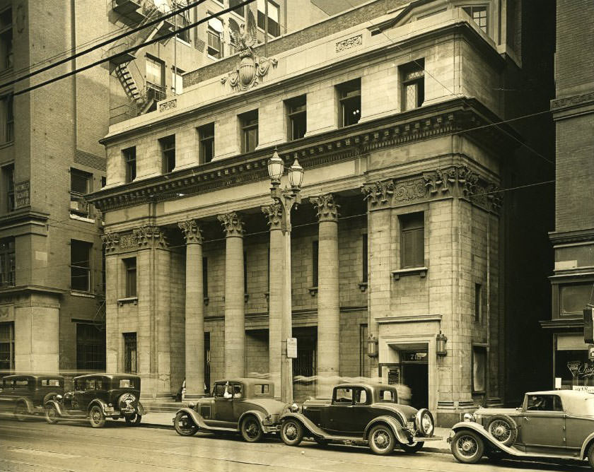
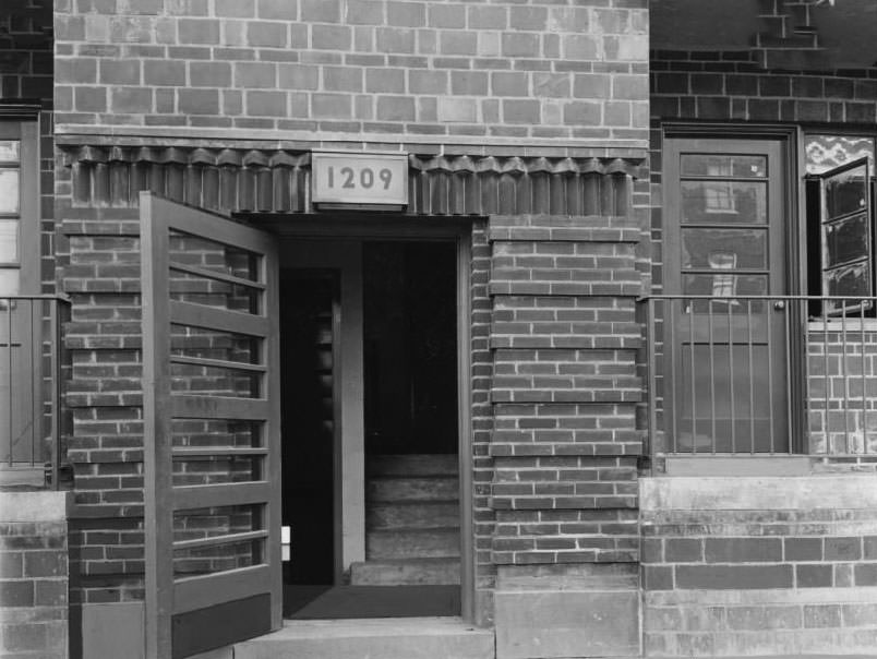
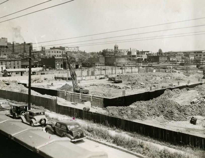
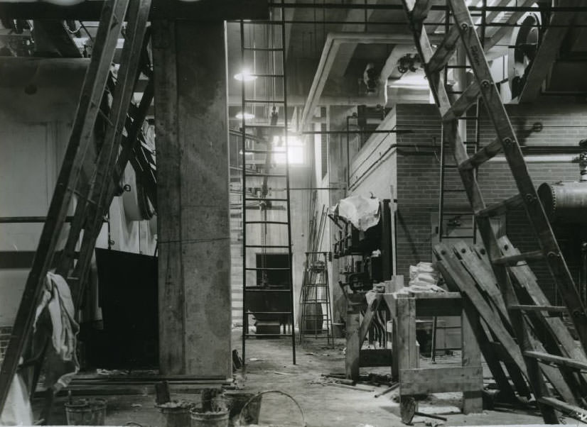
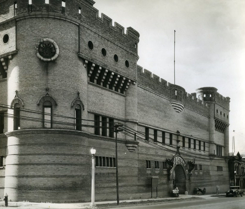
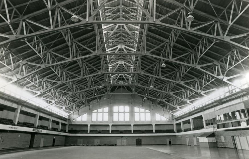
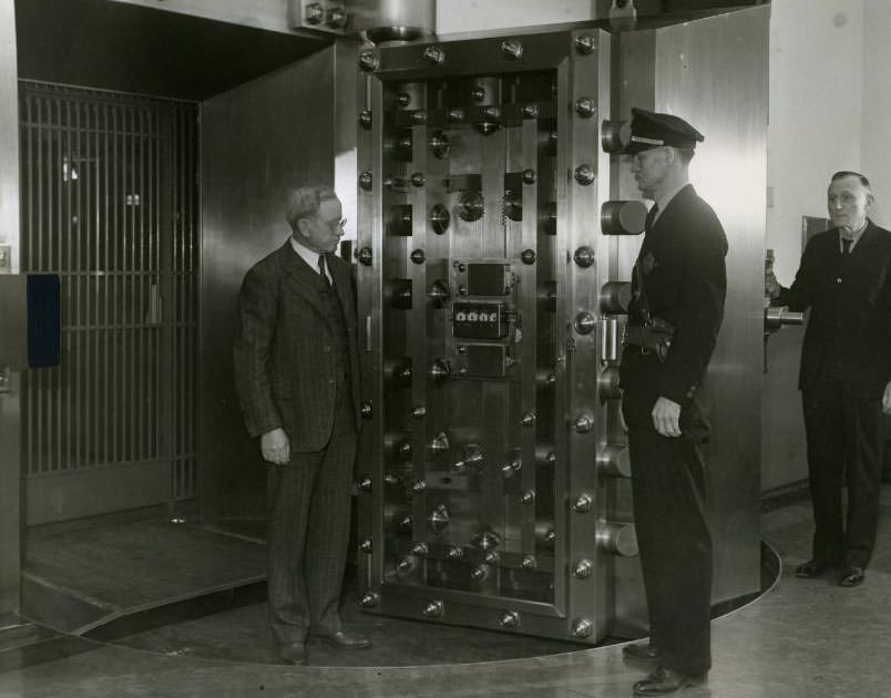
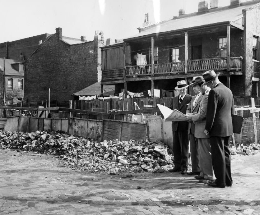
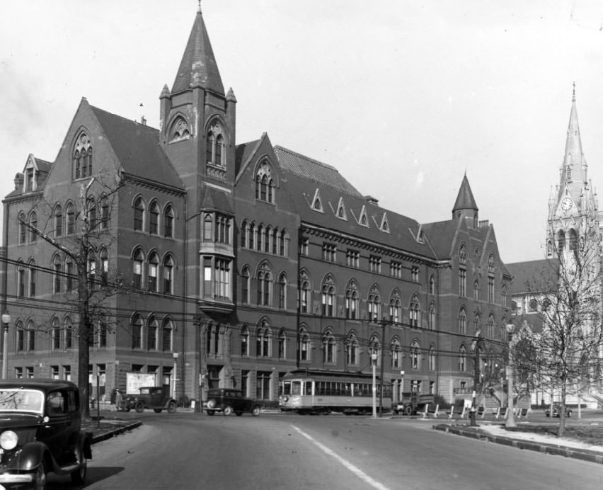
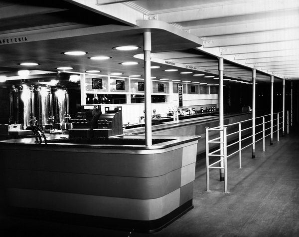
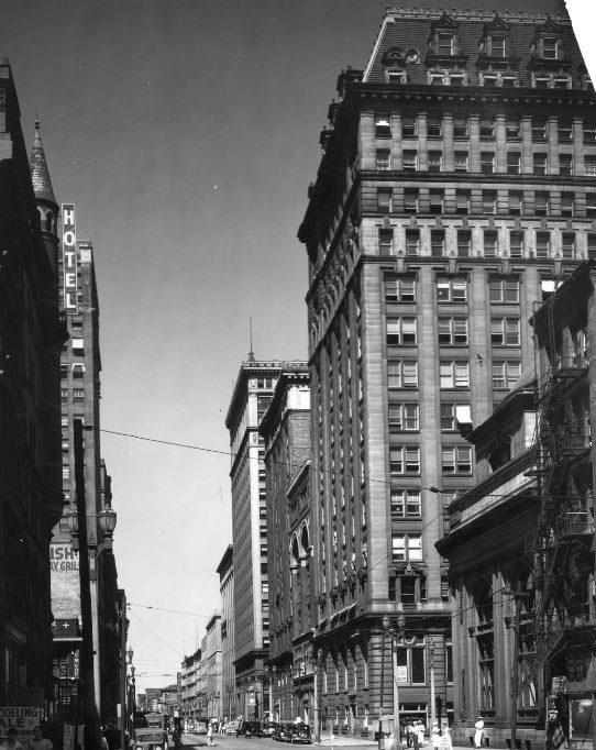
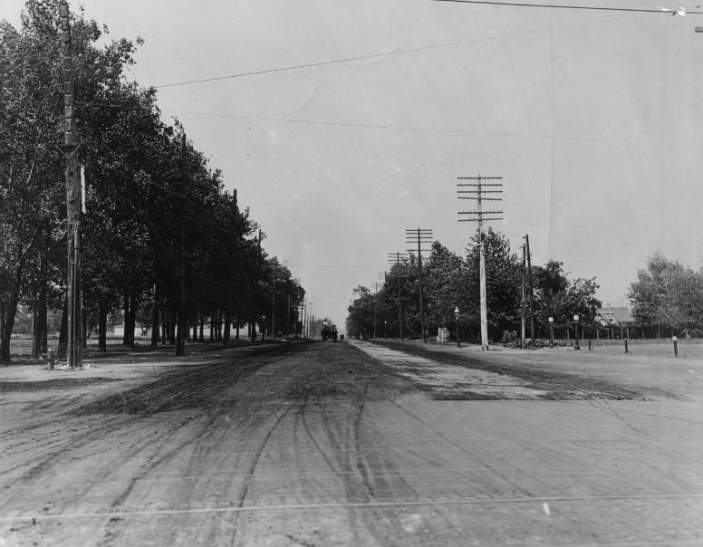
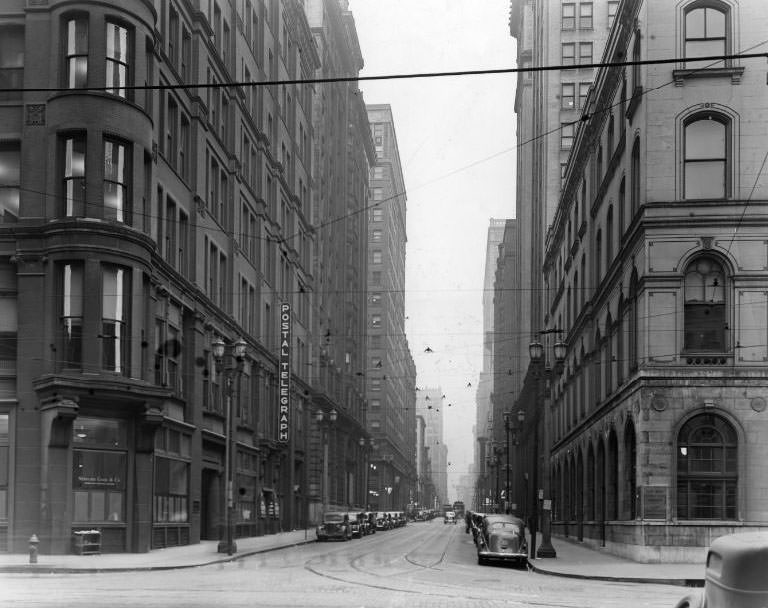
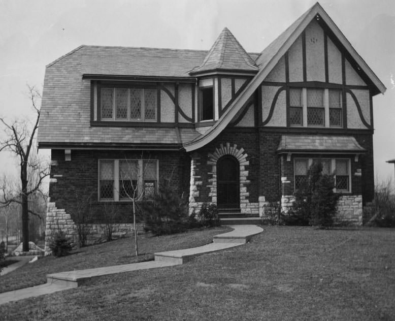
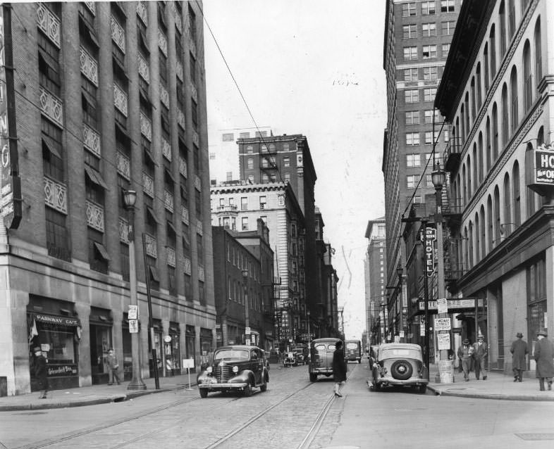
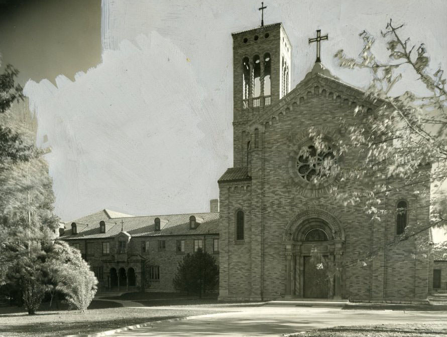
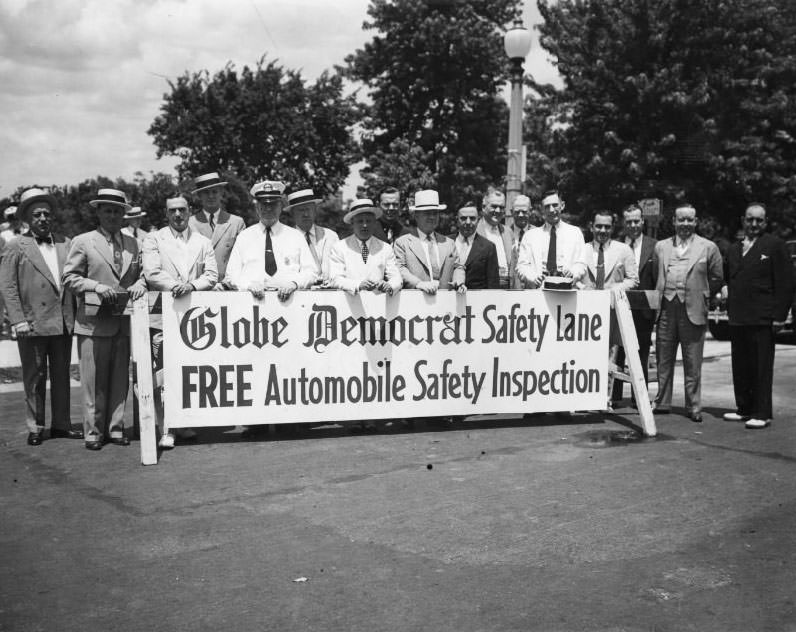
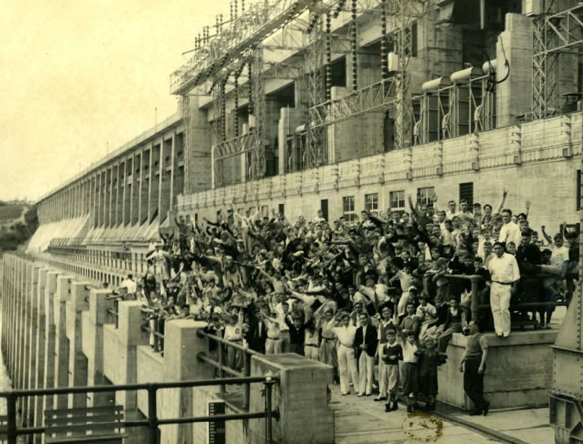
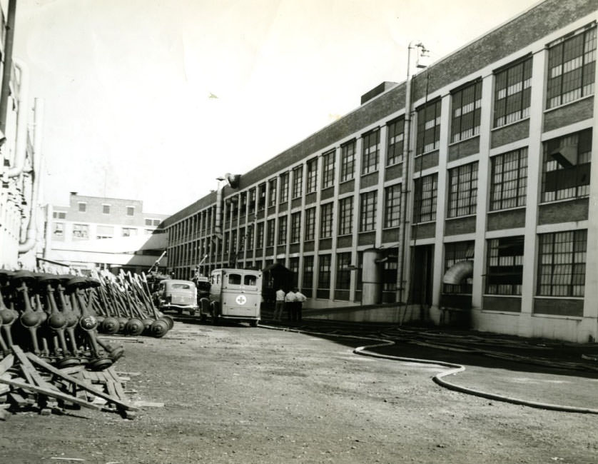
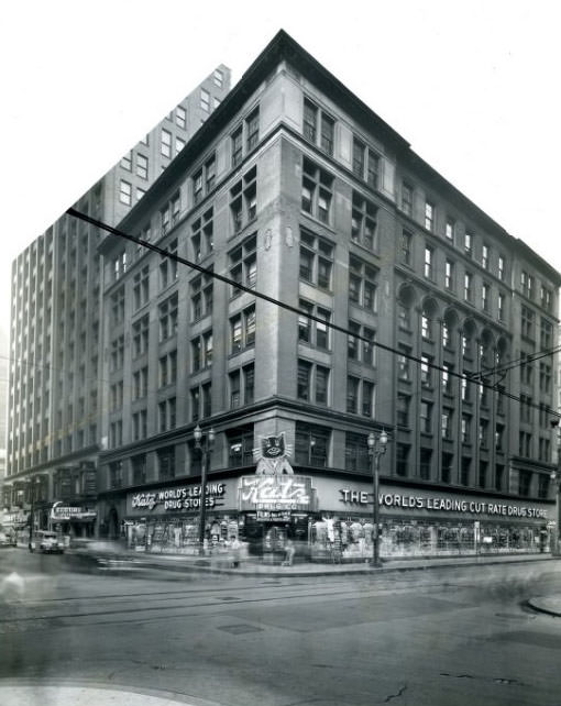
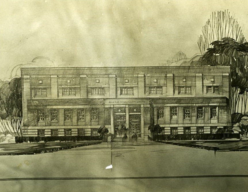
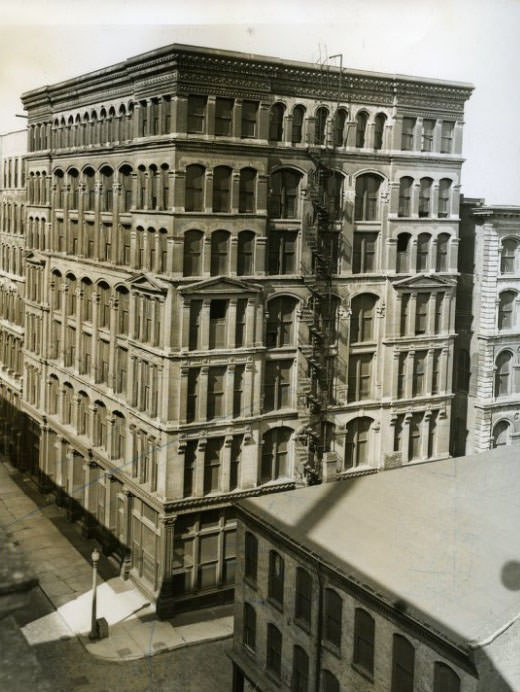
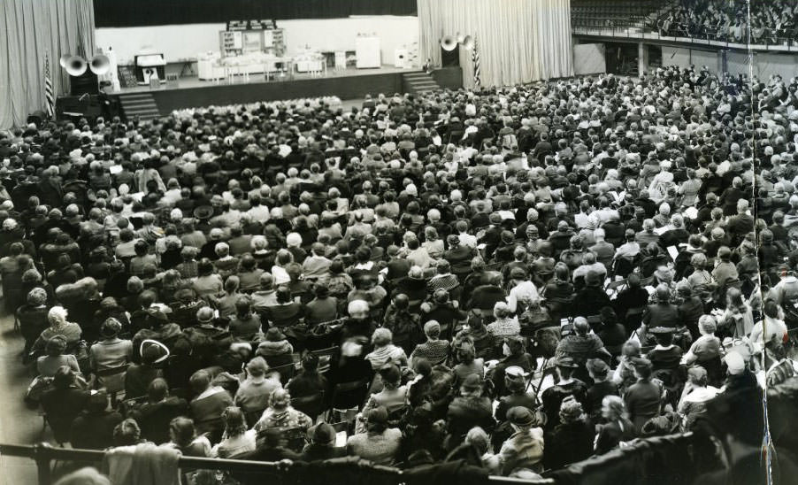
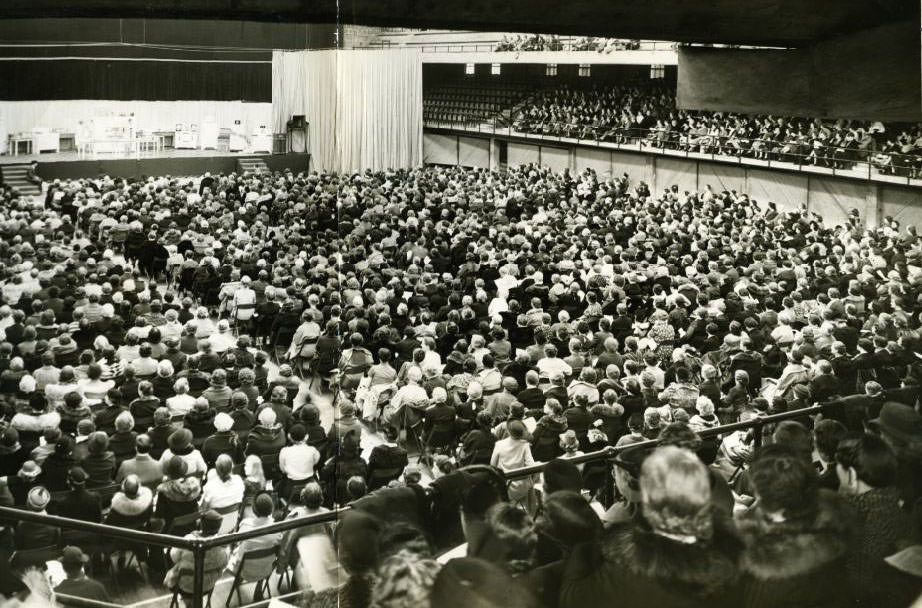
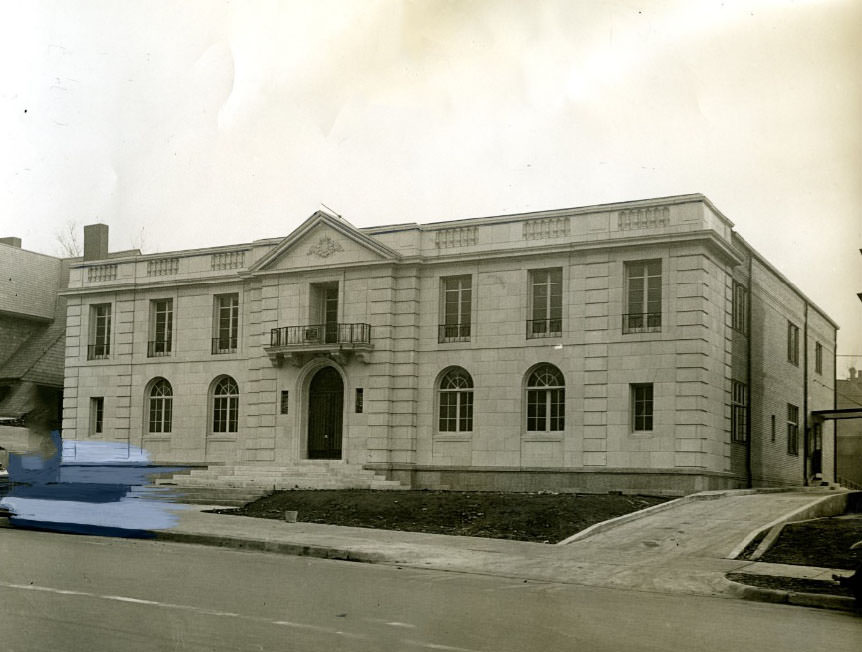
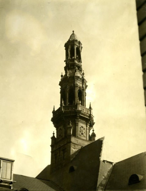
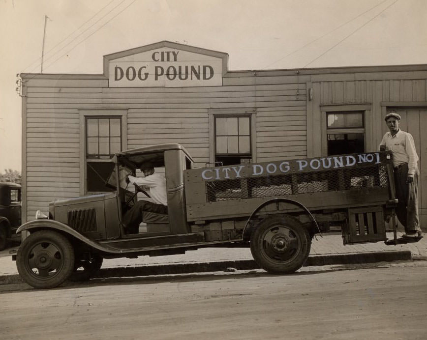
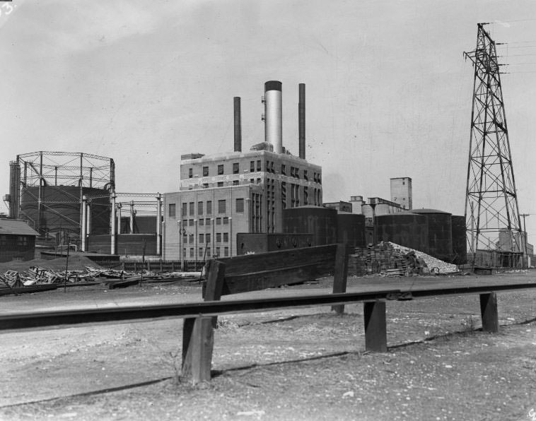
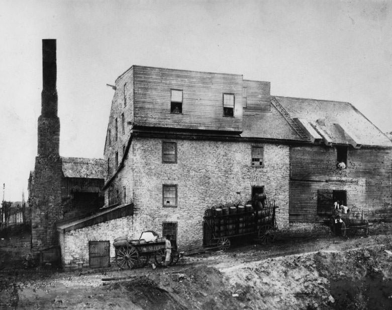
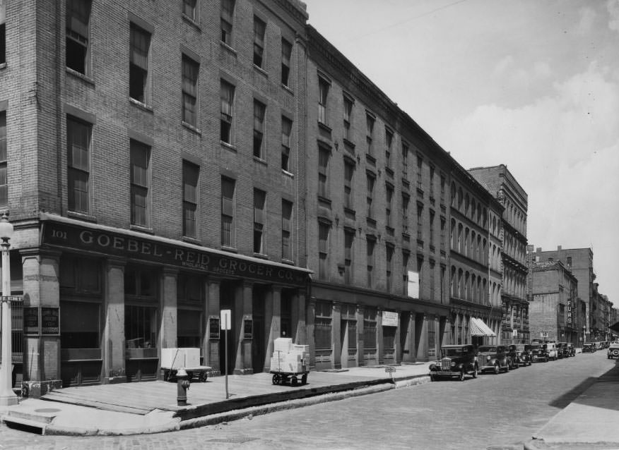
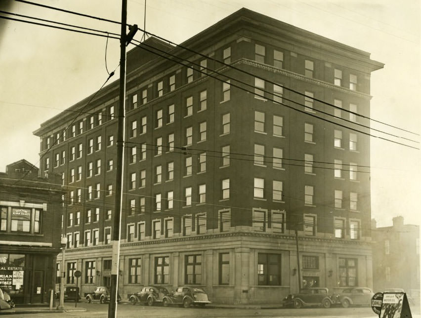
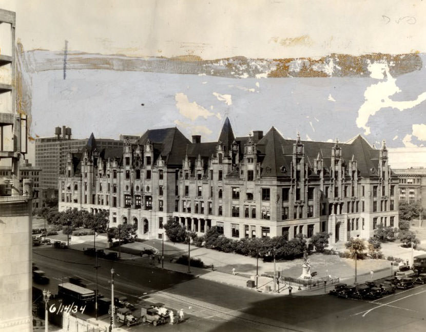
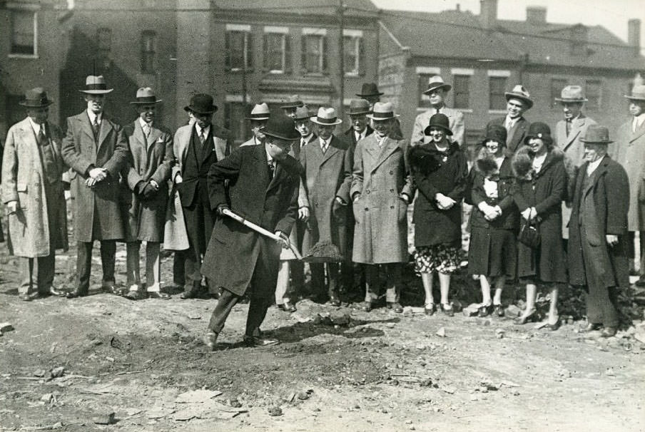
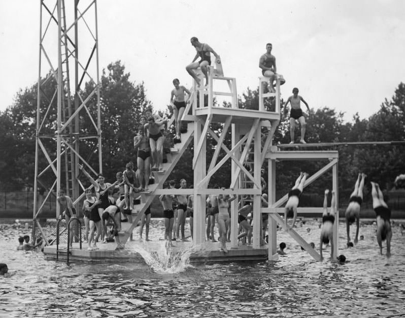
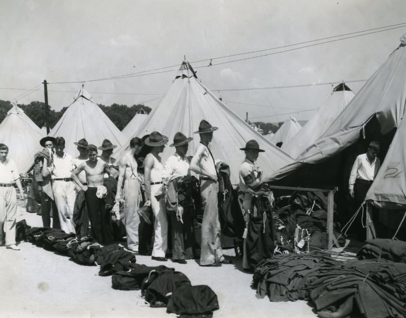
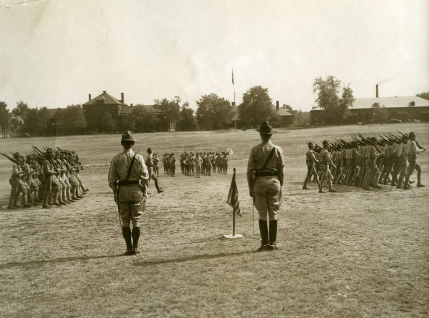
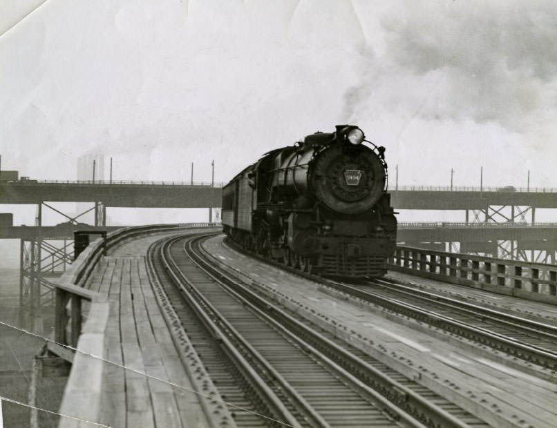
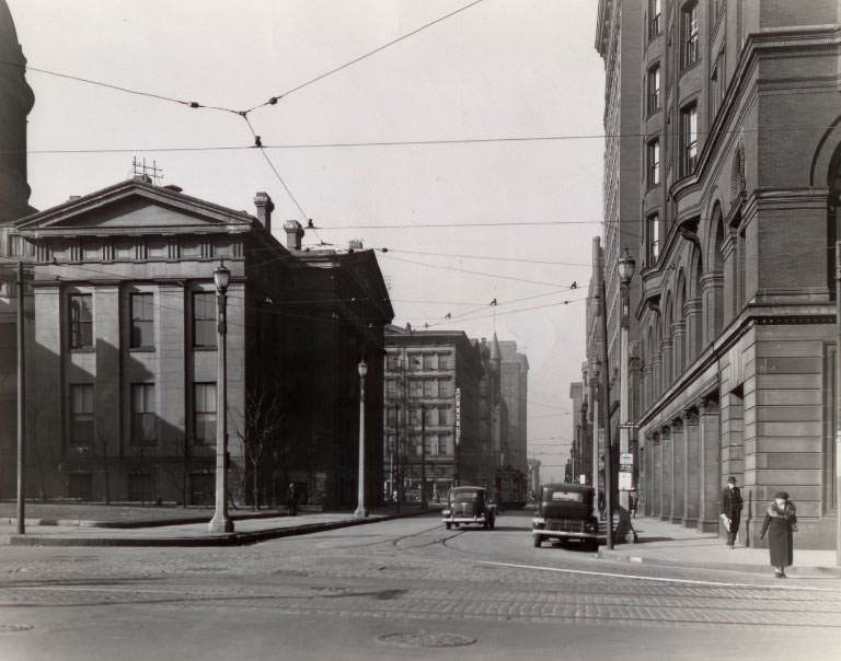
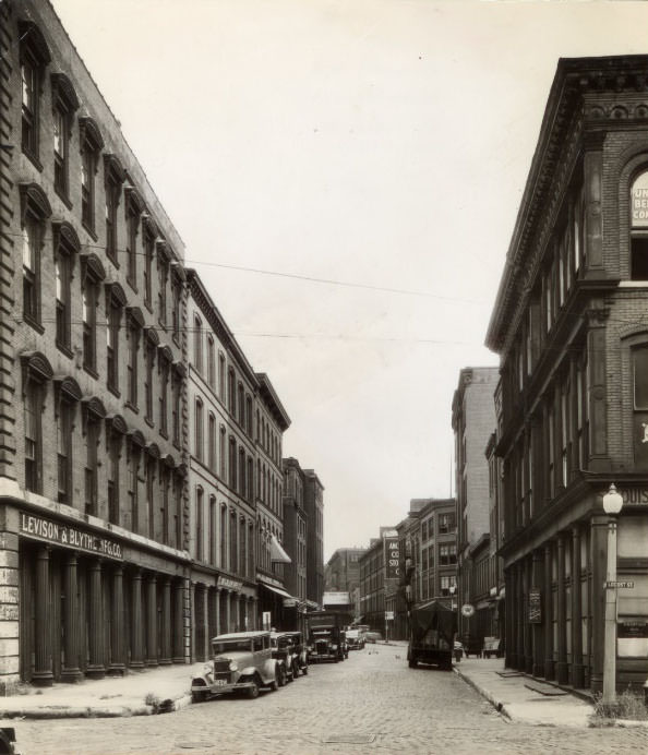
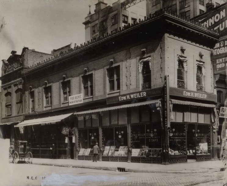
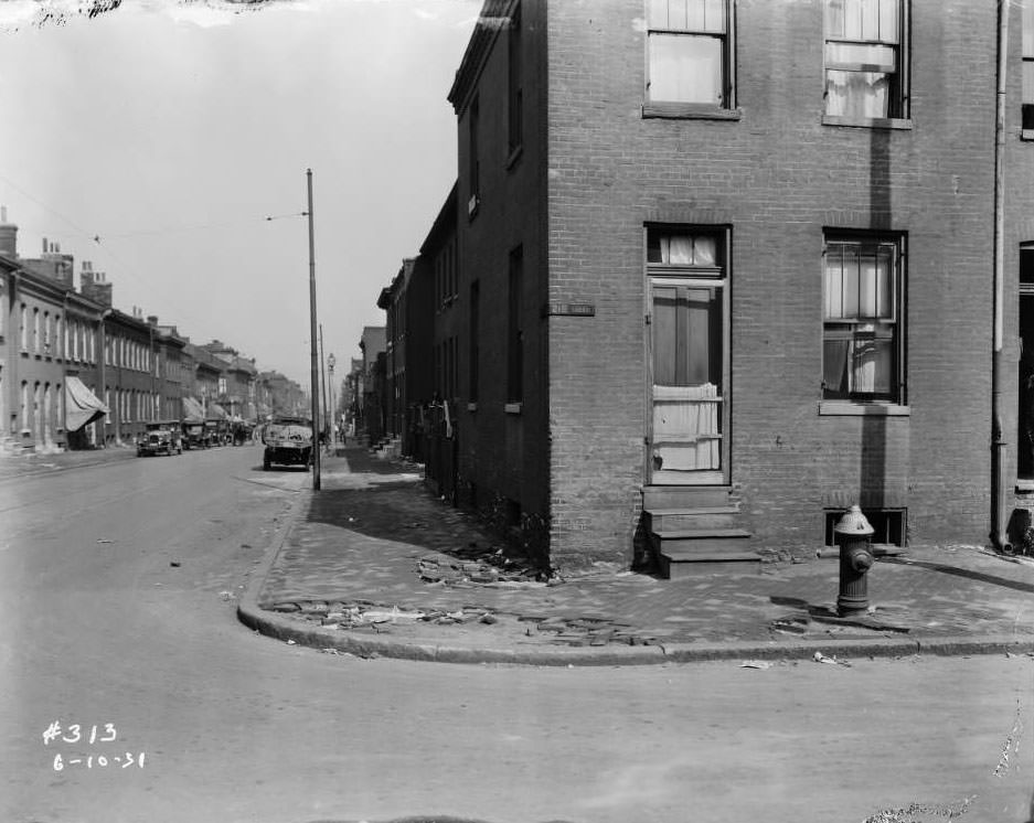
View of North Tenth St. near O’Fallon St., including a junkyard, with a building painted with the message “Men who fail to save surely must forfeit future happiness”, 1930Three street billboards at S.E. Cor. Chippewa & Morganford, including General Motors automobiles and Beech Nut Gum, 1931View of Southwest corner of N. Florissant and Mallinkrodt, 1930View looking north on Union from Kensington, with Soldan High School visible on the right, 1930View of N. 10th St. and Biddle, with the spire of Shrine of St. Joseph visible in the background, 1930View of houses on 4200 block of North Florissant, 1930View of Lafayette Avenue looking east, with St. John Nepomuk Chapel visible in the background, 1930View of 21st and Clark Street, with the roof of Union Station visible in the background, 1930View of 3600 block of West Florissant, with Allen’s Restaurant visible at 3610 W. Florissant, 1930View of northeast corner of W. Florissant and Obear Ave., with the Nancy Shoppe tailor storefront visible, 1931View of 1122-1126 Monroe near 12th, with a grocery store on the first floor of the three-story corner building, 1931View of backyard garden at 5228 Westminster Place in Central West End, with two women and a small black dog visible, 1931View of intersection of East Grand Blvd. and North 20th Street, part of the circle around Grand Ave. Water Tower, with Drs. Lewright & Whitener Medical & Surgical Sanitarium Co. visible, 1931View of alley on the 100 block of 13th Street, looking east toward Southwestern Bell Building, 1931View of 1137-1139 Market Str. with alley rear 12th Str. visible, 1931View of several buildings on the south side of the 1300 block of Pine Street, 1931View of St. Charles Street near N. 22nd St., with the Carradine Hat Co. and the walkway above the street connecting the Emerson Electric Mfg. Co. and Curlee Clothing Co. visible, 1931View of sidewalk in front of an empty lot between 1505 and 1509 Biddle, with John Noffsinger’s restaurant at 1509 Biddle visible, 1931View looking west on Carr Street at the intersection with North Seventh Street, with General Paper Stock Co. and V. Viviano & Bros. Macaroni Factory visible, 1931View of the intersection of Leffingwell Ave. and Stoddard St. in JeffVanderLou neighborhood, 1931View of 39th Street and Russell Blvd. in the Shaw neighborhood, 1931View of Lafayette Avenue looking east towards South 12th Street. St. John Nepomuk Chapel is visible in the background, 1931View of houses on the 4300 block of North Florissant, 1931View of the 4300 block of Gravois Ave. Tiemann Coal and Material Co. can be seen, 1931View of the 3200 block of Gravois Ave. Otto F. Stifel’s Union Brewing Co. at 3126 Gravois can be seen in the background, 1931View of the southwest corner of N. Florissant and Pleasant Street, 1931View of a home and business on the 4900 block of Claxton Avenue at the intersection of Lilian Avenue in the Walnut Park neighborhood, 1931View of Kroger grocery store on the corner of Blair and Clinton Street, 1931Looking north on the 500 block of North Sarah Street towards the intersection with Washington Blvd, 1931View of the rear of 1427 Dodier Street, 1931Exterior view of Baden Auto Painting and Trimming at 7853 North Broadway, 1931View of three people in an alley off of Forest Park Avenue, 1932Alley behind Clark Ave., view of brick dwellings and alley, Forest Park Ave. extension, 1932.View of sheds and garages on Forest Park Ave. alley, south side, 1932.Rear views of brick dwellings and alley on Forest Park Ave. extension, 1932.View of Forest Park Ave. (Ranken) from Pc 17-19, 1932.View of sheds and garages on Forest Park Ave. alley, south side, 1932.View of multi-family brick dwelling on Forest Park Ave. with a woman on the sidewalk, 1932.View of sheds and garages on Forest Park Ave. alley, north side, 1932.View of Forest Park Ave. (Ranken) from Pc 21-23, 1932.View of sheds and garages on Forest Park Ave. alley, south side, 1932.View of Forest Park Ave. from Pc. 4, 1932.View of Forest Park Ave. (Ranken) from Pc. 21, 48-49, 1932.View of backyards on Forest Park Ave., 1932.View of sheds and garages on Forest Park Ave. alley, north side, with “Keep Out” written on one door, 1932.View of sheds and garages on Forest Park Ave. alley, north side, 1932.Extension of Forest Park Ave. with rear views of brick dwellings, Handlan Park, South Grand Ave., 1932.View of southeast corner of Chippewa and Morganford, 1931.View of 8300 block of Alabama Ave. from Pc. 7-8, 1931.View of Winkelmann Auto and Alabama Shoe Repair on 8200 block of Alabama Ave., 1931.Munger’s Laundry Rear, alley view with delivery truck and people behind Munger’s Laundry Company, 1931Homes on the 8300 block of Alabama Avenue, view of three homes, 1931Mount Grace Convent & Chapel on East Warne Avenue, view of a muddy stretch of Zealand Street, 1931Mount Grace Convent & Chapel on East Warne Avenue, partial view of chapel on left and man walking along Zealand Street, 1931National Brake Service store and Michael Wisebecher restaurant on 300 block of S. 7th Street, 1931Intersection of 15th and O’Fallon, view of intersection with St. Louis Paper Stock Co. and St. Lawrence O’Toole church visible, 1931Looking south down South Jefferson Ave. at intersection with Market Street, view of E.O. Massey, Dentist’s office and Star Theatre, 1931Kingsbury Pharmacy at 5958 Kingsbury in University City prior to collapse, 1931Two two-story storefronts on the 3900 block of West Florissant at College Avenue, 1930Four two-story frame homes on the 4400 block of North Florissant Avenue between Pleasant and Bissell Streets, with Martin’s truck parked in front of his home, 1930Intersection at the southwest corner of 13th and O’Fallon Streets, view of buildings and streets, 1931Pedestrians and parked cars near Ludwig’s Drugs at 1939 Franklin Avenue with a used furniture store in the foreground, 1930View of Free Wheeling baseball team jerseys reading Freewheeling Studebaker and Hupmobile and Bussen Quarries, 1930Residences and automotive repair shop on 4200 North Florissant looking north from approximately Penrose, 1930Three-story brick commercial and residential building that stood at 3000 Gravois with a grocery store on the first floor, 1930Union/Lindell viaduct on June 11, 1931, 1931Sewer work adjacent to Kingsbury Pharmacy at 5958 Kingsbury in University City after collapse, 1931Union/Lindell viaduct, 1931Waterman Ave. at River Des Peres in 1931.5500 Lansdowne Ave. in 1932 Roxy Theater and street work on Wherry.Kingsbury Pharmacy in 1931 sewer work caused collapse of the building.General inspects Sixth Infantry’s Company H in 1937.Men in suits visit a man with either long legs or short pants in 1930.Back of reconstruction efforts shown, turning fairways into Jefferson Barracks Club in 1935.Private dressed in baseball clothes plays a game while fellow soldiers watch in 1937.Trains travel across the McKinley Bridge in 1931.Interior shot of the Grand National Bank’s vault in 1931.Exterior shot of the Midland Savings Bank in 1931.Guard change ceremony with band playing at Jefferson Barracks in 1937.Veterans will remember Jefferson Barracks as a widely used recruiting headquarters during the world war in 1935.Congressional Committee members inspect officers at Jefferson Barracks in 1939.Sixth Infantry test “marches” to Arcadia in 1930.Tanks in Field #2 in 1939.New Lafayette National Bank and Trust Company Building in Luxemburg in 1931.Sixth Infantry passes in review in front of Col. Joseph A. Atkins at Jefferson Barracks in 1937.Secretary of War inspects Sixth Infantry at Jefferson Barracks in 1938.Exterior of Neighborhood Gardens Apartments nearing completion in 1930.Old St. Louis National Bank Building bought for $25,000 in 1938.Donaldson Court Apartment after modernization program in 1937.Street view of Donaldson Court Apartments in 1930.Netherby Hall Apartments on Lindell Boulevard acquired by Missouri State Life Insurance Company in 1931.Architectural drawing of Neighborhood Gardens Apartments, 1930.Exterior of Neighborhood Gardens Apartments, 1930.Demonstration of machine gun operation, 1938.Sixth Infantry members preparing to leave for motorized hike, 1930.Army trucks prepare and march, 1930.Army men led by bass drummers of marching band, 1930.New twelve-family apartment building at Delor Street and Alaska Avenue, 1930.Scene of Easton-Taylor Trust Co. holdup, 1931.Exterior shot of Easton building during crime scene, 1930.Old Klausmann Brewery to be razed, 1930.C.M.T.C. youths at Jefferson Barracks wear army hoonail shoes, 1930.Former quarter of Franklin-American Company to become new bank, 1930.Second photograph of Grand National Bank deposit boxes after robbery, 1930.Exterior of Grand Avenue National Bank, 1930.Wing of Neighborhood Gardens Apartments, where rents are low, 1935.Main entrance of Neighborhood Gardens Apartments, 1930.Construction progress of National Guard Armory on Market Street, 1930Three boilers provide steam heat for the drill-room acreage, 1938From Militiaman to Soldier: The new Jefferson Barracks Armory with modern amenities, 1930Home of Field Battery A, Missouri National Guard, at 1221 South Grand Blvd, 1935Busy Grand Avenue intersection, a popular gathering spot during WWI, 1930Vault door opens at the Mercantile Trust Company, 1930Sixth Infantry reviews before commanding officer, Colonel Joseph A Atkins, 1930Secretary of War inspects Sixth Infantry at Jefferson Barracks, 1930Rookies become soldiers through intense training at Jefferson Barracks, 1930Sixth Tank Company at Jefferson Barracks departs for training in Arcadia, MO, 1930Soviet Red Army advances with telephone unit into wooded territory, 1930Sixth Infantry Regiment reviewed for Memorial Day exercises at Jefferson Barracks, 1935Details of equipment operation remain secret at Jefferson Barracks, 1930Eads Bridge train overflow, 1930Lorenzo E Anderson & Co building at 711 St Charles Street, 1930Inspection tour of redevelopment program at Fourteenth and Carr streets, 1930Missouri Botanical Gardens, gifted to the city by Henry Shaw, 1859Photograph of one of the buildings at St Louis University, 1930The Admiral construction with St Louis Boat and Motor Co building in the background, 1930Chase Park Plaza Hotel in St Louis, Missouri, 1930Fourth deck cafeteria of the President steamboat in 1930.A glimpse of Wall Street in St. Louis in 1935, looking north on Broadway from Pine street where numerous banking institutions made their home.View of Kingshighway in St. Louis in 1930, looking north from Easton. Courtesy City Plan Commission.Fourth and Olive streets in 1930, looking west. The Ohio & Mississippi Railroad offices were in the building on the right.Looking north along 13th from Market St. in St. Louis, MO, in 1930.Residence at 7121 Delmar boulevard bought by Zach F. Hawe, an officer of the Shaughnessy-Kniep-Hawe Paper Company, from L. J. Wenneker, 1930.Ninth Street in St. Louis in 1930. The same street today is dotted with business establishments, office buildings and hotels.“Traffic Jam” in the gay 1860s in St. Louis, showing traffic congestion on Fourth street.The facade of the public chapel which joins the convent proper at the Carmelite Monastery Clayton Road in 1930.A group of city officials and civic leaders at the preview of the Globe-Democrat Safety Lane in 1930.American Cone and Pretzel Company building a new plant at 2436 South First street, 1930The President steamboat’s fifth deck with a view of the Eads Bridge in the background, 1930Anheuser-Busch Brewery in Saint Louis, Missouri, 1930The Beacon Paper Company leased a building on Second street from Washington University, owner of the site, 1930The Board of Education Building, 1930272 children of the Globe-Democrat Boys’ Outing Club in front of the power plant at Bagnell Dam before a tour, 1930Fisher Body Co. plant at 3707 Union Blvd., where a fire occurred on August 2, 1935, 1930A sketch of the Frank Building, 1930The new $84,000 Gamble Community Center Building for Negros to be built at Gamble Street and Glasgow Avenue, 1930The Old Gay Building at Third and Pine streets, to be razed to make way for the Jefferson Memorial, 1930St. Louis homemakers attend Miss Jessie Marie DeBoth’s cooking school for national defense in Washington University’s Field House, 1930Part of the 4,000 women who attended the opening of the Globe-Democrat’s Annual Cooking and Homemaking School at Washington University Field House, 1930New building for the Arthur J. Donnelly Undertaking Company, located at 3840 Lindell Boulevard, 1930The historic main tower of City Hall to be demolished, 1930A veterinarian at the dog pound catching a stray dog in a net, 1930The Walsh brothers’ first steam-powered mill in St. Louis in 1827 at the foot of Florida Street, 1930The original mill at the old Union Steam Mills on Mullanphy Street on the levee, 1930A plaque on a building on Second Street, sold for $120 in 1768, highlights the antiquity of the proposed riverfront improvement project area, 1930The Gunners football team’s unsuccessful first-place battle against the Chicago Steelmen at Walsh Stadium, 1930Main building of Cenacle Convent, where women make three-day retreats from St. Louis and surrounding states, 1930City Hall’s historic main tower, over the Twelfth boulevard entrance, to be torn down; tower stands at 80 feet, 1930Chouteau Trust Building sold under the hammer to satisfy a mortgage. Building located at 4028-30 Chouteau Avenue, 1930$1000-a-month view from the Continental Life Building penthouse, eastward down Olive street. Civil Courthouse and downtown buildings discernible in the distance, 1930City Hall after amputation of the main 80-foot tower and cupolas of the two smaller towers on the Twelfth boulevard side, 1930E. Lansing Ray breaks ground for Globe-Democrat building at 12th & Franklin, 1930Boys and girls of all ages swarm over the diving tower at the Marquette Pool as it opens for the season, 1930C.M.T.C. student campers “deprocessing” at Jefferson Barracks after a month in khaki. Lined up to get back civilian clothes, 1930One of the companies of civilian soldiers at the Citizens’ Military Training Camp at Jefferson Barracks turning eyes right during the regimental parade,Pennsylvania Railroad train on the Municipal Bridge, now known as the MacArthur Bridge, 1930
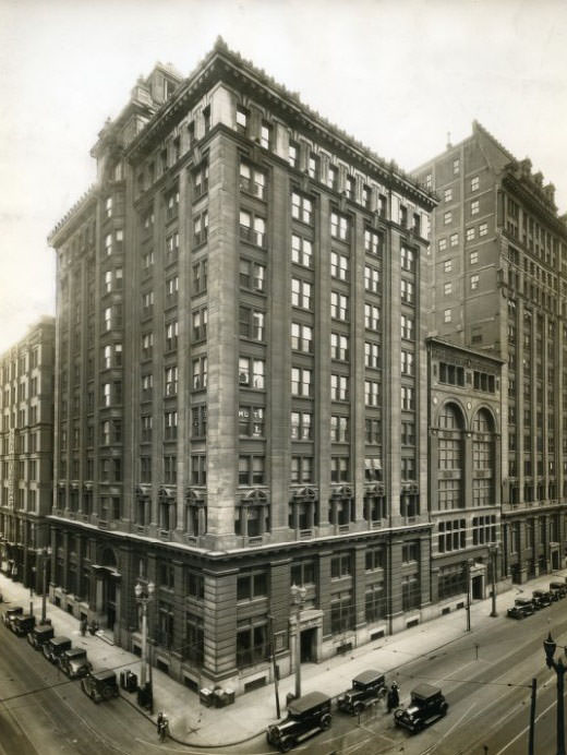
Bank of Commerce building zoomed out, 1930
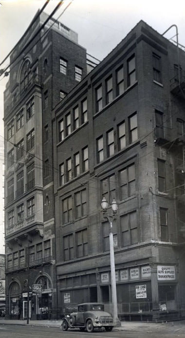
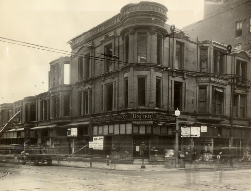
Five-story building at 1124-26 Locust street purchased by T.M. Sayman, head of T.M. Sayman Products Company. Property on the east is the Town Club, 1930
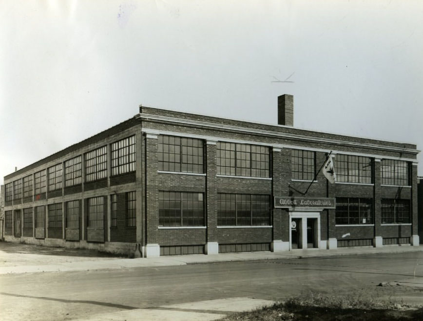
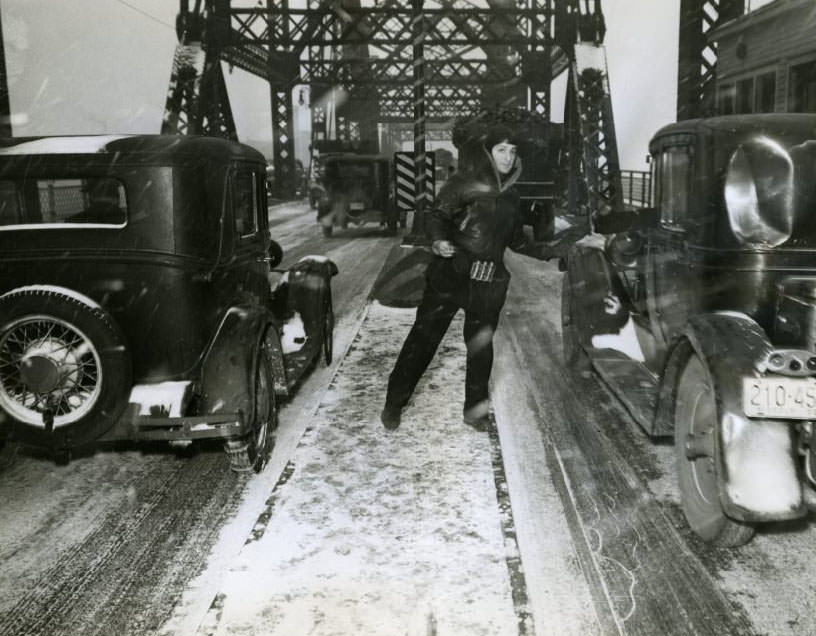
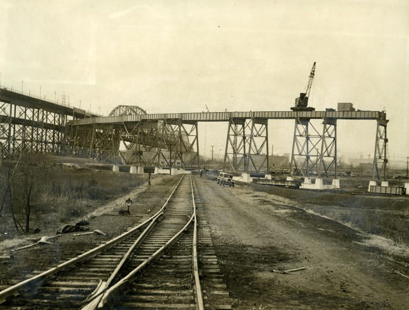
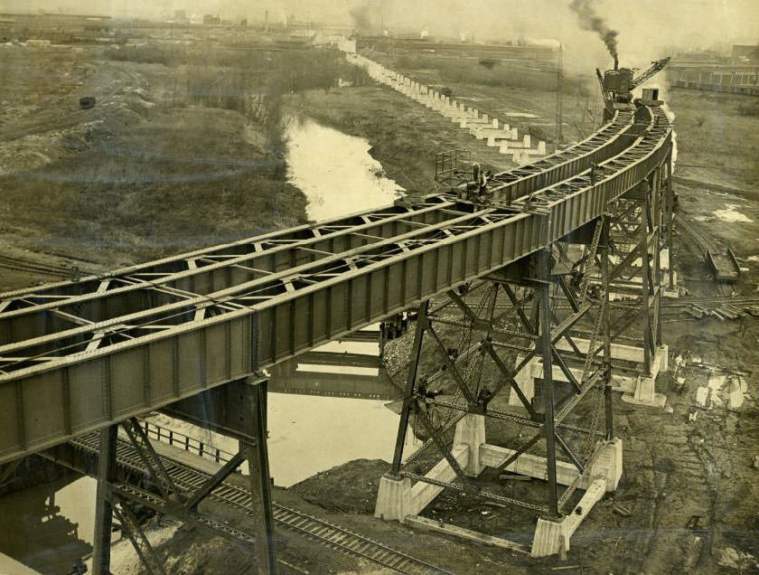
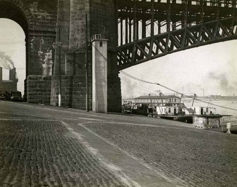
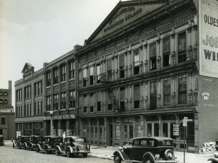
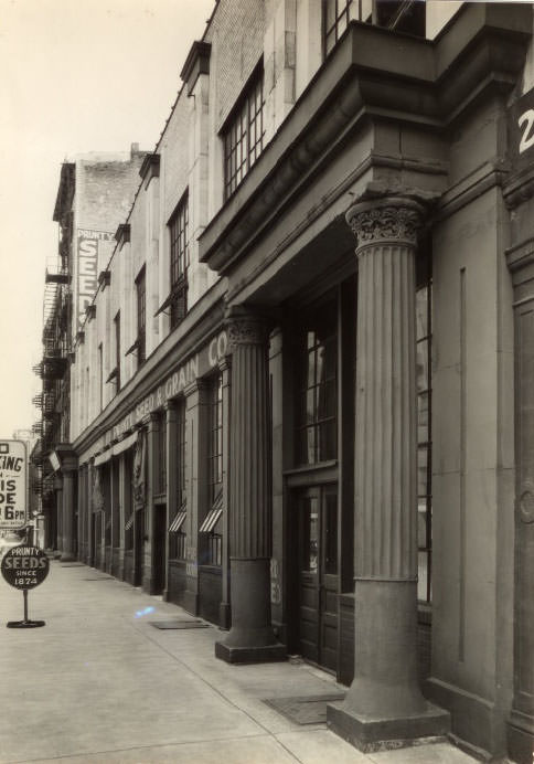
Abbott Laboratories purchases two-story building at 4455 Duncan Avenue that it had been leasing for five years, 1930Louis Lasser, 34-year-old MacArthur Bridge attendant, insists he has “easily the coldest job in St. Louis” despite his heavy clothing, 1930Erecting the new northeast approach to the St. Louis Municipal Bridge, now known as the MacArthur Bridge, 1930Construction of the new northeast approach to the St. Louis Municipal Bridge, now known as the MacArthur Bridge, 1930The tower against the bridge pier in the Mississippi River is the Weather Bureau’s automatic river stage gauge at the Eads Bridge, 1930Bardenheier Building at 214 Market Street, a memorial to Bacchus, had stocks of wine and liquor on three floors and in a commodious cellar, 1930Opening of the Eads Bridge at the west end gate, 1930Three-story building at the southeast corner of Grand Boulevard and Olive Street being torn down to make way for a new two or three-story structure, 1930Buildings on Fourth and Chestnut Streets in St. Louis, 1930Prunty Seed Company now occupies the squat and substantial building at 14-16 South First Street, marked by two sets of stone pillars at the entrance, which has been in business since 1874, 1930Students of Military Training Camp, rationing equipment, 1930Camp officers confer with commanding officer Lt. Col. Oldham Paisley, 1930Platoon passes in review on parade grounds, 1930
Pierre Chouteau Apartments contain about 60 units with various apartment types, 1930
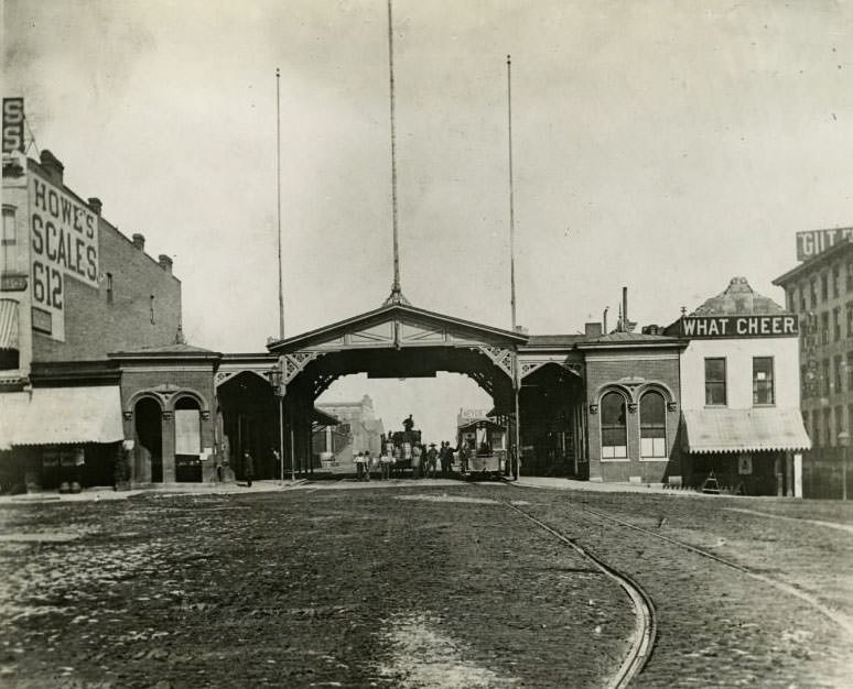
Wide variety of businesses conducted along riverfront dating back to Civil War days, 1930
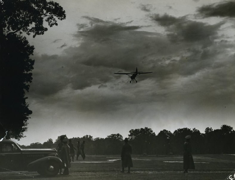
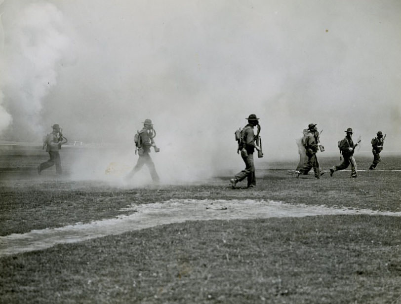
Red and Blue armies represented by planes during maneuvers at Jefferson Barracks, 1930Corner of Tenth and Olive Street, barely recognizable after 45 years, 1930Sixth Infantry charges through gas during demonstration at Jefferson Barracks baseball diamond, 1930View of man sitting on front steps of a building on Forest Park Ave., 1932.View of Forest Park Ave. from Pc. 5, 1932.Rear views of brick dwellings on Forest Park Ave. from Pc. 16-19, 1932.View from rear of buildings near Forest Park Ave. and Theresa, with women selling barbecue hot dogs, 1932.Extension of Forest Park Ave. with rear views of brick dwellings and Handlan Park, 1932.View of intersection of Biddle St. and North 21st St., with house at 1130 North 21st St. in foreground, 1931.






Wow, today I learned that St. Louis had Chuck Berry and Miles Davis music in the early 1930s. That’s incredible!
In fairness, I don’t know where this is pulling the photos from but most are new to me.
At least this post doesn’t have anything to do with cops crashing into bars.