Honolulu in the 1940s was a city caught between two very different worlds. On one side stood a thriving Pacific port town — full of fishing boats, busy streets, local schools, and neighborhood markets. On the other side loomed the U.S. military, which had turned the island of Oahu into the most strategically important outpost in the North Pacific. Pearl Harbor sat at the center of it all. The Navy and Army had poured resources into the island for years, and military officers held enormous sway over local society. Then came December 7, 1941 — and everything changed.
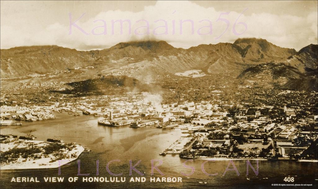
Long before that morning, Honolulu had already lived through a turbulent history. British Captain James Cook became the first European to reach Hawaii in 1778, and whalers soon followed. Their ships brought trade and money, which funded the sugar and pineapple industries that would define the islands for generations. Russia attempted to claim a foothold near the harbor as early as 1814, and French forces occupied the city in 1849 — though control always returned to the native Hawaiian kingdom without war. By 1907, Honolulu was officially incorporated as a city. Four decades later, it looked like this.
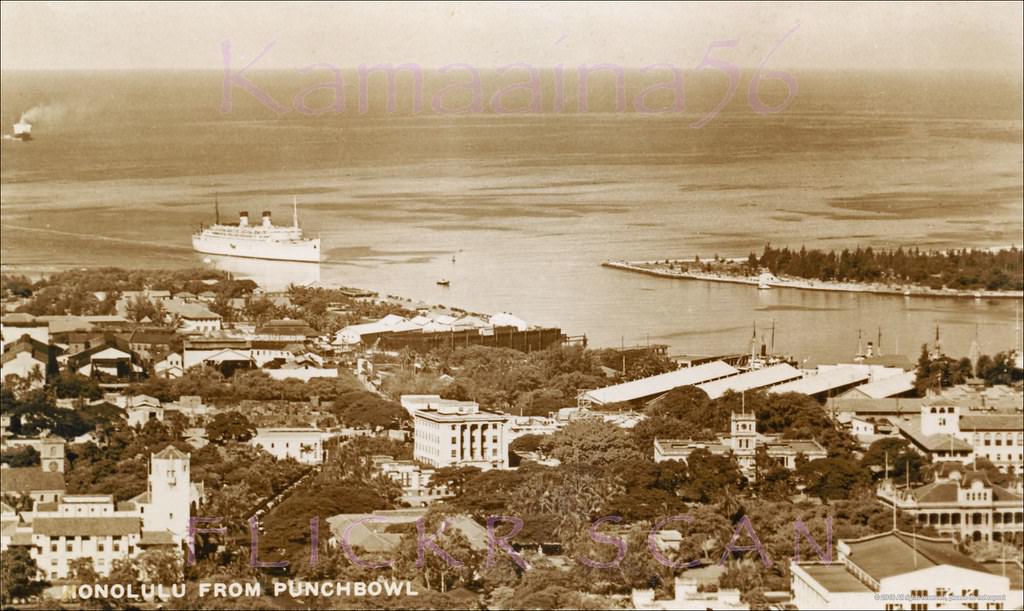
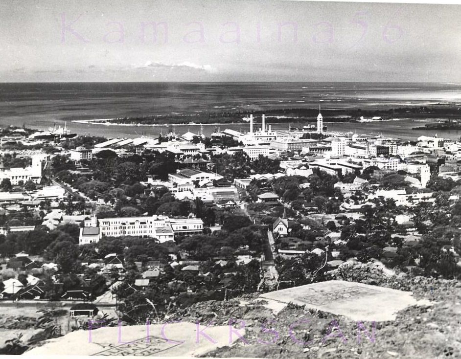
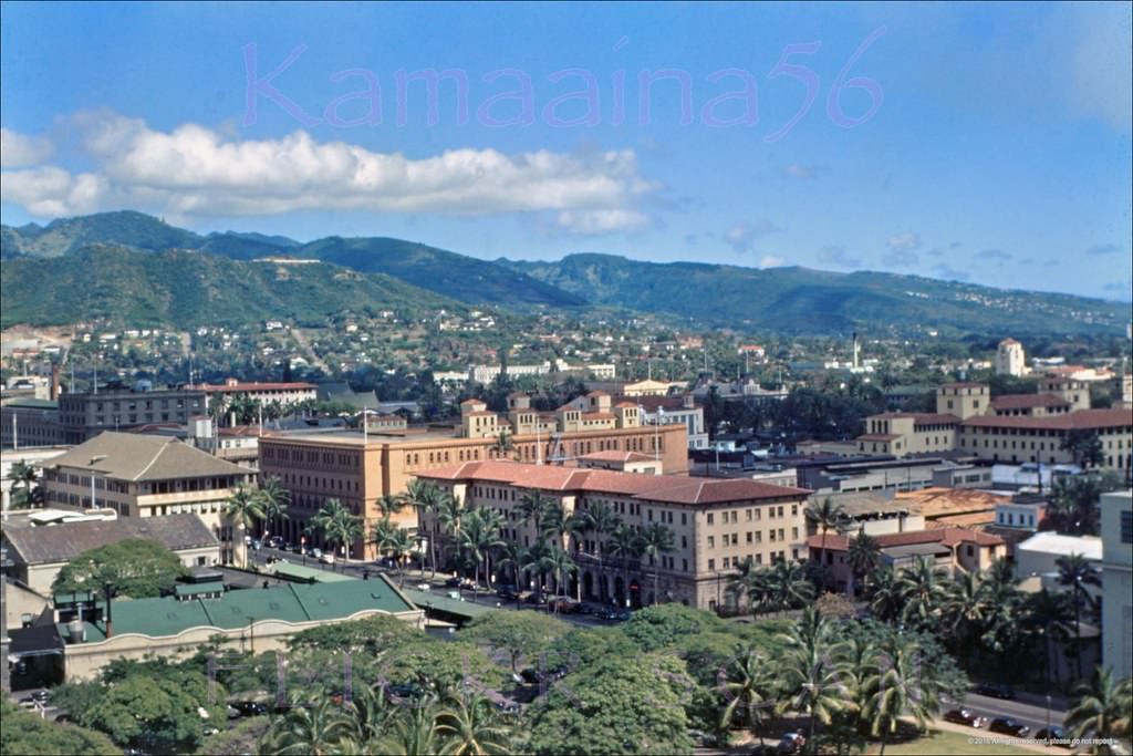
Honolulu Harbor BEV Mauka, 1940sDetailed birdseye view from Punchbowl Crater looking down on Honolulu Harbor, 1940s
From the rim of Punchbowl Crater, the full sweep of Honolulu stretched out below — a low-rise city hugging a working harbor. Ships moved in and out of the port constantly, supplying an island that depended on the sea for nearly everything. In 1940, a portion of the U.S. Navy fleet was already visible in the harbor, as the Army and Navy raced to complete 17 air bases across the Hawaiian area.
Downtown Honolulu and the harbor viewed from the Punchbowl Crater lookout at the start of the wartime era, 1941A view of Honolulu from Punch Bowl crater, showing a portion of the US Navy fleet in Honolulu, Pearl Harbor, Hawaii, December 29, 1940.
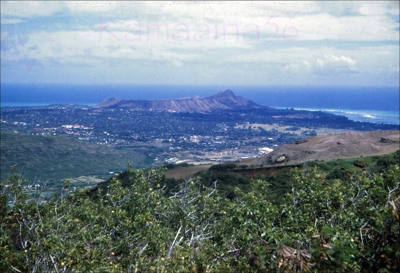
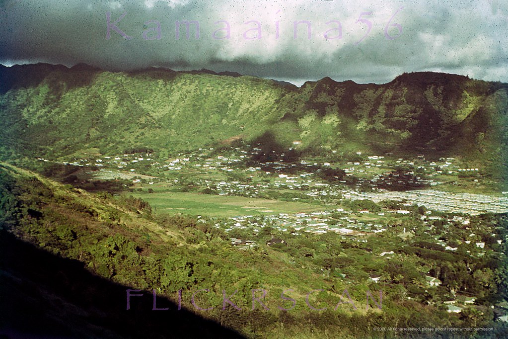
Behind the city, the terrain was dramatic. Mount Tantalus rose steeply above the neighborhoods, offering sweeping views of Diamond Head to the east — the volcanic crater that had become the most iconic landmark on the island. The Manoa Valley cut inland through lush green hills, and the Ala Wai Canal separated Waikiki from the rest of the city.
Diamond Head view from high up Mount Tantalus behind Honolulu, 1947Manoa Valley in Honolulu from viewed from Round Top Drive, 1949
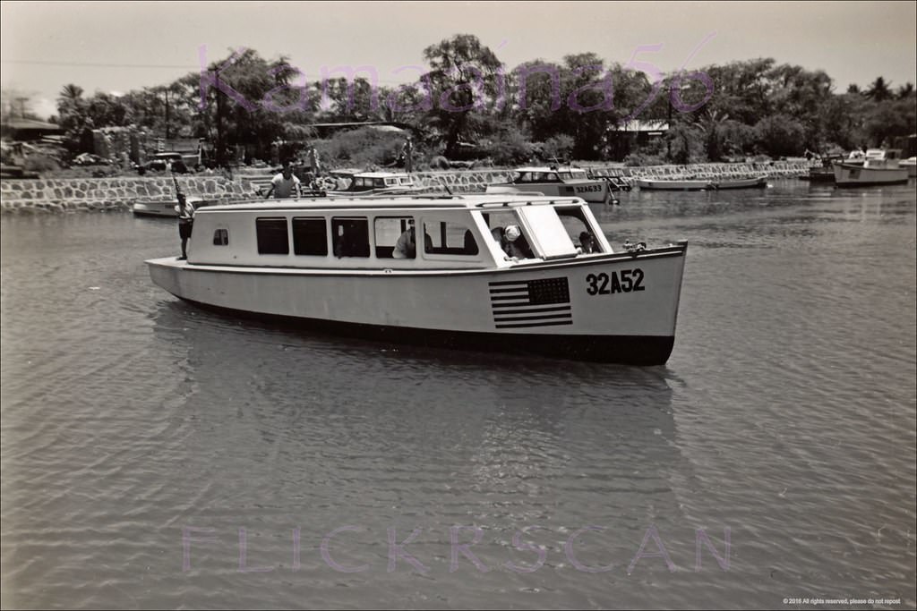
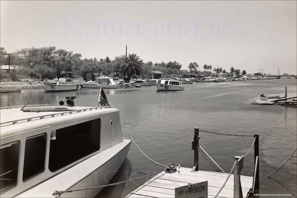
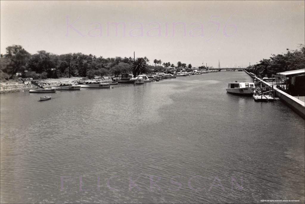
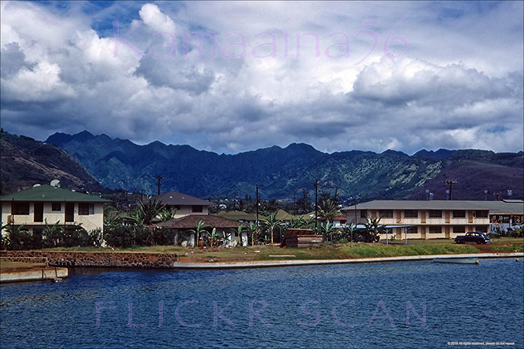
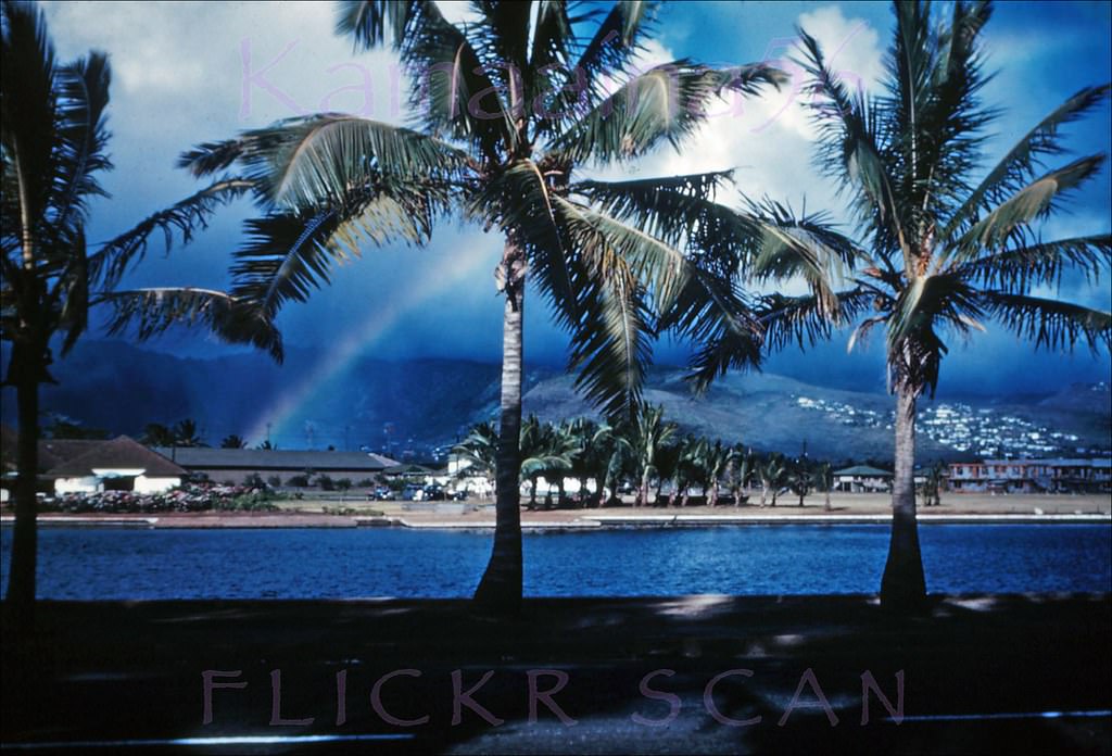
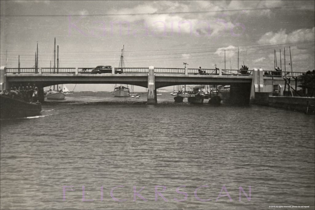
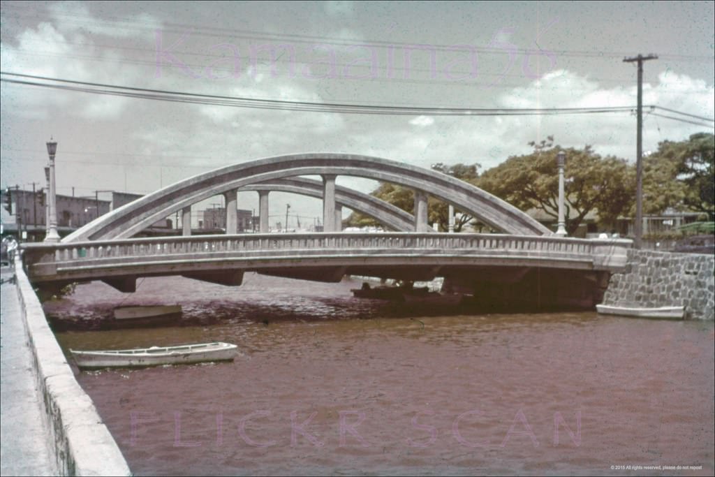
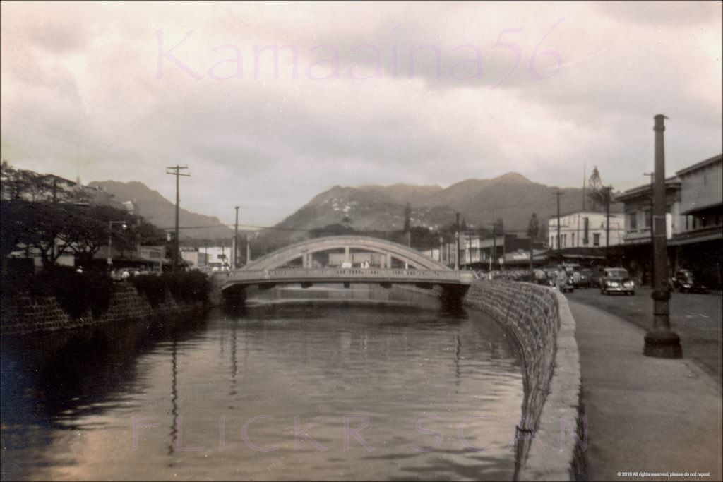
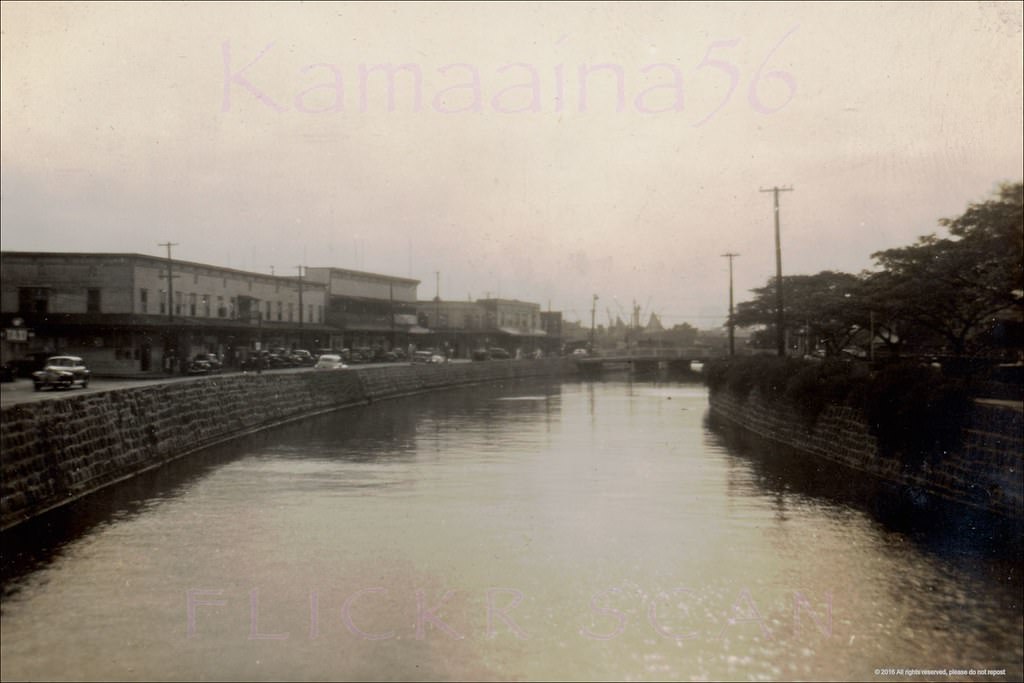
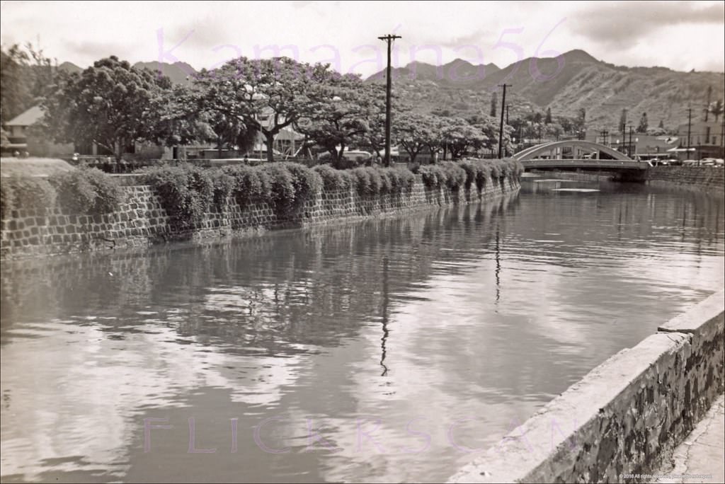
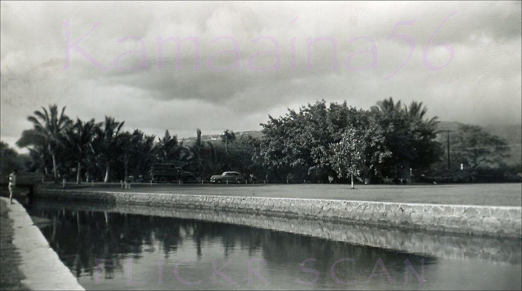
The Ala Wai Canal, built in 1926, was a defining feature of the city’s south shore. Small boats filled its waters, and the canal served as a clear boundary between Waikiki’s beach district and the denser urban neighborhoods beyond. Bridges crossed it at several points, including the 1939 Ala Moana Road bridge on Waikiki’s western edge.
Glass bottom boat in Ala Wai Canal near the Kalakaua Avenue Bridge, 1940Boats docked along the 1926 Ala Wai Canal. The boats had to be small enough to fit under the Ala Moana Bridge visible in the distance at right, 1940sAla Wai Canal Small Boats, 1940sMauka view looking inland across the Ala Wai Canal from Ala Wai Blvd, 1949Looking mauka towards Manoa Valley from the Ala Wai Canal which separates Waikiki from the rest of Honolulu, 1947The 1939 Ala Moana Road bridge over the Ala Wai Canal on the western edge of Waikiki, 1949
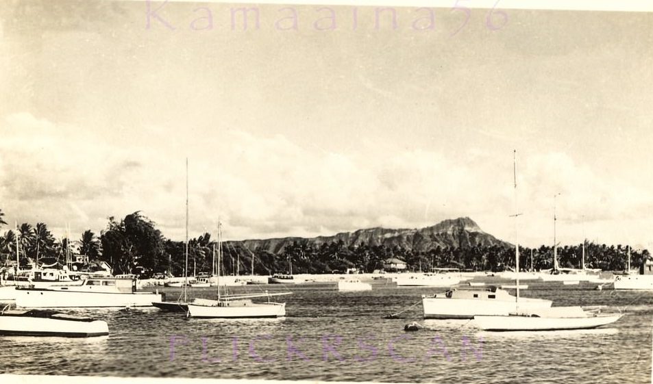
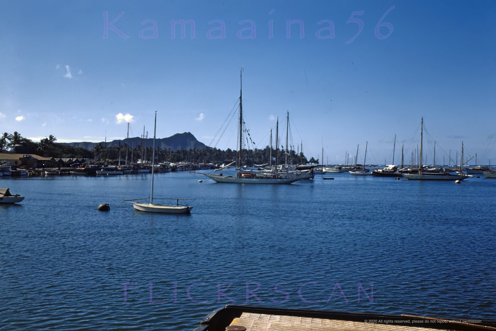
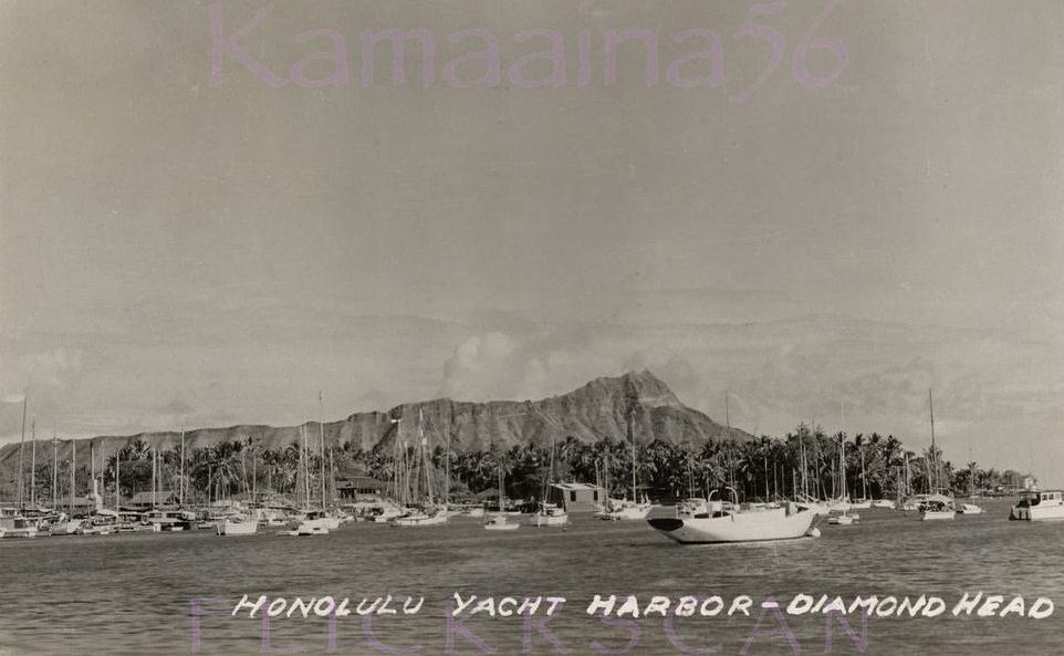
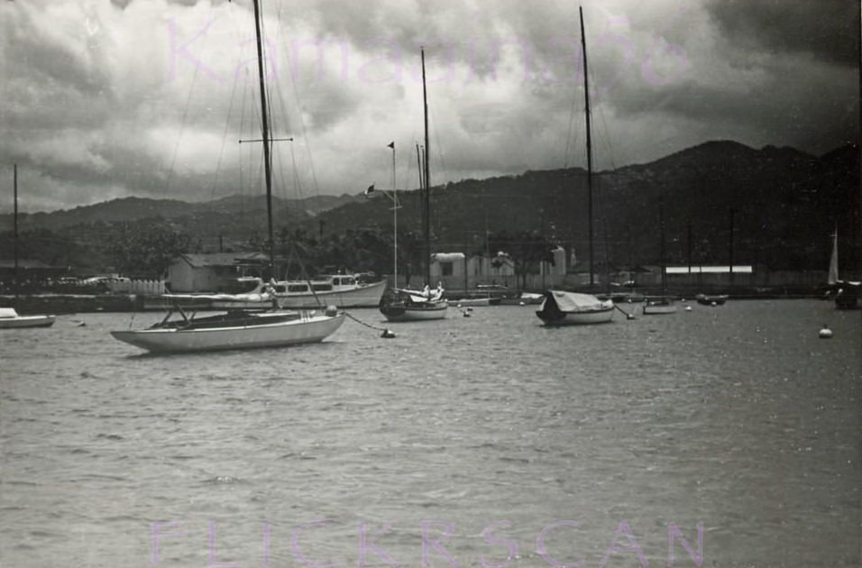
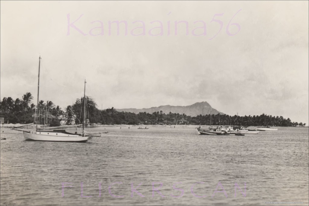
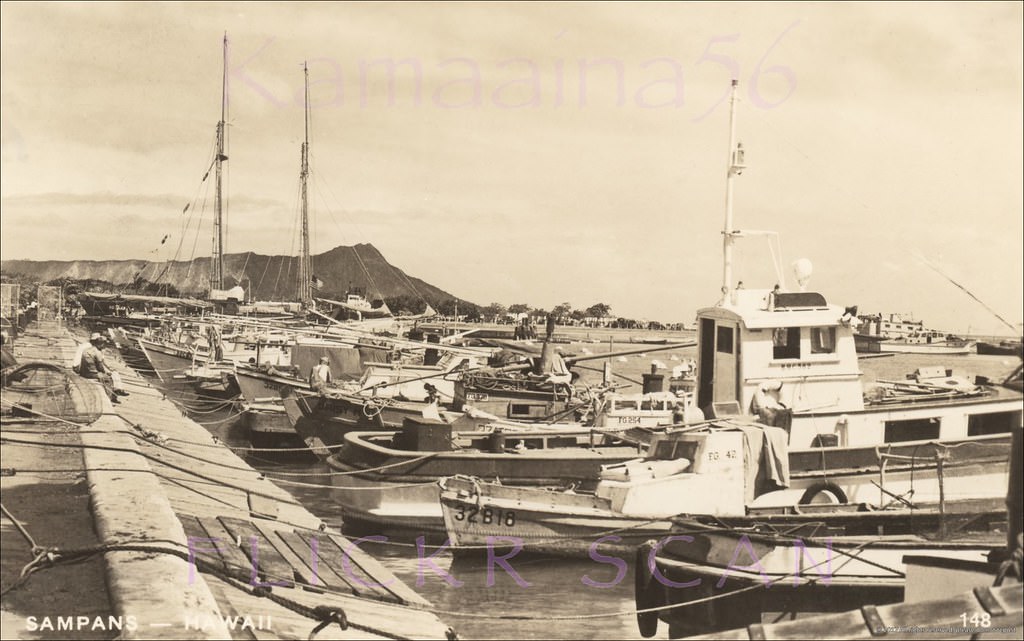
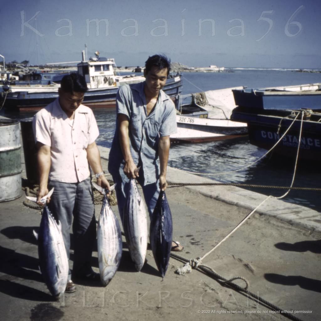
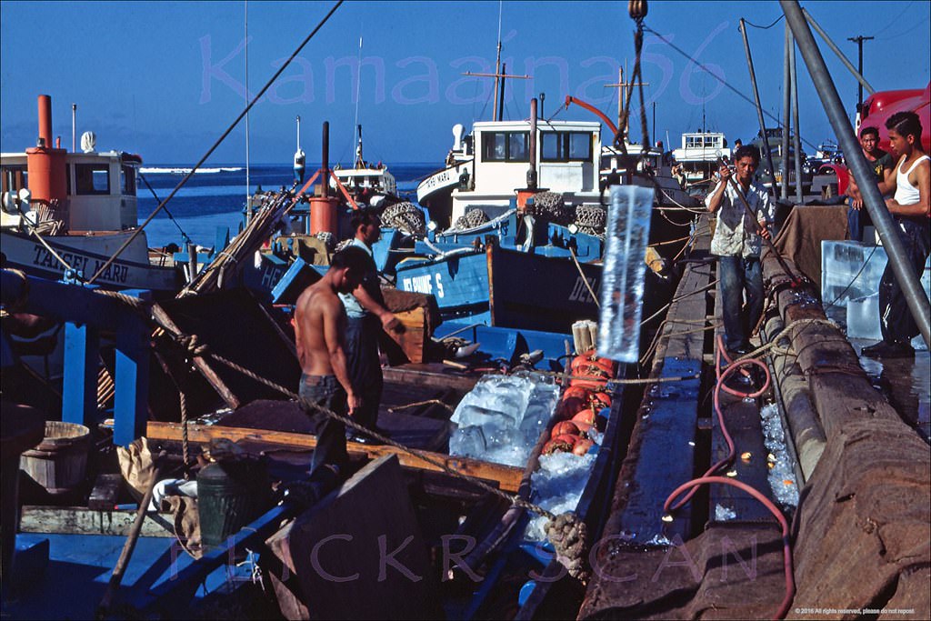
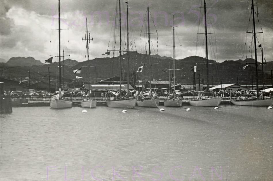
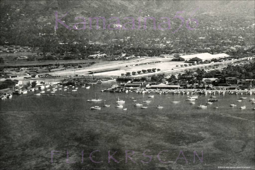
The waterfront near Ala Moana Beach Park was busy with moored boats in the 1940s, well before the Ala Wai Yacht Harbor’s breakwater and boat slips were constructed in 1952. Vessels of all sizes anchored in the open water off the Kalia waterfront. Kewalo Basin, just to the west, was the hub of the local fishing industry. Tuna fishermen — many operating wooden sampans — unloaded their catches there daily.
Ala Moana Yacht Anchorage, 1944Ala Moana Yacht Anchorage, 1946Honolulu Yacht Harbor, 1940sMauka (inland) view of south shore Oahu taken from the water off Ala Moana Park, 1949Ala Moana Diamond Head, 1930sAku boats moored at Honolulu’s Kewalo Basin on south shore Oahu, 1940sTuna fishermen display their catch at Kewalo Basin on Oahu’s sunny south shore, 1949.Fishermen unloading catch from sampans at Kewalo Basin on south shore Oahu, 1948Transpac Boats Kewalo, 1949Power boats moored in Honolulu Harbor with Sand Island in the distance, 1949
The Aloha Tower stood ten stories tall at the edge of Honolulu Harbor — the tallest structure in Hawaii when it was built in 1926. By the late 1940s, it still loomed over a largely low-rise downtown. Views from the tower’s observation deck showed the city spread out in every direction, with Waikiki barely reaching past two or three stories and Diamond Head rising beyond.
Aloha Tower View West, 1949.Diamond Head view from the Aloha Tower next to Honolulu Harbor, 1949The Honolulu Harbor area looking towards a low-rise Waikiki from the 1926 10-story Aloha Tower, 1949Aloha Tower View North, 1949
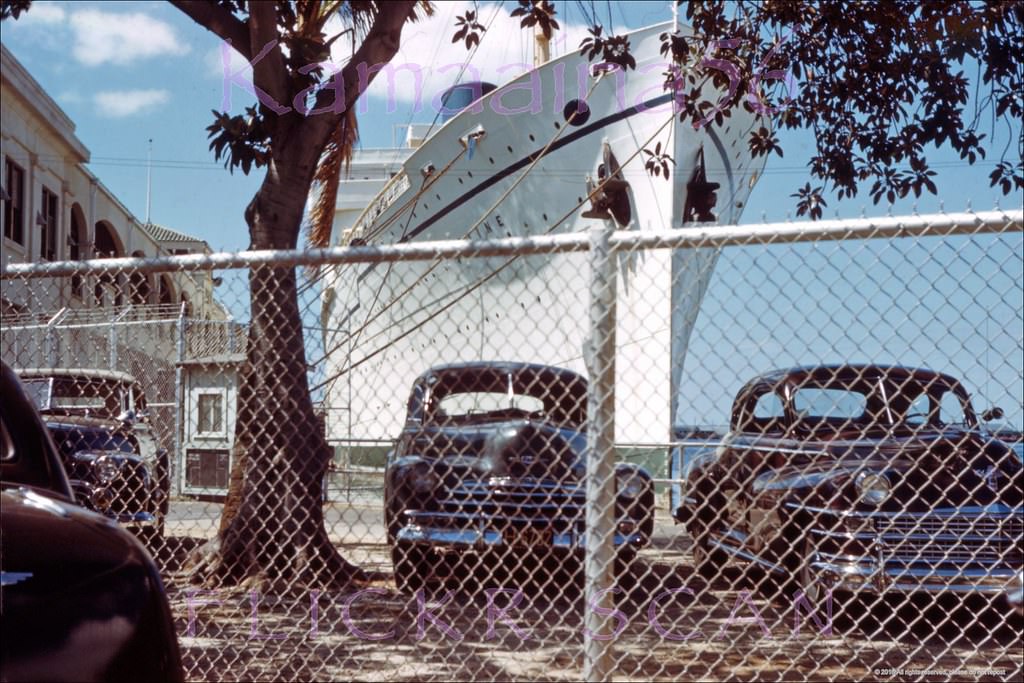
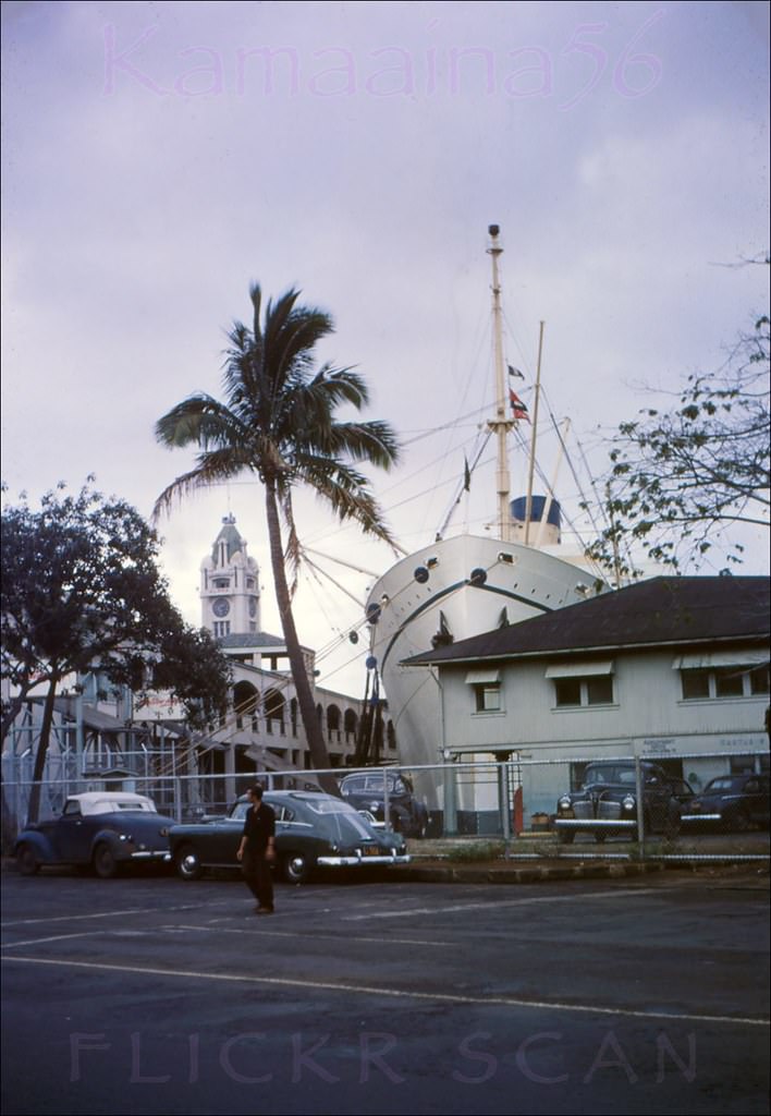
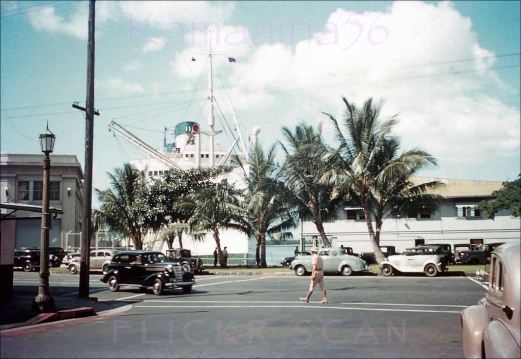
The Matson Lines steamships were a lifeline between Hawaii and the mainland United States. Their passenger liners — including the SS Lurline — docked at Pier 10, just steps from the Aloha Tower. Boat Days at the Matson Terminal were public events, drawing crowds to the docks to see travelers and cargo arrive.
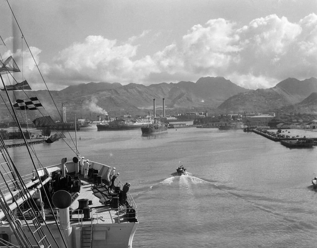
Matsonliner SS Lurline docked at Pier 10 in Honolulu Harbor, 1949Matson Liner SS Lurline moored at Pier 10 with the Aloha Tower in the background, 1949Street-level view of a Boat Day at the Matson Lines Terminal on Ala Moana Road (now Nimitz Highway) at Queen Street in downtown Honolulu, 1941Ship entering in Honolulu Harbor, 1940s.
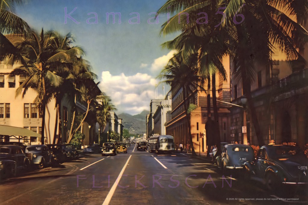
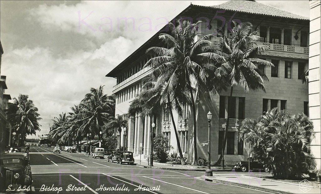
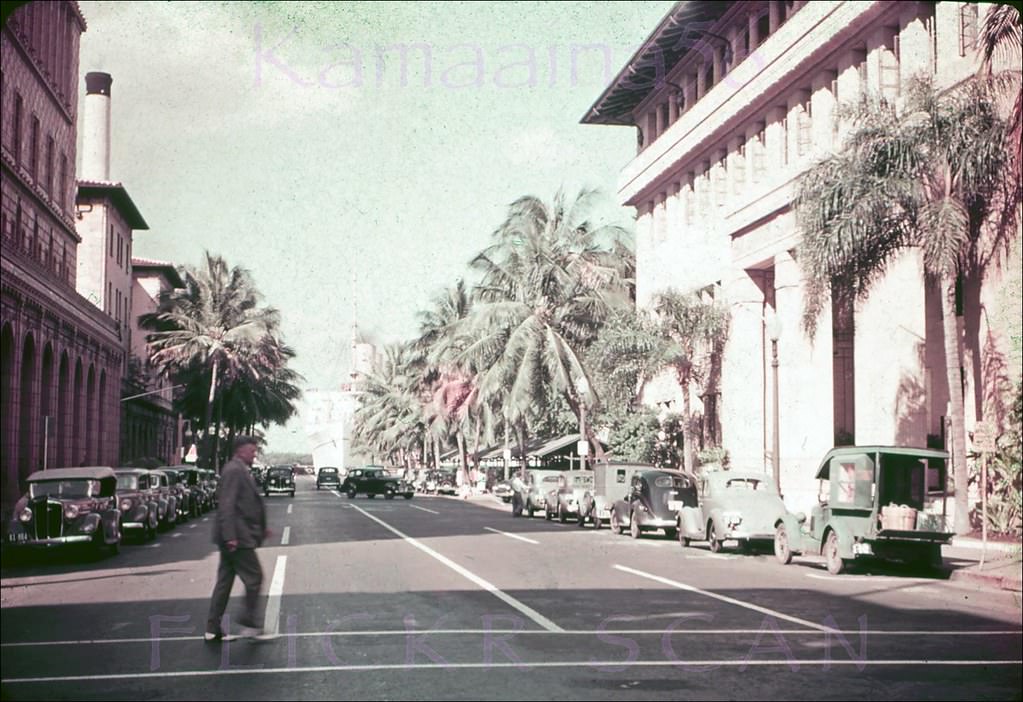
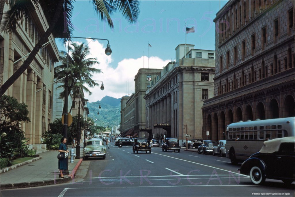
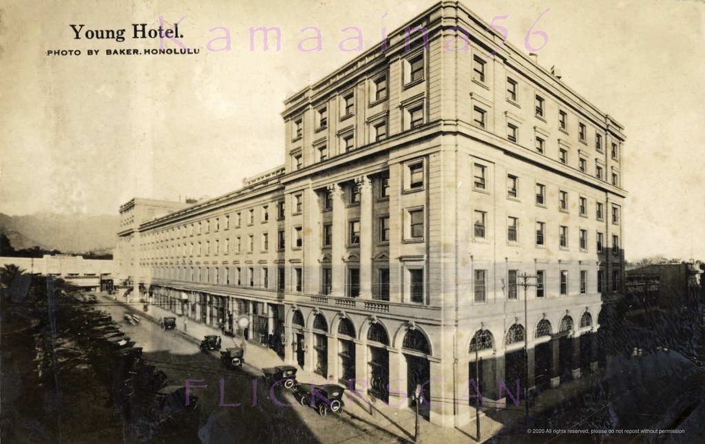
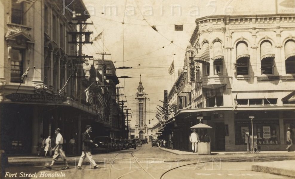
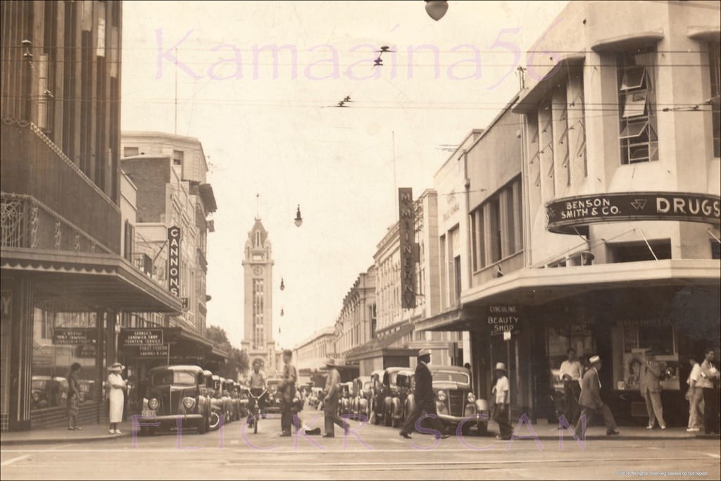
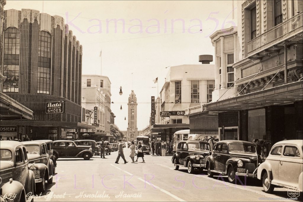
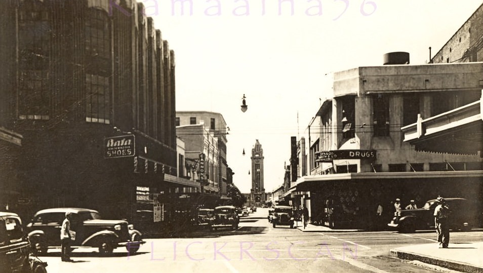
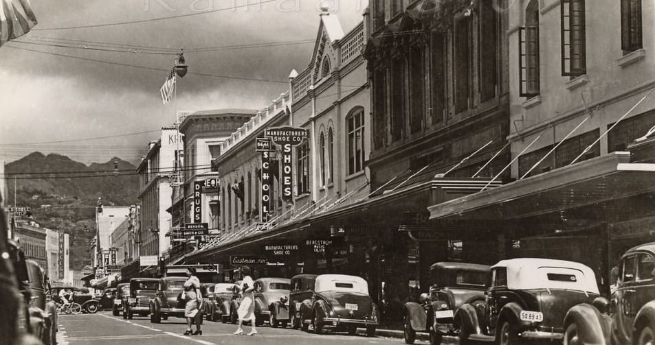
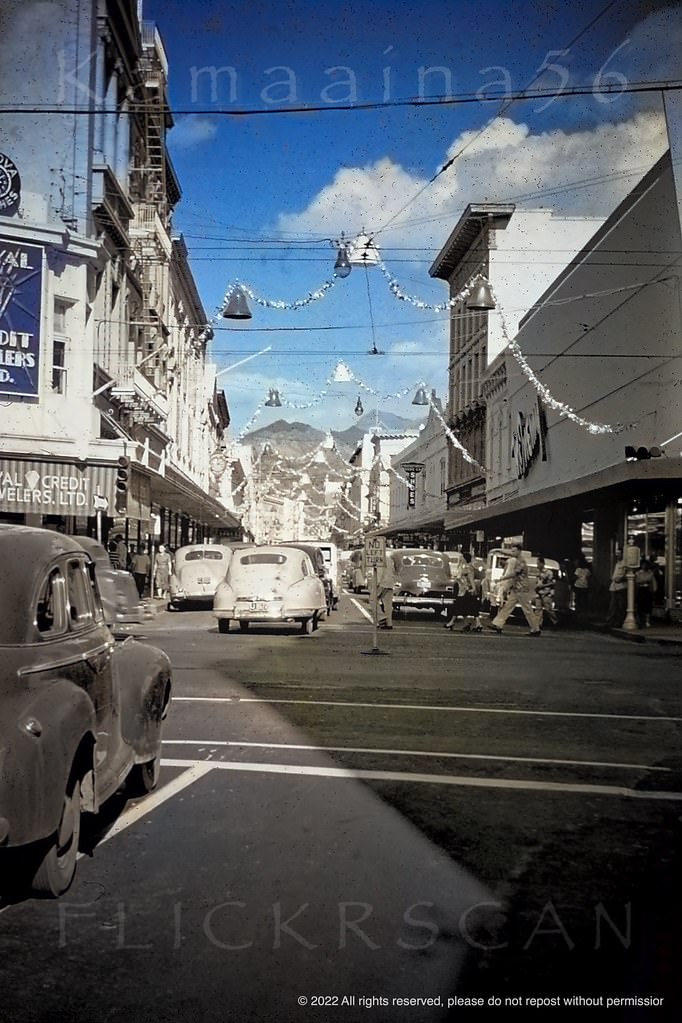
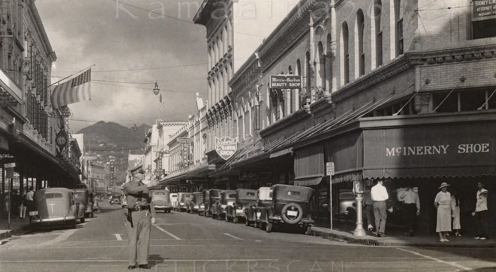
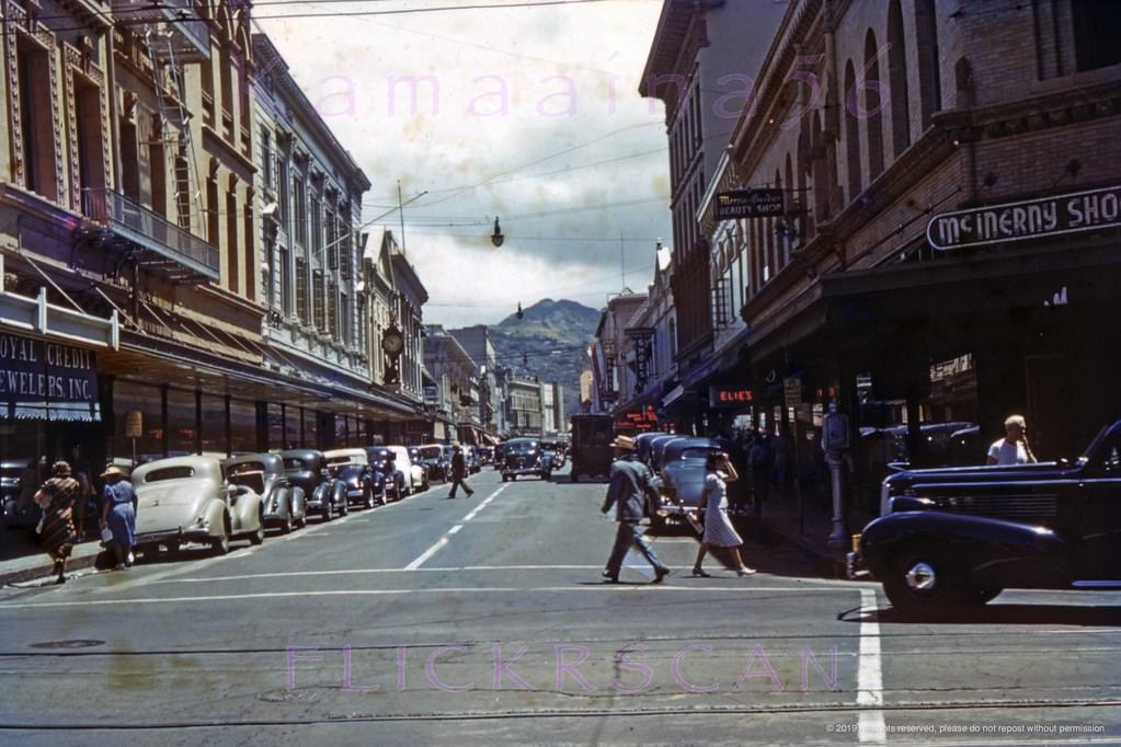
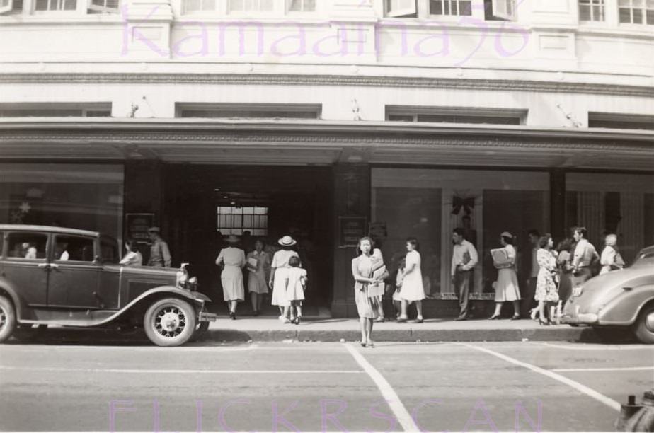
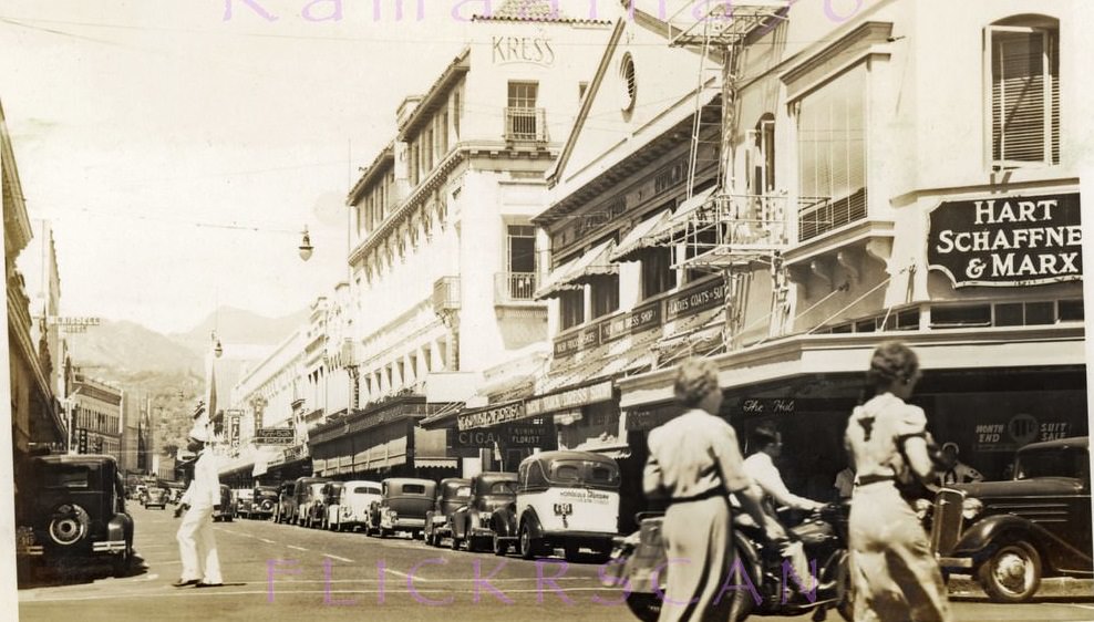
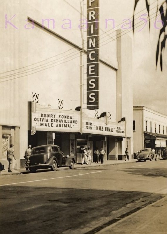
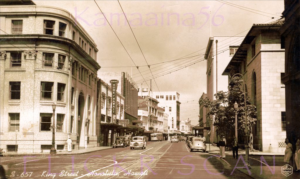
Downtown Honolulu’s streets were dense with commerce. Bishop Street ran through the financial district, lined with imposing buildings like the 1929 Alexander & Baldwin Building. Fort Street was the main shopping corridor, where department stores like Liberty House drew steady foot traffic. The Princess Theater showed Hollywood pictures to local audiences and soldiers alike — in 1942, the marquee featured “The Male Animal” starring Henry Fonda and Olivia de Havilland.
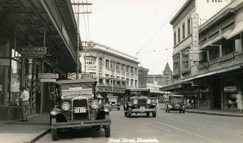
Honolulu’s business district looking mauka (inland) from Ala Moana Blvd, 1940Bishop Street Makai, 1941.Bishop Street Honolulu Makai, 1939.Bishop at Merchant Mauka, 1949.Young Hotel Honolulu, 1920s.Alexander Young Hotel View, 1941.Fort Street at King Makai, 1930.Looking along Fort Street towards Honolulu Harbor in the distance from the South King Street intersection, 1938Looking along Fort Street towards Honolulu Harbor from between South King and Hotel Streets, 1941Underexposed but still interesting scene looking makai (seaward) along downtown Honolulu’s Fort Street, 1944.Fort Street at Hotel Mauka, 1940Looking mauka (inland) along Fort Street from the South King Street intersection in downtown Honolulu, 1949Downtown Honolulu’s commercial Fort Street seen from the corner of South King Street, 1937Looking inland along Fort Street from King Street in downtown Honolulu, 1940Entrance to The Liberty House department store on Fort Street at the mauka corner of South King Street in Honolulu, 1942Fort Street at Hotel Honolulu, 1939.The 1942 romantic comedy “The Male Animal” starring Henry Fonda and Olivia DeHavilland on the marquee of downtown Honolulu’s Princess Theater, 1942Looking more or less northwest along South King Street from Bishop Street in downtown Honolulu, 1940s
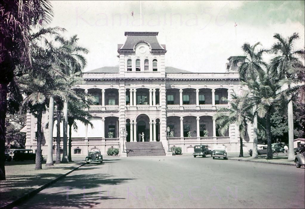
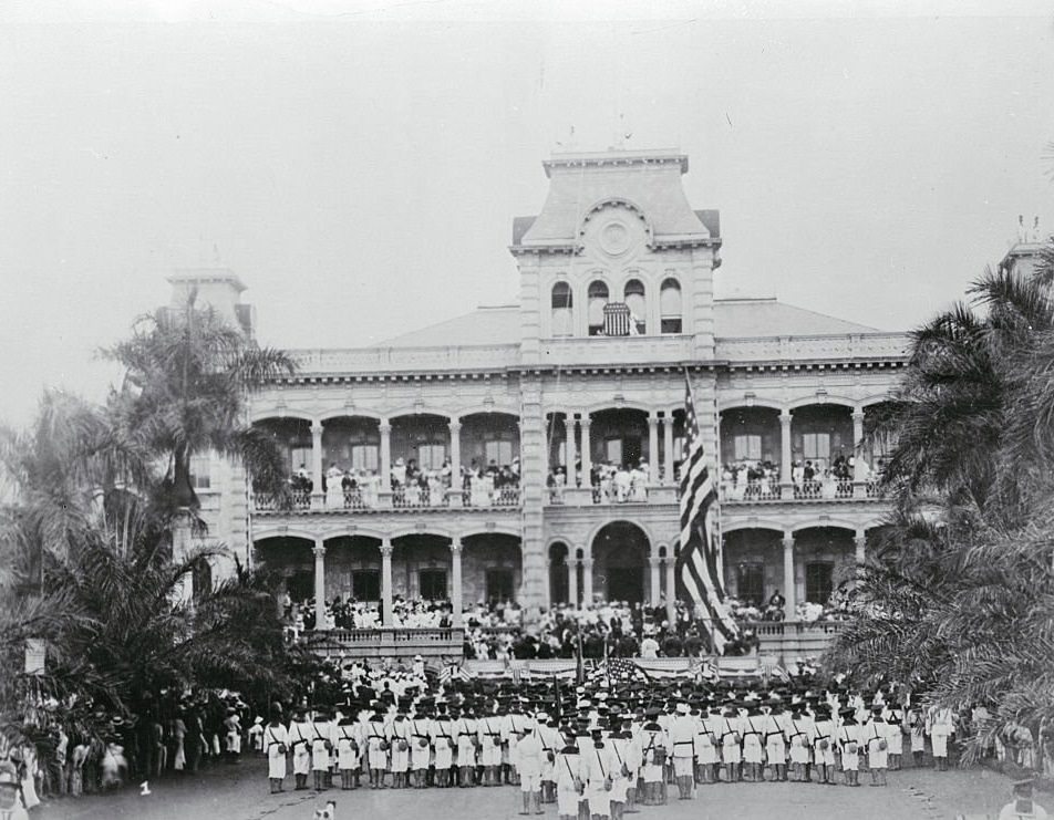
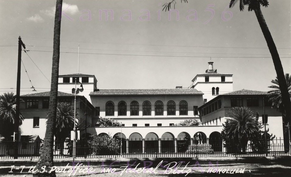
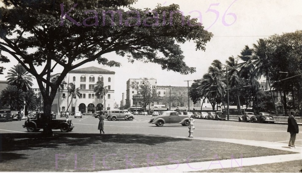
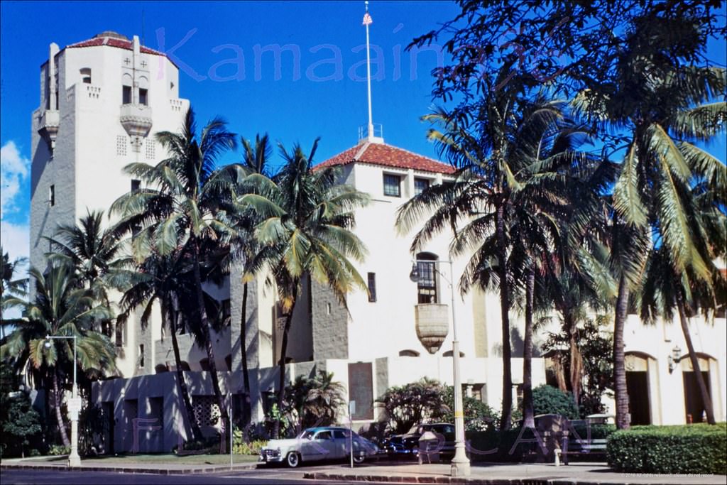
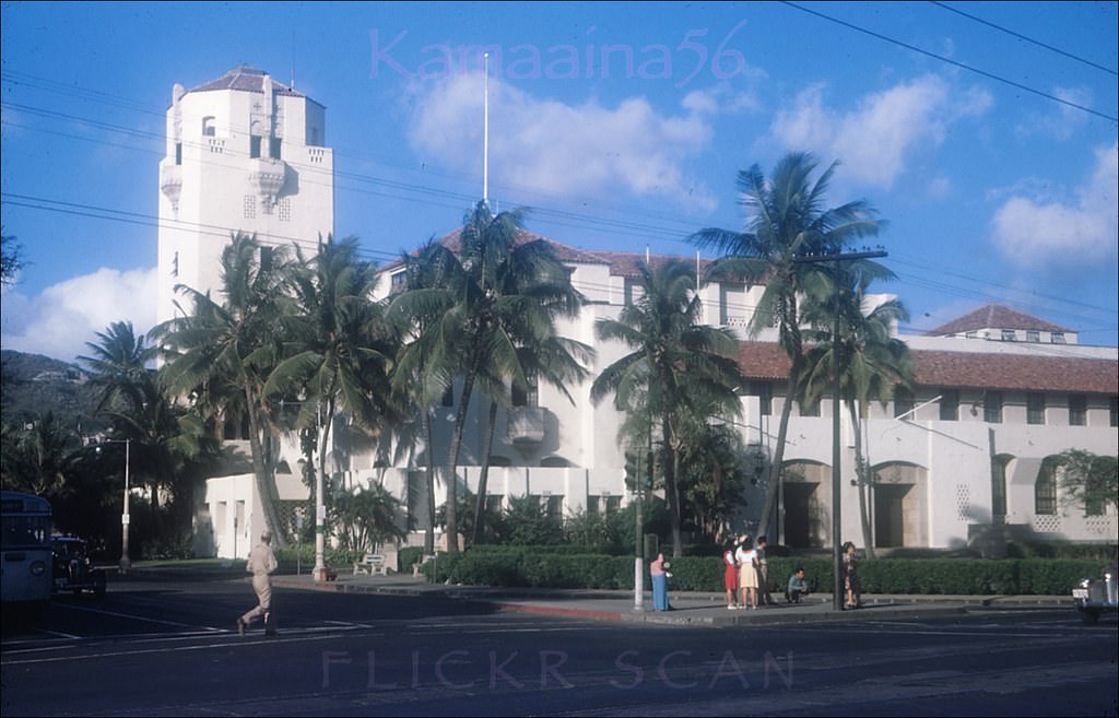
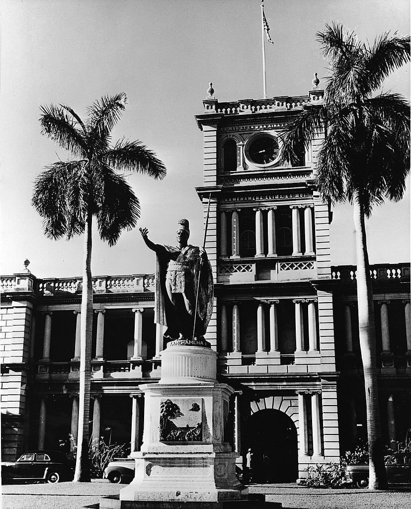
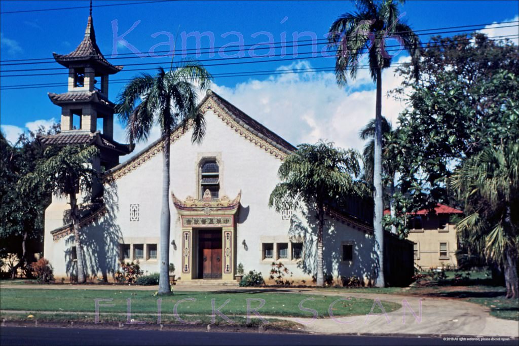
The city’s civic buildings were concentrated in the Capitol District. Iolani Palace, built in 1879, had served as the first capitol of the Kingdom of Hawaii and later as the seat of the territorial government. The 1928 Honolulu Hale served as city hall. The 1922 Federal Building housed the Post Office and Customs. Ali’iolani Hale, one of Honolulu’s most distinctive government buildings, anchored the district’s architectural identity.
Old Cars at Iolani Palace, 1941.Islani Palace. Honolulu, Hawaii: Raising the U.S. Flag for the first time former residence of Hawaii’s kings.Honolulu Post Office, 1940s.Palace Square Honolulu, 1930s.Honolulu Hale Punchbowl St, 1949.Honolulu Hale, 1946.Honolulu Hale Mauka Side, 1947.Ali’iolani Hale In Honolulu.
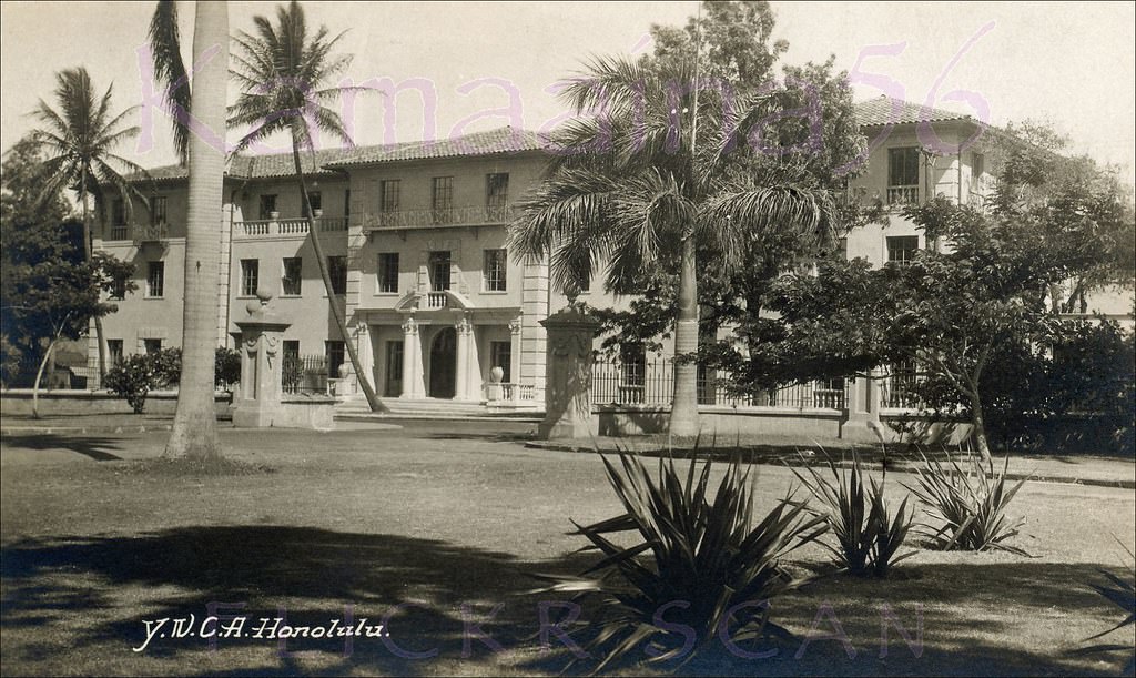
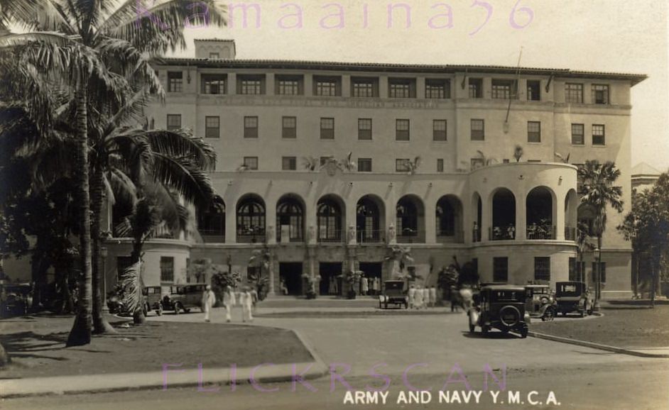
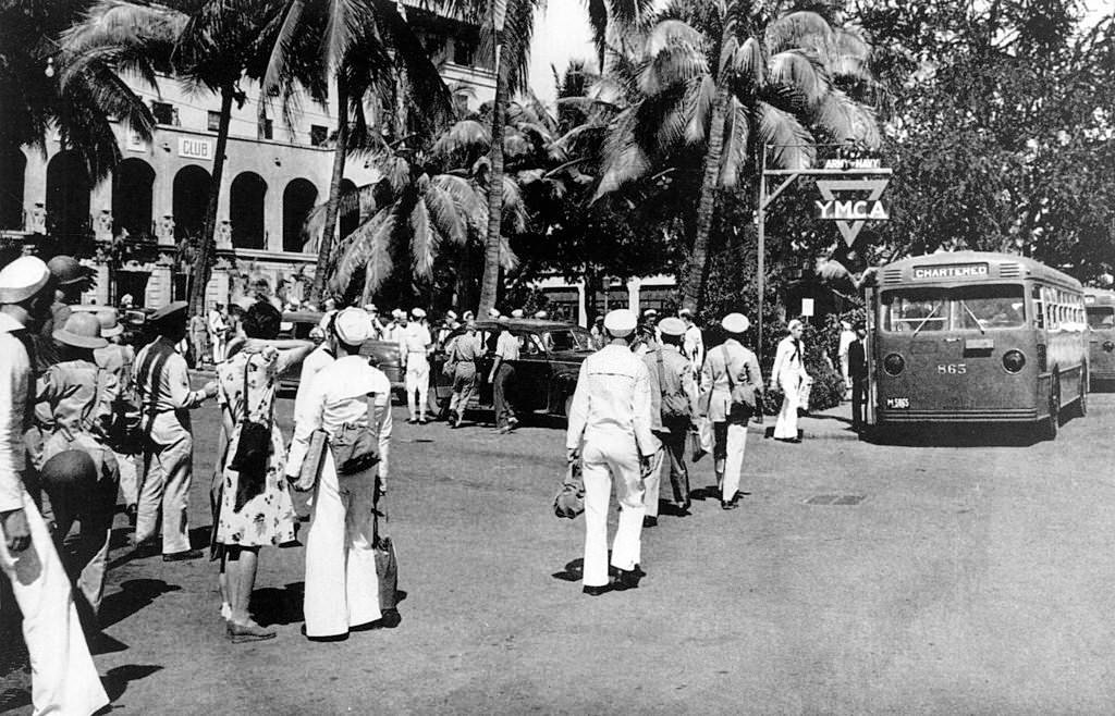
The YWCA on Richards Street and the Army and Navy YMCA on South Hotel Street were important social anchors in the city, serving both civilians and the large military population that had become part of everyday Honolulu life. The YMCA’s Spanish Mission-style building was especially prominent in the Capitol District.
The Honolulu YWCA on Richards Street between Hotel and King Streets in downtown Honolulu, next to the State Capitol District, 1940The Spanish Mission style Army and Navy YMCA on South Hotel Street in the capitol district of Honolulu, 1930s
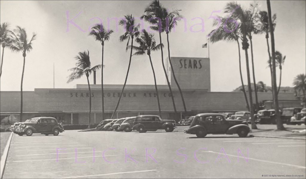
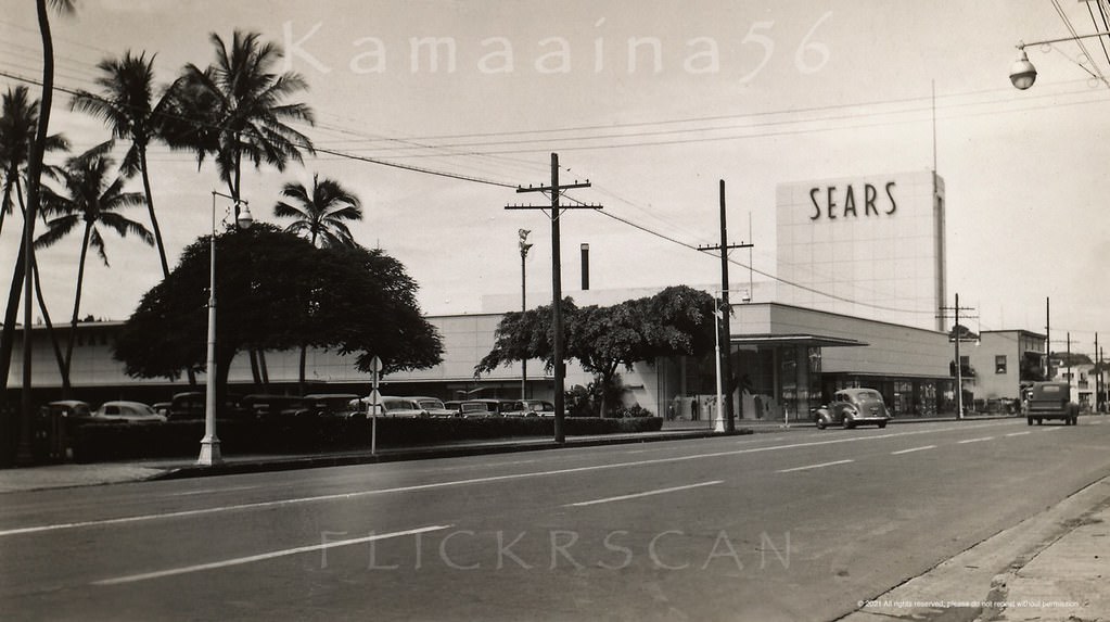
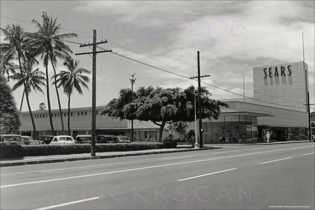
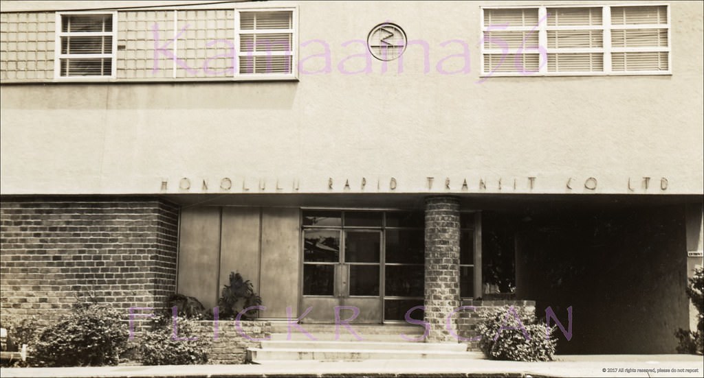
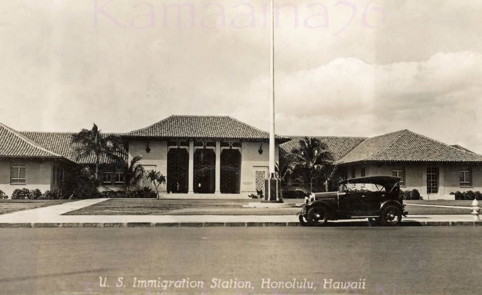
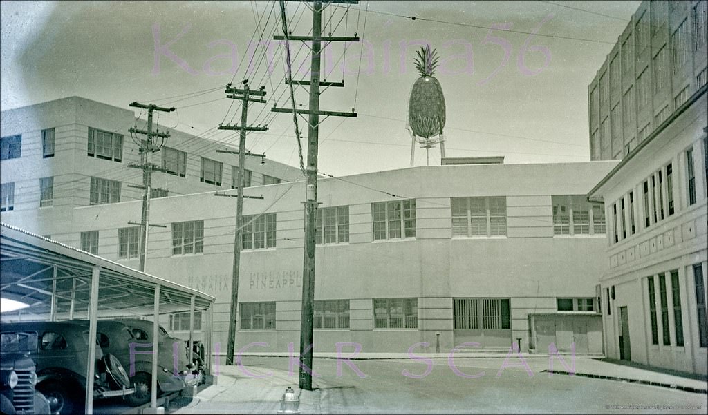
Sears Roebuck opened its original Honolulu location on South Beretania Street just ewa of Kalakaua Avenue in December 1941 — the same month Japan attacked Pearl Harbor. A second story was added in 1947. Nearby, the Dole Pineapple facility on Iwilei Road stood as a reminder that the agricultural industry that had built the islands’ economy was still very much in operation. The Honolulu Rapid Transit Building served the city’s public transportation network, while the U.S. Immigration Building occupied a prominent spot on Ala Moana Boulevard near the harbor.
Sears Beretania Honolulu, 1940s.Sears Beretania Street, 1940sSears Beretania Honolulu, 1946.Kapiolani Blvd, 1948.McKinley High Kapiolani Ave, 1949Honolulu Rapid Transit Bldg, 1940s.The United States Immigration building on Ala Moana Blvd. at Forrest Avenue in the Kakaako area of Honolulu next to the harbor, 1930sDole Pineapple Iwilei Road, 1940s.
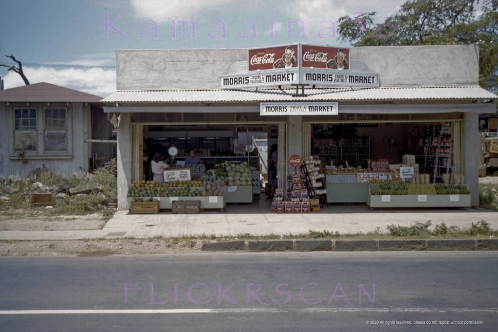
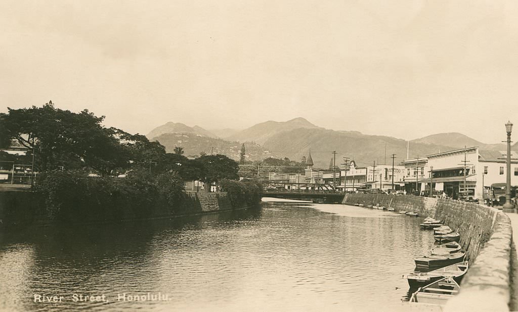
Honolulu’s neighborhoods were full of local businesses. Morris Fruits & Vegetables Market operated at 2501 South Beretania Street in the Moiliili district, photographed in 1944 by a serviceman stationed on the island. The House of P.Y. Chong Chinese Restaurant stood at 1683 Ala Moana Road — a building that had previously housed multiple Japanese restaurants before becoming P.Y. Chong’s in 1942. River Street ran along Nuuanu Stream, which wound through the city before emptying into Honolulu Harbor.
Morris Fruits & Vegetables Market at 2501 South Beretania Street in Honolulu’s Moiliili district, 1944.PY Chong’s Ala Moana Detail, 1940sNuuanu at Pauahi Honolulu, 1940sChinese Christian Church, 1949.Beretania St Bridge Honolulu, 1949.River Street Honolulu Mauka, 1940s.River Street Honolulu Makai 1940s.Nuuanu Stream Honolulu 1940s.
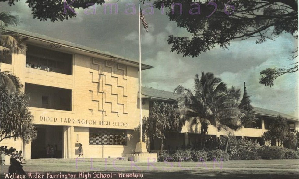
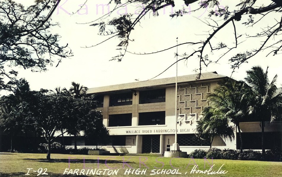
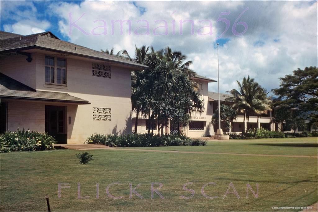
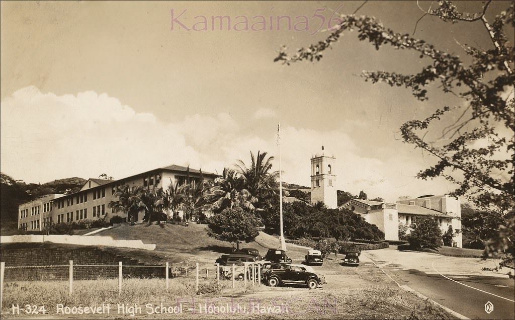
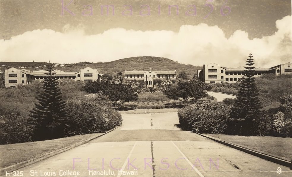
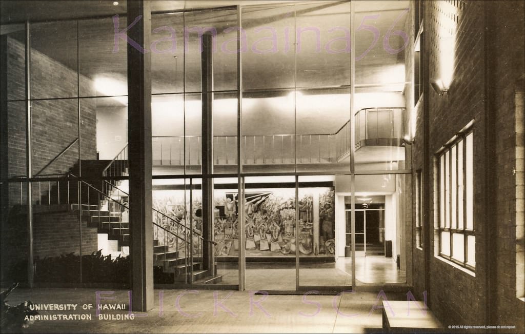
Honolulu’s schools were well established by the 1940s. Farrington High School in Kalihi sat on North King Street at Kalihi Street and was photographed multiple times during the decade. Roosevelt High School and McKinley High School were two other prominent public schools. St. Louis College, a private institution, occupied a campus above the Kaimuki neighborhood along Waialae Avenue. In 1949, the University of Hawaii completed its modernistic Administration Building in Manoa Valley, designed by architect Vladimir Ossipoff. Painter Jean Charlot created the mural “Relation of Man and Nature in Old Hawaii” on the building’s first floor that same year.
Farrington High School Kalihi, 1940sFarrington High School, 1940sNice sharp color photo of Farrington High School on North King Street at Kalihi Steet, 1949Roosevelt High School, 1940sThe campus of St. Louis College above Honolulu’s Kaimuki neighborhood seen from the school’s entrance on Waialae Avenue at 3rd Avenue, 1940s.Noted painter Jean Charlot’s 1949 mural “Relation of Man and Nature in Old Hawaii” on the first floor of the University of Hawaii’s modernistic Administration Building, 1949.
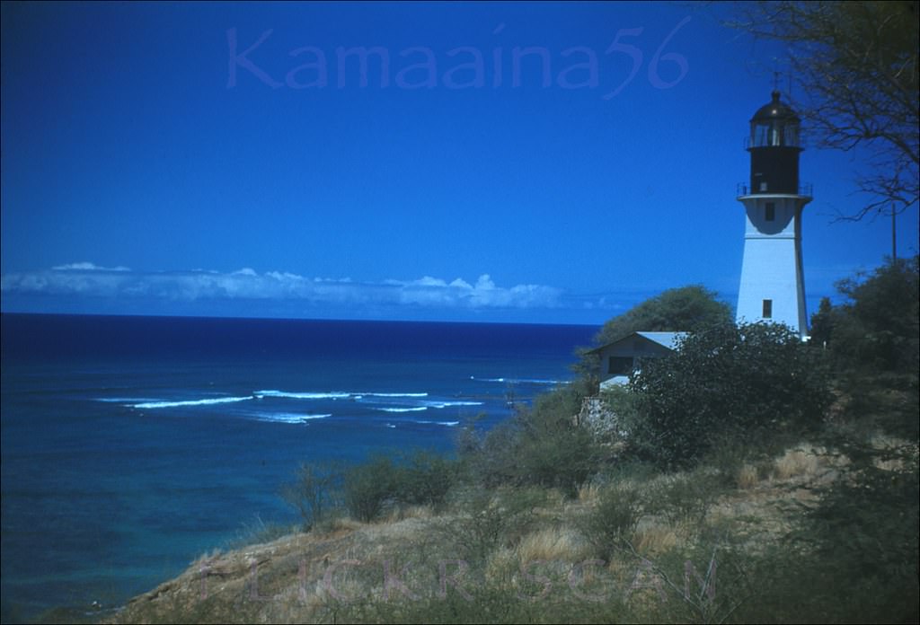
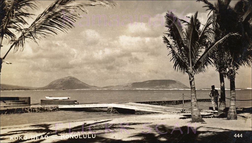
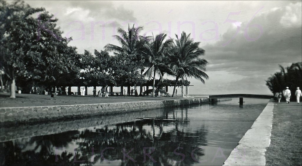
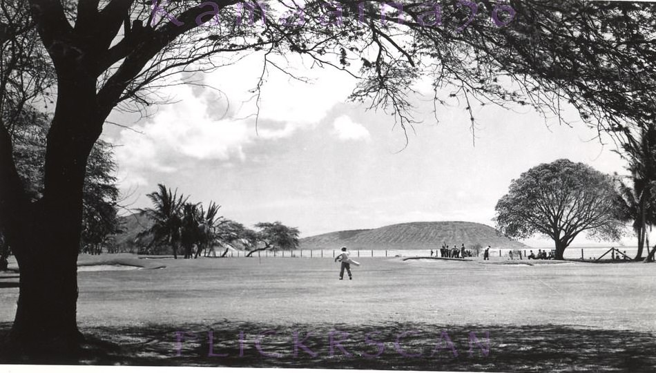
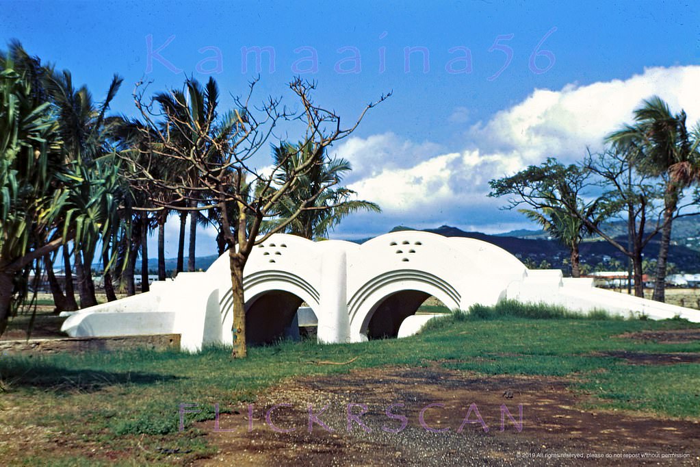
The south shore of Oahu outside of the city core was largely quiet in the 1940s. Waialae Beach Park offered open views of Maunalua Bay, with Koko Head and Koko Crater rising sharply in the distance. The Waialae Golf Club was already a fixture of the area. The Art Deco pedestrian bridge at Ala Moana Park, built in 1934 when the park opened, was another recognizable landmark along the waterfront.
Diamond Head Light, 1948.Koko Crater and Koko Head seen from Waialae Beach Park on Maunalua Bay on the south shore of Oahu, 1947Waialae Beach Park Makai, 1940sLooking from Waialae Beach Park with Wilhelmina Rise in the distance, 1940sScenic Waialae Golf Club, 1946Aina Haina Wailupe Valley, 1949.Ala Moana Bridge Mauka, 1949
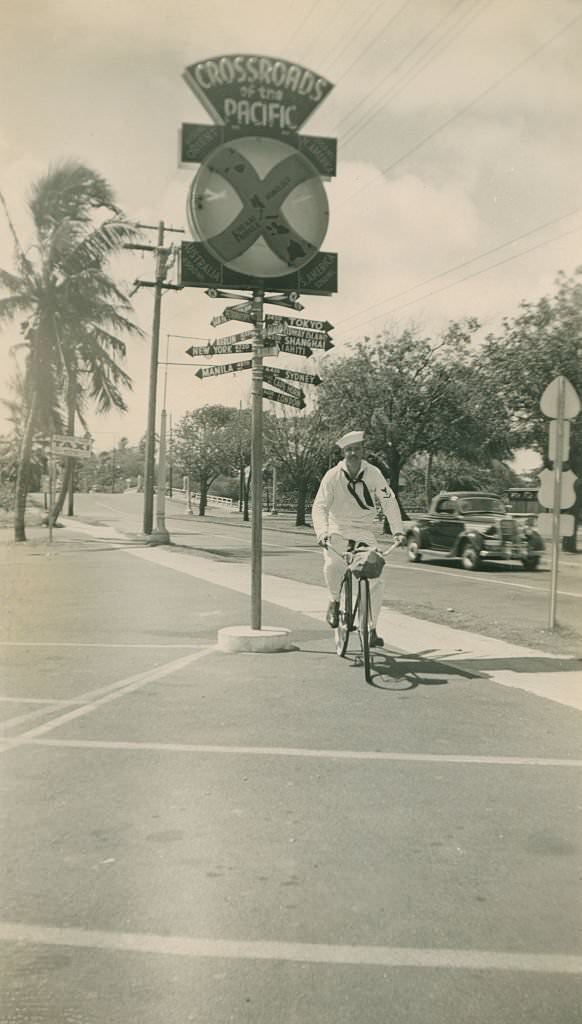
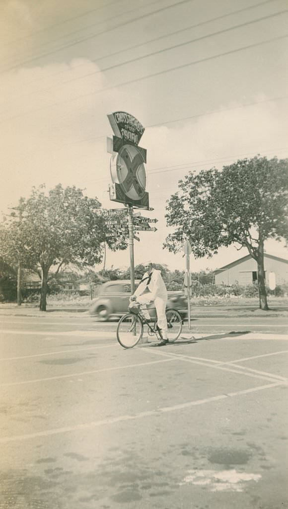
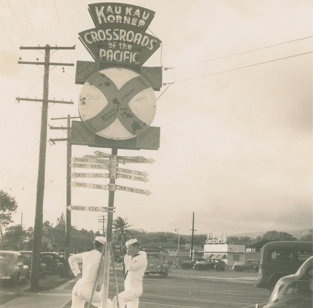
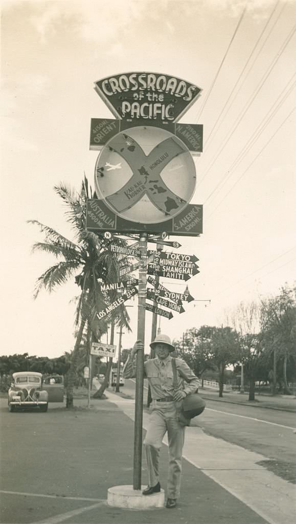
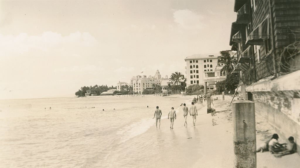
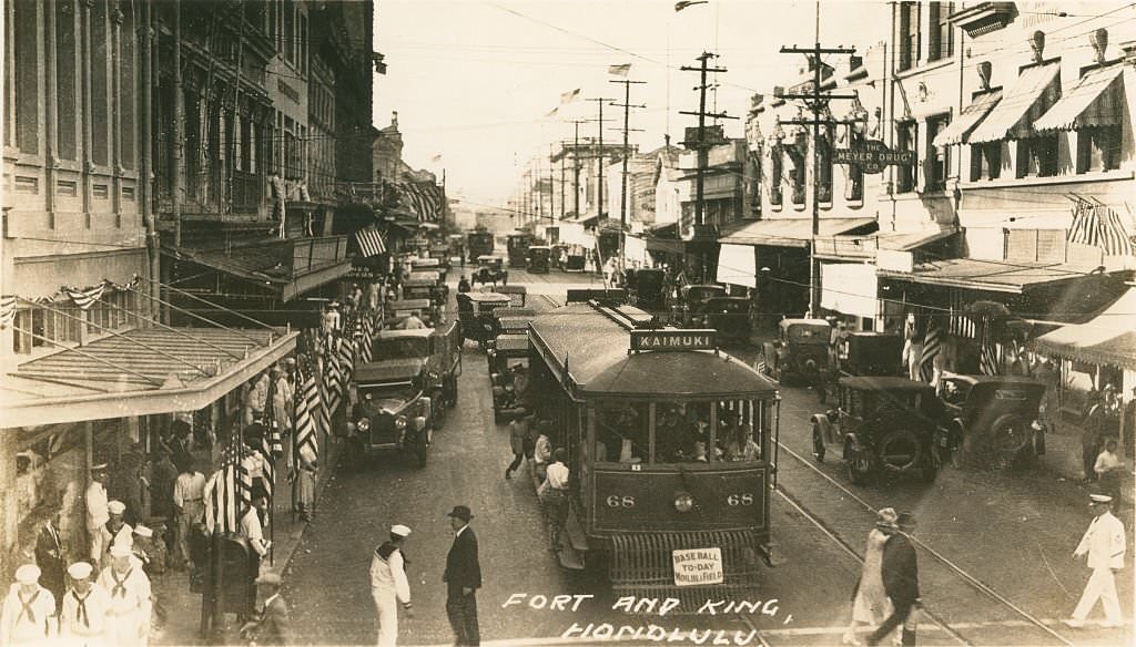
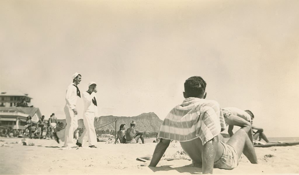
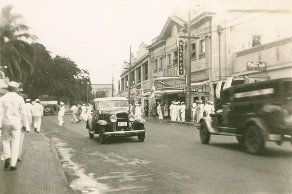
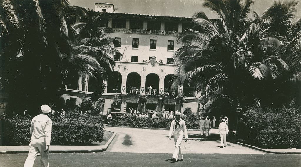
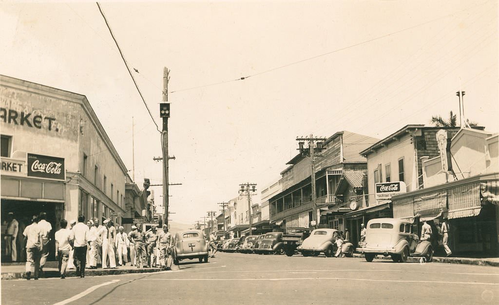
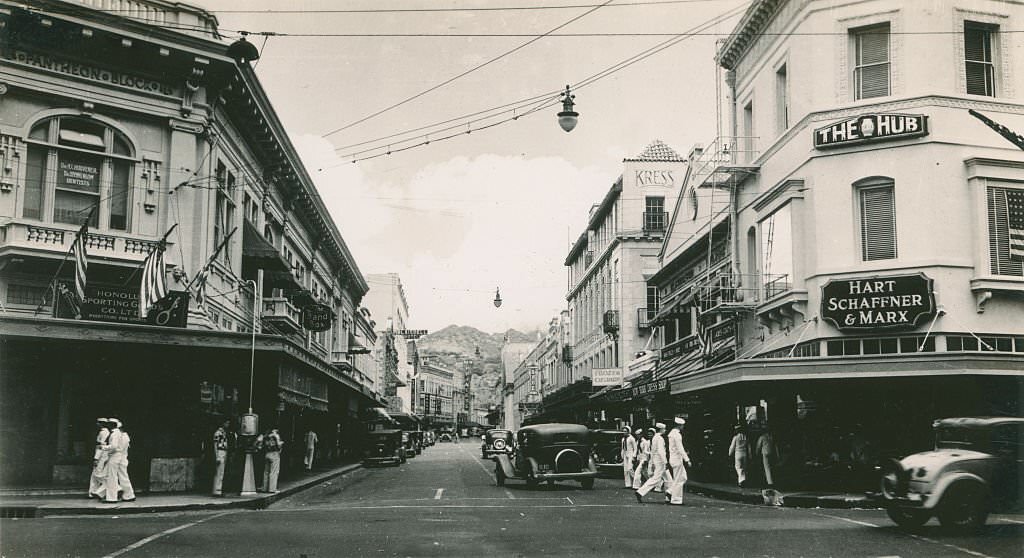
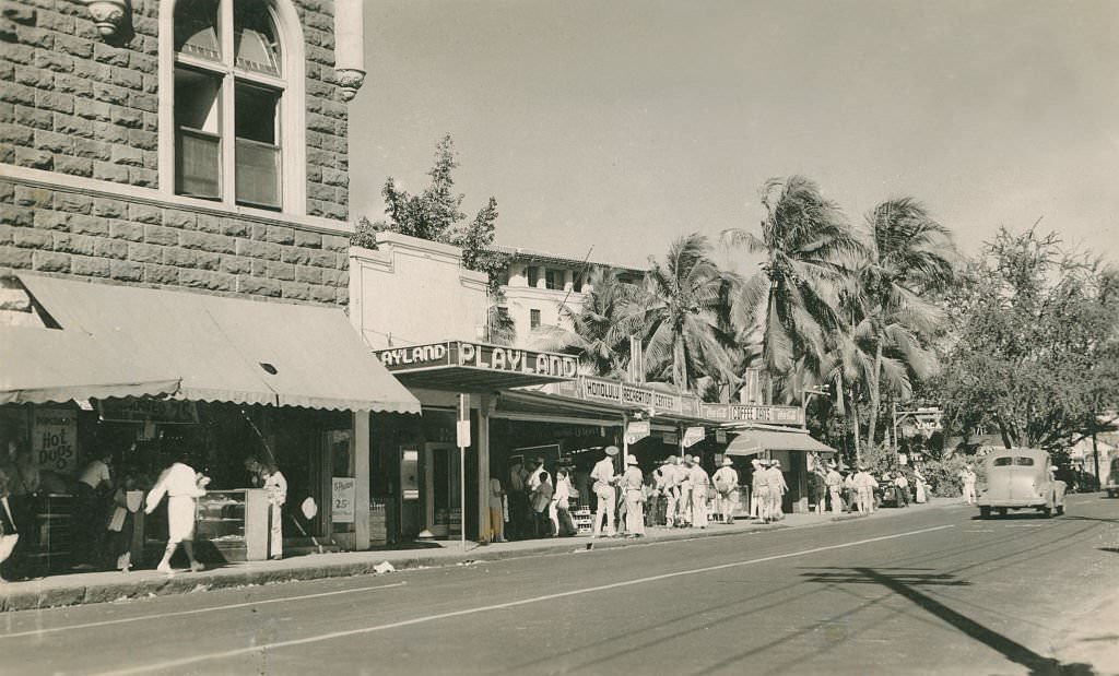
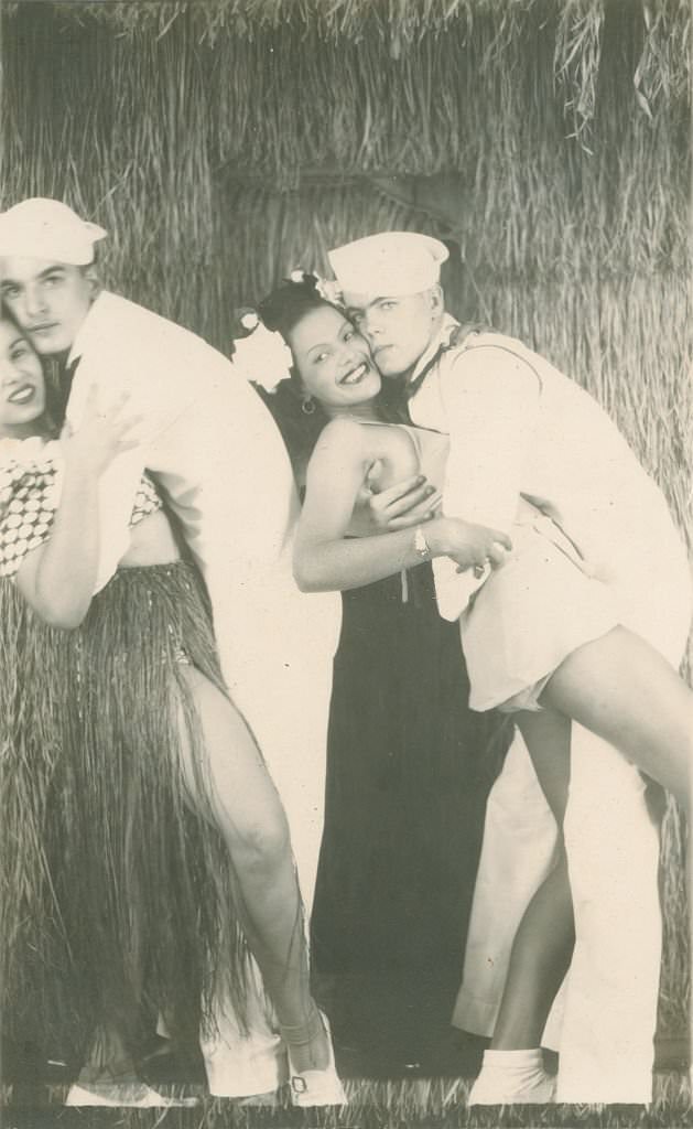
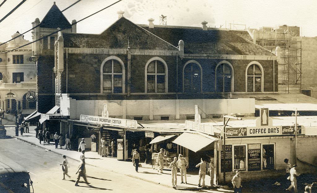
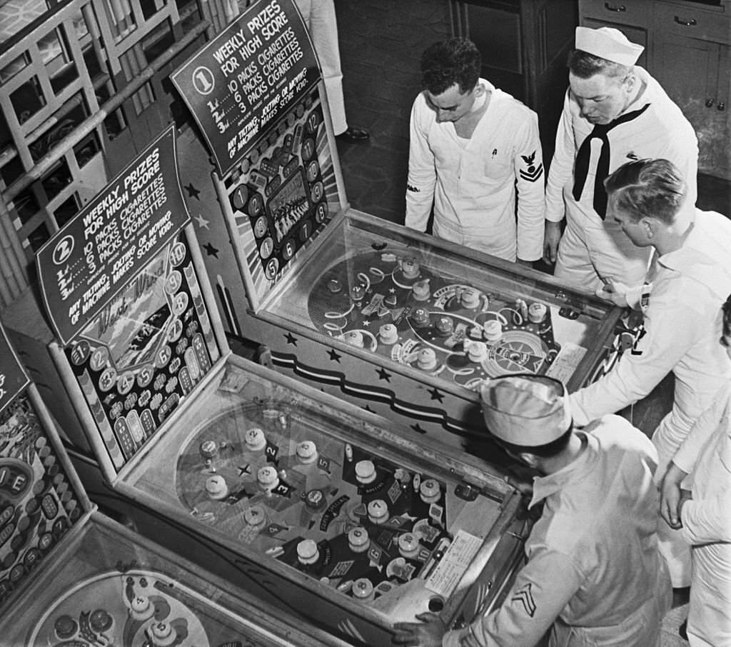
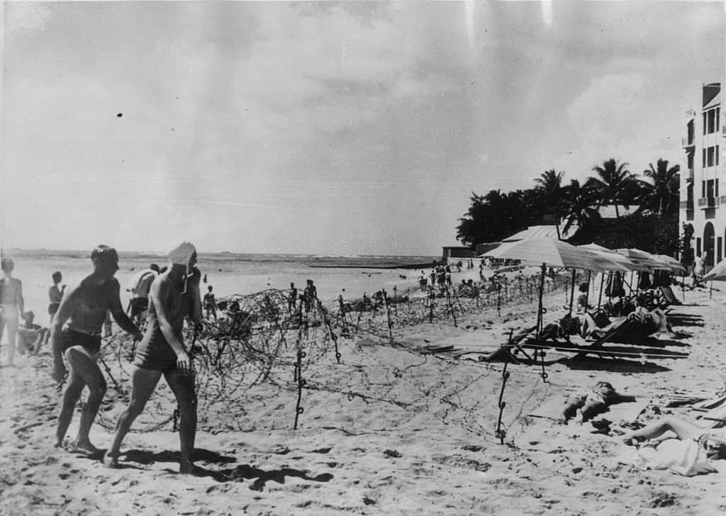
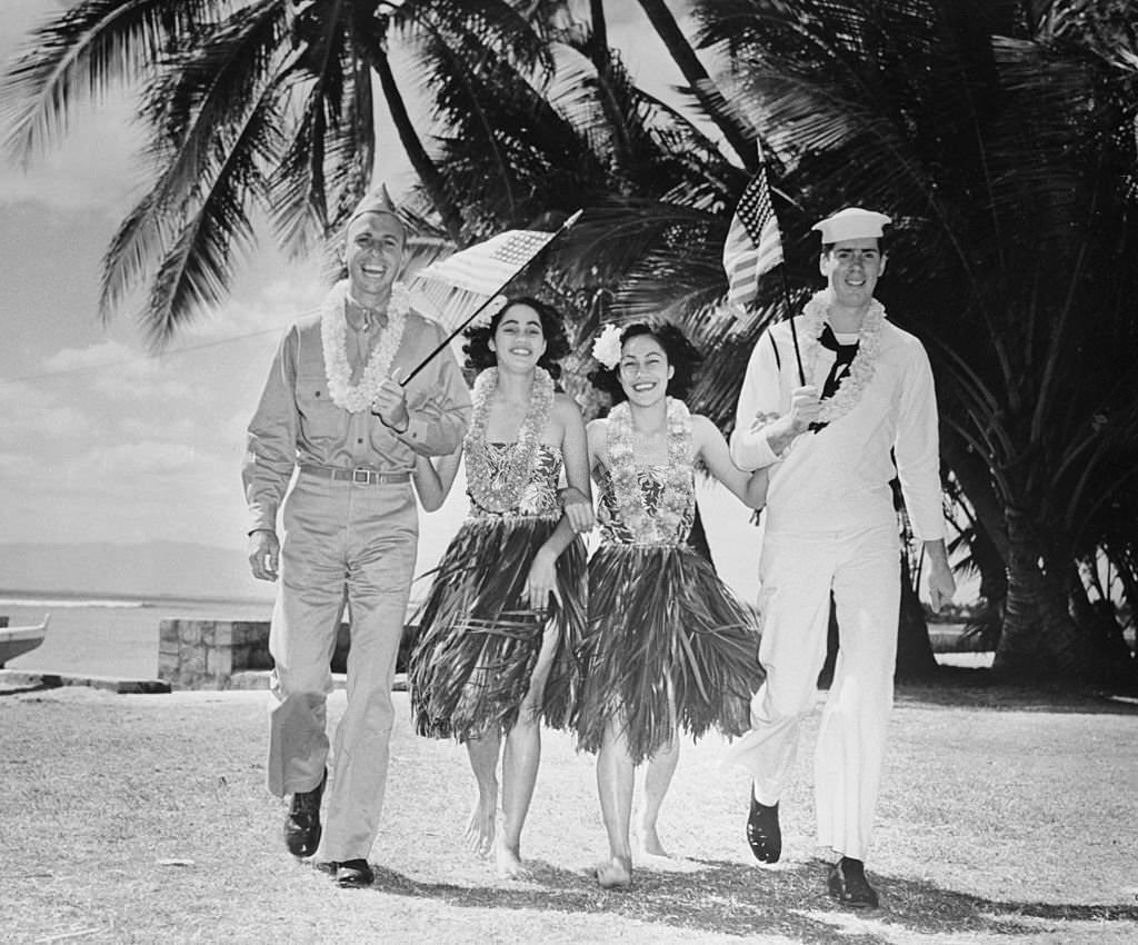
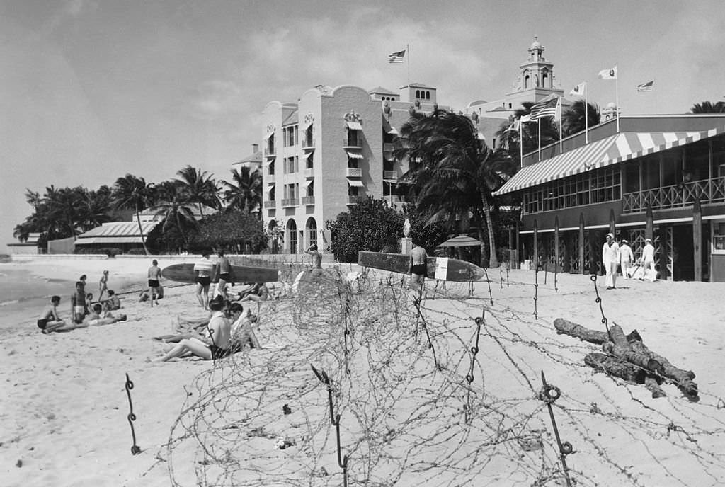
Throughout the decade, U.S. military personnel were a constant presence on Honolulu’s streets, beaches, and entertainment venues. Sailors posed at the “Crossroads of the Pacific” sign, crowded Hotel Street’s bars and shops, and walked Waikiki’s shoreline in uniform. The Royal Hawaiian Hotel on Waikiki Beach was leased by the Navy for officers and enlisted men on leave. Pinball machines — banned in cities like New York — kept sailors entertained inside the hotel. Even with barbed wire strung across the beach, servicemen still swam in the surf.
Sailor rides bicycle by Crossroads of the Pacific sign, 1940s
Sailor on bicycling in front of Crossroads of the Pacific sign, 1940s
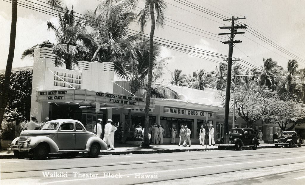
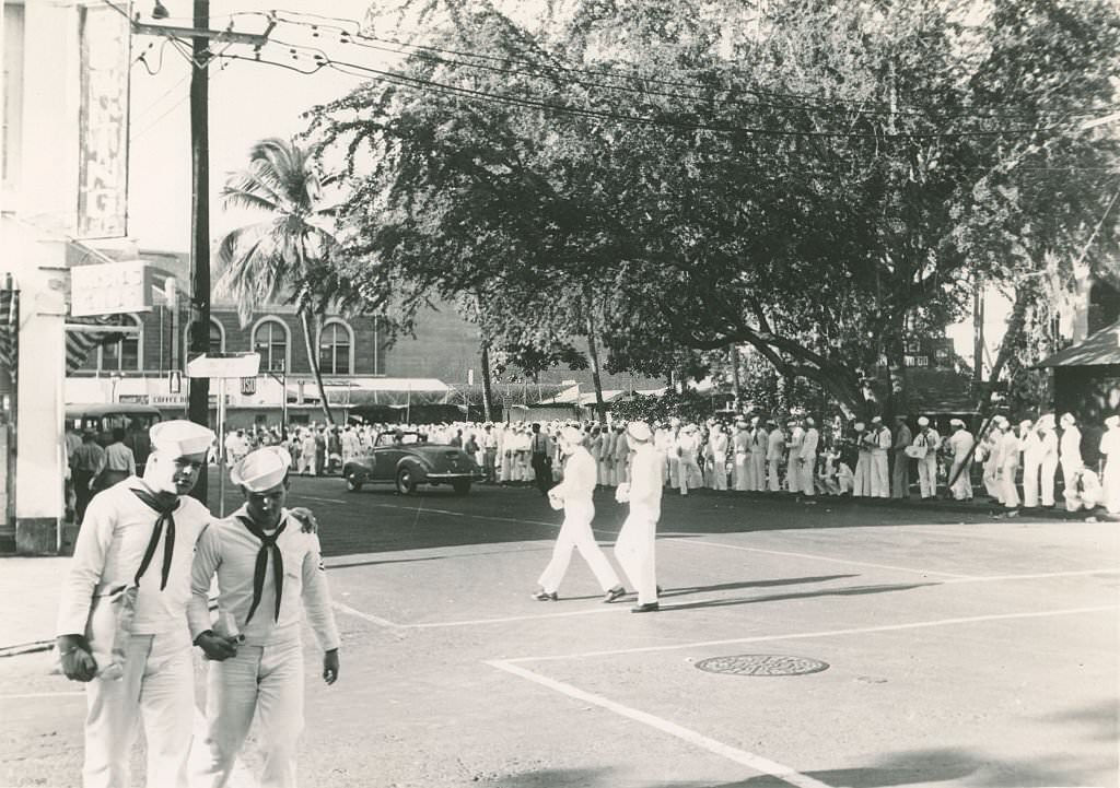
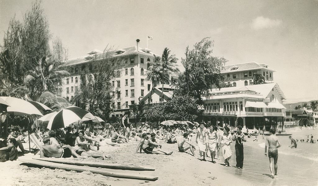
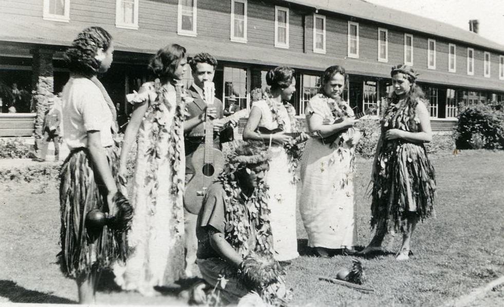
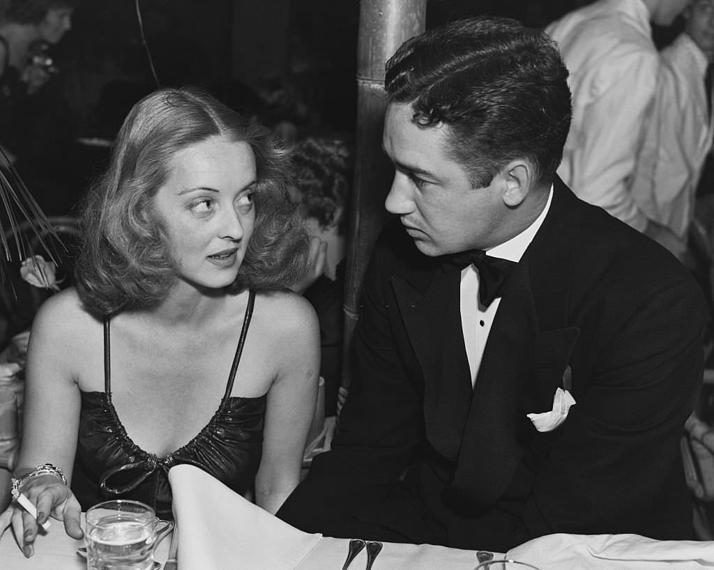
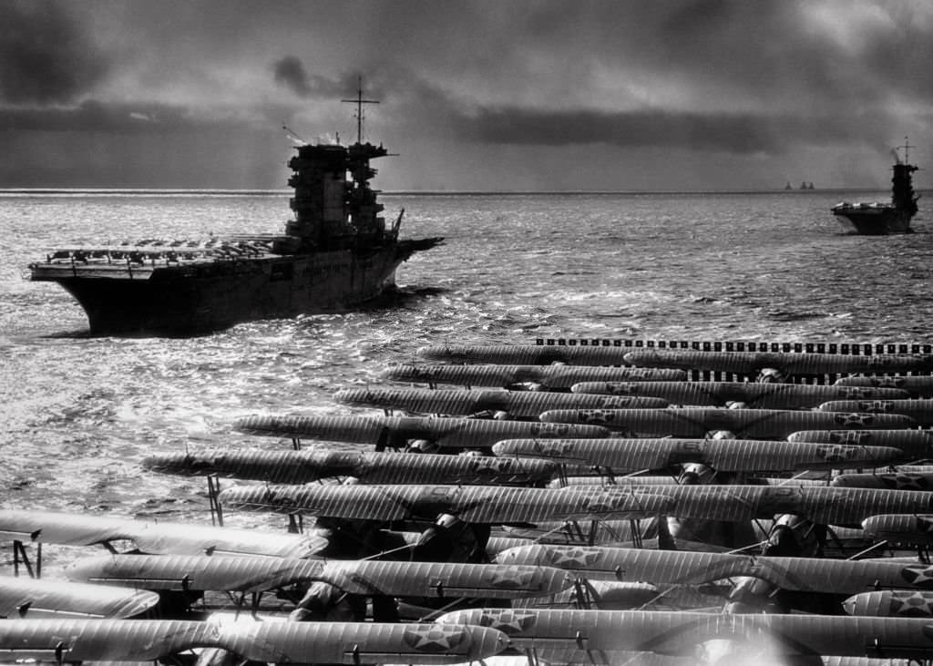
Sailors standing by Crossroads of the Pacific sign, 1940sSoldier posing by Crossroads of the Pacific sign, 1940sCanal lined with row boats and small buildings, 1940sMen in bathing suits walk near surf. Buildings line beach, 1940sHigh angle shot of city street with trolley cars, American flags and sailors, 1940sTwo sailors walk in uniform on beach. Diamondhead in background, 1940sNumerous sailors on both sides and crossing city street, 1940sCity street scene with cars, barber poles and a few pedestrians, 1940sSailors mill outside of Waikiki theater block on quiet street with parked cars and palm trees, 1940sSailors walking in front of six story building, 1940sLong line of sailors. A few other sailors crossing street, 1940sCrowded beach scene with sun umbrellas, 1940sSailors on a broad commercial street in Hawaii with cars parked on either side, 1940sBroad commercial street with cars and sailors, 1940sServicemen on sidewalk in front of Playland awning, 1940sTwo sailors hugging two woman in arcade photo. One woman wears hula skirt, 1940sHonolulu Recreation Center, 1940sWomen wearing leis and hula skirts standing on grass in front of building holding musical instruments, 1940sSailors Playing Pinball in Honolulu, 1940sThe beach of the Royal Hawaiian Hotel in Honolulu which has been leased by the American navy for officers and men on leave. The barbed wire on the beach does not stop them enjoying a swim, 1940sSoldiers Help Celebrate Hawaii’s Flag Day Festivities. Waikiki, Hawaii, 1940sBette Davis and Harmon Nelson at the Waikiki Cafe.U.S. sailors and soldiers in Honolulu after militarization of almost all the activities of the island. Honolulu, January 1942War & Conflict World War Two. Waikiki Beach, Hawaii, 1940’s.USN Pacific Fleet Aircraft Carriers, 1940s
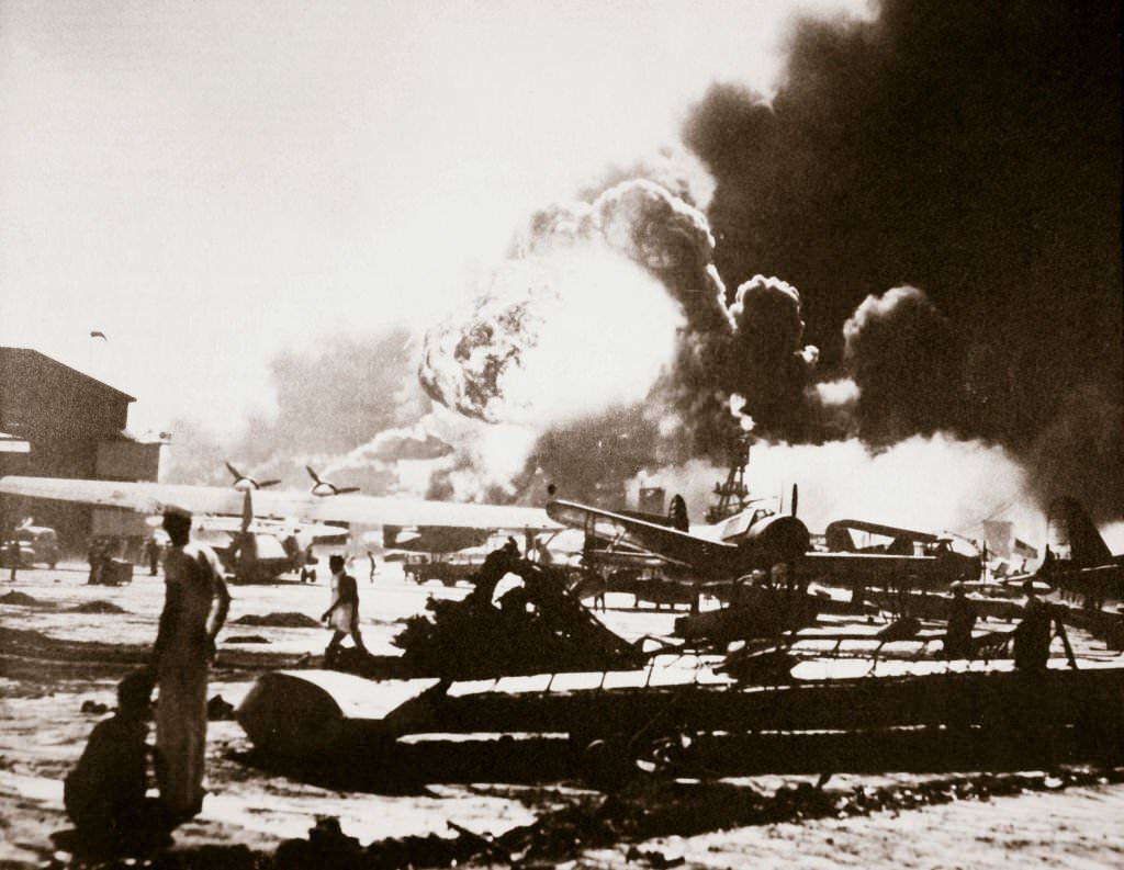
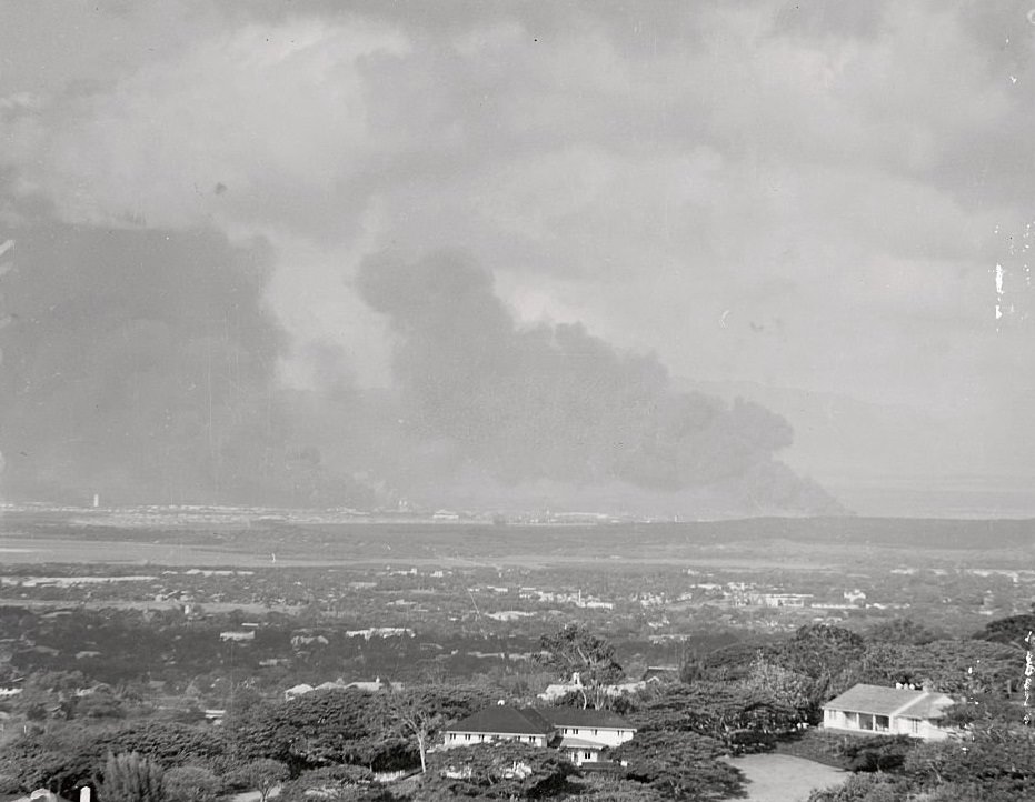
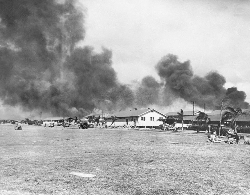
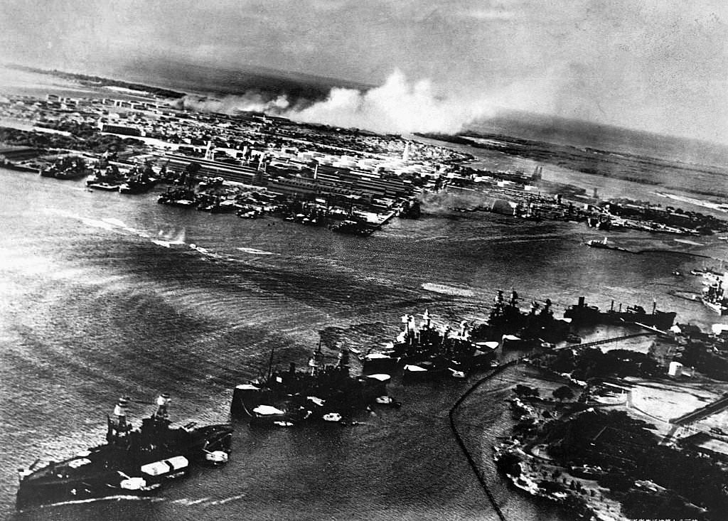
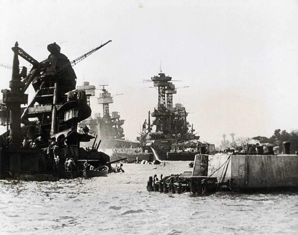
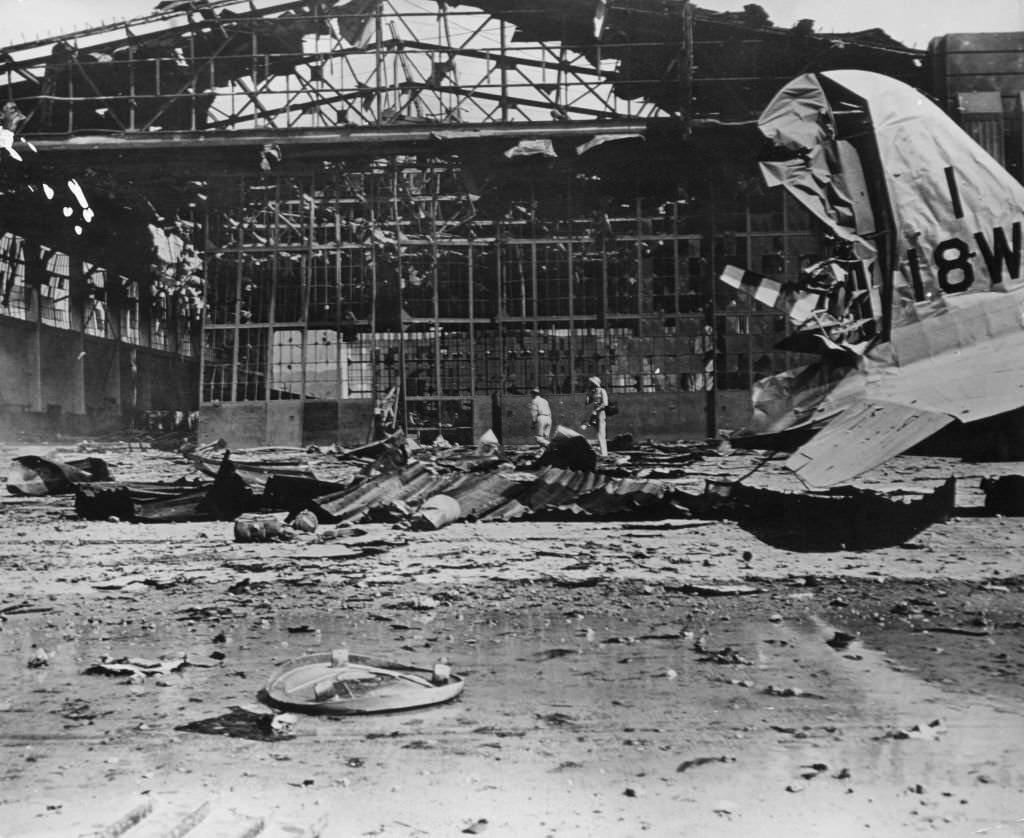
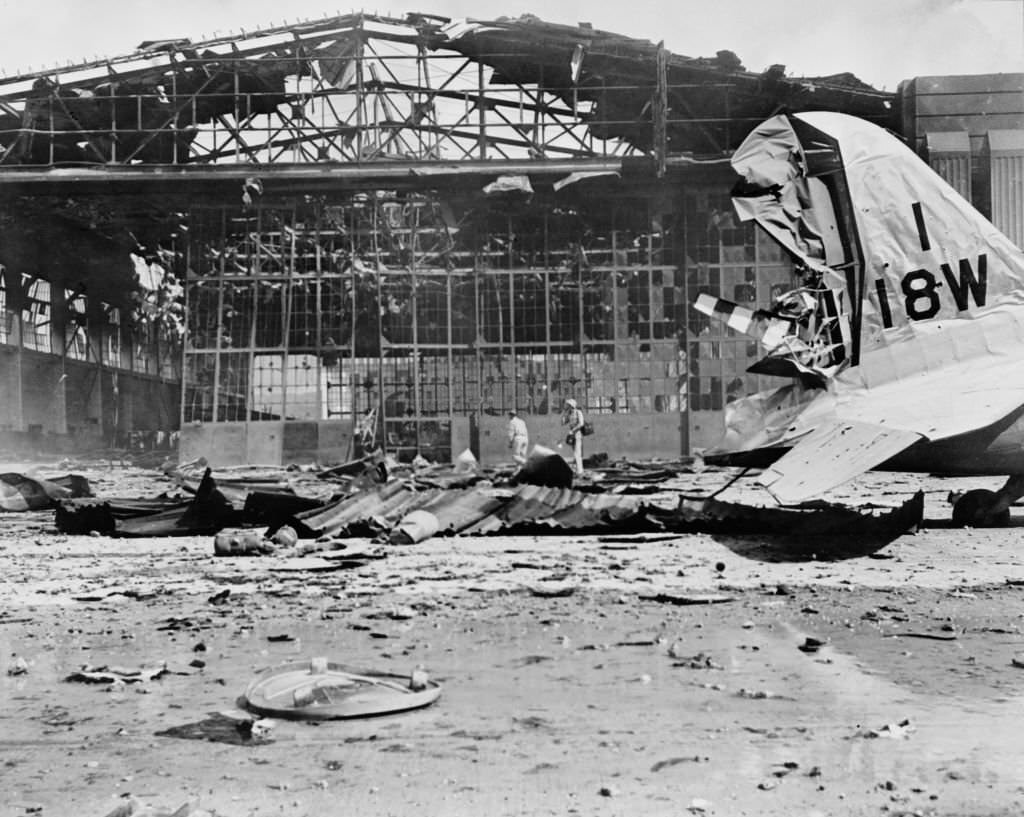
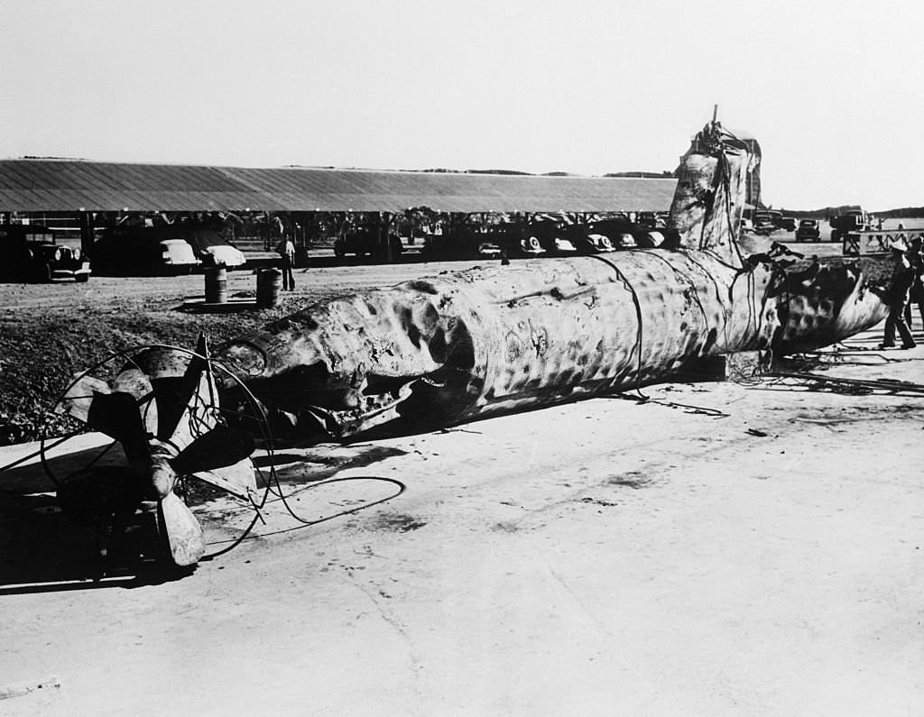
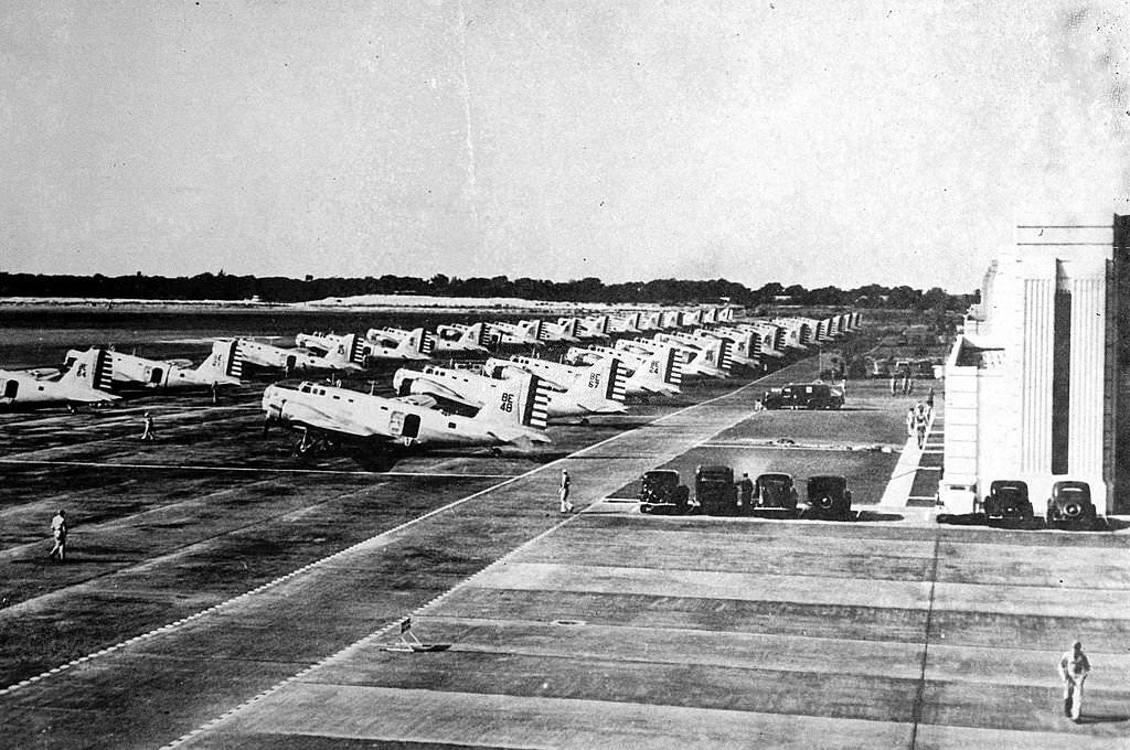
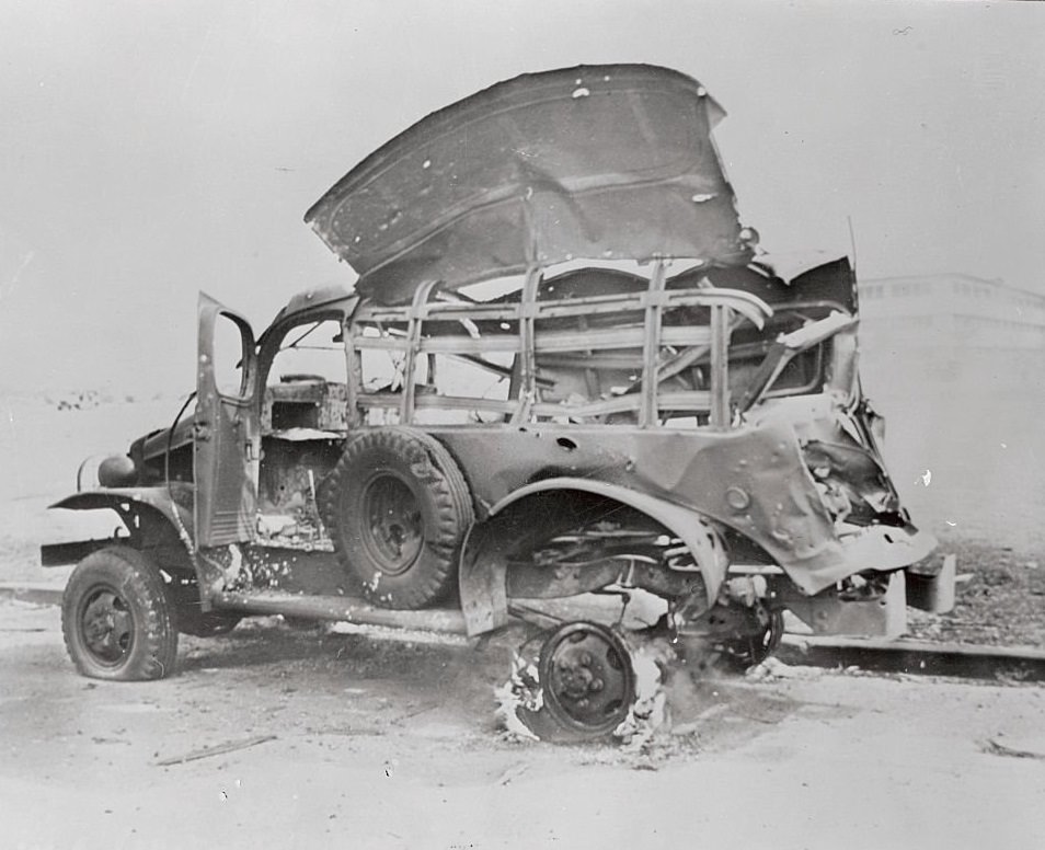
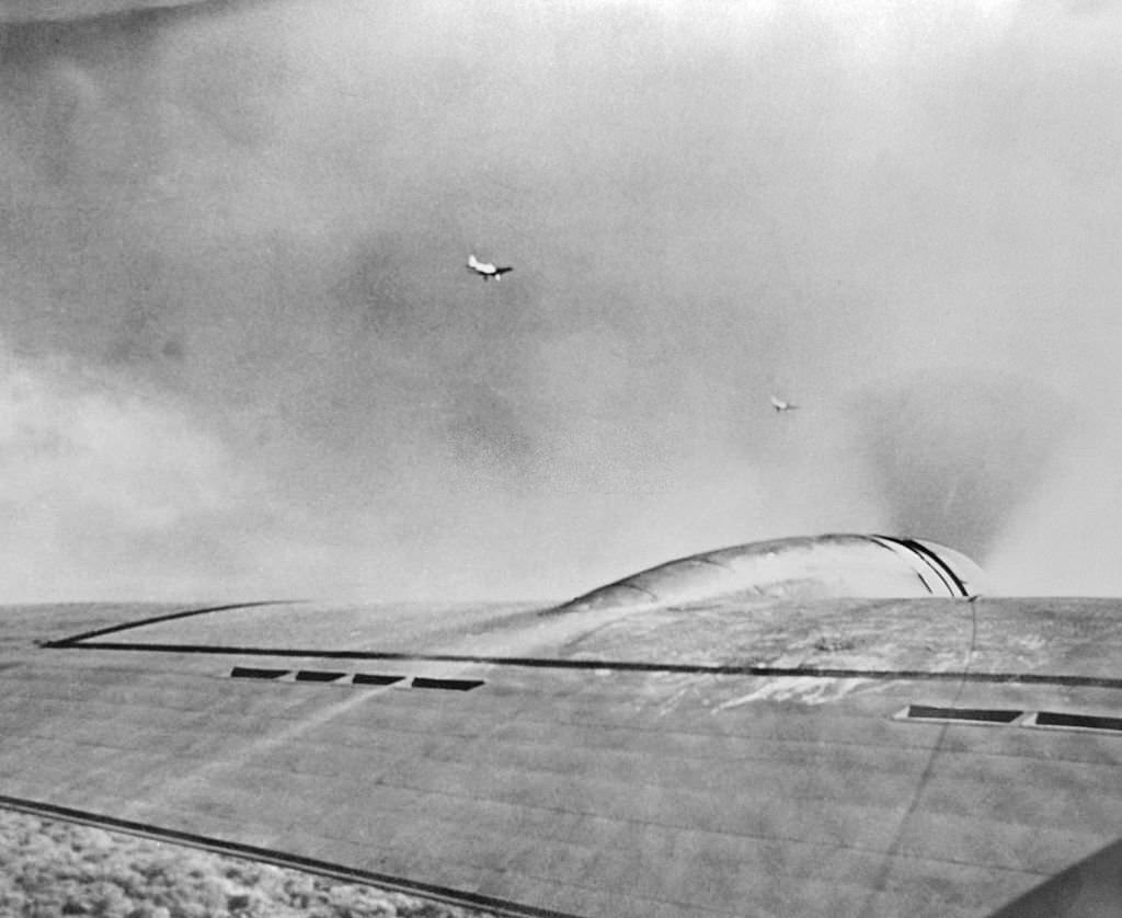
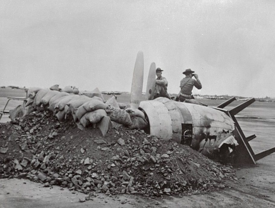
On the morning of December 7, 1941, Japan launched a coordinated surprise attack on U.S. military facilities at Pearl Harbor using bombers launched from aircraft carriers. The attack sank four battleships, damaged four others, and destroyed 188 aircraft. 2,345 servicemen and 57 civilians were killed. The Naval Air Station was reduced to wreckage. Hickam Field’s hangars were destroyed by Japanese bombs. A Japanese two-man submarine that attempted to attack an aircraft tender was stopped when the tender’s gun fired a shell through its conning tower, killing the pilot. A U.S. destroyer then rammed the sub and finished it with depth charges — its battered hull was later found on the beach.
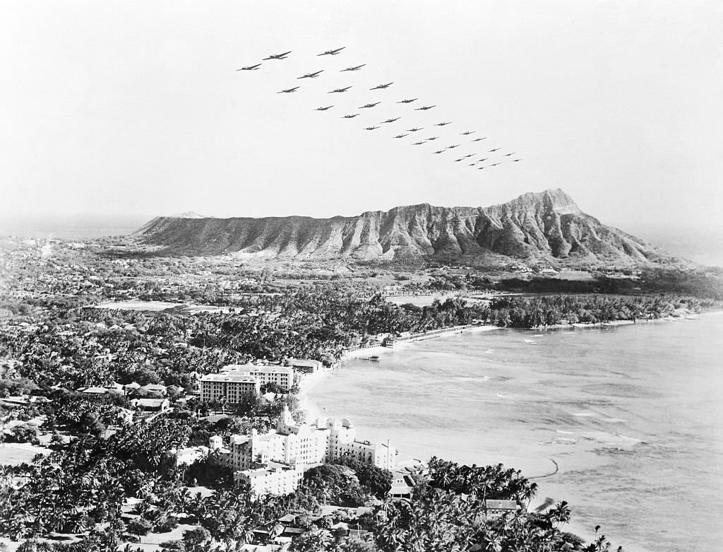
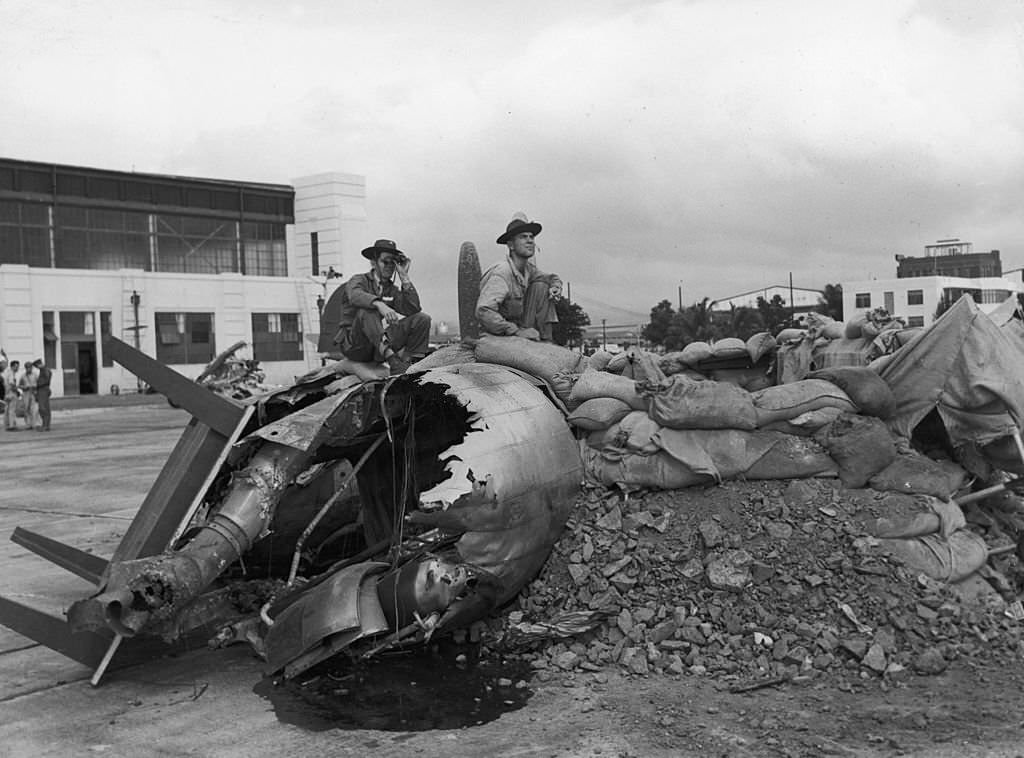
The wreckage-strewn Naval Air Station, Pearl Harbour, Hawaii, USA, 7 December 1941.View of Smoking Area After Japanese Attack in Hawaii.View of Burning Area on Hickam Field During Pearl Harbor Attack.Military facilities and ships at Pearl Harbor burn during a Japanese attack on December 7, 1941.Ships damaged during the Attack On Pearl Harbor, Honolulu, Oahu, Hawaii, December 7, 1941.Hickam Field aircraft hangar at Pearl Harbour (Pearl Harbor), Hawaii, destroyed by Japanese bombs during World War II, 1942The damaged Hangar No 11 after the 7th December 1941 attack by the Imperial Japanese Navy Air Service on Hickam Field, Pearl Harbor, Hawaii.Destroyed Japanese Submarine Found Near Pearl Harbor, 1942American air force planes lined up at Hickam field near Honolulu, World War II, 8th December 1941The White House announced that Japanese planes attacked Hawaii. Soon after as shown here, U. S. medium bombers fly over diamond Head and beautiful Wakiki Beach at Honolulu.A bombed truck still burns off the Hickam Field Parade Ground at “F” Street, three hours after the first Japanese planes appeared over the Hawaiian Island of Oahu, on December 7, 1941.Planes are shown over Hickam Field on December 7, when the Japanese sneak attack raided the Hawaiian Island of Oahu.Two servicemen sit on the wreckage of a bomber, surrounded by dirt and sandbags, on Hickam Field after the Japanese attack on Pearl Harbor, Honolulu, Hawaii, 1941
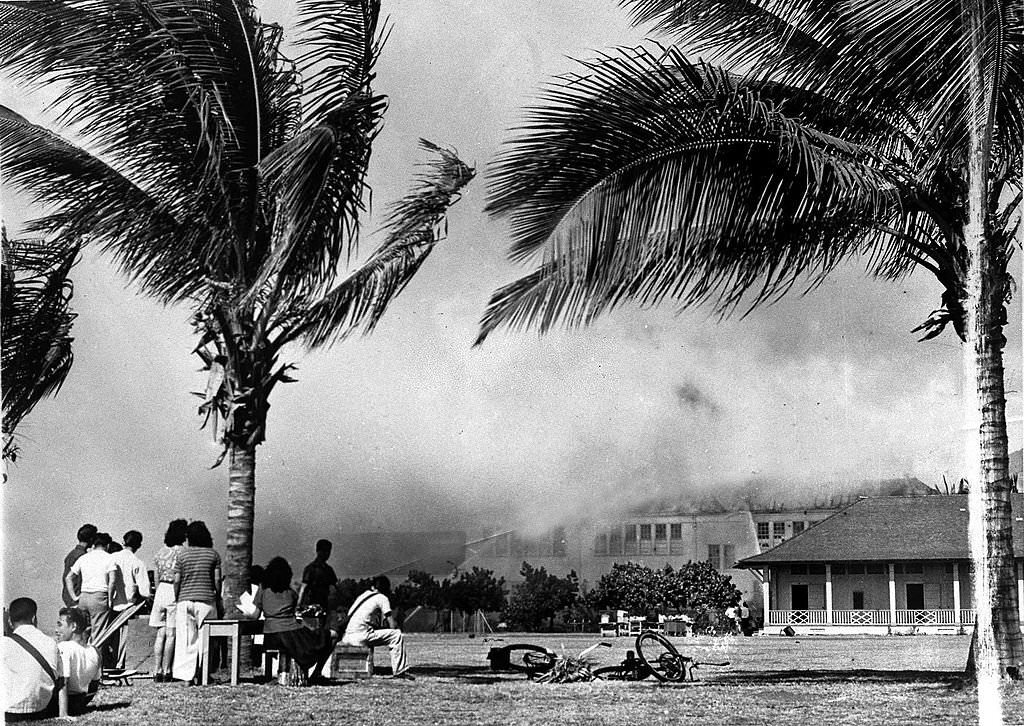
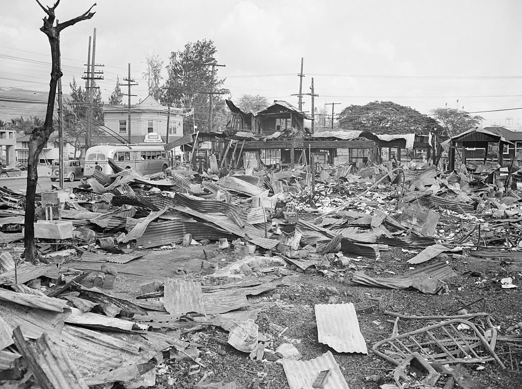
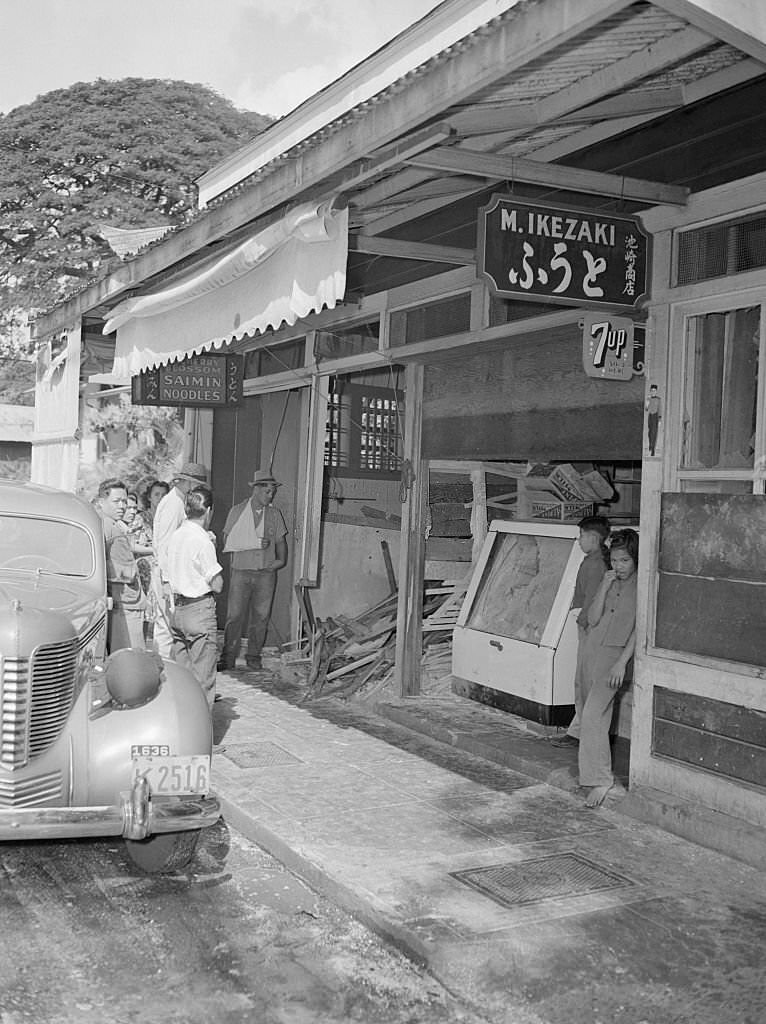
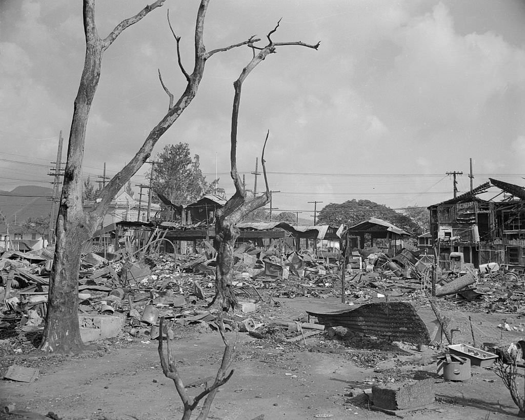
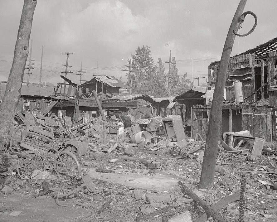
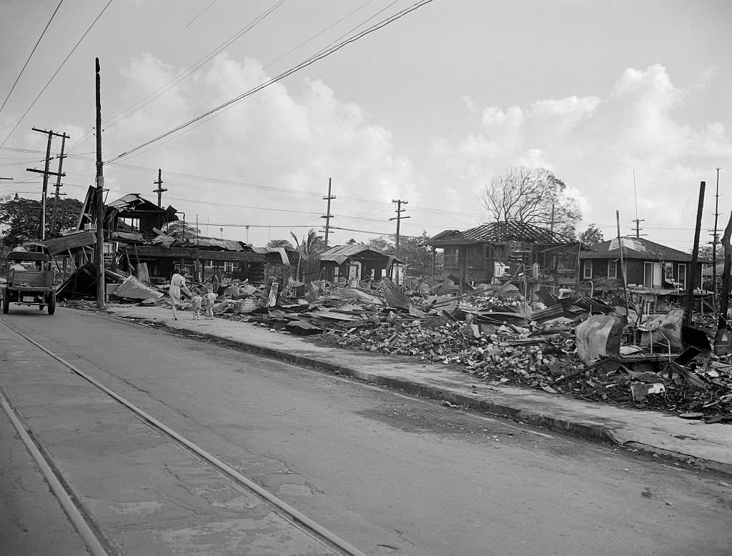
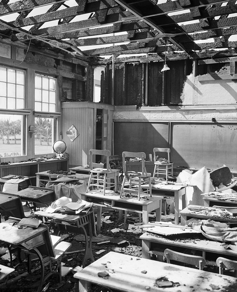
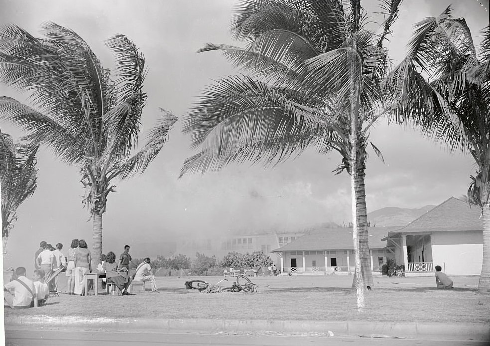
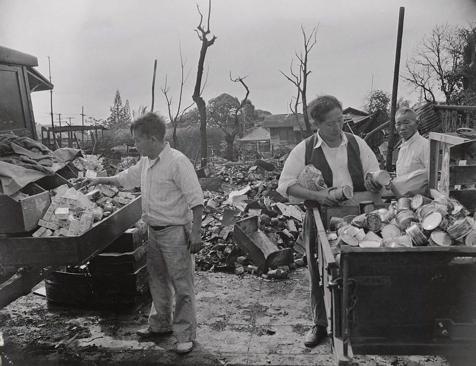
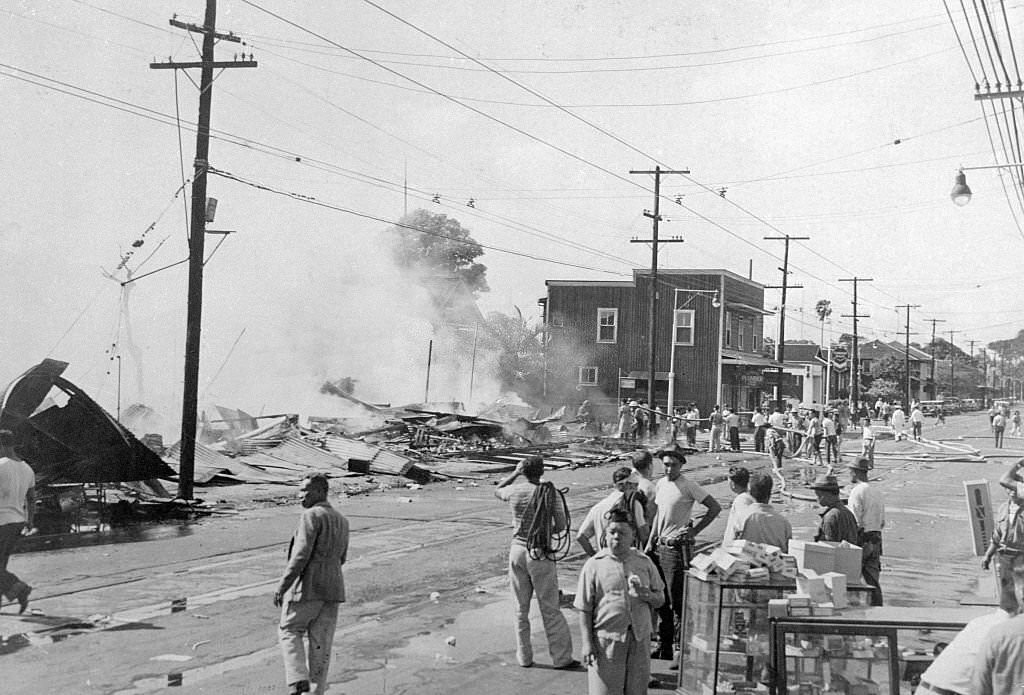
The bombing did not stop at the naval base. Civilian neighborhoods in Honolulu were also hit. Bombs struck homes, stores, and schools. The Lunalilo School took a direct hit from a Japanese bomb — its interior left in ruins, though the attack came on a Sunday when no children were present. A school building that had been converted into an emergency hospital was hit by high-explosive and incendiary bombs in a later raid and burned to the ground, with the wounded moved to the lawn before the fire consumed the structure. Japanese merchants returned to their bombed-out stores only after fires died down and the embers cooled. Stunned residents walked through rubble-filled streets in the attack’s immediate aftermath.
Hawaiians watch as a school building used as an emergency hospital burns fiercely after a heavy bombing attack by Japanese raiders in Honolulu, World War II, 30th December 1941,Wreckage in Honolulu following the Japanese Attack on Pearl Harbor of December 7th, 1942This is a photo of wreckage in Honolulu following the Japanese sneak raid of December 7th.Wreckage in Honolulu following the Japanese Attack on Pearl Harbor of December 7th.Bombs dropped from Japanese planes rained suddenly out of the skies on December 7, 1941, leaving a wake of death and ruins on this Pacific Ocean outpost of the United States, a scene of devastation in suburban Wakiki Beach, a favorite resort spot of tourists from the island.View of Destroyed Honolulu Homes and Businesses After Pearl Harbor Attack.Damaged Schoolroom in Honolulu.School Building on Fire.Japanese Merchants Going Through Debris of Bombed out Store, 1940sStunned residents view the damage after the Attack on Pearl Harbor, Honolulu, Oahu, Hawaii, December 7, 1941.
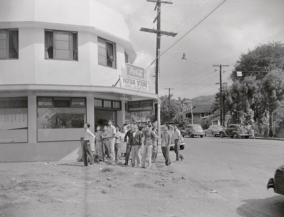
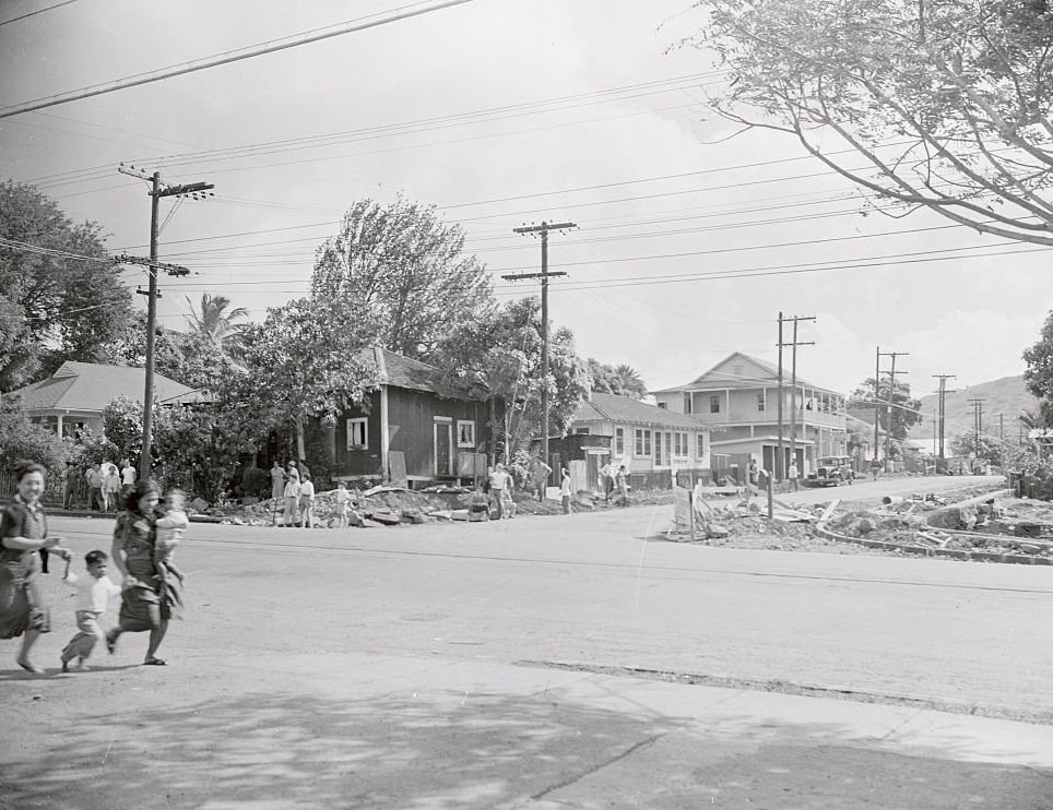
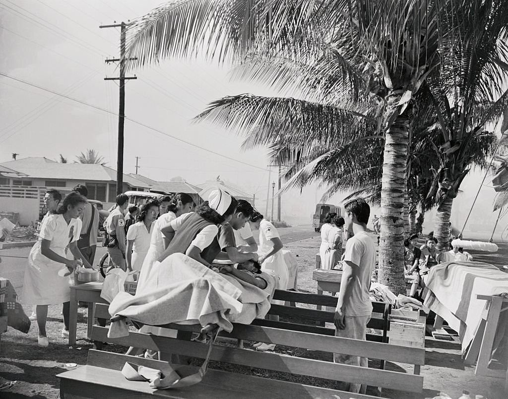
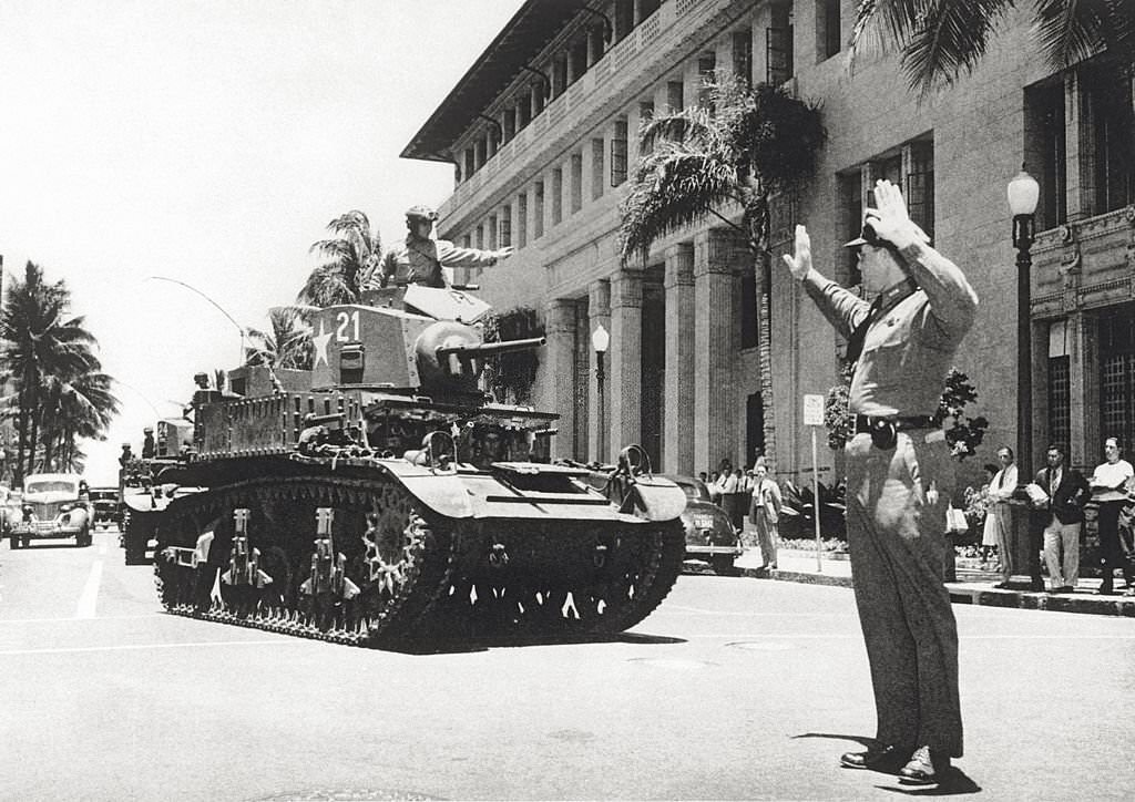
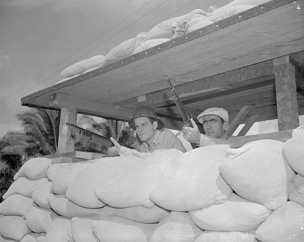
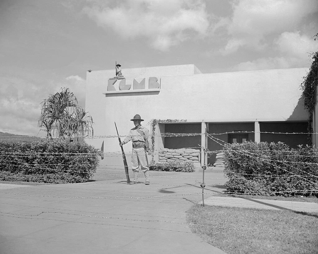
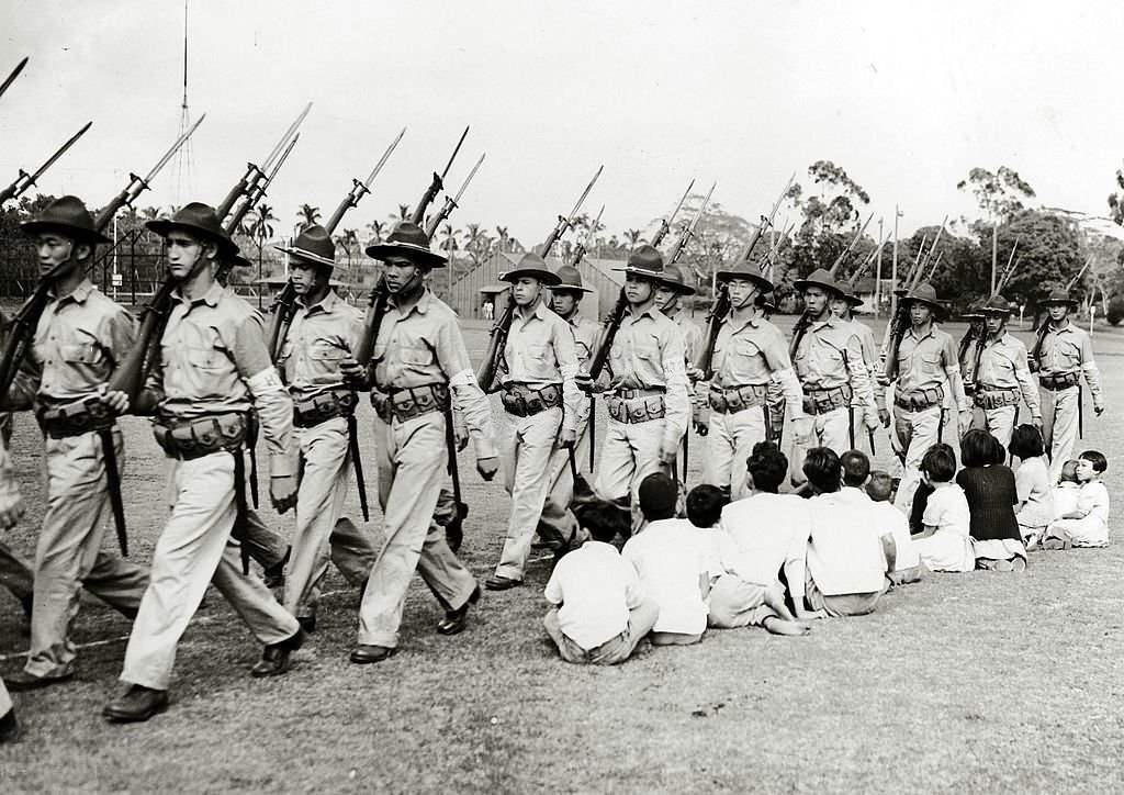
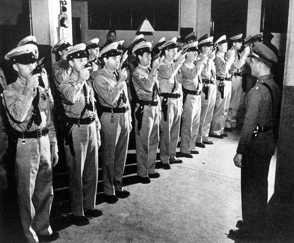
During the attack, civilians at Honolulu’s intersections watched Japanese planes overhead with a mix of confusion and terror. Anti-aircraft guns fired into the sky from city streets. Mothers grabbed their children and fled. Emergency first aid stations were set up on outdoor tables and park benches after hospital buildings were bombed. In the days and weeks that followed, Honolulu shifted to full wartime footing. Tanks moved through city streets. Volunteer police units practiced with rifles. The Hawaiian Territorial Guard — newly formed — stood armed watch at key sites like radio station KGMB, surrounded by barbed wire. Martial law was declared across the territory.
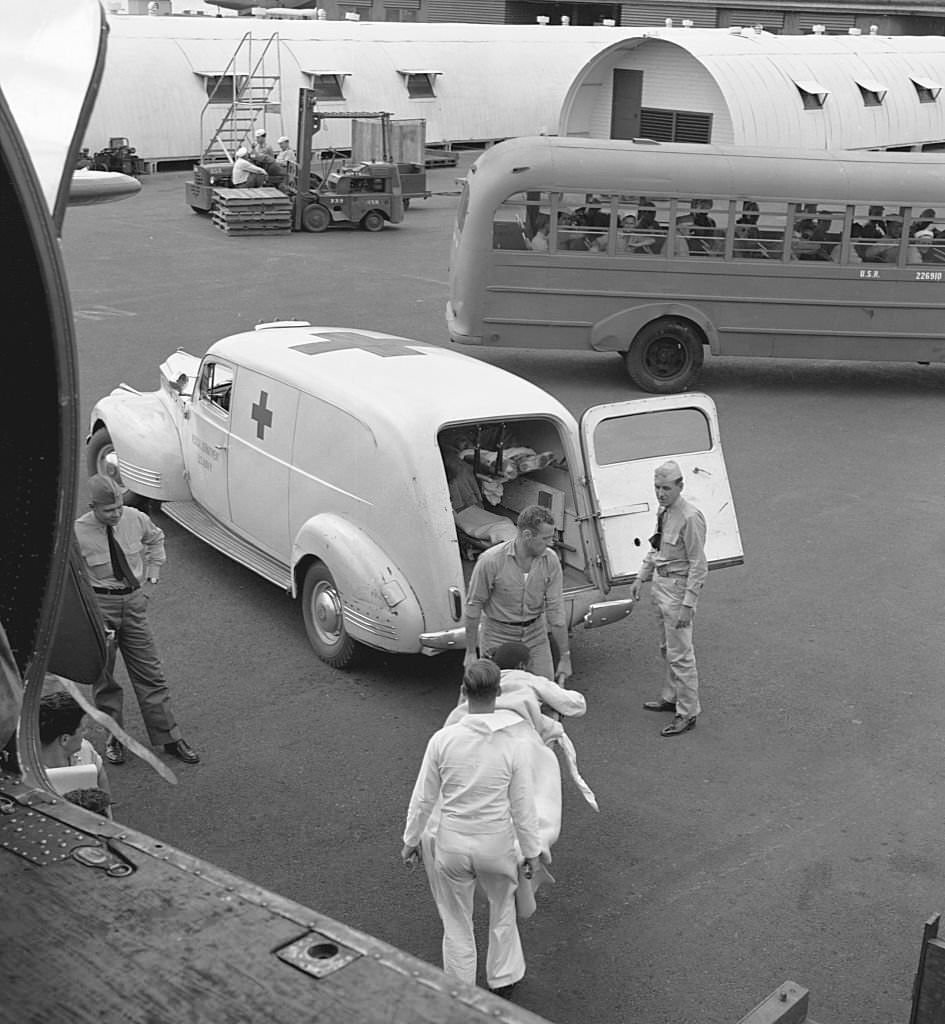
Spectators at Airfight.Families Fleeing Neighborhood.Emergency First Aid Station.Soldiers Looking out of Hickam Field Trench.In Honolulu a policeman runs traffic to allow the passage of a line of tanks. Honolulu, March 1942These two men, behind makeshift sand barricades, are two company employees, who take time out from their regular work, to stand guard with rifles cocked, against any possible Japanese move.Volunteers During Pearl Harbor Standoff, 1940sHawaiian Territorial Guard, 1942A police department on the Hawaiian island of Honolulu, formed by volunteers, practicing using guns. Honolulu, January 1942A wounded POW is unloaded from a transport plane to a Red Cross ambulance in Honolulu. October 1945.







Glass bottom boats in the Ala Wai…things have changed huh?