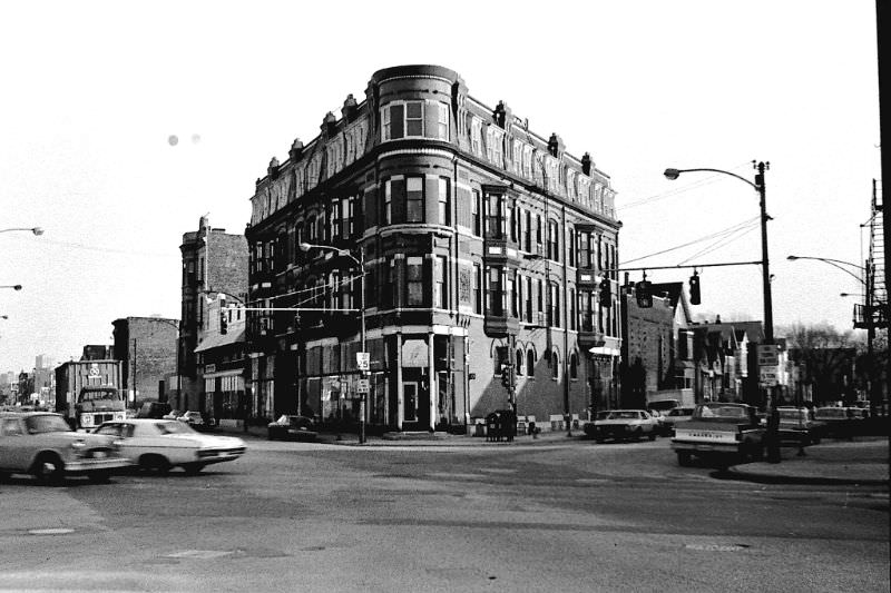
Chicago in the 1970s was a city in motion. Railways pumped jobs into working-class neighborhoods. Heavy industry still anchored communities on the South and West Sides. Churches drew large congregations and shaped daily social life. The city’s streets were loud, crowded, and full of character — a place where ordinary people built their lives block by block.
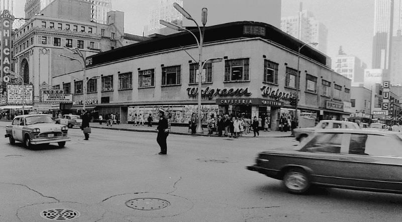
Downtown Chicago was also beginning a slow transformation in the mid-1970s. Office buildings attracted new investment, and the revival of the Loop drew attention away from the older residential neighborhoods surrounding it. But that shift was quiet at first. Most Chicagoans were focused on something far louder: the death of Mayor Richard J. Daley in December 1976, which set off a long period of political instability that dominated the city’s headlines for years.
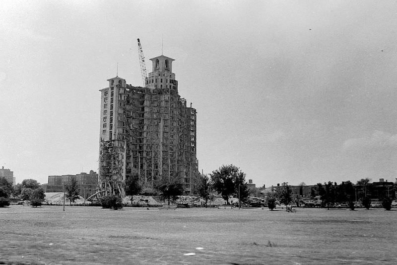
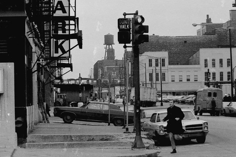
In the early part of the decade, the streets of Chicago’s neighborhoods were lined with small, family-run businesses. Along Diversey Parkway and Halsted Street, you could find bakeries selling fresh bread each morning, butcher shops with hand-written price signs in the window, old-fashioned barber shops, liquor stores, diners, and a handful of pharmacies. These weren’t chains or franchises — they were businesses owned and operated by the people who lived nearby.
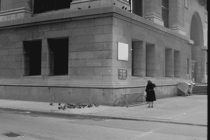
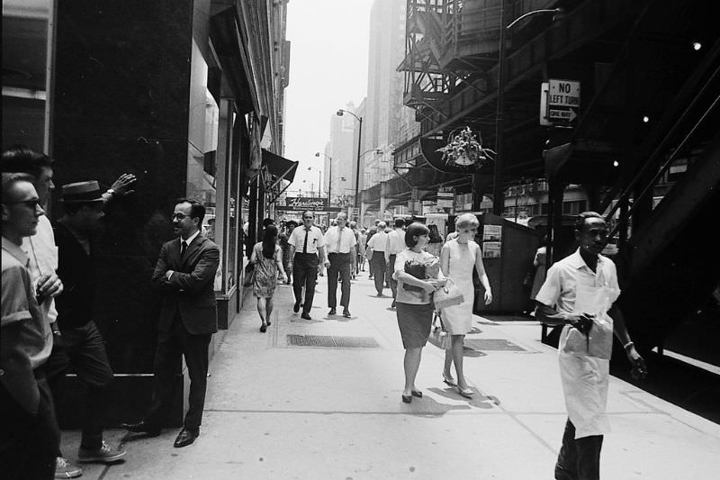
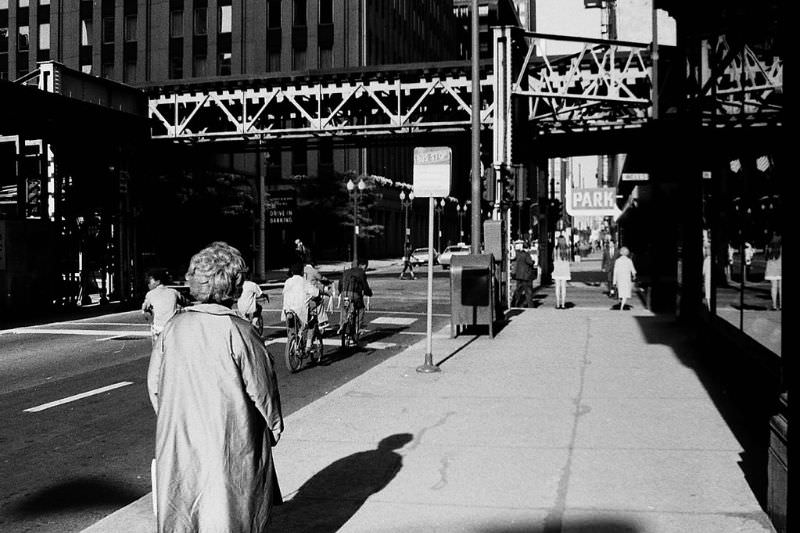
Wabash Avenue in 1970 captured the density and energy that defined downtown Chicago. The elevated train — known locally as the ‘L’ — rattled overhead while pedestrians moved below through a mix of storefronts, theaters, and street vendors. The noise, the steel, and the foot traffic all blended into a rhythm that felt distinctly Chicago.
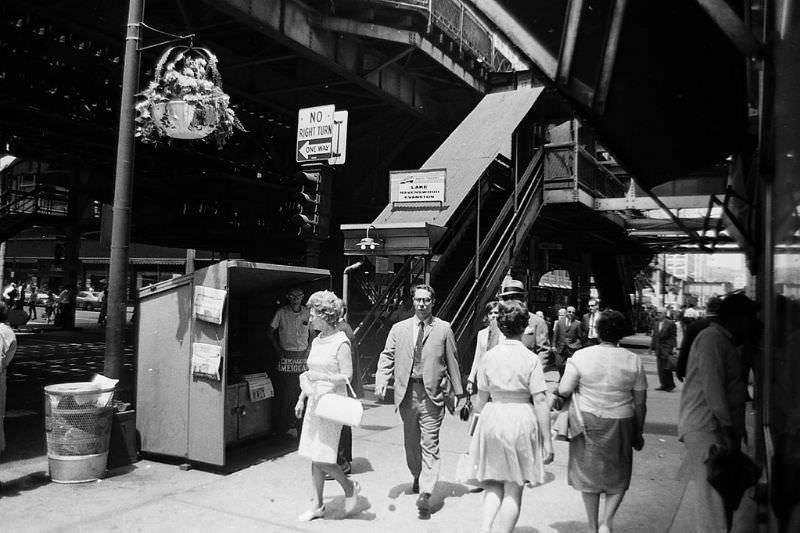
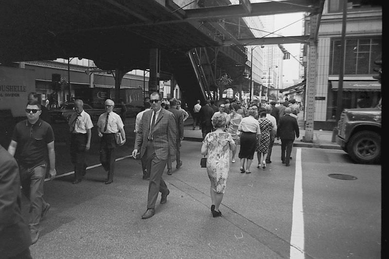
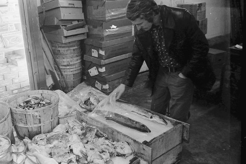
The Fulton fish market was one of the city’s most important commercial hubs. Located in the Fulton Market district on the Near West Side, it operated as a wholesale and retail market for fresh fish and seafood. Workers arrived in the early morning hours to unload, sort, and sell their stock before the rest of the city woke up. The smell of ice and fresh catch filled the surrounding streets.
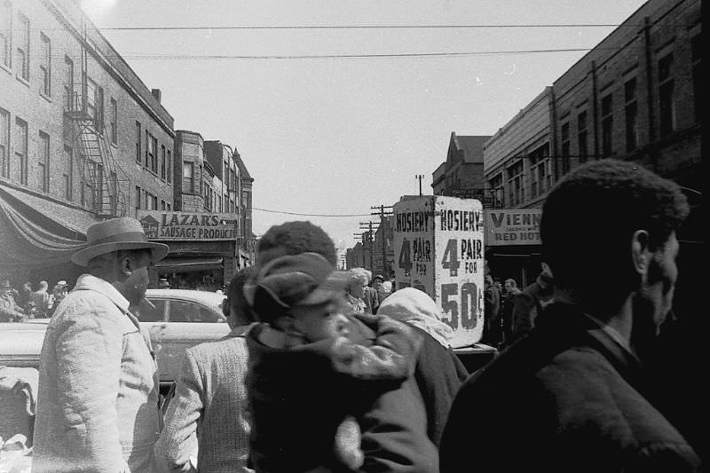
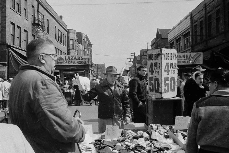
Maxwell Street was a world unto itself. For decades, the open-air market on Chicago’s Near West Side served as a trading ground for immigrants, working-class families, and street vendors of every kind. By 1973, the market still drew large crowds on weekends. Vendors sold everything from used clothing to tools, produce, and electronics — often spread out on the sidewalk or the back of a truck.
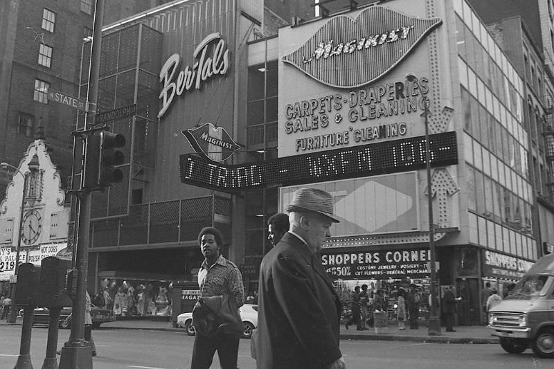
Street vendors weren’t limited to Maxwell Street. At the corner of Randolph and State, a seed seller set up shop in 1973 — one of many informal traders who carved out a living in the gaps between the city’s storefronts. These small-scale sellers were a constant feature of Chicago street life in this era.
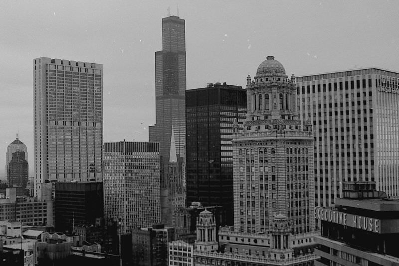
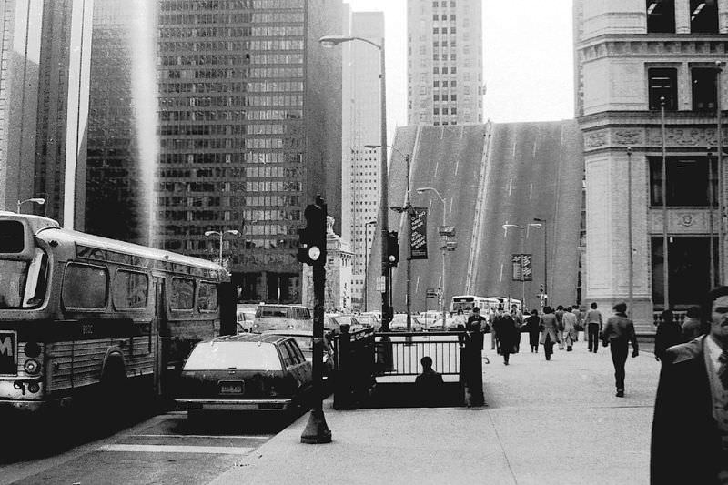
By 1974, the Chicago skyline as seen from the 33rd floor of 333 N. Michigan Avenue showed a city still in the midst of architectural growth. Skyscrapers were rising, but the streets below remained gritty and working. The contrast between the towers above and the everyday hustle below was one of the defining tensions of 1970s Chicago.
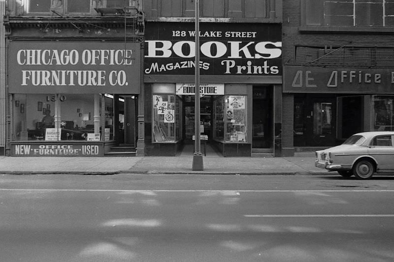
Independent bookstores were part of the neighborhood fabric. The shop at 128 W. Lake Street was one of the many small retailers that occupied Chicago’s commercial corridors during this period. These stores served regular customers from surrounding blocks and rarely attracted tourists — they existed for the people who lived and worked nearby.
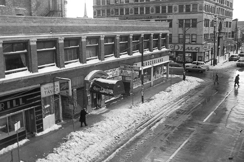
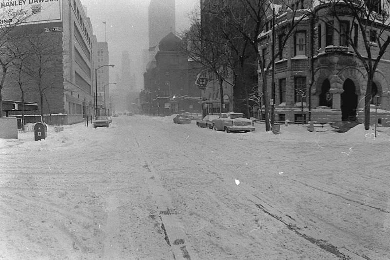
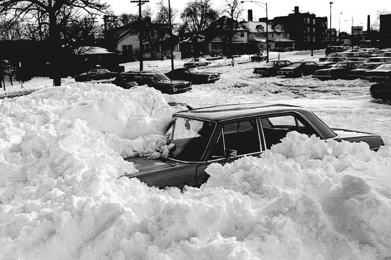
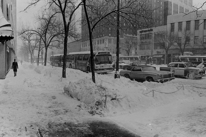
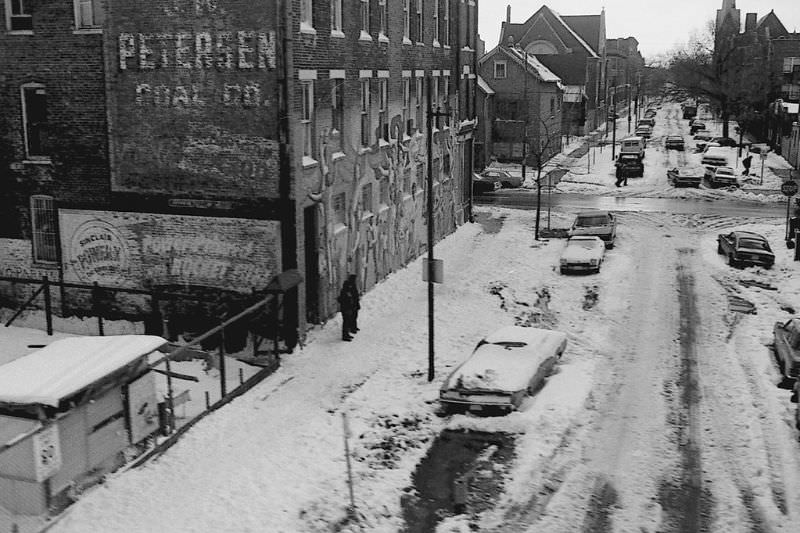
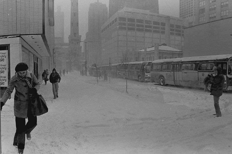
Chicago winters were brutal and unforgiving, and the city’s streets in the 1970s showed it. Snow packed against storefronts, coated the elevated train tracks, and turned sidewalks into narrow paths cut through drifts. Yet the city kept moving. Buses ran, markets stayed open, and residents shoveled out their cars to get to work.
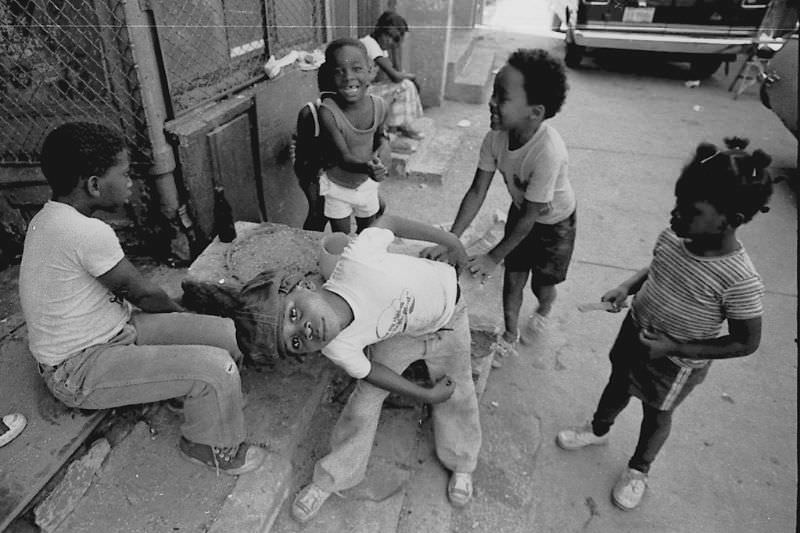
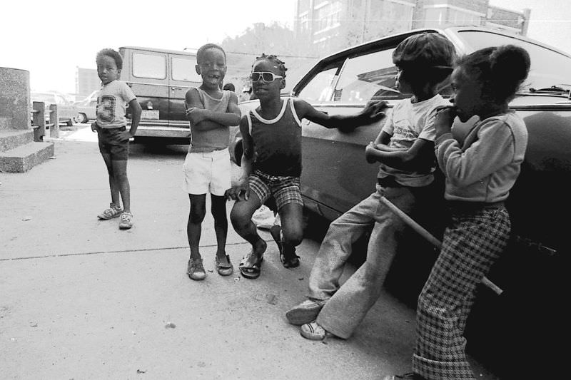
Kids grew up on the streets of Chicago in a way that’s hard to picture today. Sidewalks and alleys served as playgrounds. Neighborhood life was built around proximity — to school, to church, to the corner store. Children in the photos from this era look at home on the pavement, comfortable in the noise and movement of the city around them.
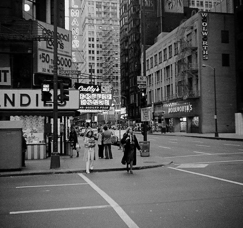
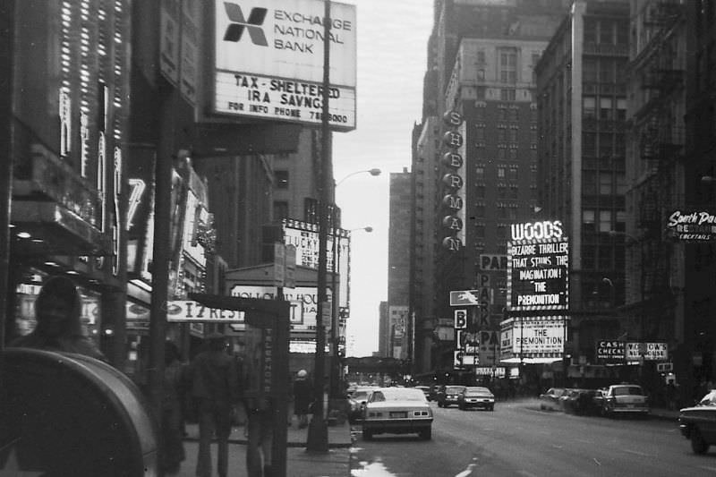
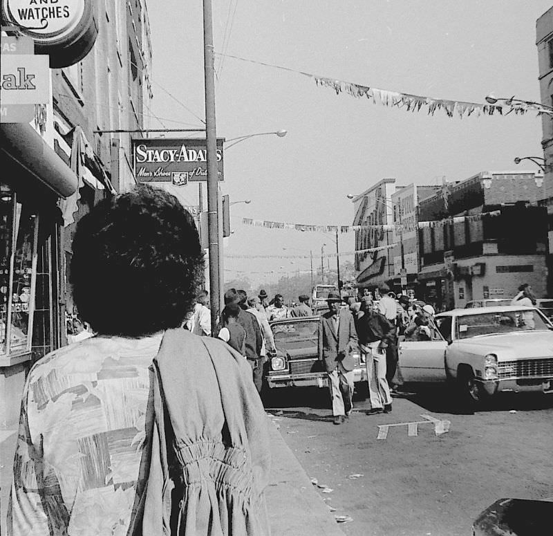
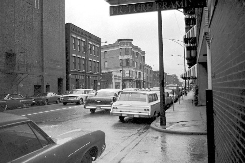
The general street scenes captured throughout the 1970s show a city that was densely layered. Neon signs competed for attention above street-level shops. Foot traffic was heavy on major corridors. Cars — big, American-made models with wide bodies and chrome trim — packed the curbs. The visual noise of 1970s Chicago was part of its identity.
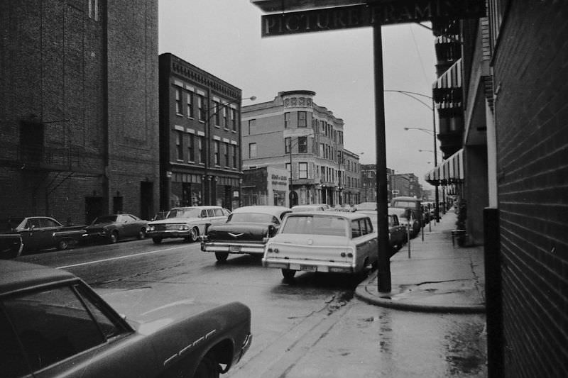

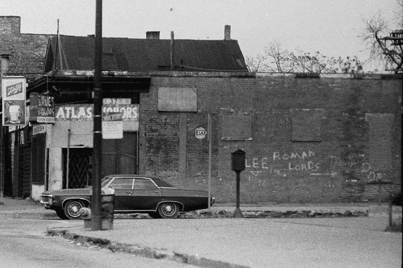
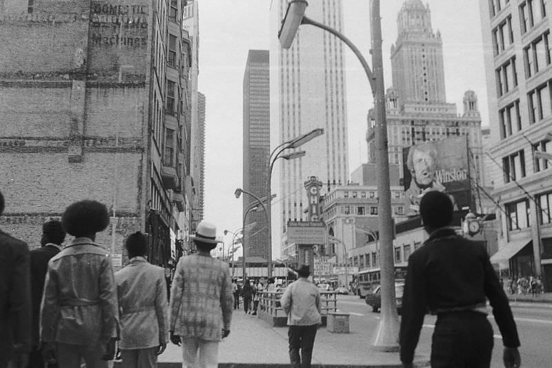
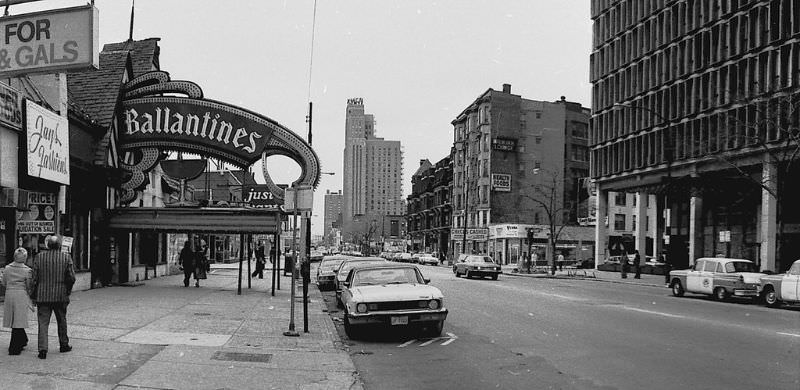
The intersection of Diversey and Broadway captured the character of a neighborhood still operating on its original terms. Local businesses held their ground here through most of the decade, even as signs of change crept in from the edges. The corner was a meeting point — for shoppers, commuters, and residents going about their day.
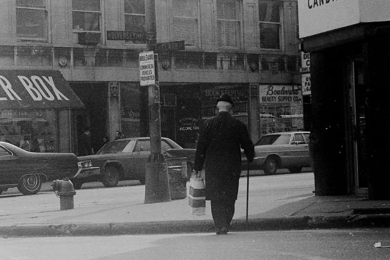
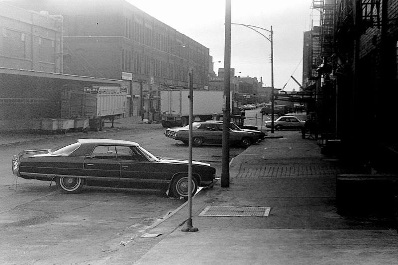
Maxwell Street Market continued drawing vendors and buyers throughout the 1970s. The open-air setup had existed in that neighborhood since the late 19th century, and by this point it was an institution. Haggling was standard. The crowd was diverse. Blues musicians sometimes played on the sidewalk while people browsed the stalls around them.
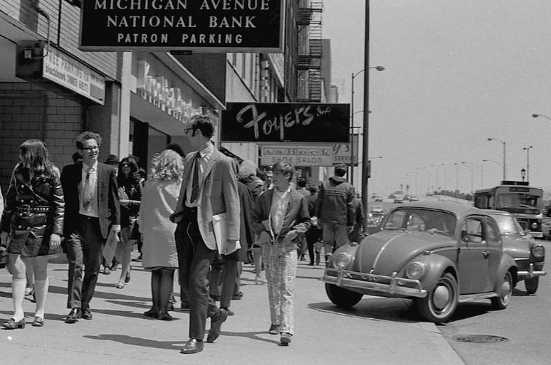
Michigan Avenue in the 1970s was already one of the city’s most recognizable streets. The stretch known as the Magnificent Mile drew shoppers and office workers in equal measure. But even here, the street-level reality was grittier and more working than the polished image the avenue would later carry.
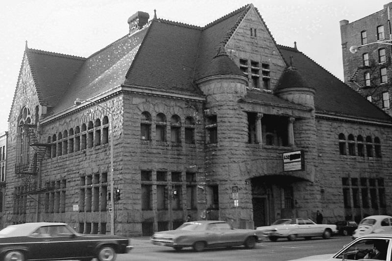
Some buildings from the 1970s carry stories that aren’t immediately visible. The Covent Hotel, still standing today, once had its entrance on the ground floor beneath what became the Playdium Parking Bowl sign. The original entrance to the Covent Theatre sat in that same spot — a reminder that Chicago’s built environment layers decades of use on top of each other.
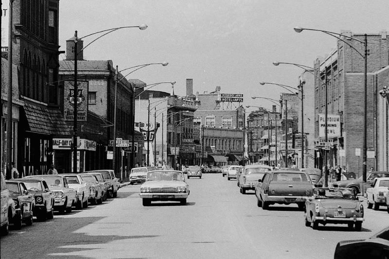
Randolph Street ran through the heart of the Loop and showed up repeatedly in photographs of the era for good reason. It was one of the busiest commercial and entertainment corridors in the city. Theaters, restaurants, and retailers lined the block. At the corner of Randolph and State, the foot traffic rarely stopped.
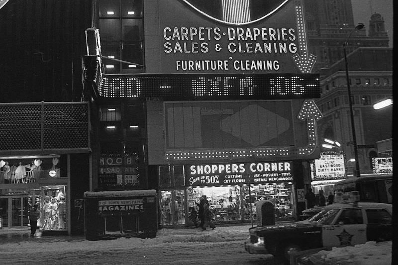
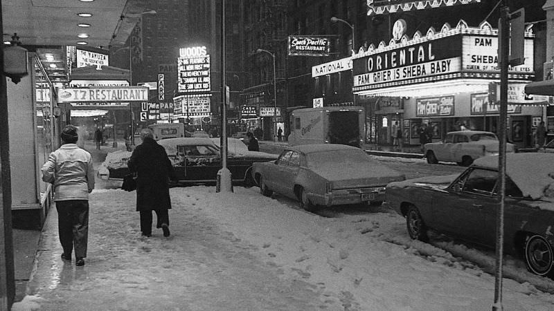
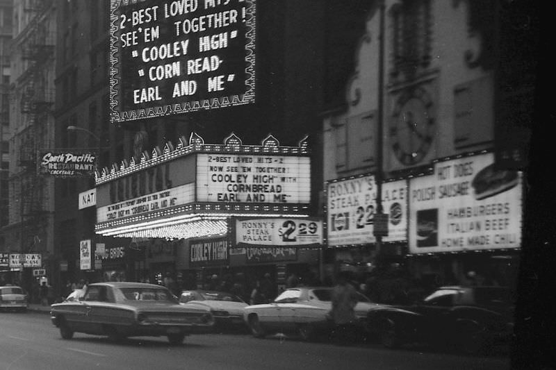
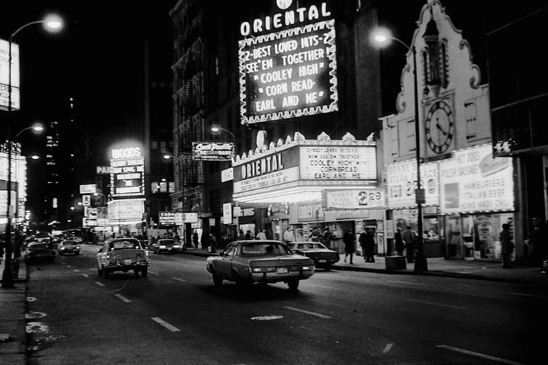
Roosevelt Road cut across the South Side and reflected the working-class communities that defined much of Chicago’s geography in this period. The street connected neighborhoods and carried the daily commerce of people who rarely made it into the city’s major newspapers.
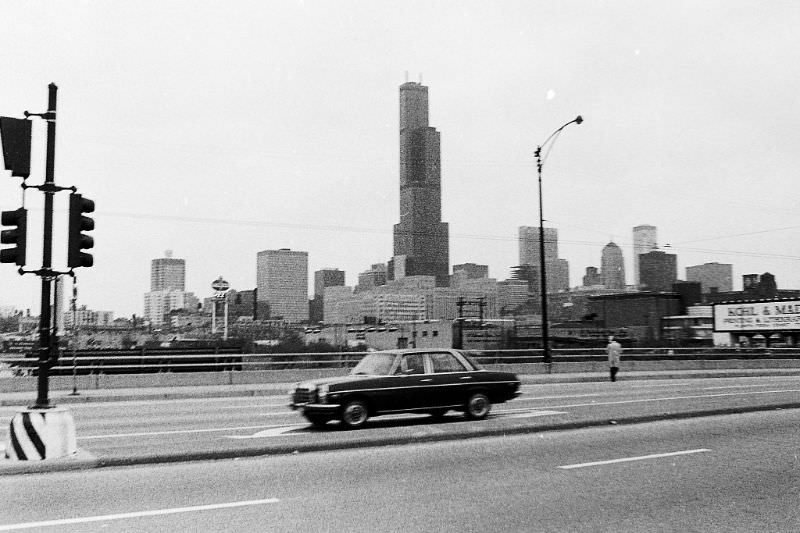
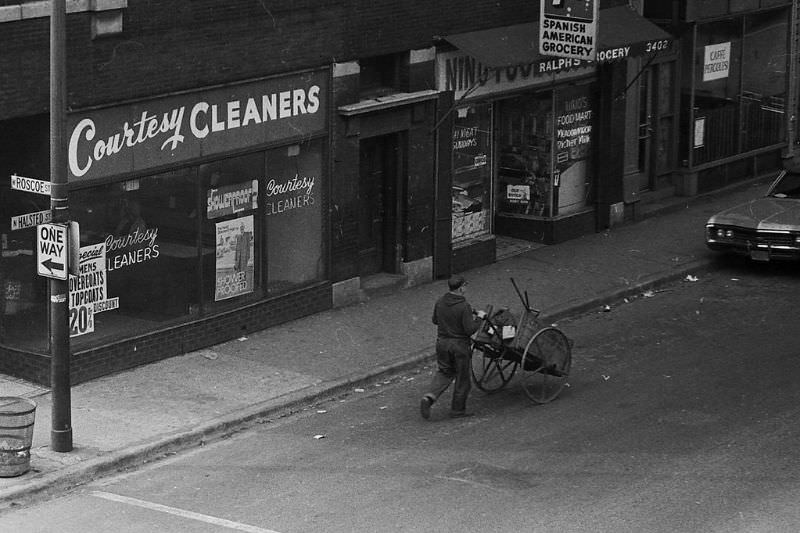
Roscoe and Halsted in the 1970s sat in a neighborhood that had not yet been touched by gentrification. The businesses at this intersection served locals — not visitors. The buildings were older, the signs hand-painted, the storefronts practical rather than decorative. This was the Chicago that most of its residents actually lived in.
At Diversey, where Lincoln Avenue and Racine met, the street configuration reflected the irregular grid that Chicago’s diagonal roads created. Southeast-bound Lincoln on the left and Racine on the right formed one of those distinctly Chicago intersections where three streets converge and traffic moves in every direction at once. These were the kinds of corners that gave the city’s street map its complicated, layered character.