
Bakersfield, California grew from a small Gold Rush settlement into a thriving trade center during the second half of the 19th century. Colonel Thomas Baker laid out the city by 1869, naming it after an alfalfa field on his property. The arrival of the railroad in 1874 and the discovery of oil in 1899 shaped the city’s growth alongside farming and irrigation. The photos below capture everyday life, key buildings, ranches, canals, and landmarks from this formative era.
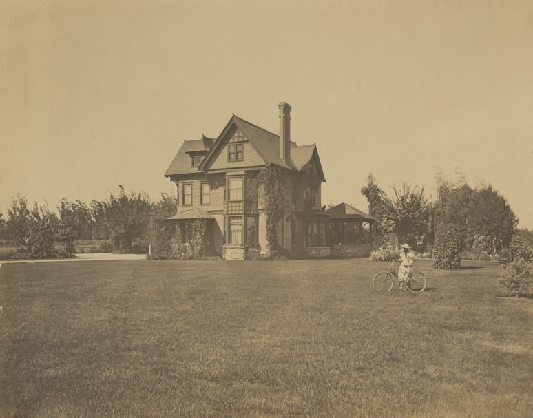
Shows a house set back among trees and a lawn. Constructed of stone, brick, and scalloped shingles, it has three stories, bay and dormer windows, and a gazebo on the back side of the house. A young lady with a bicycle is in the front right side. This is the home of Canadian-American Robert M. Holtby, his wife Celia (Woodman), and their daughter Roberta. Mr. Holtby was a sheep farmer who built this home in Bakersfield in 1891.
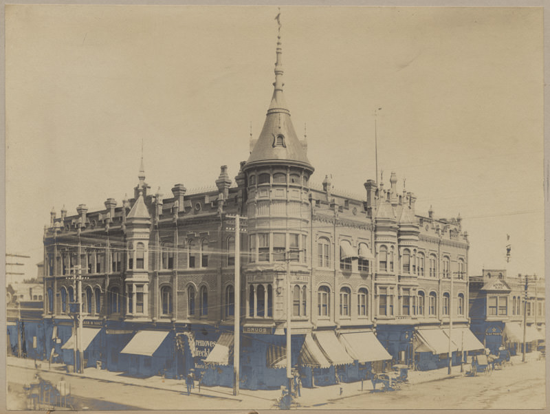
Shows the three-story Southern Hotel occupying the corner of 19th and Chester Streets. Pedestrians walk the sidewalks, horse and buggies are stopped along the road, and a bicyclist stands on the corner. The Scribner Block building and White Star Steam Laundry are visible in the right corner. The hotel was built in 1889 for the Southern Hotel Association. Architectural drawings were made by Benjamin G. McDougall and Son of San Francisco and San Diego. It was built by contractor William J. Doherty.
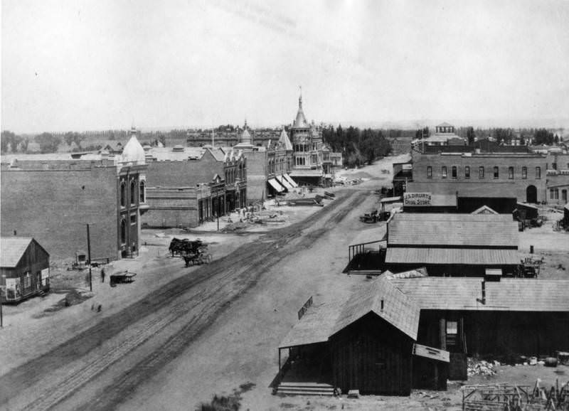
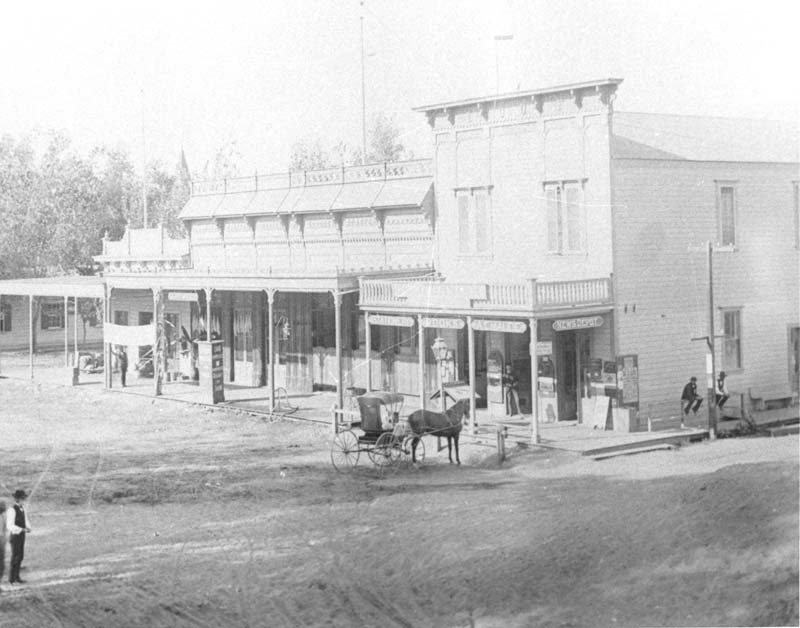
A panoramic view of a street in Bakersfield. Horse-drawn vehicles are seen on the dirt street, and building materials are also on the street next to a building where work is being done. Empty fields are visible at the left. At the right is J.S. Drury’s Drug Store, as well as other shops.
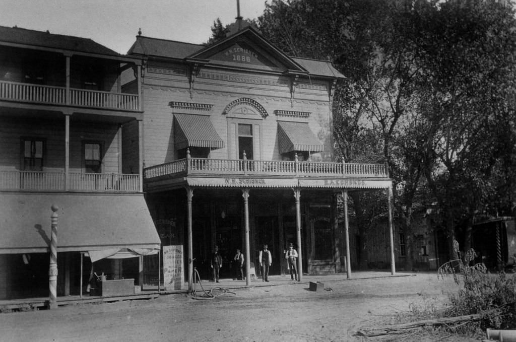
W.H. Scribner Building. Per the 1899 Bakersfield City Directory, Scribner was a “newsdealer.”
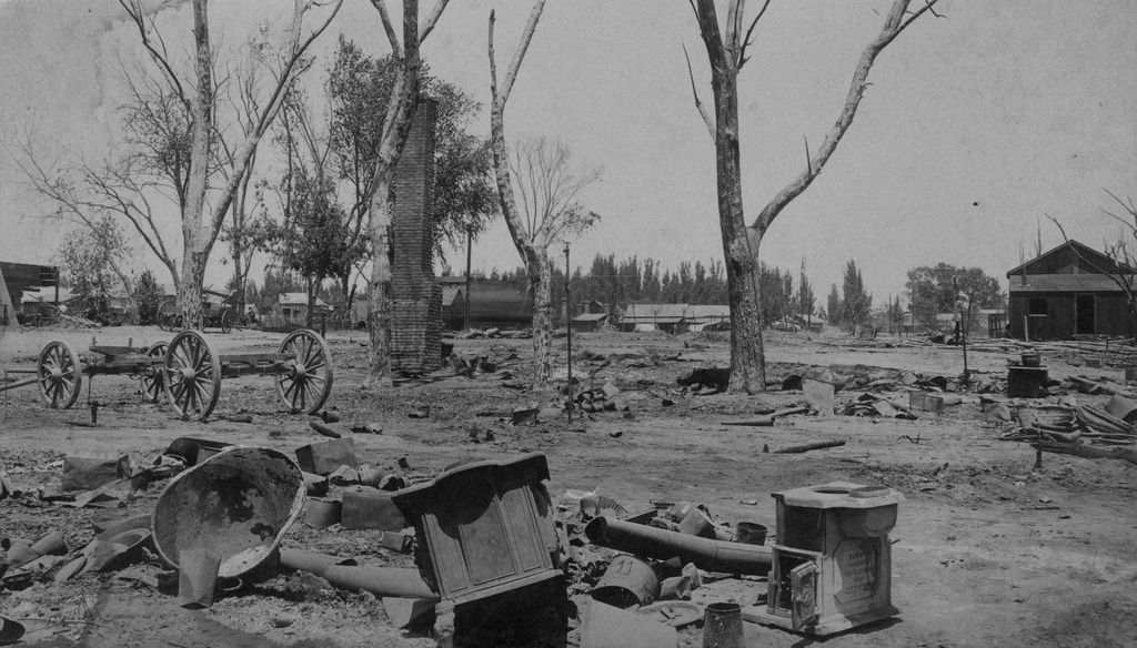
Ruins of the Southern Hotel after the Bakersfield Fire of 1889. The hotel was located at 19th and Chester.
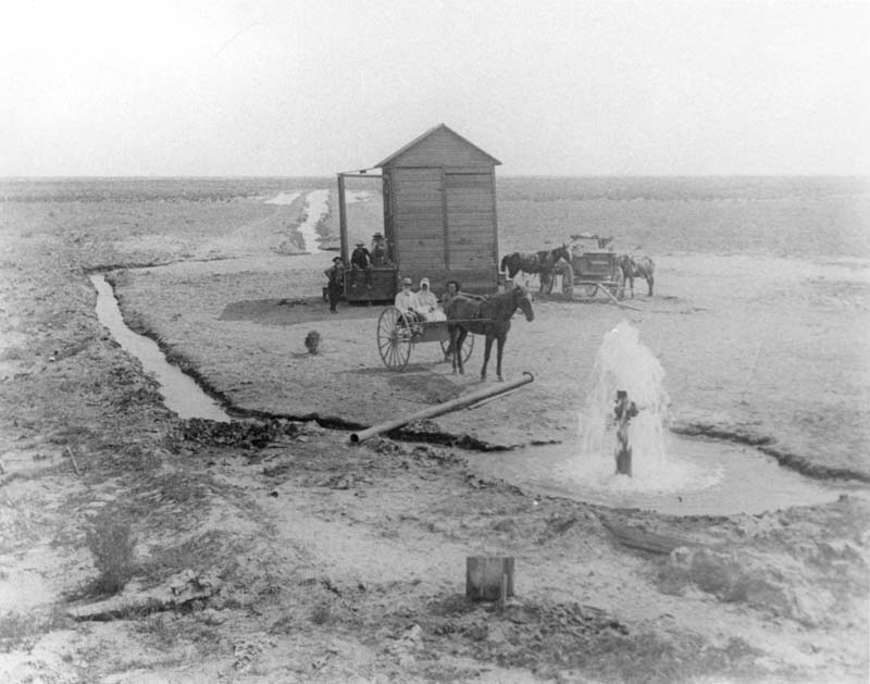
An artesian well west of Bakersfield, with several men and a woman posing. The scene includes a structure, a buggy with a horse, and a wagon with unhitched horses.
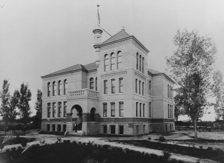
This was the first school building to be built on the current site of Bakersfield High School. Kern County Union High School, as it was then known, moved classes to this building in 1895. The building was later known as the Commercial Building after other buildings were added to the campus. The building was torn down in 1936 and Elm Grove was established in its place.
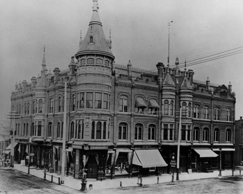
View of the Southern Hotel located at 19th and Chester Avenue.
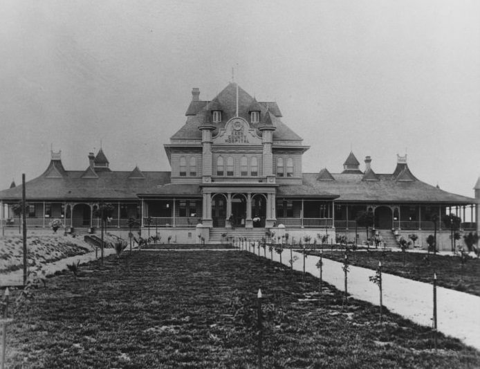
This hospital stood at 19th and Oak Streets. It was built in 1895 and was used until 1925, when the hospital now known as Kern Medical Center was built at Flower Street.
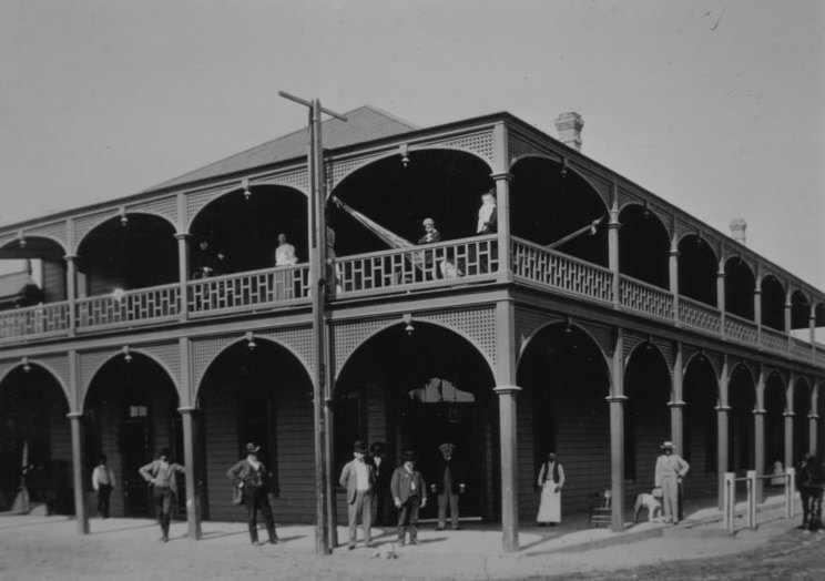
The Ingleside Hotel, with people in front and on the balcony. The hotel replaced the town hall around January 1890 and burned down in August 1890. It was located at the northwest corner of 17th Street and Chester Avenue. The original Beale Memorial Library opened on that site in 1900.
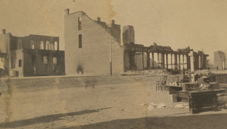
The Southern Hotel was located at 19th Street and Chester Avenue. The fire occurred on July 7, 1889. The hotel was later rebuilt in about the same location and remained until the 1940s.
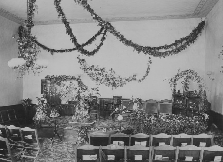
Interior of First Methodist Church, which was built around 1870.
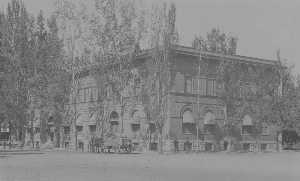
Kern County Land Company building located at the corner of 19th and H Streets; view is from the southeast.
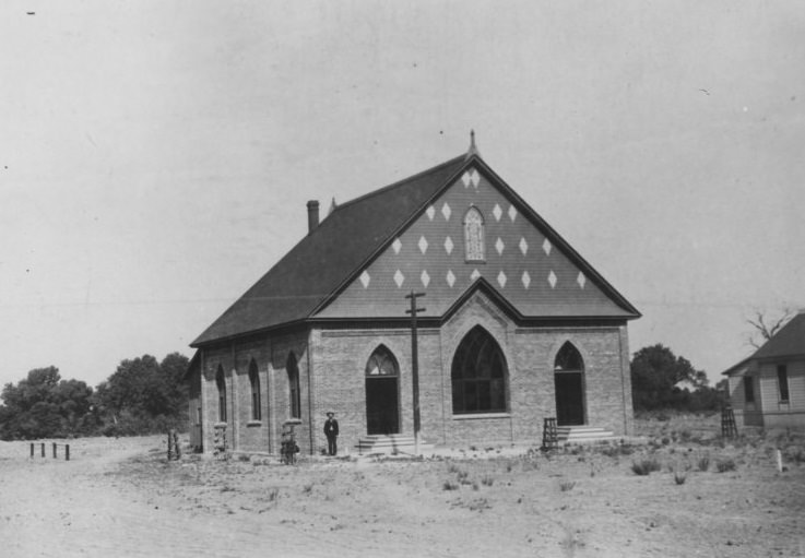
First Baptist Church, which was located at the northwest corner of 22nd and I Streets. It was dedicated in April 1890. The building was sold in 1904 and replaced by a new building.
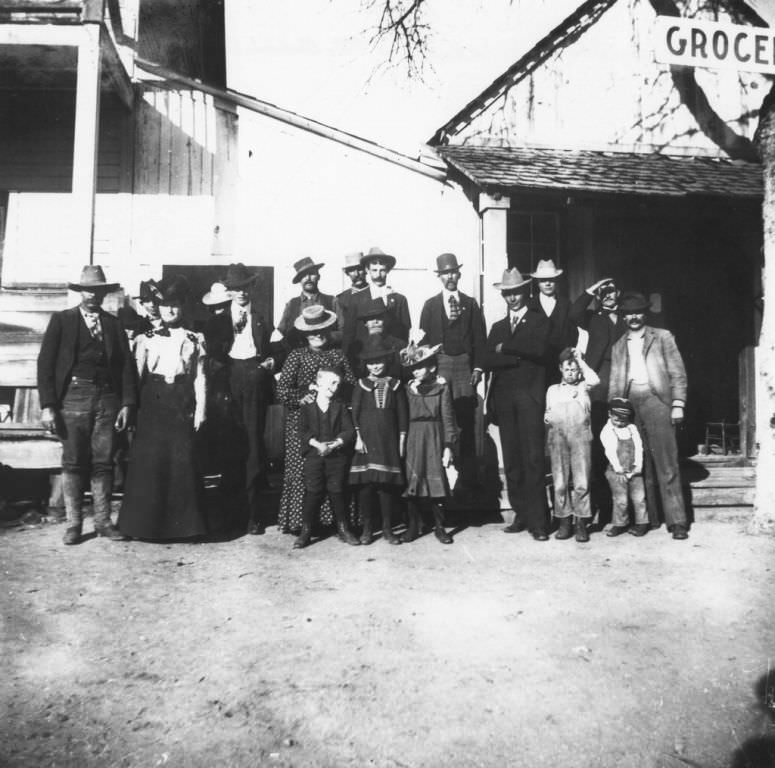
Street scene in Glennville.
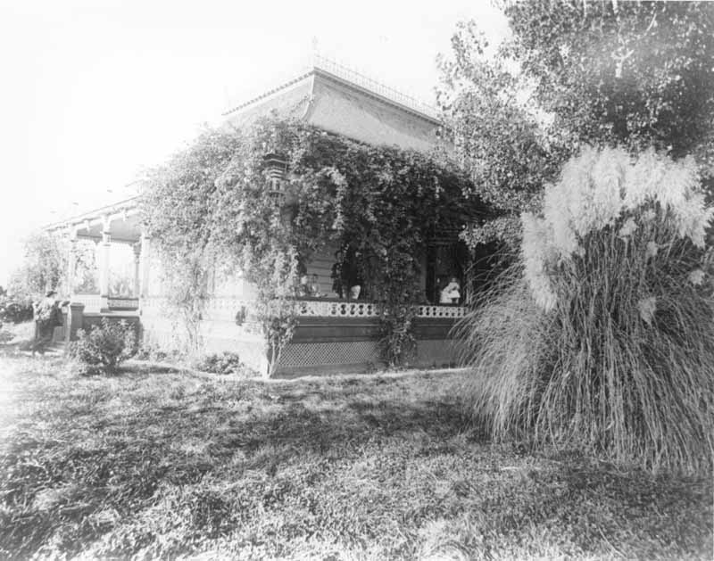
Blodget residence in Bakersfield, with a man and two women and two children on the porch. Another man leans against the stair post.
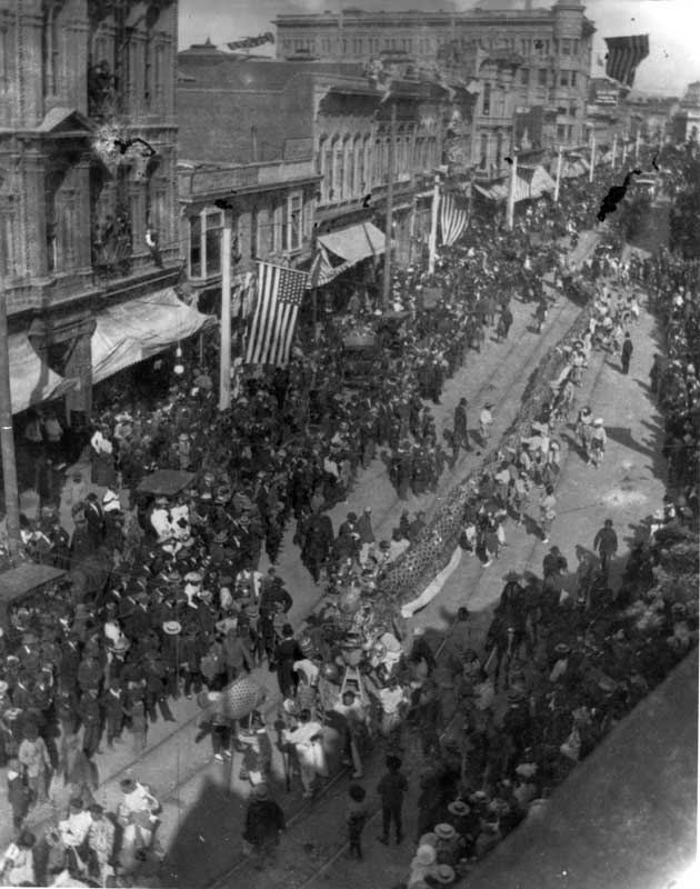
Downtown Bakersfield around 1896–1907 during a holiday parade. Shows buildings, a crowd, American flags, and a Chinese-American portion of the parade.
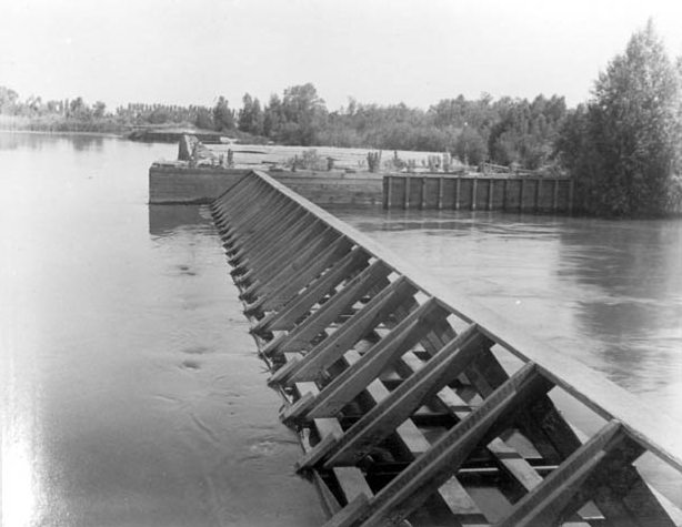
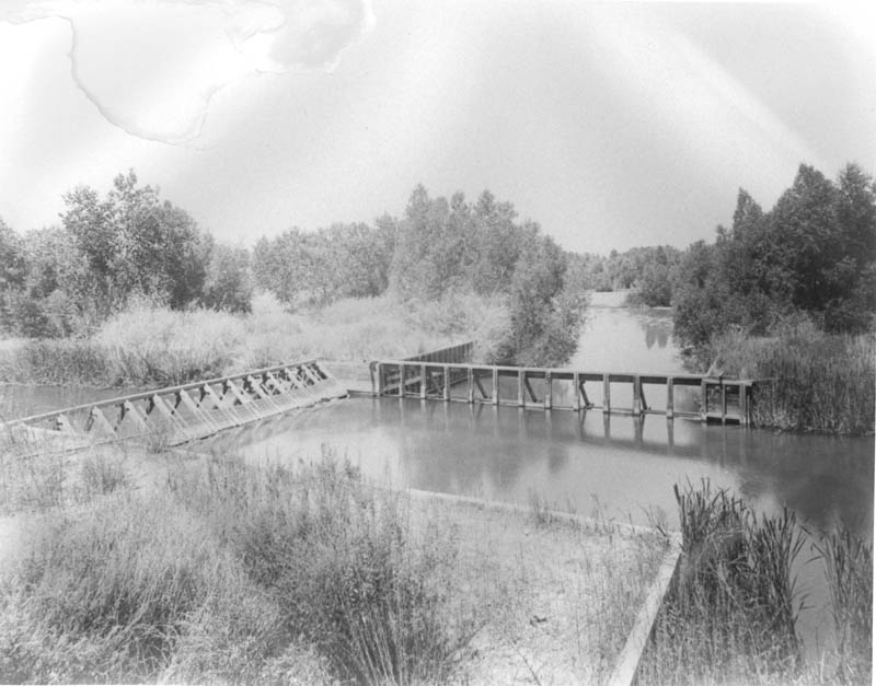
The headgate and weir of the Calloway Canal in the Kern River, taken at low water and showing the construction of the headgate. The location is about one mile north of Bakersfield.
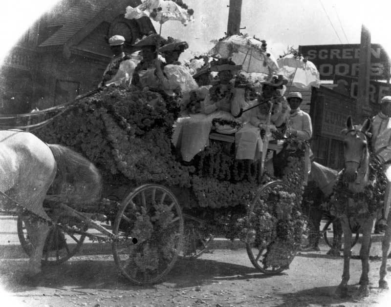
A wagon filled with people and decorated with flowers for a holiday parade.
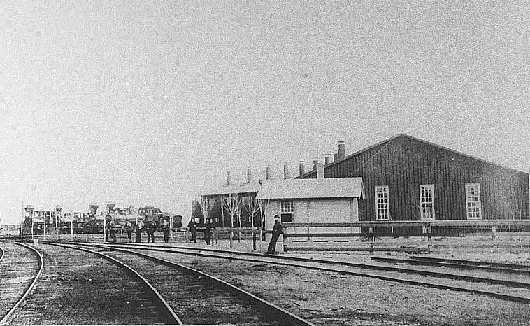
The Southern Pacific Railroad roundhouse at Sumner, CA (now in East Bakersfield), which was usually much busier than shown here. (Photo courtesy of Ellen Gorelick, Director, Tulare Historical Museum)
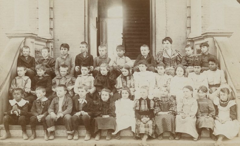
Viola Stoner (daughter of Austin Foster Stoner) is in the middle of the front row, in a white dress. Viola Stoner is the grandmother of Gaye Lenahan, who donated several family pictures of the Stoner family.
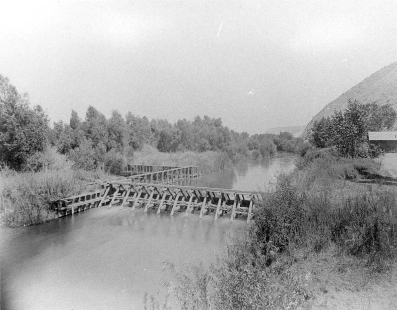
A view of the Kern Island Canal headgate with a small structure nearby.
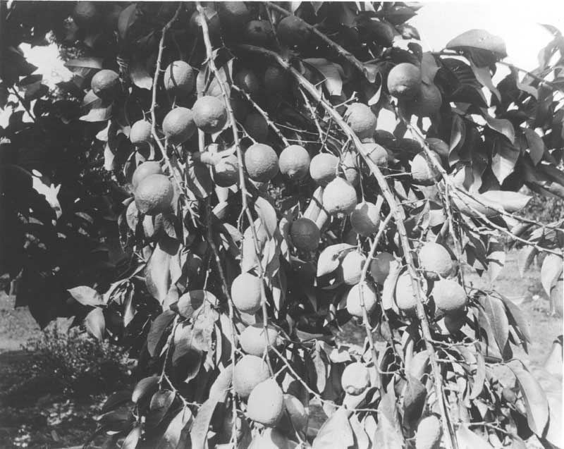
A heavily loaded branch of lemons, located at the Old Headquarters of Rancho El Tejon.
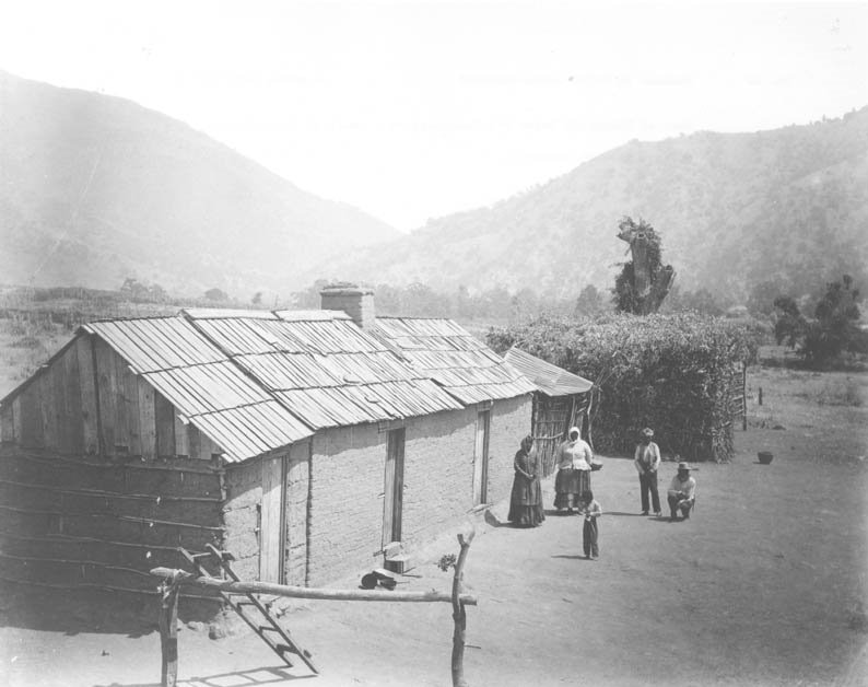
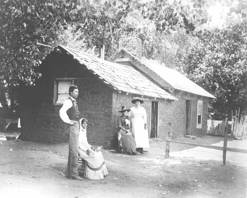
A group of two men, two women, and one child, identified as Indians, standing next to a building east of Rancho El Tejon at the mouth of Tejon Canyon.
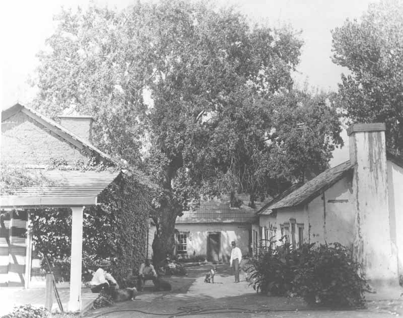
Three men, each with a dog, standing or sitting on the patio of the Old Headquarters of Rancho El Tejon (looking west).
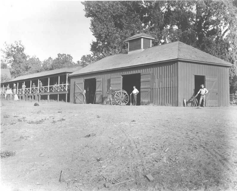
Eight men standing around the men’s quarters and blacksmith shop buildings at the Old Headquarters of Rancho El Tejon.
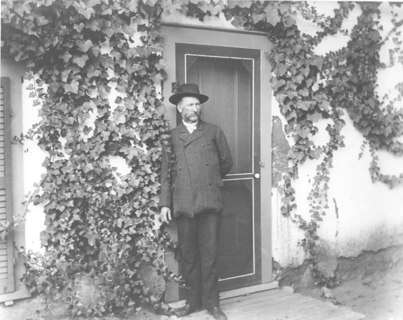
An unidentified man in the patio of the El Tejon adobe ranch house.
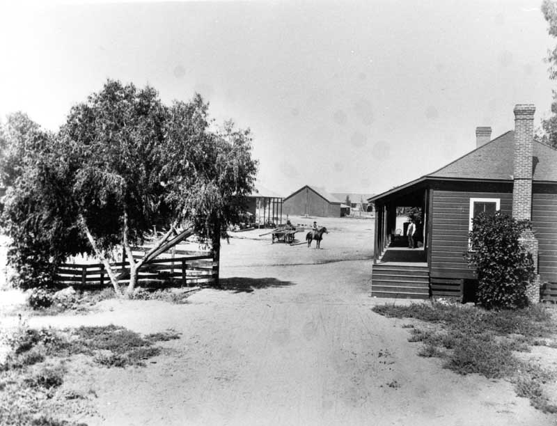
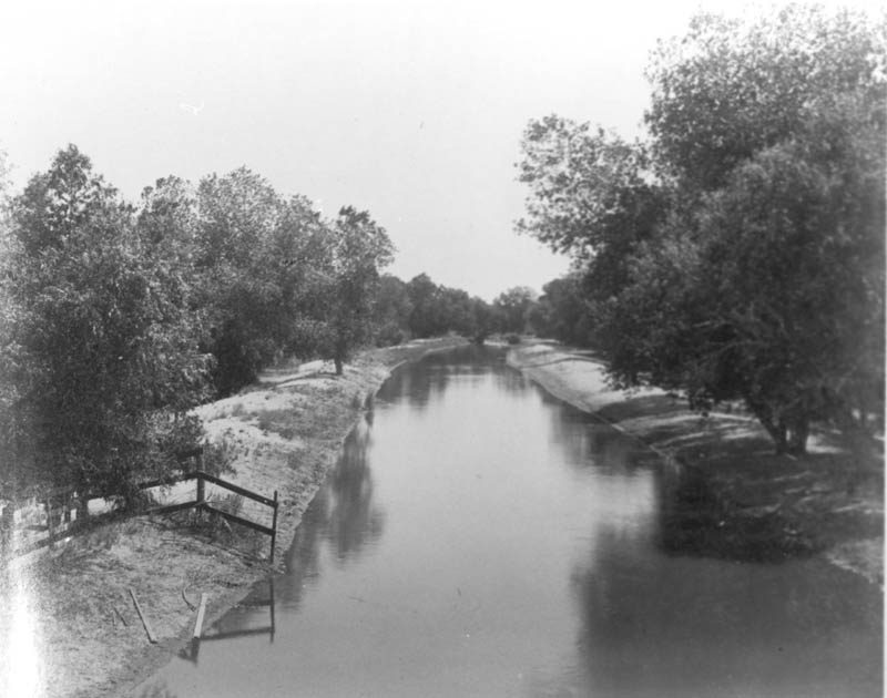
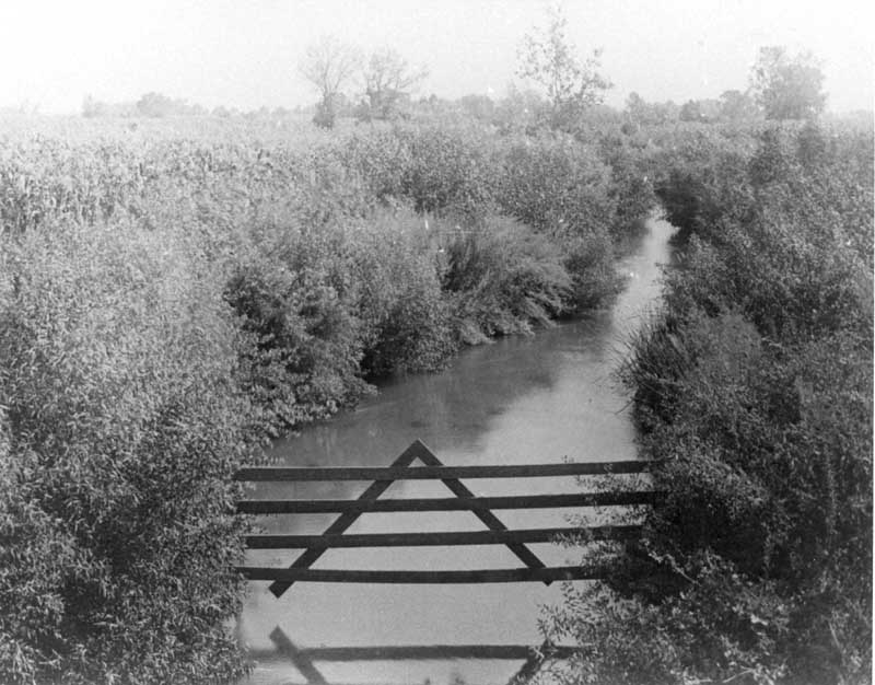
This view is from a county bridge, looking eastward and upstream, on the McClung Ranch two miles from the headgate.
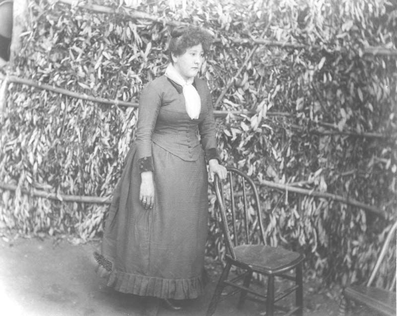
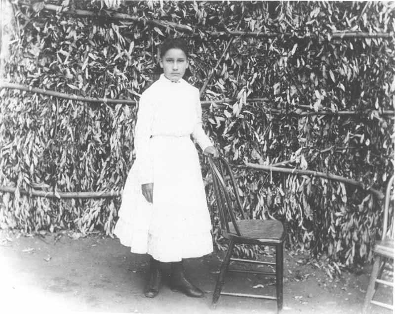
One of Jimmie Rosemyre’s daughters standing beside a chair on the patio of Rancho El Tejon.
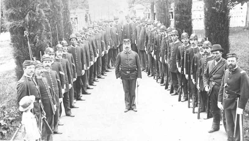
The Kern Guards standing in a “V” formation.
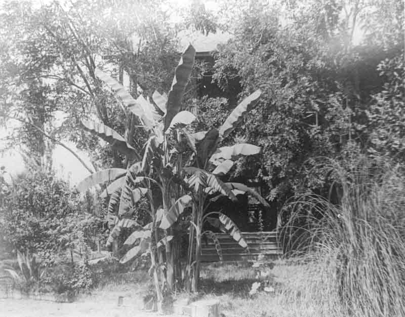
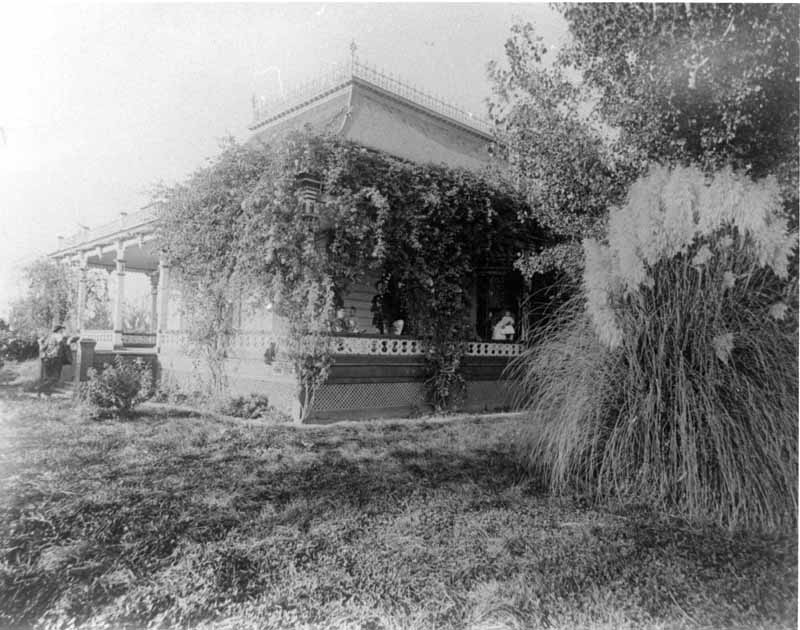
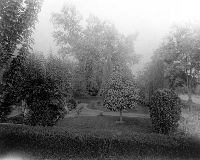
A house barely visible behind heavy growth of shrubbery, including some form of palm.
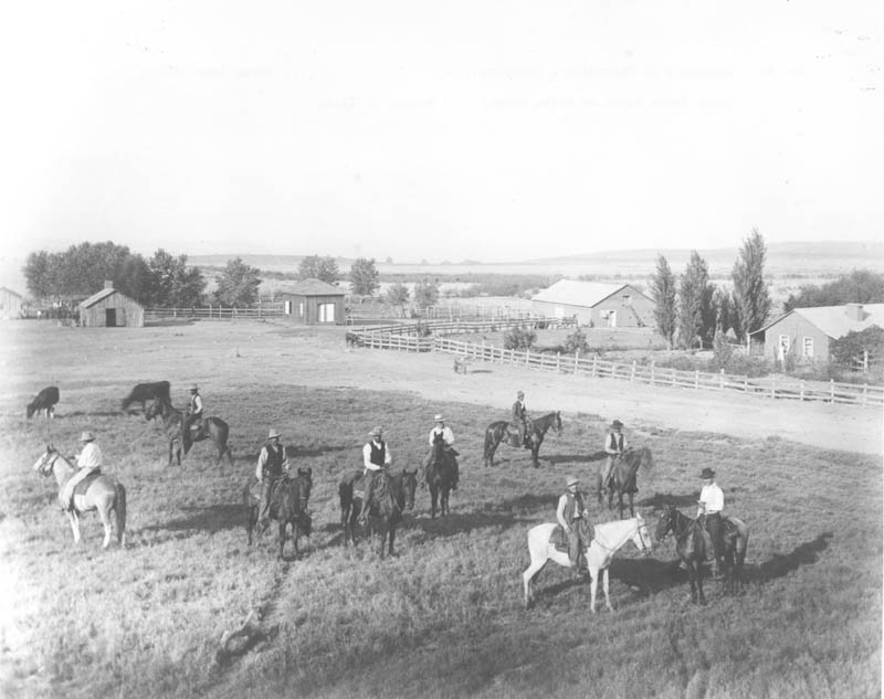
The majordomo’s quarters at Rancho El Tejon, with several men on horseback (Jose Jesus Lopez on the white horse).
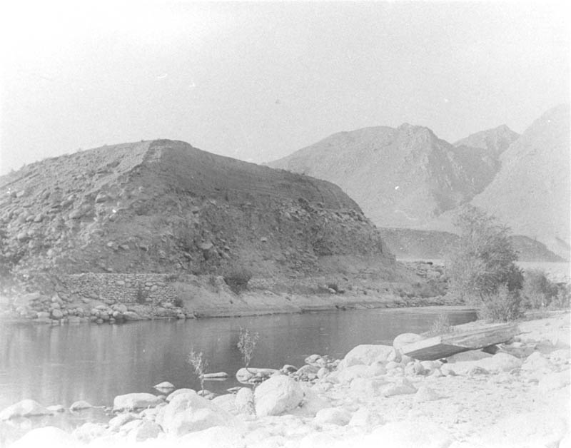
A flat-bottomed boat is on the rocks at the edge of the Kern River.
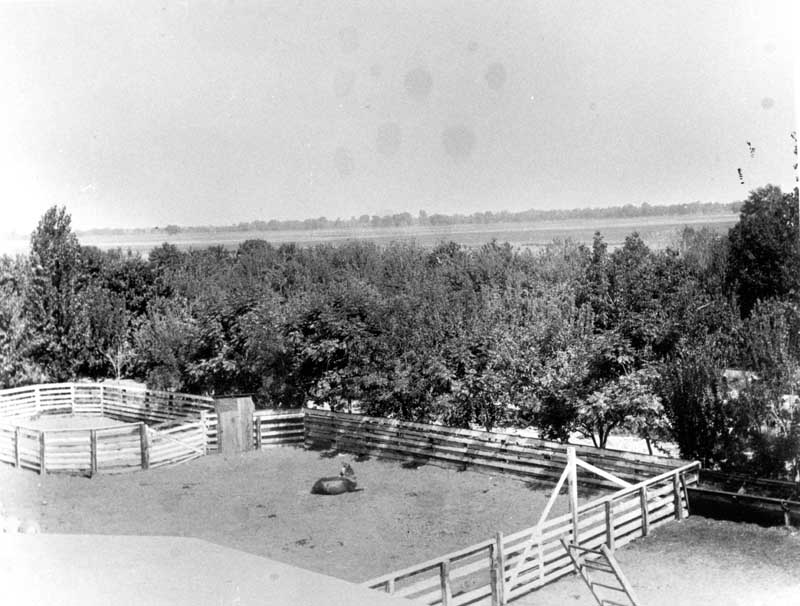
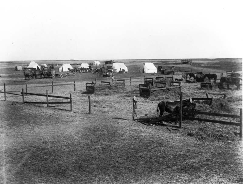
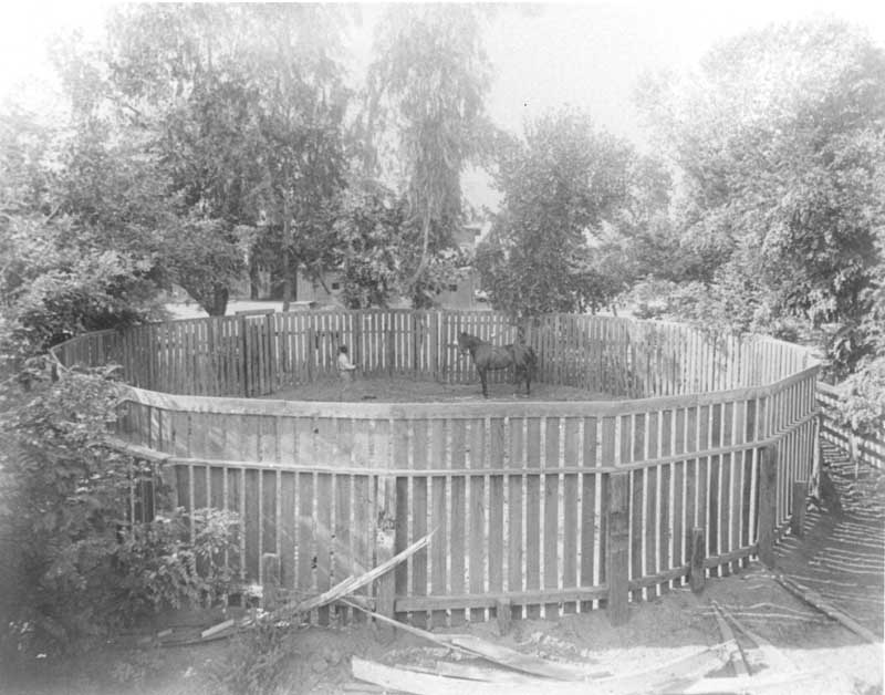
Corral and paddock area.
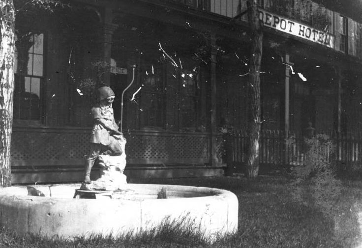
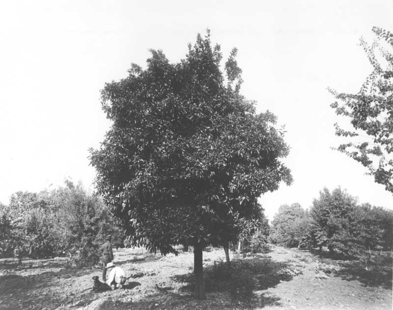
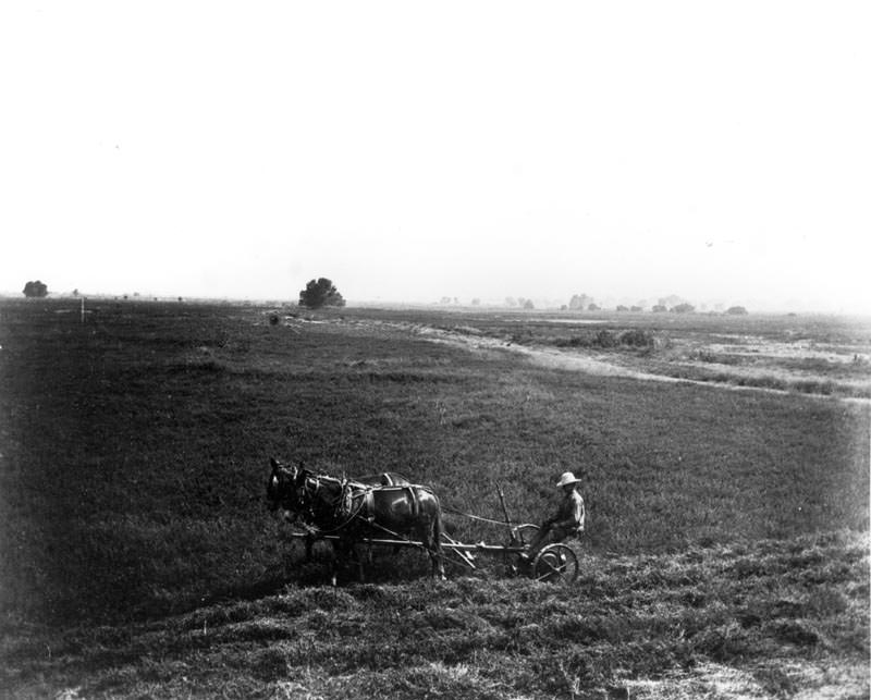
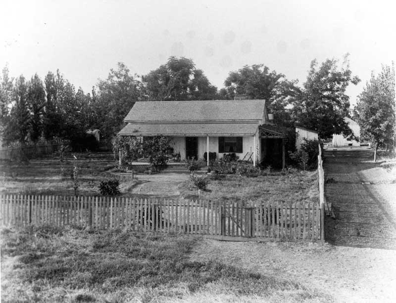
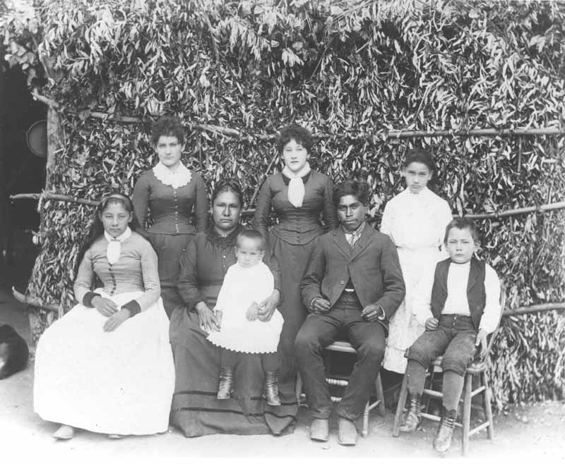
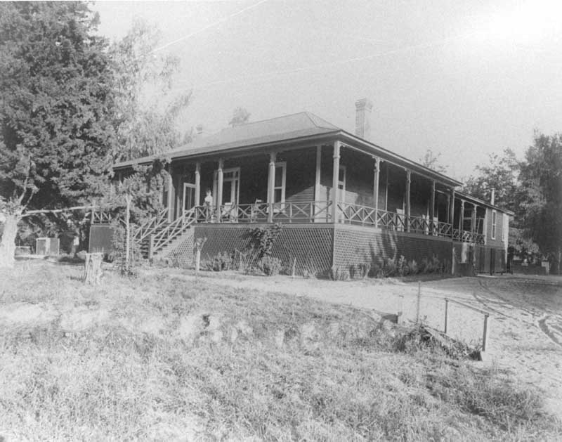
Bellevue Ranch headquarters.
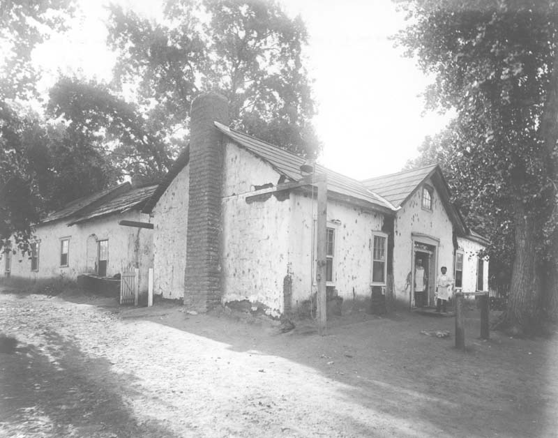
Two men standing in the doorway of the kitchen building of the Old Headquarters of Rancho El Tejon.
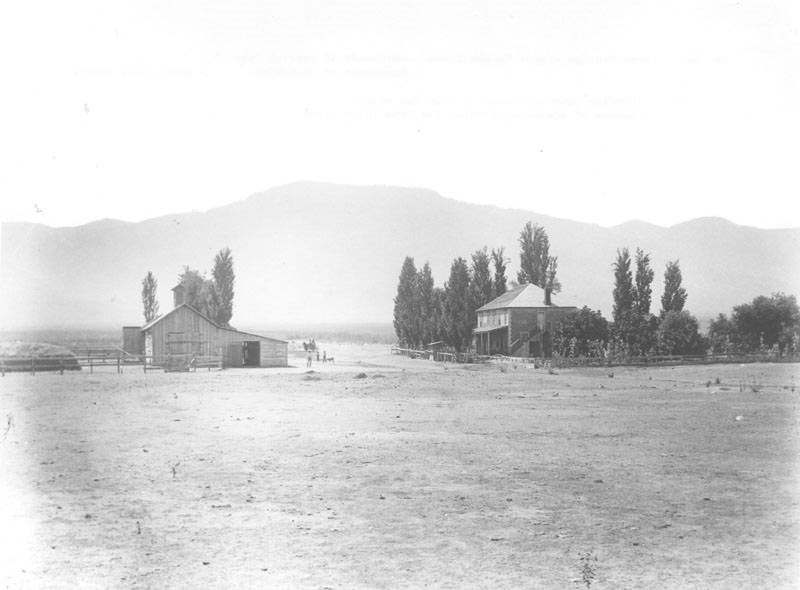
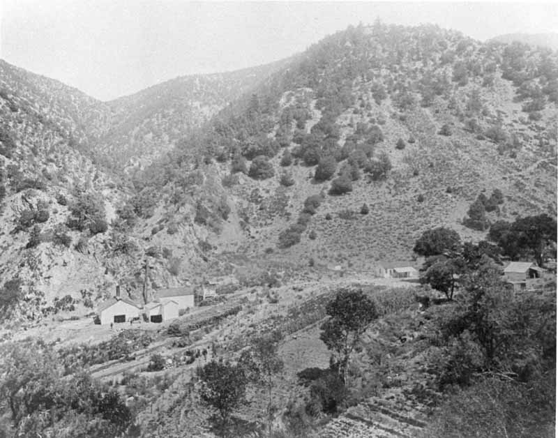
Rose Station was located northeast of the “Grapevine” near Rancho Canoa, northwest of the Ostrich Farm. It was a trading post and watering stop for stages. It was also the center of social activities for the Tejon area.
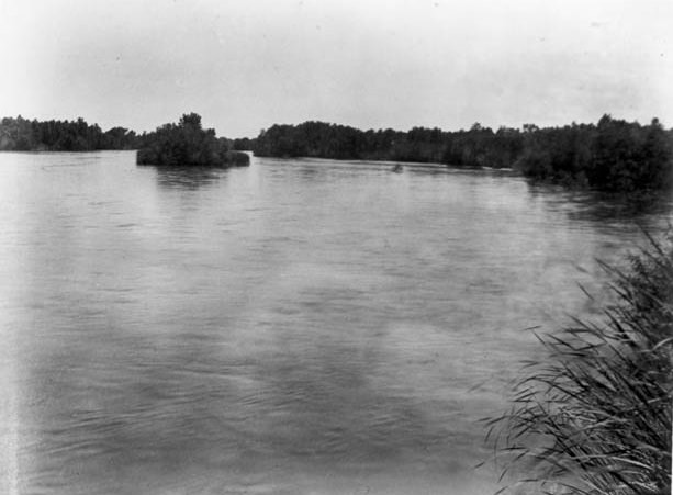
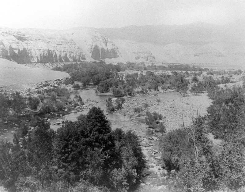
The Kern River above the canal, north channel, taken from the county bridge looking westward downstream.
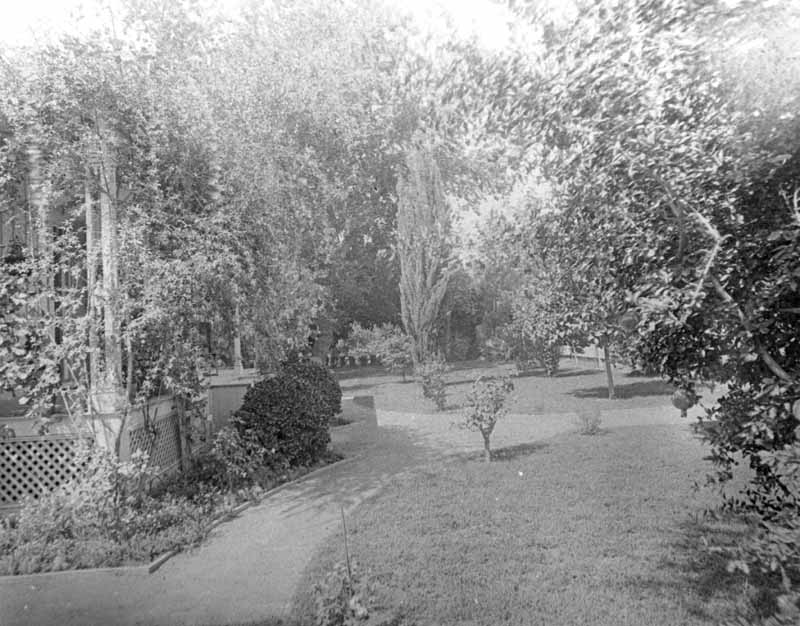
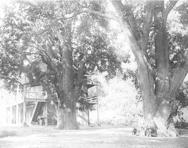
Very large oaks beside the Fort Tejon hospital building, with a family of three and a dog beneath one of the oak trees.
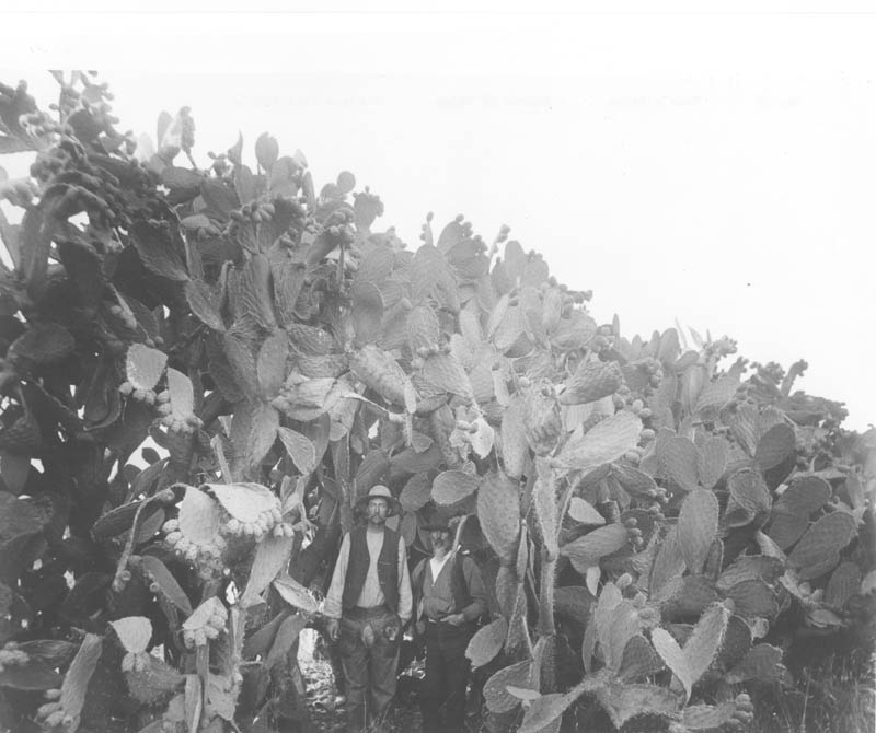
A “hedge” of cactus located on Rancho El Tejon. Two unknown men standing within the cactus demonstrate its size.
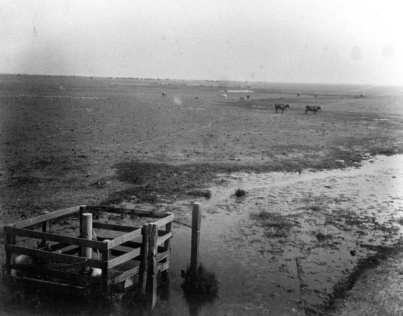
An artesian well and pasture with cattle.
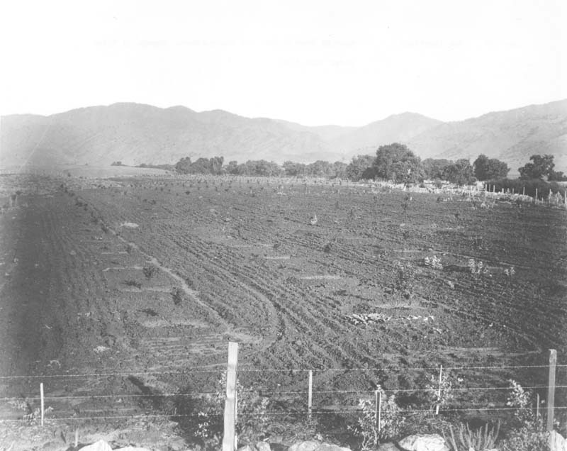
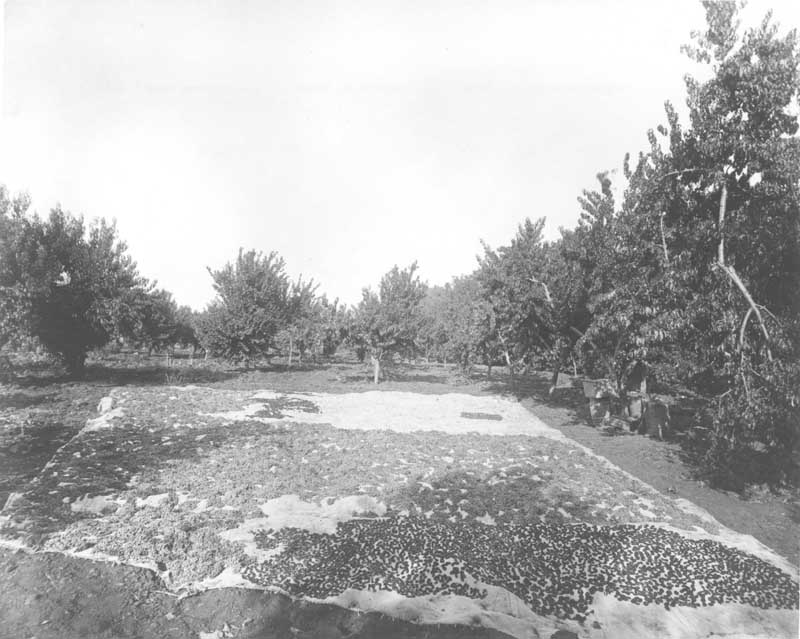
A freshly planted crop field near El Paso Creek, Old Headquarters, Rancho El Tejon.
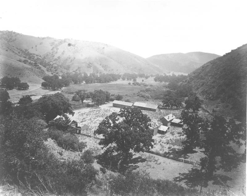
View from Rancho De Castec looking southeasterly over the ruins of Fort Tejon Cavalry Post.
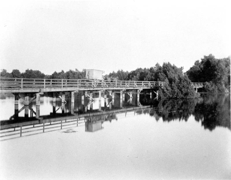
A bridge over the Pioneer Canal, with a mule-drawn wagon crossing.
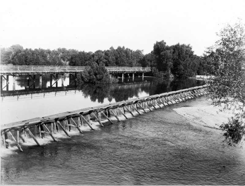
A bridge and weir just below the headgates of the Pioneer Canal.
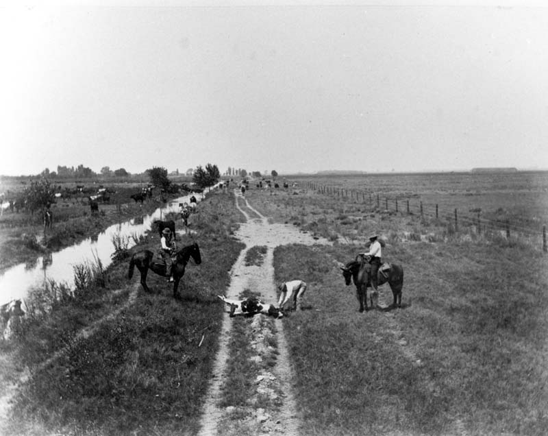
Three cowboys (names unknown) with a roped steer.
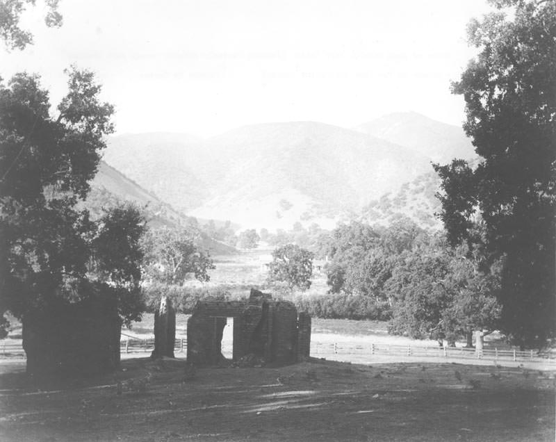
Ruins of the band stable looking westerly through the parade camp grounds from Canada De las Uvas (Grapevine Canyon, Rancho Castec).
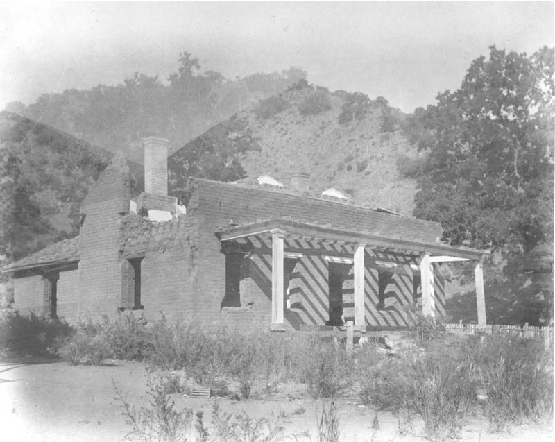
Ruins of the headquarters building of Fort Tejon (looking northwesterly) from Rancho de Castec.
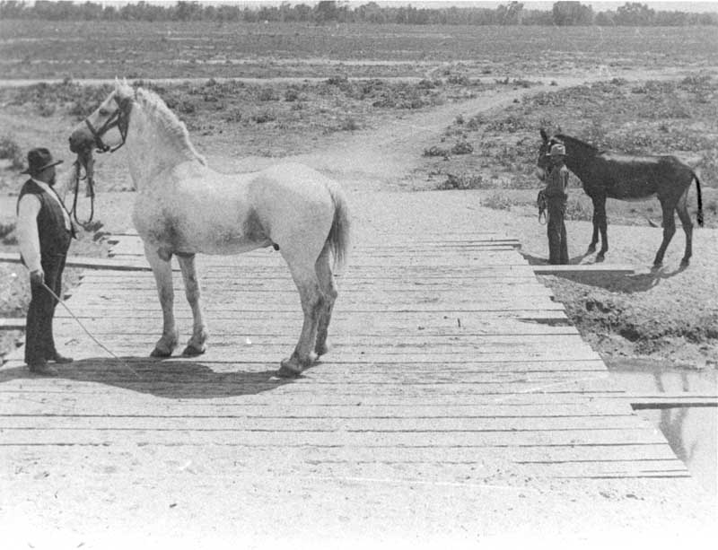
Two men posing with a horse and a donkey on a simple low bridge at an unknown site. One of the men is possibly E.M. Roberts.
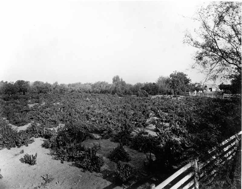
View of the ranch showing a field of crops with the barn in the background.
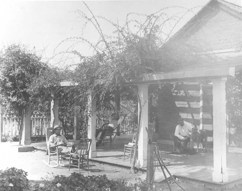
Three men and two dogs on a veranda at Rancho El Tejon.
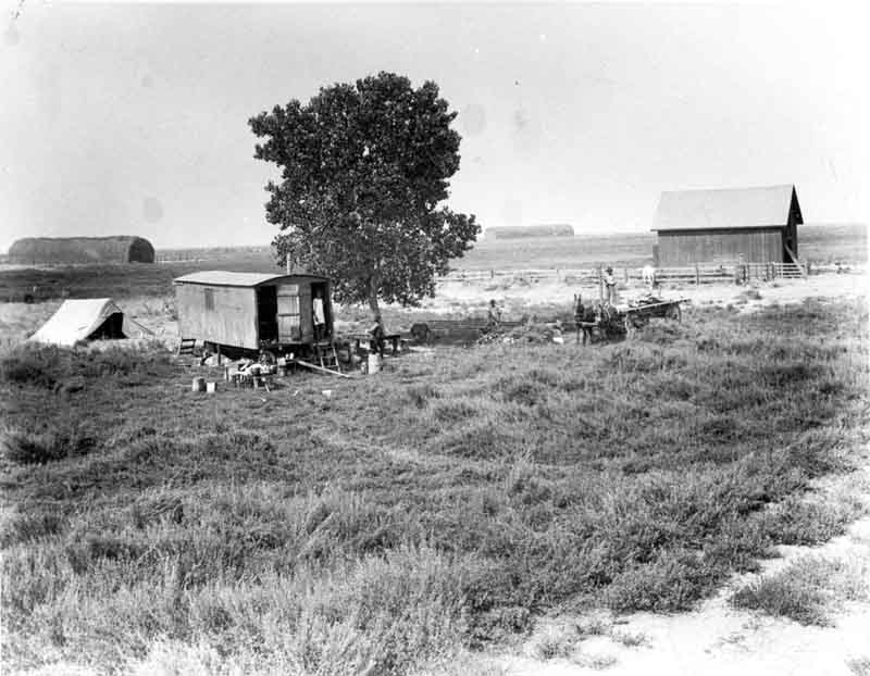
A cook/bunk wagon, a wagon with a two-mule team, and four men.
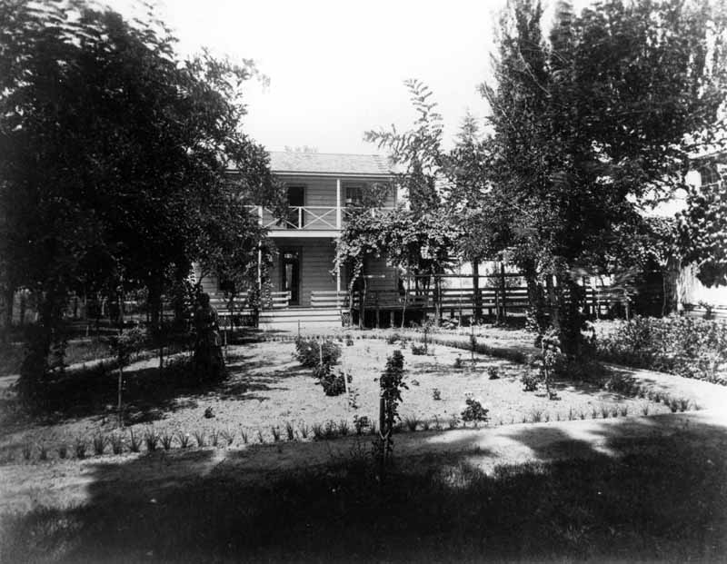
Front of a two-story frame house and yard with an unknown woman tending roses.
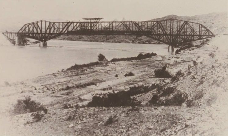
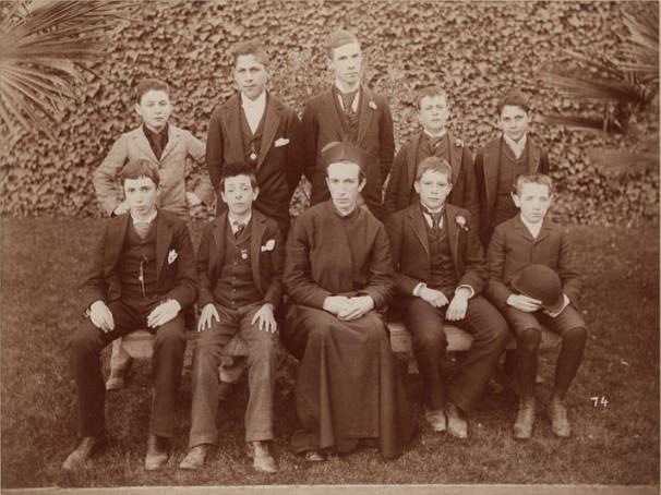
Spanish Society group photo with Mr. R. Arzu, S.J. seated at center. Group of 10.
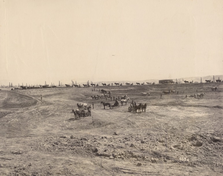
Teams of horse-drawn equipment line the rim and are scattered across the site. Oil derricks are visible in the distance, along with a house and two completed storage tanks in the right background. One tank has lettering on its sides, probably for the San Joaquin Oil & Development Company. The San Joaquin Oil & Development Company was one of the five largest companies in the Kern River Field, operating in the late 1800s to early 1900s. In 1901 it combined with four other companies to create the Associated Oil Company.
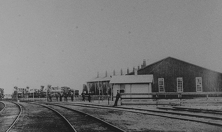
The Southern Pacific Railroad roundhouse at Sumner, CA (now in East Bakersfield), which was usually much busier than shown here. (Photo courtesy of Ellen Gorelick, Director, Tulare Historical Museum)





One photo shows the Southern Hotel, built in 1889, in 1891.
After the fire of 1889, ruins of the Southern Hotel are purportedly shown in several photos.
There is a giant picture hanging in my parents’ living room of people celebrating the arrival of the railroad in downtown.
Bakersfield used to be known as ‘Kern Island’. Baker’s field was a popular makeshift corral used by travelers, so the area began to be referenced by that name.
Not much has changed.
Bakersfield used to be known as ‘Kern Island’. Baker’s field was a popular makeshift corral used by travelers, so the area began to be referenced by that name.