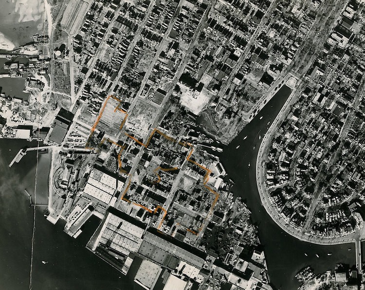
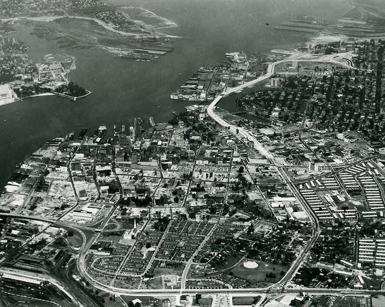
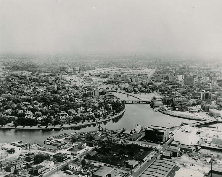
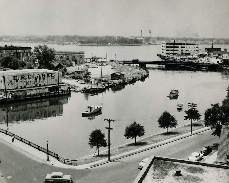
Atlantic City was not a resort town — it was a tight-knit Norfolk neighborhood tucked between Front Street, Raleigh Avenue, Colley Avenue, and the Elizabeth River. By the mid-20th century, it had become the center of one of the most dramatic urban redevelopment projects in the city’s history. What once stood as a residential community of pre-World War I homes was systematically cleared to make room for medical campuses, public health facilities, and modern infrastructure. The vintage photographs collected here, spanning the 1950s through the late 1960s, document that transformation in striking detail.
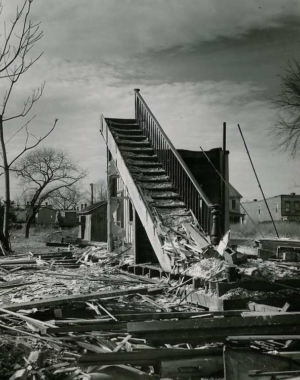
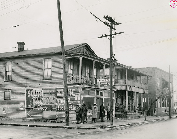
The neighborhood had deep civic roots. In 1900, Atlantic City was divided into two voting precincts. Precinct One used the pump house on Colley Avenue as its polling location, while Precinct Two voted at the auxiliary pump house on Ward Avenue and Duke Street. These were working-class streets with brick row homes, corner businesses, and families who had lived there for generations. Most of those structures dated to before World War I, which made the neighborhood one of Norfolk’s older residential areas by the time demolition crews arrived.
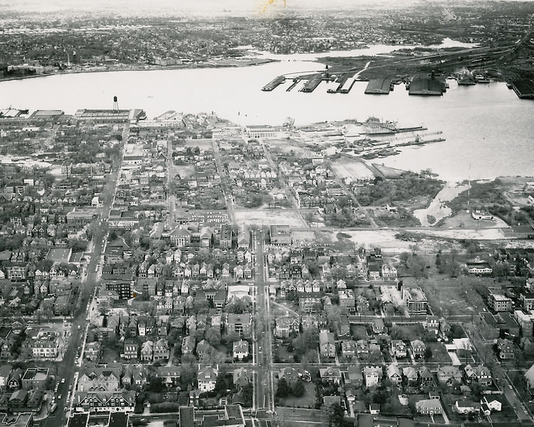
Planning for Atlantic City’s redevelopment began well before the bulldozers moved in. The Norfolk Redevelopment and Housing Authority (NRHA) laid out its vision in 1946, targeting the central business district, civic spaces, recreation zones, and major highways. Post-war pressure was mounting. Veterans were returning home, military housing was in short supply, and city leaders were under growing pressure to address what officials called slum conditions. Atlantic City was identified as a priority zone.
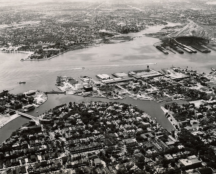
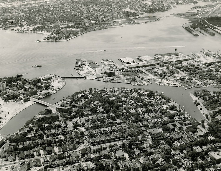
Demolition of the Atlantic City neighborhood officially began in 1957. The scale of the project was enormous. Workers cleared 140 acres of land, tearing down 360 structures and displacing 400 families. All but two of the homes in the area had been built before World War I. Residents were relocated as the city moved forward with plans that had been in the works for over a decade. By the time clearing was complete, the neighborhood that had existed for generations was gone.
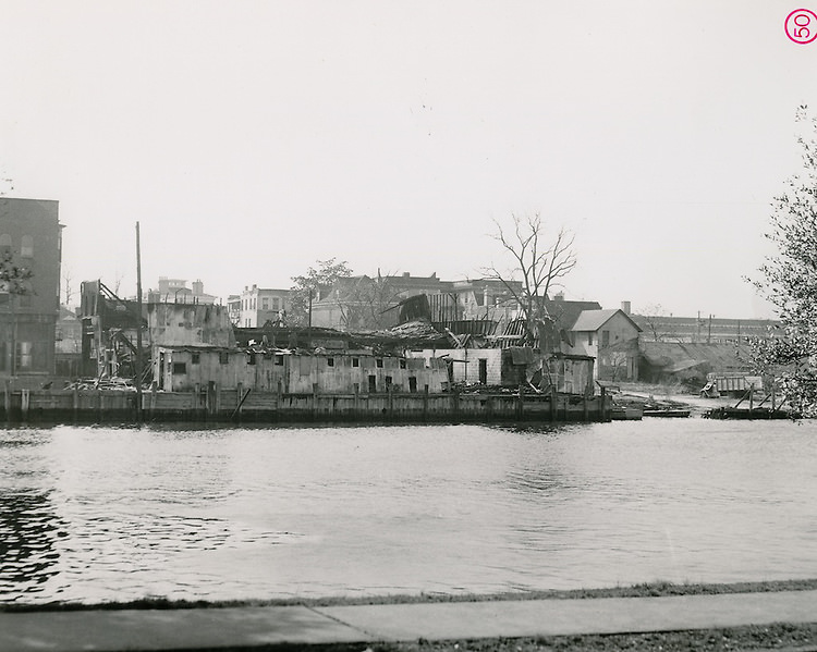
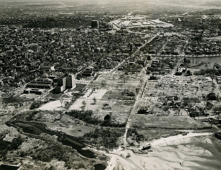
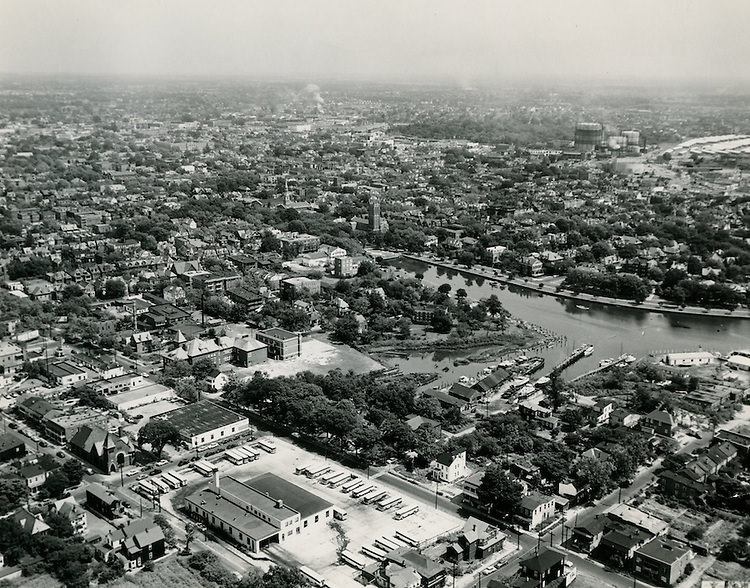
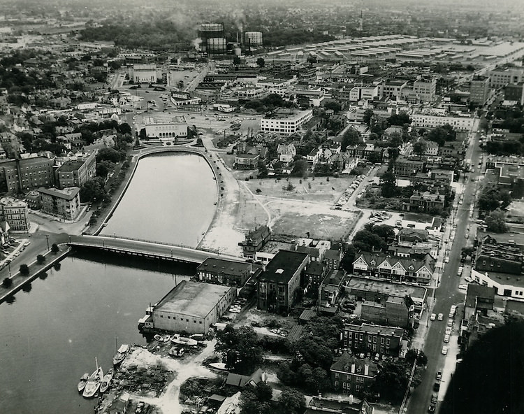
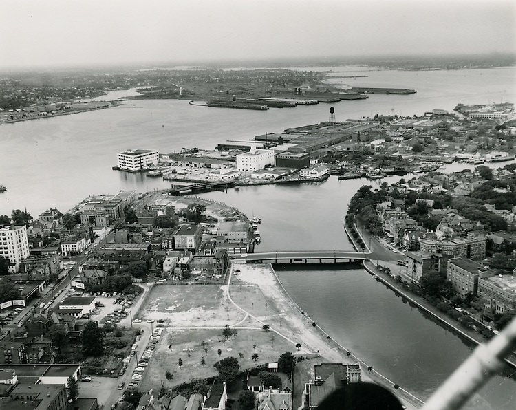
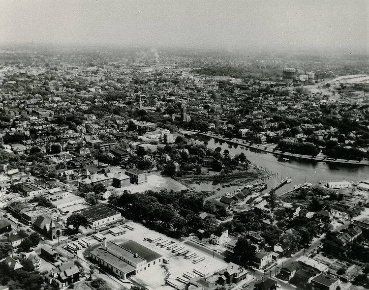
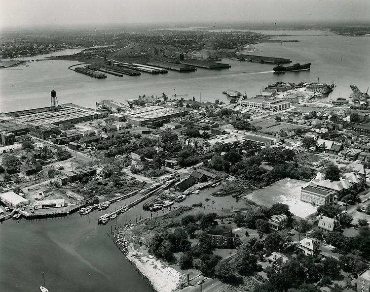
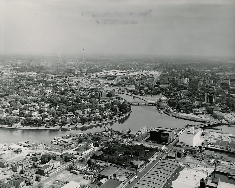
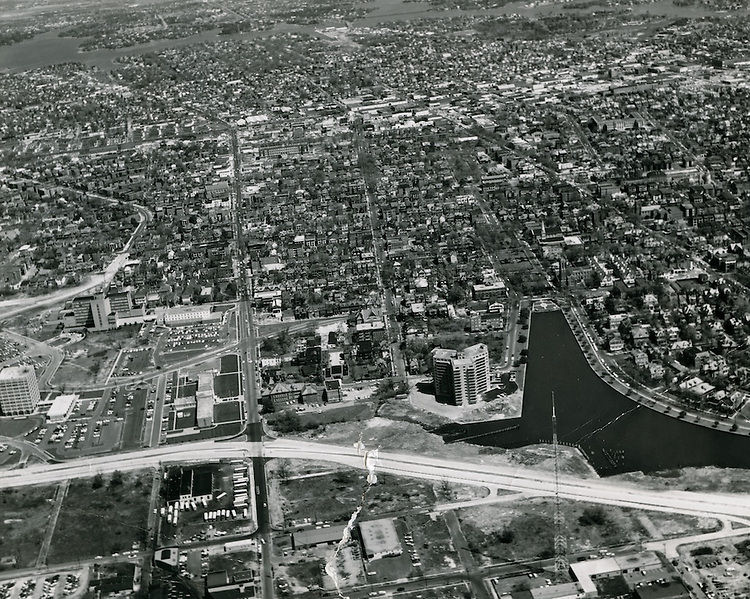
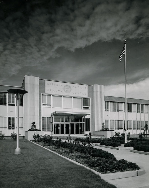
Even before demolition was complete, the city was planning what would replace the old neighborhood. The cleared land was designated for private apartments, the Eastern Virginia Medical School (EVMS), the Public Health Center, and the Children’s Hospital of The King’s Daughters (CHKD). These photographs from 1953 and 1956 show the neighborhood still standing — streets lined with homes, yards, and storefronts — just years before everything was leveled.
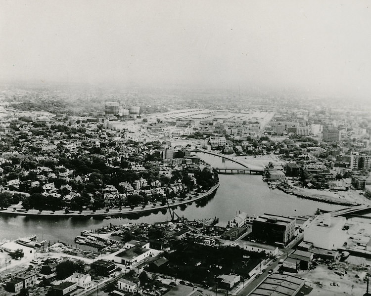
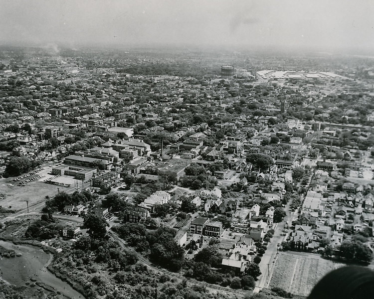
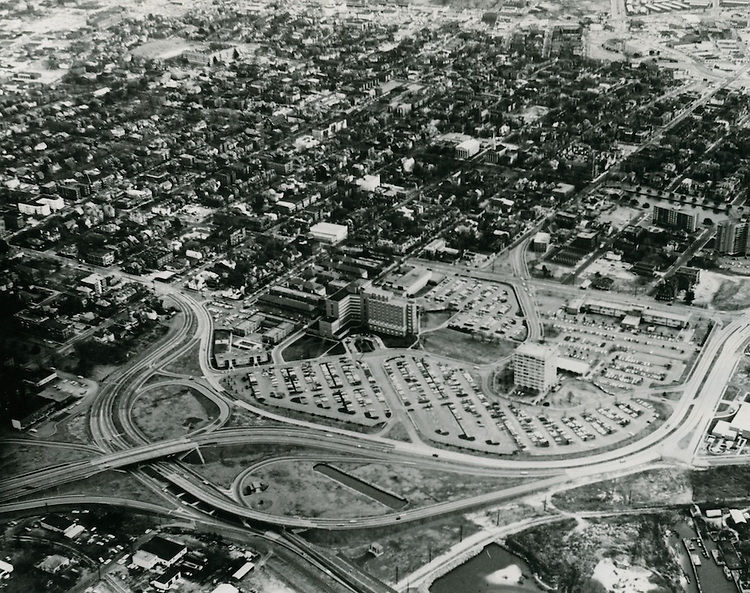
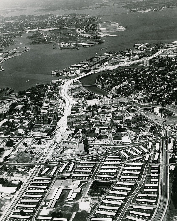
The redevelopment project also tackled Norfolk’s traffic problems head-on. City planners implemented the 1950 Major Highway Plan as part of the Atlantic City rebuild. Hampton Boulevard was extended into downtown, and Brambleton Avenue was connected to the Midtown Tunnel through new construction. These were not minor road improvements — they reshaped how the entire western side of downtown Norfolk functioned, opening up movement between neighborhoods that had previously been poorly connected.
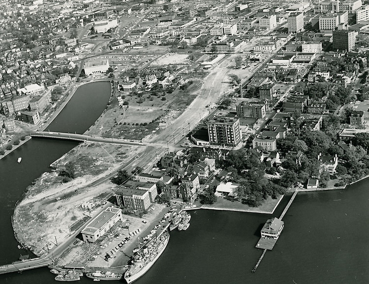
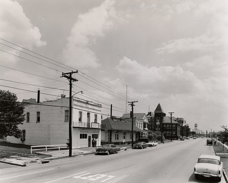
By the early 1960s, the physical character of Atlantic City had changed completely. Where row homes once stood, construction crews were building the Brambleton Avenue expansion and erecting the first structures of what would become a sprawling medical campus. The 1962 photographs are among the most revealing in this collection — some show blocks of brick residential buildings either vacant or converted to businesses, while others show the new avenue cutting through land that had recently been cleared.
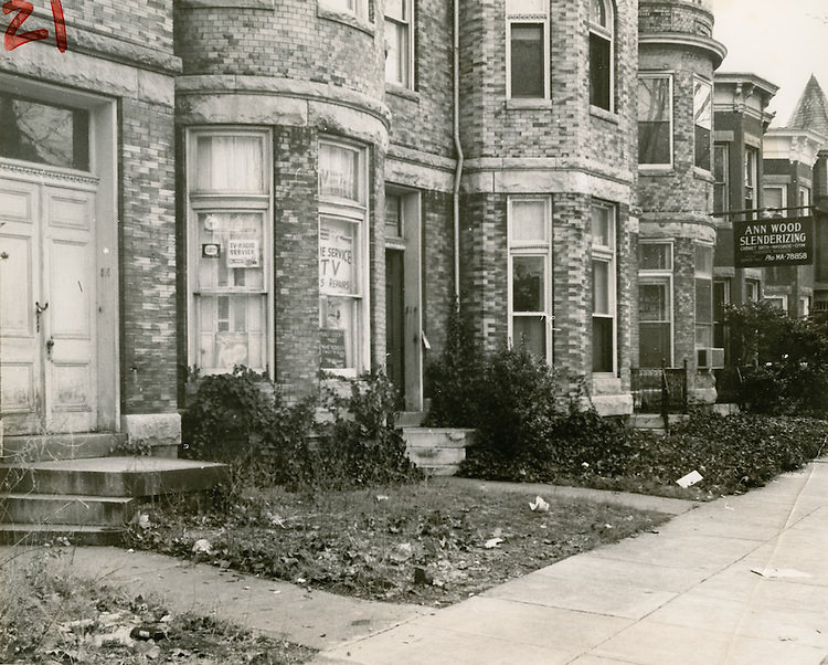
Structures are brick row type units that are either vacant or being occupied by businesses. The buildings are designed for residential use. Please note unkept fronts with one yard partially shown in lower left corner being used as a wine bottle disposal area.
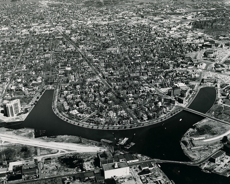
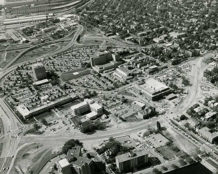
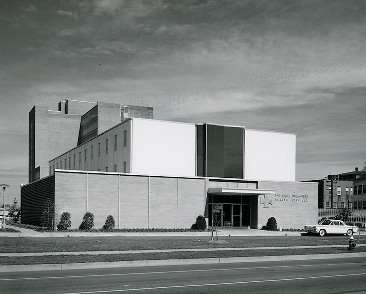
The medical institutions that replaced the neighborhood took shape quickly through the 1960s. EVMS established its campus on the cleared land, and Norfolk General Hospital expanded nearby. King’s Daughters Health Services — the predecessor of CHKD — also built on the site. These facilities drew doctors, researchers, and medical staff to an area that had, just a few years earlier, been a neighborhood of working-class families.
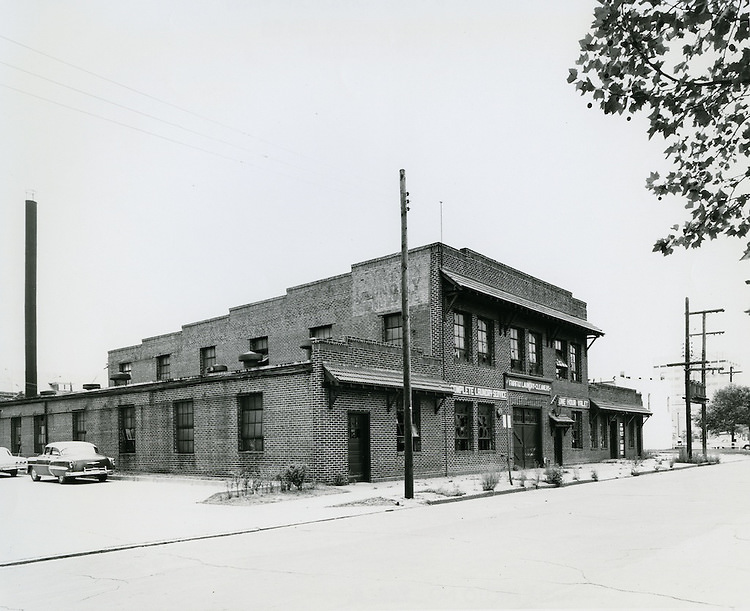
Not every building in the Atlantic City footprint was a home. The Longshoreman’s Union Hall stood as a reminder of the neighborhood’s working waterfront identity. The Fairfax Laundry Building captured everyday commercial life before the redevelopment swept through. These 1963 photographs preserve details that would otherwise be entirely lost — structures that served the community before the medical center era erased them from the landscape.
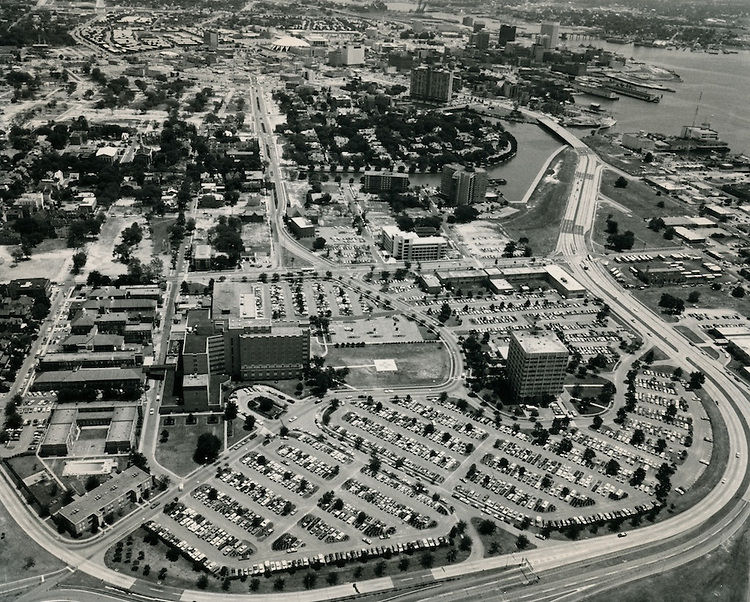
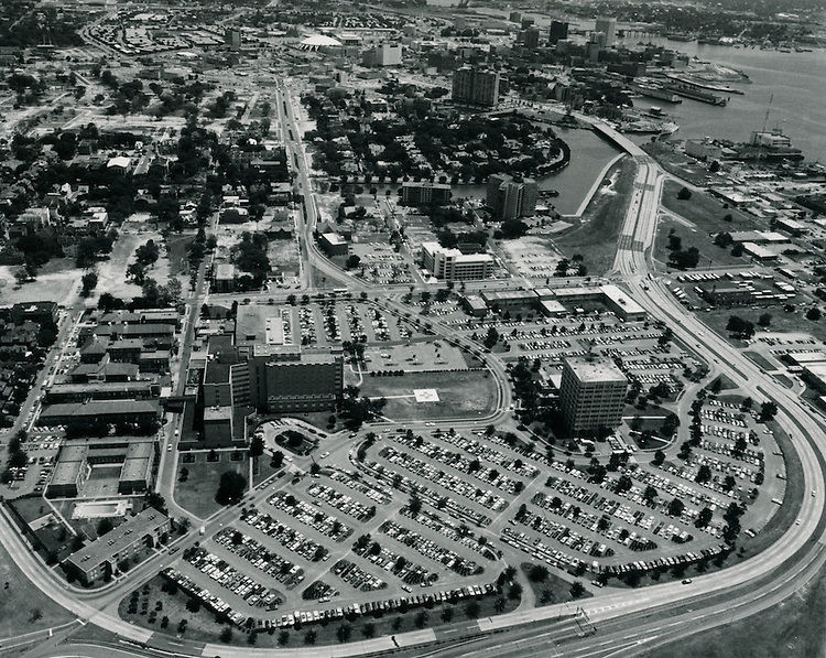
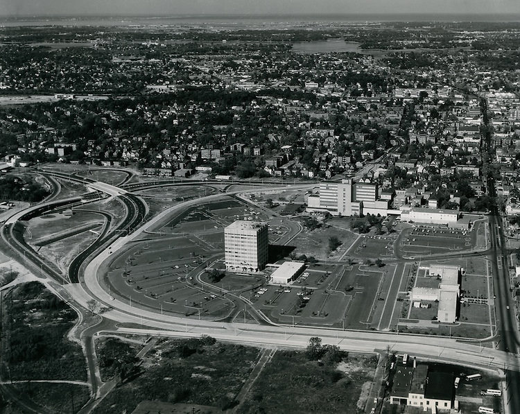
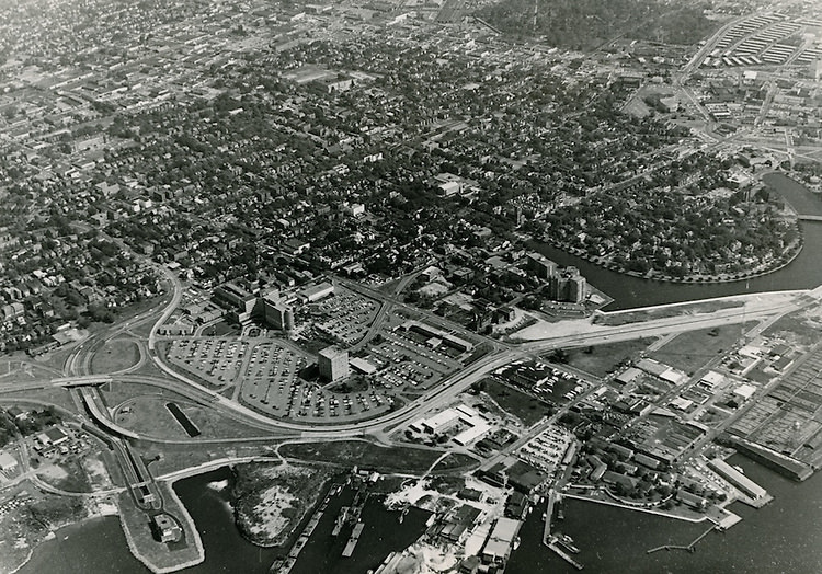
The EVMS campus continued to grow through 1964 and into the mid-1960s. Aerial photographs from this period show the Lamberts Point Docks visible in the background behind the new medical school buildings — a contrast between the industrial waterfront and the academic medical complex rising on cleared residential land. The Brambleton Avenue expansion, photographed in 1964 as completed, showed a wide modern boulevard where a neighborhood street once existed.
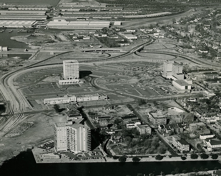
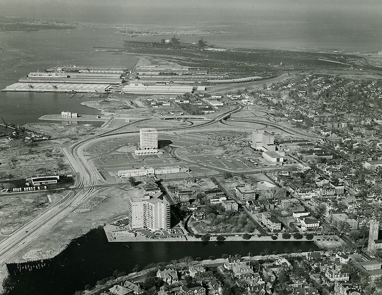
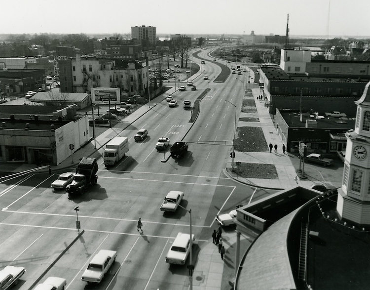
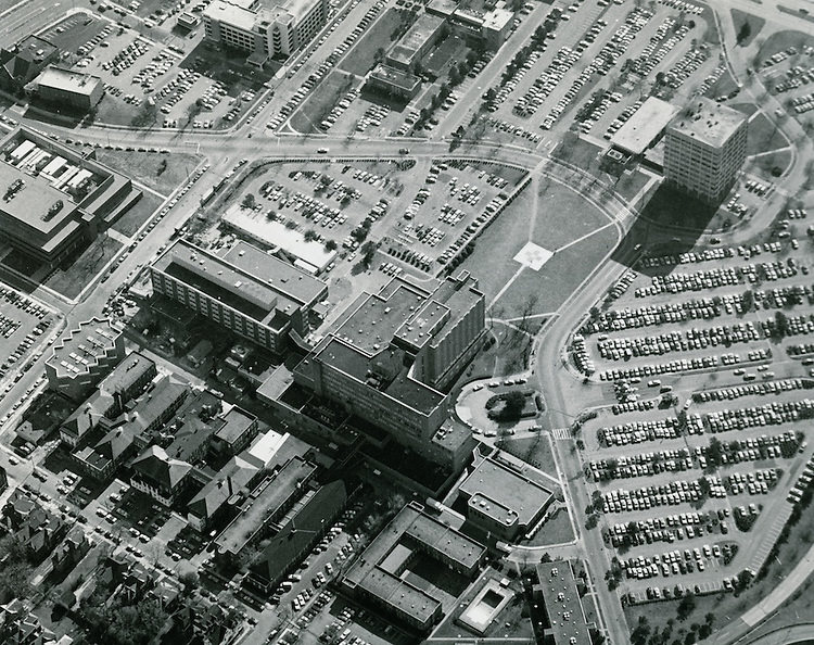
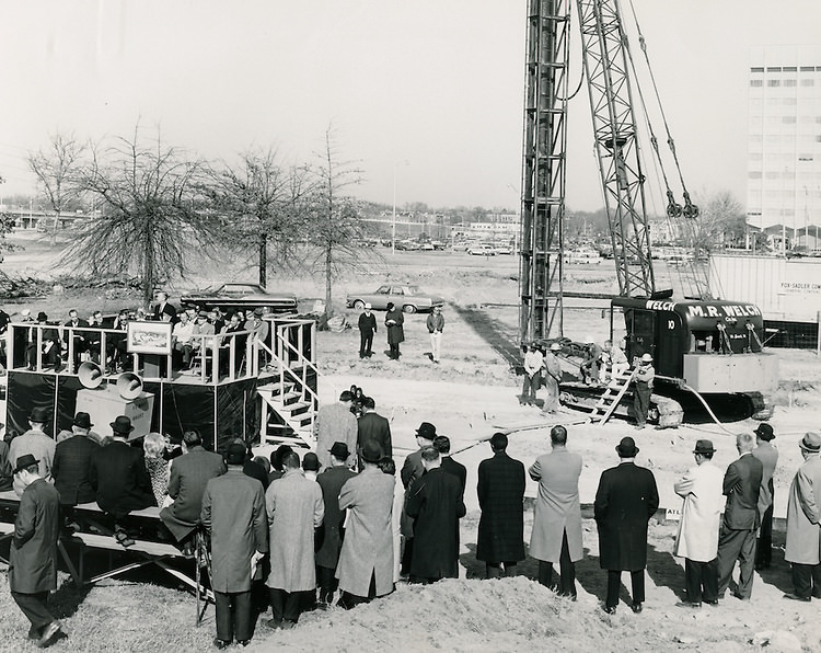
Aerial views from 1965 and 1966 show how dramatically the district had been rebuilt. New apartment towers appeared along the edges of Ghent, and the medical center campus was clearly defined from above. The Tidewater Rehabilitation Institute held a pile-driving ceremony in 1966, marking the beginning of yet another medical facility on the site. Construction was nearly continuous throughout this period, with each year bringing new structures to land that had been residential just a decade before.
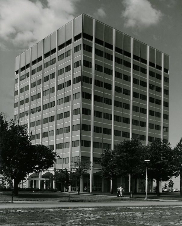
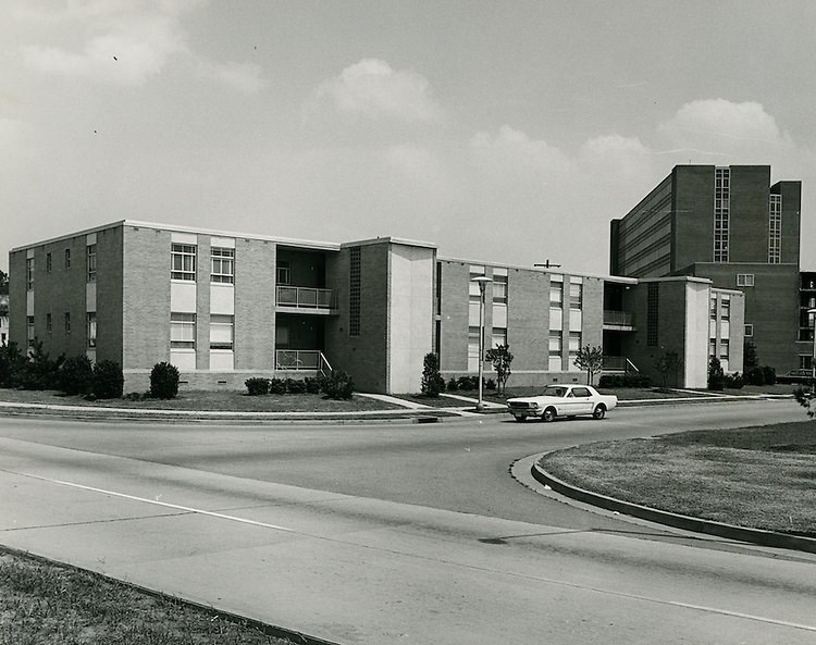
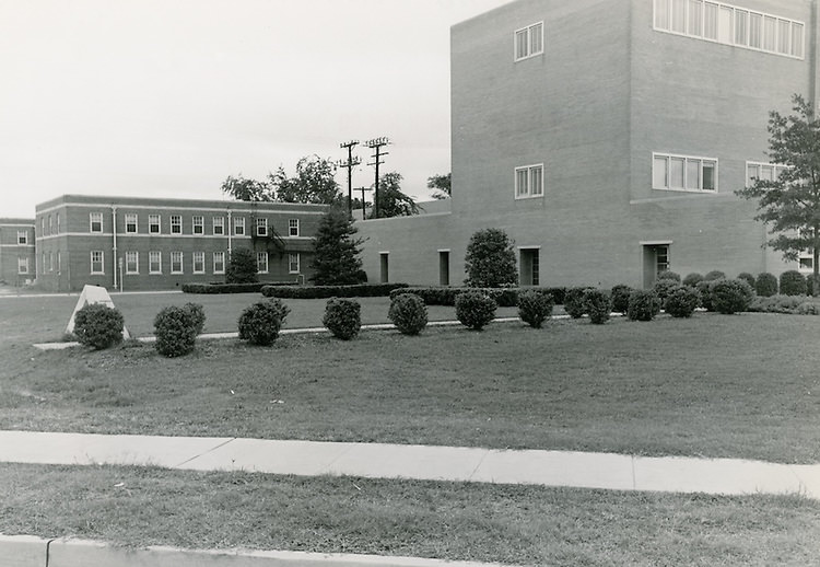
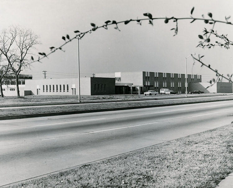
Ground-level photographs from 1966 and 1967 show the medical center in active use, with buildings fully constructed and the surrounding landscape organized around the campus. The scale of what was built becomes clearer when viewed from the street — multi-story hospital buildings and medical offices occupying block after block along Colley Avenue, which had been specifically redesigned to serve the new medical district.
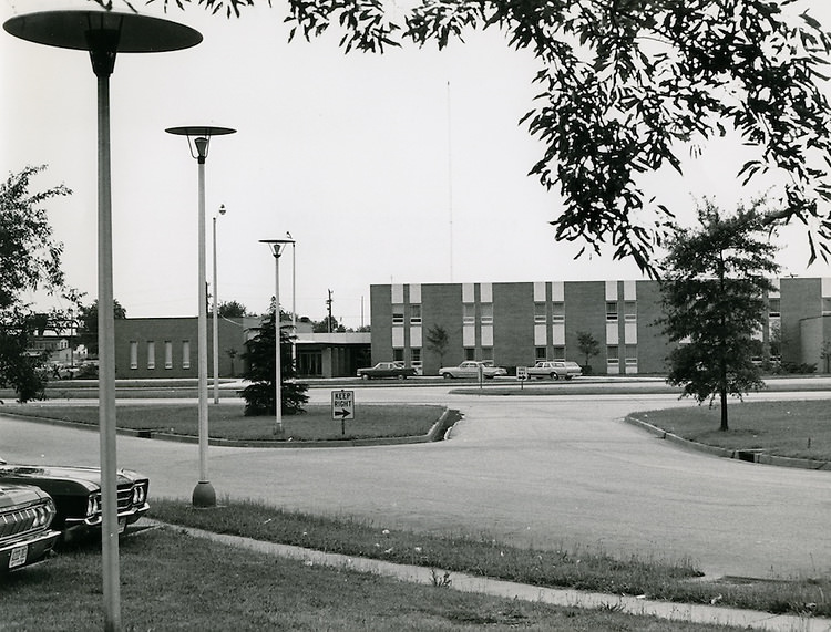
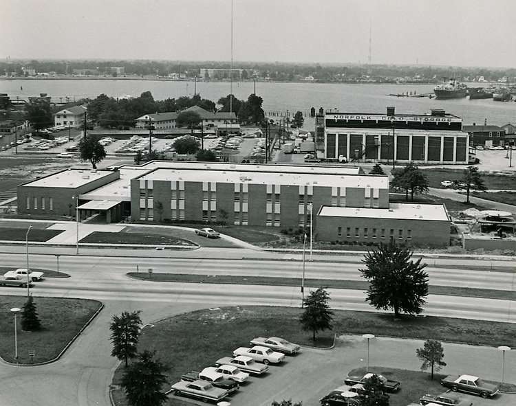
Photographs taken by Millard Arnold in 1968, 1969, and 1970 document the medical center tower as it grew into a recognizable skyline feature. Norfolk General Hospital appears in multiple shots from this period, a fully operational facility on land that had once held dozens of family homes. By 1970, the Tidewater Rehabilitation Institute and King’s Daughters Children’s Hospital were both photographed as standing, functioning institutions.
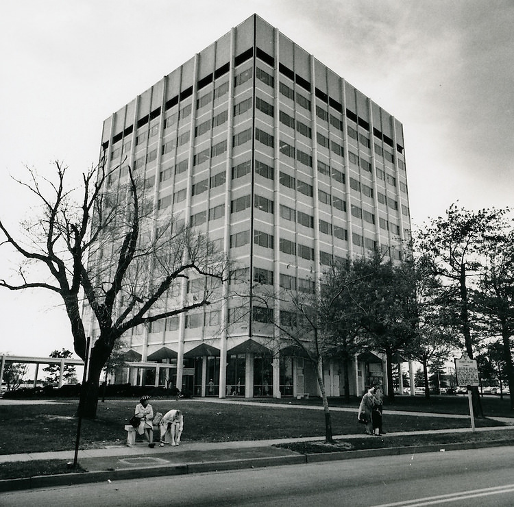
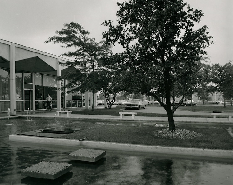
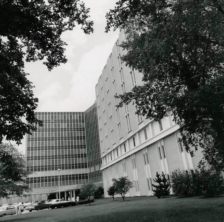
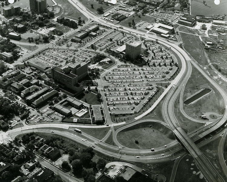
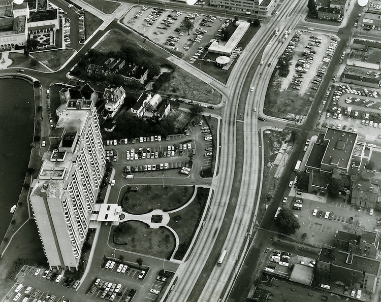
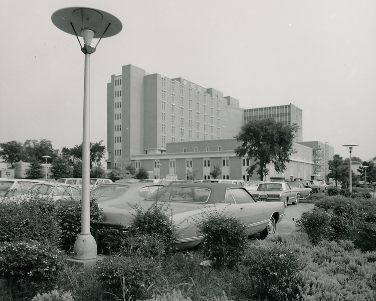
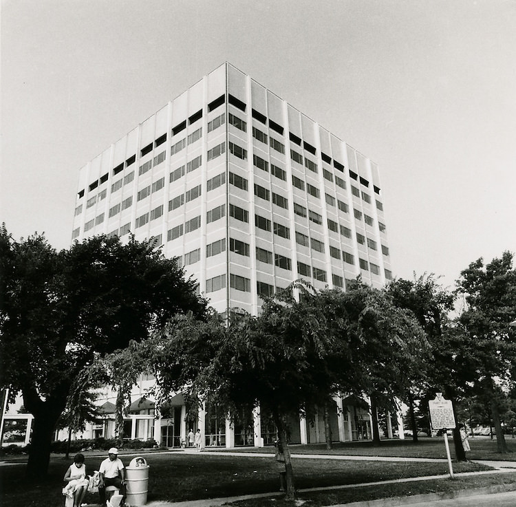
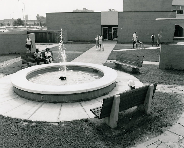
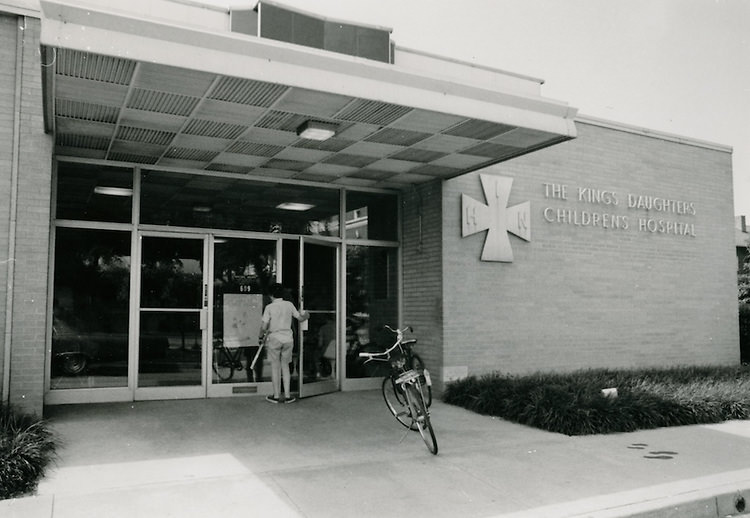
By the early 1970s, the redevelopment of Atlantic City was essentially complete. The 1971 view looking northwest shows a landscape of institutional buildings and wide roads — nothing like the dense residential grid that had existed there twenty years earlier. The 1979 series of EVMS campus photographs, taken from all four compass directions, document the medical school in its fully established form, a permanent feature of the Norfolk cityscape.
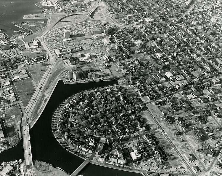
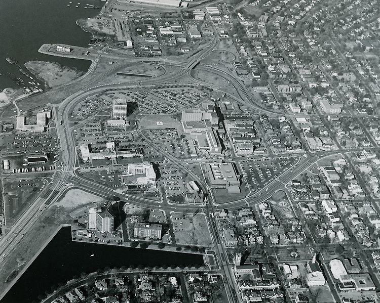
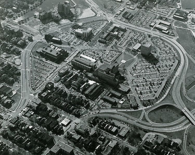
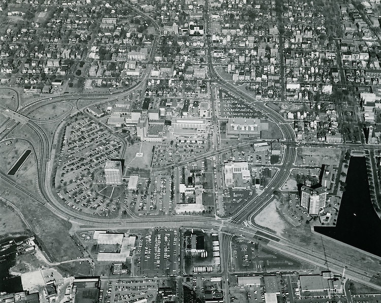
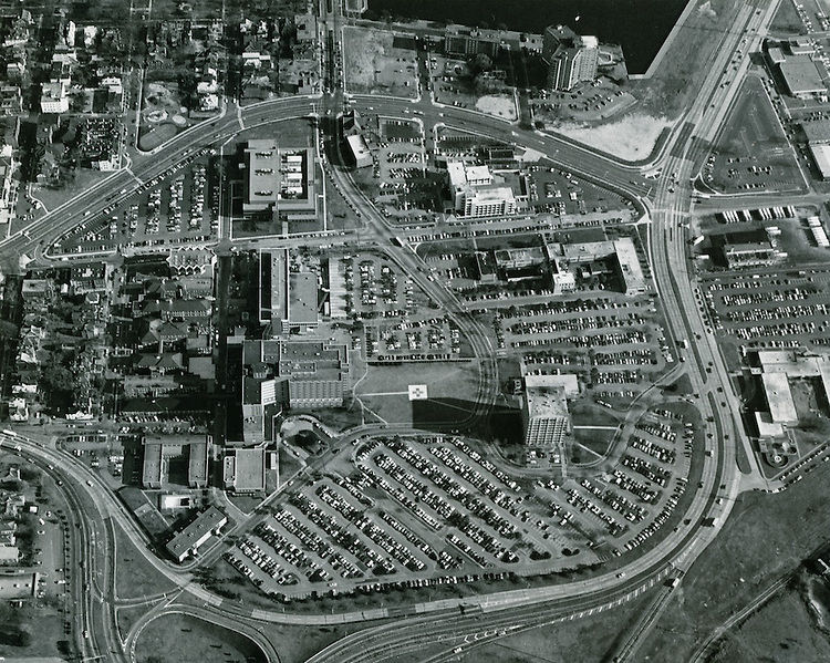
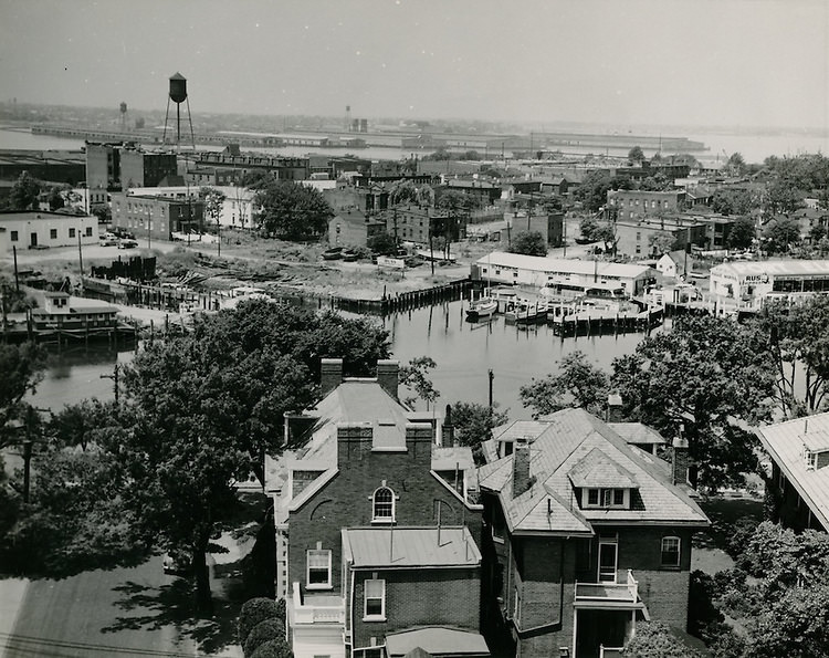
The undated photographs from the 1950s and 1960s round out the visual record of Atlantic City’s transformation. Colley Avenue, photographed south of Redgate Avenue, shows the street during the transition period. The view east from the Botetourt Street bridge captures the Chrysler Museum and Young Terrace in the distance. Early EVMS campus shots show the medical school still in its early stages, surrounded by land that was recently cleared. Together, these images form a comprehensive visual record of one of Norfolk’s most complete neighborhood demolitions.