
Long before Disneyland, theme park hotels, and freeways, Anaheim was a quiet farming settlement carved out of Southern California scrubland by a group of determined German immigrants. Founded in 1857, the city takes its name from two sources: the nearby Santa Ana River and the German word ‘heim,’ meaning home. That combination — Santa Ana plus heim — gave the settlement its identity from the very start. Today Anaheim ranks as the tenth largest city in California, but its origins were anything but grand. Fifty German farmers and vintners, tired of San Francisco’s gold rush chaos, moved south with a single goal: grow grapes.
One of the founding members, George Hansen, surveyed the original 200 acres that now make up Anaheim’s downtown. The boundaries he set — North, South, East, and West streets — still define the core of the city. From the beginning, the settlement was organized, deliberate, and built by people who planned to stay. One of the earliest families to put down roots was the Langenberger family, whose store and residence stood at 124 West Center Street as early as 1858.
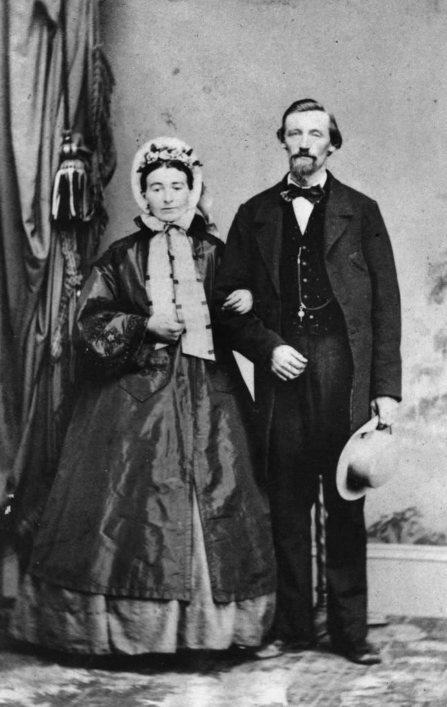
The founding settlers came through a formal organization called the Los Angeles Vineyard Society. Members pooled their money, purchased land, and divided it among themselves. Each family received a town lot and a vineyard plot. Among those who made the journey south were John P. Zeyn and his wife Sophia Menke, photographed in San Francisco before their move to Anaheim in 1859.
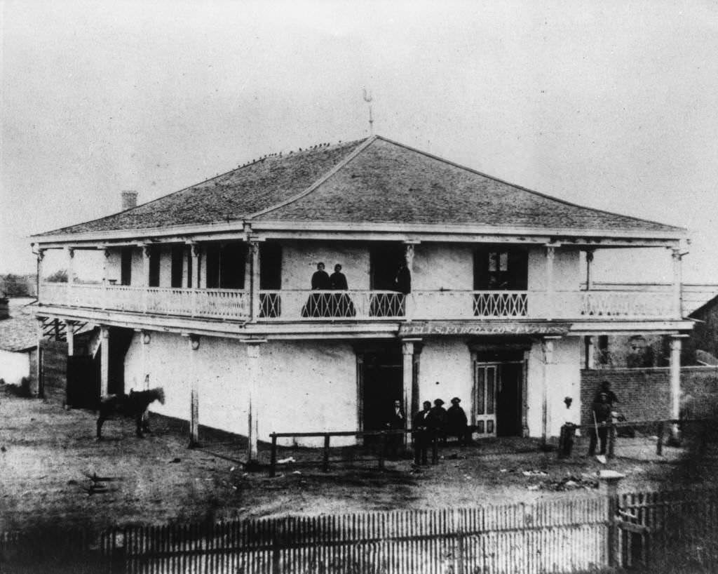
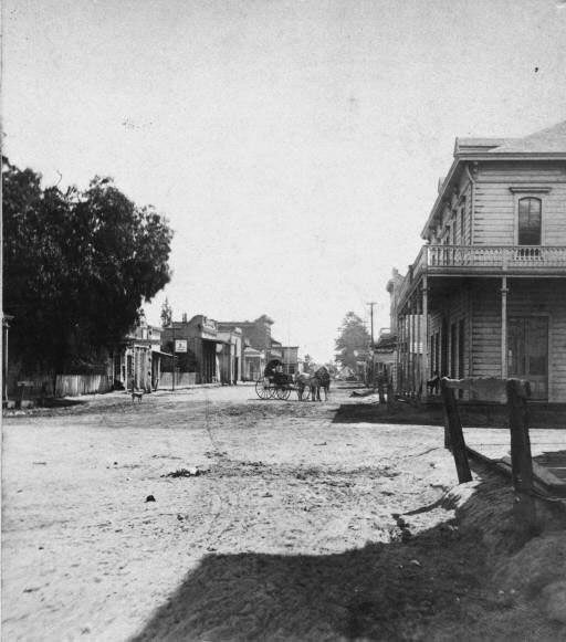
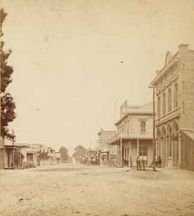
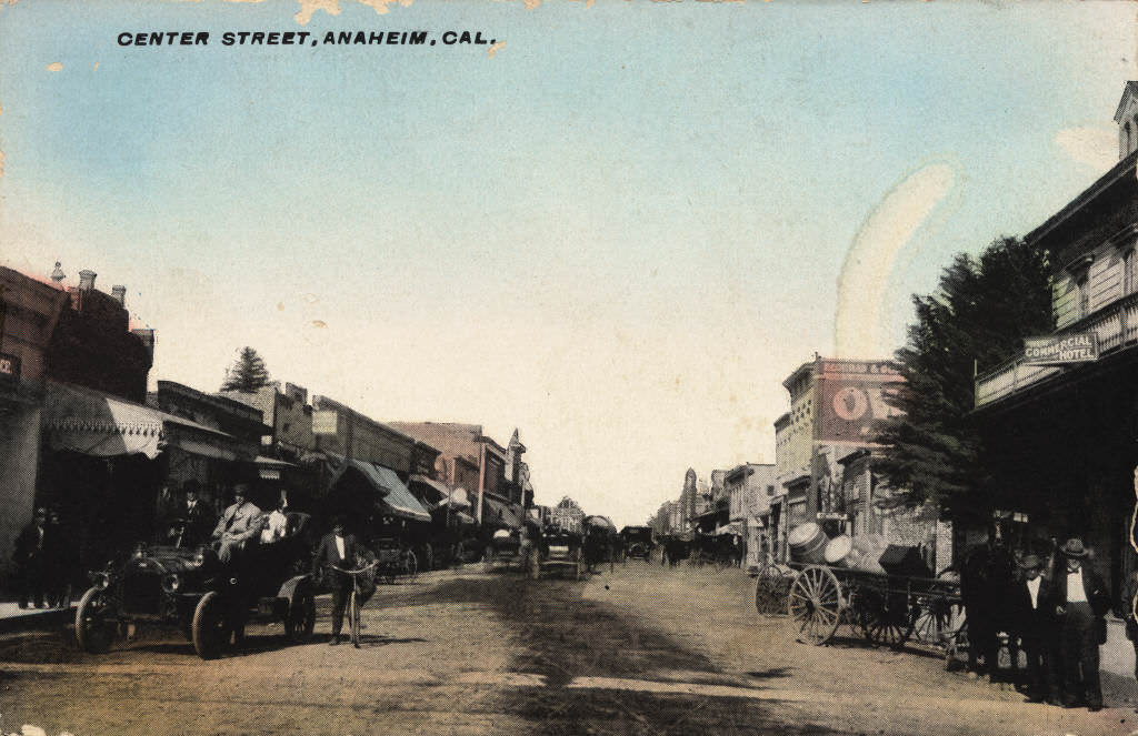
By the 1860s, Anaheim was growing steadily. Center Street became the town’s main artery, lined with businesses, hotels, and homes. A stereoscopic photograph from 1868 captures the corner of Center and Lemon Streets, where a horse and buggy rolls down the unpaved road and the Anaheim Hotel — later renamed the Commercial Hotel — anchors the corner.
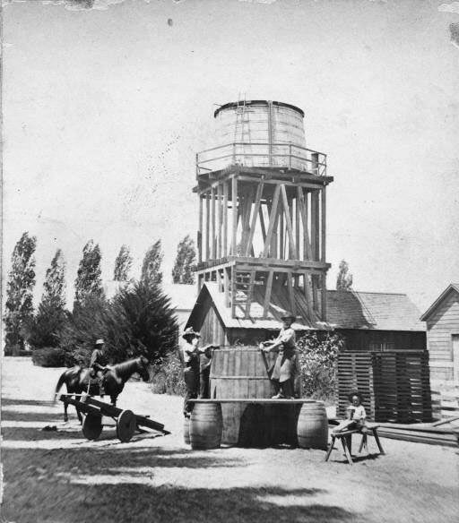
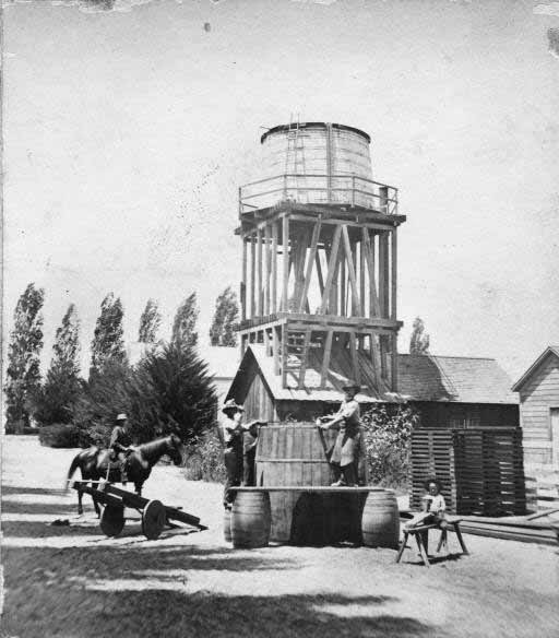
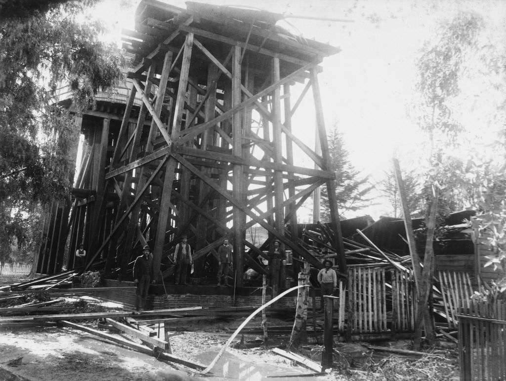
Water was the lifeblood of the vineyards. Anaheim’s founders built an intricate irrigation system fed by the Santa Ana River, channeling water through a network of ditches and storage tanks. By the 1870s, water towers were a visible part of the town’s skyline. One photograph from that decade shows a multi-story water tower built over a frame structure, with drying racks stacked alongside, trees filling the background, and workers perched on a plank beside the storage tank.
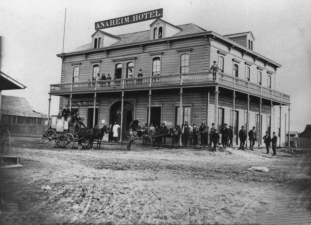
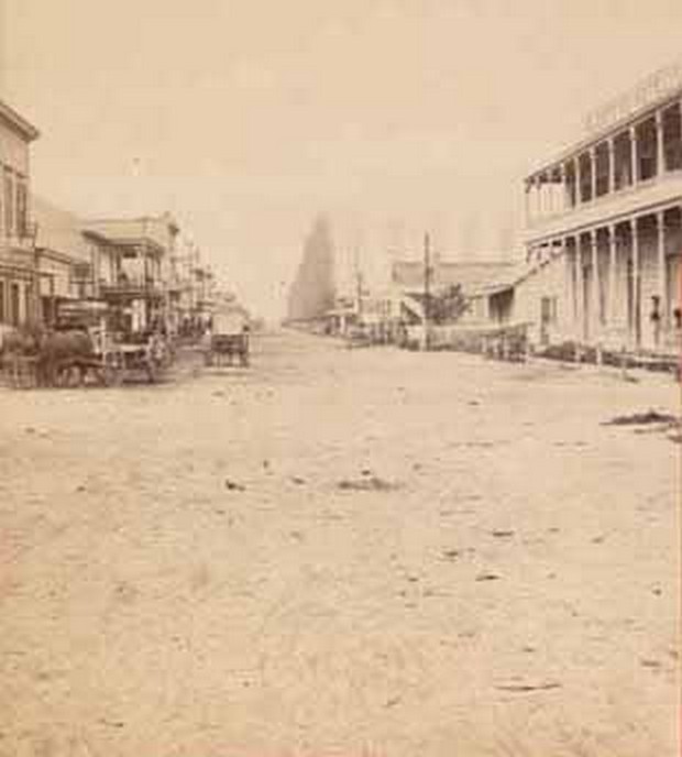
Center Street in the early 1870s showed a town with real commercial ambition. Buildings lined both sides, wooden storefronts faced the road, and foot traffic moved between them daily. The Anaheim Hotel, built by the city’s second mayor, Henry Kroeger, and later operated by Max Nebelung, stood at 182 West Center Street at Lemon Street. By 1871, it was one of the most prominent buildings in the entire settlement.
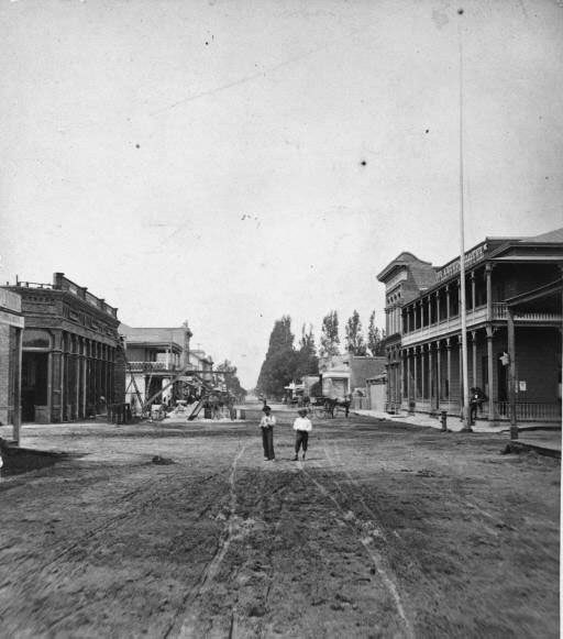
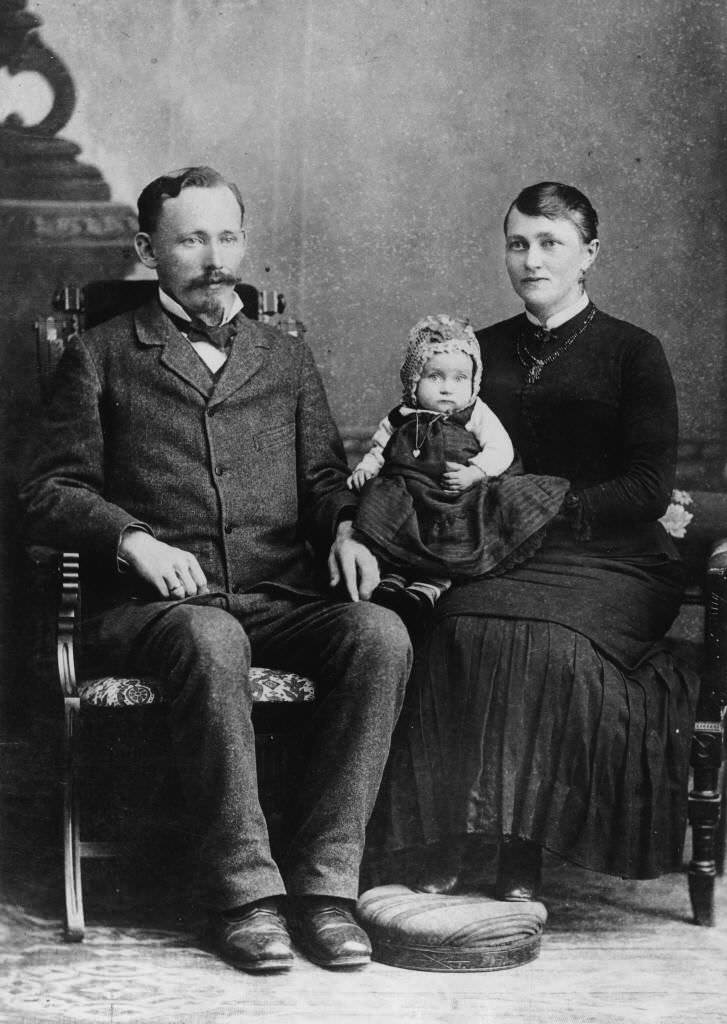
Families like the Stecherts were among the community’s earliest and most established residents. Charles and Pauline Stechert were photographed with their daughter Mitzie in 1865, representing the German immigrant families who formed Anaheim’s social backbone during its first decade.
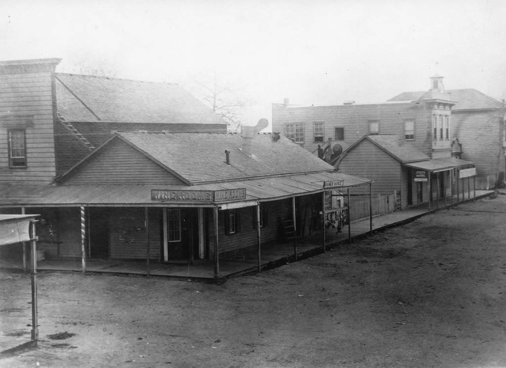
Throughout the 1870s, Anaheim’s wine industry made it the most important wine-producing region in California. Hundreds of thousands of vines covered the surrounding land. The town’s wine rooms stored barrels of locally produced wine before it was shipped to markets in Los Angeles and San Francisco. A photograph from 1870 documents those wine rooms, a direct record of the industry that kept Anaheim alive and growing.
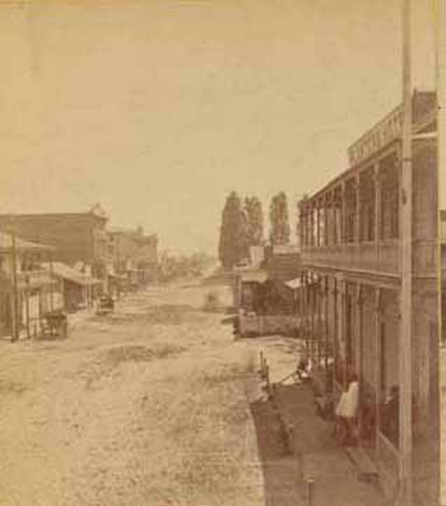
The Anaheim Hotel was a central landmark. Built by Mayor Henry Kroeger and later sold to Max Nebelung, an 1871 photograph shows the full facade — figures standing on the second-story balcony, horse-drawn wagons parked out front, and signage reading ‘STEINHART & BRO.’ and ‘H. BREMERMANN 1872’ above the doorways. By 1905, the hotel was renamed the Commercial Hotel and sold to John Ziegler.
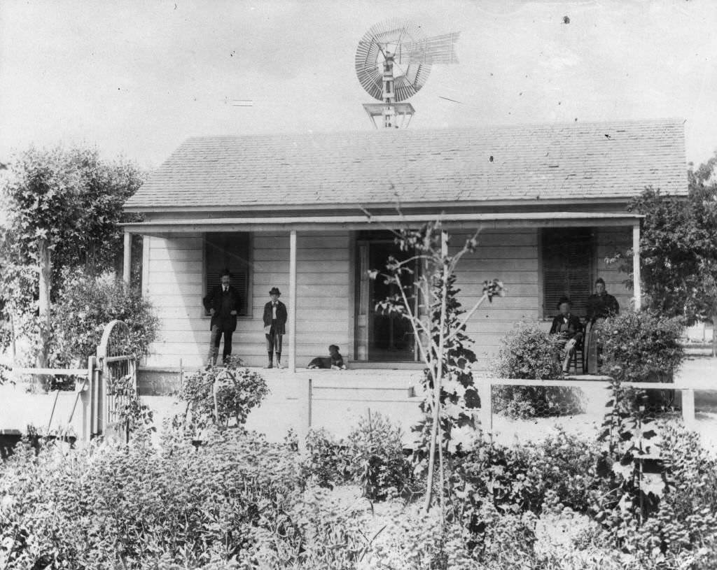
Residential life in 1870s Anaheim reflected the modest, practical nature of its settlers. The Carl August Lorenz residence at 507 South Lemon Street, photographed in 1870, was typical of homes in the settlement — well-built, unpretentious, and set among the trees that the residents planted throughout the community.
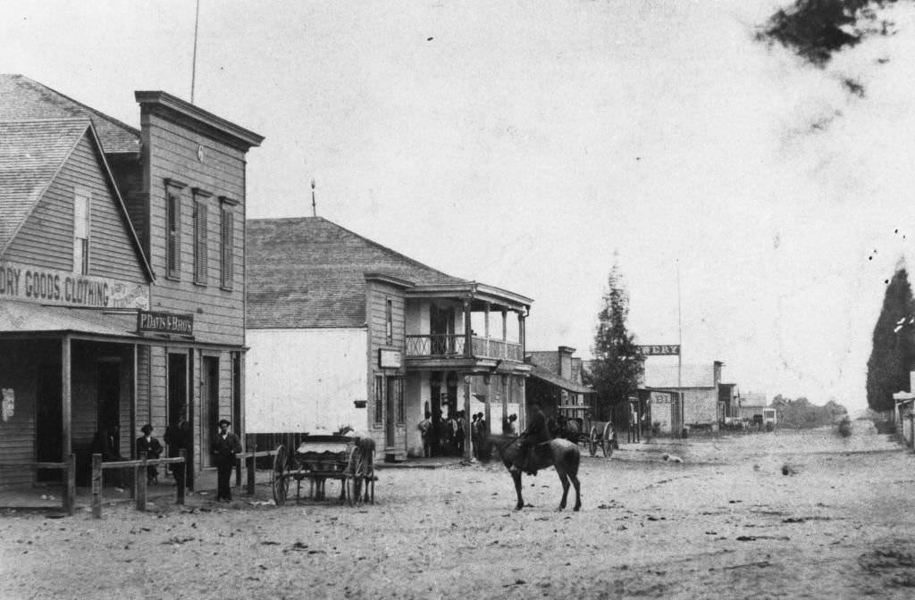
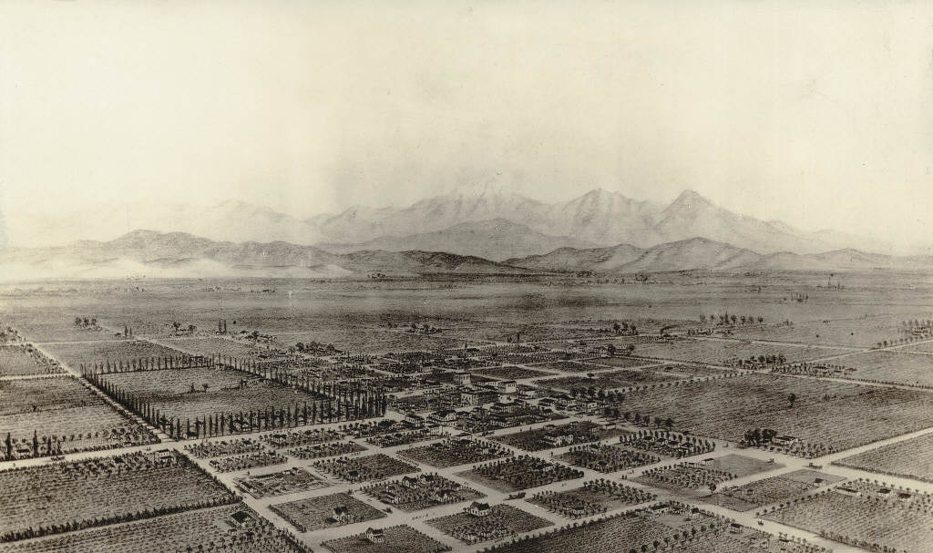
Center Street in 1873 showed a dirt road flanked by buildings on the north side, looking west past Los Angeles Street — the road that would eventually become Anaheim Boulevard. By 1876, a bird’s-eye view of the entire town was possible, showing just how much the settlement had expanded in less than two decades.
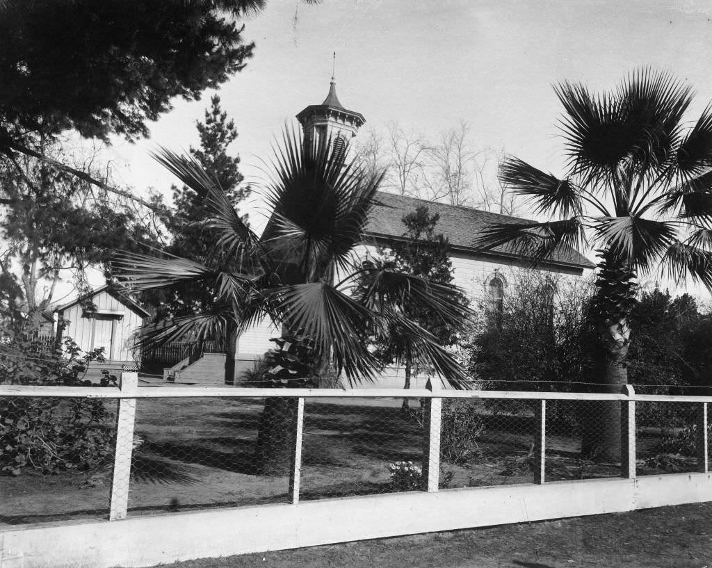
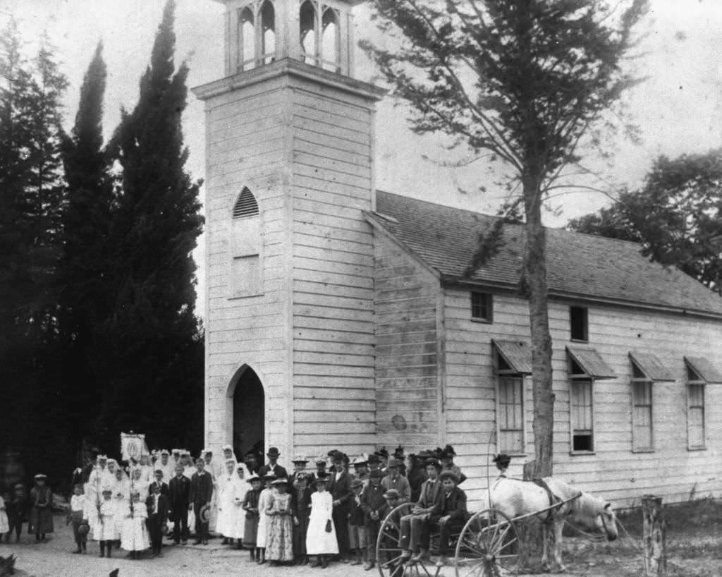
Religion was an important part of community life. The First Presbyterian Church, built in the 1870s at the corner of Cypress and Claudina Streets, was designed by San Francisco architect Charles Giddes. The white wooden structure with its surrounding palm trees was later sold to the Church of the Nazarene, which eventually sold it to the Salvation Army.
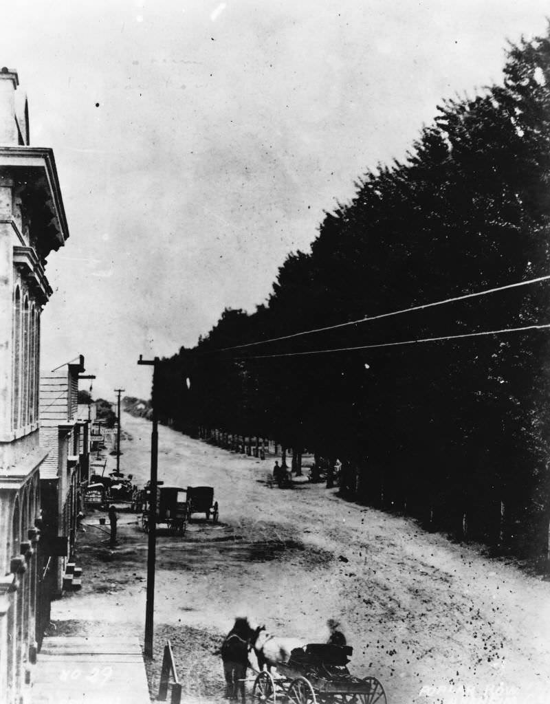
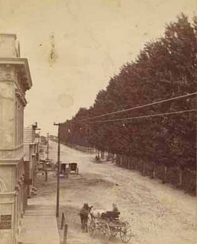
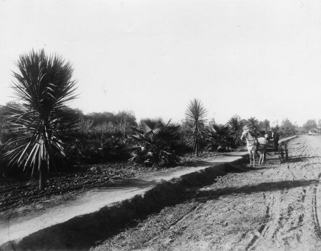
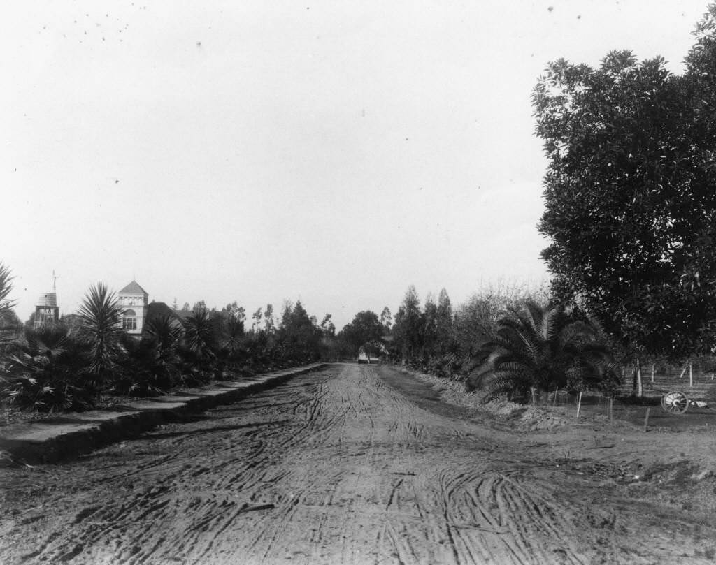
Poplar trees were a signature feature of Anaheim’s streetscape. The founders planted rows of them along Center Street, giving the road a distinctly European character that visitors frequently noted. A photograph from 1876 captures this tree-lined corridor at its most striking — tall, even rows of poplars stretching down both sides of the road.
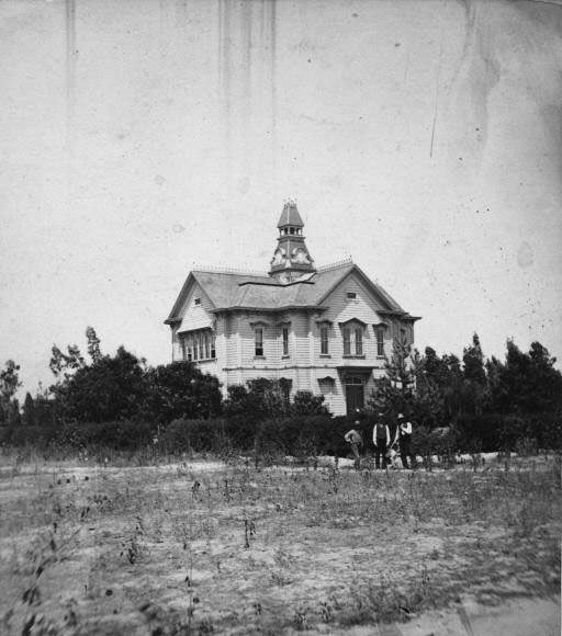
Education was a priority even in the town’s early years. Anaheim Central School was built in 1877 at 231 East Chartres Street for $1,500, using bond funding. James M. Guinn drafted the bill and pushed it through to secure the bonds. The school is notable in California history — and possibly U.S. history — as the first school built through bond financing. It housed elementary through high school classes under one roof.
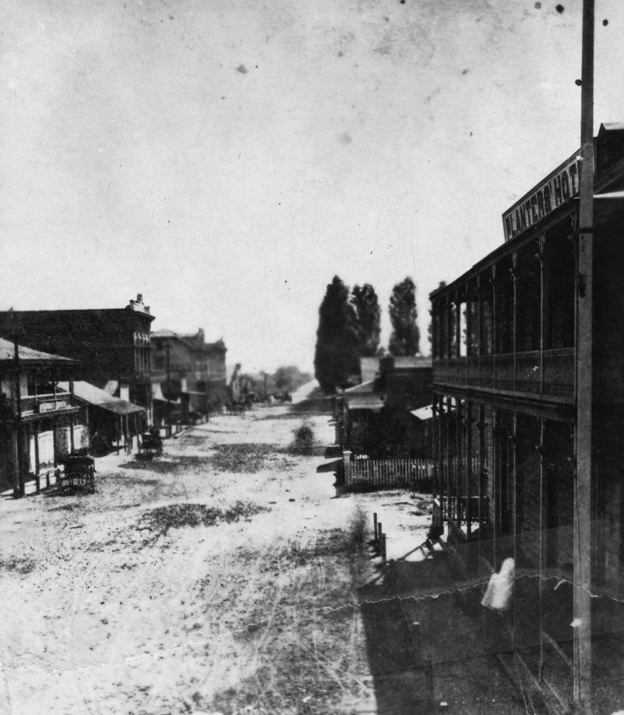
More views of Center Street from 1872 and 1875 show the street at different angles — busy, unpaved, but clearly a functioning commercial district with a steady flow of horse-drawn traffic and pedestrians on wooden sidewalks.
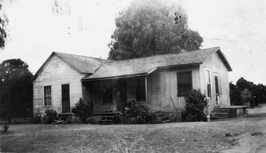
Anaheim attracted some unexpected settlers. In 1876, the renowned Polish actress Helena Modjeska, her husband Count Karol Bozenta Chlapowski, and a group of Polish intellectuals established a small colony in Anaheim. They dreamed of a utopian farming community, though the experiment lasted only about a year before Modjeska returned to the stage. Their Anaheim residence stood as a symbol of the town’s brief brush with European celebrity.
Center Street was photographed from multiple directions in 1875, giving a comprehensive look at the town’s main commercial corridor. These images show Anaheim at the height of its wine industry prosperity — buildings tightly packed, goods being moved by wagon, and the distinctive poplar rows framing every view.
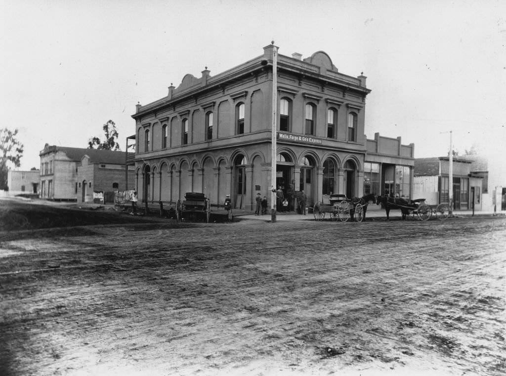
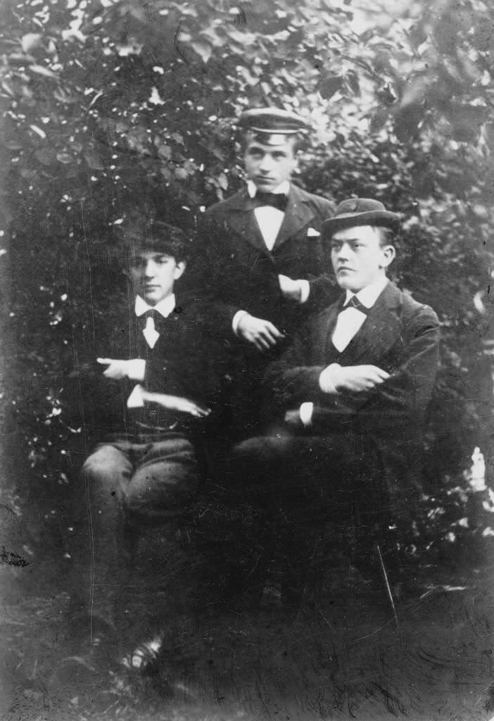
Wells Fargo had a presence in Anaheim by 1875, operating an express building that connected the town to the broader California economy. That same year, three men — Otto Koenig, Herman A. Dickel, and an unidentified third — were photographed together, two seated and one standing, with a climbing vine visible in the background behind them.
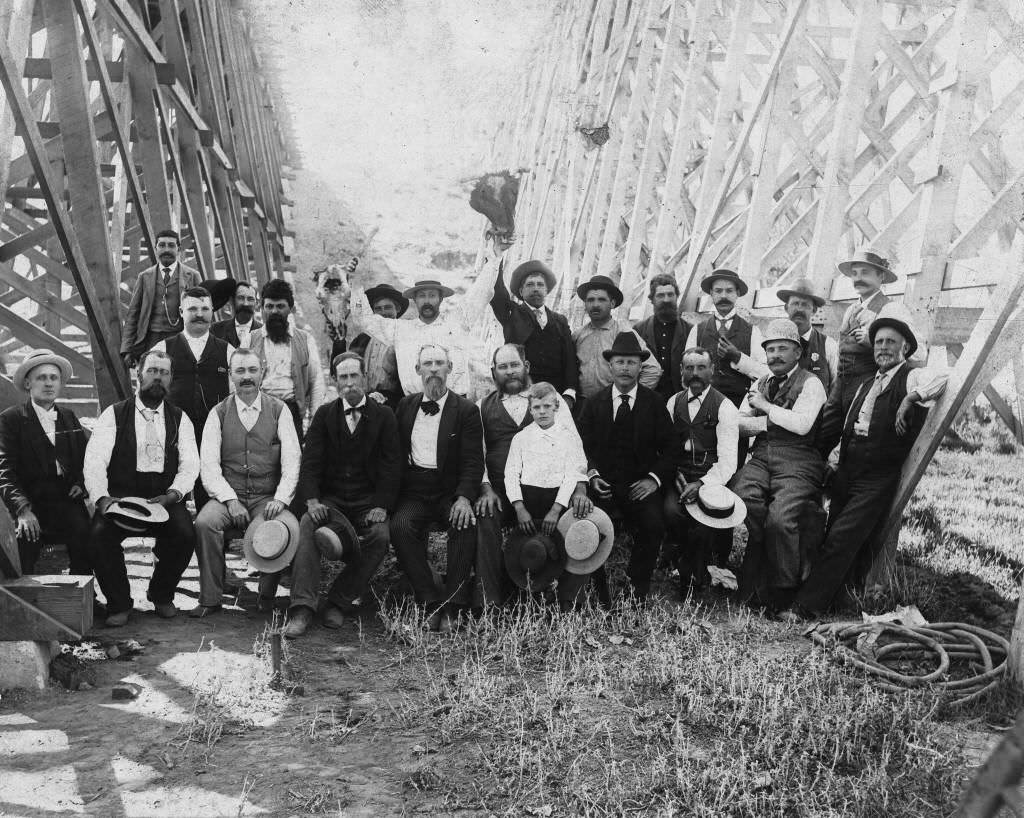
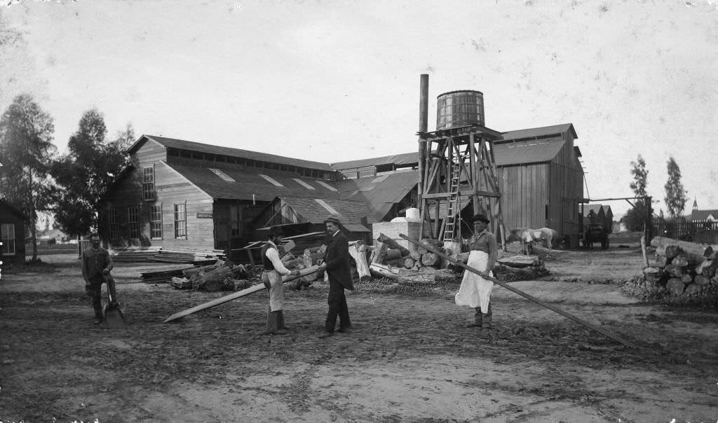
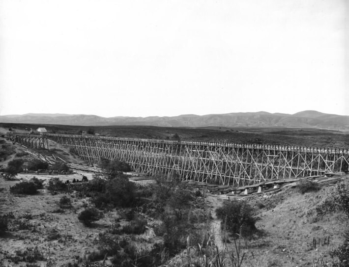
Water infrastructure was a constant concern for a farming community in Southern California’s semi-arid climate. In 1878, workers celebrated the completion of Flume No. 8 for the Cajon Irrigation Company — a milestone in the ongoing effort to bring reliable water to Anaheim’s vineyards and fields. A planing mill, grist mill, and lumber yard, photographed in 1875, shows the range of industry supporting the town’s building boom.
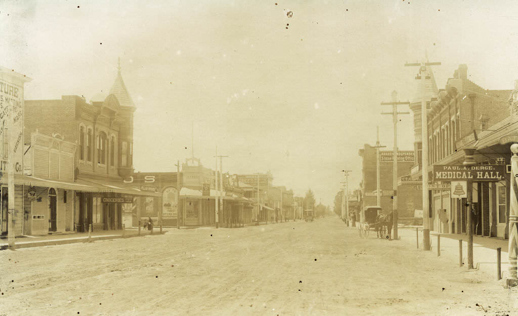
By the late 1870s, Anaheim’s street grid was filling in with permanent structures. A view of Center Street looking west in 1879 shows a road that, while still unpaved, was flanked by a solid line of commercial buildings. The Planters Hotel, one of the town’s most photographed landmarks, was well established by the early 1880s.
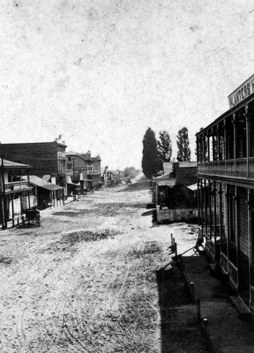
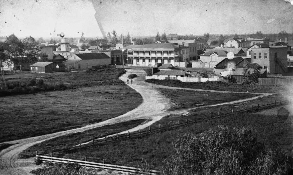
The 1880s were a decade of crisis and transformation for Anaheim. A devastating grapevine blight — caused by a bacterium spread through the glassy-winged sharpshooter insect — swept through the region and destroyed the vineyards. By the mid-1880s, most of Anaheim’s wine industry was gone. Growers tore out diseased vines and replanted with orange trees. Within a few years, oranges replaced grapes as Anaheim’s agricultural foundation.
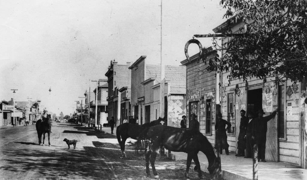
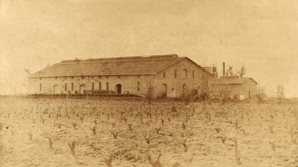
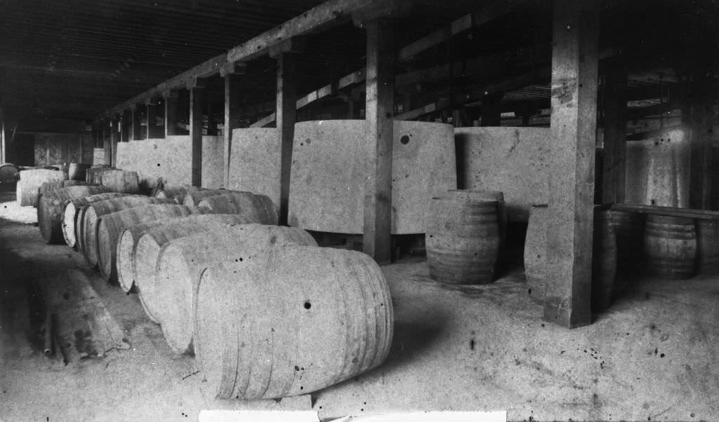
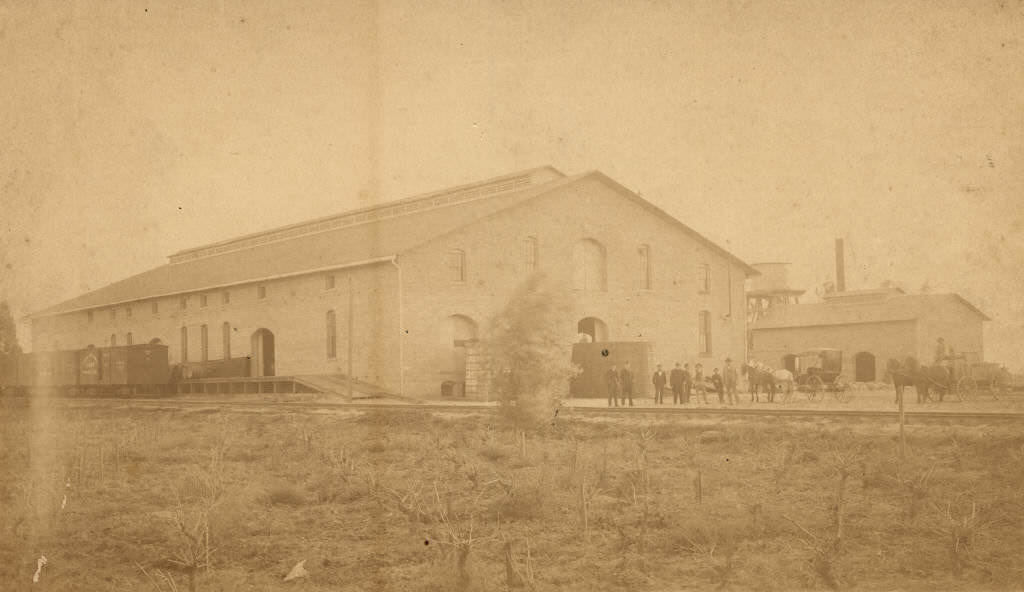
Despite the blight, some wineries continued to operate or had been established just before the collapse. The Dreyfus Winery, built in 1884 and 1885 southwest of Anaheim near Ball and Manchester, was one of the last major wine operations in the region. Both exterior and interior photographs from 1884 and 1885 document the winery before it was eventually repurposed as an orange juice cannery and torn down in 1973.
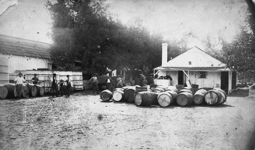
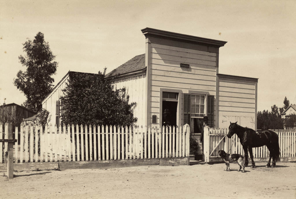
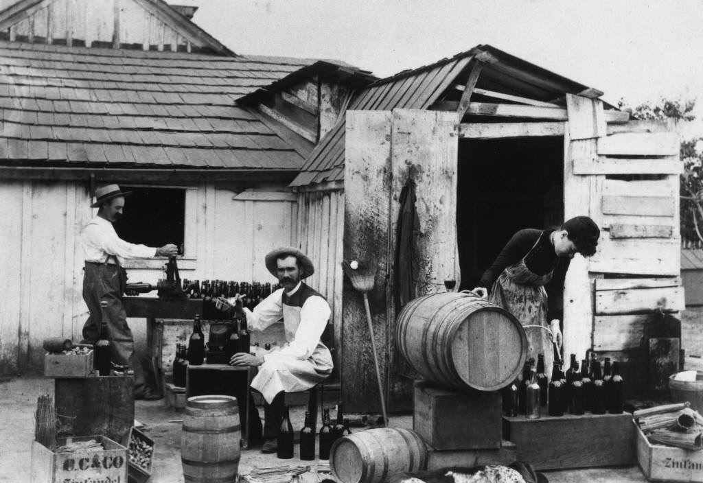
Dr. James Hovey Bullard was one of Anaheim’s most prominent professionals in the 1880s. He operated his first doctor’s office on Los Angeles Street and was also photographed making wine at his own Bullard Winery in 1885 — a snapshot of the dual life many Anaheim residents led during the last years of the grape era. A photograph from 1885 shows Bullard standing outside his office, and another from the same year captures him with two others at the wine press.
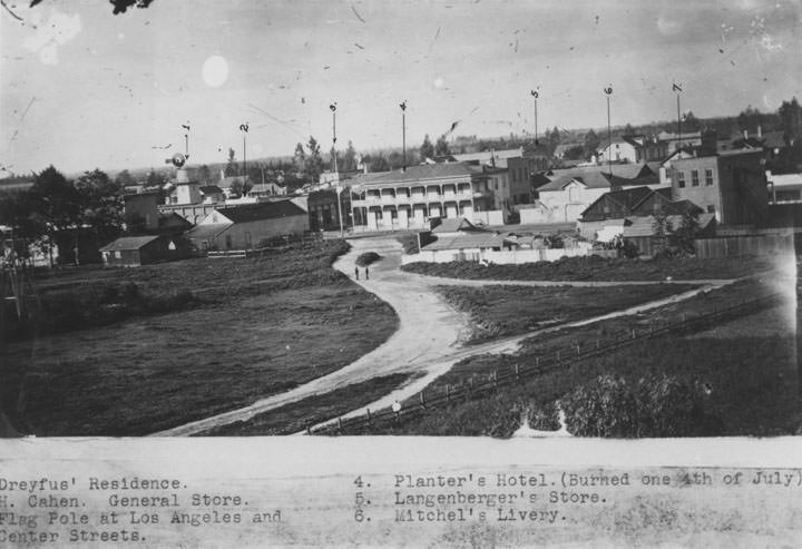
The Planters Hotel was the second major hotel at the northwest corner of Center Street, and was photographed repeatedly through the 1880s. It appeared in elevated views of the town, showing how the surrounding neighborhood had developed. By 1882, the hotel was a fixture of the city’s commercial district.
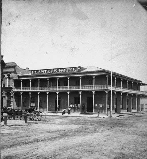
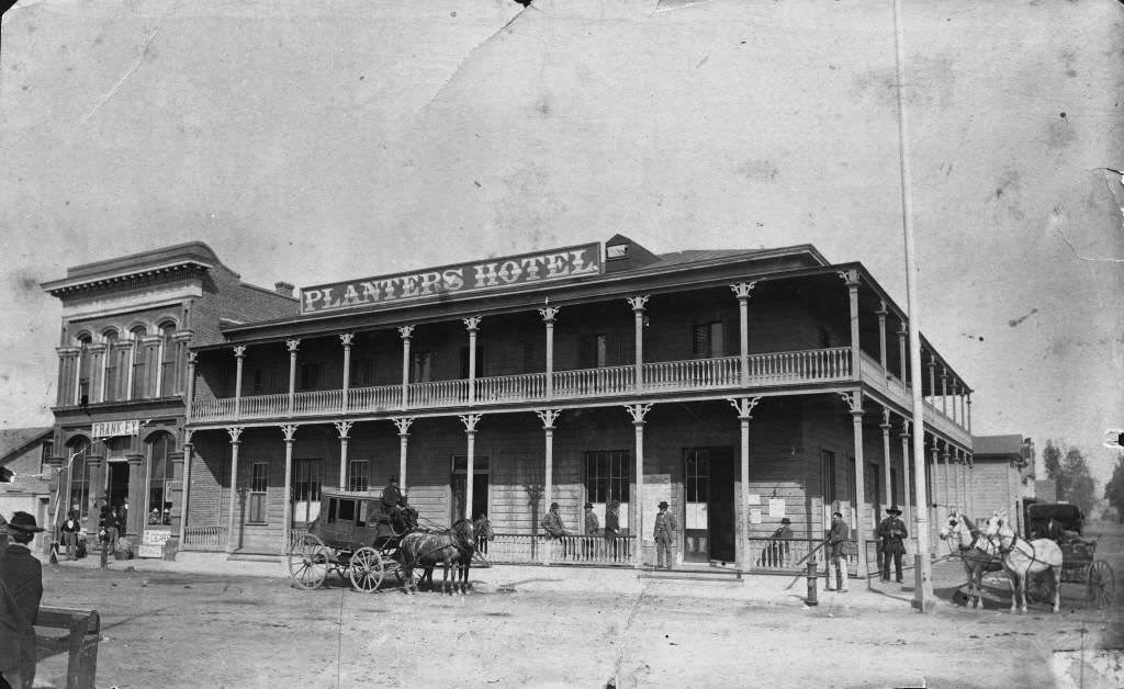
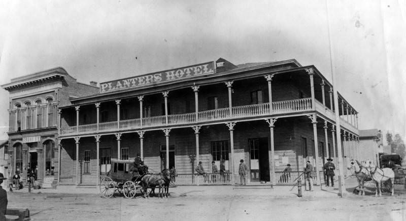
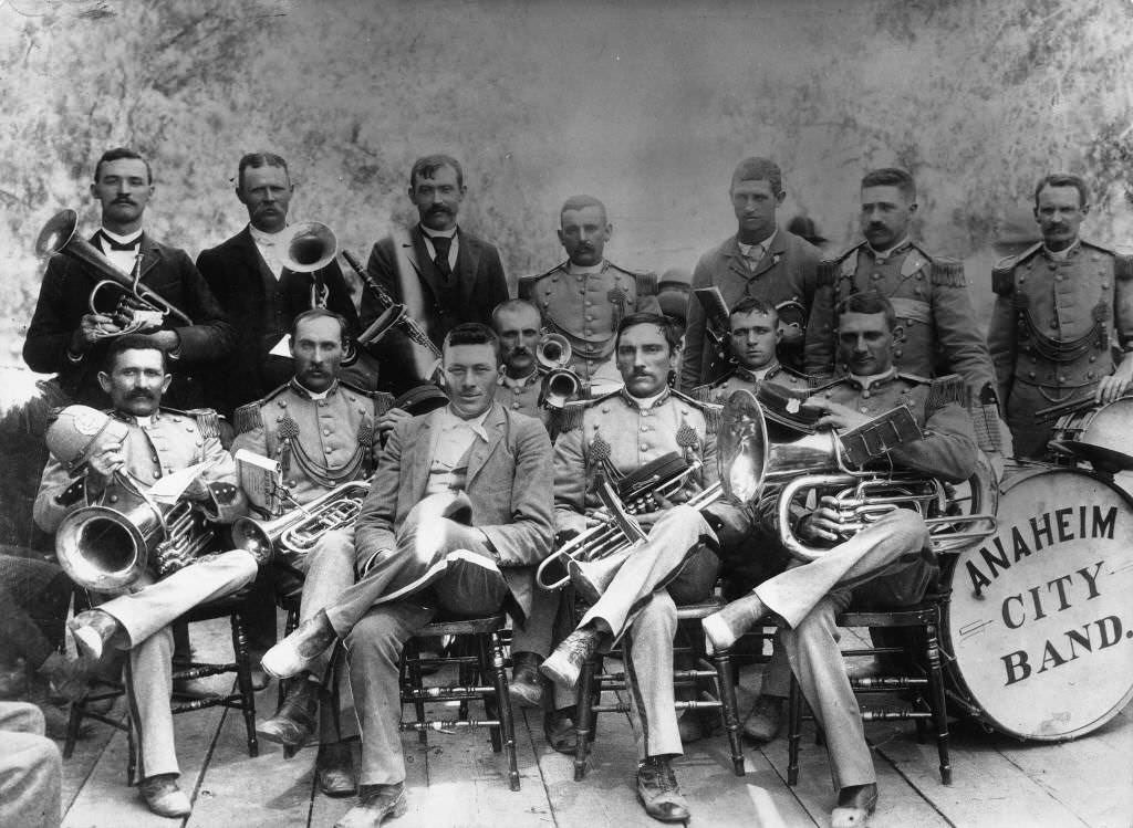
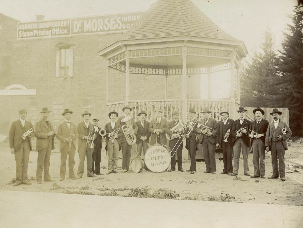
Civic and religious institutions continued to grow through the decade. St. Boniface Catholic Church, built in 1879, was photographed in 1880 on Cypress Street, situated between the jail and the pumping plant. The Anaheim City Band formed by 1881 and posed for a group portrait, showing the town’s investment in public cultural life.
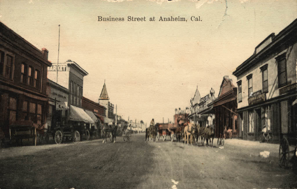
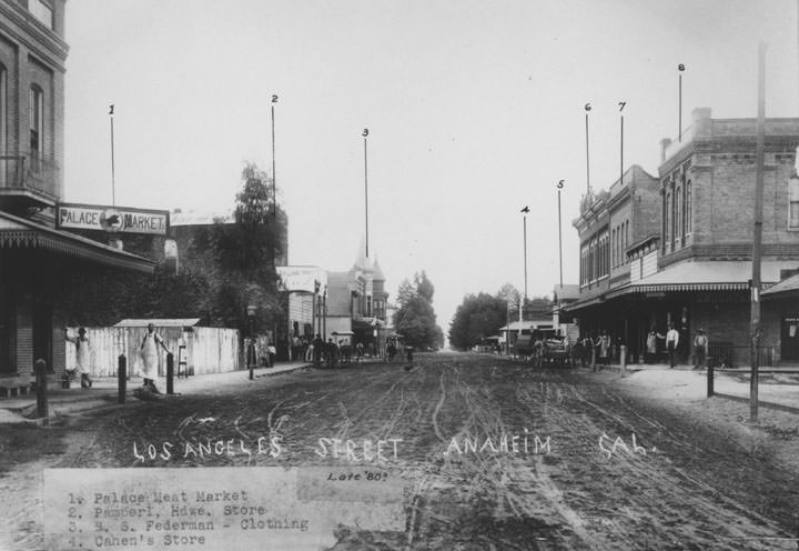
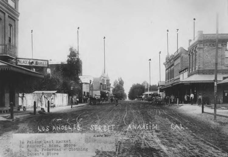
Business Street in 1880 showed a row of commercial buildings that documented Anaheim’s economic activity beyond wine. Hardware stores, clothing shops, and meat markets operated side by side. A photograph of the late 1880s Los Angeles Street shows the Palace Meat Market, Pamperl Hardware, S.S. Federman Clothing, and Cahen’s Store — each business identified, with aproned workers standing outside and carriages parked along the dirt road.
The Central School at 231 East Chartres Street was photographed multiple times through the 1880s, reflecting the community’s ongoing commitment to education. It served students from elementary through high school grades and remained one of the most important institutions in the city.
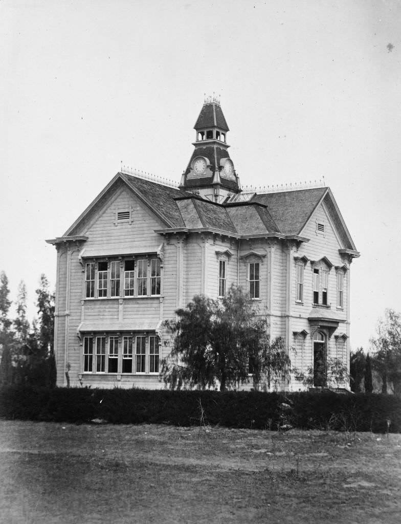
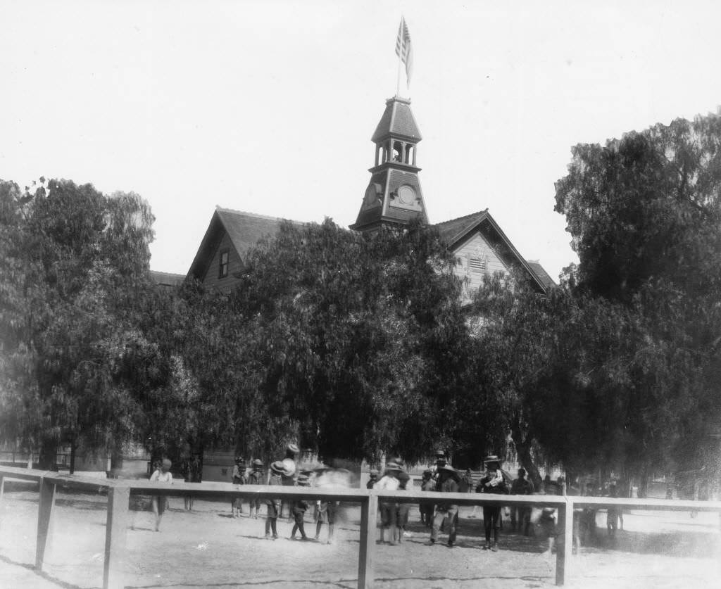
Residential properties throughout Anaheim reflected the prosperity of the wine years. The Theodore Rimpau residence at 209 South Palm Street, the Rudolph and Sophia Horstmann residence on North West Street, and Augustus Langenberger’s combined house and business were all photographed around 1880, documenting the variety of homes that had taken shape across the settlement.
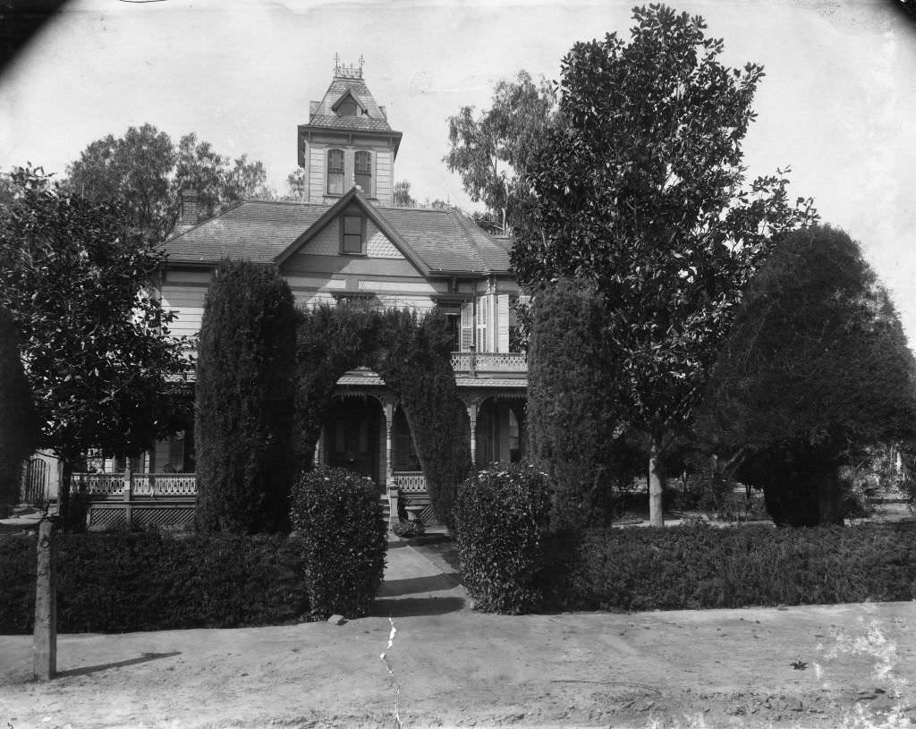
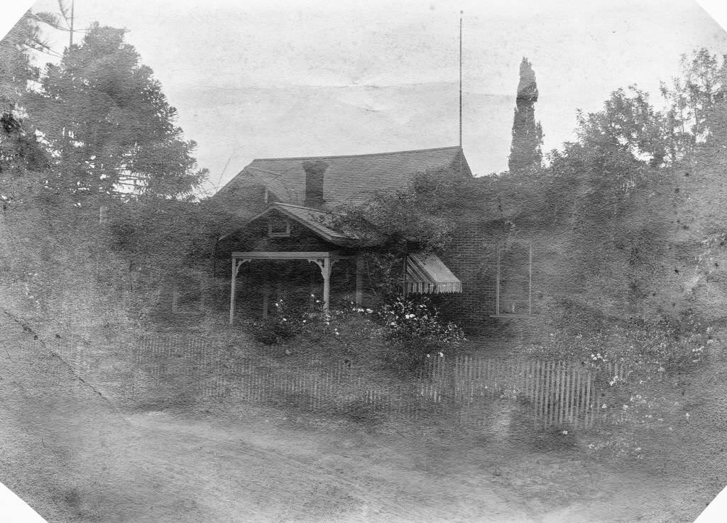
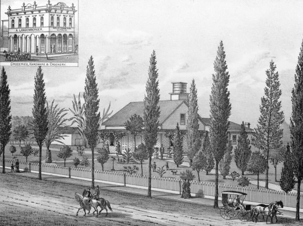
The Langenberger family was one of Anaheim’s most prominent. Their residence on Sycamore Street at Clementine Street, photographed in 1880, was one of the finer homes in town. The family also operated a distillery and winery on their ranch property, with photographs documenting both the exterior and the interior parlor of their residence in later decades.
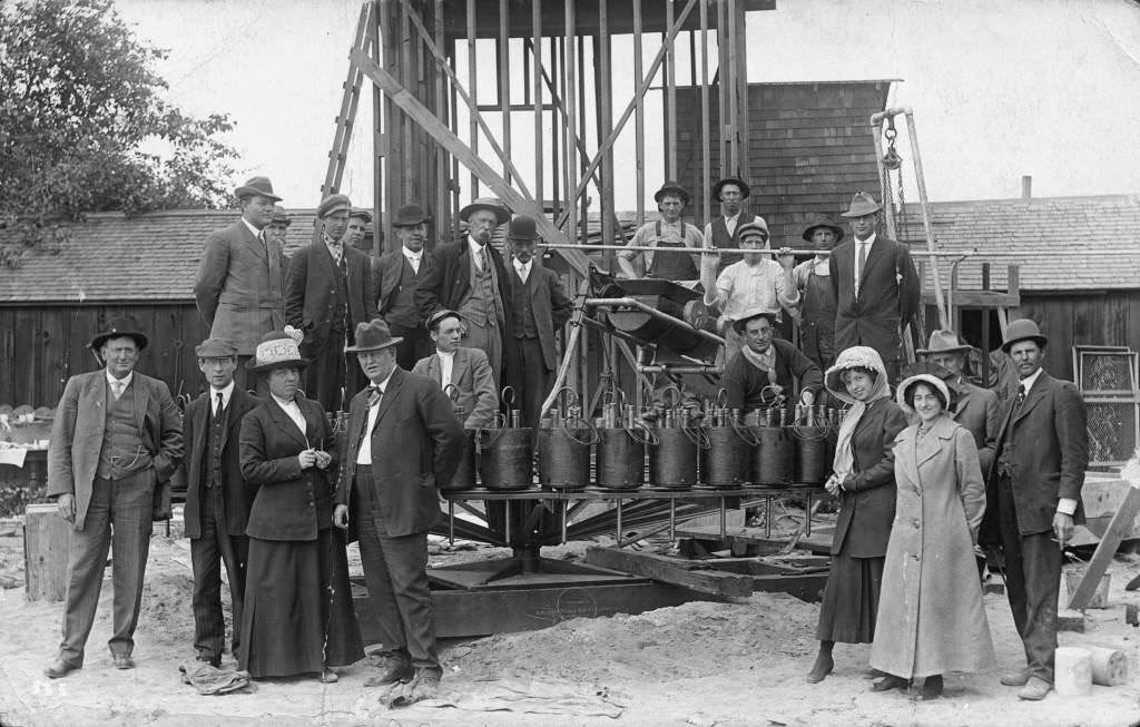
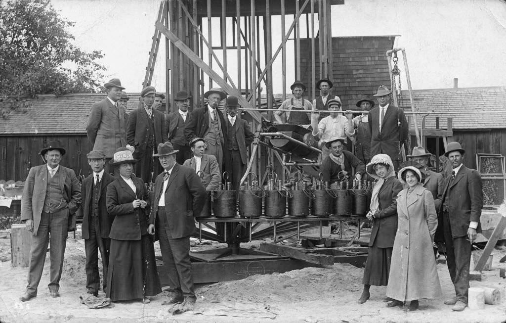
Anaheim’s water infrastructure expanded significantly through the 1880s. A second water tower was constructed during the decade, and the Anaheim Union Water Company later undertook the construction of a cement irrigation ditch on the south side of the city. Joe Barter and his water drilling rig, photographed in 1889, show the mechanical side of the town’s effort to maintain its water supply as agriculture shifted from grapes to oranges.
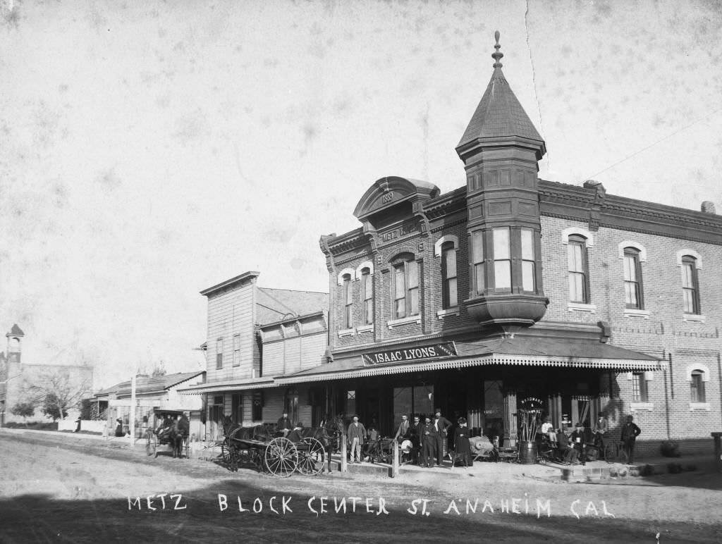
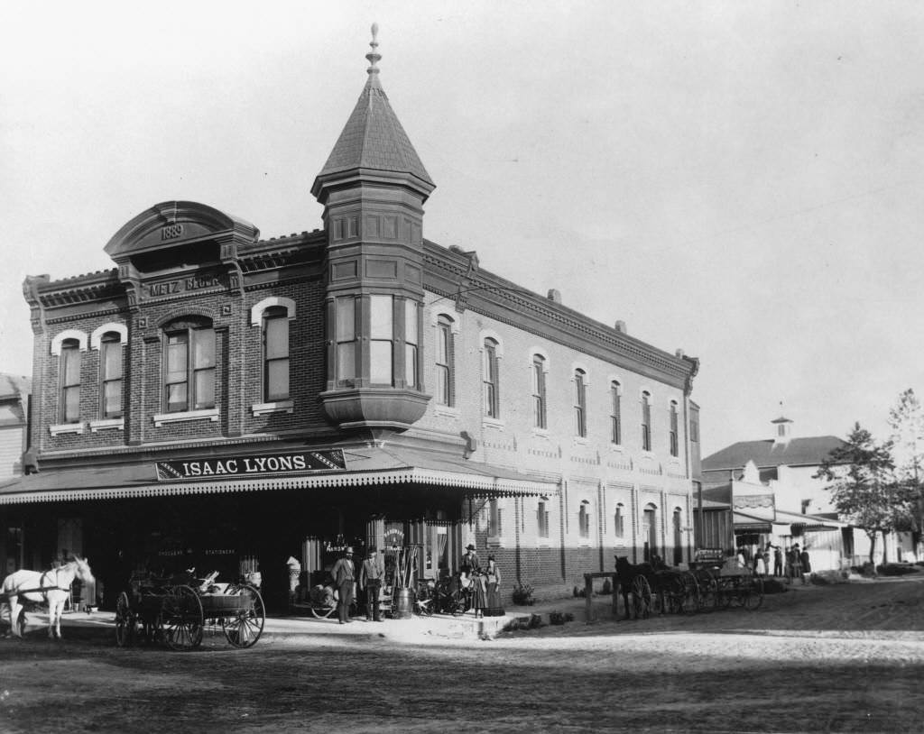
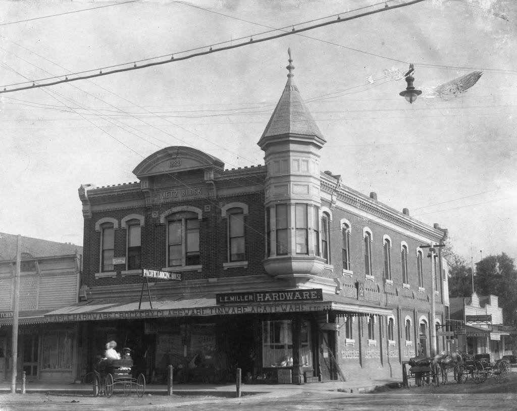
In 1889, Orange County was separated from Los Angeles County — a major political change that gave the region its own government and identity. Anaheim, as one of the oldest and largest settlements in the area, was a natural anchor of the new county. The same year, the Metz Block building went up at 106 South Los Angeles Street at the corner of Center Street, and Isaac Lyons opened his hardware store inside it.
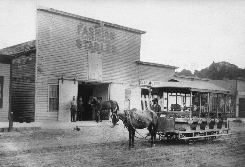
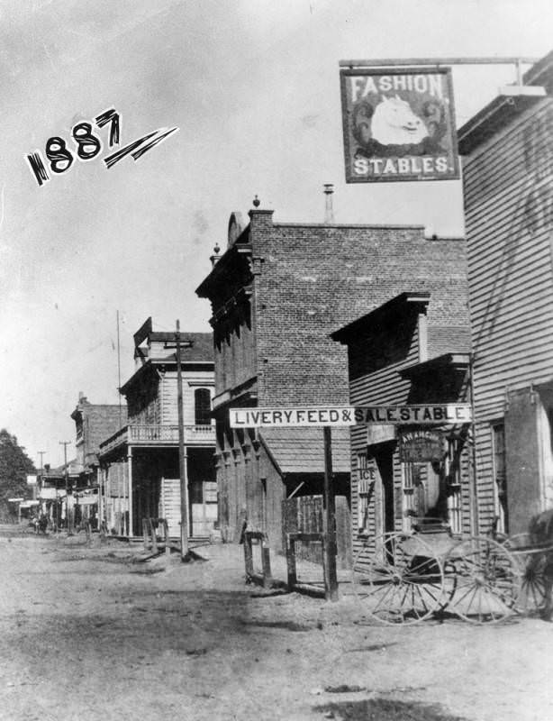
A streetcar line appeared on West Center Street by the late 1880s, running down the middle of the unpaved road and connecting different parts of the expanding town. The Fashion Stables provided horses and carriages, and the streetcar in front of the stables became one of the more frequently photographed scenes of that period.
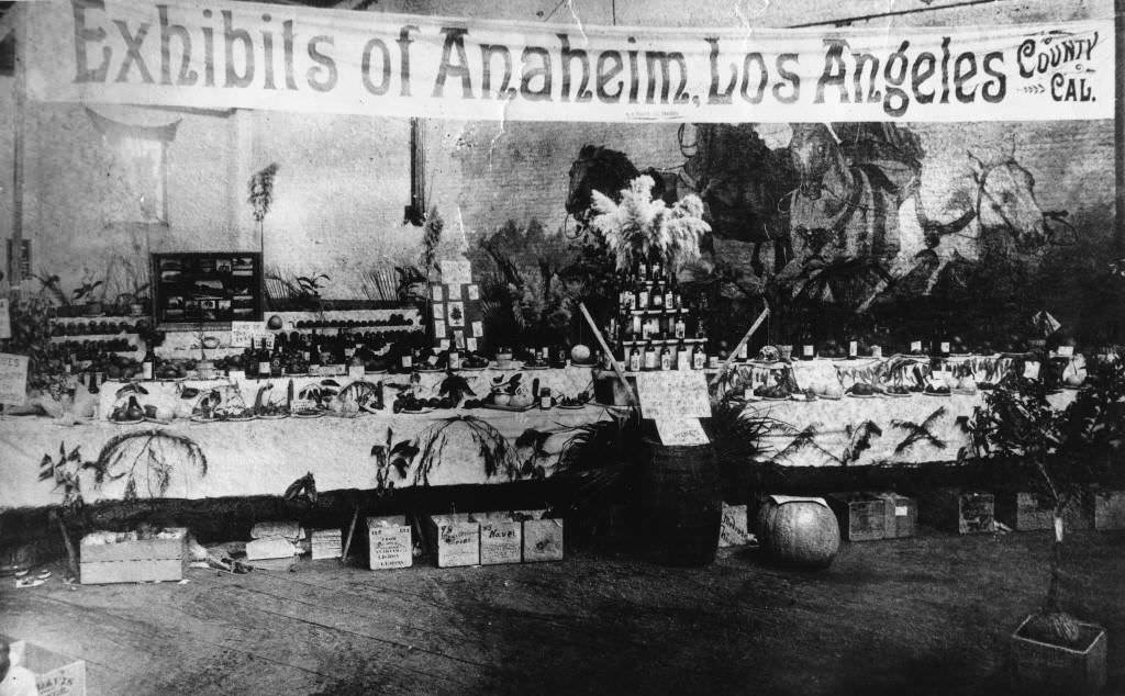
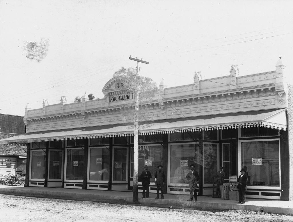
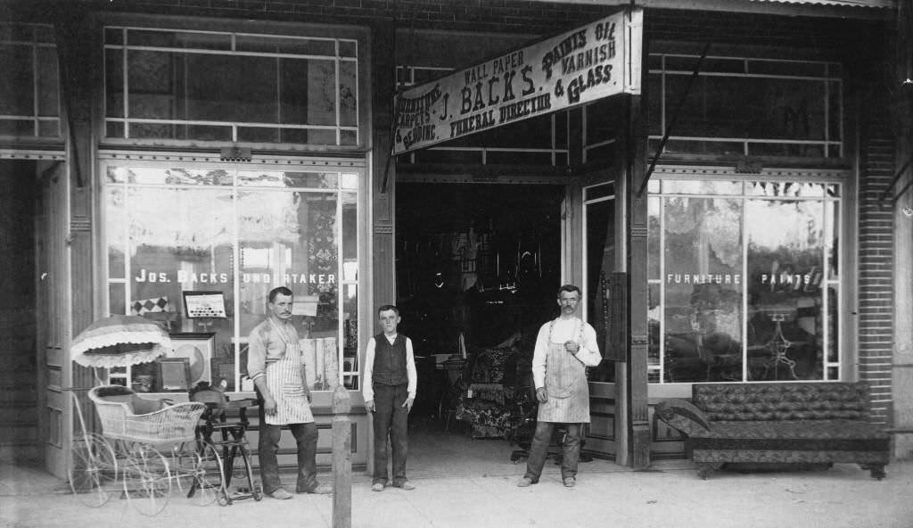
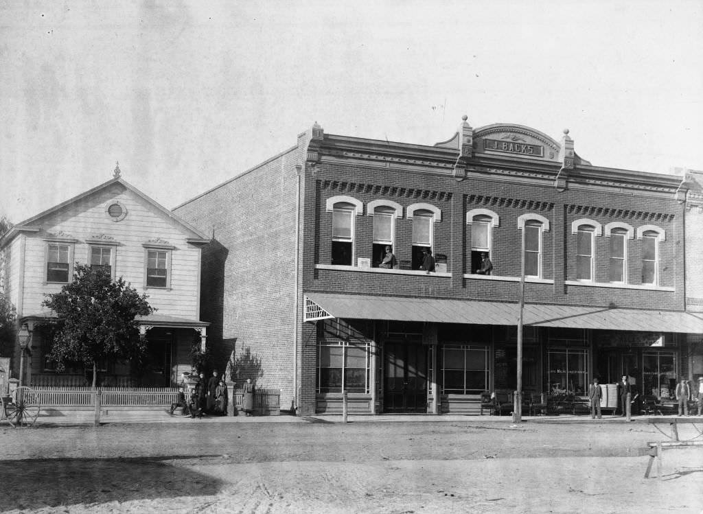
The Anaheim Exhibit at the 1886 Southern California Citrus Fair showed the town actively promoting its transition from wine to citrus. Anaheim was adapting, and the citrus fair was proof the shift was real and public. That same year, the Fritz Ruhmann building and Joseph Backs’ store were both photographed on Anaheim Boulevard, showing how the commercial district continued to expand even as the vineyards disappeared.
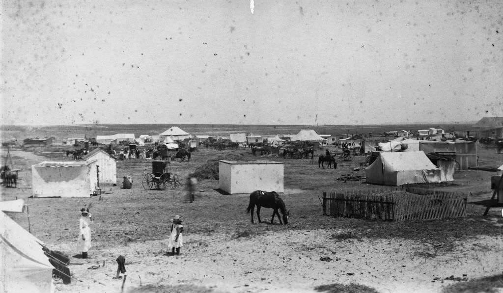
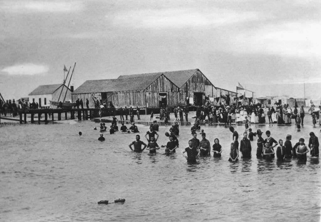
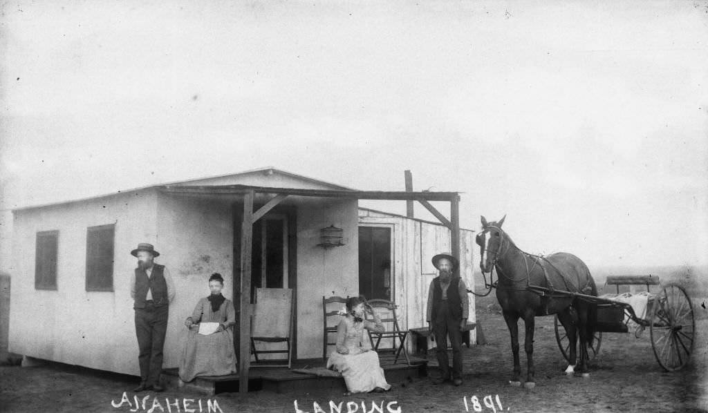
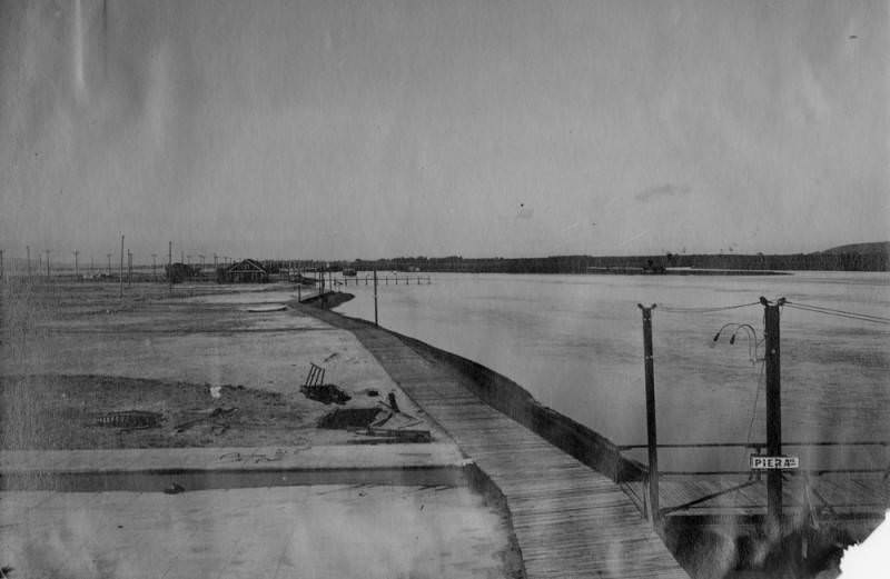
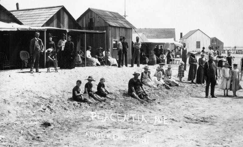
The Anaheim Landing, located at the northeast corner of Seal Beach Boulevard and Electric Avenue, served as the town’s connection to coastal trade. Photographs from 1888 and 1891 document the landing, which allowed goods to be shipped and received by sea. Mrs. R. Seward appears in one of the 1888 photographs at the landing site.
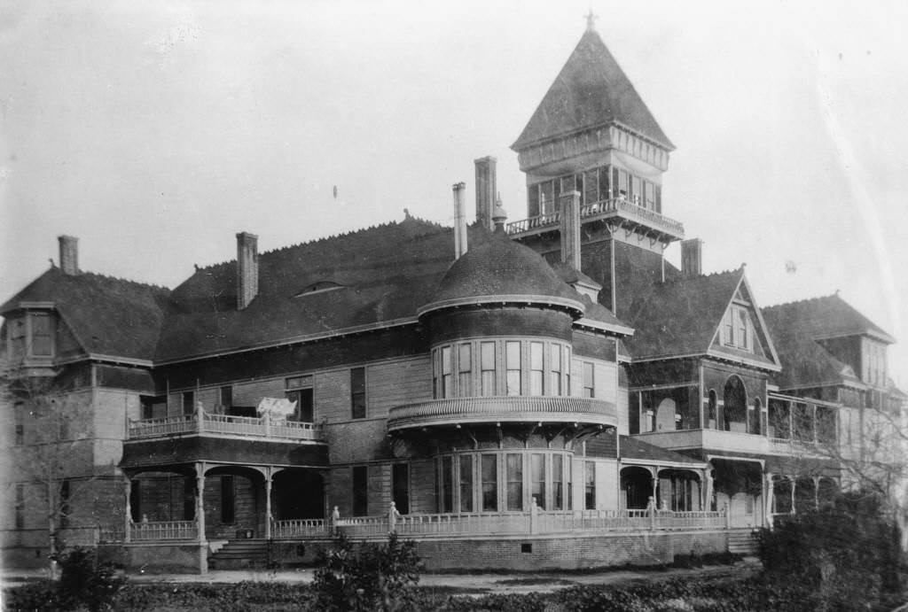
The Del Campo Hotel, built in 1888 at the northeast corner of Broadway and South Olive Street, brought a new level of accommodation to Anaheim. By the early 1890s, it was prominent enough to serve as a viewpoint for a bird’s-eye photograph of the entire town.
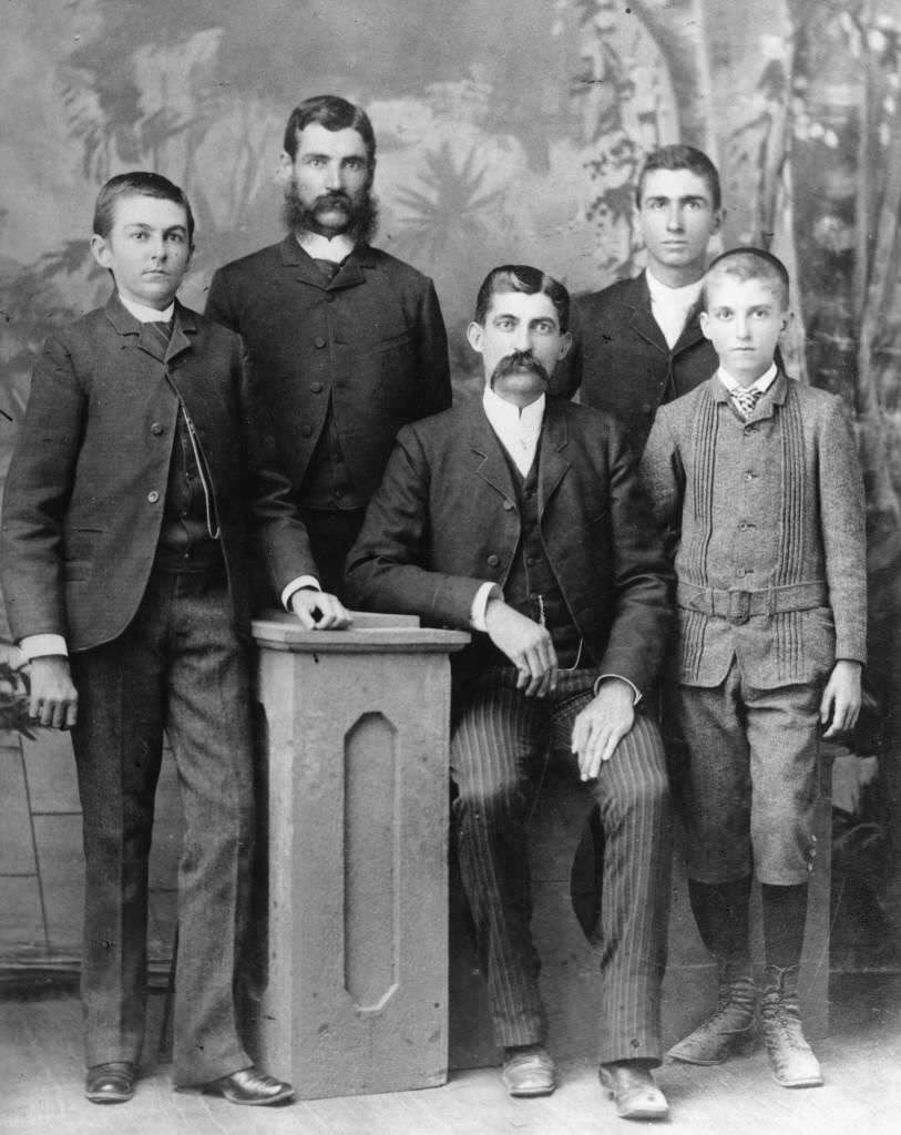
Family portraits from the 1880s show the human side of Anaheim’s story. The Timm Boege family was photographed in front of their residence at 1006 West Center Street in 1887, one of three separate photographs taken of them at that location. The Smythe boys — sons of Maria Antonia Josefa Yorba and John Sydney Smythe — were photographed in 1888 in dark suits and ties, the oldest four standing and the youngest seated.
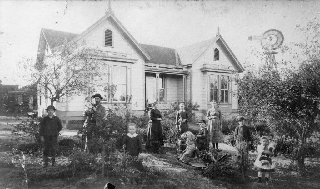
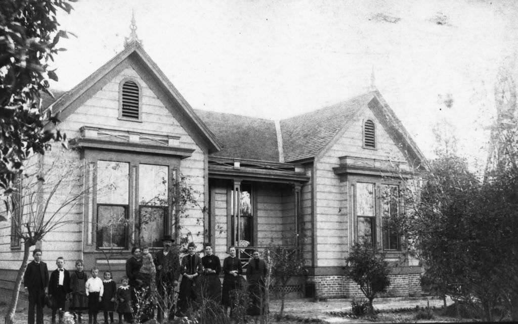
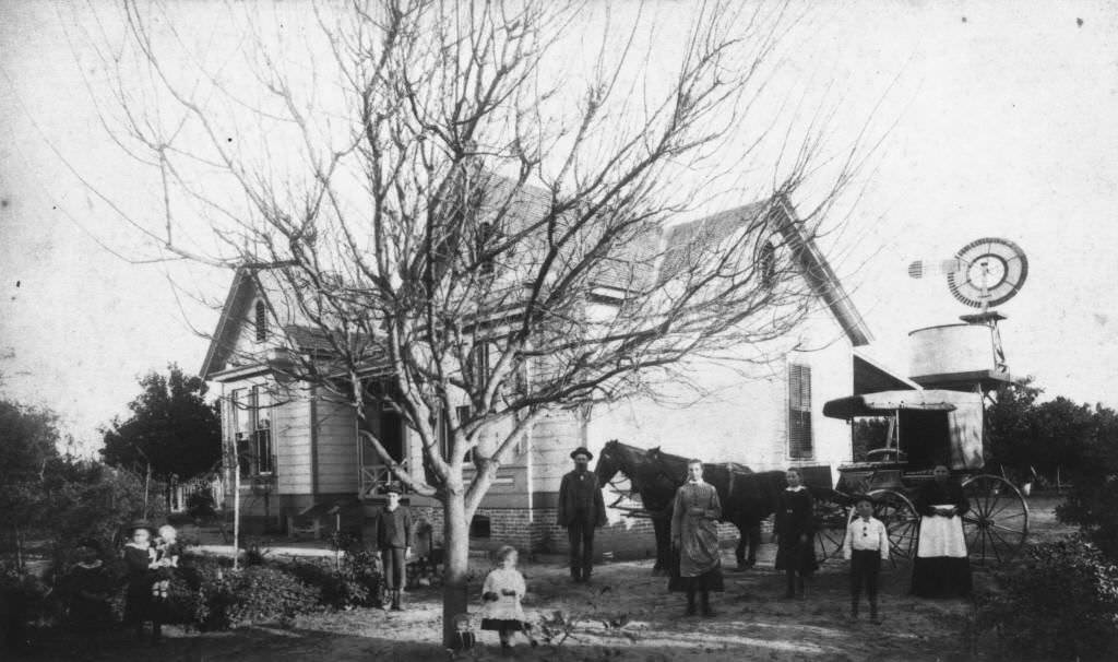
By the late 1880s, Anaheim’s street scenes showed a town in active commercial life. Center Street looking west in 1885 showed a dense line of businesses, while the Anaheim Syndicate, established near the Southern Pacific Depot on West Center Street, represented growing commercial investment tied to the railway.
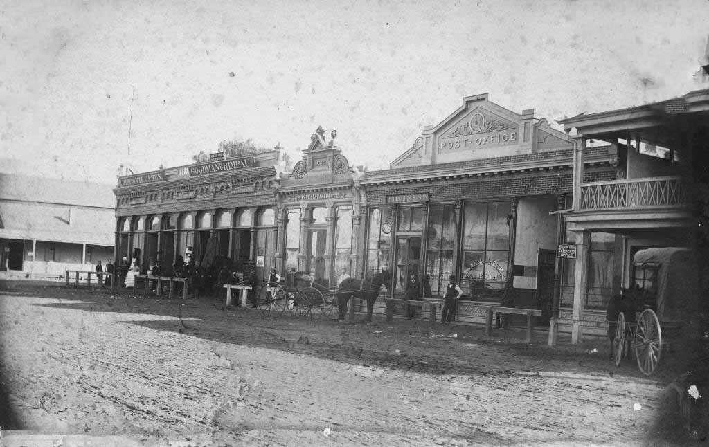
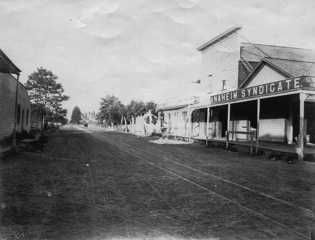
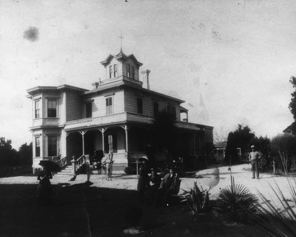
The Langenberger estate continued to grow through the decade. The August and Clementine Langenberger residence at 223 West Sycamore Street, photographed in 1885 looking northwest at the front and east-side facades, showed a well-maintained property that reflected the family’s long standing position in the community.
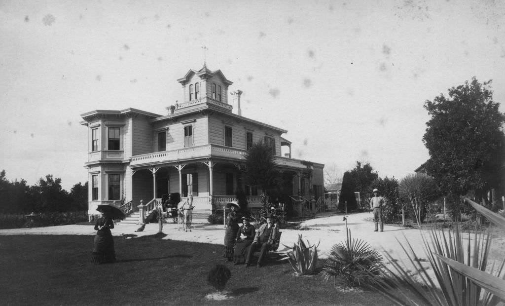
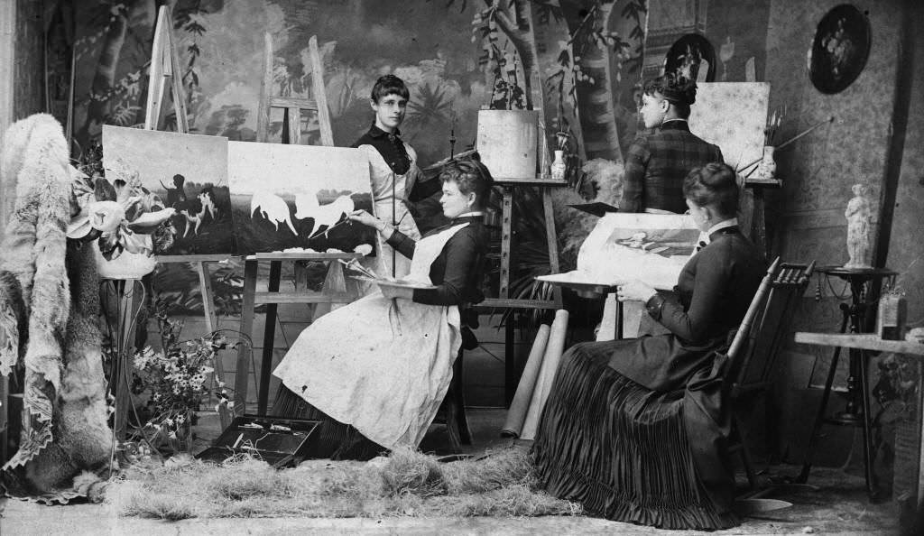
Domestic life was well documented through portraits and property photographs. The Schmidt family sat for a painting lesson in 1885. The Herman Werder residence stood at the corner of Citron and South Streets, and the R.H. Seale Grocery’s interior was photographed in 1880, showing shelves stocked with goods, a typical small-town general store of the era.
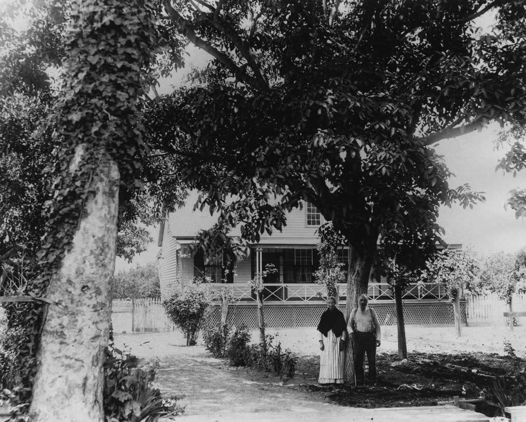
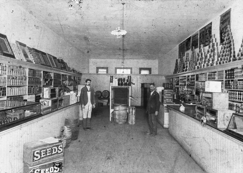
North Los Angeles Street at Chartres Street, photographed in 1888, showed a residential and light commercial neighborhood just off the main downtown. The Dr. James Bullard residence and office, photographed in 1889, showed how doctors in Anaheim combined their home and practice under one roof.
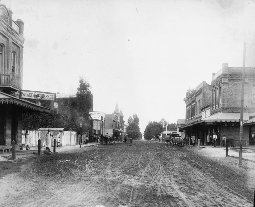
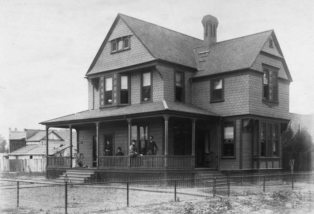
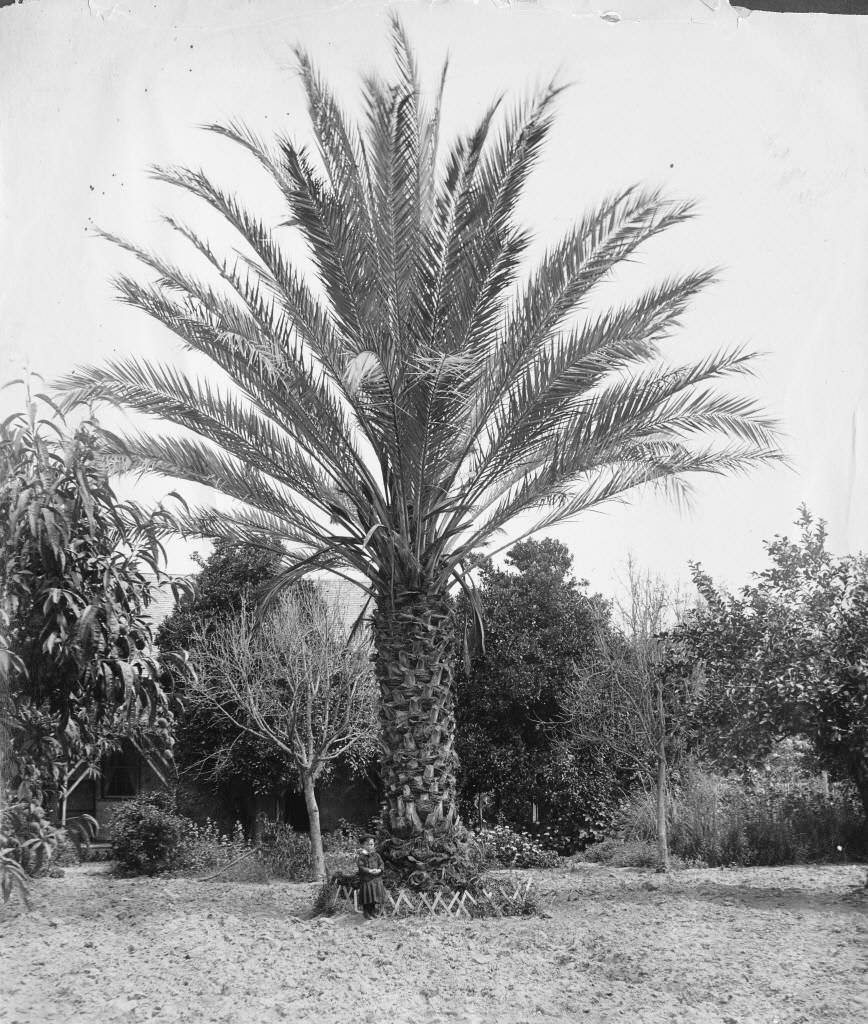
A palm tree at the corner of Center and Los Angeles Streets was photographed in 1886, standing tall above the surrounding one and two-story buildings — an unusual landmark on a street otherwise defined by wooden storefronts. The Planters Hotel appeared again in an elevated view from the late 1880s, showing its position within the broader commercial core.
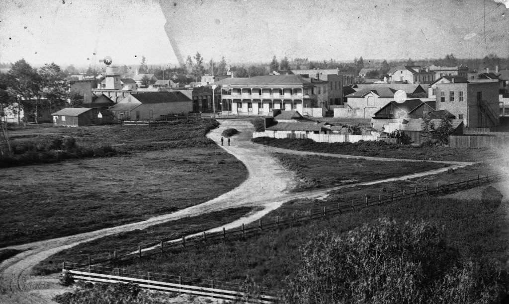
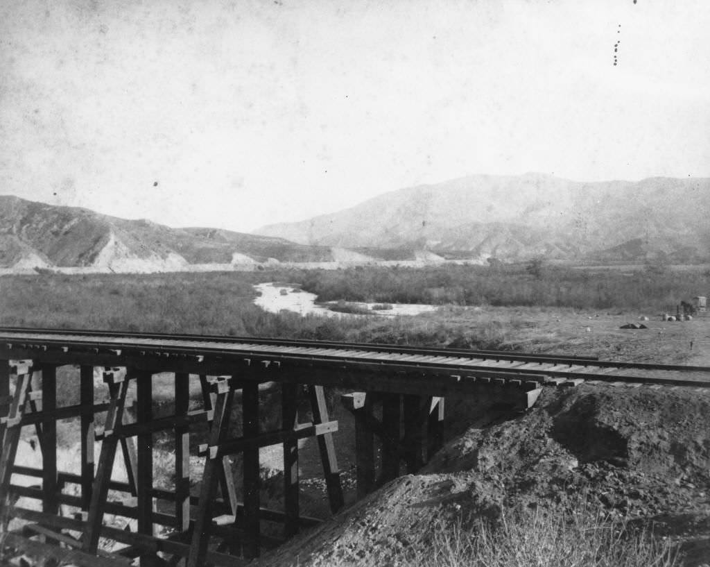
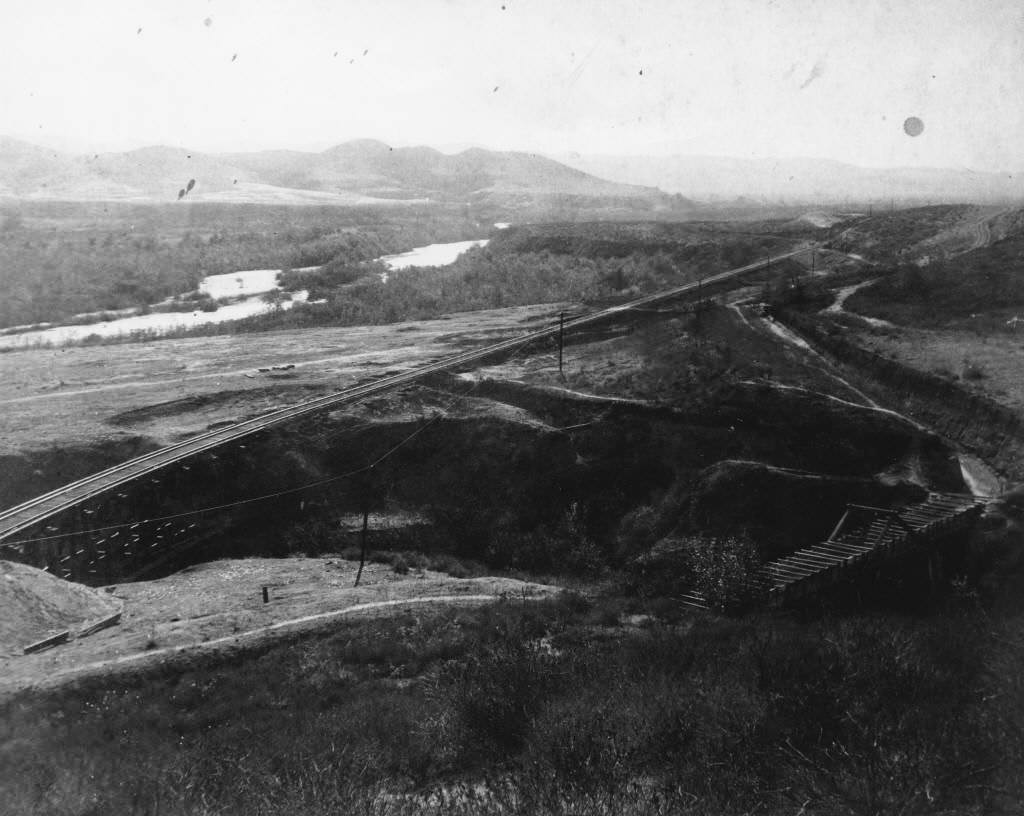
The Los Coyotes House lay in ruins by 1886, a remnant of the earlier Spanish and Mexican rancho era that preceded Anaheim’s founding. The Santa Ana Canyon, photographed in 1887, offered a view of the natural landscape that had defined the region long before German settlers arrived.
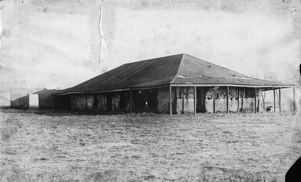
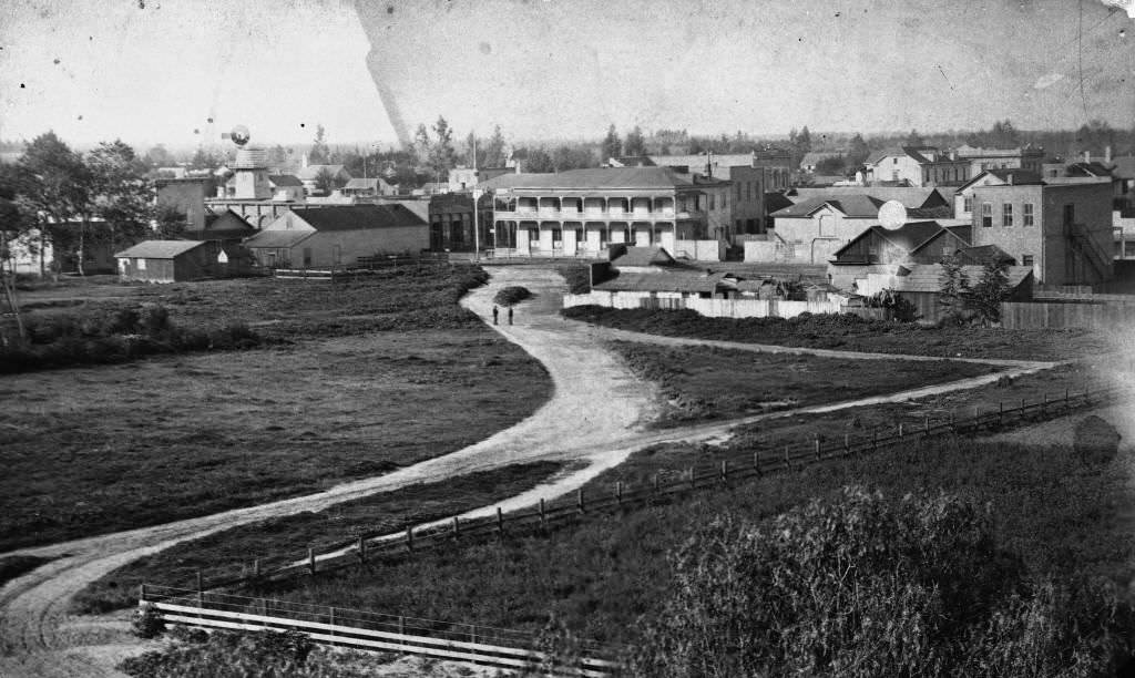
An 1887 overview photograph of Anaheim describes a small, compact city with an unpaved main thoroughfare and a limited business area — a town that had survived the vineyard blight and was rebuilding its identity around a new agricultural base. Two figures stand in the middle of a dirt road with city buildings visible behind them in an 1885 photograph, illustrating the modest scale of the place even at the height of its wine era.
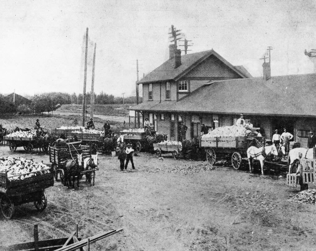
As the 1890s opened, Anaheim was a changed town. The vineyards were gone, replaced by orange groves. The Southern Pacific Railway Depot connected the city to regional markets, and horse-drawn wagons lined up at the depot in 1895 to move goods in and out. A view of Center Street from 1890 showed the street looking east, the buildings taller and more permanent than they had been a decade earlier.
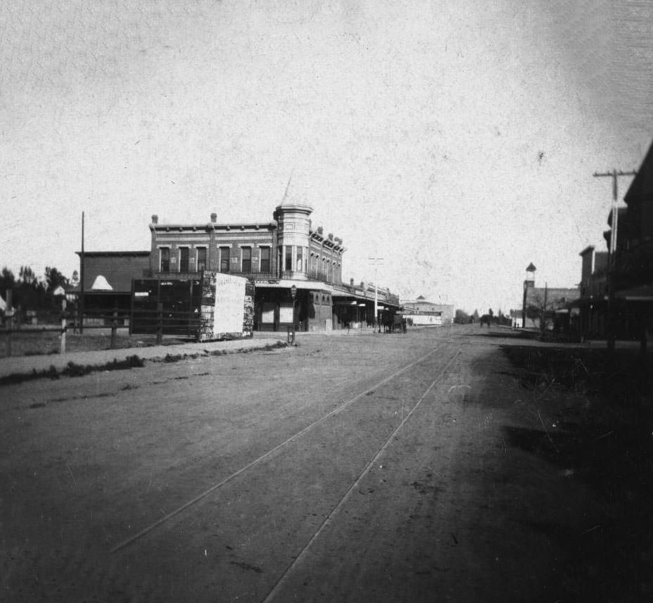
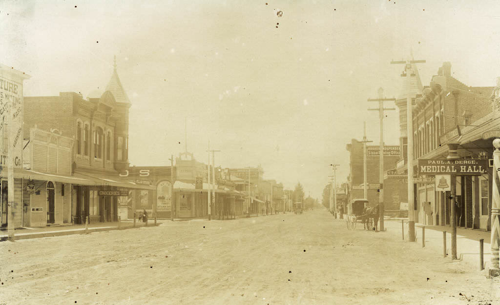
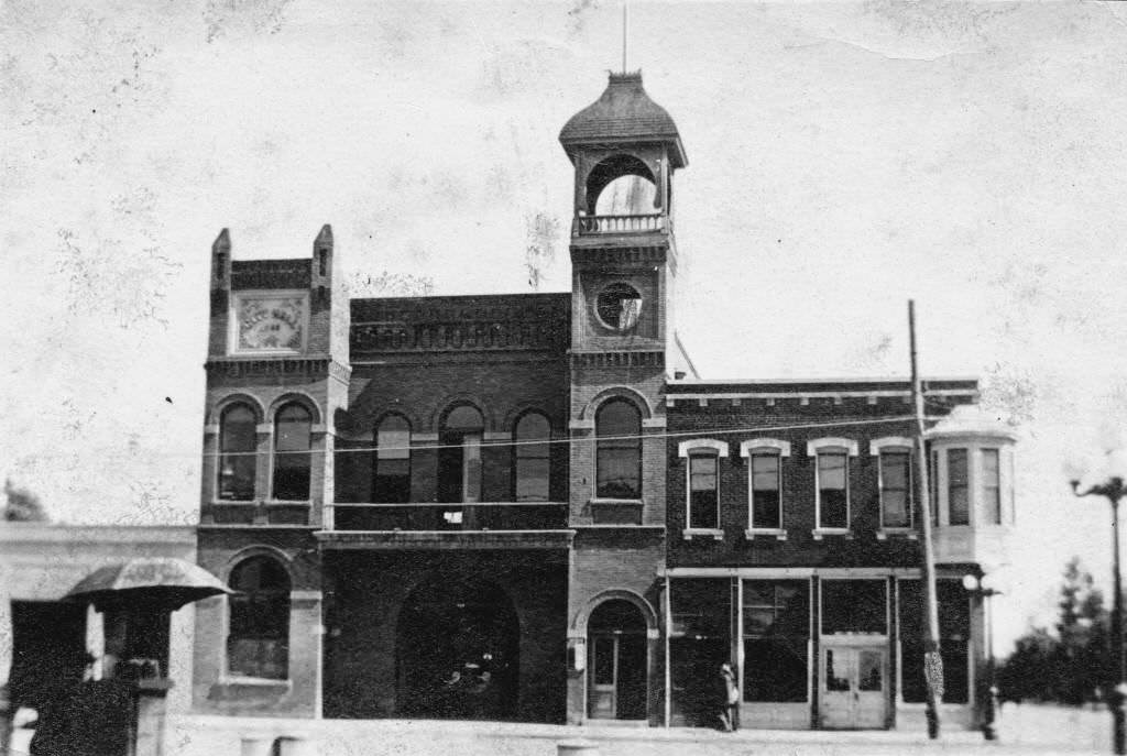
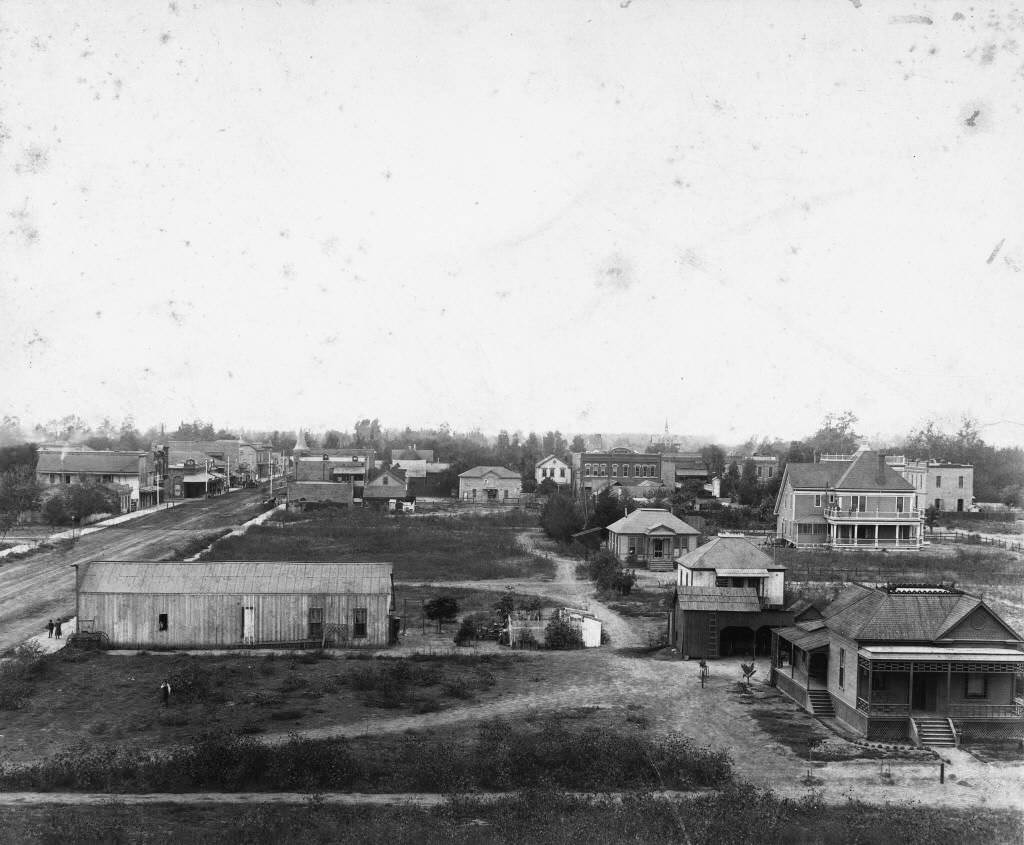
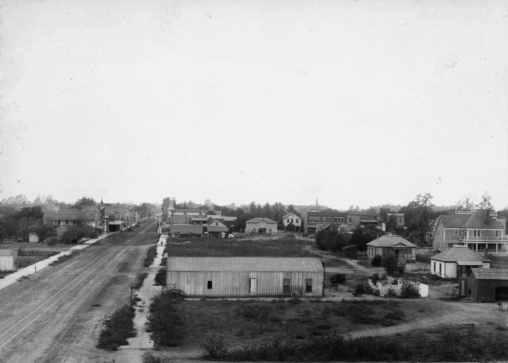
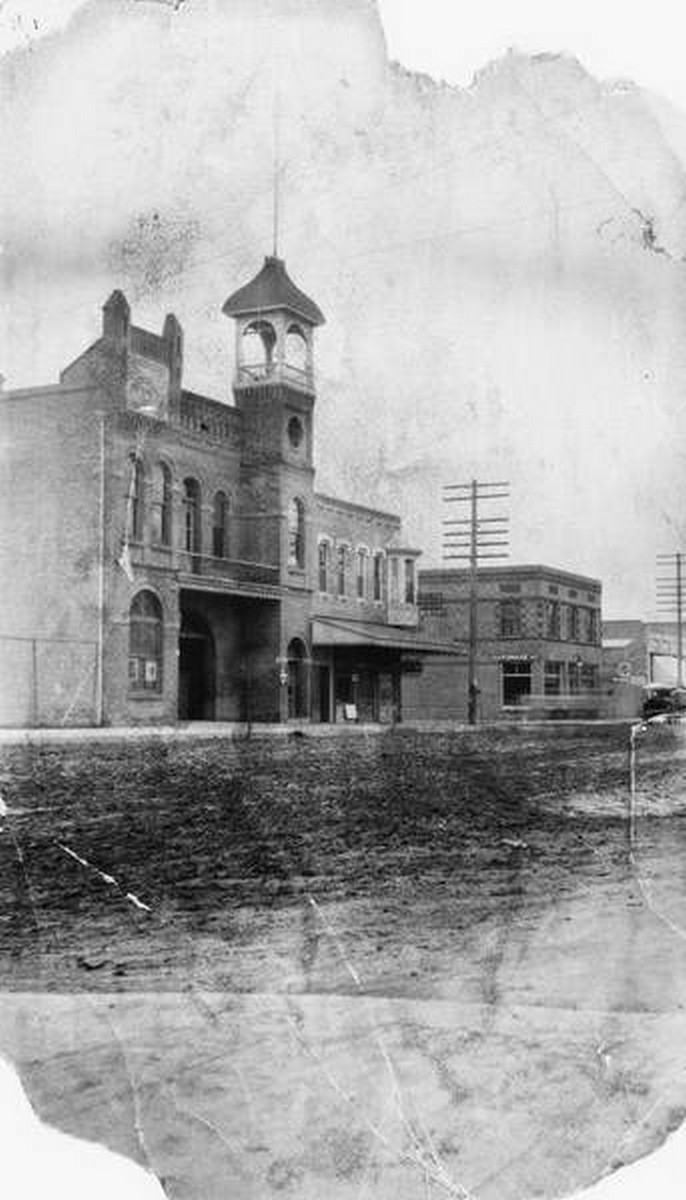
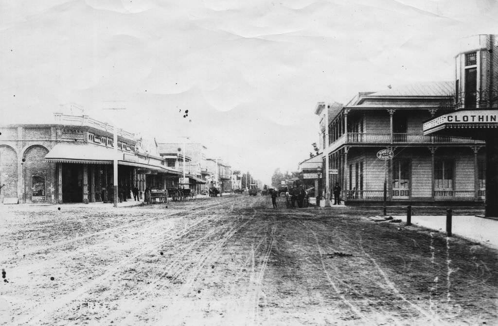
Anaheim City Hall was built at 202 East Center Street and photographed in 1895, marking the town’s formal growth into a functioning municipal entity. An elevated view from 1891 and another from 1892 showed Center Street looking west — a dense corridor of two-story brick and wood buildings, hitching posts, and the streetcar tracks running straight through the center of the unpaved road.
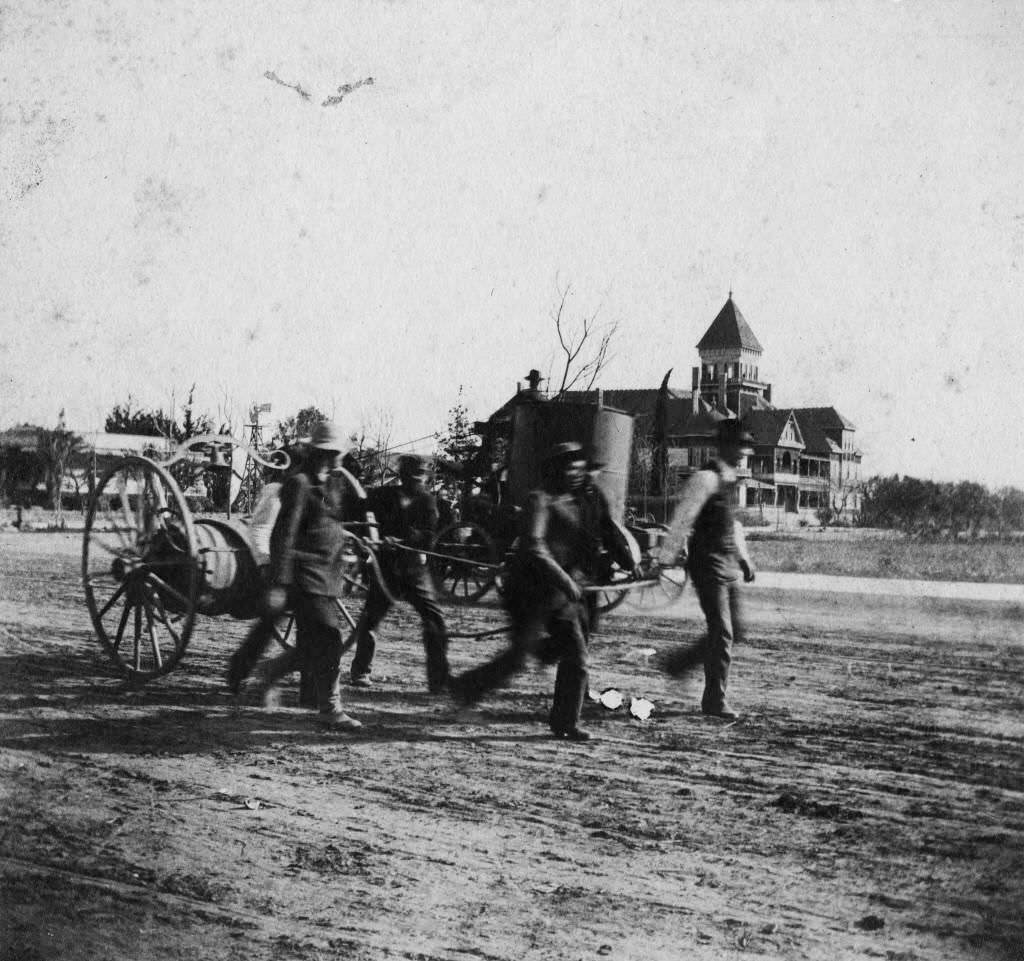
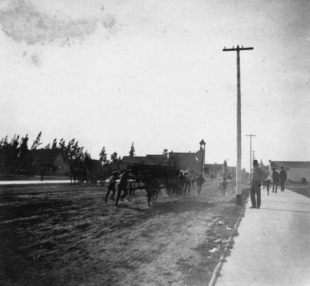
The Anaheim Volunteer Fire Department pulled its hand-drawn fire truck down Center Street in 1895, and another photograph from the same year shows men pushing and pulling a four-wheeled ladder wagon down the same road. Firefighting in Anaheim at this point was entirely a community effort, dependent on volunteers and muscle.
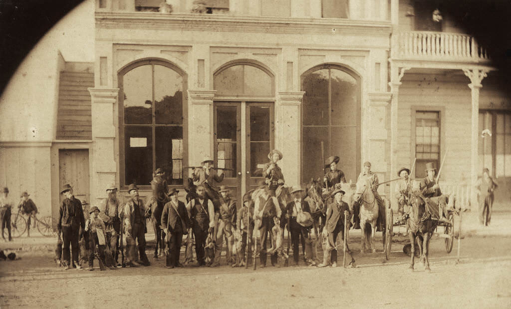
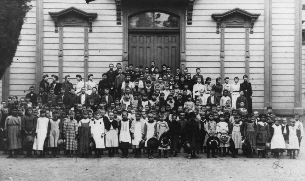
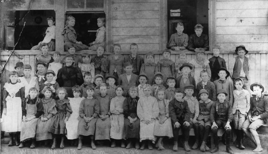
A rabbit hunting party posed in 1893 outside Frank Ey’s barber shop on West Center Street, standing in front of three large glass windows. A group portrait of all students and teachers at Central School was taken in 1892, showing the full scale of Anaheim’s educational enrollment by that point.
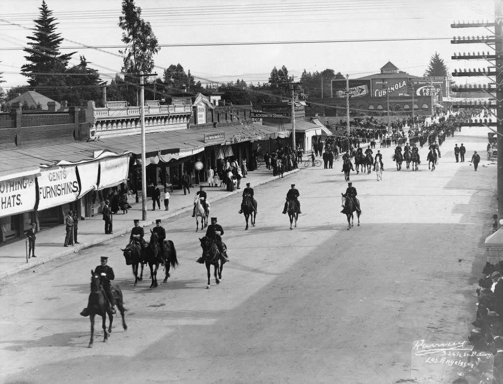
Community celebrations were a regular part of life. The Knights of Pythias paraded down Center Street in 1892, and a Fourth of July celebration that same year turned Center Street into a flag-lined public gathering. The Turnverein, a German athletic and social organization, held a picnic in Santiago Canyon in 1894.
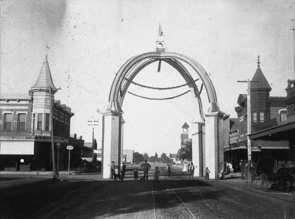
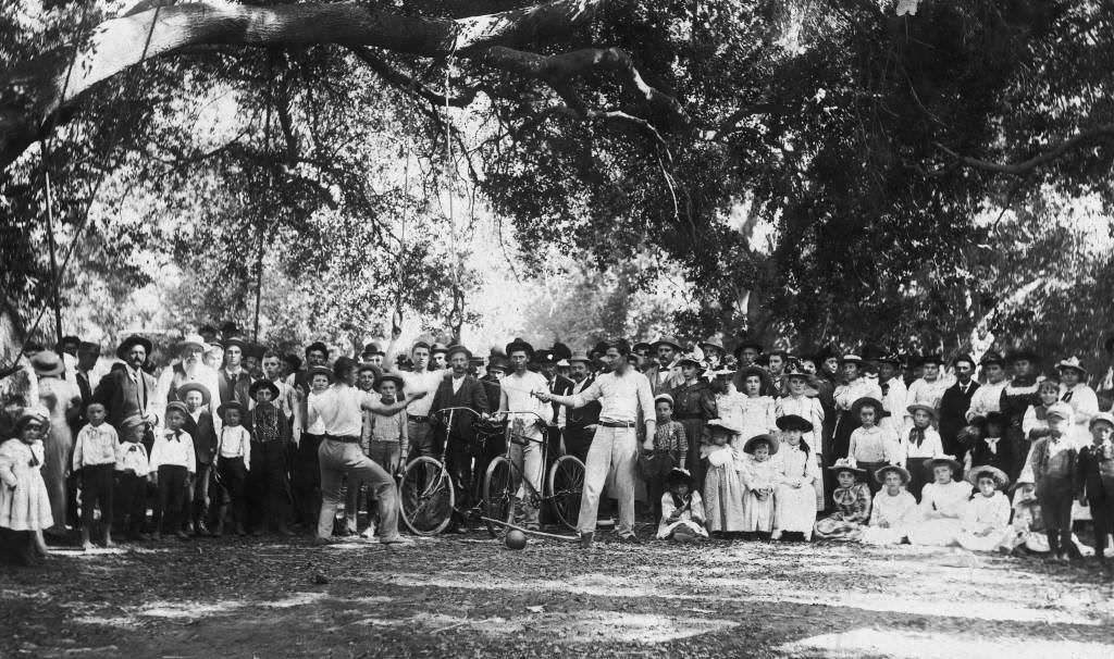
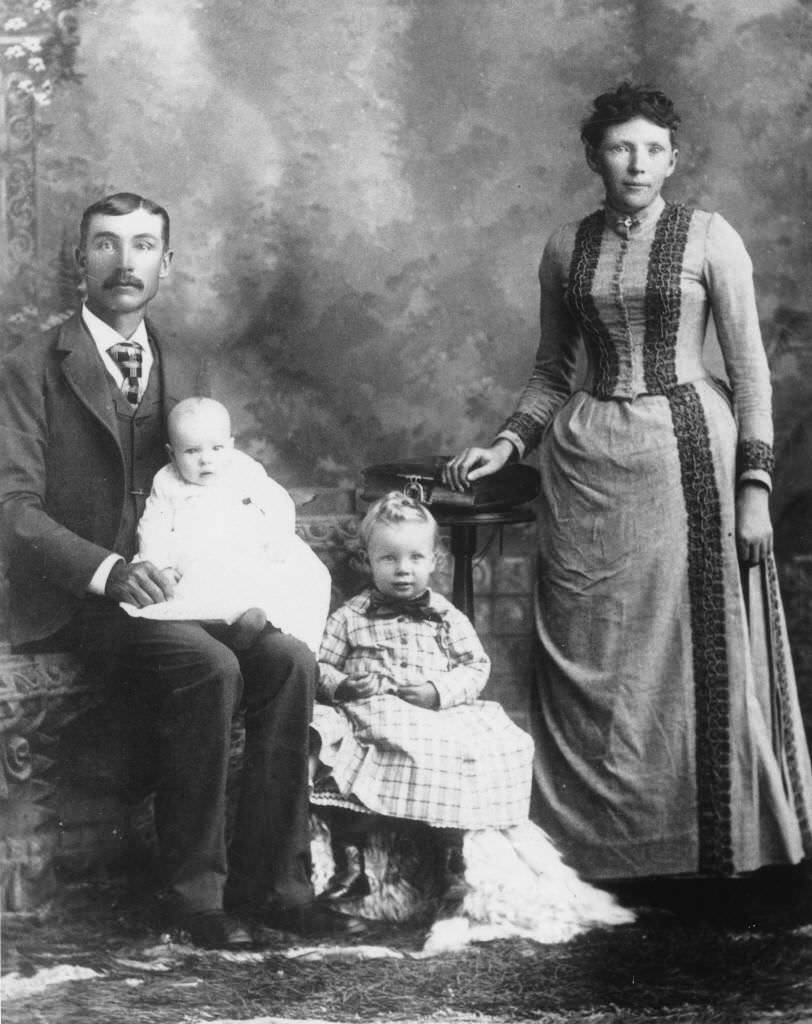
Ranch life around Anaheim was captured in several photographs from the early 1890s. The Thyge Anderson family posed in 1892 — Thyge holding his son Frank, with Arthur and Rena K. Anderson beside him. Anderson operated a ranch in North Anaheim (now Placentia) growing oranges, walnuts, and grapes. Max Nebelung, who had previously operated the Anaheim Hotel, also ran a ranch that was photographed in 1890.
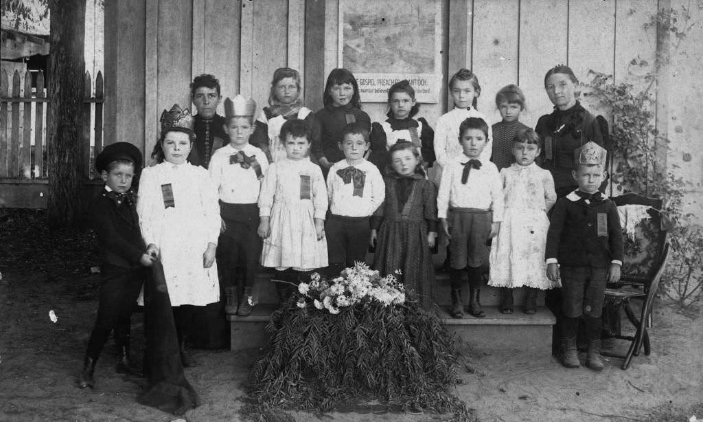
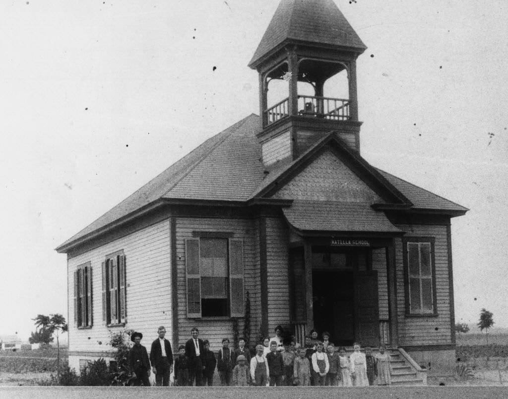
The First Presbyterian Church Sunday School class posed for a portrait in 1893, and the Loara School class did the same in 1895. The Katella School, a grade school at the southwest corner of Katella and West Streets, was photographed in 1896. Education expanded alongside the city’s population through the decade.
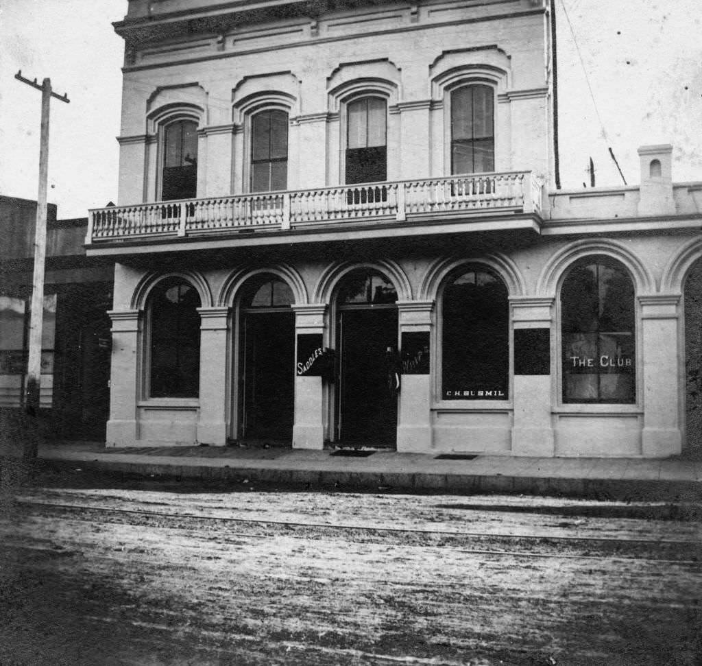
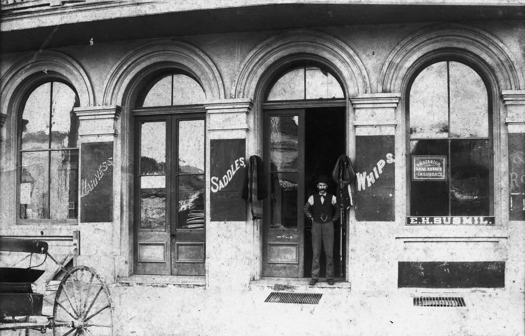
Commerce along Center Street and Los Angeles Street densified through the mid-1890s. The Kroeger Building in the 100 block on the south side of Center Street was photographed in 1895 along with the Susmil Harness Shop operating inside it. Joseph Backs expanded his operations and was photographed at his building and residence at 125 and 119 North Los Angeles Street in the same year.
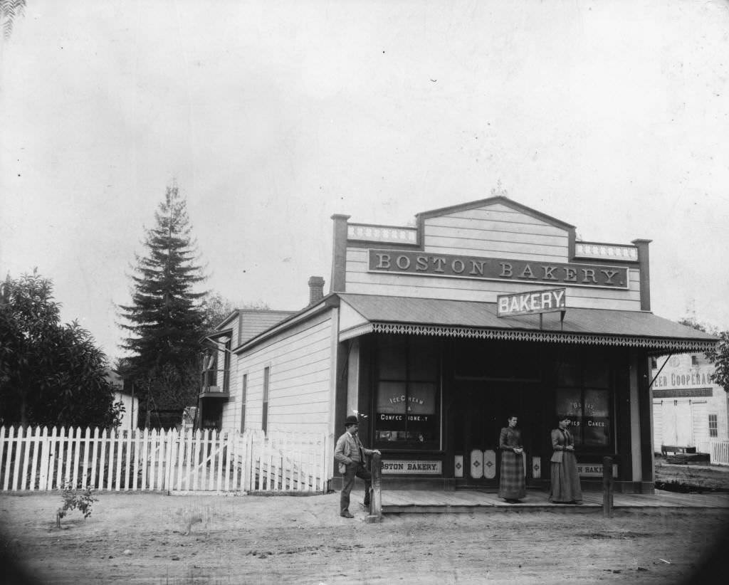
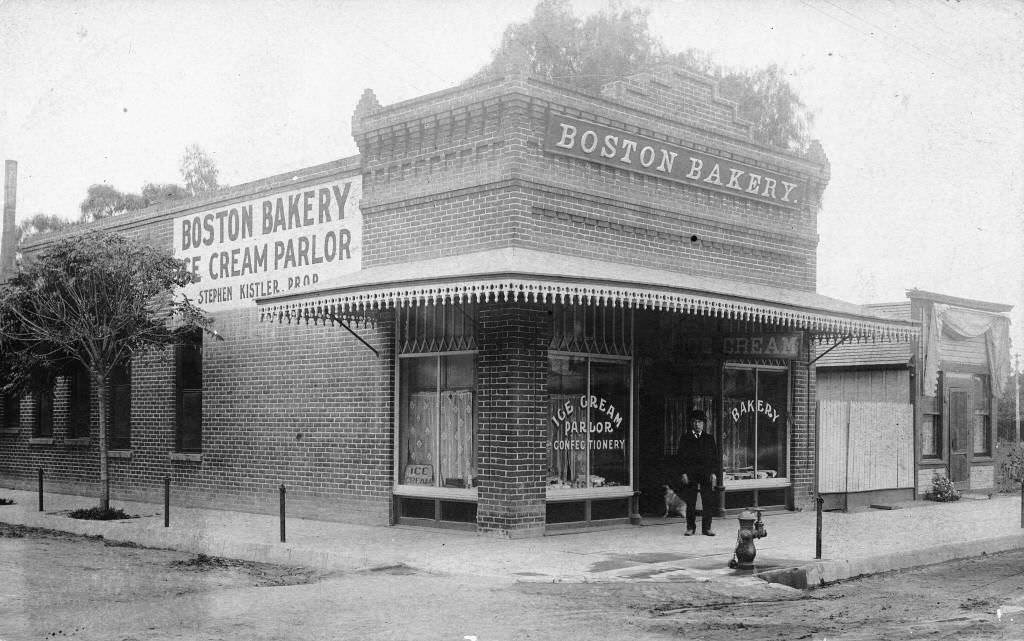
The Boston Bakery, established in 1891 and 1892, operated at two separate locations — the second on the corner of Center Street and Hermine Street (later Claudina Street). Both sites were photographed, documenting one of the most enduring small businesses of 1890s Anaheim.
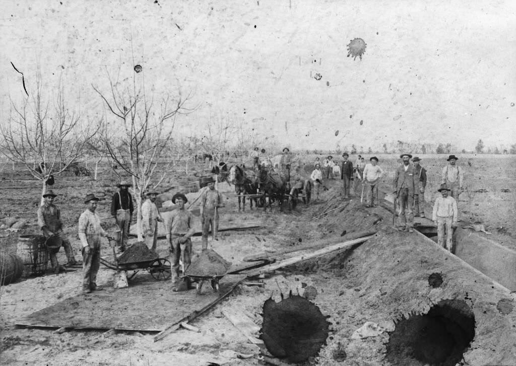
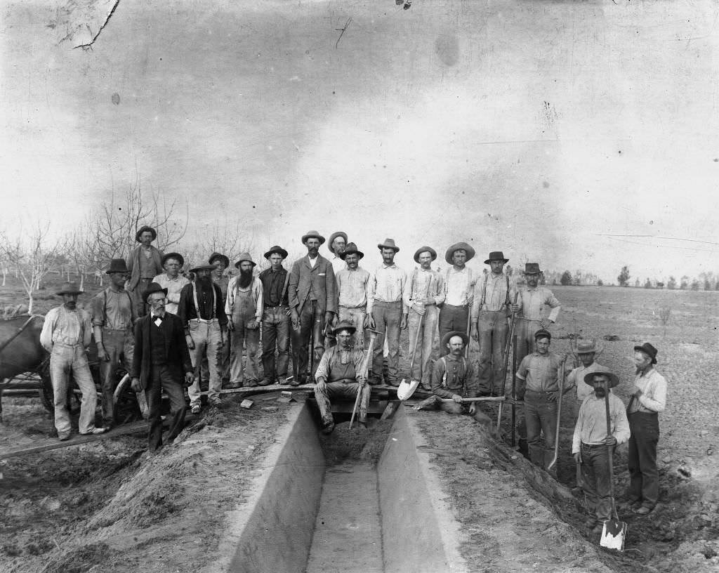
The Municipal Water Plant at 119 West Cypress Street was photographed in 1891, and construction of the south side cement ditch for the Anaheim Union Water Company was captured in 1895 — both showing the city’s investment in permanent water infrastructure to support its growing population and orange-farming economy.
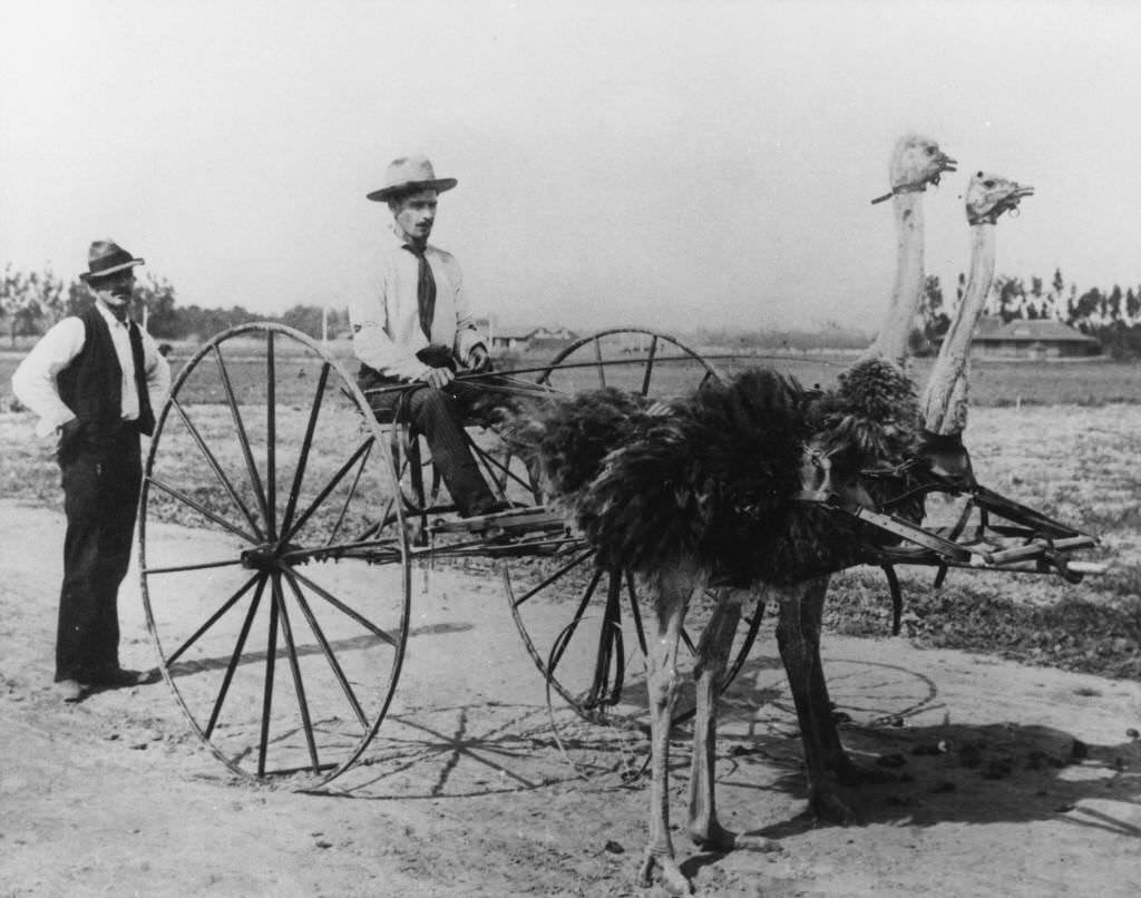
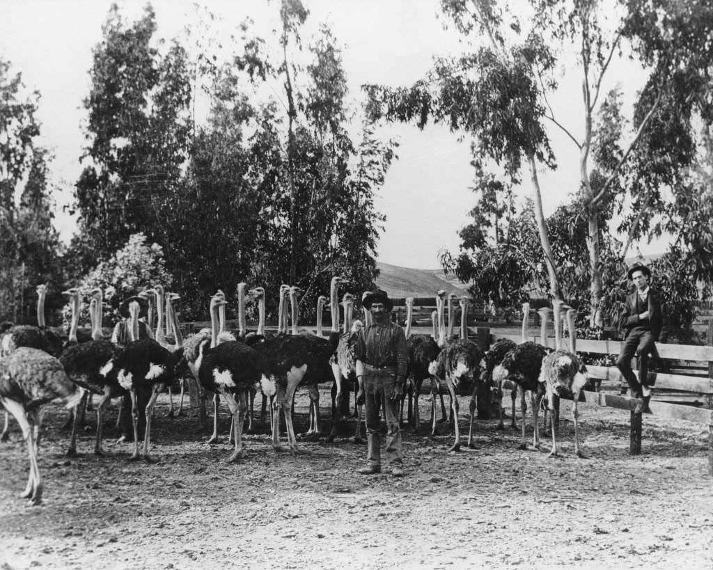
Frank Eastman and Willard Frantz posed with their ostrich cart in 1896, a novelty that reflected a brief fascination with ostrich farming in Southern California at the time. The first ostrich farm in Orange County was owned by John Atherton, located west of Anaheim near Buena Park, and was also photographed in 1896.
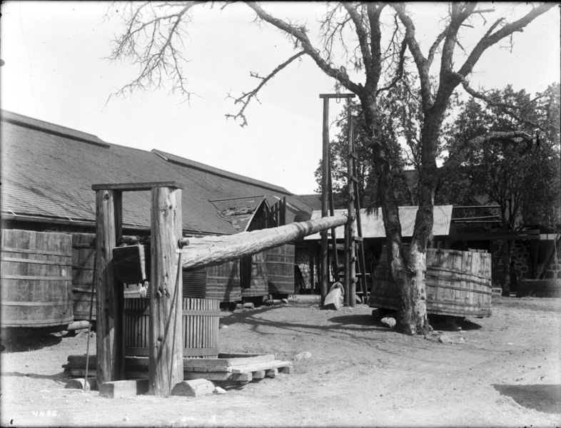
The Dreyfus Winery was still standing in 1890, though the industry around it had collapsed. An early wine press, photographed in 1895, offered a glimpse of the equipment that had once defined Anaheim’s economy. The Langenberger distillery and winery on Sycamore Street was photographed in 1897, one of the few remaining wine operations in the region.
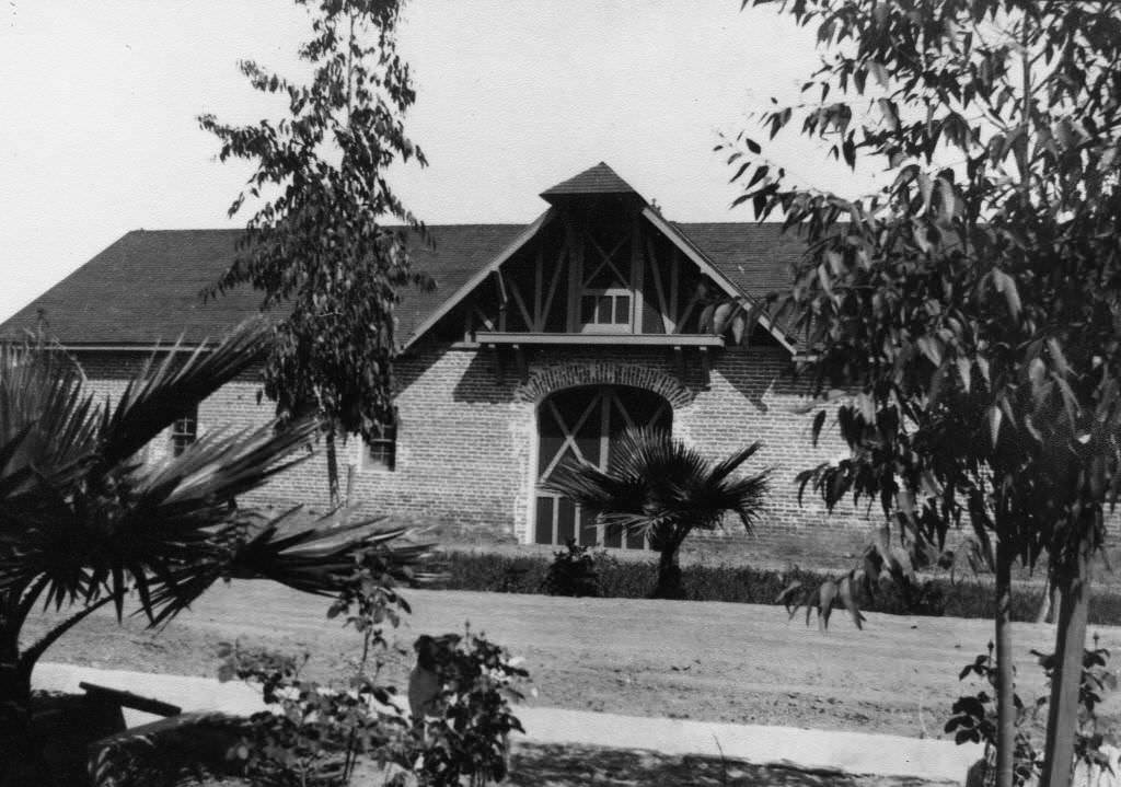
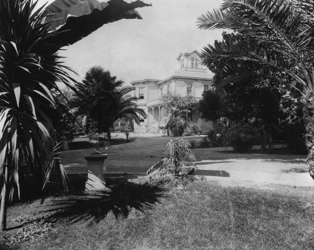
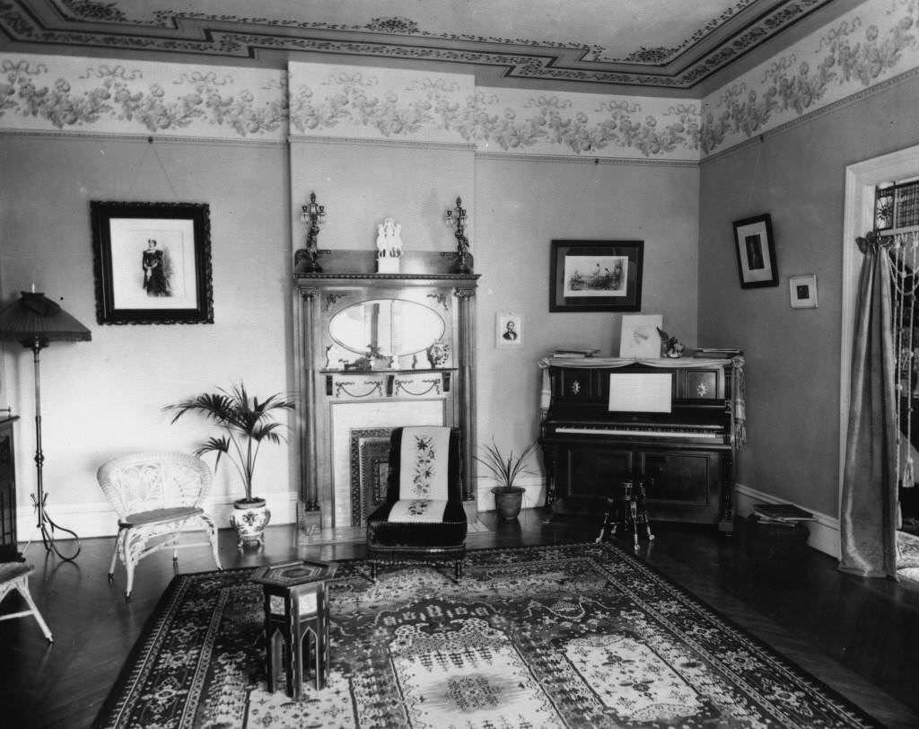
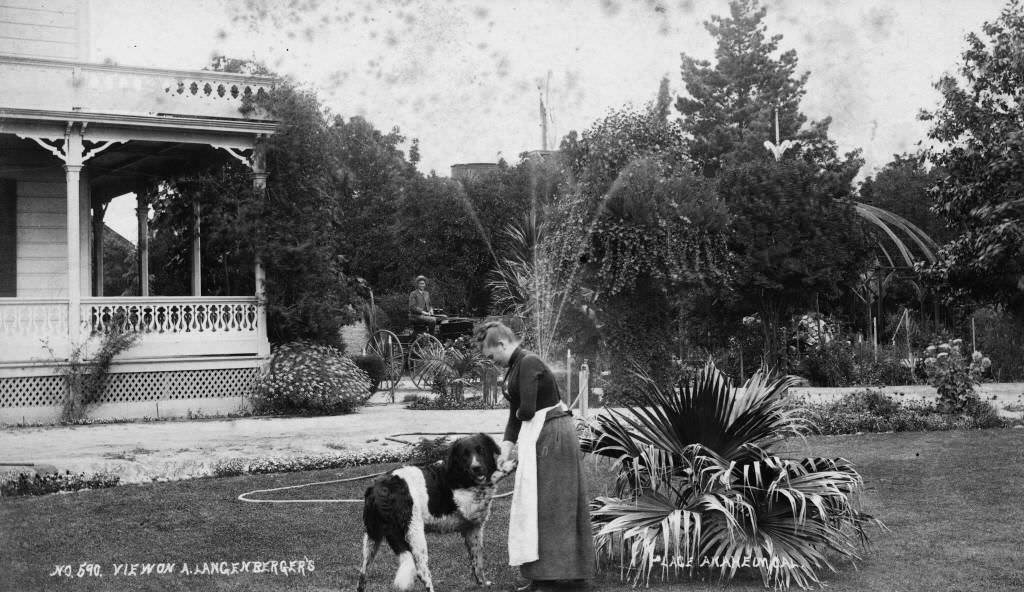
The Langenberger residence and grounds on Sycamore Street were photographed multiple times in 1897 and 1898, including an interior shot of the parlor — a richly furnished Victorian room that showed the family’s status within the community. The residence also appeared in an 1896 photograph and in an 1890 portrait of the property.
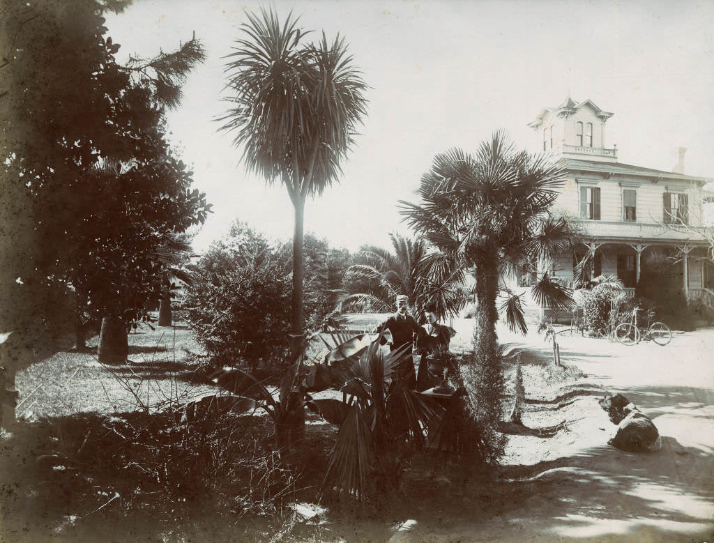
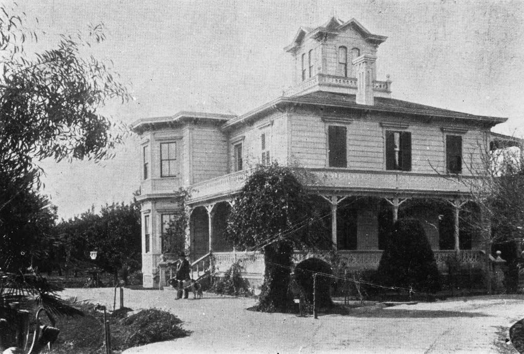
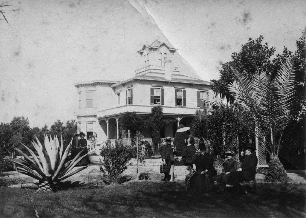
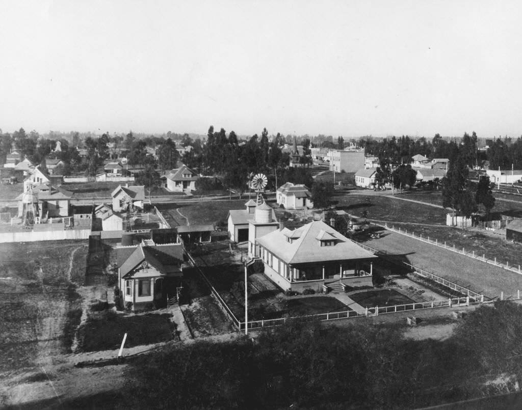
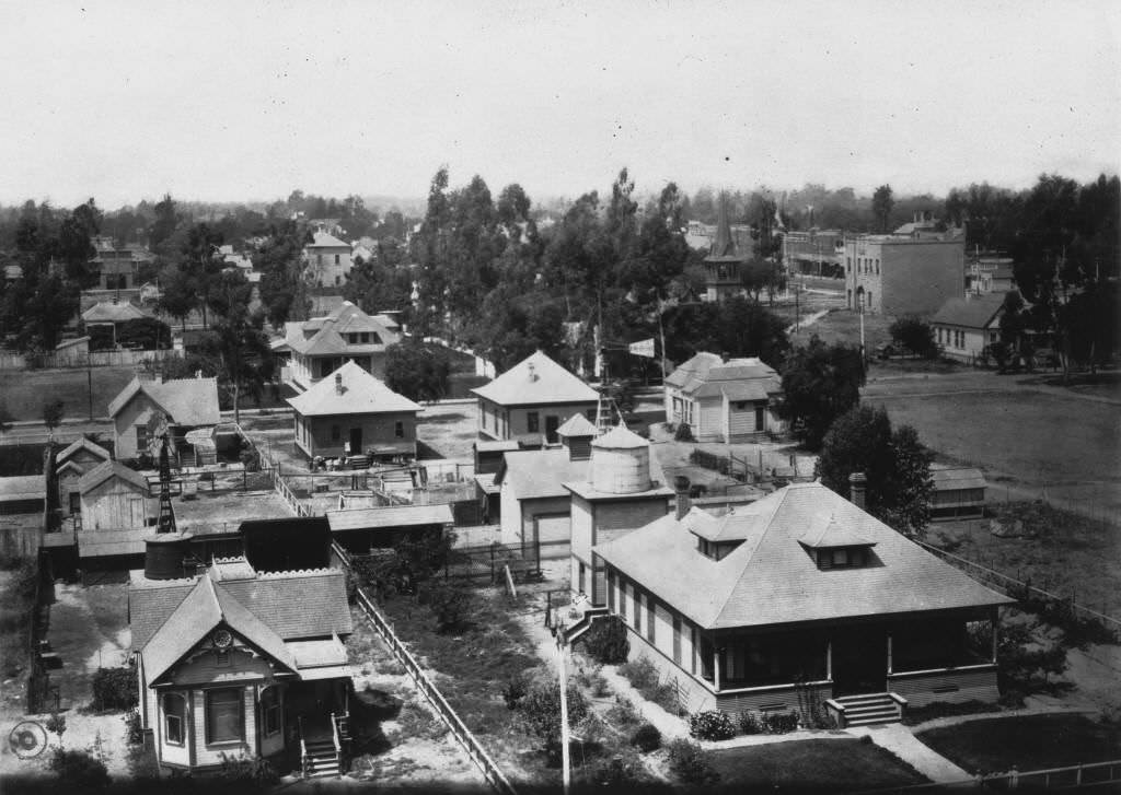
The Del Campo Hotel at the corner of Broadway and South Olive Street appeared in multiple photographs through the 1890s, and by 1899, a bird’s-eye view taken from the hotel’s elevated position captured the full extent of Anaheim’s built-up core. An elevated view from the water tower in 1898 offered a similar panorama, showing the orange groves and residential streets that had replaced the old vineyard landscape.
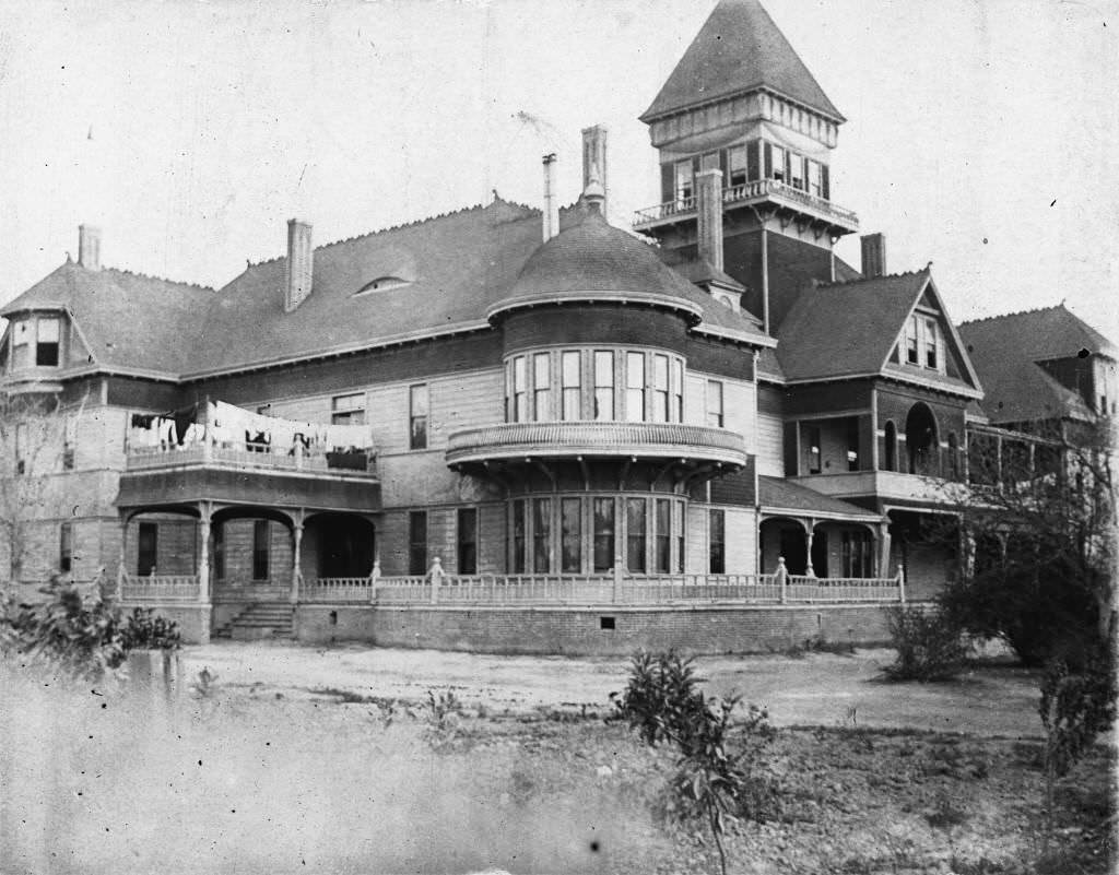
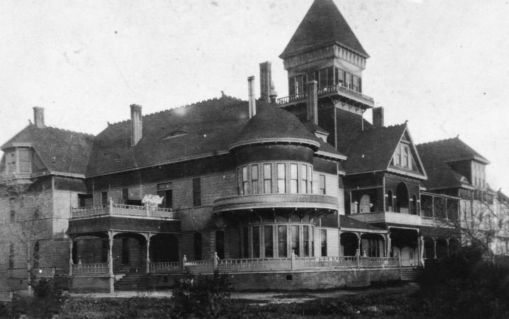
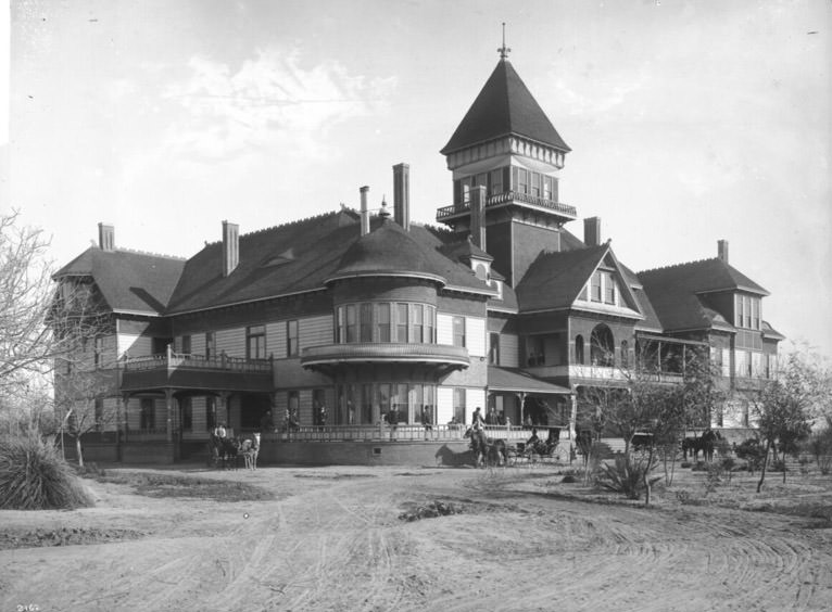
The Anaheim City Band gathered in front of the bandstand in 1898, a portrait of civic pride in the final years of the century. The Anaheim City Hall and Center Street Business Block, photographed in 1899, showed a downtown that had matured from a frontier agricultural settlement into a proper small California city.
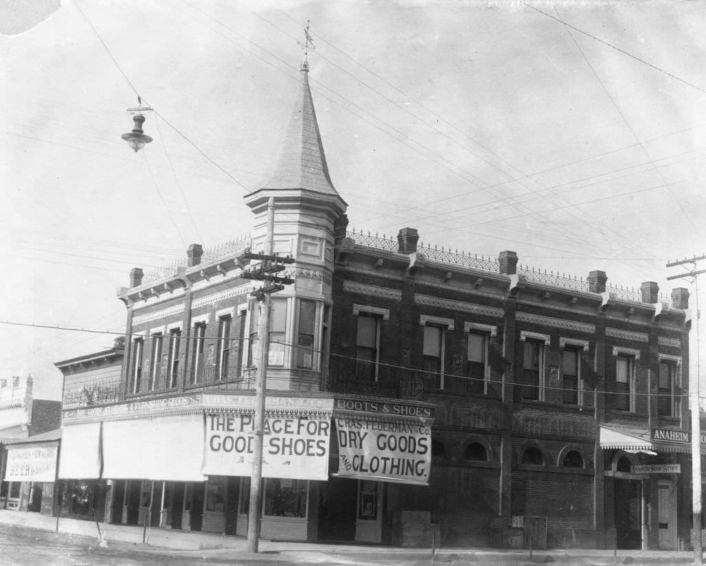
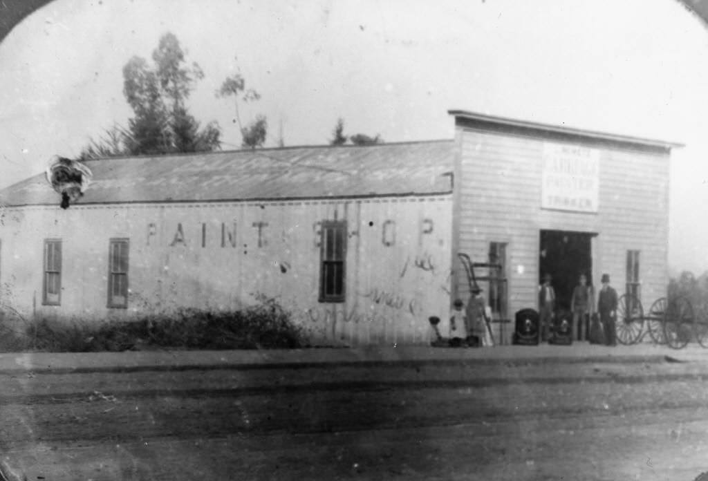
By the late 1890s, Center Street was a fully developed commercial corridor. The Metz Block building, built in 1889, was still a prominent fixture in 1899. The Federman Block Building and Leopold Nemetz Paint Shop, both photographed in 1899, showed continued investment in permanent commercial real estate.
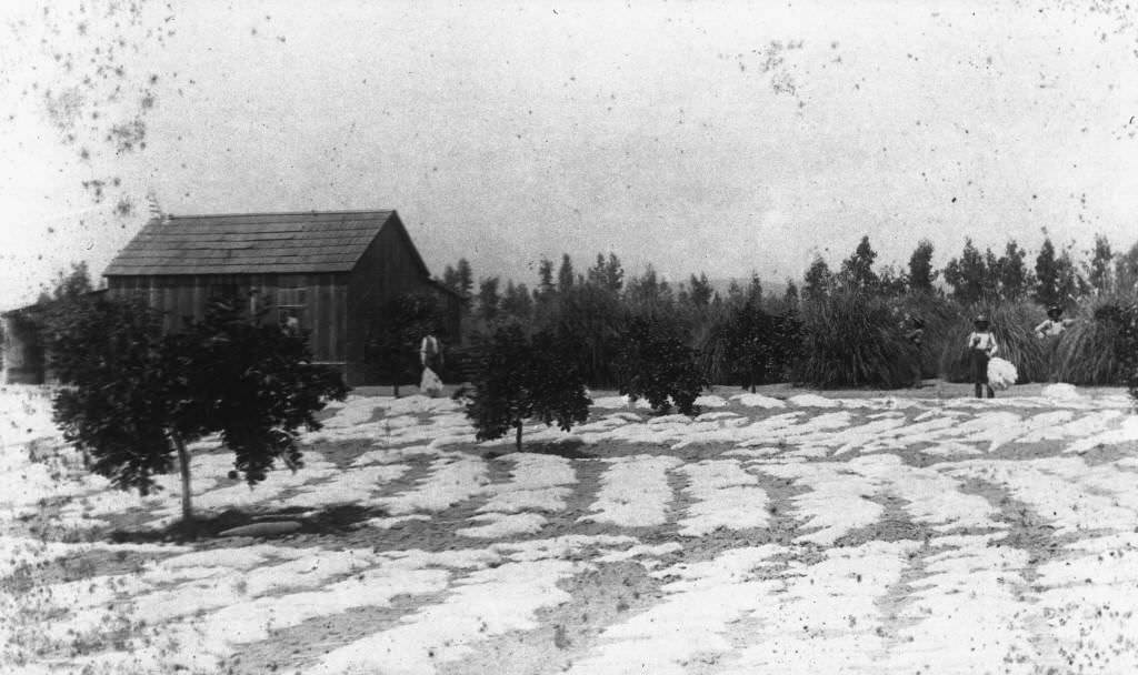
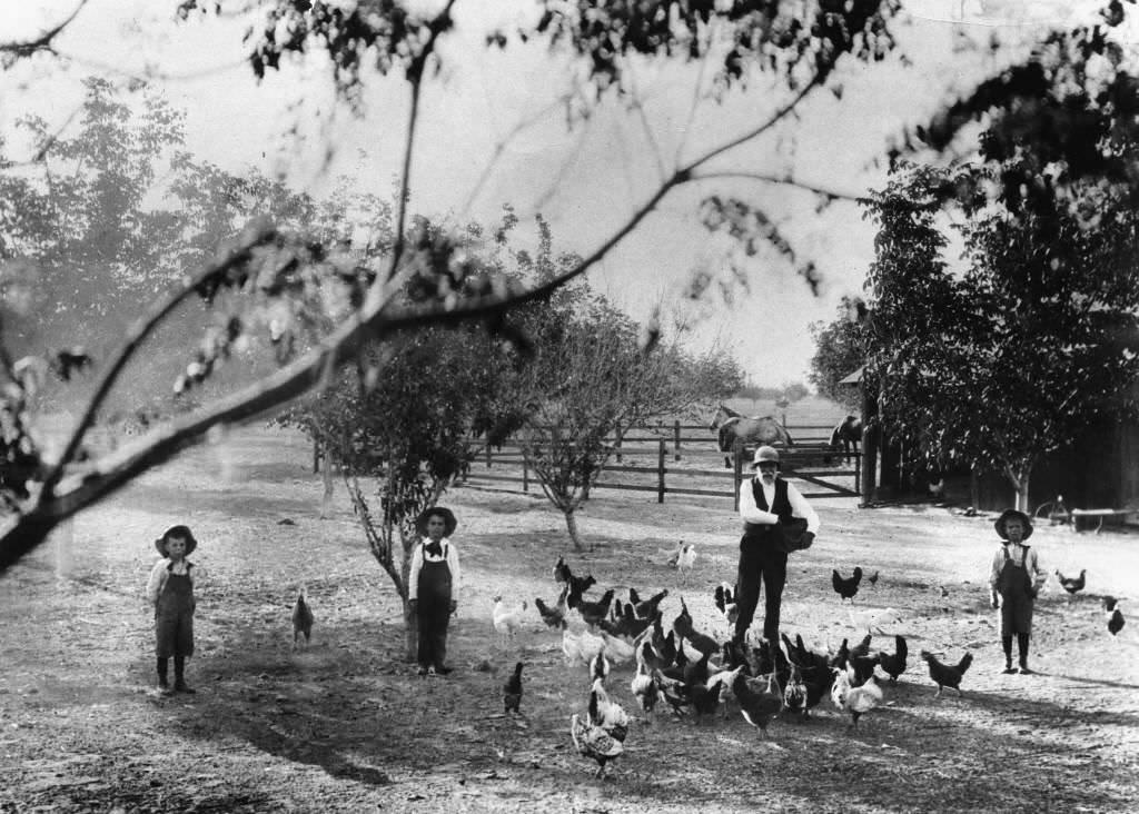
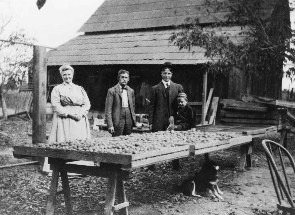
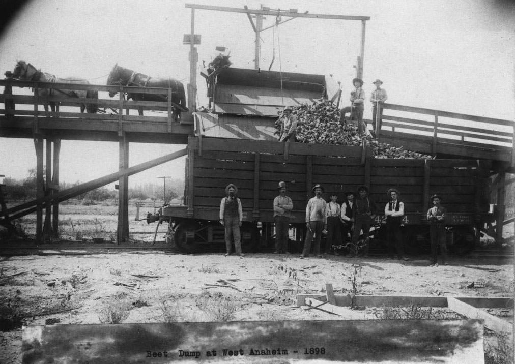
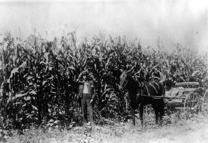
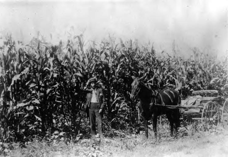
Agricultural life continued in the surrounding areas. John Hanna was photographed feeding chickens at his ranch in 1897. Walnuts were being dried at the Edison Ranch in 1899. A beet dump operated in West Anaheim in 1898. P.A. Stanton stood on his property at the northeast corner of Brookhurst and Ball Roads in the late 1890s, with open farmland stretching out behind him.
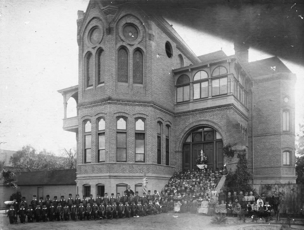
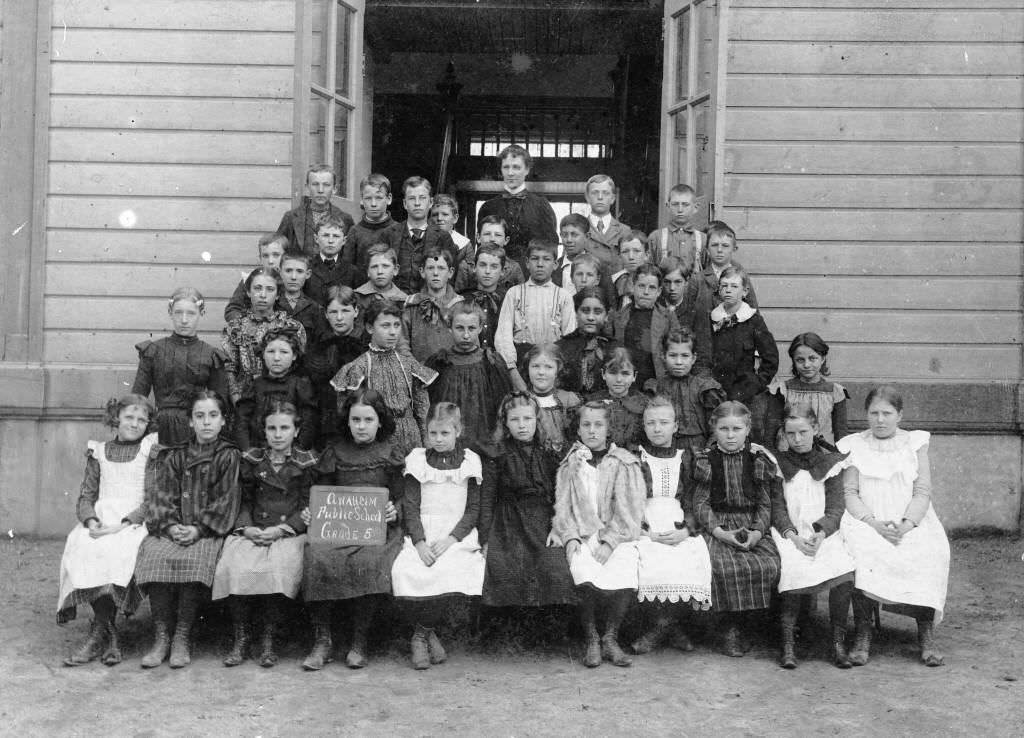
St. Catherine’s Orphanage in Anaheim was photographed in 1899, representing the charitable and religious institutions that had grown alongside the city’s civic infrastructure. The Central School’s fifth grade class posed for a portrait in 1896, part of the ongoing documentation of Anaheim’s educational community through the decade.
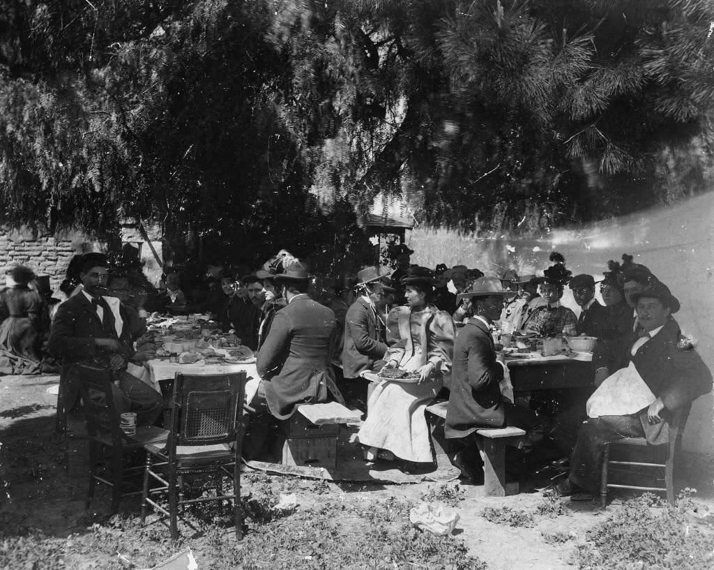
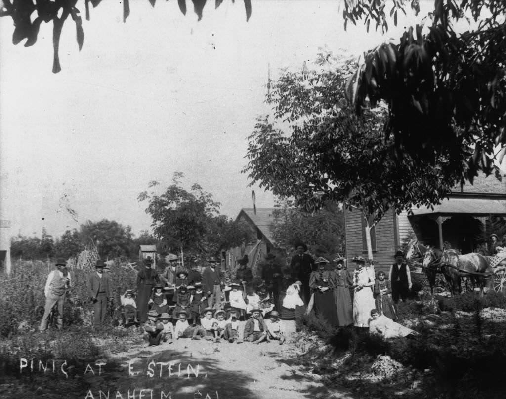
Social gatherings, picnics, and community events were a staple of 1890s Anaheim life. A picnic at Leo Kirby’s Ranch in 1897 and another at the Stein Residence in 1894 brought residents together outdoors. Whitaker’s Grocery Store in nearby Buena Park was photographed in 1893, documenting the surrounding communities that developed alongside Anaheim.
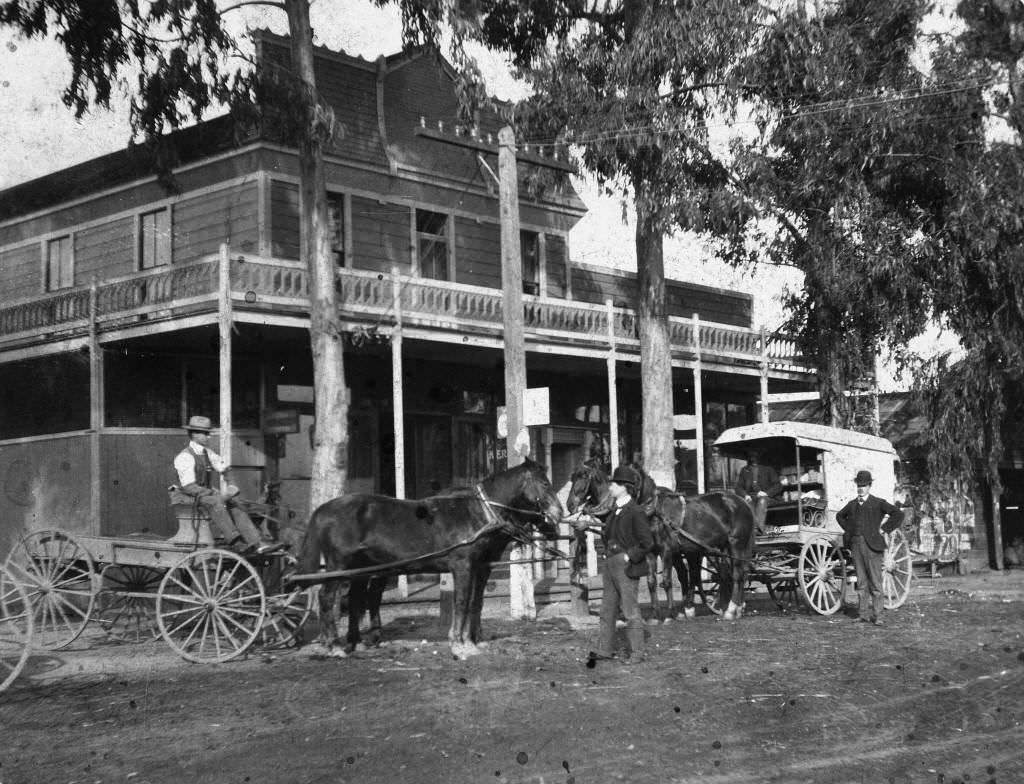
Center Street looking east in 1895, and again in 1890, showed the progression of the town’s most important road over five years. Mable Street in West Anaheim was photographed in both 1894 and 1895, offering a look at the residential neighborhoods developing away from the downtown core.
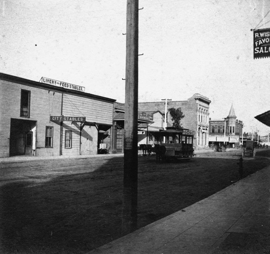
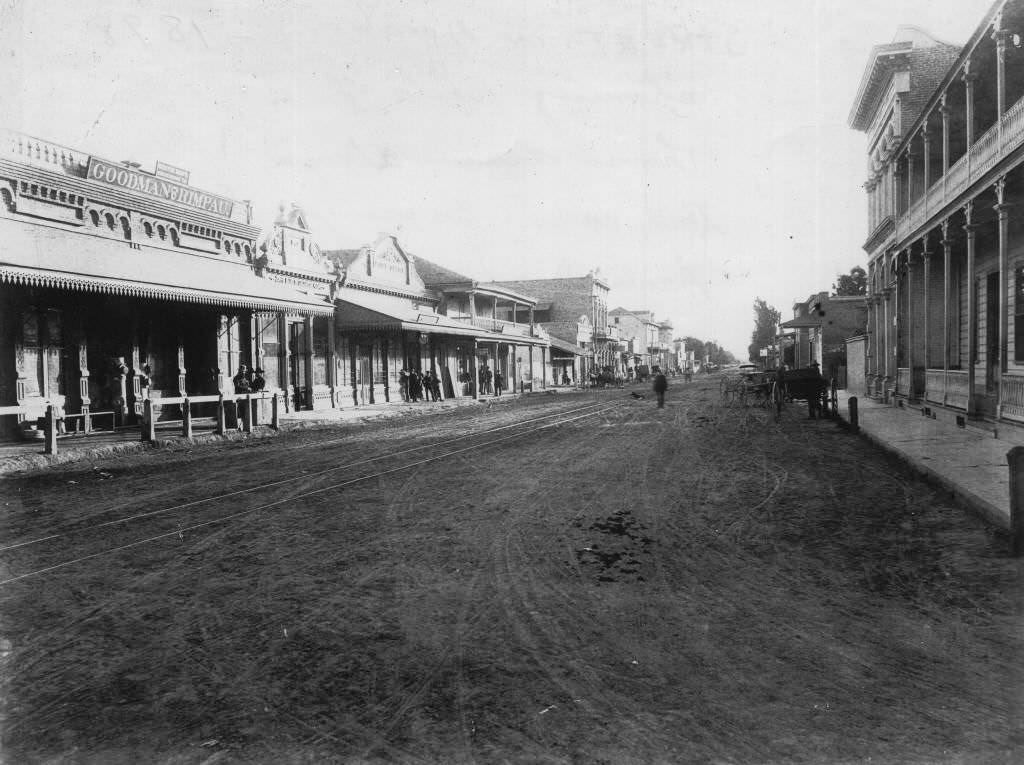
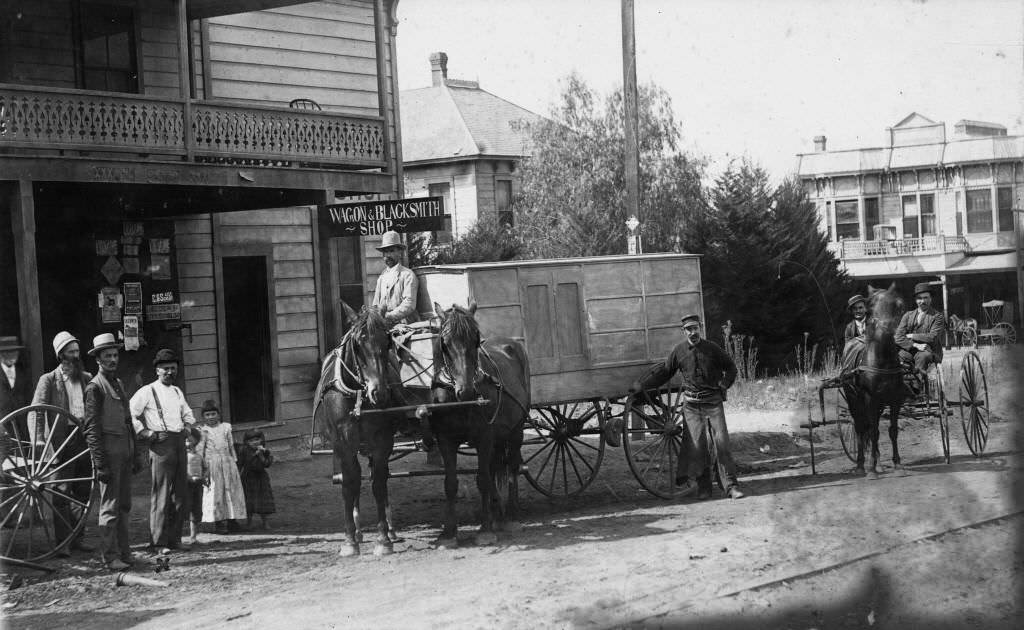
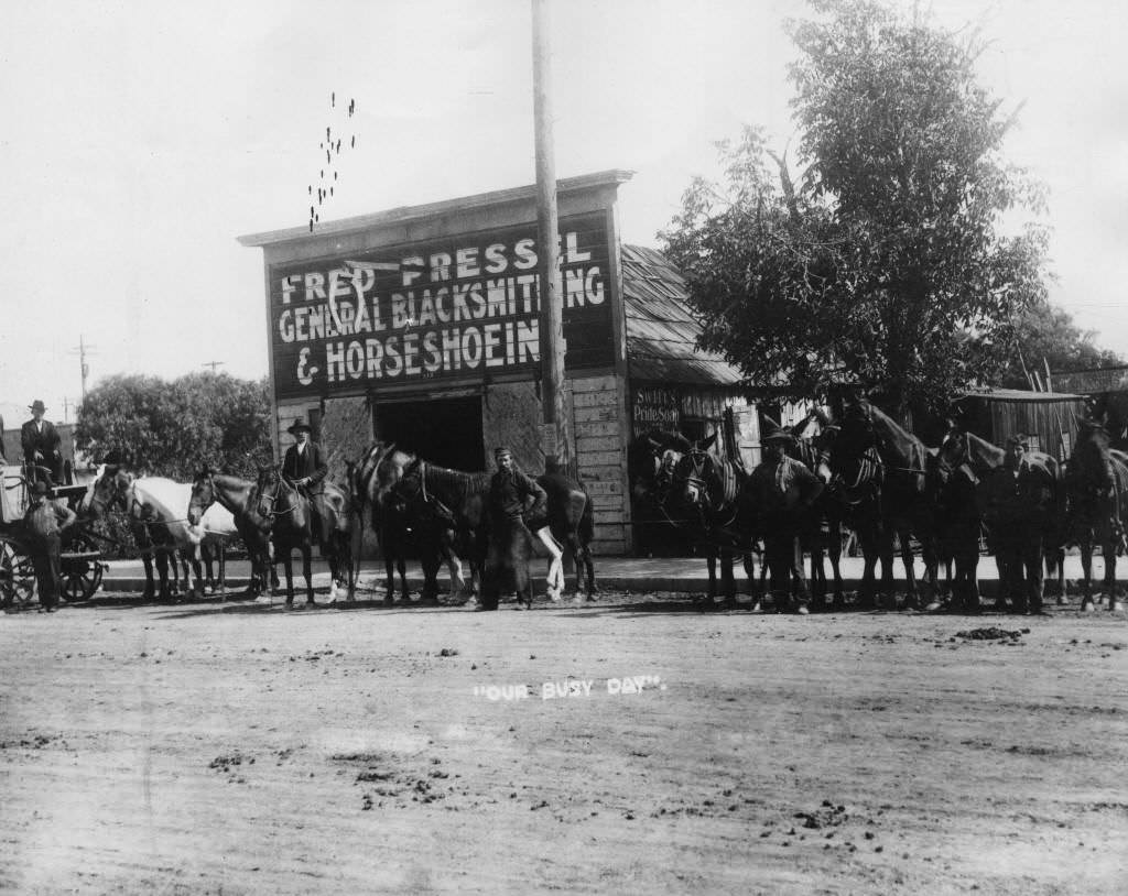
Blacksmith shops were essential to a community still dependent on horses and wagons. Fred Pressel’s Blacksmith Shop and Wagon Shop were photographed in 1890 and 1895, showing the tools and vehicles of everyday working life in Anaheim.
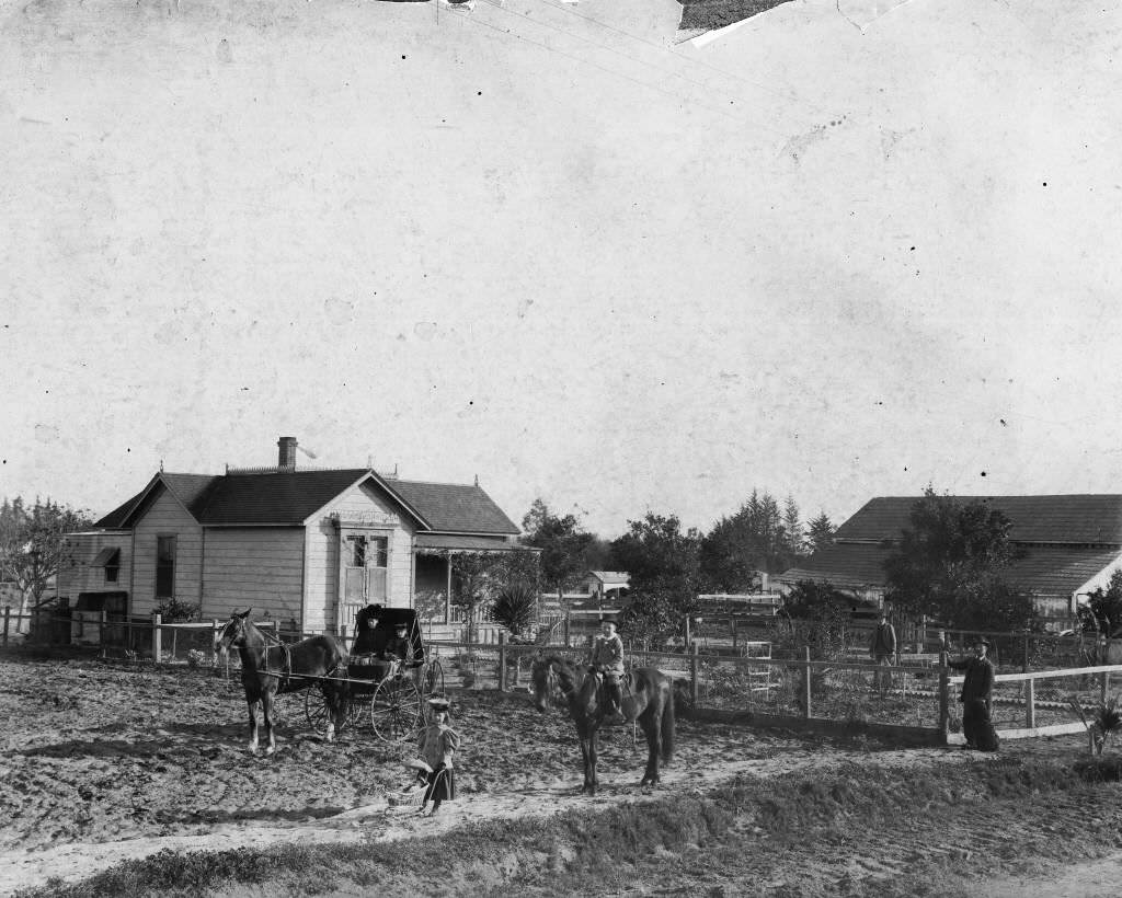
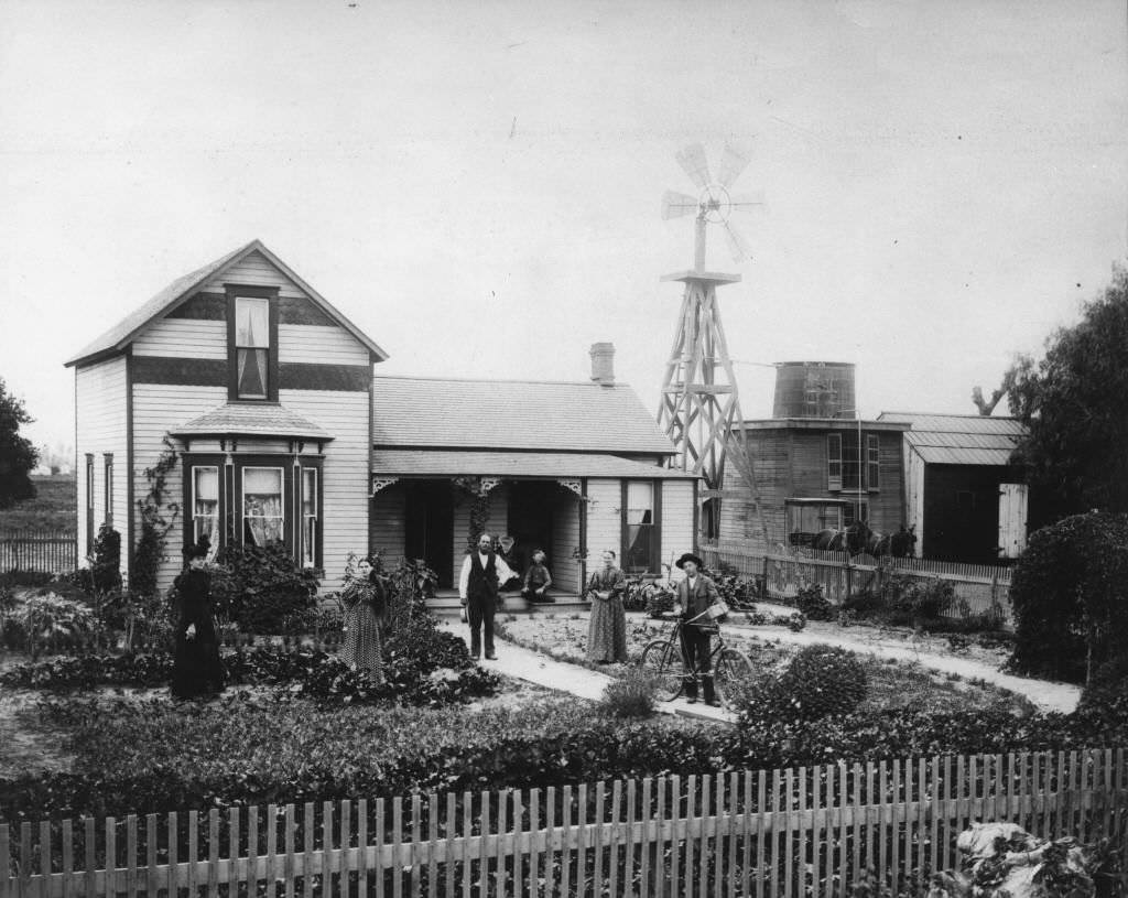
Residential Anaheim in the 1890s was captured in a series of home portraits. The Richard and Emma Seale residence on Adele Street, the Sheffield residence on North Los Angeles Street, the Twin Pines Ranch house on County Road, the Fred Mickle residence on West Center Street, and the John Fredrick Hein family home near Brookhurst Street were all documented through photography — a record of how Anaheim’s residents built their private lives around the city’s evolving economy.
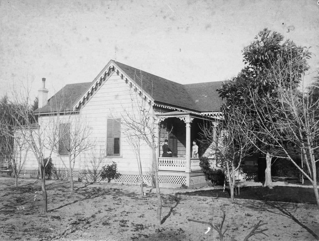
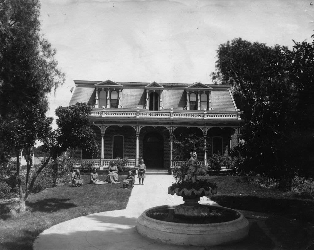
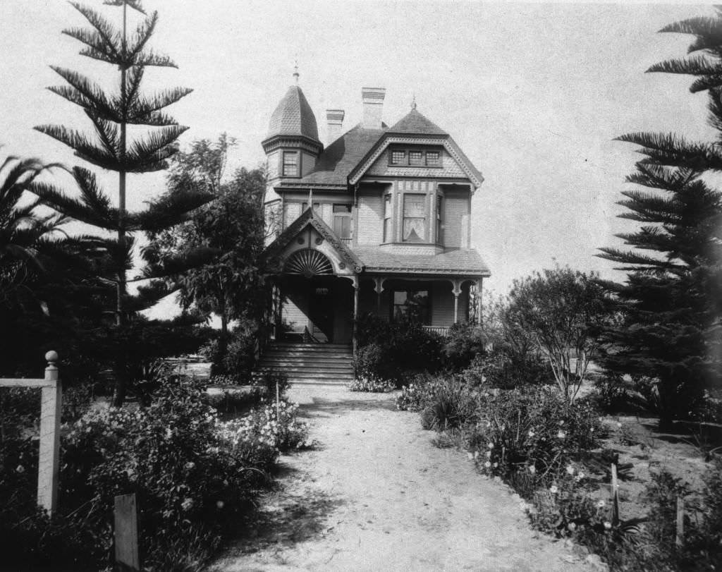
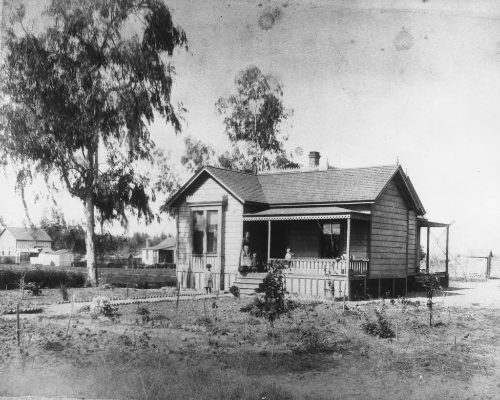
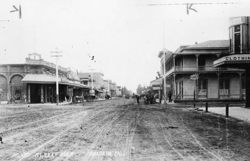
A view of an unpaved Anaheim street in 1890 shows shops on both sides, carriages parked at the curb, and a streetcar moving down the center tracks — a scene that captures the town in its transitional moment between agricultural village and small city. Center Street looking west from Claudina Street in 1891 and a view down Center Street in 1892 showing both horse-drawn vehicles and early automobiles together on the dirt road complete the picture of Anaheim at the close of its first century.
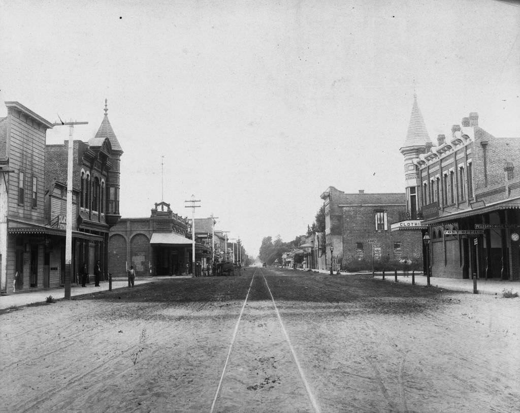
Los Angeles Street in 1895 showed a commercial corridor that had grown beyond its early wooden storefronts into a more permanent set of brick and stone buildings. The Flume construction photograph from 1891 documents the continued expansion of Anaheim’s water delivery system to support the orange groves that had spread across the old vineyard land.

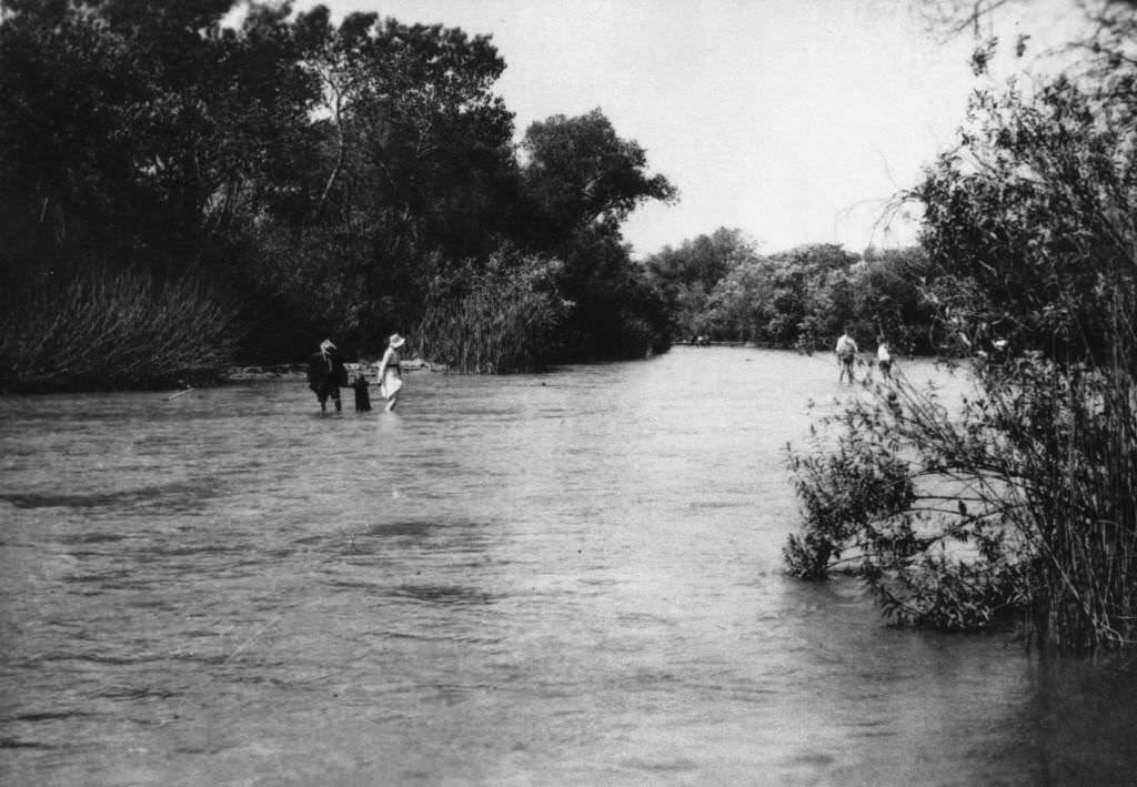
Anaheim Landing continued to serve coastal trade through the mid-1890s, with photographs from 1895 documenting the site at Seal Beach. The Santa Ana River and Santa Ana Canyon, photographed in 1899, show the natural geography that had shaped Anaheim’s founding and continued to define the region at the close of the 19th century.
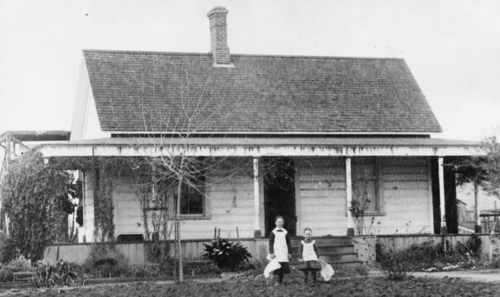
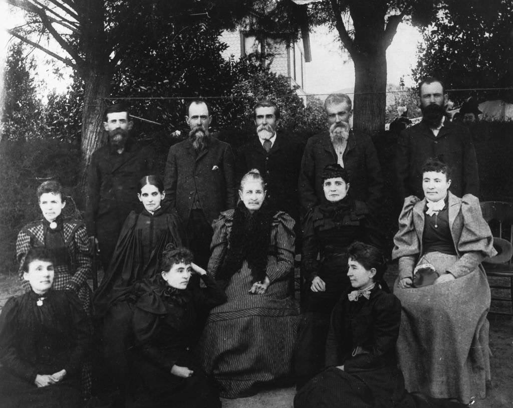
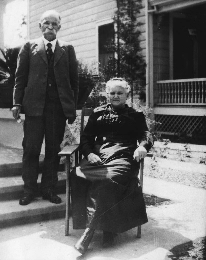
Family portraits, ranch photographs, and street scenes from the final years of the 1890s round out Anaheim’s visual record for the century. Kate and Ella Rea stood in front of a house in El Cajon in the 1880s. The Dona Vicenta Sepulveda Yorba Carrillo family was photographed with her sons and daughters in 1890. John W. and Emma Duckworth posed together in 1890. The Residence of John G. Woelke was captured in 1894, and the George Boyd residence at 129 South Olive Street — built in 1898 — was documented along with the George Boyd Residence from the same year.
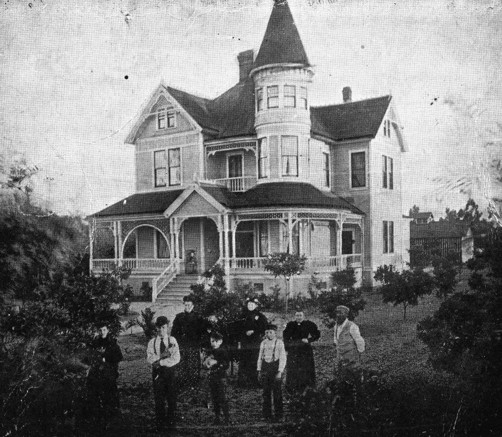
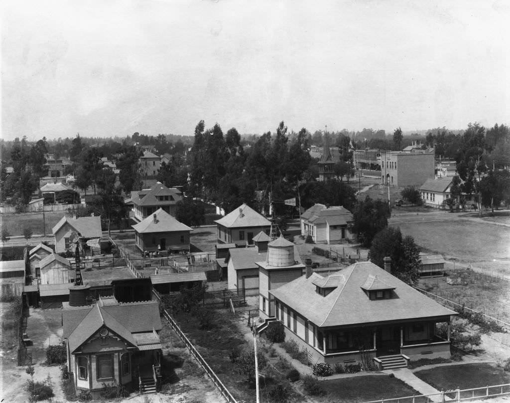
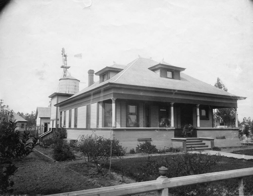
The Charles and Pauline Stechert residence, photographed in 1895, showed how the earliest families had built lasting homes in the community. The Sheldon Littlefield home, photographed in 1890, and the William Wallop House from 1892 added to the picture of Anaheim’s residential landscape as the century drew to a close.
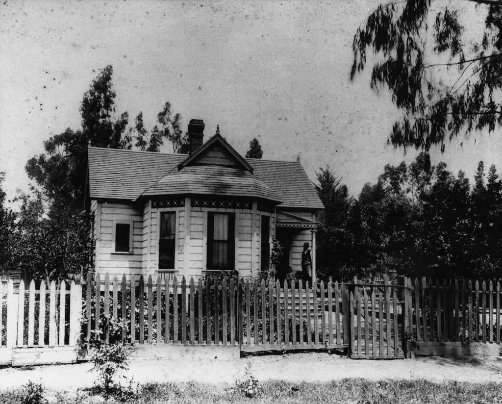
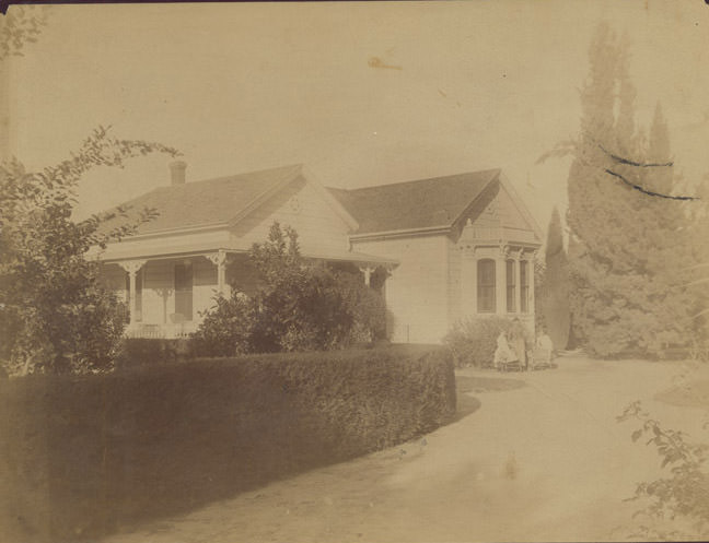
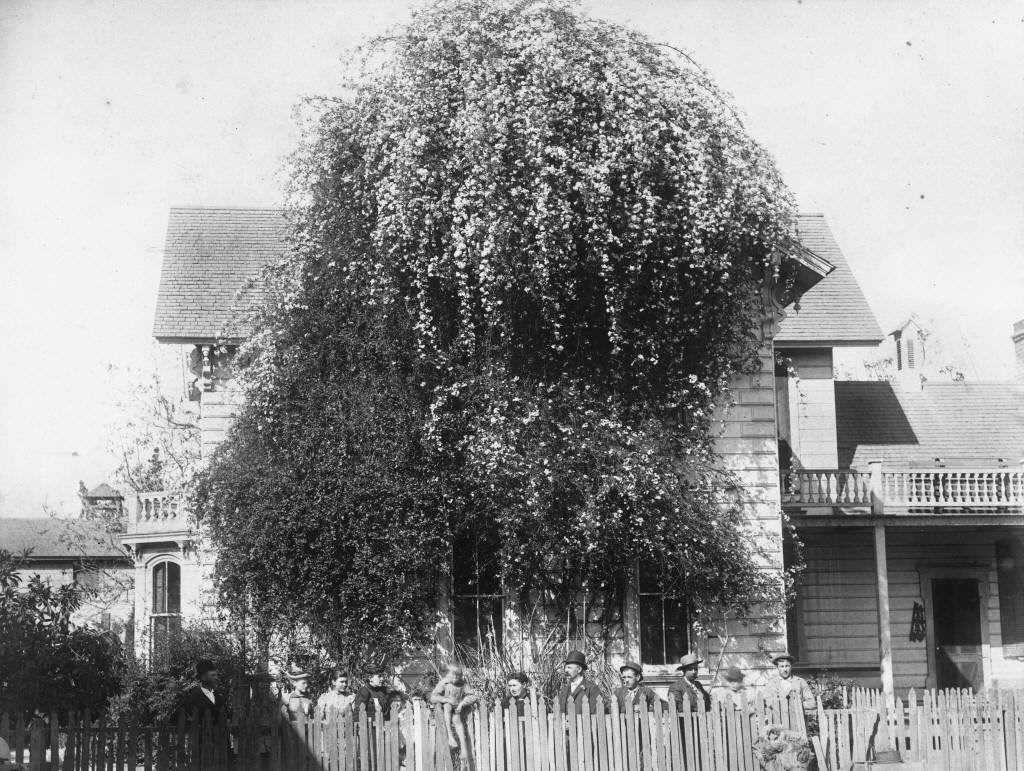
The broader late 1880s view of Anaheim, a view from its streets looking west in 1892, and the general street scene photographs through the 1890s all show a town that had weathered the collapse of its founding industry and built something new in its place. The Langenberger residence photographed in 1897 with its well-kept grounds, the Fred Pressel shop, and the Anaheim City Band all show a community that was organized, functional, and growing.





That was a great blast from the past. Especially Kate and Ella. I went to Katella High in the early ’70s. I thought their last name was Wagner, though I might be mistaken.