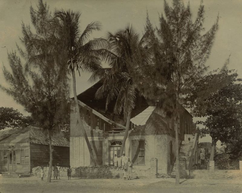
On January 14, 1907, a magnitude 6.2 earthquake struck Kingston, Jamaica’s capital, turning one of the Caribbean’s most important cities into a field of rubble within minutes. The United States Geological Survey recorded it as one of the deadliest earthquakes in world history. When the shaking stopped, the destruction was only beginning. Fires broke out across the city and burned for three hours before any meaningful effort could be made to bring them under control. By the time the smoke cleared, approximately 1,000 people were dead and the city had suffered around $30 million in material damage — a staggering sum for the era. A tsunami also struck Jamaica’s north coast shortly after the quake, with waves reaching heights of about 2 meters (6 to 8 feet).
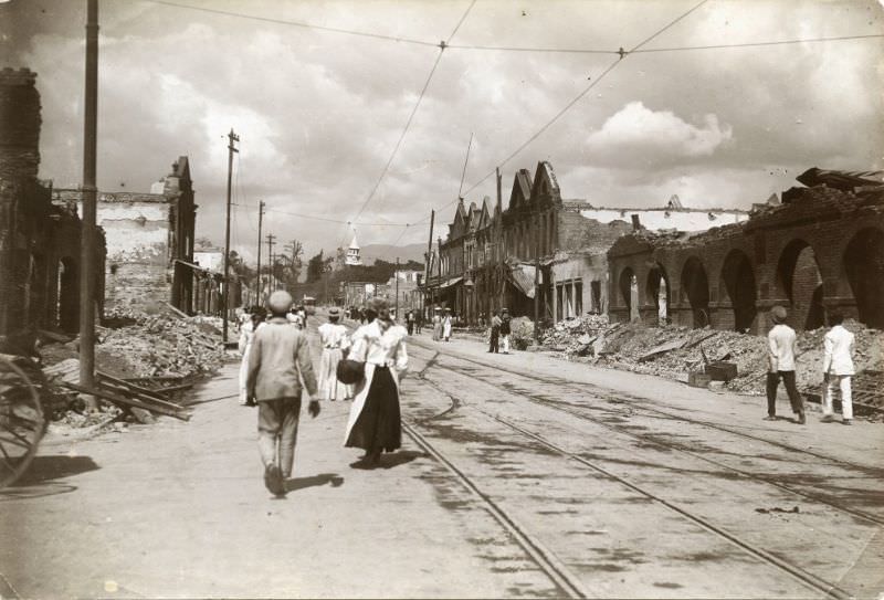
The earthquake’s destruction was widespread and indiscriminate. Entire blocks of Kingston were reduced to low mounds of brick, timber, and broken masonry. Buildings that had stood for decades collapsed in seconds. The scale of the wreckage made it difficult for survivors to even navigate streets they had walked every day.
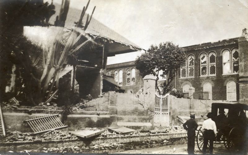
In the days that followed, residents and workers began the enormous task of clearing debris. The cleanup was slow and dangerous, as damaged structures remained unstable and threatened to collapse further. Men worked by hand, hauling rubble away piece by piece from the most heavily affected areas of the city.
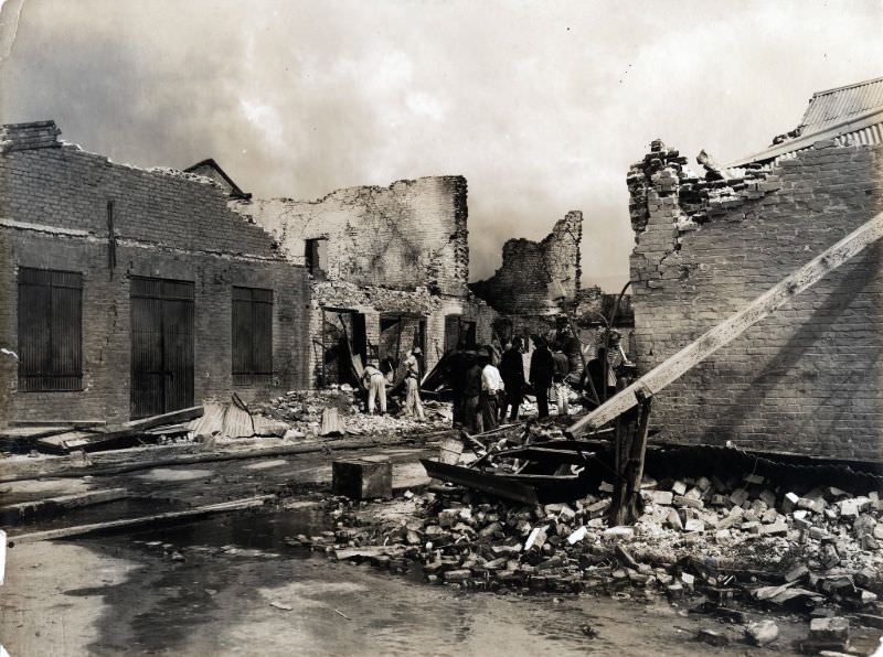
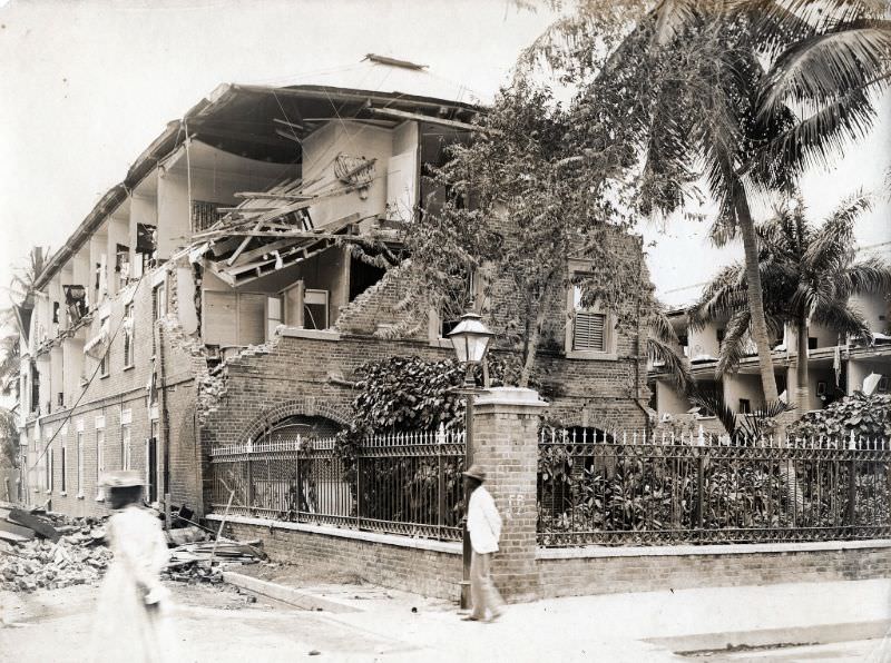
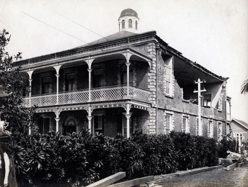
Financial institutions were not spared. The Colonial Bank, like most of Kingston’s commercial buildings, suffered severe structural damage. The loss of banking facilities added an economic crisis on top of the humanitarian one, complicating efforts to fund recovery and pay for emergency supplies.
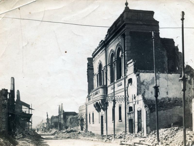
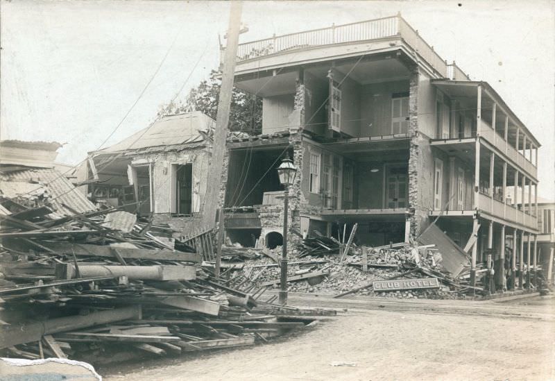
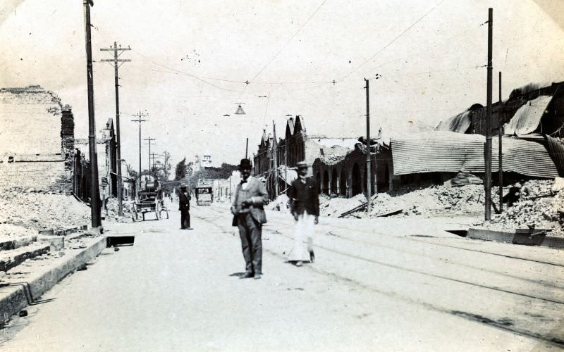
The intersection of King Street and Harbour Street sat at the commercial heart of Kingston. Photos taken just eight days after the earthquake show the corner still buried under collapsed facades and tangled debris. These images offer a precise snapshot of how quickly the earthquake had gutted the city’s busiest district.
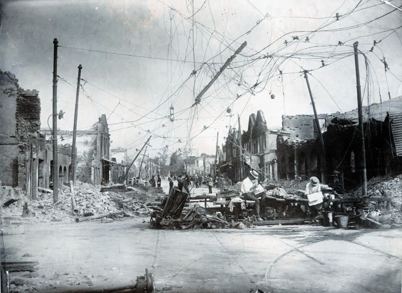
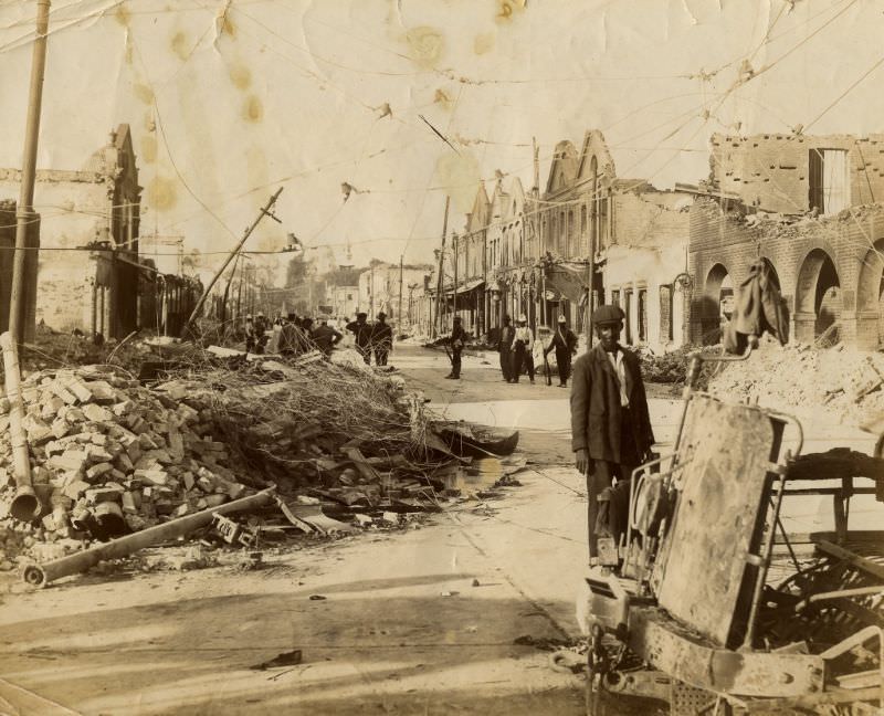
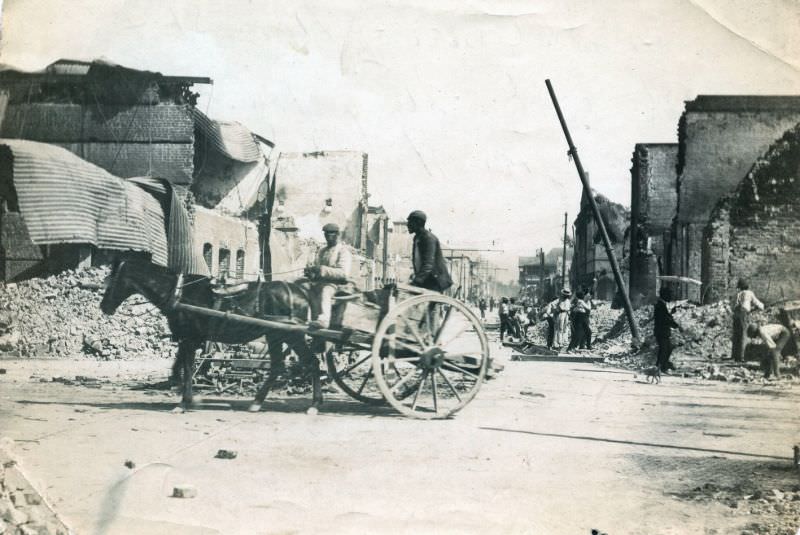
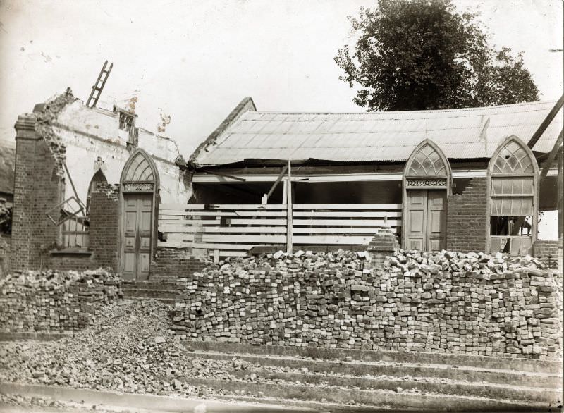
Religious buildings throughout Kingston were among the most visibly damaged structures. Churches with tall towers and ornate masonry construction were especially vulnerable to the shaking. Their collapse was both a physical and a symbolic blow to the communities that gathered in them.
The destruction was not limited to any single part of the city. From residential neighborhoods to commercial corridors, collapsed walls and cracked foundations marked nearly every street. Photographs taken across Kingston in 1907 tell a consistent story of a city that had been fundamentally broken apart.
Port Royal, the historic harbor settlement located at the tip of the Palisadoes peninsula, also sustained heavy damage. The town had already suffered catastrophically in the earthquake of 1692, and the 1907 event struck it again. The combination of the tremors and the subsequent tsunami waves left Port Royal in serious disrepair.
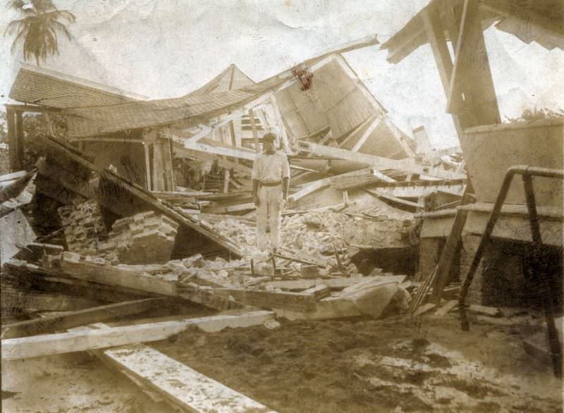
Across Kingston, buildings of every type showed the same signs of failure — buckled walls, collapsed upper floors, and facades sheared clean away, leaving interiors exposed to the open air. The following photographs document the range of structural damage sustained by the city’s built environment.
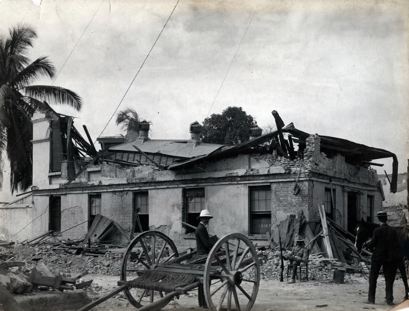
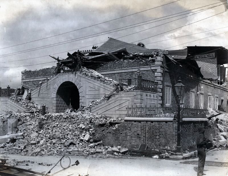
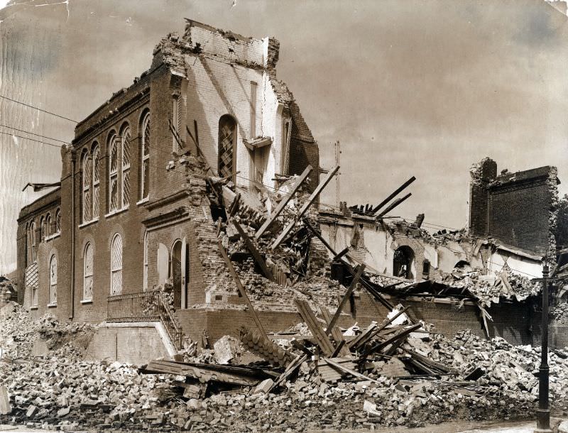
Thousands of Kingston’s residents were left without shelter. Those whose homes had collapsed or been condemned fled to open spaces — parks, vacant lots, and the edges of the city — where they set up makeshift camps. These earthquake refugees lived in the open for weeks as the city worked to assess which structures were safe enough to return to.
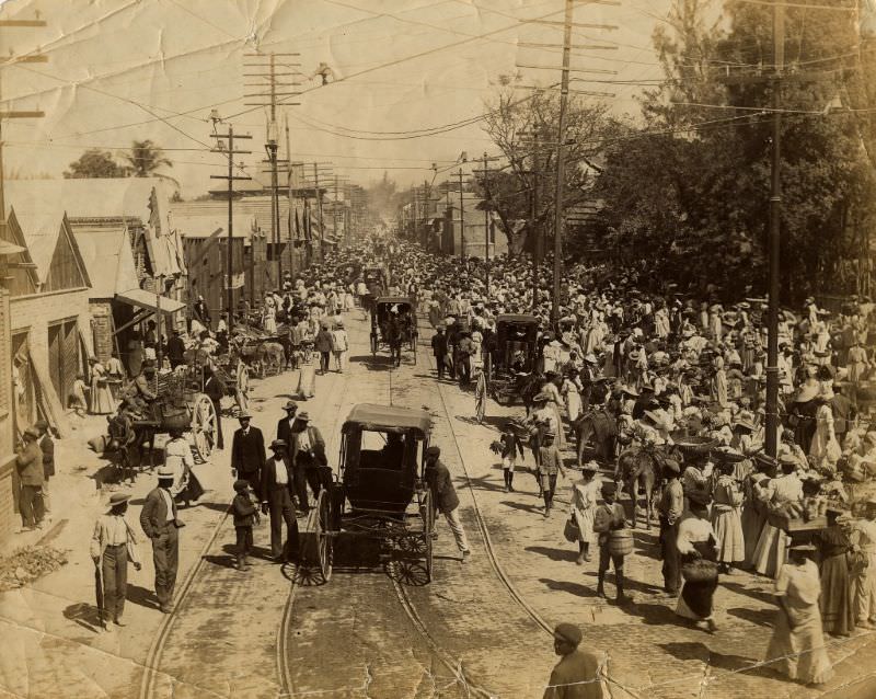
Edmanson Hall, one of Kingston’s public gathering spaces, was left a gutted shell by the earthquake. Public buildings like this one had served as centers of civic life, and their destruction added to the broader sense of loss felt by residents trying to make sense of what their city had become.
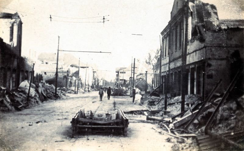
Harbour Street, one of Kingston’s main thoroughfares running parallel to the waterfront, was heavily damaged along much of its length. The street was lined with commercial buildings that had partially or fully collapsed, blocking traffic and hampering early relief efforts.
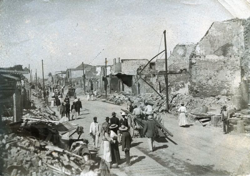
King Street, the central commercial spine of Kingston, was similarly devastated. Storefronts had crumbled into the road, and the street was barely passable in the days following the quake. The fires that followed the earthquake added burn damage on top of the structural collapse already visible along this stretch.
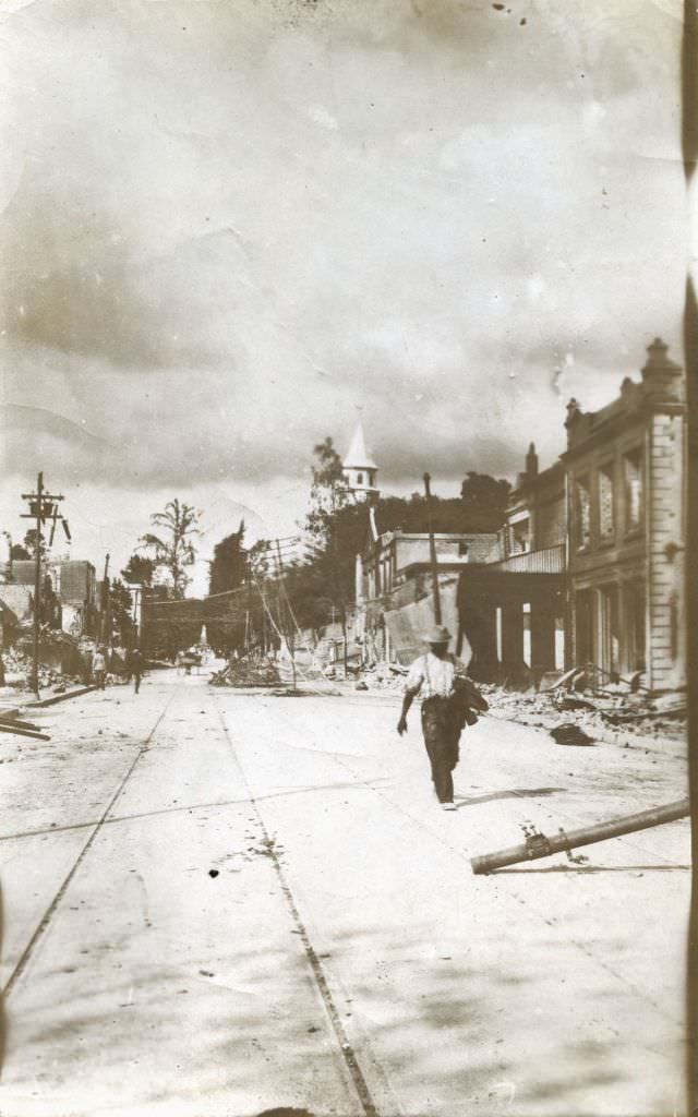
Wide-angle views of Kingston taken after the earthquake show just how thoroughly the city had been transformed. Street after street presented the same scene: toppled walls, exposed foundations, and piles of debris where buildings had stood just days before.
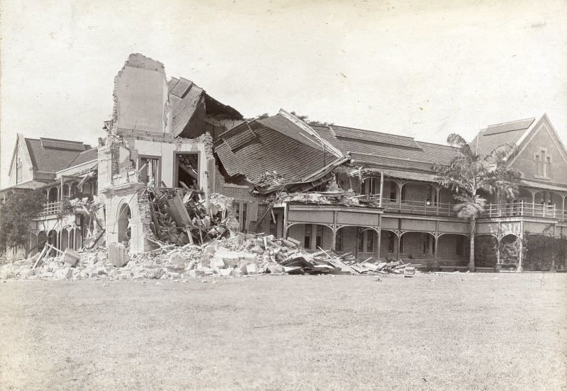
Educational institutions also suffered serious damage. Mico College, a teachers’ training institution founded in the 19th century and one of the oldest in the Caribbean, was badly hit. Its damaged buildings represented a setback not just in infrastructure but in the city’s capacity to educate the next generation.
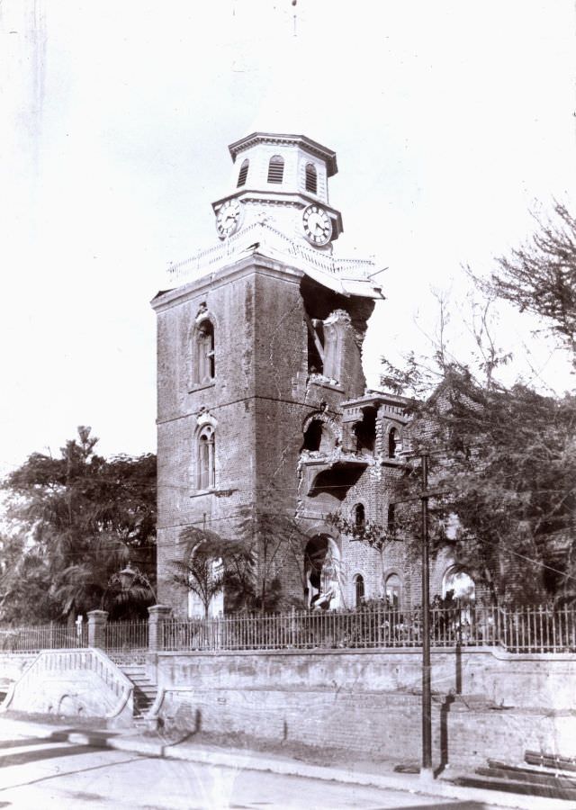
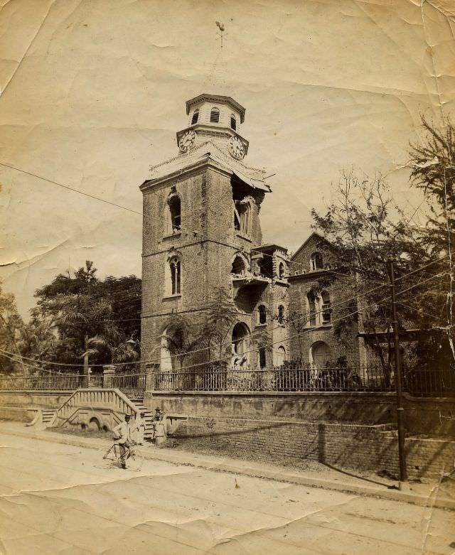
The Parish Church of Kingston, one of the city’s oldest and most prominent places of worship, did not escape unharmed. Its structure was badly damaged by the quake, including the clock tower, which became one of the most photographed ruins in the aftermath. The church’s state reflected the widespread destruction of the city’s historic religious heritage.
With so many buildings destabilized and looting a real concern amid the chaos, police were deployed to guard damaged structures across the city. Their presence was a practical response to the breakdown of normal order that followed the disaster.
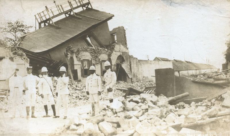
The earthquake’s effects were felt well beyond Kingston. The courthouse at Port Antonio, located on Jamaica’s northeastern coast, also sustained significant damage, showing that the tremors had traveled far enough to cause serious structural harm to buildings far from the epicenter.
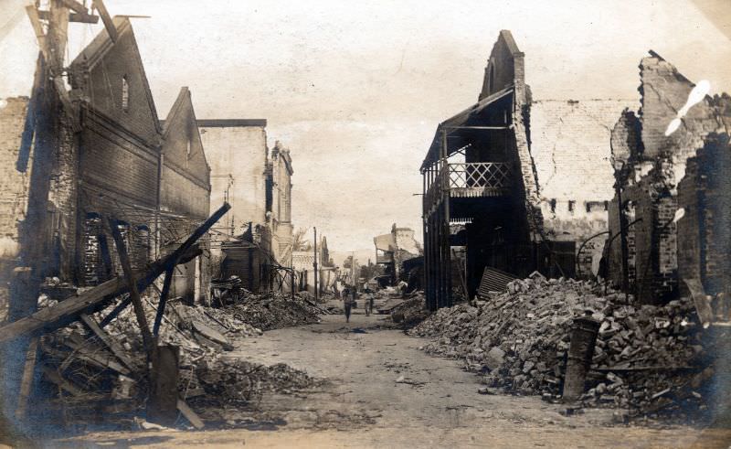
Port Royal Street in Kingston presented the same grim picture as the rest of the city’s road network — a passageway through fields of broken masonry, fractured walls, and collapsed rooftops.
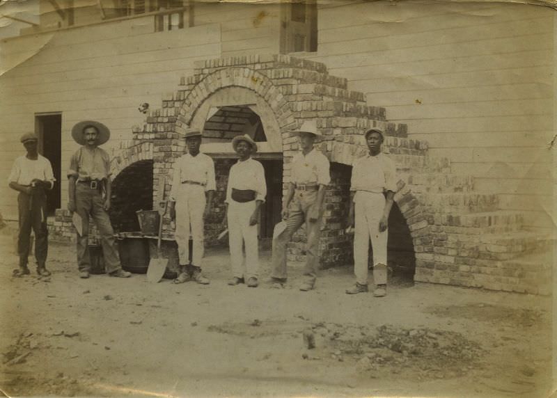
Repair crews got to work quickly across Jamaica. Workers are documented in photographs repairing structural damage to buildings in the weeks following the quake. The sheer volume of repair work needed meant that full recovery would take years, but early efforts focused on stabilizing dangerous structures and restoring basic infrastructure.
The Roman Catholic Church in Kingston was among the religious buildings that took a direct hit from the earthquake. Its damaged state after January 14 was a stark reminder of how broadly the quake had affected every type of institution in the city.
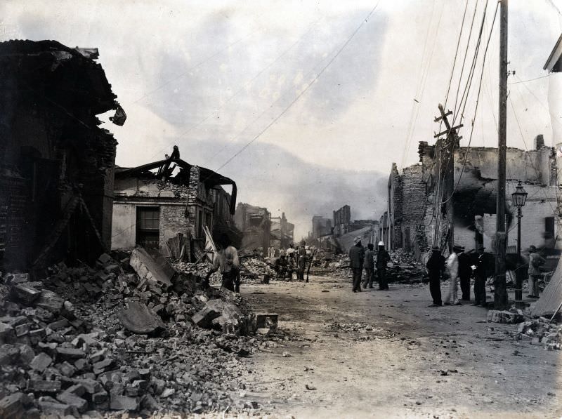
Rubble-strewn streets were the defining image of post-earthquake Kingston. Chunks of brick, broken beams, and shattered stone filled roadways that had previously been the arteries of a busy colonial capital.
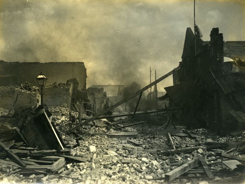
Many of Kingston’s larger commercial and civic buildings were reduced to open ruins — shells of walls standing amid piles of collapsed interiors. These ruins would remain a feature of the Kingston streetscape for months as the city struggled to find the labor, materials, and money needed to rebuild.
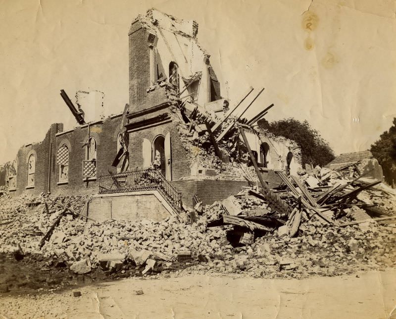
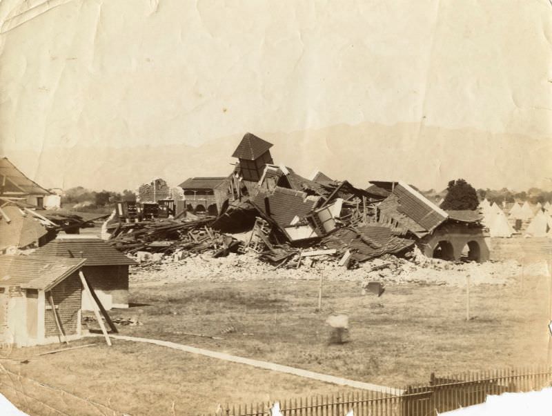
Up-Park Camp, the British military garrison on the outskirts of Kingston, also suffered structural losses. The Garrison Church at the camp was left in ruins by the earthquake, its walls cracked and partially collapsed.
St. Michael’s Church was another religious building left in ruins. Its destruction, like that of the Parish Church and the Garrison Church, illustrated how thoroughly the earthquake had dismantled the physical fabric of Kingston’s established institutions.
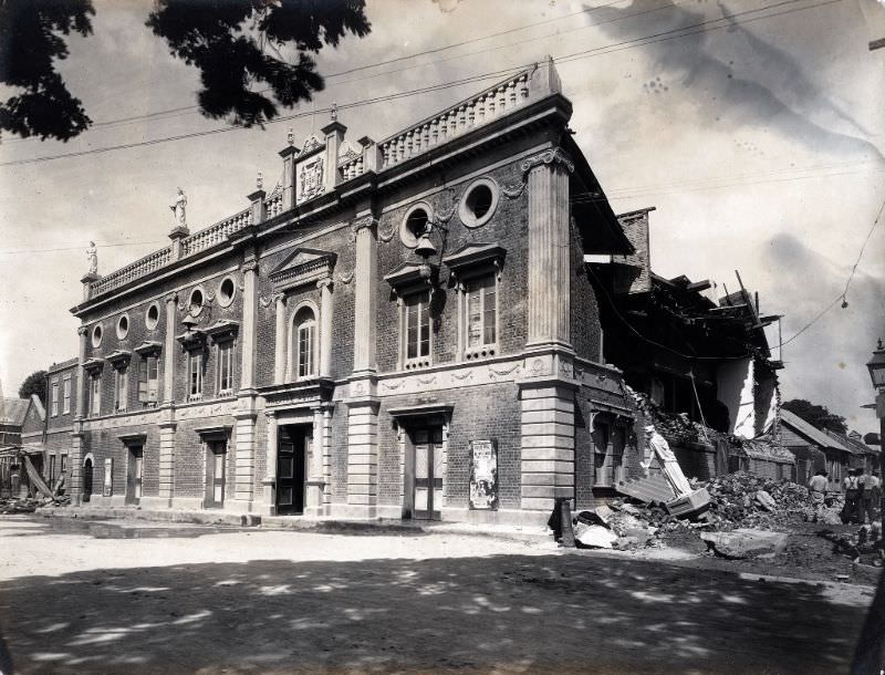
The Theatre Royal, Kingston’s main venue for public entertainment and performance, was badly damaged. The loss of a building like the theatre underscored that the earthquake had not just killed people and destroyed property — it had wiped out the infrastructure of everyday public life.
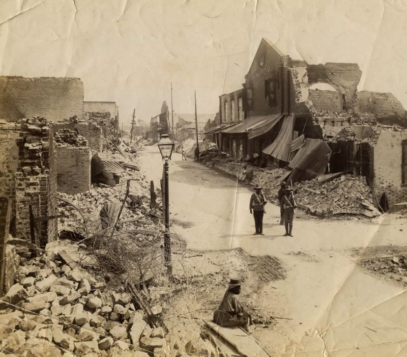
Military personnel played a key role in maintaining order in the aftermath of the earthquake. Soldiers from the West Indian Regiment were posted at critical points throughout Kingston to guard against looting and to assist with crowd control as relief operations got underway.
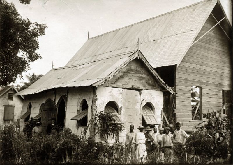
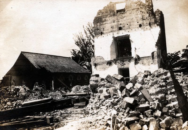
In Port Royal, even smaller religious structures like the Wesleyan Chapel were badly affected. The chapel’s damaged state reflected the vulnerability of the town’s older buildings to seismic activity — Port Royal’s ground, largely built on reclaimed land and sand, amplified the shaking and made structural survival far less likely.