
After World War II, Germany lost more than a quarter of its pre-war territory. Poland and the Soviet Union annexed large portions of the east, and millions of ethnic Germans were expelled westward. The country was then divided between the Western Allies and the Soviet Union, creating two separate German states. That division would last until 1990.
West Germany took shape as a federal parliamentary democracy, with a strong bill of rights protecting the civil and political rights of every citizen. Power was shared between the central government and individual Länder — the regional states. In August 1949, the first general election of the Federal Republic was won by a coalition of Christian Democrats and Free Democrats.
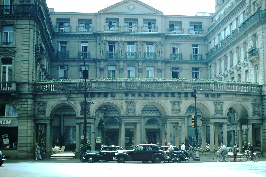
Frankfurt was one of the key cities of West Germany in 1953. Its streets showed the contrast between postwar reconstruction and the surviving pre-war architecture. The Frankfurterhof, one of the city’s grand hotels, stood as a symbol of that continuity.
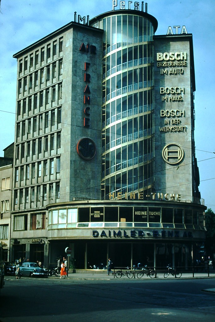
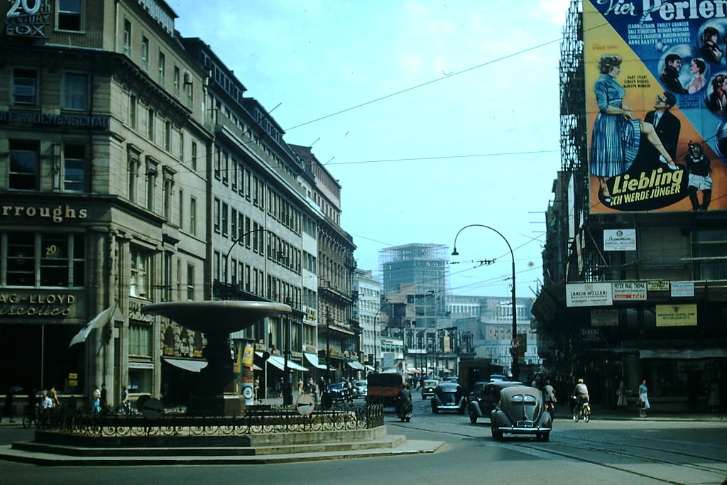
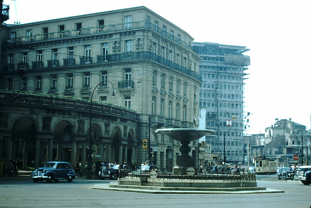
The streets of Frankfurt in 1953 were busy with daily life. Trams, pedestrians, and vehicles moved through a city still piecing itself back together after wartime bombing. By 1953, much of the reconstruction work was already visible.
West Germany’s population in 1950 included approximately 4.5 million Germans displaced from east of the Oder-Neisse line, 3.4 million ethnic Germans from Czechoslovakia, Poland, and other eastern European countries, and 1.5 million from East Germany. Despite this enormous influx, West Germany absorbed these refugees relatively quickly. Their skills and labor contributed directly to what would become one of the fastest economic recoveries in modern history.
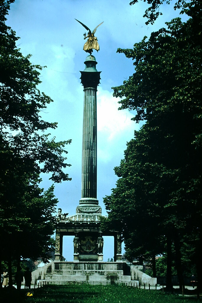
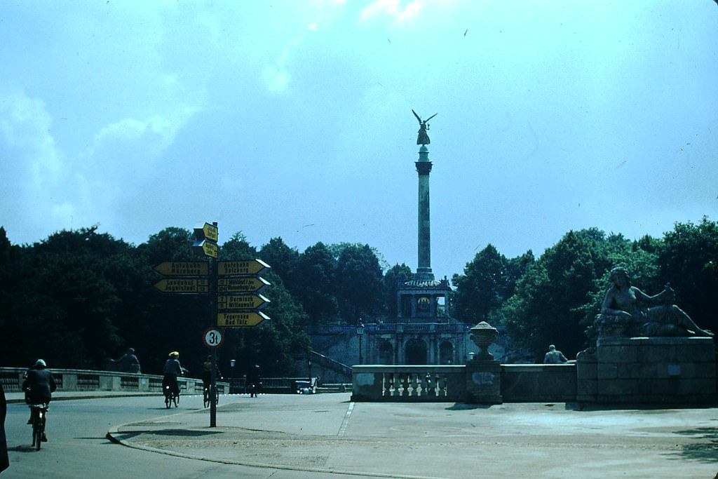
Munich was one of West Germany’s most photographed cities in 1953. The Angel of Peace monument, built in the late 19th century to mark 25 years of peace after the Franco-Prussian War, stood in stark contrast to the war damage still visible elsewhere in the city.
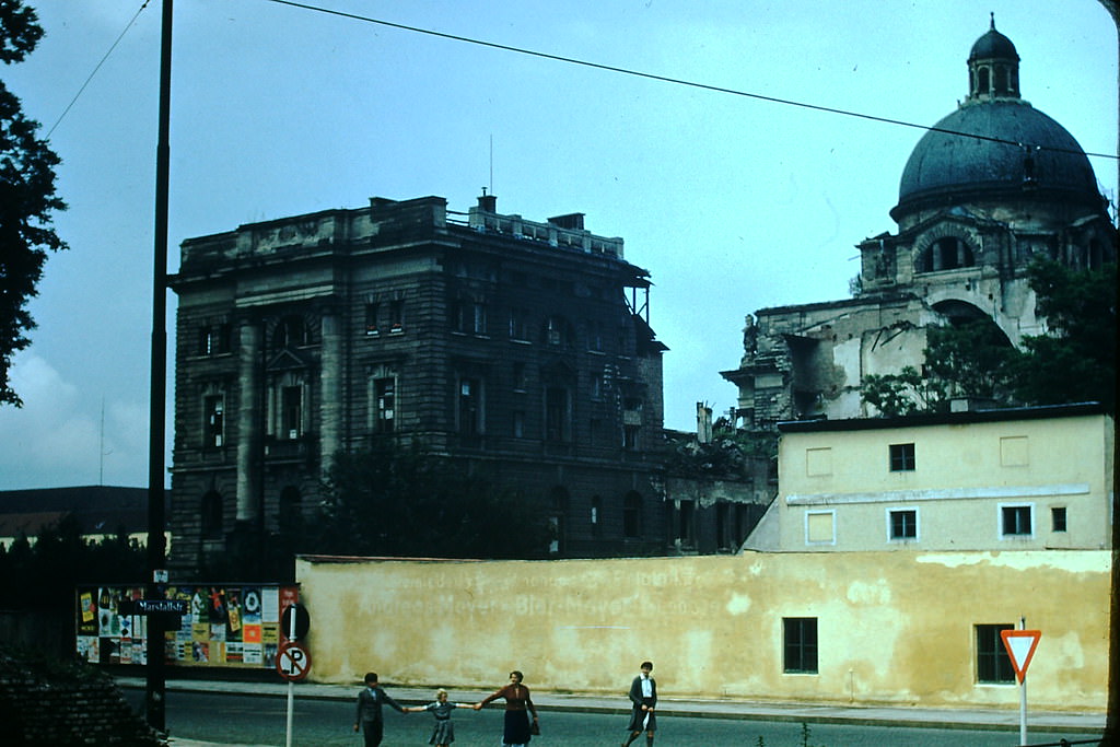
The destruction left by Allied bombing raids was still plain to see in Munich eight years after the war ended. The Army Museum was among the structures heavily damaged, and photographs from 1953 show it still in ruins.
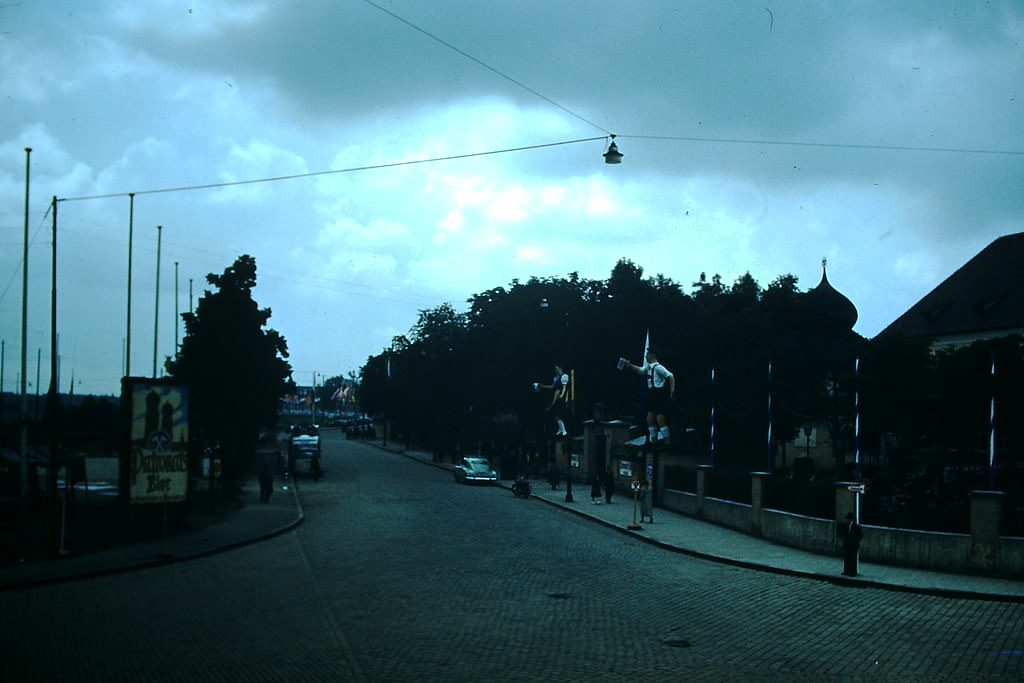
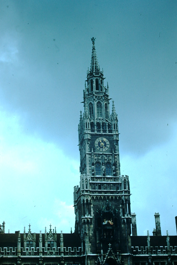
Munich’s famous beer gardens were operating again by 1953, and the city’s cultural life was returning to full swing. The City Hall Clock Tower — home to the iconic Glockenspiel — remained one of Munich’s most recognizable landmarks.
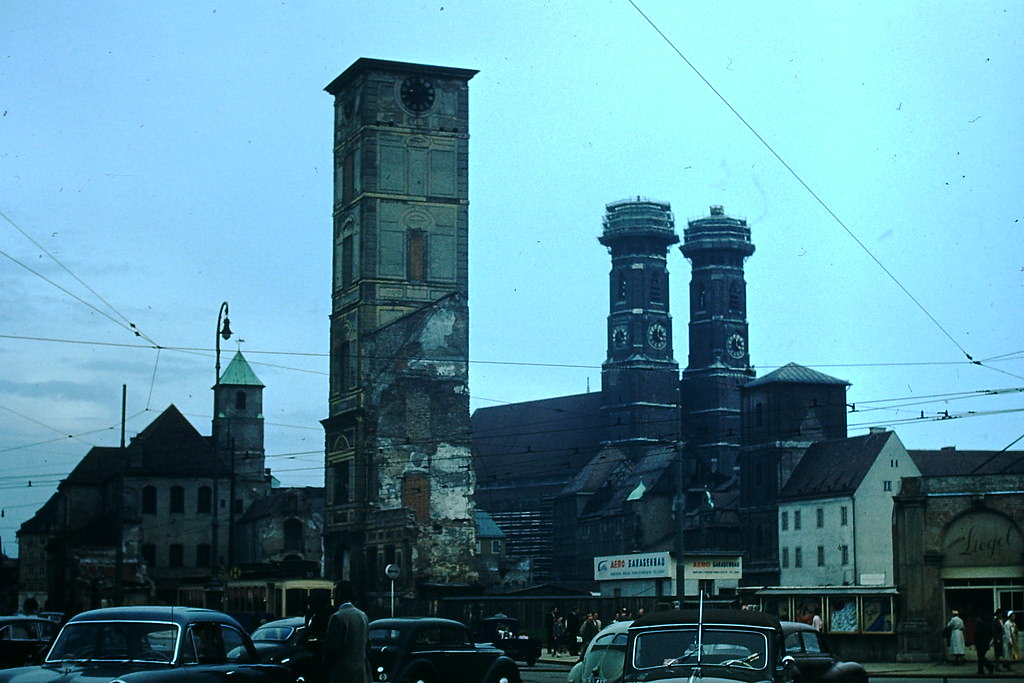
The Frauenkirche, Munich’s cathedral with its twin dome towers, was one of the most important religious landmarks in Bavaria. Like much of Munich, it had survived the war with significant damage but was undergoing restoration by the early 1950s.
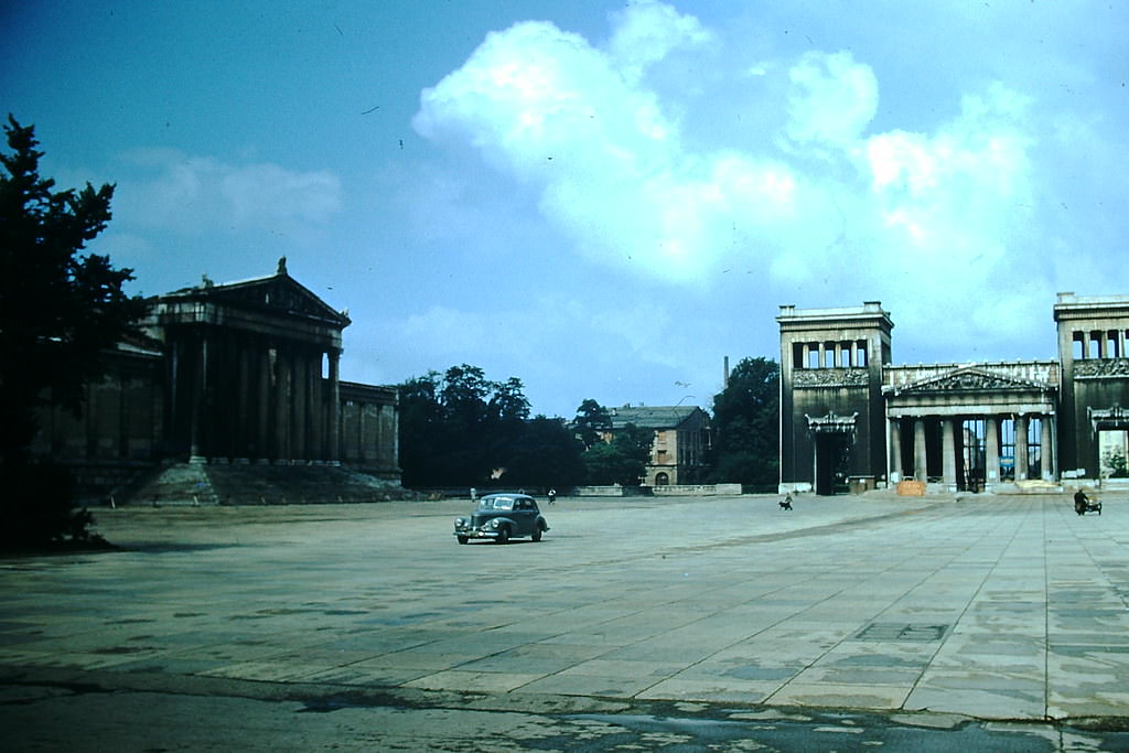
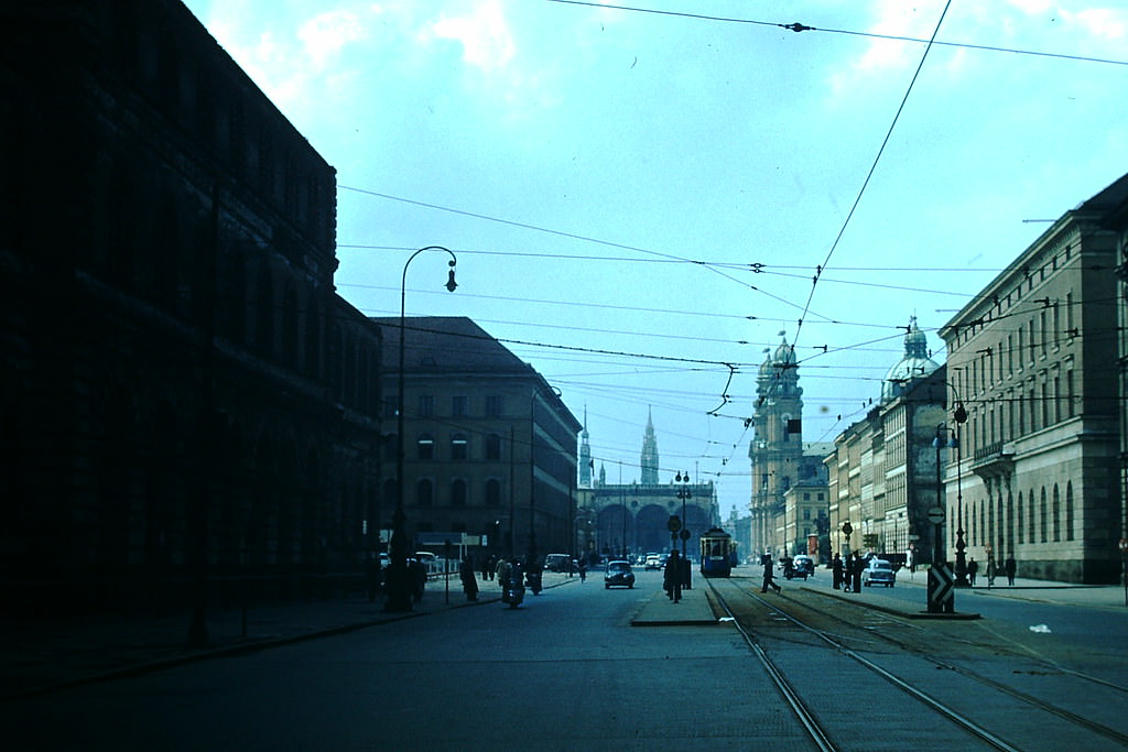
Ludwigstrasse, one of Munich’s grand neoclassical boulevards, stretched from the city center toward the university district. The Theatinerkirche, a Baroque church on the street, was a defining feature of the city’s skyline.
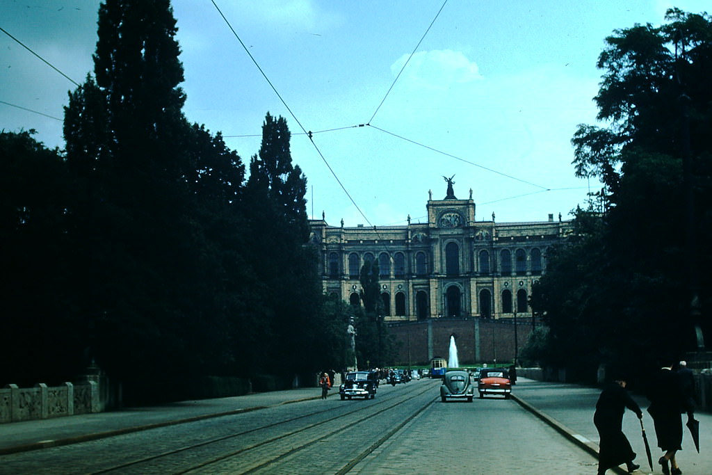
The Maximilianeum, seated high above the Isar River, served as the home of the Bavarian state parliament. In 1953 it represented the functioning democratic governance that West Germany had re-established after the Nazi period.
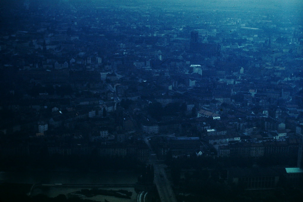
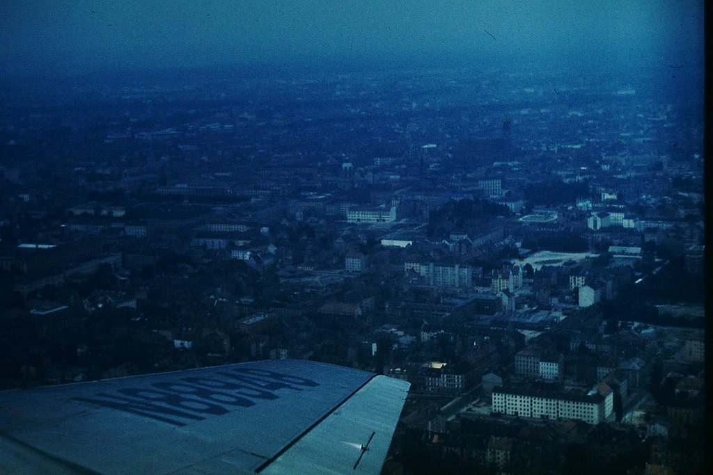
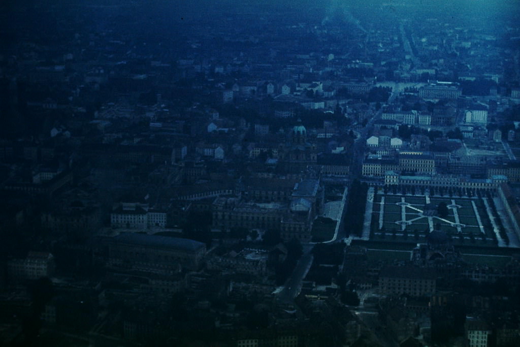
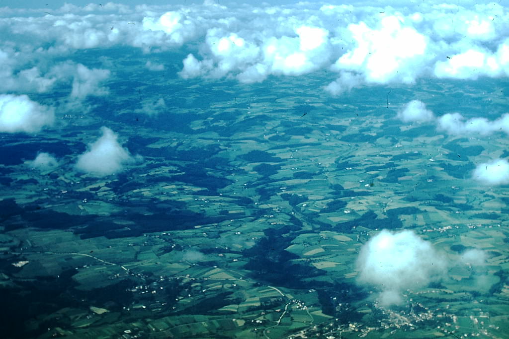
Aerial photographs taken over Munich in 1953 clearly showed the patchwork of rebuilt and still-damaged blocks. The city’s layout remained recognizable, but bomb craters and cleared lots were scattered throughout the urban landscape.
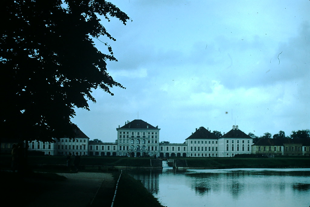
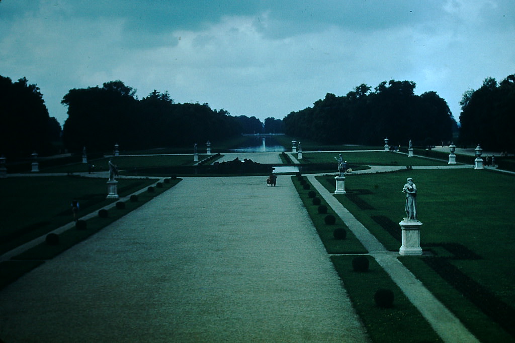
Nymphenburg Palace and its sprawling gardens on Munich’s western edge survived the war in relatively good condition. The palace, originally built as a summer residence for Bavarian royalty in the 17th century, remained one of the largest Baroque palaces in Germany.
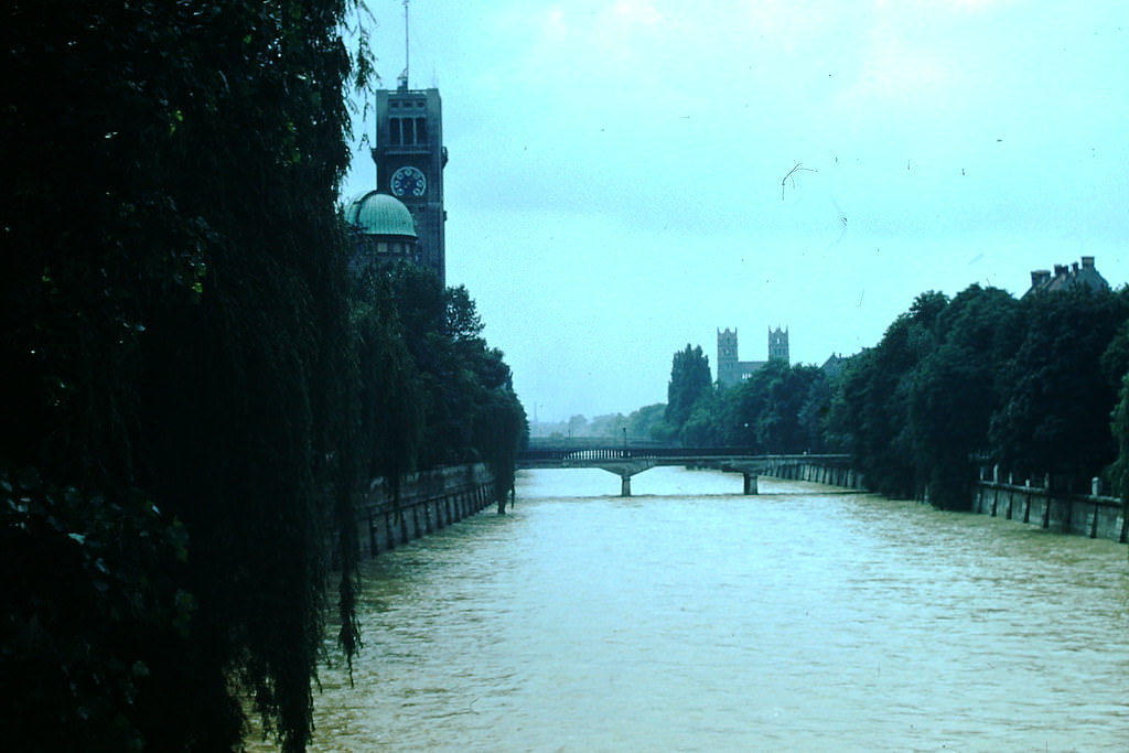
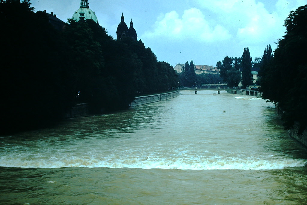
The Isar River runs through the heart of Munich. In 1953, its banks offered residents open space in a city still recovering from wartime destruction. The river’s green corridors contrasted sharply with the rubble-clearing work happening just blocks away.
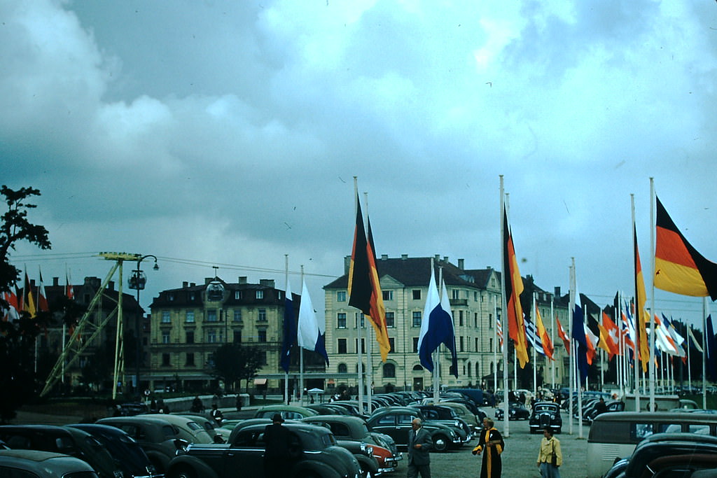
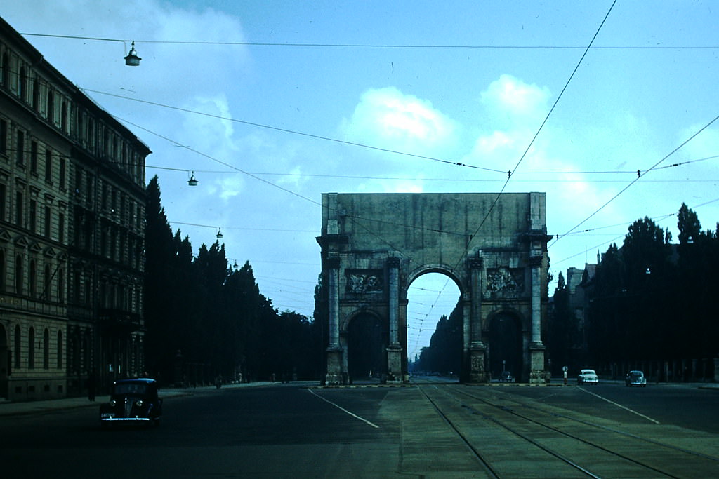
Munich hosted a Transportation Exposition in 1953, a sign that West Germany was already promoting industrial progress and modern infrastructure. The Victory Arch on Ludwigstrasse, built in the 1840s, watched over the city’s gradual revival.
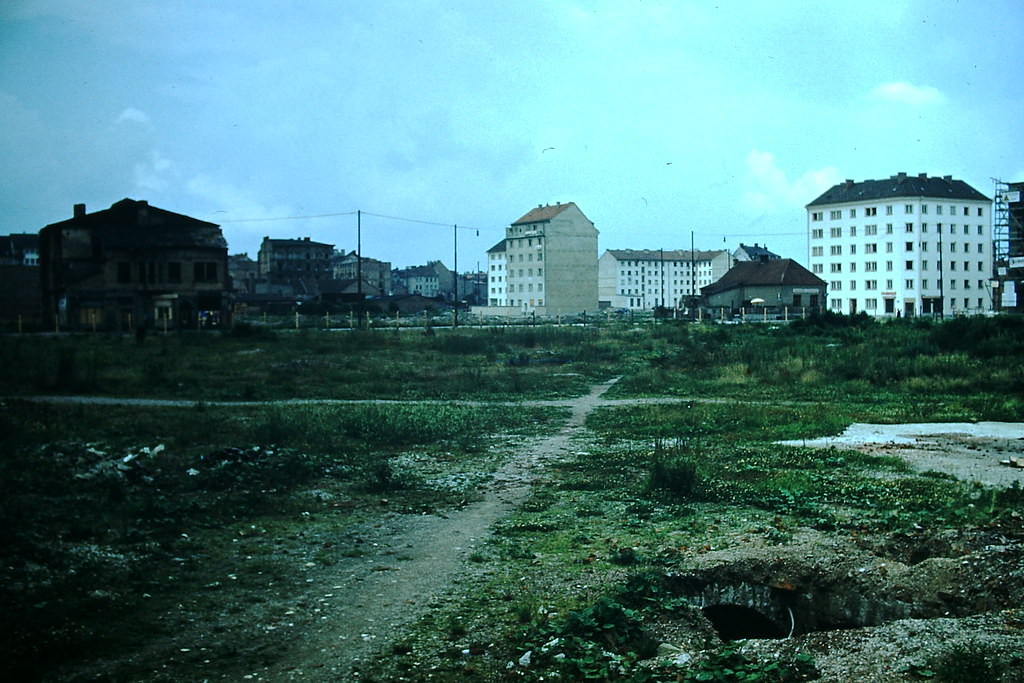
War damage was still widely visible across Munich in 1953. Allied bombing during World War II had destroyed nearly 60 percent of the city’s buildings. Eight years after the war ended, many sites had not yet been rebuilt.
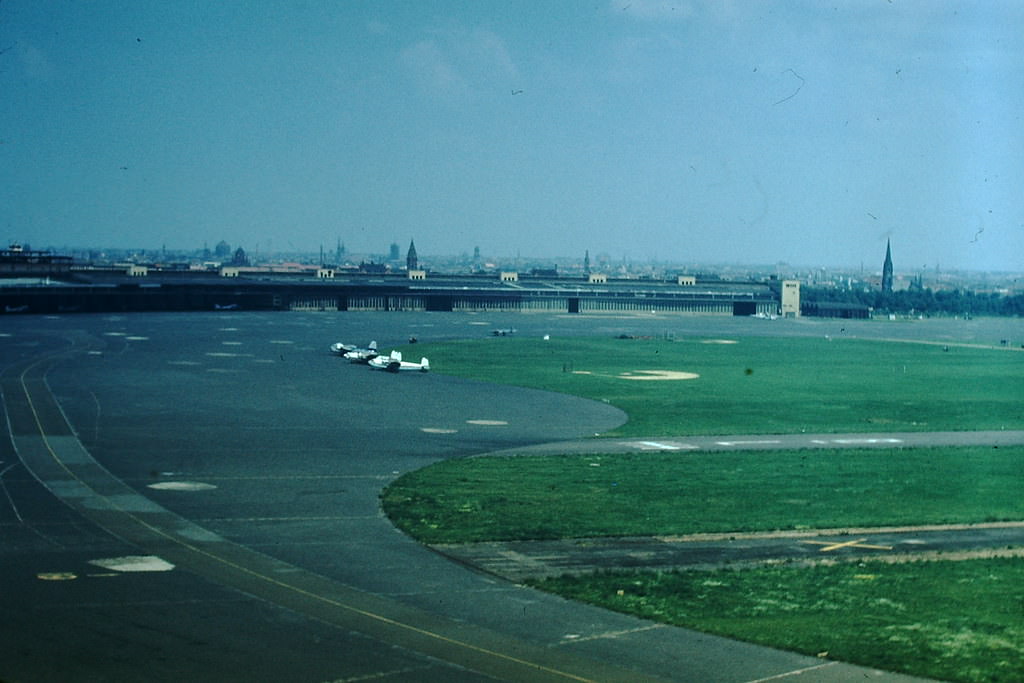
Berlin occupied a unique position in 1953. Located deep inside East Germany, the western sectors of the city were governed by the United States, Britain, and France. Getting to West Berlin required flying over East German territory, making the airport a critical point of entry.
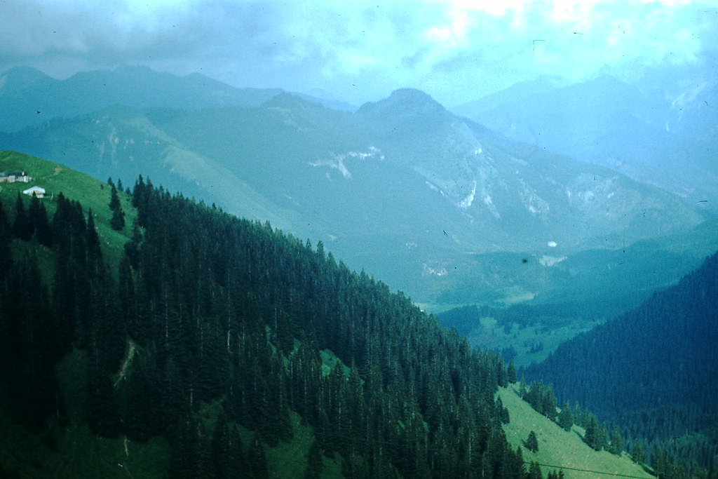
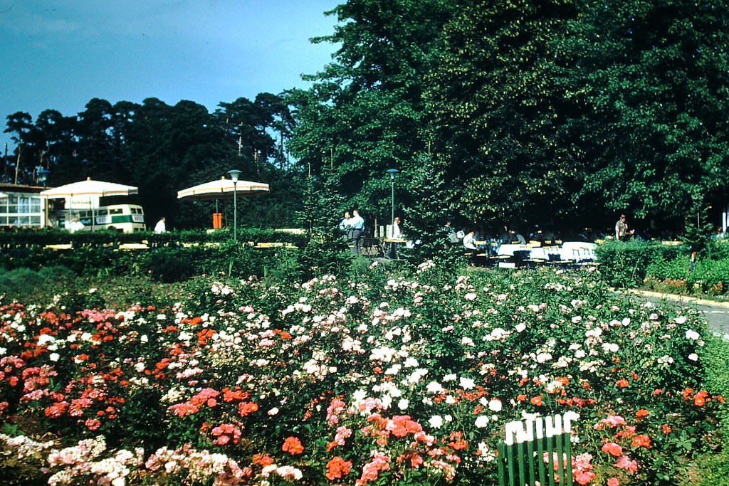
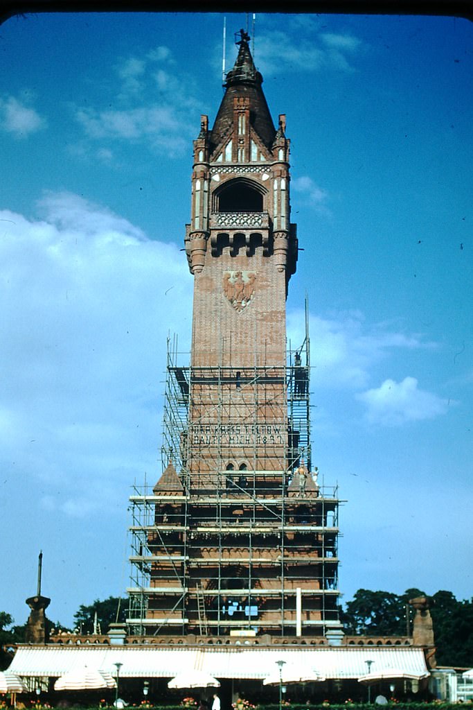
Outside the cities, the Bavarian Alps offered a completely different view of West Germany. The Wallberg lift near Tegernsee gave visitors sweeping views of the mountain range. Meanwhile, in Berlin, the Kaiser Wilhelm Tower stood in one of the city’s forested western parks.
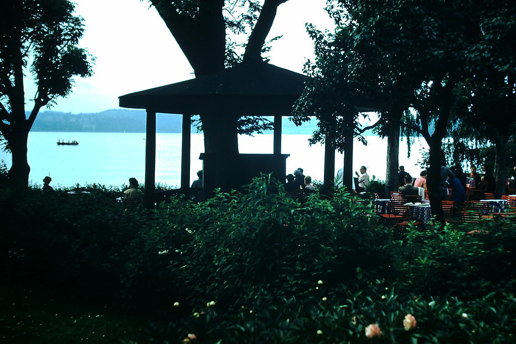
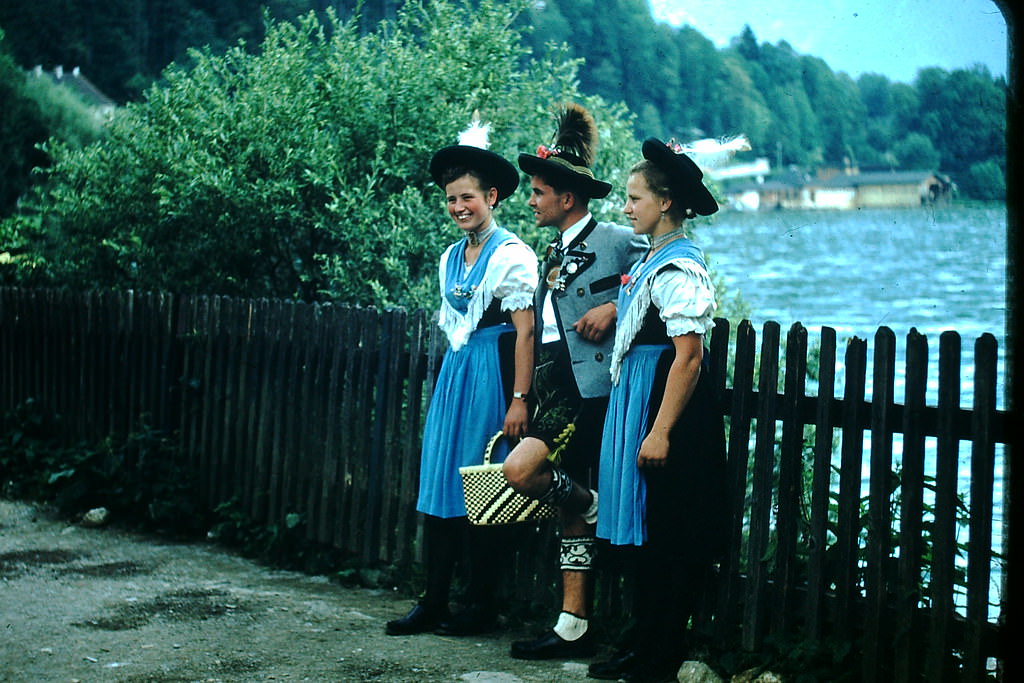
Tegernsee, a lake southeast of Munich in the foothills of the Alps, was a popular resort area. Beer gardens lined the lakeshore, and visitors dressed in traditional Bavarian clothing were a common sight.
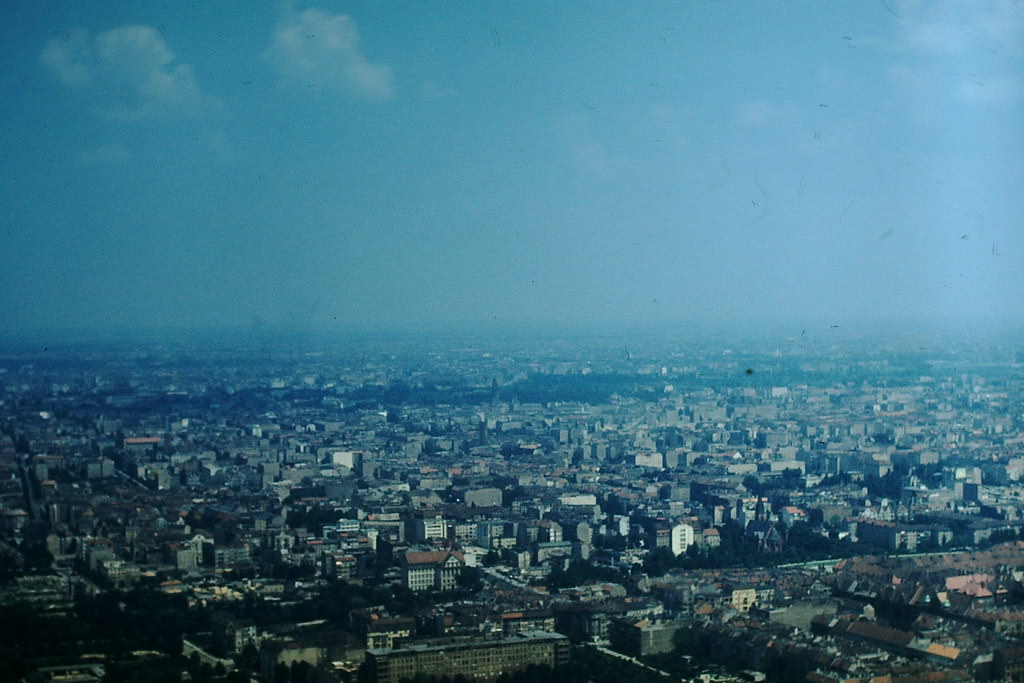
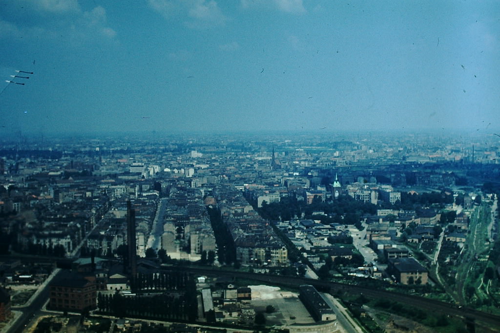
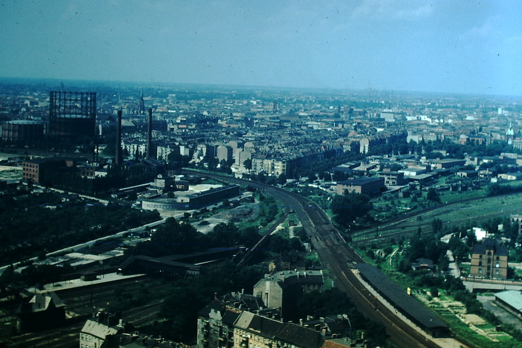
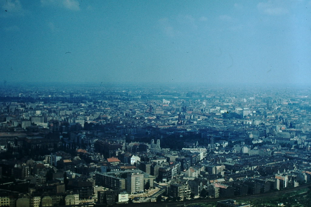
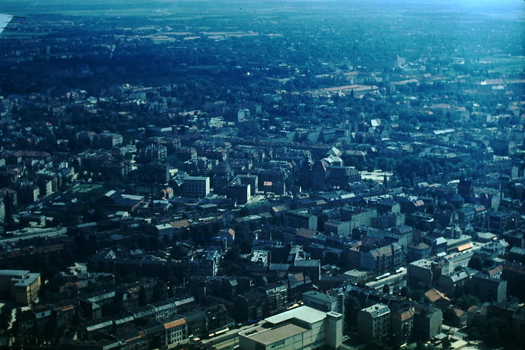
Aerial views of Berlin in 1953 told the clearest story of wartime destruction. Large sections of the city remained cleared of rubble but unbuilt. The grid of streets was intact, but the blocks they framed were often empty or partially demolished.
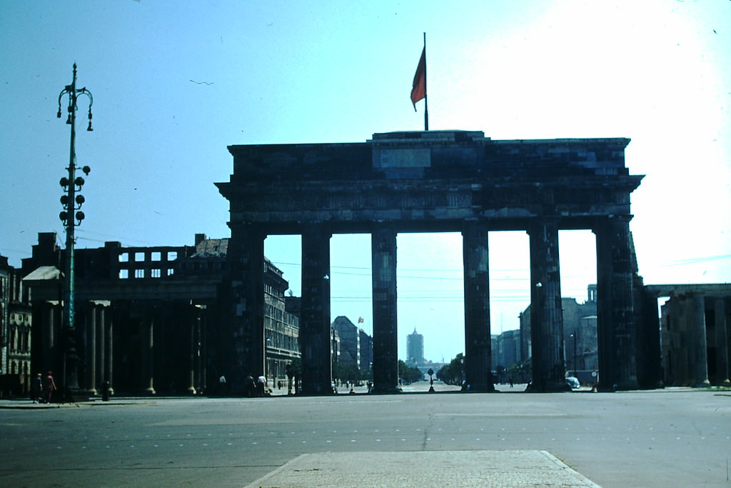
The Brandenburg Gate stood at the boundary between the Soviet and Western sectors of Berlin. Built in the late 18th century as a symbol of Prussian power, it had become one of the most potent symbols of Germany’s Cold War division by 1953.
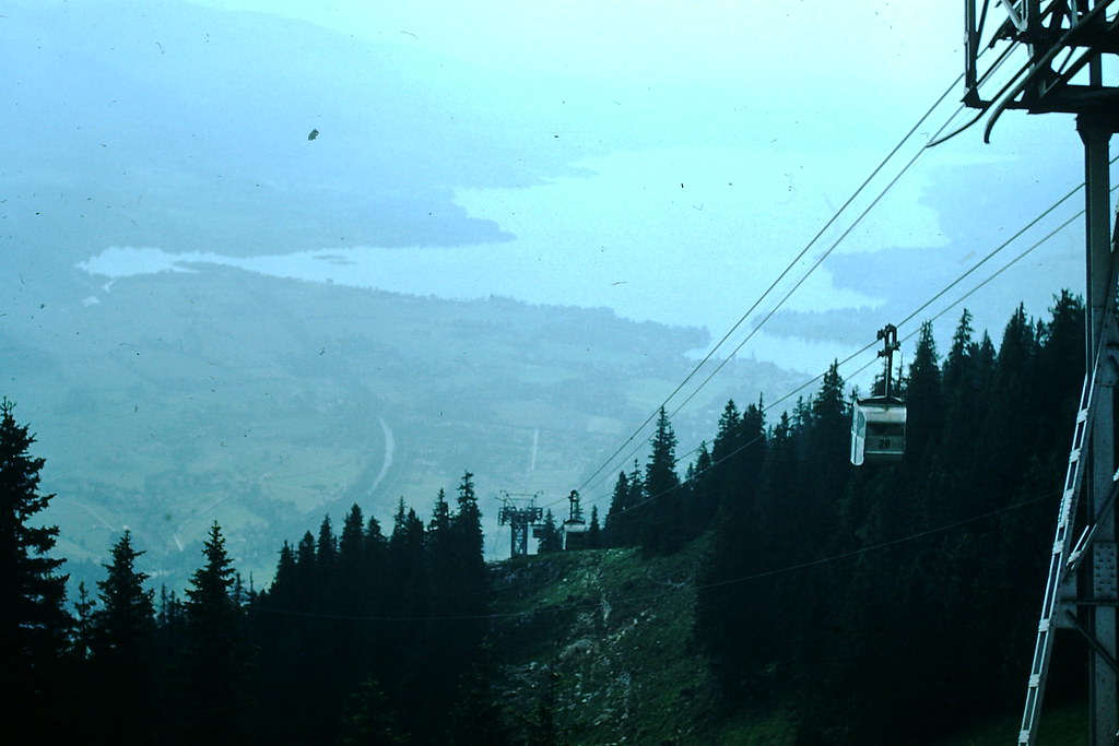
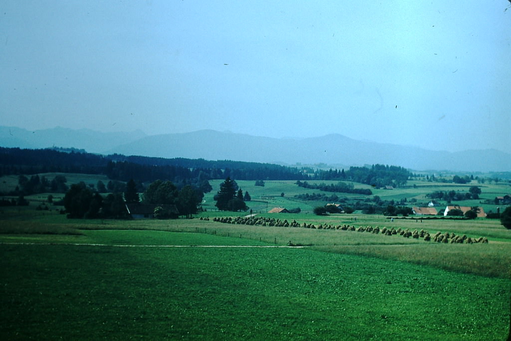
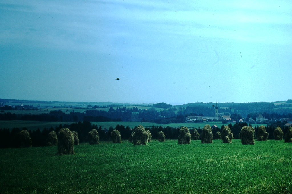
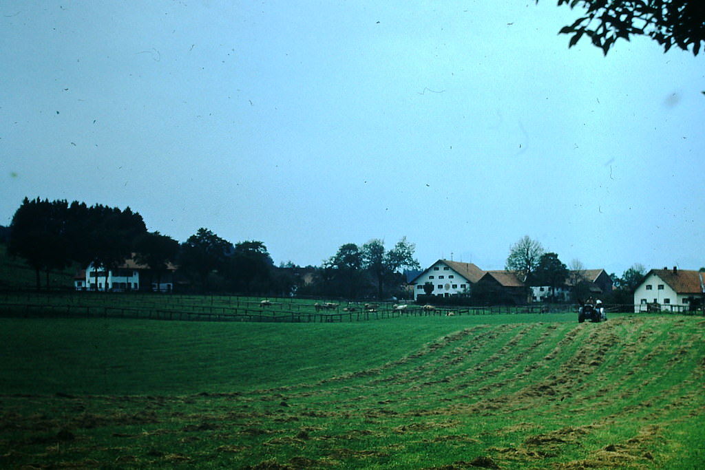
Bavaria’s countryside in 1953 showed a rural West Germany largely untouched by the urban destruction of the war years. Rolling hills, farmland, and alpine villages gave the region a very different character from the rebuilt city centers.
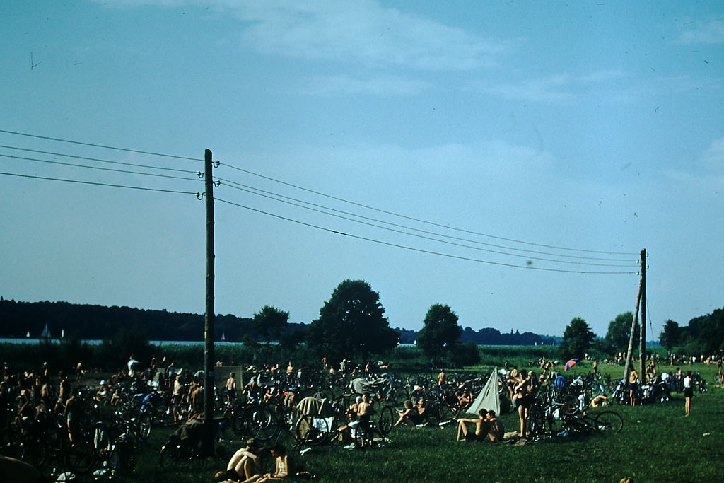
Wannsee, on the western edge of Berlin, was a popular weekend destination for West Berliners in 1953. Its lakes attracted large crowds looking to escape the still-damaged urban core of the city.
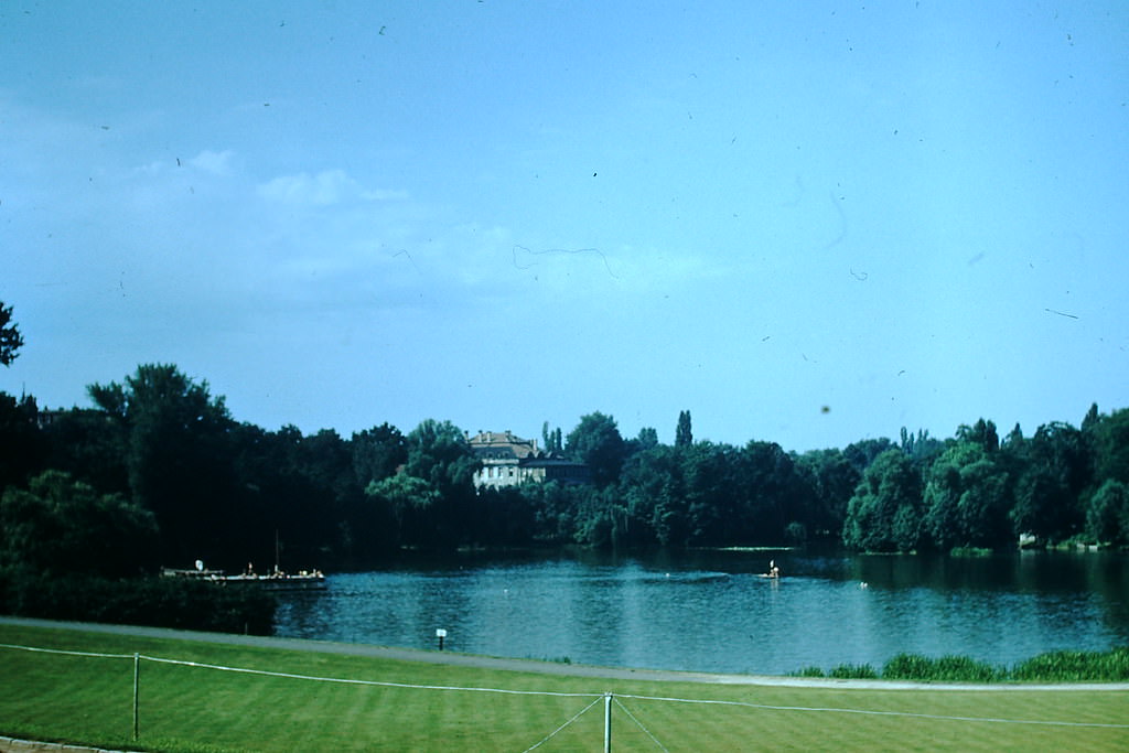
The Charlottenburg district in West Berlin was one of the more intact parts of the city. Halensee, a small lake within the district, sat in a largely residential area. Charlottenburg had served as the effective center of West Berlin’s commercial and cultural life.
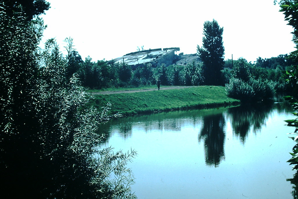
The Tiergarten district still bore visible signs of the war in 1953. The former headquarters of anti-aircraft defenses in the area stood as a physical reminder of Berlin’s wartime military infrastructure, even as the city rebuilt around it.
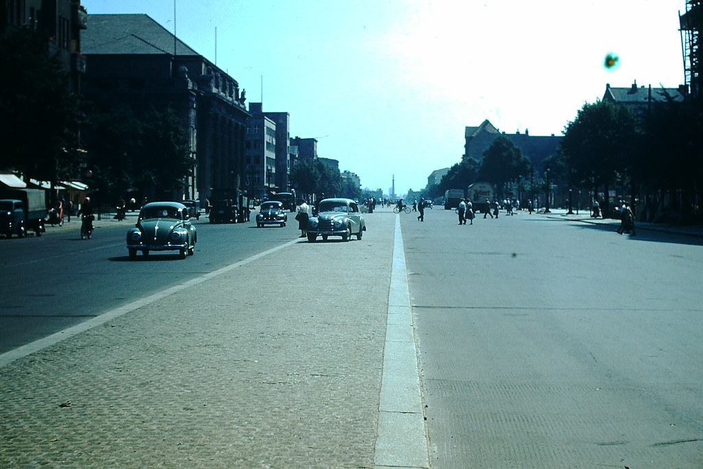
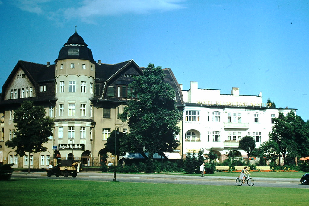
Kaiserdamm was one of Berlin’s major thoroughfares, running east toward the city center from the western suburbs. By 1953, traffic had returned to its wide lanes, and the rebuilding of adjacent blocks was underway.
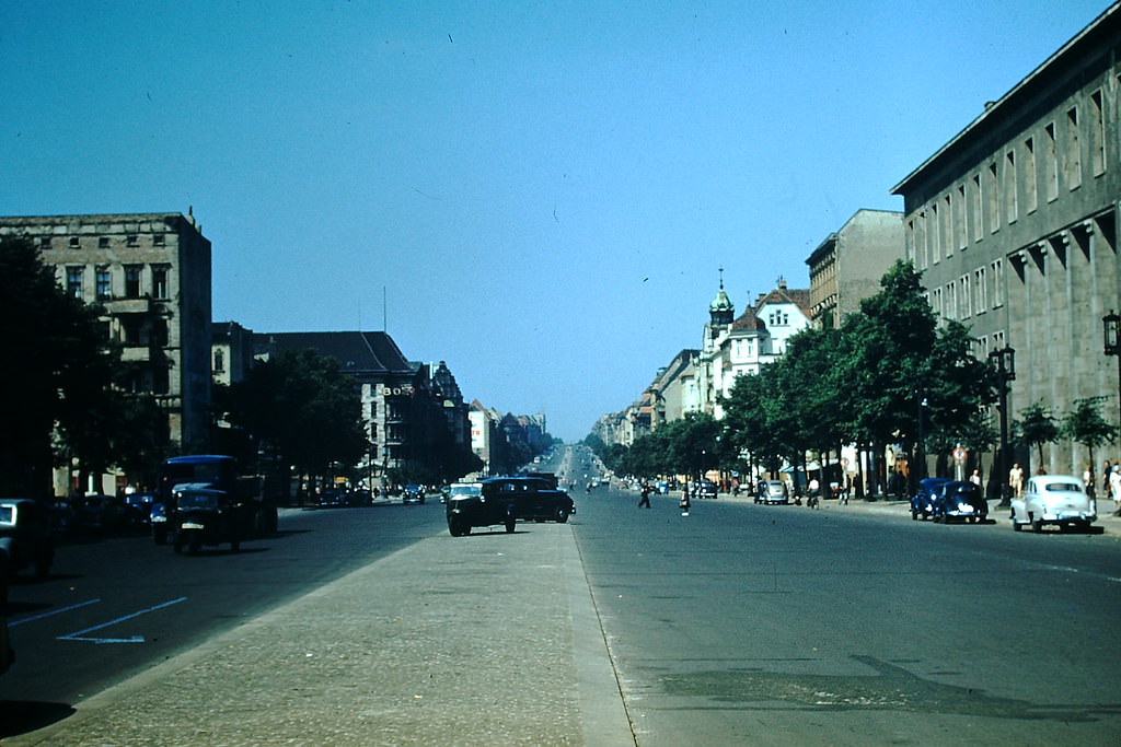
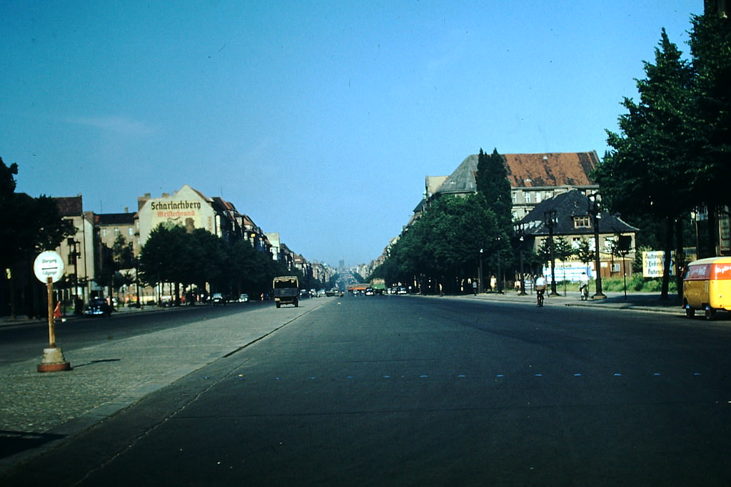
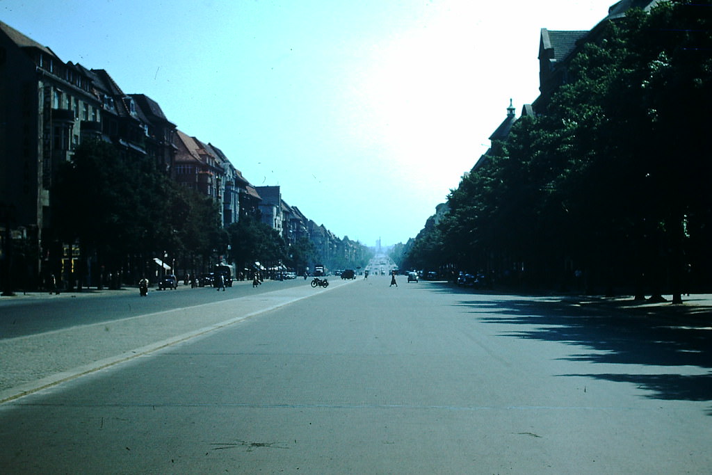
Kaiserdamm formed part of Berlin’s East-West Axis, a major road aligned by the Nazi government in the 1930s. In 1953, it still served as a primary artery through the western part of the city, linking landmarks from the Olympic Stadium to the Brandenburg Gate.
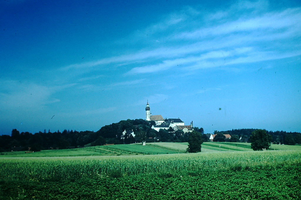
Kloster Andechs, a Benedictine monastery on a hilltop southwest of Munich, had been a place of pilgrimage since the Middle Ages. In 1953 it was also well known for its brewery, which had been producing beer on the grounds for centuries.
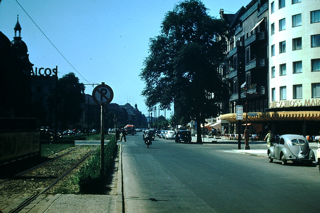
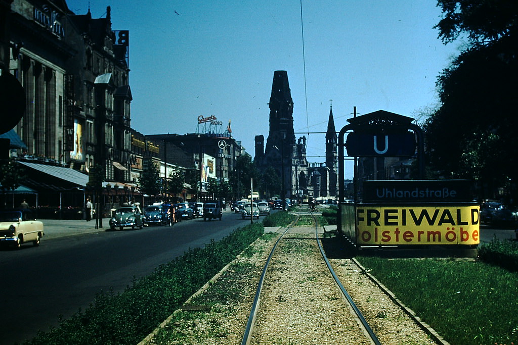
The Kurfürstendamm, known commonly as the Ku’damm, was the main commercial boulevard of West Berlin. Lined with shops, cafes, and cinemas, it became a showcase for Western consumer culture during the Cold War, deliberately contrasting with the austerity visible in the Soviet sector.
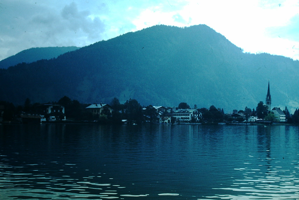
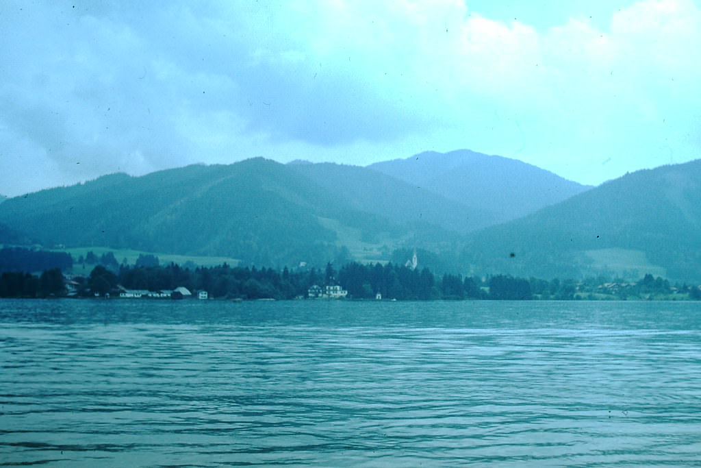
Tegernsee offered clear views of the Alps on the horizon. The lake’s calm surface and the surrounding forested slopes drew visitors from Munich and beyond throughout the summer months.
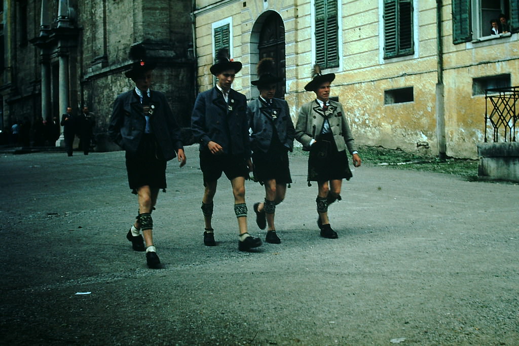
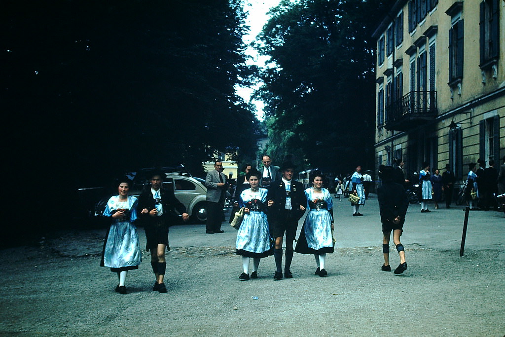
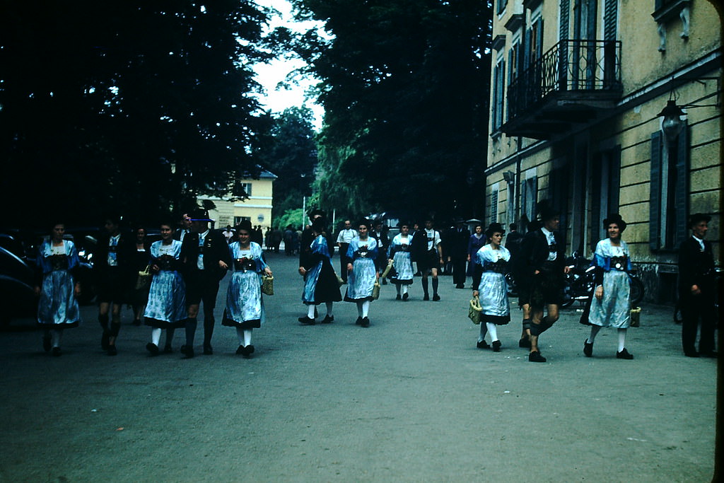
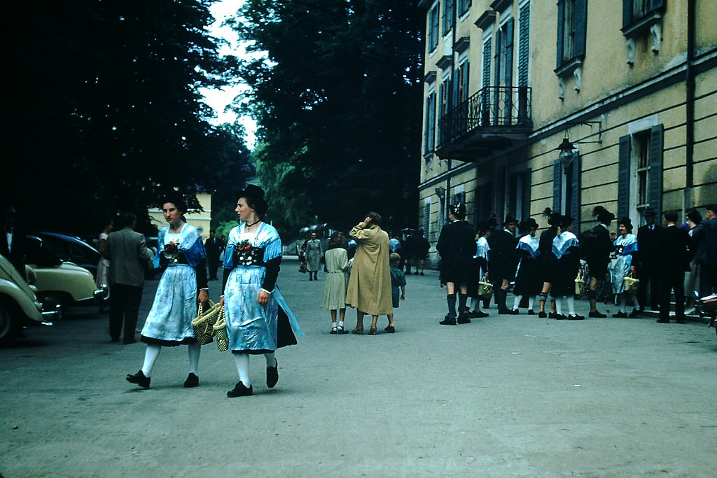
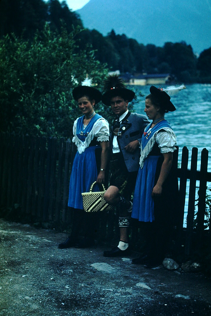
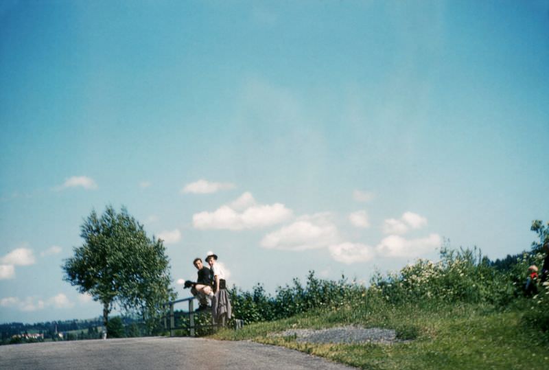
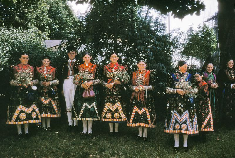
Traditional Bavarian dress — dirndls for women and lederhosen for men — was commonly worn at festivals and gatherings around Tegernsee in 1953. These customs had survived the Nazi period and the war, and Bavarians embraced them as part of their distinct regional identity.
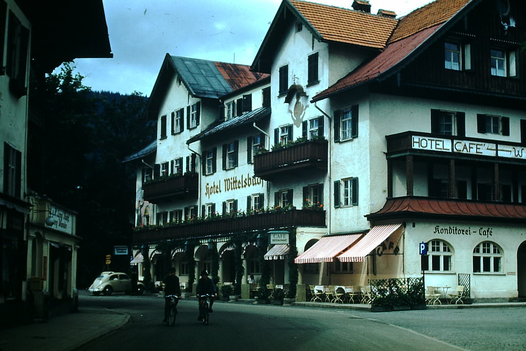
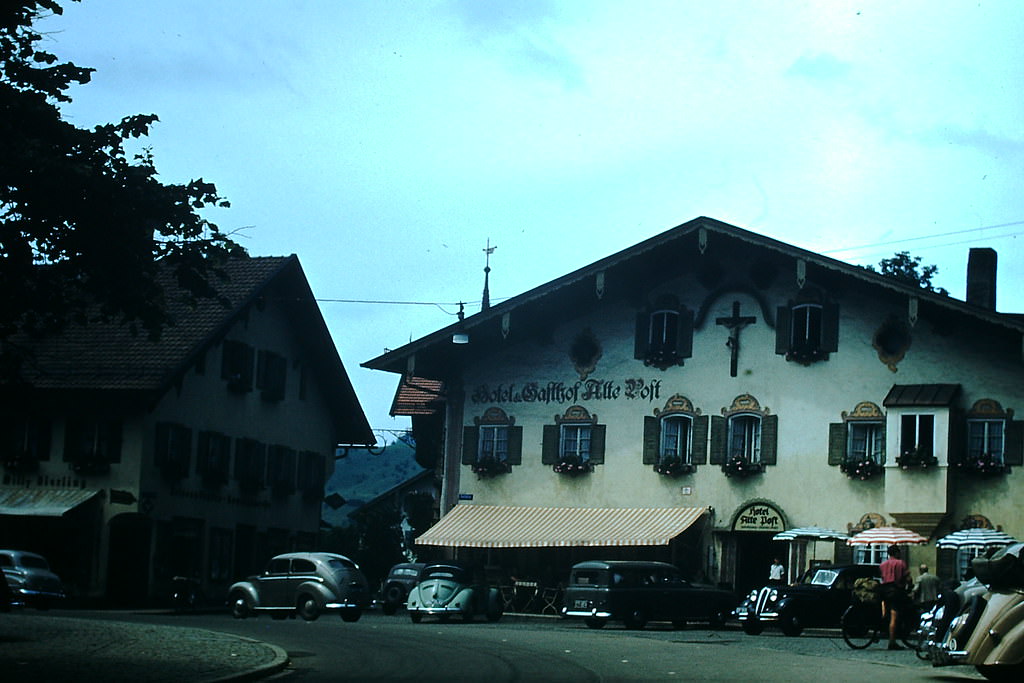
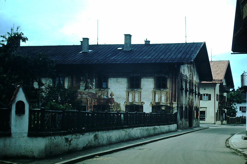
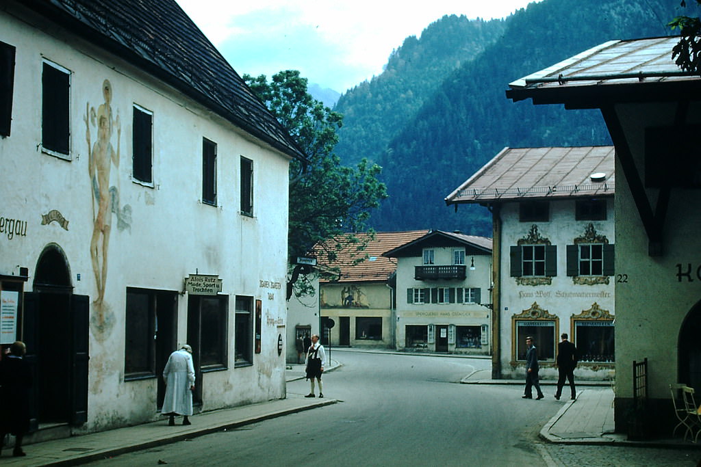
Oberammergau, a village in the Bavarian Alps, was internationally known for its Passion Play — a dramatic retelling of the final days of Jesus Christ performed every ten years by the villagers. The 1950 performance had drawn large audiences from across Europe and North America, and the town remained a tourist draw in 1953.
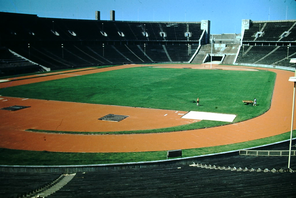
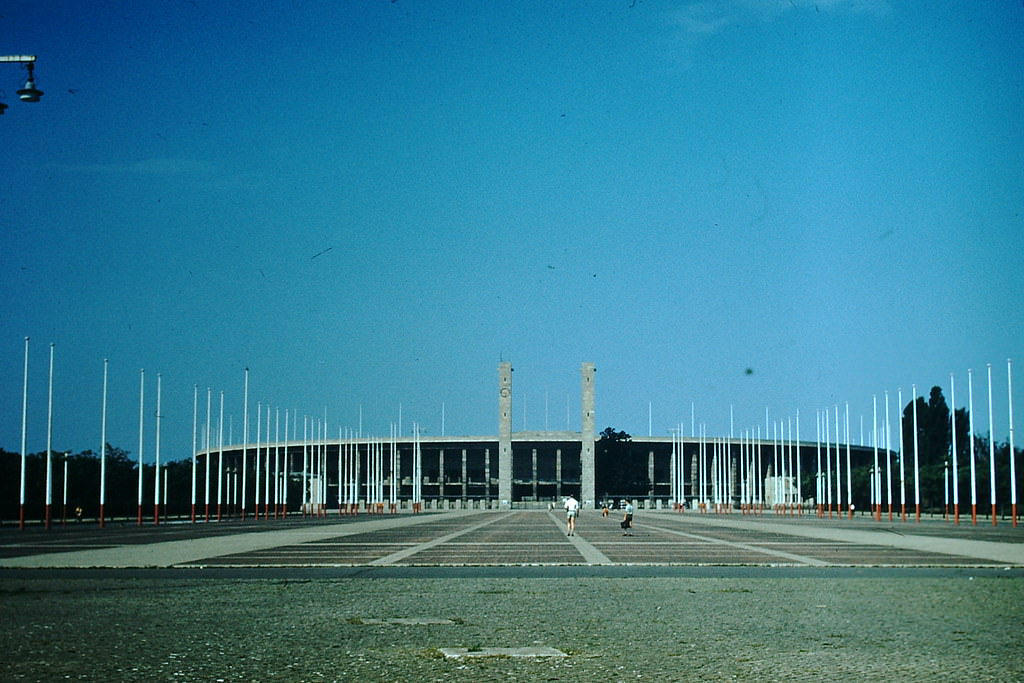
Berlin’s Olympic Stadium, built for the 1936 Summer Games under the Nazi regime, was still standing in 1953 in relatively intact condition. It sat in the British sector of West Berlin and was used for sporting events during the postwar years.
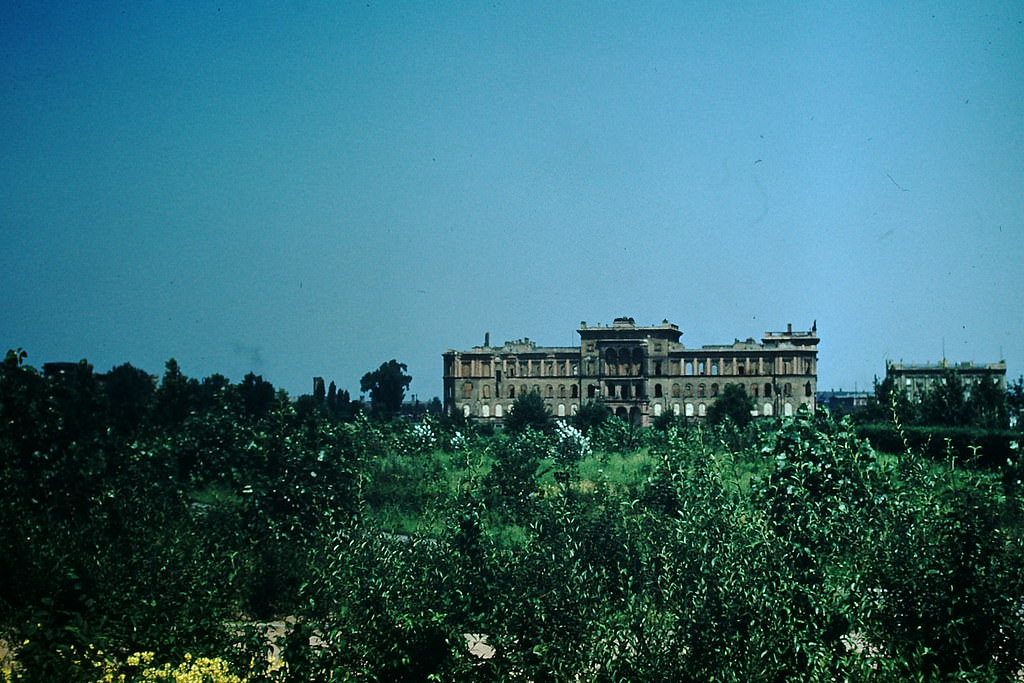
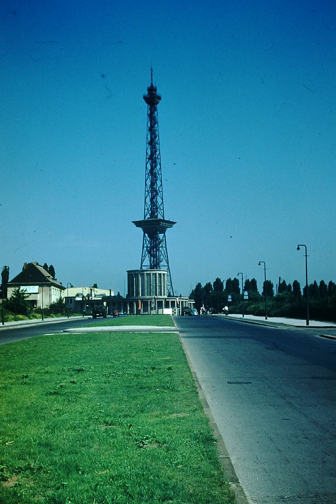
The Radio Tower in the British sector of Berlin had been built for a radio exhibition in 1926 and remained one of the city’s most visible landmarks. In the Cold War context of 1953, radio broadcasting held strategic importance — both Western and Soviet authorities used it as a tool for reaching audiences across the divided city and beyond.
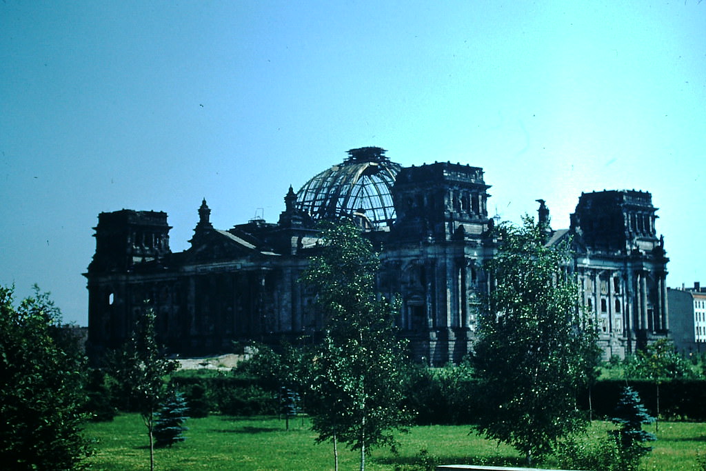
The Reichstag building, Germany’s former imperial parliament, sat gutted and abandoned in 1953. Burned in 1933 and badly damaged during the Battle of Berlin in 1945, it stood just inside the British sector, close to the Soviet zone boundary. It was not used as a functioning building and was left largely as it was.
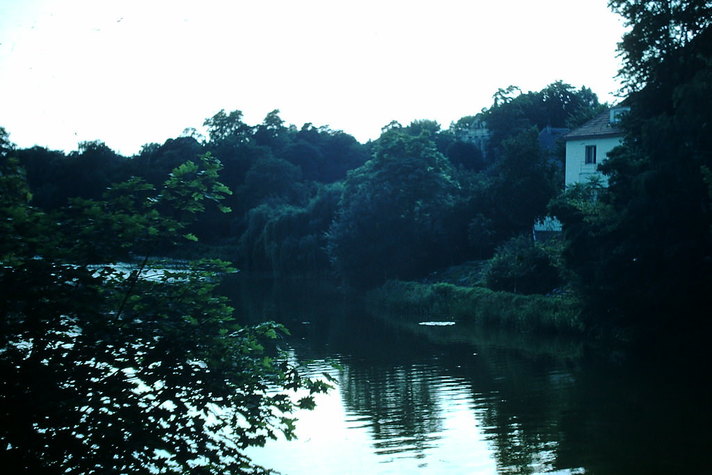
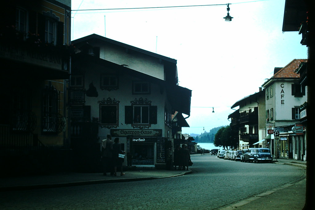
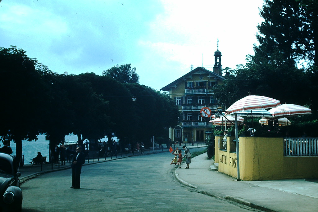
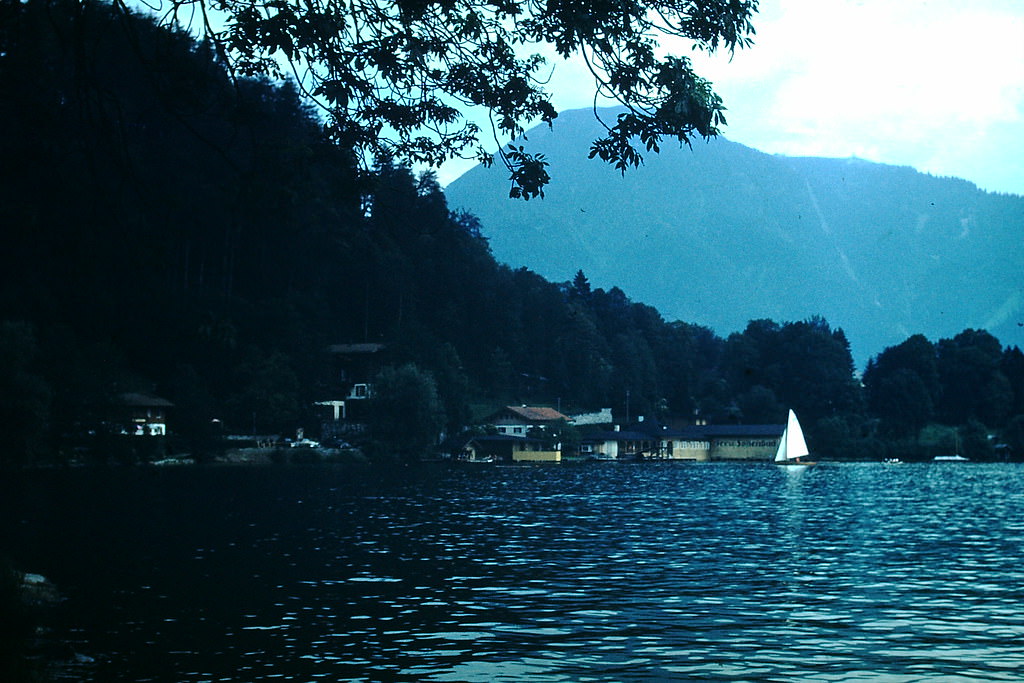
Resort hotels along the shores of Tegernsee catered to both domestic and international visitors. The area had been a retreat for Munich’s wealthy residents since the 19th century and continued to draw guests seeking alpine scenery and fresh mountain air.
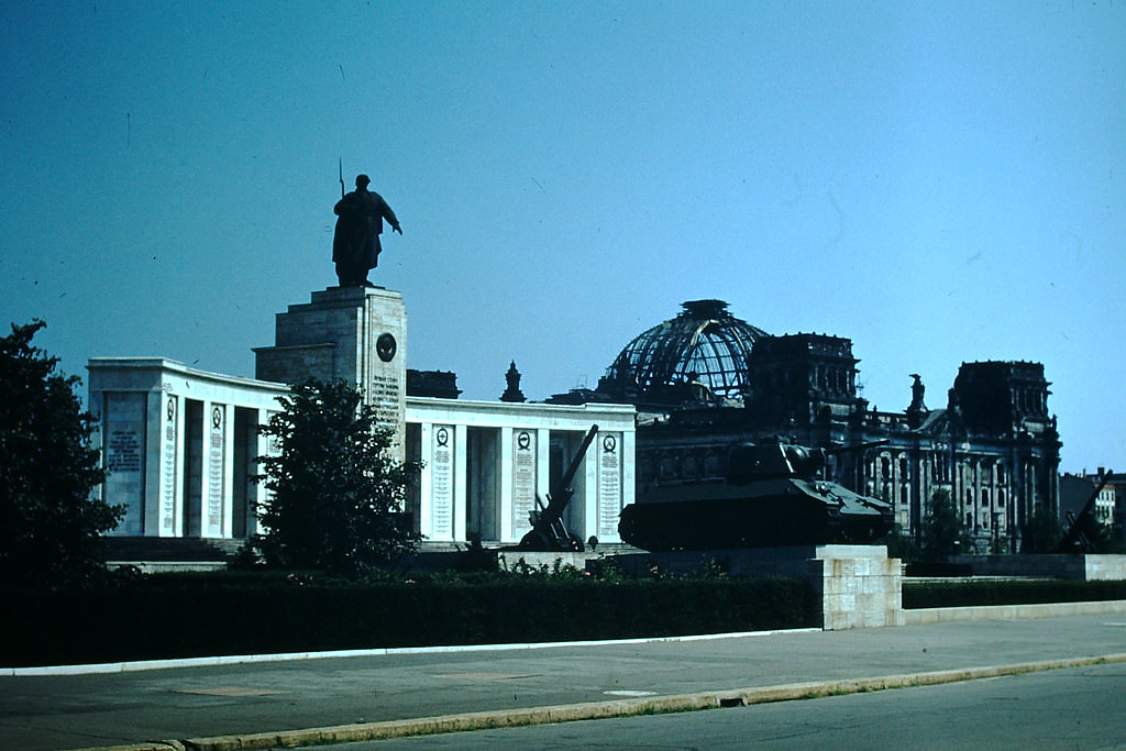
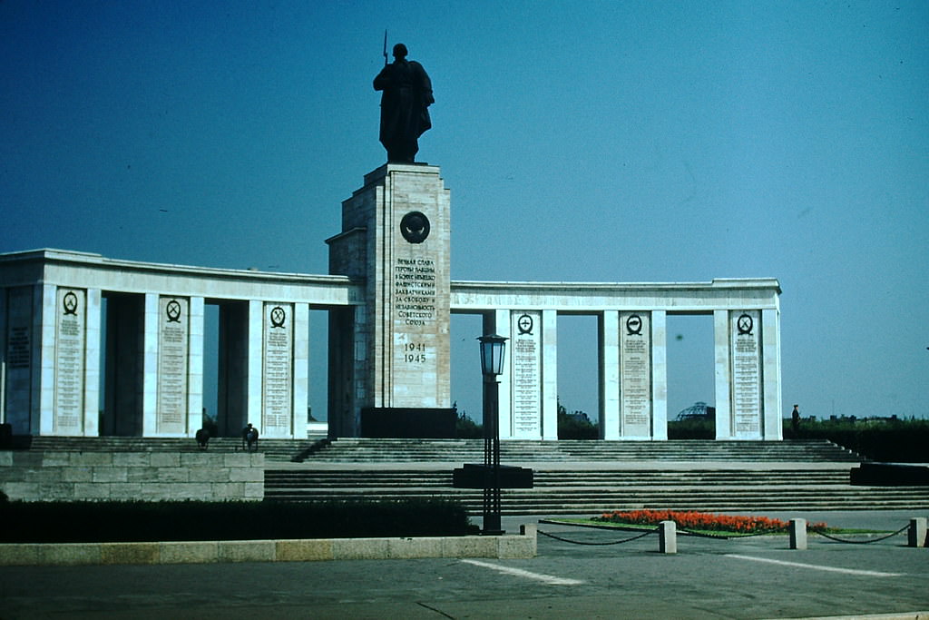
The Soviet War Memorial in the Tiergarten was built in 1945 to honor the Red Army soldiers who died during the Battle of Berlin. It commemorated 480 Soviet soldiers buried at the site. The memorial stood in the British sector of West Berlin but was maintained by Soviet guards — an unusual arrangement reflecting the complex agreements between the occupying powers.
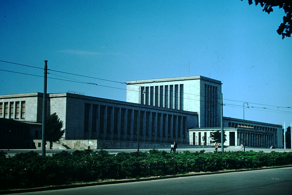
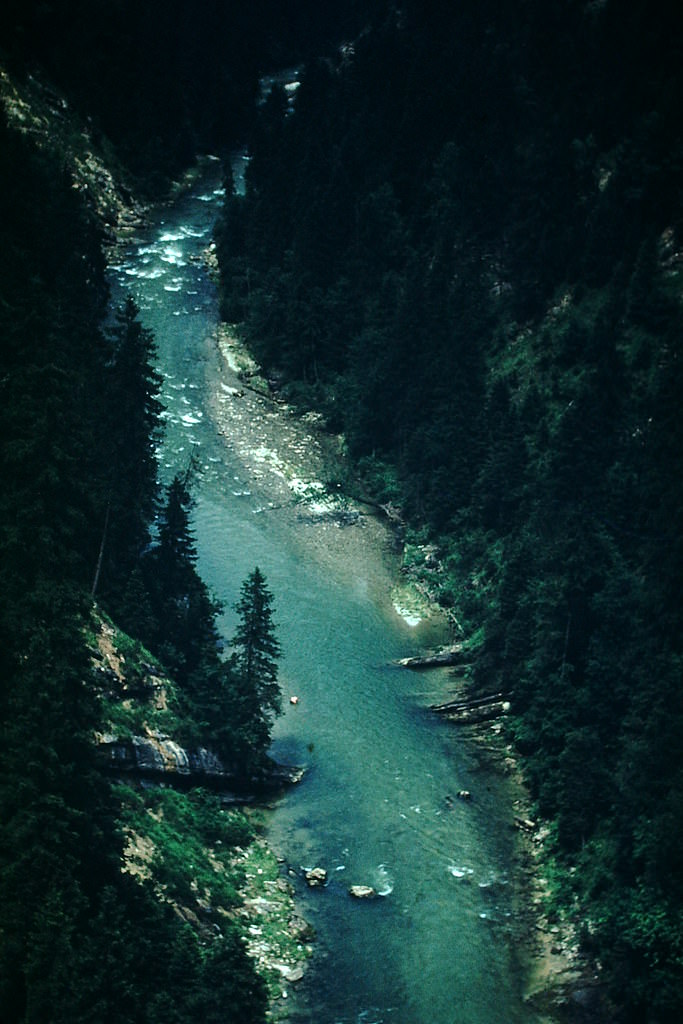
Away from the cities, Bavaria’s rivers and streams ran through villages largely unchanged by the war. The view from the Eschenloher Bridge captured the quiet pace of rural Bavarian life that existed alongside the rapid industrial rebuilding happening in the cities.
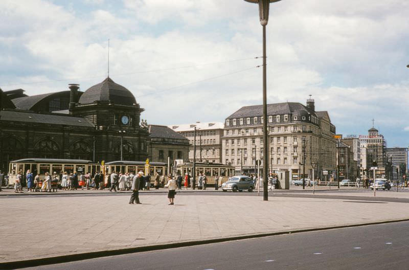
Frankfurt’s main railway station was one of the largest in Germany. By 1953, rail connections across West Germany were being actively restored and expanded, and Frankfurt’s station served as a major hub for both passengers and freight.
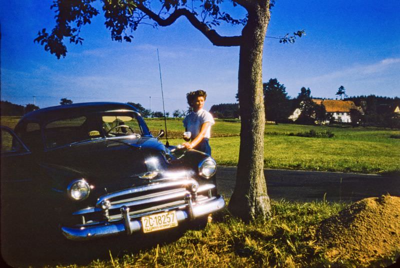
American cars were a visible presence in West Germany in 1953, particularly around U.S. military bases and in areas frequented by American personnel. A 1951 Chevrolet traveling through Bavaria was a sign of the American influence brought by the postwar occupation.
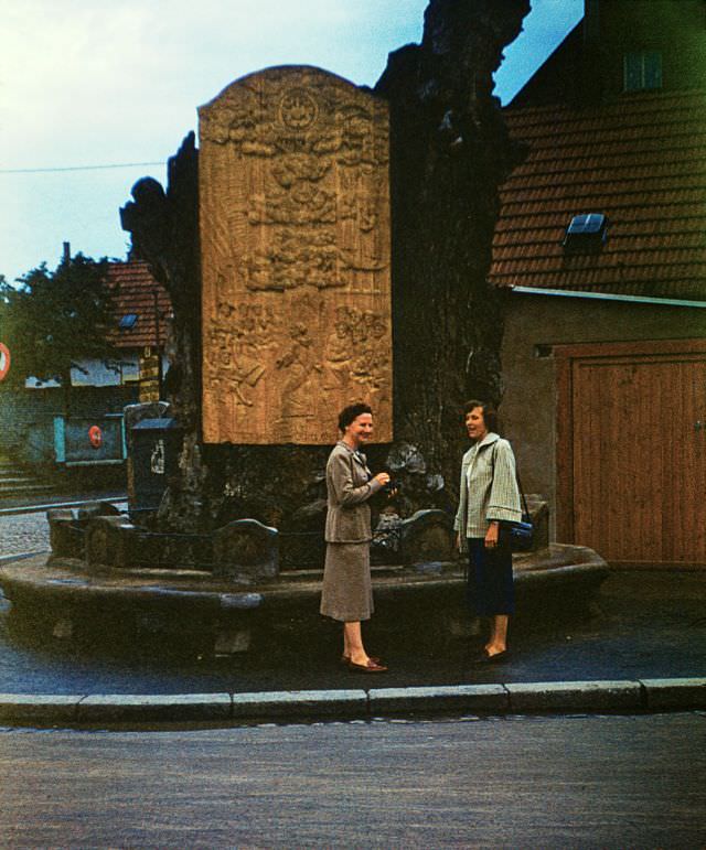
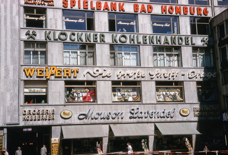
The Hauptwache in central Frankfurt was a former guardhouse that had become one of the city’s main public squares. The commercial buildings surrounding it in 1953 reflected Frankfurt’s role as West Germany’s financial center, a position it was rapidly consolidating.
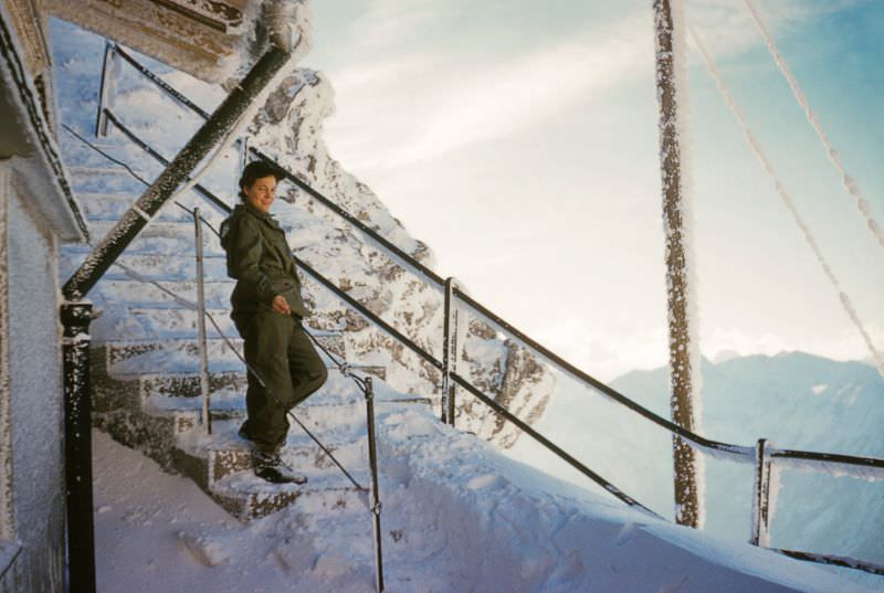
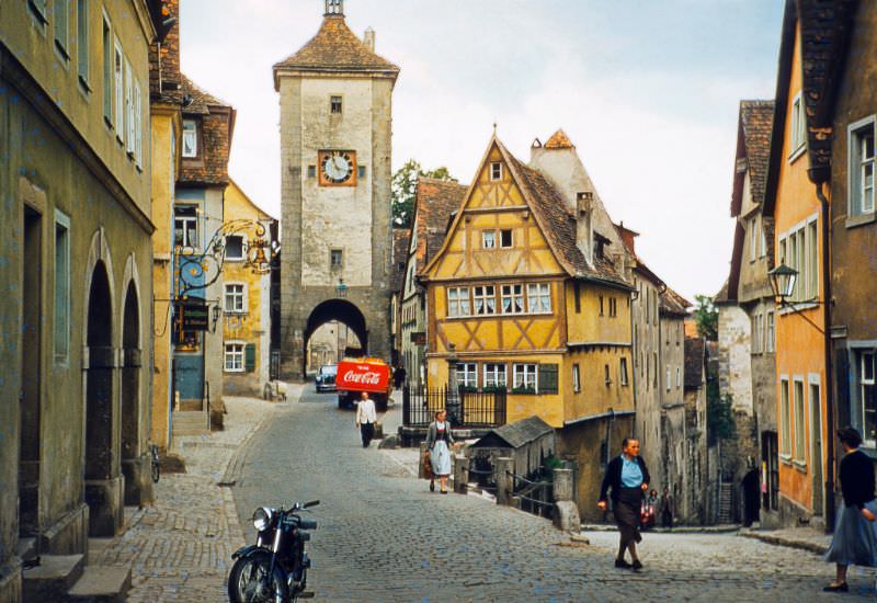
Rothenburg ob der Tauber was one of the best-preserved medieval towns in Germany. Its walls, towers, and timbered buildings had largely survived the war. Siebers Tower formed part of the town’s intact fortification ring.
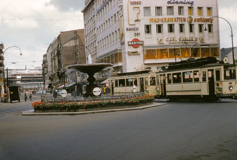
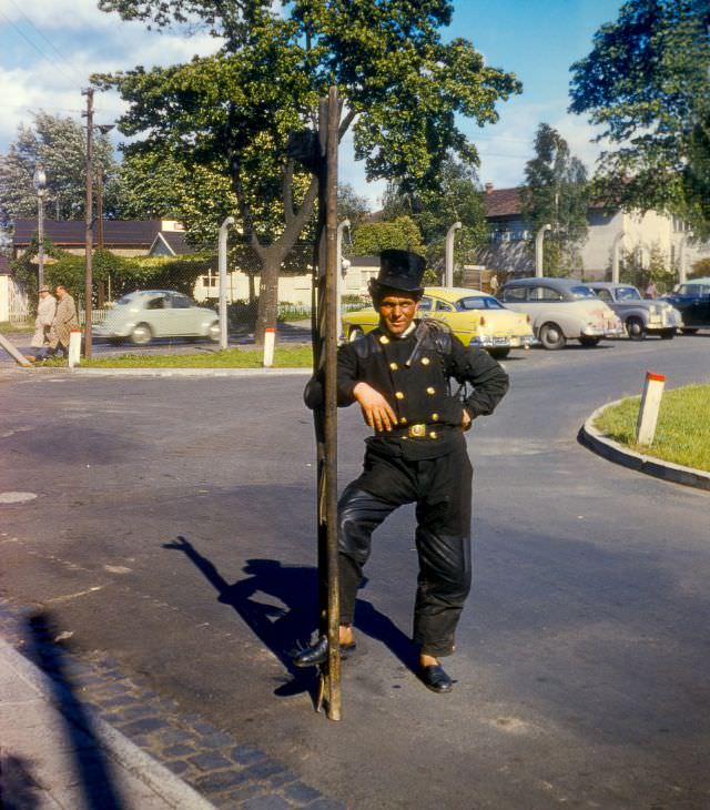
The 97th General Hospital in Frankfurt was one of the U.S. Army’s major medical facilities in Europe. Its presence was part of the large American military footprint in West Germany. A chimney sweep photographed outside the hospital in 1953 captured a moment of ordinary working life within that military setting.
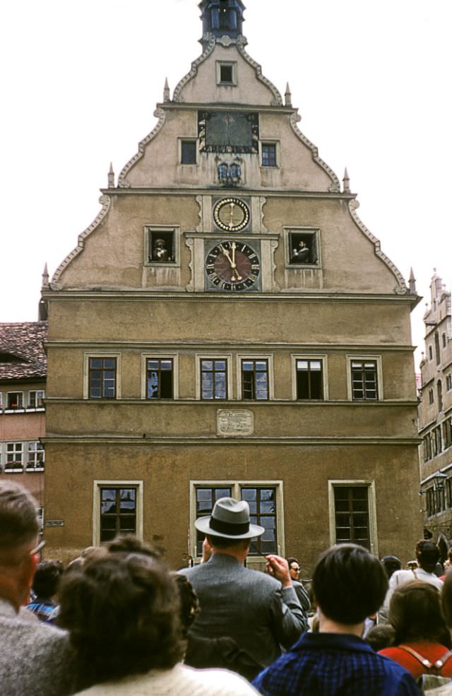
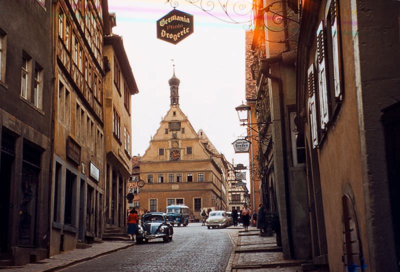
Rothenburg’s Market Square drew visitors to watch the famous mechanical clock on the Ratstrinkstube building. The figures in the clock enacted a historical scene from the Thirty Years’ War each time the mechanism struck the hour, drawing crowds of tourists even in 1953.
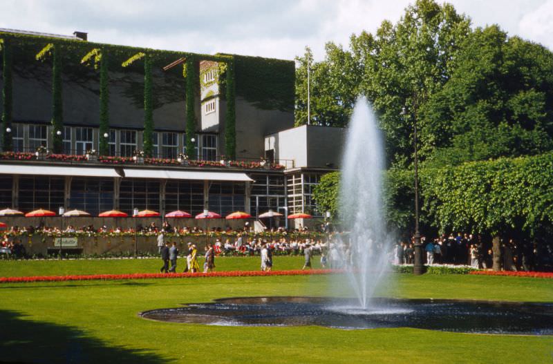
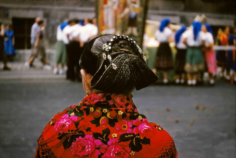
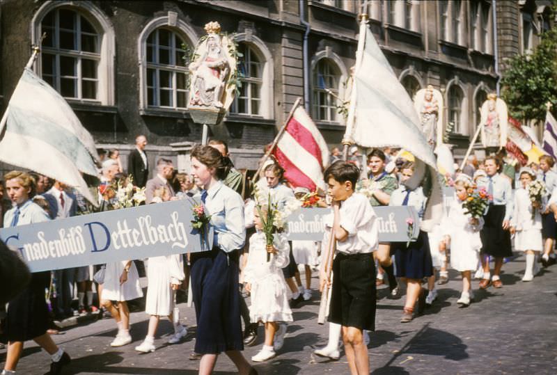
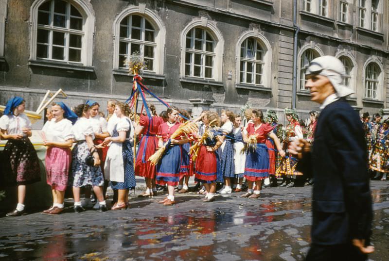
Würzburg celebrated the Festival of St. Kilian in 1953, a religious festival honoring the Irish missionary who brought Christianity to Franconia in the 7th century. The festival brought people into the streets in traditional dress, with celebrations held near the Röntgen High School.
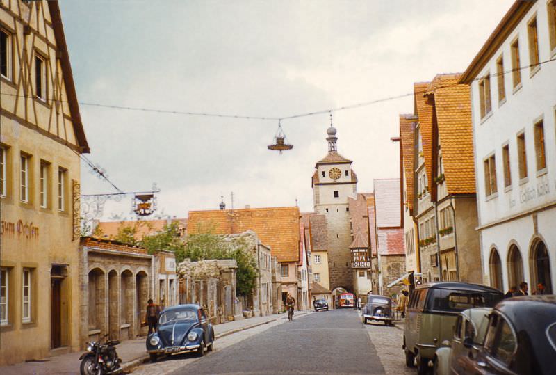
The White Tower in Rothenburg, standing at the end of Galgengasse, was one of the town’s medieval gate towers. Like much of Rothenburg, it had been spared the worst of the wartime bombing and remained in its original condition in 1953.
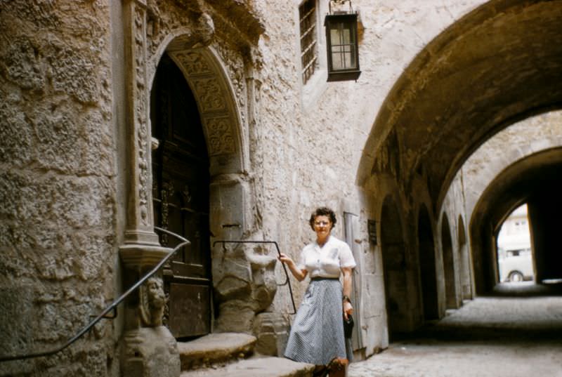
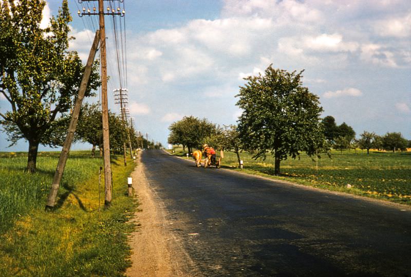
West Germany in 1953 presented two very different faces. In the cities, postwar rebuilding was ongoing and the scars of bombing were visible on nearly every block. In the towns and countryside, medieval architecture, traditional festivals, and rural life continued much as they had for generations.
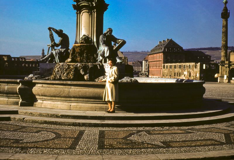
The Frankonia Fountain stood in front of the Würzburg Residence, one of the most important Baroque palaces in Europe. The Residence itself had been heavily damaged in a bombing raid in March 1945, and restoration work was underway in 1953.
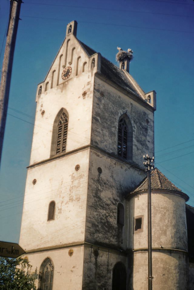
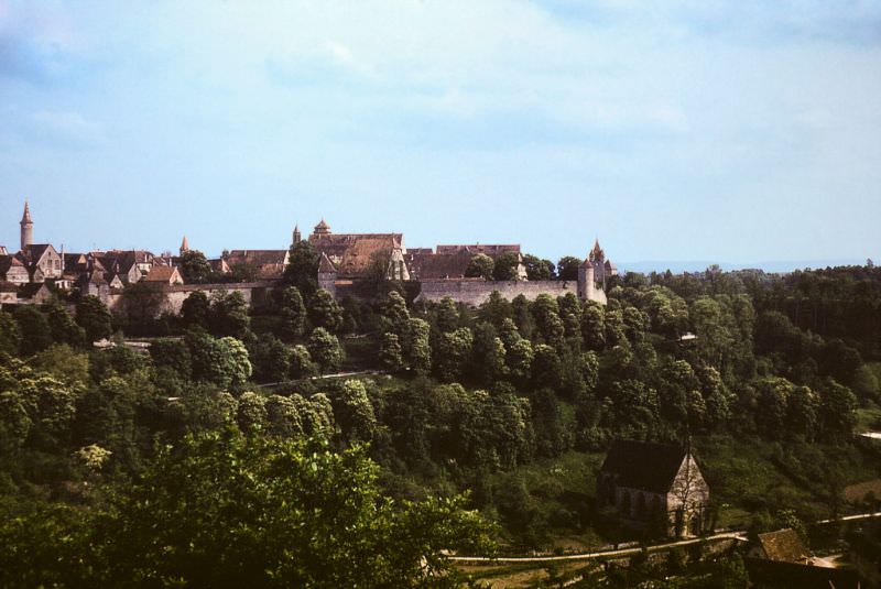
From the viewpoint above Rothenburg, the full sweep of the medieval town’s rooftops and the surrounding Tauber Valley came into view. The town’s layout, walls, and church towers had changed little since the 17th century.
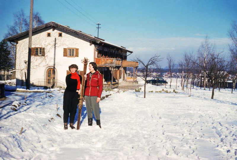
Bavaria’s alpine terrain made it a natural destination for skiing. By 1953, ski resorts were drawing both West German residents and international visitors, and winter sports were well established as part of the region’s tourism economy.
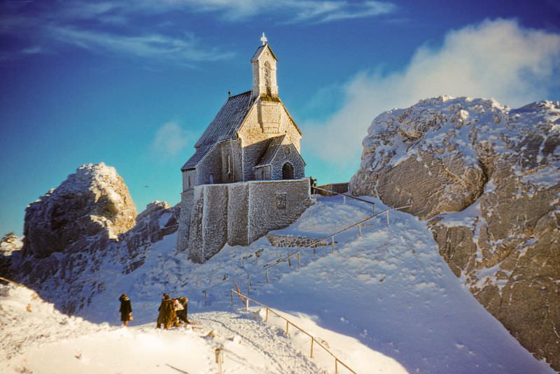
The small church on the summit of Wendelstein Mountain in the Bavarian Alps sat at nearly 1,800 meters above sea level. Built in the late 19th century, it was one of the highest churches in Germany and was accessible by rack railway, making it a popular destination for visitors to the Alps in 1953.
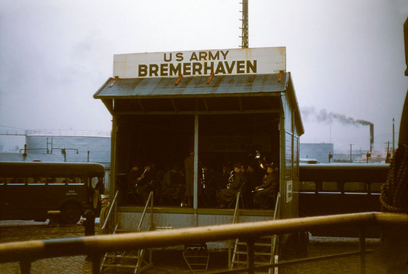
The U.S. military maintained a significant presence across West Germany in 1953. The 61st Division U.S. Army Band performing in Bremerhaven was one visible expression of that presence. Bremerhaven served as the primary port of entry for American troops and supplies flowing into West Germany, making it one of the most strategically important cities in the country during the early Cold War years.




