in

St. Louis in the 1970s: A Photo Journey Through Time

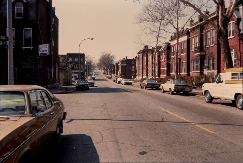
St. Louis in the 1970s was a city caught between two forces — growth and decline. Neighborhoods were being bulldozed, new towers were rising downtown, bridges were crumbling under neglect, and entire communities were fighting to hold their ground. The Gateway Arch, completed in 1965, was barely a decade old but had already become the undeniable symbol of the city. At 630 feet, it stood as a monument to westward expansion, drawing visitors to the revitalized riverfront and to the nearby Old Courthouse, the site of the landmark Dred Scott case.
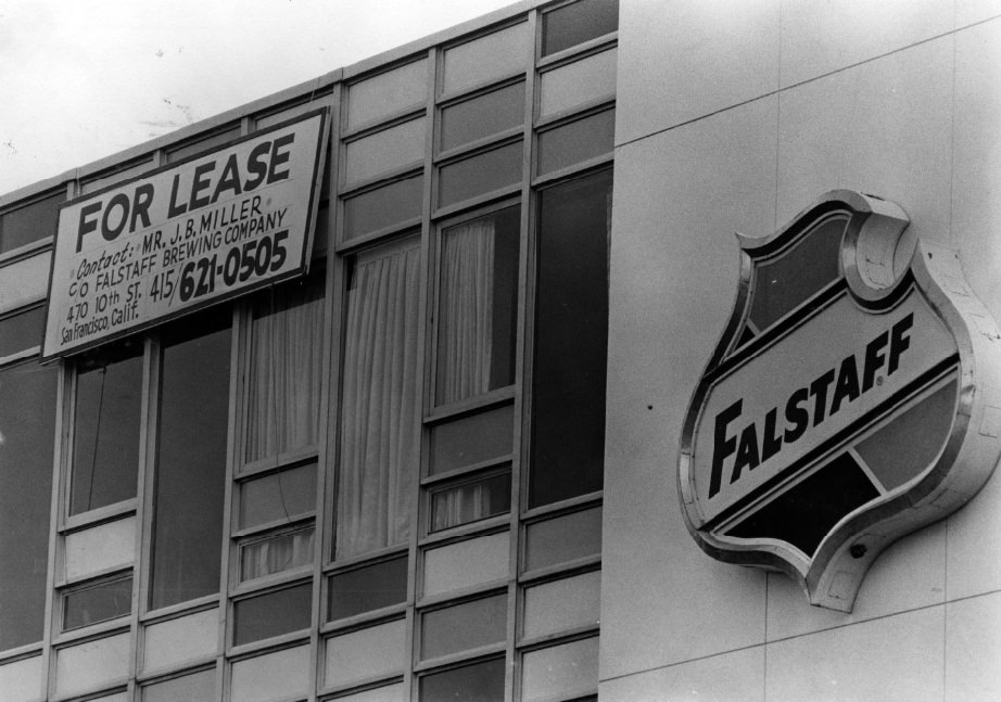
Falstaff Office, Oakland Avenue, 1975

Falstaff Brewing had deep roots in St. Louis. Its brewery at Lemp and Shenandoah avenues had been the site of continuous brewing for 127 years by the time the 1970s arrived. The brand was woven into the fabric of the city’s identity, even as the broader American brewing industry was shifting beneath it.
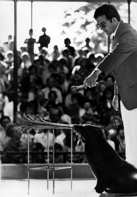
St. Louis Zoo Seal Show, 1977

For families, the St. Louis Zoo remained one of the city’s most beloved free attractions. Events like the seal show drew steady crowds throughout the decade, offering a rare source of low-cost entertainment in a city where economic pressures were tightening for many residents.
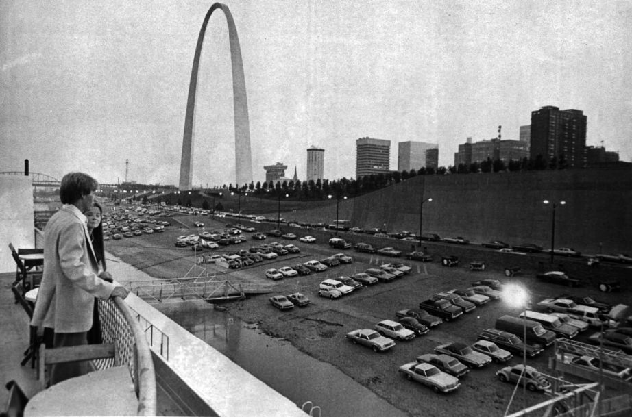
AThe St. Louis levee as seen from the top deck of the Admiral Steamboat. The Gateway Arch stands in the background, 1977

The Mississippi River was the city’s original reason for being, and in the 1970s it still commanded attention. The Admiral steamboat offered rides along the levee, giving passengers a river-level view of the skyline with the Gateway Arch rising above the waterfront. The river, however, wasn’t always cooperative — floods and debris regularly disrupted life along the banks.
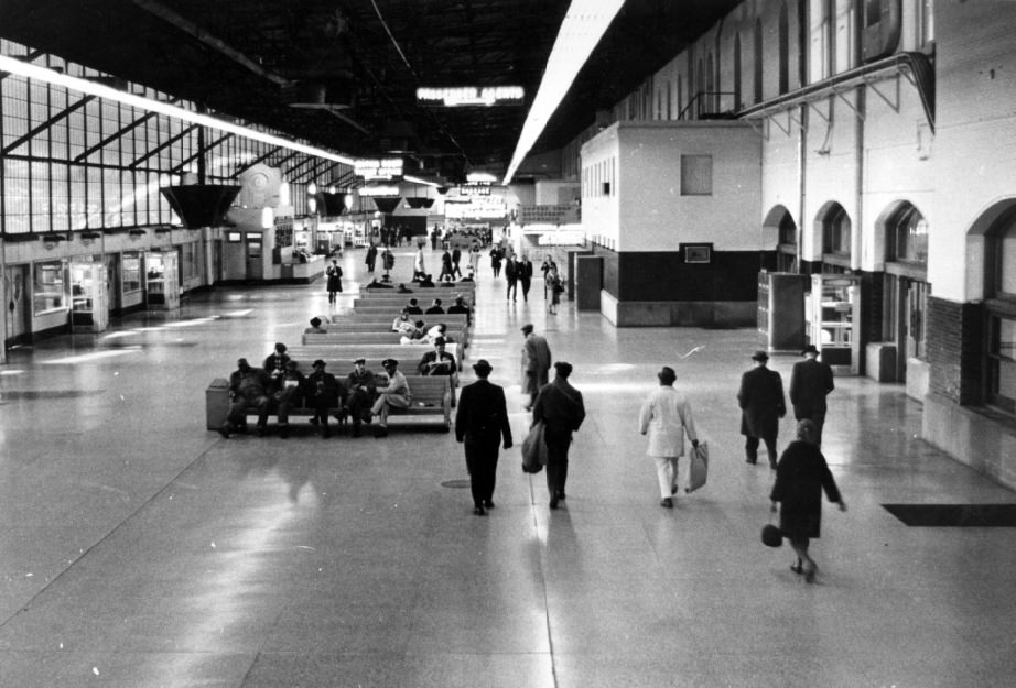
Union Station, 1970
Union Station, 1970

Union Station, once the busiest railroad terminal in the world, entered the 1970s as a shadow of its former self. Rail travel had been steadily displaced by cars and air travel, and the grand Romanesque terminal sat underused. By mid-decade, serious conversations about its future — demolition or adaptive reuse — were already underway.
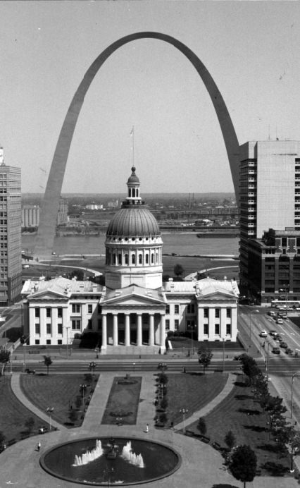
The Old Courthouse and the Gateway Arch, 1976

The pairing of the Old Courthouse and the Gateway Arch captured something essential about St. Louis in the 1970s — a city simultaneously anchored to its past and reaching toward the future. The Old Courthouse, where the Dred Scott case was first tried in 1847, sat in the shadow of the Arch as part of the Jefferson National Expansion Memorial.
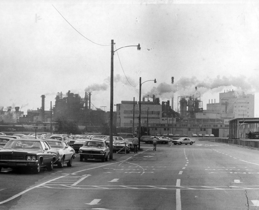
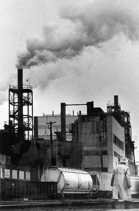
N L Industries, 1976
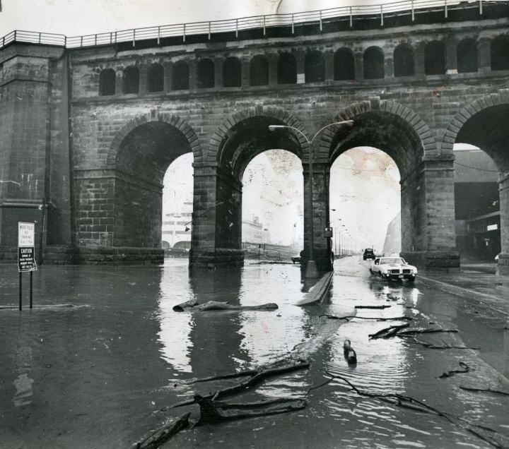
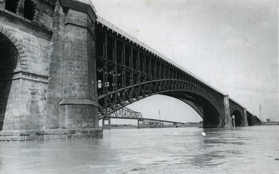
The Eads Bridge, 1974

The Eads Bridge, completed in 1874, was still a working structure a century later. By the 1970s, it stood as one of the oldest steel truss bridges in the country. Like many of the city’s aging infrastructure, it showed its age — but it endured. The Mississippi below it told its own story, as seen in later photos showing the river running thick and turbulent.
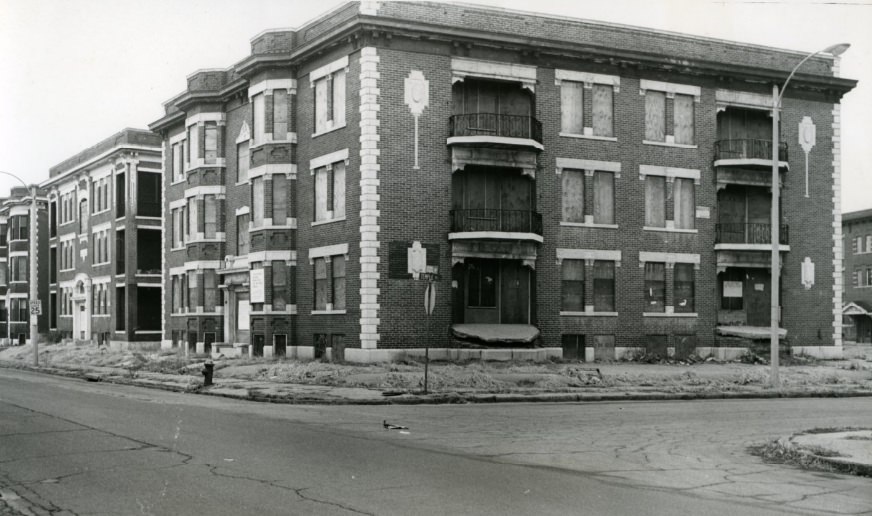
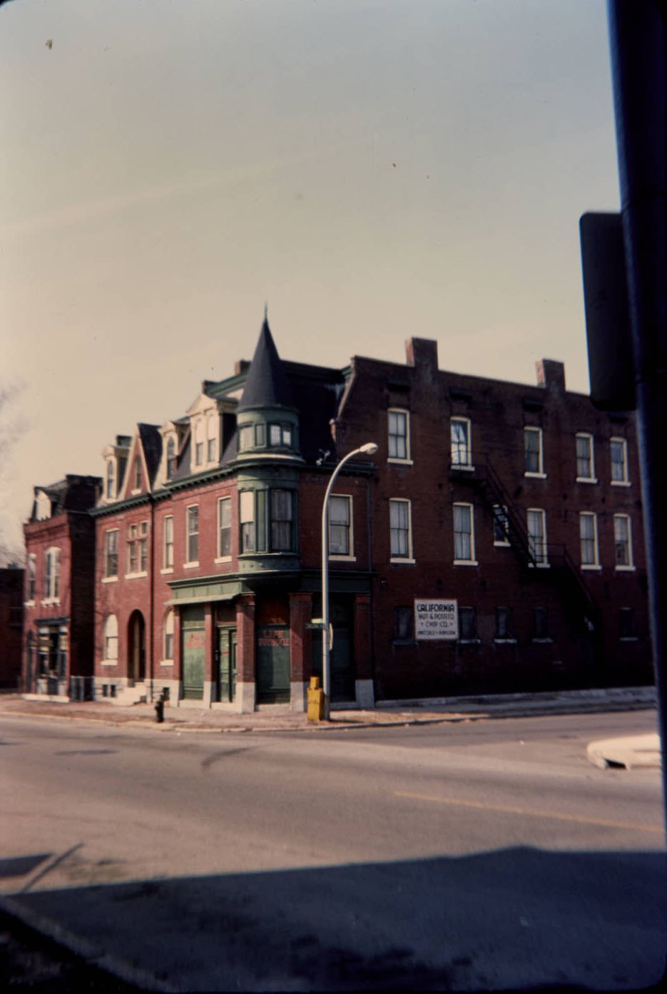
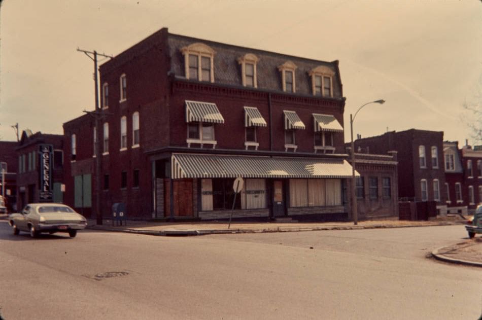
A Building At The Corner Of Etzel and Temple, 1970
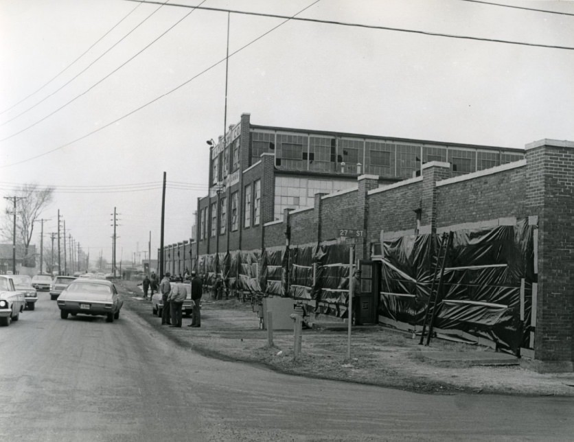
The repair at the building at 27th St., 1972

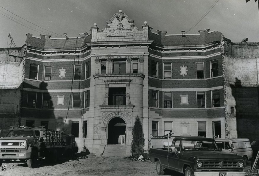
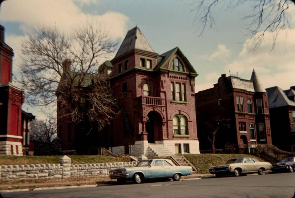
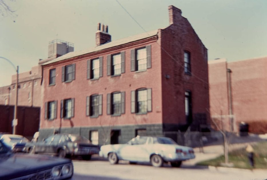
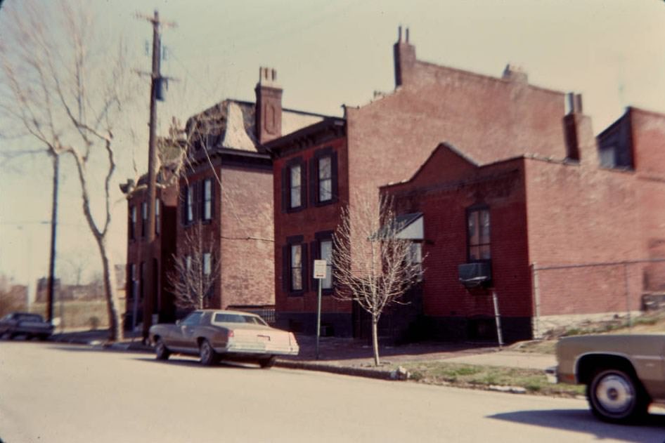
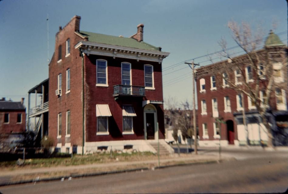
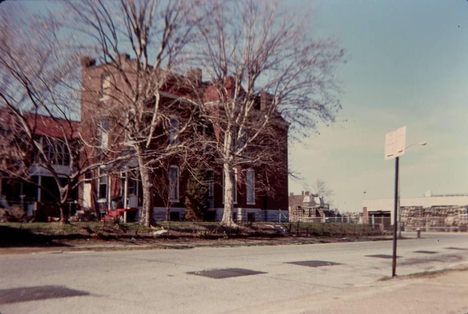
Across many St. Louis neighborhoods, the 1970s were defined by deterioration. Buildings on corners that had once anchored commercial blocks sat crumbling or under repair. On the 27th Street block, repair work in 1972 captured a scene repeated across dozens of neighborhoods — aging structures requiring constant attention that property owners often couldn’t afford.
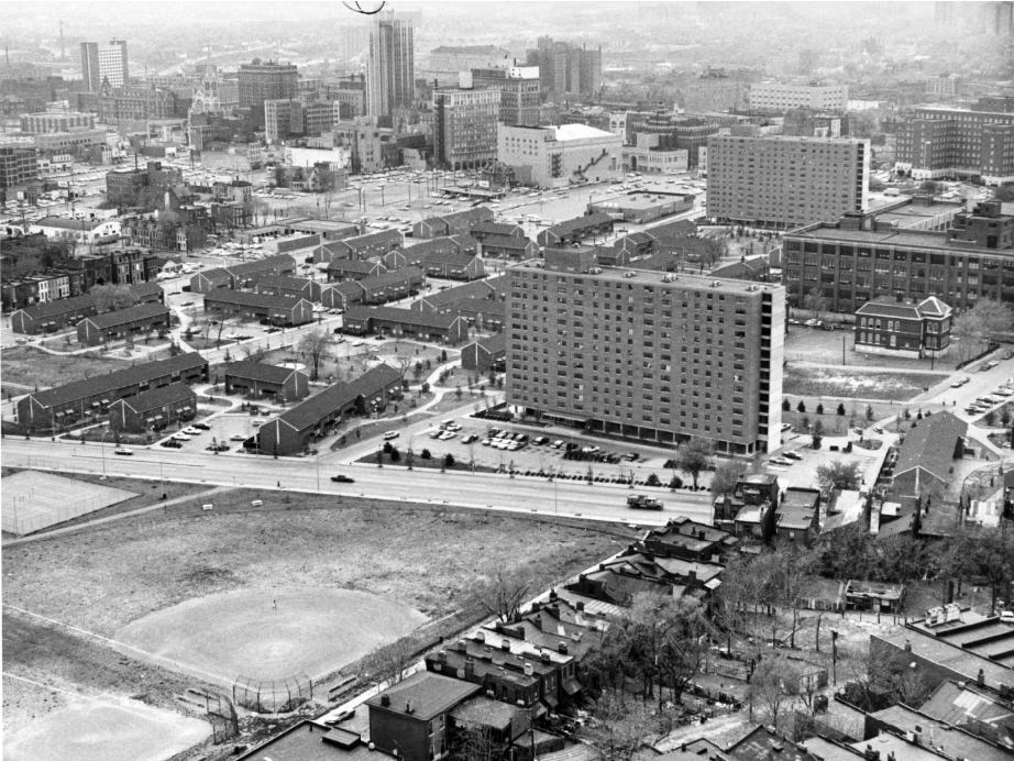
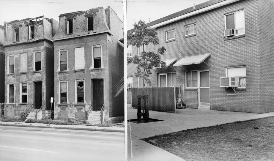
Blumeyer Development, 1971

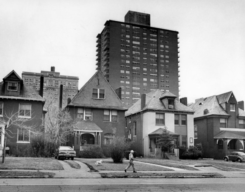
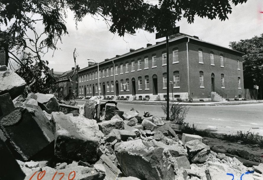
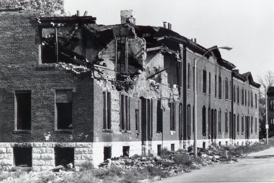
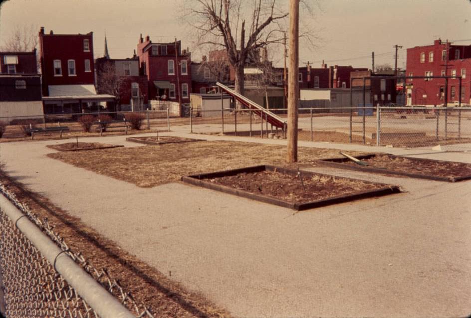
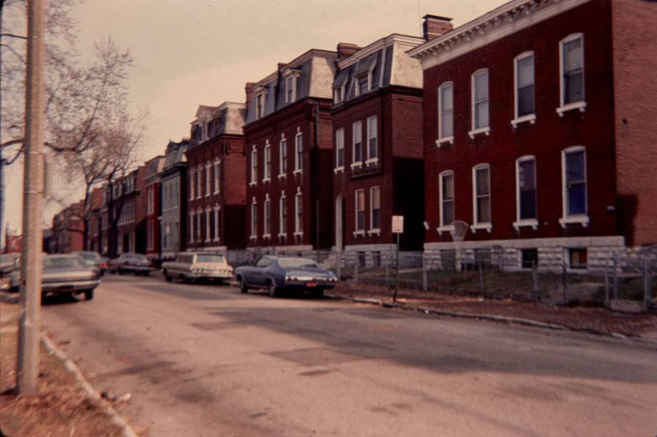
The Blumeyer housing development was one of several large public housing projects built during the urban renewal era. Old townhouses were cleared to make room for it. The clearance of these neighborhoods represented a sweeping federal approach to urban problems that displaced thousands of St. Louis residents in the name of progress.
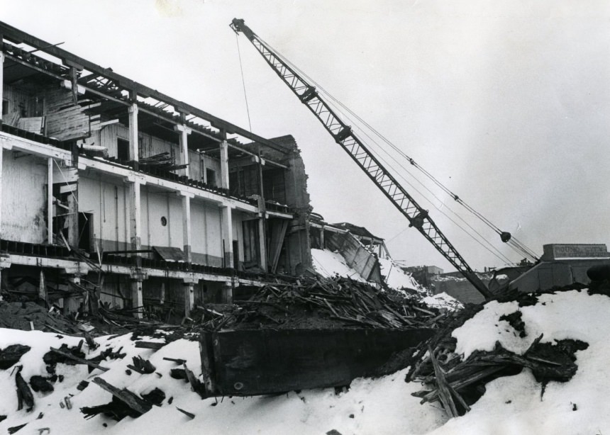
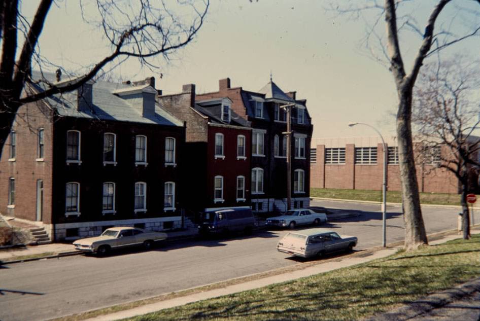
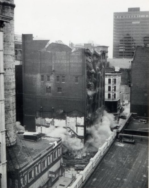
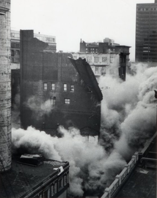
Demolition work at the old Mound City Ice and Cold Storage Co. building at 9th and Branch Streets will remove a landmark from North St. Louis, 1977
Wyoming St. Residences across from Community Center, looking southwest, 1977
Wisconsin Ave., looking north, 1977

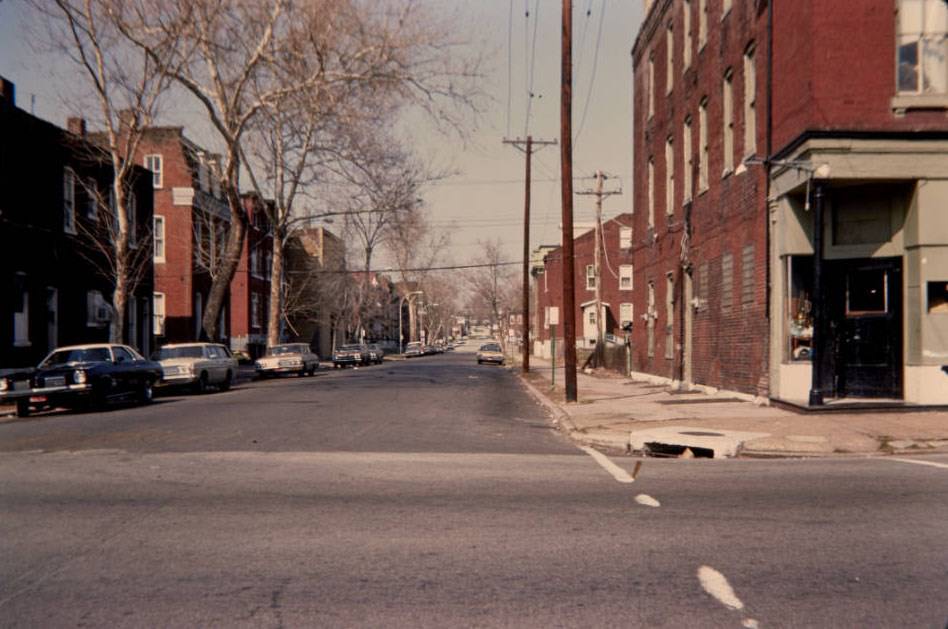
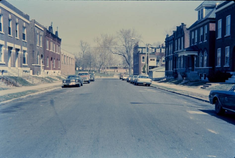
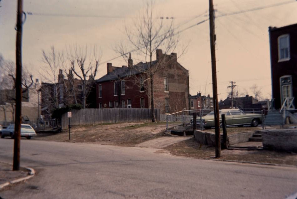
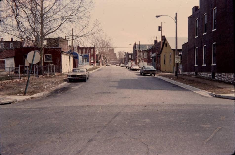
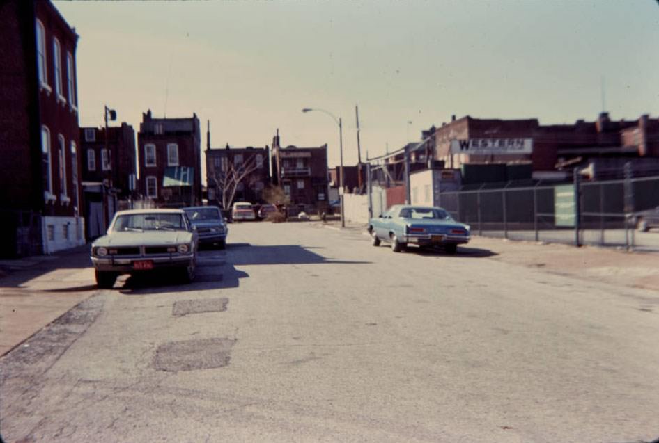
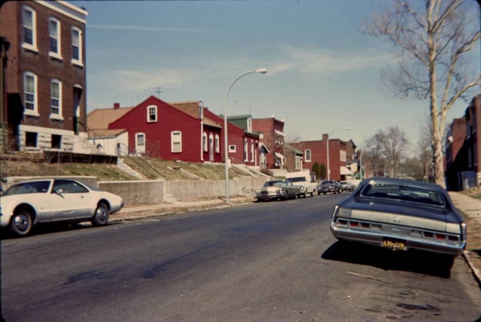
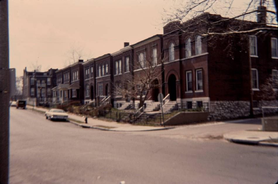
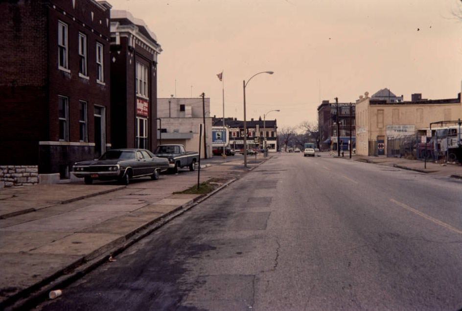
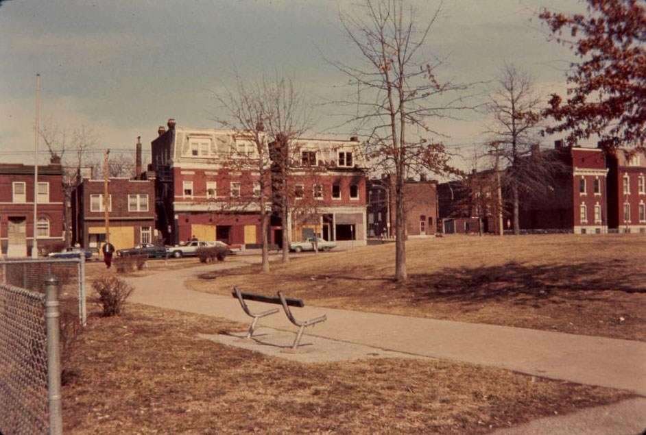
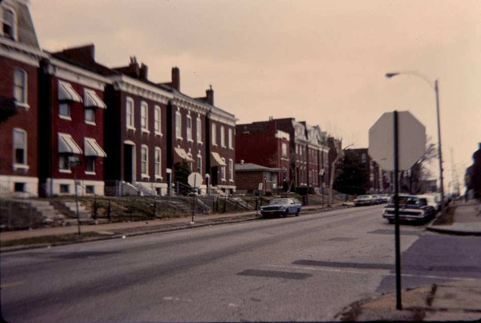
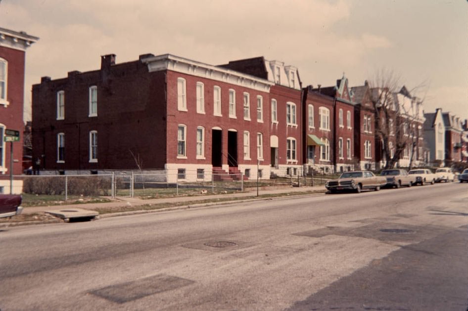
Residential streets like Wyoming and Wisconsin showed the range of conditions in St. Louis neighborhoods during the mid-1970s. Some blocks were stable and well-kept, while others showed clear signs of decline. The difference from one block to the next was often stark.
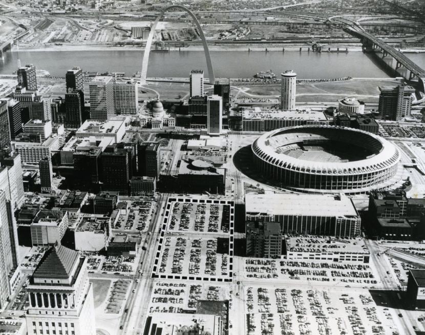
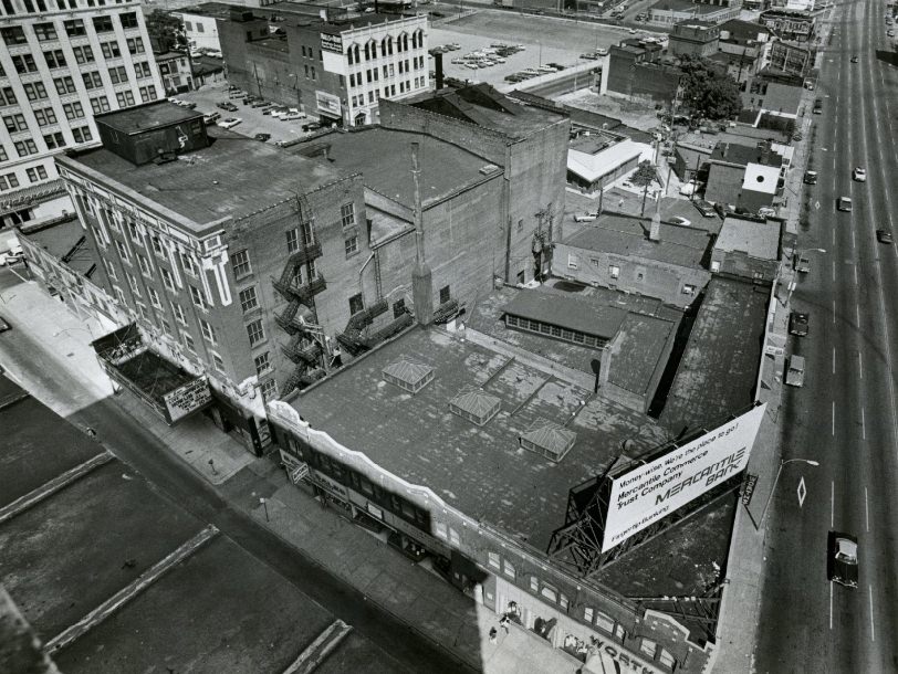
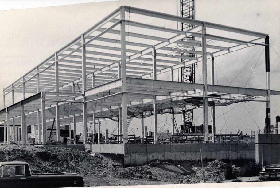
Site of Major New Bank Building In Downtown St. Louis, 1976

Downtown St. Louis saw significant commercial investment during the decade. New bank buildings, office towers, and the construction of a convention center signaled that business leaders and city officials were still betting on the urban core. The Mercantile Bank and Boatmen’s Bank both expanded their downtown footprints, and City Bank was establishing new branches in outlying neighborhoods.
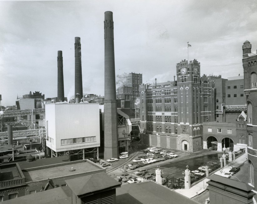
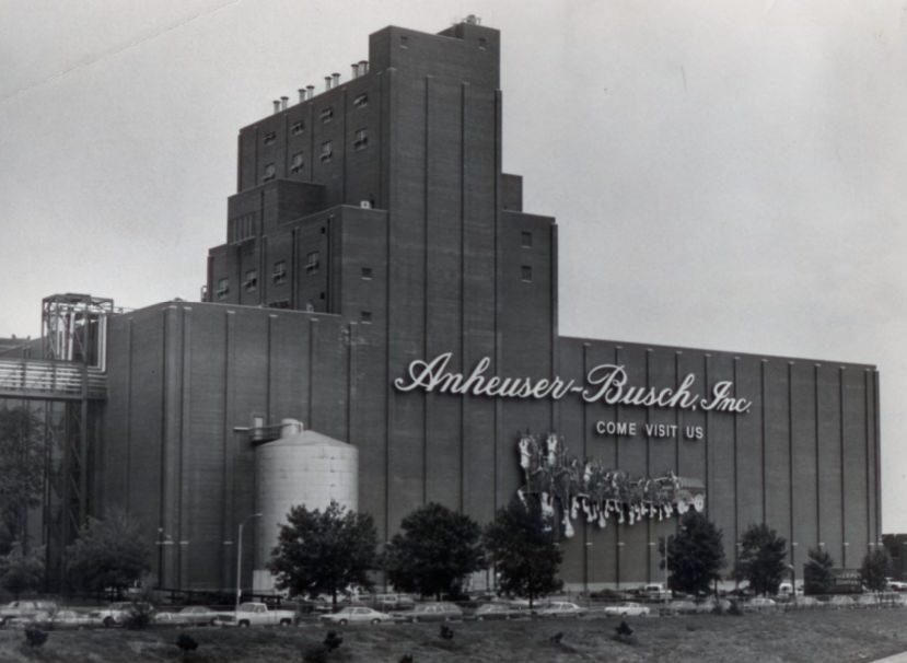
Anheuser Busch, 1974

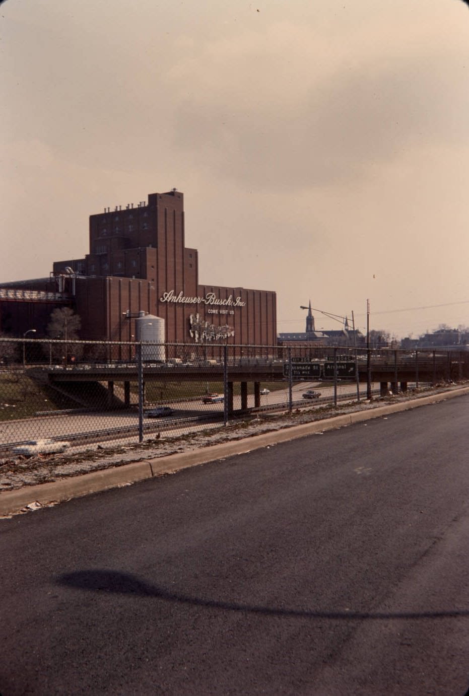
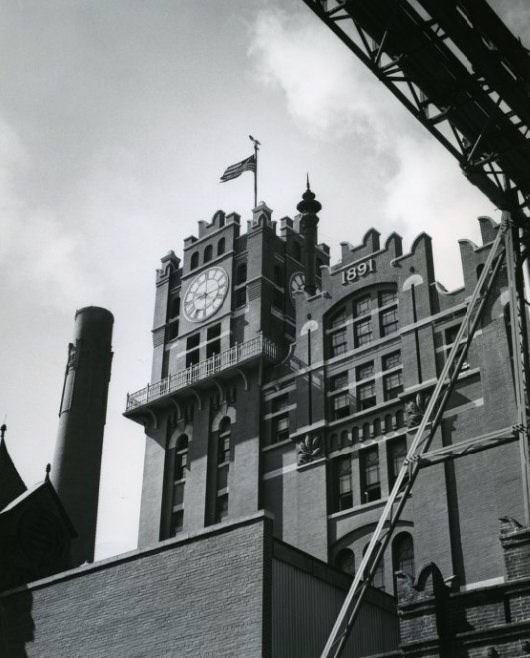
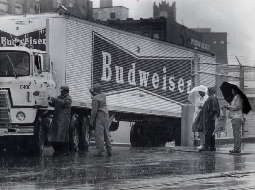
Anheuser-Busch was the city’s most powerful industrial anchor throughout the 1970s. The brewery complex on the south side sprawled across several blocks and employed thousands of workers. By 1976, the company was celebrating 100 years of operation at the St. Louis facility. That same year, a labor dispute brought trucks crossing a picket line, marking one of the decade’s more visible union conflicts at the plant.
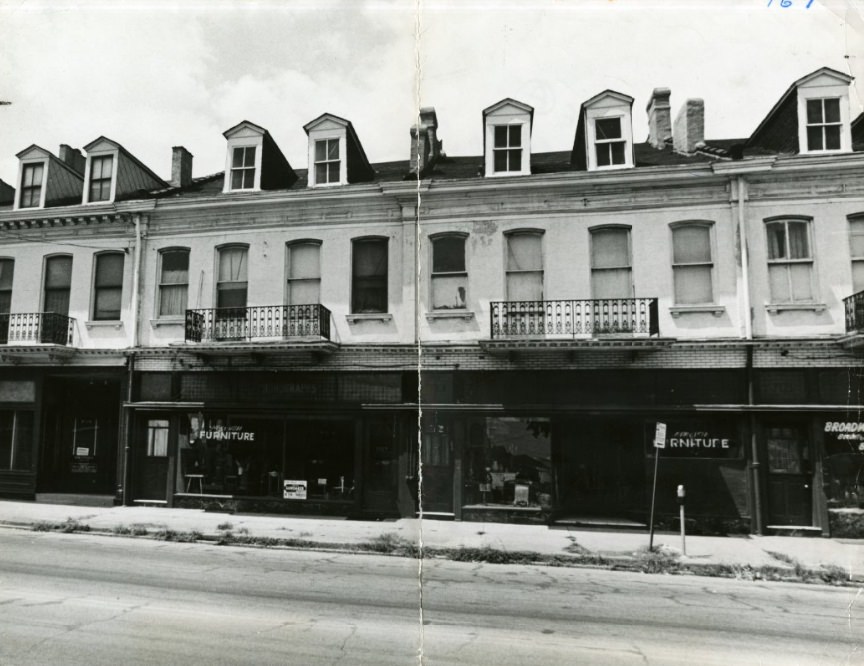
The Roofs On The 7100 Block of South Broadway, 1974
Anheuser-Busch Brewery Edifice, 1974
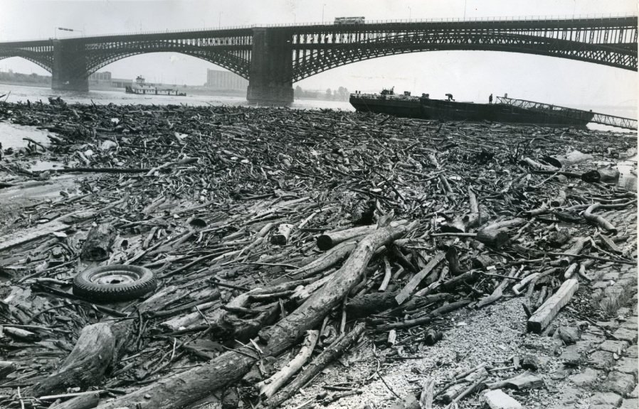
Eads Bridge-Messy Mississippi, 1977

The Mississippi River near the Eads Bridge was frequently turbulent in the 1970s. High water levels and debris made the river a regular subject for photographers and engineers alike. The NL Industries titanium plant, situated at the confluence of the River Des Peres and the Mississippi, operated in close proximity to these flood-prone conditions.
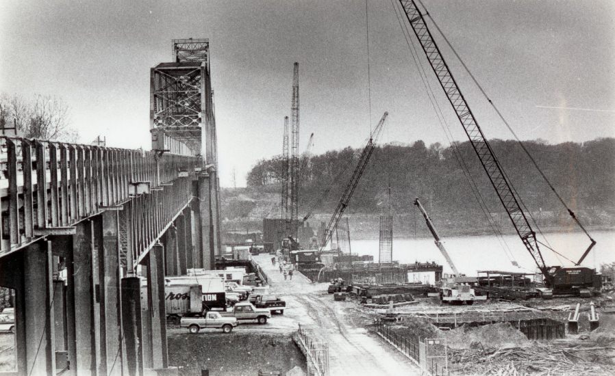
Jefferson Barracks Bridge Construction, 1978

Bridge construction and replacement was a major theme of the 1970s in St. Louis. The Jefferson Barracks Bridge underwent significant changes during the late part of the decade. By 1978, the old structure was slated for demolition as a new crossing took shape. Across the metro area, aging bridges were a persistent safety and infrastructure concern.
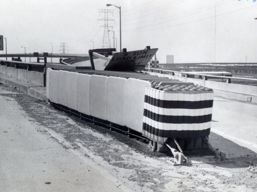
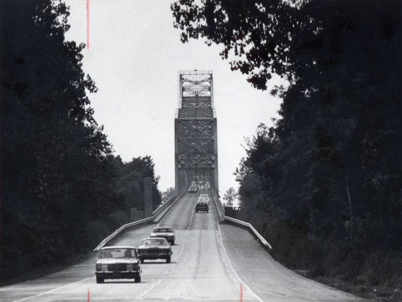
Water-filled Plastic Tubes Reduce Damage On Poplar Street Bridge, 1975
The Jefferson Barracks Bridge To Be Demolished, 1978
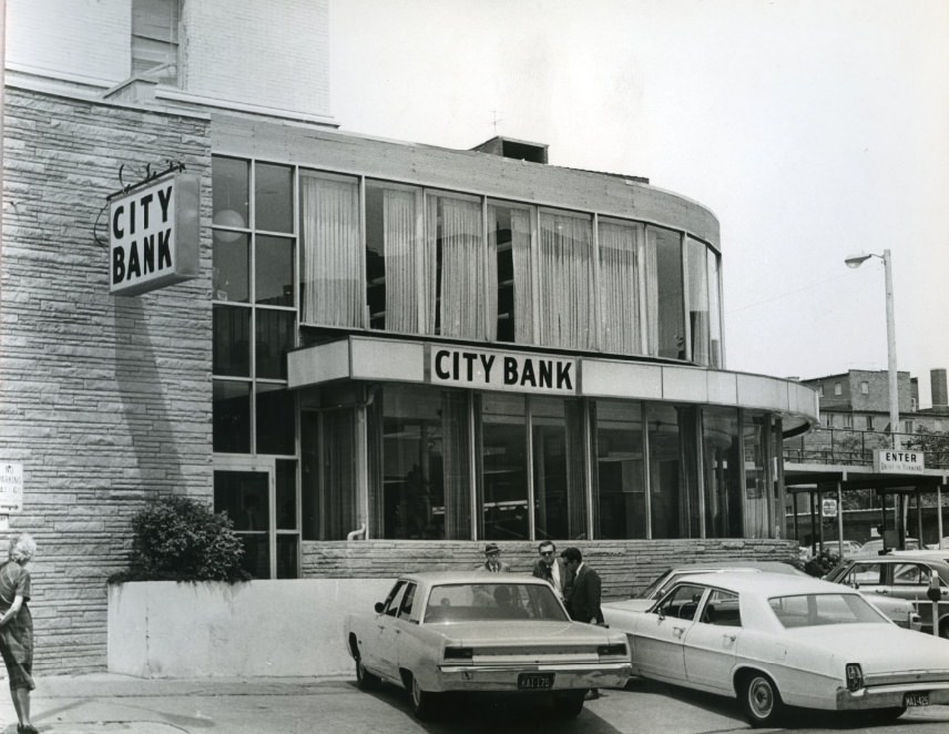
City Bank Exterior, 1971

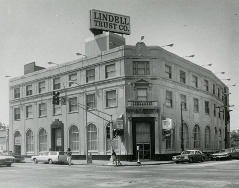
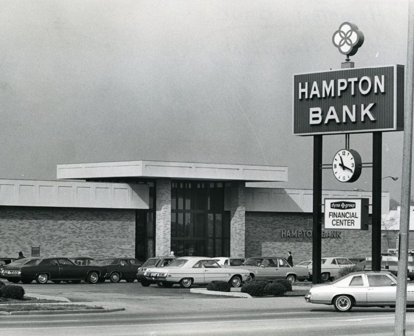
Community banks were a visible part of St. Louis’s neighborhood landscape in the early 1970s. City Bank, Hampton Bank, Mound City Bank, and Lindell Trust all operated branch locations across the city. These institutions served as financial anchors for residential neighborhoods at a time when larger banks were beginning to consolidate.
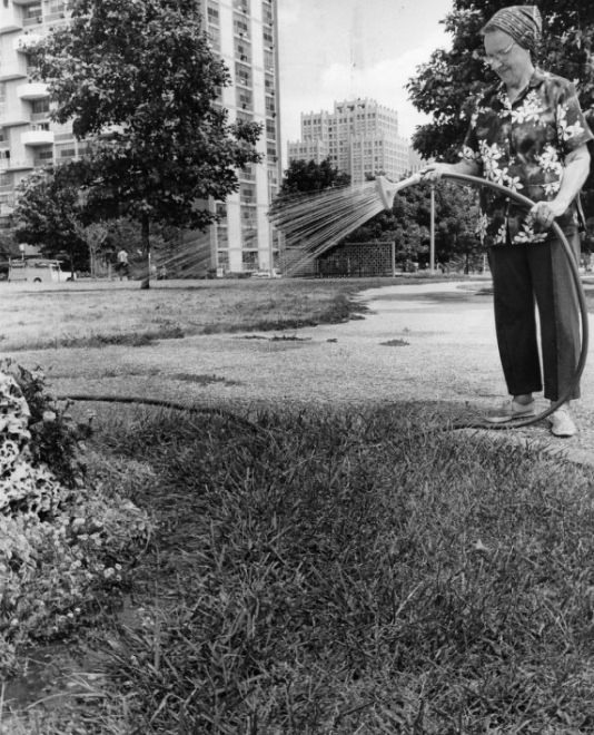
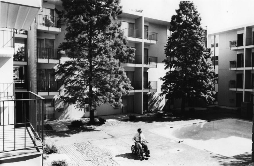
Plaza Apartments - Gardening, 1976
Plaza Apartments – Gardening, 1976
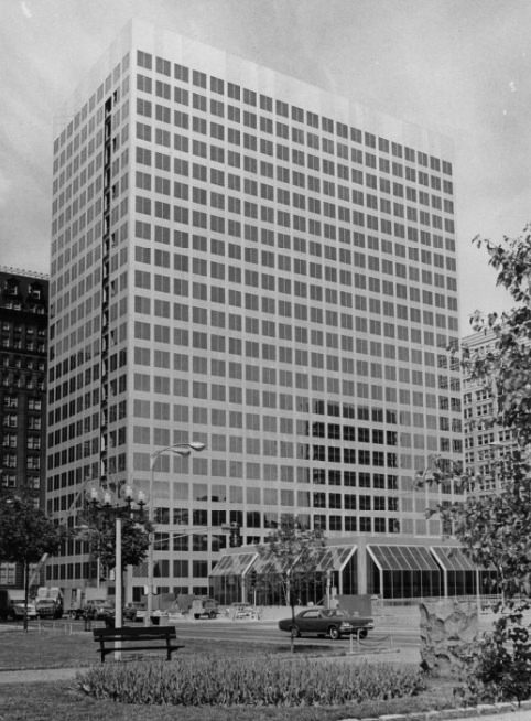
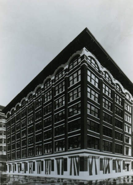
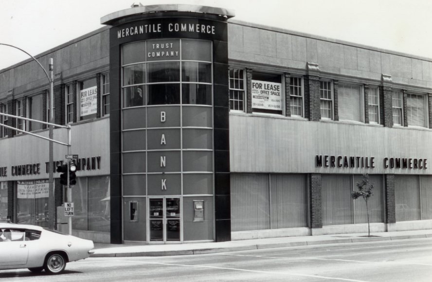
Mercantile Bank Big Building, 1971
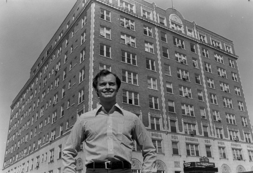
Saum Apartments, 1978

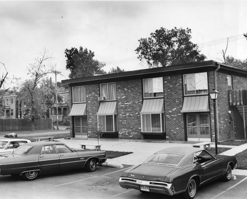
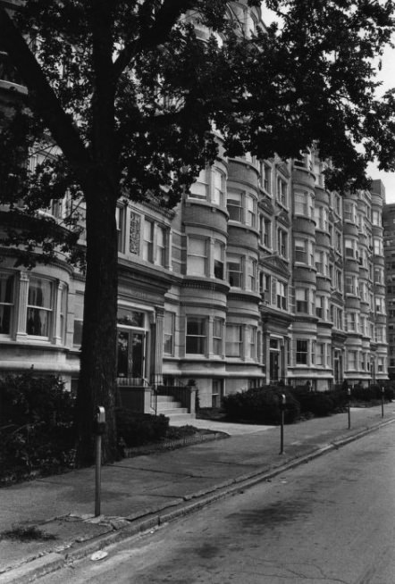
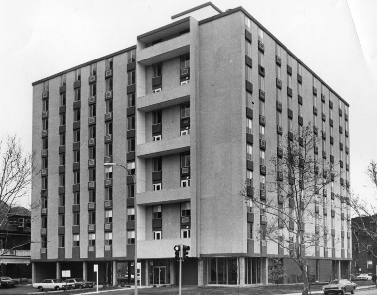
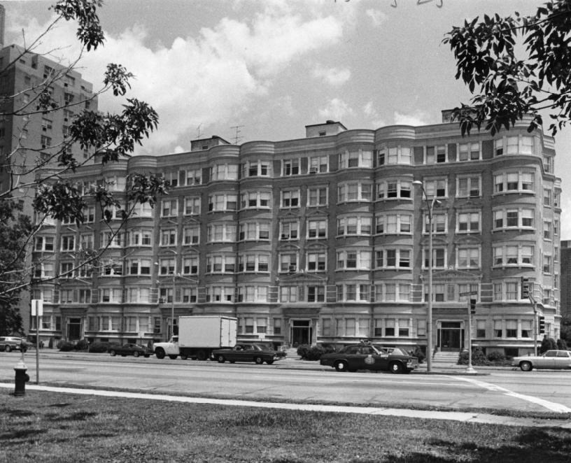
St. Louis had a dense stock of apartment buildings dating from the early twentieth century. Structures like the Saum Apartments, the Alpha Garden Apartments, and the West Pine Apartments for the Elderly represented different eras of the city’s housing history. Some were well-maintained; others were struggling under low occupancy and rising utility costs.
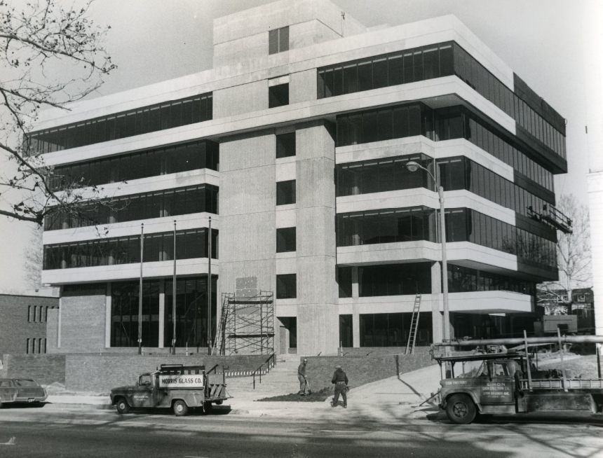
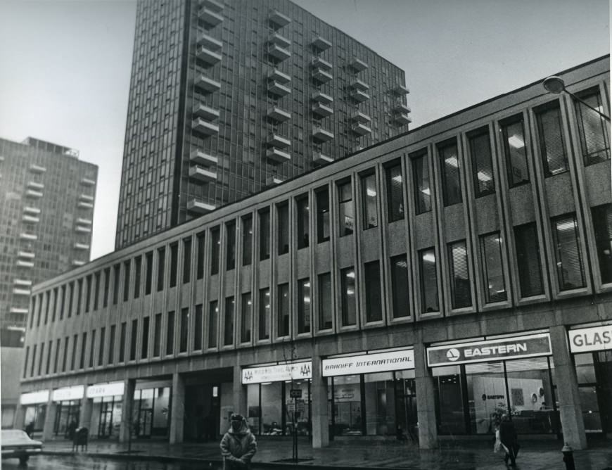
New City Bank buidling at 4325 Laclede, 1971
Mansion House Shops, 1972

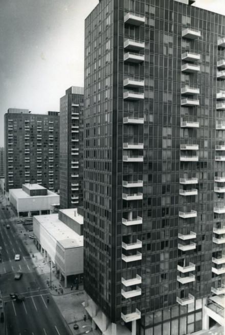
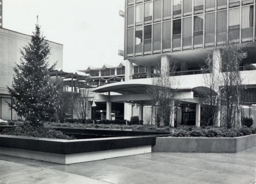
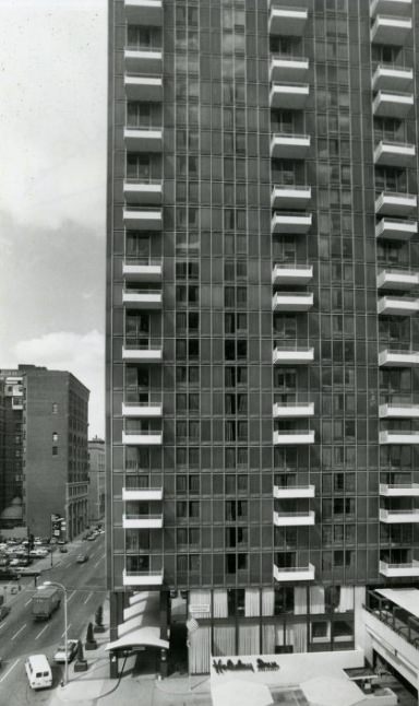
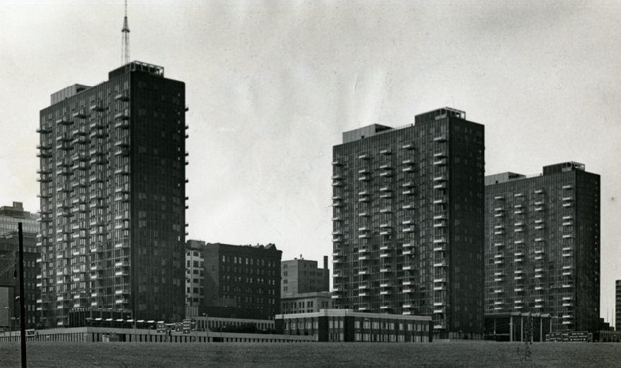
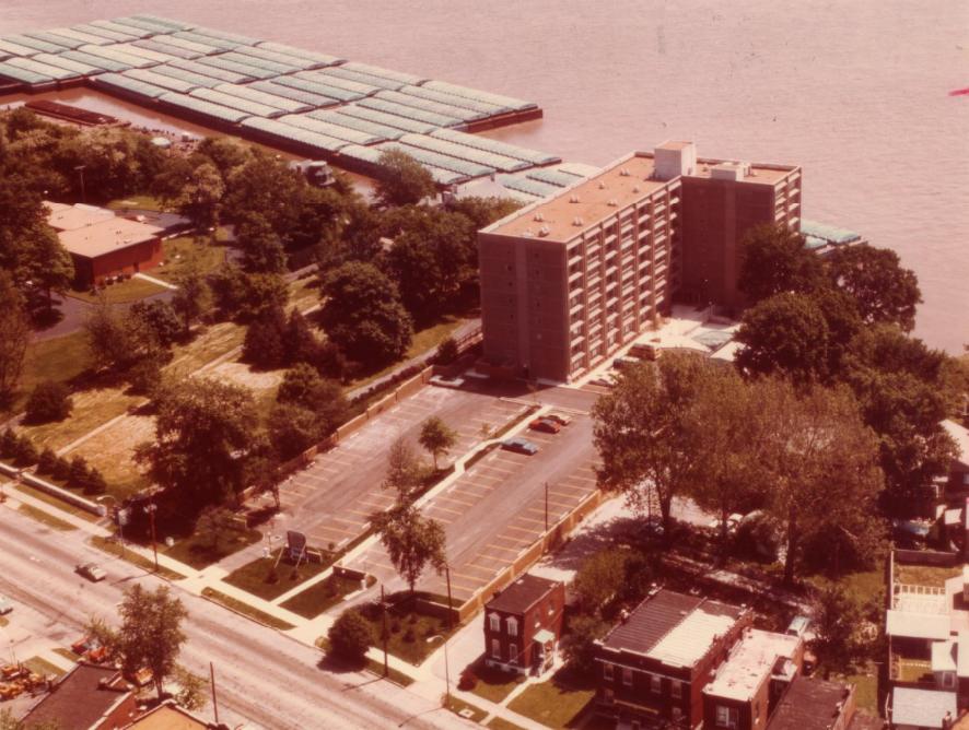
The Mansion House complex on the downtown riverfront was one of the decade’s most troubled developments. The three-tower complex was plagued by low appraisals, financial difficulties, and vacancies throughout the 1970s. Despite its prominent riverfront location, it struggled to attract the tenants and investment needed to stabilize its finances.
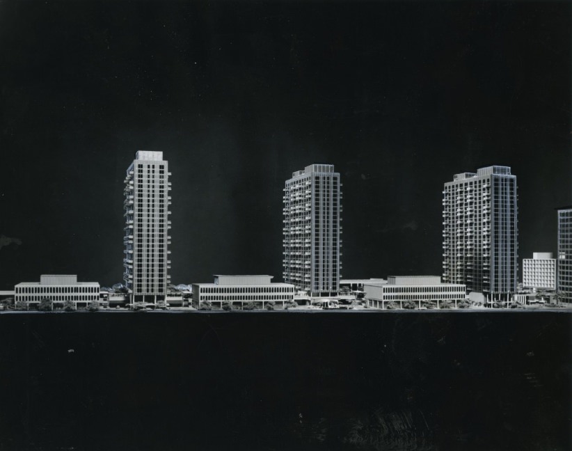
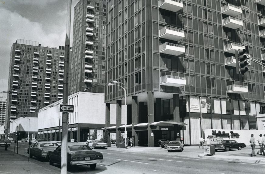
Mansion House Rental Office Opening Soon, 1976
Low Apraisal is the Latest Blow For the Troubled Three-Tower Complex On the Riverfront, 1970s
Mansion House Apartments, 1972
Boulevard Apartments, 1979
Alpha Garden Apartments, 1970
A View of the ABCD Apartments, 1977

The ABCD Apartments and the Jeff-Vander-Lou Apartments were part of a broader network of mid-century housing developments spread across St. Louis. Jeff-Vander-Lou, in particular, was tied to community development efforts in the near north side, where residents and organizations worked to stabilize housing and prevent further abandonment.
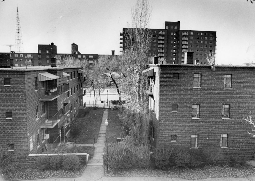
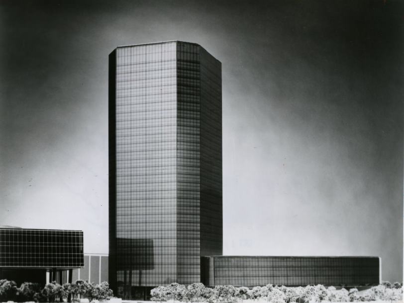
Neighborhood Gardens Apartments - Exterior, foreground, 1972
Neighborhood Gardens Apartments – Exterior, foreground, 1972
First National Bank Newer Look, 1978
West Pine Apartments for the Elderly, 1971
ABCD Apartments street view, 1977
View of the Executive House Apartments from the 4400 block of Laclede Ave, 1975

Community organizing was active throughout the decade. Ivory Perry, a housing advocate working with the Union Sarah Community Corporation, was photographed with tenants at Enright Court in 1973. His work represented a grassroots response to housing instability — pressuring landlords, mobilizing tenants, and pushing city officials to address deteriorating conditions.
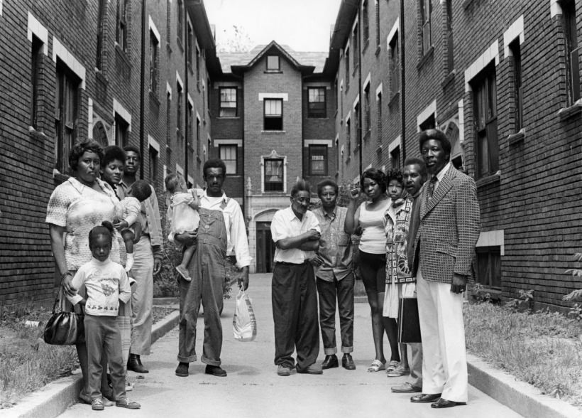
Enright Court Apartment Tenants with Ivory Perry, Housing Developer for the Union Sarah Community Cooperation, 1973
Black and white photo of Hampton Bank in St. Louis, 1977
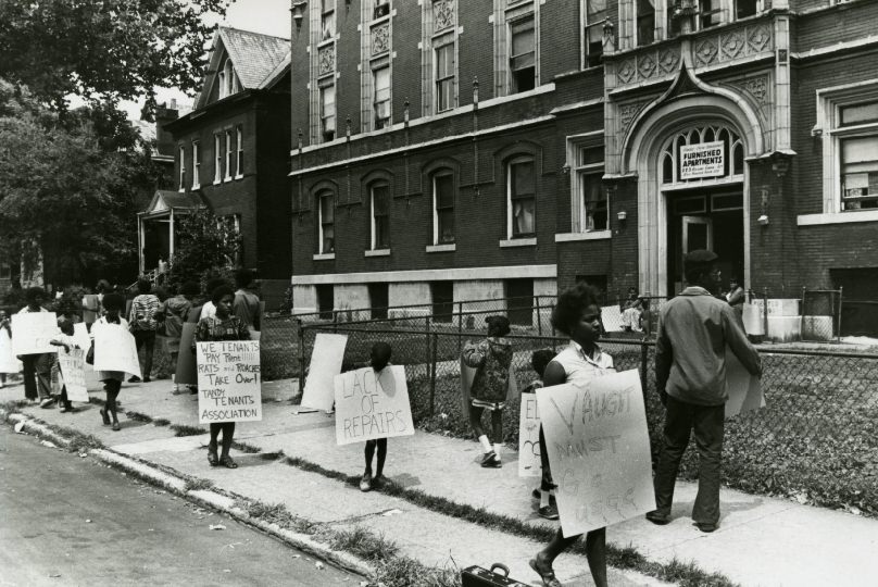
Jewel Apartments Picketers, 1970

Tenant activism was visible across the city. Picketers at the Jewel Apartments in 1970 demonstrated how residents were organizing to demand better conditions and accountability from landlords. This kind of direct action was part of a national pattern of tenant rights movements that reached St. Louis throughout the decade.
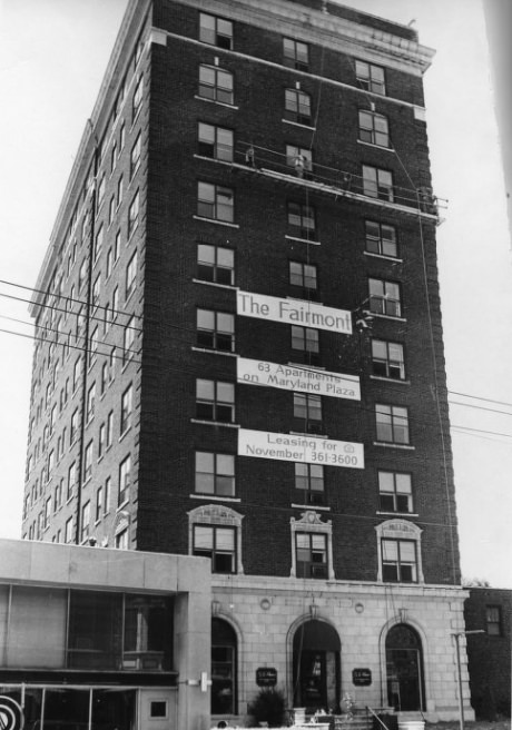
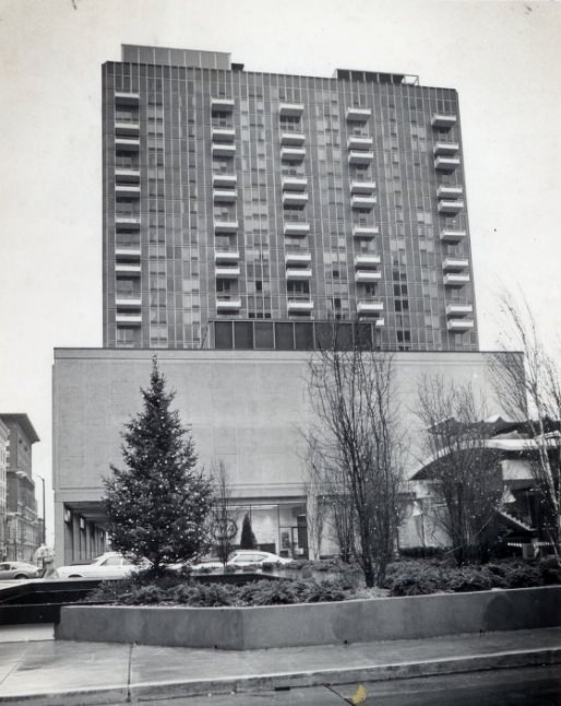
Maryland Gardens Apartments - Fairmont Hotel exterior, to be renovated, 1976
Maryland Gardens Apartments – Fairmont Hotel exterior, to be renovated, 1976
Exterior Shot of the Entrance of the Mansion House Apartments, 1972
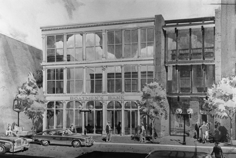
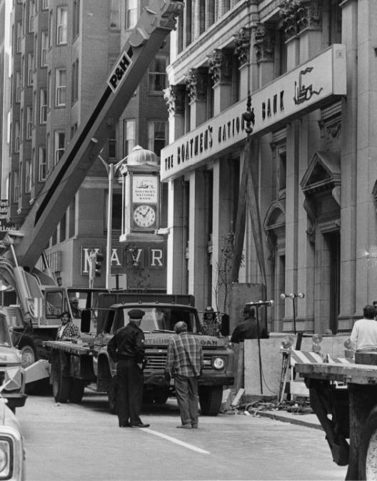
Boatmen's Bank - Laclede's Landing Building Plans, 1979
Boatmen’s Bank – Laclede’s Landing Building Plans, 1979

Laclede’s Landing, the cobblestoned riverfront district near the Eads Bridge, became a focus of redevelopment planning in the late 1970s. Boatmen’s Bank was among the institutions involved in financing plans for the area, which was transitioning from industrial use to commercial and entertainment purposes. These plans would reshape the district significantly in the following decade.
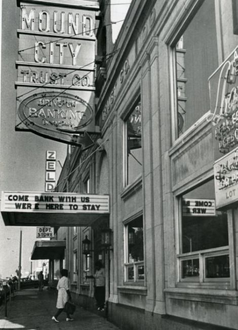
Mound City Bank, 1975
Boatmen's Bank - Moving Day to Boatmen's Tower, 1976
Boatmen’s Bank – Moving Day to Boatmen’s Tower, 1976
Boatmen's Bank - Boatmen's Tower Office Building, 1976
Boatmen’s Bank – Boatmen’s Tower Office Building, 1976
Side view of Mansion House Tower, 1975
A View of All of the Mansion House Towers, 1972
Lindell Trust Co. Bank, 1975
Jeff-Vander-Lou Apartments, 1973

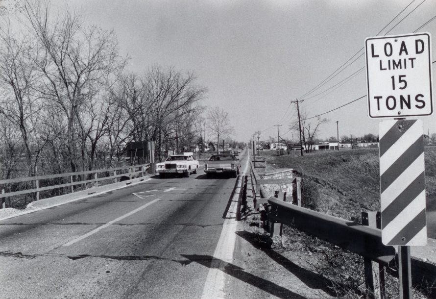
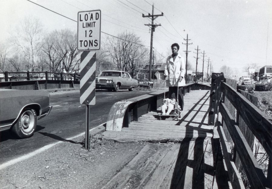
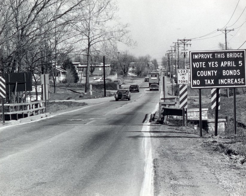
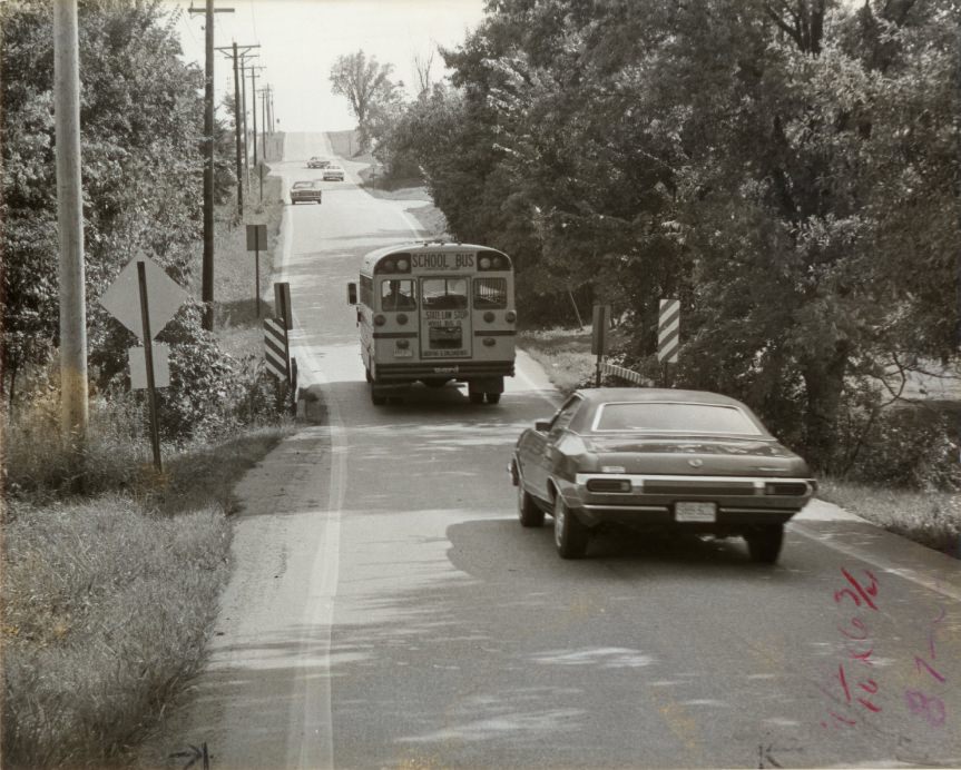
Weight limits and structural deficiencies plagued many of St. Louis’s older bridges and overpasses. Signs warning of 10-ton and 15-ton limits were common sights, and those limits were not always obeyed. A two-lane bridge on Dorsett Road east of Interstate 270 carried a 15-ton weight limit that drivers regularly ignored. Bond issues to fund replacements faced public debate throughout the decade.
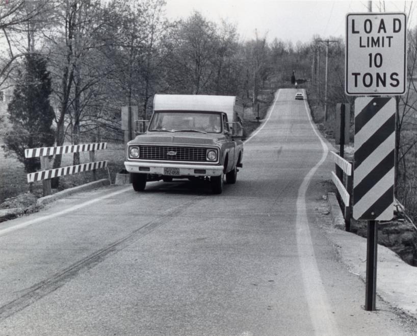
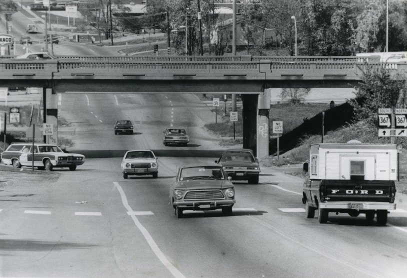
Load Limit Ten Tons, 1975
Saint Louis County Overpass, 1975
A two-lane bridge on Dorsett Road three-quarters of a mile east of Interstate 270 carries a 15 ton weight limit which is not always obeyed, 1977
Bridge Will Be Replaced If Bond Issue Passes, 1977
Bridge--60,000 Frustrations, 1972
Bridge–60,000 Frustrations, 1972
One of the Signs Supporting Last Year's St. Louis County Bond Issue, 1977
One of the Signs Supporting Last Year’s St. Louis County Bond Issue, 1977
One Lane Bridge, 1975

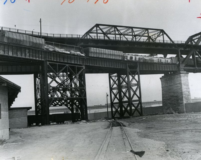
The McKinley Bridge showed clear corrosion and deterioration by 1977, and it was not alone. Many of the older bridges spanning the Mississippi River were visibly aging. The Poplar Street Bridge carried an enormous volume of daily traffic, and construction and repair work there created chronic bottlenecks. Water-filled plastic tubes were used in 1975 to reduce collision damage from errant vehicles on the structure.
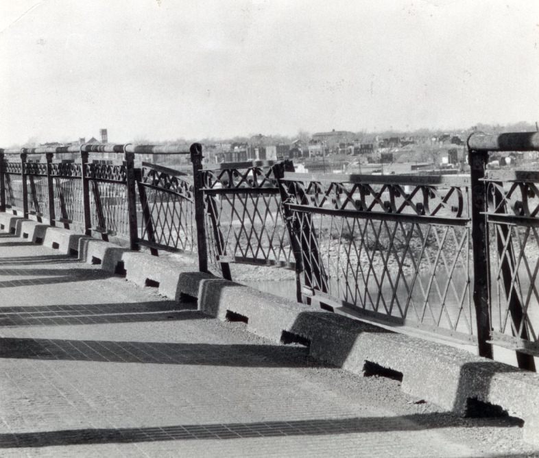
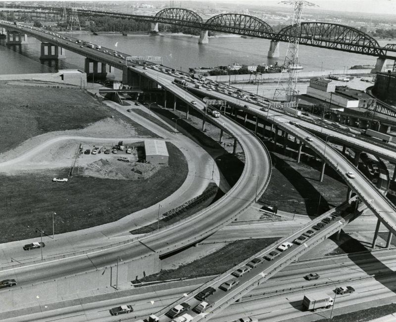
Corrosion and Deterioration on the McKinley Bridge, 1977. Corrosion and deterioration are evident on older St. Louis bridges spanning the Mississippi River.
Tedious Traffic On The Poplar Street Bridge, 1975
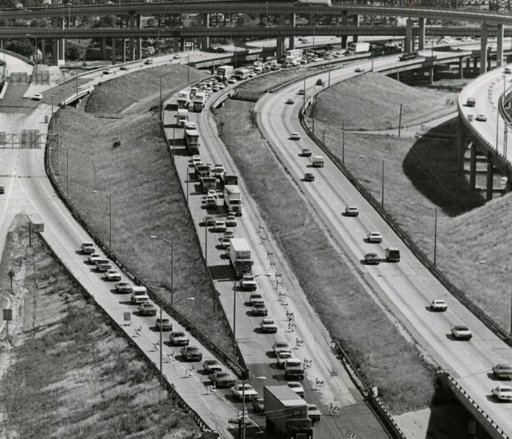
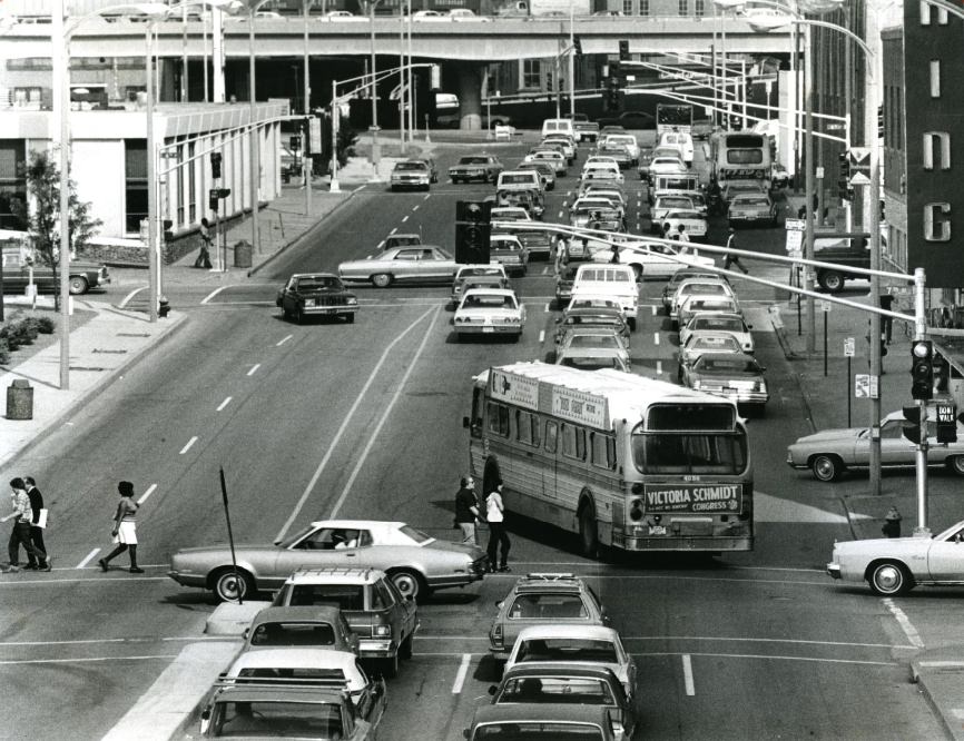
Traffic of the Poplar Street Bridge on the East Side is bottle necked by barricades, 1977
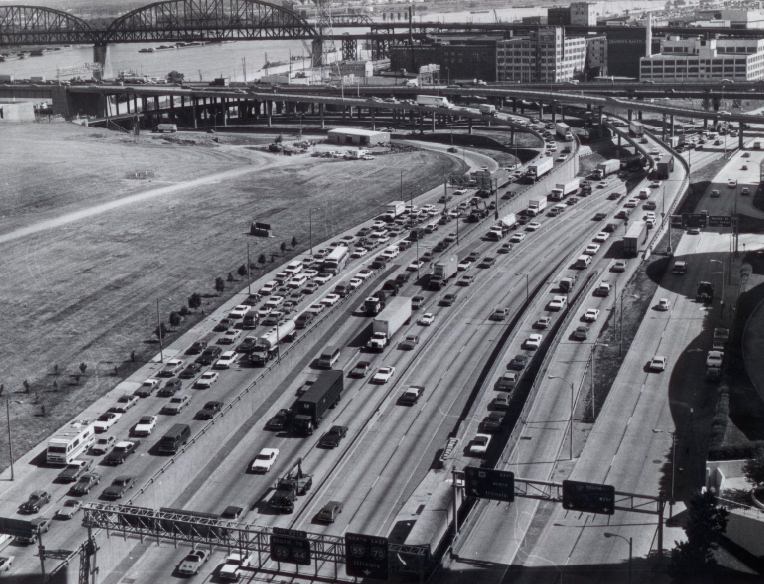
Downtown traffic approaching Poplar Street Bridge and I-55 traffic and traffic exiting from bridge, 1977

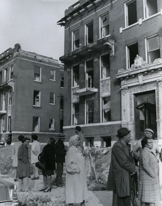
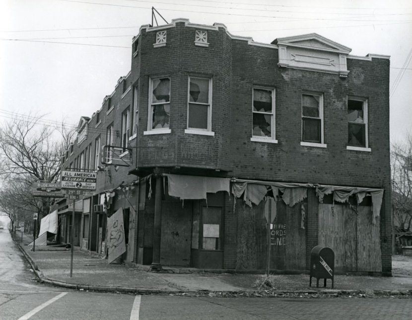
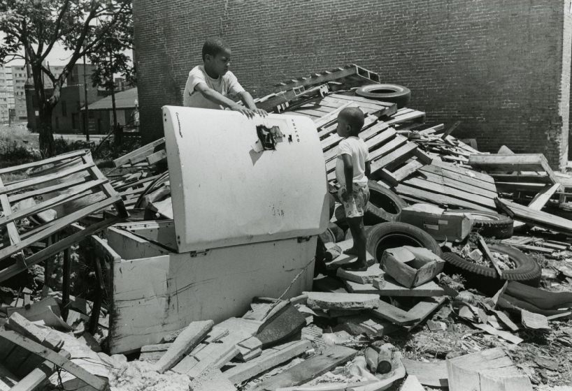
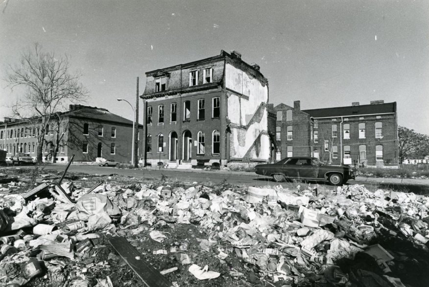
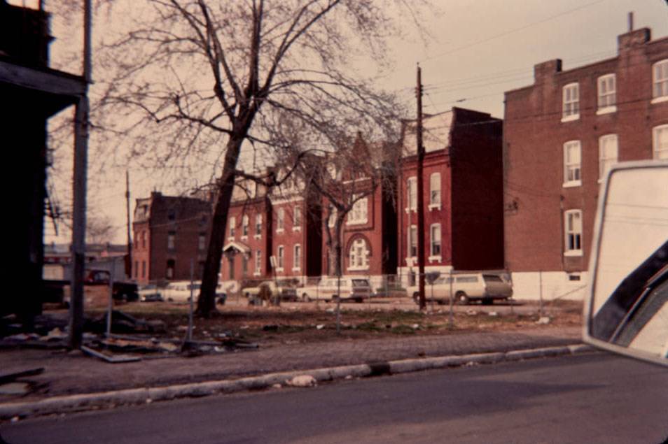
Urban decay was not abstract in 1970s St. Louis — it was photographed street by street. The Ranelagh-Wilmar Apartments sat empty by 1976. Buildings along the 4500 block of Washington were already abandoned by 1971, with community members documented standing before them. At the corner of 29th Street and Bond Avenue, a deteriorated structure sat without repair in 1972. Children were photographed searching through debris left behind by demolished buildings in 1970.
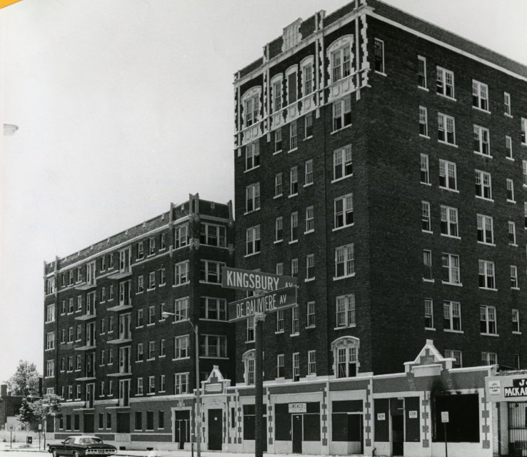
The Now Empty Ranelagh-Wilmar Apartments, 1976
Riverbend Apartments, 4718 South Broadway, two blacks south of the intersection of Interstate 55, 1975
The Site For A Proposed State Office Building, 1976
Sherwood Court Apartments, 4501-31 McPherson Ave., 1976
A building deteriorates as the roof begins to fall apart and the inside of the building's structure can be seen, 1974
A building deteriorates as the roof begins to fall apart and the inside of the building’s structure can be seen, 1974
Community members stand in front of a neighborhood of abandoned buildings on the 4500 block of Washington, 1971
An abandoned and deteriorated building at the corner of 29th St. and Bond Ave, 1972
Two children search through debris left by a building after it was destroyed, 1970
Building Demolition, 1972

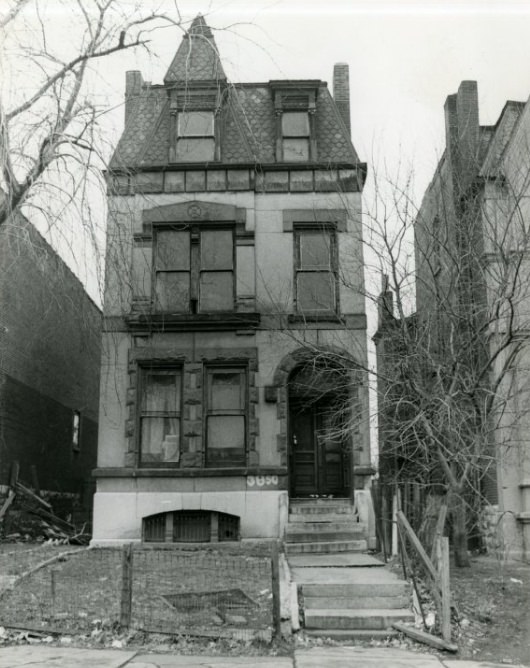
The 3800 and 3900 blocks of Delmar saw their own share of demolition and decline. Structures like the building at 3896 Delmar and the one at 3850 Delmar were documented in 1972 as the wrecking ball moved through the corridor. A candy shop at street level in a still-standing building on the same stretch showed the contrast between what remained and what was being lost.
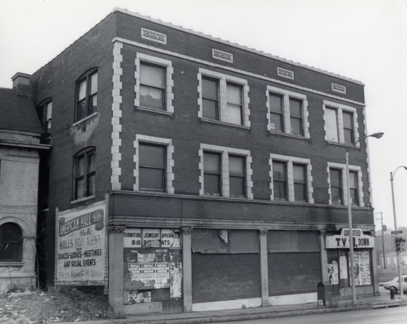
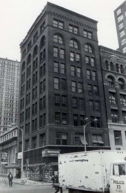
3896 Delmar, 1972
3896 Delmar, 1972
A building with a candy shop located at the bottom, 1973
Smoke surfaces as the building begins to dismantle, 1972
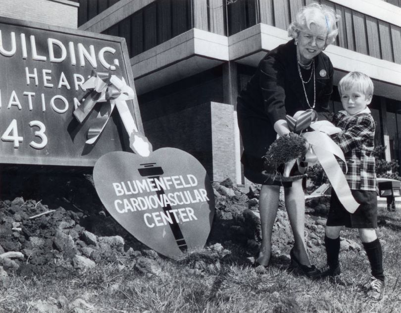
Groundbreaking ceremonies for an addition to the St. Louis Heart Association's Daudt Building at 4643 Lindell Bl., 1977
Groundbreaking ceremonies for an addition to the St. Louis Heart Association’s Daudt Building at 4643 Lindell Bl., 1977
At the corner of Mills and N. Leffingwell a deteriorated, abandoned building sits across from a pile of debris and junk, 1973
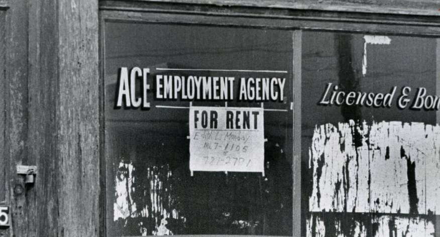
A window in the 3300 block of Olive Street, there are either no jobs available or there are no unemployed, 1976

A window sign photographed in the 3300 block of Olive Street in 1976 pointed directly to the decade’s employment paradox: it read that there were either no jobs available or no unemployed. The irony was not lost on residents living through the contraction of St. Louis’s manufacturing base.
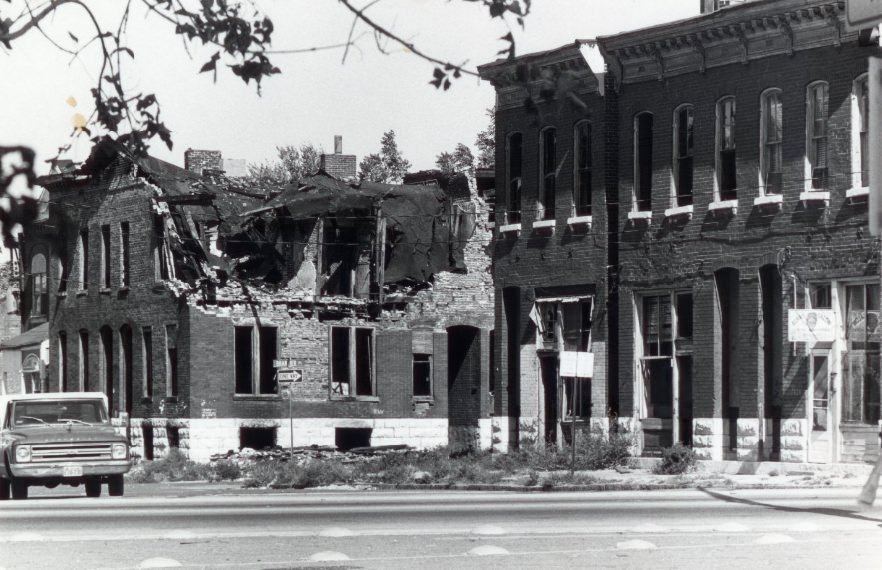
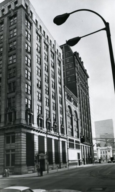
Building Decline, 1974
Building at N. Broadway between Olive and Pine Streets, 1977

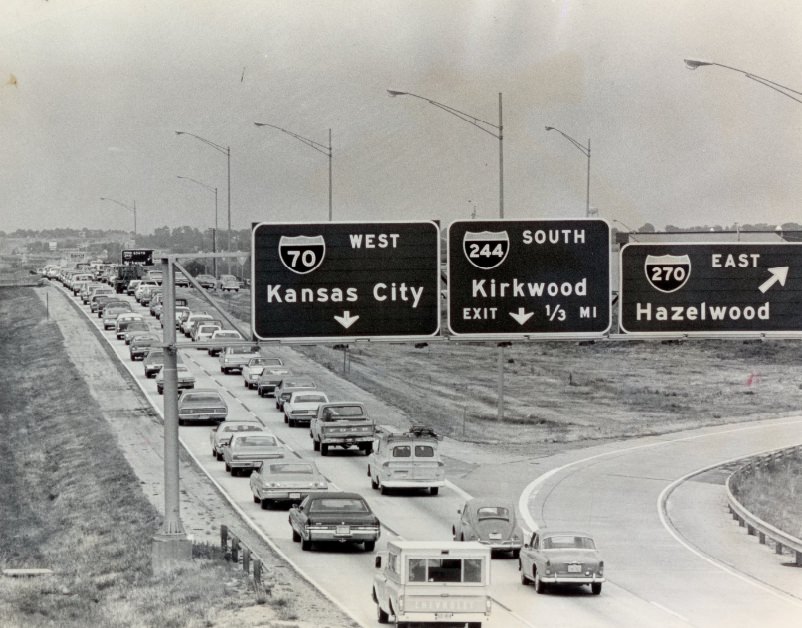
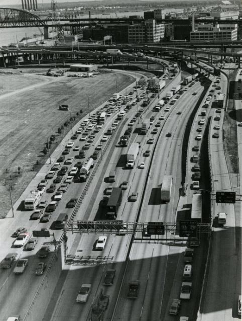
The Poplar Street Bridge and the surrounding interstate interchange were central to how St. Louis moved people in and out of downtown. By 1977, construction and repair work on the east side approaches created daily traffic backups. Photographers captured the congestion from the 8th Street pedestrian overpass, showing the full scope of the bottleneck at peak evening hours.
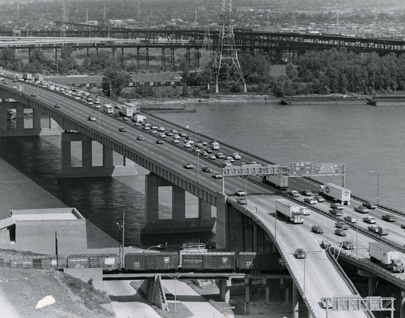
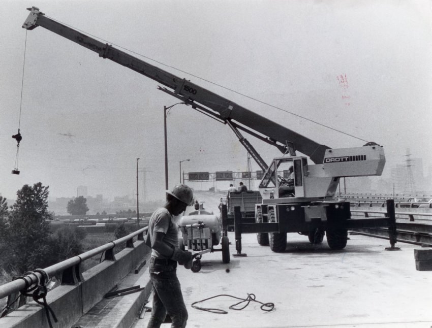
Poplar Street Bridge, 1975
Closed Illinois Route 3 ramp, looking northwest toward St. Louis, 1975
Traffic flows off the exit ramps of the Poplar Street bridge into downtown St. Louis. East Side approaches to the bridge are under repair, 1977

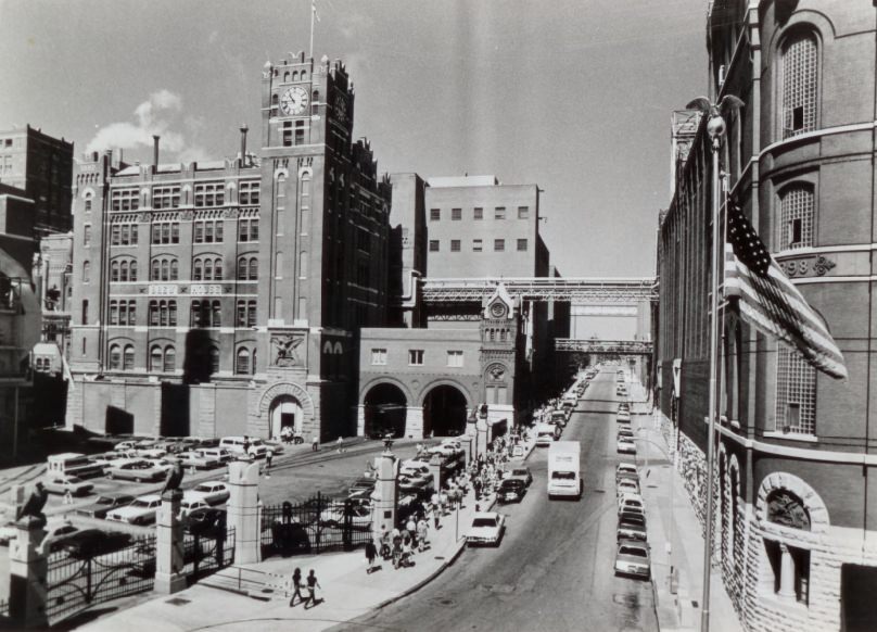
Falstaff’s sprawling brewery complex at Lemp and Shenandoah remained a major south side landmark throughout the decade. The site had been associated with brewing since before the Civil War. By the late 1970s, it was operating under increasing financial strain as national beer brands squeezed regional brewers. The building’s 127-year history in St. Louis was documented in a 1977 photograph that captured the structure while it still stood as a working facility.
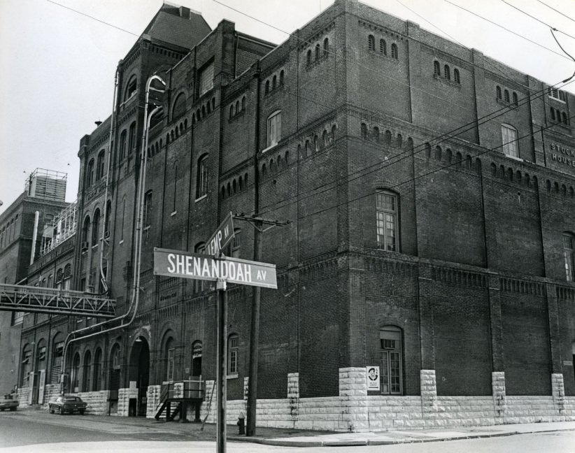
The Falstaff Brewery building, at Lemp and Shenandoah avenues, has been the site of brewing for 127 years, 1977
Anheuser-Busch Brewery - Truck Crosses Picket Line, 1976
Anheuser-Busch Brewery – Truck Crosses Picket Line, 1976
Aftergut Rehabilitation Center, 1974
Anheuser-Busch Brewery - 100 Years, 1976
Anheuser-Busch Brewery – 100 Years, 1976
Anheuser-Busch Brewery - Brew House, 1978
Anheuser-Busch Brewery – Brew House, 1978

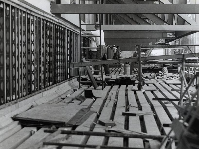
Demolition was a constant presence across St. Louis in the 1970s. Entire blocks came down, sometimes in controlled burns, sometimes with heavy equipment. The Mound City Ice and Cold Storage Company building at 9th and Branch Streets — a recognized North St. Louis landmark — was torn down in 1977. Three buildings on another block faced the same fate that year. By the time the decade closed, entire swaths of the urban landscape had been reshaped.
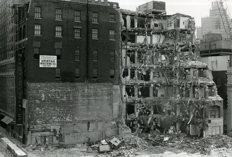
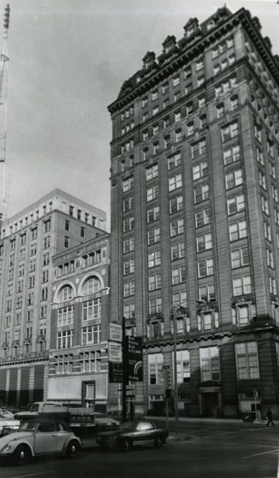
Building Demolition, 1973
Three Buildings May Fall, 1977
Building At 3850 Delmar, 1972

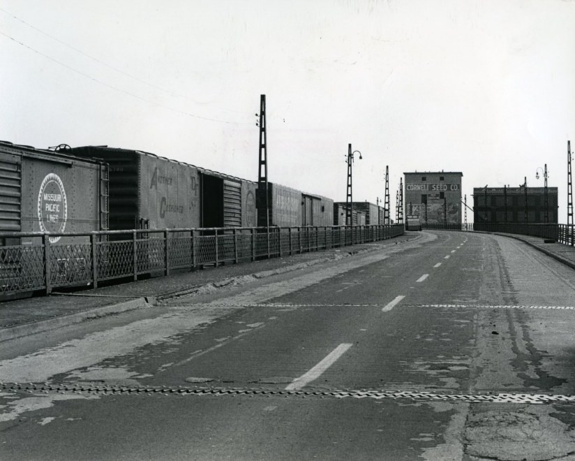
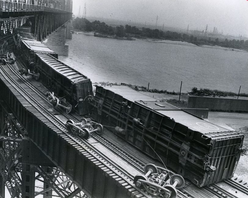
The MacArthur Bridge experienced one of the decade’s most dramatic incidents in 1973, when a train derailment left rail cars without wheels on the span. The accident drew wide attention to the aging condition of the bridge. By 1979, barriers were stopping motorists at the 7th Street approach, a sign of the ongoing safety concerns that plagued the structure.
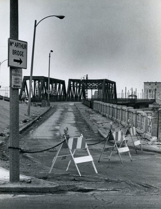
Barriers stop motorists at the 7th Street approach at the MacArthur Bridge, 1979
Cars lie without wheels after derailment on MacArthur Bridge, 1973
MacArthur Bridge, 1977
Train Derailment on the MacArthur Bridge, 1973
Old townhouses were traded for new when Blumeyer was built, 1971
Wharf Street Near Eads Bridge, 1973
The NL Industries titanium plant, at the River Des Peres and the Mississippi, 1977

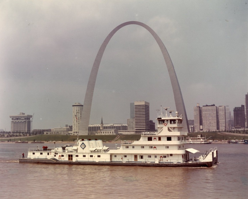
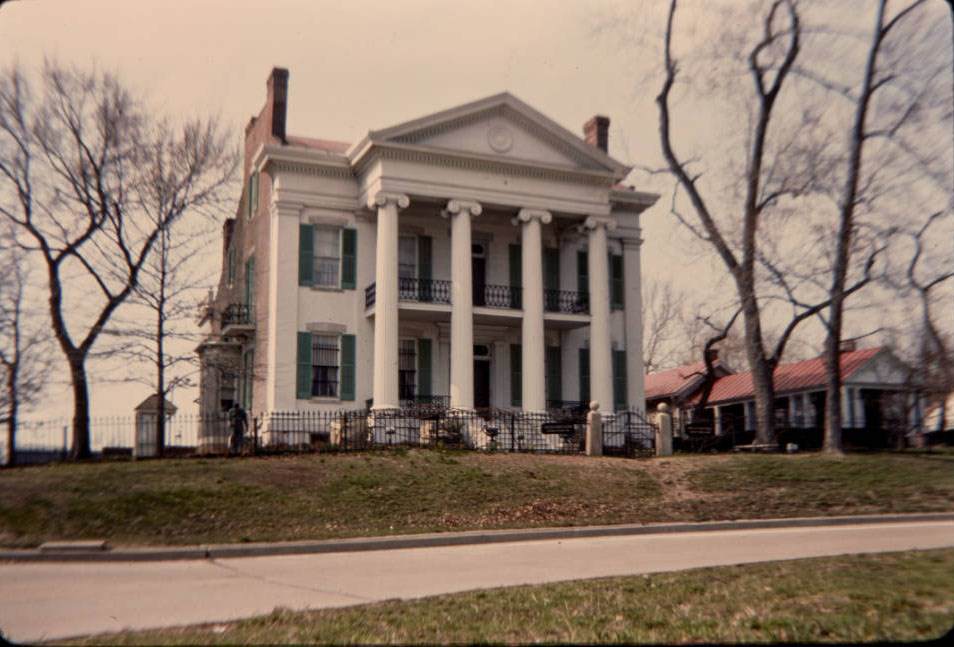
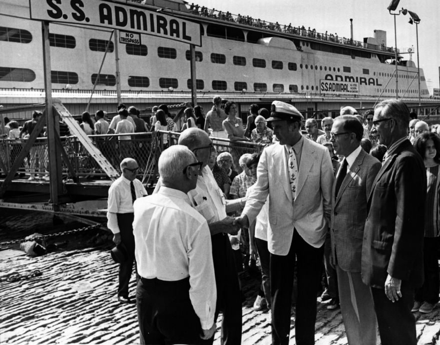
Not everything in 1970s St. Louis pointed toward decline. Art Hill in Forest Park remained a beloved gathering spot, drawing families to sled down its slope in winter. The St. Louis Zoo’s seal shows packed in audiences year after year. The Admiral steamboat continued boarding passengers at the levee, connecting the city to the river that built it.
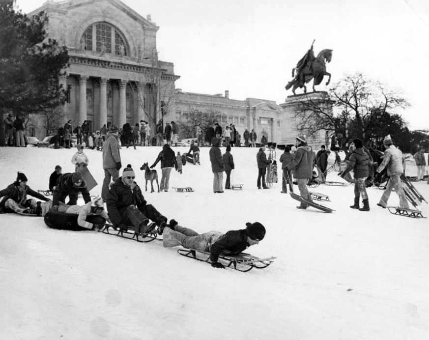
Sledding at Art Hill, 1978
Admiral Boarding/Disembarking, 1971
Sally Archer, 1970
Sally Archer, 1970

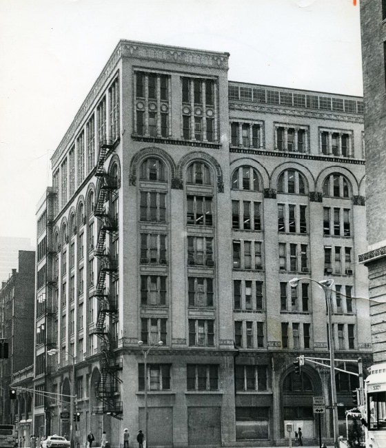
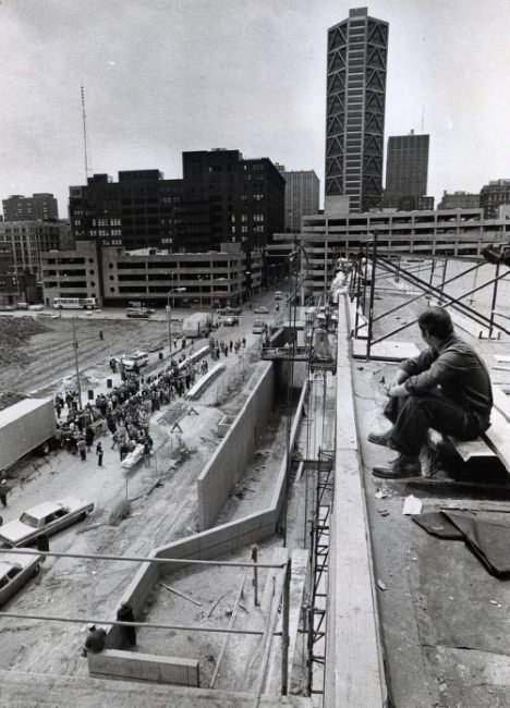
Downtown development picked up speed in the mid-decade. The convention center was under active construction in 1975 and 1976, with workers and city officials conducting tours of the site as it took shape. By 1978, Convention Plaza was handling heavy evening rush-hour traffic, photographed looking east from the 8th Street pedestrian overpass. The A.D. Brown Building downtown was slated for renovation in 1977, and the Samuel Cupples House was documented as a historic preservation subject.
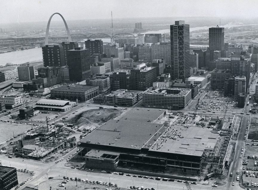
Aerial Photo of Convention Center, 1976
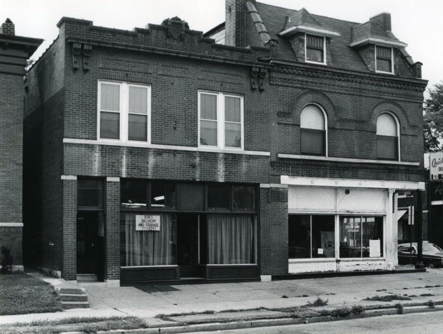
Bob's Delivery Service building at 4066 Shenandoah which was the scene of a St. Louis, 1979
Bob’s Delivery Service building at 4066 Shenandoah which was the scene of a St. Louis, 1979
Downtown A.D. Brown Building to be Renovated, 1977
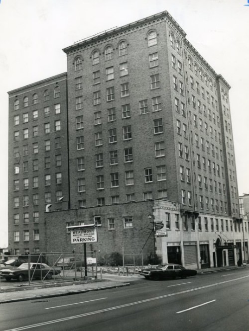
The Beaumont Medical Building, the victim of a low occupancy rate and high utility costs, 1976
Convention Center Hotel Construction, 1975
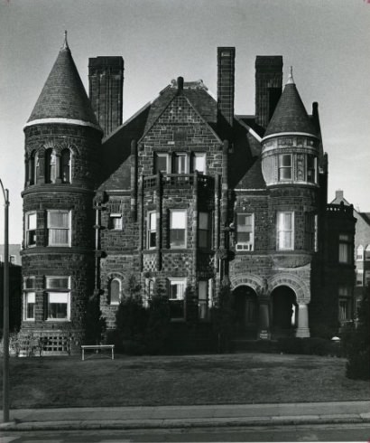
Samuel Cupples House 1973
Basics and Beyond, 1978
The traffic situation on Convention Plaza at about 4:45 p.m. Friday. The photo was taken from the 8th Street pedestrian overpass, looking east, 1978
Convention Plaza just east of 12th Boulevard, 1978
Convention Center Workman and Tour, St. Louis, 1976
Convention Center Construction and Workers, 1976

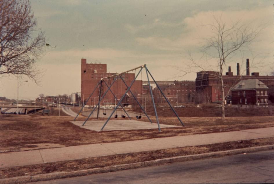
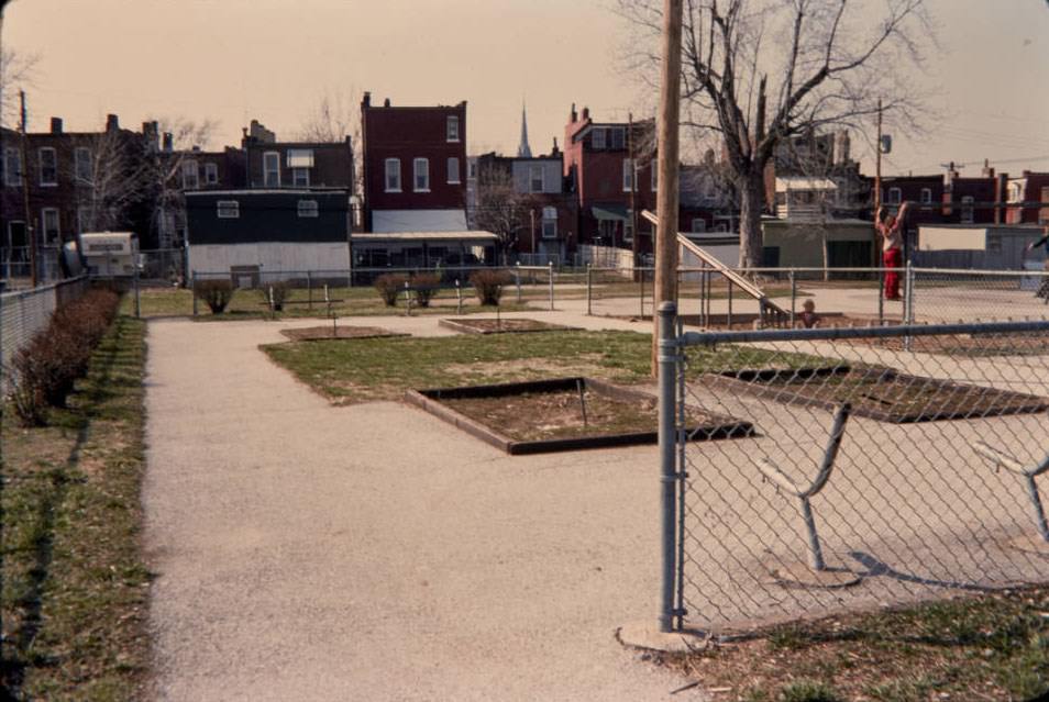
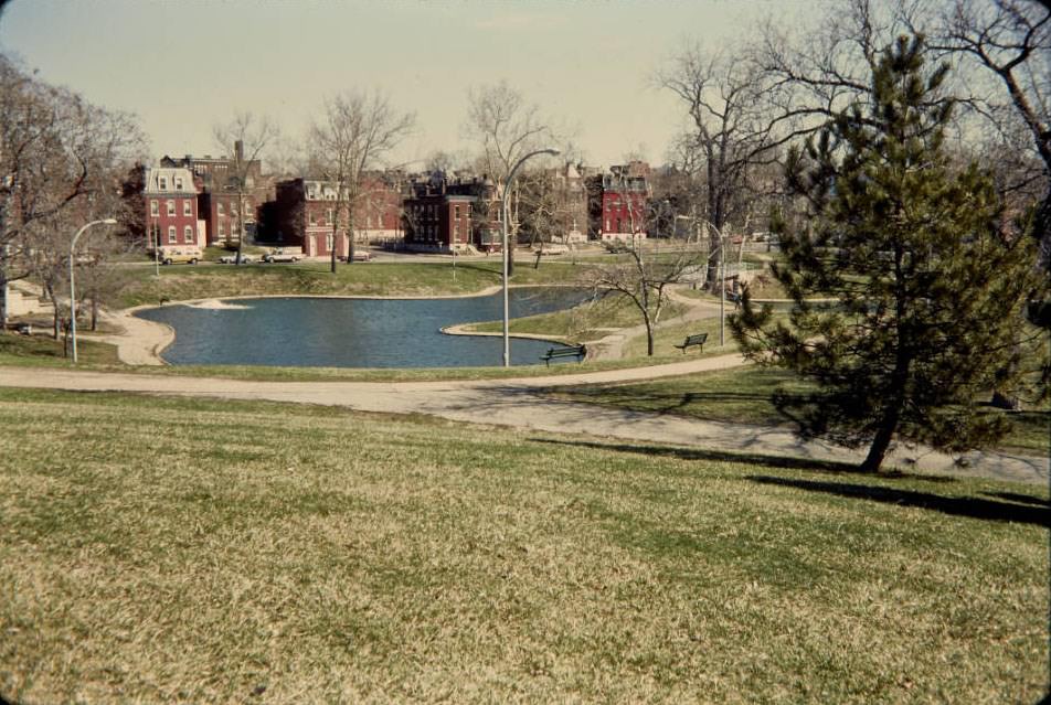
The Soulard neighborhood on the south side was one of the most thoroughly documented areas of St. Louis in the 1970s. Surveyors and photographers moved through its streets in 1977, recording everything from the Anheuser-Busch brewery as seen from Cherokee Playground, to the DeMenil Mansion’s front facade, to the restored residences on Lami Street. The neighborhood showed both the promise of preservation and the persistent reality of vacancy.
Landscape-oriented view of 2900 Indiana from the intersection at Pestalozzi, 1977
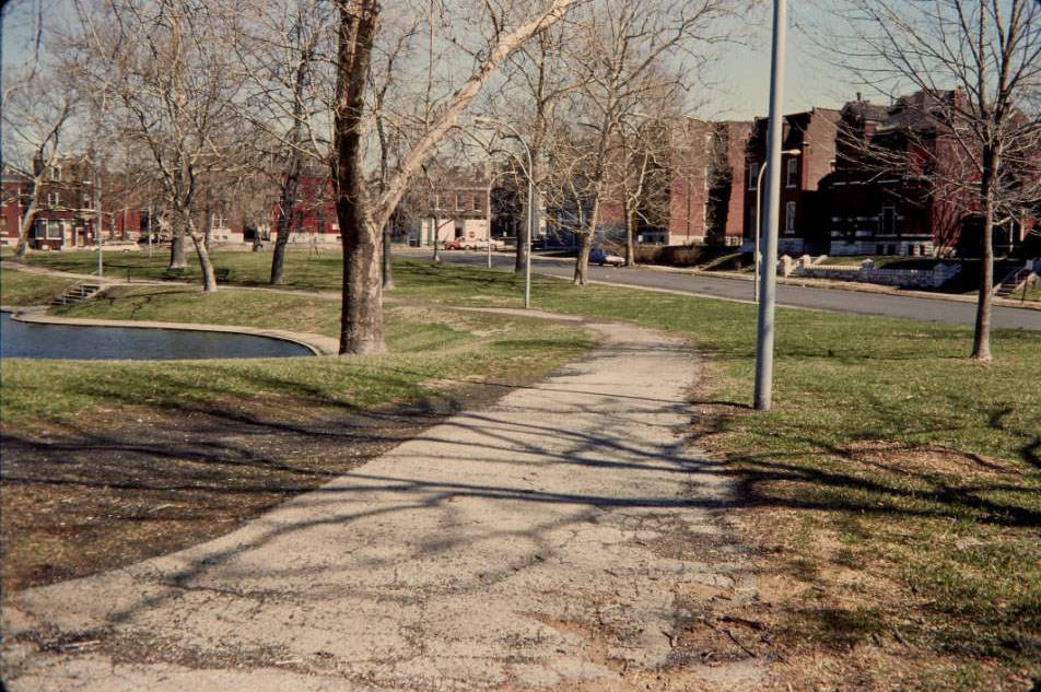
View down walk which goes around the lagoon, looking northeast, 1977
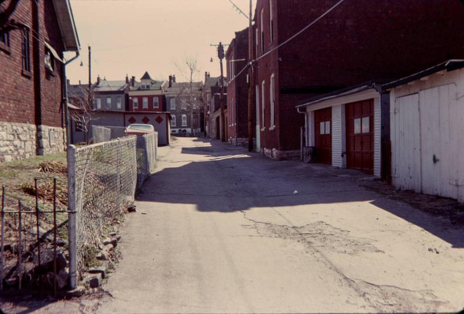
Alley between James & Victor Sts., looking south, 1977
Anheuser-Busch Brewery from 18th Street, 1977
Anheuser-Busch Brewery from Cherokee Playground, 1977
Arsenal St. & Jefferson Ave., 1977
Arsenal St. past Benton Park, looking East, 1977
Arsenal St., looking north, 1977
Arsenal St., south side, looking east, 1977
Benton Park from Indiana St., looking north, 1977
Cherokee & Salena Sts. Commercial Corner, looking west, 1977
Cherokee Playground from Corner of Utah St. & DeMenil Pl, 1977
Cherokee St. & Jefferson Ave. Intersection,1977
Congress St. Houses, looking south, 1977
Congress St. Residences and Vacant Lot, looking north, 1977
Crittenden St., looking east, 1977
Cushing St. from Falstaff (Lemp) Brewery Parking Lot, looking west, 1977
DeMenil Mansion, front view, 1977
Different scale residences, looking north, 1977
Falstaff (Lemp) Brewery Parking, 1977
Landscape-oriented view of Fremont Park looking towards the back alley of the 2800 block of McNair and intersection with Lynch, 1977
Fremont Park, Details (formerly Pontiac Central Park), 1977
Fremont Park, towards Lynch St., looking north (formerly Pontiac Central Park), 1977
Fremont School, New Addition, 1977
Illinois Ave. & Wyoming St. Residence, 1977
Illinois Ave. Residence across from Benton Park, 1977
Indiana St., looking west, 1977
Jefferson & Gravois Aves. Bank, 1977
Jefferson Ave. & Cherokee St., looking east, 1977
Jefferson Ave. down Sidney St., looking west, 1977
Lagoon and Rolling Terrain from high point, looking northeast, 1977
Lami St. Residence, looking north, 1977
Lami St. Restored Residences, looking east, 1977
Lemp Ave. Residence, looking west, 1977
Lynch St. Derelict Buildings, across from Fremont Park (formerly known as Pontiac Central), 1977
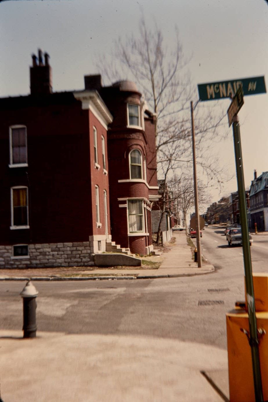
McNair or Missouri Ave. Residences, 1977
Salena & Victor Sts. Residence across from Falstaff (Lemp) Brewery, looking northwest, 1977
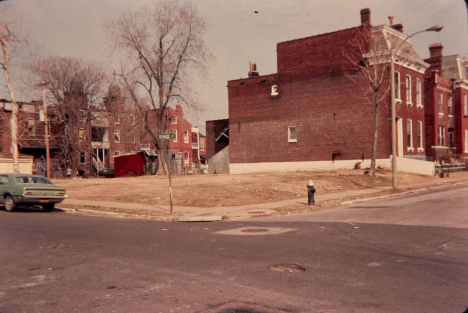
Senate & Salena Sts. Vacant Lot, looking northeast, 1977
Senate St. Homes, 1977
Sidney & Salena Sts. Restaurant, looking west, 1977
Sidney St. Residences, looking north, 1977
Sidney St., south side entrance to residence, looking east, 1977
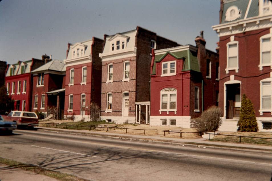
Soulard Residences, 1977
Utah & Salena Sts., looking west, 1977
Utah St. & Jefferson Ave., looking east, 1977

The 157 photographs collected here make up a detailed street-level record of St. Louis in the 1970s. Taken together, they document a city managing the full weight of mid-twentieth century urban change — industrial employment, housing pressure, infrastructure strain, neighborhood survival, and commercial redevelopment all running in parallel. Each image preserves a specific moment, block, or structure that might otherwise exist only in fading memory.
Enjoyed this post? Get new ones in your inbox.
Avatar of Aung Budhh

Written by Aung Budhh

Husband + Father + librarian + Poet + Traveler + Proud Buddhist. I love you with the breath, the smiles and the tears of all my life.

Leave a Reply

Your email address will not be published. Required fields are marked *

3 Comments

  1. It’s odd how little has changed since a lot of these pictures were taken. Like sure, some of them show vast differences, but some of them (outside of the vehicles) look like a current day B&W photo. Which is kind of telling for why we haven’t seen much city improvement since the early 80’s until very recently.