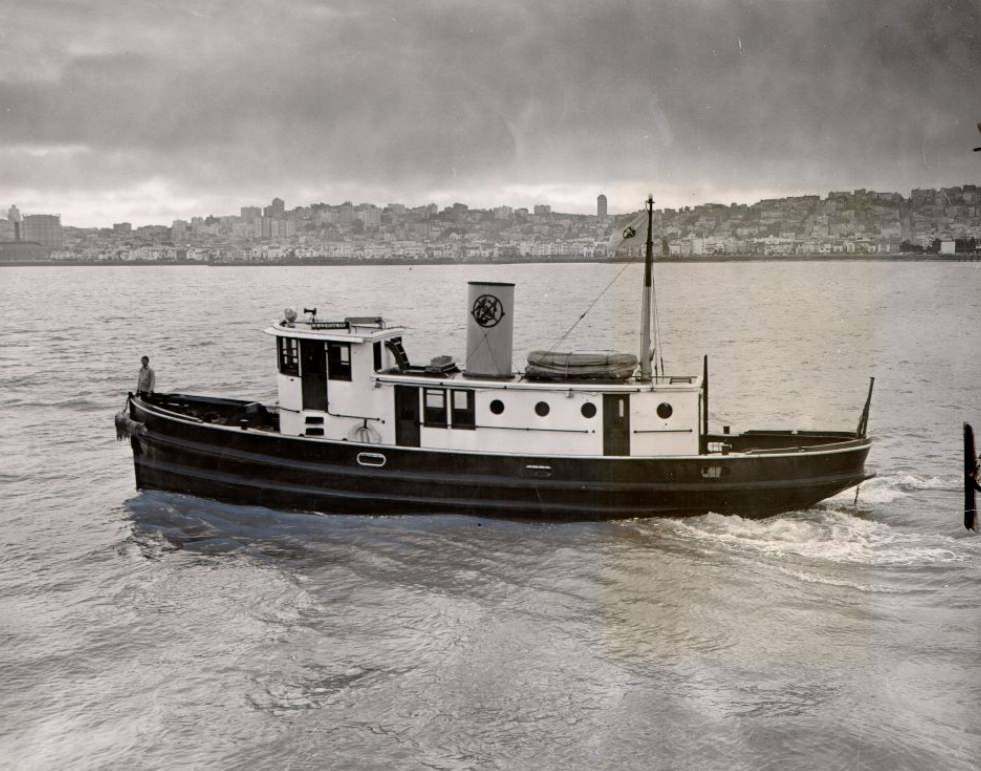
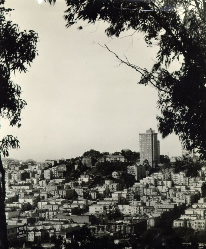
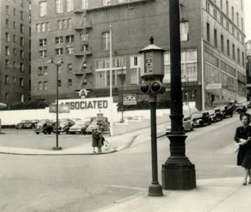
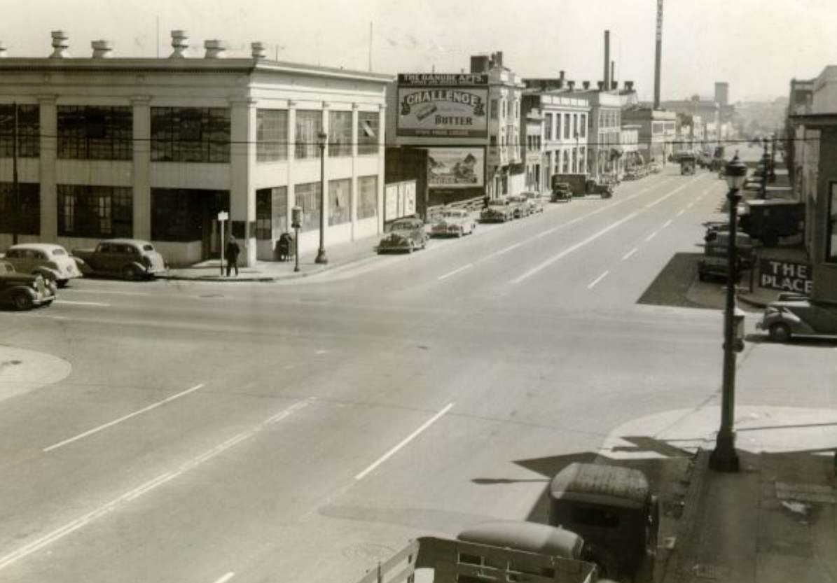
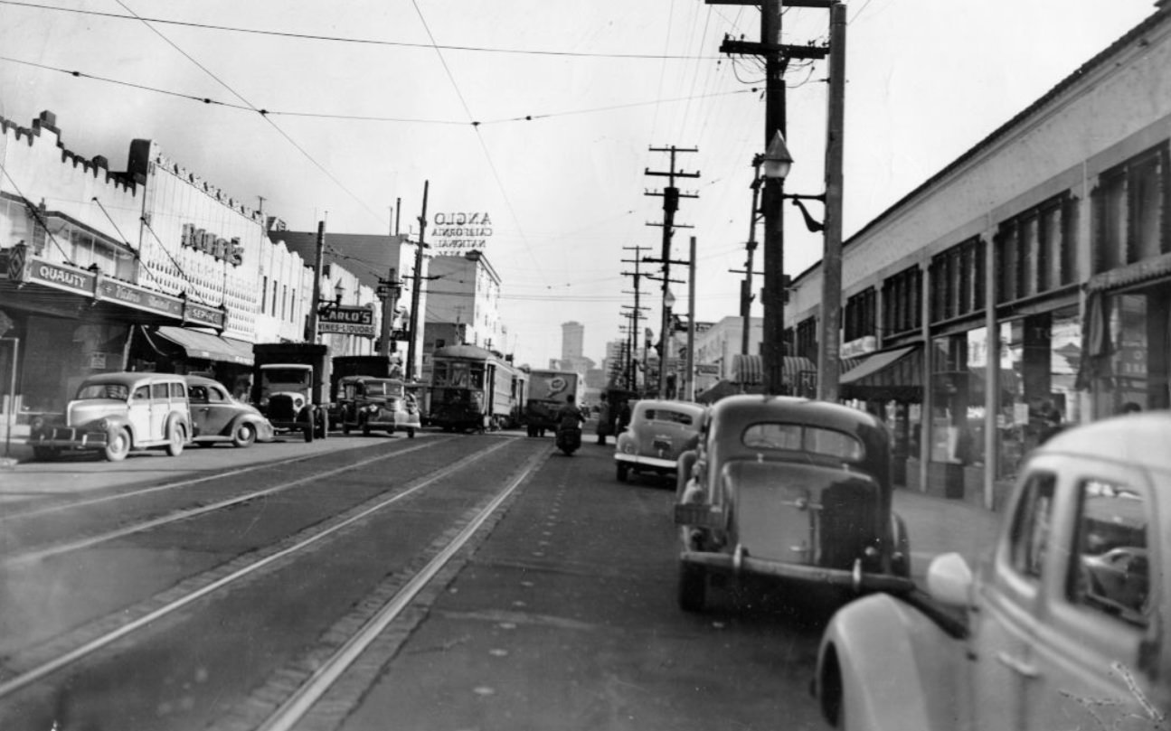
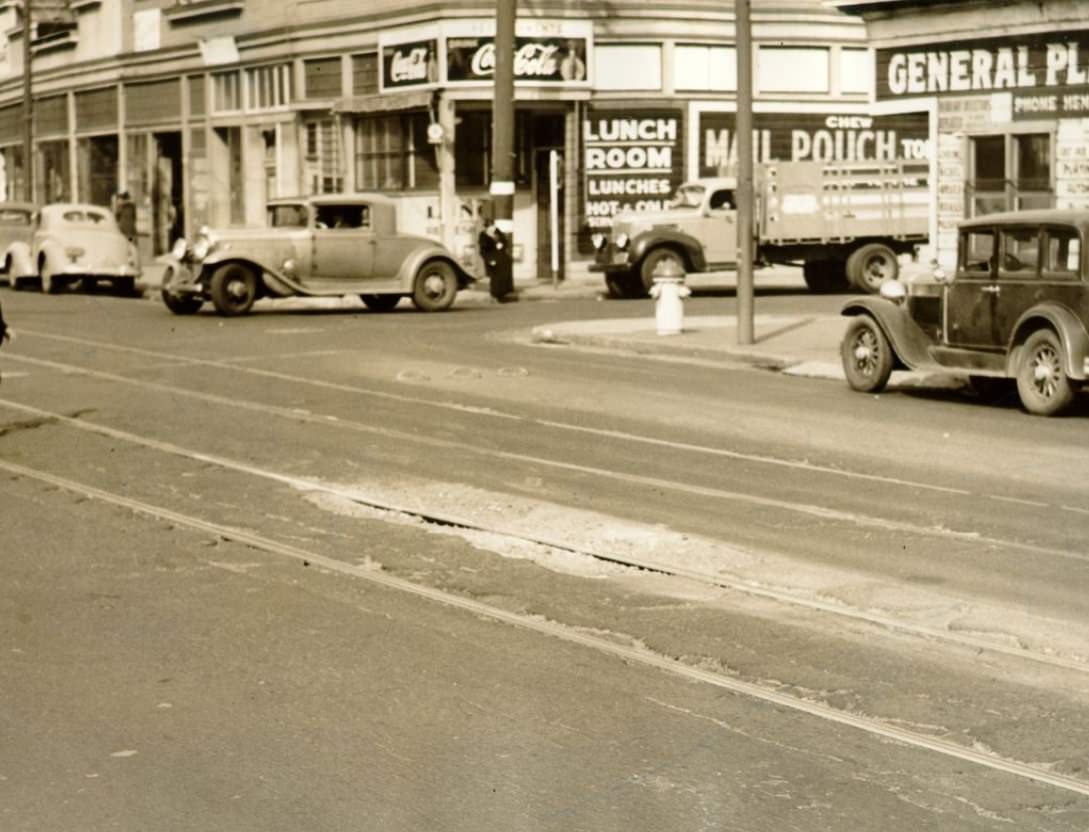
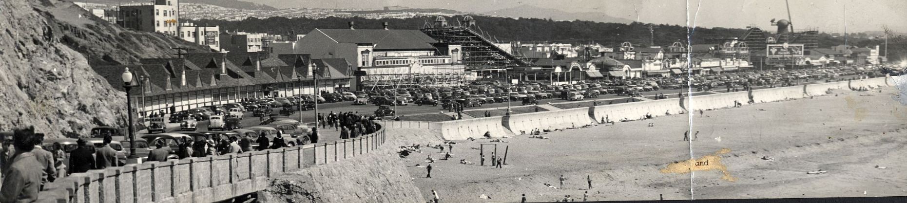
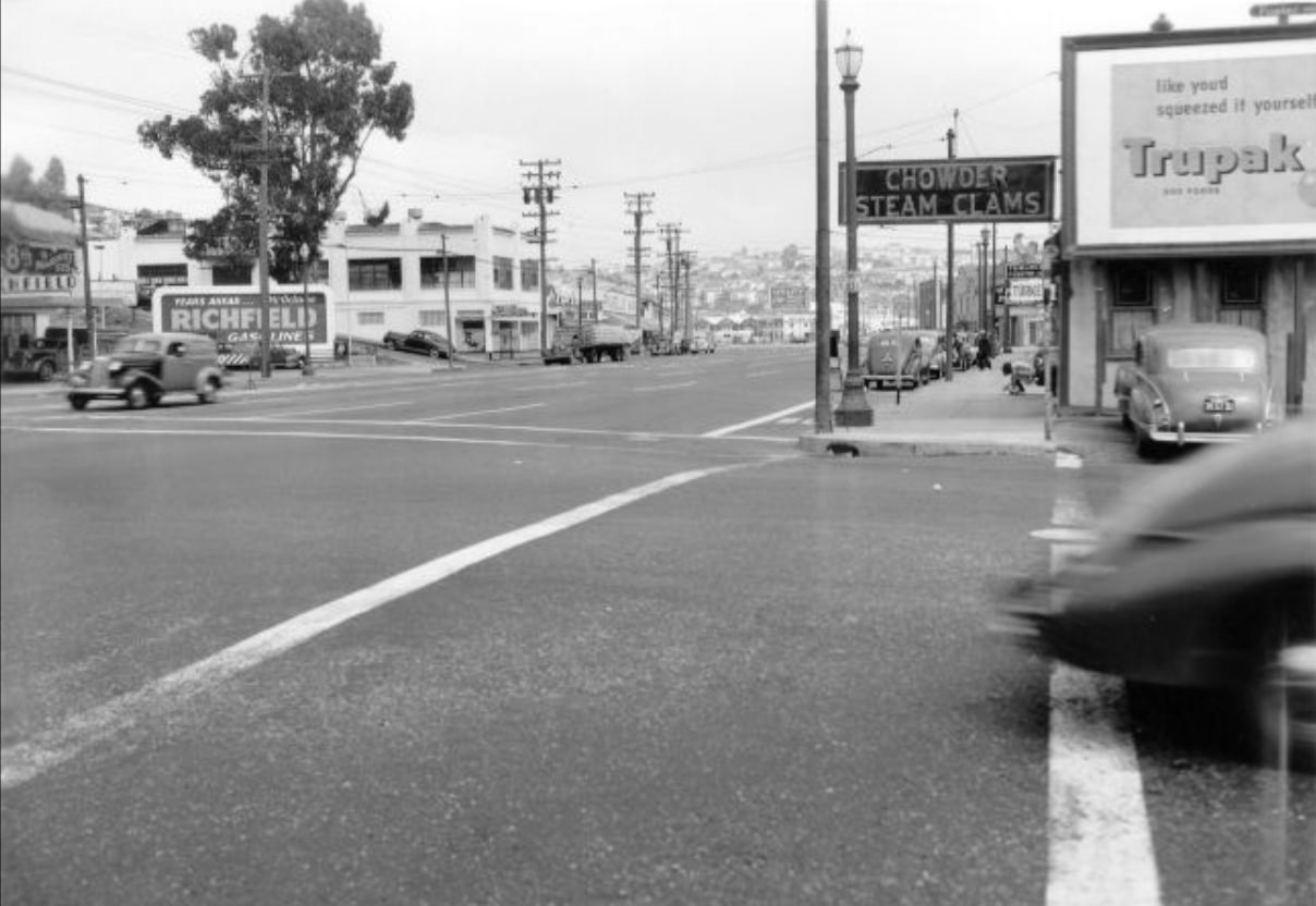
San Francisco in the 1940s was a city in constant motion. The war in the Pacific pulled thousands of workers, soldiers, and sailors through its gates, reshaping neighborhoods, filling shipyards, and pushing the city’s infrastructure to its limits. At the same time, everyday life carried on — cable cars climbed steep hills, vendors stocked their stalls, and families gathered in parks and churches. These photographs capture that decade in precise detail, block by block, year by year.
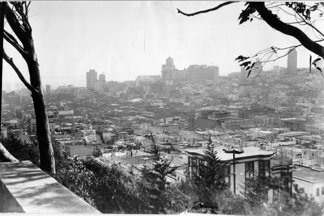
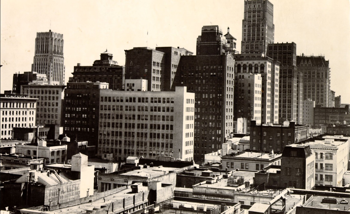
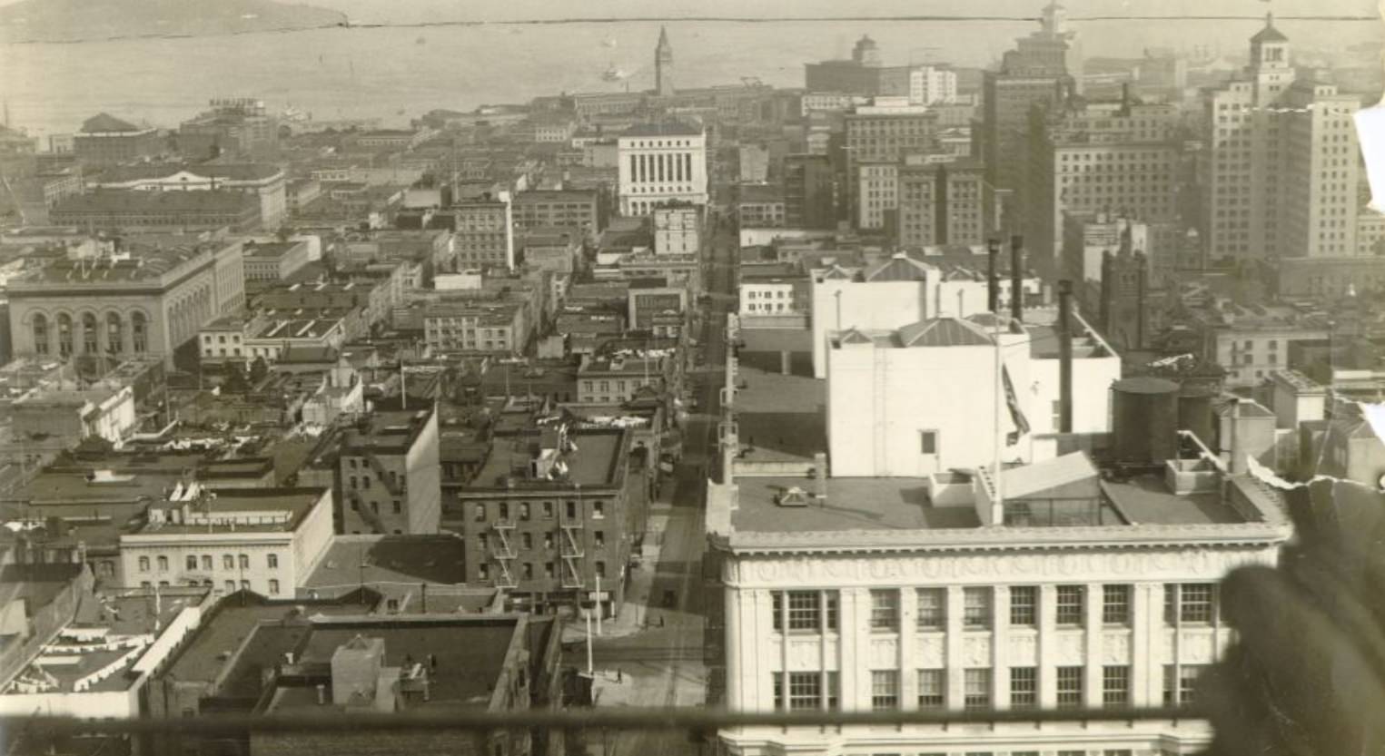
Skyline of downtown San Francisco, 1940
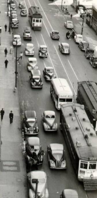
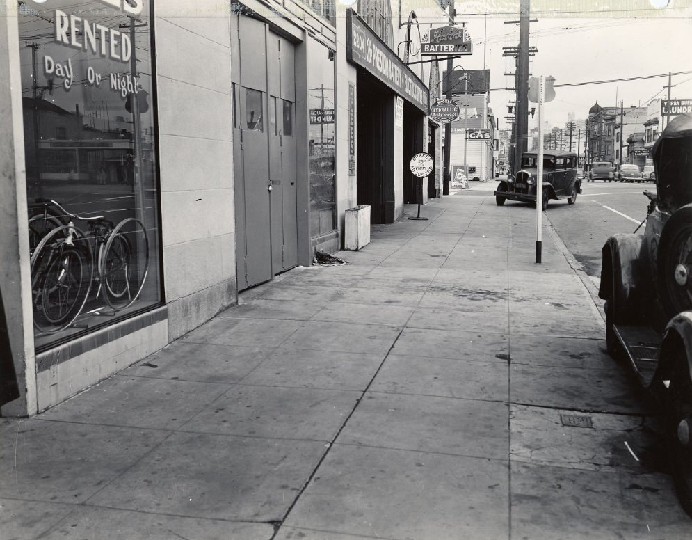
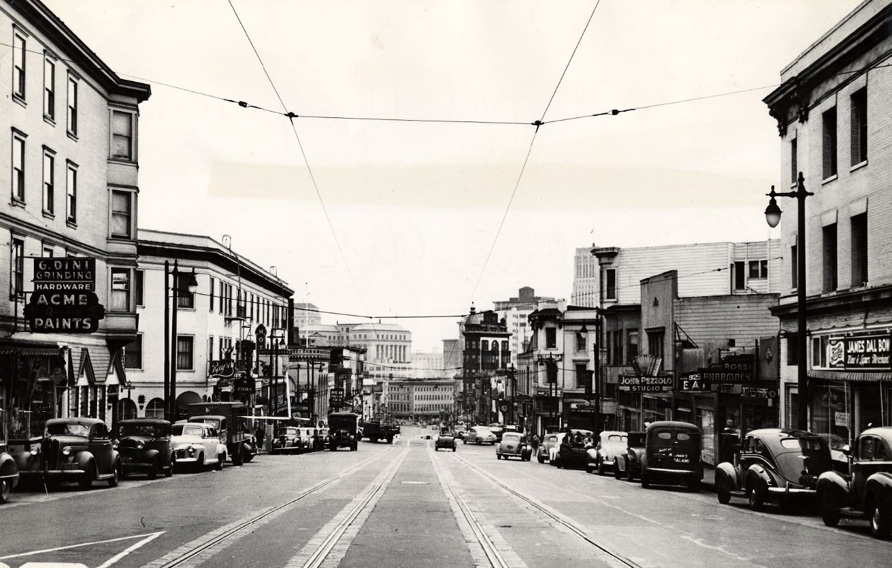
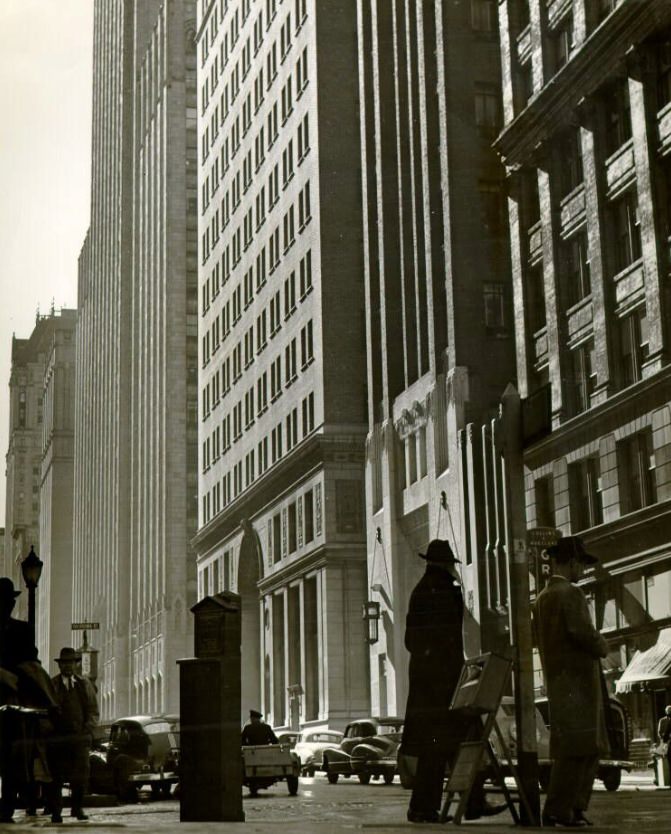
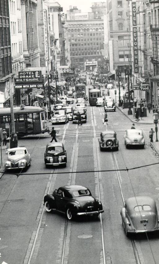
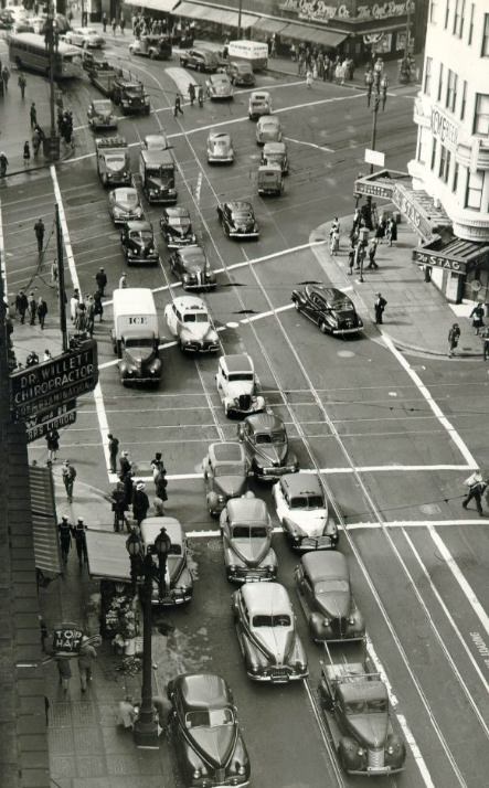
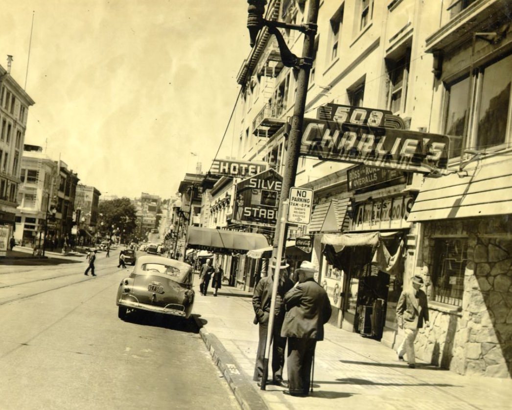
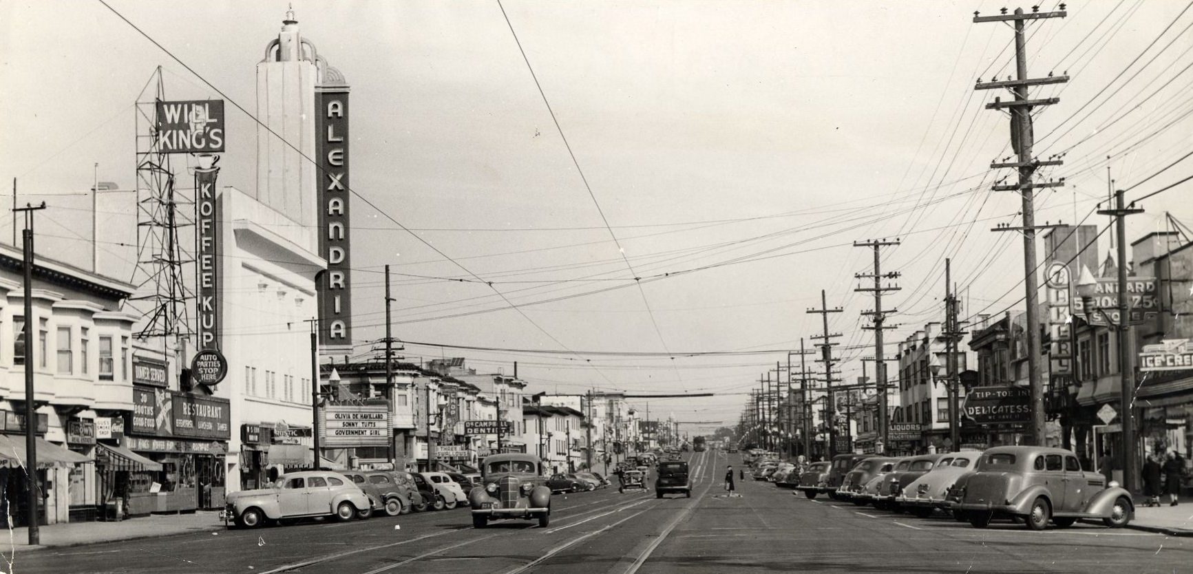
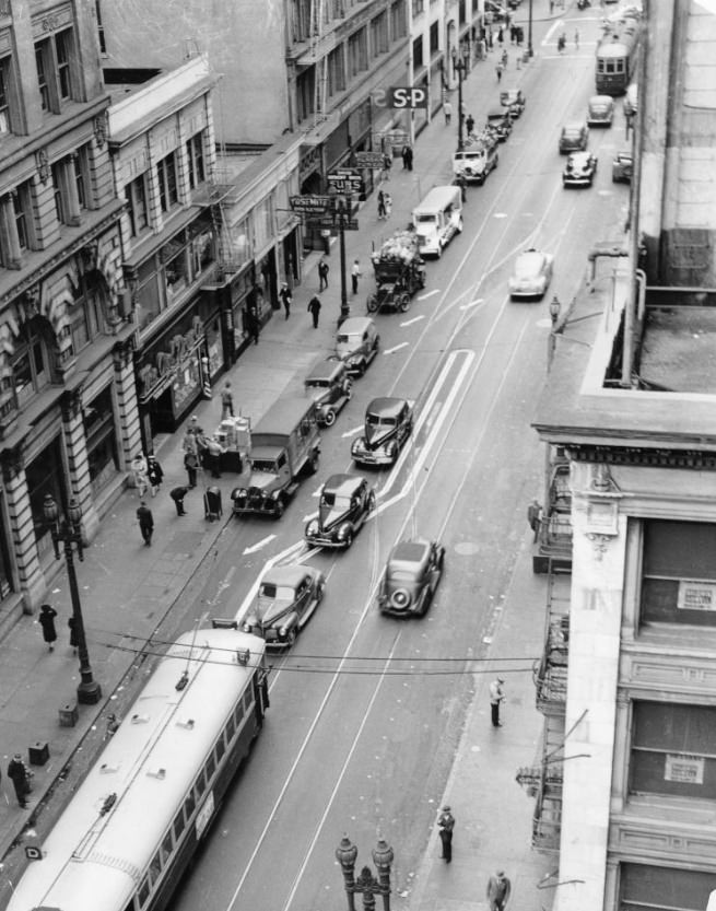
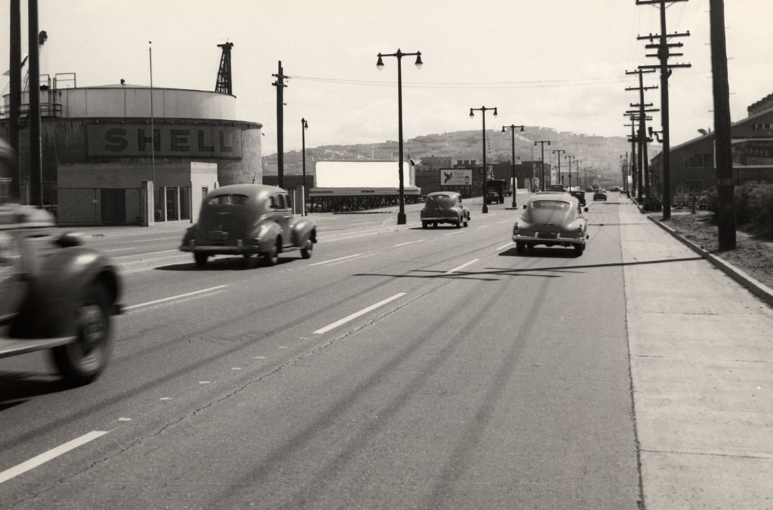
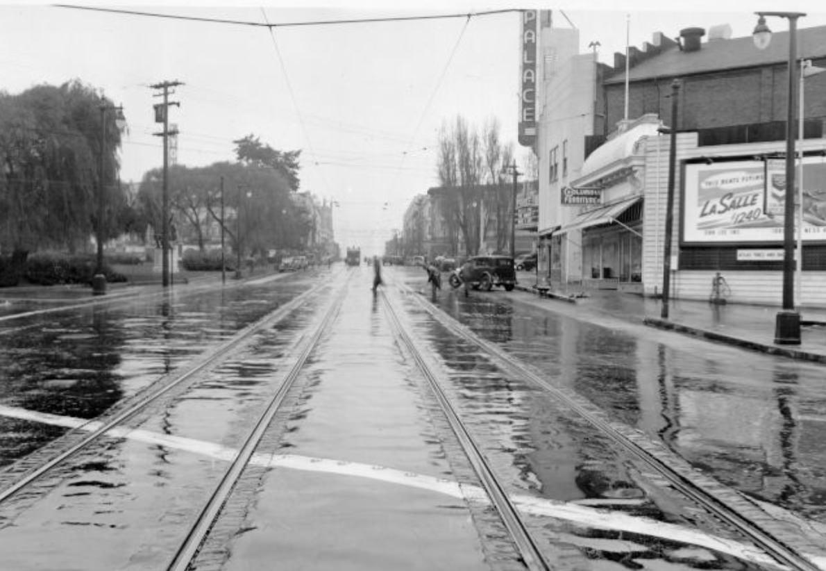
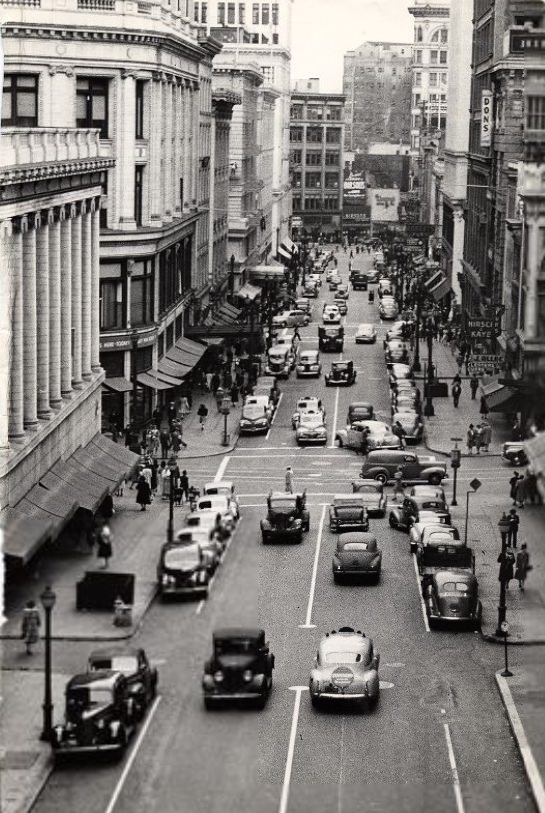
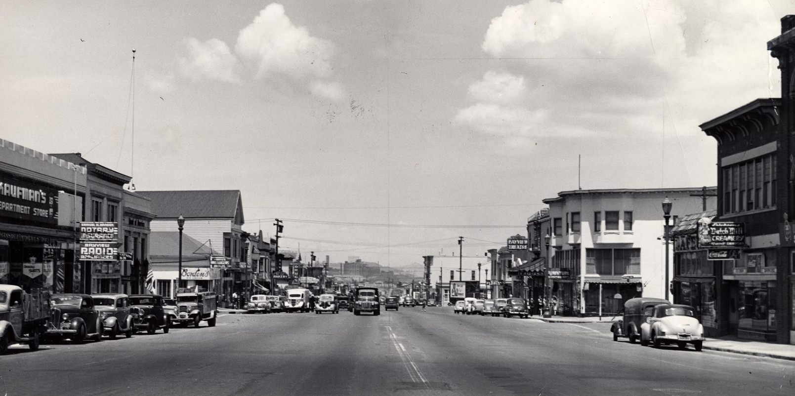
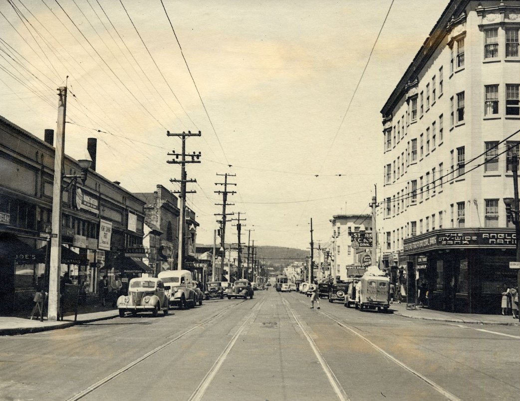
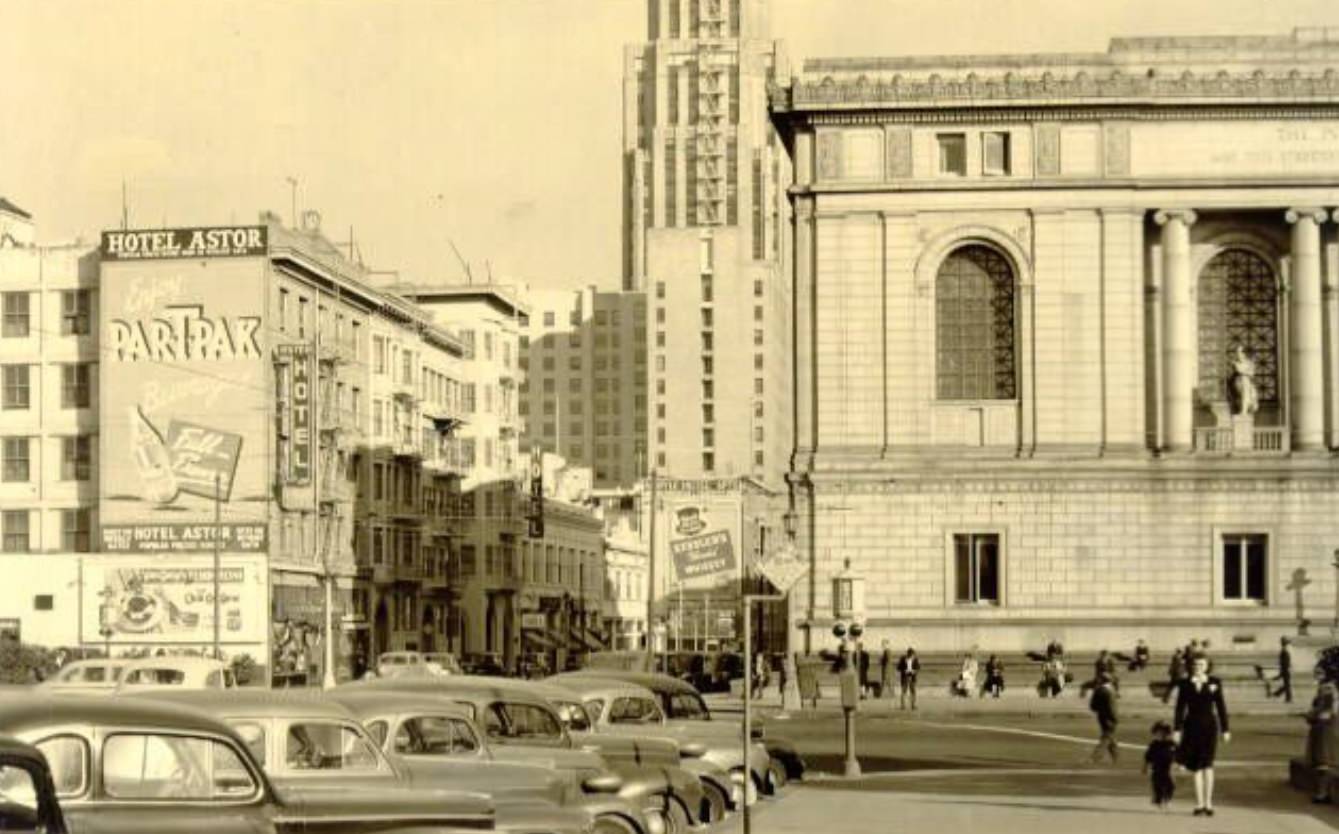
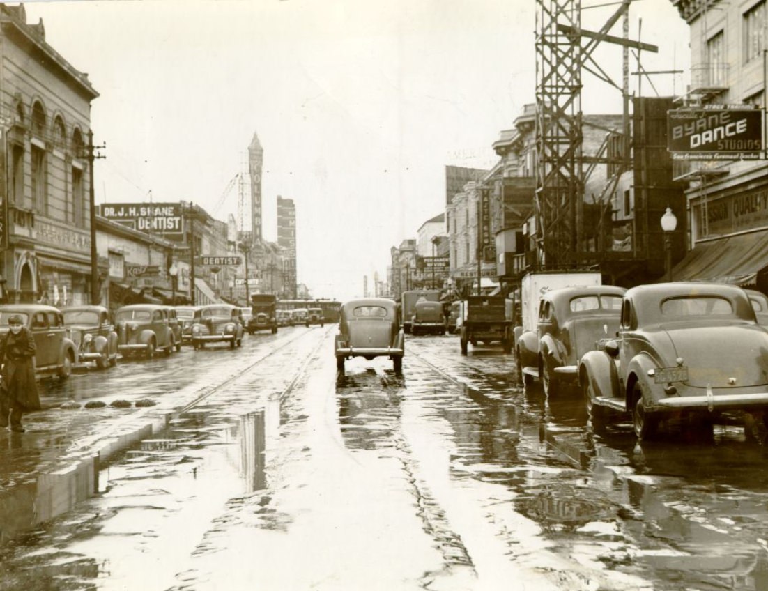
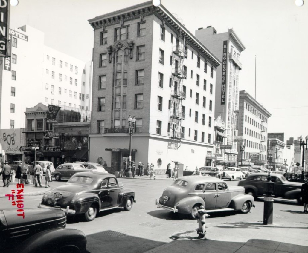
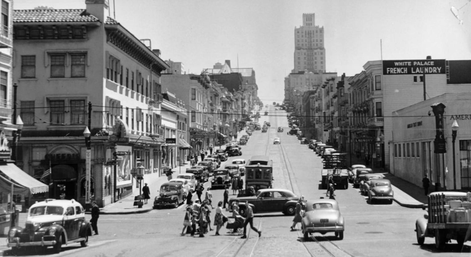
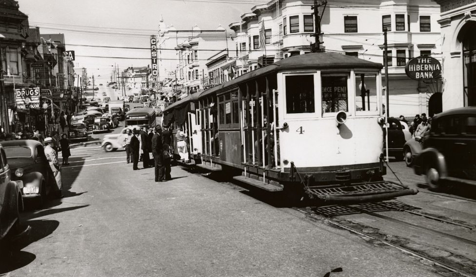
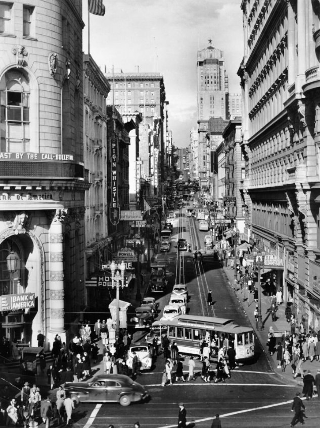
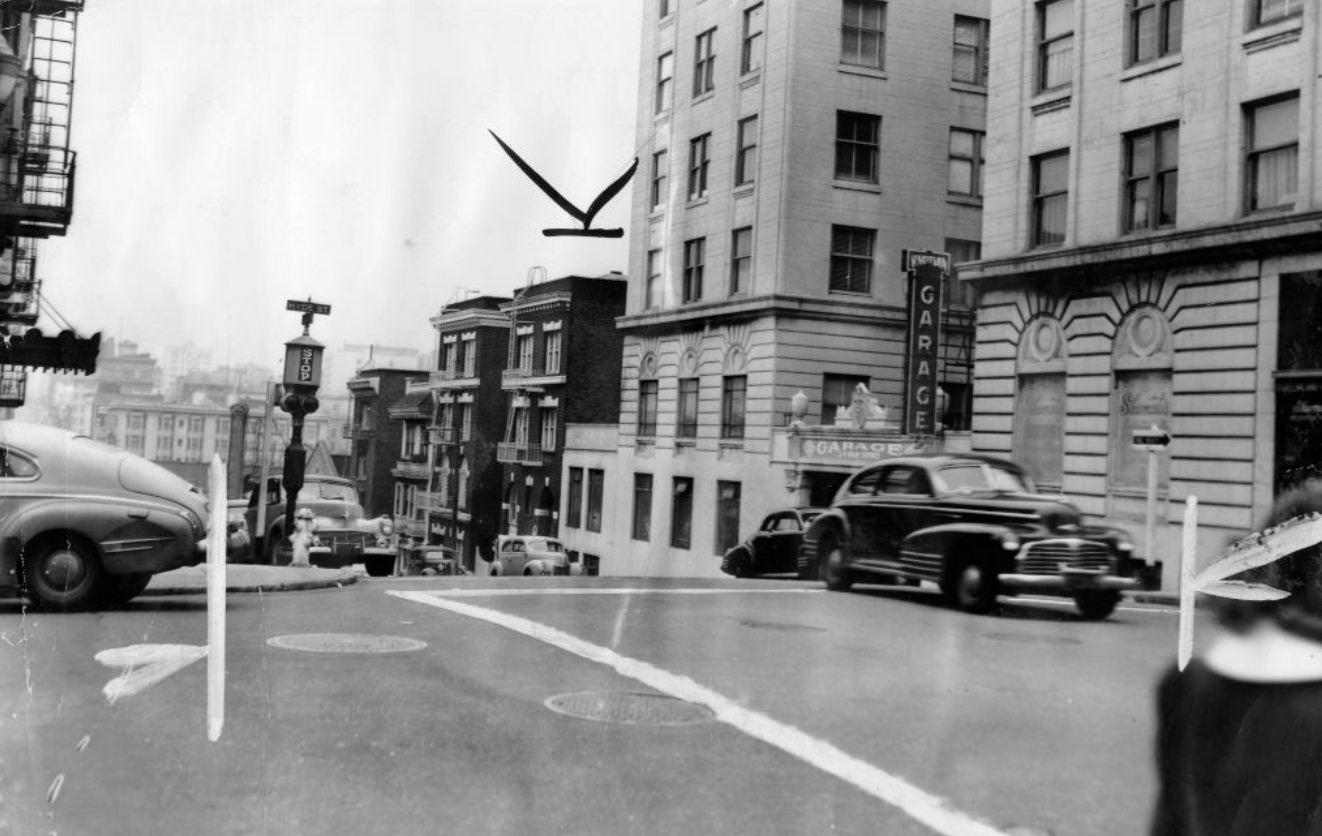
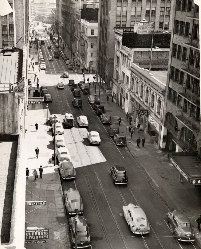
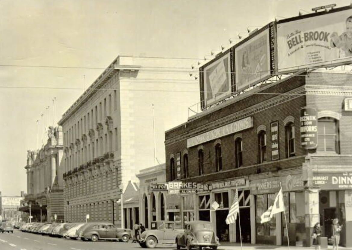
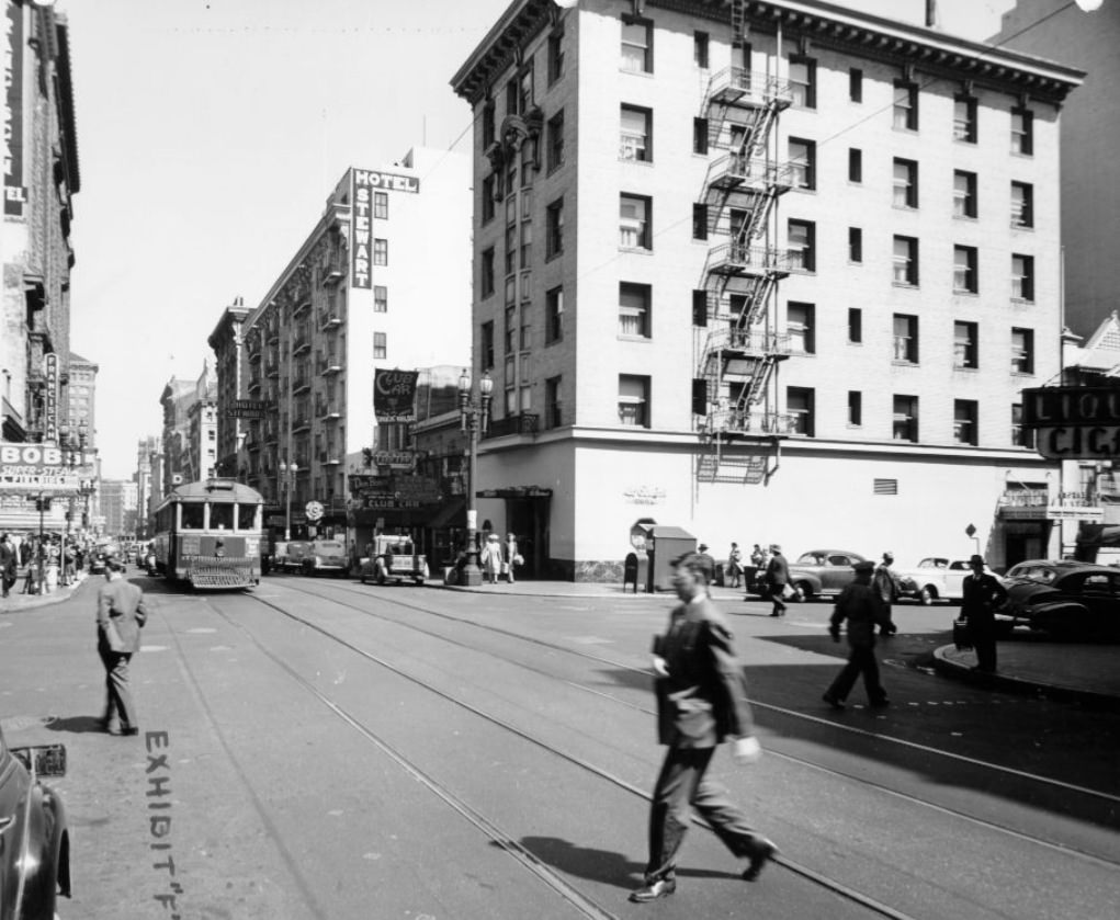
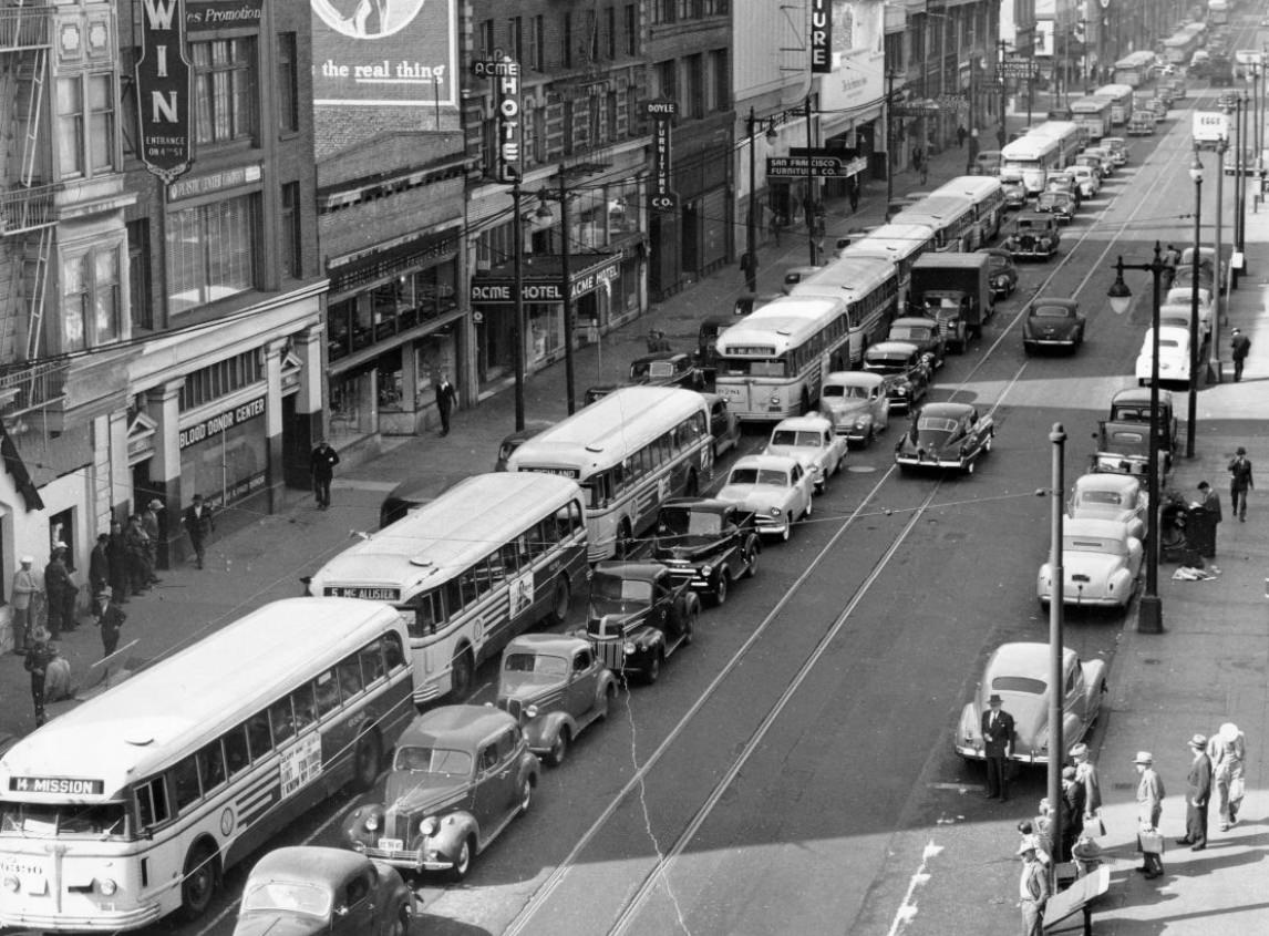
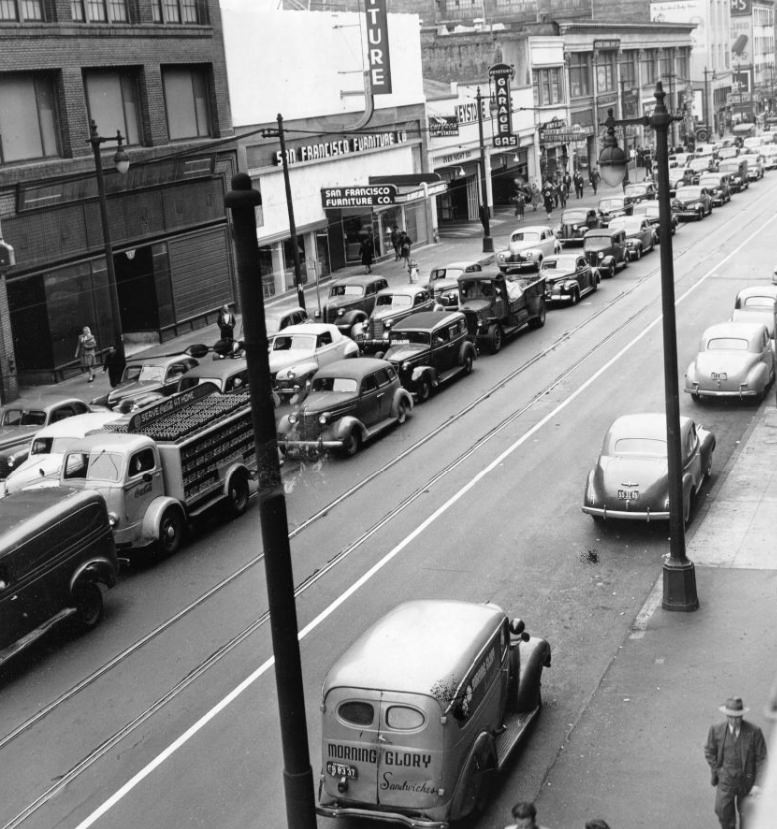
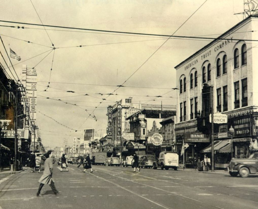
At the start of the decade, San Francisco’s downtown skyline stood as a testament to the city’s ambitions. The streets below were already filling with traffic and commerce. Mission Street, Kearny Street, and Van Ness Avenue were busy corridors lined with shops, offices, and restaurants. The city’s grid moved fast, and so did its people.
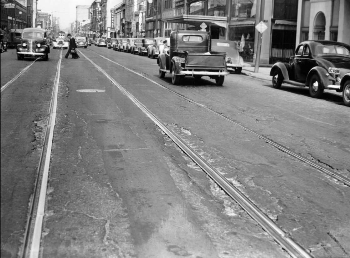
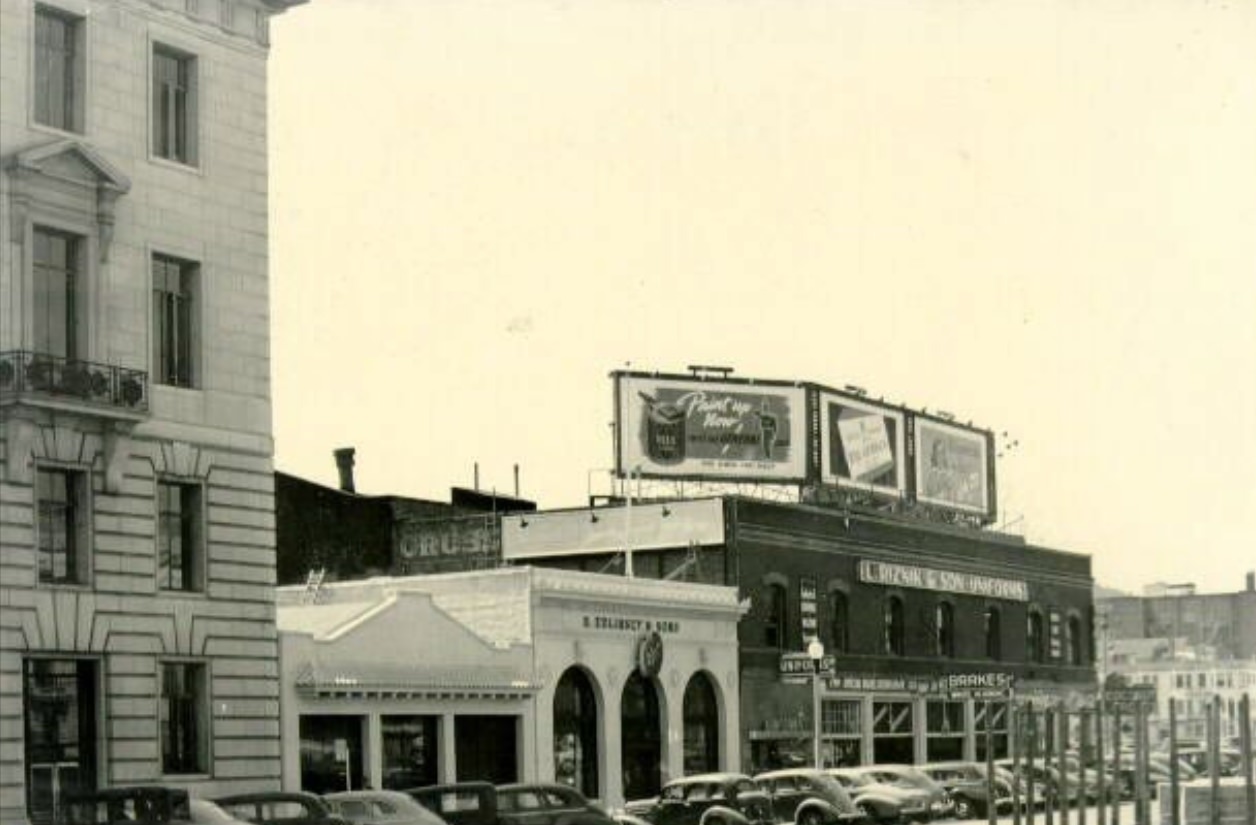
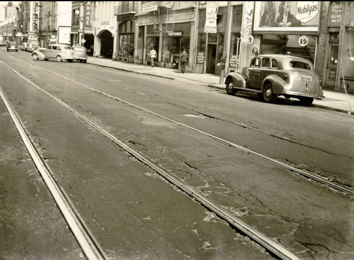
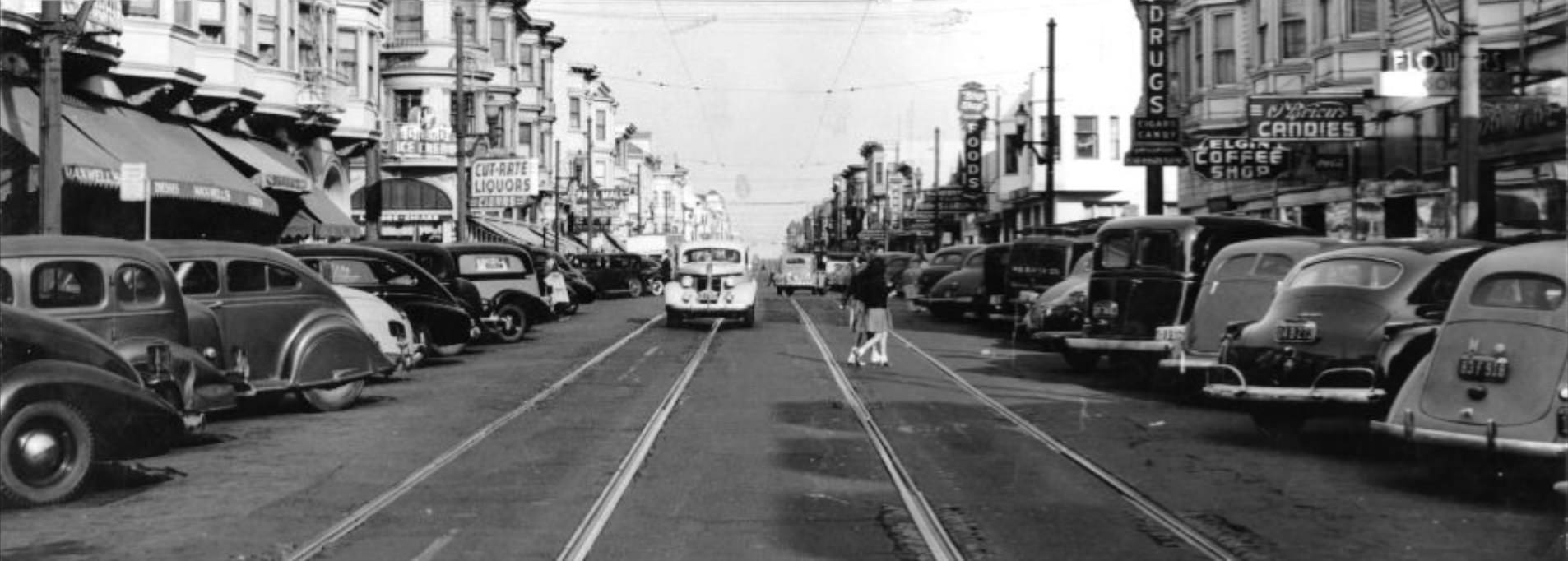
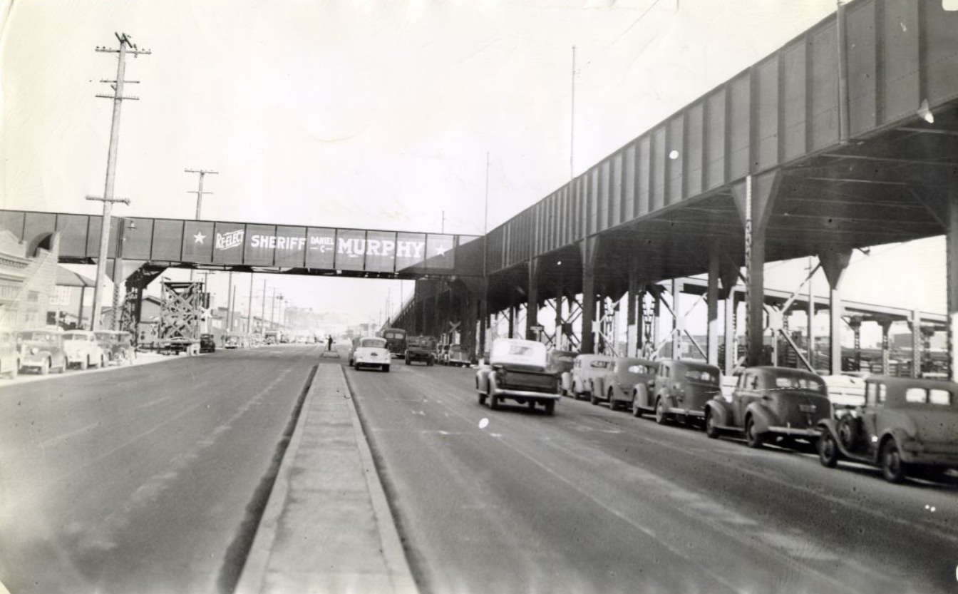
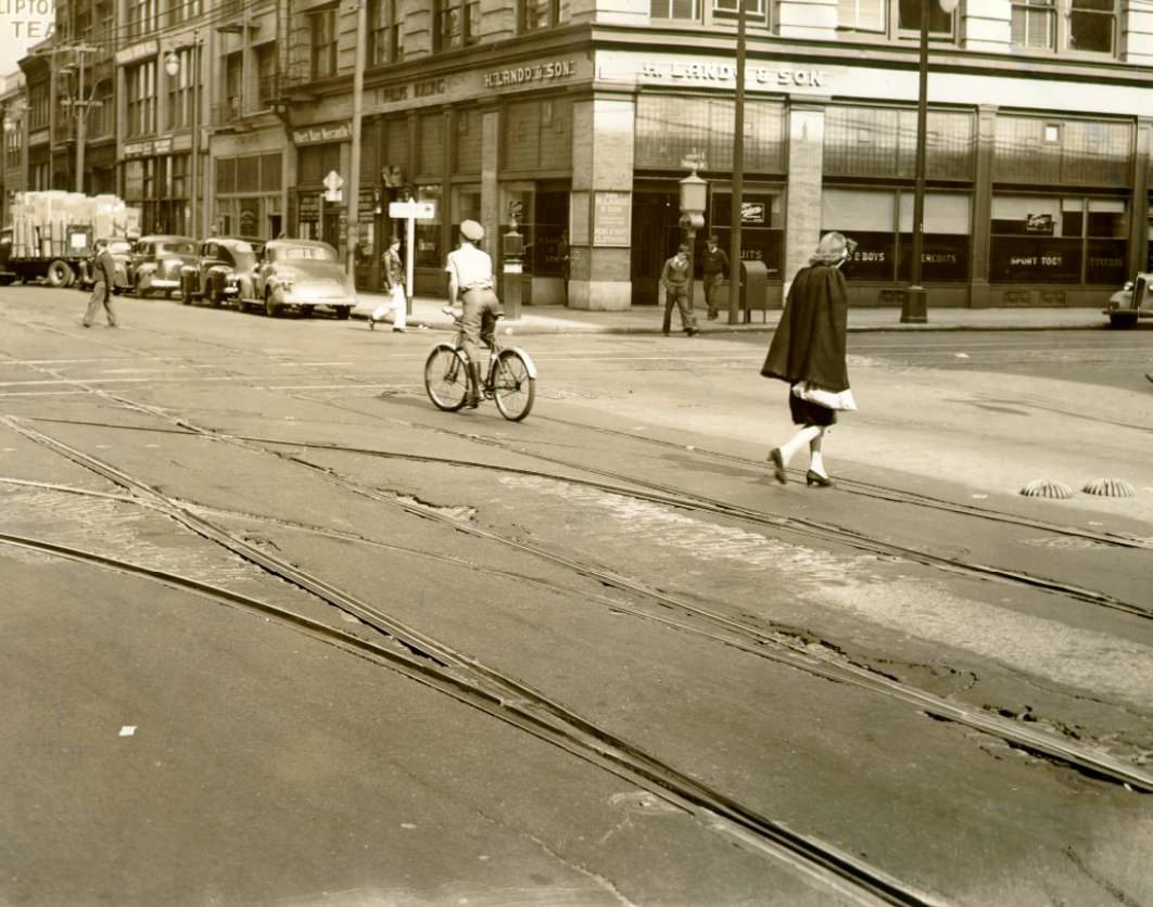
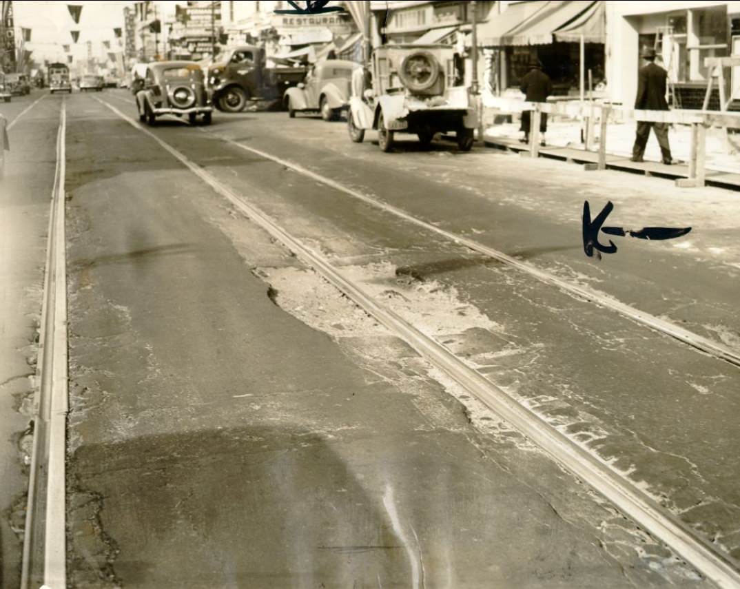
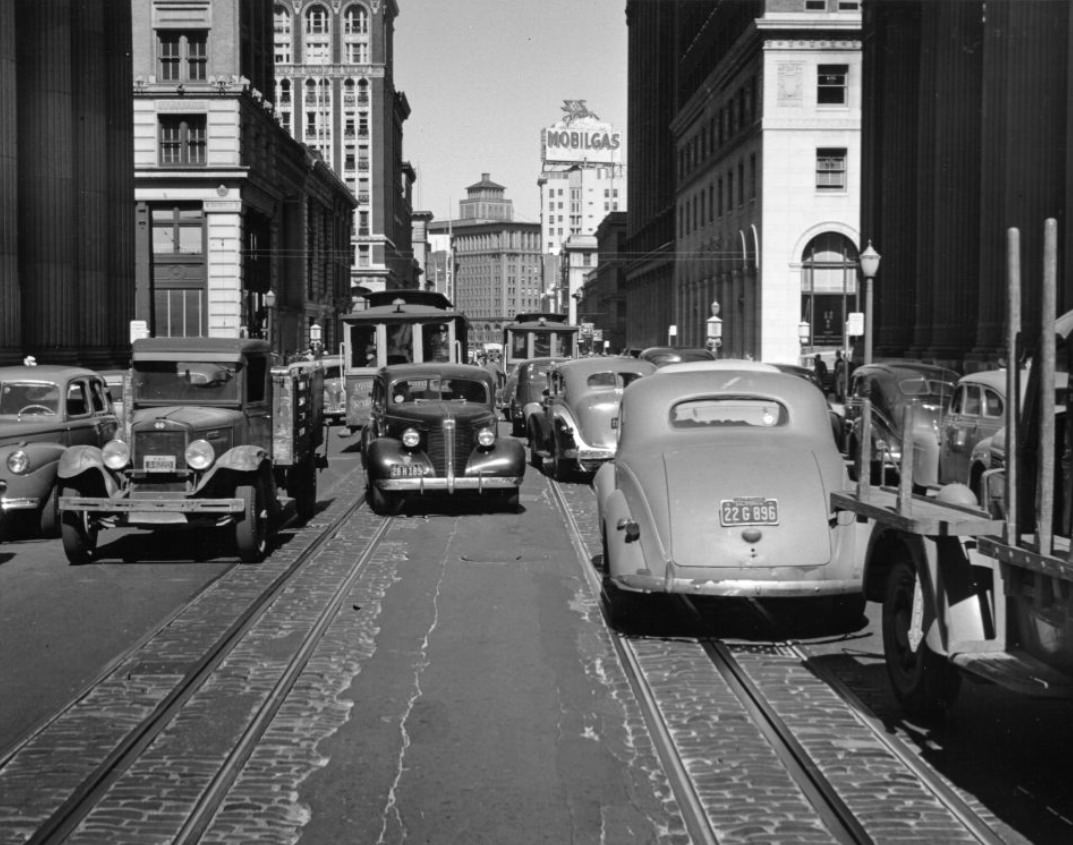
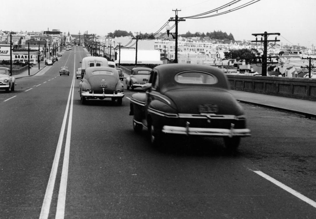
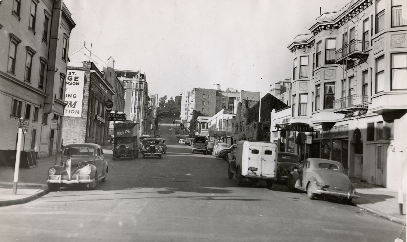
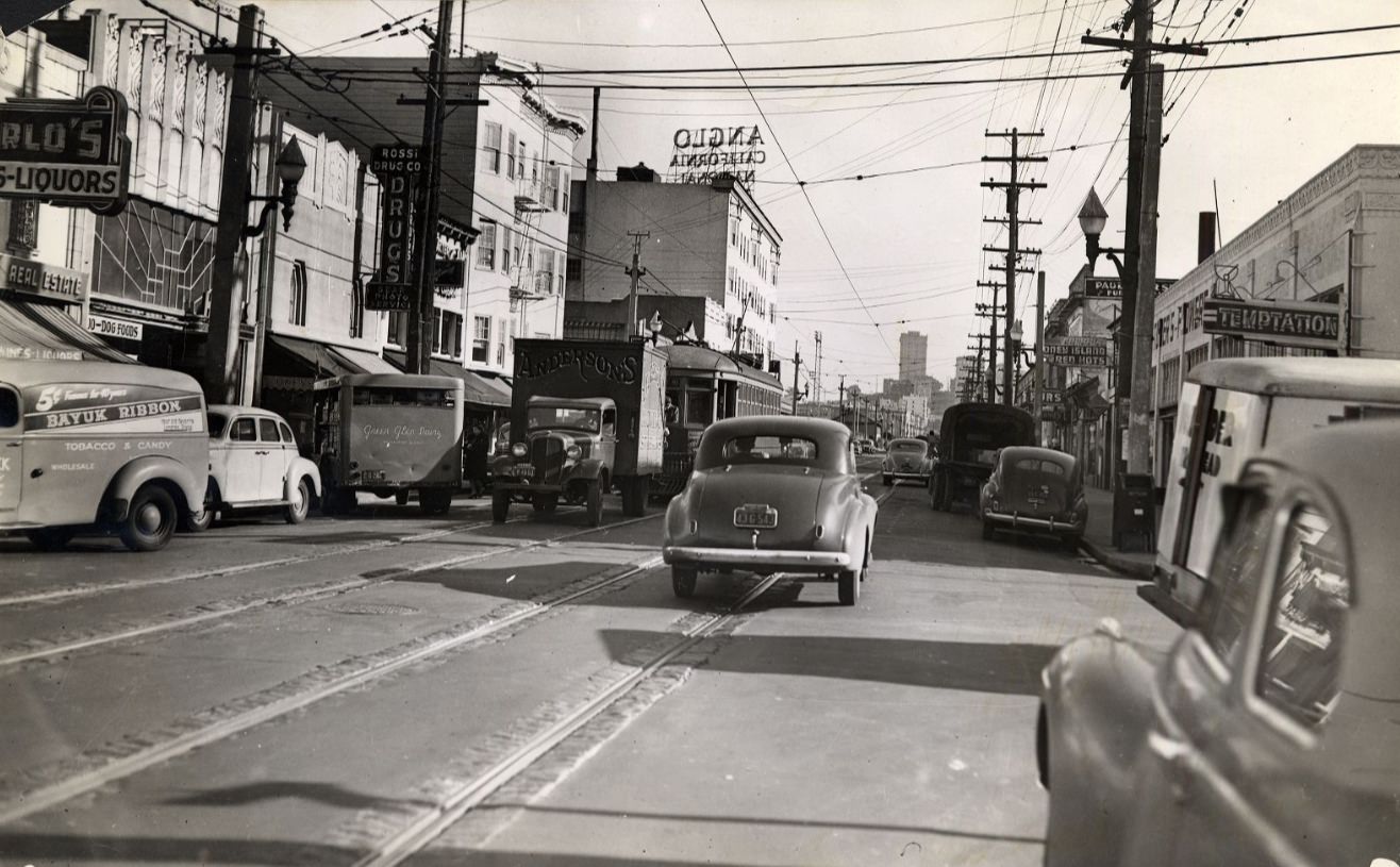
Traffic on Mission Street, 1940Mission Street between 7th and 8th streets, 1940
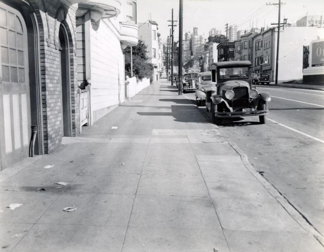
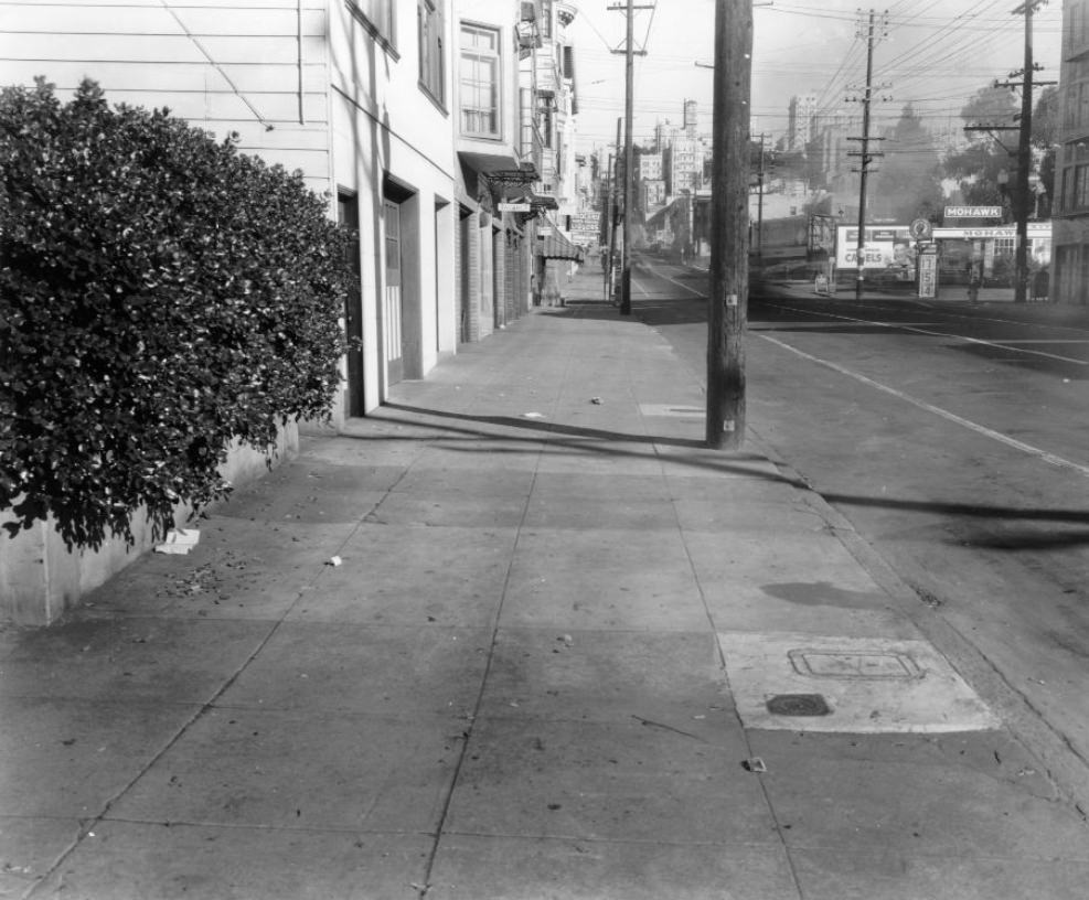
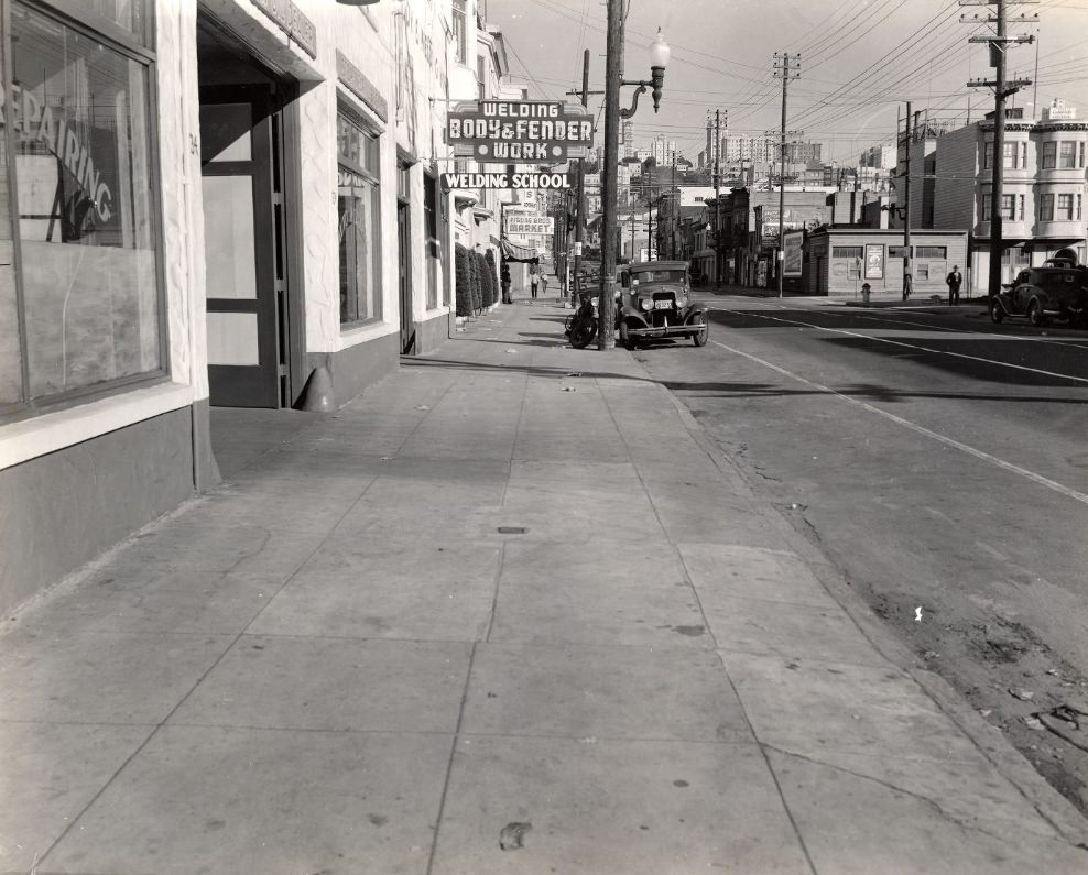
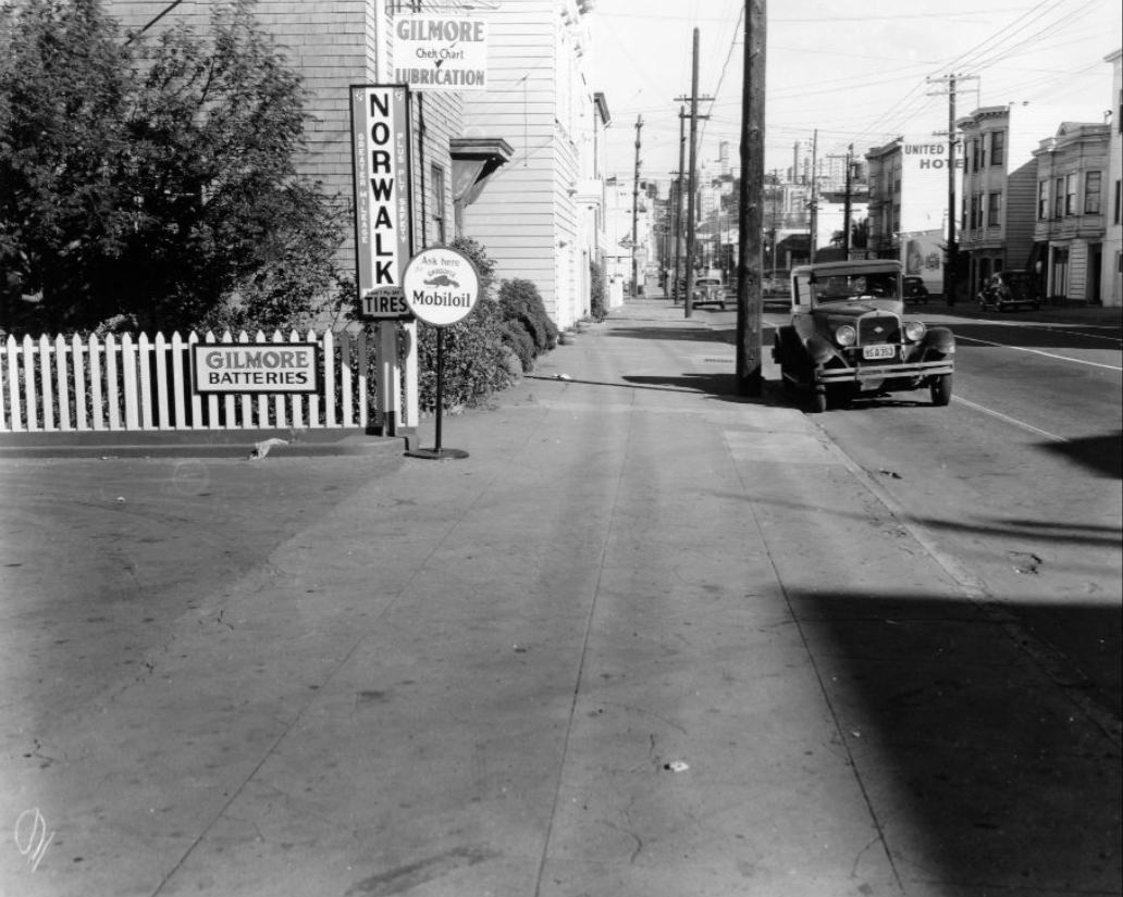
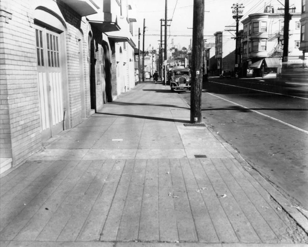
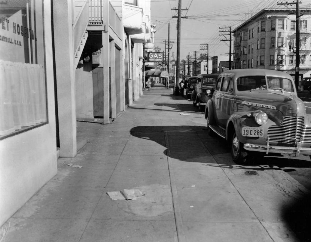
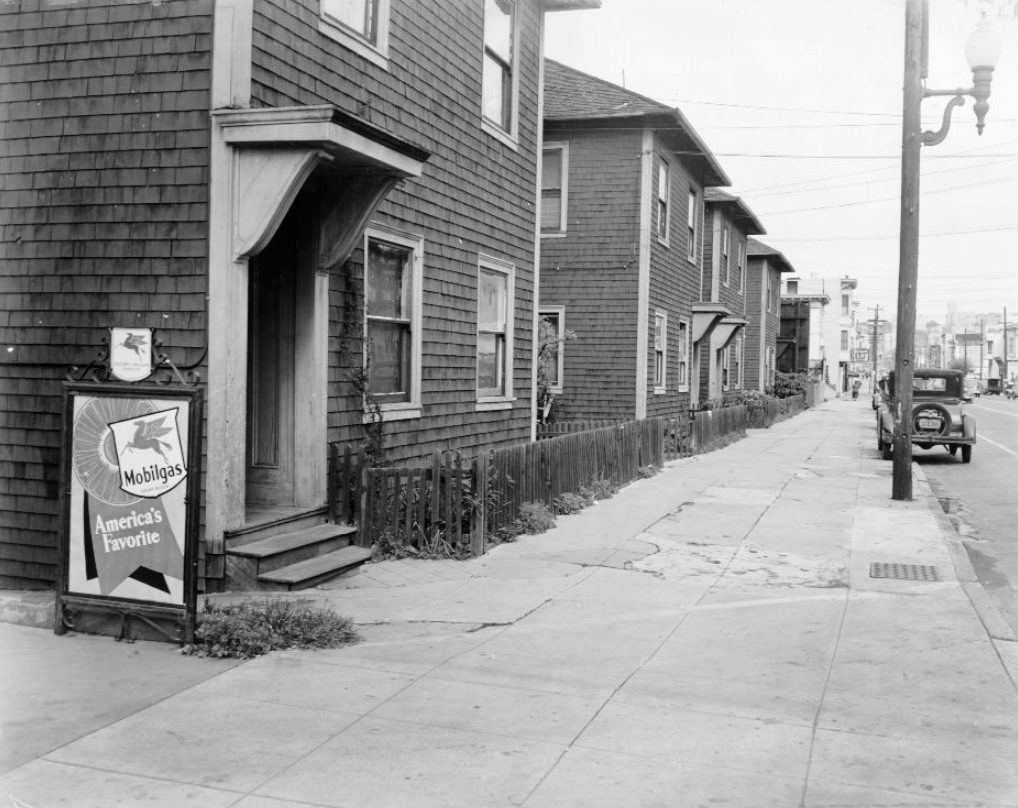
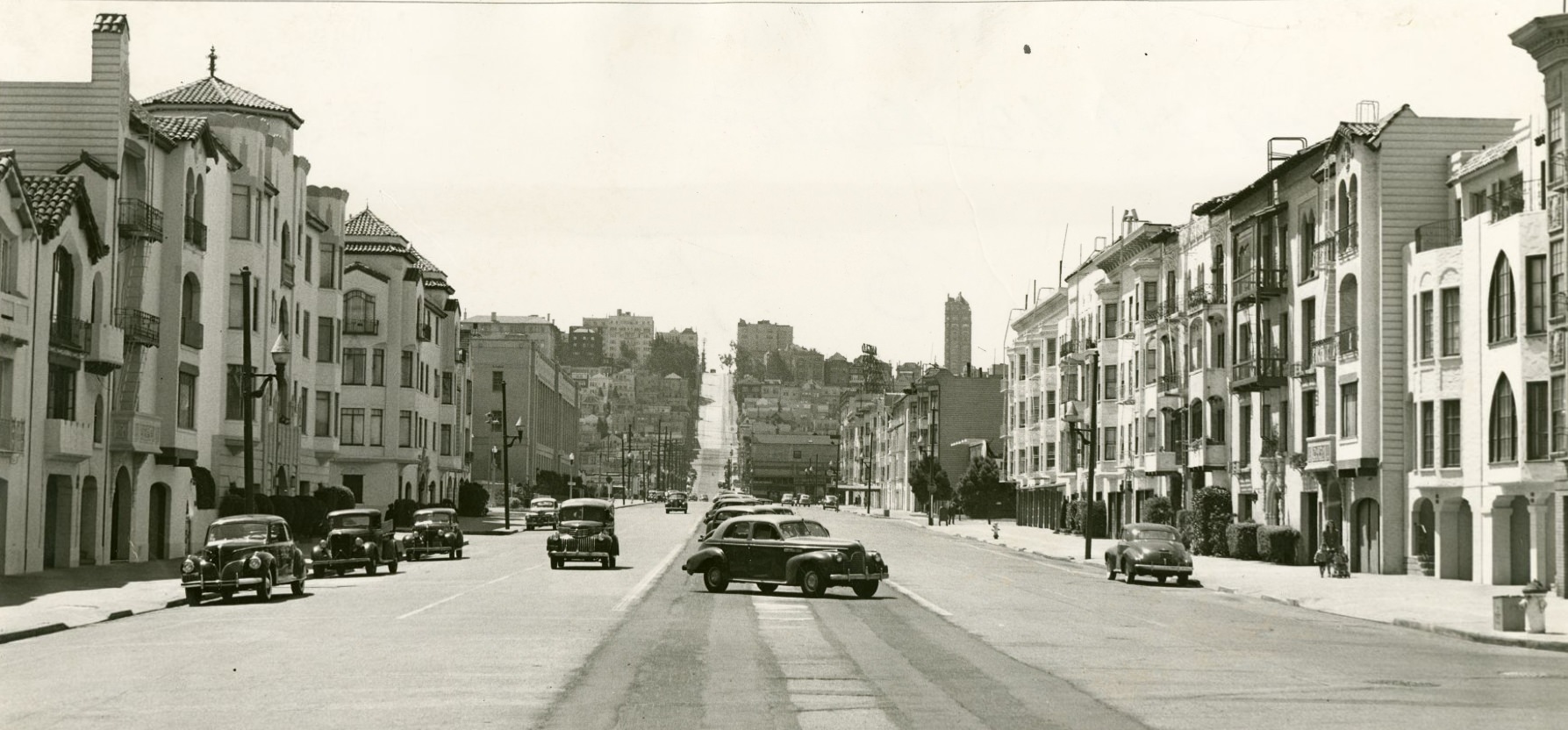
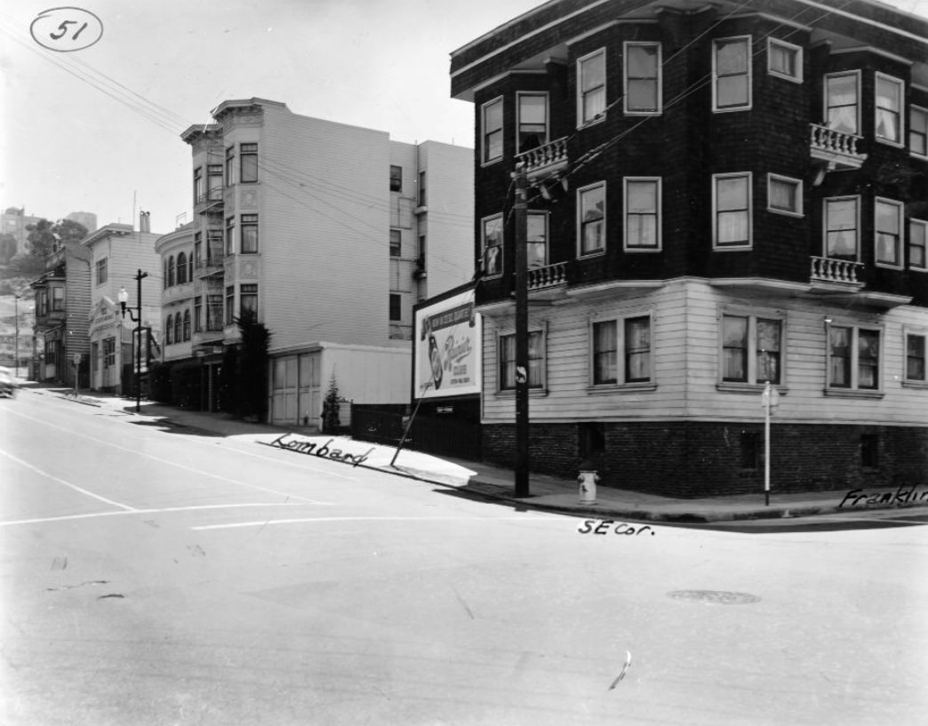
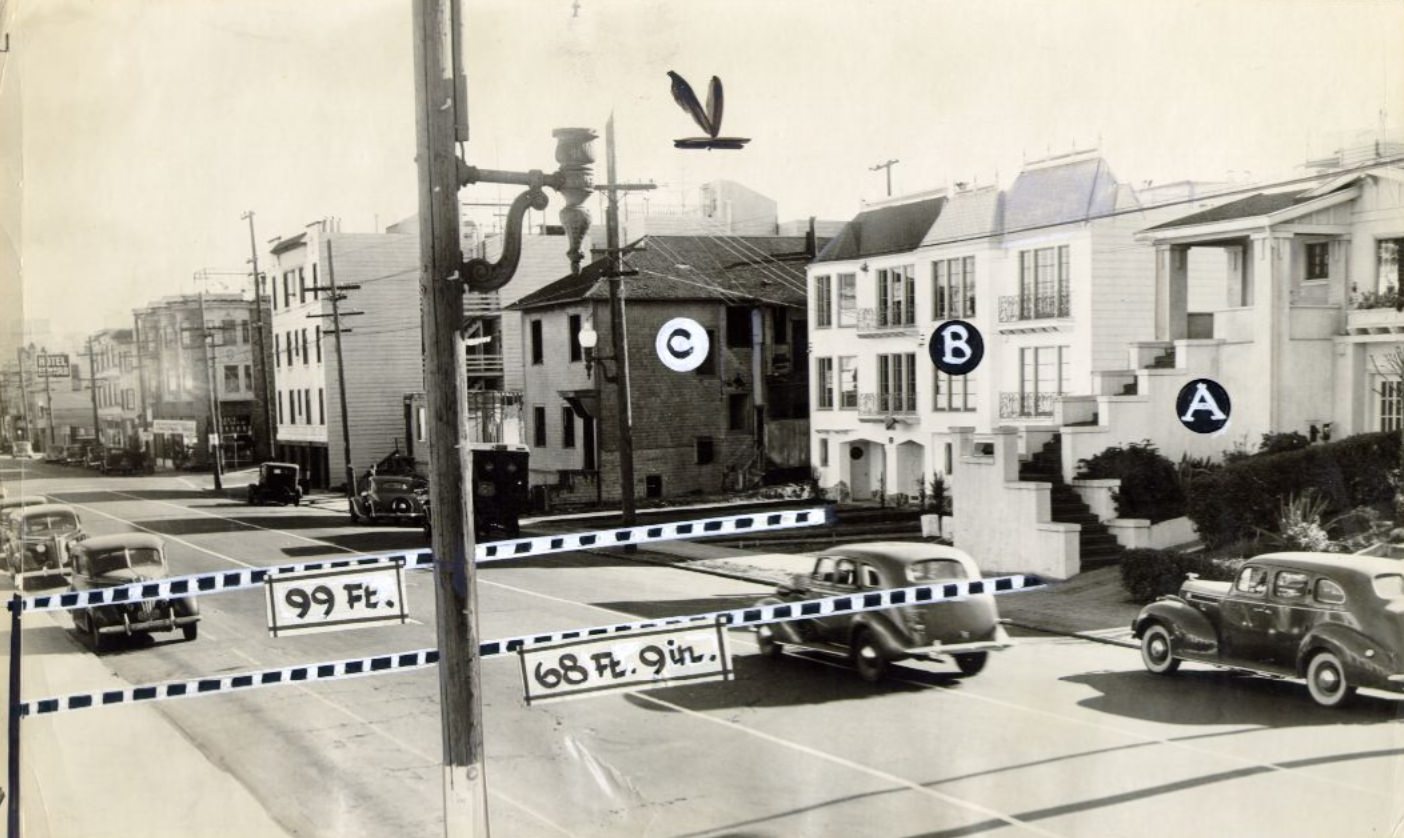
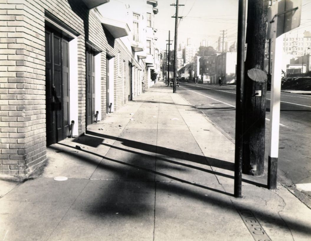
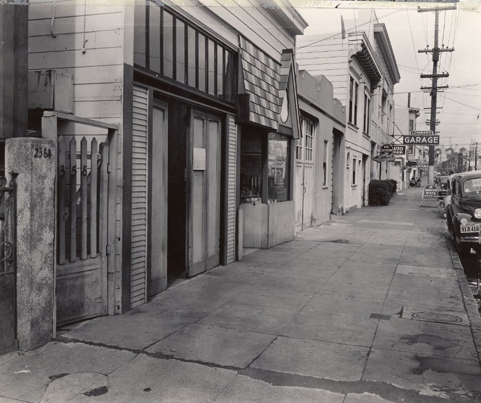
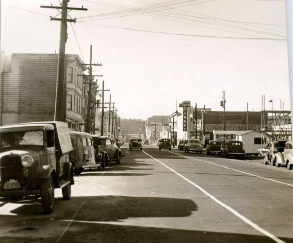
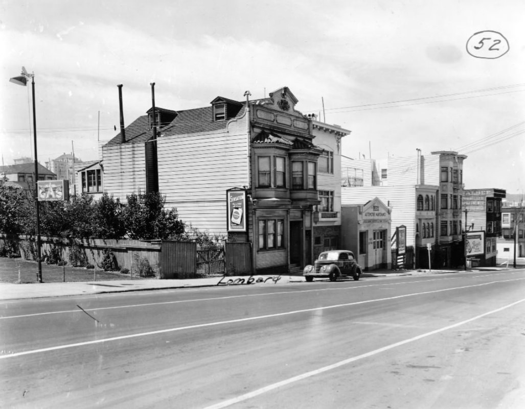
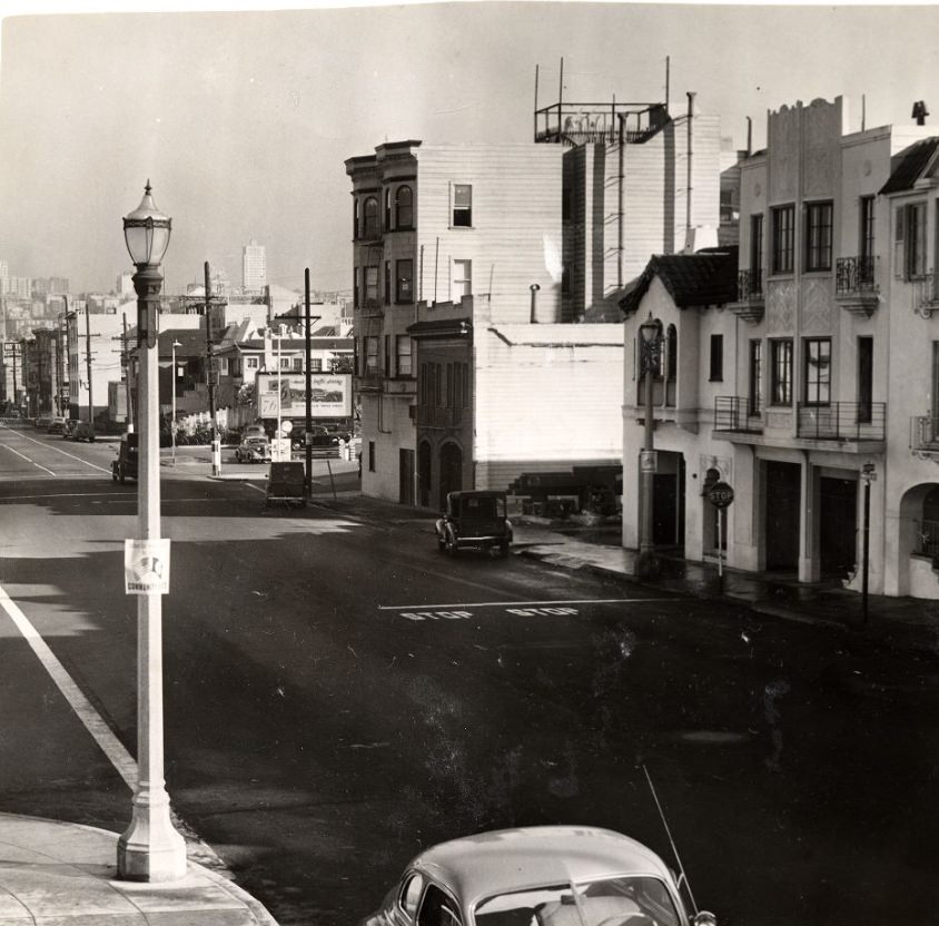
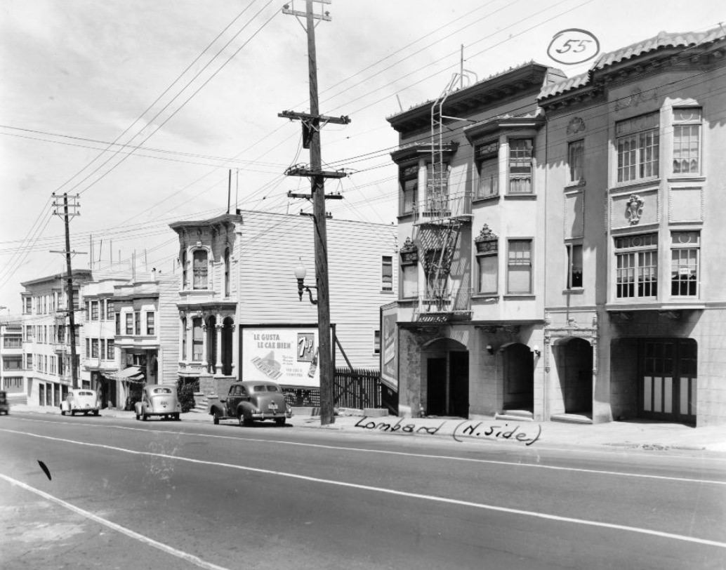
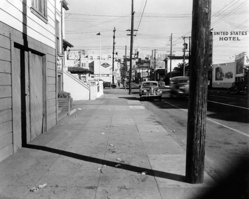
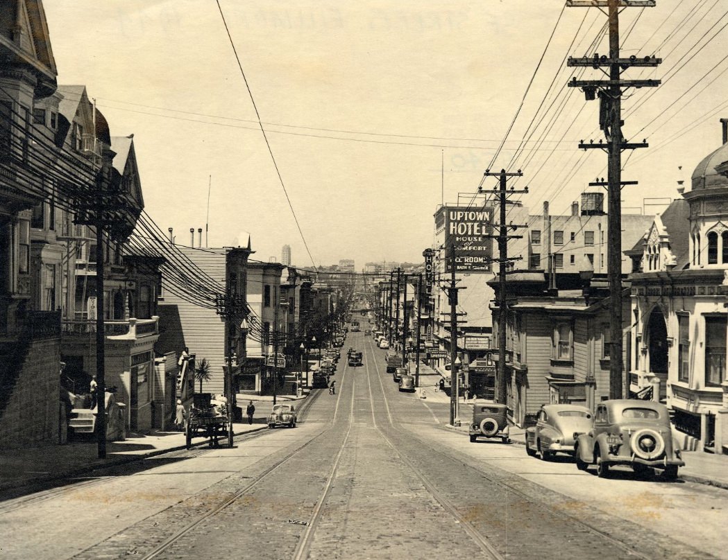
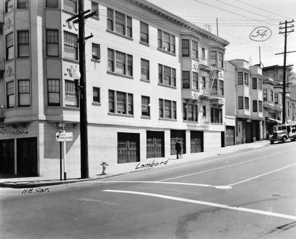
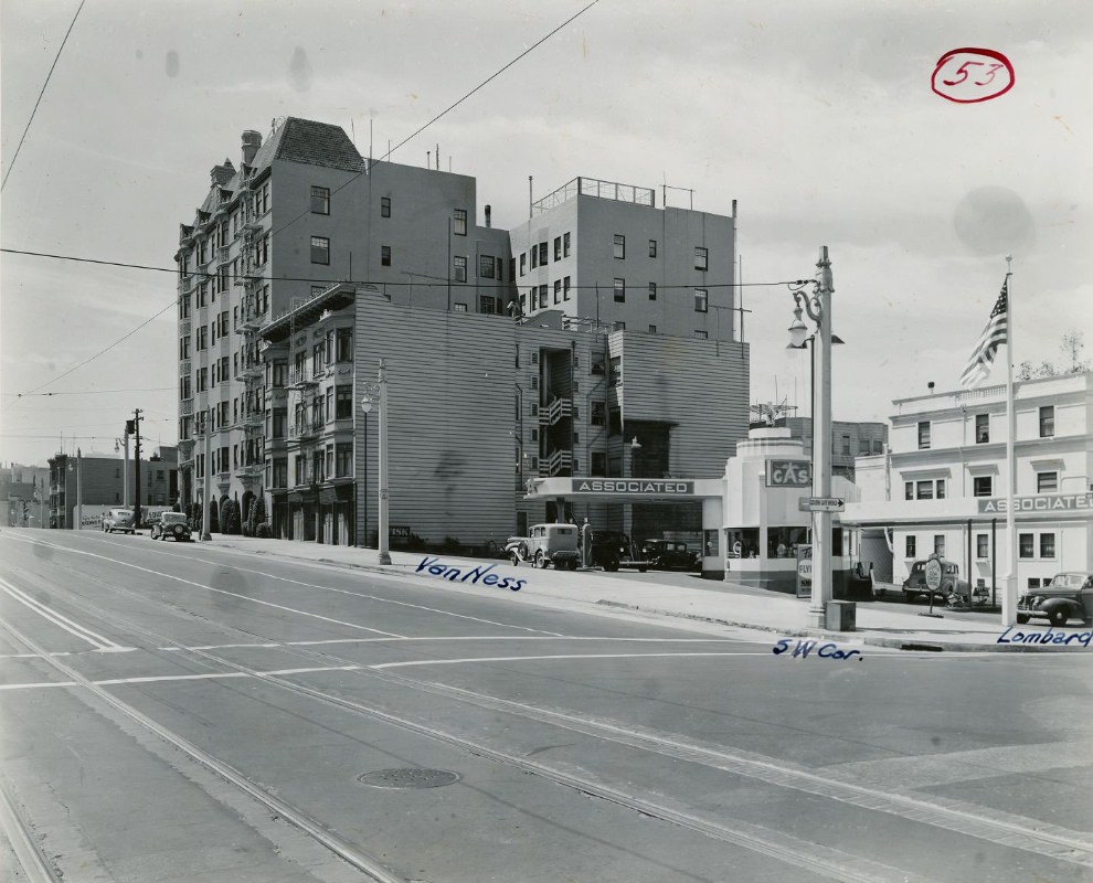
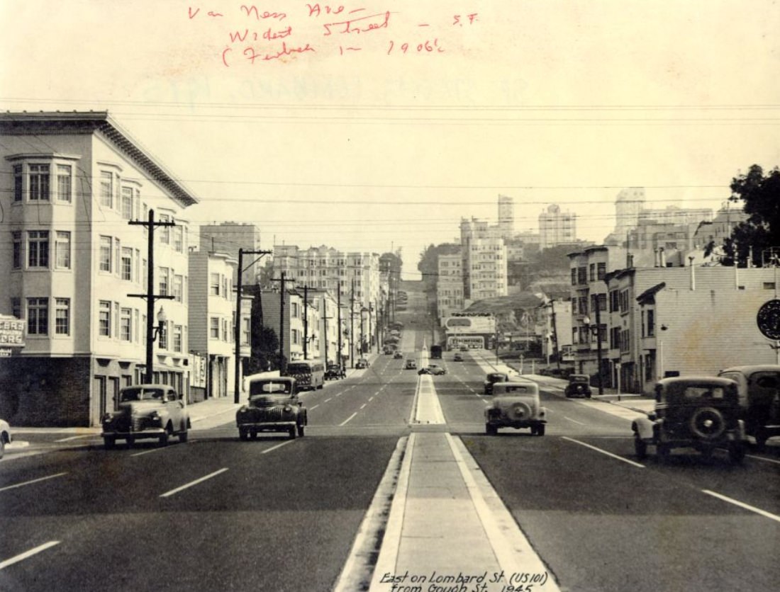
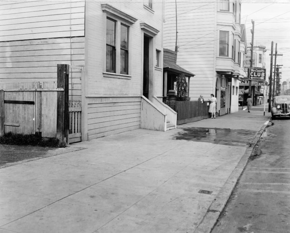
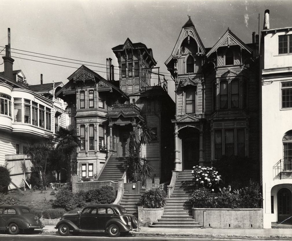
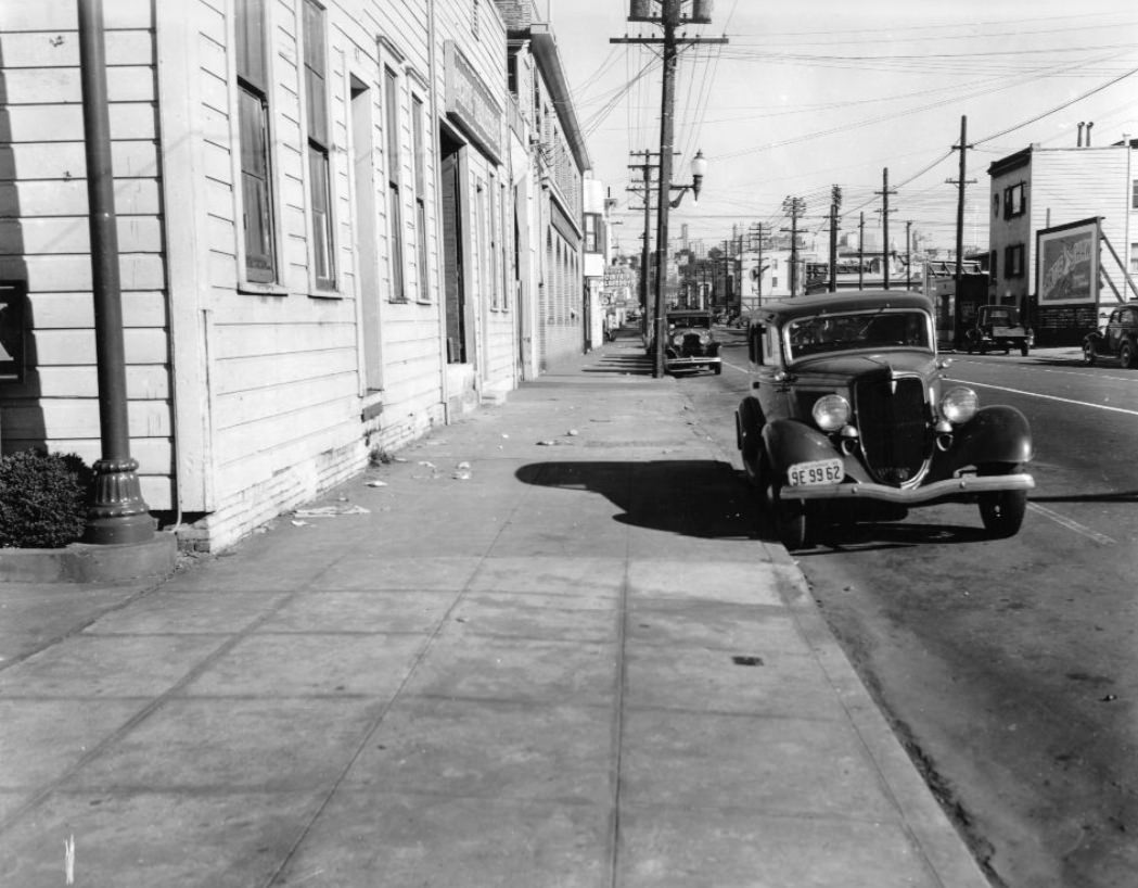
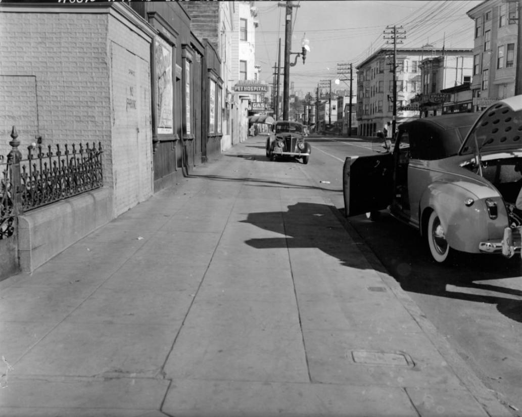
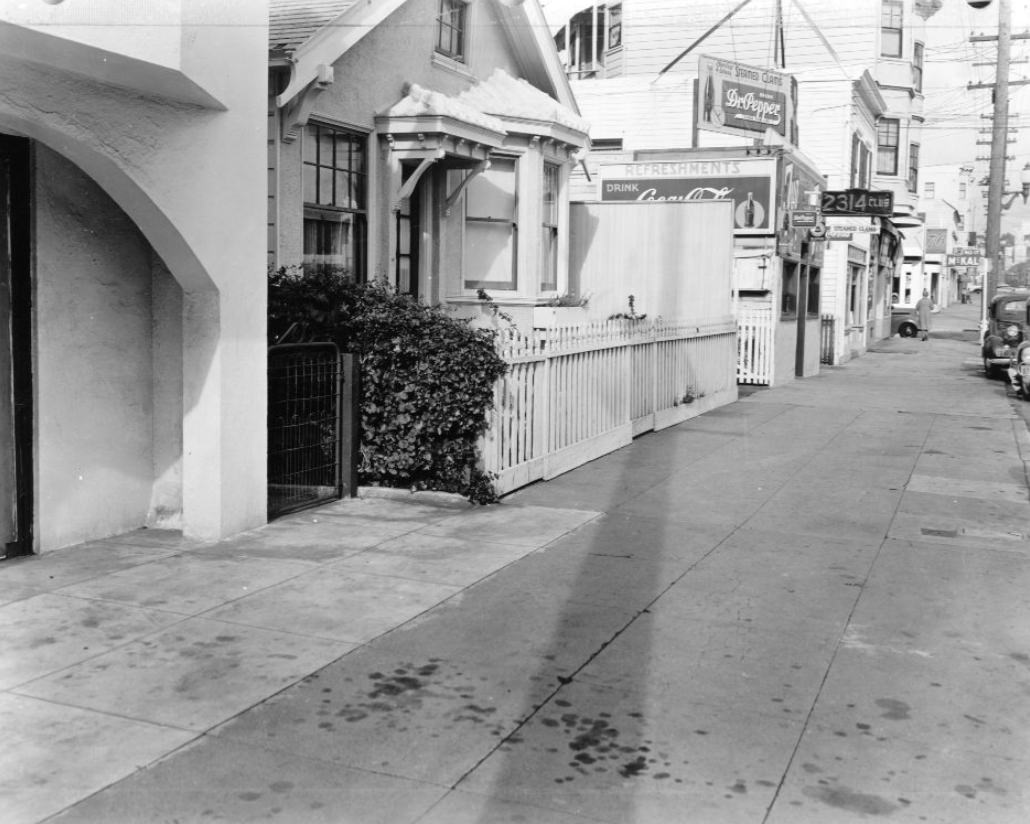
Lombard Street, now famous for its switchbacks, was in 1940 simply a residential corridor photographed in careful detail by city surveyors and planners. Block after block — from the 1500s to the 2500s — captured a neighborhood of modest homes, parked cars, and quiet sidewalks, unaware of the upheaval that was about to come.
1500 block of Lombard Street, 19401600 block of Lombard Street, 19401700 block of Lombard Street, 19401800 block of Lombard Street, 19401900 block of Lombard Street, 19402000 block of Lombard Street, 19402200 block of Lombard Street, 19402400 block of Lombard Street, 1940
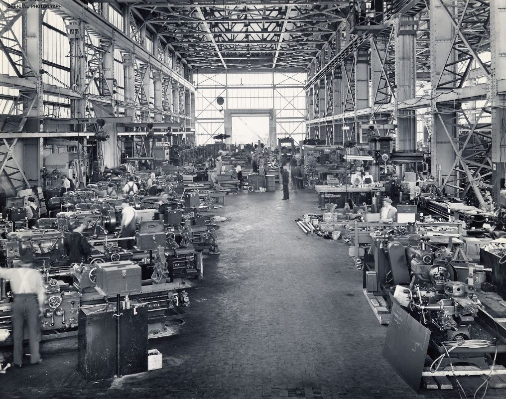
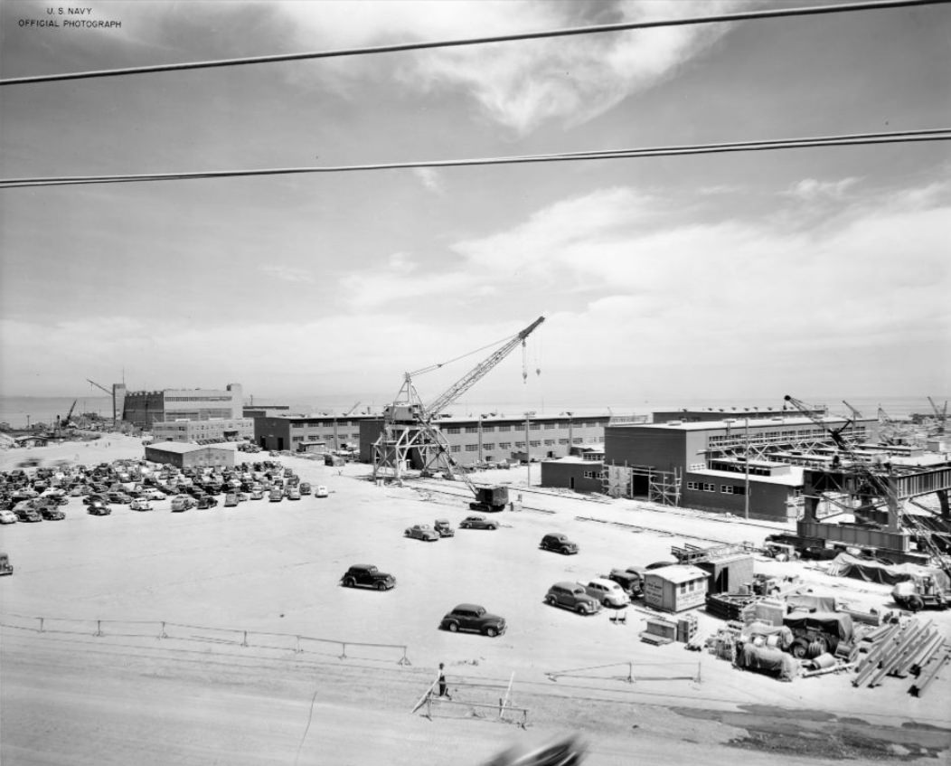
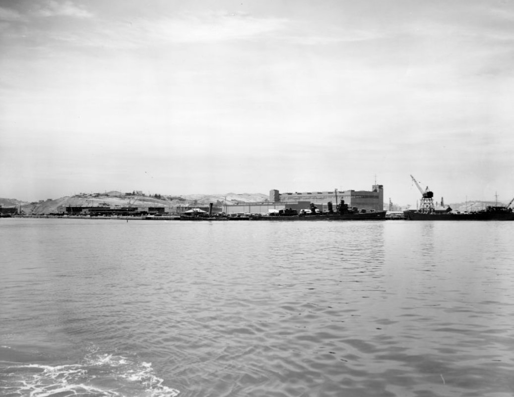
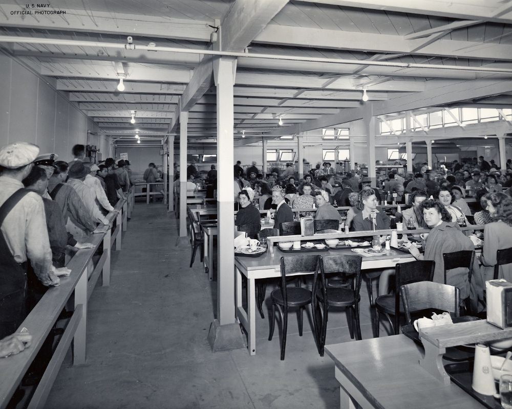
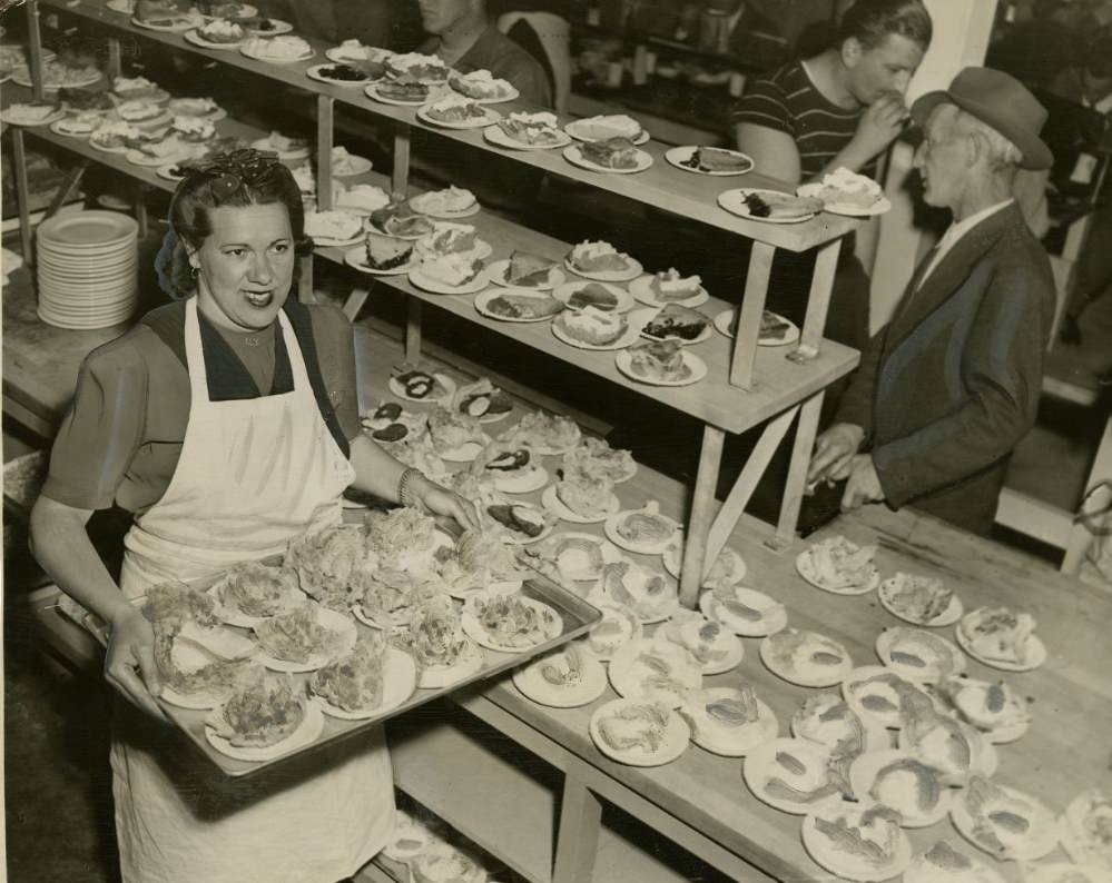
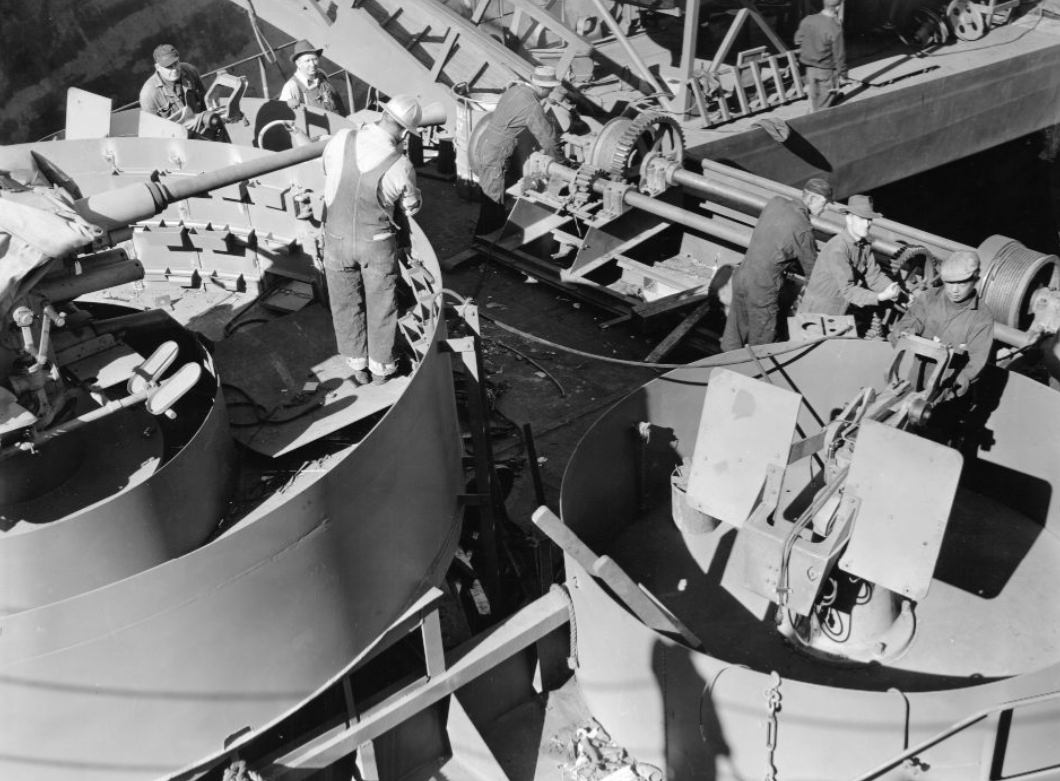
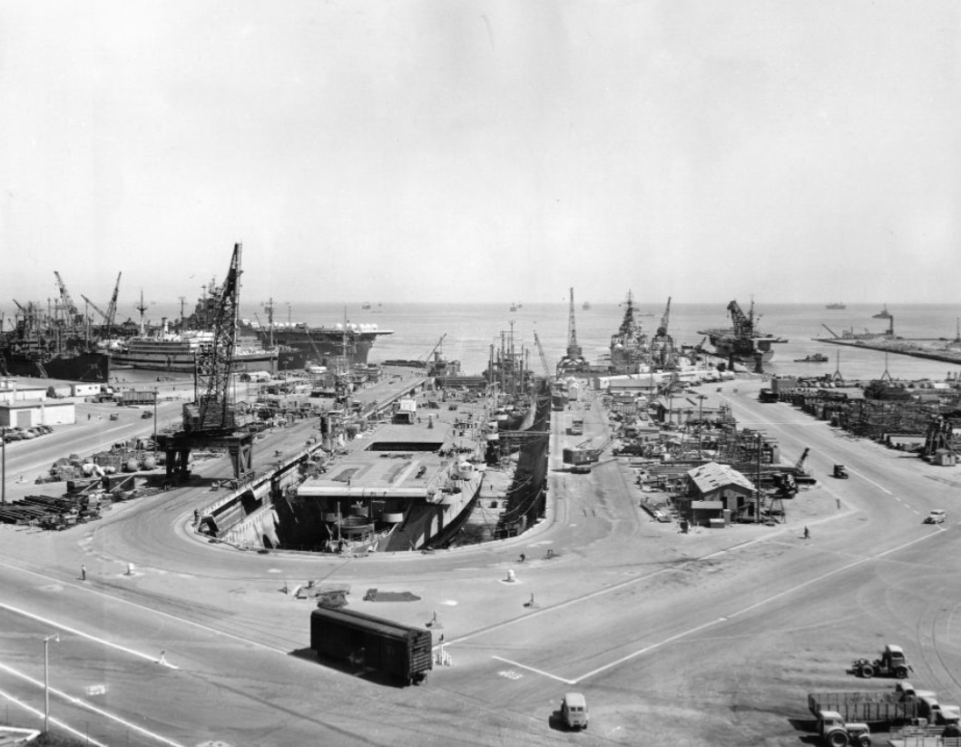
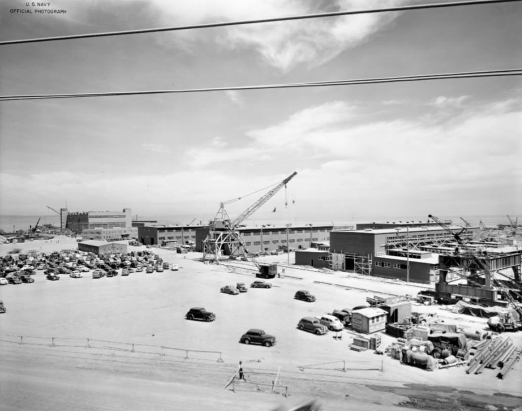
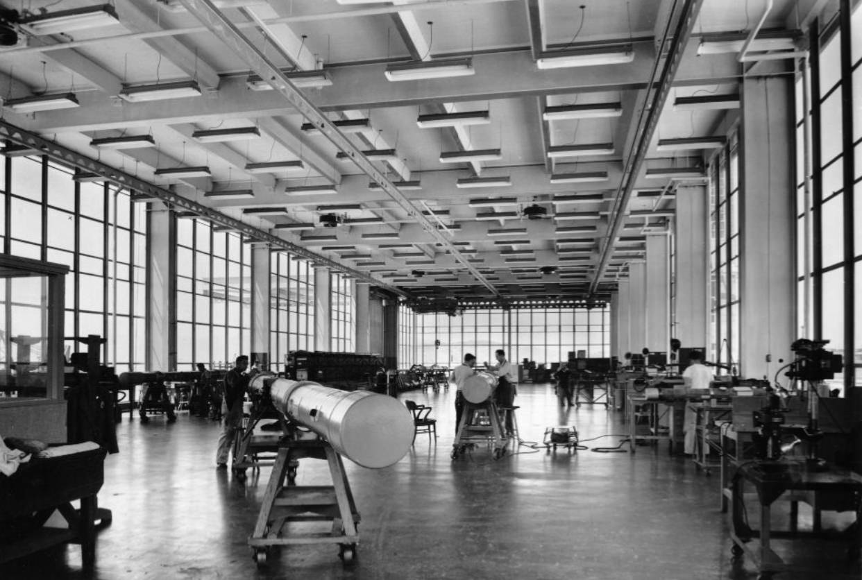
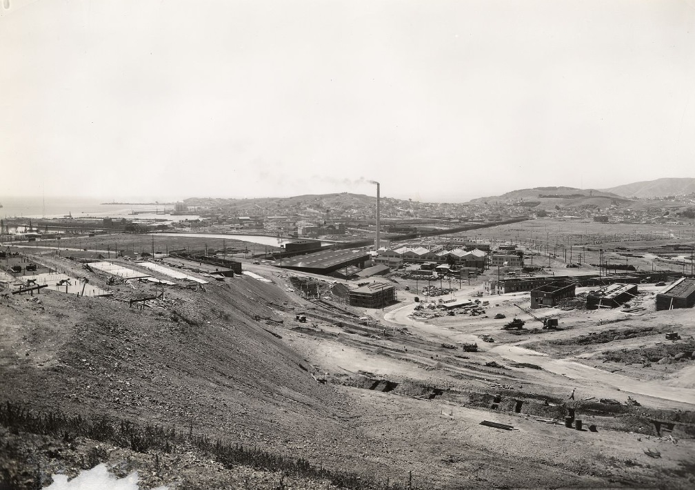
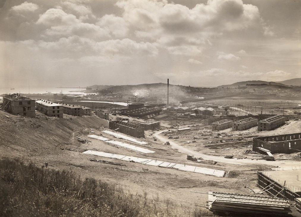
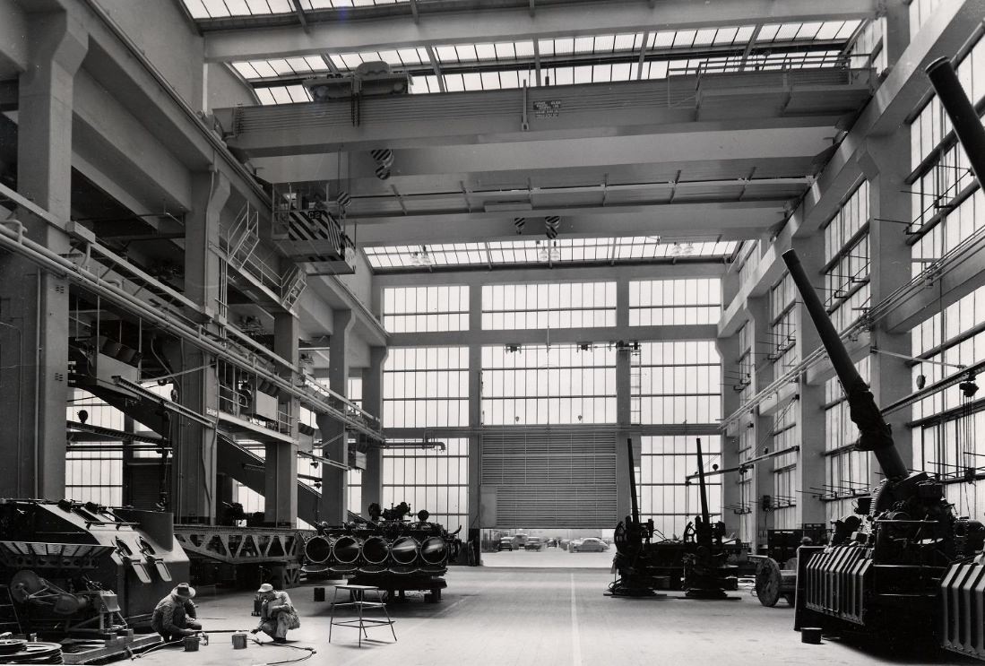
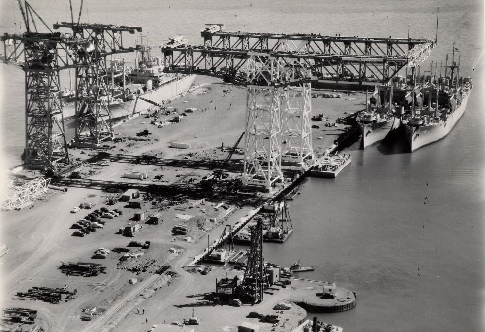
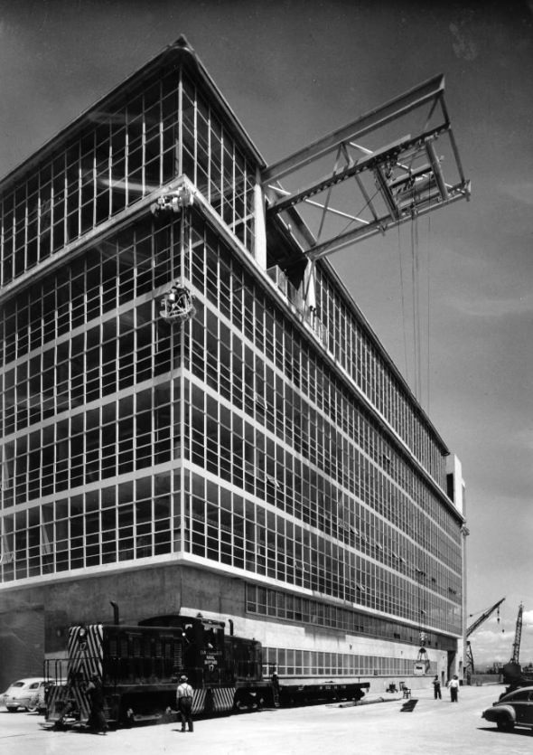
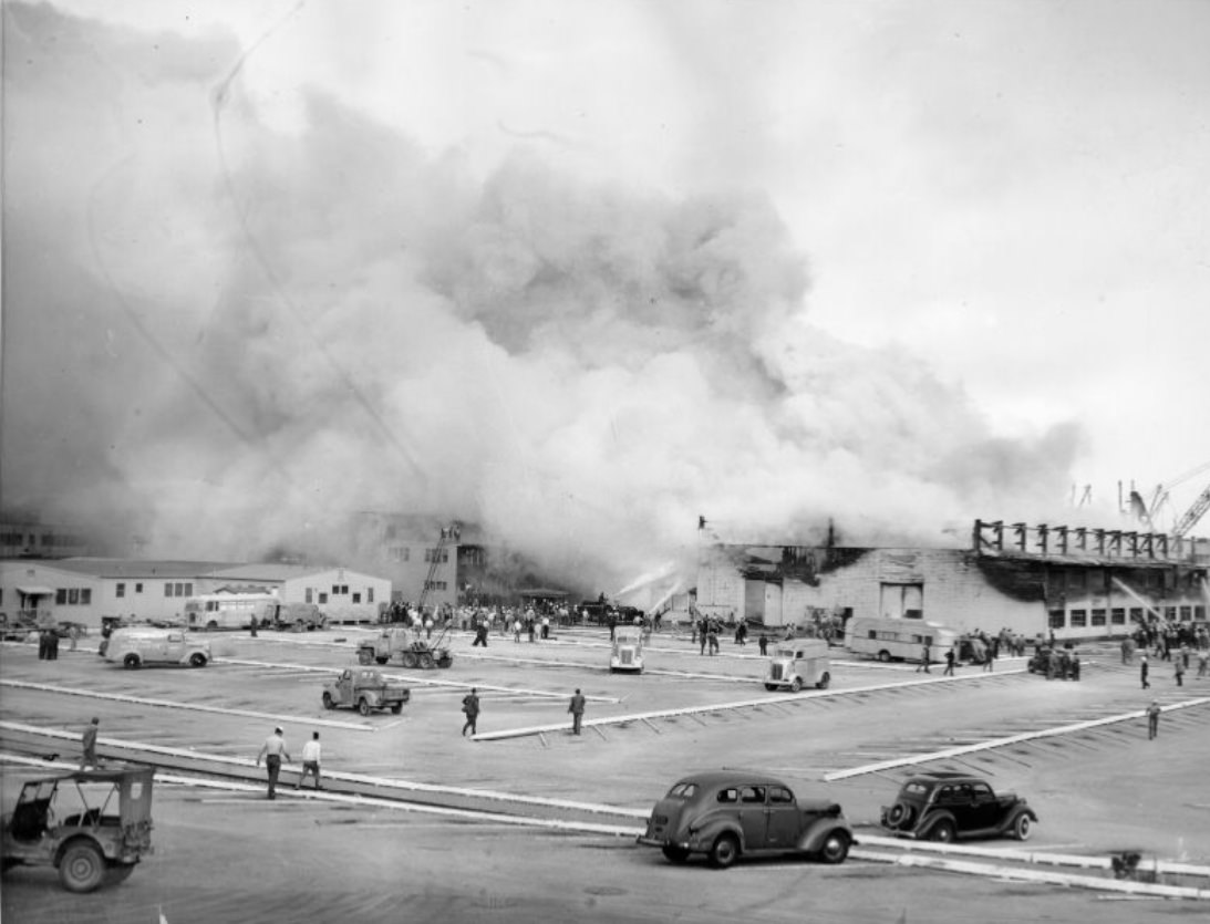
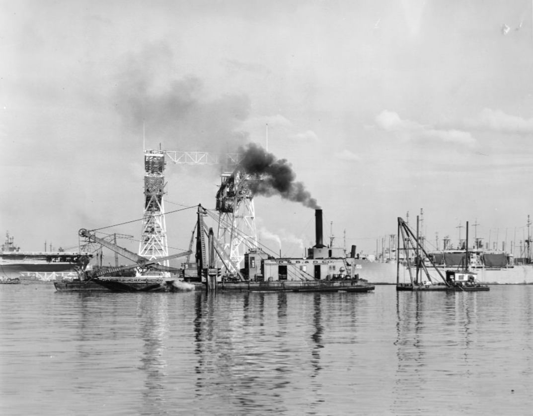
When the United States entered World War II after December 1941, San Francisco became one of the most critical military and industrial cities on the West Coast. Hunters Point Naval Shipyard, located on the southeastern waterfront, expanded rapidly. Machine shops, drydock berths, crane bays, and cafeterias were all built or enlarged to support the war effort. Workers flooded in from across the country, operating around the clock.
One bay of the inside machine shop at Naval Drydocks, Hunter’s Point, 1943View of new shops and cranes under construction at Hunters Point Naval Drydocks, 1943Looking northwest at berths 1 to 4, Naval Drydocks, Hunters Point, 1943Cafeteria at Hunters Point Naval Shipyard, 1943Cafeteria worker at Hunters Point Drydock, 1943
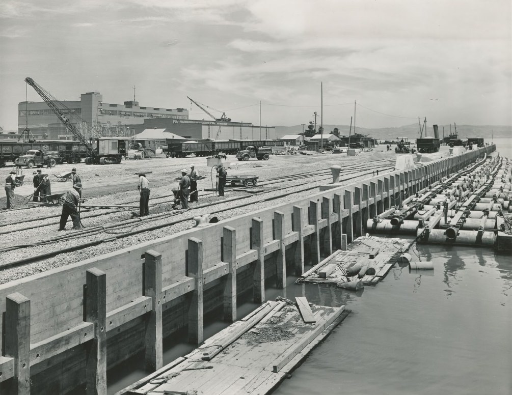
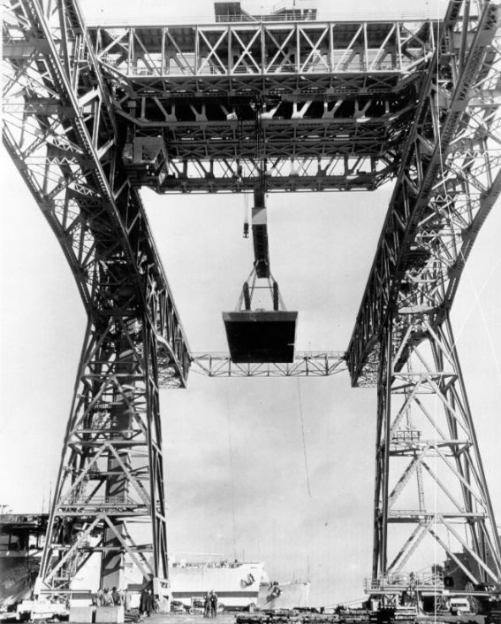
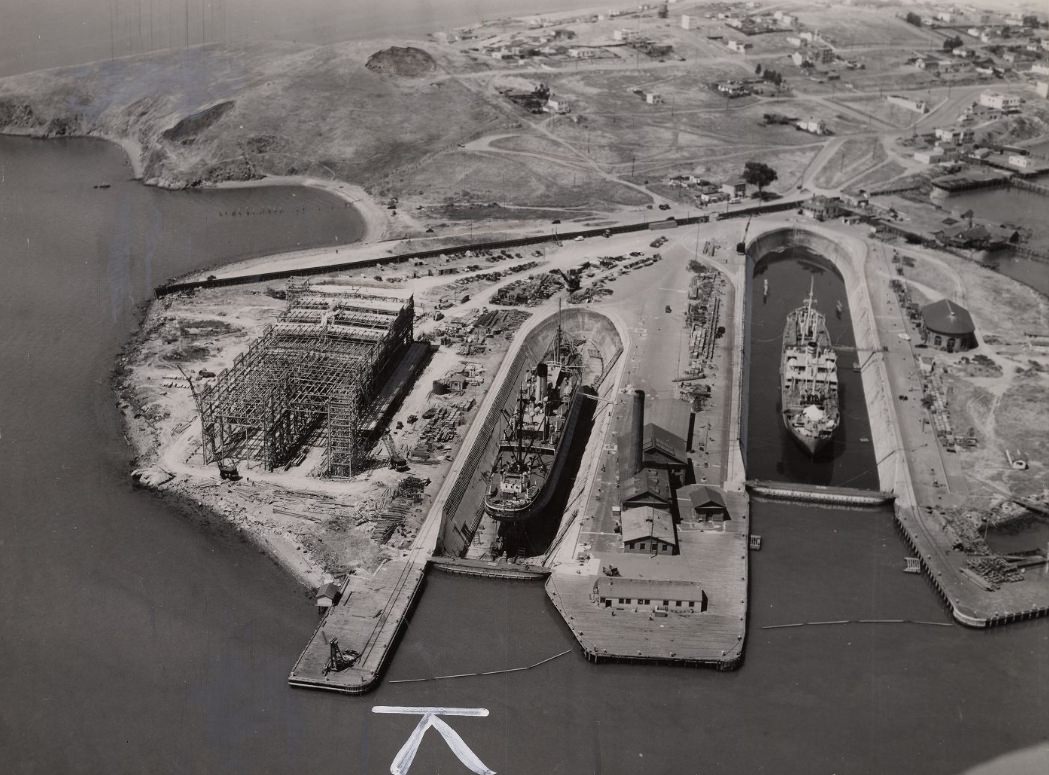
The shipyard’s scale was massive. A 1,100-foot quay wall, aerial views of sprawling drydock facilities, and crane bays capable of lifting hundreds of tons all illustrated just how seriously the Navy had transformed this corner of the city. The photographs from 1943 through 1948 show a facility that was both industrial and alive with workers doing essential, dangerous work.
1100 foot quay wall at Hunters Point Naval Drydocks, 1943Workers at Hunters Point Naval Shipyard, 1944Crane lifting 630 tons at Hunters Point Naval Shipyard, 1947Aerial view of Hunters Point Naval Shipyard, 1946Hunters Point Naval Shipyard, 1946
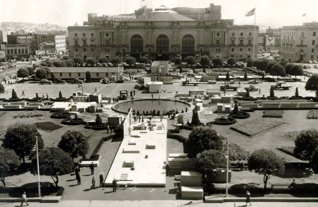
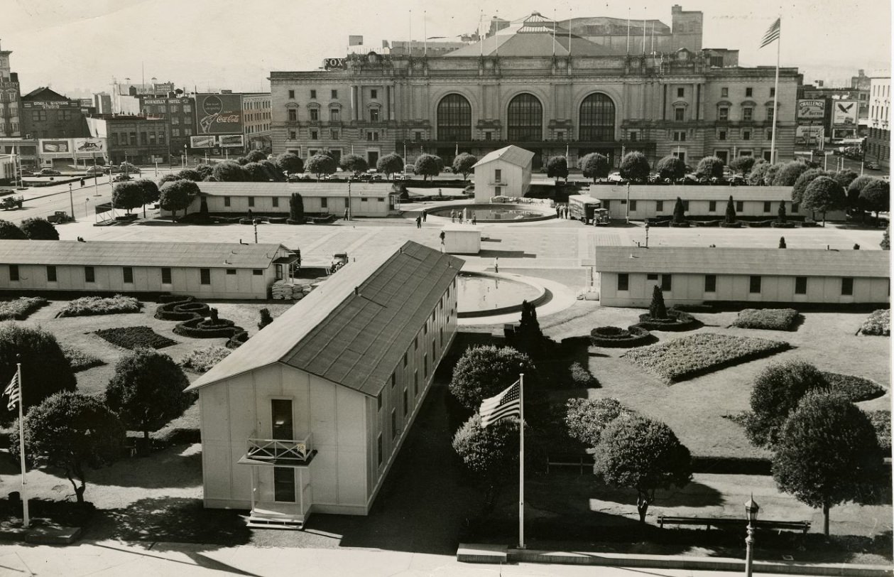
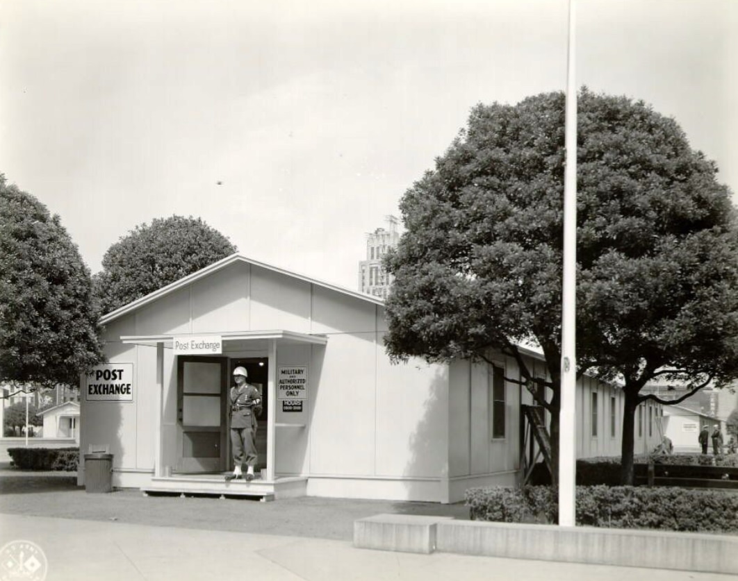
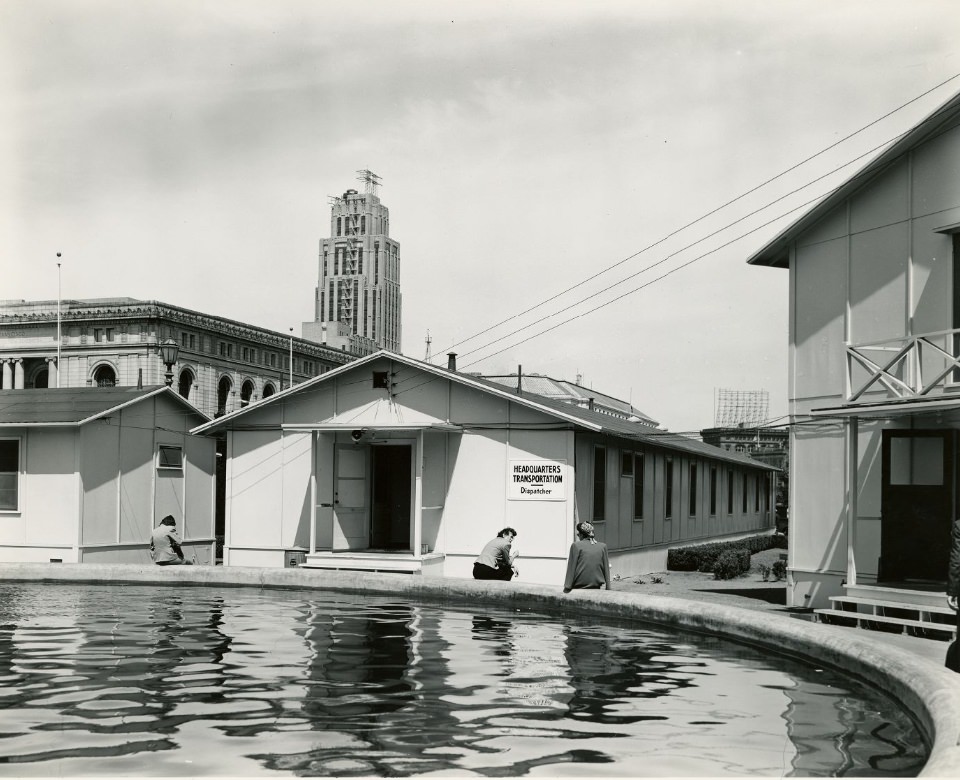
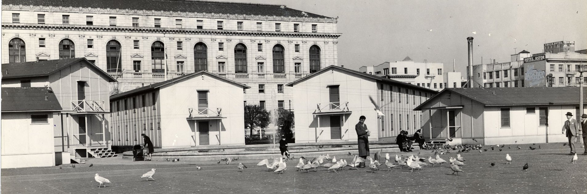
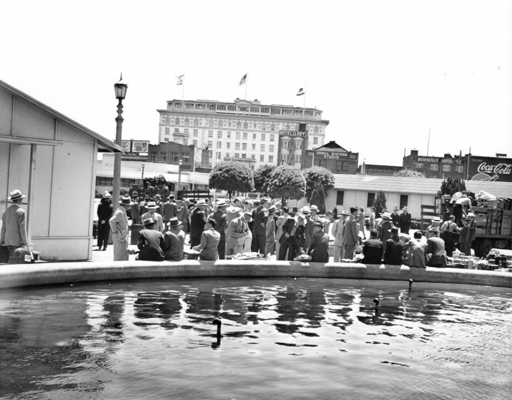
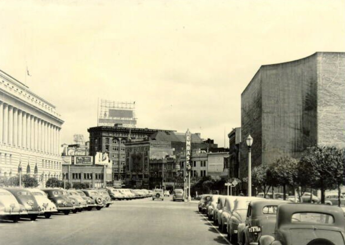
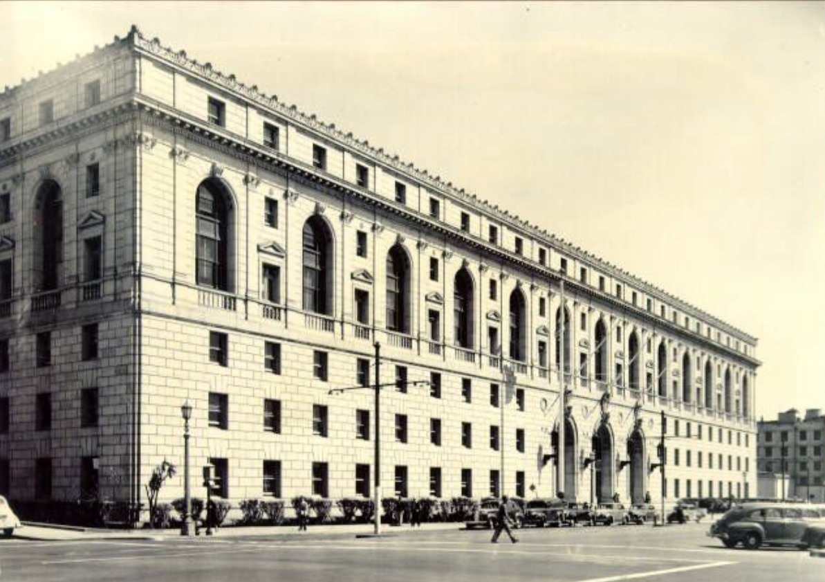
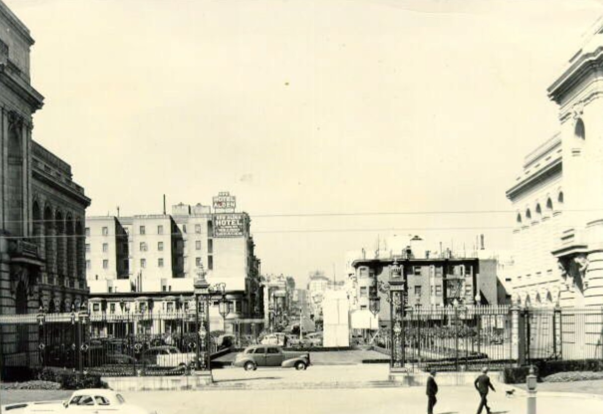
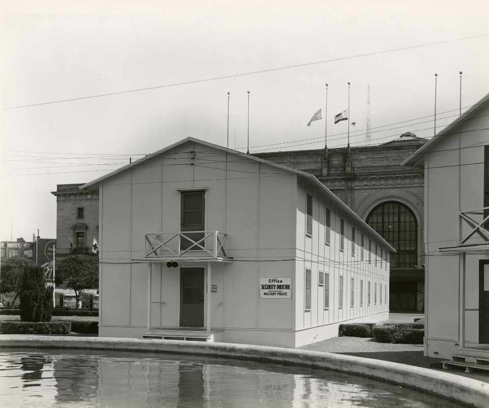
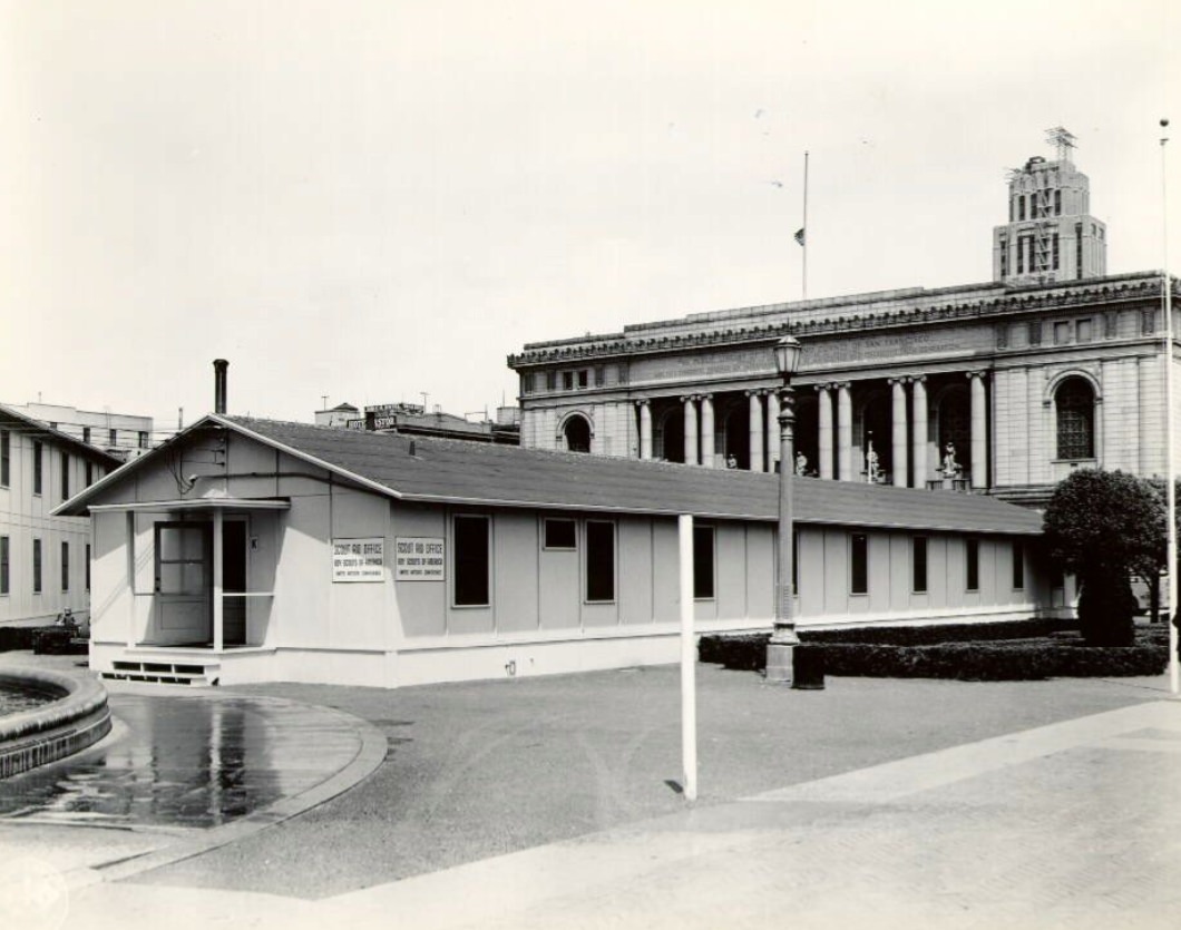
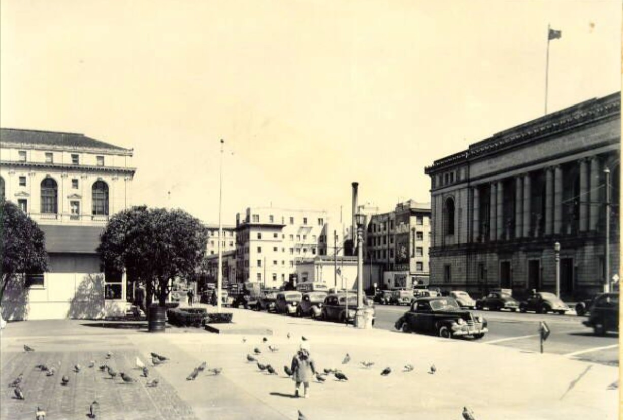
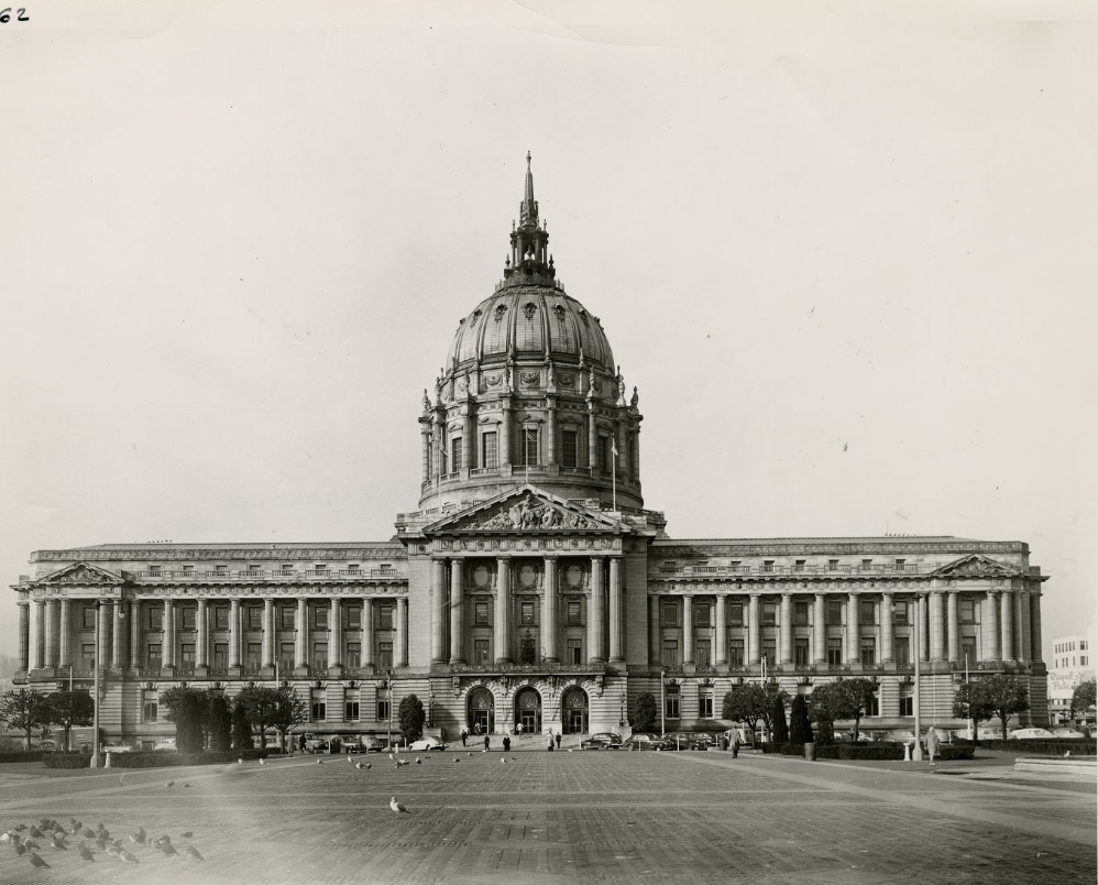
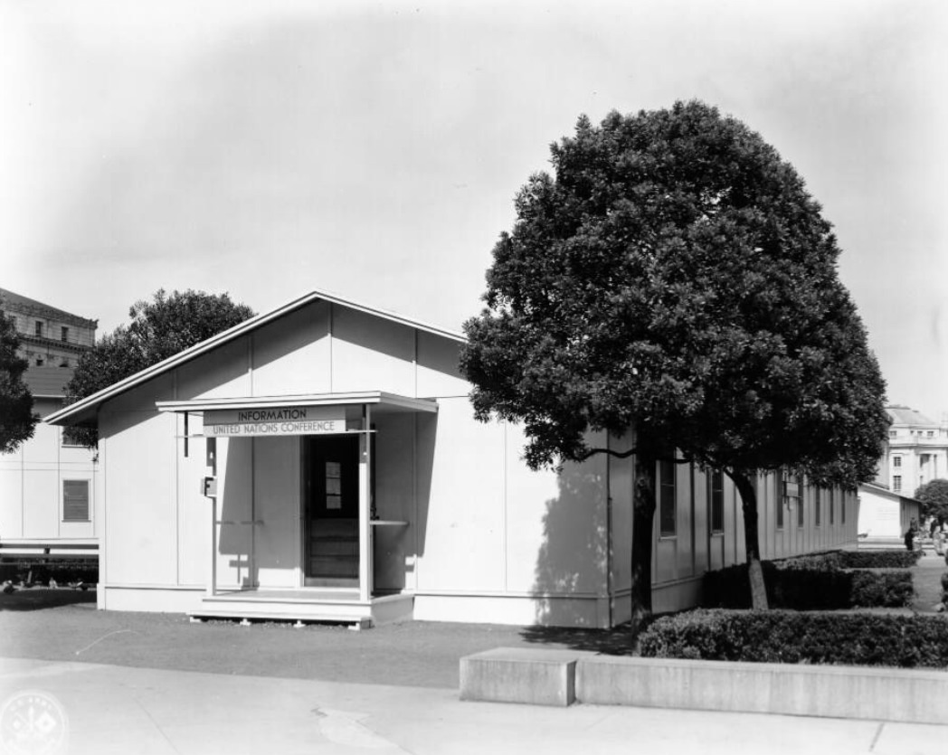
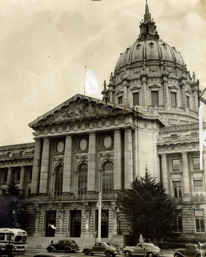
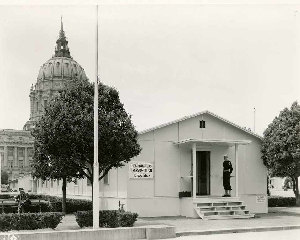
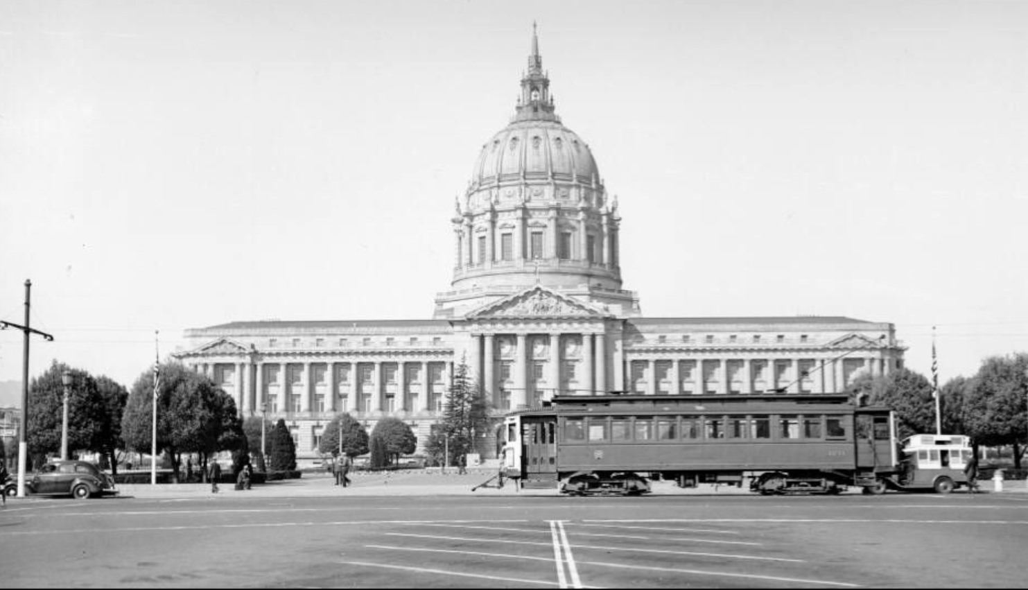
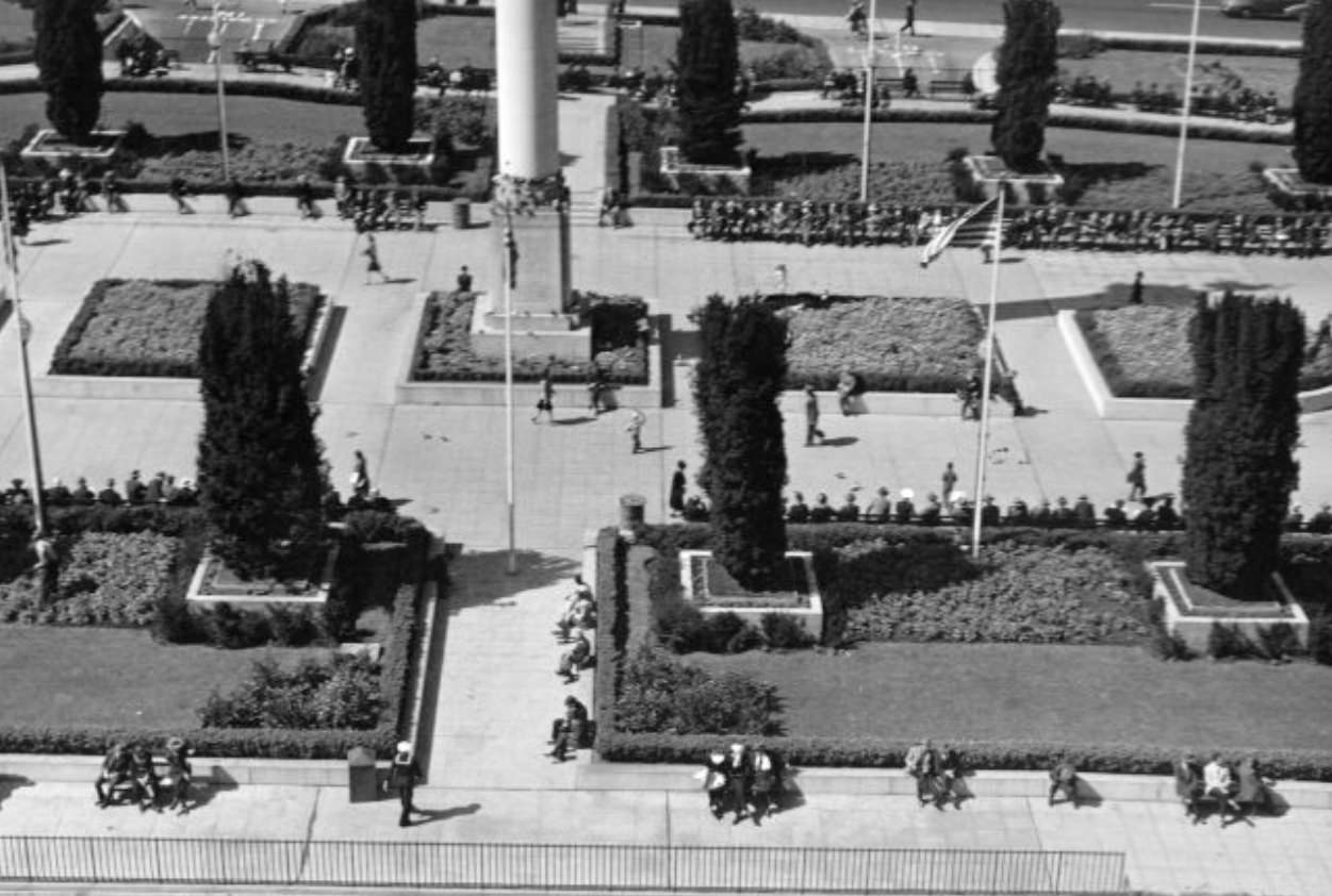
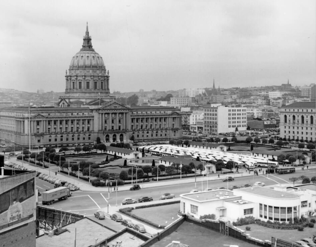
The Civic Center underwent its own wartime transformation. Temporary military barracks were erected right in Civic Center Plaza, turning one of the city’s most formal public spaces into a functional military installation. Soldiers stood outside post exchanges, pigeons wandered among the buildings, and the grand civic architecture of City Hall loomed in the background — a strange mix of permanence and urgency.
Construction of Temporary Barracks in the Civic Center Plaza, 1943Temporary Barracks in the Civic Center Plaza, 1943Soldier standing outside the Post Exchange, Temporary Barracks, Civic Center Plaza, 1940sThree people sitting at a fountain in front of the Temporary Barracks, Civic Center Plaza, 1940sPigeons and seagulls in Civic Center Plaza with Temporary Barracks, 1944
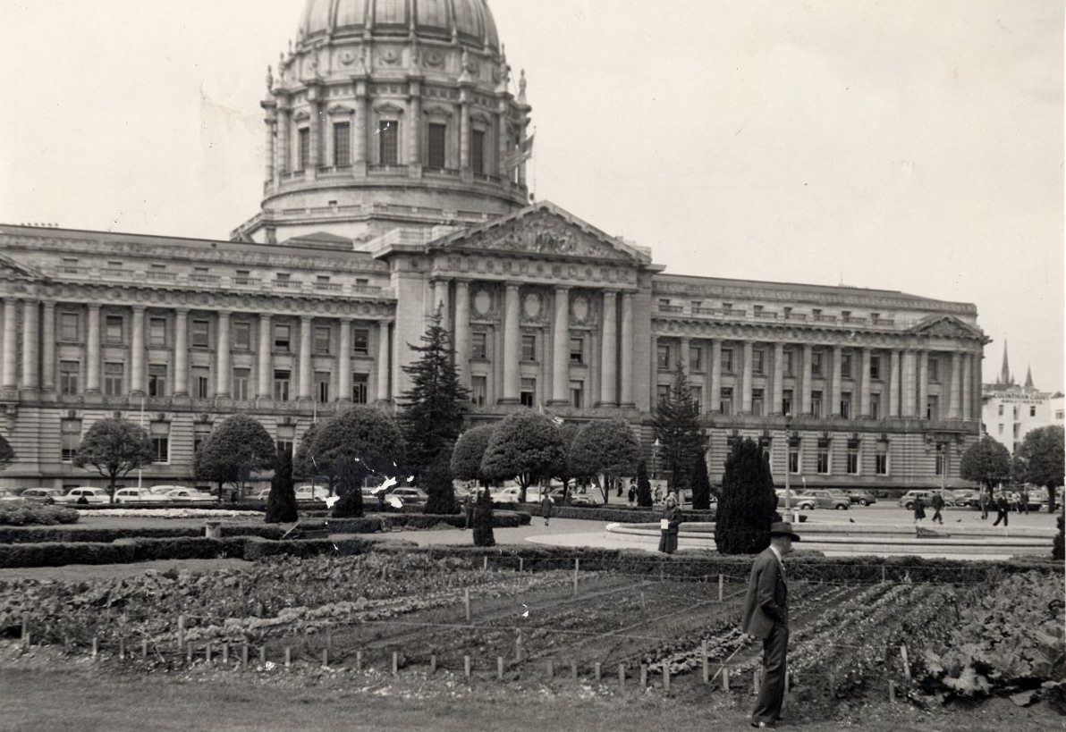
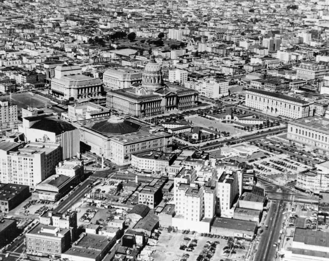
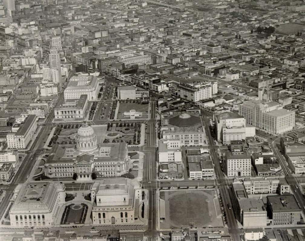
Victory Gardens were planted across from City Hall in 1943, turning decorative civic land into productive vegetable plots. The city asked its residents to contribute to the food supply while soldiers were overseas. It was a visible, tangible sign of sacrifice — one that showed up right in the heart of municipal San Francisco.
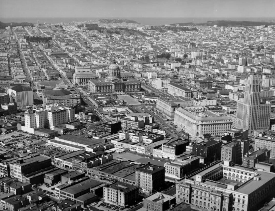
Victory Gardens across from City Hall, 1943Aerial view of the Civic Center, 1945
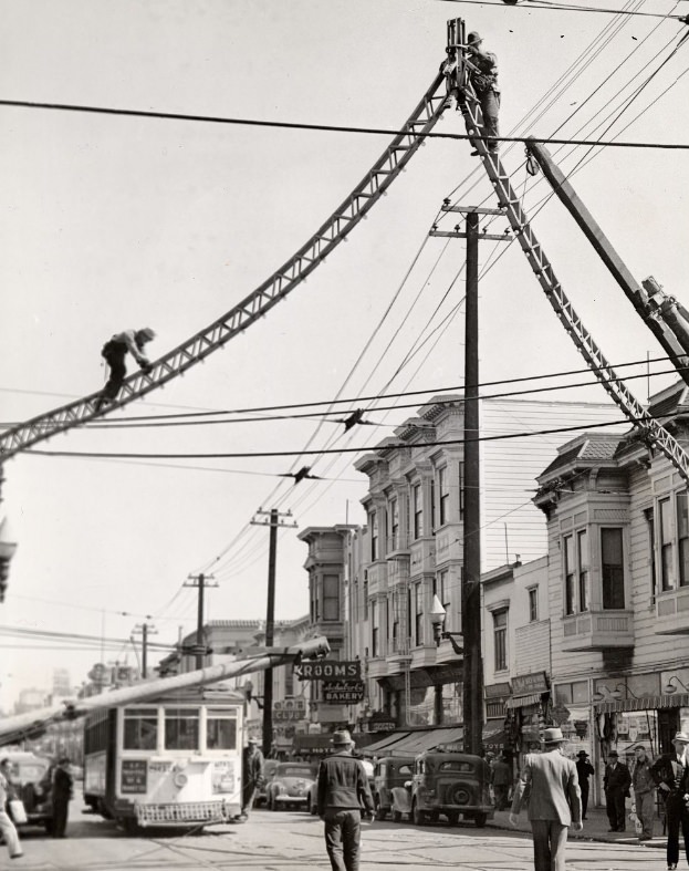
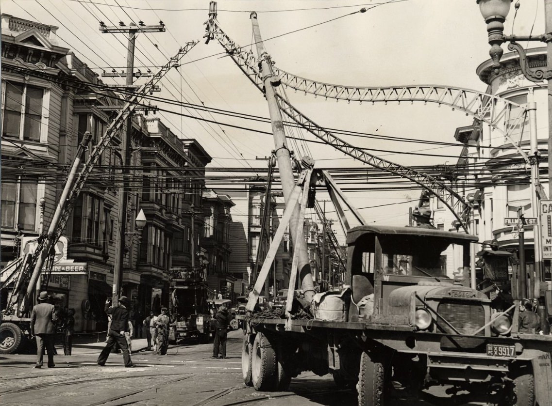
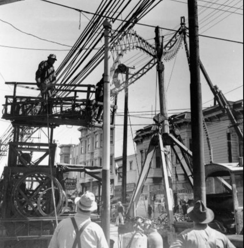
The war effort reached into everyday materials as well. On Fillmore Street in 1943, metal arches that had decorated the street were dismantled and collected as scrap metal. It was a practice seen across the country — ornamental ironwork, railings, and decorative structures surrendered to the war industry. The Fillmore district, already one of the city’s most vibrant neighborhoods, adapted without pause.
Metal arches on Fillmore Street being dismantled for scrap metal, 1943Metal arches on Fillmore Street being dismantled for scrap metal, 1943Metal arches on Fillmore Street being dismantled for scrap metal, 1943Fillmore Street, looking south from Bay Street, 1944
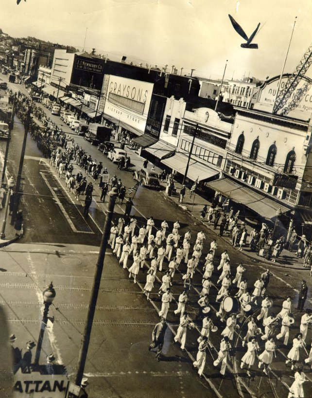
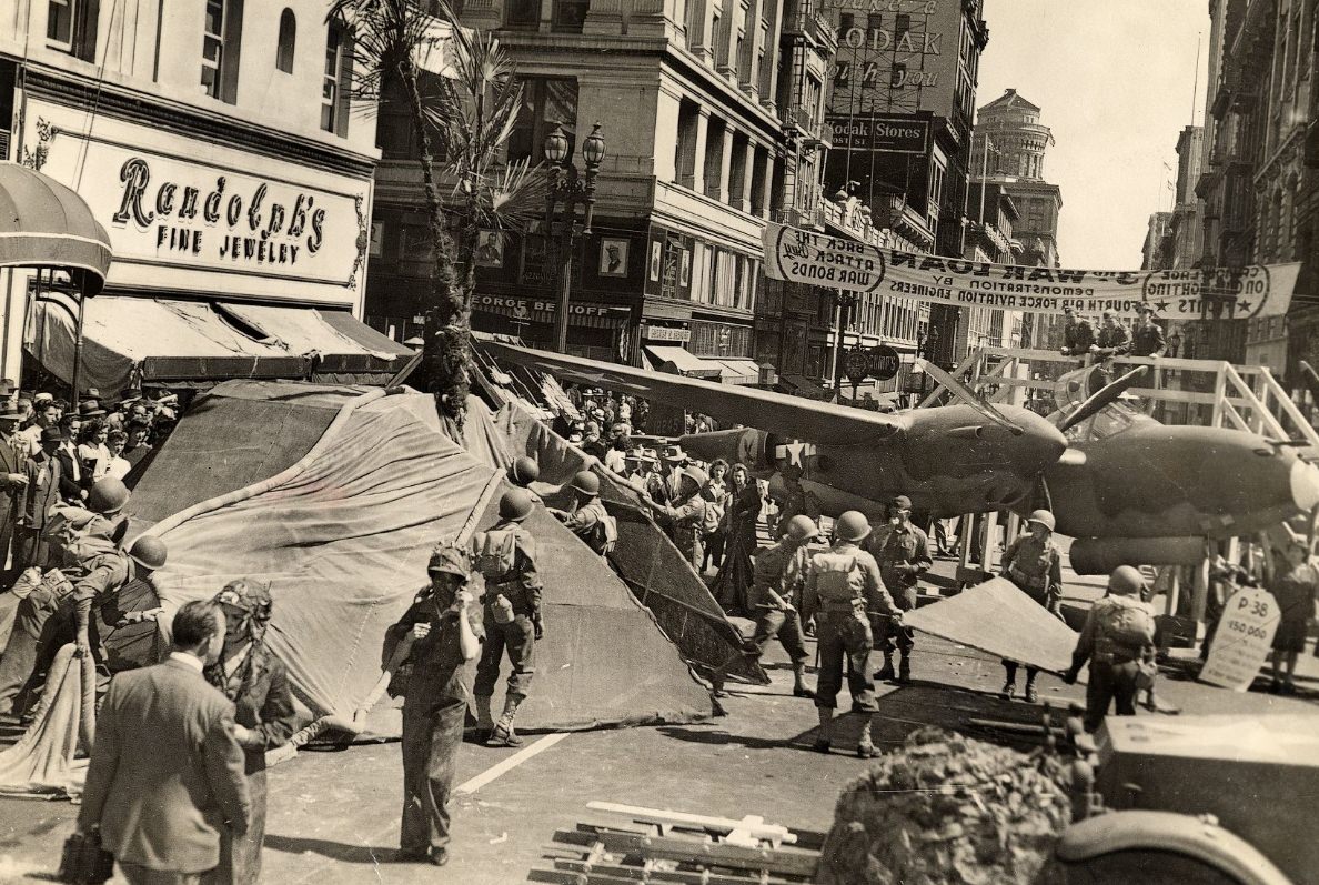
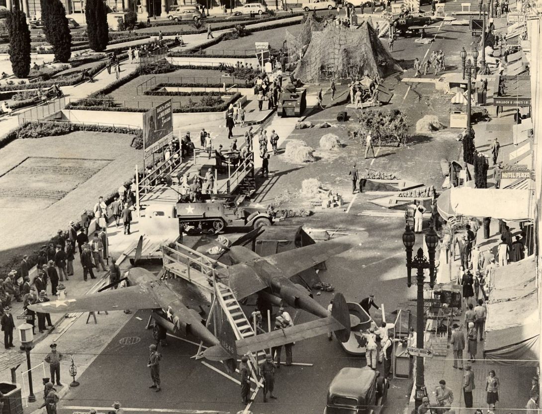
War bond drives and parades filled the streets throughout the war years. On Mission Street, Post Street, and around Union Square, residents gathered in large numbers to show support and contribute financially to the effort. Military demonstrations set up alongside Union Square Park drew curious crowds. These were not just ceremonial events — they were fundraising operations tied directly to the war’s financing.
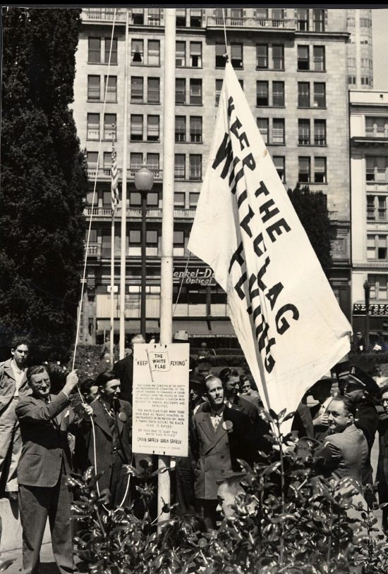
War bond parade on Mission Street at 22nd, 1944War bond drive on Post Street, 1943Military demonstration on Post Street alongside Union Square Park, 1943Raising the white flag in Union Square Park, 1944
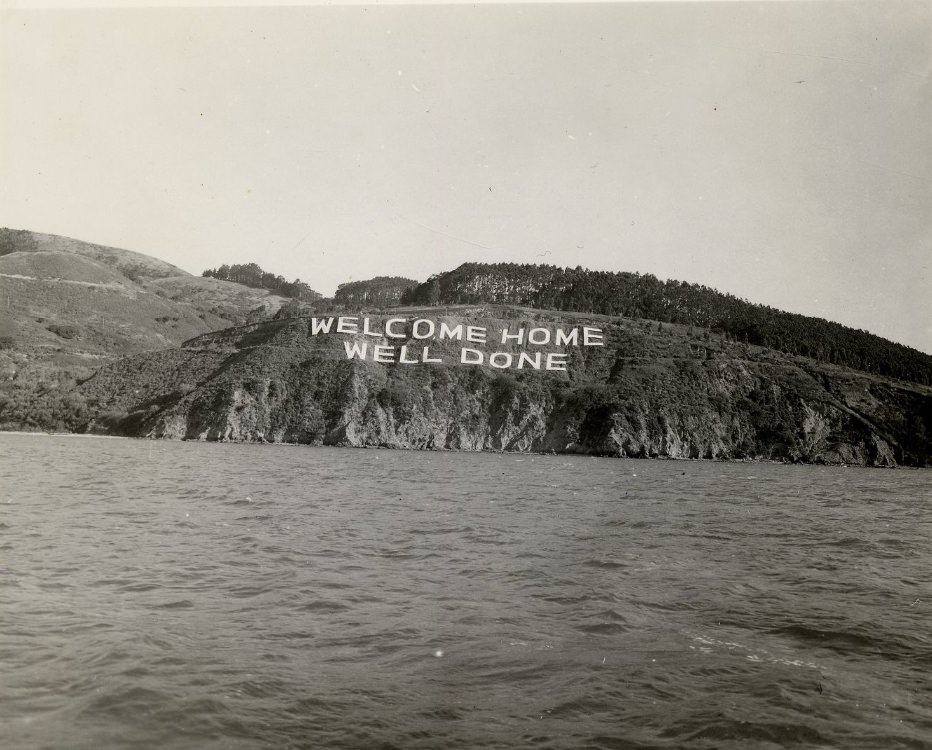
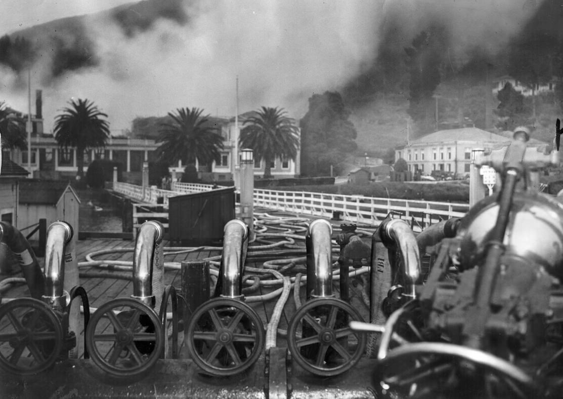
Angel Island, sitting in the middle of San Francisco Bay, served as a key military installation throughout the war. Fort McDowell operated there as an Army base, processing soldiers heading to and returning from the Pacific. When the war ended, a ‘WELCOME HOME WELL DONE’ sign greeted returning troops on the island’s shore — a simple but direct message for men who had survived years of combat in the Pacific theater.
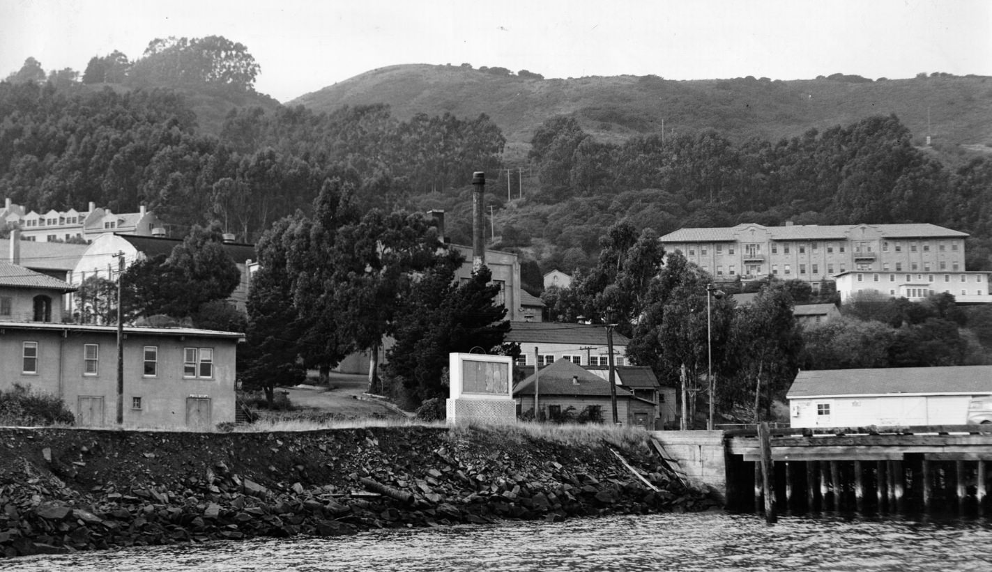
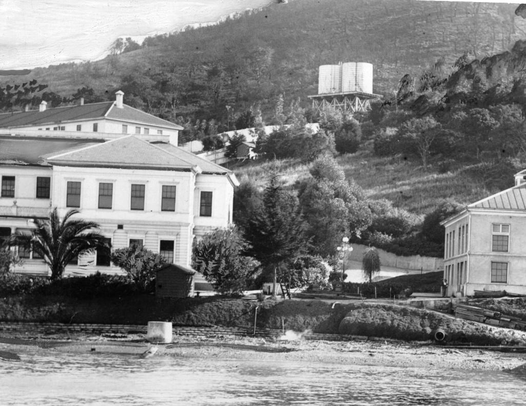
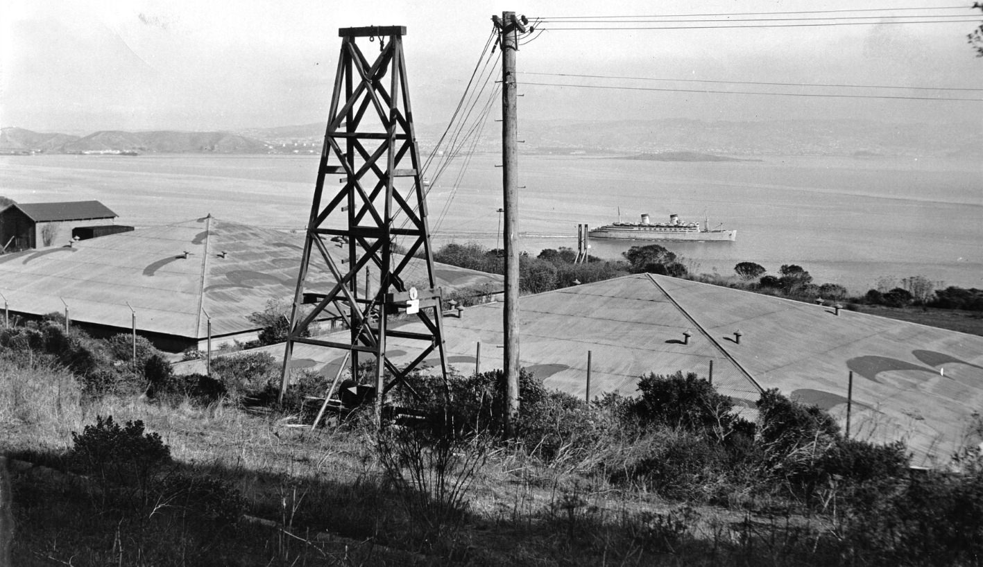
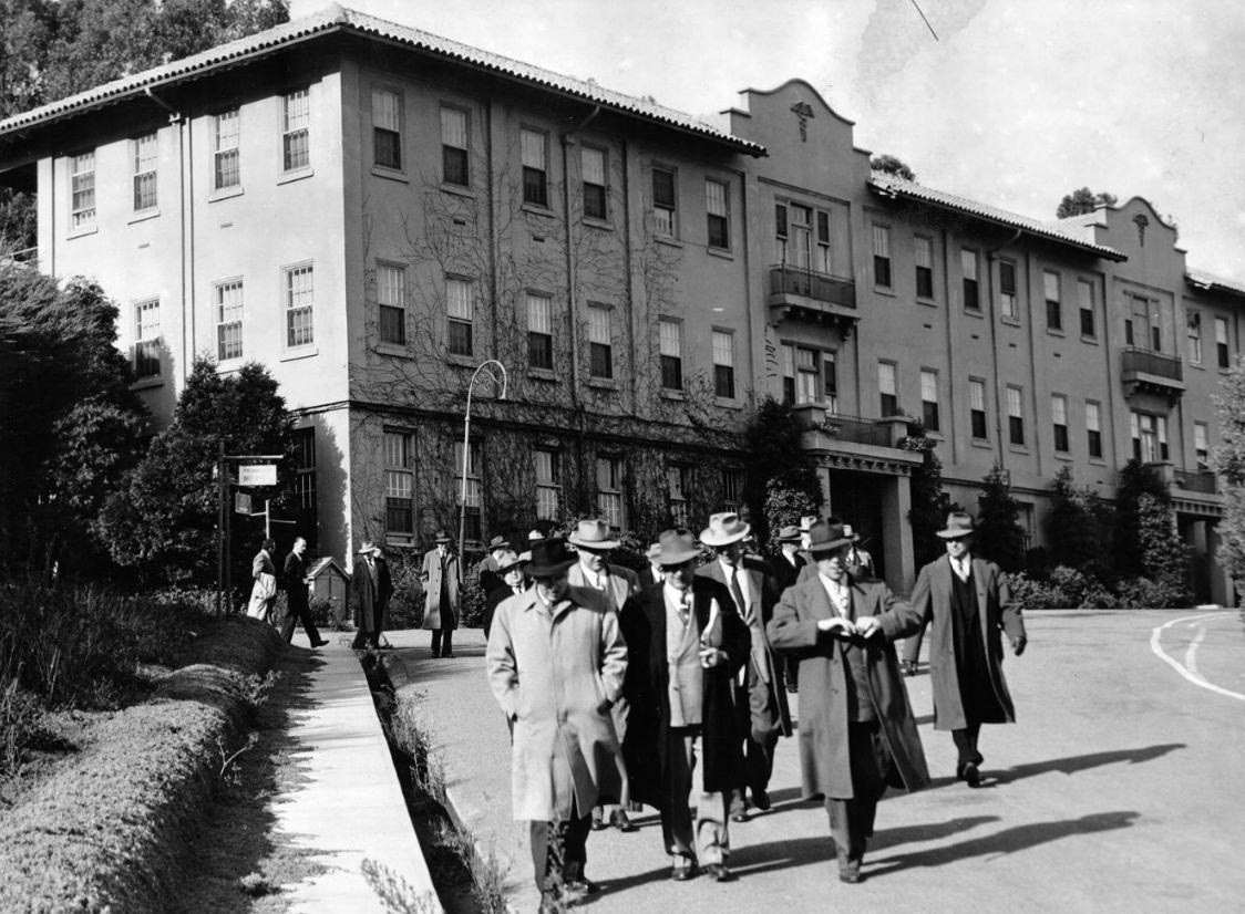
‘WELCOME HOME WELL DONE’ sign on Angel Island for WWII returnees, 1940sView of two water reservoirs and Fort McDowell Army base on Angel Island, 1948Angel Island shoreline and buildings, 1940s
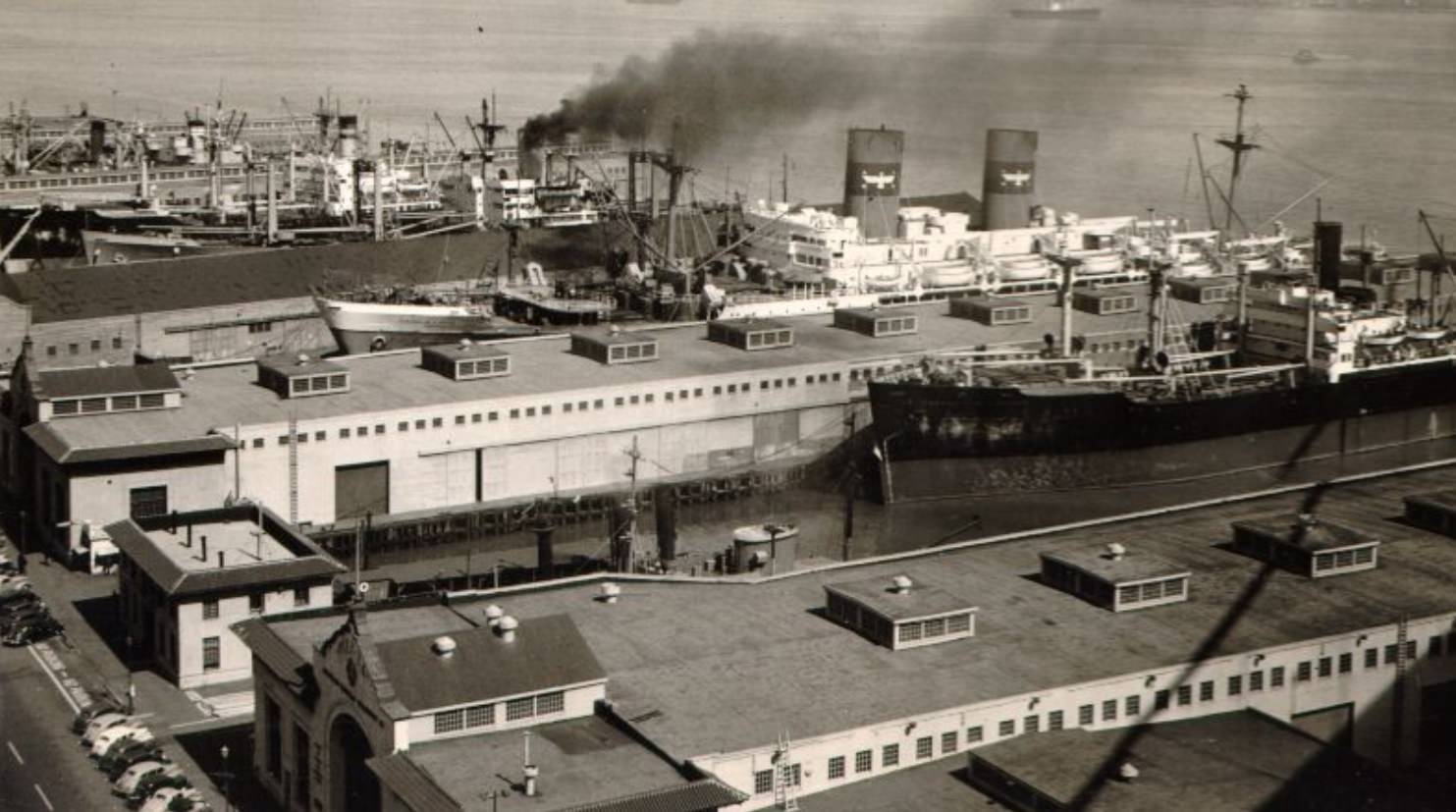
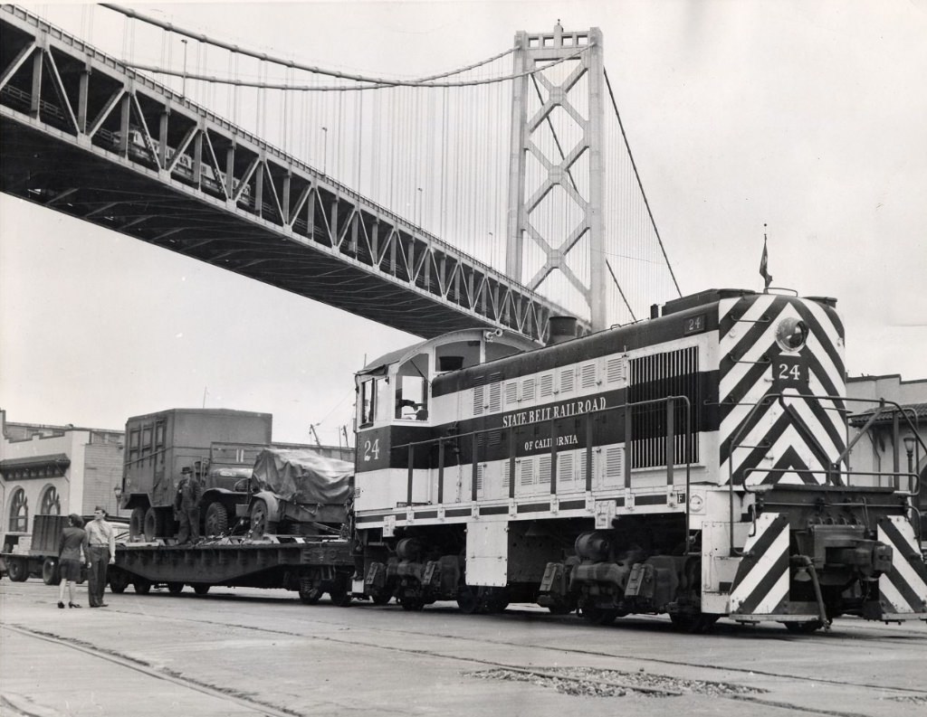
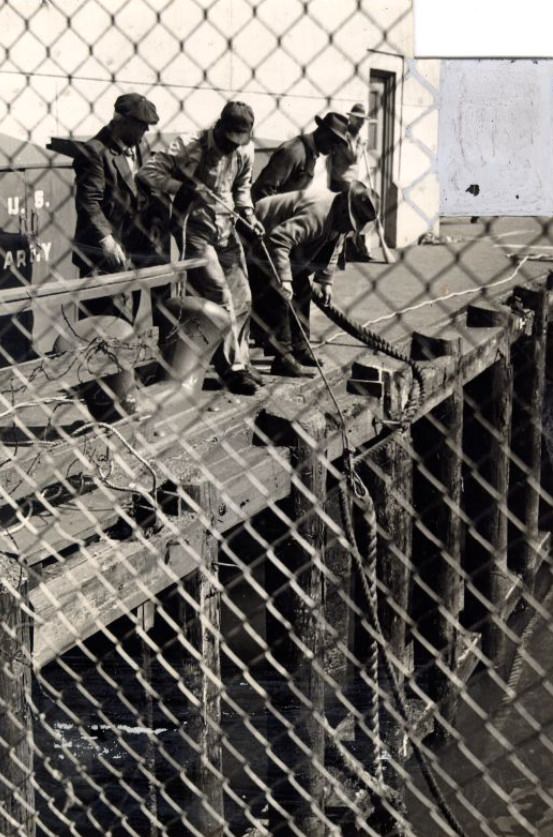
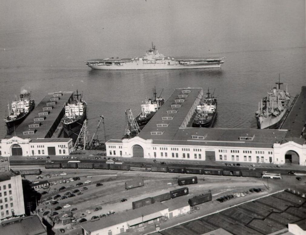
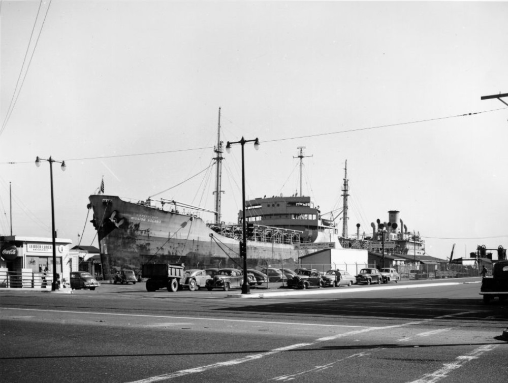
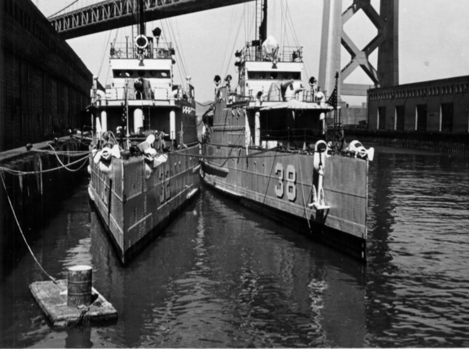
San Francisco’s waterfront was one of the most active stretches of urban coastline in the country during the 1940s. Ships docked at piers along the Embarcadero, freight trains rolled beneath the Bay Bridge, longshoremen hauled mooring hawsers, and Navy vessels like the USS Antietam passed Pier 34. The port was the city’s connection to the Pacific — for war and, later, for trade.
View of ships docked at San Francisco piers, looking north from the Bay Bridge, 1946Freight train stopped under the Bay Bridge at the San Francisco waterfront, 1946Longshoremen hauling a mooring hawser, 1946USS Antietem passing Pier 34 at the San Francisco waterfront, 1948
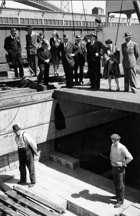
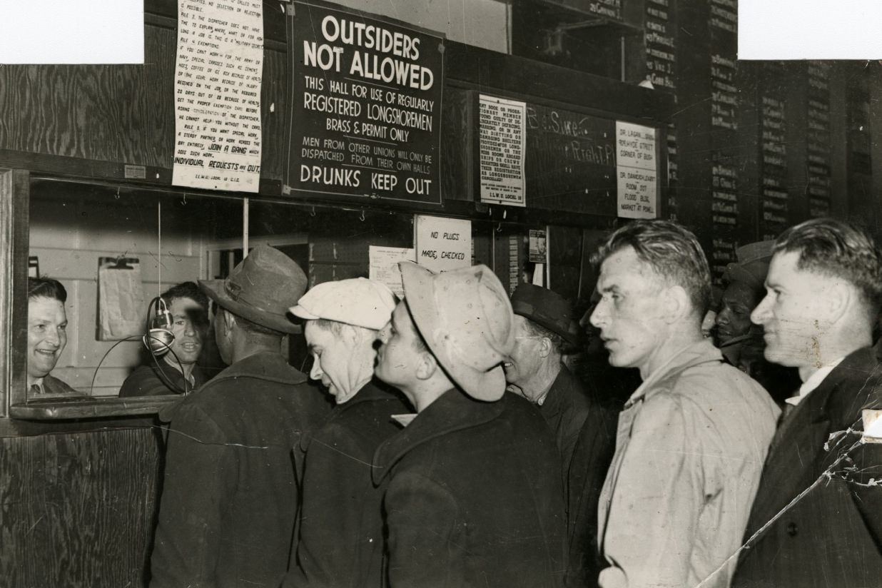
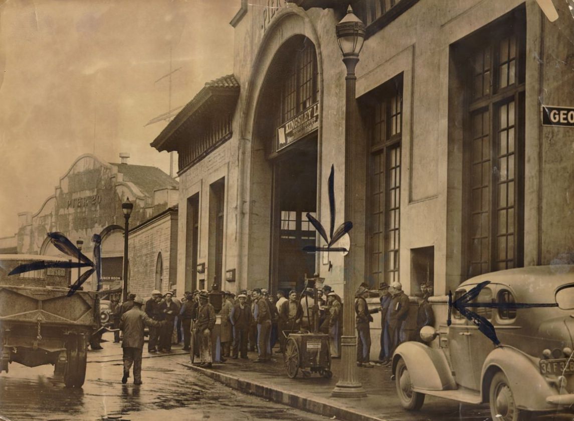
President Truman’s fact-finding board came to San Francisco in 1946 to observe longshoremen at work during a labor dispute that was gripping the nation’s ports. Labor tensions on the waterfront were a defining feature of the postwar years, as workers who had kept the war machine running pushed for better wages and conditions. The dispatcher’s office was one flashpoint — men lined up, waiting for work assignments, as negotiations dragged on.
President Truman’s fact-finding board watching longshoremen at work, 1946Men standing in lines in the dispatcher’s office, 1946
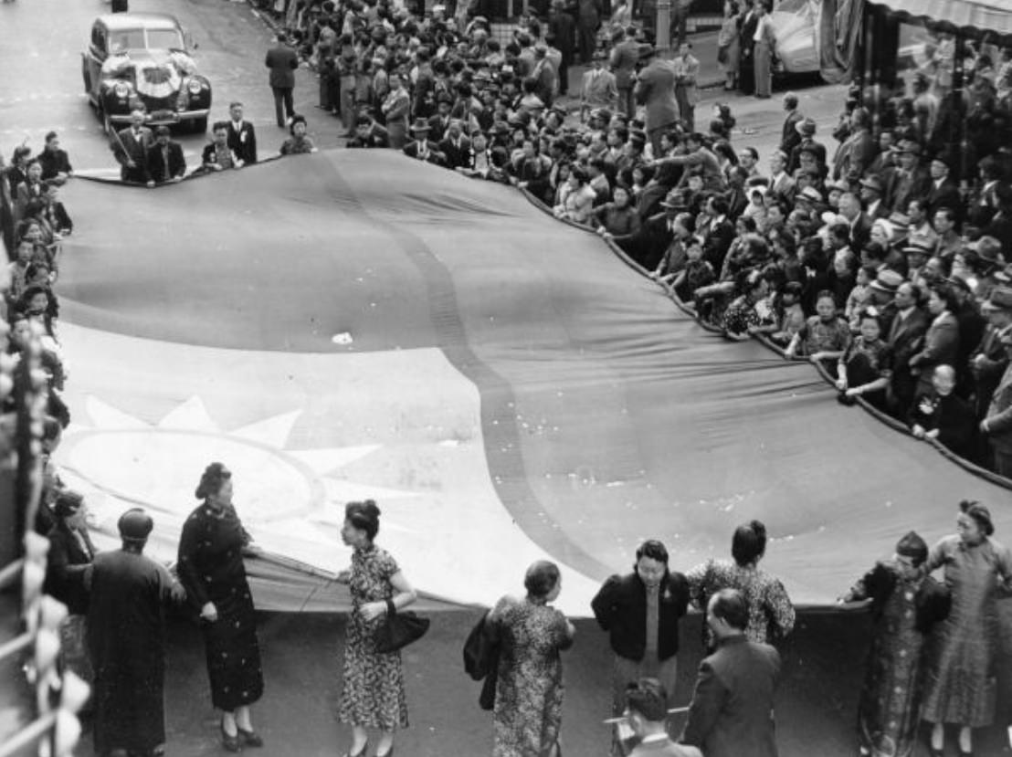
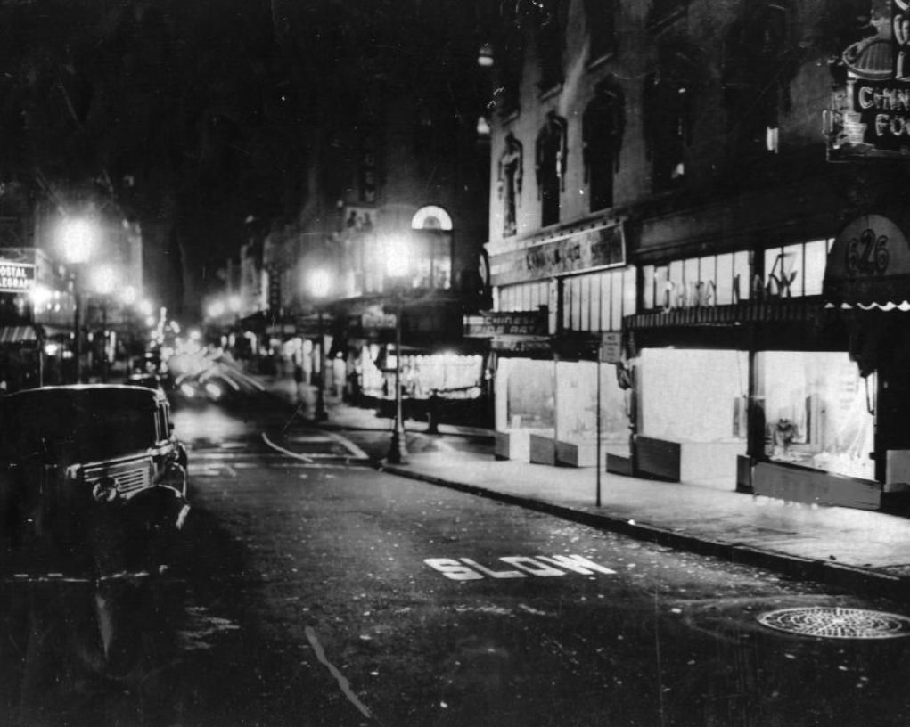
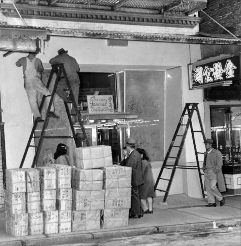
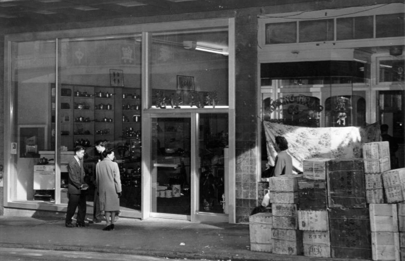
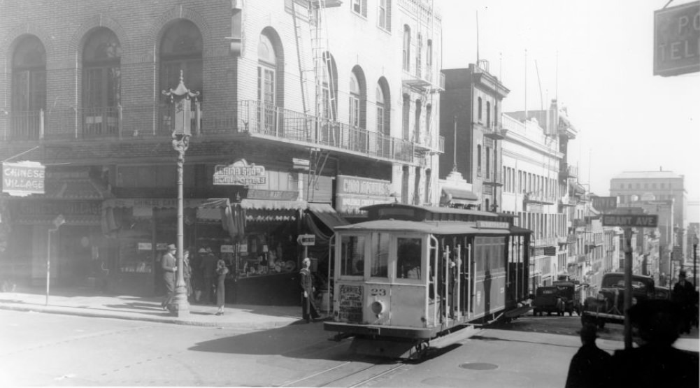
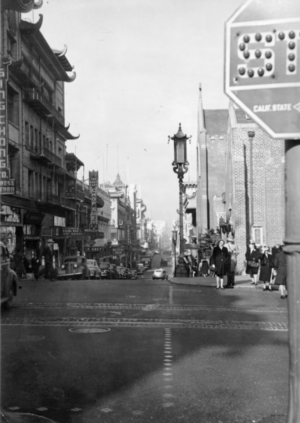
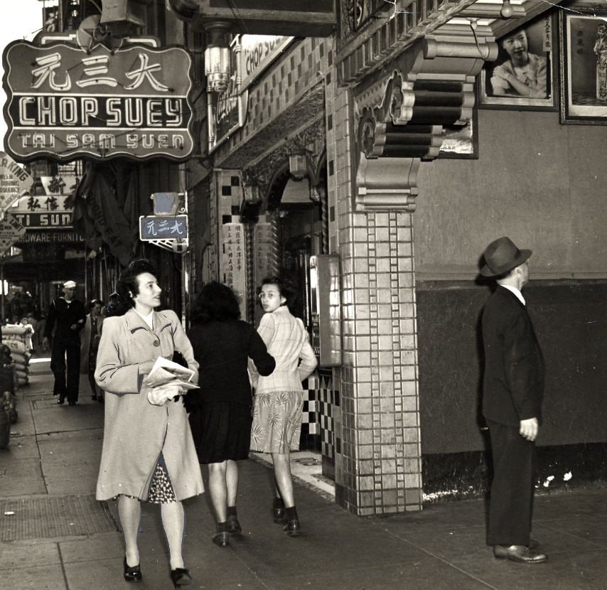
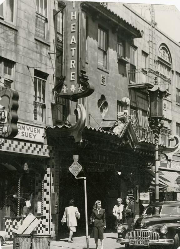
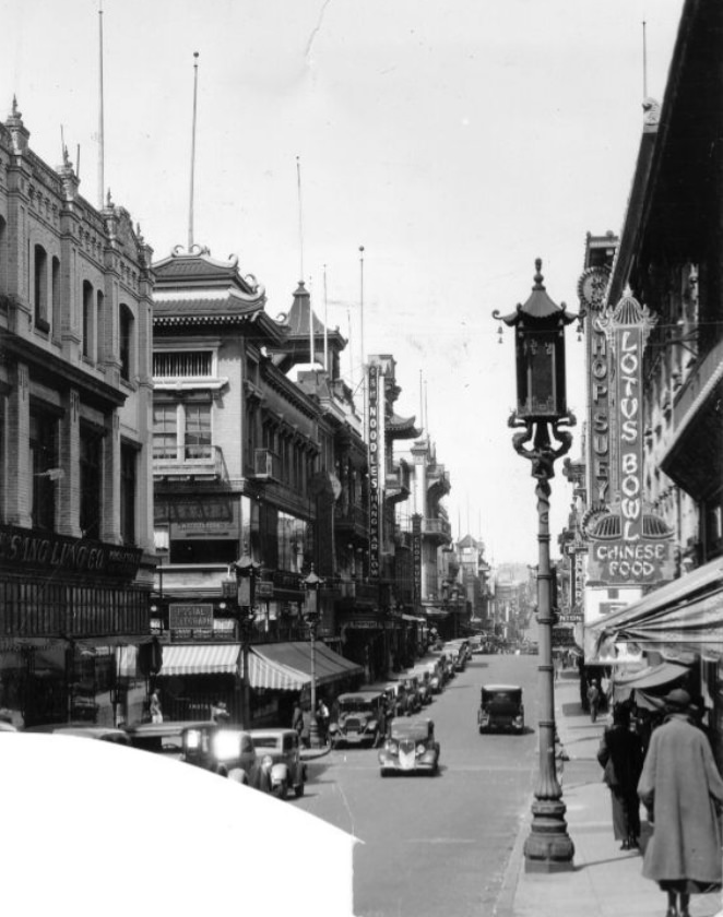
Chinatown remained one of San Francisco’s most distinct neighborhoods throughout the decade. Grant Avenue anchored commercial life there — grocery stores were fitted out, appliance shops operated alongside traditional storefronts, and the street lit up at night with signage and foot traffic. On October 10, 1943 — China’s Double Ten Day — a giant flag of the Chinese Republic hung on Grant Avenue, a public display of solidarity between the Chinese American community and China’s wartime resistance.
Giant flag of the Chinese Republic on Grant Avenue for China’s Double Ten Day, 1943Grant Avenue in Chinatown at night, 1943Workers preparing a new grocery store on Grant Avenue in Chinatown, 1947Appliance store on Grant Avenue in Chinatown, 1947Chinese technicians preparing to return to China in the Civic Center, 1946
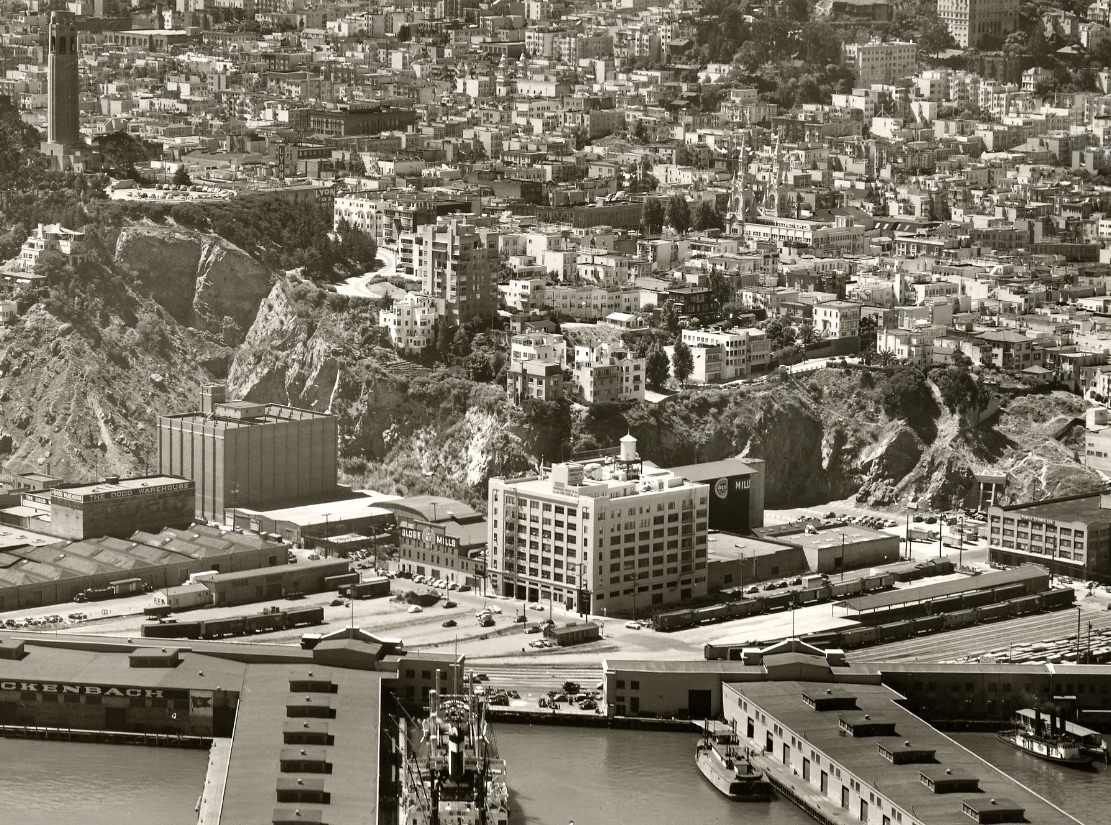
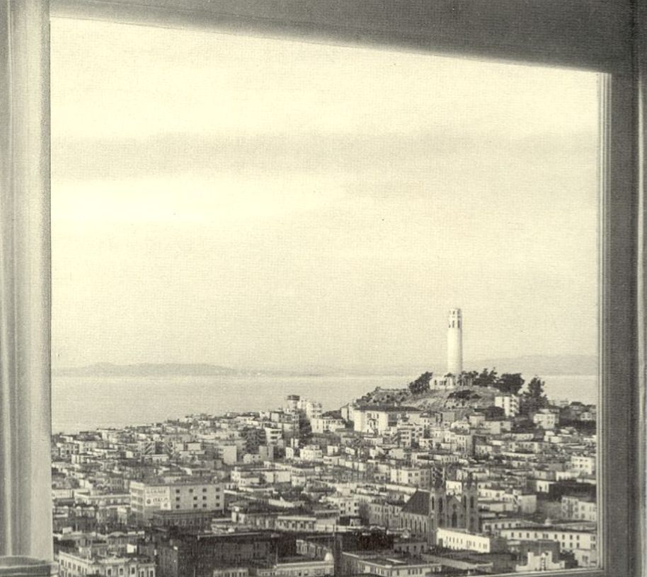
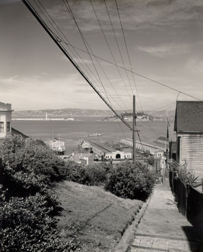
North Beach, just north of Chinatown, had its own identity. Columbus Avenue cut through a neighborhood of Italian restaurants, coffee shops, and small businesses. The area around Telegraph Hill offered elevated views of the bay and the bridge, and the streets below were full of pedestrians, streetcars, and delivery vehicles keeping the neighborhood running day to day.
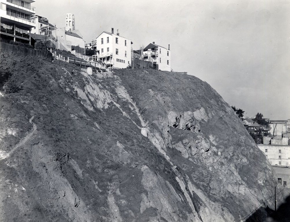
Columbus Avenue, 1944North Beach district and Telegraph Hill, 1949Telegraph Hill, 1943
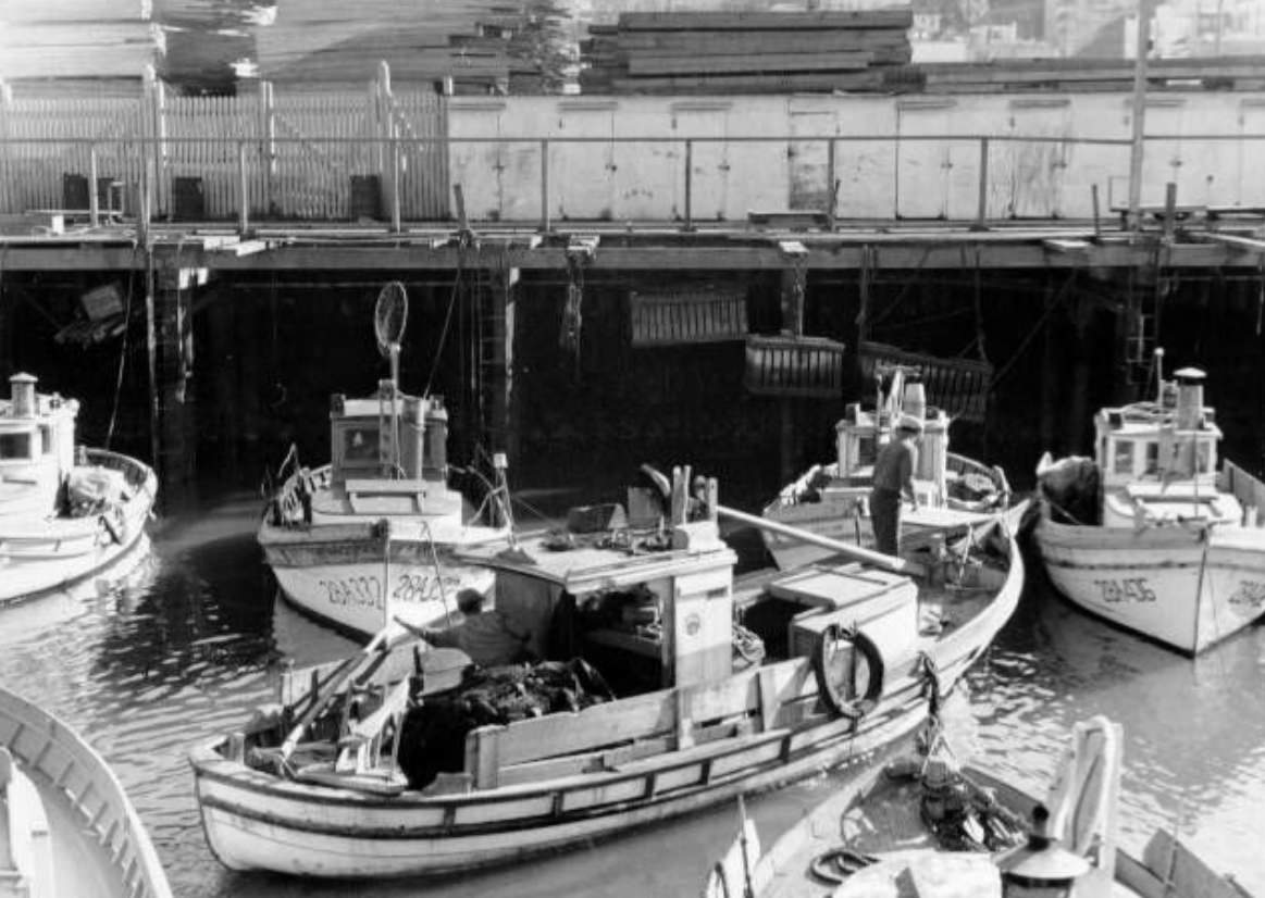
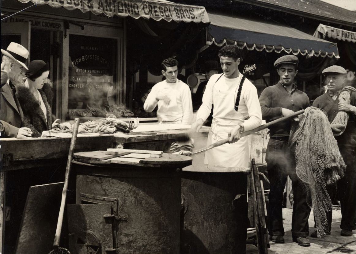
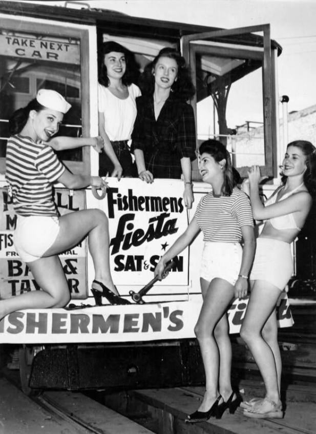
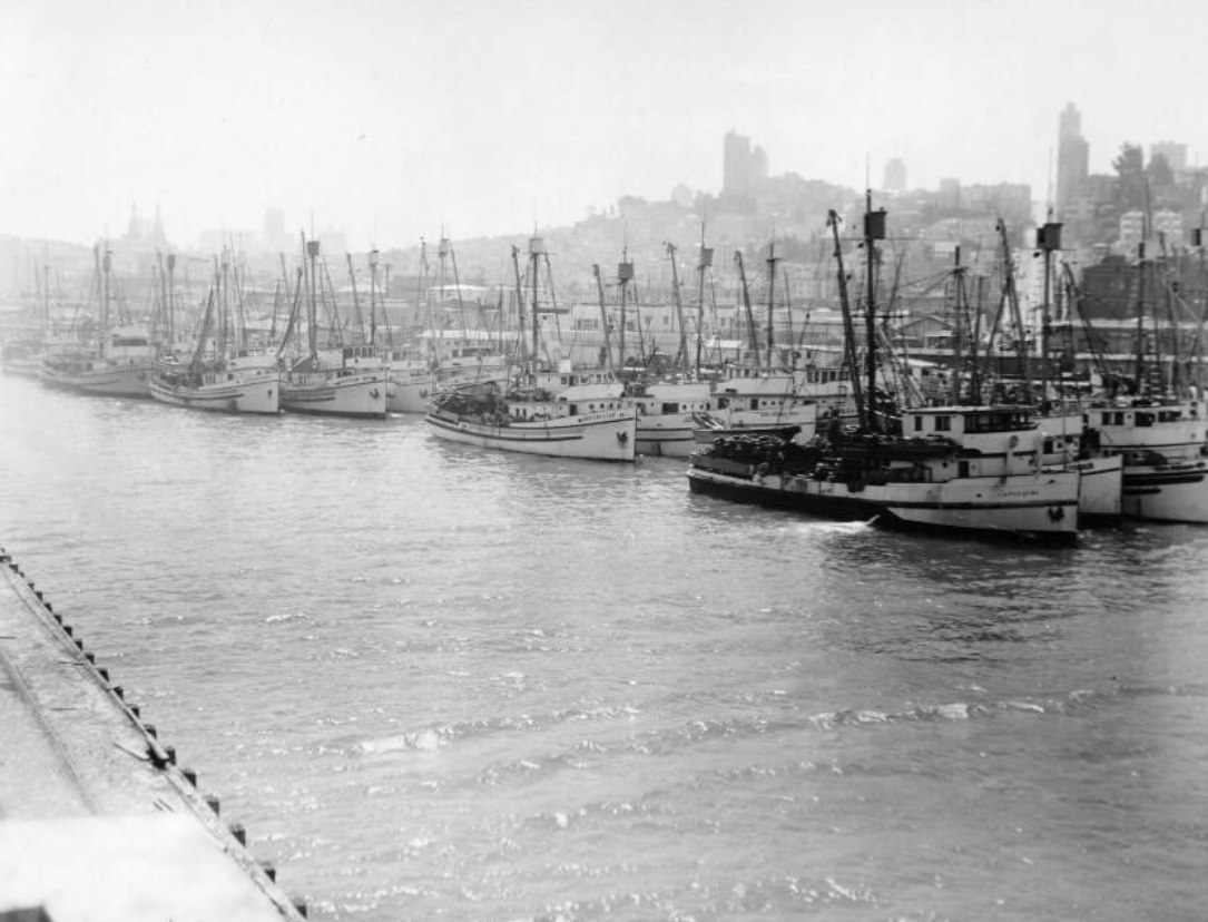
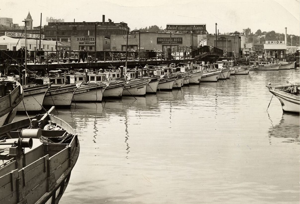
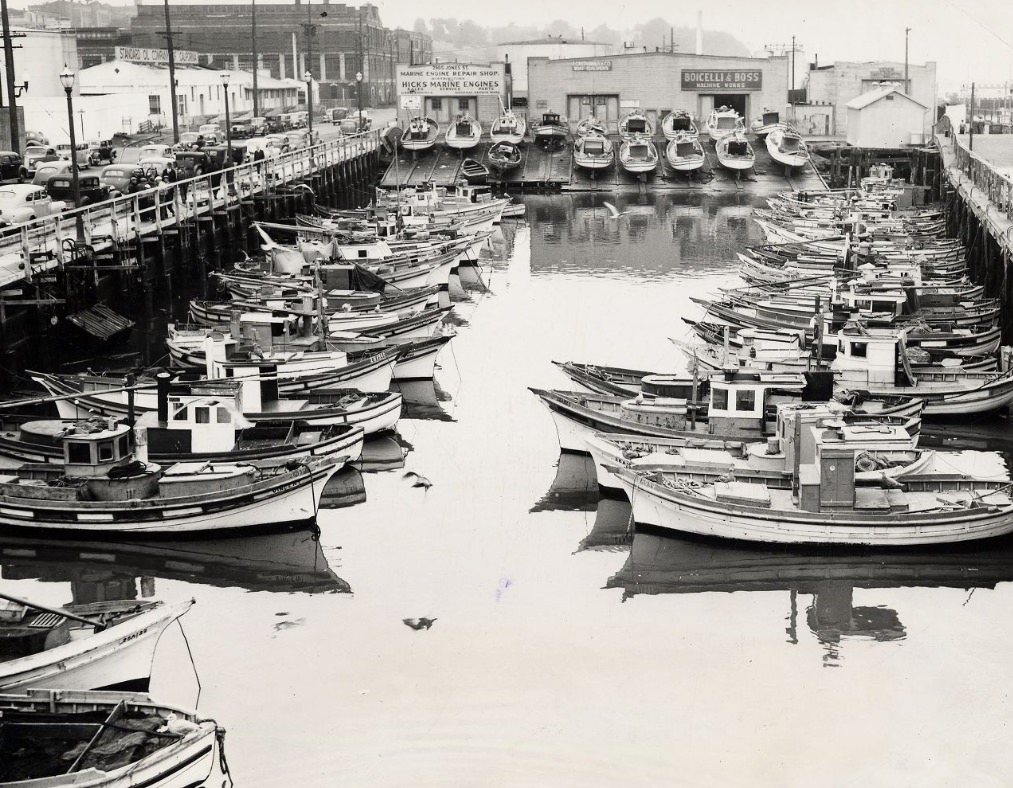
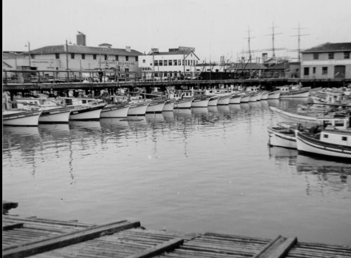
Fisherman’s Wharf continued to be a working waterfront and a place where the public could eat well and watch the boats. Crab stands set up along the waterfront, fishing vessels crowded the harbor, and women rode cable cars to advertise the annual Fishermen’s Fiesta in 1946. The wharf was not a tourist-only attraction — it was a genuine working fish market that happened to draw crowds.
Fisherman’s Wharf, 1946Crab stand at Fisherman’s Wharf, 1946Women riding a cable car to advertise the “Fishermen’s Fiesta” at Fisherman’s Wharf, 1946Harbor and Bay at Fisherman’s Wharf, 1949
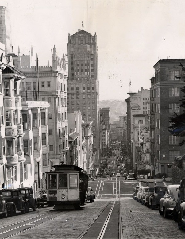
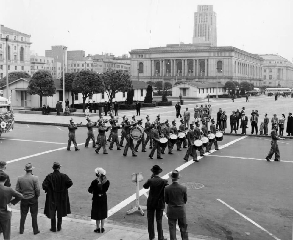
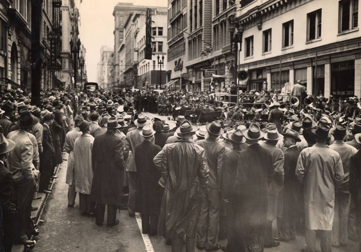
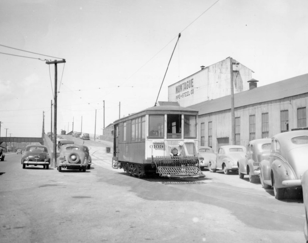
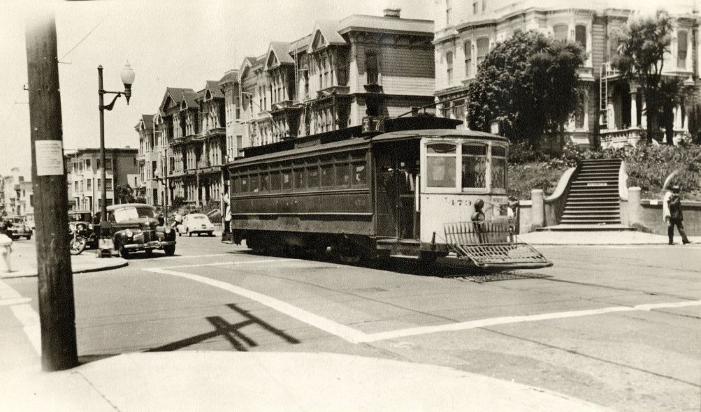
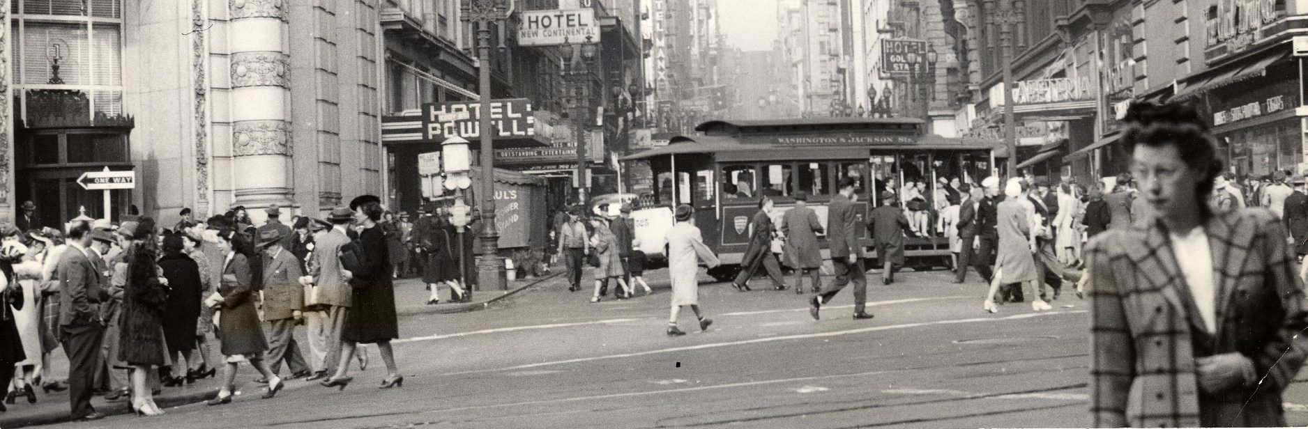
Cable cars were a constant presence on San Francisco’s steep streets. They ran up Powell, Sacramento, and Grant, connecting neighborhoods and carrying residents to work and back. The Municipal Railway also fielded a Drum and Bugle Corps that marched in civic parades. These were not just transit workers — they were part of the city’s public identity, performing alongside the politicians, veterans, and community groups who filled the Civic Center on ceremonial days.
Cable car on Sacramento and Grant, 1942Cable car ascending Powell Street hill, 1947The Municipal Railway Drum and Bugle Corps marching in a parade, Civic Center, 1940s
Montgomery Street, known as the Wall Street of the West, remained the financial backbone of the region. Banks and financial institutions lined the corridor, which looked south through the city’s Financial District. By 1948, the postwar economy was beginning to reassert itself — businesses reopened, investment flowed, and the district buzzed with renewed commercial energy.
Montgomery Street, “Wall Street of the West,” 1948Financial District looking south, 1945
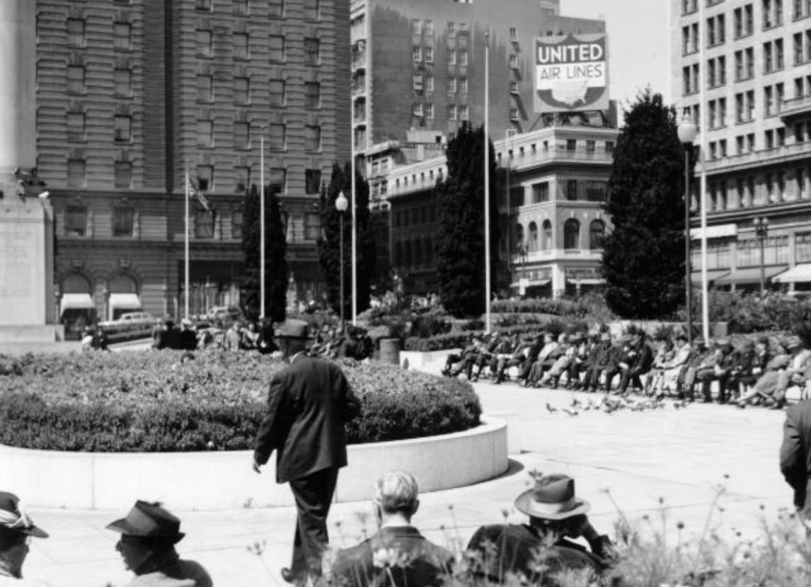
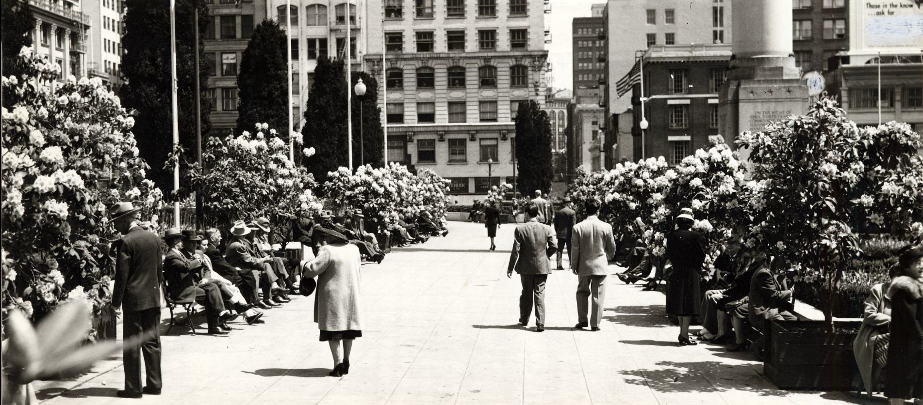
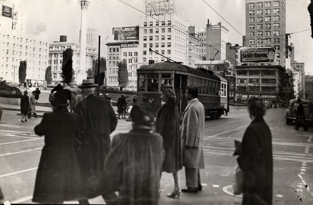
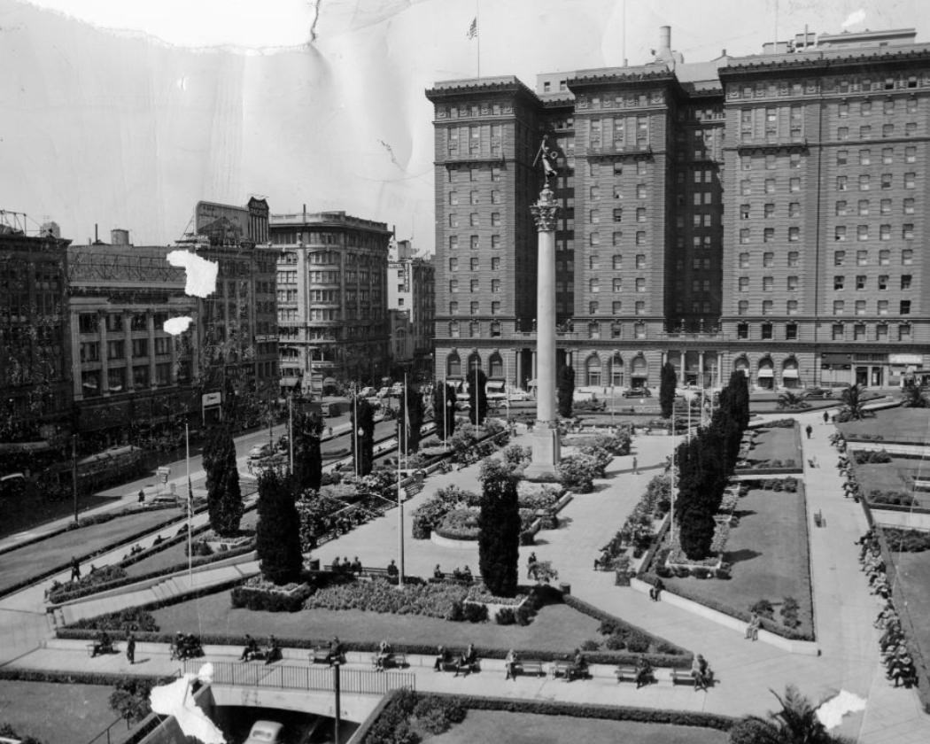
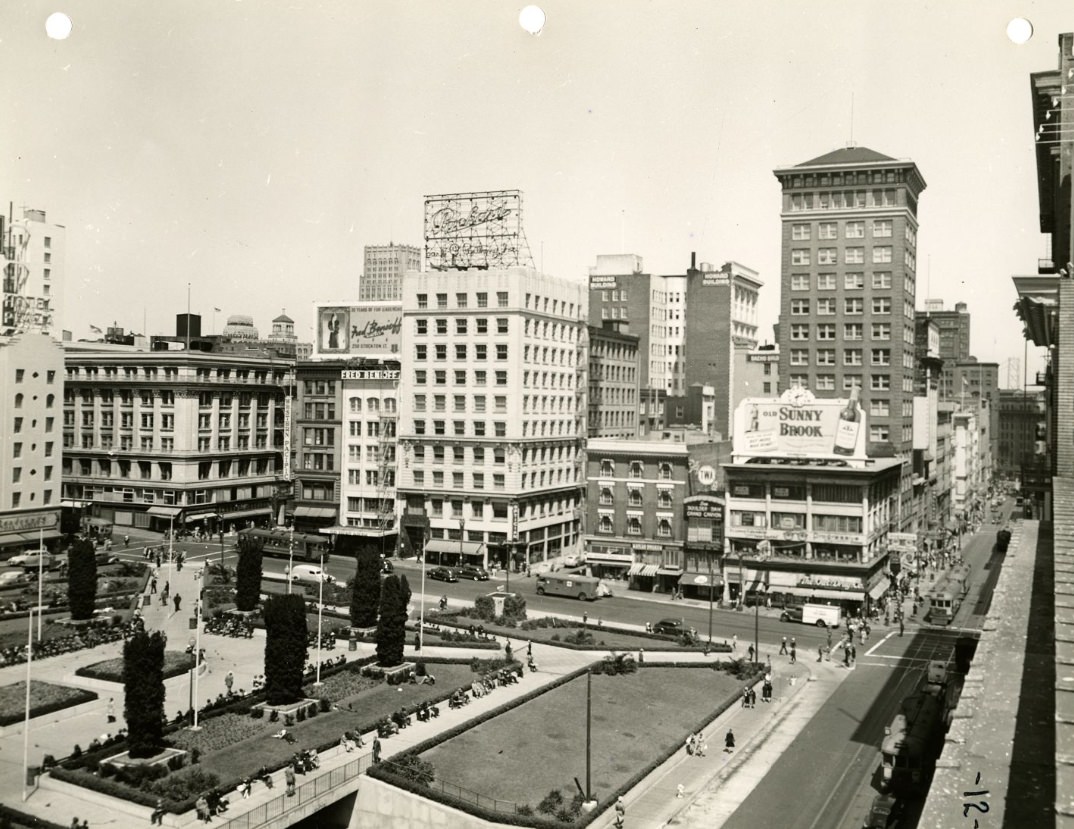
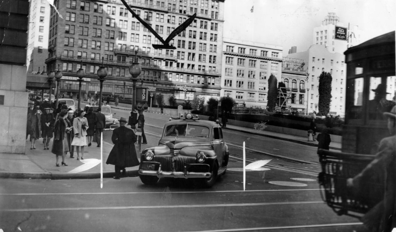
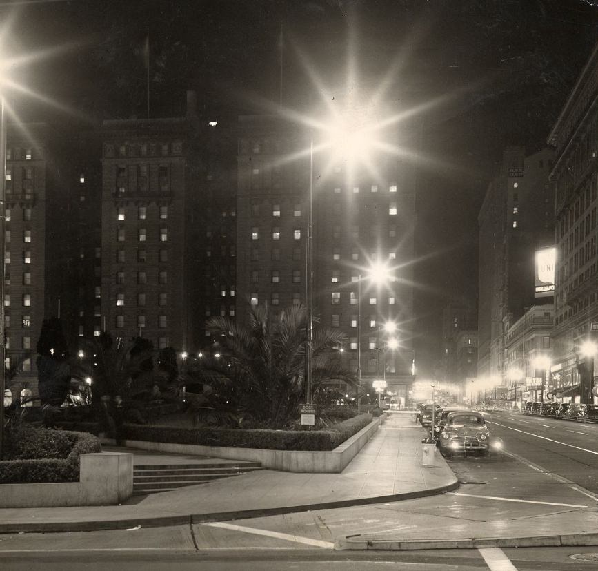
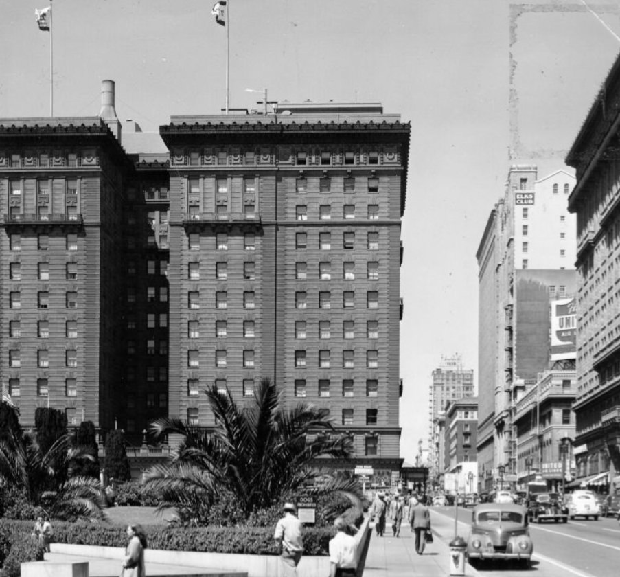
Union Square served as a gathering point throughout the decade — for shopping, civic events, seasonal displays, and public demonstrations. A rhododendron display filled the park in 1947, while streetcars passed by its perimeter and automobiles navigated the surrounding intersections. The square was photographed repeatedly, from multiple angles, capturing its role as the commercial and social center of the city.
Union Square, 1940sRhododendron display in Union Square Park, 1947Streetcar passing by Union Square Park, 1945Union Square Park, 1946
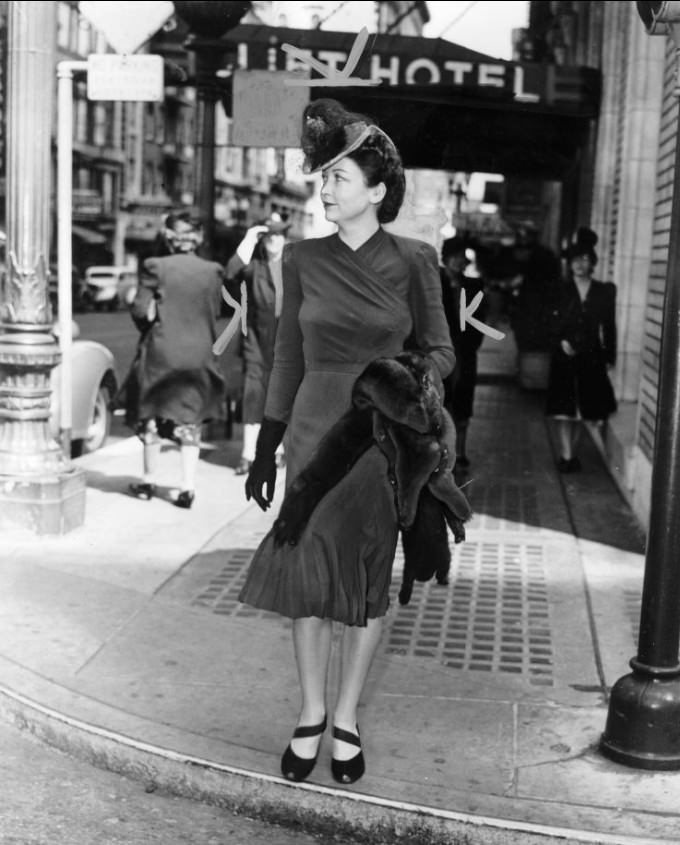
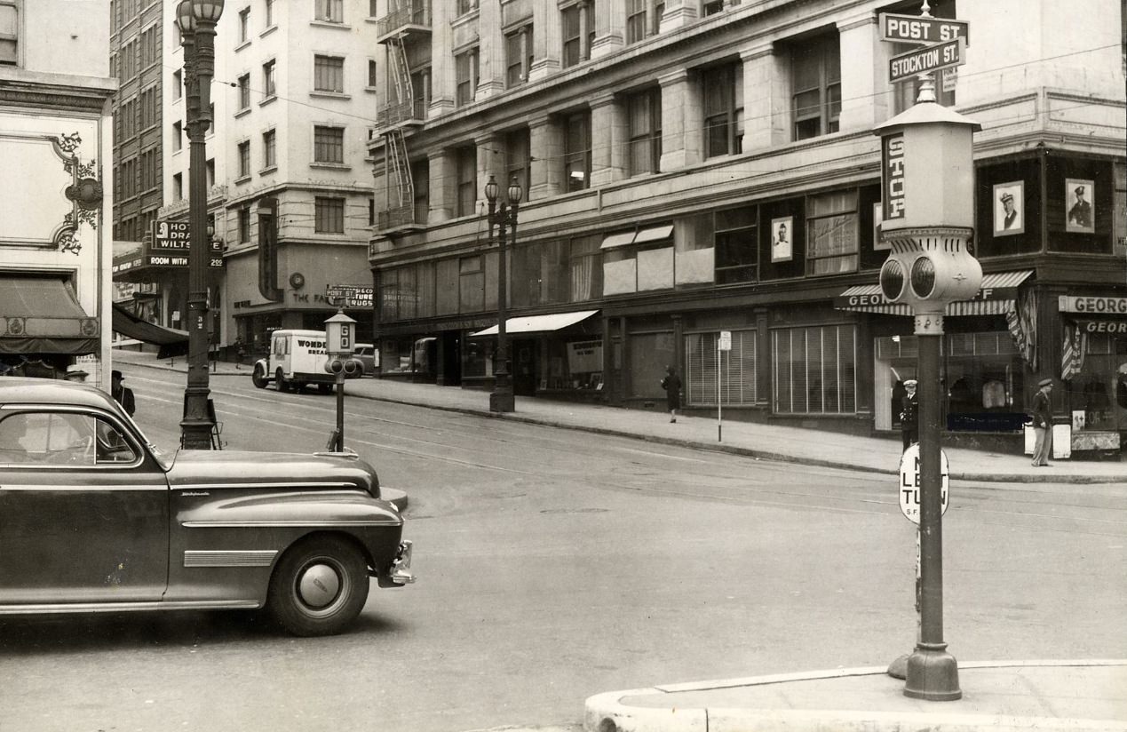
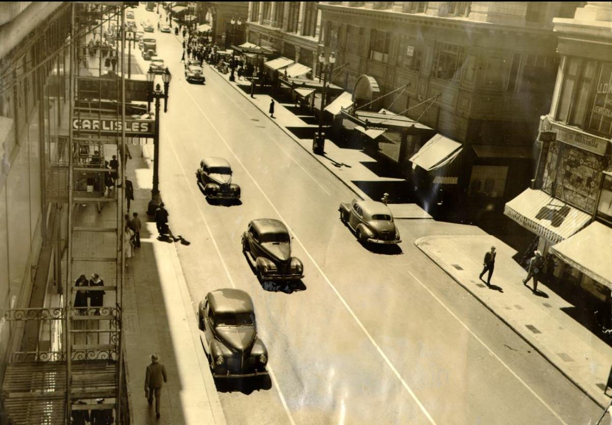
Fashion on the streets reflected both wartime practicality and Hollywood influence. Women wore tailored suits and dresses, often paired with gloves and hats. Men went out in fedoras and suits. As the war continued and military culture seeped into civilian life, bomber jackets and khaki trousers became common on men, while women’s hemlines shifted. The street-level photographs of the city’s commercial corridors — Post Street, Geary Street, Stockton — capture this fashion transition in real time.
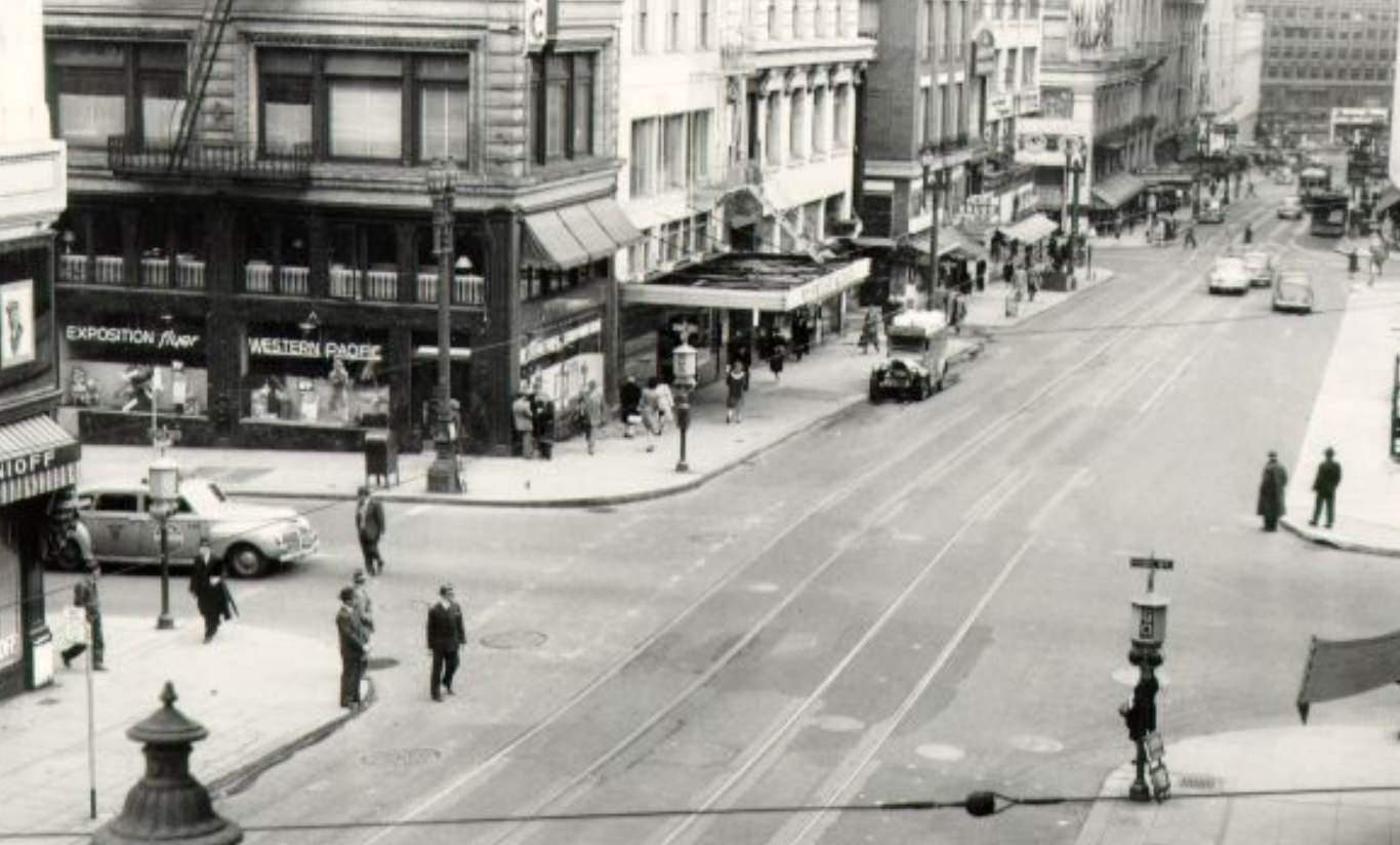
Mrs. David Scoville on Geary Street, 1940Post and Stockton streets, 1943Looking down Stockton Street from above Sutter, 1944
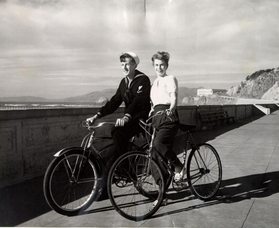
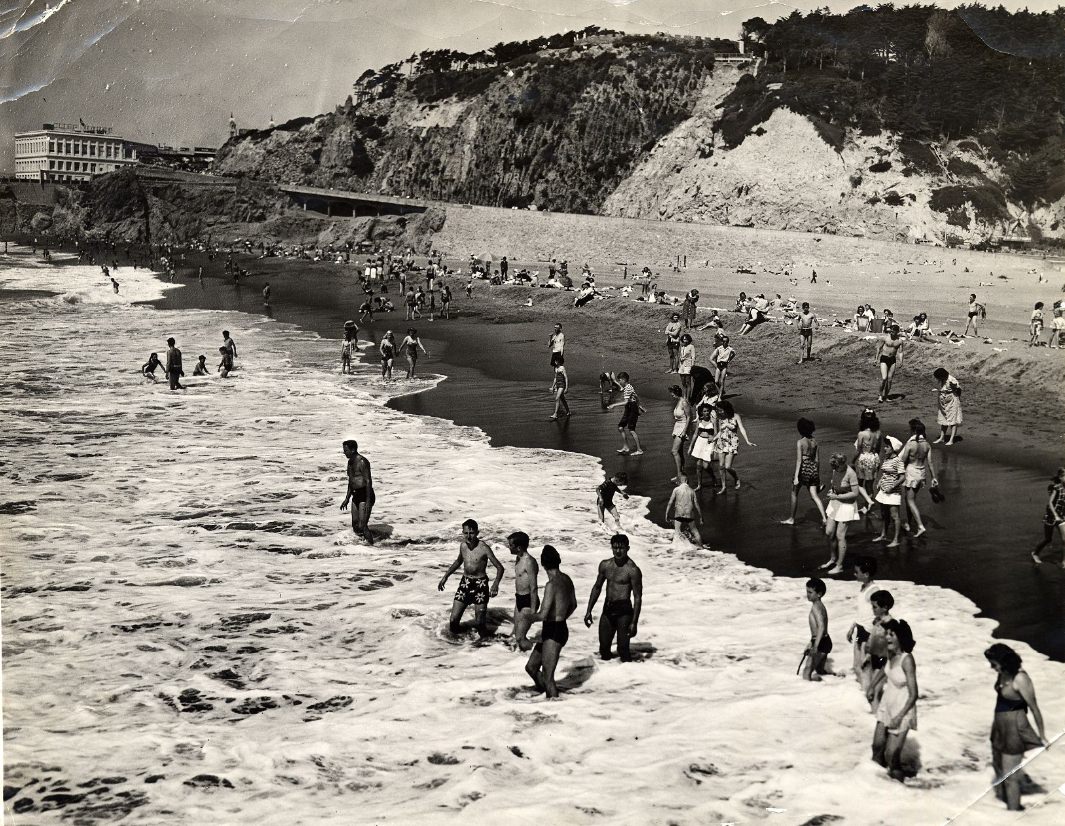
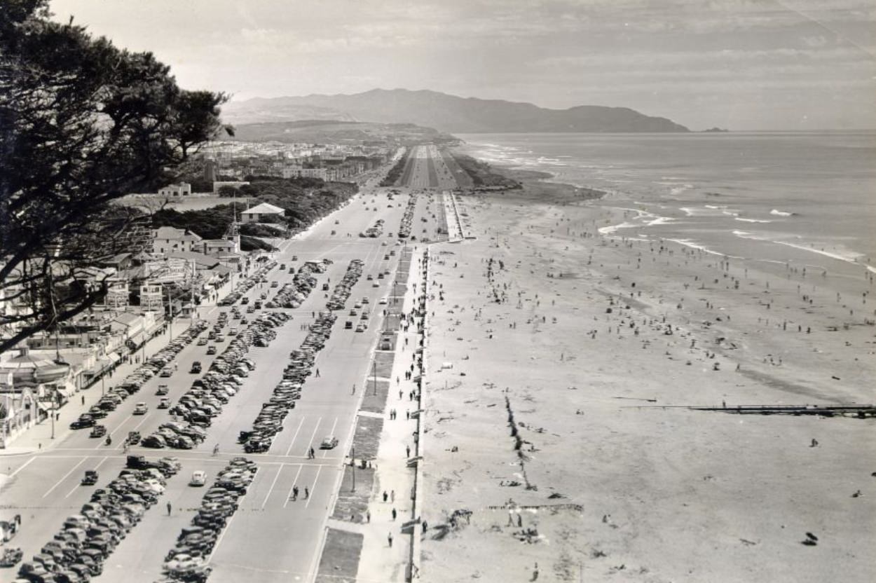
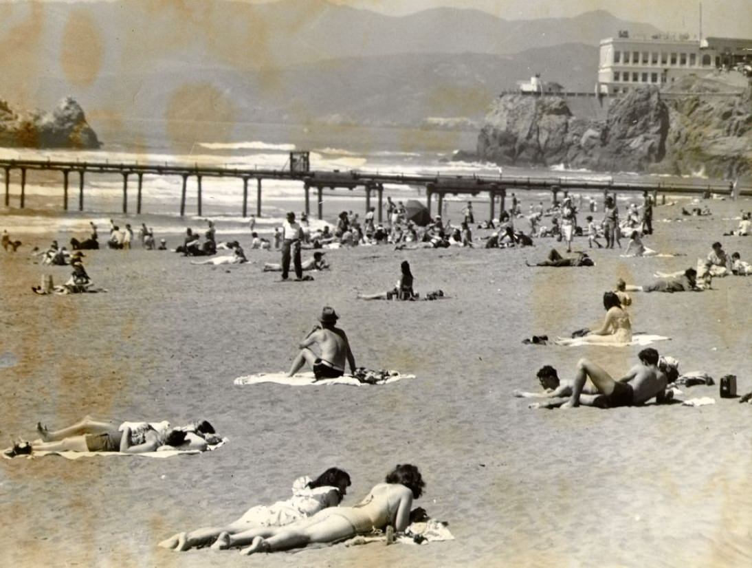
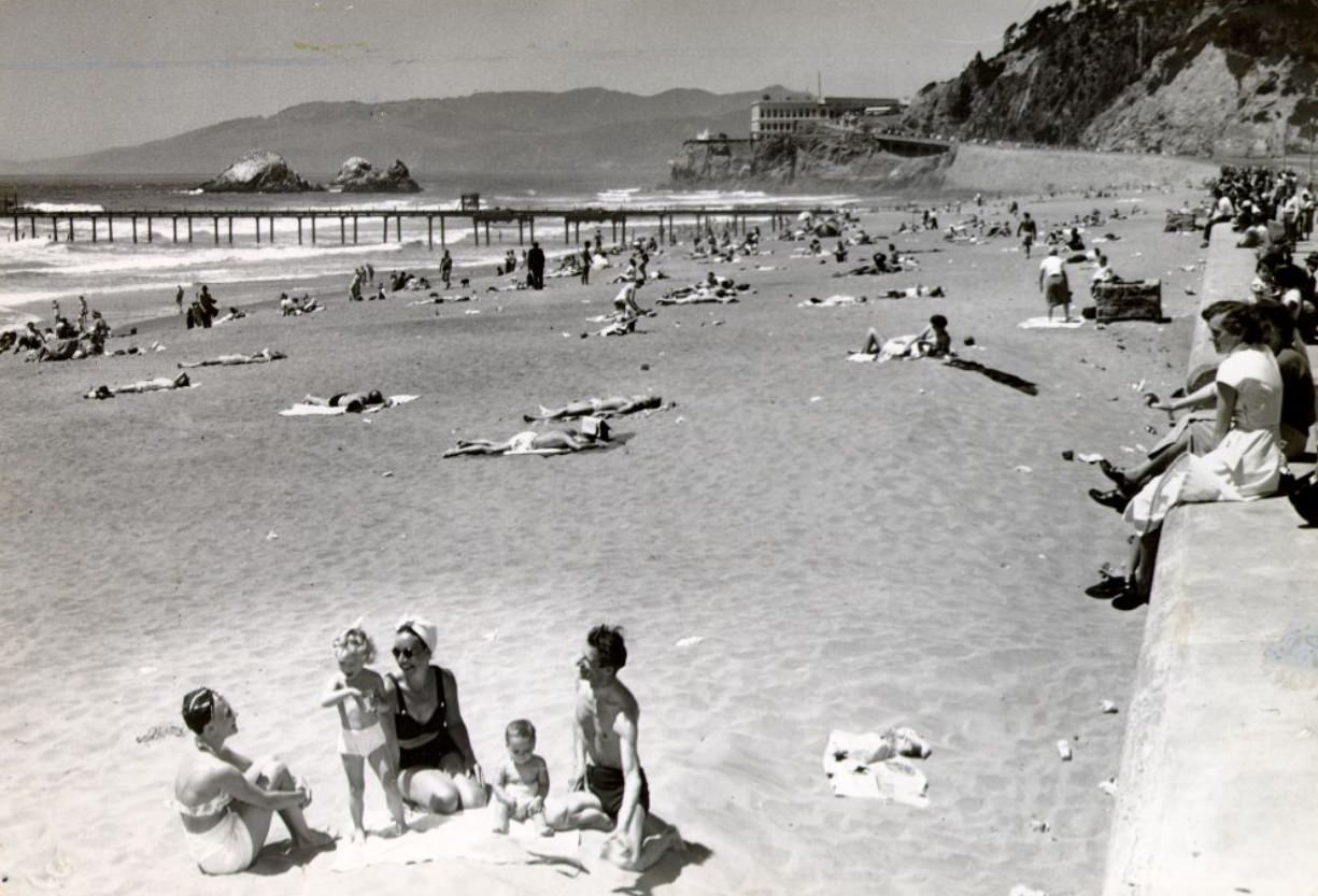
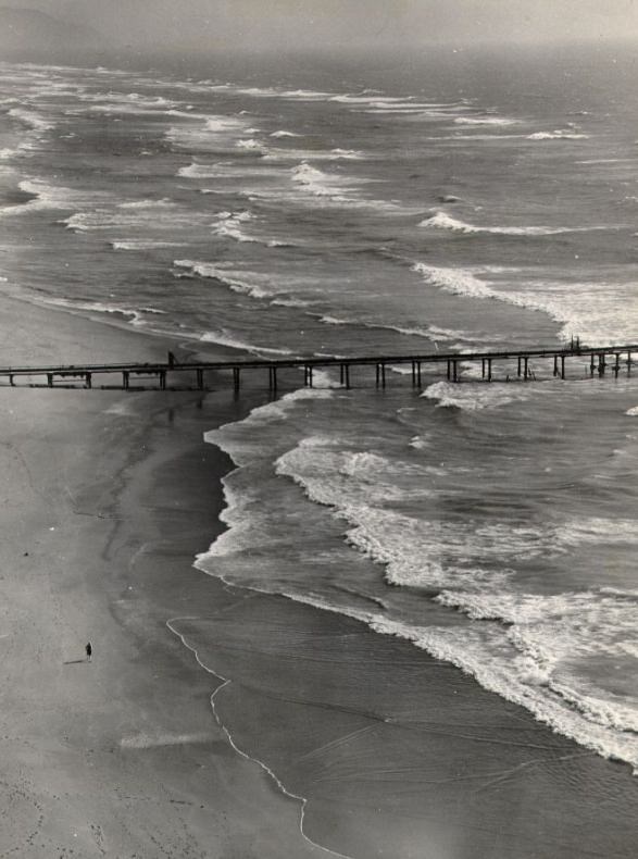
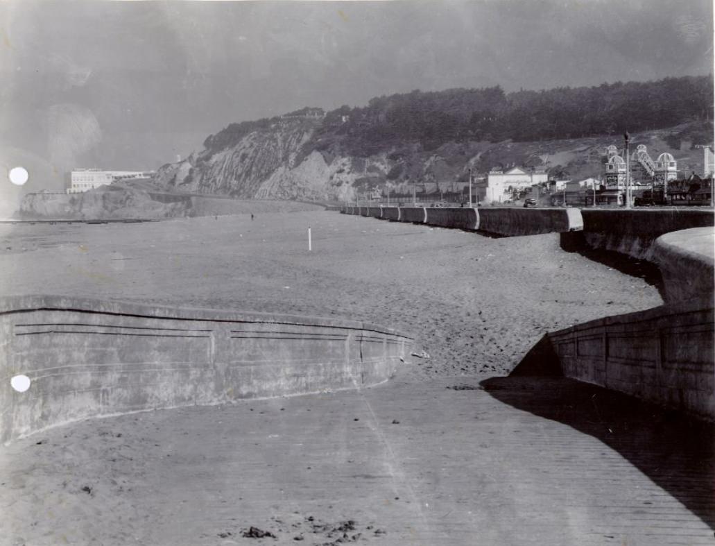
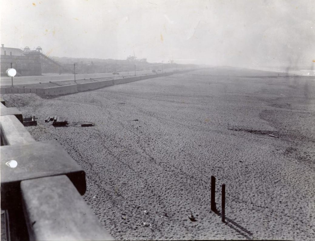
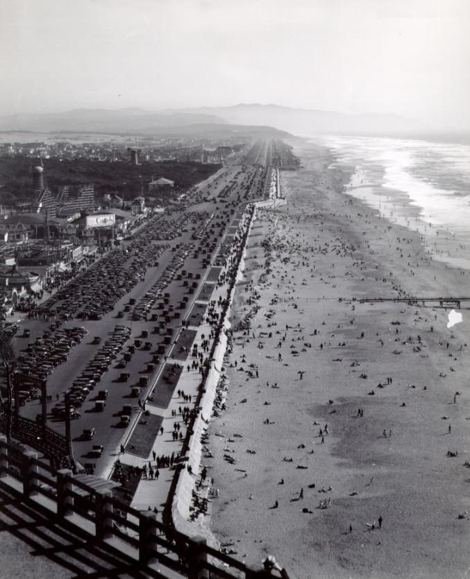
Ocean Beach on the city’s western edge offered an escape from the urban intensity. Residents rode bicycles along the Great Highway, waded in the surf, sunbathed on the sand, and gathered near Playland, the amusement park that sat behind the beach. The photographs from 1942 through 1949 show a beach in constant, casual use — a counterpoint to the shipyards, parades, and military operations happening across the rest of the city.
Audrey Berman and companion bicycling at Ocean Beach, 1942People wading in the surf at Ocean Beach, 1943Ocean Beach and Great Highway, 1946Sunbathers at Ocean Beach, 1949Hot day at Ocean Beach, 1949
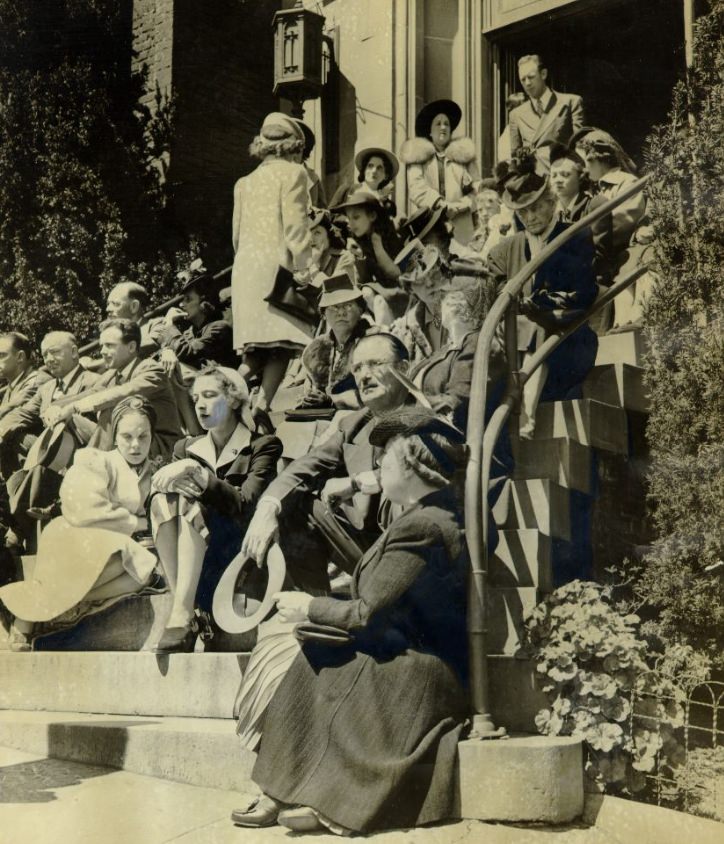
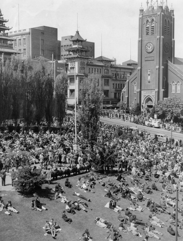
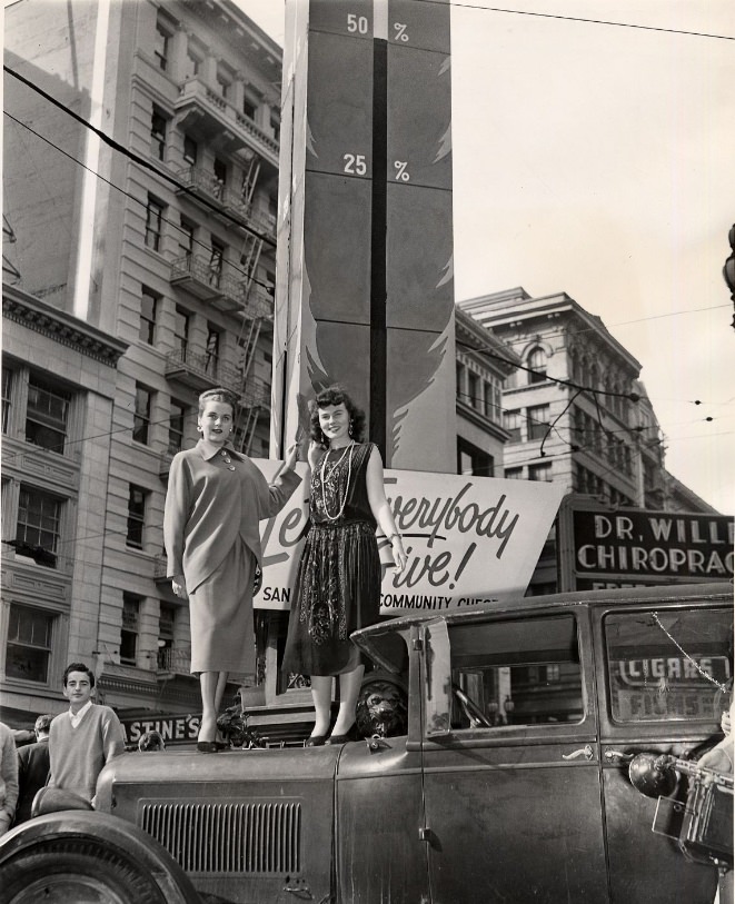
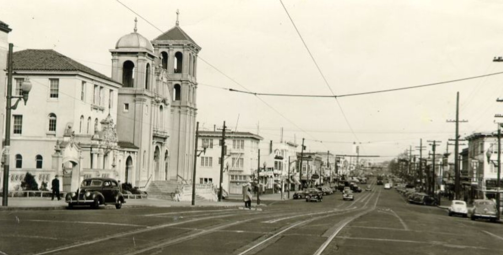
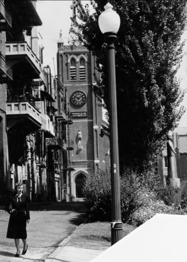
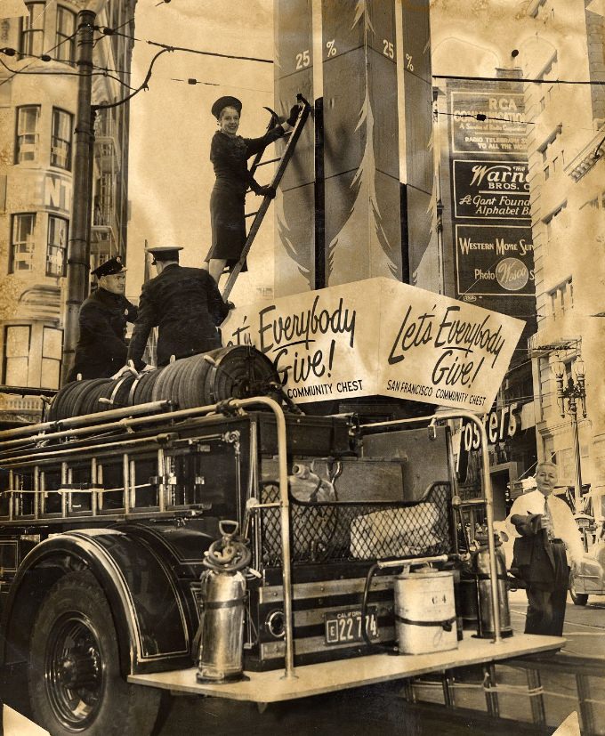
Good Friday services at St. Mary’s Church drew large crowds to the steps in both 1941 and 1944, with worshippers filling the sidewalk outside the historic building. Lotta’s Fountain, a longtime civic landmark at the intersection of Kearny, Market, and Geary, served as a gathering point for community events and charity drives. Two women stood in front of the Community Chest’s fundraising thermometer there in 1947, a scene that captured the postwar push for civic renewal.
Crowd outside St. Mary’s Church for Good Friday services, 1941
Crowd outside St. Mary’s Church for Good Friday services, 1944
Two women in front of the Community Chest’s thermometer at Lotta’s Fountain, 1947
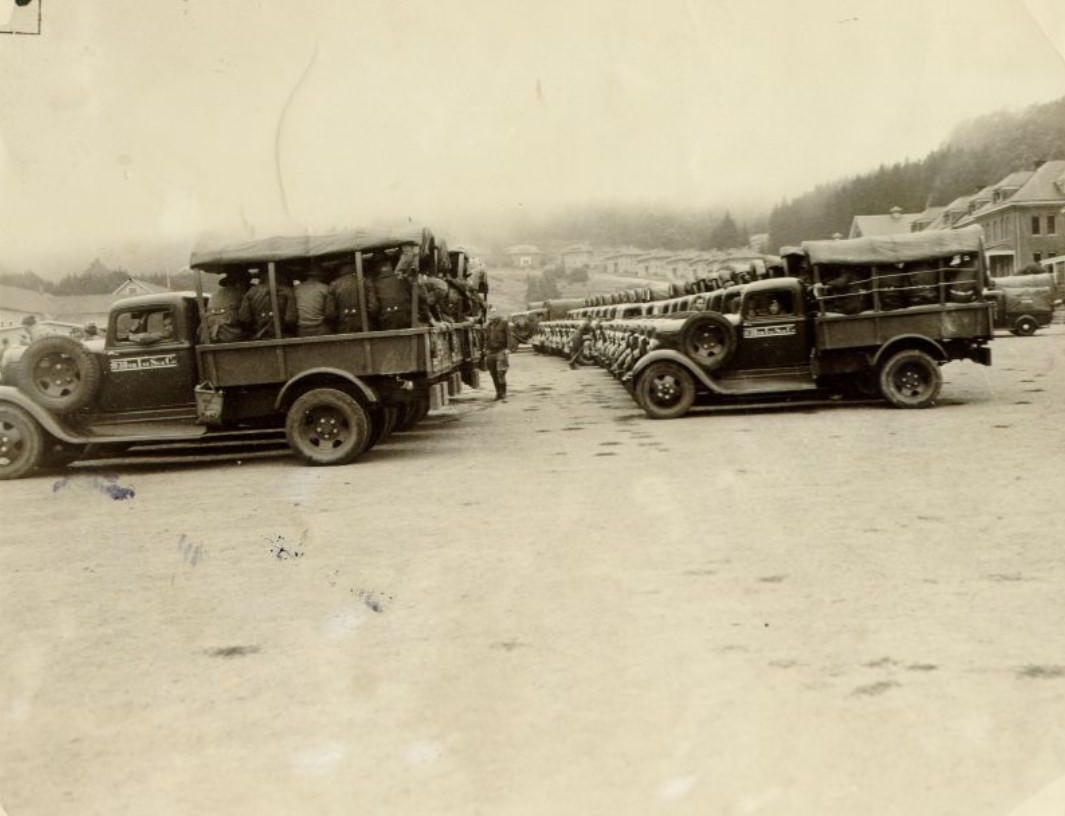
The Presidio, the Army base that occupied the northern tip of the peninsula, was active throughout the decade. Troops prepared for maneuvers on its grounds as early as 1937, and the base remained operational well past the war’s end. Its forested grounds, historic buildings, and proximity to the Golden Gate made it one of the most strategically and symbolically significant military installations in the American West.
Troops preparing for maneuvers at the Presidio, 1937Presidio, 1946Presidio, 1946
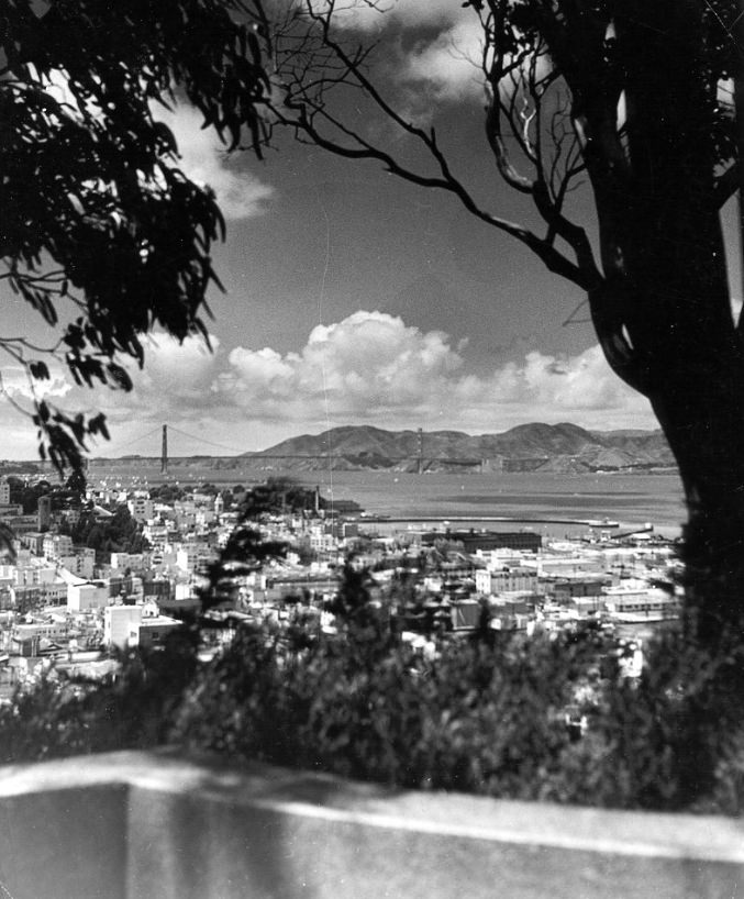
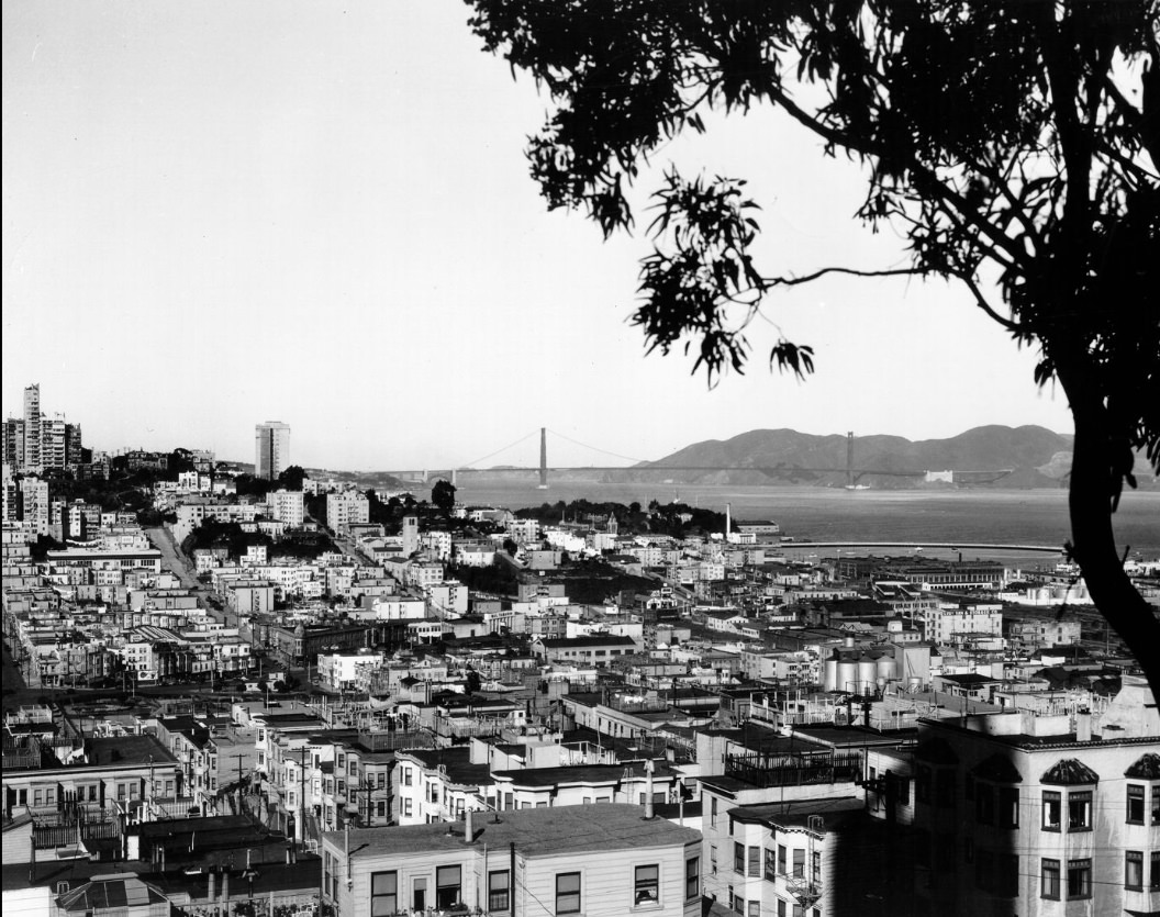
The Golden Gate Bridge, completed in 1937, stood as the city’s most recognizable landmark through the entire decade. Photographed from Telegraph Hill, the Marina District, and Twin Peaks, it anchored the city’s identity in every direction. Ships passed beneath it, fog rolled over its towers, and the city stretched out behind it — a single structure that had come to represent the ambitions of an entire region.
View of the Golden Gate Bridge from Telegraph Hill, 1940sView of San Francisco’s Marina District and Golden Gate Bridge, 1940sTwin Peaks, 1945
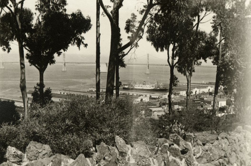
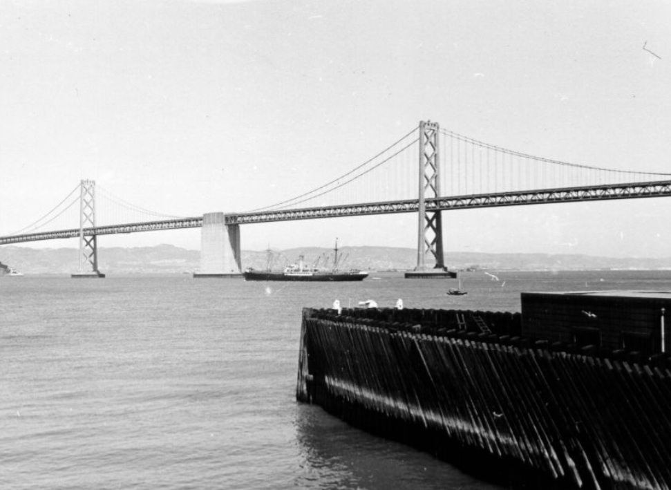
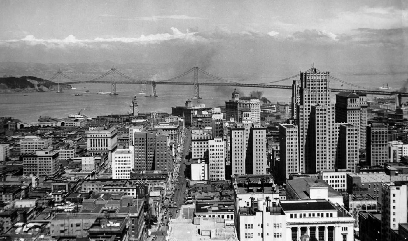
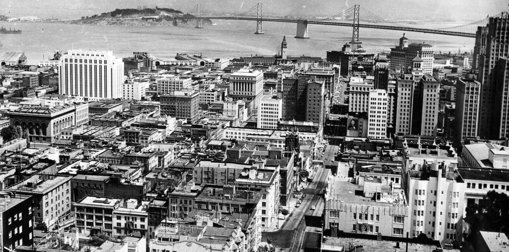
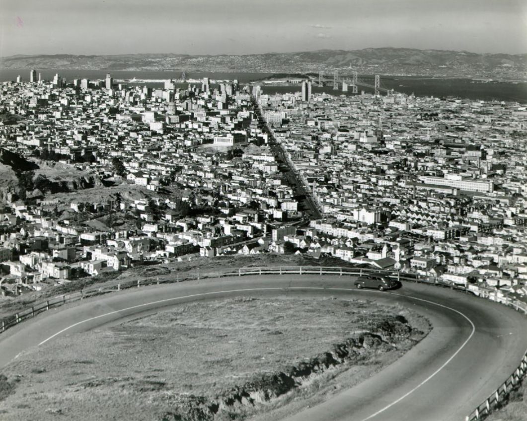
The Bay Bridge carried freight trains, automobiles, and the daily flow of commerce between San Francisco and the East Bay. Photographed from Telegraph Hill, Nob Hill, the Mark Hopkins Hotel, and Twin Peaks, the bridge appeared in image after image as a central feature of the city’s geography. By 1946, it was moving more goods and people than ever before, serving a city that had grown dramatically during the war years.
View of the Bay Bridge from Telegraph Hill, 1941View of the Bay Bridge from a San Francisco pier, 1940sView of Bay Bridge from the Mark Hopkins hotel, 1947View of downtown and Bay Bridge from Nob Hill, 1944View of Bay Bridge from Twin Peaks, 1940s
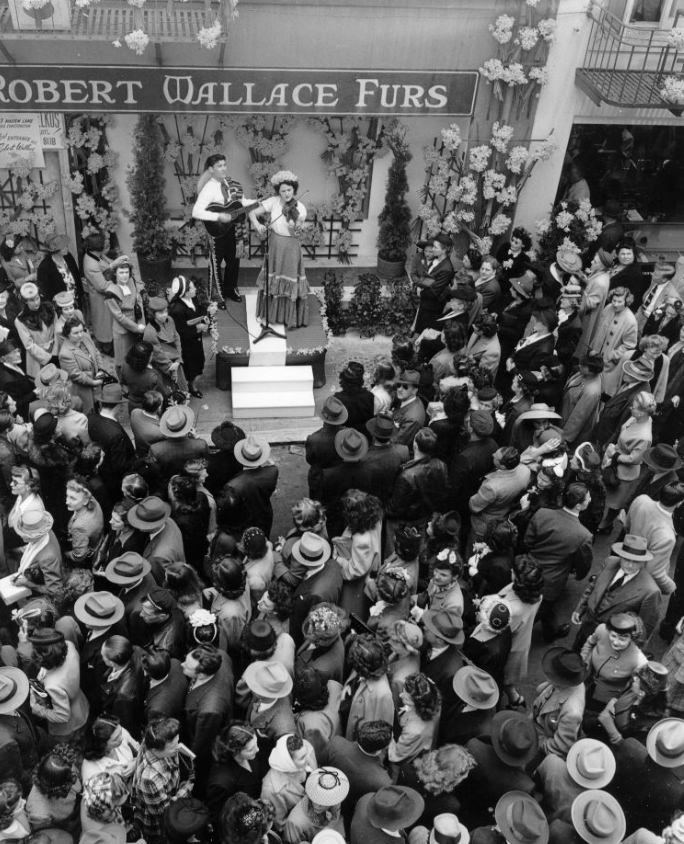
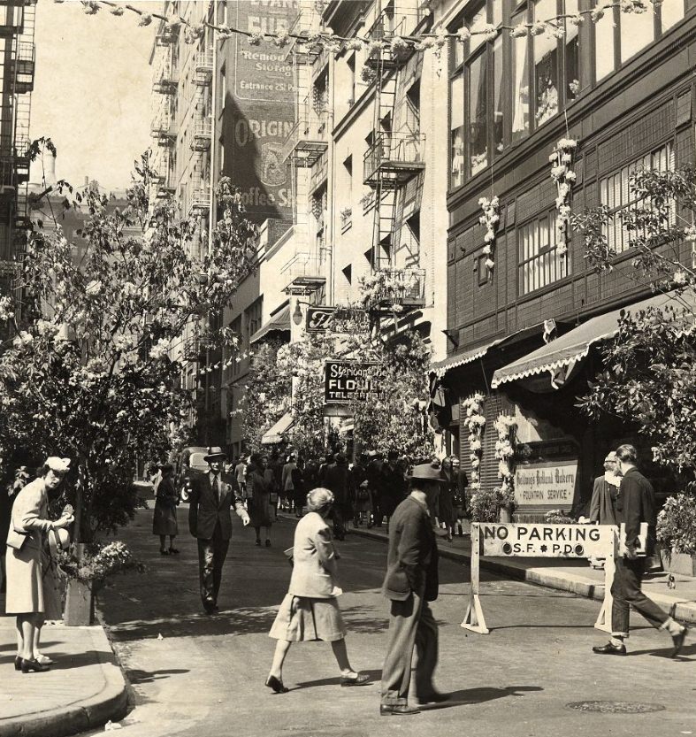
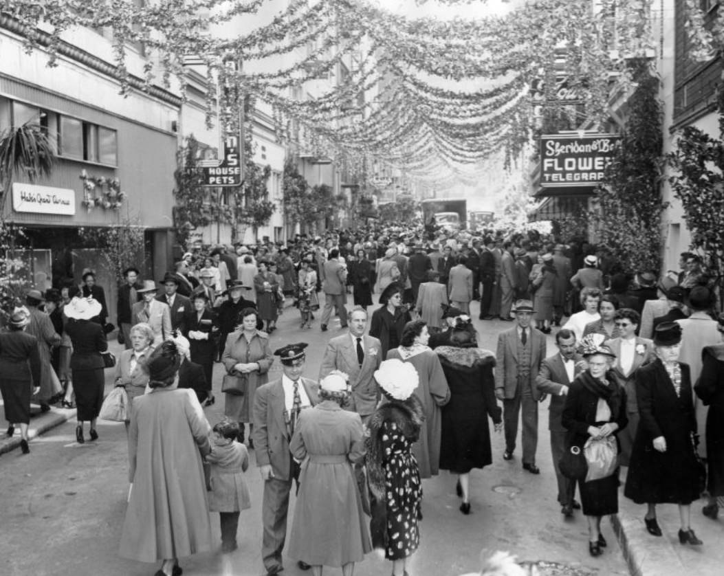
Maiden Lane, a two-block alley off Union Square, hosted festivals in 1946, 1947, and 1949. The street transformed from a commercial passageway into a public celebration venue, decorated and closed to traffic for the events. It was one of several signs that as the war ended, the city was ready to use its streets differently — for celebration rather than mobilization.
Maiden Lane festival, 1946Maiden Lane festival, 1947Maiden Lane festival, 1949
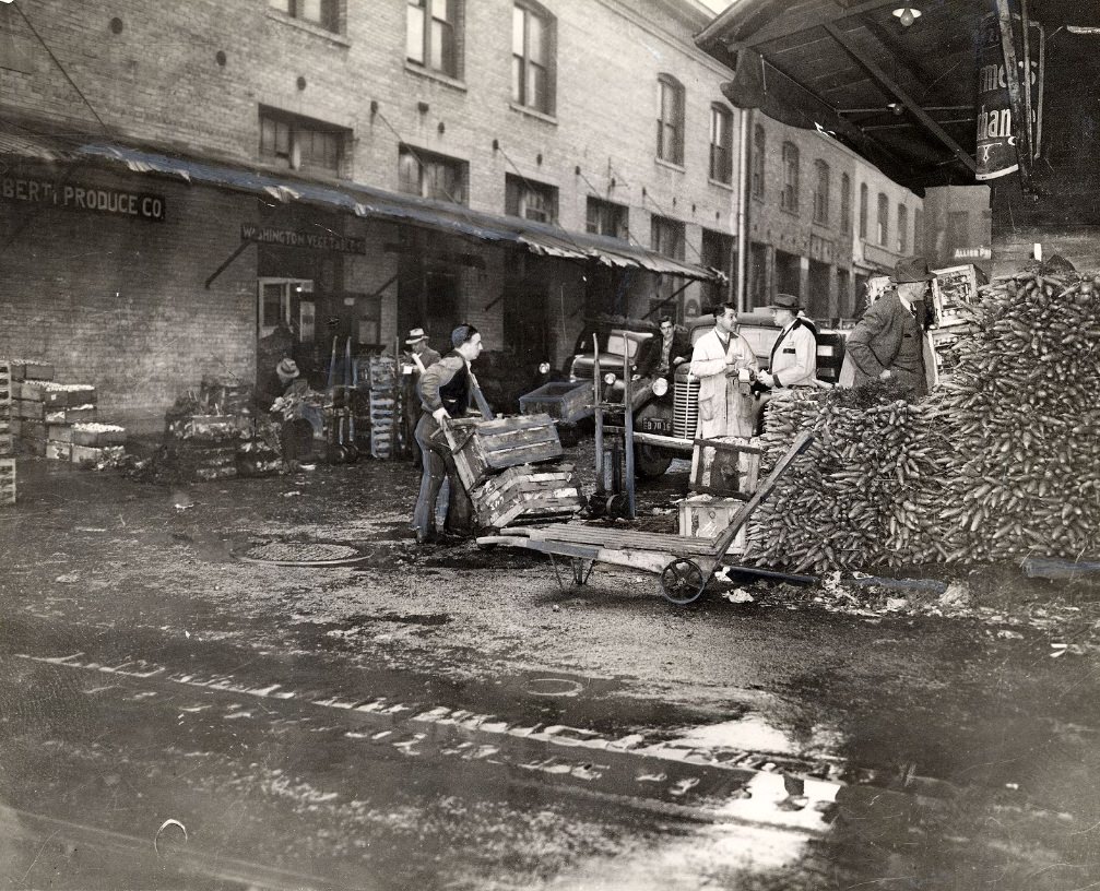
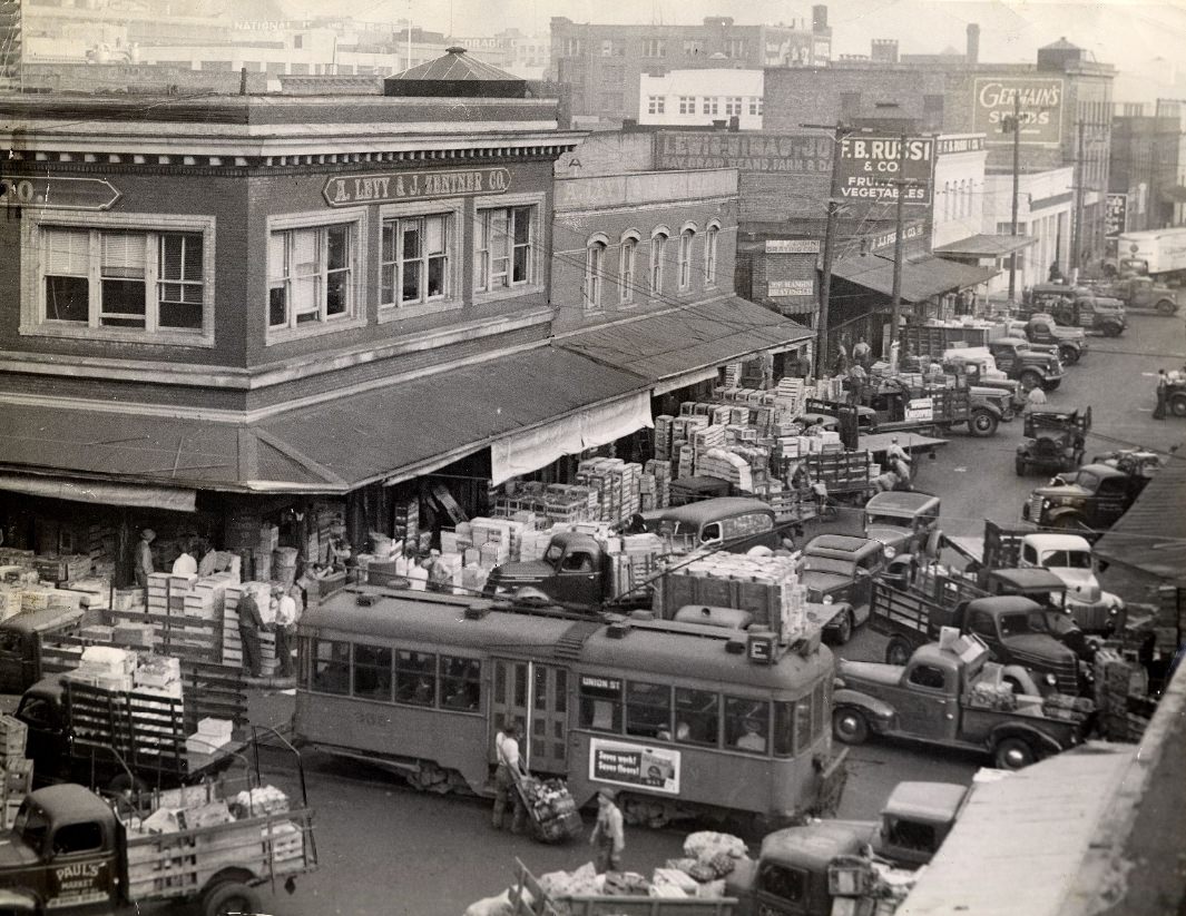
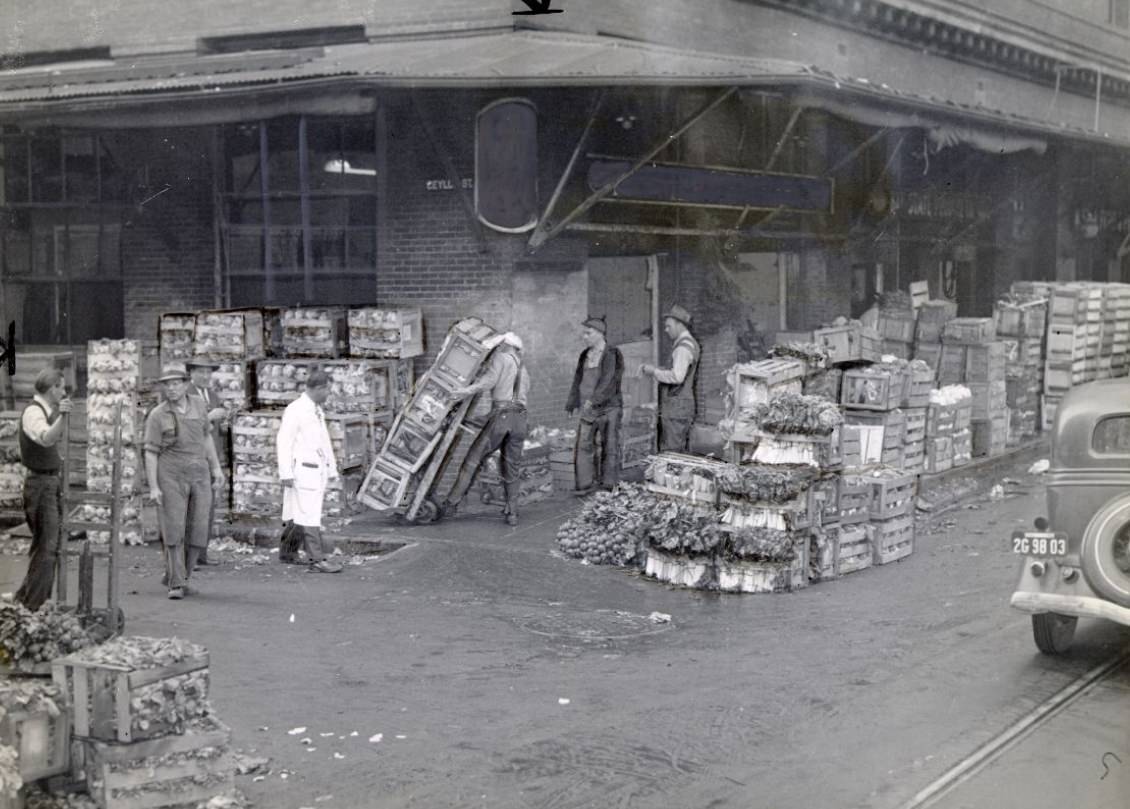
Produce markets in downtown San Francisco were a daily logistical operation. Deliveries arrived on Washington Street and in the congested corridors near the wholesale district, with trucks and workers moving crates through narrow streets. By 1945, the demand was intense — the city had more mouths to feed than it had before the war, and the market infrastructure strained to keep up.
Deliveries to a produce market on Washington Street, 1944Congested streets in downtown San Francisco’s produce market area, 1945Deliveries to produce markets in downtown San Francisco, 1945
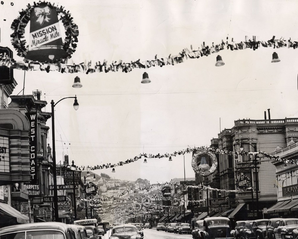
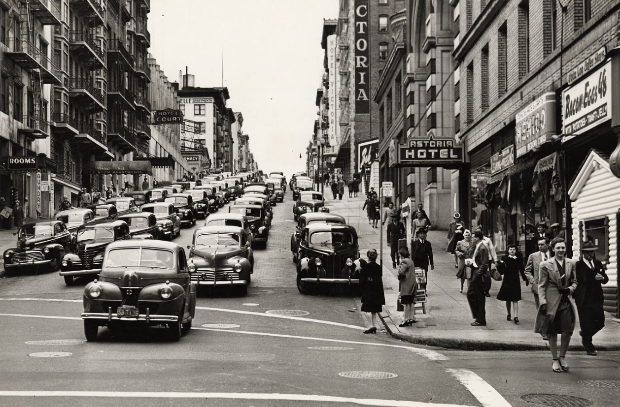
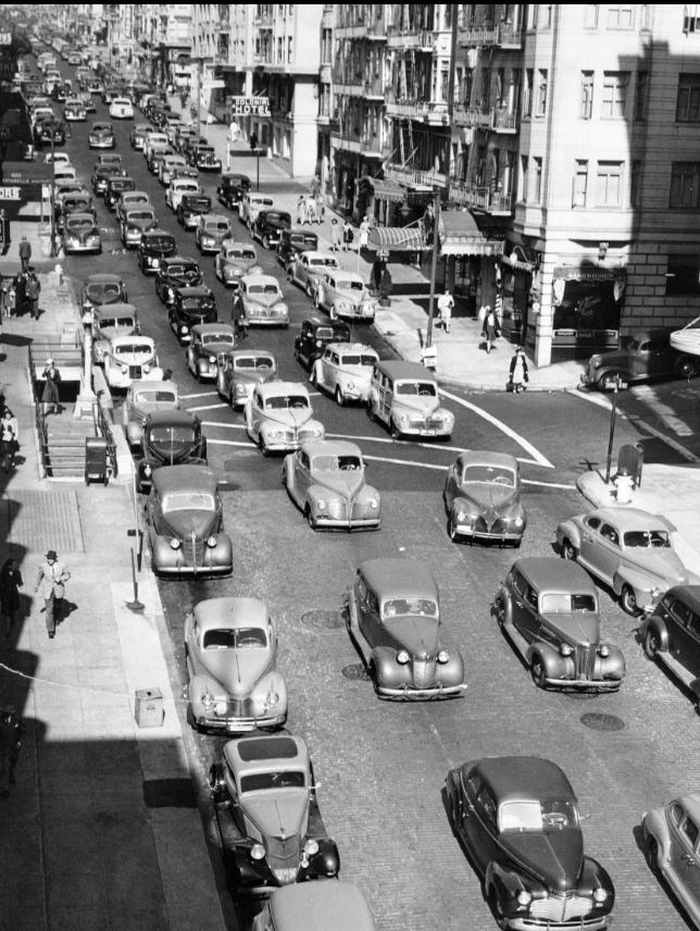
By the late 1940s, the city was settling into a new rhythm. Christmas decorations went up on Mission Street in 1949. Crowds filled the sidewalks for shopping. Traffic jams on Bush Street and Kearny Street became routine complaints rather than wartime inconveniences. The streets that had once moved troops and war materials were now moving ordinary people through ordinary days — which, after a decade like the 1940s, was its own kind of relief.
Christmas decorations on Mission Street, 1949Crowd on Mission Street, 1949Traffic jam at Kearny and Market streets, 1946Traffic jam on Bush Street, 1946Morning rush hour on Bush Street, 1946
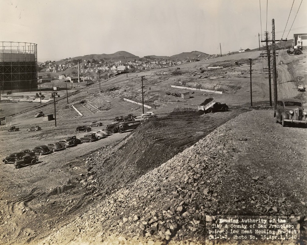
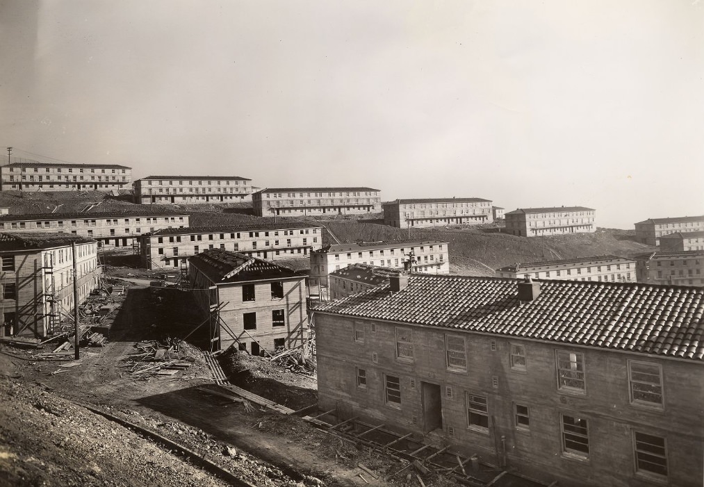
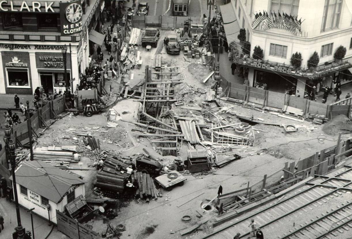
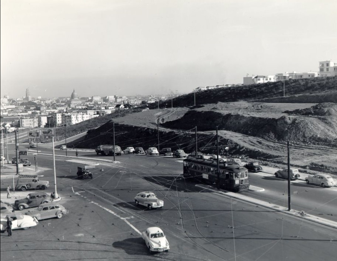
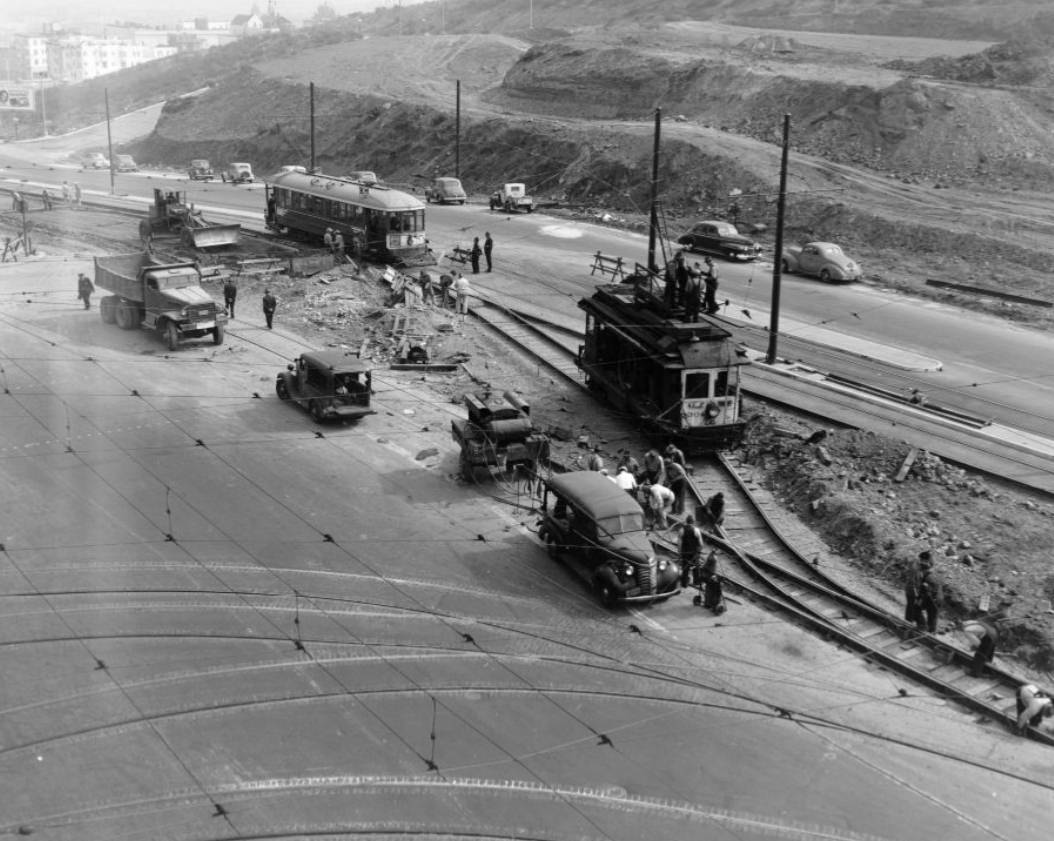
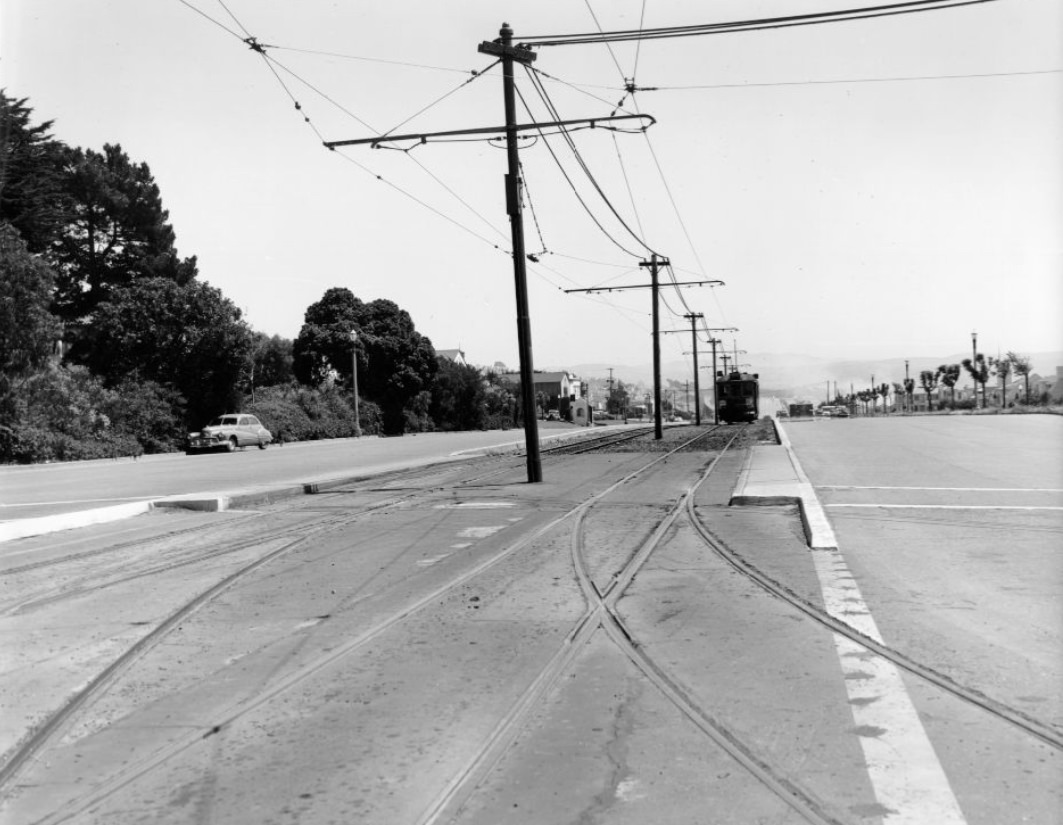
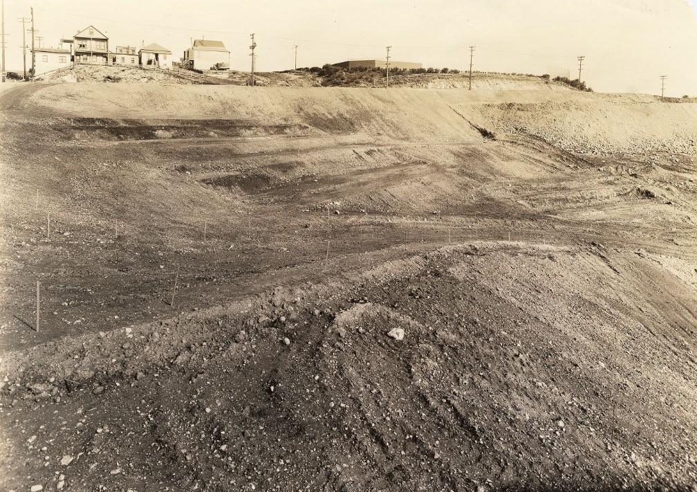
Housing construction that had begun in 1940 with projects like the Potrero Housing development pointed toward a city already anticipating growth. New public transit infrastructure followed — the Muni “F” line extension at Stockton and Market broke ground in 1947, and the Municipal Railway expanded its footprint across neighborhoods from the Richmond to the Mission. San Francisco was building for the population it had gained and the one it expected to keep.
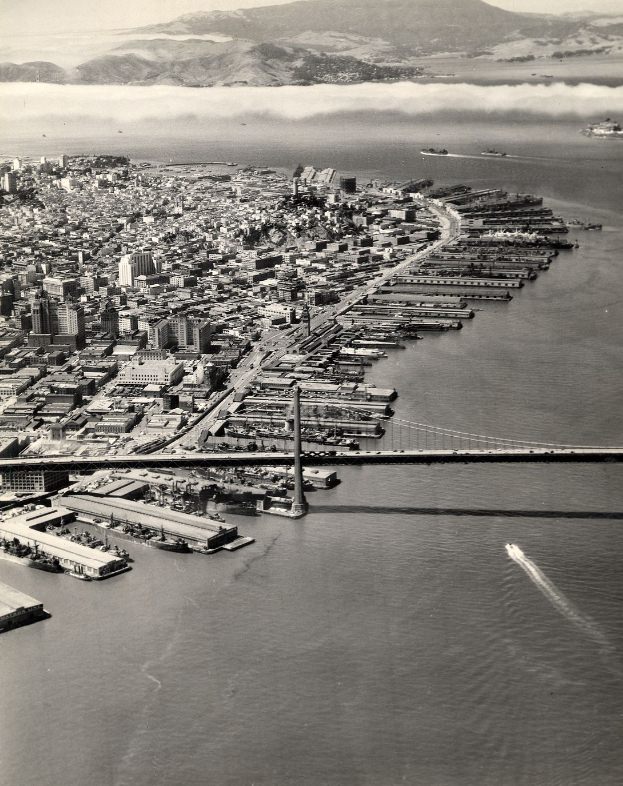
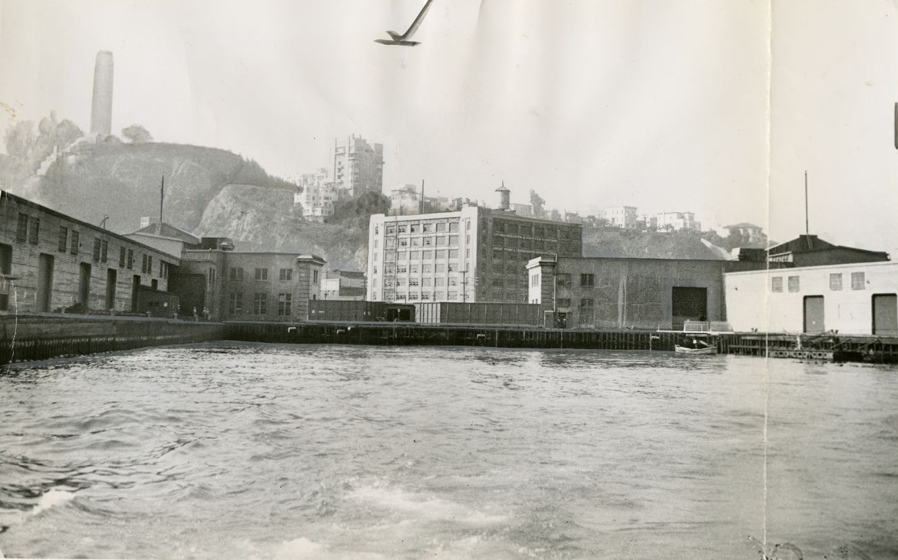
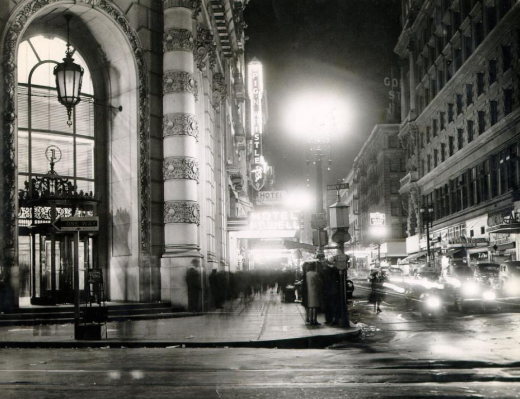
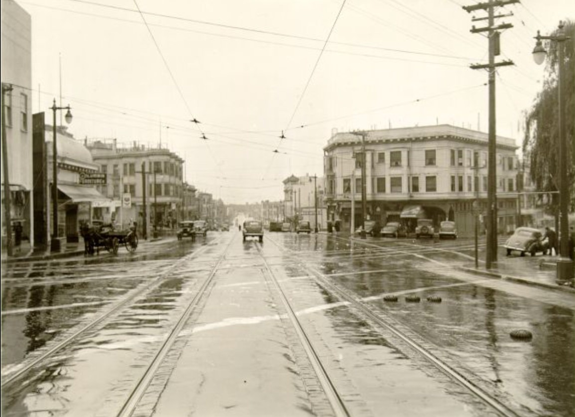
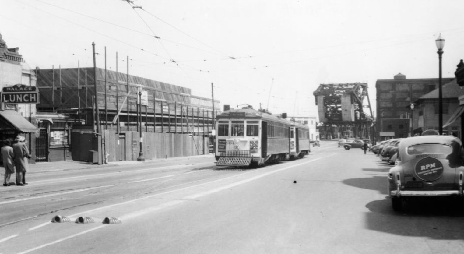
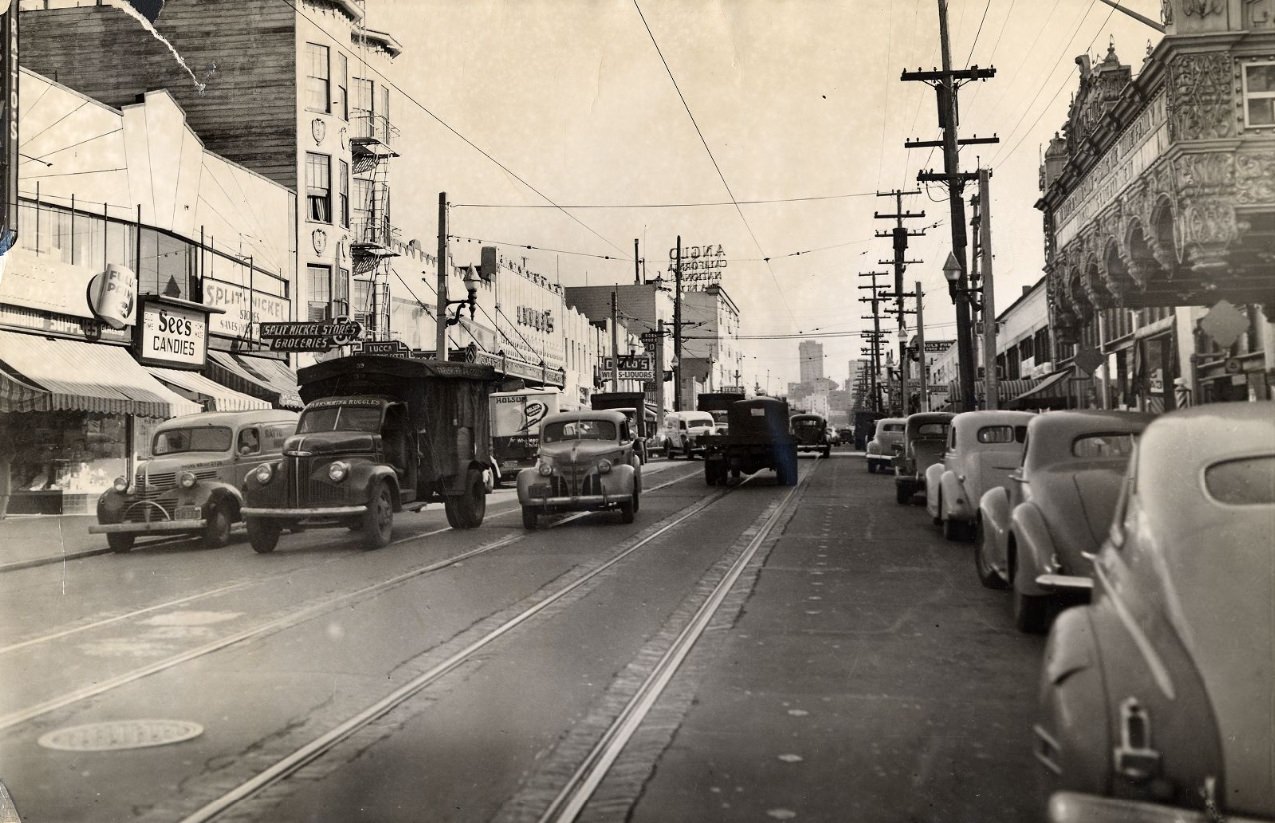
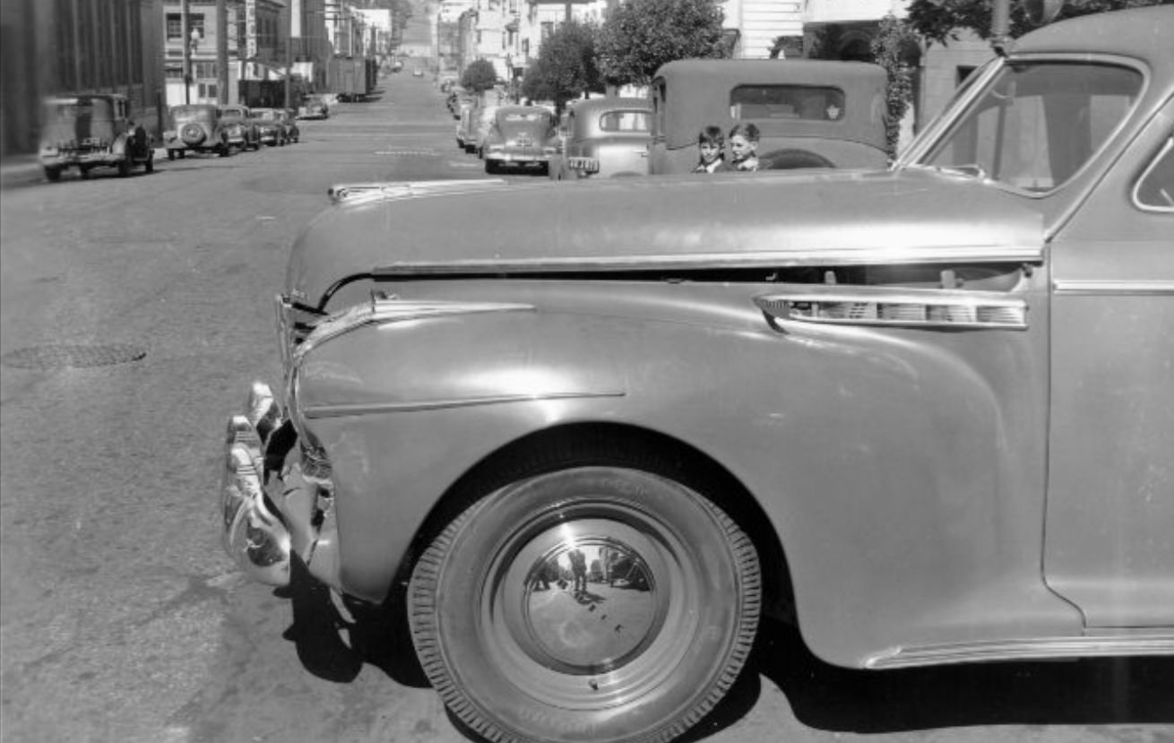
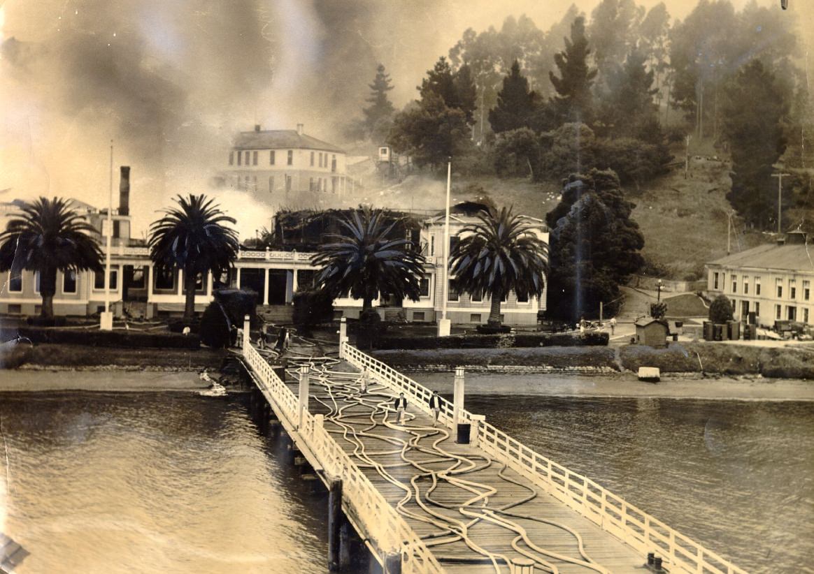
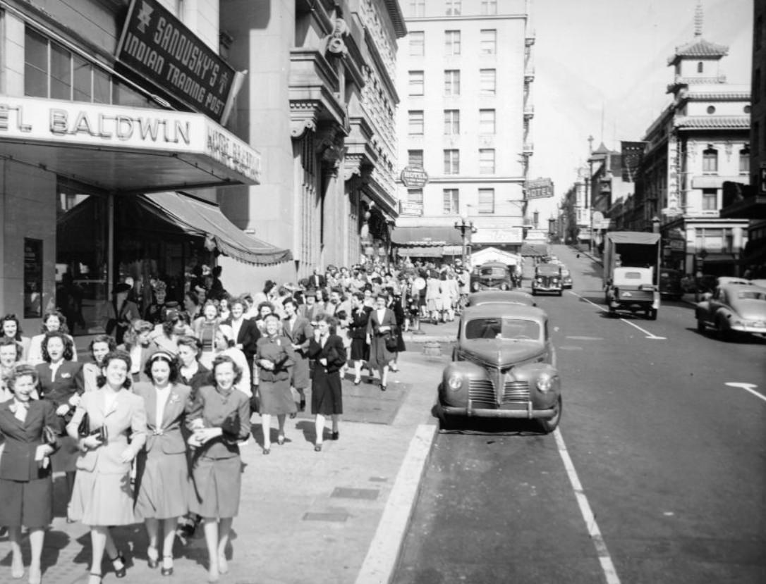
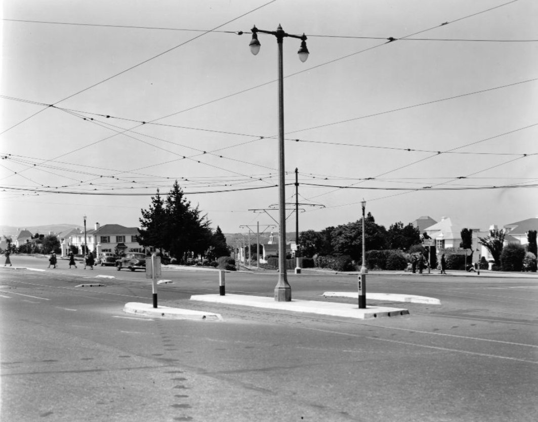
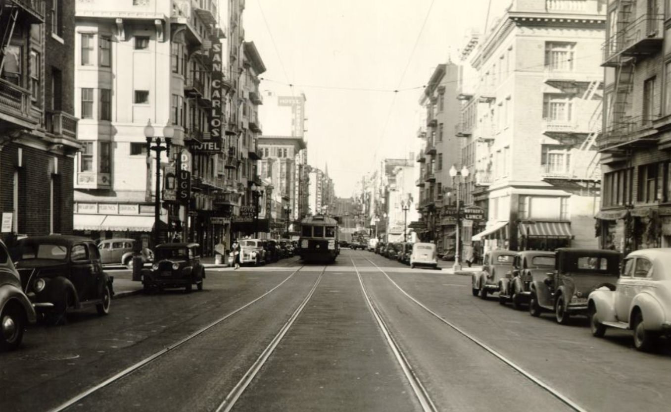
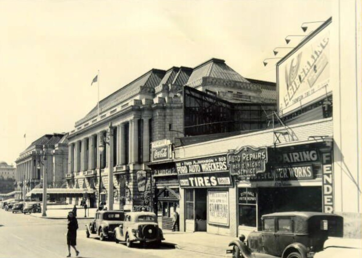
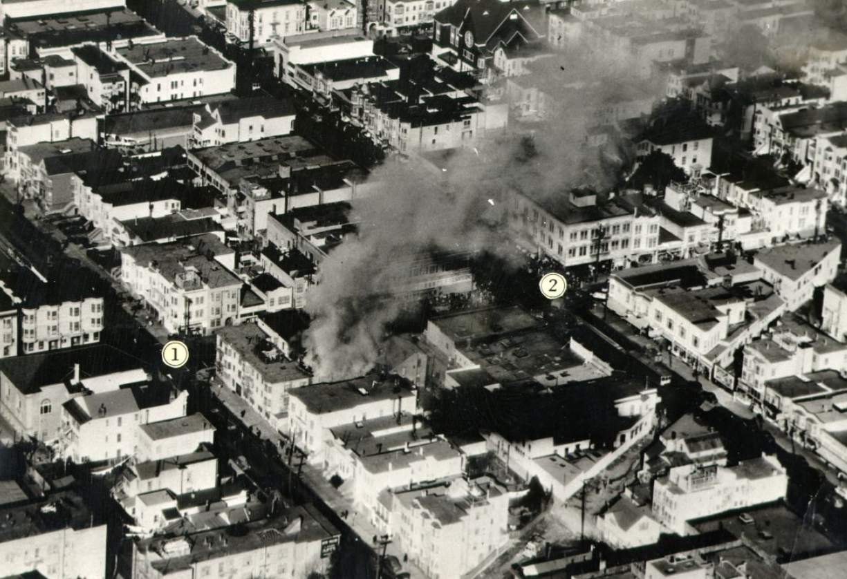
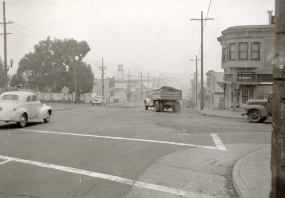
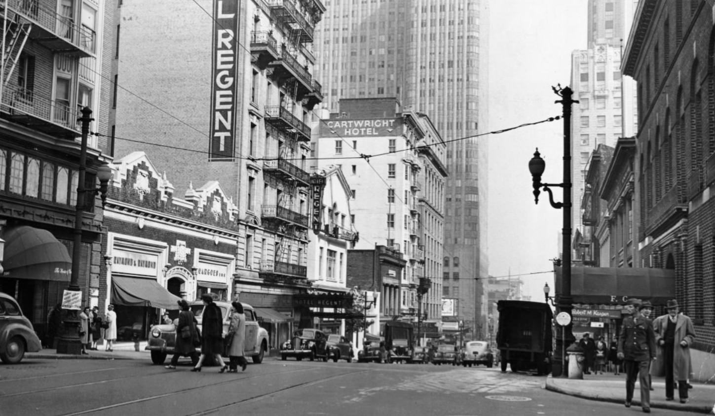
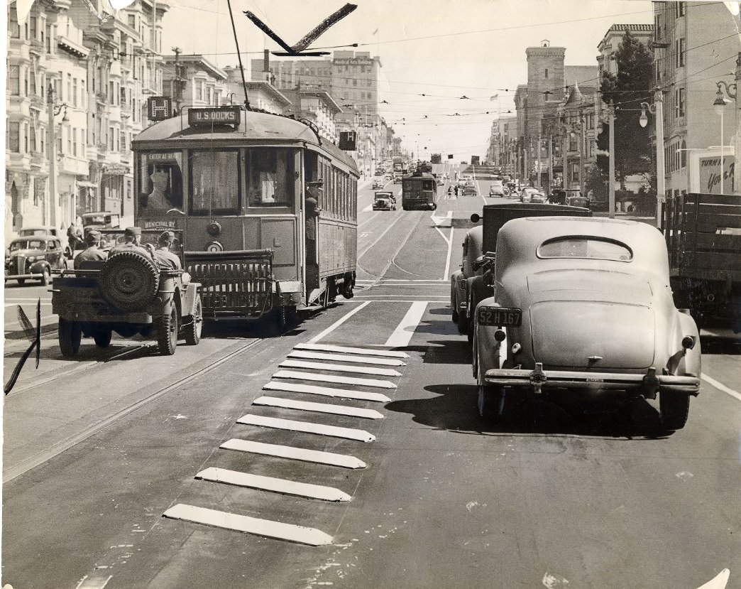
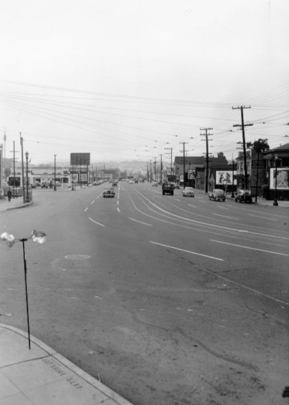
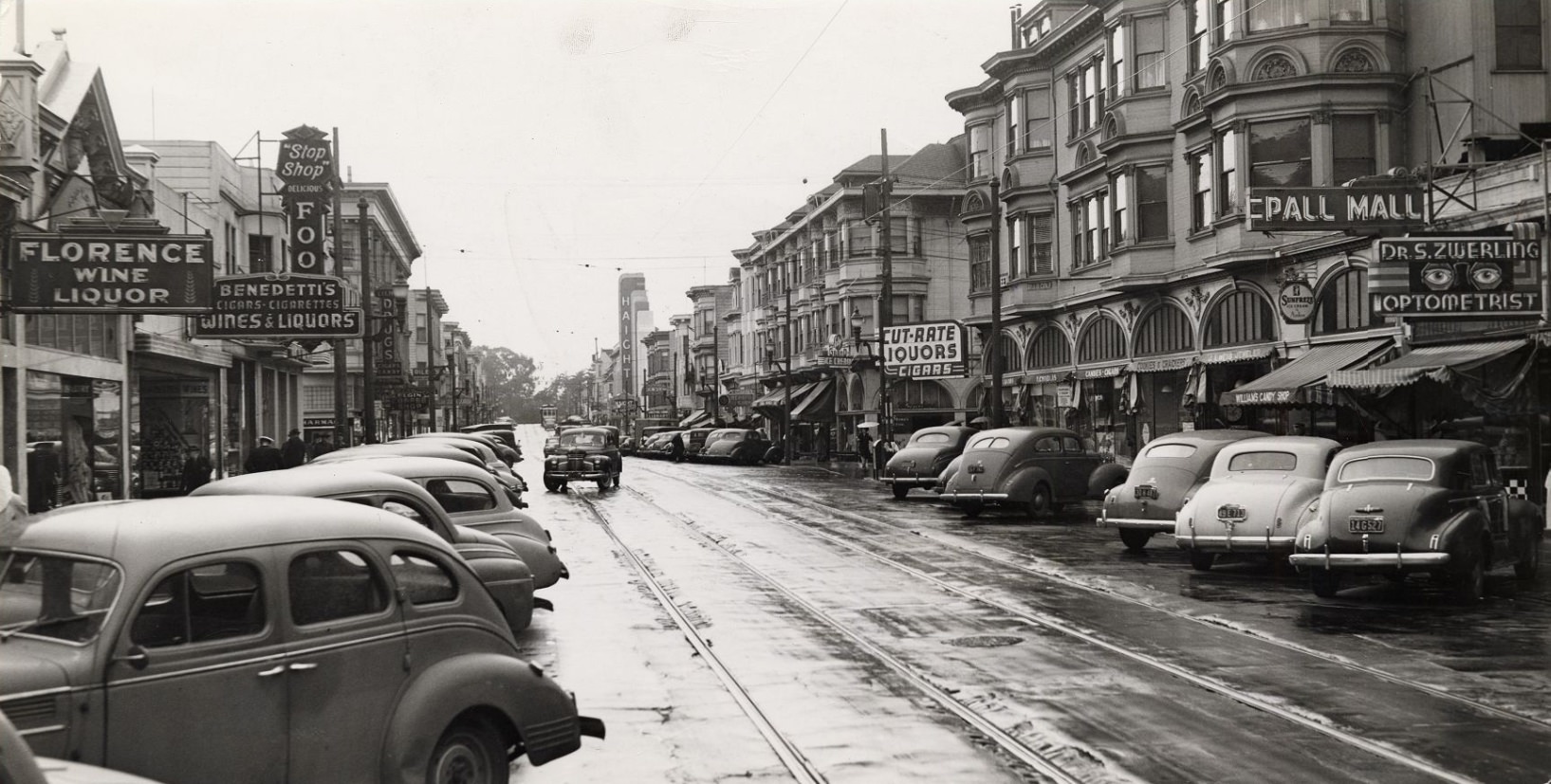
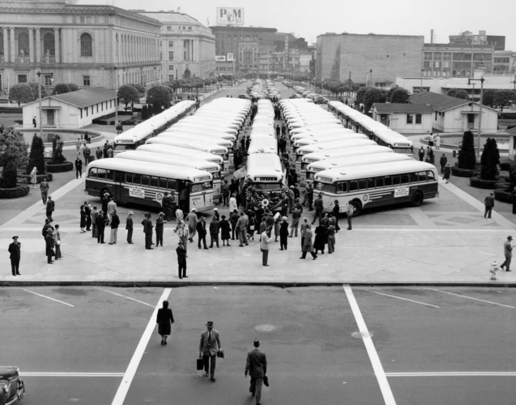
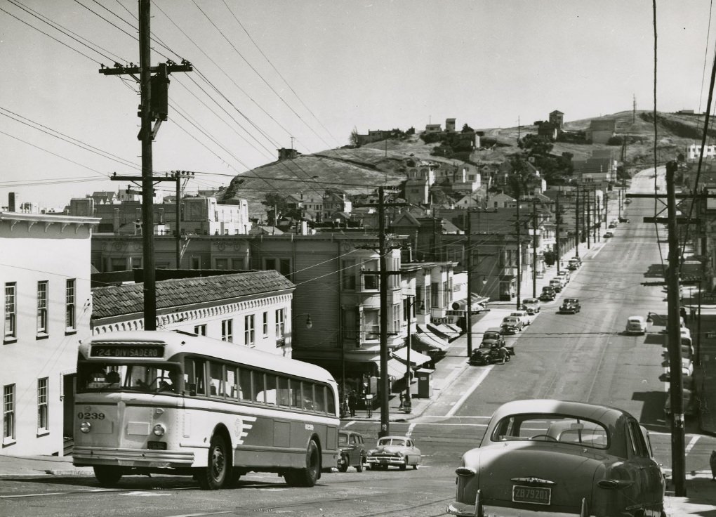
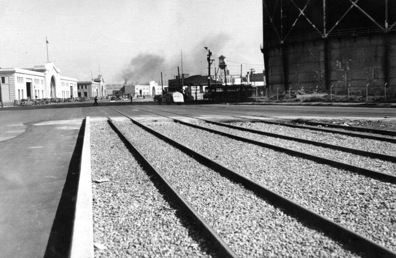
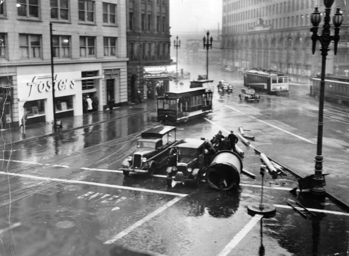
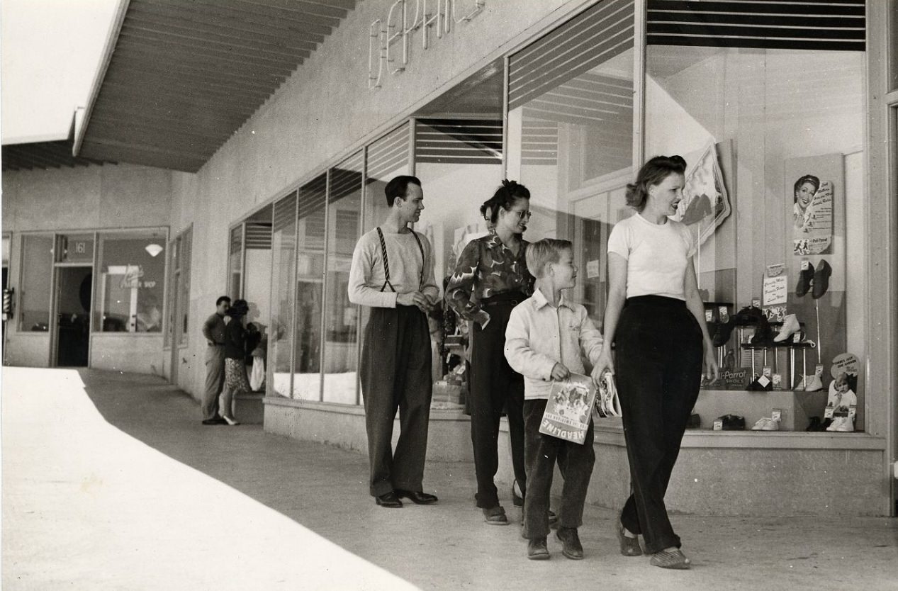
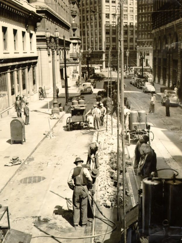
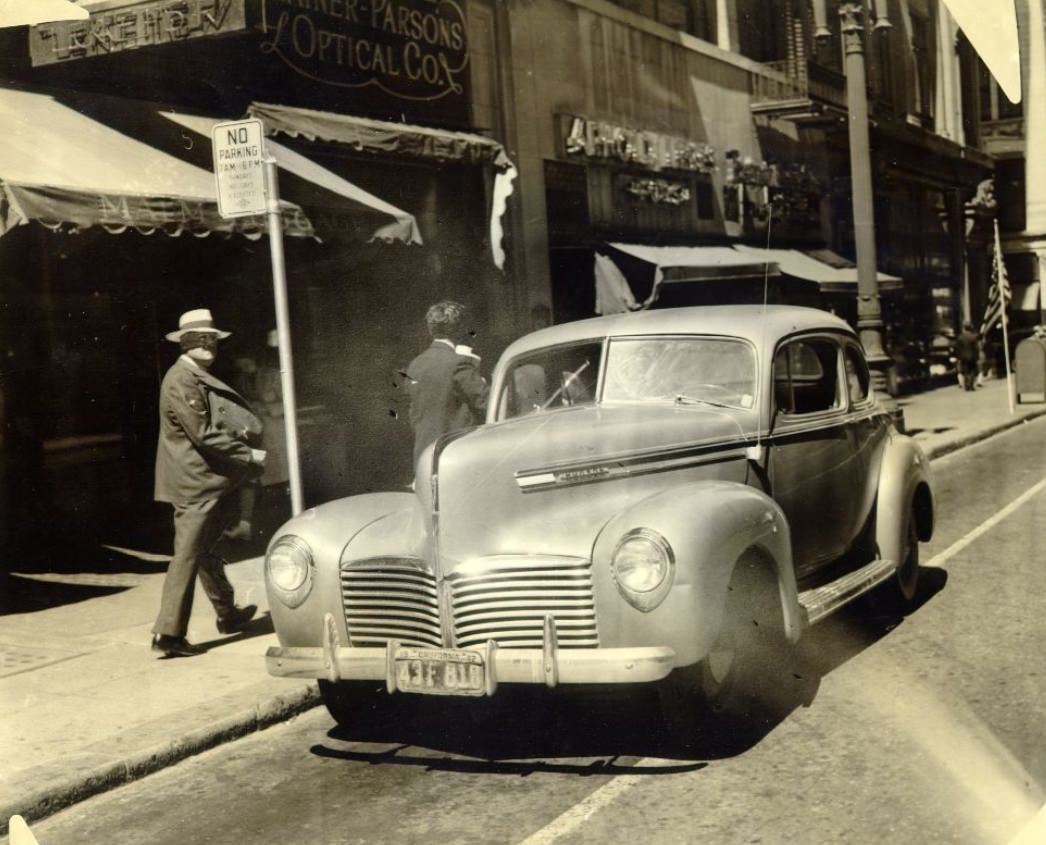
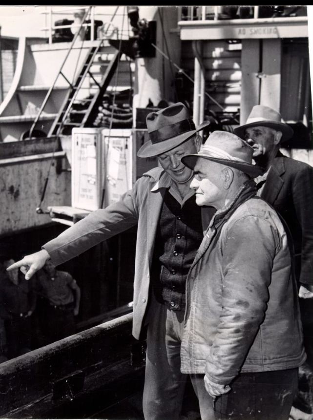
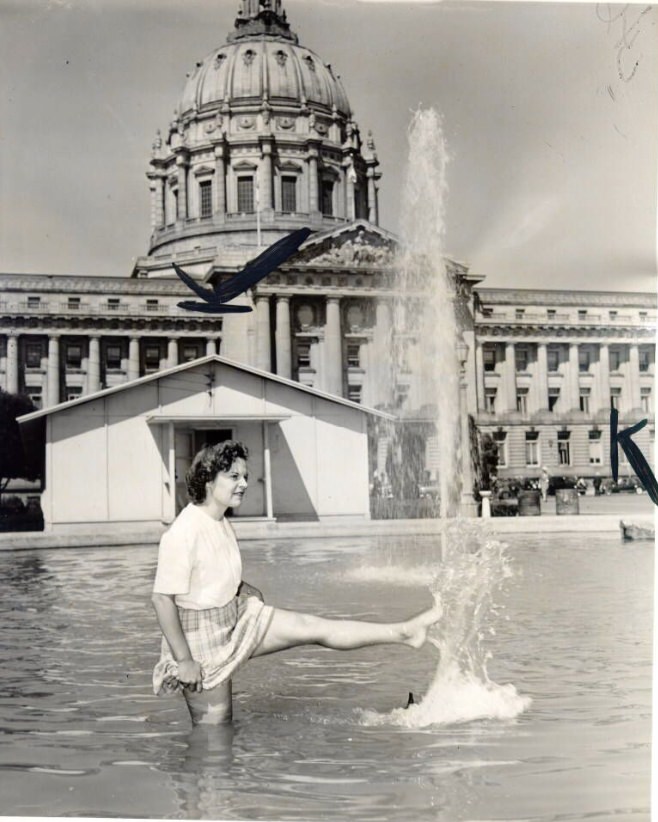
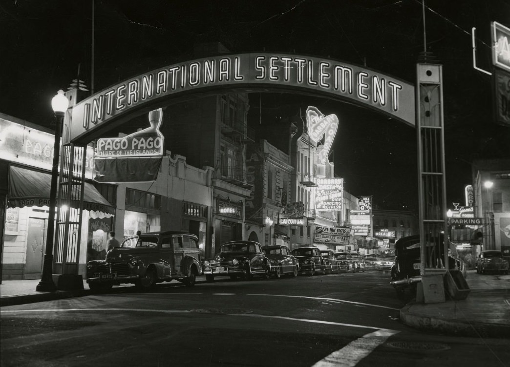
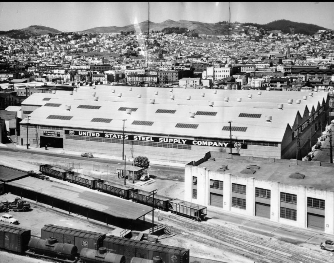
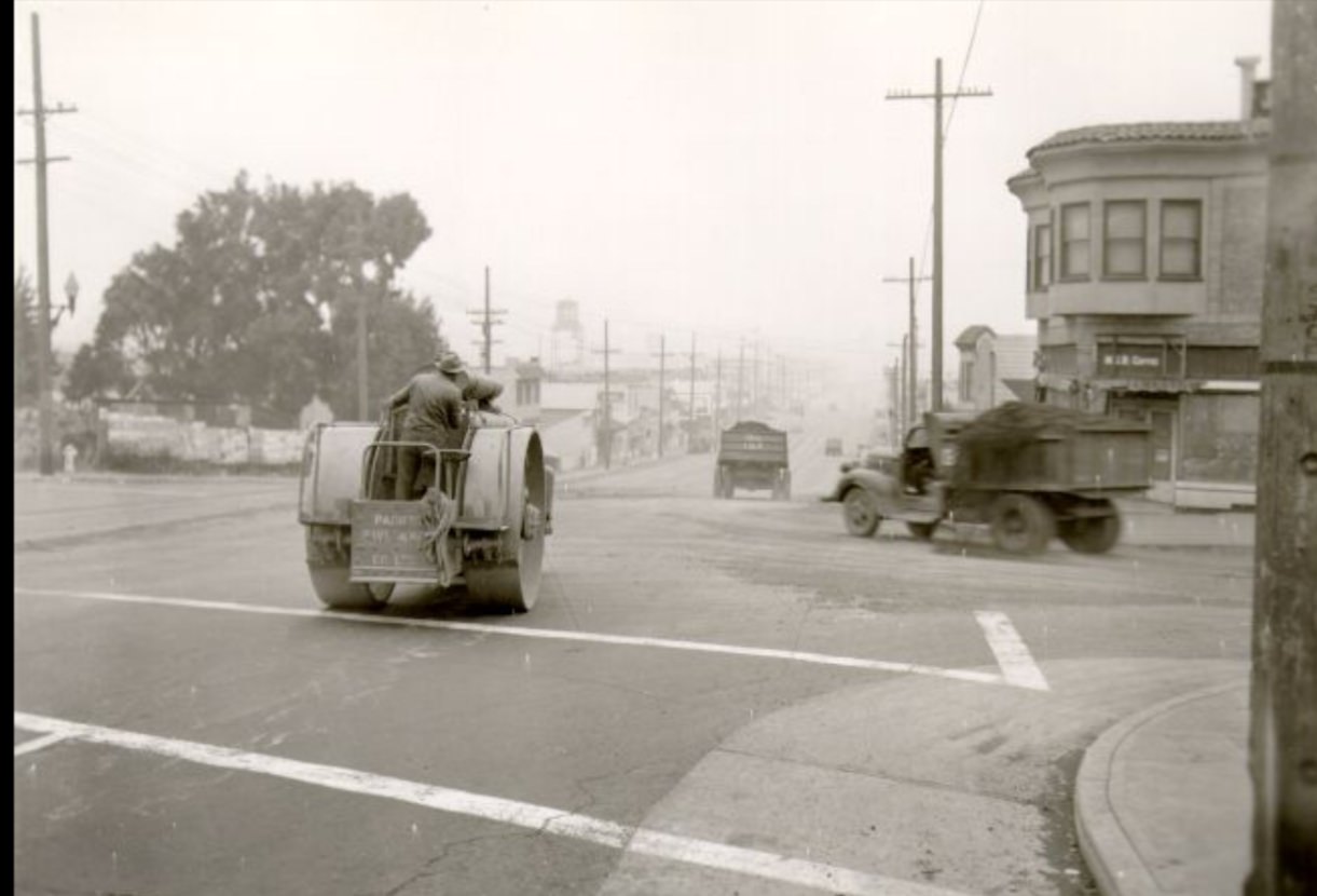
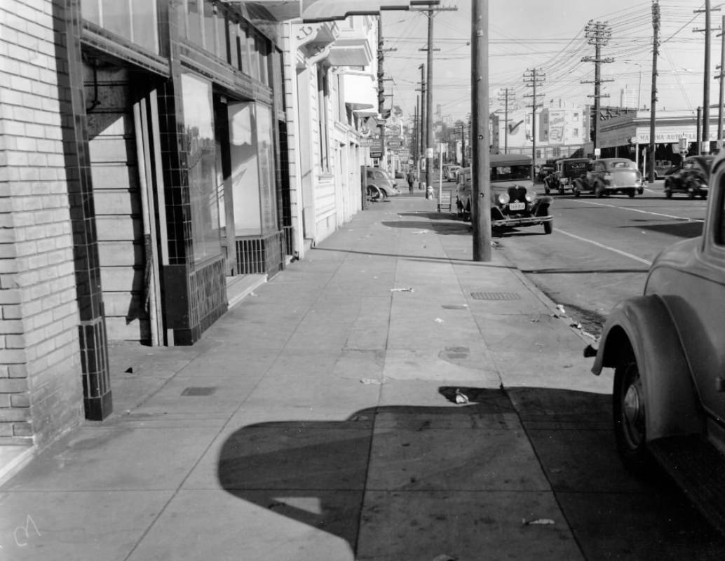
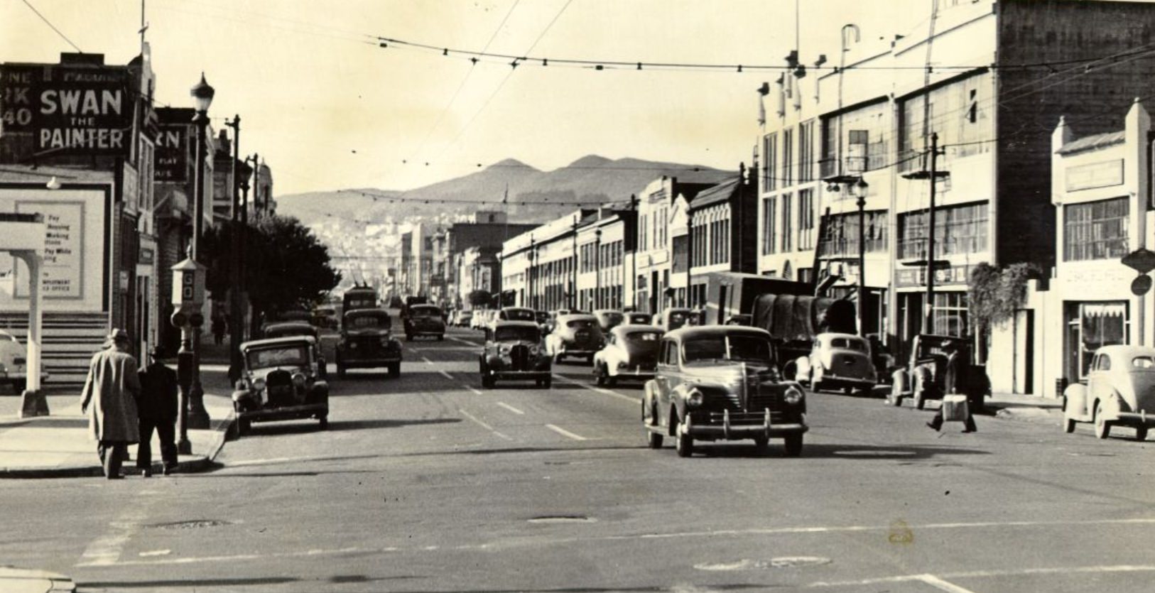
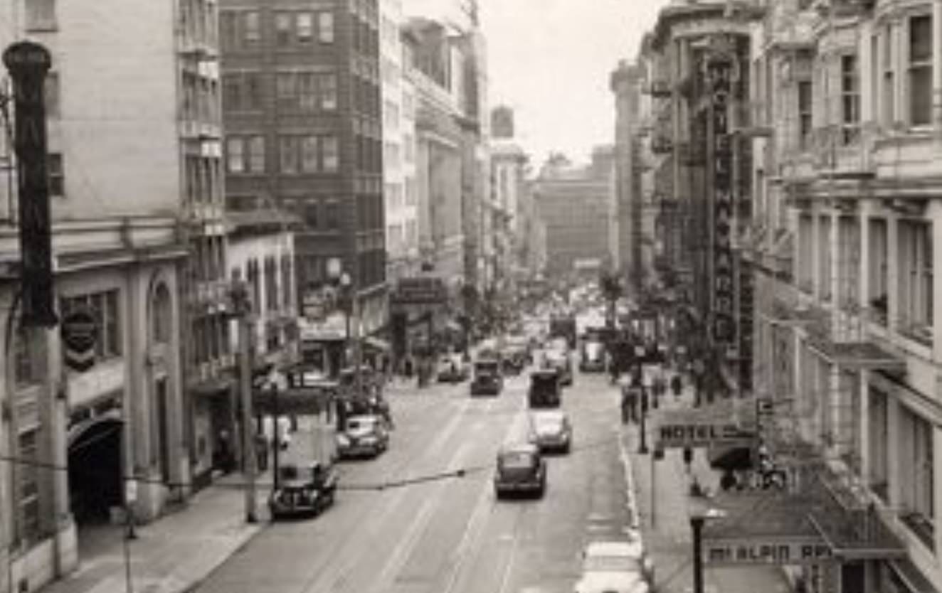
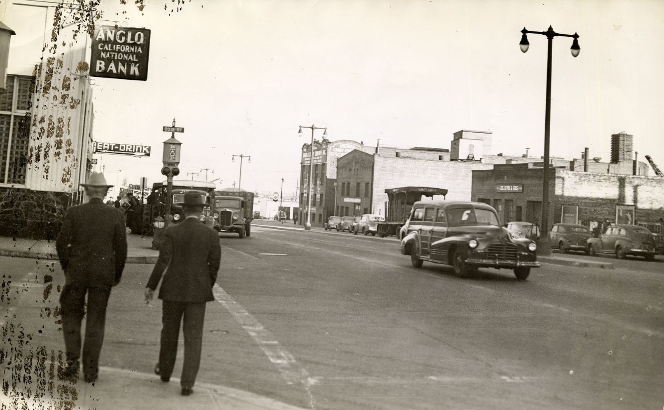
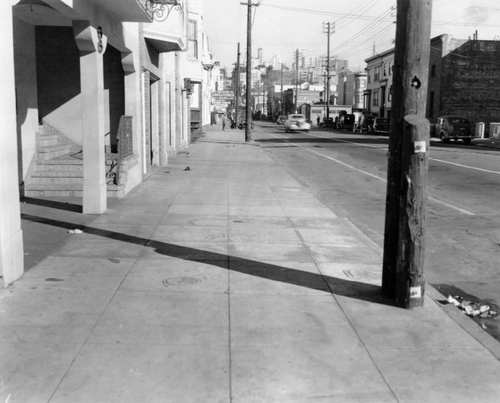
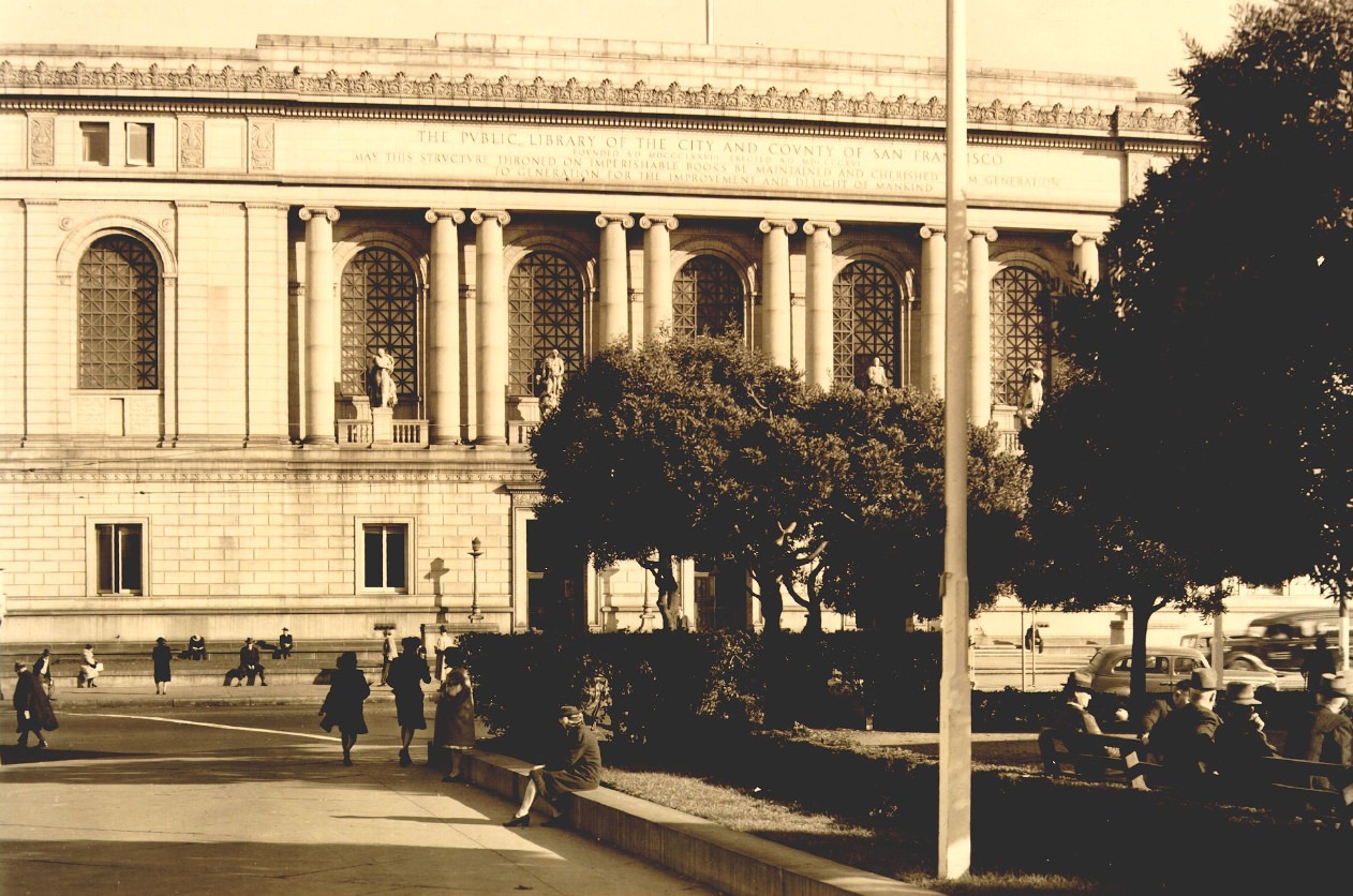
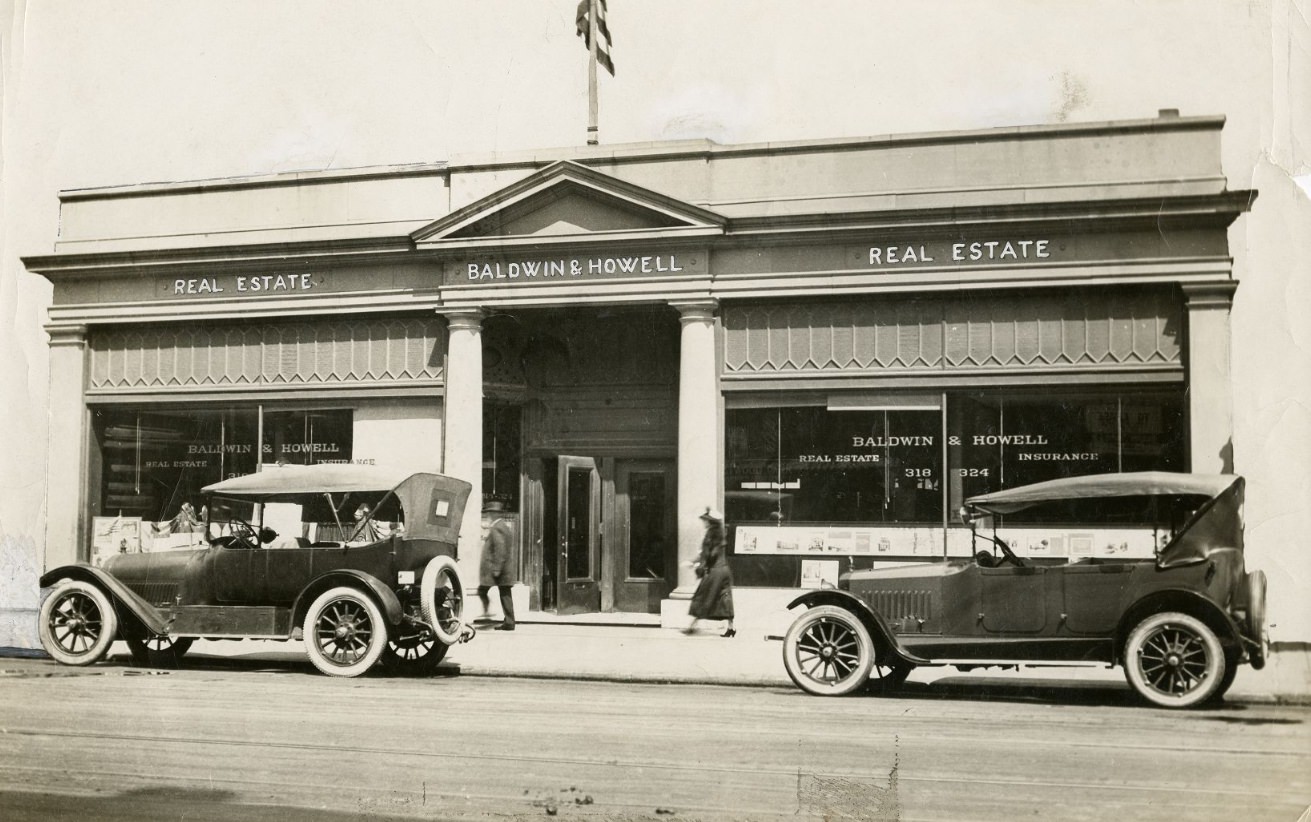
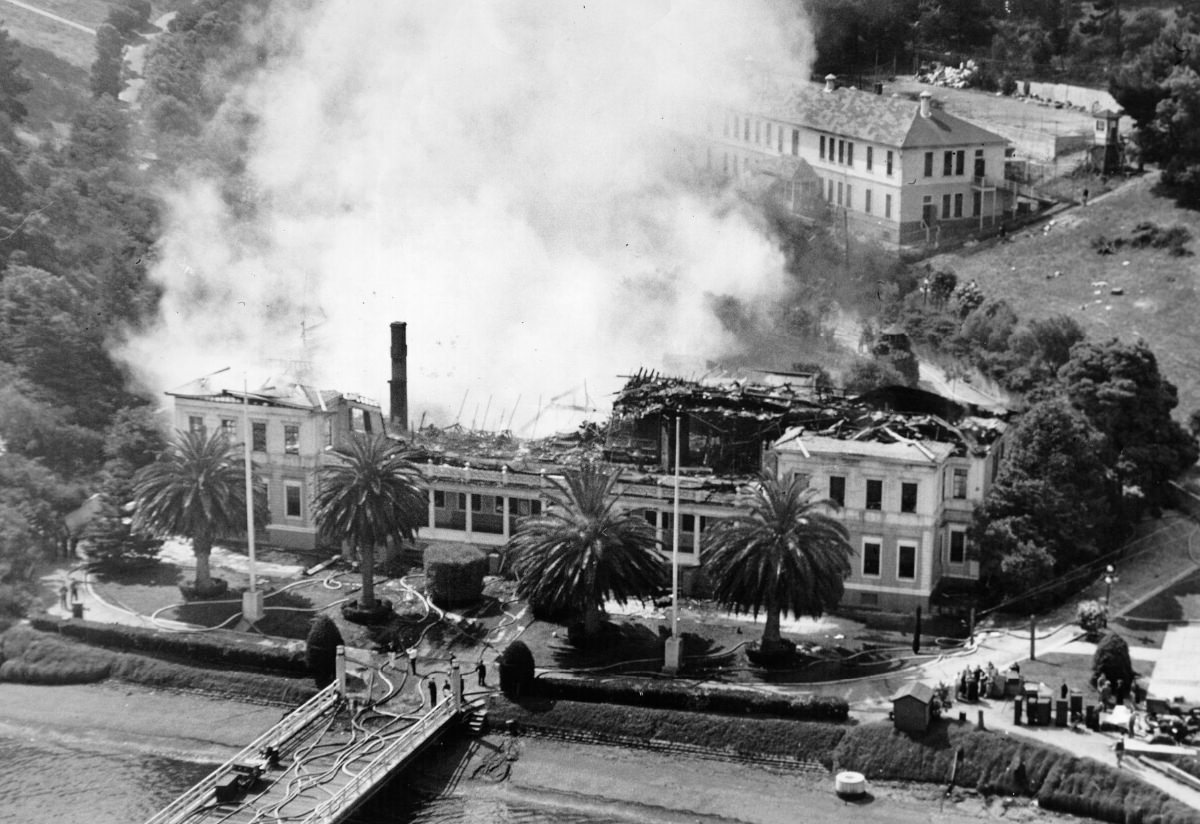
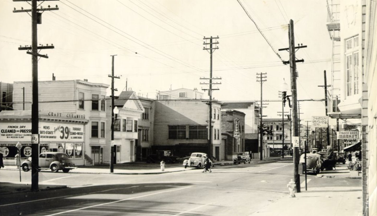
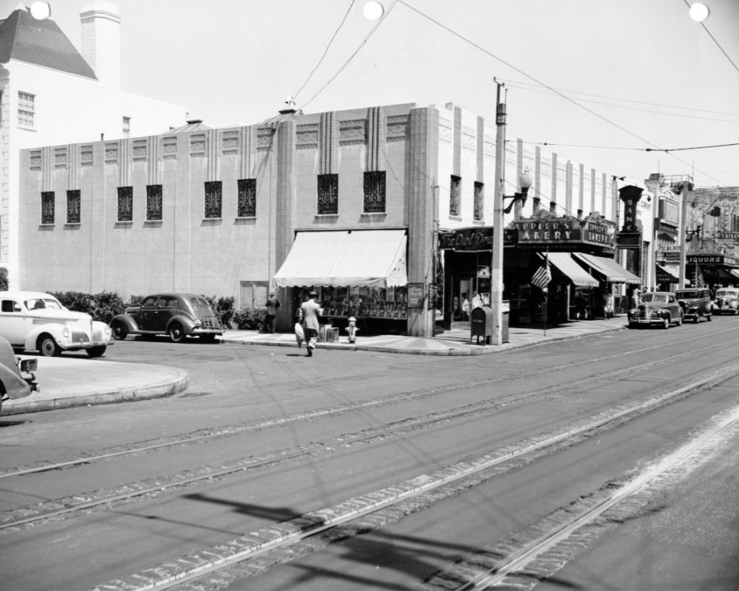
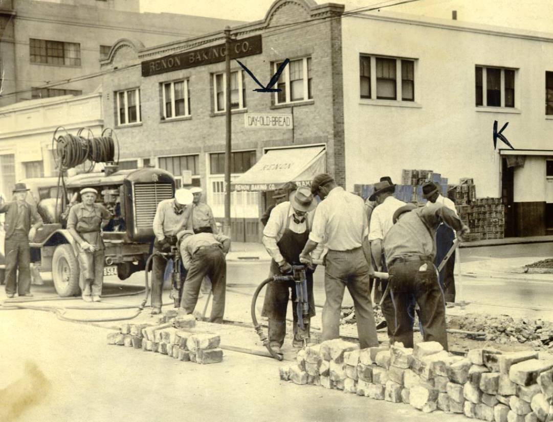
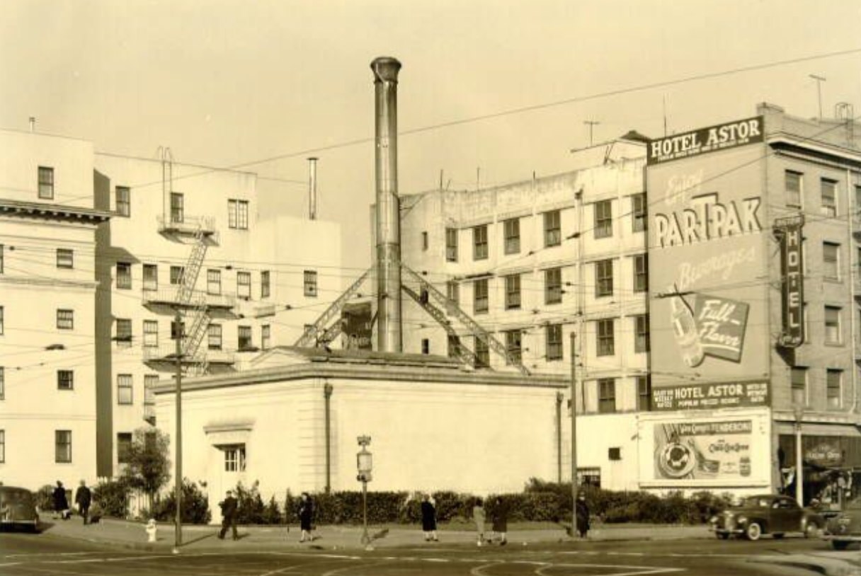
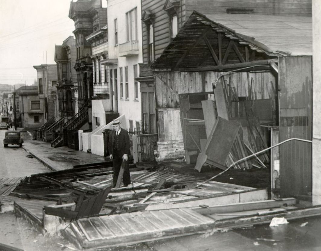
Construction of Potrero Housing Project, 1940Construction of Potrero Housing Project, 1940Construction of the Muni “F” line extension at Stockton and Market streets, 1947Aerial view of San Francisco waterfront showing the Ferry Building and Bay Bridge, 1945View of San Francisco waterfront from the bay with Telegraph Hill and Coit Tower, 1945Powell and Eddy Street, 1943Columbus at Powell Street, 1940Facing south on Third Street in front of Southern Pacific Depot at Townsend, 1941Chestnut Street between Steiner and Pierce, 1945U.S. Public Health Service boarding the “William Wightman” in San Francisco Bay, 1948Russian Hill, 1945View of Geary and Stockton Street corner of Union Square Park, 1944Southeast corner of Lombard and Franklin streets, 1940Kearny Street, 1942Civic Center district on Grove Street, 1945Docks at Third and Channel streets, 1940sBayshore & Donner SE, San Francisco, California, 1940sOcean Beach from Sutro Heights, 1949Civic Center, 1945Mission Street between 7th and 8th streets, 1940View of new shops and cranes under construction at Hunters Point Naval Drydocks, 1943Harrison Street, 1942Haight Street near Clayton, 1943Fire at Angel Island administration building, 1940Pacific Telephone and Telegraph Company employees on strike vote, Grant Avenue, 1945Muni intersection at Junipero Serra Boulevard, 1948Geary at Hyde Street, 1941Civic Center district, 1945Aerial view of a fire in the Mission district on 24th Street, 1945Third Street at Jamestown, 1943Sutter Street looking toward Powell Street from Mason, 1945Van Ness Avenue, 1942Bayshore Boulevard, 1946Sixth Floor Optical Shop at Hunters Point Naval Shipyard, 1948View of Geary Boulevard looking east from 18th Avenue, 1944Geary Street near Kearny and Market, 1944Third Street at Marin, 1940sThird Street, 1944Haight Street looking west from Ashbury, 1944Buses gathered in the Civic Center across from City Hall, 1940sCastro at 24th Street, 1950sCivic Center district, 1945Section of Embarcadero railroad tracks in need of improvement, 1940View of Geary Boulevard at Presidio Avenue facing southeast, 1948Civic Center district, 19452nd and Mission streets, 1940Temporary Barracks, Civic Center Plaza, 1940sColumbus Avenue near Powell, 1940View of Treasure Island and Yerba Buena Island from Telegraph Hill, 1940sPresidio, 1937Lombard Street looking east from Broderick, 1940Potholes on Mission Street between 22nd and 23rd streets, 1940National Housing Week gathering on Post Street between Market and Kearny, 19431500 block of Lombard Street, 1940Grant Avenue in Chinatown, 1940sConstruction of Potrero Housing Project, 1940Temporary Barracks, Civic Center Plaza, 1940sCalifornia Street, 1940sStormy day at the scene of an accident on California Street, 1943Hunters Point commercial center, 1944Ocean Beach, 1942Stop light at the corner of Mason and Post streets, 1943Looking down Grant Avenue towards Market Street from above Geary, 1944Aerial view of the Civic Center, 1940sCivic Center district, 1945Third Street between Quesada and Revere, 1944Aerial view of the city looking onto Sacramento Street, 1924Chestnut Street west from Fillmore Street, 1944Geary and Presidio facing southeast, 19482300 block of Lombard Street, 1940Automobile turning onto Powell Street from Geary, 1944Mission Street near El Camino Real, 1940sConstruction of Potrero Housing Project, 1940Fisherman’s Wharf, 1945Civic Center district on Larkin Street, 1945Lombard Street, 1941Junipero Serra Boulevard, 1947Mission Street at 22nd, 1940Market Street Railway crew removing long-unused tracks, 1940City Hall, 1948Closeup of car parked on Kearny Street, 1942Cars double parked on Clay Street between Polk and Van Ness, 1945South side of Lombard Street west of Van Ness, 1940Shop Crane Bay at Hunters Point Naval Shipyard, 1948Chester (Pop) Hardister discusses loading operations with Bill Huschens, 1950Hunters Point Naval Shipyard, 1946Lombard Street, 1941North side of Lombard Street east of Franklin, 1940Temporary Barracks in the Civic Center Plaza, 1940sTwo ships docked at a pier near the Bay Bridge, 1940sWorkmen refusing to work in front of a pier protesting a no smoking order, 1943Edyth Tornow wading in pool in front of City Hall, 19461800 block of Lombard Street, 1940Fisherman’s Wharf, 1941Ordnance and Optical Shop Building at Hunters Point Naval Shipyard, 1949Stockton and Post Street, 1943International Settlement, 1940sGrant Avenue in Chinatown, 1944Fillmore Street north from Grove Street, 1944Chestnut Street between Steiner and Pierce, 1945Mason at Geary, 1945Northeast corner of Lombard and Franklin, 1940California Street looking east from Van Ness Avenue, 1944West side of Sansome Street below Union Street, 1942Sydney Ayers on Grant Avenue in Chinatown, 1947Castro Street, 1941United States Steel Supply Company warehouse at 16th and Harrison streets, 1948Third Street at Jamestown, 1943West side of Van Ness Avenue south of Lombard Street, 19402100 block of Lombard Street, 1940Howard Street at 7th, 1944Stockton Street looking towards Market Street from the tunnel, 1945Third Street at Twentieth, 19441700 block of Lombard Street, 1940View of two water reservoirs and Fort McDowell Army base on Angel Island, 1948Exterior view of Main Library, 1945Baldwin & Howell Real Estate, after 1906Third Street at Mariposa, 1943Powell Street at Market, 1940sGeary Boulevard looking east from 24th Avenue, 1945Angel Island Administration building fire viewed from fire boat Dennis T. Sullivan, 1940South along Junipero Serra Boulevard, 1948Construction of Potrero Housing Project, 1940Burning administration building on Angel Island, 1940Lombard Street at Octavia, 1941Aerial view of Hunters Point Naval Shipyard, 1945Flag at half staff in front of City Hall in honor of Navy Secretary Knox, 1944Fisherman’s Wharf, ca. 1939Car going through stop sign on Bush and Hyde Street, 1944Grant Avenue in Chinatown, 1947Intersection of Howard and 8th streets, 1943Chestnut Street between Steiner and Pierce, 1944Mission Street at Duboce, 1940Ocean Beach near the Cliff House with Playland in the background, 1946Bush Street looking toward Market from Kearny Streets, 1944Temporary Barracks in the Civic Center Plaza, 1940sCivic Center district power plant, 1945Union Square, 1947Fire at Hunters Point Naval Drydock, 1946Civic Center, 1942Bush Street, 1940sStreetcar at the intersection of Haight and Buchanan streets, 1940sBayshore Boulevard, 1946View of Ocean Beach from near the Cliff House, 1942East on Lombard Street (US 101) from Gough Street, 1945Geary Street at Mason, 1945Heavy traffic on Mission Street, 1949Chestnut Street, 1945Sydney Ayers walking past Old St. Mary’s Church, 19472400 block of Lombard Street, 1940Mission Street looking west from 4th Street, 1946California Street between Pierce and Scott streets, 1940sMen working on Howard Street, 1941Union Square, 1940s2100 block of Lombard Street, 1940Civic Center district on McAllister Street, 1945Hunters Point Naval Shipyard, 1946Aerial view of Civic Center, 1947Mission Street north from 22nd Street, 1944Looking up Post Street from Stockton, 1947Post Street between Grant and Kearny, 1942Fireman George Harper and Lieutenant Michael Switzer with Mrs. Edmund J. Morrissey at Lotta’s Fountain, 19472000 block of Lombard Street, 1940Civic Center, 1940sPowell Street at Market, 19432300 block of Lombard Street, 19402500 block of Lombard Street, 1940View of Ocean Beach, Playland, and Great Highway from near the Cliff House, 1941Rear view of 1820 Third Street, 1941Civic Center district, 1945Al Simon in front of his wind-damaged cabinet shop at 2555 Post Street, 1943San Francisco civic and civil leaders inspect Fort McDowell’s hospital on Angel Island, 1948
Kevin Clark is a historian and writer who is passionate about sharing the stories and significance behind historical photos. He loves to explore hidden histories and cultural contexts behind the images, providing a unique insight into the past.