
Corona is a neighborhood in the western part of Queens, New York City. It sits between Flushing Meadows–Corona Park to the east and Jackson Heights to the west, with Roosevelt Avenue running straight through its core. The area was originally called West Flushing before being renamed Corona in 1854, the name tied to the Crown Building Company that helped develop it. Over the decades, Corona grew into one of the most culturally layered neighborhoods in all of New York, home to waves of Italian American, African American, Irish, German, and Chinese residents. By 1974, that diversity was visible on every block — in the storefronts, the street corners, and the faces of the people riding the elevated subway overhead.
The photographs collected here were taken in November 1974 and throughout that same year. They were shot at street level and from the elevated subway platforms that tower over Roosevelt Avenue, giving a rare dual perspective on the neighborhood. Together, they document Corona at a specific and turbulent moment in New York City history — a time when the city was edging toward fiscal collapse, graffiti coated nearly every subway car, and working-class neighborhoods like Corona were absorbing rapid demographic change. These images don’t flinch from any of that.
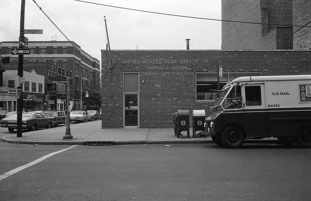
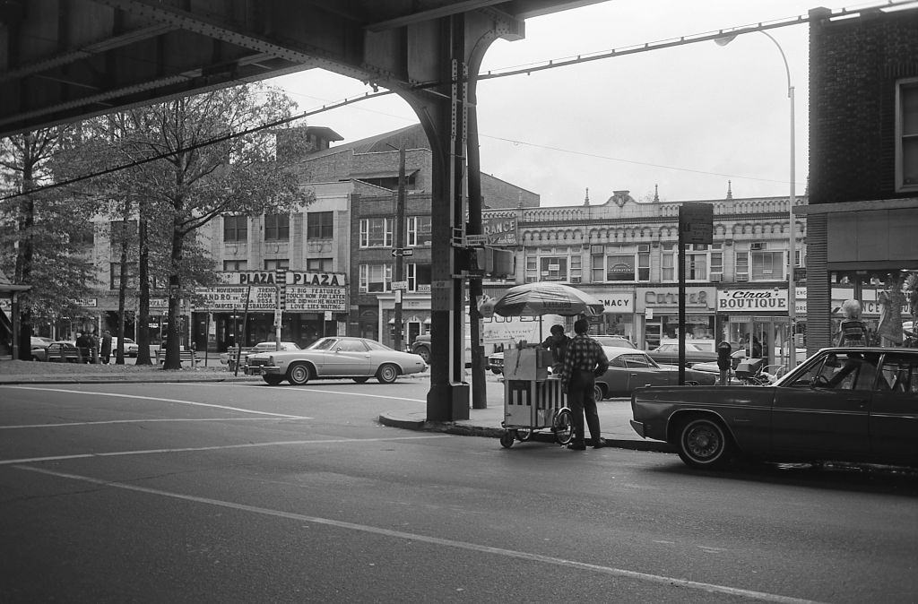
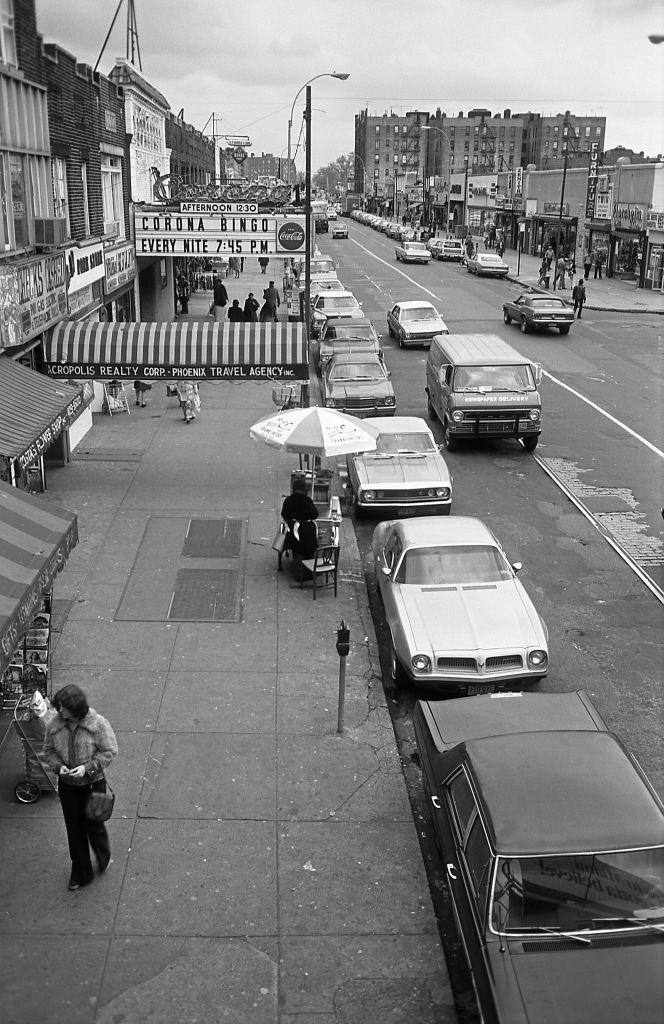
Roosevelt Avenue was the backbone of commercial life in Corona. Small businesses lined both sides of the street beneath the iron framework of the elevated 7 Train, known to locals simply as the Seven. Post offices, movie theaters, fruit stands, bingo parlors, and medical centers all competed for space along this stretch. The U.S. Mail had a prominent presence at one of Corona’s busiest intersections.
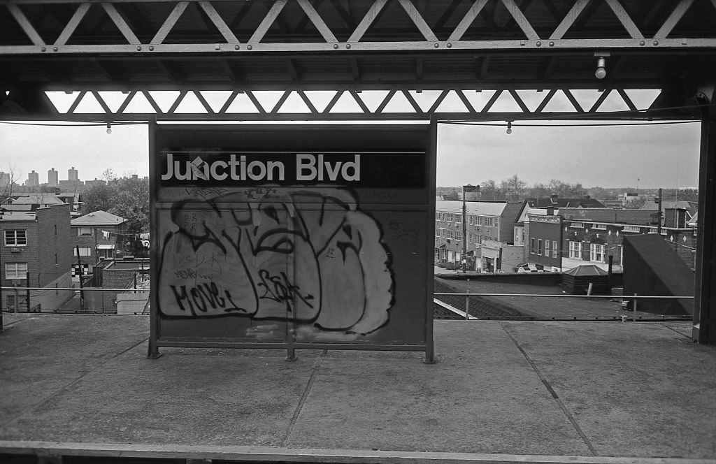
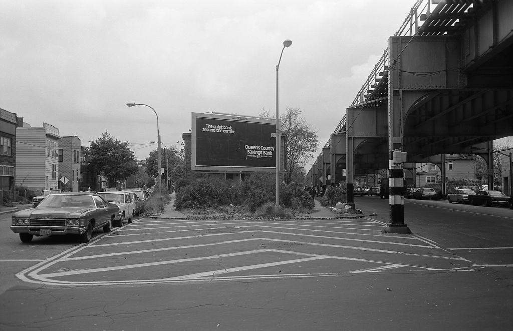
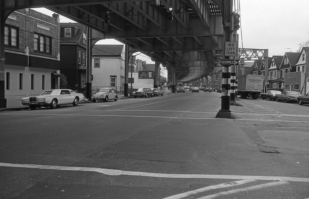
The elevated subway line that ran through Corona was a defining feature of the neighborhood. Its steel pillars planted themselves directly on Roosevelt Avenue, casting shadows over the sidewalks below and filling the air with the screech of steel wheels on iron rails. The stations themselves had become canvases for graffiti writers by 1974 — signs, walls, and every surface within reach were marked up in paint.
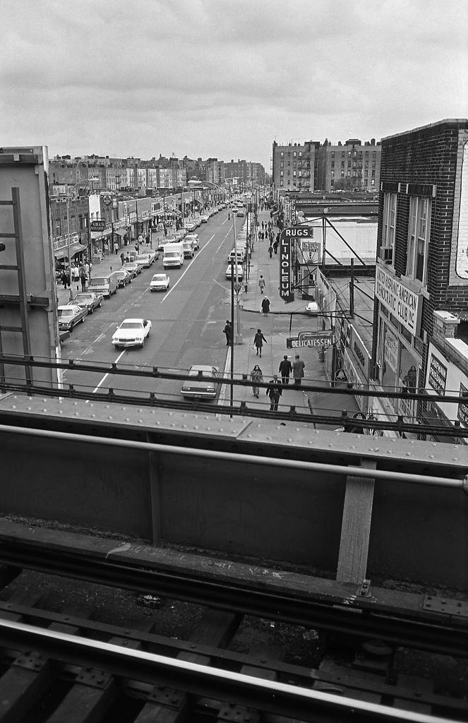
From the elevated platforms of the Seven Train, the full stretch of Roosevelt Avenue came into view. Small shops and storefronts extended in both directions, their signs advertising everything from groceries to clothing. The view from above made clear just how tightly packed the commercial corridor was — block after block of activity compressed beneath the train tracks.
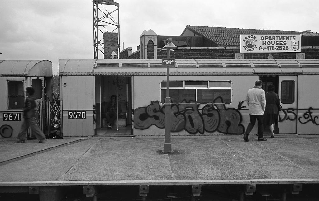
The graffiti that covered the subway infrastructure in 1974 was not limited to walls and signs. The subway cars themselves were almost entirely covered in painted tags and murals. Despite the visual chaos, commuters boarded and rode these trains every day as a matter of routine.
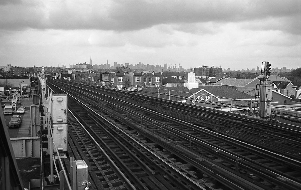
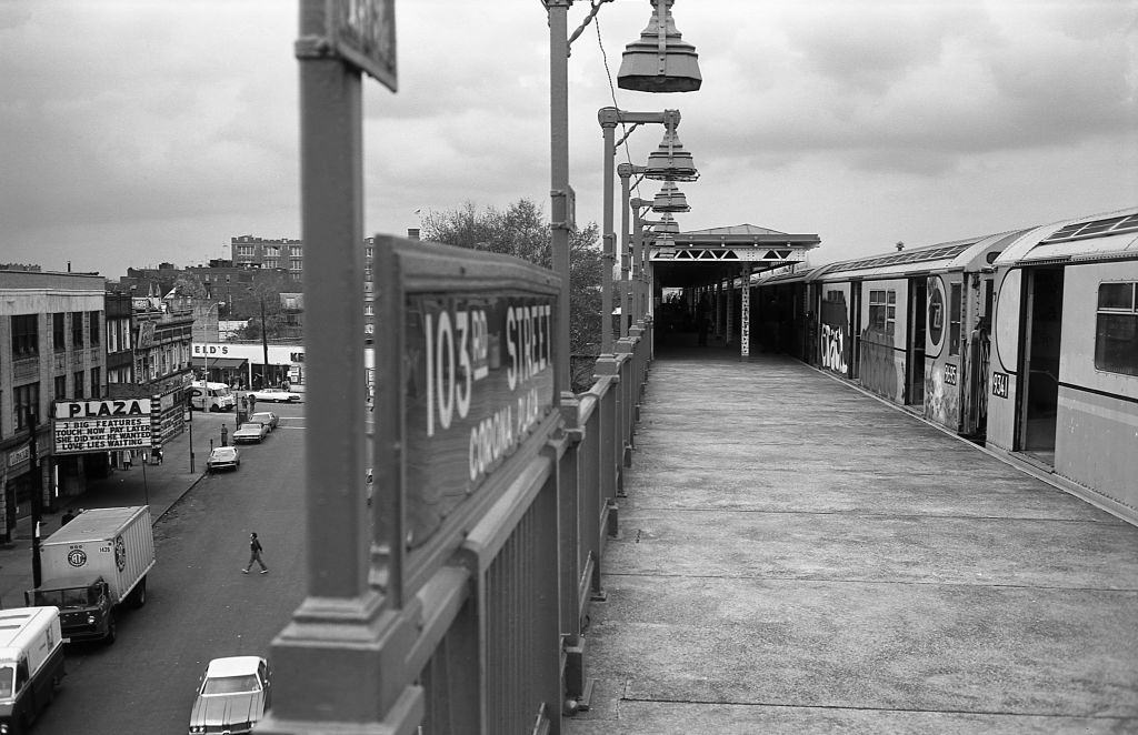
One of the most striking features of the elevated stations was the view they offered beyond the immediate neighborhood. From the platform at 103rd Street, riders waiting for the Seven Train could look out across a wide panorama of the city — rooftops, water towers, and the Manhattan skyline visible in the distance on a clear day.
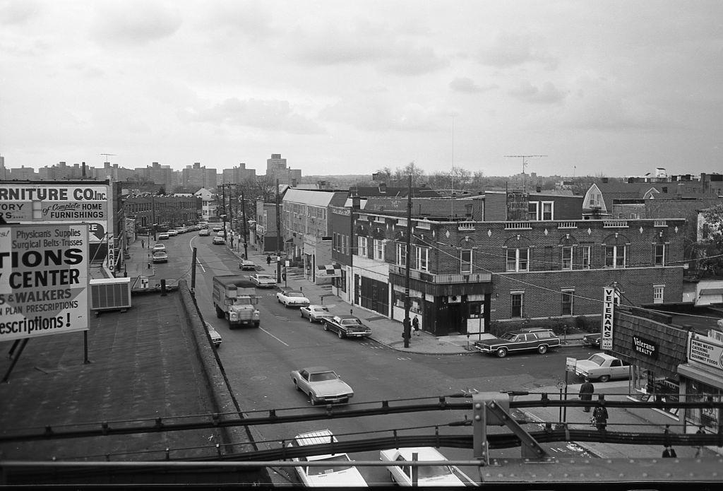
At street level, Corona’s corners told their own stories. Foot traffic moved steadily through the neighborhood throughout the day, with residents going about their routines against a backdrop of brick buildings, signage, and parked cars typical of mid-1970s New York.
The elevated subway line ran not just over commercial streets but also directly alongside residential blocks. Houses sat close to the tracks on streets like 39th Avenue, where the noise and vibration of passing trains were simply a part of daily life for the families who lived there.
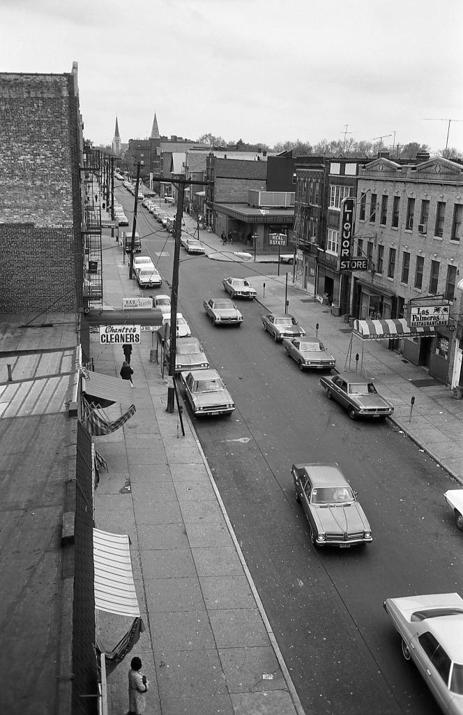
Entertainment was part of the Roosevelt Avenue mix as well. The Plaza Movie Theater stood among the row of businesses lining the avenue, offering a place for the neighborhood’s residents to gather. Around it, shops of all kinds kept the sidewalks busy from morning through the evening hours.
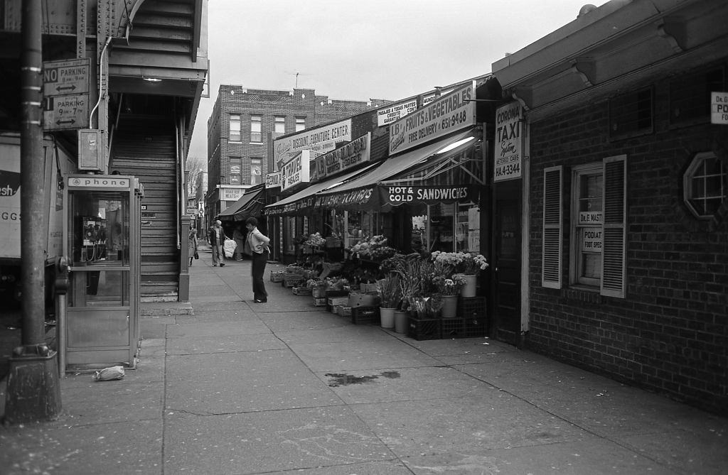
Beneath the elevated tracks, vendors set up fruit and vegetable stands that served the immediate community. These open-air stalls were common along the avenue, bringing fresh produce directly to foot traffic under the shadow of the subway structure. On November 5, 1974, a photographer captured exactly this scene — one resident stepping out of a stand, bags in hand.
The platforms of the Seven Train were functional but bare. At 103rd Street, the wooden platform stretched along the elevated structure with a direct sightline down into the street below and out across the rooftops of the surrounding blocks.
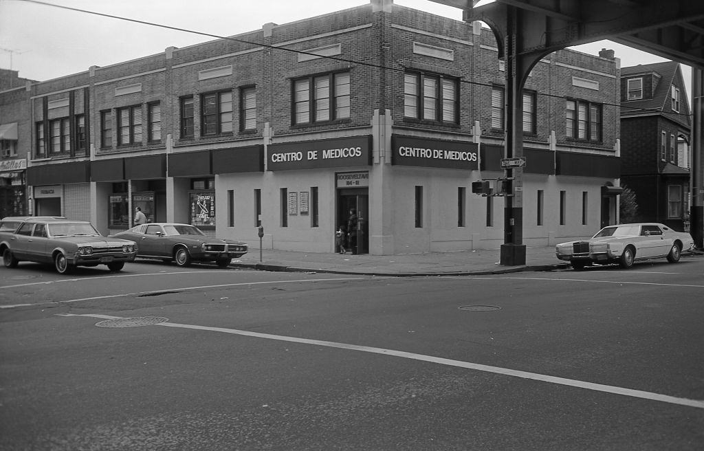
The changing demographics of Corona by 1974 were reflected clearly in the businesses along Roosevelt Avenue. The Spanish Medical Center was one visible sign of a growing Latino population that had been moving into the neighborhood through the late 1960s and into the 1970s, reshaping the commercial landscape alongside the older Italian and African American communities.
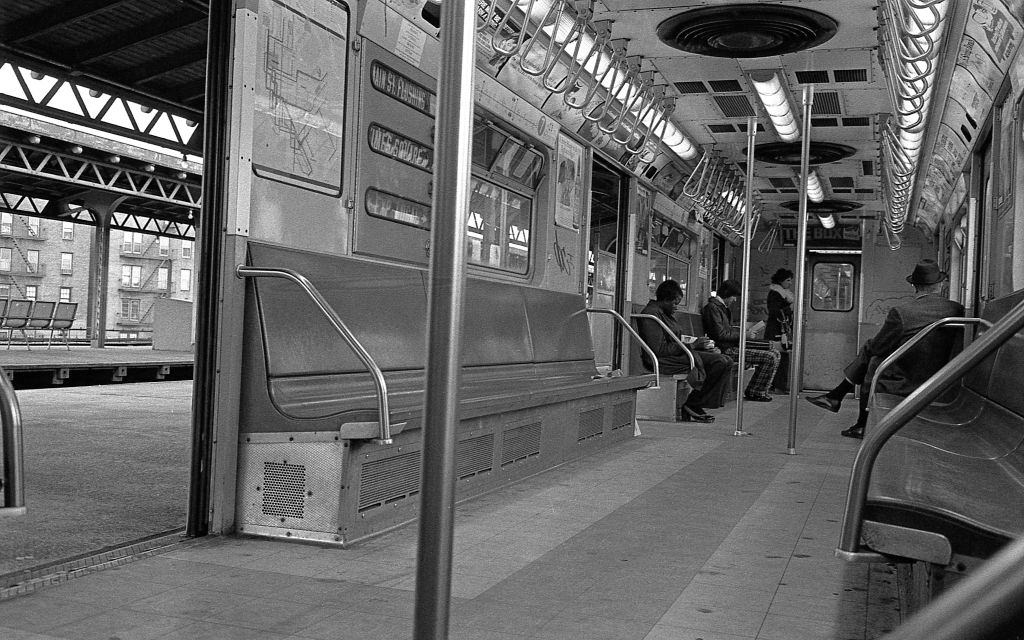
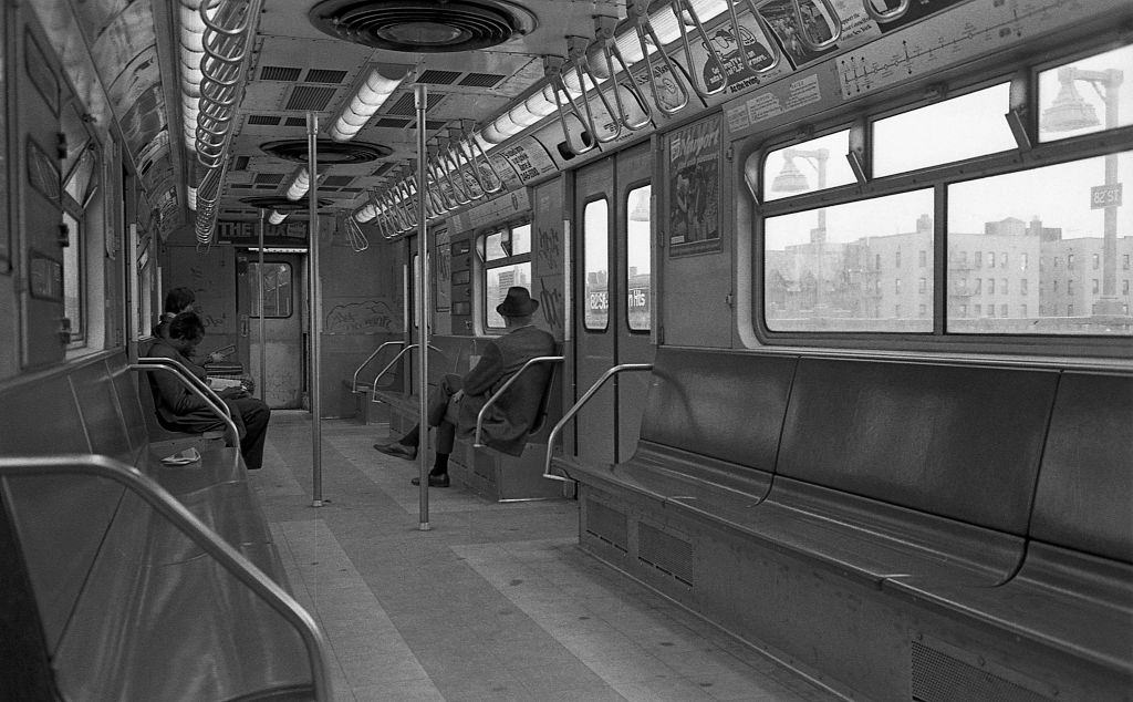
The subway stations along the line each had their own character. At 82nd Street, commuters stepped on and settled into seats as the train sat with its doors open, waiting for the signal to move. Even with graffiti covering the interior walls and ceiling, riders simply found a seat and waited.
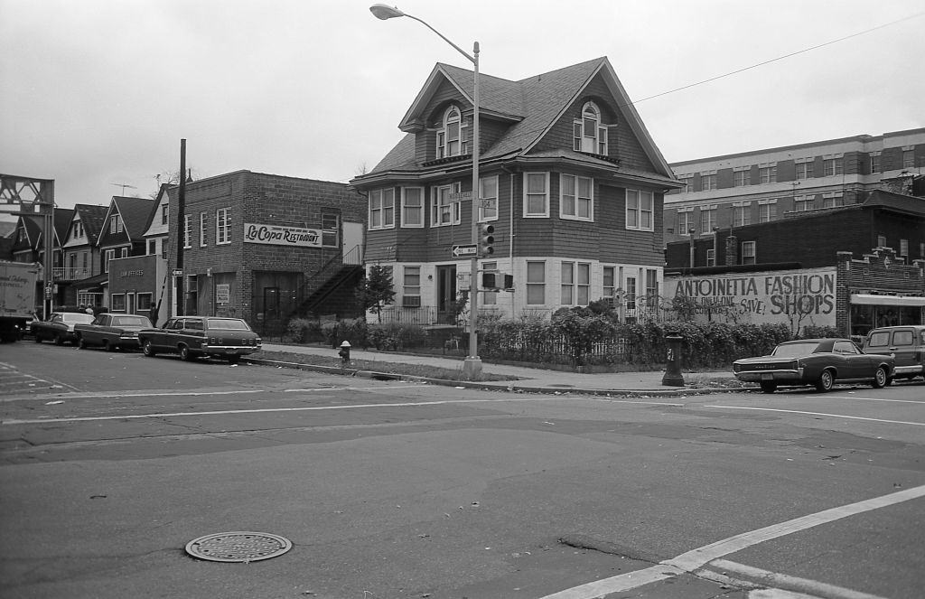
The intersection of 104th Street and Roosevelt Avenue was one of the busiest points in Corona. Residential buildings stacked several stories high sat directly above and beside ground-floor commercial tenants, a layout common throughout Queens that kept people living just steps from the stores and services they used every day.
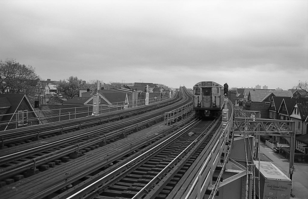
The Seven Train moved constantly through the neighborhood, threading its way along the elevated tracks above residential streets and commercial blocks alike. From street level, watching the orange and red cars pass overhead was an hourly event for anyone living or working near the line.
Inside the cars, the graffiti was impossible to ignore. Tags covered every available surface — windows, doors, walls, and ceilings. Three riders sit in one such car in a photograph from 1974, looking entirely unbothered, as though the painted chaos around them is simply the background of a Tuesday commute.
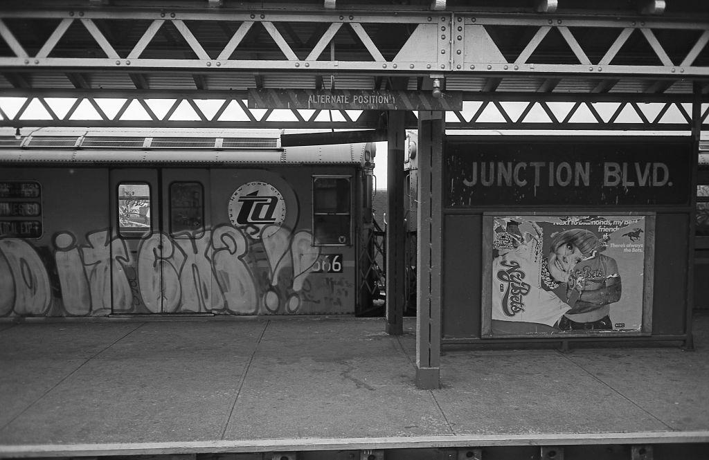
The Junction Boulevard station was one of the most heavily documented stops in these photographs. A train sitting at the platform there in 1974 shows just how thoroughly the graffiti culture of New York had taken over the subway fleet by that point — not a single panel of the car’s exterior was left untouched.





Thank you so much; these are great
It’s crazy to see how little has changed.
Great pictures. It’s as if the pictures came straight out of “The French Connection”.
The first picture looks like Junction Blvd and Roosevelt Ave
When was the 7 line built?
in the early 1900’s specifically 1915
My parents were born in Corona in 1929
Before developers built those Fedders Houses all over the neighborhood, it looked so much nicer
Stunning is a stretch
Compared to how the neighborhood currently looks, it’s not.