
By 1900, Bakersfield, California had already been through a great deal. A fire tore through its business district in 1889, leveling buildings and storefronts that local residents had spent years building. The city rebuilt fast. Within a decade, it had grown to a population of over five thousand people, and a set of discoveries and construction projects were about to change the region permanently. The single biggest turning point came in 1899, when oil was discovered in the Kern River fields just north of the city. That find unleashed a petroleum boom that reshaped Bakersfield’s economy almost overnight. Drilling operations expanded, jobs multiplied, and money poured in. The oil industry didn’t just grow on its own — it pulled manufacturing industries along with it, creating demand for labor, equipment, and infrastructure across the region.
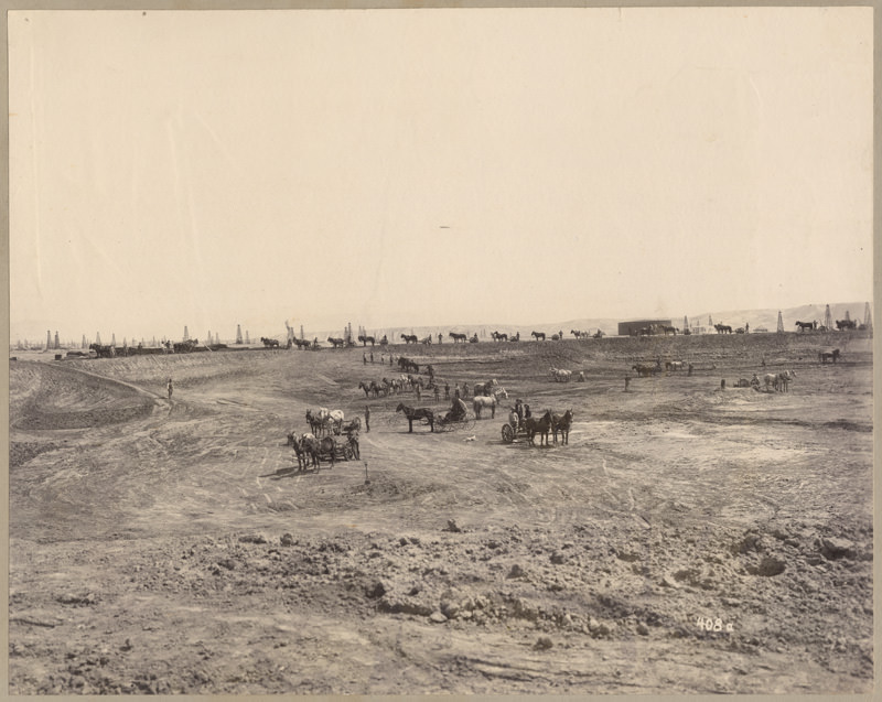
In 1901, the Standard Oil Company broke ground on the county’s first oil pipeline. It was a massive undertaking — the pipeline stretched from the Kern River field north of Bakersfield all the way to Point Richmond, just north of San Francisco Bay. Moving crude oil at that scale over that distance was a new kind of operation for the region, and it signaled that the Kern County oil industry was no longer a local story. It was now connected to markets hundreds of miles away. Back in the city itself, 1900 also marked the launch of two important public services: an electric streetcar system and a postal delivery system. Both were signs that Bakersfield was becoming a real urban center, not just a frontier town.
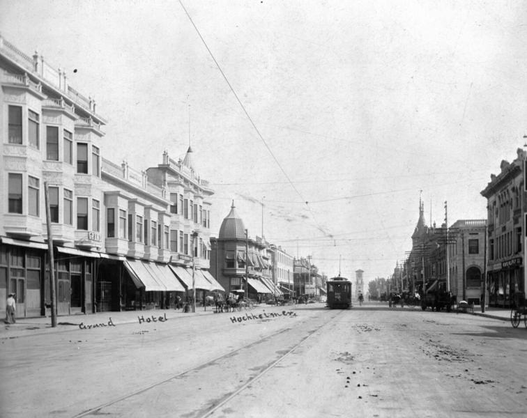
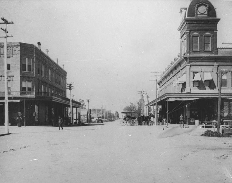
Chester Avenue in 1900 told the story of a city in transition. Wide, unpaved, and lined with two- and three-story Victorian-style buildings, the street had the look of a place that was growing faster than it could finish itself. The Grand Hotel stood on the left, while a streetcar made its way down the center of the road. A clock tower was visible in the distance — the Beale Memorial Clock Tower, which had become a fixture of the downtown streetscape.
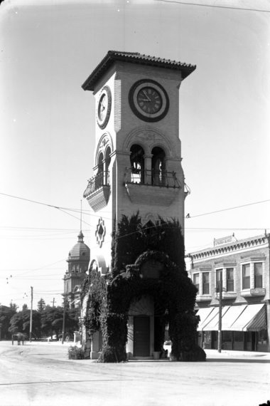
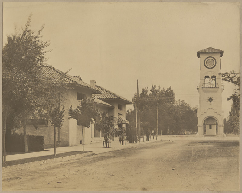
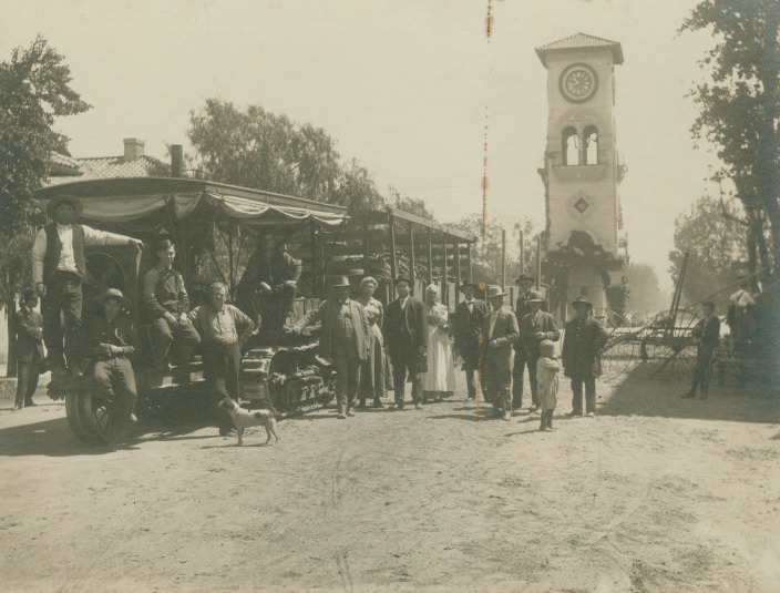
The Beale Clock Tower stood at the center of a dirt street, its brick base covered in ivy and its roof finished in terracotta tiles. Four small balconies flanked arched openings in the middle of the tower, and two clock faces high up on the structure showed the time at nearly five minutes to nine. Nearby, the Stoner Block building housed the law office of Geo. Whitaker. The tower was a landmark that anchored the downtown district visually and practically.
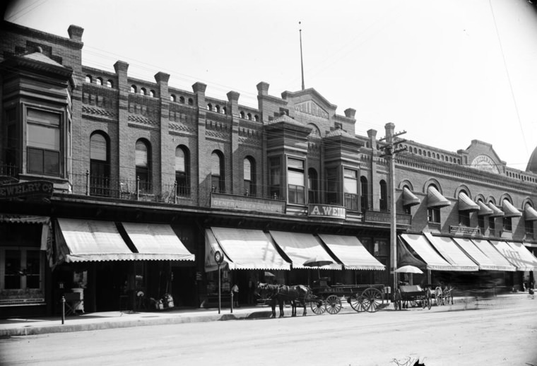
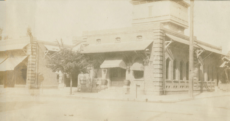
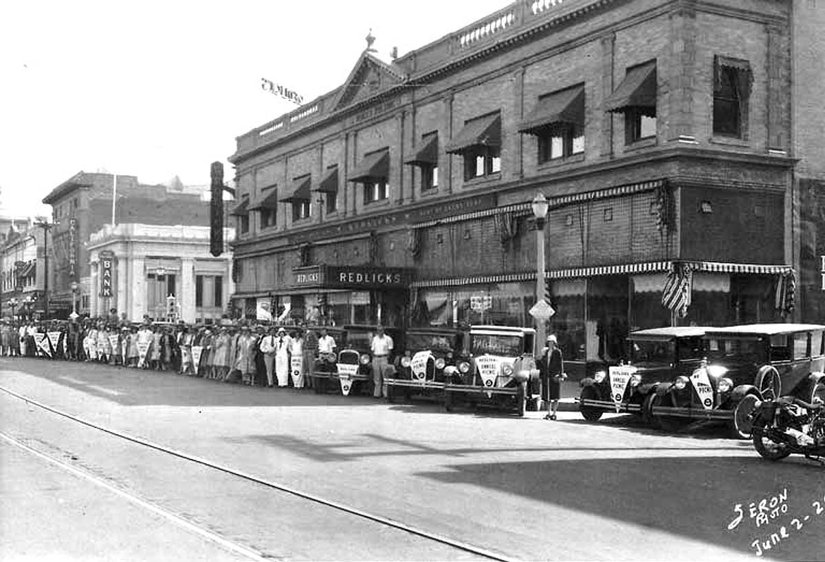
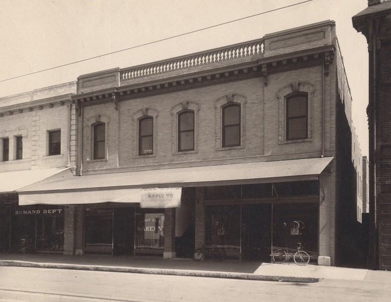
Commerce in early Bakersfield ran through buildings like the Weill Block, a large two-story brick structure that took up an entire city block. Its second floor featured tall arch-shaped windows, while cloth awnings stretched out from the first floor over a row of shops. Buildings like this gave the downtown district a sense of permanence — a clear contrast to the wooden storefronts that had burned down just over a decade before.
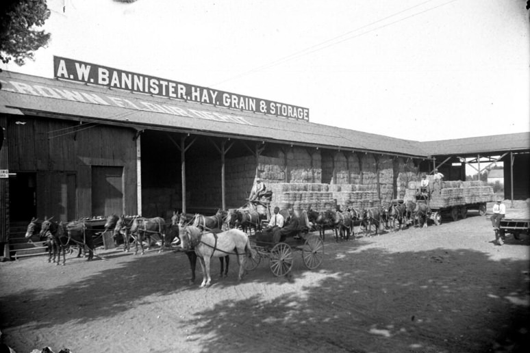
Agriculture remained part of the regional economy alongside oil. The A.W. Bannister hay, grain, and storage building handled the movement of agricultural goods through the area. In photos from 1900, teams of eight mules pulled large flatbed wagons loaded with hay bales up to the building’s wide entry opening, where stacks of bales were stored beneath a high roof. The Kern County landscape supported both industrial and agricultural operations simultaneously.
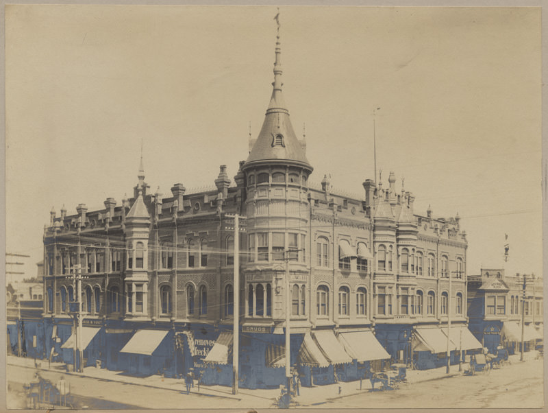
The Southern Hotel, positioned at the corner of 19th and Chester Streets, was one of the city’s more prominent buildings. Three stories tall, it occupied a busy corner where pedestrians moved along the sidewalks, horse-drawn buggies stopped along the road, and at least one bicyclist made the corner their brief stop. The Scribner Block building and the White Star Steam Laundry were visible nearby, making this intersection one of the more active spots in the downtown area.
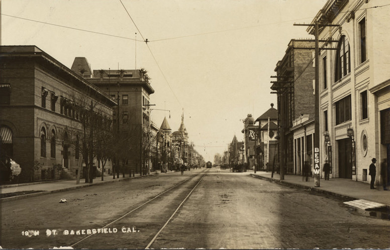
19th Street itself gave a clear picture of how the city moved. Looking down the street in 1904, railroad tracks ran straight down the center, with a streetcar visible in the distance. Buildings lined both sides of the road. The electric streetcar system, which the city had launched just four years earlier, was already an established part of daily life.
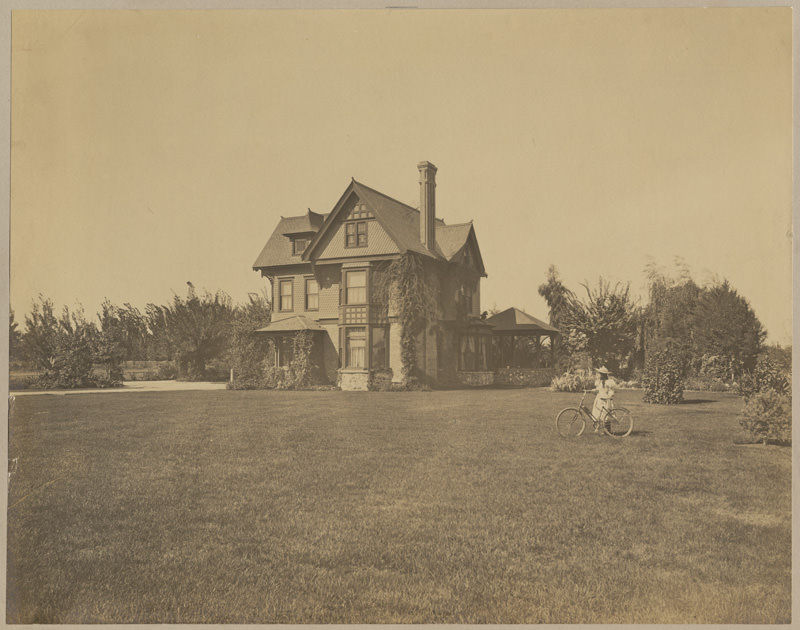
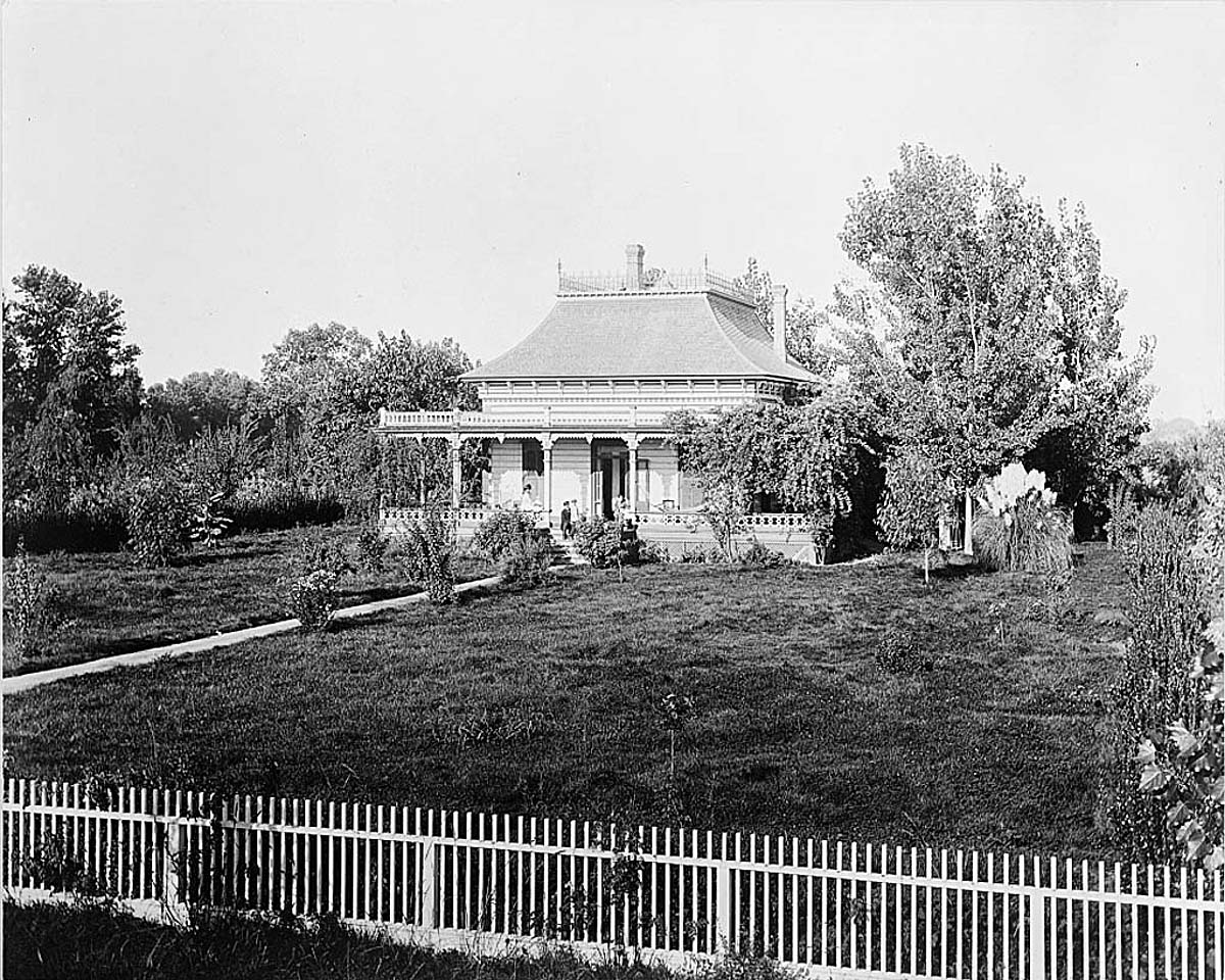
Residential life in Bakersfield during this period ranged widely in scale and style. Robert M. Holtsby’s home, photographed in 1901, was one of the more elaborate private residences in the city. Three stories tall and built from stone, brick, and scalloped shingles, the house featured bay windows, dormer windows, and a gazebo on its back side. It sat well back from the street among trees and a lawn, with a young woman and her bicycle visible in the foreground.
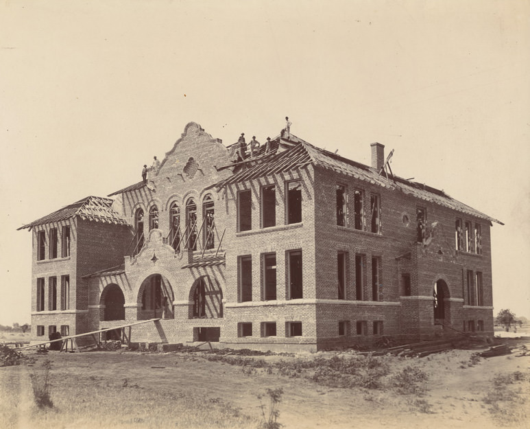
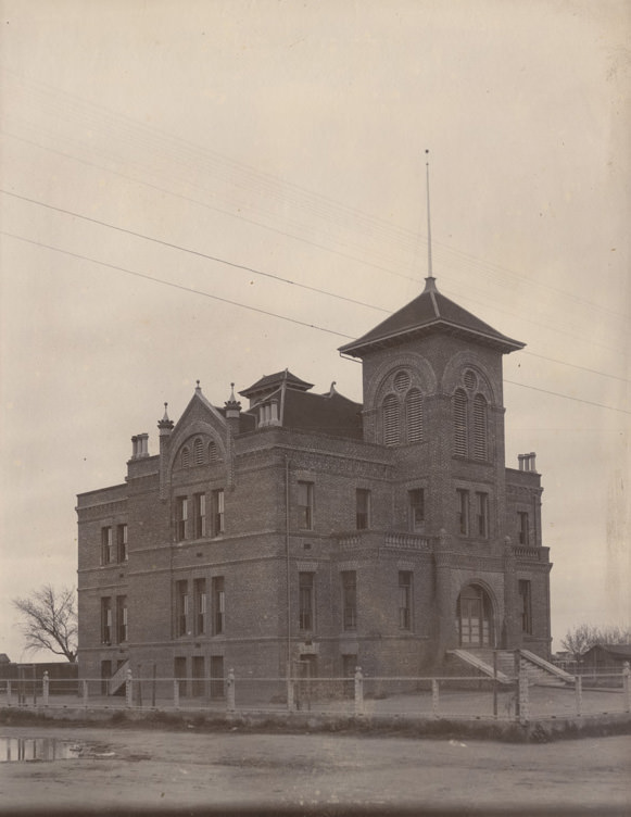
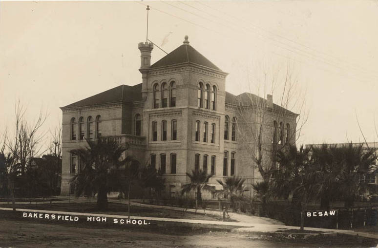
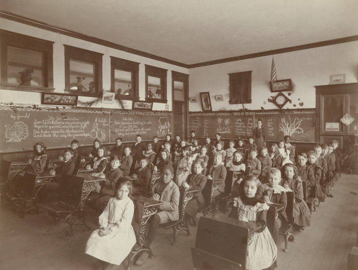
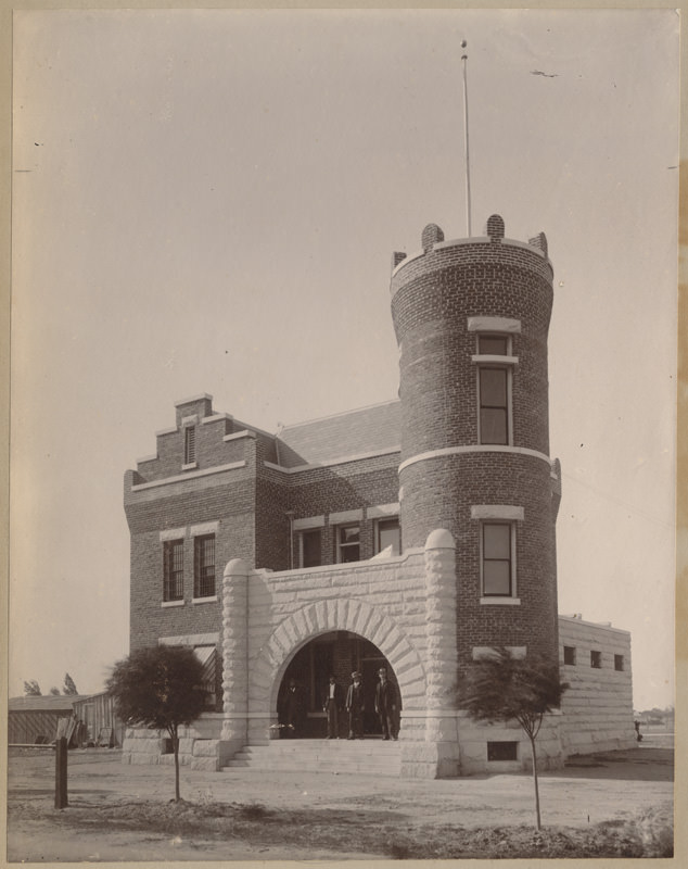
Education was expanding in step with the city’s growth. Lowell Elementary School was operating by 1902, situated on the corner of 10th and H Streets. Bakersfield High School was photographed in 1907. Inside schools like Emerson, classrooms were full — one 1905 interior photo shows rows of students at their desks with their teacher standing nearby. The girl in the front row in a white dress was Doris Stoner, born in July 1895, the daughter of Austin Foster T. Stoner.
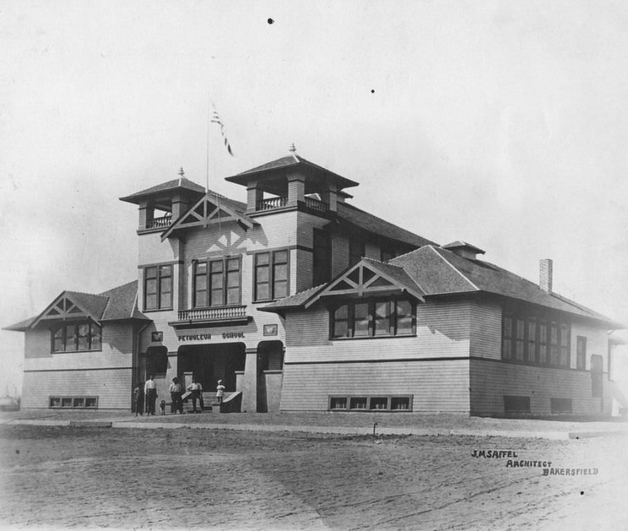
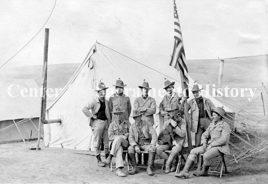
The oil fields to the north of the city had their own infrastructure needs. A Petroleum School operated right in the Kern River Oil Field by 1900, training workers and professionals in the technical demands of the growing industry. The U.S. Geological Survey also maintained a presence in the area, with survey camps like the A.B. Searles Camp photographed in 1904. Science and industry were working in parallel to make sense of what lay beneath Kern County’s ground.
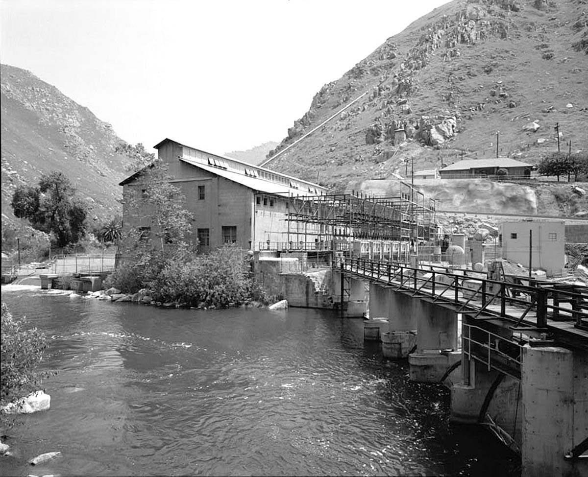
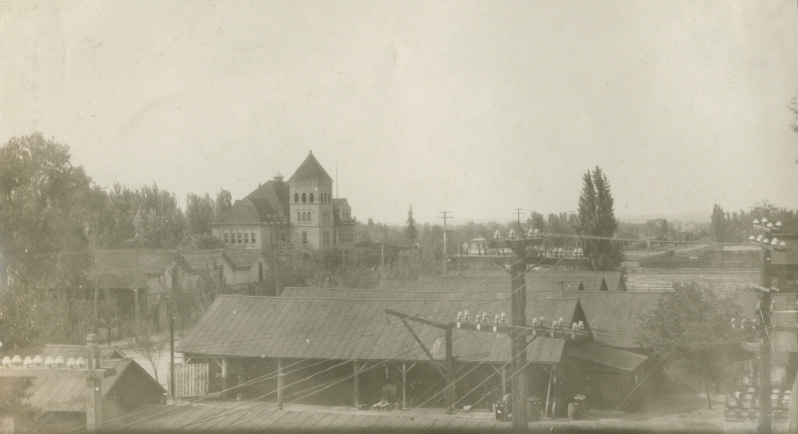
Powering all of this growth required serious infrastructure. The Electric Water Company operated repair shops, plumbing facilities, a machine shop, testing wells, and substations — all photographed in 1907. The Kern County No. 1 Hydroelectric System ran a powerhouse in the Kern River Canyon, with its exciters photographed in 1904. Electricity was not a luxury in Bakersfield at this point — it was central to how the city and its industries functioned.
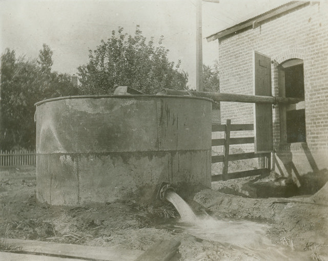
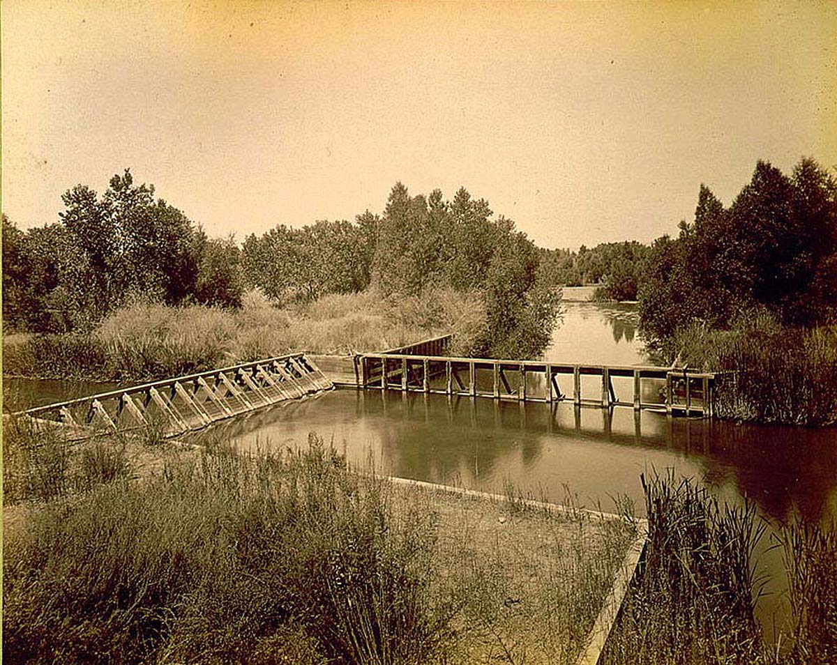
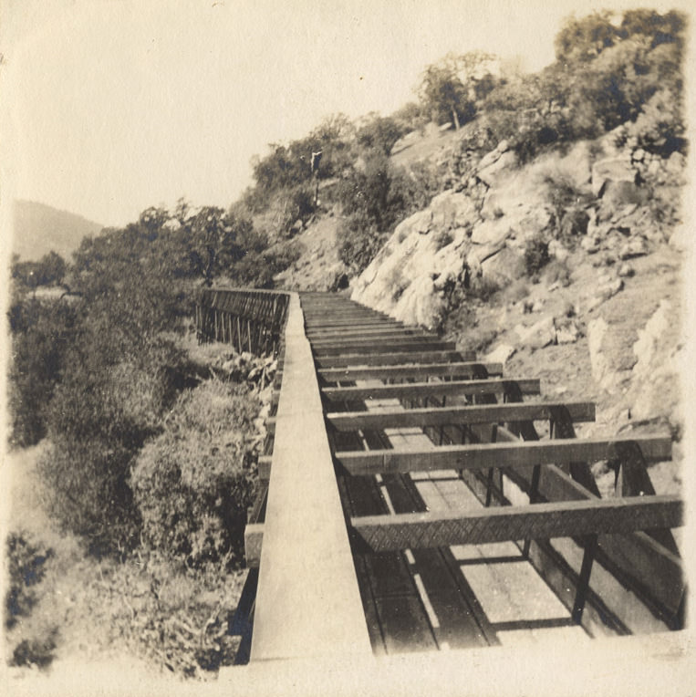
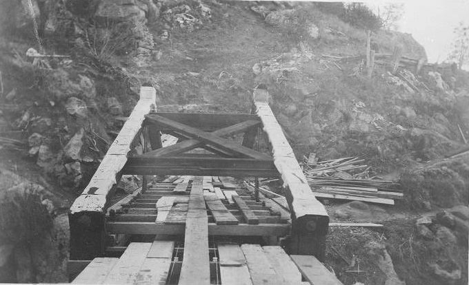
Water management was just as important as electricity. The Kern Island Canal head gate, located about two and a half miles from Bakersfield, controlled water flow through the region’s irrigation system. In 1908, construction began on the Los Angeles Aqueduct — a 233-mile-long water conveyance system designed to carry water from the Owens River through eastern Kern County to a reservoir in the San Fernando Valley. About 4,000 workers tunneled through earth and rock to make it happen. The aqueduct was dedicated in 1913.
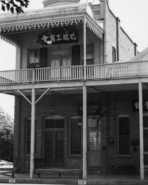
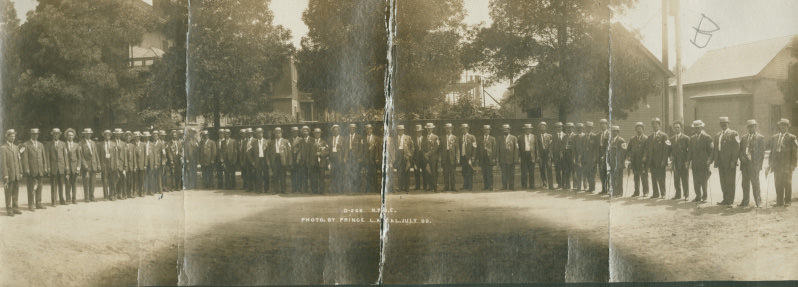
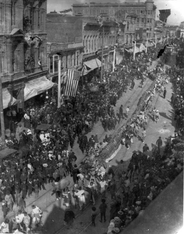
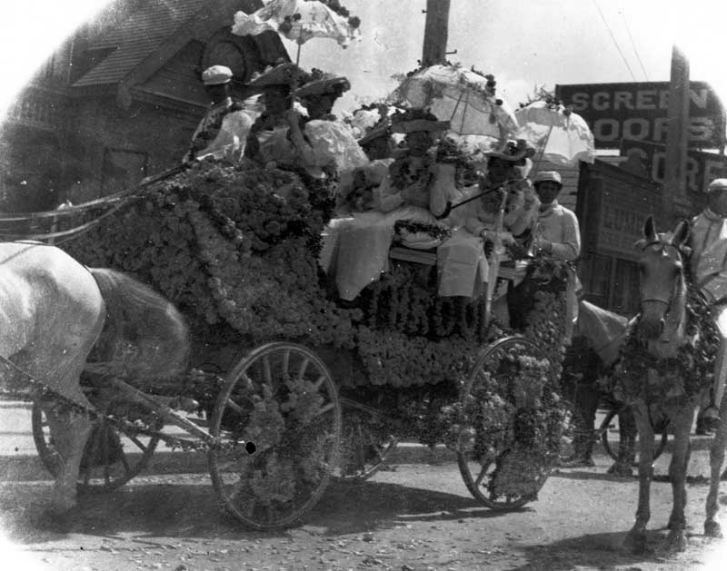
Community life in Bakersfield included organized social groups like the Benevolent and Protective Order of Elks, photographed near houses in the city in 1909. The Chinese-American community maintained its own institutions as well — the Suey On Association, a fraternal organization of Chinese merchants, operated out of 2110 L Street as early as 1900. When the city held holiday parades, Chinese-American residents participated visibly, as shown in a 1907 downtown parade photo capturing decorated wagons, crowds, and American flags.
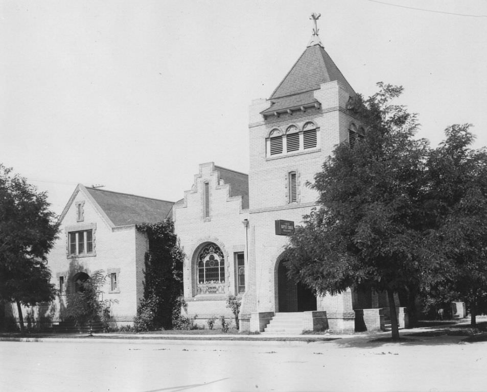
Religious life was also taking shape. The First Baptist Church moved to its location at 20th and G Streets in April 1905 — relocated from its previous site at 22nd and Eye Streets. The church would move again in 1932, but in 1905, its dedication at the new site marked a milestone for the congregation. Buildings like this, alongside the schools, civic organizations, and commercial blocks, gave Bakersfield the structure of an established city.
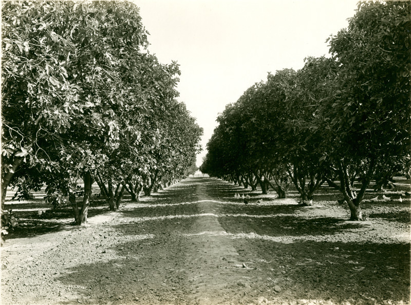
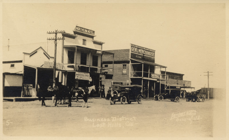
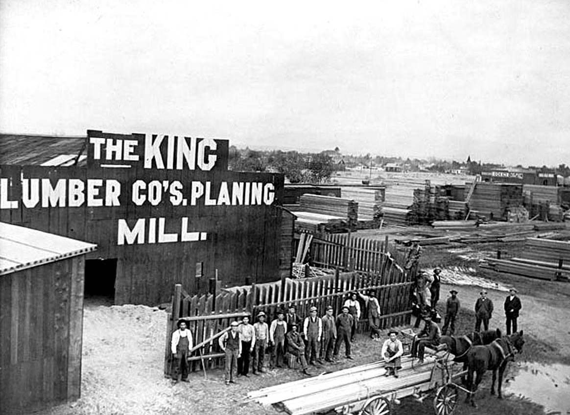
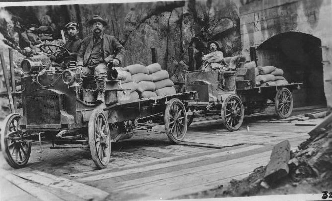
The broader region surrounding Bakersfield was growing too. Fig orchards operated near the city in 1907. The Lost Hills business district had its own commercial life by 1906. Lumber yards like King Lumber at Niles Street and Union Avenue served the construction boom. Workers hauling cement used early automobiles and trailers, captured in a 1906 photo, showing that motorized vehicles were already entering the workforce alongside horse-drawn wagons.





My buddy and I went down to the library downtown and looked at a bunch of historical pictures. It’s fascinating how beautiful it used to be before the fires and the earthquake. Highly recommend doing so.
This is cool thanks. I especially liked seeing the Chinese community roots here.
I do miss what Bakersfield was in the 70s and 80s. Anyone remember the goldfish ponds at the Valley Plaza?
I remember those, and the weird basement offices at the Brock’s end.
Yep. Loved getting lunch at the Jolly Roger and watch the Christmas shoppers shuffle by.
My dad always used to call Valley Plaza the “Air Conditioned Money Grabber”
Bakersfield had some really cool architecture, but the earthquake and fires really screwed that up. I read that they rebuilt downtown as fast as they could so they chose a mid century style which too me is pretty boring and the interior of some of the buildings is straight up depressing.
Yeah that little parapet on the BHS building is fire
What a shame. A growing city center with an integrated light rail system. Bakersfield had the potential to be a real city, even in spite of the earthquake.
We didn’t want to be like those darn Europeans! I mean, we did…. But also didn’t!
Before the crackheads appeared
Well, they did have cocaine in a bottle back then.
Adds a a pep to your step!
bring back the electric streetcar!