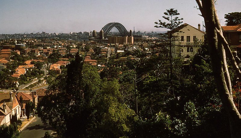
The 1950s was a transformative decade for Australia. World War II had ended just years earlier, leaving the country — and much of the world — dealing with a refugee crisis and shattered economies. Australia responded with one of its most ambitious immigration programs to date. During 1951 and 1952, the Australian government signed agreements to accept immigrants from the Netherlands, Italy, Austria, Belgium, Greece, Spain, and West Germany. These new arrivals joined a nation that was rapidly changing, growing, and finding its postwar footing.
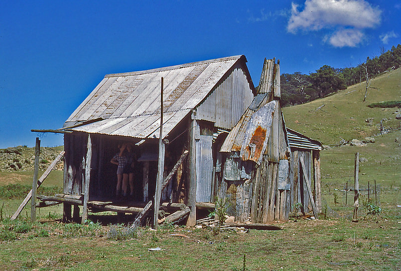
At the center of this era was Prime Minister Robert Menzies, the founder of the modern Liberal Party and Australia’s longest-serving prime minister, with more than 18 years in office. Under his leadership, Australia experienced rapid economic growth and a sense of national confidence. Cities expanded, industries boomed, and ordinary Australians found more time for leisure, travel, and outdoor life. The photographs below document that world — cities, bush trails, rivers, mountain huts, and the quiet corners of rural and urban Australia — as it was actually lived in the 1950s.
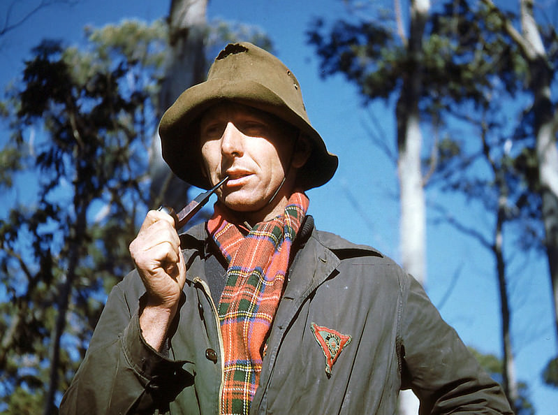
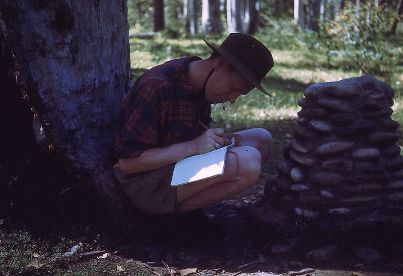
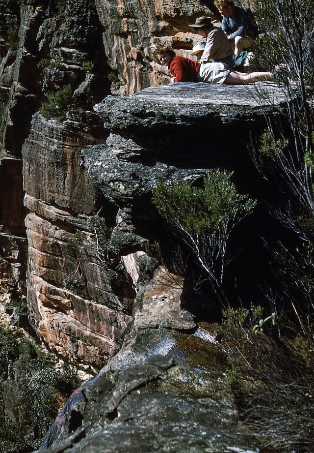
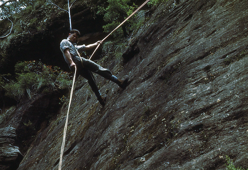
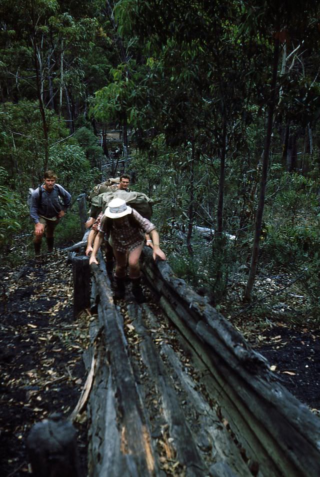
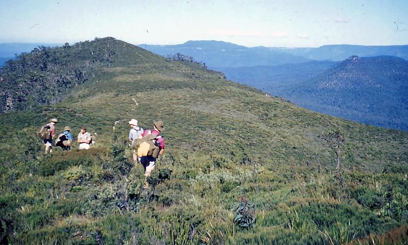
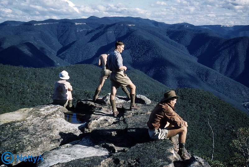
New South Wales features heavily in these early 1950s images. Bush culture was deeply embedded in Australian identity, and groups of friends and families regularly headed into the wilderness for hiking, camping, and exploring. The Blue Gum Forest, located in the Blue Mountains west of Sydney, was one such destination — a place with its own history of conservation effort.
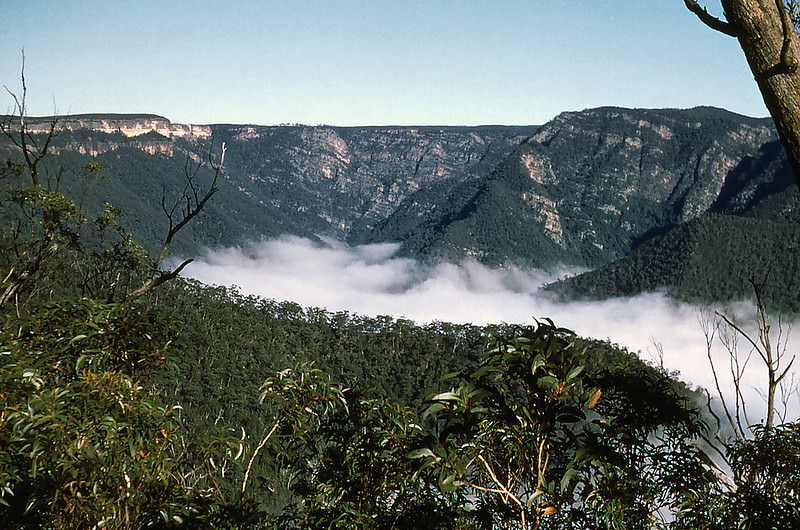
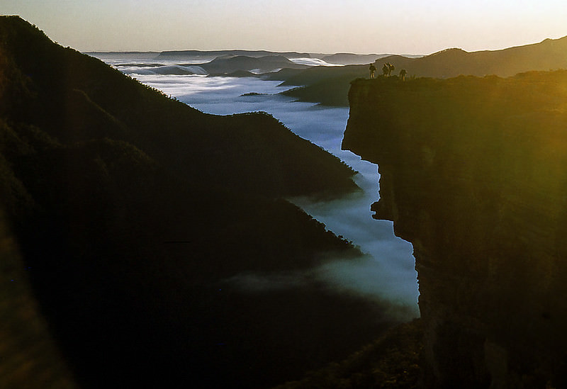
The rugged landscape of New South Wales offered dramatic terrain at every turn. Kanangra, located within what is now Kanangra-Boyd National Park, drew bushwalkers to its deep gorges and high plateau walls. These were not casual day trips — reaching places like Kanangra Deep or Kanangra Walls required serious effort on foot.
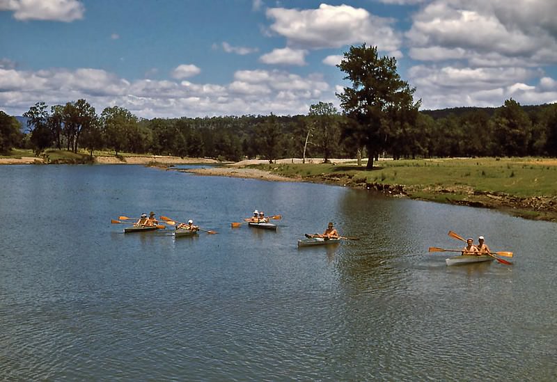
The Burragorang Valley, with the Wollondilly River running through it, was still accessible in 1952. Within a few years, the valley would be flooded to create Lake Burragorang as part of the Warragamba Dam project — permanently submerging the landscape that kayakers once paddled through. Nearby, Mt Solitary and the canyons around Arethusa offered equally wild terrain for those willing to explore.
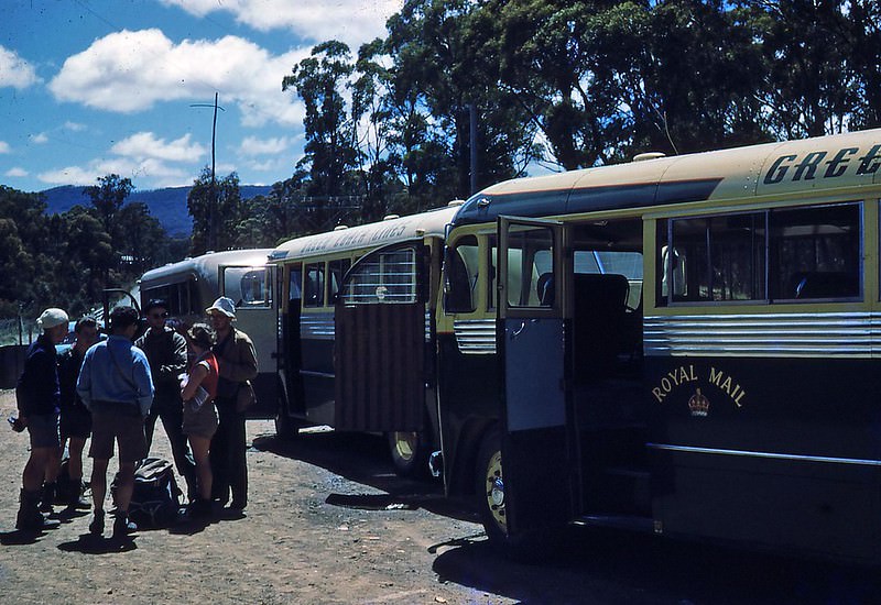
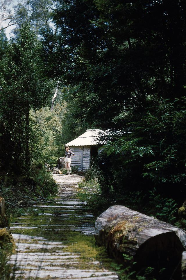
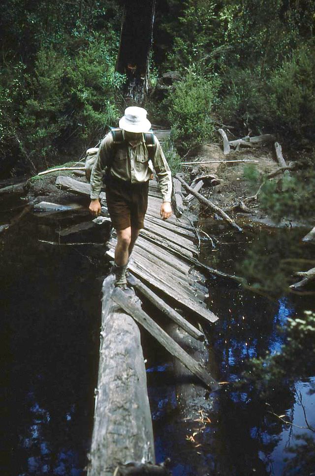
Tasmania, Australia’s island state to the south, appeared in photographs from December 1952 onward. The state’s wilderness was — and still is — some of the most remote in the country. Hikers making their way along what would later become part of the Overland Track passed through places like Pelion and Barn Bluff, staying in basic huts along the way.
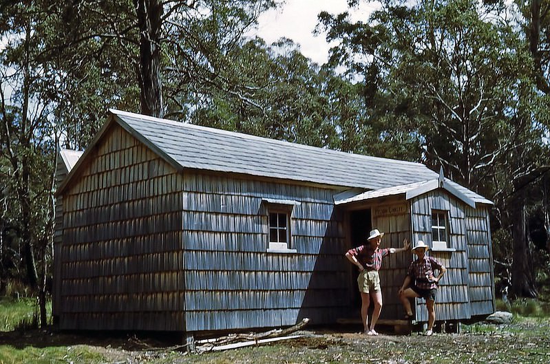
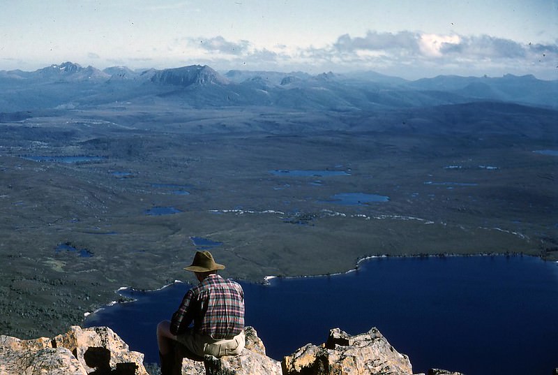
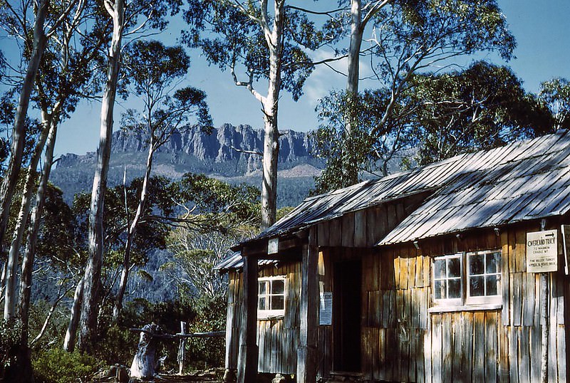
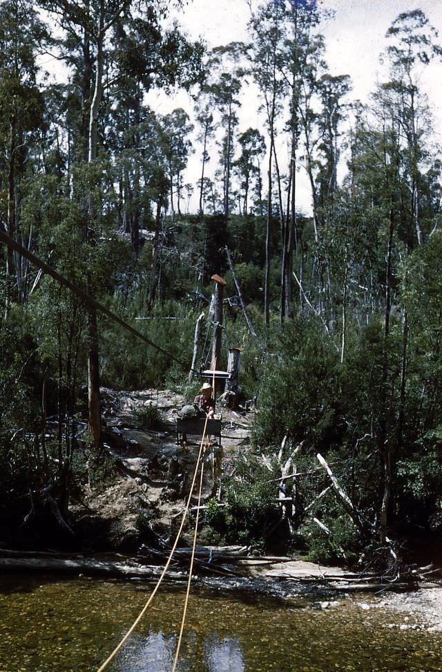
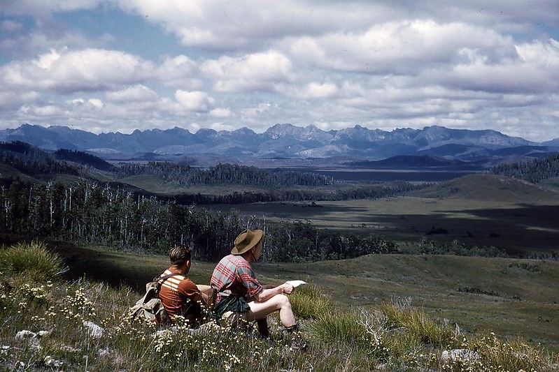
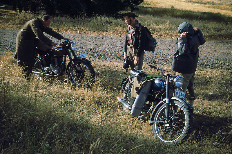
By 1953, the photographs expand across both states. In Tasmania, travelers crossed rivers, passed through small towns, and rode motorbikes through terrain that most Australians on the mainland never saw. The Frankland Range, the Franklin River, and the remote Derwent Bridge area all appear — places that required real planning to reach in an era before sealed roads covered the island.
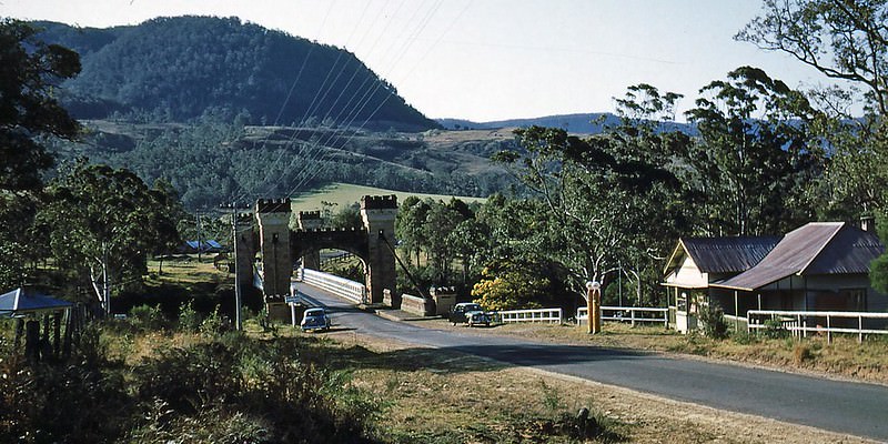
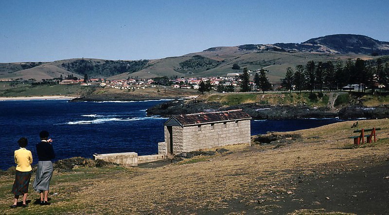
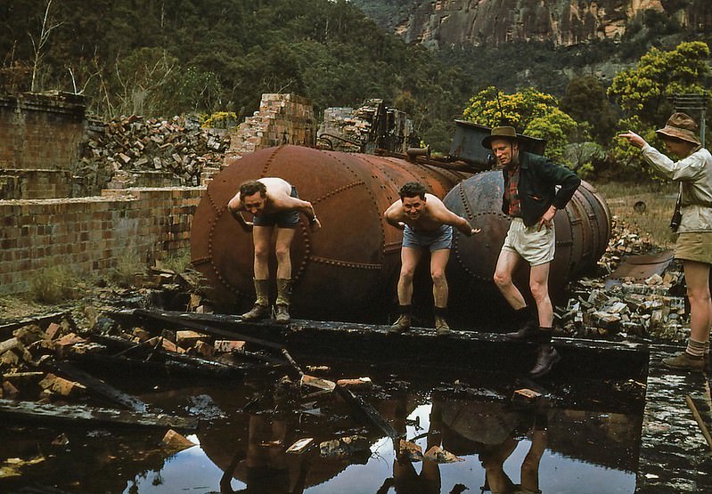
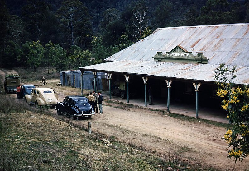
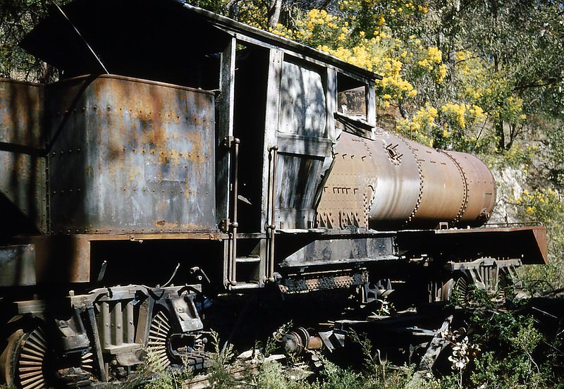
Back in New South Wales, groups of bushwalkers made the most of places like Newnes in the Blue Mountains. Once a shale oil mining town, Newnes had been largely abandoned by the 1950s, leaving behind rusting machinery, old trains, and the weathered Newnes Hotel. It became a destination of its own kind — part history, part adventure.
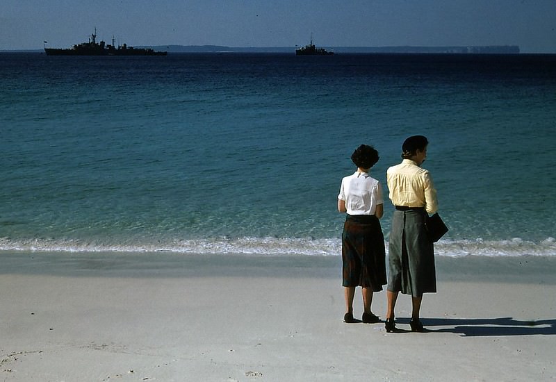
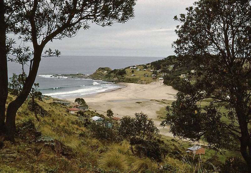
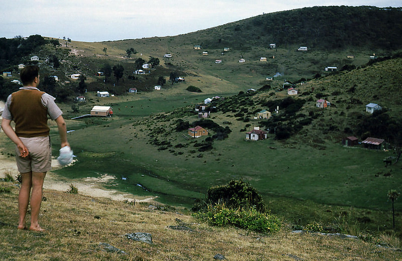
South Era Beach, tucked within Royal National Park south of Sydney, was a popular spot for holiday cottages in the 1950s. Small, simple structures dotted the beachhead, giving families a place to escape the city without traveling far. The park itself — one of the oldest national parks in the world — was a natural retreat for Sydneysiders throughout the decade.
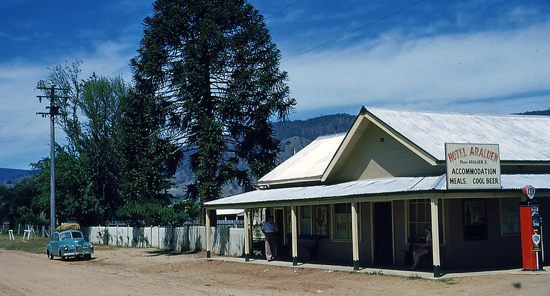
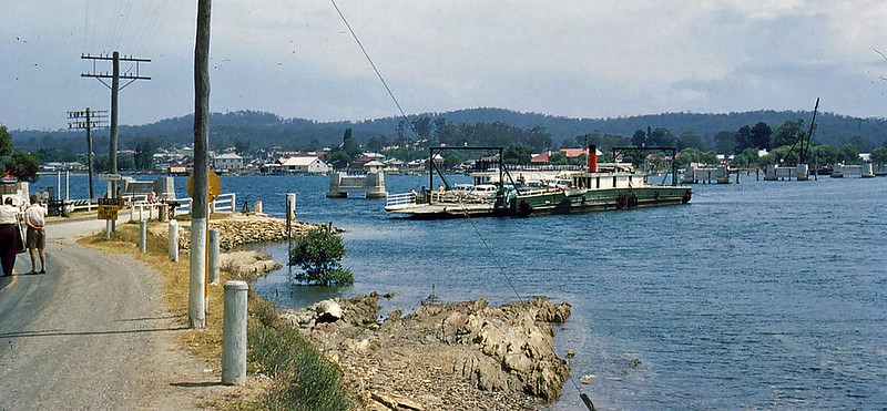
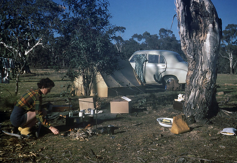
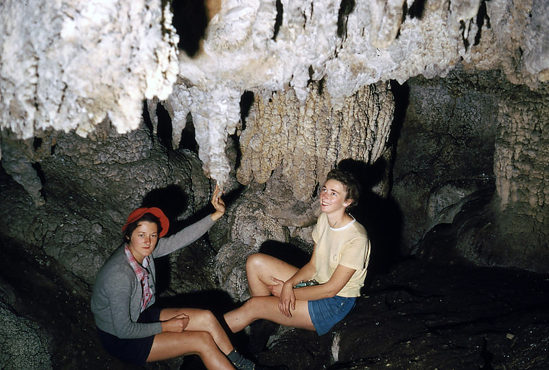
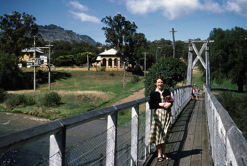
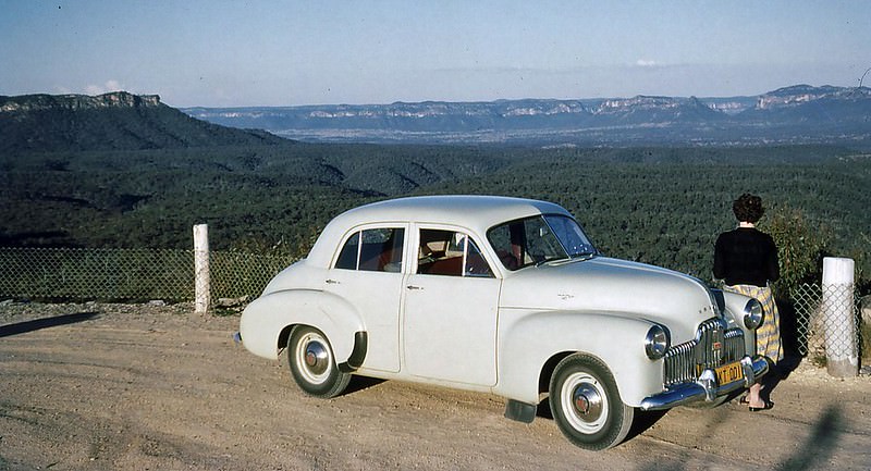
By 1954, the photographs shift to include more of regional New South Wales — the Araluen Valley, Batemans Bay, the Cooleman Caves near Canberra, and the Capertee Valley. The FX Holden, Australia’s first locally manufactured car, appears in one frame at Capertee Valley. Holden had launched the model in 1948, and by 1954 it was a common sight on Australian roads — a symbol of postwar industry and national pride.

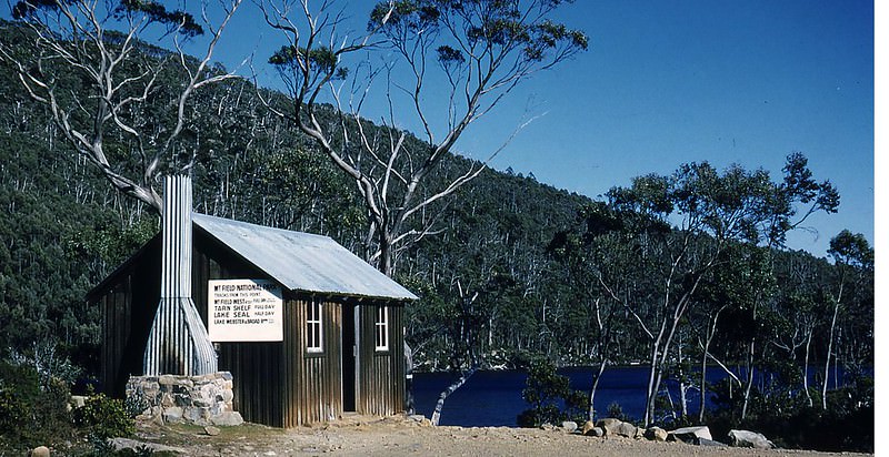
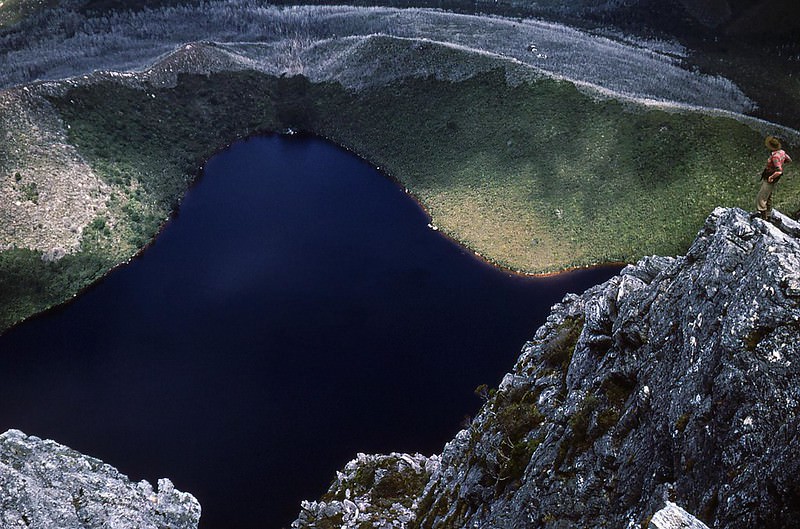
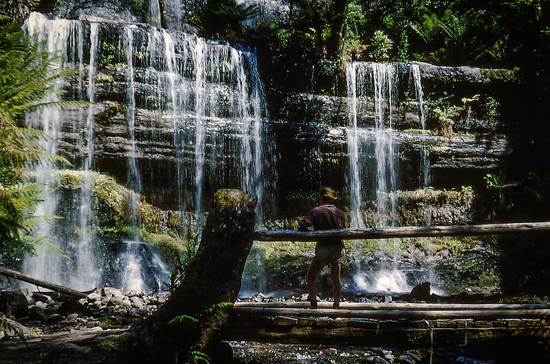
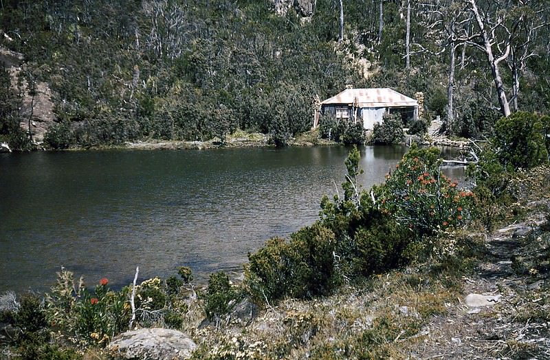
Tasmania’s Mt Field National Park appears in the 1954 photographs more than once. Lake Dobson, Russell Falls, and the Tarn Shelf hut were all well-known destinations for serious bushwalkers. Russell Falls, with its tiered curtain of water dropping through tall eucalyptus forest, was one of the park’s most visited landmarks. The Twilight Tarn Hut on the Tarn Shelf sat at high altitude, offering shelter in an exposed and treeless alpine environment.
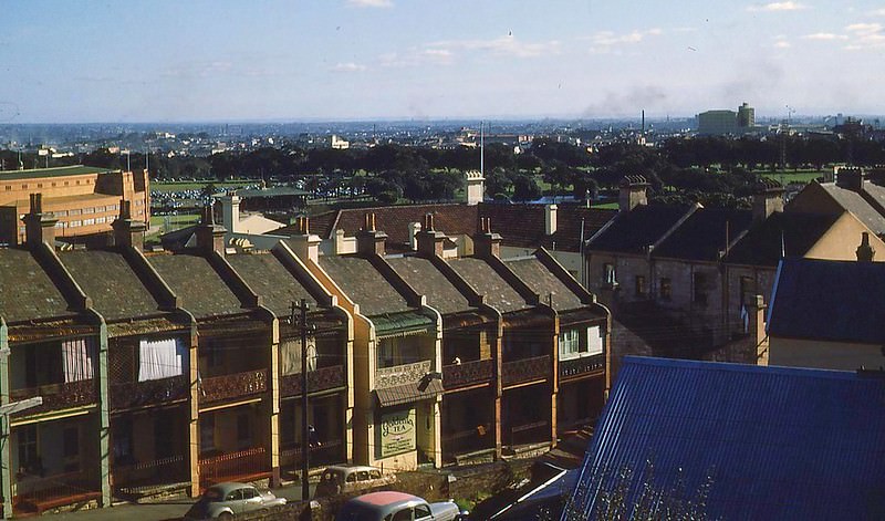
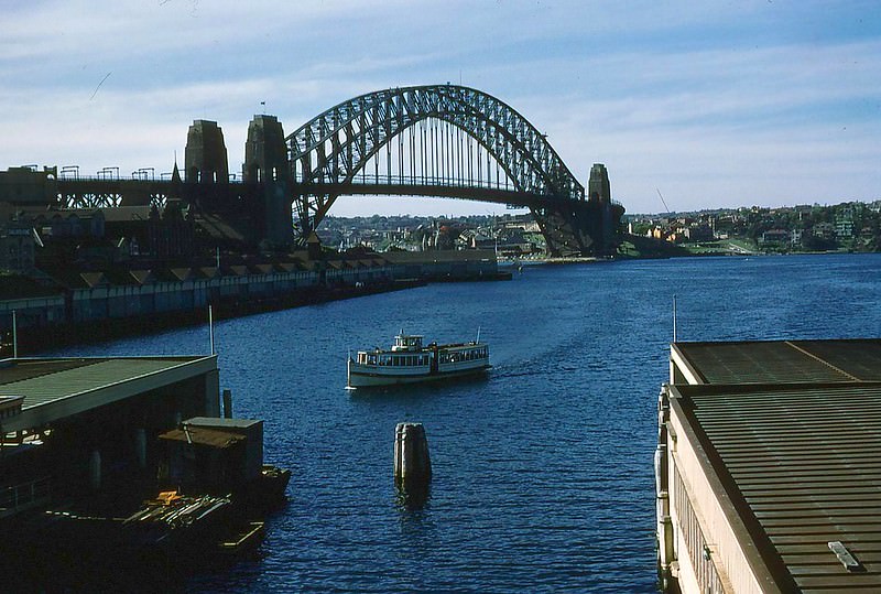
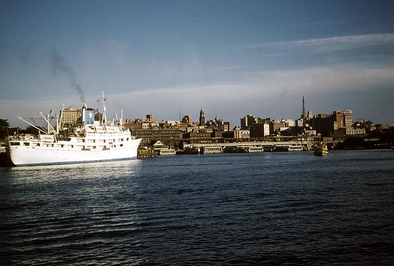
The 1955 photographs bring the lens to Sydney itself. Paddington and Moore Park, the inner-city suburb and its adjacent green space, show the urban side of 1950s life. Sydney’s Circular Quay was the beating heart of the harbour city — ferries, workers, and visitors moving constantly between the CBD and the north shore. The Harbour Bridge, completed in 1932, dominated the skyline just as it does today.